Upper Manorburn Reservoir in the Central Otago Highlands
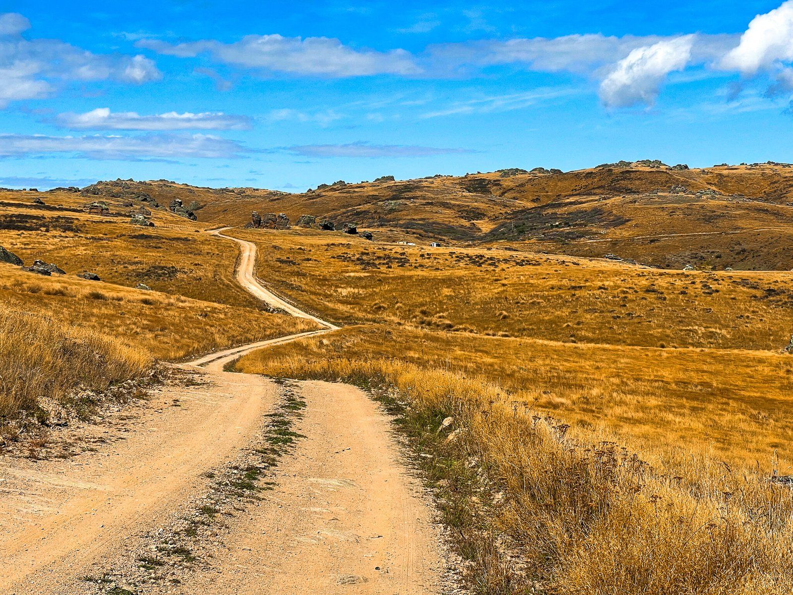
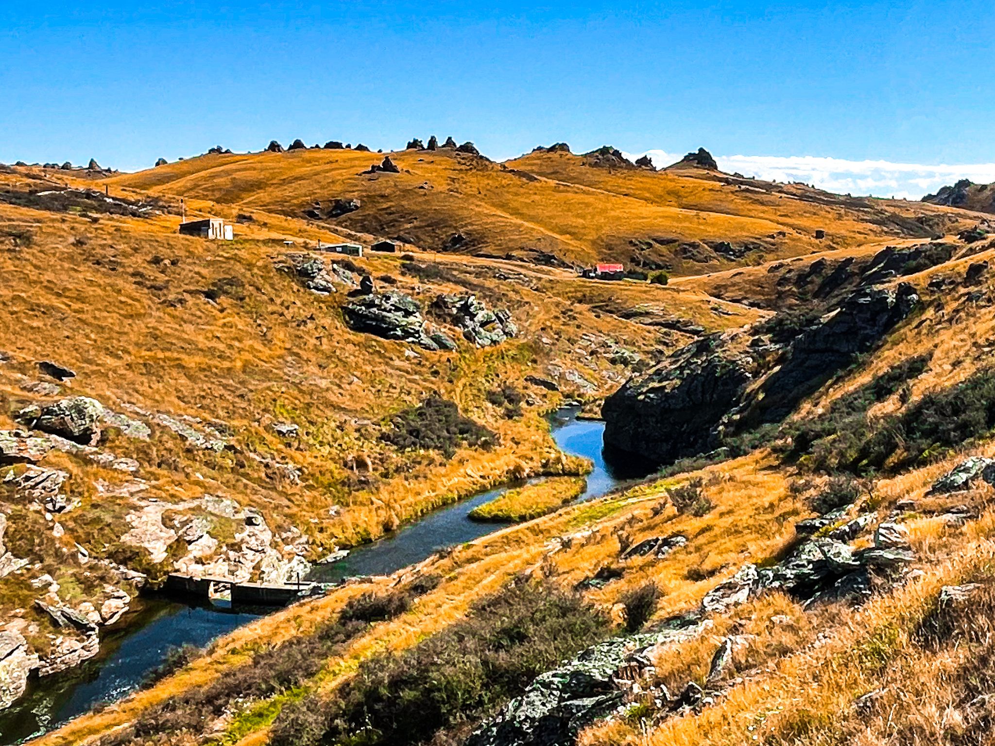
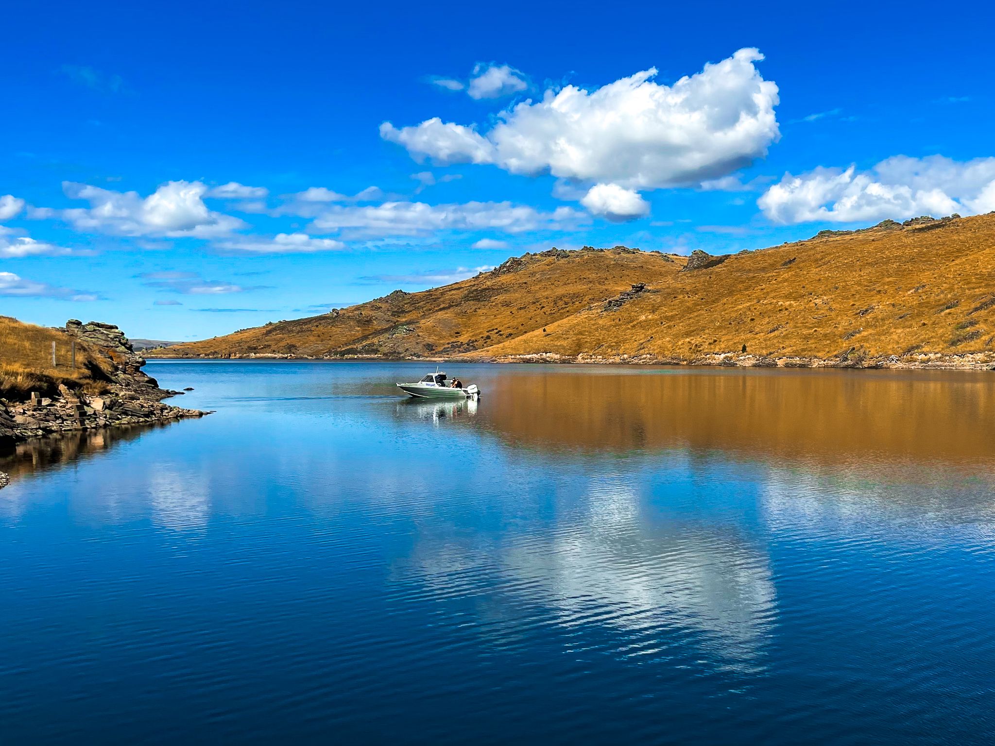
The Upper Manorburn Reservoir sits high in the Central Otago highlands, lying in a broad basin above the southern end of the Ida Valley. Reached via Upper Manorburn Road, the drive climbs to more than 700 metres above sea level, passing through open high country farmland marked by golden tussock, schist outcrops, and wide skies. The sense of remoteness increases steadily as you gain height, and the reservoir feels far removed from the settled valleys below, despite being less than an hour from Alexandra.
Landscapes and the Dam
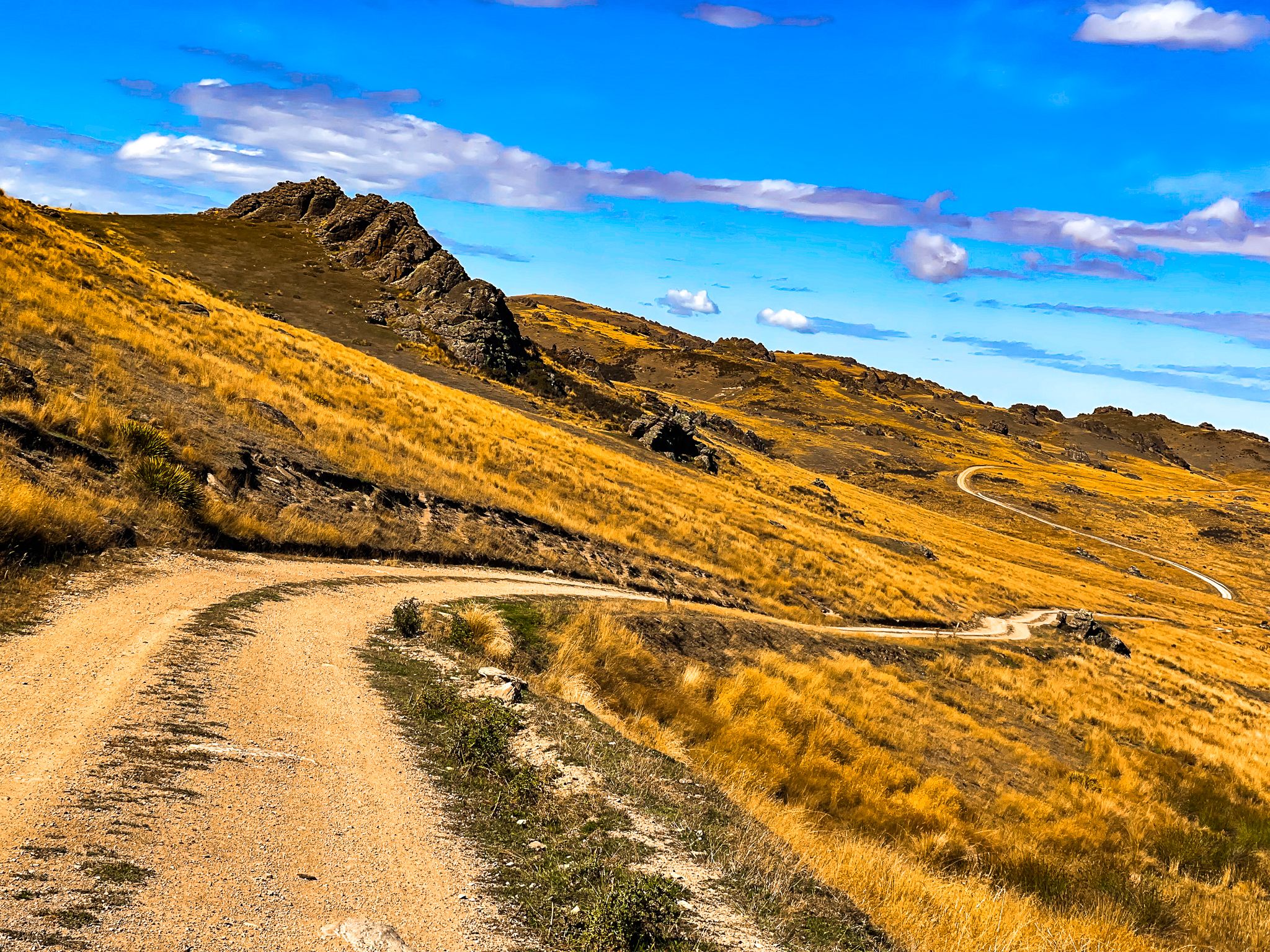
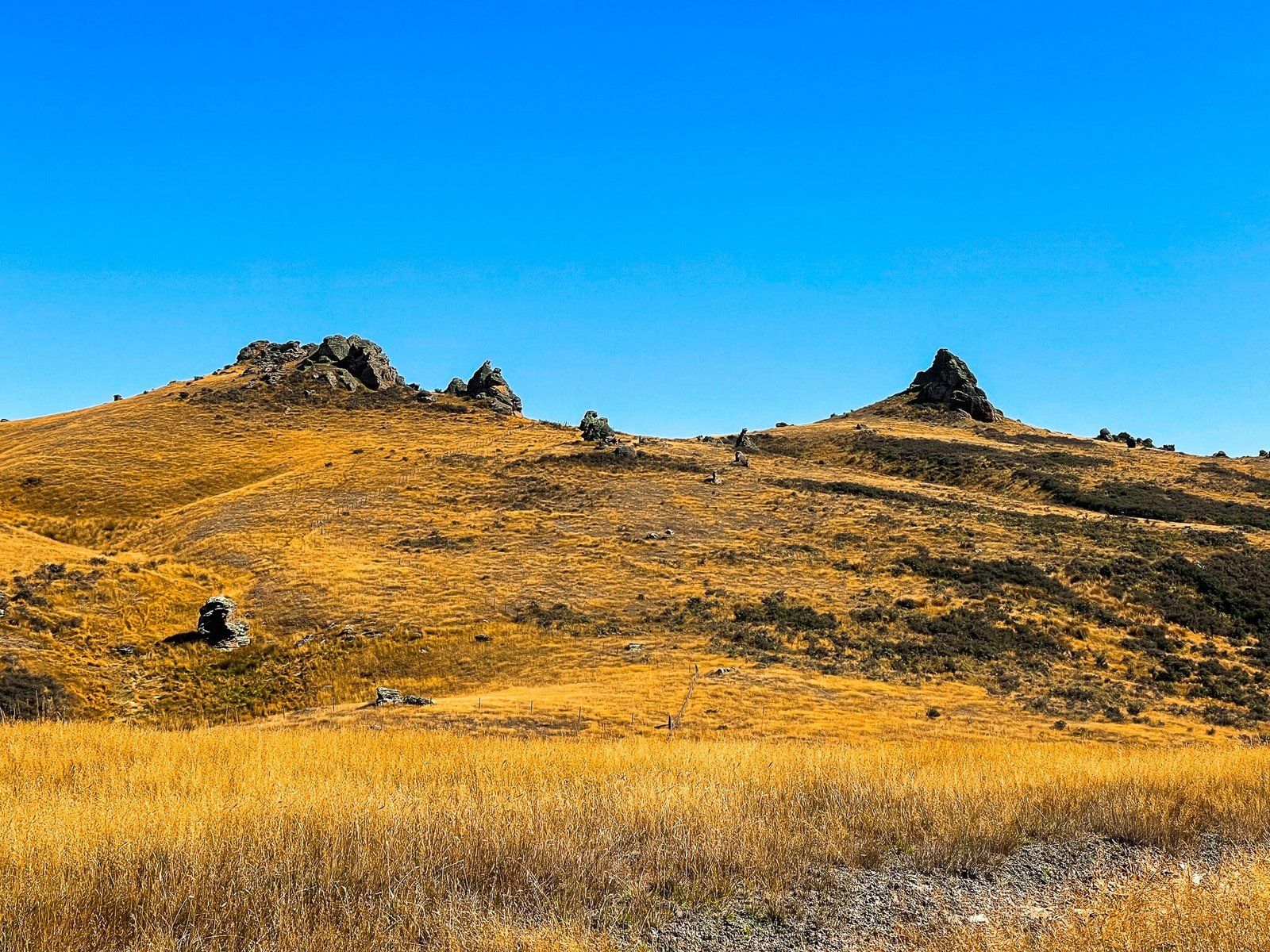
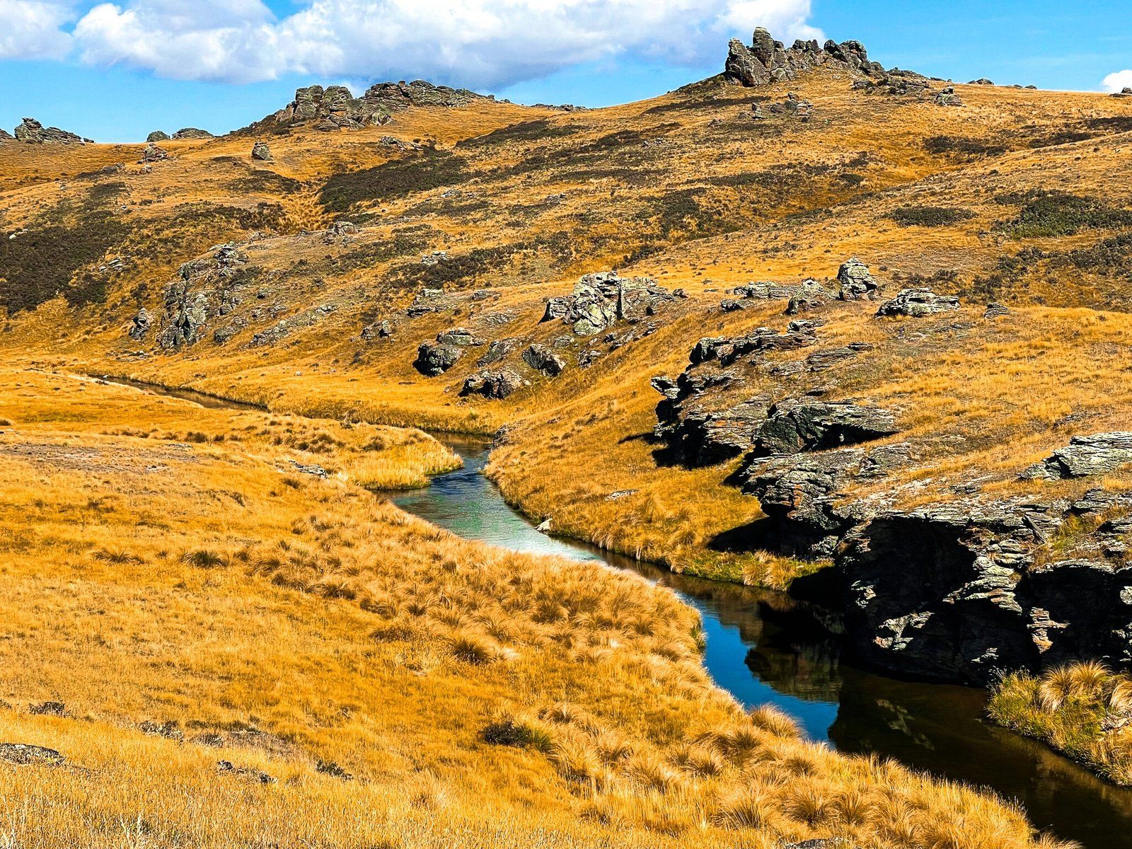
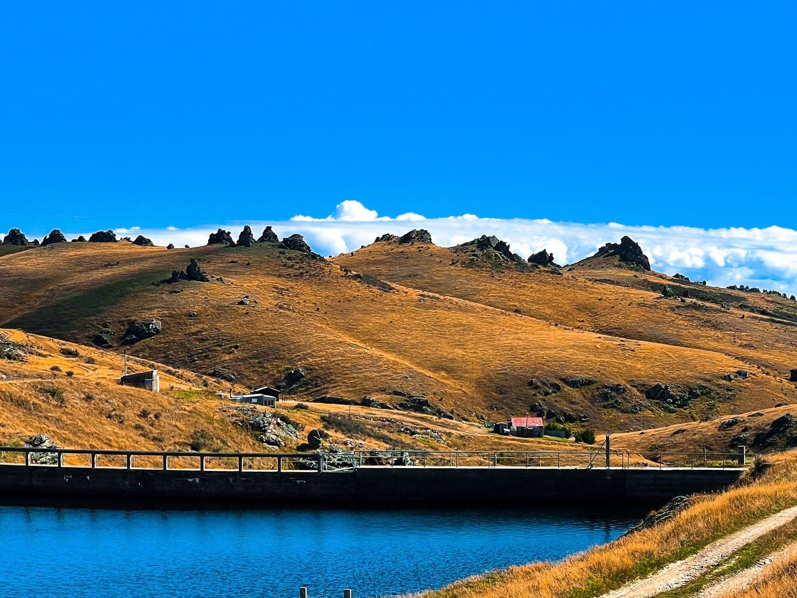
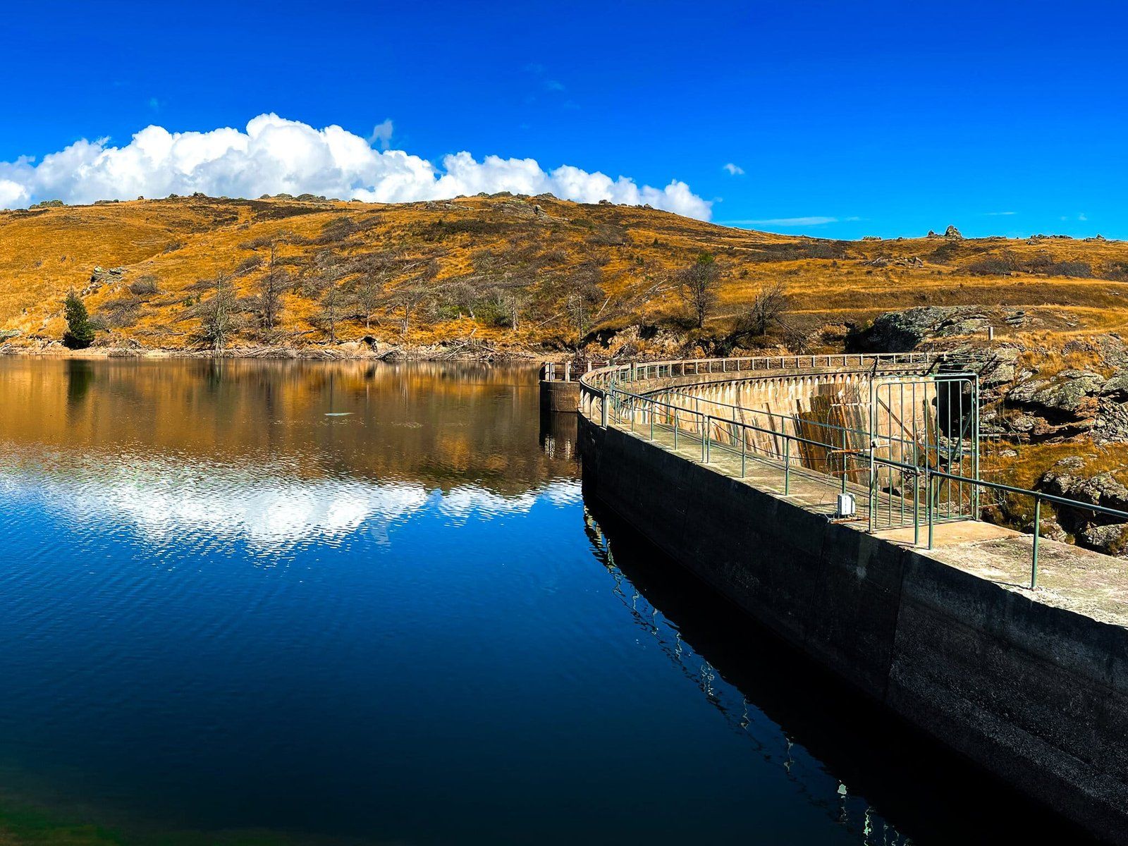
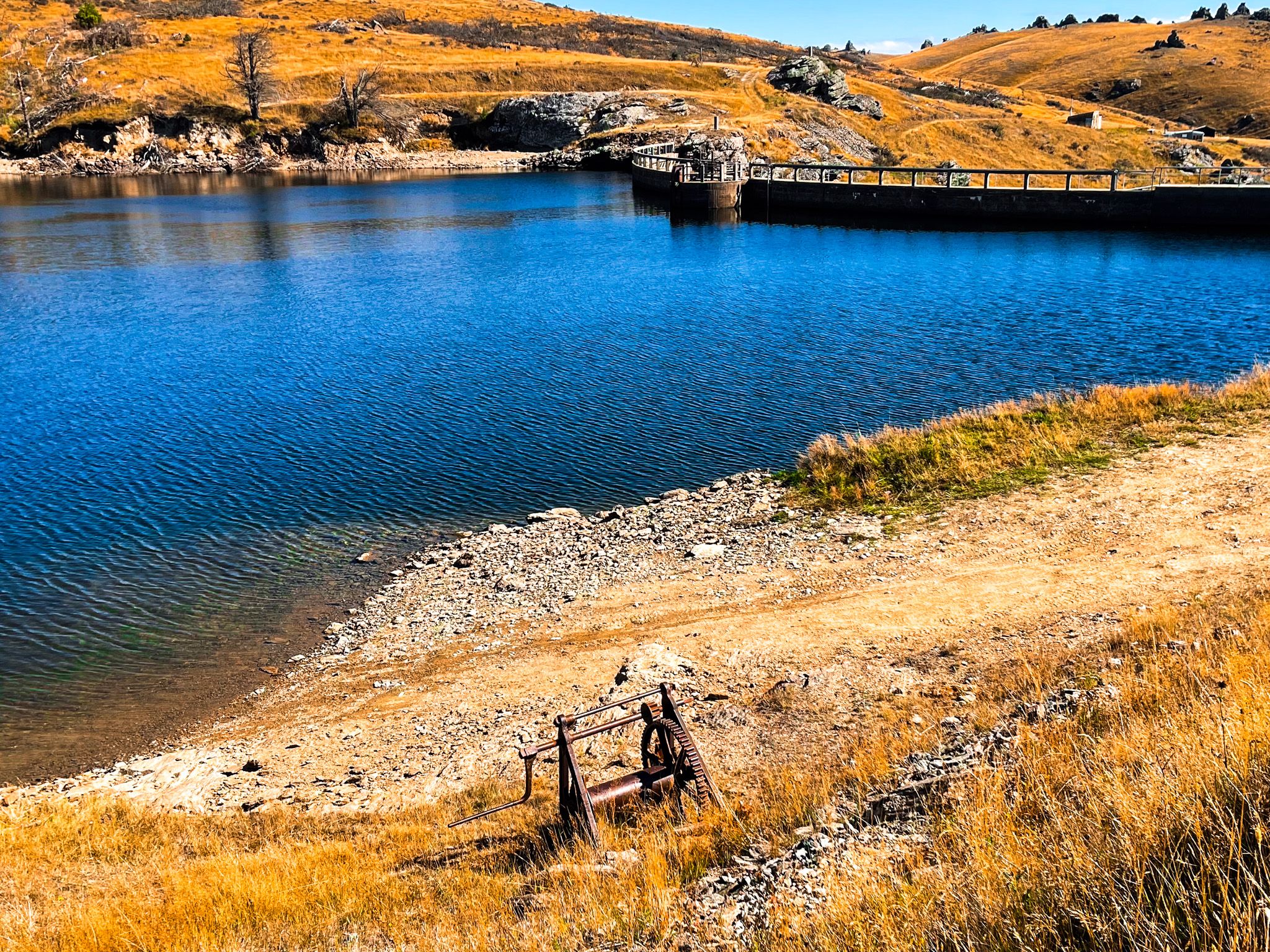
The reservoir occupies a natural hollow dammed to store water for irrigation, with low hills and rocky tors framing the shoreline. Exposed schist, a defining feature of Central Otago geology, is visible in road cuttings and along the dam abutments. While snow can linger on the higher elevations into Spring, the road is accessible to 2WD vehicles most of the time.
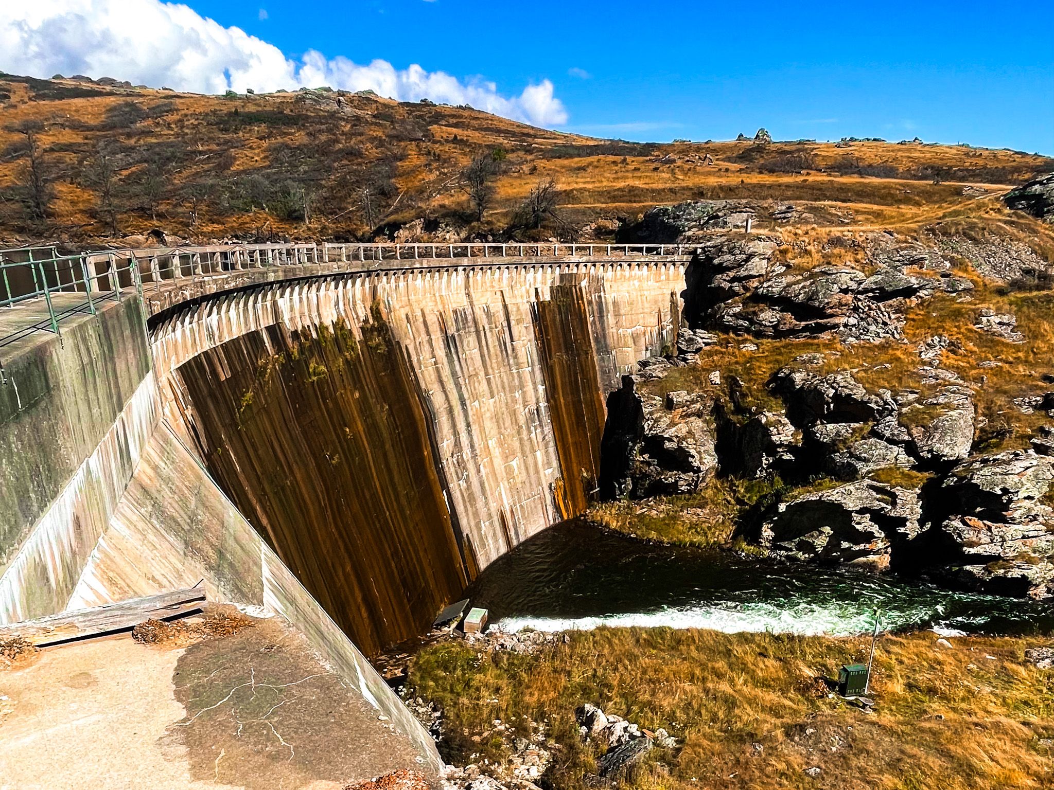
The dam at Upper Manorburn Reservoir is a concrete arch structure, a dramatic engineering feature in the high country. Built in 1914, the dam stands about 78 24 m high and stretches roughly 118 m across its crest, forming a strong bow-shaped wall that creates the storage basin. In calm weather, the water’s surface reflects the surrounding tussock-covered hills. The dam was an engineering marvel at the time, built in very difficult high-country conditions.
Recreation and Exploration
Upper Manorburn Reservoir is not a formal recreation reserve, but it is well suited to low-key exploration. You can walk past the dam, following informal tracks along the lake shore, fish for rainbow trout from November to May, or sit by the water for a picnic. You can also launch a boat. Be aware that it is private property apart from the lake shore, even if it is not marked as such.
There are a few cribs, but no facilities, signage, or marked trails, which contributes to the sense of isolation and makes it a place best enjoyed by those comfortable with backroad travel and self-sufficiency.
Irrigation and Greenland Reservoir
The reservoir forms part of a wider irrigation network developed to support farming in the dry interior of Otago. Water stored at Upper Manorburn feeds into the Manor Burn, a high-country stream that flows downstream to the Lower Manorburn Reservoir, supplying irrigation water to farmland across the Manuherikia Valley and Ida Valley.
Connected by a narrow channel, the Greenland Reservoir to the south is another key storage site within the same catchment system. Together, these reservoirs help regulate seasonal water availability, capturing Winter and Spring flows for use during the Summer growing period.
Greenland is less accessible, but can be reached by boat.
Context of the Highland Reservoirs
The network of reservoirs across Central Otago has its roots in gold mining in the 1800s, when water was essential for sluicing and hard-rock mining. Long before Upper Manorburn Reservoir was completed in 1914, water was being captured and stored in the surrounding high country by mining companies, including the Bonanza Mining Company, which constructed an early dam at what later became known as Greenland Reservoir.
As gold production declined in the early 1900s, this mining infrastructure was gradually repurposed for agriculture, with the government acquiring and adapting existing dams and water races to support irrigation. Upper Manorburn Reservoir was created, incorporating earlier works, such as Greenland, whose dam was submerged when Manorburn was filled.
How to get there
From Alexandra, the easiest drive is to head north on State Highway 85 up the Manuherikia Valley, then take Ida Valley Omakau Road over the Raggedy Range to Poolburn Moa Creek Road in the Ida Valley. Head south to where the road continues south as gravel Upper Manorburn Road. From here, it climbs steadily into the high country. There are several gates, and you must leave them as you find them. Watch out for sheep on the road.
The final section is narrow and rough in places, with steep drop-offs and limited passing opportunities, but traffic is usually very light. Care is needed in wet or icy conditions, particularly in Winter. The drive is 53 km and takes about 46 minutes.
Other similar places to visit include Poolburn Reservoir, Loganburn Reservoir, and Lake Onslow, all of which can be explored via remote, sometimes rough, back roads from the Ida Valley or Maniototo Plain.