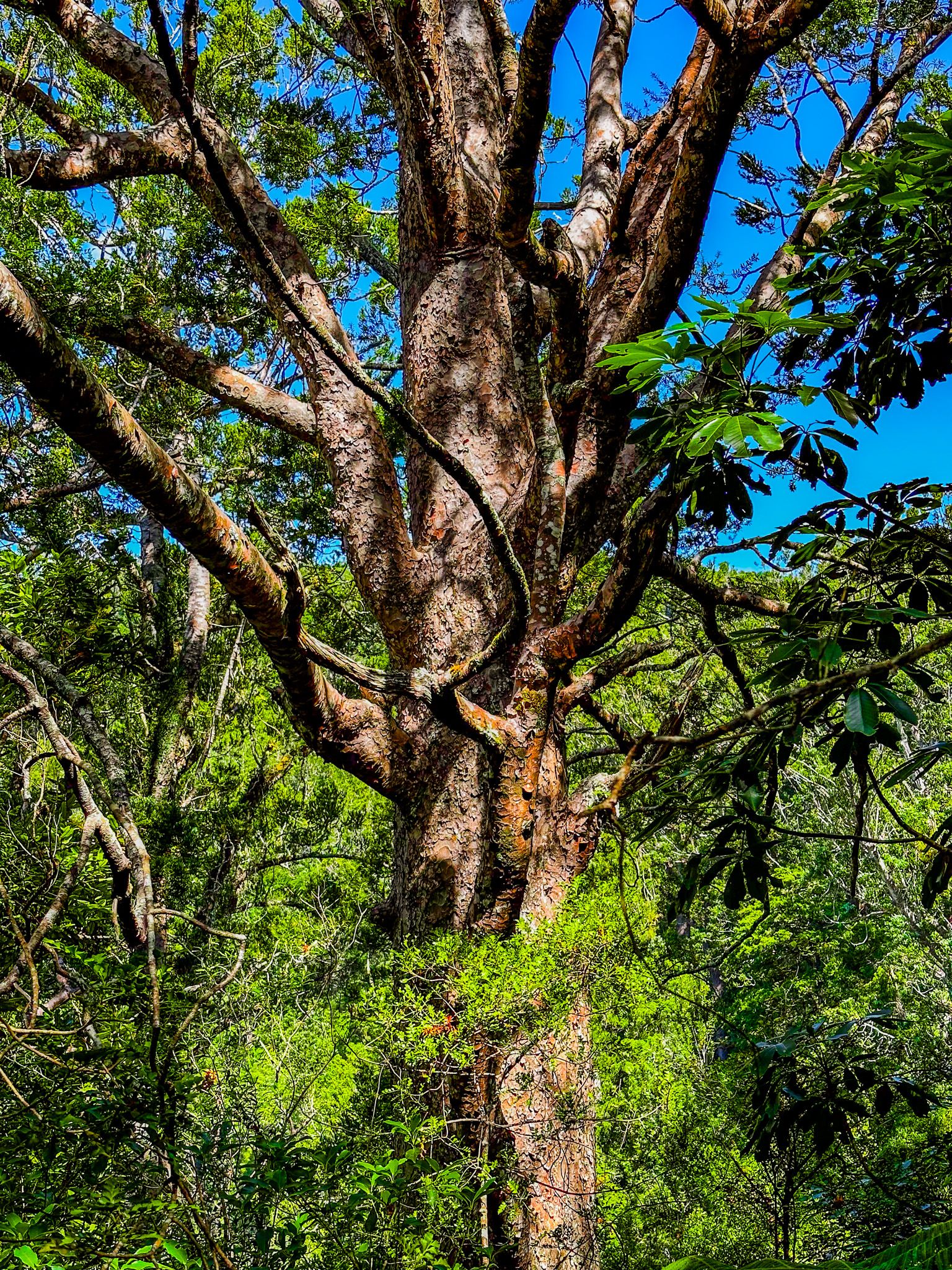
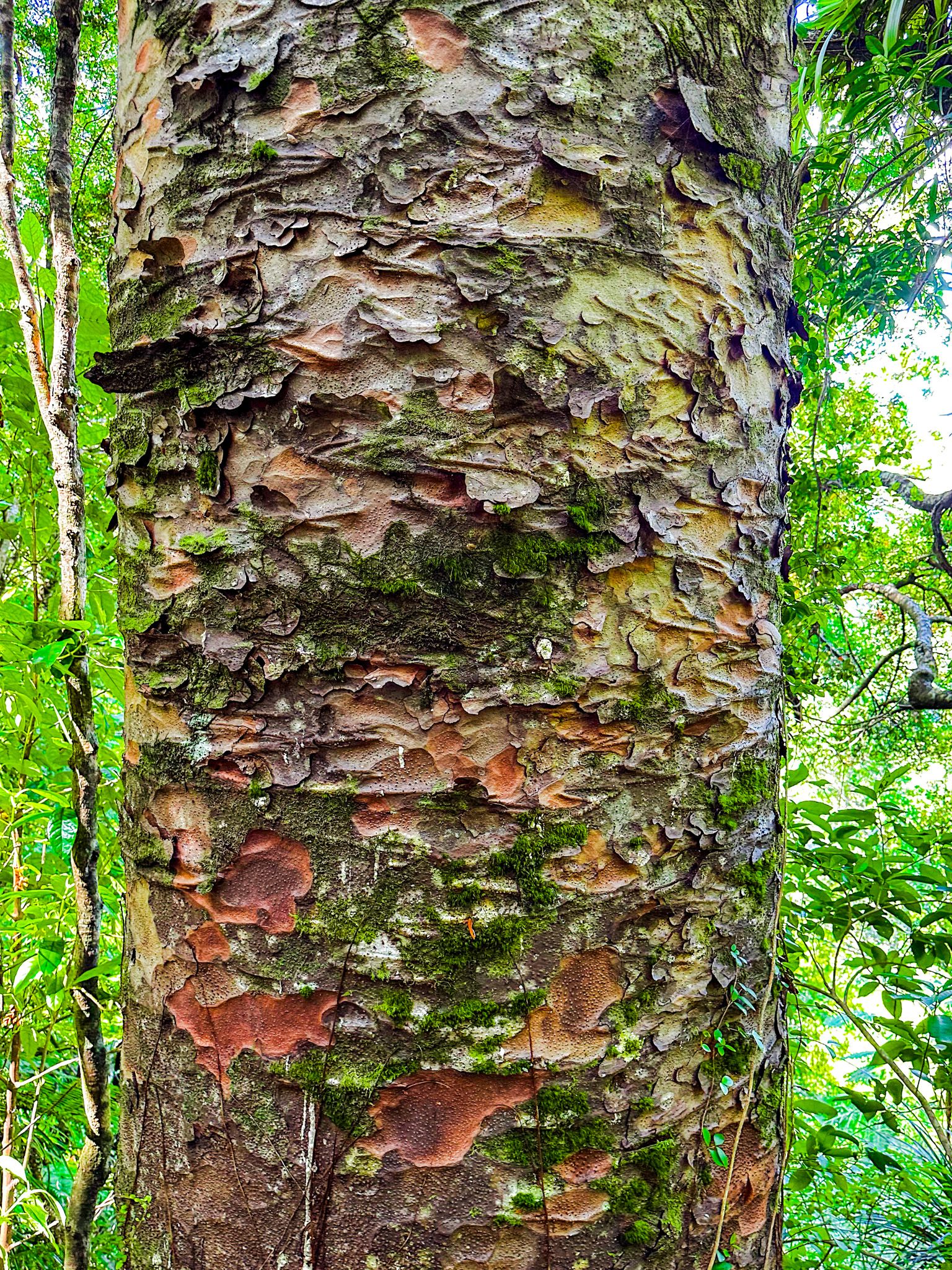
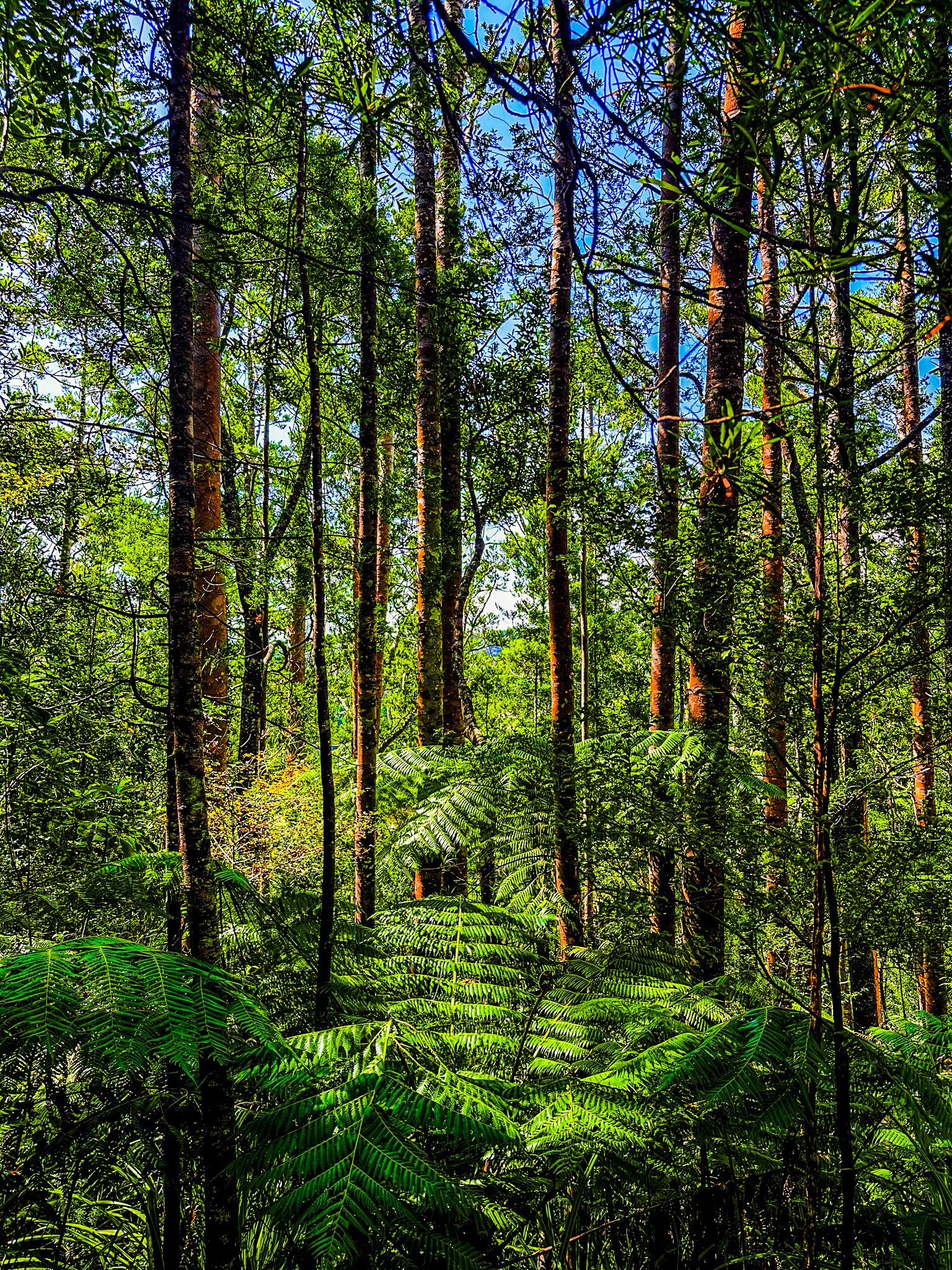
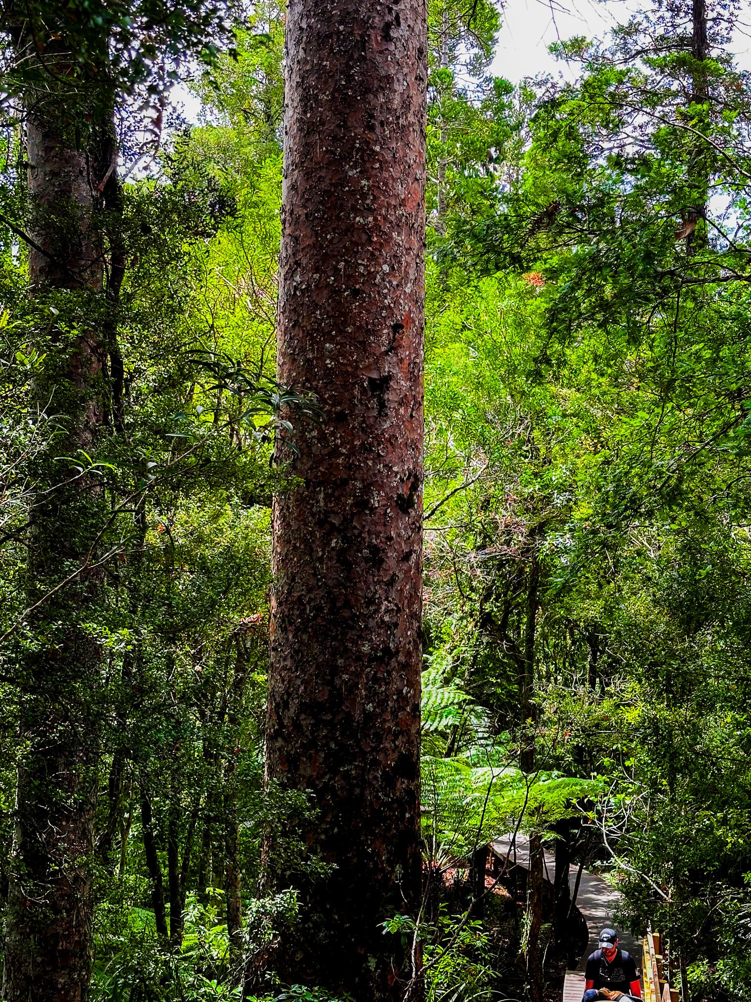
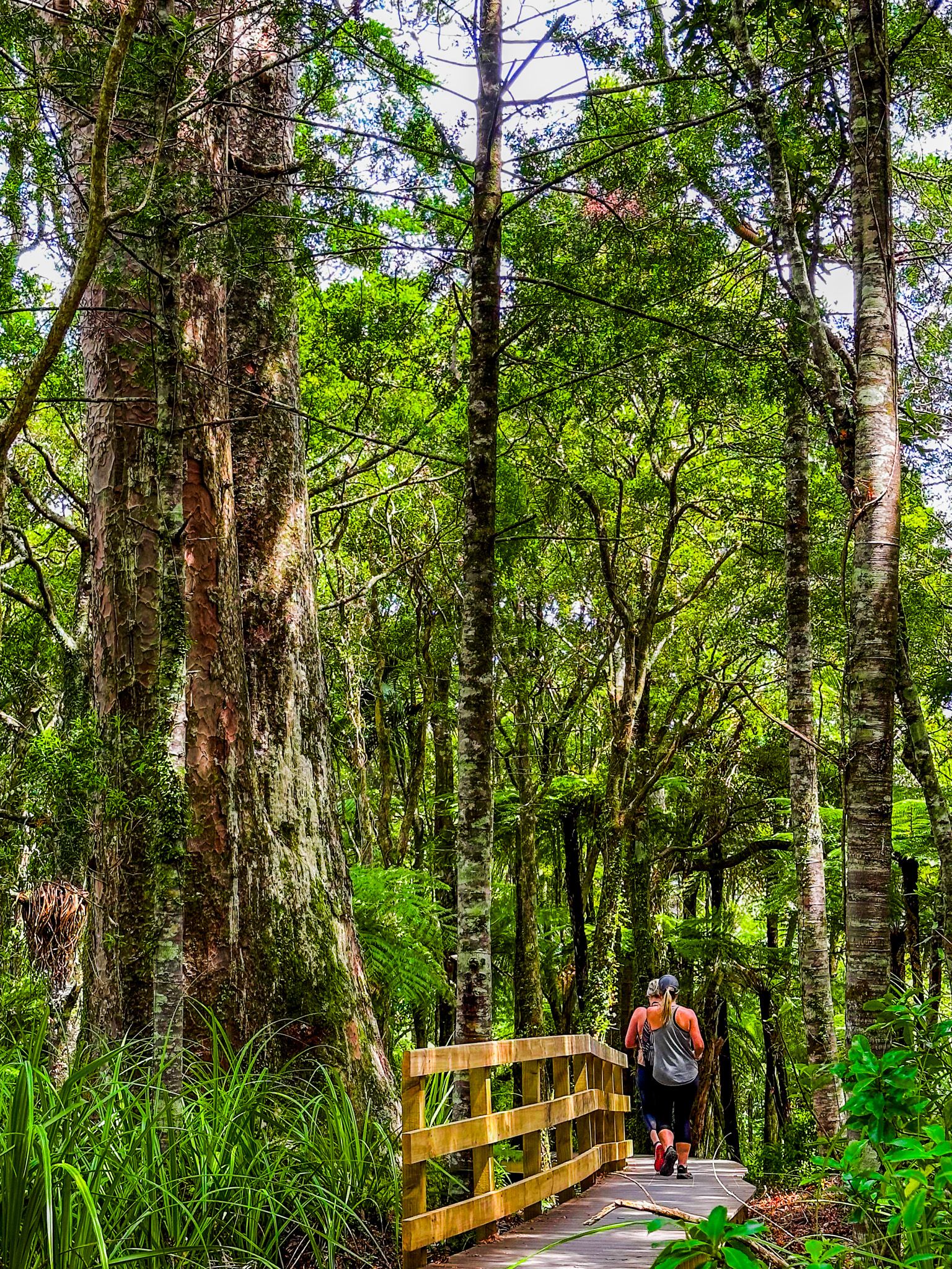
The Upper Kauri Track is part of the 4-hour, 9.4 km Montana Heritage Trail loop in the Cascade Kauri, part of Waitākere Ranges Regional Park. Although the track is usually described as part of the Montana Heritage Trail, it is worth exploring in its own right as it provides access to the best section of recovering and ancient kauri forest south of Waipoua Forest on the Kauri Coast, Northland / Te Tai Tokerau. The track has also been considerably upgraded to protect against kauri dieback.
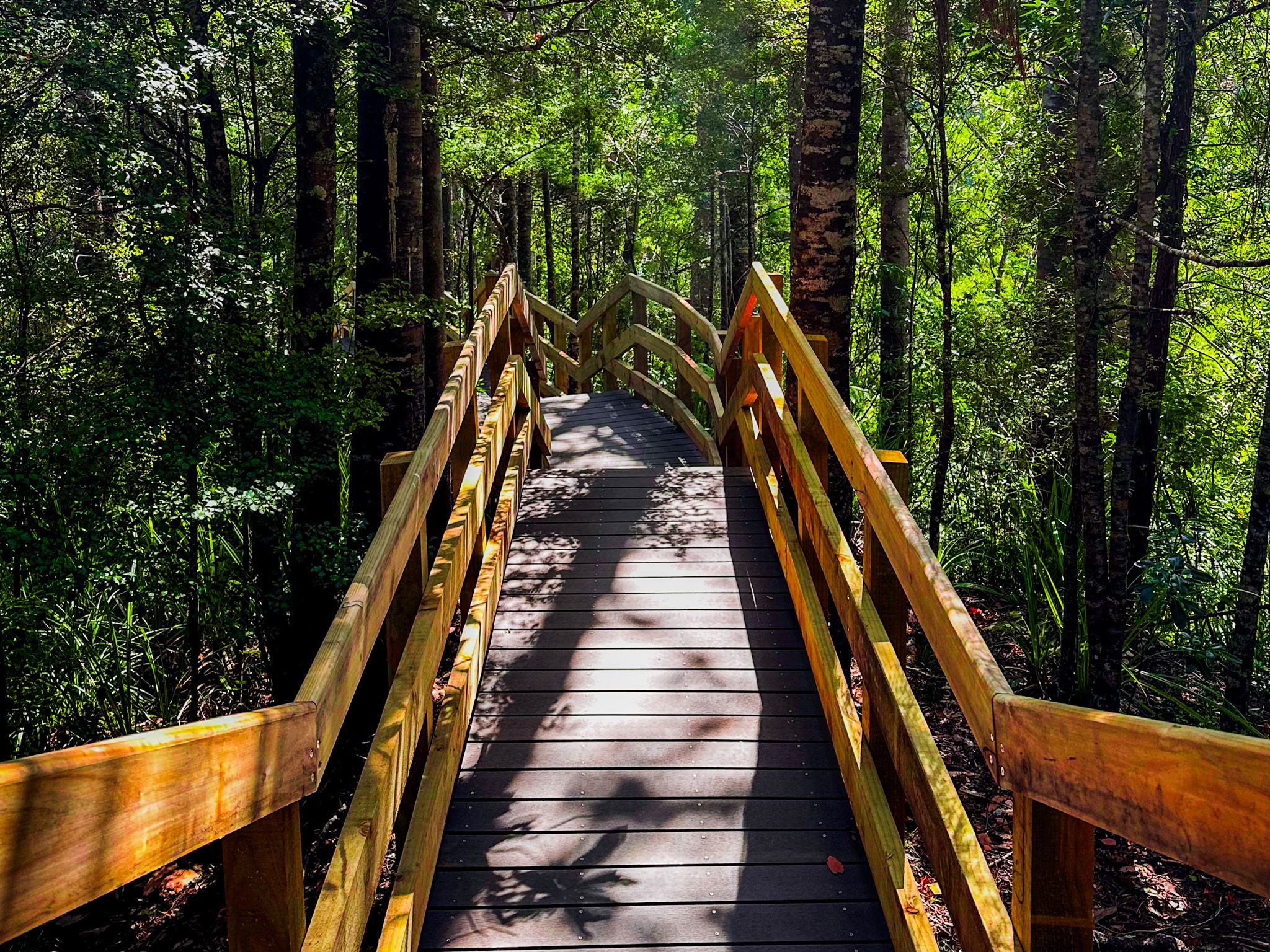
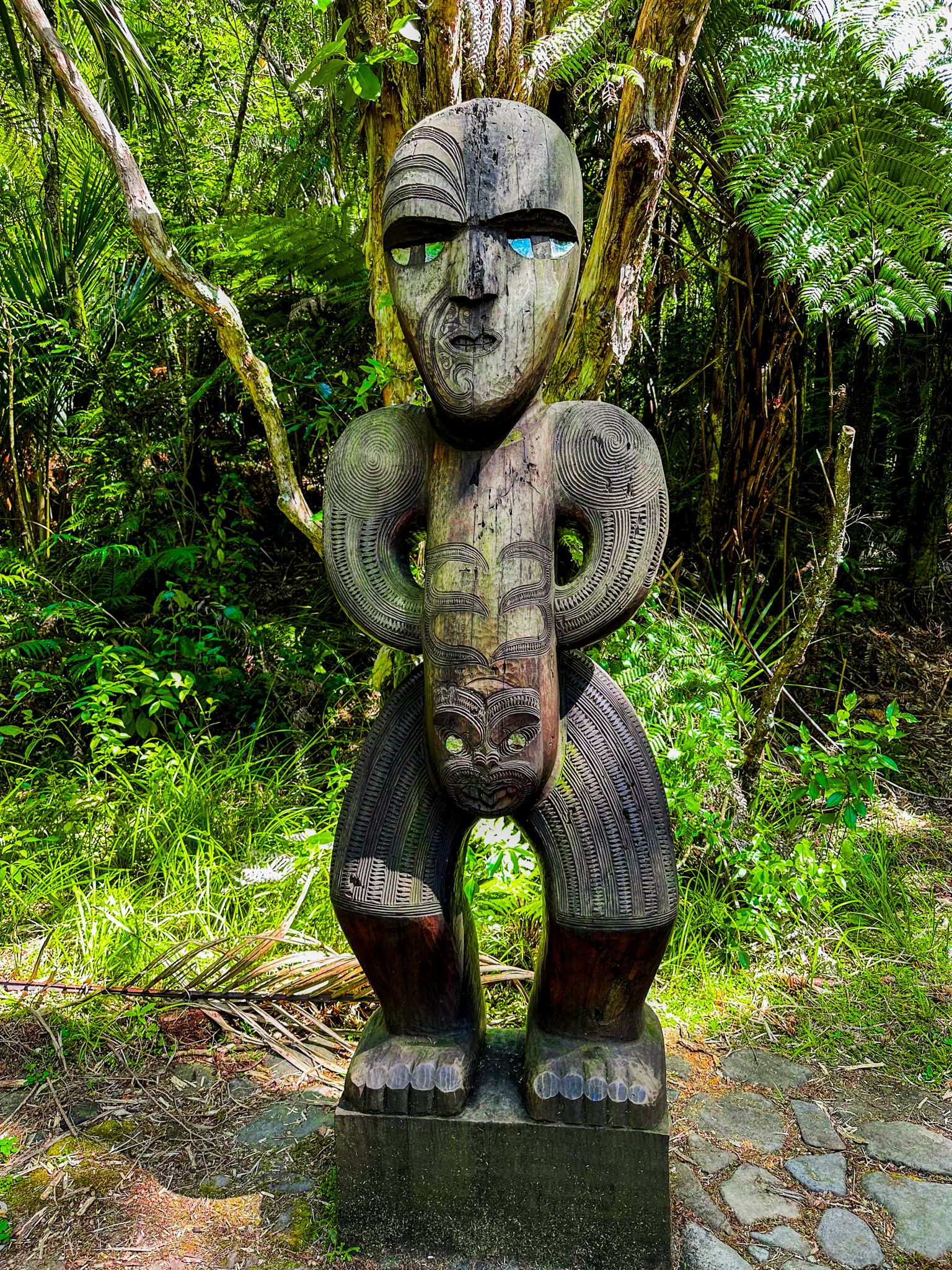
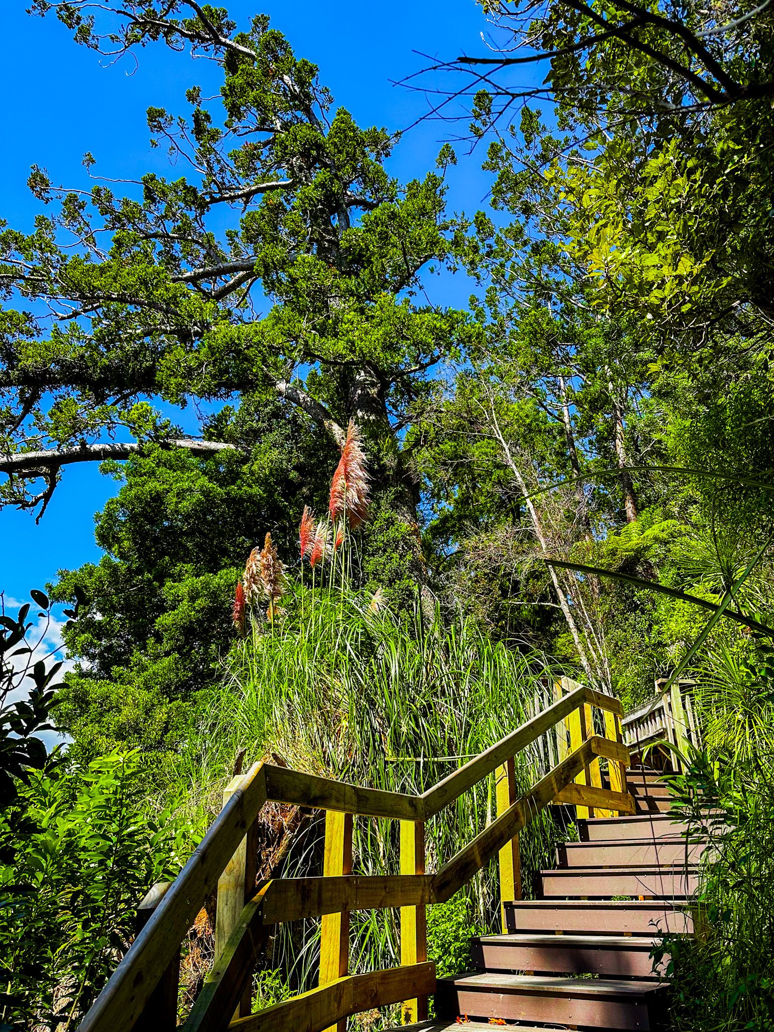
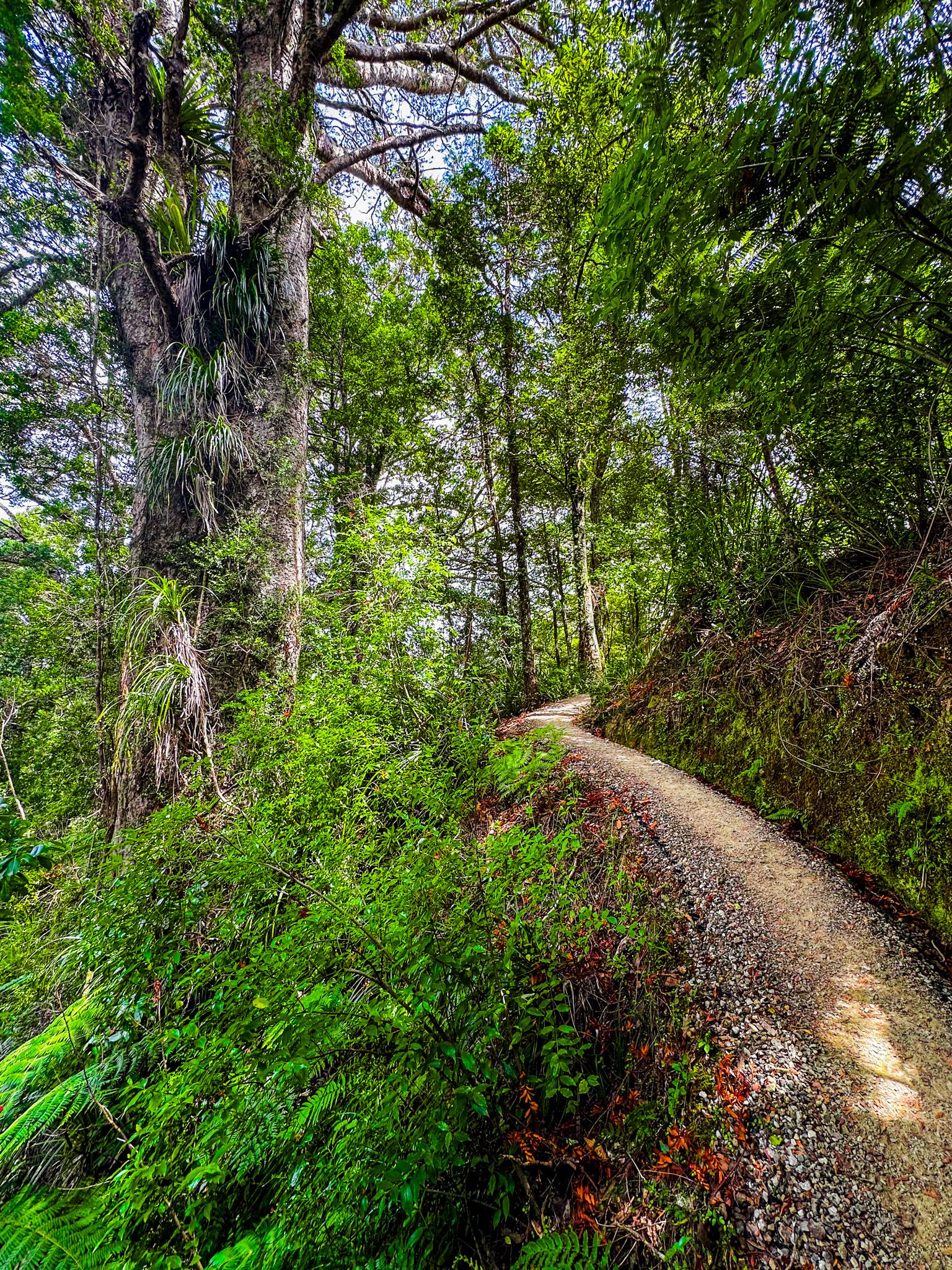
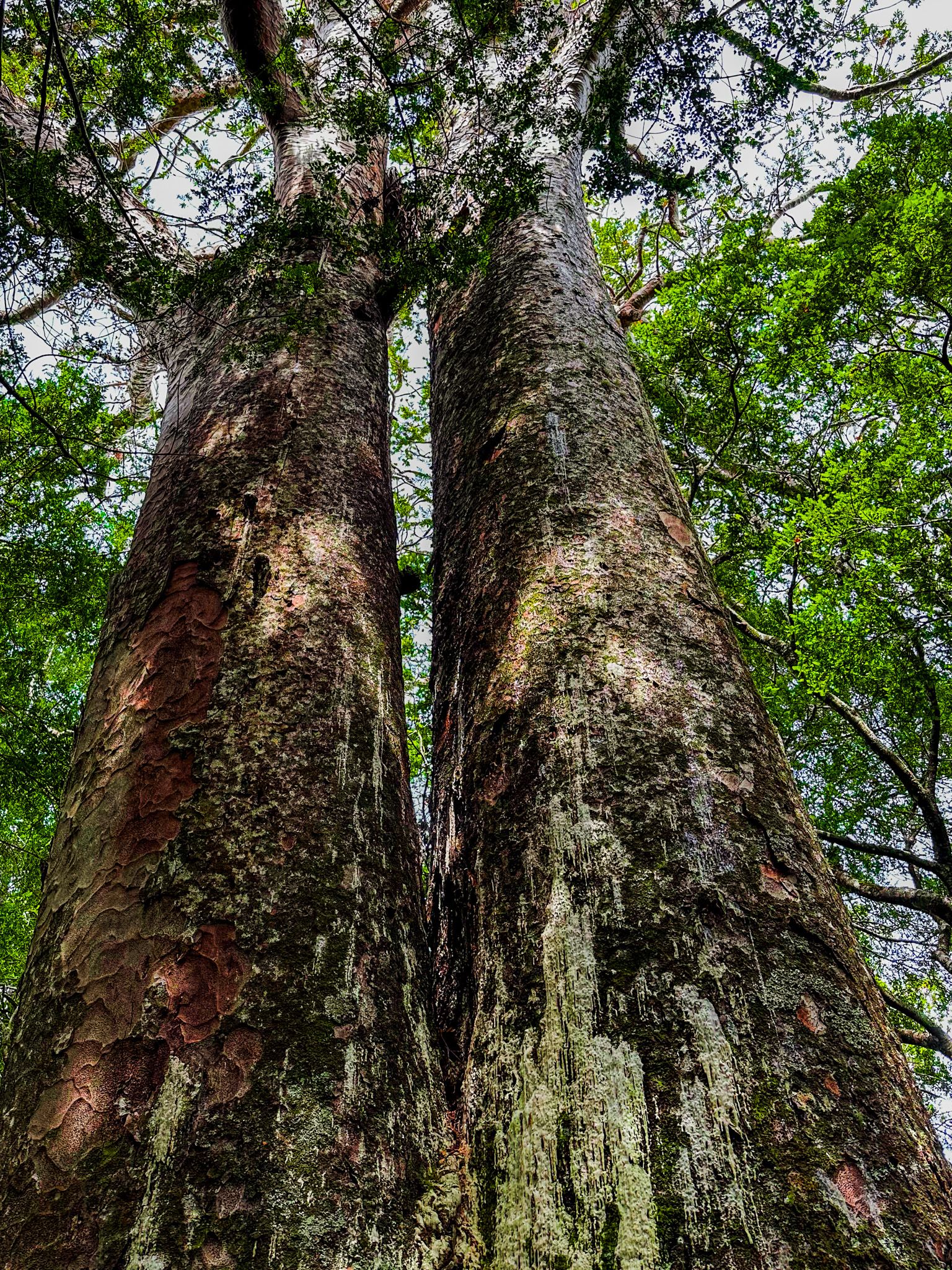
From the Kauri Cascades car park at the end of Falls Road, take the Lower Te Piringa Track across the Waitākere River to the pou, which marks the start of the Upper Kauri Track. It is a steep climb up to the ridge line, about 180 metres above the river. As you walk up the slope, the trail changes from gravel to a raised boardwalk and steps as you enter the kauri grove. The grove is a fabulous mix of young and ancient, with some trees around 1,000 years old. It takes about 30 minutes to get into the grove before the high point on the ridge. So, you can turn around if you have limited time. Otherwise, continue to the end of the boardwalk to view more trees. After that, the forest changes dramatically to regrowth, typical of the heavily milled parts of the ranges.
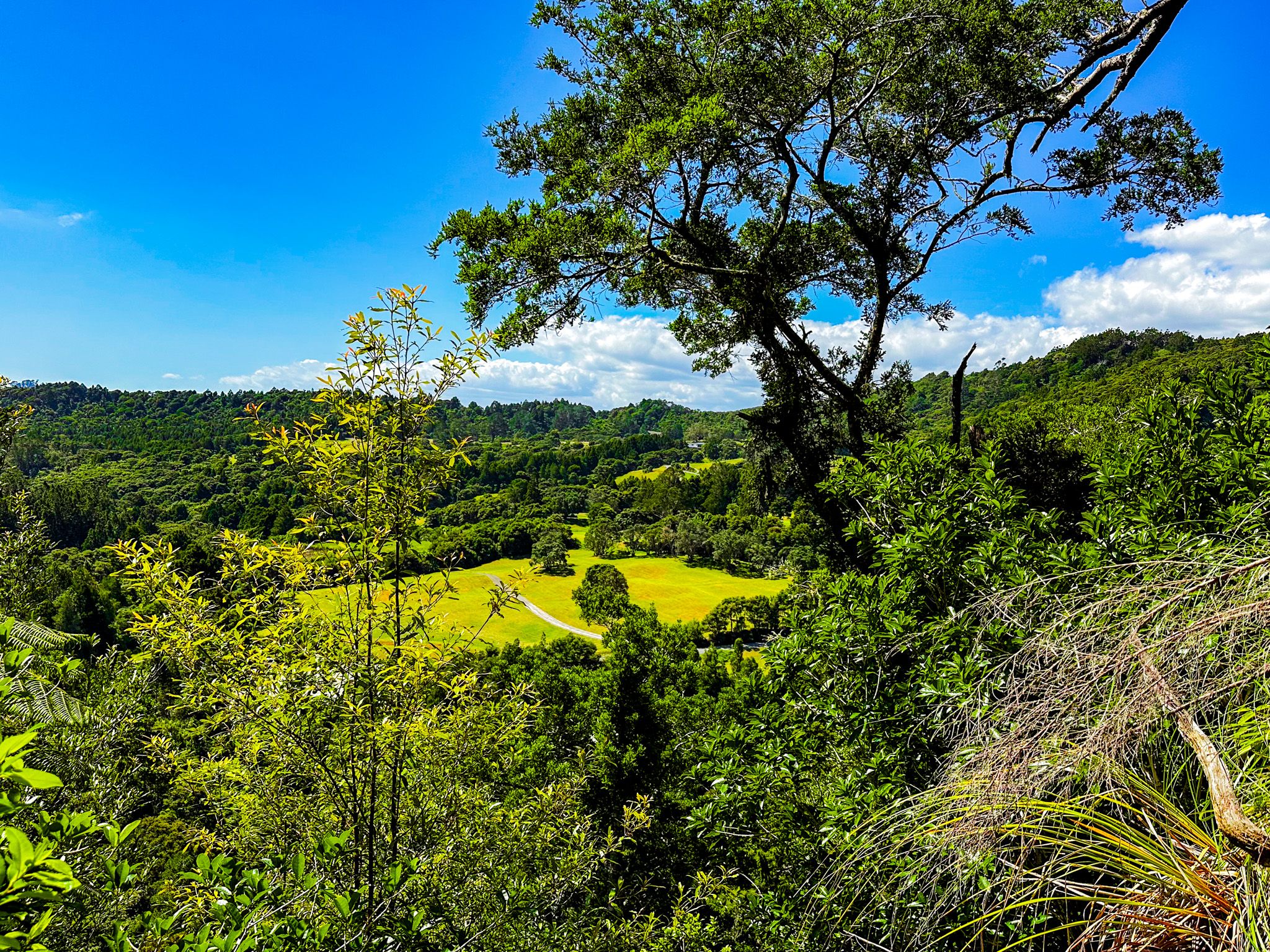
You may notice the old track coming up through the forest as you approach the end of the boardwalk. The new track does not get you quite as close to some big trees but follows a more spectacular line with excellent views across the forest and valley. Also, keep an eye out for reintroduced toutouwai and kōkako birds.
If you reach Smyths Corner and Long Road Track, keep going and do the whole loop!
