Exploring the Temple Viewpoint Track
Located in the Ruataniwha Conservation Park, accessed from the Hopkins Valley at the north end of Lake Ōhau in South Canterbury, the Temple Viewpoint Track is a one-hour loop that offers stunning views and a diverse landscape. Starting just north of the Temple Campsite and Temple Valley car park, this track is ideal for those seeking a short scenic hike through a remote part of the Southern Alps.
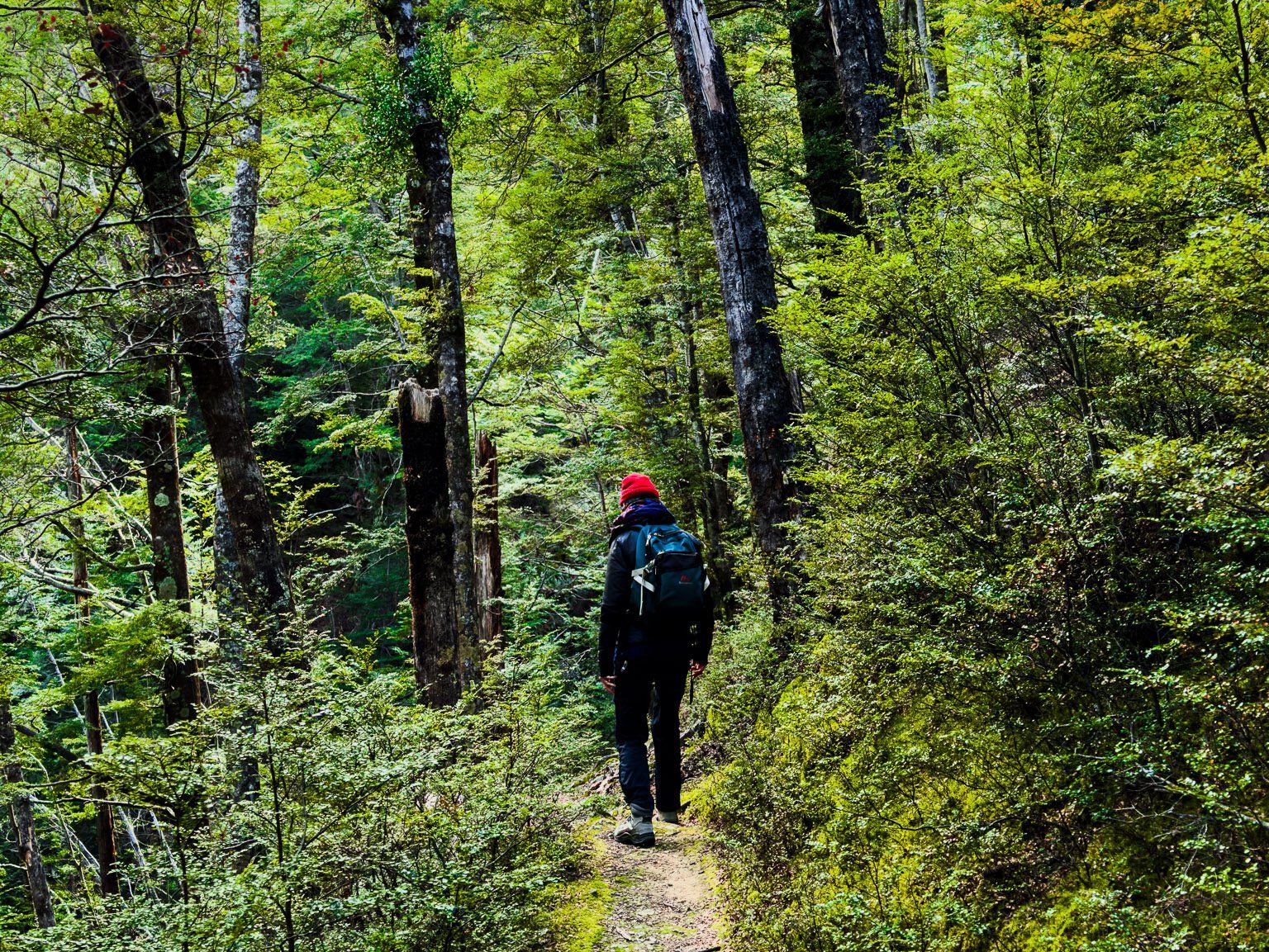
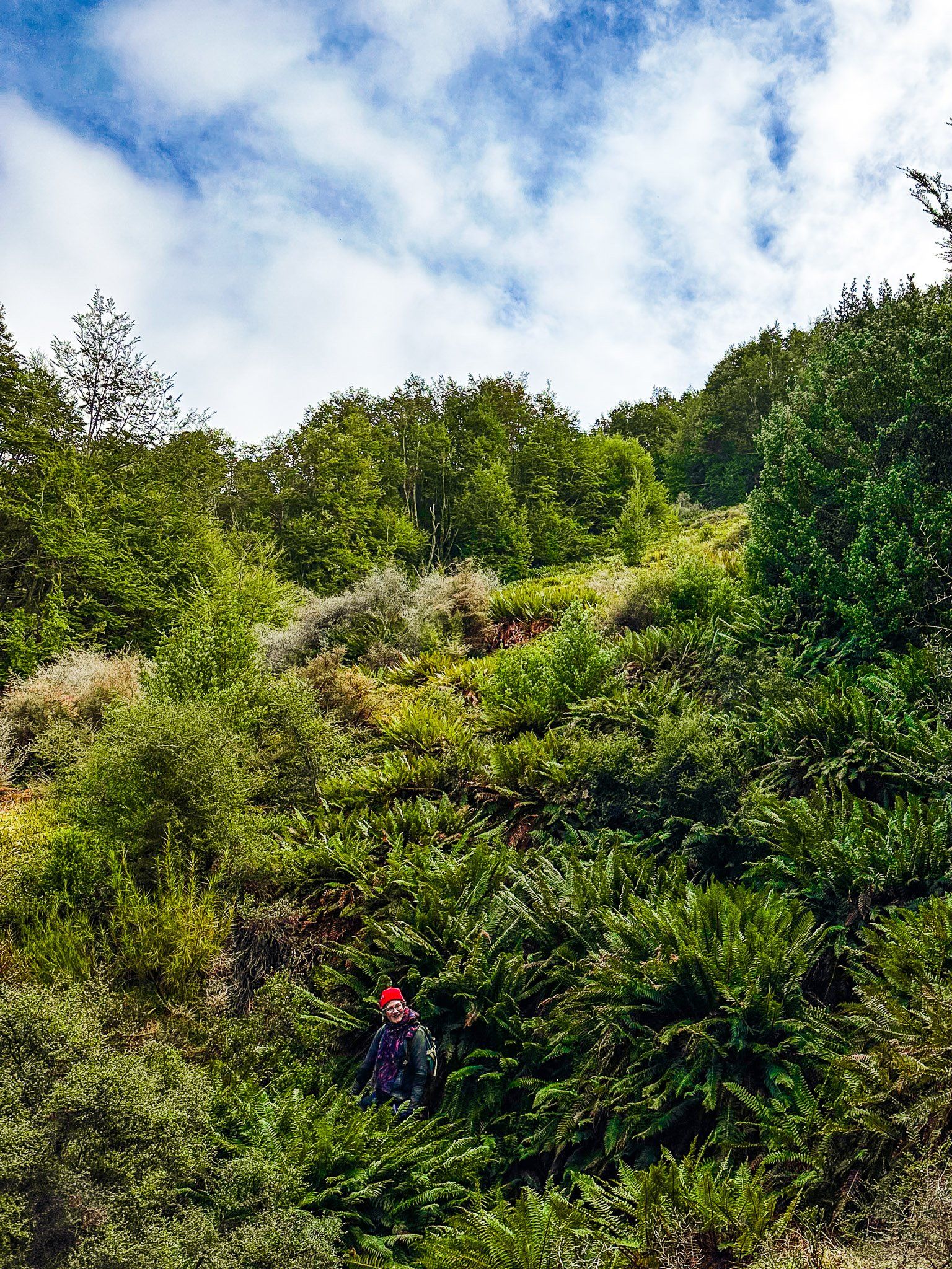
Hike Through Beech Forest and Highland Shrubs
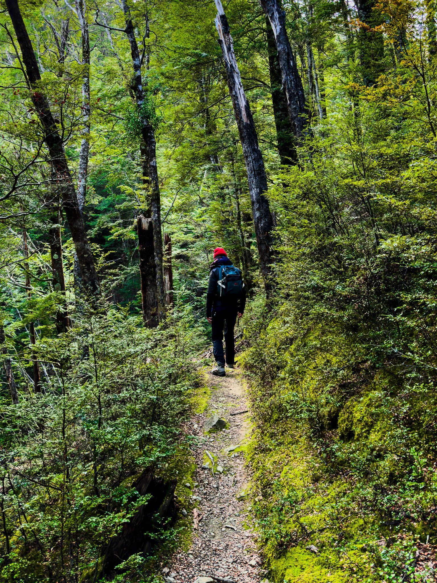
The track begins near the Campsite shelter, where a sign marks the start. As you ascend 120 metres through a beech forest, you'll encounter some steep steps and areas with storm-driven tree damage.
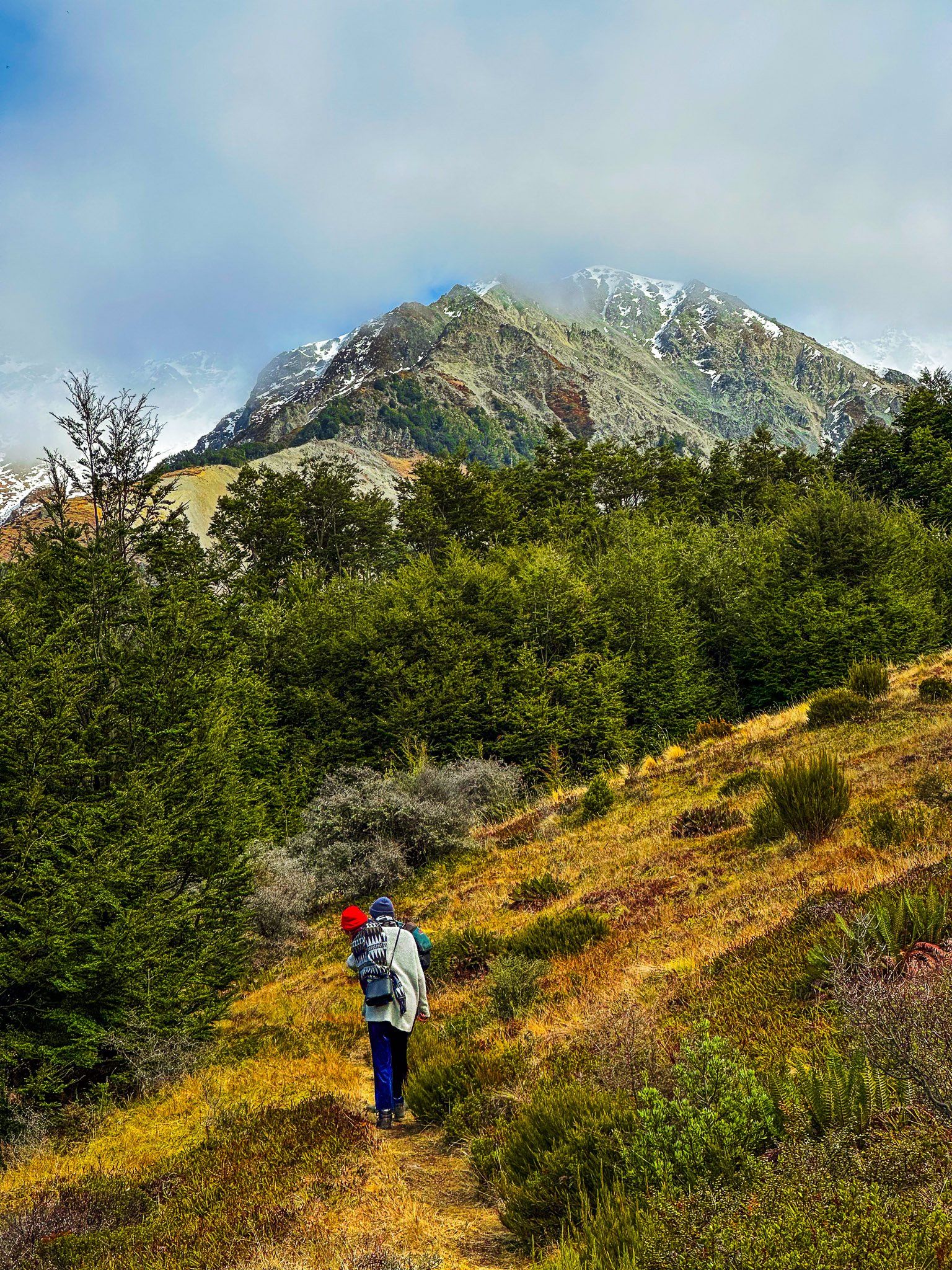
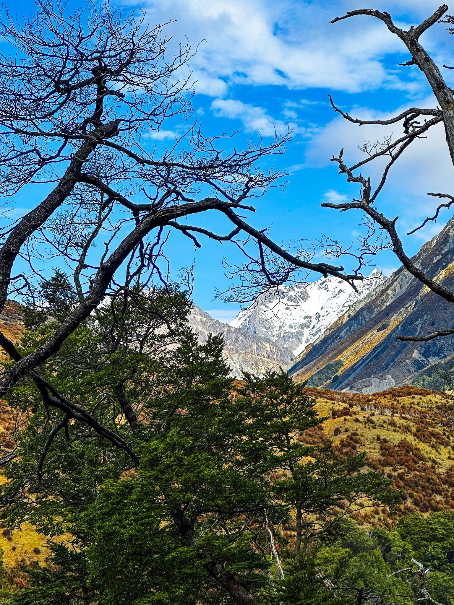
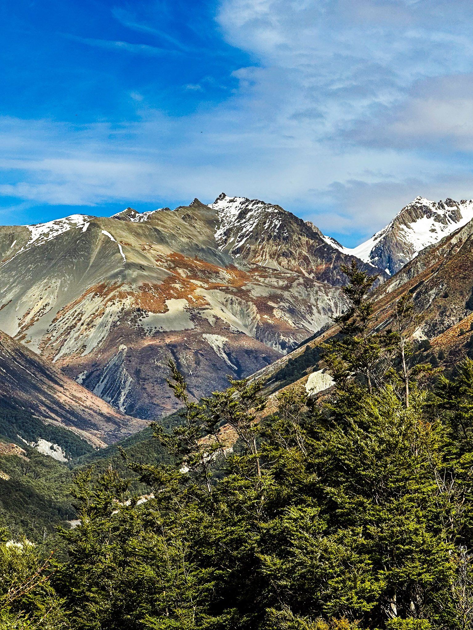
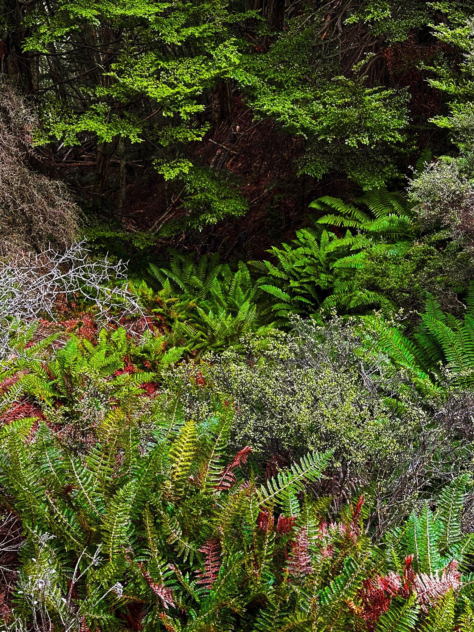
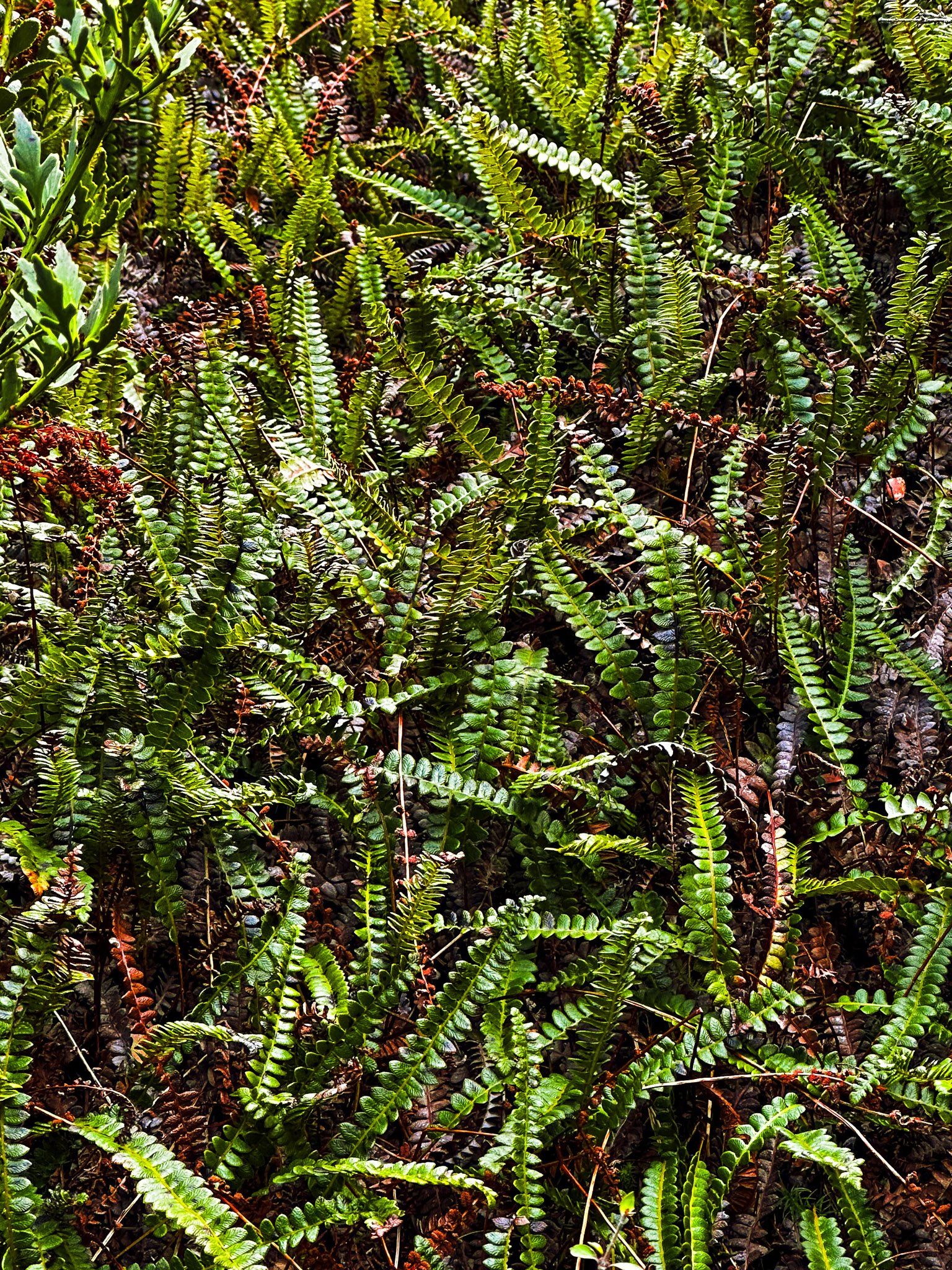
Once you reach the top, the path opens up to areas filled with highland shrubs and bushes, including a striking section of bracken ferns. These open spaces, probably cleared of trees by past slips, provide breathtaking views of Temple Valley, showcasing Steeple, Belfry, and Temple Peaks, as well as the Hopkins Valley and the Ben Ōhau Range. The peaks, towering over 2,000 metres, are often dusted with snow from Autumn to Spring.
Teh track climbs 120 metres to 700 metres and is well below the normal Winter snow line.
Descending Through a Green Forest
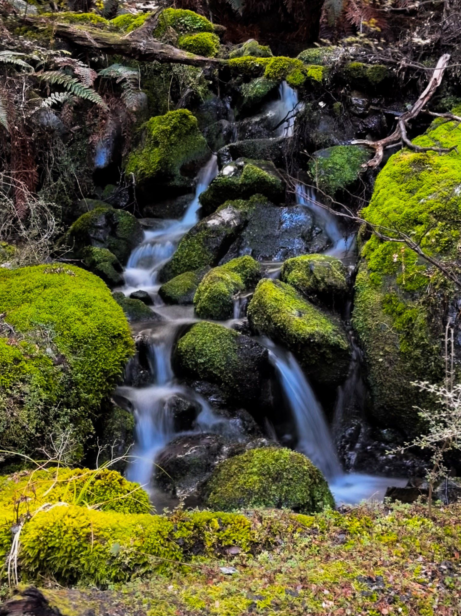
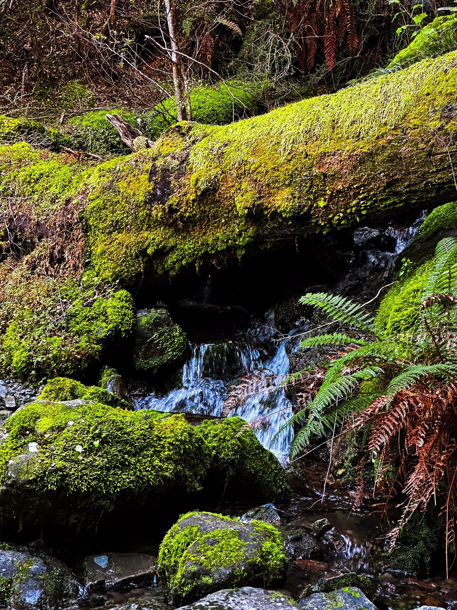
On the descent, the track leads you back into the beech forest on the west side of the loop. This part of the trail is wetter and meanders above a modest stream, featuring small waterfalls and moss-covered rocks. The sound of flowing water adds to the tranquil atmosphere. As you near the end of the track, a short walk along Temple Stream brings you back to the campsite.
How to Get There
To reach the Temple Campsite and car park, drive north from Lake Ōhau Lodge on gravel Lake Ōhau Road, along the side of the lake. Continue north into the Hopkins Valley until you see the Temple Campsite access road. Follow this for a few minutes and park by the picnic area at the end of the road. The drive is 16 km and takes about 26 minutes.
While in the Temple area, you can also hike the North Temple Track and South Temple Track into the Barrier Range. These can be done as day walks or with an overnight stay at South Temple Hut. An arduous tramp is to connect these as a loop over Gunsight Pass, which sits between Temple Peak and Bruce Peak at 1,900 metres.