Exploring the Pararaha Valley to Karekare Beach Walk
Located in the Waitākere Ranges of Auckland, the walk between Pararaha Valley and Karekare Beach is captivating. This scenic route offers a unique experience, taking you through diverse landscapes, including black sand flats and coastal dune-bound lakes, with stunning views of the surrounding cliffs.
Track Details and Scenic Highlights
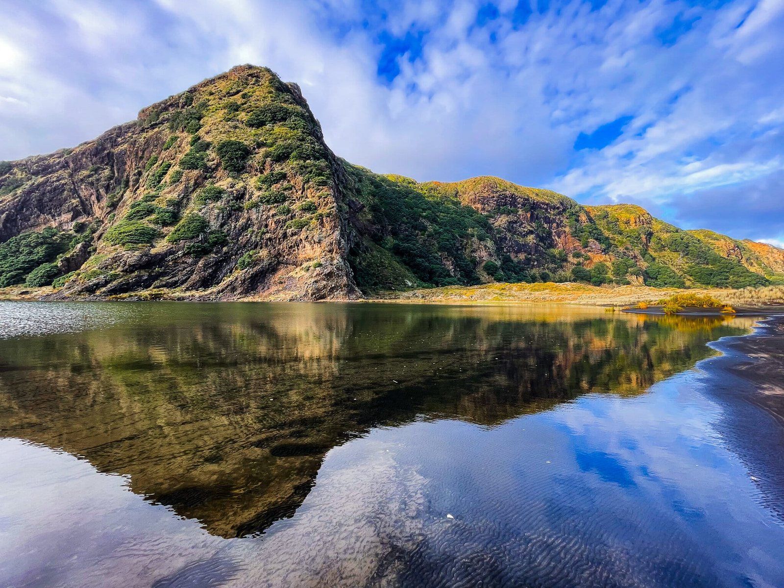
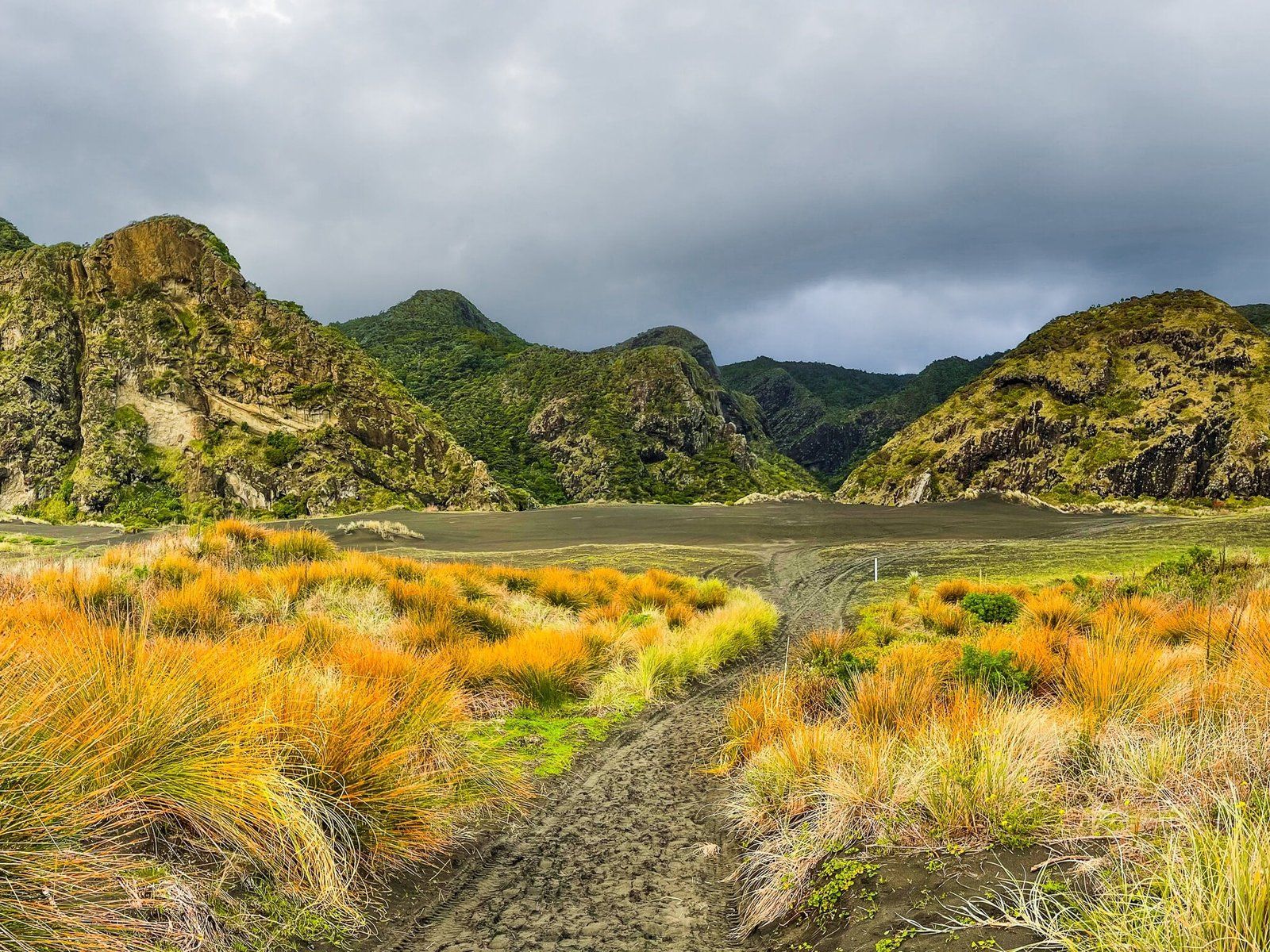
Starting at the valley entrance, at the end of the Gibbons and Muir Tracks from Whaitpū, the well-marked track leads you across a wide, flat expanse of black sand. To the north, a lagoon lies beneath the cliffs, adding to the area's natural beauty. As you continue, the path winds through dunes, eventually reaching the expansive beach stretching from Whatipu to Karekare.
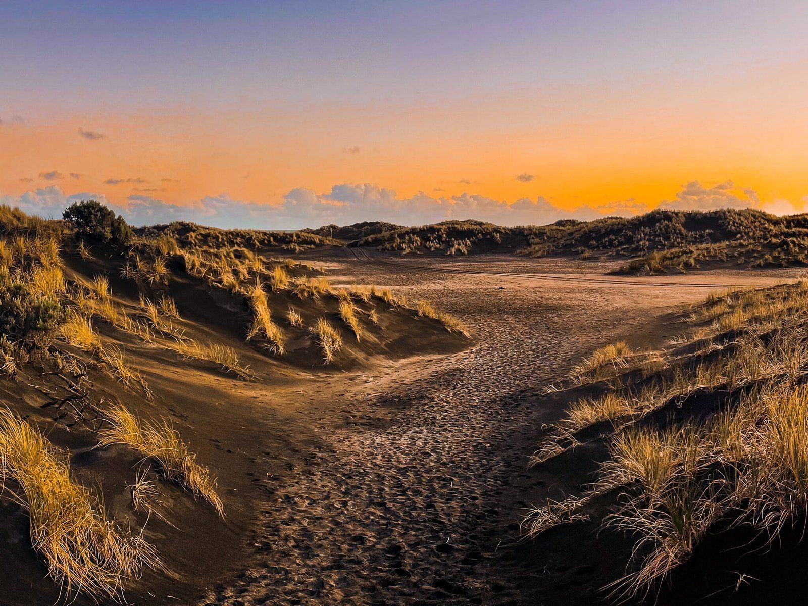
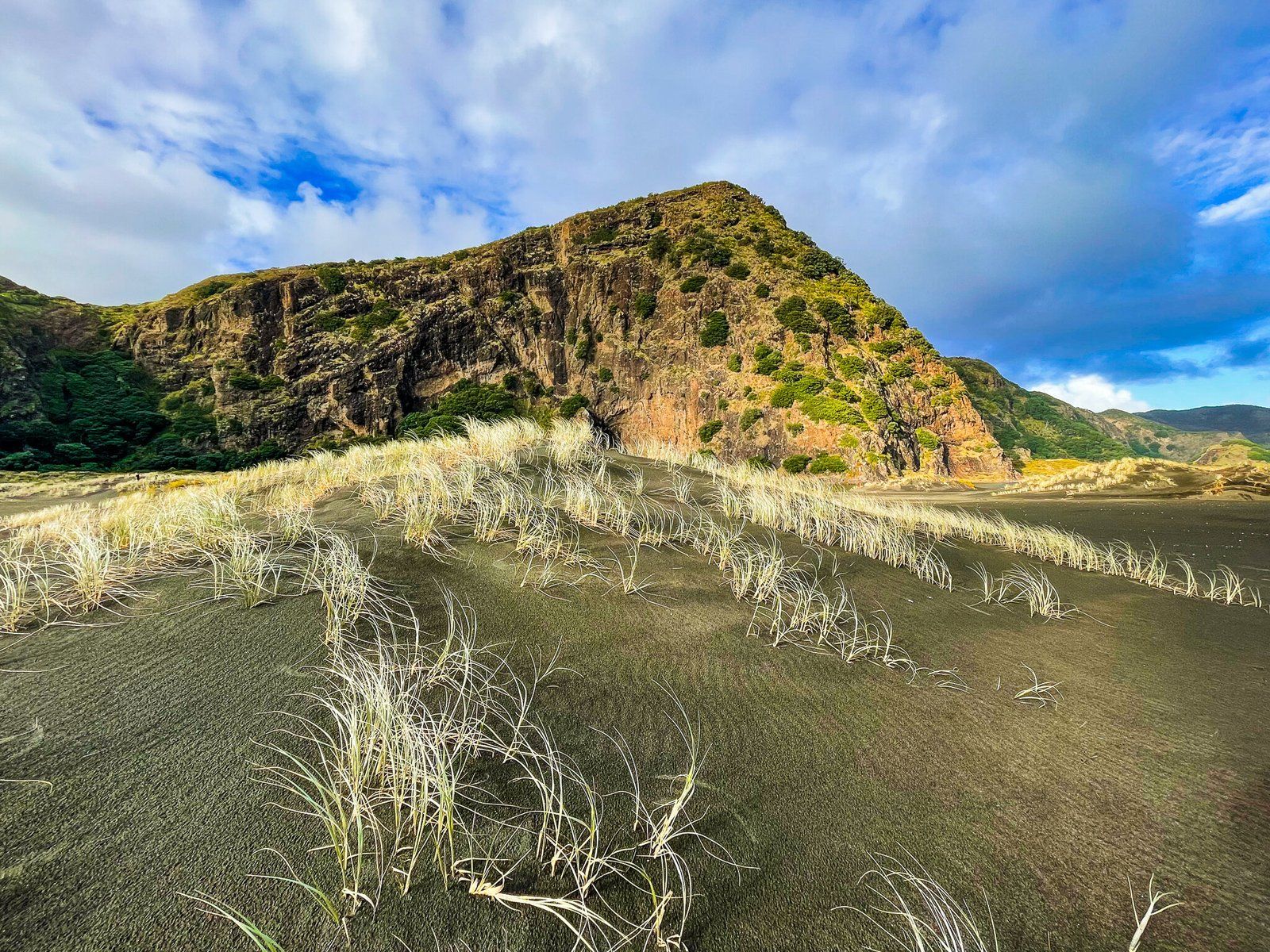
While you can choose to leave the track early and cross the dunes, staying on the path offers rewarding views over the scrub and dunes back to the coastal cliffs. The track also intersects with the Tunnel Point campsite, a site of historical interest.
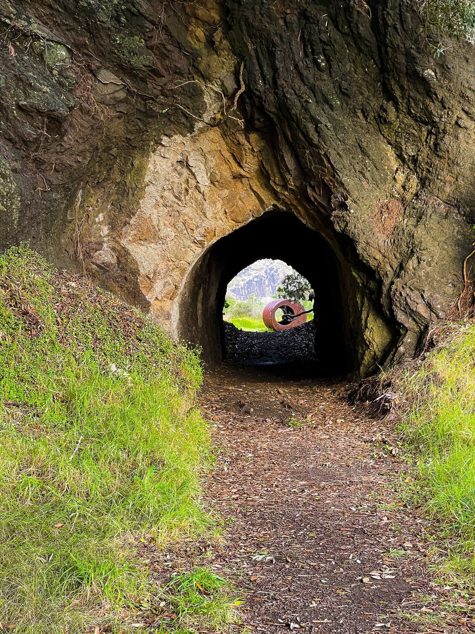
Historical Significance of Tunnel Point
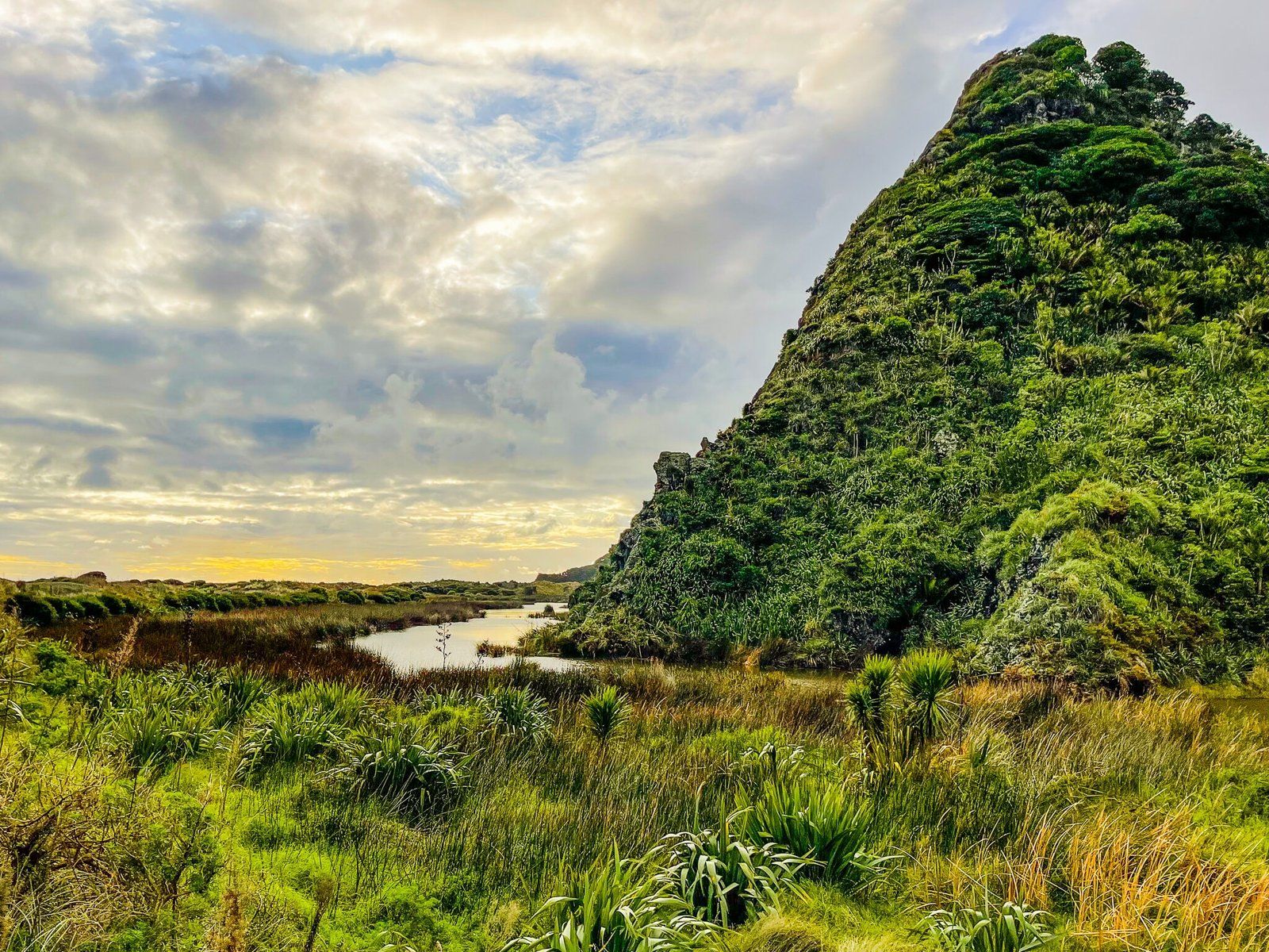
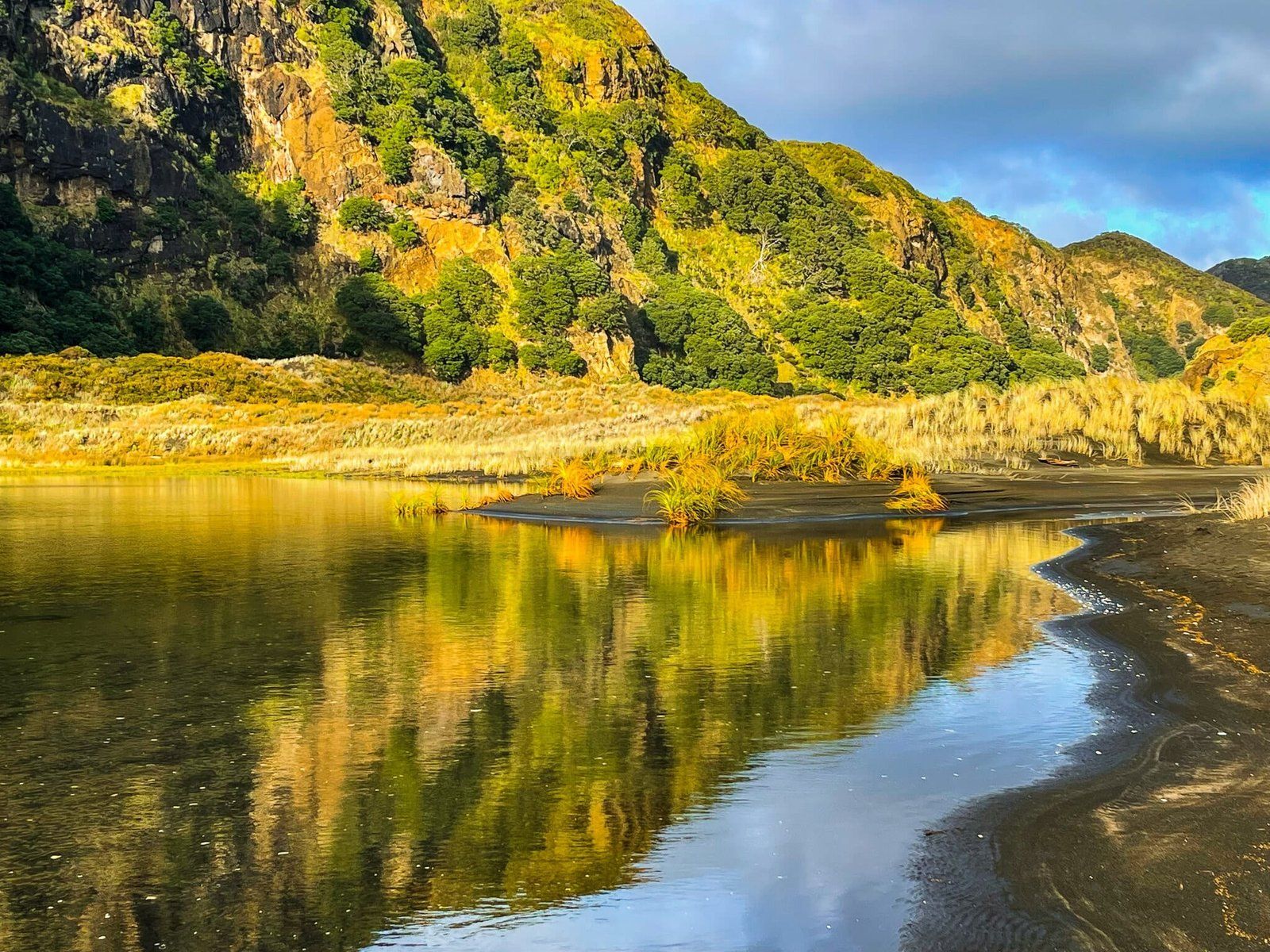
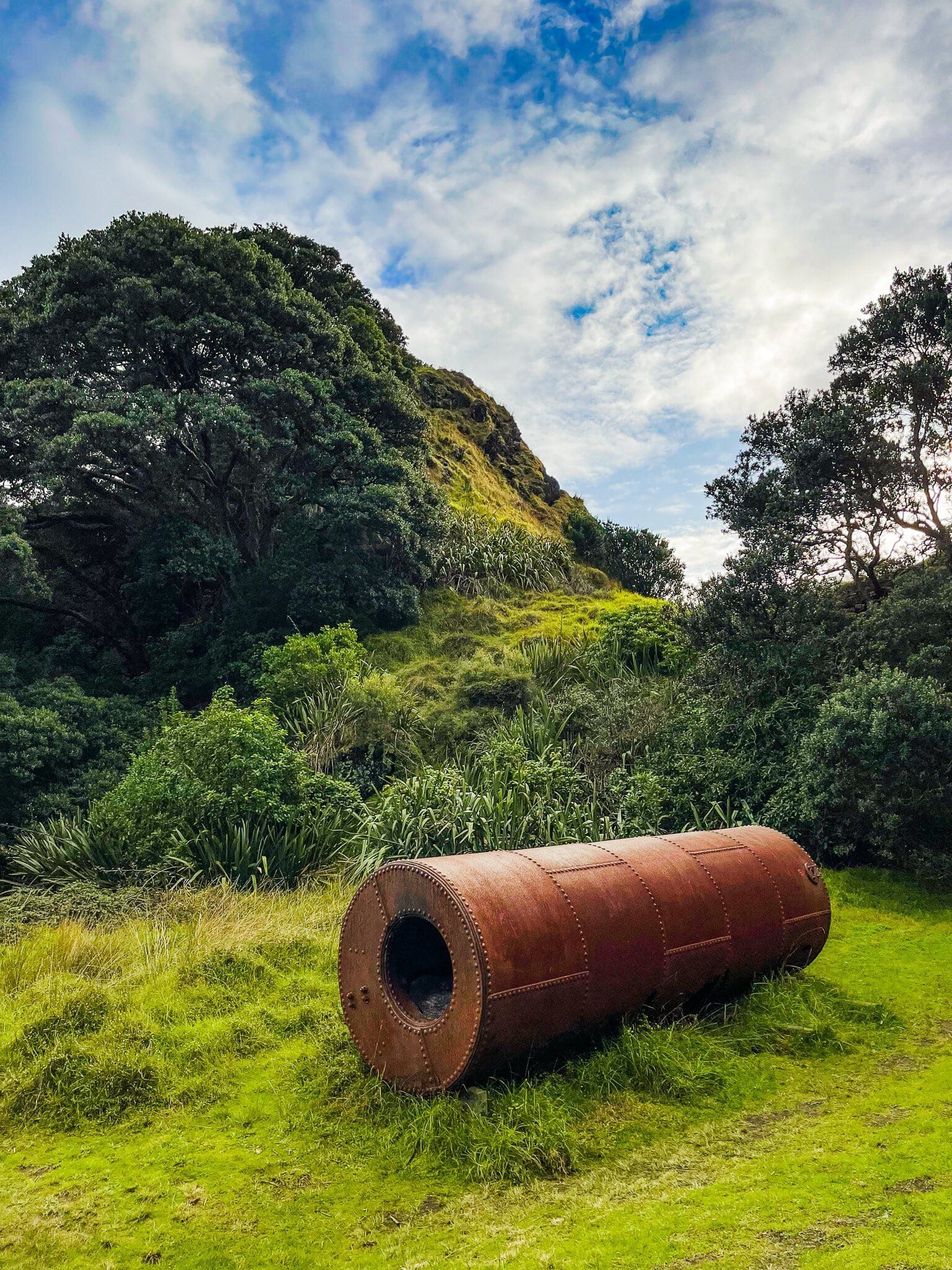
The Tunnel Point campsite is situated near a wetland below the coastal cliffs. It is named after a short tunnel through a rocky point, a remnant of a tramway from the early 1900s, when the sea was much closer to the point. This tramway was used to transport kauri logs from the Waitākere Ranges to Whatipu until the 1920s. Although only a few artefacts remain, the site offers a glimpse into the area's logging history.
Continuing through the tunnel, the track eventually leads to another lagoon below Cowan Point. From here, you can enjoy an easy walk towards the beach, with picturesque views of Paratahi Island. Alternatively, follow the cliff line around Karekare Point to reach Karekare, a particularly beautiful spot at sunset.
How to Get There
To begin the walk, either add it onto the Gibbons and Muir Tracks from Whatipu to the Pararaha Valley. It takes about 2 hours to reach the valley, where there is a campsite, then another 90 minutes to walk to Karekare. Access Whatipu on Whatipu Road, which starts at the end of Huia Road on the Manukau Harbour.
For a shorter 3-hour return trip, walk from Karekare, starting on the trail on the south side of the stream next to the car park. Karakre is accessed from Piha Road via Lone Kauri Road or Karekare Road.
There are many other coastal and forest walks. Omanwanui goes along the ridge high above the Manuaku Harbour to Whatipu, and Comans Track follows a high, steep ridge line from Karekare to Piha. Linking these and other trails allows you to build a stunning multi-day hike in the backyard of Auckland.