History and Herons at Ōkārito
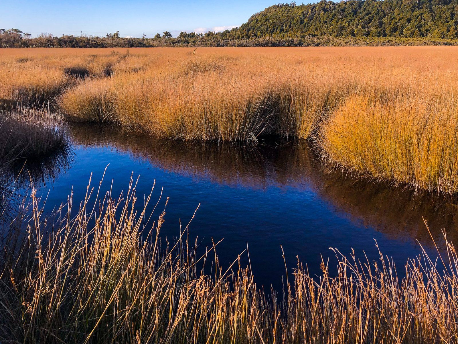
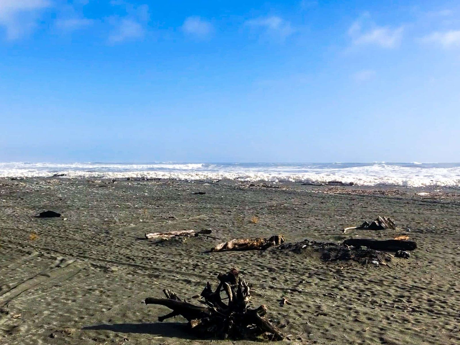
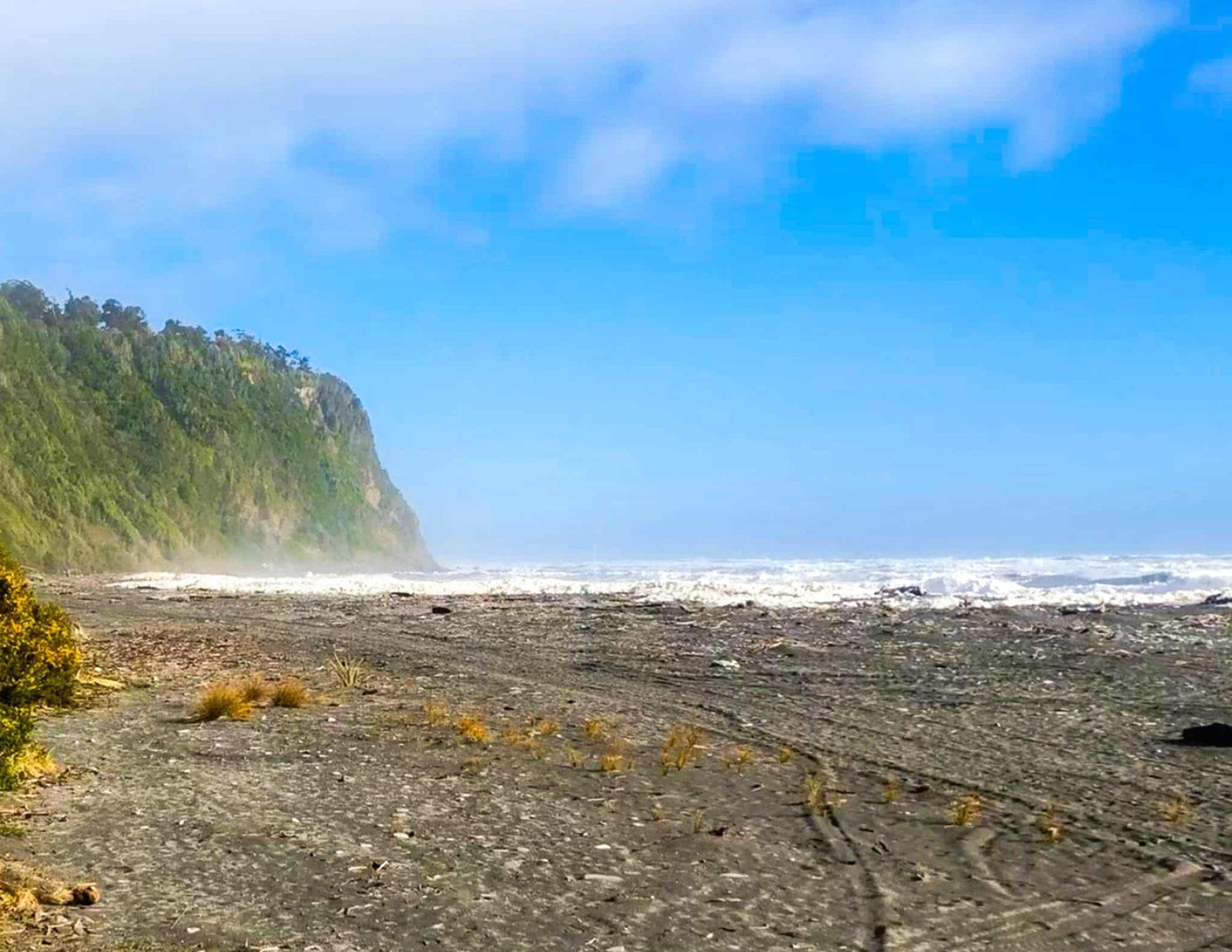
Ōkārito is a quaint coastal settlement located in the Glacier Country of Westland on New Zealand's South Island. Situated at the mouth of the Ōkārito River, it marks the southern end of the Ōkārito Lagoon and its adjacent wetlands. This area is known for its rich history and unique wildlife, especially kōtuku (white herons), making it a fascinating destination.
Historical Significance of Ōkārito
The area around Ōkārito has been inhabited by Māori for up to 600 years, primarily for seasonal harvesting. In 1860, the land was purchased from local Māori, and by 1865, the town was established following the discovery of gold in the beach's black sand.
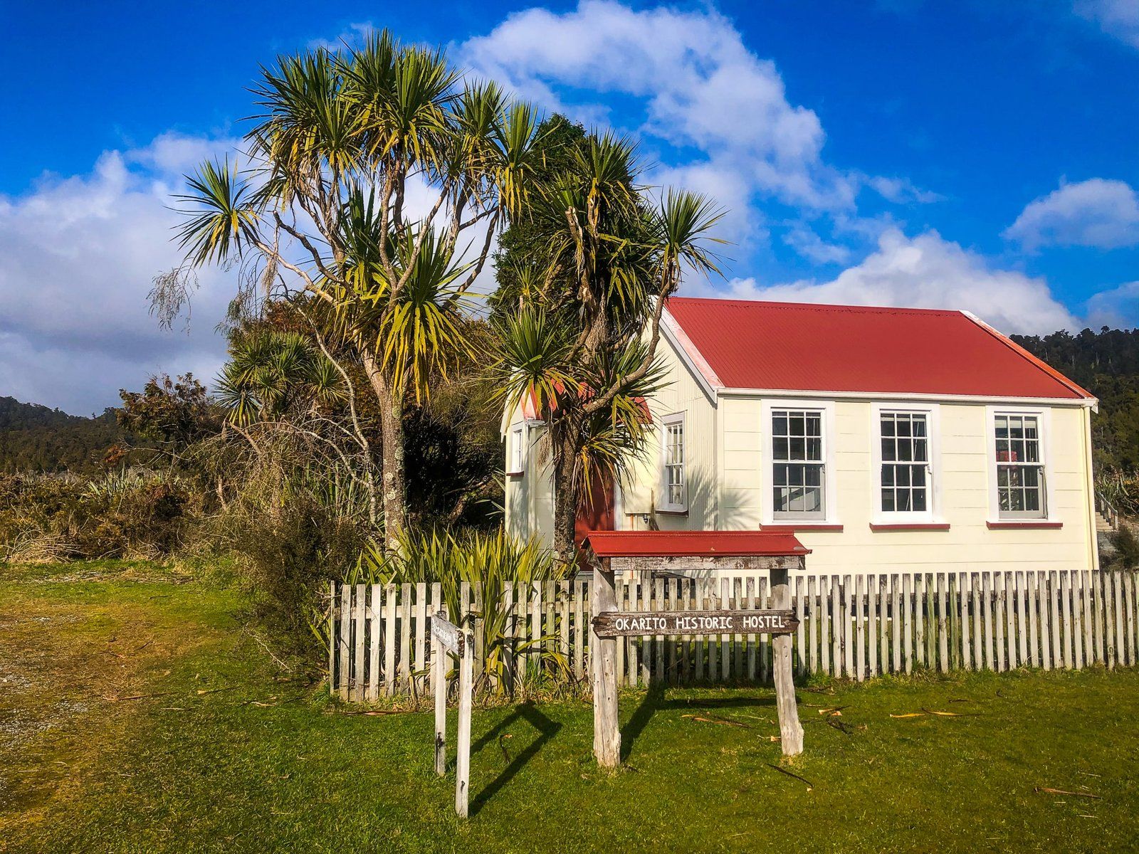
During the gold rush, the population soared to around 4,000, with the town boasting 25 hotels, three theatres, two banks, several general stores, and a port. However, by 1867, the gold rush had largely ended, and today, only about 30 people reside there full-time. Notable historical sites include the Donovan Store, believed to be the oldest building on the West Coast, and the Ōkārito Memorial Obelisk, which commemorates the purchase of Westland and the voyages of Abel Tasman and James Cook.
Exploring Ōkārito's Scenic Tracks
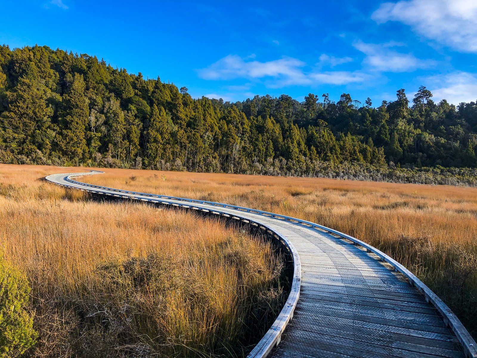
Ōkārito offers several excellent walking tracks, remnants of its gold rush era. The Ōkārito Wetland Walk is a short and easy loop featuring boardwalks over the wetland southeast of the town. This track connects to the Three Mile Pack Track, which runs along the forested south coast, and the Trig Track.
Historically, the Pack Track was the main access route to the town before a road was constructed from the north.
Wildlife and Activities in Ōkārito
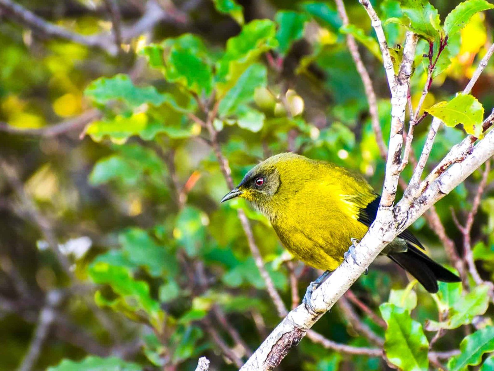
Ōkārito is a haven for wildlife enthusiasts. The rare Ōkārito kiwi, or rowi, roams near the town, and the lagoon serves as a crucial feeding ground for migratory white herons during spring and summer. The best way to observe kōtuku is in their breeding grounds (the only one in NZ) in Spring and Summer by joining a commercial tour from Whataroa. This provides access to the area north of the lagoon.
Getting to Ōkārito
To reach Ōkārito, travel 10 km along Forks Ōkārito Road from State Highway 6. The settlement's remote location offers a peaceful retreat with opportunities to explore its rich history and natural beauty.
Nearby, visitors can also explore the stunning landscapes of the Glacier Country with several easy to full-day hiking tracks. These include Roberts Point and Douglas Walk at Franz Josef.
