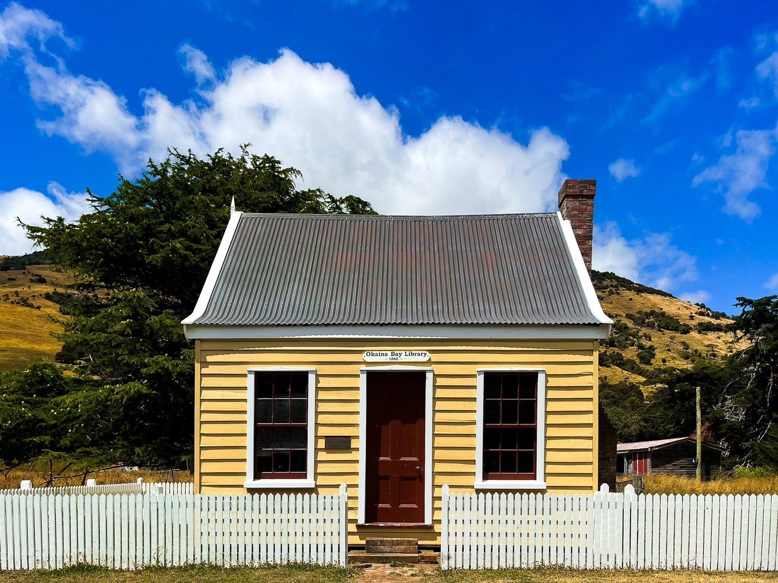
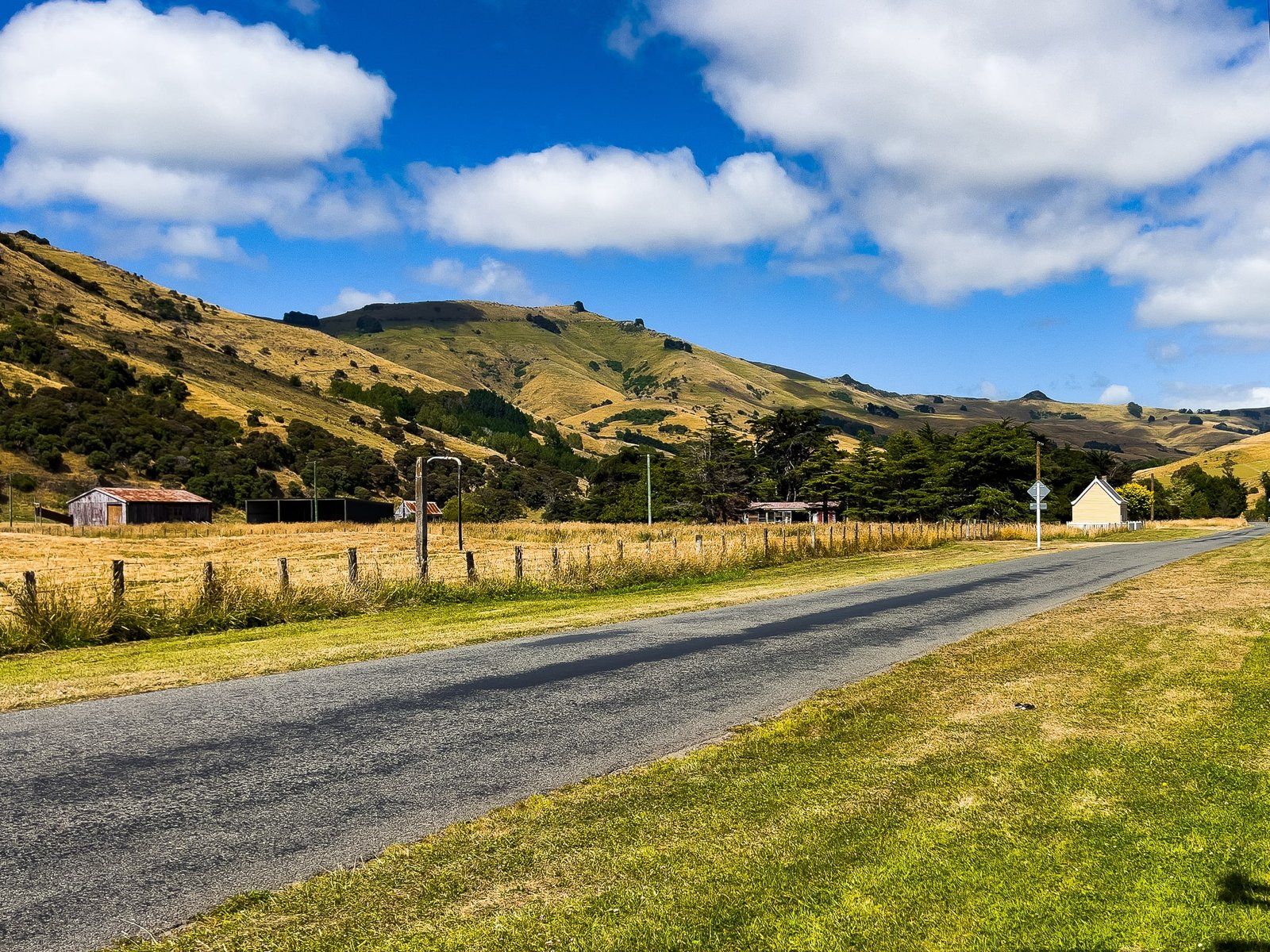
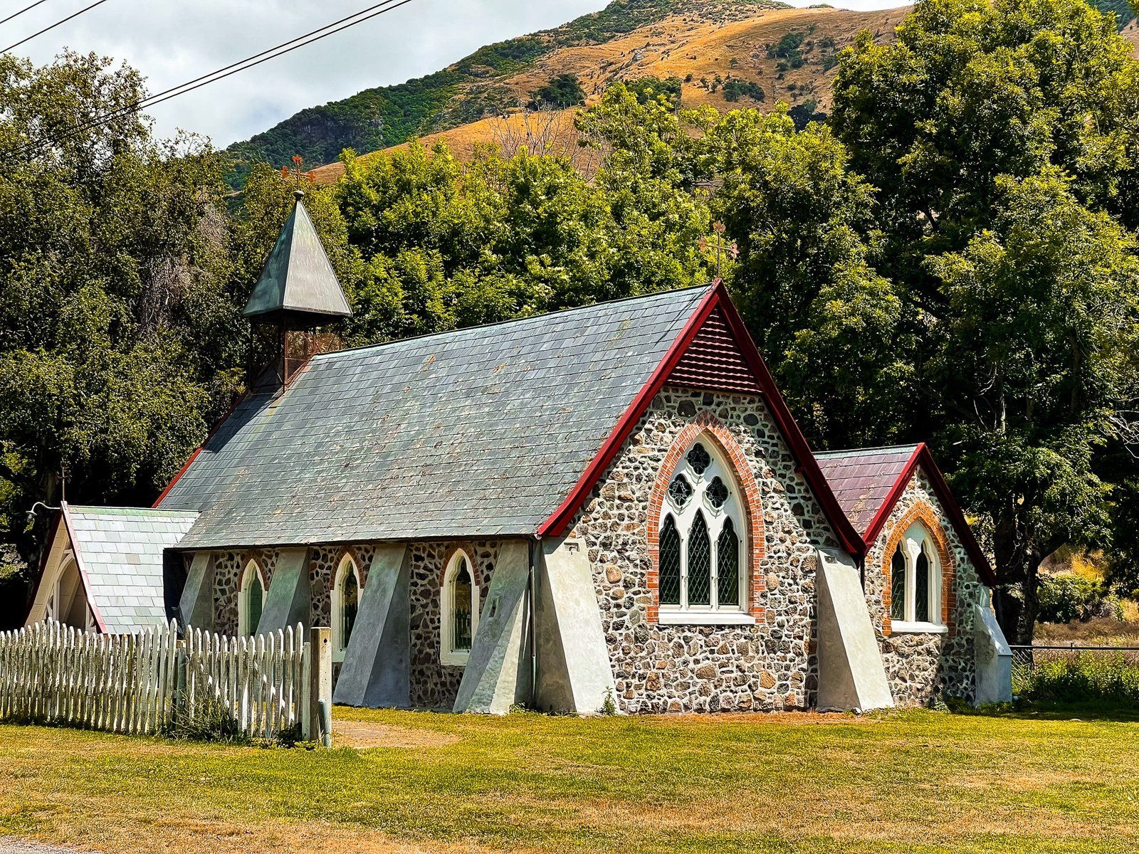
Okains Bay was purportedly named by a sea trader, Captain Hamilton, who was reading a book written by an Irish naturalist named O’Kain as his vessel passed by the bay. For Māori, Okains Bay is known as Kawatea, and it is particularly important as the first landing place of Ngāi Tahu on Banks Peninsula in the 1300s.
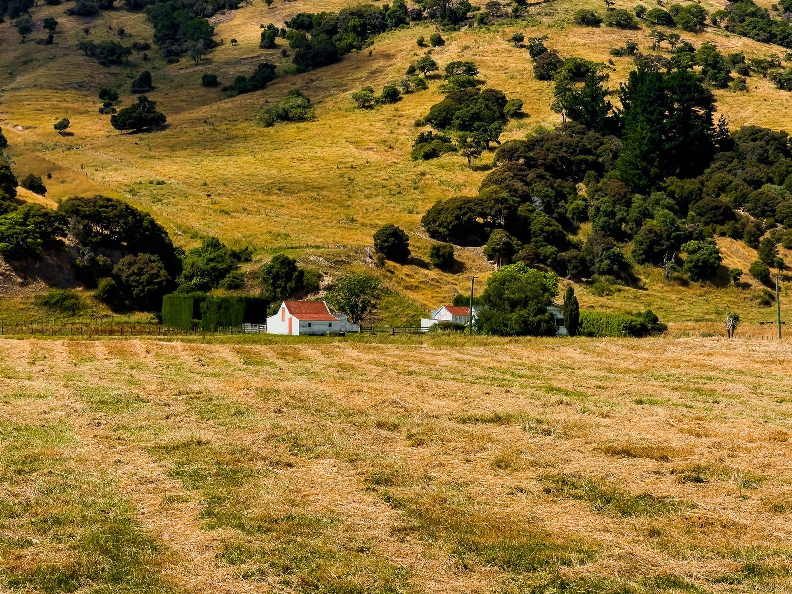
It was first settled by Europeans around 1850. It was heavily forested, and a large sawmill was established in 1874, resulting in the mass conversion of the area from forest to farms. A cheese factory opened in 1894 and closed in 1968, which is now the fabulous Okains Museum. Three different wharves have also come and gone, ultimately displaced by better road access.
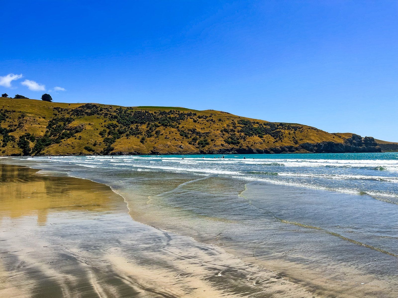
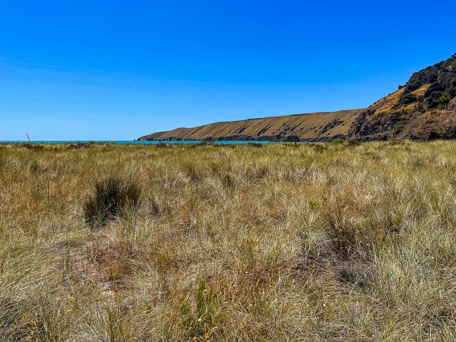
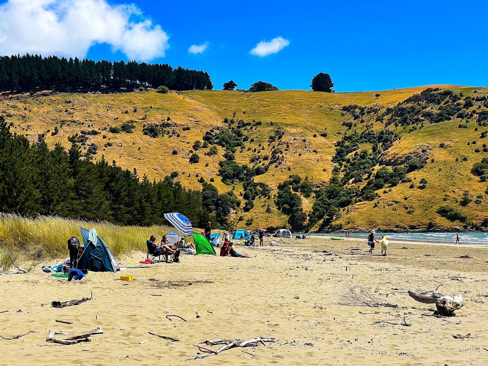
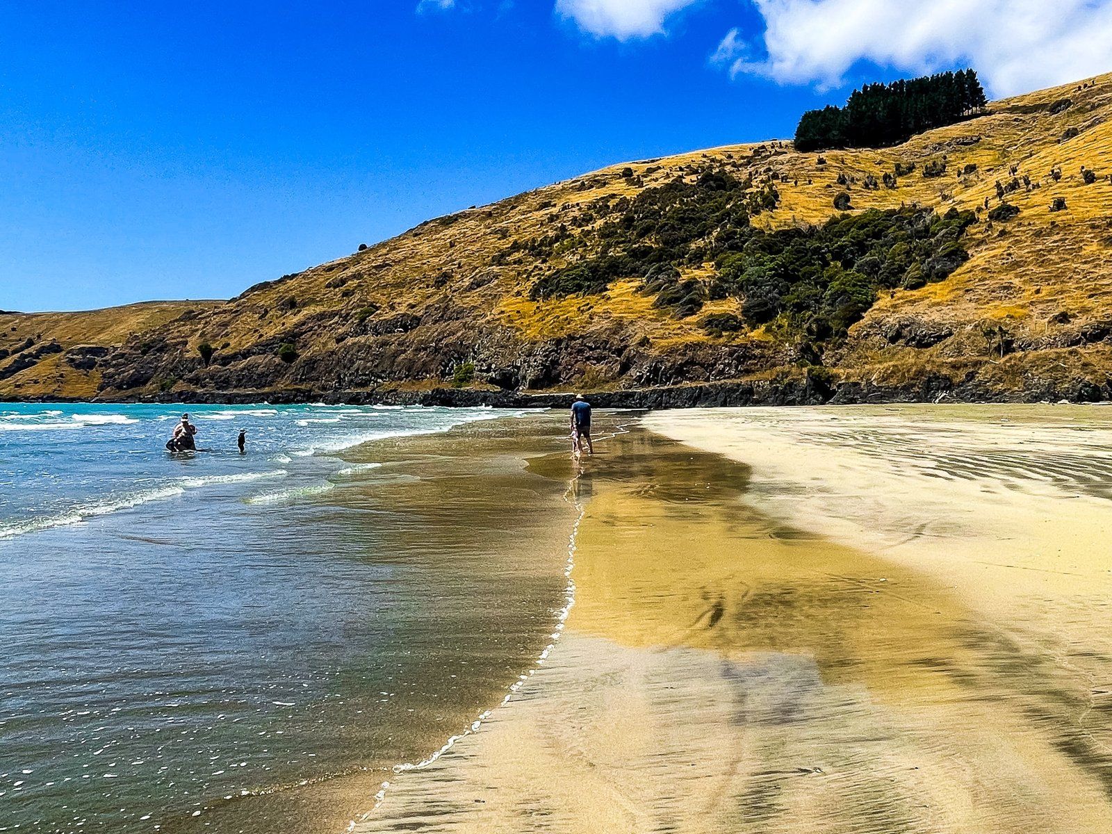
Today, Okains is arguably the most attractive and accessible of the larger northeast bays for visitors. The view down to the bay from the intersection of Summit Road and Okains Bay Road is superb, and you can’t beat the fabulous 1 km wide beach, with safe swimming.
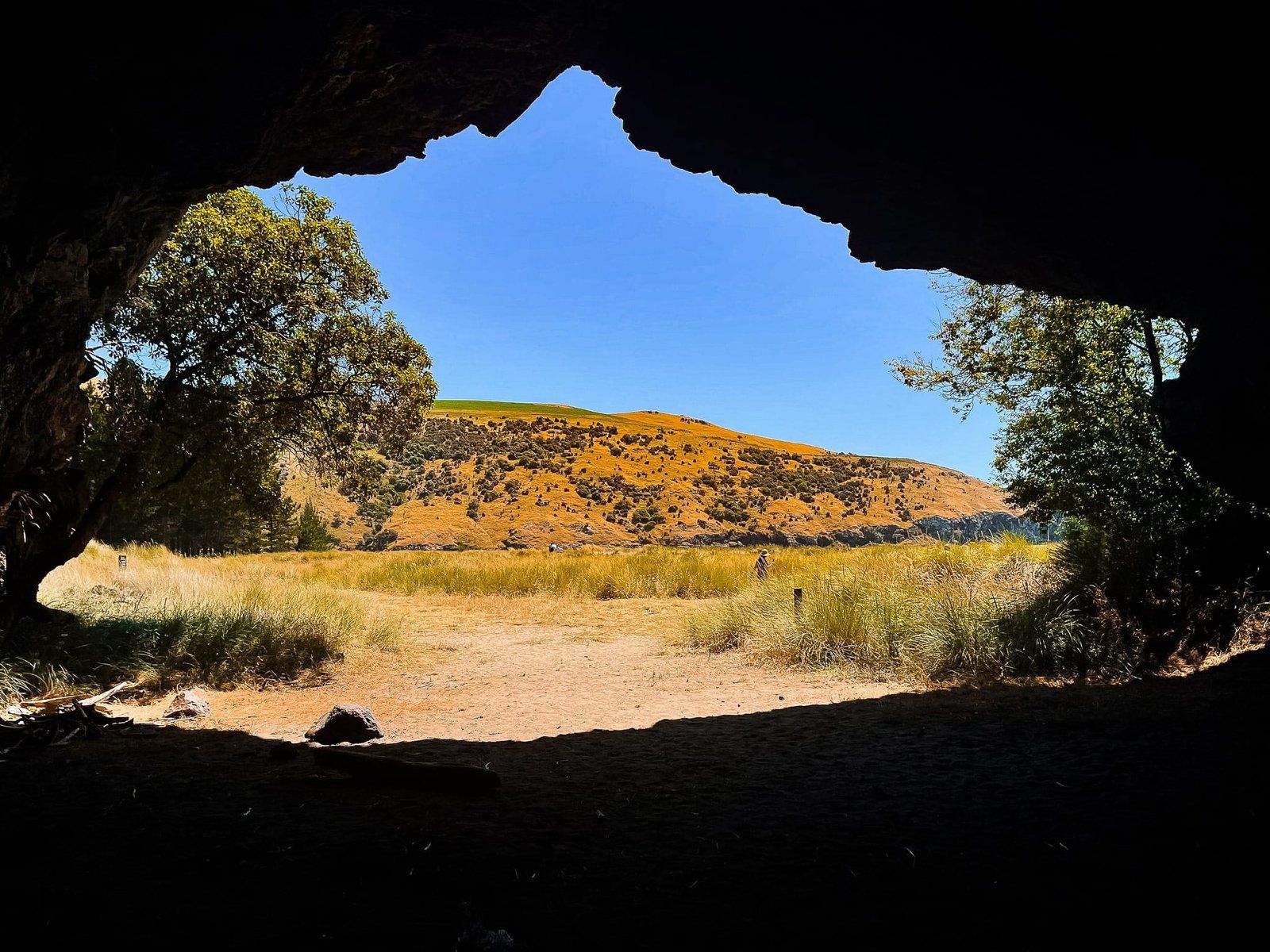
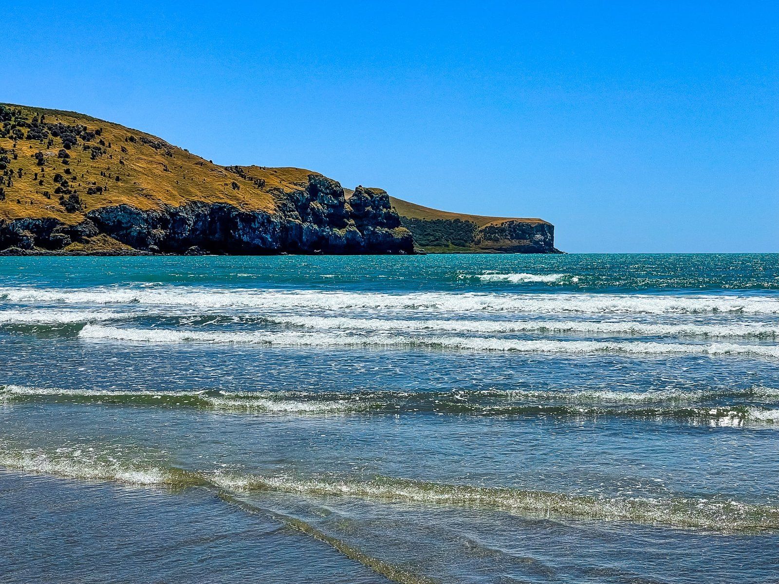
From the beach, you can also walk around the southeast side to the first point, with a couple of smaller beaches tucked around the corner. Also on the southeast side, back from the beach by the playground, is a sea cave. On the northwest side, the Opara Stream drains into the bay.
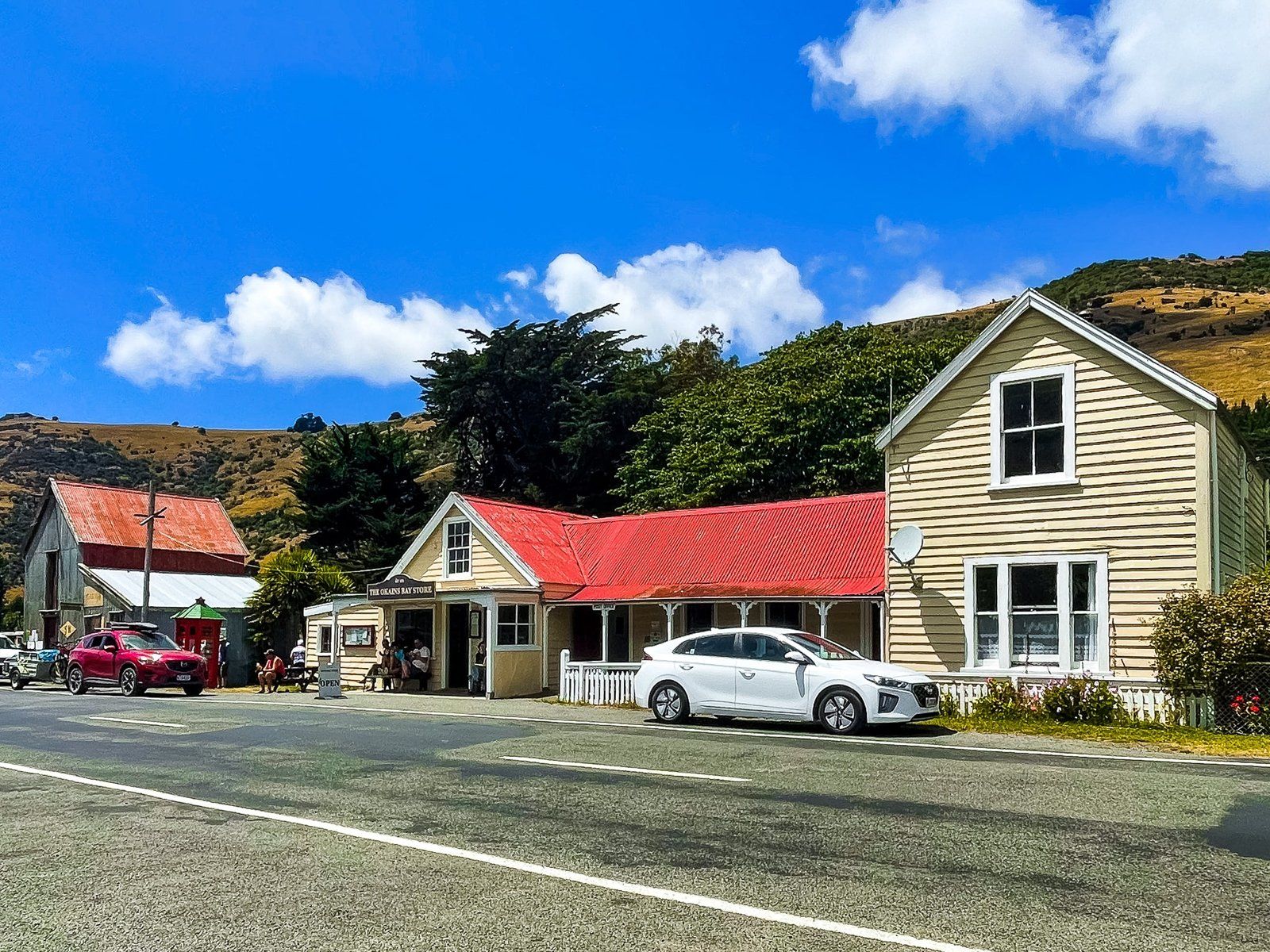
There are some services just before the beach with a cafe and general store, including a petrol pump. Just behind the northwest end of the beach there is a large commercial campground, so the beach is busier than Le Bons to the southeast.
From Akaroa, take SH 75 north to Okains Bay Road. Drive up to the crater rim, across Summit Road, then down to the bay.
