Discovering the Lamar Track
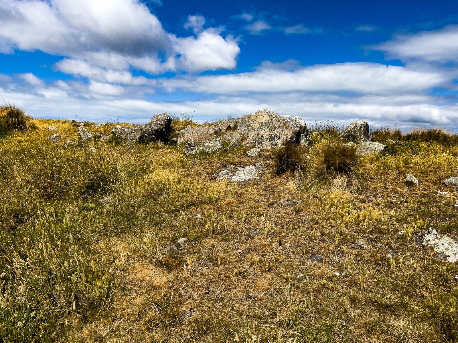
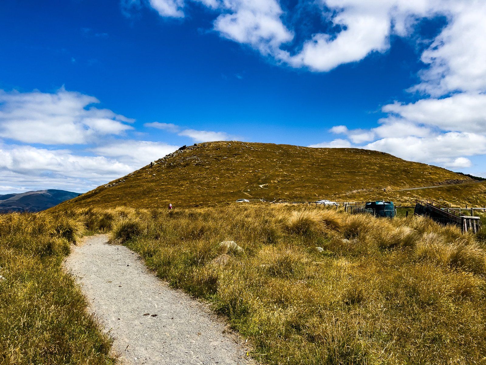
The Lamar Track, located near the Mt Vernon car park, offers a scenic experience on the Port Hills on Banks Peninsula, providing a unique perspective of Christchurch. This short, easy track is not marked on Topo Map NZ but is clearly signposted along Summit Road, with a parking area situated directly north of Mt Vernon.
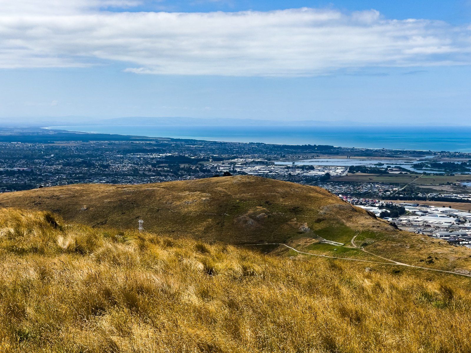
Scenic Views and Accessibility
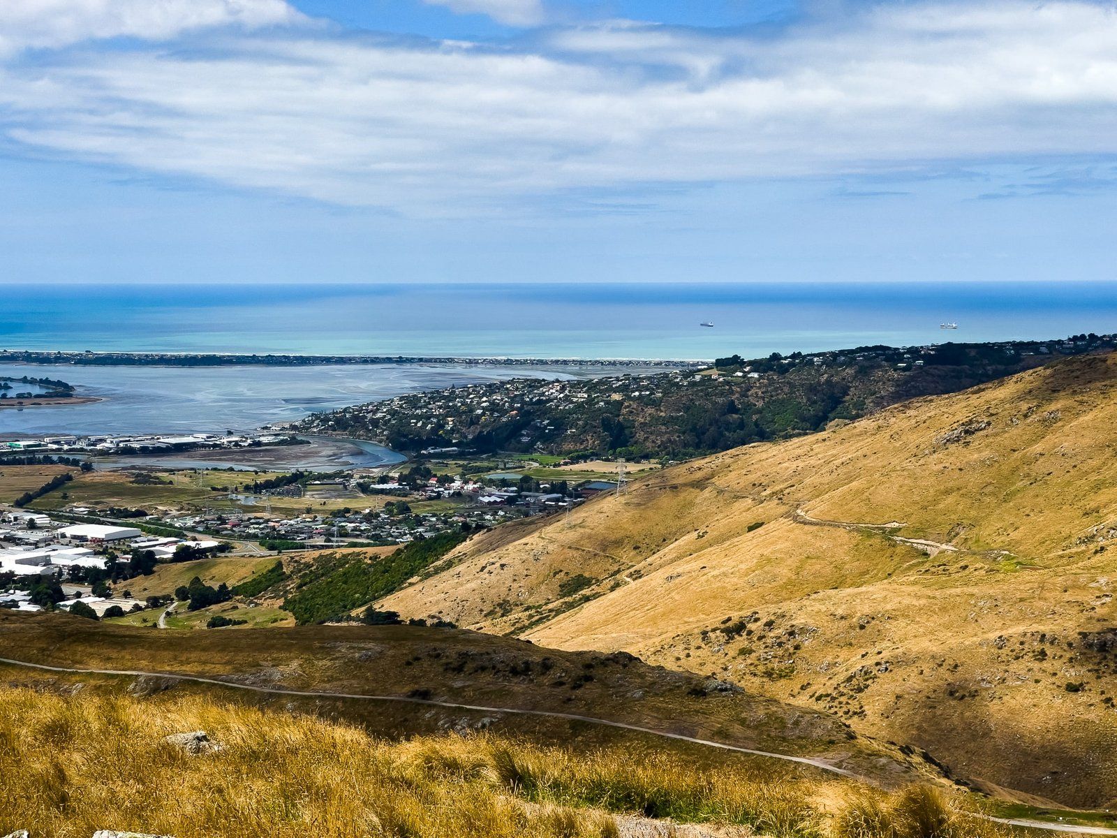
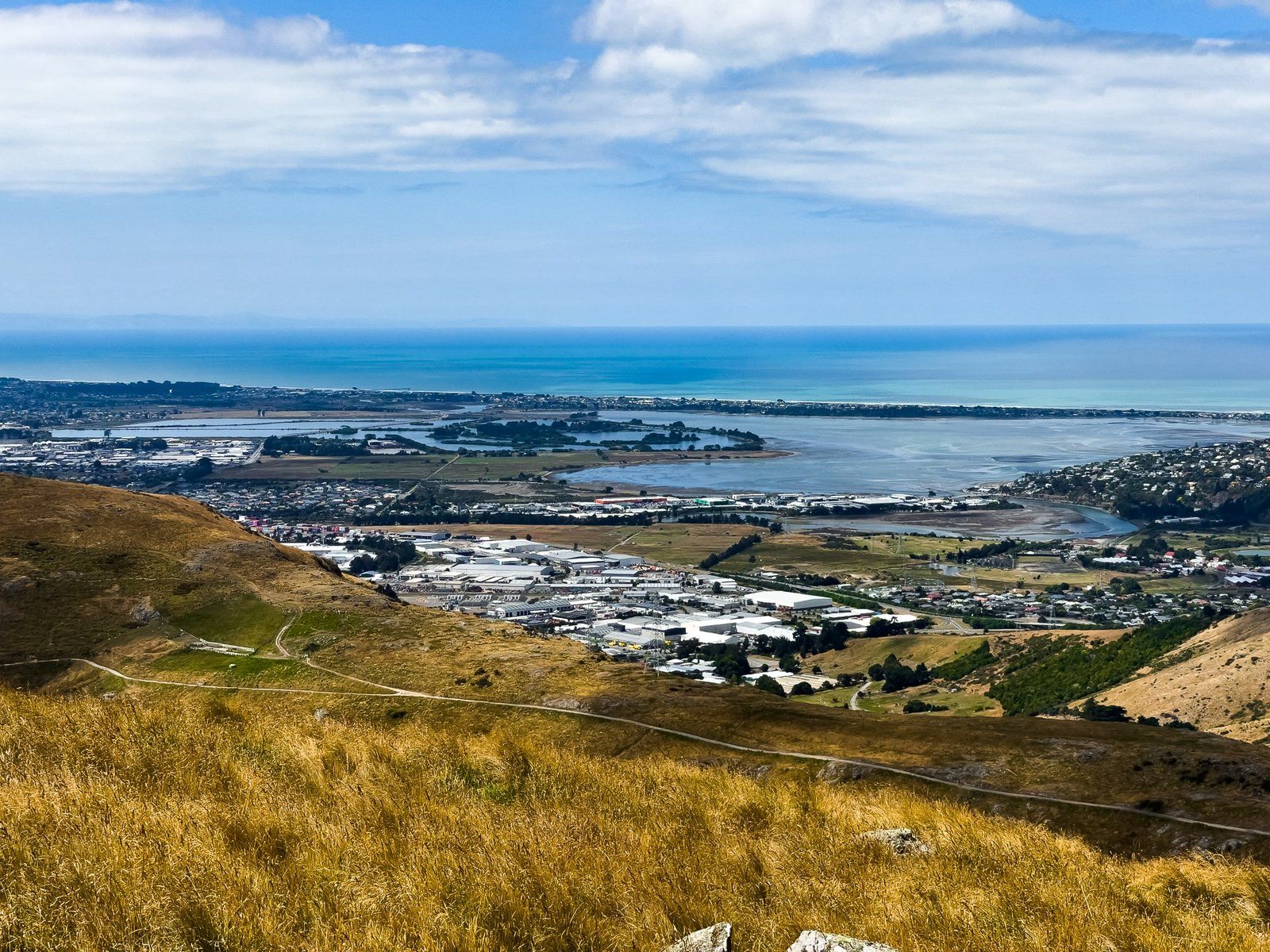
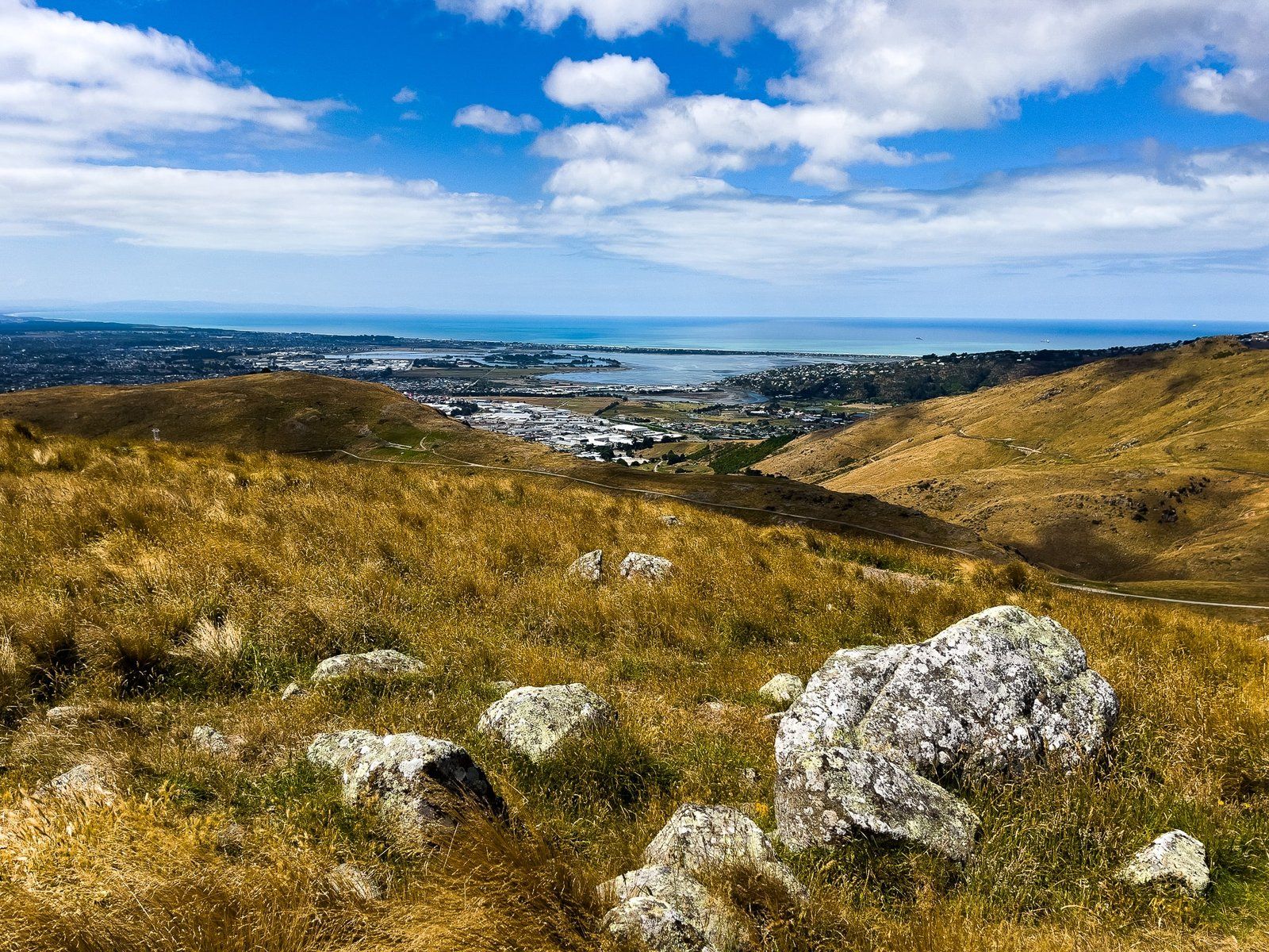
The Lamar Track leads to a stunning viewpoint that overlooks the eastern side of Christchurch, offering vistas of the Estuary of the Heathcote and the Avon Rivers / Ihutai. The track is specifically designed to be accessible to visitors of all abilities, including those using wheelchairs. Everyone can enjoy these breathtaking views as an inclusive destination for all visitors.
Connecting Tracks
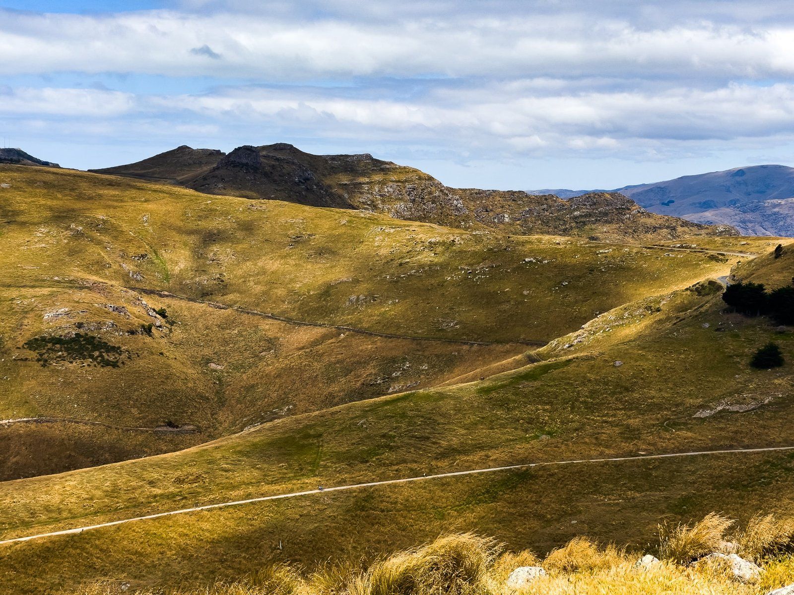
The Lamar Track also connects with the Farm Track. This is one of several shared walking and cycling tracks that link the Port Hills' crater rim with Christchurch, providing further opportunities for exploration and adventure.
How to Get There
To reach the Lamar Track, take Dyer Pass Road from Christchurch, then turn northeast onto Summit Road. The Mt Vernon car park is about 4.5 km from the intersection.
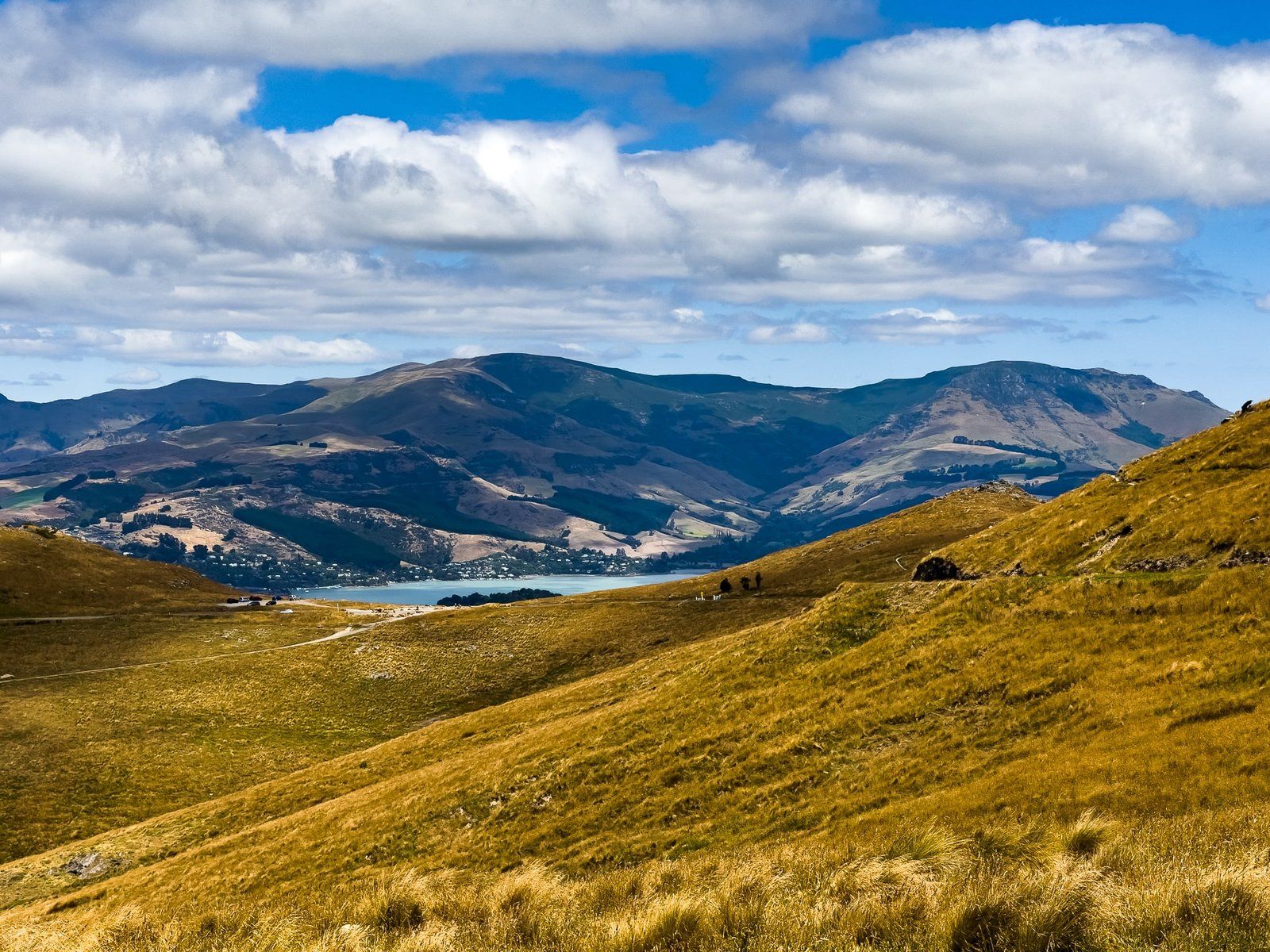
Nearby, you can also explore Upoko-o-Kuri / Witch Hill, stop for the view at Bowenvale and have a coffee at Sign of the Kiwi. From there, you can head down into the harbour crater to Lyttelton, and return to Christchurch via the road tunnel.