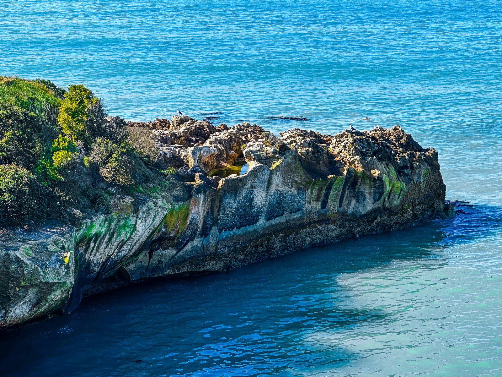
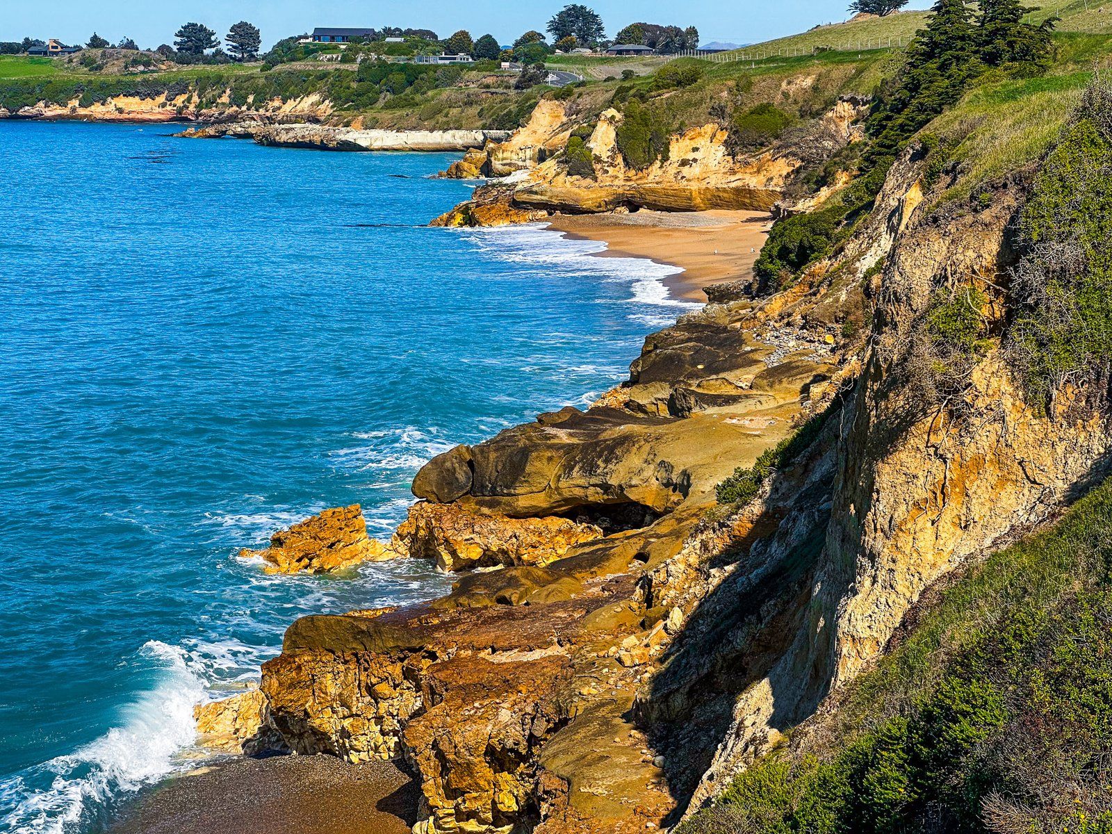
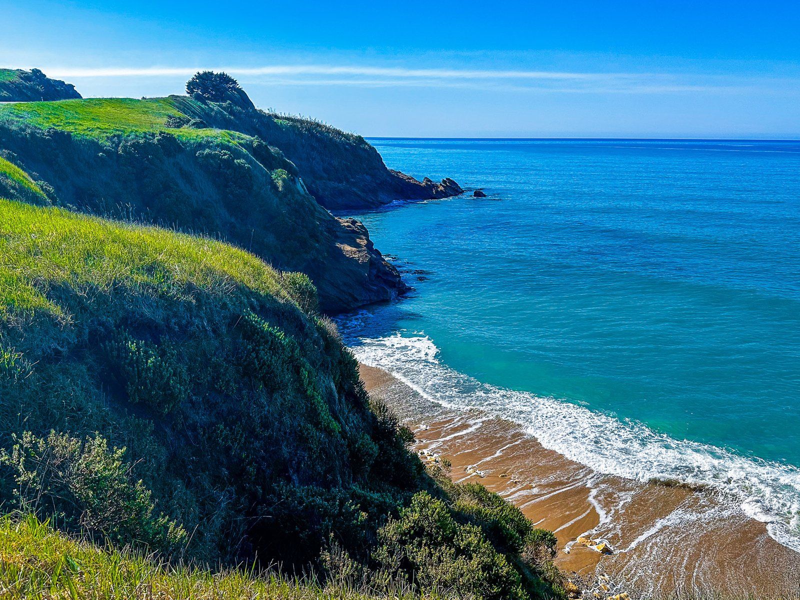
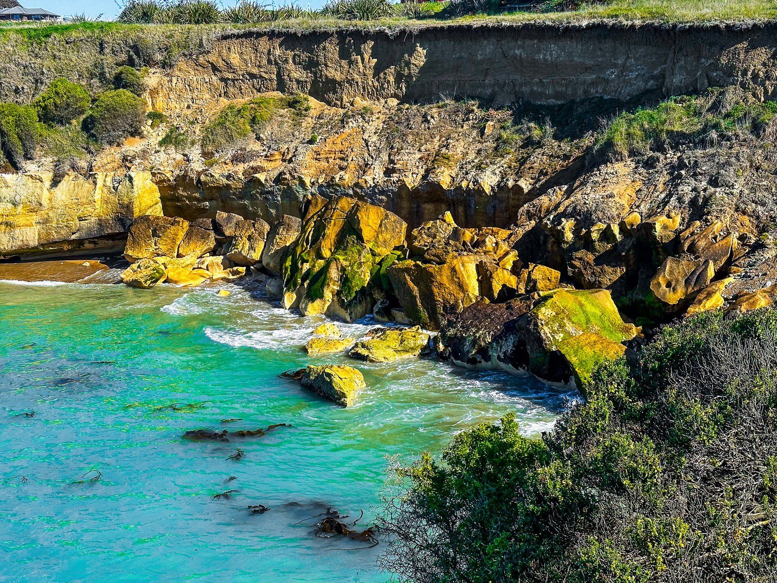
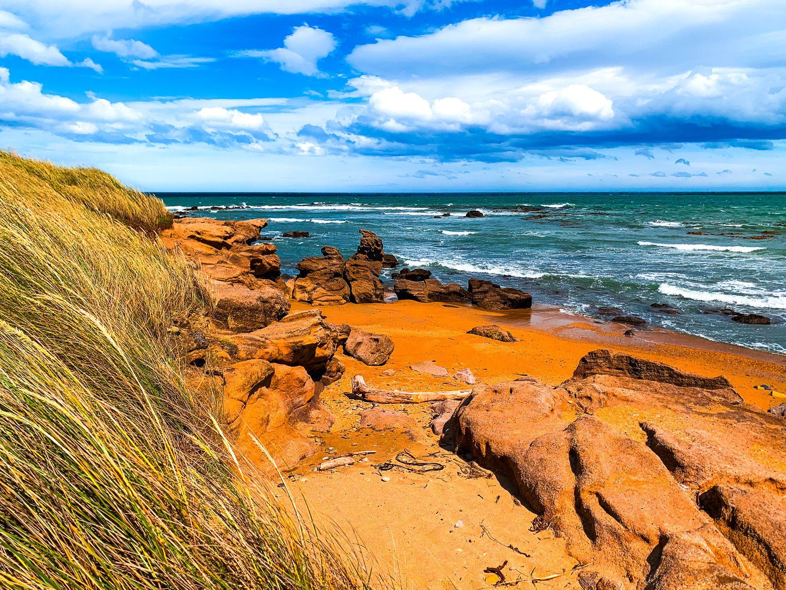
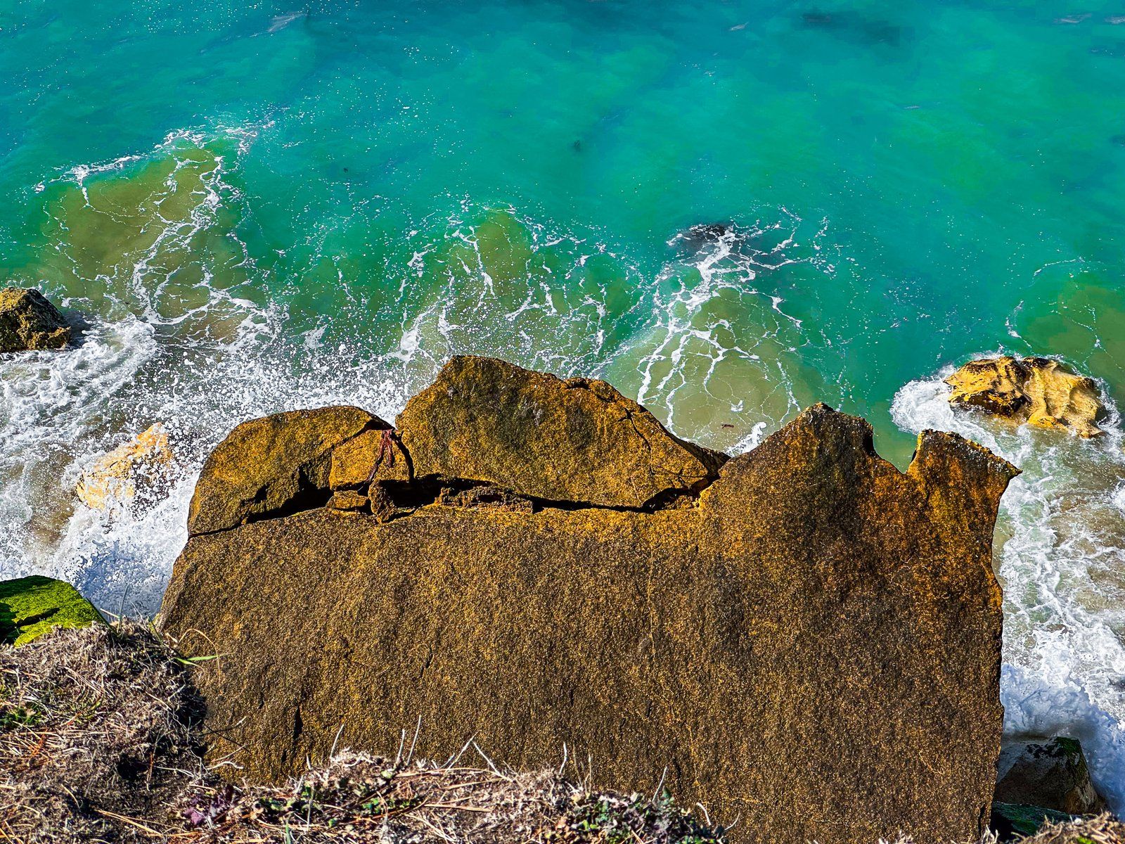
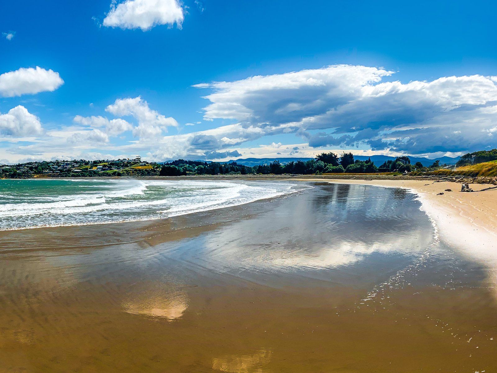
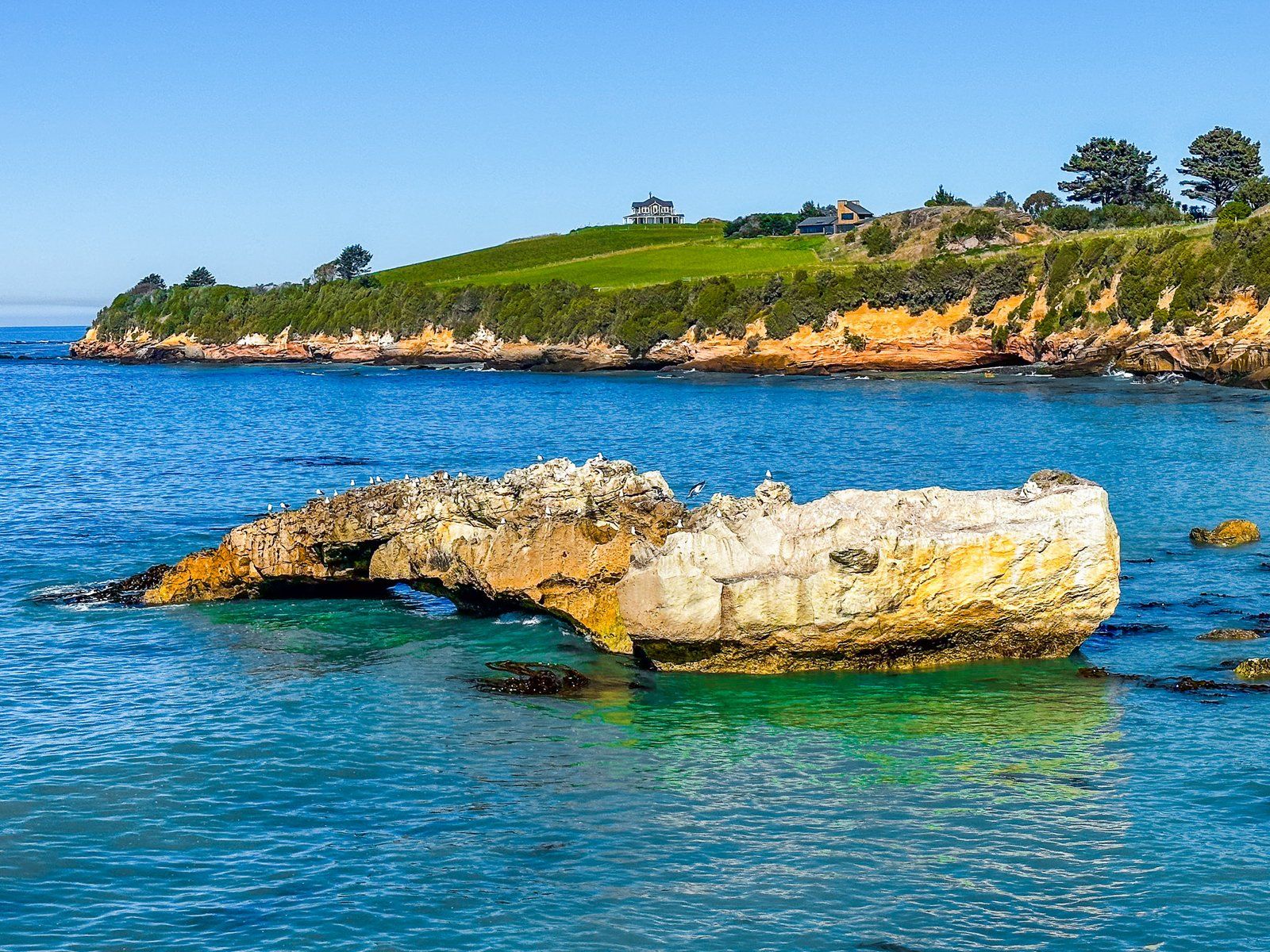
Kakanui (also Kākaunui) is a small beach community at the south end of Beach Road, about eight km from Ōamaru. As you enter the town from the north, the coast shifts from gold to orange sand to colourful, eroding cliffs and rocky coves. There is no obvious place to park before the town, but it is feasible on the side of the road.
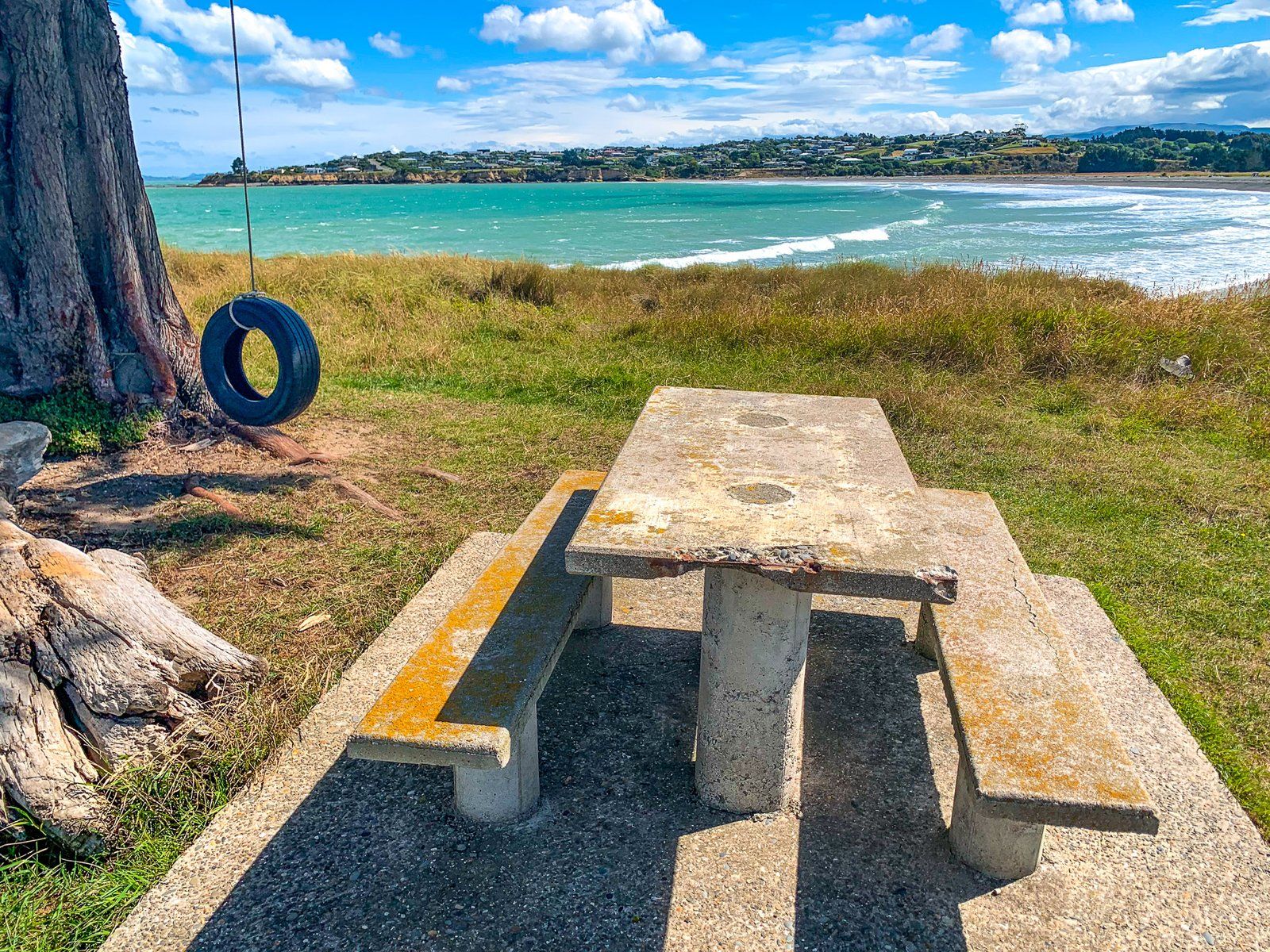
After entering the town, turn left onto Kakanui Road. There is a small reserve and parking area at the end, with access below the cliffs to the north at low tide. You can also walk south along a pretty crescent-shaped 700-metre beach in front of the town to the Kakanui River estuary and mouth. Alternatively, head back along Kakanui Road and turn left onto Cobblestone Road. The beach and river access are at the north end of the road.
The original Māori settlers named the Kākaunui River for a crew member of their ancestral waka Araiteuru. It was a pā site and important kāika mahika kai, or food-gathering place.
It is also geologically interesting. On the south side of the river mouth is Kakanui Point, a remnant of a 34 million year old volcano. These remnants on the North Otago coast are some of the oldest geological features in Aotearoa. At low tide, you may get lucky and find white rocks that contain small red garnet crystals uplifted 20 km by the volcano far beneath your feet. There are also examples of rock with orange-green fragments. These come from even deeper, around 30 to 70 km down.
There is also a campground if you want to stay for a day or two. Follow Kakanui Road west through the town, where it changes to Waianakarua Road. The campground is on the left after crossing the bridge over the Kakanui River.
