Exploring Christchurch's Hagley Park
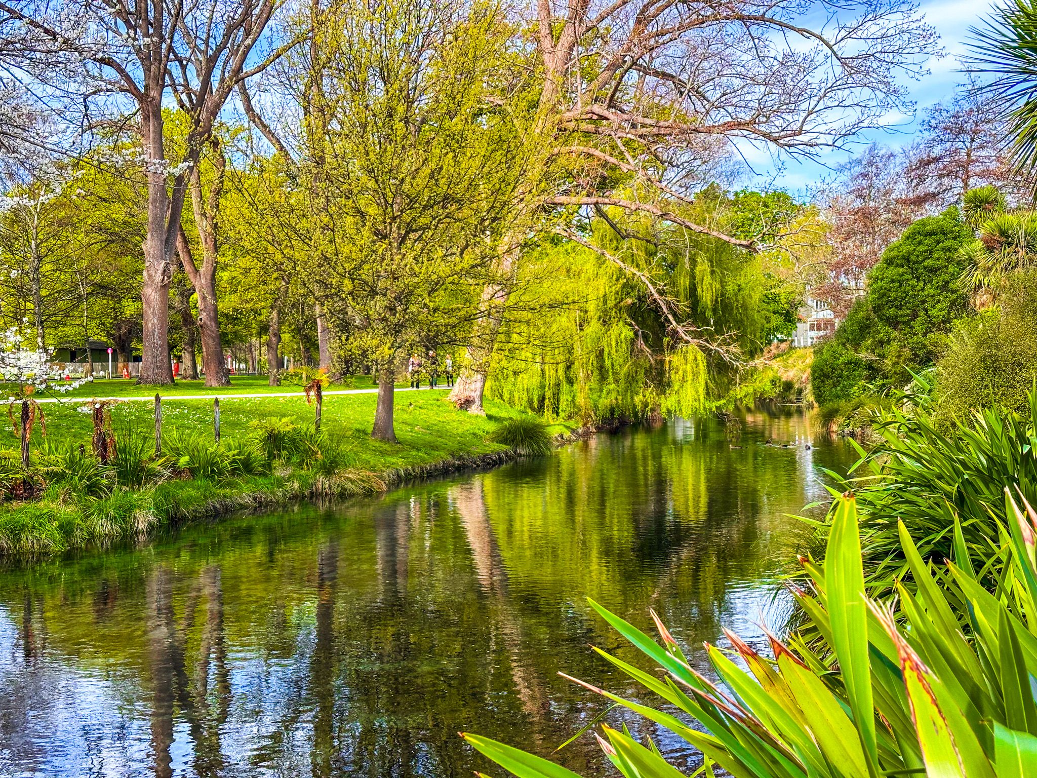
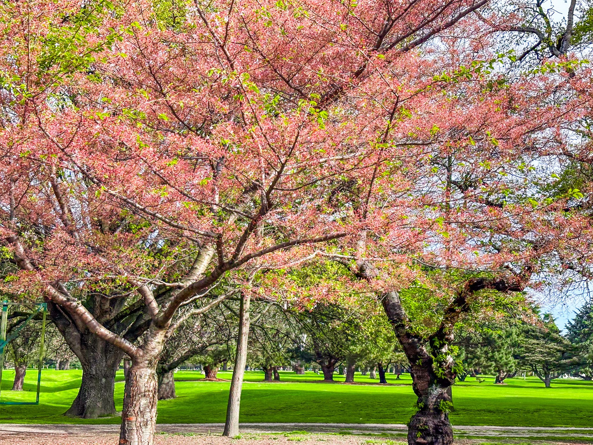
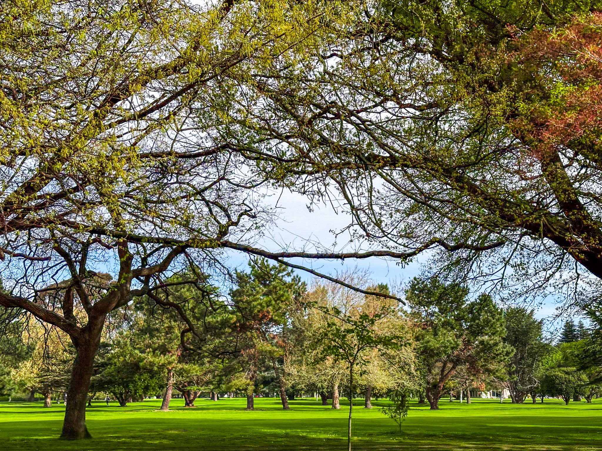
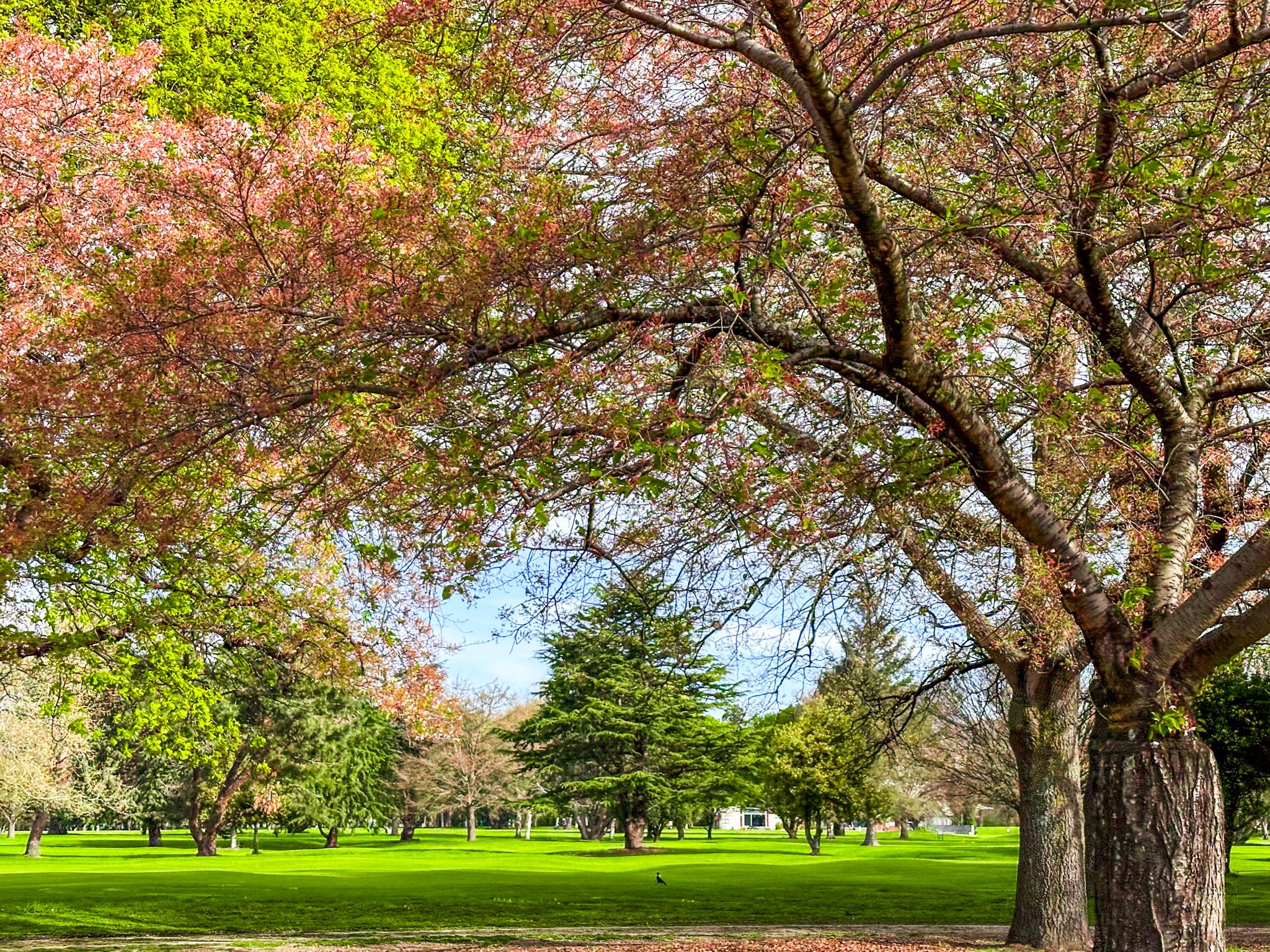
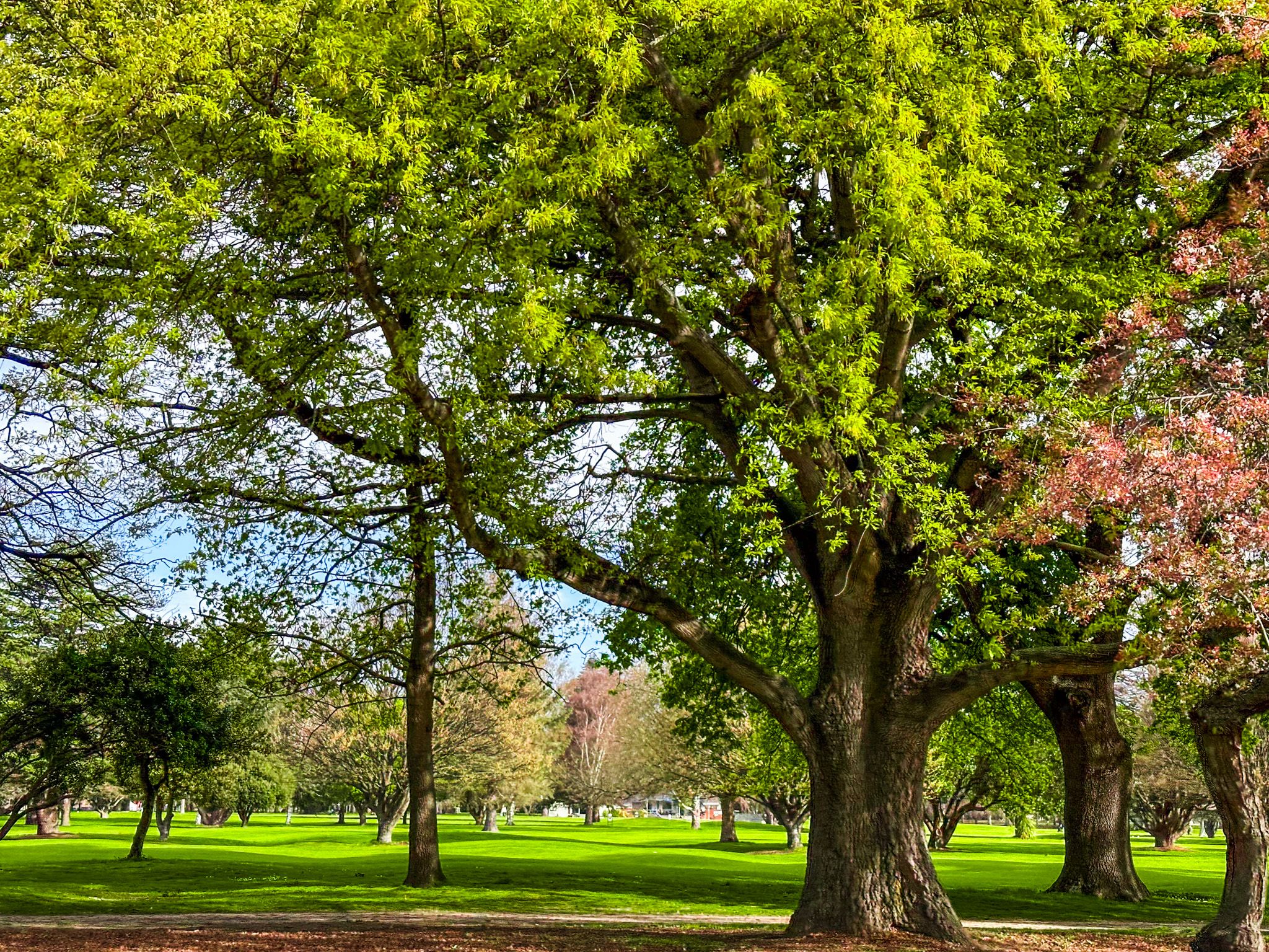
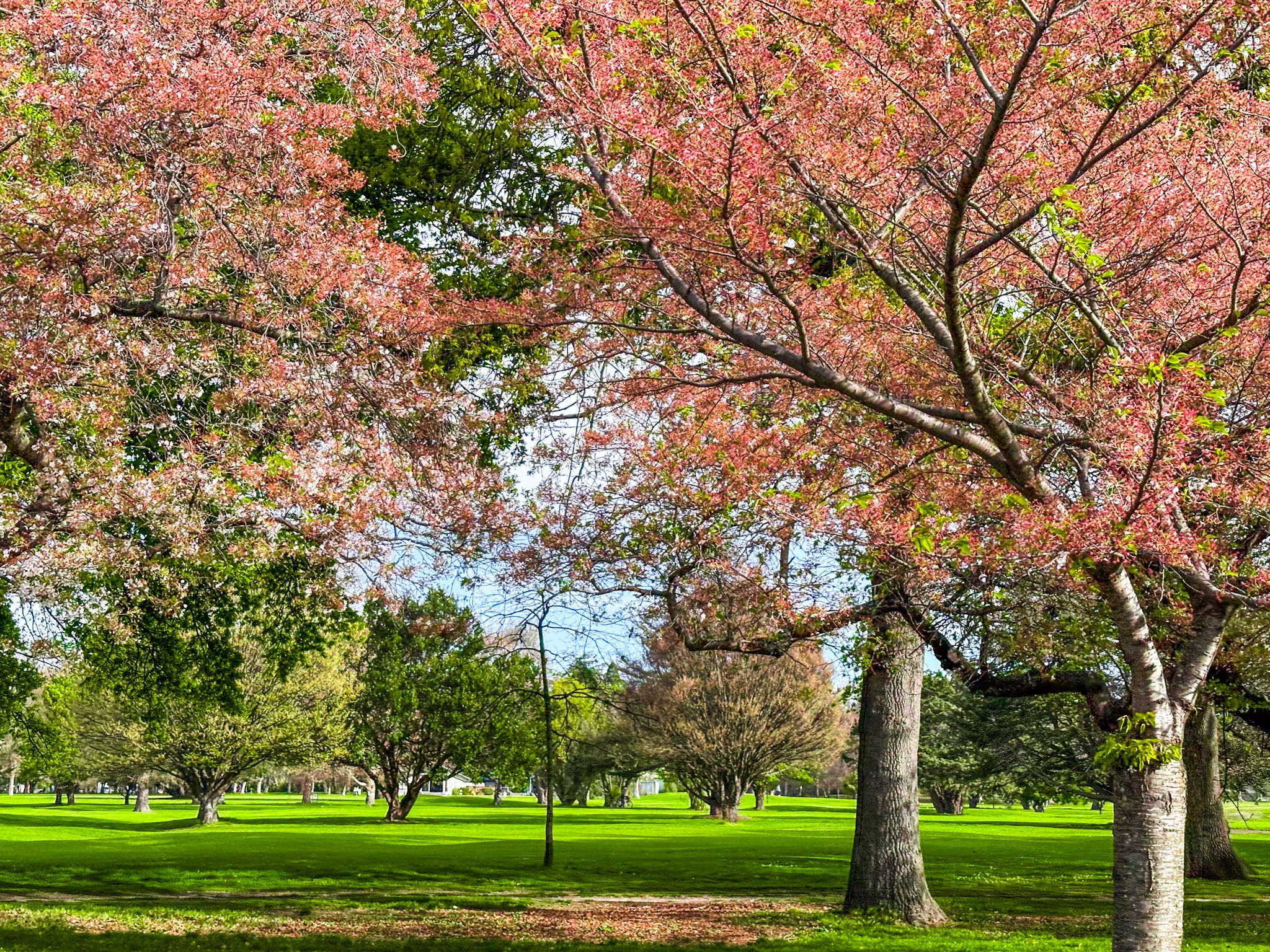
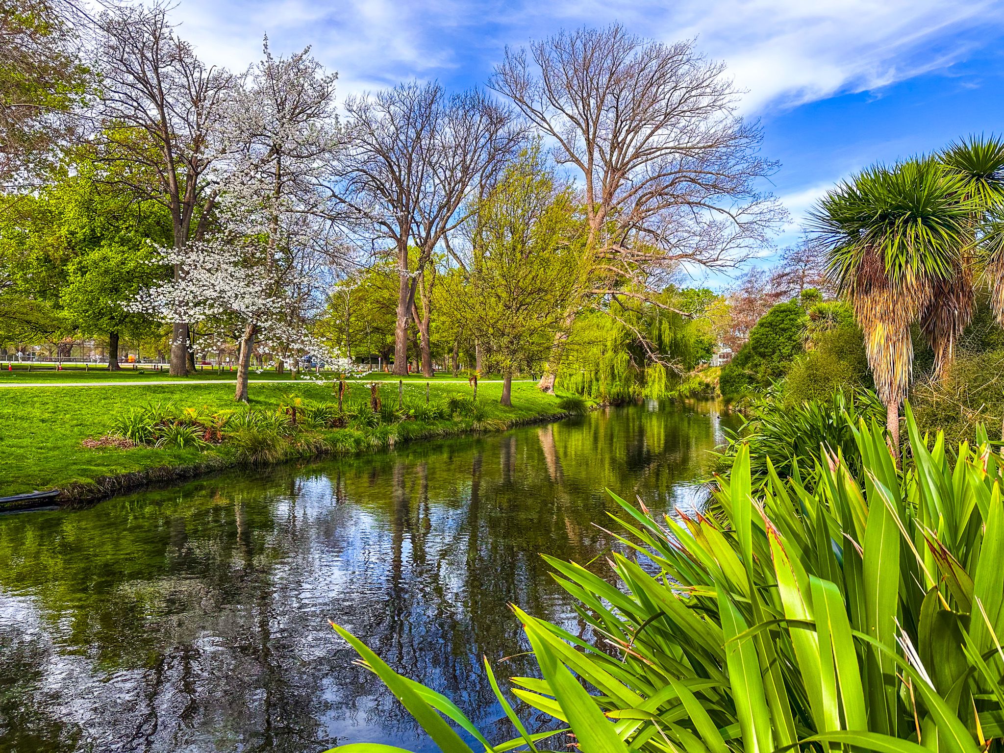
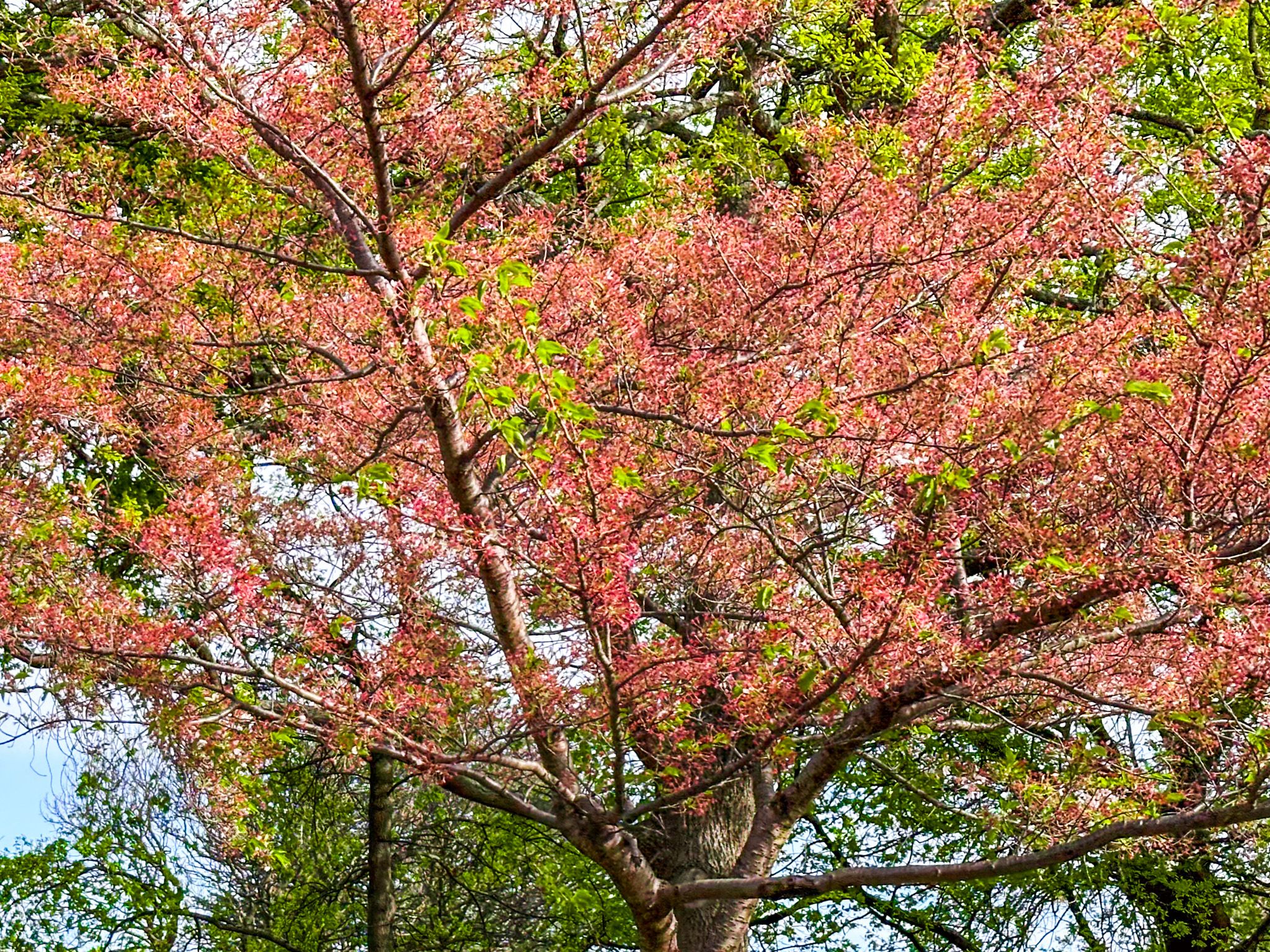
Hagley Park, the largest urban open space in Christchurch, spans 165 hectares and features interesting mature exotic trees, daffodils and blossom in Spring, and wonderful autumn colours, as well as expansive open fields. Established in 1855, the park was named after the Lord Lyttelton country estate, although he never visited New Zealand. The park is located on the west side of Central Christchurch, within the original city layout defined by the Four Avenues.
Layout and Features of Hagley Park
The park is divided into three sections. Little Hagley Park, the smallest and most picturesque, lies at the northern edge between Harper Avenue and the Avon River / Ōtākaro. South of Harper Avenue is Hagley Park North, which is separated from Hagley Park South by Riccarton Avenue. Deans Avenue marks the western boundary, while the river outlines the northern and eastern edges of Hagley Park North. Hagley Avenue and Moorehouse Avenue define the east and southern boundaries of Hagley Park South. Access to the park is convenient from any of these streets, with tracks following the river.
Adjacent to Hagley Park North, the Christchurch Botanic Gardens are nestled within a large U-shaped bend of the river. Several footbridges connect the park to the gardens, making it easy to visit both.
Activities and Seasonal Highlights
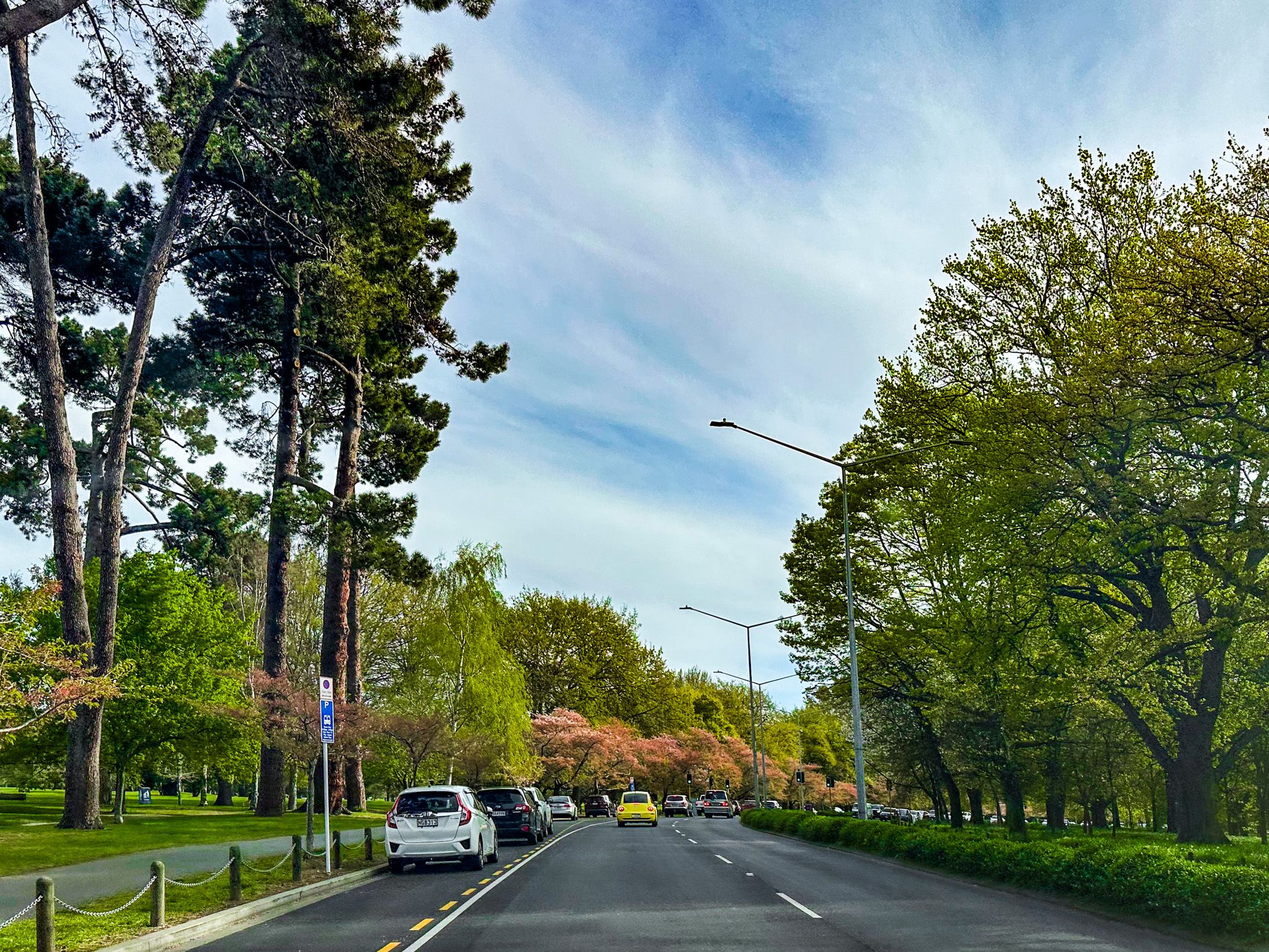
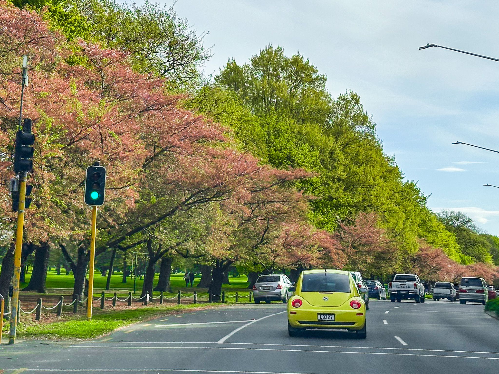
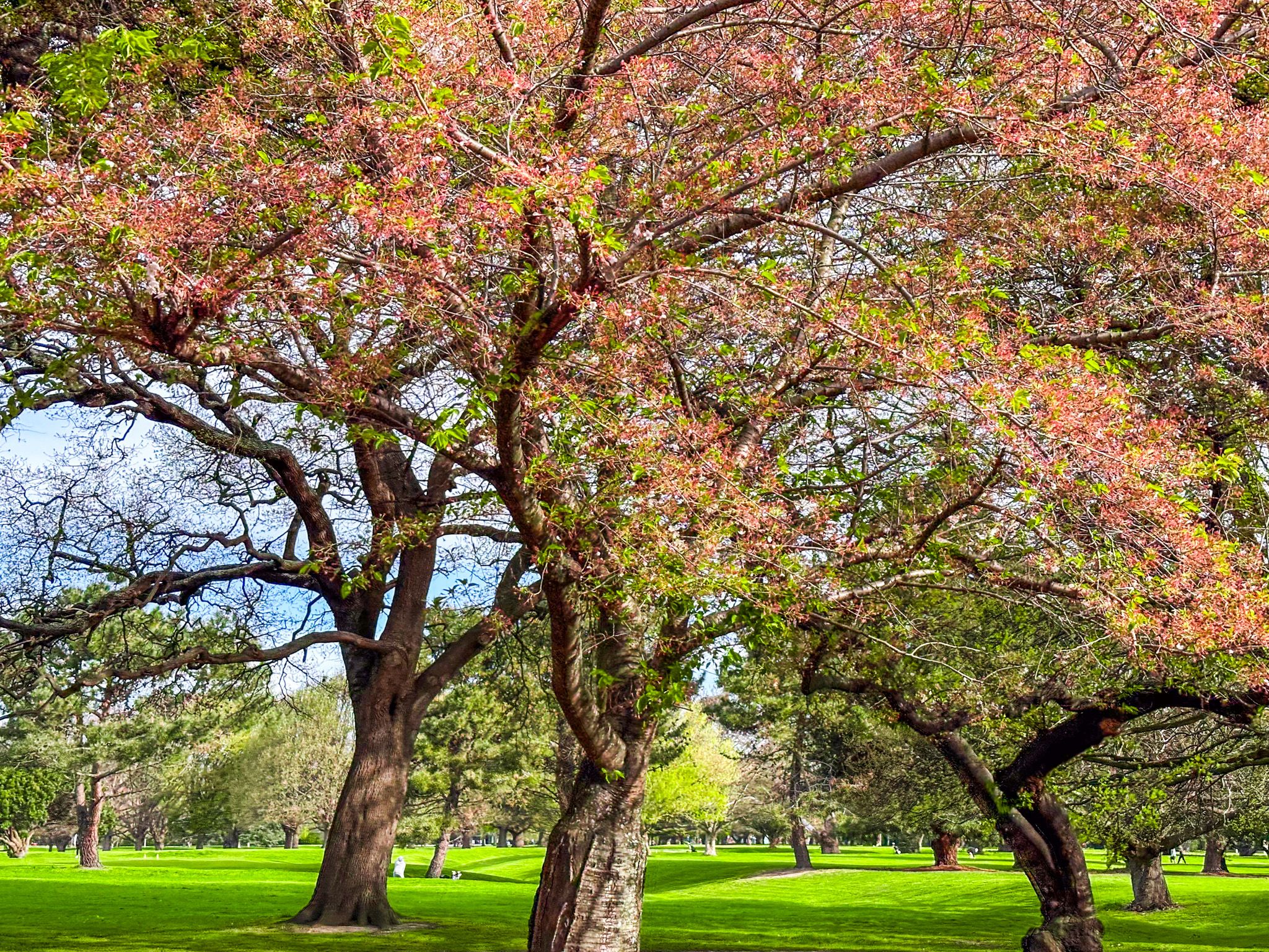
Hagley Park is a hub for sporting activities. Hagley Park North features a golf course, while Hagley Park South hosts extensive sports fields. For a leisurely experience, stroll along the pathways of Harper Avenue, especially in spring when the trees are in full bloom. Little Hagley Park is also worth a visit. In autumn, the park transforms with vibrant colours from the many exotic deciduous trees.
How to Get to Hagley Park
Hagley Park is easily accessible from various points around Central Christchurch.
Other attractions around Central Christchurch include Riccarton Bush, Ravenscar House Museum, the Arts Centre, the Christchurch Art Gallery, Cathedral Square and Victoria Square.
