Exploring the Gates of Haast Waterfalls
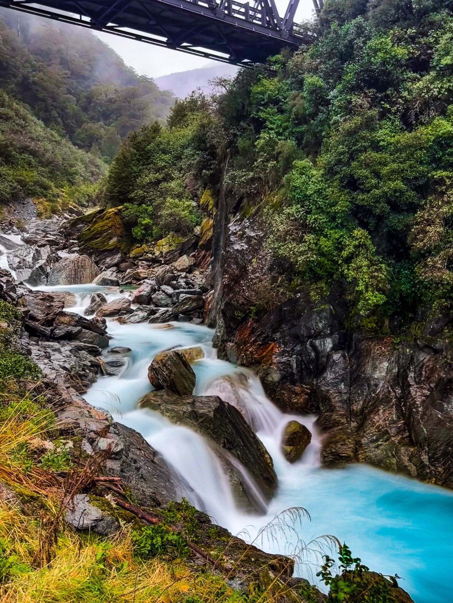
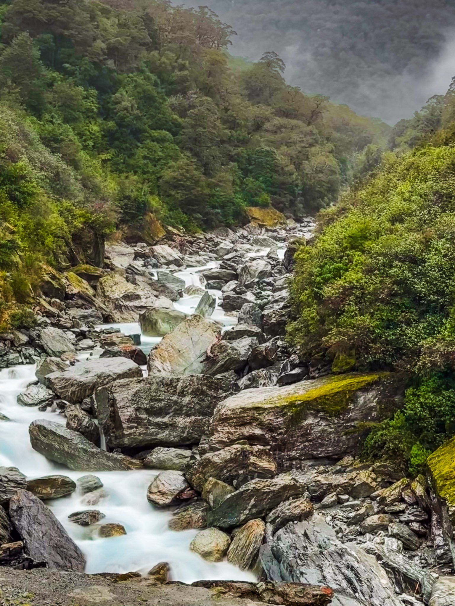
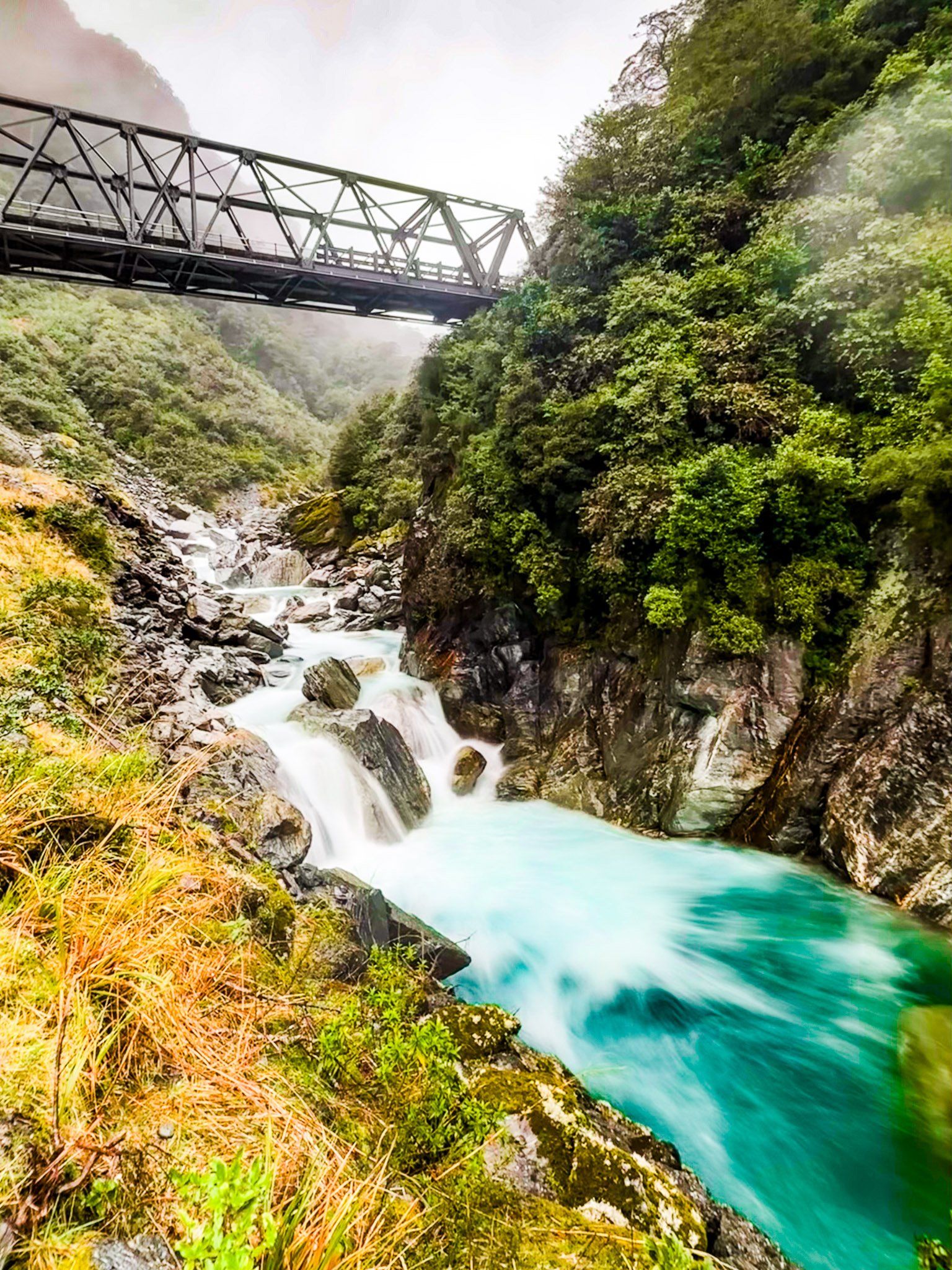
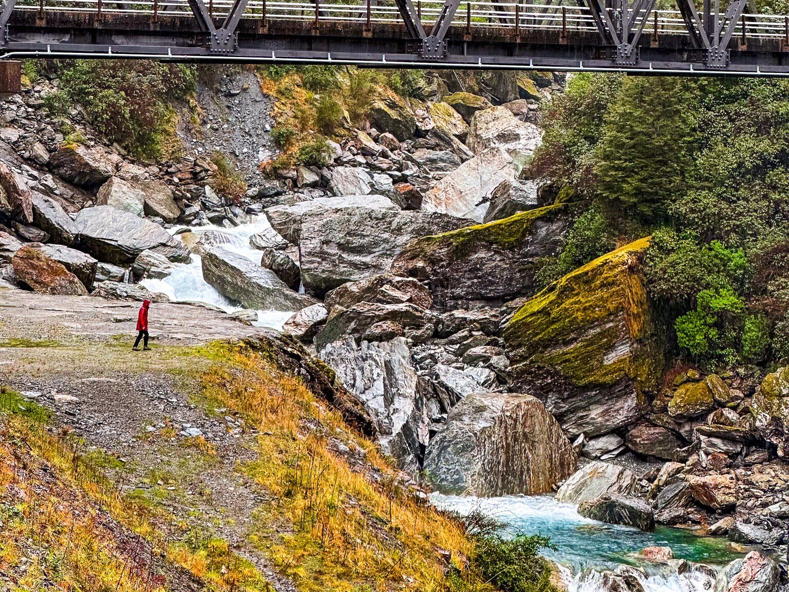
Located on the north side of Haast Pass, the Gates of Haast rapids and waterfalls mark one of the most rugged sections of State Highway 6, Haast Pass Highway. This dramatic landscape is characterised by the road's descent from the top of the Pass, where it clings to the cliffside with a steep drop into the Haast River gorge below. The Gates of Haast are marked by a historic, narrow one-lane bridge that crosses high above a series of waterfalls.
Parking and Viewing the Gates of Haast
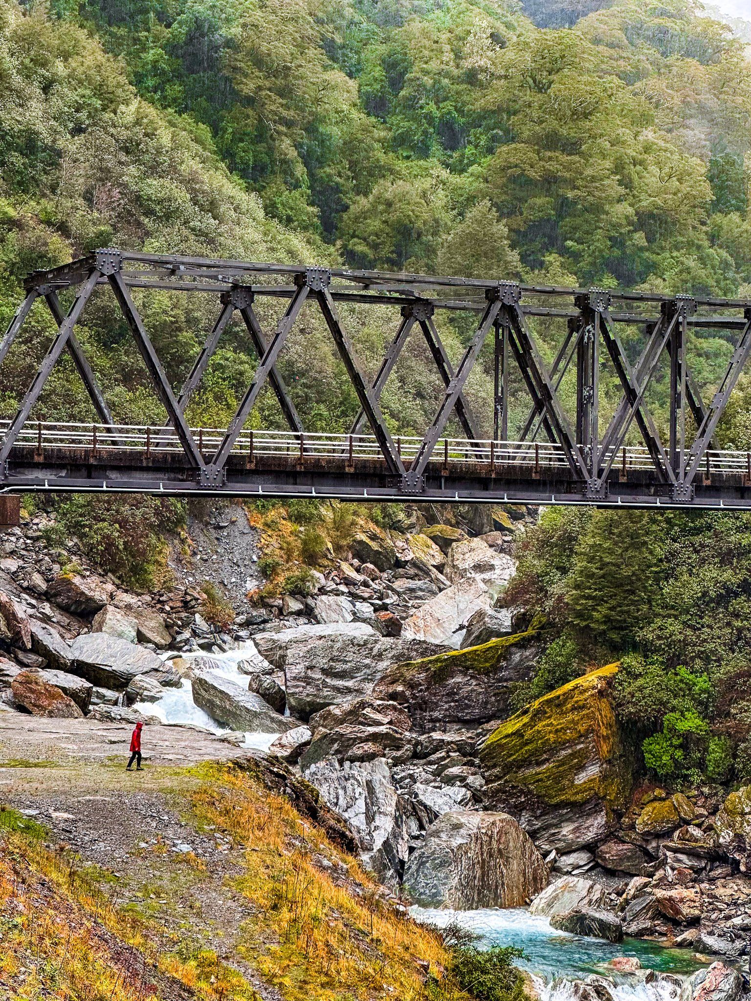
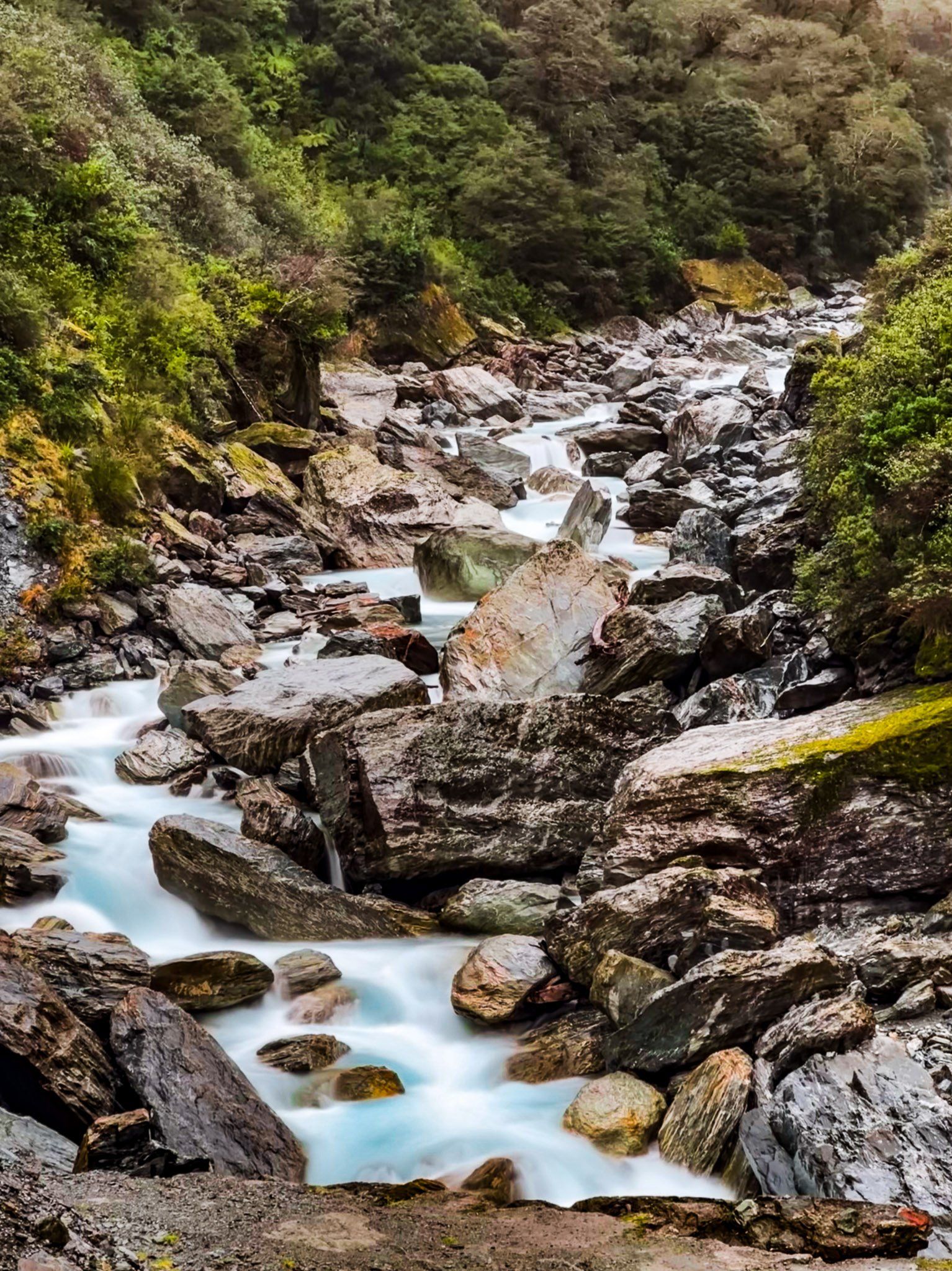
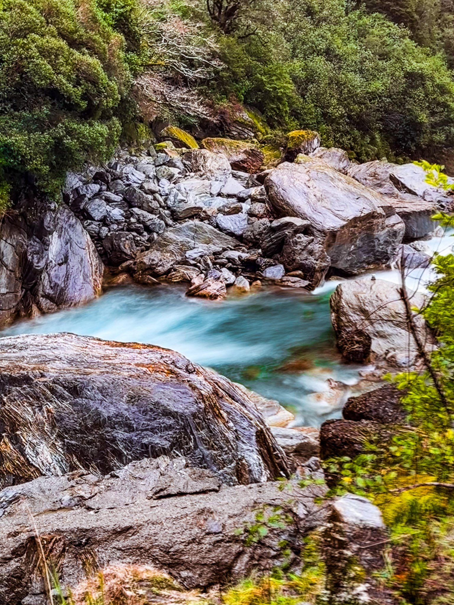
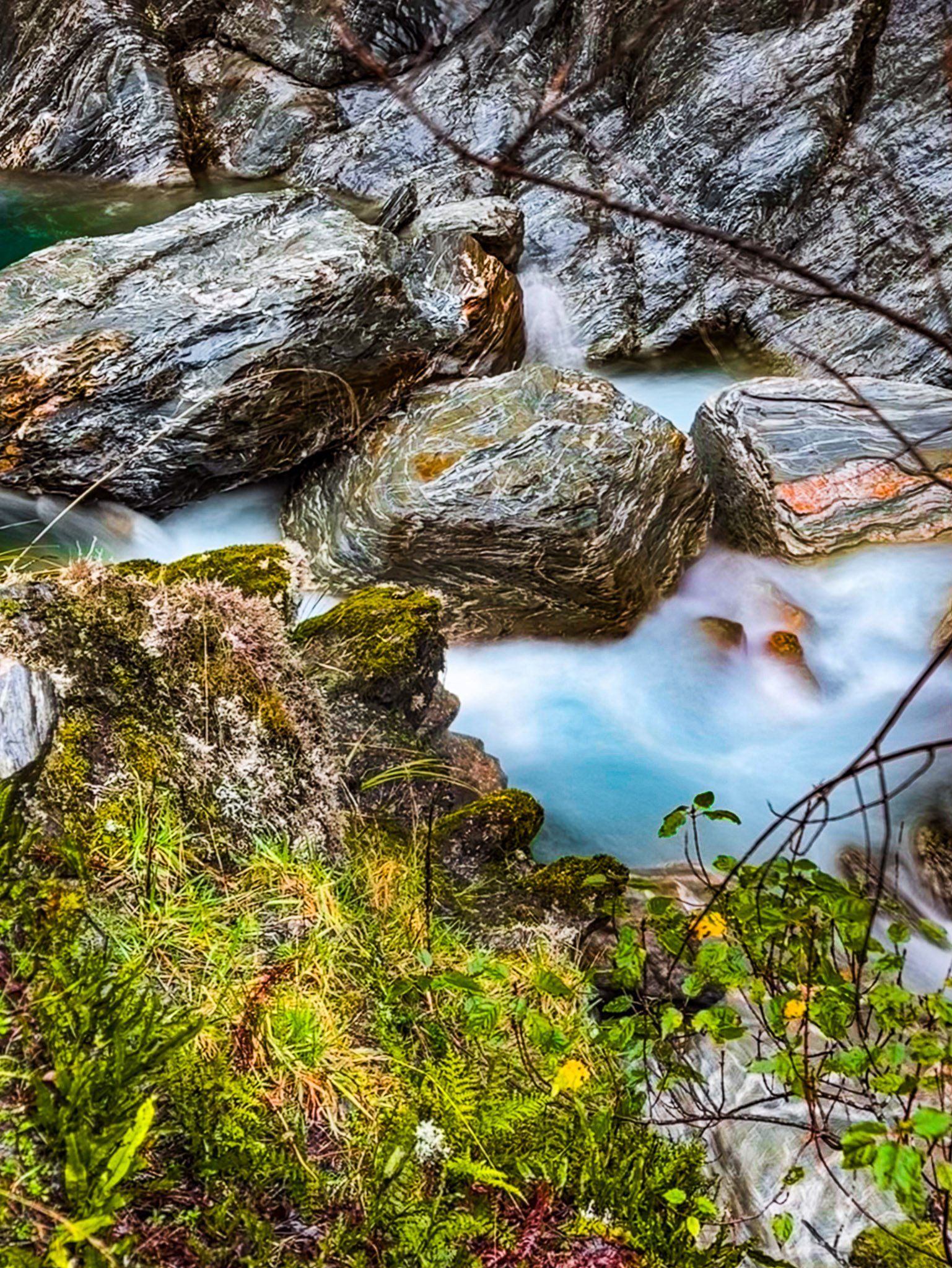
On the north side of the bridge, there is safe parking available for several cars. While there is no standing room on the bridge itself, you can walk down below it for a closer view of the ravine and falls. Here, the river cascades 60 metres over large boulders, creating several waterfalls.
Exercise caution if you decide to approach the water, as this area can be hazardous, particularly in adverse weather when water levels may rise unexpectedly.
Māori and European Pathways
For centuries, the Haast formed part of a seasonal ara tawhito (traditional travel route) used by Ngāi Tahu, who crossed the Southern Alps via passes like Noti Hinetamatea (Haast Pass) to access pounamu on the West Coast. These journeys were challenging and dangerous, requiring knowledge of river crossings and alpine conditions.
The Māori name rNoti Hinetamatea refers to the "pass of.Hinetamatea". She was a Ngāi Tahu ancestress associated with the exploration and use of alpine passes across the Southern Alps, particularly to collect pounamu.
The name "Haast" was given by European surveyors in honour of Julius von Haast, who led expeditions through the region in the 1860s. The term “Gates of Haast” was applied to the narrow, turbulent section of the river where the Haast River is forced through a granite gorge between steep, forested slopes. This was the most challenging section to negotiate for early travellers.
Developing the Haast Pass Road
Before a bridge existed, travellers crossed the river using a flying fox: a wire cage suspended on aerial cables, manually pulled across the gorge to transport people, mail, and essential supplies. Horses and pack animals had to detour upstream, often at significant risk.
In the 1930s, the first stage of the road was developed in the Makarora, followed by development on the Haast side. It wasn’t until 1960 that the current permanent bridge was completed at the Gates of Haast. The bridge’s construction through steep, rain-soaked terrain was an engineering feat, and the Haast Pass Highway was finally opened in 1965.
How to Get There
From Wānaka, it takes 80 minutes to drive the 90 km to the Gates of Haast. From the township of Haast in South Westland, it takes 50 minutes to drive 56 km.
Nearby, there are several other waterfalls and short walks along the highway, including Diana Falls, Fantail Falls, Topsy Falls, Wilson Creek, the Blue Pools, the Bridle Track and Thunder Creek Falls. For a more adventurous hike, consider the Brewster Track, which gets you to the Brewster Glacier at 1,800 metres