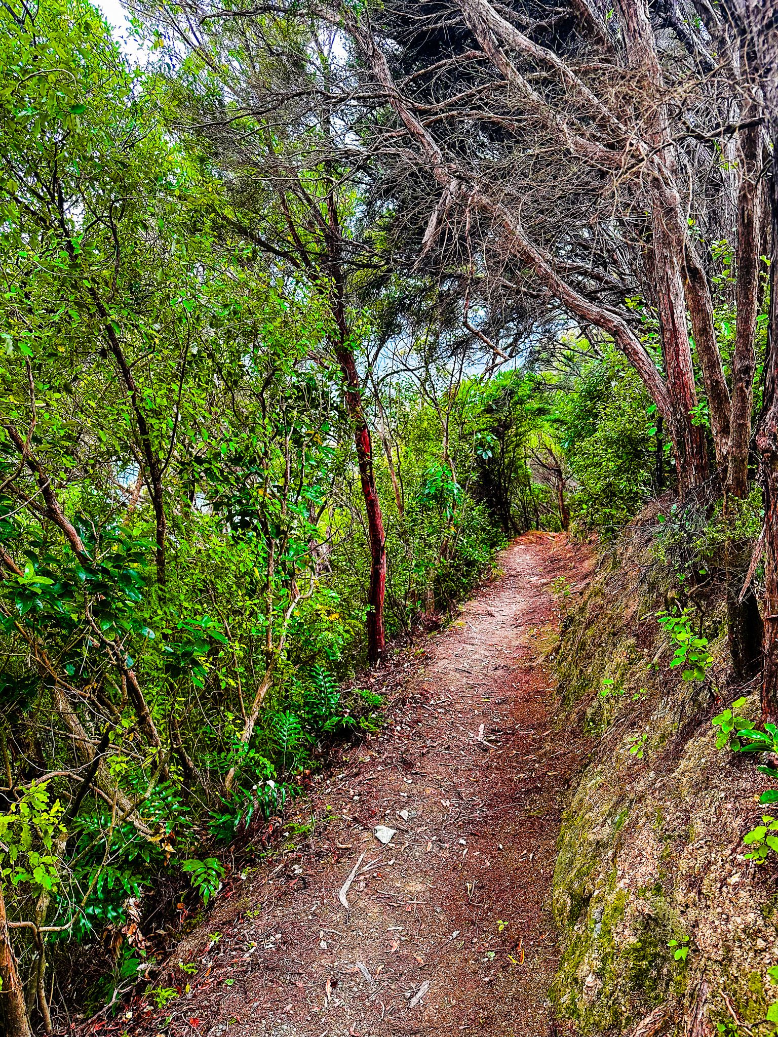
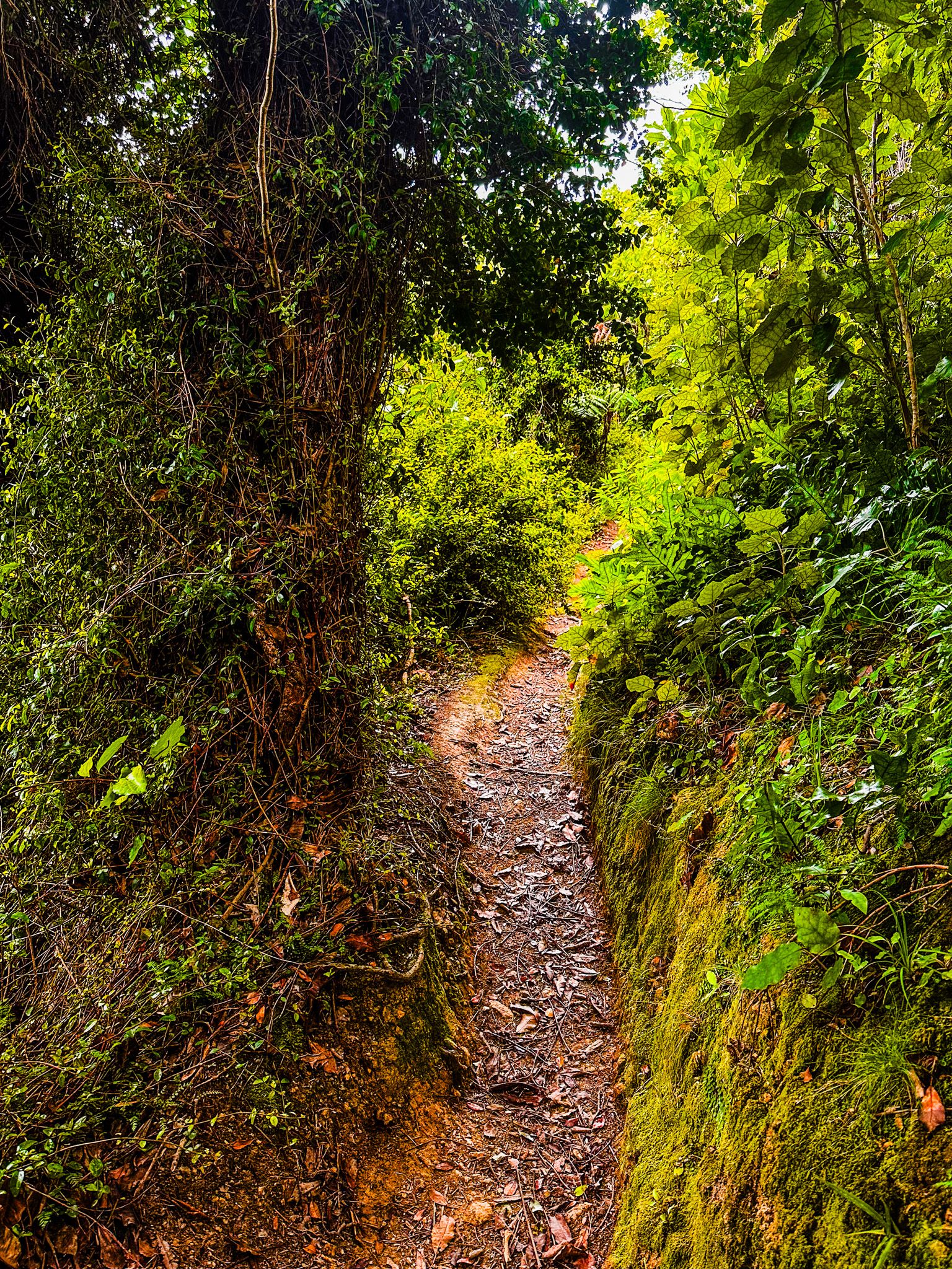
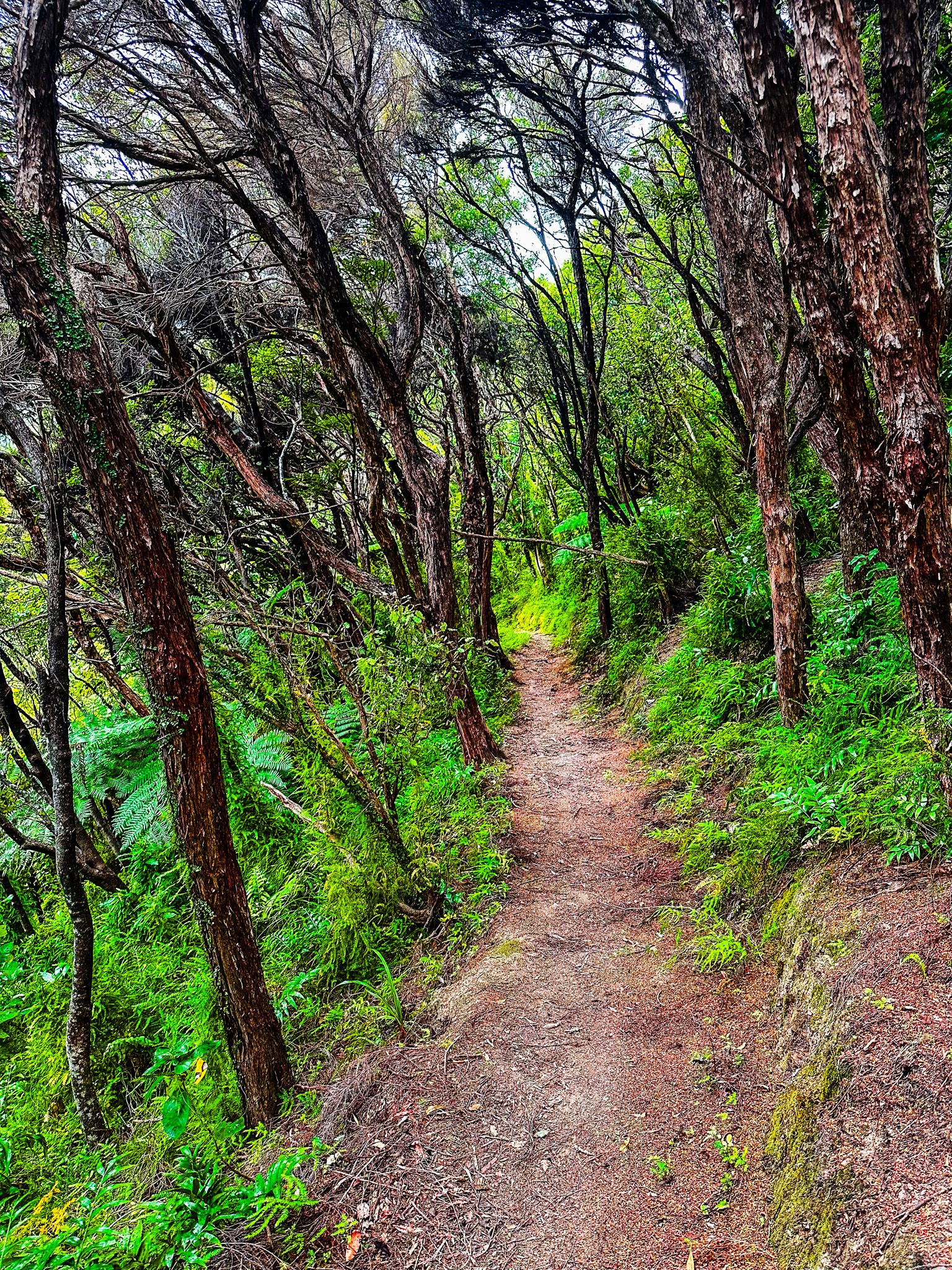
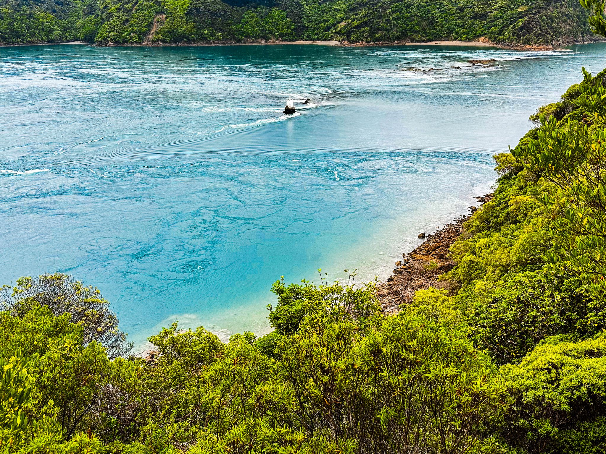
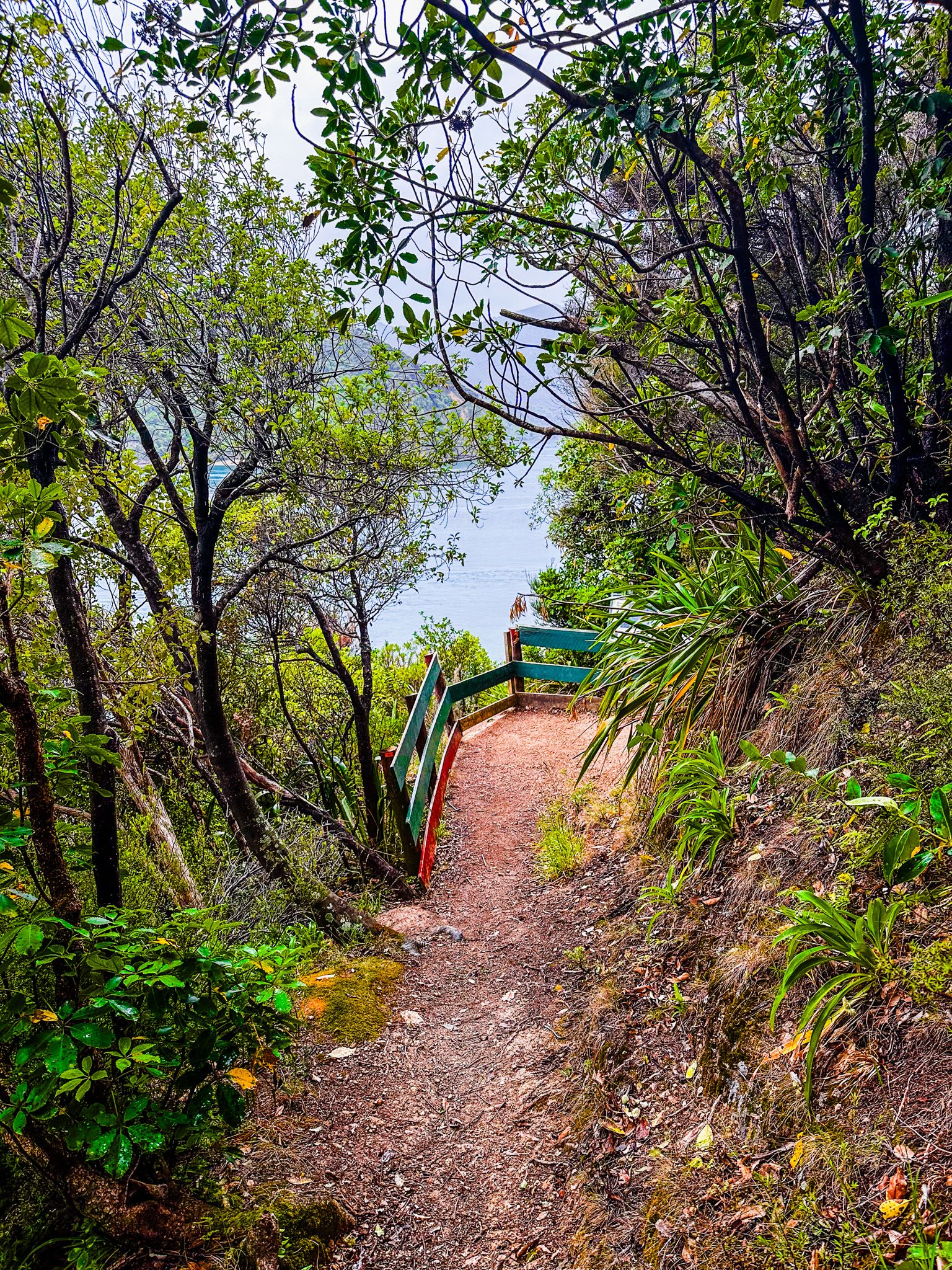
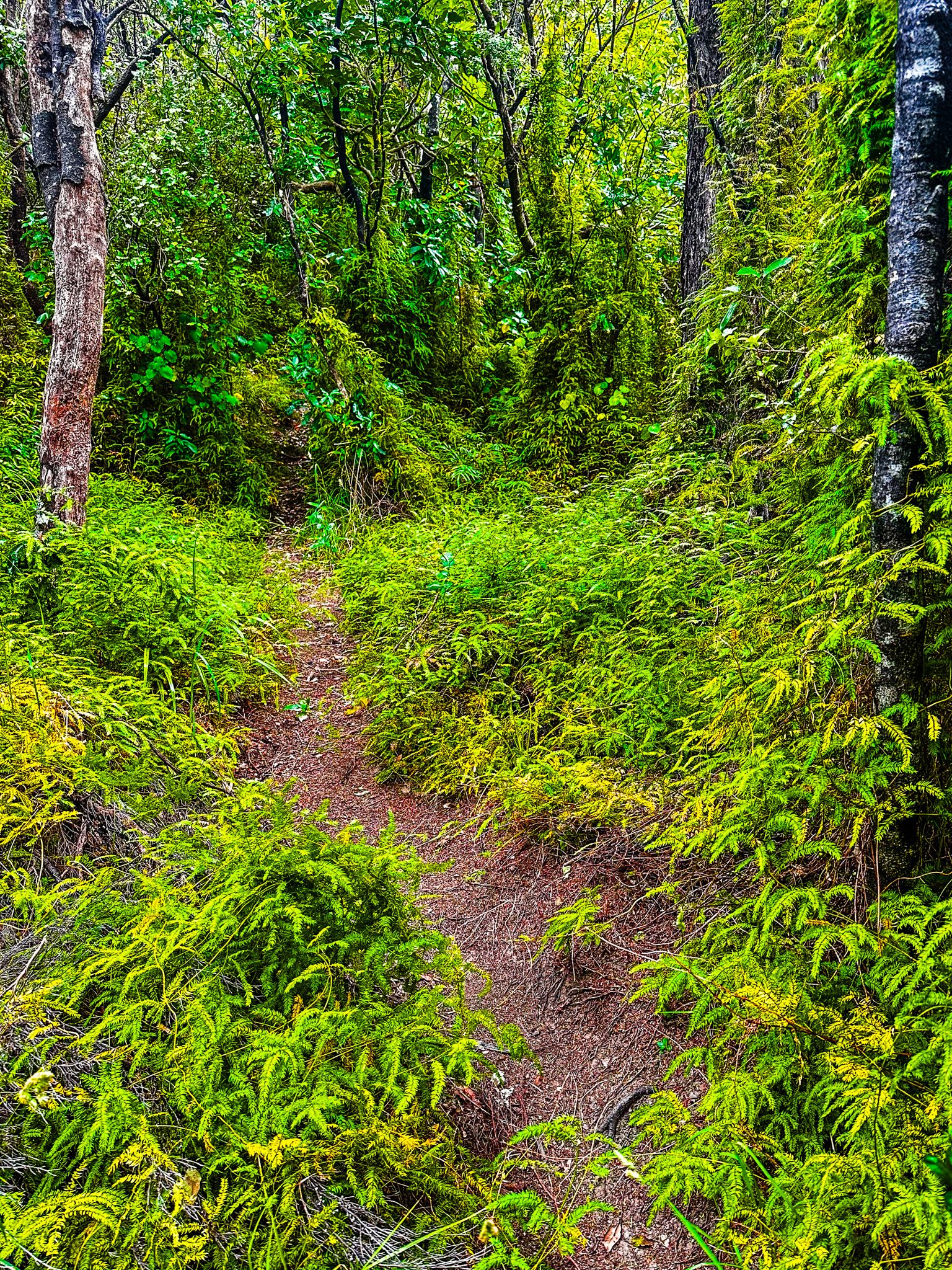
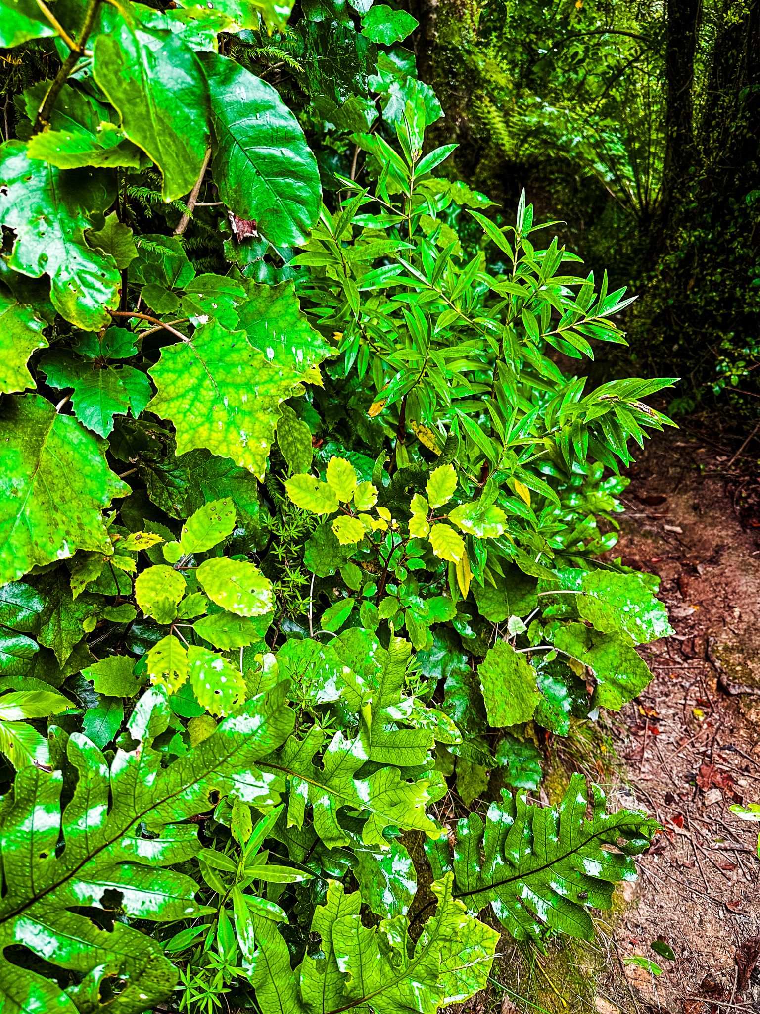
The French Pass Lookout Track on French Pass Croisilles Road provides the best view of Te Aumiti / French Pass. This is both visually spectacular and one of the most dangerous stretches of water in NZ. The track goes from a small parking area on the road through a pretty section of native coastal forest around Channel Point. It takes only a few minutes, with a viewpoint immediately above the pass. There is also an option to walk for another 10 minutes or so to a small beach on the south side of Channel Point.
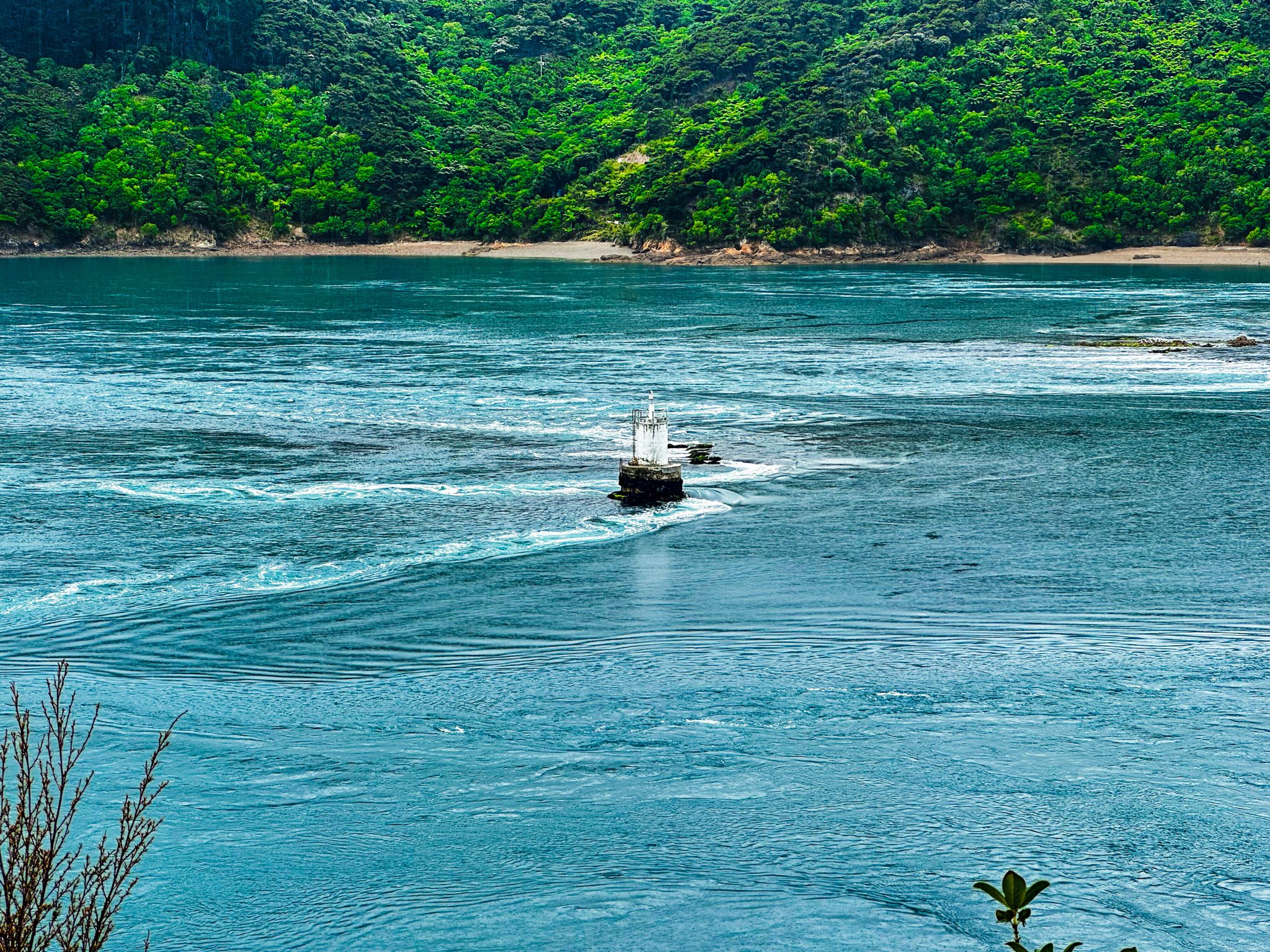
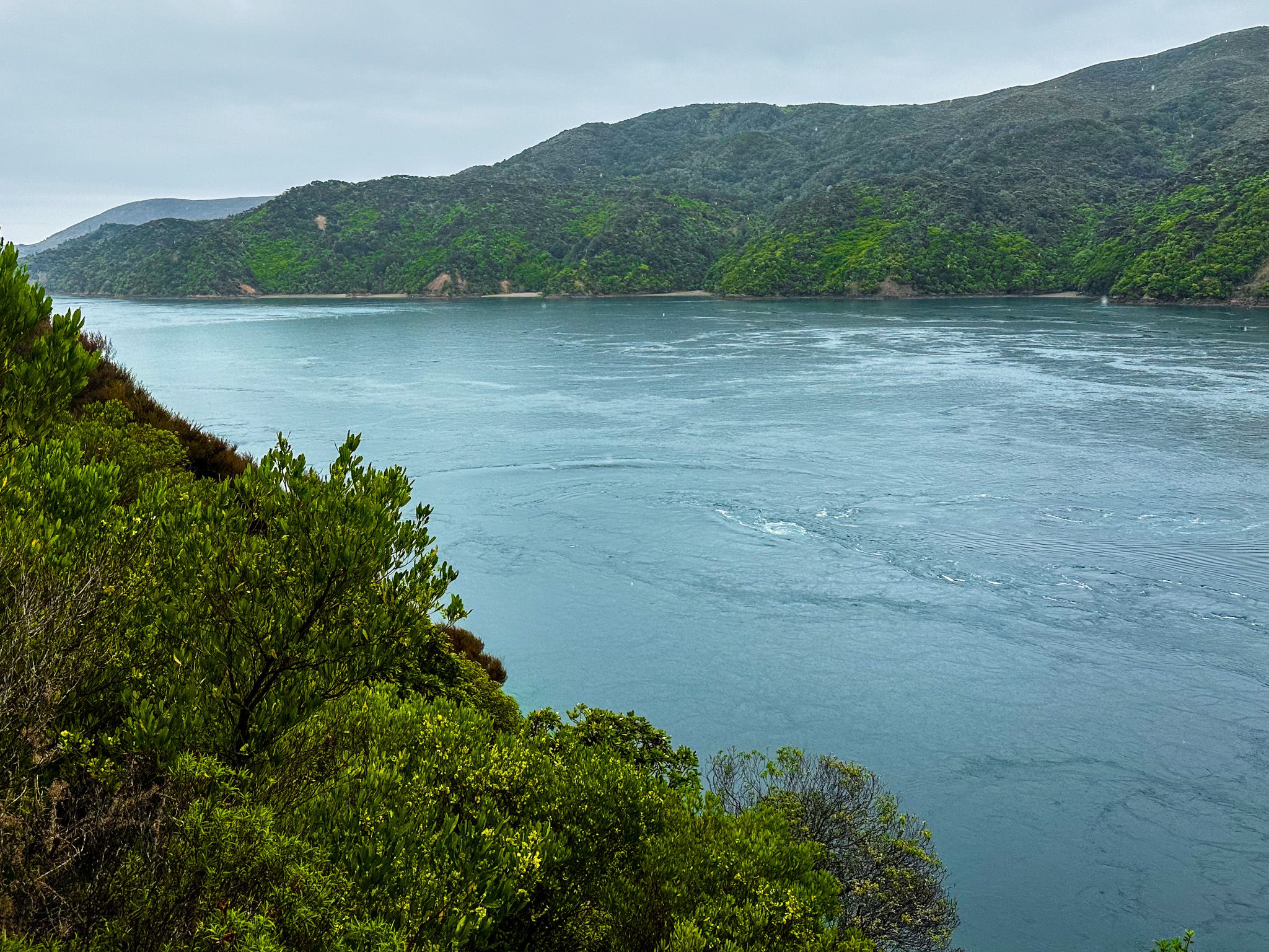
From the lookout, you quickly appreciate the challenge of taking a boat through the pass. The pass is only 100 metres wide at the narrows between the point and Rangitoto ki te Tonga / D’Urville Island. And, of the narrows, 80 metres is guarded by a broken reef known as Te Kawau-a-Toru. To the northeast is Admiralty Bay, and to the southwest is Current Basin, opening out to Tasman Bay / Te Tai-o-Aorere.
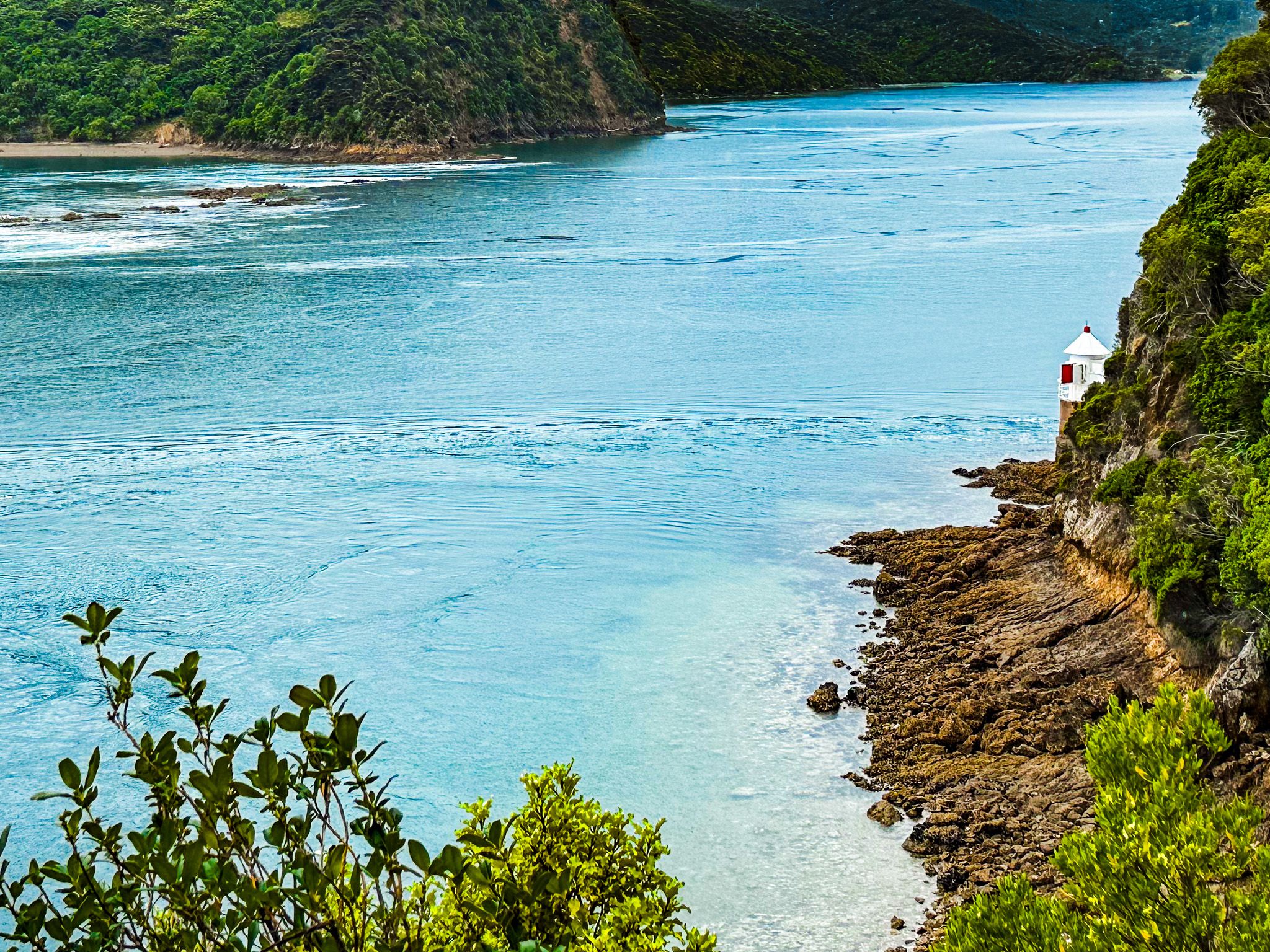
The tidal rip is visible and runs up to 15 km per hour. There are also clearly identifiable whirlpools over large holes in the seabed, which have killed divers in the past. Small lighthouses are on the end of the reef and to the right of the viewpoint. Imagine the difficulty of building the one on the reef in the 1800s!
In Māori mythology, the reef, Te Kawau-a-Toru, is the body of Kupe’s king shag. Kupe, the legendary Polynesian explorer, was attacked by a giant wheke (octopus) while exploring Cook Strait. The battle resulted in the rugged coastline of Marlborough Sounds. The shag then led Kupe to the Te Aumiti / French Pass. Unfortunately, while testing the pass for Kupe, Te Kawau-a-Toru was caught in the rip, broke a wing and drowned. It is not clear if Kupe then attempted the pass anyway.
Admiral Jules Dumont d'Urville, French commander of the corvette Astrolabe, was the first European to navigate the pass during his second trip to NZ in 1827. It went badly, and the ship swung sideways and struck rocks twice. Then, it was washed over the reef into Admiralty Bay but survived. At least D’Urville got to name an island and is remembered in the name of the pass.
Despite his experience and recommendation that no one else try it, the pass cut the sailing time between Pelorus Sound / Te Hoiere and Tasman Bay / Te Tai-o-Aorere. Plus, the risk level depends on the tidal flow, which is predictable.
