Discover the Canyon Creek Track
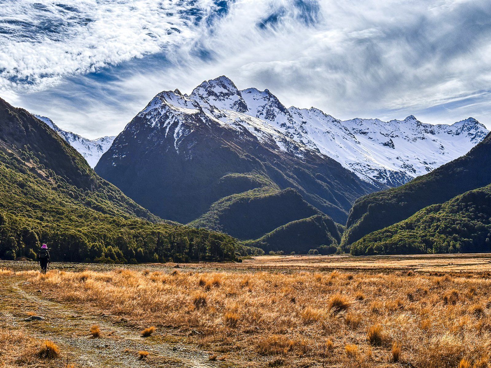
Located in the Ahuriri Conservation Park, the Canyon Creek Track is a rugged adventure, best suited for those with a 4WD vehicle. This park is deep in the Ahuriri Valley, with the Ahuriri River and wetlands, tussocklands and mountain landscapes. Canyon Creek Track is a side trip across wide gravel slips to a mountain stream, with a stream crossing and a climb into a forest-clad narrow valley below the Huxley Range.
Reaching the Track by 4WD
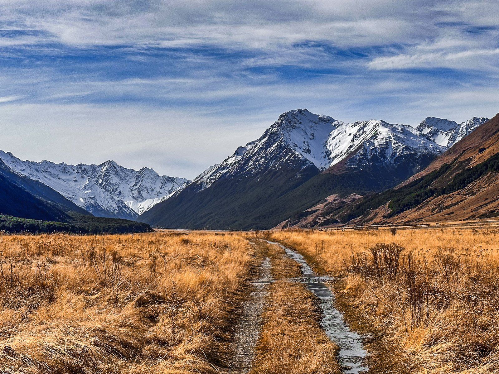
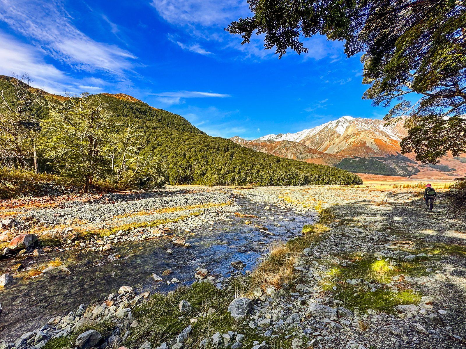
The valley is accessed on Birchwood Road, which is drivable in a 2WD as far as the Birchwood Picnic Area. If you have a 4WD, you can drive another 11 km along to reach the car park at the road's end. Although the road is generally in good condition, it is intersected by mountain streams that cause washouts and create large gravel fields, both of which you will need to cross. From the road's end, you have the option to walk up the valley, a multi-day hike, or take the shorter Canyon Creek Track, a full-day trip or an overnight camp.
Hiking the Canyon Creek Track
From the car park, the track heads north up the valley for the first 20 minutes. Here, the Canyon Creek Track branches northwest into a gap in the Huxley Range, while the Ahuriri Valley Track continues northeast up the valley. This fork also serves as a basic campsite, though you can set up camp anywhere suitable within the Ahuriri Conservation Park.
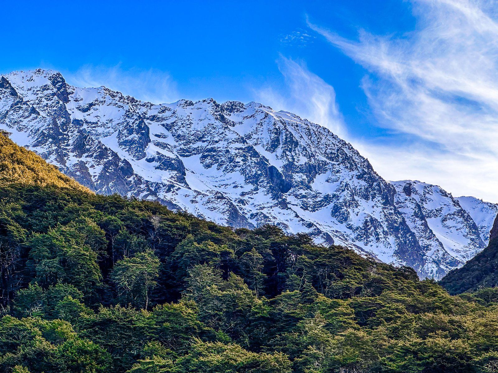
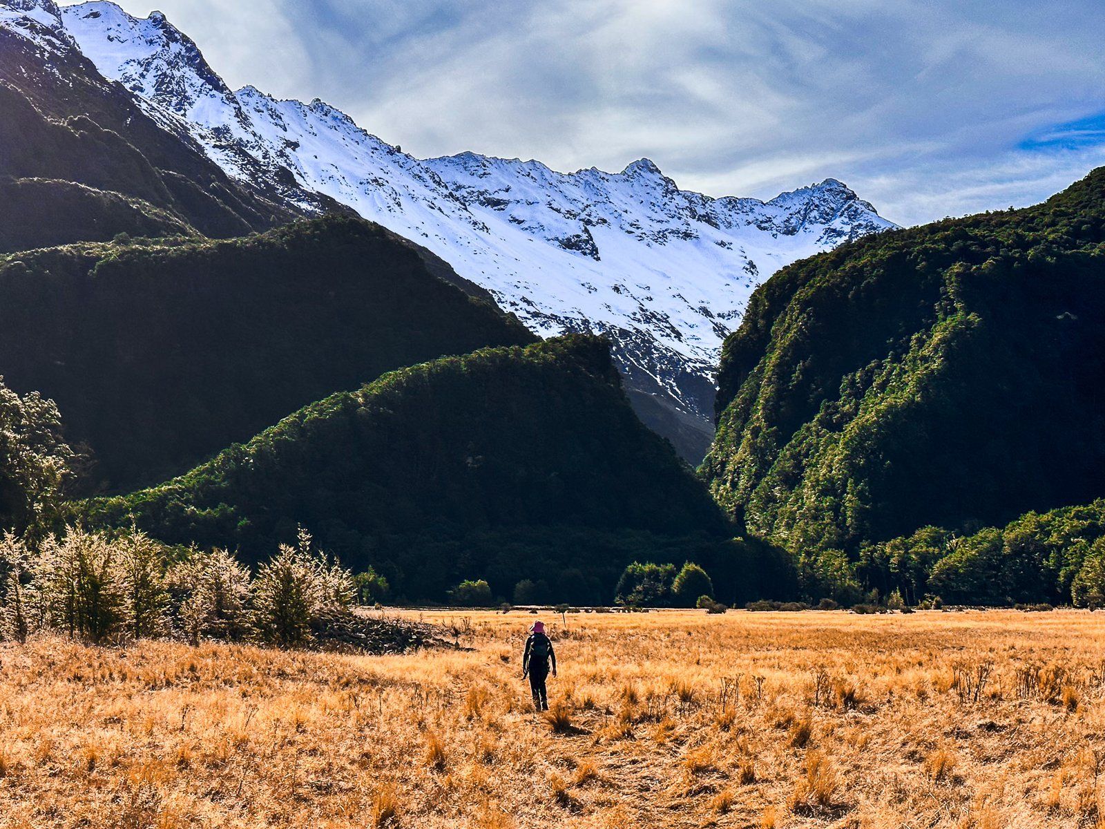
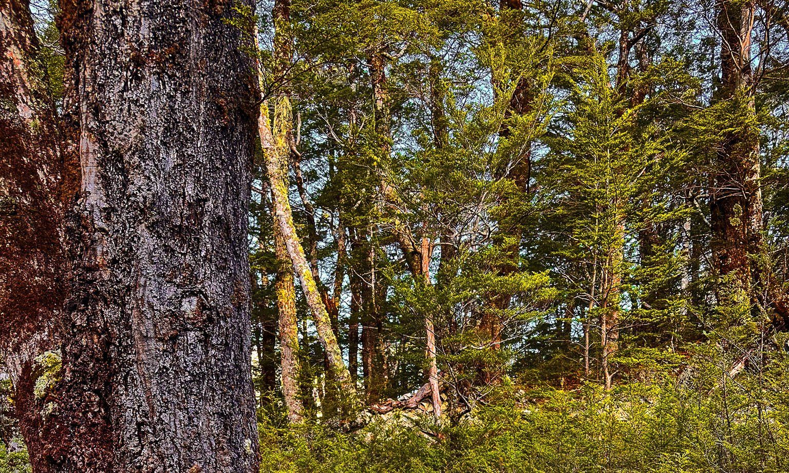
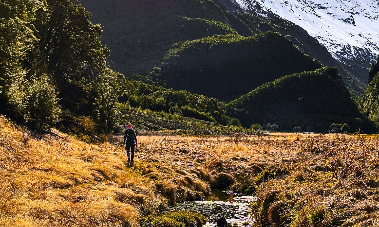
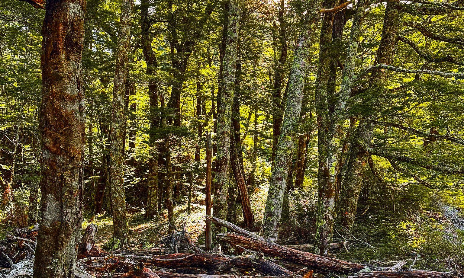
Following the Canyon Creek Track, it takes about 25 minutes to reach the forest's edge from the campsite. Along the way, you'll encounter remnants of two significant rock and gravel slides that extend high up the surrounding mountains, cutting through the beech forest. The track crosses the first slide and skirts the edge of the second, illustrating the powerful effects of erosion. To your right across tussock lands is Canyon Creek.
The views from the valley floor or the surrounding mountains are superb, especially when snowcaps are present. At 800 metres above sea level, you are also well below the normal winter snow line.
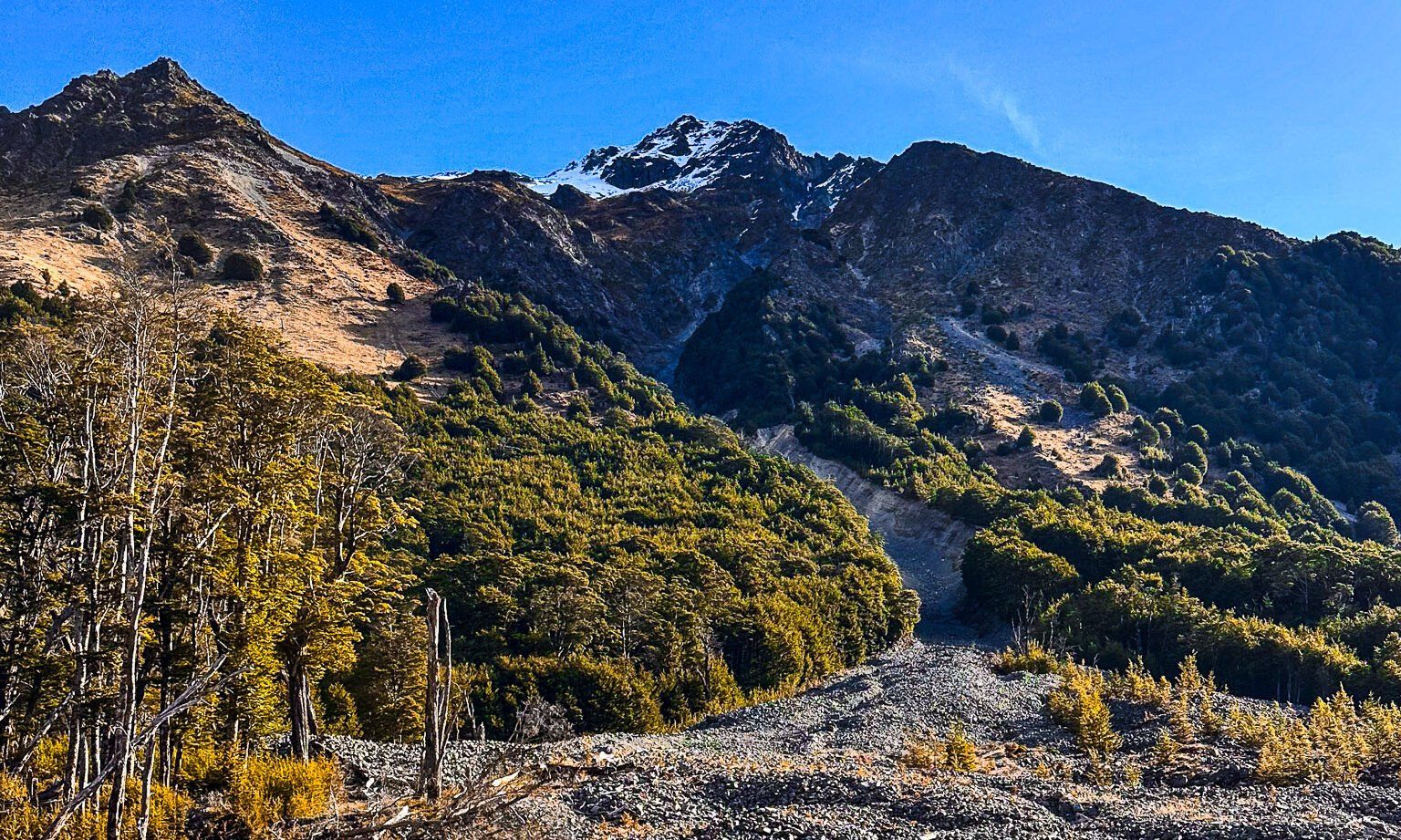
When you reach the forest's edge, the track crosses Little Canyon Stream, requiring you to get your feet wet, and ascends 100 metres through beech forest to the canyon's edge above Canyon Creek. The view is spectacular, and this is a good option to turn around if you have limited time. It is about a 3-hour return trip from the car park to the canyon view.
Continuing on, it takes approximately 2.5 hours to follow the creek to a series of waterfalls and pools, then a climb up to a high ridge line. This ridge is crowned by peaks such as Mount Heim at 2205 metres and Mount Barth at 2456 metres, with the Thurneysen Glacier in the background. At the track's end, just under 1,000 metres above sea level, there is a rock bivouac for camping.
The whole track and return can be completed as a 7-hour day trip, plus drive time to reach the start. Be aware that you are hiking and tramping high into a remote mountain valley. Take appropriate clothing and plenty of food and water.
Alternative Adventure
For those who prefer biking, you can explore the upper valley by bike, eliminating the need for a 4WD from the Ahuriri Picnic Area.
Reaching the Ahuriri Valley
To access the Ahuriri Valley, drive along Birchwood Road from State Highway 8, with the turnoff between Omarama and the Lindis Pass. If you have a 4WD, continue to the end of the road. The area is remote, so check the weather and make sure you are well-prepared for the conditions.
Nearby, you can also explore other parts of the Ahuriri Valley, including the Ben Avon Wetland and the text