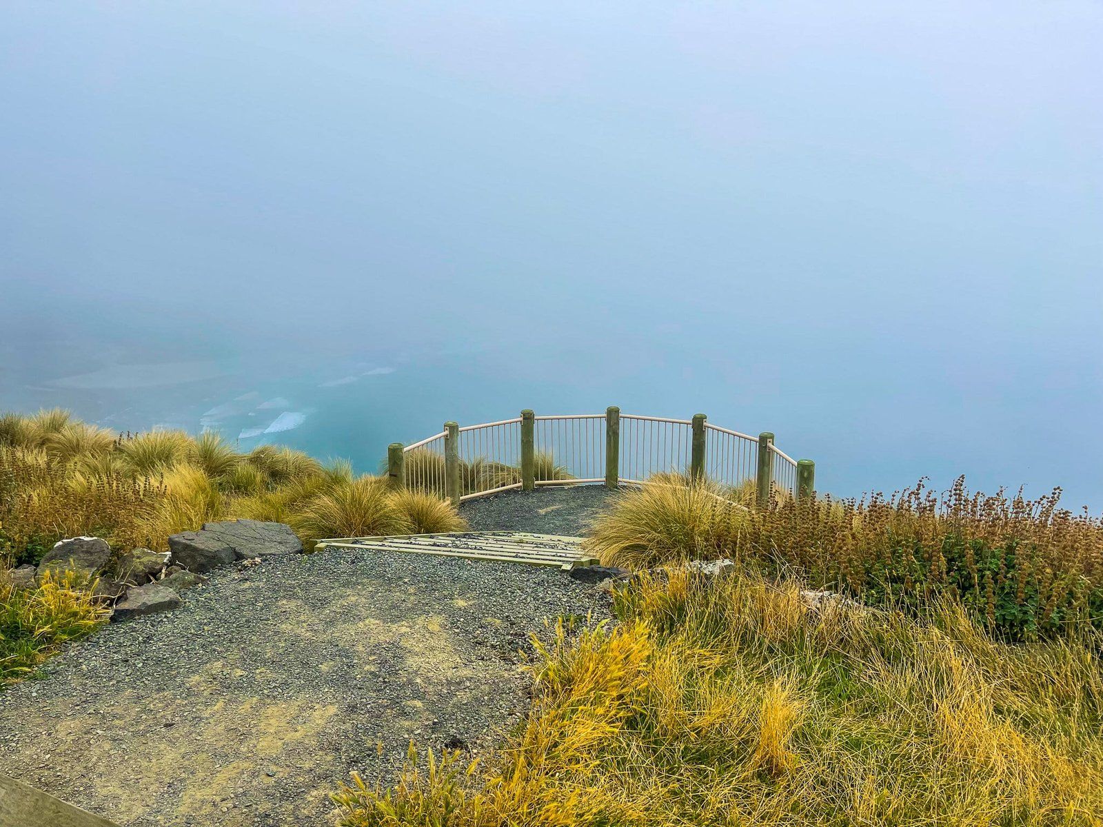
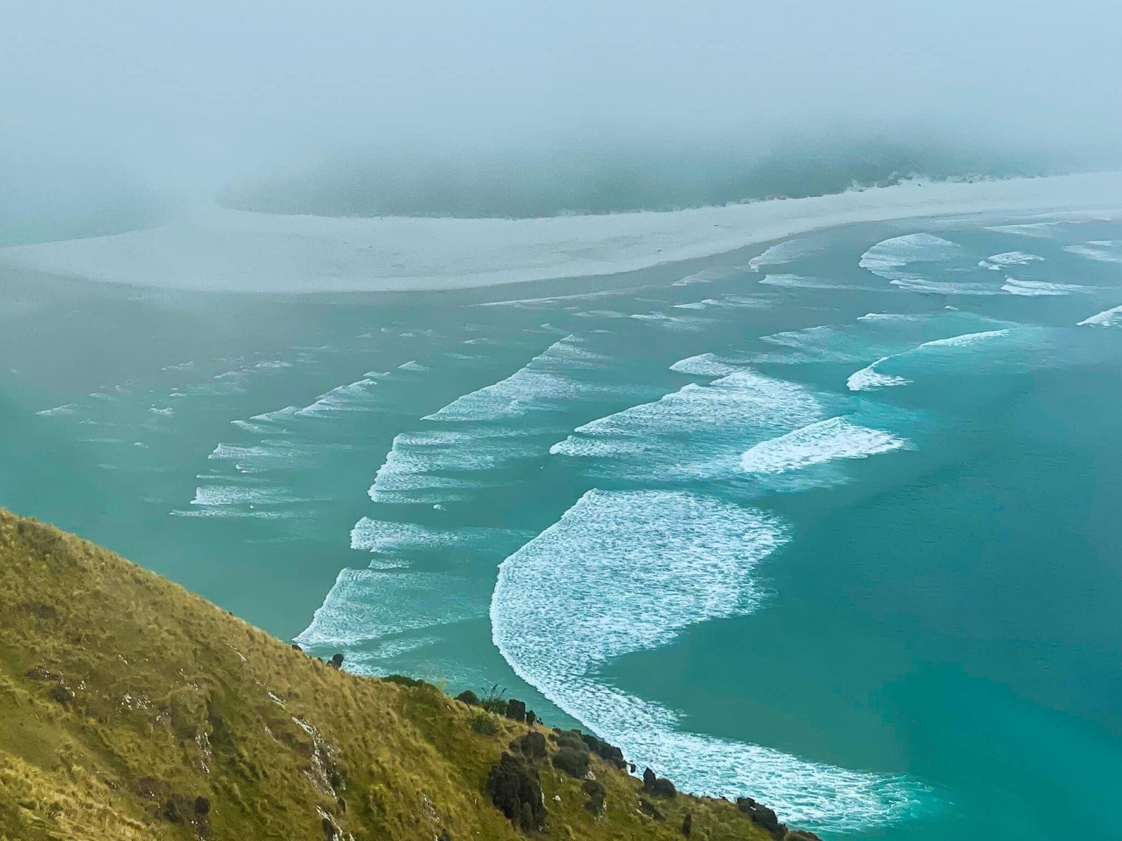
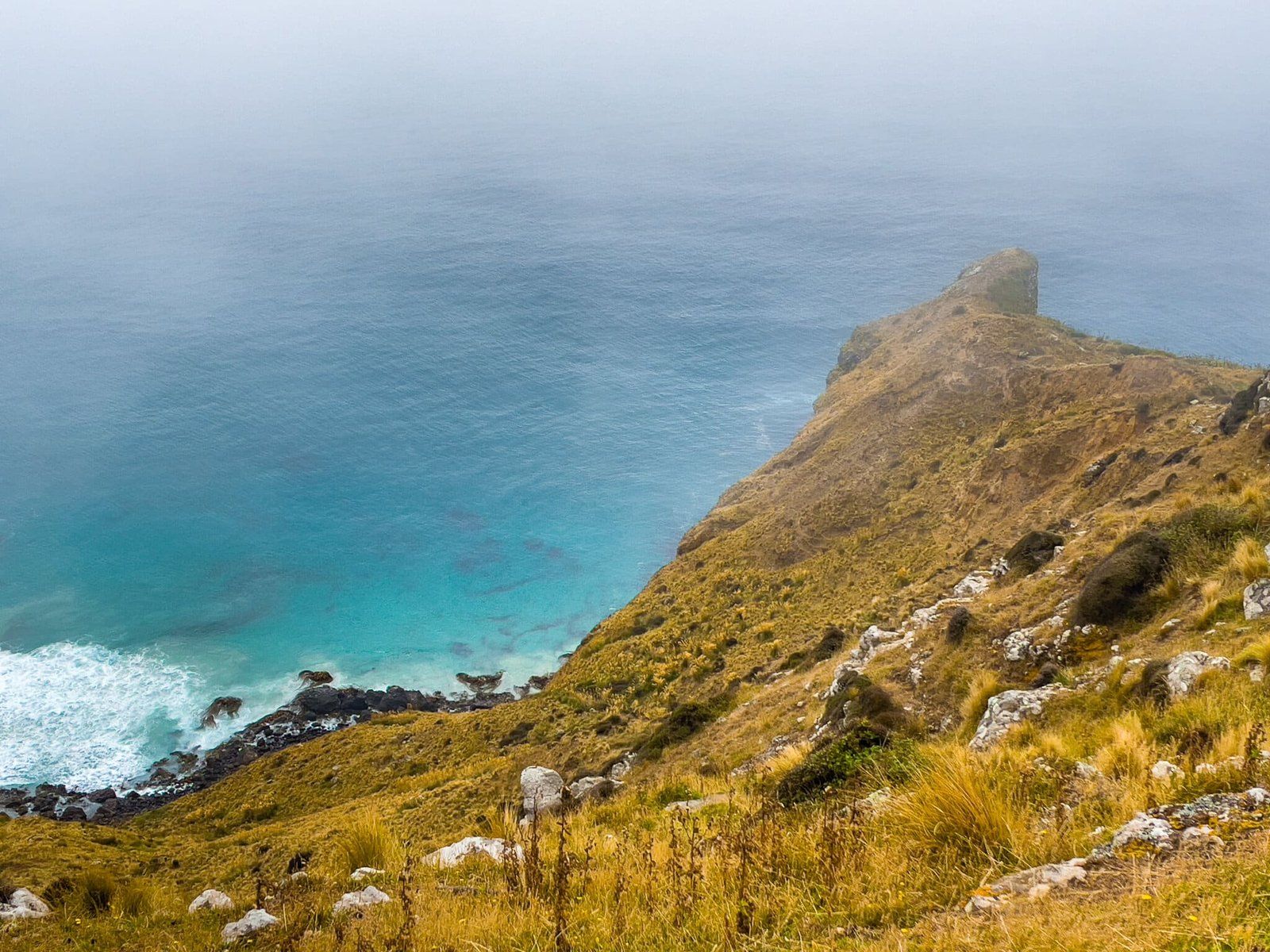
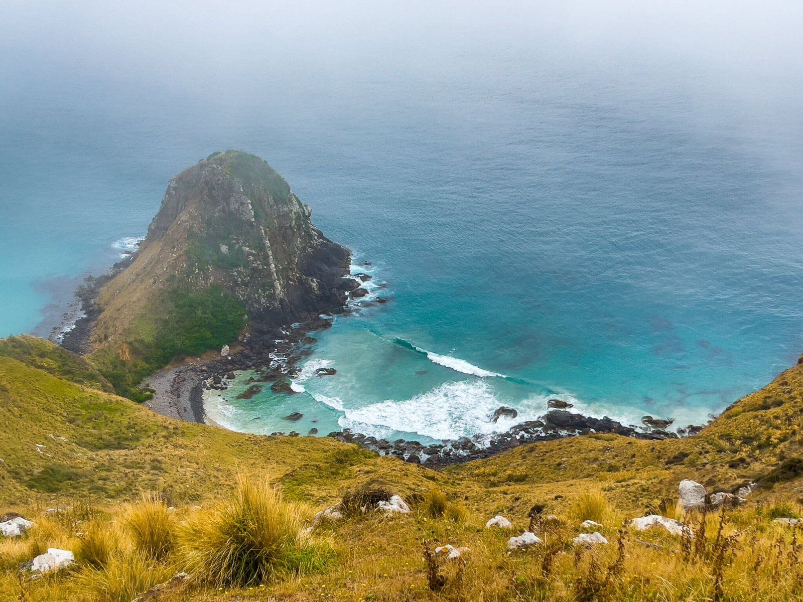
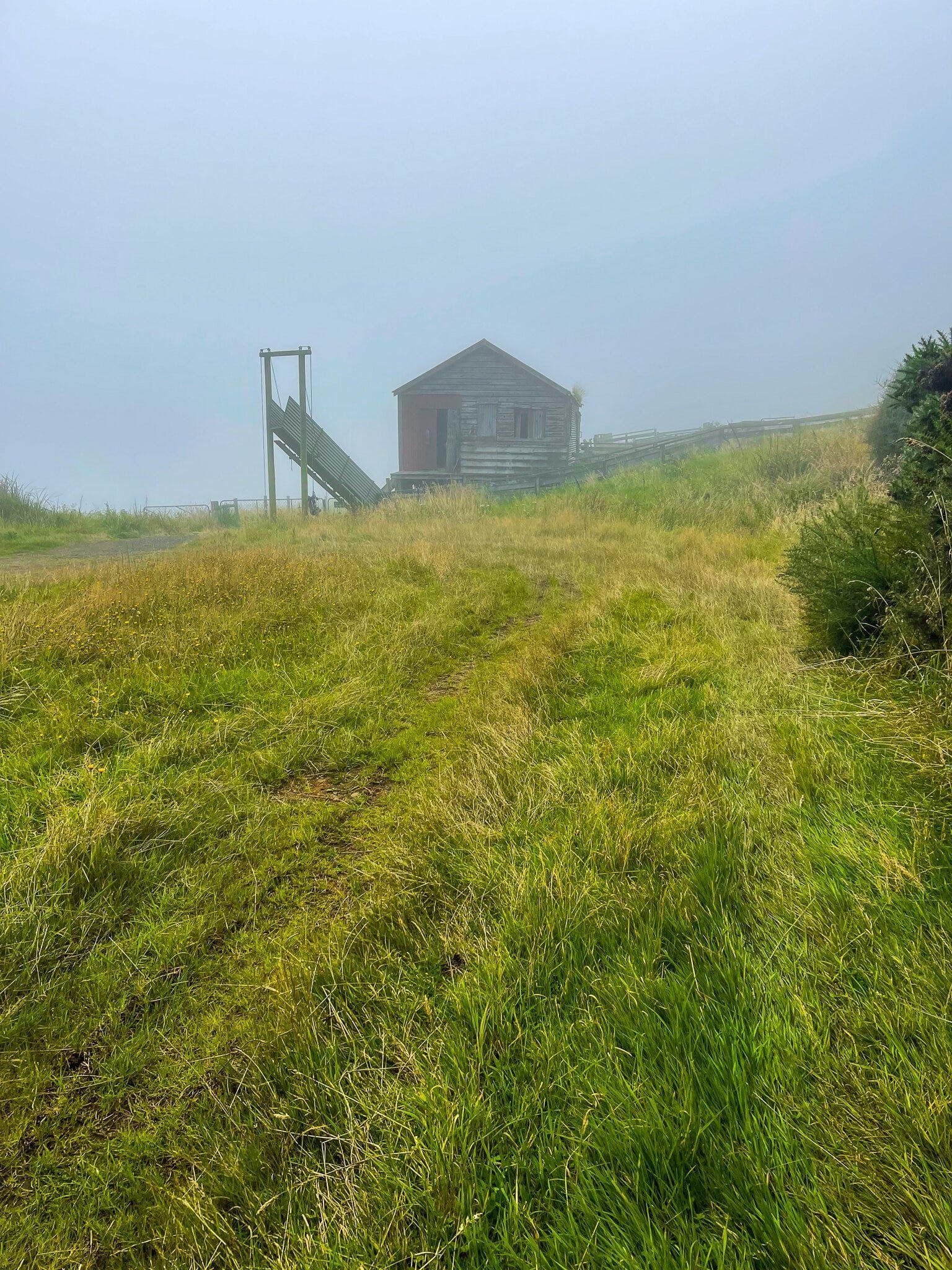
The second half of the Sandymount Loop Track takes you from Lovers Leap back to the car park. On the way, there is a short marked deviation to a fantastic viewpoint that looks towards Allans Beach and 400-metre-high Mt Charles. Unfortunately, the incoming fog partly obscured the view on the day.
On the maps, a marked trail goes to the cliff edge above the Chasm. But there was no separate sign, and in the fog, we couldn’t see if there was any obvious path.
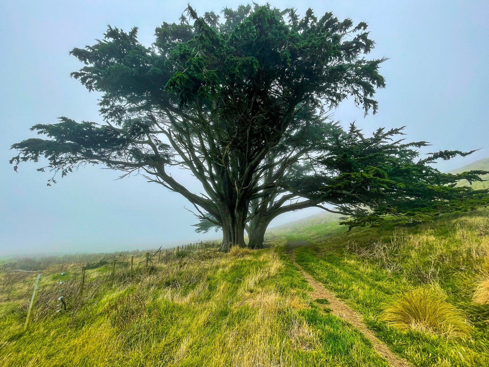
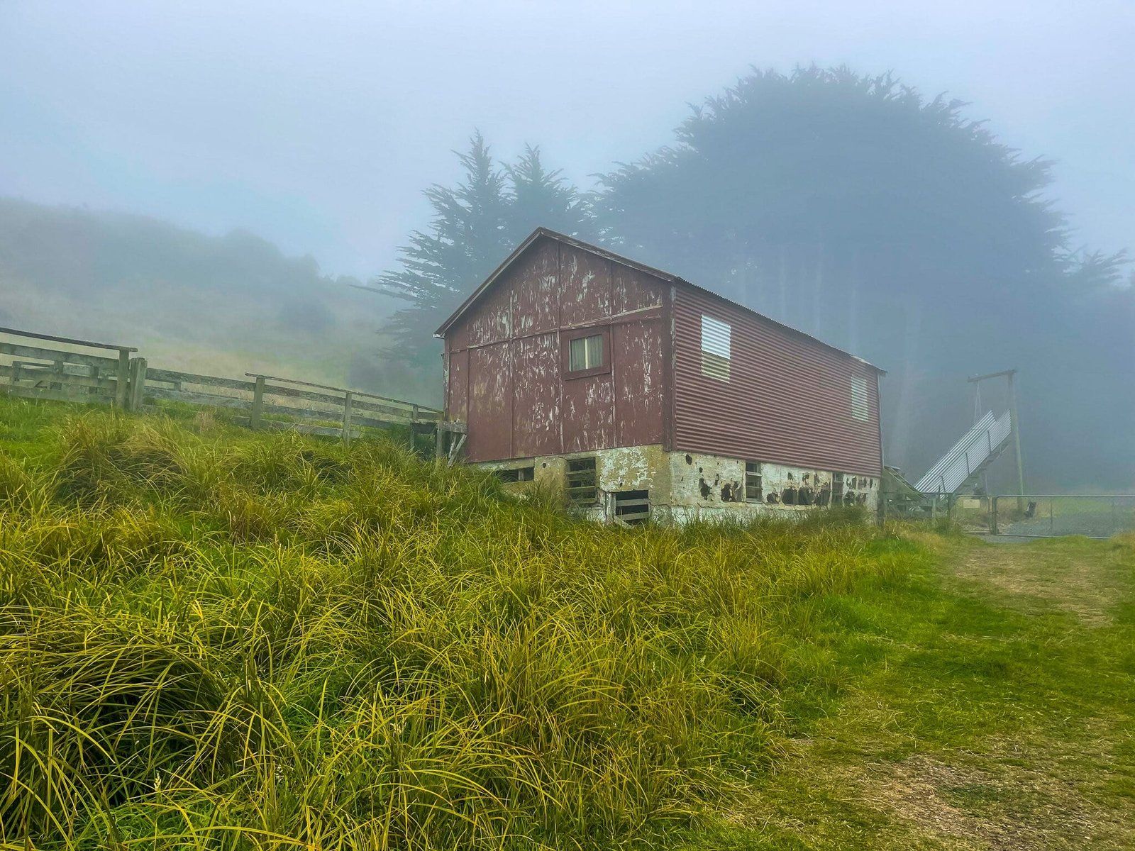
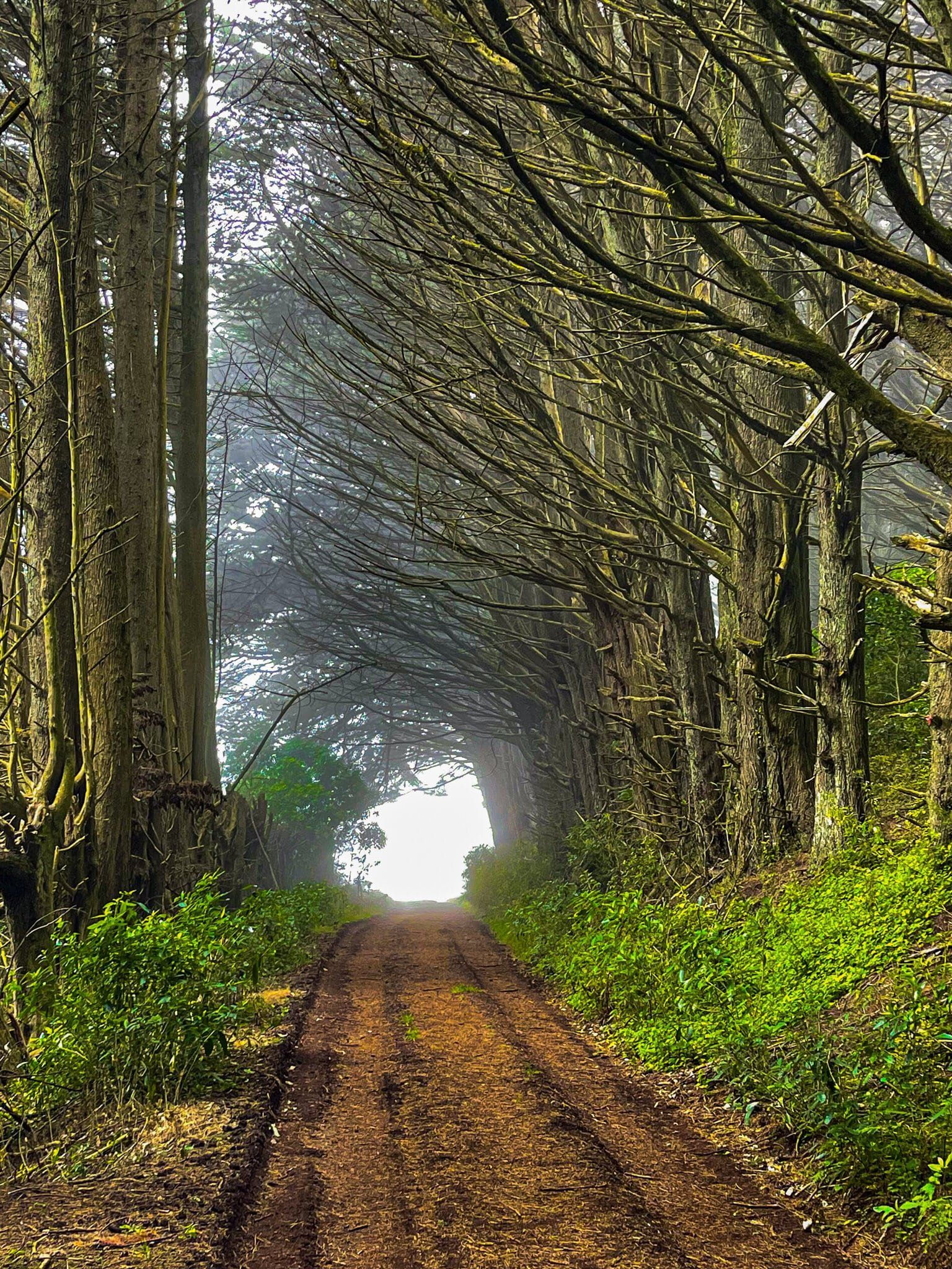
However, the fog added some drama on the last section of the loop, which passes by an old farm building and then through a tunnel formed by a group of macrocarpa trees planted in rows along a farm road well over 100 years ago. Quite a different feel for NZ.
10 images
-45.8912,170.6724
