
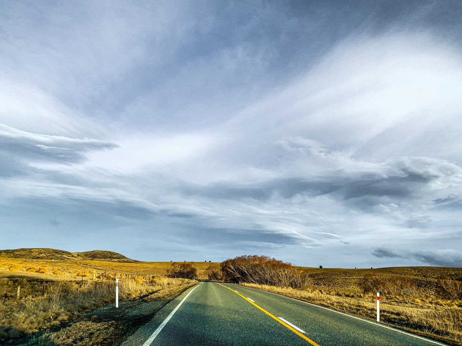
State Highway 85 is also known as the Pigroot, maybe because it was infested with wild pigs when Europeans first arrived. It connects the North Otago Pacific Coast to Central Otago, terminating in Alexandra. A scenic route in the high drylands of the Maniototo, it winds through the Ida Valley, Manuherikia, Ranfurly, and surrounding hills and mountain ranges.
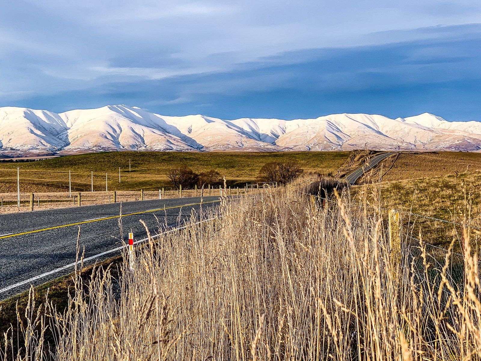
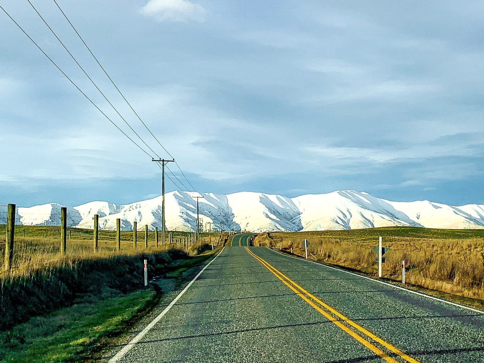
The section between Ranfurly, deep in the Maniototo, and Palmerston, a small town near the Pacific Coast, is easily overlooked and can be done as a weekend trip. Most travellers heading through the region travel to or from Dunedin via Middlemarch on State Highway 87, which connects to 85 at Kyeburn, near Ranfurly. Especially in winter, with snow on the mountains, the alternative of a drive to or from Palmerston along the coast is worth the extra time.
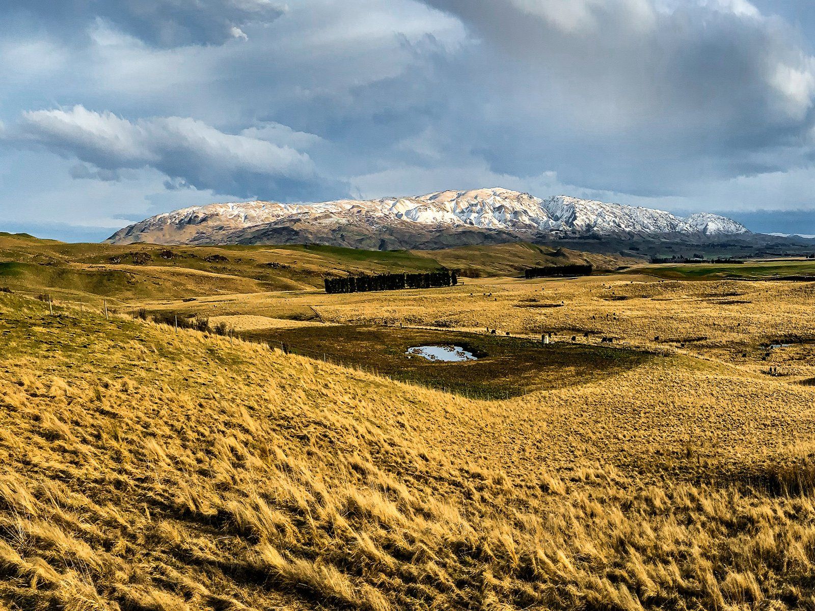
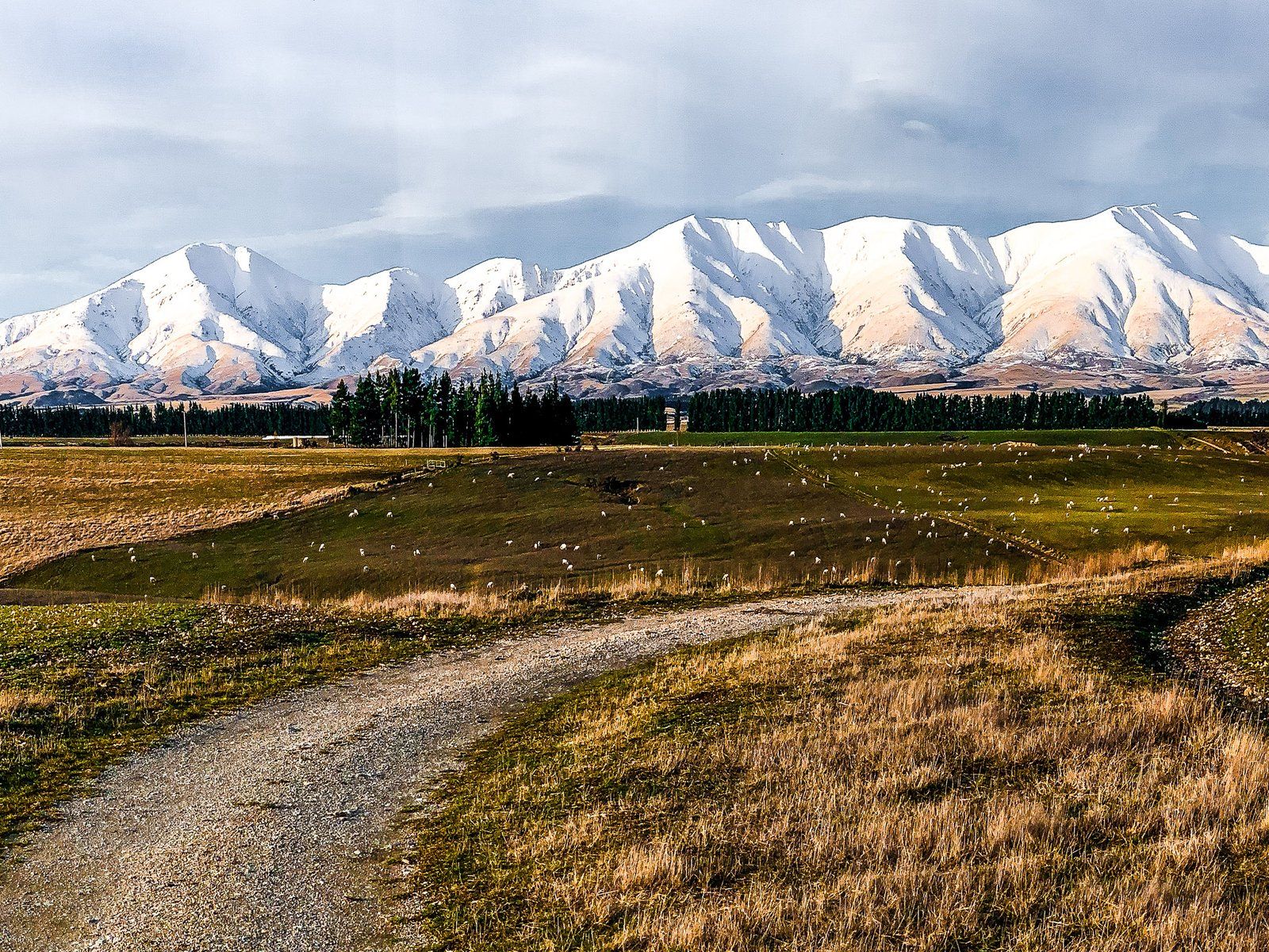
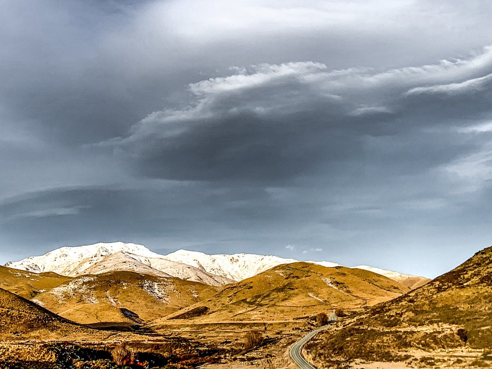
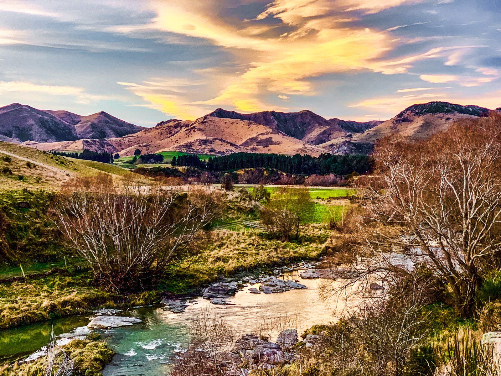
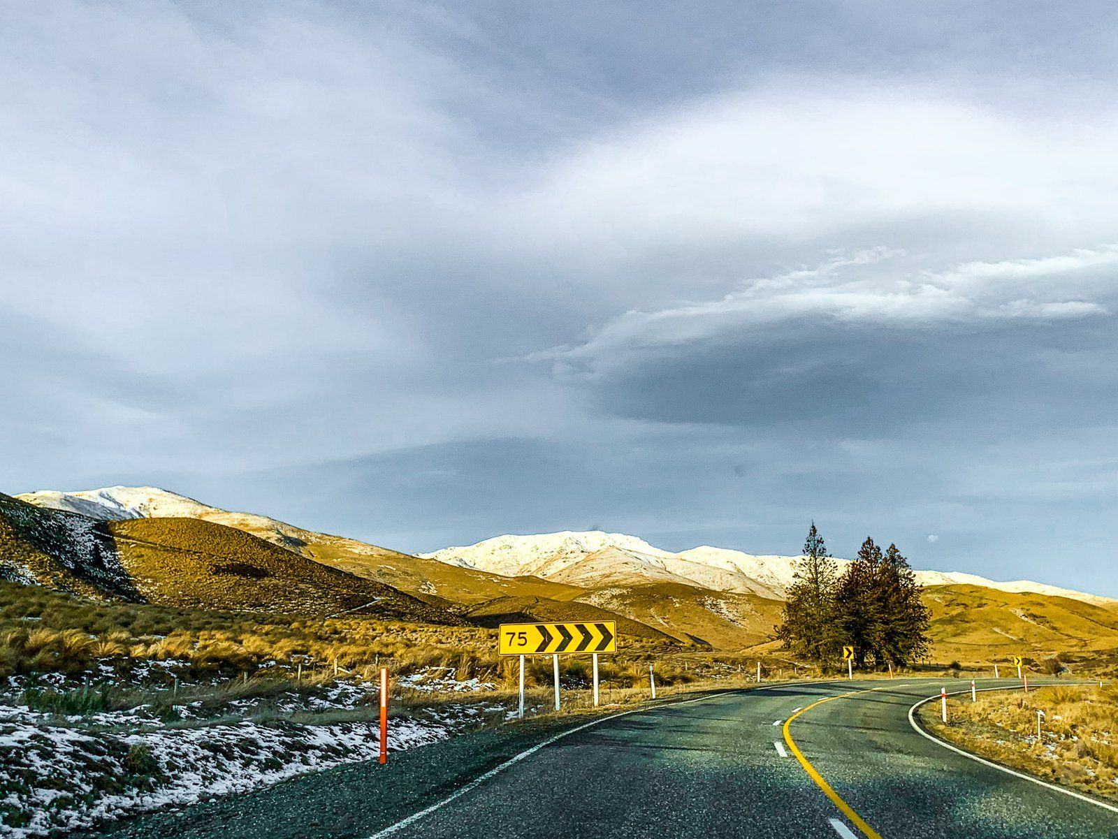
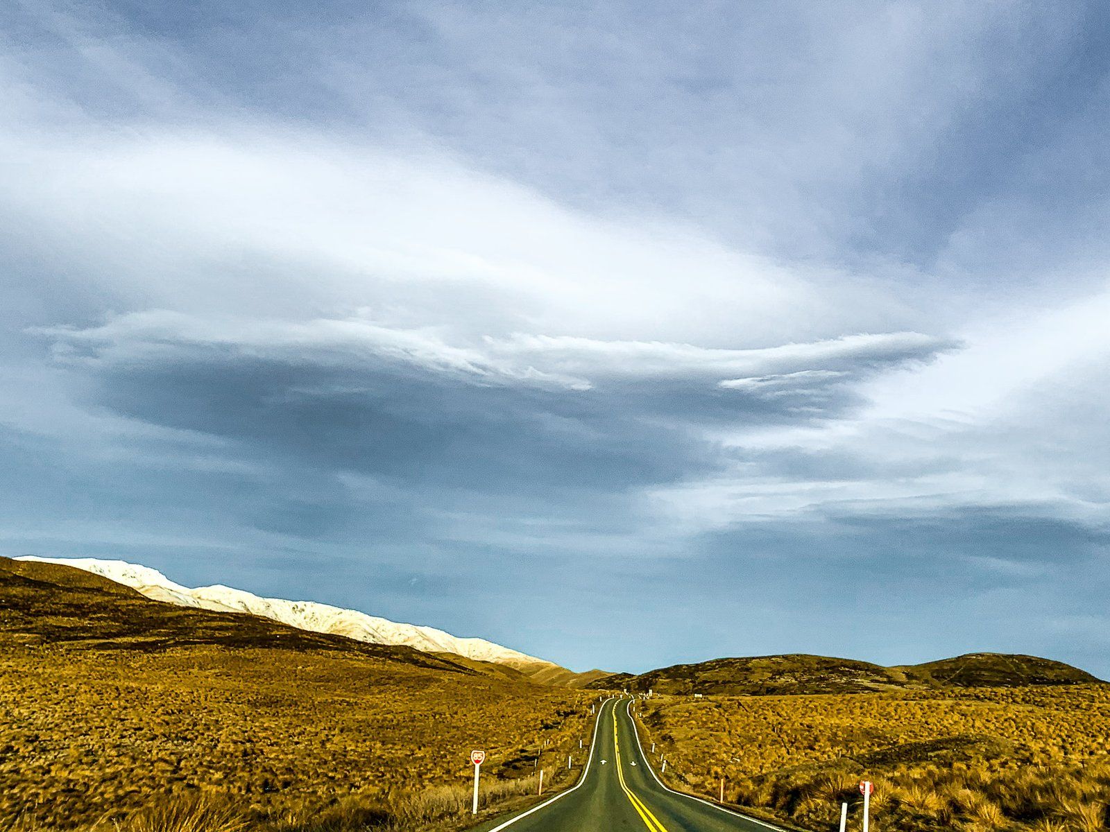
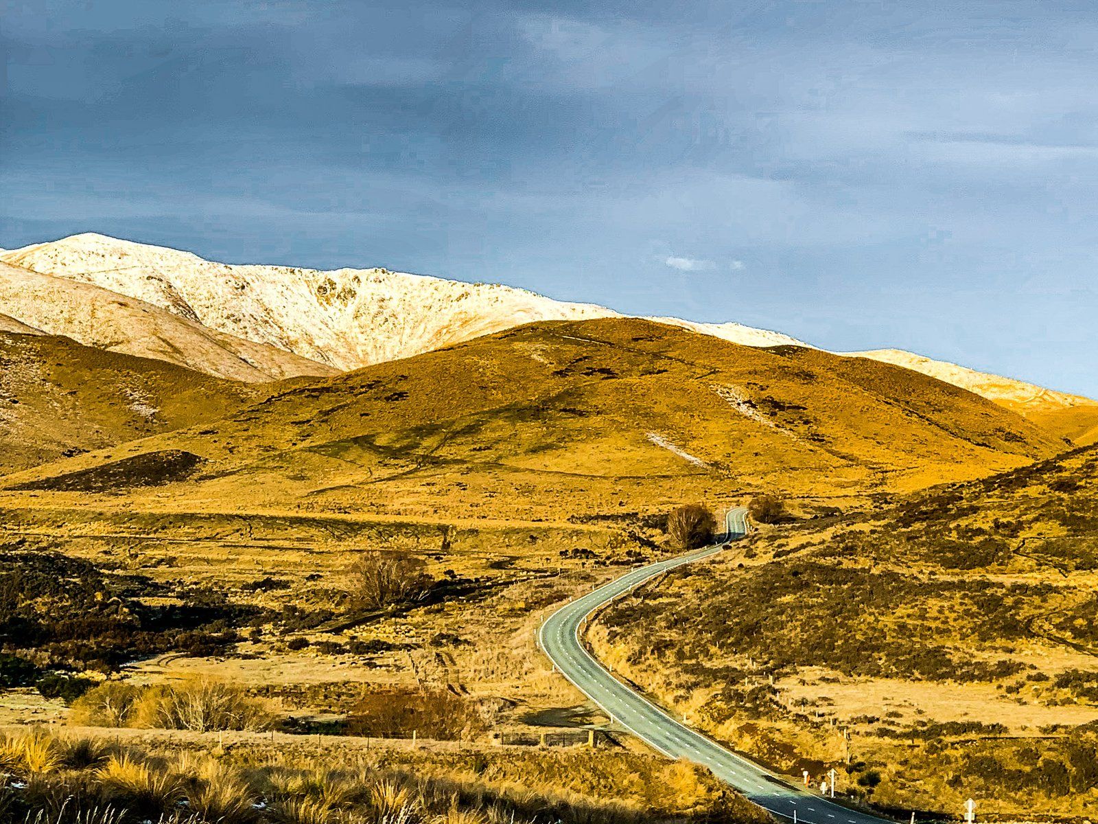
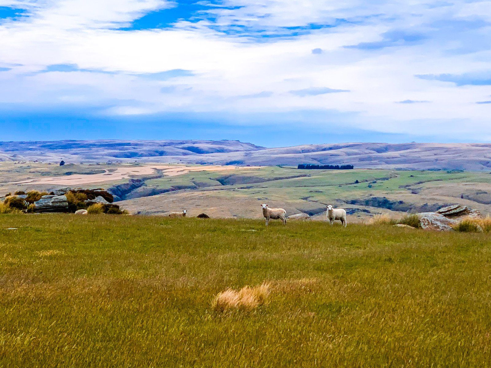
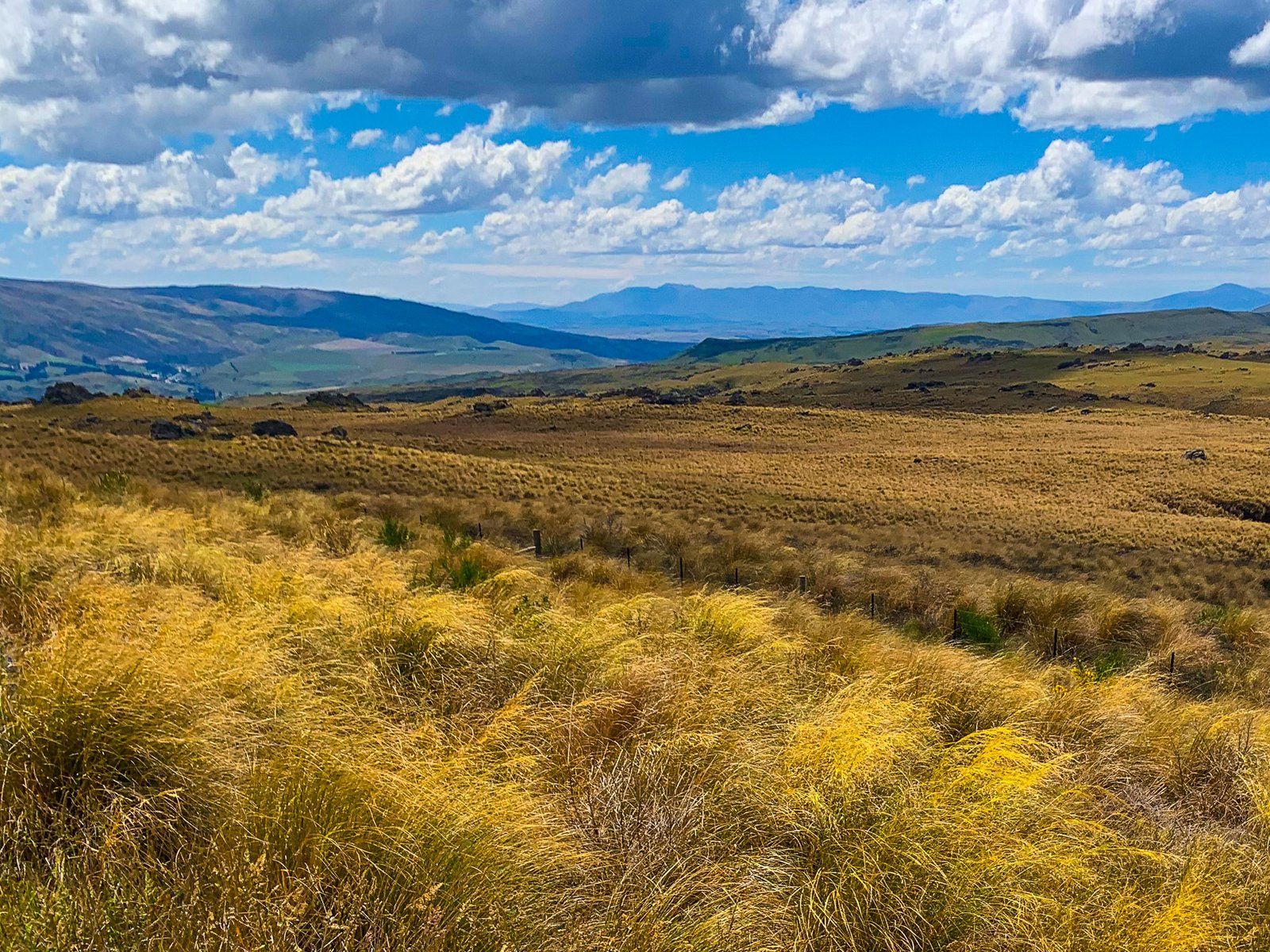
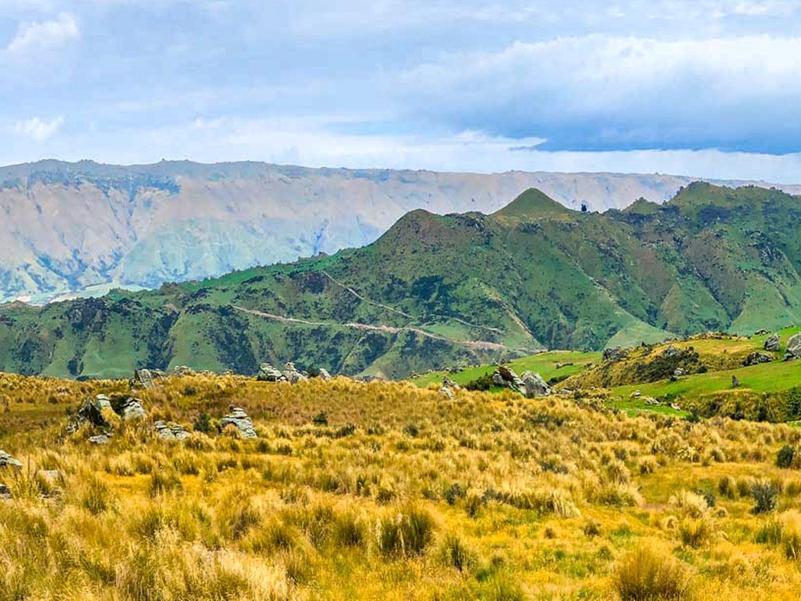
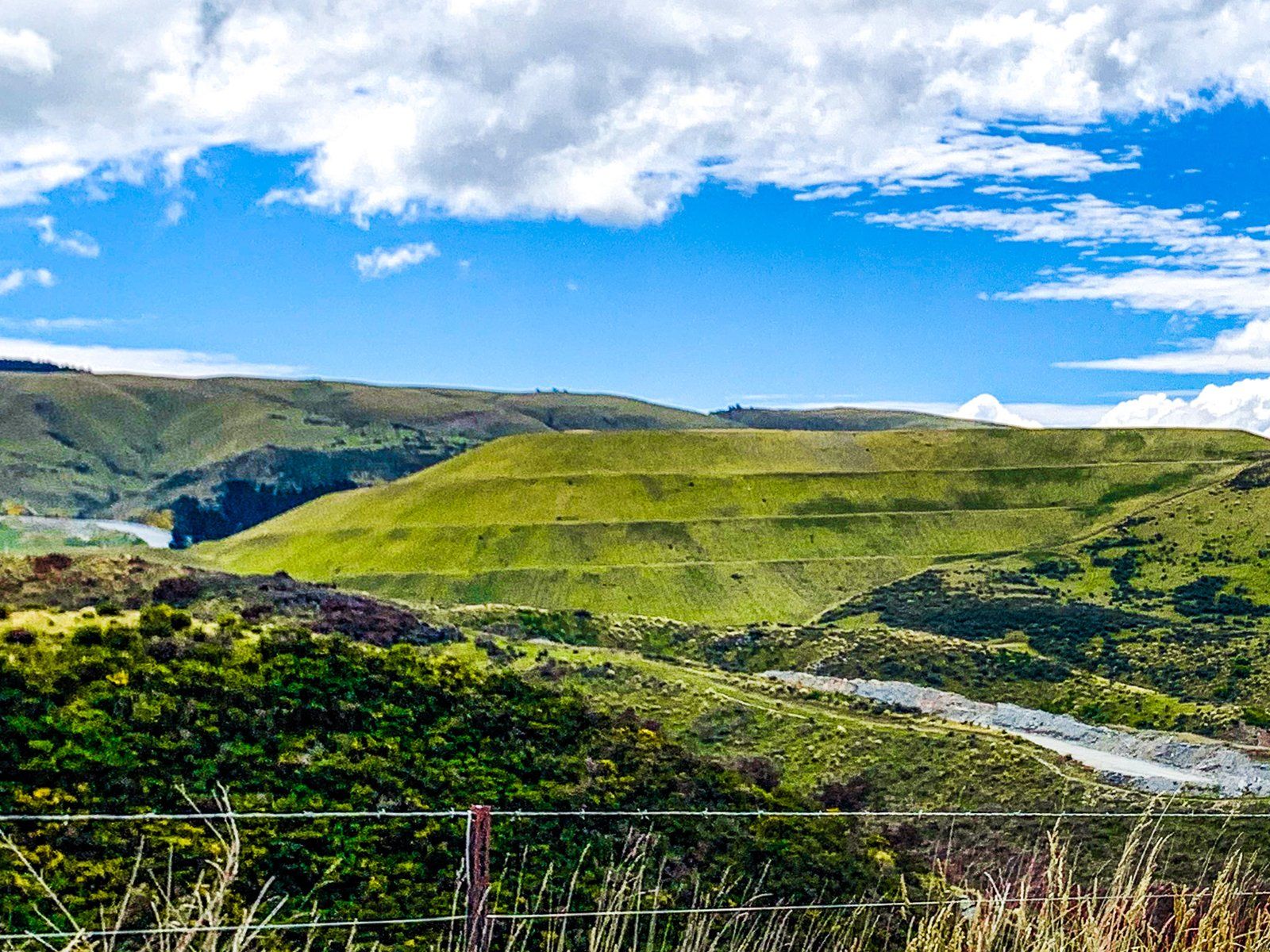
If you are touring the North Otago coast, State Highway 85 is the fastest way into Central Otago. From Palmerston, the highway runs near the Shag River (Waihemo) to the southwest of the Horse Range. This is a low range of mountains you can visit more closely at Trotters Gorge. As the highway continues past Inch Valley, it feels increasingly remote, especially once the Horse Range changes to the higher Kakanui Mountains. It climbs steeply around Dead Horse Pinch, passes Pigroot Hill, and then crosses over the Kakanui Mountains at Red Cutting Summit, elevation of over 600 metres. The highway then drops gradually to the Maniototo Plain at 400 metres and continues to Ranfurly.
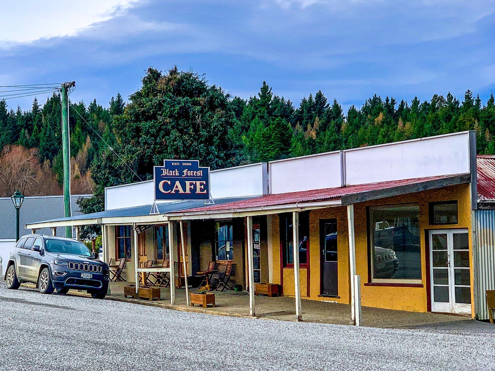
There are various side trips from the Pigroot. On this trip, we did a circuit in Naseby to the north of Ranfurly, then headed down State Highway 87 to Middlemarch, then took Moonlight Road and Macraes Road. Moonlight provides fabulous views over Taieri Ridge to the Rock and Pillar Range. From there, it is a short drive to Macraes, with its large modern open-cast gold mine and mining history. From there, it is a short drive back to State Highway 85 and then to Palmerston.
Ranfurly
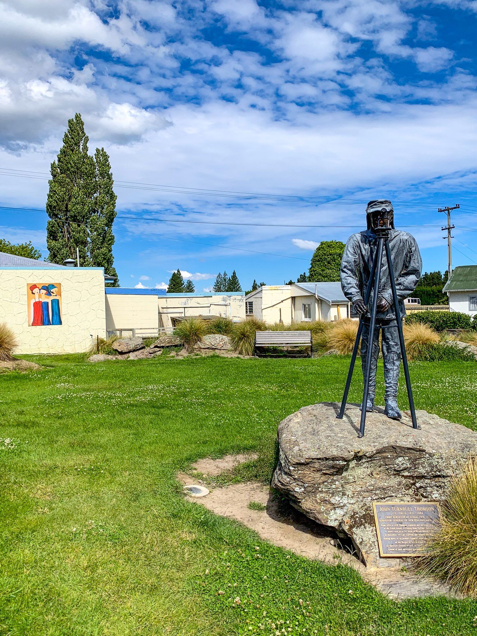
Ranfurly lies near the middle of the Maniototo Plain, with Naseby and Ida Range to the north, the Kakanui Mountains to the east, and Rough Ridge to the west. The town and nearby Naseby started with the discovery of gold on the northwest end of the Kakanui Mountains and south of the Ida Range in the 1860s. This was part of the gold fever that gripped Otago after gold was discovered at Gabriels Gully near Lawrence. The gold ran out relatively quickly, and Ranfurly became a rural service centre.
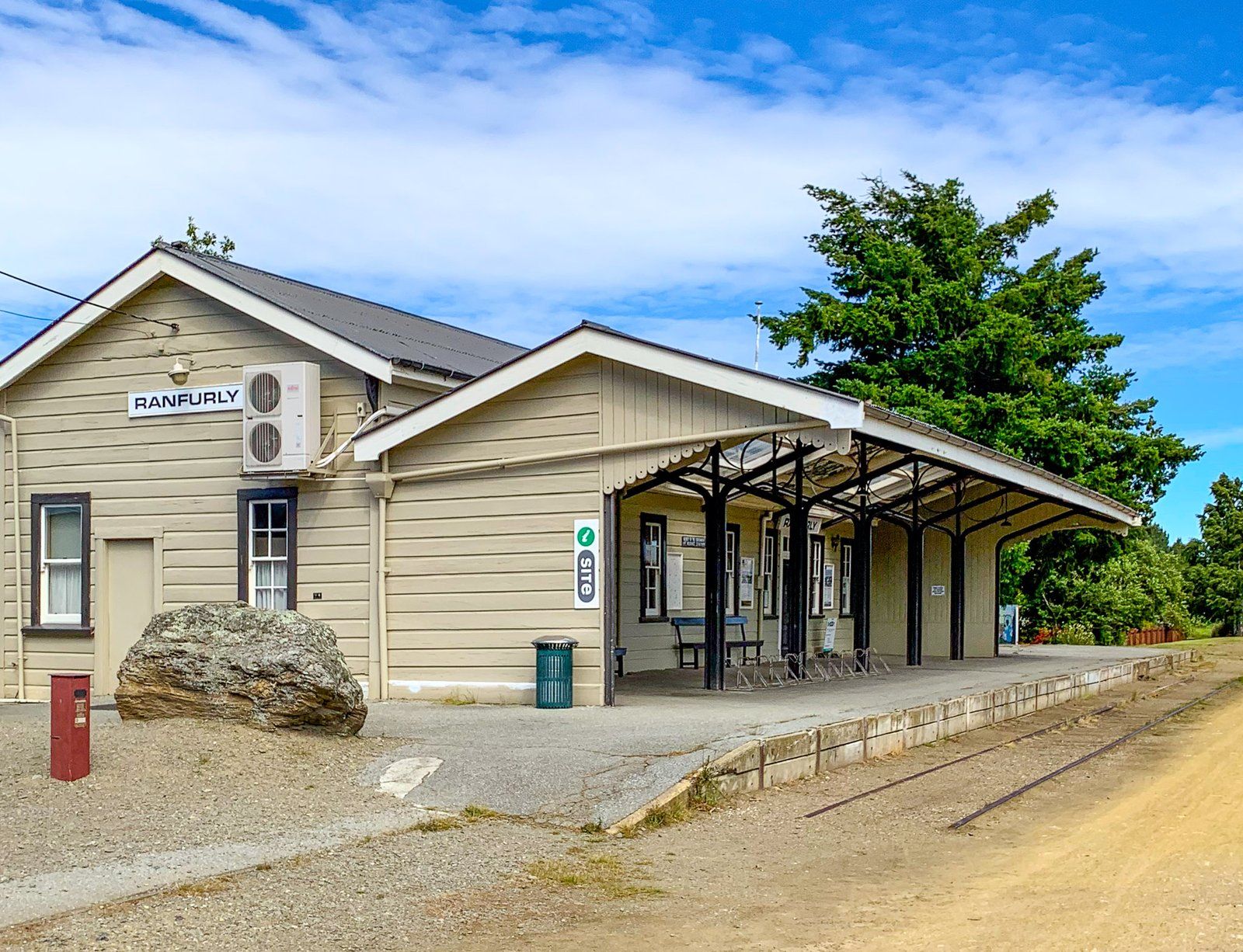
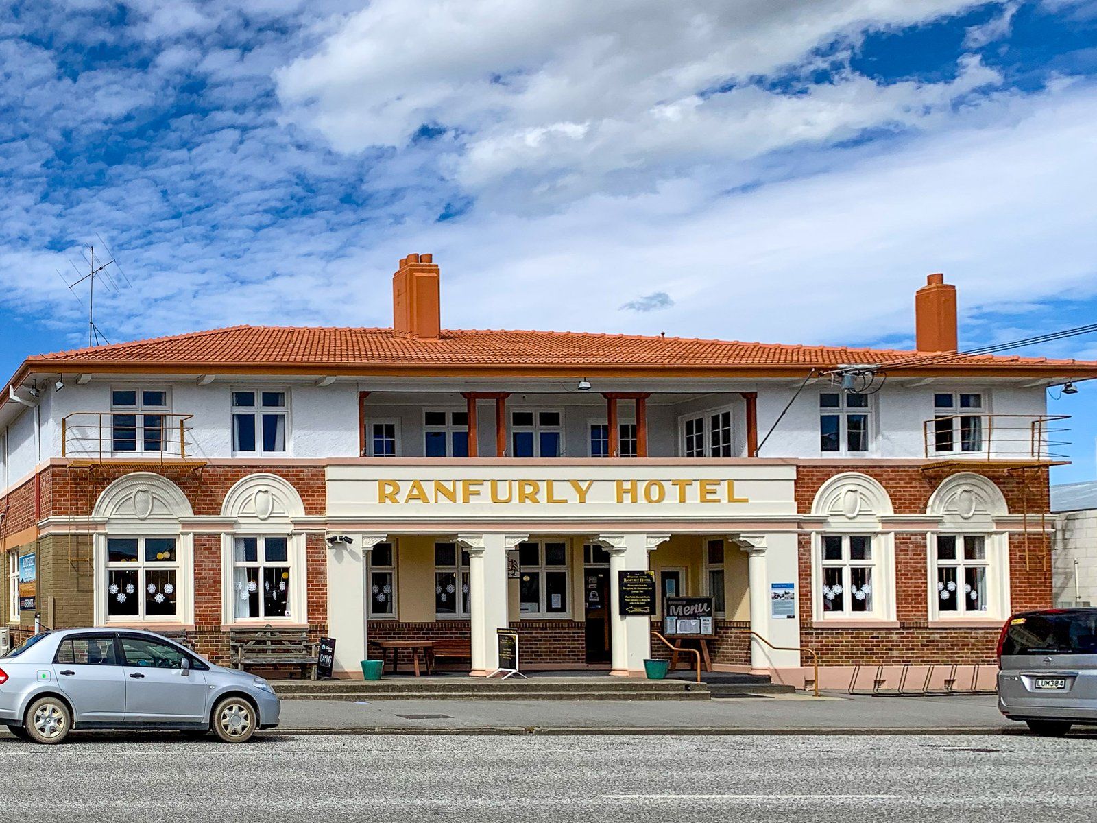
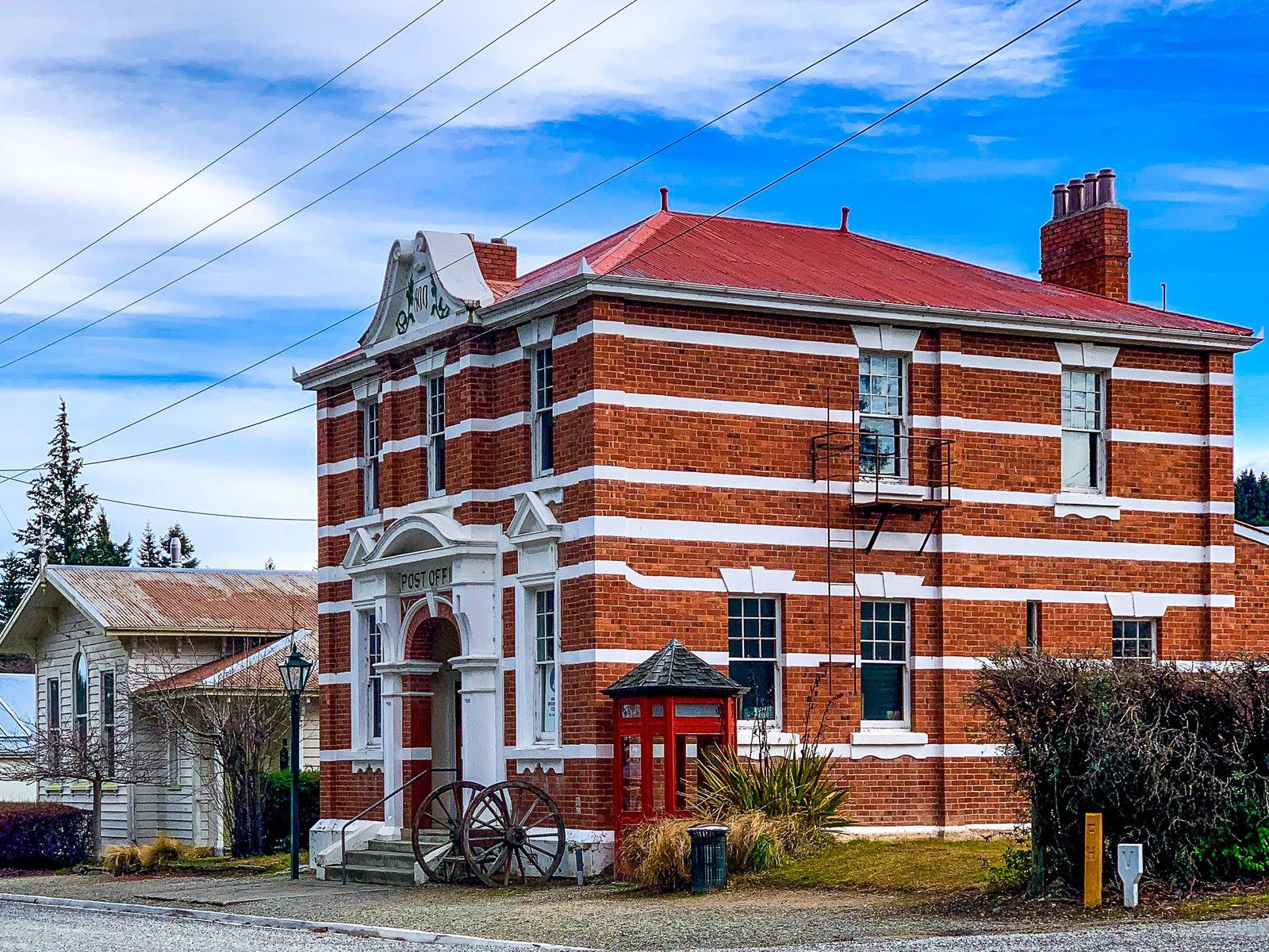
In the 1890s, it gained a clear advantage over Naseby when it was selected as the route for the Central Otago Railway line between Dunedin and Clyde. This also led to its present name. Its original name was “Eweburn”, but it was changed to Ranfurly to honour the Earl of Ranfurly, Governor General of New Zealand, when the railway line reached the town in the late 1800s.
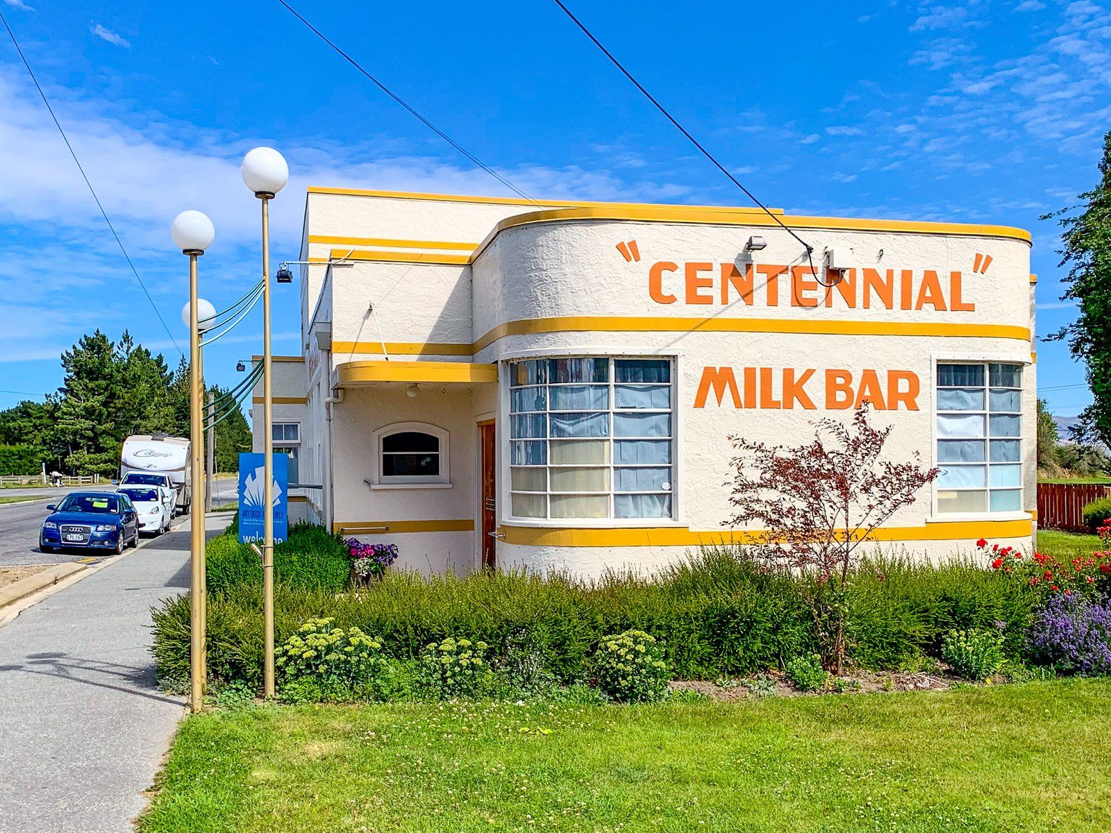
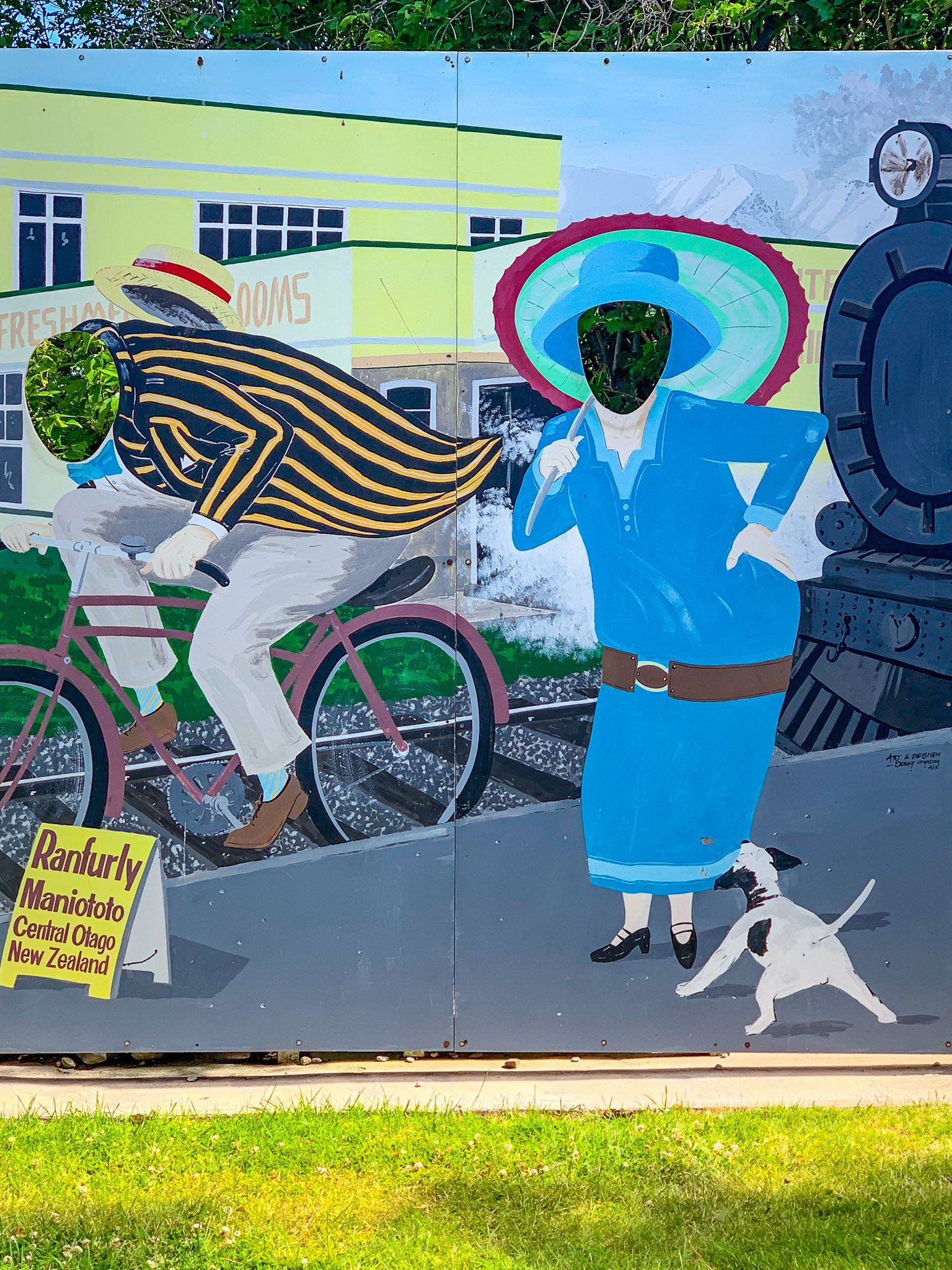
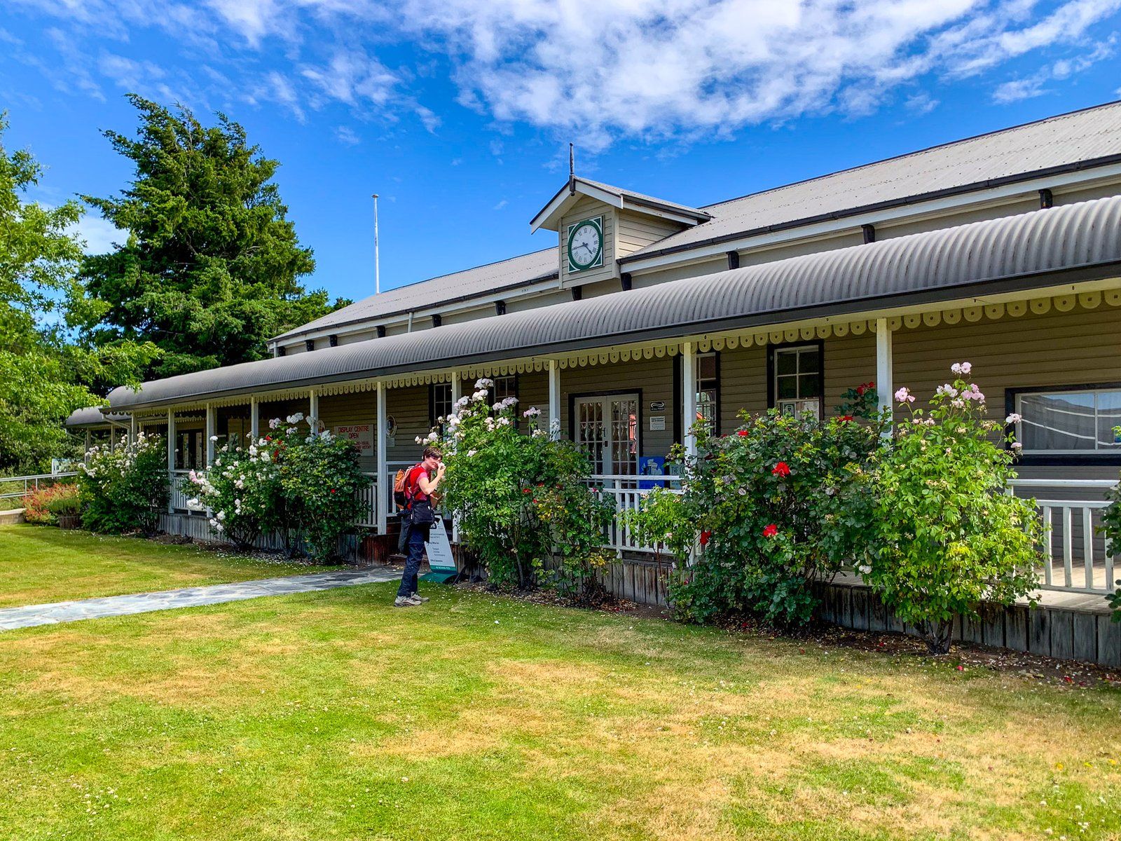
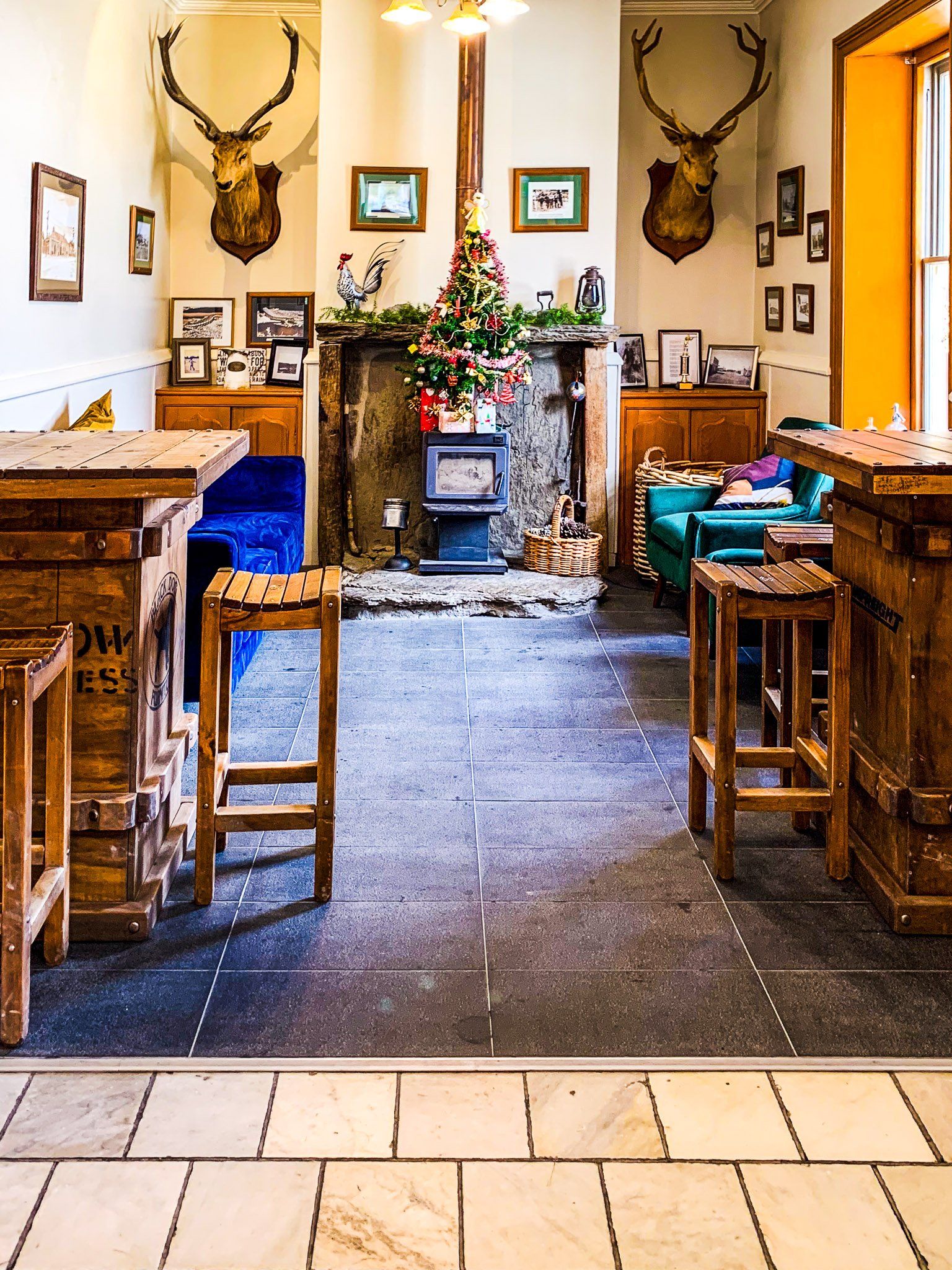
In the 1930s, a modest building boom resulted in several Art Deco buildings. More recently, the town has become a popular tourist stop. As well as being near the intersection of State Highway 85 and 87, It is on the Central Otago Rail Trail between Clyde and Middlemarch. This was established once the railway was shut down in the late 1980s, and the old railway station is now an attractive visitor centre.

Naseby
Naseby is a small town in the Maniototo area of Central Otago. It is located north of Ranfurly below the Ida Range. It started with the gold rush of the 1860s when locals initially called it Parkers, then Hogburn, then Mt Ida, before it ended up as Naseby.
Gold was initially discovered in the nearby Hog Burn in 1863, and much of the area south of the town was dug up, while the higher area to the north was developed with water races and reservoirs to support the mining. Gold was also found at nearby Kyeburn Diggings and as high as 1,200 metres on the side of Mount Buster. At its peak, Naseby had 4,000 miners, 18 stores, 14 hotels, two butchers, and a hospital. Today, there are around 100 or so full-time inhabitants.
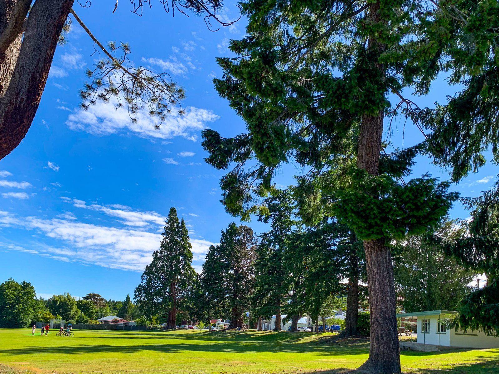
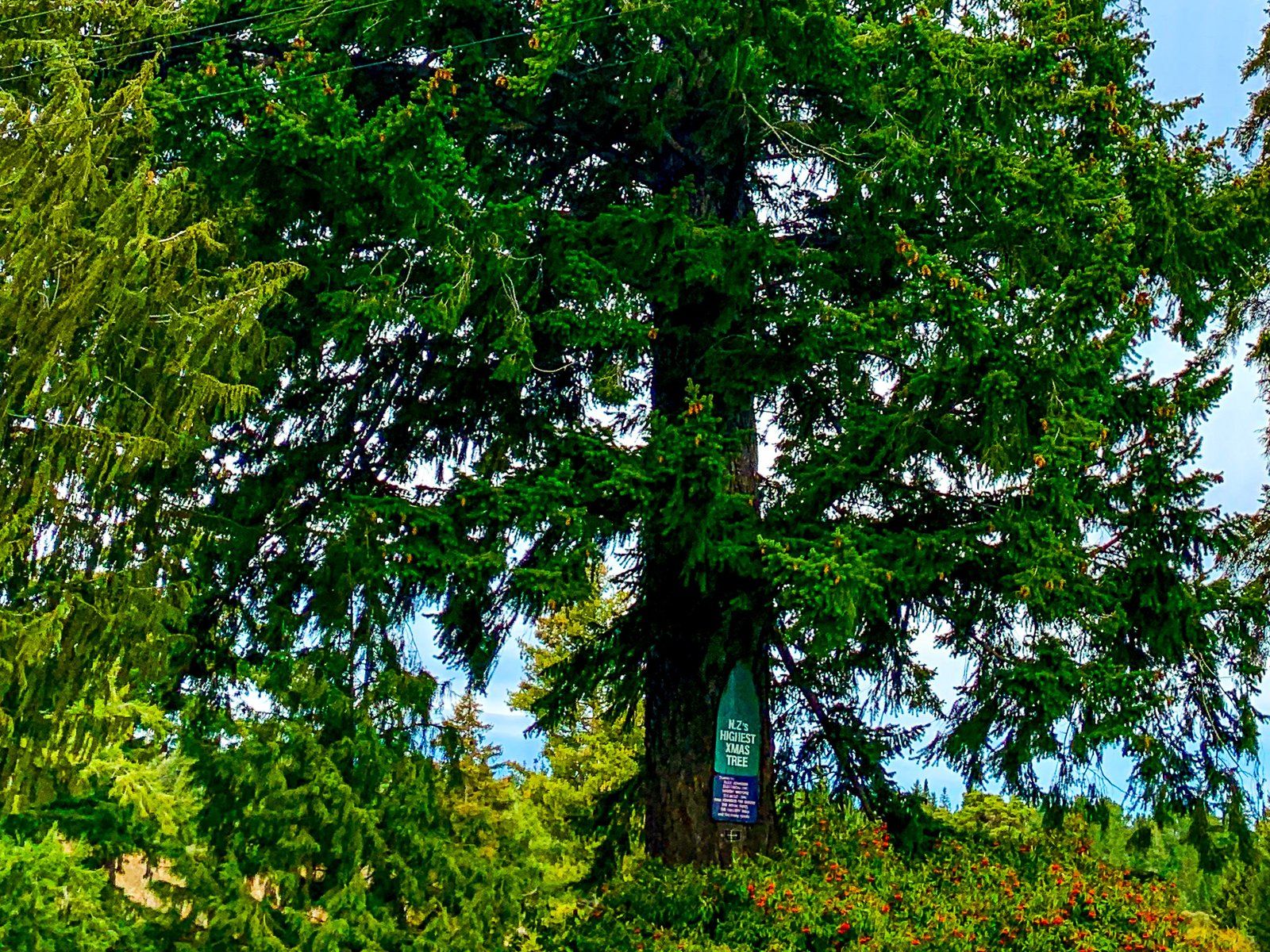
Despite the shrinkage, the town has a significant reputation as a place to stay. It has several substantial buildings from the golden days, and, starting around 1900, residents planted Douglas Fir, Larch, and Corsican pine trees around the town, creating Naseby Forest. One even has a sign claiming it is the tallest Christmas tree in NZ. The forest has multiple biking and hiking trails, old reservoirs, and water races. In summer, the population swells to about 3,000 people.
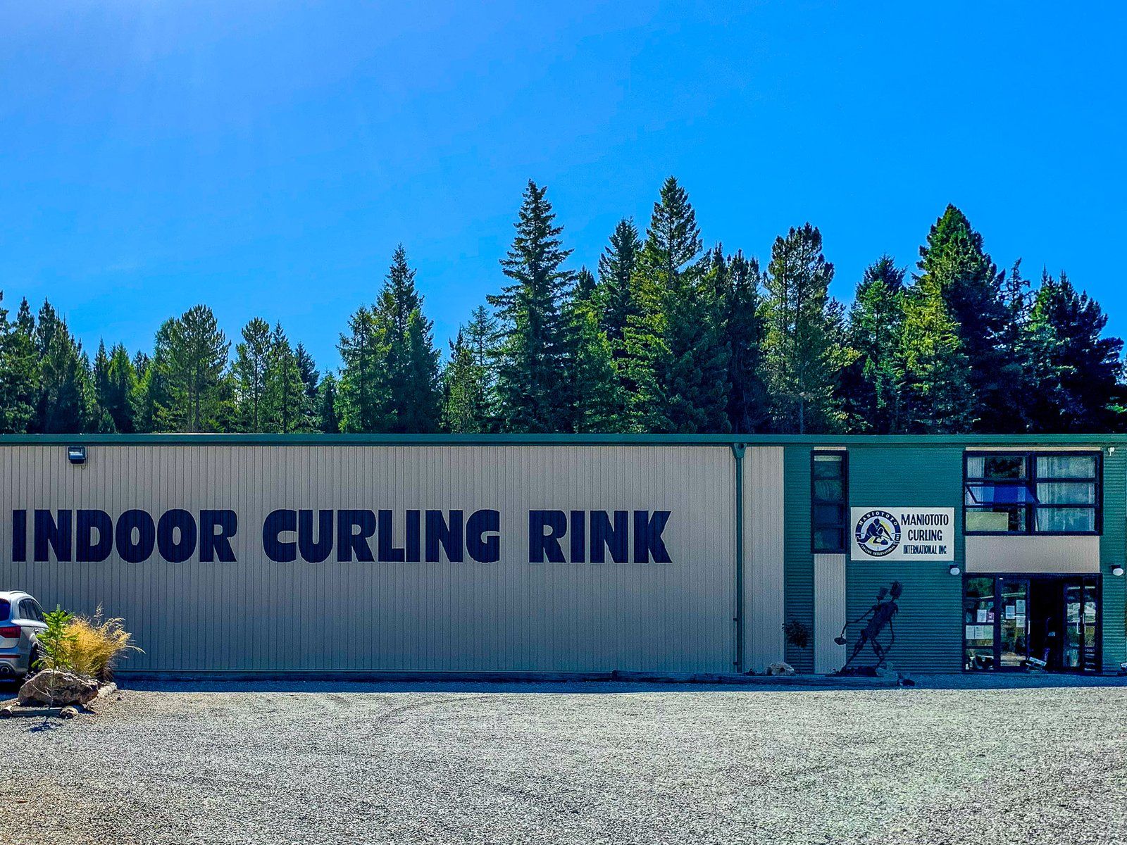
By NZ standards, winter in the town is quite harsh, and as a consequence, Naseby was also one of the few places where it was feasible to indulge in outdoor ice sports on the nearby reservoirs. This has evolved into a modern indoor curling facility and ice rink and is the centre of the sport in NZ.
As you drive into the town on the Ranfurly Naseby Road, you will see the town’s tagline, “2,000 feet above worry level”. At 600 metres, it is the highest of the towns in Central Otago.
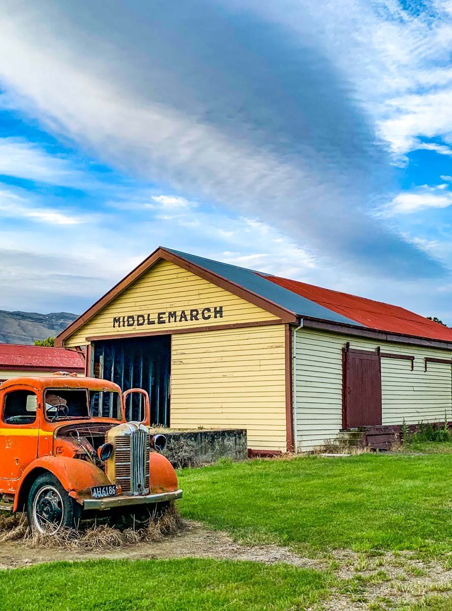
Middlemarch
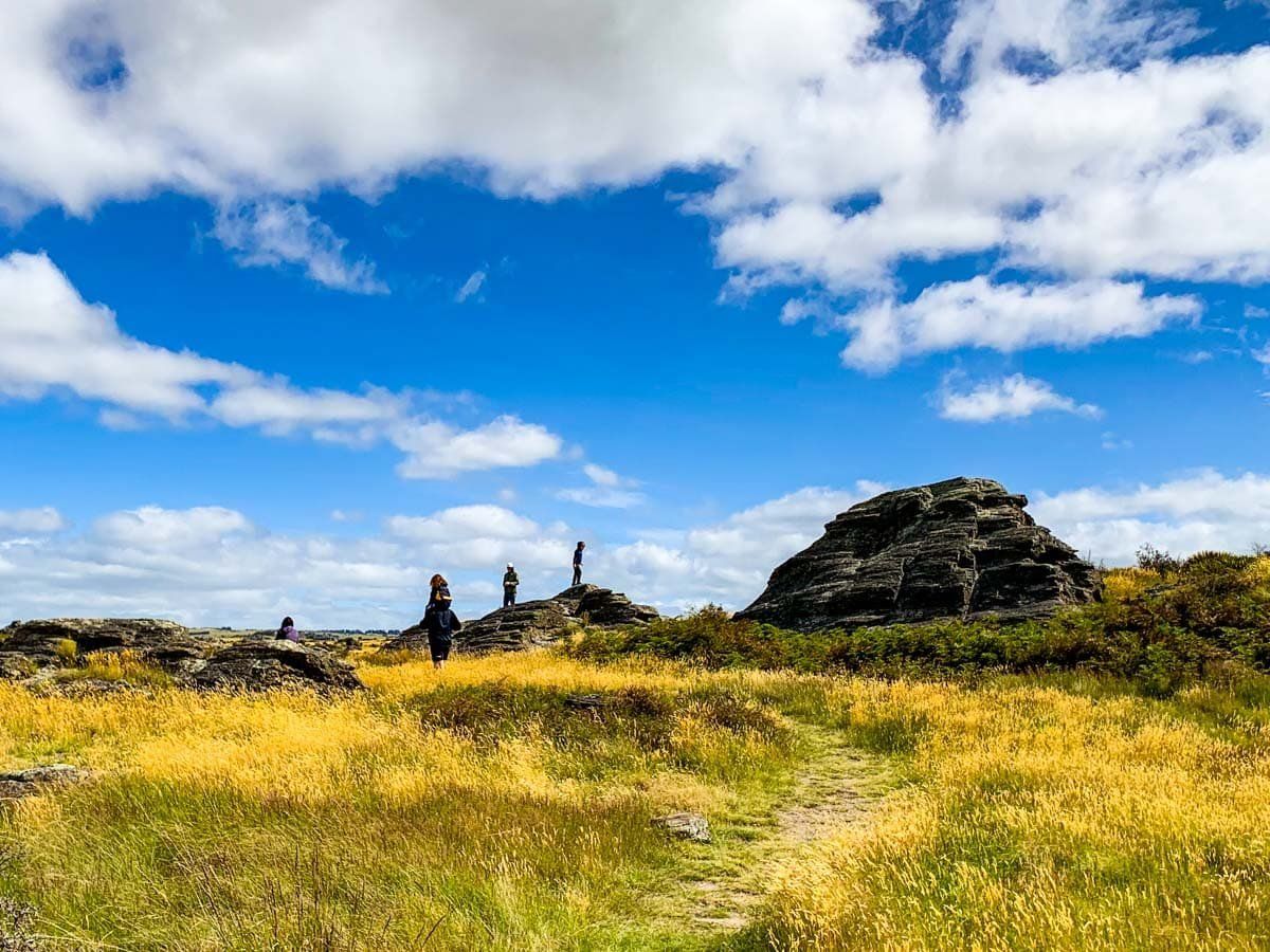
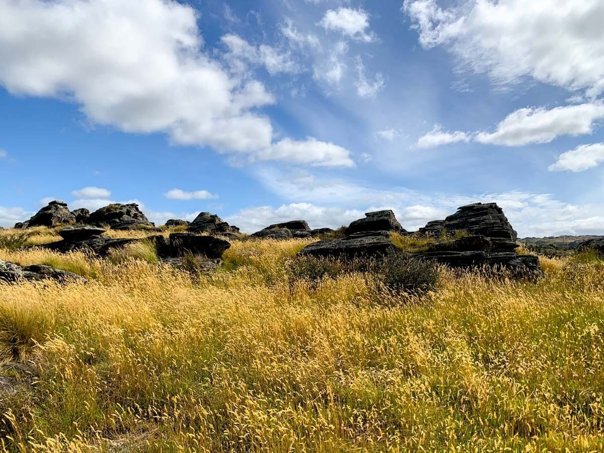
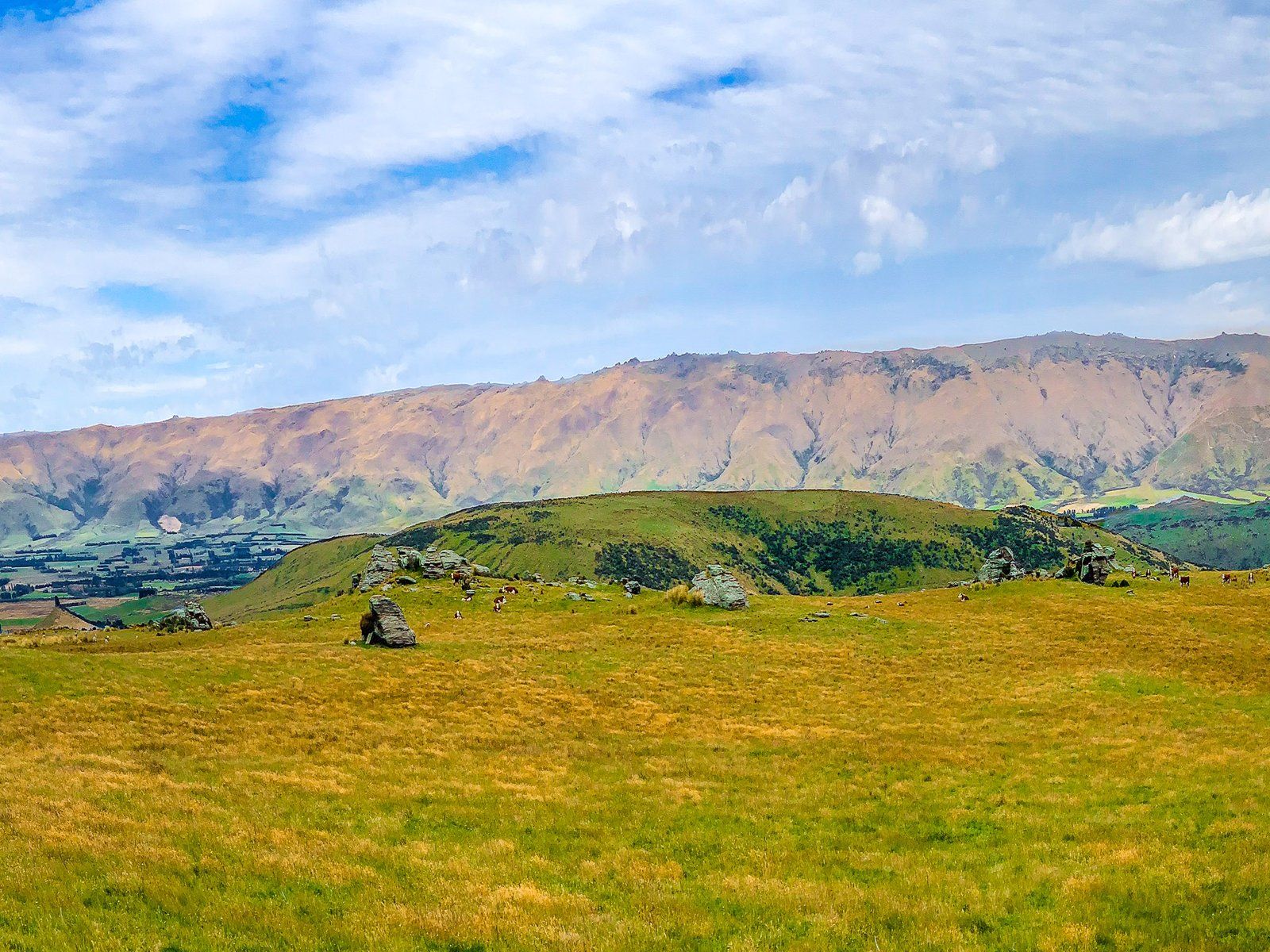
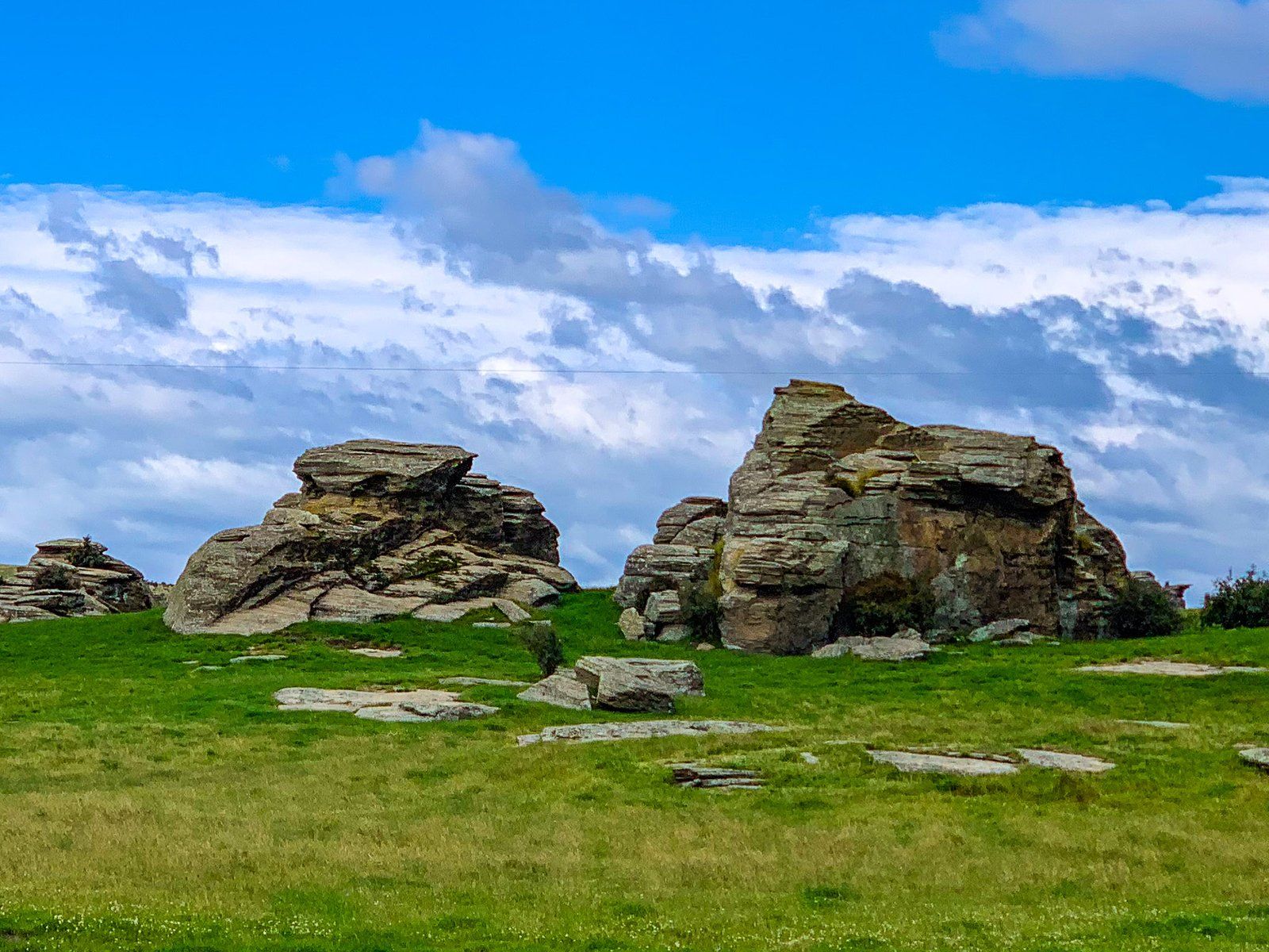
Middlemarch is a rural service town in the heart of the Strath Taieri Plain in Central Otago on State Highway 87, south of Ranfurly. For cyclists, it is the end of the Otago Central Rail Trail that runs from Clyde. The town is also overlooked by the Rock and Pillar Range to the west, with a high point just above the snow line at 1,450 metres. You can hike up – a steep 1,000-metre climb – or take a 4WD. To the northeast is the rugged Taieri Ridge, which runs towards the Kakanui Mountains.
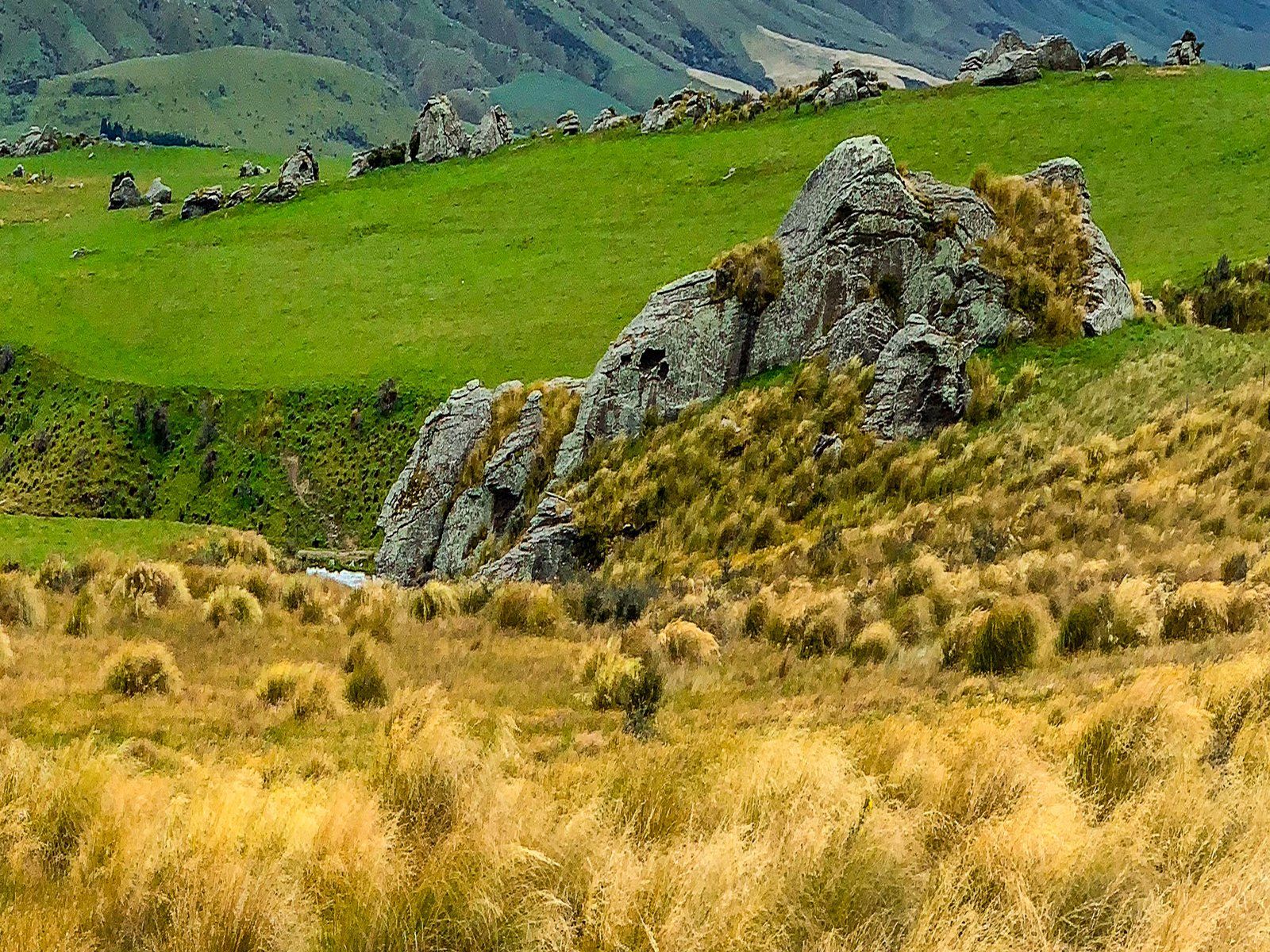
The Rock and Pillar and the Taieri Ridge are on separate fault lines and were created by uplift about three million years ago. Erosion has since carved many rock tors, a feature of the area. There are also signs of volcanic activity that go back about 20 million years.
The most obvious is Conical Hill (according to Topo Map) near Moonlight Road, though locals call it Smooth Cone. Less obvious is the Redan Crater, at 300 metres wide, the largest in the South Island. It is high on the west side of Taieri Ridge on private land but visible on State Highway 87B north of Middlemarch. The other significant feature is the Taieri River, which runs through the plain before entering Taieri Gorge.
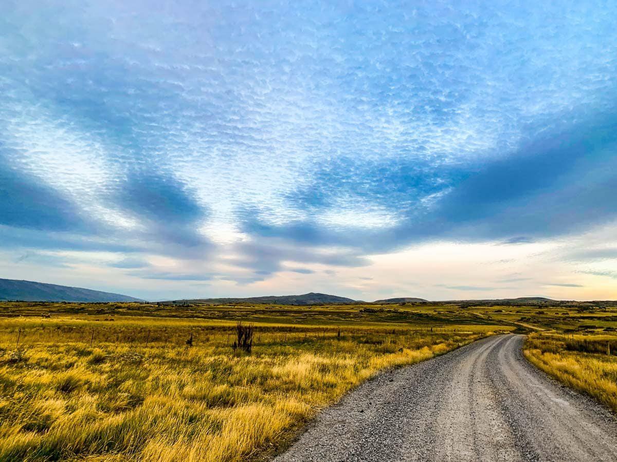
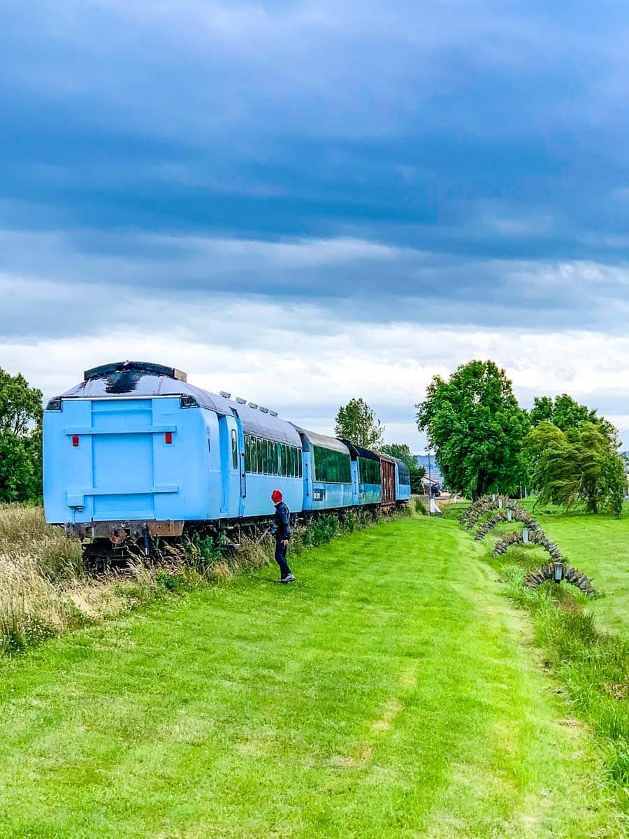
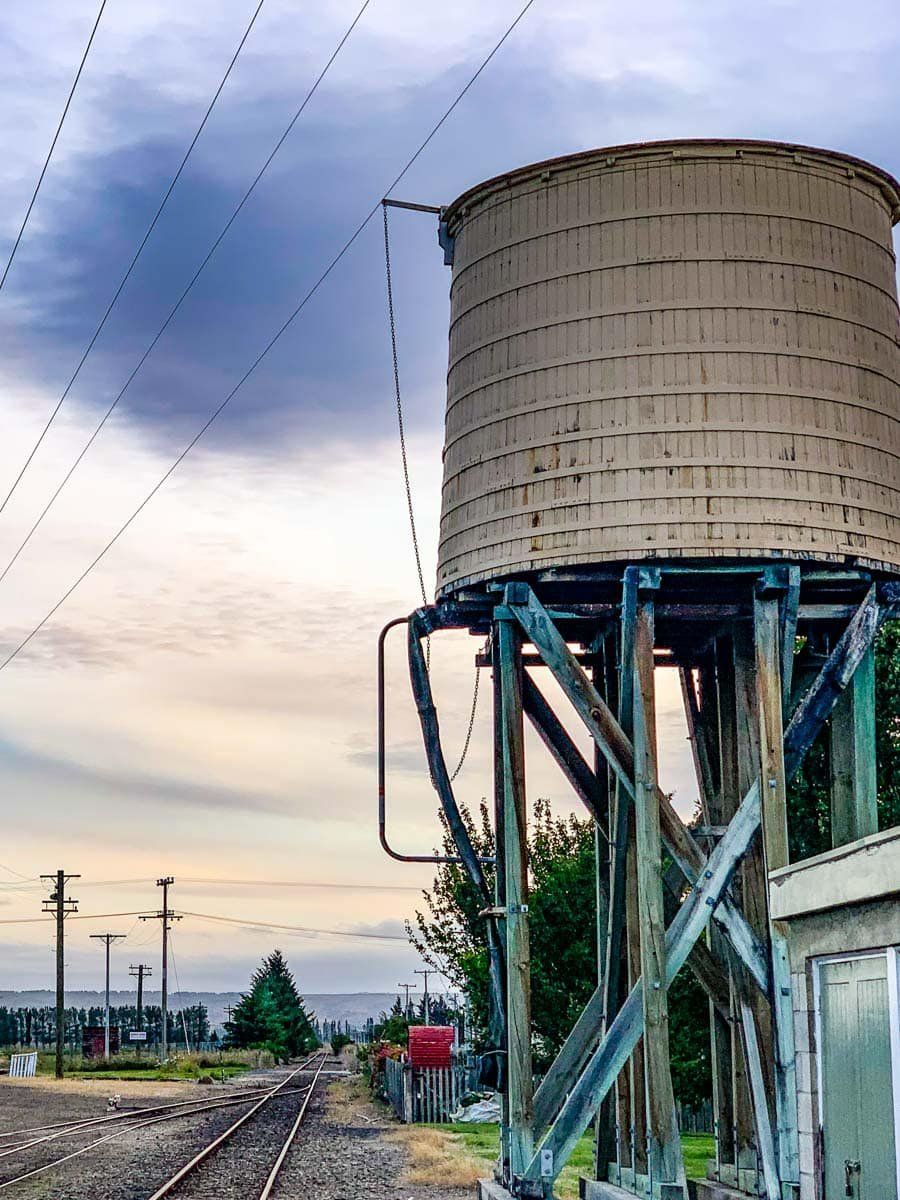
The town has a pub, cafe, restaurant (at least in the high season), and campground. It was also the end of the railway track once the section from Middlemarch to Clyde was closed and converted to the cycle trail. There are a few railway artefacts near the station. Take some time to explore quiet local roads with their views of rocky tors and often dry golden fields. Start on Moonlight Road in Middlemarch, head south on Mount Stoker, then Murrays Road to the hamlet of Sutton on State Highway 87. Follow the main highway of a few hundred metres, then take Kidd Road to the Sutton Salt Lake Track (an hour return).
Moonlight Road
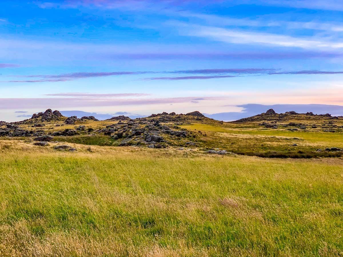
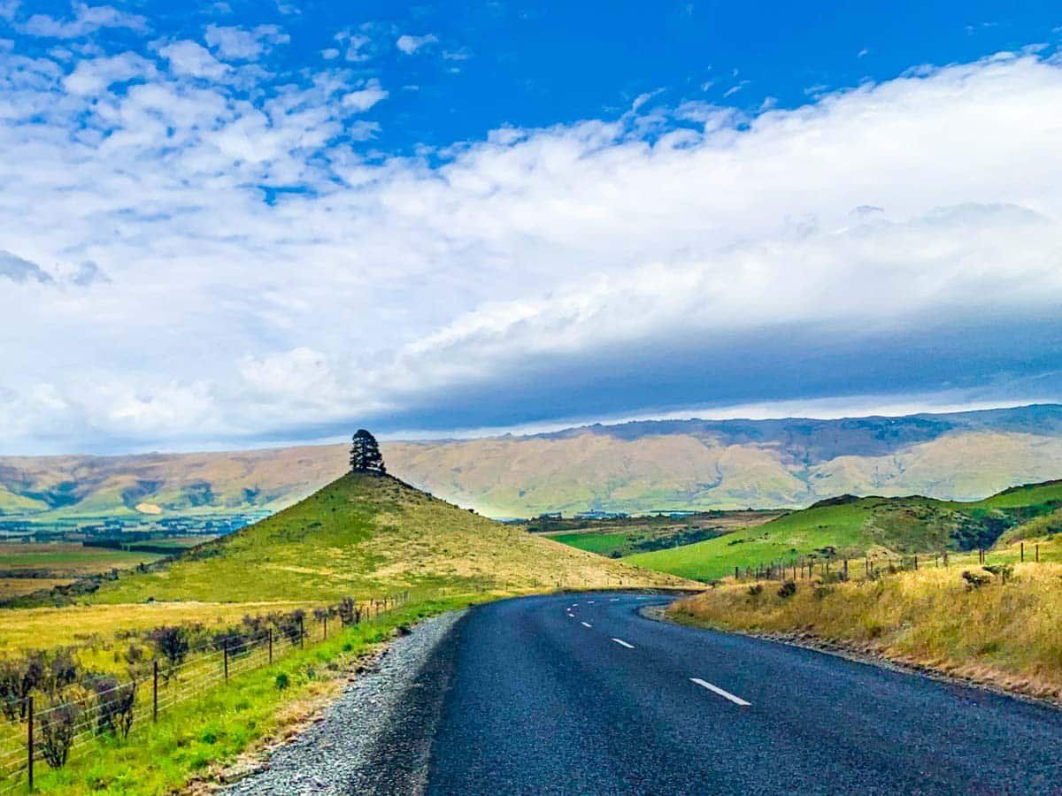
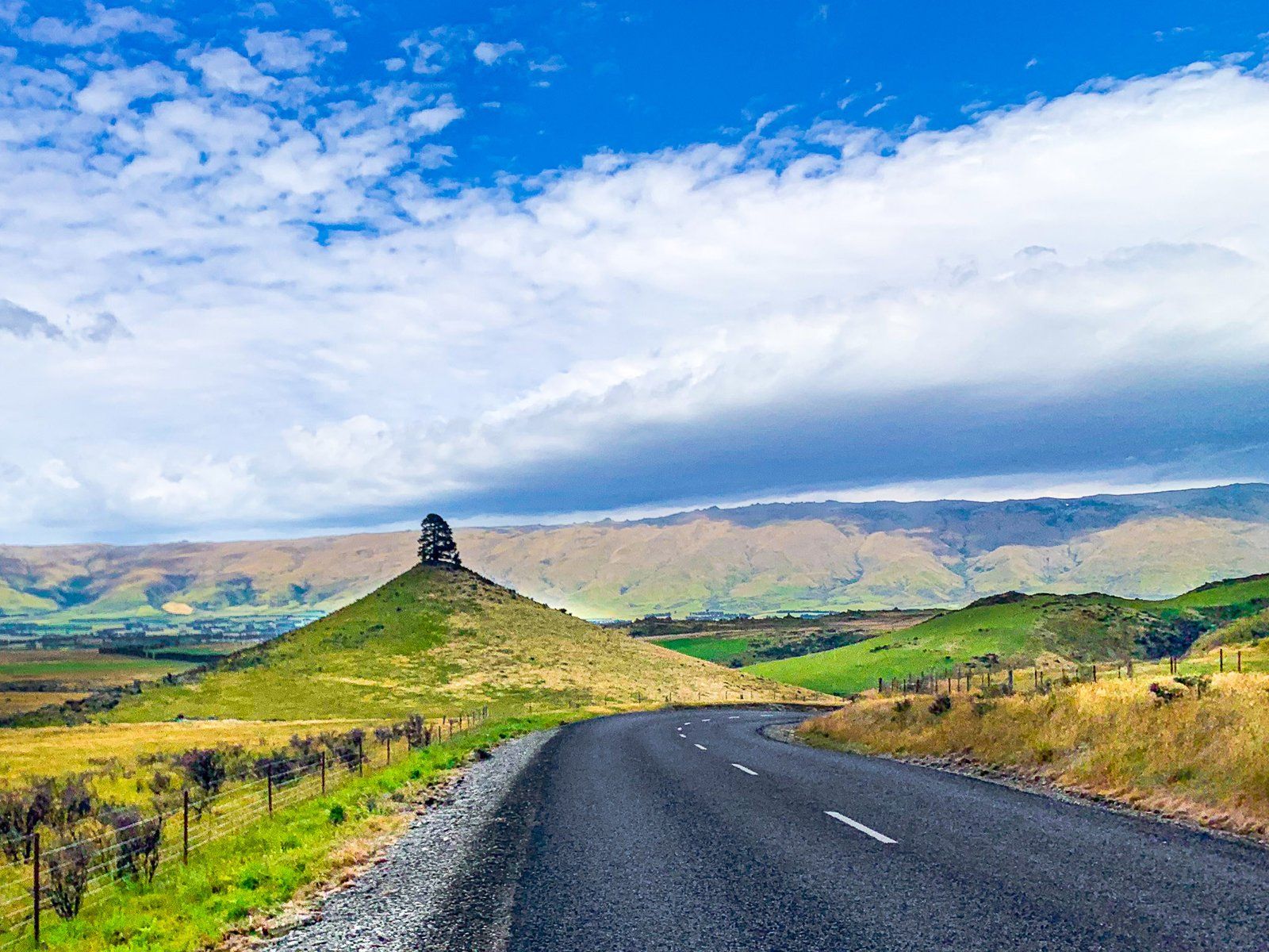
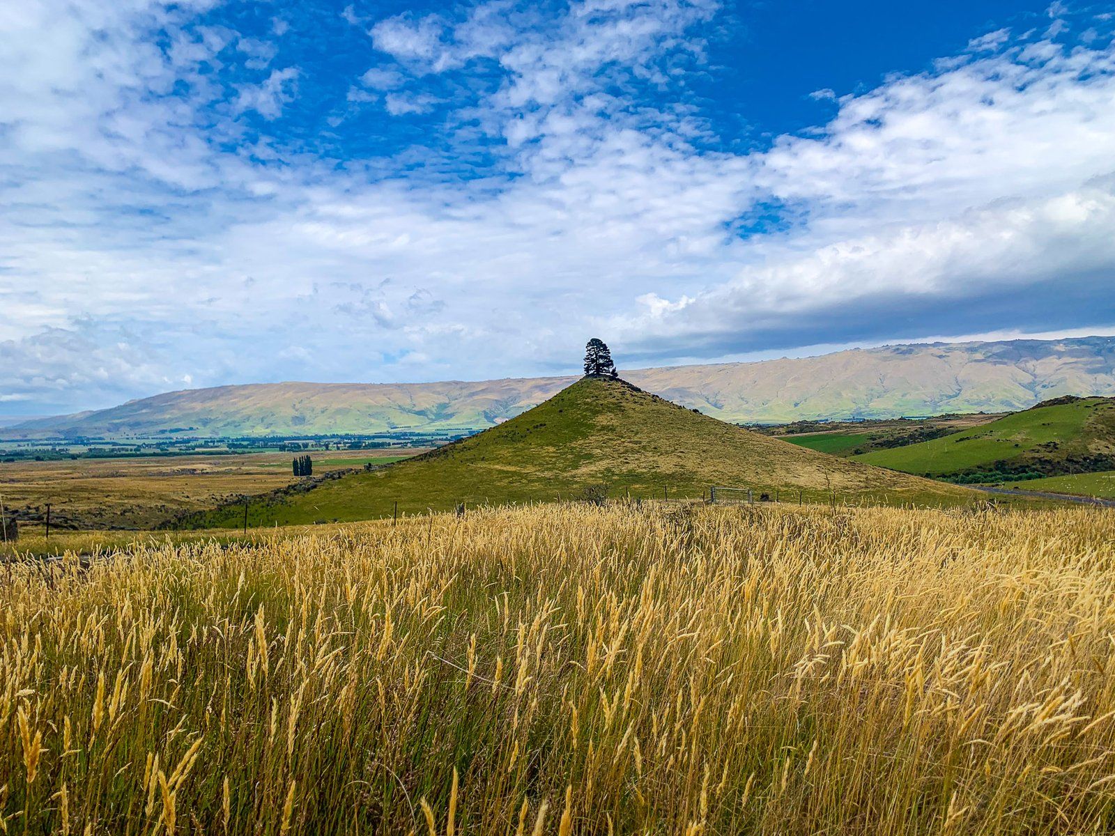
Of the various minor roads in Central Otago, Moonlight Road has the most romantic names and is also one of the most scenic. The road runs from the east side of Middlemarch and climbs to a high point of 595 metres on Billys Ridge. It then links to Macraes Road, which connects to the small gold mining town of Macraes.
The road is sealed, to begin with, and about five km outside Middlemarch you will see Conical Hill, the remains of a volcano dating back 20 million years. As the name suggests, it is about 80 metres high and a near-perfect cone. On the top is a lone pine tree planted in 1918 to celebrate the armistice in World War I. It has somehow held on despite its exposed position and the generally unsuitable weather for over 100 years. There is enough room to stop on the side of the road near the hill.
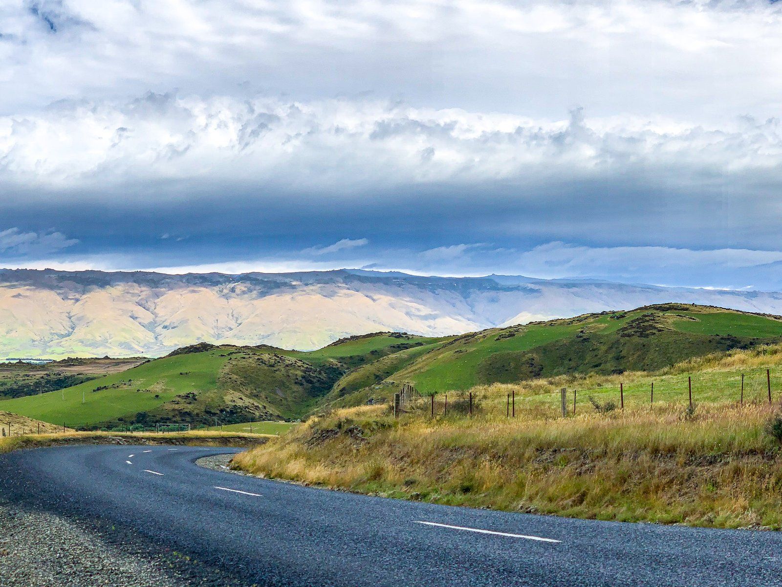
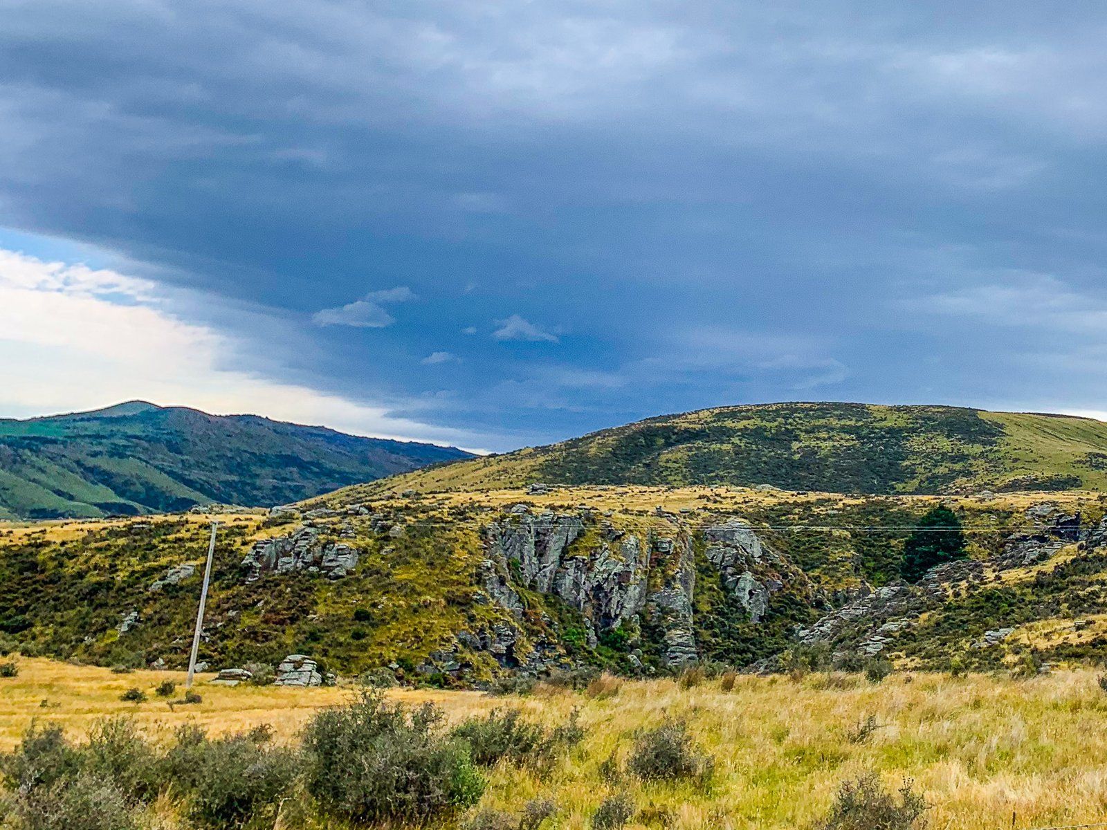
From there, the road climbs up the south end of Billys Ridge and changes from sealed to metal. The ridge has steep farms, but there are several large rocky tors. Stop at the top for the best views across the Moonlight Flat between Billys Ridge and Taieri Ridge, with Strath Taieri Plain and Rock and Pillar Range to the rear. Then, head down into Moonlight Flat, where the road becomes Macraes Road and heads to the town.
Macraes
Macraes is a small town in Waitaki (Central Otago) with a large gold mining past and present. It was originally named Macraes Flat for a local shepherd, John McRae, but gold discoveries built it. The gold rush began in 1862 with the discovery of gold by prospector James Crombie in Deepdell Creek to the north of the town. By 1865, there were 25 businesses and 500 people. Hard rock gold mining began a little later around Golden Point, between the town and Deepdell Creek. Gold mining continues today at the nearby Macraes goldmine.
As in other gold mining areas across NZ, Chinese miners continued mining after most other miners had left. There were 100-300 Chinese miners in a settlement colloquially known as the “upper township”. Most resided in basic huts, similar to what you can see at the Chinese miner memorial in Arrowtown. But in Macraes, the only surviving residence is the more substantial Louis Gay Tan house. Louis was a prominent merchant and interpreter, proving the gold rush dictum that it is better to sell the shovels than dig with them!
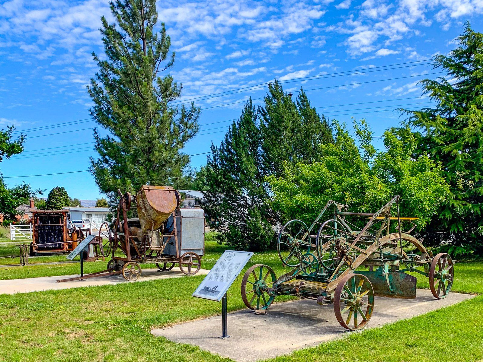
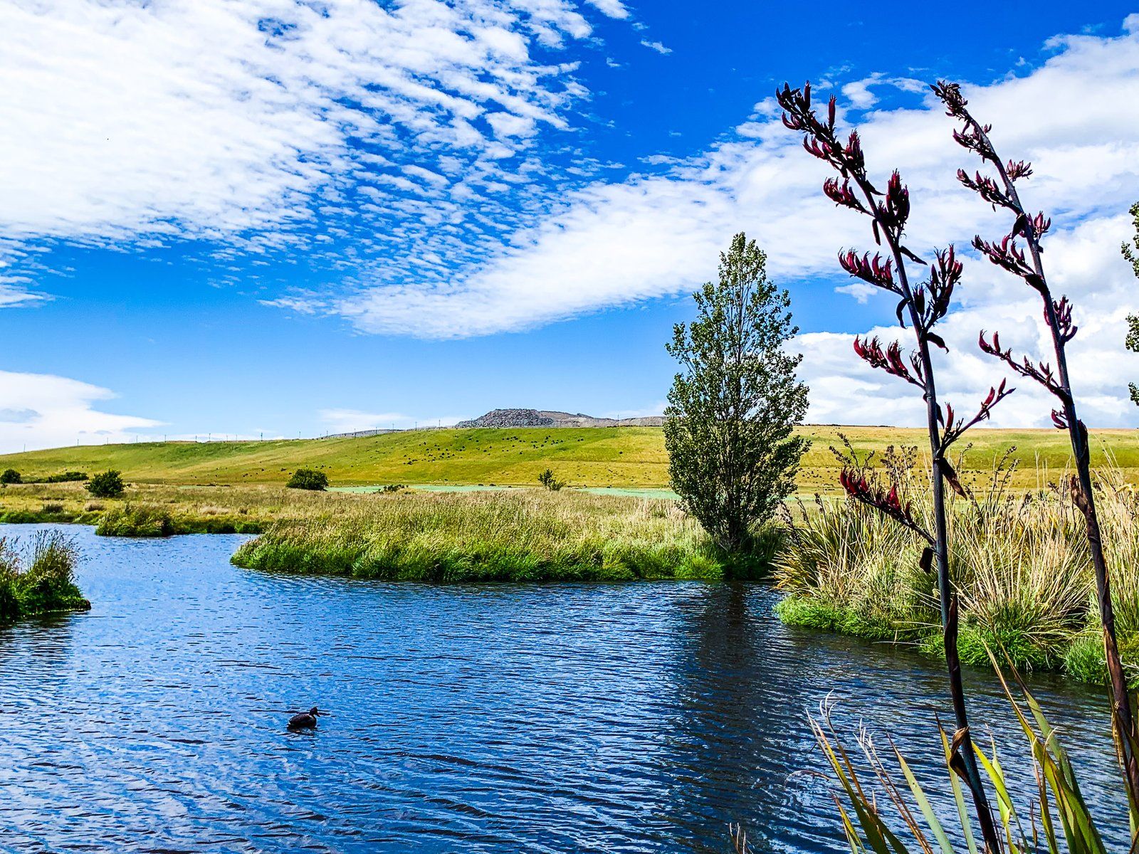
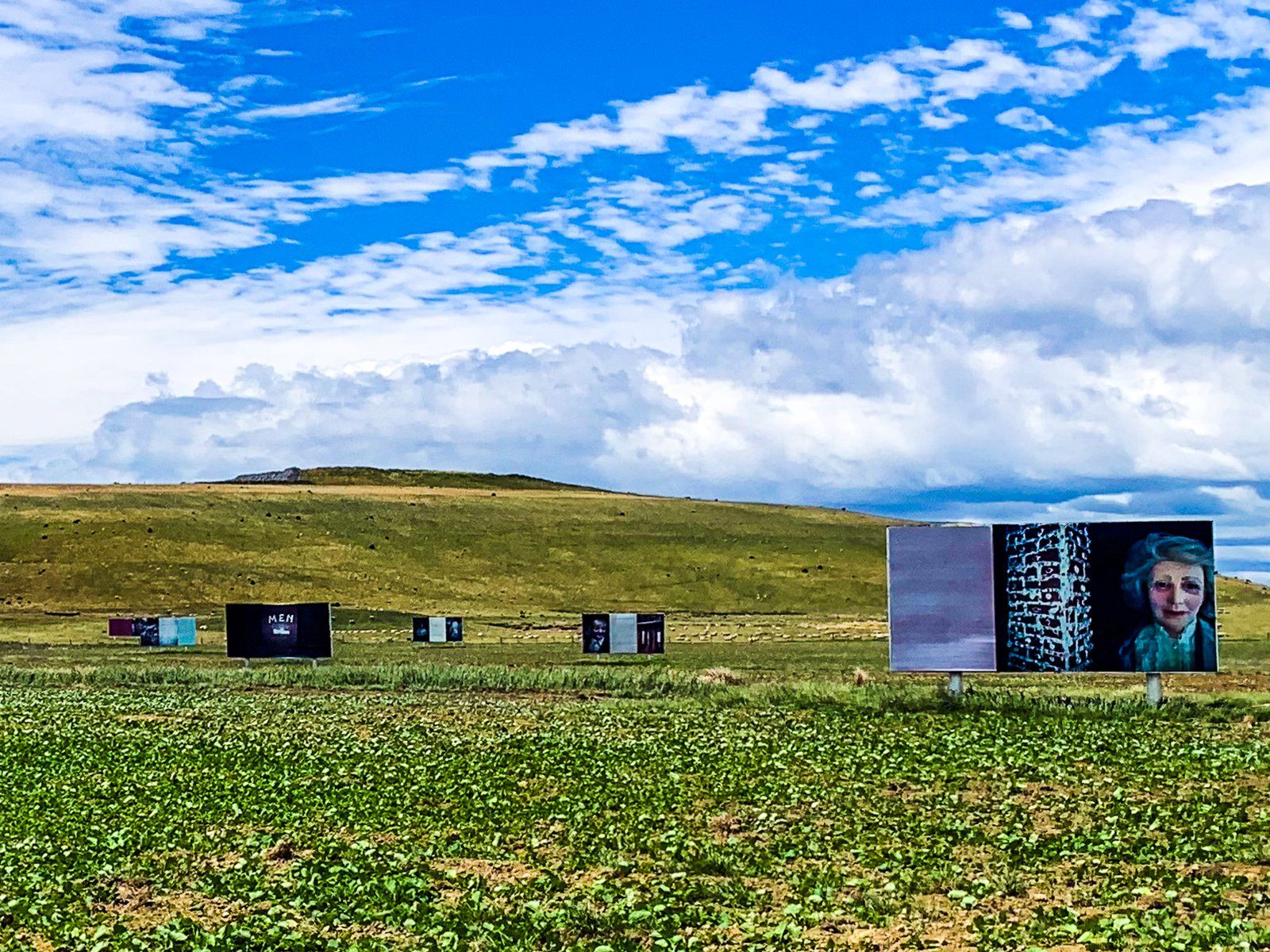
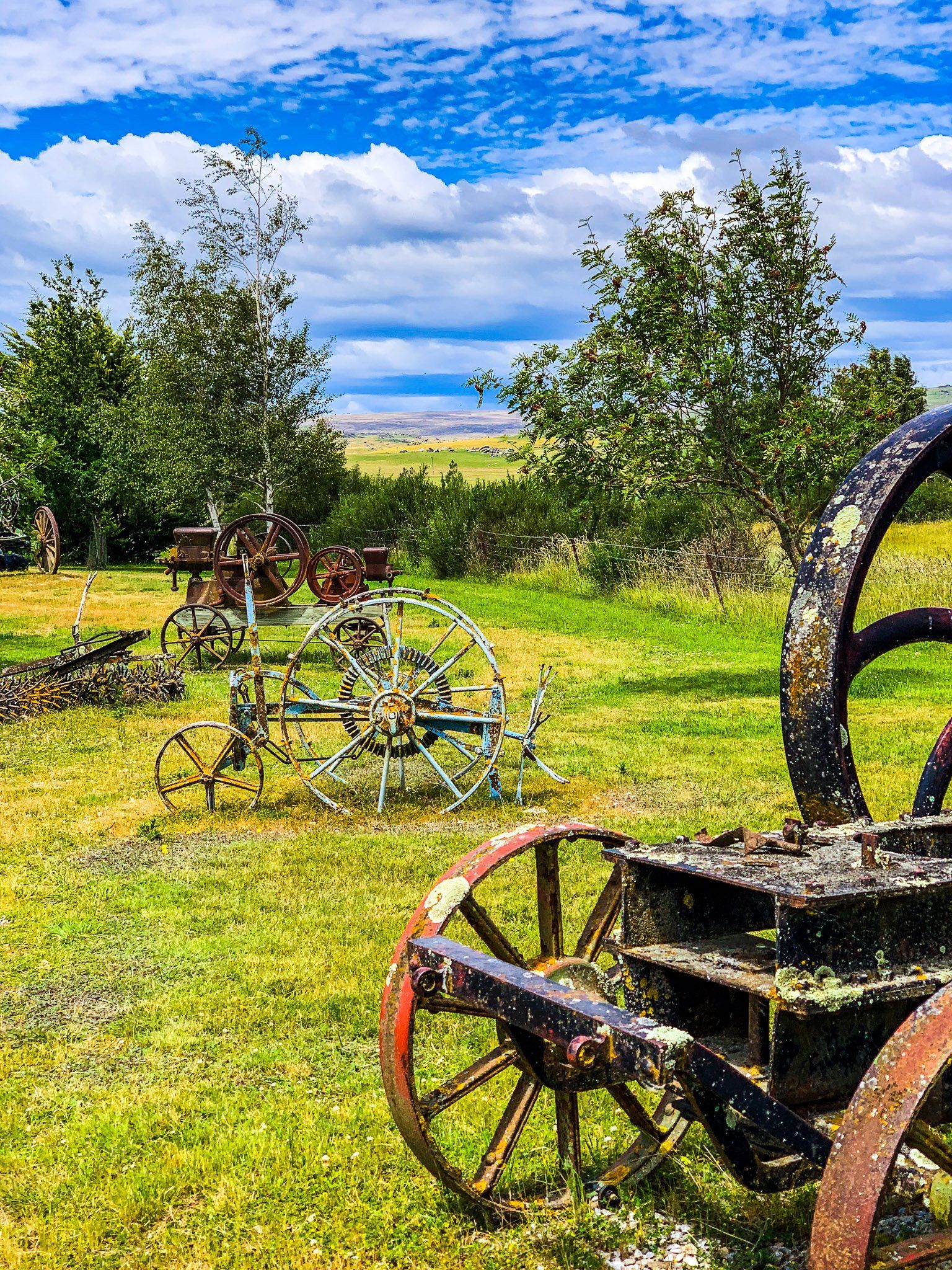
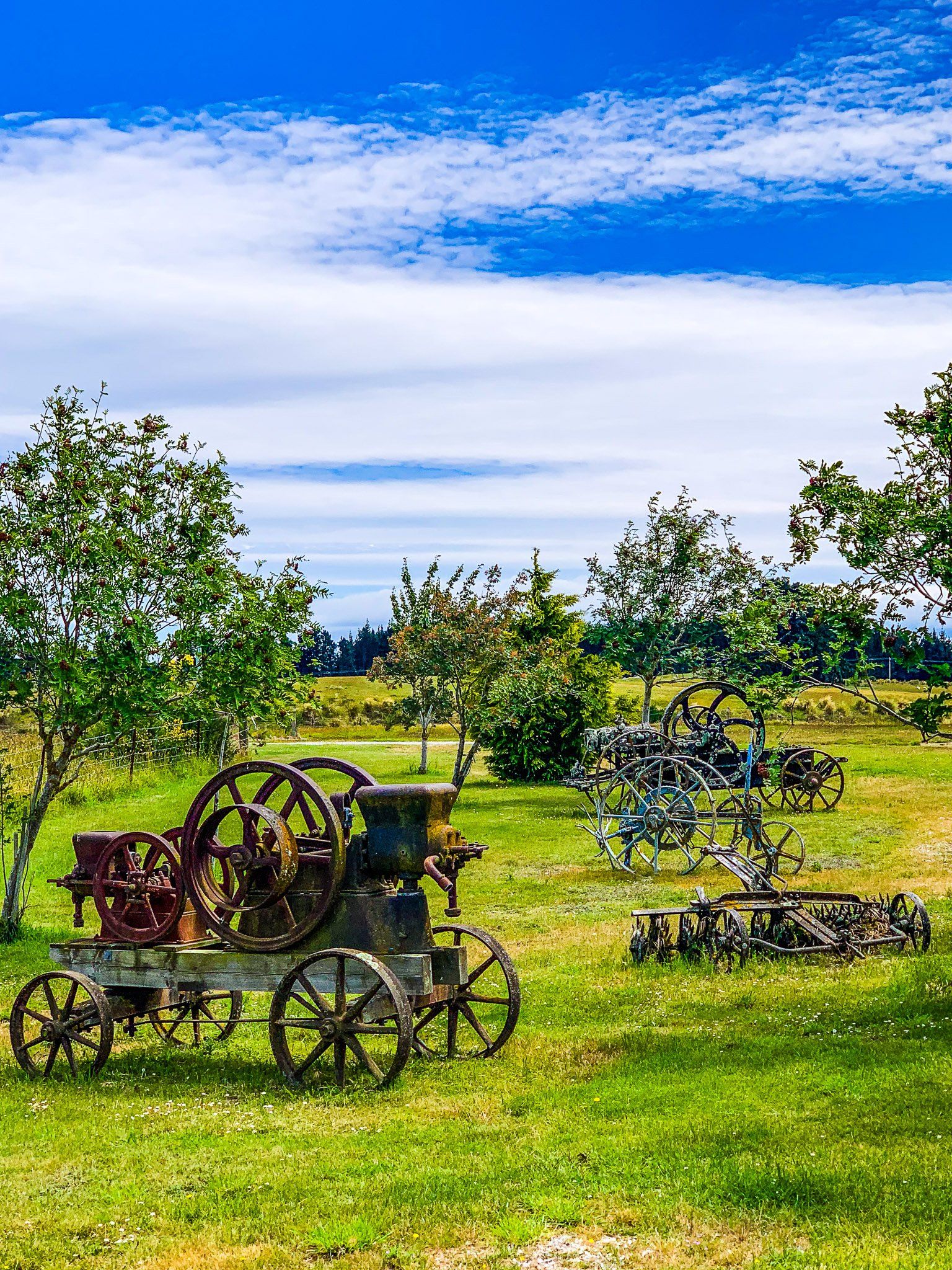
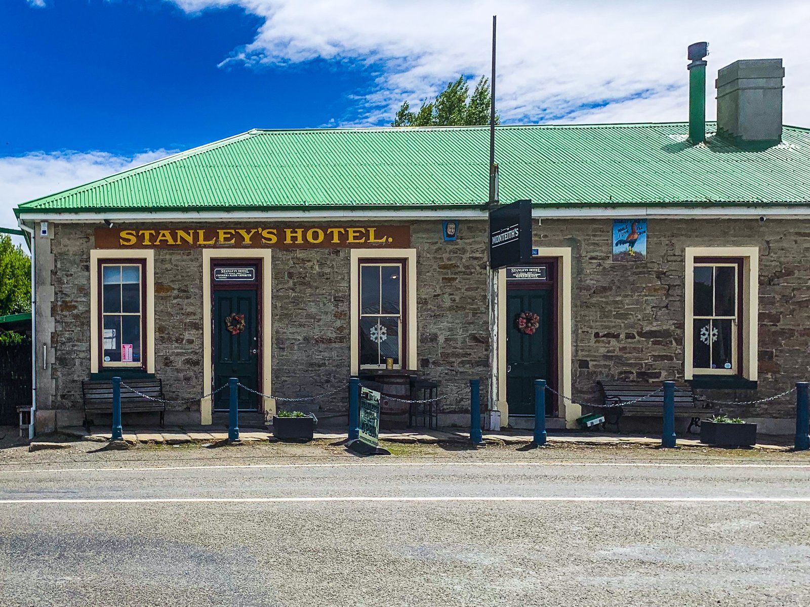
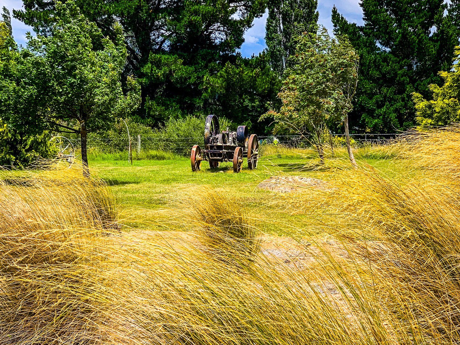
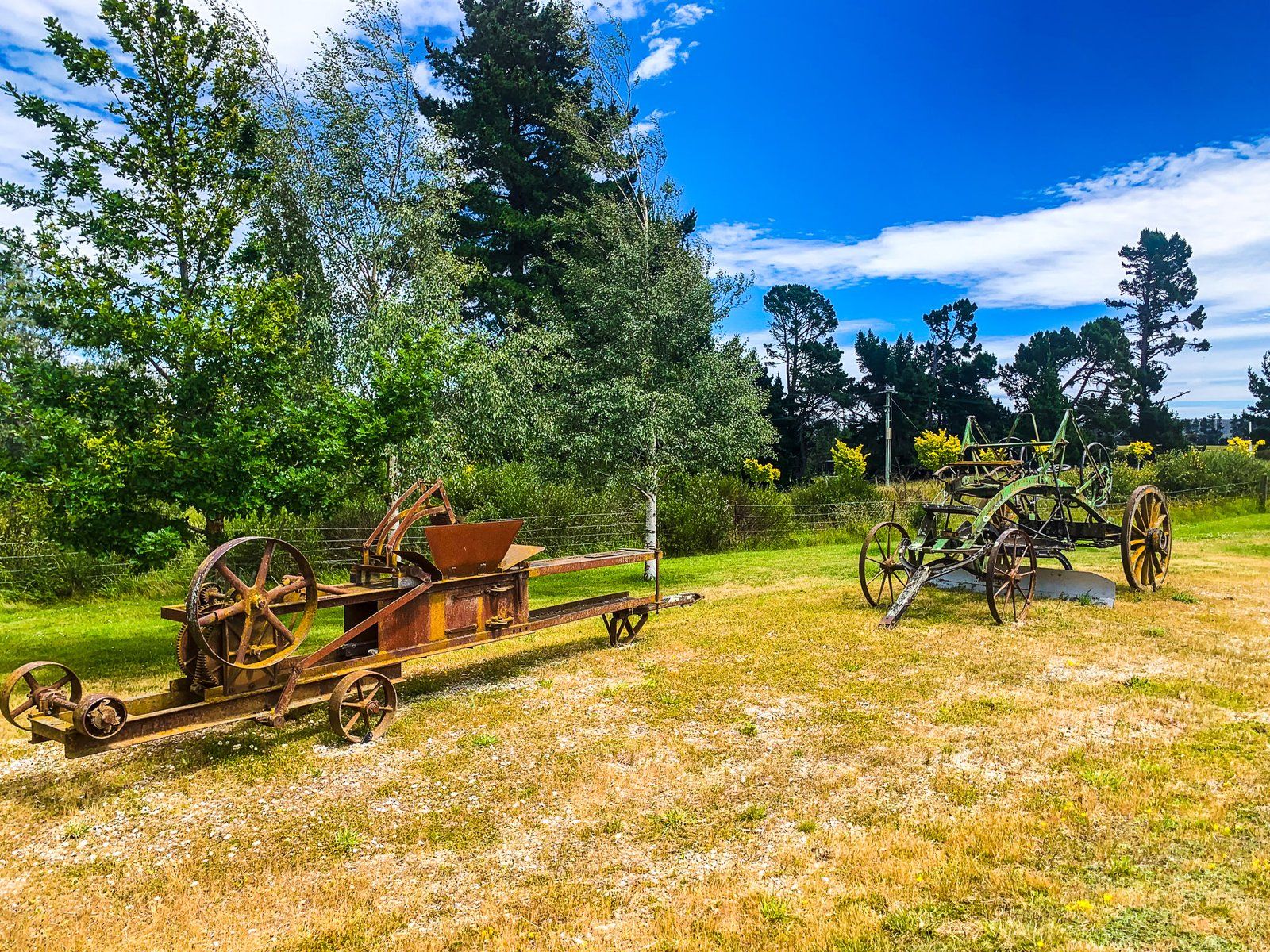
Today, the population of Macraes is small, but there are several historical buildings, including the local hotel. In addition, the modern goldmine has paid for various amenities, which has allowed the town to be creative. There are several interesting outdoor sculptures and artworks, an excellent collection of vintage farm machinery near the historic cemetery and a pretty, restored wetland opposite the hotel.
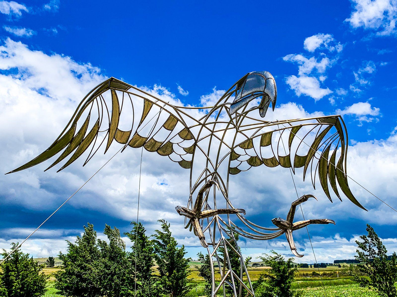
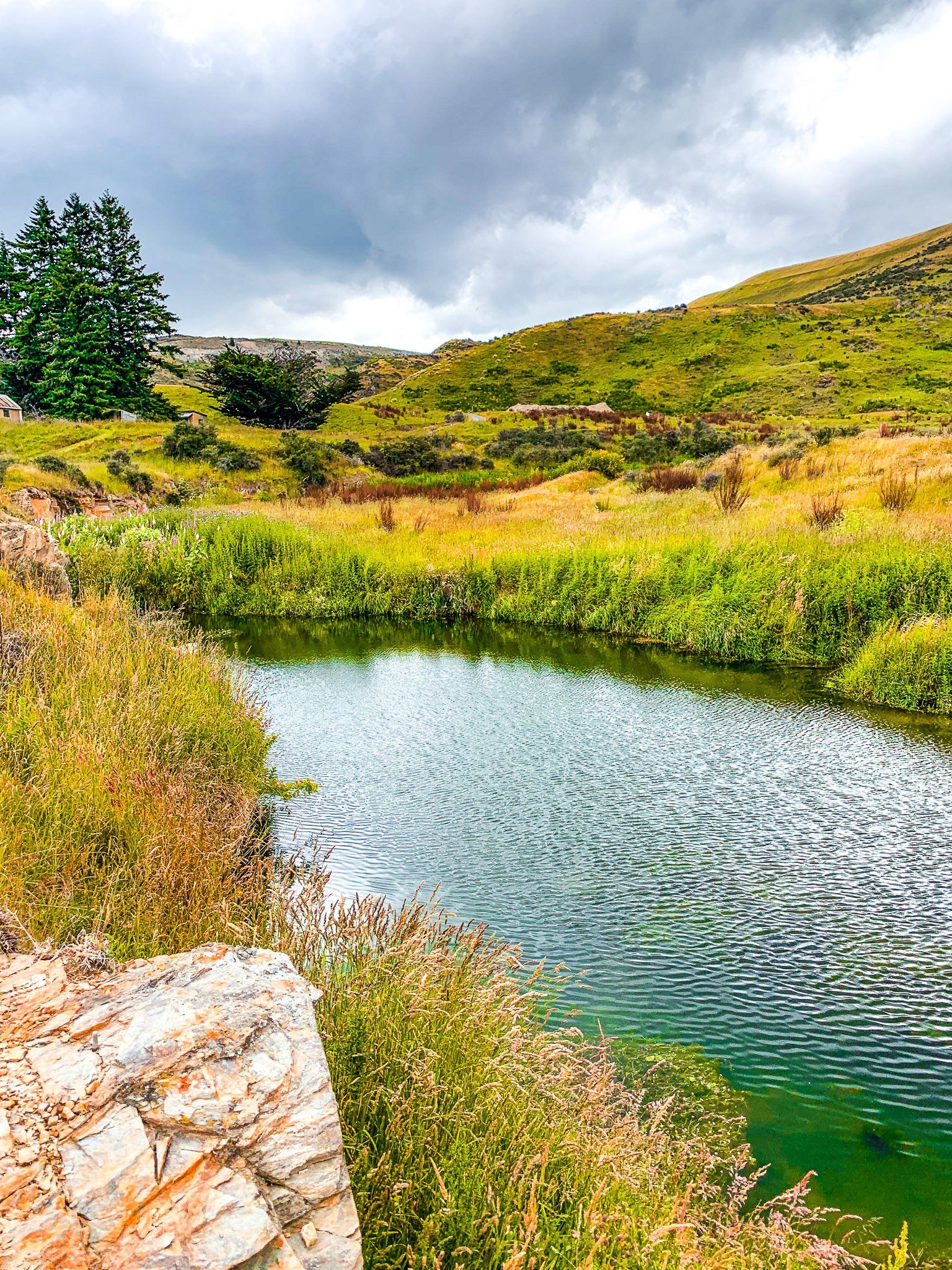
The wetlands are part of the headwaters of the north branch of the Waikouaiti River. They provide habitats for various insects and birds, and there is a 30-minute walking track with information panels. Many artworks, including a cool modernist version of the extinct giant Haast Eagle, can be viewed on the walk.
The town is on Macraes Road, which connects with State Highway 87 in the Shag Valley north of Dunback and with State Highway 85 in the Strath Taieri Plain near Hyde and north of Middlemarch.
Macraes Goldmine
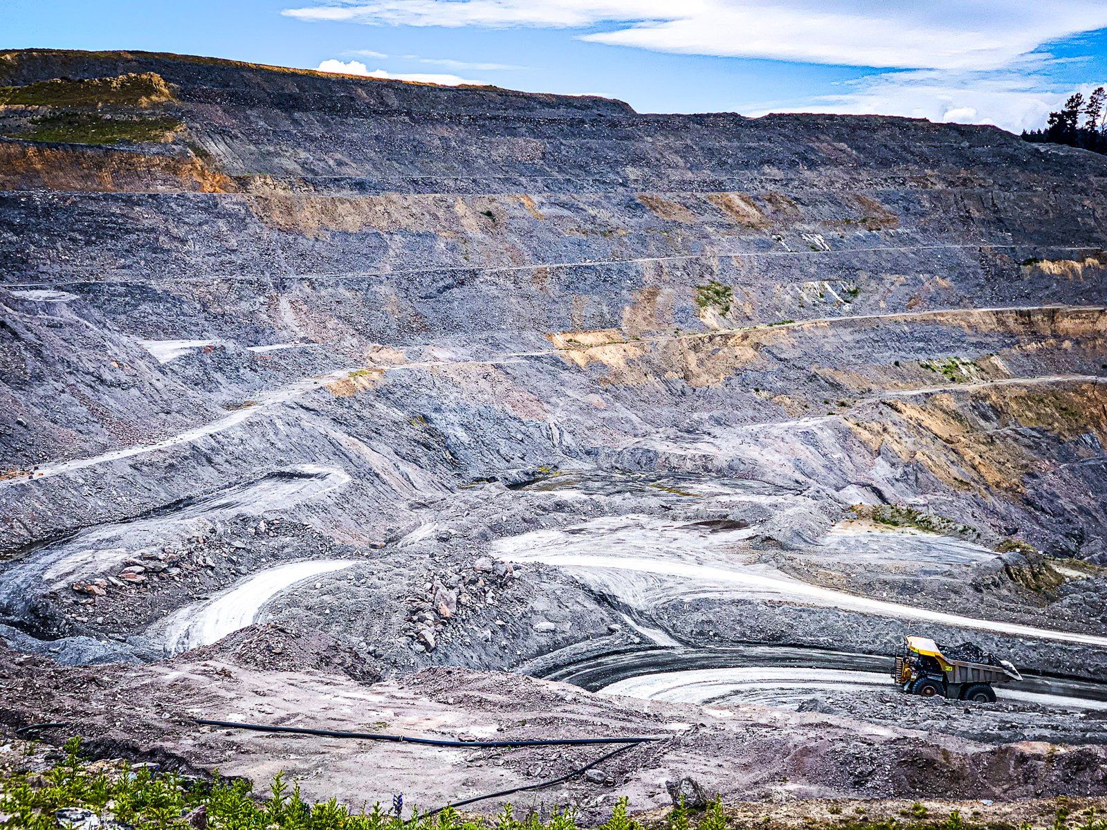
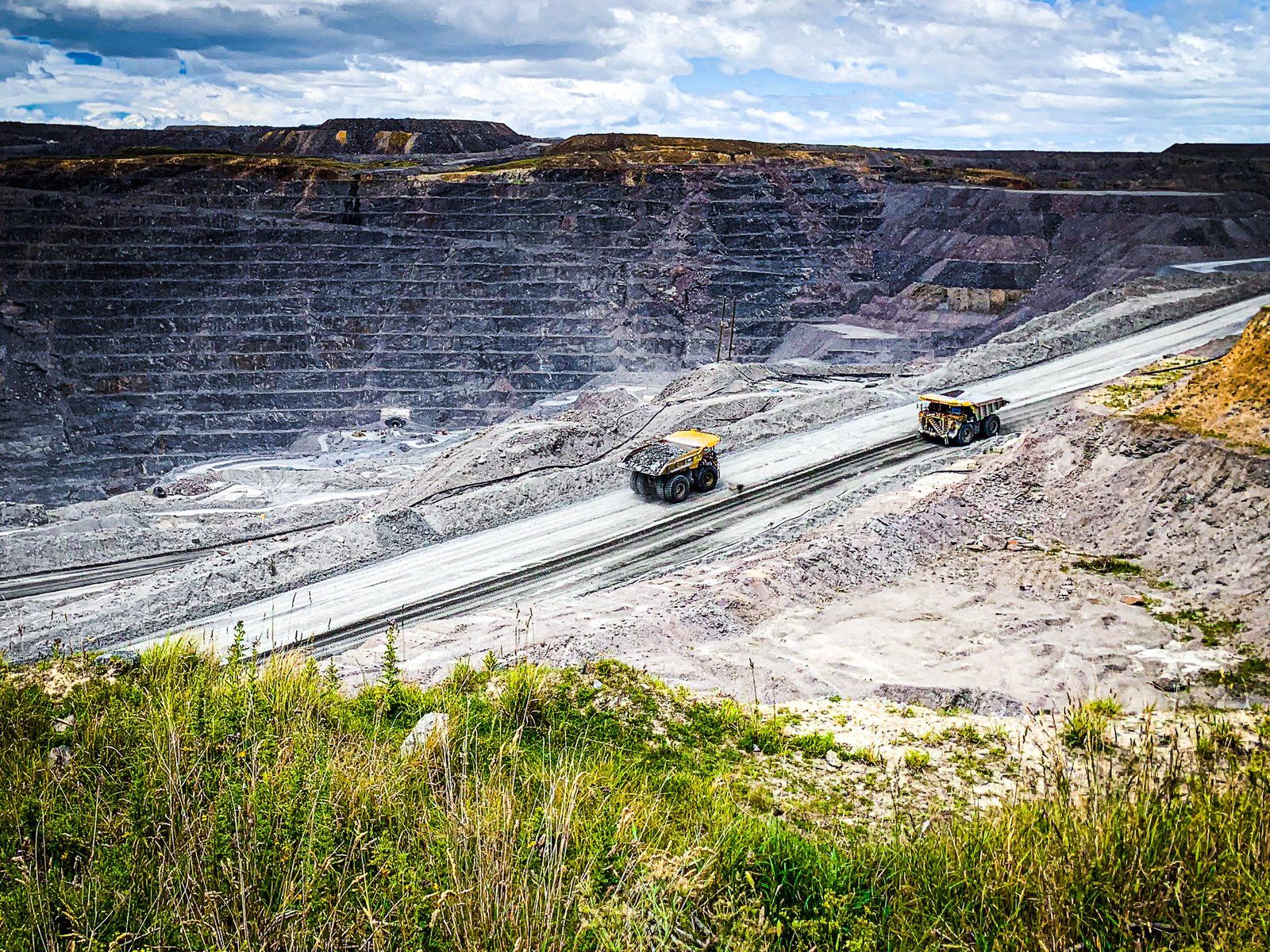
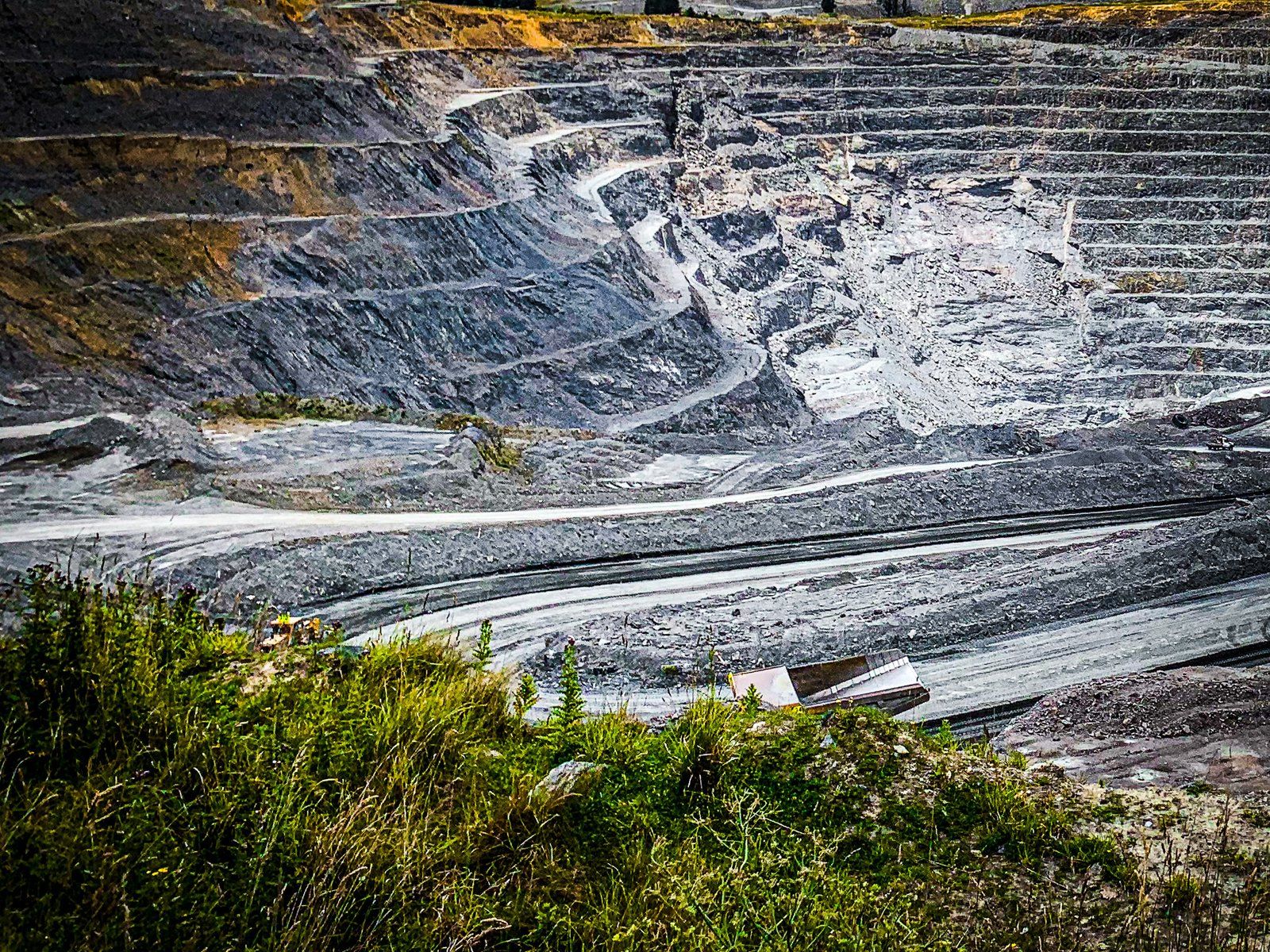
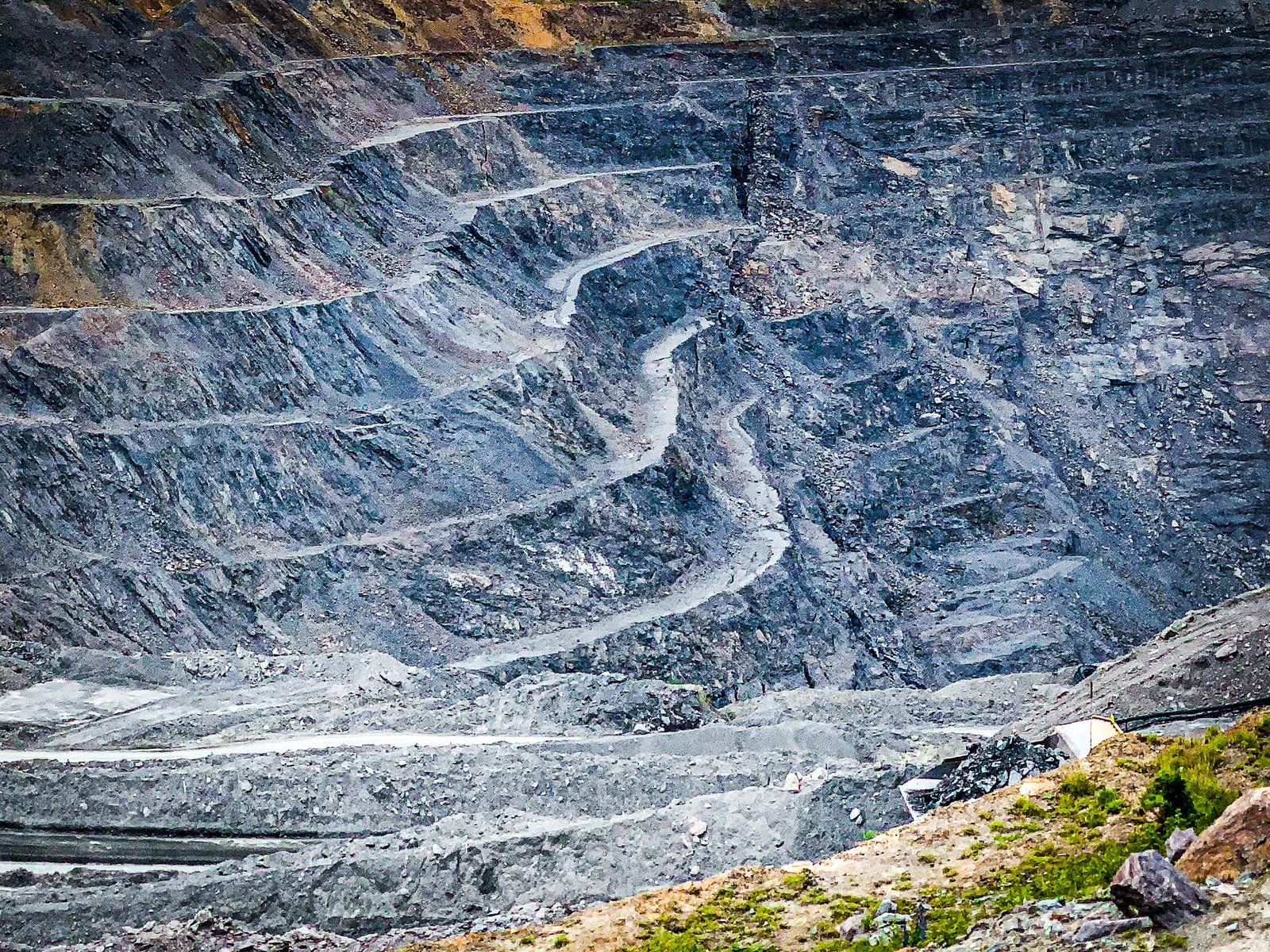
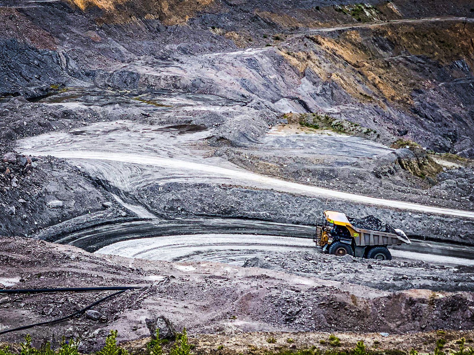
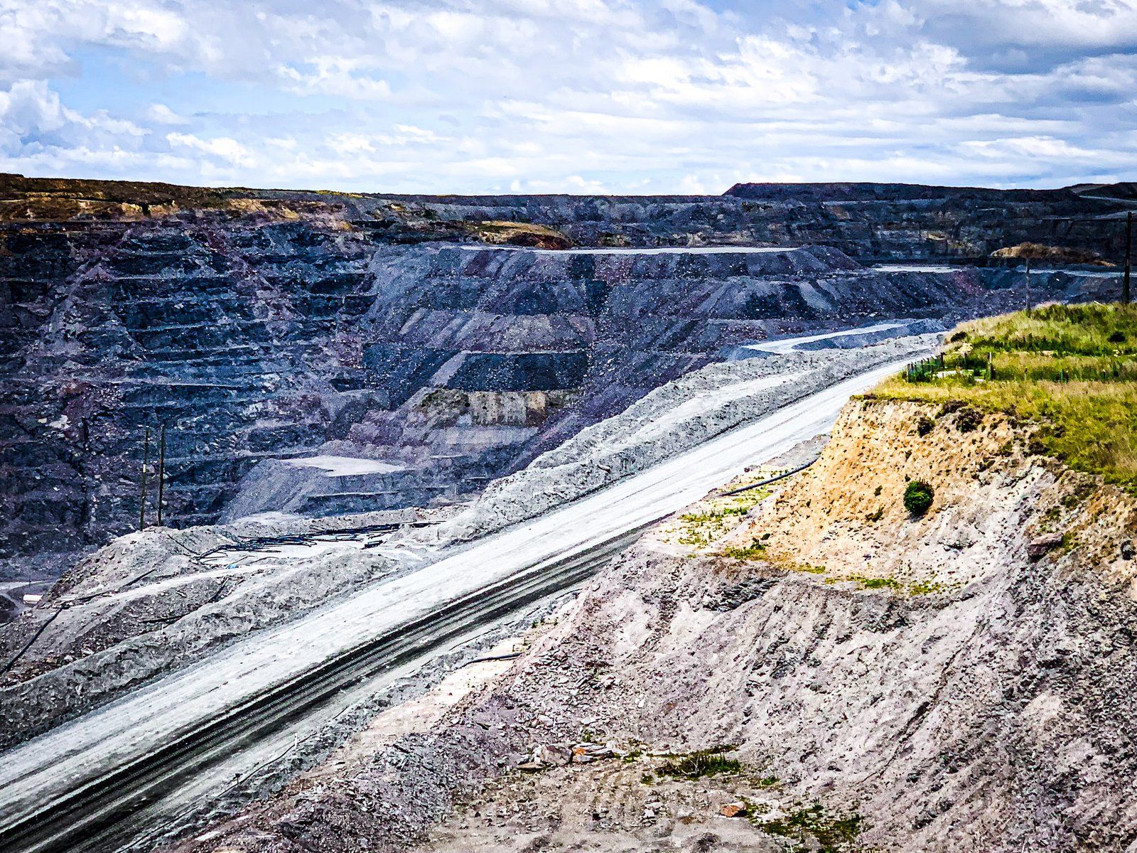
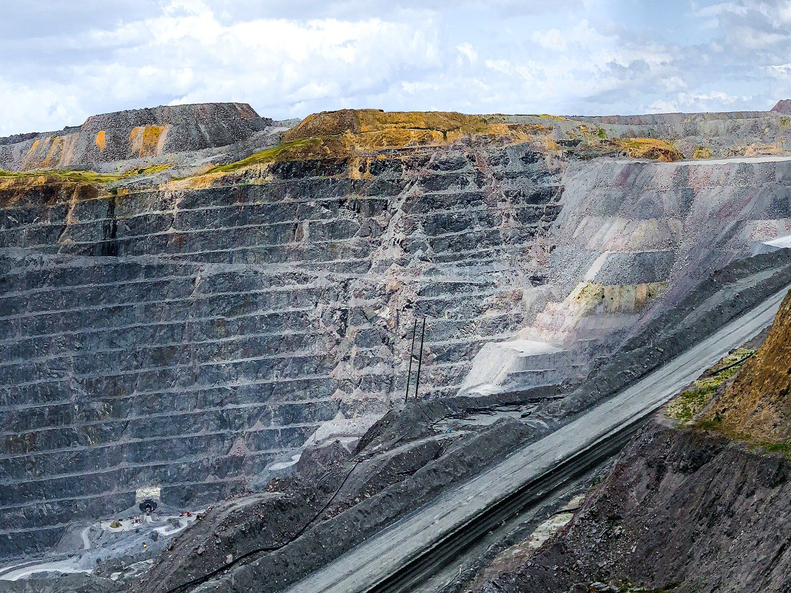
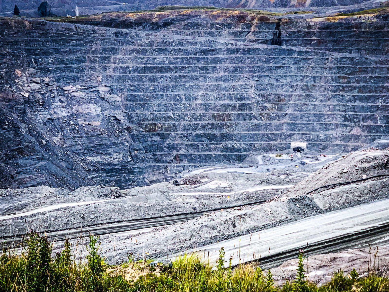
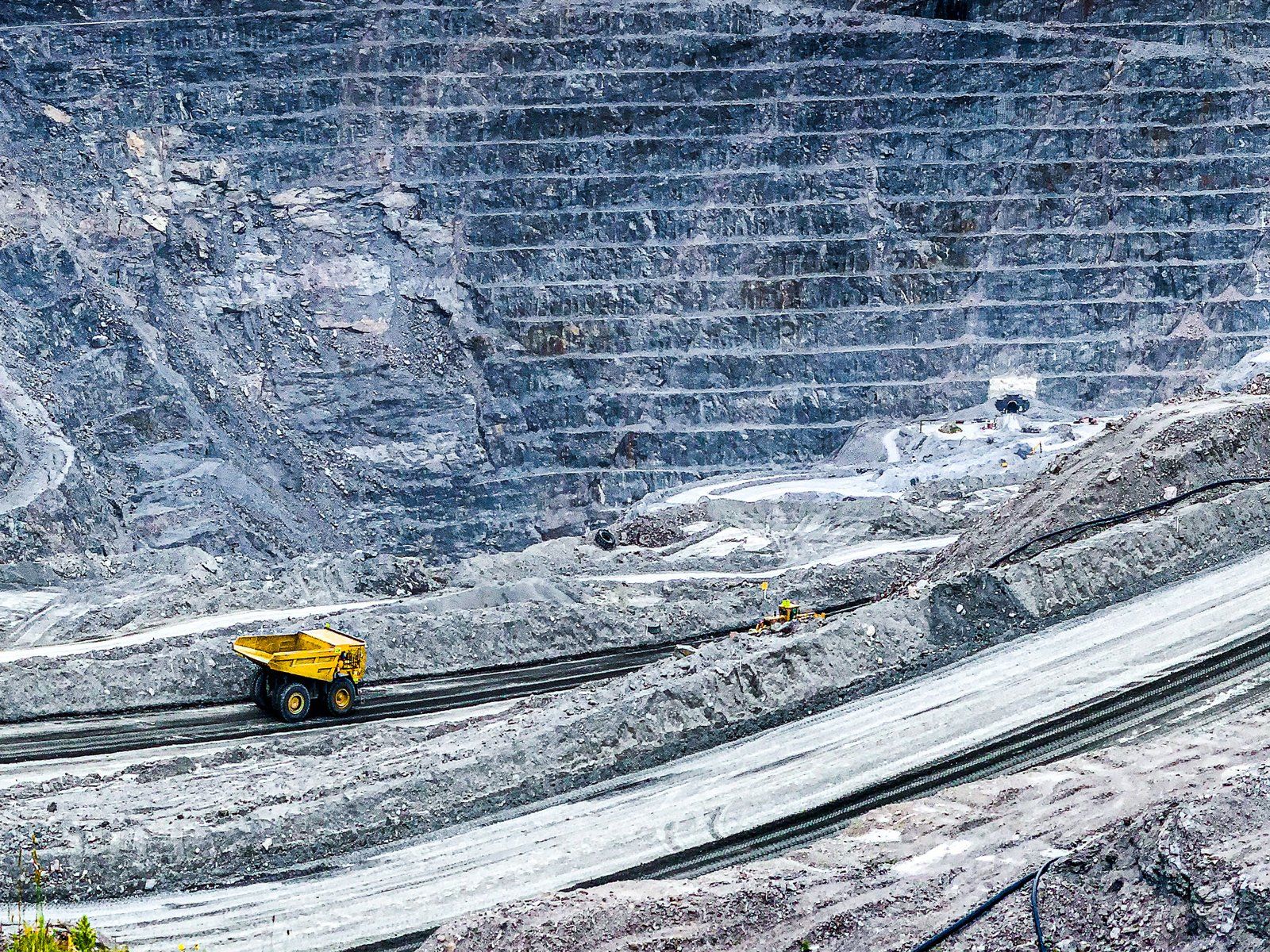
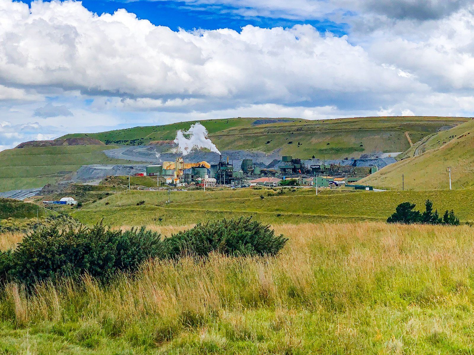
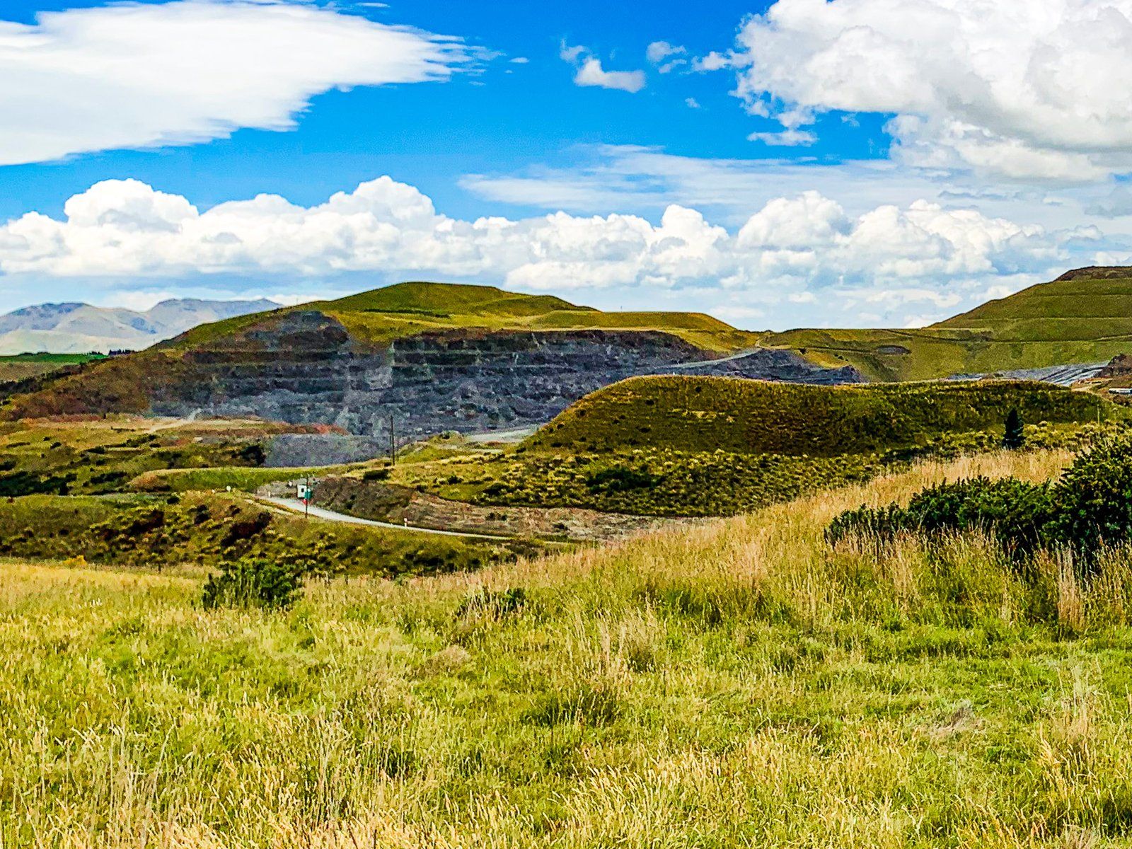
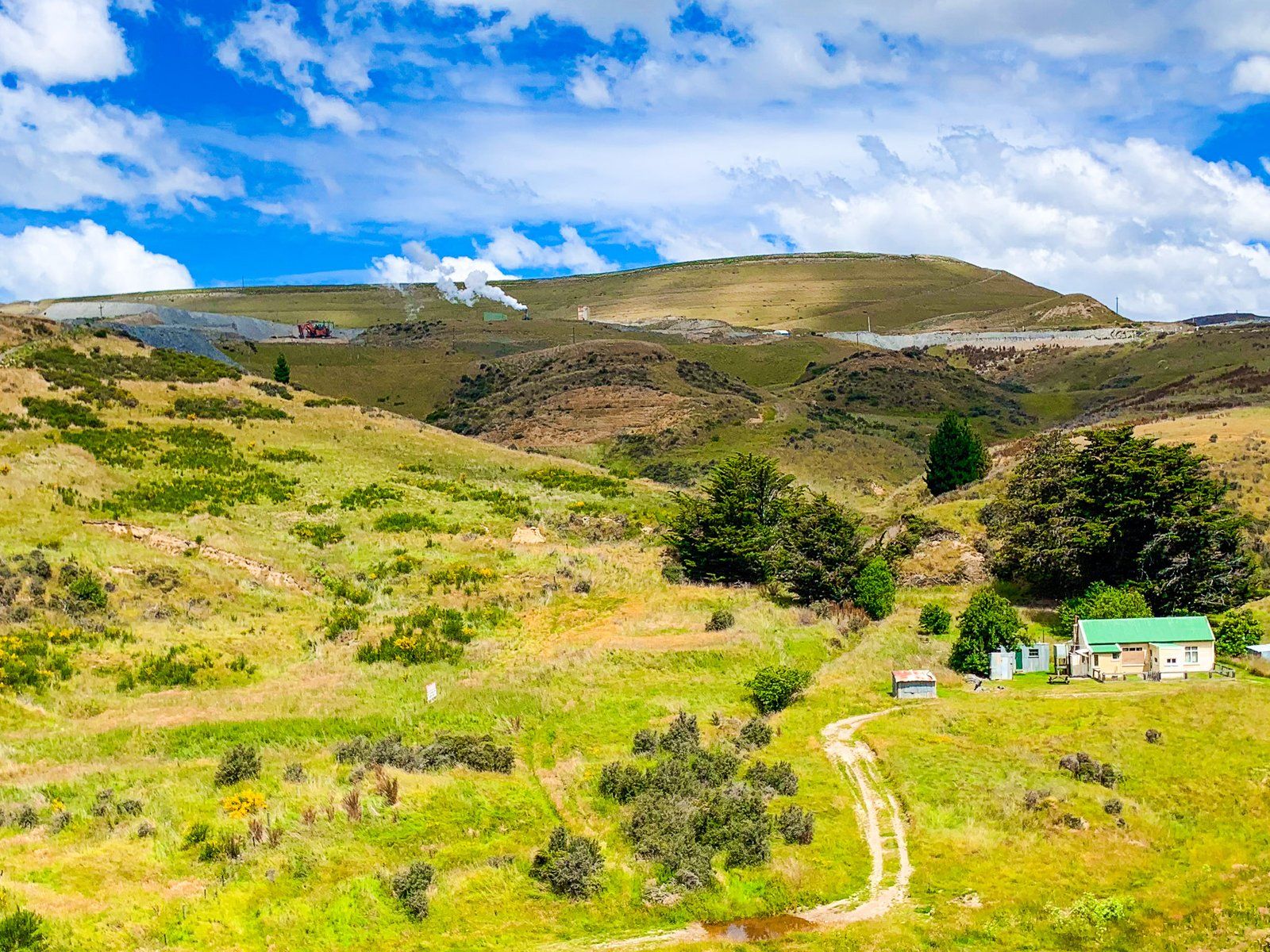
The modern Oceana Gold Macraes gold mine is one and a half km along Macraes Road northeast of the town. It started operation in 1989. Initially, the mine location was a hill, but it is now the largest gold mine pit in NZ, producing around 120,000 ounces annually. The pit is about 200 metres deep, and the mine has also been extended to underground mining.
As you drive towards the mine, there is a public entrance with access to a viewpoint. This provides an excellent view across the main pit.
Golden Point Reserve
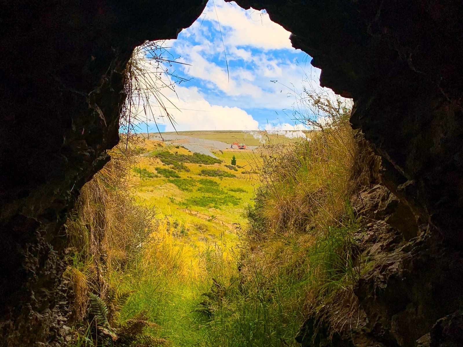
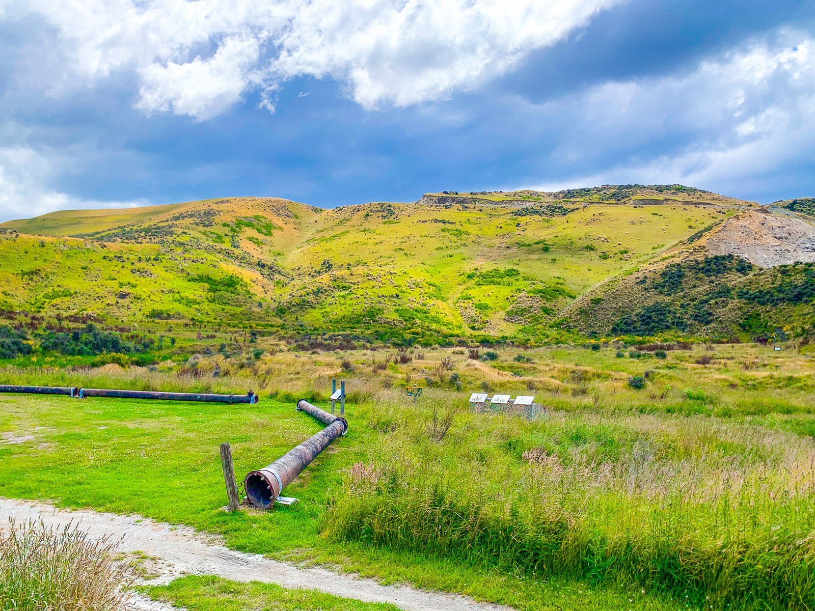
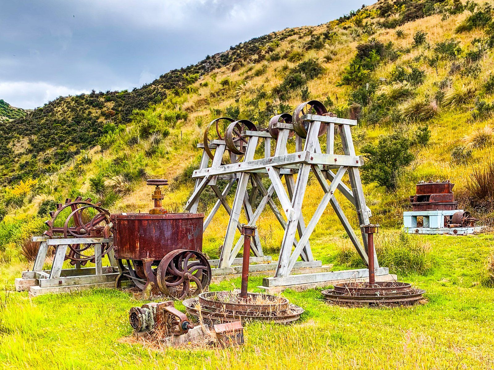
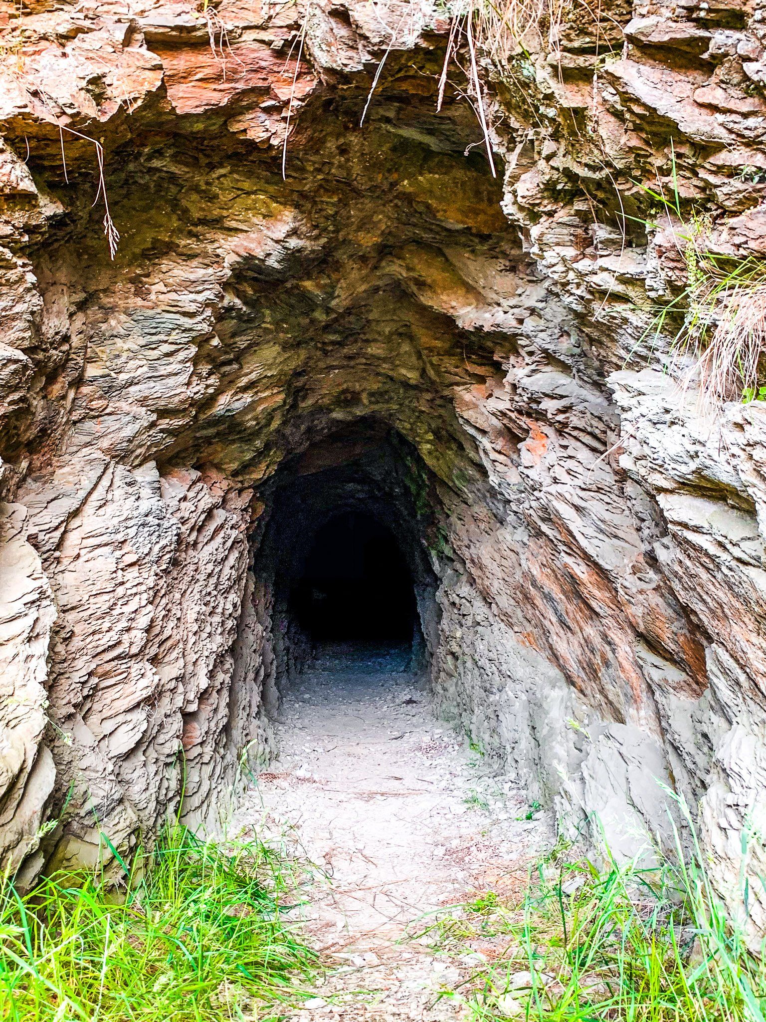
Golden Point Reserve is a DOC historical reserve north of Macraes. Take Golden Point Road from Macraes Road to the east of the town and follow past the Oceana Gold processing facility to the reserve access road. On the way, take note of the unusual “land sculpture”, a series of terraces on the side of Golden Point Road north of the reserve entrance. The reserve is one of the better-preserved South Island gold mining sites, with several buildings and remnant equipment from the period and an accessible mine tunnel.
Gold was first discovered around Macraes in 1862. By 1865, there were over 500 miners in the area. Initially, the focus was on alluvial mining near the town, which developed into hard rock underground reef mines by the 1870s. Scheelite, from which tungsten is extracted, was also discovered and mined in the area.
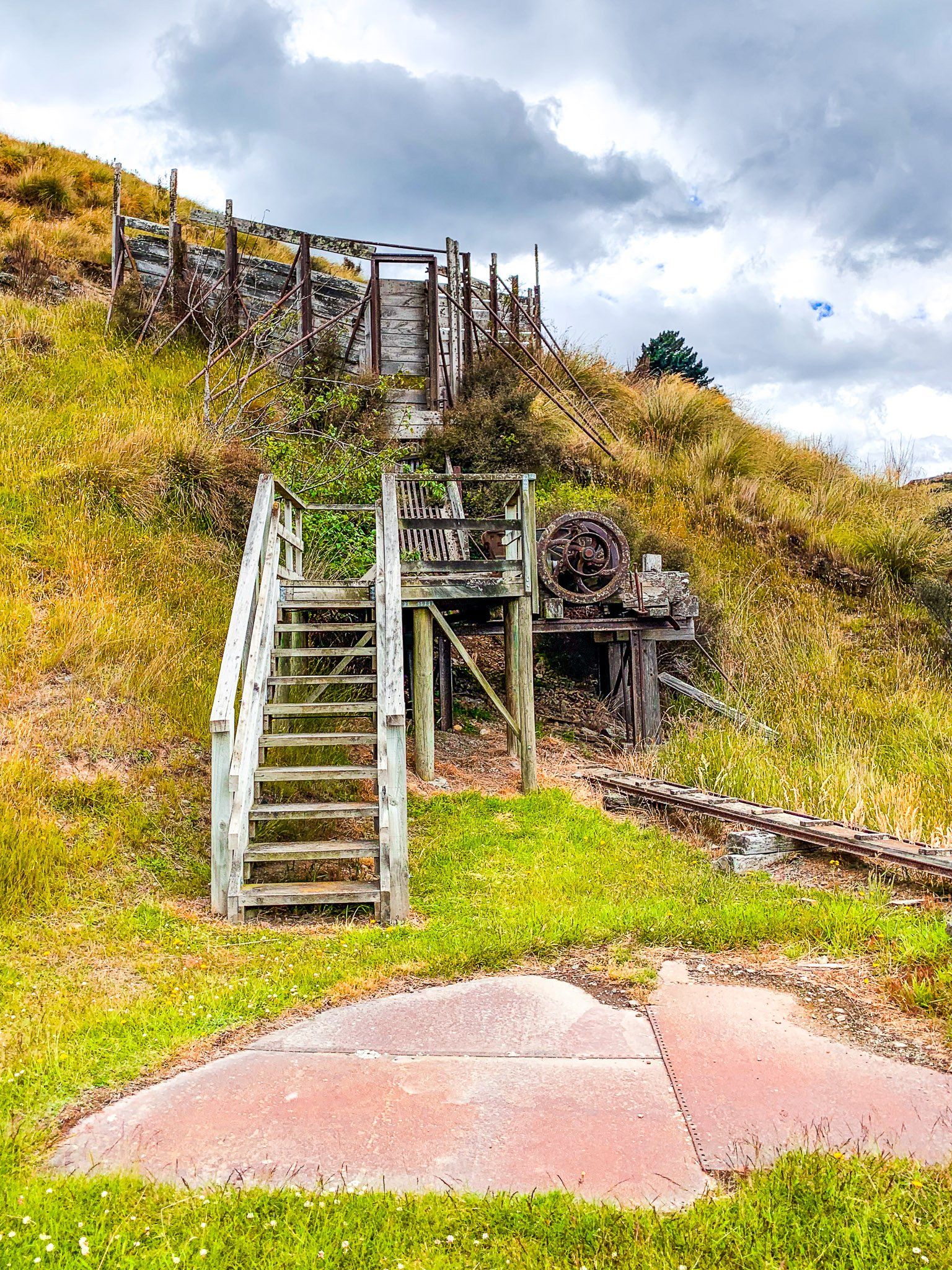
Golden Point came a bit later, opened in 1889. Several companies operated in the area, and the Golden Point Mining Company battery remained in operation until the 1950s. The Maritana Company battery processed scheelite from 1911 for use building armour plating and heavy guns during WWI and WWII.
The goal of the hard rock mining at Golden Point was to extract quartz which houses gold. The resulting ore was crushed in water to a fine slurry in the stamping batteries. The slurry was then dissolved in mercury or cyanide, releasing the gold particles. The surviving equipment includes the Maritana Company stamping battery.
Want more Central Otago Trip Ideas?
Check out our blogs on Central Otago road trips in autumn and winter and Danseys Pass year-round!