Walk the Otitto Track to Whale and Matapouri Bays
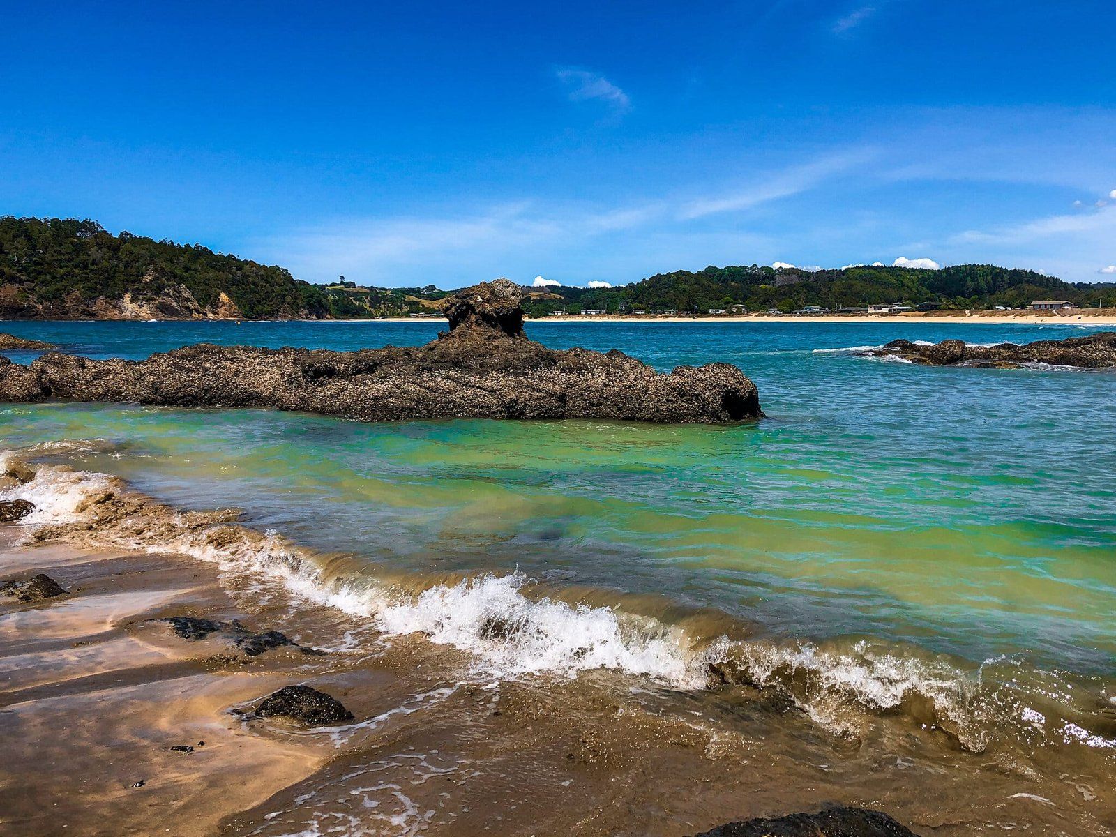
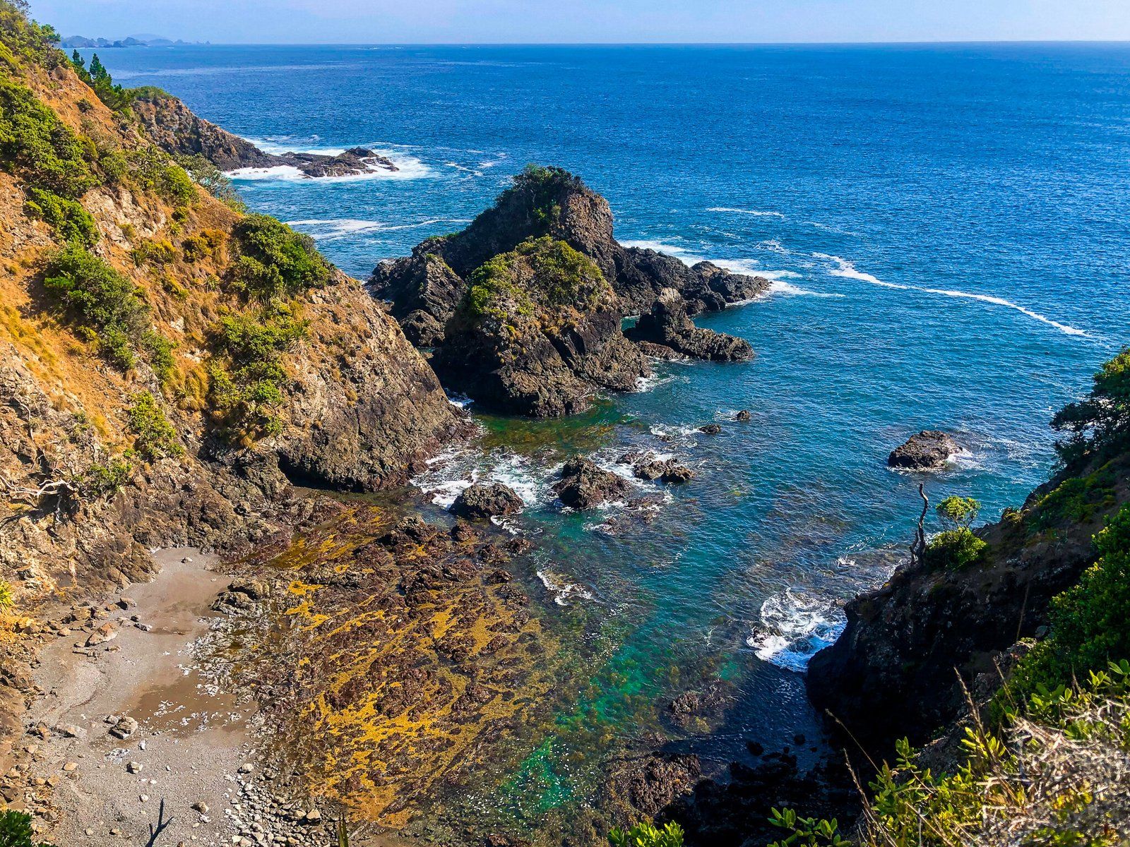
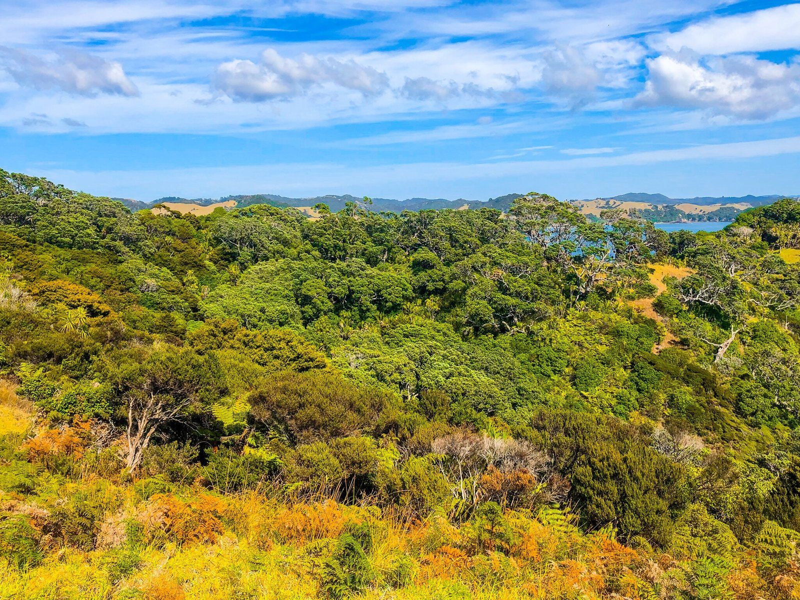
Located on the Tutukākā Coast, east of Whangārei in Northland, the Otito Track is a loop starting and ending at the Whale Bay car park on Matapouri Road. The track provides a fantastic opportunity to experience two picturesque beaches at Whale Bay and Matapouri Bay, as well as the rugged Pacific Coast and sections of native coastal forest.
Exploring the Otito Track
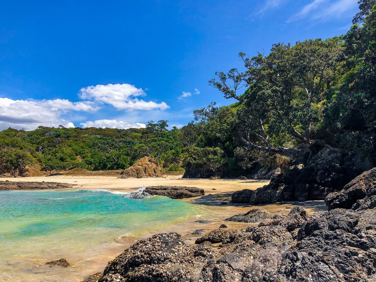
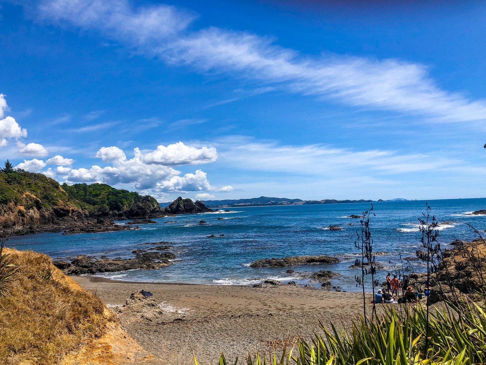
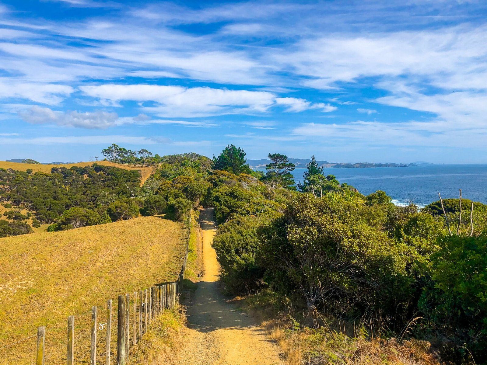
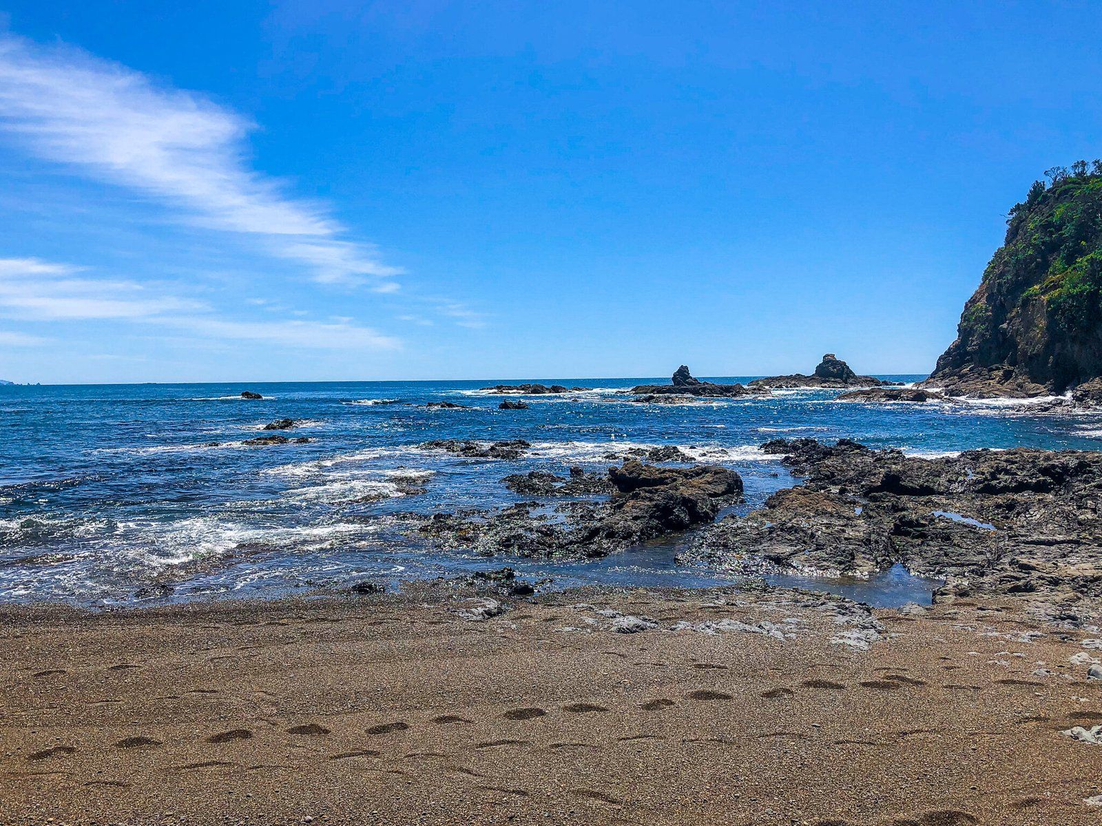
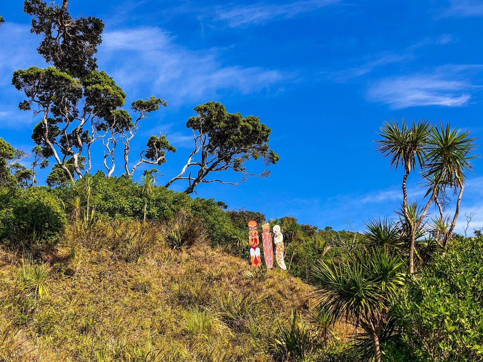
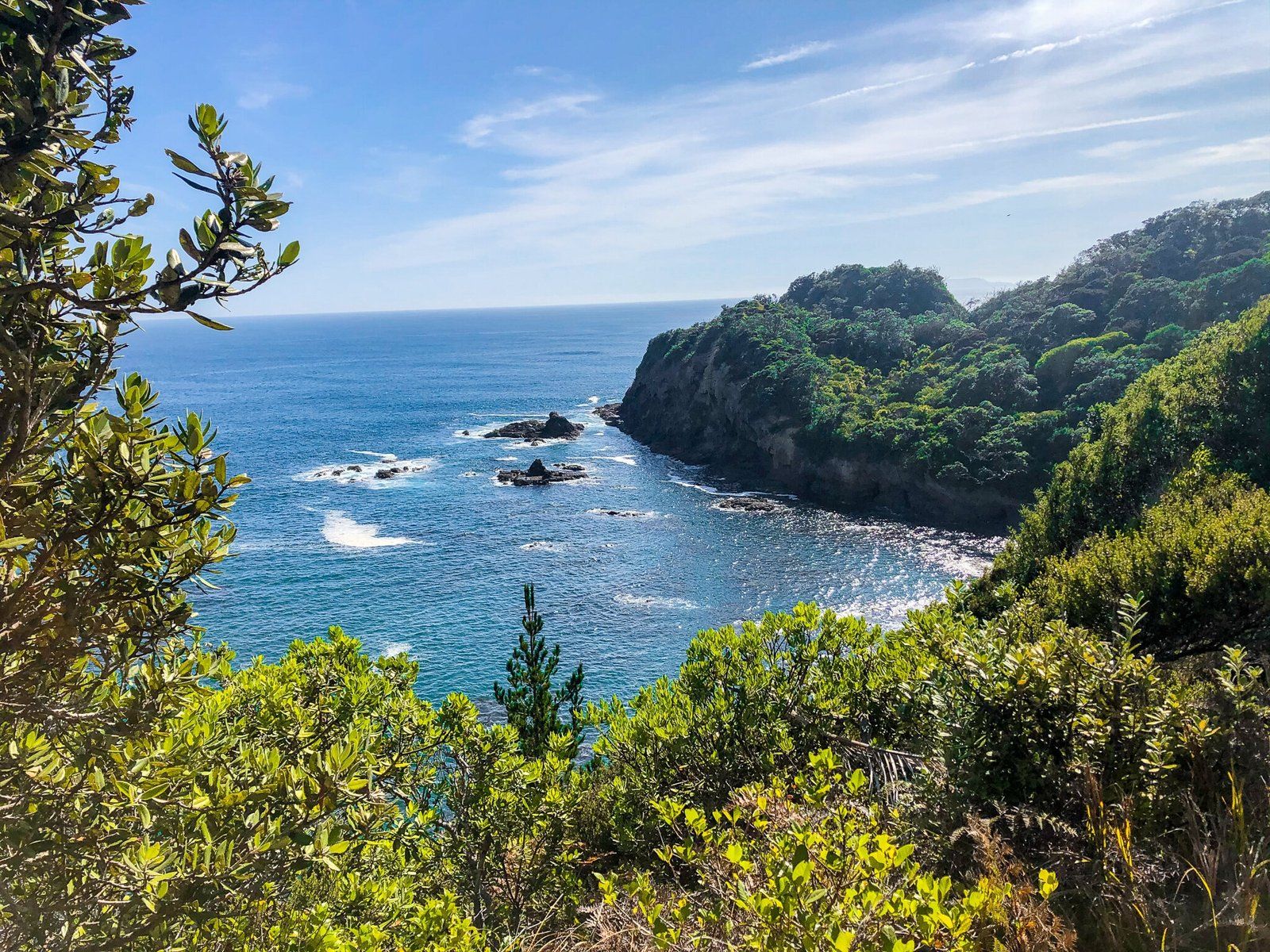
The Otito Track loop takes approximately 90 minutes to complete, not including time spent enjoying the beaches, swimming, or picnicking. From the Whale Bay car park, the track begins with a 300-metre walk towards Whale Bay. Here, you can choose to descend to the beach or take the headland track to the right. This path follows the ridge and fence line, leading to a viewpoint atop the cliff above Pebbly Beach.
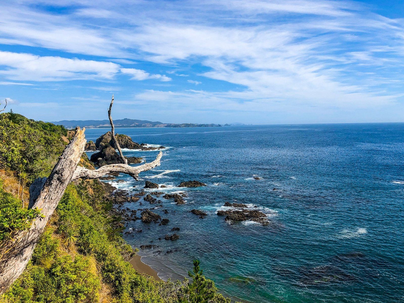
Continuing along the cliff track, it eventually descends to Pebbly Beach. From there, the trail passes through Otito Reserve and reaches Matapouri Beach. At this point, you can head left towards the Hole in the Rock for access to Rangitapu Point or turn right to explore Matapouri village. The loop route can be completed from the village back to the car park via Morrison Road and Ringer Avenue.
How to Get There
To reach the start of the Otito Track from Tutukākā, drive north along Matapouri Road for 10 km, past the small township of Matapouri. As the road rises over the hill between Matapouri and Woolleys Bay, you will see the Whale Bay car park signposted ot the right. You can also park anywhere in Matapouri and access the loop track from there.
The nearby town of Tutukākā serves as the gateway to the marine reserve around the Poor Knights Islands, offering additional attractions for visitors to the area.