Discover the Enchanting Ōtepātotu Track
Located on Summit Road above Akaroa on Banks Peninsula, the Ōtepātotu Track in the Ōtepātotu Scenic Reserve is a captivating walk through a landscape steeped in natural beauty and Māori legend. This track, situated about halfway between the intersections of Okains Bay Road and Le Bons Road, is a rewarding hike to the top of Lavericks and a perfect spot for a picnic with its large grassed area, picnic benches, and scenic views.
Hike Through Ancient Forest
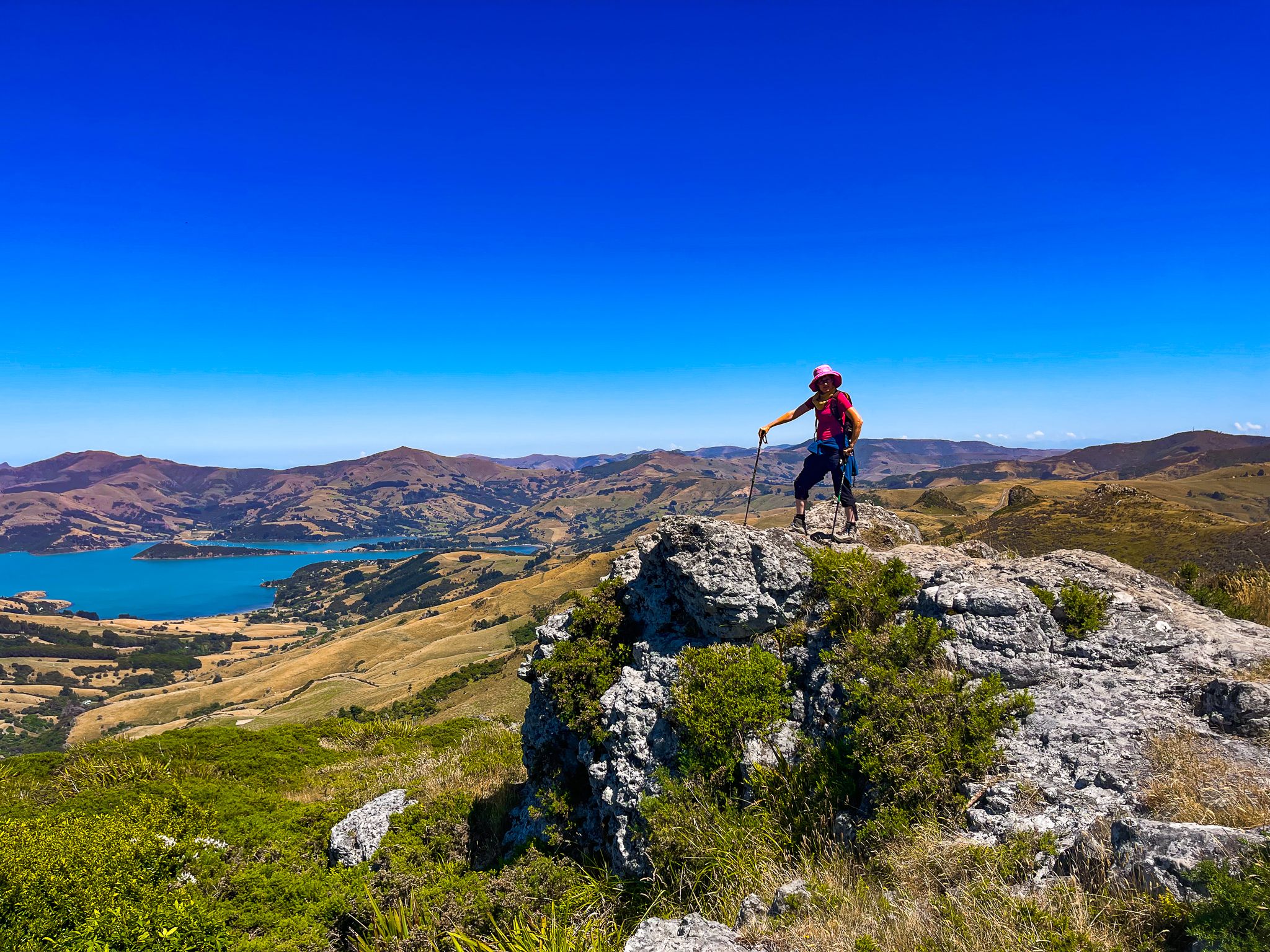
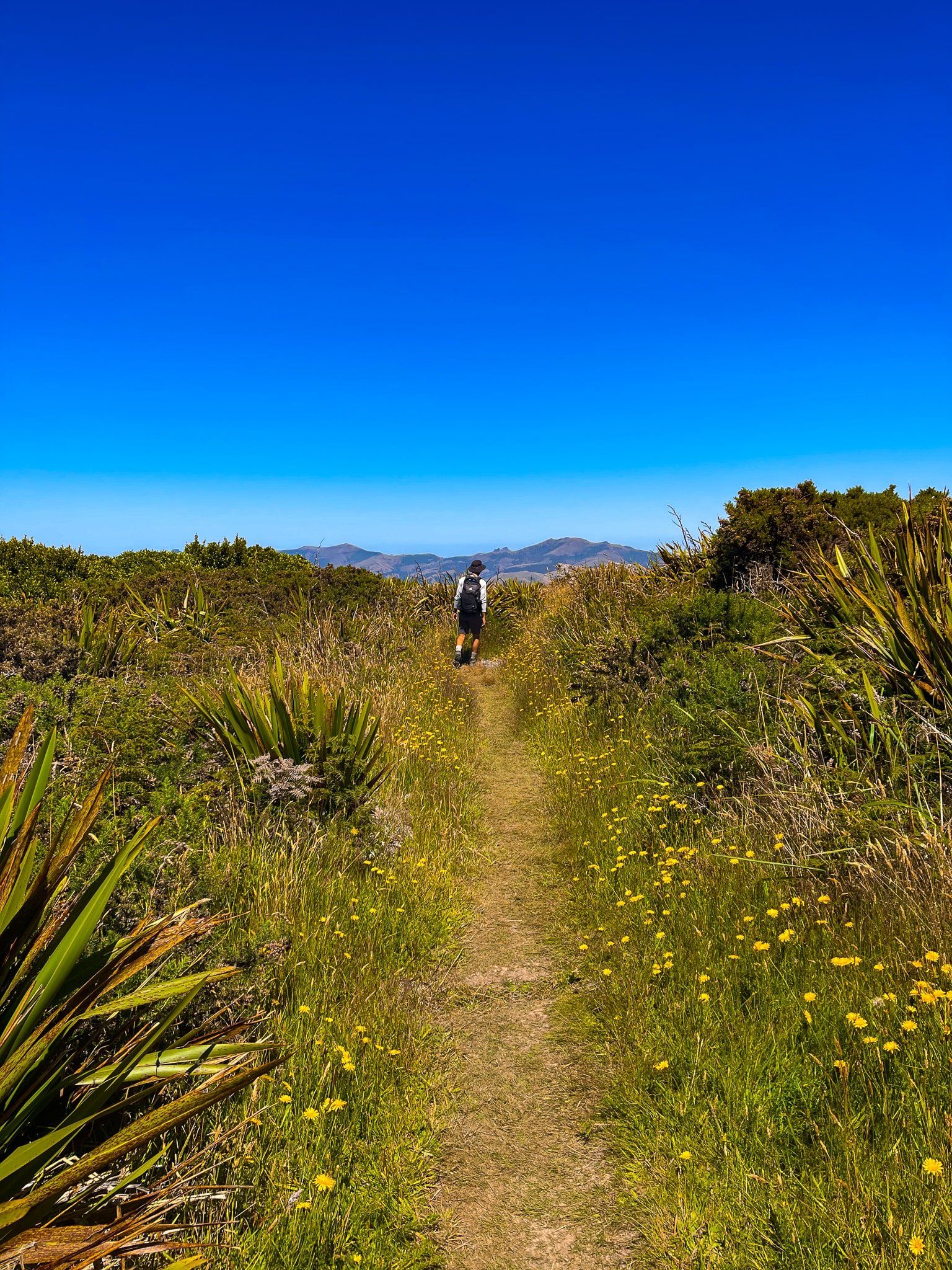
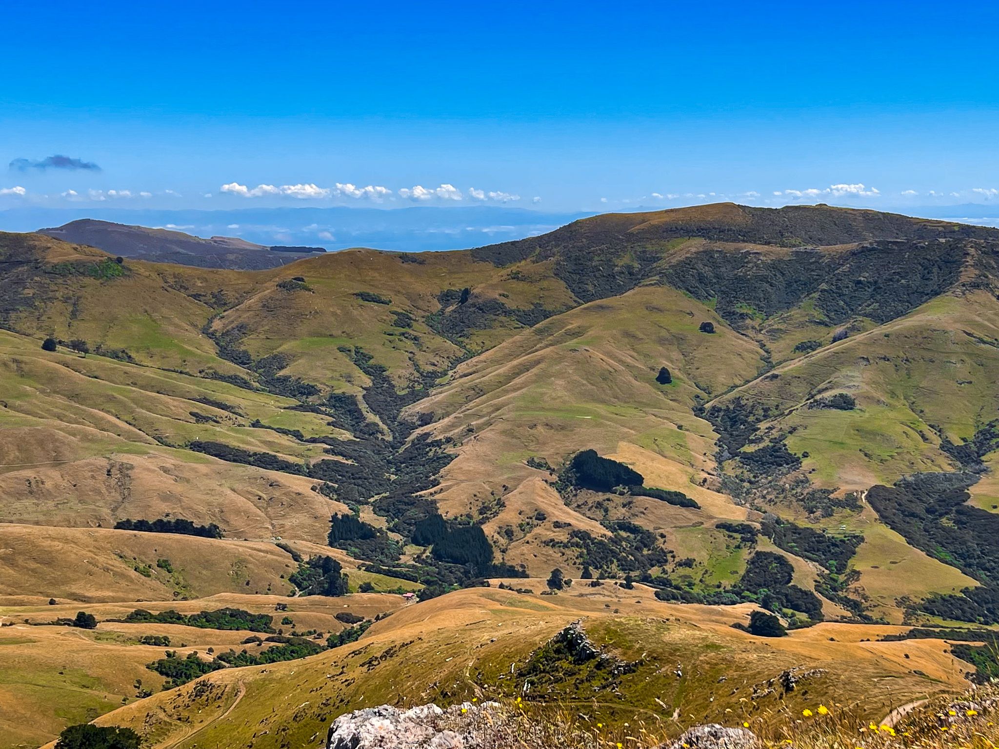
The track begins to the left of the grassed area and features some steep sections. With a total ascent of 155 metres, it leads you to the summit of Lavericks, a 755-metre high point on the Akaroa Harbour crater rim. The short initial climb is steep, taking you to a viewpoint above a rocky cliff, where you can enjoy a stunning view back across Akaroa. After taking in the vista, retrace your steps a few metres and veer left on the loop track that leads to the top.
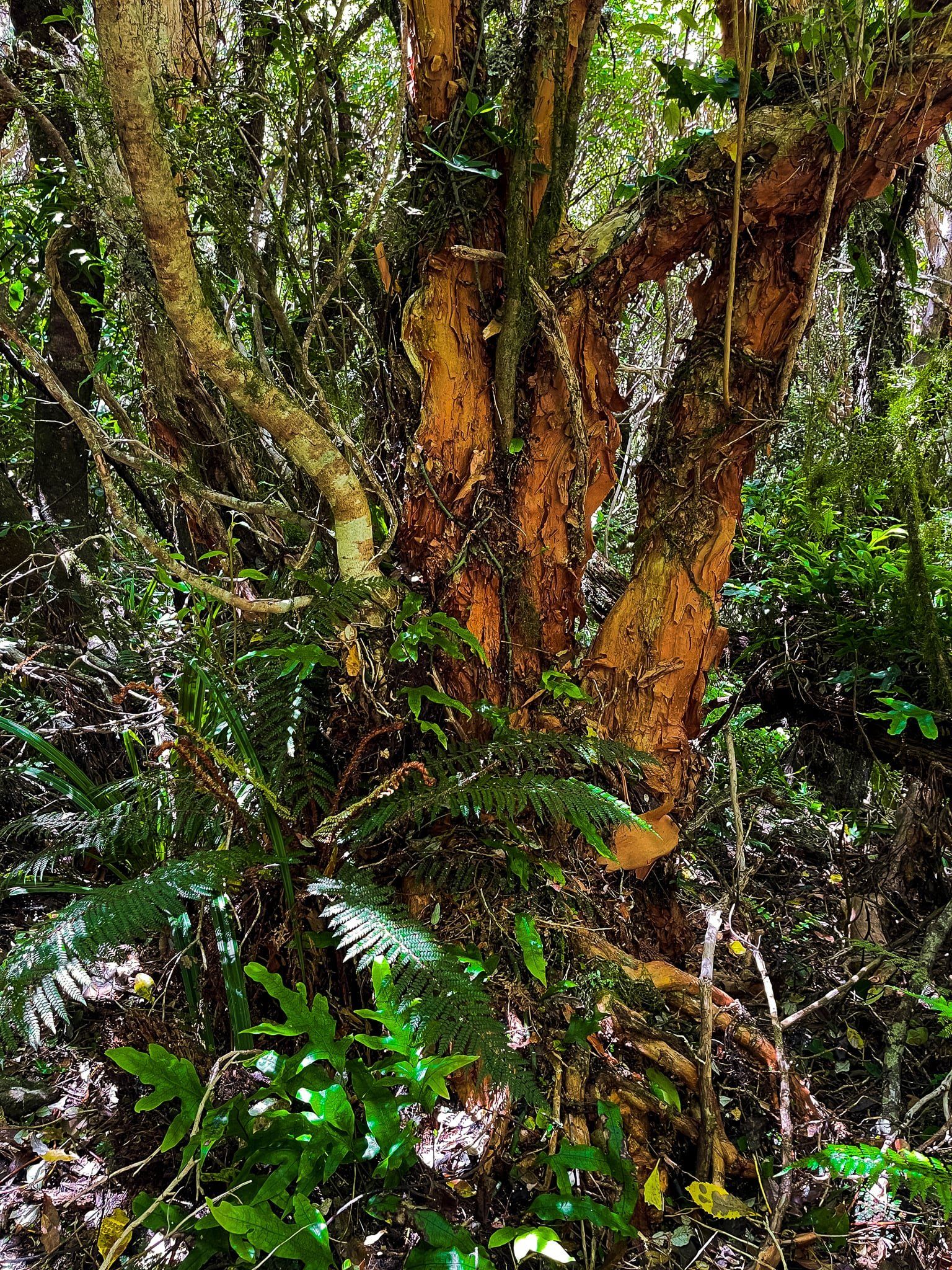
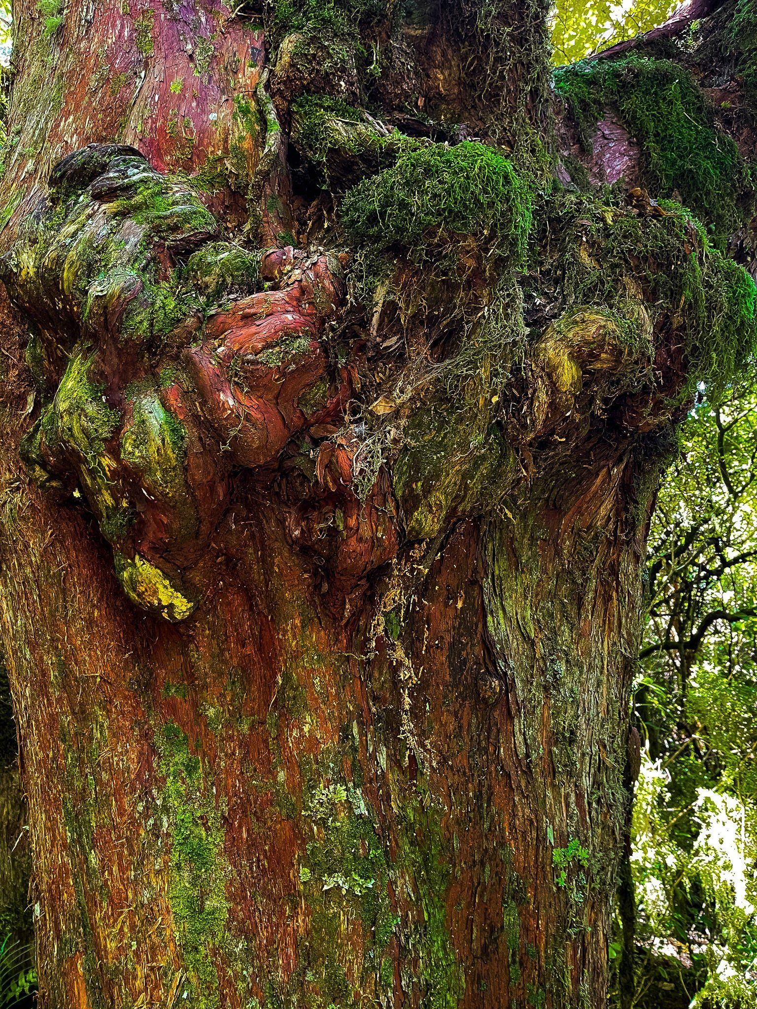
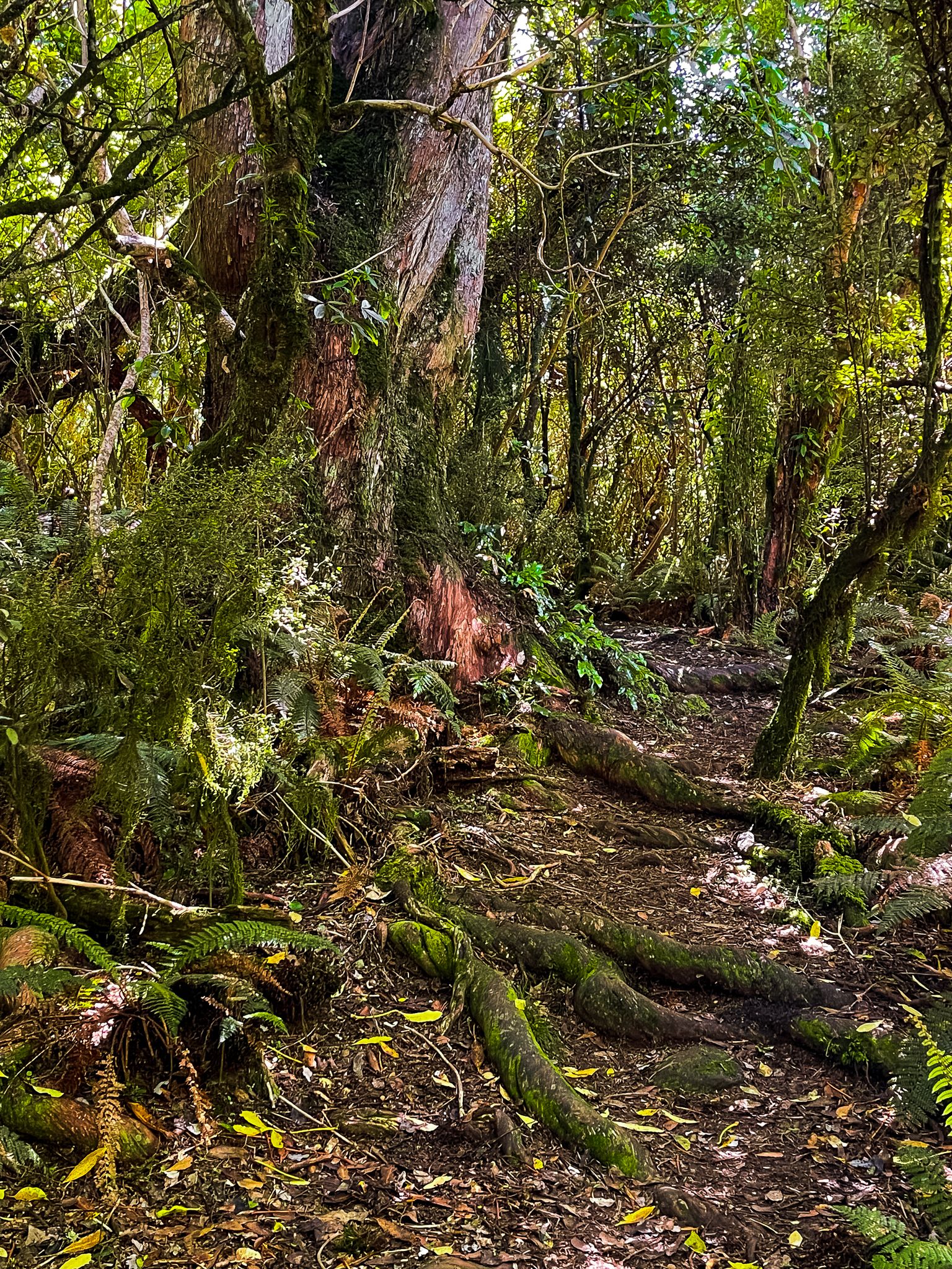
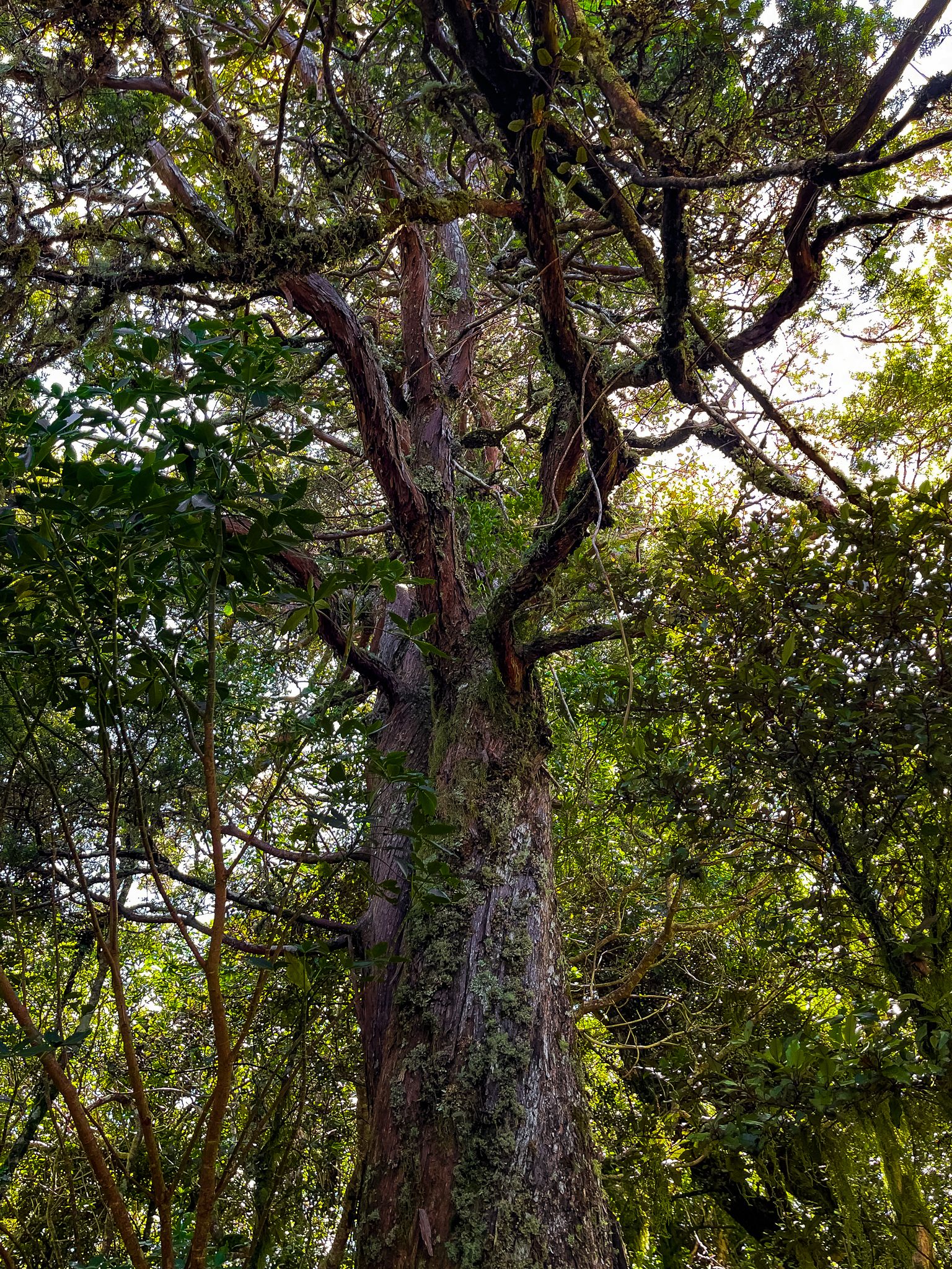
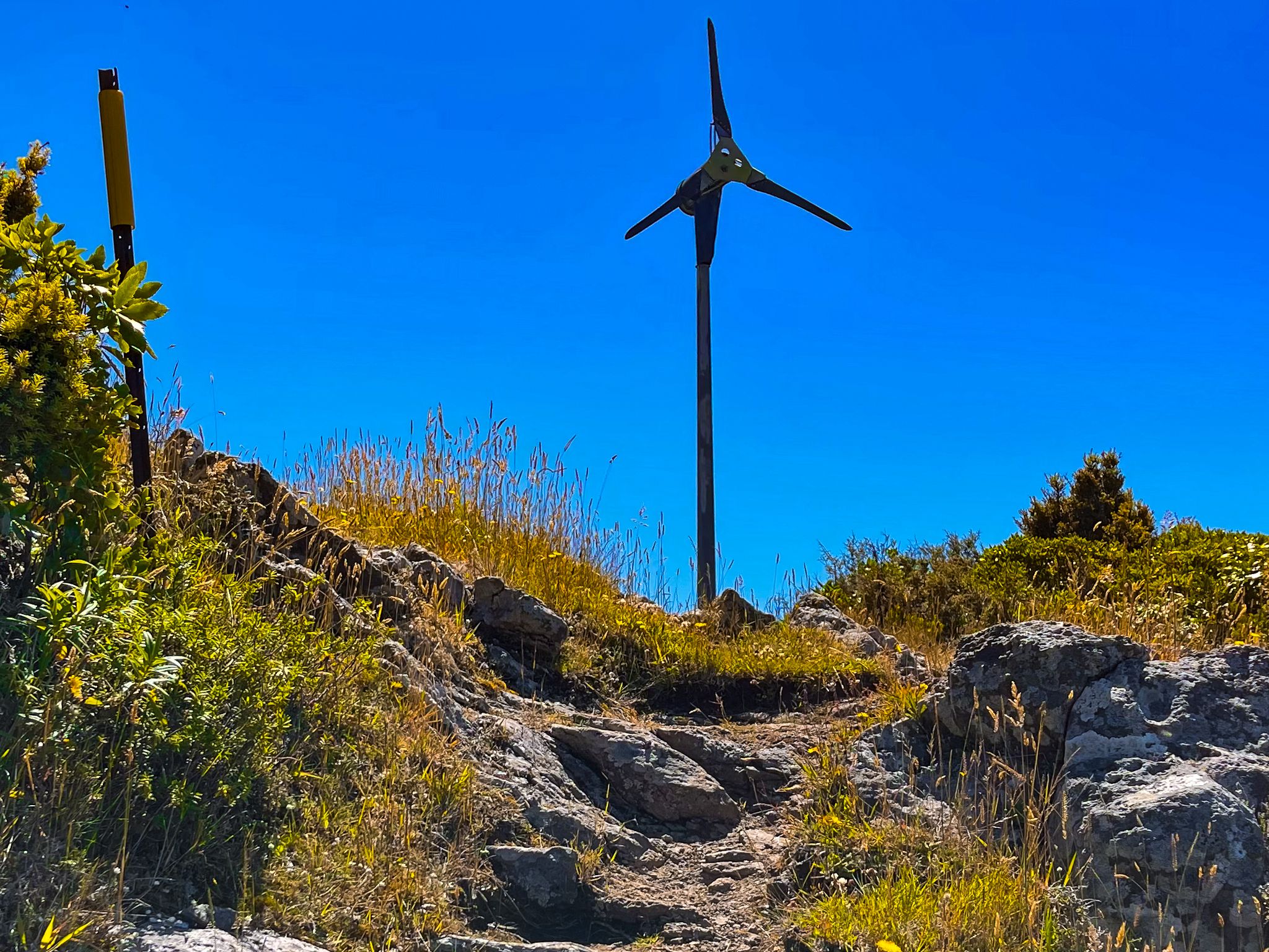
This section of the track passes through a remarkable strip of ancient forest. Here, mountain tōtara trees draped with weeping moss create a mystical "goblin forest" atmosphere. At the open top, you get a nearly 360-degree view of the region. There is also a windmill. The return path from the top winds through a gully filled with more forest, including mature native fuchsia, or kōtukutuku, with their striking bright orange trunks.
The Meaning Behind the Name
Ōtepātotu translates to "place of the fairies," a name that perfectly captures the enchanting nature of this walk. The name evokes the patupaiarehe, supernatural beings that Māori described as pale-skinned, elusive forest dwellers who lived in the misty uplands and were rarely seen by humans. Their association with Ōtepātotu adds a layer of mythic resonance to the hike's natural beauty.
How to Get There
To reach the Ōtepātotu Track from Akaroa, take State Highway 75 a short distance north of Akaroa to Long Bay Road. Long Bay Road goes to the crater rim, where you turn north onto Summit Road. The track is located about halfway between the intersections with Okains Bay Road and Le Bons Road. Ample parking is available next to a large grassed area, which also features a toilet and picnic benches. The drive takes 21 minutes and is 15 km.
From Summit Road, you can also visit Hinewai Reserve, Le Bons Bay, Okains Bay and the wonderful Okains Bay Museum and Little Akaloa Bay.
