
The Old Dunstan Road, also known as the Dunstan Trail, was established in the early 1860s. It was one of several roads between the goldfields of Central Otago and Dunedin on the Pacific Coast. The trail provided the shortest way to the gold diggings around Clyde (then known as Dunstan). The road was also known as the Mountain Track due to its dangerous route over the remote Otago highlands bounded by the Lammemoor, Rock and Pillar, Lammerlaw, and Knobby mountain ranges.
After a sedate start at Clarks Junction on SH 87, the road crosses a flat-ish area of farmland at 550 metres. It then climbs between the Lammermoor and Rock and Pillar Range to 900 metres. The road passes by the Loganburn Reservoir and rises to 1,000 metres. It remains high for seven km, then drops steeply down to Paerau on the Taieri River. A second mountain section starts from the south end of the Upper Taieri Plain and goes over Rough Ridge at 900 metres to the Poolburn Reservoir before dropping down to the Ida Valley.
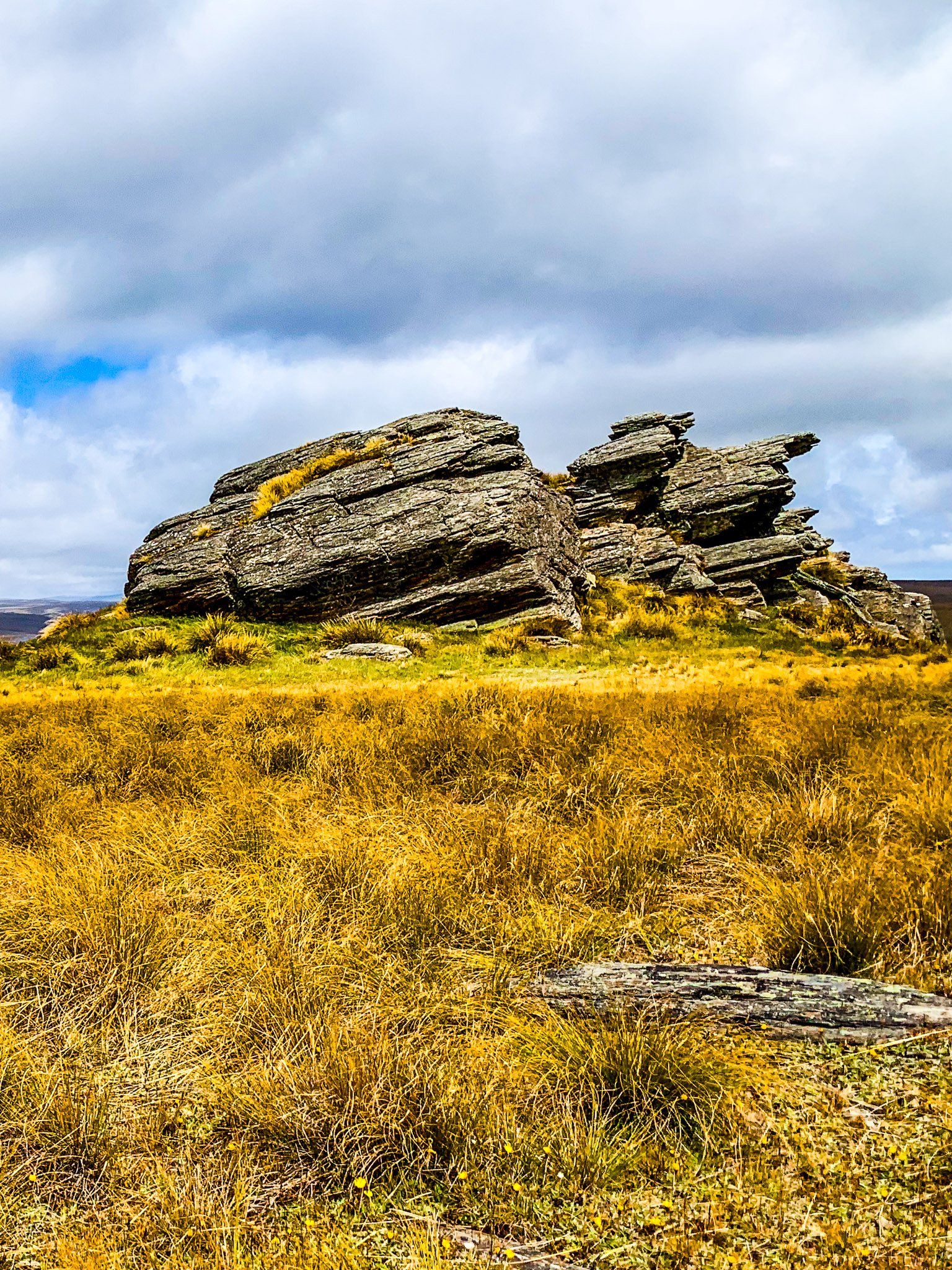
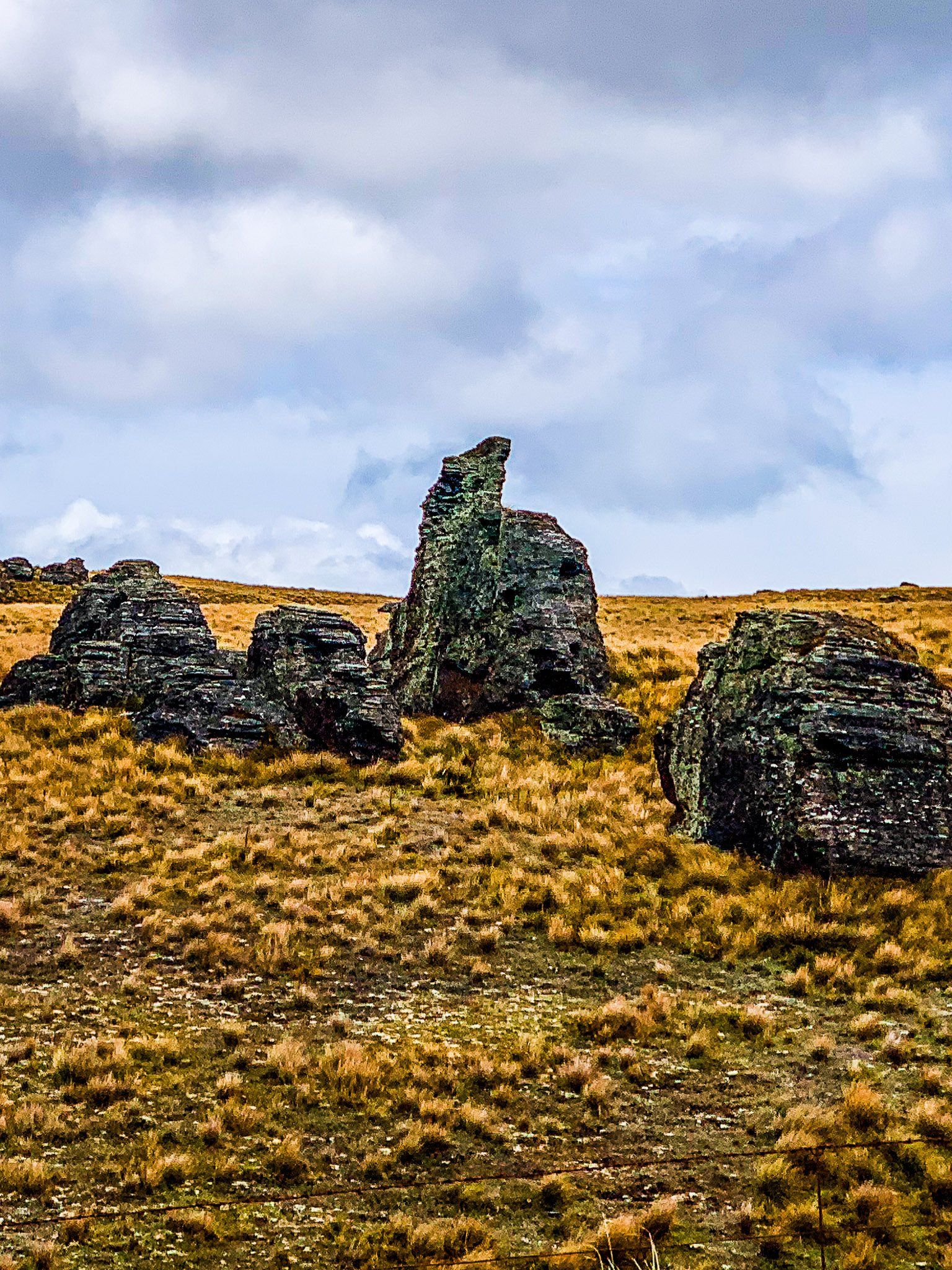
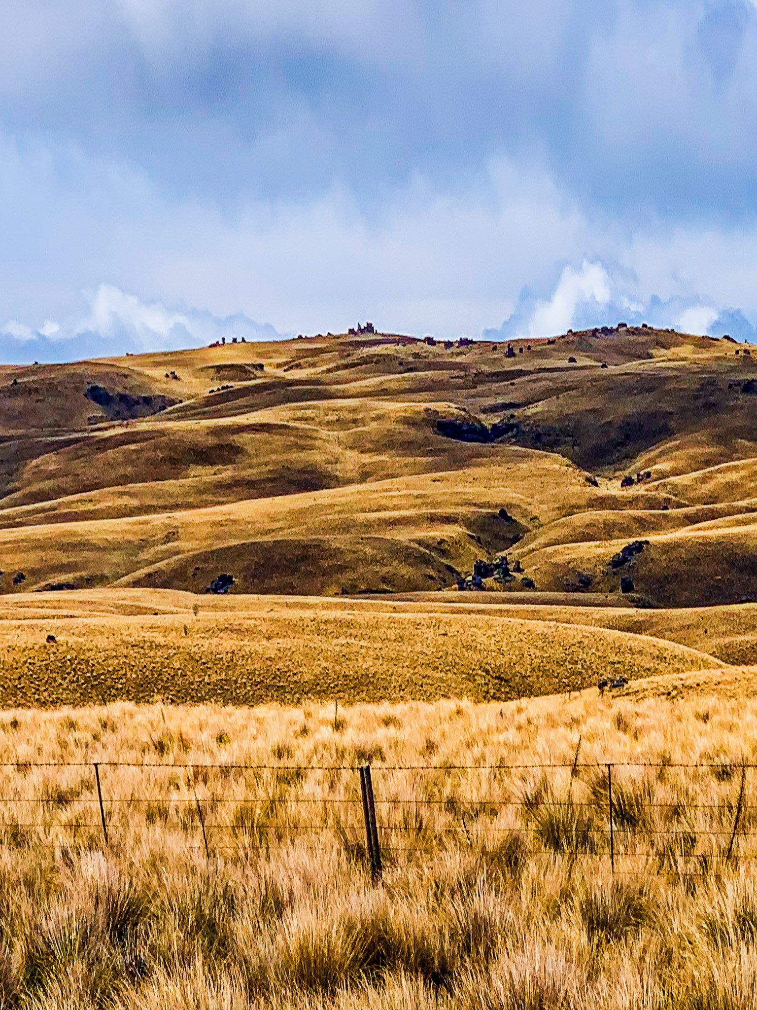
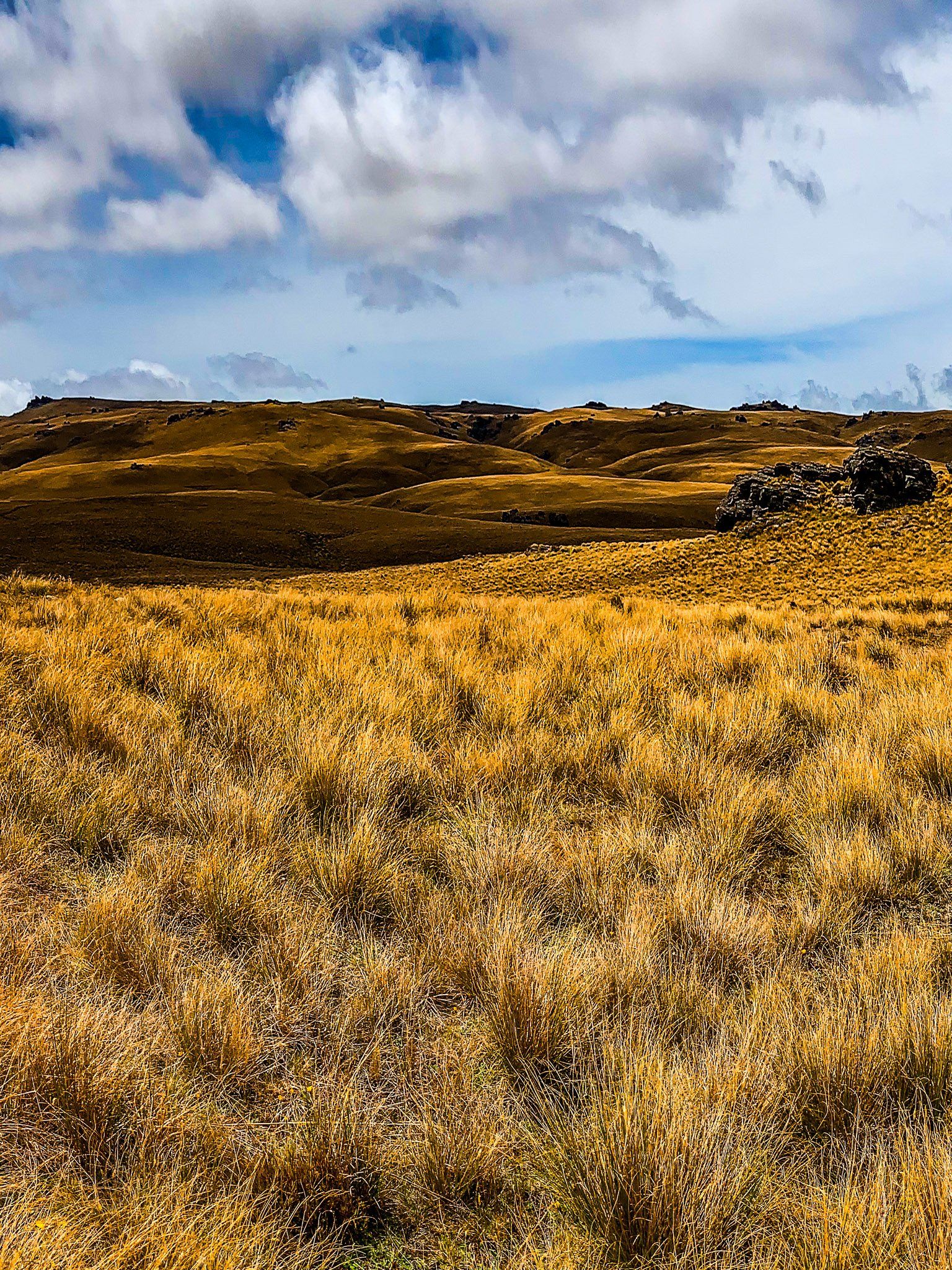
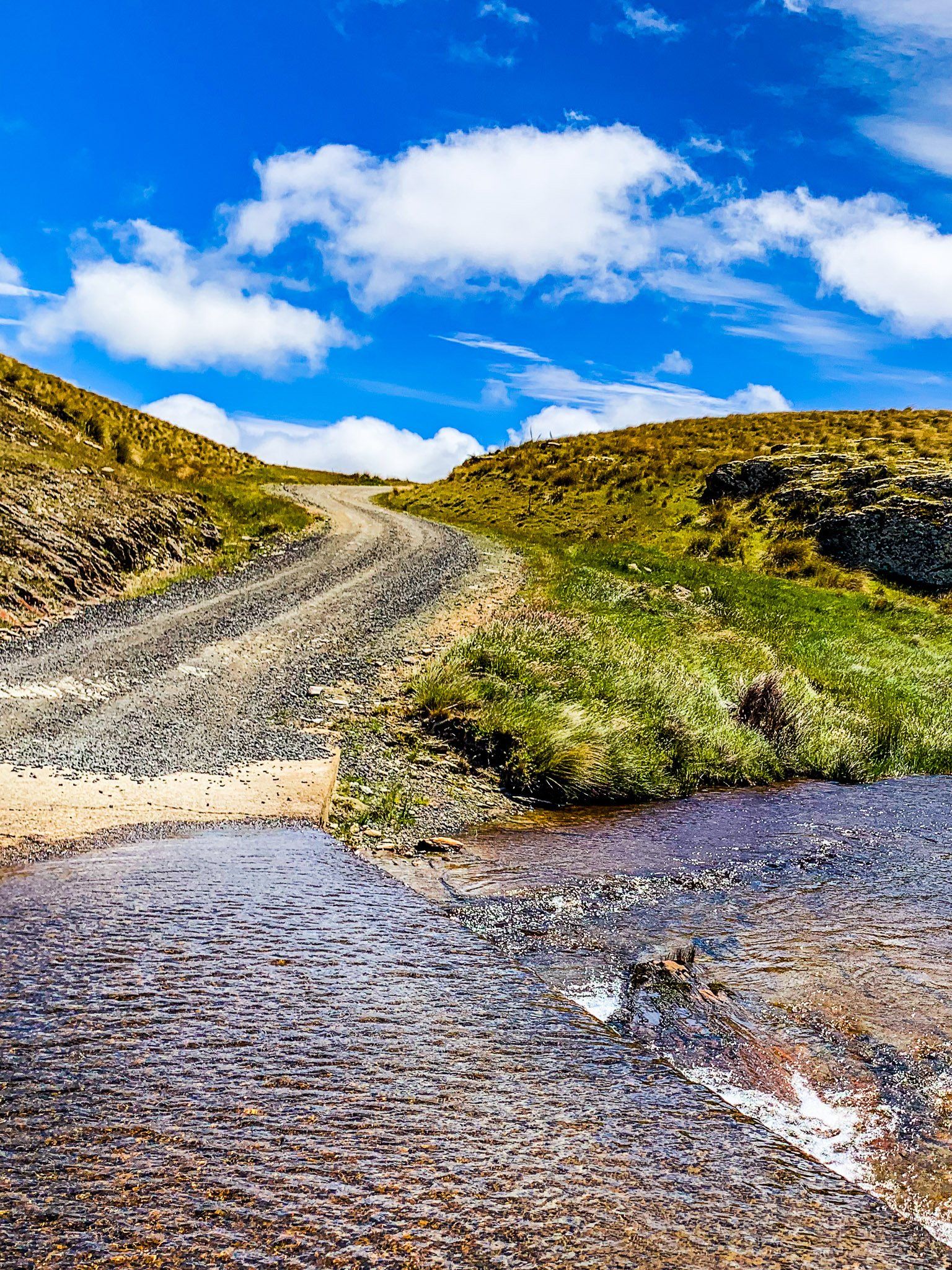
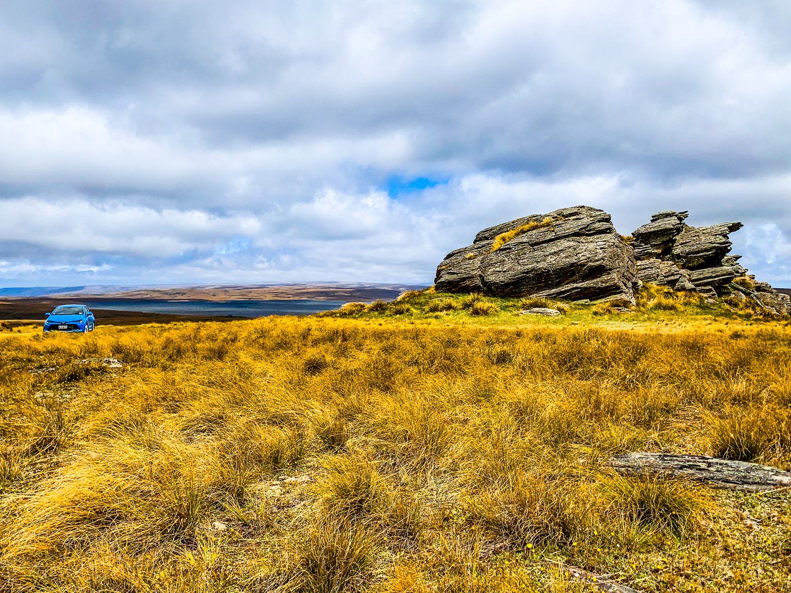
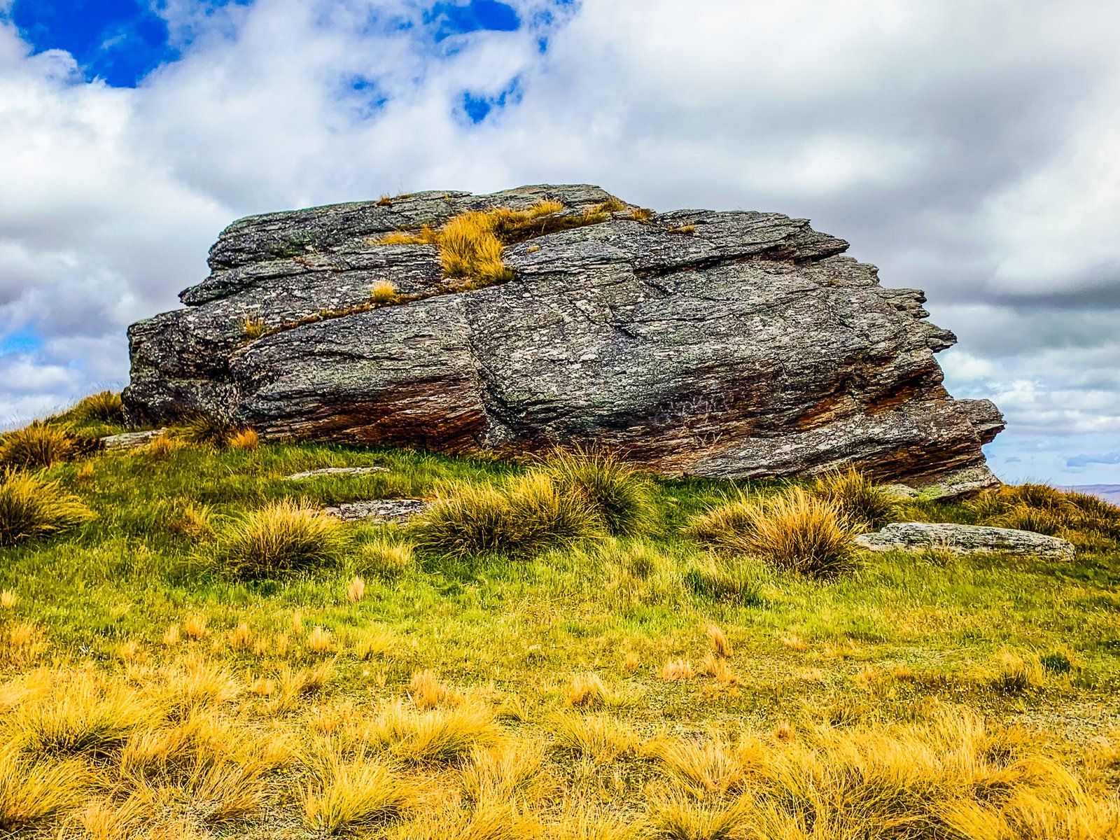
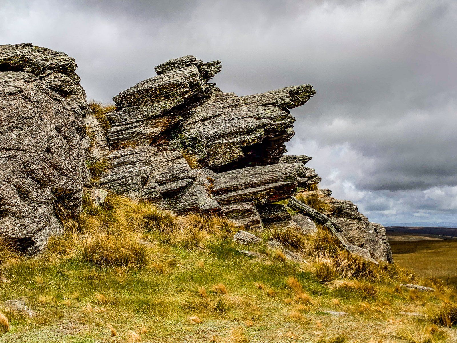
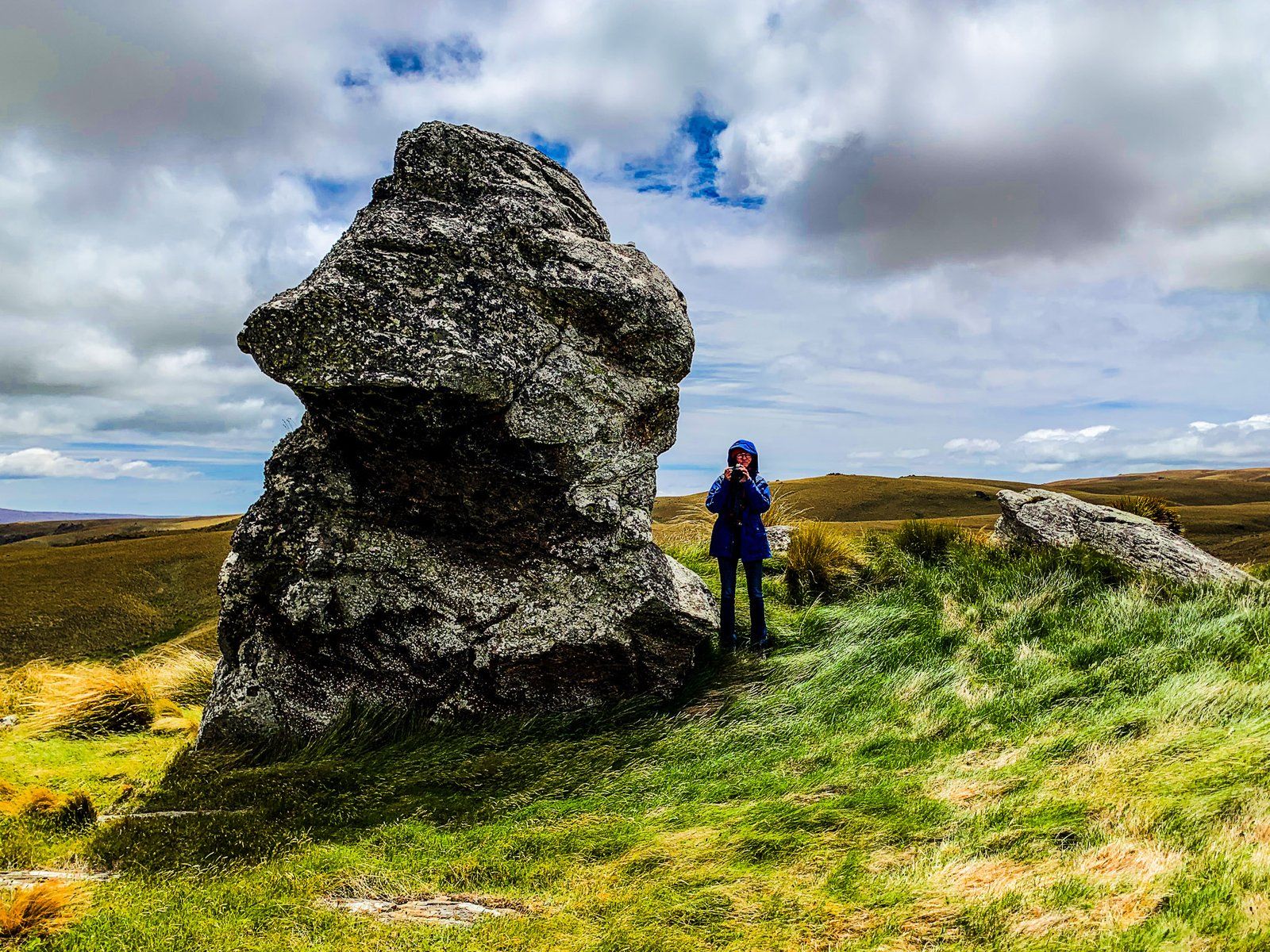
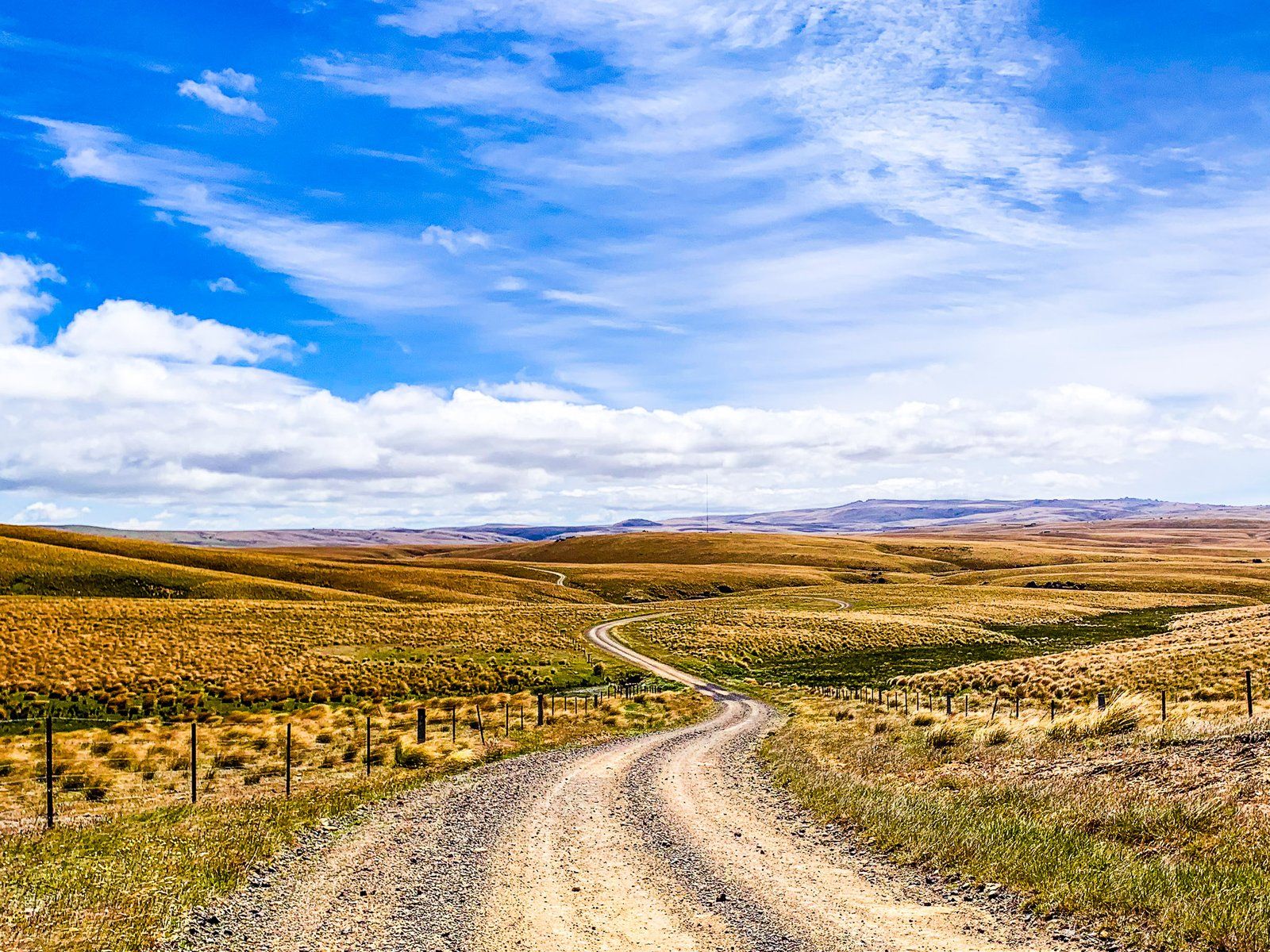
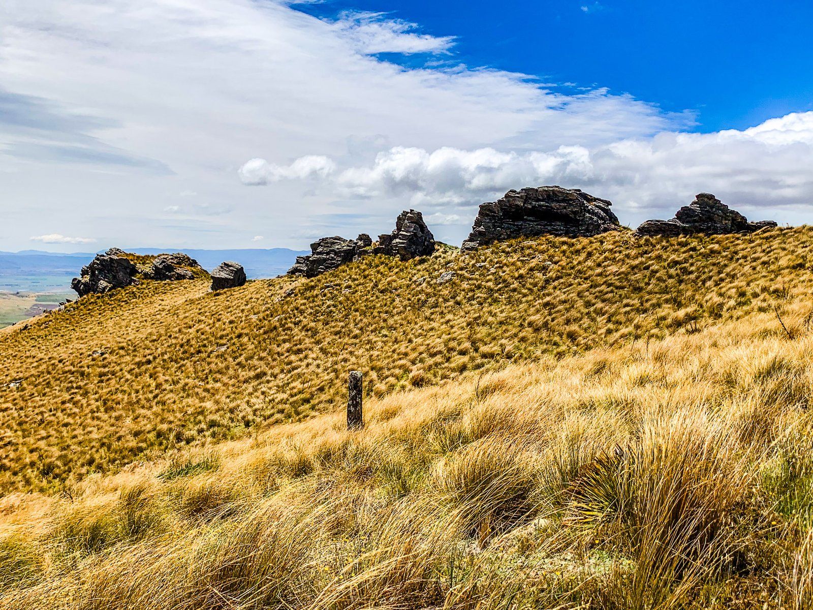
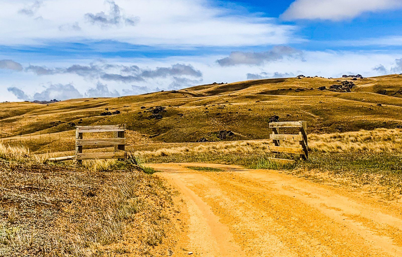
Today, the road is a remote driving adventure across often arid highland tussock and rocky tor landscapes. It is closed in winter, and the mountain sections are prone to heavy mud and rutting when wet year-round. A car in good weather is one thing; a stagecoach or wagon in bad weather was quite another!
In fine weather, it is feasible to make the trip in a 2WD, at least as far as Loganburn Reservoir from Clarks Junction or the Ida Valley to the Poolburn Reservoir. If you are doing the entire trip and are unsure, stick to a 4WD. It will be a long wait if you get stuck!
Overall, it is 46 km from Clarks Junction to Paerau. It’s then another 46 km over Rough Ridge to the Ida Valley. Mostly a slow drive, we recommend allowing at least four hours plus stopping time.
Old Dunstan Road Lowlands
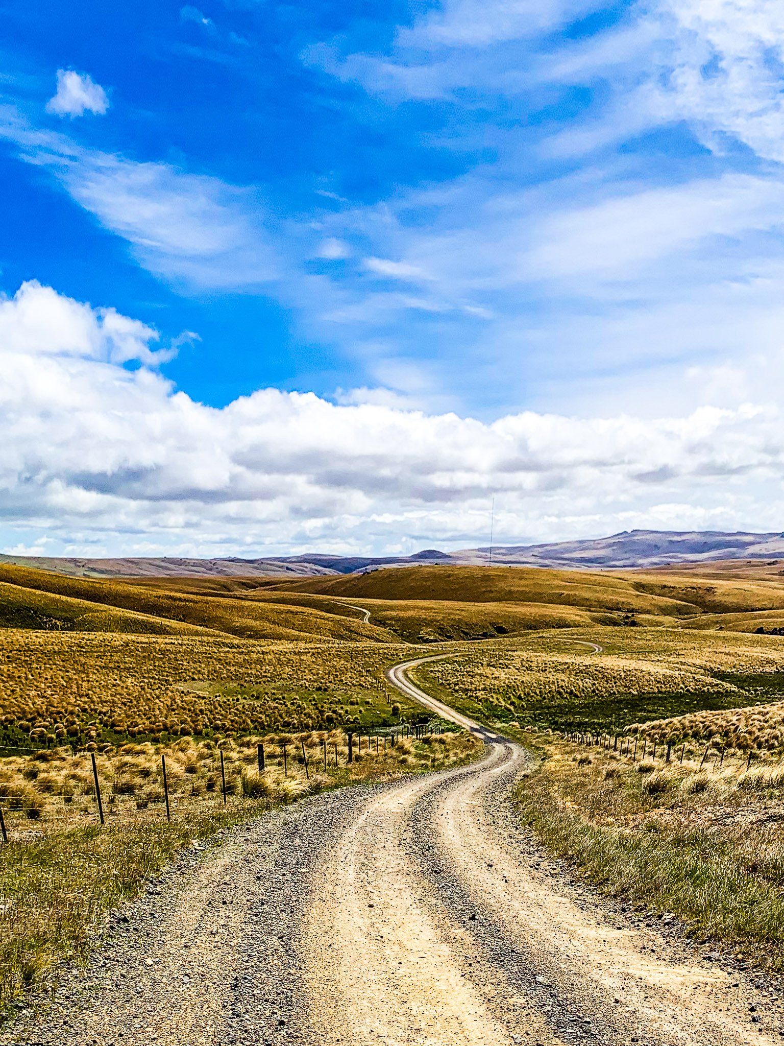
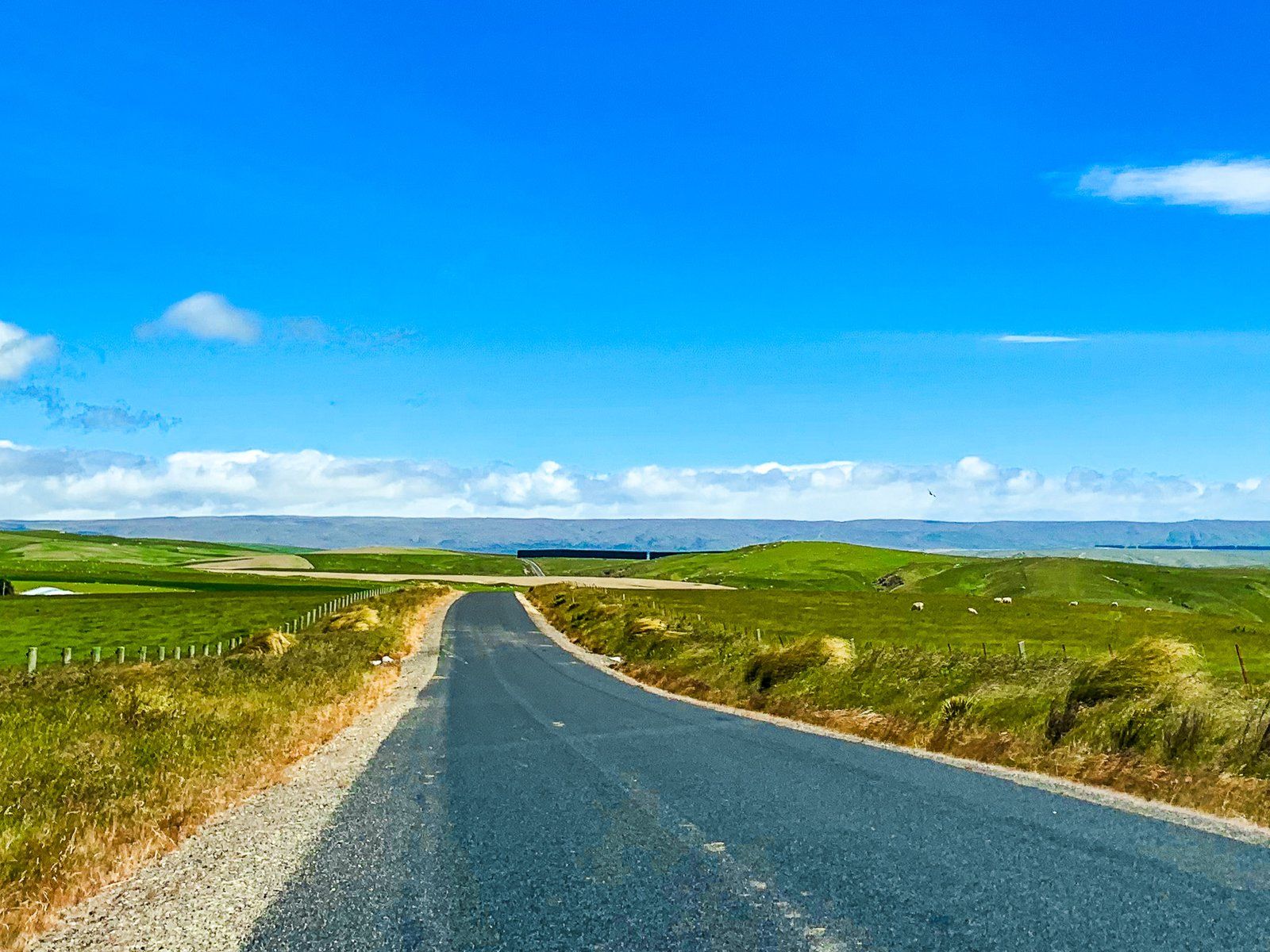
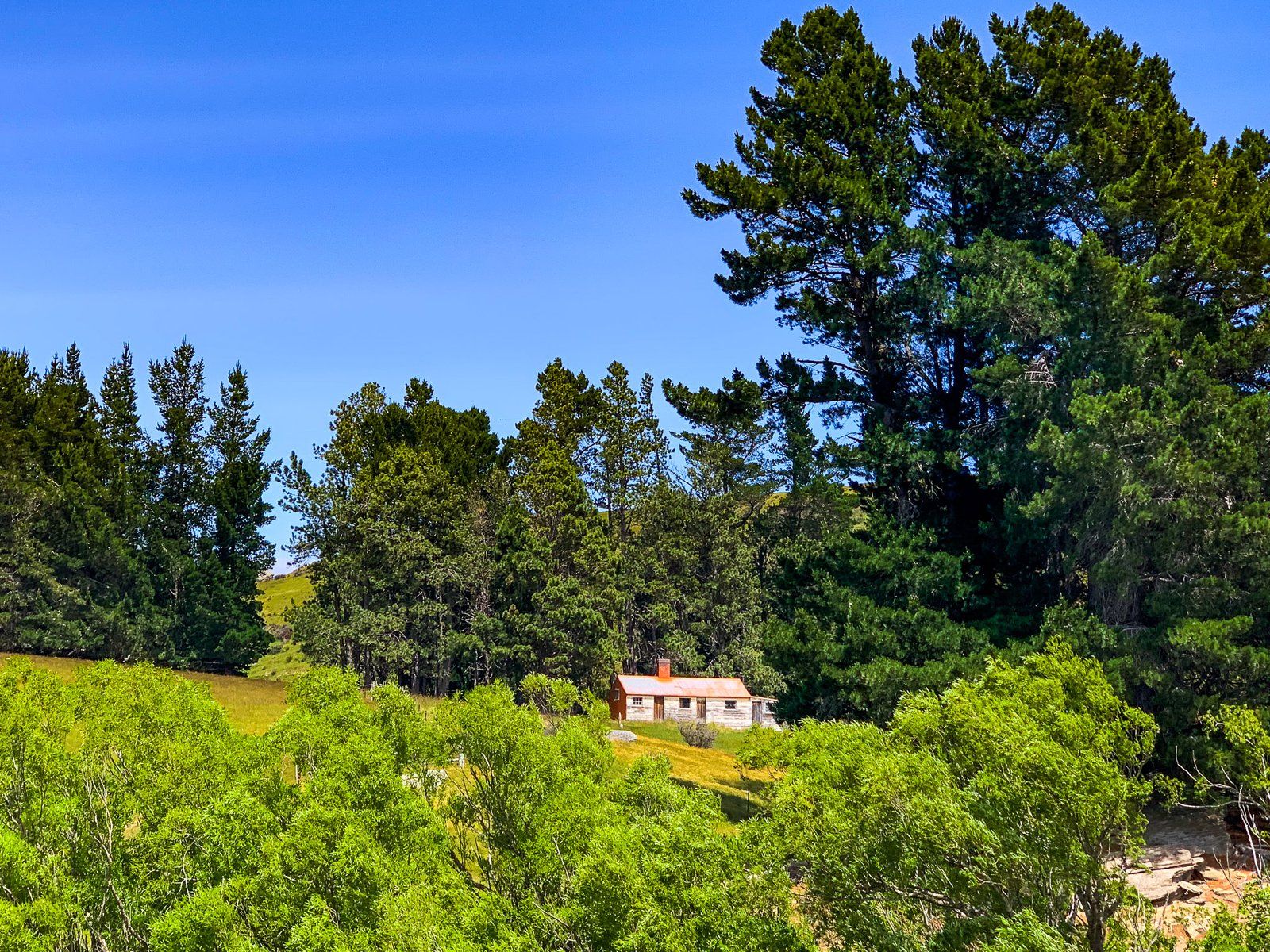
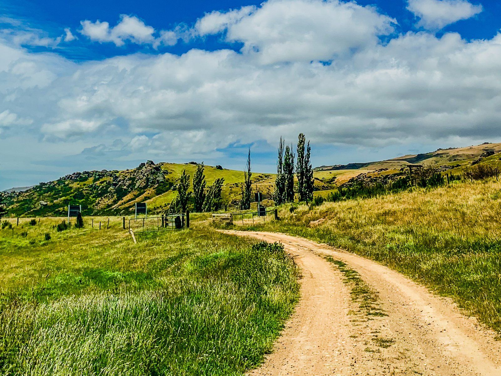
The Old Dunstan Road starts at Clarks Junction on State Highway 87 before the highway enters the southern end of the Strath-Taieri Valley. The first part of the Old Dunstan Road passes through farmland and is mostly very green. This contrasts with the much more arid highland sections to come. It is a reflection the intensive use of irrigation in an otherwise dry environment.
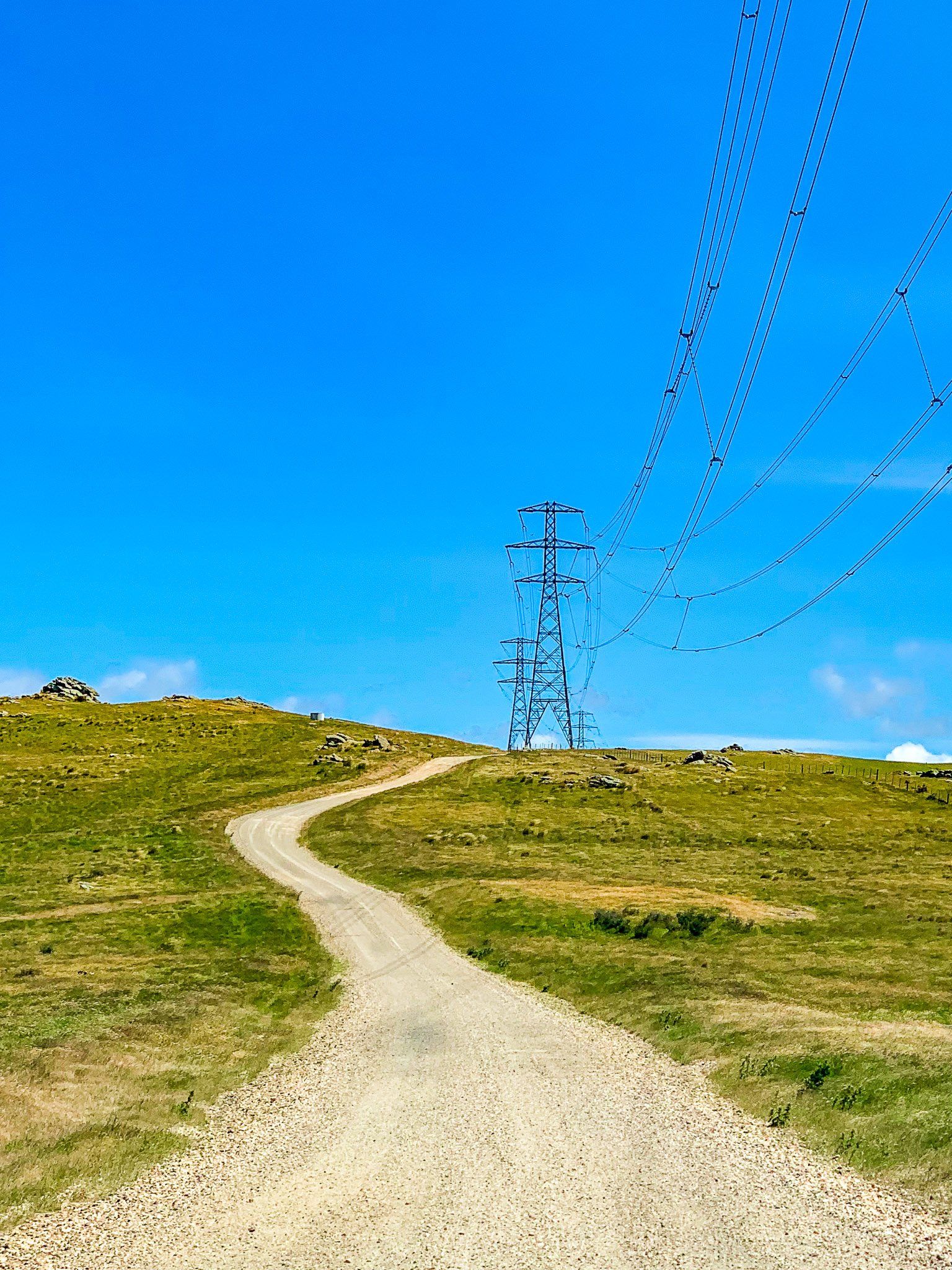
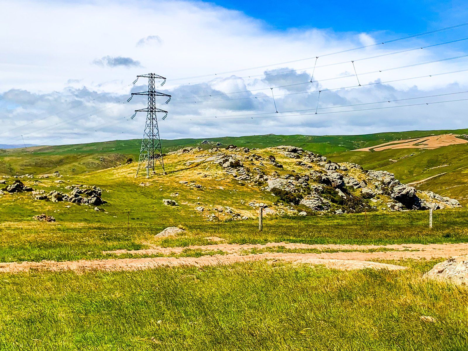
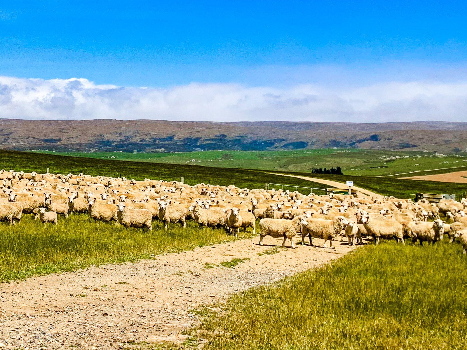
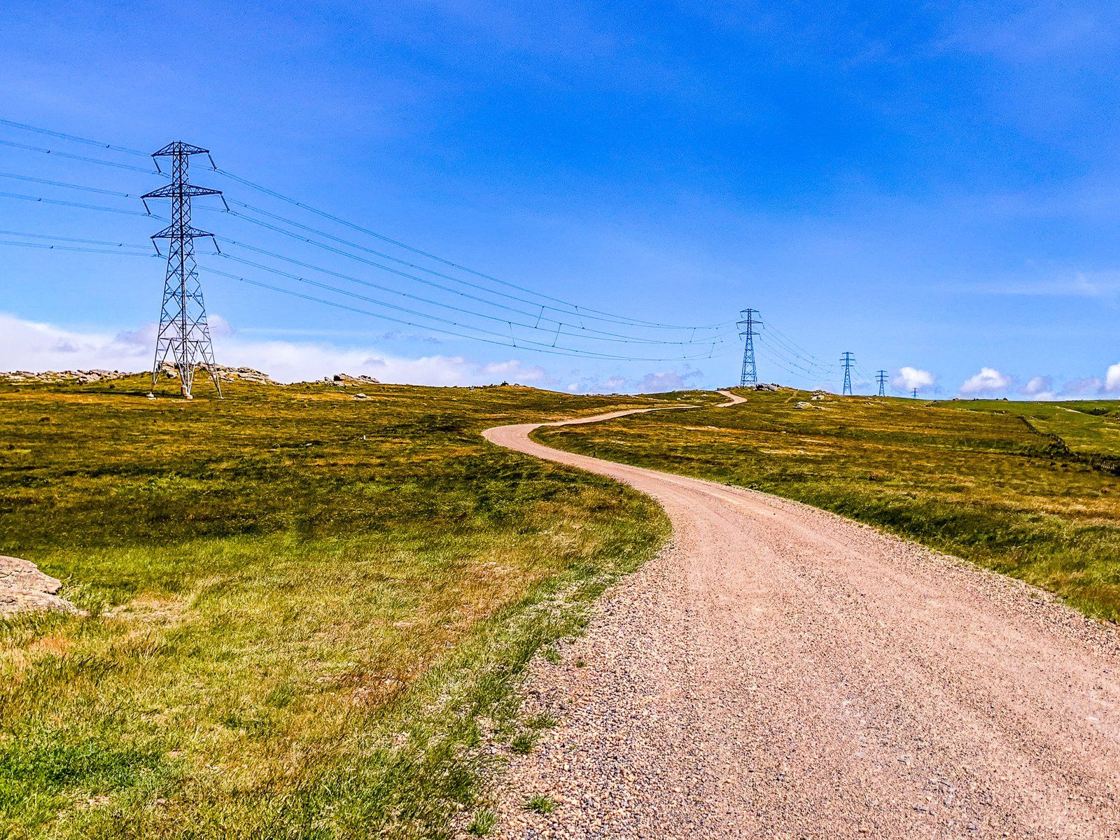
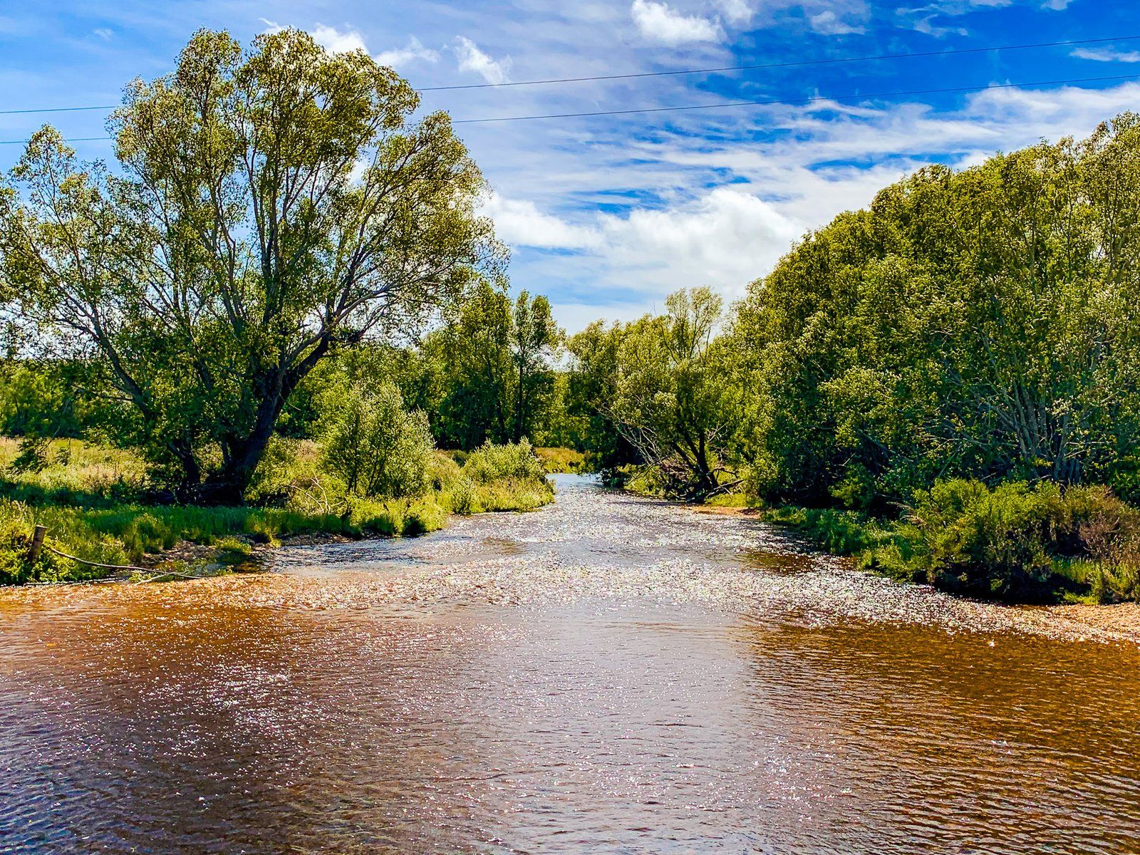
The road is sealed for the first 12 km, then continues as a well-maintained metal road. Up to Sutton Stream, the route is about 500 metres above sea level, relatively flat and wide with big skies and uninterrupted views. The main features are the odd gully, sheep flocks, and power pylons. A reasonable number of exotic trees around the creeks break up the wide open landscape. From there, the road climbs quickly to about 900 metres, dramatically changing the landscape.
Old Dunstan Road Highlands
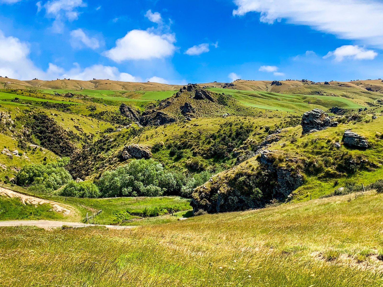
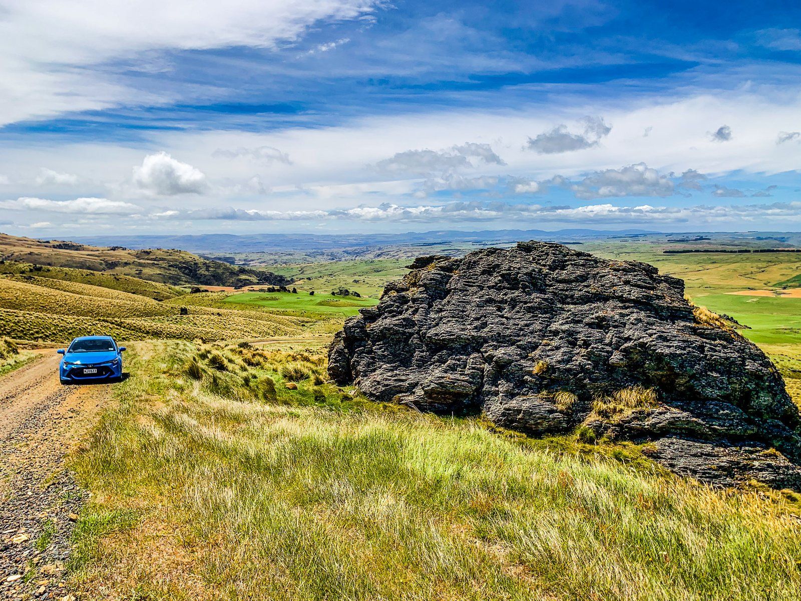
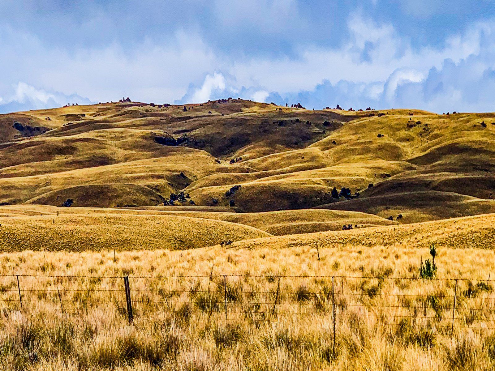
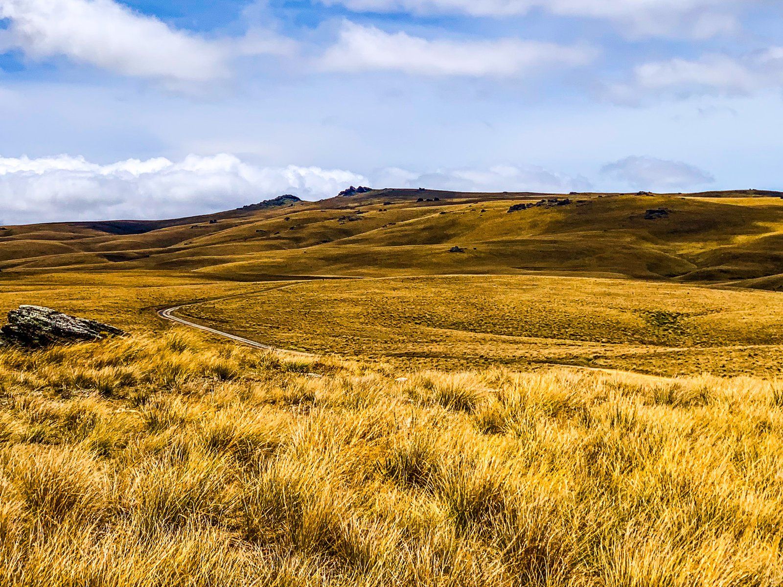
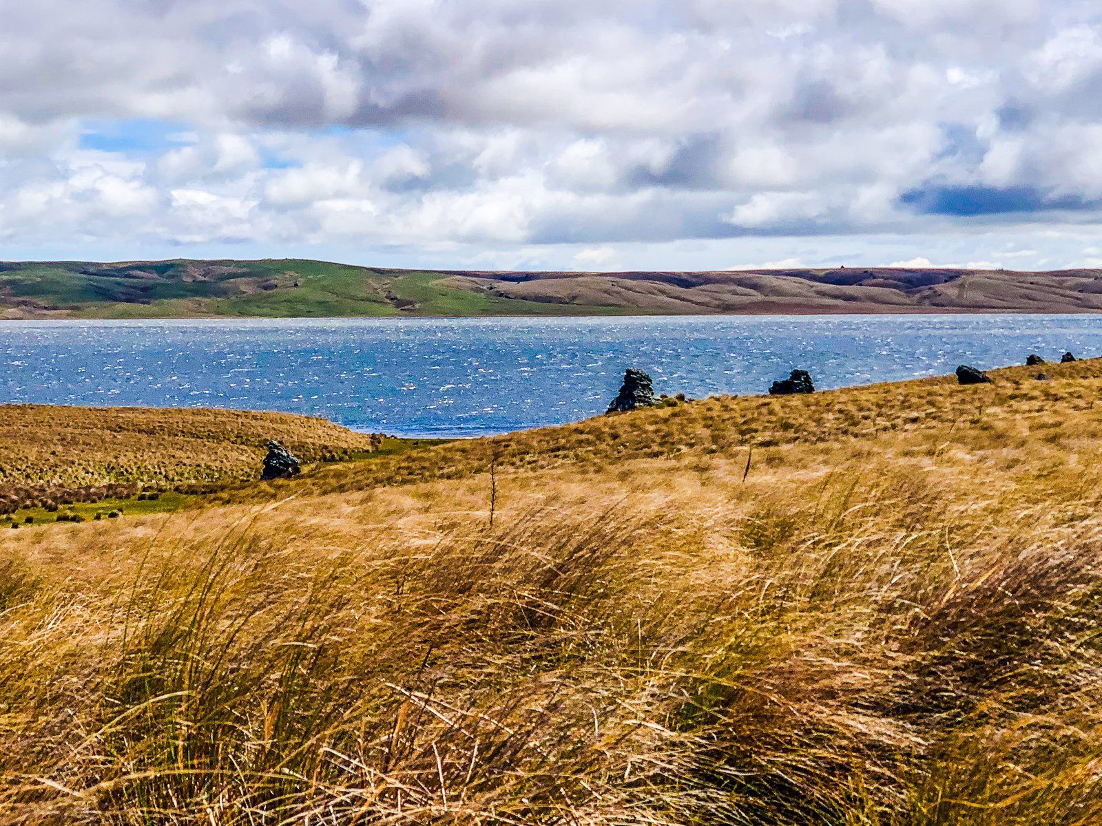
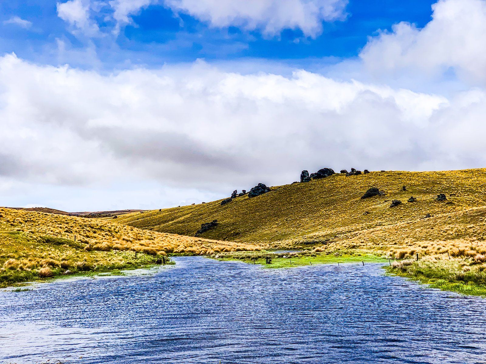
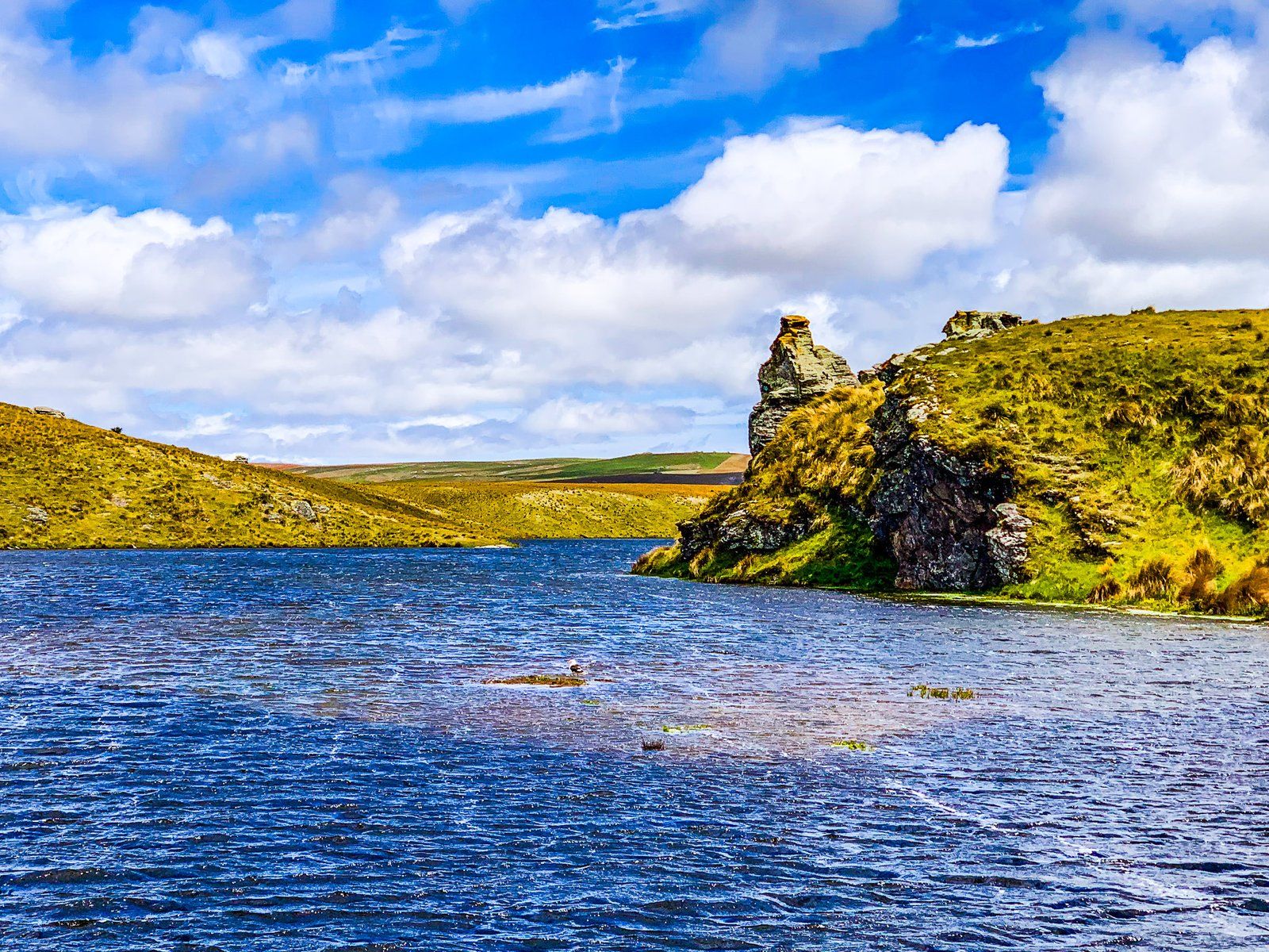
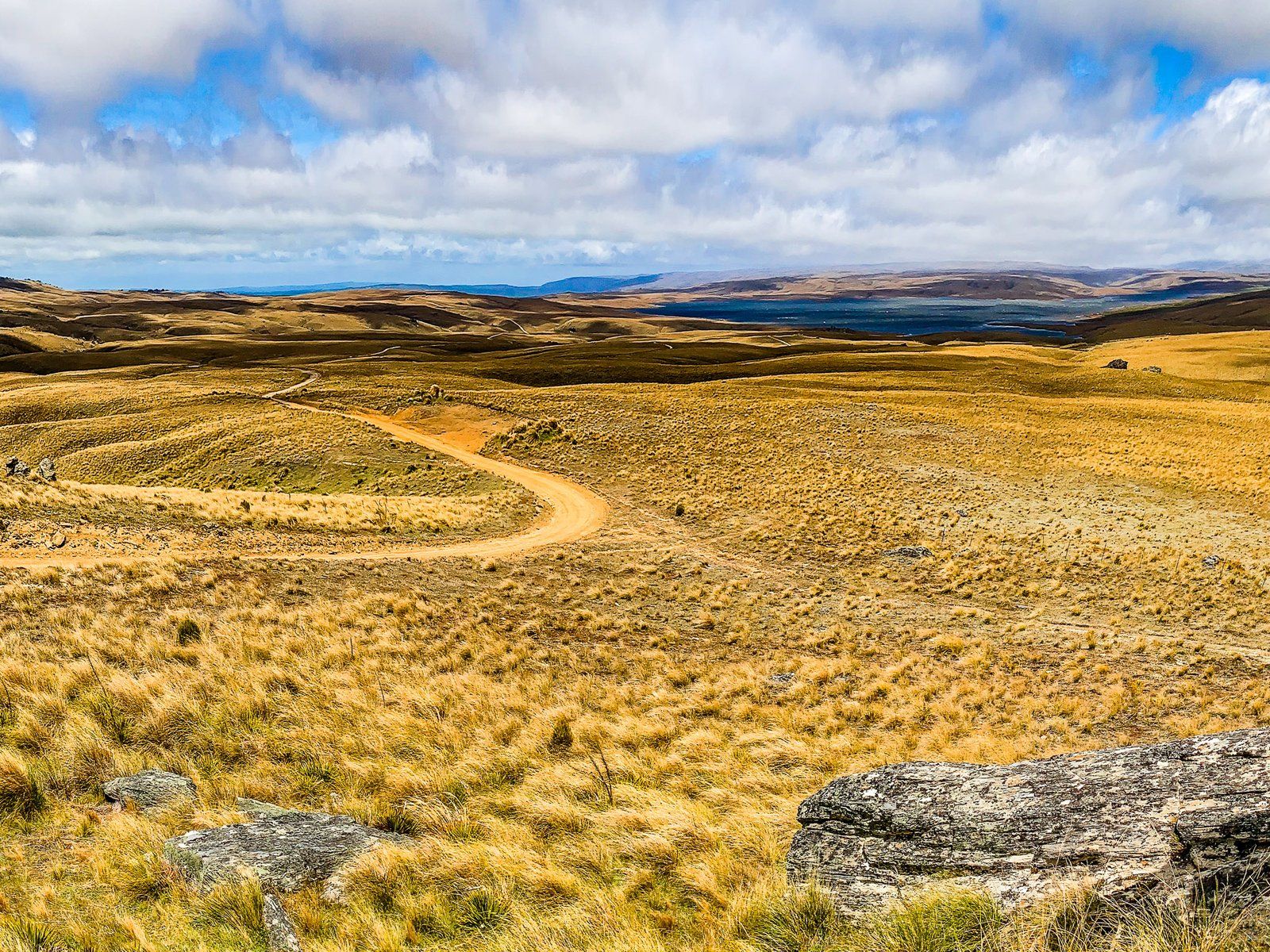
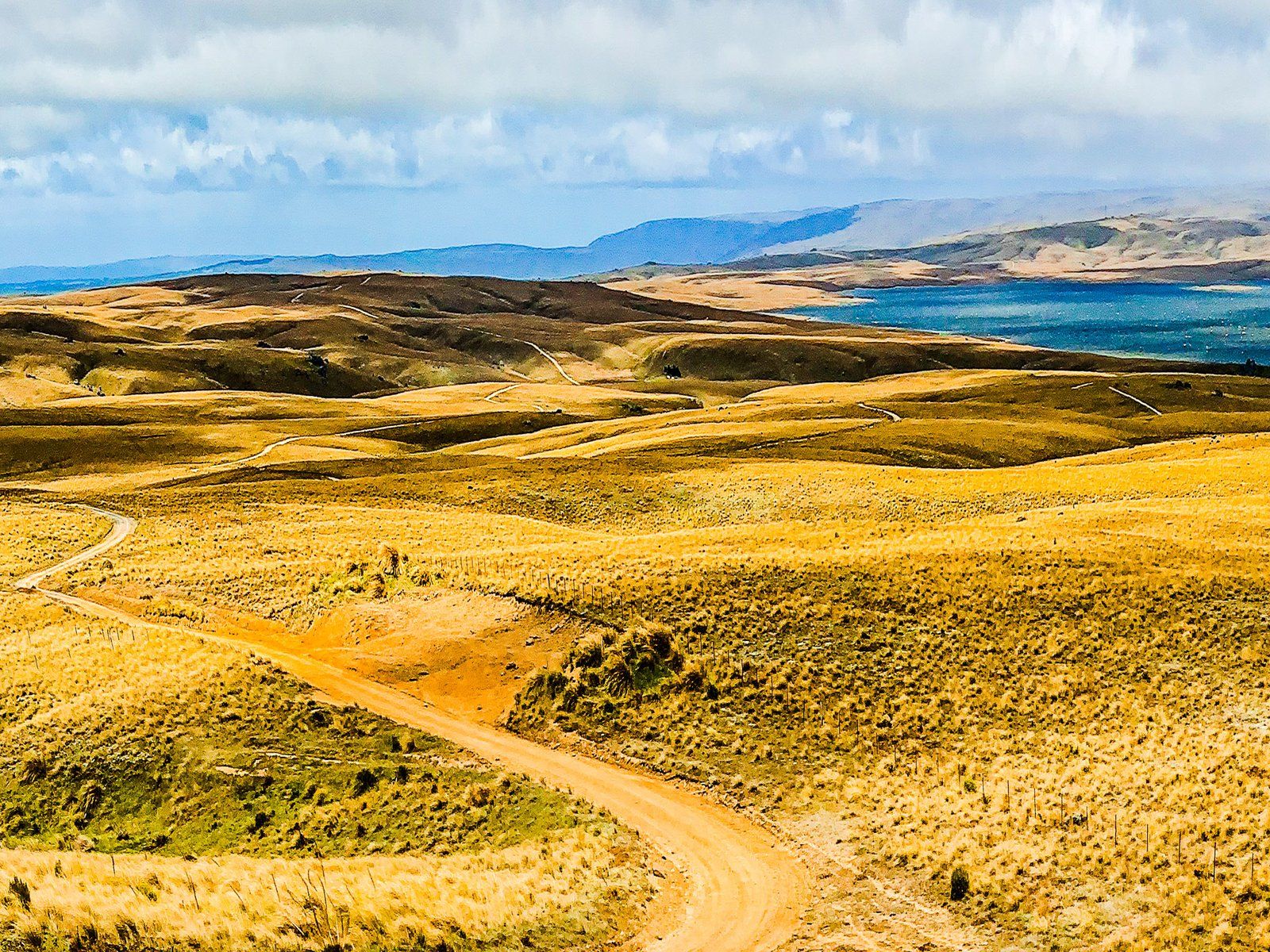
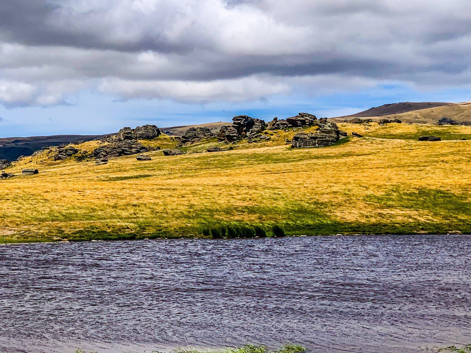
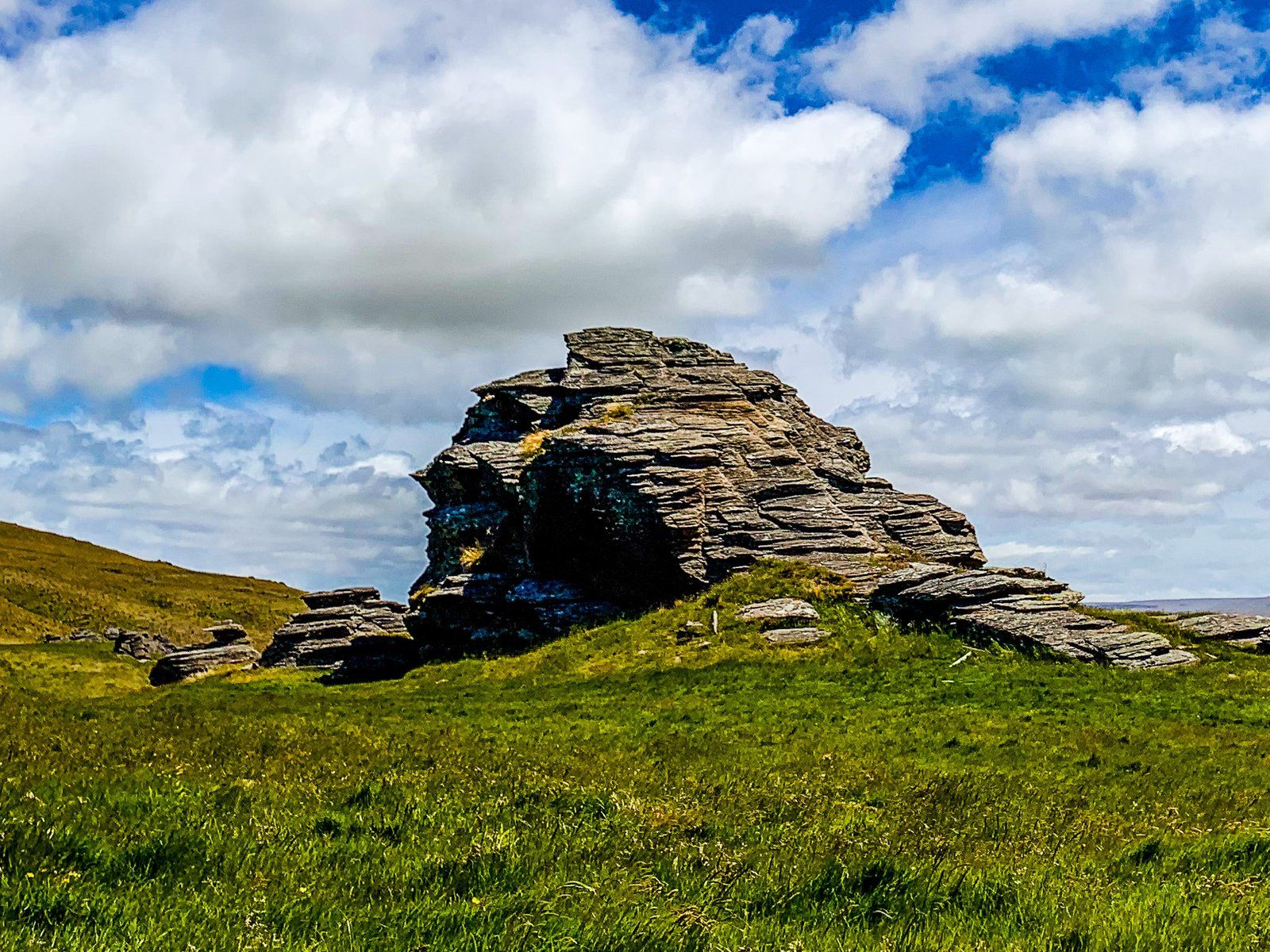
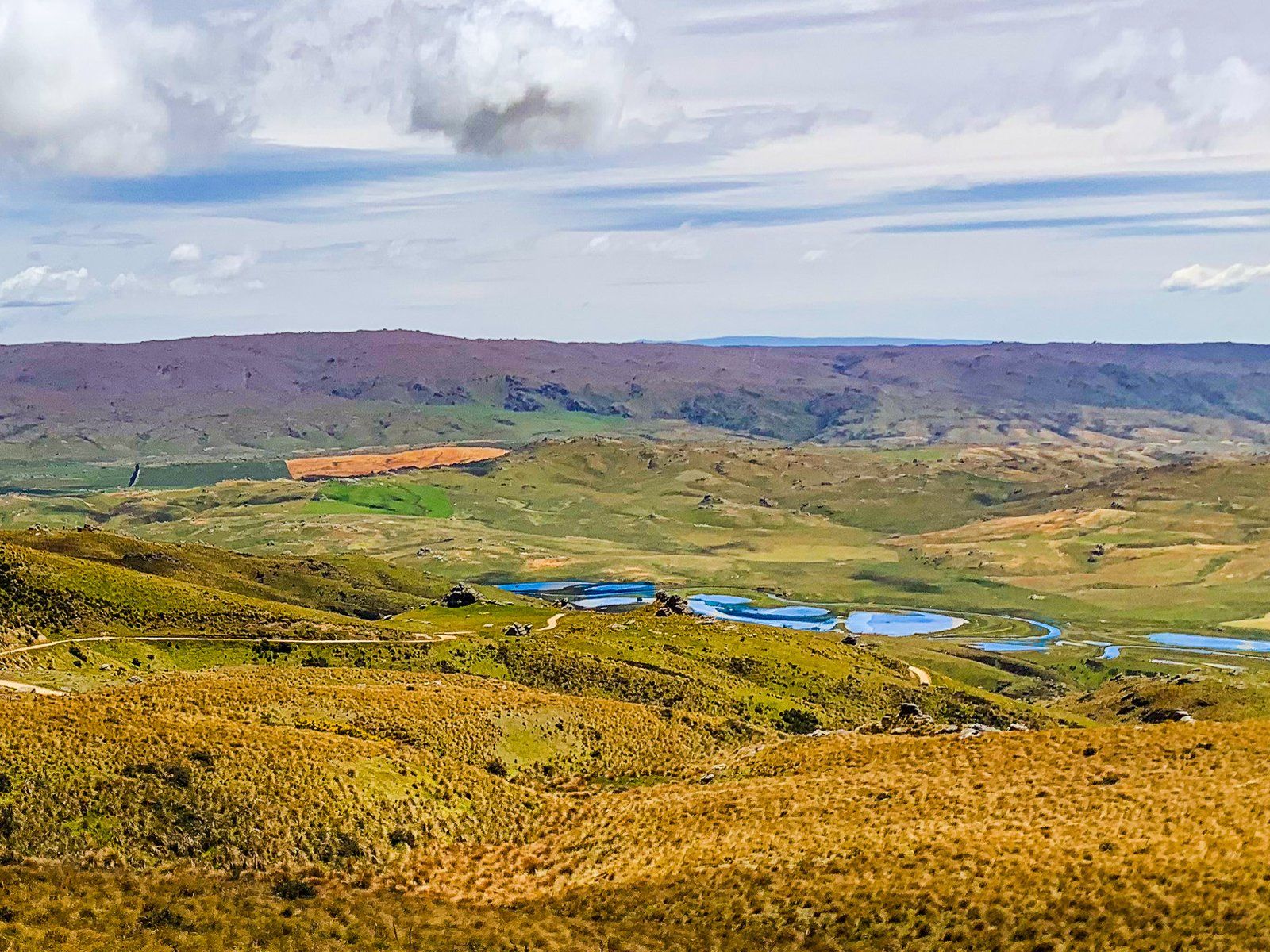
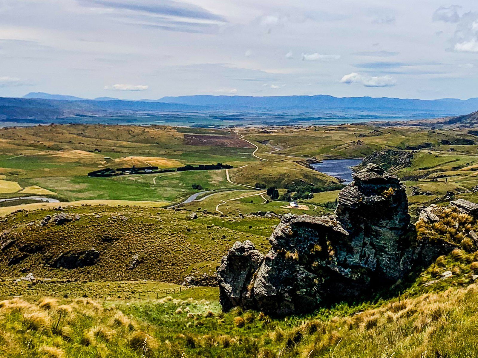
From the lowland plateau between Clarks Junction and Sutton Creek, the Old Dunstan Road climbs up to 900 metres, crossing a ridge between the Lammermoor Range to the southwest and the Rock and Pillar Range to the east. From this high point, there are spectacular views of the Central Otago highlands as they roll west of the Rock and Pillar Range. To the north, you will see the Loganburn Reservoir.
From there, the road swings north and passes the reservoir to the west at 850 to 900 metres. On the east side, there is a moderate slope up to the Rock and Pillar Range ridgeline at over 1,100 metres. Beyond the reservoir, the road climbs to 1,000 metres and stays there for about seven km. You will pass the access to the Stonehurst track (hiking and biking) that goes over the Rock and Pillar Range ridge, then drops 800 metres to the Strath-Taieri Plain.
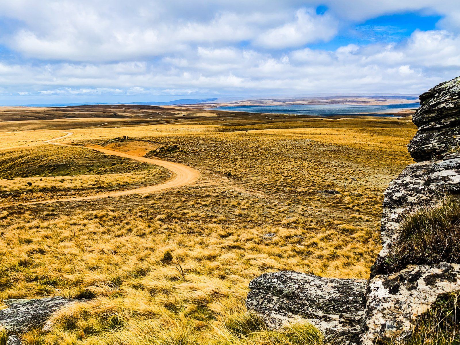
The Rock and Pillar Ridge Road intersection is a bit further along. This is a 4WD track that provides access to the ridge and peaks of the Rock and Pillar Range and a steep route down to Middlemarch. As you reach the high point on the road, there is an obvious place to stop to look back across the reservoir and explore the alpine environment.
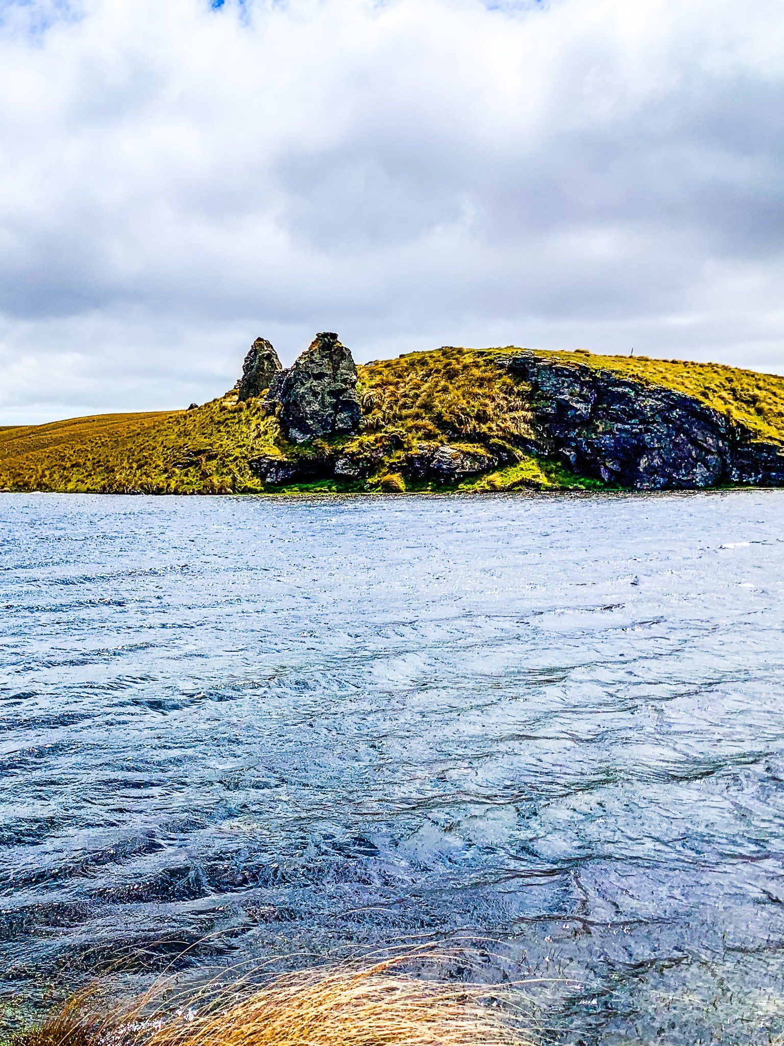
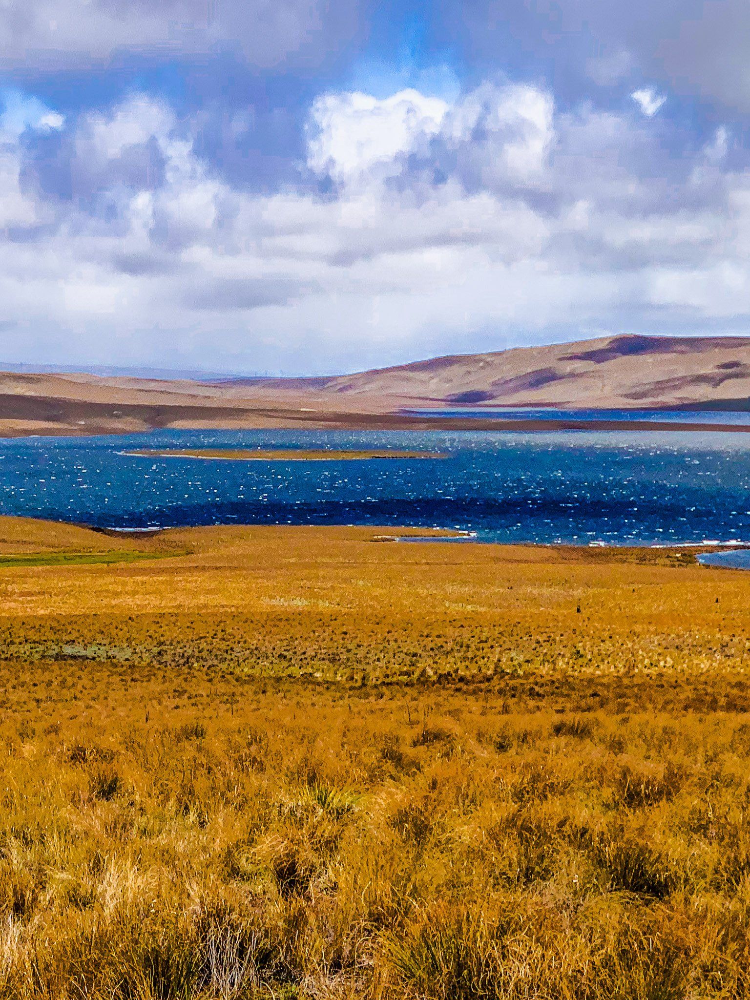
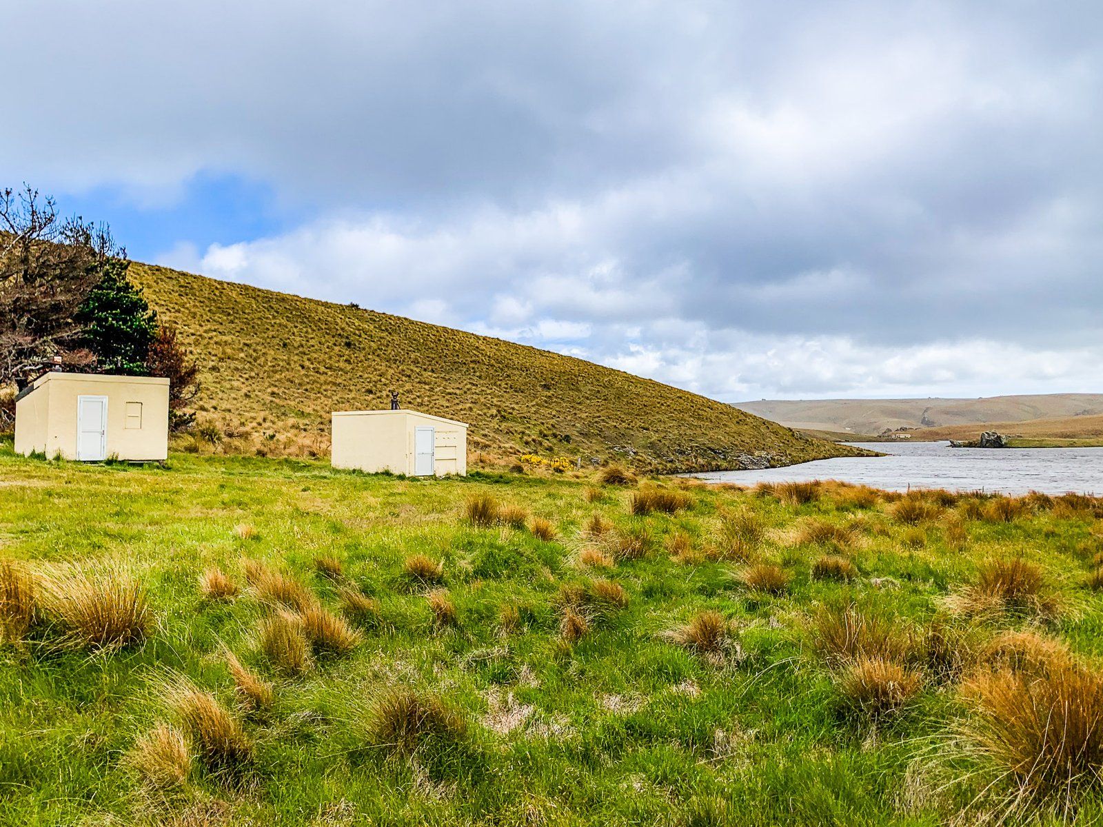
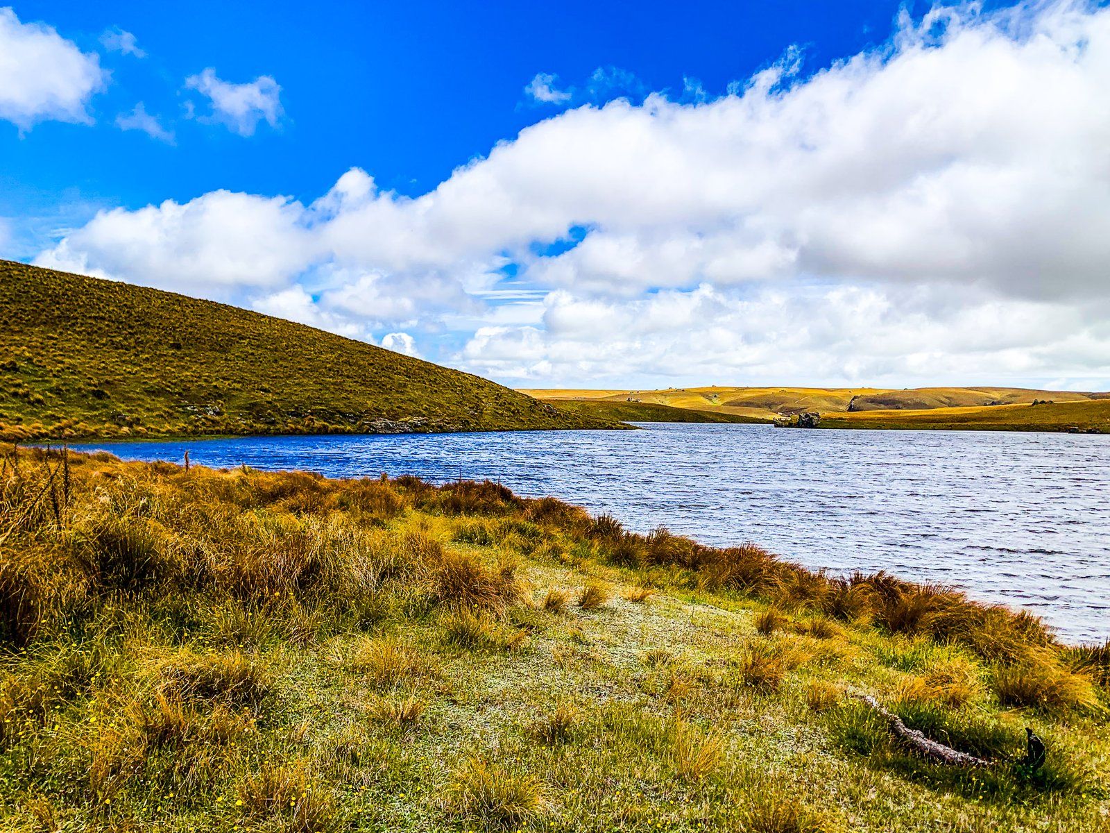
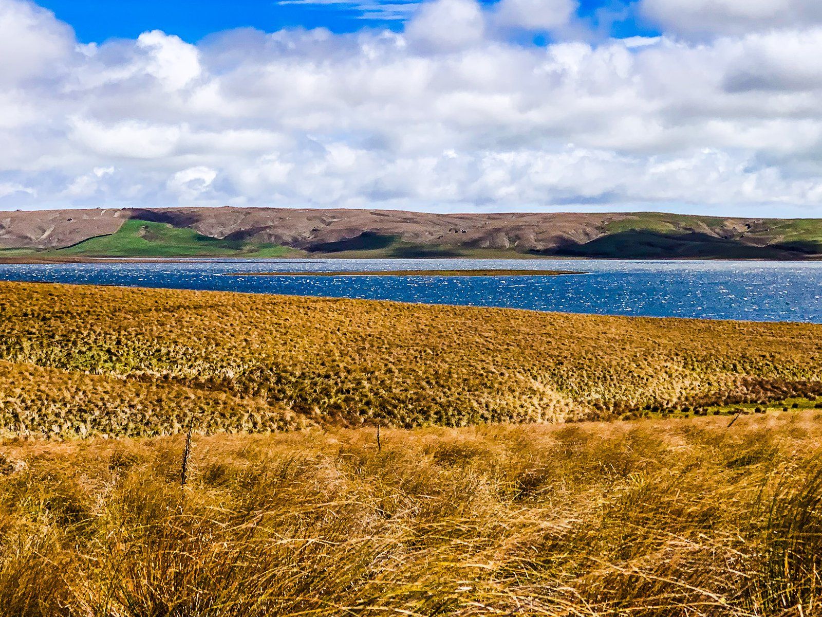
Loganburn Reservoir
Loganburn Reservoir is one of several man-made reservoirs in the Otago highlands. It was developed in the 1980s to support irrigation for 60 farms and 9,300 hectares in the Maniototo. Before this, these regions looked almost as arid as tussock grass highlands. The damming of the Logan Burn largely displaced the Great Moss Swamp, which was around 500 hectares. The Logan Burn also has a small power generator that operates when the irrigation water is released.
There is still a remnant of this swamp in the southwest corner of the reservoir. However, it is a bit of a hike to get there. A better bet is to wander around the reservoir to the dam and try your luck catching brown trout.
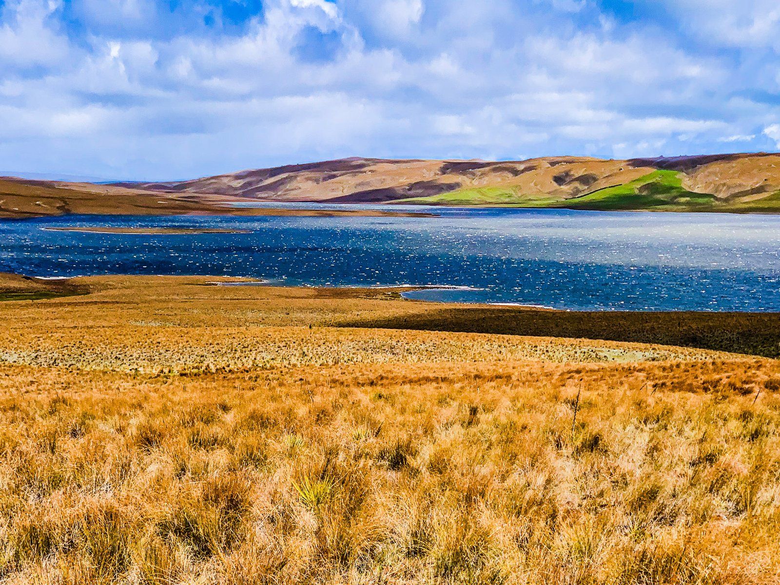
Around the reservoir, the road becomes less well-maintained and more prone to mud in wet conditions. If it is wet, don’t underestimate how bad the mud can be!
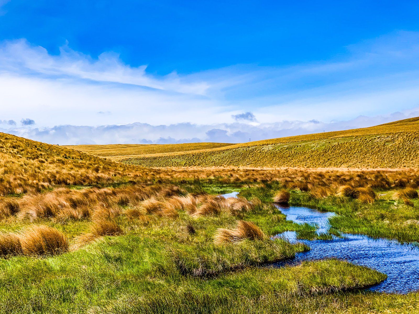
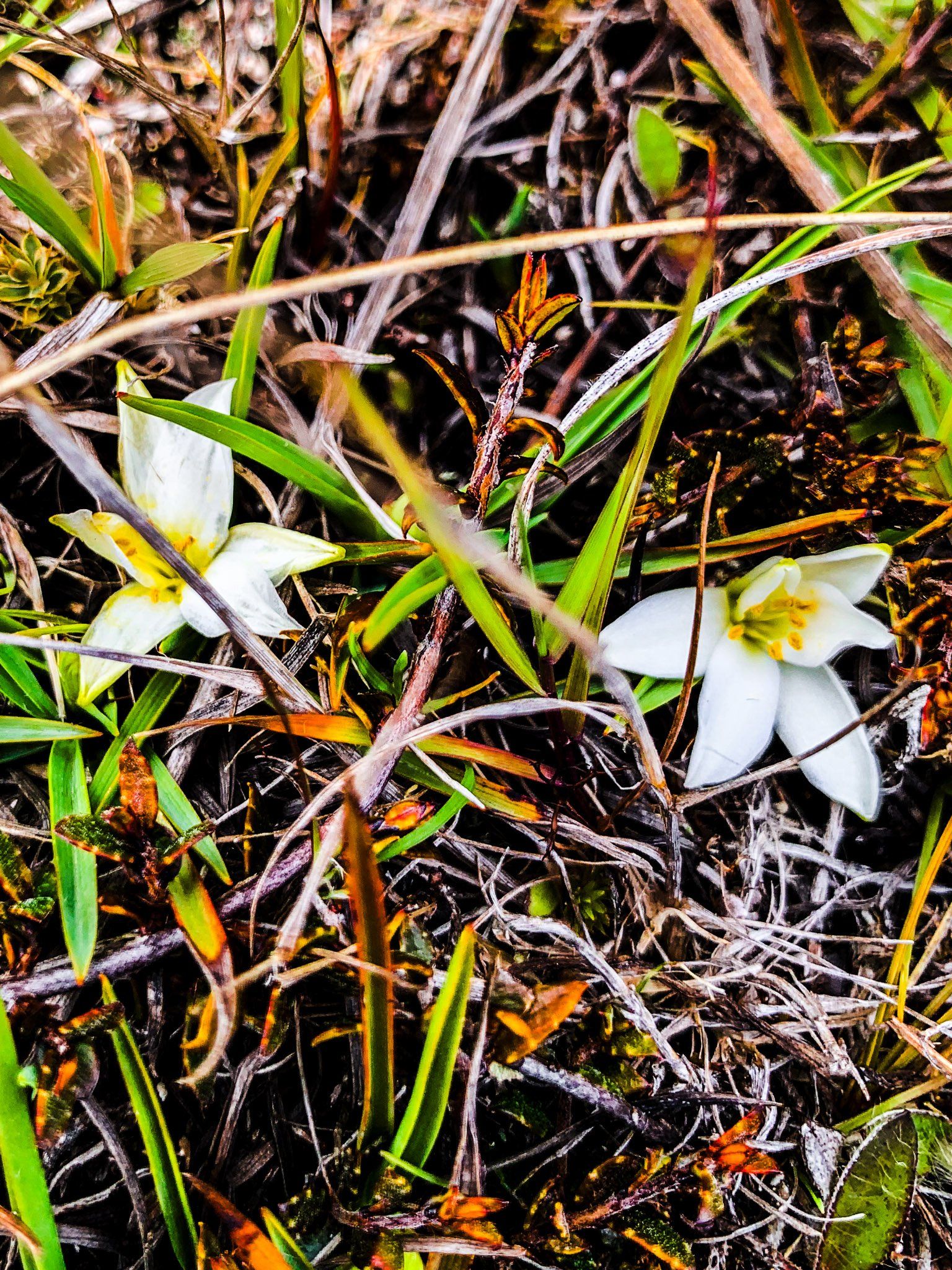
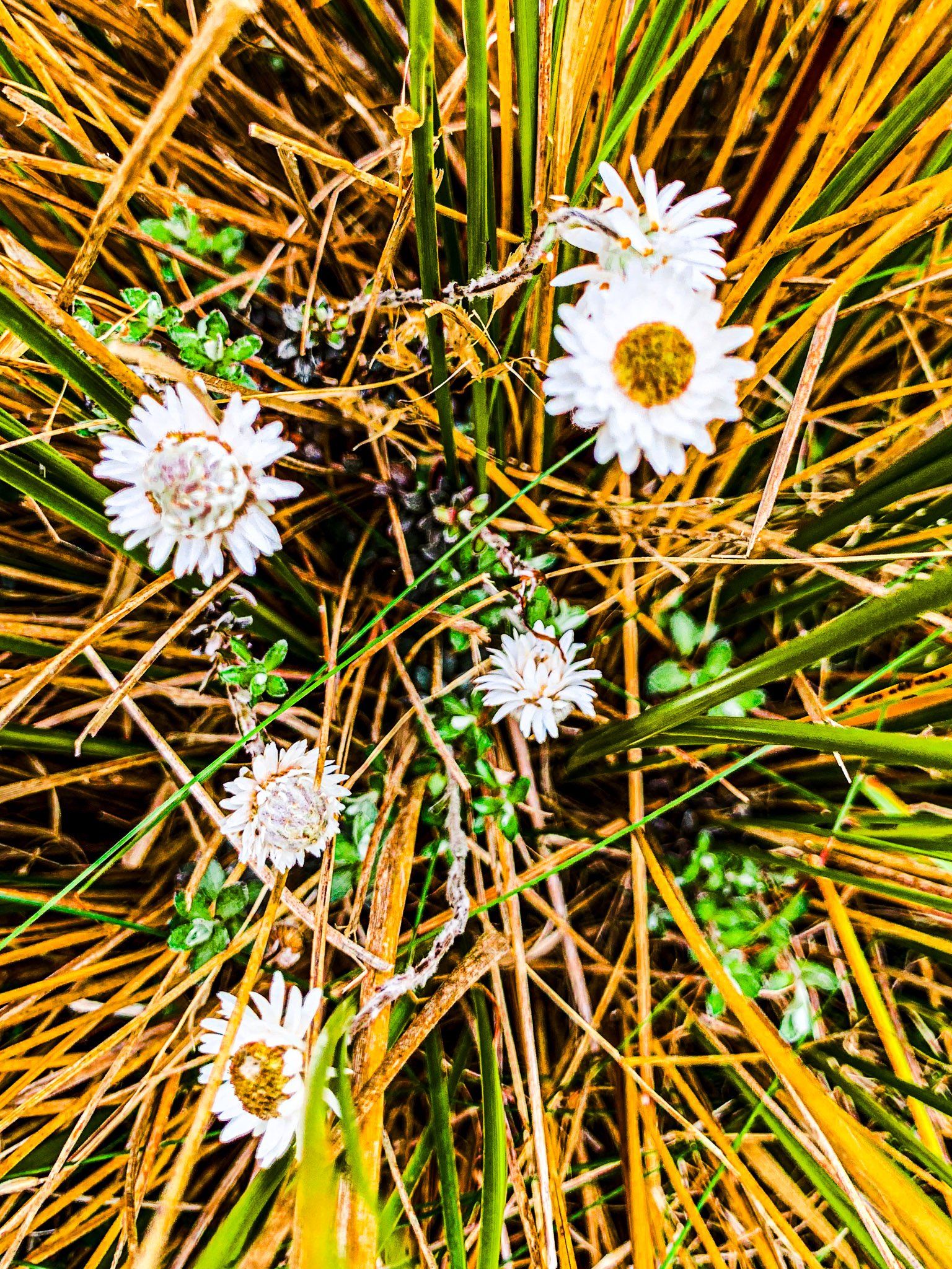
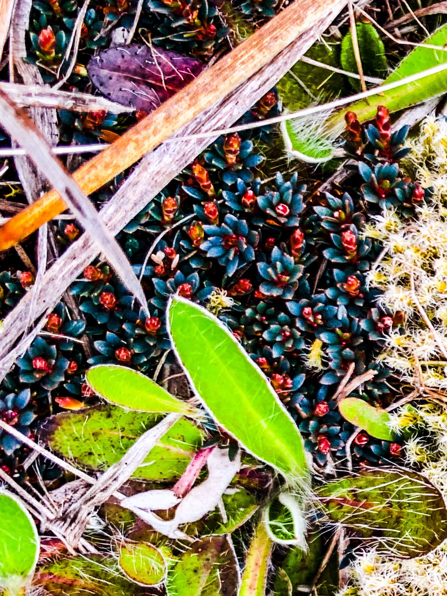
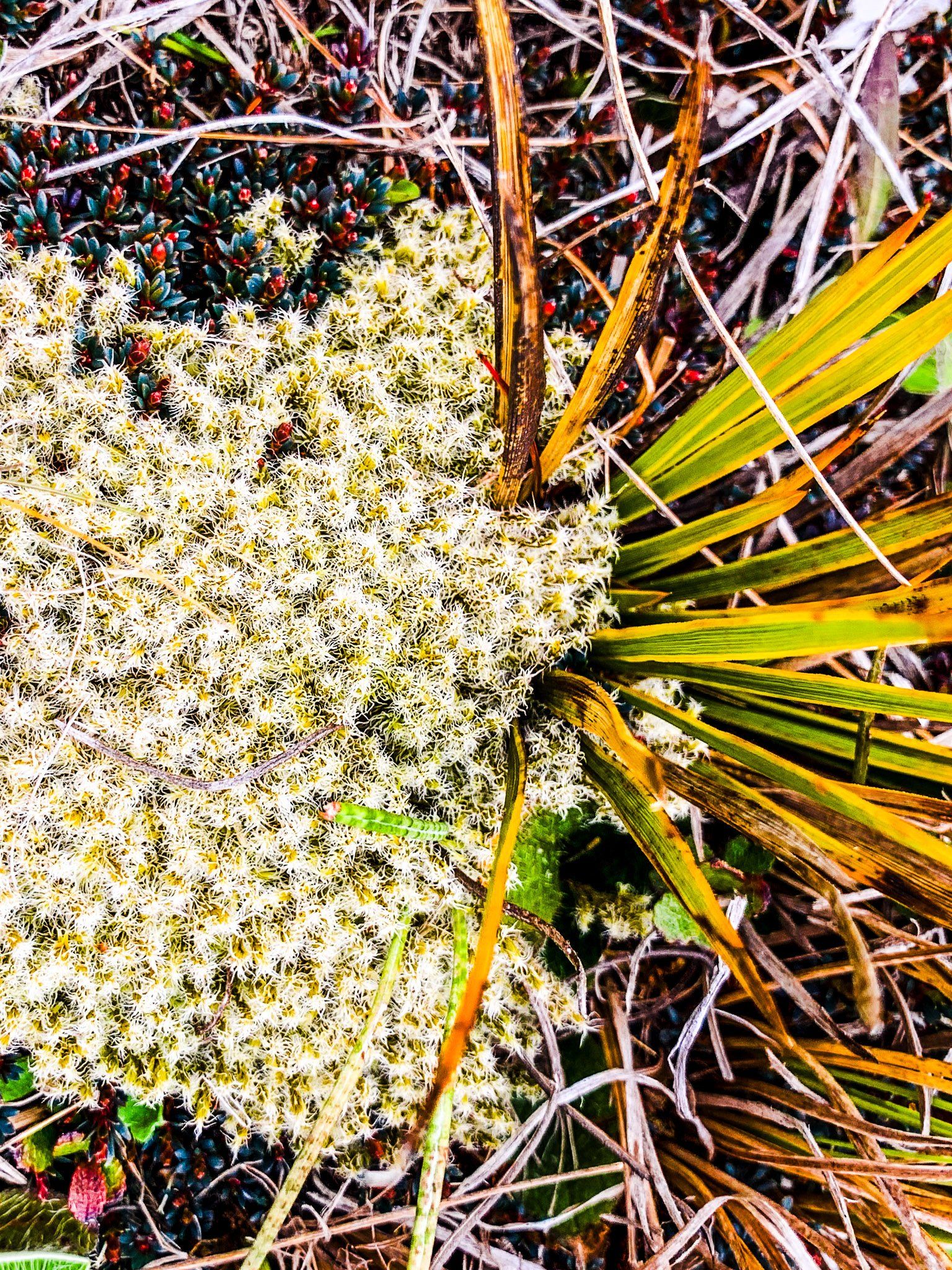
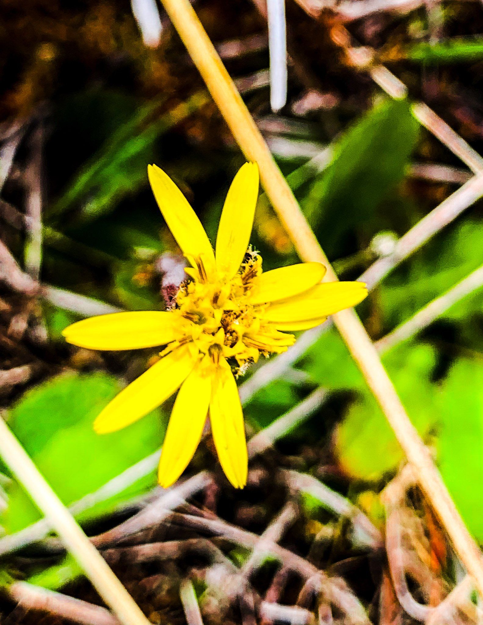
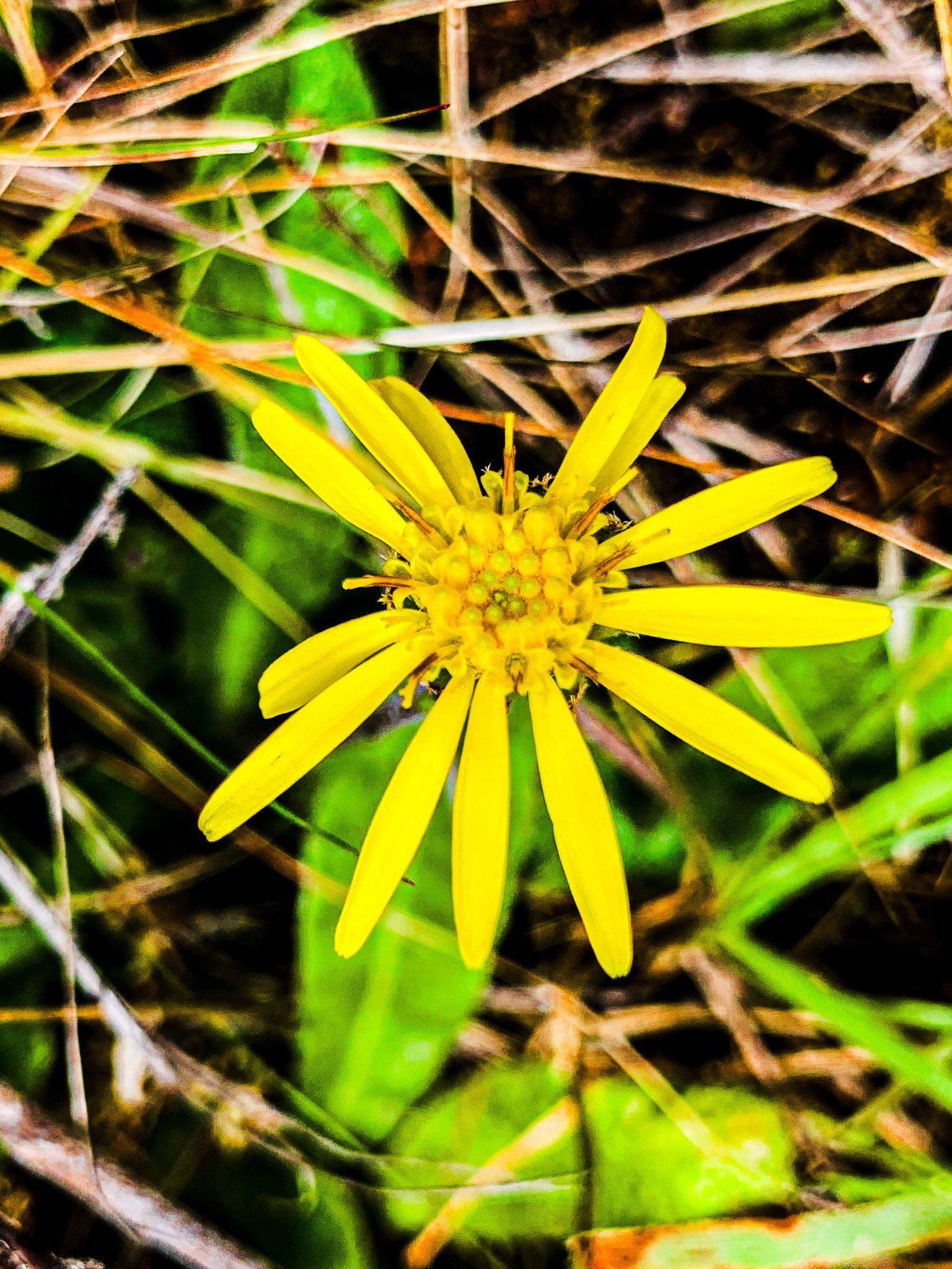
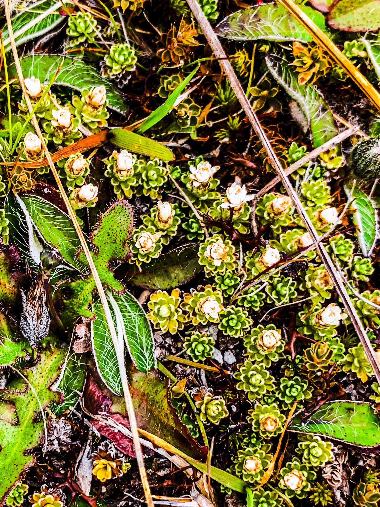
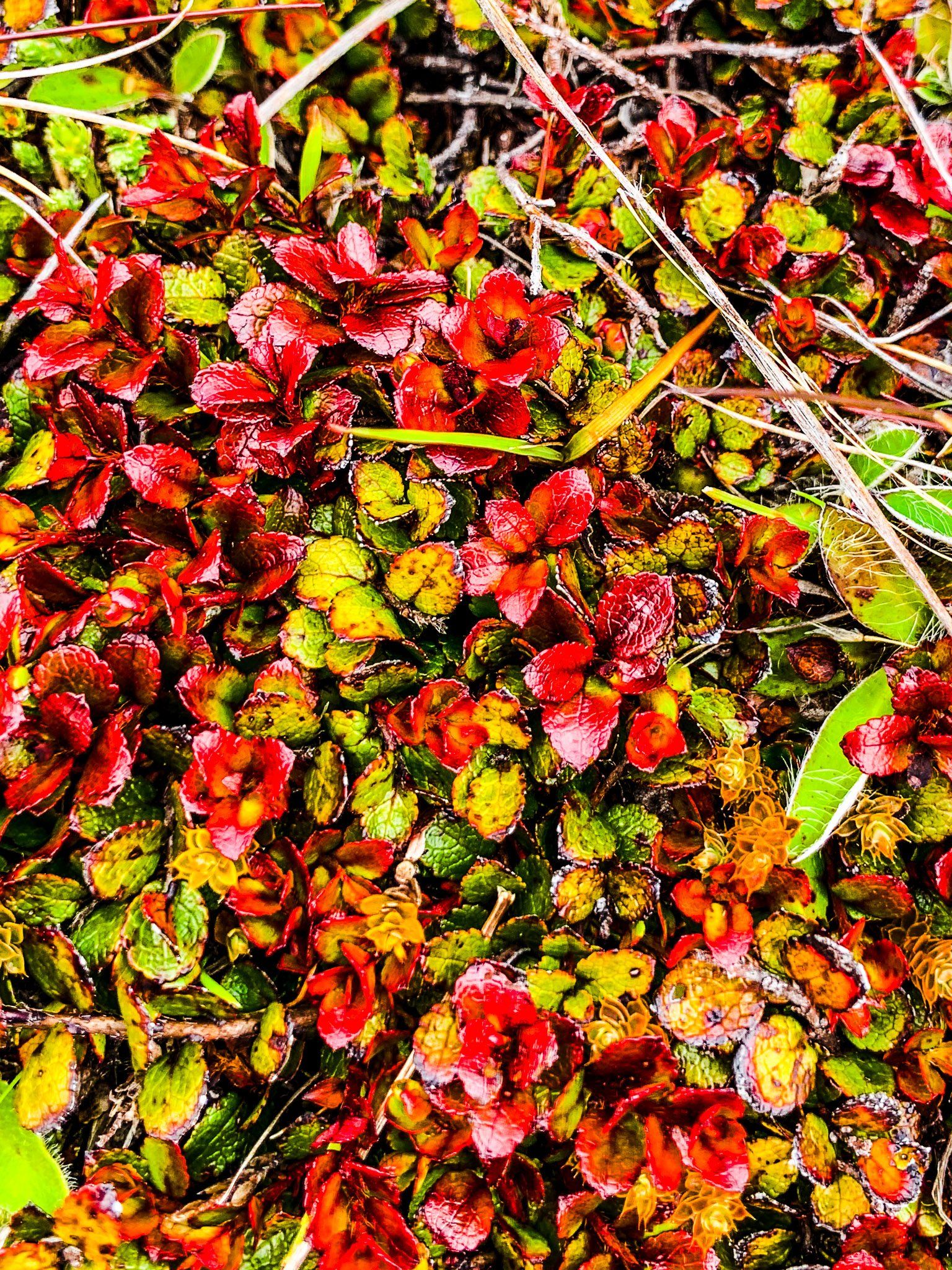
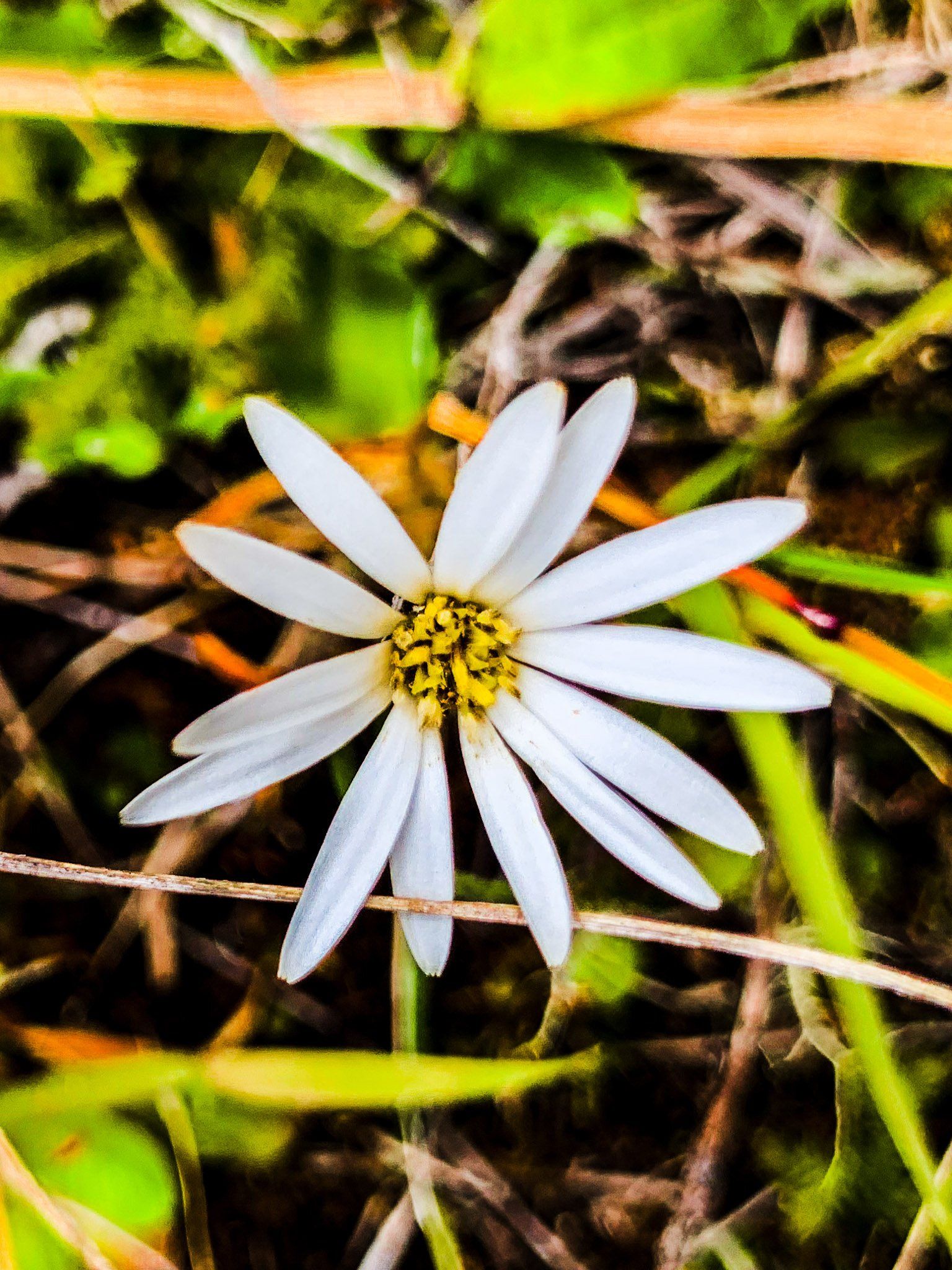
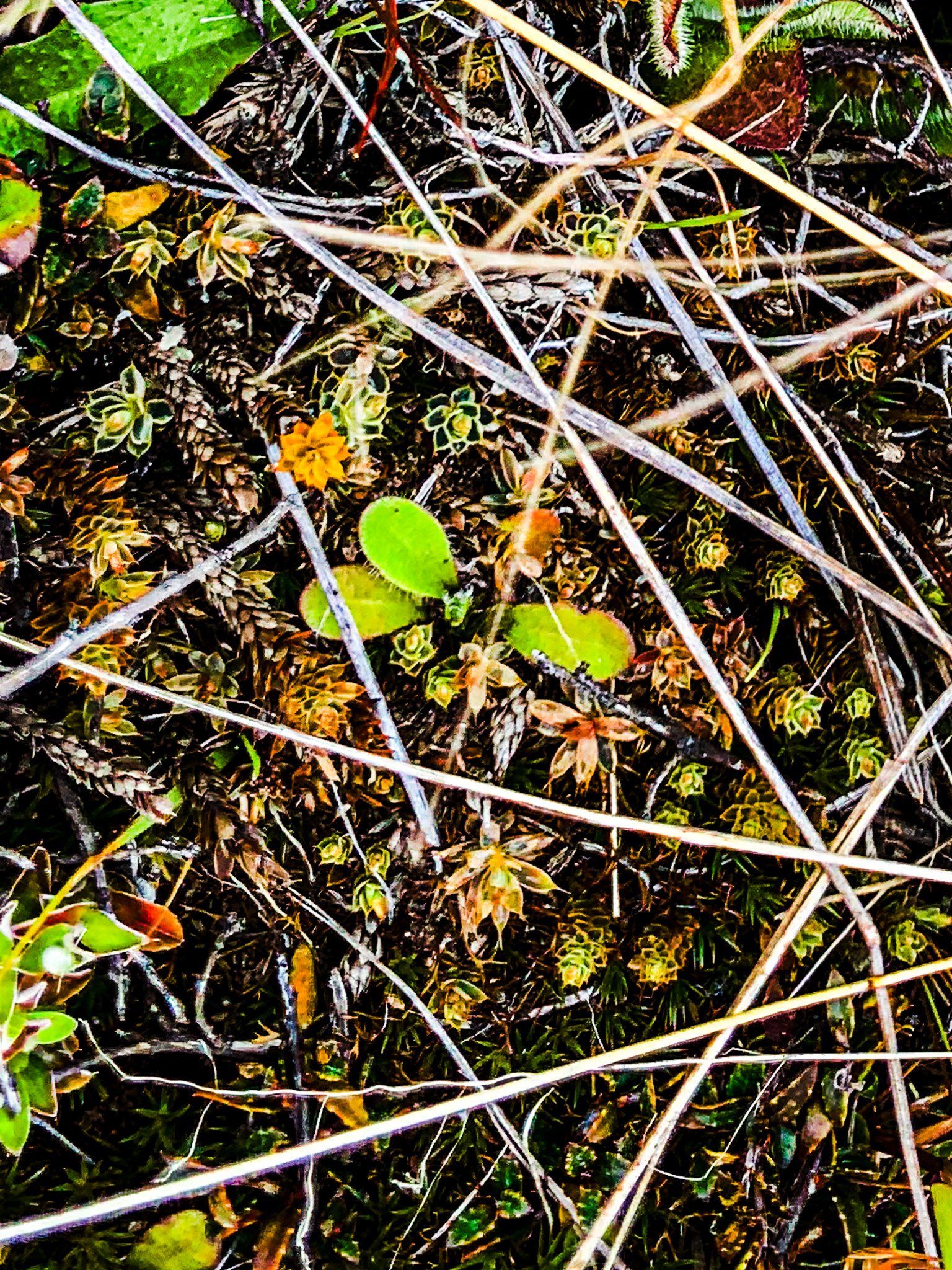
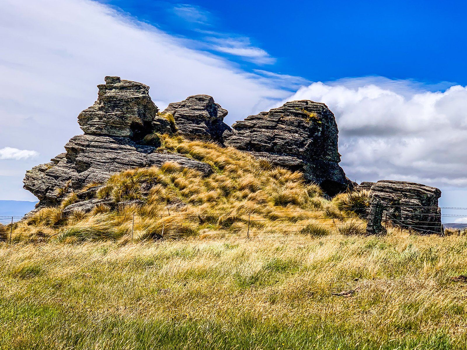
Alpine Flowers of the Old Dunstan Road
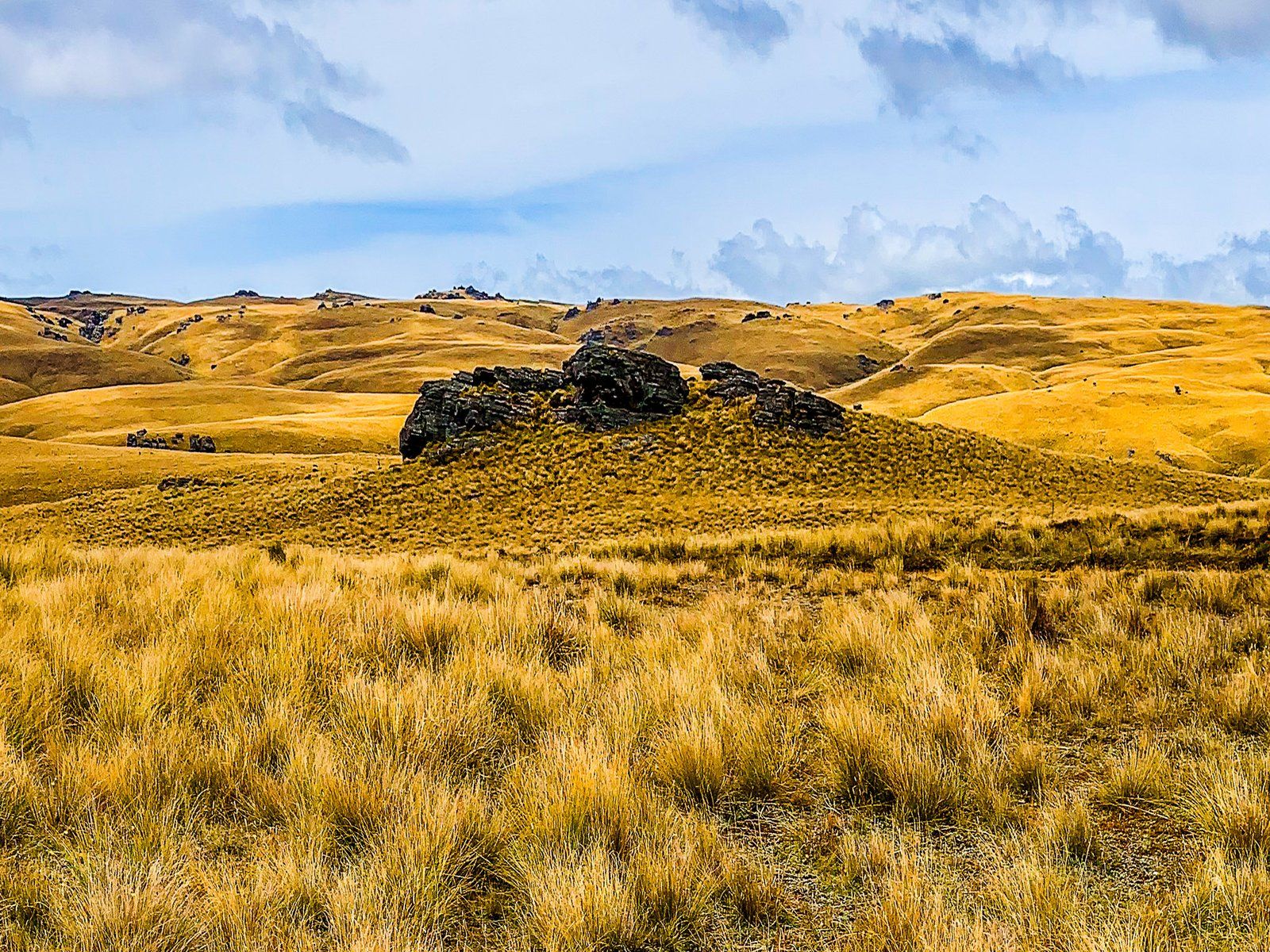
Once you reach the maximum height of the Old Dunstan Road at 1,000 metres, you are comfortably within the “alpine garden”. There, you will find a range of small ground cover plants that compete for space amongst the tussock and spaniards. These include native dandelions and daisies. But have a close look as many of these plants are more interesting than they seem at first glance, with a range of unusual shapes and vibrant colours.
Let us know if you can name some of them!
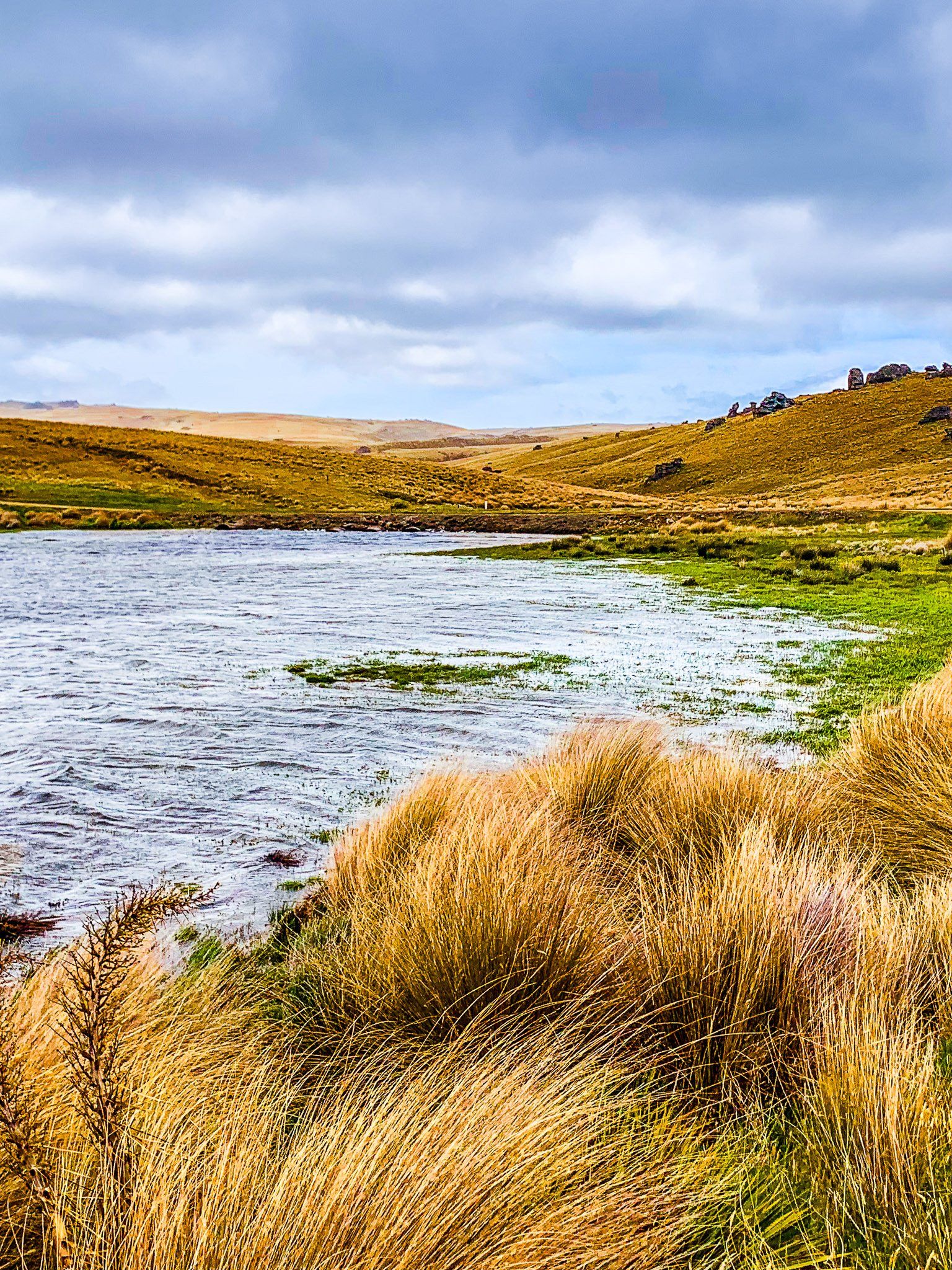
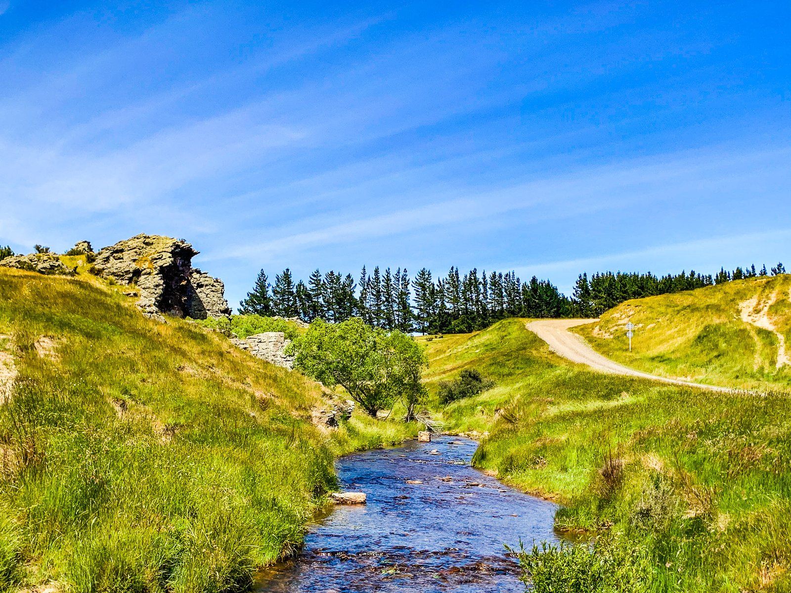
Paerau and Serpentine Flat
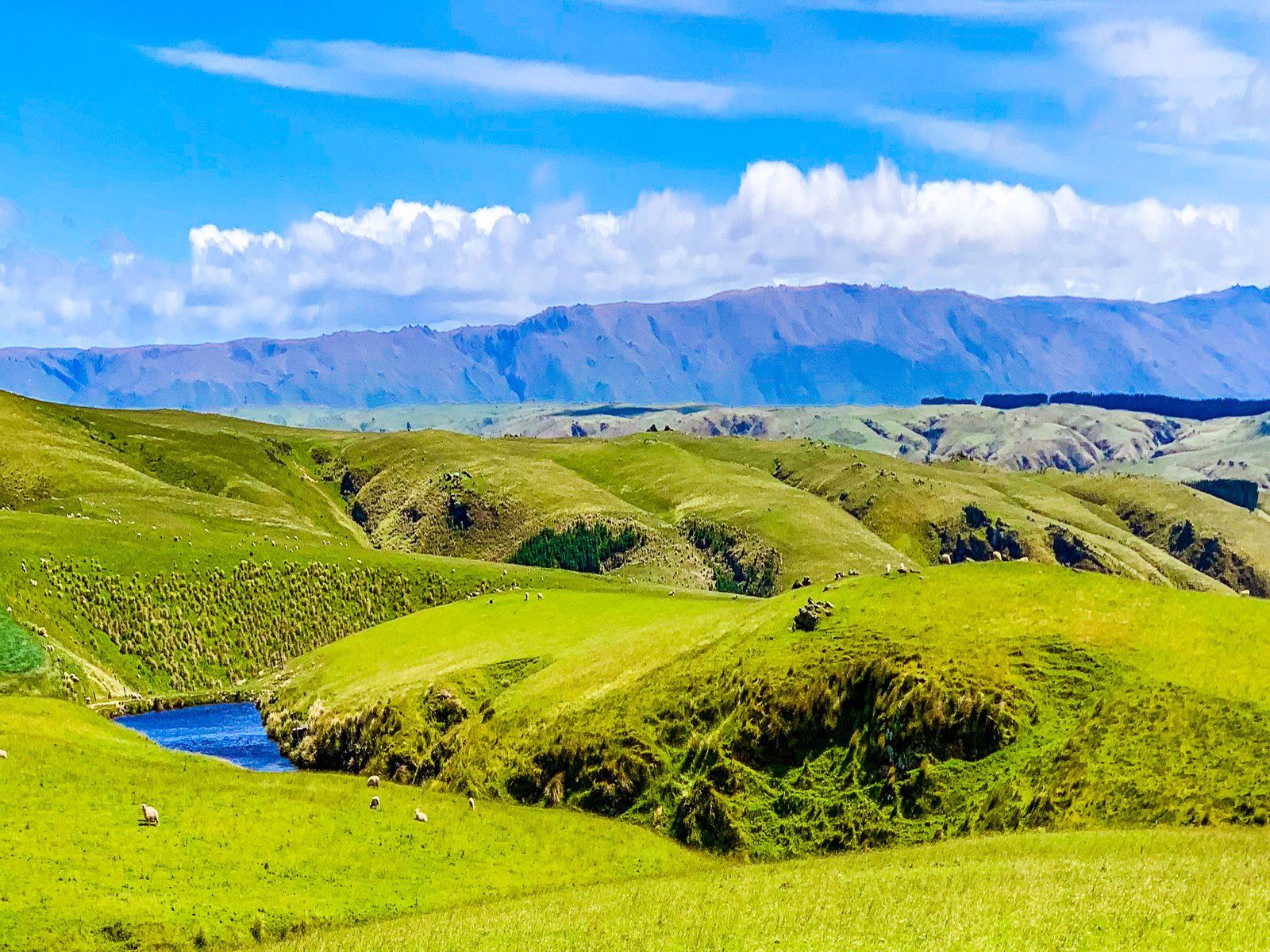
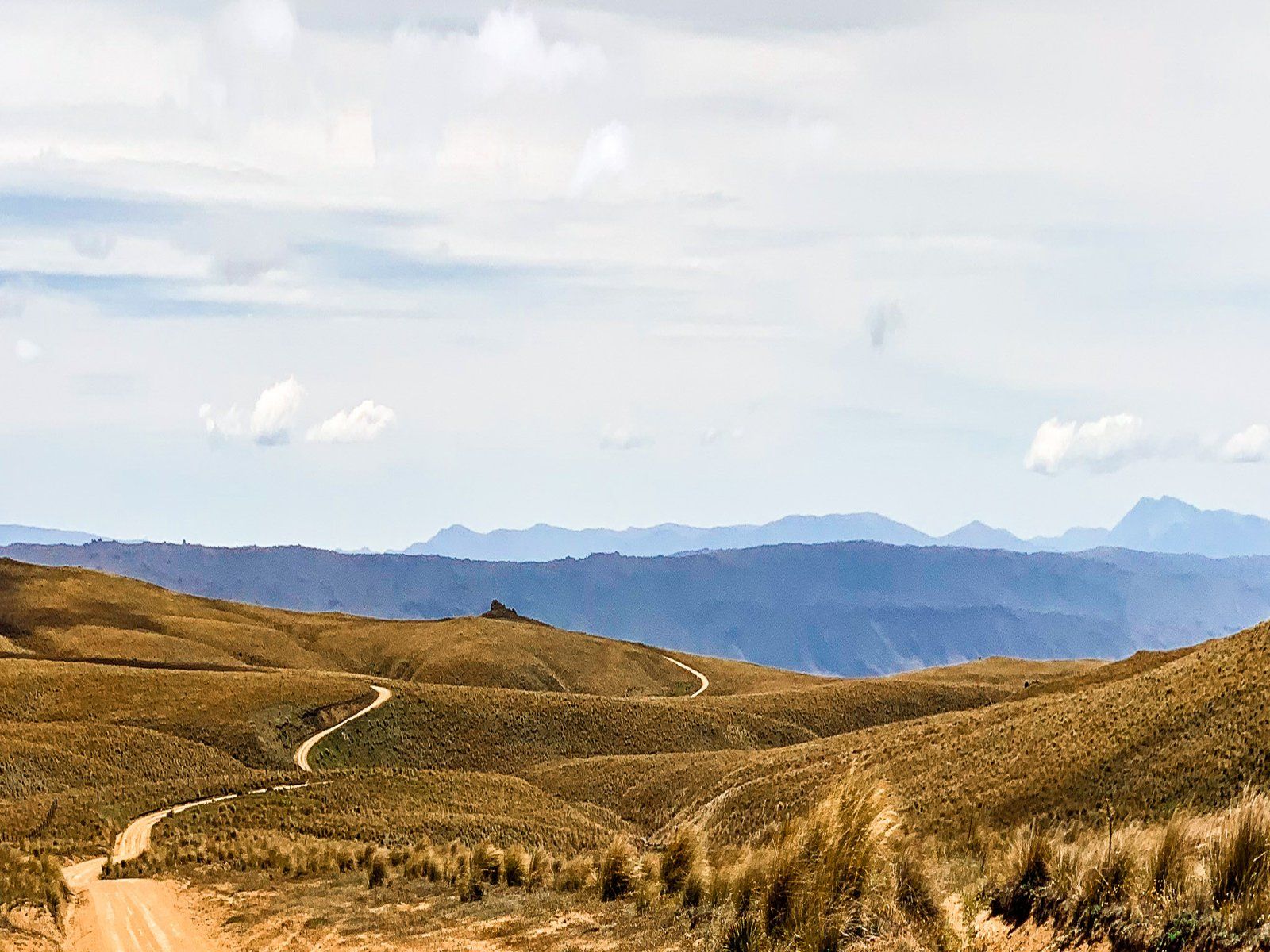
The Paerau end of Old Dunstan Road drops from the edge of the highlands at over 1,000 metres to the north end of Serpentine Flat at 57 metres. The views across Serpentine Flat to Rough Ridge are superb. A feature of the view is the shape of the Taieri River “scroll plain”. This is where the river meanders have created a series of curves and round pools. This extensive effect is uncommon worldwide but appears regularly in this section of the Taieri River.
Drive down amongst the tors and tussock to Paerau (called Styx in the 1860s). You will find a small reservoir on the Taieri River. Take Paerau Road to the head of the Upper Taieri Plain and then Linnburn Runs Road to access the second part of Old Dunstan Road over Rough Ridge.
Want more Trip Ideas?
Check out our blog series on Remote Drives in Beautiful Central Otago: Lake Onslow, The Nevis, and Pigroot to Macraes.