
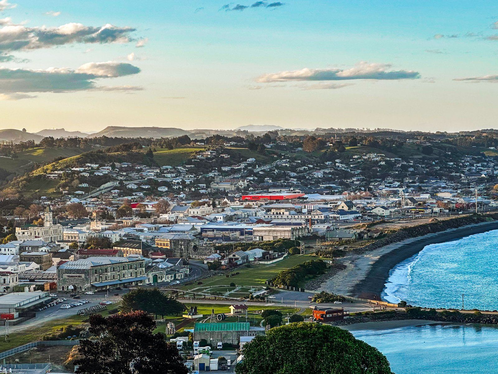
For a traveller, Ōamaru on the Otago Pacific Coast of the South Island, is exceptional. Its 13,900 people have created a wonderful visitor experience, building on the town’s substantial historic Victorian architecture made from locally sourced Waitaki (or Ōamaru) Whitestone.
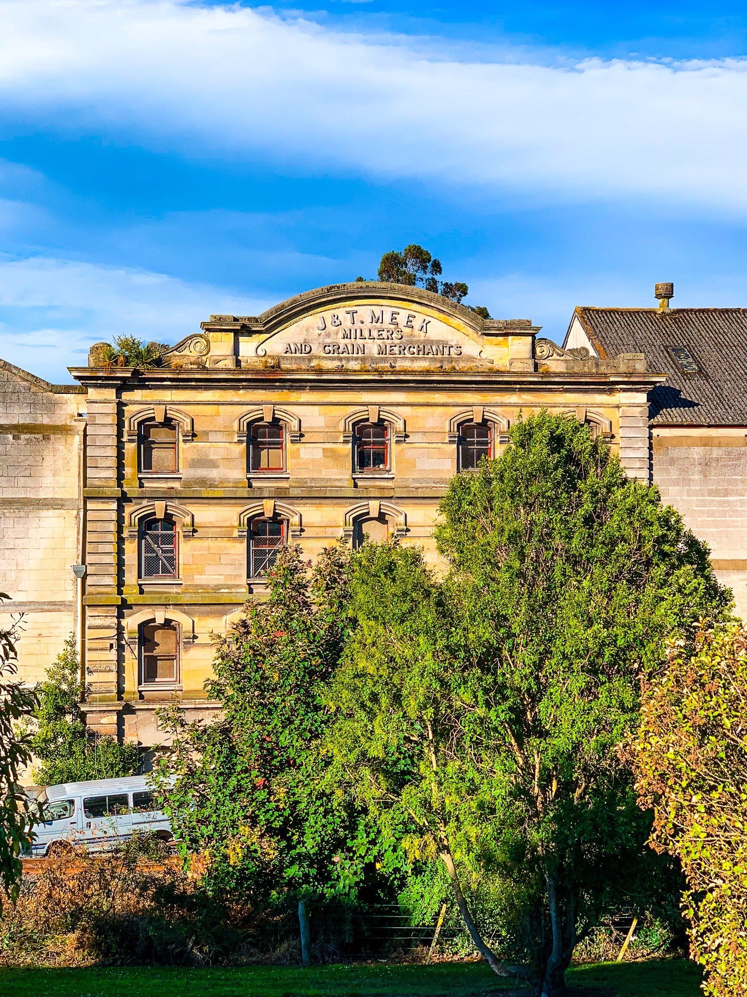
These buildings are mostly concentrated around the town centre and harbour. There has been substantial effort to restore and upgrade these buildings. This has included the redevelopment of the “Victorian Precinct” in what was a rundown Whitestone warehouse district at the south end of the town near Friendly Bay.
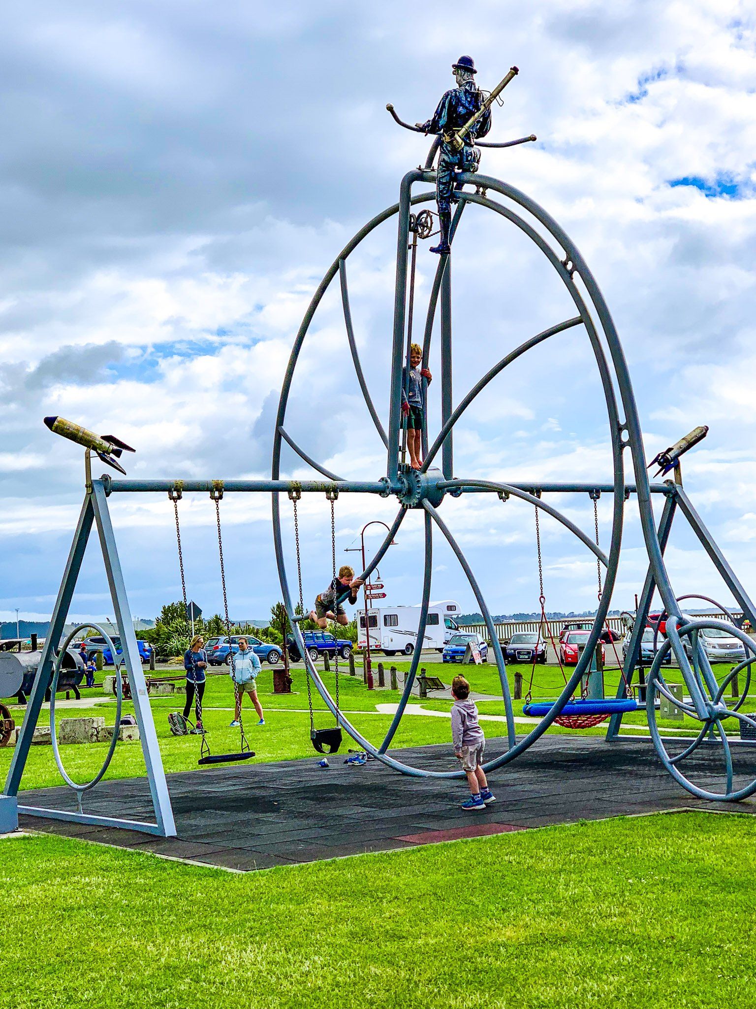
Ōamaru not only renovated its architectural heritage, it also took on a strong Victorian persona. There is a festival in mid-November, Ōamaru Heritage Celebrations, when everyone plays dress-up. If you need to, you can learn to ride a penny-farthing bike any time!
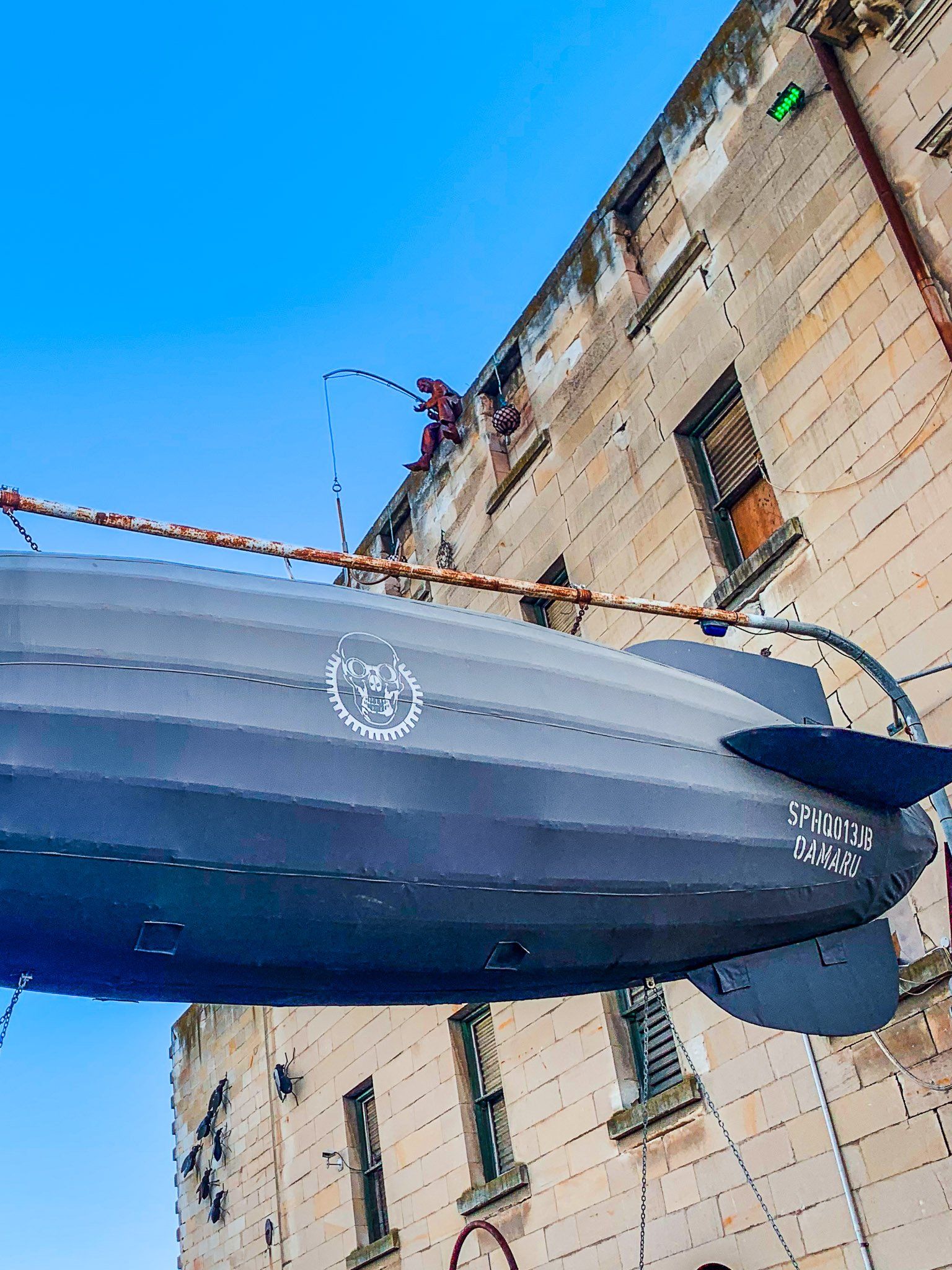
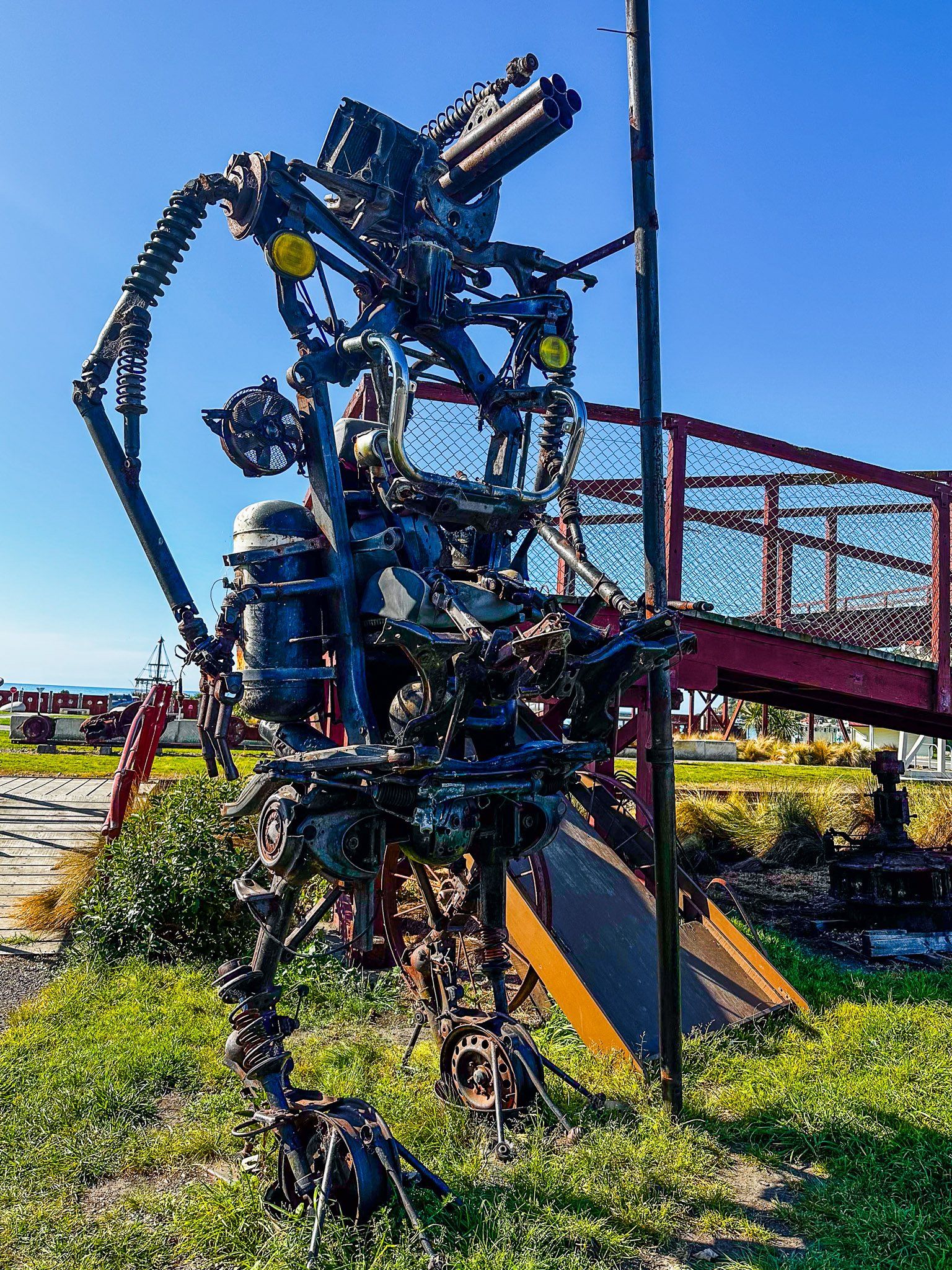
Someone also decided that adding a Steampunk Museum would enhance the Victorian heritage. This is a bizarre alternate future world that amalgamates Victorian Gothic styles with science-fictional uses of steam power. The museum is at the south end of the Victorian Precinct, but numerous nearby examples of Steampunk outdoor sculptures also exist.
Then, the town got extra lucky. Little blue penguins established themselves in a disused quarry at the south end of Friendly Bay in the early 1990s. Volunteers helped to develop a breeding habitat and provided guided tours.
Ultimately, the penguins were protected by a paywall in the form of a visitor centre and two grandstands at the Ōamaru Blue Penguin Colony! But it is the easiest way to see blue penguins in NZ, and around 75,000 people visit annually.
Ōamaru is close to the North Otago and South Canterbury border and 120 km north of Dunedin, linked by State Highway 1. It is a major gateway west to the Mackenzie Country in the central South Island via State Highway 83.
This highway runs along the scenic Waitaki Valley to Omarama in Mackenzie Country. There is easy access to Wanaka and Queenstown via Lindis Pass, Aoraki Mount Cook, and Tekapo. Ōamaru is also the endpoint for the Alps 2 Ocean Cycle Trail that runs from the Southern Alps to the Pacific Ocean.
Unlike many places in the South Island, Ōamaru retained a Māori name with the arrival of Europeans. It translates as “the place of Maru”, although who Maru was is long forgotten. Pre-European, the area along the Pacific Coast and the Waitaki Valley had long been occupied by Māori.
It was a source of moa meat before the birds were hunted to extinction in the 1600s, and rock art in the Waitaki Valley dates back to this period. Captain James Cook and his crew spent several days there in the 1700s, and whalers and sealers were active by the early 1800s. In 1831, Te Rauparaha attacked a large pā at Kaiapoi to the north and refugees from the pā settled there.
Edward Shortland was the first European to put Ōamaru on a map in the 1840s. By the 1850s, Europeans were establishing pasture farming, and in 1858, John Thomson laid out a plan for the town.
The big development was establishing the frozen meat trade to the UK, causing Victorian Ōamaru, with its modest port at Friendly Bay, to boom. But this was followed by 100 years of limited growth, hence the extraordinary untouched heritage we can all enjoy today.
Ōamaru Whitestone
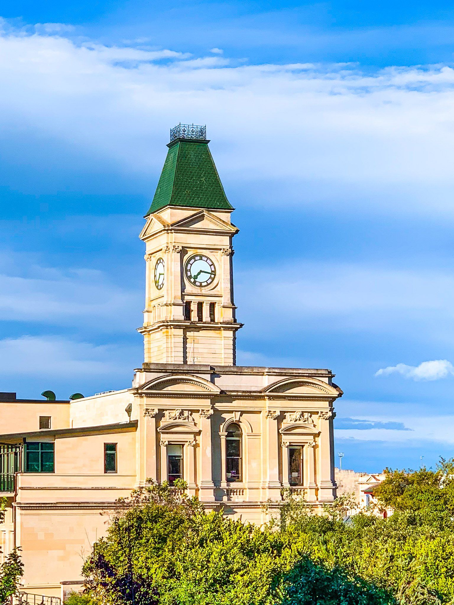
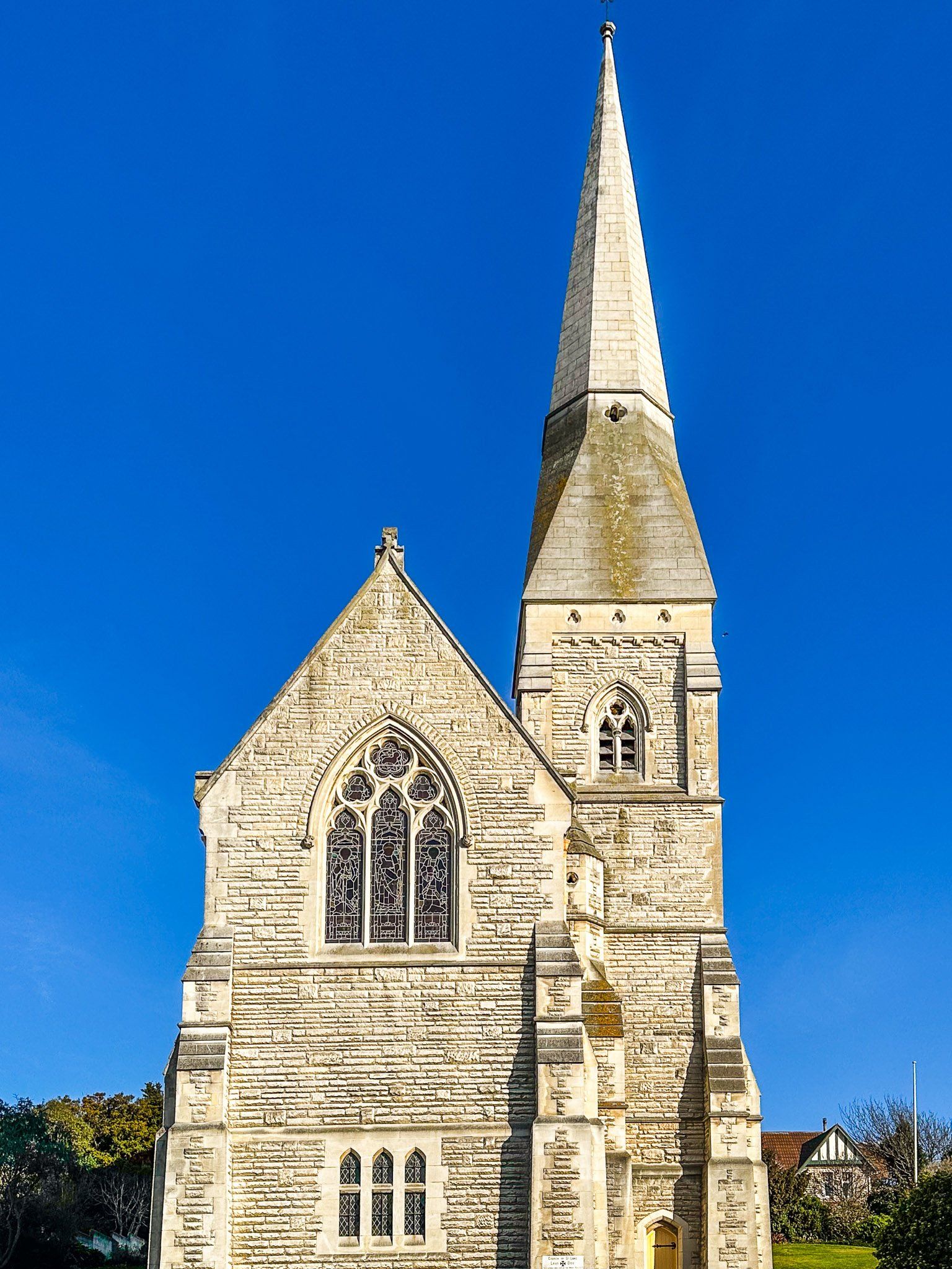
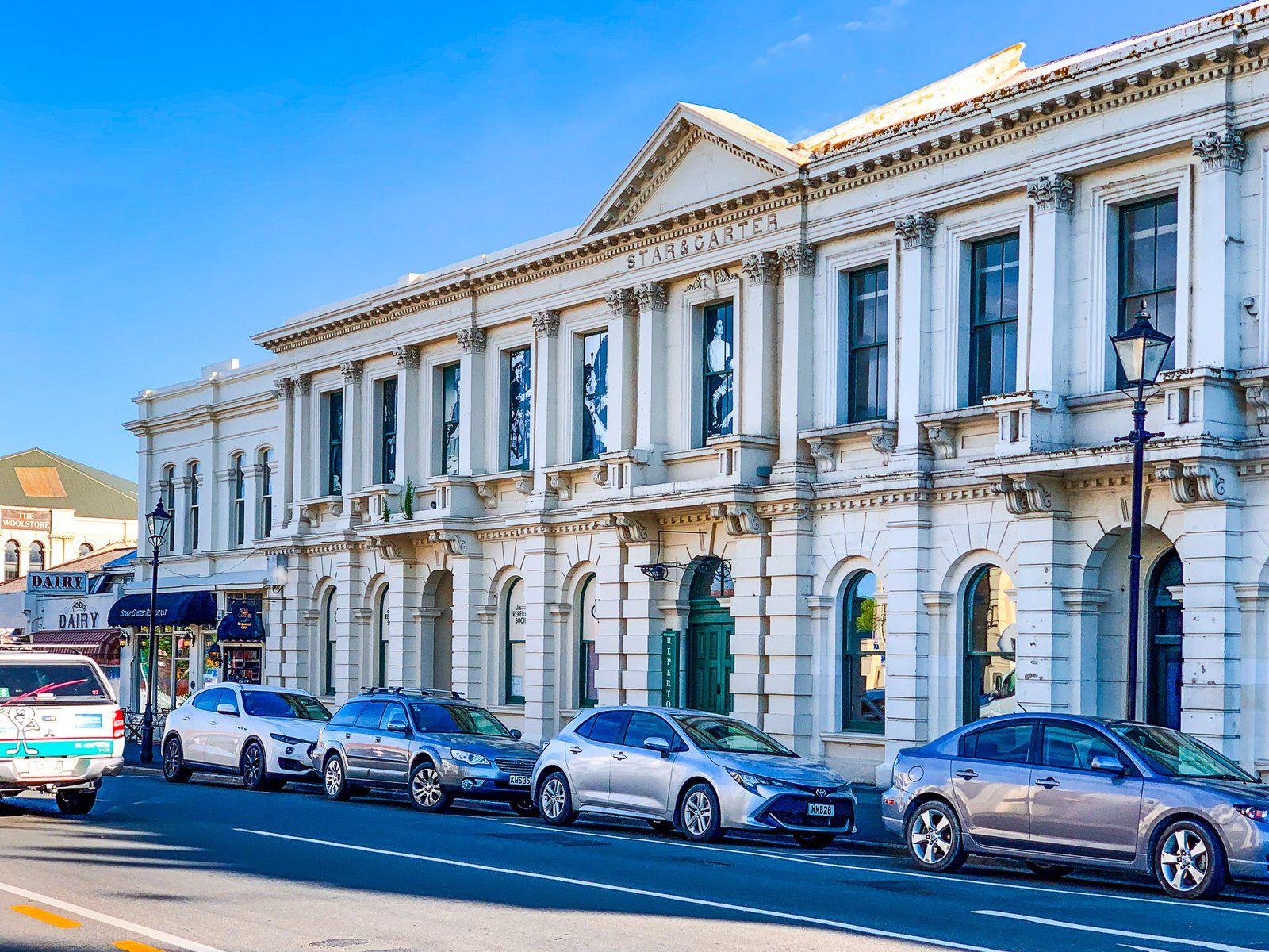
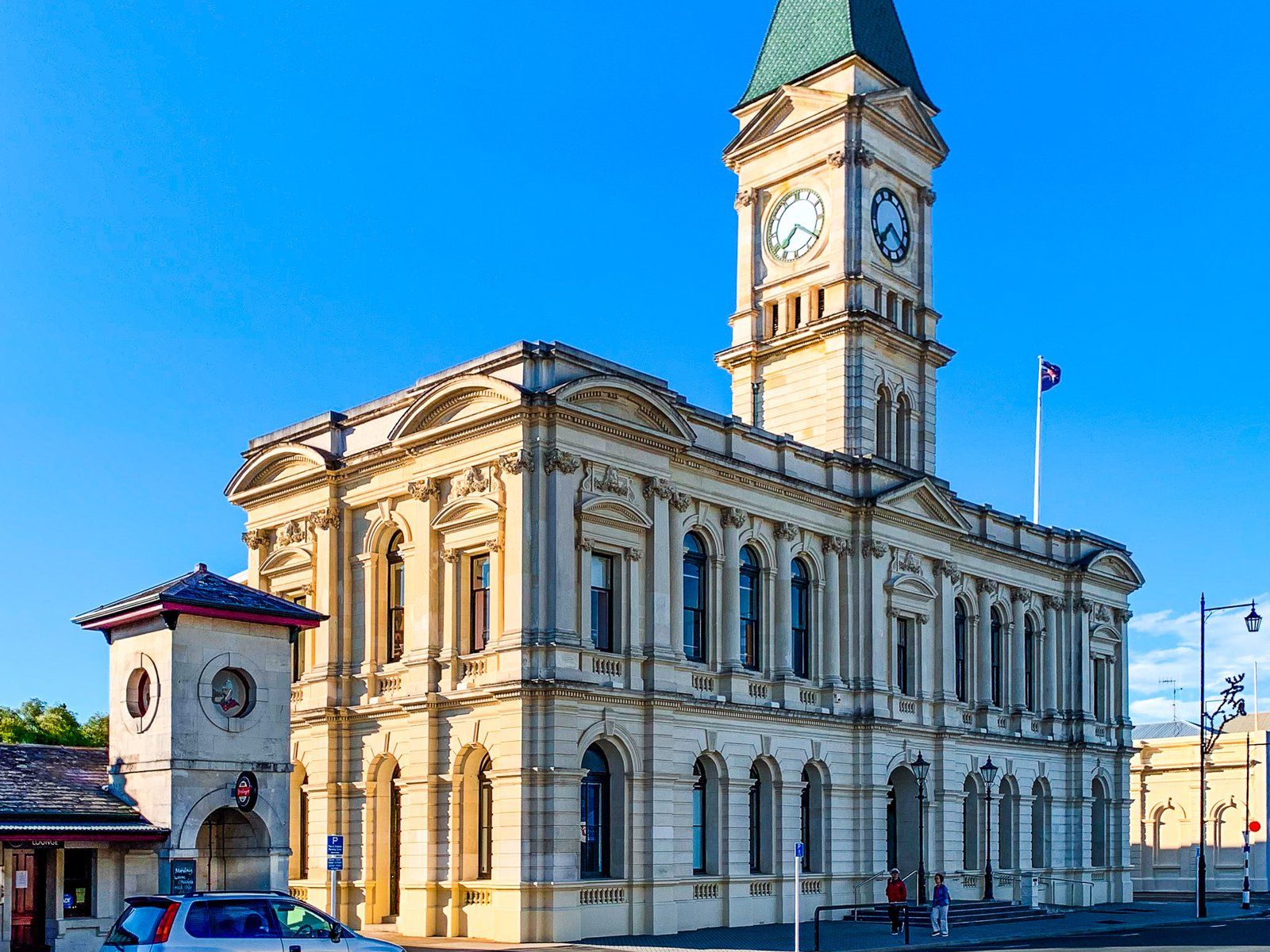
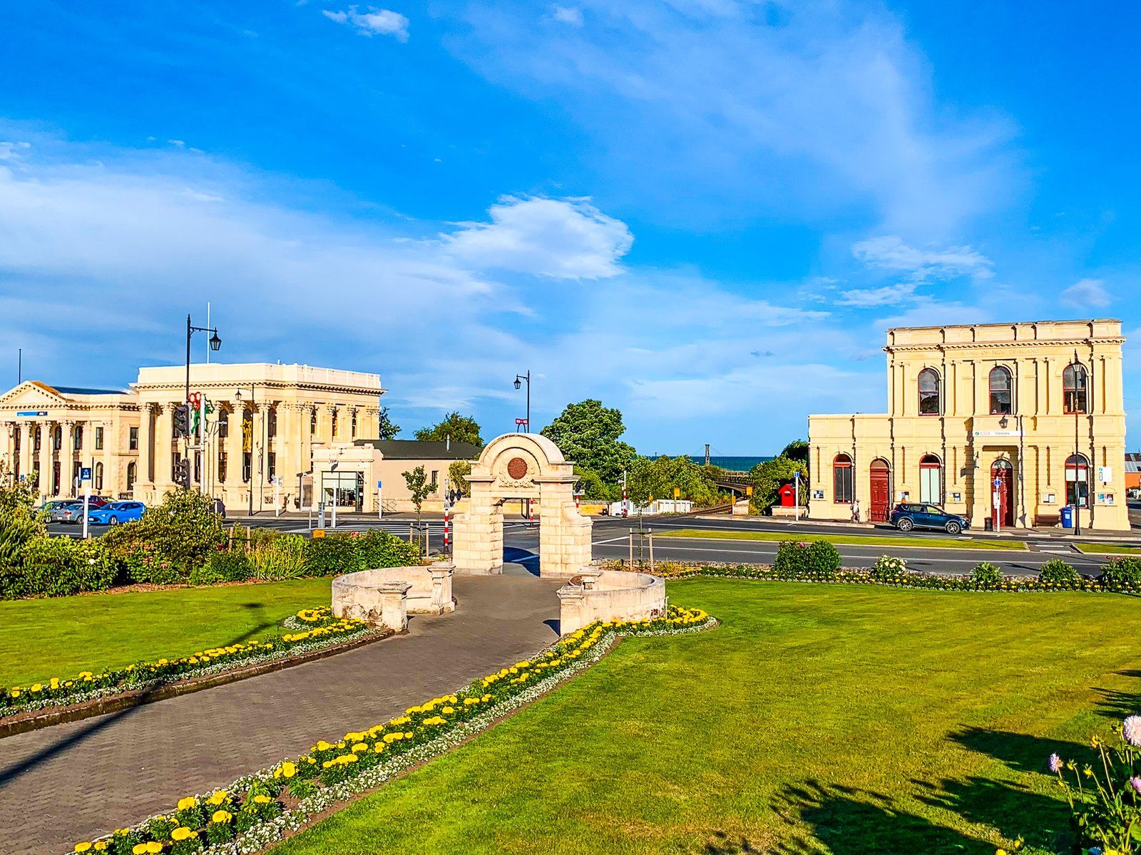
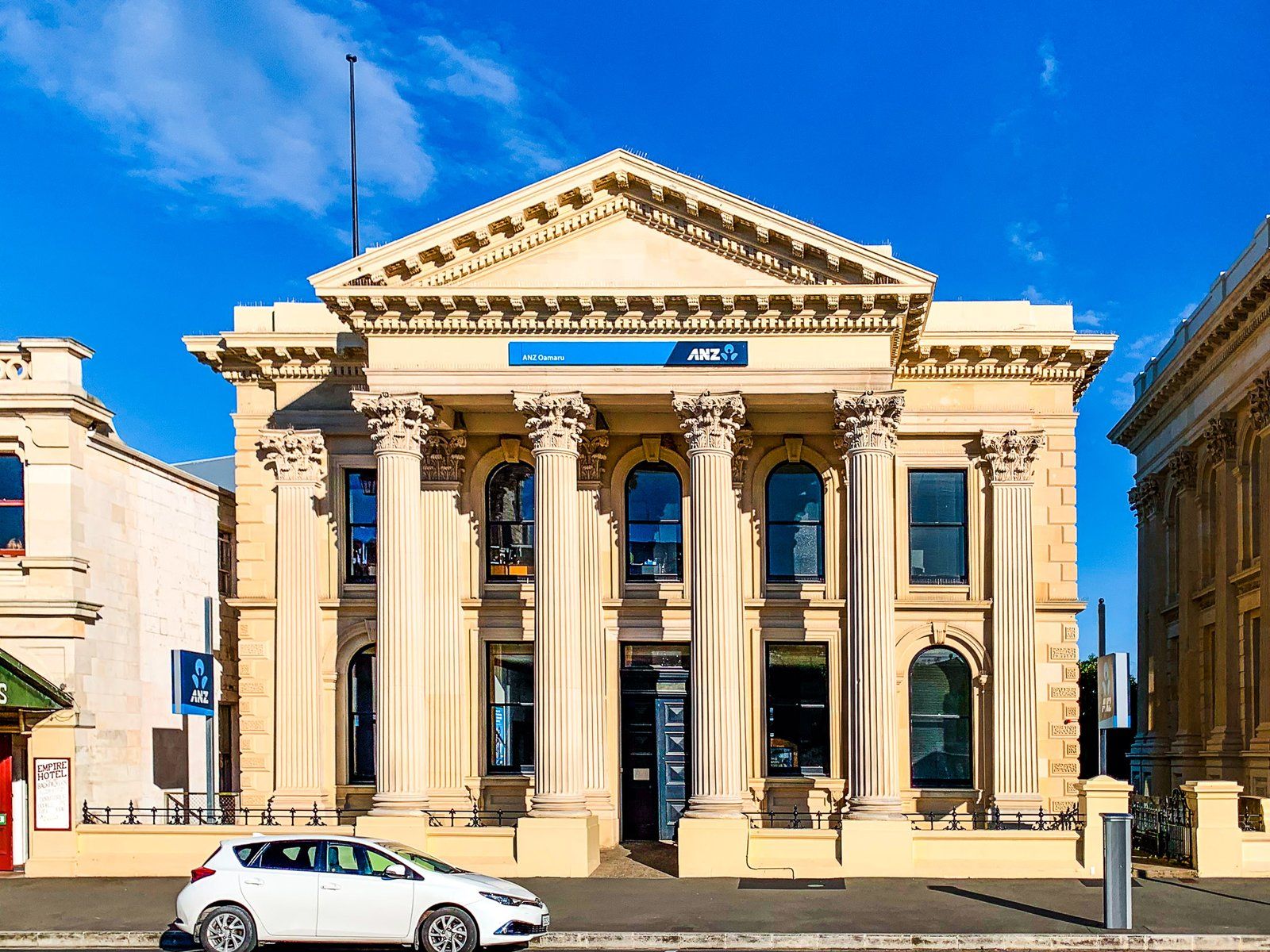
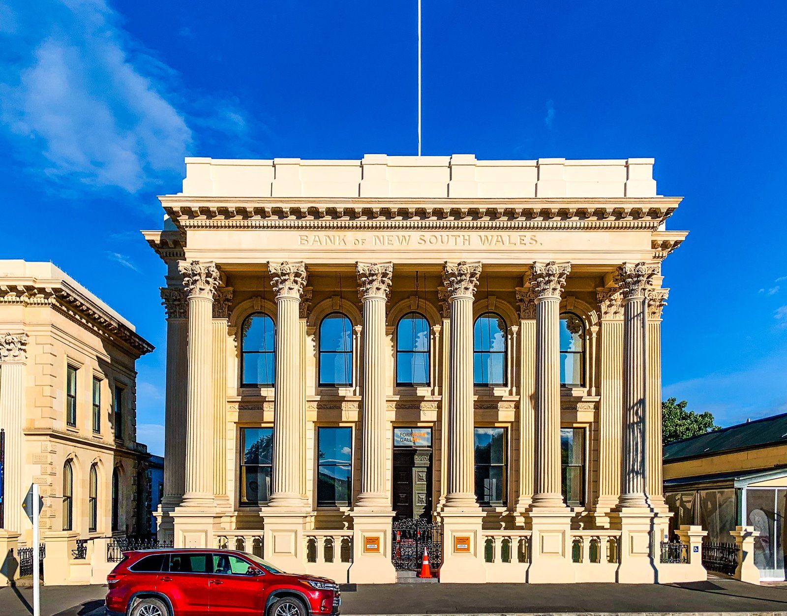
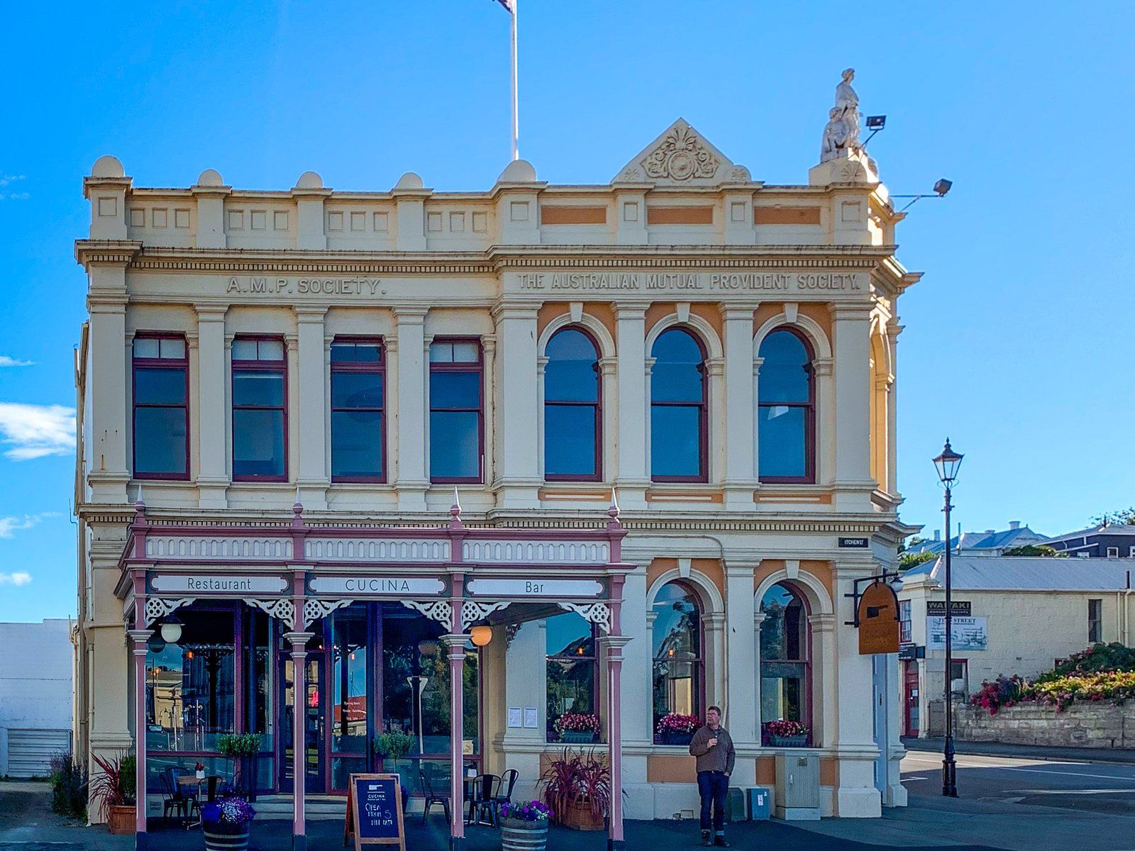
The most noticeable feature of Ōamaru is its large number of Victorian-style buildings. These were constructed in the 1800s from a locally sourced white limestone called Waitaki (or Ōamaru) Whitestone. Today, the Victorian heritage of the town is unique in NZ, with over 70 buildings registered as protected with the Historic Places Trust.
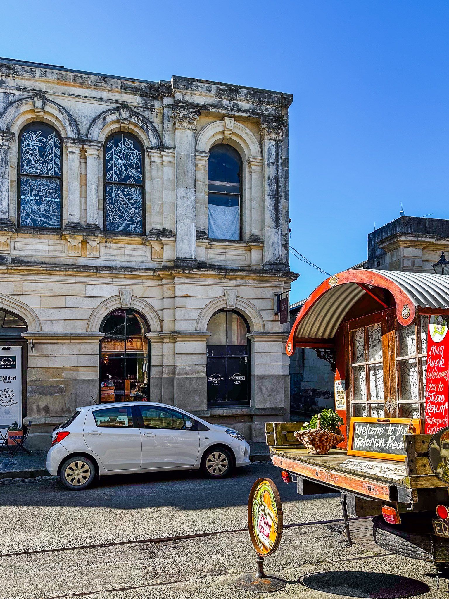
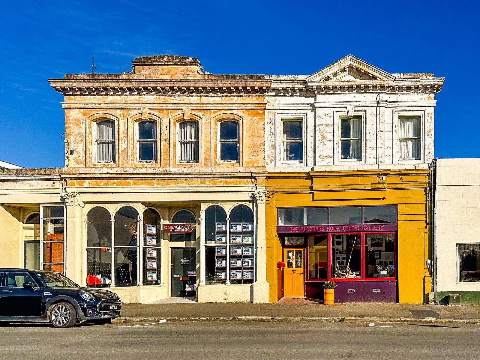
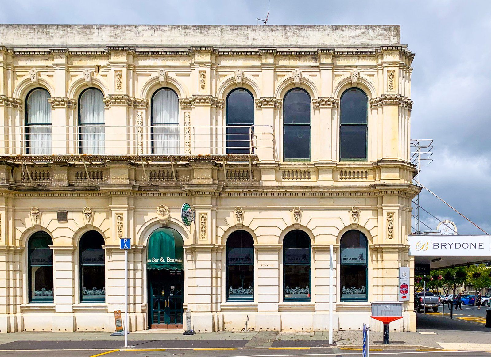
Many of these buildings are concentrated on the south end of Thames Street, between Coquet Street and Itchen Street. These are mostly significant public buildings that have been renovated. At the south end of Thames Street, turning east onto Itchen Street, you will find the old Victorian warehouse district, now known as the Victorian Precinct.
These were dilapidated by the 1970s but are now largely restored with interesting shops, galleries, cafes and even a microbrewery. Many of these stores have embraced the Victorian theme, including personal dress choices!
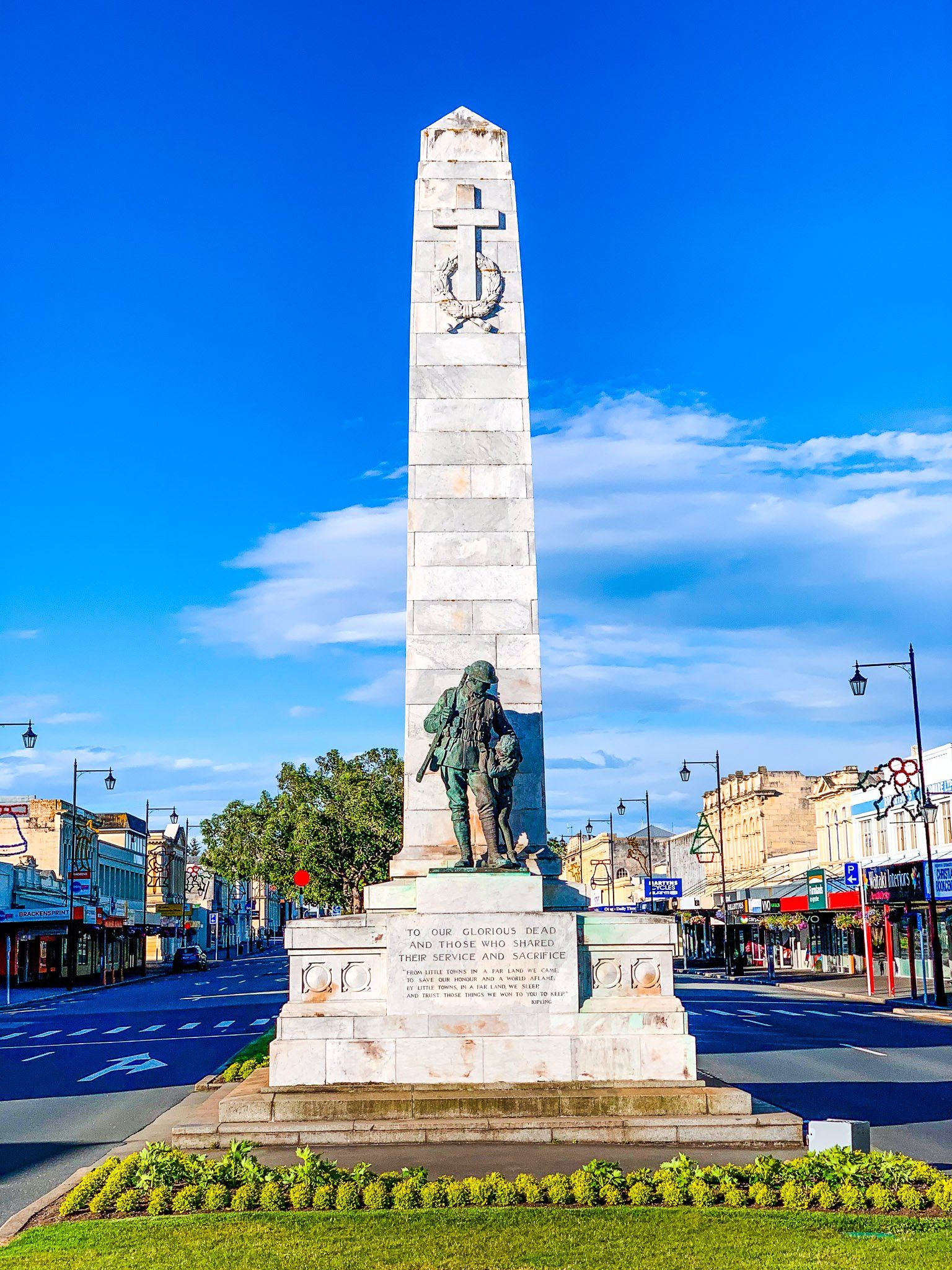
From the intersection of Thames Street and Coquet Street, walk south on either side of Thames Street. In addition to the buildings, note the two war memorials made from Whitestone in the middle of the road. At Itchen Street, turn east towards the Steampunk Museum. There are two blocks of converted warehouses to explore south of the museum.
The walk only takes about 20 minutes one way, but we recommend allowing at least a couple of hours.
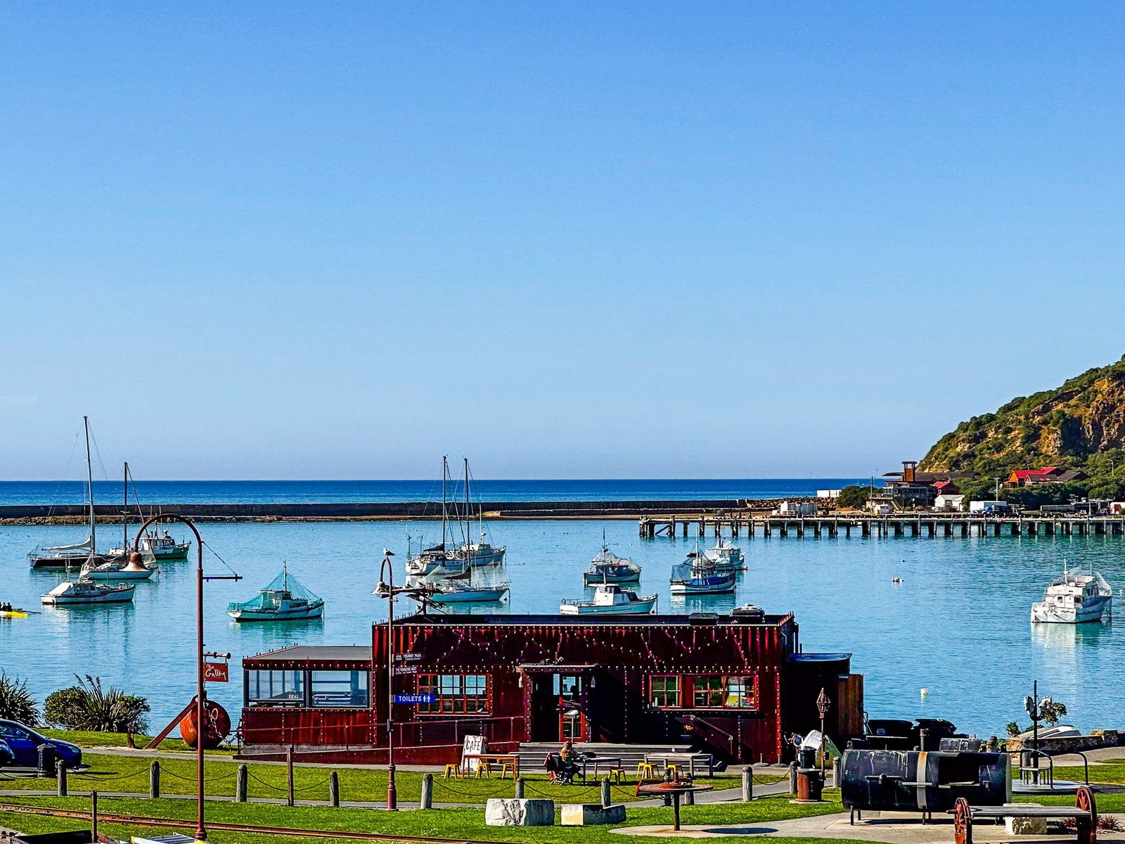
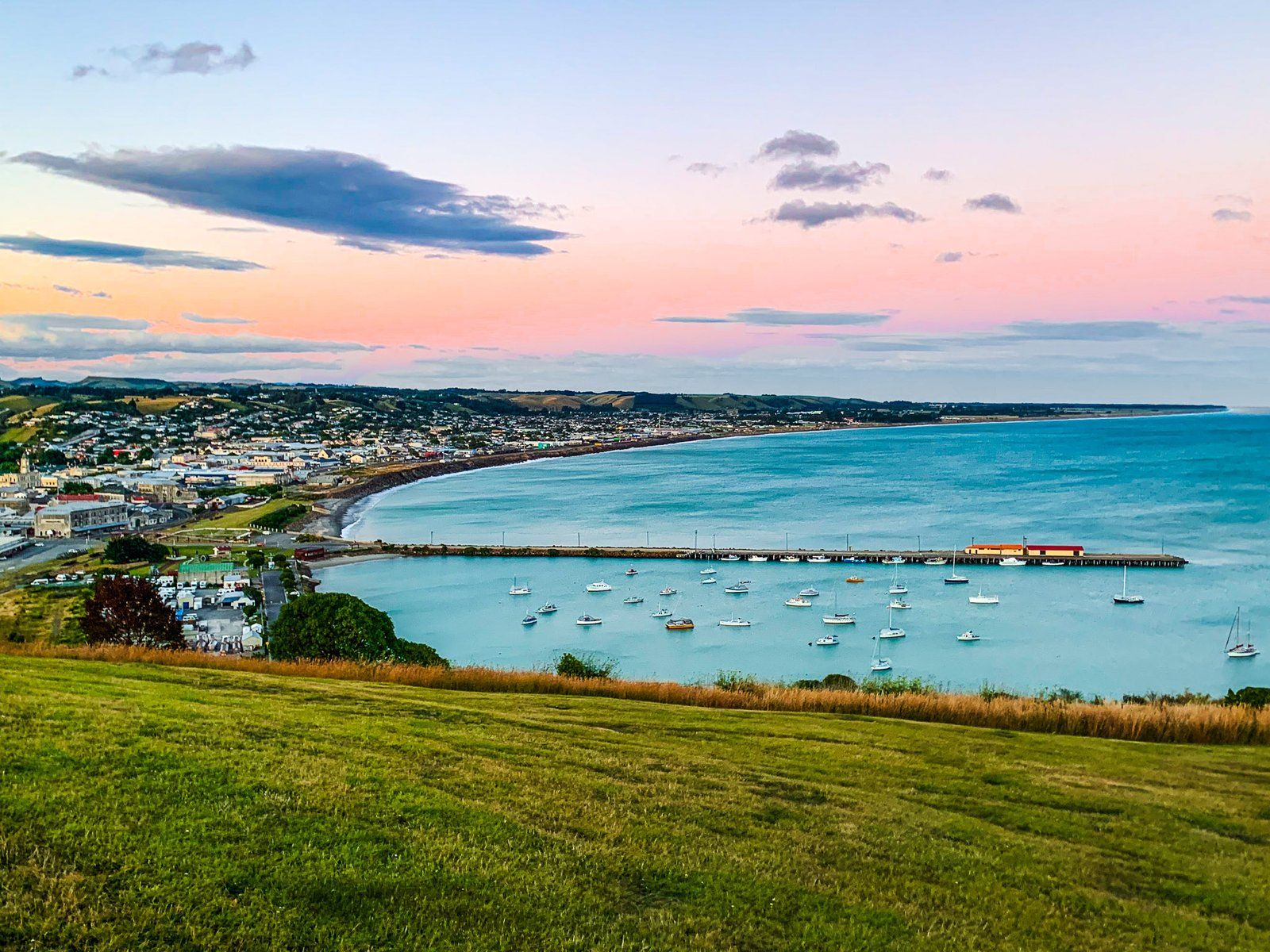
Friendly Bay
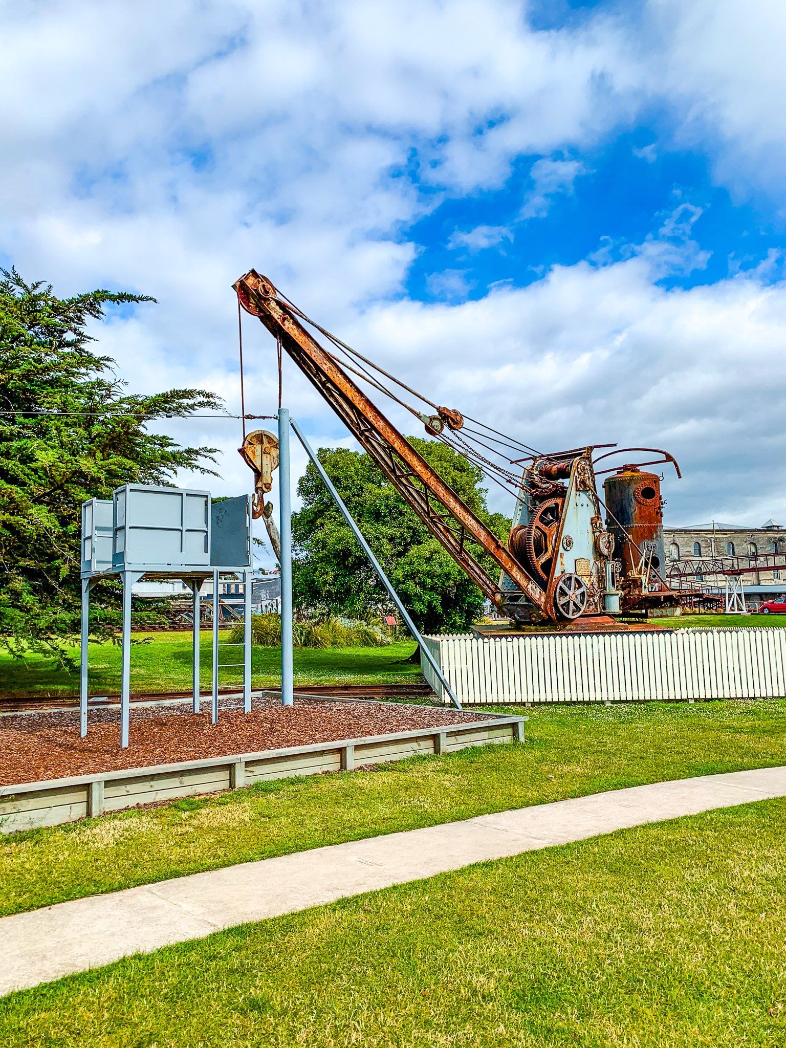
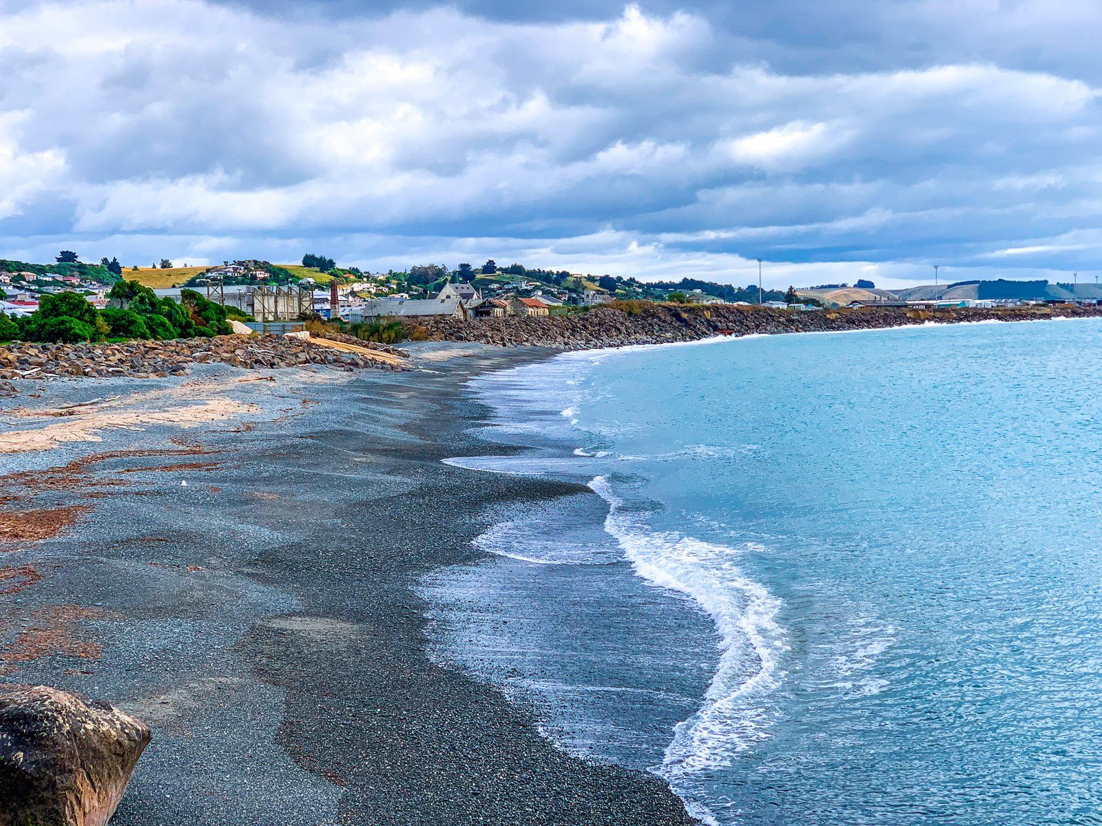
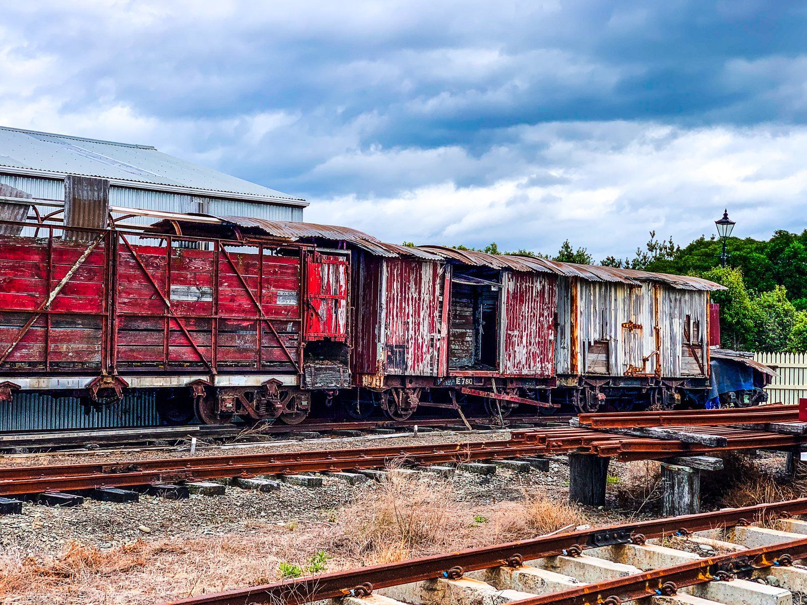
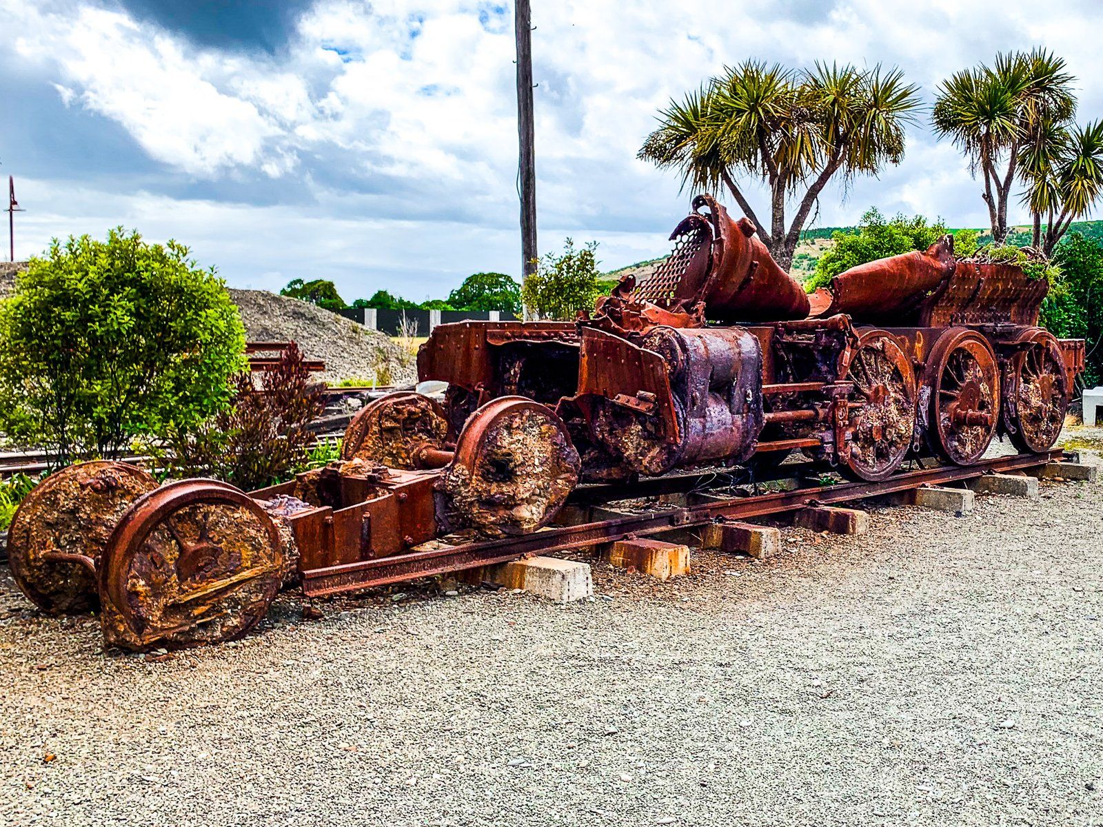
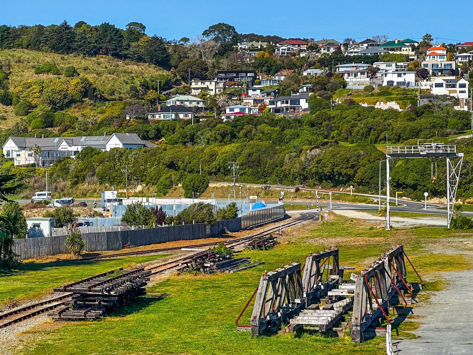
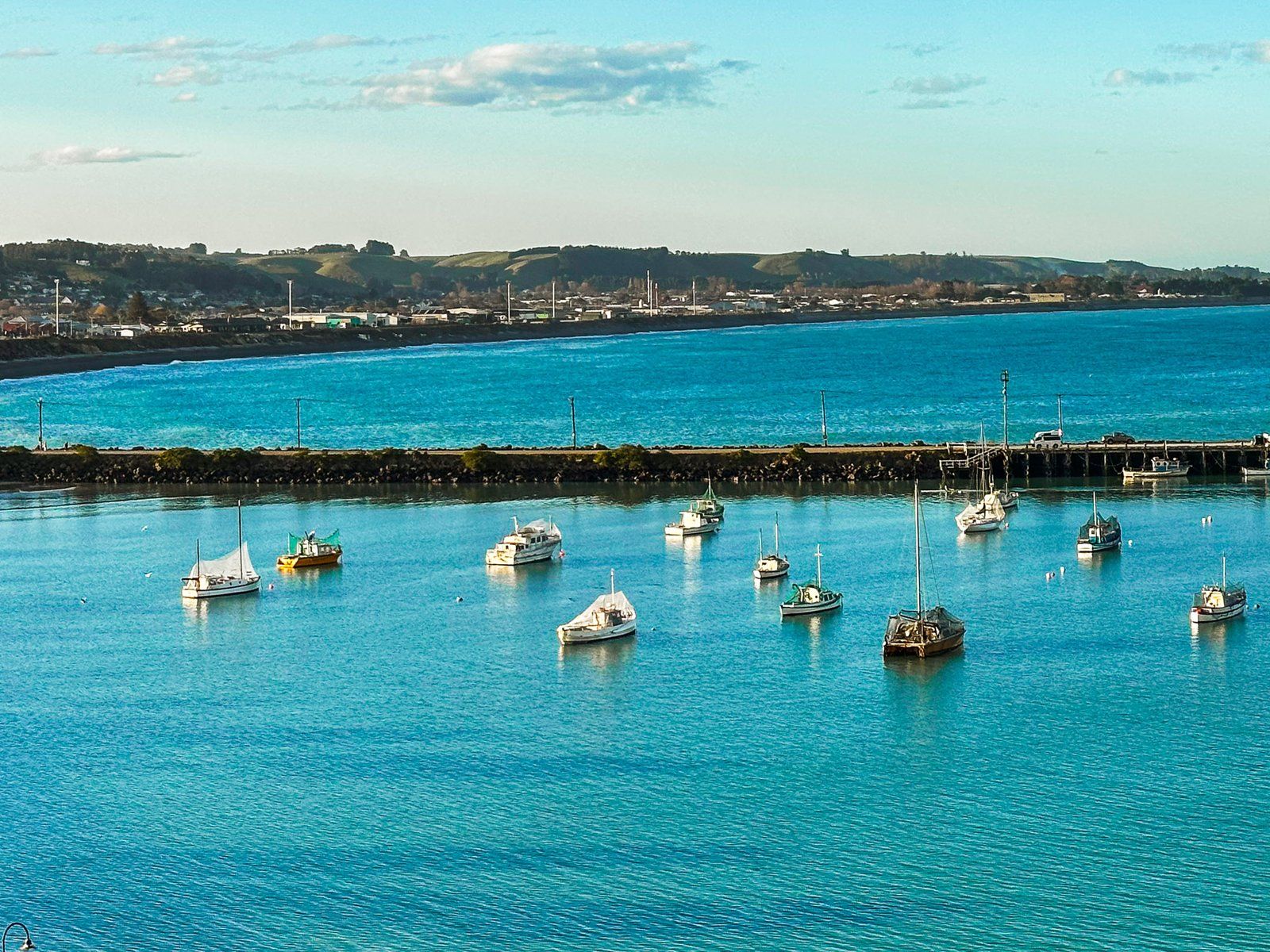
Much of the Pacific Coast of Ōamaru is exposed, with a large man-made rocky barrier between the town and the sea. The town was developed facing away from the ocean, and the main trunk railway runs along the barrier. Hence, most of the waterfront is commercial and not tourist-friendly unless you like old abandoned train engines and carriages. The exception is Friendly Bay at the south end of the town, near the Victorian Precinct.
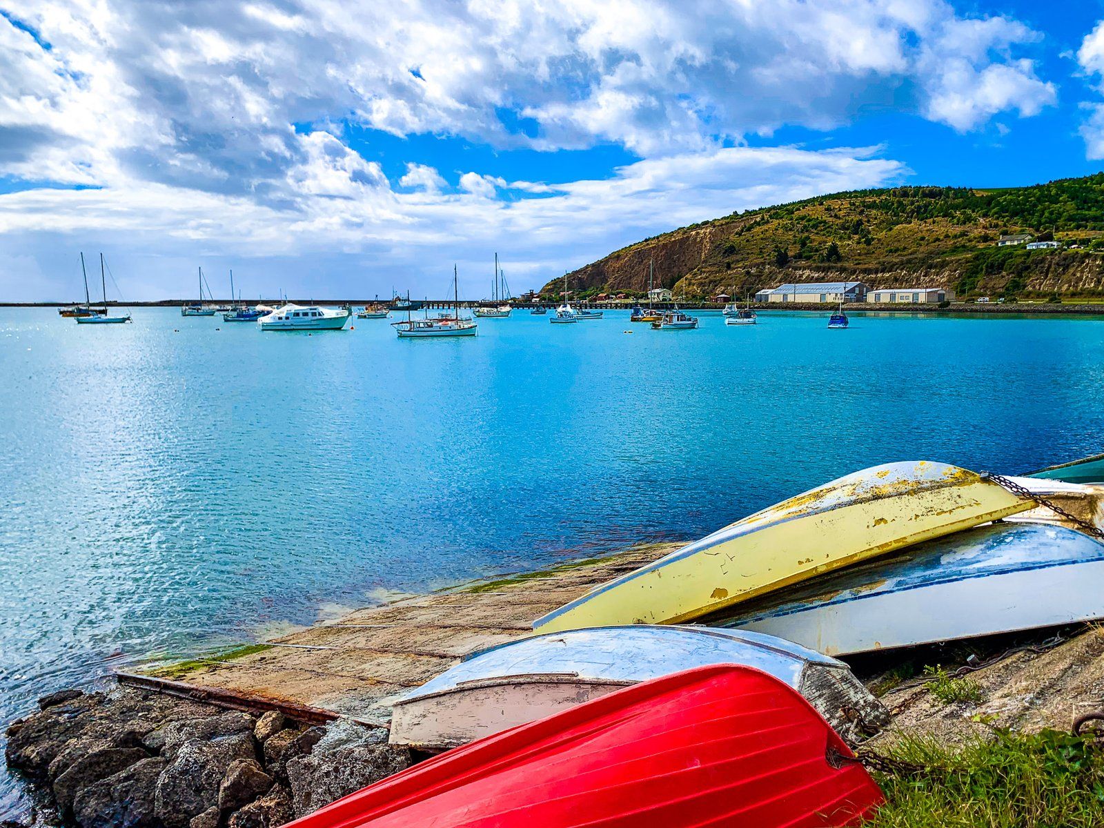
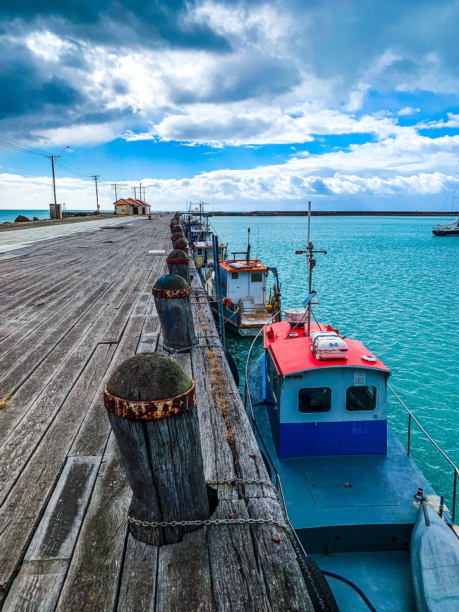
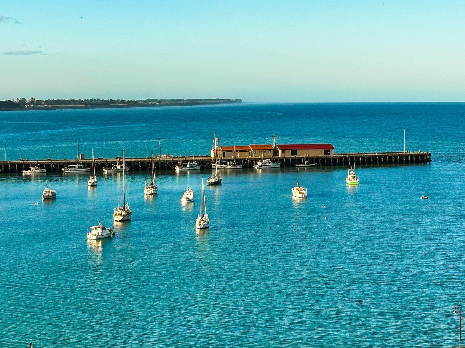
This was sheltered by Cape Wanbrow, and supports a beach. The bay was originally developed as a commercial harbour and fishing port, with a protective breakwater and three wharves. The land behind the bay was for commercial use, including a railway siding to the wharves. But as with the nearby warehouses of the Victorian Precinct, the area has been considerably upgraded for public use.
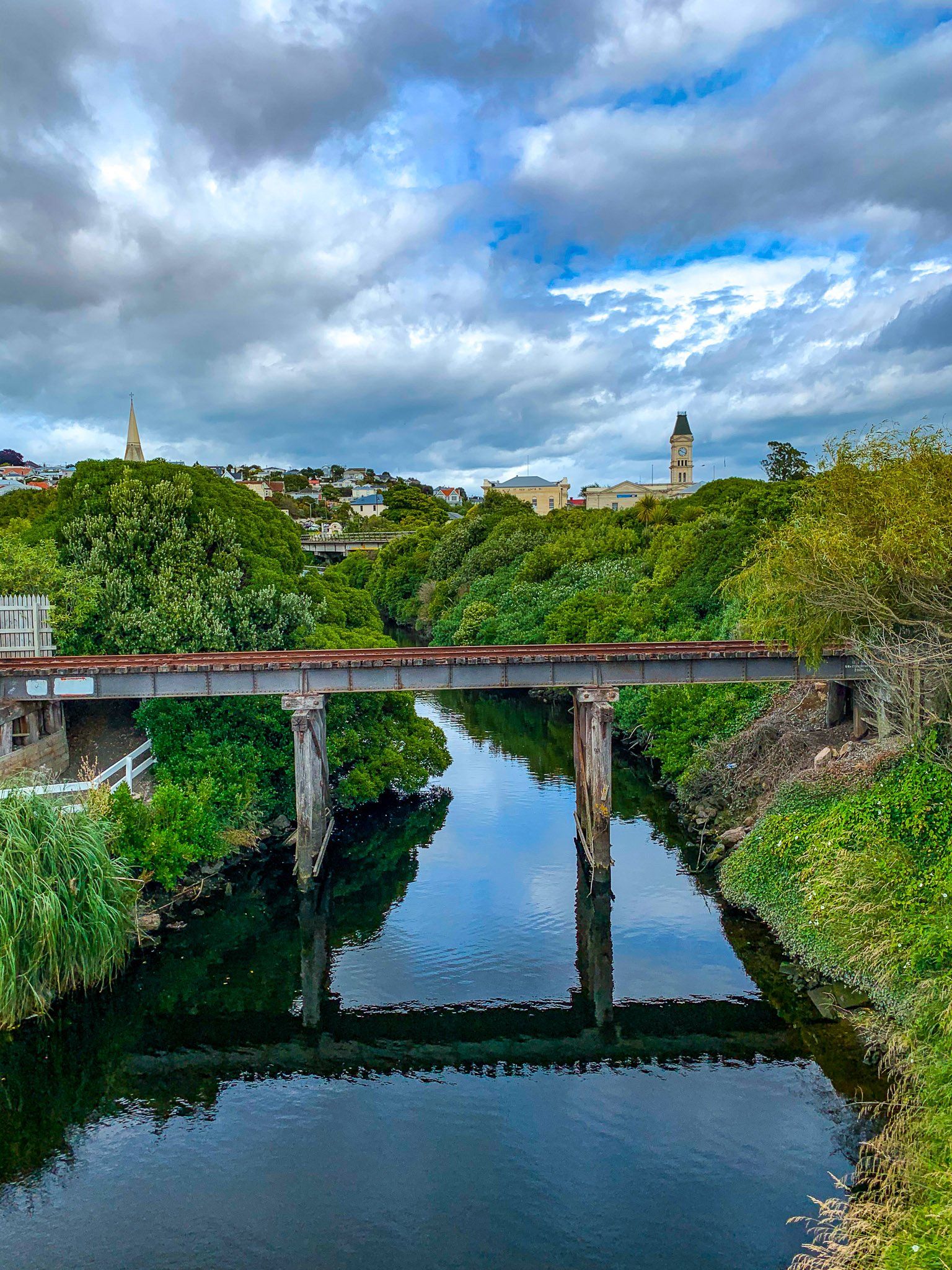
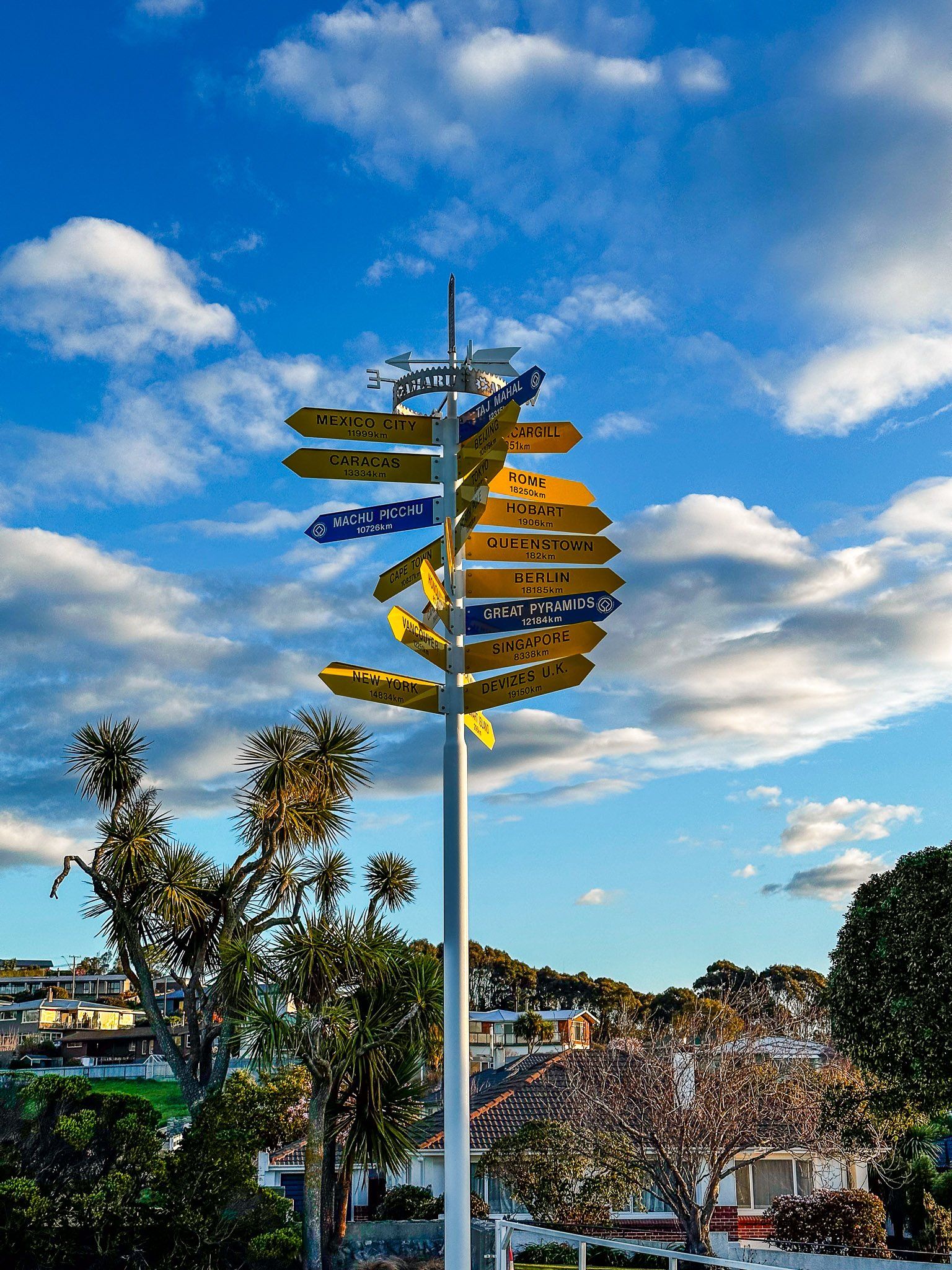
One of NZ’s most interesting children’s parks is next to the bay, complete with Steampunk attractions such as a giant penny farthing bike. There is a popular brewpub, and the Alps2Ocean officially ends next to the Steampunk-themed cafe. Check out the view from the footbridge alongside Wansbeck Street and the nearby Steampunk sculptures.
Walk around the Esplanade towards the Ōamaru Blue Penguin Colony visitor centre at the tip of Cape Wanbrow or north along the grassed area past the bike park to a footbridge. There, you will find the perfectly contained Harbourside Gardens alongside Ōamaru Creek.
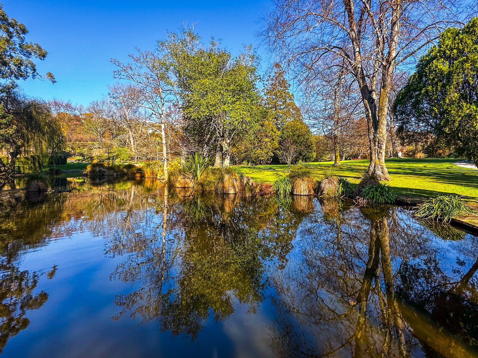
Ōamaru Public Gardens
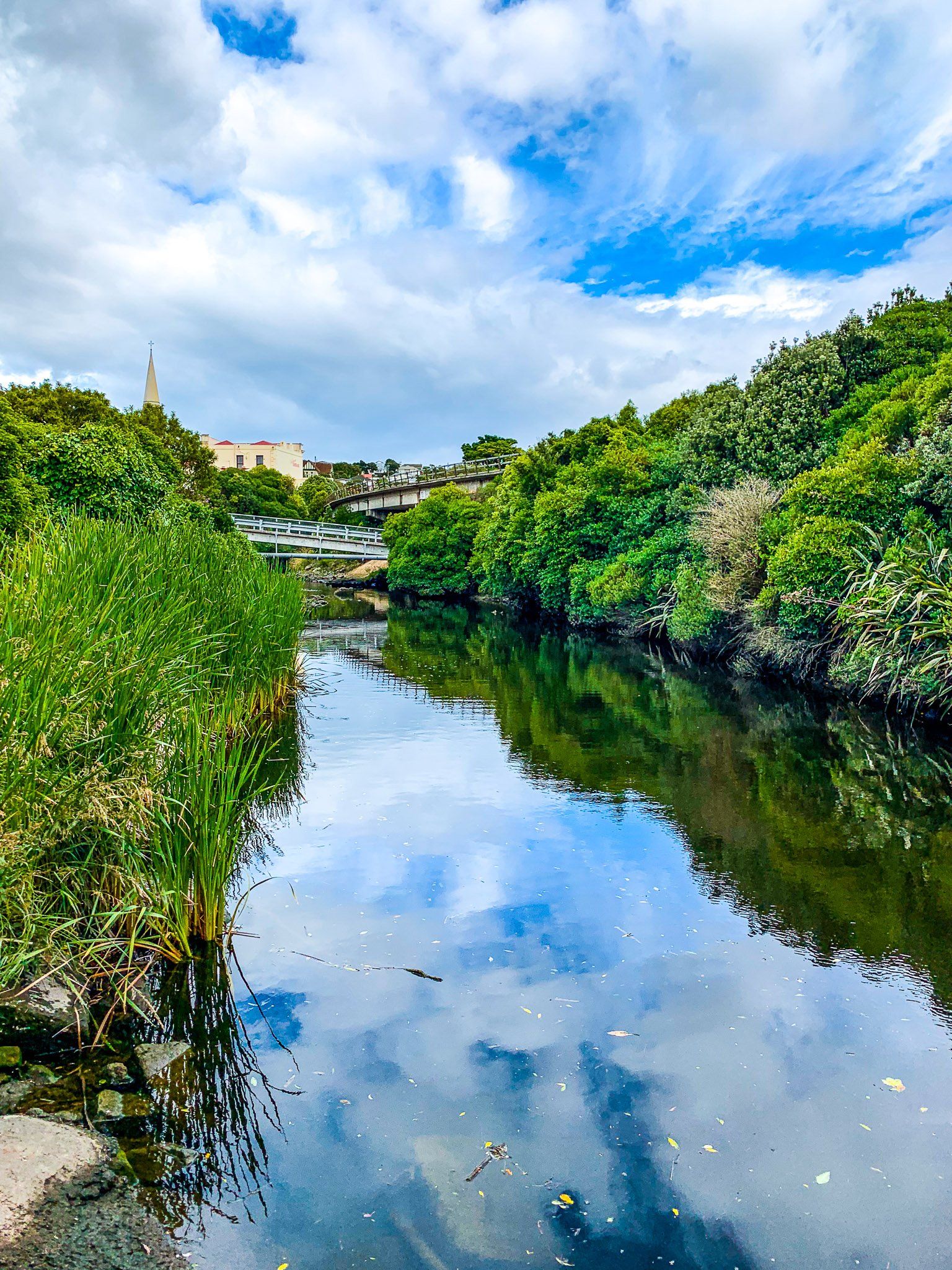
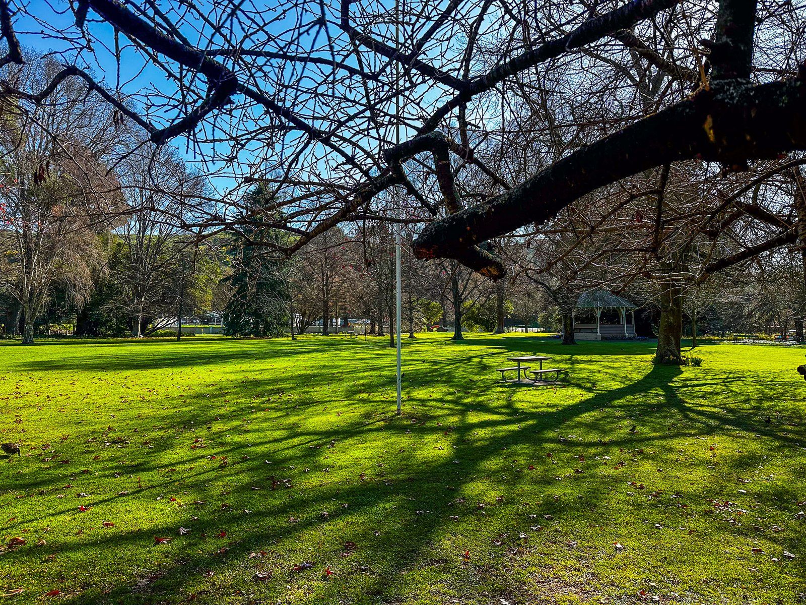
When the Ōamaru town plan was laid out in the 1850s, provision was made for a public reserve along Ōamaru Creek, west of Severn Street (also State Highway 1 today). The reserve was subsequently developed as the Ōamaru Public Gardens, which opened in 1876. This is one of the oldest such gardens in NZ, hence the good number of mature exotics that can be found around the gardens.
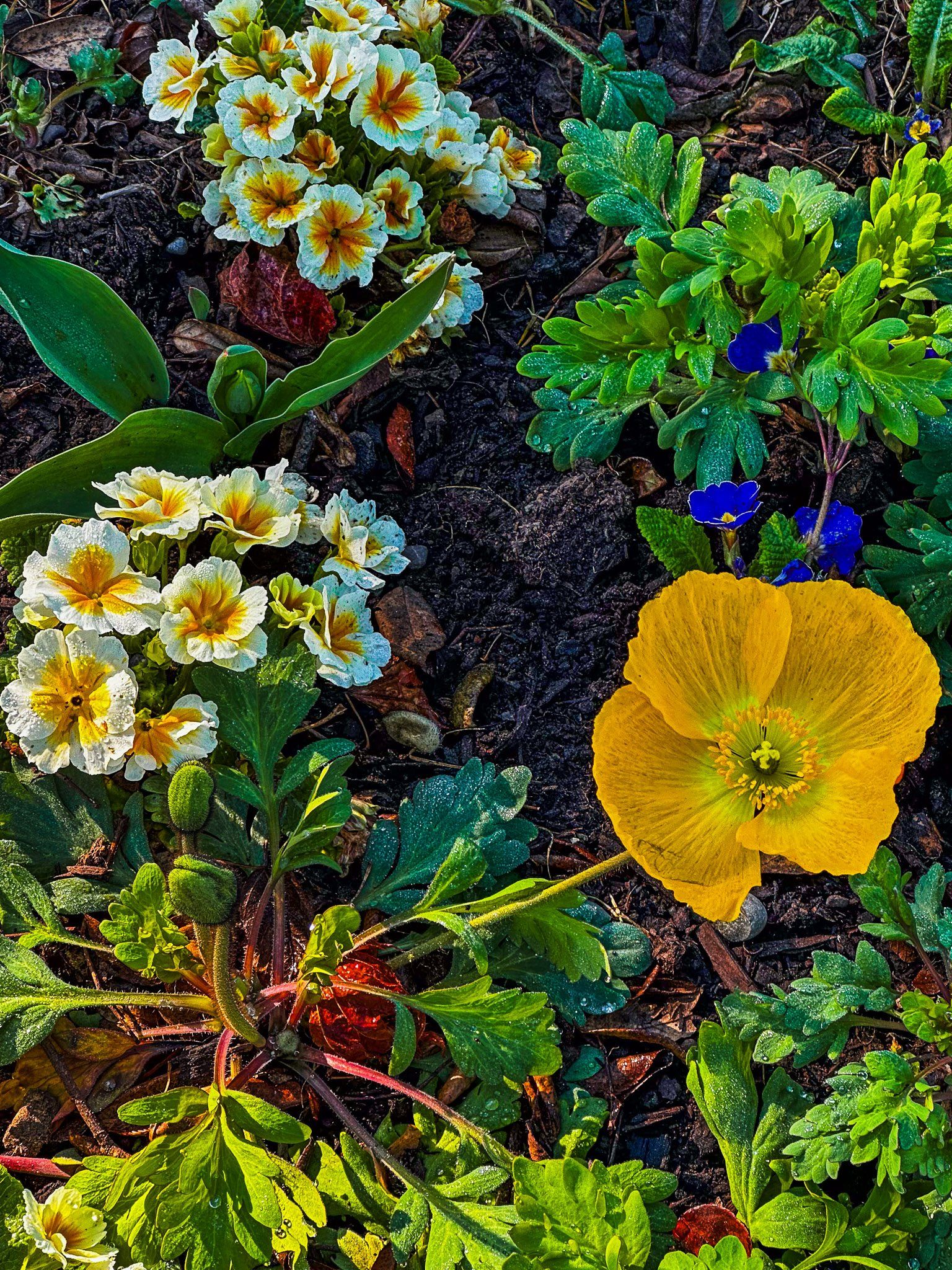
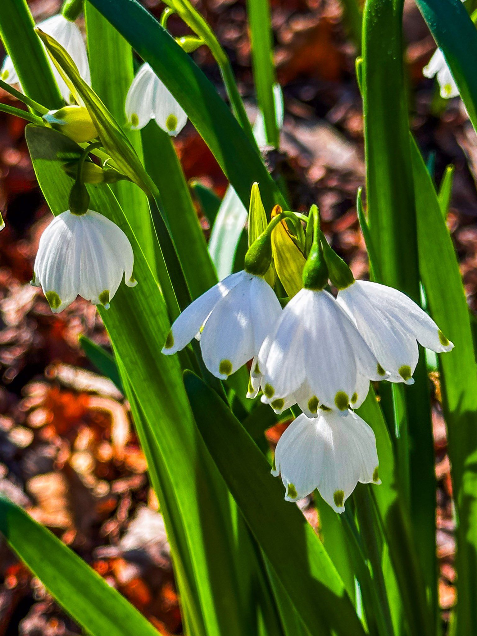
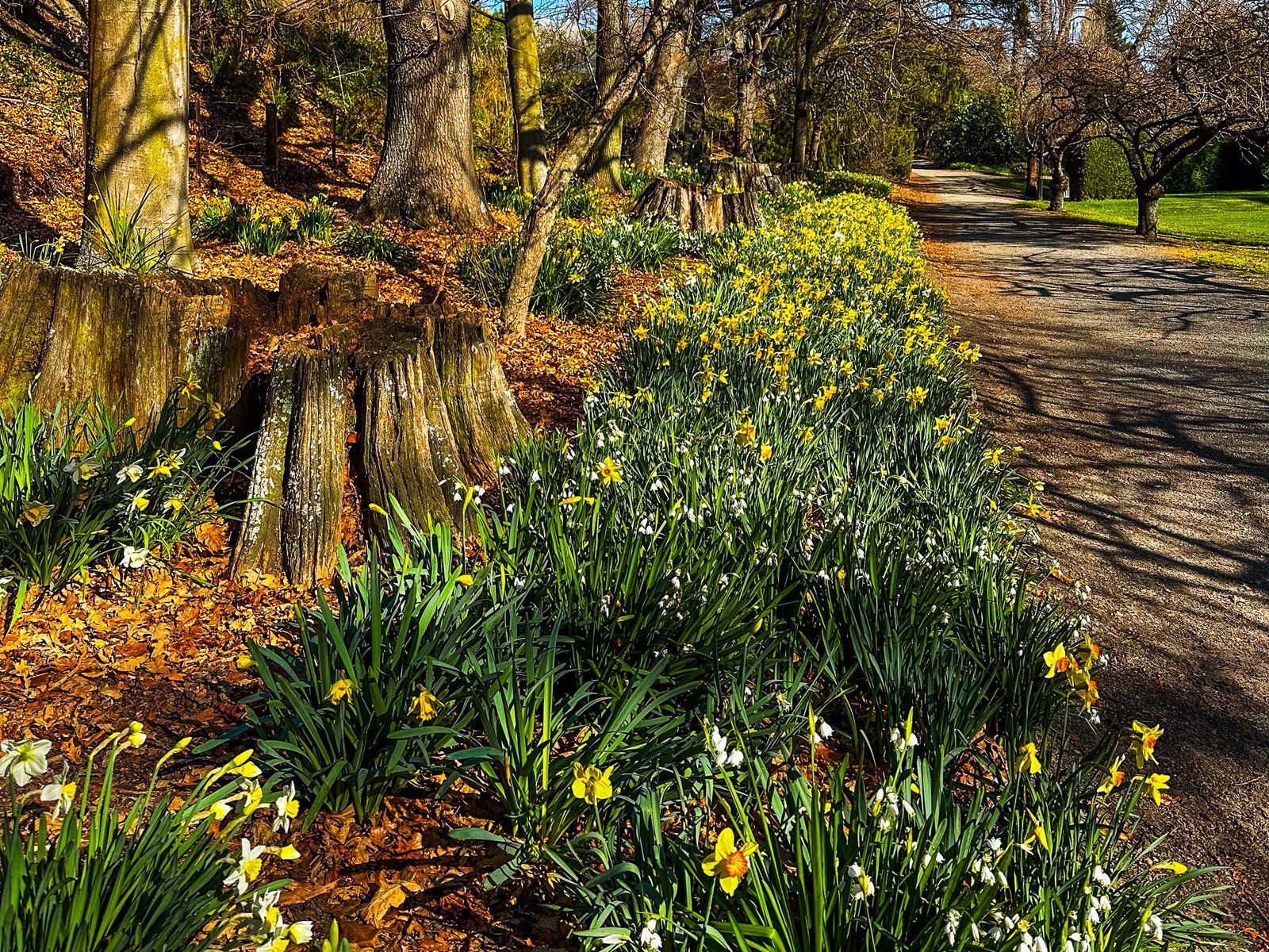
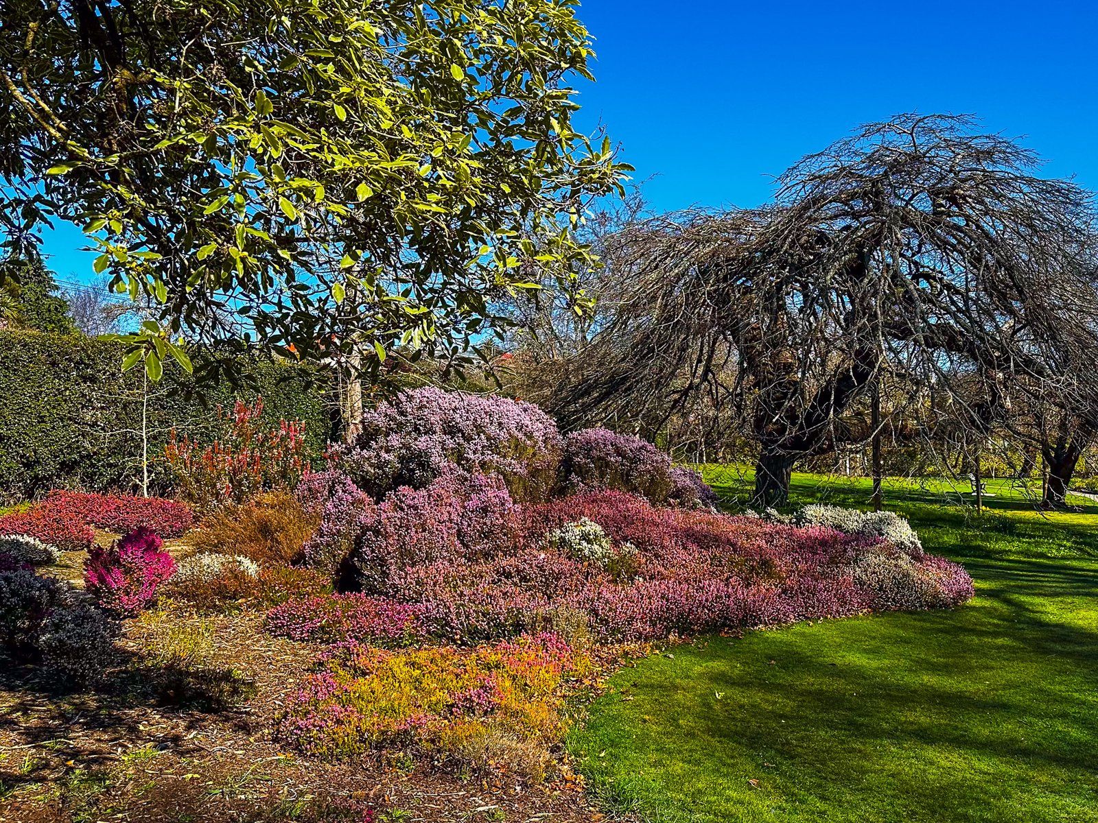
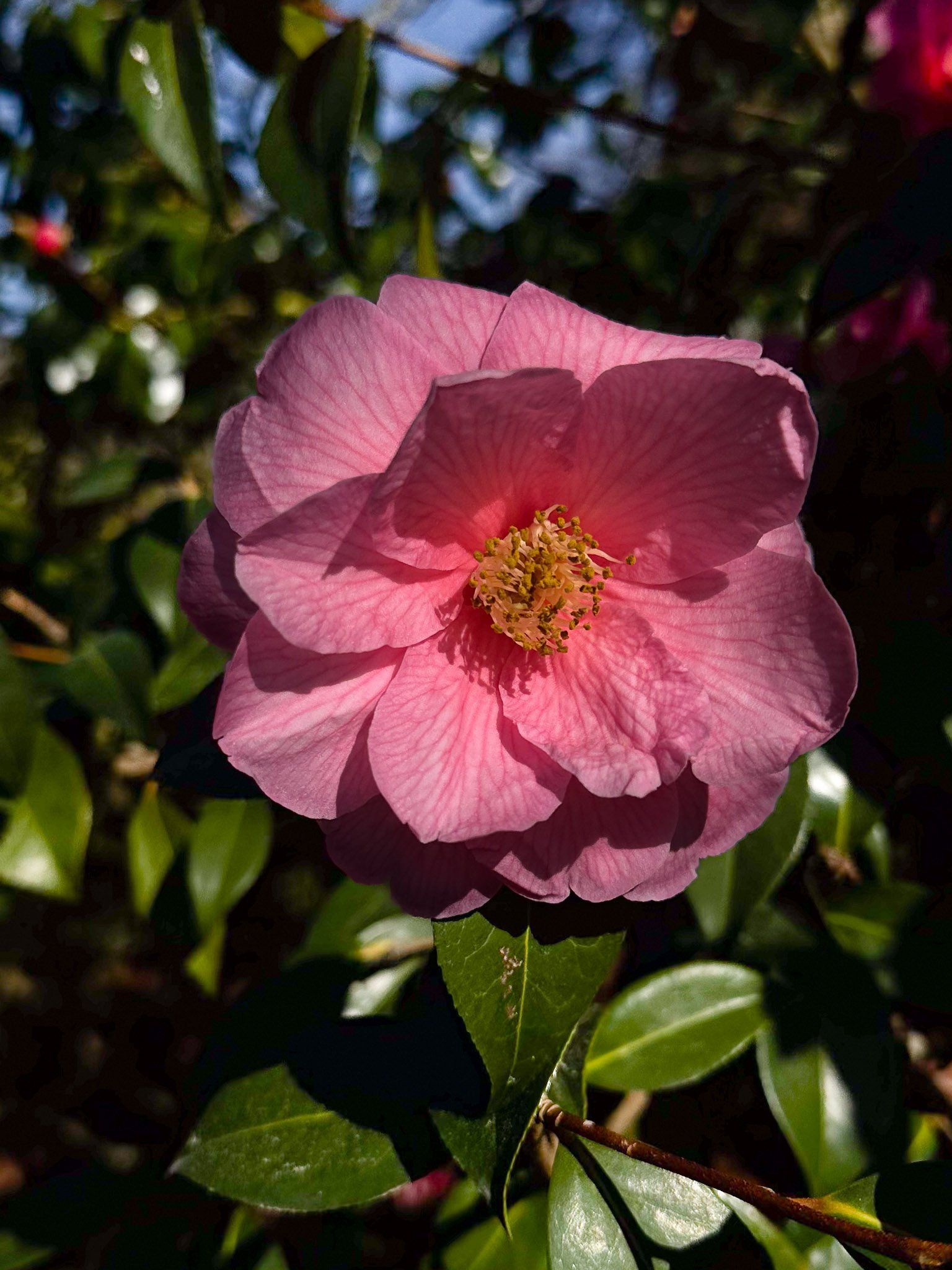
The gardens are very pretty, with paths that run east to west alongside the creek and on the south perimeter. There are several small ponds and lagoons, with a number of small attractive dells with a wide range of flowering plants. In early spring, this includes an extraordinary number of daffodils.
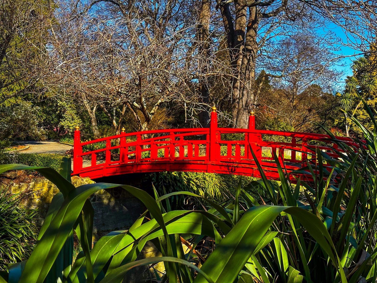
Particular features include a rhododendron dell, an azalea lawn, a native fernery and a Chinese garden. The latter is connected to a bright red bridge over the creek. On the south side, there is an aviary with a number of exotic birds.
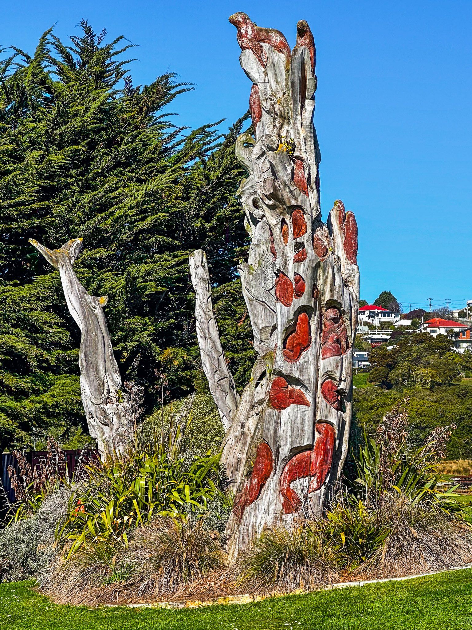
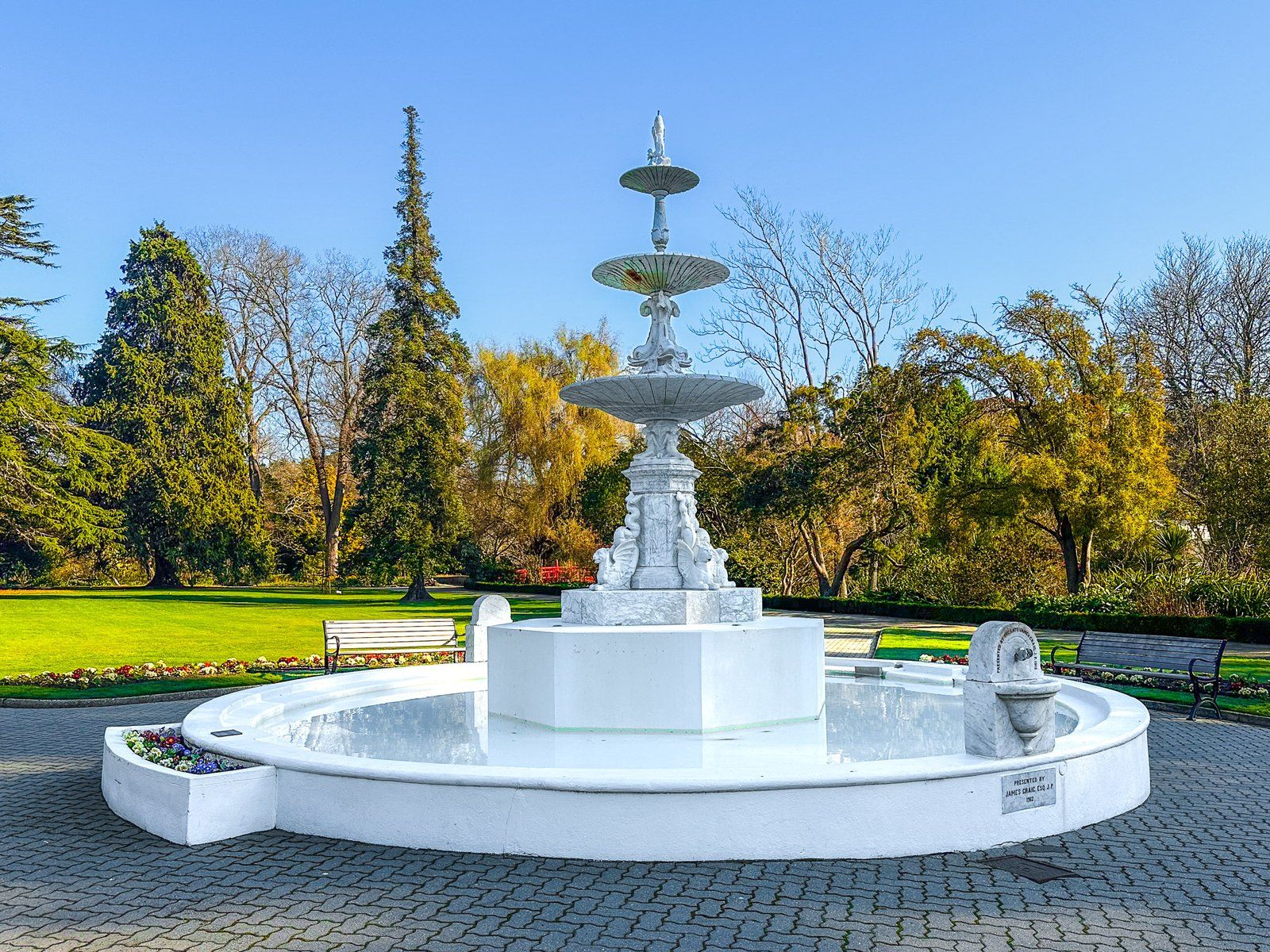
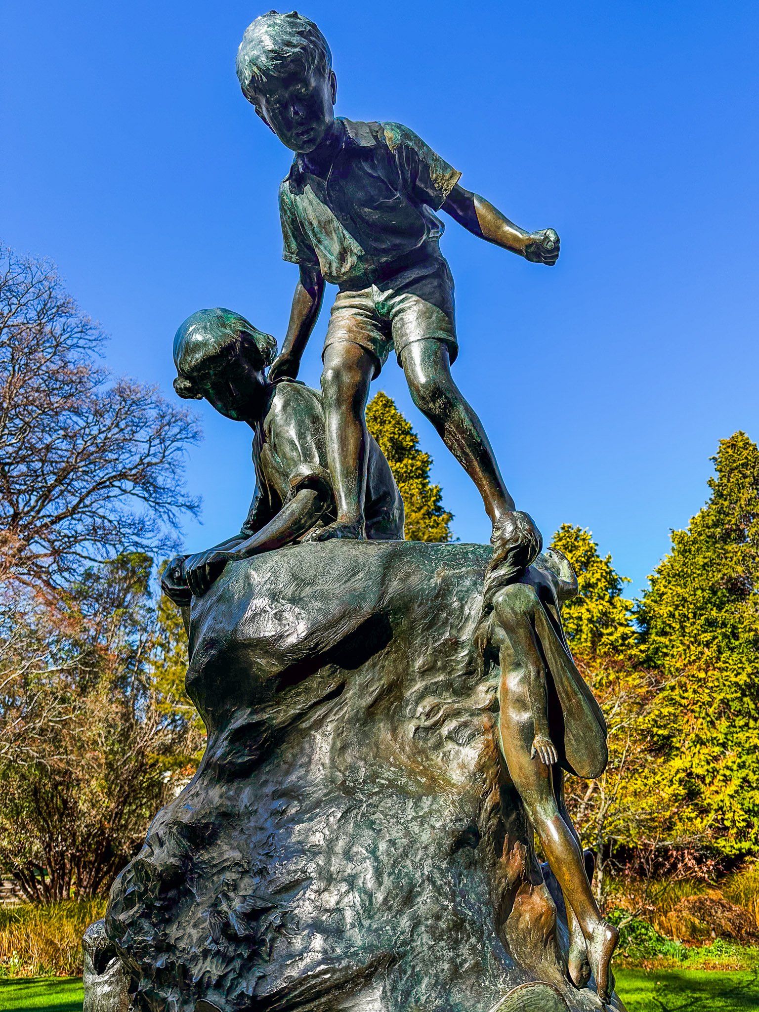
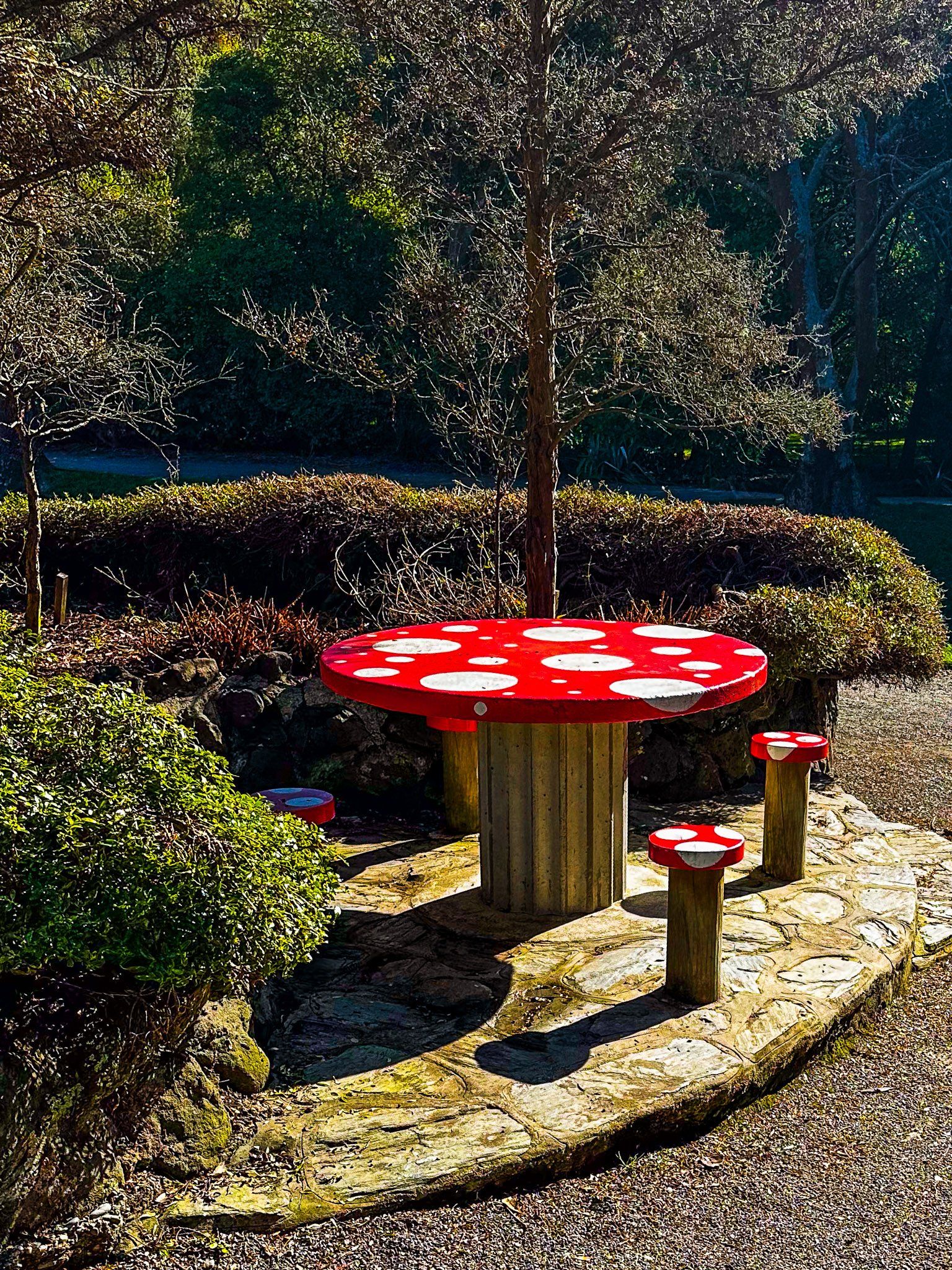
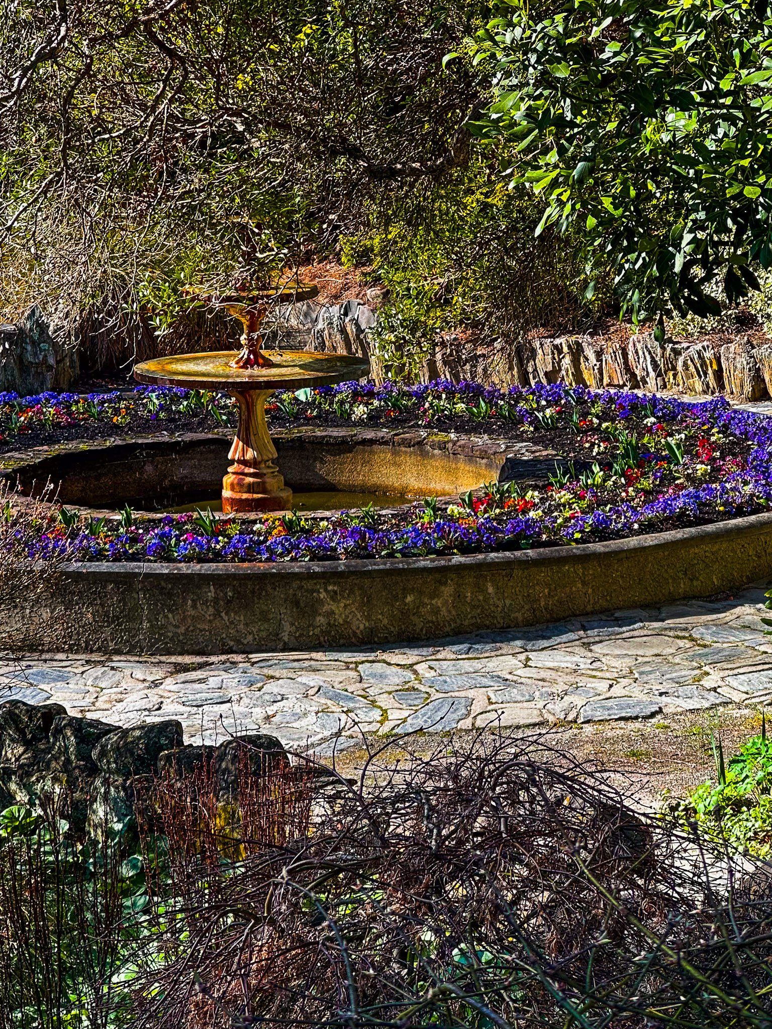
Another feature of the garden are the ornamental sculptures. An ornate Italian marble fountain as a lawn centrepiece can be found near the east entrance. Further west is the Wonderland sculpture. This was created by a Scottish sculptor and gifted to the Gardens in 1926.
The gardens are about 800 metres long by 200 metres at the widest point. From the south end of Thames Street, turn left into Itchen Street and walk 300 metres to Severn Street (State Highway 1). You will see the entrance to the right of the intersection. Also, check out the Art Deco style Whitestone RSA building on Itchen Street and the attractive small war memorial garden opposite the entrance.
The gardens are rated as a 5-star ‘Garden of Significance’, and the main path is a section of the Alps2Ocean Cycle Trail.
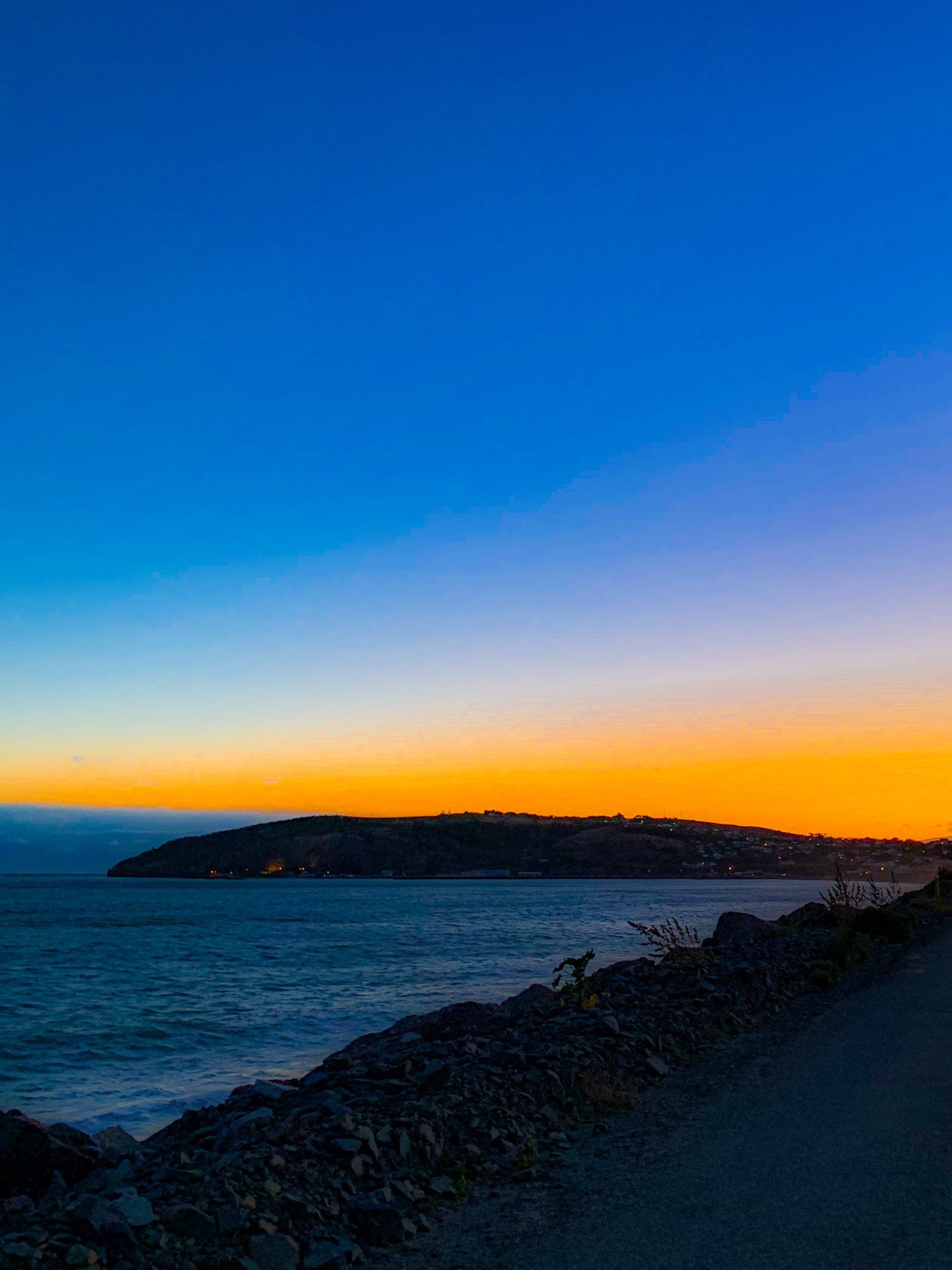
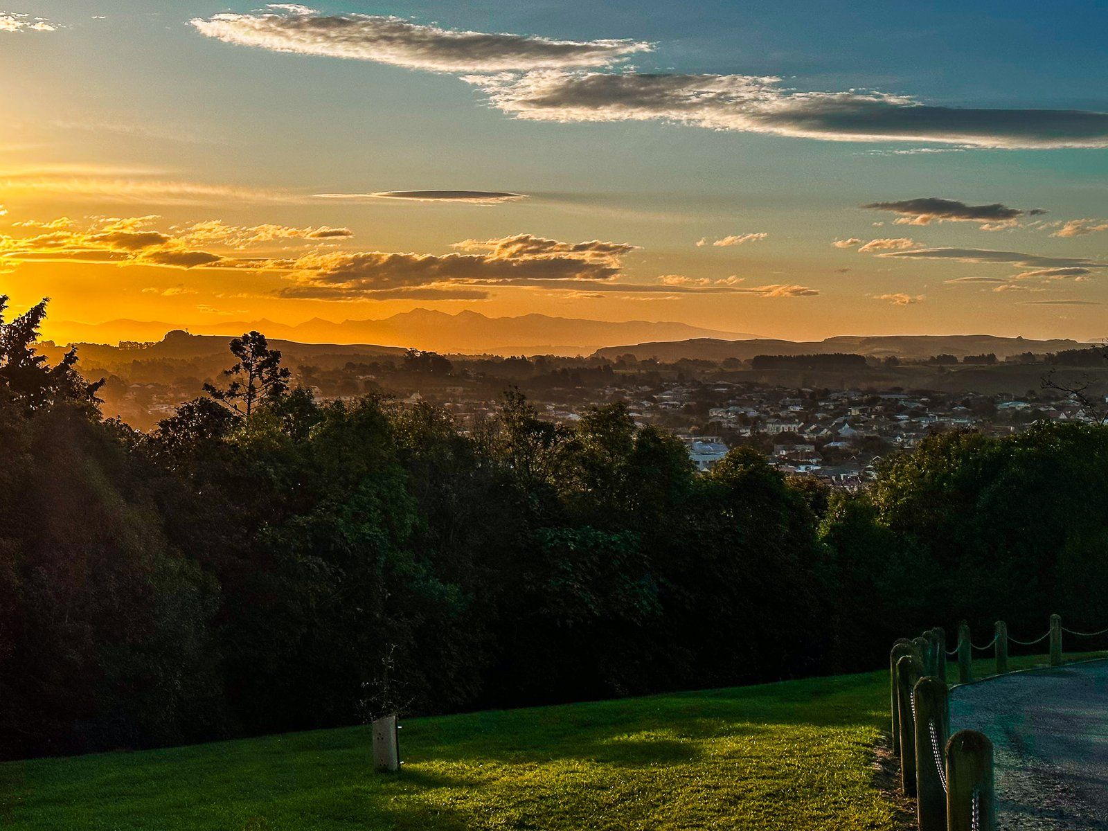
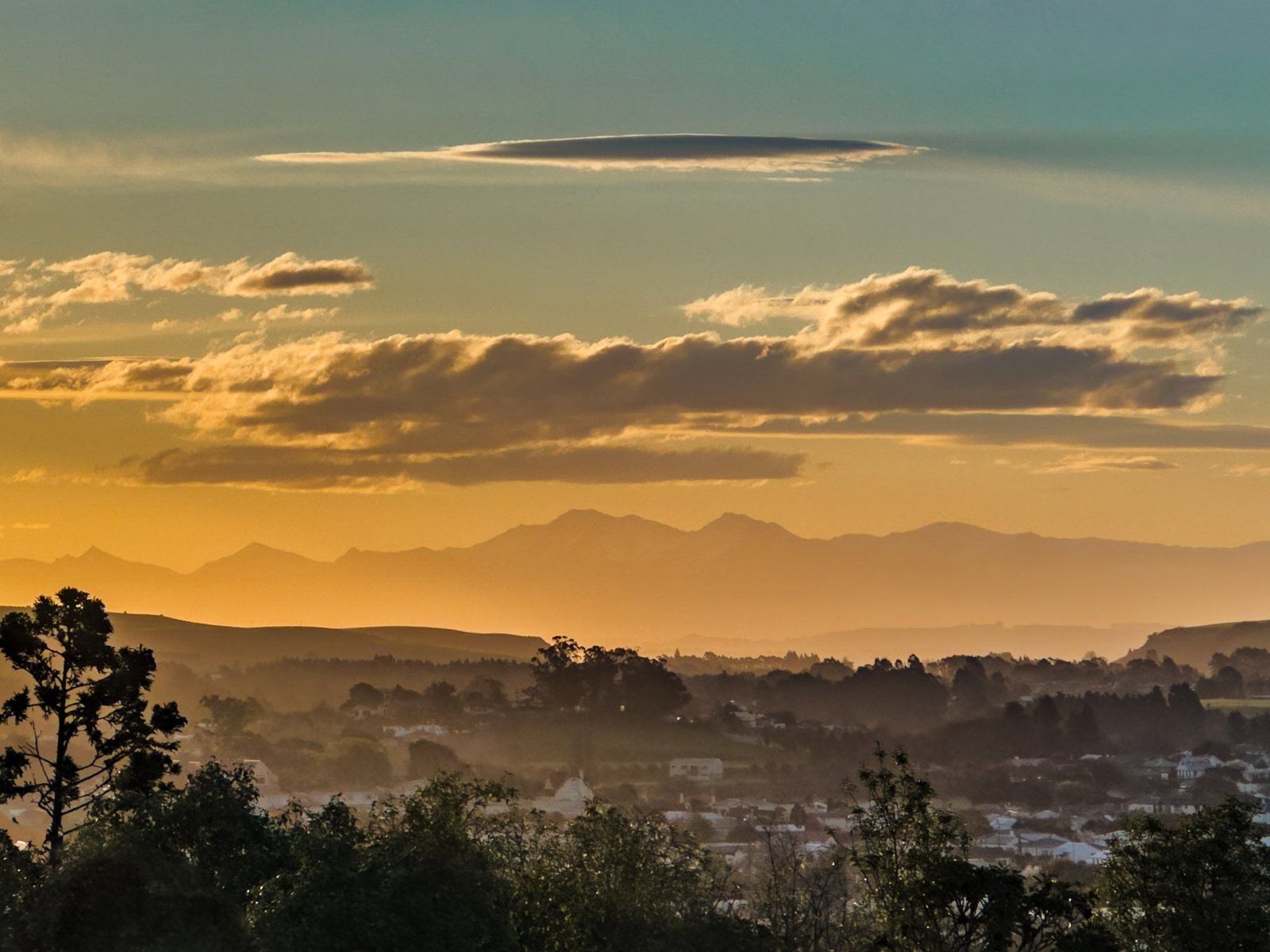
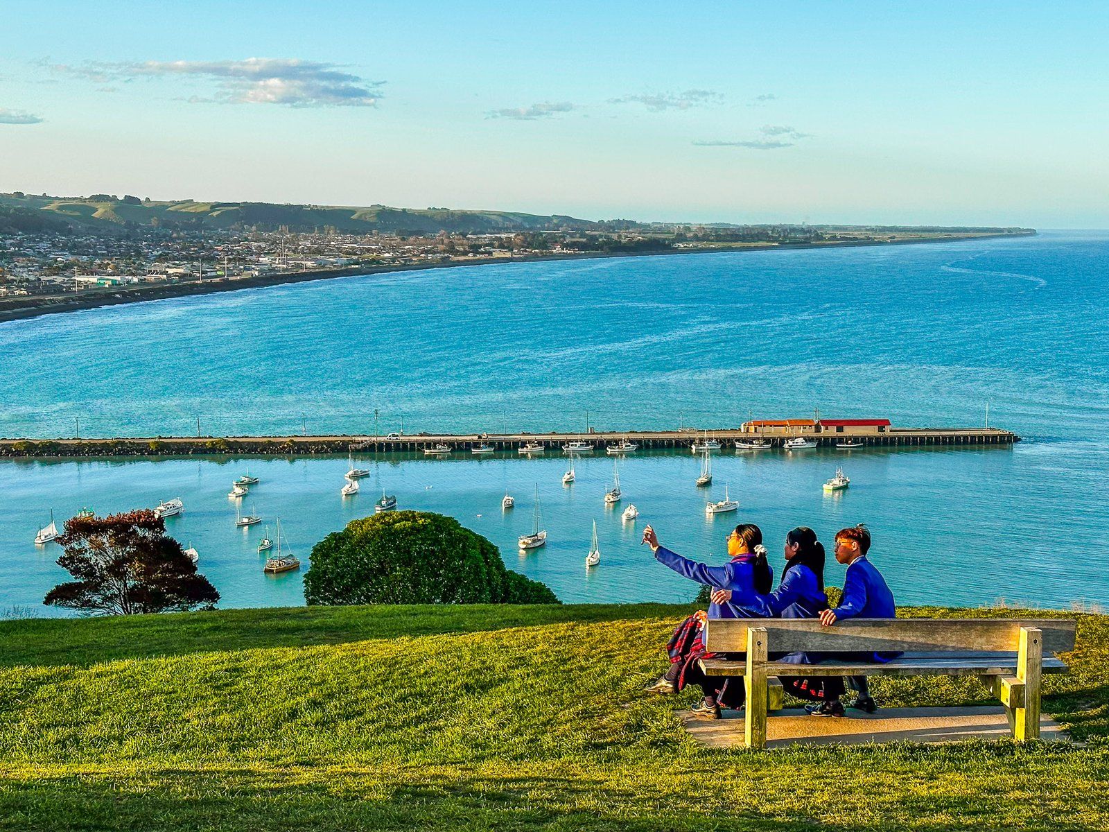
Ōamaru Lookout Point
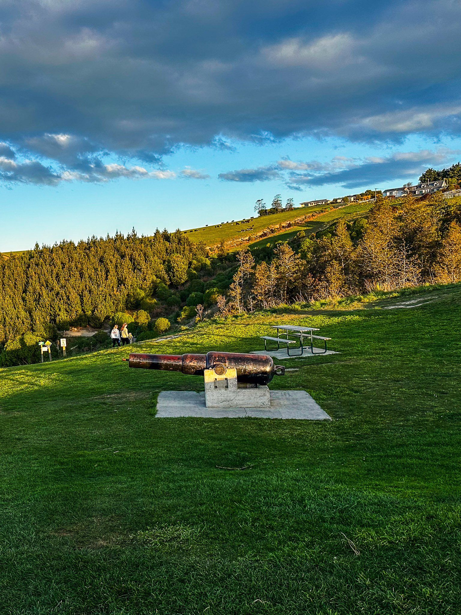
Ōamaru Lookout Point is a brassed park on the high point of Cape Wanbrow, 100 metres above downtown and Friendly Bay. The easiest access is along Tyne Street, which continues from the south end of Thames Street, then a left turn into Tamar Street. It is a little over 500 metres, but there is parking on the lookout if you prefer to drive.
Dawn and dusk are the best times for the view, but the lookout also provides access to walking and mountain bike tracks that run to the east over the cape and down to the coast at Second Beach. This is to the south of the little blue penguin colony.
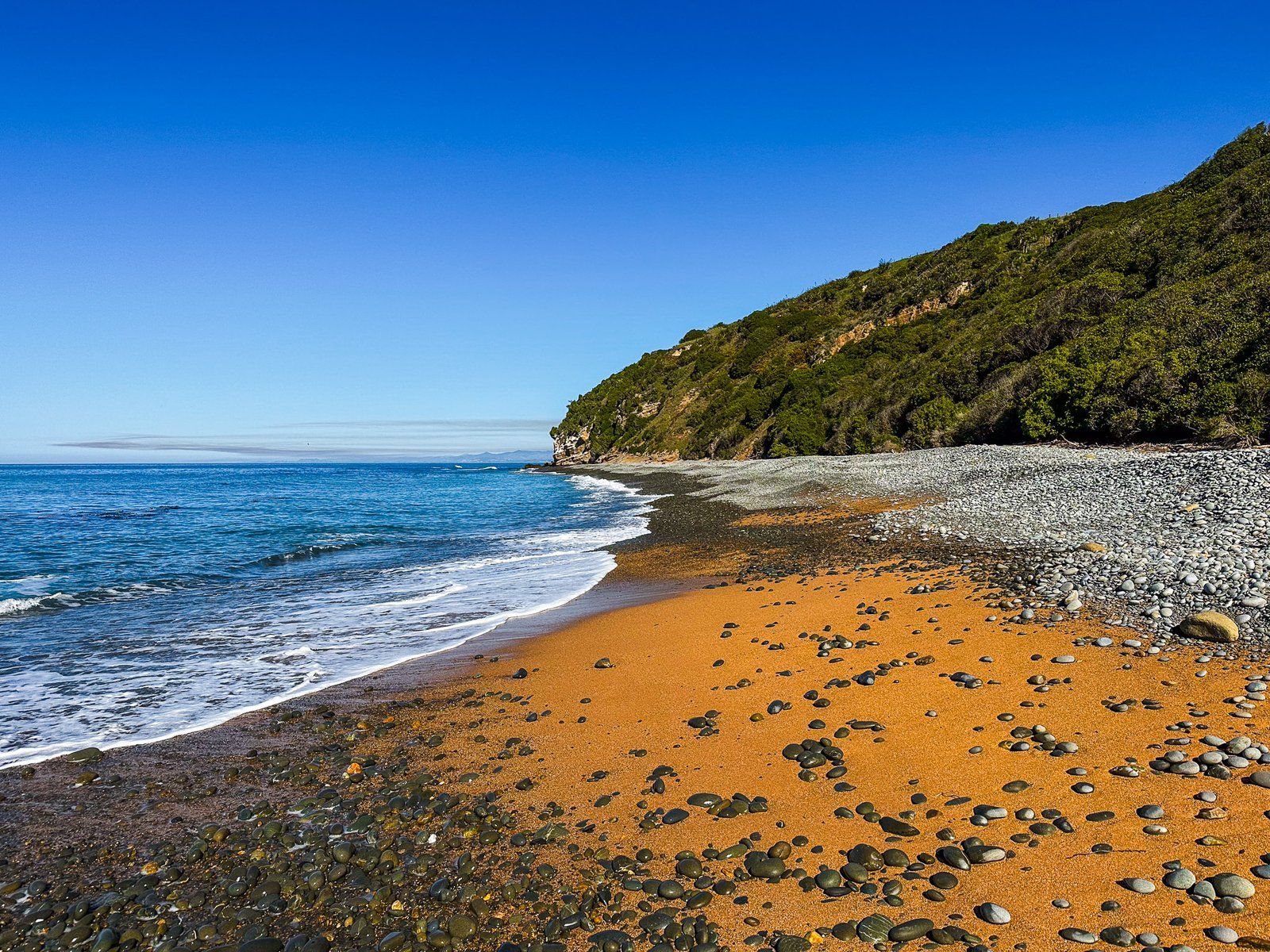
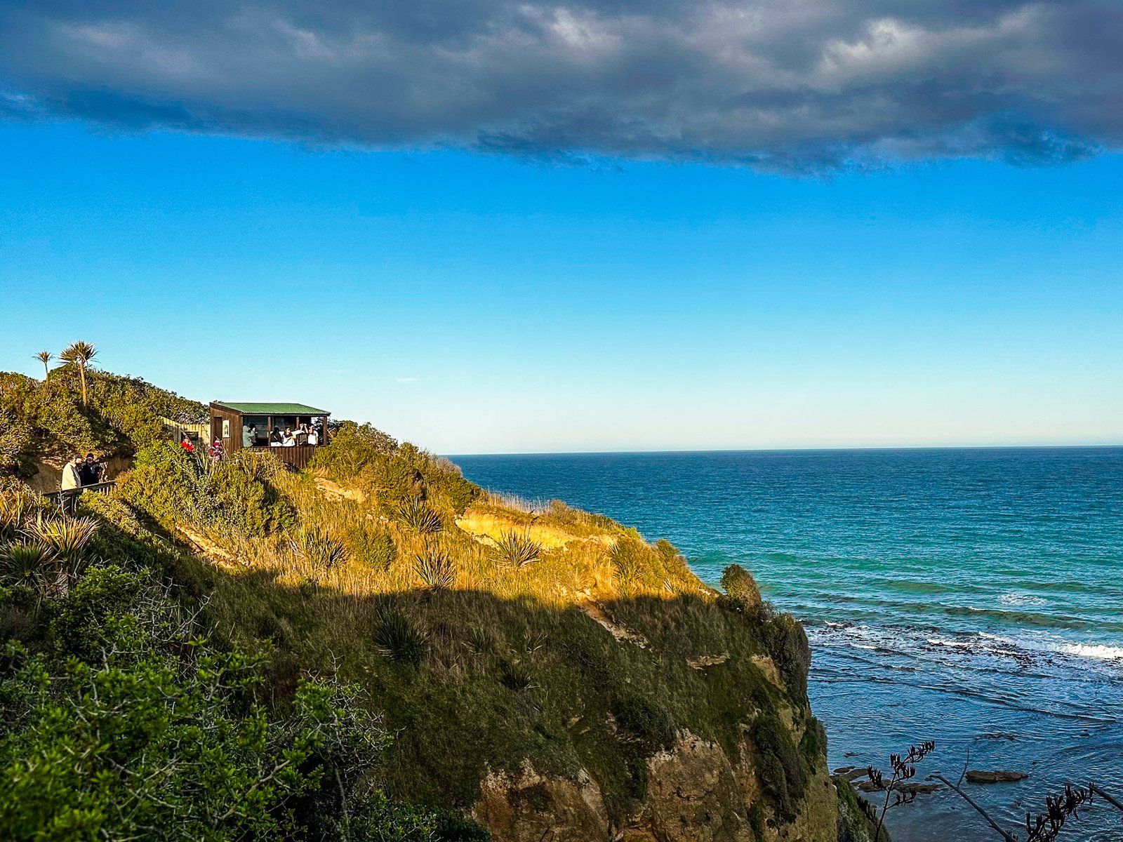
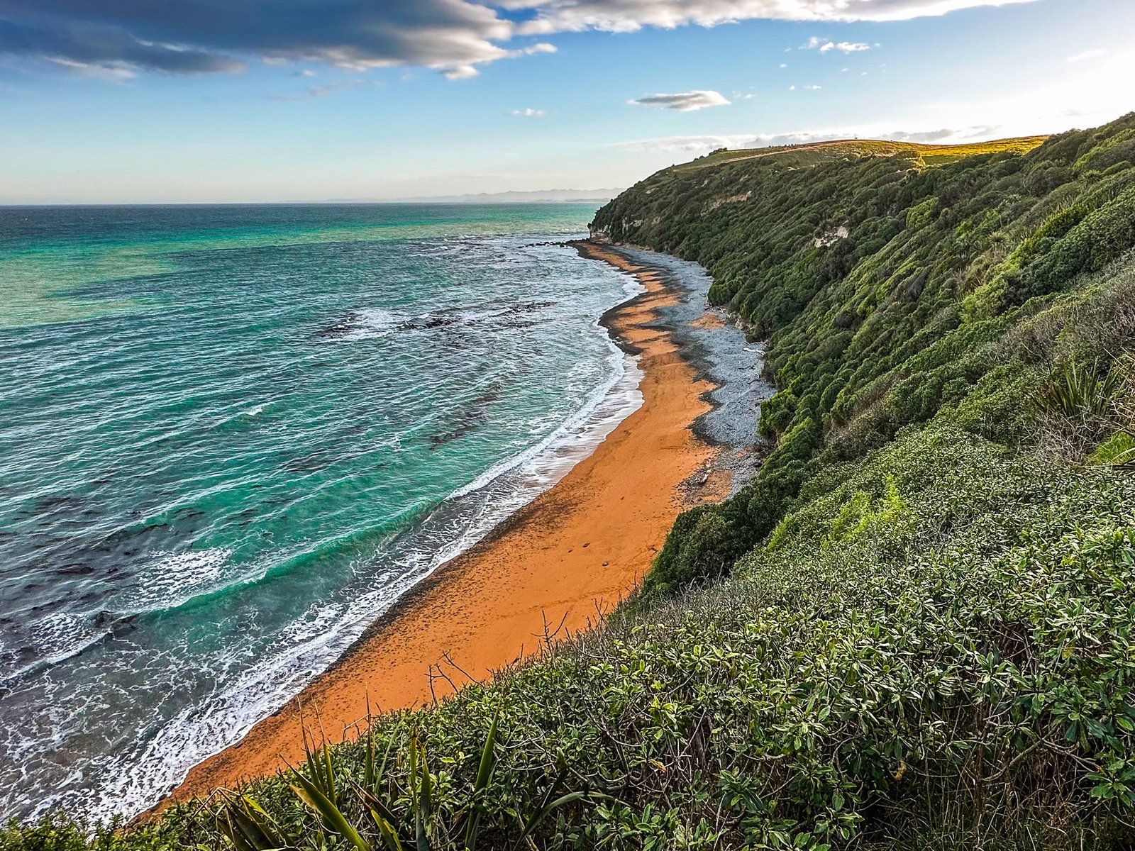
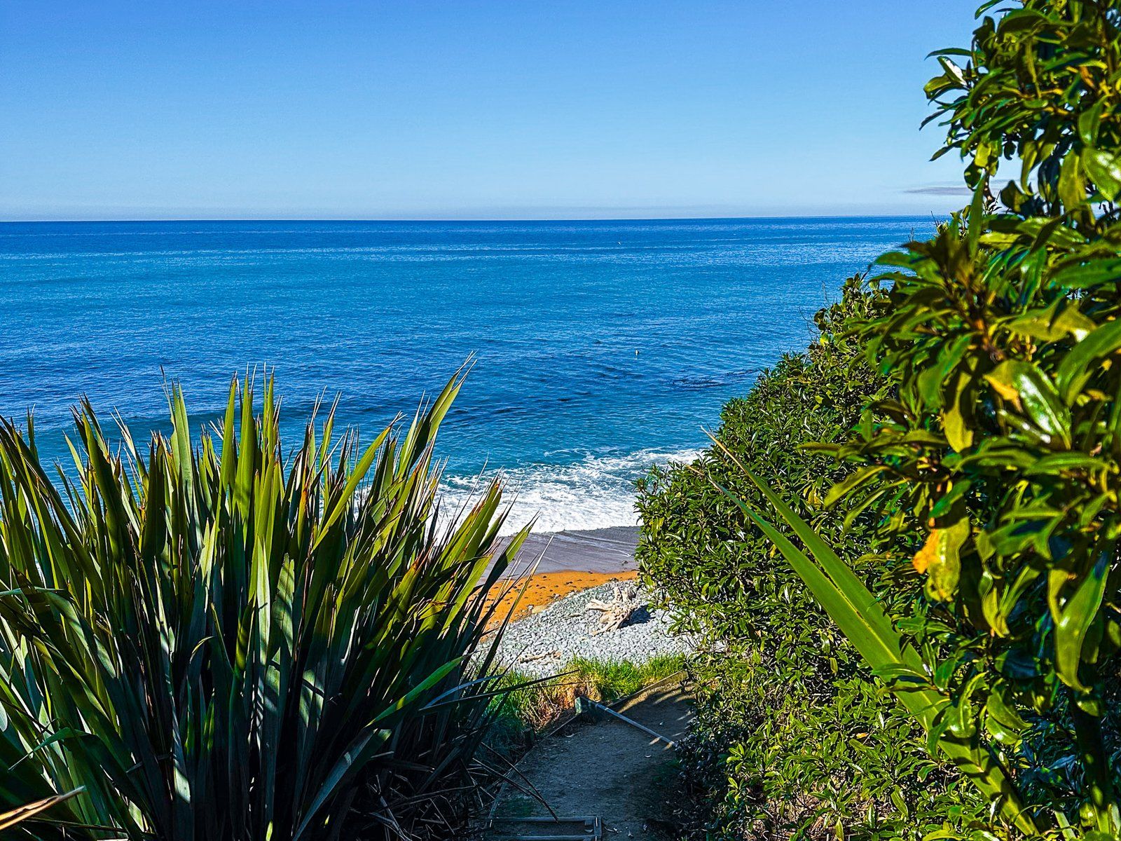
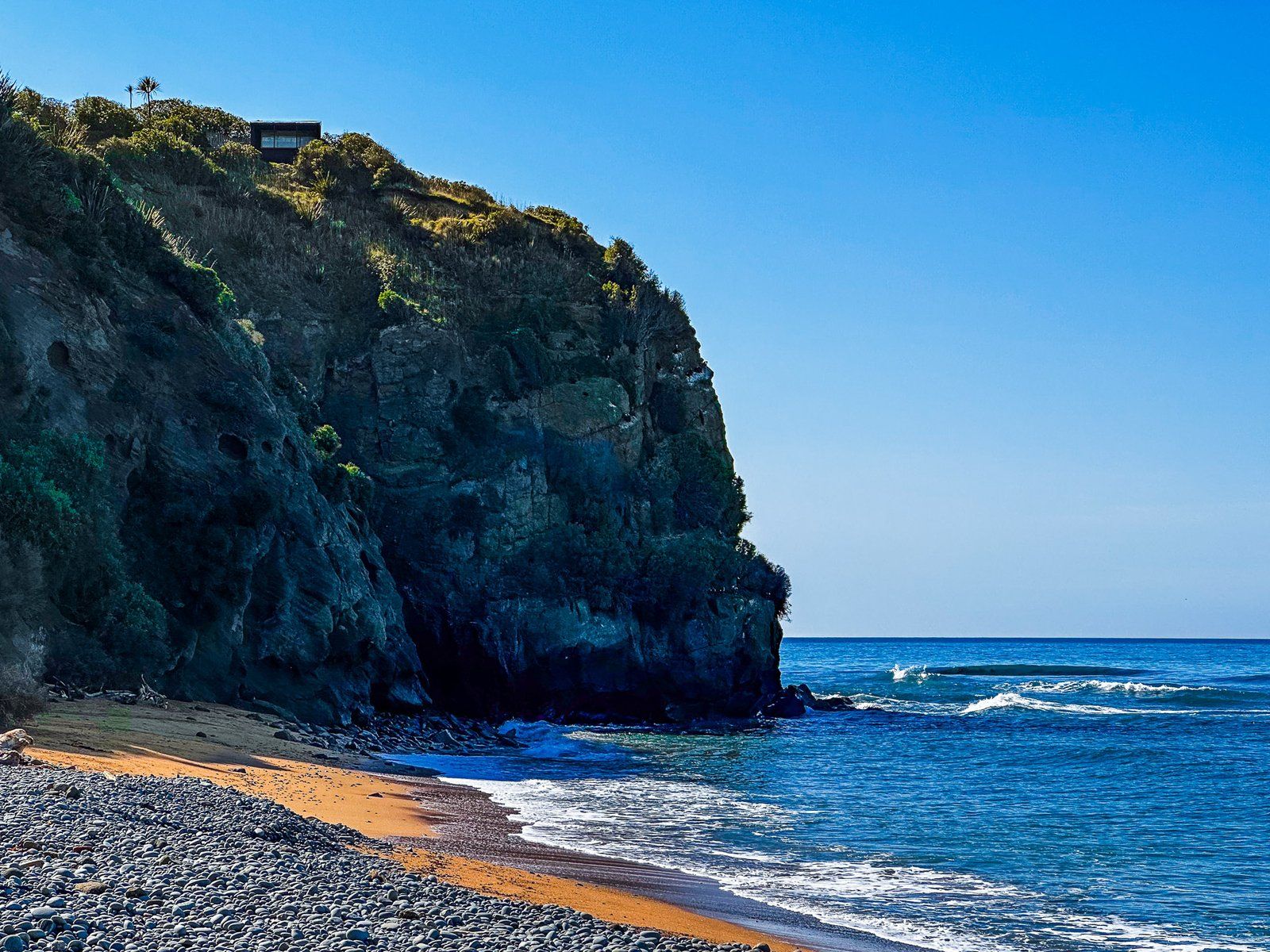
Bushy Beach
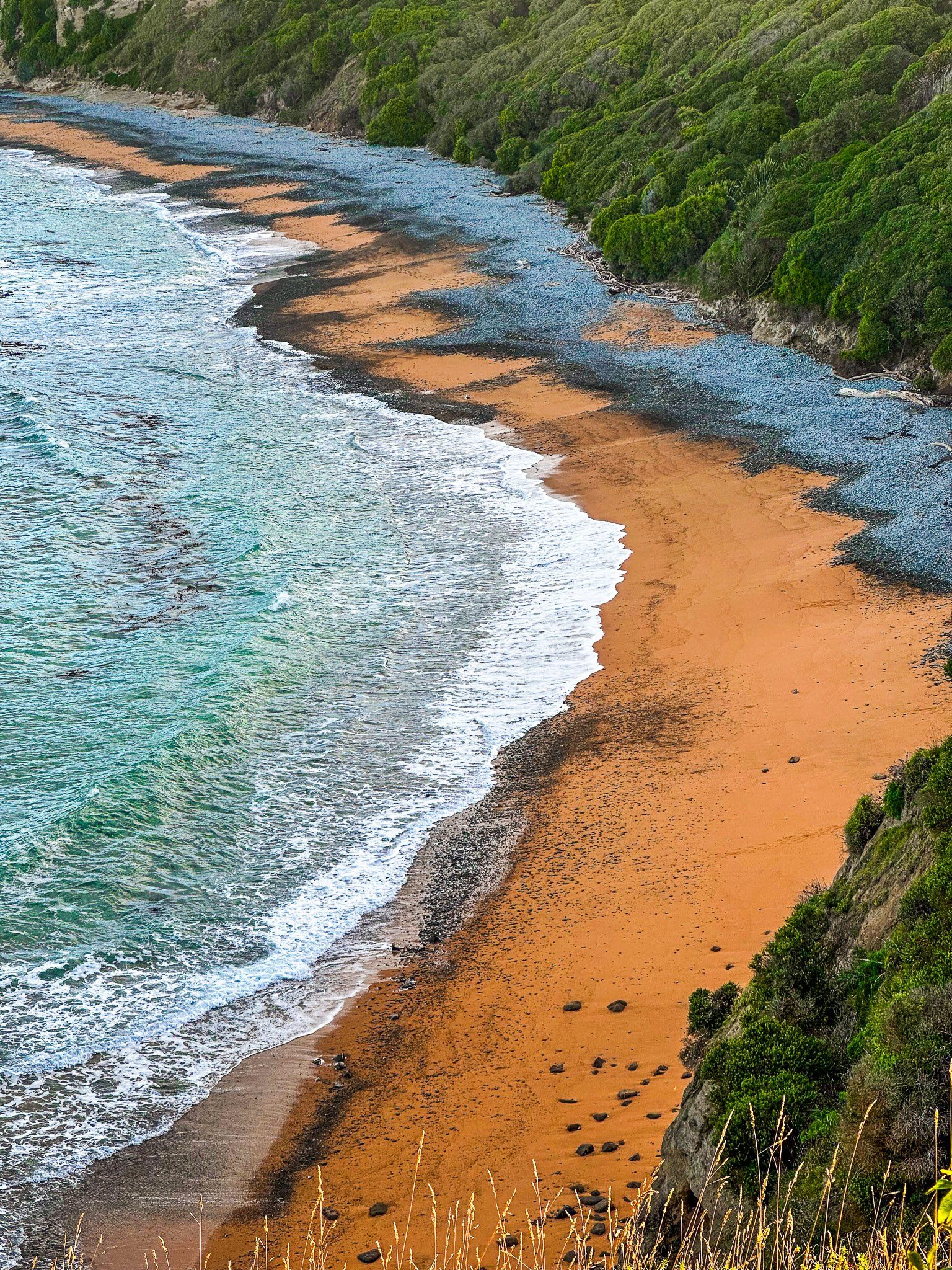
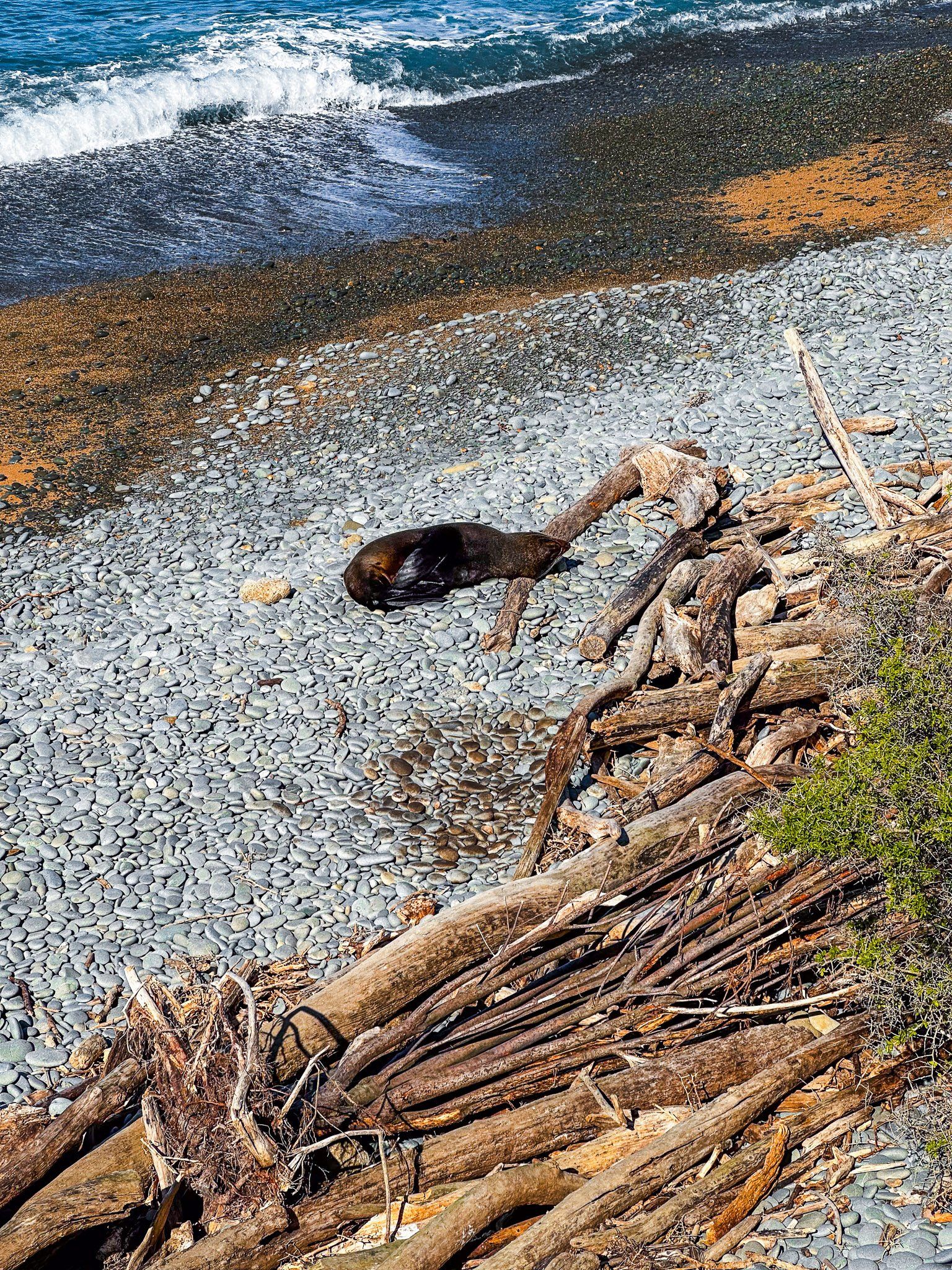
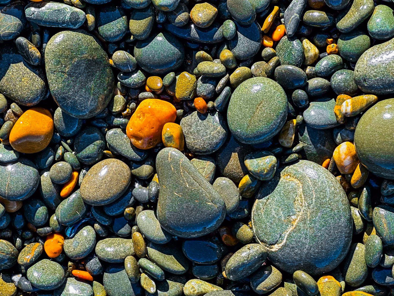
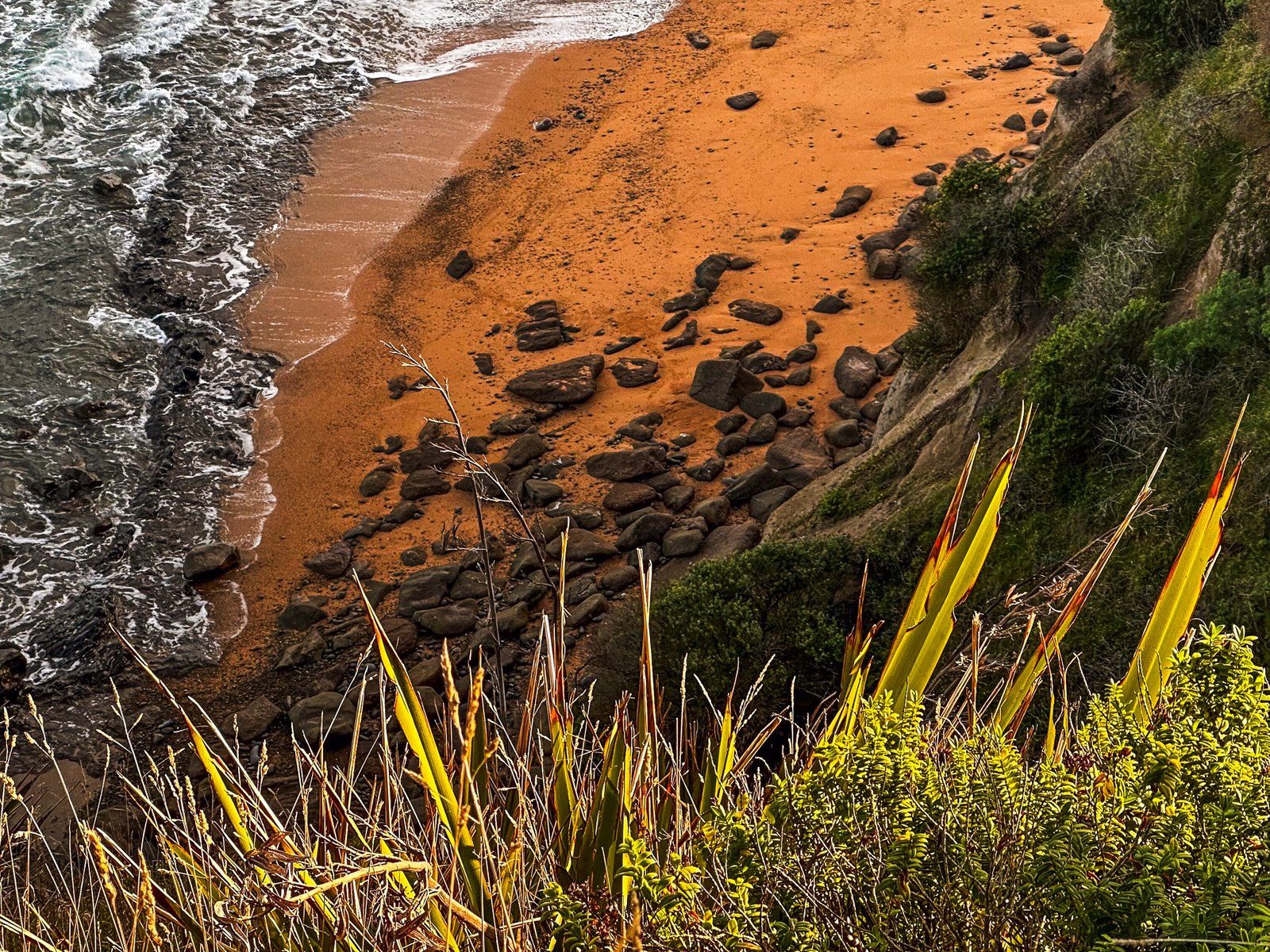
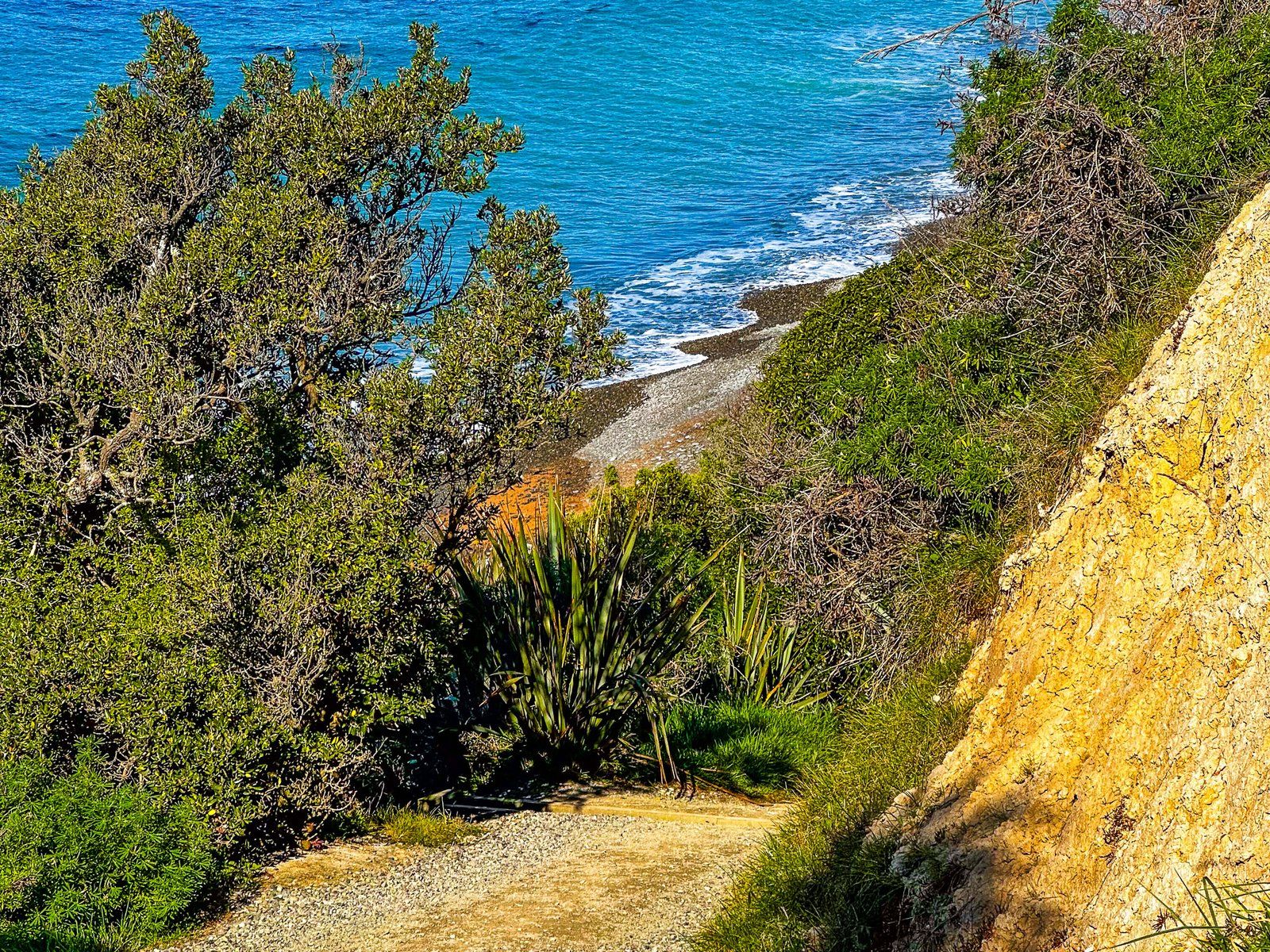
Bushy Beach is not as well known as the other features of Ōamaru, however it is a small but exceptional orange sand beach towards the south end of Cape Wanbrow. The name arises from the native forest-clad steep slopes and cliffs overlooking the beach. This is the only beach in the region overlooked by native forest, with other beaches generally having farmland all the way to the coast.
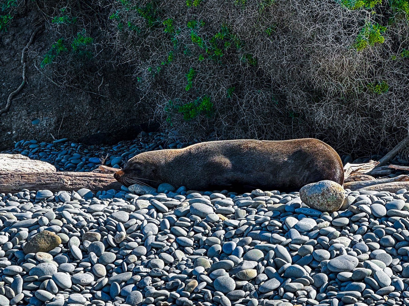
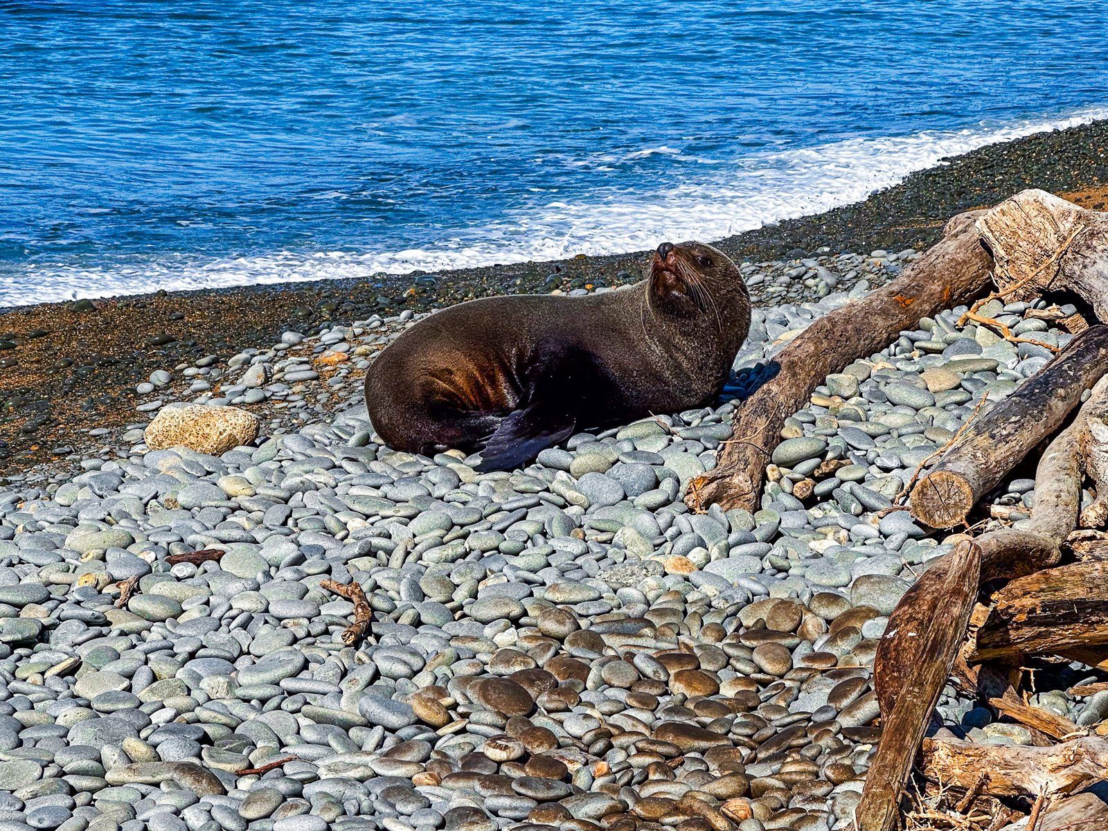
It is also an opportunity to see rare hoiho (yellow-eyed penguins) in the wild as they nest in the forest above the beach. You will almost certainly hear them even if you don’t see them! To top off the nature experience, the beach is popular with fur seals. If you plan to sunbathe, make sure you give them some distance.
The beach is accessed at the end of Bushy Beach Road. From the south end of Thames Street in downtown Ōamaru, turn left into Itchen Street, then right into Tyne Street. Follow Tyne Street south until it veers slightly left onto Bushy Beach Road. At the end of the road is a car park at the top of the cliff. Walk onto the track, and there is a gate for the beach access.
This is closed between 3pm and 6pm to protect penguins as they cross the beach to their nests from the sea. Follow the track along the cliff’s edge to the penguin-viewing locations to the north between these times. Note that the track down to the beach is steep and will not be suitable for everyone.
Want more Otago Trip Ideas?
Check out our blogs on Waitaki Whitestone, Danseys Pass, and our Dunedin to Central Otago Roadtrip.