
As you head through north Auckland beyond Long Bay, you pass through a number of east coast beach suburbs interspersed with lifestyle blocks and farmland. You can also find patches of recovering kauri forest, some with tracks. These include the Pohuehue Reserve and the Parry Kauri Reserve.
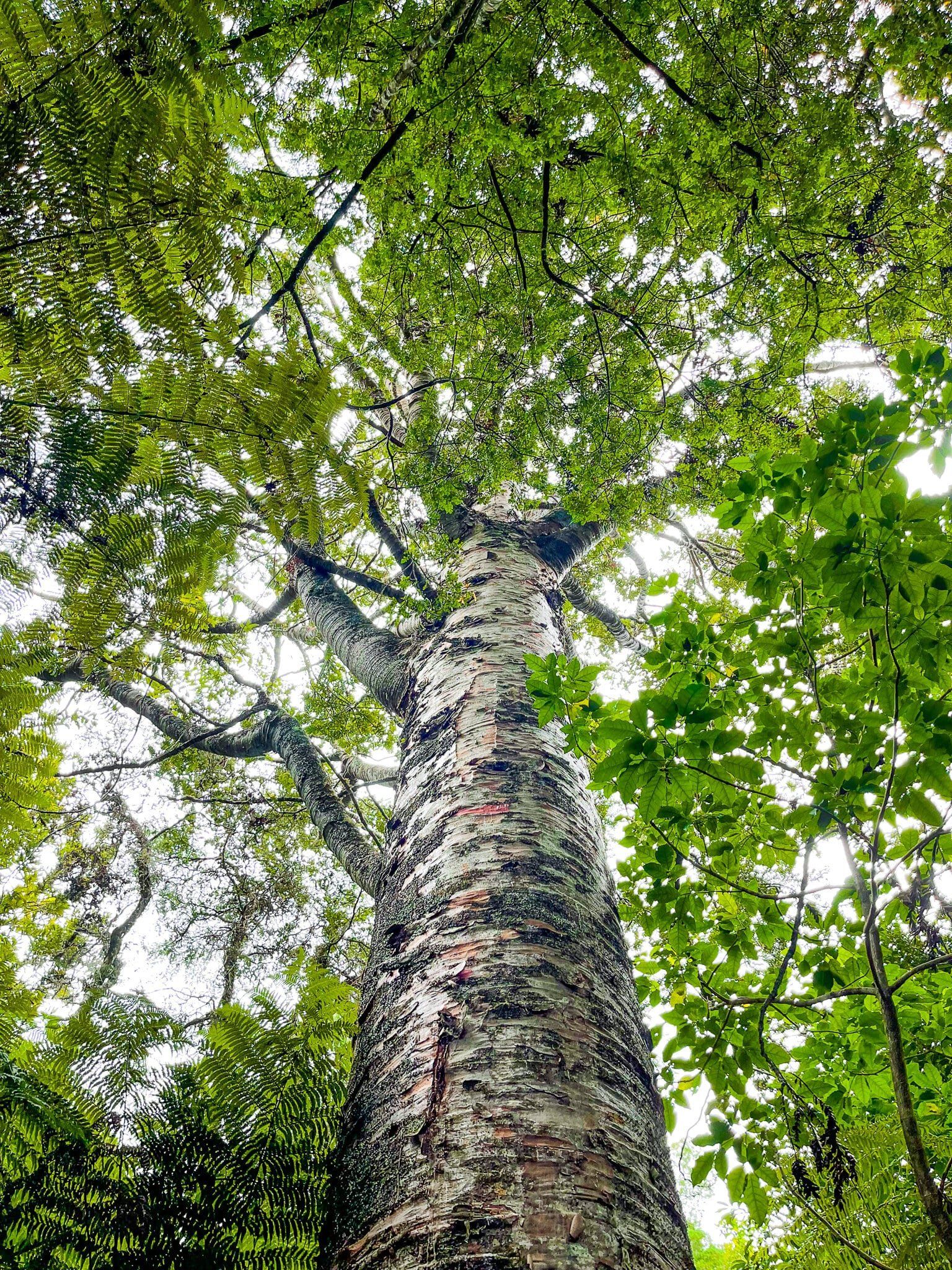
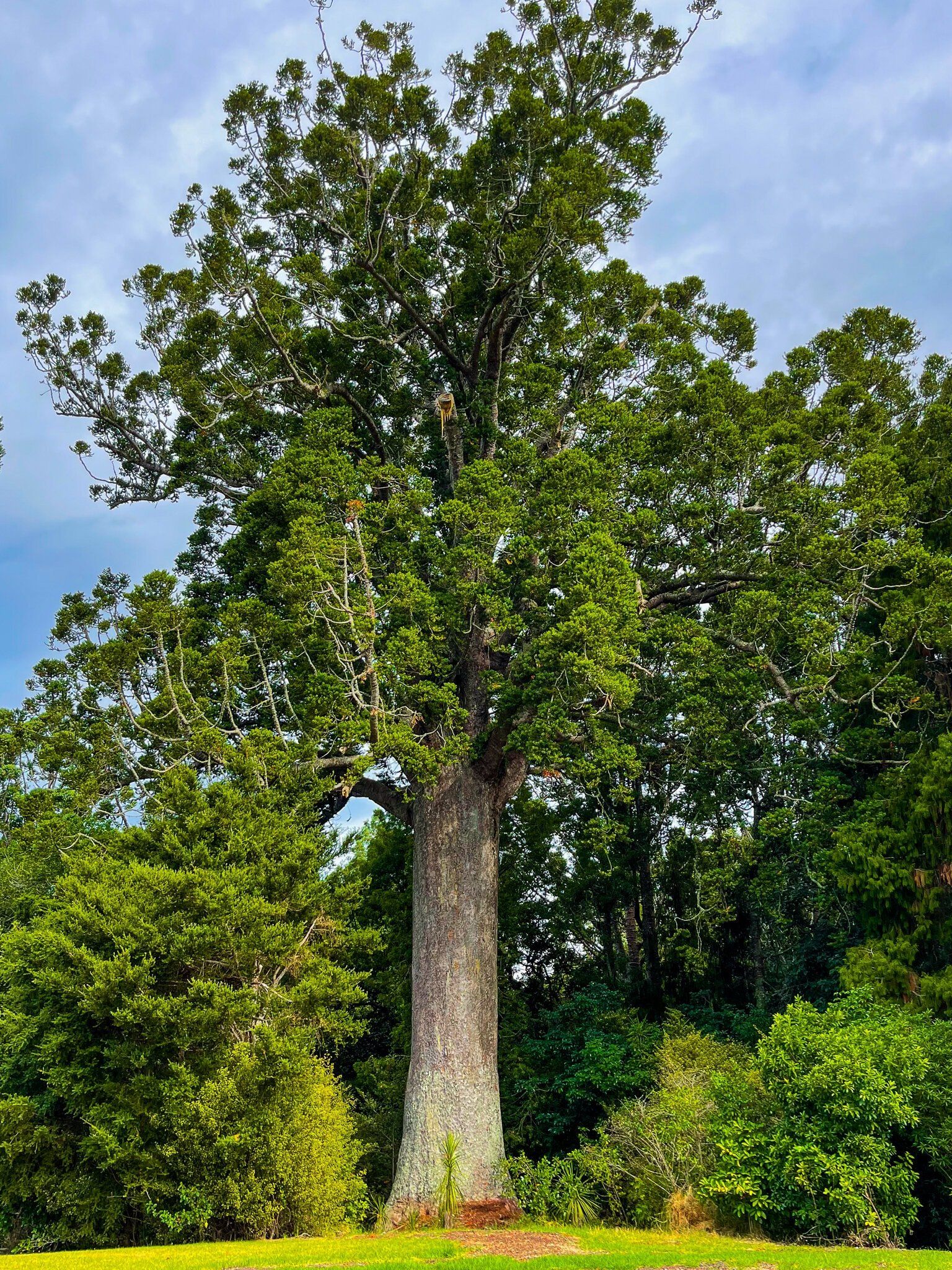
The former is on the side of State Highway 1 after the end of the motorway section and includes a waterfall and a section of kauri regrowth. Parry Kauri Reserve is at the south end of Warkworth and has one of the best short walks around a kauri forest in the Auckland region. The two giant kauri trees next to the grassed area are about 800 years old and as big as you will see in the region.
A little further on towards the south side of the Matakana River mouth is Brick Bay. This is a winery and restaurant/cafe but its real draw is the wonderful outdoor sculpture track and a particularly pretty section of recovering kauri forest. There is a modest fee to do the walk.
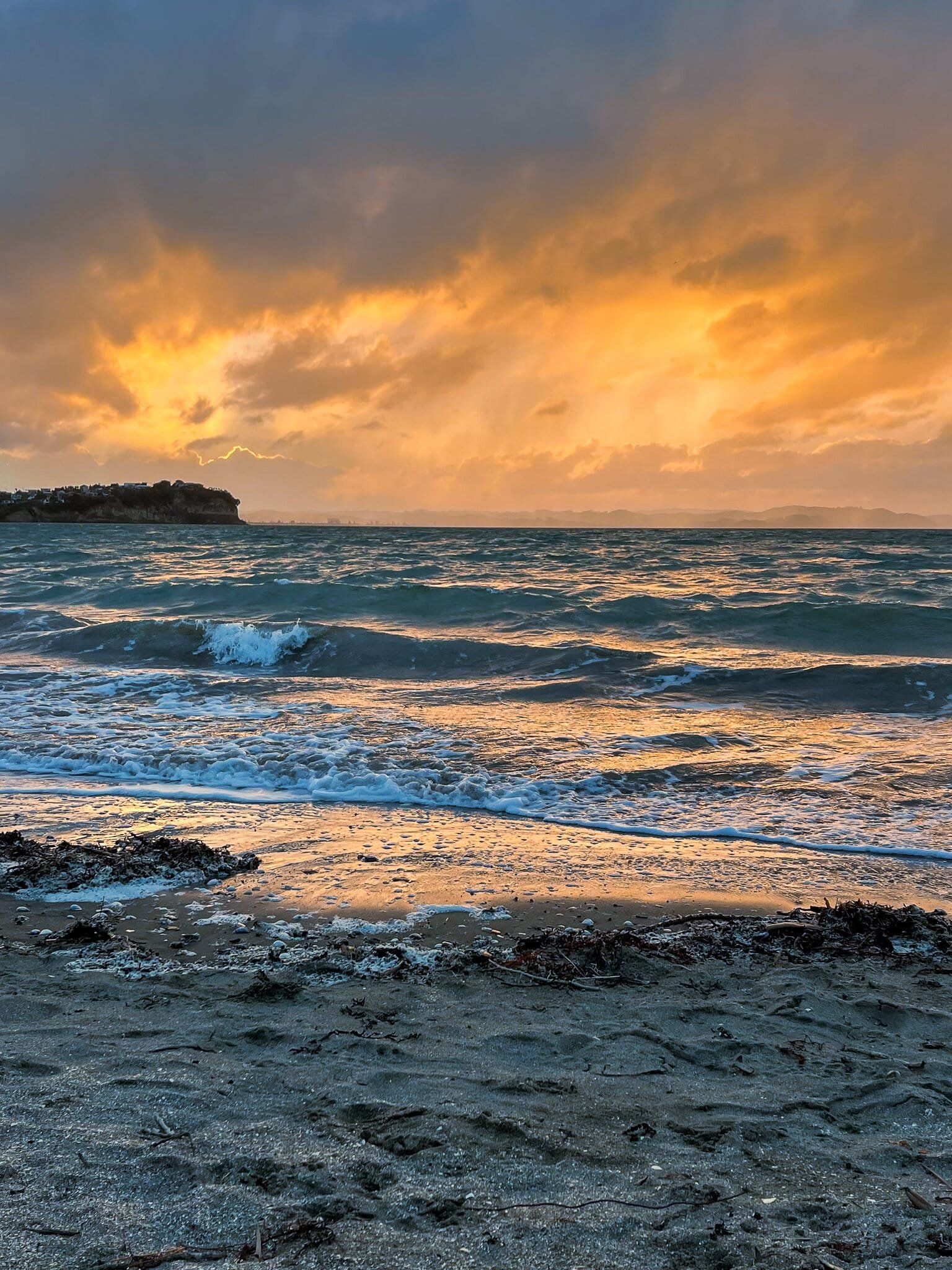
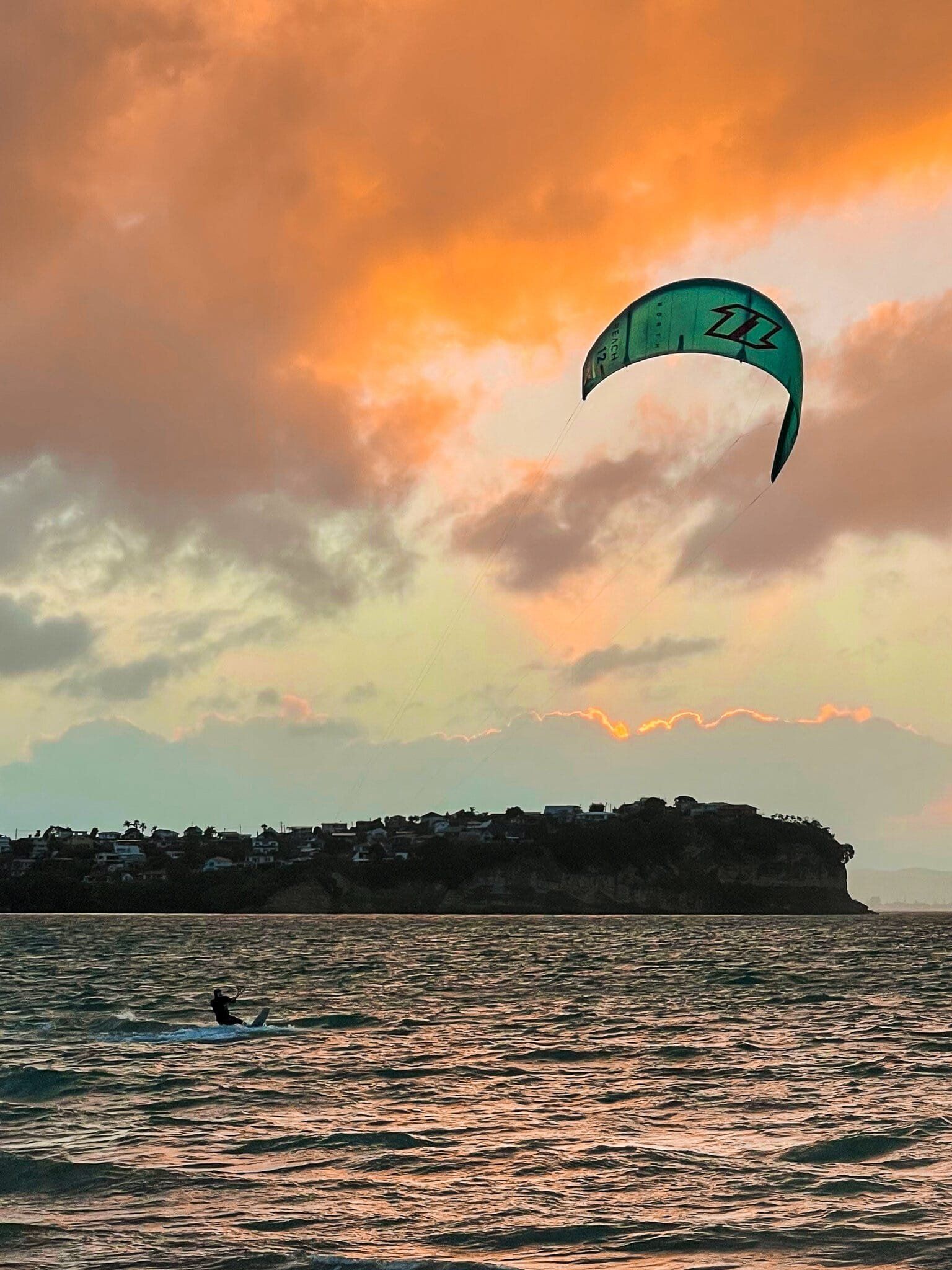
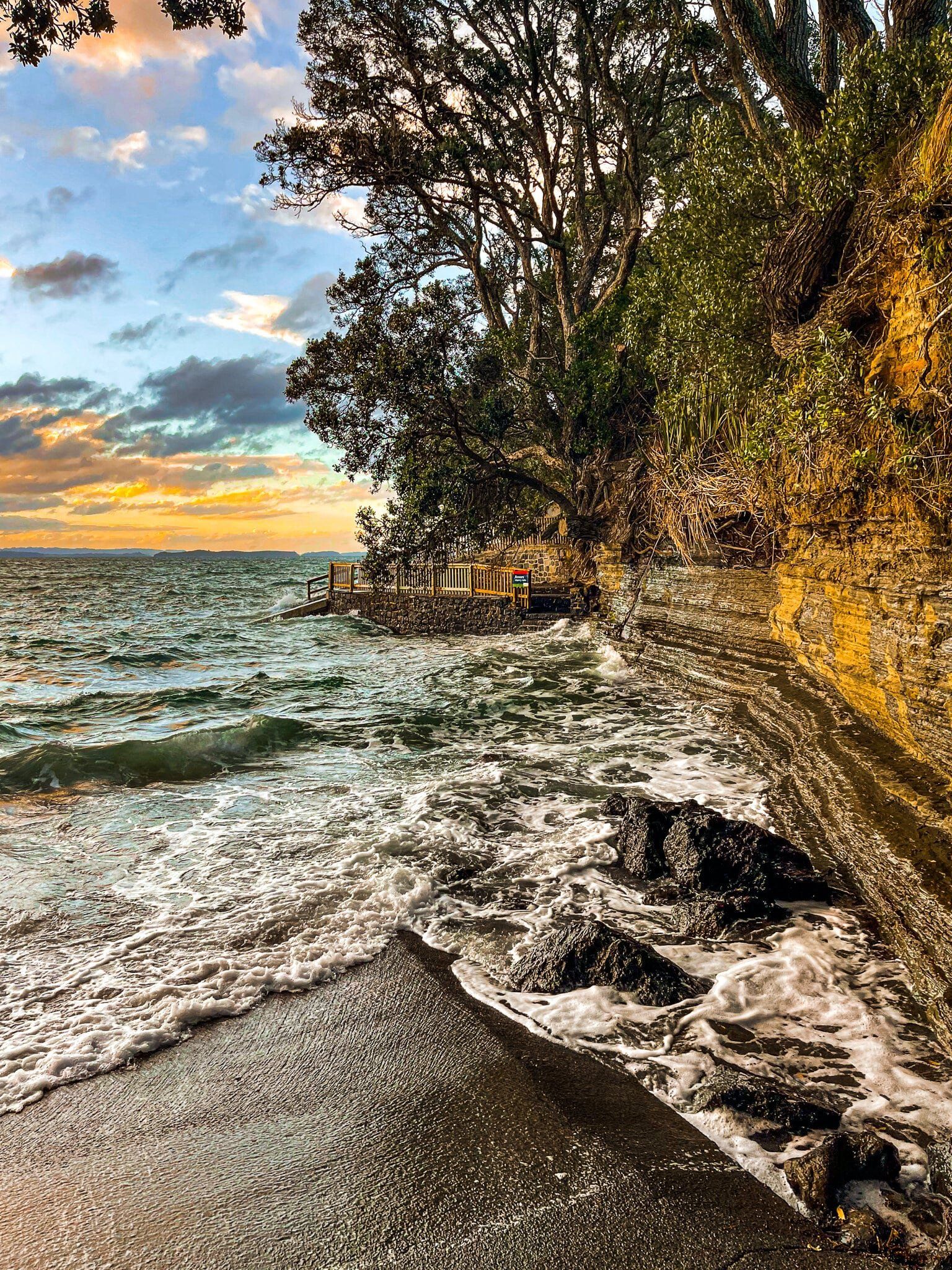
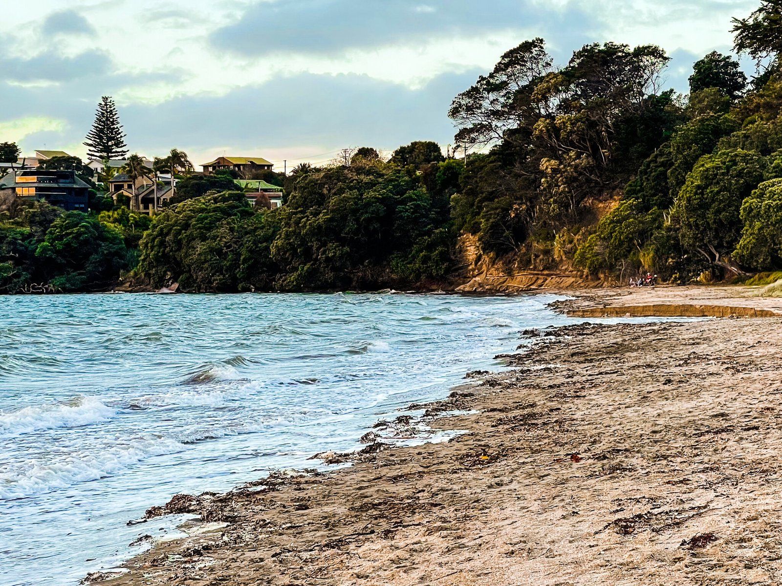
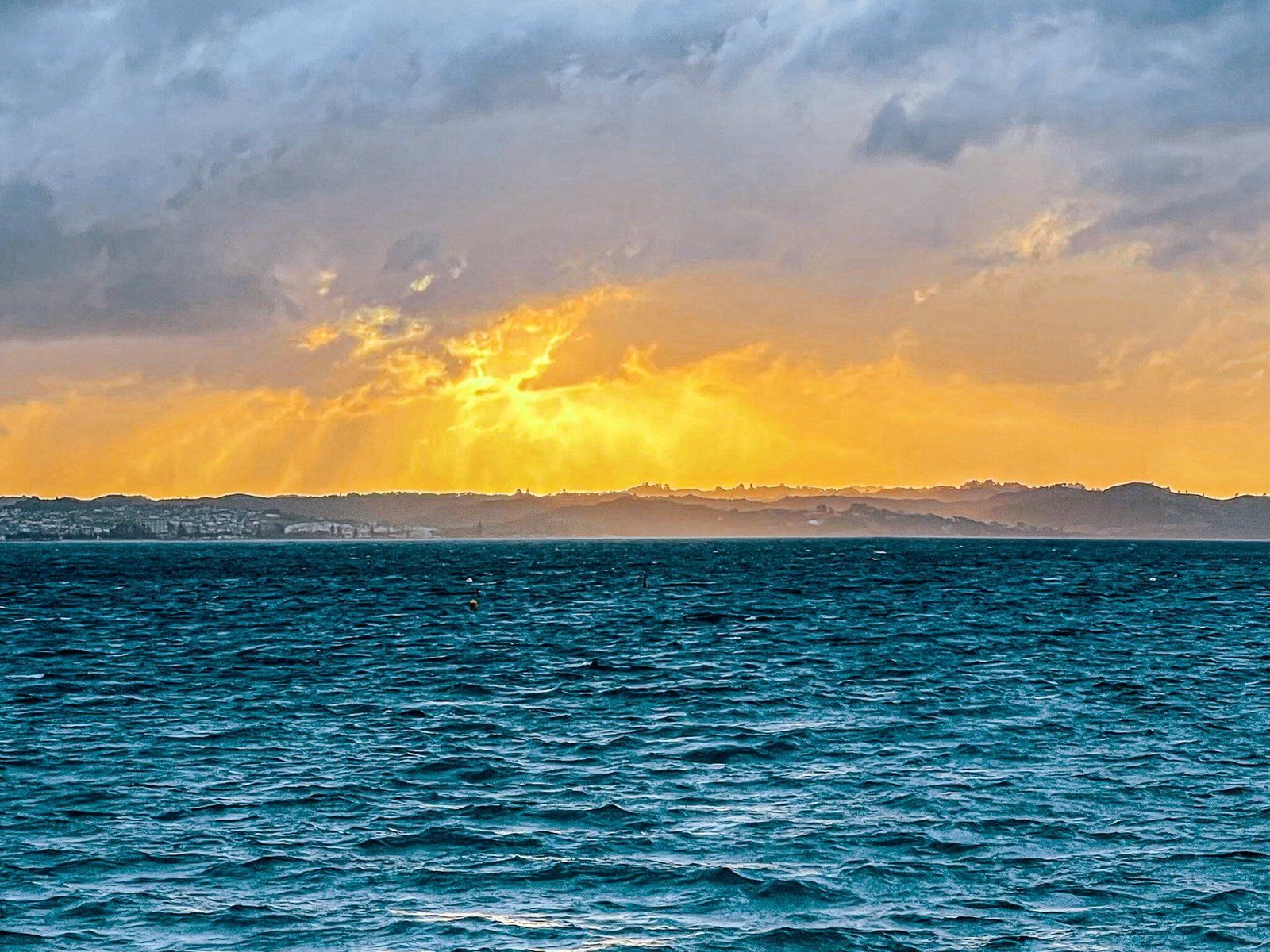
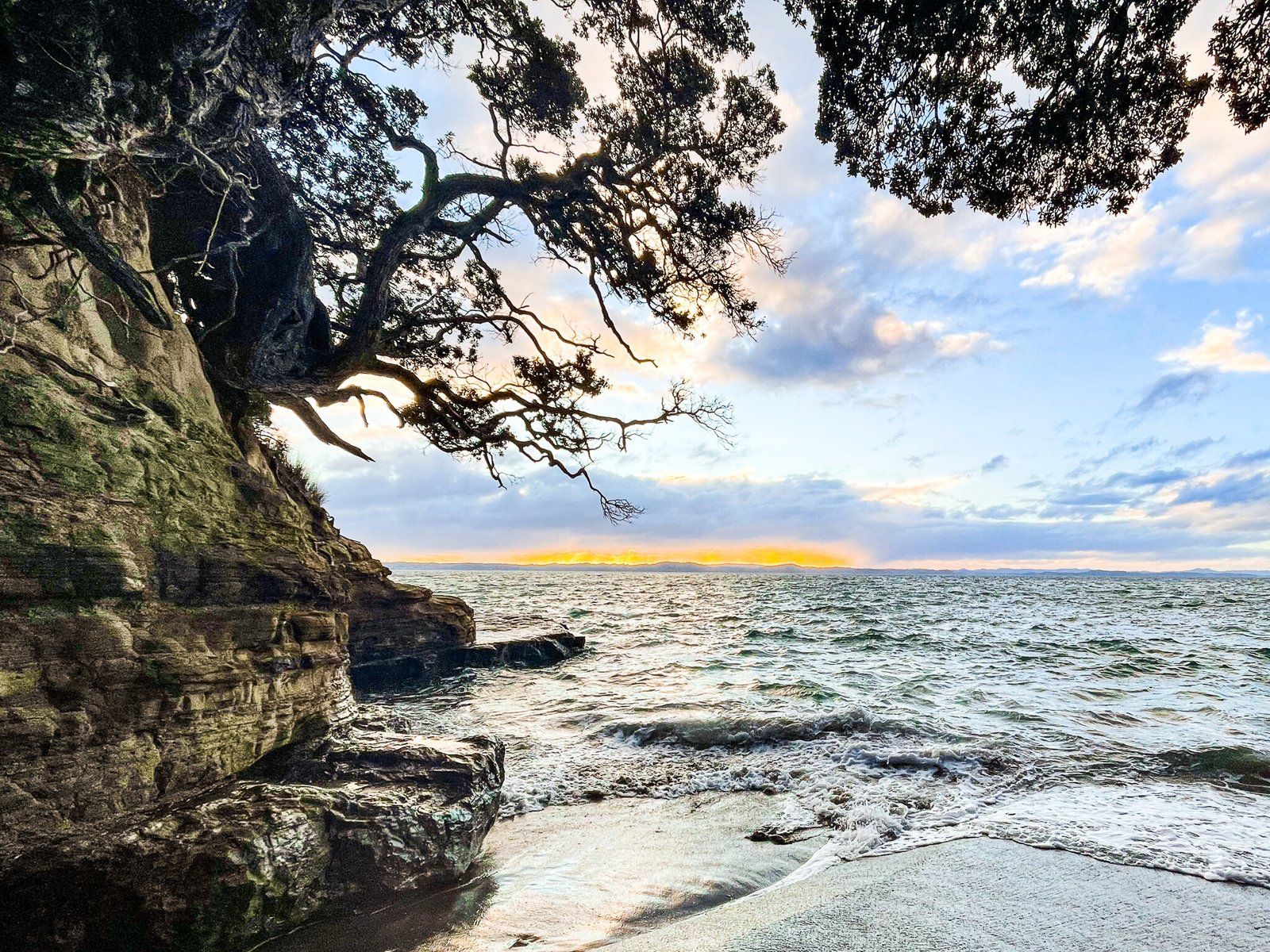
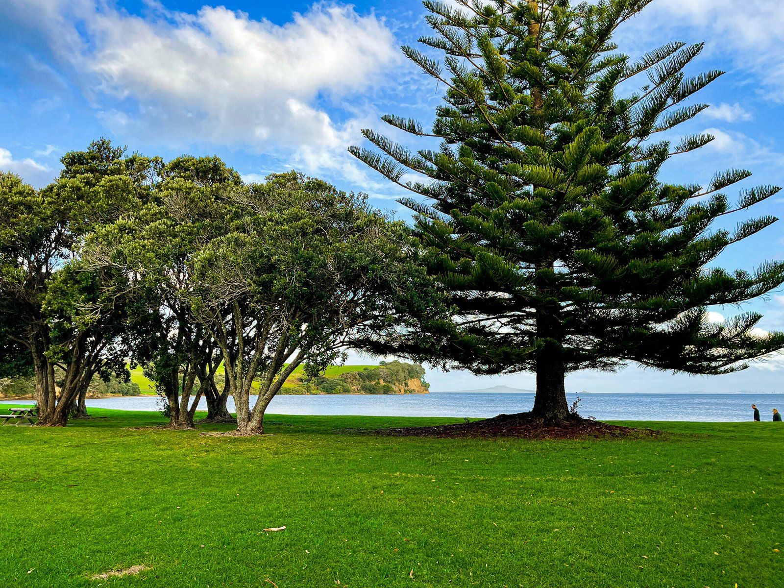
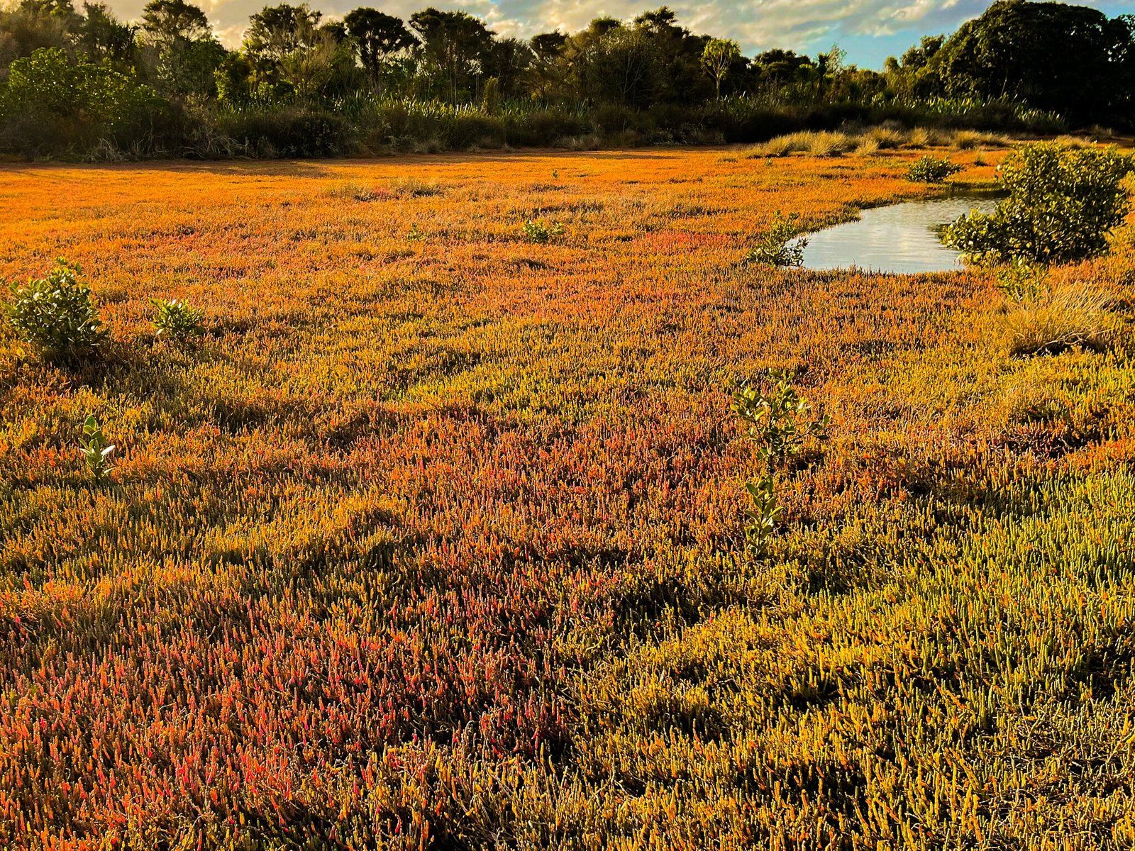
We have also included some golden hour photos from around some of the suburban beaches at Whangaparaoa Peninsula. These were taken on the way back from Shakespear Regional Park.
Pohuehue Reserve Waterfall Track
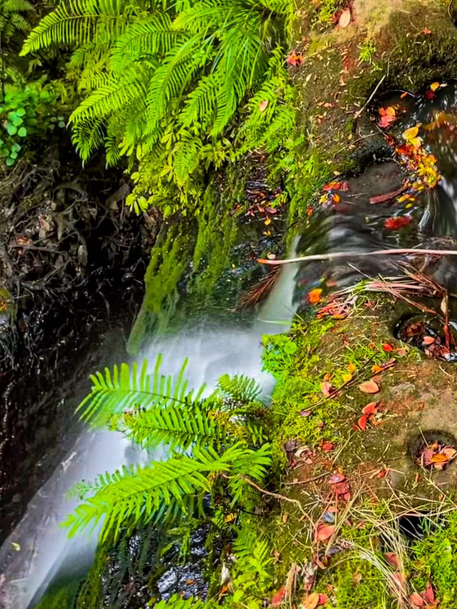
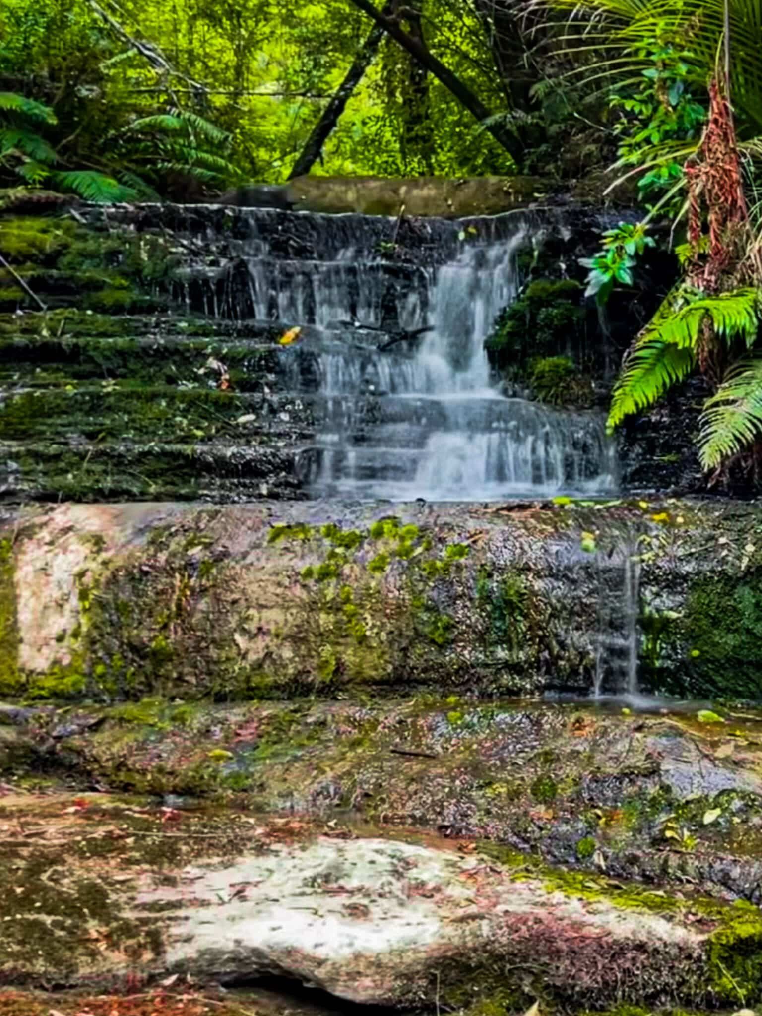
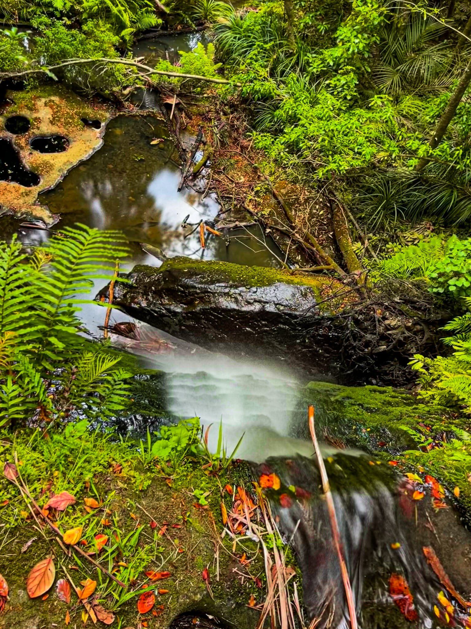
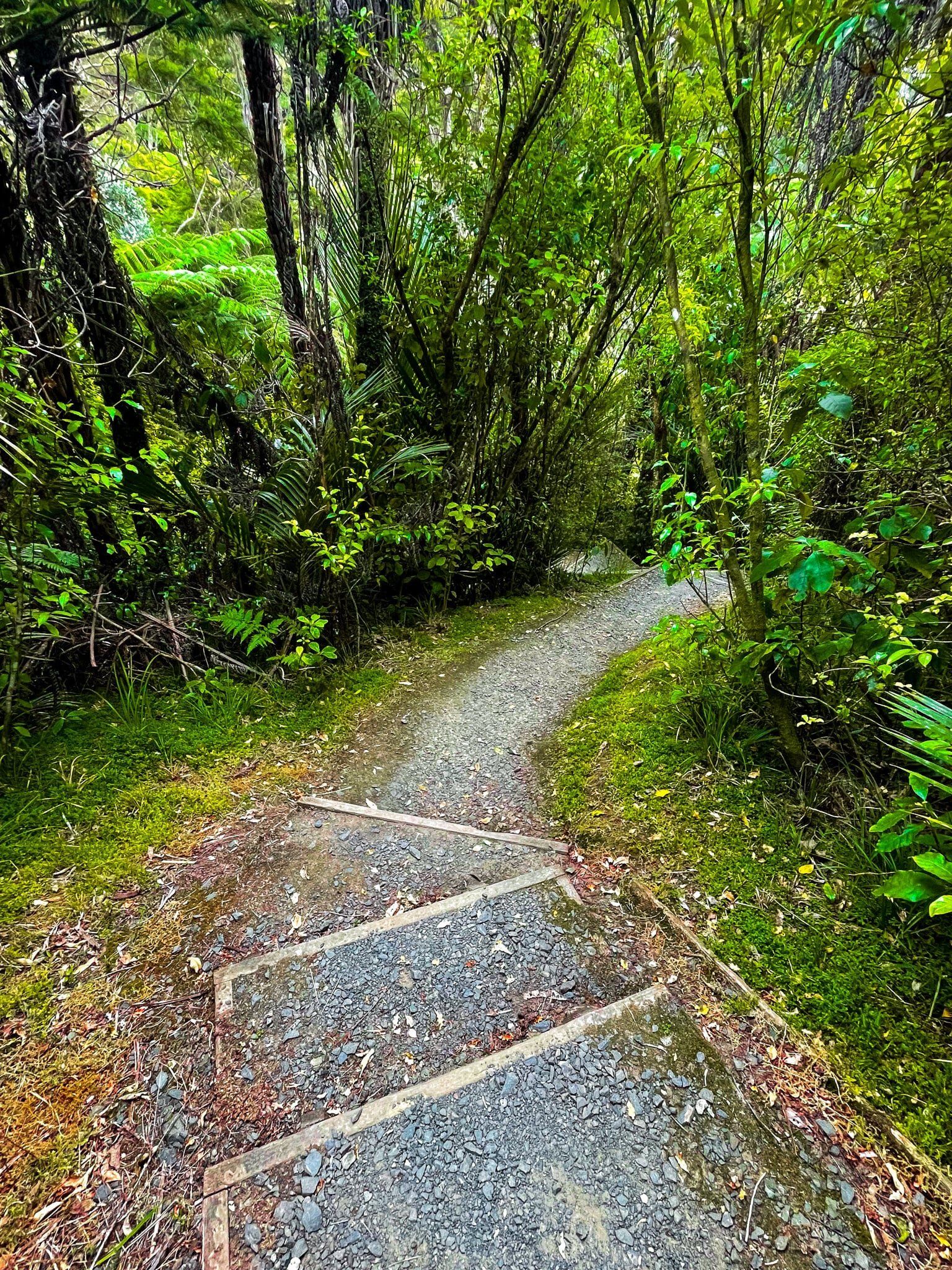
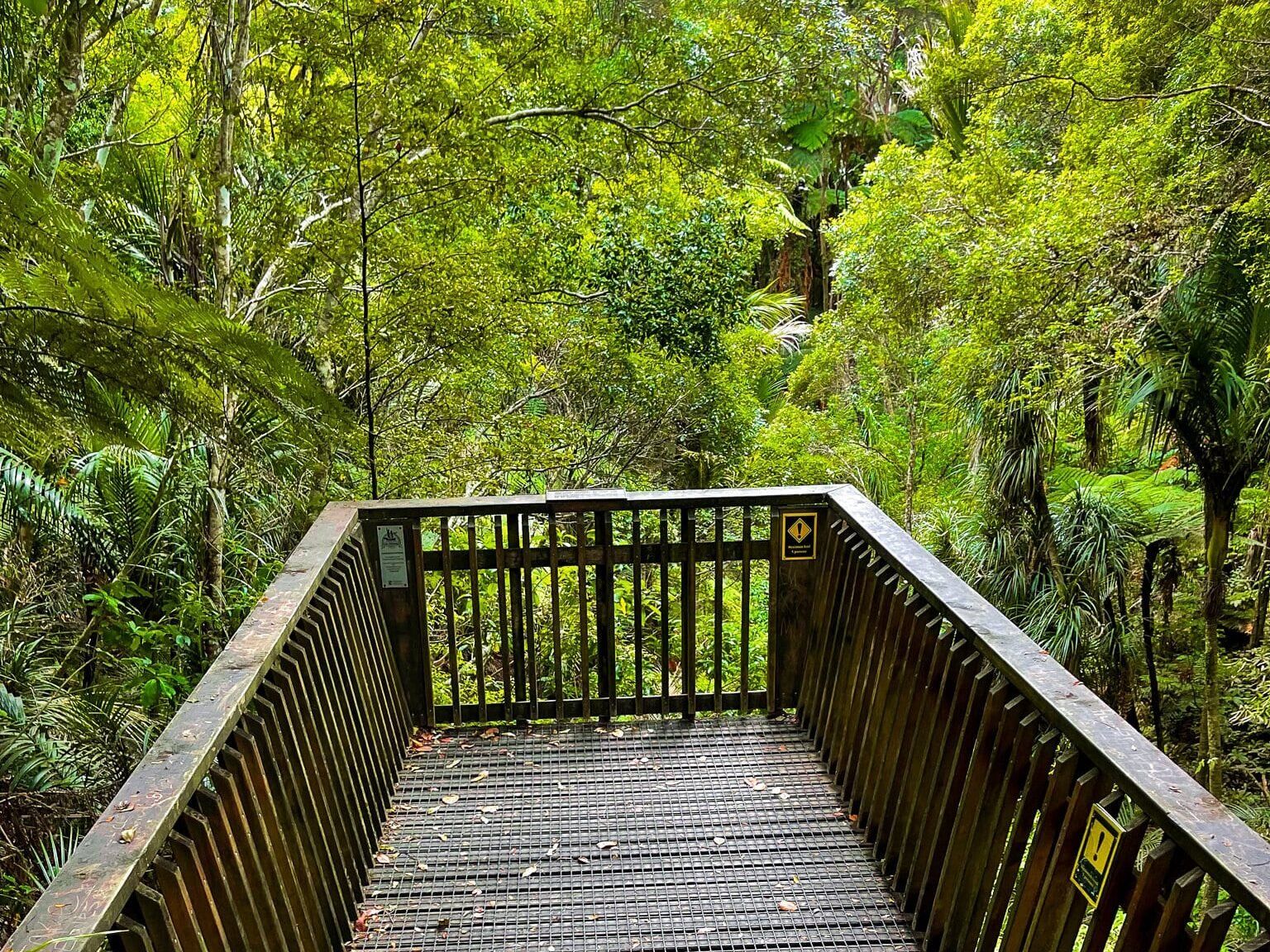
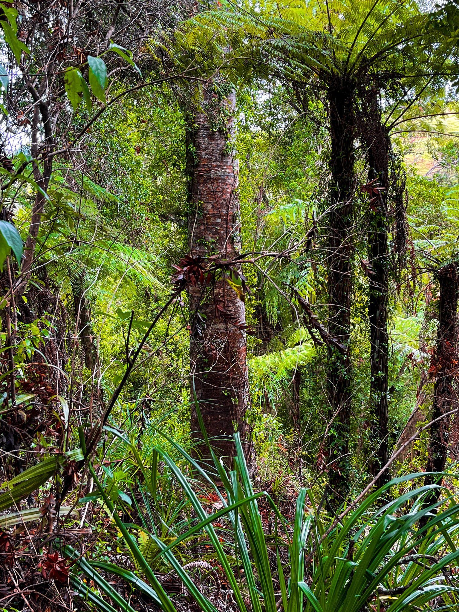
As you head north from Auckland, there are a number of scattered native forest remnants and some larger recovering regrowth areas. The Pohuehue Reserve has well-established tracks and is accessible immediately from the side of the highway. You will see a sign for the reserve and track almost immediately after the Pohuehue Viaduct heading north, before you get to Warkworh.
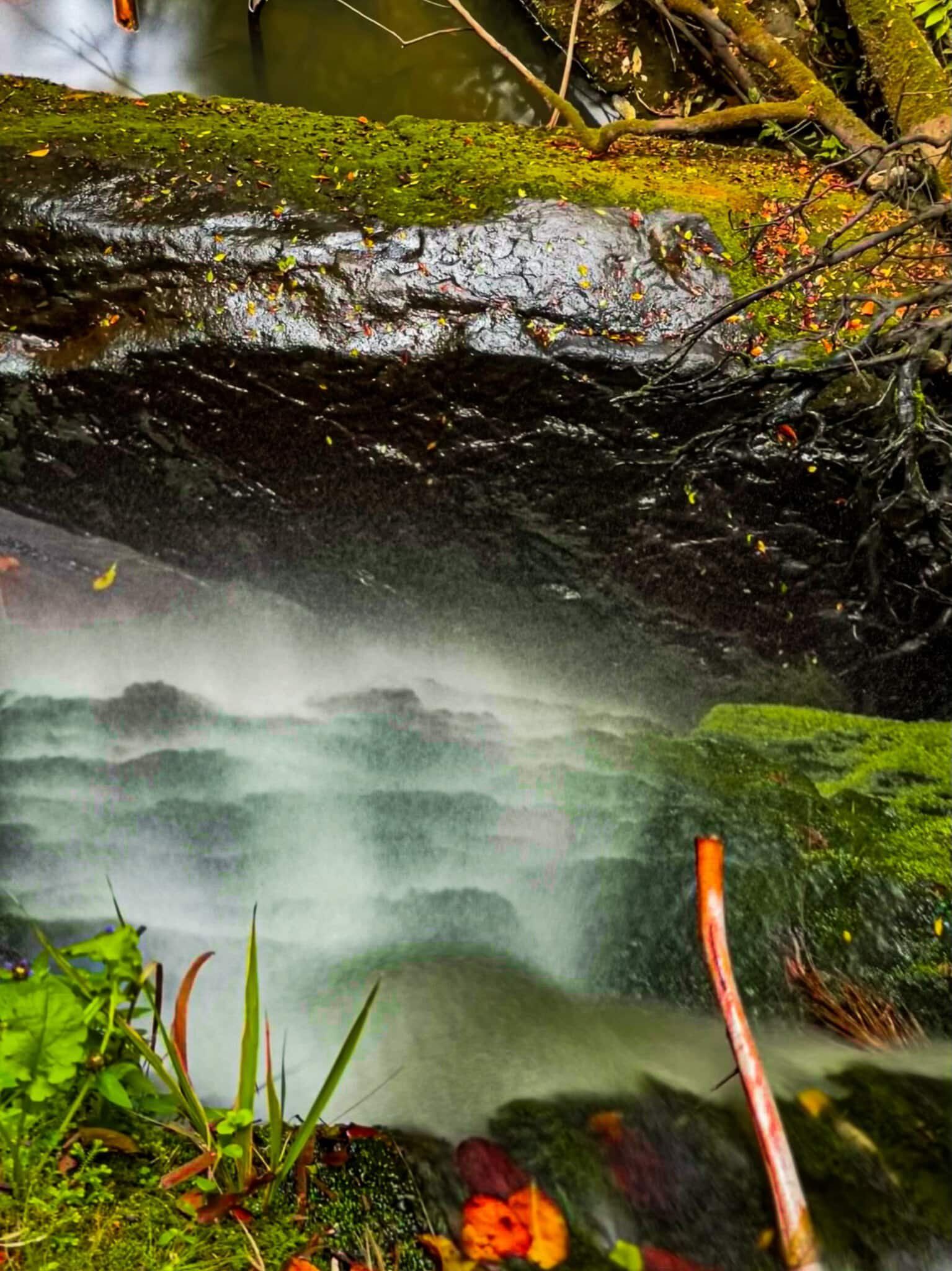
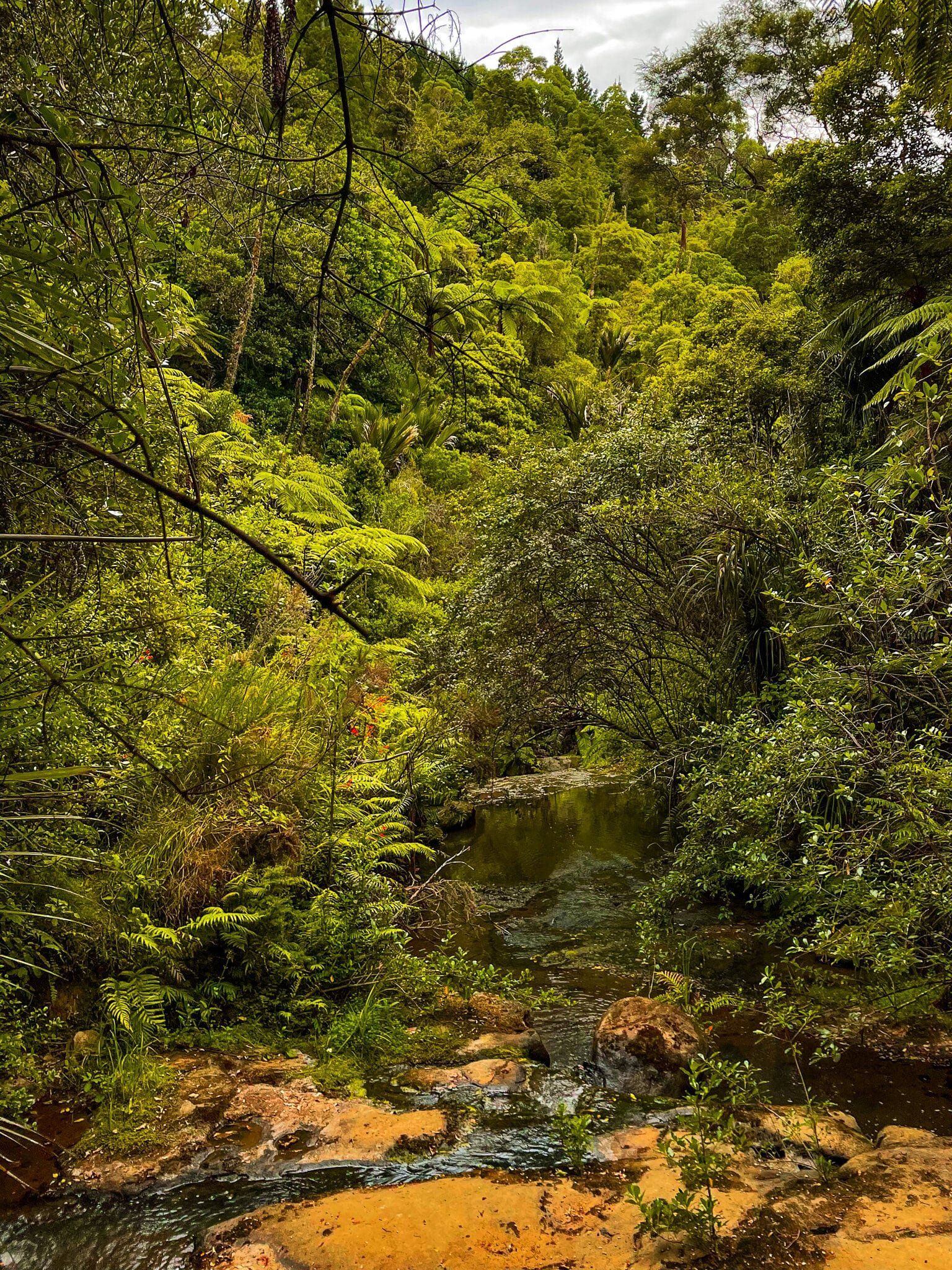
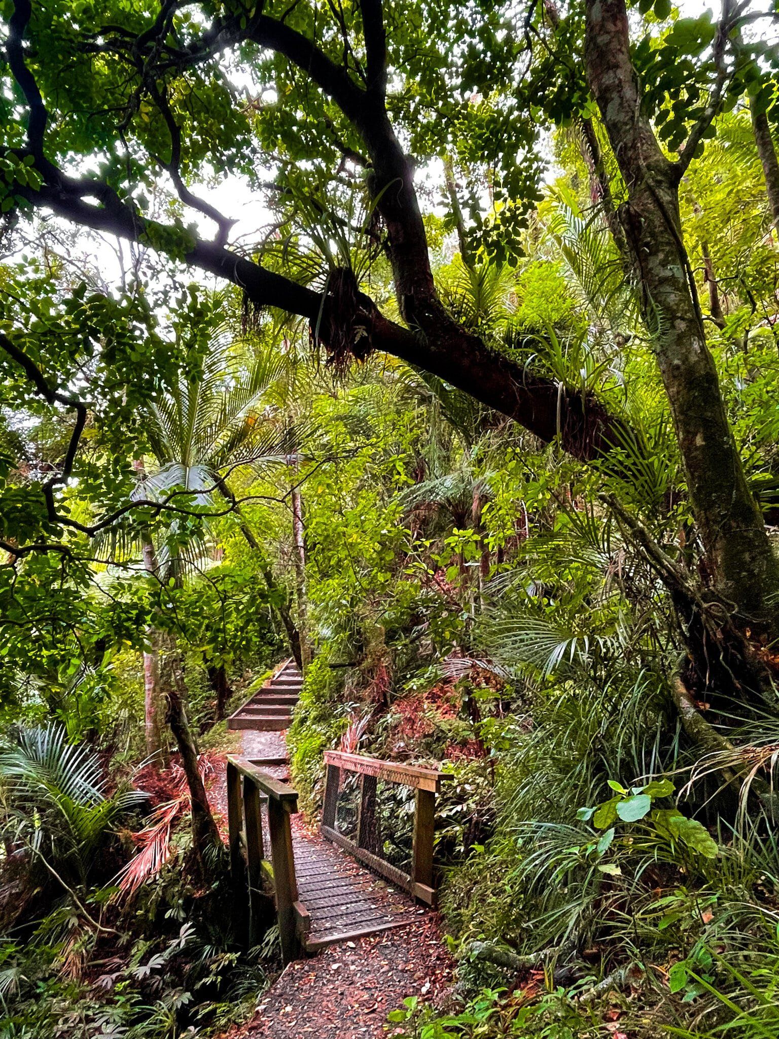
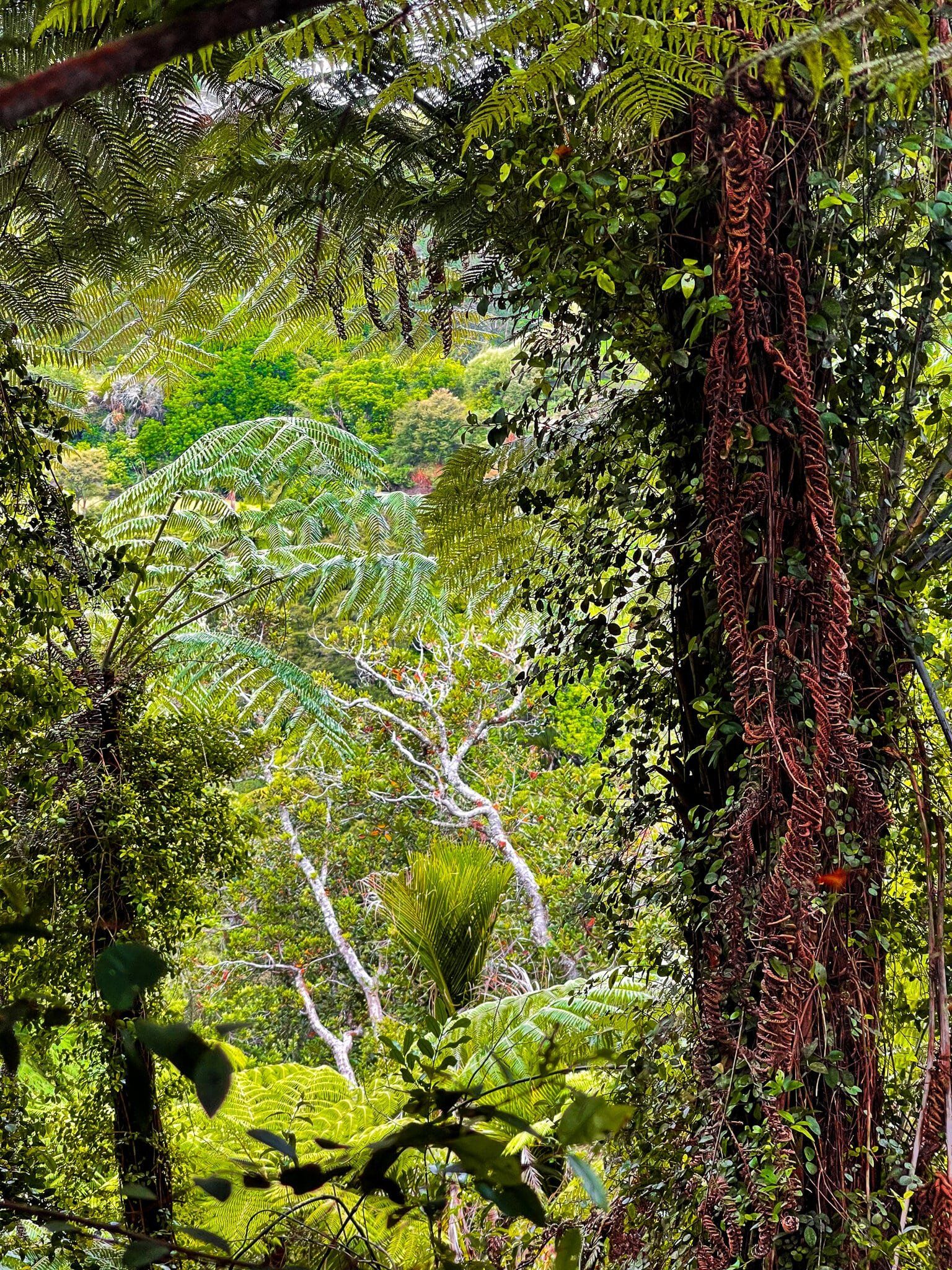
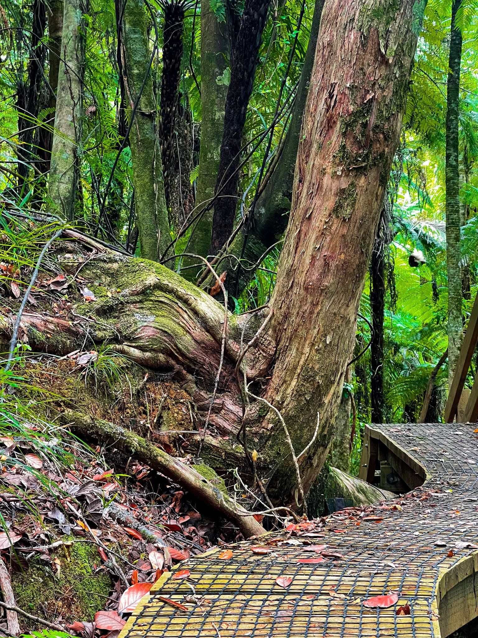
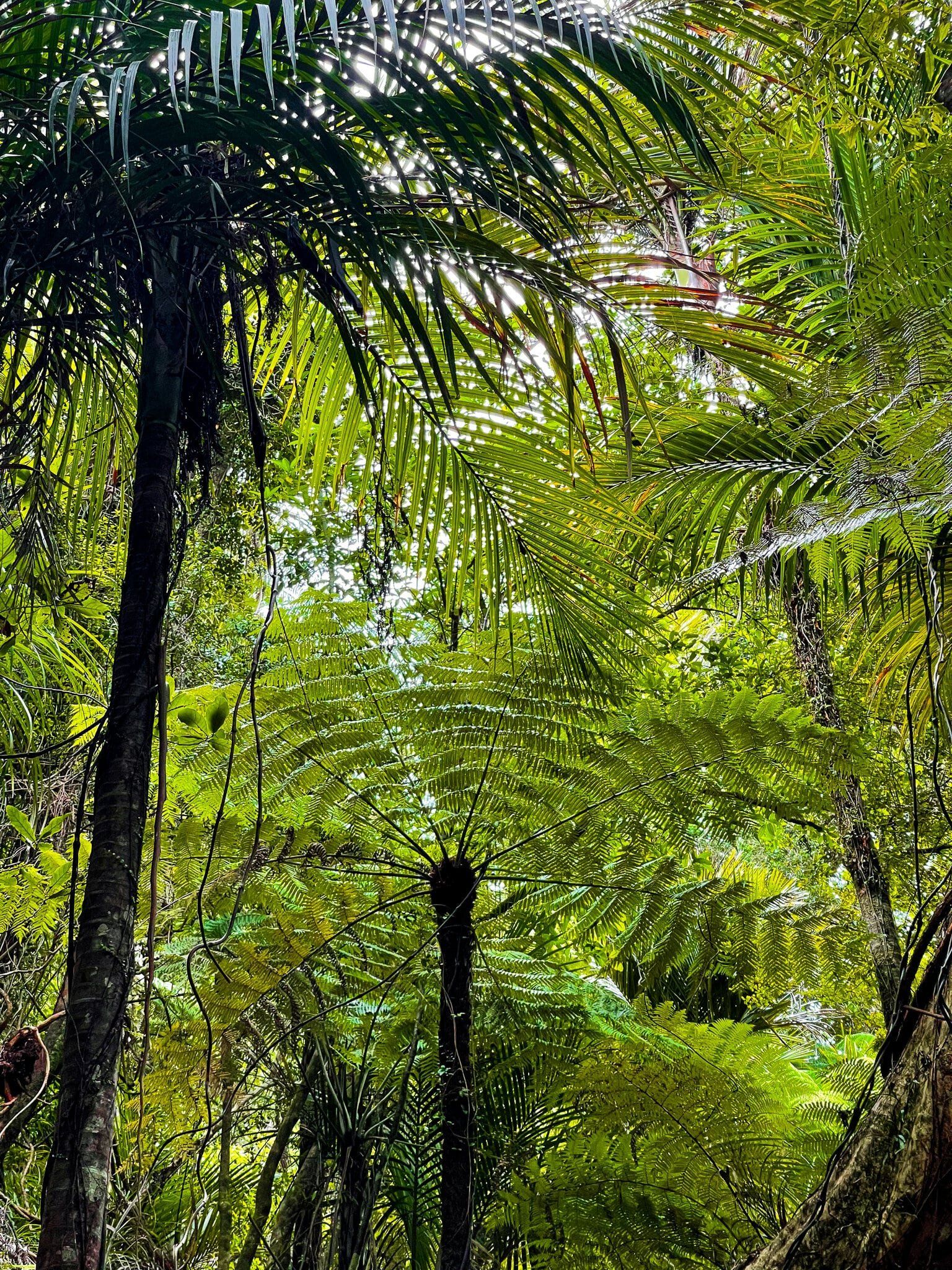
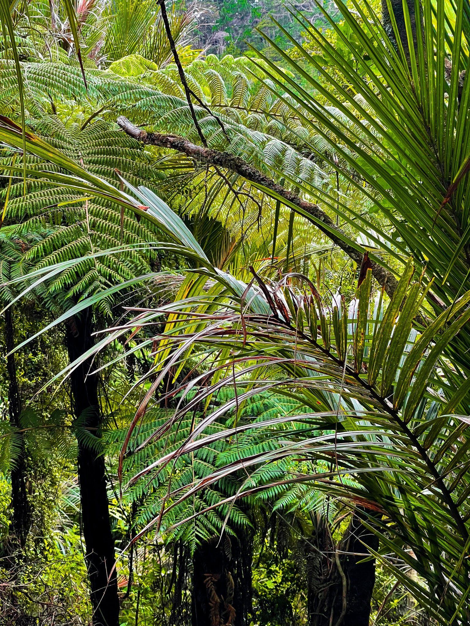
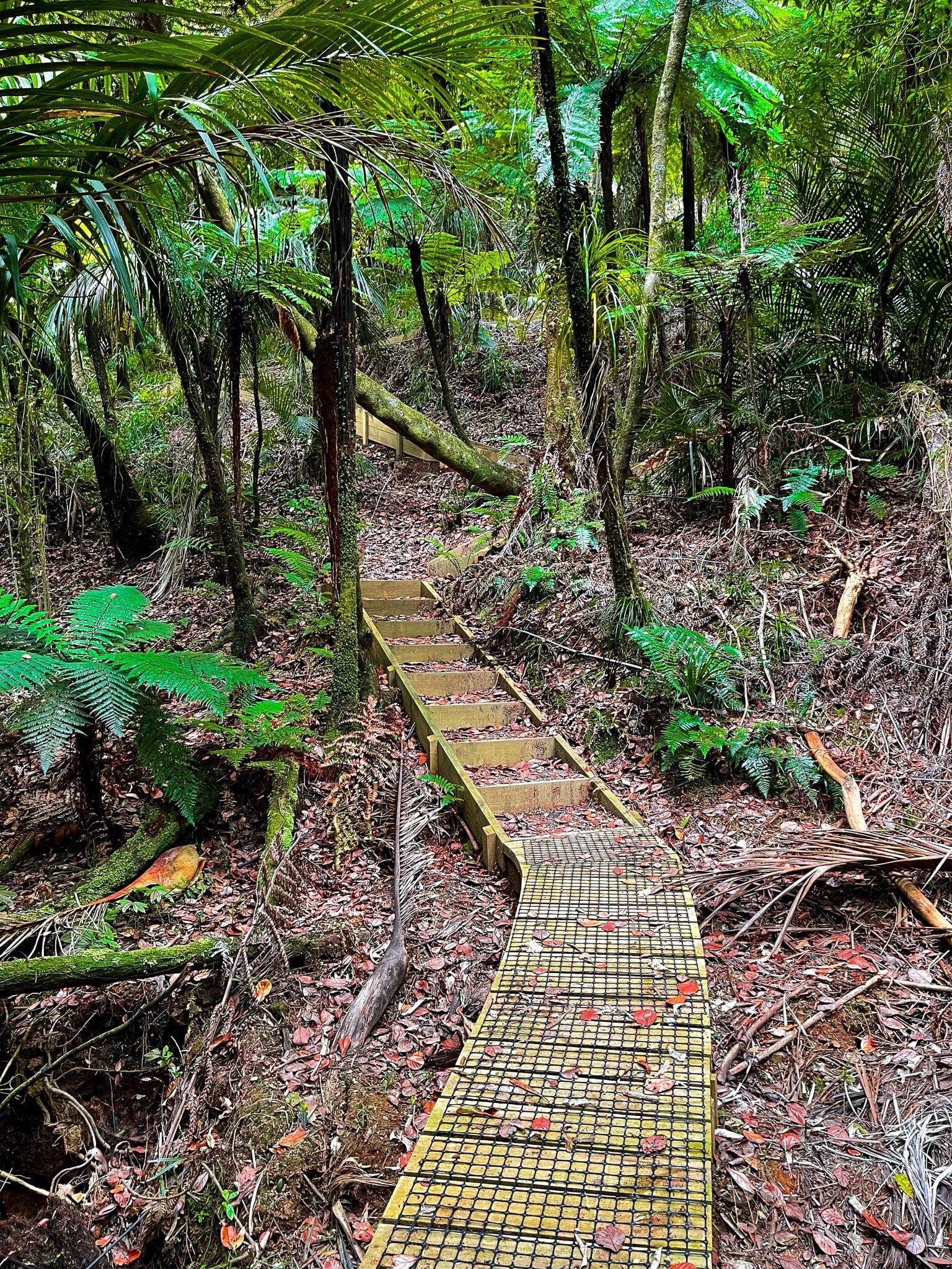
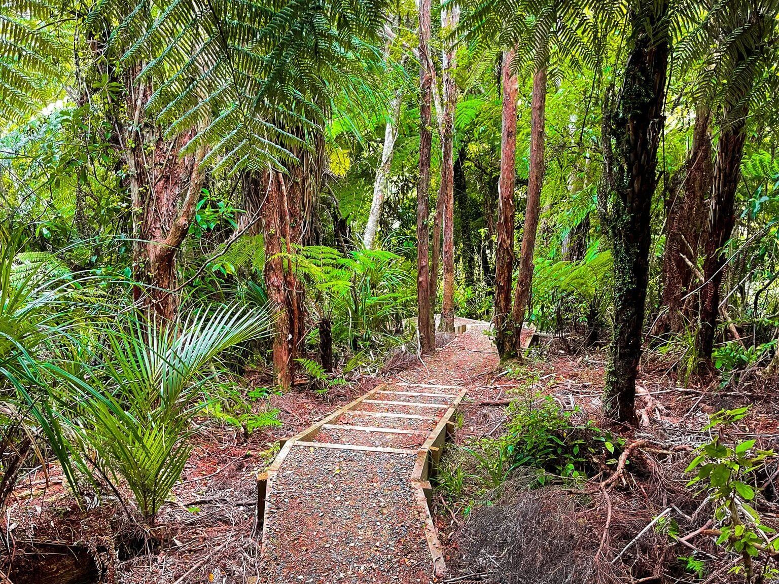
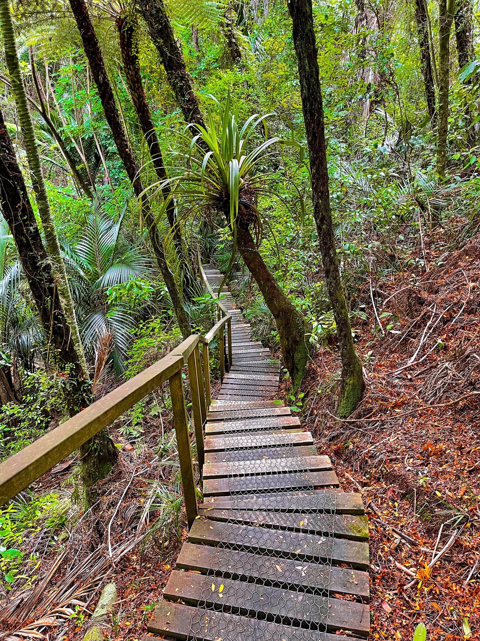
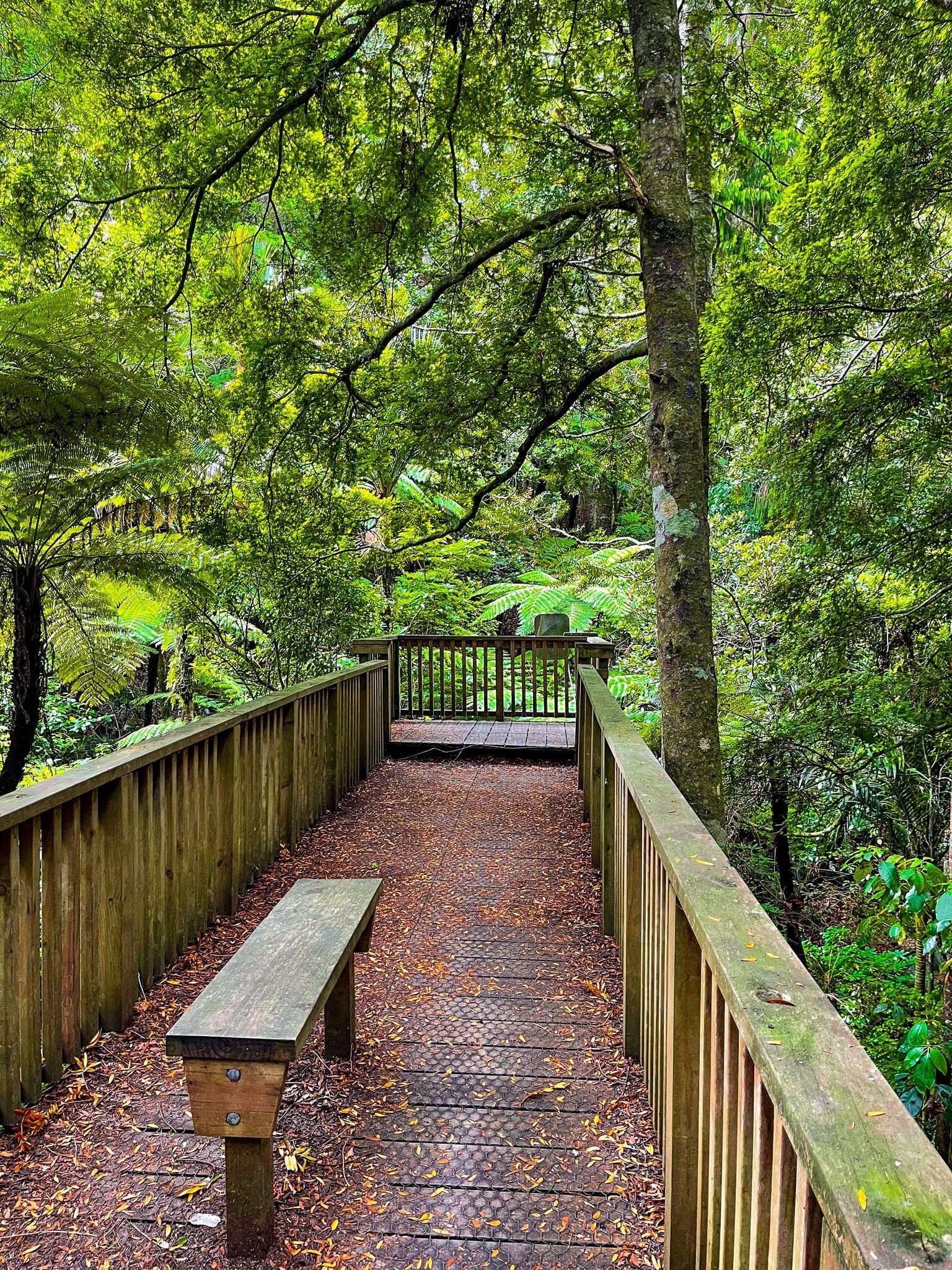
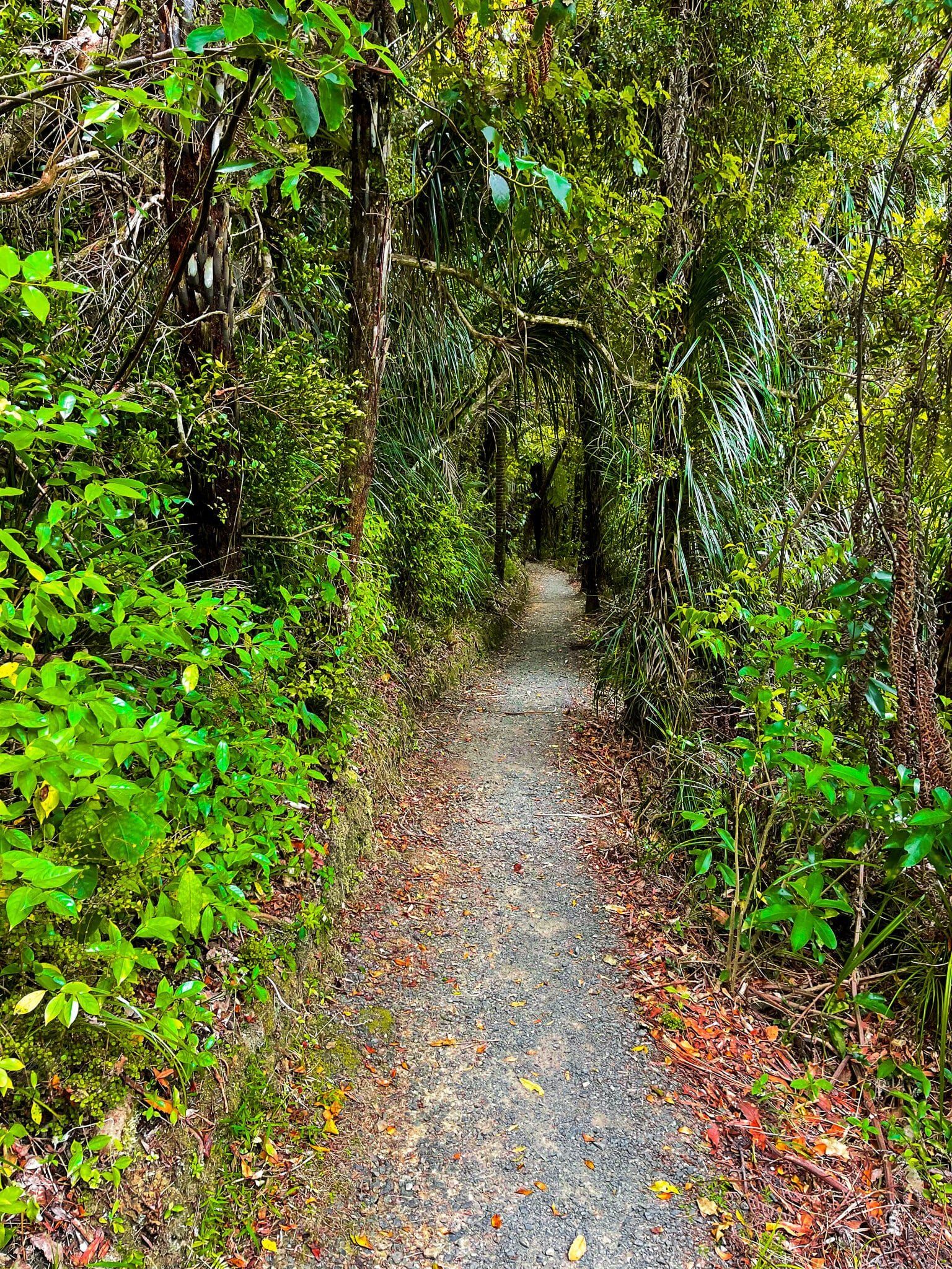
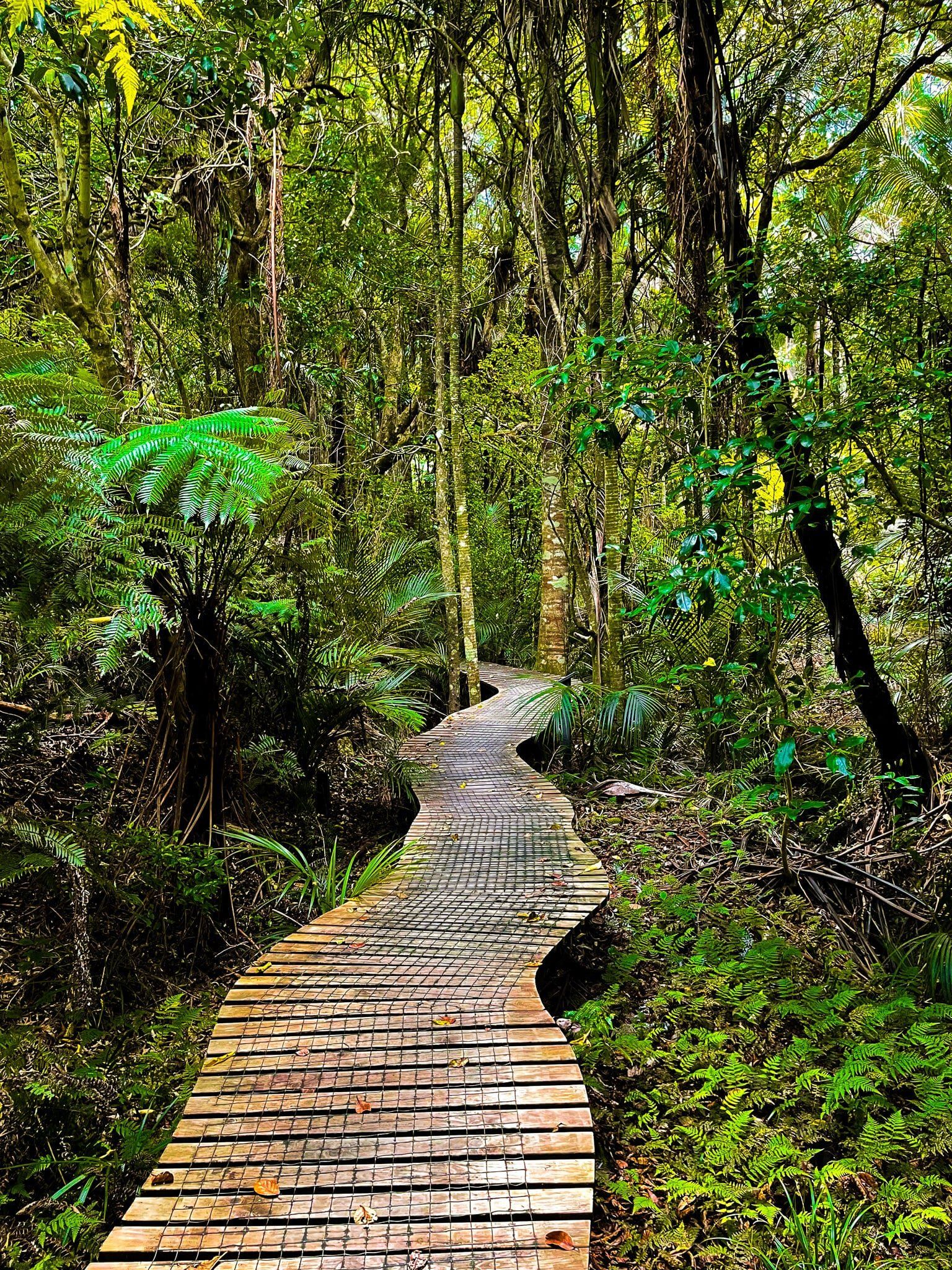
There are two tracks; the Waterfall Track and the Beverly Loop, although the latter was partly closed when we visited. The Waterfall Track is a pretty walk through mostly regenerating native forest. It starts with a bridge over a stream and terminates at a small platform above a waterfall. The track undulates around the edge of a gully above the stream. It is probably possible to scramble down to the stream below the falls a bit further back on the track, but there is no obvious path, and given the risk of spreading kauri dieback it is best to stay on the path.
If you keep a close eye out for an access point down to the stream shortly after the start of the track, you will find a series of rock platforms that might be better suited as an access point to the water.
To walk to the waterfall and back takes about 30 to minutes or so.
Beverley Price Loop
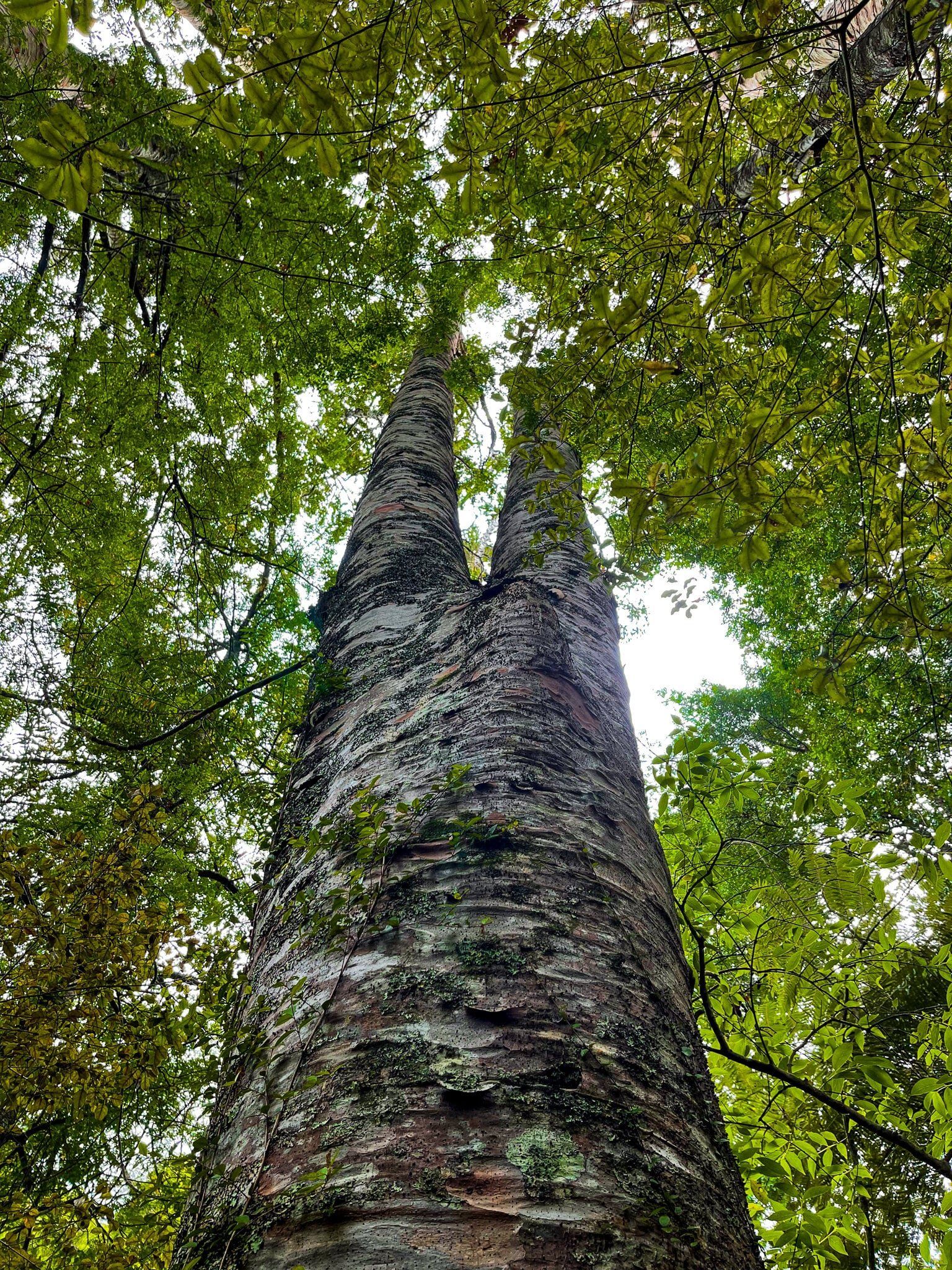
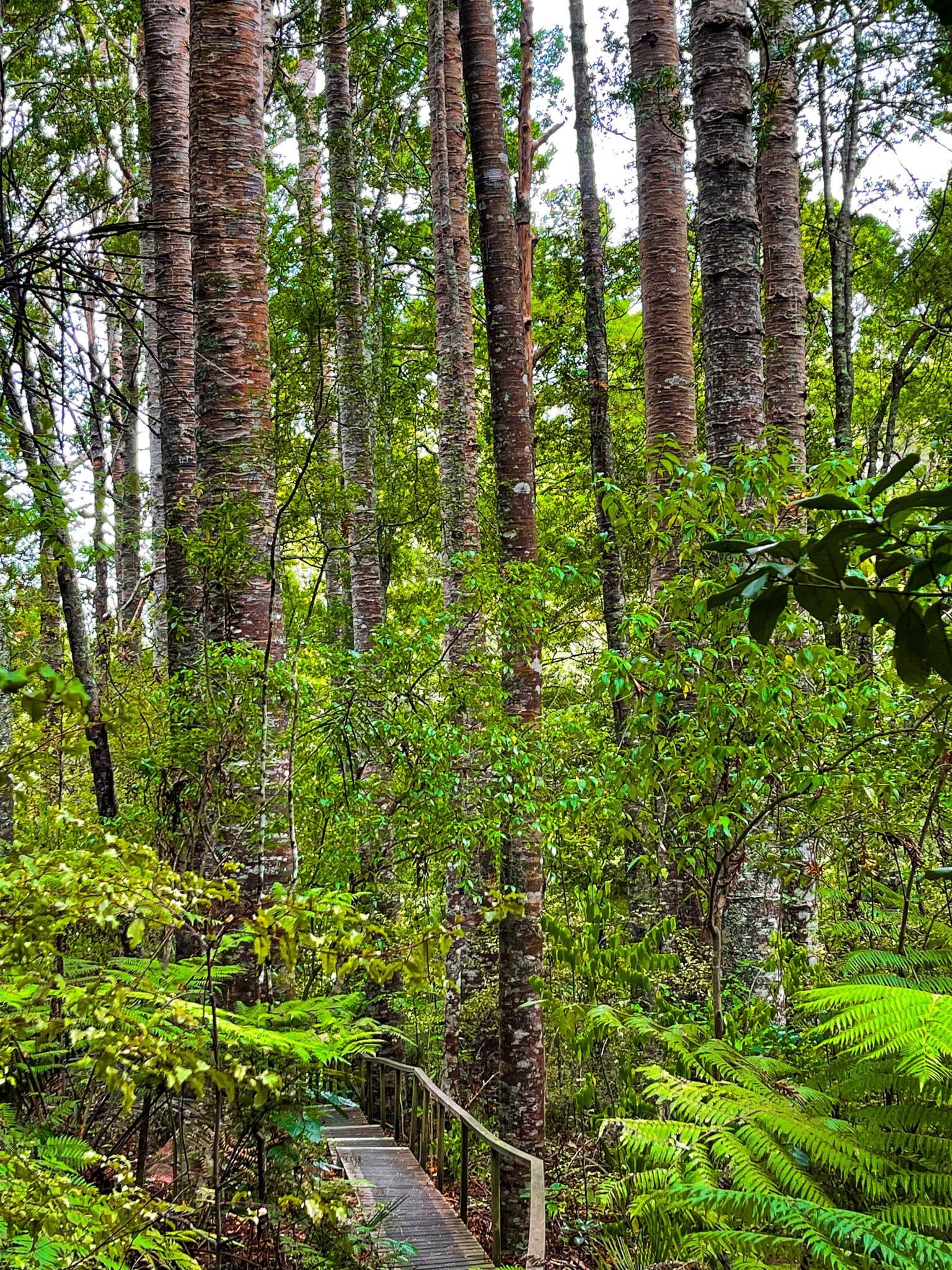
The Beverley Price Track is a rougher loop track that connects with the start and end of the Waterfall Track. The start point was closed but you could walk up a series of steps to the top of the hill above the gully from the waterfall end. The most interesting feature is a copse of kauri trees, about 100 years old, amongst the regrowth.
Allow about an extra 30 minutes to get to the top and back, or extra hour to do the loop, if it is open.
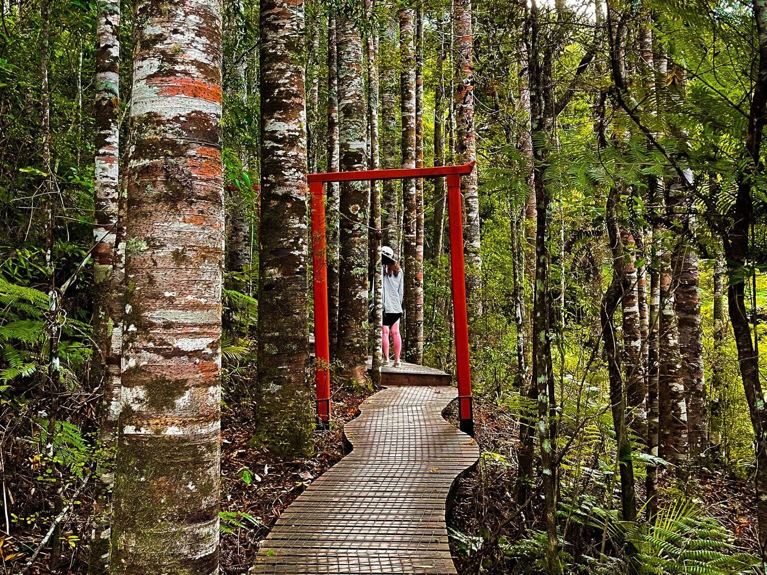
Parry Kauri Park
There is an obvious road sign for the Parry Kauri Park on SH 1, just as you reach Warkworth heading north. Unfortunately, once you take the turn off, there is no more signage until you get there, so you may want to refer to Google Maps!
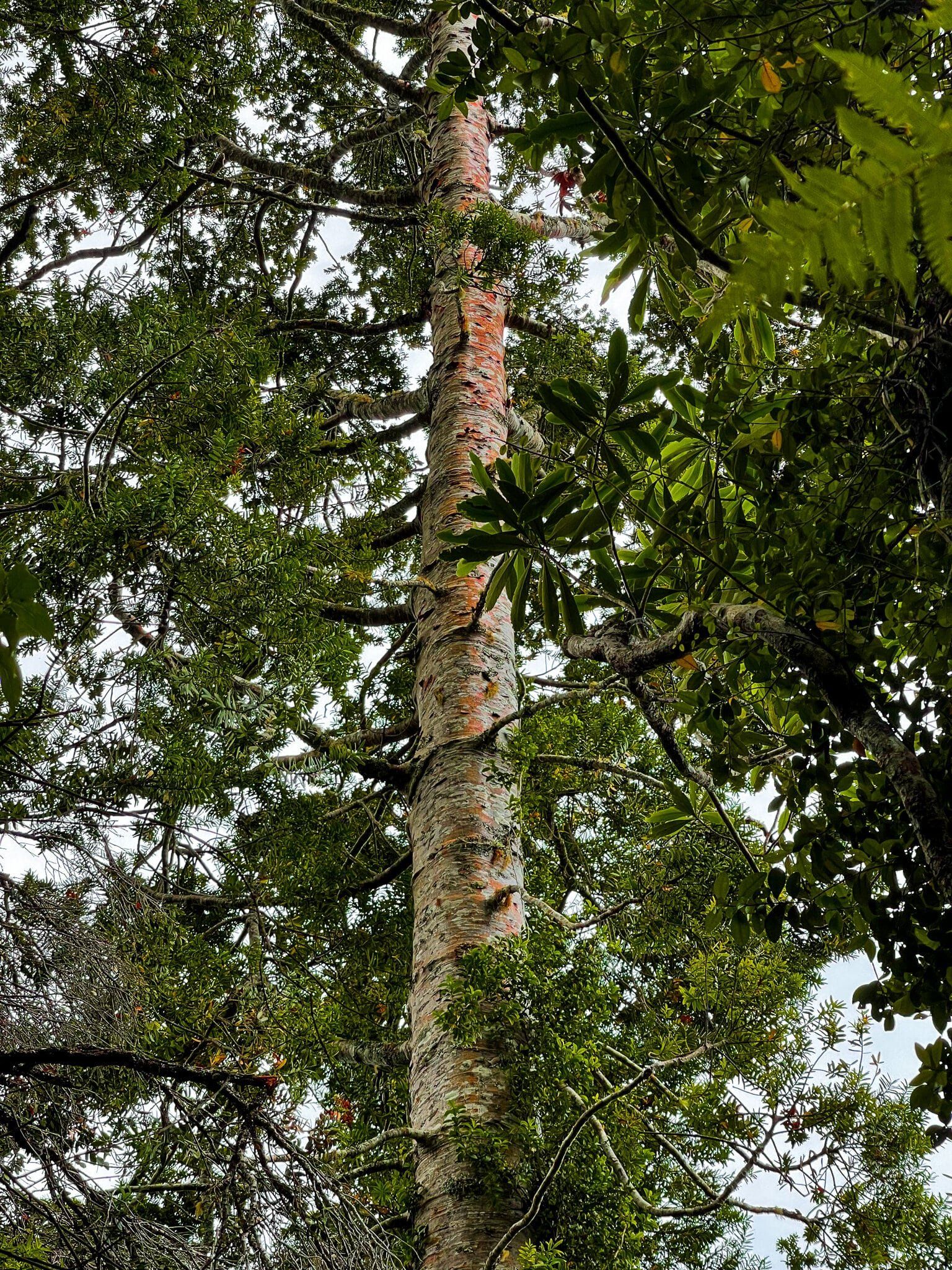
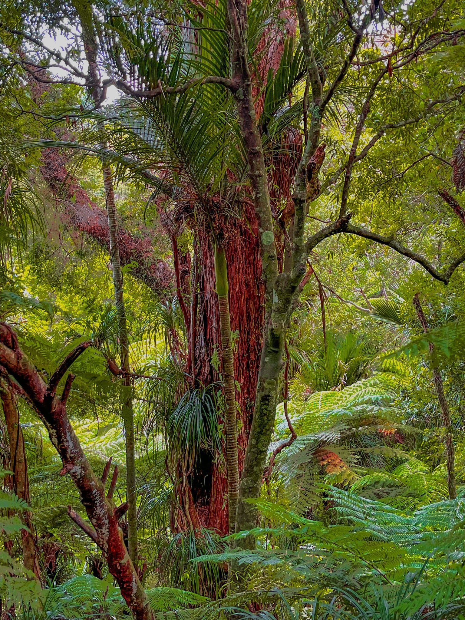
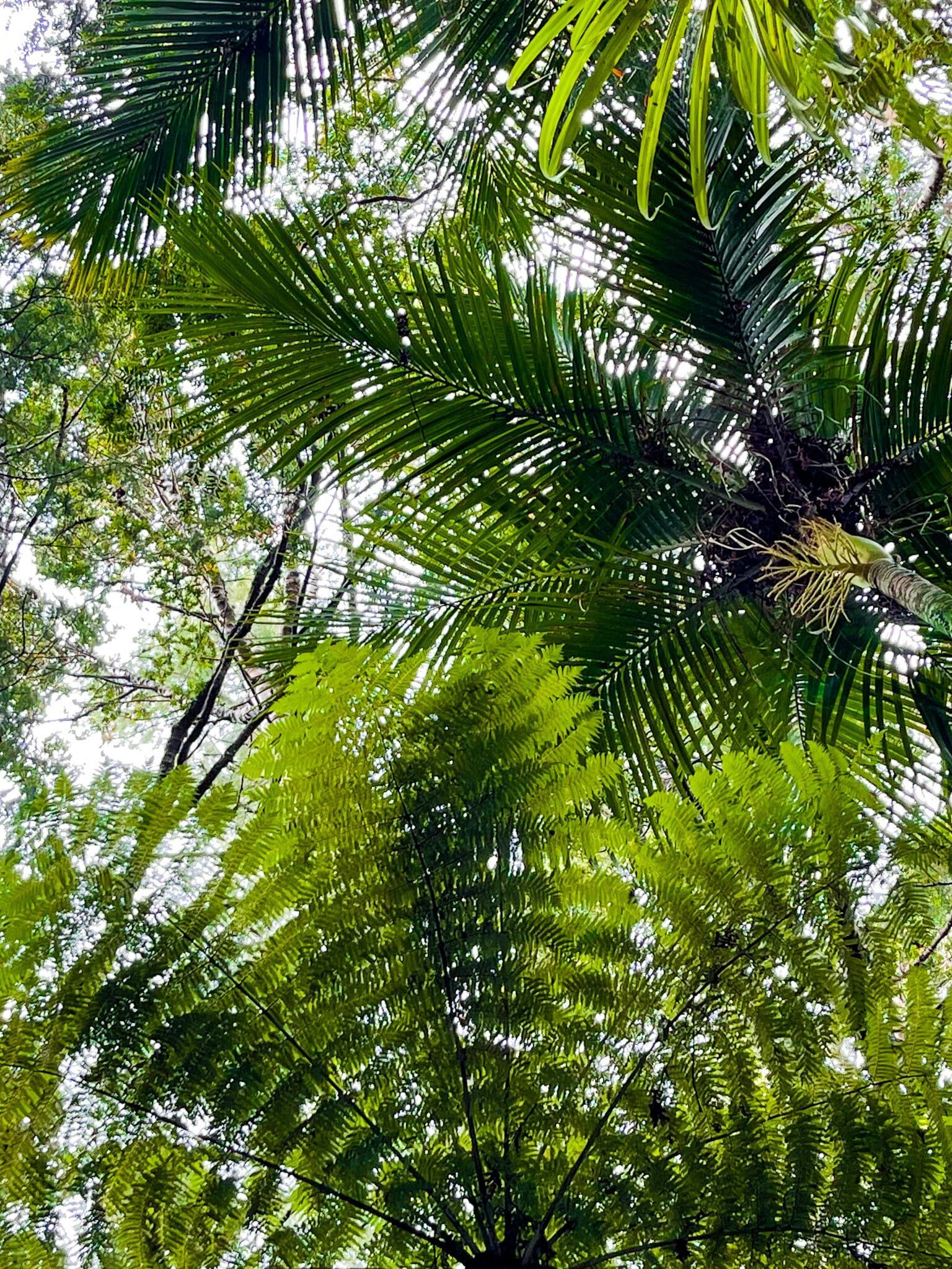
The park is a significant section of kauri forest, including two big trees (about 800 years old) that avoided the mass destruction of ancient kauri forests that occurred with European colonisation of the Auckland region. Behind the big trees is a reasonable area of kauri regrowth, from juvenile rickers to 100+ year old forest trees. There is a wonderful track that winds through the forest, including a tree top viewpoint.
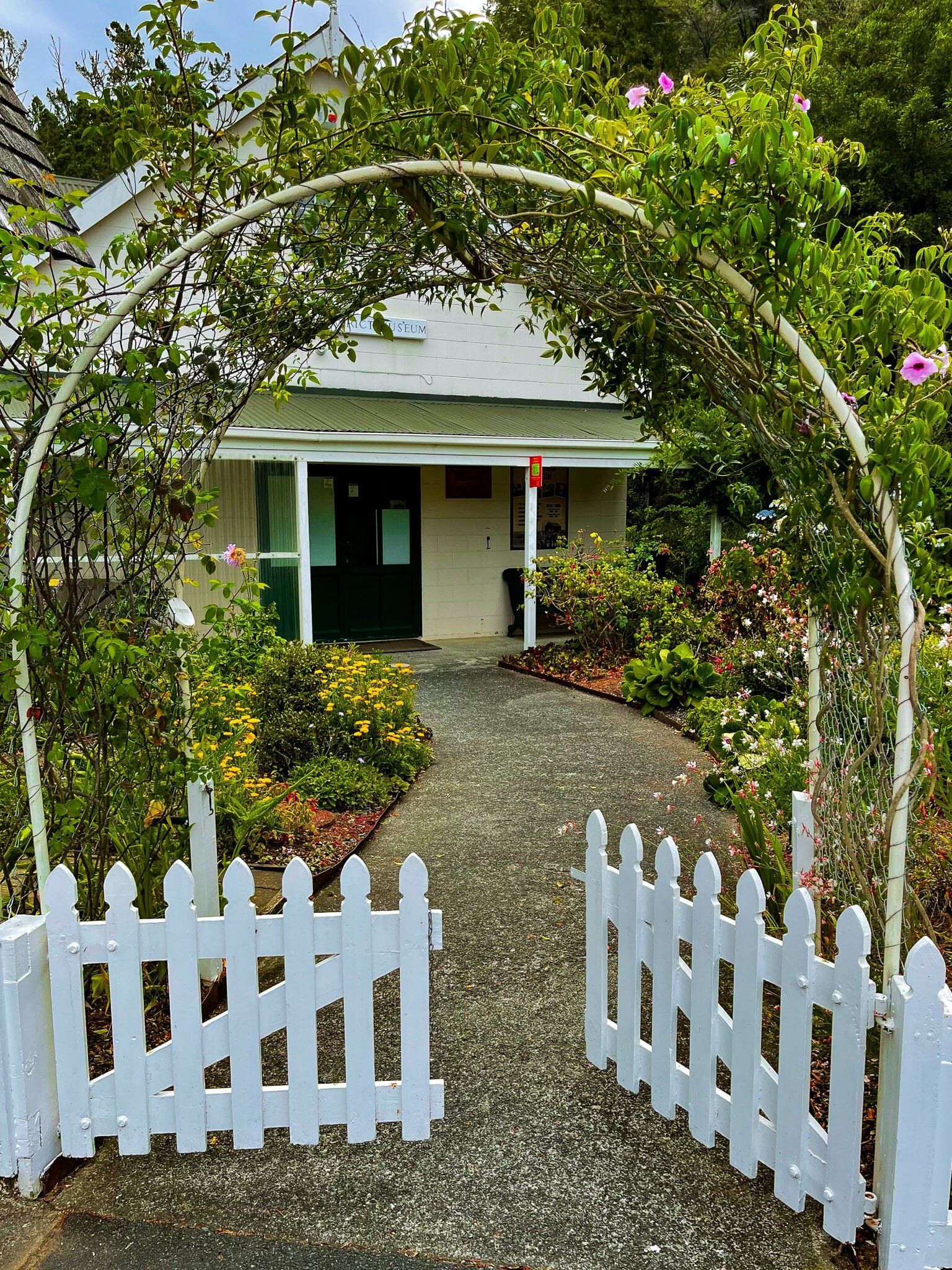
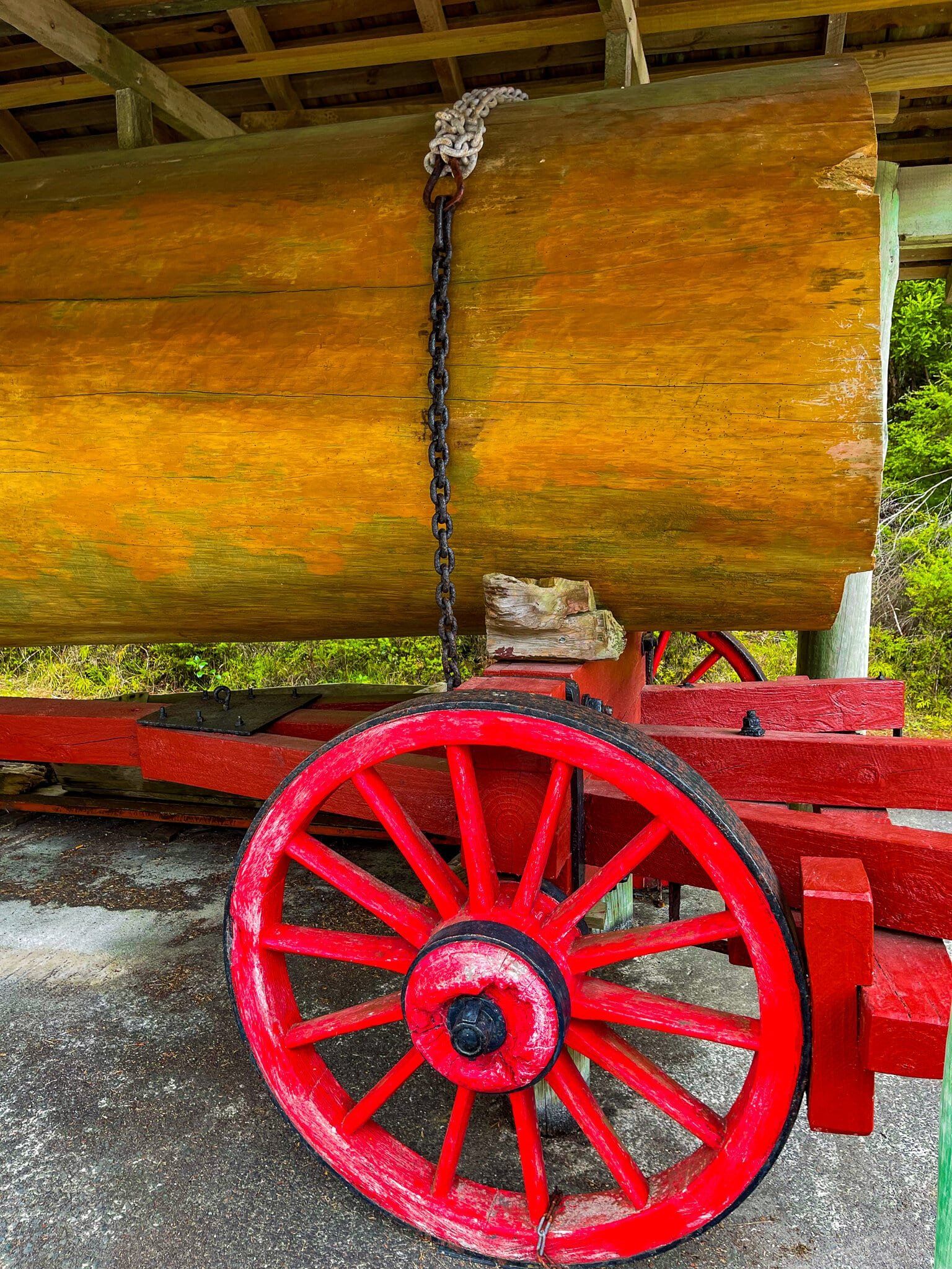
There is also a large grass reserve in front of the big trees, and access to the Warkworth Museum, which includes a history of kauri cutting and milling, is adjacent to the car park.
Although there is a more significant kauri forest with a number of ancients in Waitakere, you can’t access it at present due to kauri dieback disease. Consequently, this forest with its two big trees is presently the most accessible place for an Auckland kauri experience.
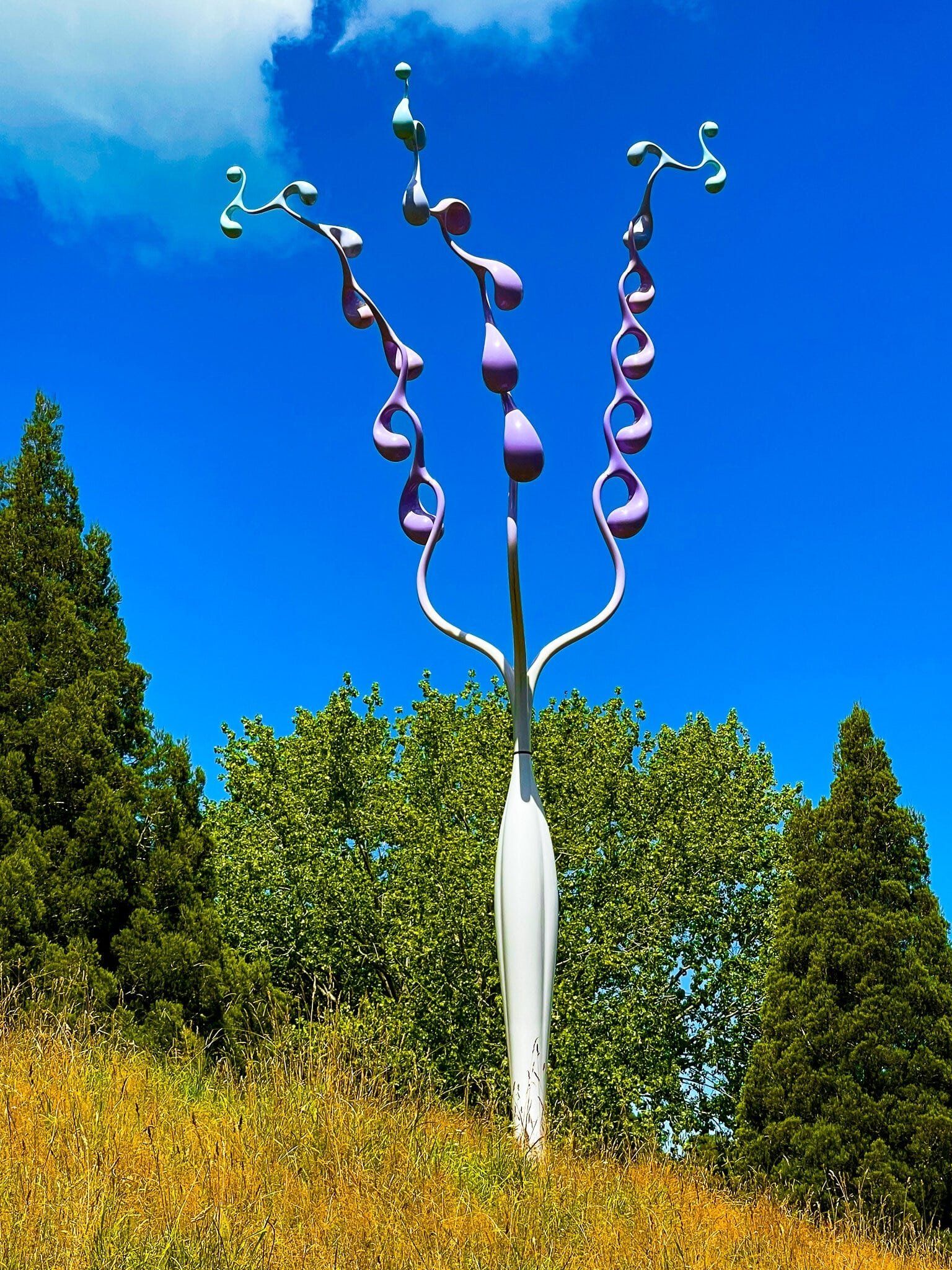
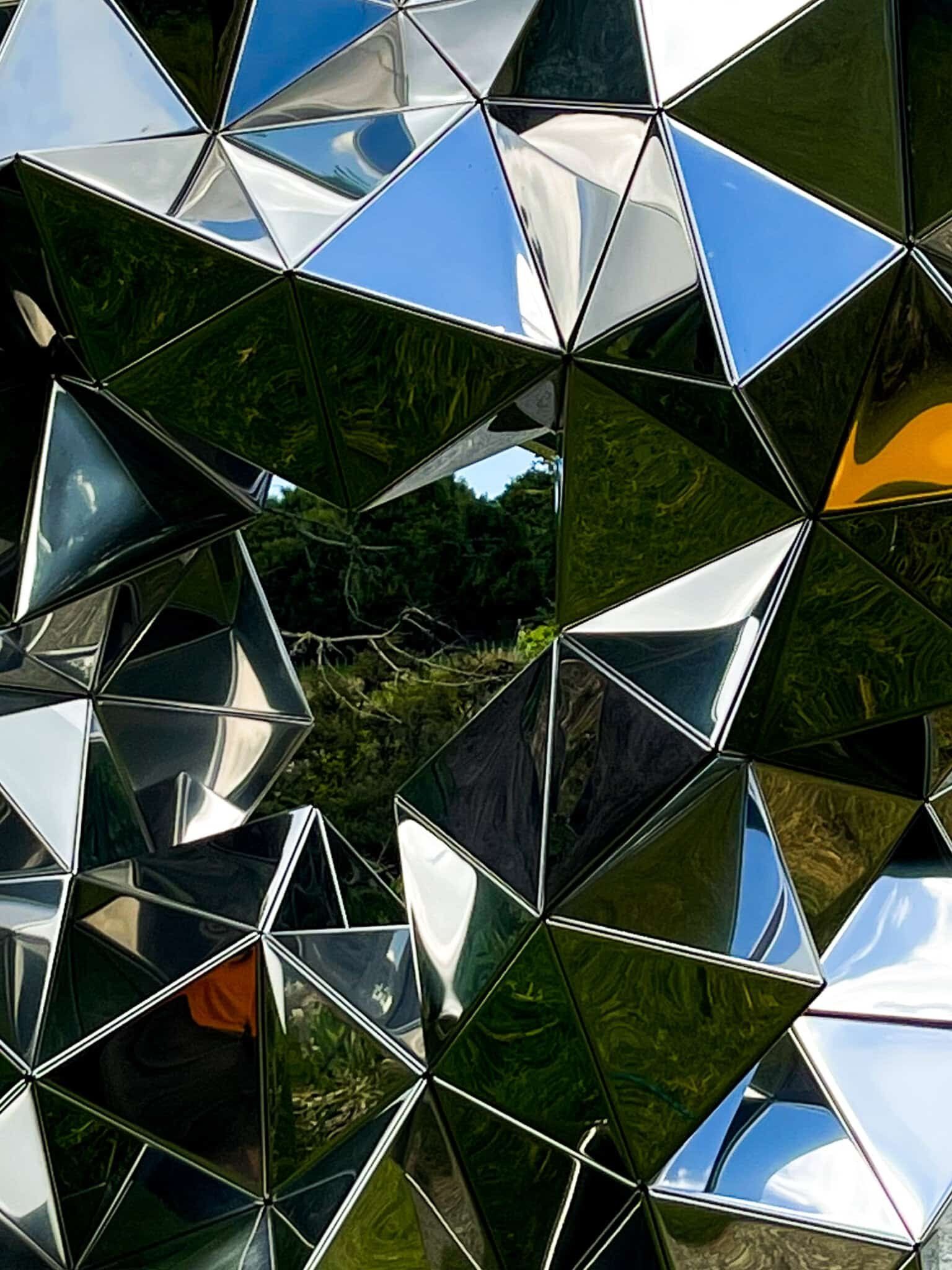
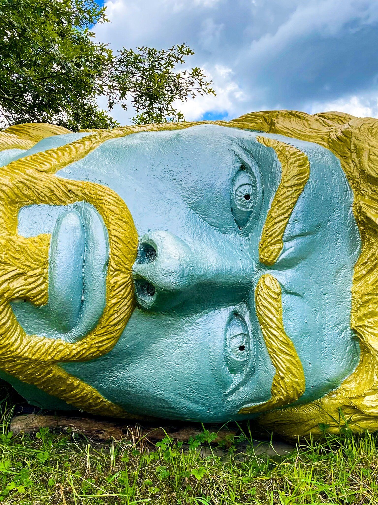
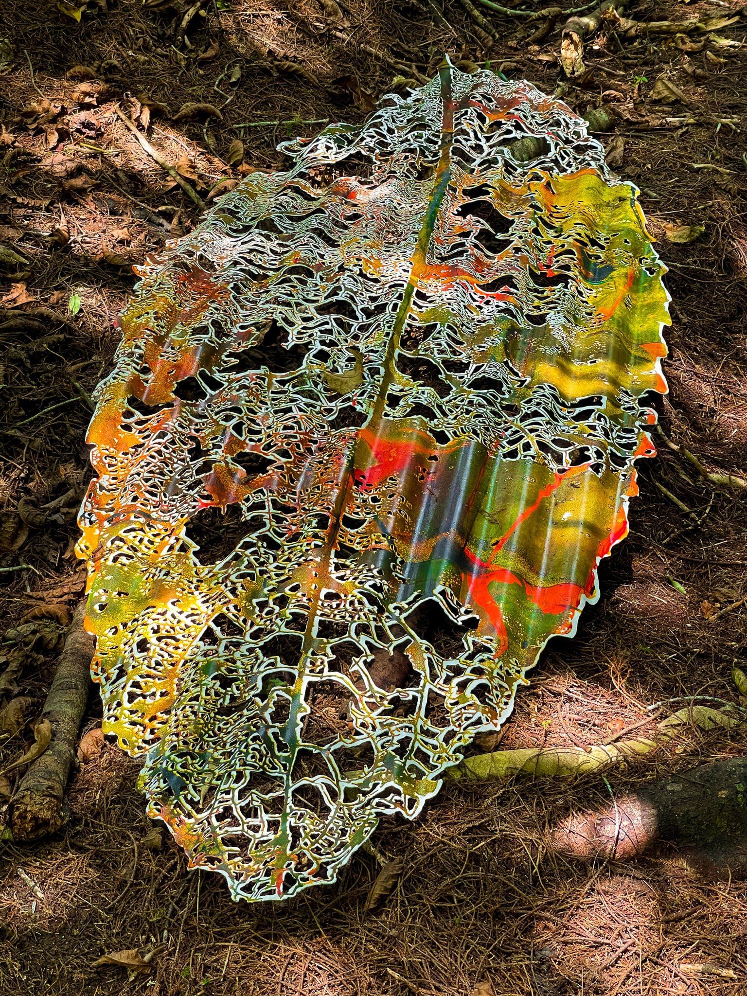
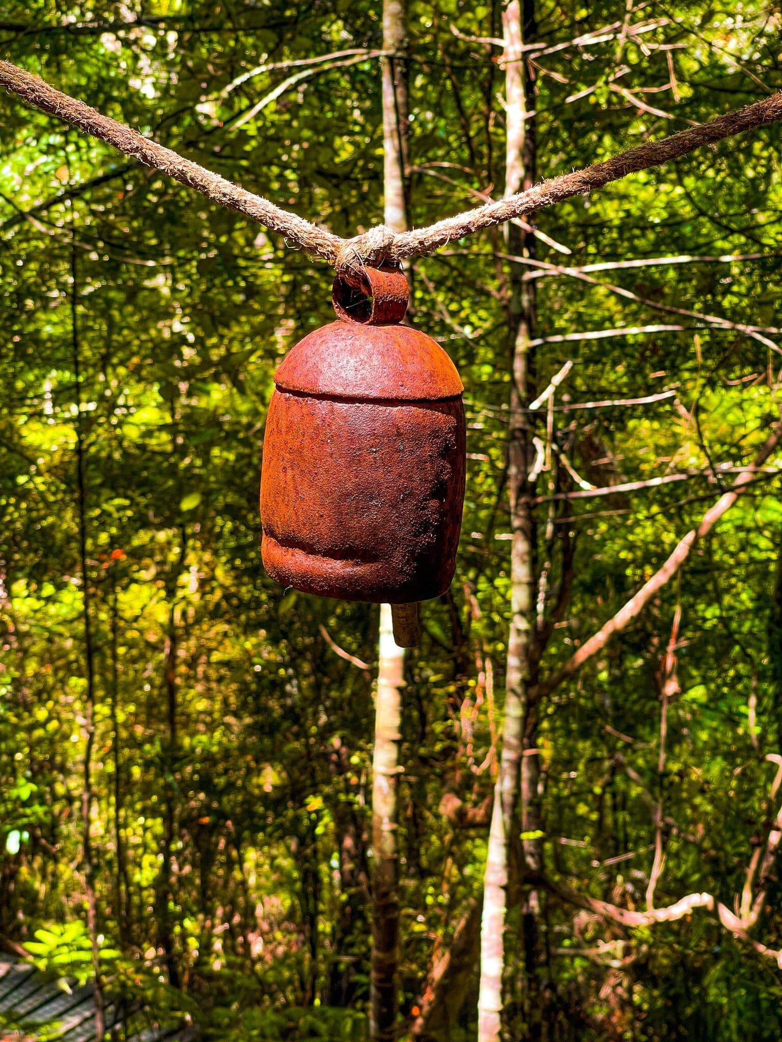
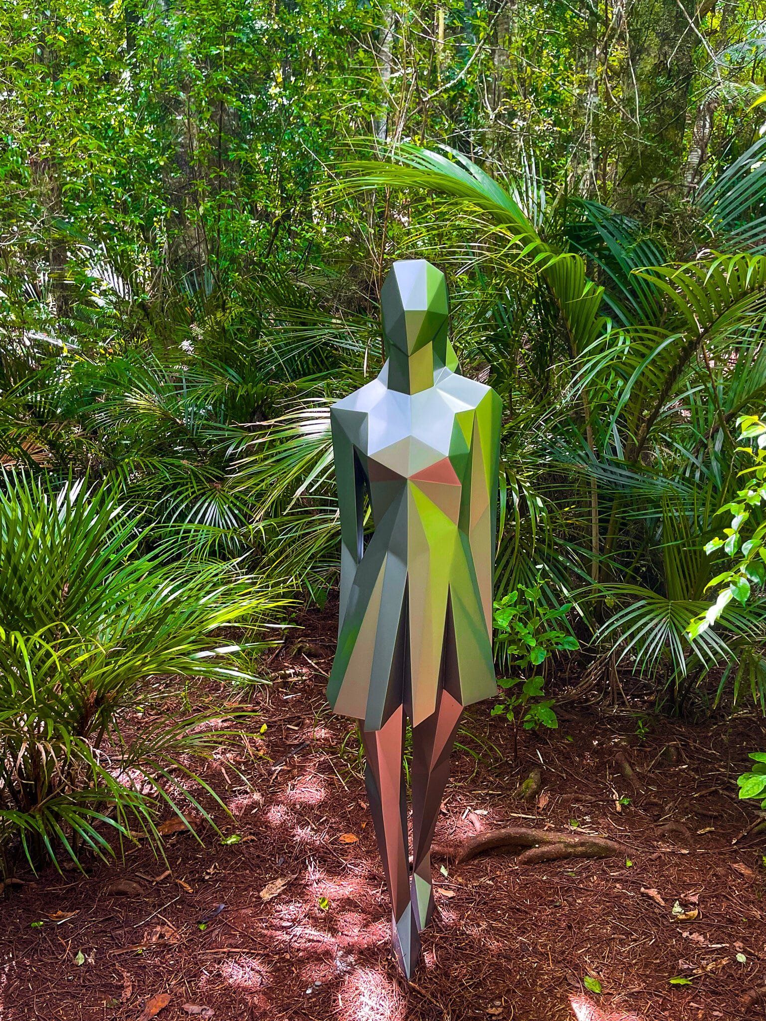
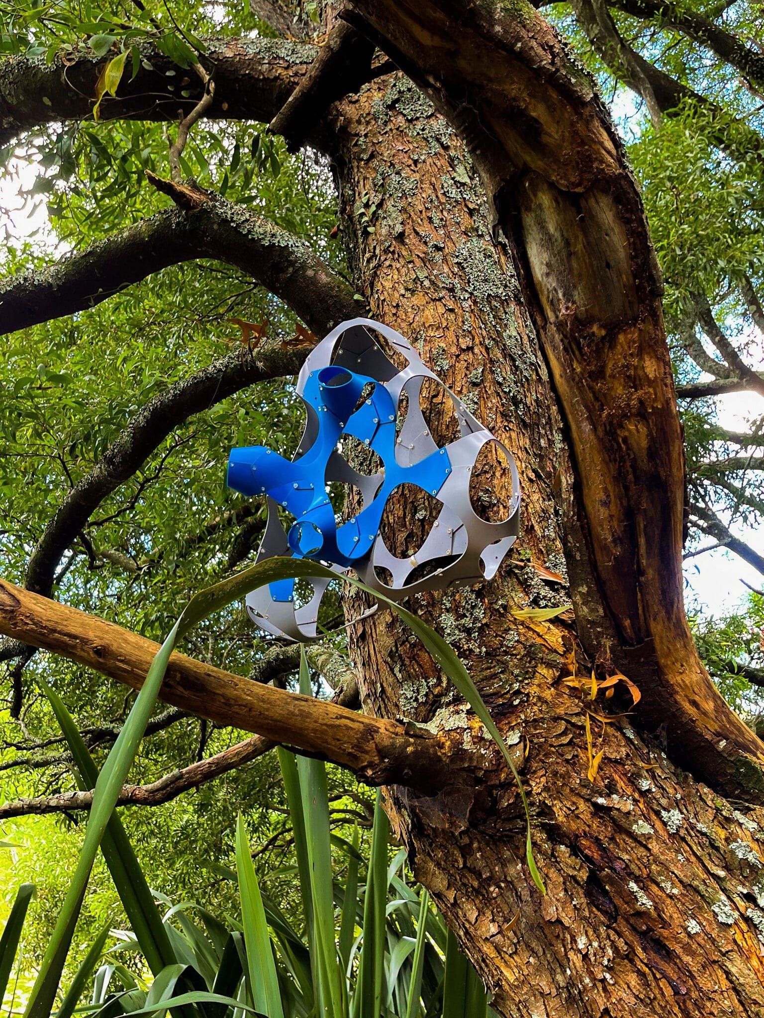
Brick Bay Sculpture Walk
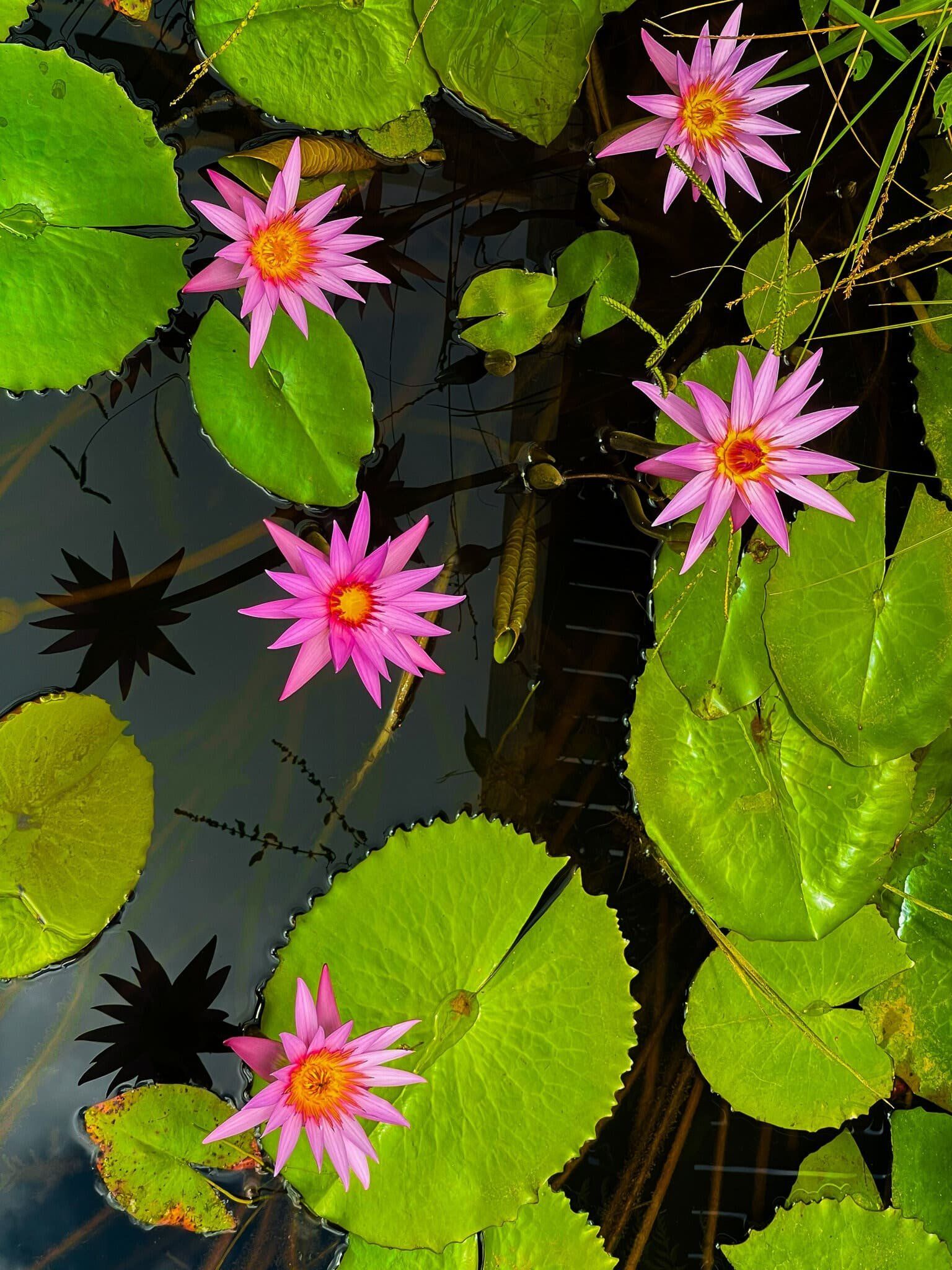
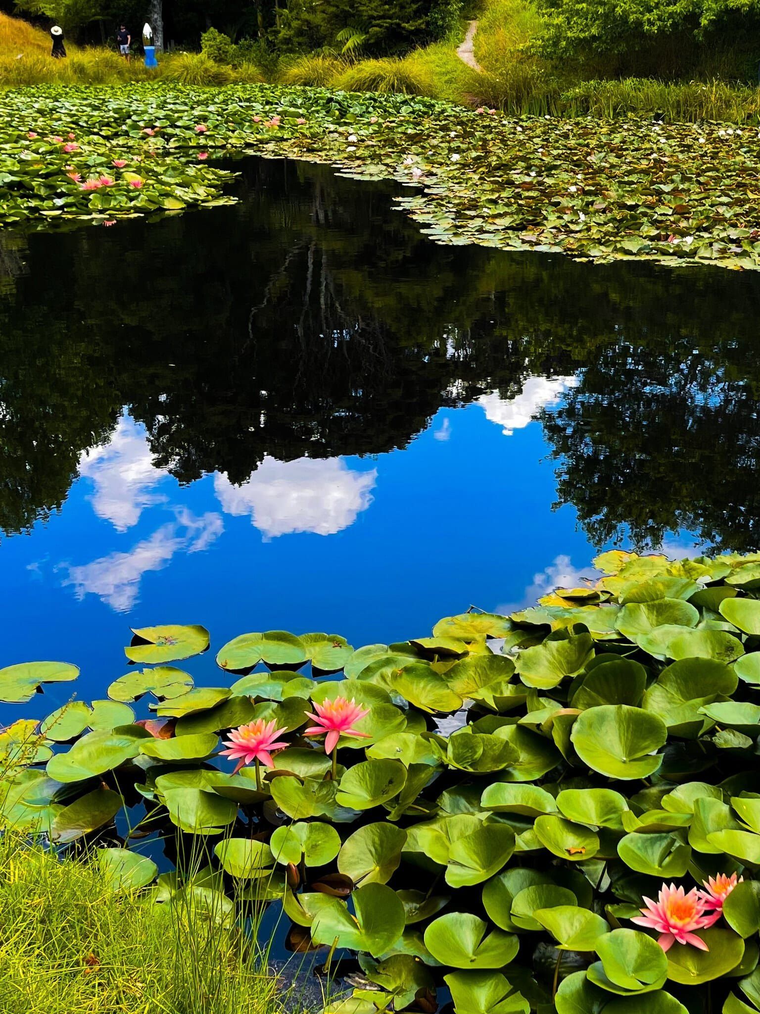
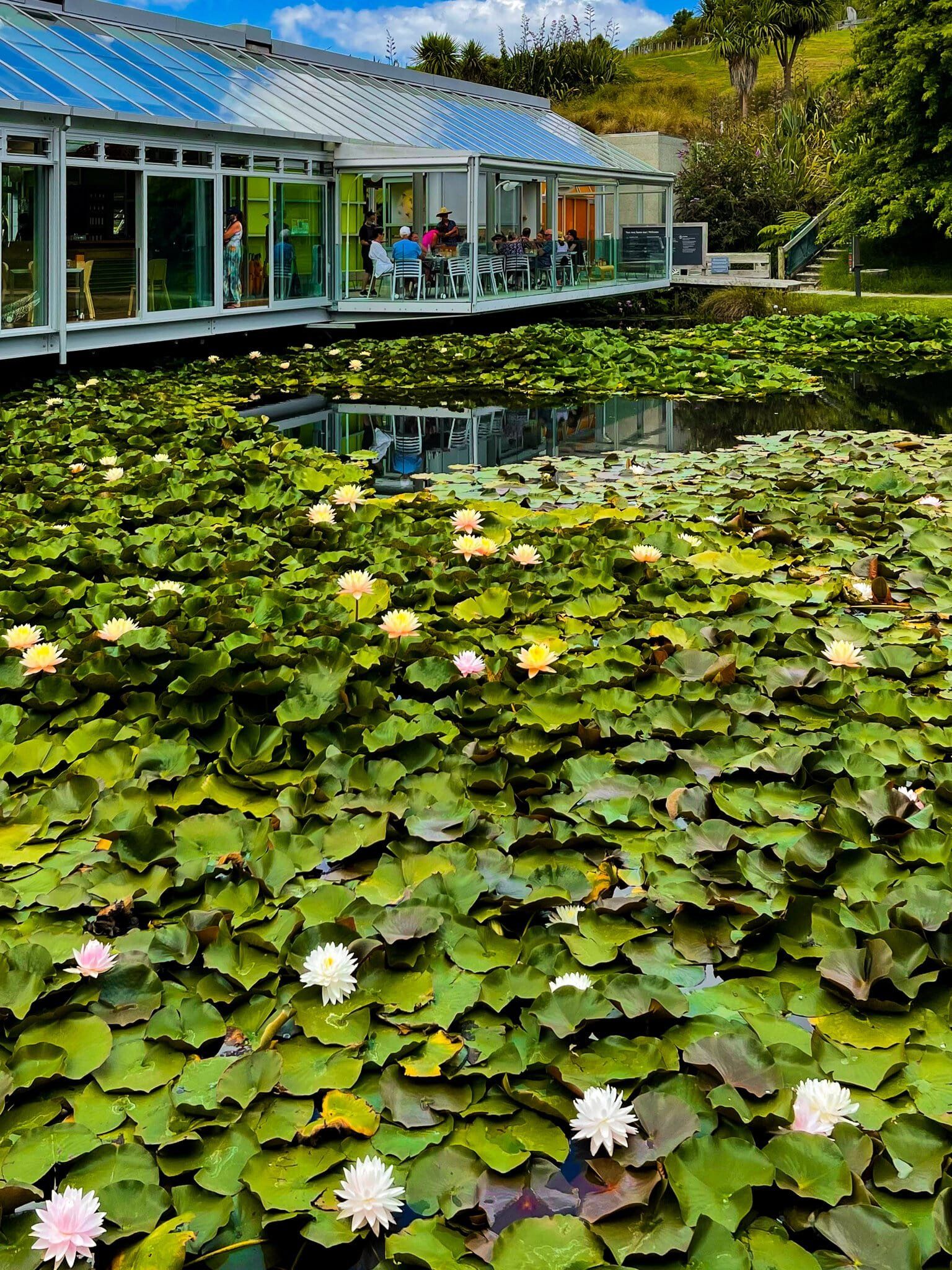
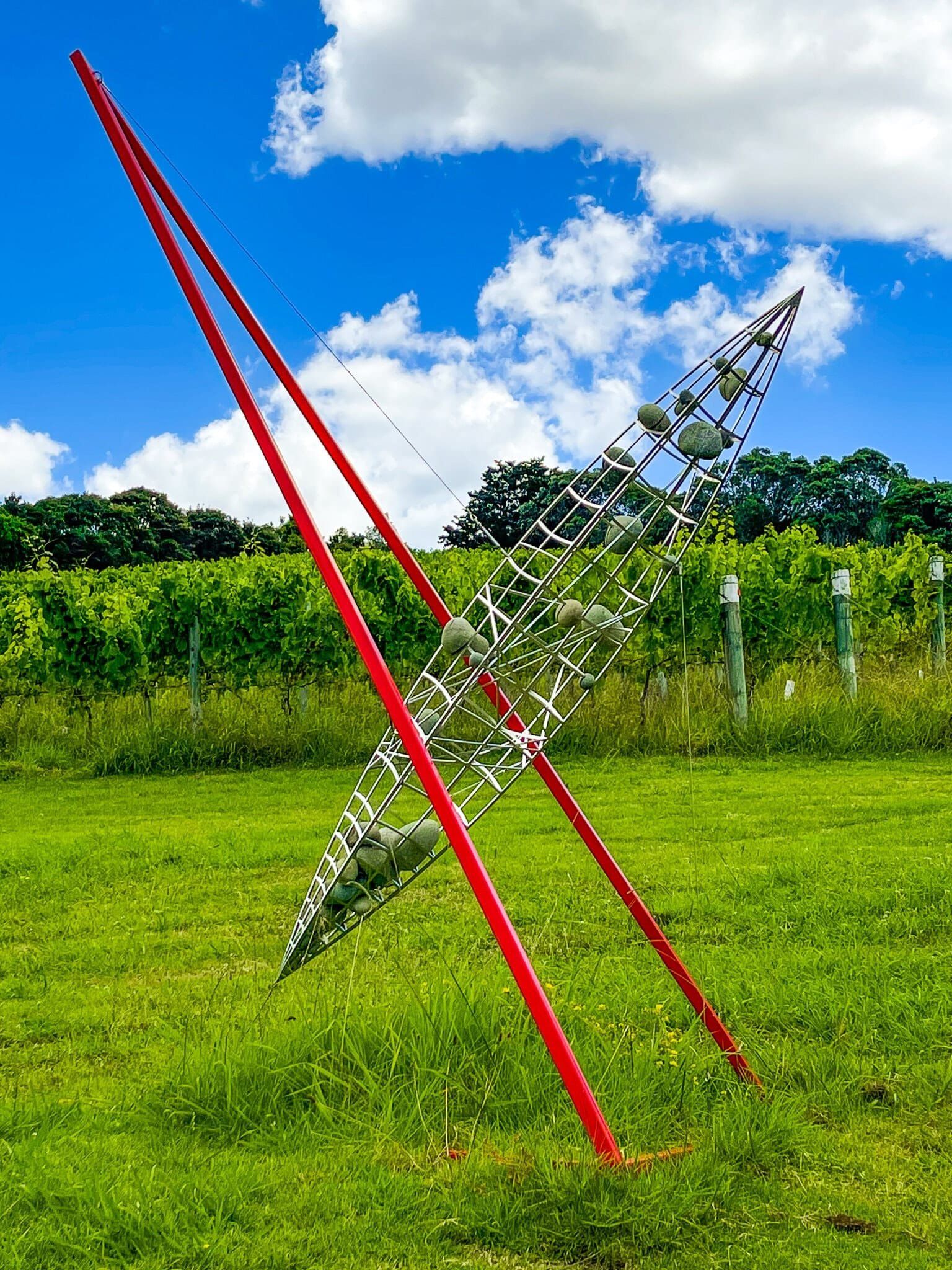
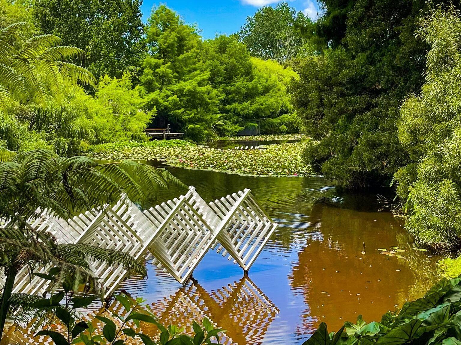
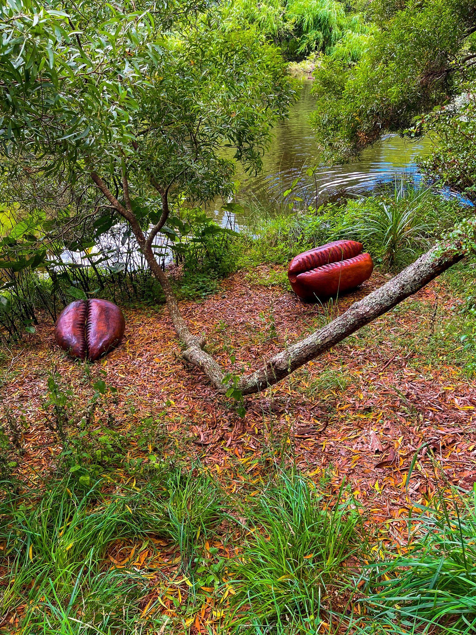
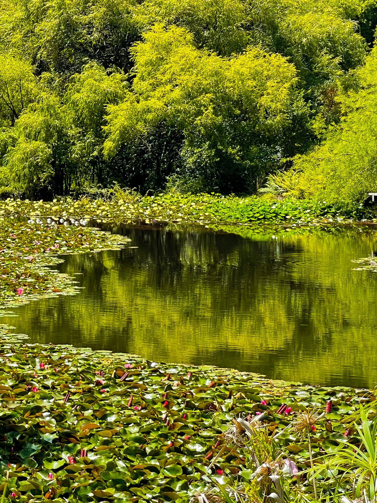
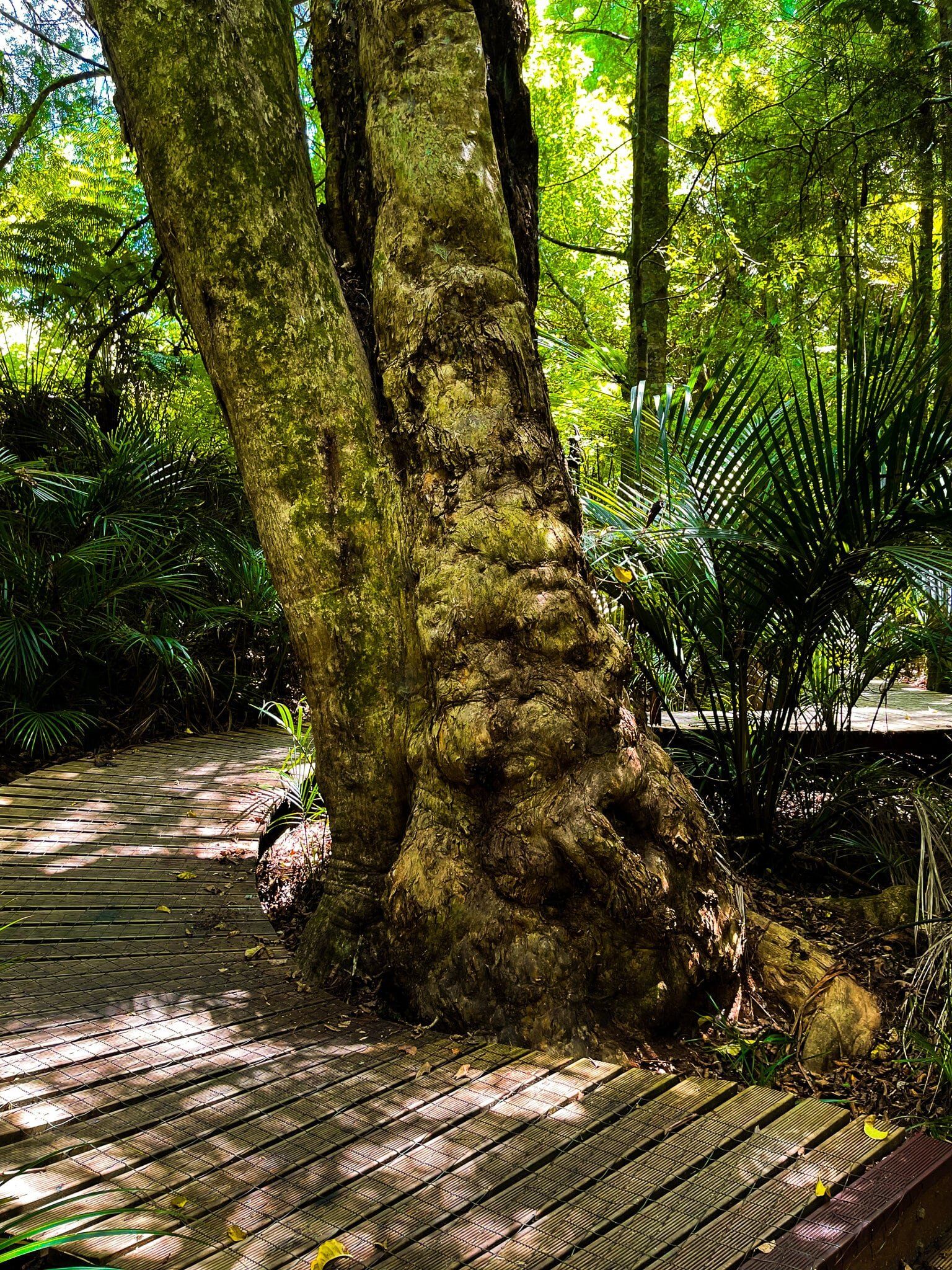
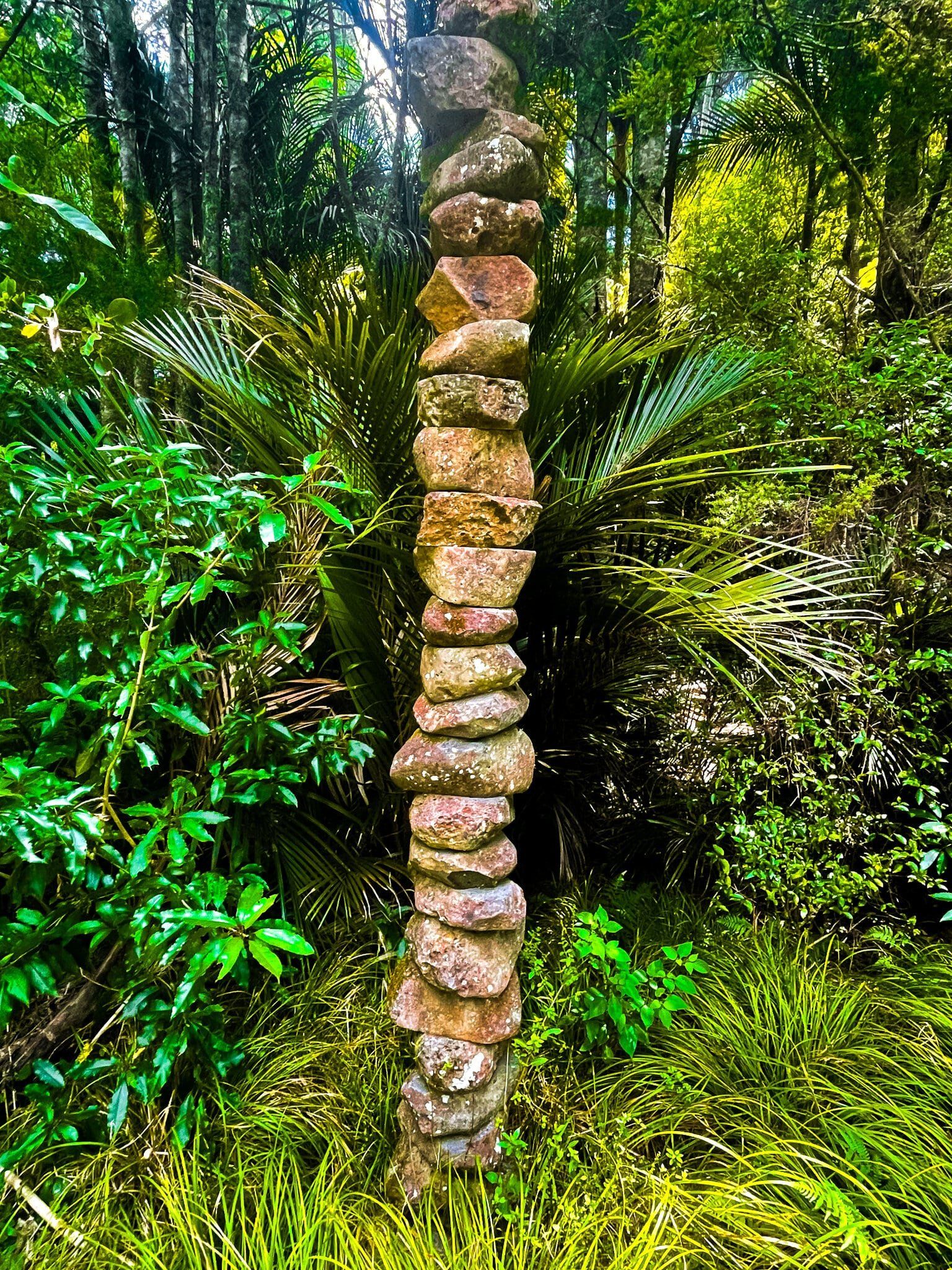
Brick Bay is best known as a winery with a striking glasshouse-style restaurant over a lake, filled with water lilies. Although we don’t generally recommend commercial activities, the restaurant is worth the visit in its own right. Once there, you can also pay a small fee to walk around the extensive sculpture garden. The track takes you around one side of the lake, up towards a section of vineyards, through regenerating native forest, with a side trip into a section of kauri regrowth, across a paddock, and then back down the other side of the lake.
There are numerous outdoor sculptures along the way and a few of them are shown here. Allow at least an hour for the loop.
You will find the entrance to Brick Bay off Arabella Lane, accessed from Mahurangi East Road to the east of Warkworth.
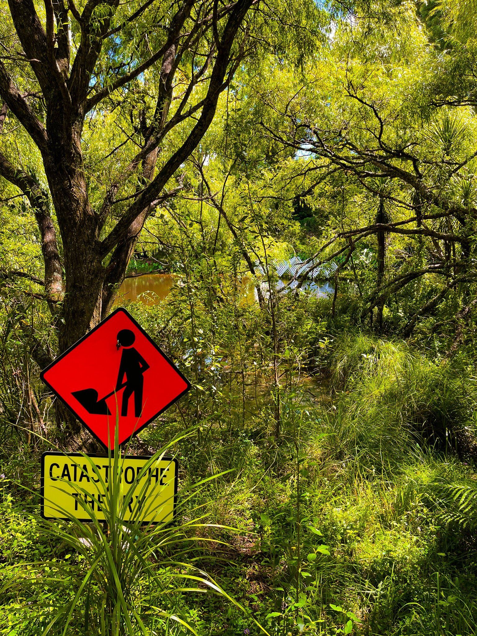
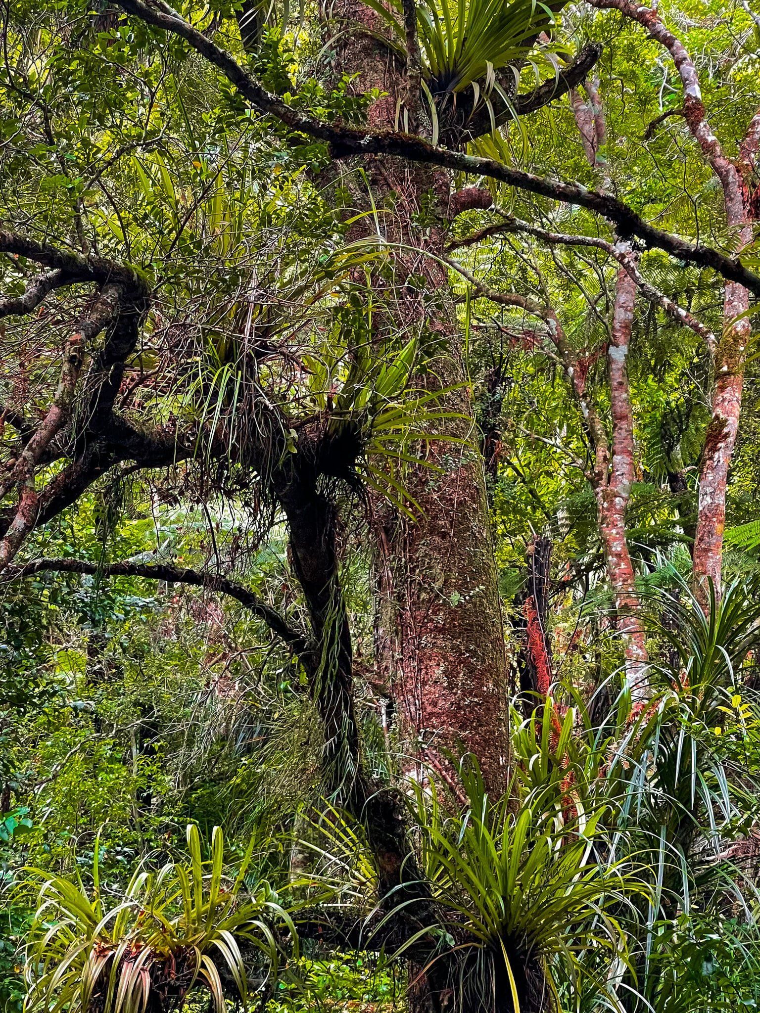
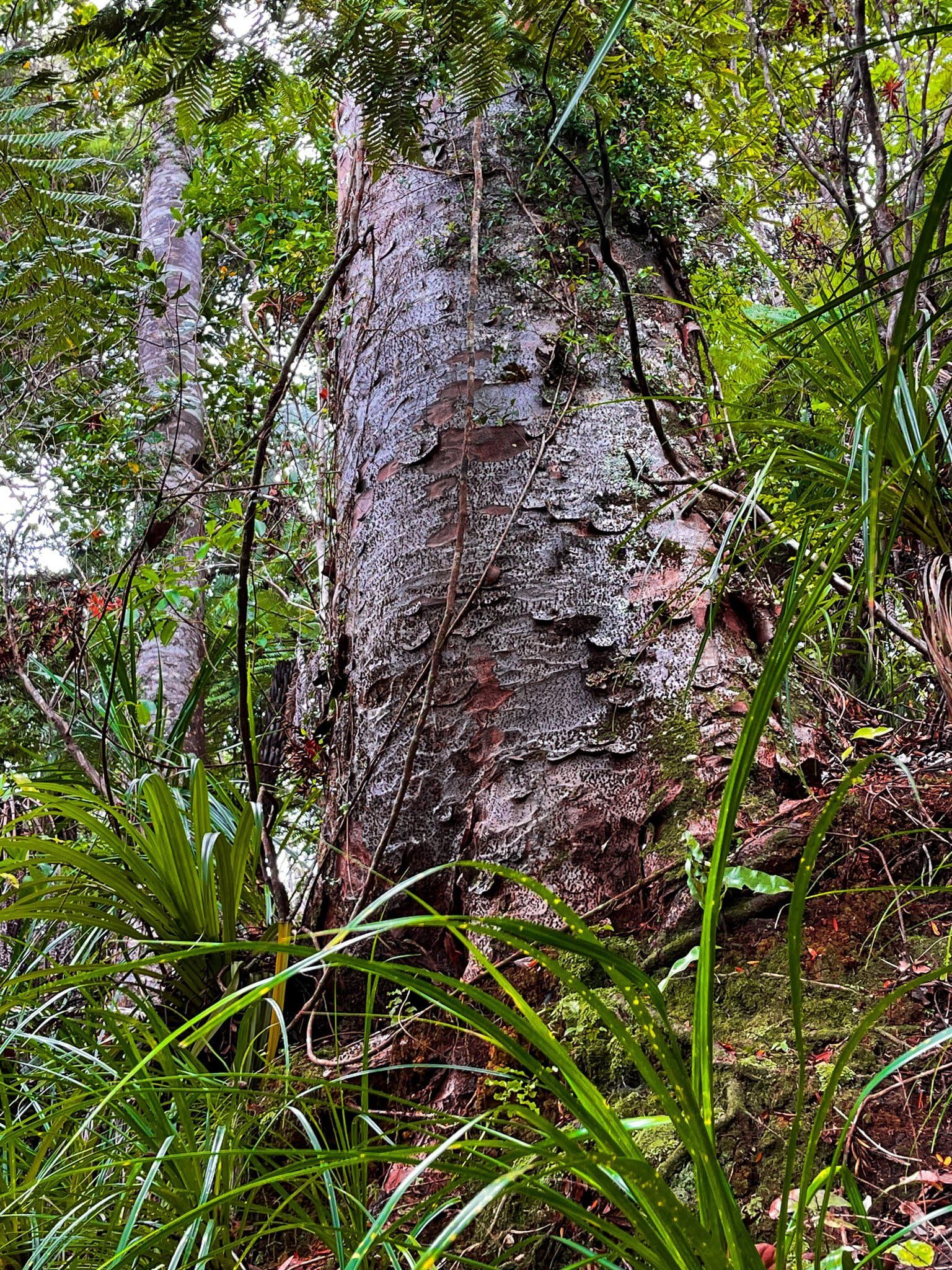
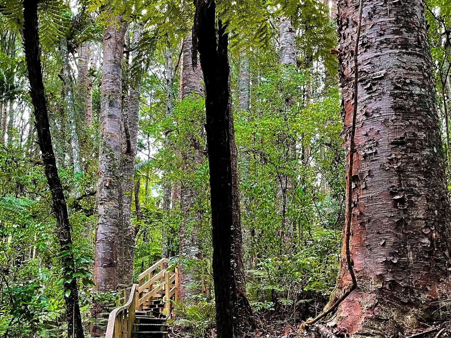
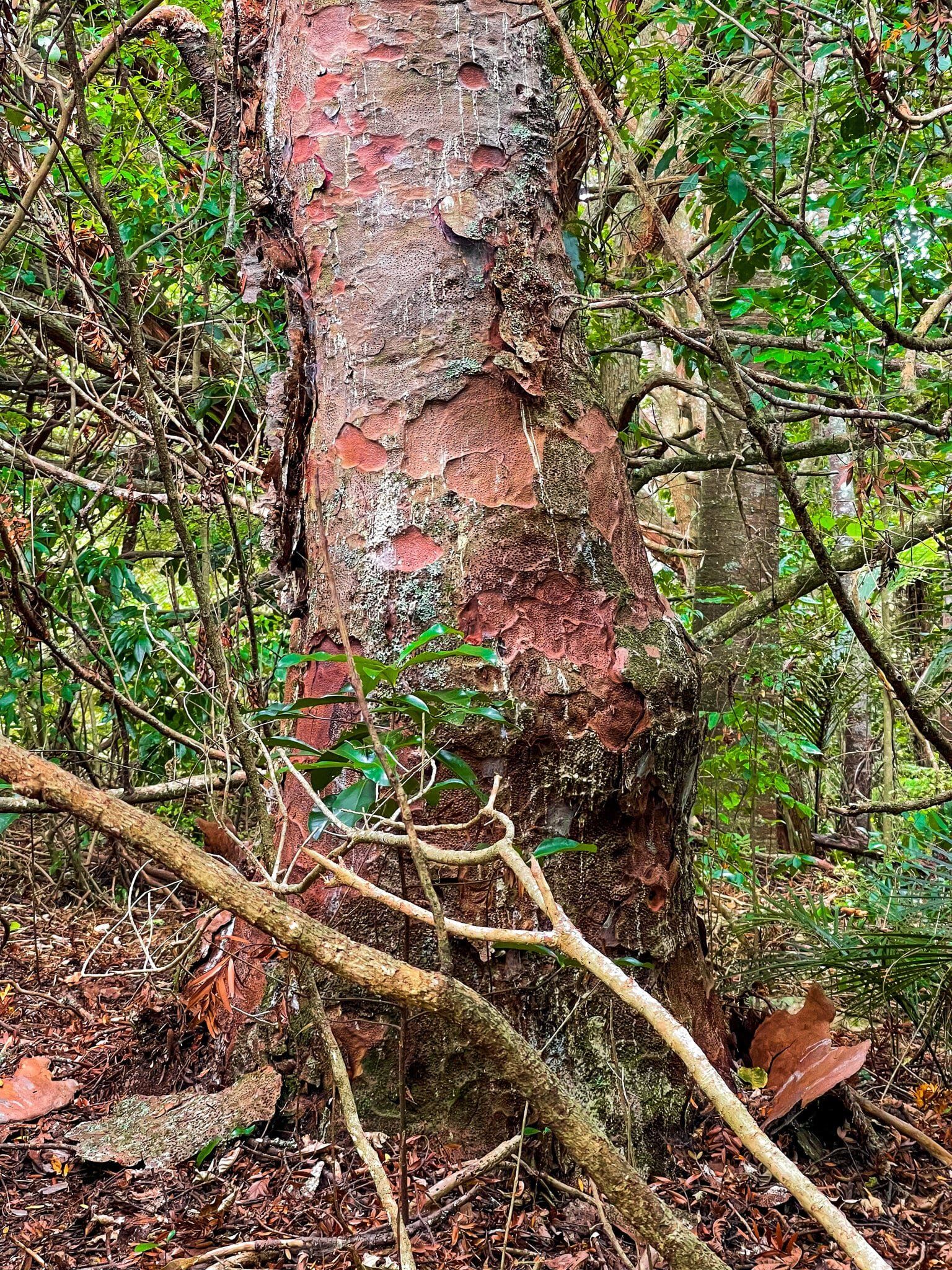
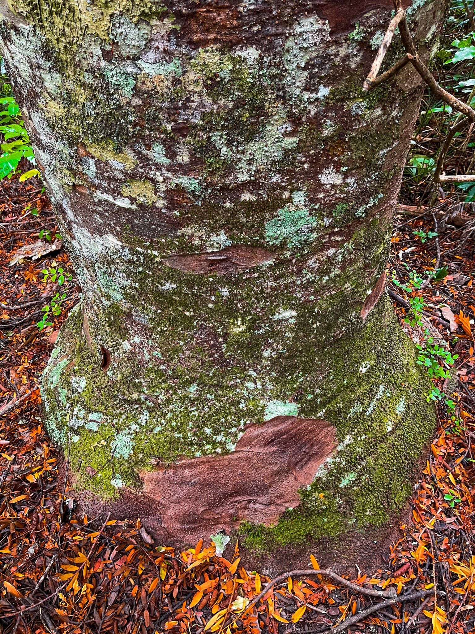
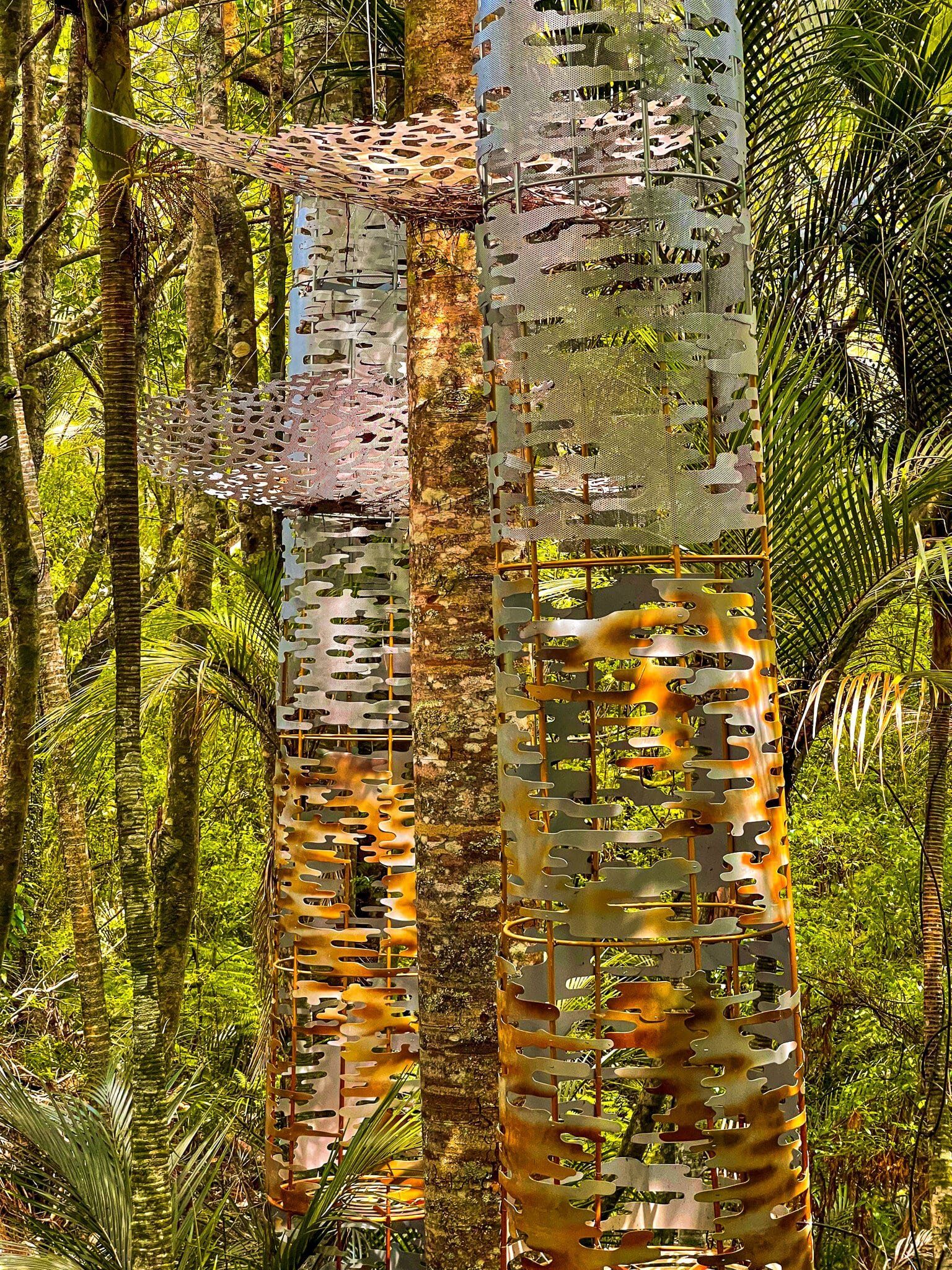
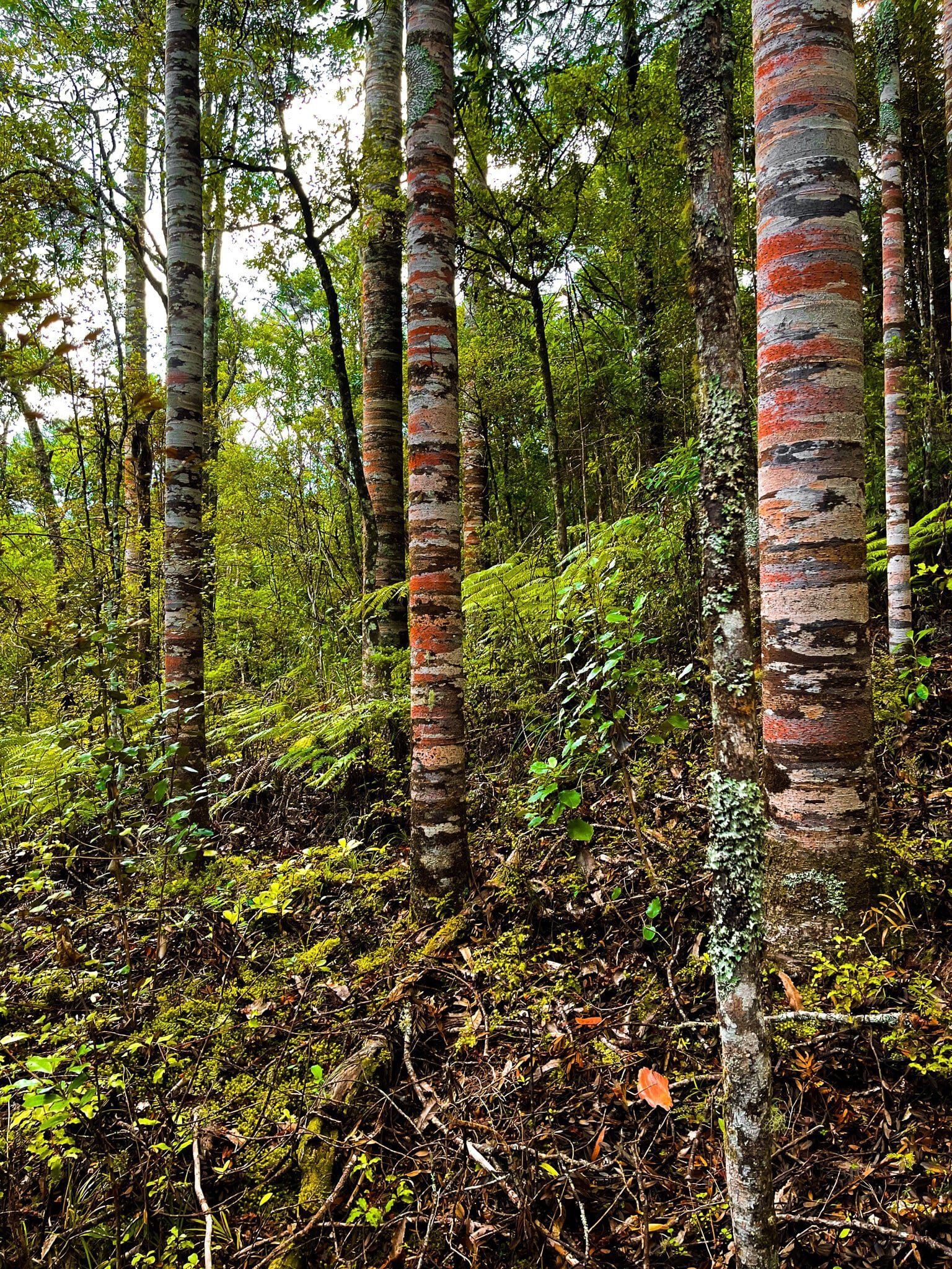
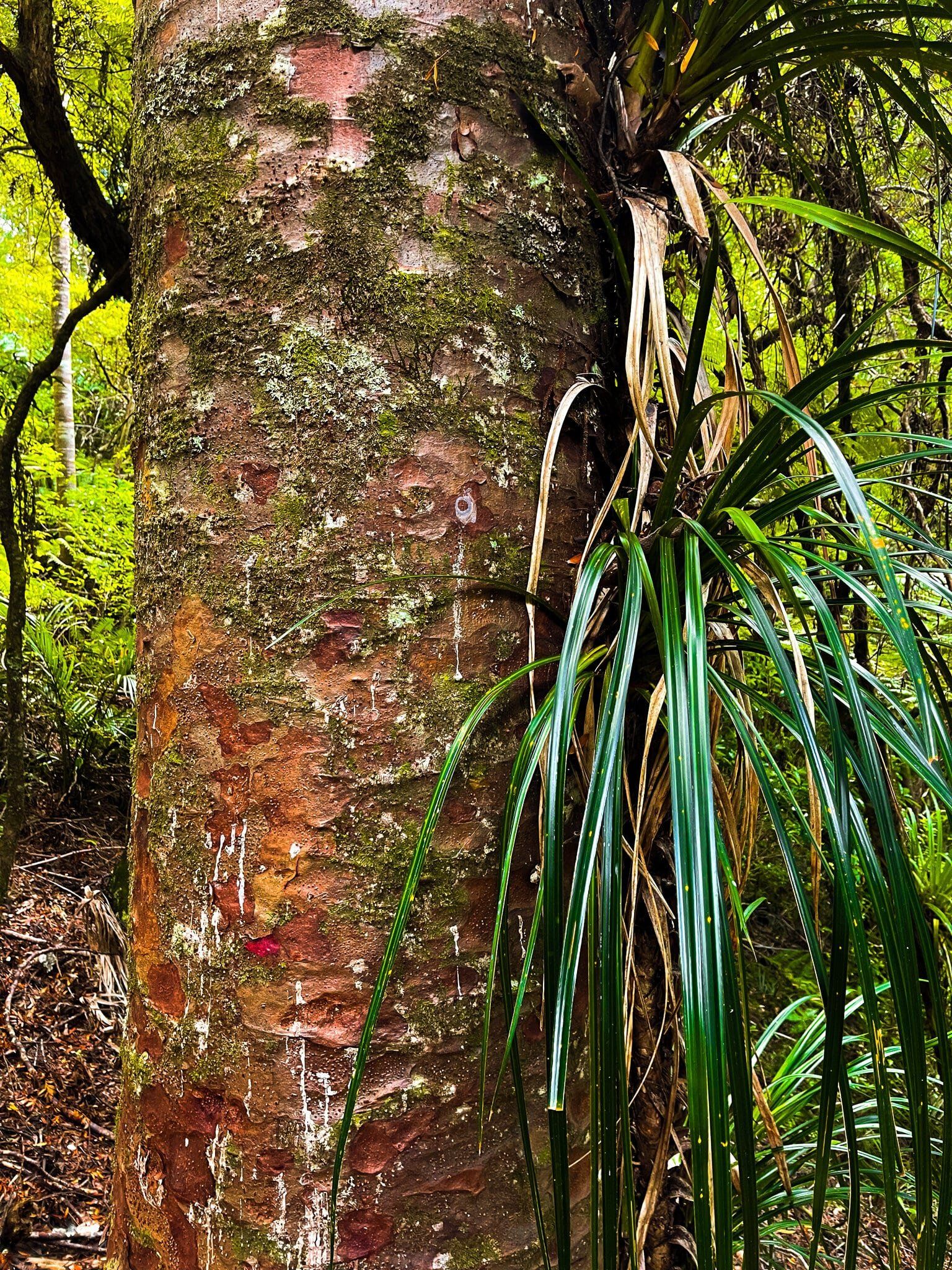
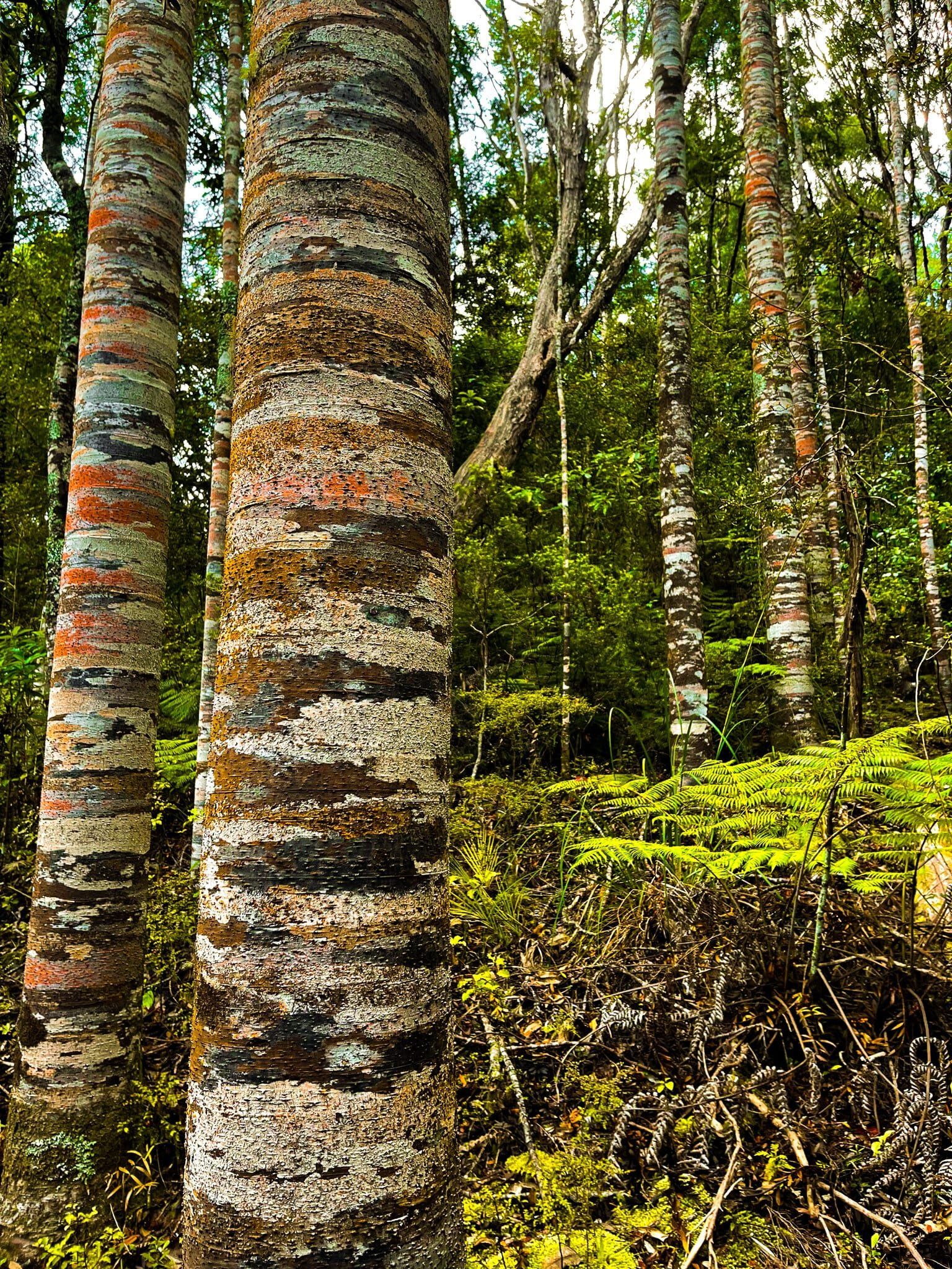
Brick Bay Kauri Walk
The Brick Bay Kauri Walk is superb. It is an extension of the sculpture trail, with several interesting artworks, but for some reason the trunks of the maturing trees are particularly colourful. It only takes a few minutes to do the Kauri Walk detour from the sculpture trail and it is worth it, even if kauri trees are no longer a novel experience.
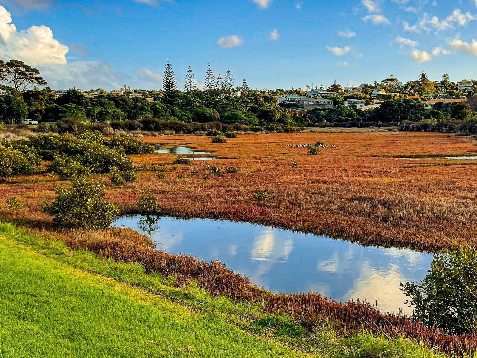
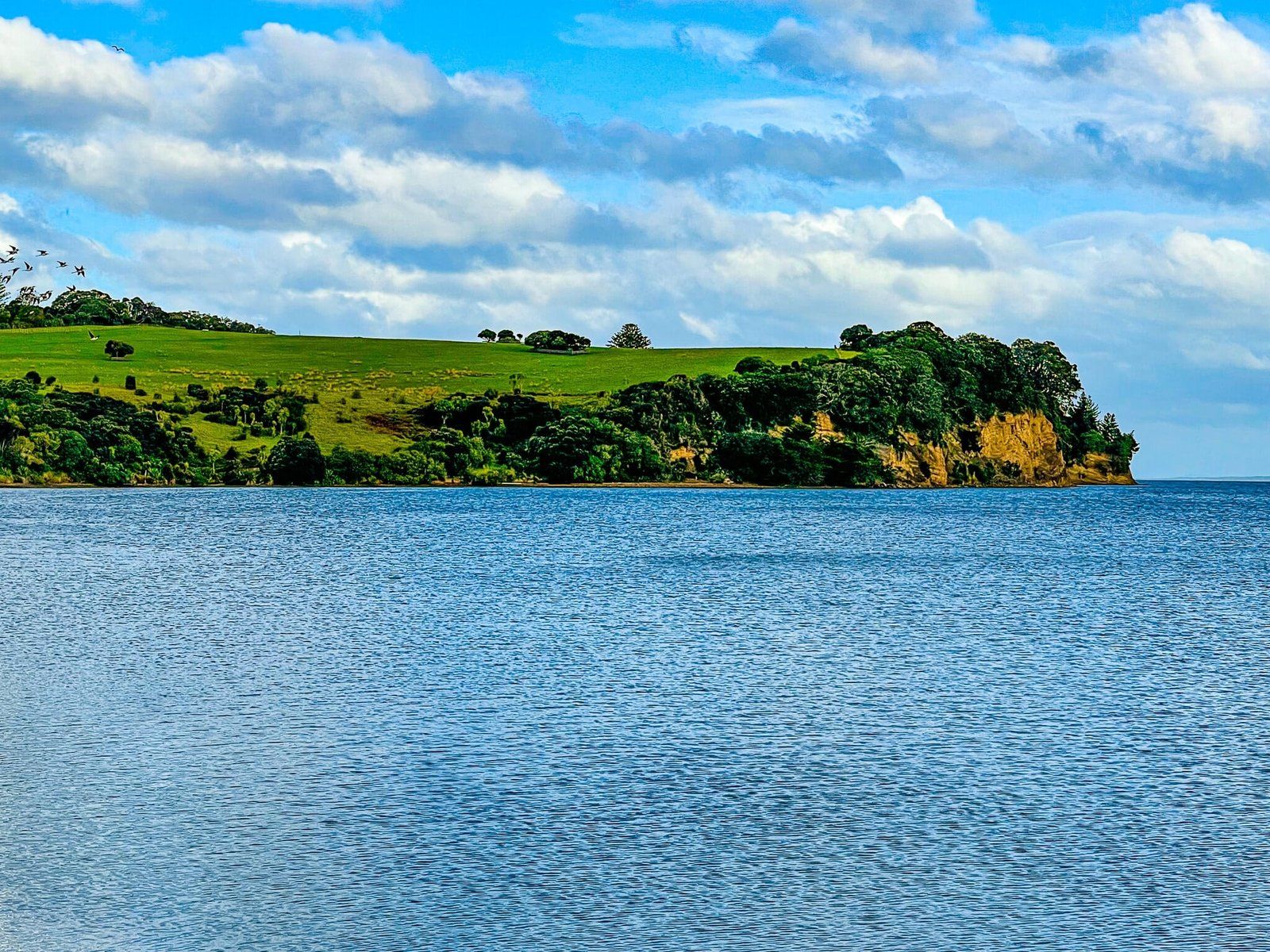
Whangaparaoa Peninsula Beaches
Access to Whangaparaoa is from the Silverdale motorway offramp, with the turnoff on Whangaparaoa Road before Orewa. The peninsula is mostly suburban, but with a number of attractive sandy beaches, and Shakespear Regional Park at its tip. Keep going along Whangaparaoa Road and take any one of several turn offs to the local beaches, mainly on the north side.
Just as you enter Shakespear Regional Park, you will see the road to Okoromai Bay which is on the south side of the peninsula. At low tide, you can collect cockles from the beach (maximum of 50 per person!).
Want more Trip Ideas?
Check out more Auckland Region adventures like our Highlights of Auckland, and Long Bay Regional Park.