Moeraki Boulders is the premier attraction on the Pacific’s North Otago Coast. But there are more, with several beaches, including beautiful Hampden Beach, the historic Moeraki village, and Kātiki Point. For a non-coastal variation, take the short trip inland to Trotters Gorge. There is a lovely DOC campsite with walks in the gorge along Trotters Creek.
This trip follows a 20 km section of State Highway 1 with short side trips to each location. Starting from the north, you will notice signs for Hampden Beach and the nearby campground on the highway in the village of Hampden. The turn-off to Moeraki Boulders is two km south and the village of Moeraki, another km and a half on. Follow the signs to the small harbour and beach, then drive or walk up to the historic whaling viewpoint. On the way back, take Lighthouse Road for four km to Katiki Point. Then follow the path onto the point for spectacular views, seals and seabirds.
From there, head back to State Highway 1 and drive south to a sign-posted turn-off to Trotters Gorge. Stretch your legs on the walking tracks alongside the stream. Then return to the main highway and drive south alongside Kātiki Beach. Apparently the boulders here are similar to the Moeraki Boulders, albeit shaped more like kumara than balls.
It is best to allow about a day, but a few hours would be sufficient given the short distances.
Hampden Beach
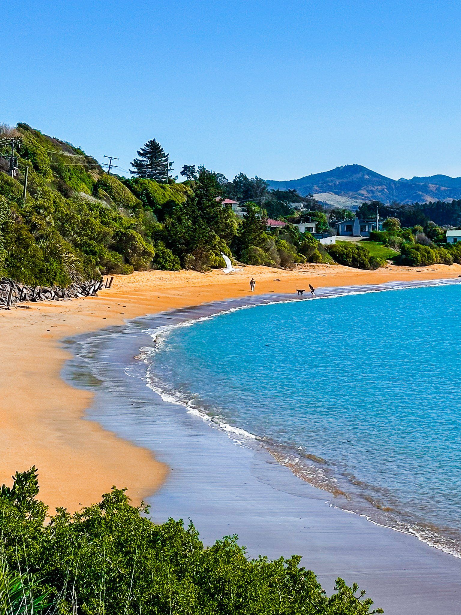
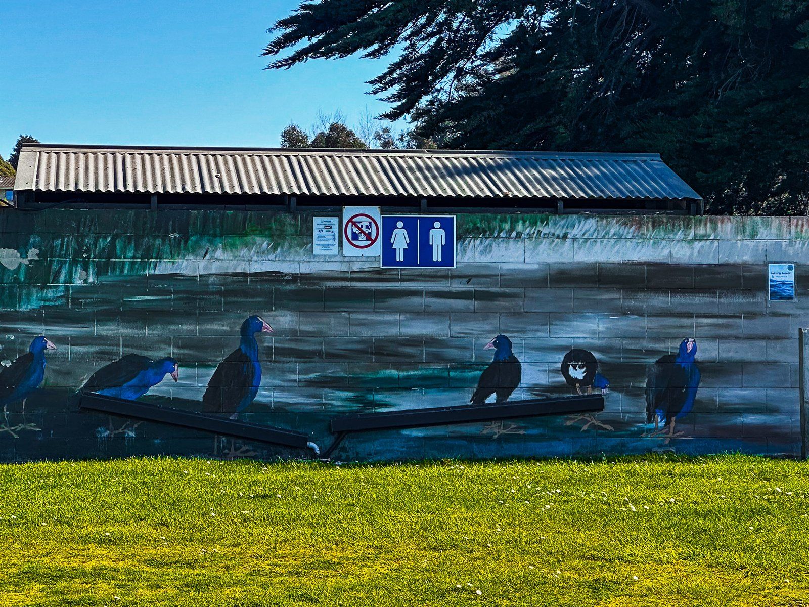
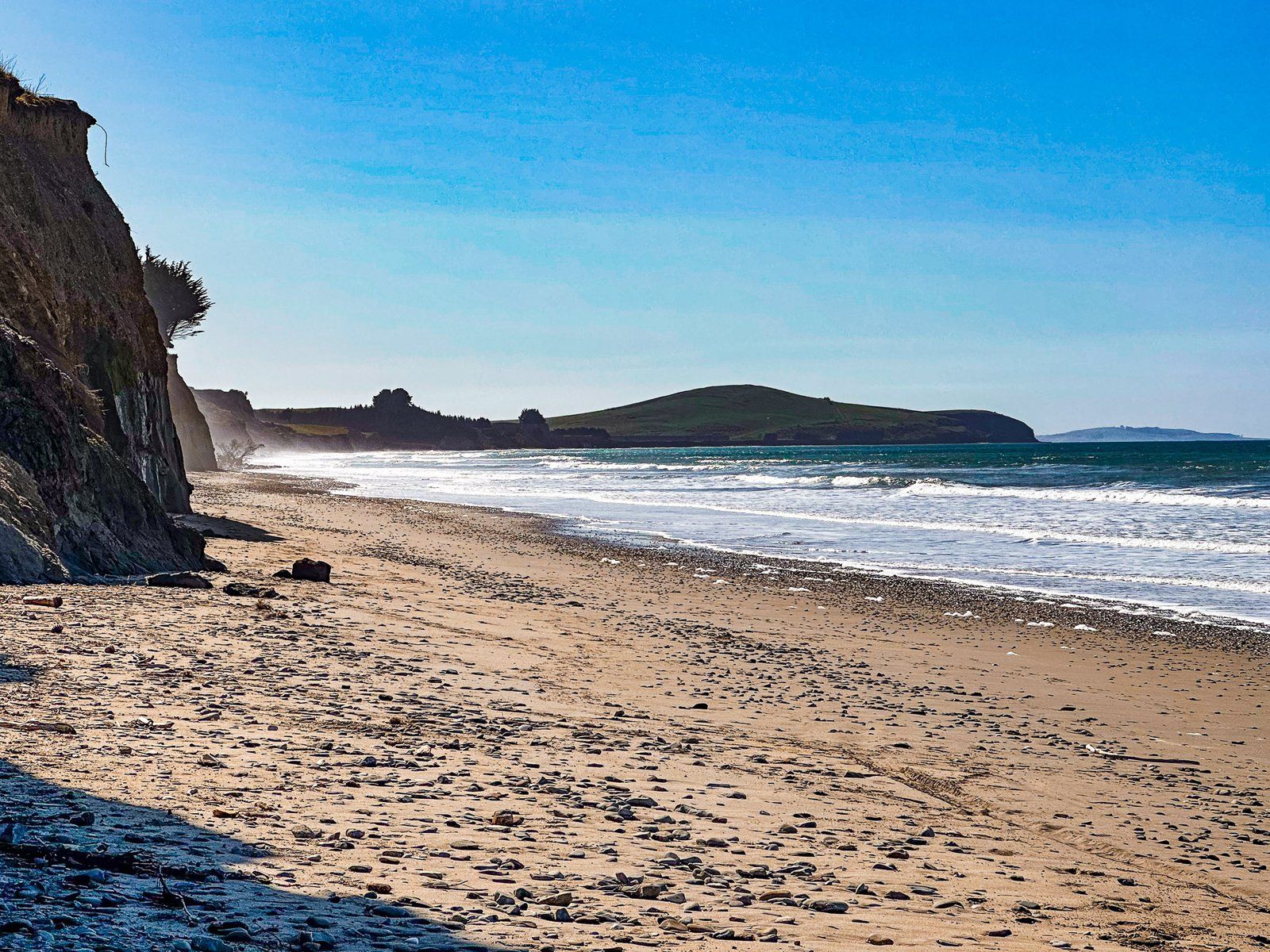
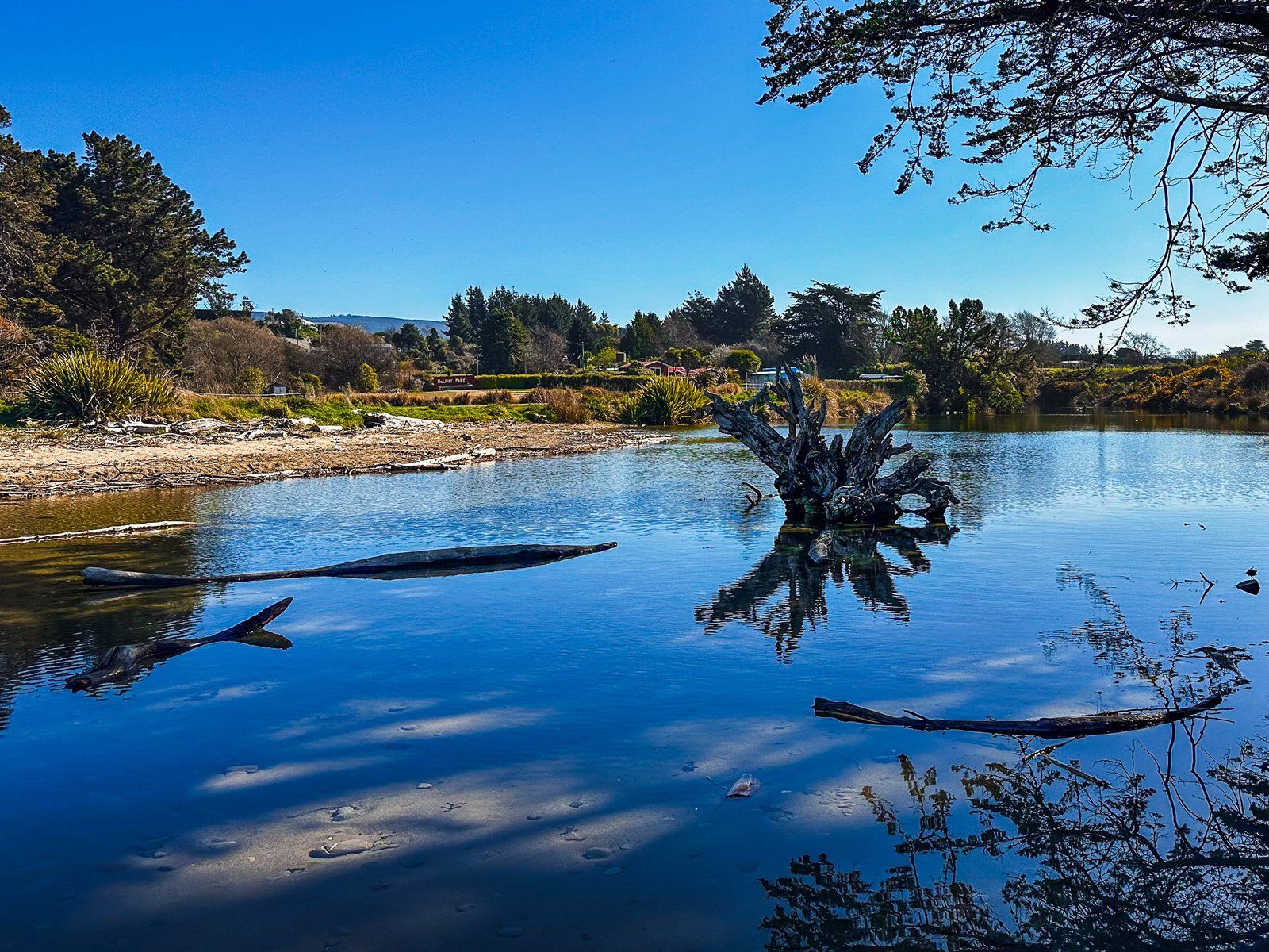
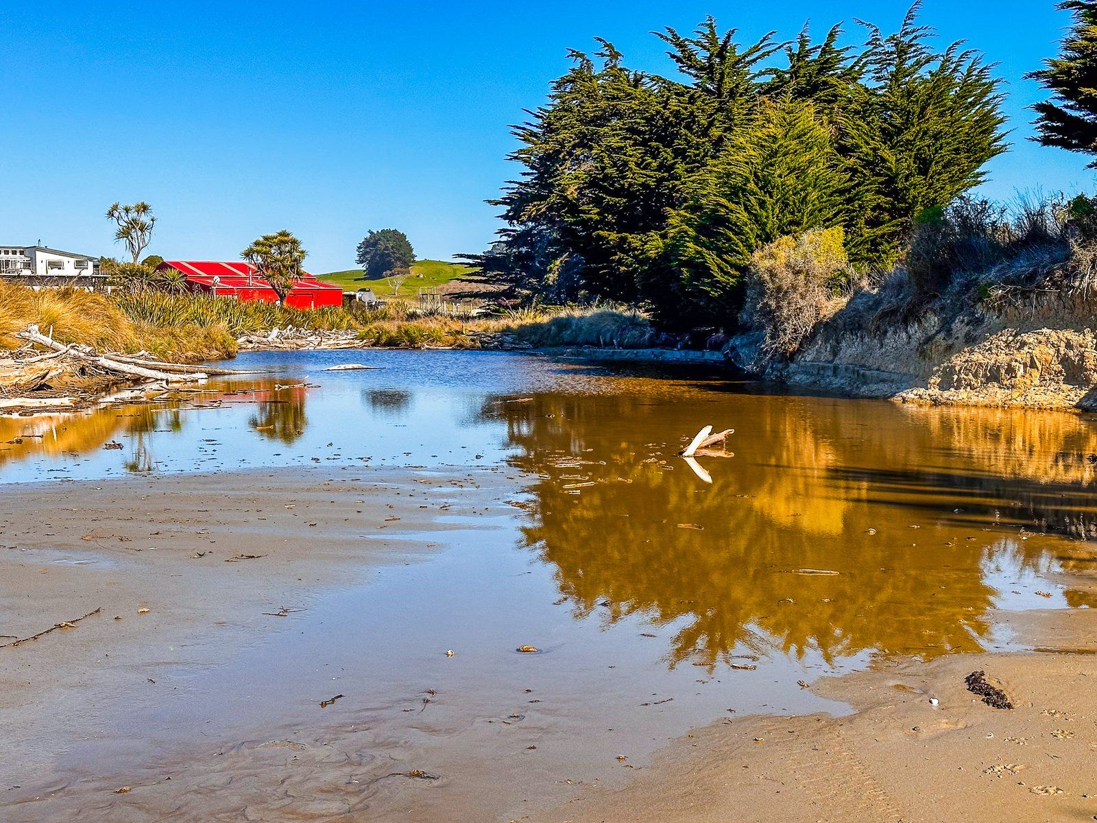
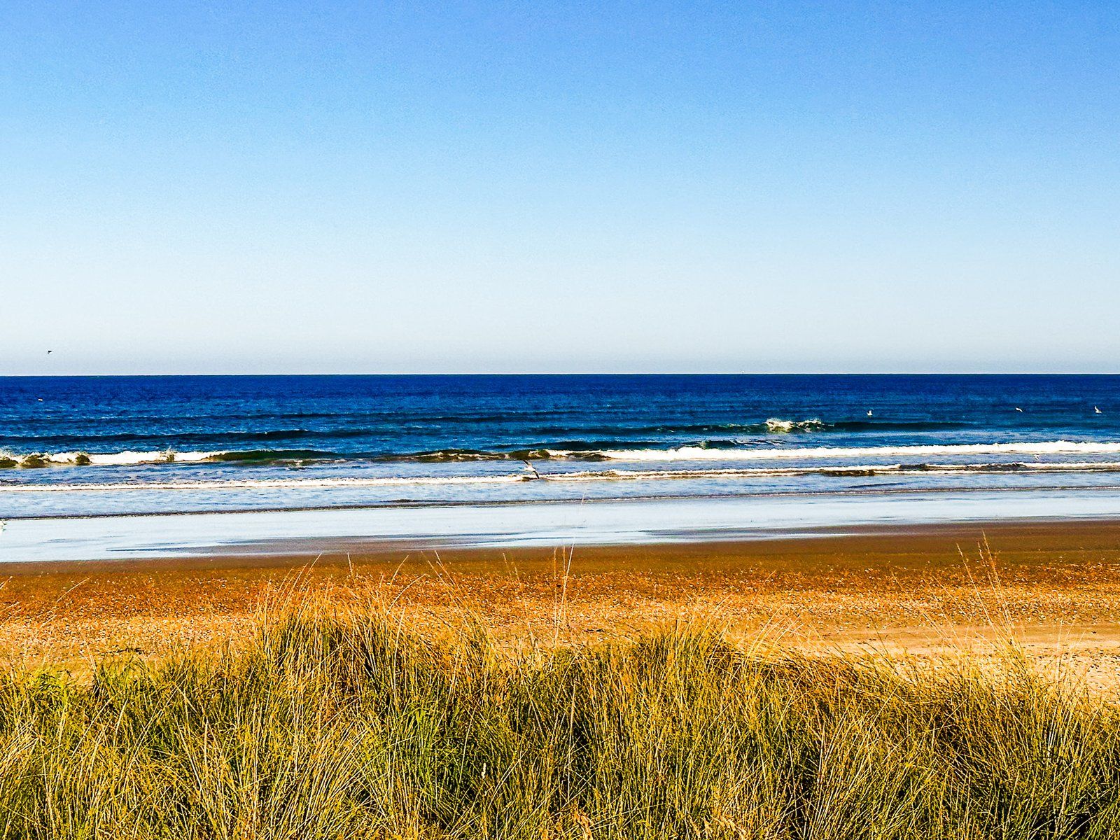
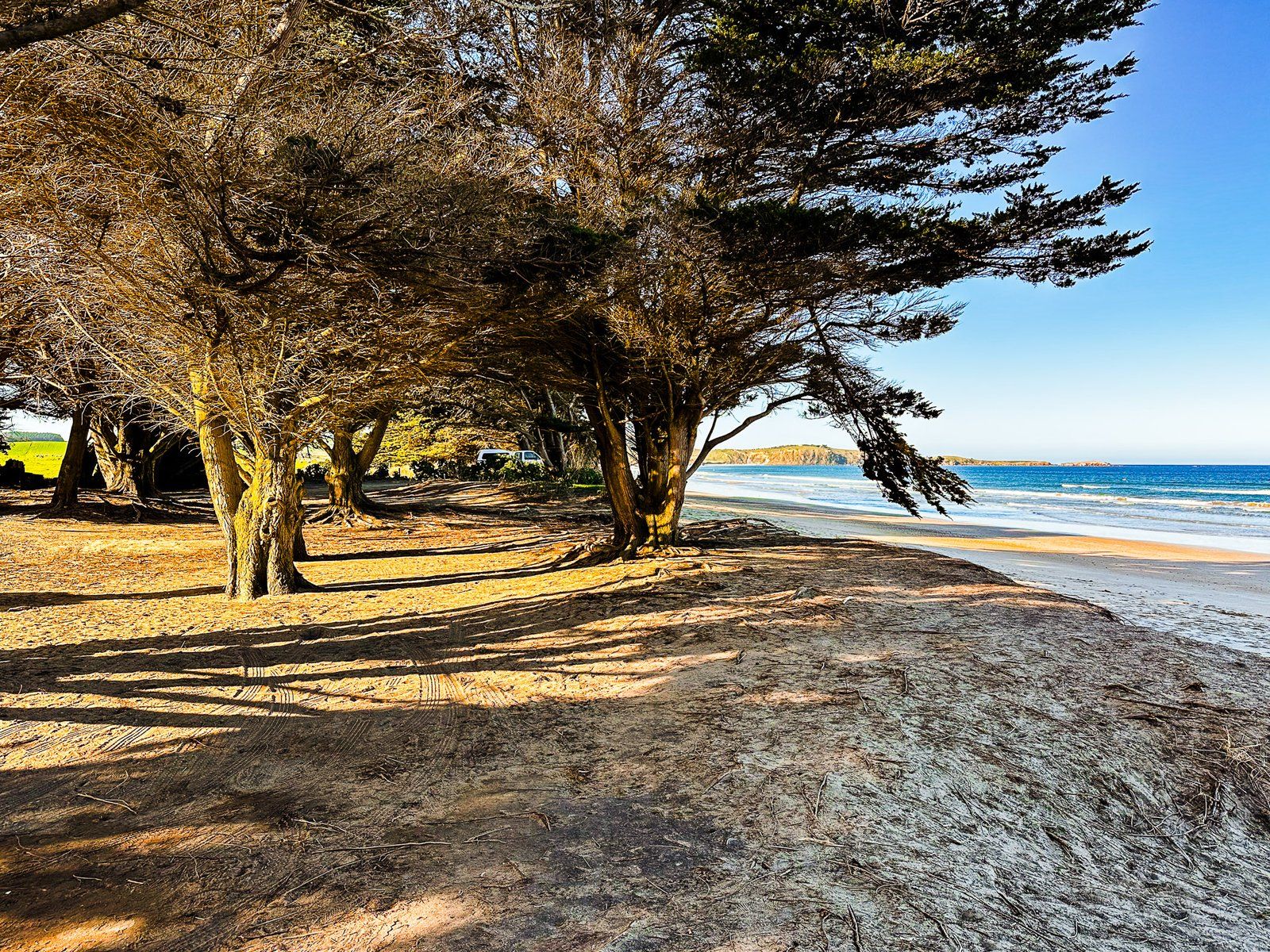
Hampden is a small town on State Highway 1, about three km north of Moeraki Boulders on the North Otago Coast. There is a popular cafe, fish and chip shop, hotel restaurant, and historic buildings on the main highway. As such, it is one of the more accessible options for food and drinks between Ōamaru and Palmerston. But its main feature is Hampden Beach and nearby Moeraki Boulders Holiday Park. Here, however, the only boulders are the concrete recreations in the playground.
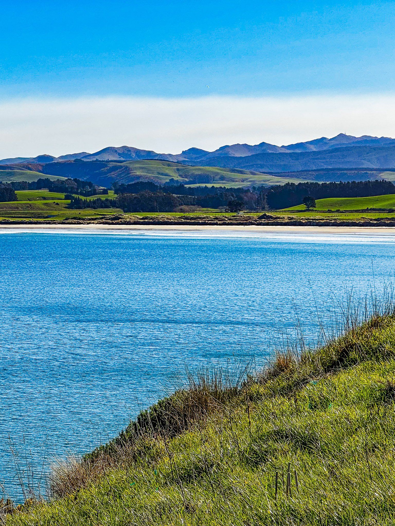
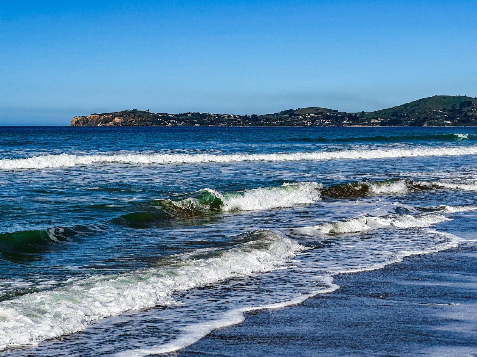
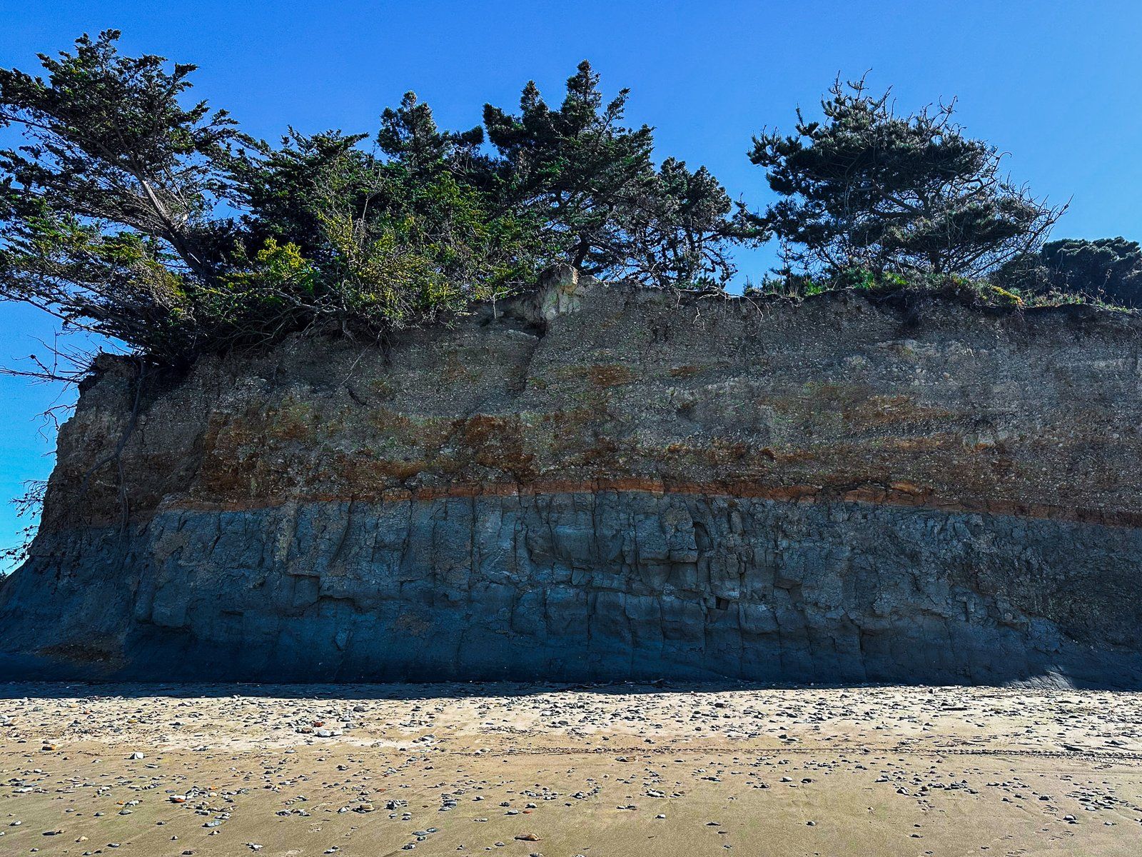
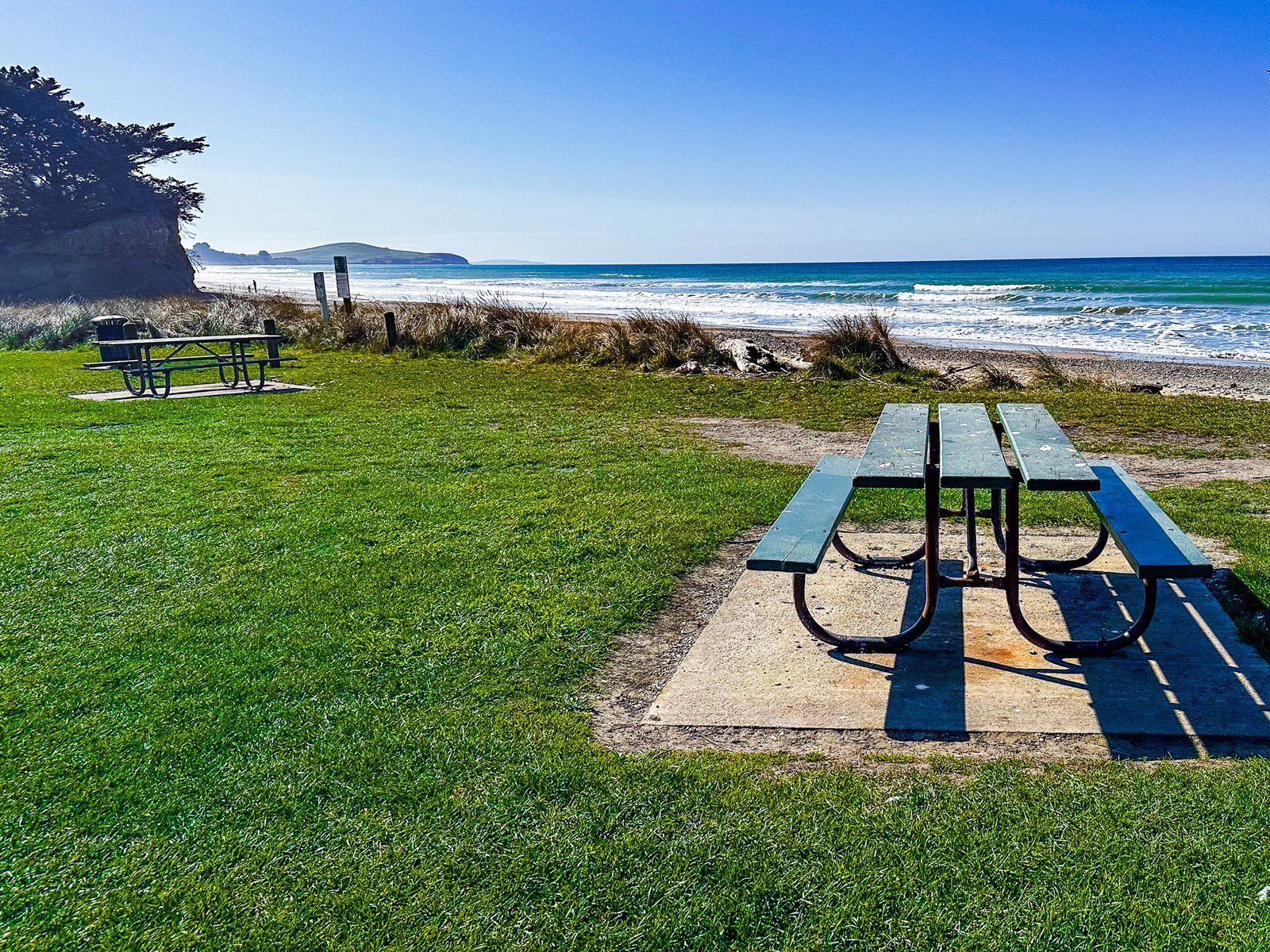
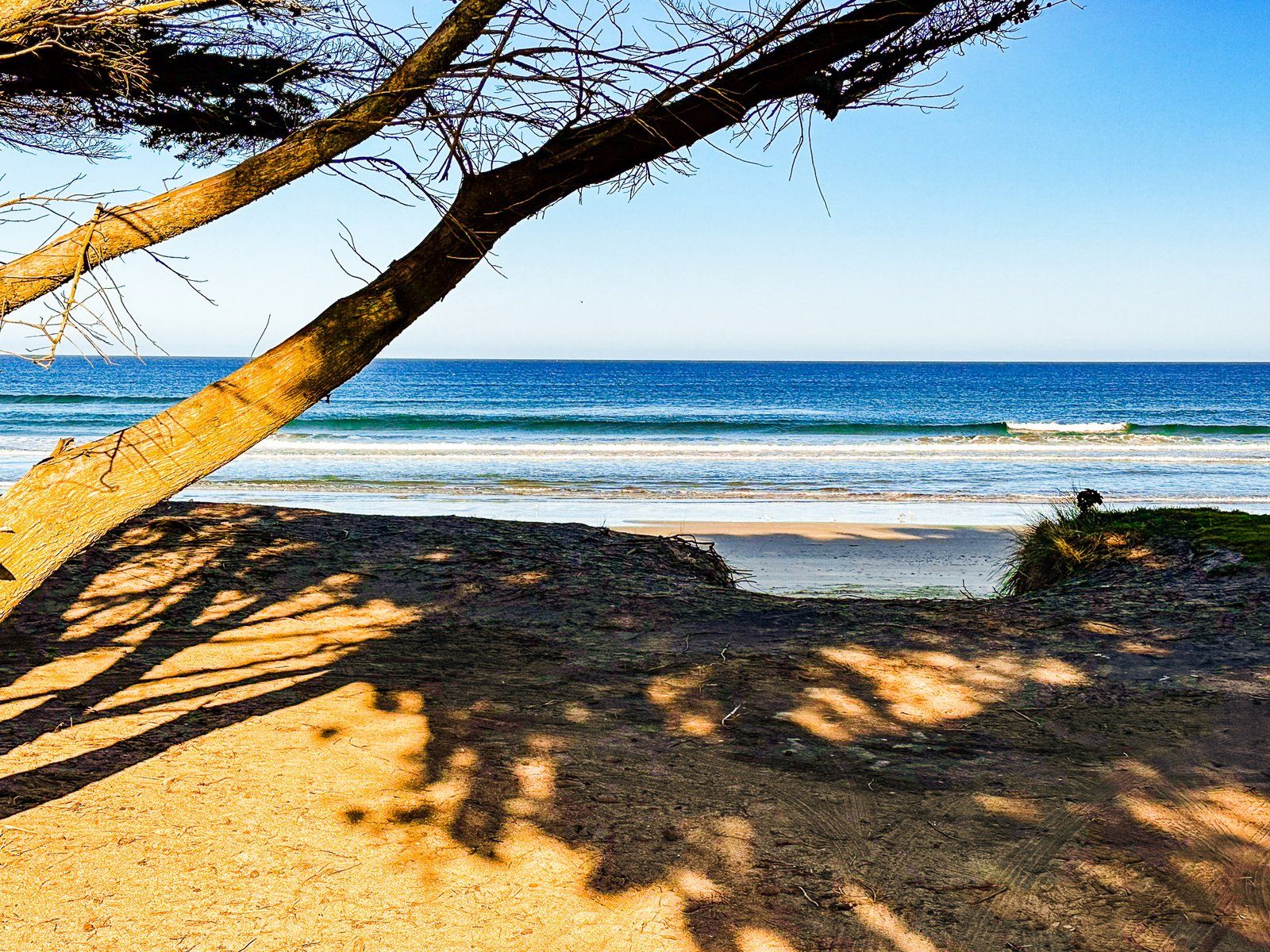
Turn east on to Lincoln Street or Derby Street from the main highway to the reserve and playground in front of the beach. To the north and south of the reserve, cliffs surround the beach. As the tide goes out, you can walk three km south along the beach to the actual Moeraki Boulders. Hector’s Dolphins are common in the surf. However, the day we visited was too calm for much surf and we were not able to catch a sighting.
Moeraki Boulders
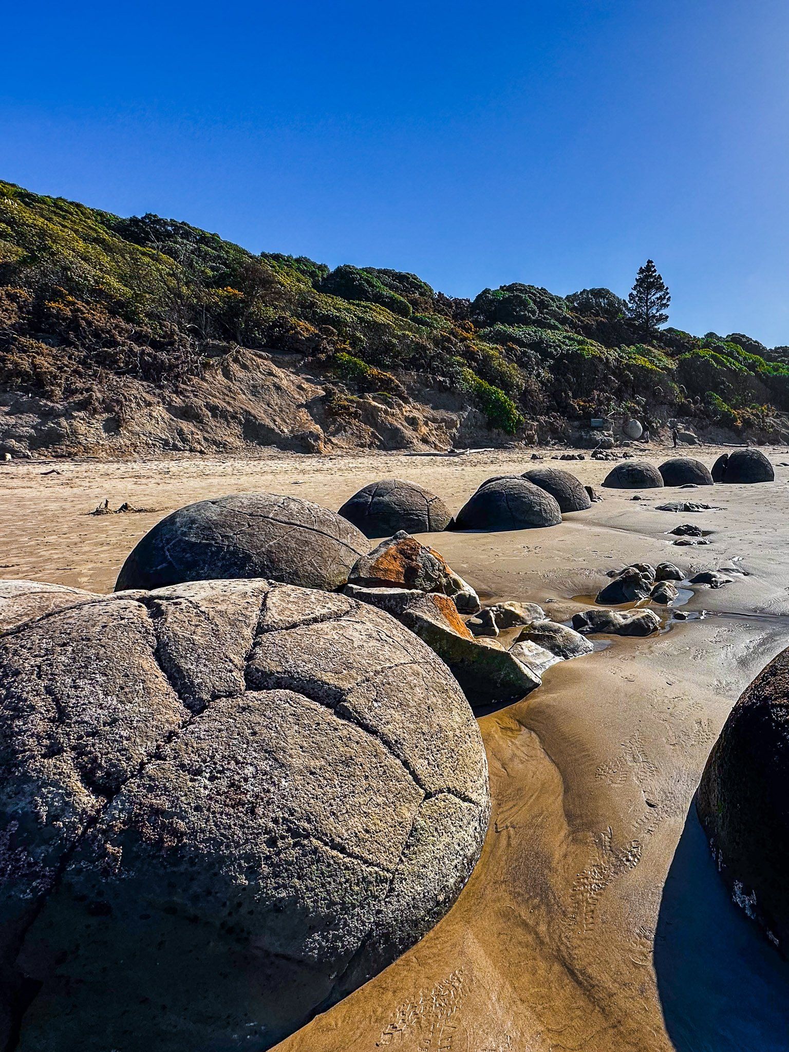
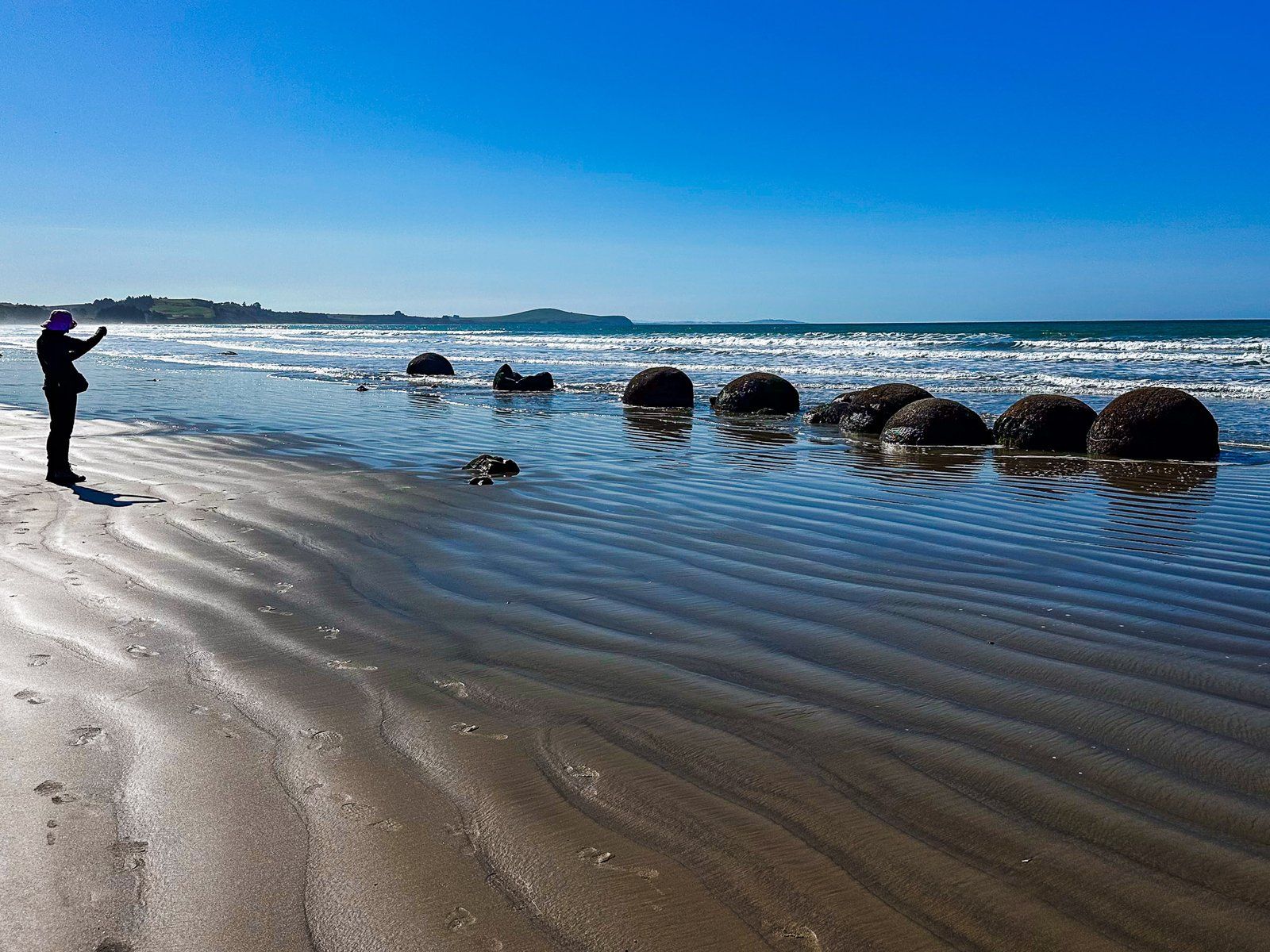
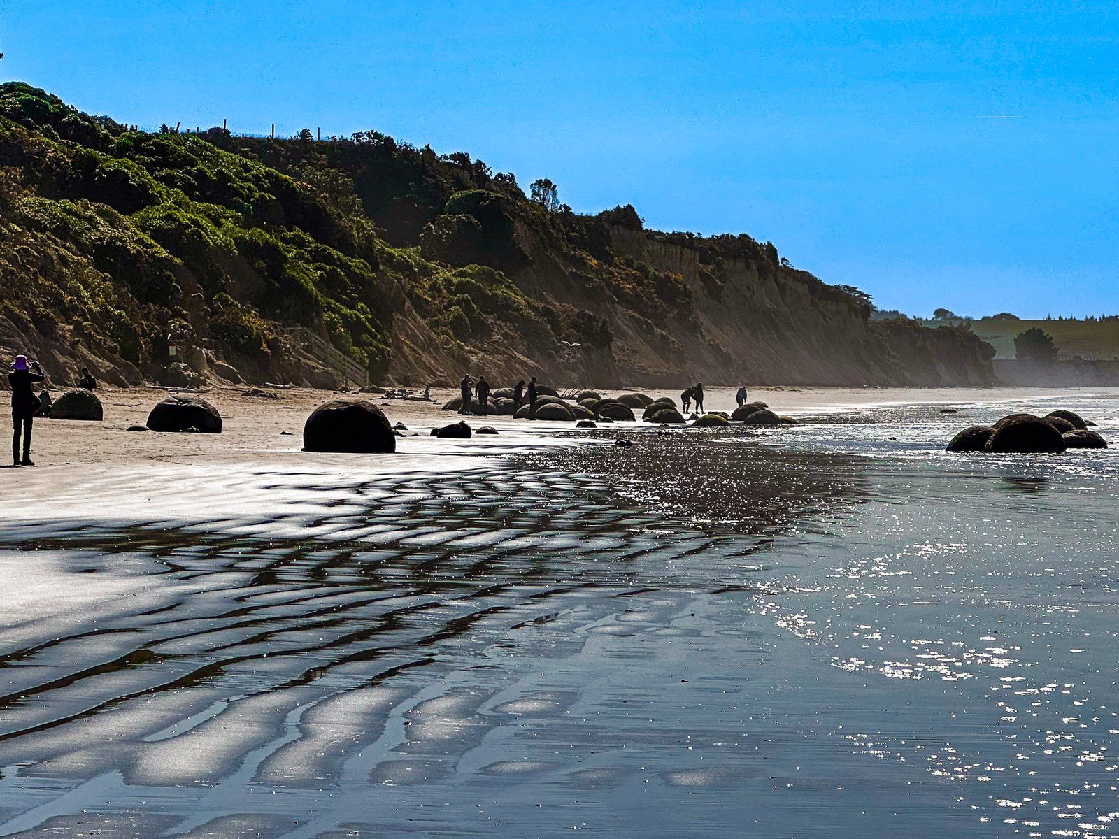
Moeraki Boulders are the number one tourist stop on the North Otago Coast.
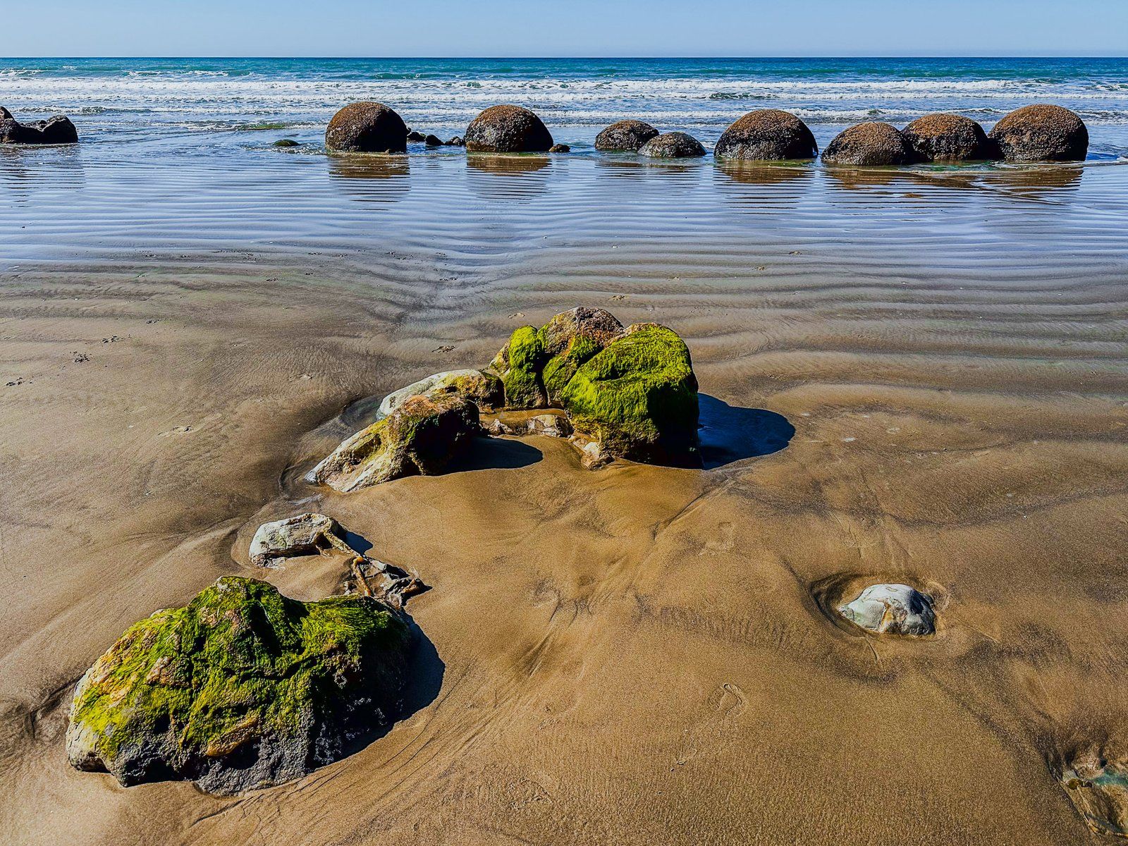
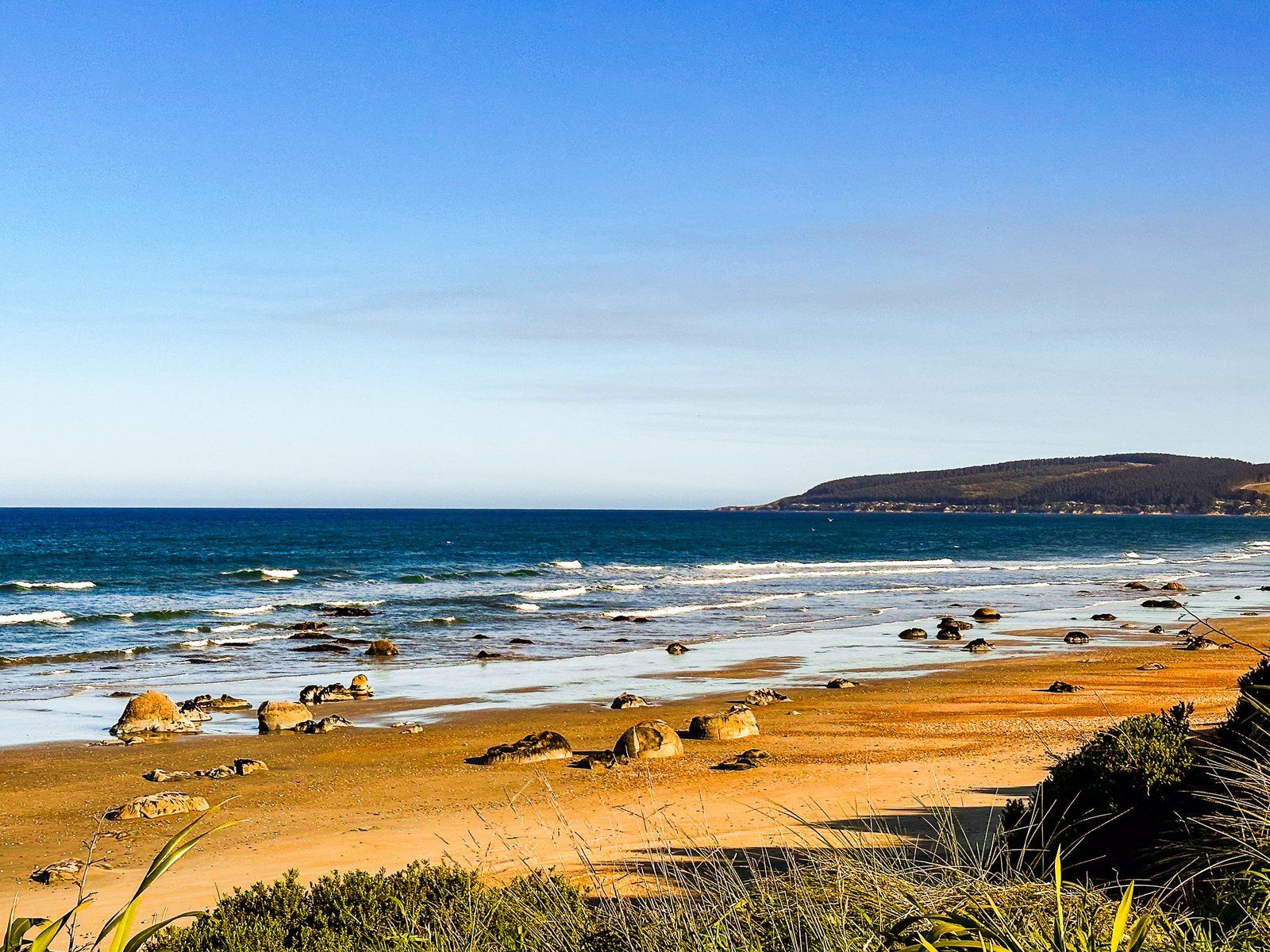
You will notice the signpost on State Highway 1, roughly halfway between Moeraki and Hampden. The main access is through the Visitor Centre, which includes a tourist shop and cafe. Or you can park a bit further south and walk about 500 metres north along Moeraki Beach to the Boulders. The best time to visit is as the tide goes out, as many boulders are below the high tide mark.
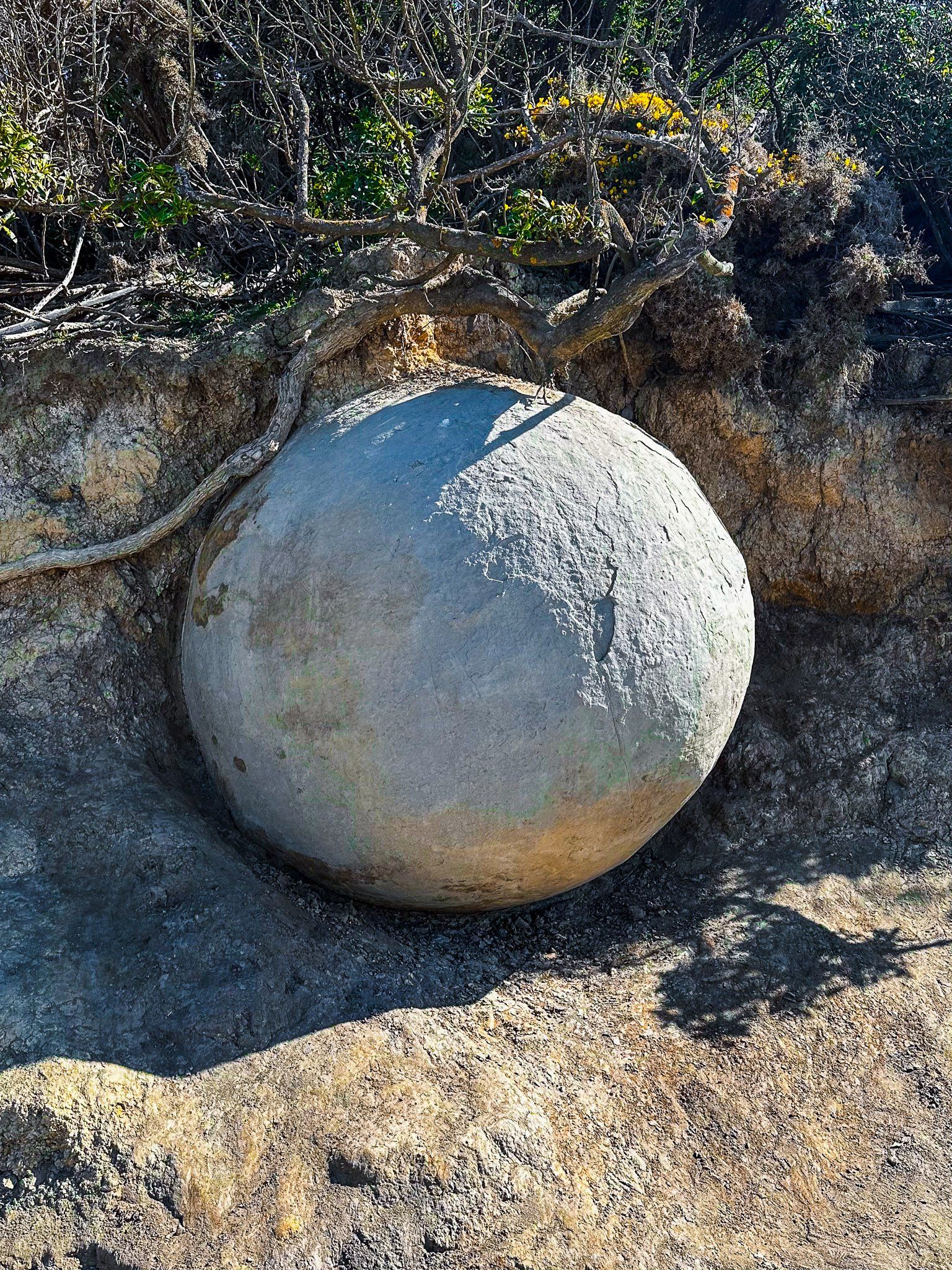
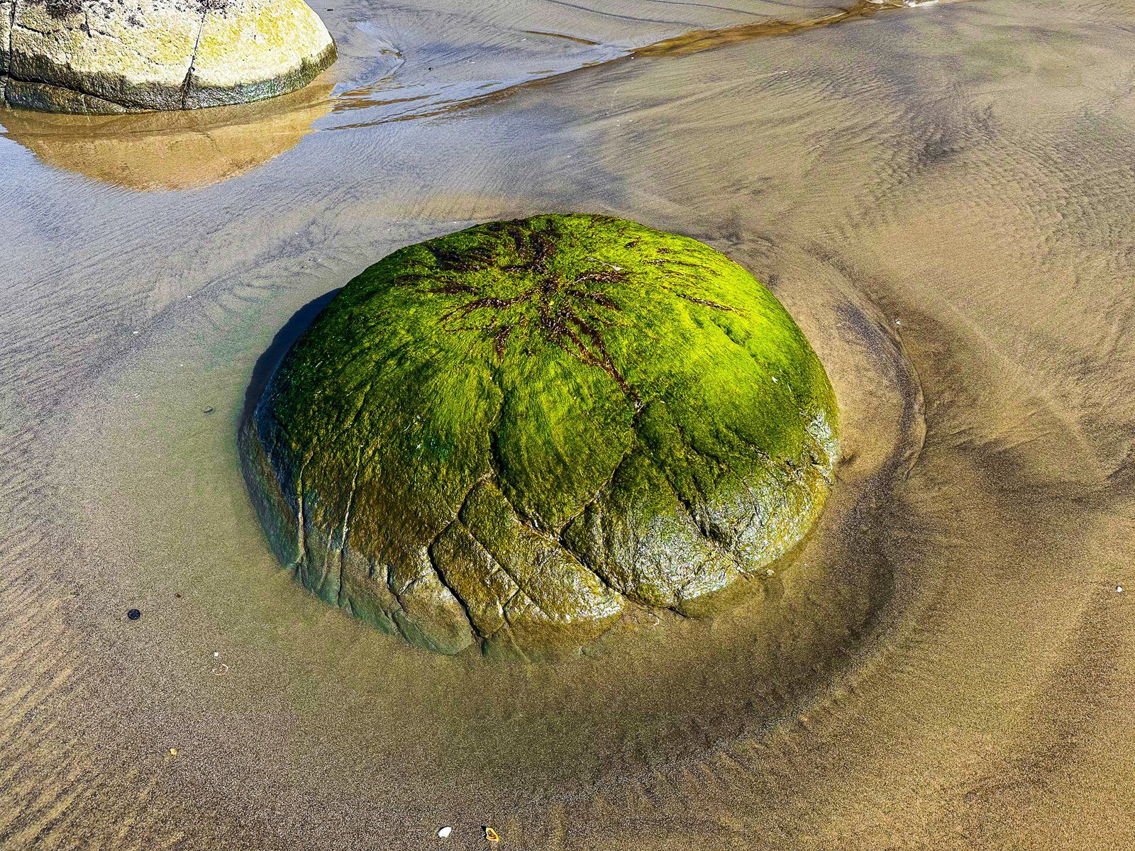
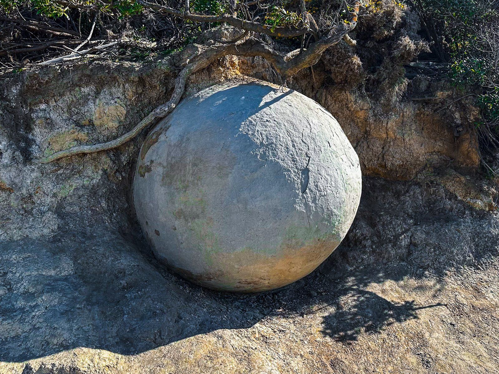
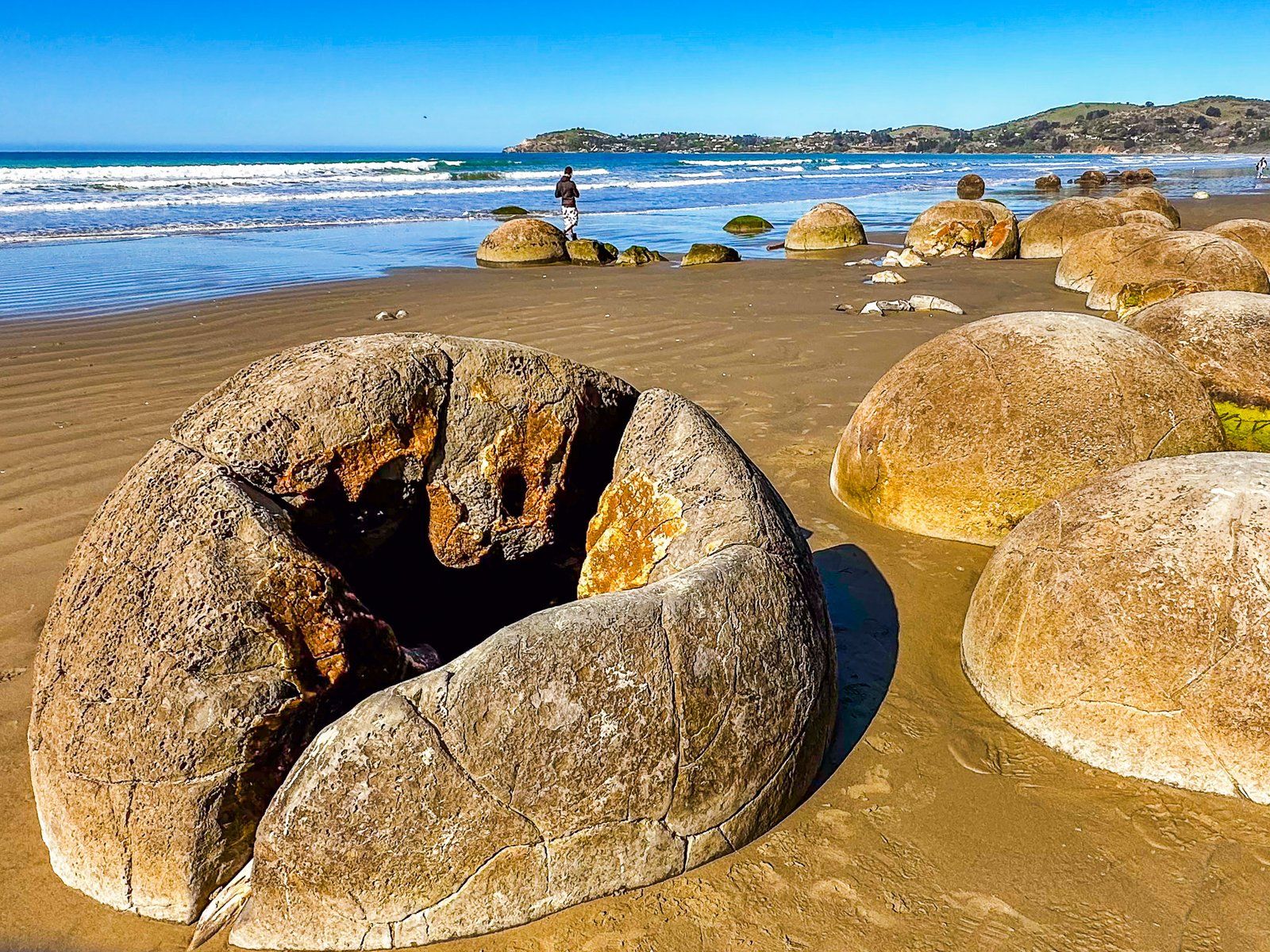
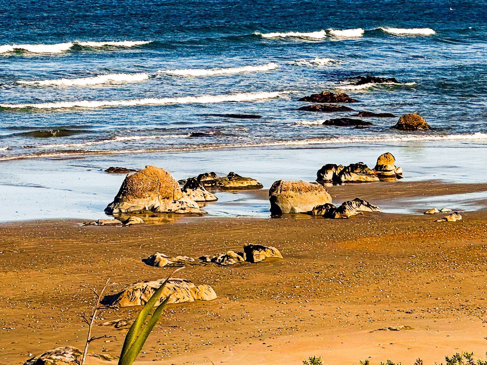
The Moeraki Boulders are a natural form of concrete created by cementation near the surface of the Paleocene sea floor millions of years ago. The concretion effect is due to calcites that bind the mud particles together. Over time, the concretions built up in size; this process occurred before the pressure compressed the surrounding mud into stone. The boulders typically took four to five and a half million years to grow, and the largest are about two metres in diameter.
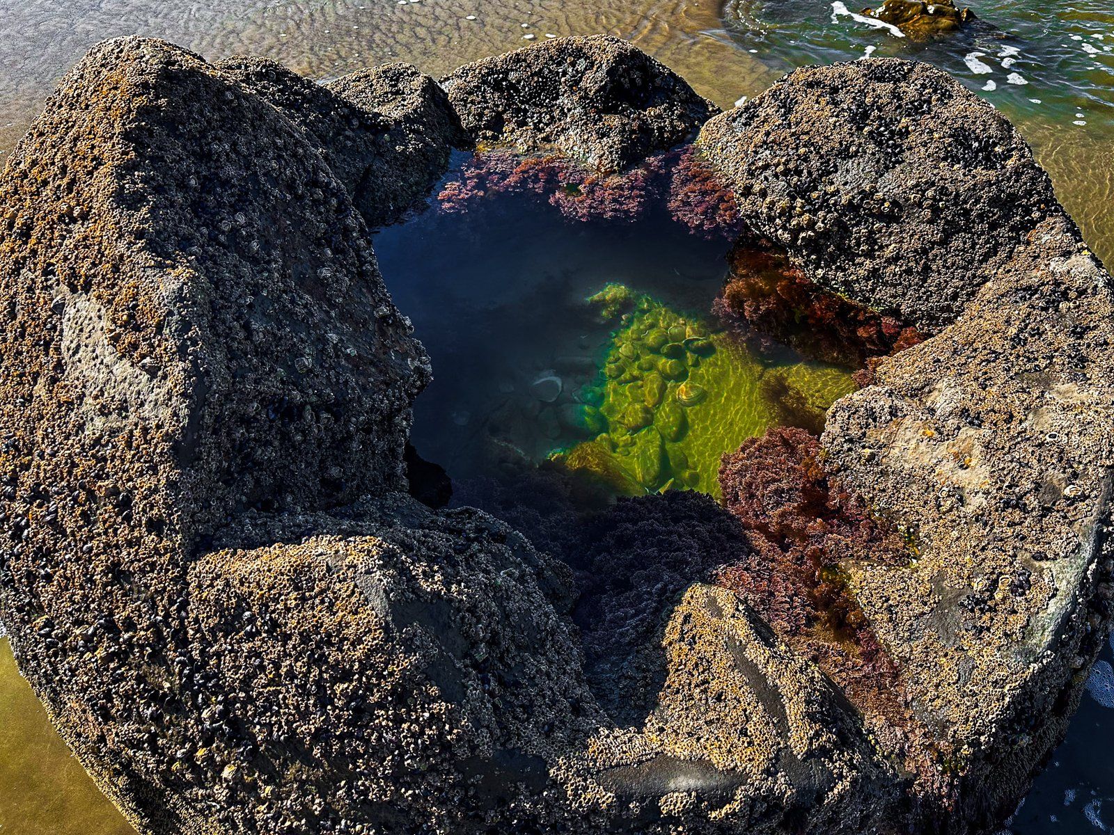
Mud accumulated above them and eventually uplifted to form the cliffs above the beach. As the softer stone of the cliff erodes, the harder concretions become exposed. Look closely, and you will see netting-style cracks in the boulders, called septaria. They gradually filled with brown and yellow calcites and other minerals, and you see the colourful effects of this within the heavily eroded boulder remains.
Although the Moeraki Boulders are famous, concretions can be seen further south on Katiki Beach, though they are not as round. At Whitecliffs in the Manawatū, concretions have been exposed by the erosive effects of the Rangitīkei River, and even larger boulders can be seen near Koutu Point on the Hokianga Harbour.
Māori refer to the boulders as Kaihinaki. One of the original waka, Arai-te-uru, was wrecked at nearby Shag Point, and the legend is that the boulders are kumara that washed ashore. The waka’s fishing nets neatly explain the netting-styled septaria in the boulders.
Moeraki
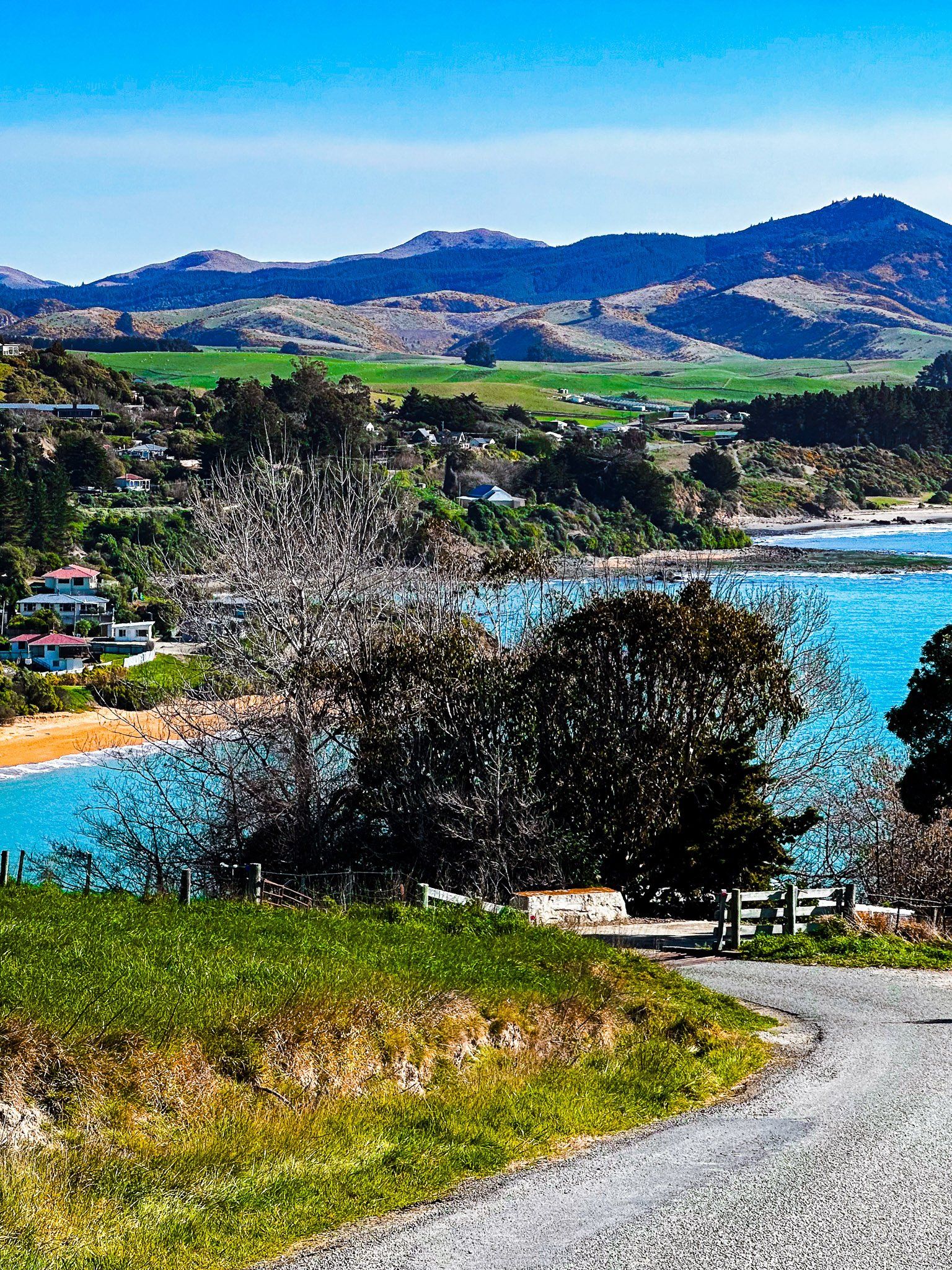
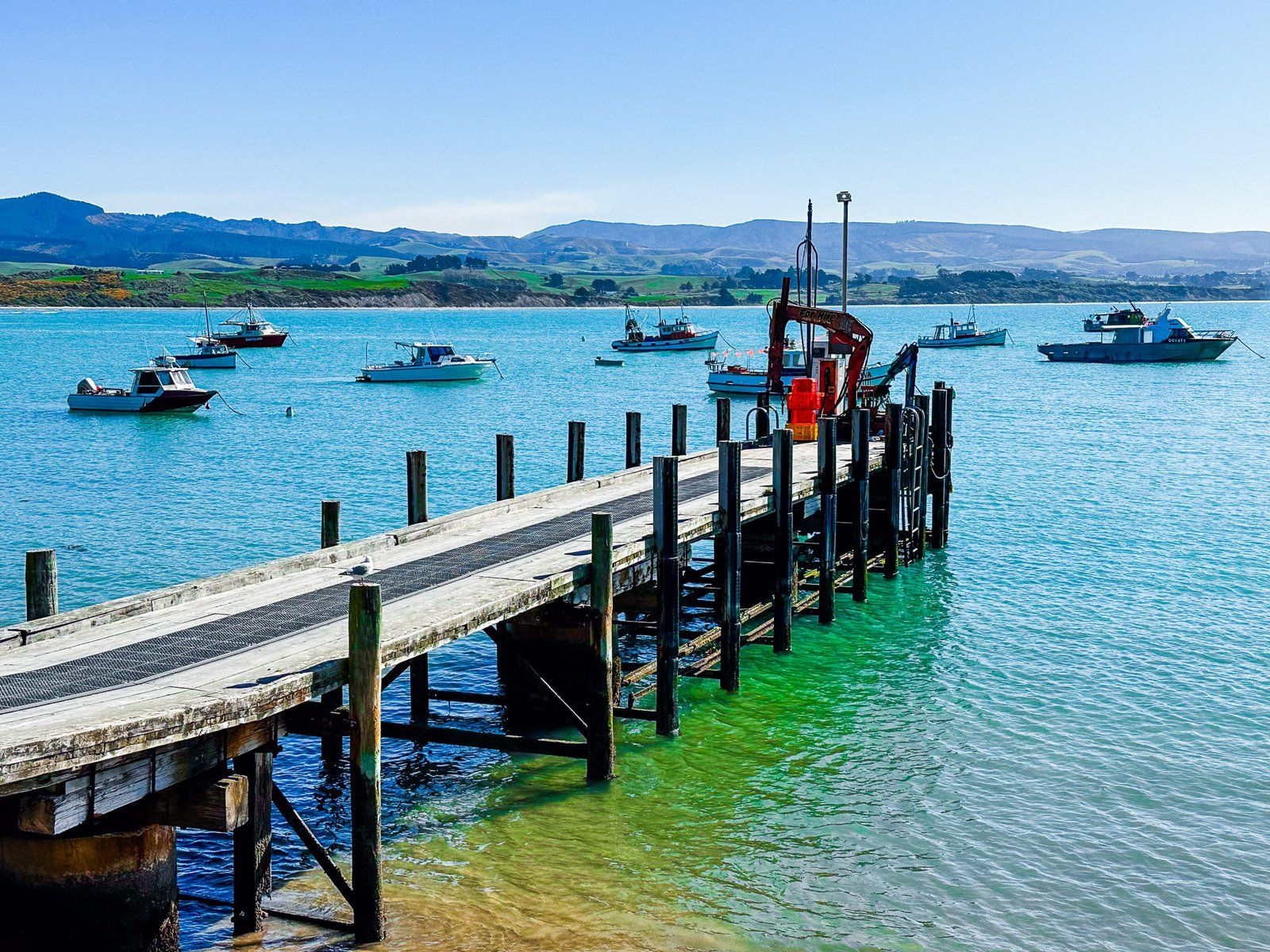
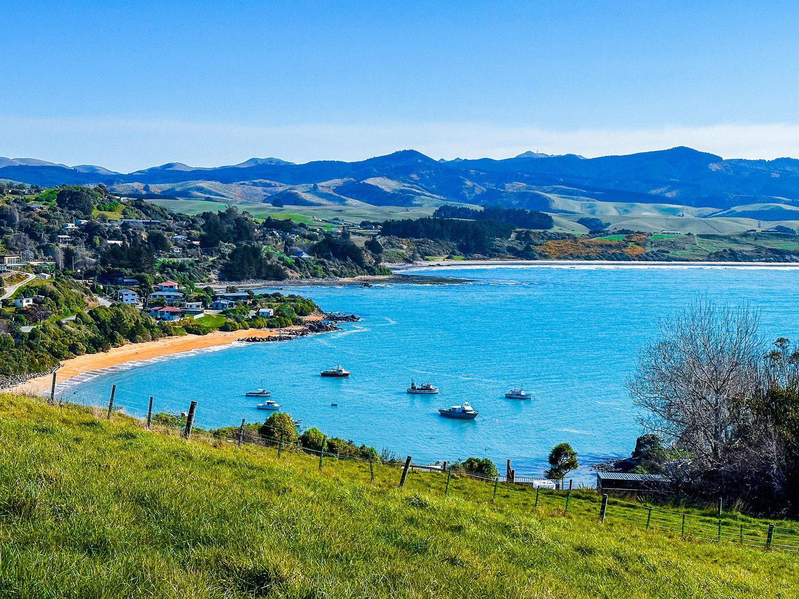
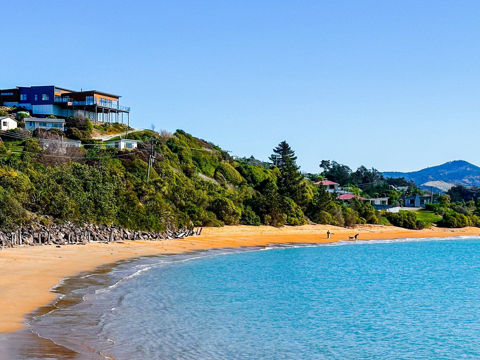
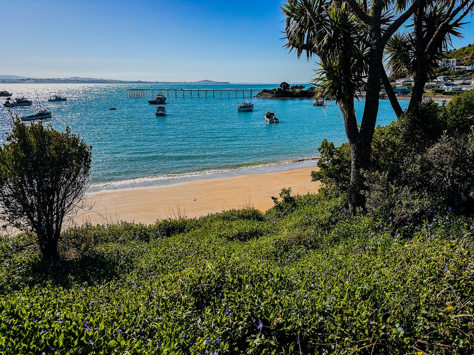
Moeraki is a small village on the North Otago Coast, at the north end of Moeraki Peninsula, and two km south of the Boulders. The Point shelters the town and an attractive north-facing beach and harbour. The town has a fascinating history despite its tiny size and is the gateway to stunning Kātiki Point along Lighthouse Road to the south. It is also a top spot for waterfront fish and chips and coffee.
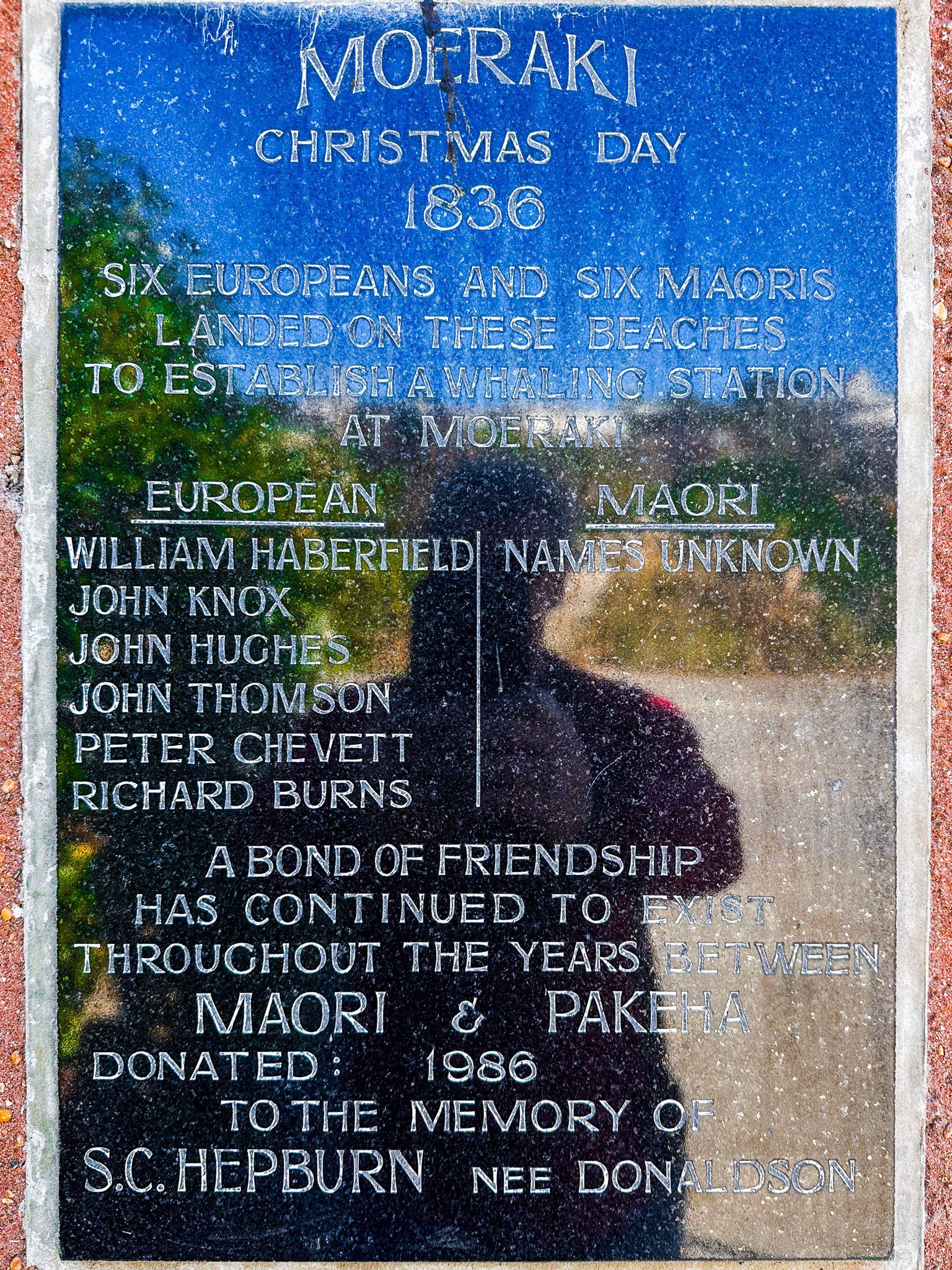
Moeraki translates as “a place to sleep by day”, and Māori have been present in the area hunting moa as early as the 1300s. The area around Kātiki Point had a large established pā in the 1700s. Sealing brought Europeans to the coast by the early 1800s. One of the first recorded interactions between locals and sealers was during the so-called War of the Shirt, a somewhat bizarre series of violent tit-for-tat encounters on the Otago coast from 1810 to 1821. By the time the “war” ended, the seals had been largely hunted to extinction anyway.
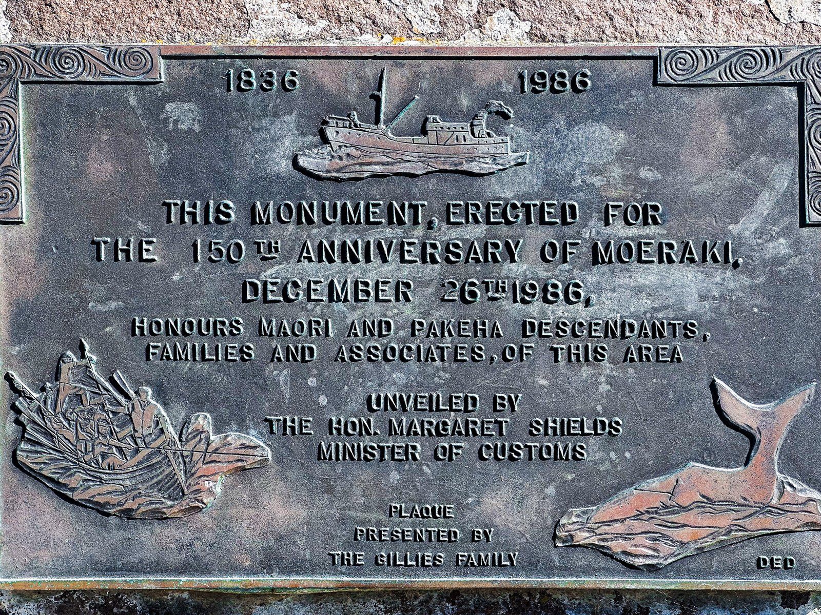
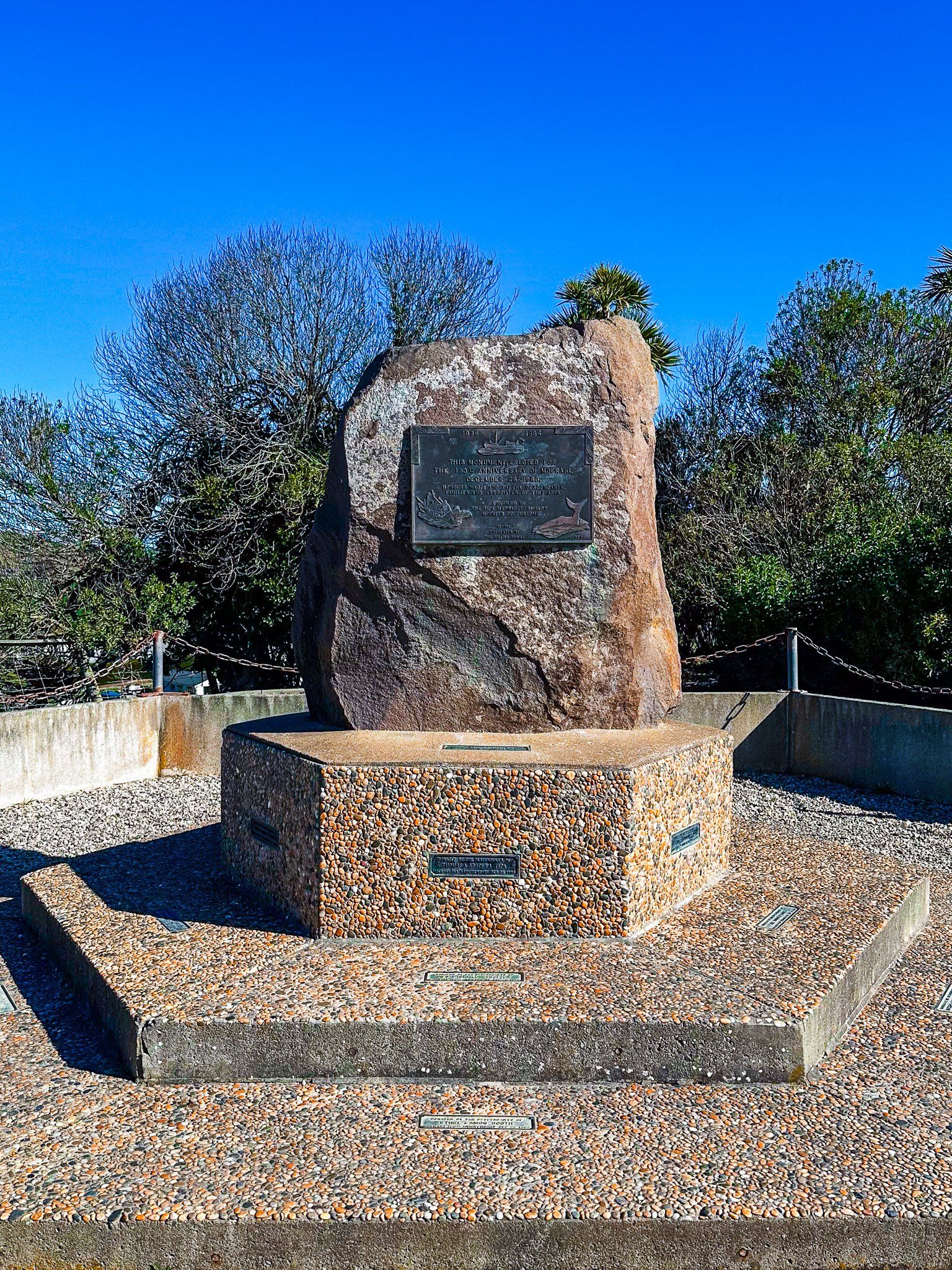
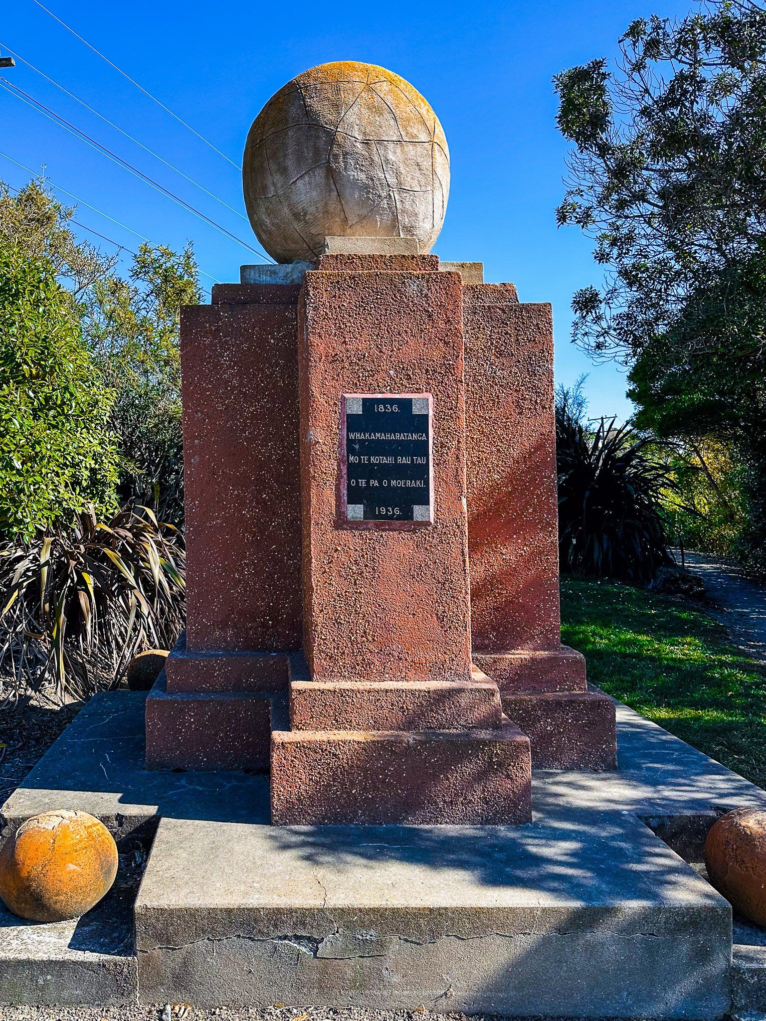
More significant was the establishment of a whaling station in 1836 by John Hughs and a party of five other Europeans and six Māori. The whales only lasted for a few years, but this became the location for the town, which was made up of Pākeha (Europeans) and Māori from the outset. There is a monument at the reserve and park above the beach, and you can drive (or take a steep walk) up to the whale viewpoint on the top of Moeraki Point.
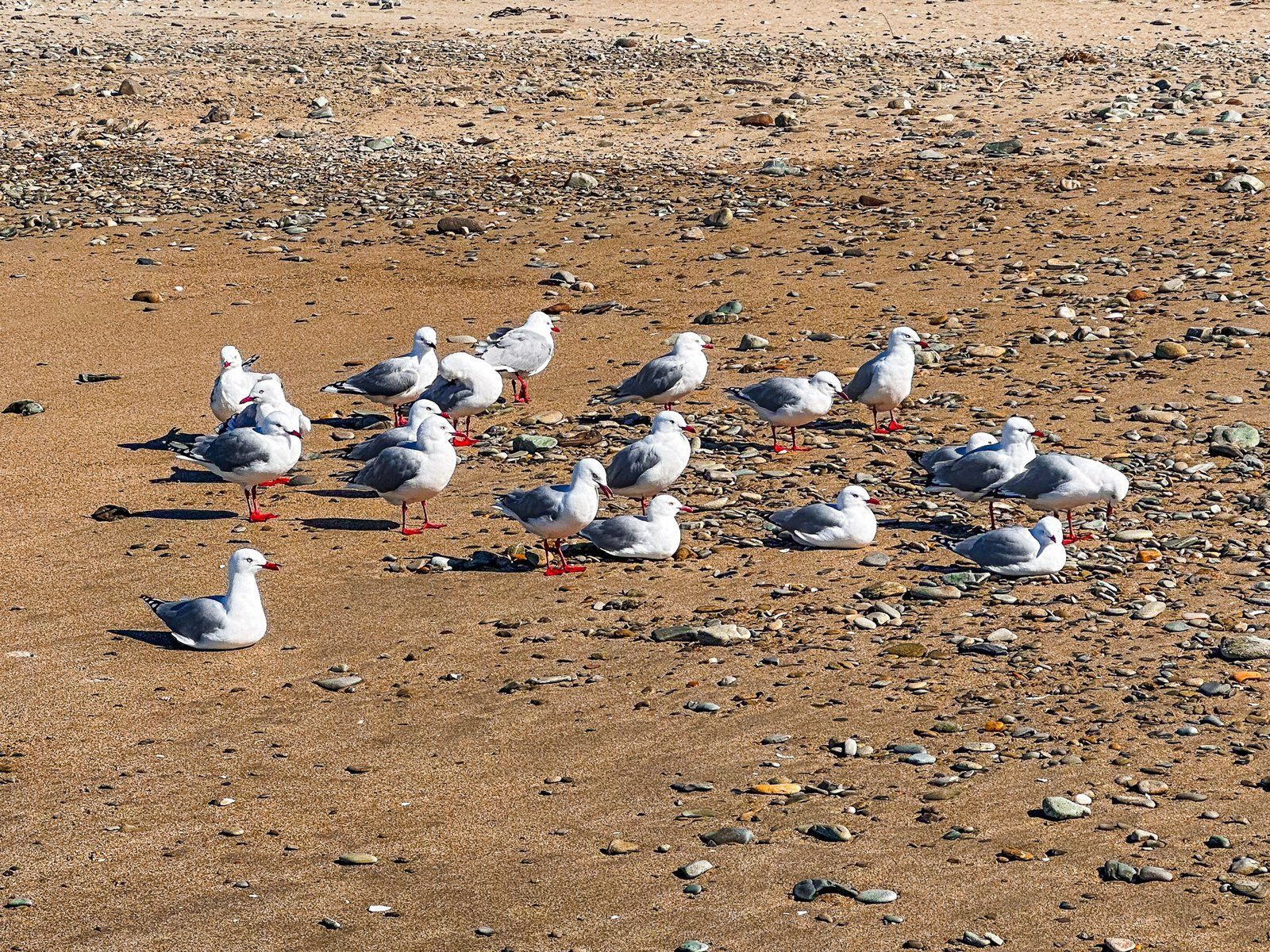
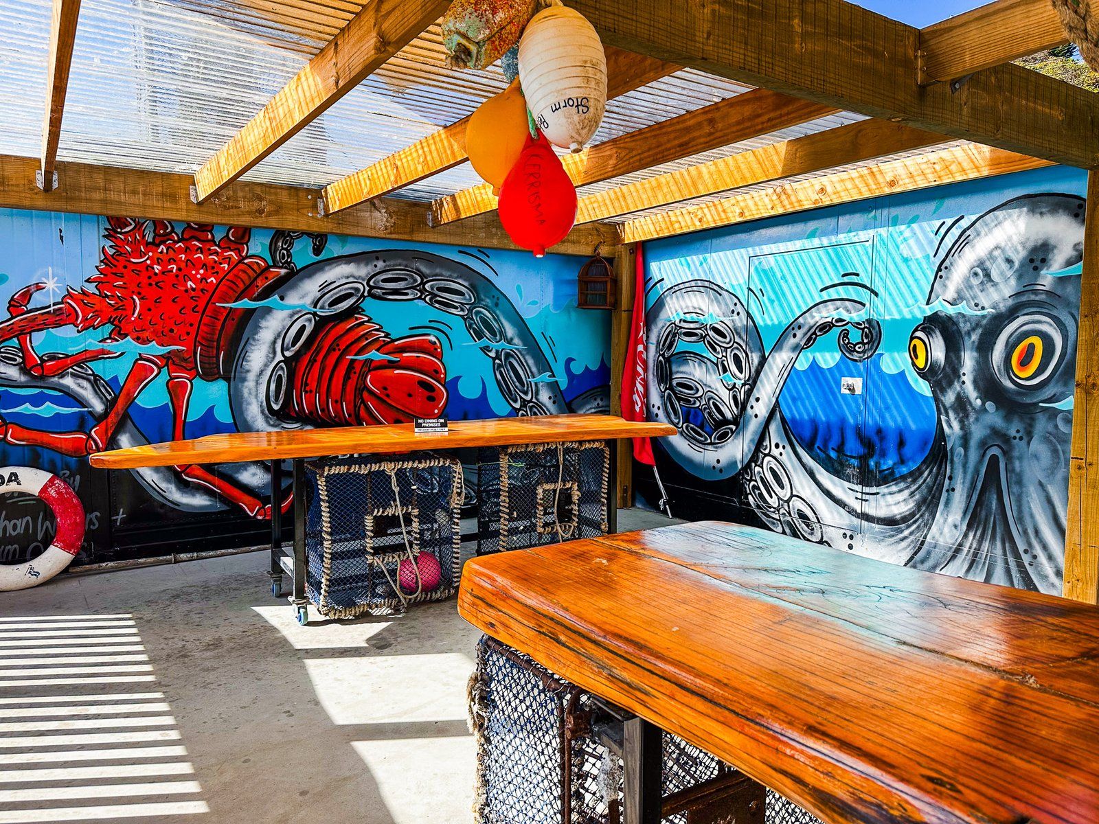
In the 1870s, there was an attempt to develop a major port to service North Otago, and a railway siding was built. However, this proved unrealistic, with landslips posing a significant risk, and the hoped-for traffic instead went to Ōamaru. However, the port and town did develop as an important fishing village with a fish processing plant. This continued until the 1990s when the fish and lobster also became scarce. Today, there are still one or two boats, and you can get fresh fish and lobster meals at the Moeraki Tavern and The Fishwife, a harbourfront outdoor cafe. They’ll even lend you a water gun to scare away the insistent seagulls!
Lighthouse Road
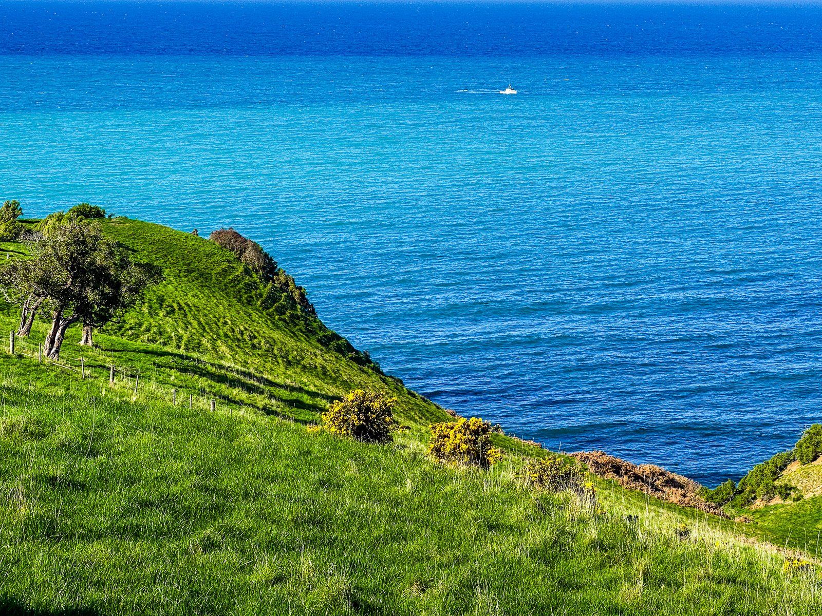
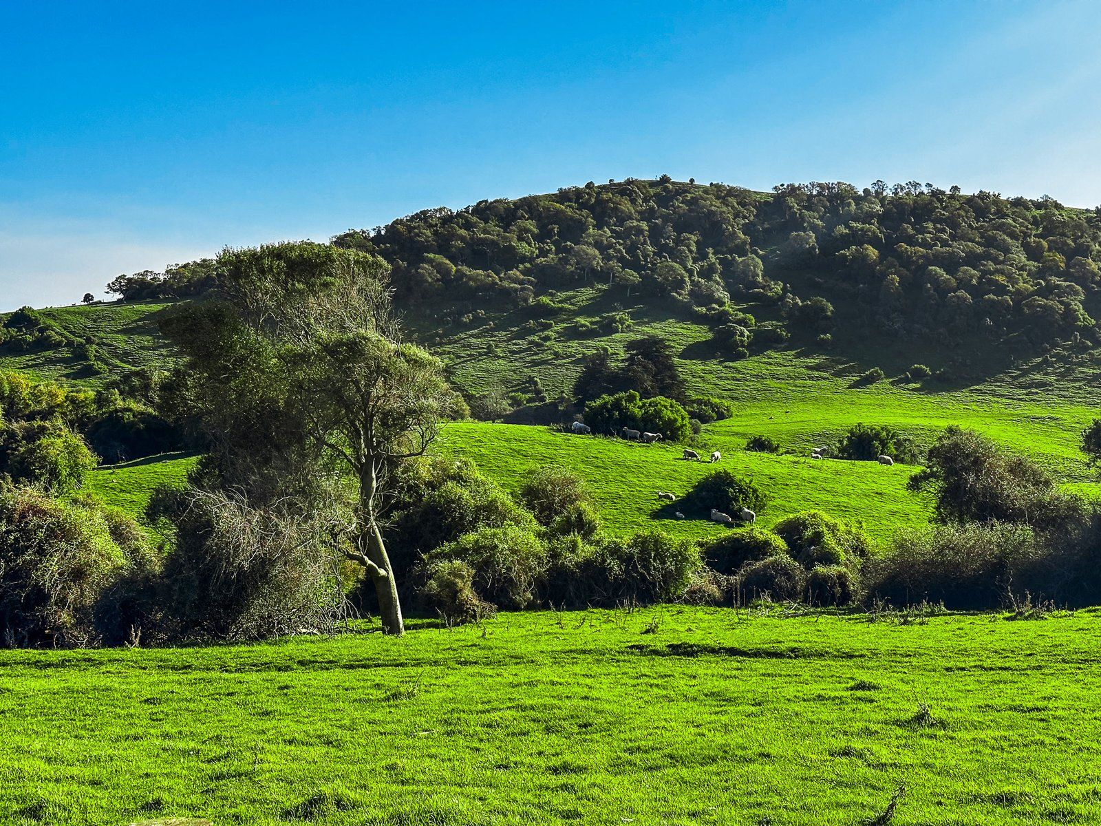
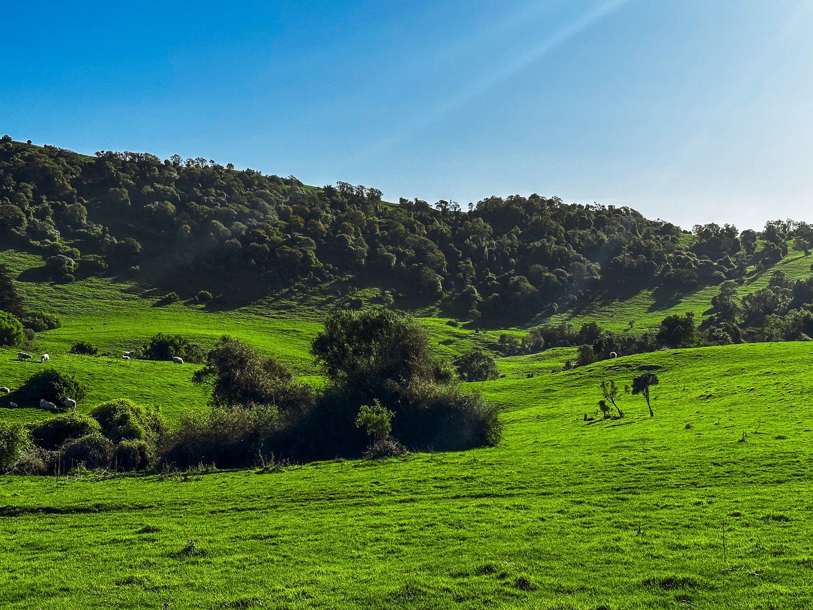
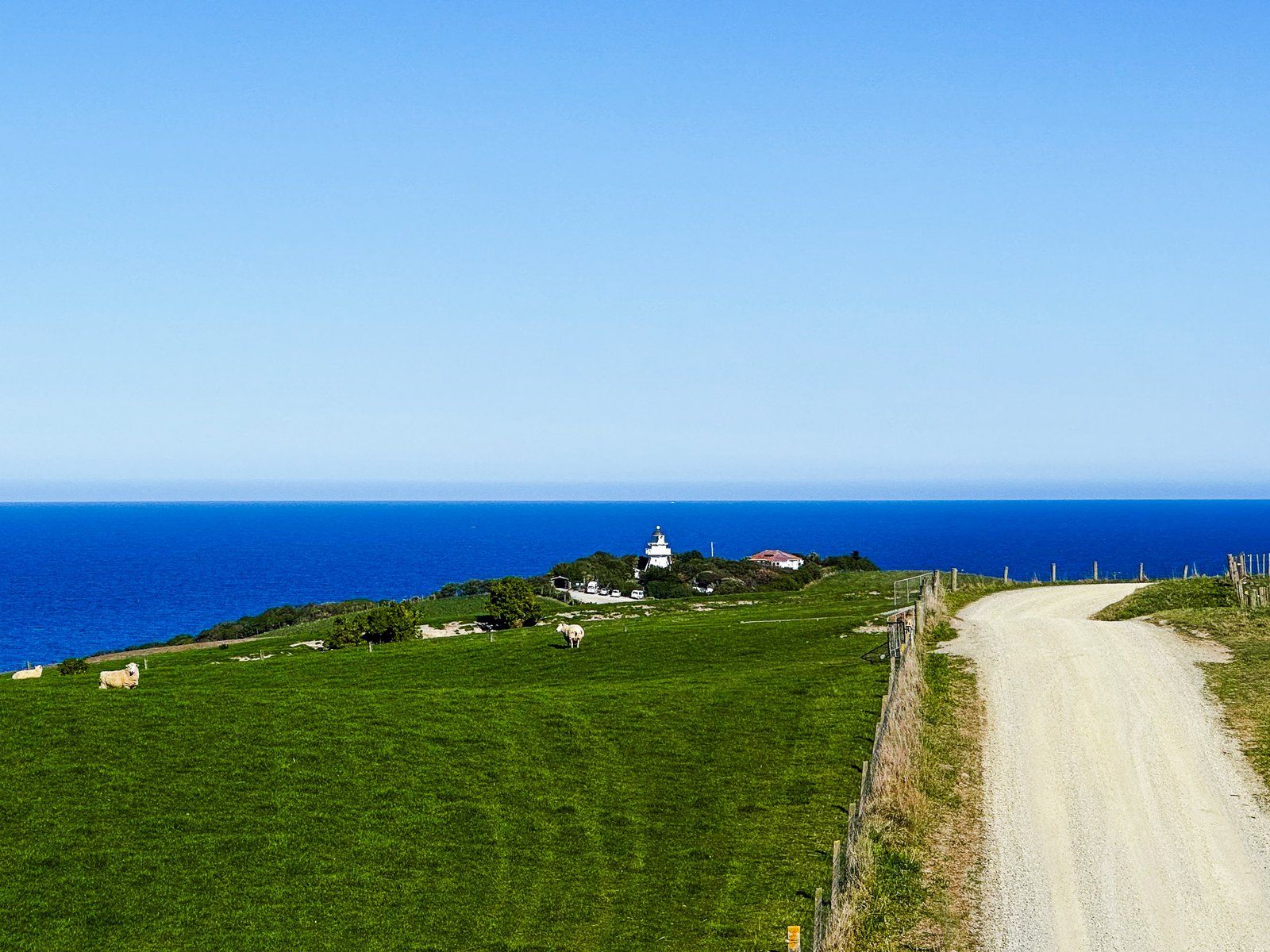
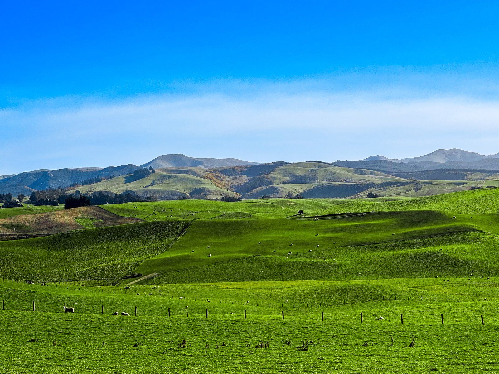
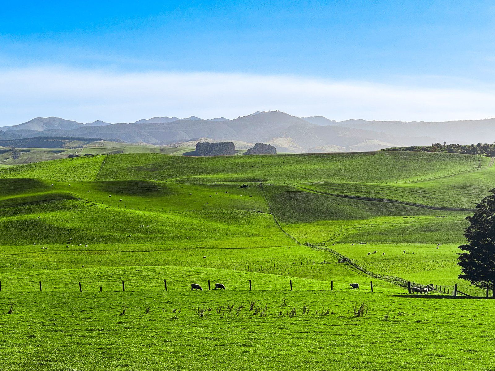
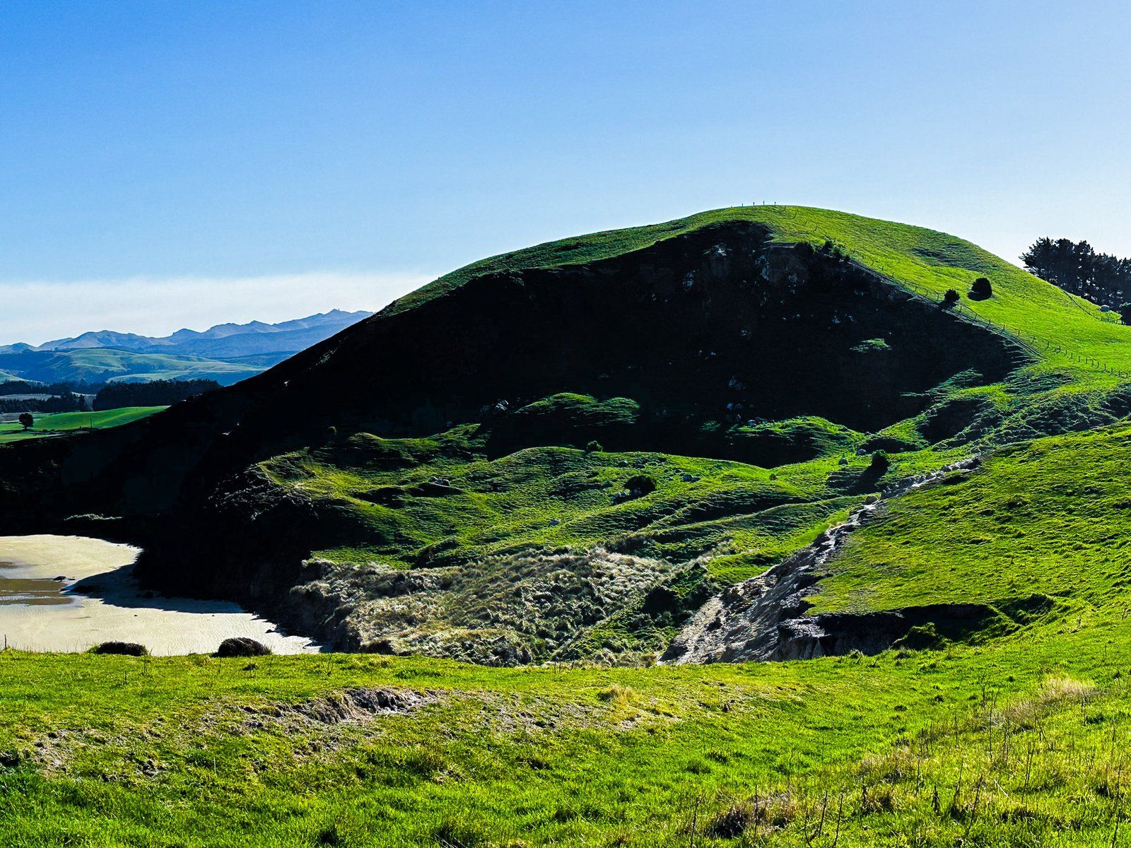
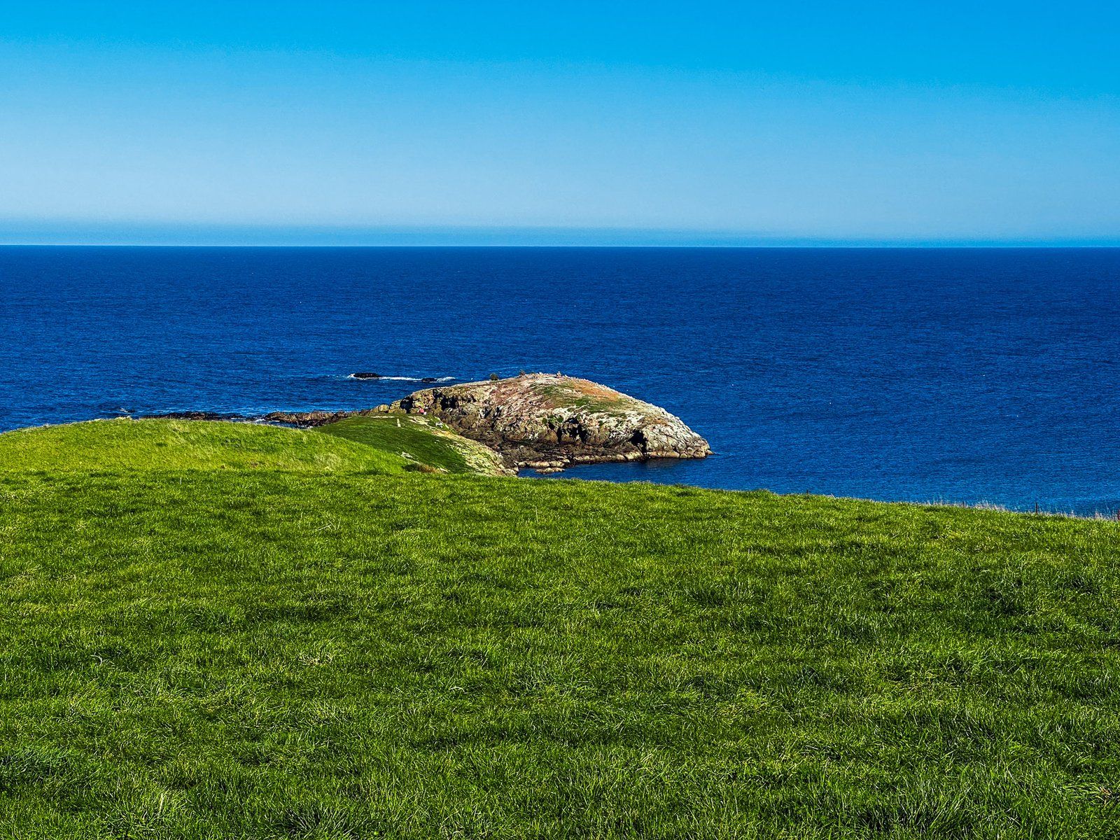
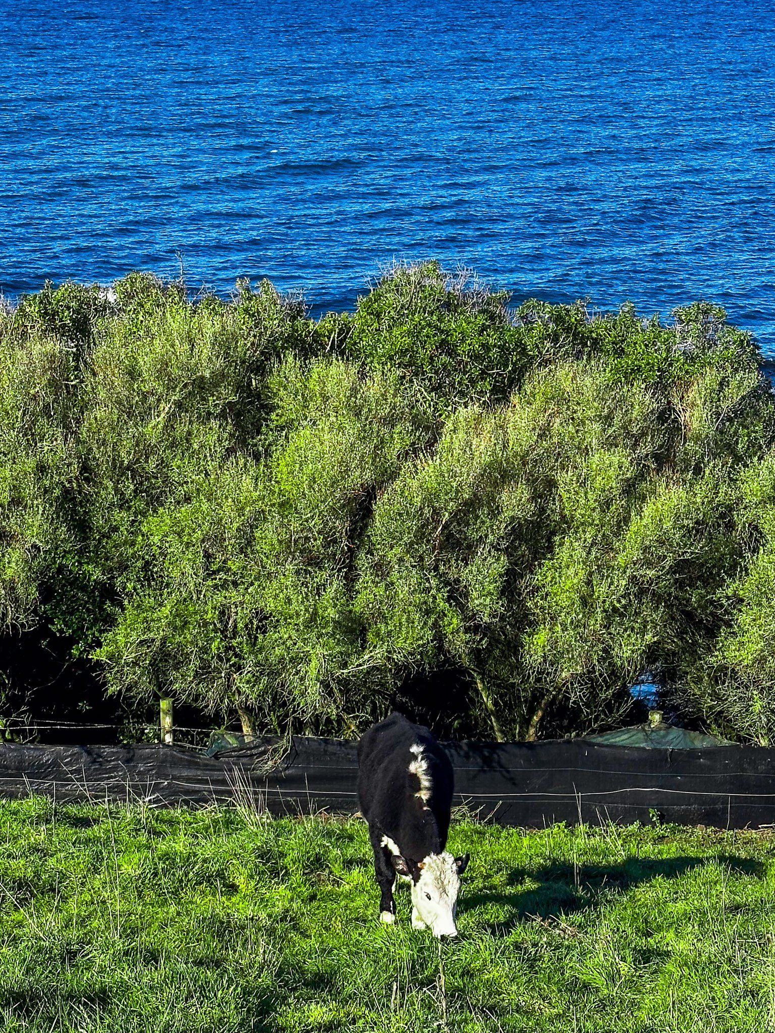
Lighthouse Road is a five km long, mostly metal road across the Moeraki Peninsula between Moeraki and Kātiki Point. The road crosses through rolling farmland with coastal views in places. Even by NZ standards, it defines the colour green, at least in spring.
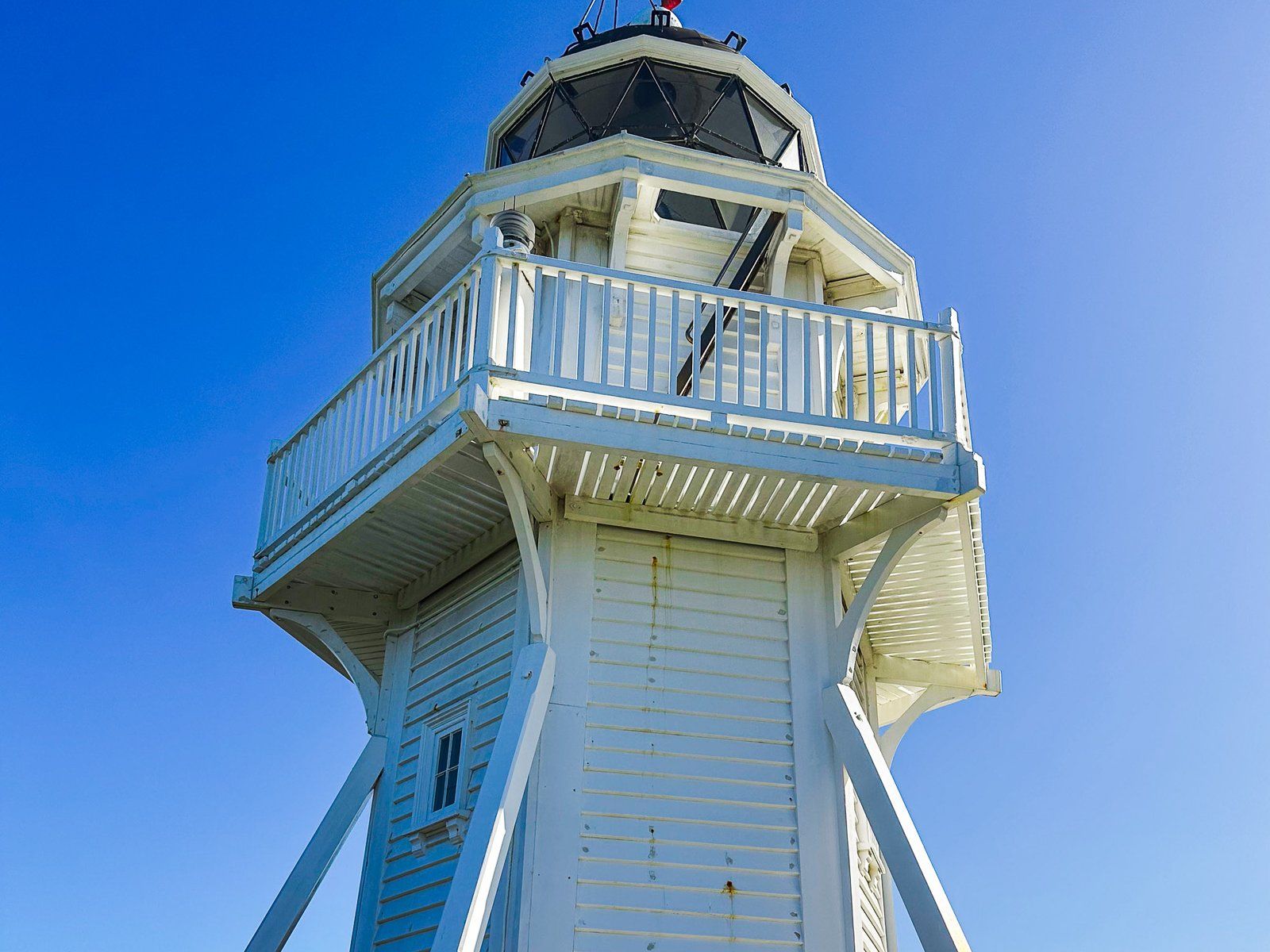
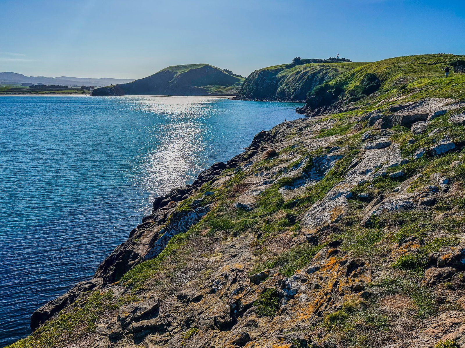
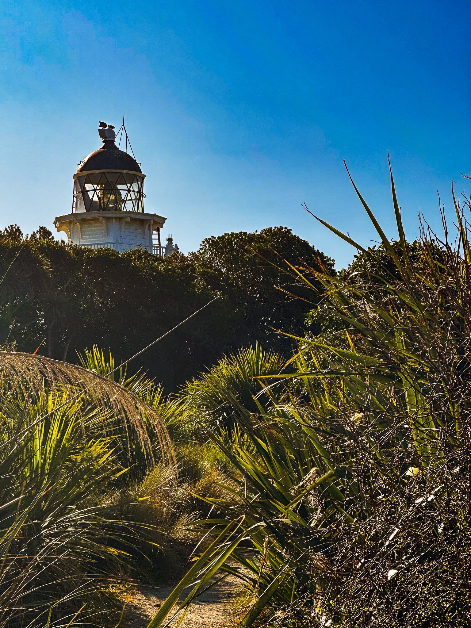
At the end of the road is the Kātiki Point Lighthouse. This was built due to the high risk posed to ships by the rocks and reefs around the point, starting with an original waka in the 1300s and later European ships in the 1800s. The wooden lighthouse is eight metres high and today operates in a fully automated mode. Park near the lighthouse and follow the track to reach Kātiki Point.
Kātiki Point
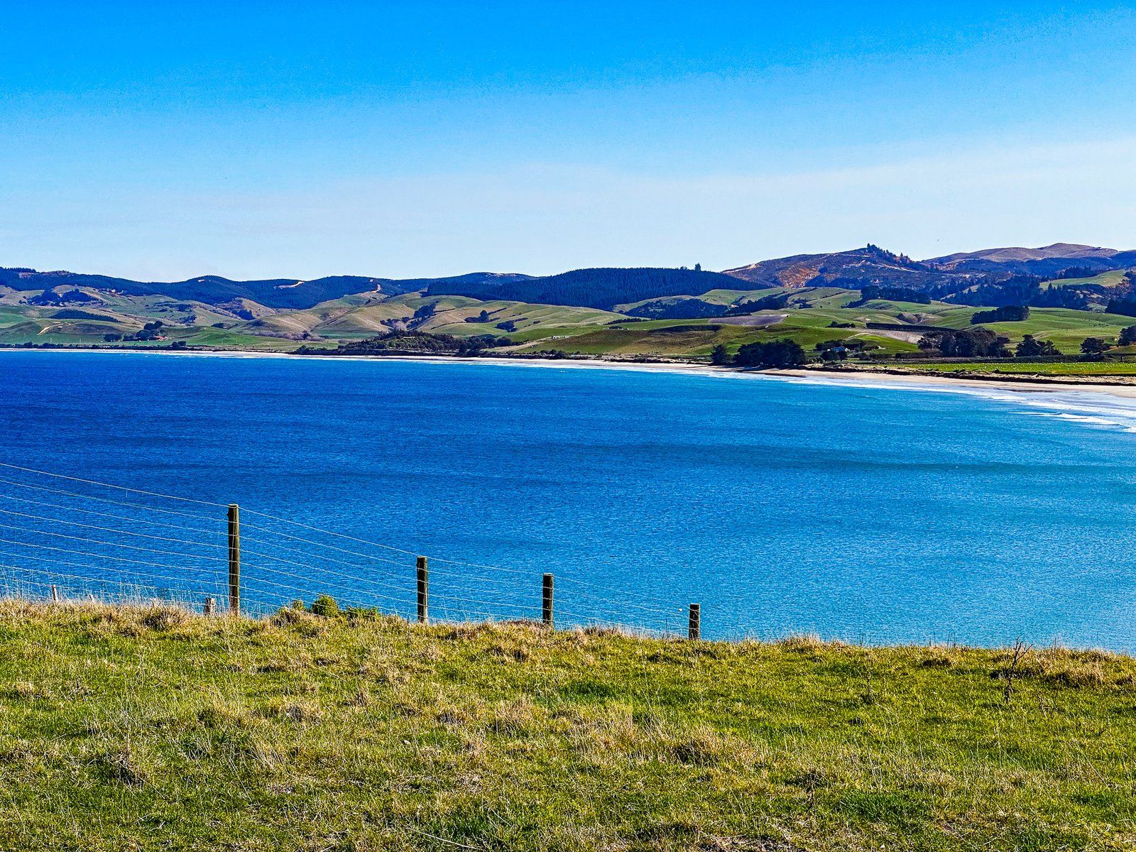
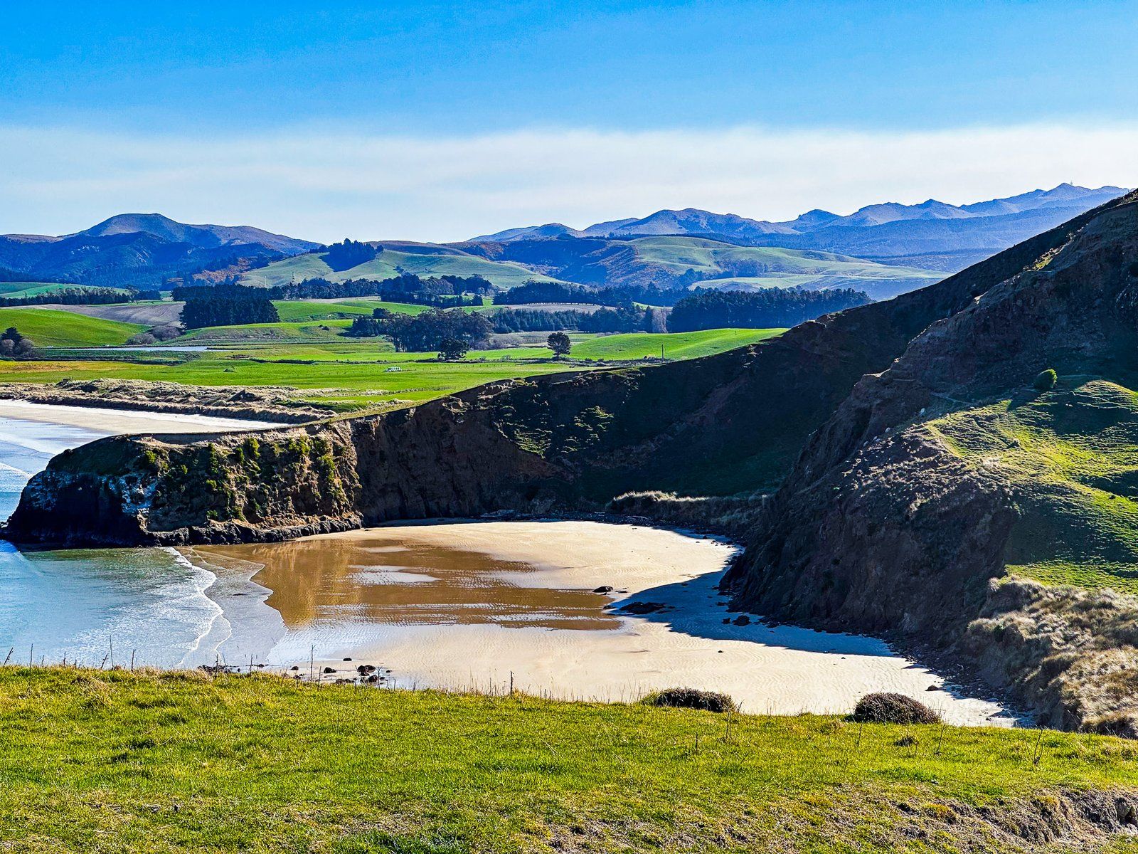
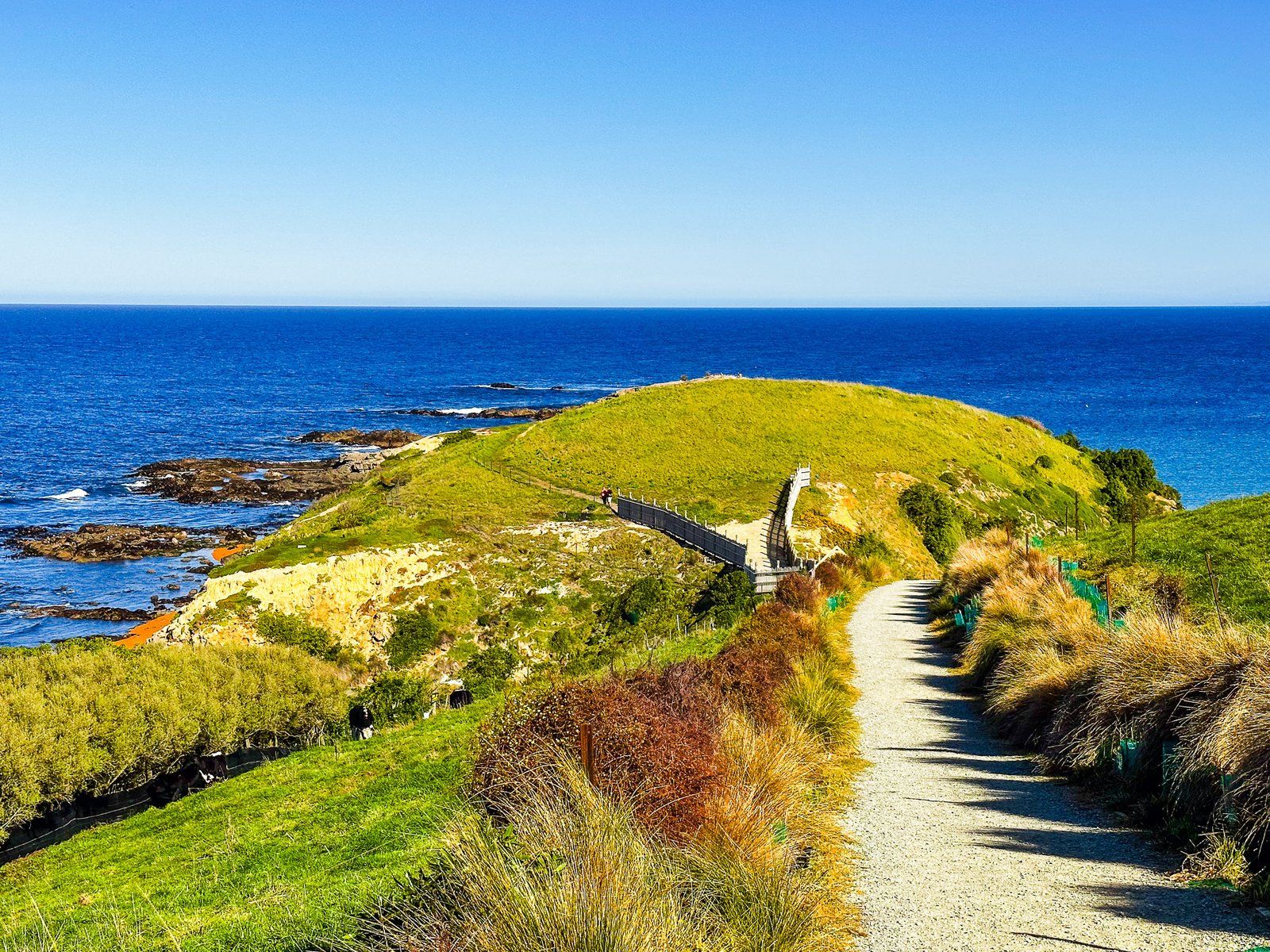
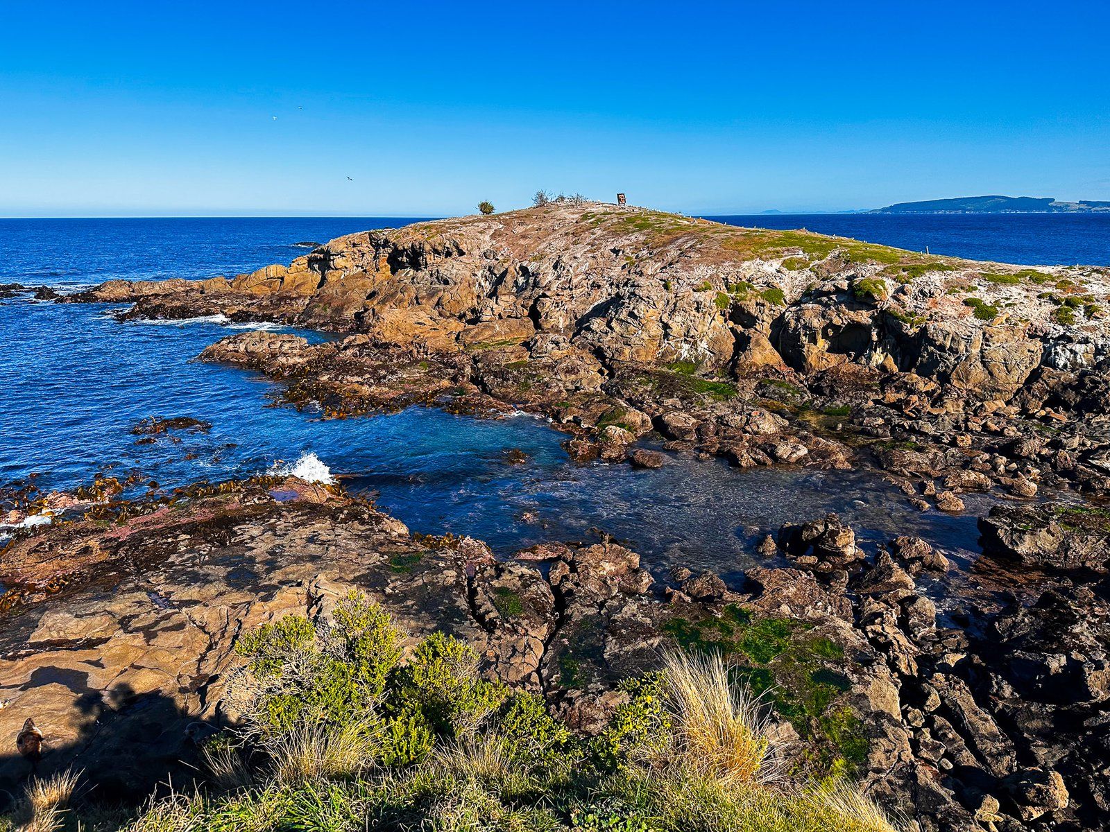
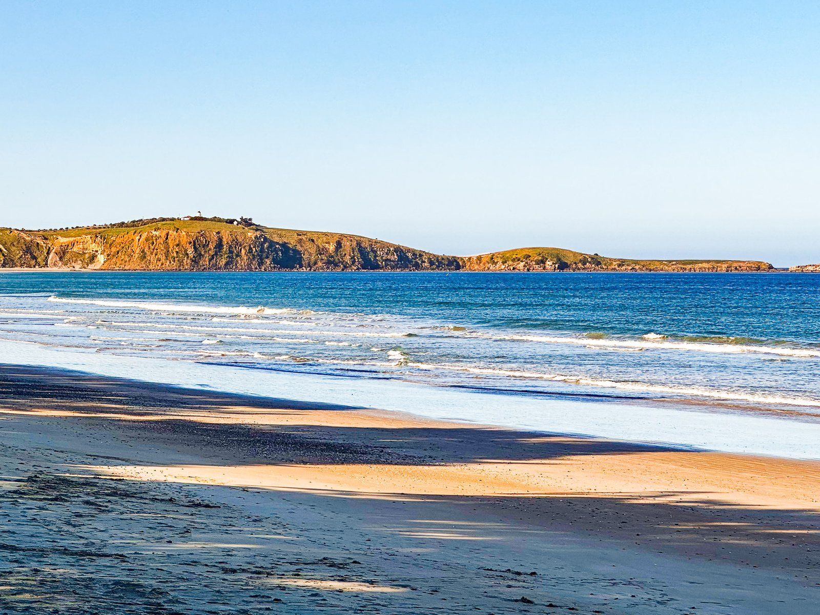
Kātiki Point is at the southern tip of the Moeraki Peninsula on the North Otago Coast. For a relatively unknown place, it combines a fantastic coastal viewpoint with natural experiences and Māori history. The track starts at the end of Lighthouse Road and heads along the ridge towards the point. Most of the surrounding land is farmed, with a section of replanted native shrubs. But this provides excellent views south towards Kātiki Beach.
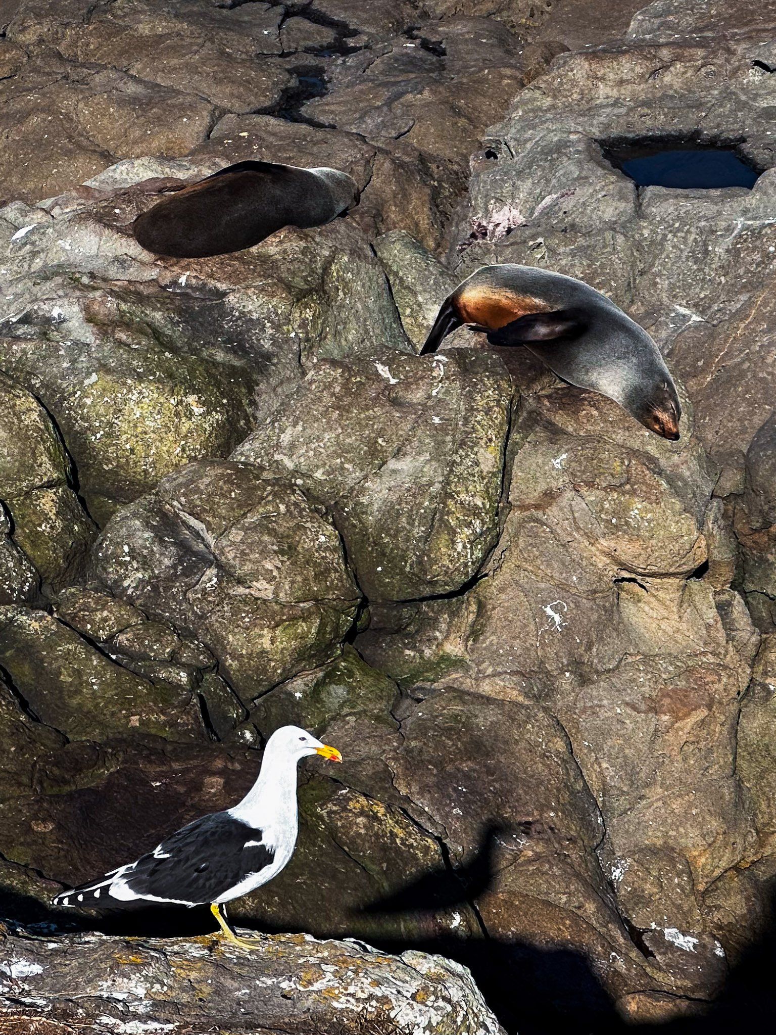
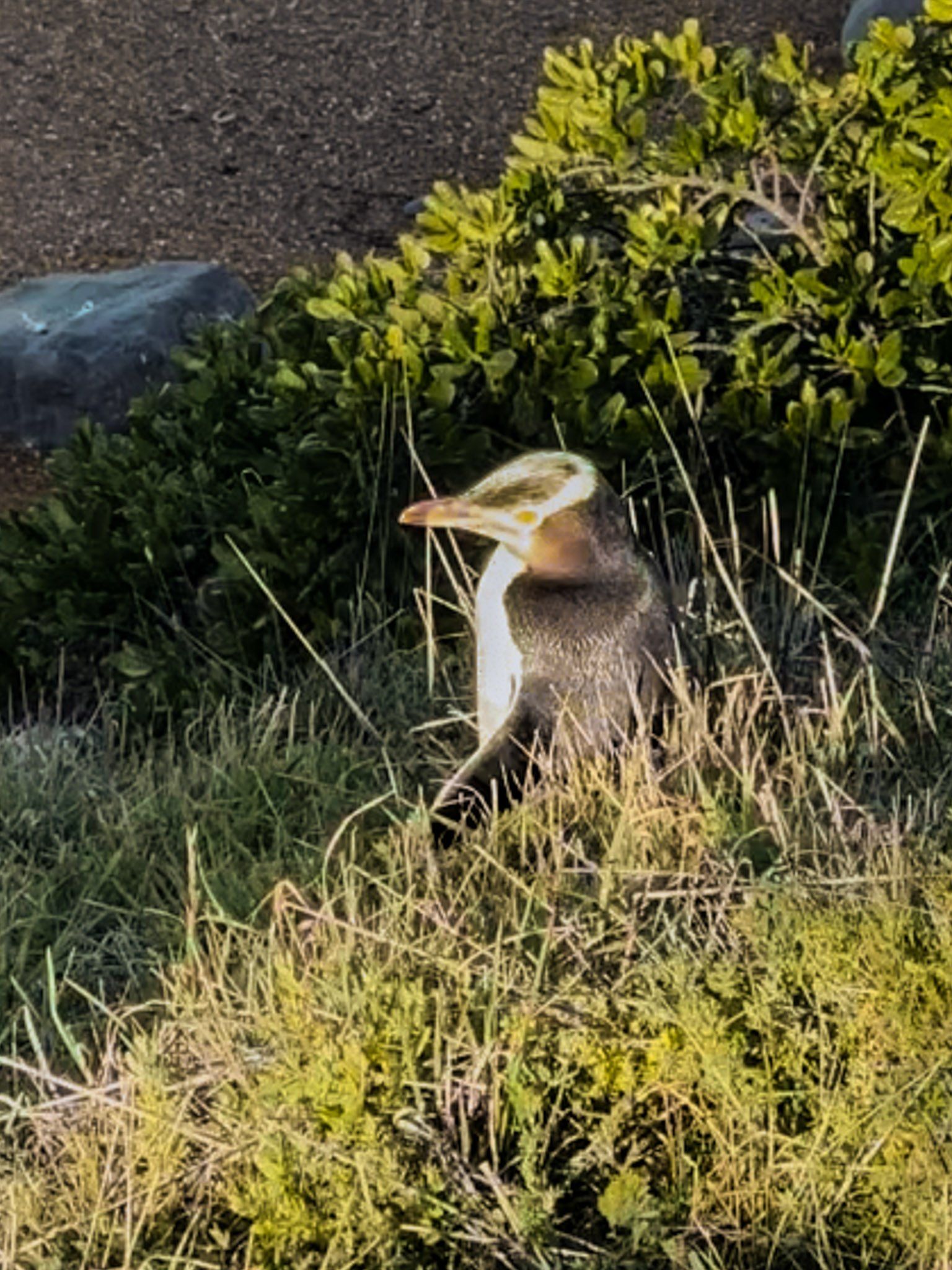
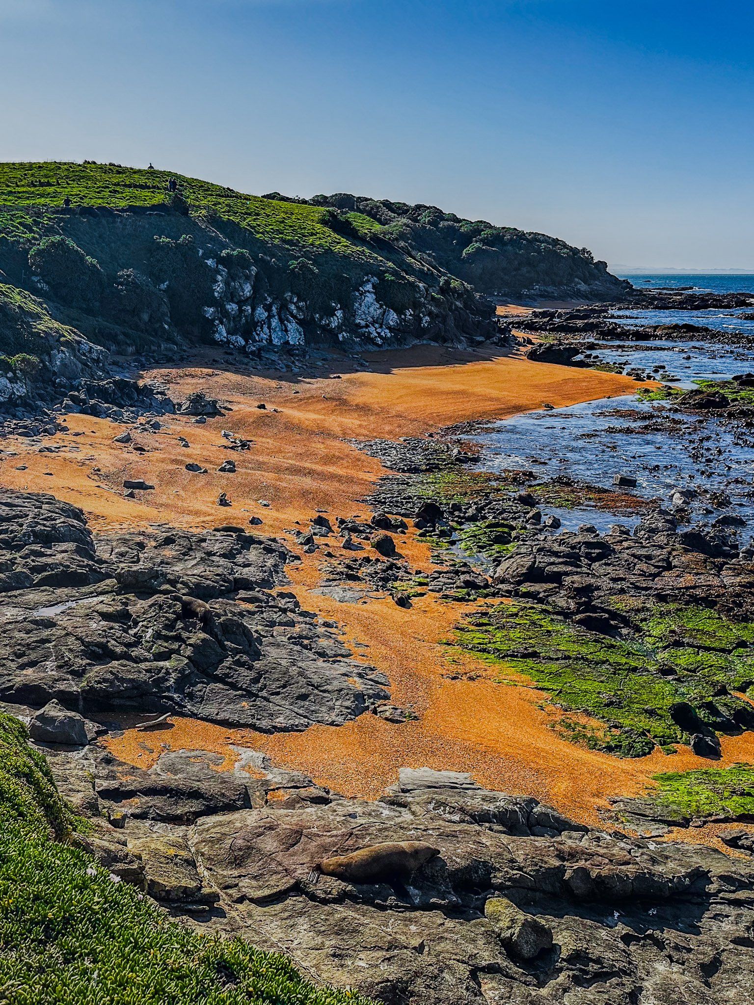
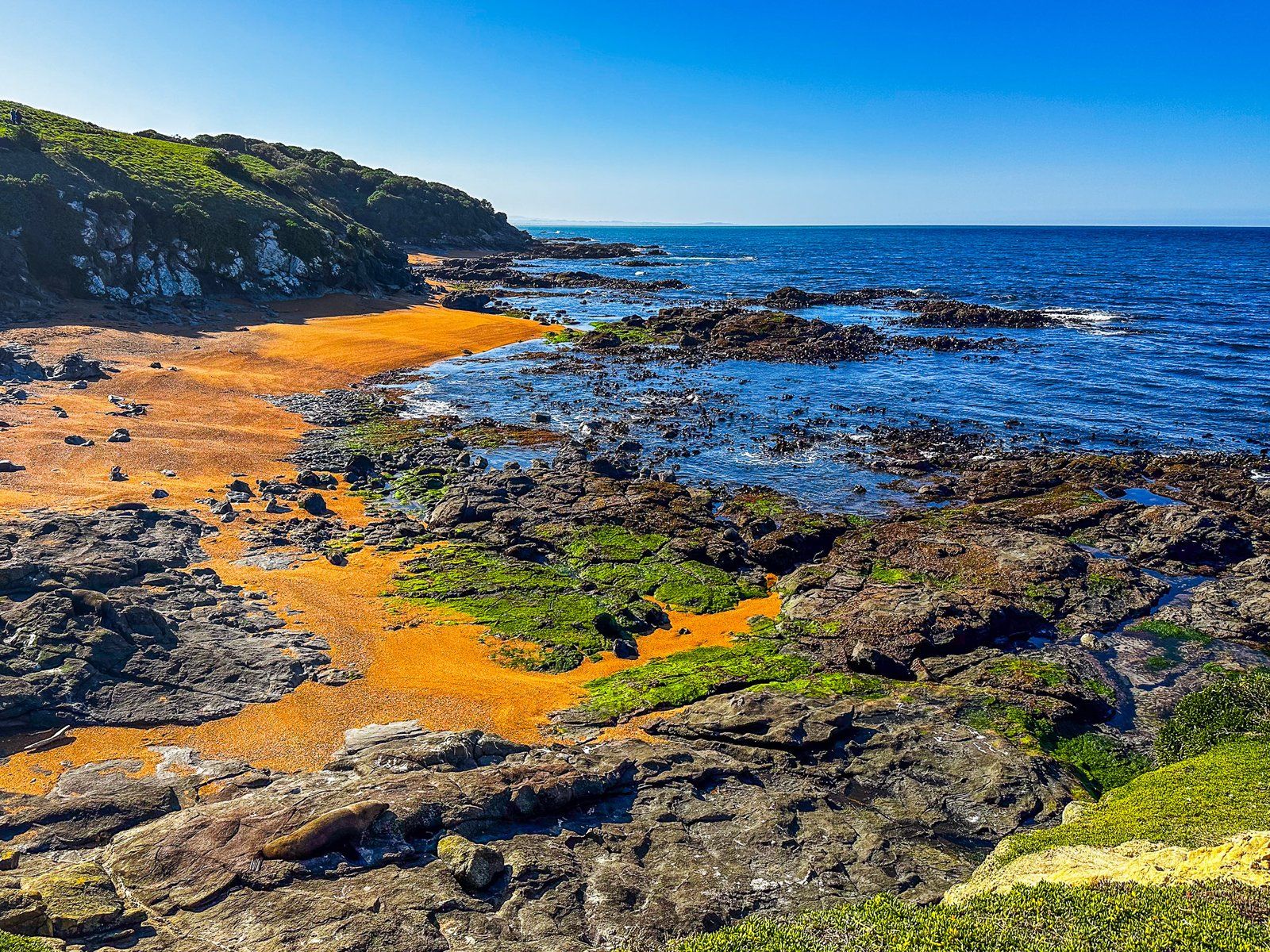
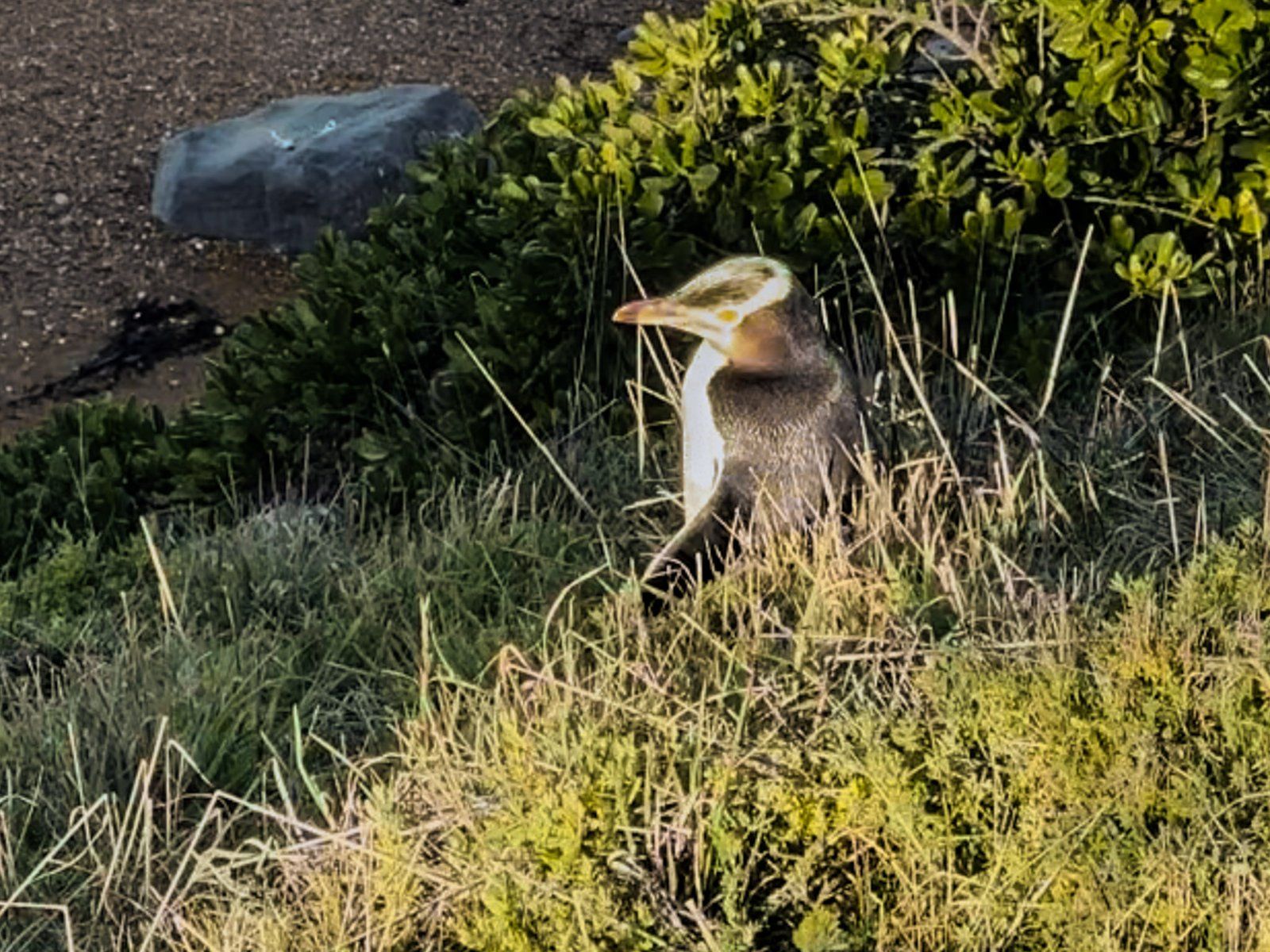
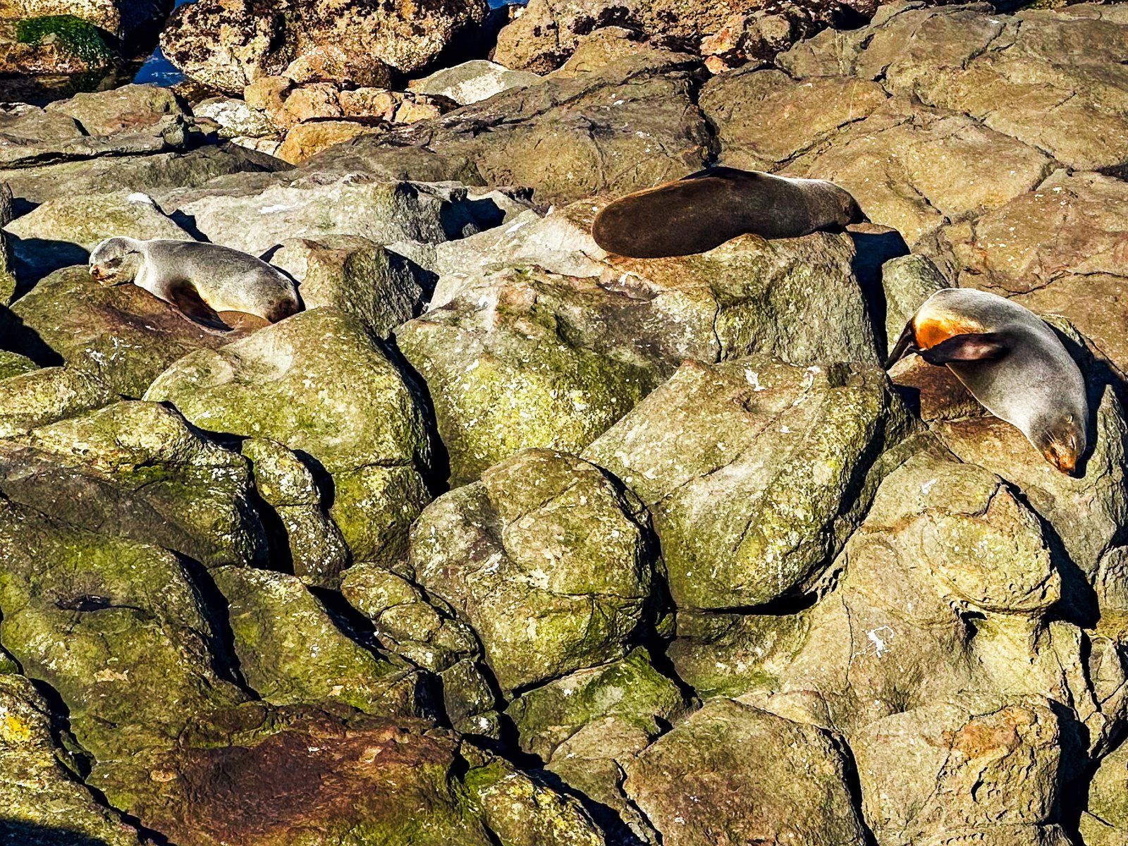
As you reach the Point, there is a fenced-off slope down to several small orange sand beaches, separated by rocky platforms and reefs on the east side. Expect to see many kekeno (fur seals) hanging out. Not so common, but present, are hoiho (yellow-eyed penguins). Continue along the Point to the end, then cross over to the west side for the walk back. The rocky slope to the water is steeper, with a cliff edge. Still, the kekeno appeared to like it.
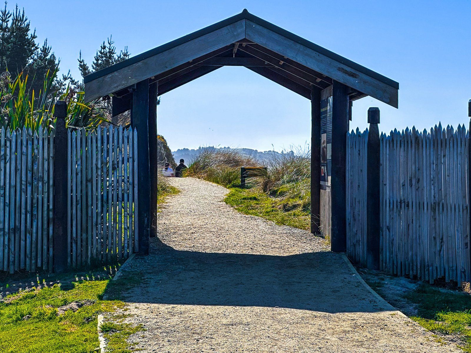
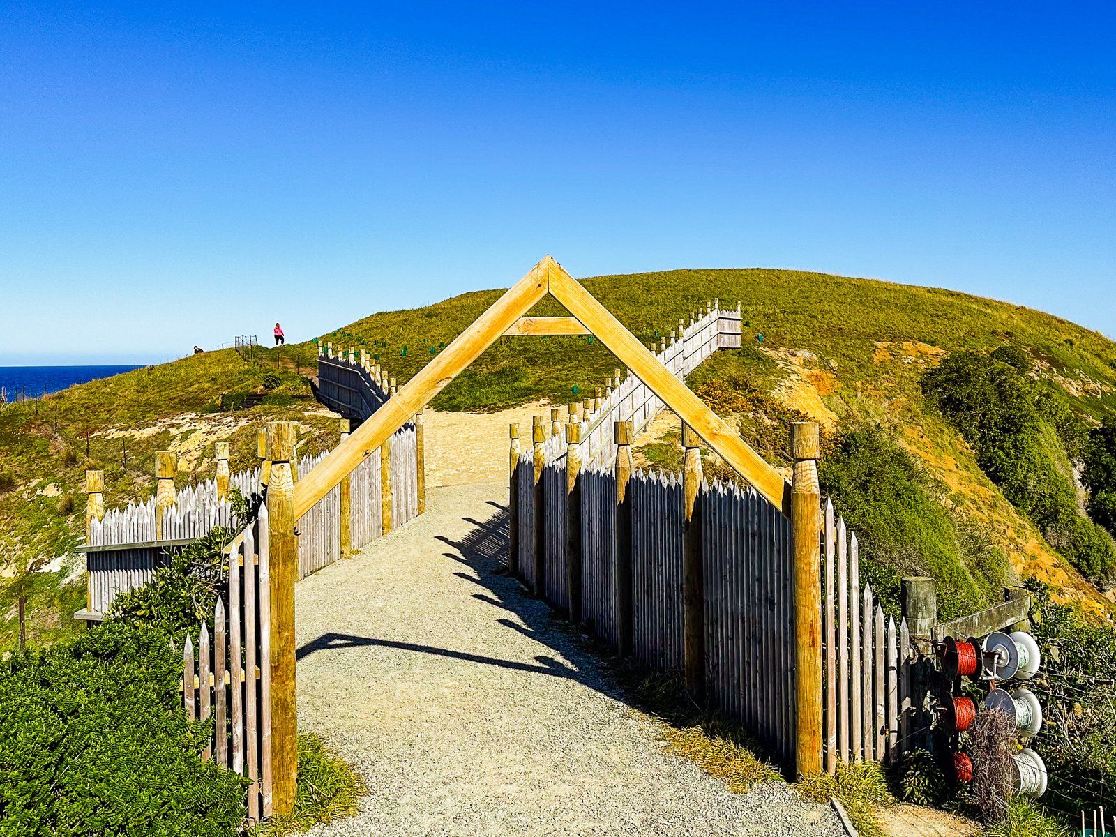
The point was also the location of a major pā, called Te Raka-a-Hineatua, which is marked by the entrance and protective palisade at the start of the Point. The pā was the best-developed southern pā, with terraces and rectangular houses with stone fireplaces. It was built by Taoka, a famous chief of the late 1600s/1700s, after a series of skirmishes with Tāwhaki-te-Raki further north. Shortly after the pā was completed, Tāwhaki-te-Raki came down from Kaikōura with a war party. Taoka won the battle, known as Te Hakopa, and the war party was badly beaten and then eaten! Taoka also built pā at the Ashburton River and near Timaru.
Kātiki Beach
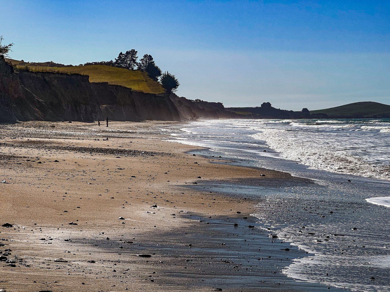
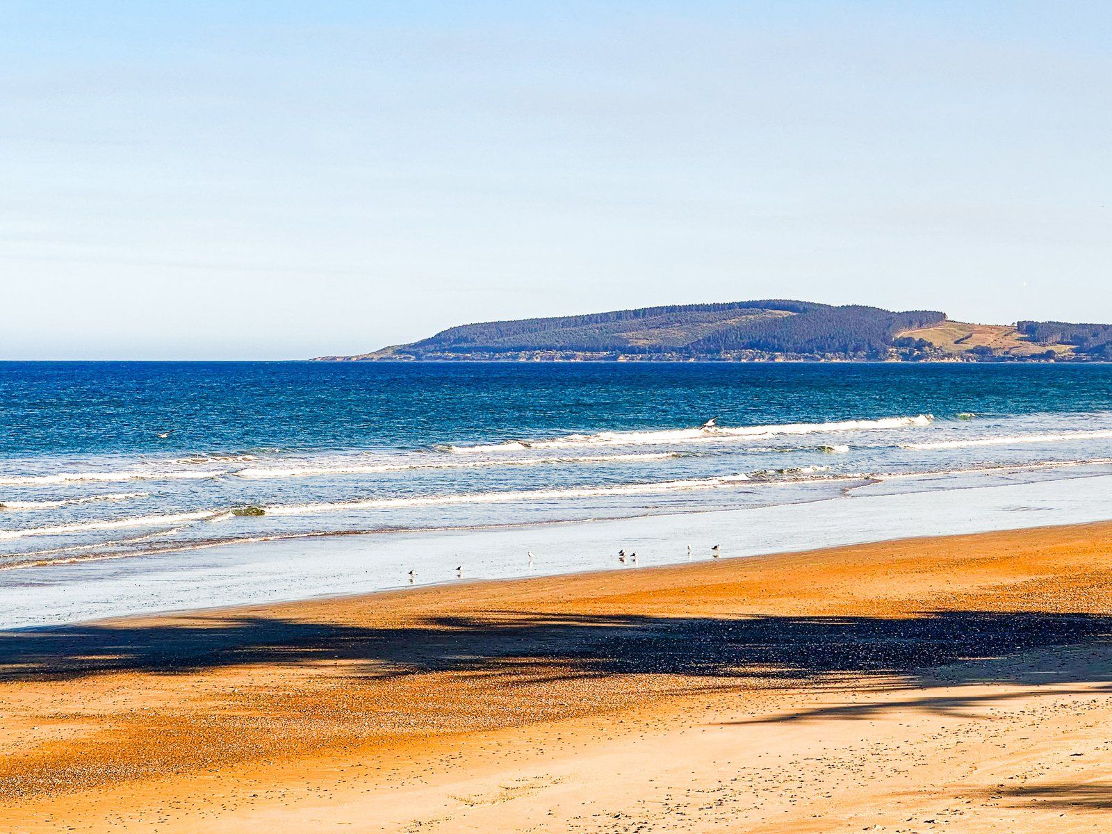
Kātiki Beach is nine km long and lies between Kātiki Point and Shag Point on the North Otago Coast. State Highway 1 runs down much of its length, with views directly across the beach from the road. Despite its length, there is only one safe place to stop before Shag Point. This is a reserve towards the north end of the beach off the main highway, which is also a campsite for self-contained camper vans.
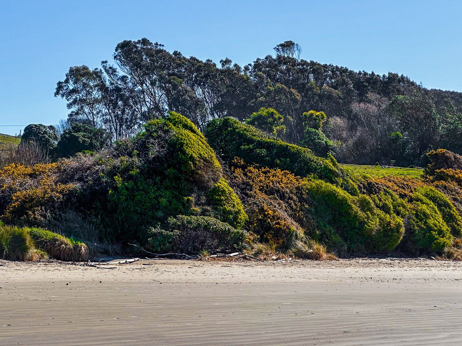
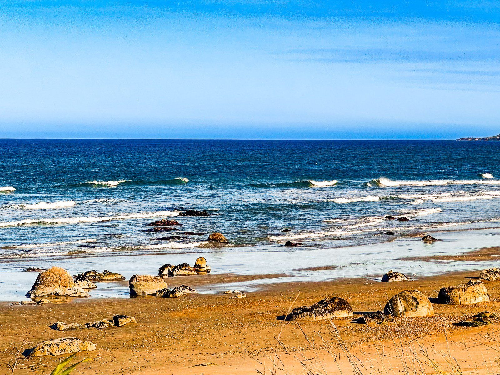
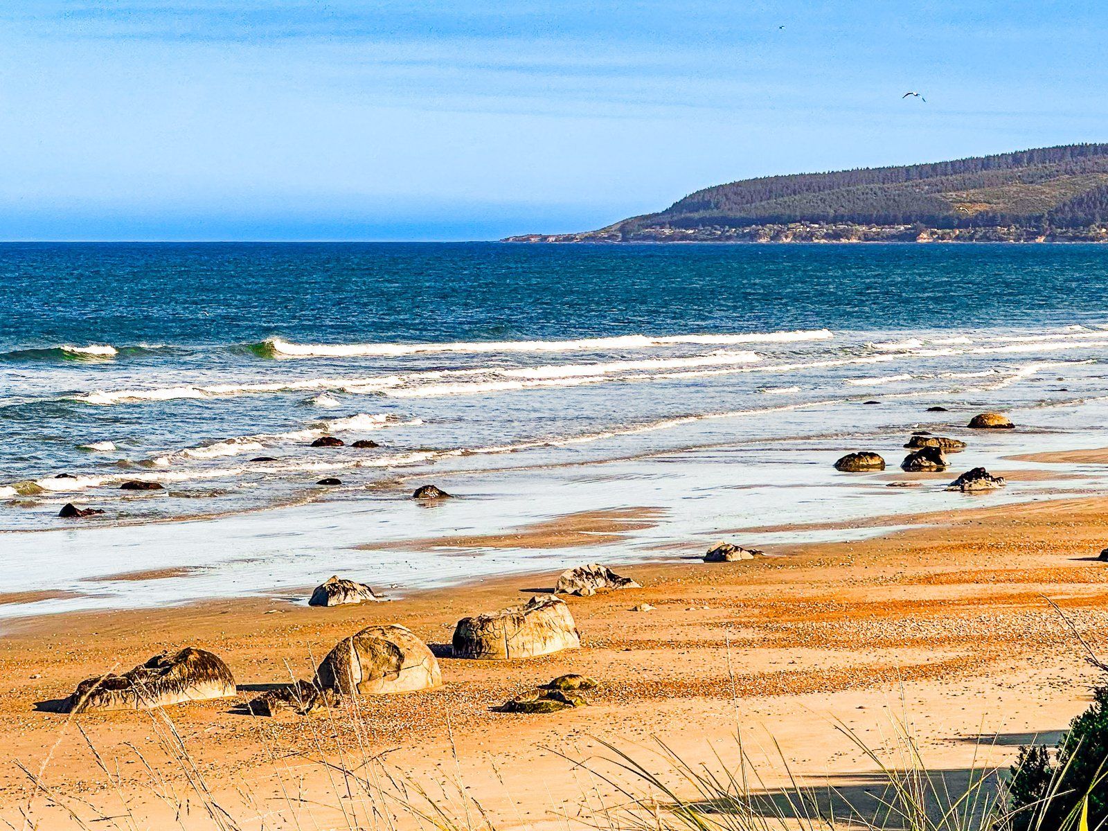
From the reserve, It is a two km walk north towards Kātiki Point. This feels especially remote as this part of the beach is not backed by the highway. But walking south for about two km, as the tide goes out, provides access to rock concretions similar to the Moeraki Boulders. They are not as spherical and more like a kumara than a ball. This is probably because the concretions were pulled and stretched by water flow as the surrounding mud reacted with the calcites that created the concretting effect.
Regardless, if you want to see millions-years-old concretions without the crowd at Moeraki Boulders, this is an option. Or just hang out at a perfect and probably empty Otago beach!
Trotters Gorge
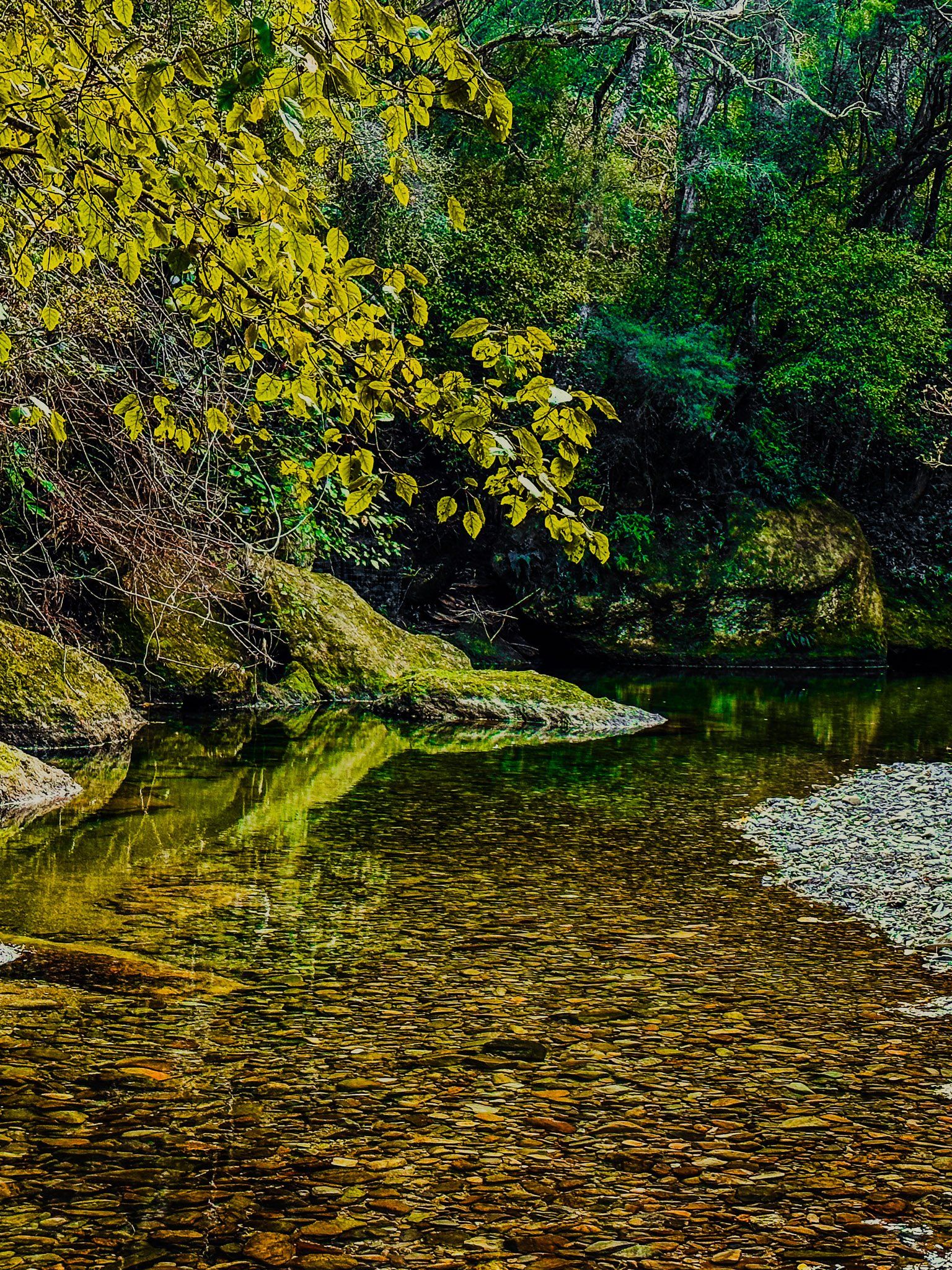
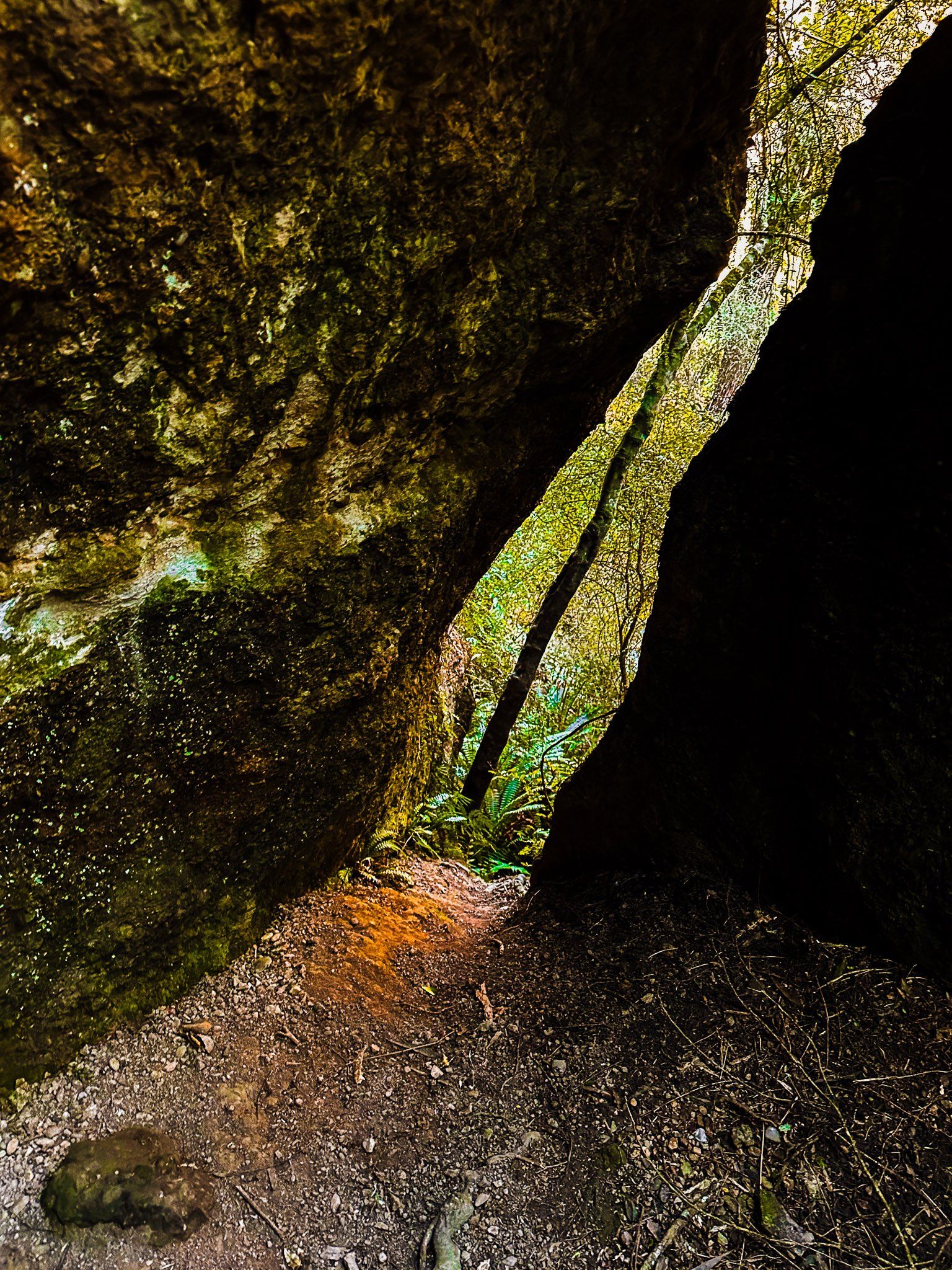
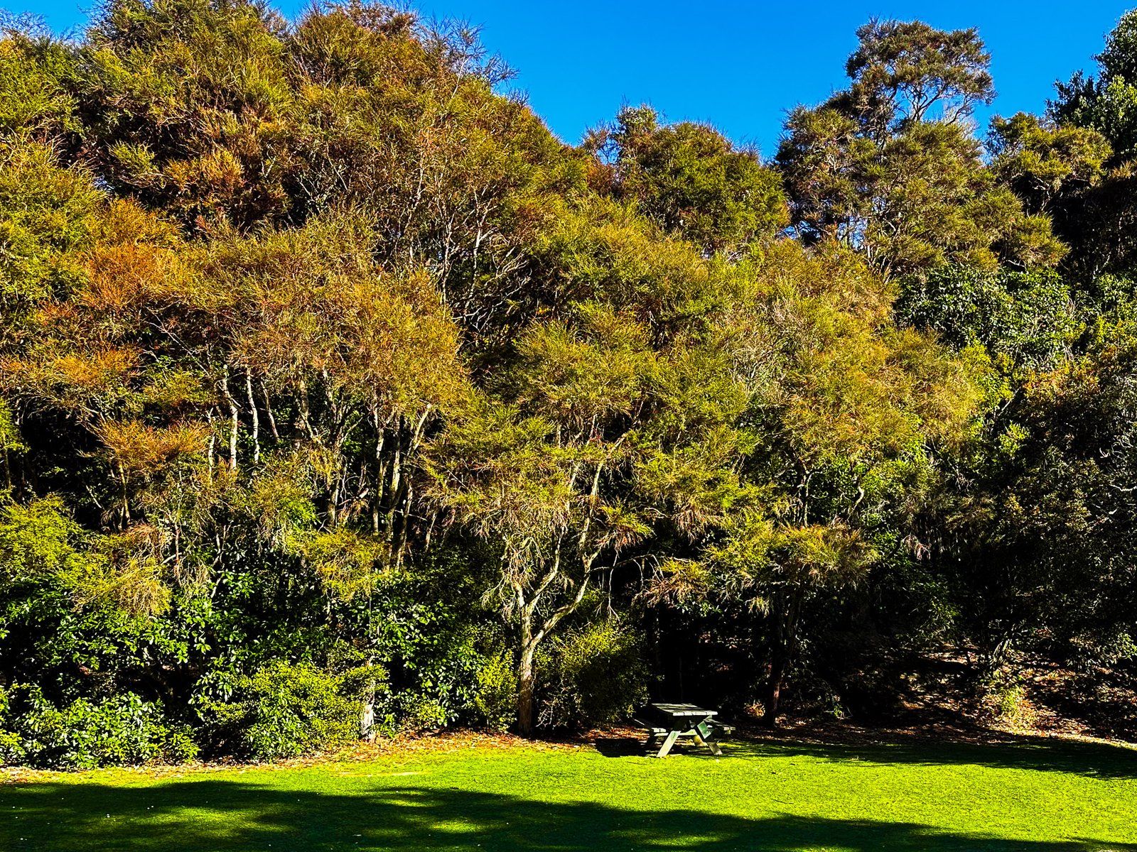
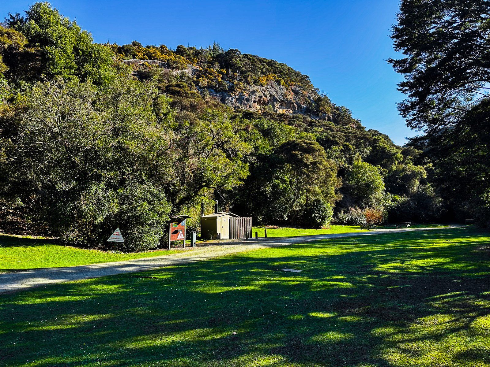
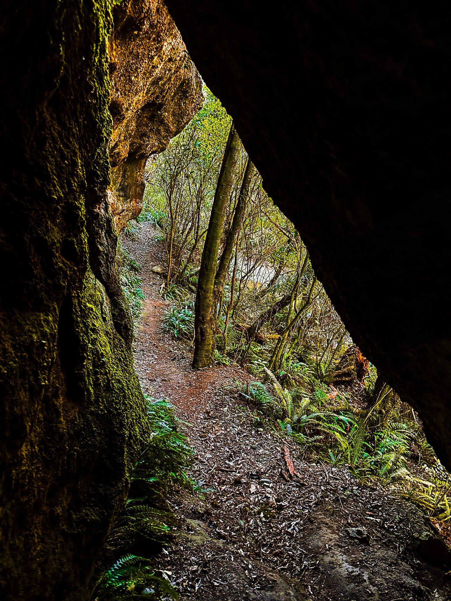
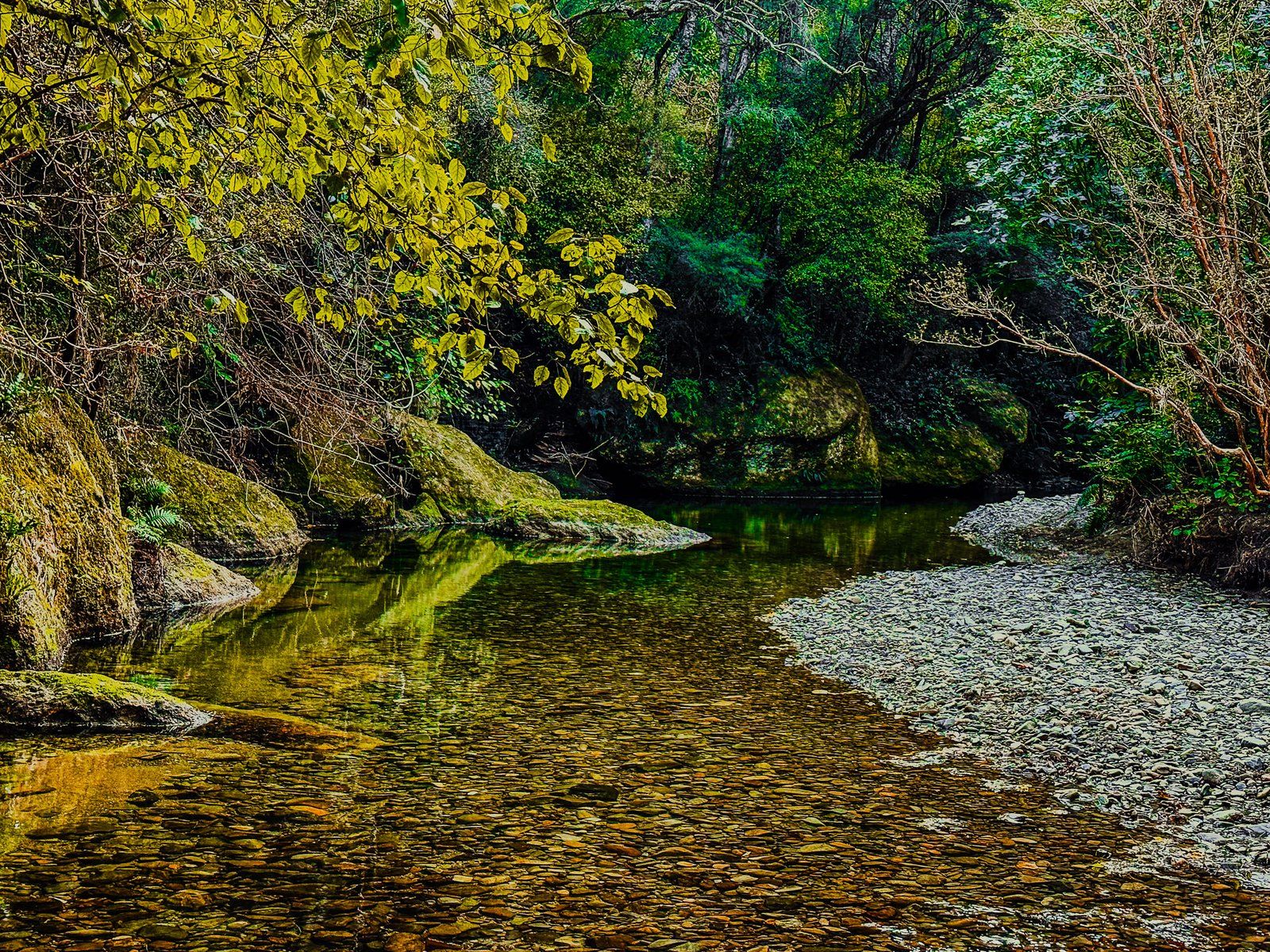
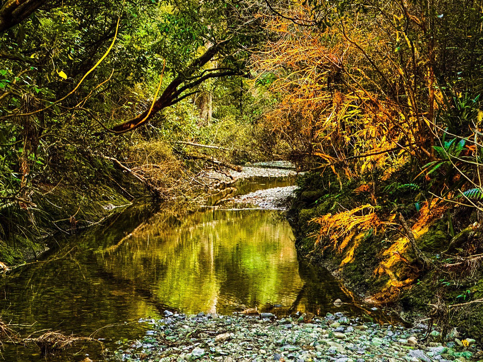
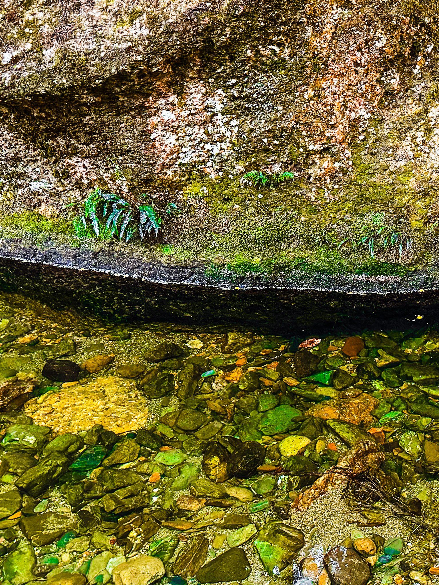
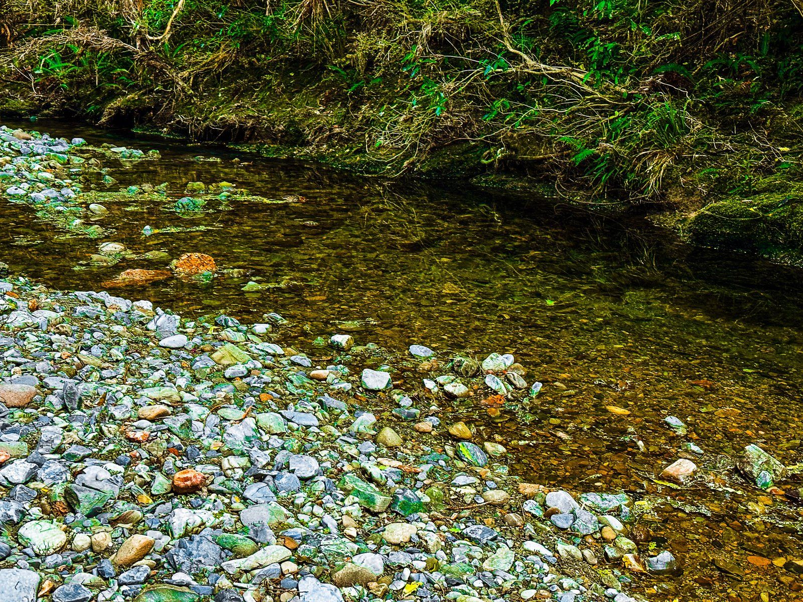
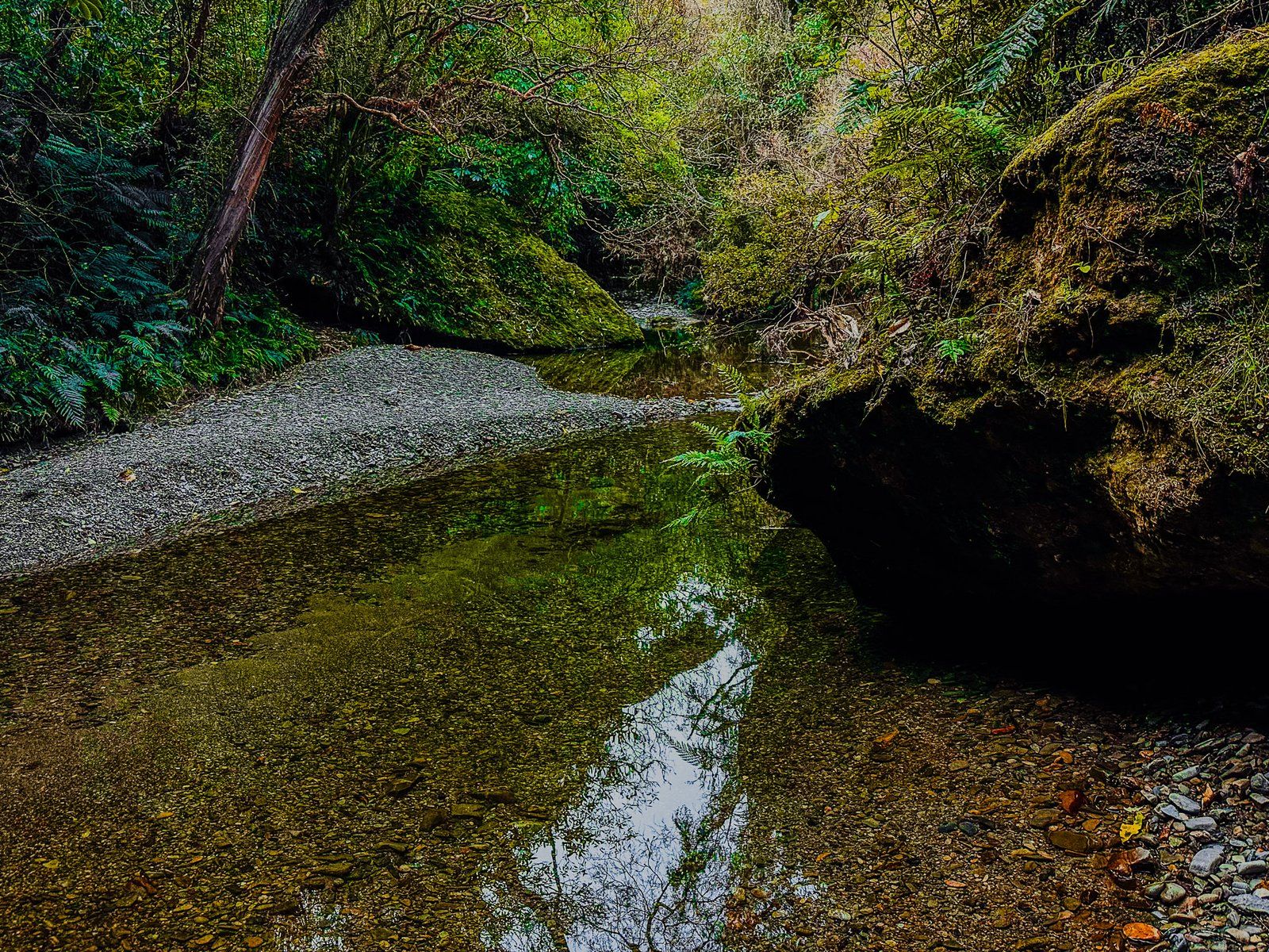
After spending a few hours on the North Otago Coast, head to Trotters Gorge for a gorgeous DOC campground. This is set within an area of recovering native forest alongside Trotter Stream. There are signposted walks of 30 minutes to two hours. The first short walk follows the stream to caves and continues further into the Gorge, including stream crossings.
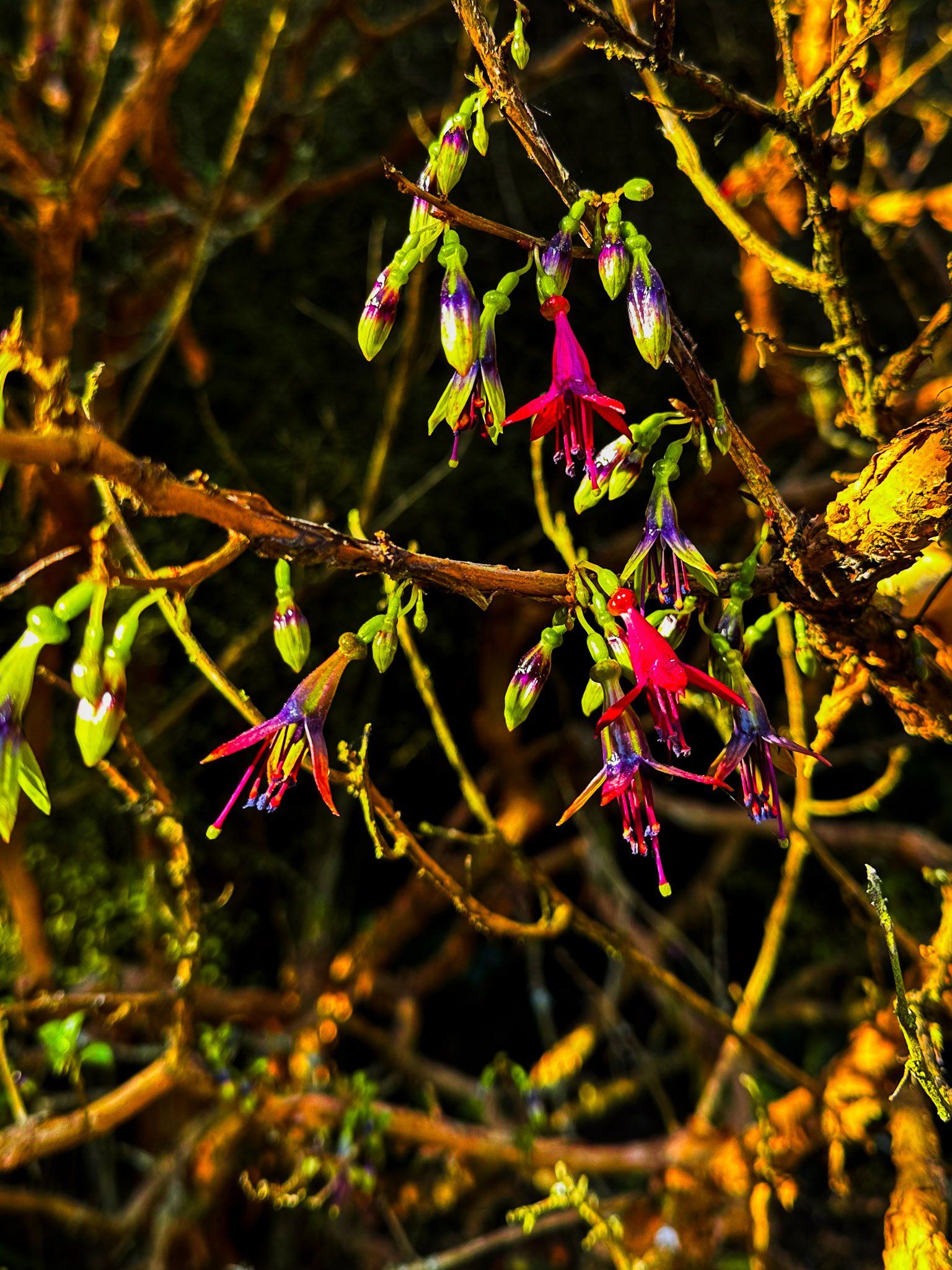
The second walk option at Trotters Gorge takes you to the top of the Gorge bluffs, with views to the coast. A less obvious short walk takes you opposite the campsite on the north side of the stream below the gorge bluff and includes a short natural arch. In early Spring, the forest margins around the campsite are rich with kōtukutuku (native tree fuschia) and kōwhai.
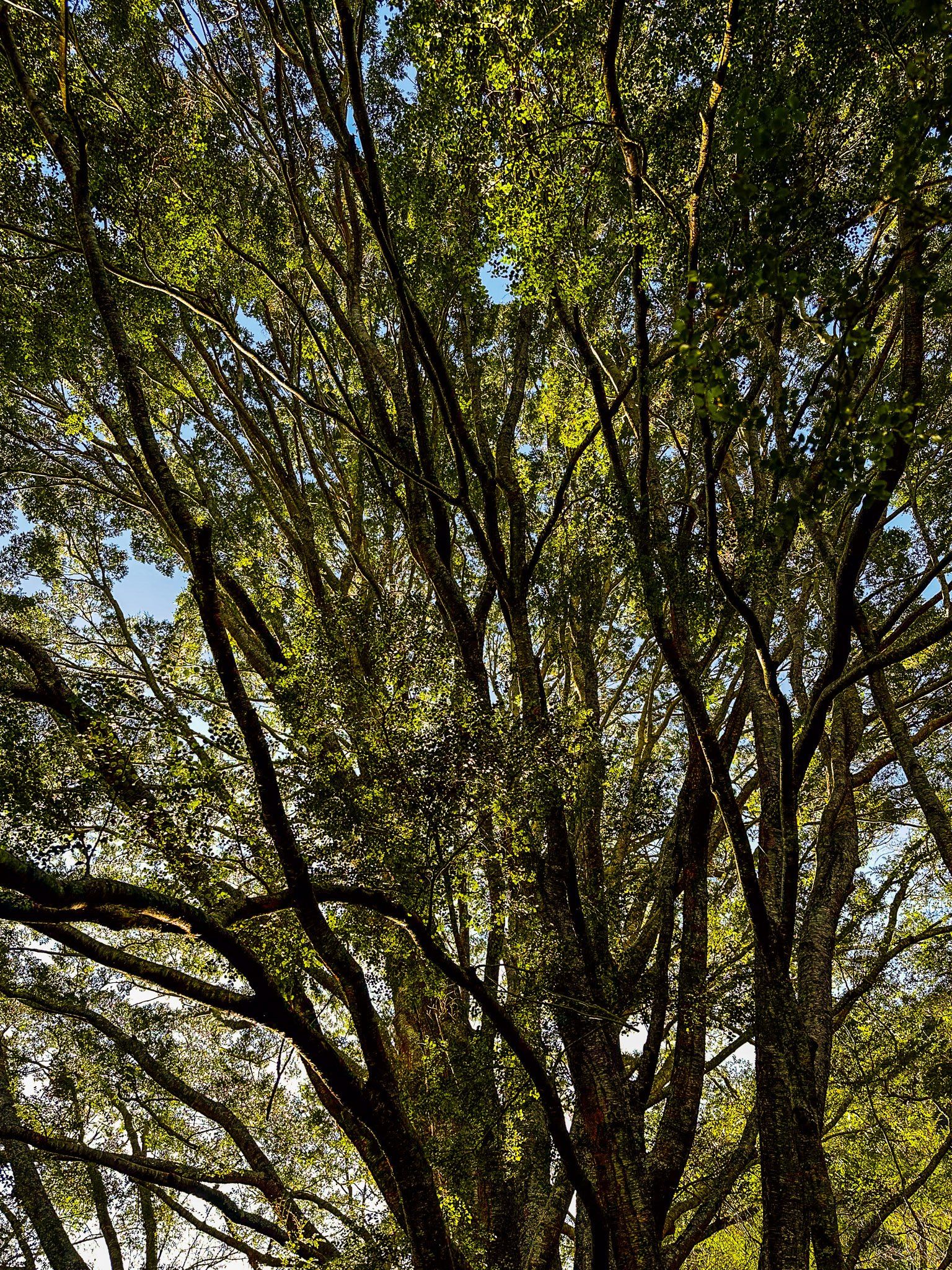
The gorge is in the Horse Range, which is geologically truly ancient, even by Otago standards. As what would become New Zealand separated from Gondwana, braided rivers reworked and eroded the terrain. The result was piles of sediments, which are today up to 400 metres high and are called the Horse Range. Trotters Gorge has, over time, been carved out of these sediments by the stream.
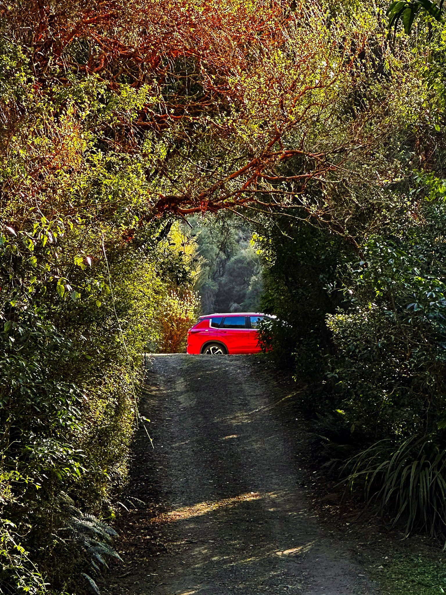
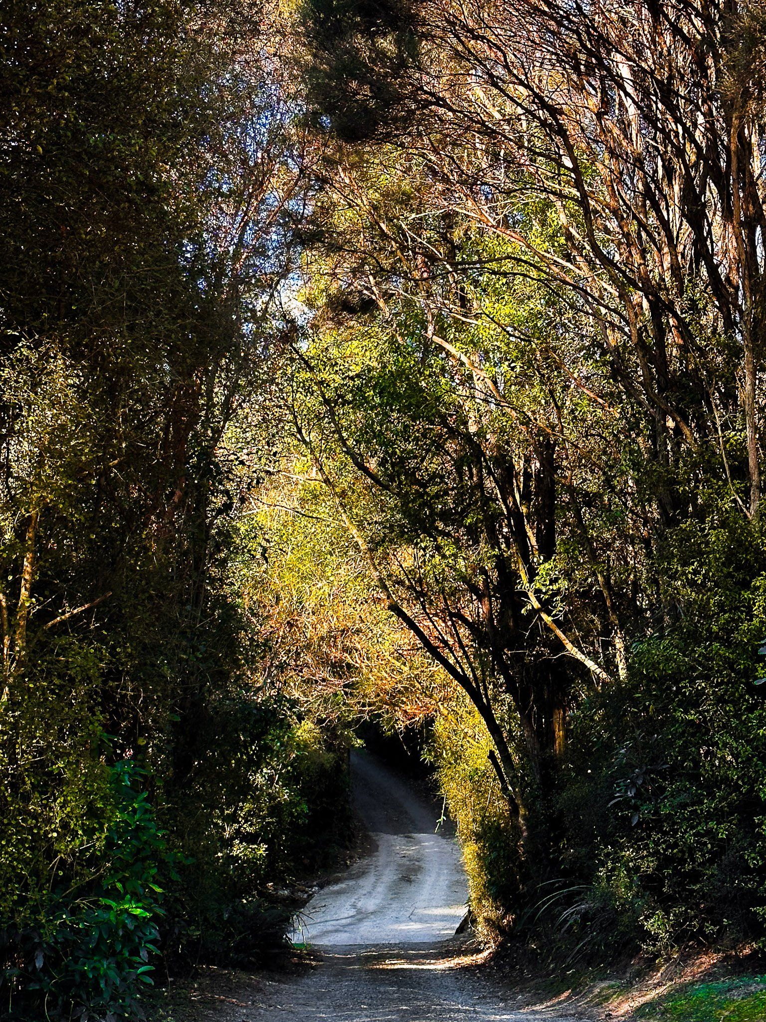
To get there from State Highway 1, turn onto Horse Range Road between Moeraki and Kātiki Beach. Follow this for four km, then turn right onto Trotters Gorge Road. Note that the vehicle entrance gate to the campsite is closed in winter. You can still camp there, although the grassed area may be very wet.
Want more North Otago Coast Trip Ideas?
Check out our blogs on the North Otago Coast: Kakanui to Te Hakapureirei, Waitaki Whitestone: NZ’s Most Beautiful Rock Formations, and Beautiful and Historic Ōamaru.


