Exploring Rugged Nevis Road
Nevis Road is a remote and scenic route in Central Otago, New Zealand, connecting Bannockburn with State Highway 6 near Garston. Originally a Māori trail, it was later adapted by Europeans to access the Nevis Valley. This valley, nestled between the Tapuae-o-Uenuku / Hector Mountains and the Garvie Mountains, was the site of a gold rush in 1862, leading to the development of a small town. Today, visitors can explore the stone ruins and relics while the area remains actively farmed by Ben Nevis Station.
Navigating Nevis Road
While much of Nevis Road is accessible by standard vehicles, a section requires a 4WD, with many fords to cross. The road can also be affected by snow and ice in winter, which may lead to closures.
Starting from Bannockburn, take Bannockburn Road south and continue straight at the intersection with Hawkburn Road onto the unsealed Nevis Road.
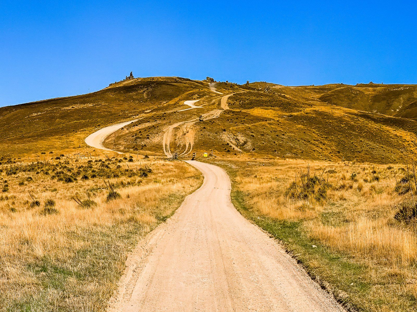
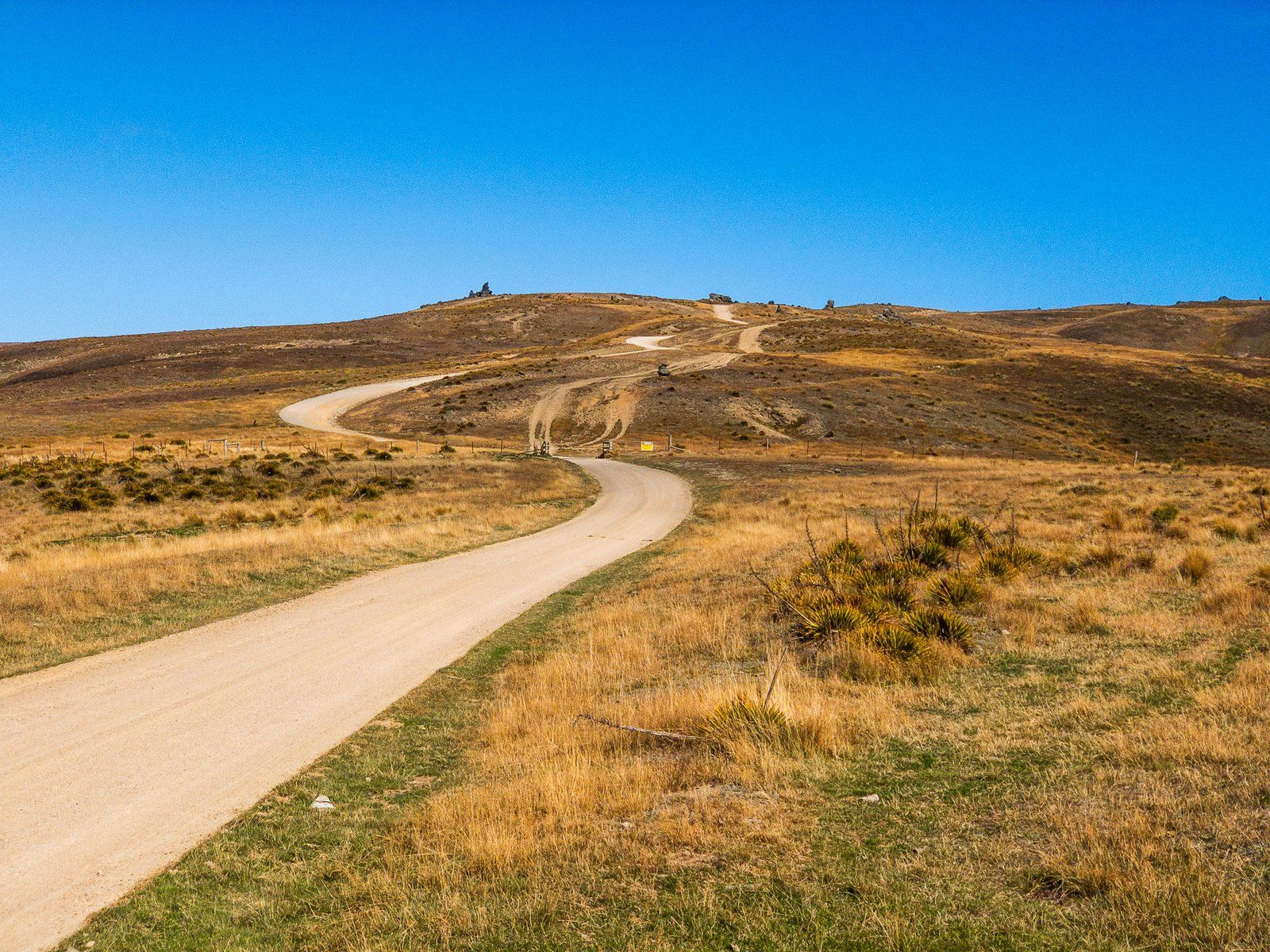
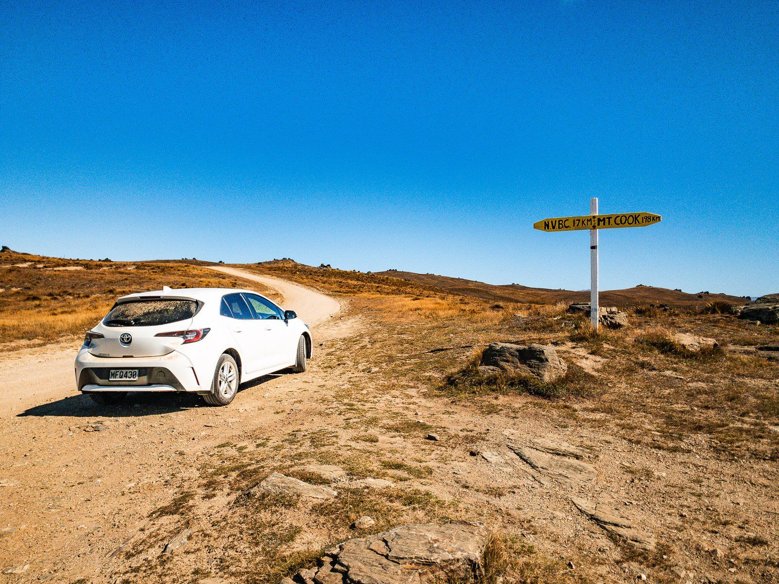
The Journey to Duffers Saddle
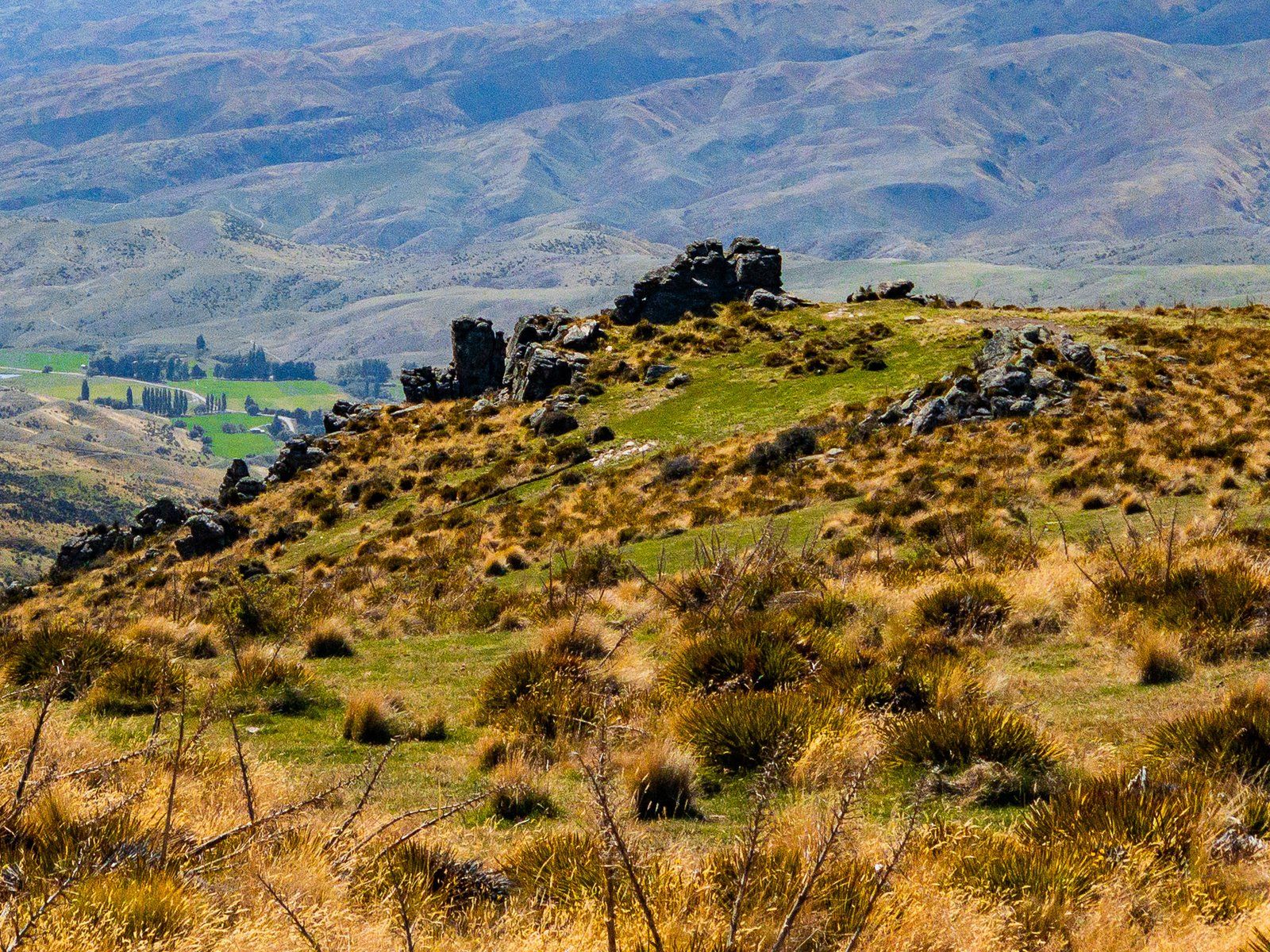
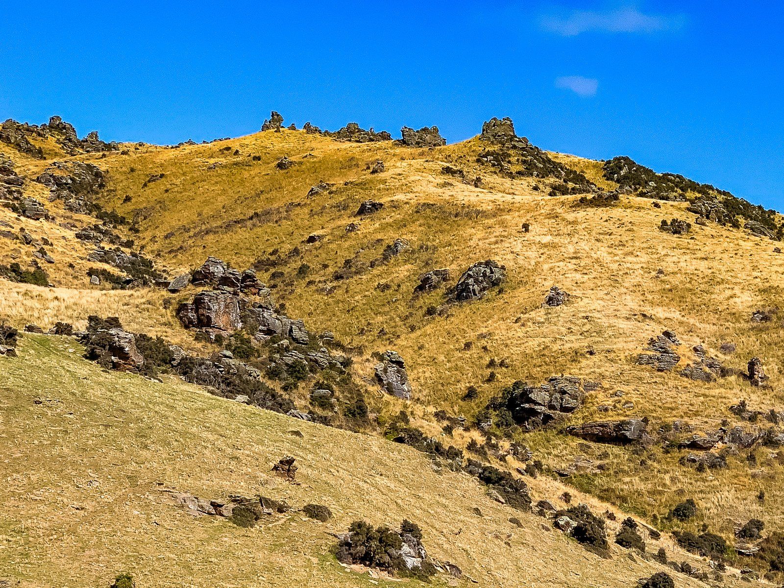
The road ascends from 460 metres to its highest point at Duffers Saddle, reaching 1,275 metres. This area marks a transition from tussock and grass to an arid high country semi-desert, featuring distinctive rock tors. Duffers Saddle is the highest point on any public road in New Zealand, situated between the Carrick Range to the north and the Old Woman Range to the south. Several tracks can be accessed near the saddle.
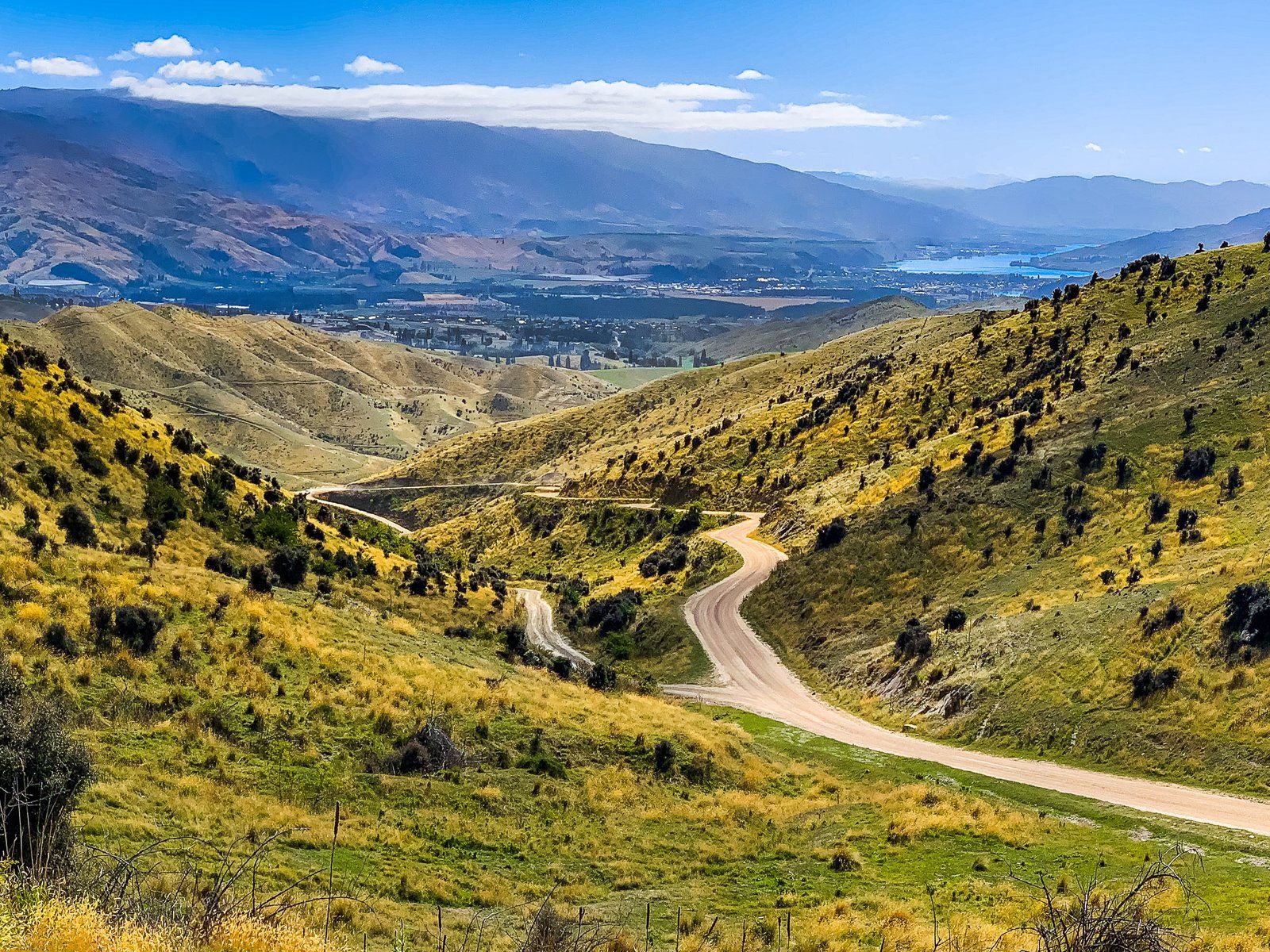
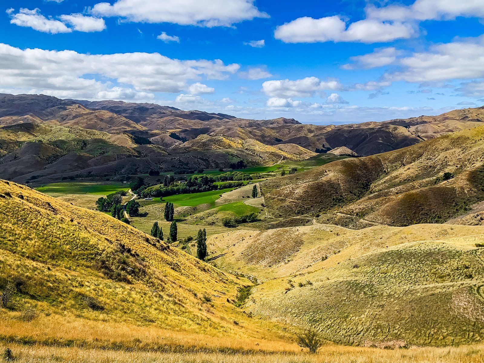
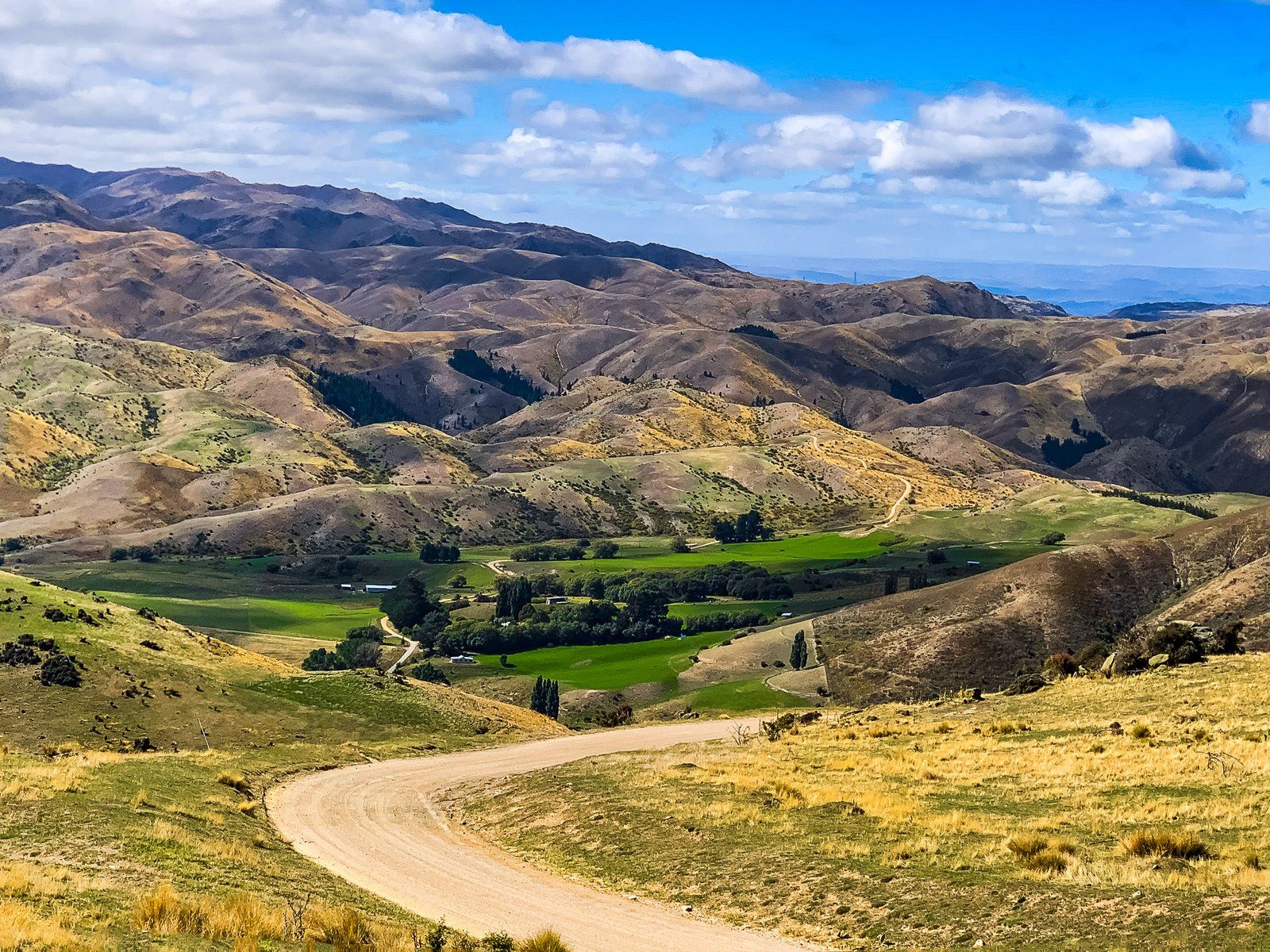
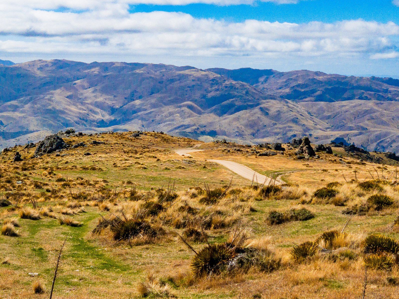
Descending into Nevis Valley
From Duffers Saddle, the road is well-maintained as it descends westward into the Nevis Valley. After crossing the Nevis River at Nevis Crossing, the road turns south and stretches for 12 km to Lower Nevis. Here, Commissioners Creek crosses the road just above the river, creating a significant ford.
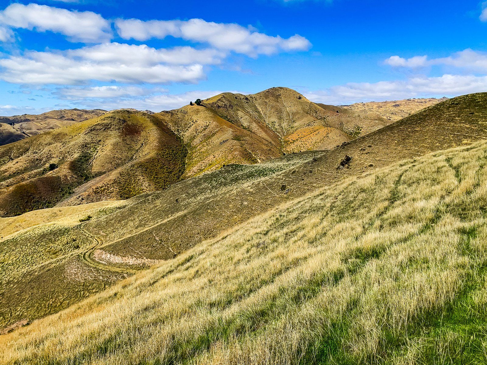
Continuing Through the Nevis River Gorge
A 4WD-only warning sign marks the beginning of a challenging section with over 20 fords. Those with a 4WD and confidence can venture into the Nevis River Gorge. Approximately ten kilometres further, the road crosses the south end of the Hector Mountains at 1,100 metres before descending to State Highway 6 and Garston. On the way down, you can explore the historic Garston Ski Hut and the private Roaring Lion Trail. You can also safely take a 2WD from the highway to the Ski Hut.
Getting to Nevis Road
To reach Nevis Road, start from Bannockburn and head south on Bannockburn Road.
On the Bannockburn side, explore other places with a substantial gold history, such as the Bannockburn Sluicings, Cromwell, and Goldfields, located in the Kawarau Gorge.