
The area around the central plateau of NZ’s North Island is full of opportunities to explore what the country has to offer, with Tongariro National Park and great walks, historic sites and fascinating geology, all in a small area. Here is a selection of some of the lesser-known activities around the region, perfect for taking a break on a road trip through the central plateau.
Start by stopping off at the Mākōtuku River track, winding through Raetihi, or read up on how trench warfare started decades before WWI in redoubts like the two in Te Porere. If you are looking for shorter stops that really pack a punch, pull off at the Mahuia Rapids or wander through the Tokaanu Thermal Walk and fill your lungs with sulphurous steam. Kuratau is a little more off-the-beaten-track, perfect for a quiet visit to the Lake Taupō waterfront and down the Kuratau River during school holidays and busier periods.
Also keep an eye out for road stops, which will give you some excellent views along the way.
Mākōtuku Track
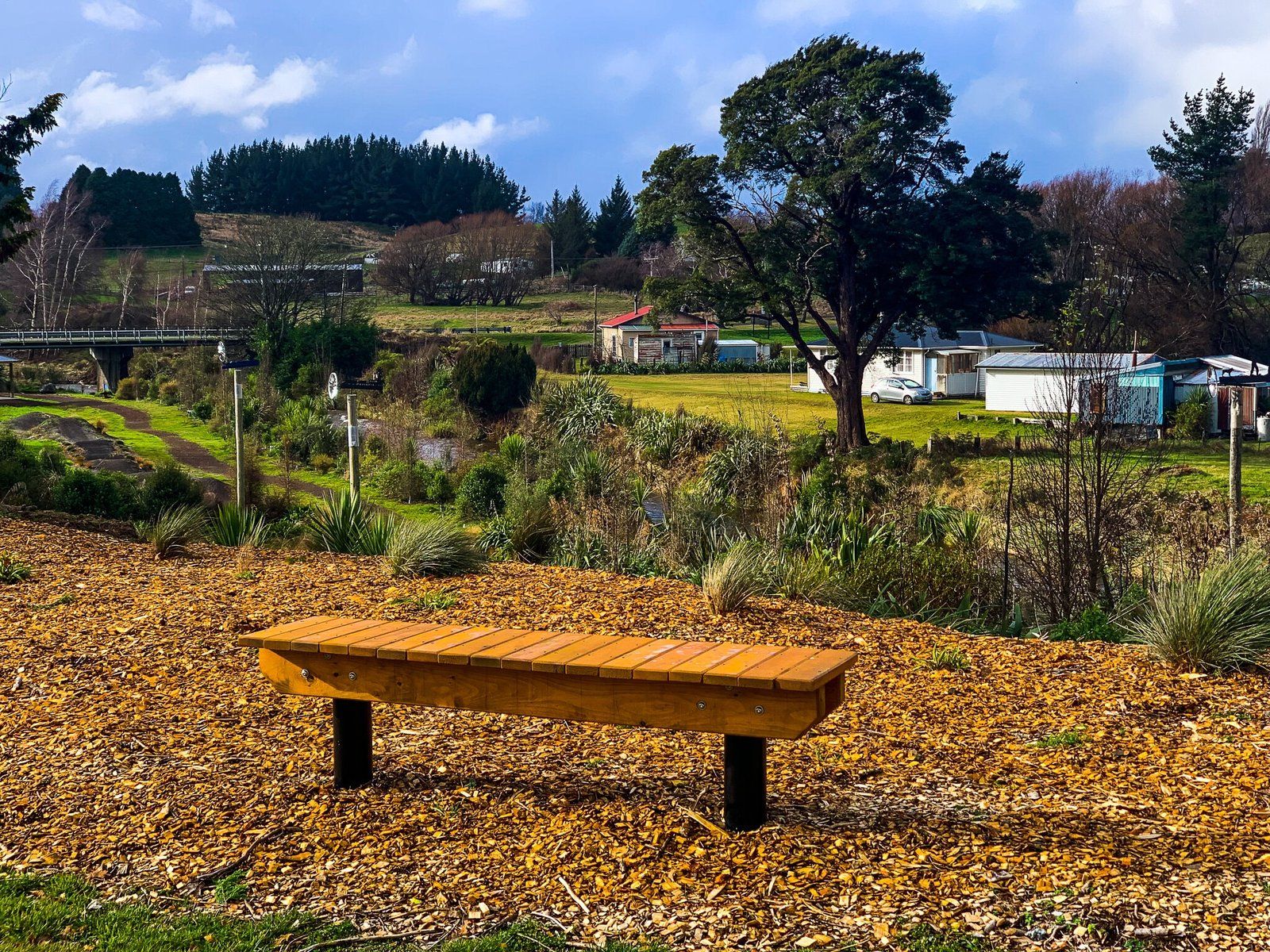
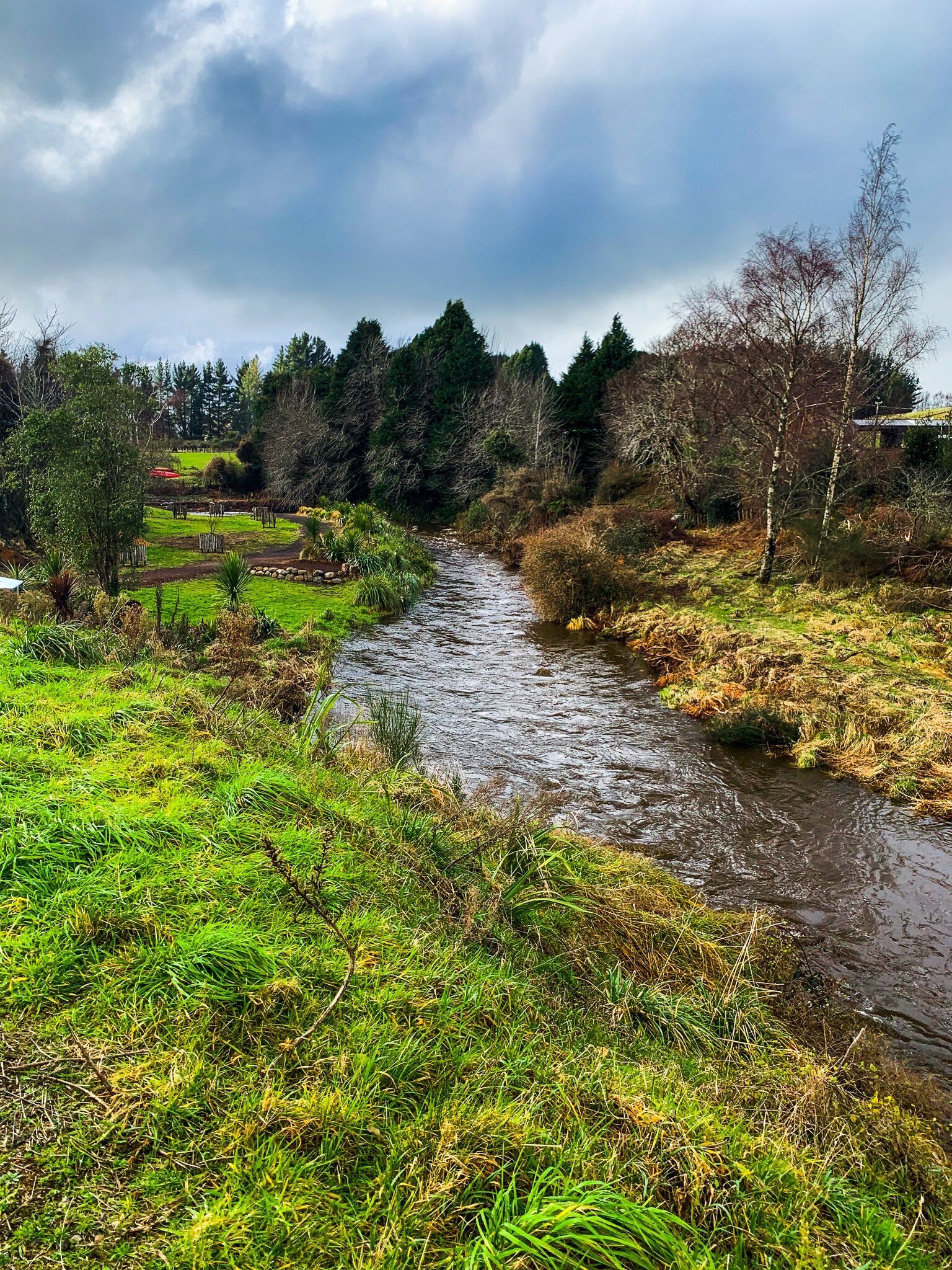
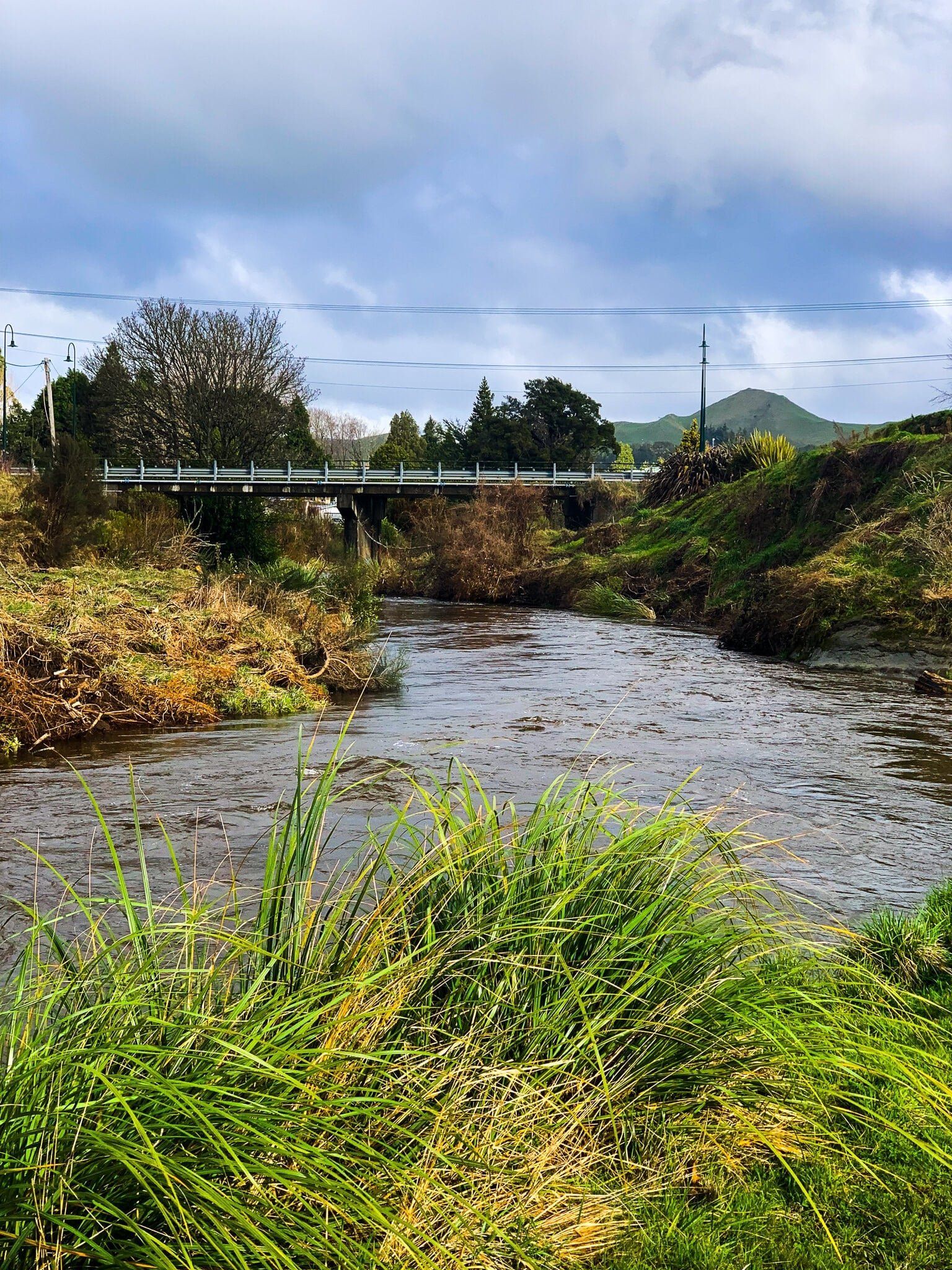
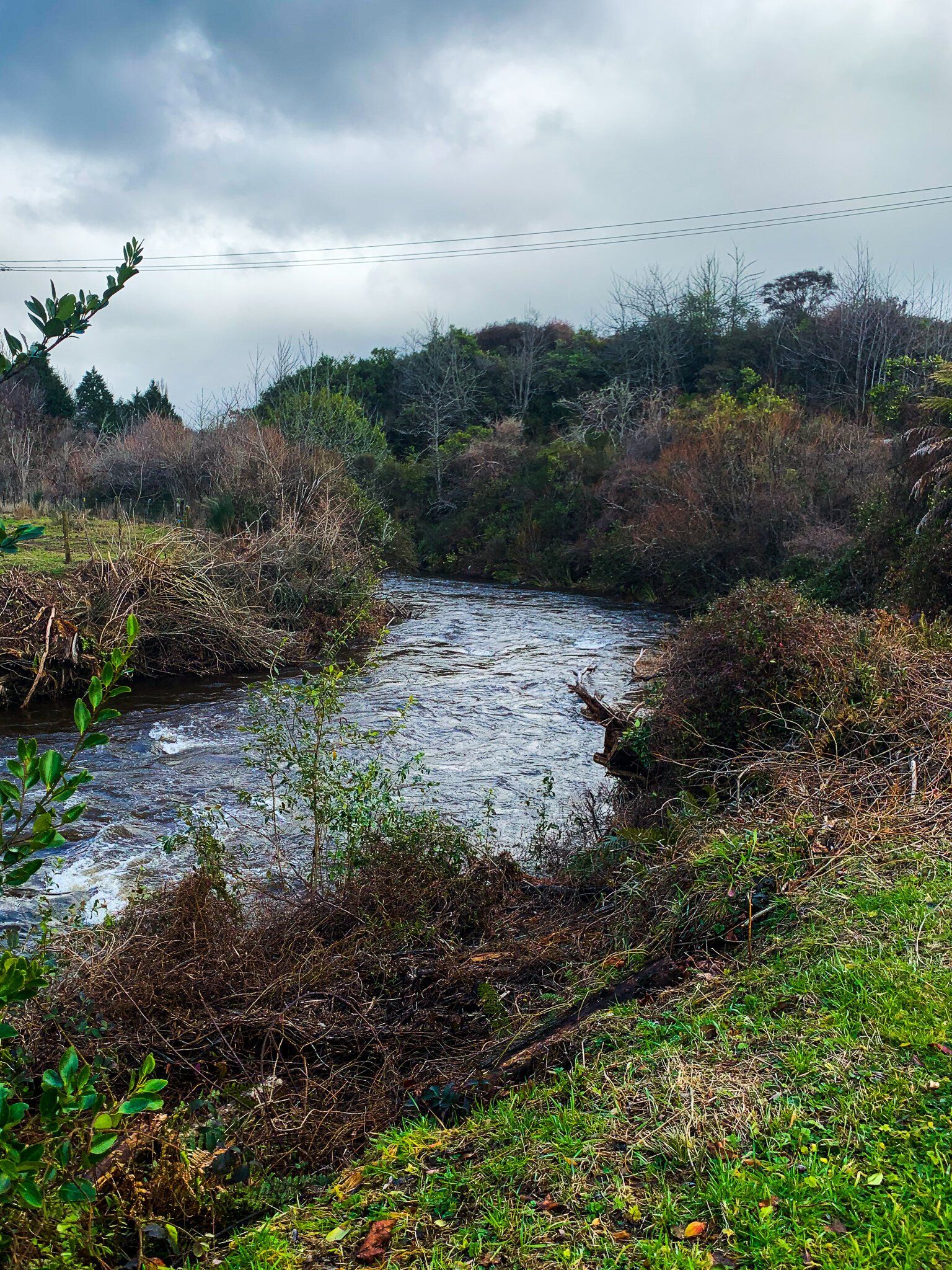
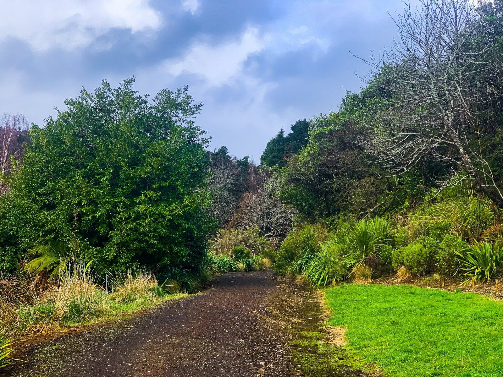
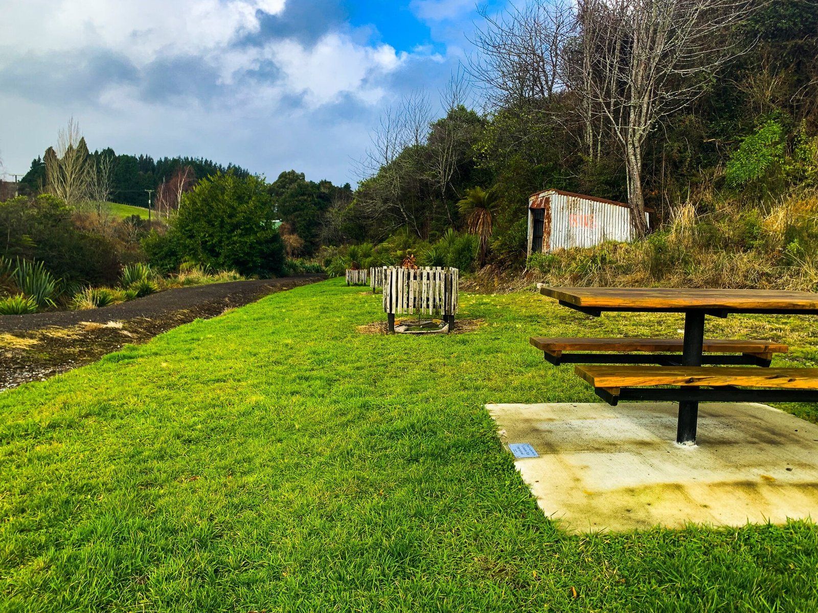
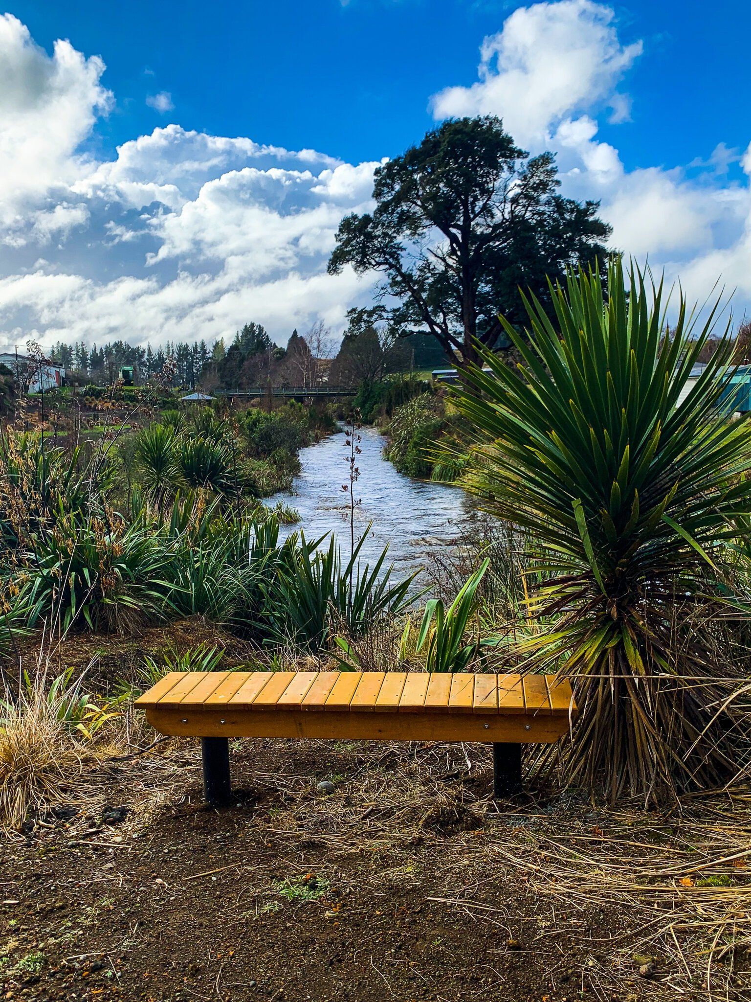
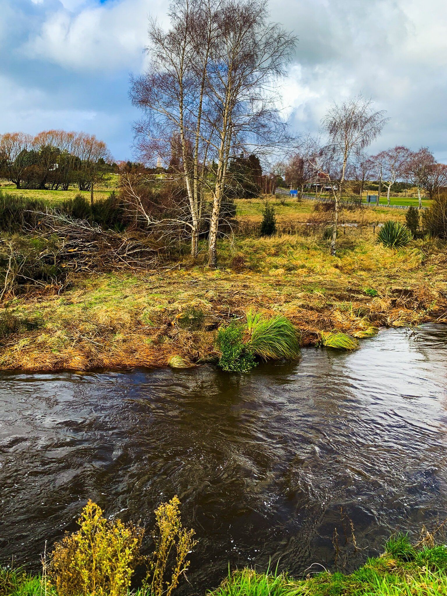
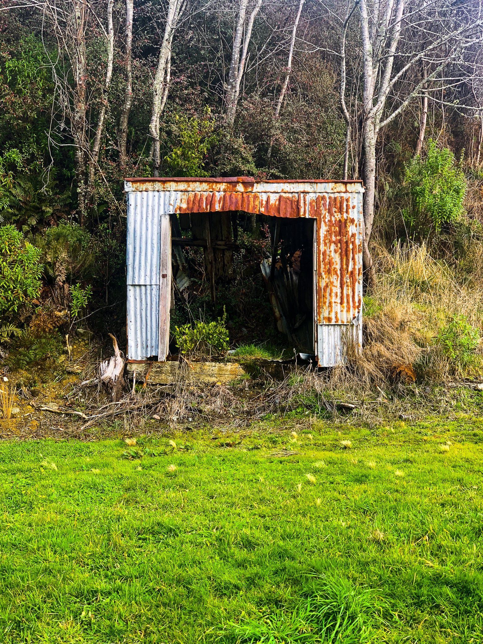
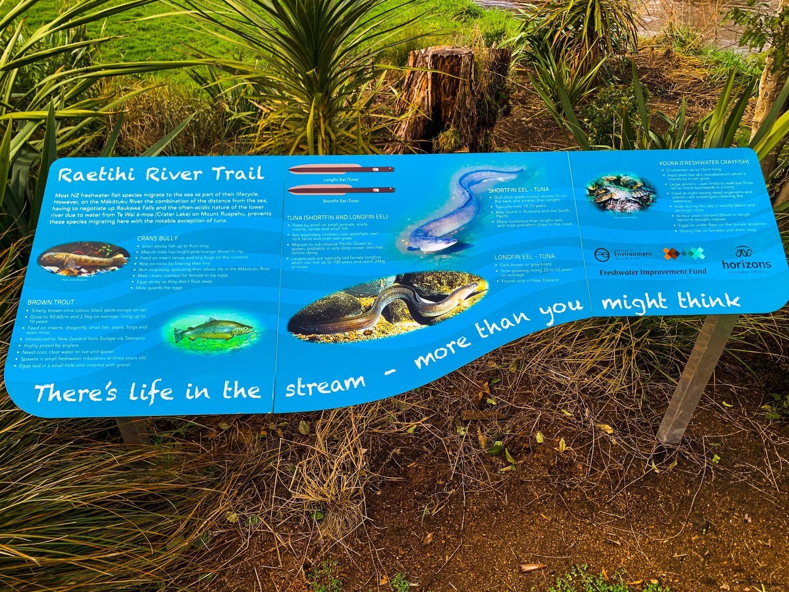
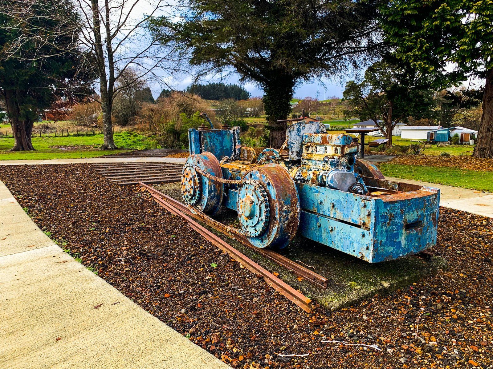
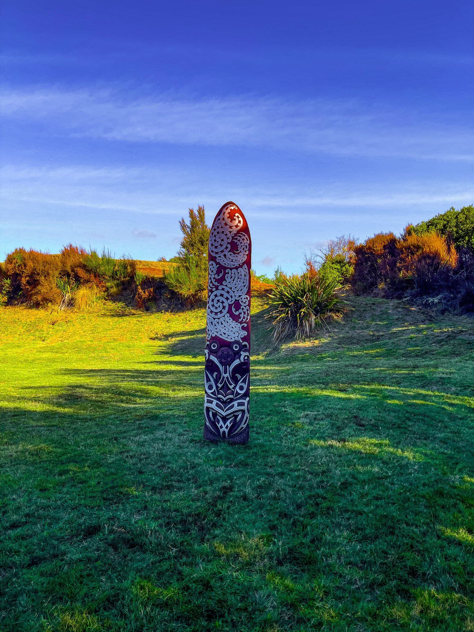
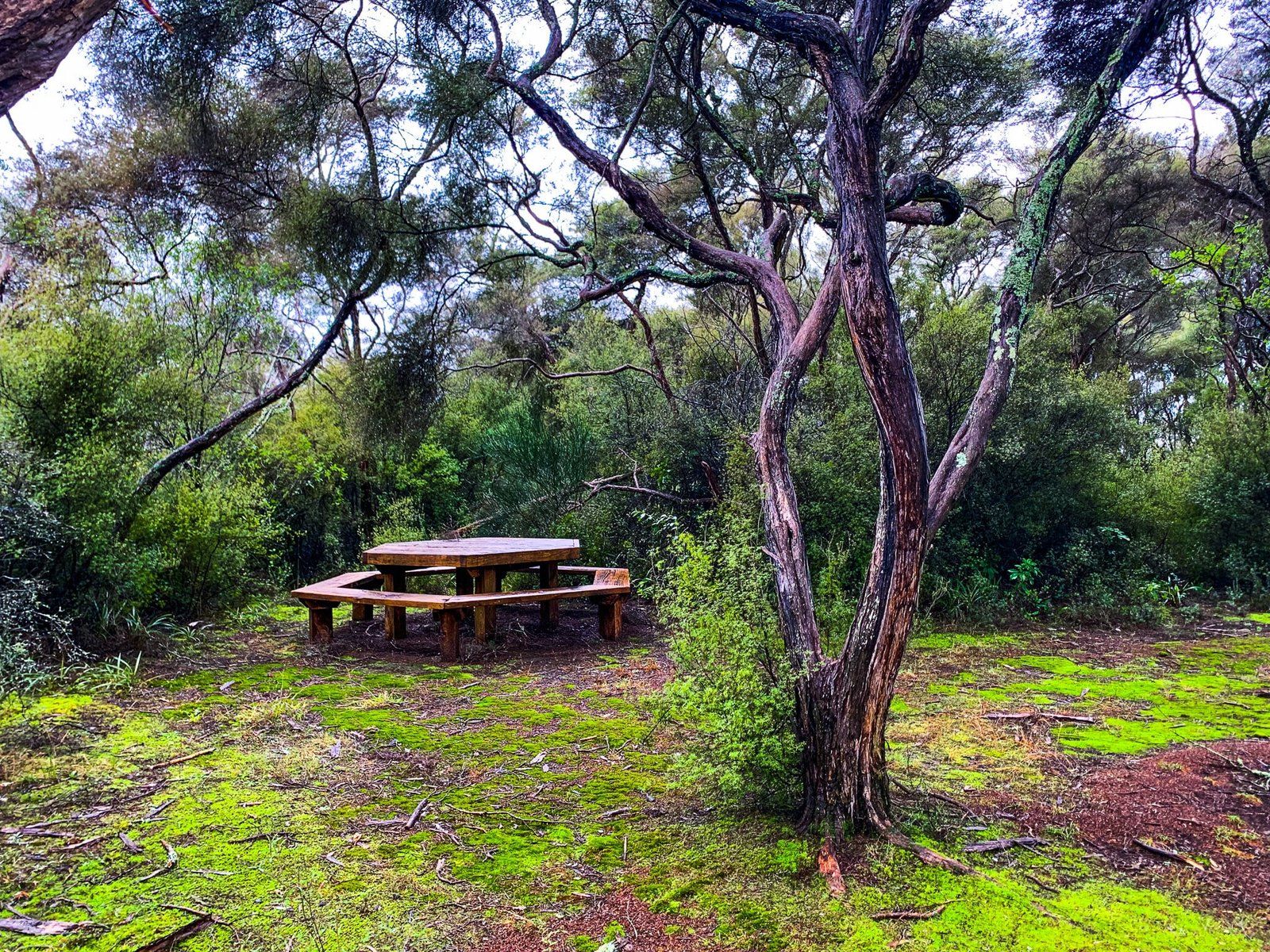
The Mākōtuku Track follows the river of the same name through Raetihi and is a good option for a leg-stretching stop on a long drive. The track has multiple entry points along SH 4, including signposted entrances at the town limits on either side, so it is hard to miss. This also means that the walk can be as long or short as you like, though we would recommend doing as much of it as you have time for, as the track changes quickly and offers a number of different environs in a short space, from swimming hole and barbeque spot to BMX bike tracks to sculpture walk.
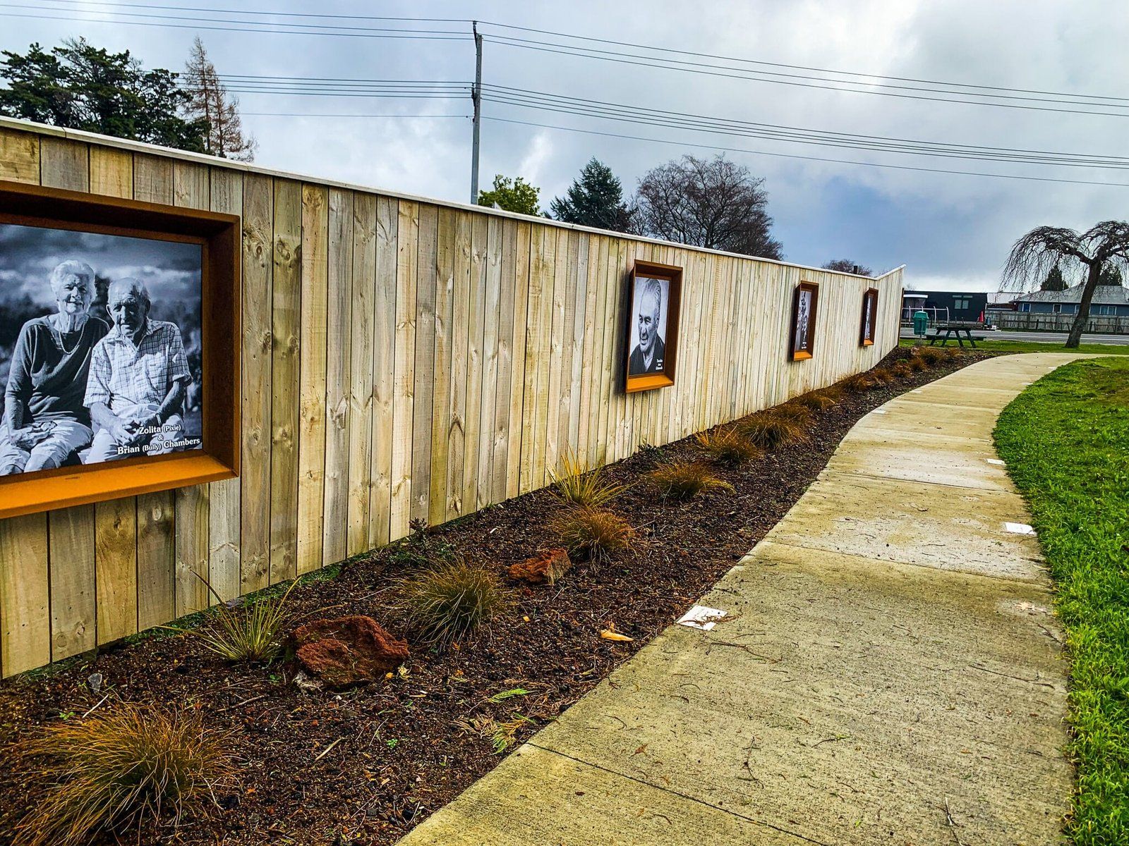
Dogs are also allowed on the track, and there are obviously ongoing efforts to plant natives along the riverside and create leisure spaces, such as at the park table and benches along with outdoor grill and stacks of firewood donated by the Raetihi Bowling Club. The large photographs, portraits of local elders, exhibited at the southern entrance add a nice touch, as do the many sculptures in this area.
Mahuia Rapids
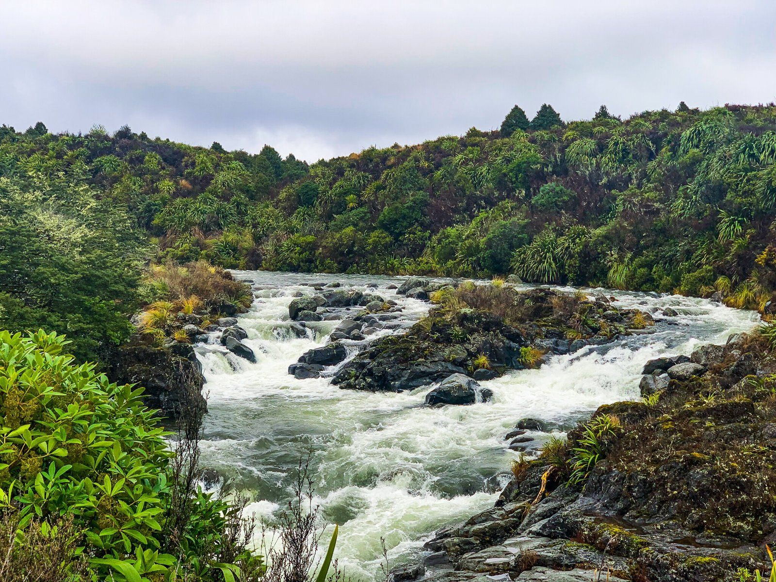
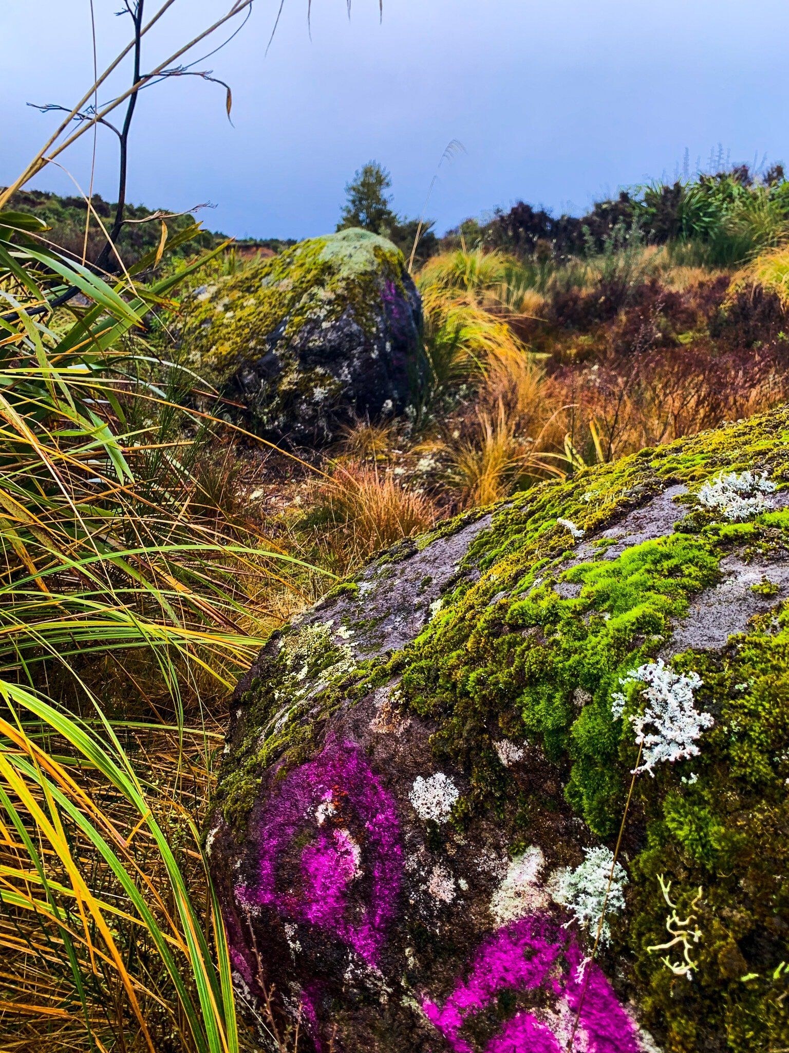
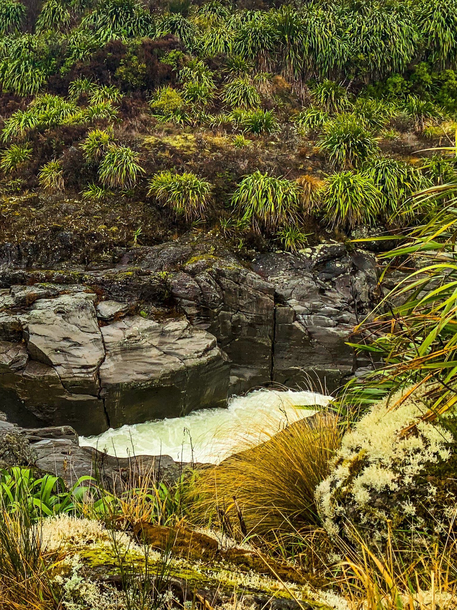
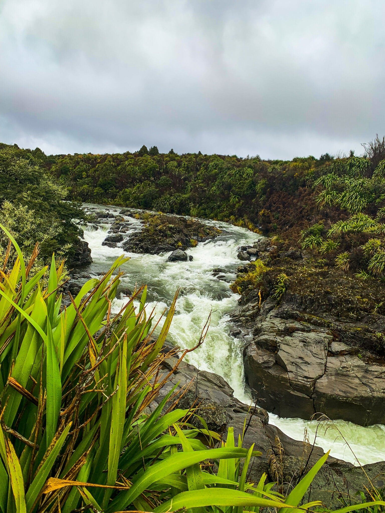
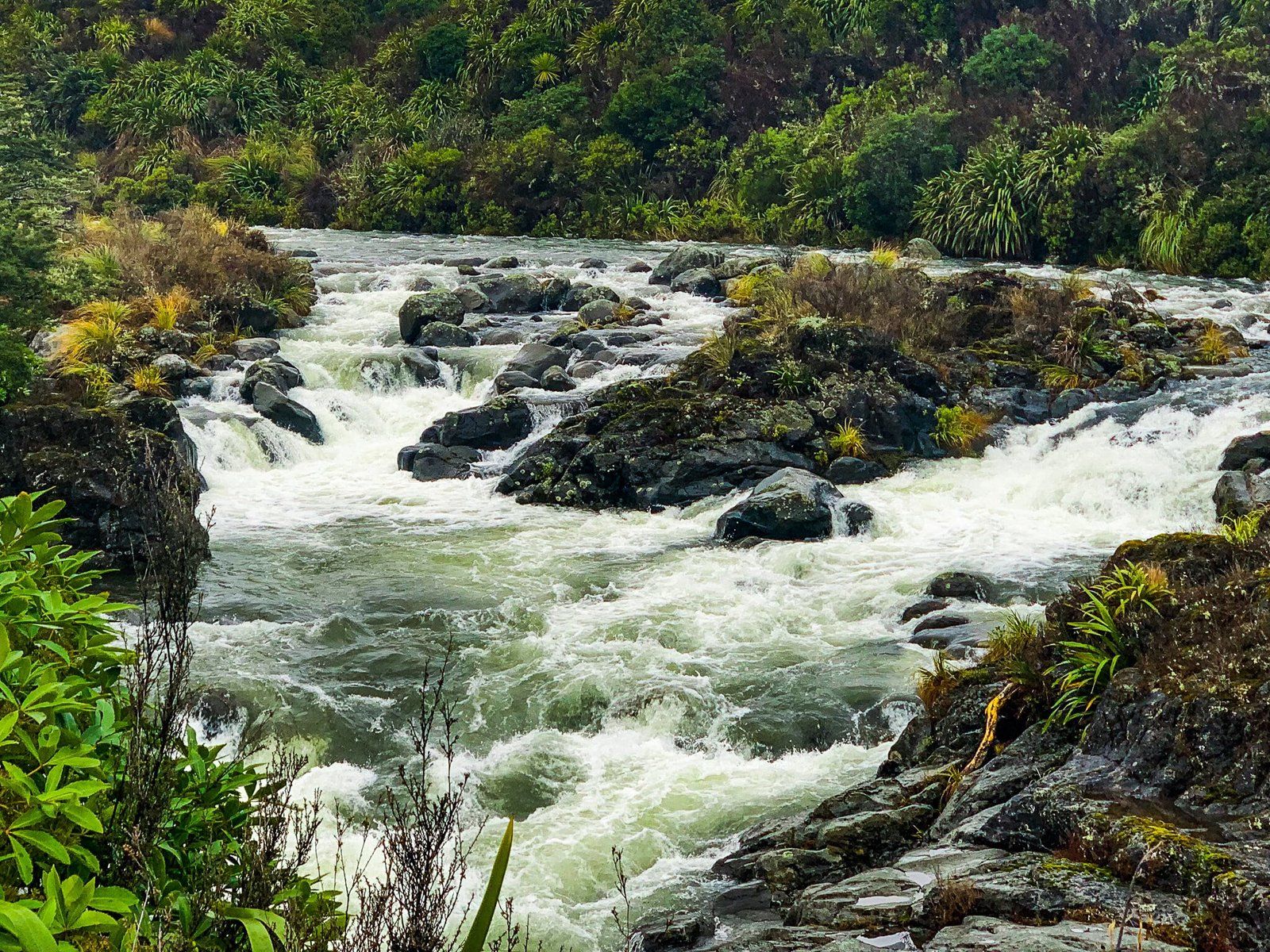
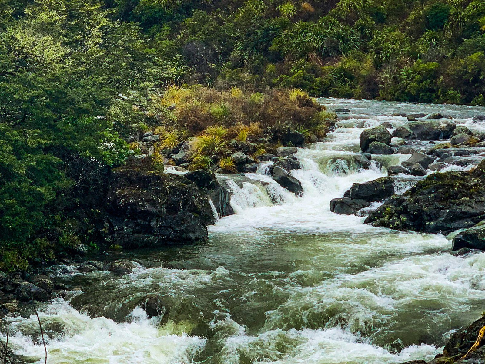
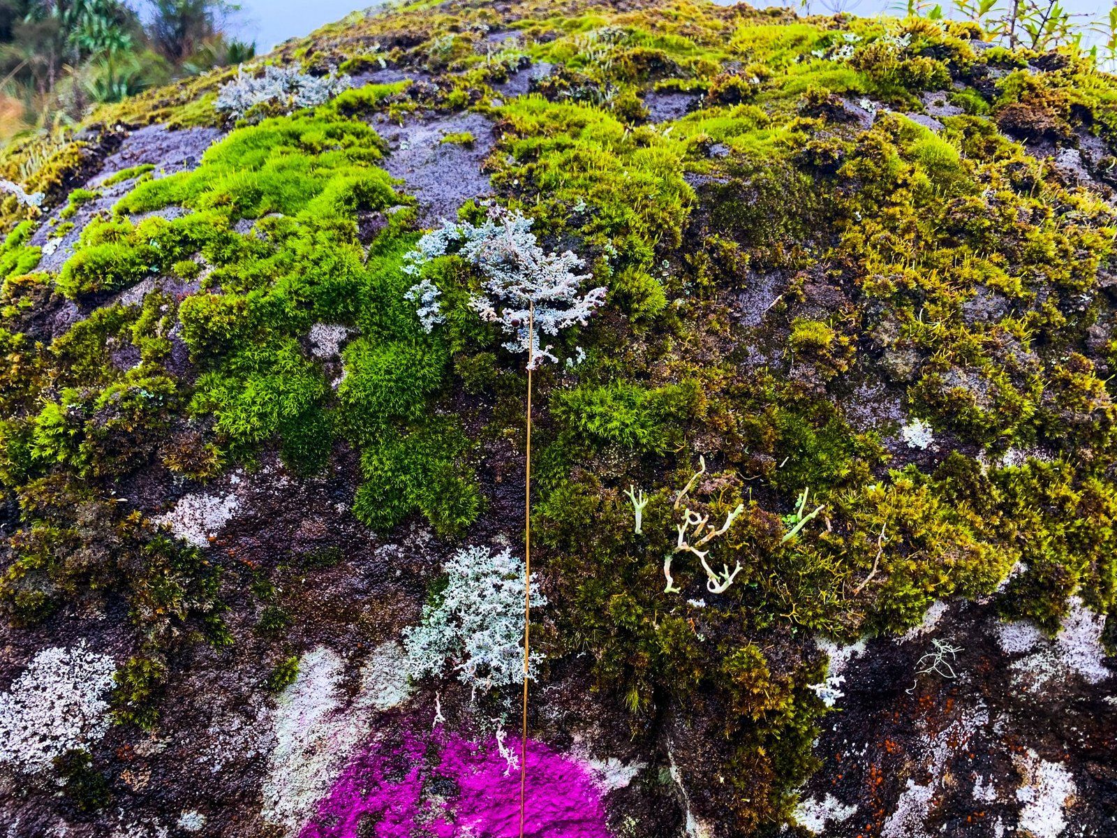
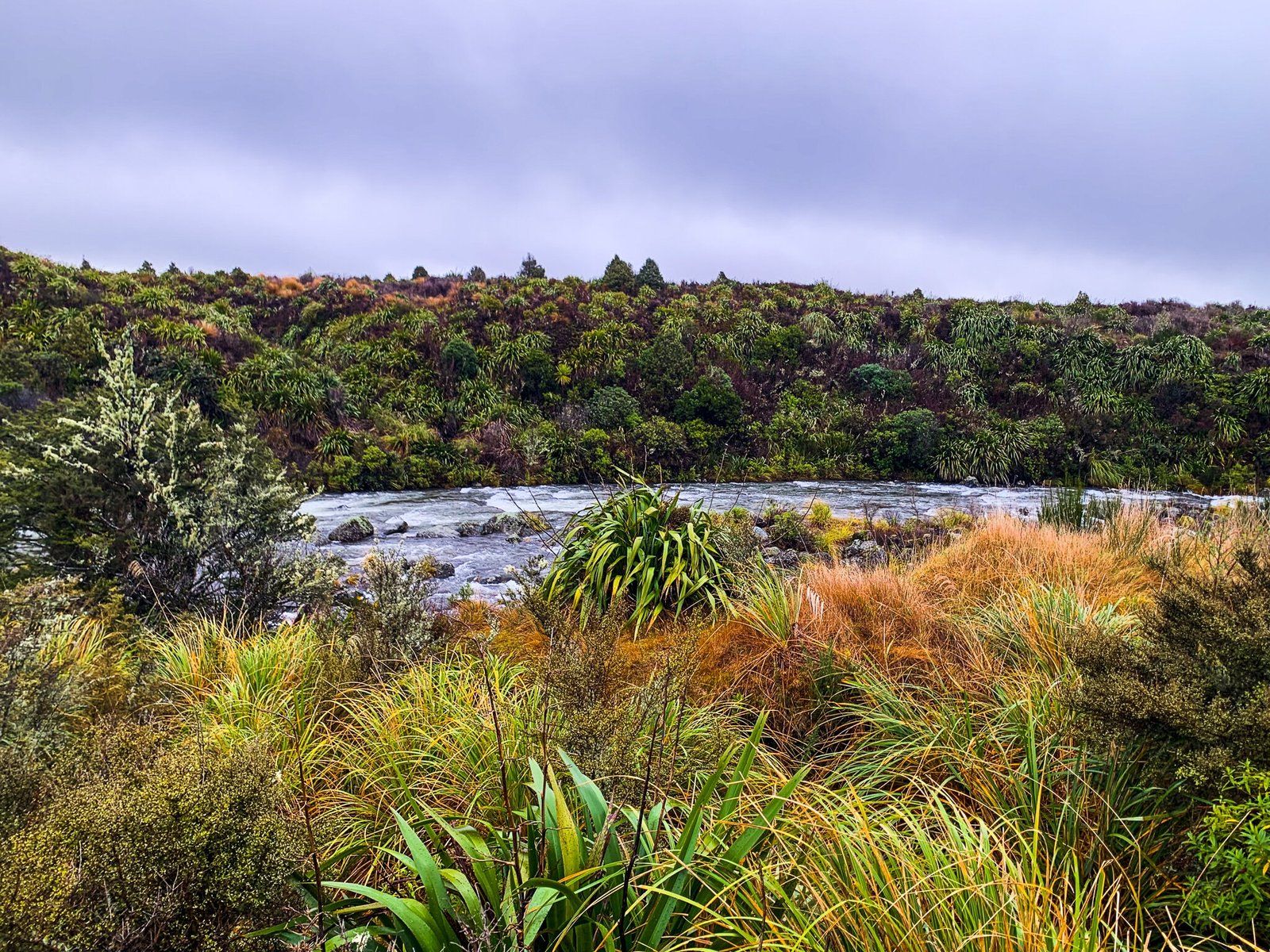
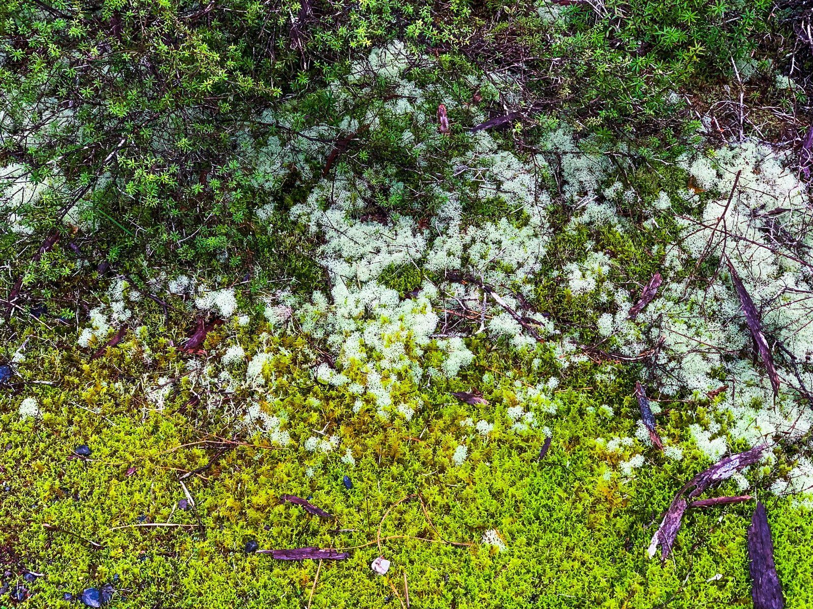
Along SH 47 (the Volcanic Loop Highway), close to its intersection with SH 48, you will see a sign for Mahuia Rapids. It is worth a short stop – there is no track there, but the parking bay is very close to the breathtaking rapids and their never-ending white noise. The surrounding bush is also particularly lush, including some interesting moss-covered rocks at the first car park. Note the ‘road’ leading to the parking bays is more along the lines of a deeply pot-holed mud track and may not be suitable for all vehicles.
Te Porere Redoubt
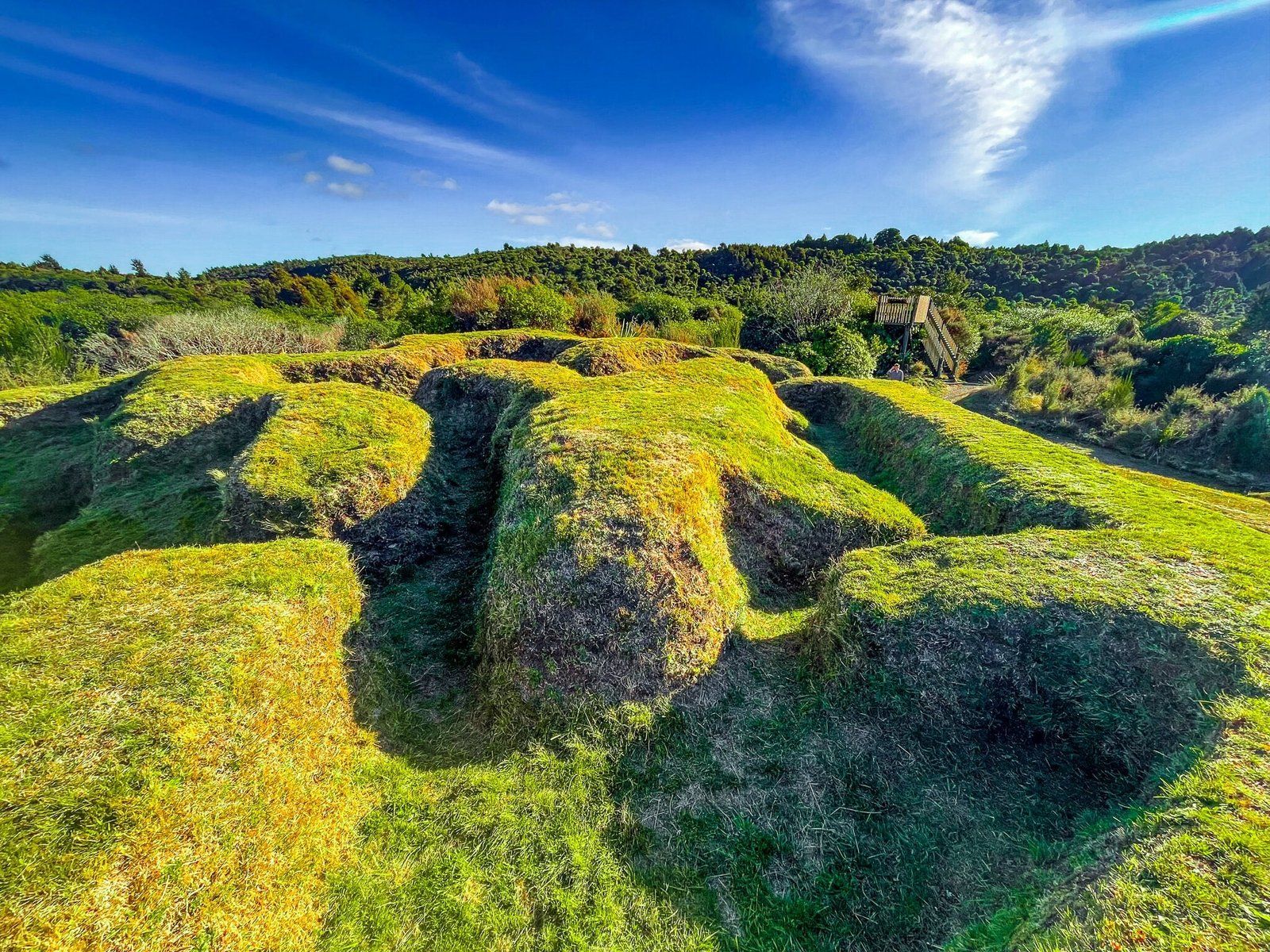
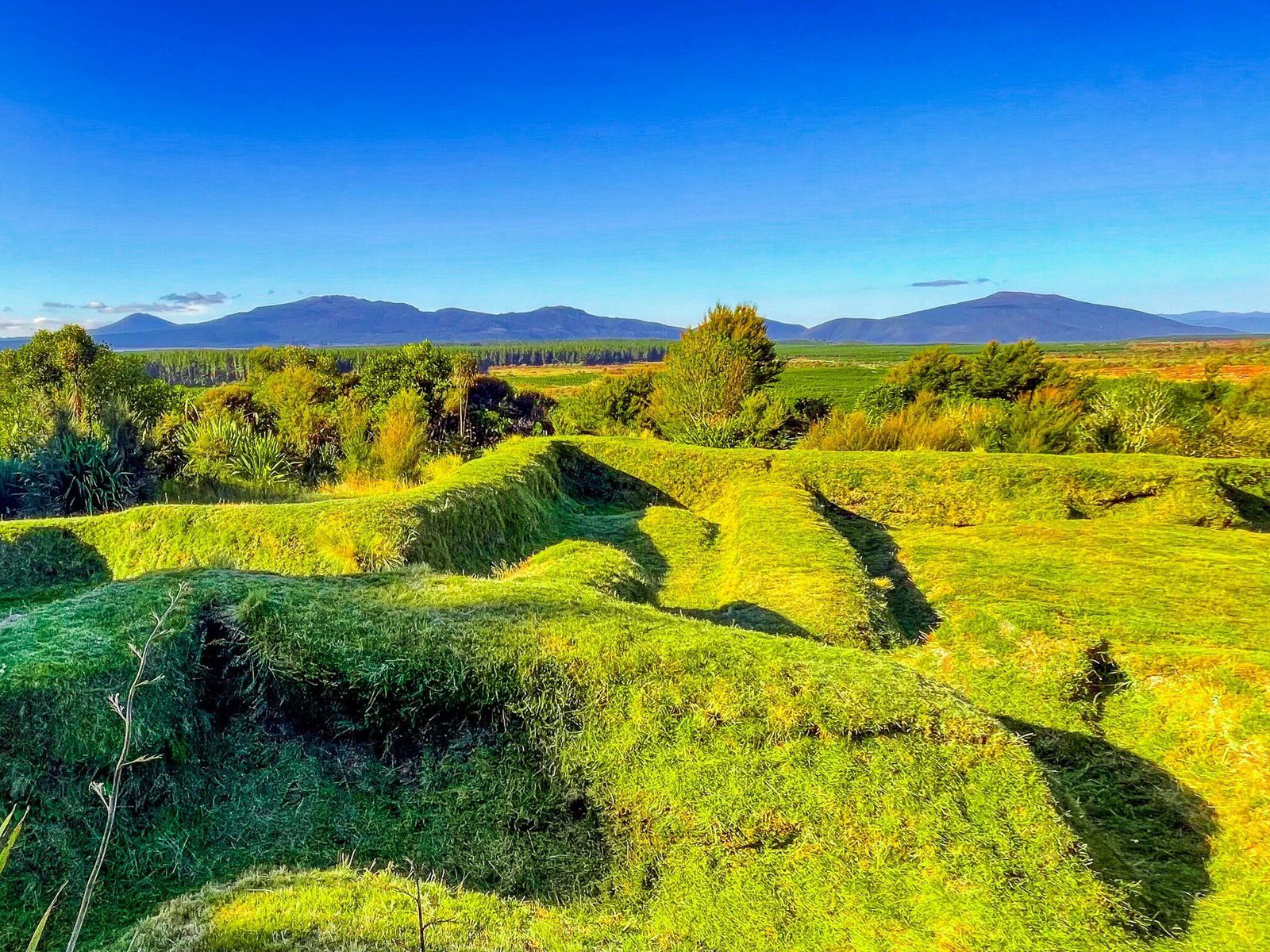
Te Porere Redoubt actually consists of two redoubts (in this case earthen forts) on the Te Araroa Trail, accessed from State Highway 47 along a short metal road. Look out for the sign just to the southwest of the intersection with SH46.
In mid-1868, in what was to be the final phase of the New Zealand Wars, Te Kooti escaped from the Chatham Islands with 300 followers, where he had been interred without trial after being accused of spying for an anti-government tribe. In 1869, his force built the British-style Te Porere redoubt with the intention of staging a fixed position battle with government forces, a mix of European and Māori soldiers. But Te Pōrere was not particularly well designed and 37 of Te Kooti’s followers were killed and 30 captured.
Te Kooti escaped and his guerilla campaign continued for several years throughout the central North island out to the East Coast. He was chased all over the region by Māori and European troops until he was granted sanctuary by the Māori King in 1872, then pardoned by the government in 1882.
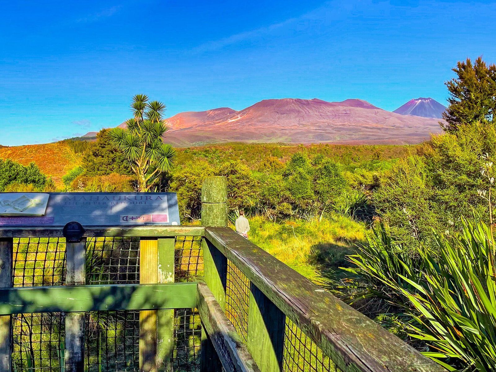
The redoubts you see are not really originals, having been restored by Heritage New Zealand in 1960. But the information boards are excellent, commemorating the last major battle of the NZ Wars. Plus it is a stunning location with views back to the volcanic mountains of Tongariro National Park.
Tokaanu Thermal Walk
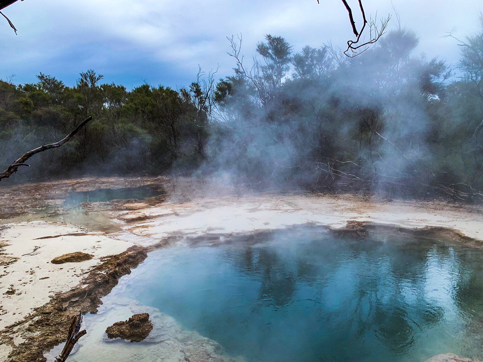
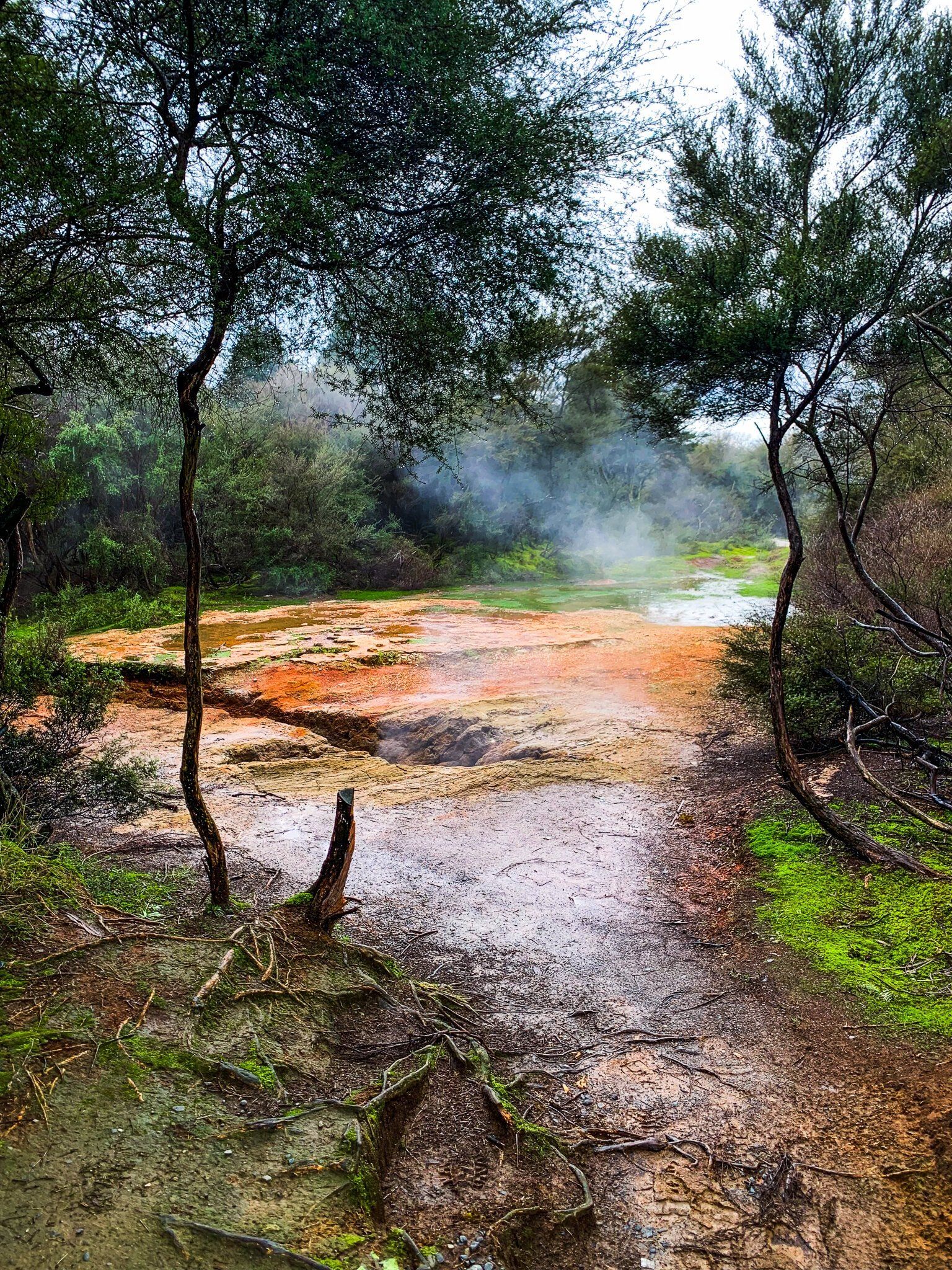
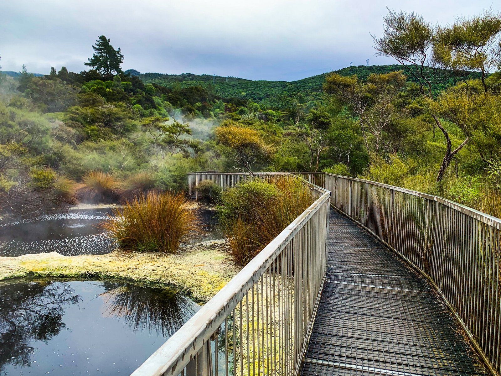
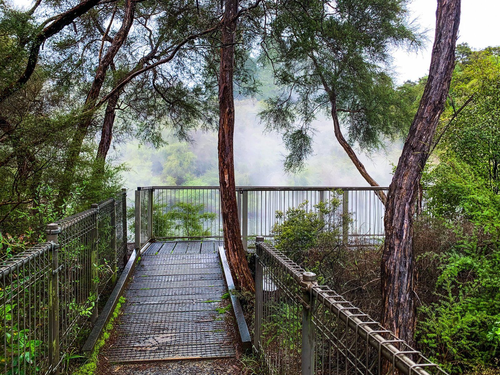
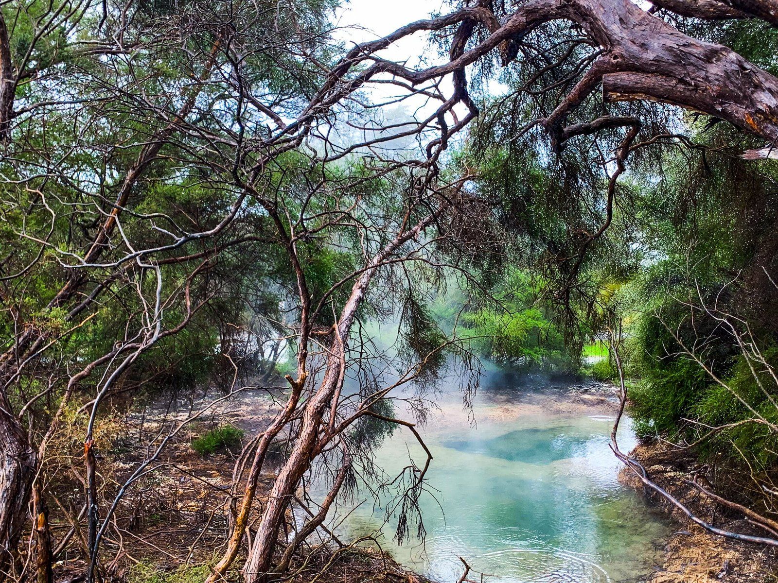
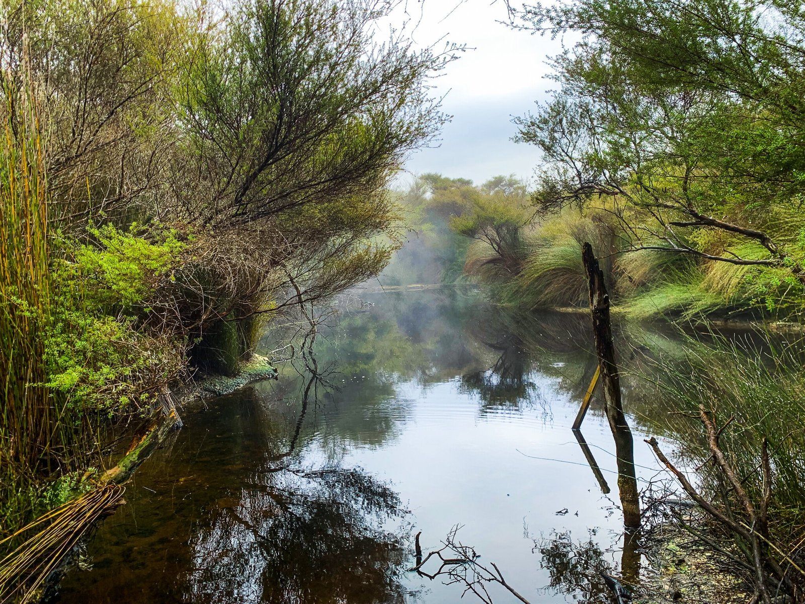
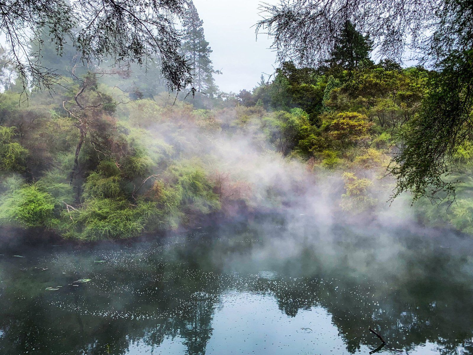
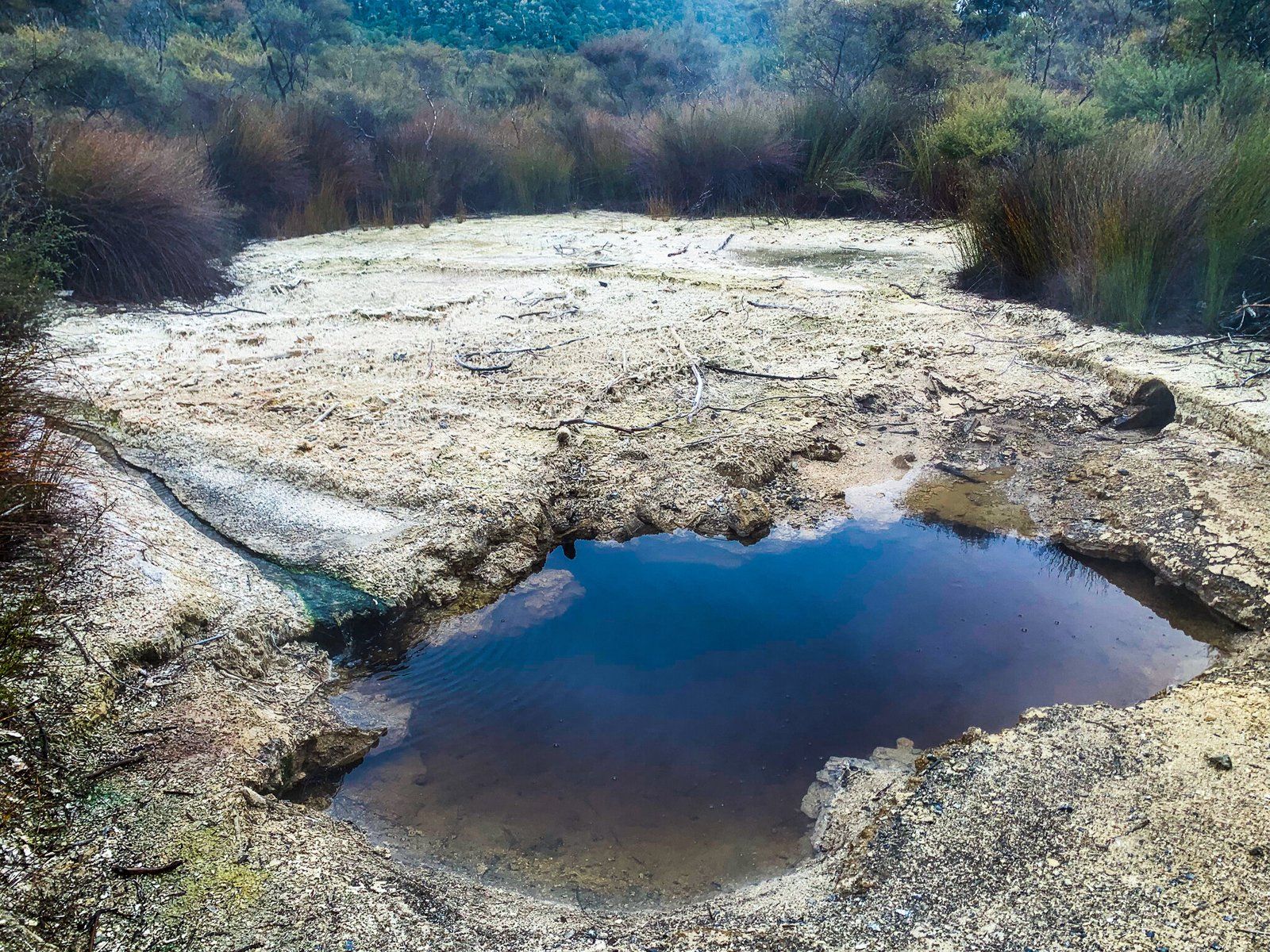
The Tokaanu Thermal Walk is a wonderful track to see some of Aotearoa’s most exciting geological features in twenty minutes flat. It is an easy walk, accessed at the entrance to the world-famous-in-NZ Tokaanu Thermal Pools off SH 41.
Unfortunately the pools were closed for refurbishment on this trip, but it is worth it to stop just for the walk, which winds around steamy thermal pools and bubbling mud, and provides some information about how these pools were traditionally used by local Māori for cooking and healing.
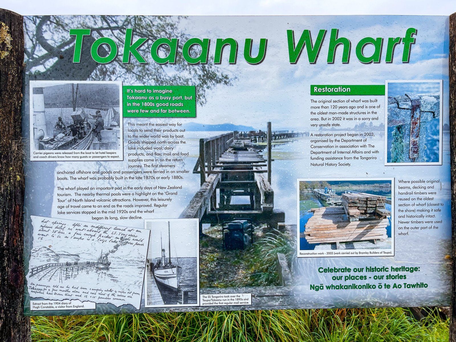
Tokaanu Wharf
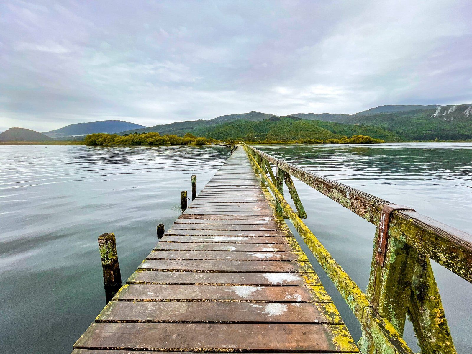
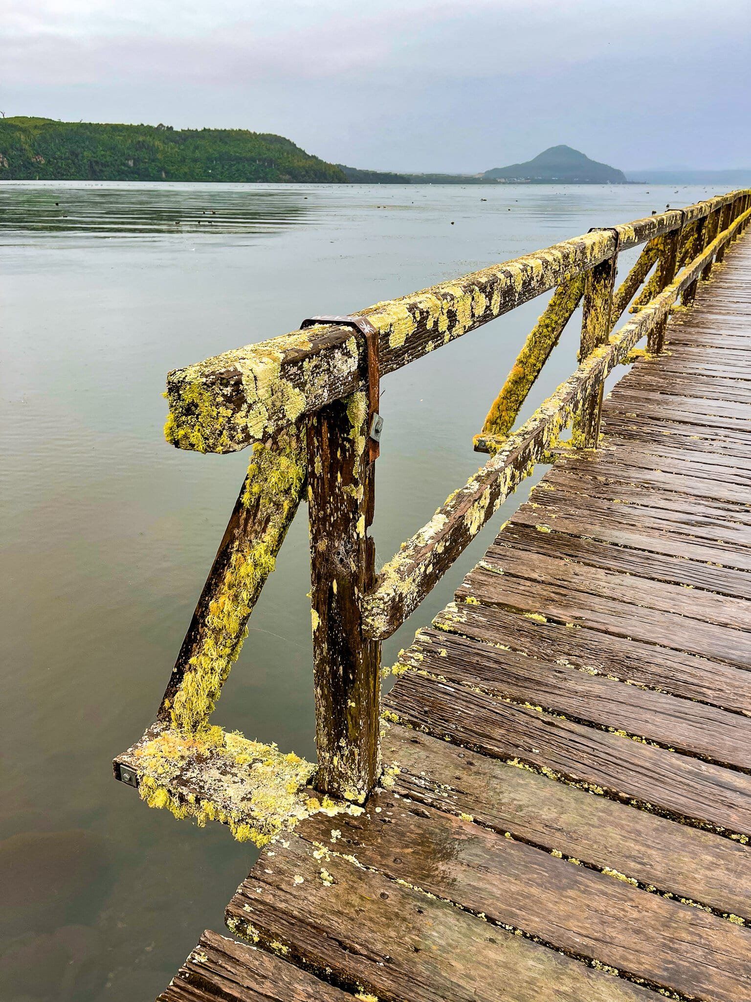
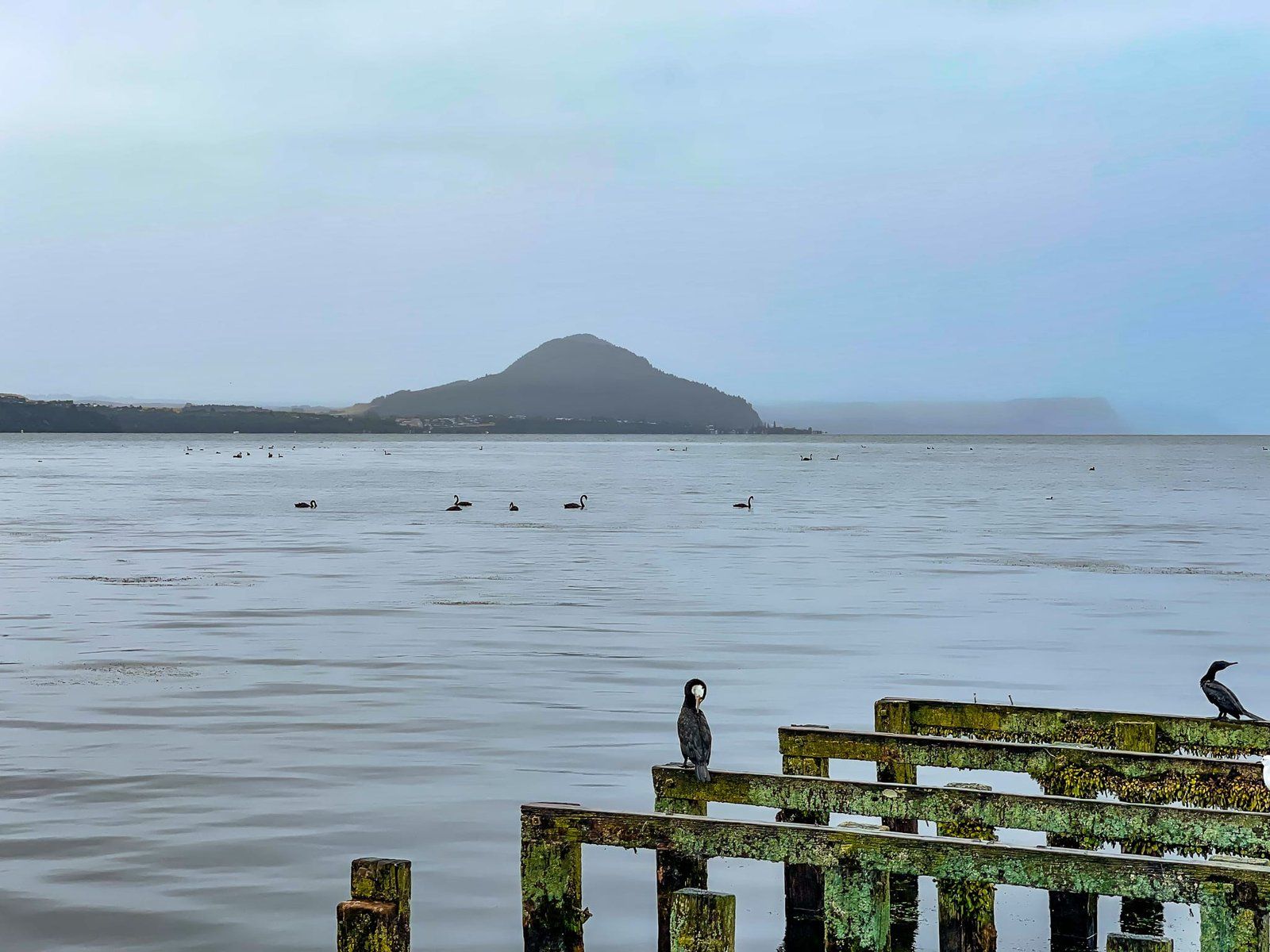
Tokaanu Wharf is an interesting historical segway from the Tokaanu Thermal Walk. Back in the 1800s, before there were any long distance roads linking the Taupō and volcanic plateau regions, there was a NZ “grand tour” route. Essentially tourists with enough resources could visit many of the prime attractions around NZ, thermal activity in the central North Island being particularly popular. The thermal pools at Tokaanu were quite easily accessed as you could cross Lake Taupō by boat, hence the historic wharf at the end of the road.
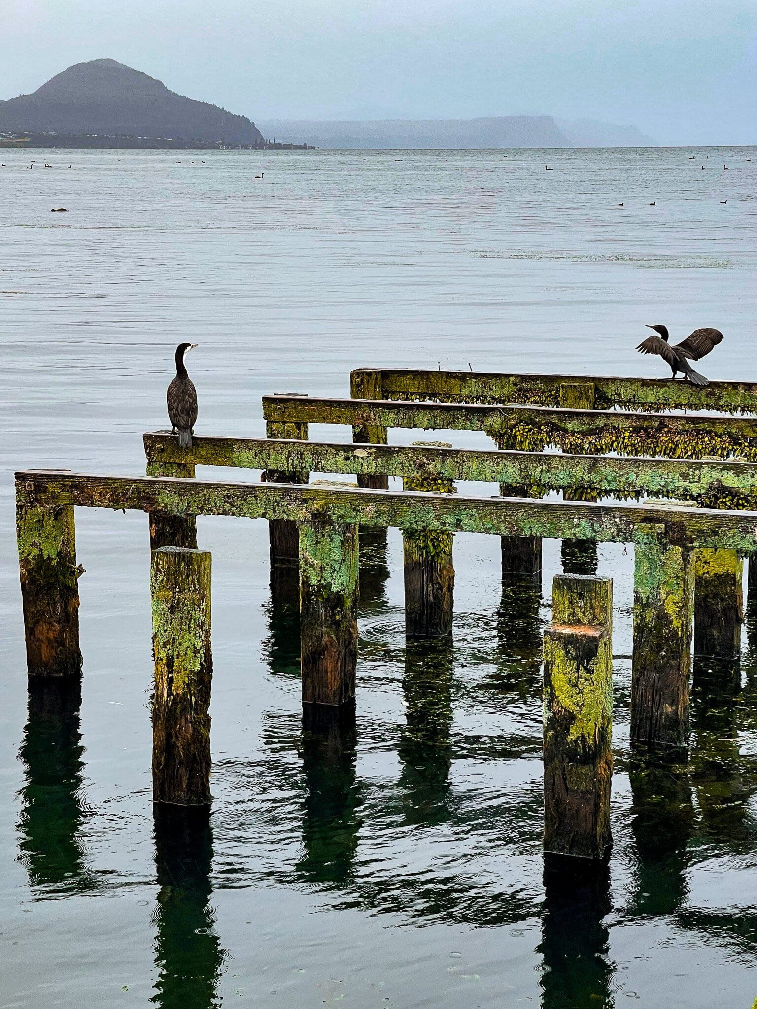
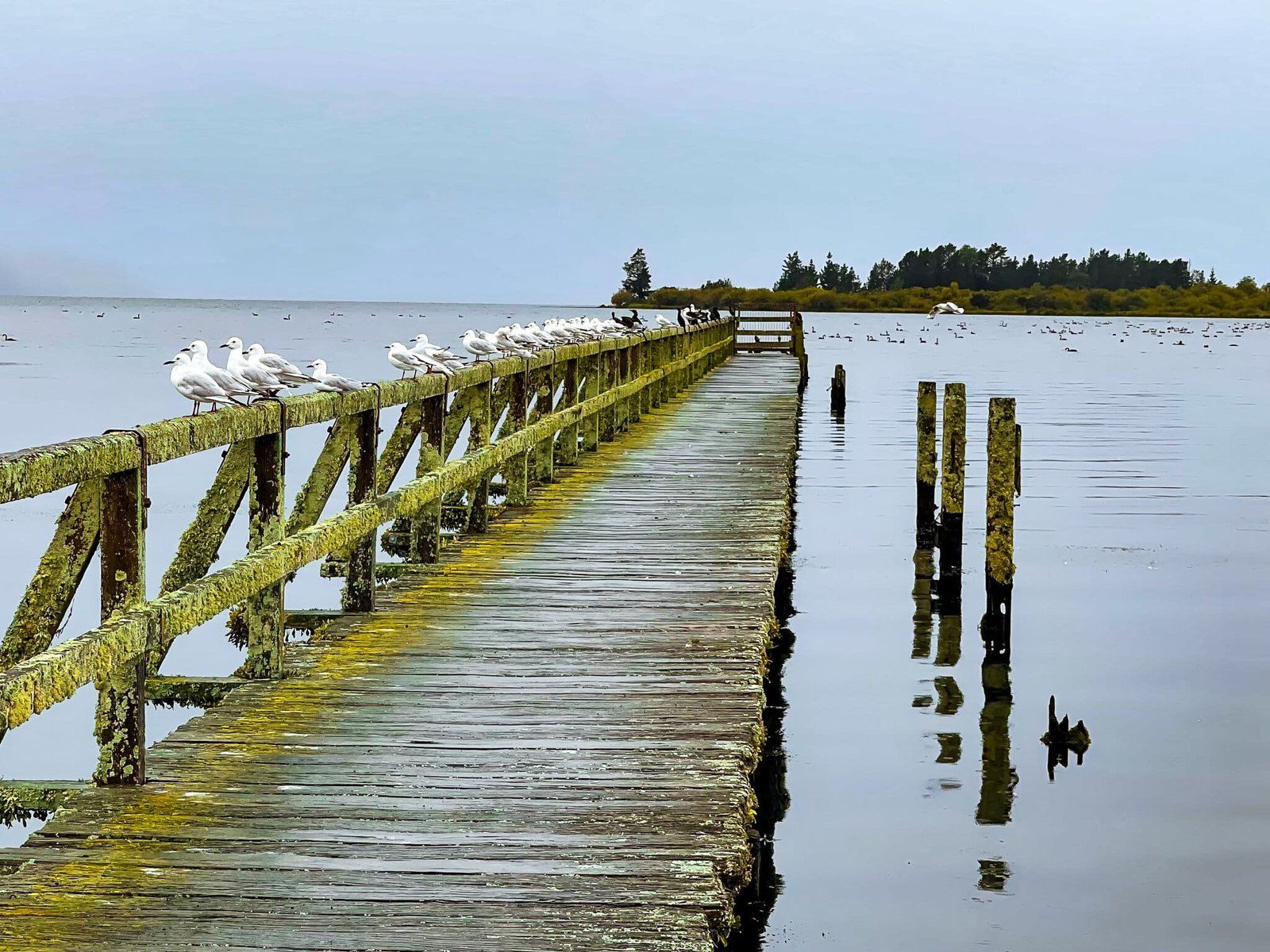
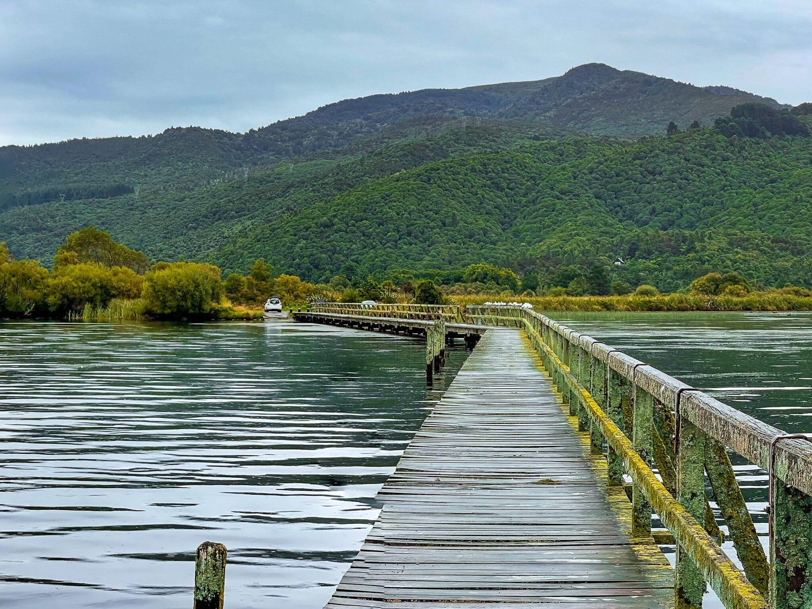
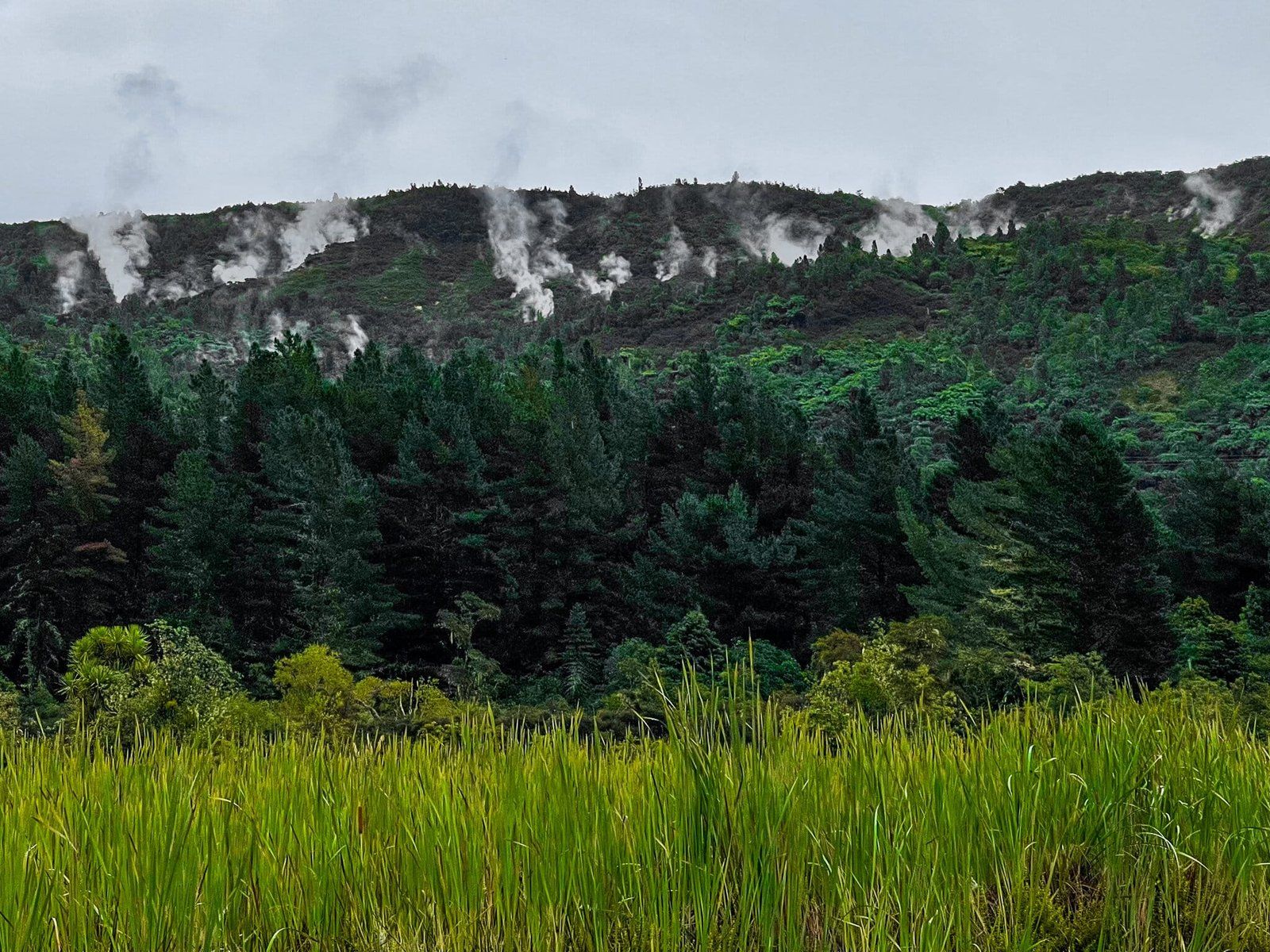
The wharf itself is long and a mix of dilapidated original and more recent repairs. It’s also a popular place for shags to hang out. You can walk most of the way to the end, which gives you nice 360 degree views. If you look west, you will see the steaming cliffs of the Hipaua Thermal Area. Look a little further north and you can pick out the 75 metre high Waihi Falls.
Keep an eye out for a sign that says Wharf Road as you head north along SH41 through Tokaanu to find the wharf.
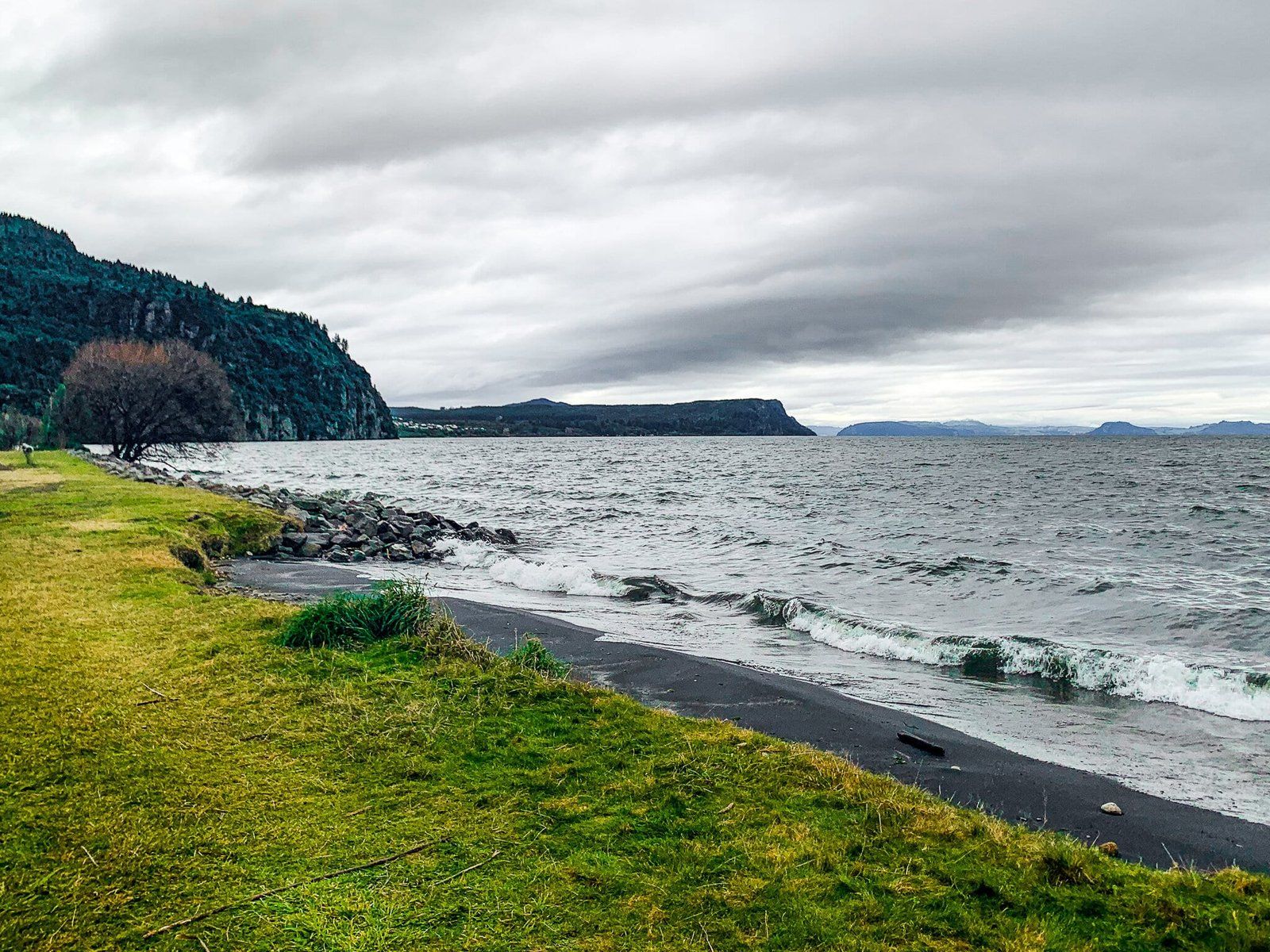
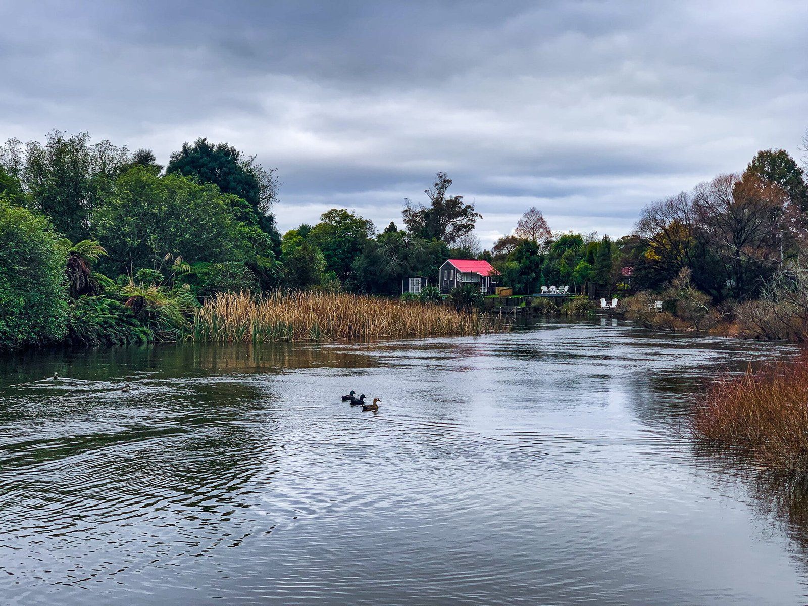
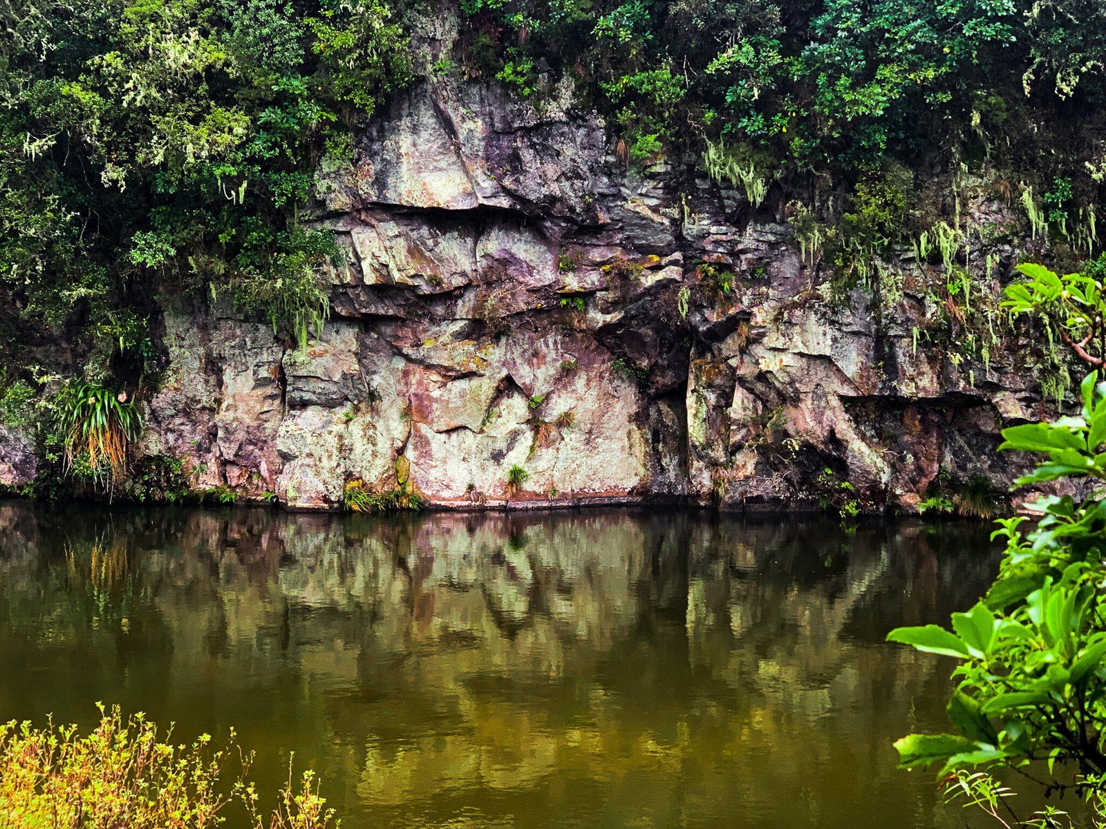
Kuratau’s Lakefront
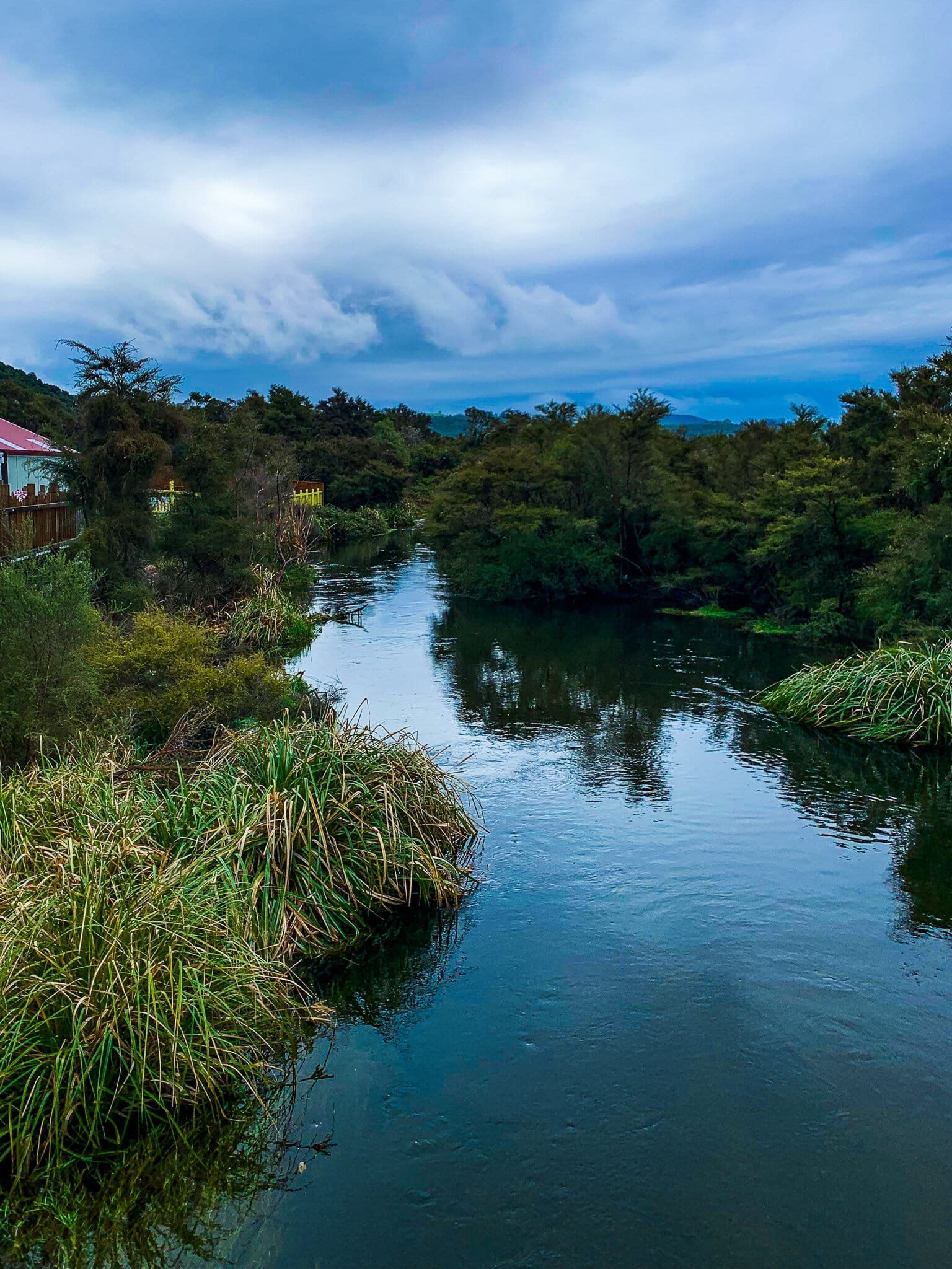
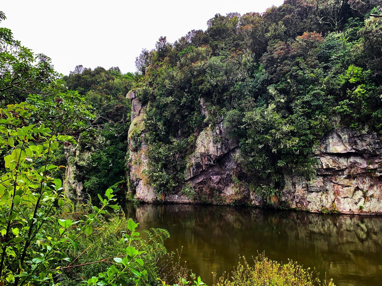
A small bach town, Kuratau sits on the southwest edge of Lake Taupō. There is not much there other than holiday homes, but you can walk along the sandy lakefront accessible from the suburban streets adjacent to the water, Parehopu and Hiuhiuawai St. Walking north, you will eventually come to a playground and the mouth of the Kuratau River, with its stunning rock walls ascending from the water. There is a track that follows the river, Whiowhio Track, but it is not immediately accessible from here.


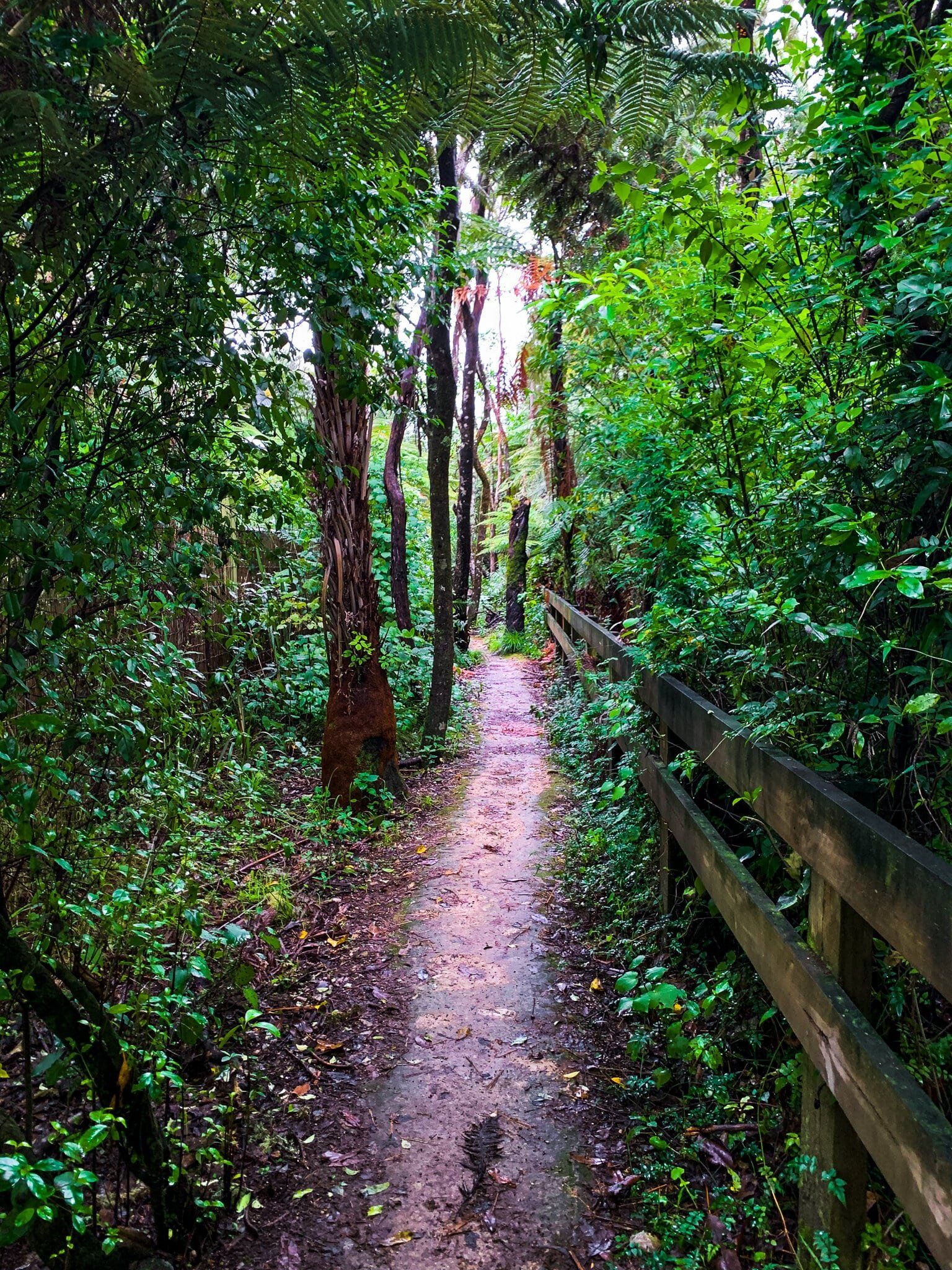
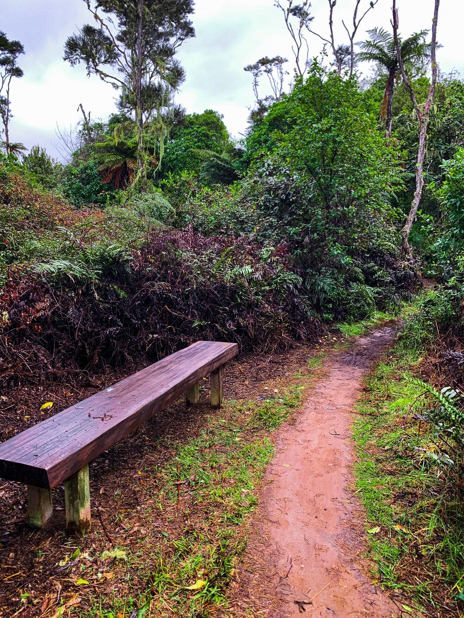
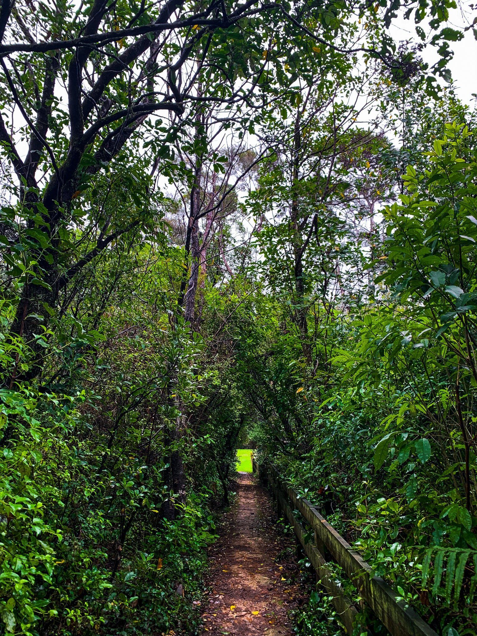
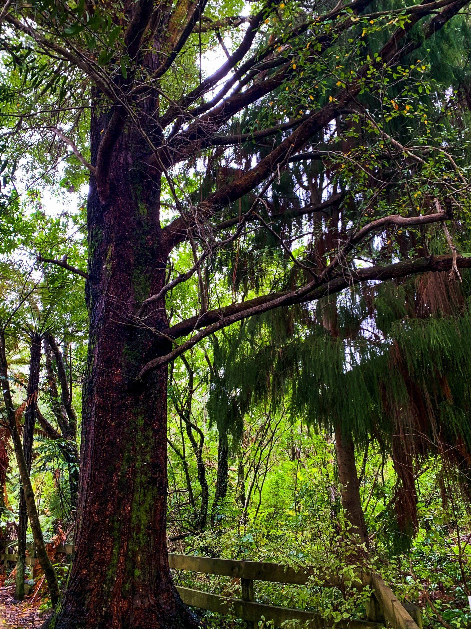
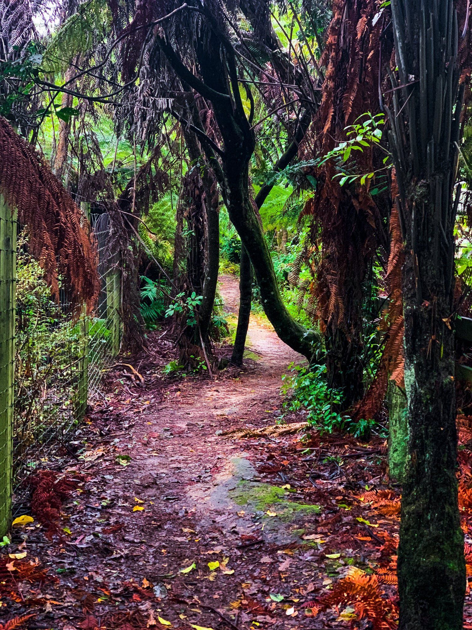
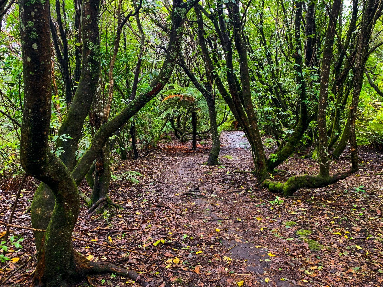
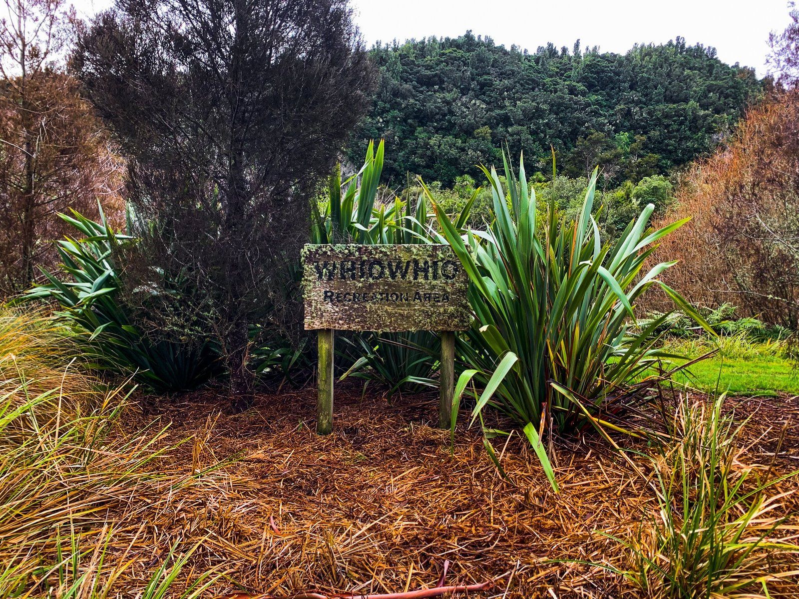
Whiowhio Track
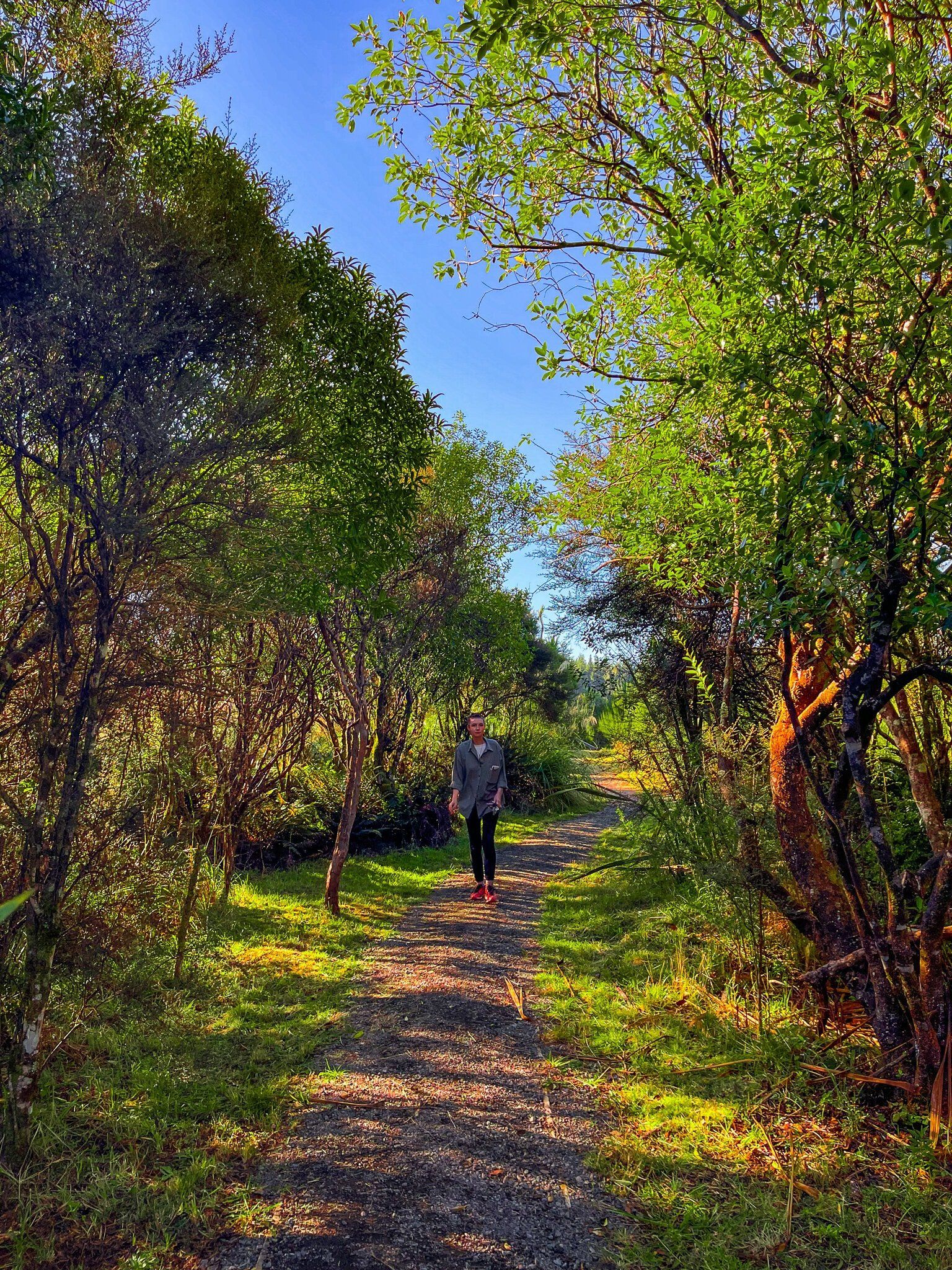
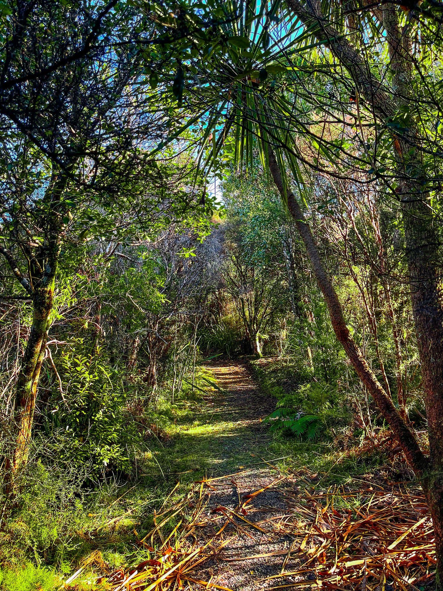
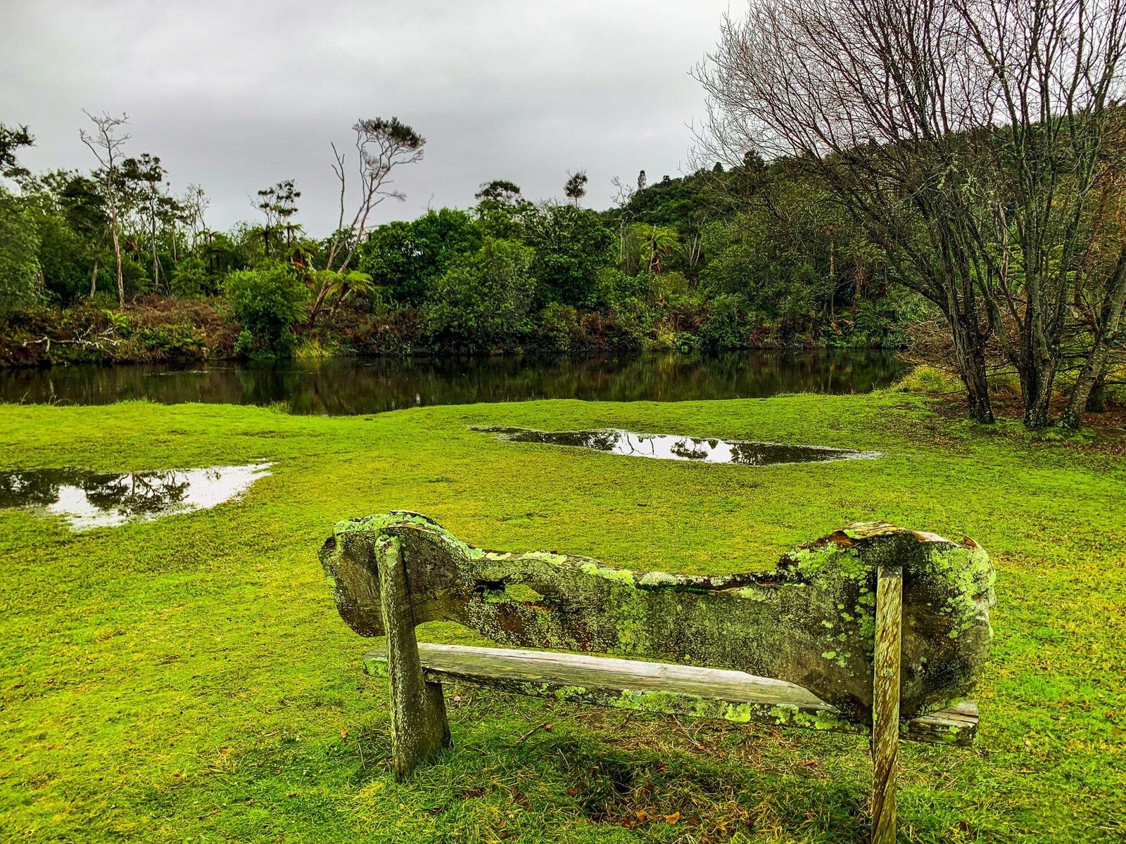
Whiowhio Track begins at the end of Te Rae St and makes its way through a clump of native bush before emerging in a grassy park, planted rather unusually with eucalyptus. From here, head right towards the water and the path should be obvious; back into mostly native bush, with the Kuratau River immediately beside you. The track was particularly muddy on the rainy day these photos were taken, and at a dawdle took about an hour return, though it could likely be done in half this time on a drier day when you’re not avoiding ending up covered in mud! At the far end, it links up with Riverbank Drive, so you could turn this into a loop by completing the walk on Kuratau’s quiet streets rather than heading back the same way.
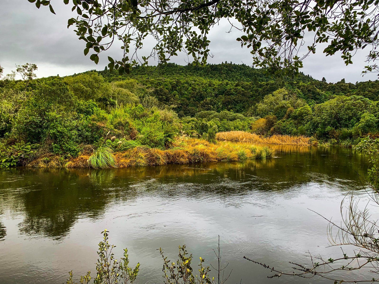
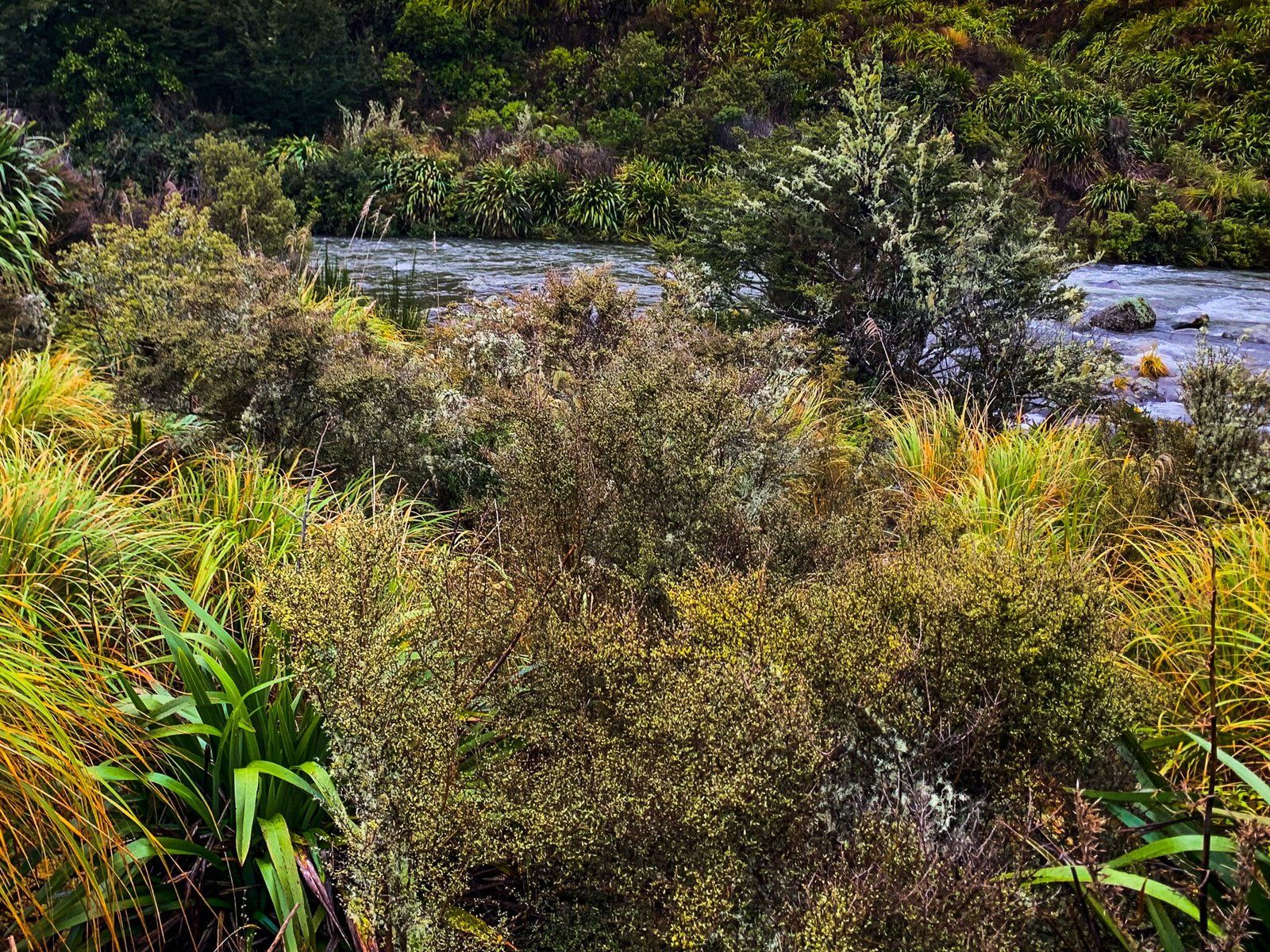
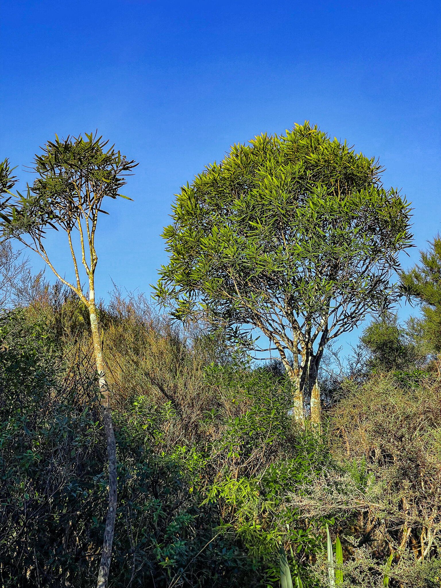
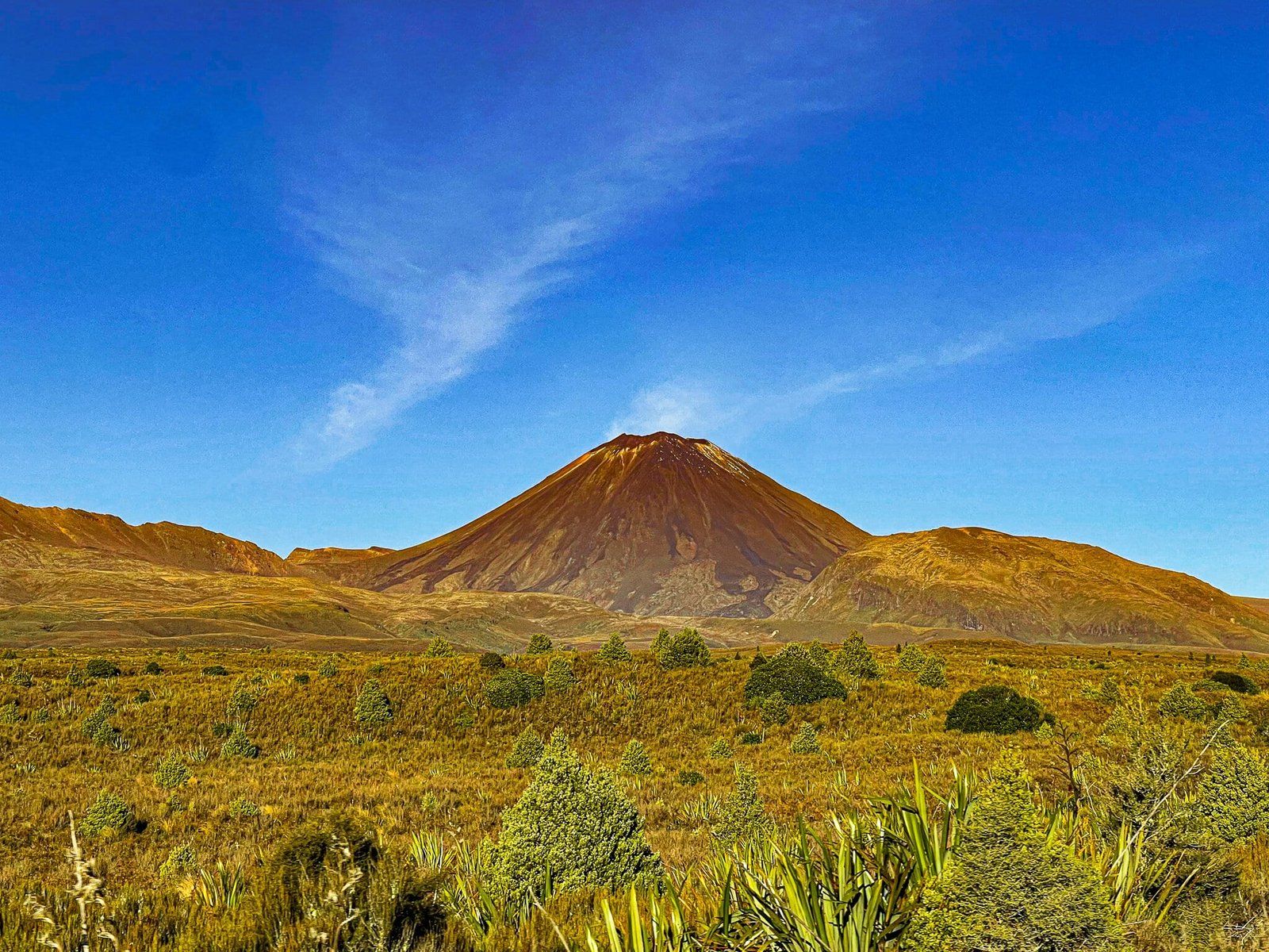
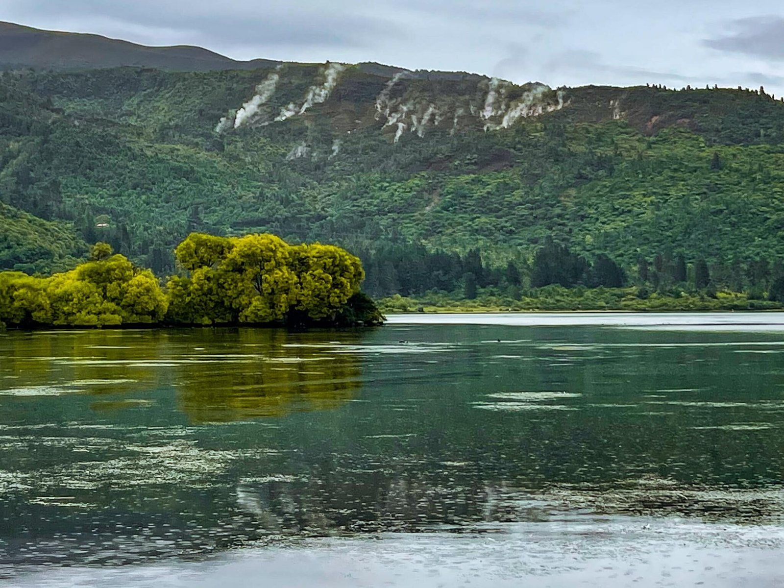
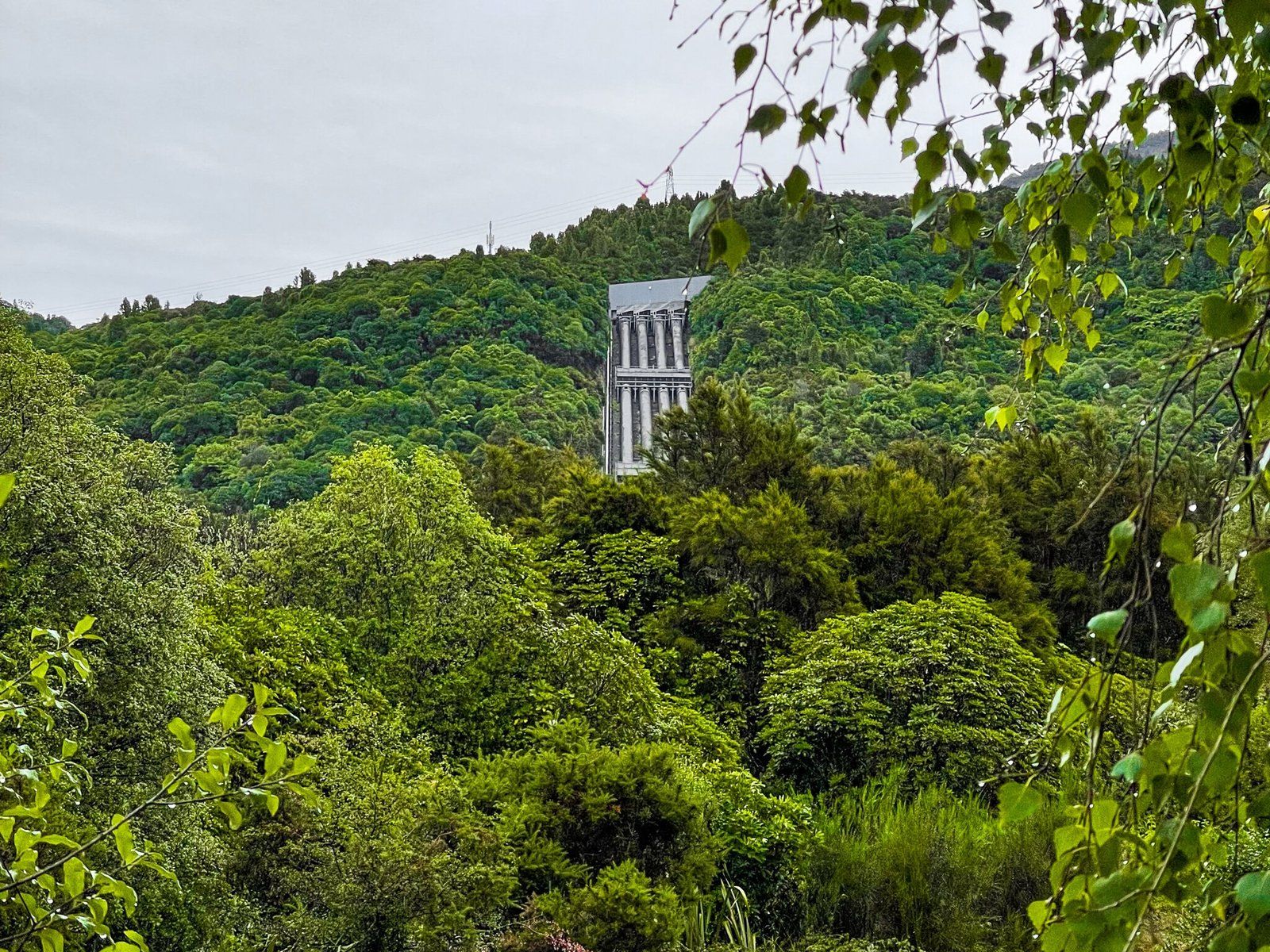
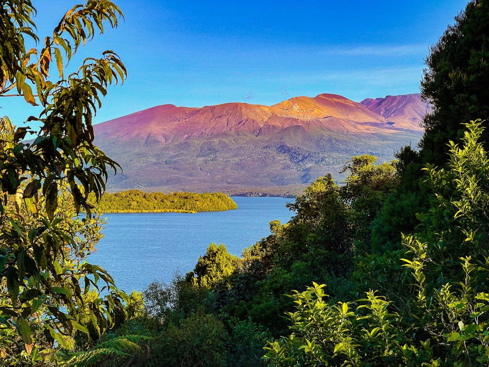
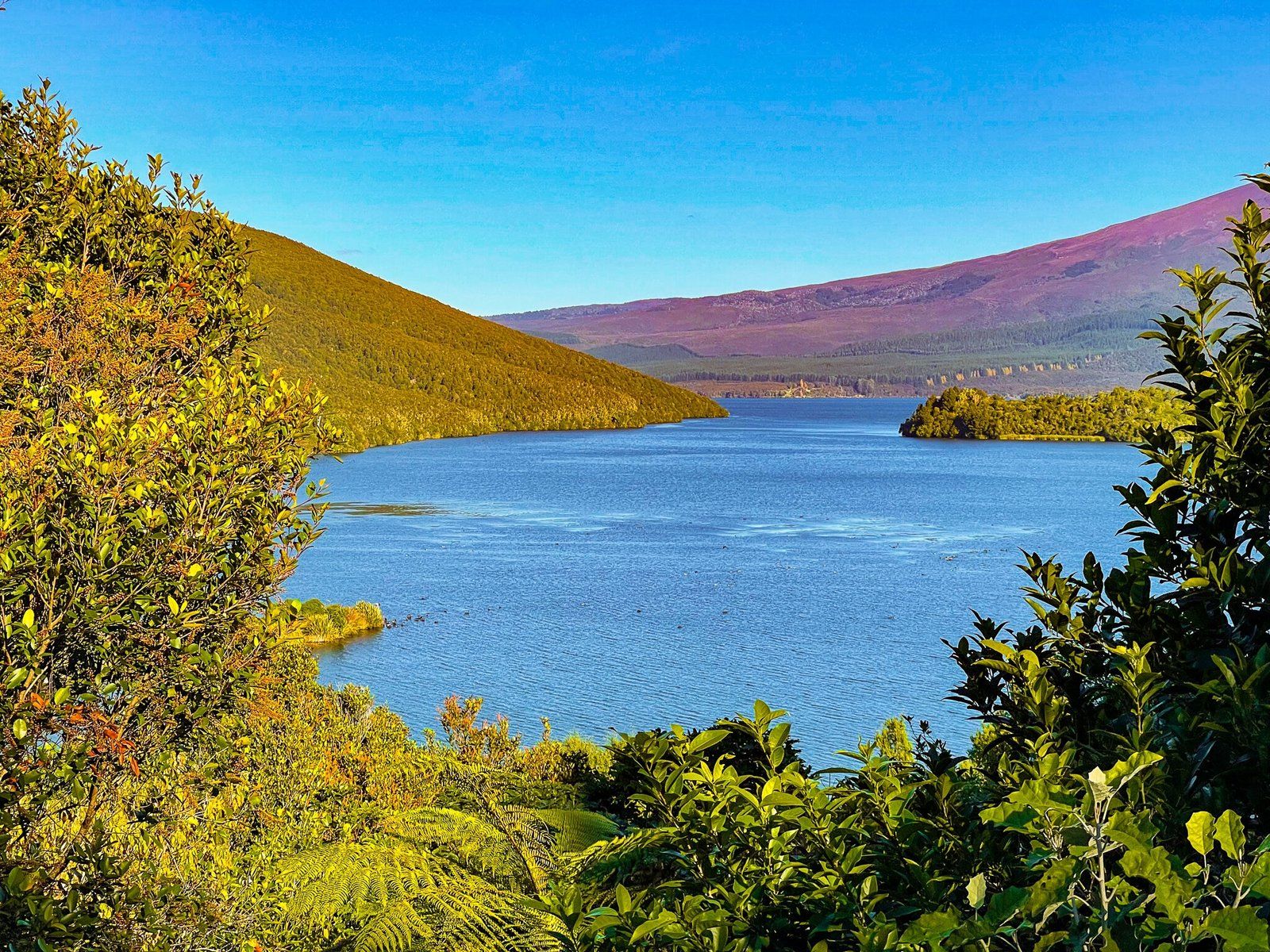
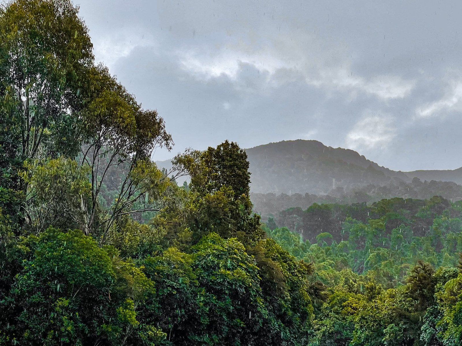
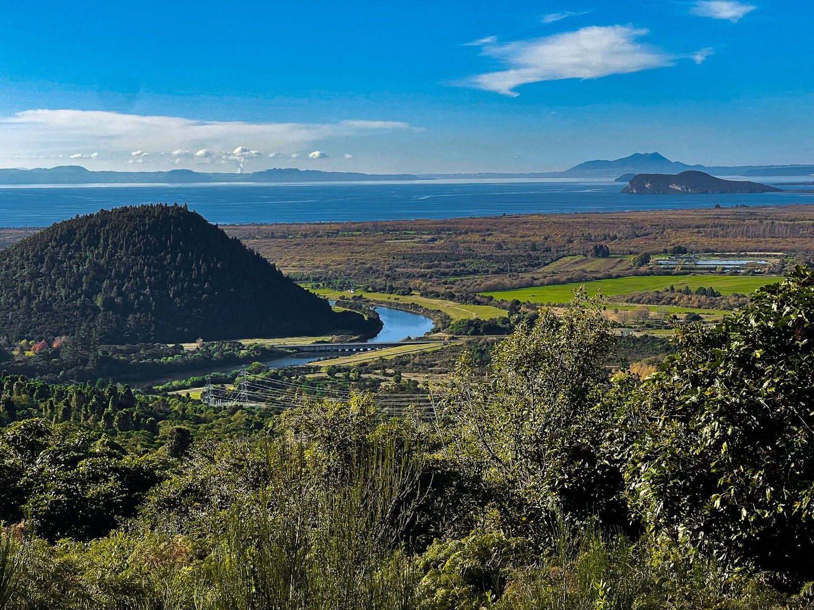
Views from the Road
Along this drive, there are a number of viewpoints you can pull off at to stop and enjoy the incredible landscapes of the region – here’s a little selection.
Want more Trip Ideas?
Check out our blogs on the Napier to Taupō Loop Route and Whanganui, Part 1.