
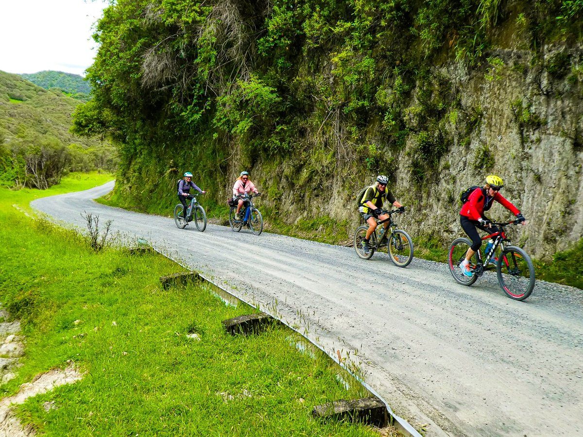
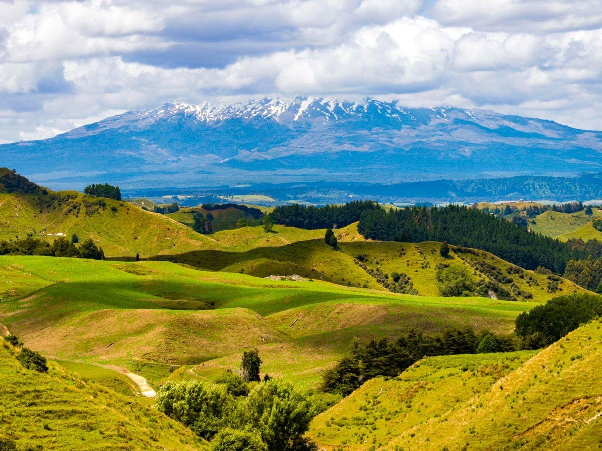
From Mount Ruapehu to North Mole, Whanganui, the Mountains to Sea Cycle Trail encompasses volcanic mountains, native forest, and the culture and history of the Whanganui River. A total of 217km, including a 32 km jet boat ride on the Whanganui River, the cycle trail is challenging and remote in places.
For the first 1 to 2 days, there are two route options. The first route starts from National Park Village and follows a trail and rural back roads to Blue Duck Station and Hokororo on the Whanganui River before heading south along the Kaiwhakauka Track to the Mangapurua Track. The alternate, more southerly route starts from Ohakune (or Turoa Ski Field for a 16km downhill thrill) and heads to the Mangapurua Track via Horopito and Ruatiti.
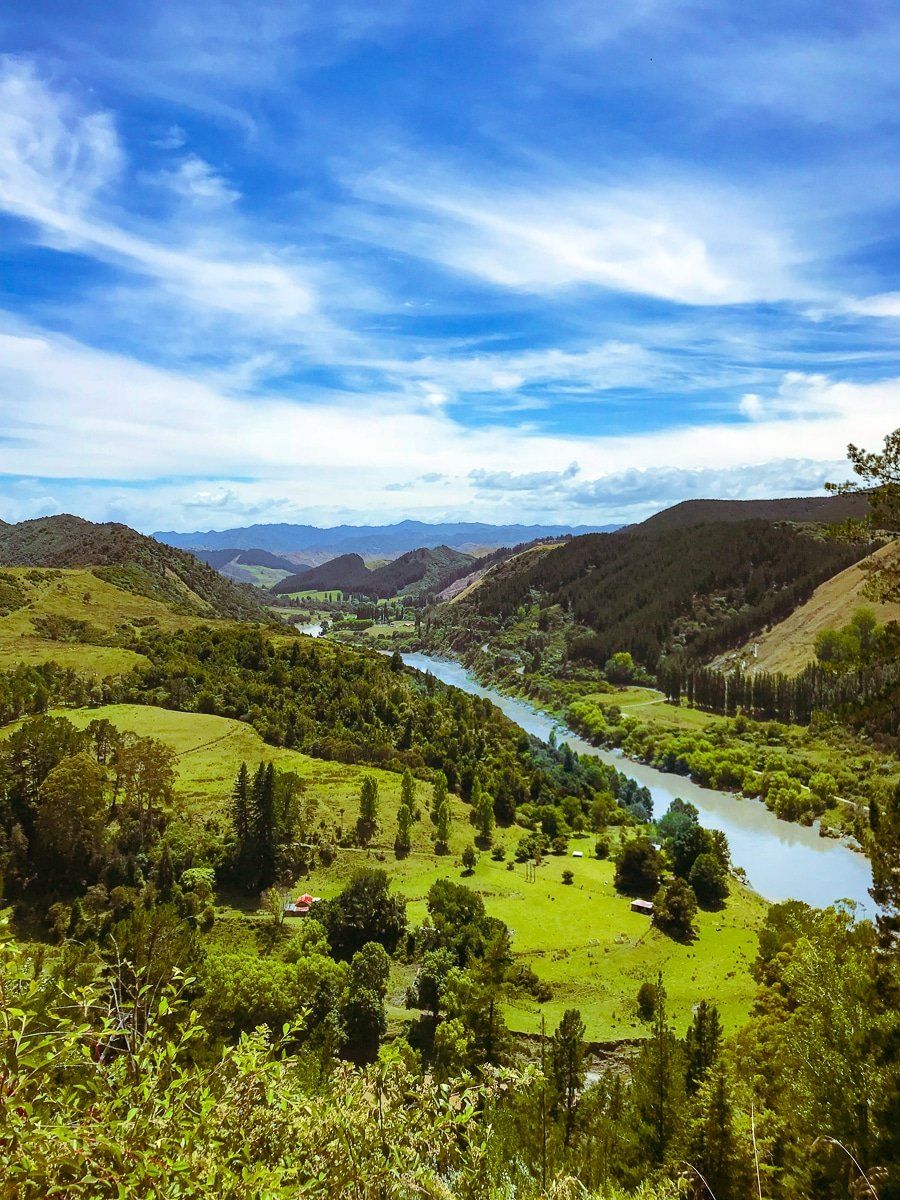
The Mangapurua Track ends at Mangapurua Landing (near the Bridge to Nowhere) and a jet boat takes you 32km down the river to Pipiriki. The ride then follows the remote Whanganui River Road to Upokongaro, and then it’s 19km to the end point in Whanganui.
Accommodation providers are located along the trail, including in some of the most remote areas like Whakahoro, Mangapurua Landing and Pipiriki. You can use a tour service or self-organise your trip, including the jet boat ride. The trail is open all year, but weather is a very important consideration, especially on the remote Kaiwhakauka and Mangapurua tracks which can become muddy and slippery in places.
The Mountains to Sea Cycle Trail is approximately 200 km long. Allow 3-5 days for the whole trip.
Option 1: Ohakune to Mangapurua Track
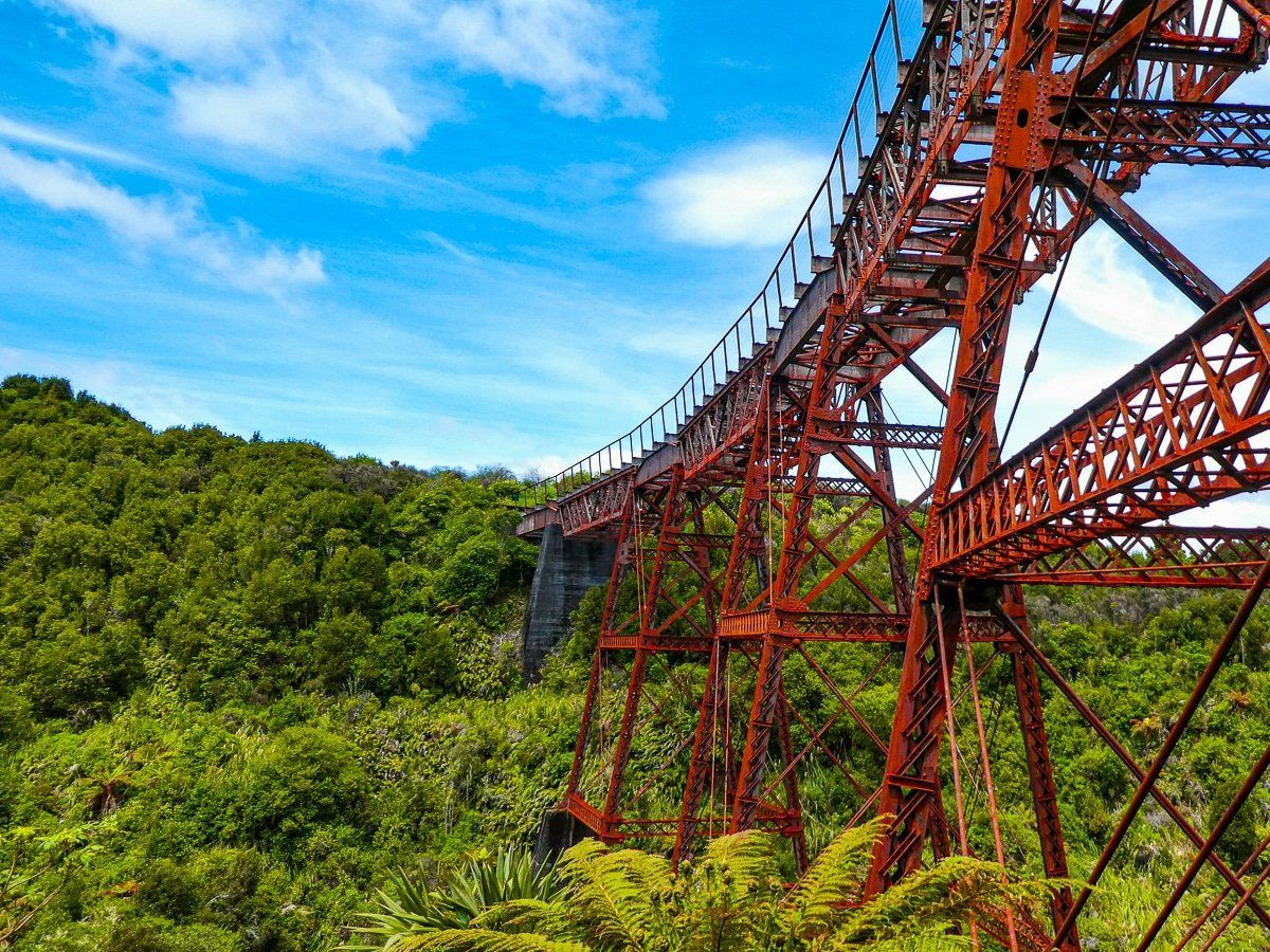
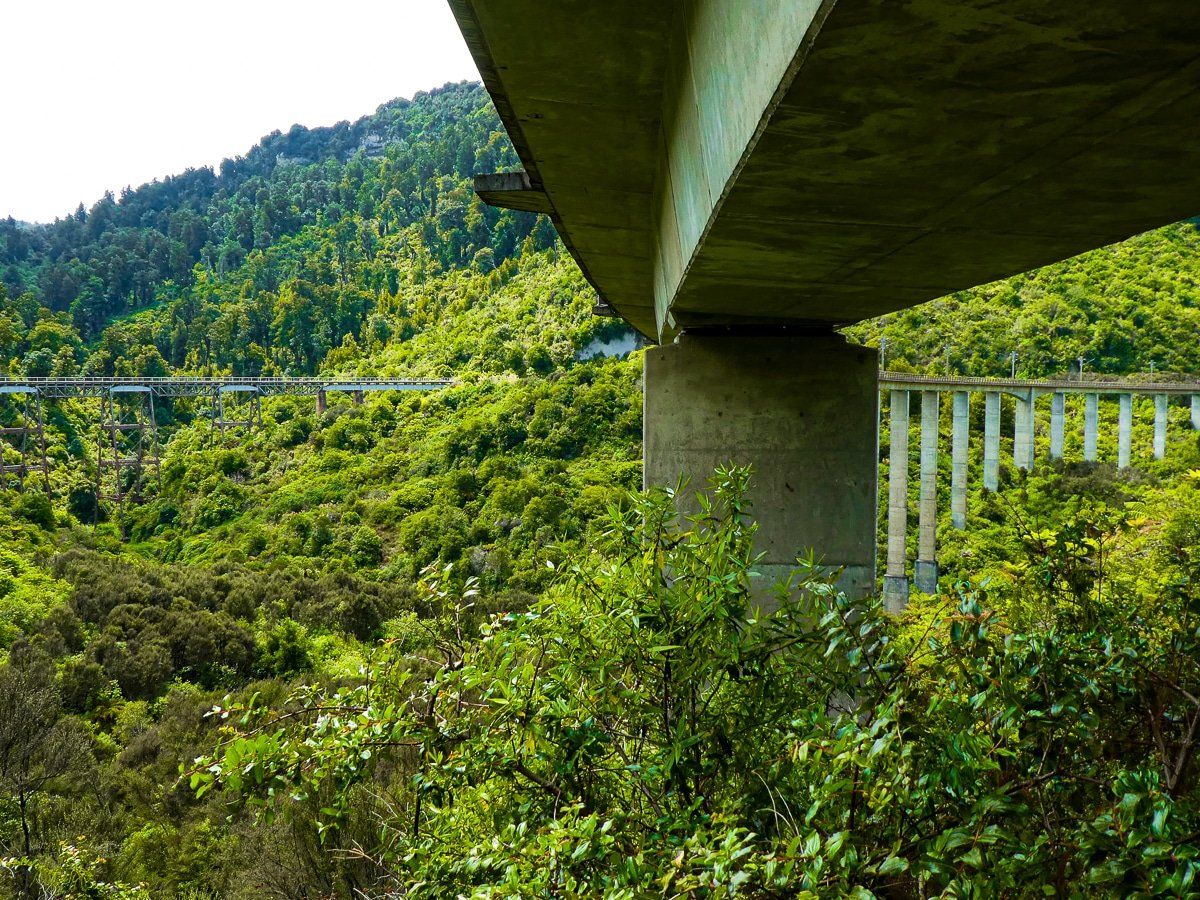
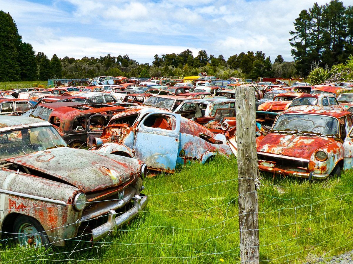
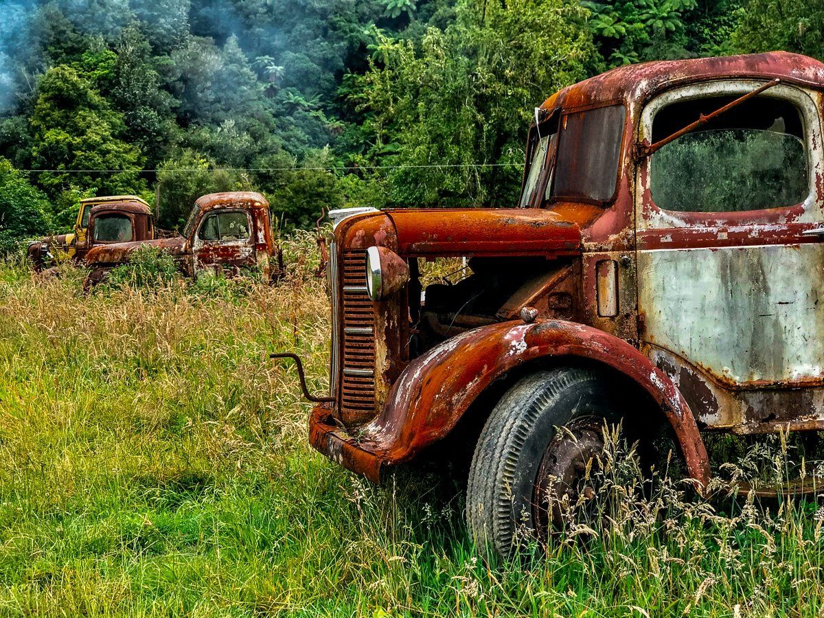
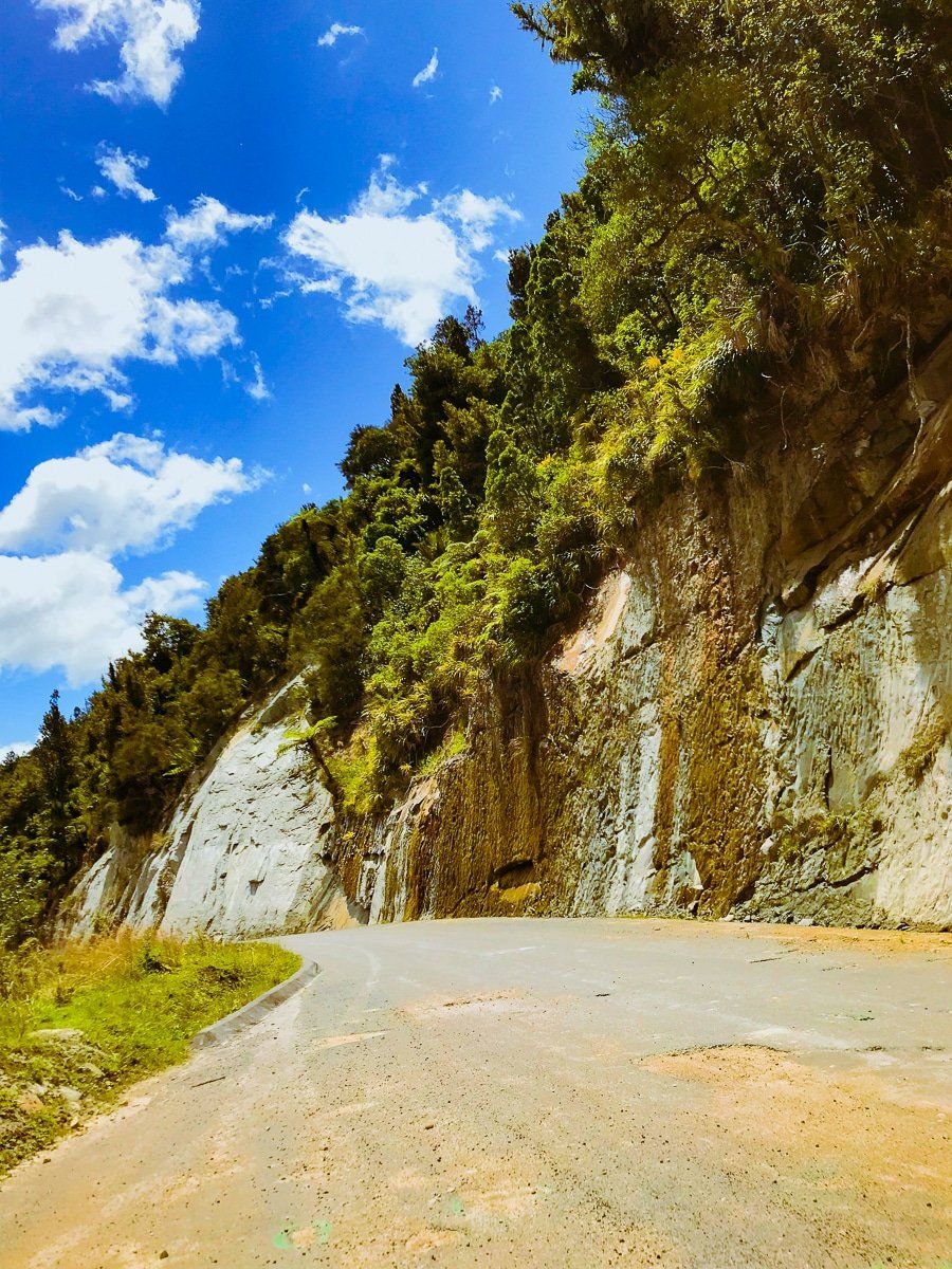
There are two options for starting the Mountains to Sea Cycle Trail. The first route starts in Ohakune, with just over 14km of uphill and undulations to Horopito. Most of this is on the Old Coach Road, a historic section of road that traverses a beautiful section of National Park and takes in derelict rail viaducts and a tunnel. Just on the edge of Horopito is Smash Palace, the most famous car wreck yard in New Zealand.
From Horopito, the trail follows gravelled Middle Road to the sealed, then unsealed, Rautiti Road as the trail becomes more remote. After 48km, the trail links with Mangapurua Track, and not long after you will pass the intersection with the Kaiwhakauka Track.
Option 2, Part 1: National Park to Whakahoro
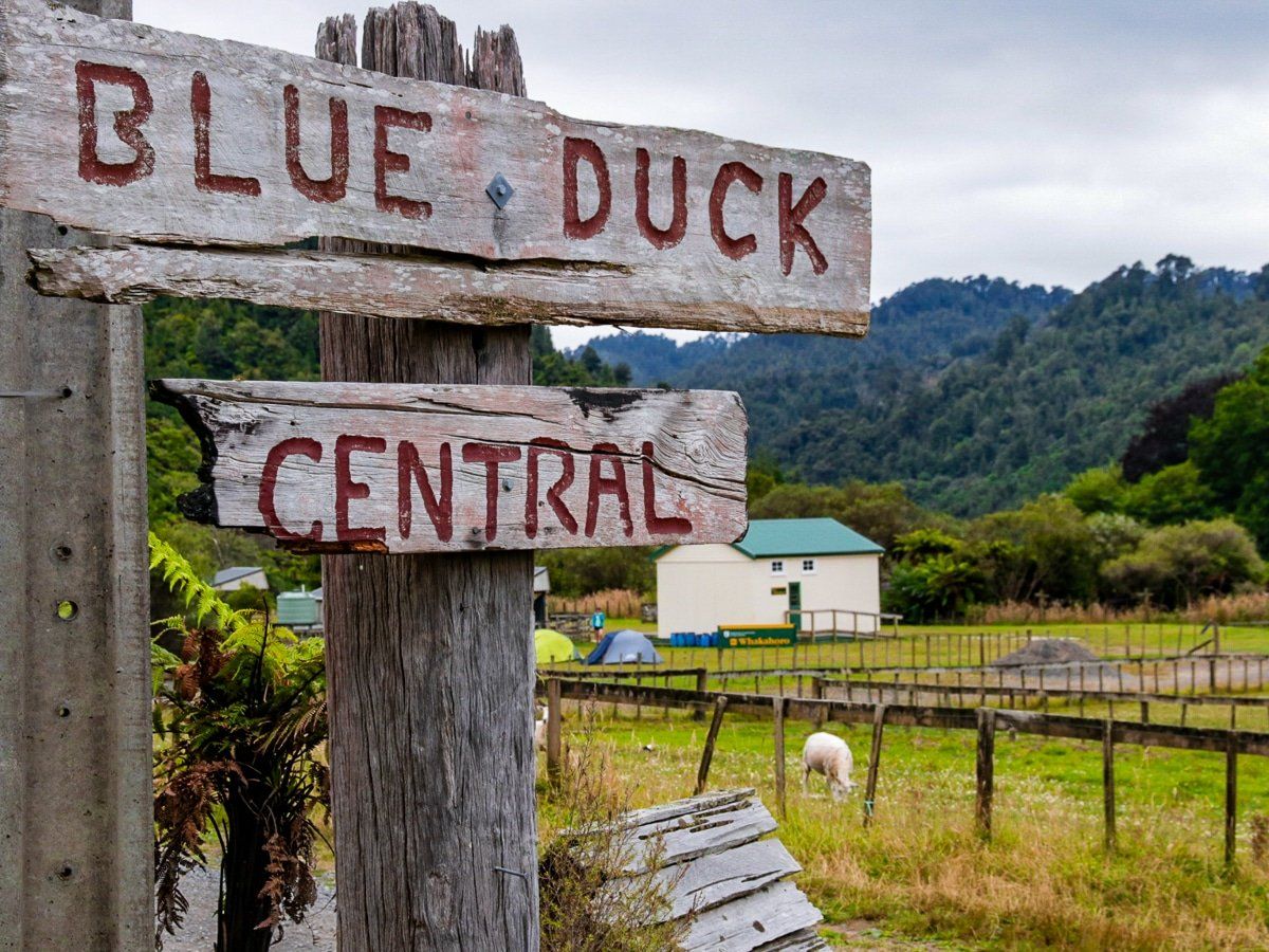
The alternative route starts in National Park Village on the grade 2-3 Fishers Track, then joins Upper Retaruke Road and Oio Road. Given how much of a backroad this route is, the intersection of Oio Road and Upper Retaruke Road is a bit of a surprise, with its symbols of habitation. From there, Oio Road includes a spectacular section high above the Retaruke River, before terminating at Whakahoro on the Whanganui River. Whakahoro is the home of Blue Duck Station. The distance is a total of 52km and there’s a good range of accommodation options at Whakahoro, both at Blue Duck Station and at a nearby DOC campground.
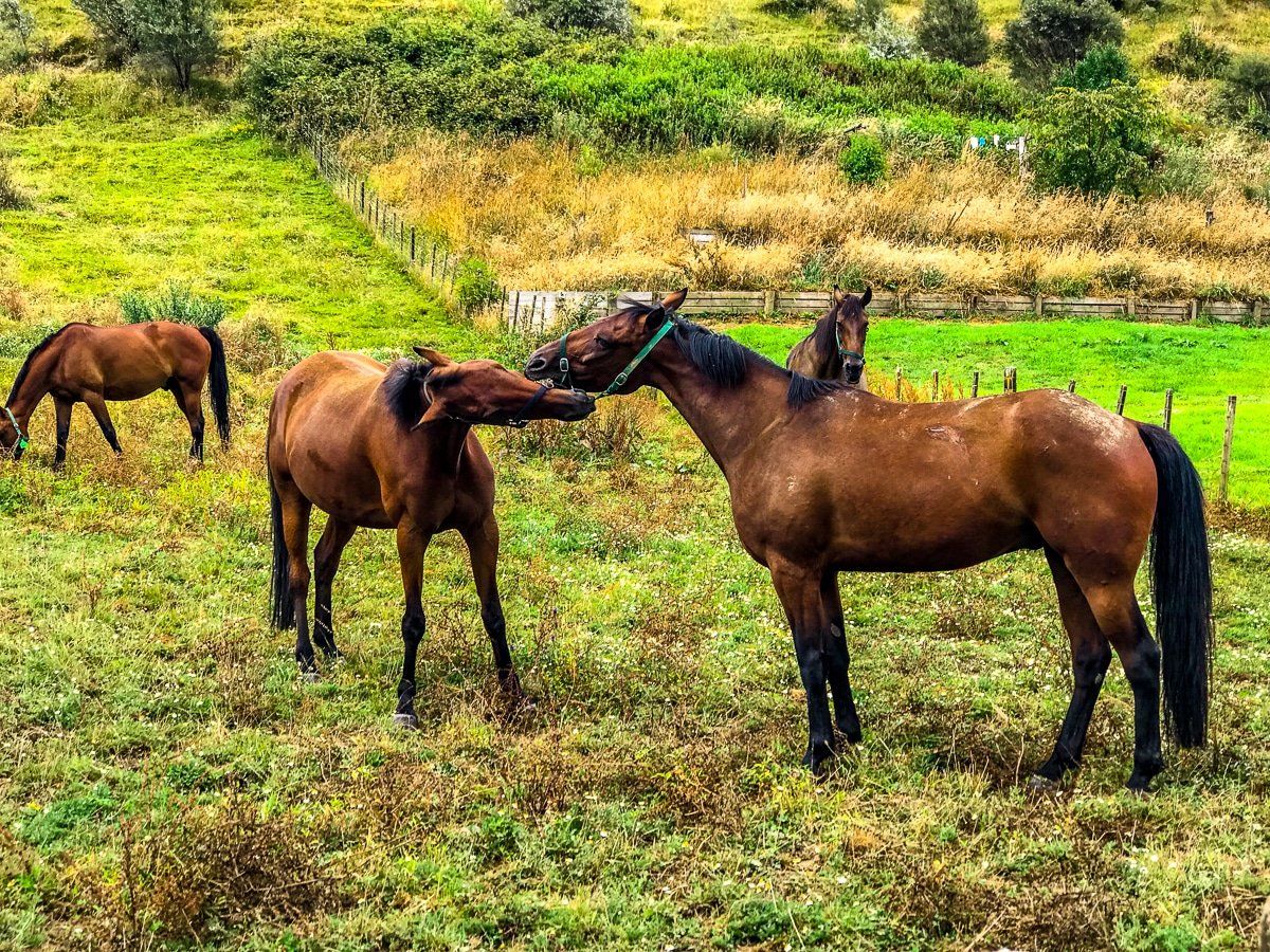
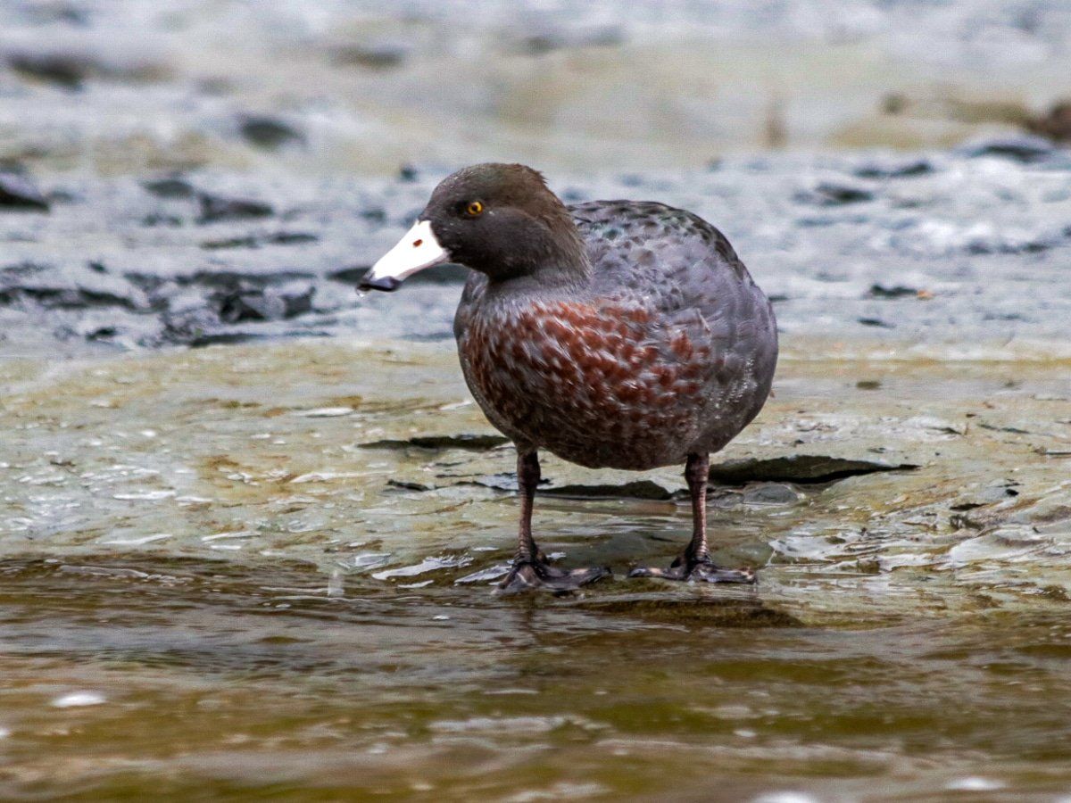
The Station also has a good cafe right next to the track, as well as some local horse riding, canoeing and hiking options if you have some extra time. If you walk down to the Retaruke River access, below the DOC campsite, there is a reasonable chance of spotting some whio (rare blue ducks).
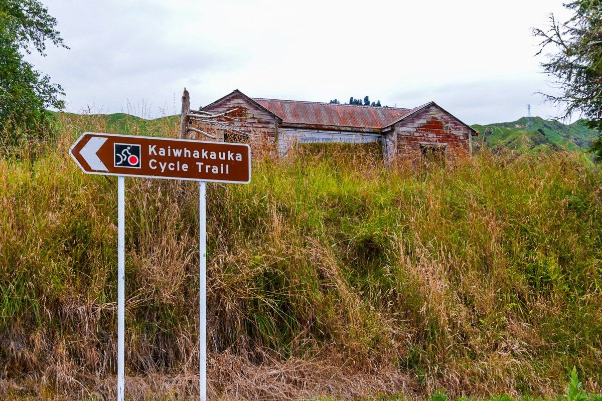
Option 2, part 2: Kaiwhakauka Track to Mangapurua Track
From Whakahoro, it’s only 14km on the grade 4 Kaiwhakauka Track to link to the Mangapurua Track. Check the weather before you head out; in the wet, it will be a hard slog.
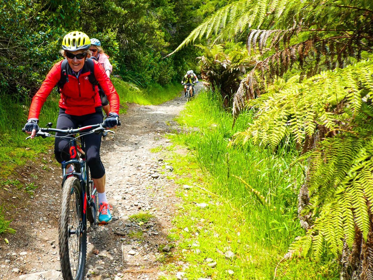
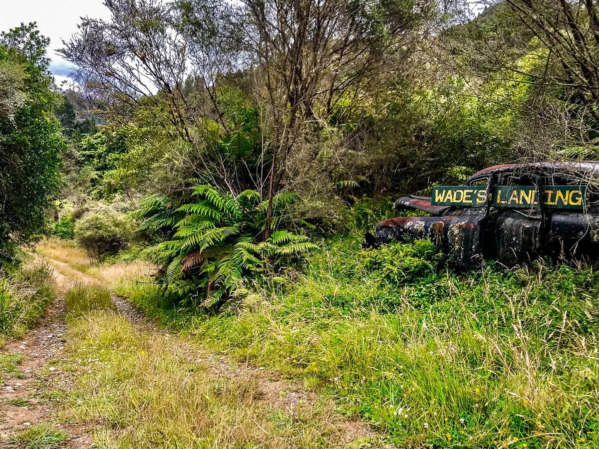
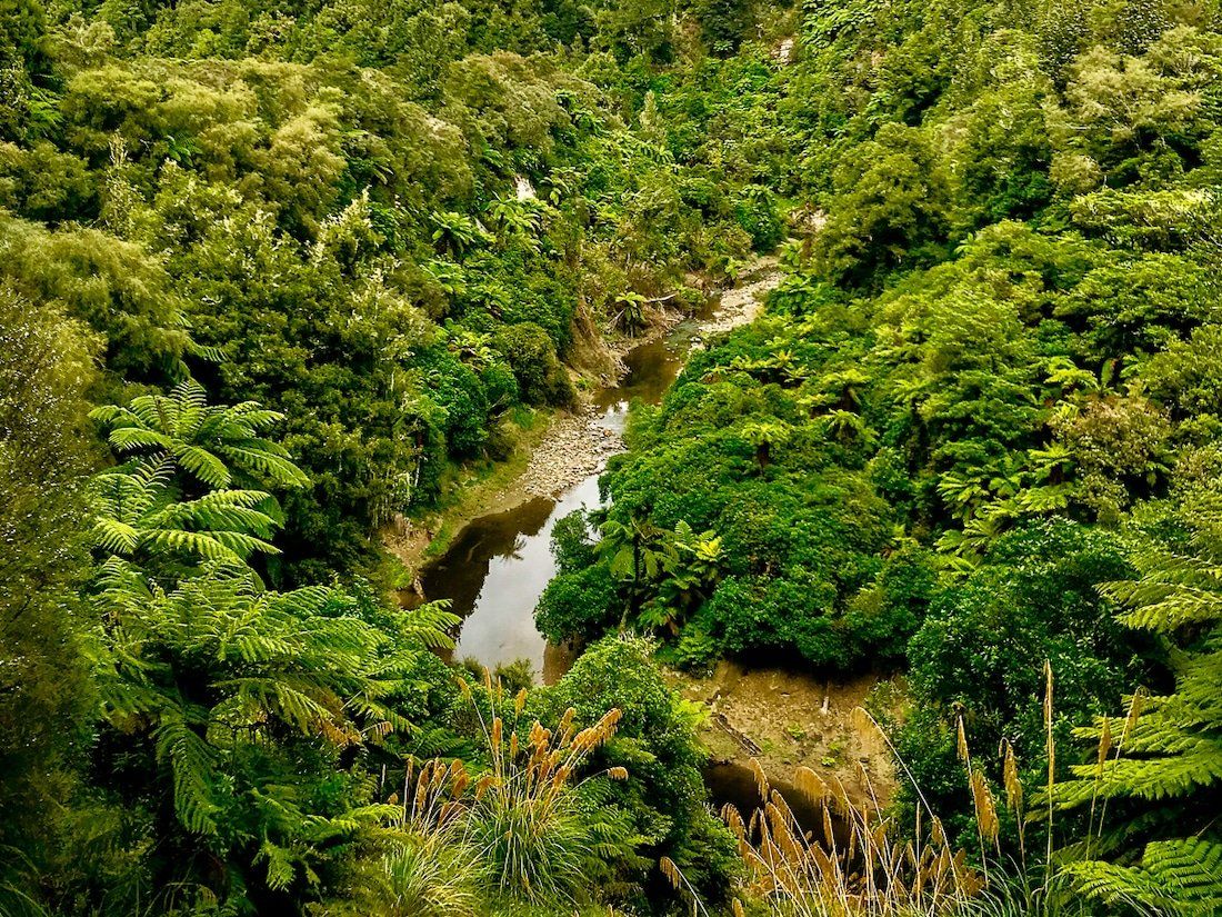
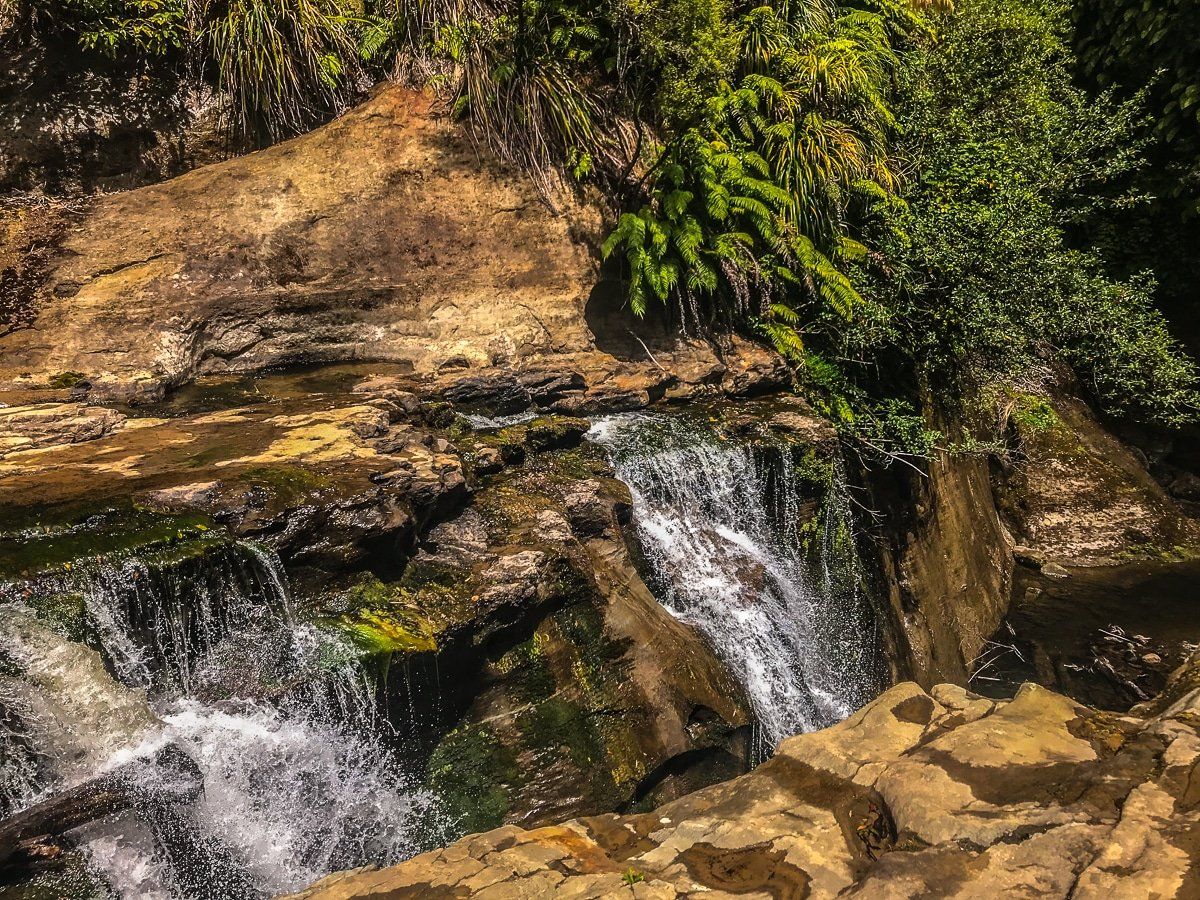
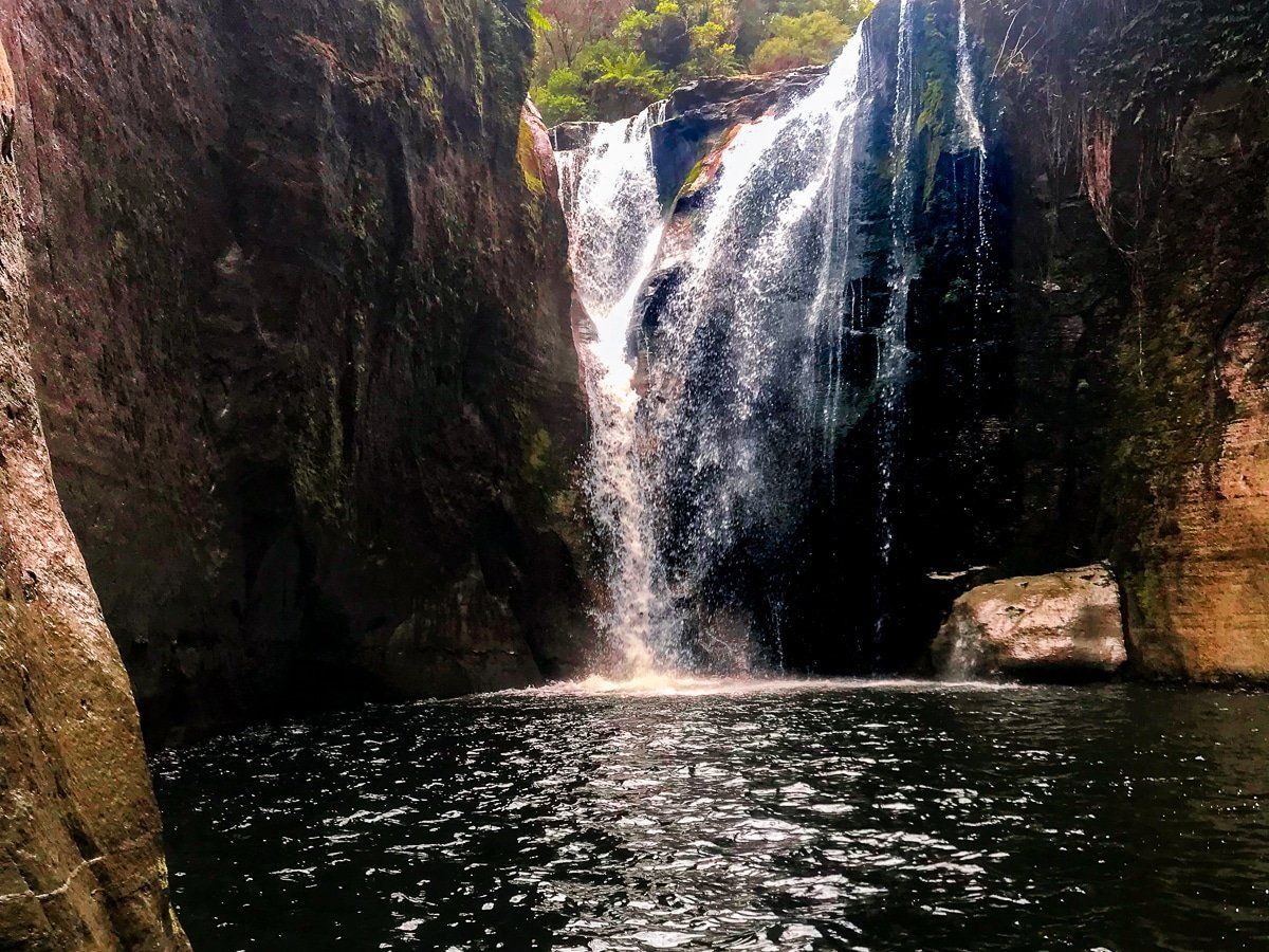
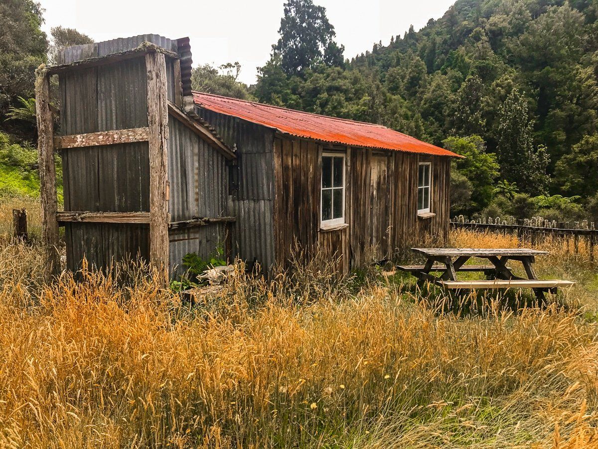
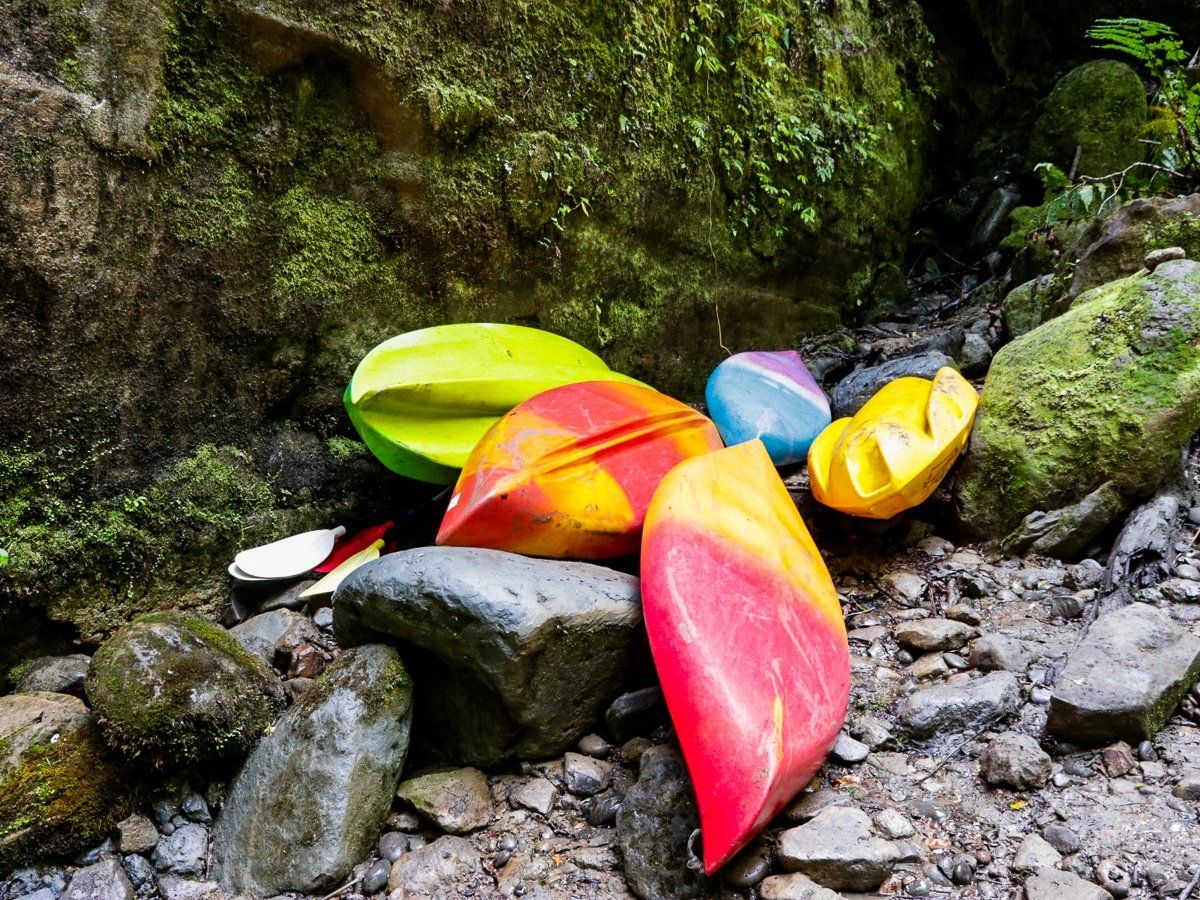
The first stage follows a farm track. It’s picturesque and combines windy sections high above the Kaiwhakauka Stream, regenerating native forest with farmed sections, evidence of the failed attempts to settle the Kaiwhakauka and Mangapurua valleys, plus a hidden, unnamed waterfall, complete with canoes. Ask about this at the cafe.
The second stage enters the Whanganui National Park and the track narrows. Towards the end of the track, there’s a 300-metre climb through an established forest to connect with the Mangapurua Track.
Mangapurua Track to Pipiriki
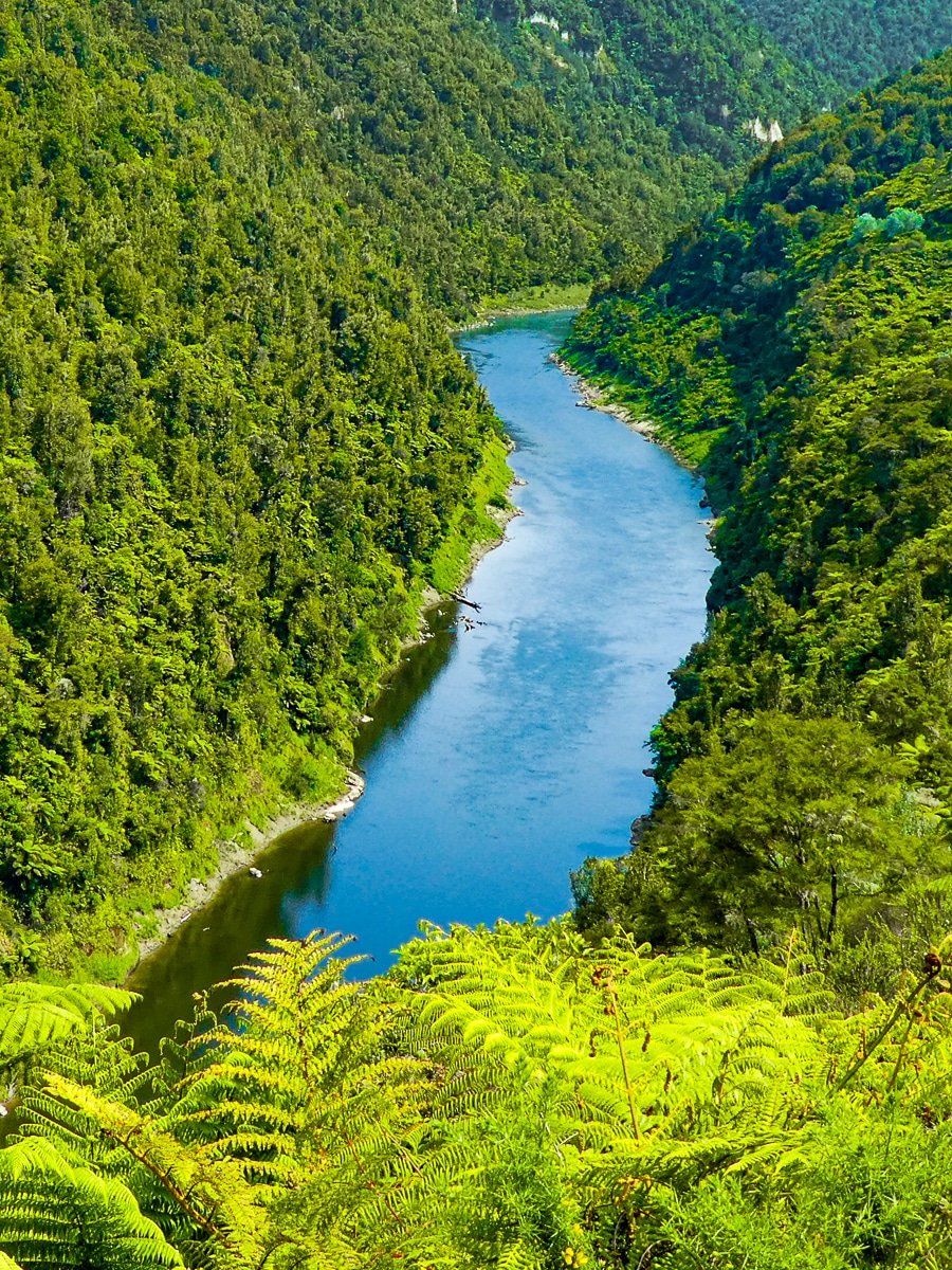
This section of the Mountains to Sea trail has a narrow path above a gorge that is prone to slips. Check it’s open at trail status before you commit!
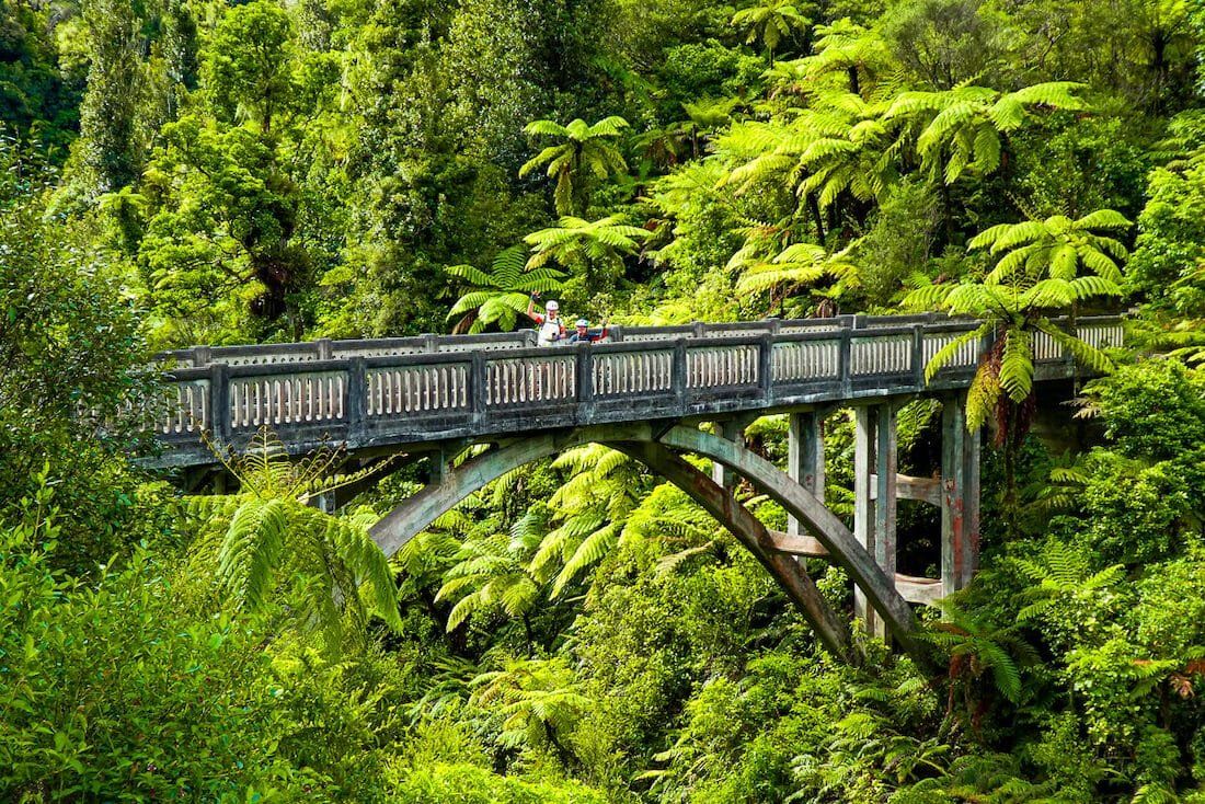
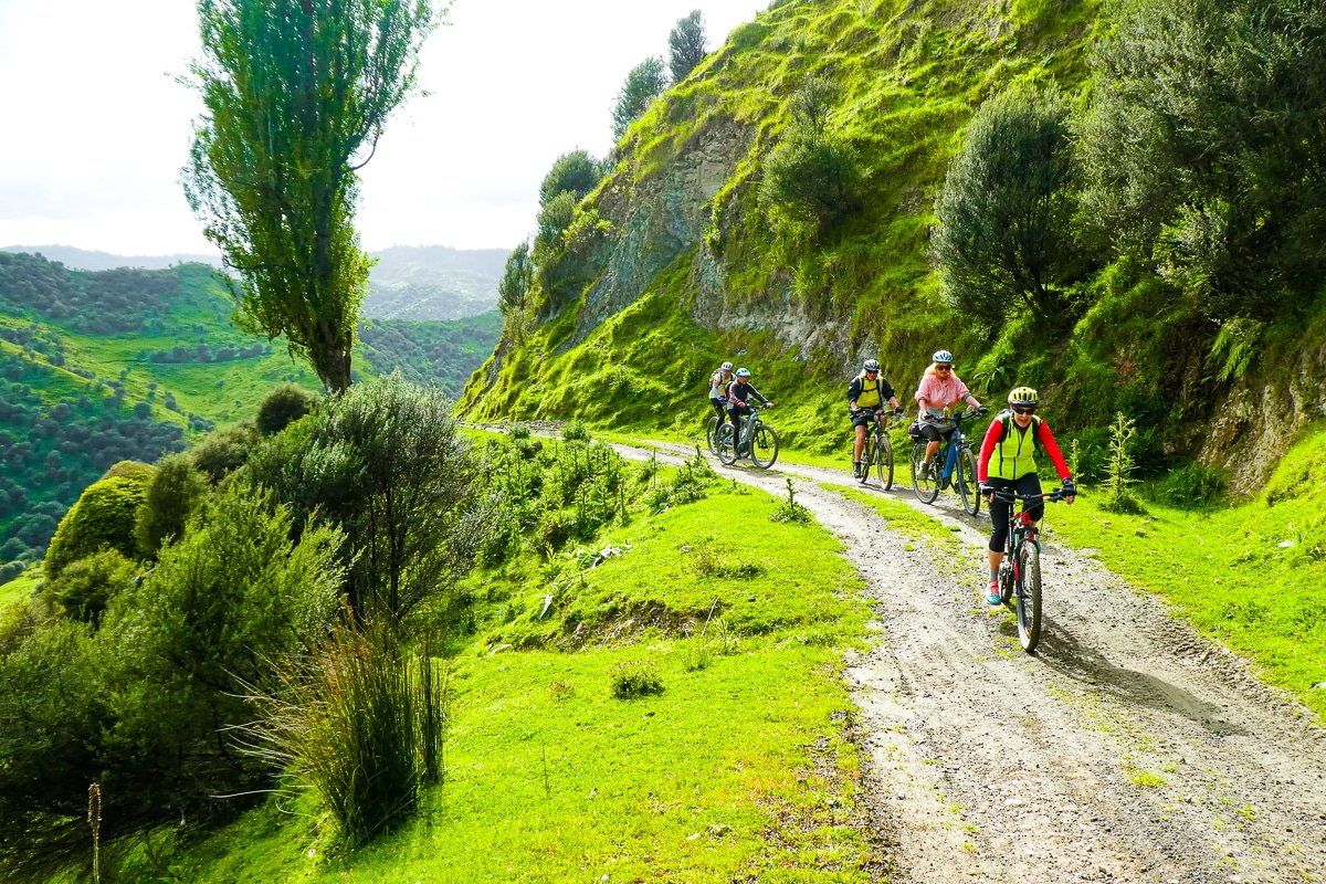
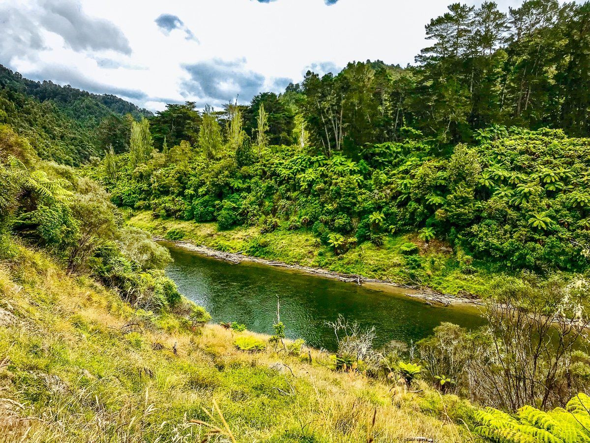
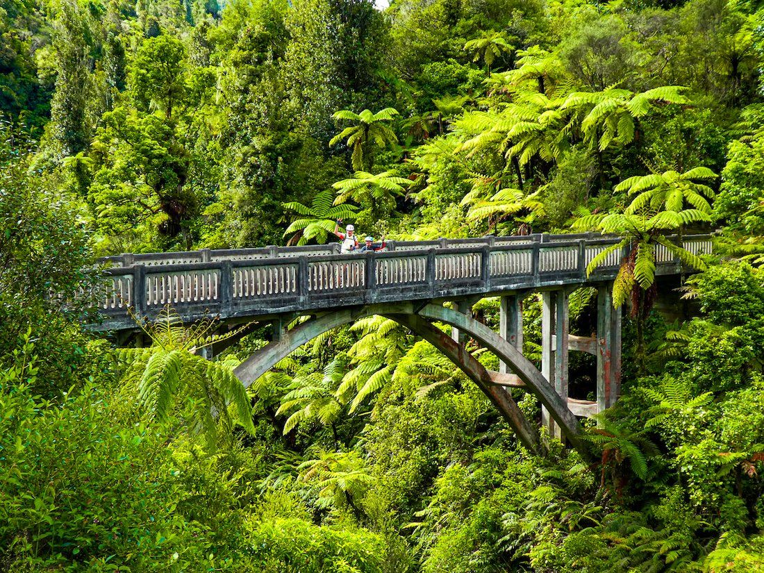
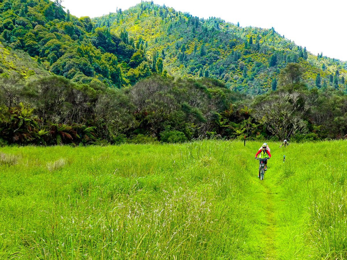
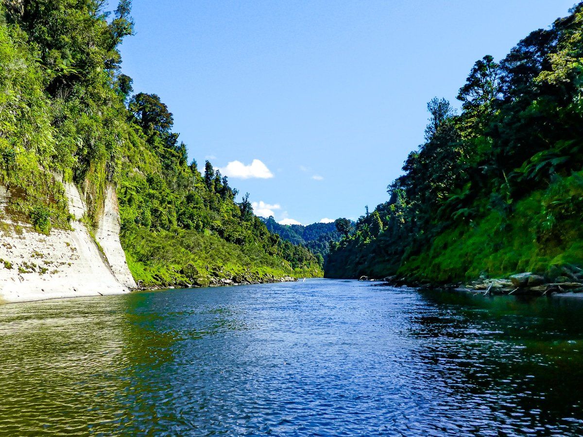
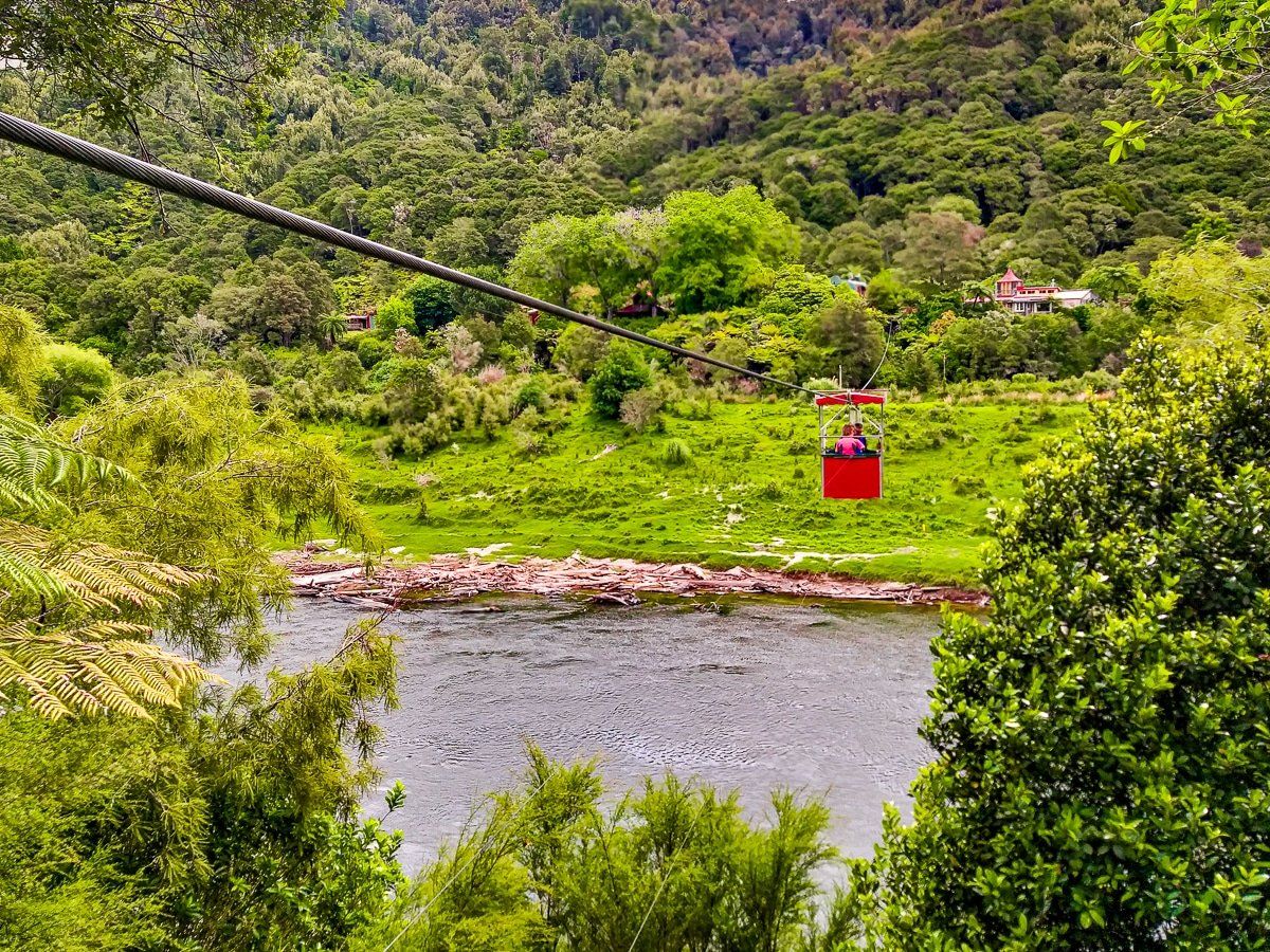
The 36km Mangapurua Track climbs to a trig, then winds through Whanganui National Park along the valley and bluff faces, across ravines, and over the Bridge to Nowhere. It ends at Mangapurua Landing on the Whanganui River for a 32km jet boat ride to Pipiriki at the start of the Whanganui River Road section. You’ll need to book the jet boat ride in advance.
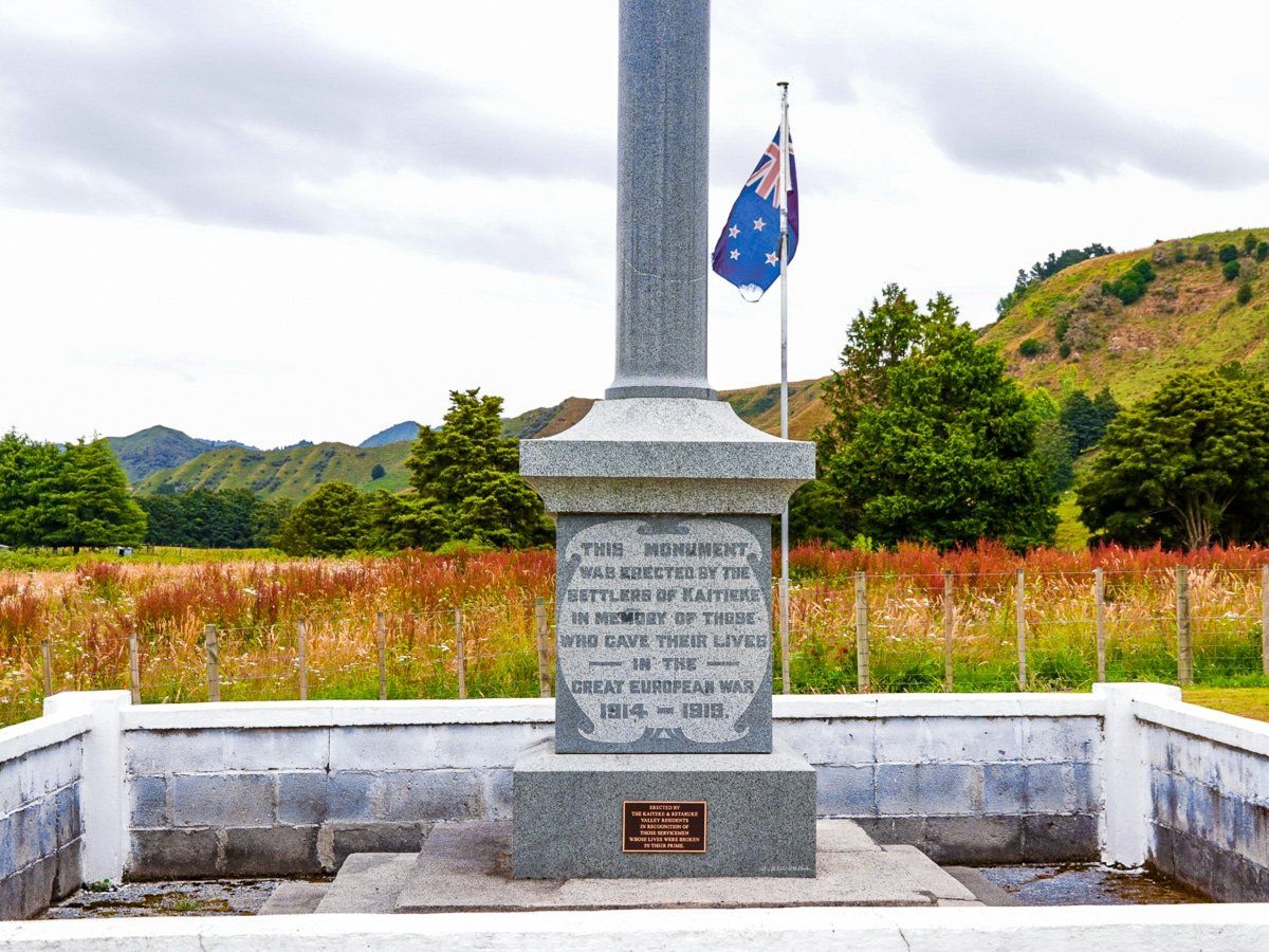
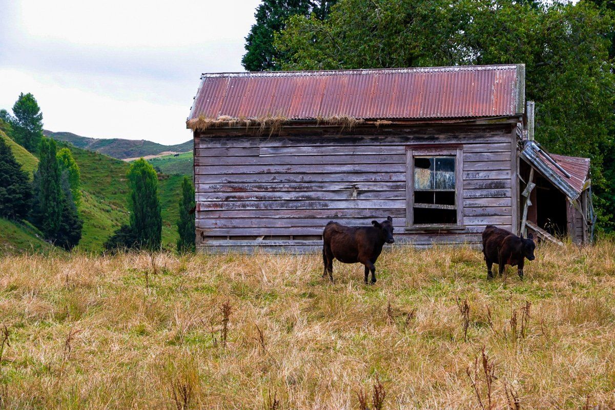
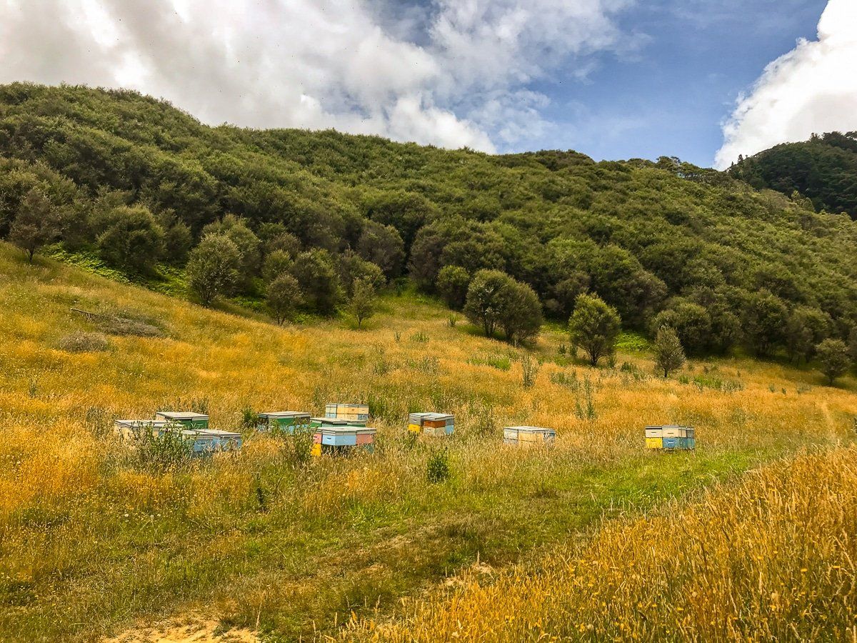
The area along the Mangapurua and Kaiwhakauka tracks was offered to soldiers returning from WW1 in 1917. Forty soldiers plus their families established farms, but 25 years later the treacherous access road was closed due to slips. Today, native forest is reclaiming the area, but you will see signs of the past attempts to farm it as you ride through.
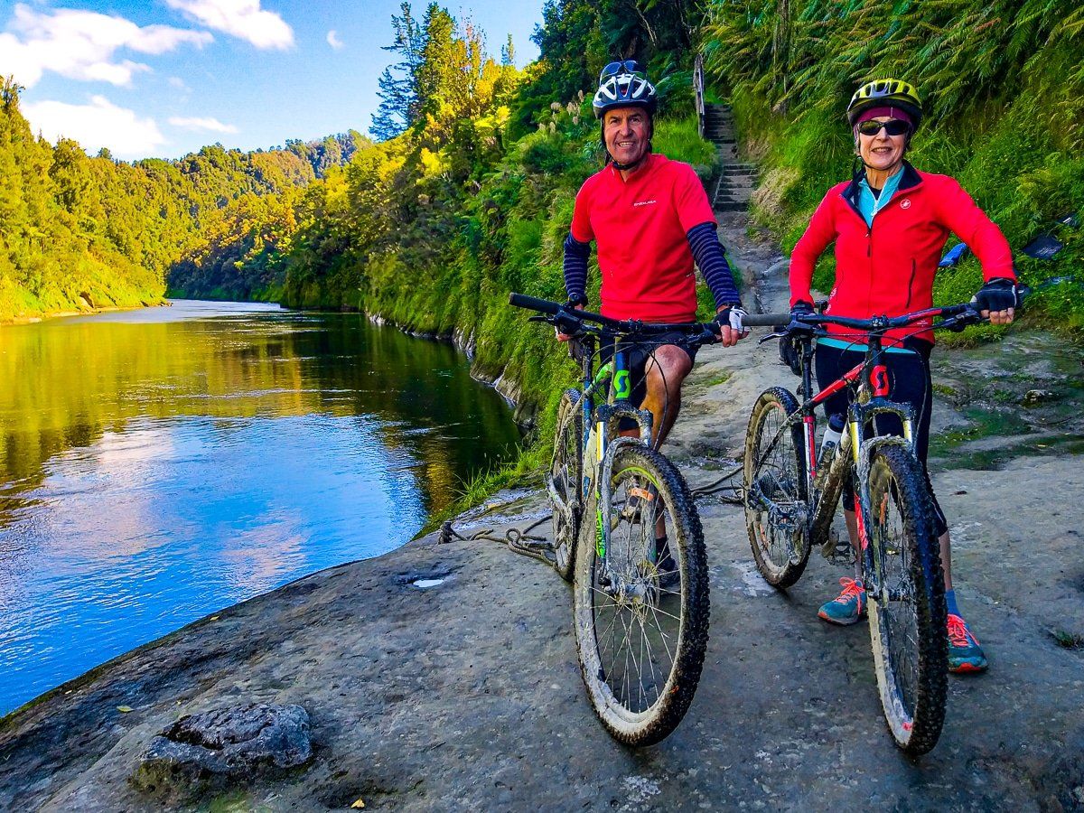
Pipiriki to Upokongaro
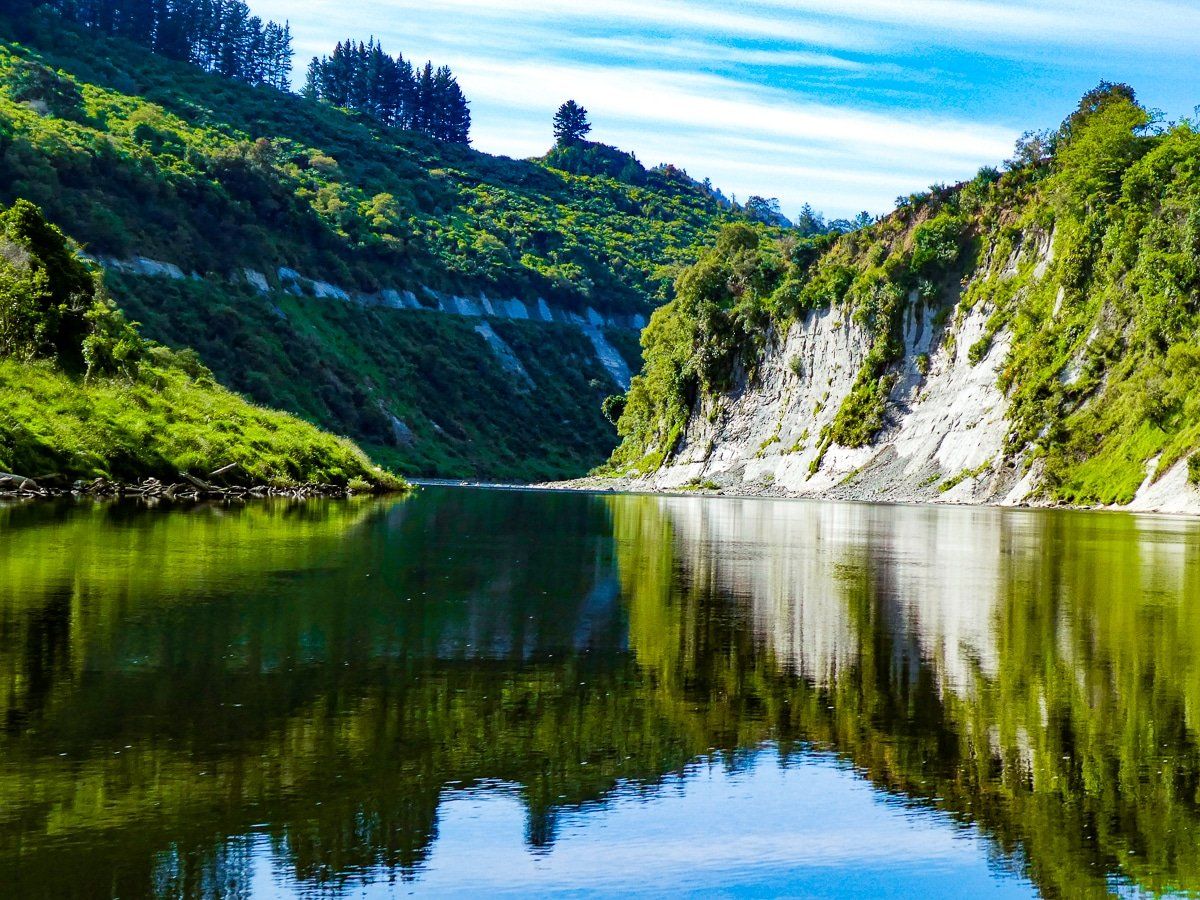
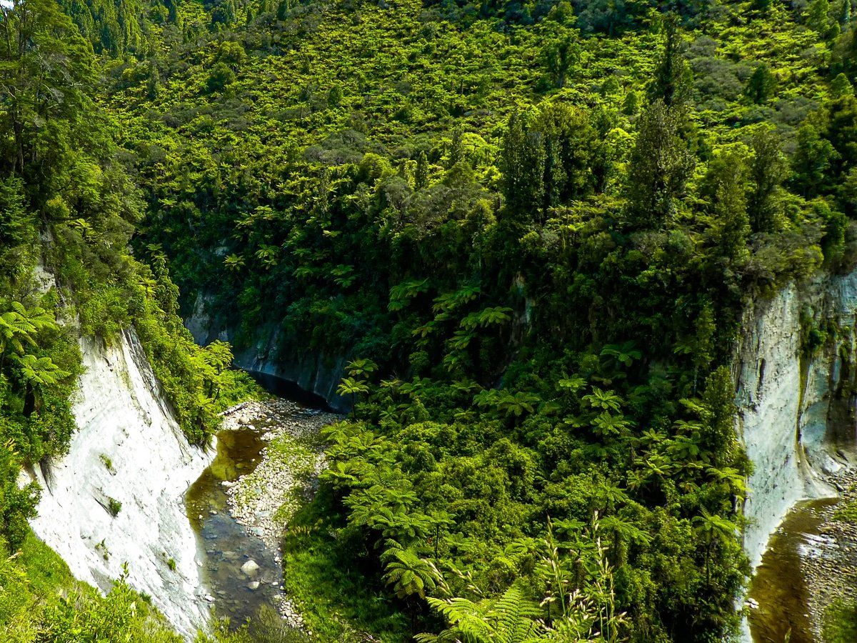
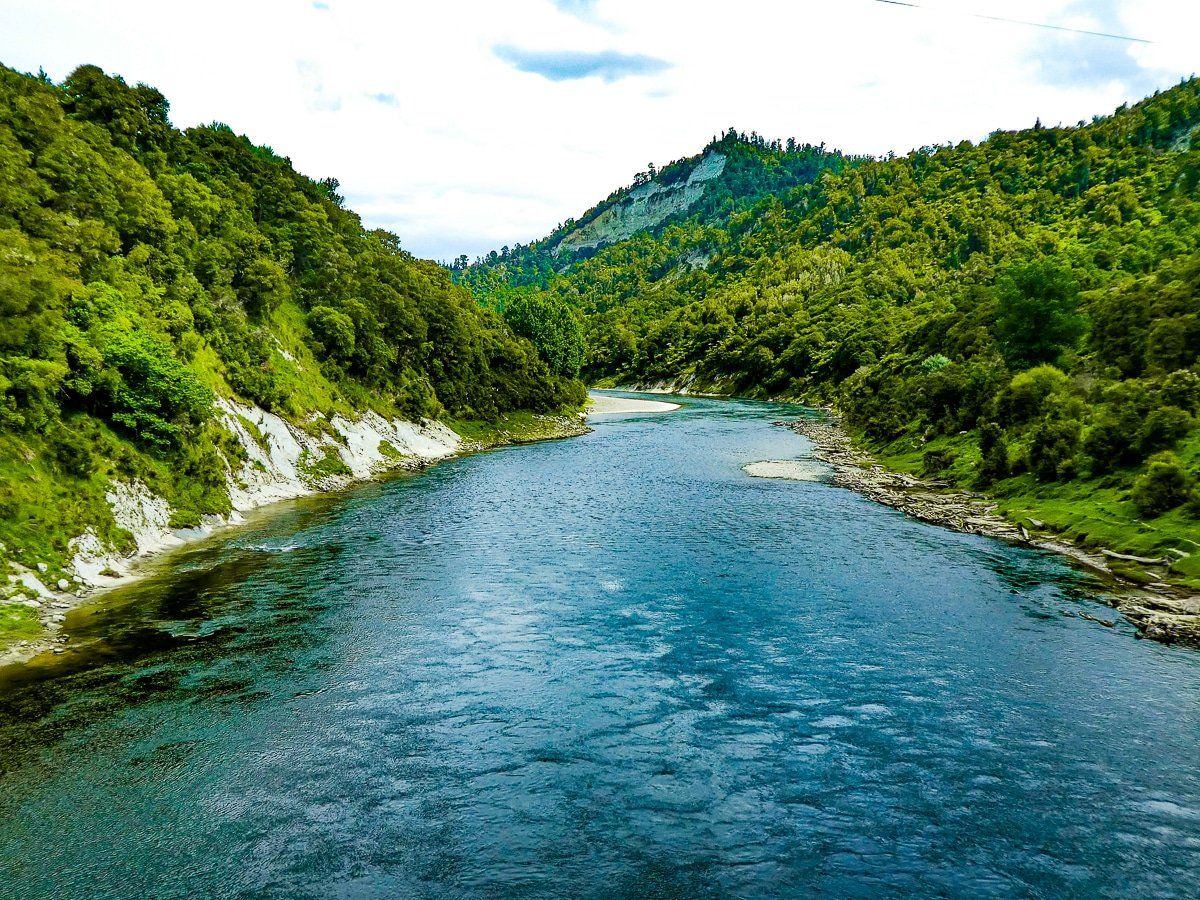
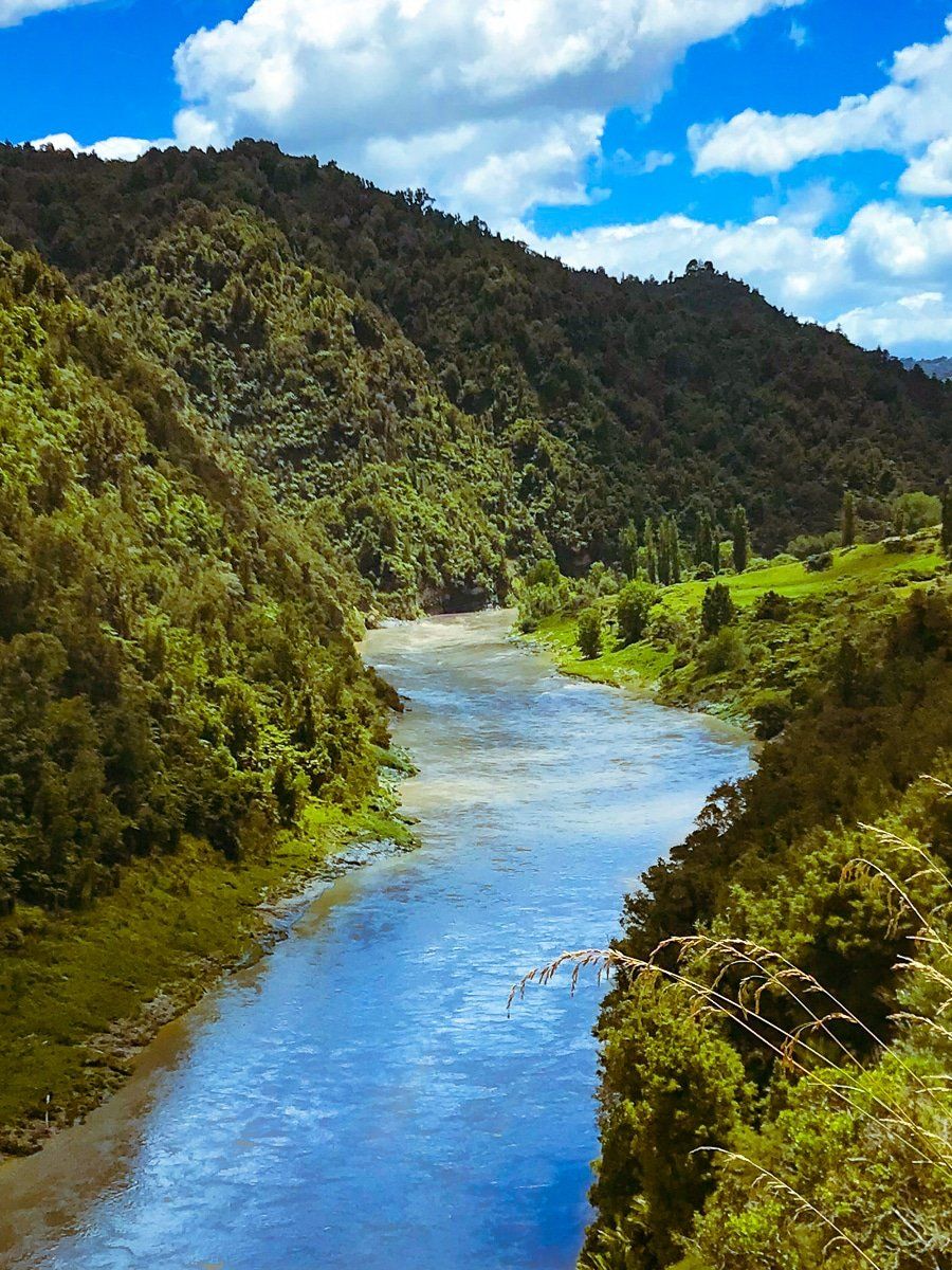
From Pipiriki, the remote Whanganui River Road runs for 67km before connecting with State Highway 4, which heads to Whanganui, north of Upokongaro. The road is undulating and rough in places, with plenty of viewpoints over the river and valley. There is a significant hill climb towards the end but the payoff is a wonderful view back down the river.
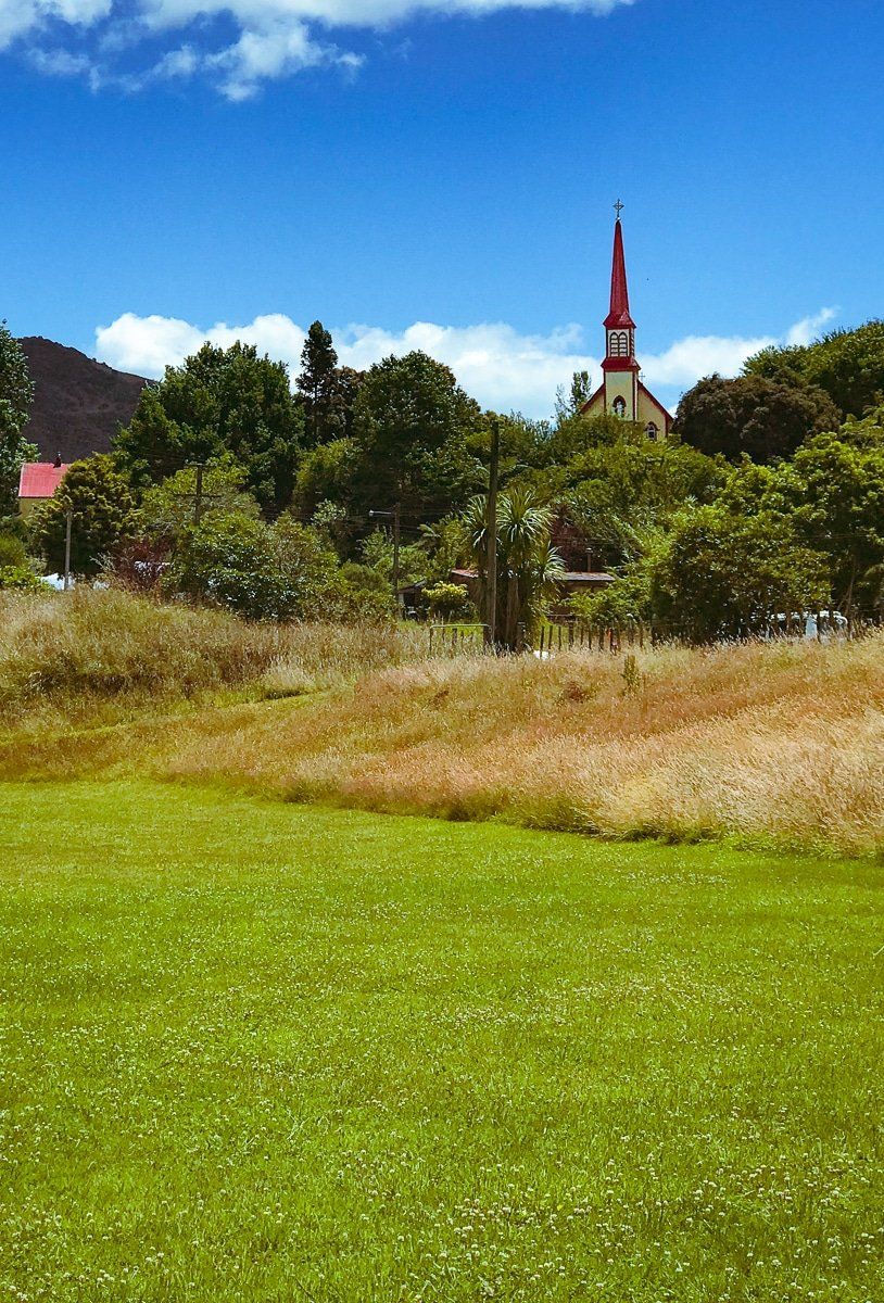
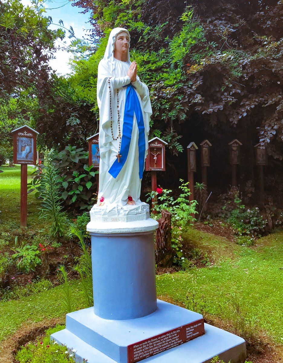
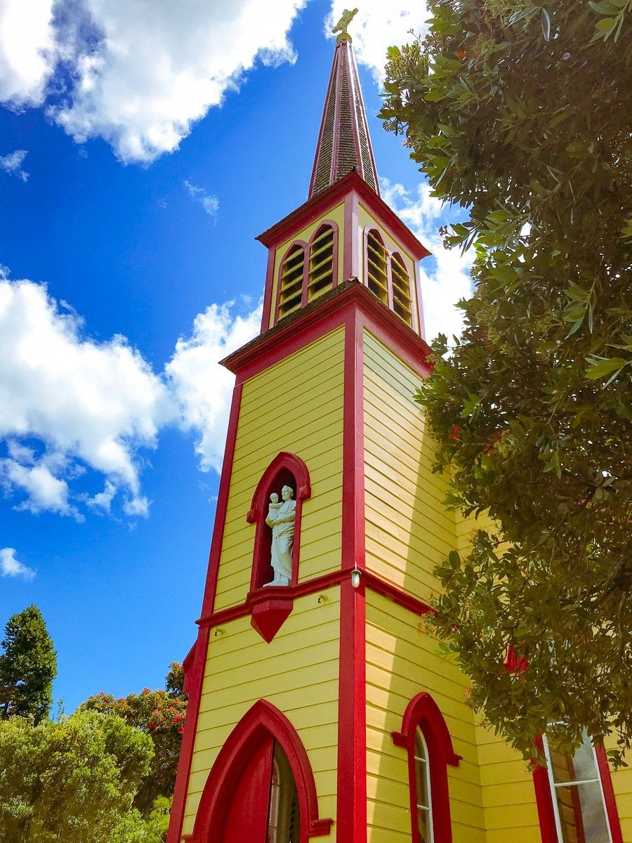
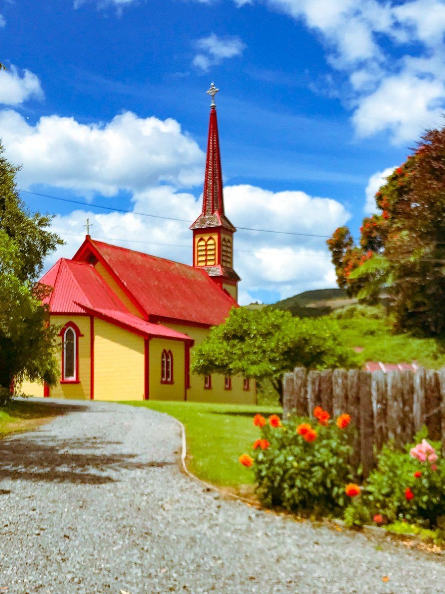
The road passes through several historic small settlements, some with a local Māori name plus a major international city in English. Hiruharama (Jerusalem) is the best known, and is particularly interesting with its religious centre.
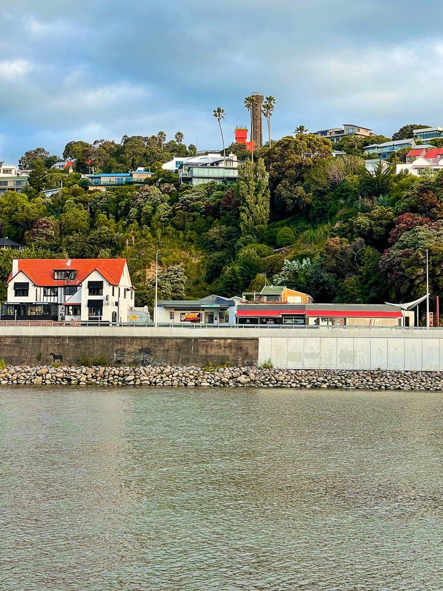
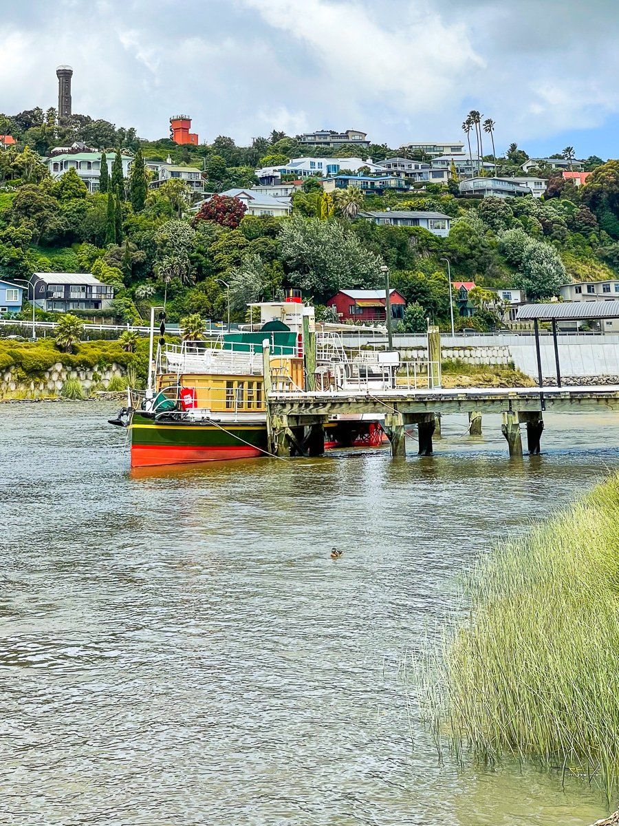
Upokongaro to Whanganui
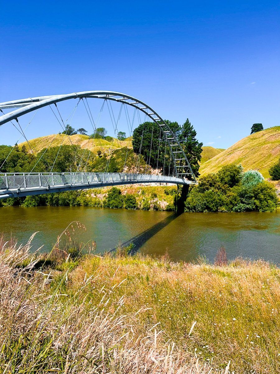
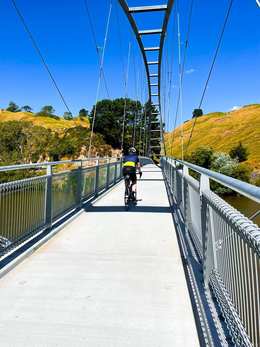
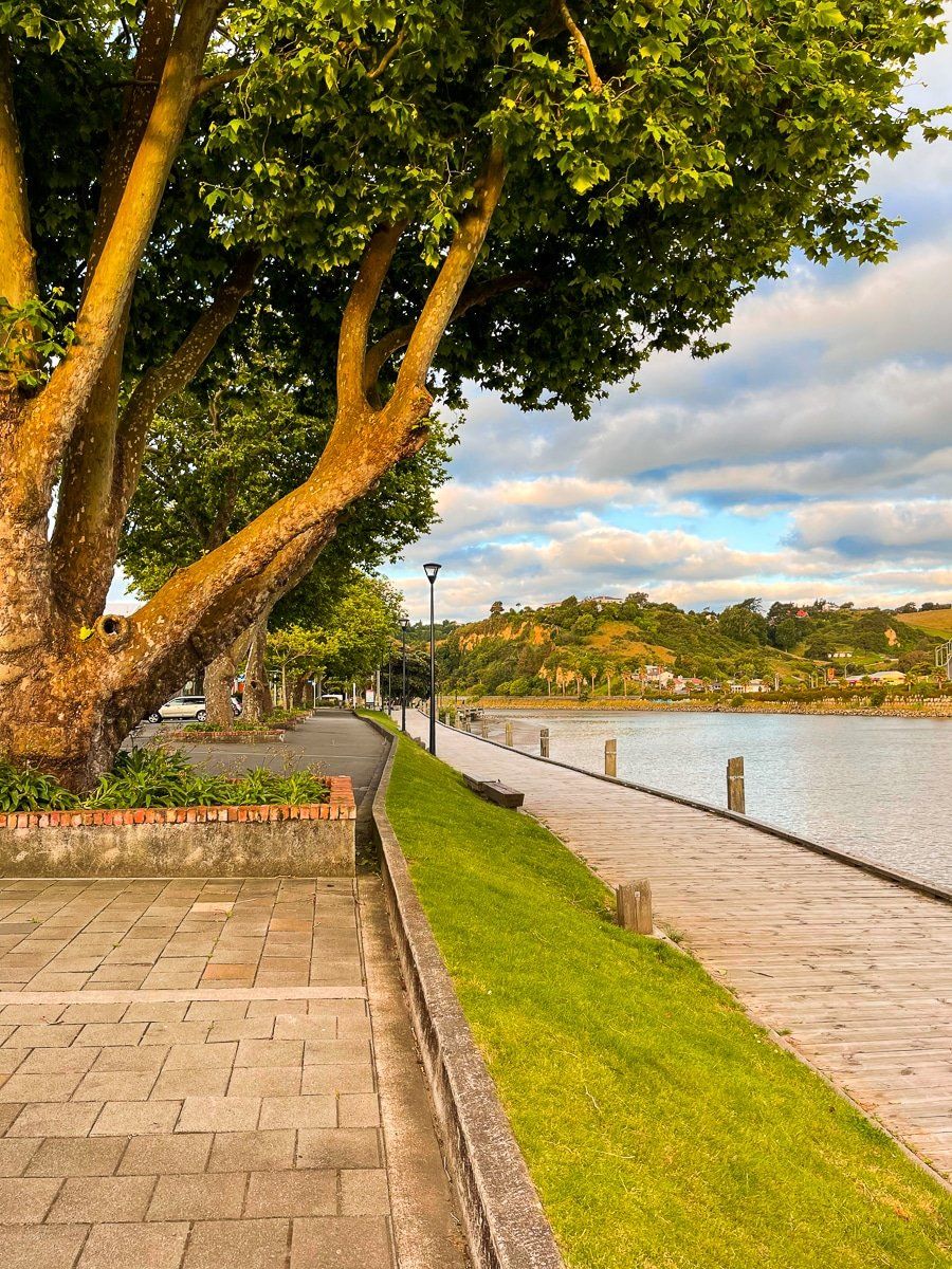
From Upokongaro it’s just 19km to the coast and Whanganui river mouth. You start by crossing to the west side of the river on a purpose-built cycle bridge just to the south of Upokongaro. From there, the route is sometimes purpose-built track and sometimes on the road, and mainly follows the riverbank to and through Whanganui to North Mole. This marks the official end of the track.
There are plenty of distractions along the way, especially as you reach the city – Whanganui is a fabulous place to visit in its own right and easy to cycle around.
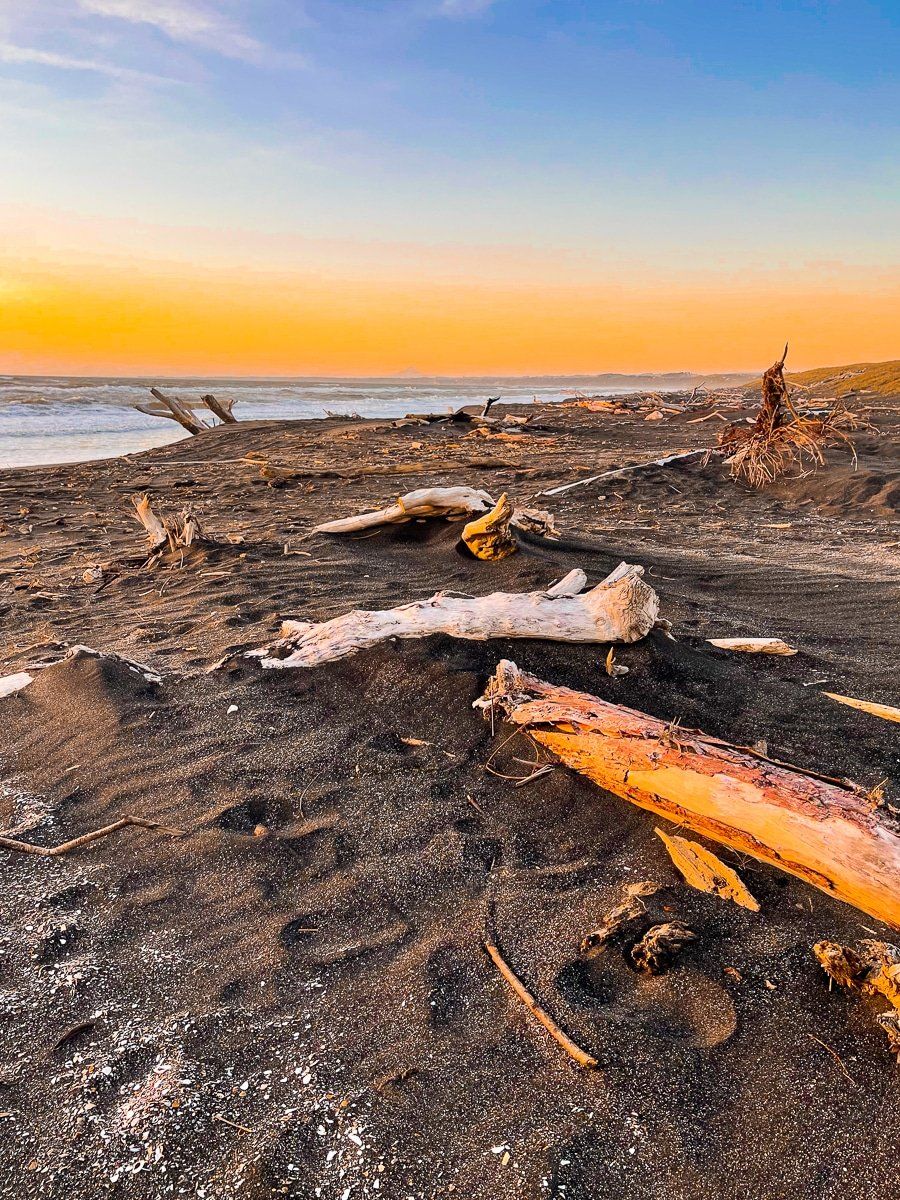
Unfortunately, North Mole is at the end of an older industrial section of Whanganui, and it’s several km to ride back to the town centre. But it is pretty at sunset, and Castlecliff Beach is immediately to the northwest. This is a remarkable and wild beach, strewn with driftwood and pumice.