Mount Maunganui: A Volcanic Landmark in Tauranga
Mount Maunganui, often referred to simply as "the Mount," is a prominent ocean beach-facing suburb in Tauranga, located in the Bay of Plenty. This striking volcanic lava dome, positioned at the entrance of Tauranga Harbour, is estimated to be between 2 and 3 million years old. The Mount is not only a geological marvel but also offers breathtaking panoramic views.
Hiking to the Summit
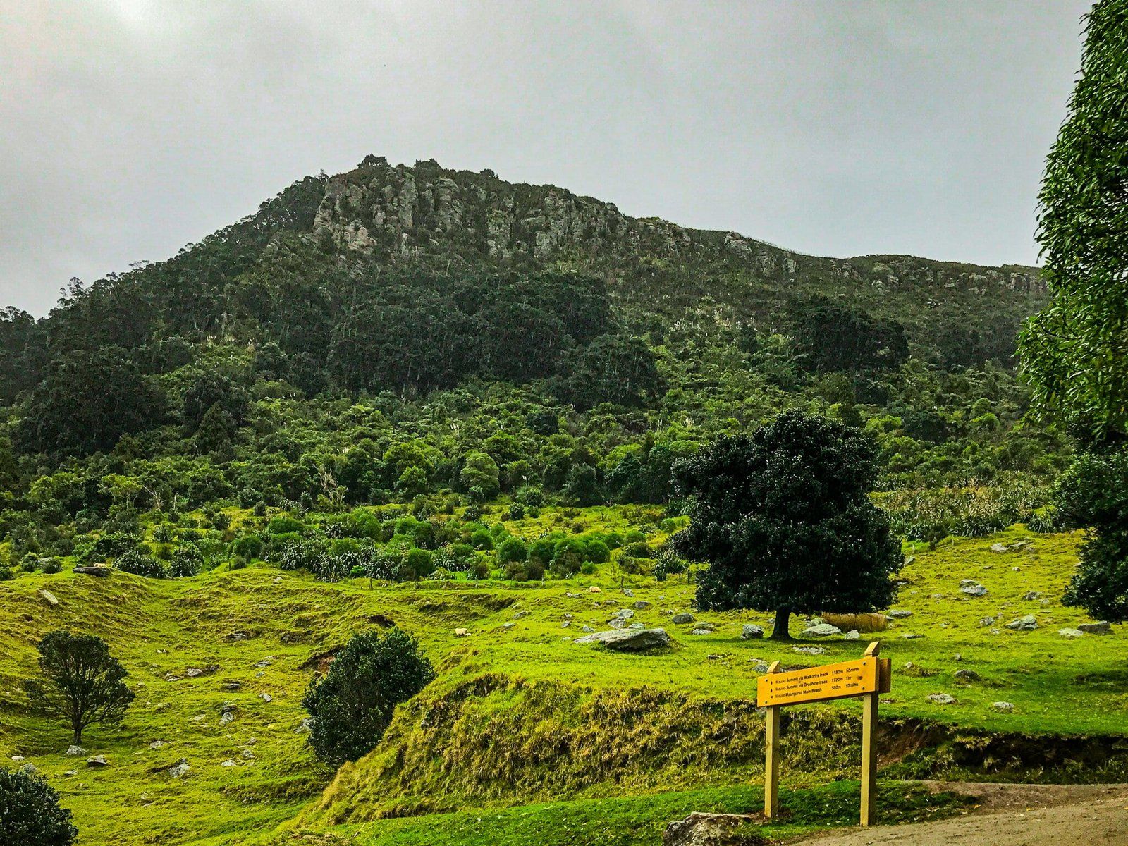
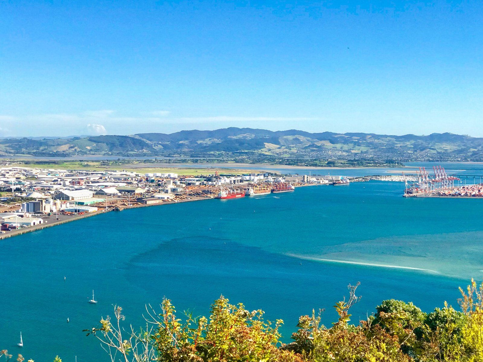
Climbing to the top of Mount Maunganui (231 m) is one of the most rewarding short hikes in the Bay of Plenty, with sweeping views over Tauranga Harbour, the port and city of Tauranga, Maunganui Roads, and the Pacific Ocean. Several well-maintained tracks lead to the summit, each offering different perspectives and levels of challenge.
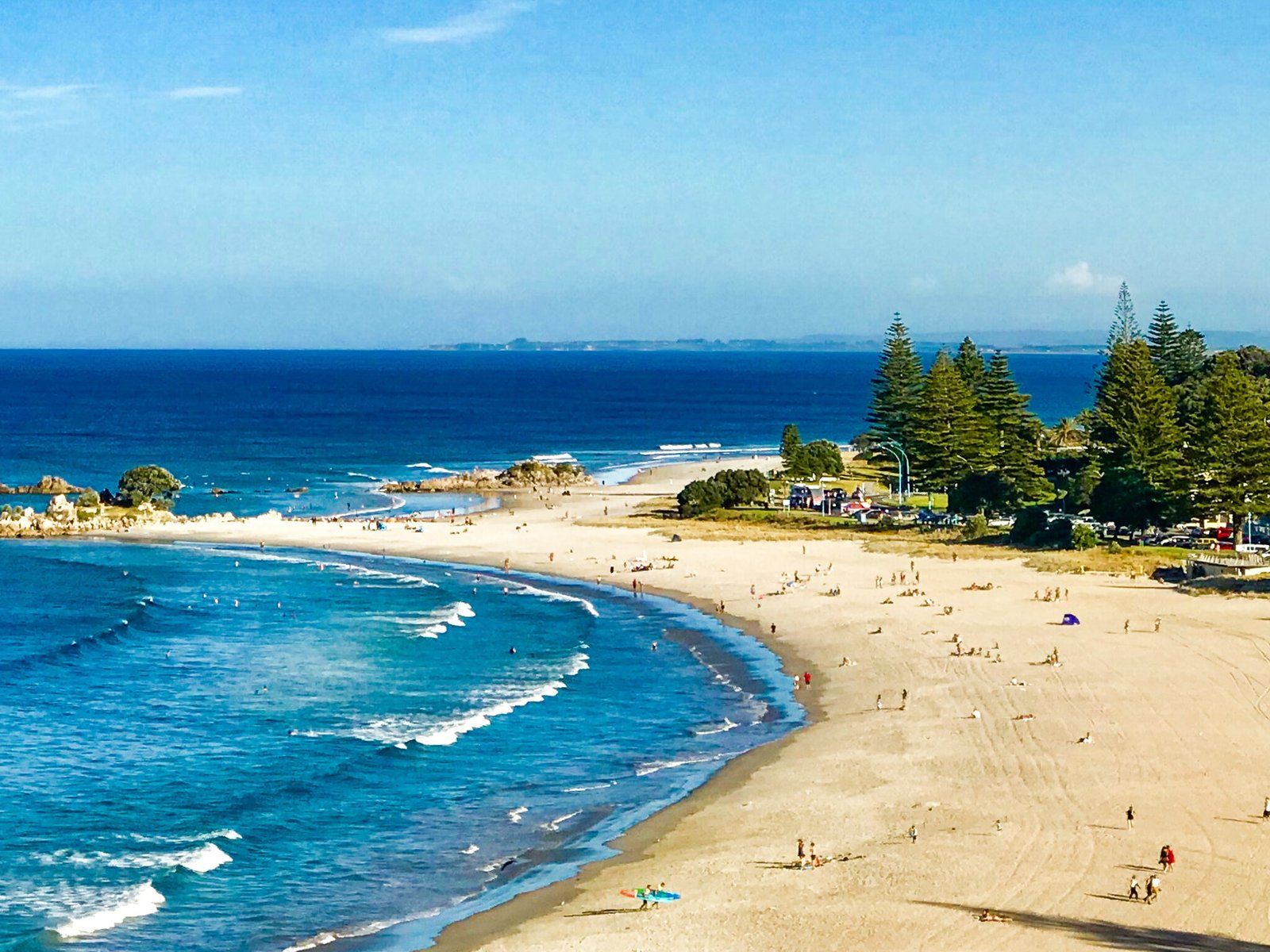
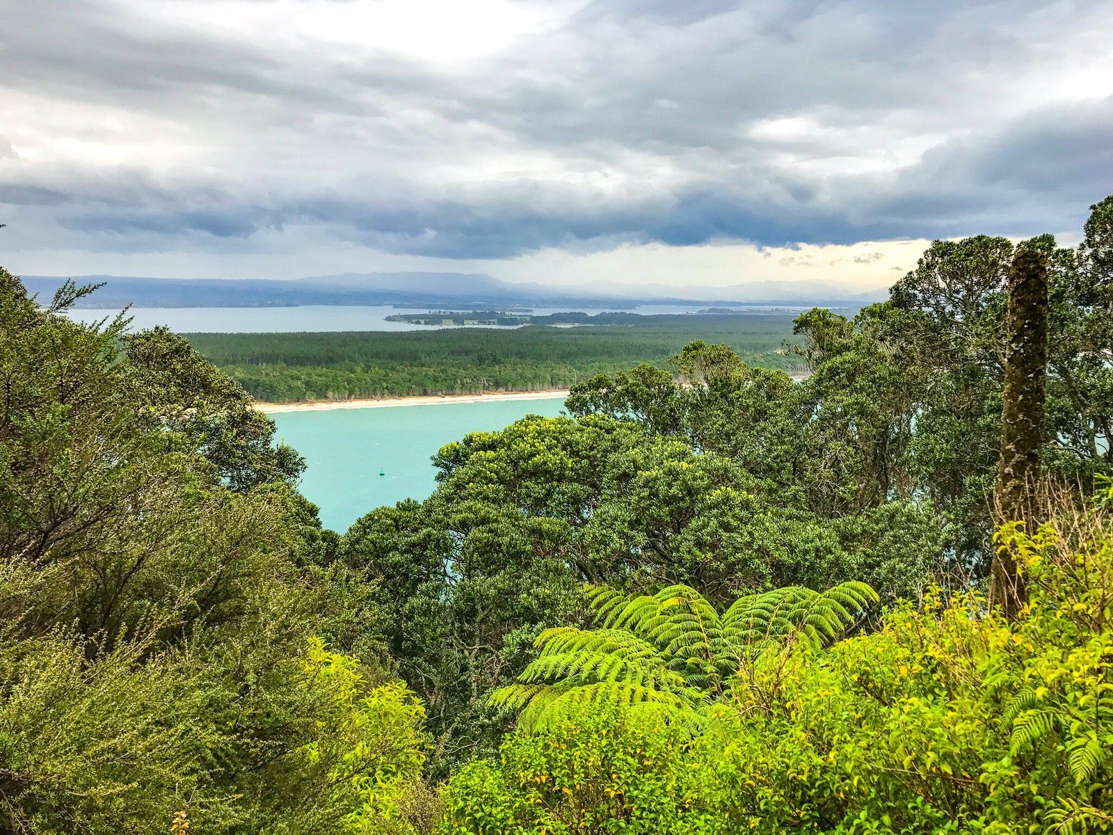
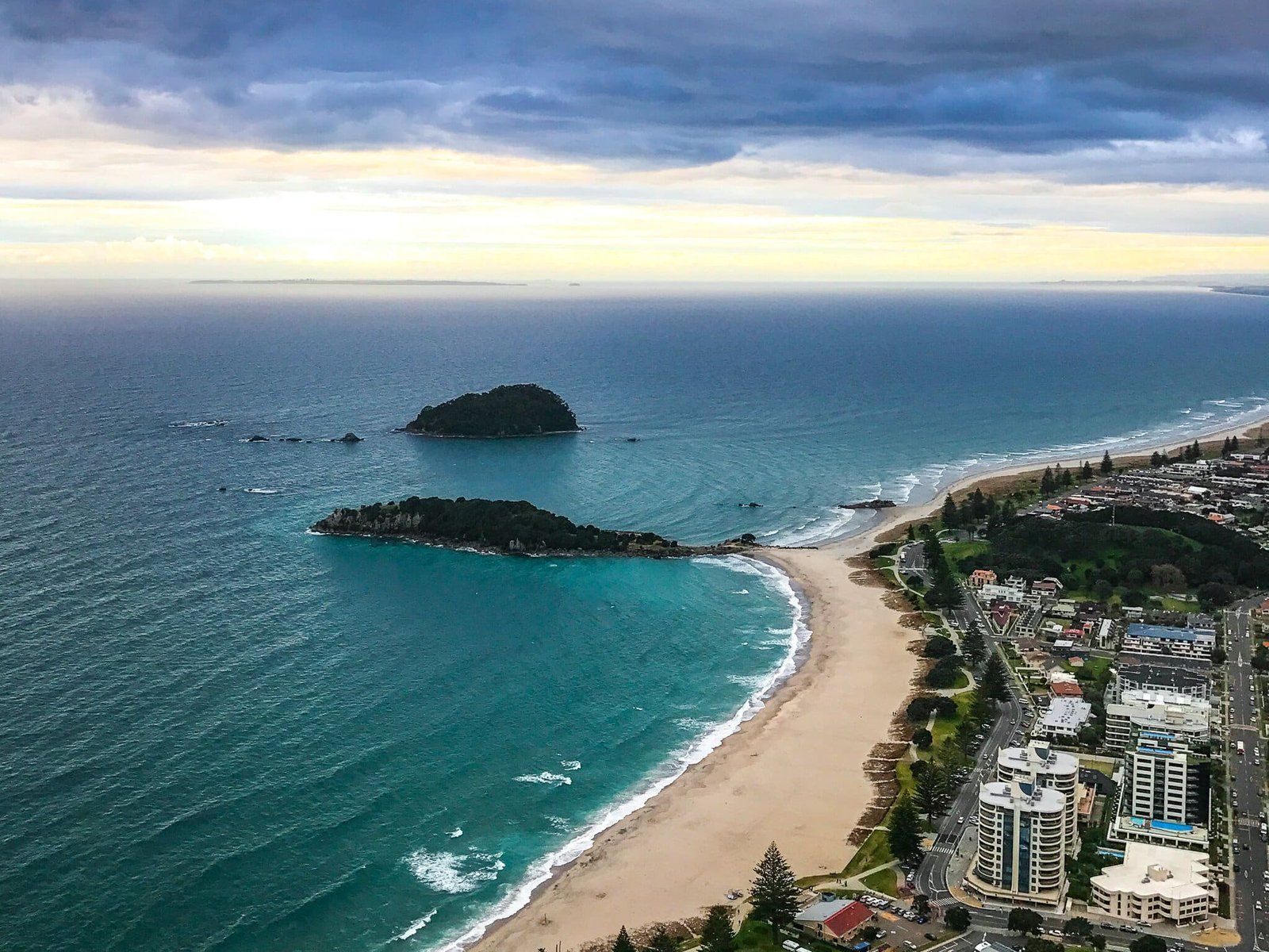
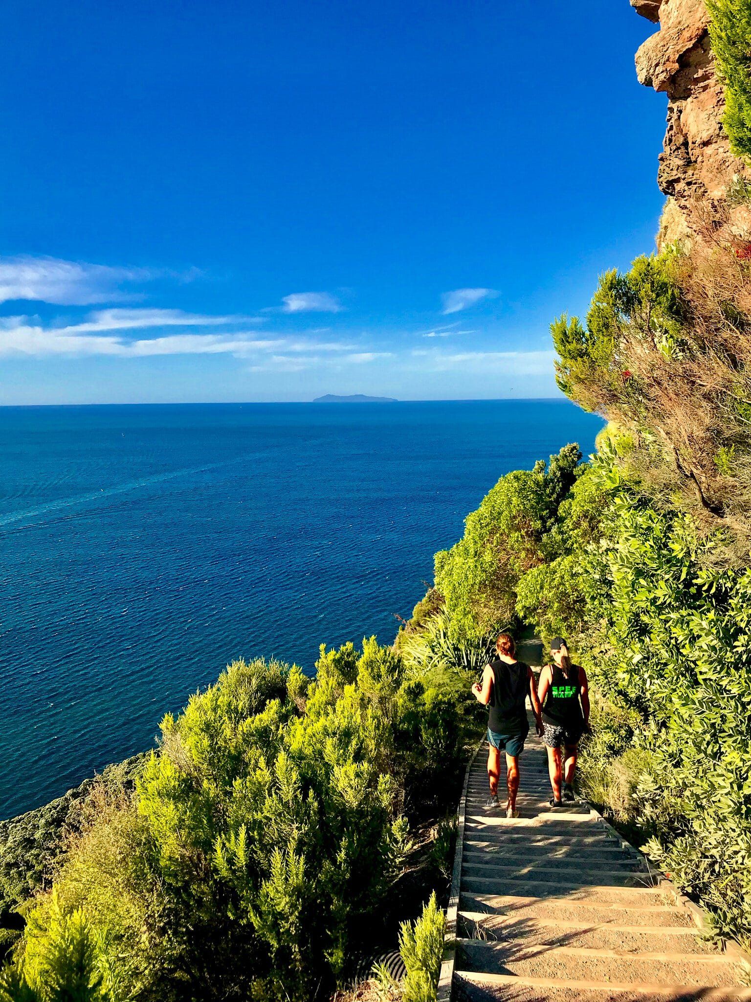
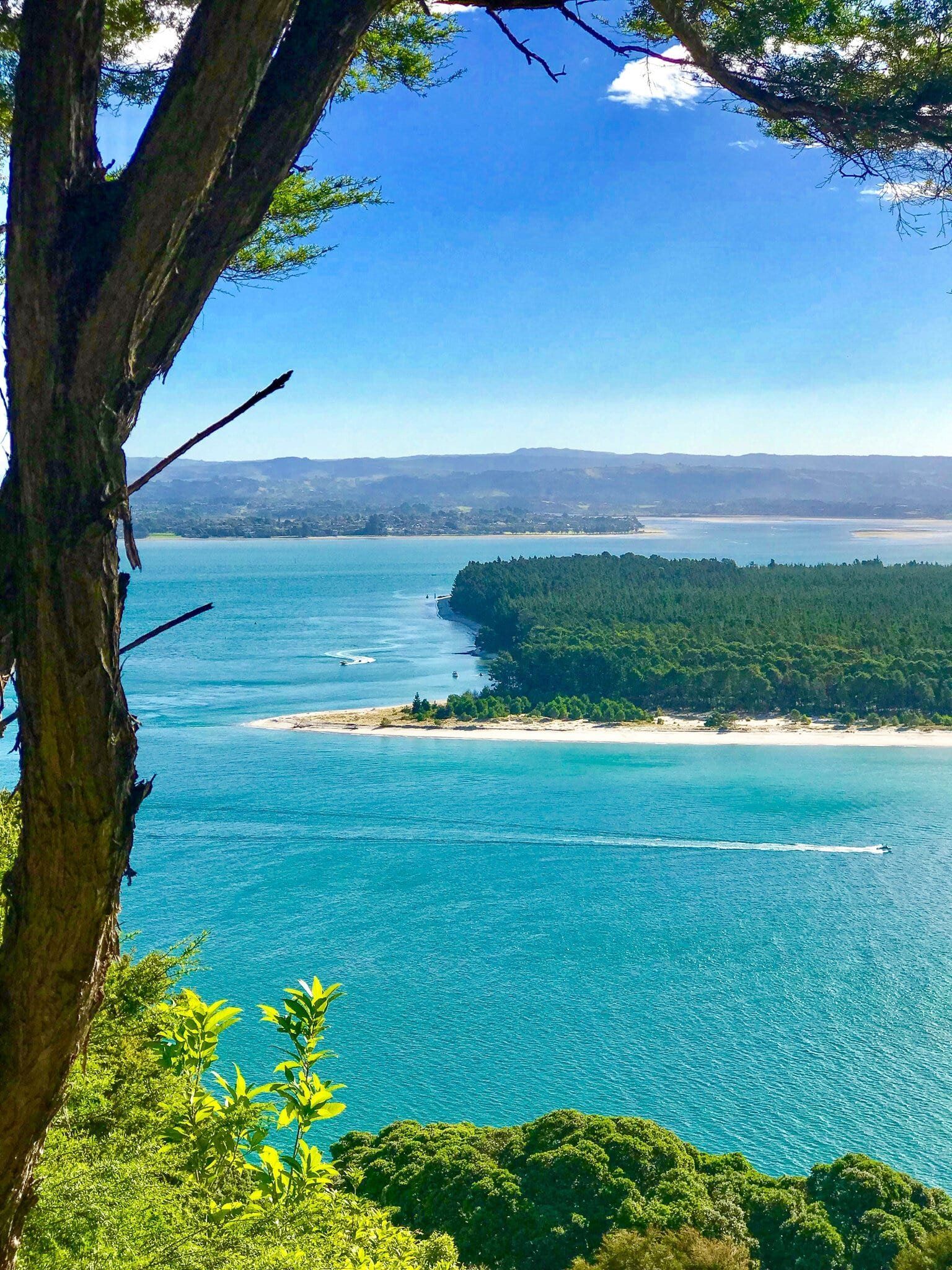
The most popular route follows the Oruahine Track, which begins near the oceanfront and curves around the northern and eastern slopes of the Mount. This trail starts gently through open grassland and low pōhutukawa groves before steepening into a zigzagging climb along the coastal cliffside. As you gain elevation, you’ll have views of Moturiki (Leisure Island), Motuotau (Rabbit Island) and the long curve of sand from Mt Maunganui to Papamoa Beach to the southeast.
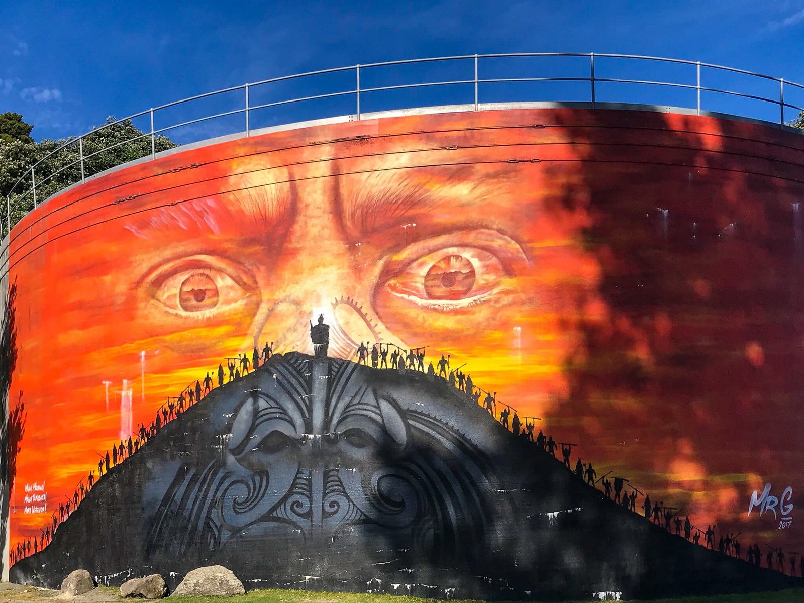
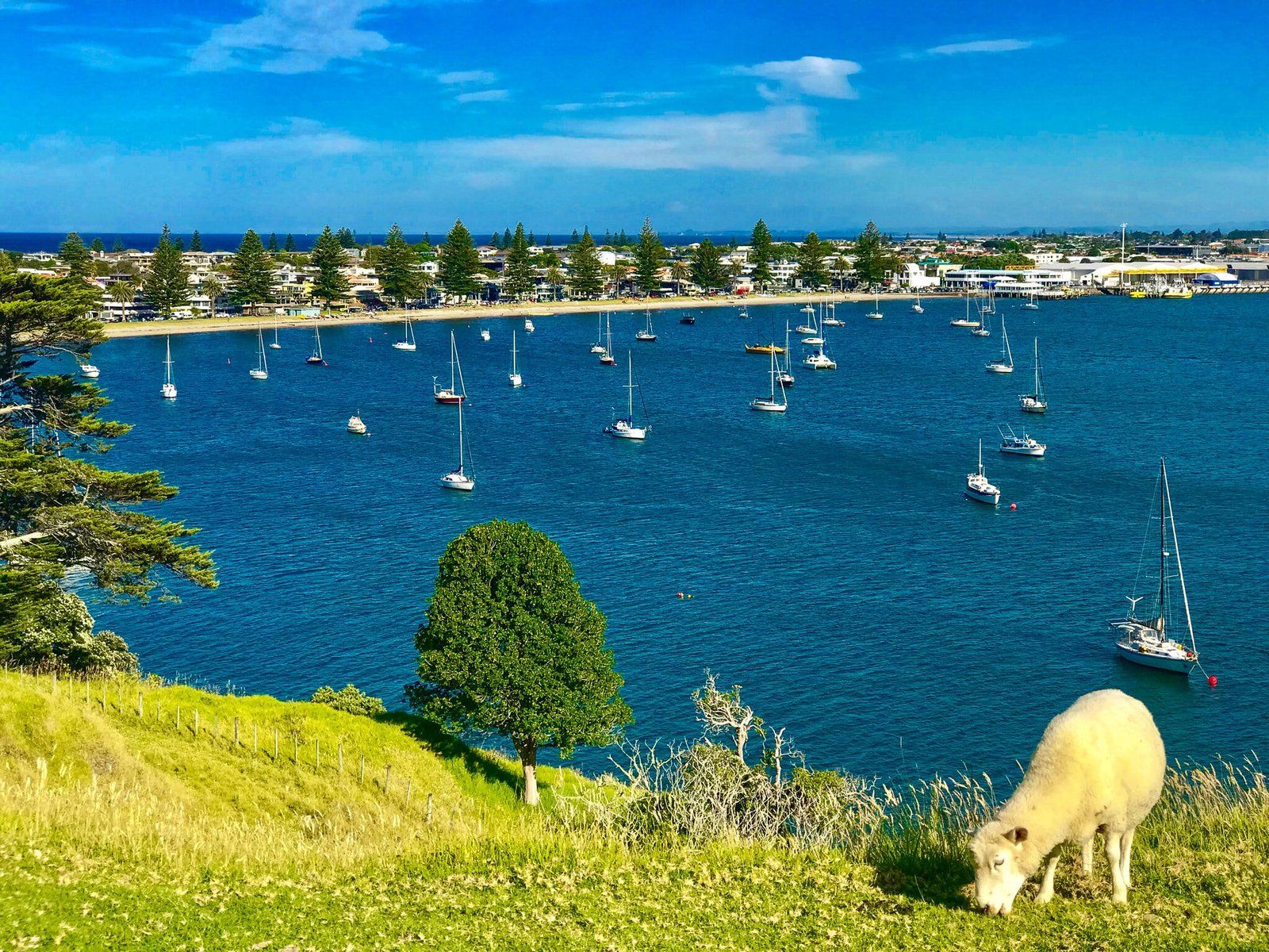
For a more direct and demanding option, the Waikorire Track heads up the mountain’s front face from the same base area. This path climbs more steeply via steps and switchbacks, and can be dusty in summer or after long dry spells. Along the way, you may spot grazing sheep and pass a painted mural on a water reservoir, adding a creative burst of colour to the natural landscape.
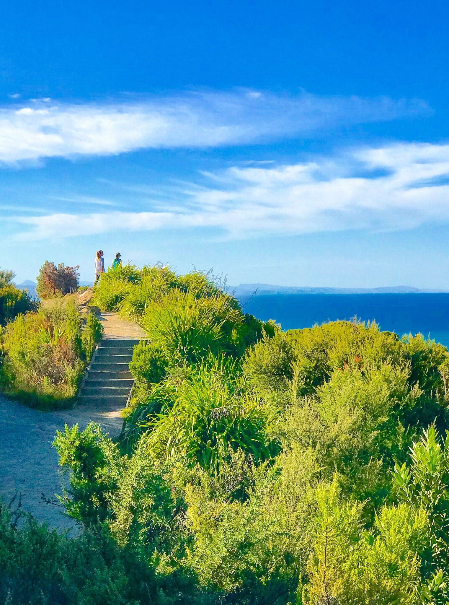
Both tracks meet near the summit, where a wide viewing platform lets you take in the whole 360-degree panorama, from the Kaimai Ranges inland to Mount Ruapehu on a clear day. Plan for about 45 minutes each way, and note that the summit can be windy and exposed, so bring water and sun protection.
How to Get There
To reach Mount Maunganui, you will need to navigate through Tauranga, a major city with over 150k people, passing by the Port of Tauranga. Although traffic can be challenging, especially during peak summer periods, parking is generally available near the Mount.
Starting from central Tauranga, take State Highway 2 north and across the Tauranga Bridge, then turn north onto Totara Street. Follow Totara Street to Rata Street, turn right, then left onto Maunganui Road. Manganui Road takes you directly to the car park at the base of the Mount, but other parallel road options may be better in heavy traffic.
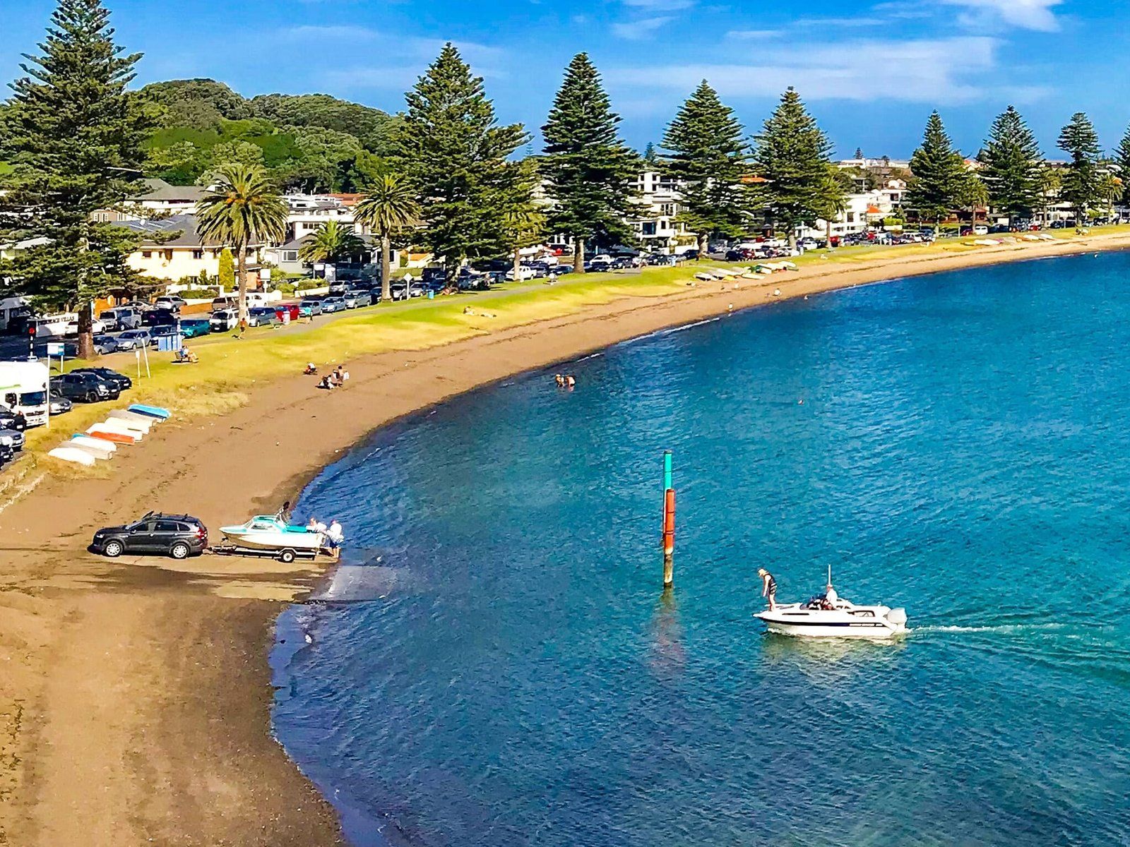
Nearby, beautiful Maunganui Beach is on the southeast corner of the Mount, with Moturiki (Leisure Island) at the end of this beach. Around the wider Bay of Plenty, north to Waihi Beach and Bowentown and south to Whakatāne are also beautiful coastal options, with less local population pressure.