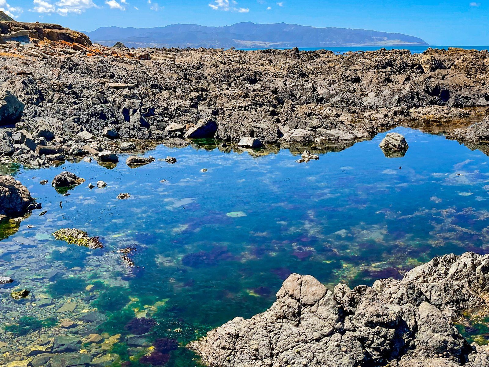
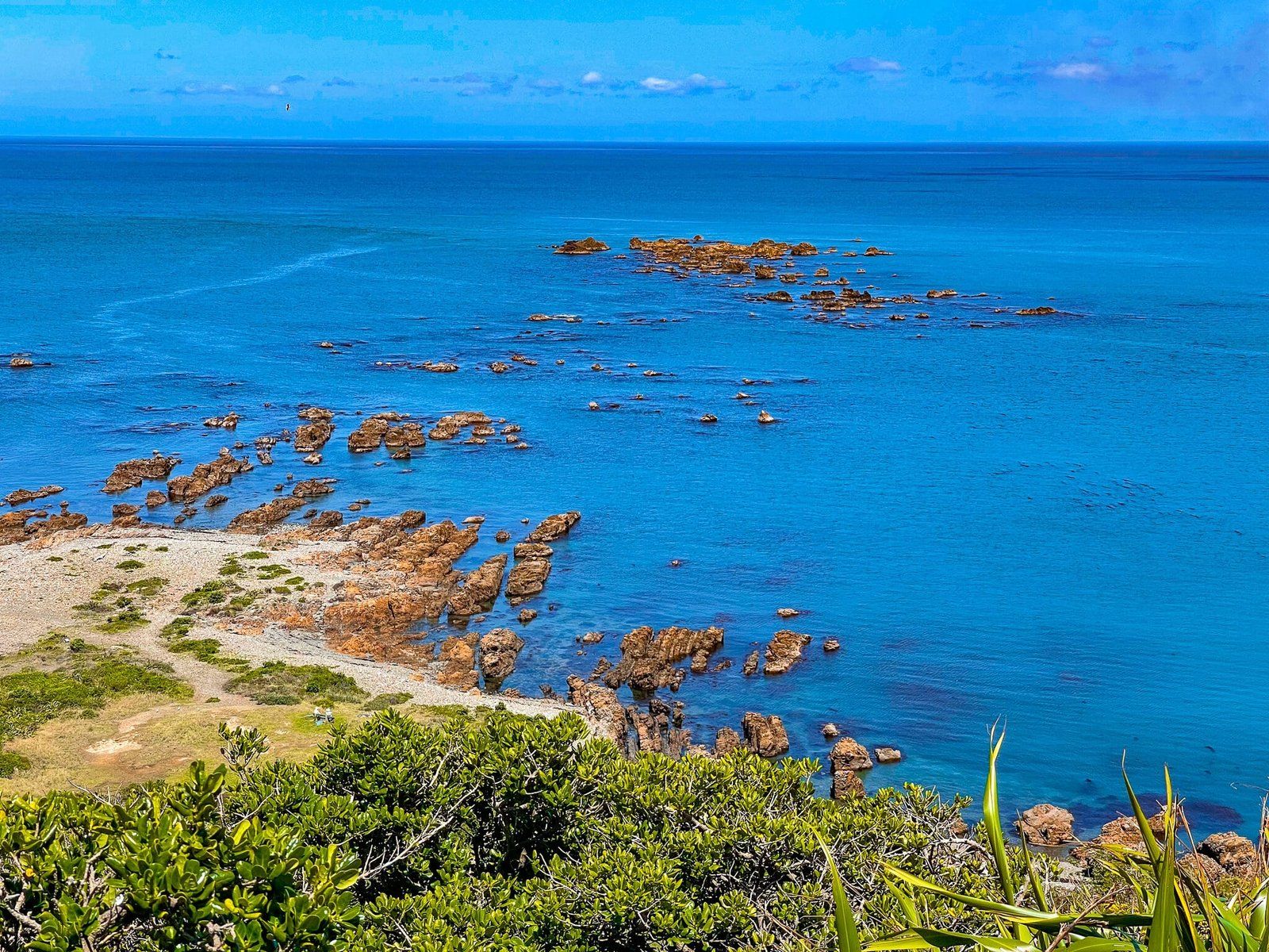
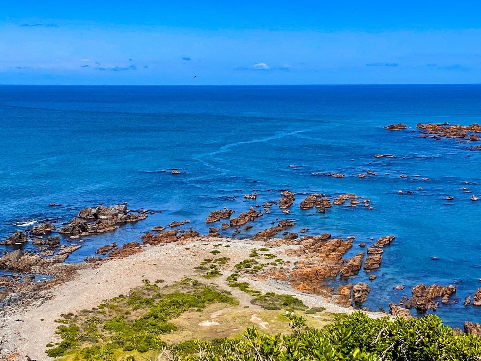
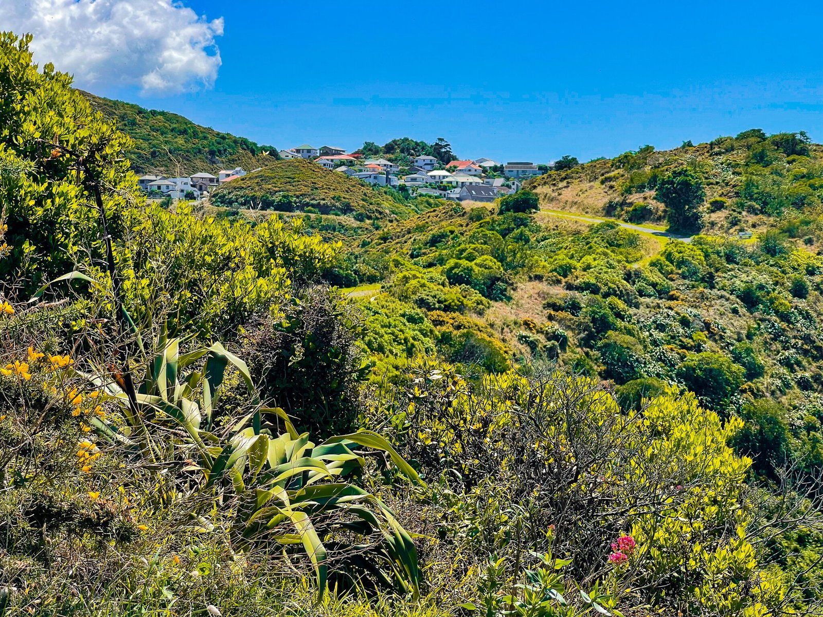
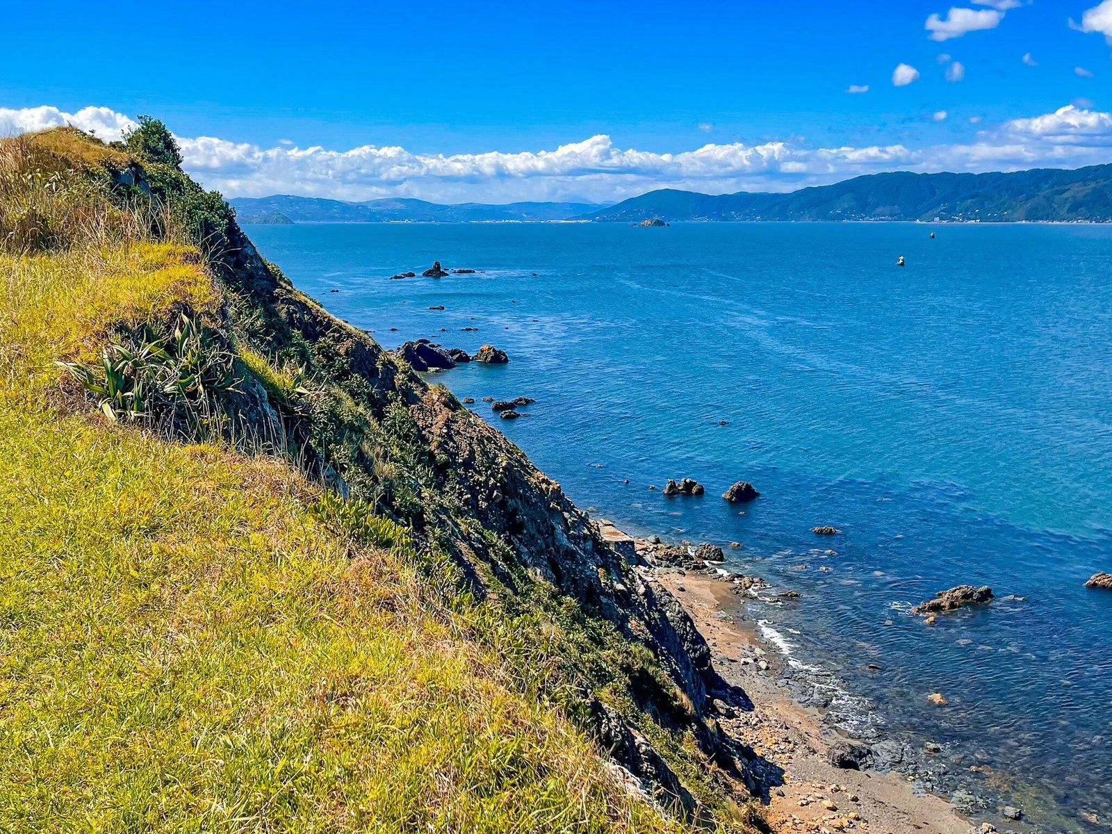
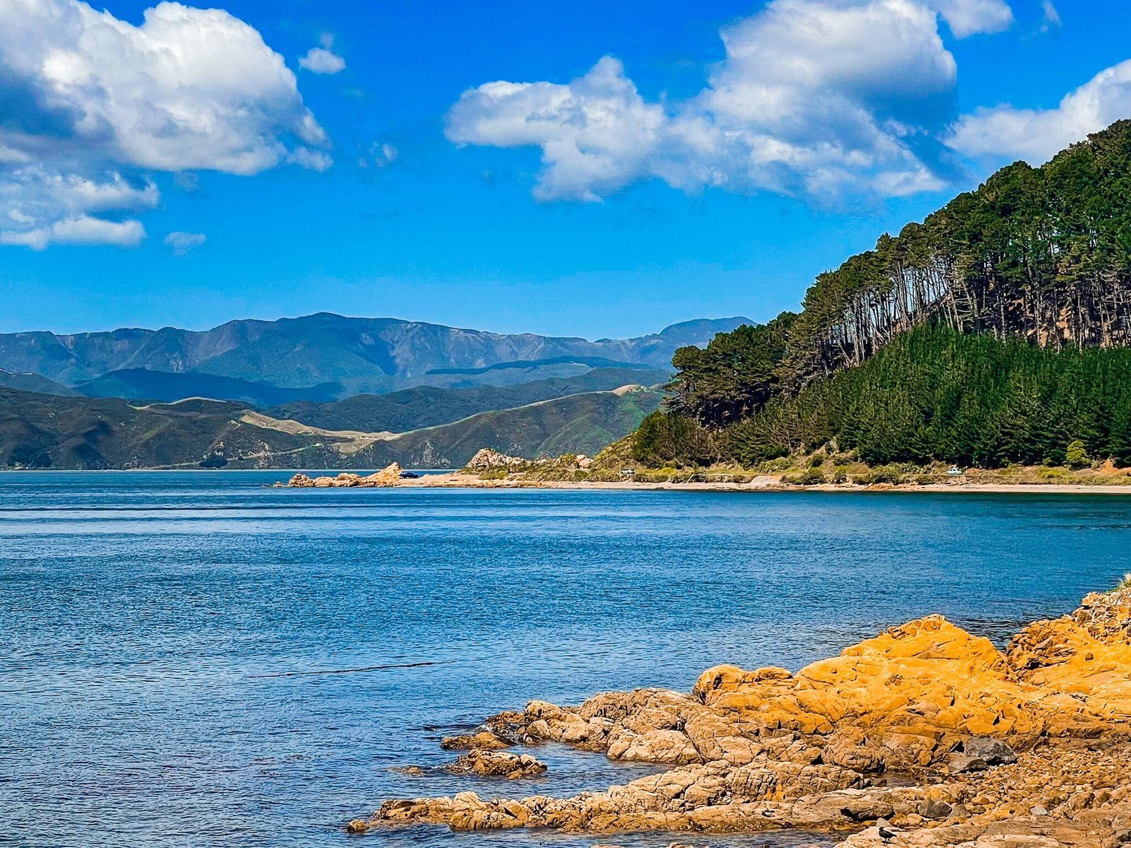
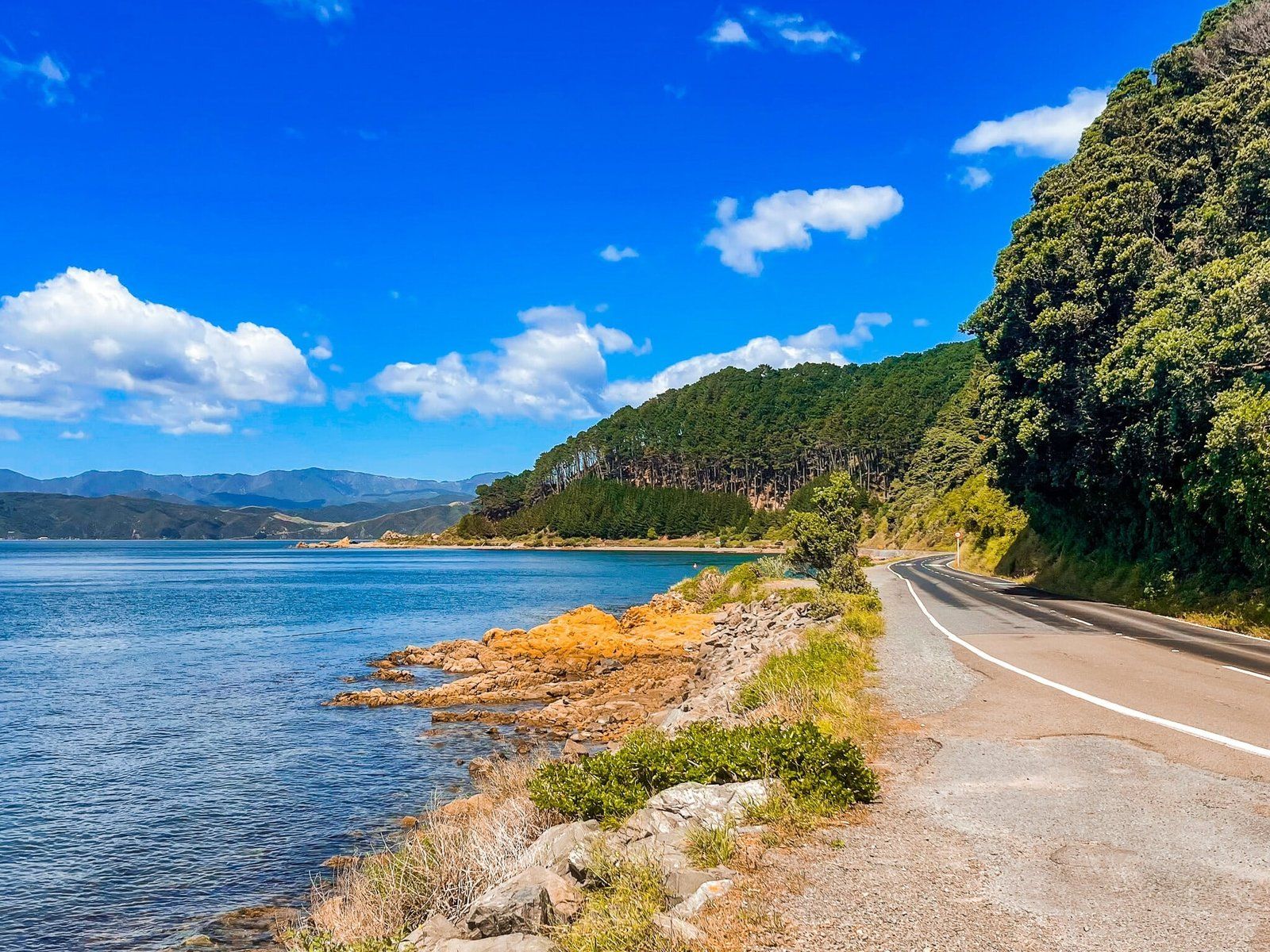
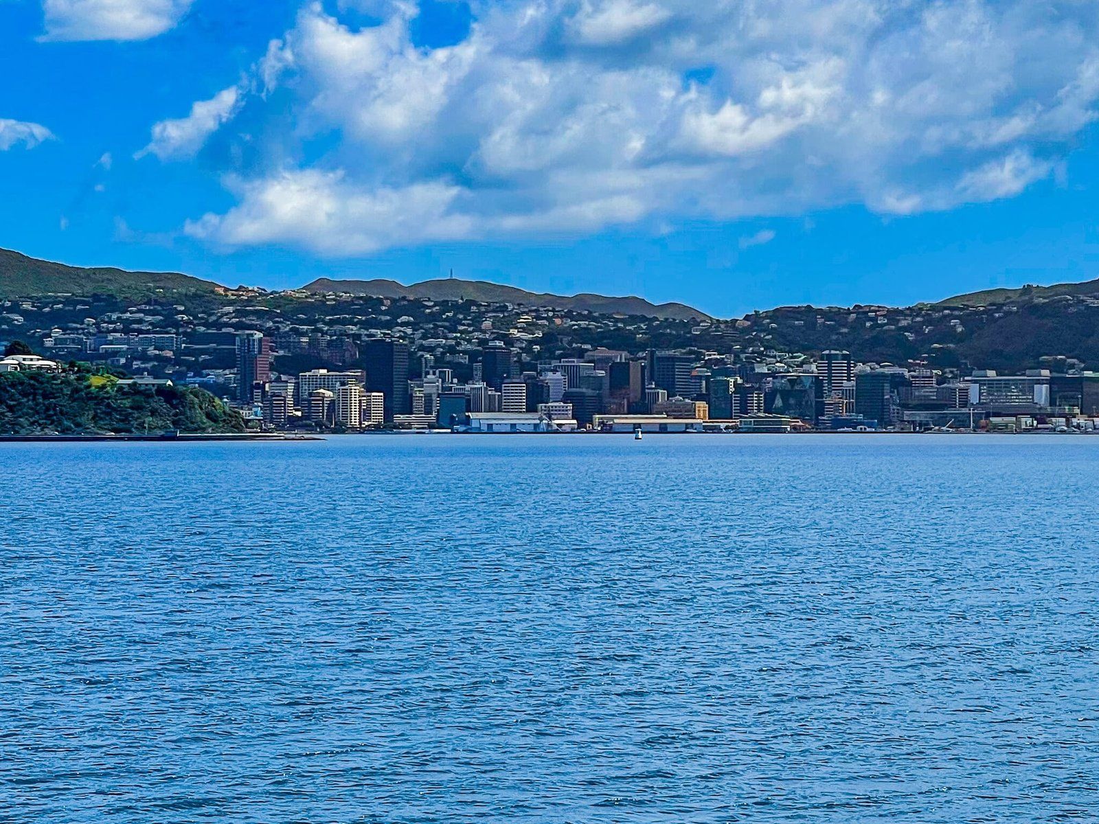
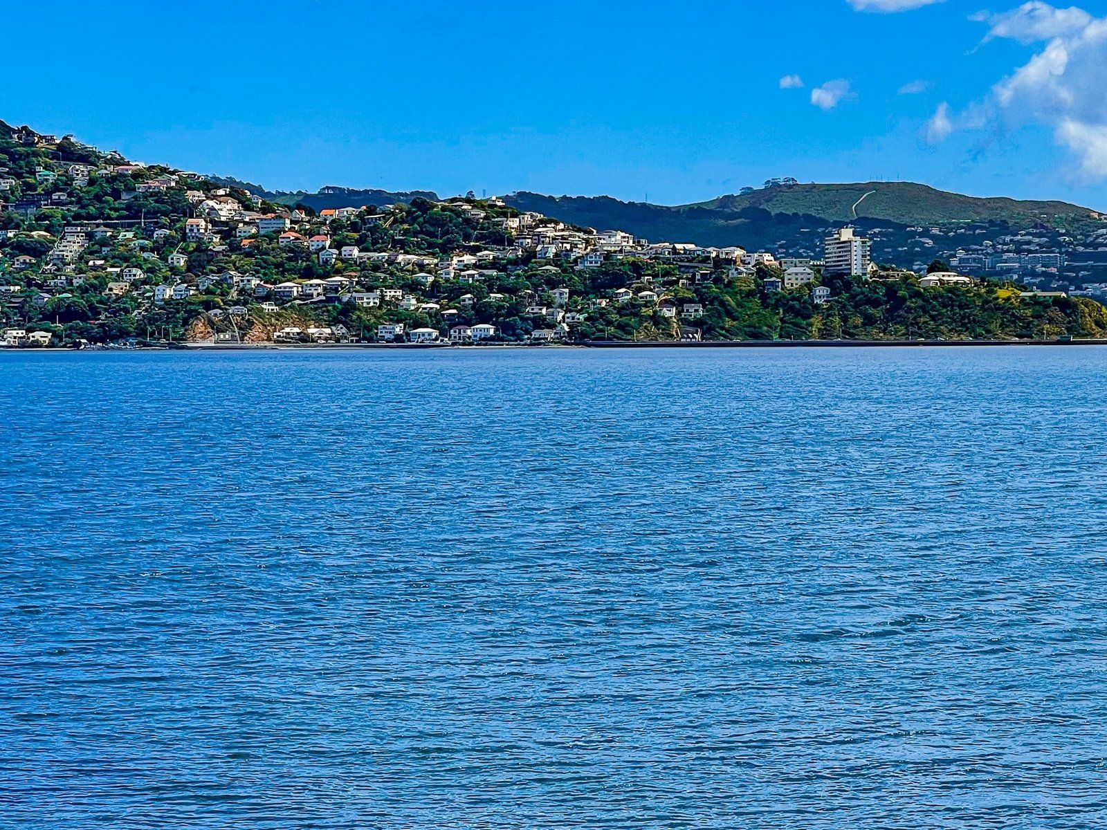
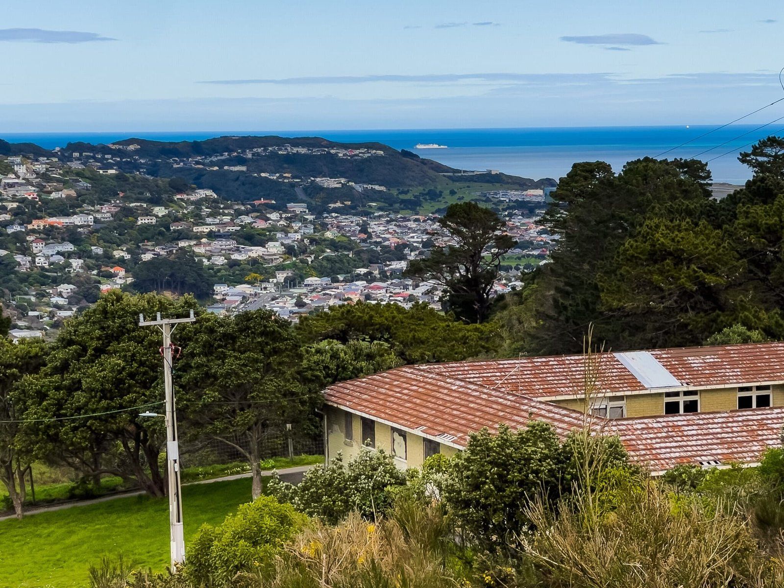
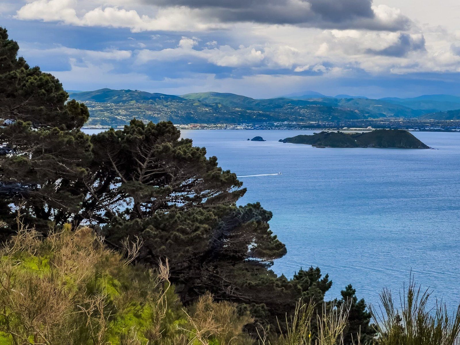
Miramar Peninsula is the hilly section of land between Wellington Airport and the harbour mouth, taking in several Wellington inland and coastal suburbs. There are a range of things to do and explore, including the coastal road with various beach suburbs and bays, and short walks and viewpoints from the hills around the peninsula. There are also some interesting historical points to take in.
To access the coastal route, continue east on Lyall Parade and the road becomes the Moa Point Road. Then just keep going to follow the coastal route to the several pretty beaches and some short walks to points of interest around the coast.
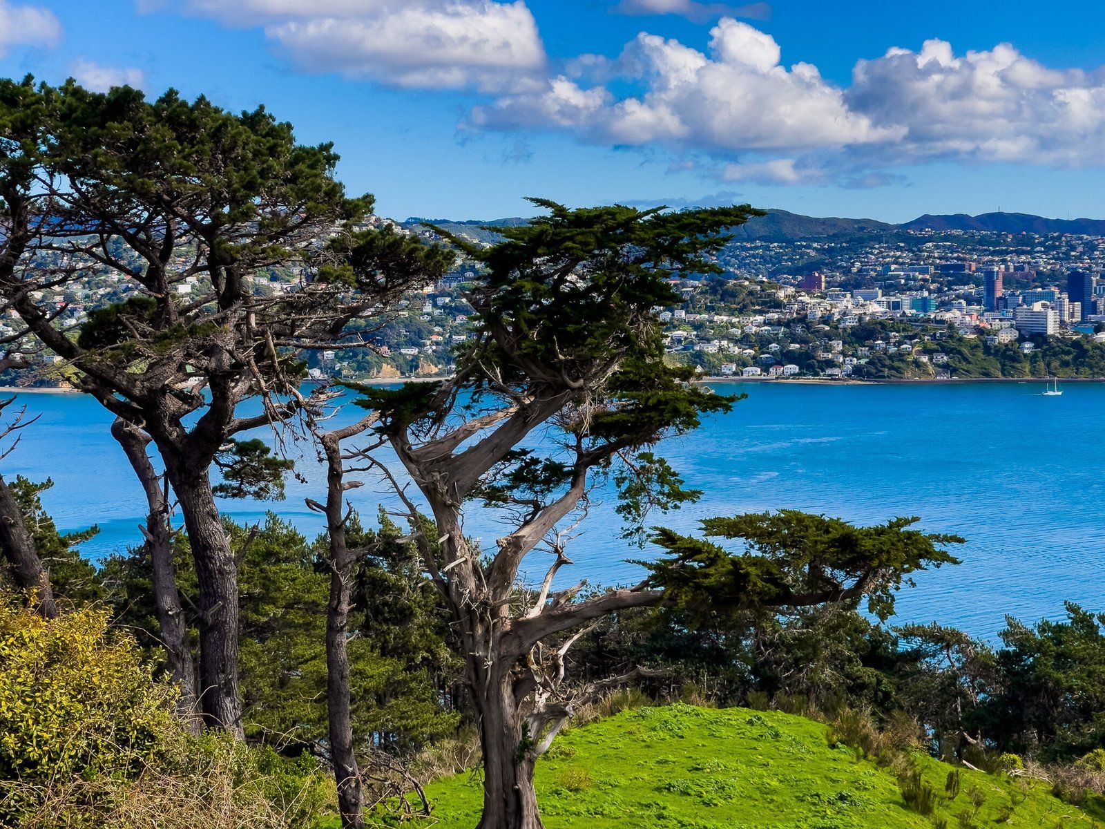
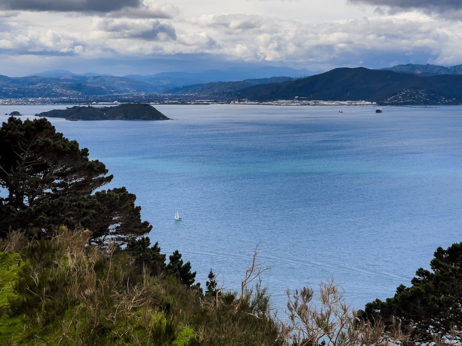
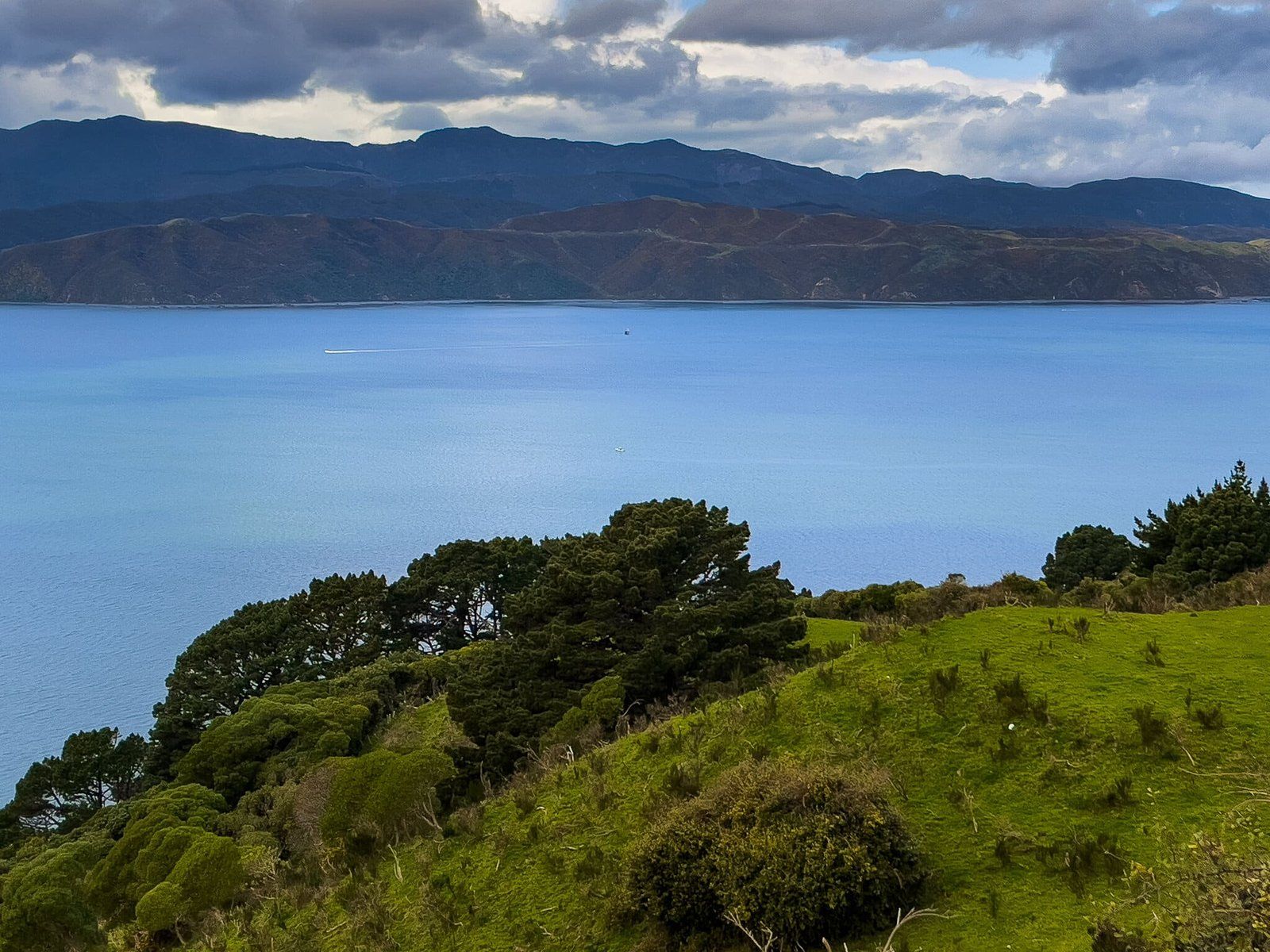
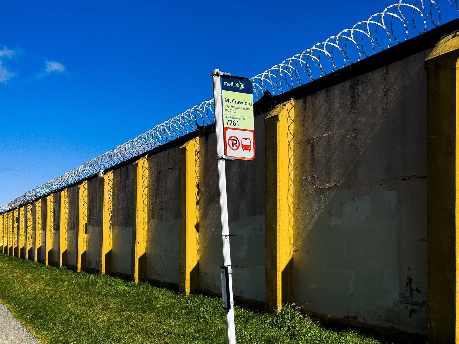
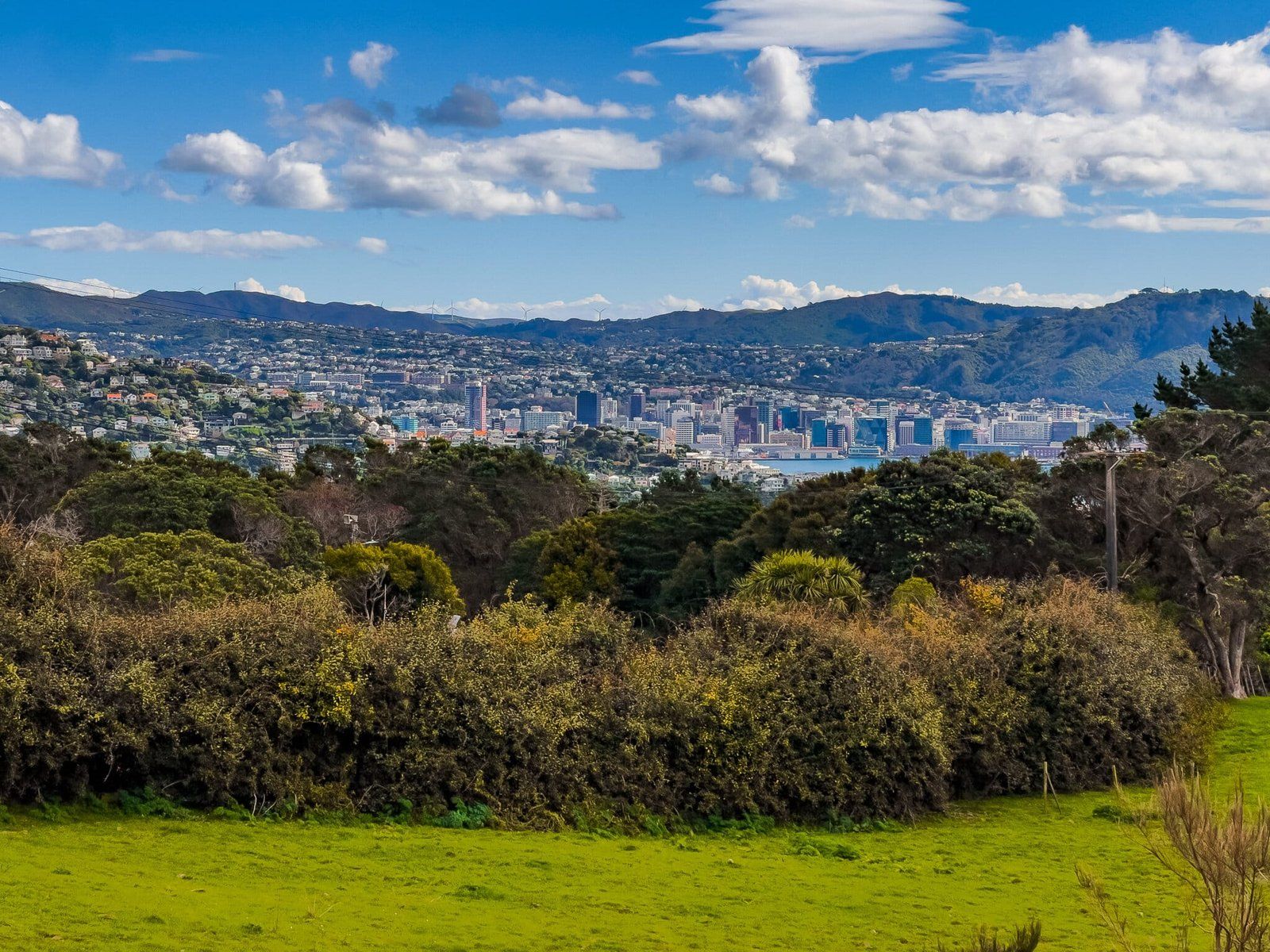
There are several options for accessing high viewpoints on the peninsula as well. We suggest heading to the top of Mt Cargill at the northern tip. Take Miramar Drive from the roundabout at the north end of the airport (keep an eye out for the “Wellington” sign) through a gap between the otherwise steep hills that run down the west side of the peninsula. Shortly after the gap turn left onto Maupuia road, which becomes Akaroa Drive and takes you to the summit. There is a derelict prison and a short walk to a WW2 gun emplacement, with great views back to the city.
Tarakena Bay
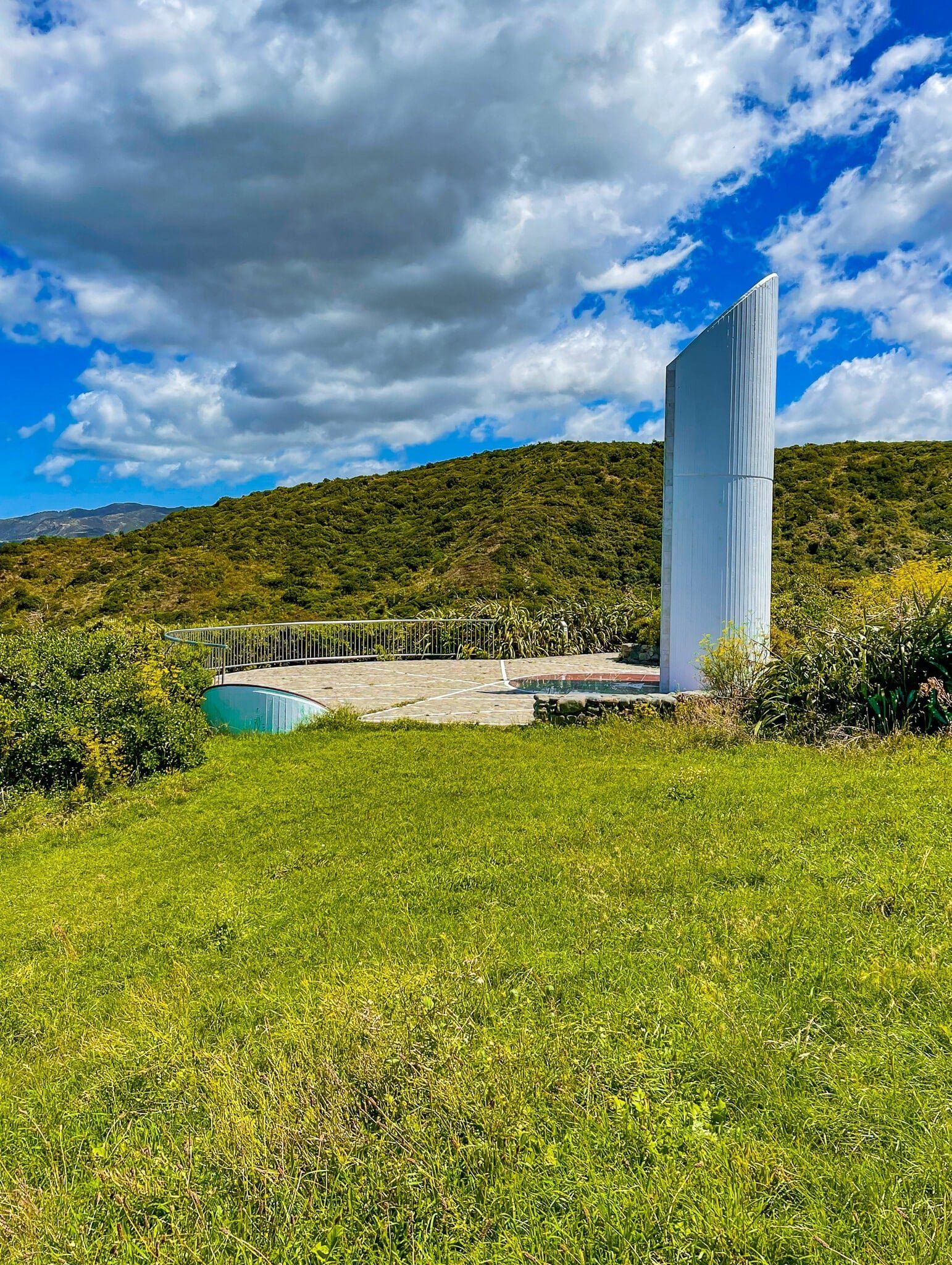
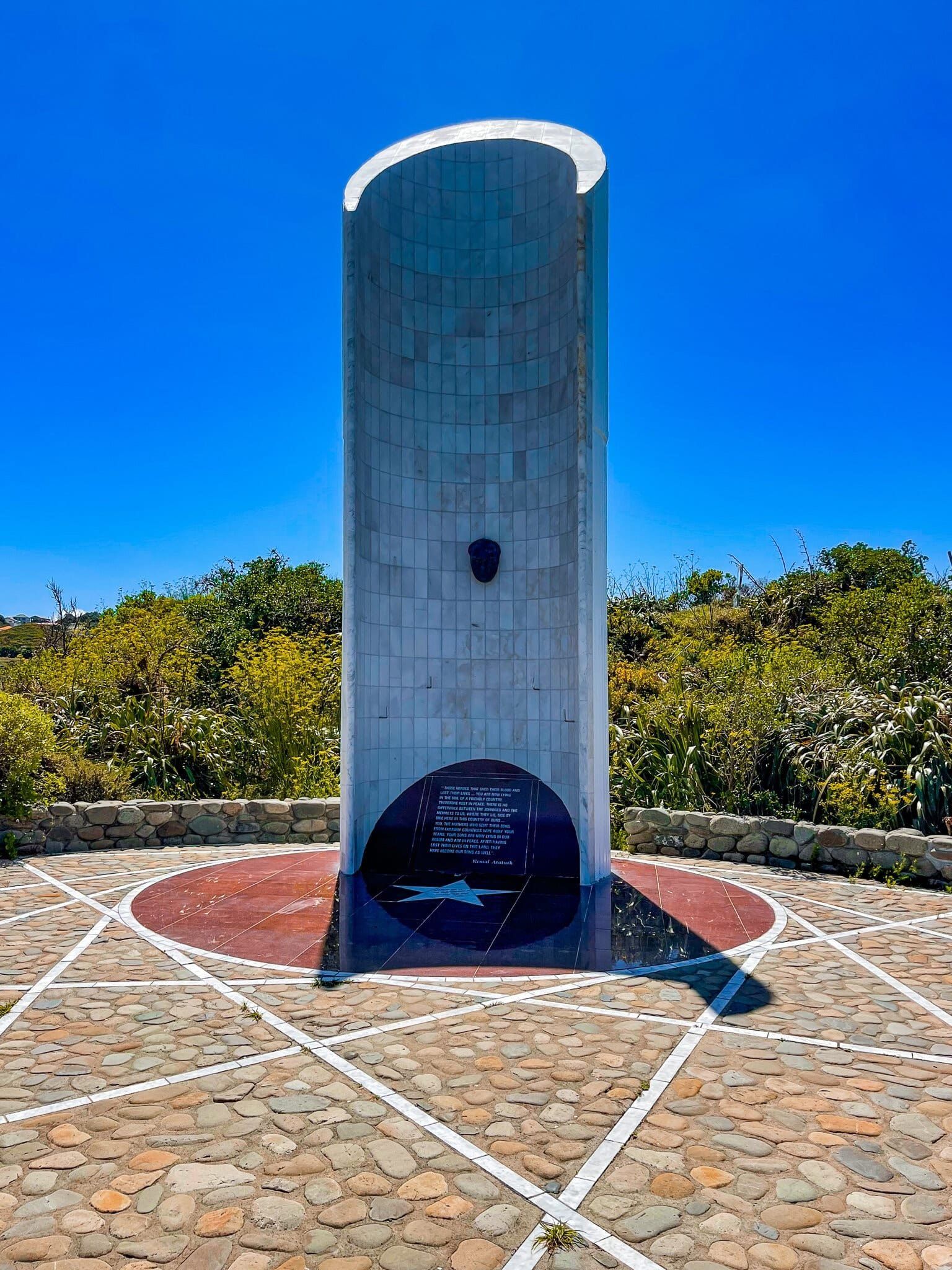
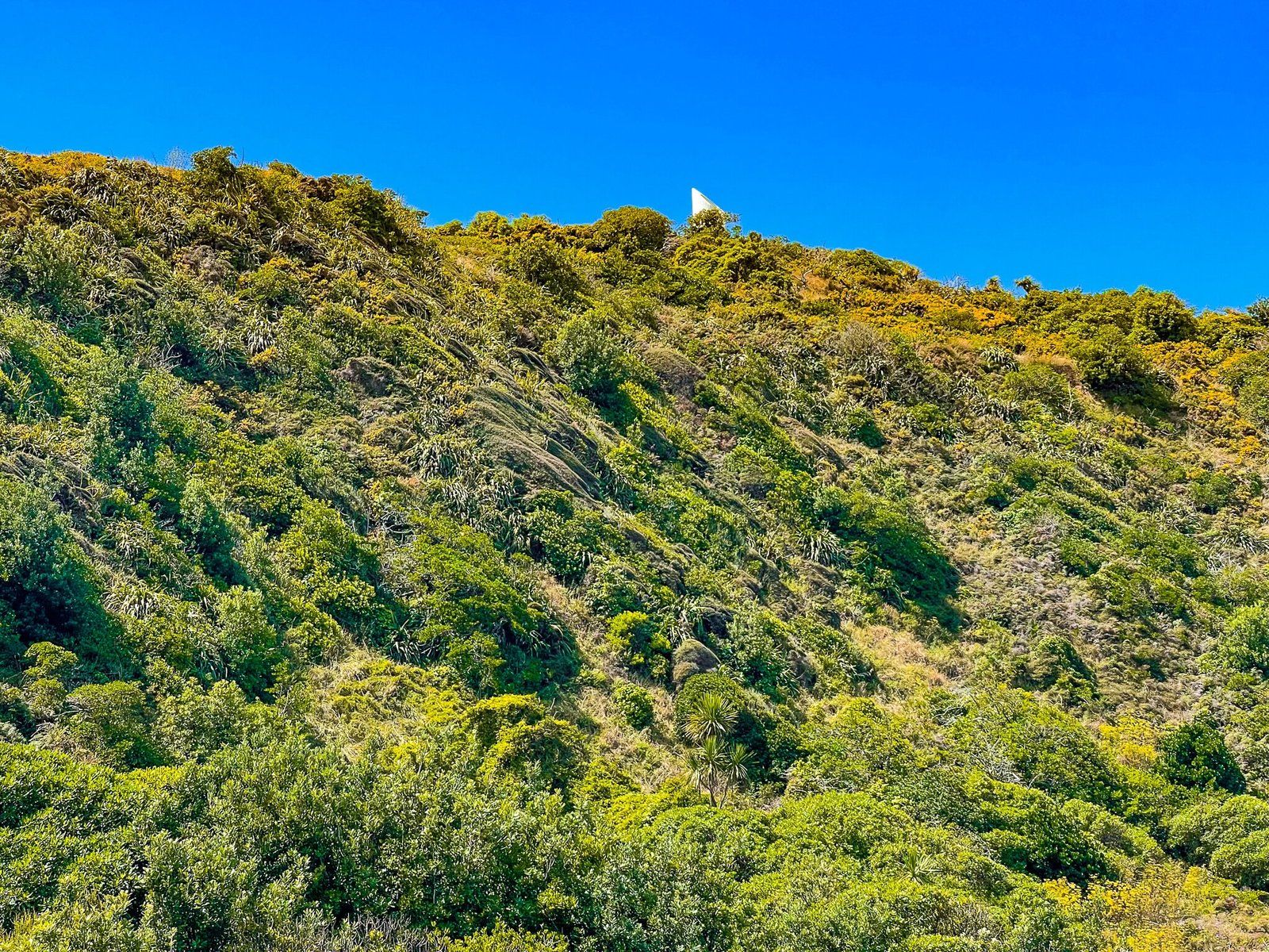
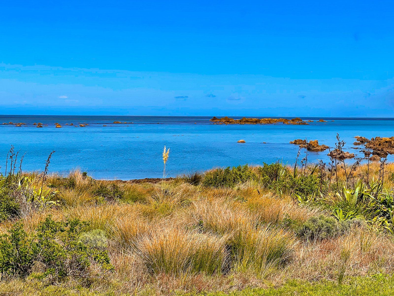
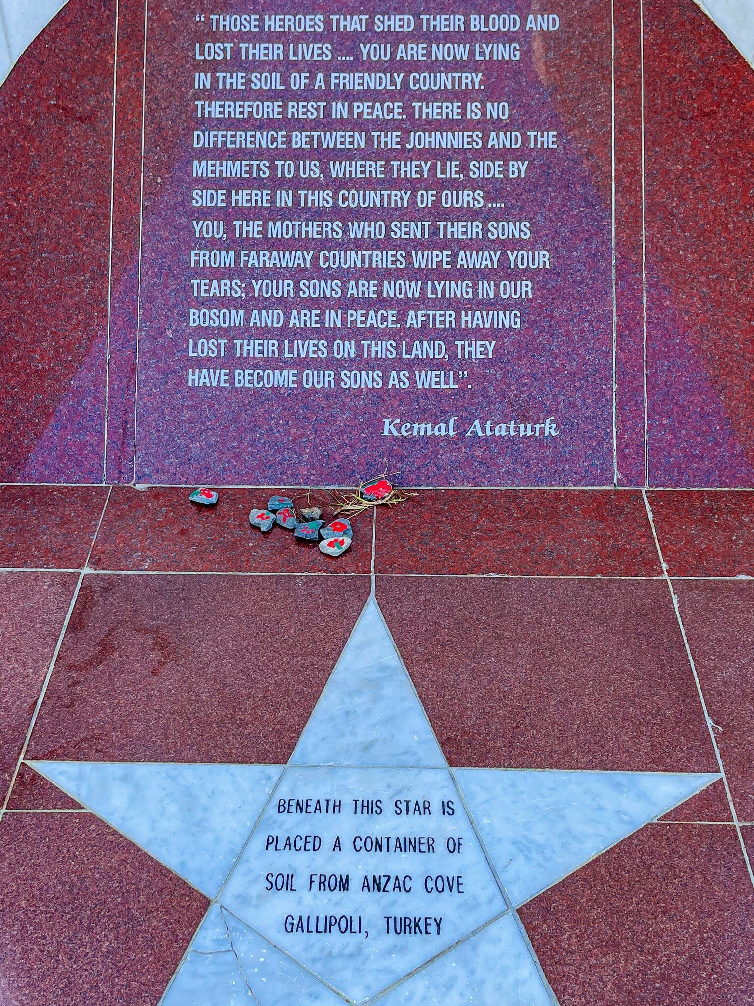
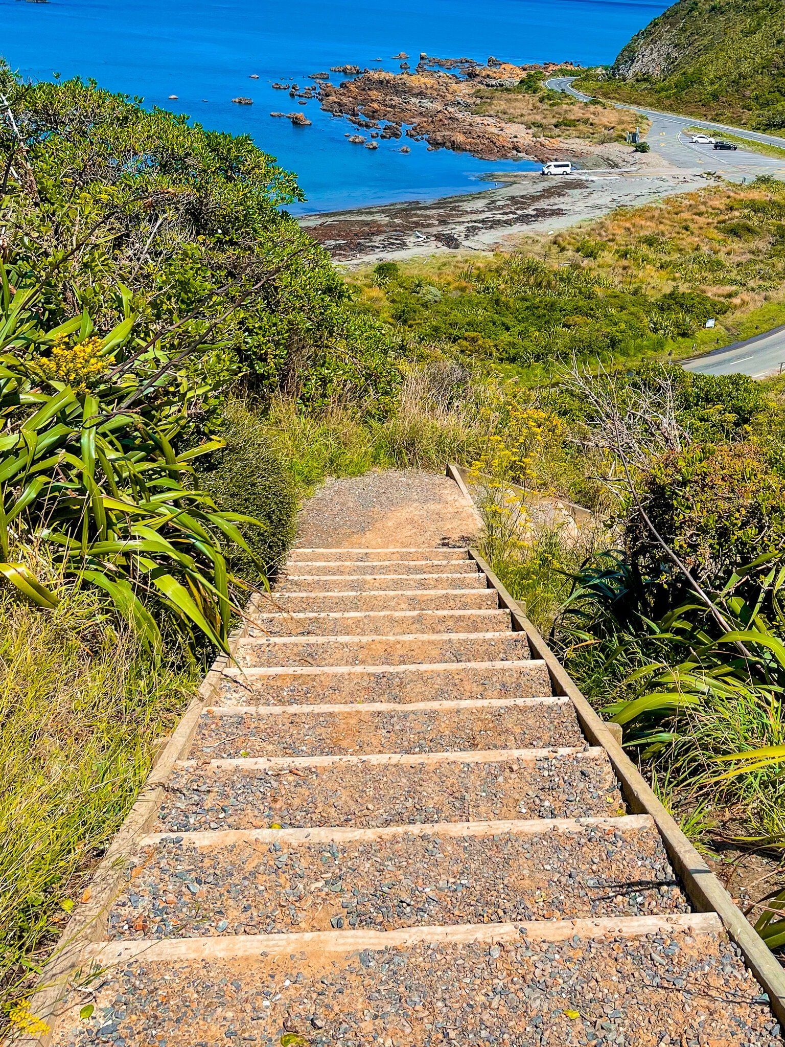
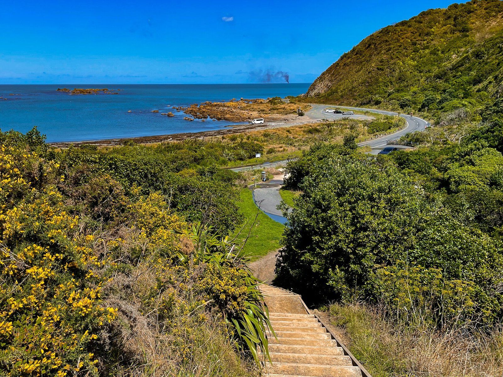
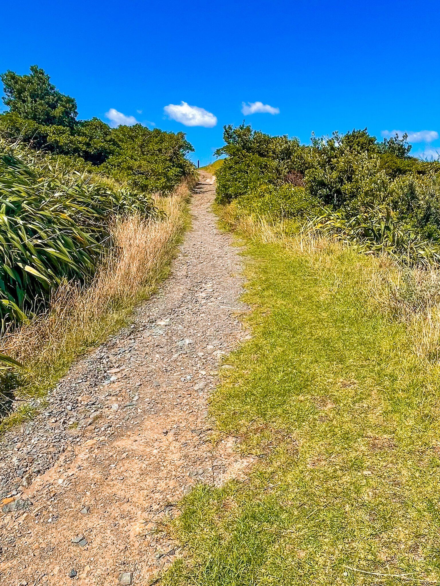
Take Moa Point Road around the southern end of Wellington Airport and Moa Point. You will see a sign for the modern Ataturk Memorial which sits above Tarakena Bay. From the carpark, it is a short but steep walk (mostly steps) to the top of the hill where the memorial is.
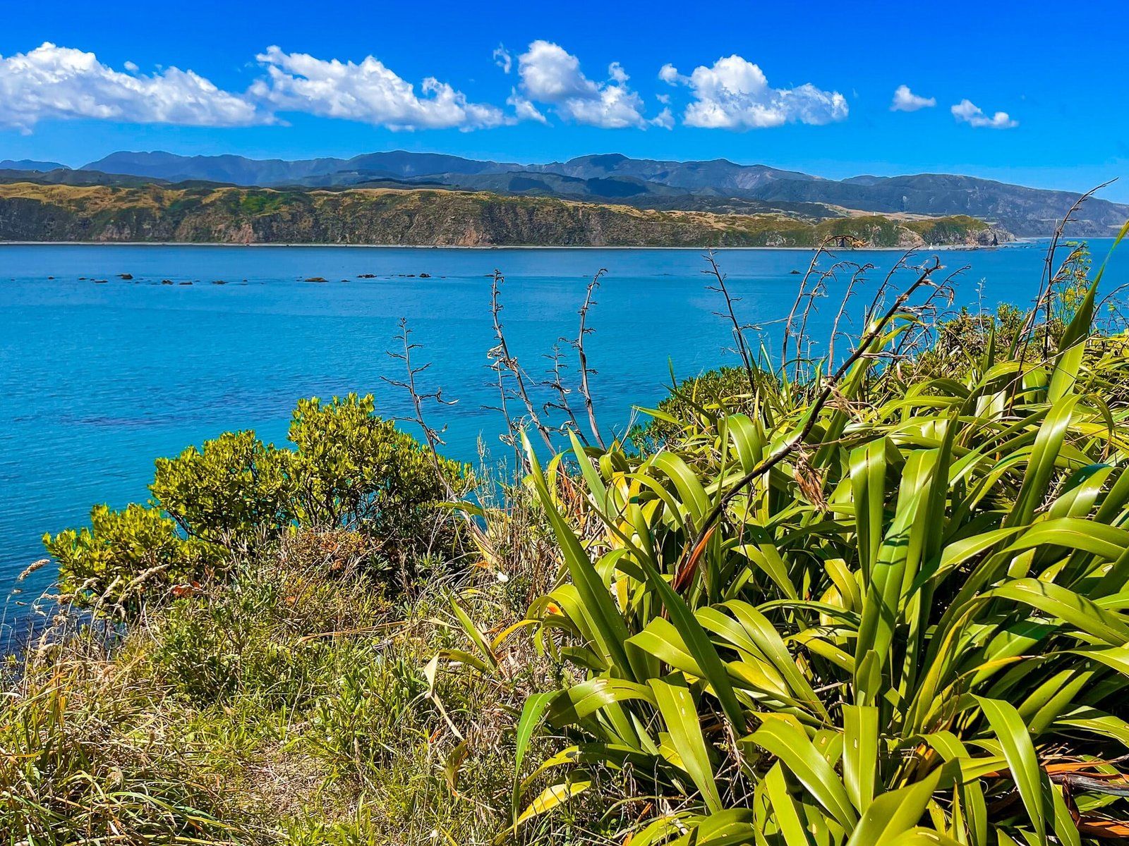
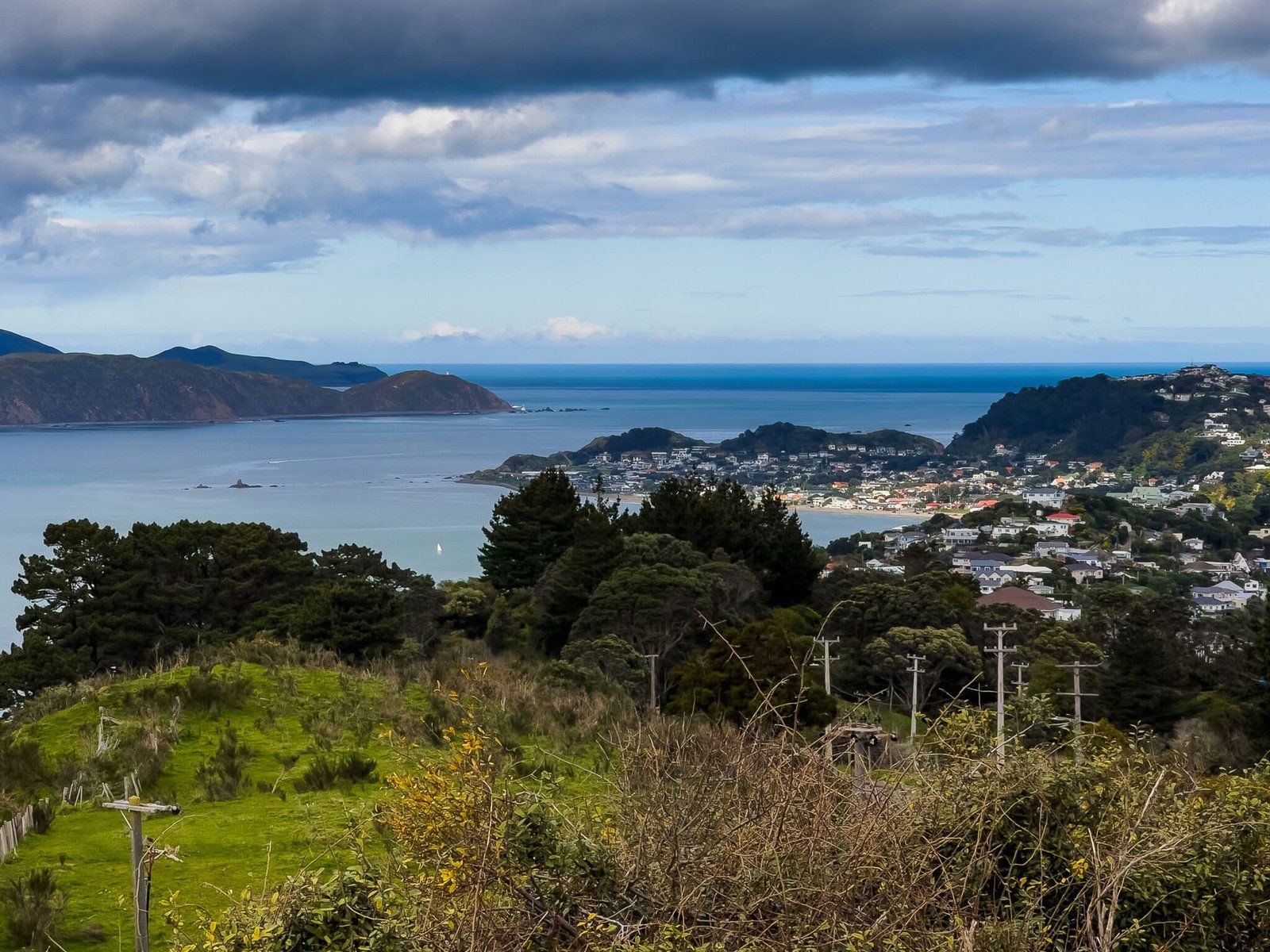
This is both a great viewpoint – over the harbour mouth, the bay and Cook Strait – and a moving tribute to the generosity of Ataturk, the leader of Turkish forces at Gallipoli, towards the ANZACs who died in the failed campaign of 1916. You can also see a similarly moving commentary at the Te Papa Museum Gallipoli display.
There is also a walkway that heads north along the top of the eastside cliffs and hills of the peninsula as far as Breaker Bay and Point Dorset from the memorial walk.
On the east side of Tarakena Bay at Gibraltar Rock is the first of several Wahine shipwreck memorials (NZ’s worst maritime disaster in 1968) that are scattered around the harbour entrance.
Breaker Bay
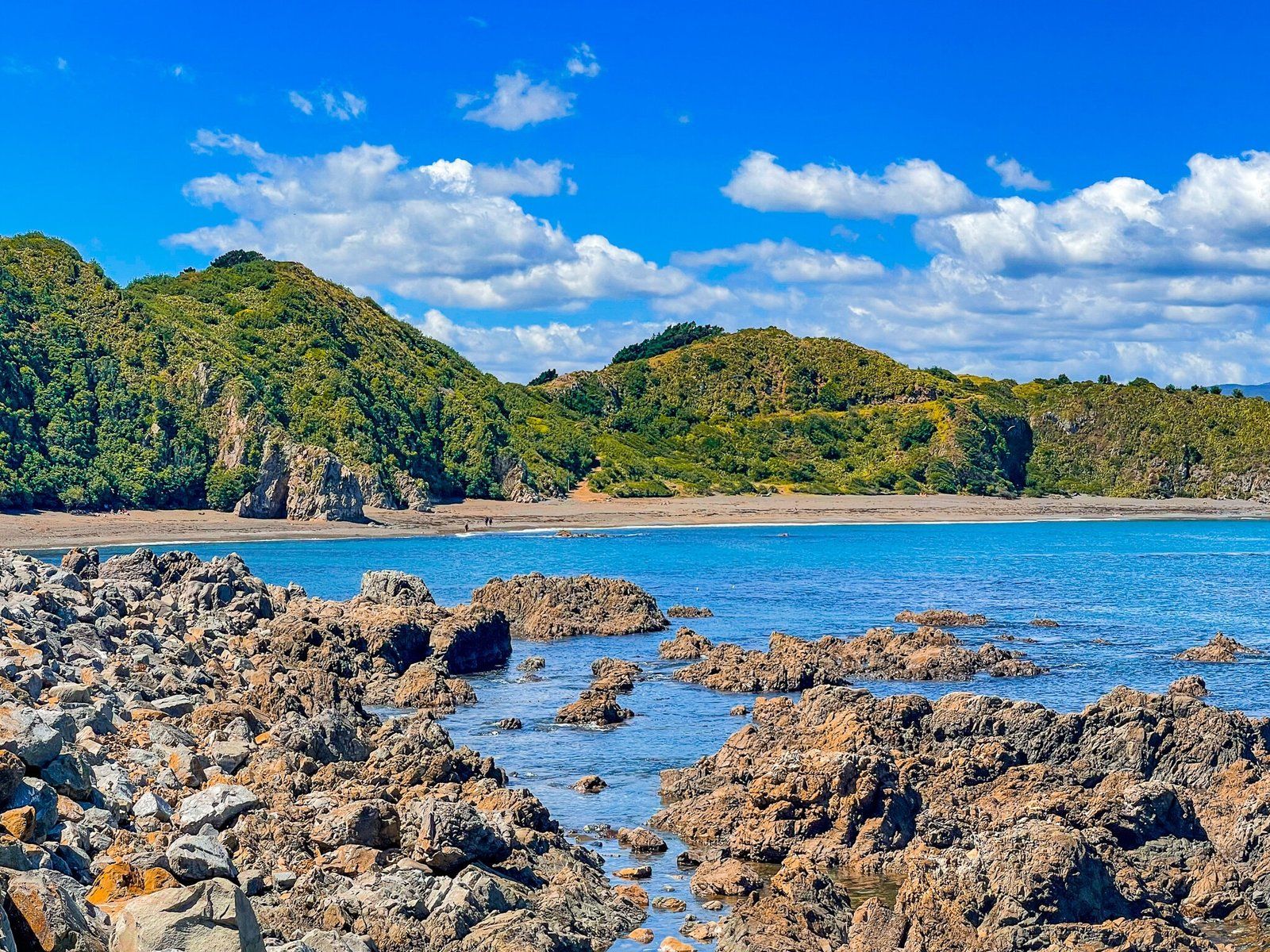
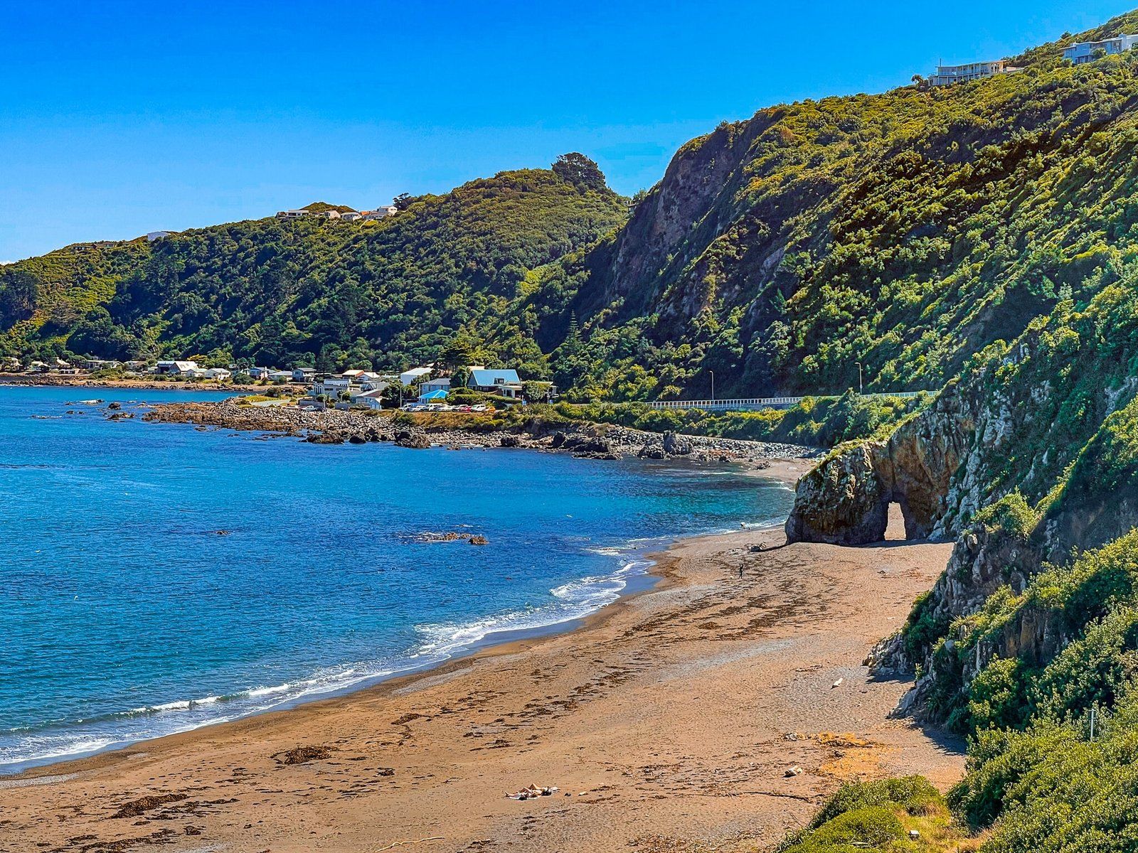
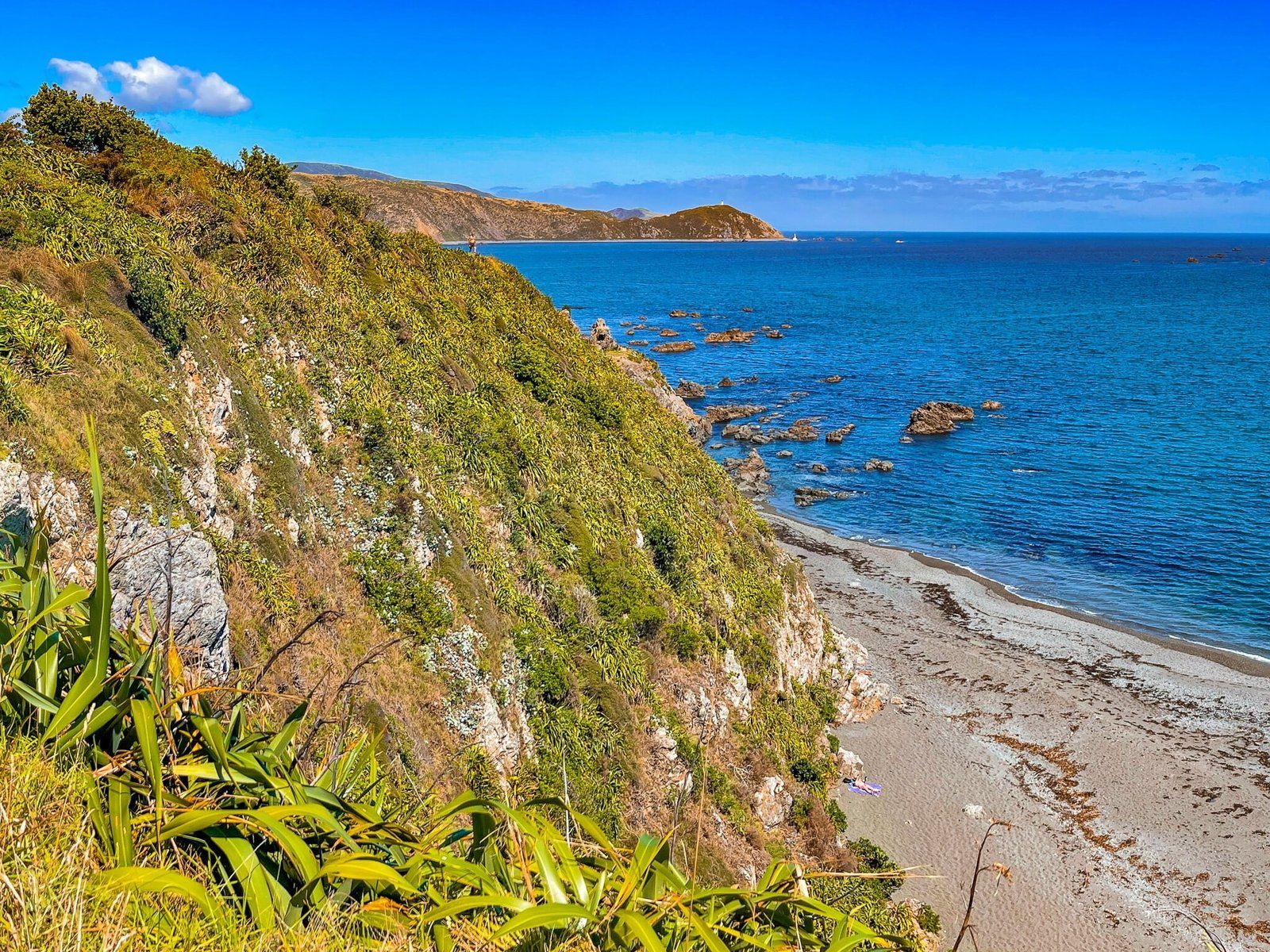
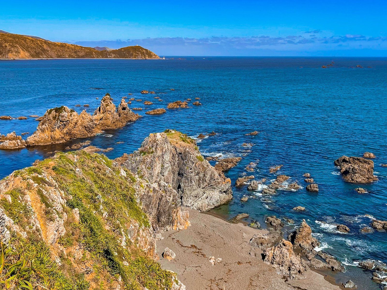
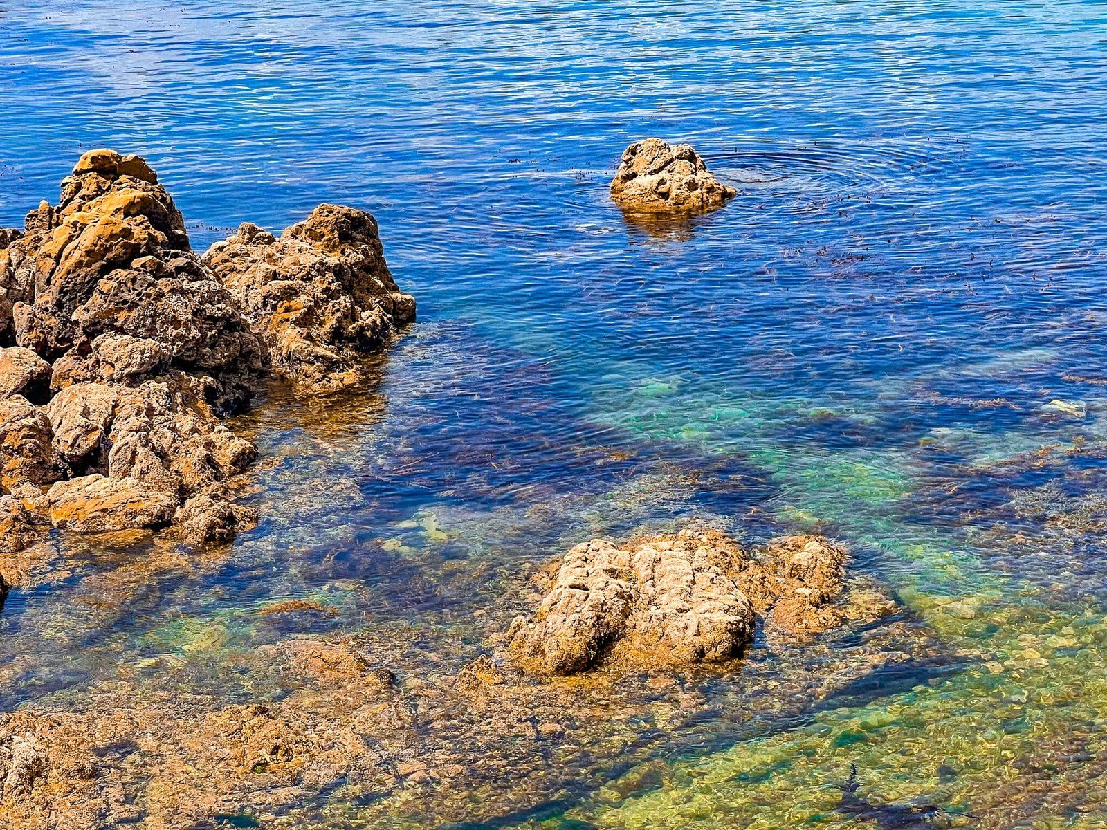
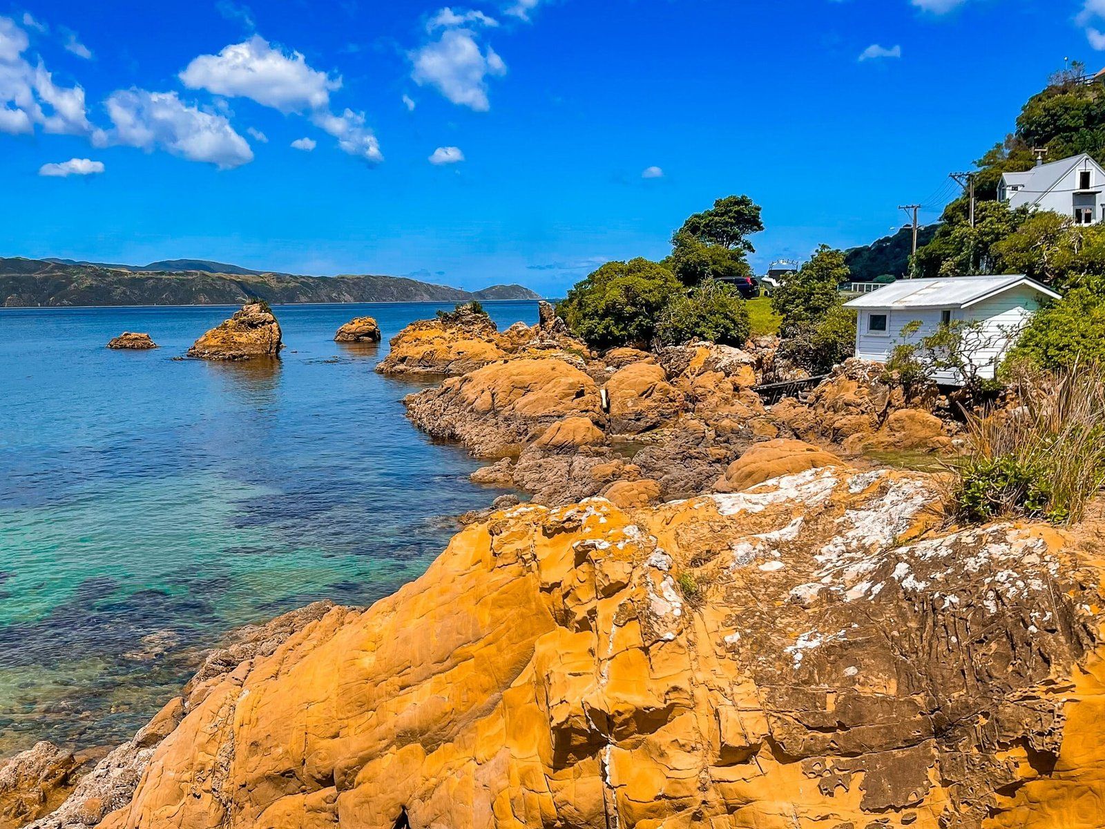
From Gibraltar Bay, it is a scenic drive north on the coastal road, past several small and mostly rocky bays overlooking the harbour entrance, to spectacular Breaker Bay and steep-sided Dorset Point. There is a parking area on the side of the road above the bay, just before the road climbs up over the point. Take the track down to the beach then walk north to below the point.
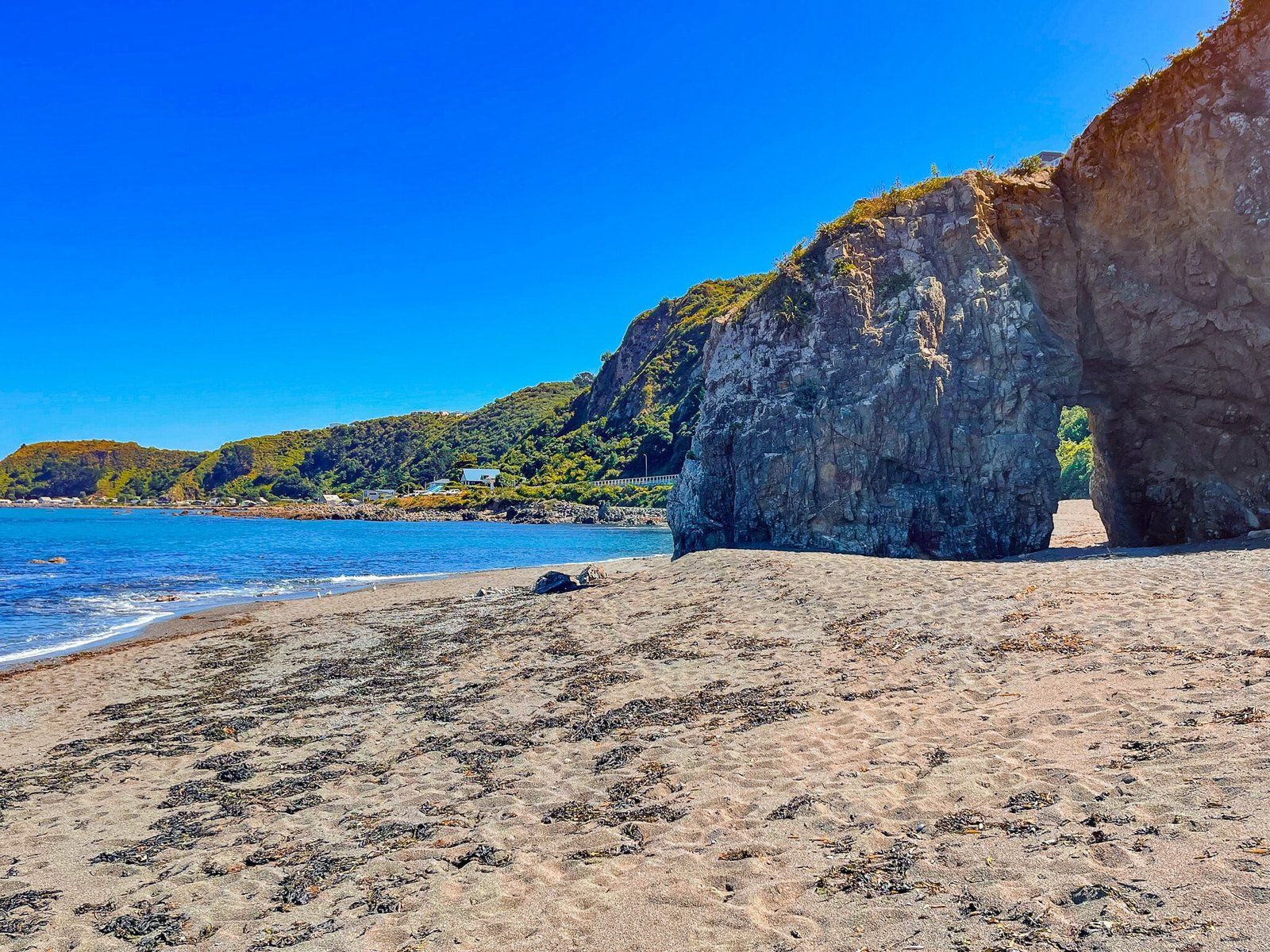
There is a good sized natural arch above the tide line and plenty of space to spread out on a mix of sand and mostly small stones. Take care if you decide to swim as the beach is unpatrolled.
Note that this beach is popular with nudists and the further around the bay you go towards the end of the point, the more likely you are to see them.
Point Dorset
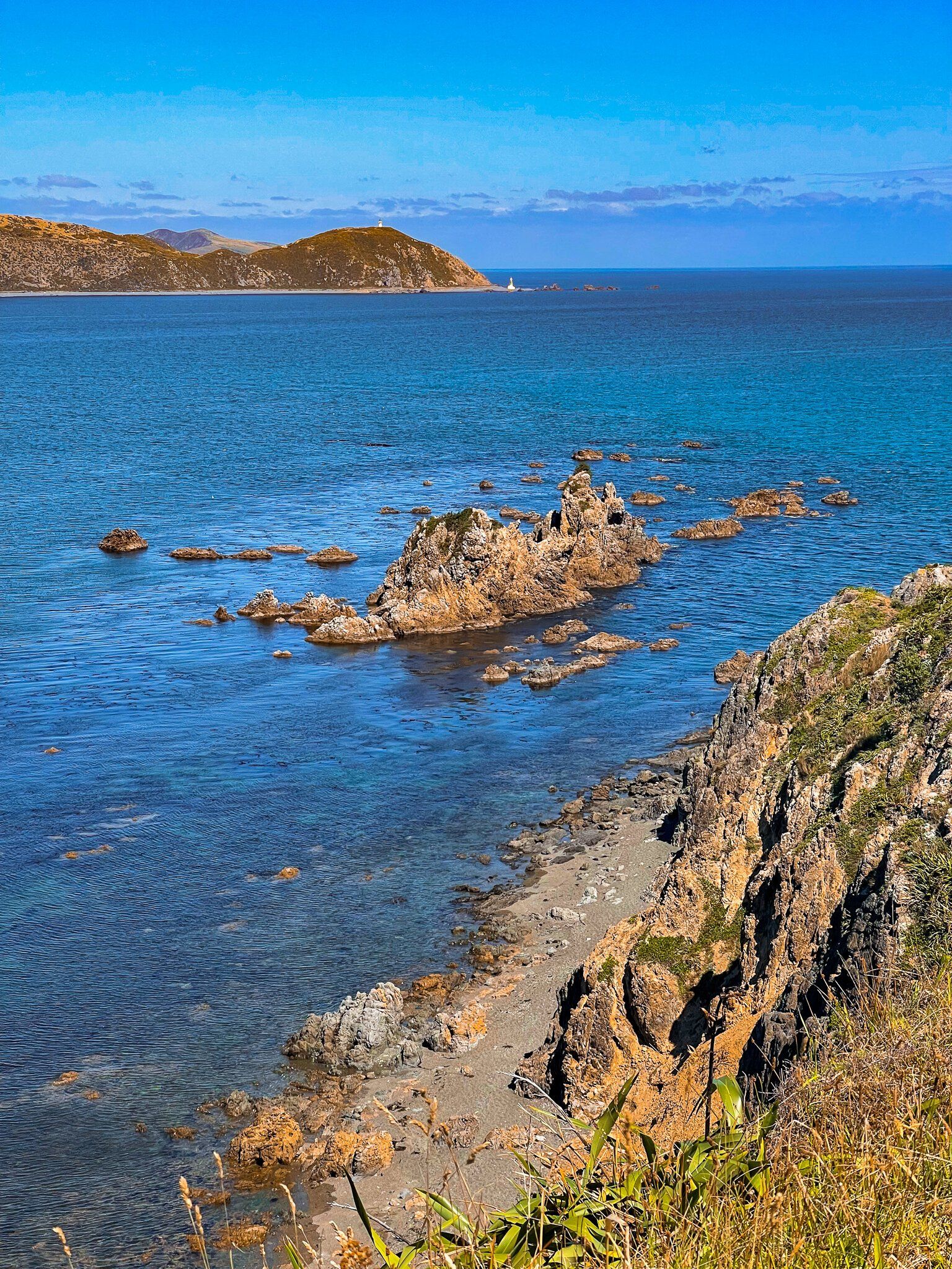
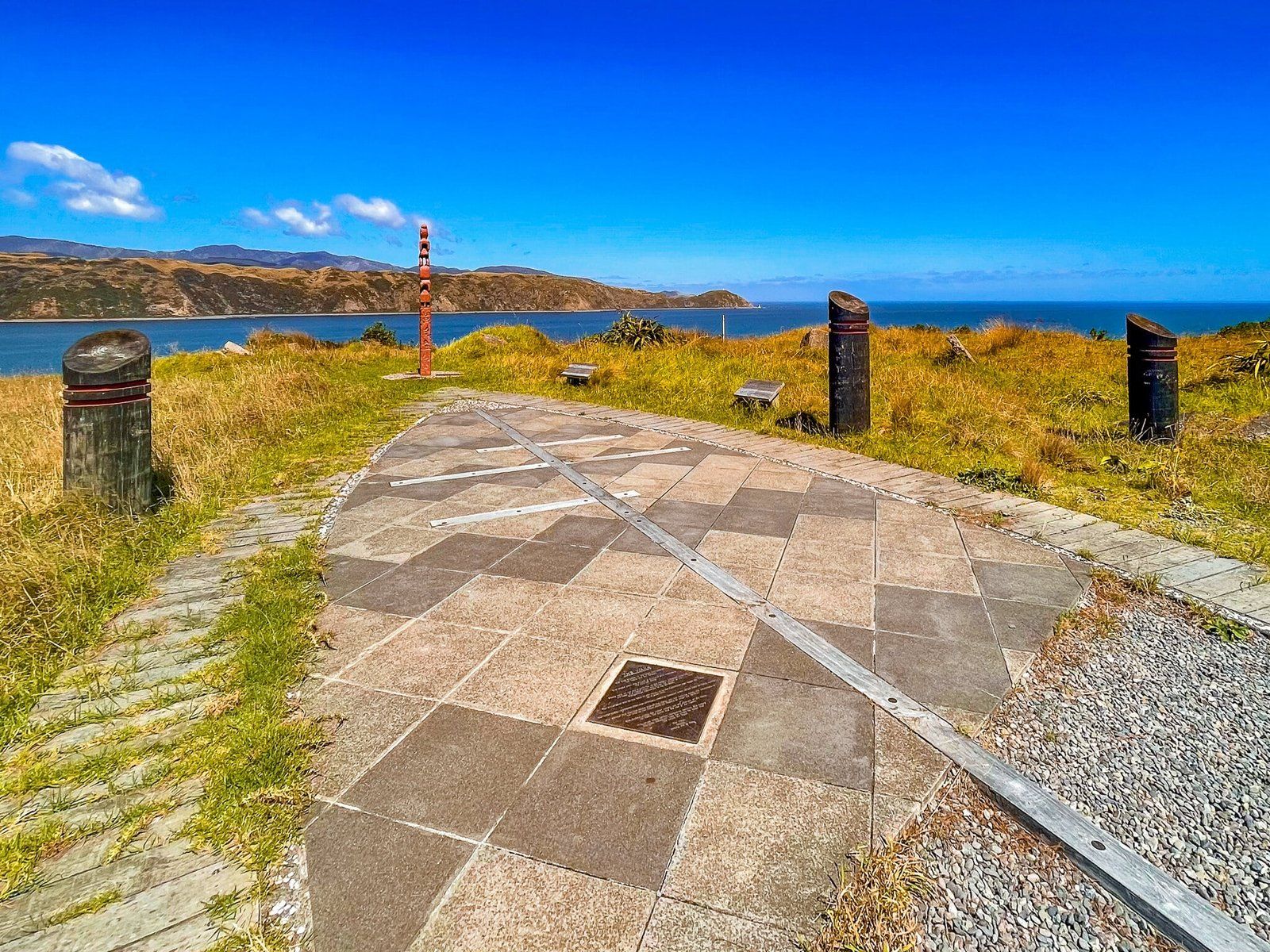
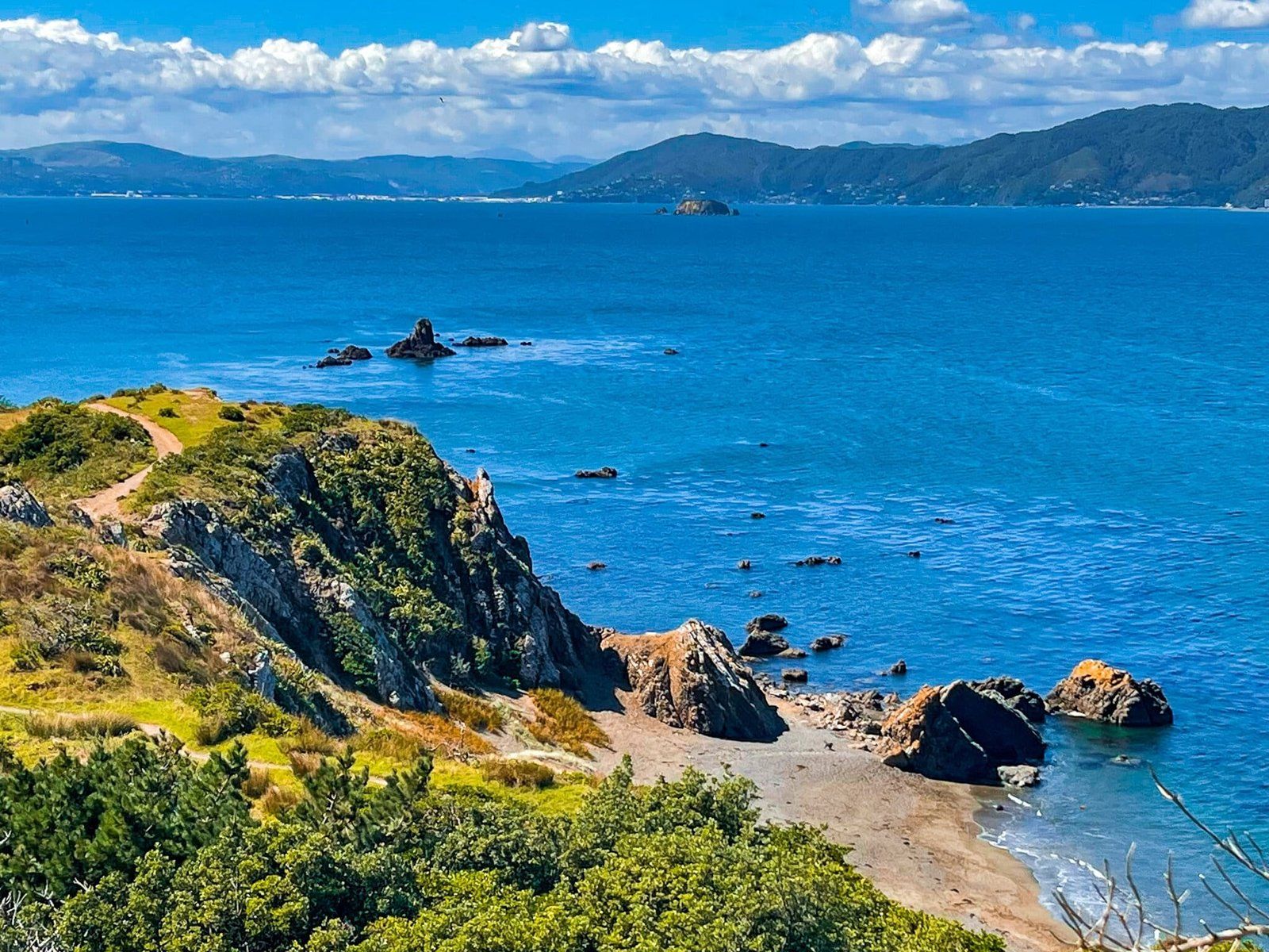
Point Dorset sits above Breaker Bay and can be accessed from a short track that starts just beyond the natural arch in the bay. The track climbs quickly to about 80 metres, with steep cliffs above the point at the top. From here the views are fabulous – up and down the harbour as well as the rock formations below the cliff, including Barrett Reef and Steeple Rock where the Wahine capsized in 1968.
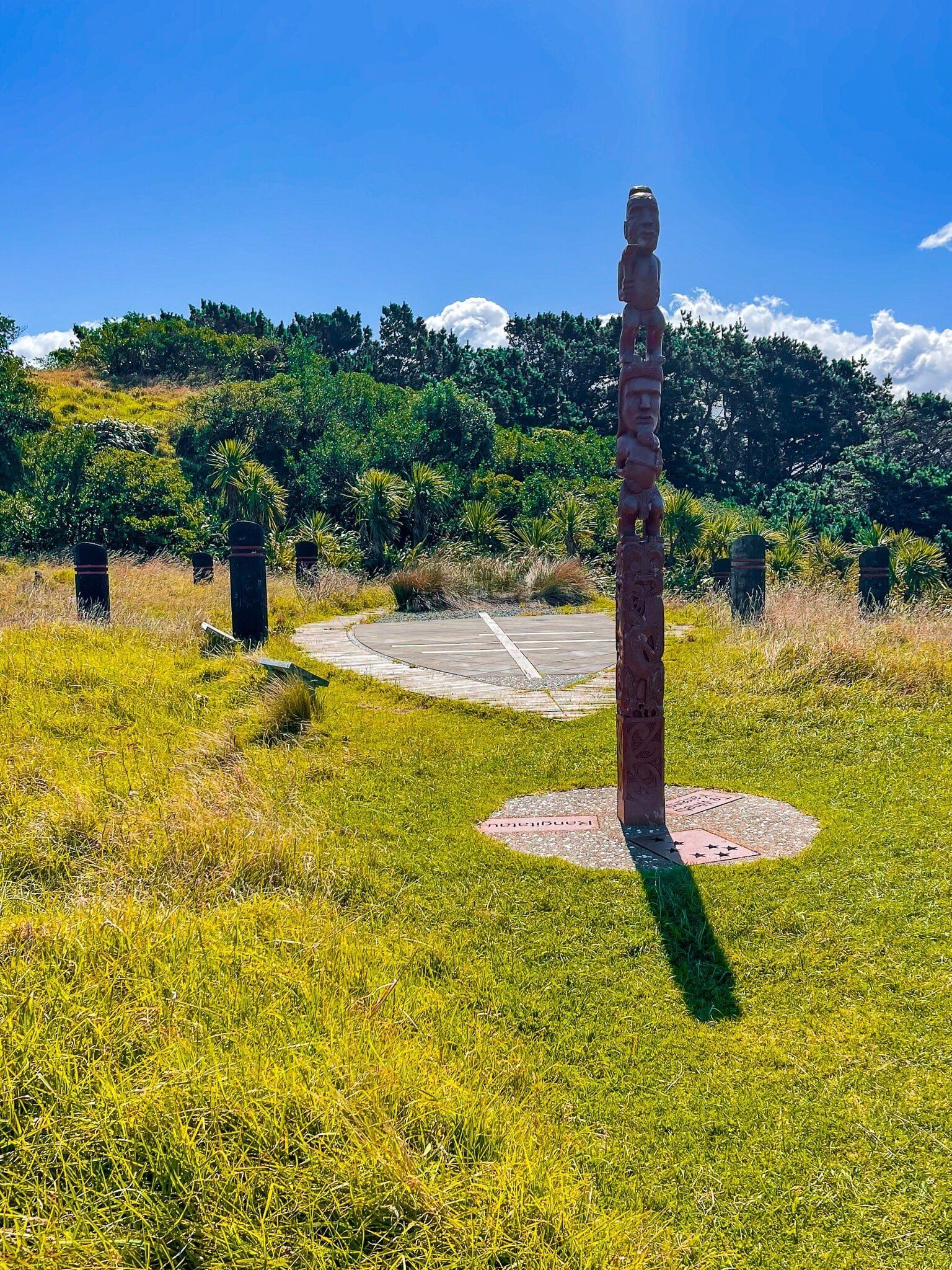
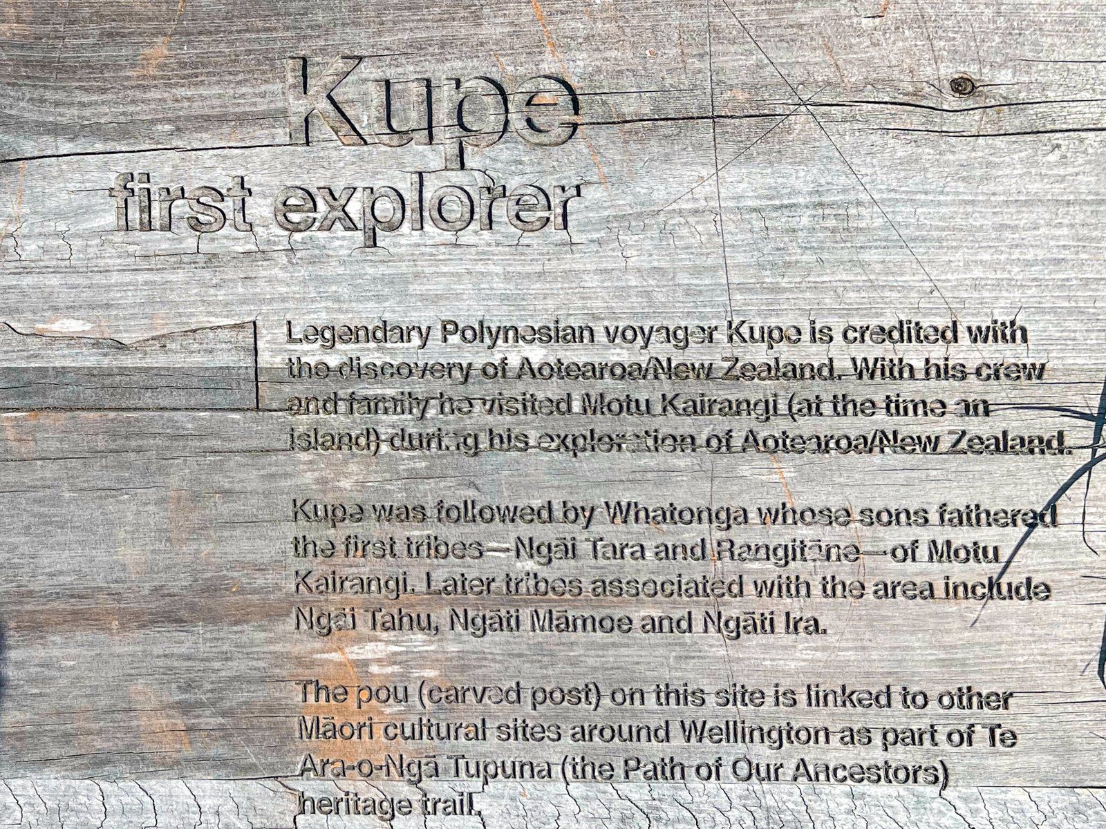
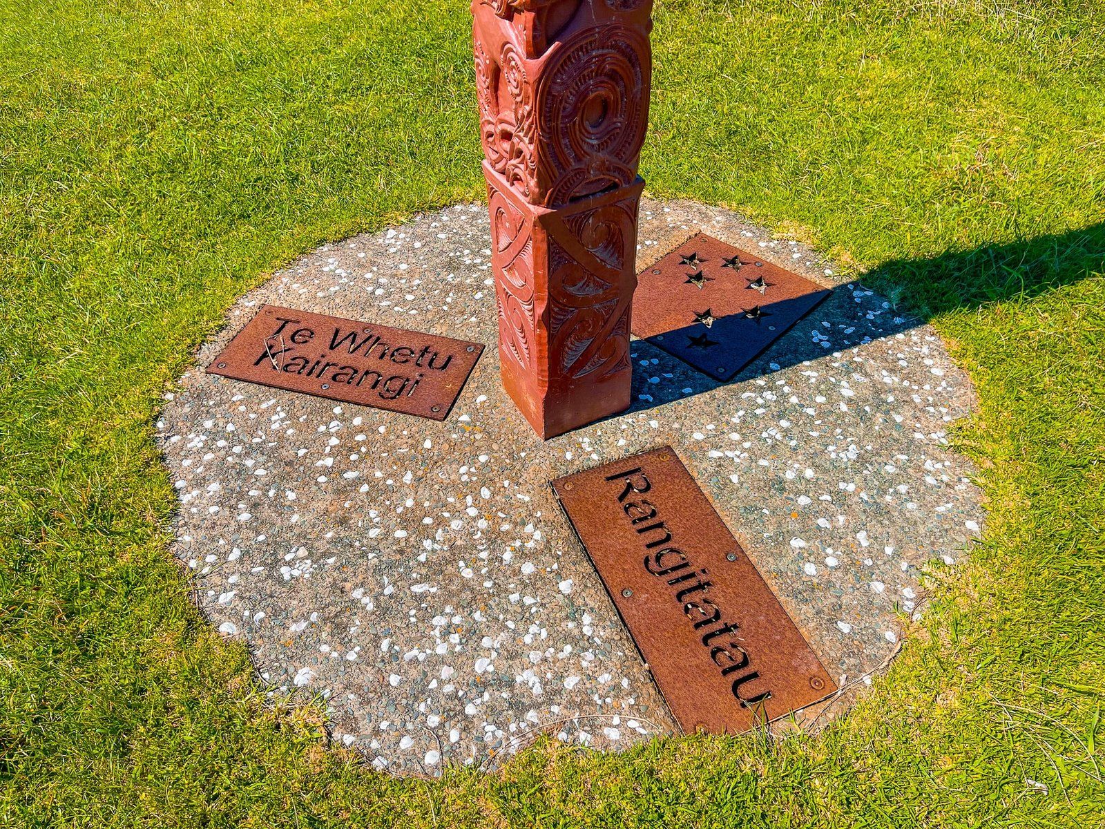
Walk a little further and there is a waka sculpture marking the site of the former Ōruaiti Pā. The Waka sculpture also references the exploration of Wellington Harbour by Kupe, reputed to be the first polynesian explorer of Aotearoa. Extensive native replantings and information panels complete the site. There are also views over Seatoun on the north side of the point.
From there you can do a longer loop walk around the point, and even connect with the track above the southeast cliffs back to Tarakena Bay, or walk north along the coast down to Seatoun and a Wahine memorial.
Worser Bay
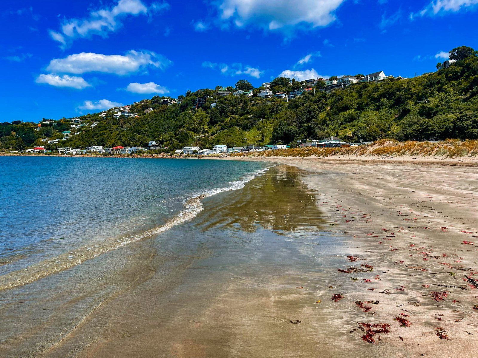
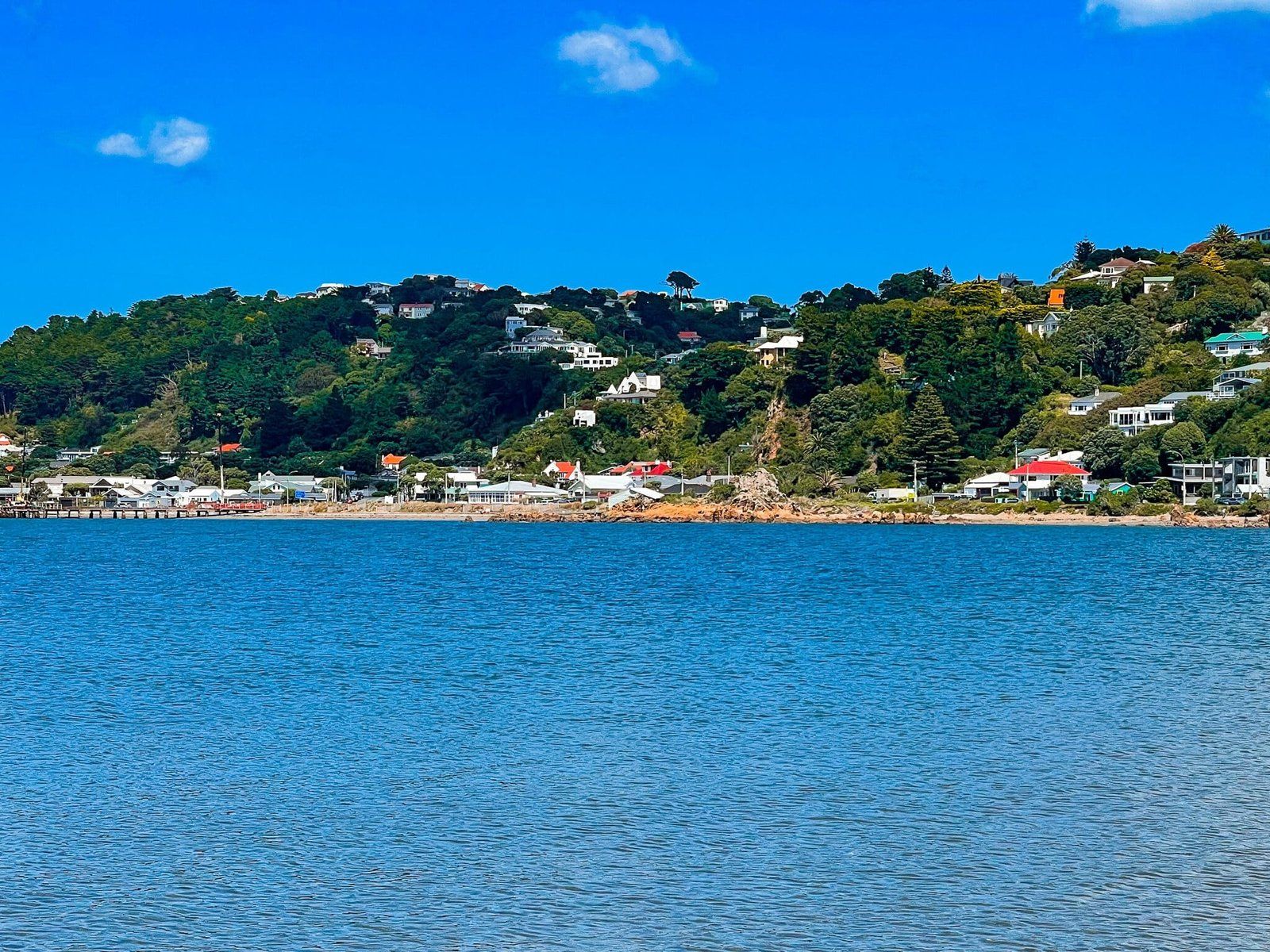
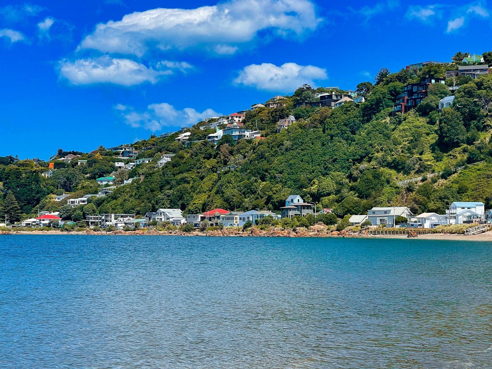
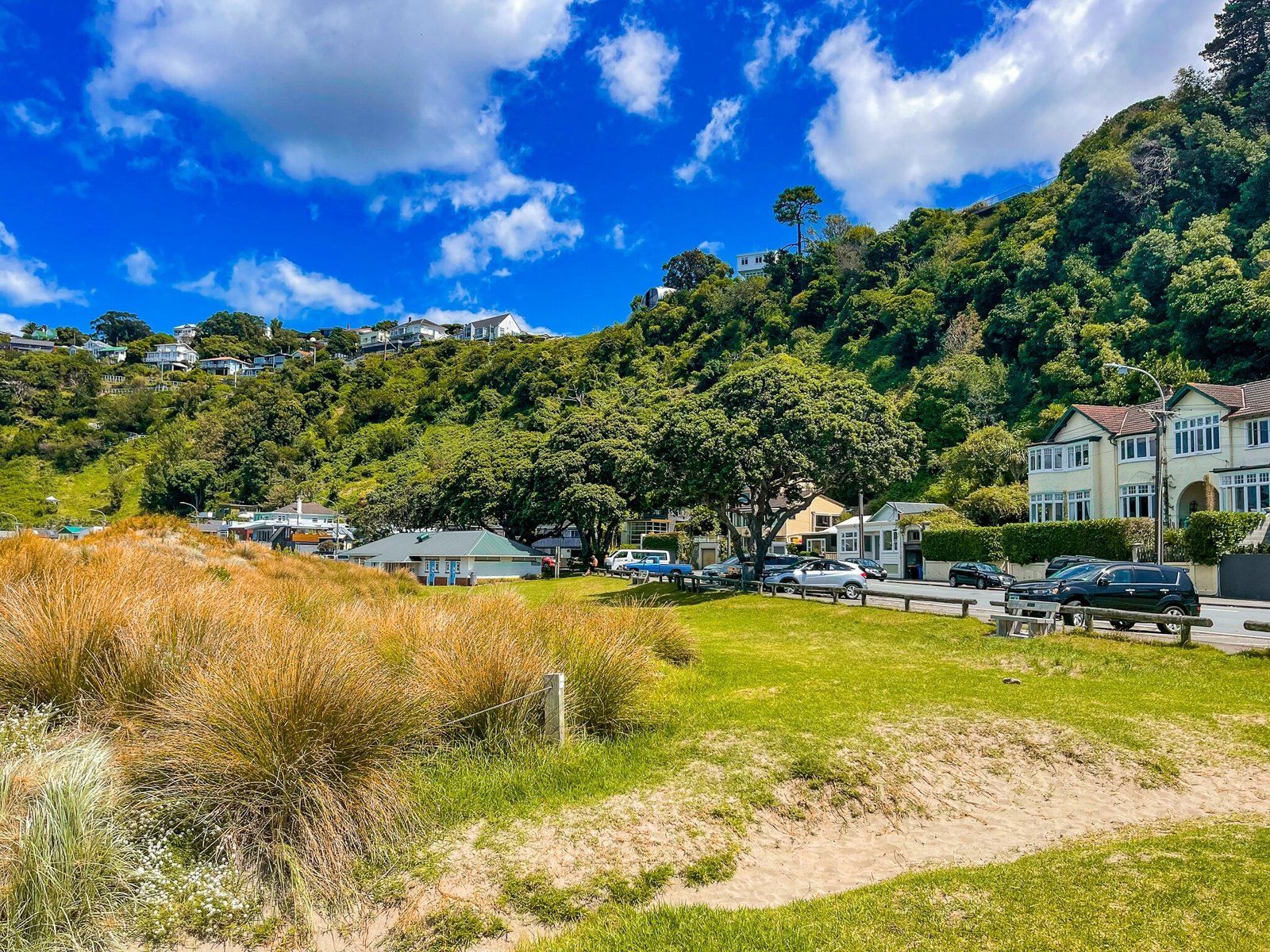
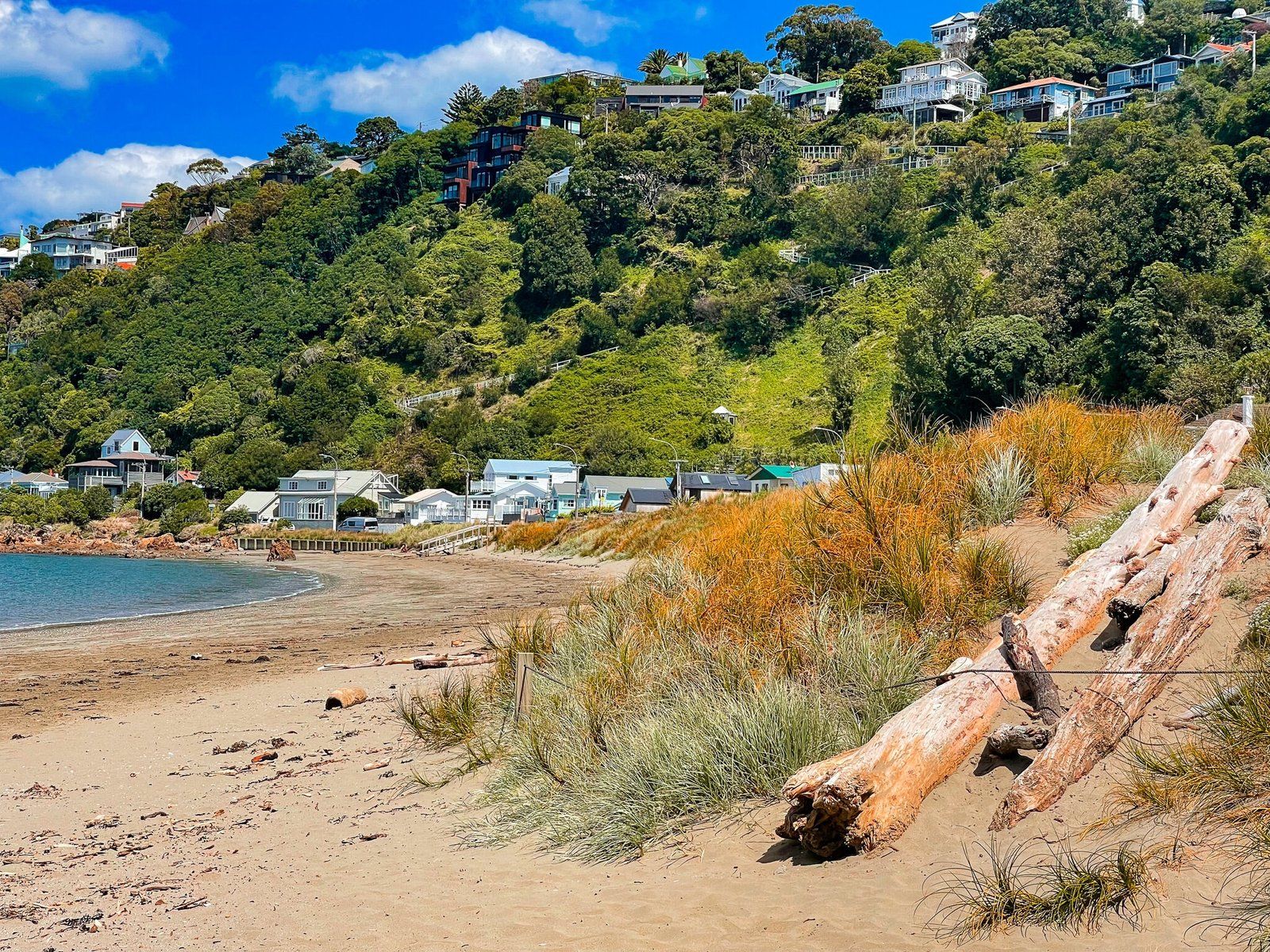
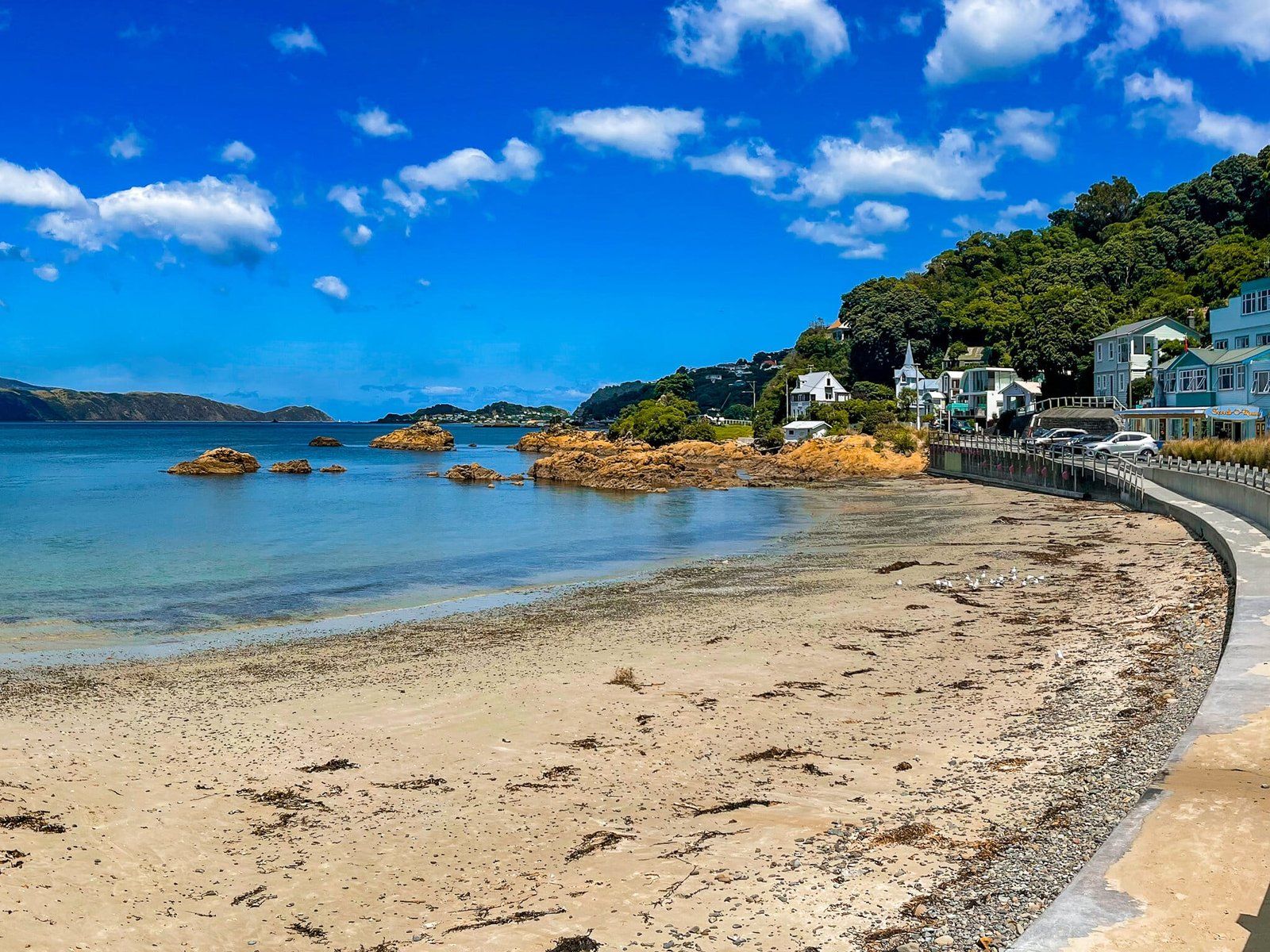
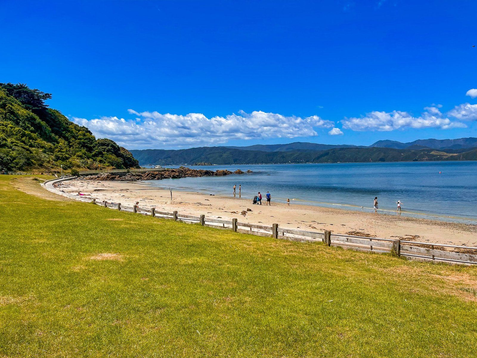
Continue north on the coast road along the inner harbour entrance through Seatoun to pretty Worser Bay. Parking is easy beside the beach, which is sandy and safe for swimming. It is therefore popular with locals in good weather.
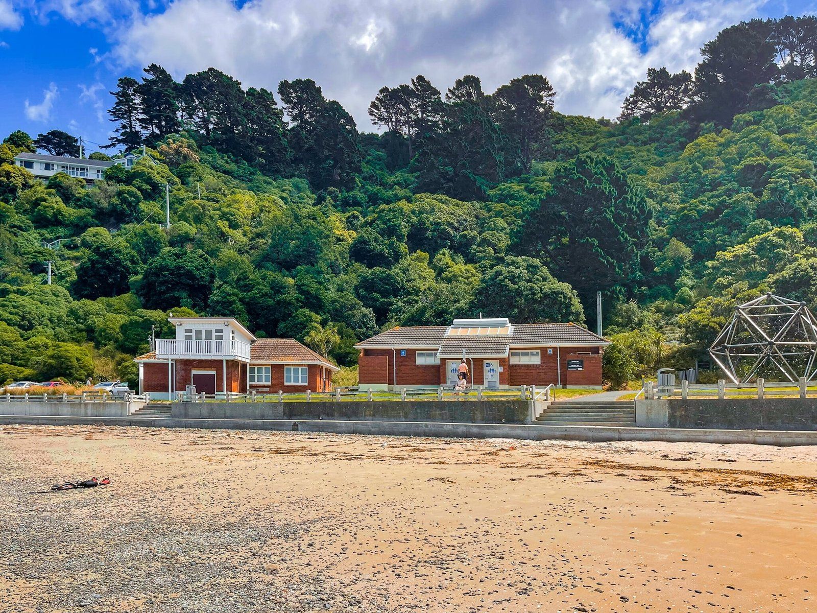
There is a grassed area above the beach and dunes, with picnic tables, along with good public facilities.
Scorching Bay
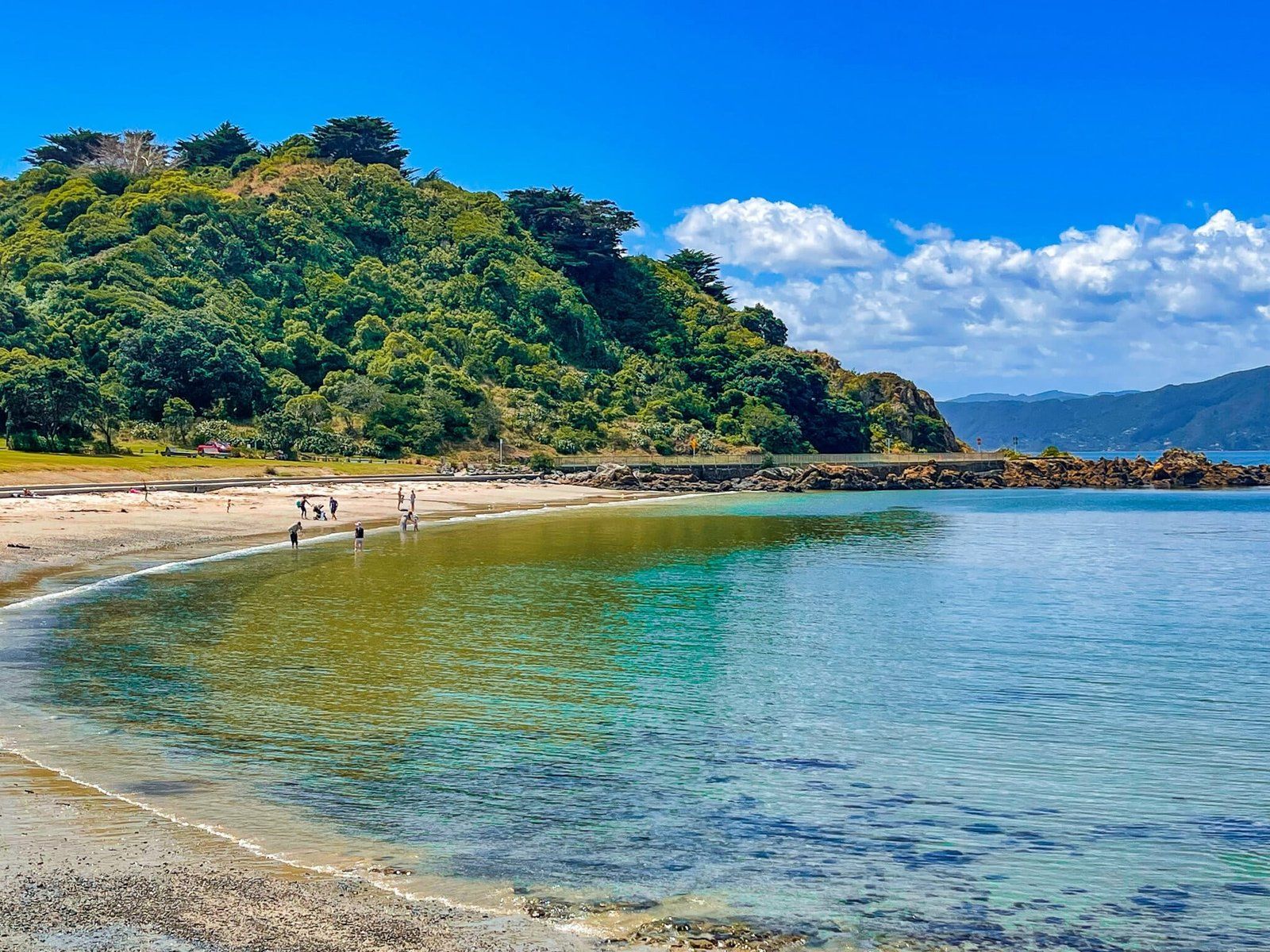
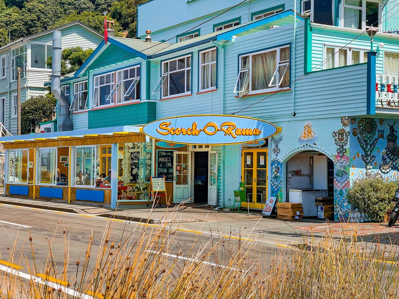
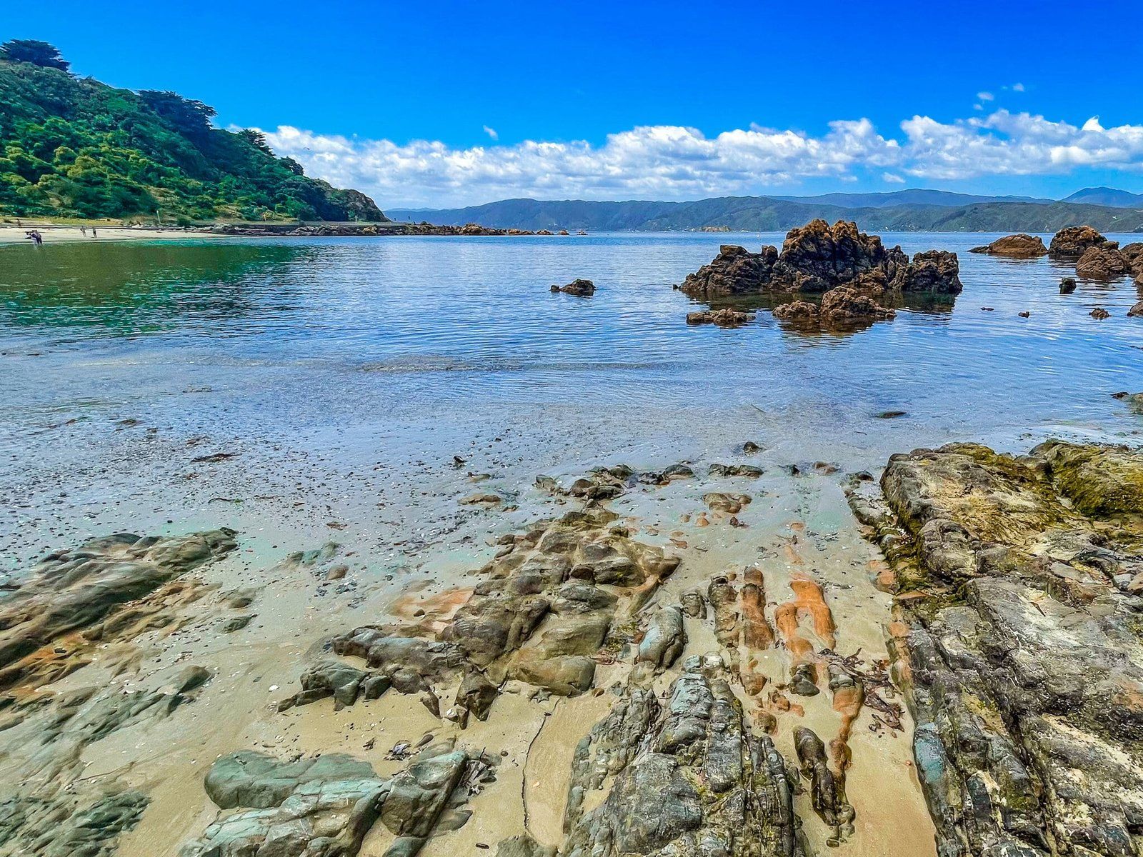
Continue north along the Miramar Peninsula coast road to Scorching Bay. Parking is beside the beach and this is even prettier than Worser Bay, with a lovely sandy beach and safe swimming.
In addition, one of the few coastal cafes on the peninsula is just over the road from the carpark.
Point Halswell to Shelly Bay
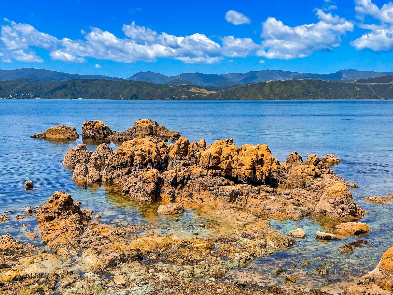
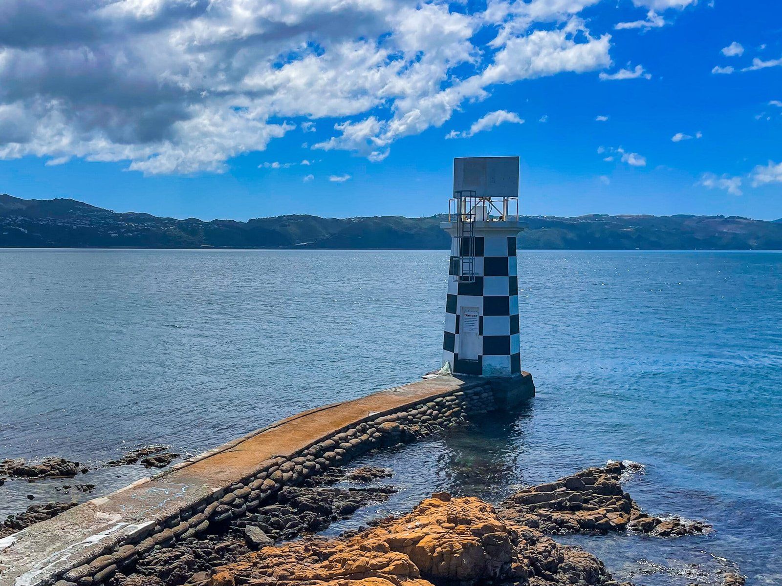
After Scorching Bay, the coast becomes much rockier again, while still a scenic drive. As you round the northern tip below Mt Cargill, you will see the Point Halswell lighthouse, a popular fishing spot.
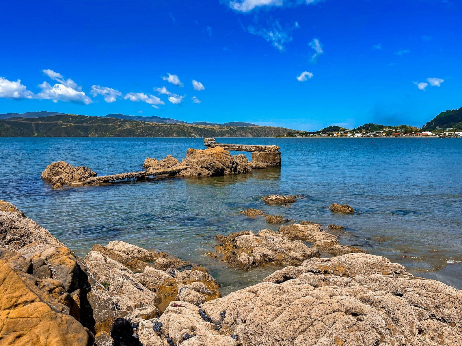
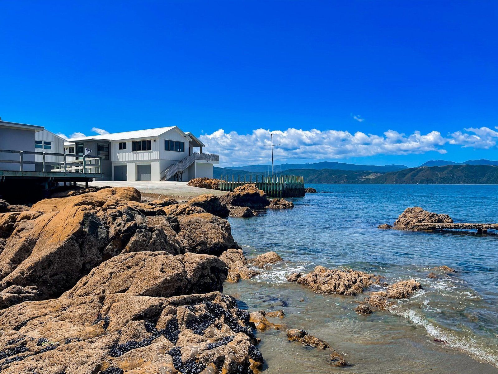
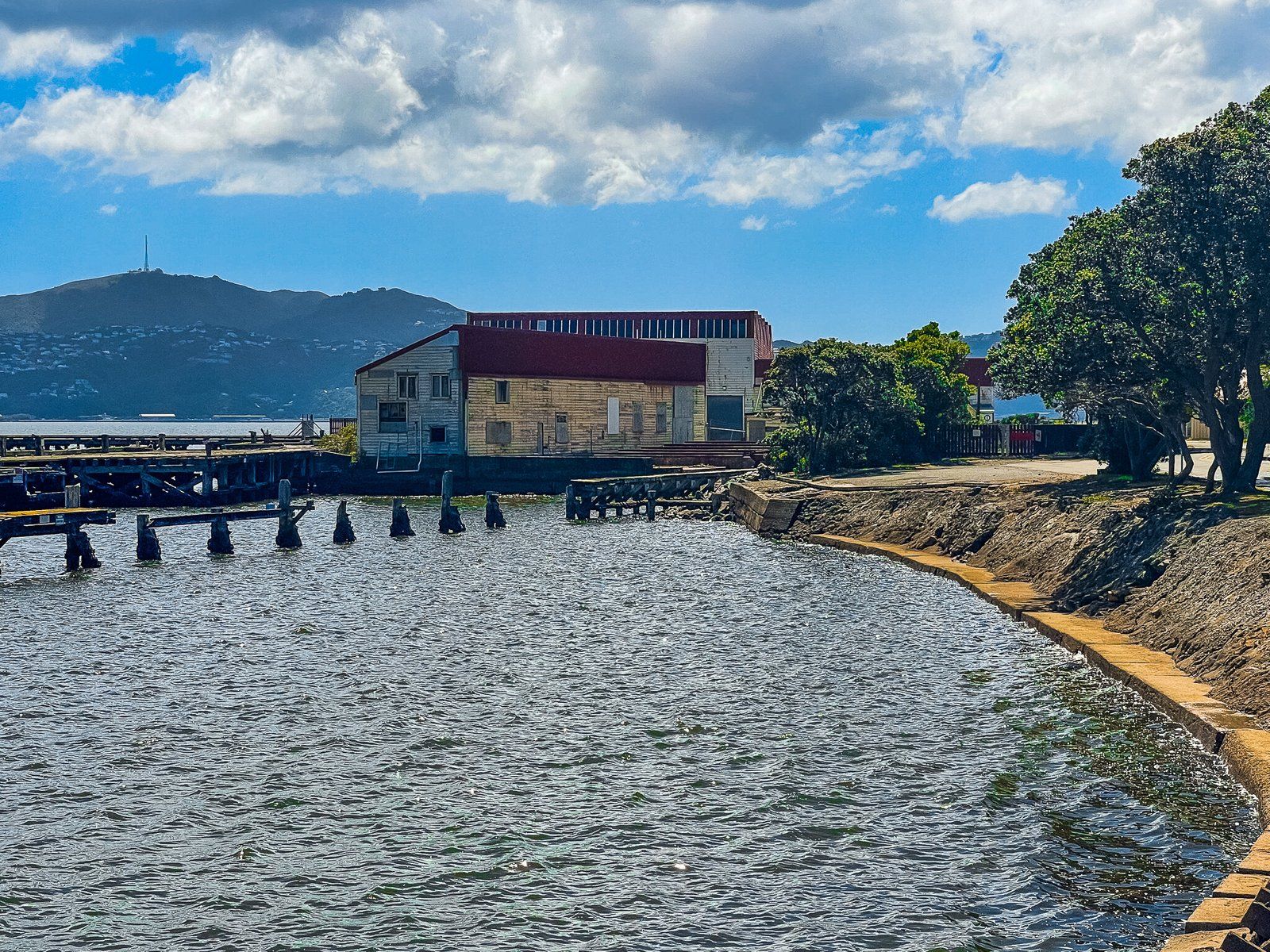
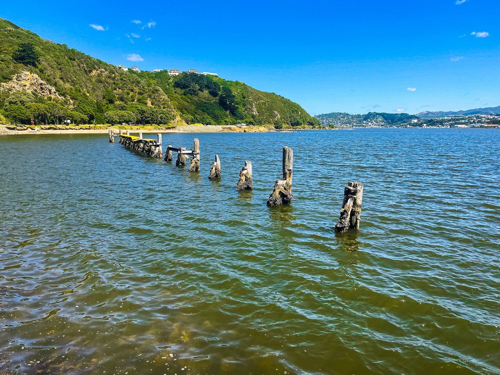
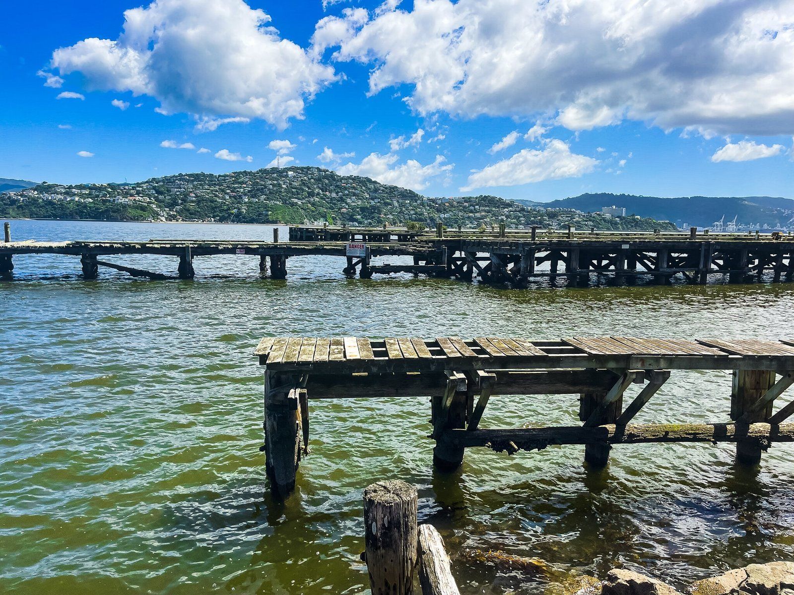
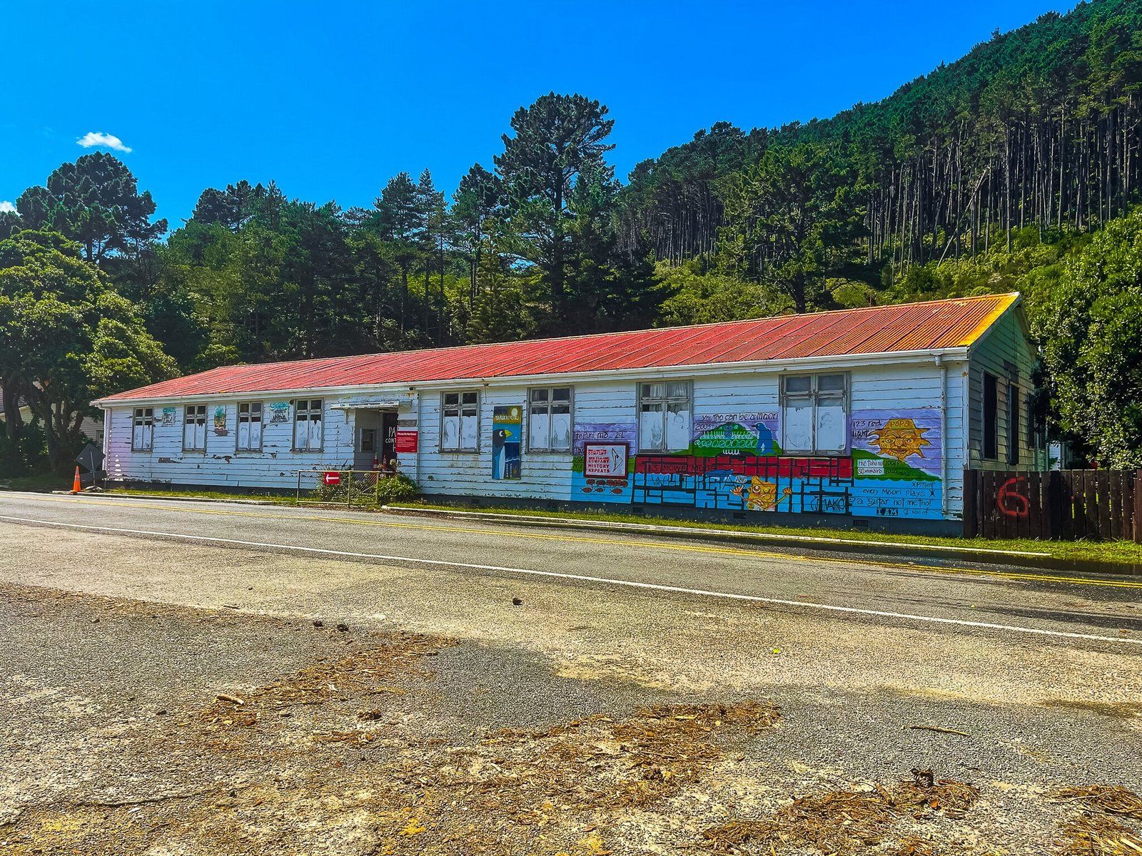
Then continue on south along the coast, stopping at one of NZ’s few substantial marine ruins at Shelly Bay. This facility was originally constructed as the Submarine Mining Depot Barracks in 1887. It was then a navy base from 1907 to 1946, then an air force base until 1995. In 2009 the land was handed over to Taranaki Whanui ki Te Upoko o Te Ika as part of a Treaty of Waitangi settlement and you will see signs of Māori occupation above the carpark.
Mt Crawford Walk
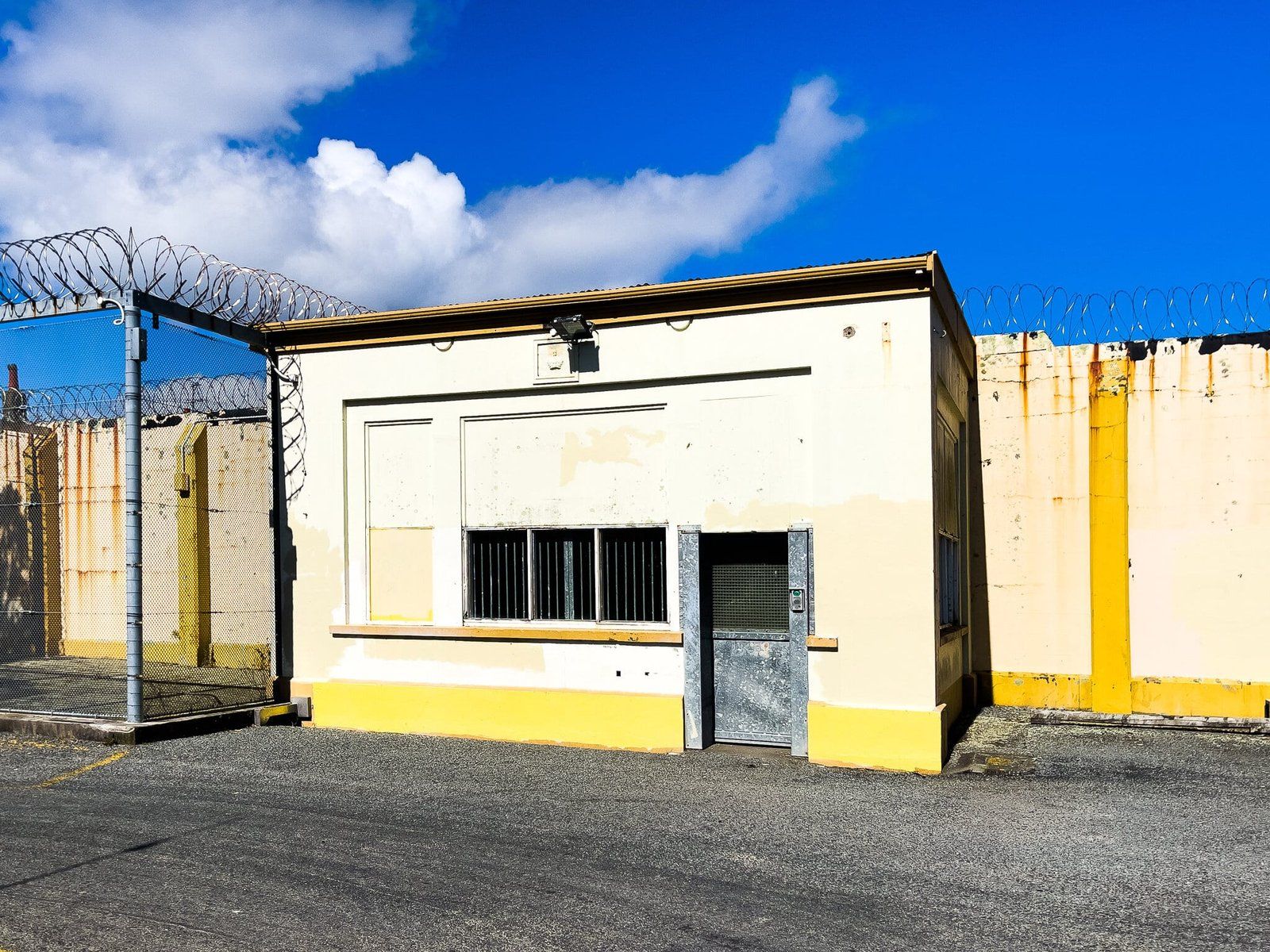
Mt Crawford sits above Point Hallswell at the northern tip of the Miramar Peninsula. You can drive to the top from Miramar Drive onto Maupuia road, then Akaroa Drive. At the top is the derelict Mt Crawford Prison, dating back to the 1920s and closed around 2012. The land was to be used for housing but the project has been affected by Māori land issues. But the delay does make a visit to Mt Crawford a bit more interesting.
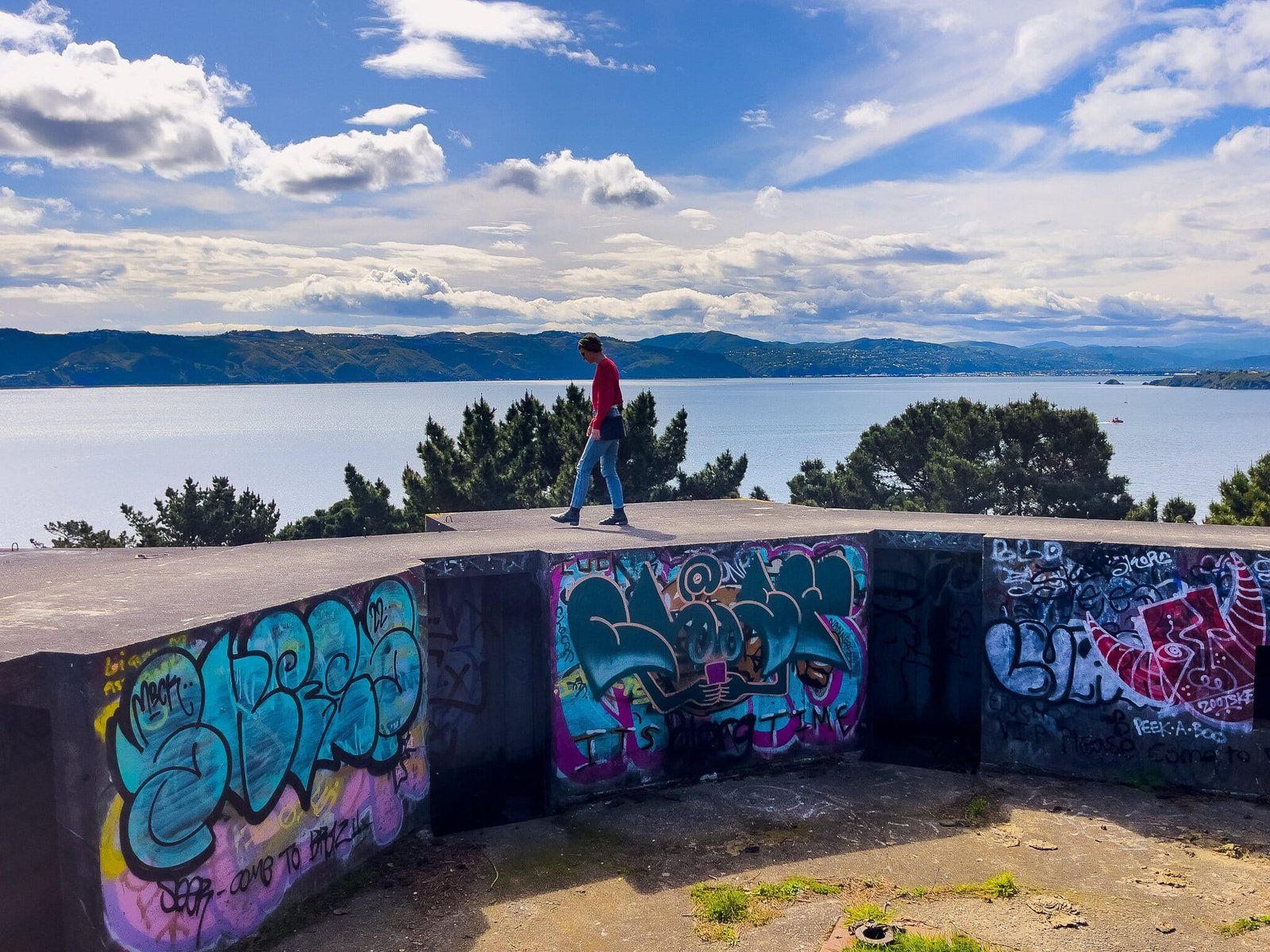
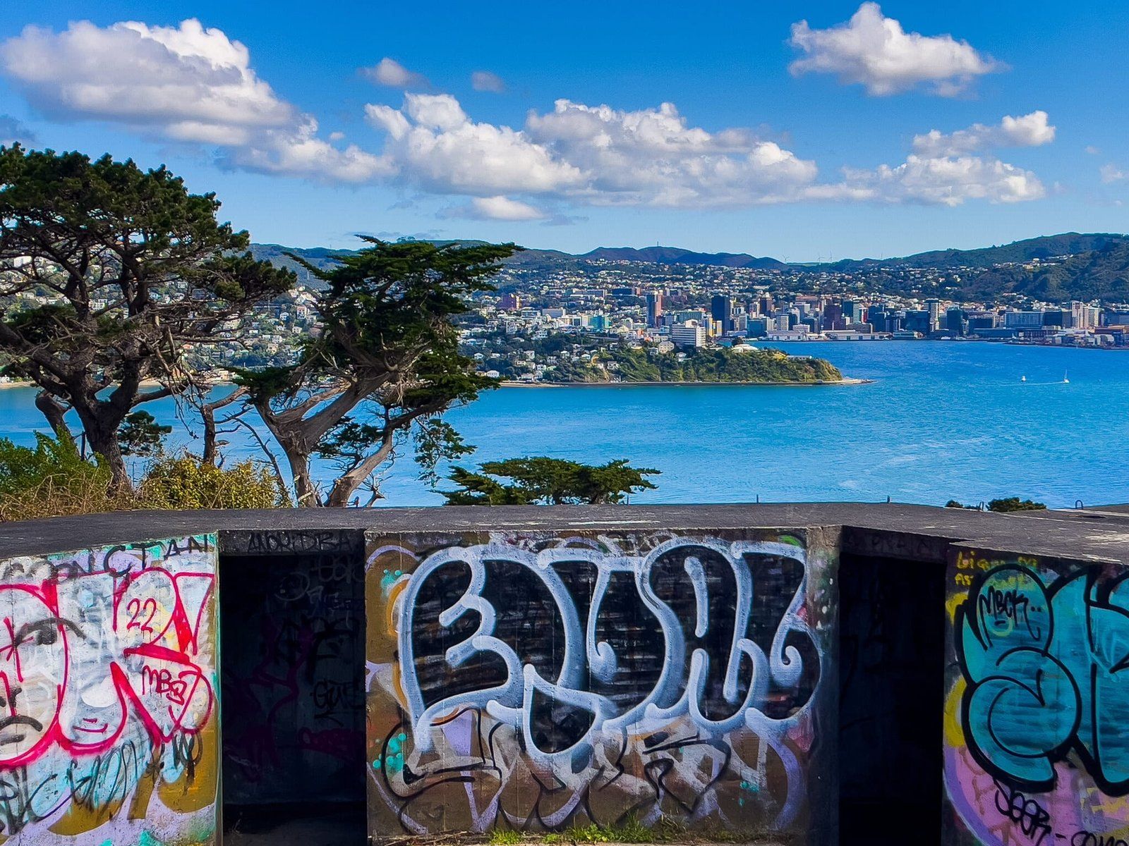
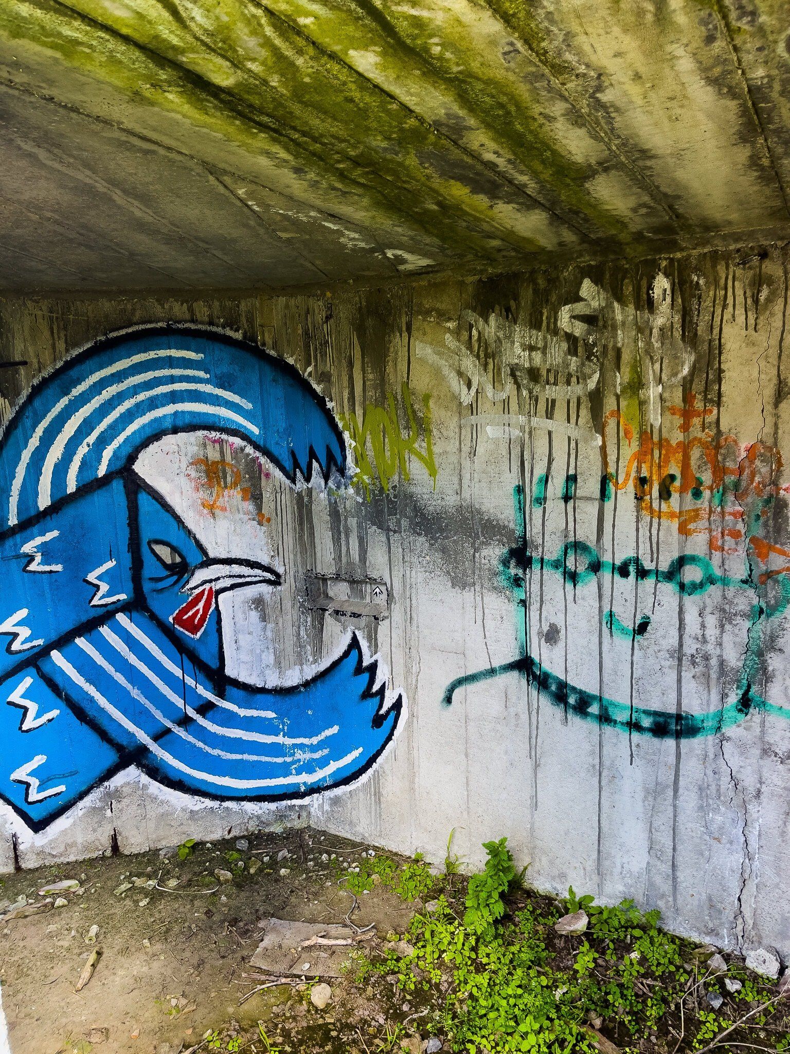
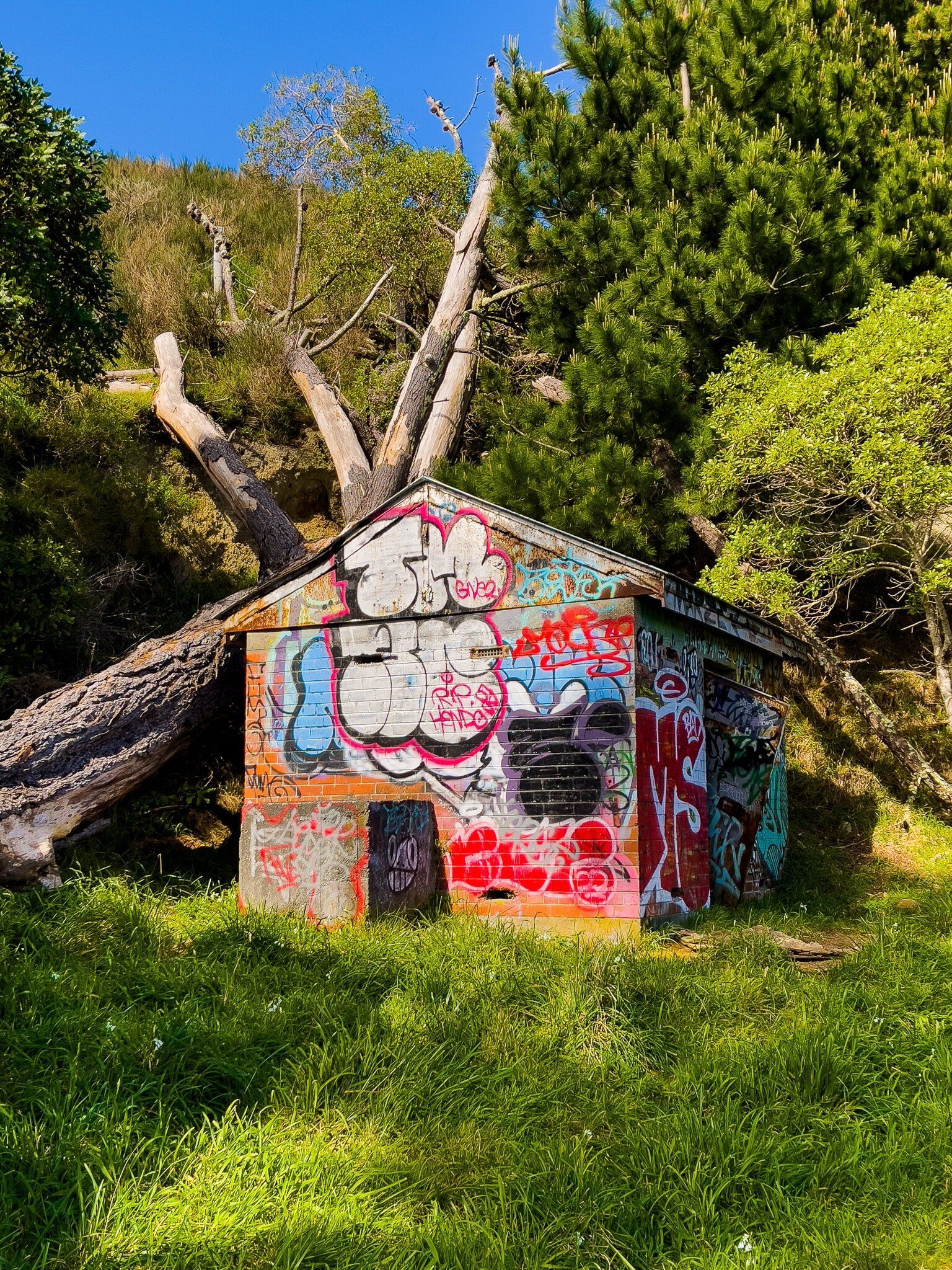
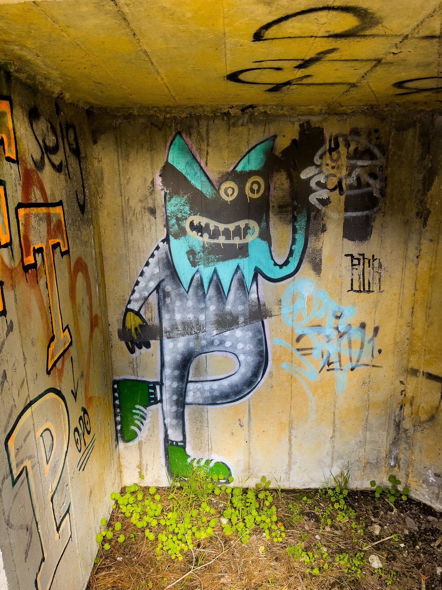
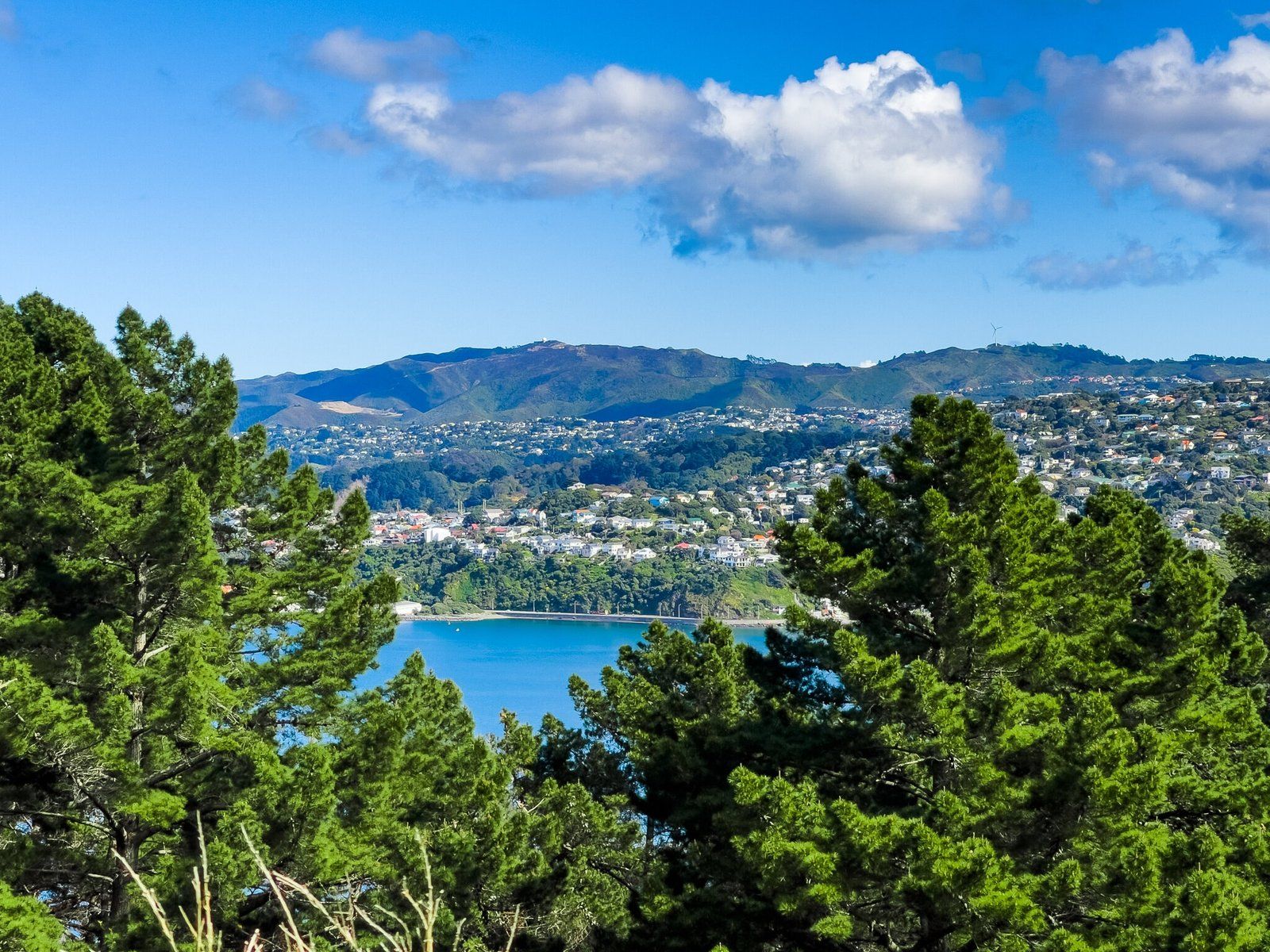
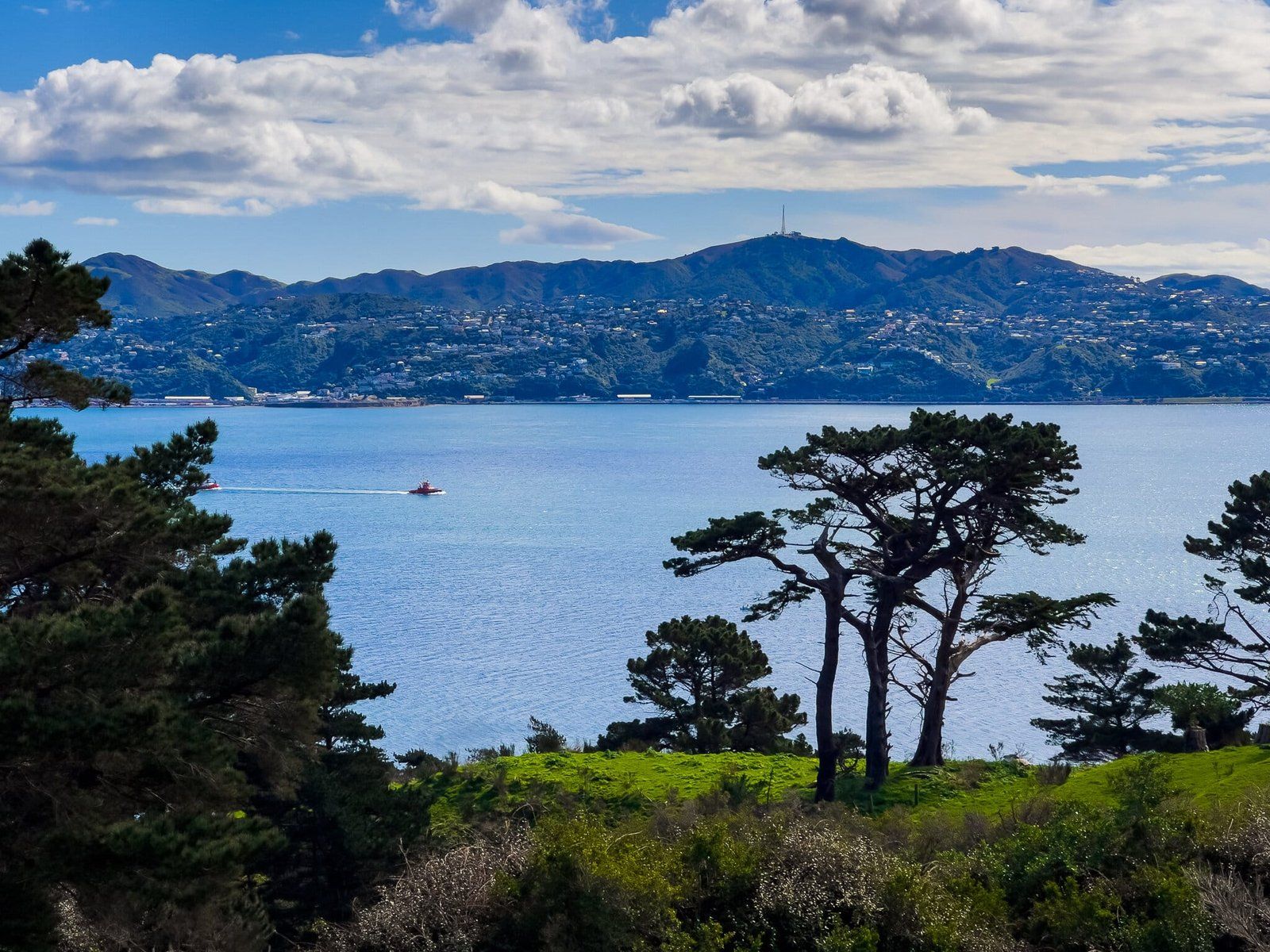
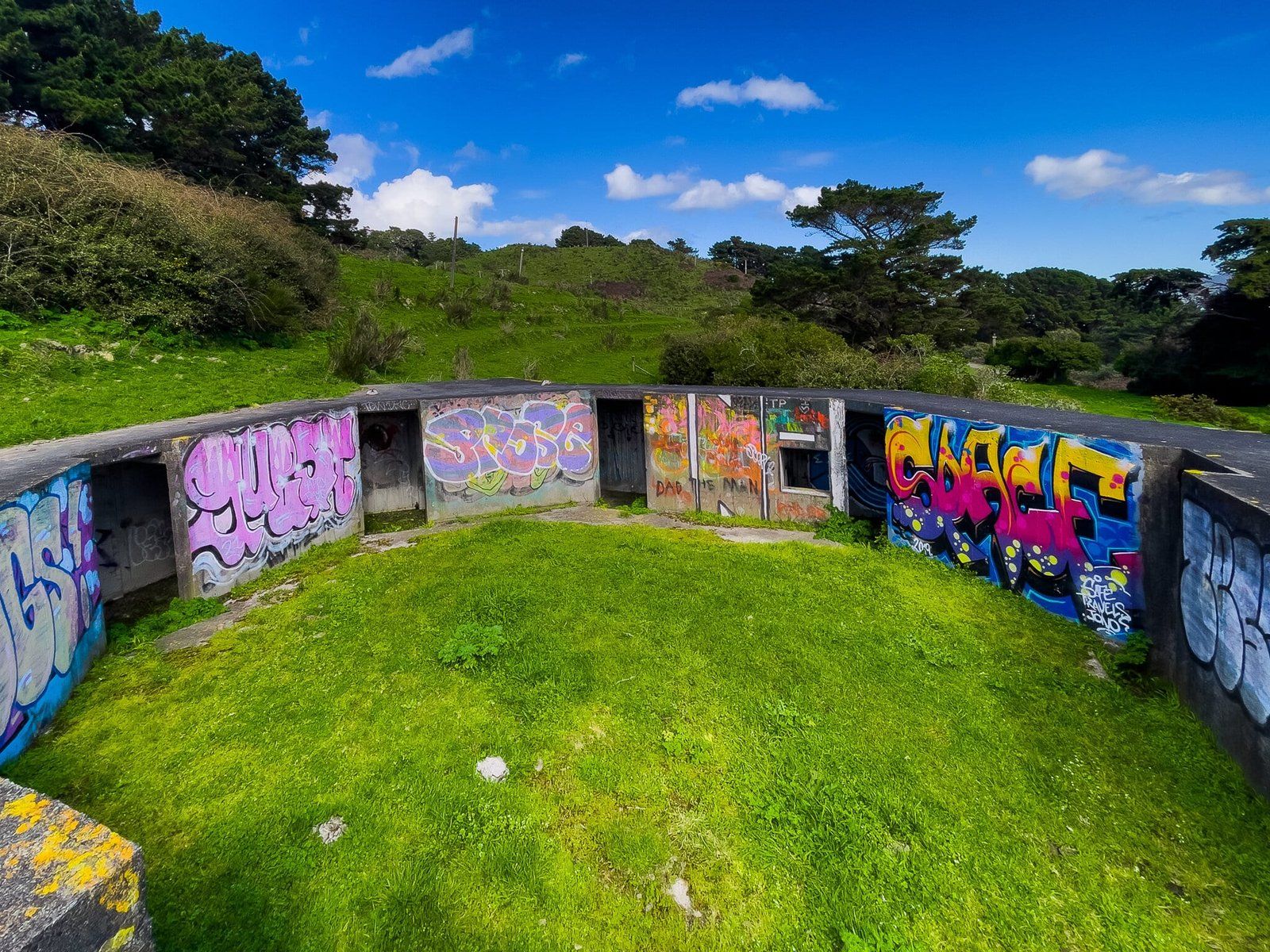
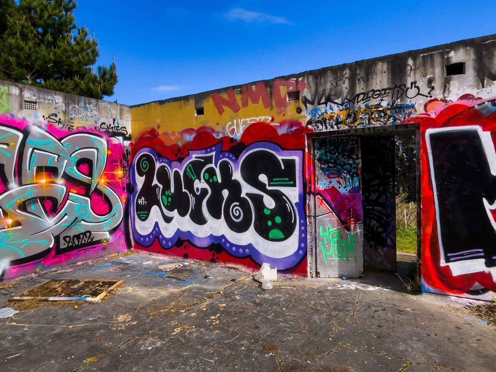
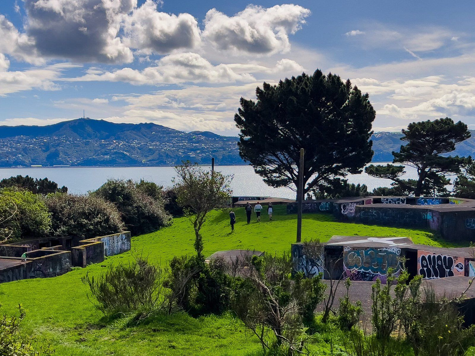
When you park, you will see a closed road between the pine trees above the Miramar community gardens. Go through the gate (ignore the sign); it is an easy walk along the road until you see the WW2 concrete gun emplacements above the point. The graffiti artists have been busy and some of it is quite colourful. The best views of the harbour and back to Wellington are from the emplacements.
If you follow the road a bit further, or just walk northeast below the emplacements you will find access to the (by NZ standards quite spectacular) Memorial to Massey, a long-serving NZ prime minister who led during WW1.
Keep following the road and you will end up in Shelly Bay.
Mt Crawford Peak
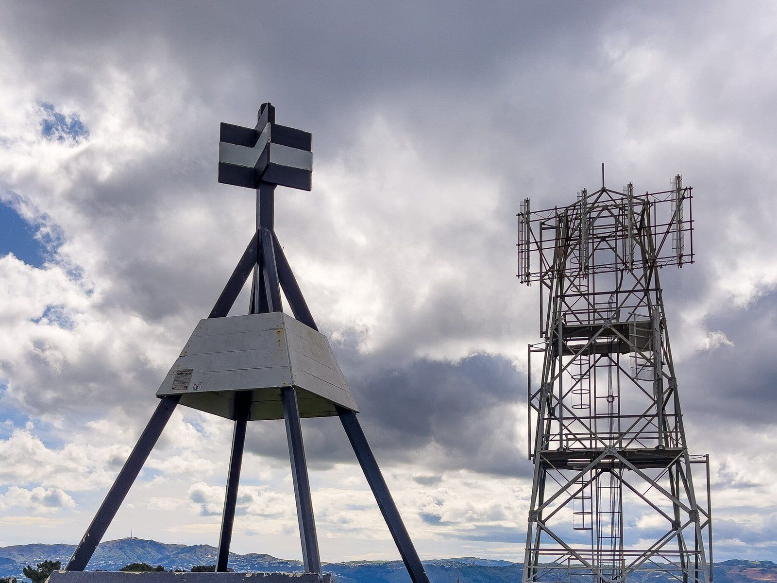
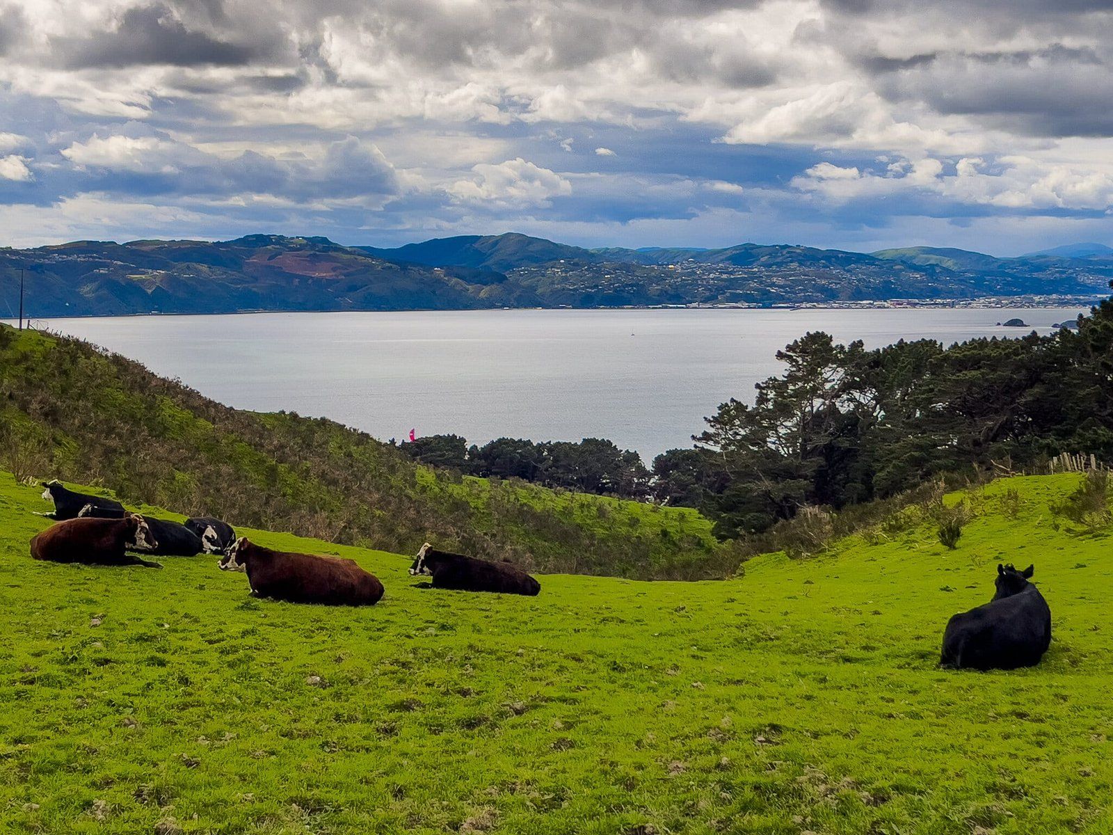
Another very short option from the carpark is to walk right from an obvious driveway entrance along a right of way to the top of Mt Cargill, marked by a transmitter and survey marker. This gives you a different view, all the way along the harbour entrance. You may also notice another graffitied gun emplacement below the peak on the east side of the peninsula.
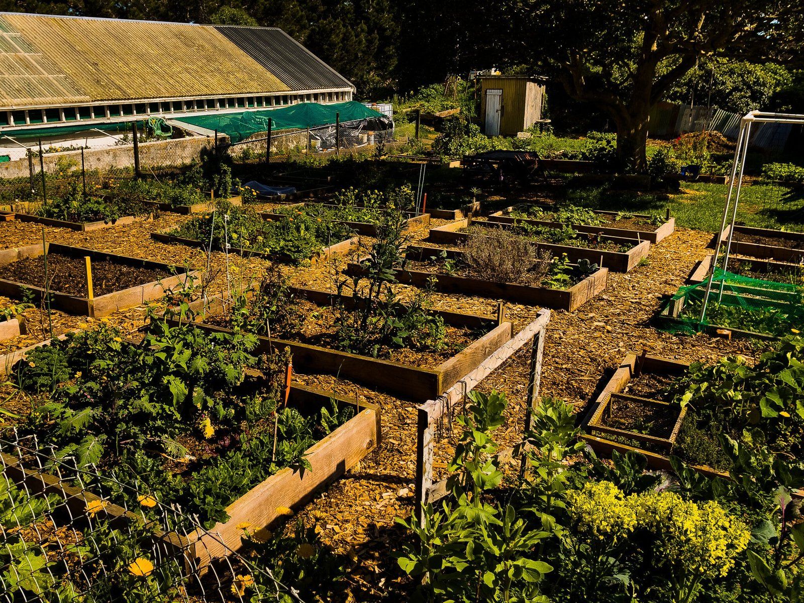
Miramar Community Gardens
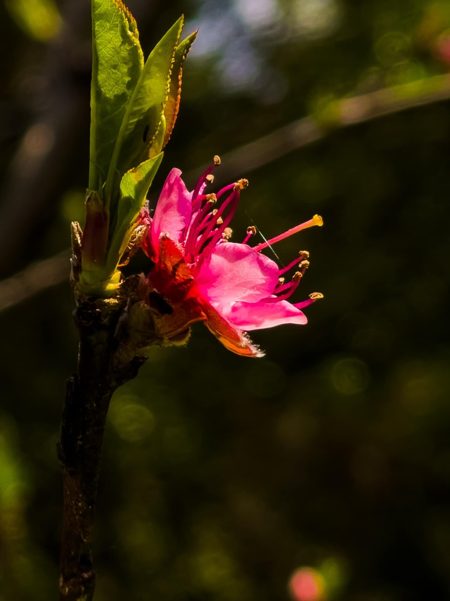
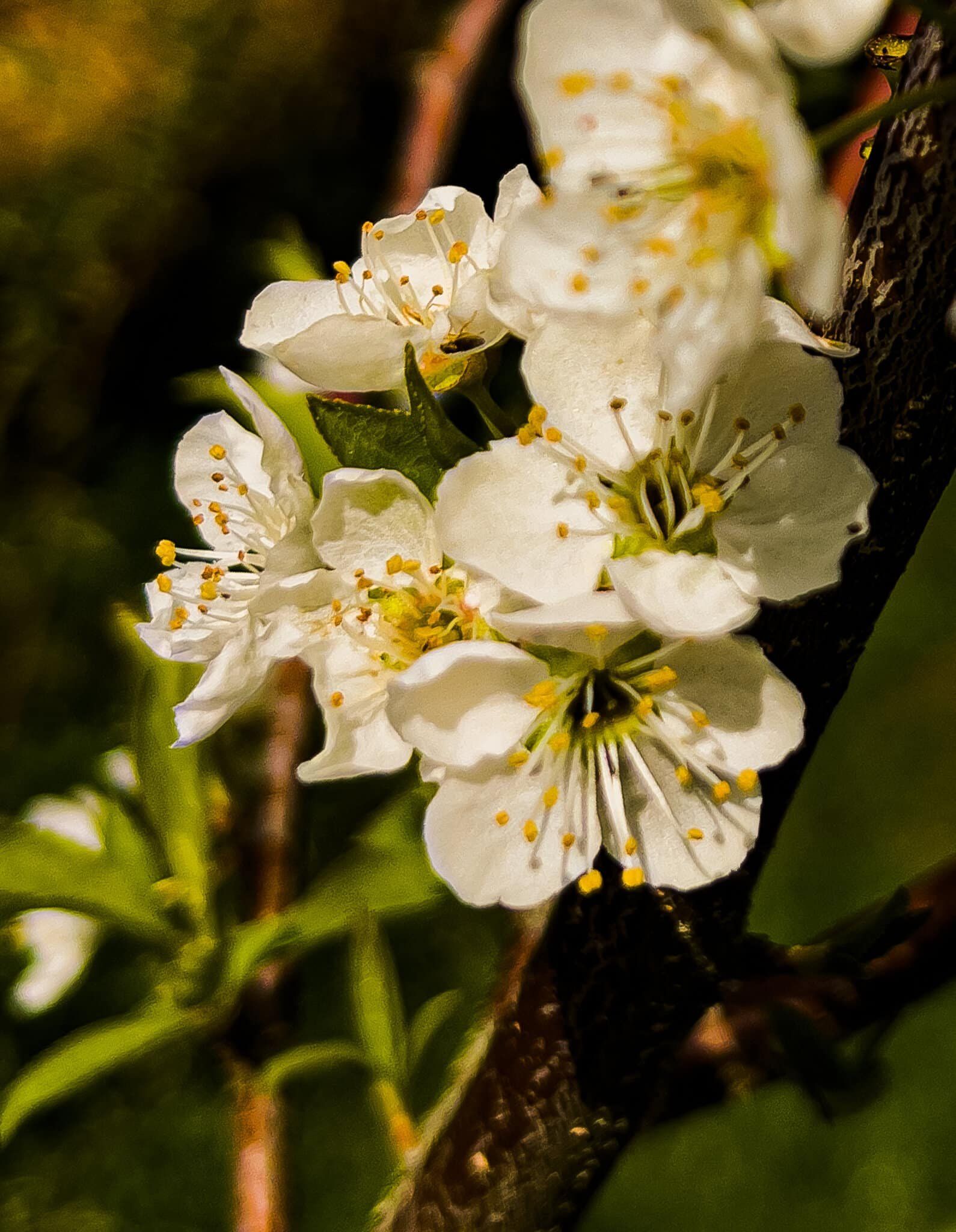
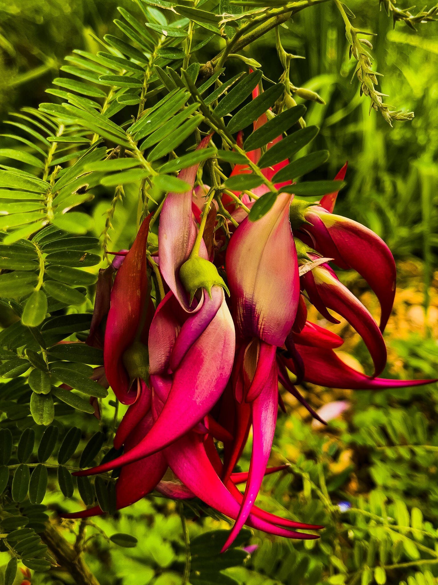
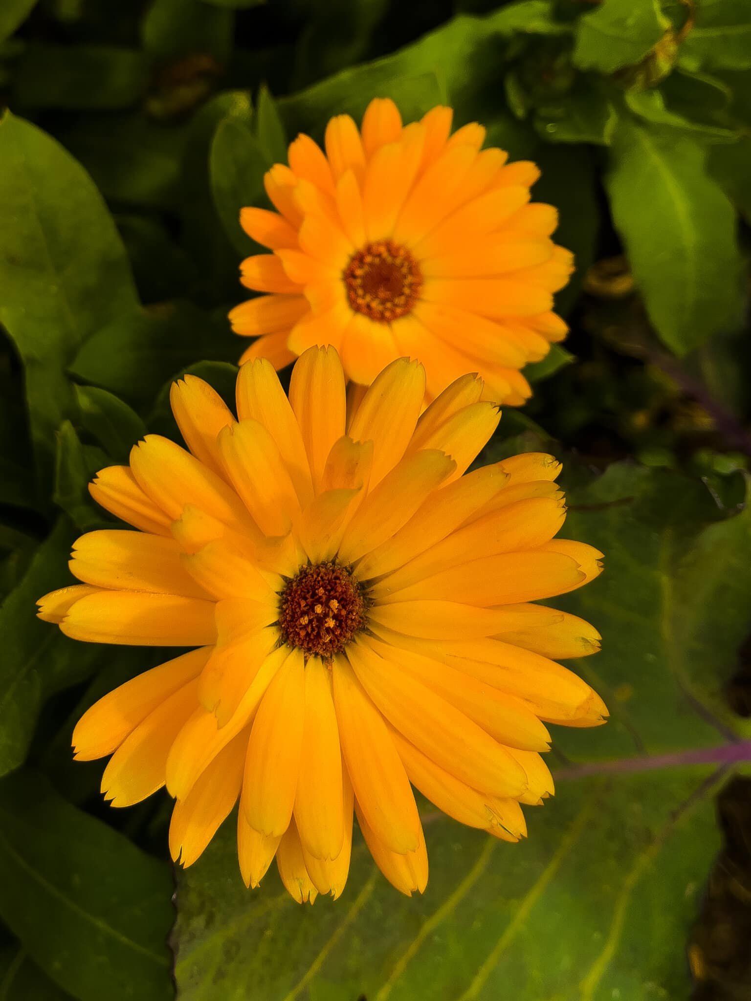
The Miramar community gardens are just below and on the west side of the derelict Mt Crawford Prison behind the pine trees. It is unusual to see shared gardens of this kind around NZ, and in early spring they are full of flowers and colour, both native and exotic. The northern end is marked by an old “prison gardens” sign by the road down to the gun emplacements. Quite the contrast with the foreboding look of the prison.
Want more Wellington Region Trip Ideas?
Check out our blogs on the Wellington South Coast, Outdoor Adventures in Wellington Part 1, and Part 2.
