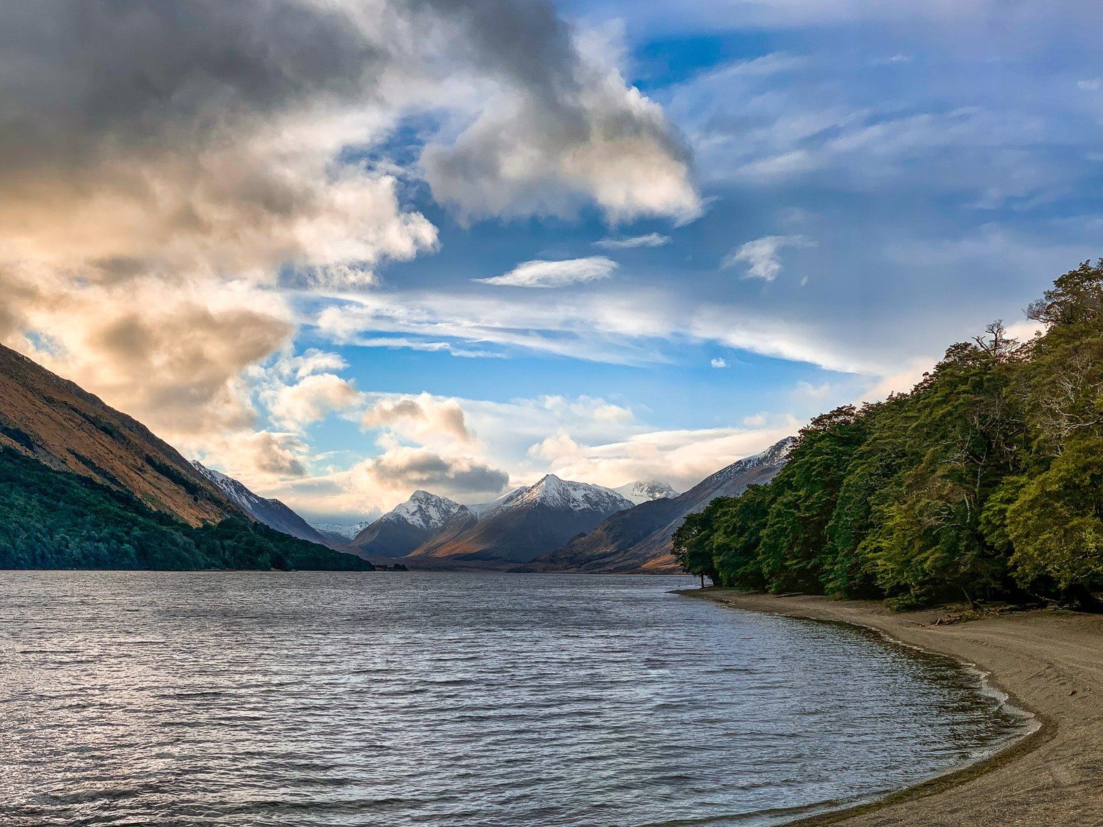
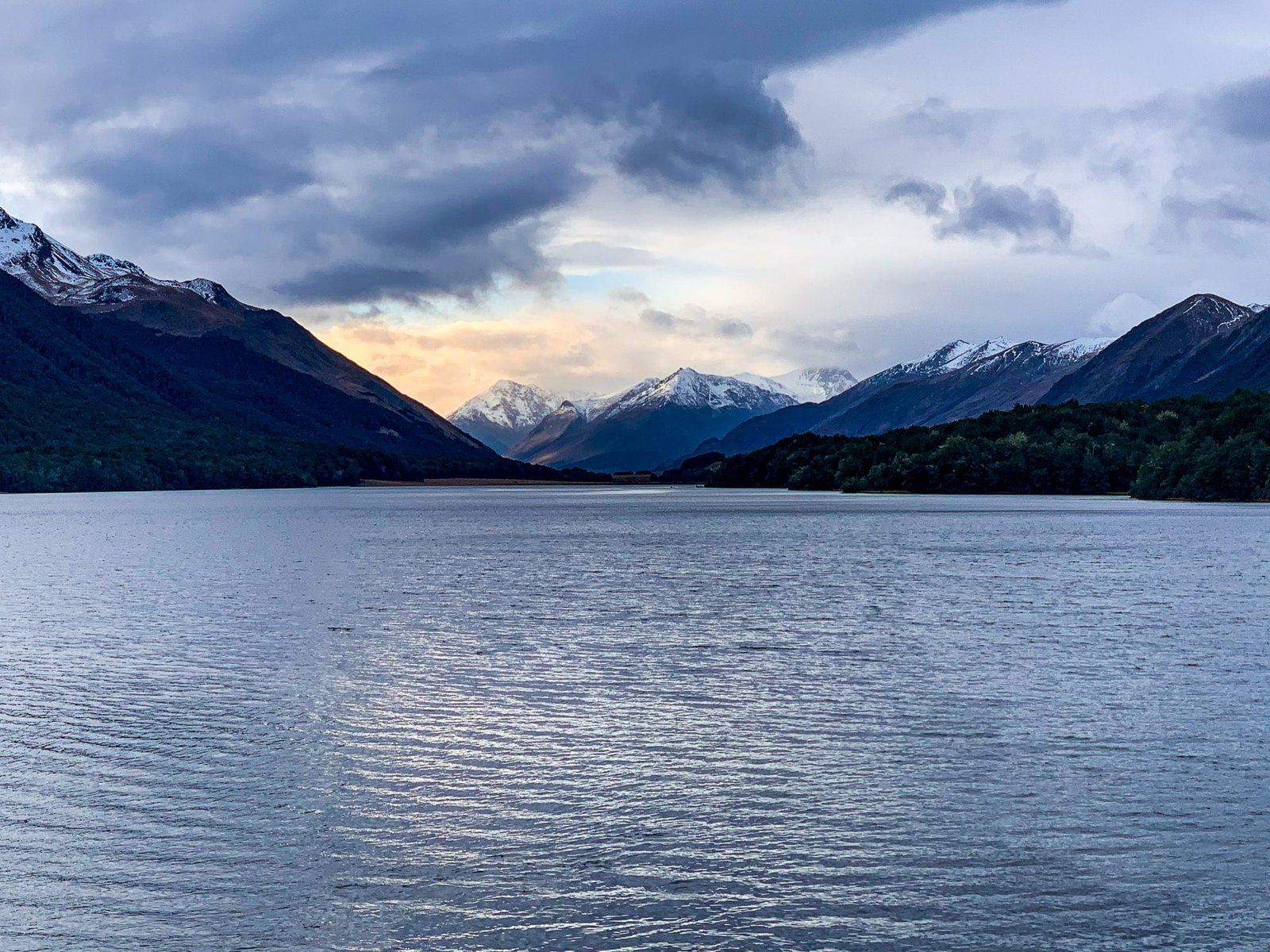
Exploring the Beauty of Mavora Lakes
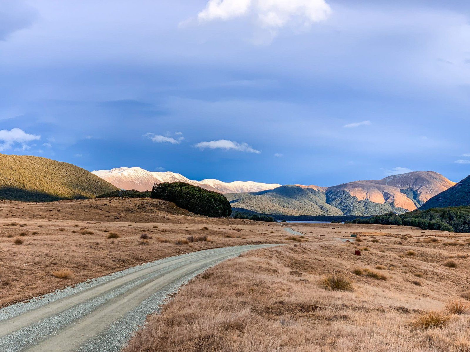
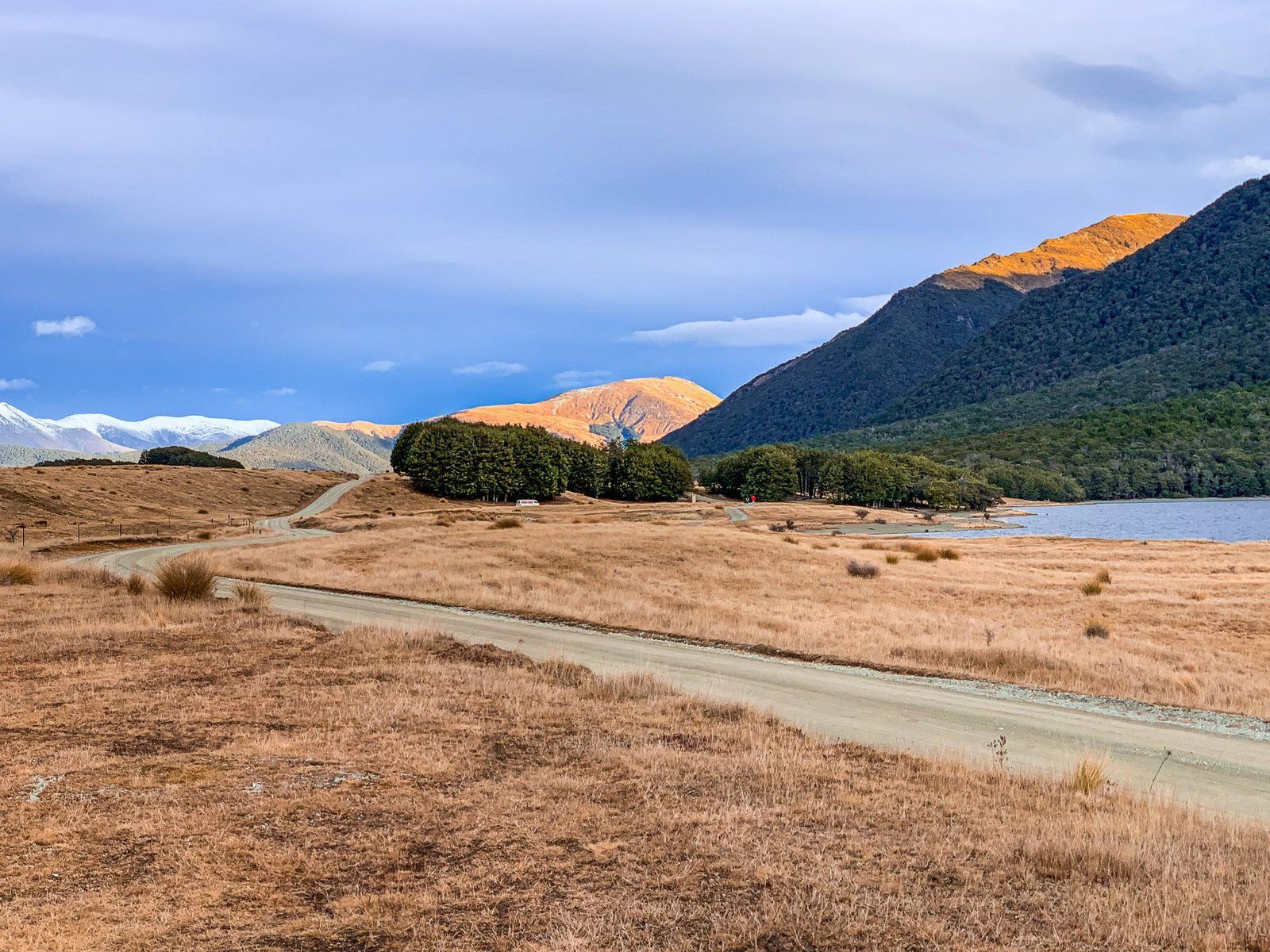
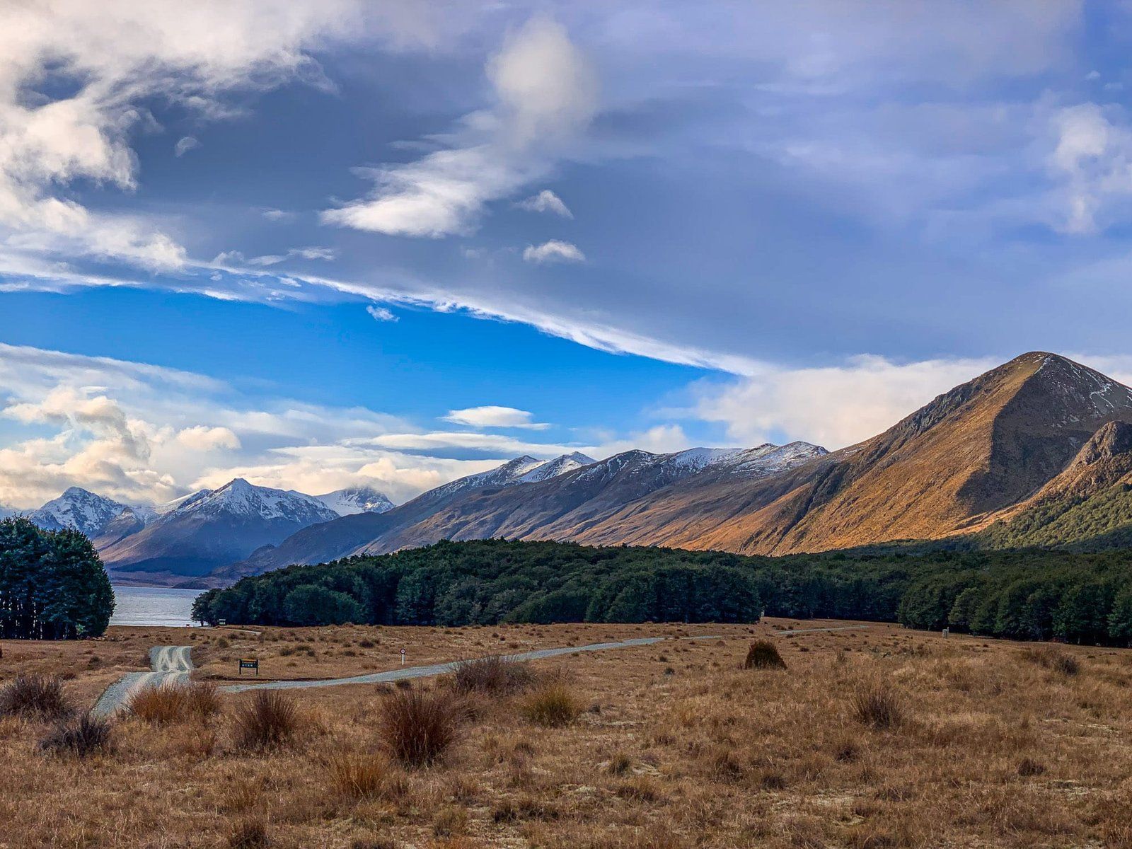
Located between the Thomson and Livingstone Mountains, the remote twin Mavora Lakes are a hidden gem in Southland, South Island. Despite being an 80-kilometre return detour on a gravel road from the Southern Scenic Route, the lakes are well worth the journey. The area is strictly parkland, but it provides excellent opportunities for camping, fishing, and hiking.
A Legacy of Ice and Tectonics
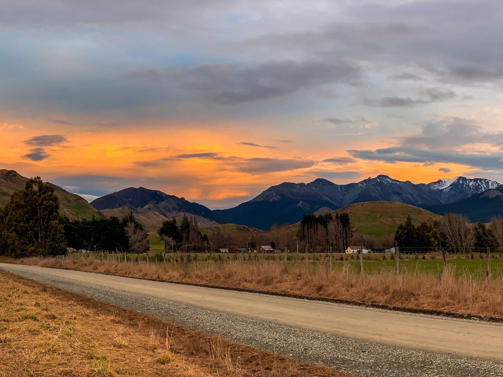
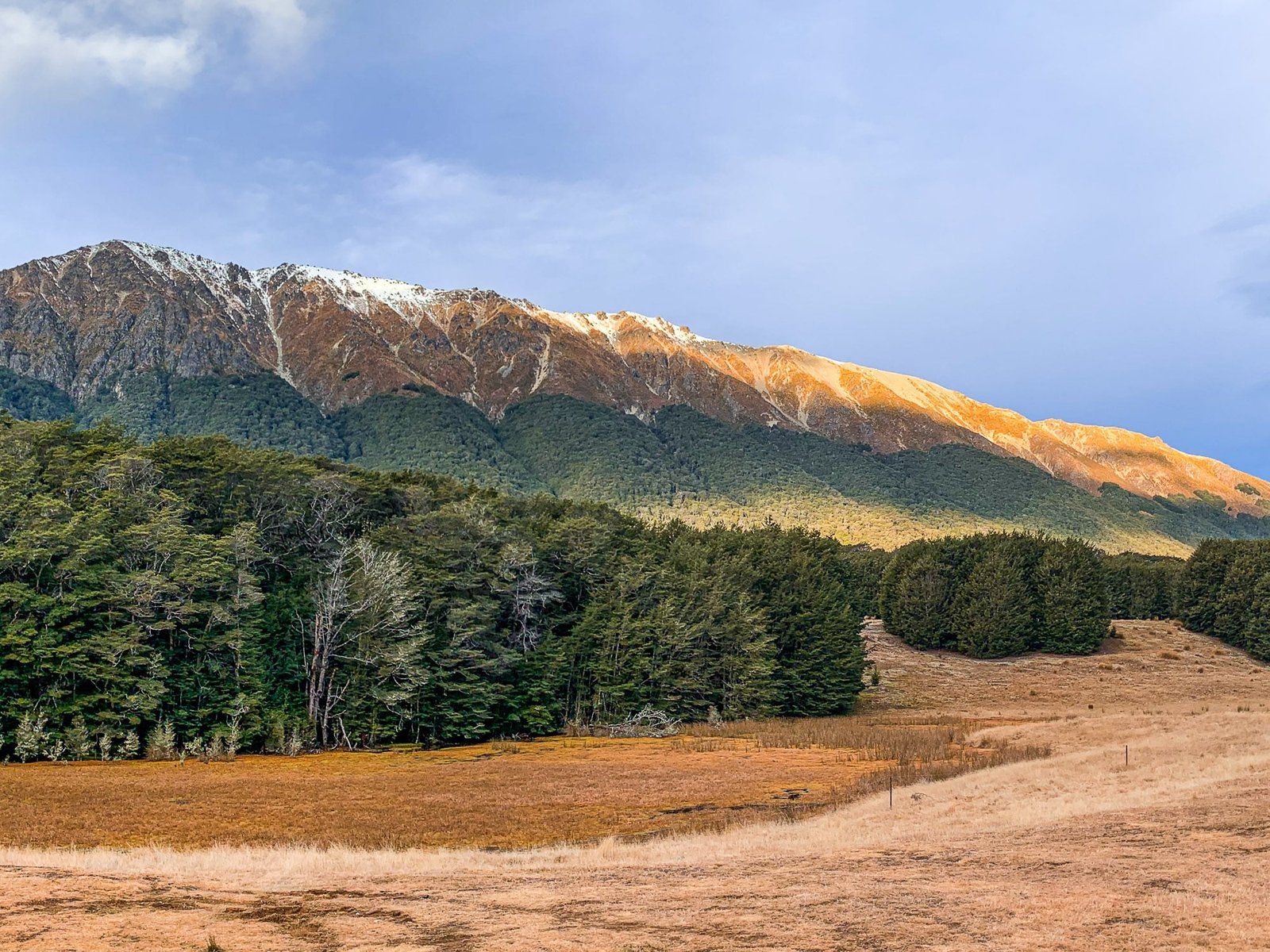
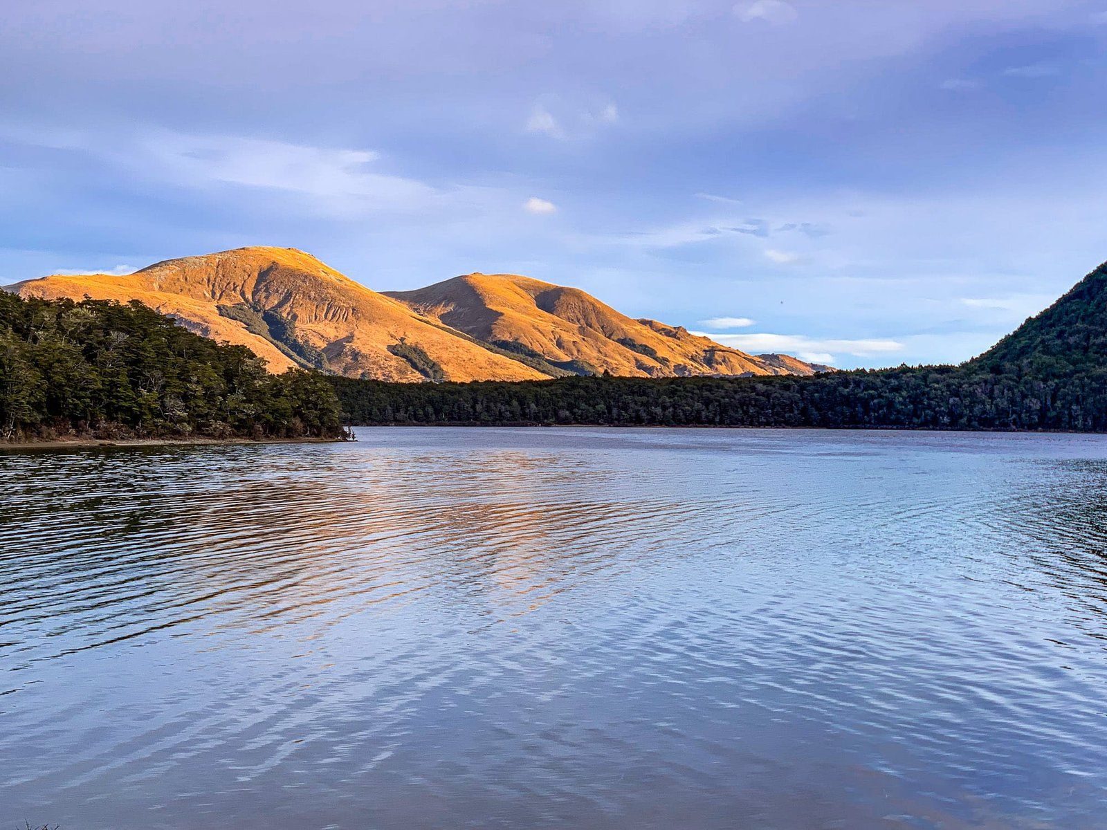
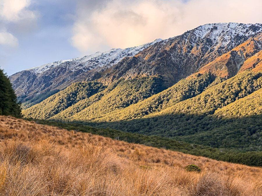
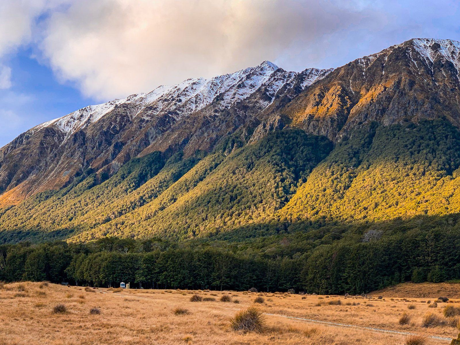
The Mavora Lakes were carved by glaciers during the last Ice Age, around 18,000 years ago. As massive glaciers moved through the Mararoa Valley, they gouged deep basins and left moraines that dammed the river, creating the lakes. This glacial activity gave rise to the long, narrow shape of the lakes and the photogenic rolling, hummocky terrain surrounding them.
Activities and Trails
The Mavora Lakes region is perfect for outdoor activities. You can enjoy camping by the lakeside, fishing, or exploring the hiking trails that weave through the stunning landscape. The area is also part of the Around the Mountains bike trail, a scenic route from Walter Peak to Mavora Lakes before continuing to Mossburn, Lumsden, Garston, and Kingston.
From Mavora Lakes, you can take a fork on Mavora Road leading to Mount Nicholas and Walter Peak. These locations are on the southern side of Lake Wakatipu, nearly opposite Queenstown.
How to get there
To reach Mavora Lakes from Queenstown, take the Southern Scenic Route and look for the signposted turn-off onto a gravel road leading to the lakes. The journey is an 80-kilometre return trip from the highway. From Queenstown, the drive is 2.5 hours and 168 km. From Invercargill, it takes 135 minutes and is 155 km.
Other stops and places to visit in terms of the region include Red Tussock Conservation Area, Scientific Wilderness Reserve, Te Anau and Manapouri.