Scenic Drive to Lewis Pass
The journey from Hanmer Springs to Lewis Pass in Canterbury offers a quintessential South Island experience, featuring stunning river valleys, lush beech forests, and mountains of the Southern Alps. As you leave the Hanmer Plain, the road meanders through several river valleys before reaching Lewis Pass, which is around 900 metres above sea level on State Highway 7. A car park with a sign marks the pass, providing a spot to pause and take in the surroundings.
Exploring the Lewis Pass Area
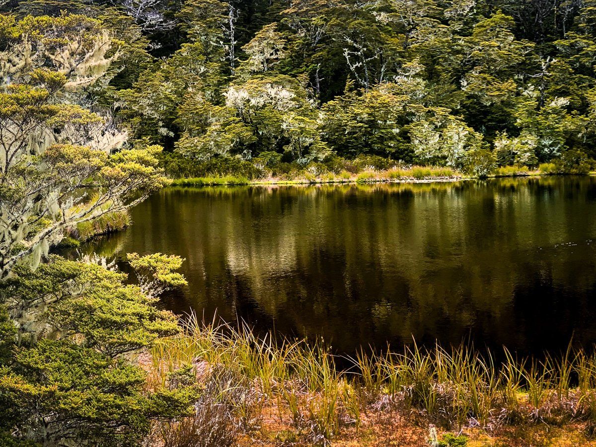
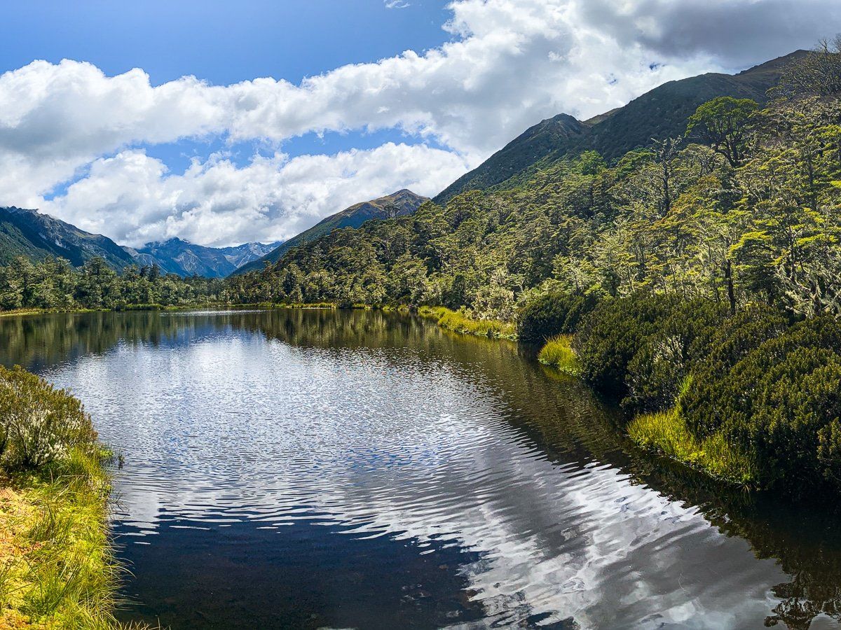
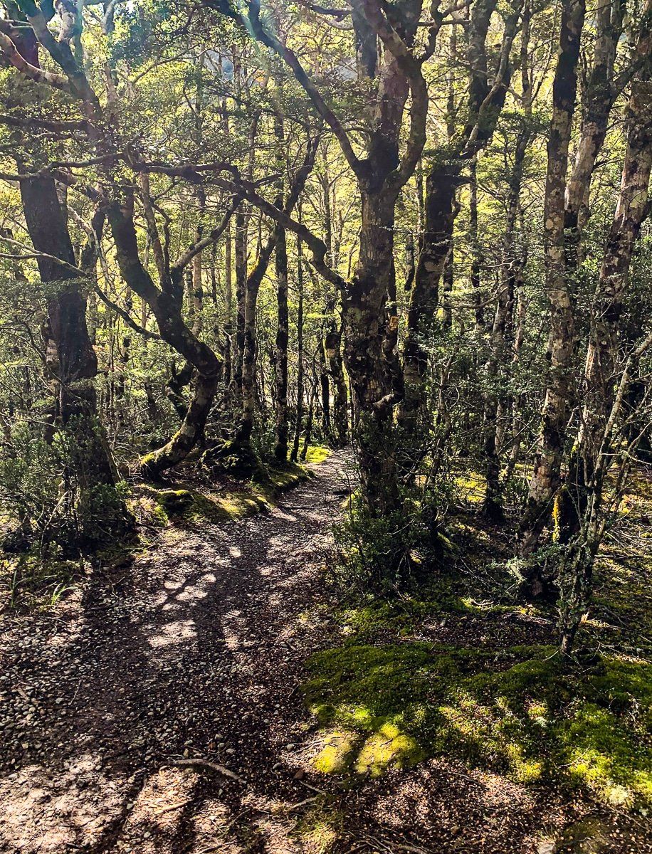
Near the high point of Lewis Pass, a short and easy walk leads to an attractive tarn, surrounded by high country native shrubbery and beech trees. This area is particularly beautiful in spring and early summer when the flora is in bloom. The pass is also one of the two access points for the multi-day St James Walkway. Across from the car park, the Lewis Tops Track offers a more challenging hike, requiring 4 to 5 hours to complete.
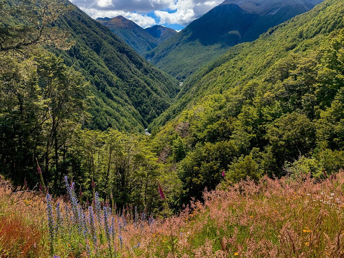
Beyond the Lewis Pass high point, a safe stopping area provides a spectacular view of Cannibal Gorge and the northwest side of the St James Walkway. A little further west are the enticing Maruia Springs.
Other Walking Tracks Near Lewis Pass
There are a variety of other walking tracks around the region, ranging from half-day hikes to multi-day tramps. Some tracks, such as those leading to Lake Daniell and Boyle Village, include campsites.
Due to the varying levels of difficulty and intensity, it is advisable to conduct thorough planning and research before embarking on these walks. Topographical maps and the DOC website are excellent resources for this purpose. Among the available options, the Lake Daniell Track is a popular choice.
How to Get to Lewis Pass
To reach Lewis Pass from Hanmer Springs, follow State Highway 7 from State Highway 1 at Waipara, heading towards Reefton. Hanmer Springs is a short deviation along the way, a short distance down State Highway 7A. The route is a picturesque drive, showcasing the natural beauty of the South Island.