Exploring Huntly's Rich Industrial Past
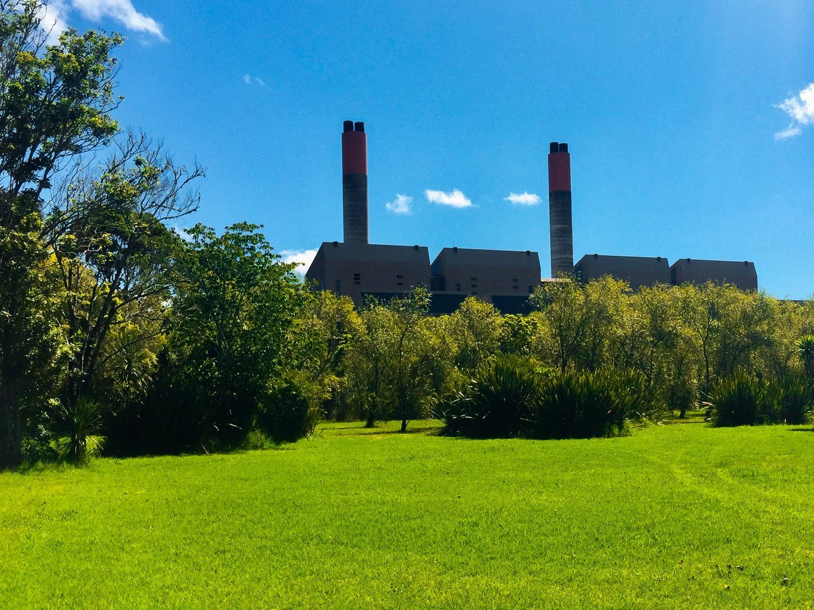
Huntly, located on the Waikato River, between Rangiriri and Ngāruawāhia, was originally established as a government military encampment. The discovery of coal transformed the town, leading to the development of several mines and New Zealand's only remaining thermal power plant. But the town also has several attractive features, in addition to its prime position on the river.
Discovering Huntly's Scenic Spots
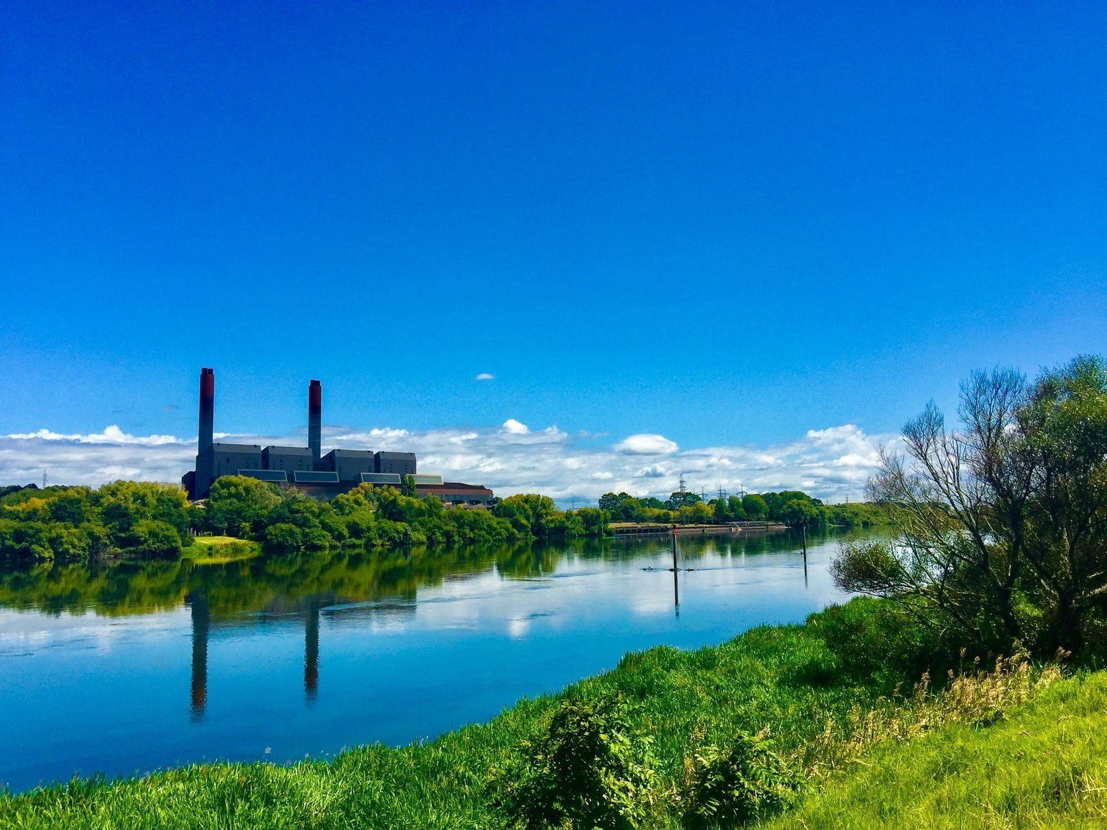
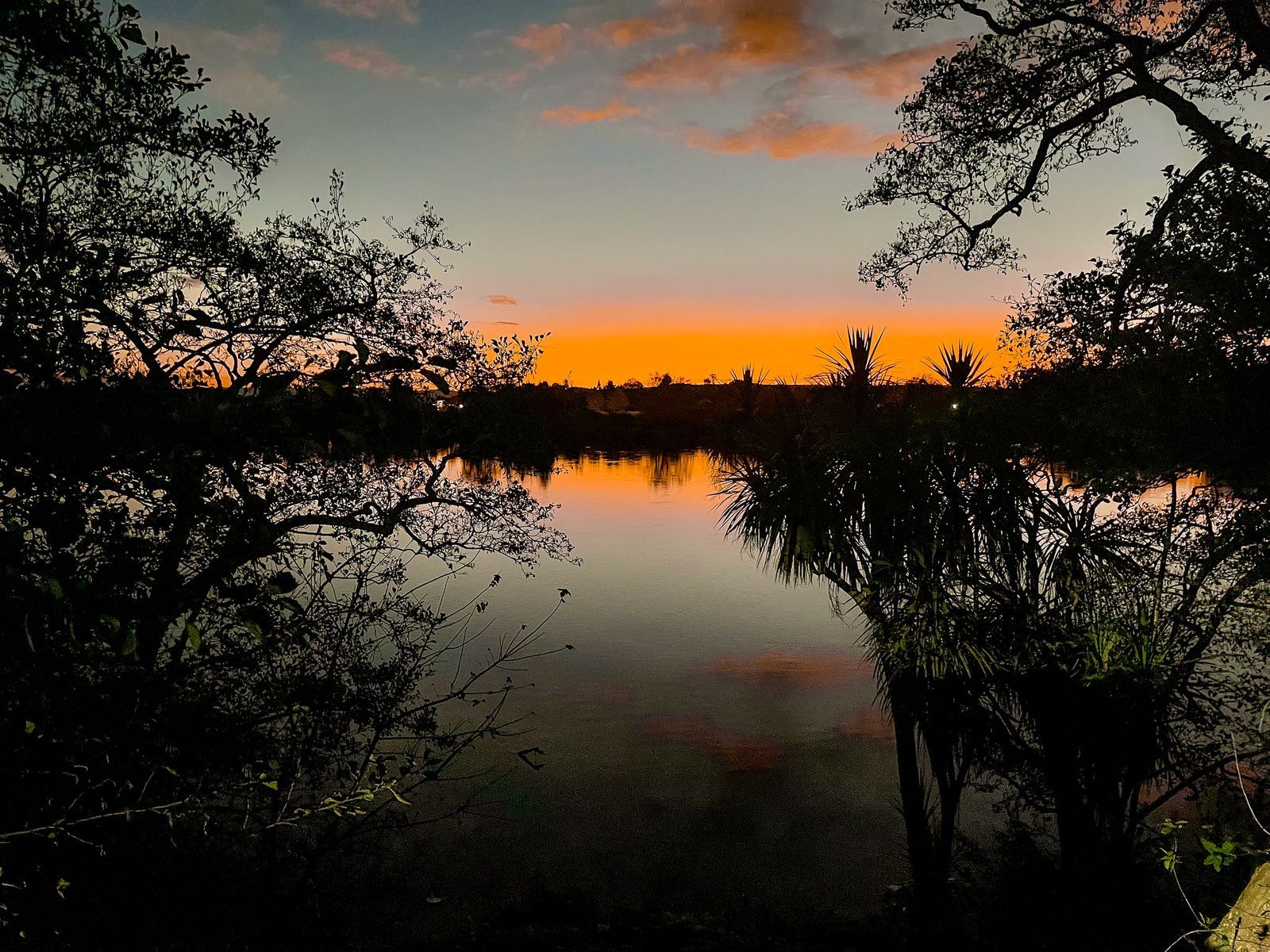
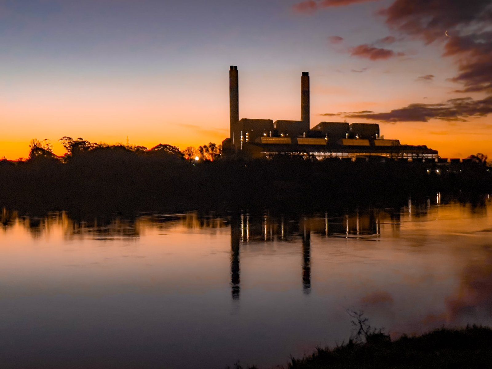
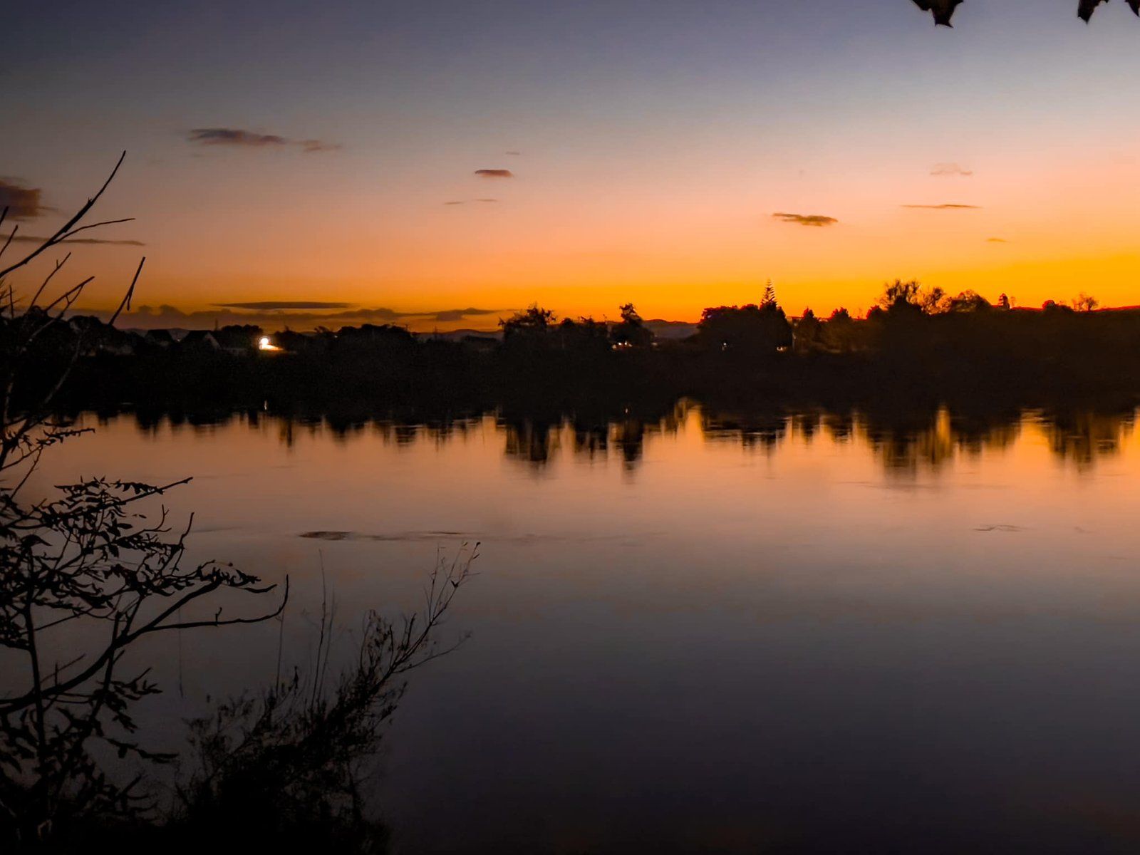
Instead of continuing on the Waikato Expressway, take the offramp to Huntly and follow the old State Highway 1 into town. This route offers spots along the river where you can enjoy reflective views of the power plant, particularly striking at sunset.
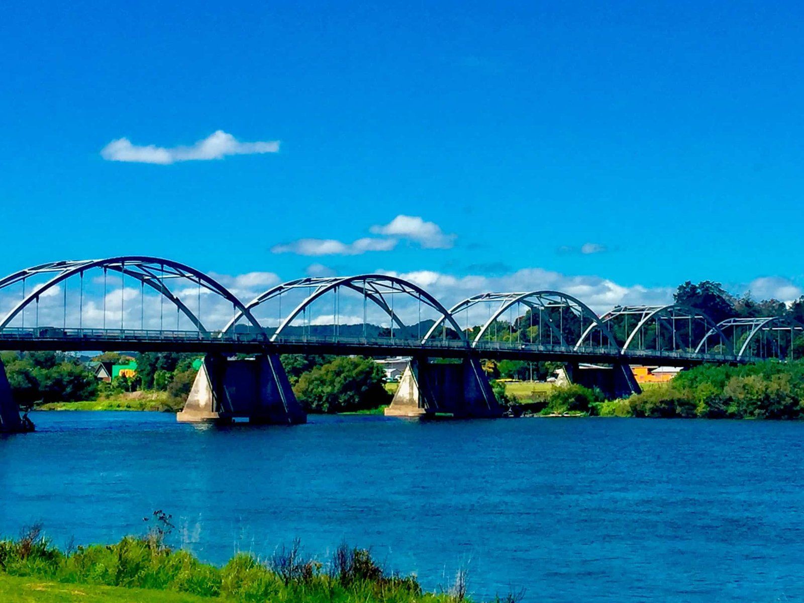
Cross the Tainui Bridge over the Waikato River and turn right onto Harris Road. Continue along this road to reach Te Araroa – the Long Pathway Park, situated in front of the power station. This park is part of Te Araroa, which runs alongside the northern section of the Waikato River to Mercer.
There are also three lakes within the town, with walking and cycling options. They are Lake Hakanoa on the east side of the river, and Lakes Waahi and Puketirini on the west side. Puketirini is an old open-cast coal mine, while the other two lakes are typical of the many shallow lakes across the region.
Cultural and Artistic Highlights
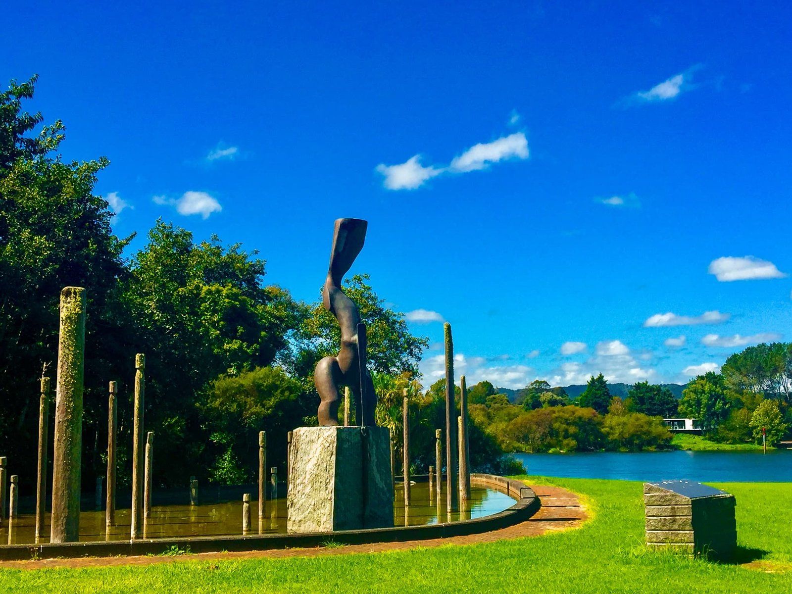
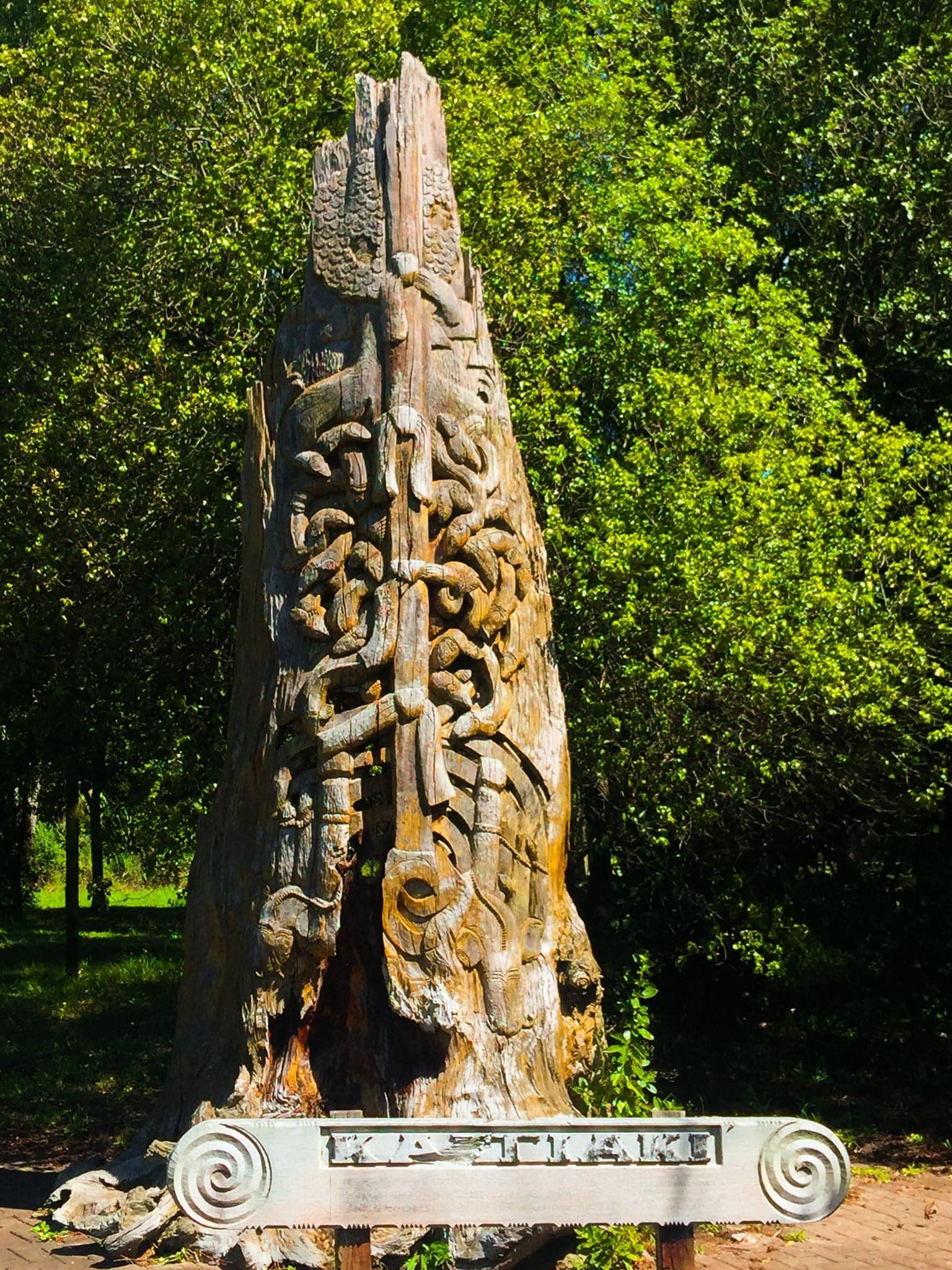
In the park, you will find a remarkable Māori sculpture with an inscription in both Te Reo Māori and English: "Within this area and near our treasured River this Taonga (treasure) is erected to nurture, care and watch over those that frequently visit this land – Good tidings."
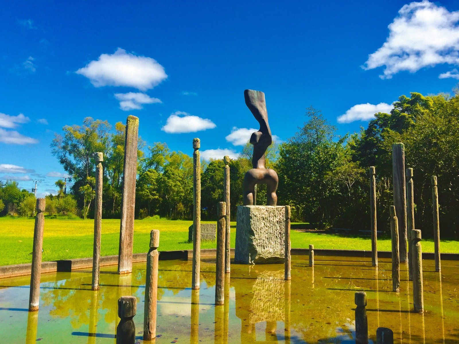
Adjacent to the park is a series of sculptures, Te Ahurei O Waikato, crafted by Lyonel Grant. The central figure drives a sacred stake into the land, symbolising the Waikato peoples' connection to their land. The water feature represents the life forces of the Waikato River, while the canoe shape links the Iwi to their ancestors who arrived in the Tainui canoe from Hawaiki. Other posts in the installation represent Waikato hapū (sub-tribes).
Getting to Huntly
To reach Huntly, take the offramp from the Waikato Expressway and follow the old State Highway 1 into the town. This route will guide you through the heart of Huntly, allowing you to explore its historical and cultural sites.
Other places to visit near Huntly include the Taupiri Pass Scientific Reserve, the town of Taupiri and the Hakarimata walking trails.
