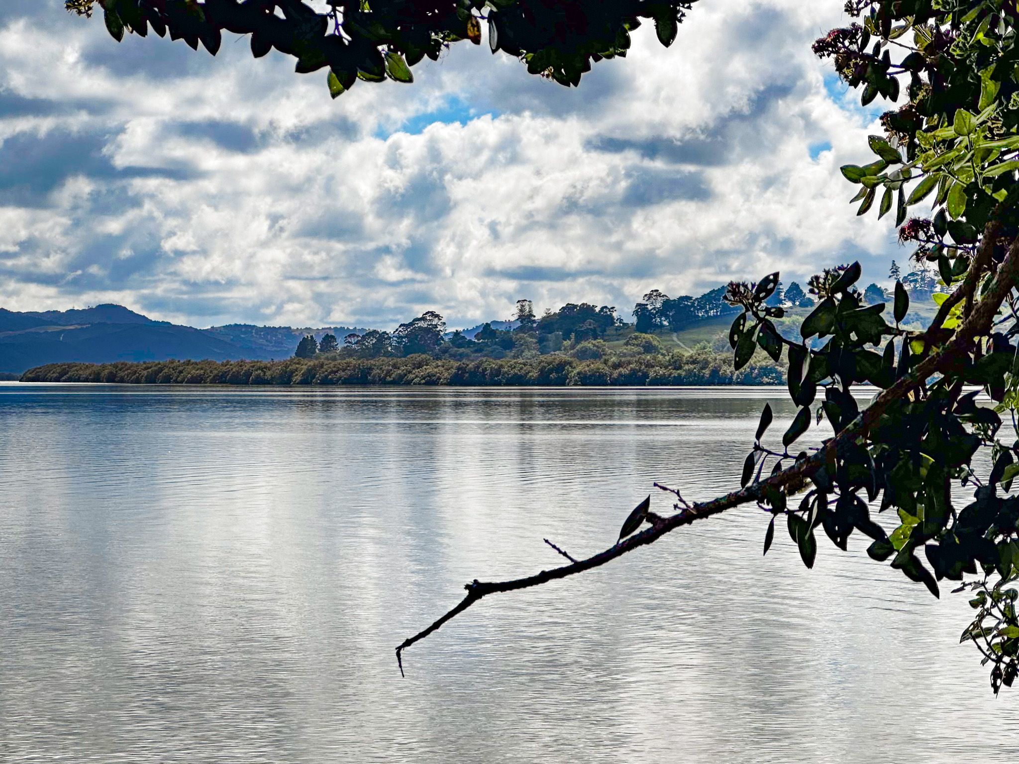
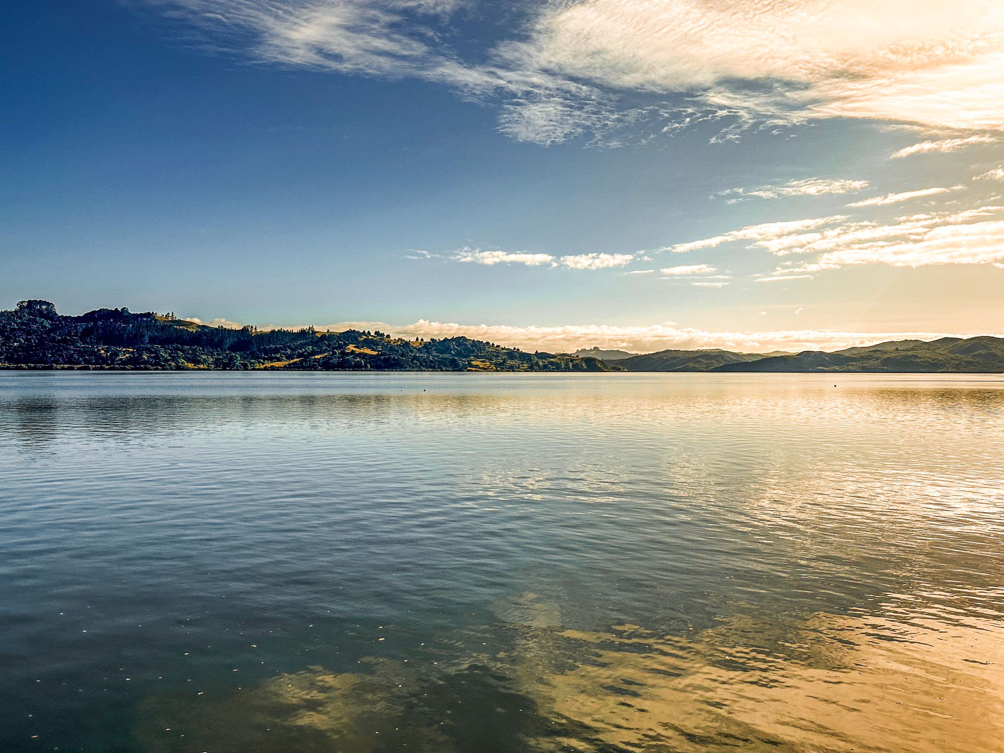
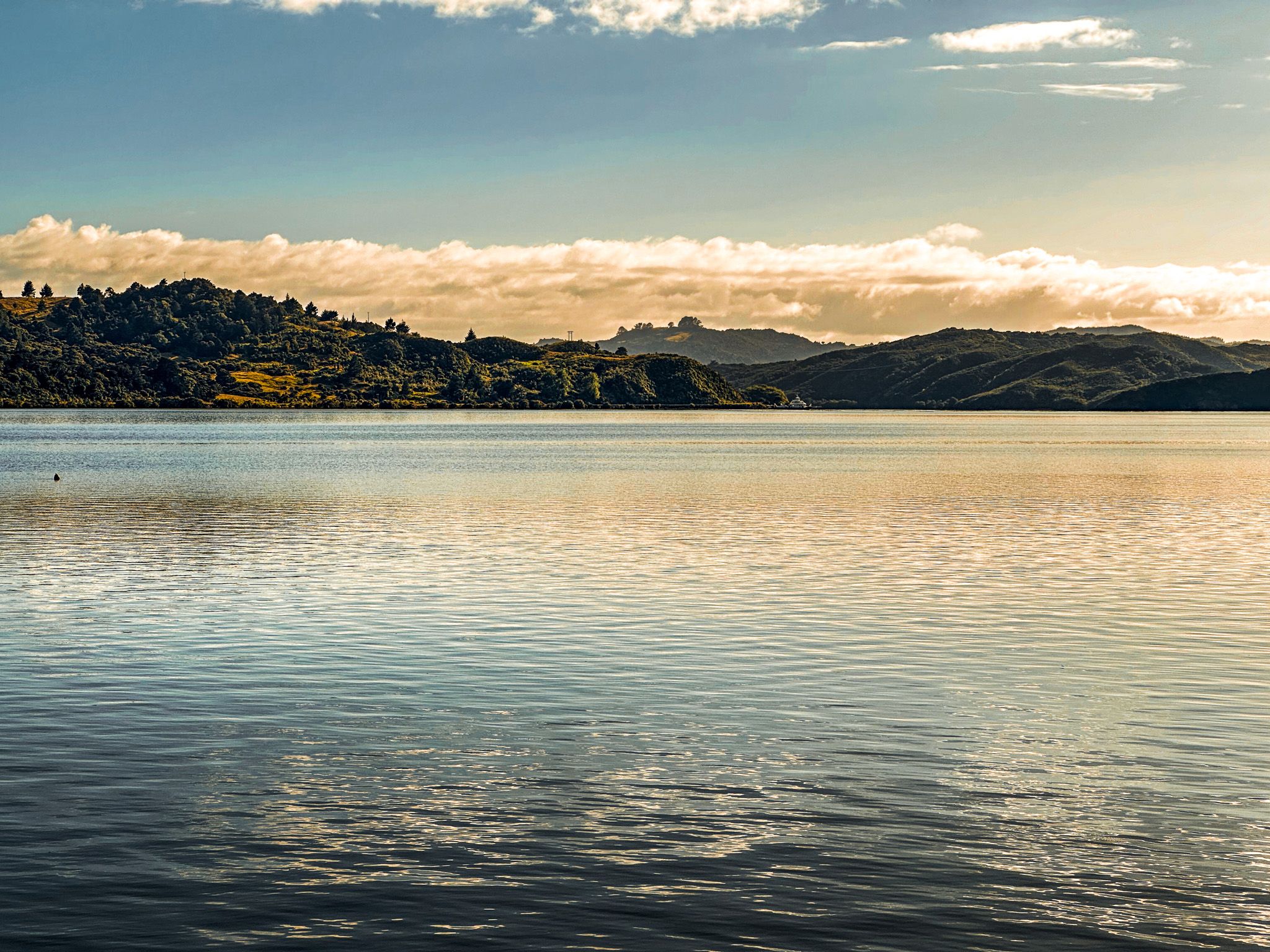
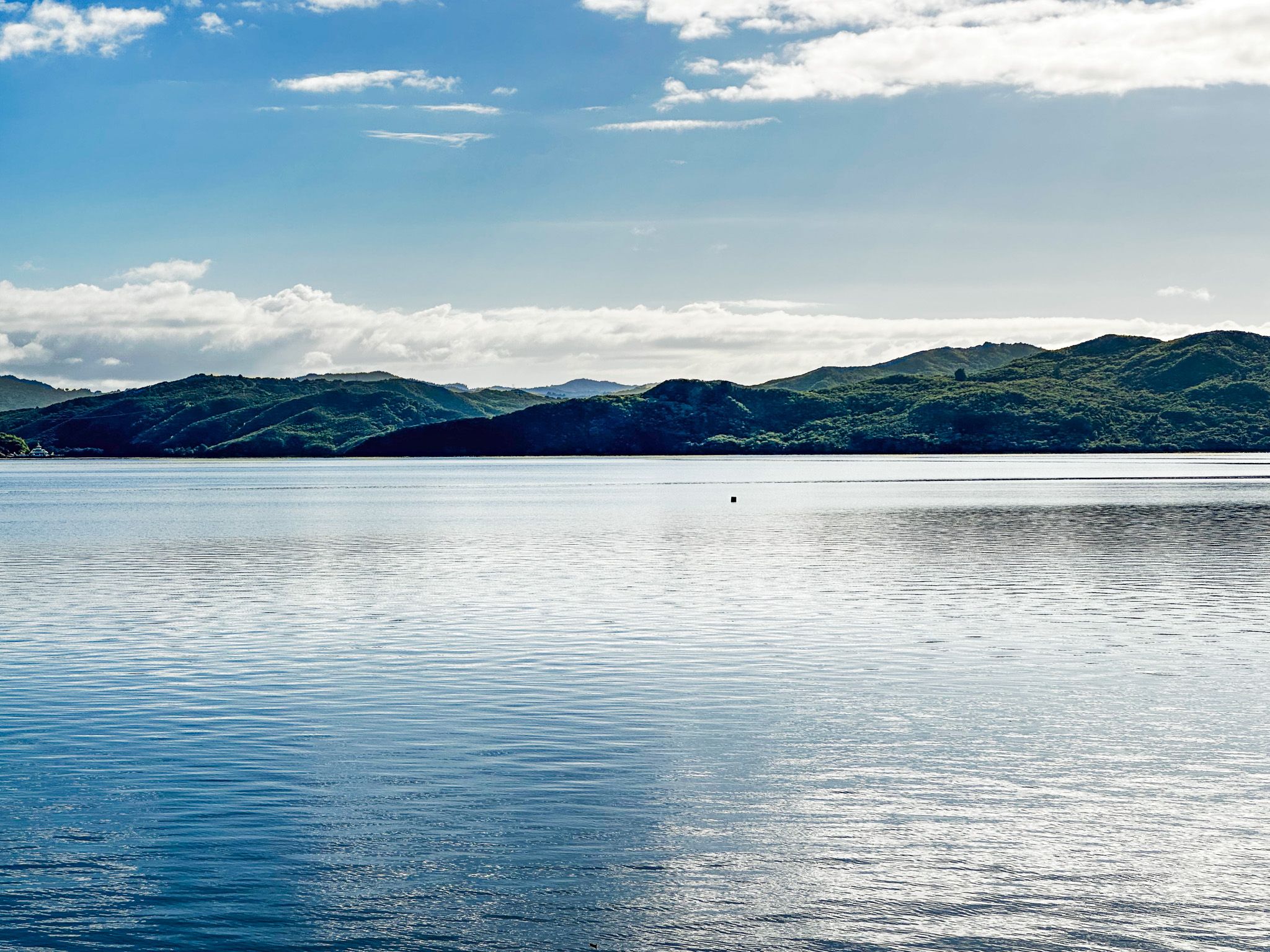
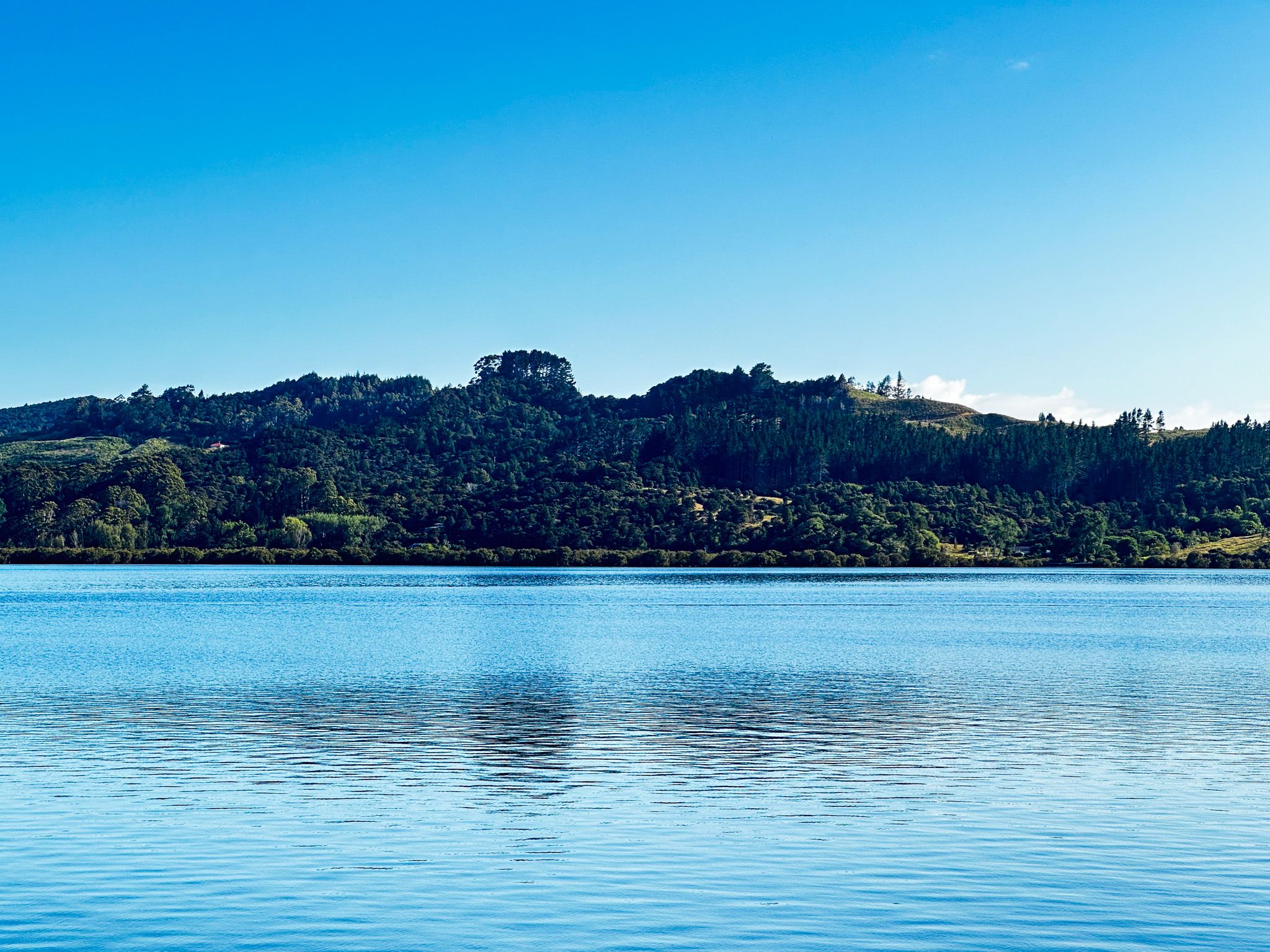
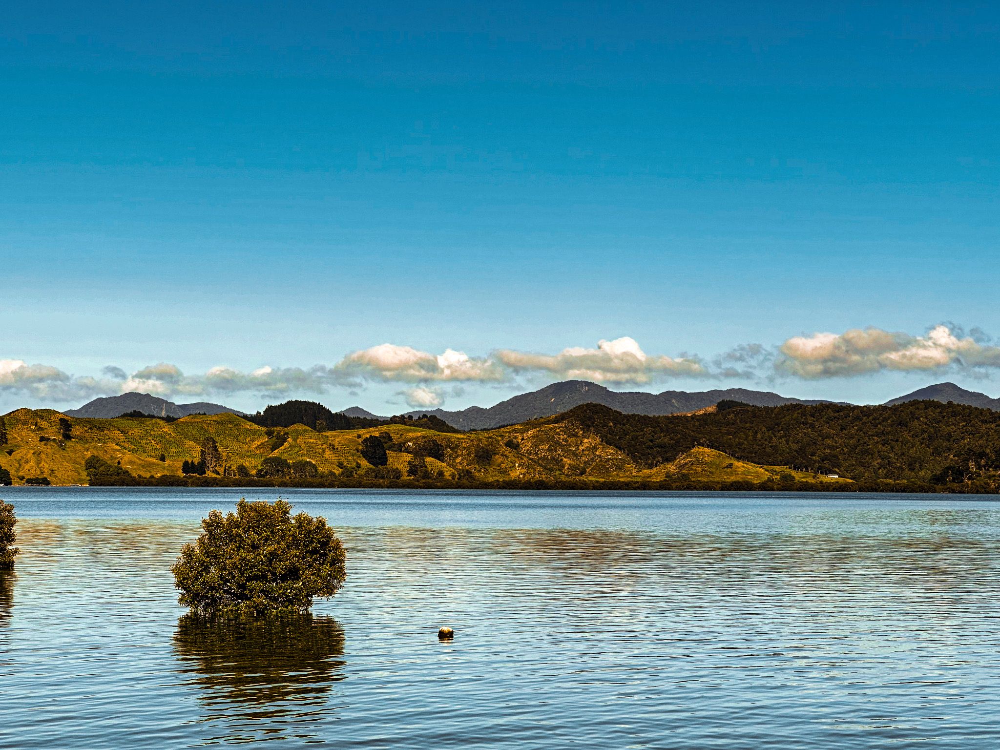
The beautiful Hokianga Harbour is on the west coast of Northland, west of the Bay of Islands. Like the Bay of Islands, the harbour consists of drowned river valleys created as the sea level rose about 12,000 years ago. Eleven rivers feed the harbour, mostly surrounded by high, rugged hills. Many hills are reverting to forest, having been logged and farmed for over 100 years.
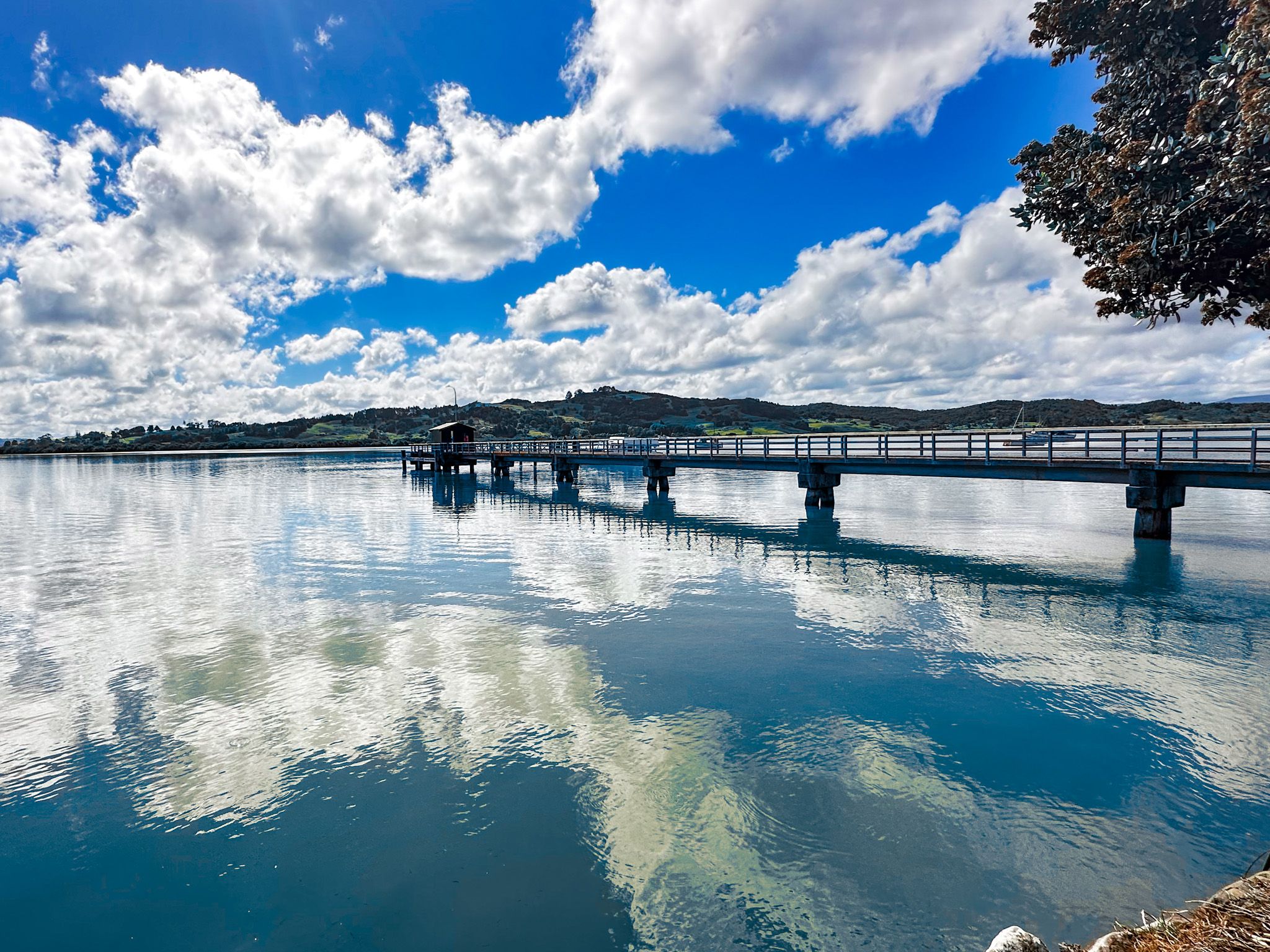
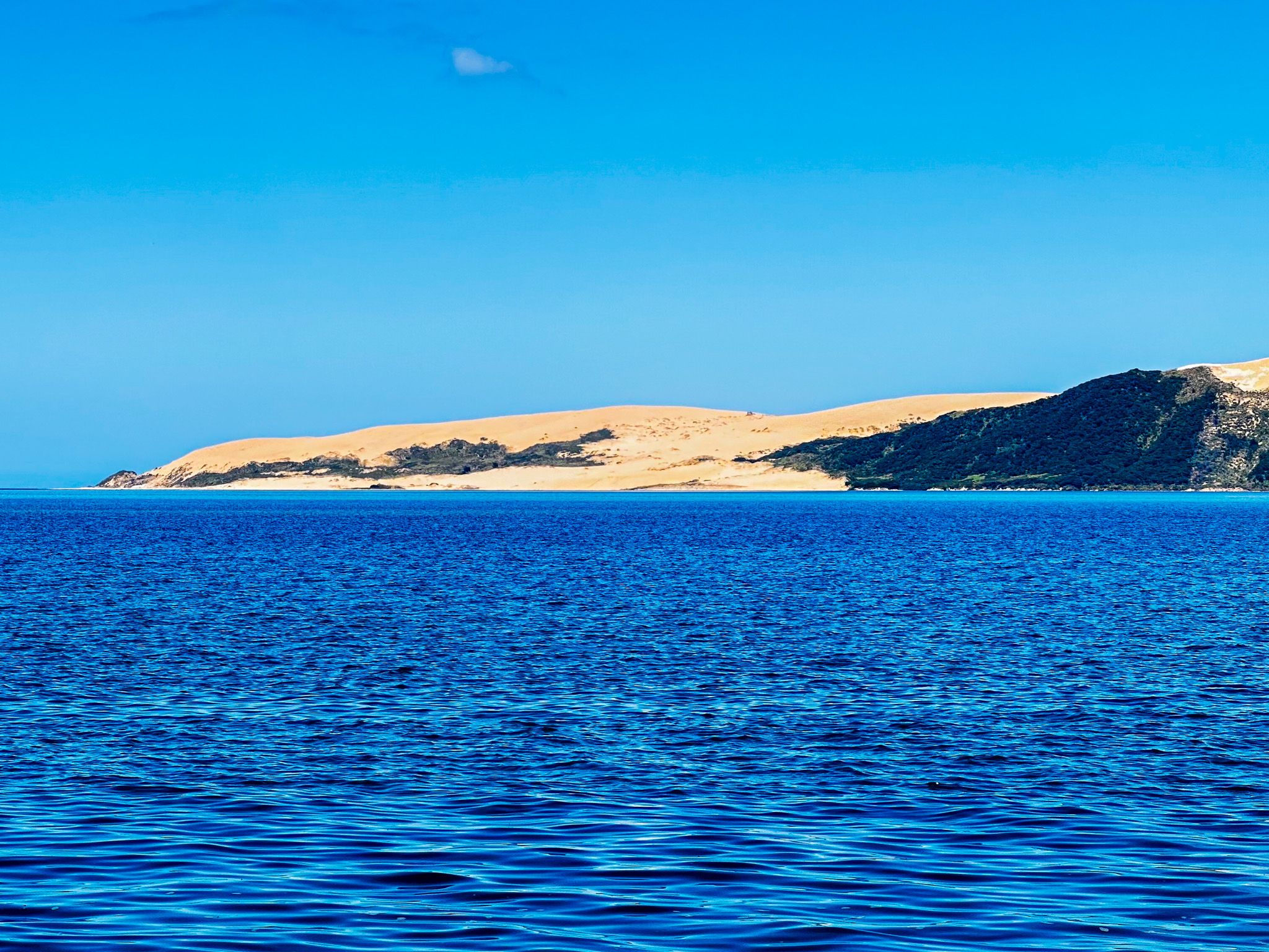
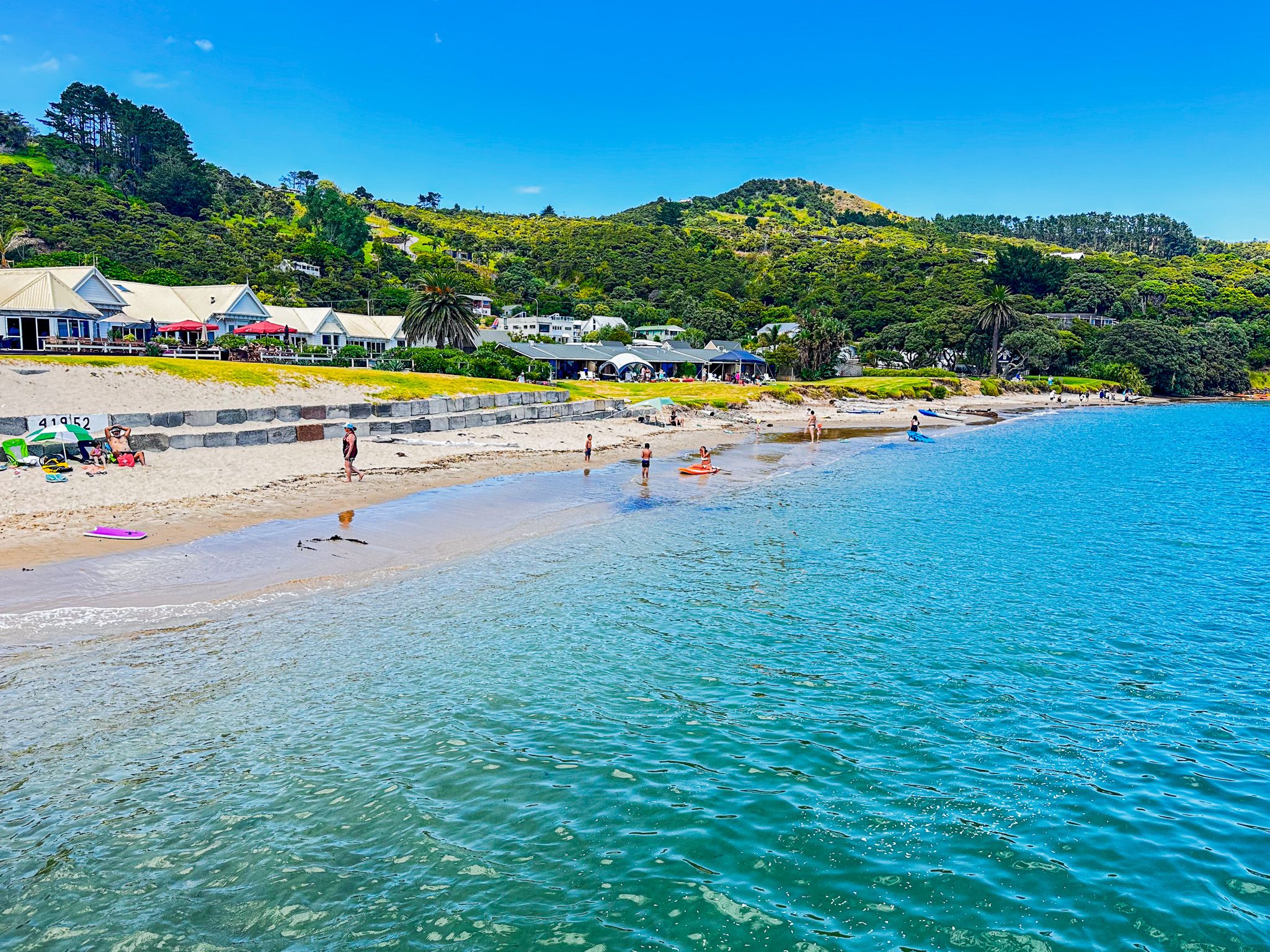
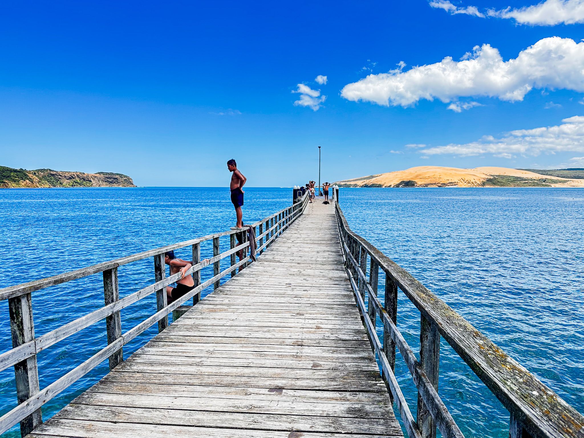
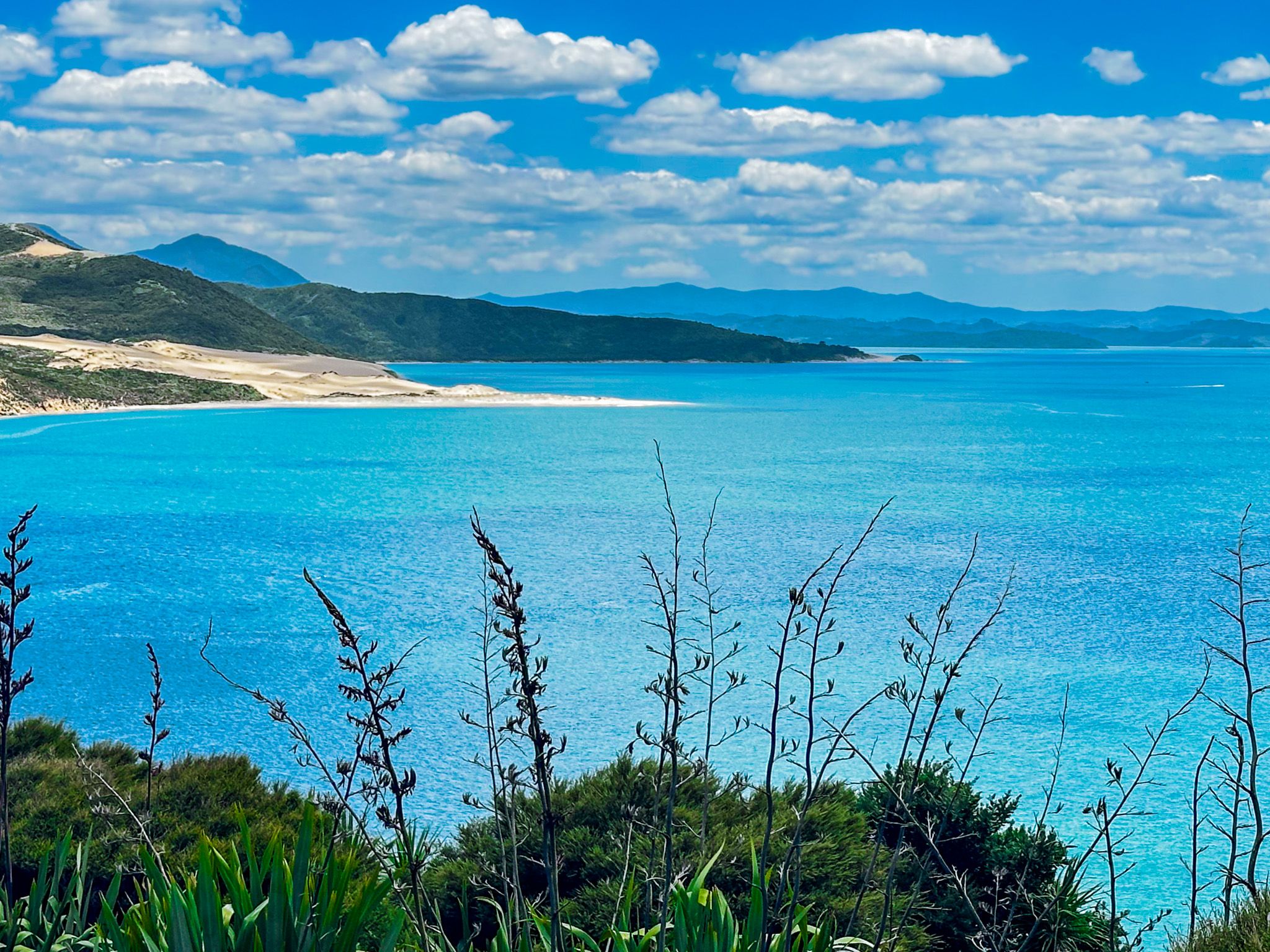
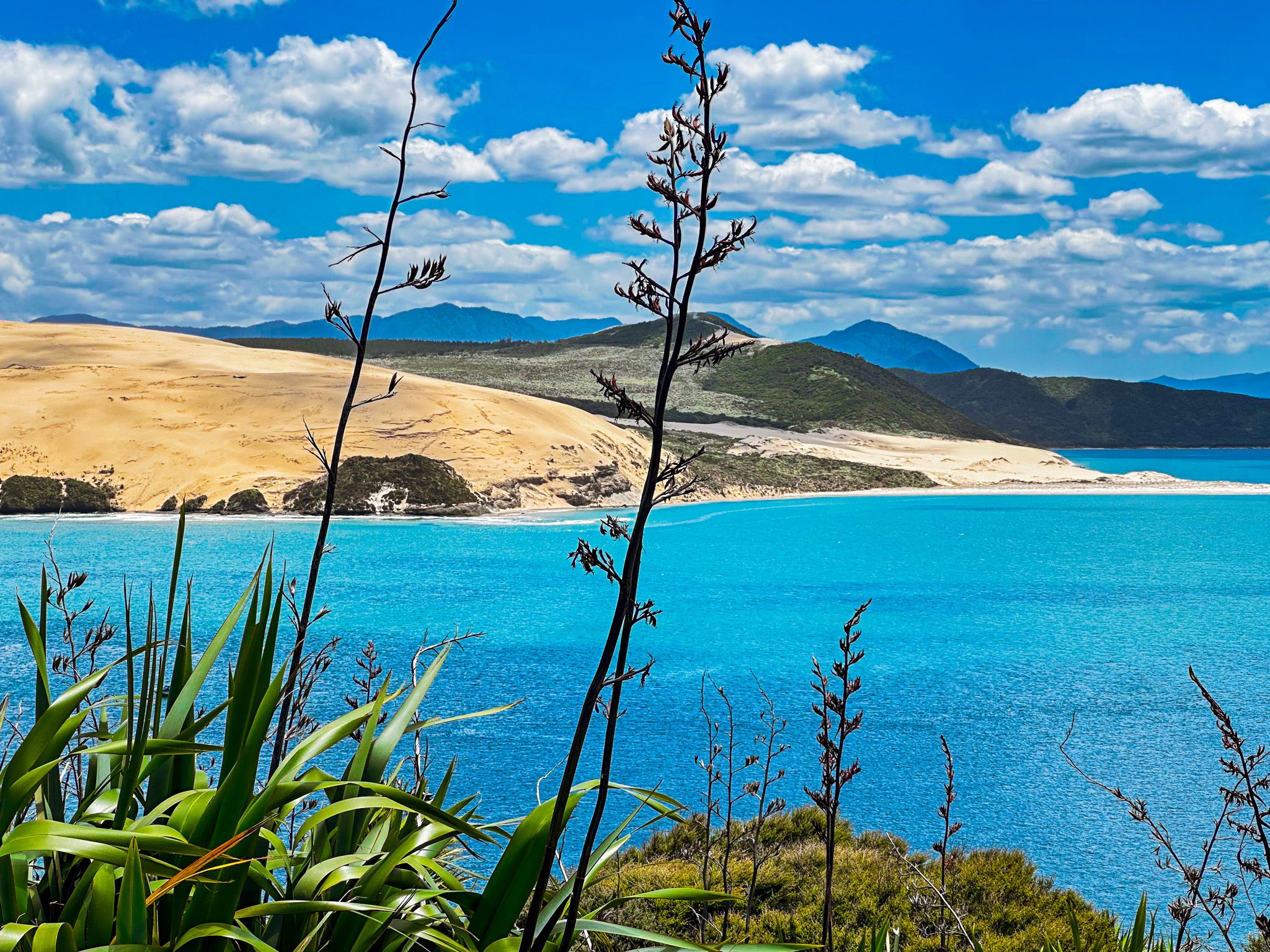
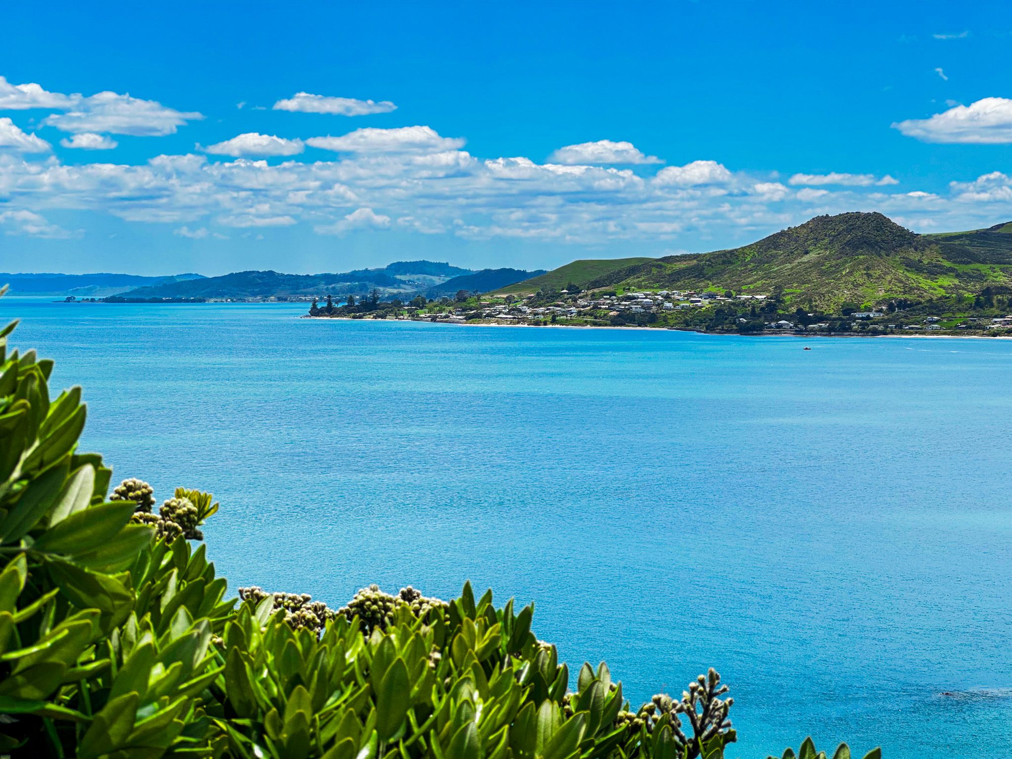
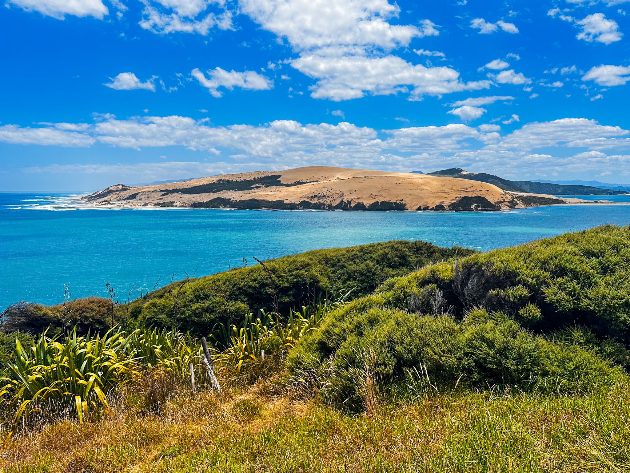
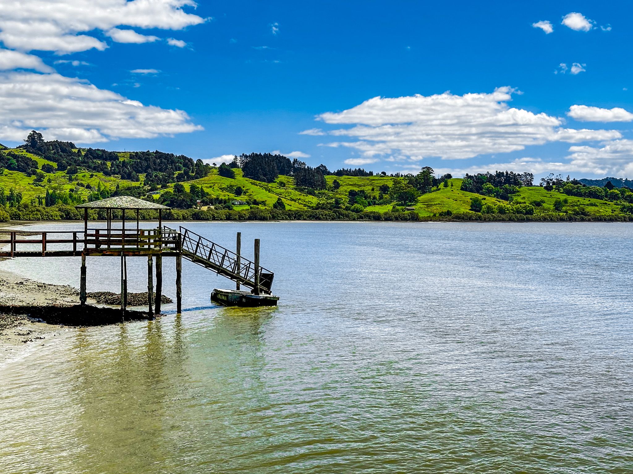
Several small towns surround the harbour, the most relevant to travellers being Ōmāpere, Opononi, Rawene, and Kohukohu. The area around the harbour entrance is especially picturesque, with 150-metre-high dunes on the north side and a wonderful short coastal walk at Arai te Uru on the south side.
The Bay is the most historic place in the early history of Māori and the second for European interaction in Aotearoa, NZ. Kupe and his wife, Kuramārōtini, discovered Aotearoa between 1000 and 1300 CE. They had sailed their ocean-going waka, Matawhourua, south from Haiwaiki until Kuramārōtini exclaimed, “He ao! He ao! He ao tea roa!” or, “A cloud! A cloud! A long white cloud!” Their first landing place was at the Hokianga Harbour. A Māori myth also describes a taniwha that came with Kupe, Araiteuru, who gave birth to eleven sons in Aotearoa who dug trenches, creating the harbour. Araiteuru still lives at the southern head of the harbour, and her companion, Niua, lives at the northern head.
Kupe and Kuramārōtini continued to explore parts of the coast and are believed to have stayed in Aotearoa for around 20 years when they returned to Hawaiki from Hokianga. The full name of the harbour is Te Hokianga-nui-a-Kupe, or "the place of Kupe's great return". Other names, such as Te Puna o Te Ao Marama, which means "the wellspring of moonlight", and Te Kohanga o Te Tai Tokerau, which means "the nest of the northern people", highlight the region's significance to Māori.
Kupe's grandson Nukutawhiti subsequently sailed from Hawaiki to settle in the Hokianga. In the 14th century, when migration to Aotearoa is believed to have accelerated, the chief Puhi landed just south of the Bay of Islands. The resulting iwi, Ngāpuhi, expanded north and west, ultimately occupying the region around the Bay of Islands and Hokianga. It is considered one of the oldest regions of Māori settlement in Aotearoa, and the roads around the region largely follow historic Ngāpui tracks.
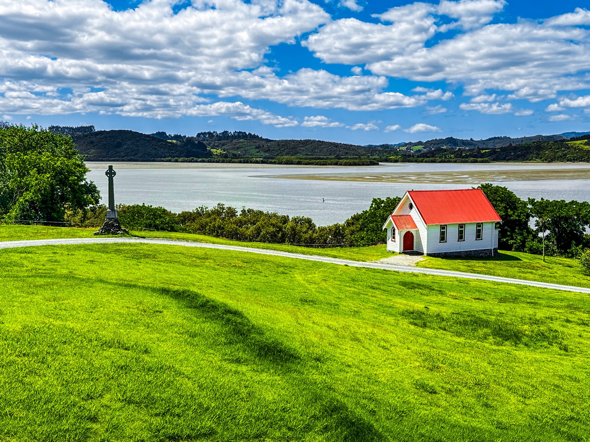
The first Europeans were missionaries. In 1819, Samuel Marsden, aided by local rangatira Te Manene, measured the depth of the harbour entrance bar. In 1820, Captain John Kent sailed over the bar and formed close relationships with local Ngāpui. The region quickly became a hotbed in the quest for souls, with the Mangungu Mission established in 1826. Competition increased with the arrival of a French Catholic bishop, Jean Baptiste Pompallier, in 1838. The southern side of the harbour was already Protestant, but Pompallier found opportunities for converts on the north side. Today, the numerous small, attractive churches with their well-tended graveyards are a feature of the region.
The kauri forests surrounding the harbour were particularly interesting to Europeans. In 1822, the missionary Thomas Kendall guided Captain James Herd across the bar in Providence. He left with a cargo load of kauri, a trade that continued for three generations till only remnant forests were left. Towns quickly followed. Horeke was established as the second European town in NZ in the late 1820s, following Kororareka (Russel) in the Bay of Islands. This was followed by Rawene and Kohukohu, all built around the kauri timber and later the gum trade.
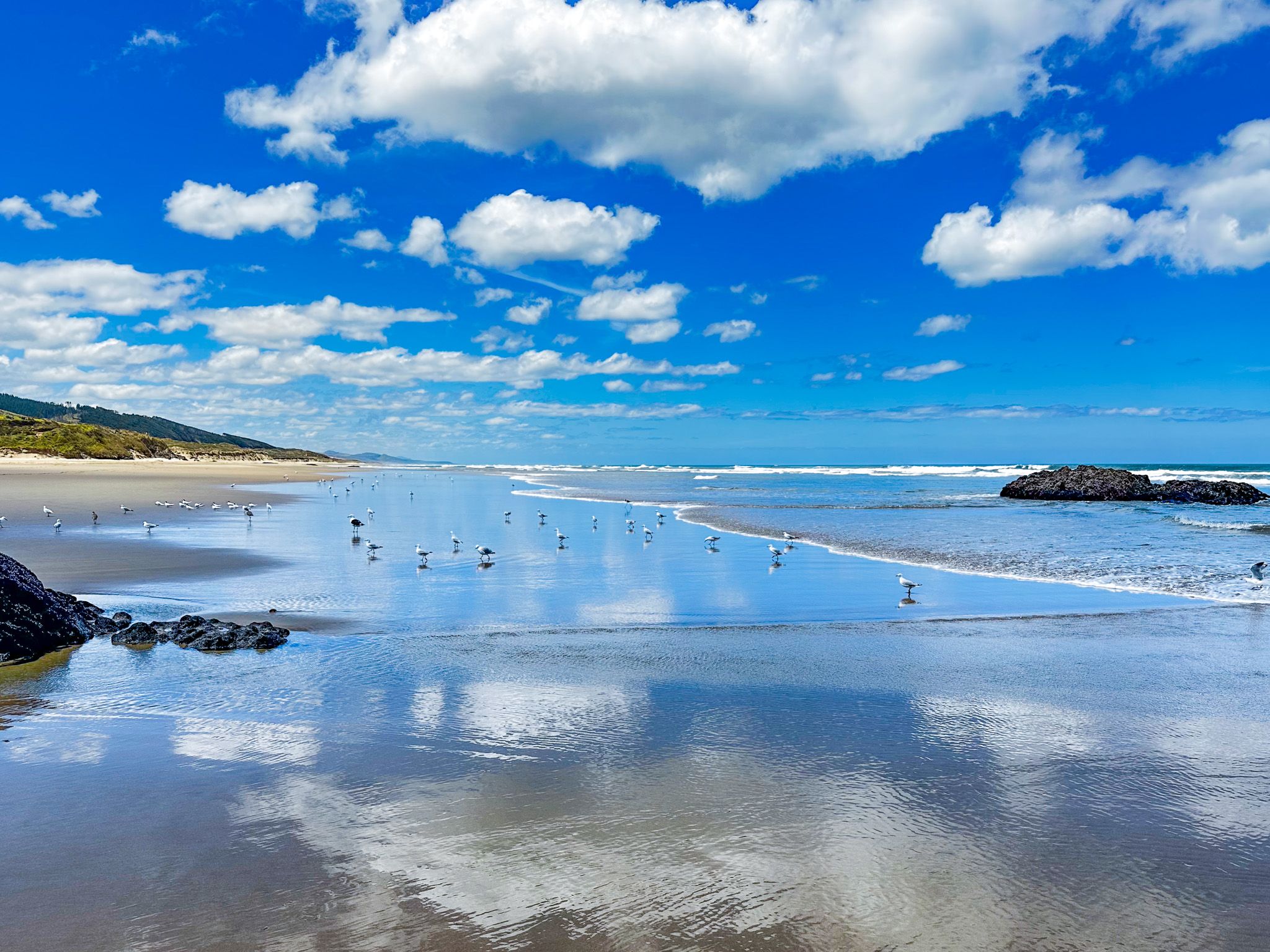
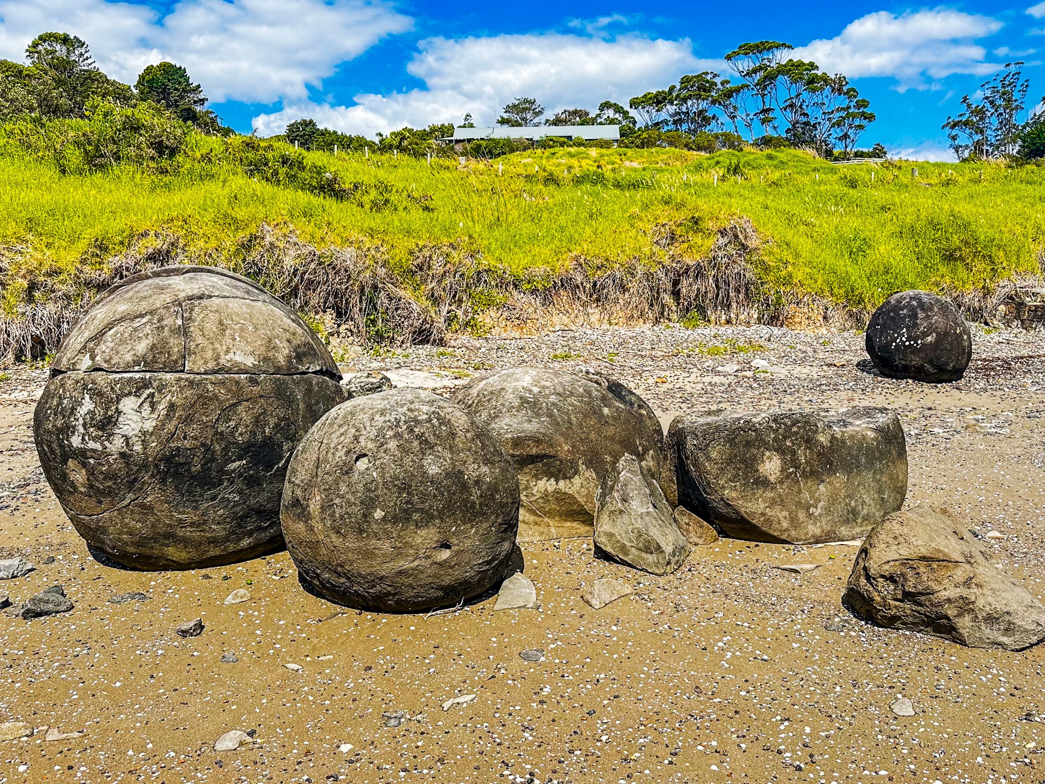
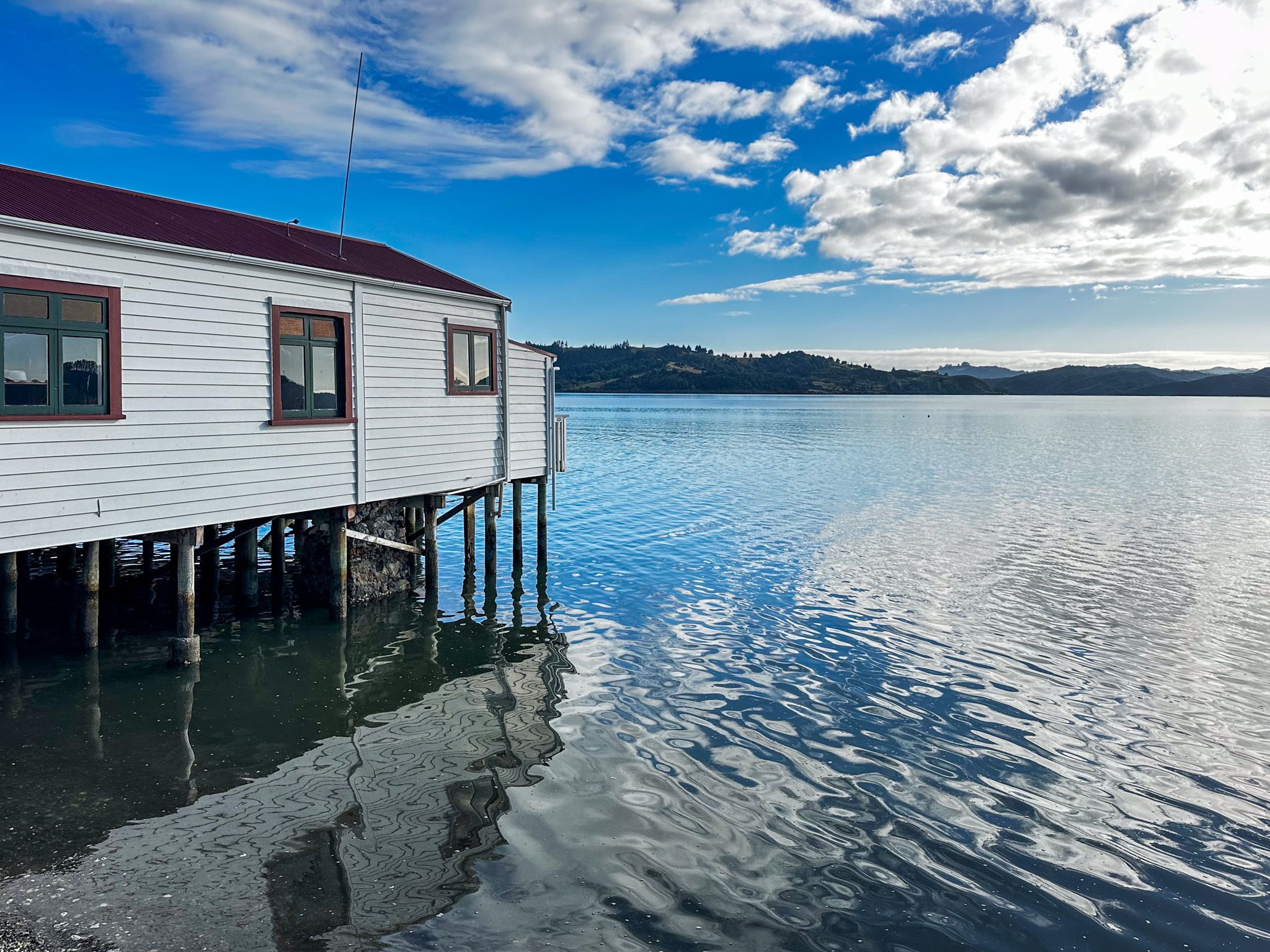
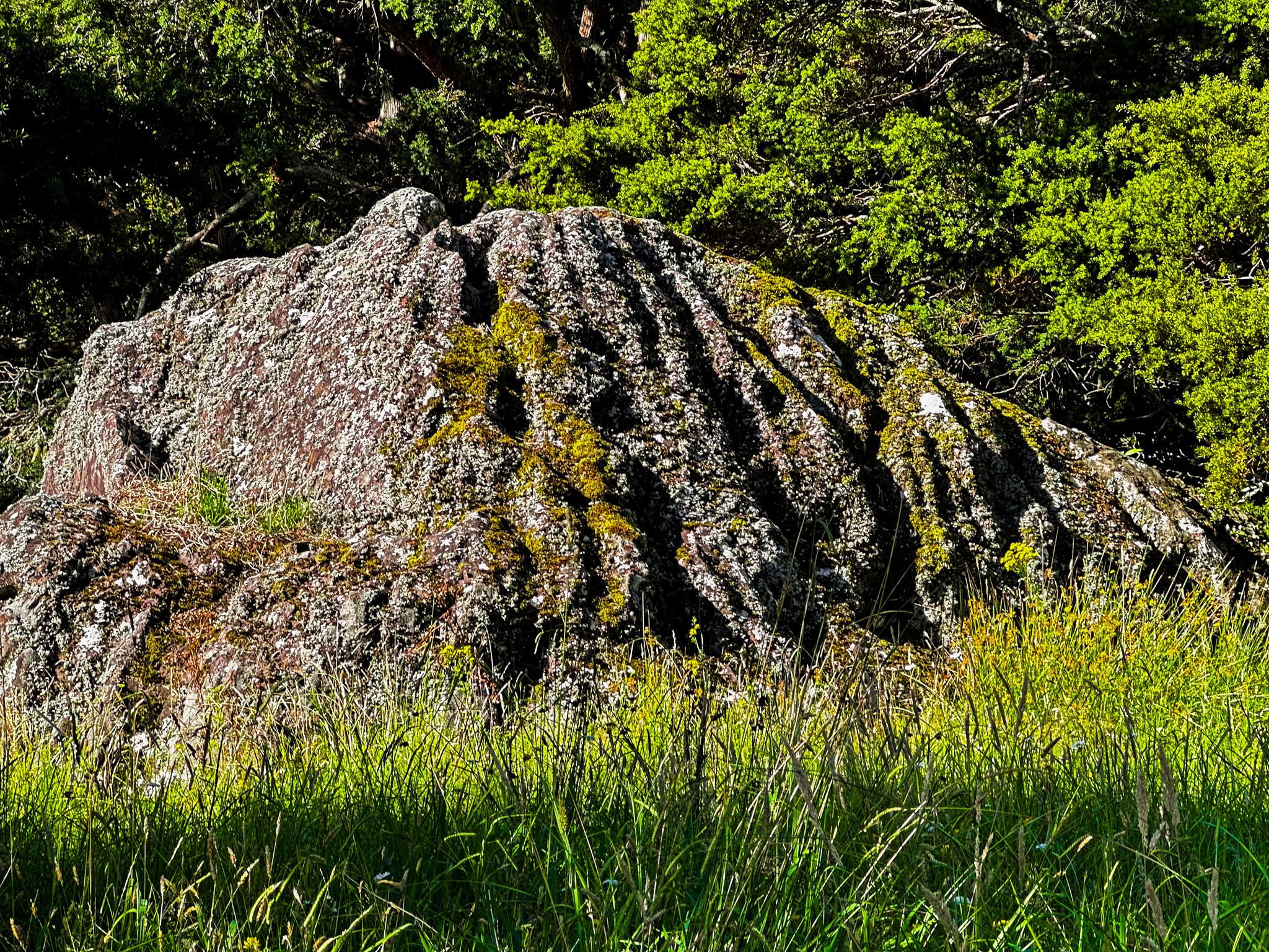
As the forest disappeared, it was largely displaced by dairy farming, which faded in the 1960s. For some decades, the region felt quite depressed, except for the south side of the harbour mouth in the tourist towns of Ōmāpere and Opononi. In more recent times, tourism has expanded around the harbour and region. The Twin Coast Cycle Trail connects the Bay of Islands with the Hokianga, and the historic towns of Rawene and Kohukohu, linked by the Rawene ferry, are attractive and accessible. Several places have become better known, including key historic sites, ancient volcanic rock formations at Wairere Boulders and Wairere Heights, the Koutu Boulders, and fantastic west coast beaches. Mitimiti is north of the harbour, and Waimamaku (Kaikai Beach) is to the south.
The Hokianga also played a key role in the events of the 1830s that led to the Treaty of Waitangi. In 1837, Charles de Thierry sailed into the harbour with 60 settlers to claim an immense tract of land he claimed to have purchased in 1822 for 36 axes. He did secure 1,000 acres at Rangiahua and declared himself "Sovereign Chief of New Zealand". Ngāpuhi were not impressed, and the venture failed, but it reminded everyone of the French fears, a factor in the formation of New Zealand. In 1840, immediately after the signing of the Treaty of Waitangi at Waitangi on 6 February. Governor Hobson took six days to travel to Māngungu, where 3,000 people, mainly Ngāpuhi, were waiting. Sixty rangatira signed the treaty on 12 February, cementing the support of the largest iwi in the country. The history of early interactions between Māori and Europeans and the founding of NZ can be explored at Arai te Uru, Te Waimate, Ōhaeawai and Mangungu.