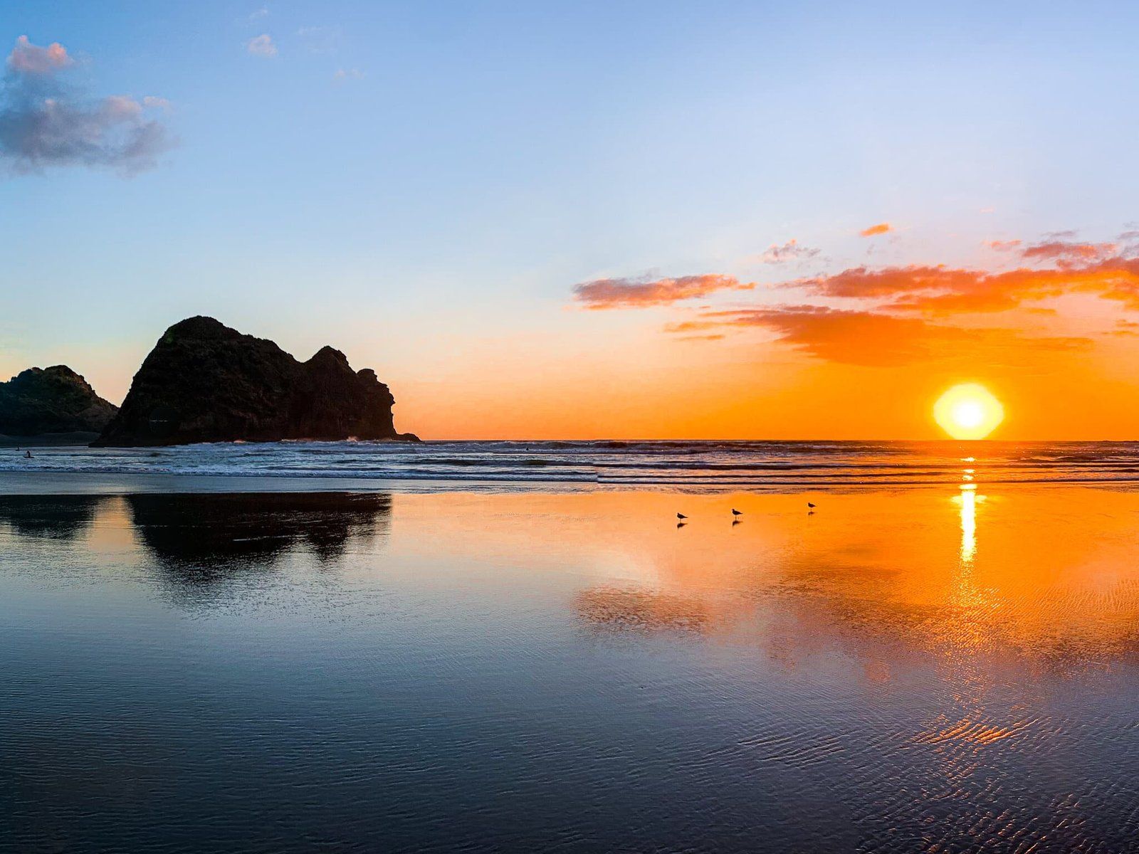
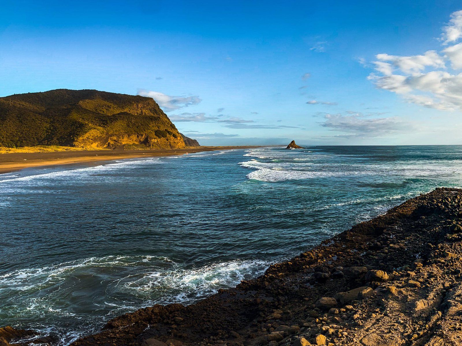
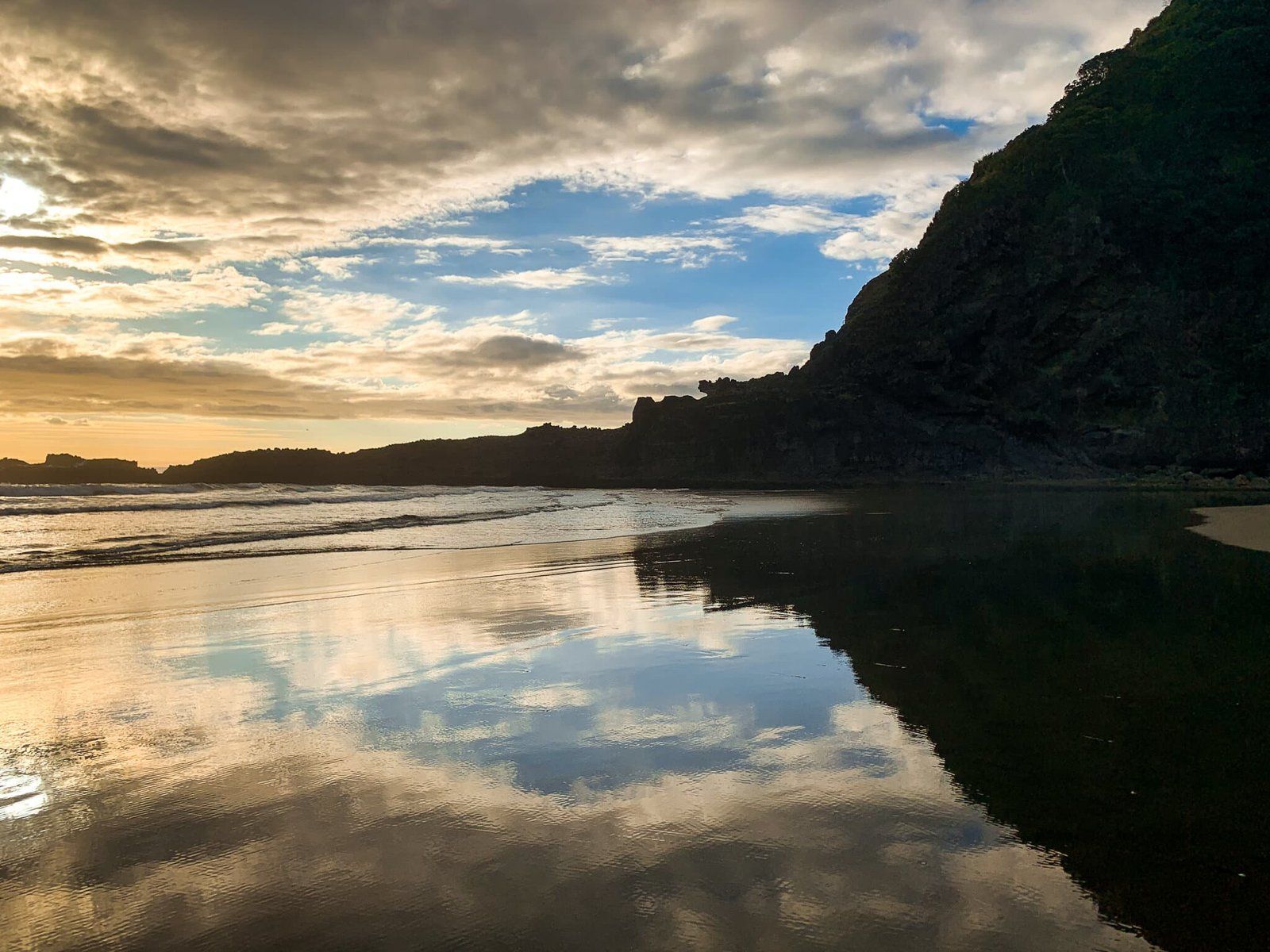
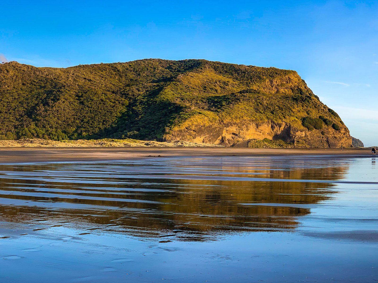
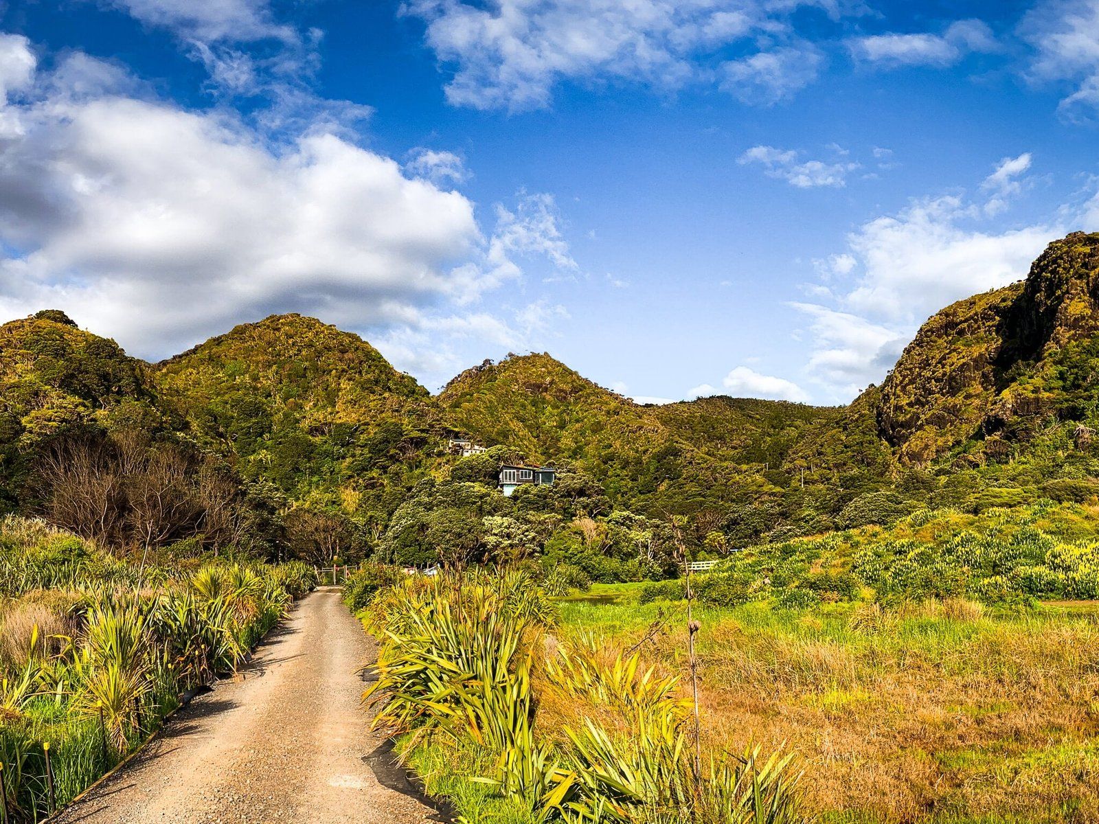
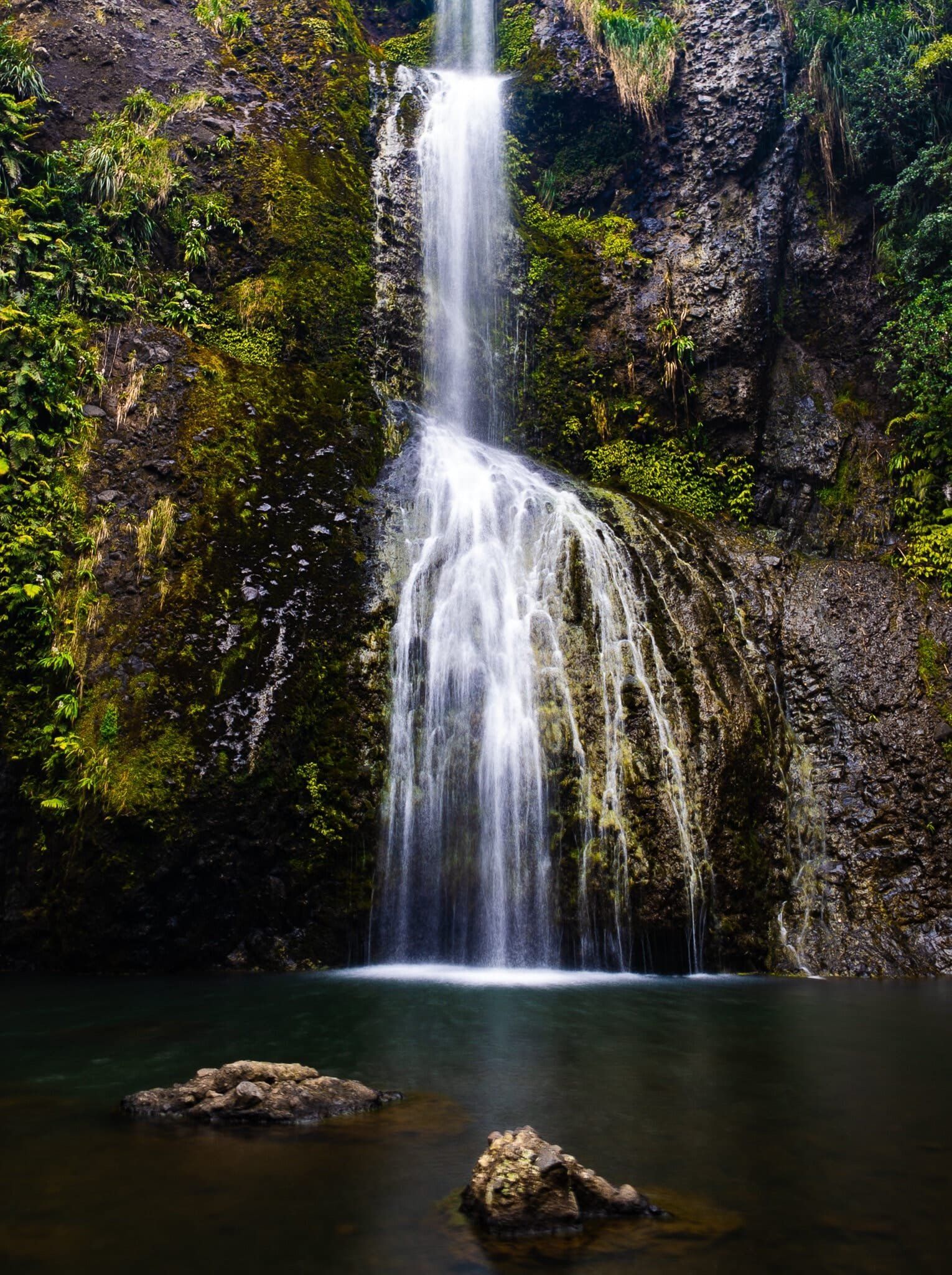
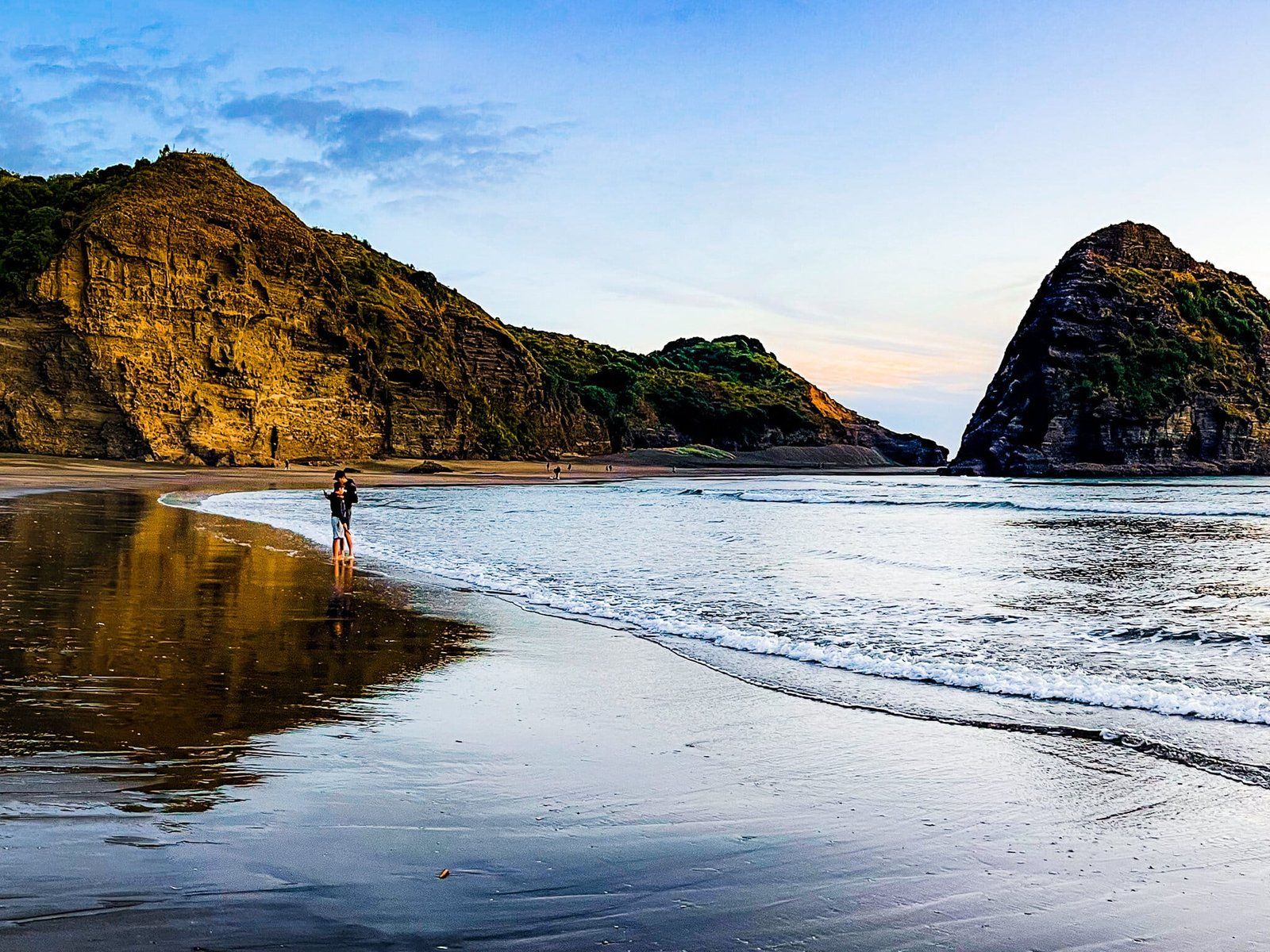
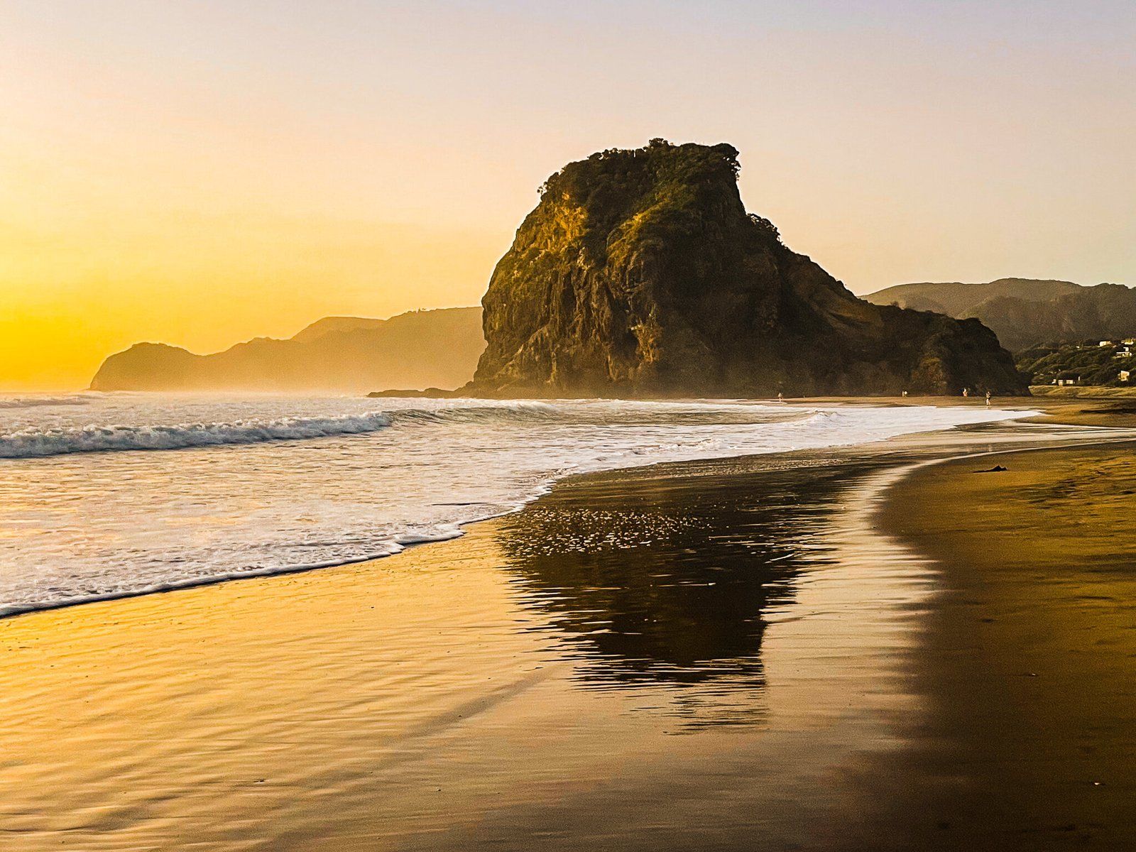
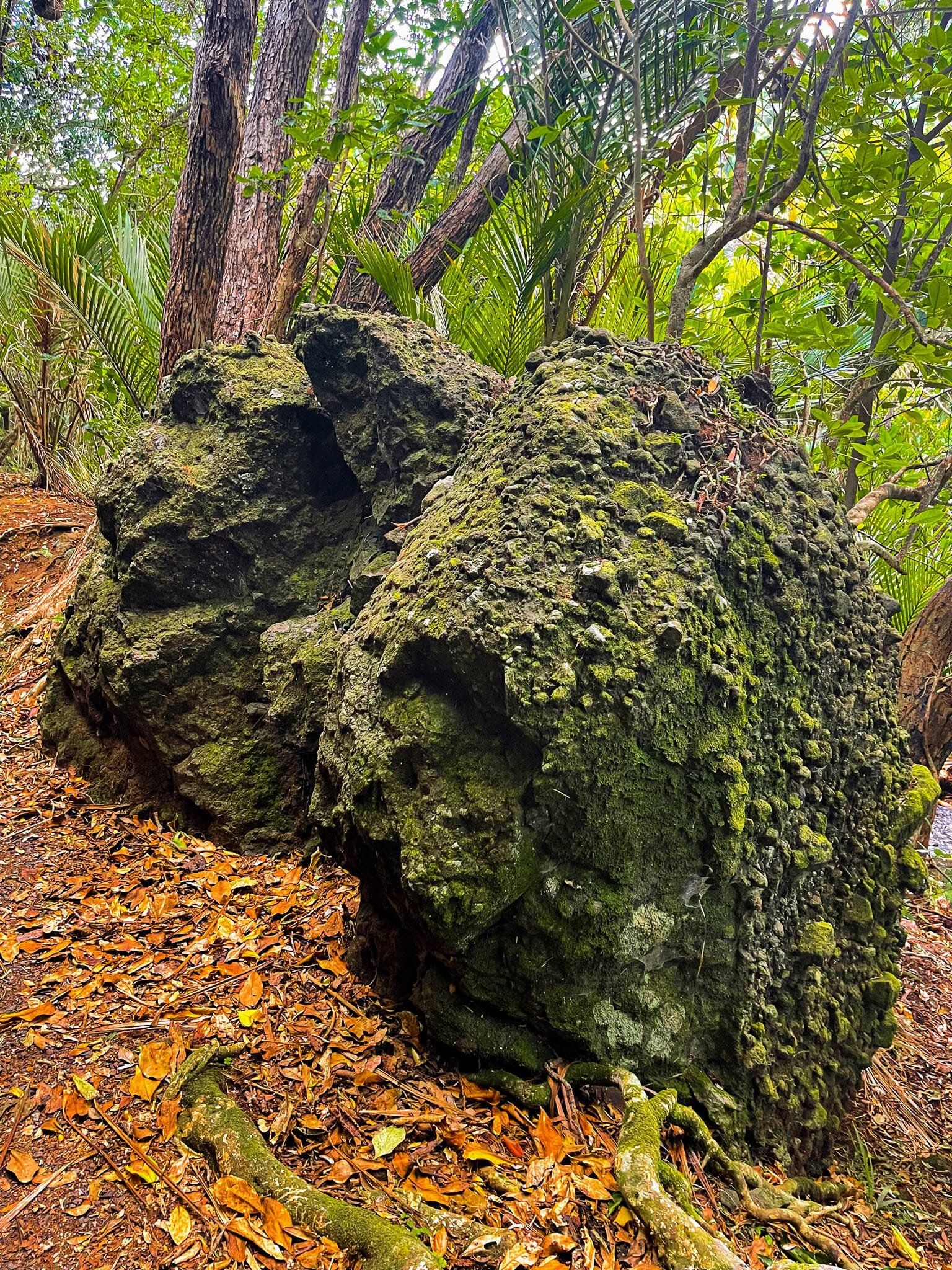
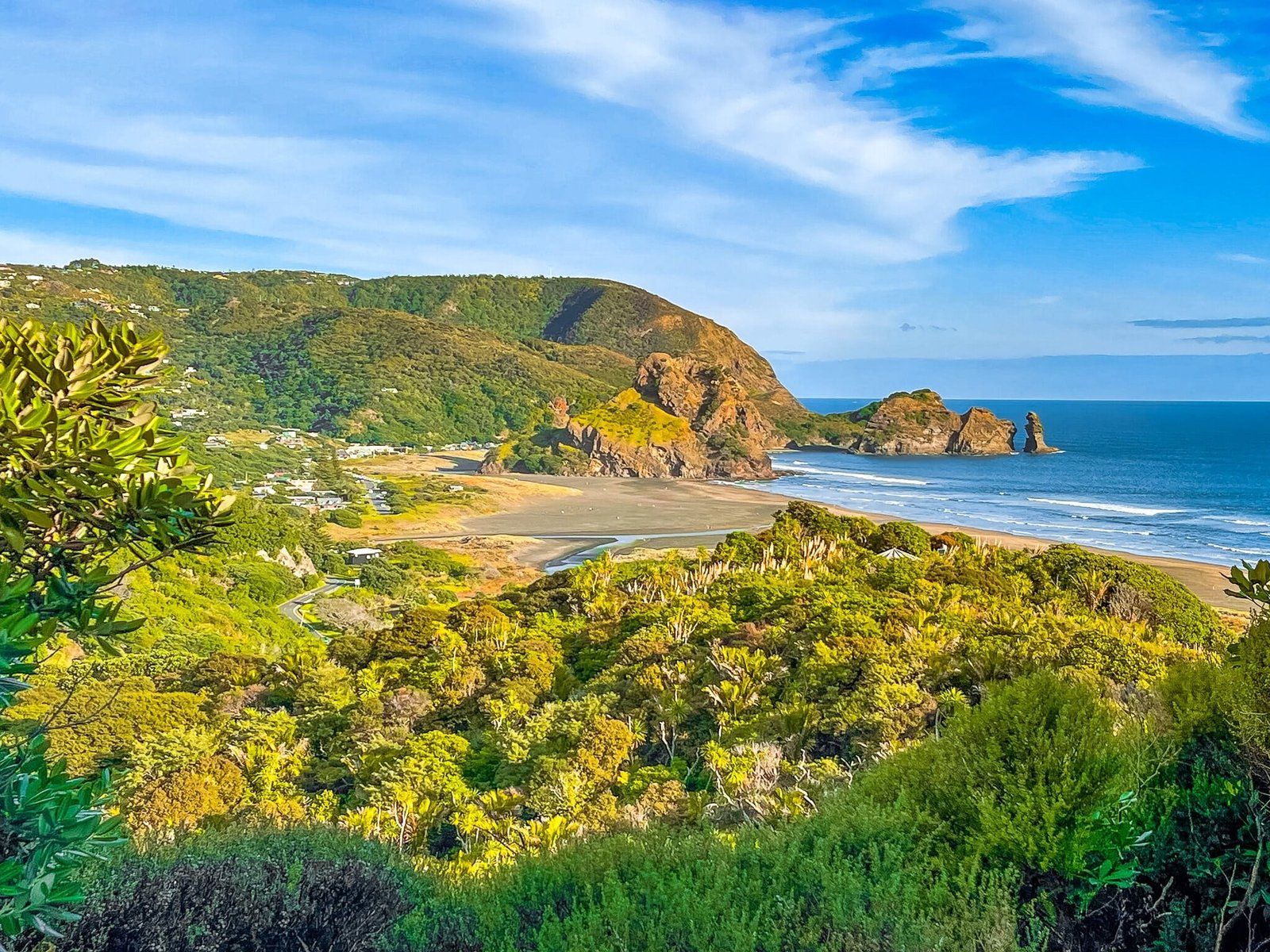
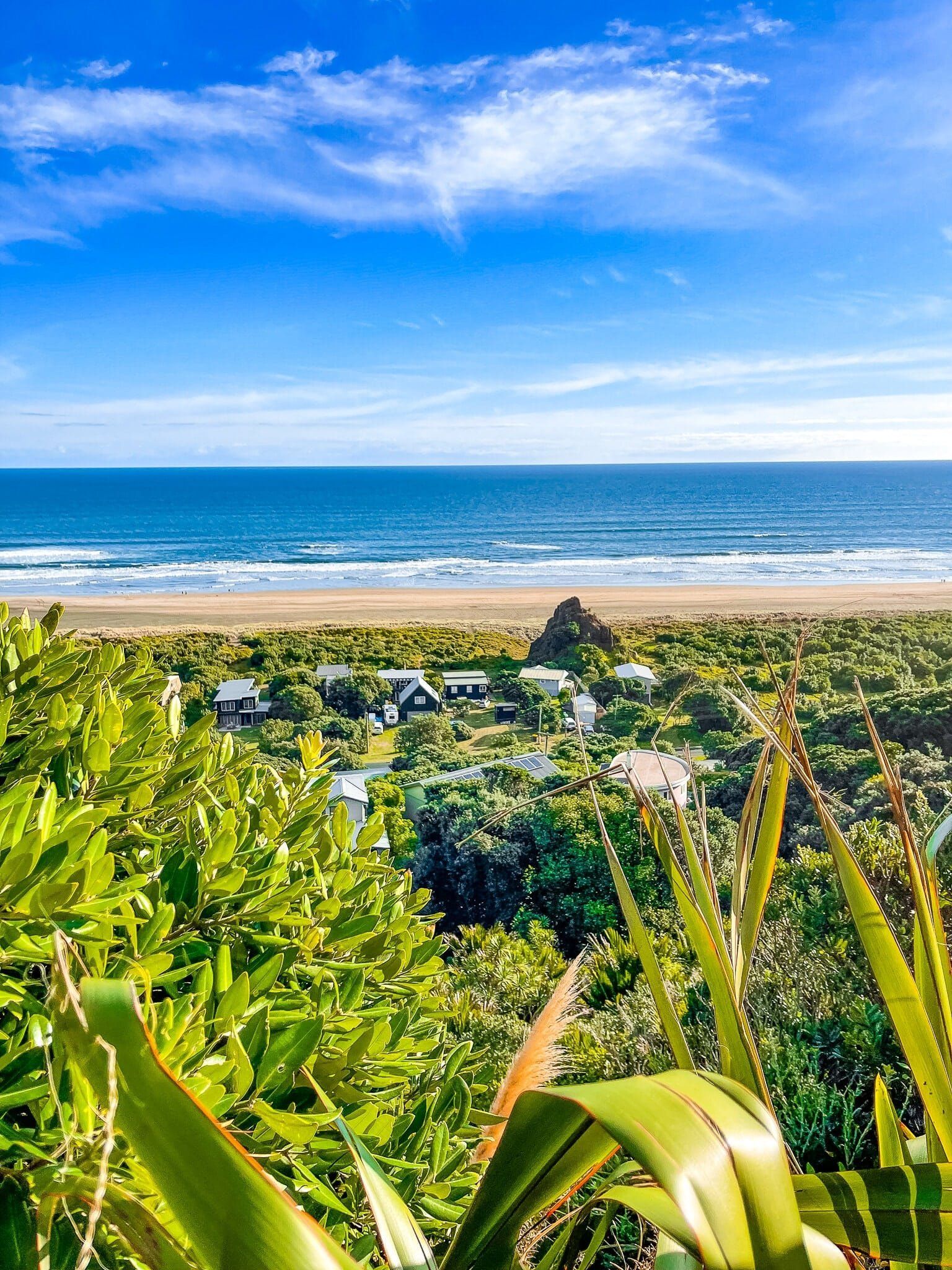
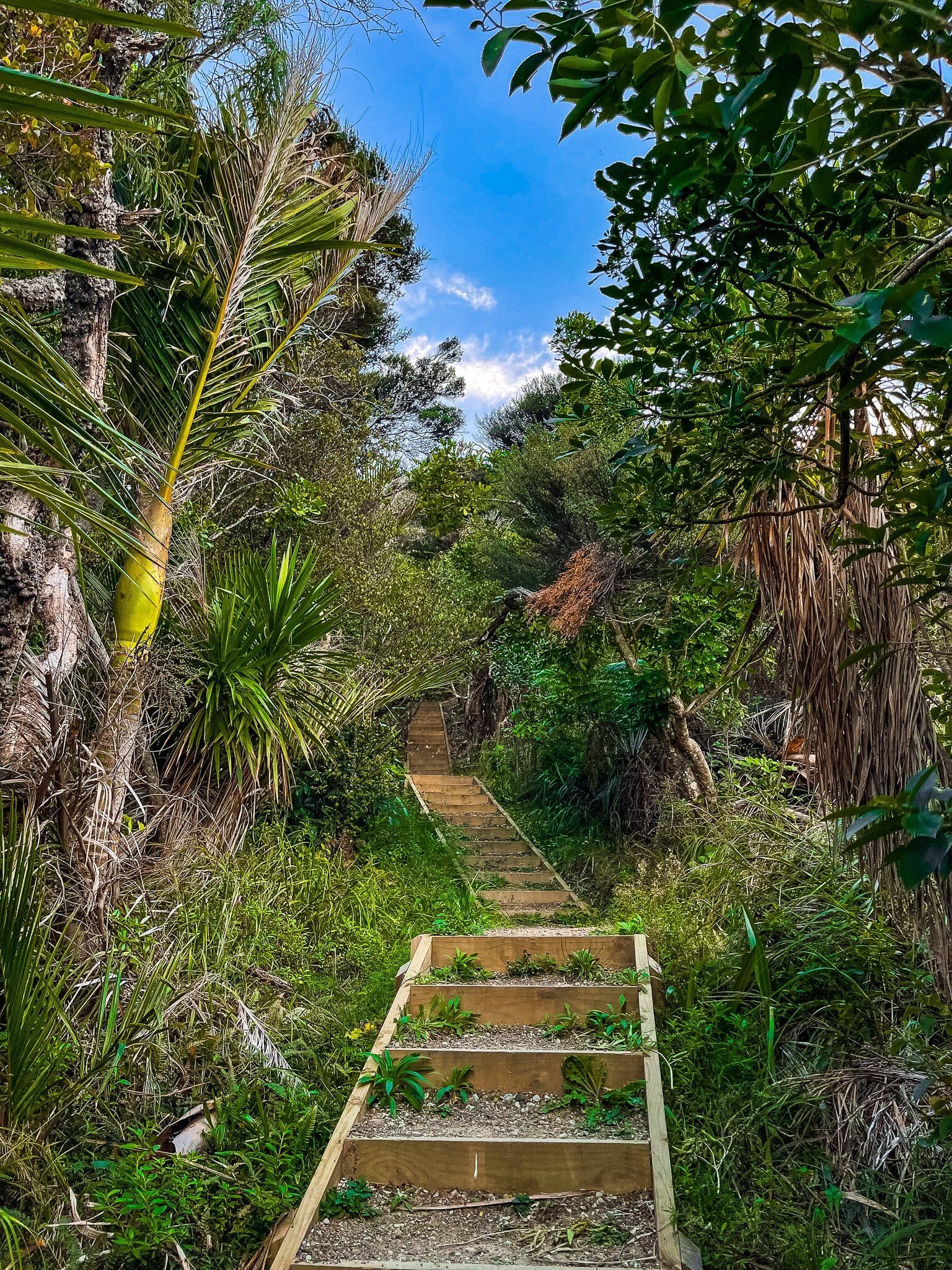
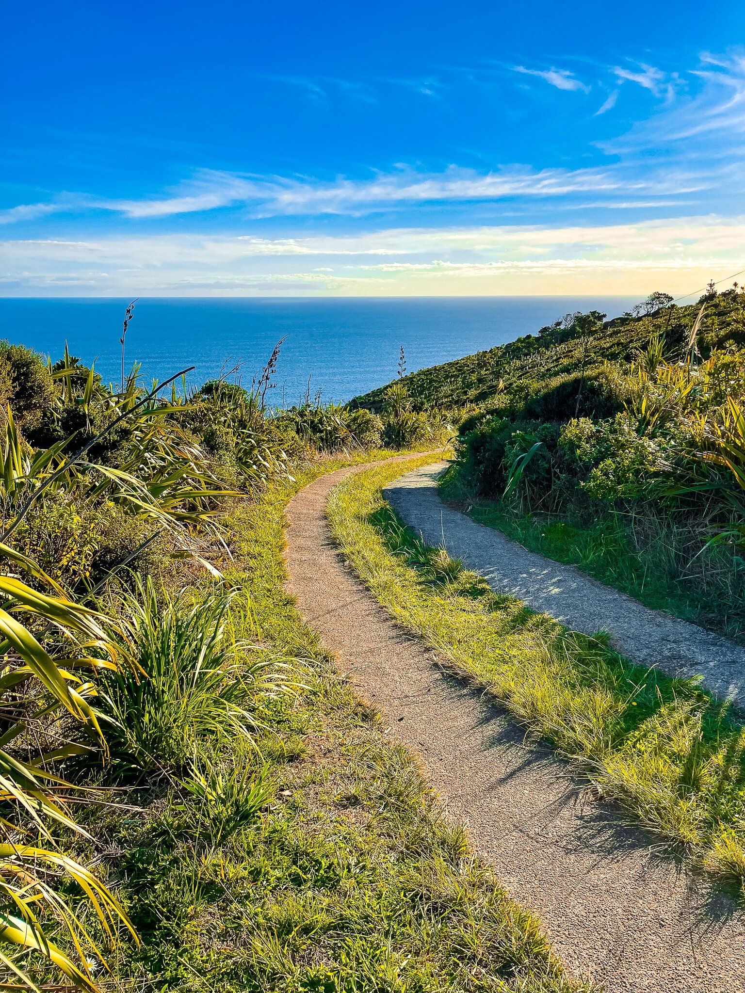
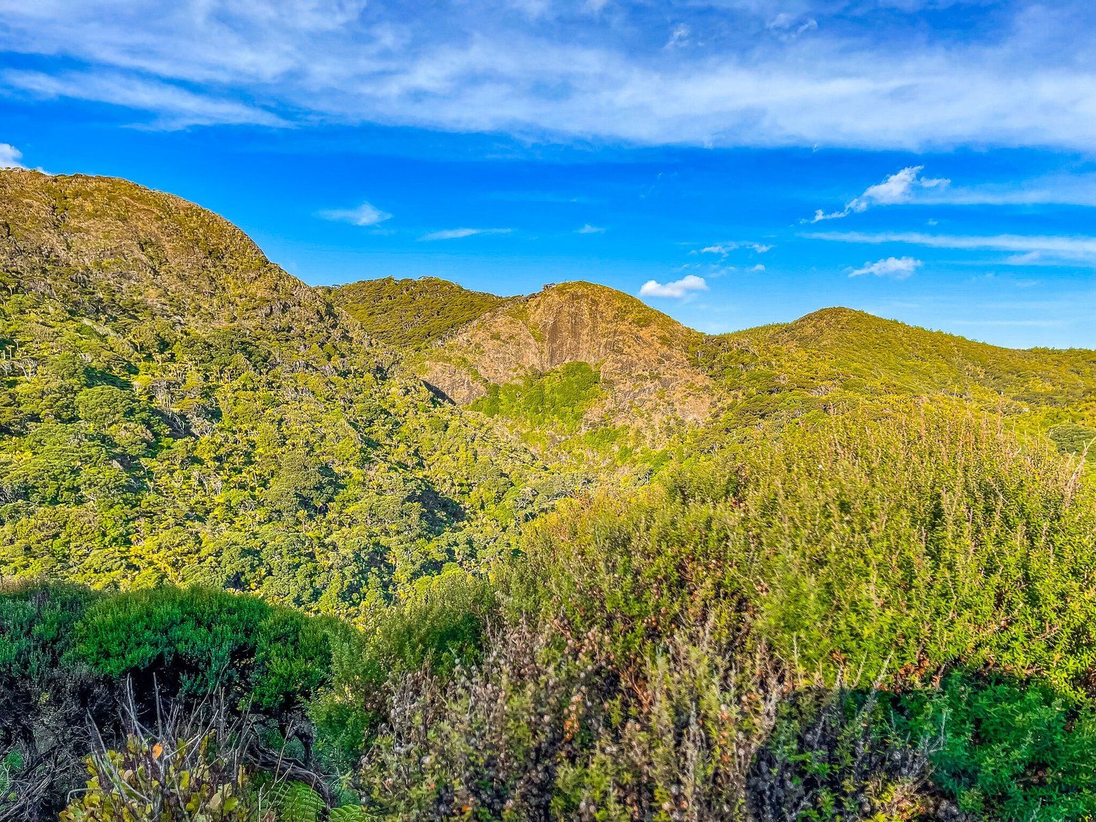
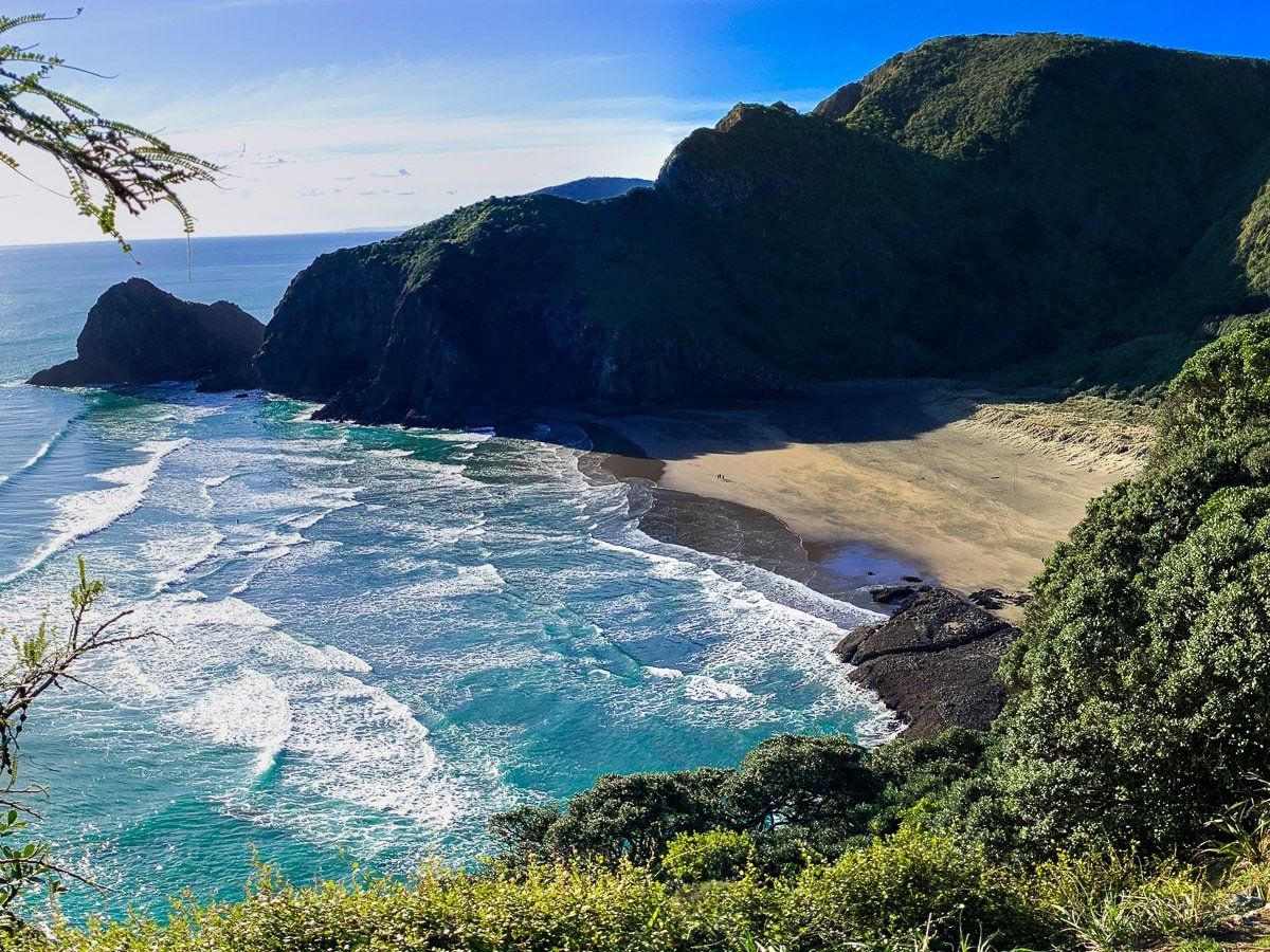
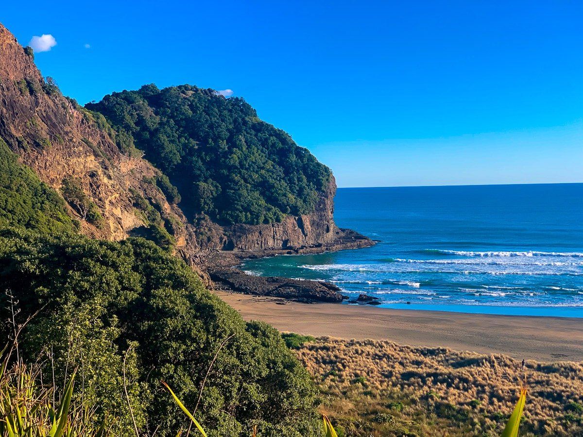
Part 2 of Hillary Trail Te Ara Tūhura covers the hike from Karekare to Anawhata, with side trips to Mercer Bay and Whites Beach. The trail follows several tracks that are collectively a superb walk, with a mix of beaches, coastal cliffs and the Kitekite Waterfall. Throw in the very steep hike down to Mercer bay if you want more of an adventure.
There is a small campground at Karekare and off Anawhata Road just before the walk down to the beach. Piha has a wider range of options, including the possibility of an Airbnb or bach stay. Piha also has a general store, cafe and restaurant if you need some extra comfort along the way.
Allow a full day to do this section of the trail in one go, without the side trips. Allow 2 days to include the climb down to Mercer Bay and the hike into Whites Beach.
Karekare
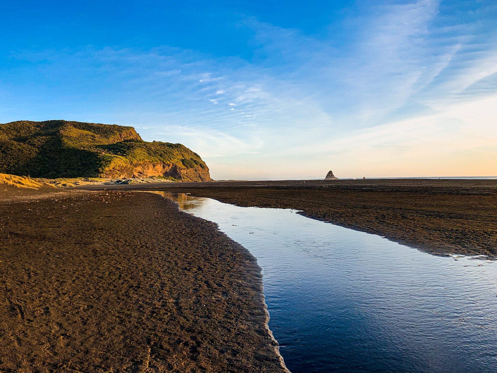
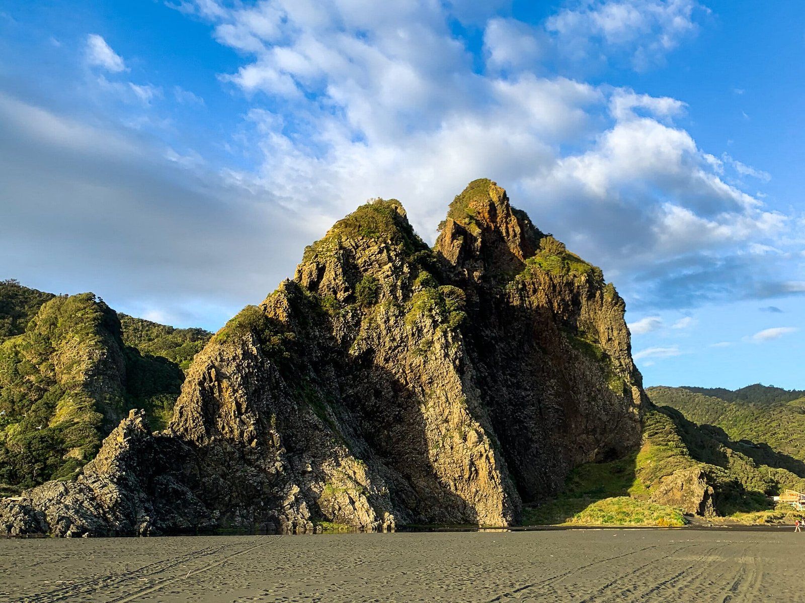
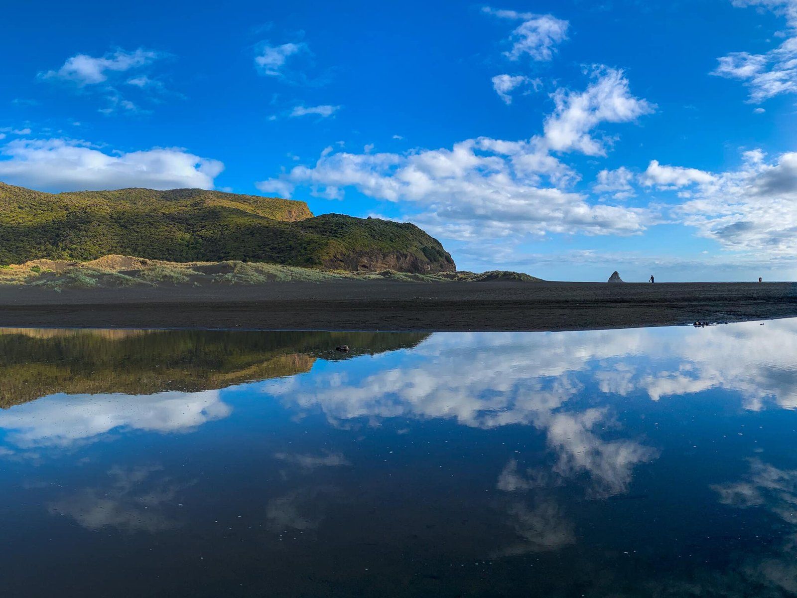
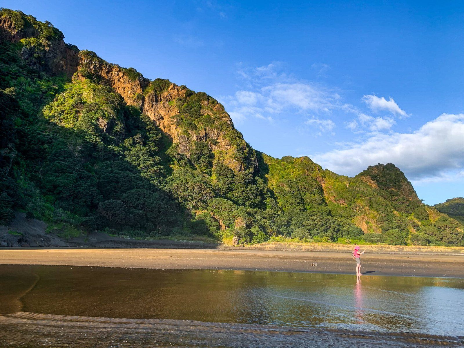
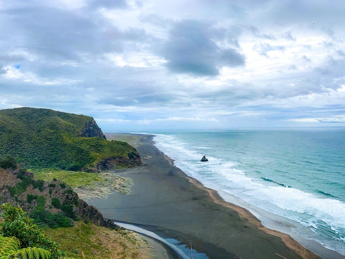
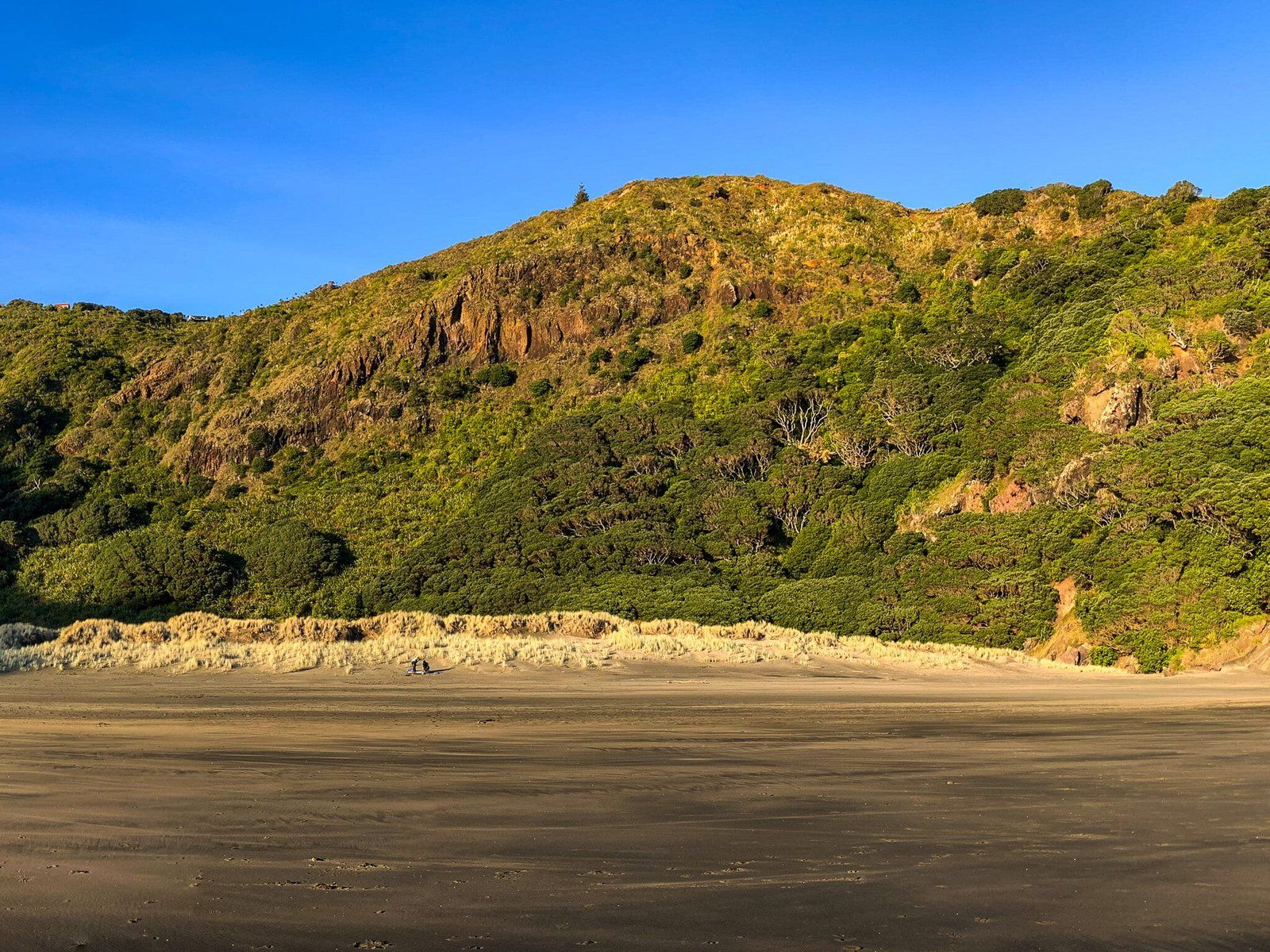
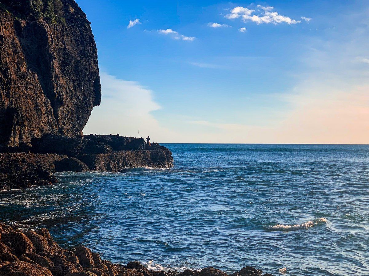
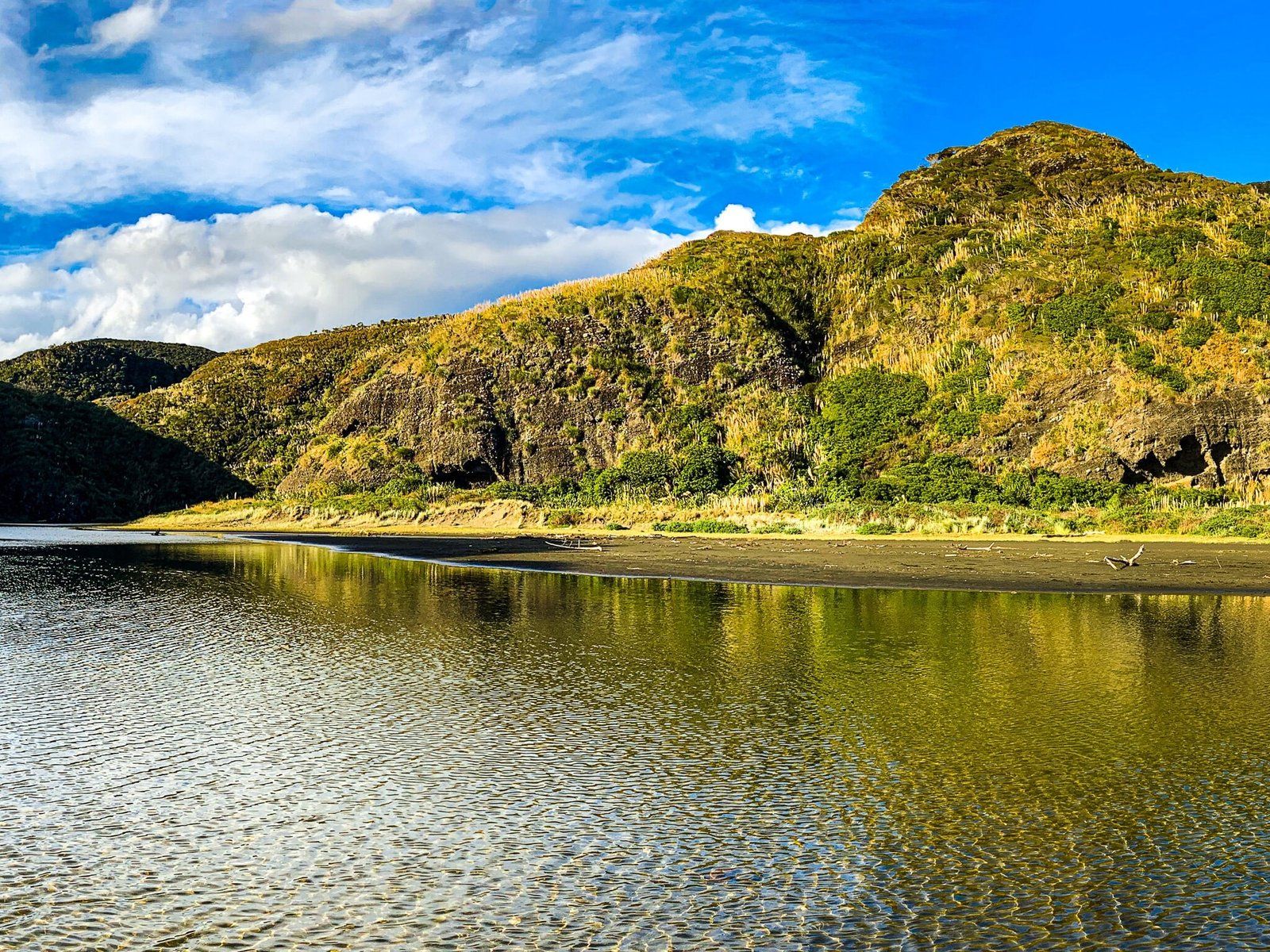
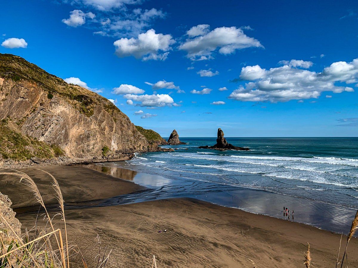
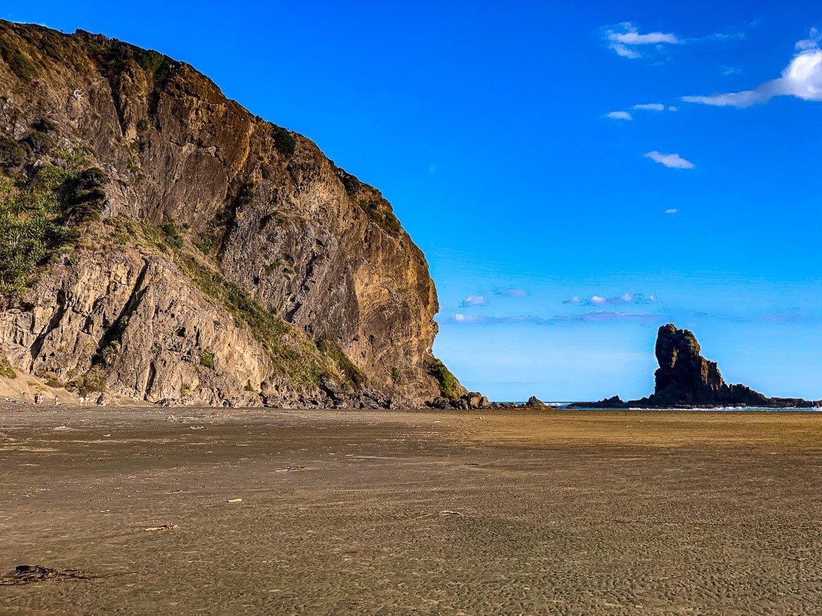
Karekare is the starting point for this stage of the Hillary Trail Te Ara Tūhura. Before you start out, spend a bit of time walking along the main section of the beach in front of the Watchman, the tall narrow rock spire on the north side of the steam and lagoon that runs out to the north end of the beach. If the tide is out, you can get onto the rocky point at the end of the beach.
To get to Comans Track, the next section of the trail, you can walk over the stream towards the sand dunes. You will find a path through the dunes below the Watchman that takes you up to the ridge behind the dunes. Comans Track starts from there.
Alternatively, you can walk along the south side of the stream to the Karekare carpark, turn left along the main road then left again onto Watchman Road. This will also take you to the ridge.
Comans Track
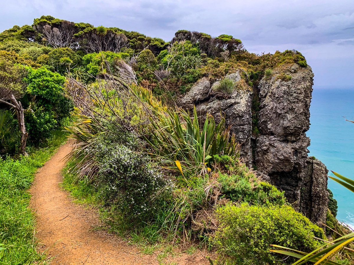
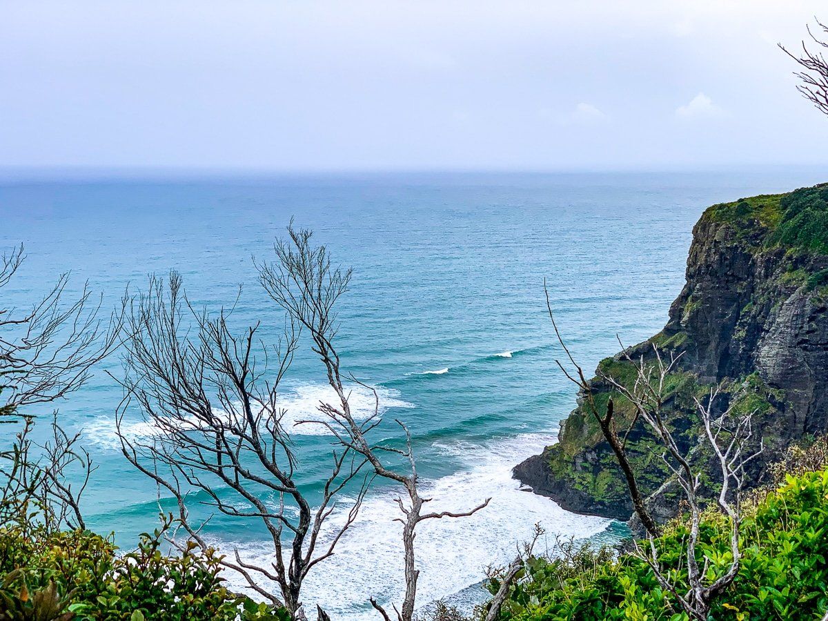
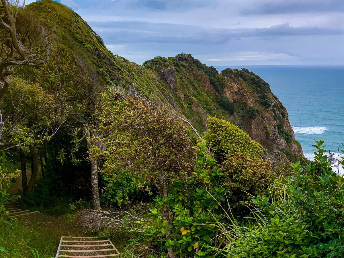
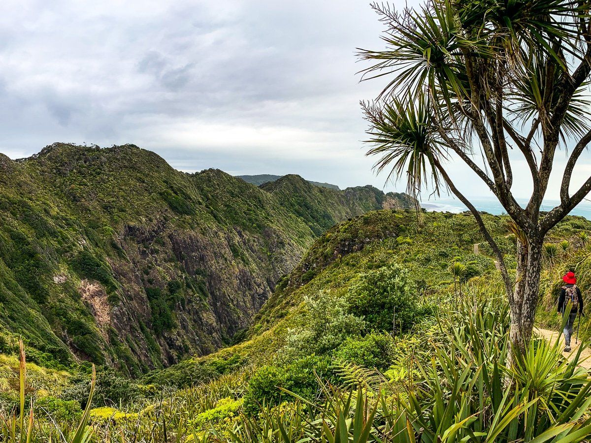
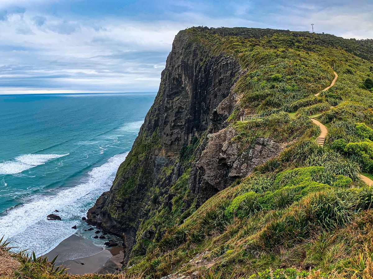
Comans Track starts at the top end of Watchman Rd in Karekare, just above the entrance of the Ahu Ahu Track. It heads quite steeply up the ridge towards Farley Point before cutting over to the cliff edge above Mercer Bay, about 200 metres high.
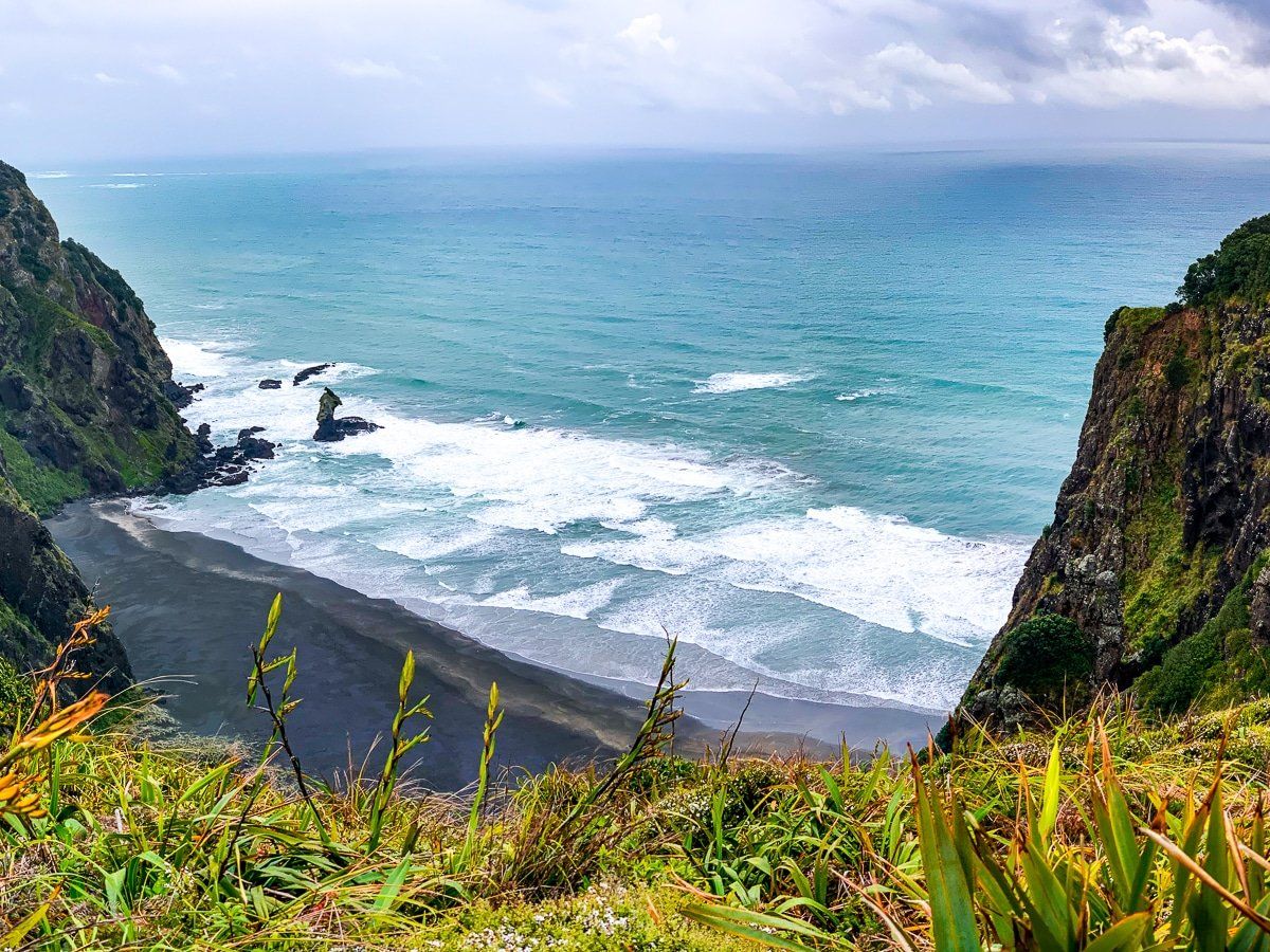
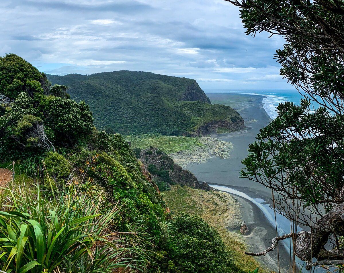
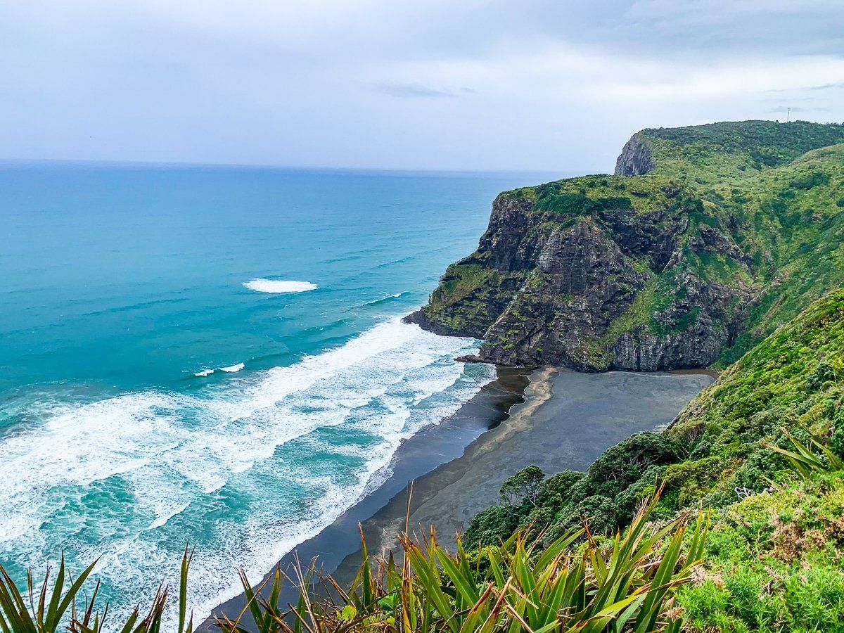
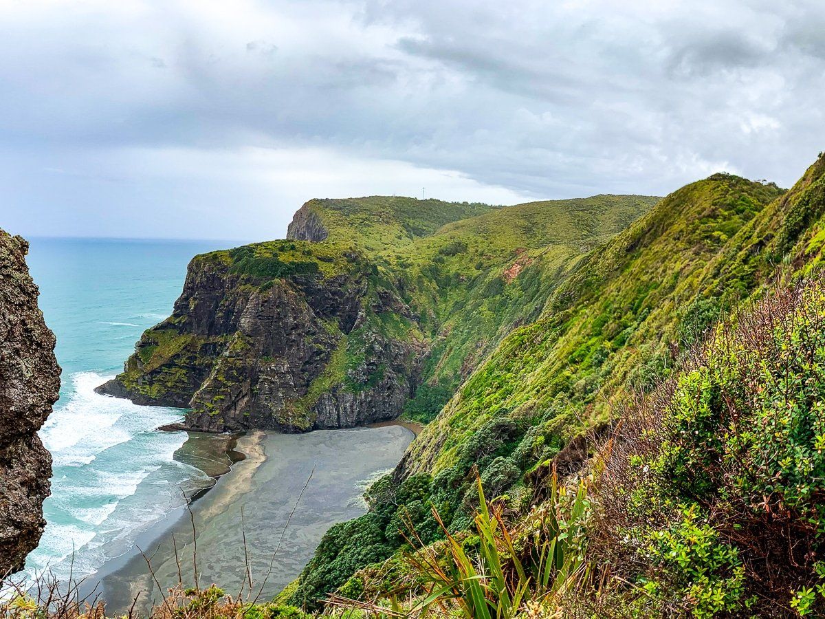
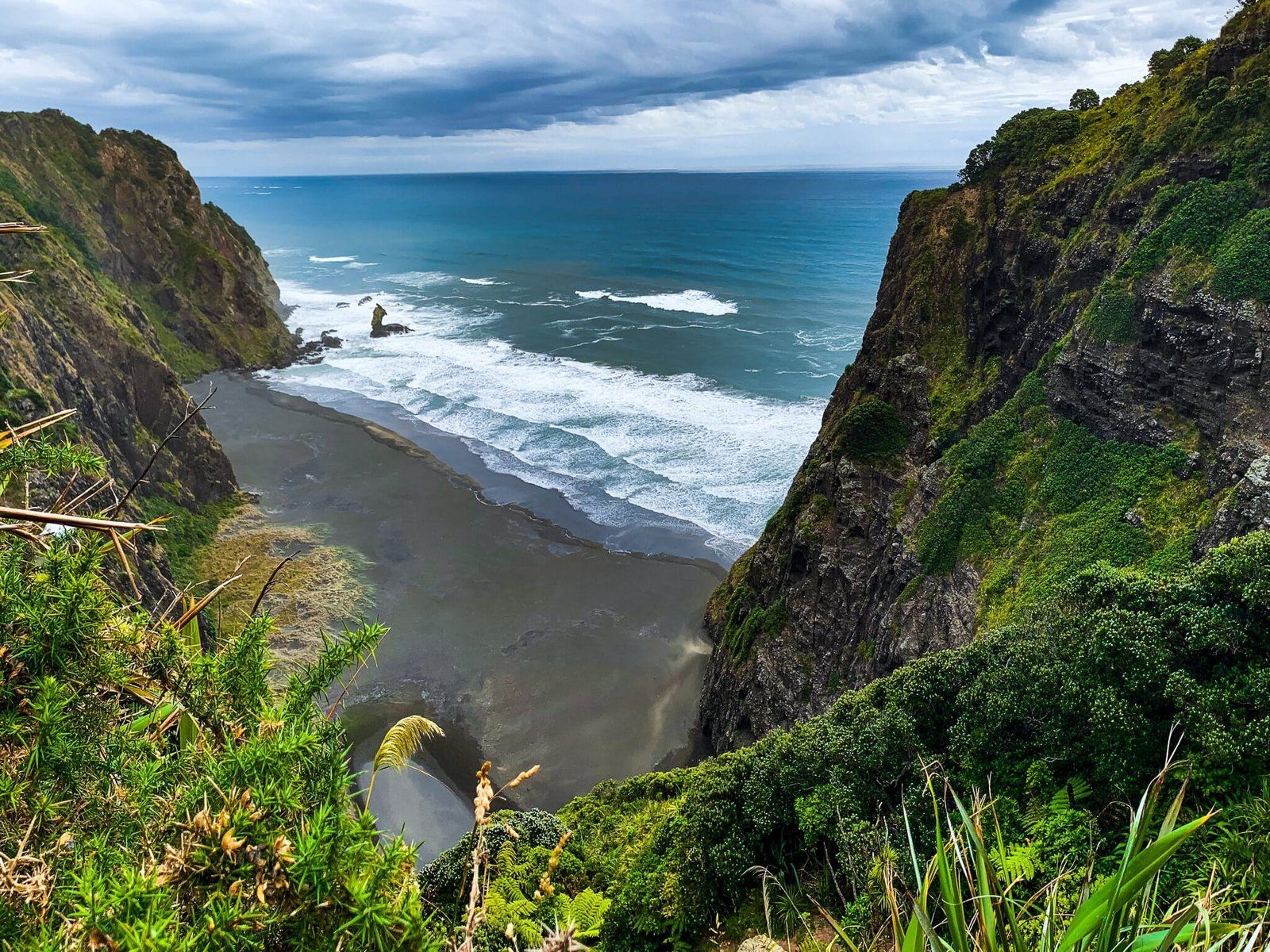
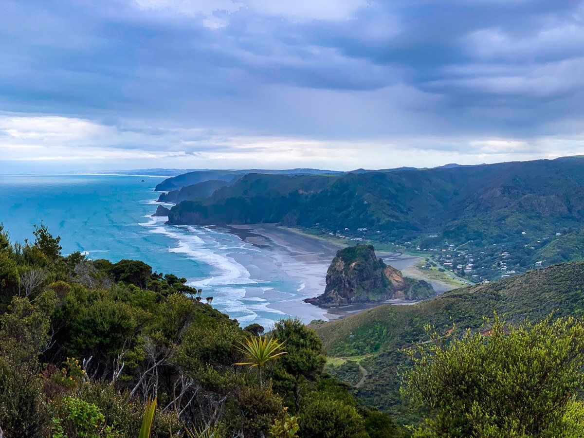
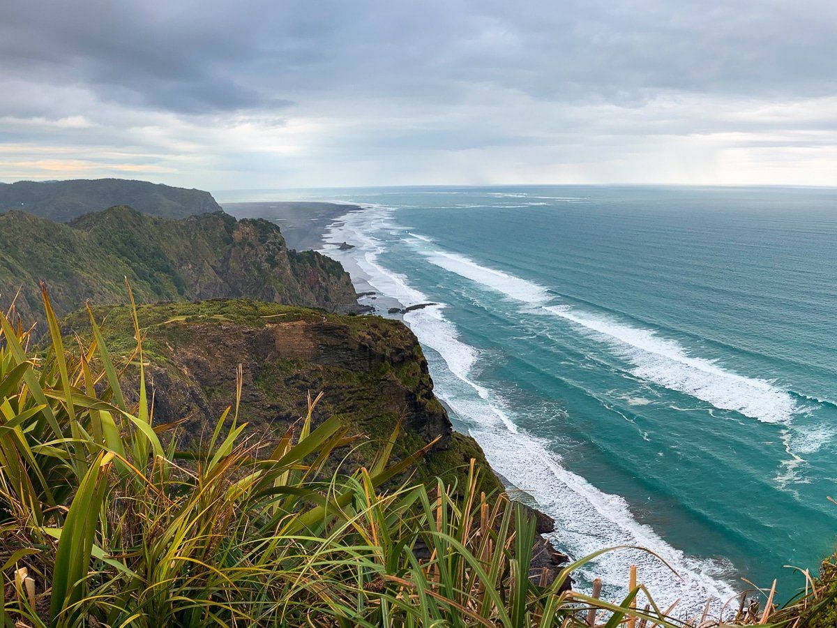
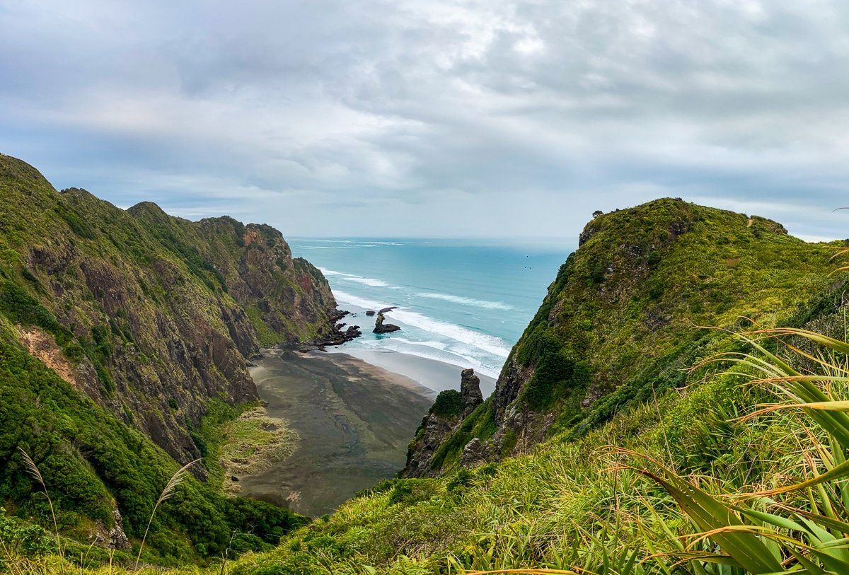
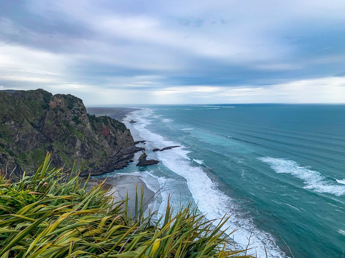
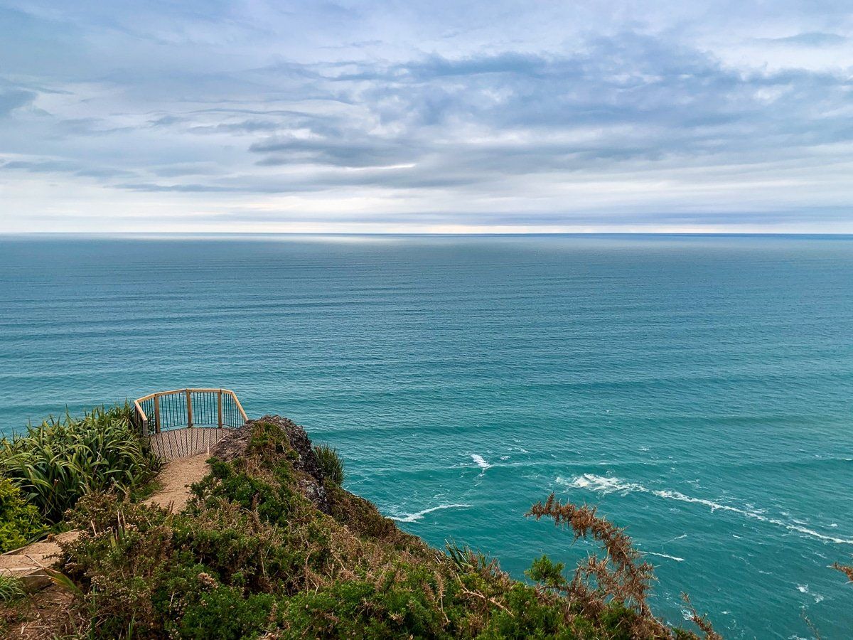
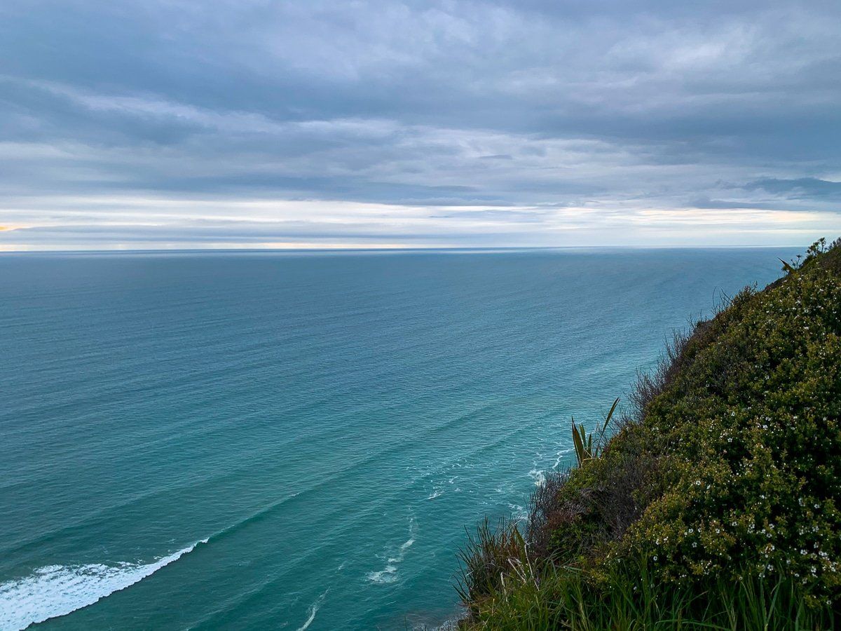
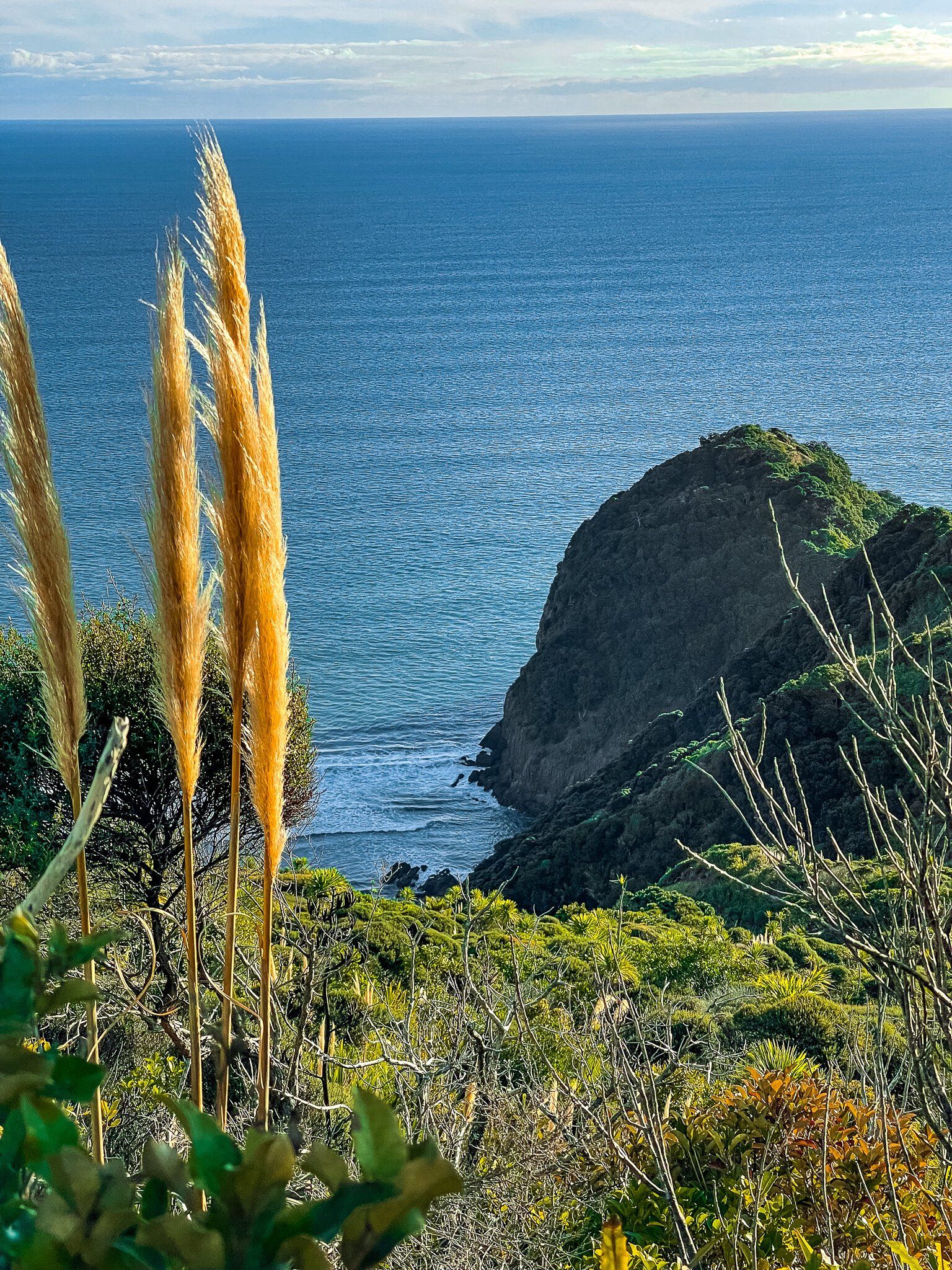
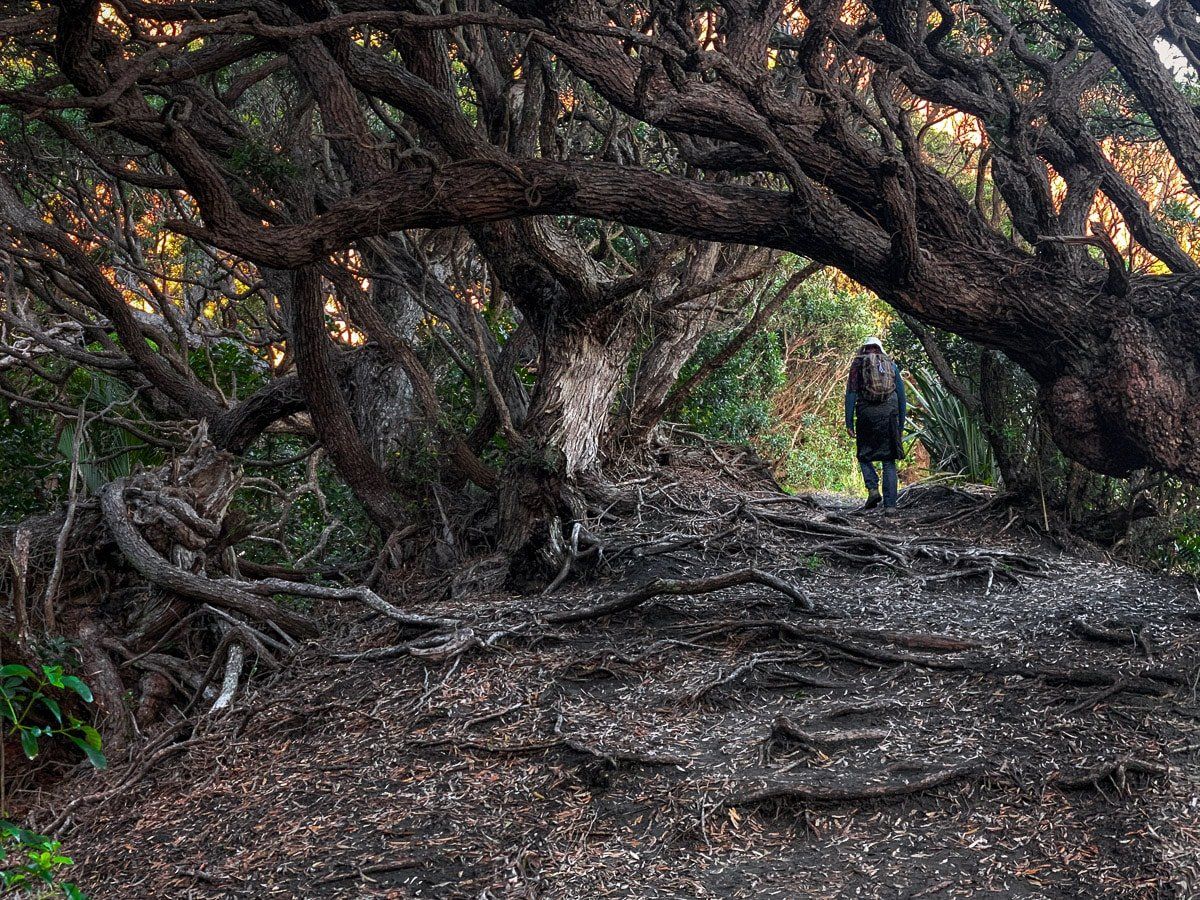
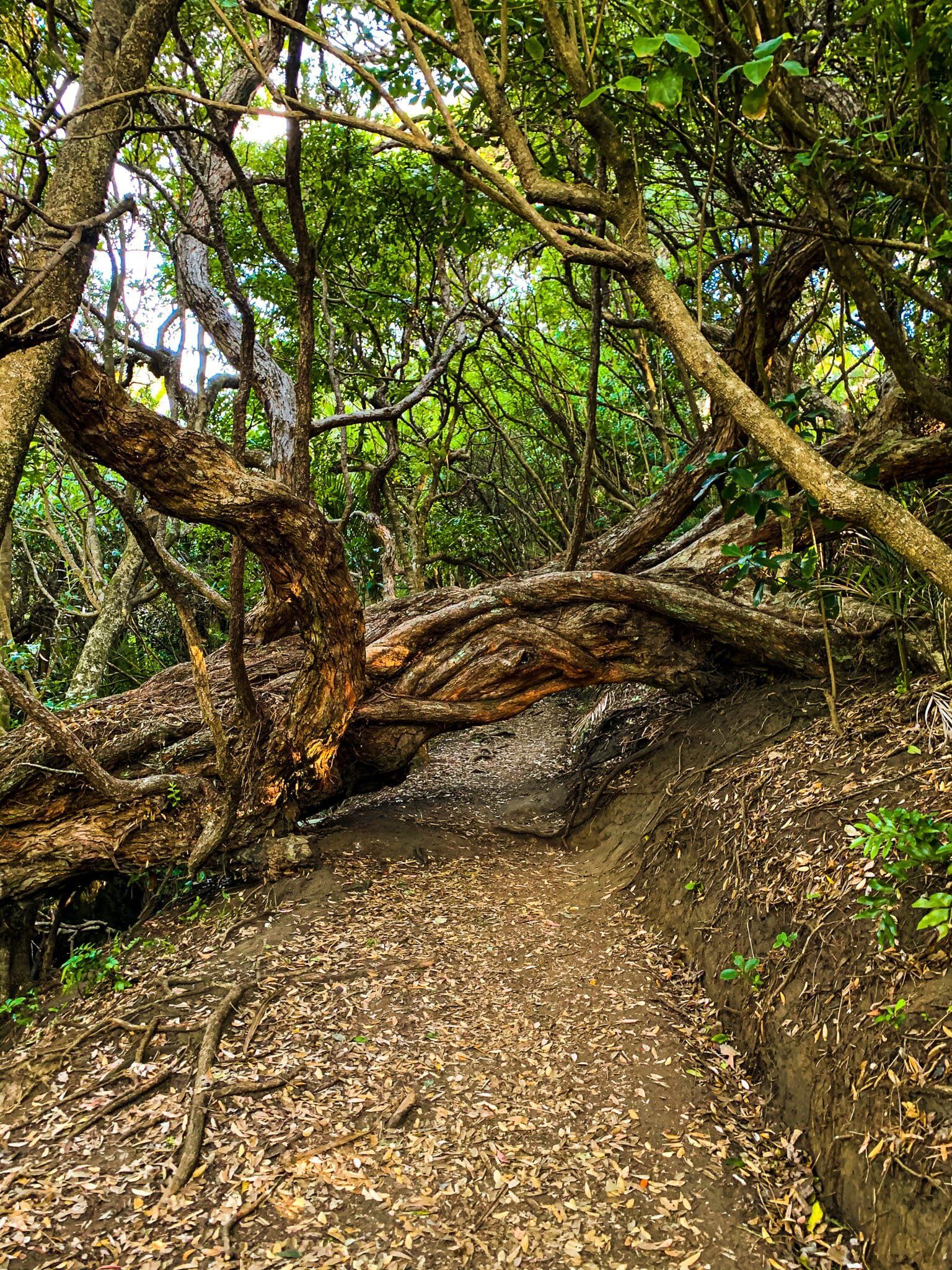
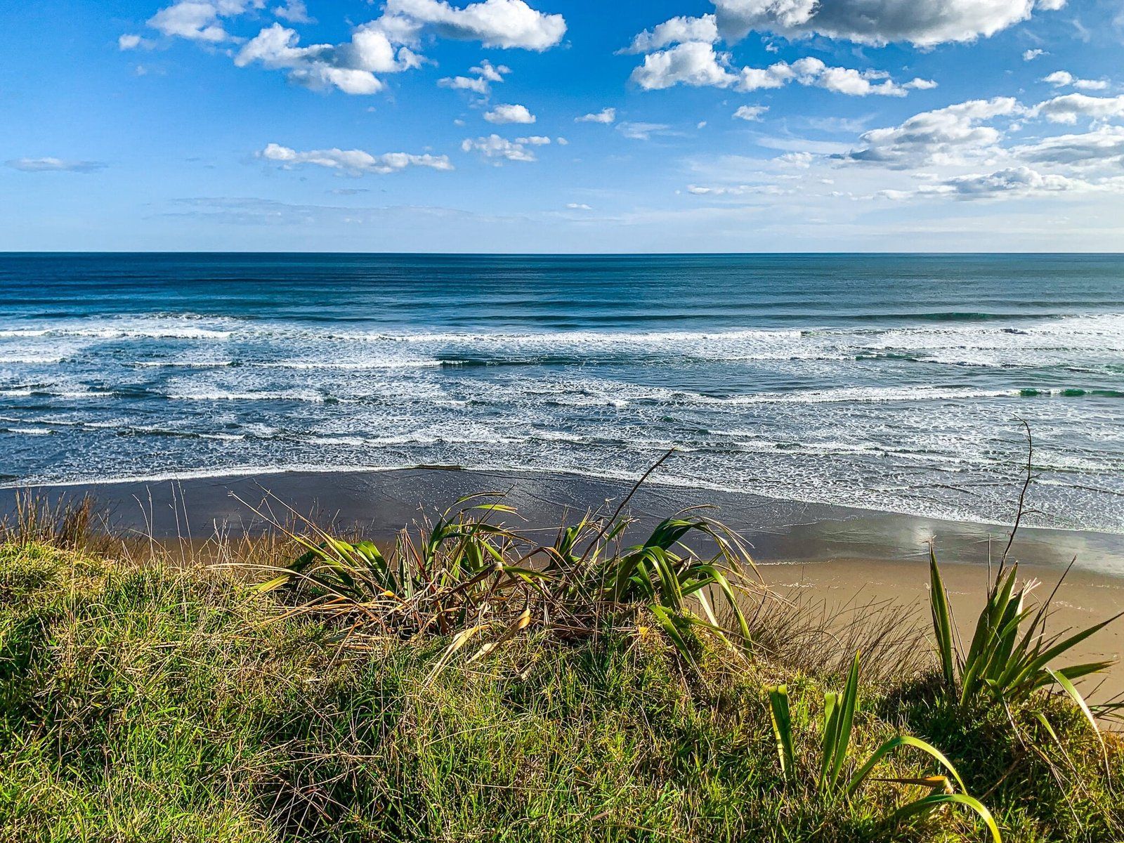
The views back to Karekare, as far as Whatipu, and then down to Mercer Bay are superb. There are also several sections in forest regrowth. In spring and early summer, it’s full of flowering mānuka, followed by pōhutukawa. It takes about an hour to reach the connection with the Ahu Ahu Track, which returns to Karekare.
A little further on there is an unmarked track that will take you down to Mercer Bay. This is a tough steep tramping track and not for everyone. Continue on a little further again to reach the Mercer Bay Loop. Bear left on the loop, continuing above Mercer Bay.
Mercer Bay
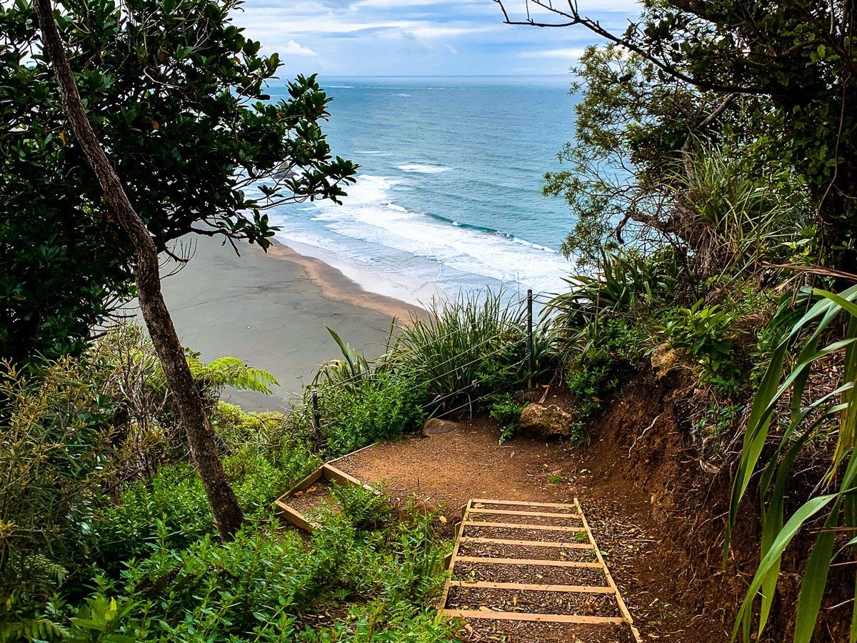
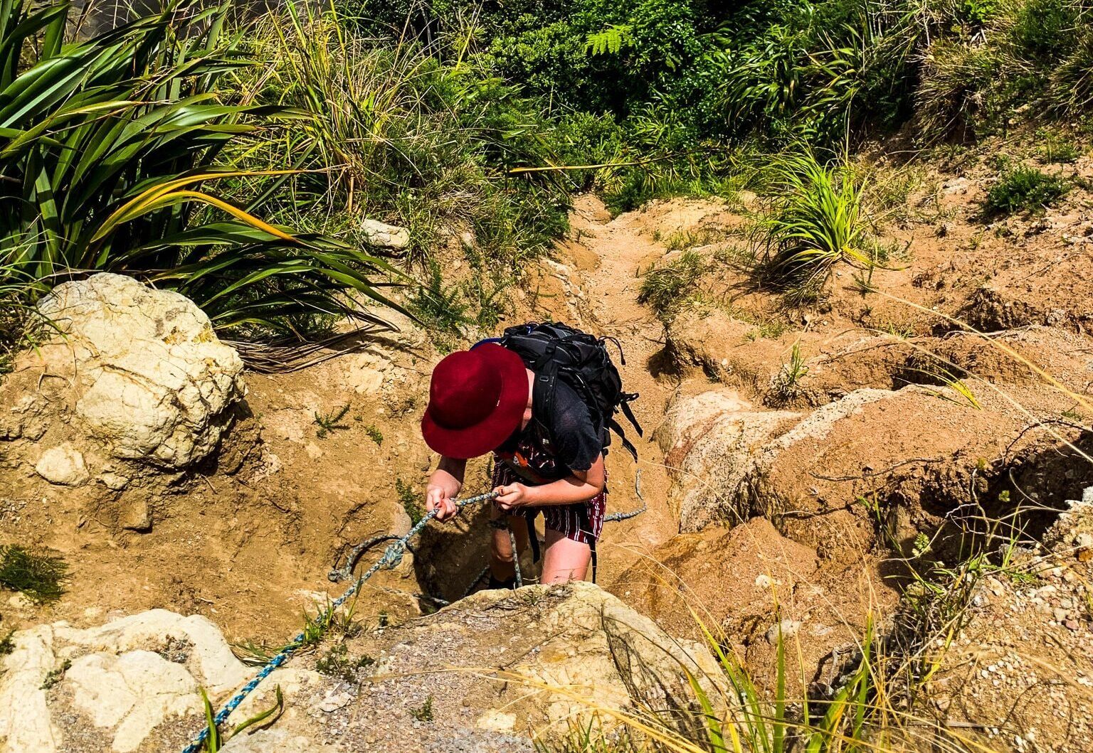
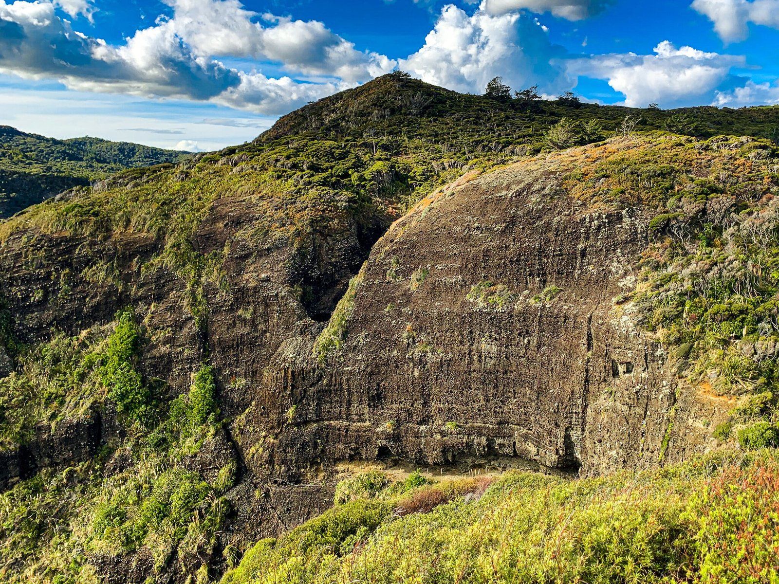
The steep tramping tack down to Mercer Bay is the most adventurous walking option in the Auckland region. There is a reasonably obvious but unmarked worn clay track from Comans as you approach the north end of Mercer Bay. You will see a warning sign as you start down what is the only flattish section of the track, then it is a series of steep drops (crumbly dirt in places) until you reach the beach.
The good news – there is only one brief section where you may feel exposed to the cliff, and in several places ropes have been laid to make it easier. But best to do this in boots, with someone else in case of an emergency and in dry weather. Make sure you have plenty of water as it is quite a slog coming back up the 200+ metre climb.
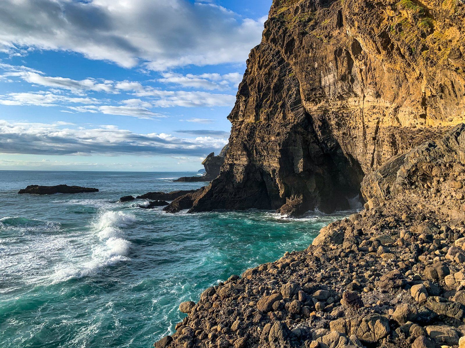
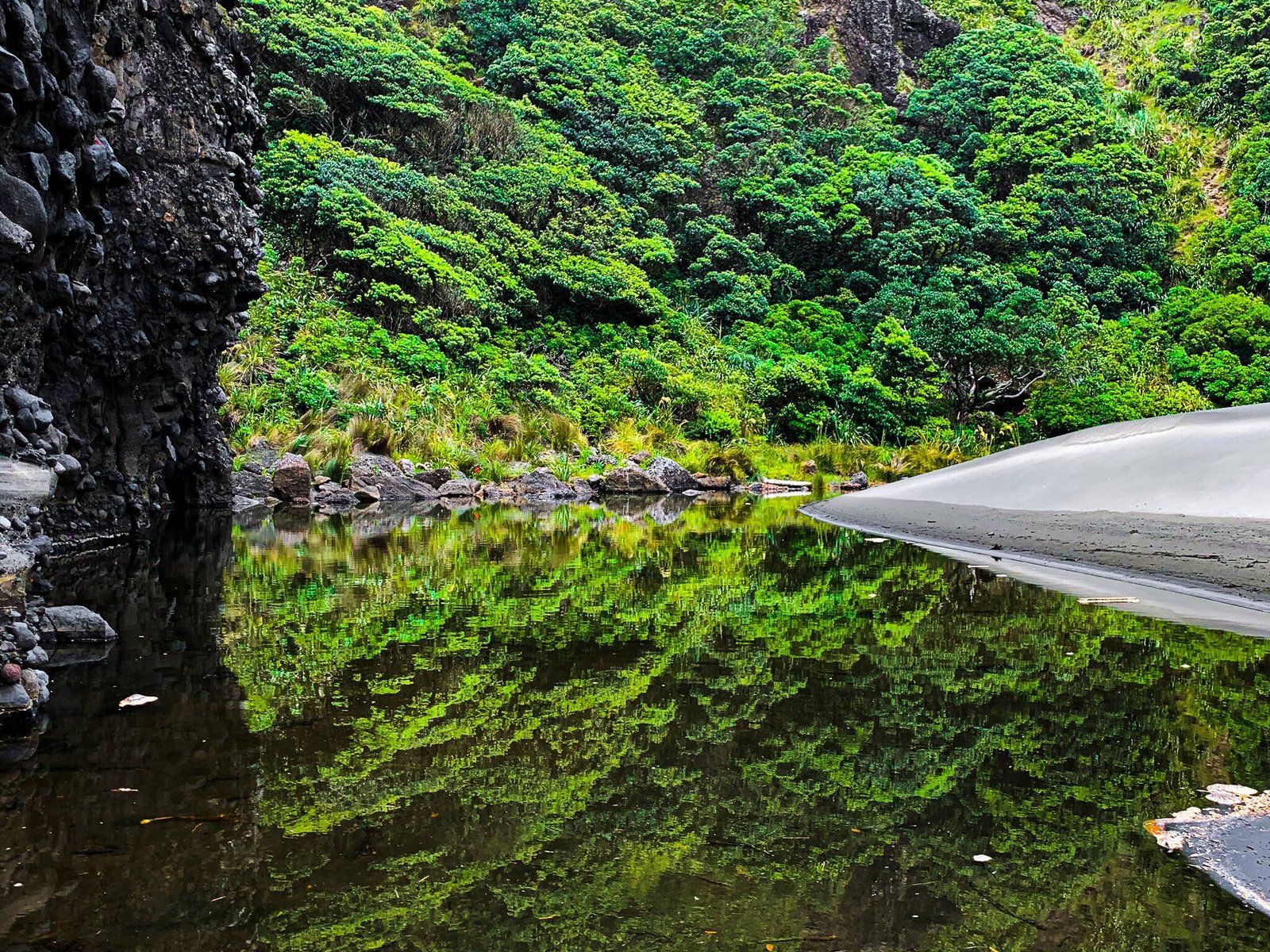
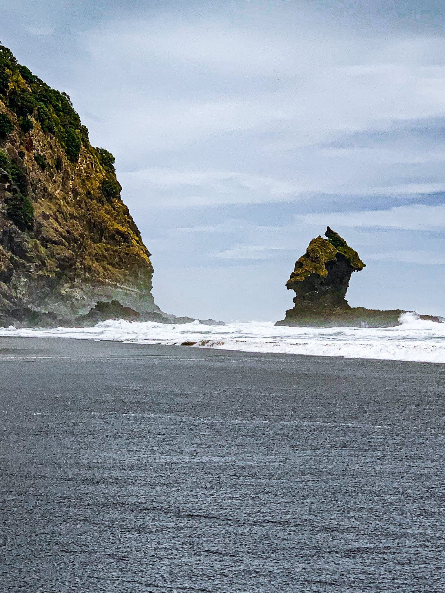
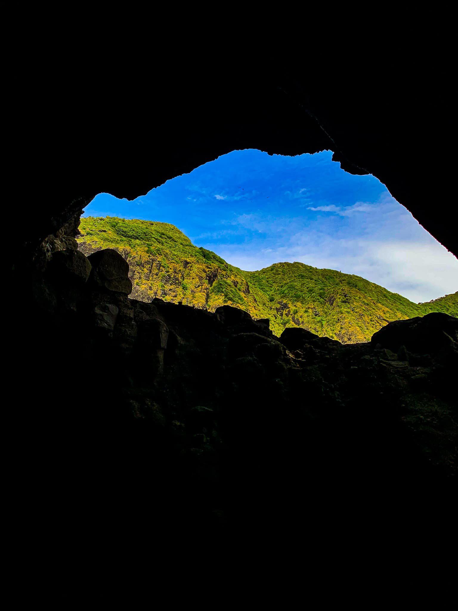
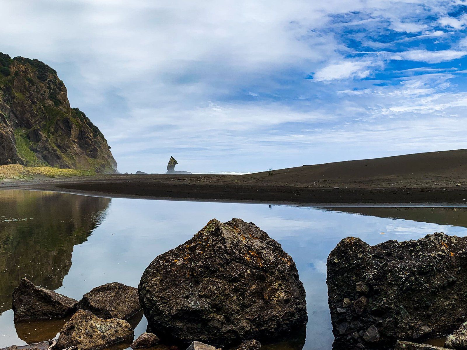
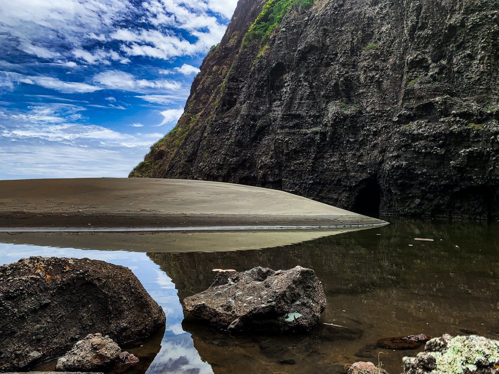
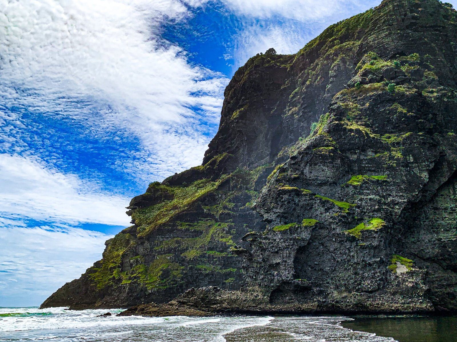
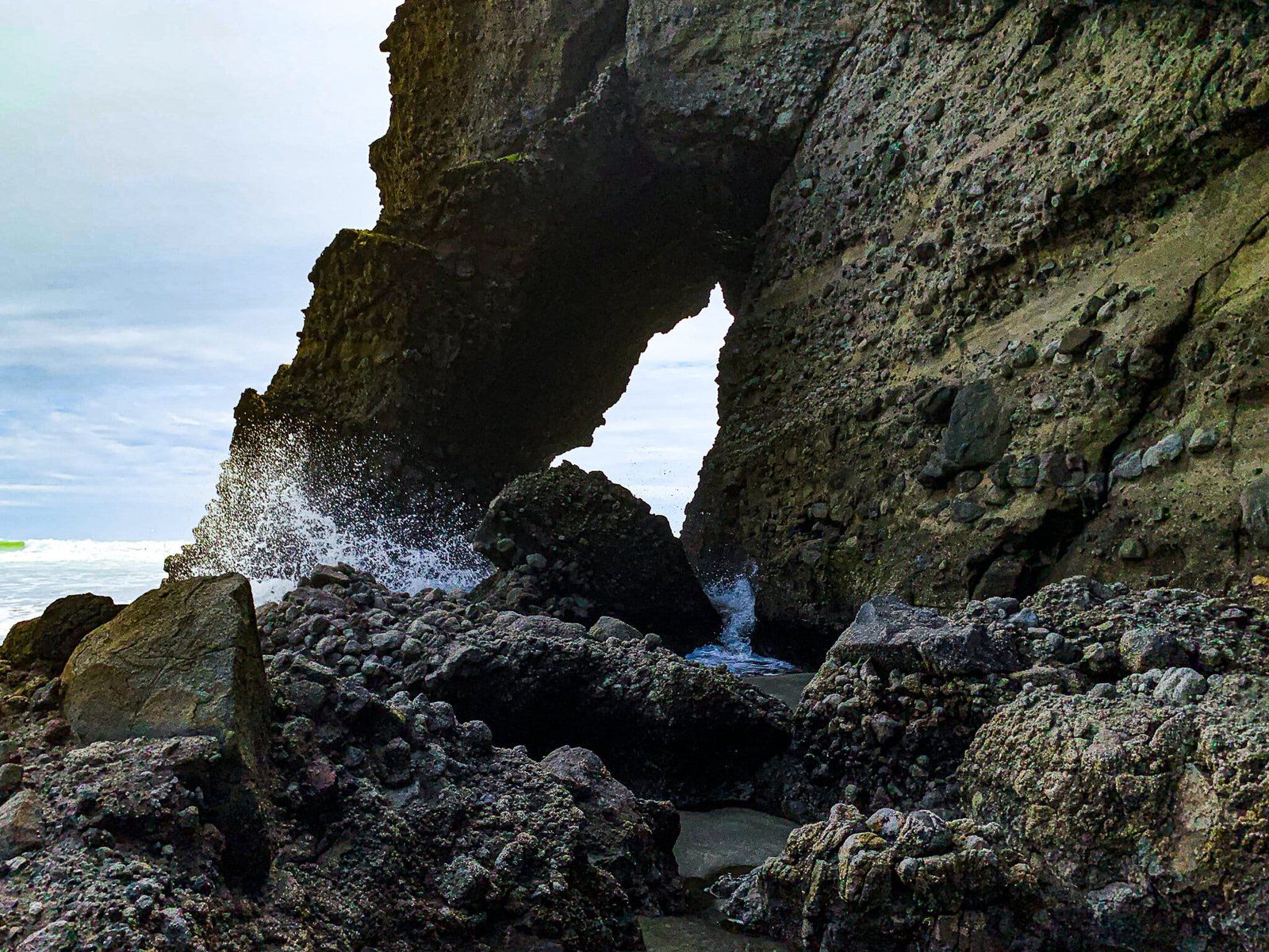
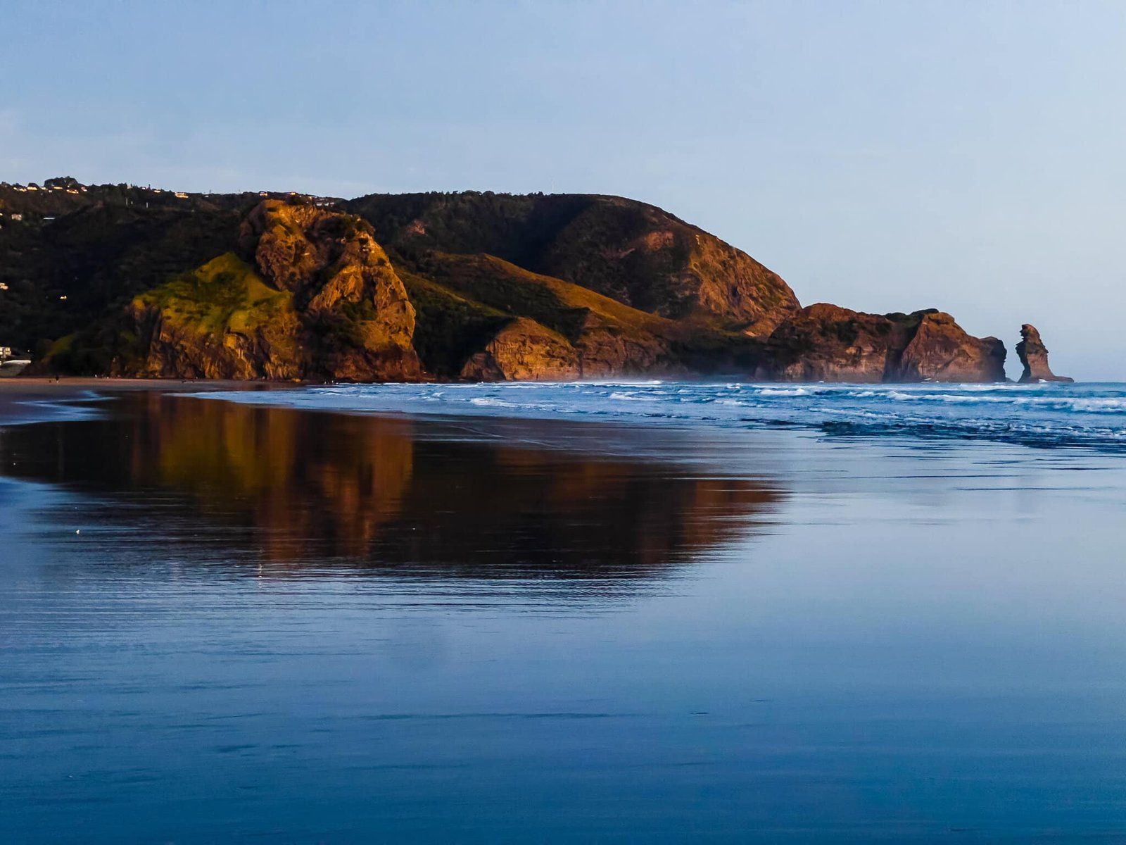
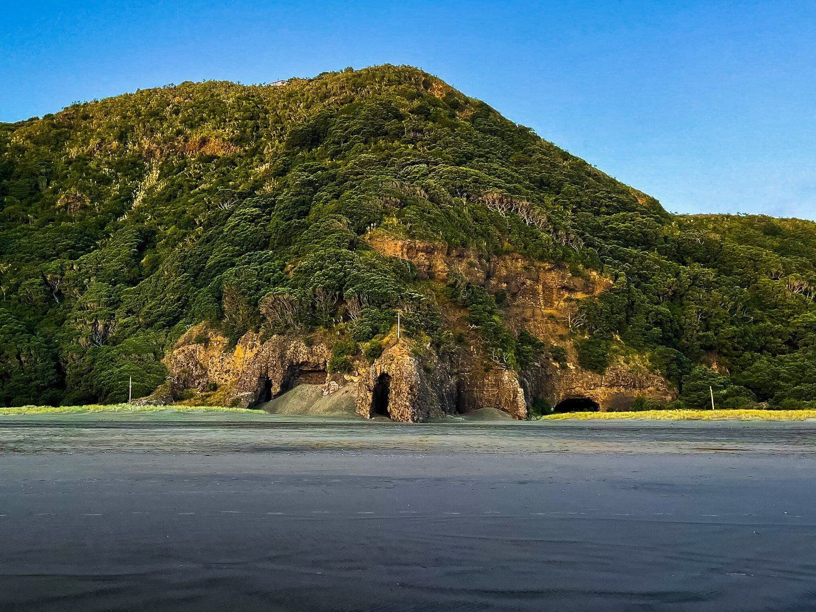
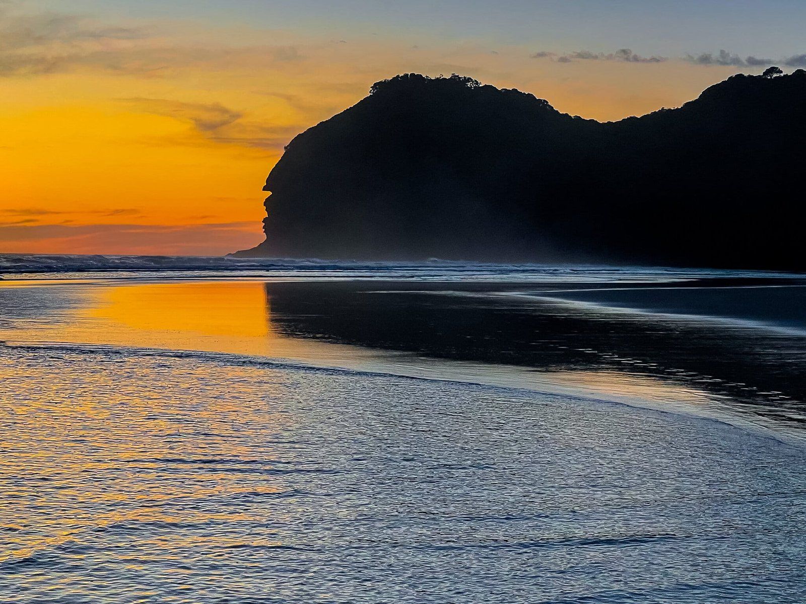
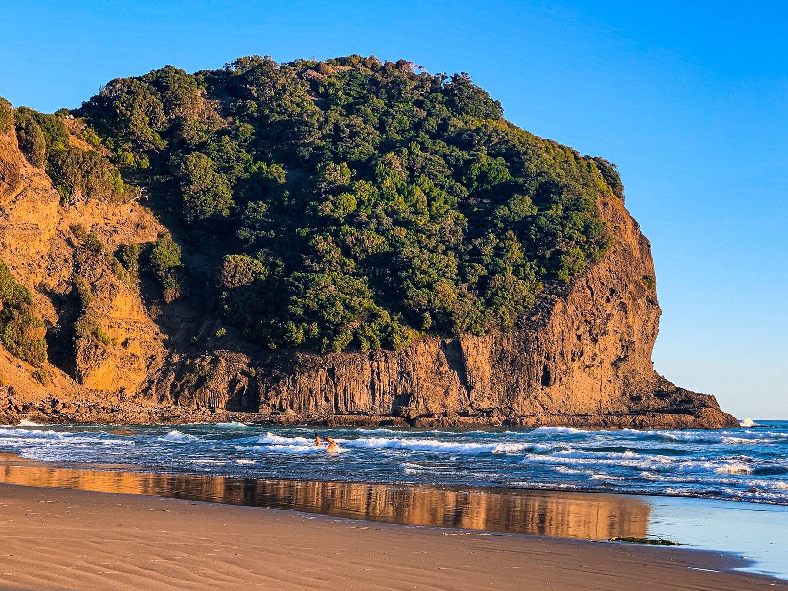
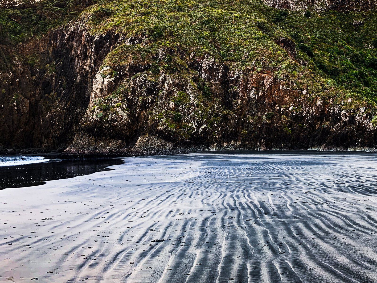
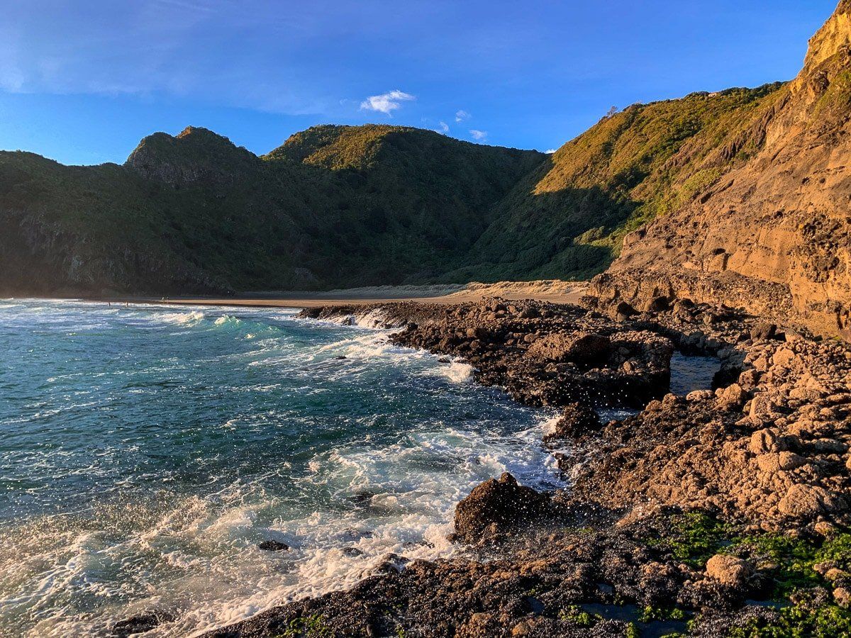
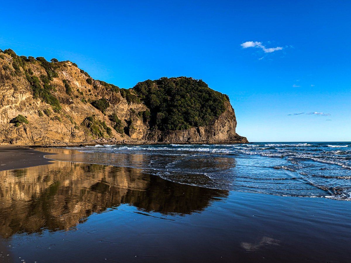
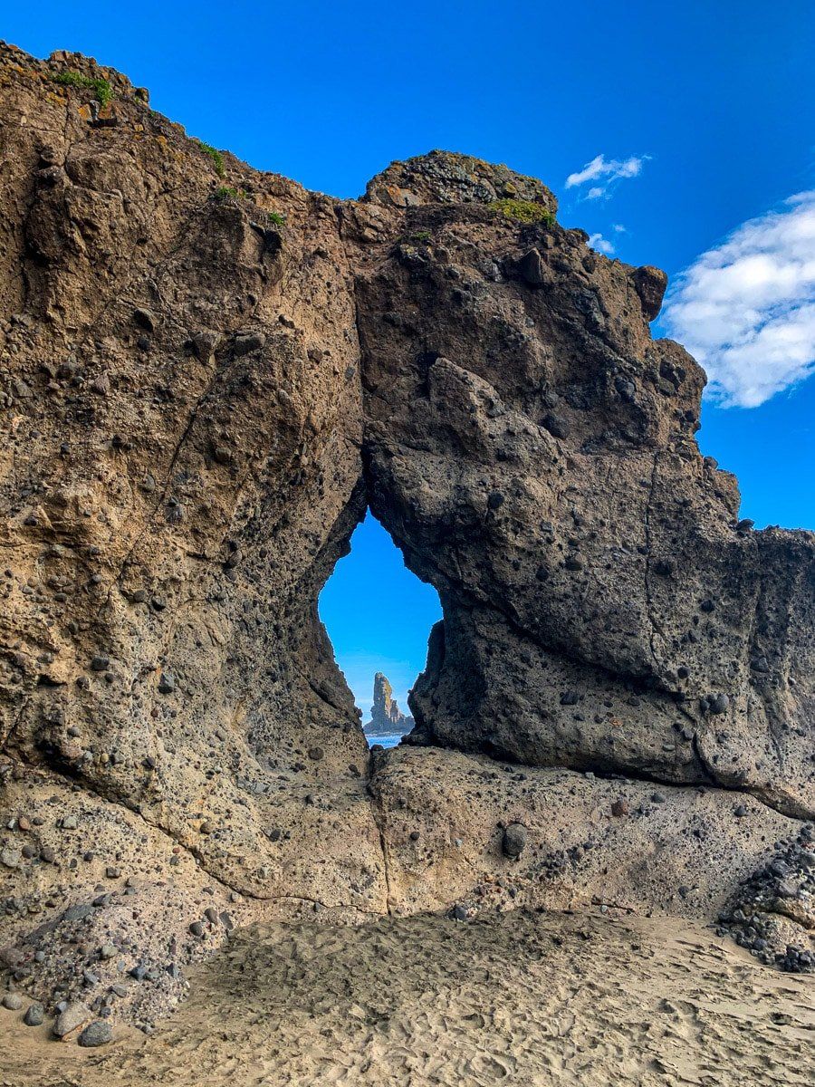
At the bottom of the walk is a lagoon which you need to cross to get to the black sand beach. Make sure you have protection for your feet if the black sand is hot as it’s a bit of a walk over a low dune to the tide line. On the right side there are some modest caves and an arch that are accessible at low tide. To the left in the surf is the unusual rock that you probably noticed from the top. From high up it looks like a handle but as you get closer it looks more like an upturned head.
It is not safe to swim in the surf, so take extreme care if you find it irresistible and never swim alone.
Mercer Bay Loop
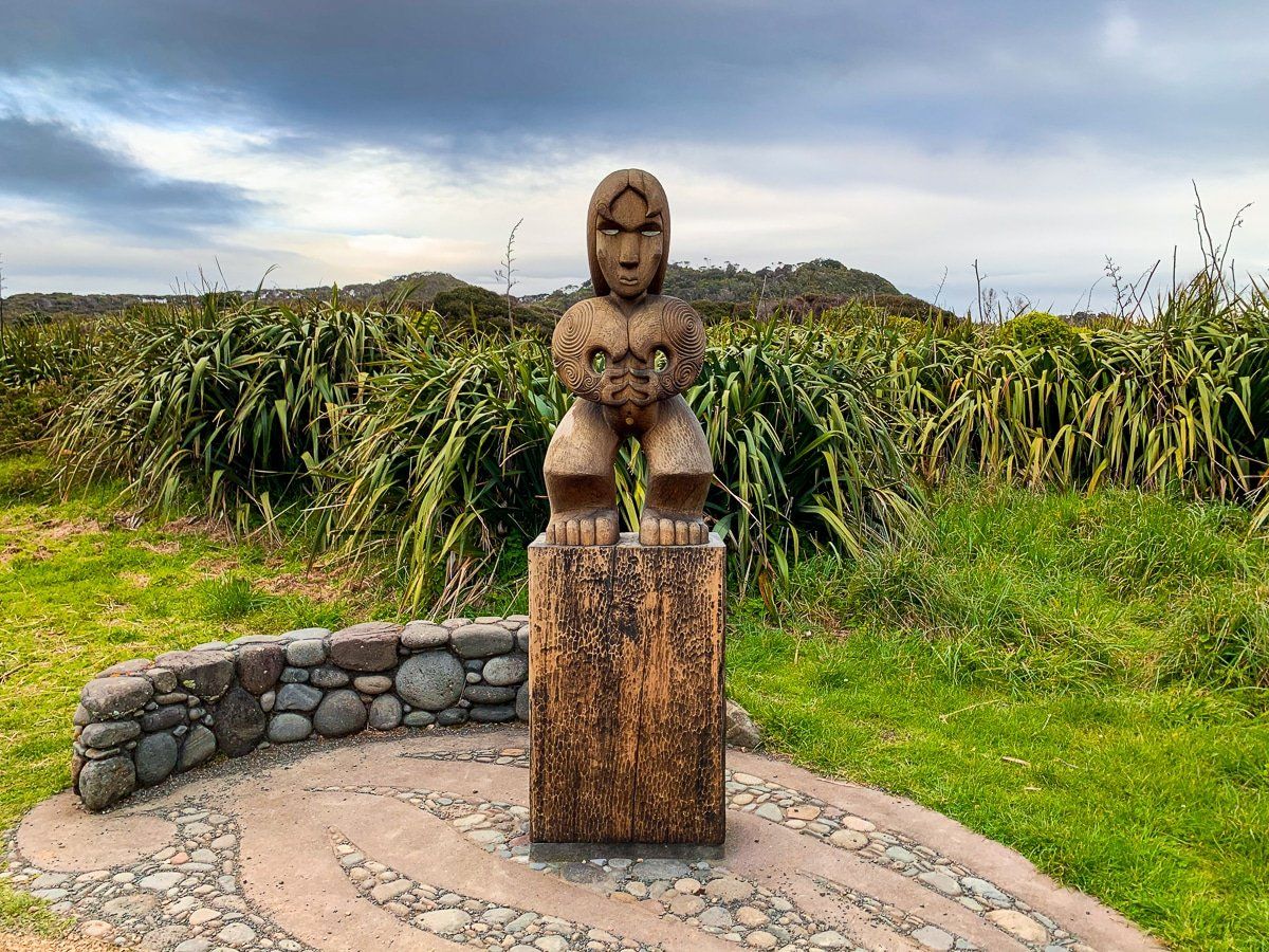
This section of the trail is a popular walk, so you are more likely to see other people. Following the coastal side of the loop from Comans, continue along the ridge above Mercer Bay to the fantastic viewpoint on Te Ahua Point. This was also a pā site and there are explanatory panels and a Māori carving to mark this.
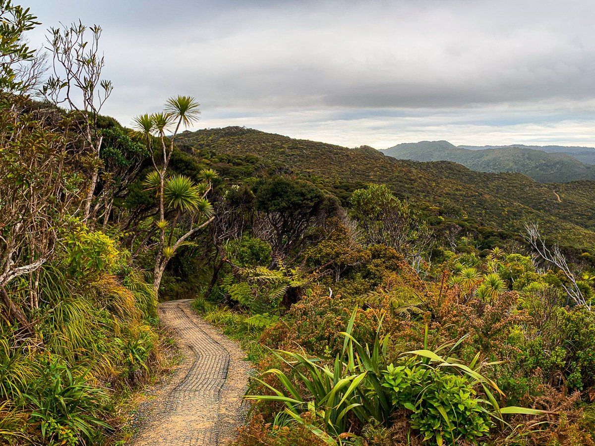
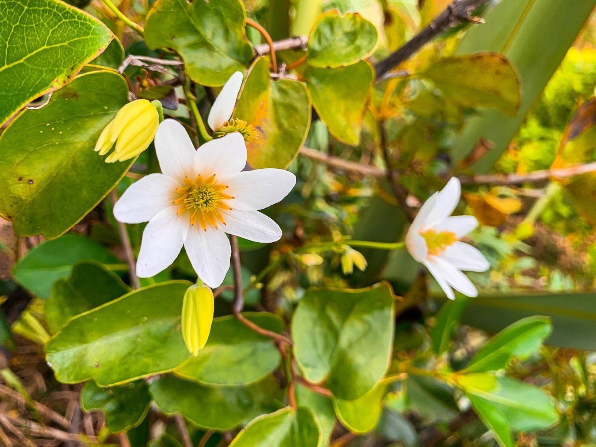
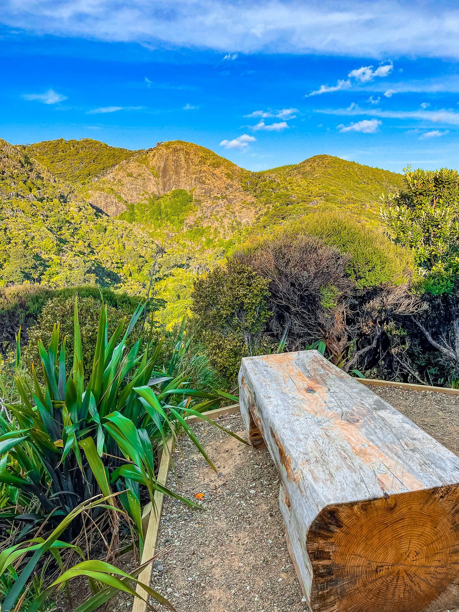
Continue north uphill on the trail through still low forest regrowth. You may even see NZ native clematis up close – puawananga. The views are also fabulous, including out to Piha as you approach the end of the track. There is quite a large parking area at the end, which is also a historic site for a WW2 radar station.
From the carpark you will need to walk about 1.25 kms along the road towards Piha Road. Then turn right and walk along Piha Rad for another 1.5 kms to the start of the Winstone Track (almost opposite the intersection of Karekare Road and Piha Road).
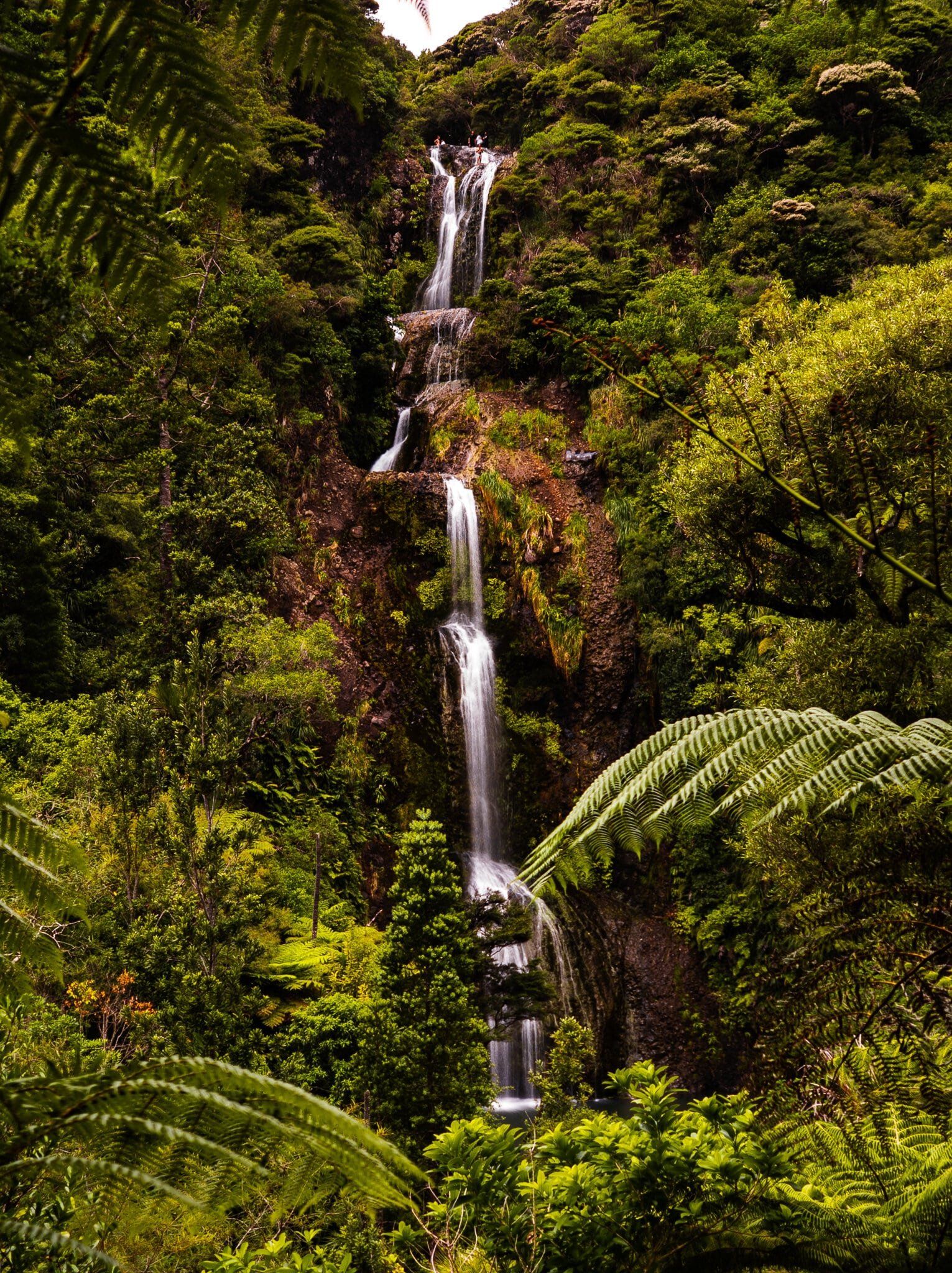
Kitekite Falls
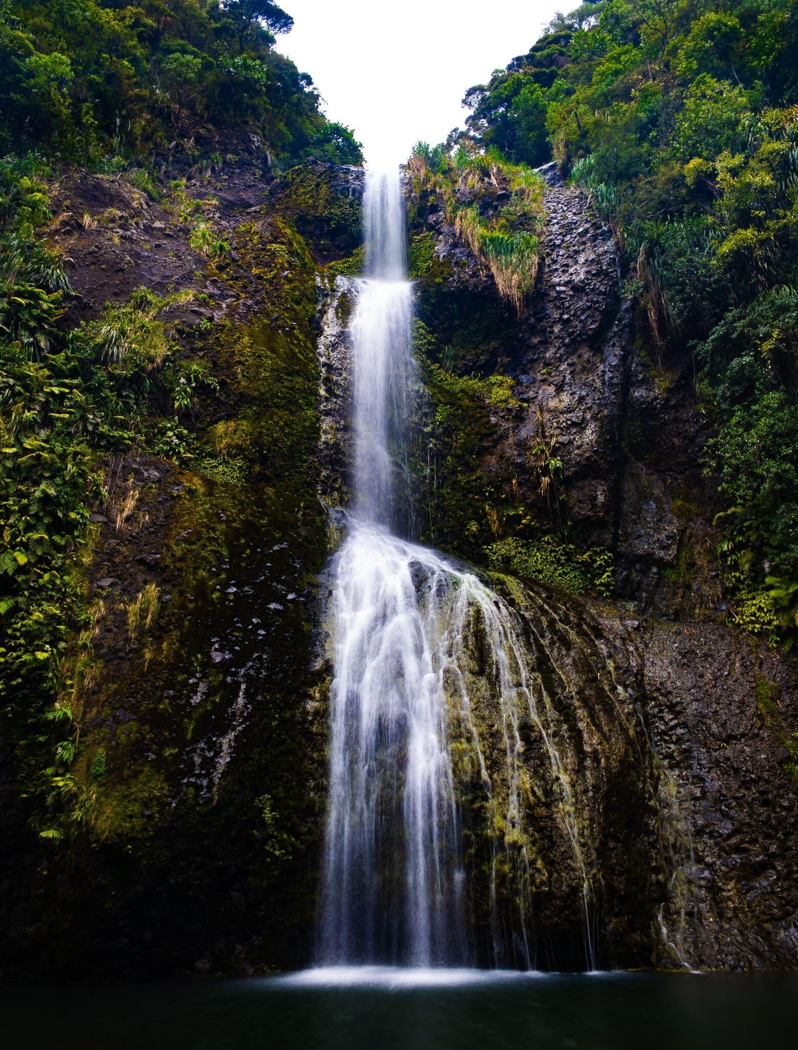
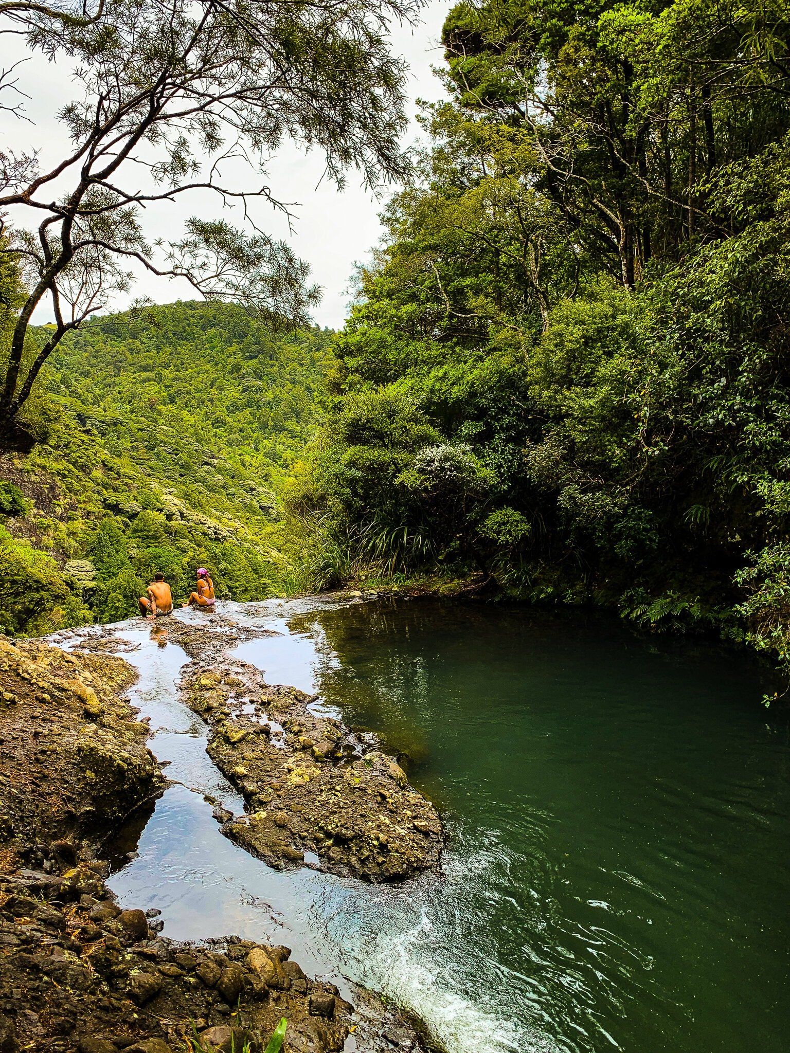
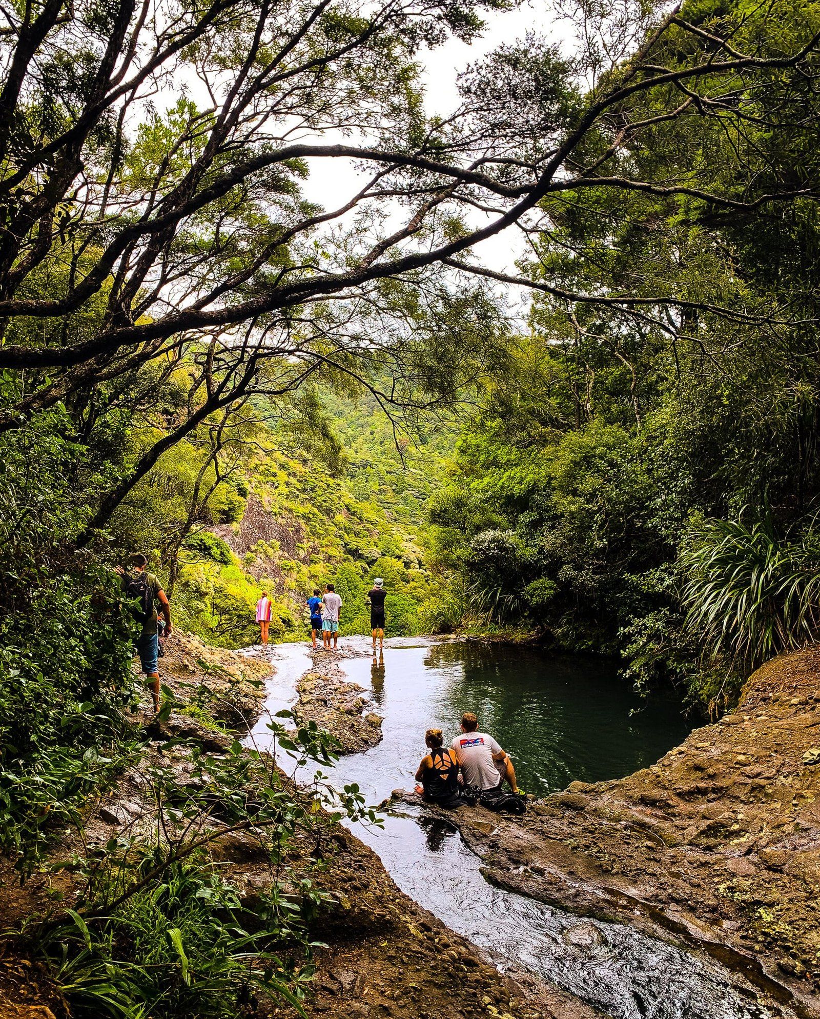
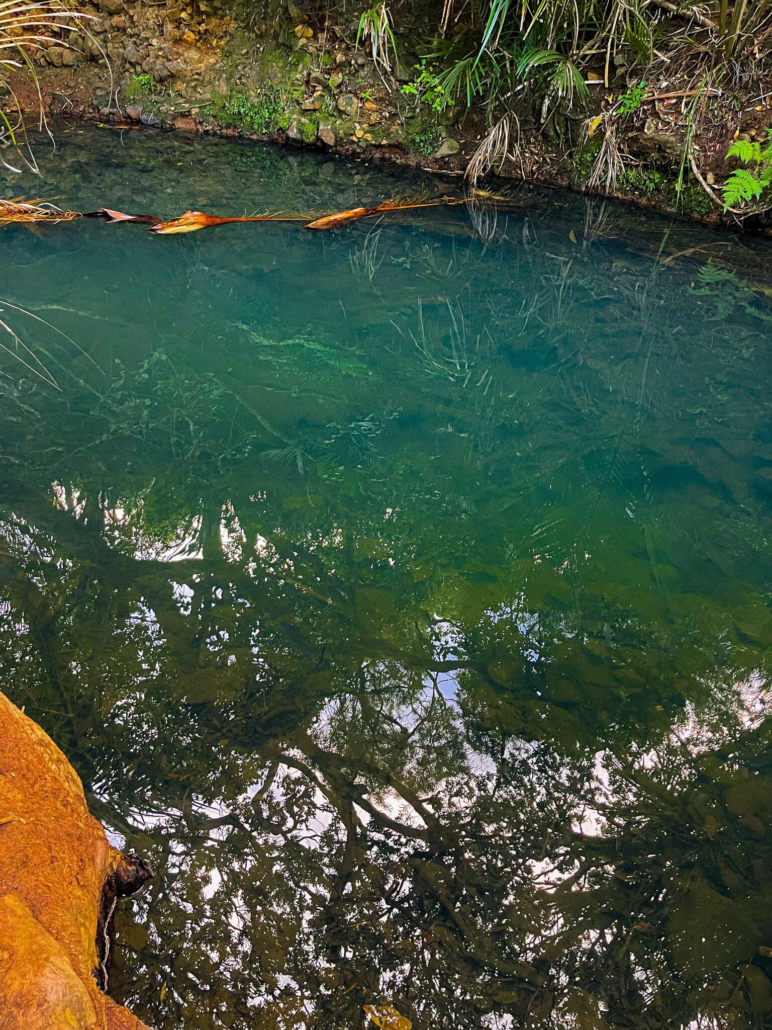
Winstone Track approaches Kitekite Falls (also Kitakita) from the top of the 80 metre falls. You can bathe in the pools above the falls, including a pool immediately above the first drop.
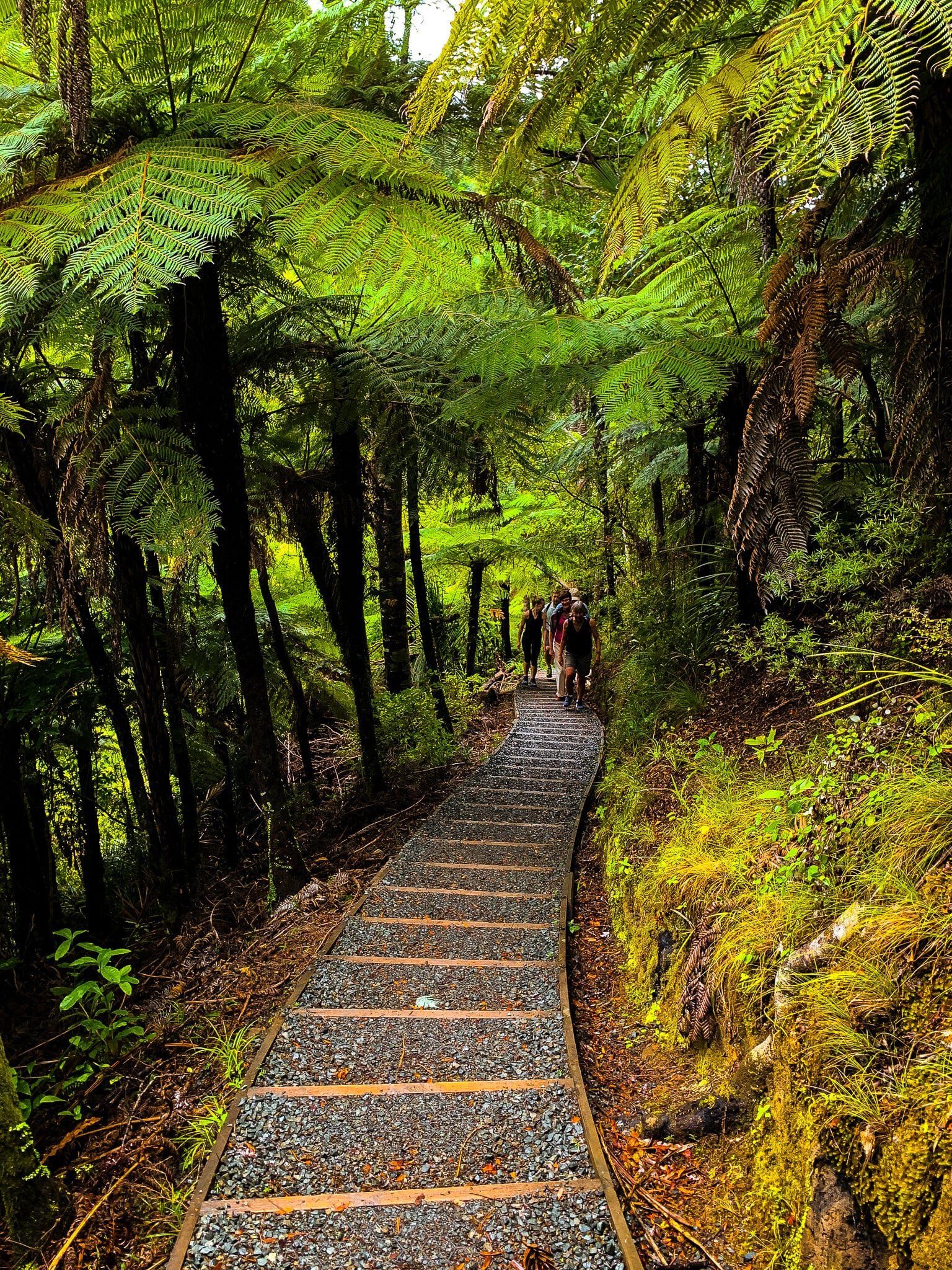
Then walk down to the base of the falls through regenerating kauri forest, with numerous kauri rickers (baby trees). From the base, you can take a track on either side of the stream below the falls. But only the one on the south side will give you a view of the full extent of the waterfall. Either way, the walk back to the carpark at the start of the track is through a beautiful section of forest regrowth. From the car park follow Glenesk Road into Piha.
Amazing to imagine, but in the 1800s, when colonists were busy cutting down all the trees, there was actually a dam at the top of the falls for flushing kauri logs. They only tried it once!
Piha
Glenesk Road connects with Seaview Road, pretty much in the middle of the small town of Piha. Go right onto Seaview, then onto Marine Parade to reach the next section of the trail – Marawhara Track – which is signposted about half away along North Piha Beach. Access to the campground is on the way, opposite the Piha Cafe.
Piha is the premier holiday location for Aucklanders on the west coast, but still quite small with just 3 cafes and restaurants and a couple of shops. In addition to the campground there is a reasonable amount of Airbnb and bach accommodation.
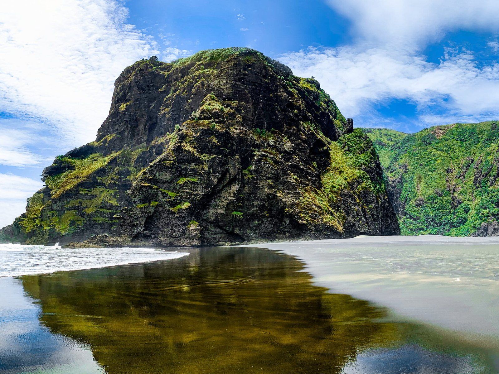
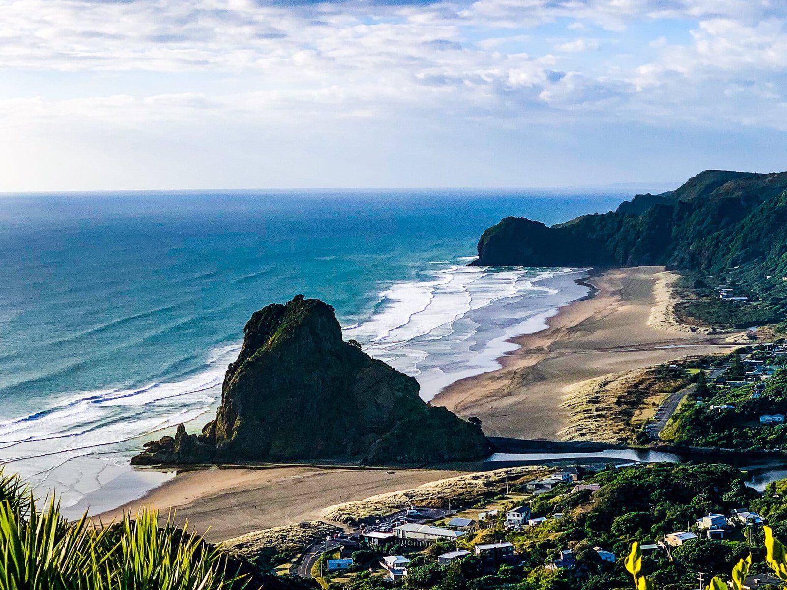
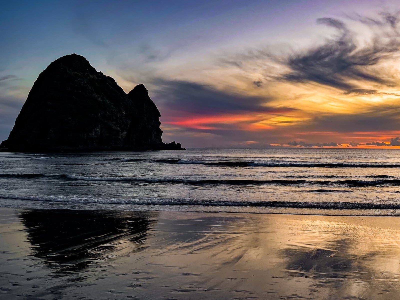
Given how amazingly beautiful it is, it continues to surprise us how traditional and kiwi it still is. It is surrounded by high hills, cliffs and forest with some of the best surfing in the North Island. If you want to swim, the main surf patrol area is at the south end of the beach, between Taitomo Island and Lion Rock. Like all west coast beaches, it is not safe outside the flags.
There are many great short walks and viewpoints around Piha as well, which we have covered in other blogs.
Marawhara Track
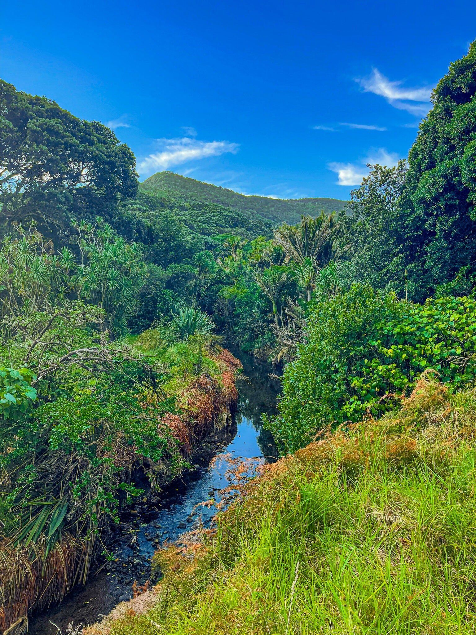
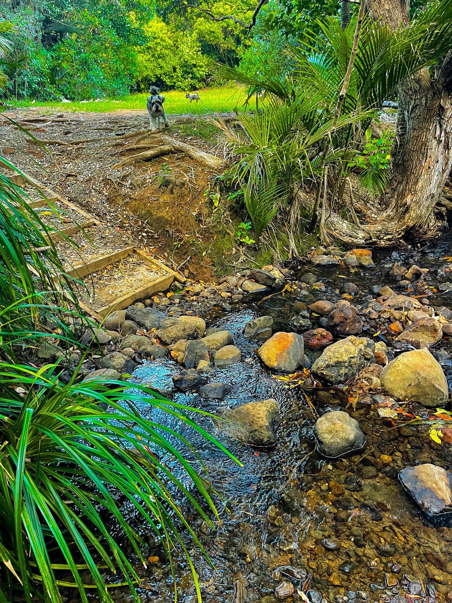
The next section of the trail is the Marawhara Track. Access is signposted on Marine Parade, heading towards the north end of the beach. If you go past the North Piha surf life saving facility, you have gone too far. It is an easy and short (few minutes) forest walk that takes you to a grassed area beside the intersection of the Marawhara and Whakatai streams, which is also the start of White Track. From there it becomes an uphill hike to Anawhata Road
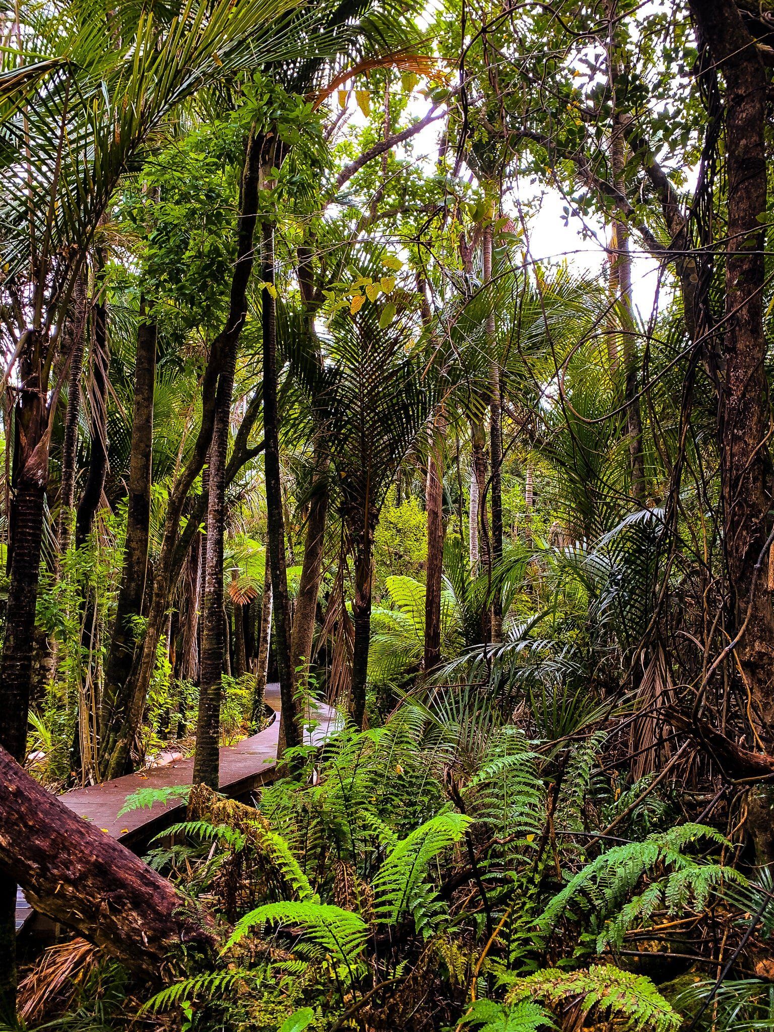
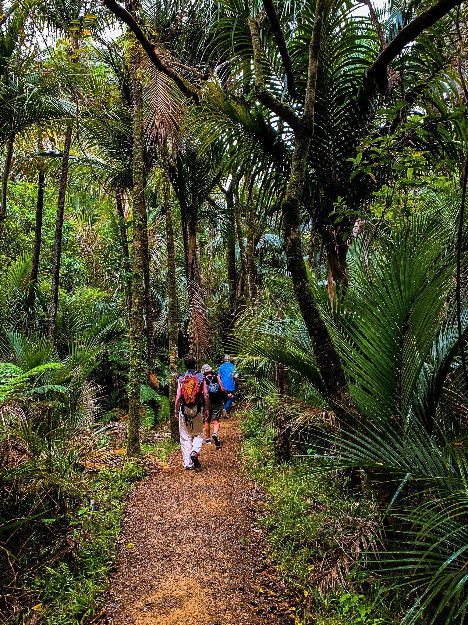
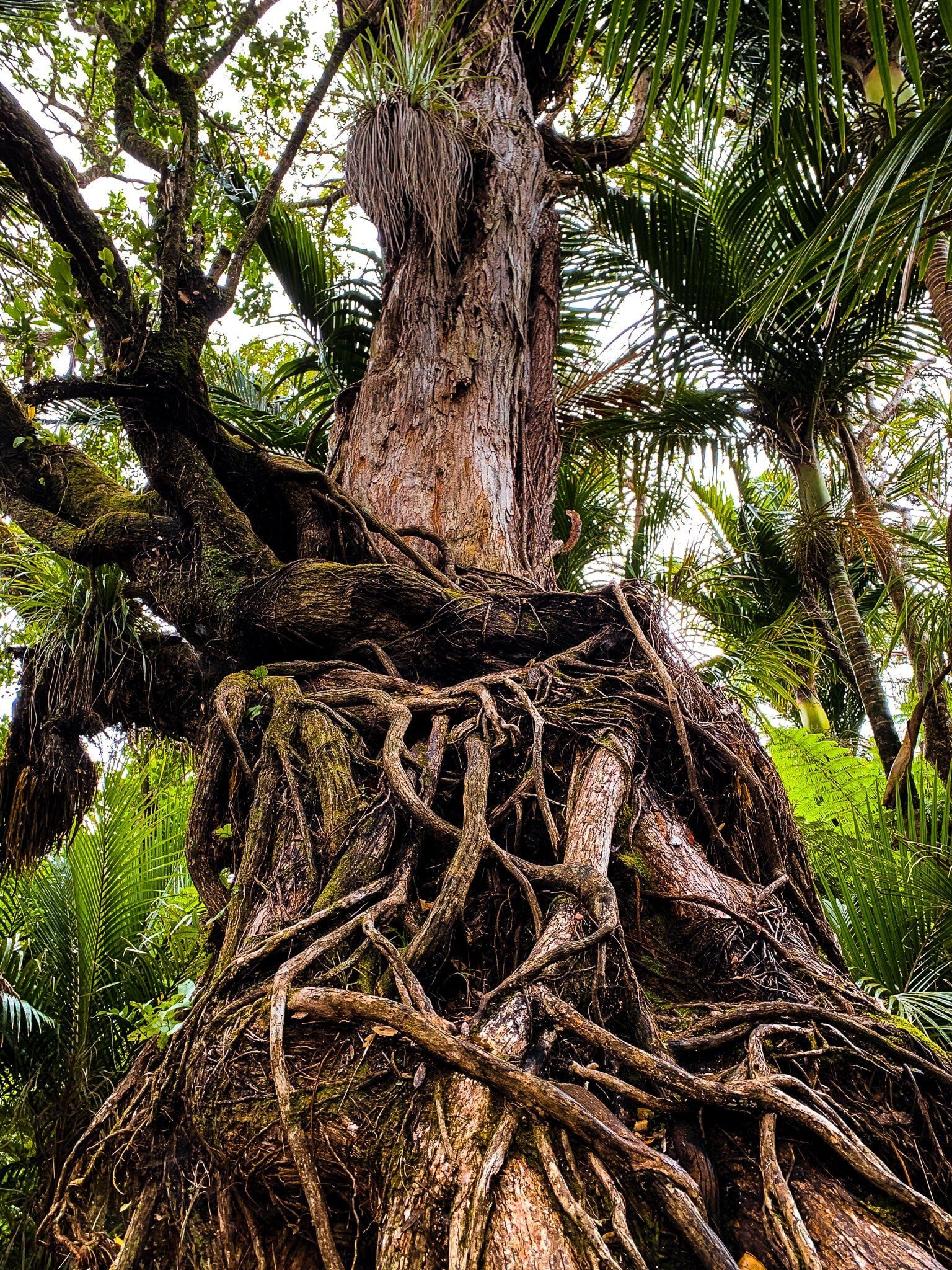
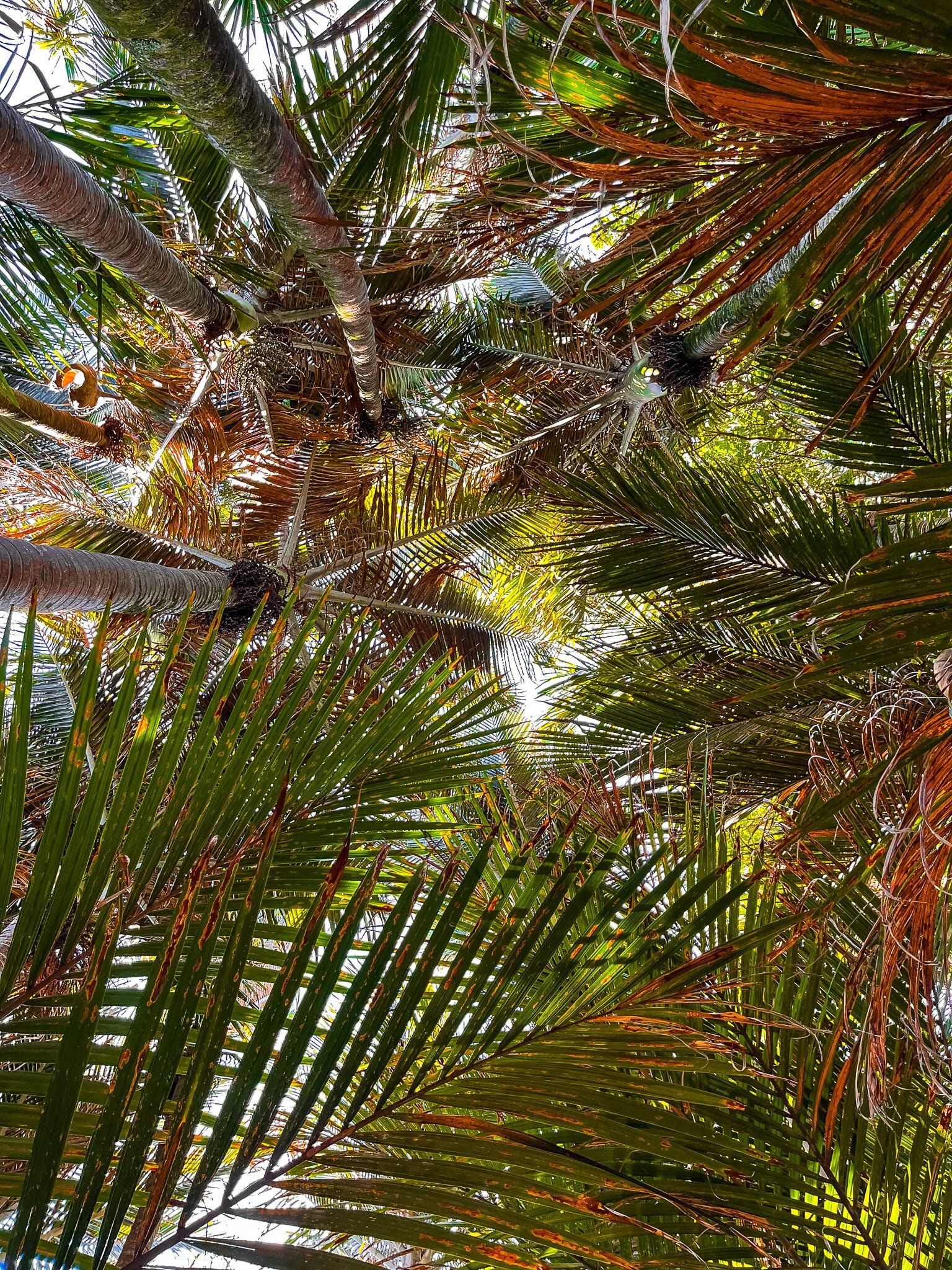
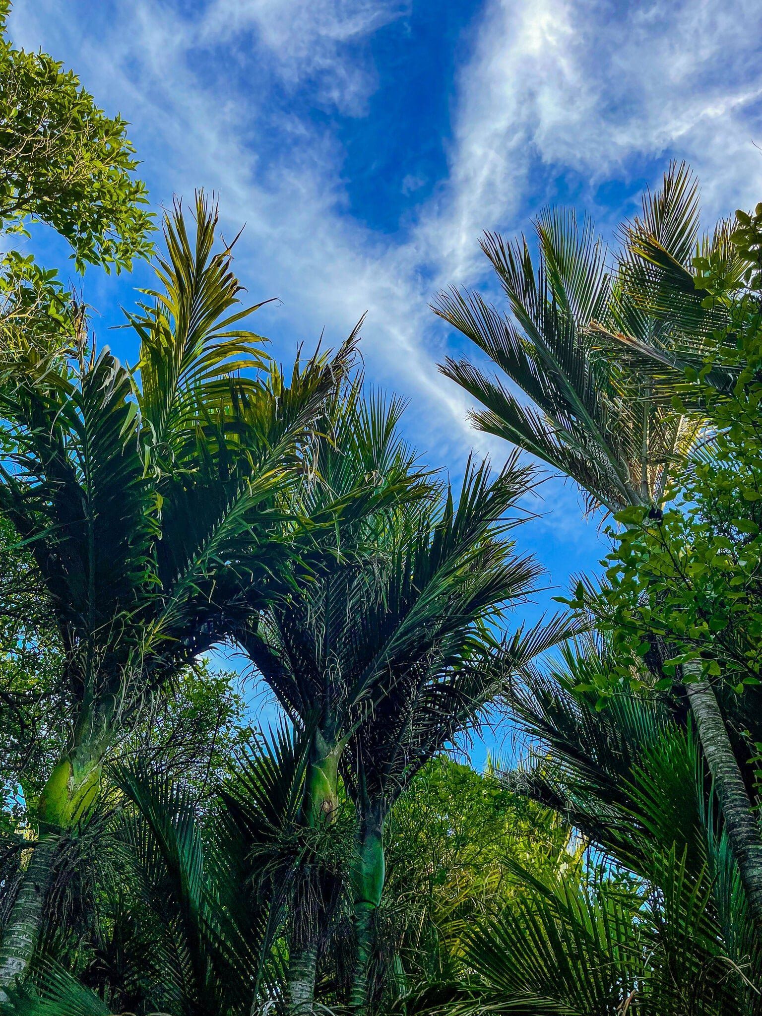
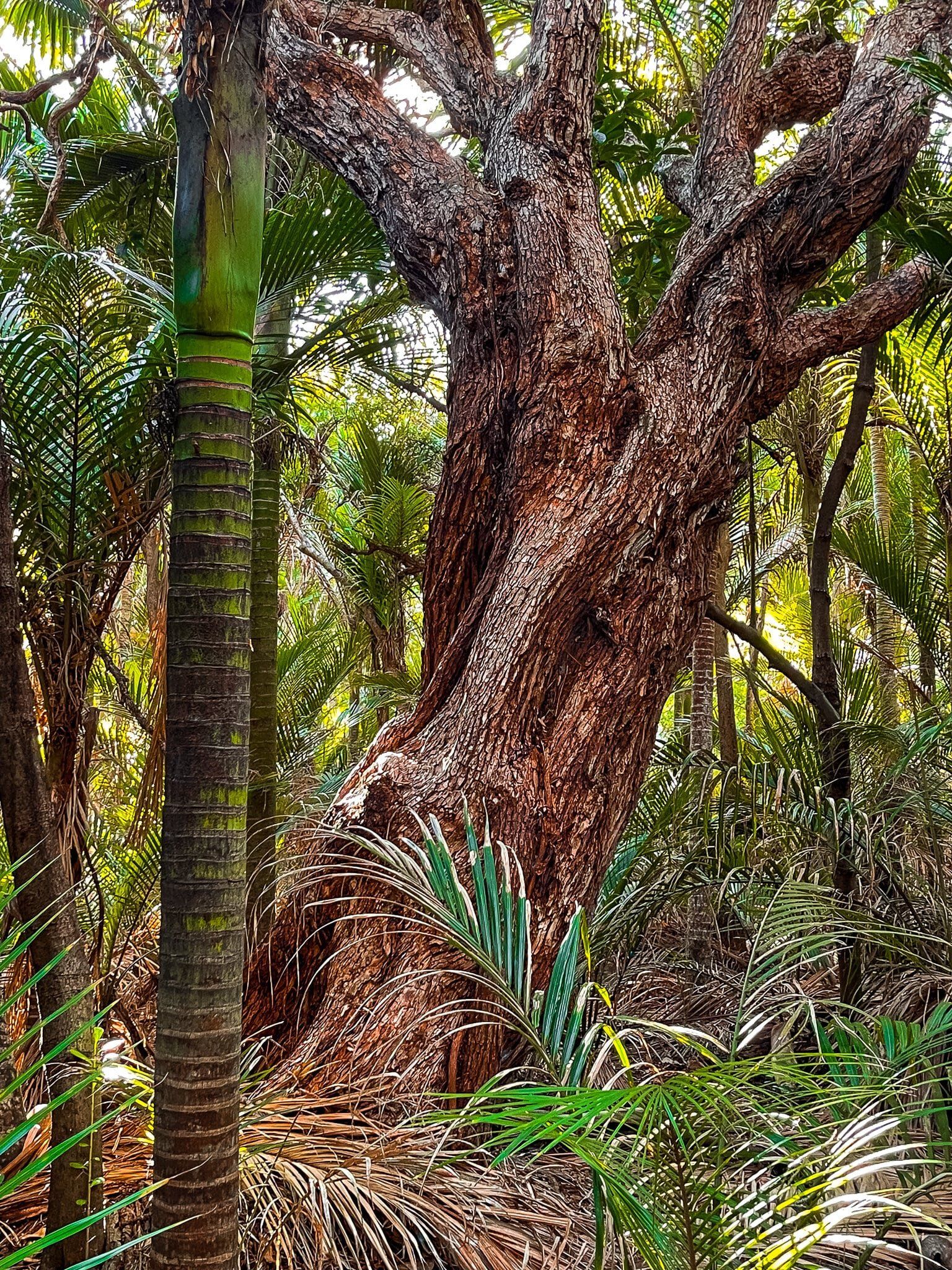
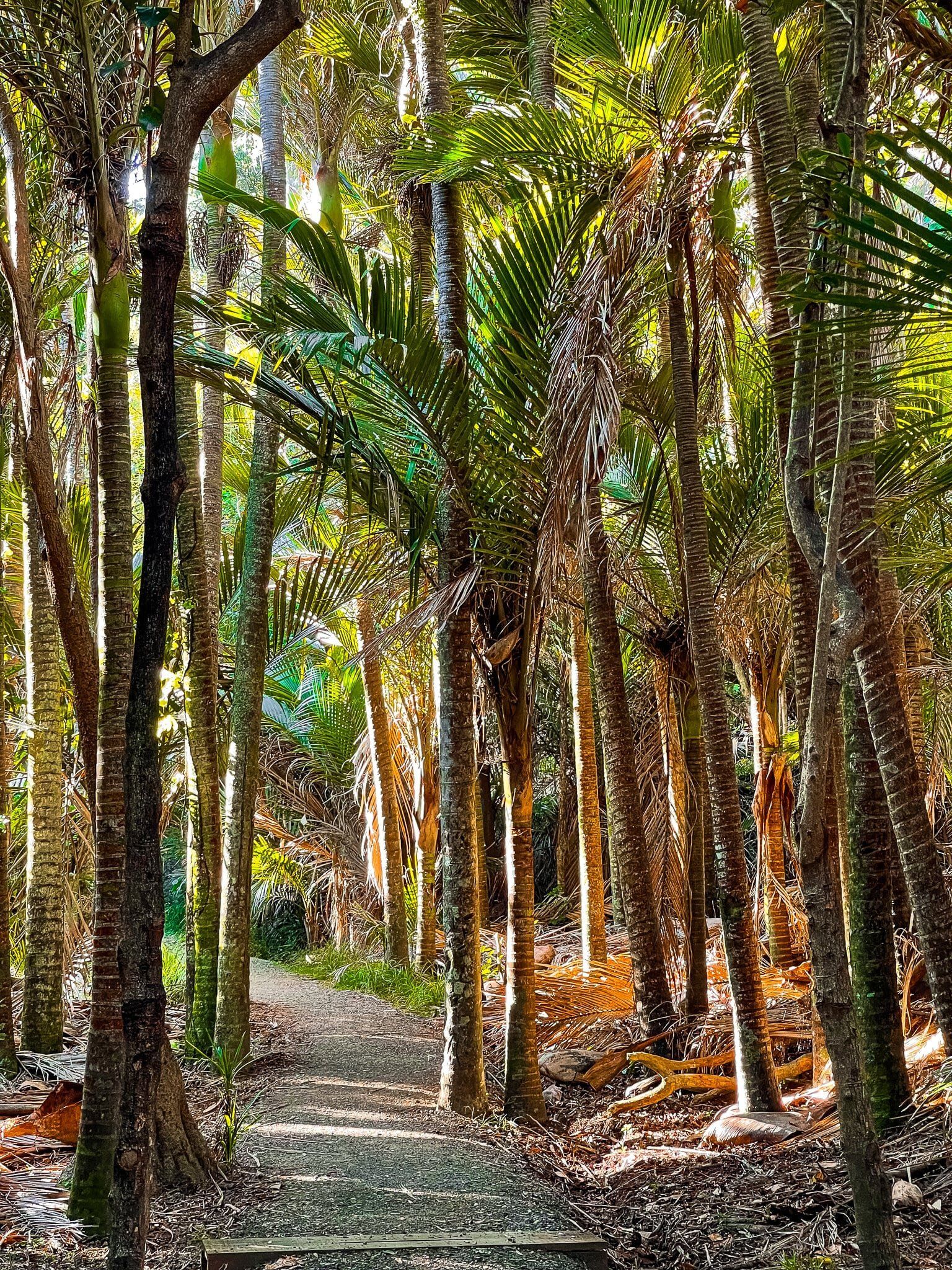
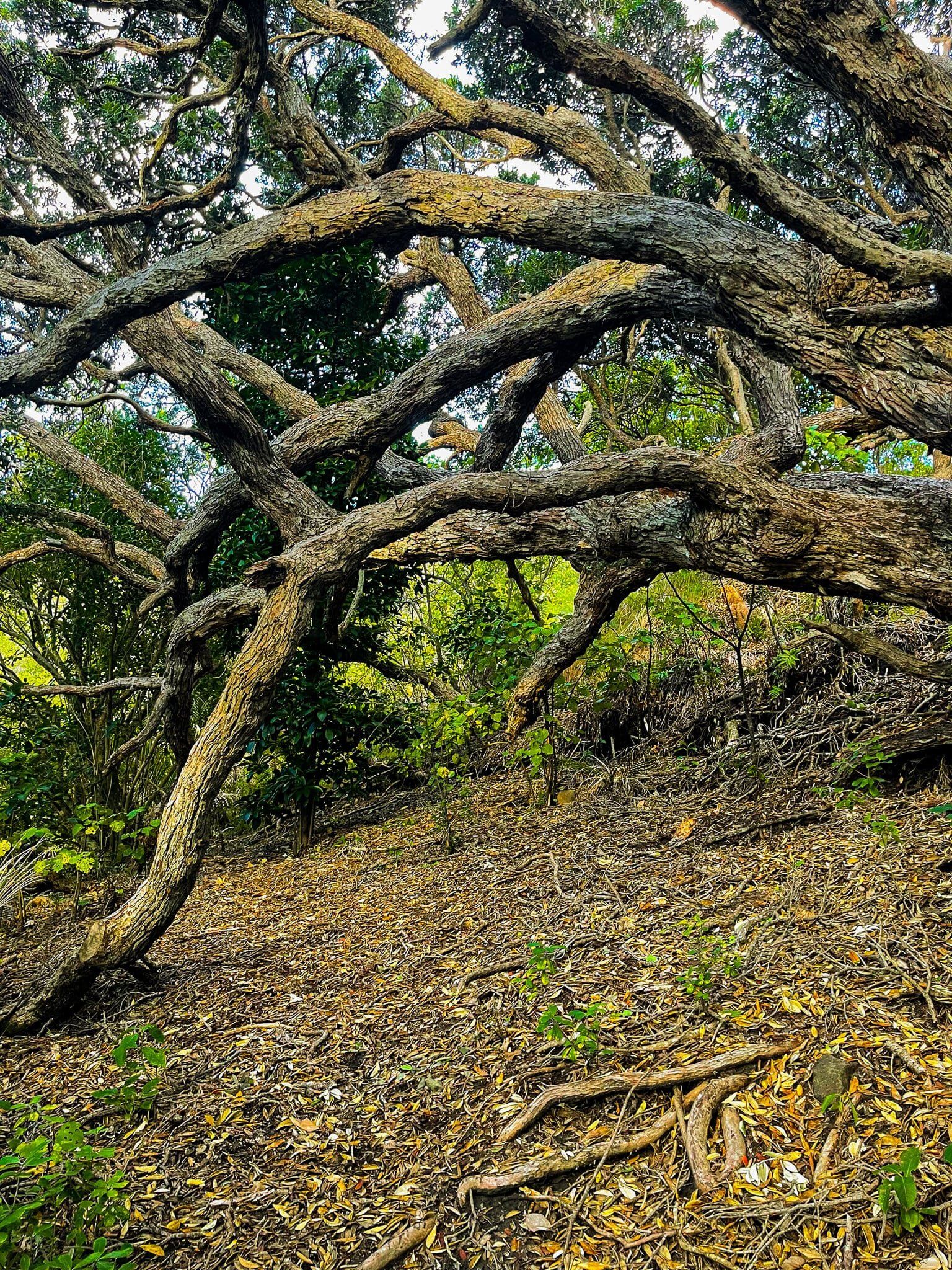
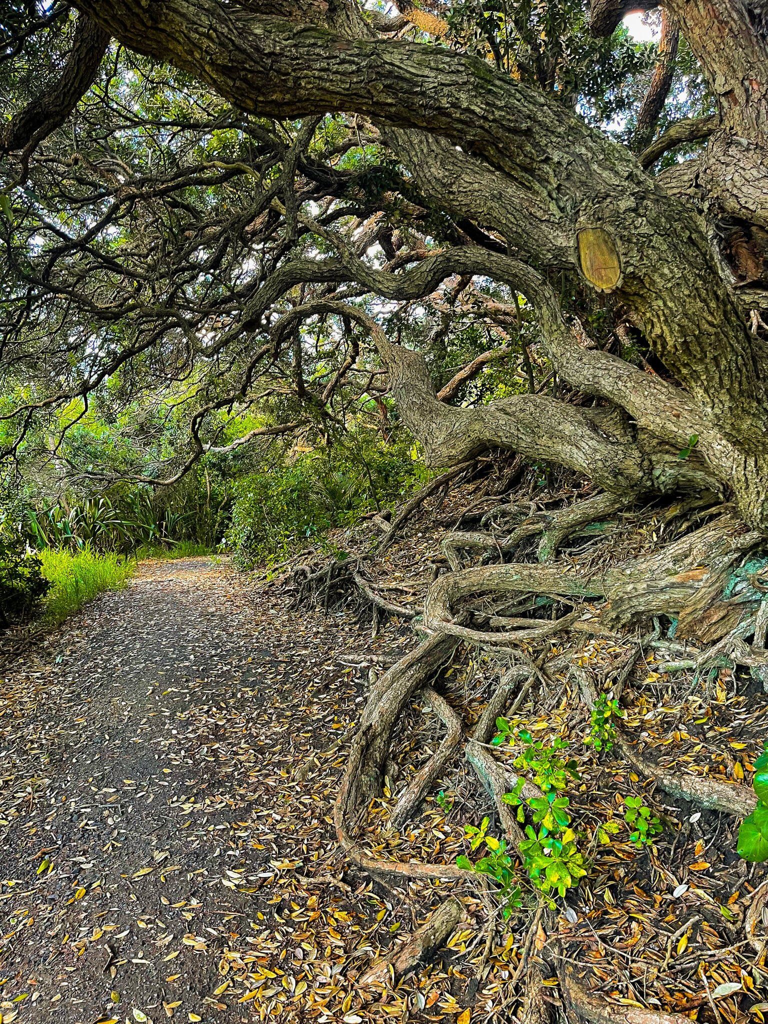
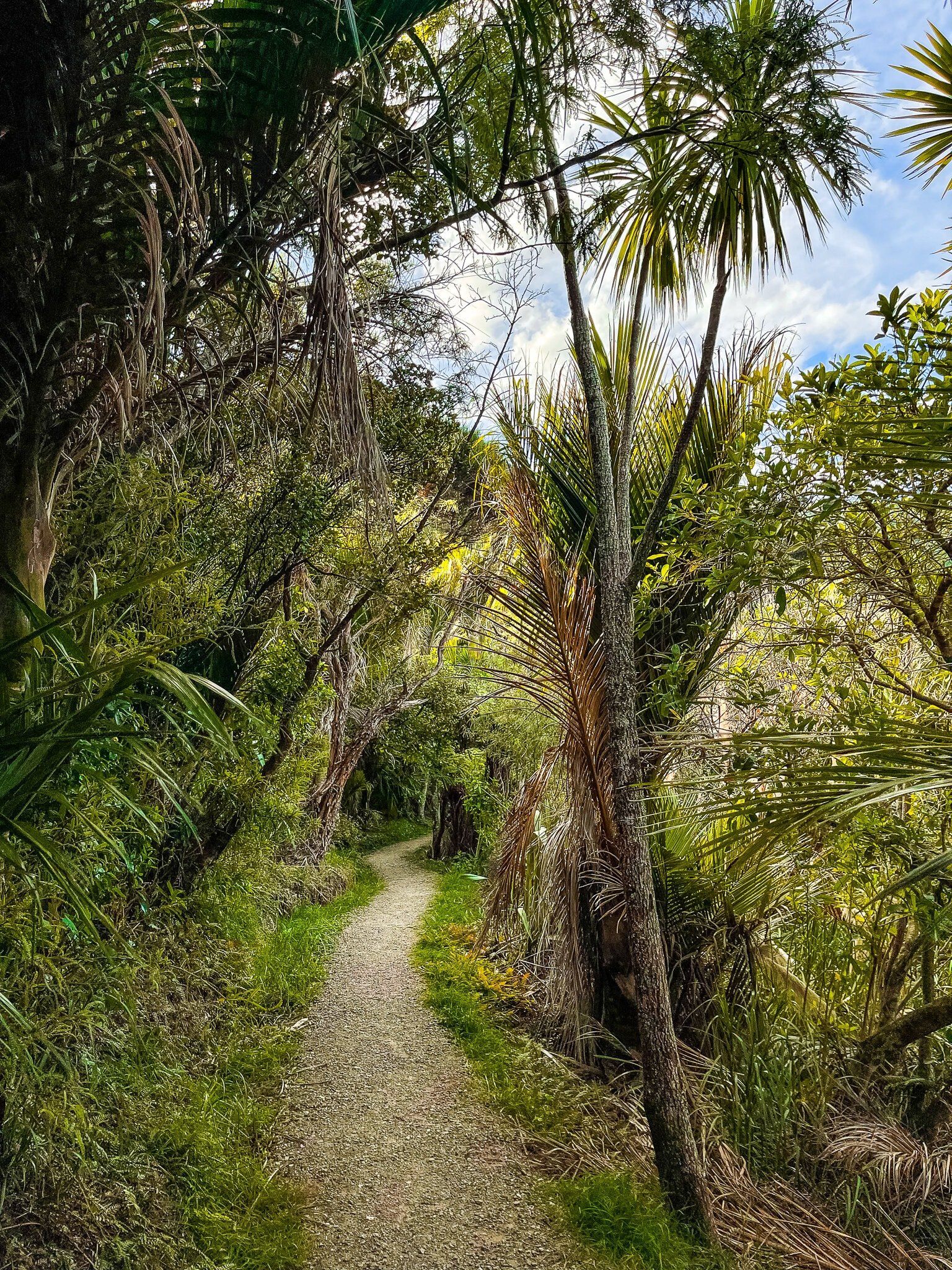
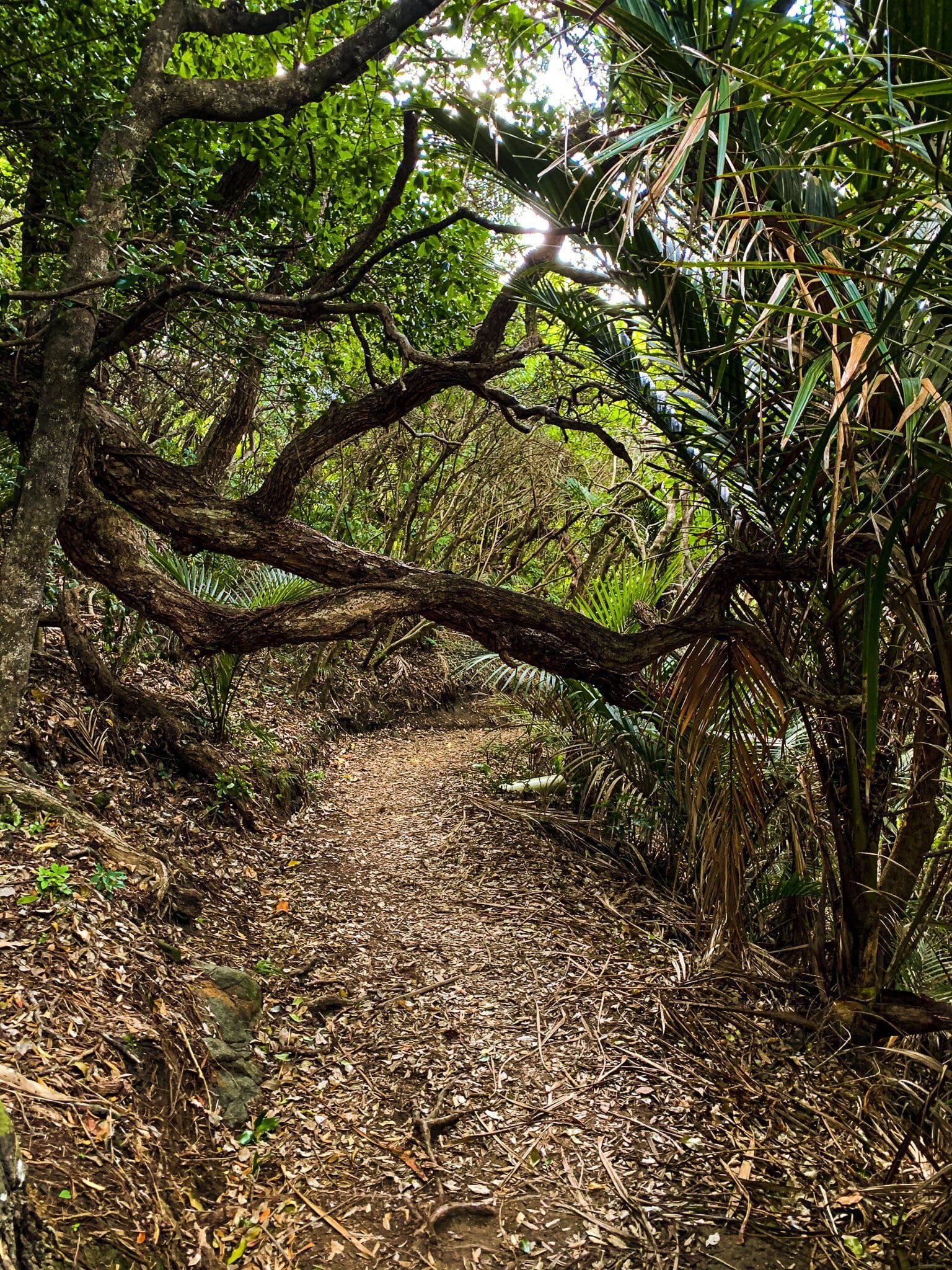
The best feature of the walk are the nikau palms that dominate this section of the recovering forest. There are also several reasonably mature pōhutukawa trees.
White Track
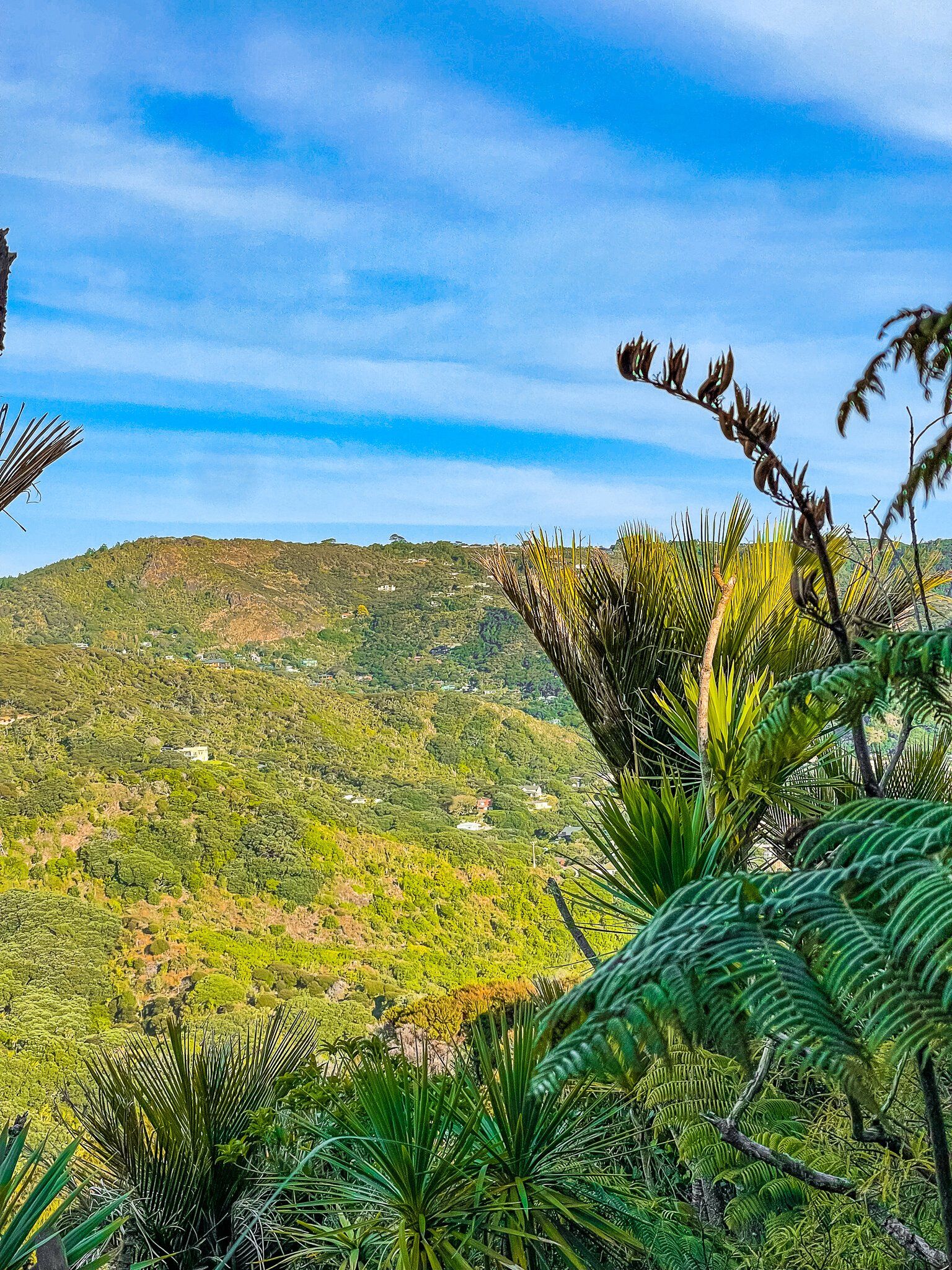
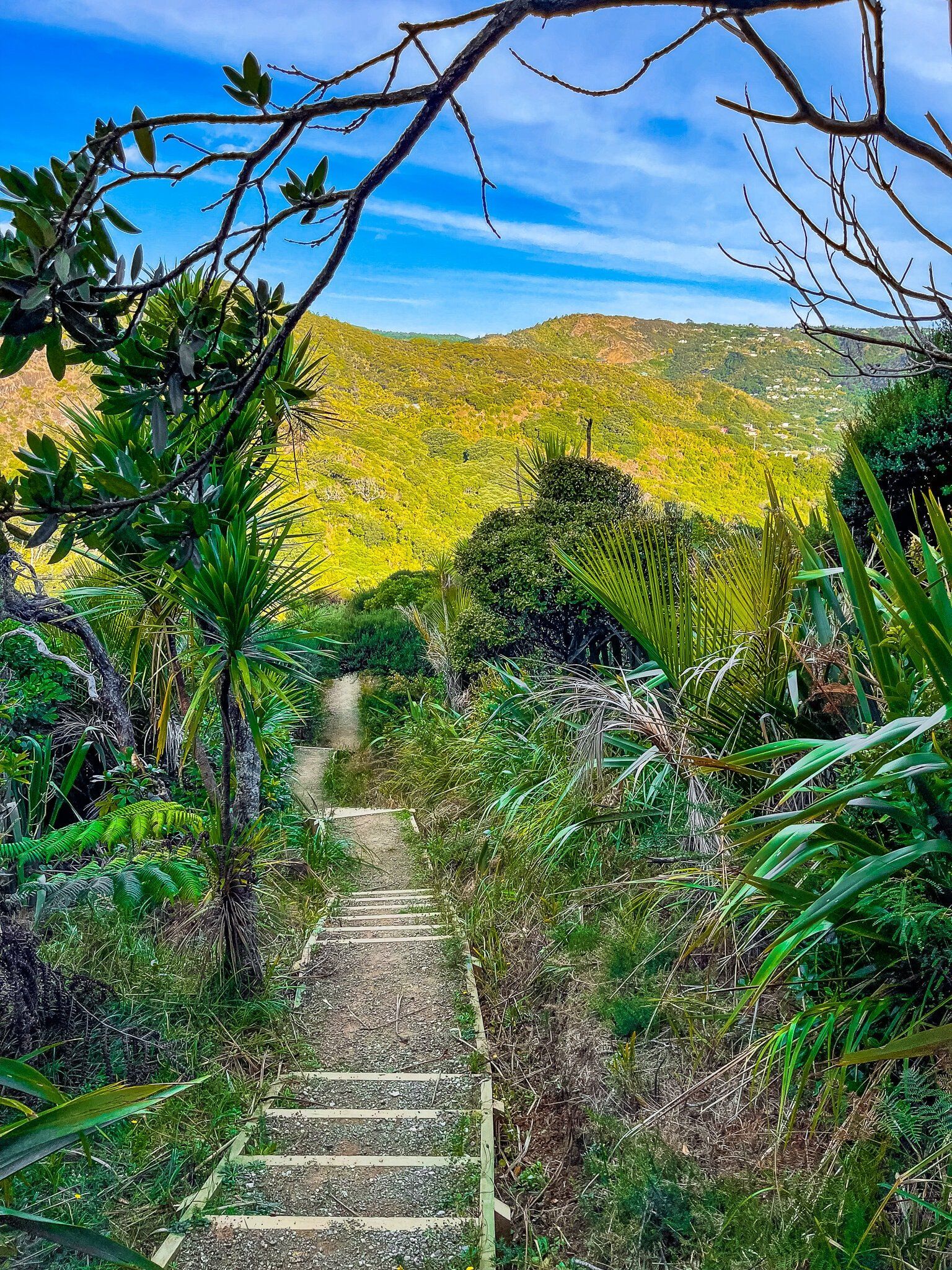
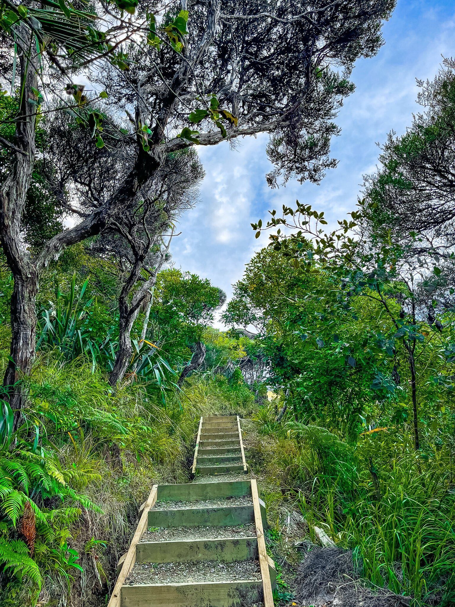
White Track rises about 200 metres up a ridge that overlooks North Piha. It starts from the end of the short Marawhara Track and takes you up to Anawhata Road. The track takes you through recovering native forest, with the lower sections dominated by nikau palms. As you get higher there are several places where it opens up with views over Piha Valley and back to the beach. There are a lot of steps, although the climb is mostly relatively gradual.
Towards the top of the ridge, take the left turn through the kauri protection cleaning station out onto the right of way to get to the road. Walk just a few metres along the road to the west to access a second right of way that takes you down to Te Waha Point between Piha and Whites Beach.
Whites Beach
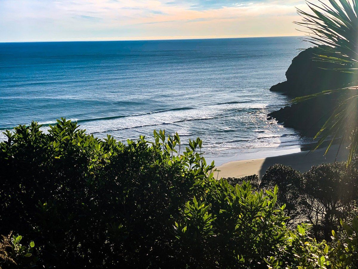
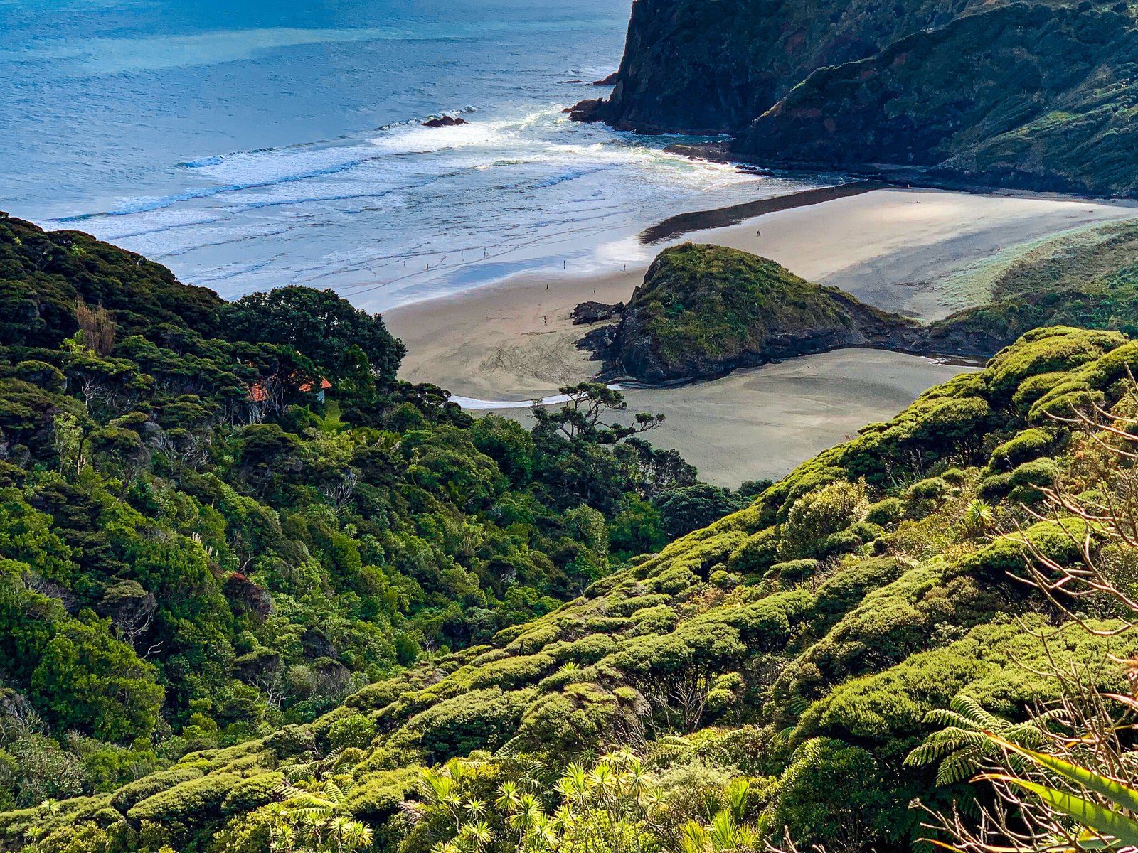
Whites Beach is a bonus option on the trail. It is accessible from Anawhata Road by following the signposted access road, just a few metres beyond the end of White Track. This track is quite steep, and you will have to walk back up it. But the beach is worth it and there won’t be many others around.
You can also access Whites from North Piha by crossing over Te Waha Point. The track entrance is a bit obscure but there is a sign on the edge of the forest at the north end of the beach. It is a reasonably steep climb up to the point, with amazing views back to Piha and of Whites. You can then climb back up to the official trail on the access road to Anawhata Road.
You probably shouldn’t swim there as it’s unpatrolled, but people do.
Anawhata
The official continuation of Hillary Trail Te Ara Tūhura is to walk east along the road to the start of the Kuataika Track, which goes to Te Henga. But this section is still closed due to kauri dieback. Instead, go west along the road to find the Anawhata campground, then continue on to the parking area at the top of the track that takes you down to Anawhata Beach.
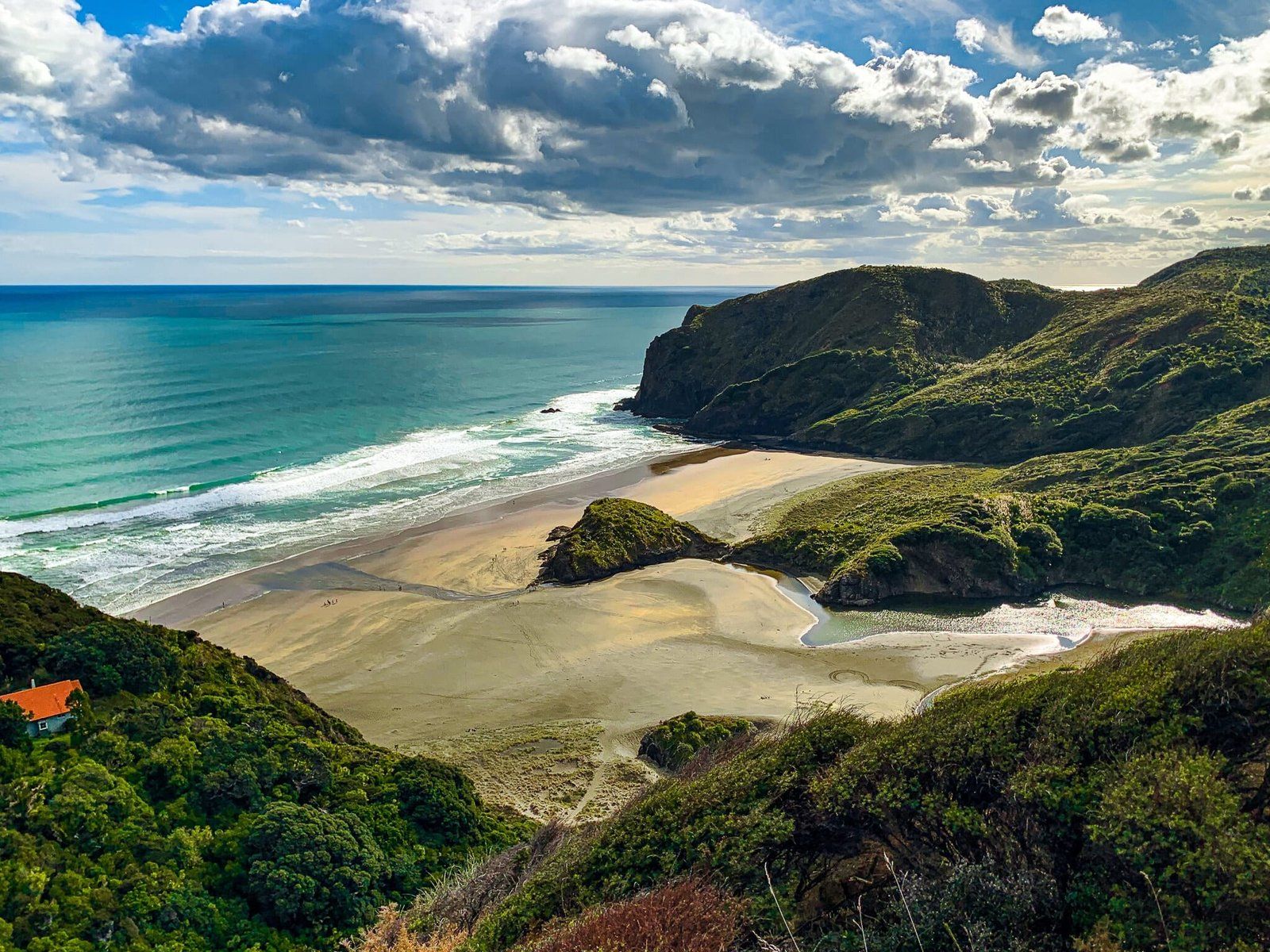
Then it’s a 20 to 30 minute steep walk down to the beach. There is a particularly amazing viewpoint on the cliffs above the beach about a third of the way down, so keep an eye out for it.
There is a campground near the end of the road and you can rent one of the two houses you can see as you head down. They are managed by the Auckland City regional park service.
If there are more than a few people there, you just got unlucky!
Want more West Auckland Trip Ideas?
Check out our blogs on the Hillary Trail Te Ara Tūhura Part 1, Waitākere Walking Track, and Waitākere Beaches.
