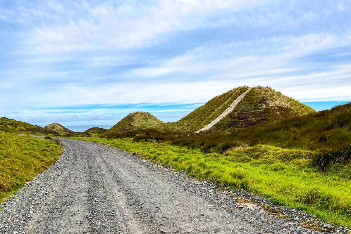
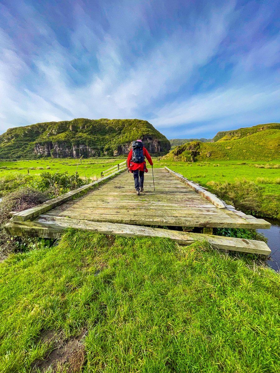
Every section of this remote road trip is picturesque, with the route traversing lakes, inlets, rivers, forests, steep cliffs, hilly farmland and beaches. The drive takes you from Golden Bay to Whanganui Inlet, then on to Paturau River and Anatori on the northwestern coast of the South Island.
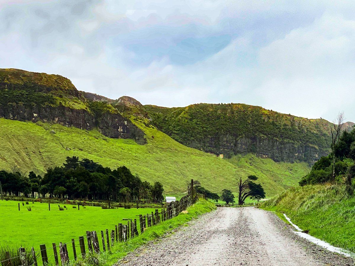
You can quite easily do this as a day trip from Collingwood, or stay overnight at campgrounds near Mangarakau and Anatori. Just note that there are no shops on this trip and it’s all metal road, so come prepared!
The trip starts in Golden Bay near Collingwood. Take a left turn onto Pakawau Bush Road from the main road between Collingwood and Puponga, and follow this road to the Whanganui Inlet. From there you can take a short detour on Kaihoka Lakes Road to the lakes, then continue on Dry Road around the inlet to Paturau River on the coast. The road then becomes Cowin Road and follows the coast south to Anatori.
Along the way, you can take in Kaihoka Lakes and the several relatively short walking track options in the area. Kahurangi National Park has a boundary around the inlet, and there is easy access to remote surf beaches at Paturau River and Anatori.
Kaihoka Lakes Road to Limestone Road
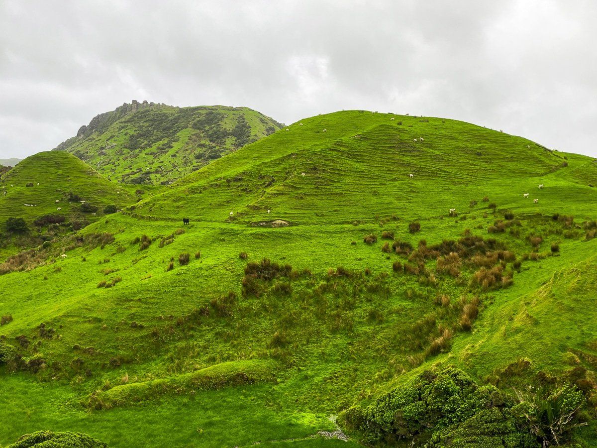
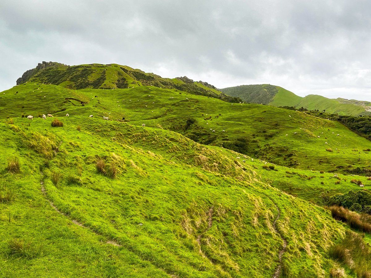
Starting at Seaford, drive for about 7 kms along Pakawau Bush Road. At the point where the road reaches Whanganui Inlet, turn right onto Kaihoka Lakes Road. Here you can access the two Kaihoka Lakes – but first, we continued on narrow Limestone Road around the lake and across rugged farmland for some very pretty views.
Kaihoka Lakes
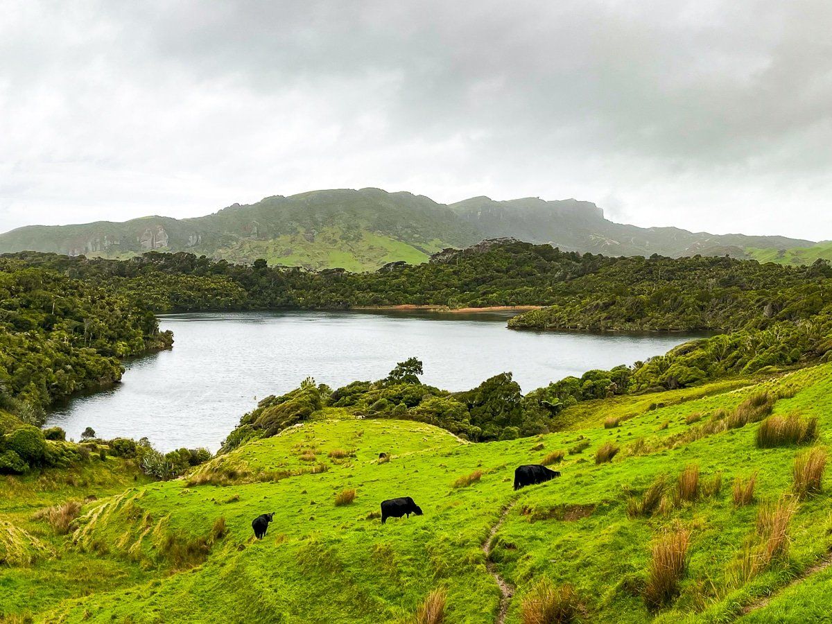
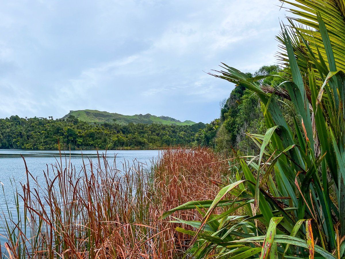
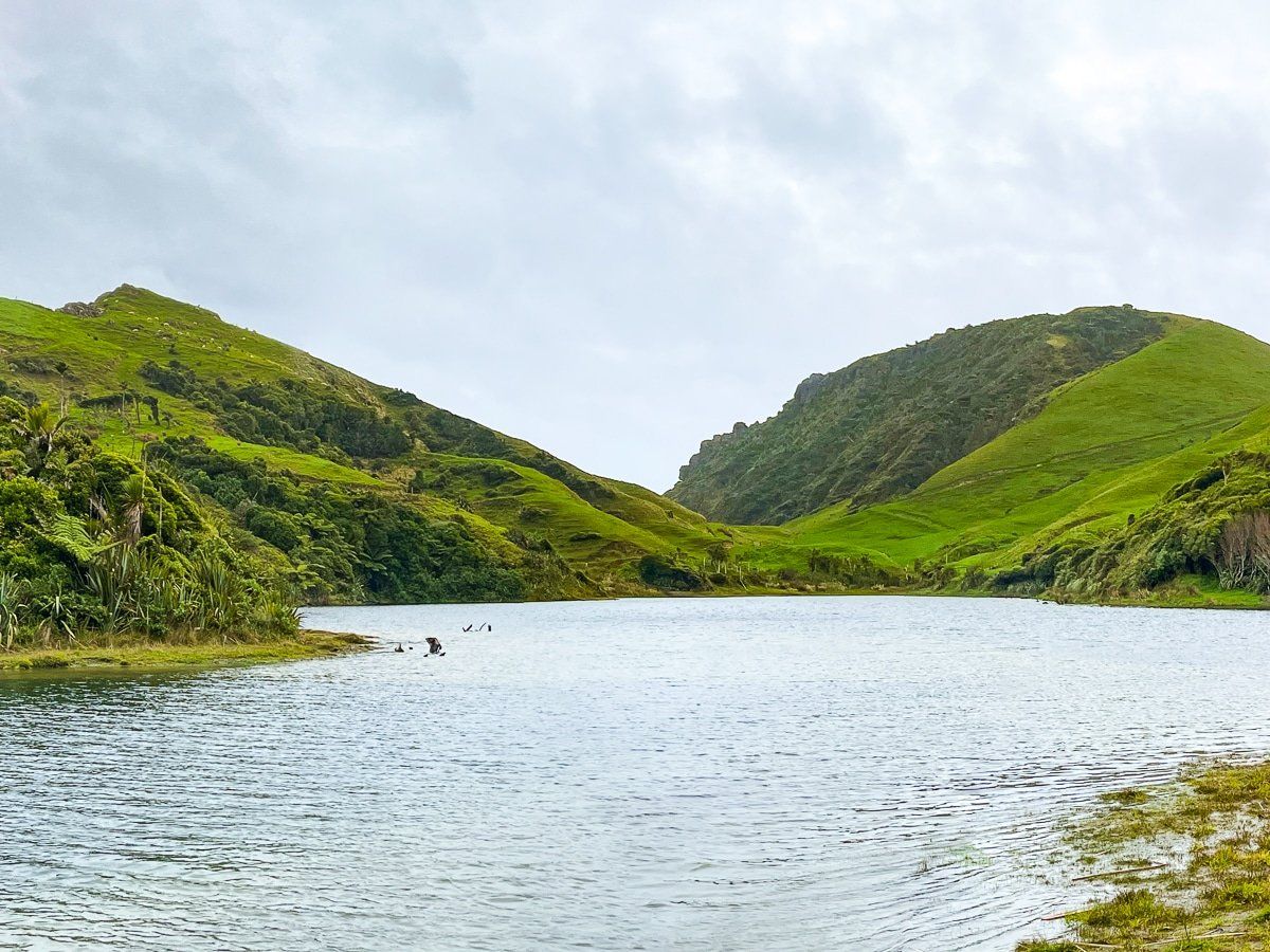
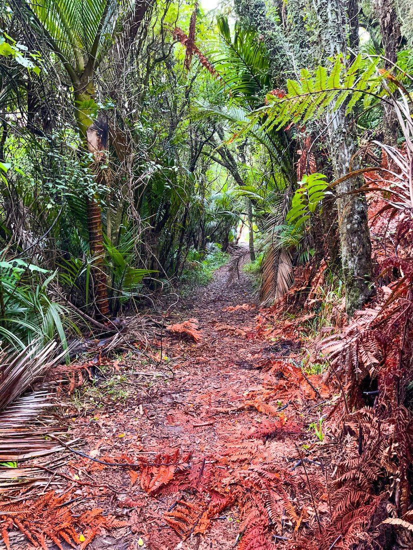
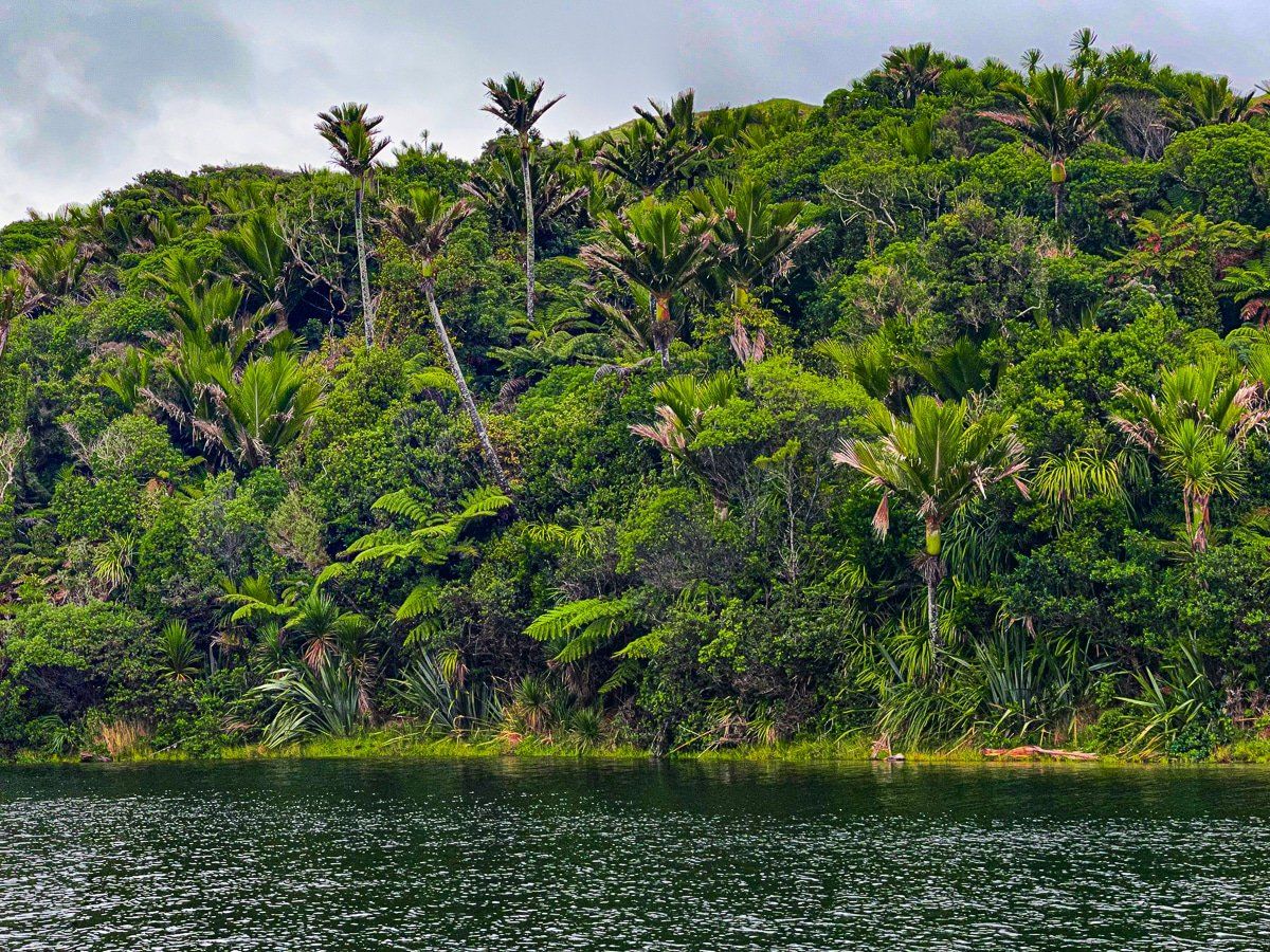
The Kaihoka Lakes are two small lakes. The first lake has a few parking spaces, a toilet, a picnic table and a little grassy reserve. A short bush walk, about 10 minutes or so, connects you to the second lake.
The lakes are surrounded by green rolling farmland and regenerating native forest; the perfect place for a rest and picnic.
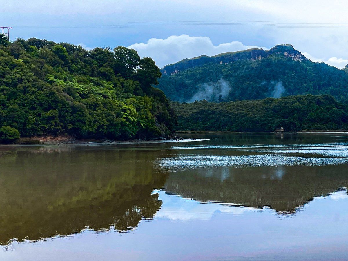
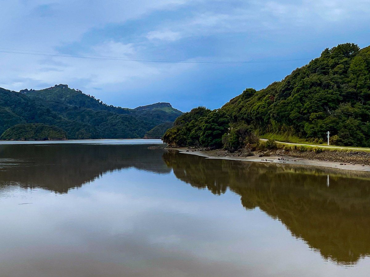
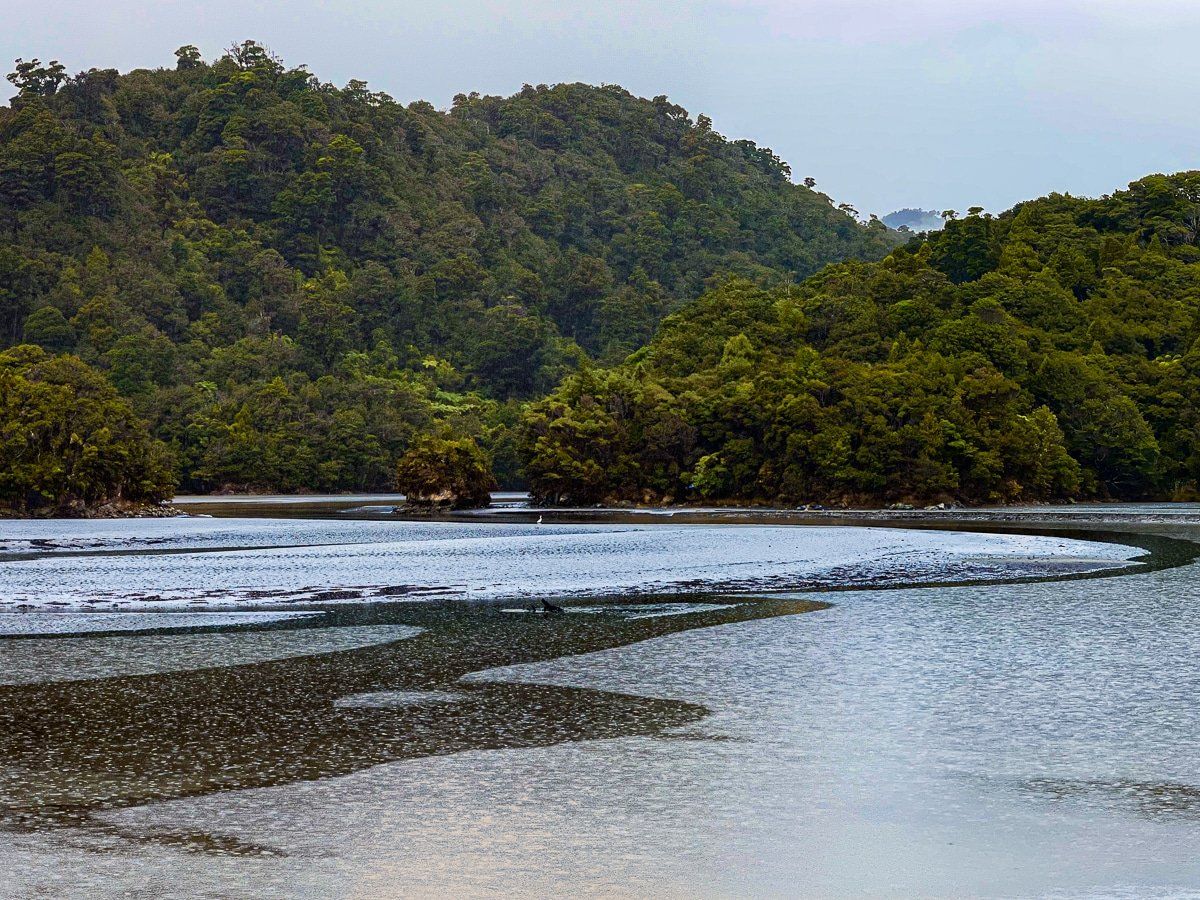
Whanganui Inlet
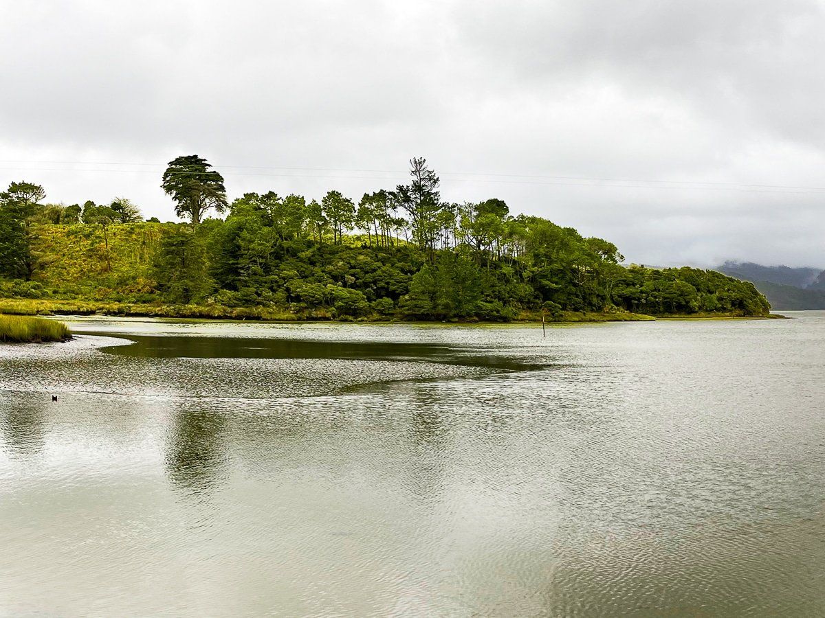
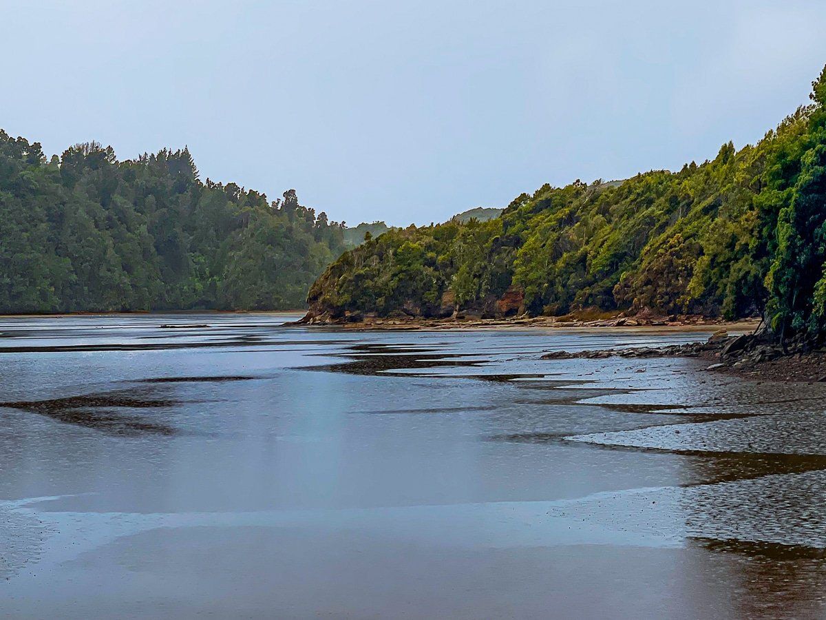
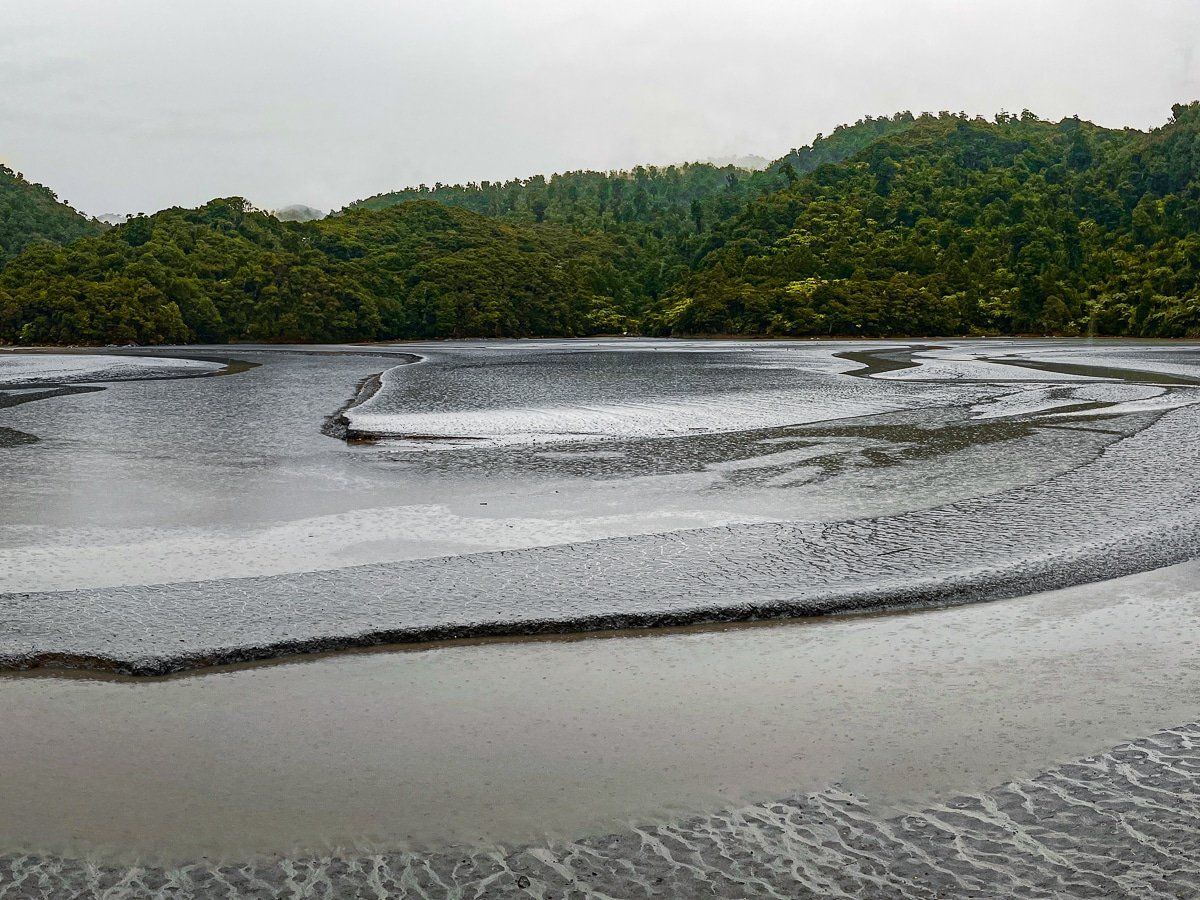
The Whanganui Inlet is a long, wide inlet on the northwestern side of the South Island, and has been designated a marine reserve since the 1990s.
From Pakawau Bush Road, turn left onto Dry Road. This road largely follows the southeastern side of the inlet for about 20 kilometres, taking in the boundary of Kahurangi National Park. After about 15 kilometres, you’ll see the access road to the Knuckle Hill Track, which is around 90 minutes each way.
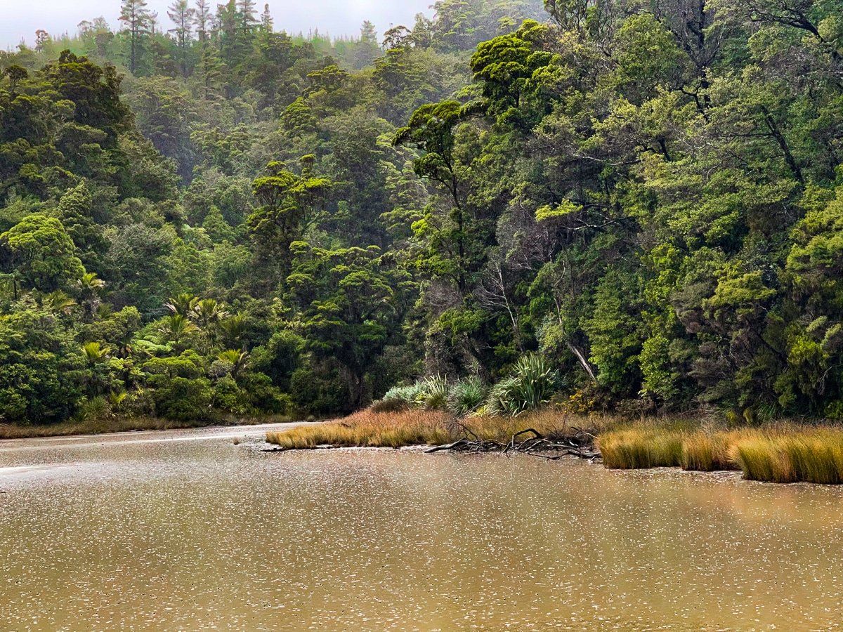
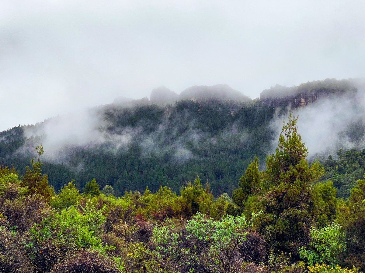
There are several viaducts over sections of the inlet, generally with enough room to park safely. On the day, the low cloud and rain made it feel even more remote and magical.
Mangarakau
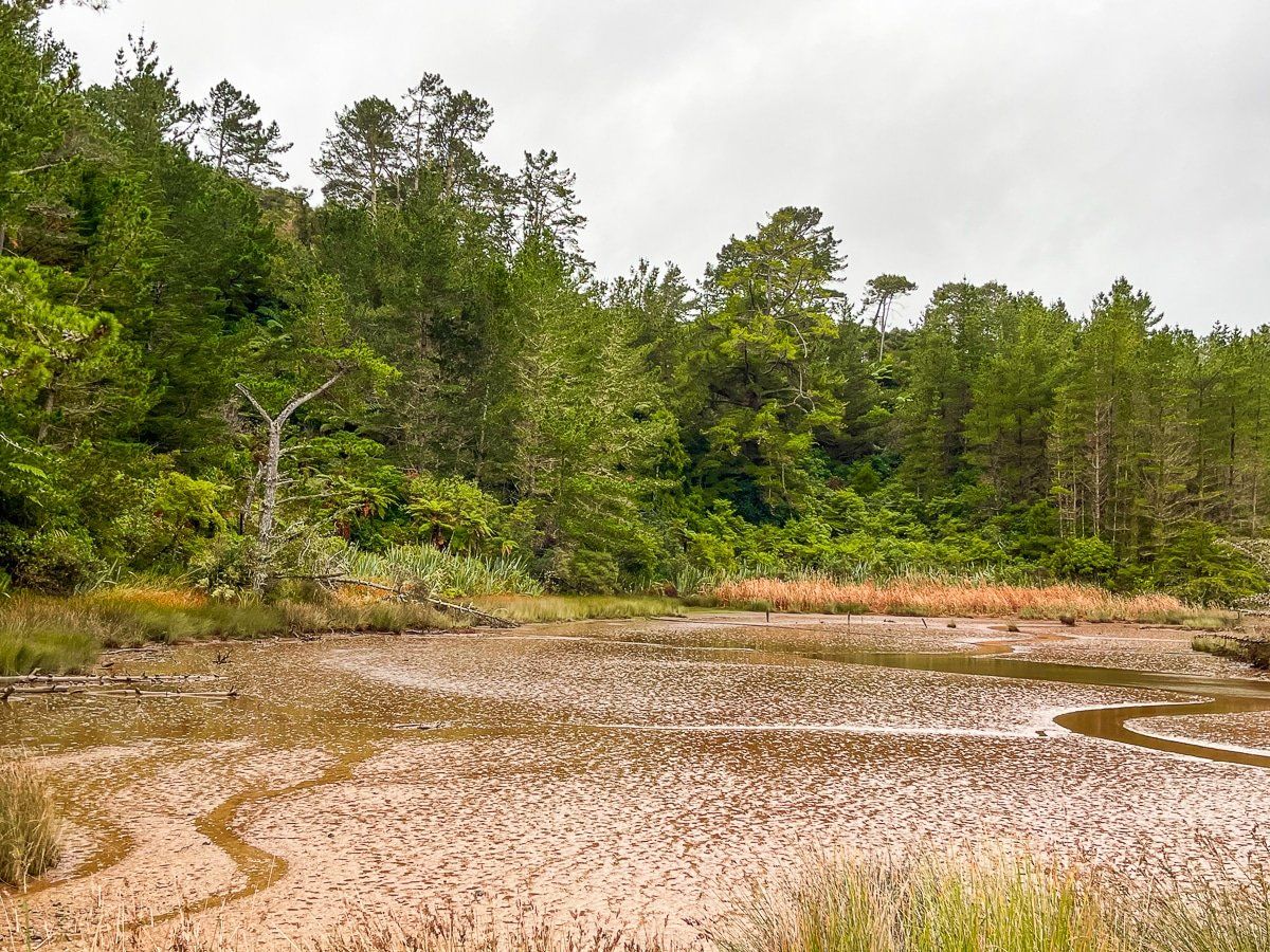
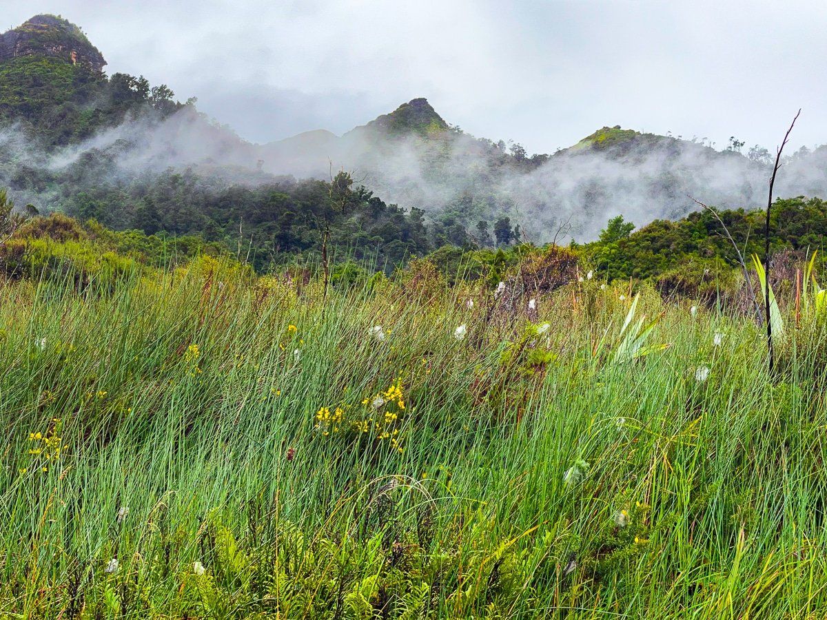
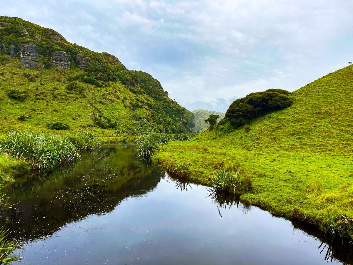
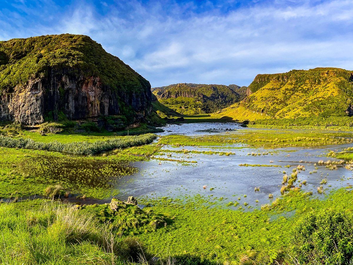
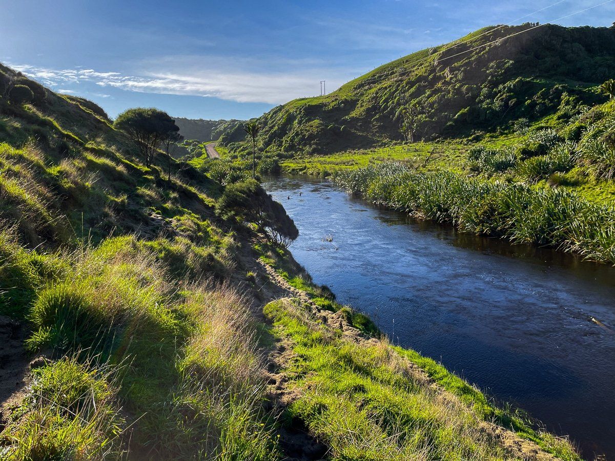
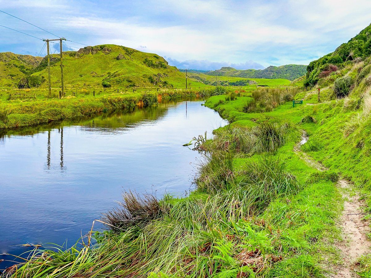
After leaving Whanganui Inlet, the road follows a valley with the Mangarakau Swamp wetlands and then the Paturau River on the left. There is a short walk around the wetlands at the small hamlet of Mangarakau. The swamp is one of the largest surviving wetlands in the country, and is gradually being further restored by the Friends of Mangarakau Inc.
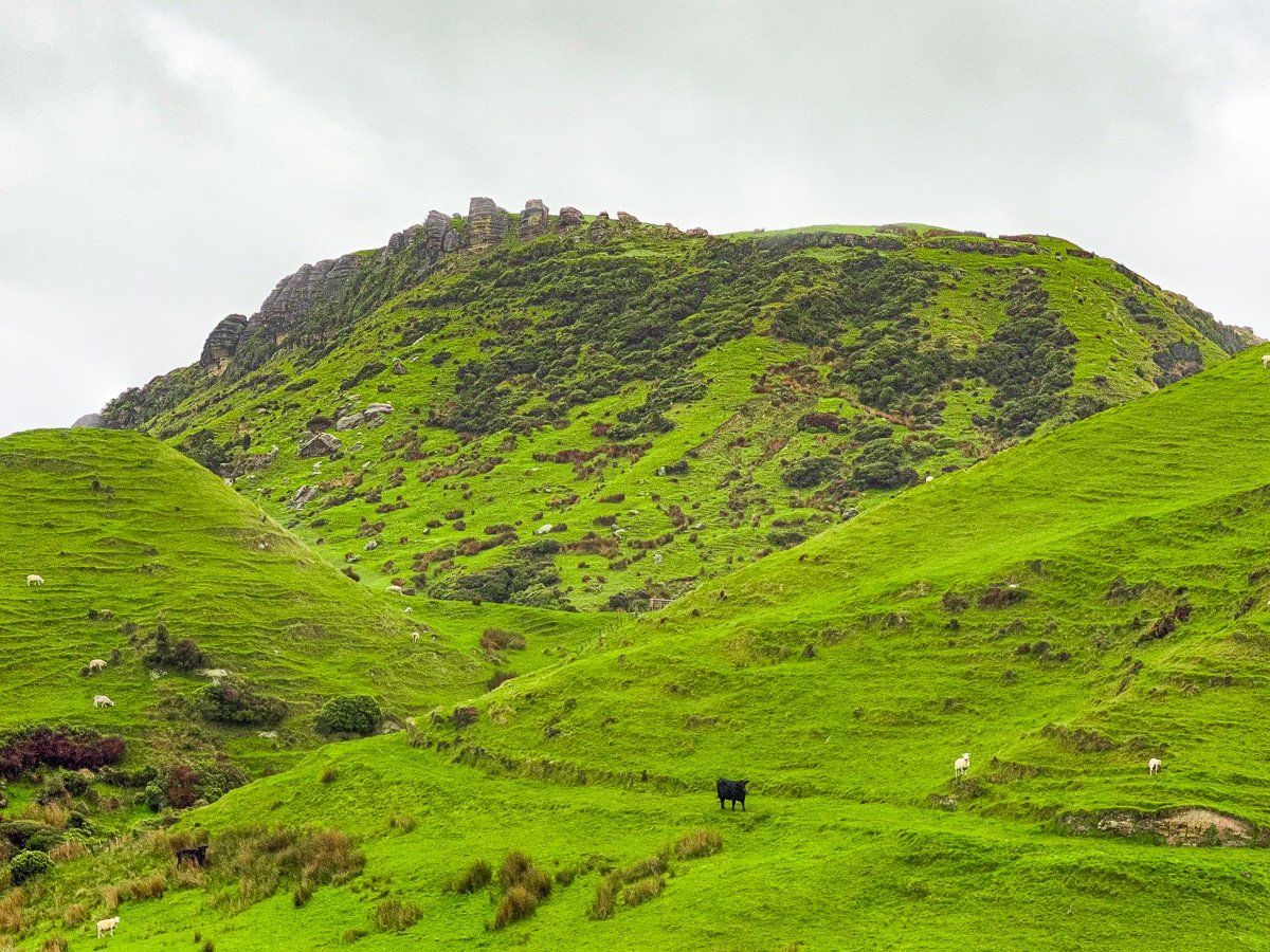
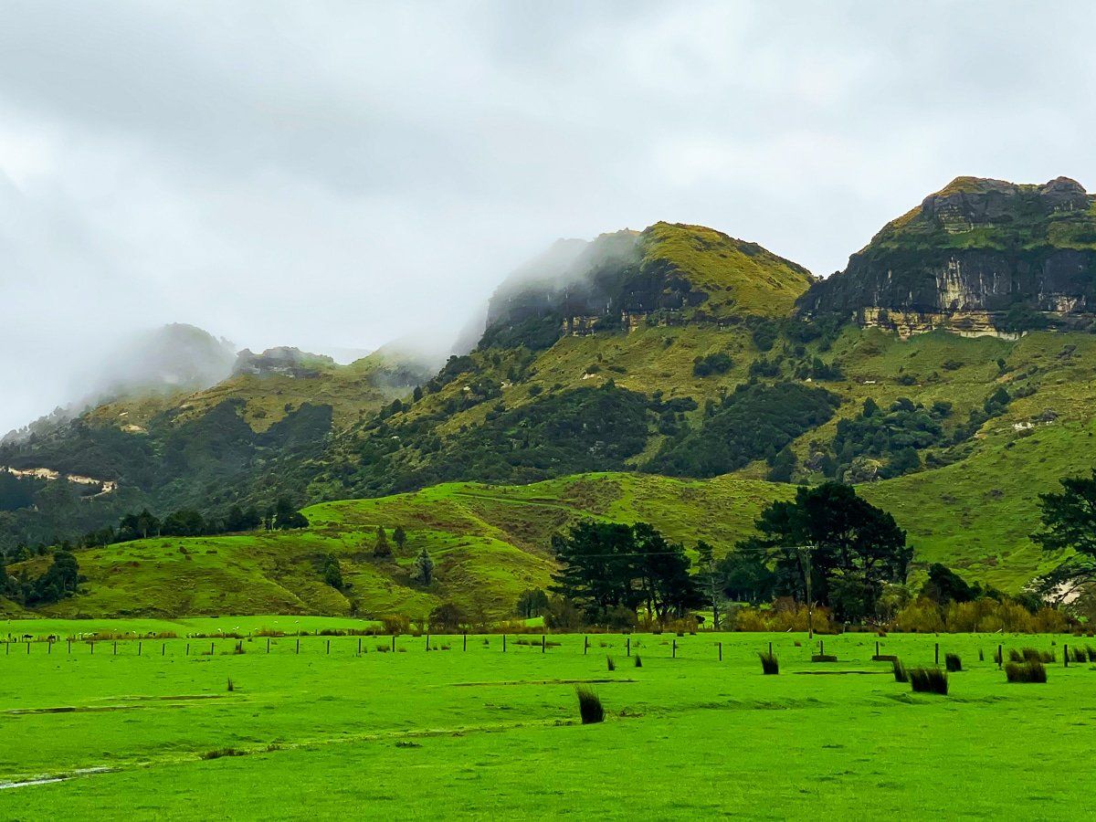
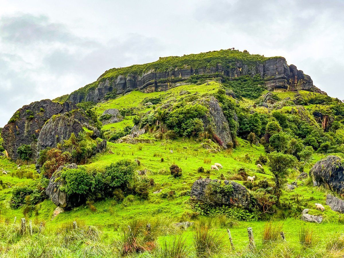
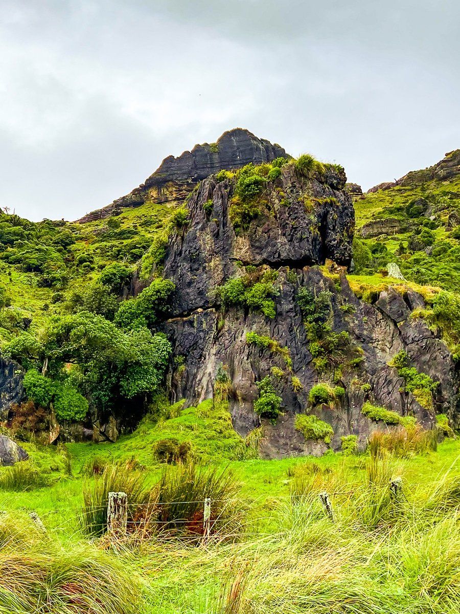
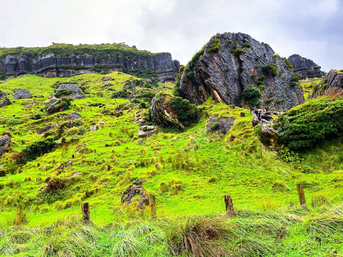
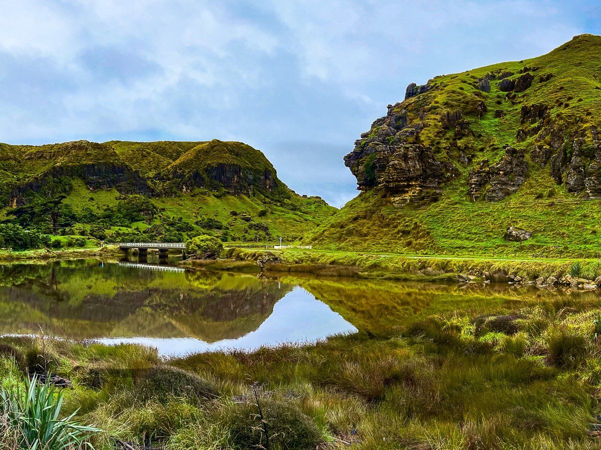
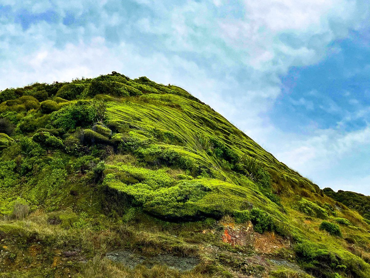
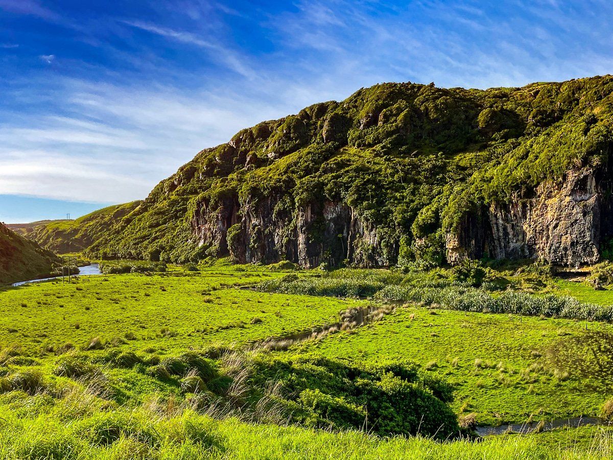
We were especially taken by the steep rocky sides and cliffs of the valley that marked much of the route, interspersed with grass and sheep. It’s rare to see such a clearly defined river-gouged valley in Aotearoa.
Paturau River
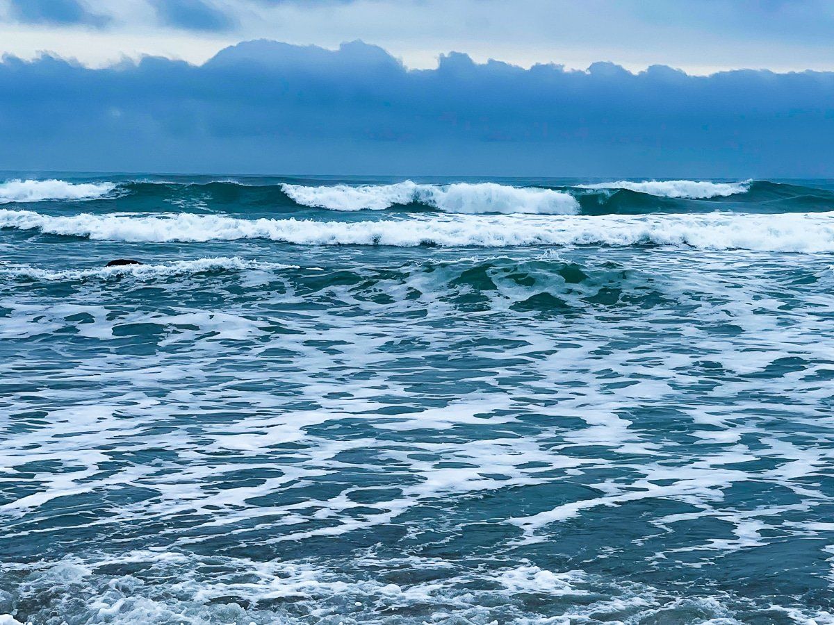
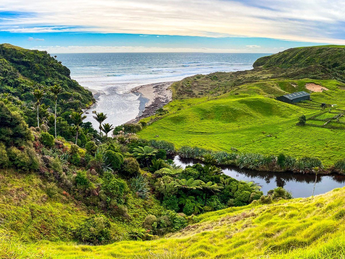
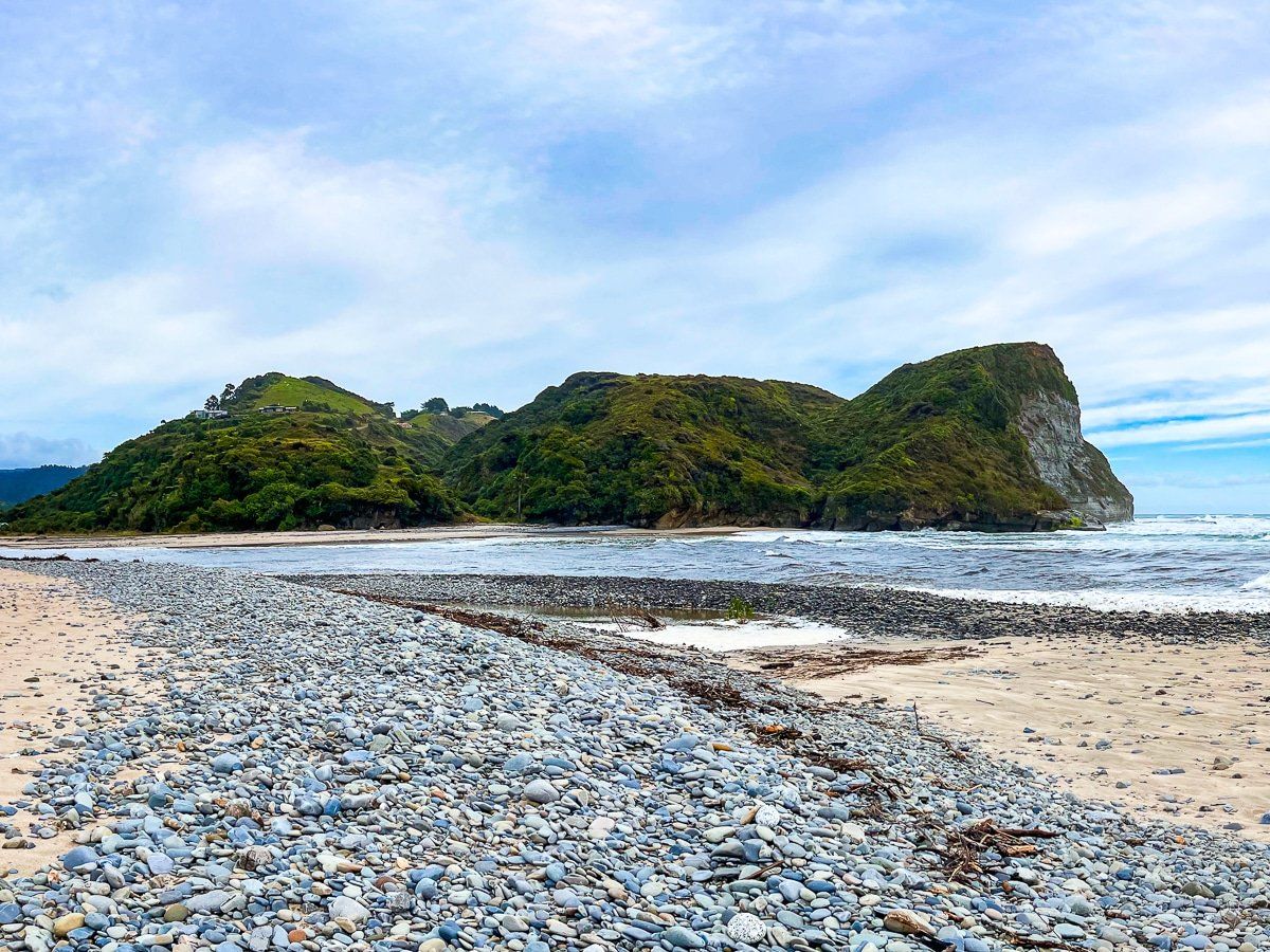
The small hamlet of Paturau River sits at the junction where the river meets the Tasman Sea. To reach the beach and river mouth, cross the bridge in the hamlet onto Cowin Road; you’ll see a short road to a reserve in front of the water.
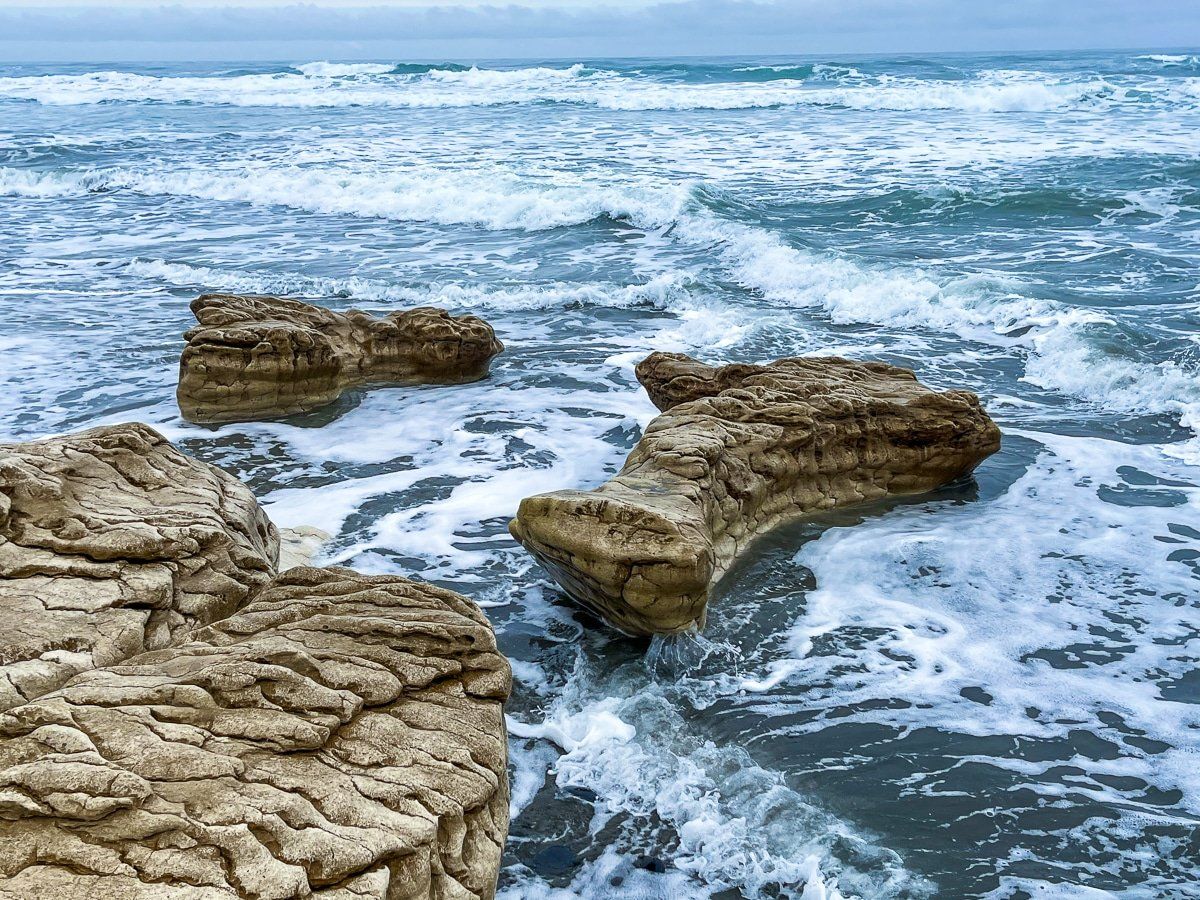
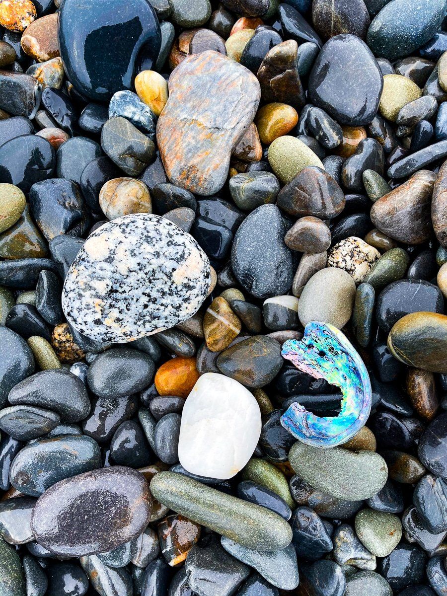
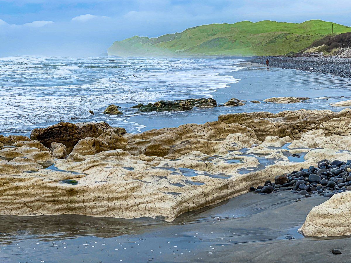
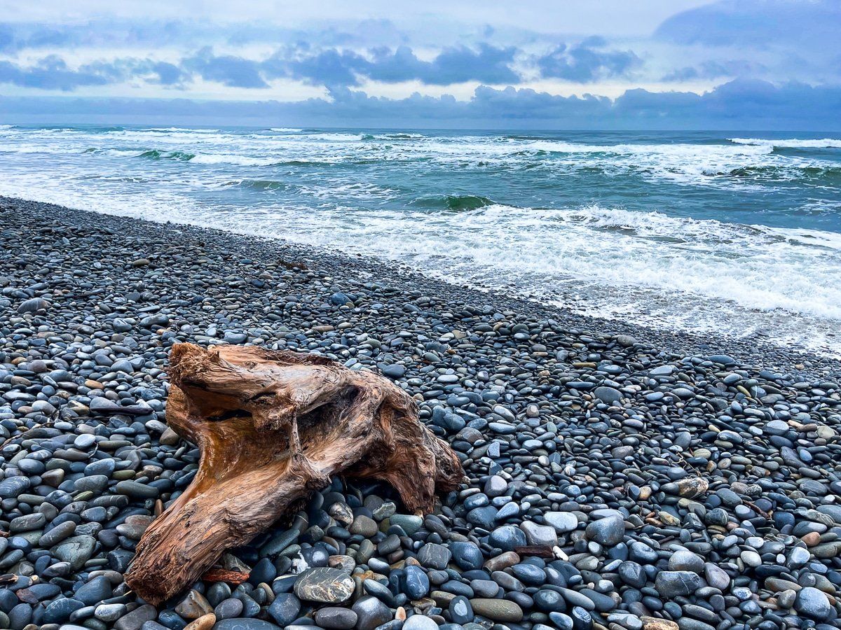
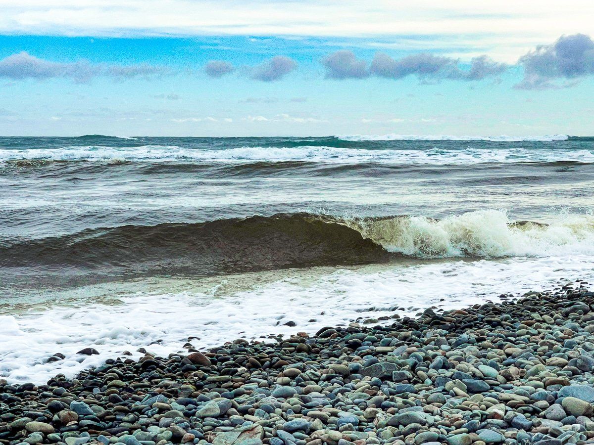
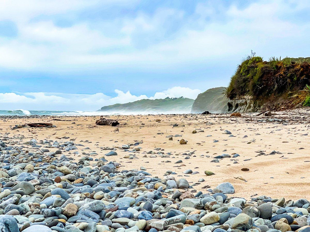
The beach is surrounded by high cliffs and covered in polished, rounded stones. There’s also sand as the tide goes out, and if you walk south along the beach there are some very unusual white and yellow rock formations.
Cowin Road
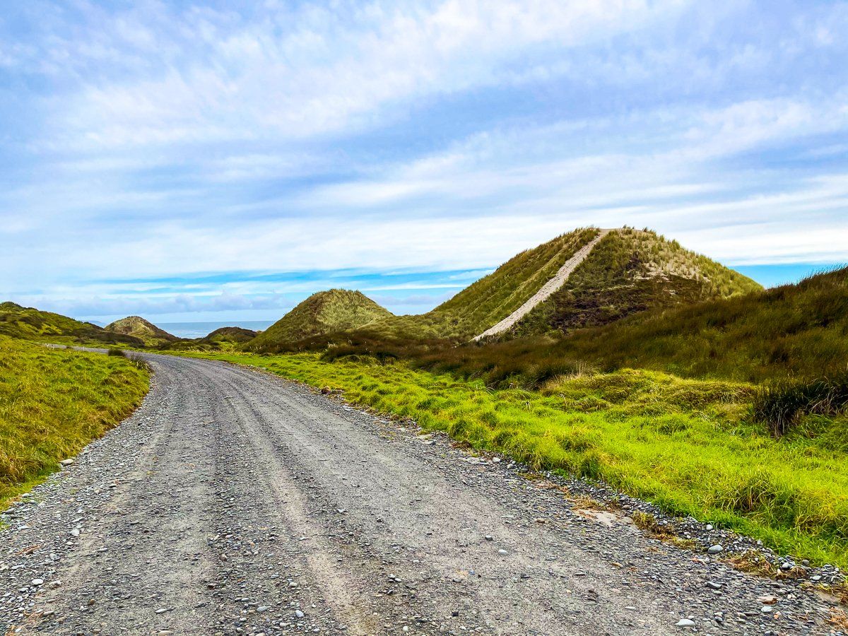
Cowin Road is 20 kilometres of narrow metal road which largely follows the coast between Paturau River and the hamlet of Anatori. There’s a ford on the Anatori River, and the road continues for a few more kilometres to the Turimawiwi River.
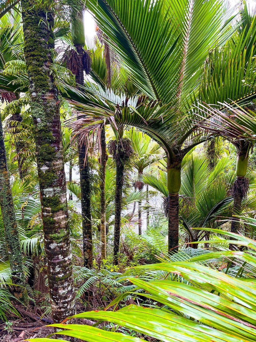
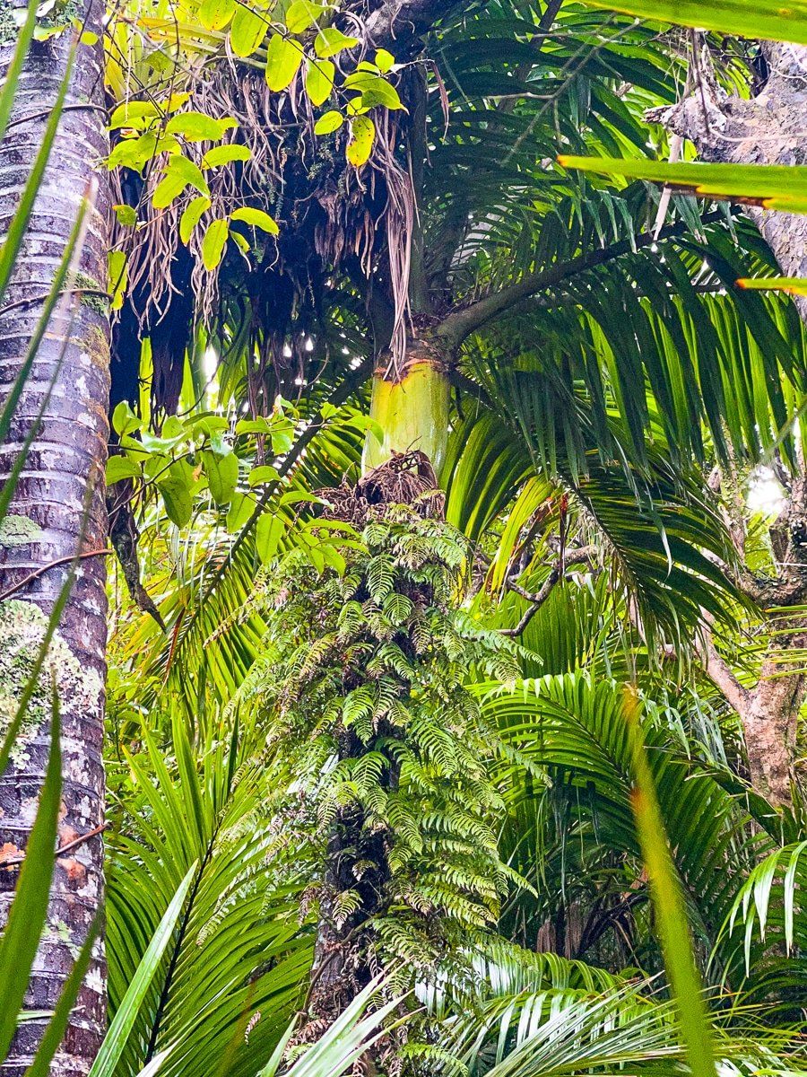
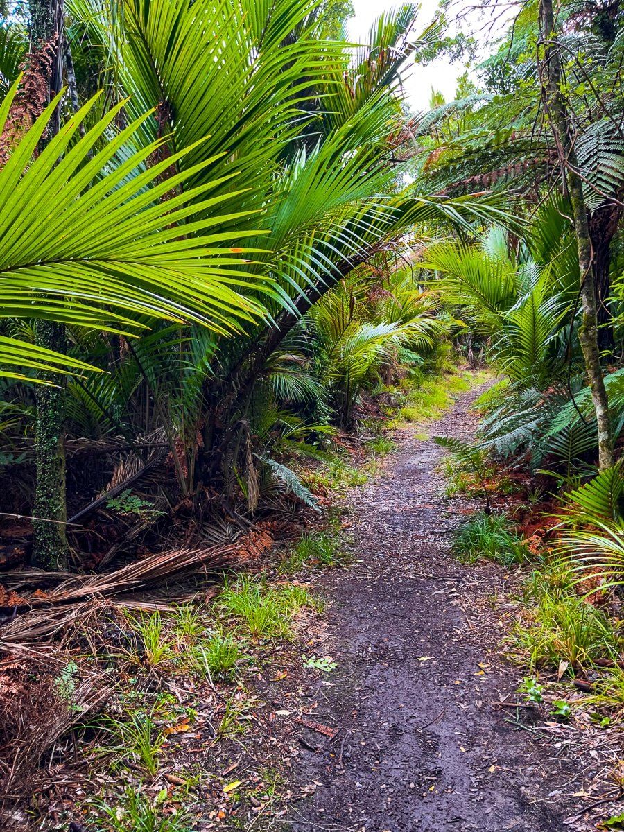
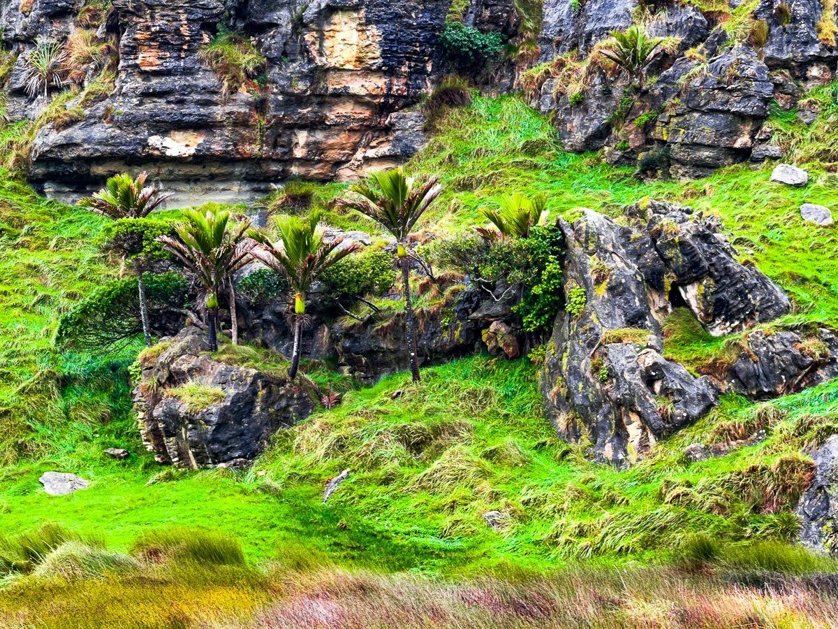
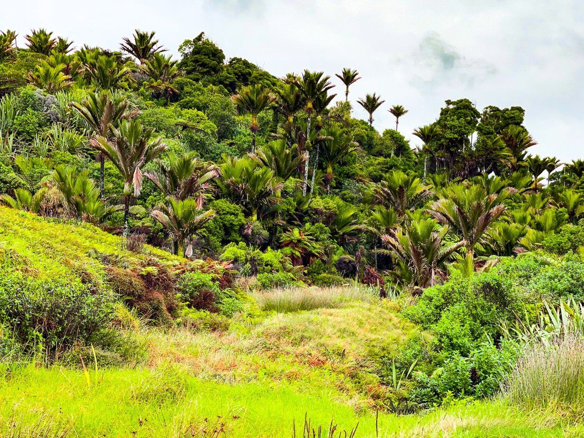
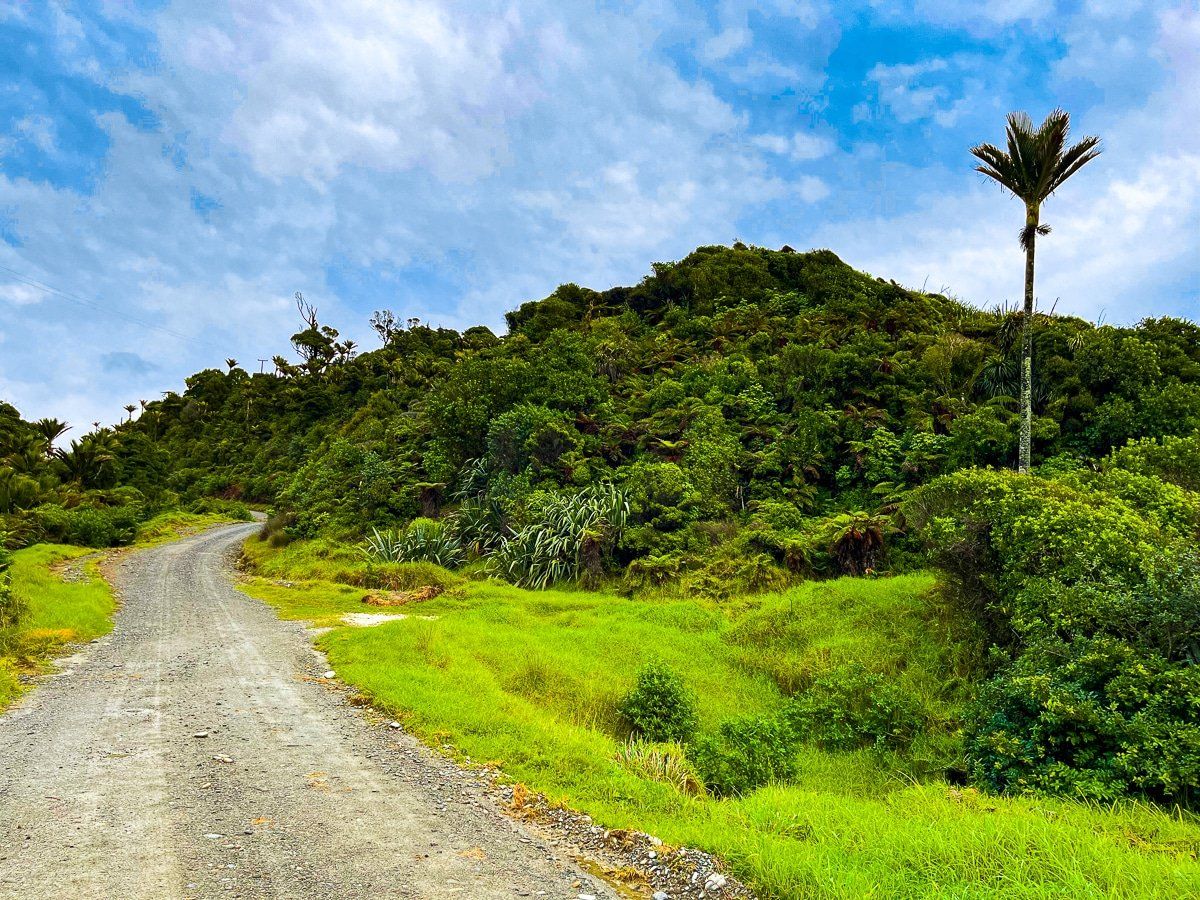
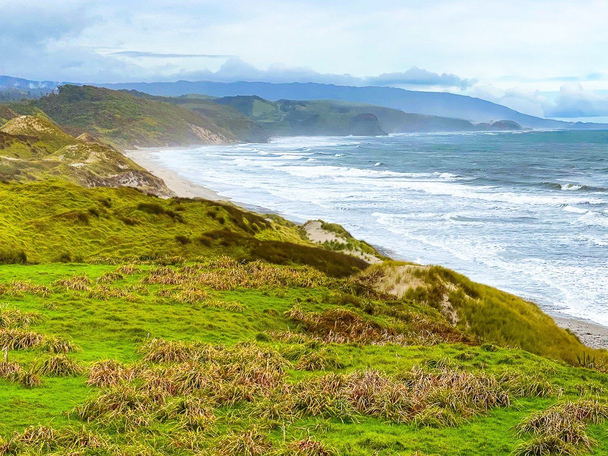
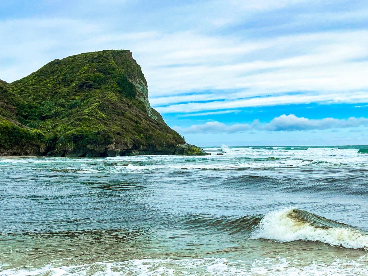
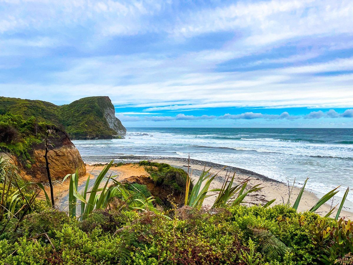
This is a very beautiful stretch of remote road, passing mostly through rugged farmland with spectacular views of the coastline and beaches. There are also patches of native forest regrowth with prominent nikau palms. You can stop safely in several places and scramble down to the beach before you get to Anatori.
Lake Otuhie Track
The Lake Otuhie Track is about a third of the way between Paturau River and Anatori, and is clearly marked on the road. A very scenic, flat walk, the Lake Otuhie Track usually only takes an hour or so return.
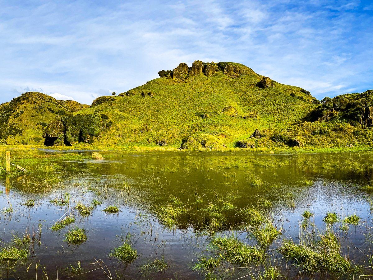
In this case, Kowhai Creek had flooded the first section of the track and the normally sedate ford was running high. We followed signs to an alternative and rather ramshackle track, which included a scramble along the eroding cliff above the creek. Unfortunately, it then turned out the field in front of the lake was flooded… and had an electric fence.
At least the photos came out well, plus an excuse to try again!
Anatori
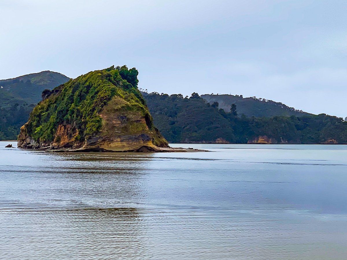
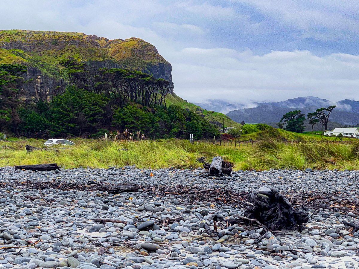
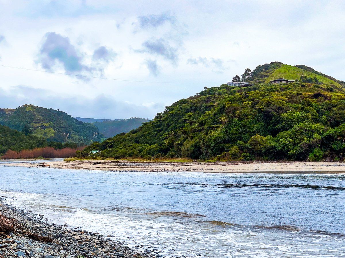
The small, remote hamlet of Anatori sits beside the mouth of the Anatori River, along with a campground. There are beaches on either side of the river mouth with some interesting cliffs.
You can generally ford the Anatori River and continue a bit further to the Turimawiwi River mouth, but on this trip the river was running too high. If you can go further, take the time to explore more of the coast; there’s a walkable coastline to Kahurangi Point from Turimawiwi River (about three hours each way). You can stay overnight at the Kahurangi Keepers House DOC hut near the point if you would like to cover the trips over a couple of days.
Want more Golden Bay trip ideas?
Check out our recent posts on Collingwood, the drive from Golden Bay to Abel Tasman, and Takaka Hill.
