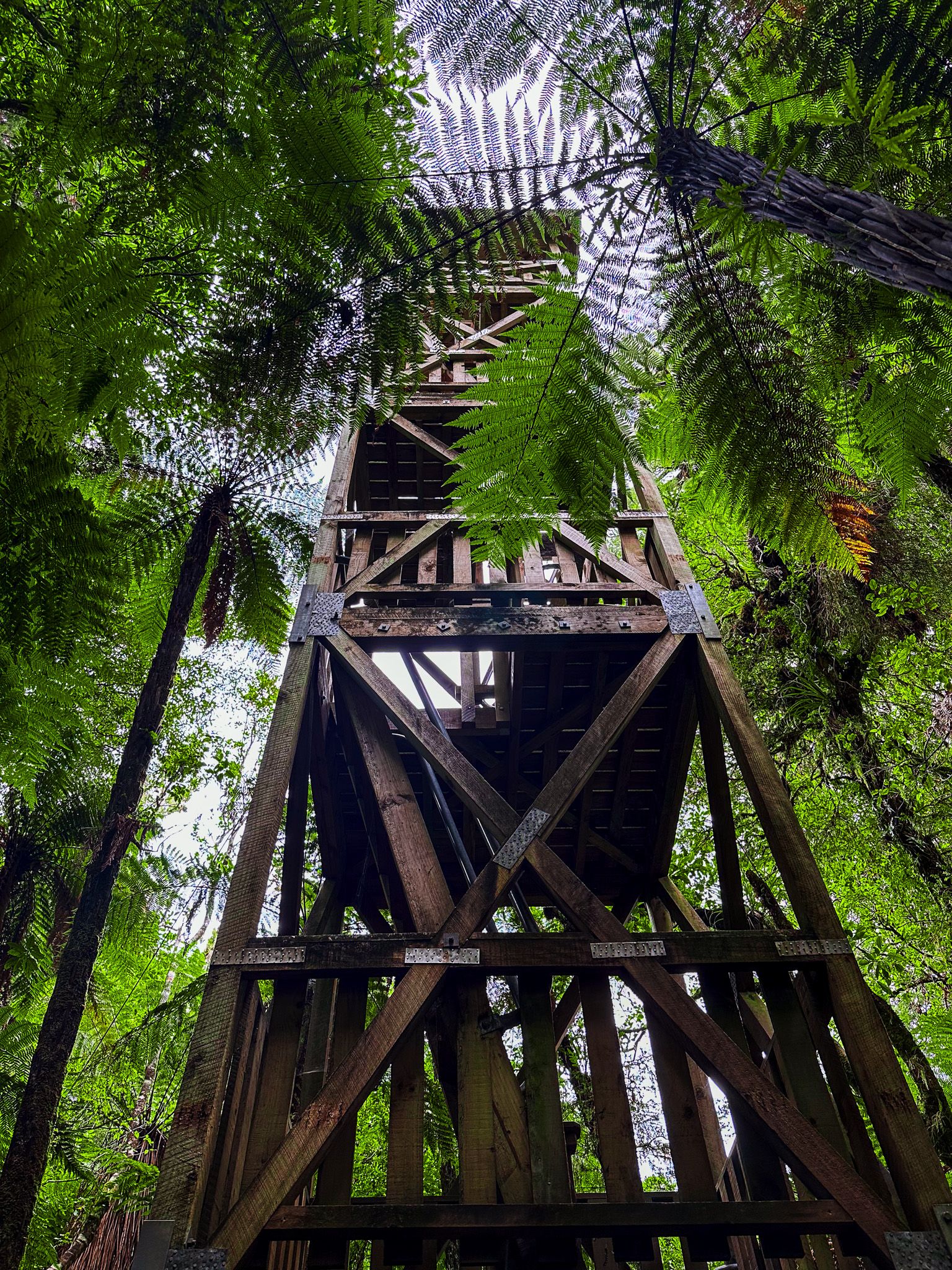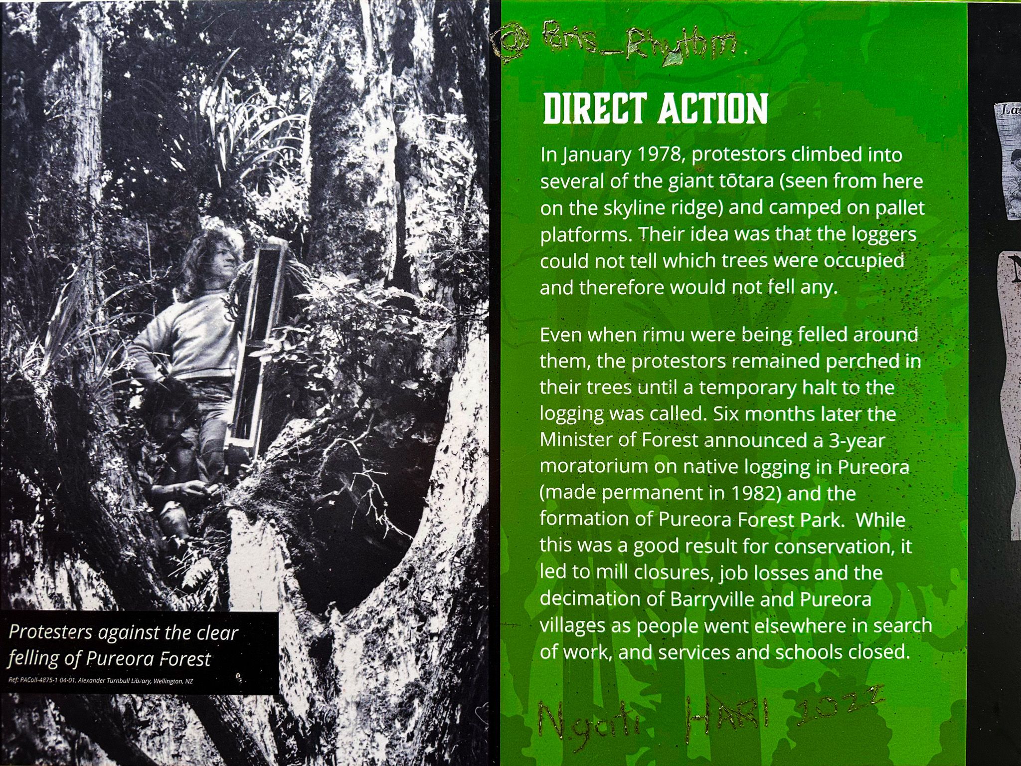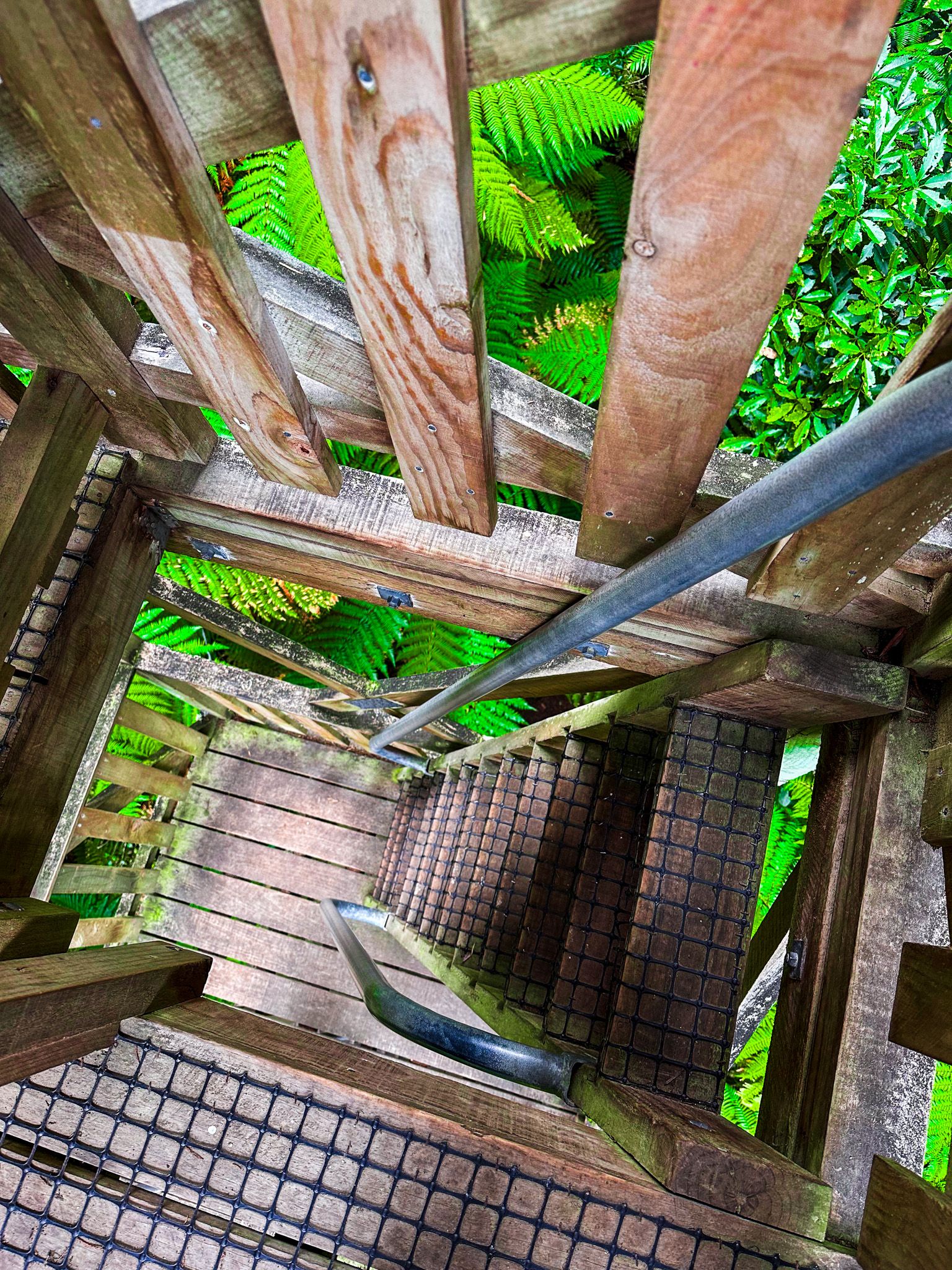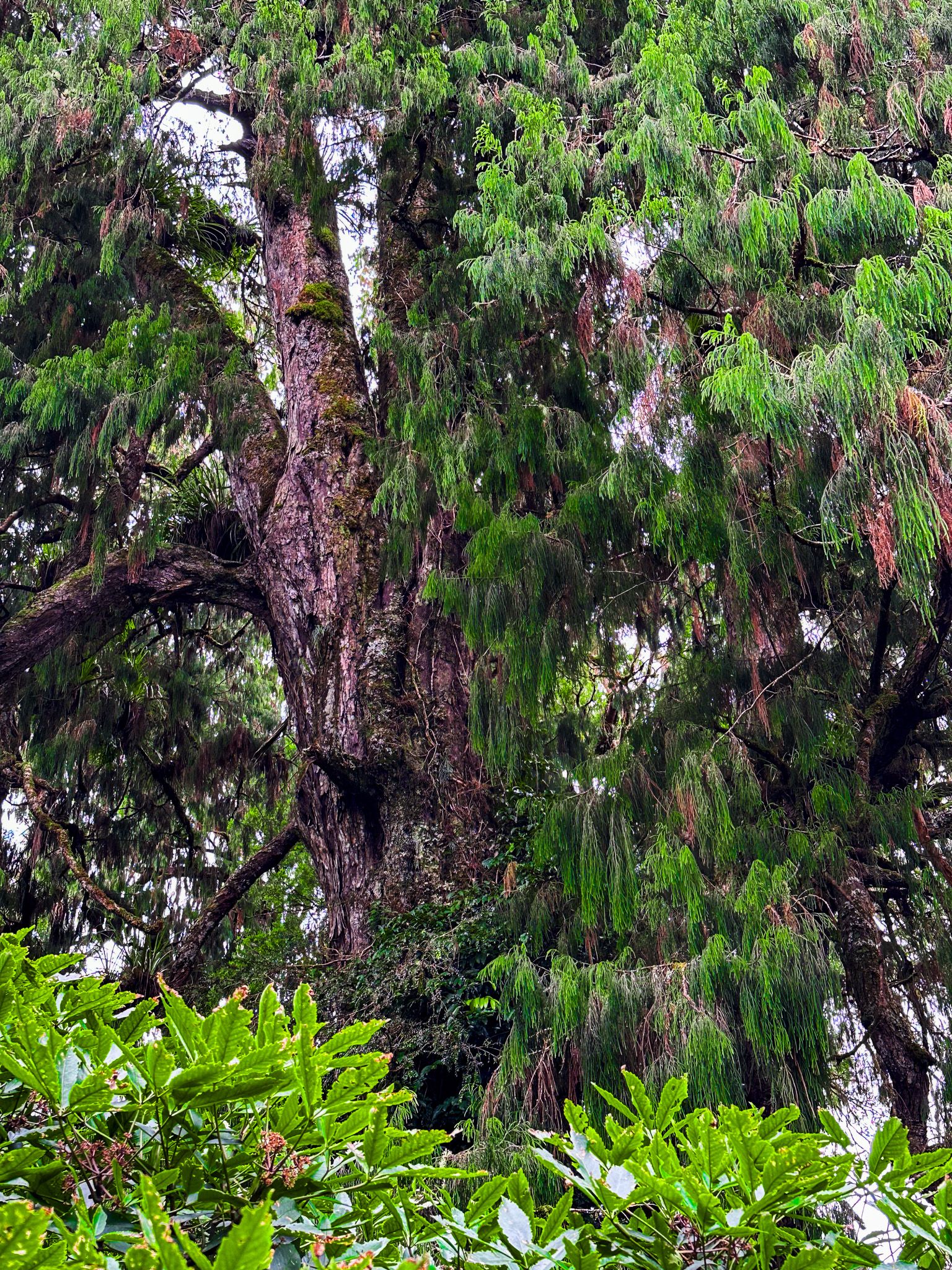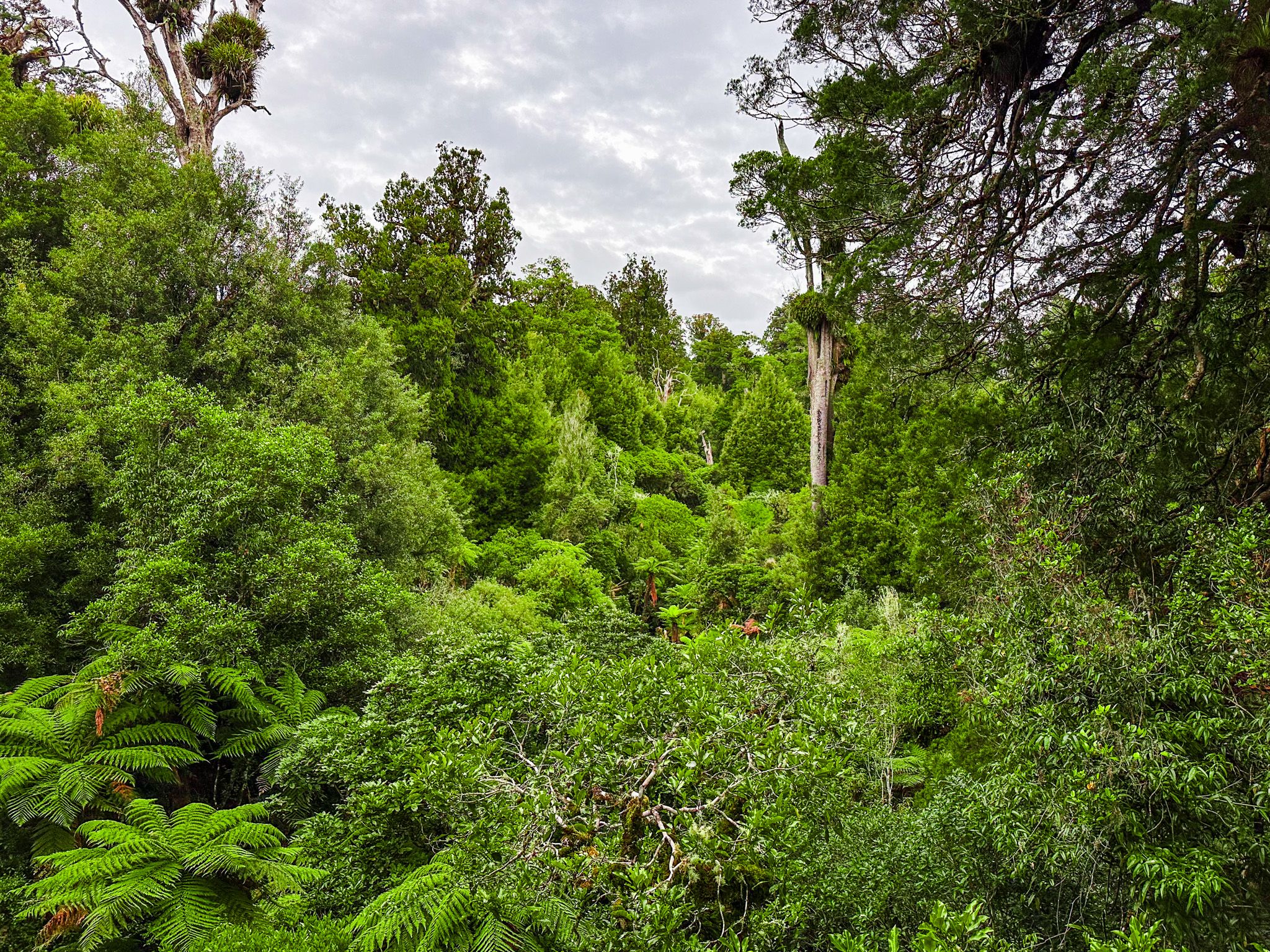
Forest Tower is a 12-metre wooden tower set amongst remnant ancient trees designated for selective logging in the 1970s. You can climb the tower, which gets you near the top of the trees. At the top viewing platform are panels describing the conservation protest activity culminating in the 1978 sit-in protests high in nearby ancients. This led to Pureora Forest Park and a native forest logging moratorium, which became a permanent ban in 1982. Other panels on the short access track describe the forestry activity that preceded the conservation movement. You may also glimpse bird life high in the canopy from the tower.
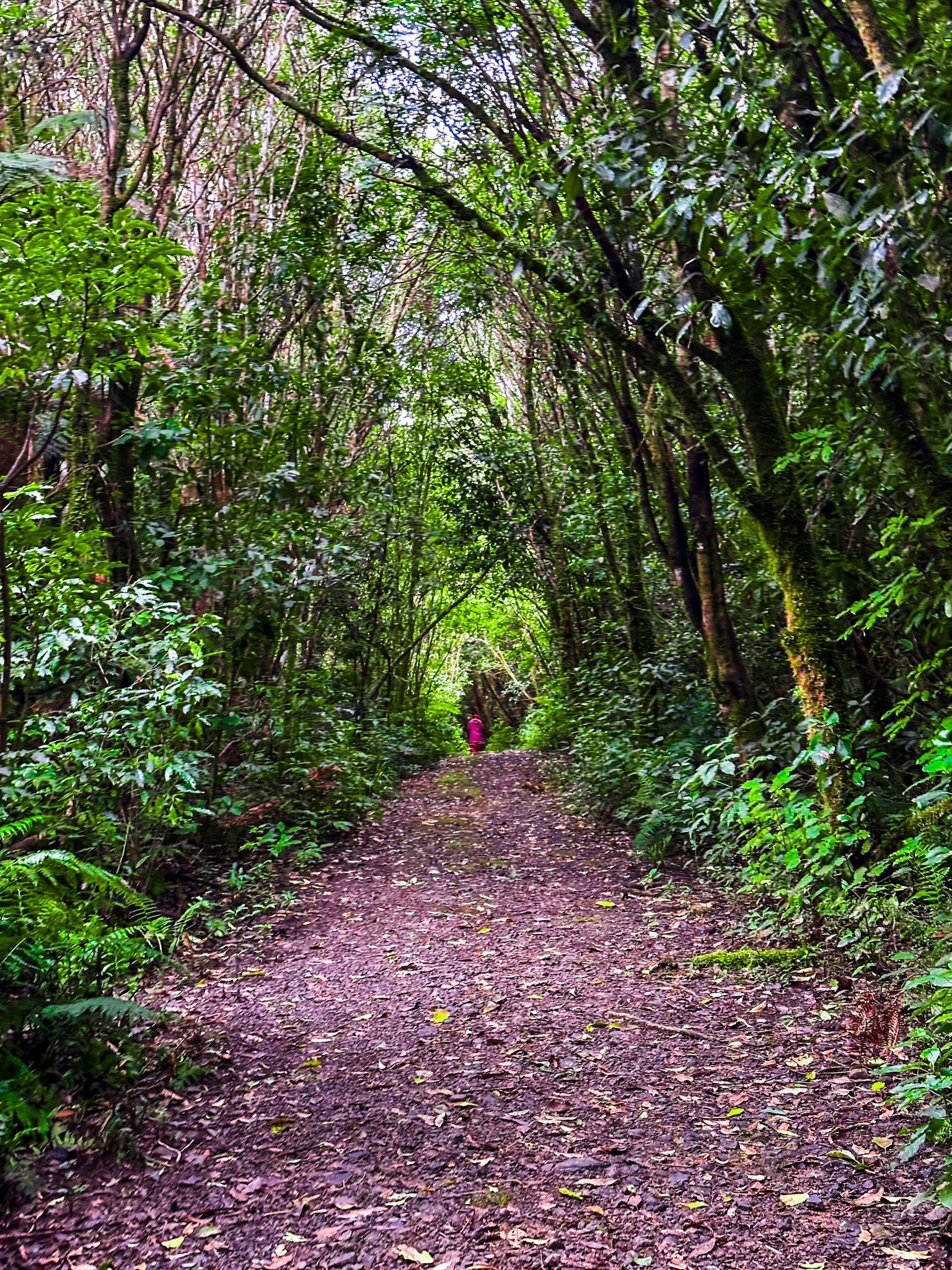
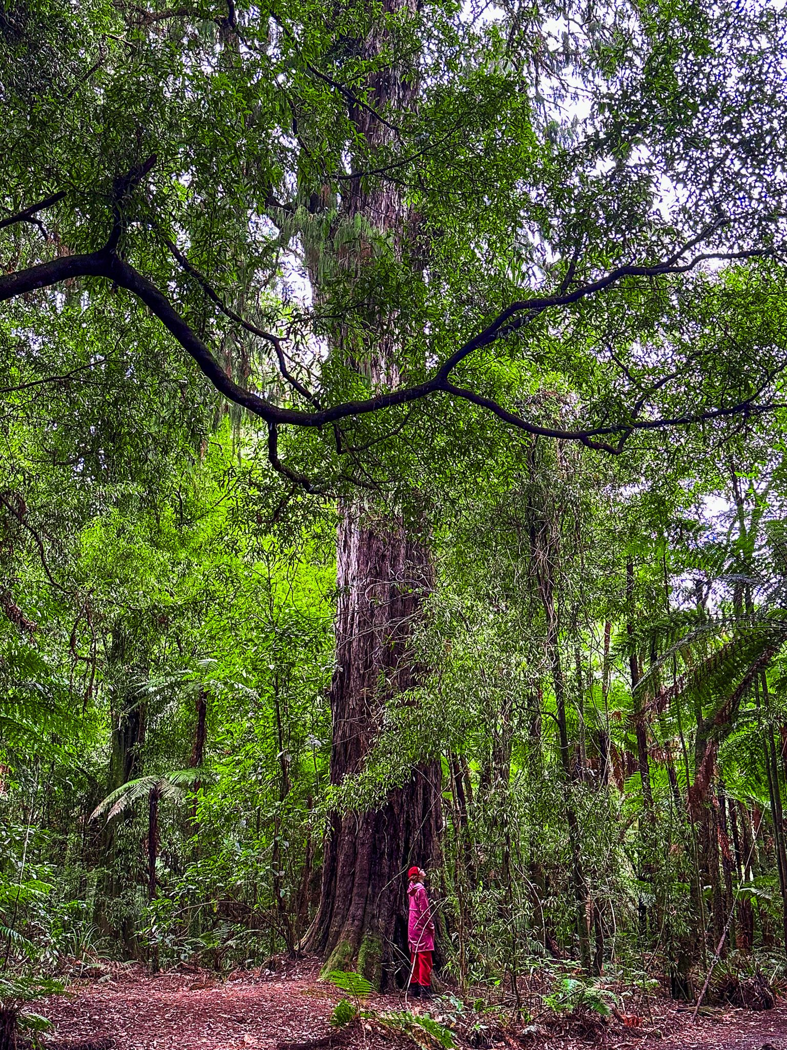
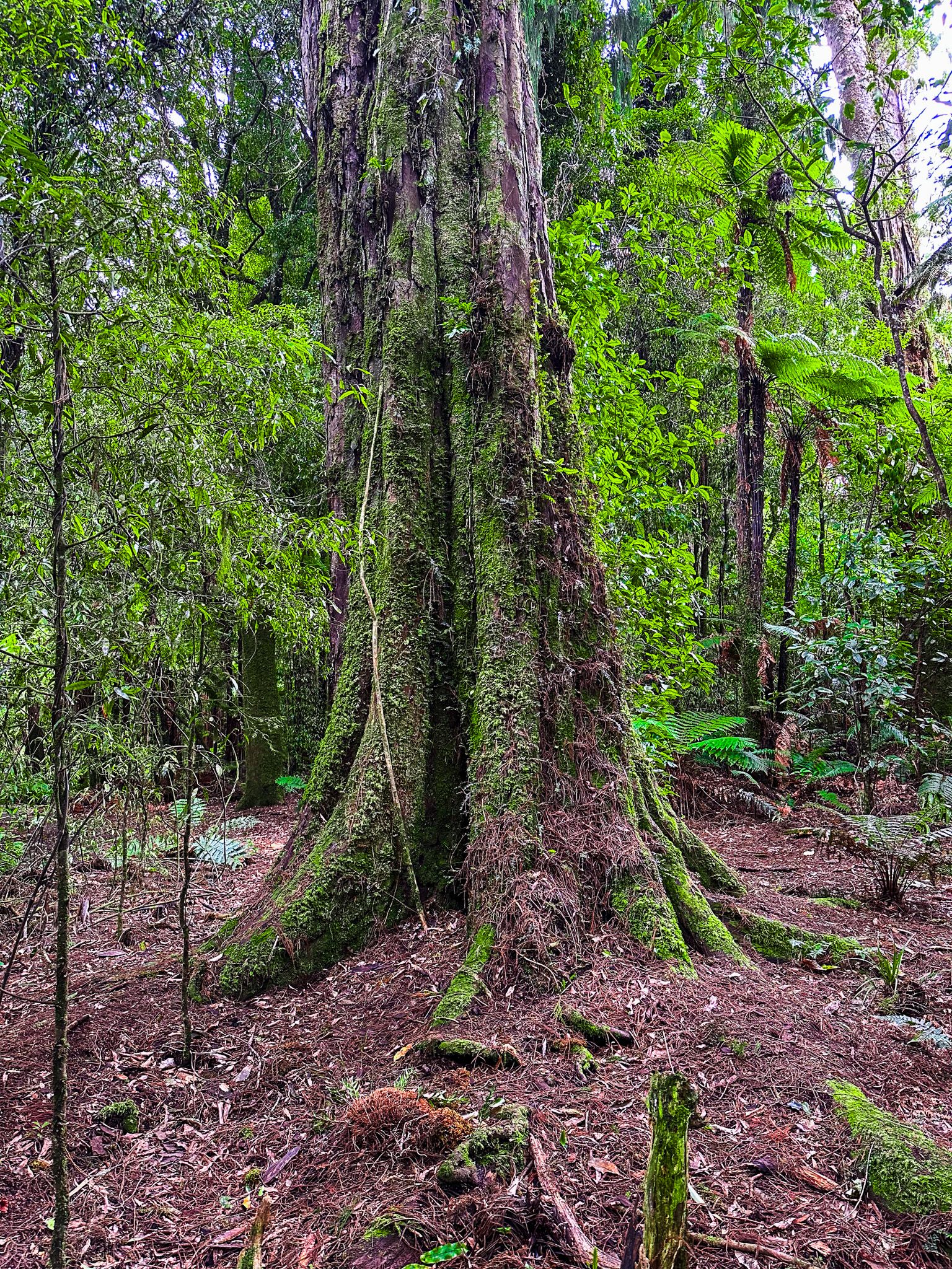
Finding the tower's location is easy if you use Google Maps. Take Hill Road from Barryville Road. This is a rough forestry road; after 2.4 km, you will see the signposted access track. It is a 10-minute walk to the tower, initially through forest regrowth, then amongst a group of tall ancients. Along the way, there is also some vintage forestry equipment to explore. One log haulier is on the roadside; the other is a signposted short walk.
However, other information explaining the location does not align with Google Maps. DOC calls Hill Road “Pikiariki Road” and the access to the track “Bismark Road”, while park maps don’t mark the actual location or name the roads. In the case of Topo NZ, the tower is marked on the map, but neither the access road nor the location is named. Points for Google Maps: it is not generally the most reliable source for these trips!