
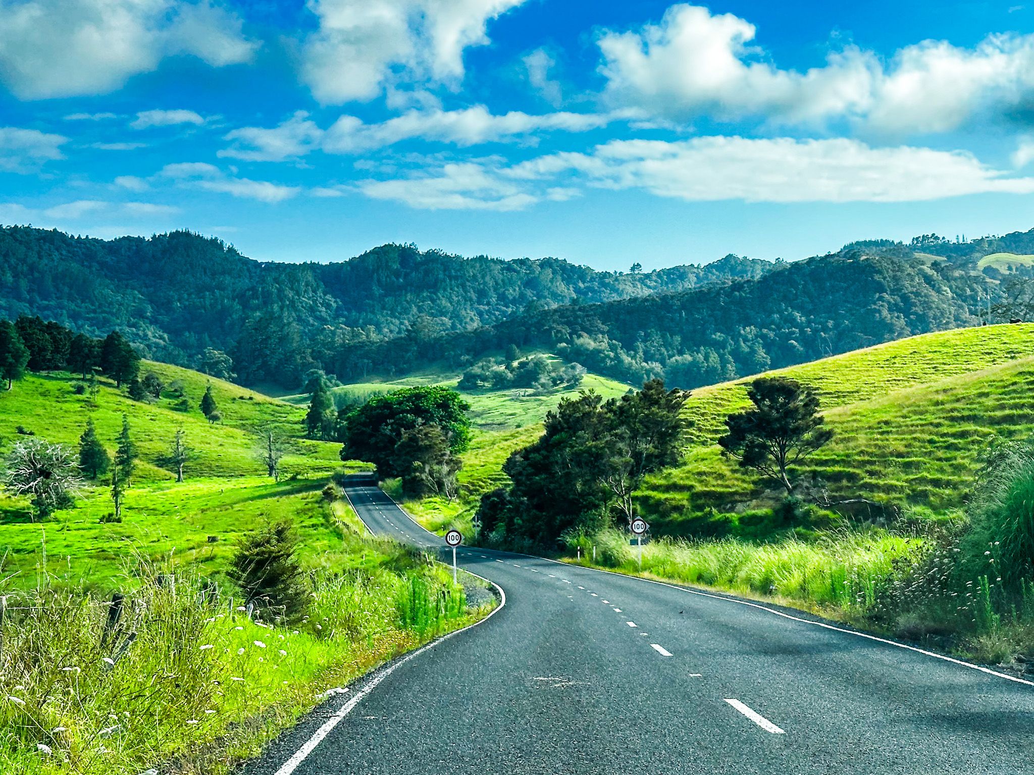
Wainui Road
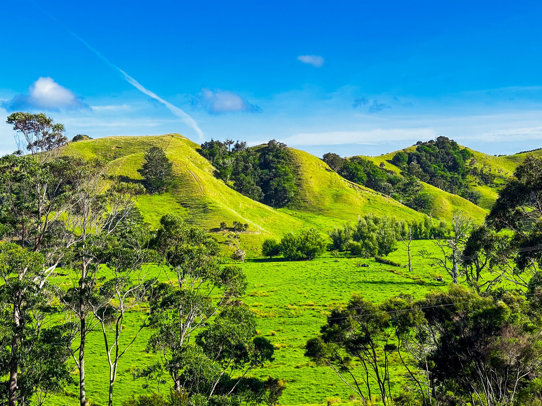
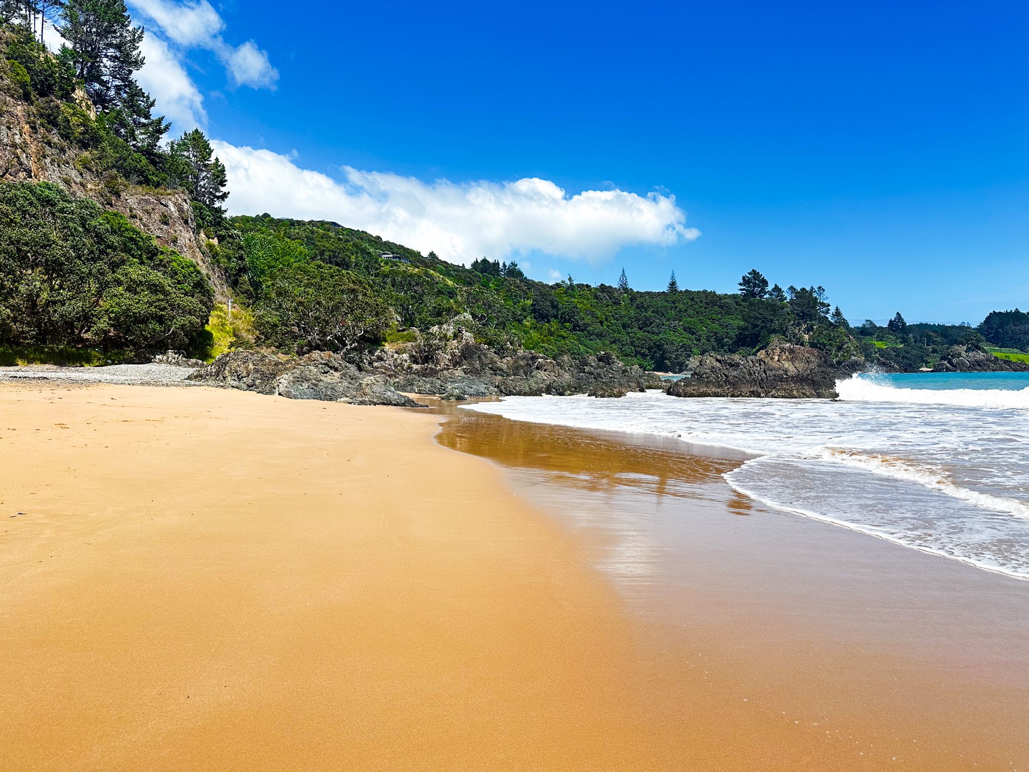
There are several excellent short scenic drives in Northland, and Wainui Road between Whangaroa Harbour and Matauri Bay is one of them. It roughly follows the northeast coast between Matauri Bay and Whangaroa Harbour. The road is 23 km or only 26 minutes of driving, plus another 12 minutes on Matauri Bay Road to link with State Highway 10 southeast of Kaeo.
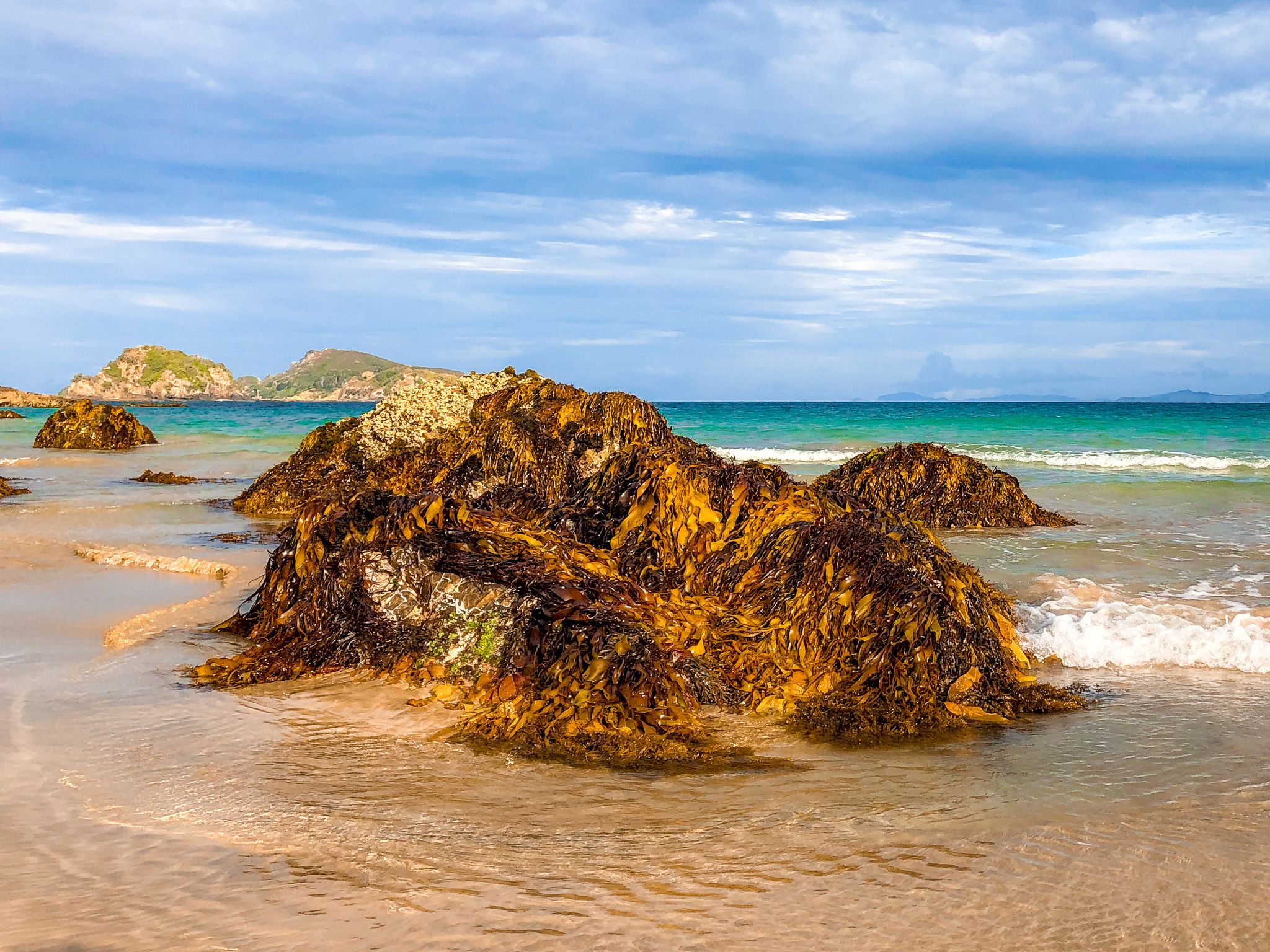
Along the way are several beautiful Northland beaches, some with campsites and excellent short walks. You could easily spend a whole day exploring the route or several days camping. As with most east coast Northland beaches, swimming is relatively safe.
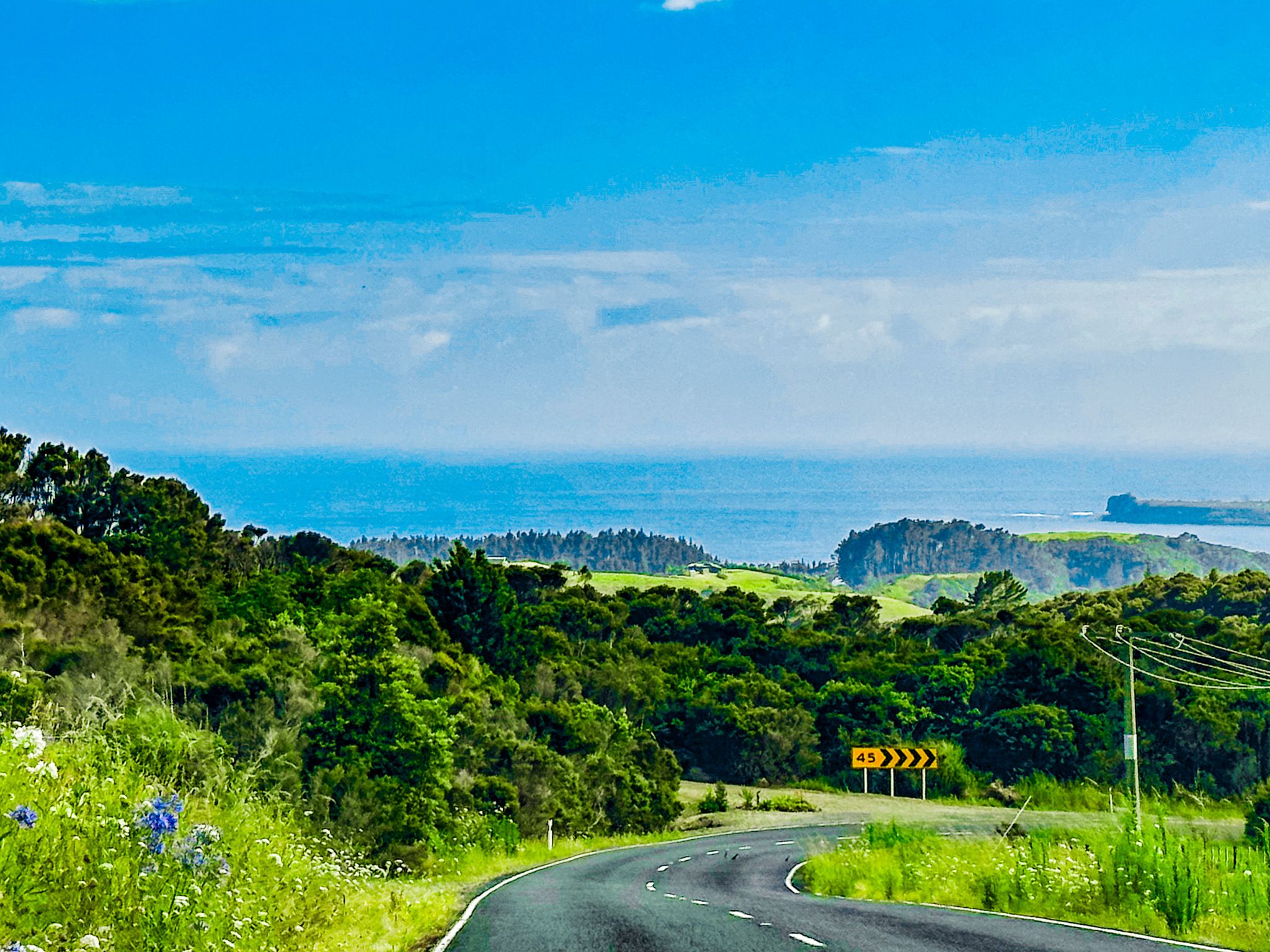
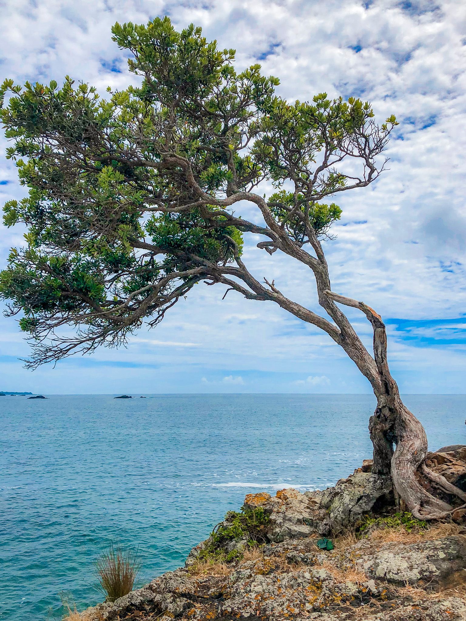
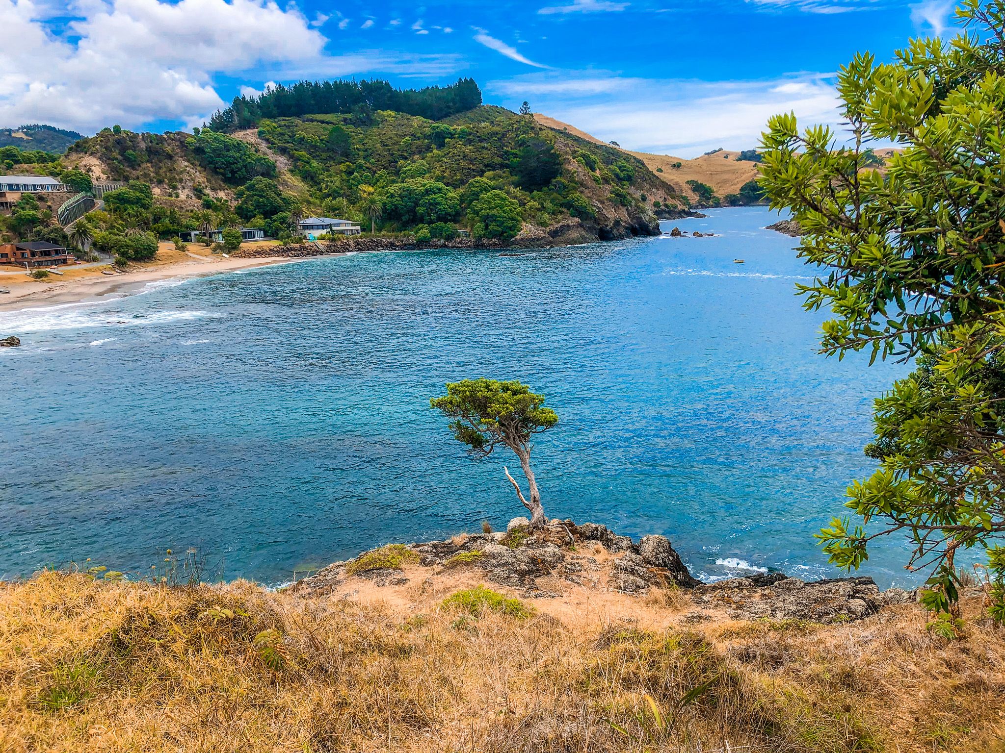
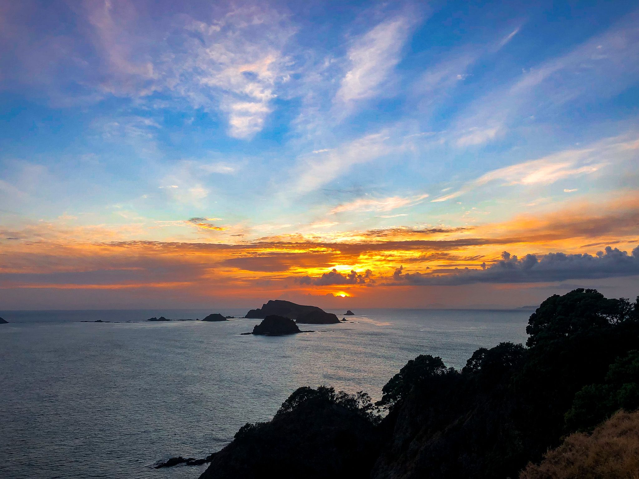
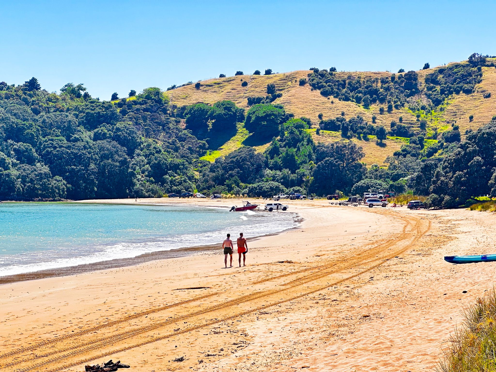
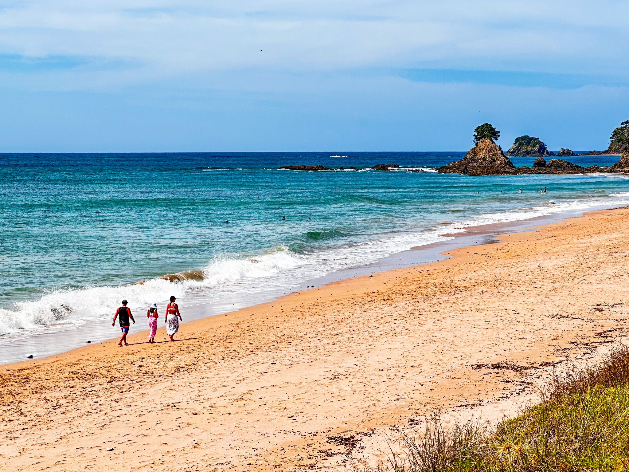
From Matauri Bay Road in the south, drive directly to Matauri Bay, with its small beach community, a lovely white sand beach, and a campground. It is also the final resting place of the Rainbow Warrior. From Matauri Bay, head northwest along Wainui Road. Several places have spectacular coastal views, with the road 200 metres above sea level. At Te Nghaere, there is easy access to another beautiful beach.
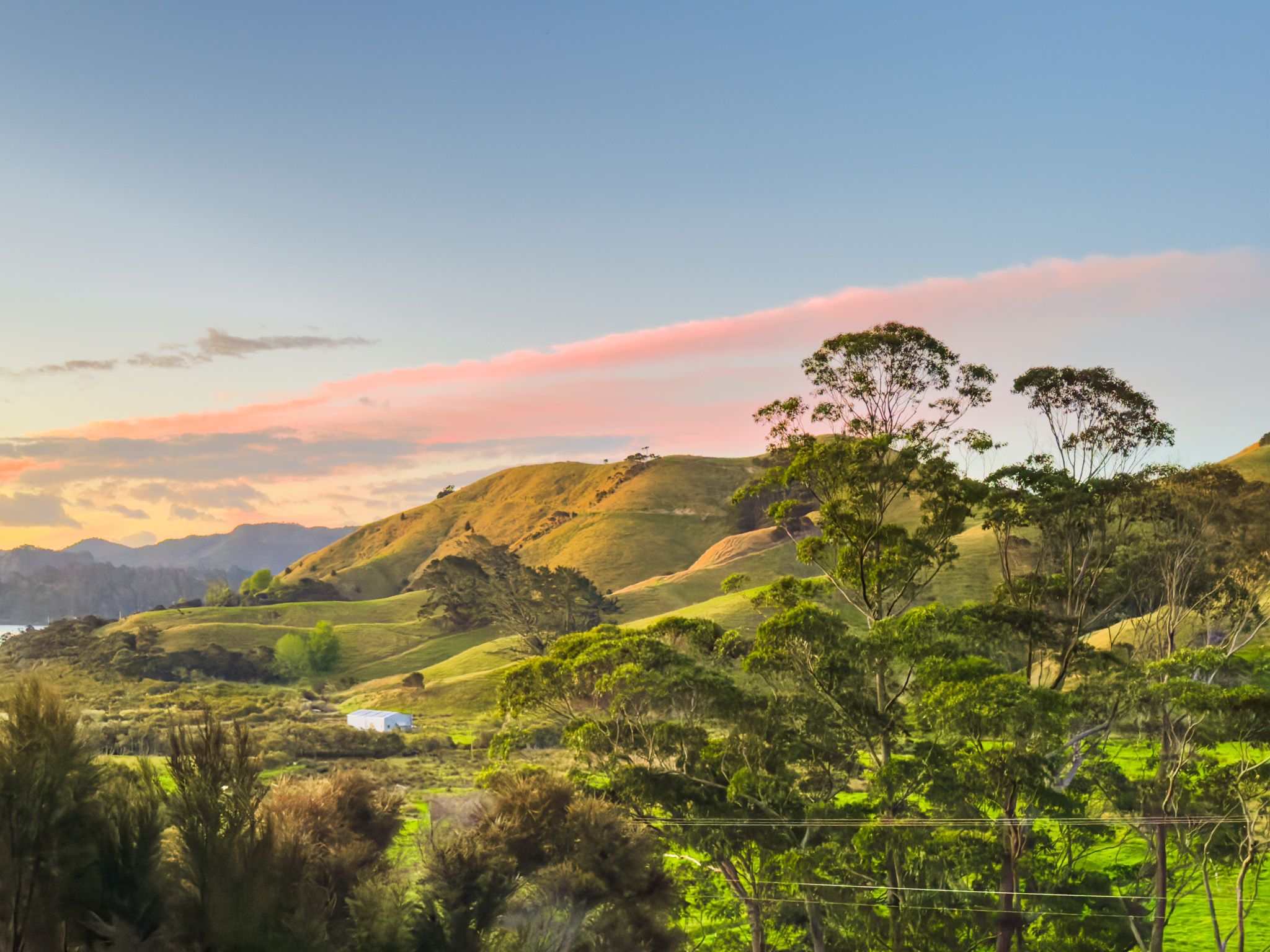
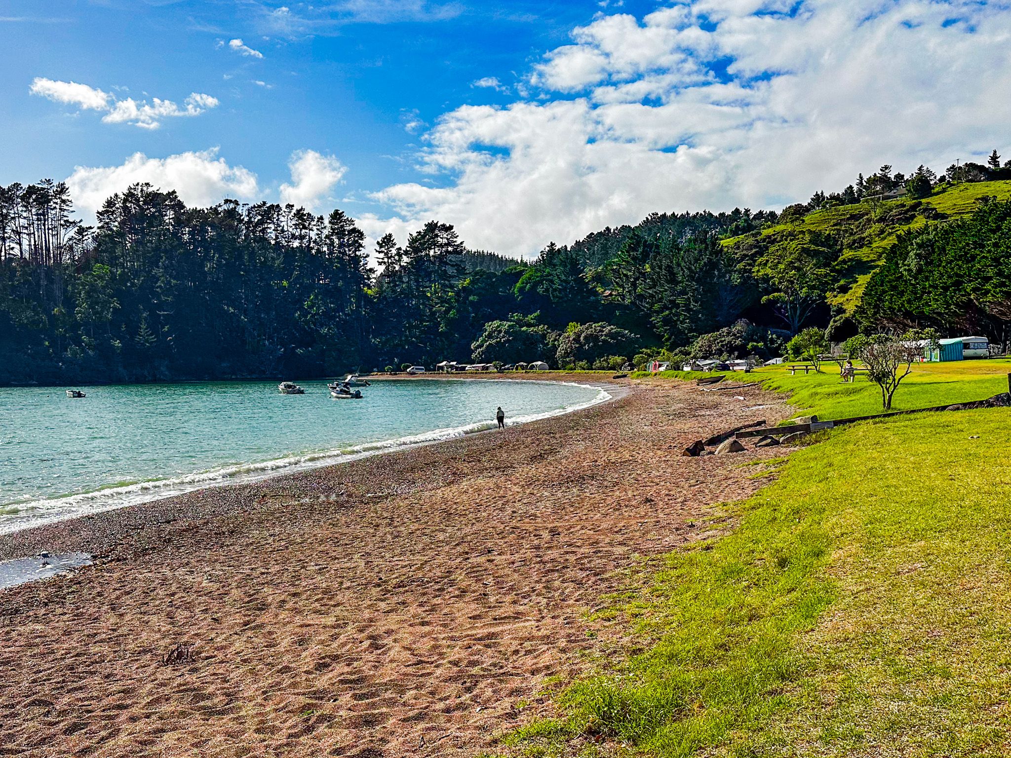
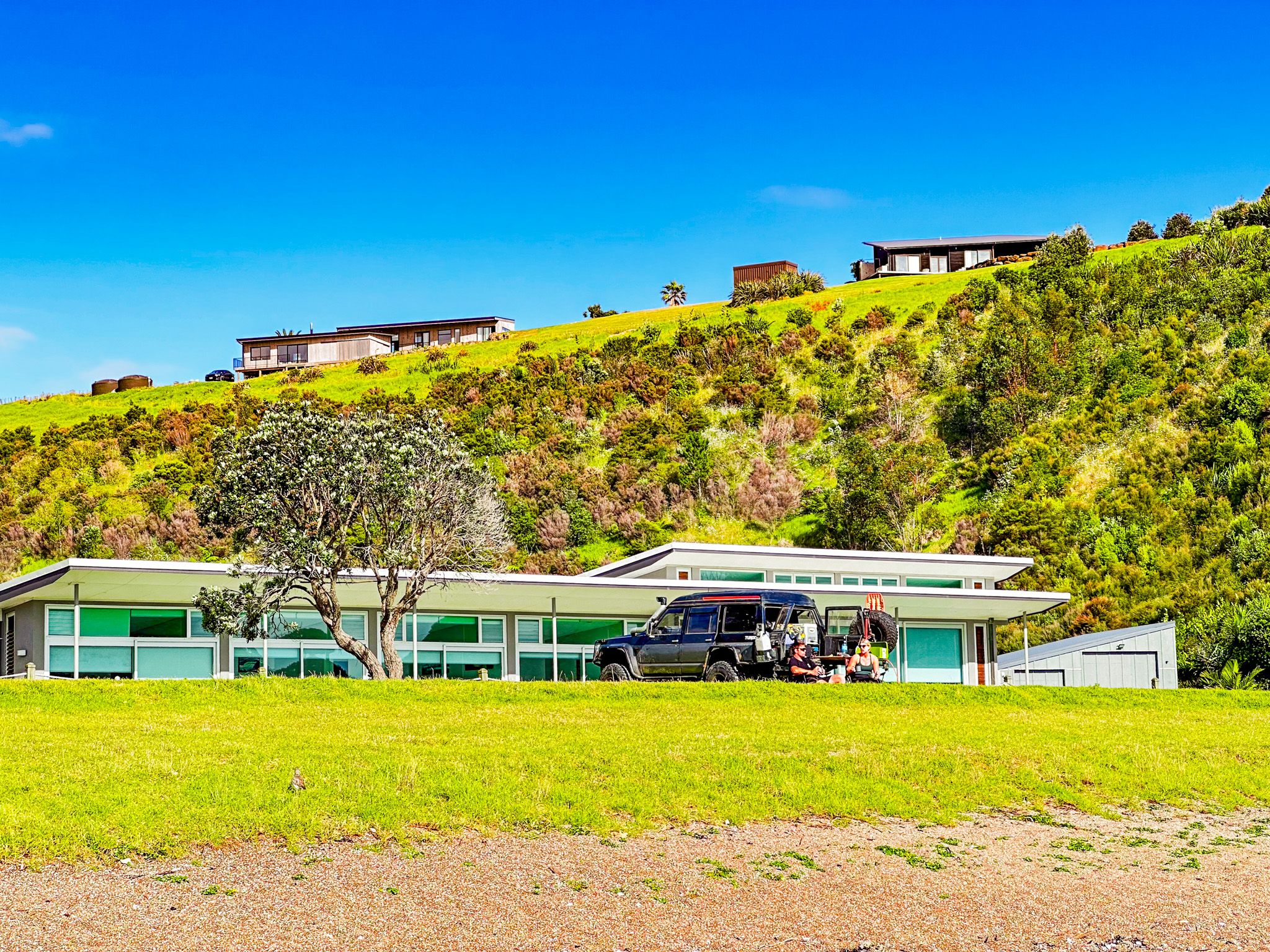
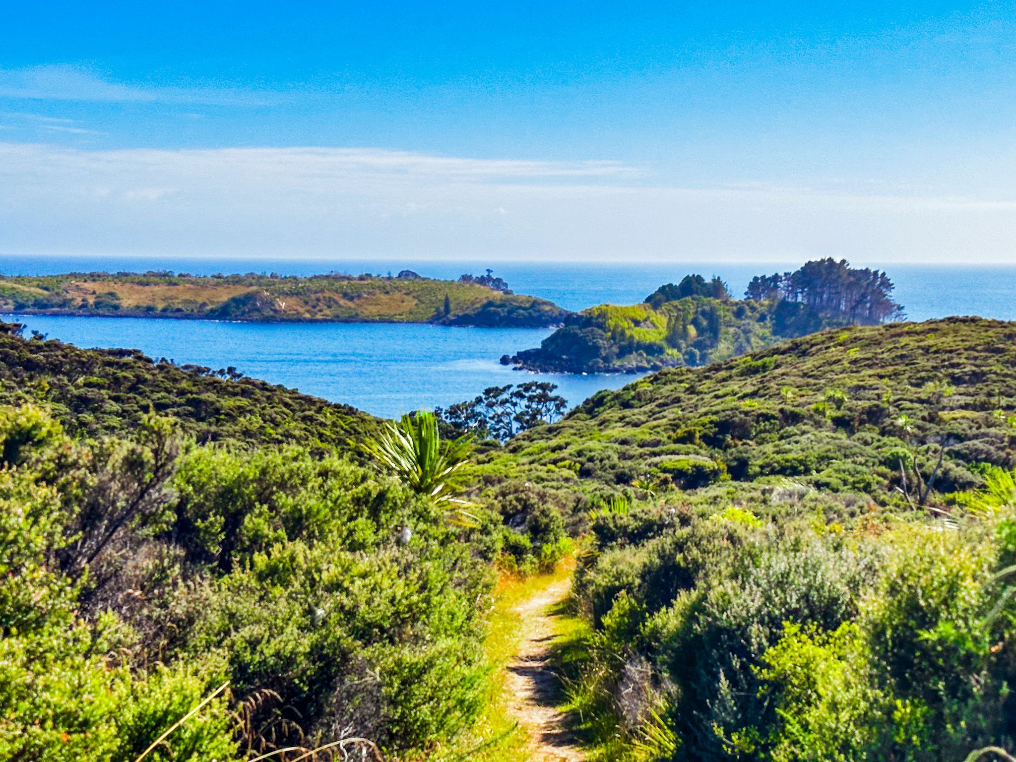
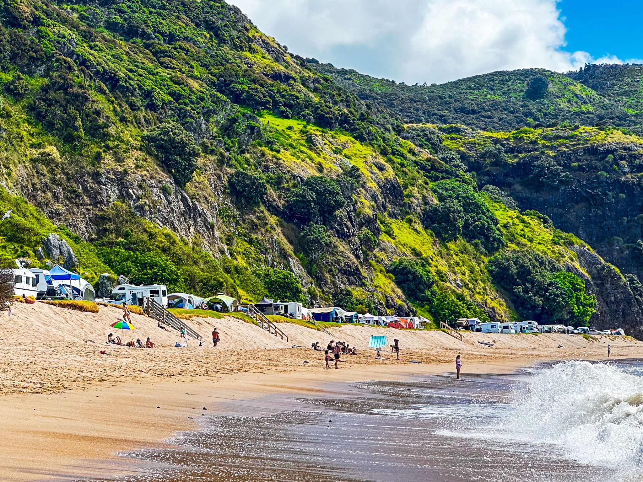
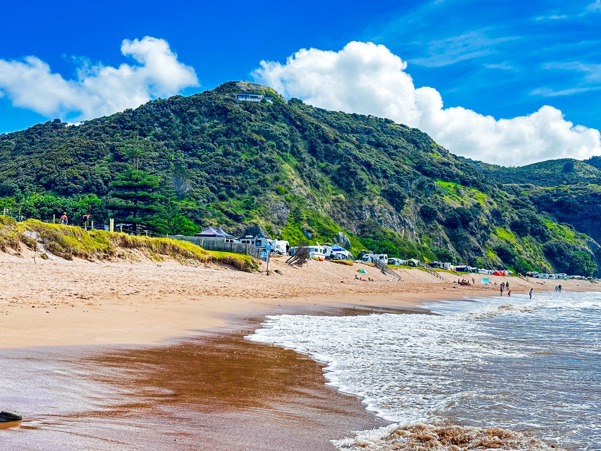
The next stop is Mahinepua Bay after a short detour on Mahinepua Road. There is an excellent walking track on Mahinepua Peninsula and another lovely beach. Wainui Road heads inland over scenic rolling hills to Tauranga Valley. Take the northwest deviation onto Tauranga Bay Road to Tauranga Bay. At the bay, there is another stunning beach with a campground and some holiday homes.
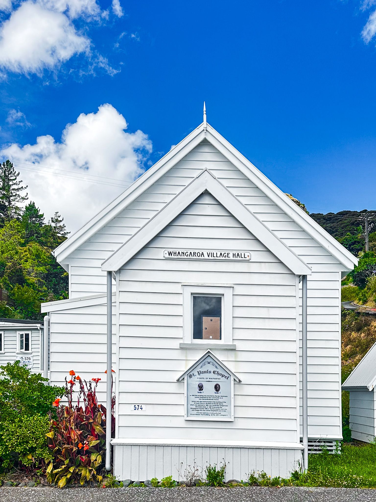
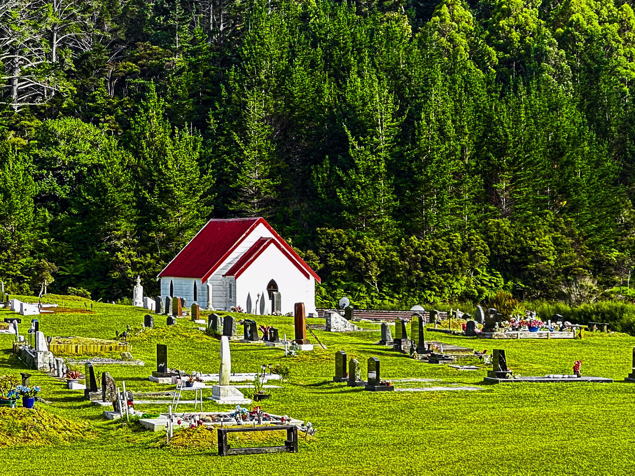
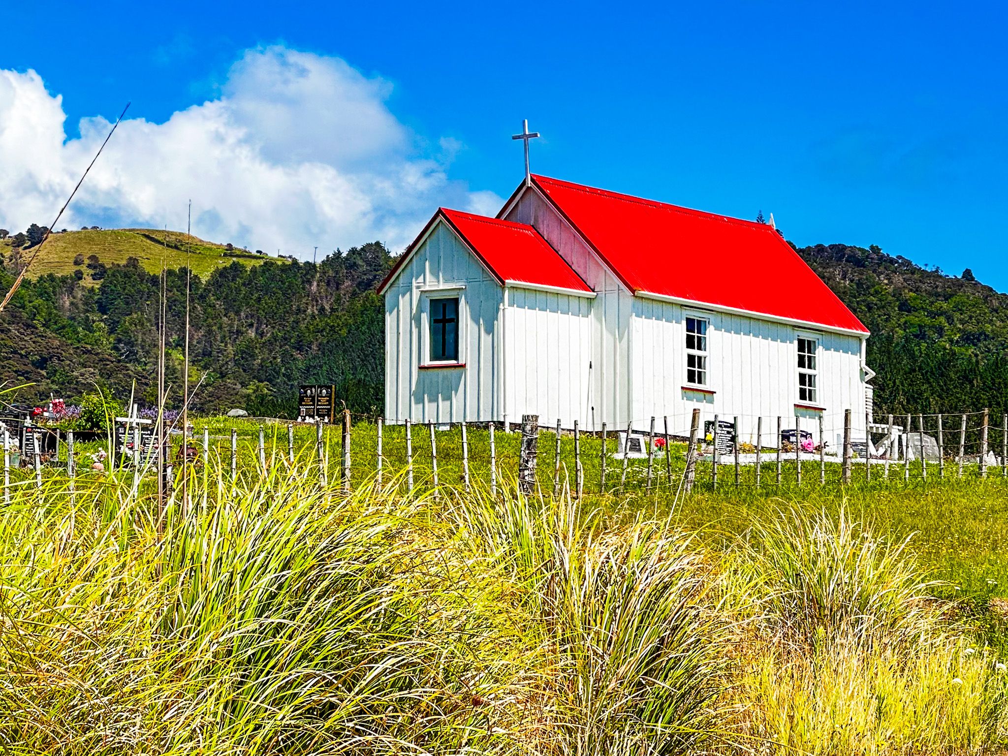
The last section of Wainui Road from Tauranga Valley climbs from the valley over the hills to Whangaroa Harbour. Watch out for the archetypically white Anglican church with a red roof at Matangirau. Missionary James Shepherd, who arrived in NZ in 1823, built the church around the late 1830s for the Church Mission Society.
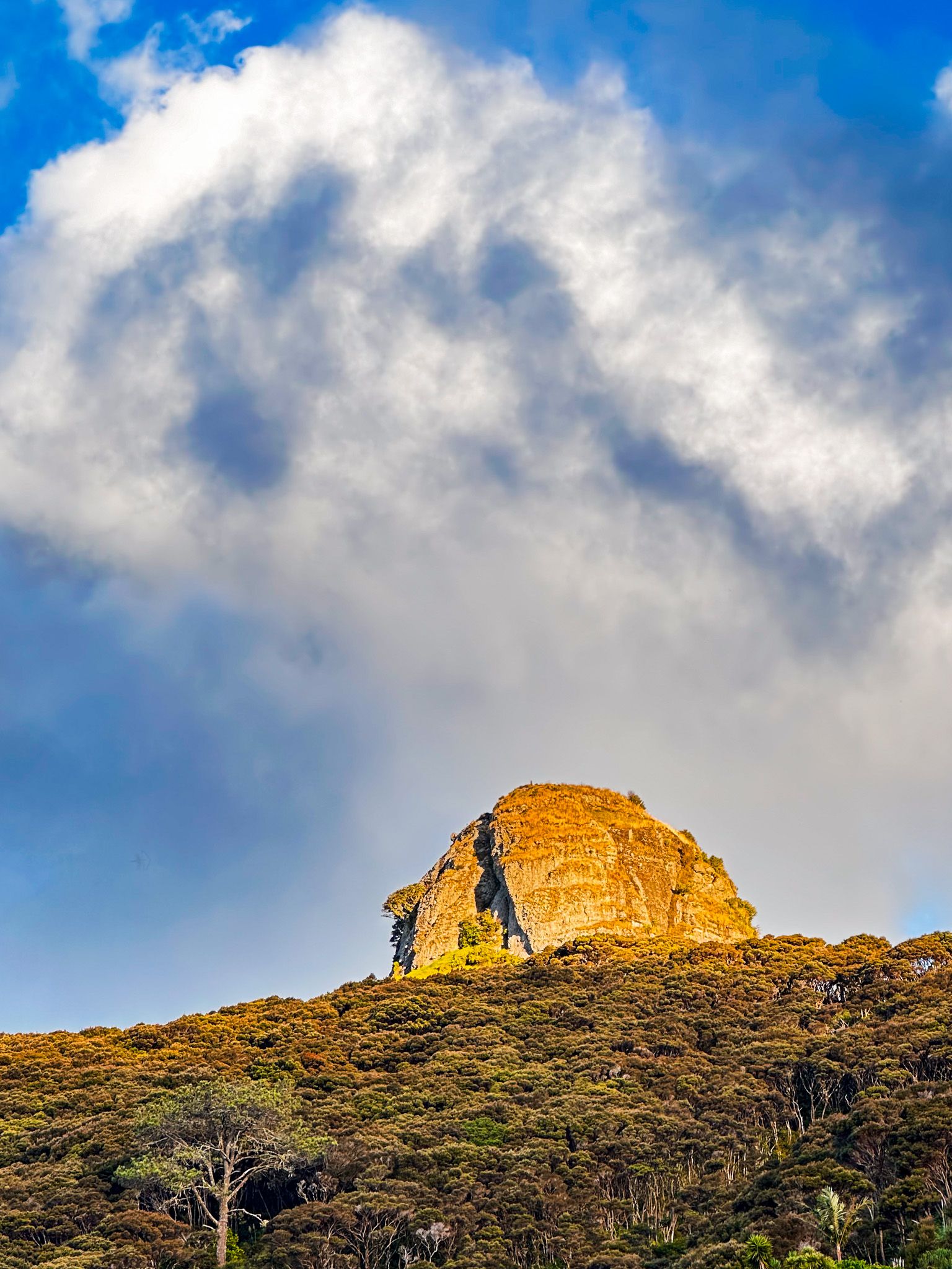
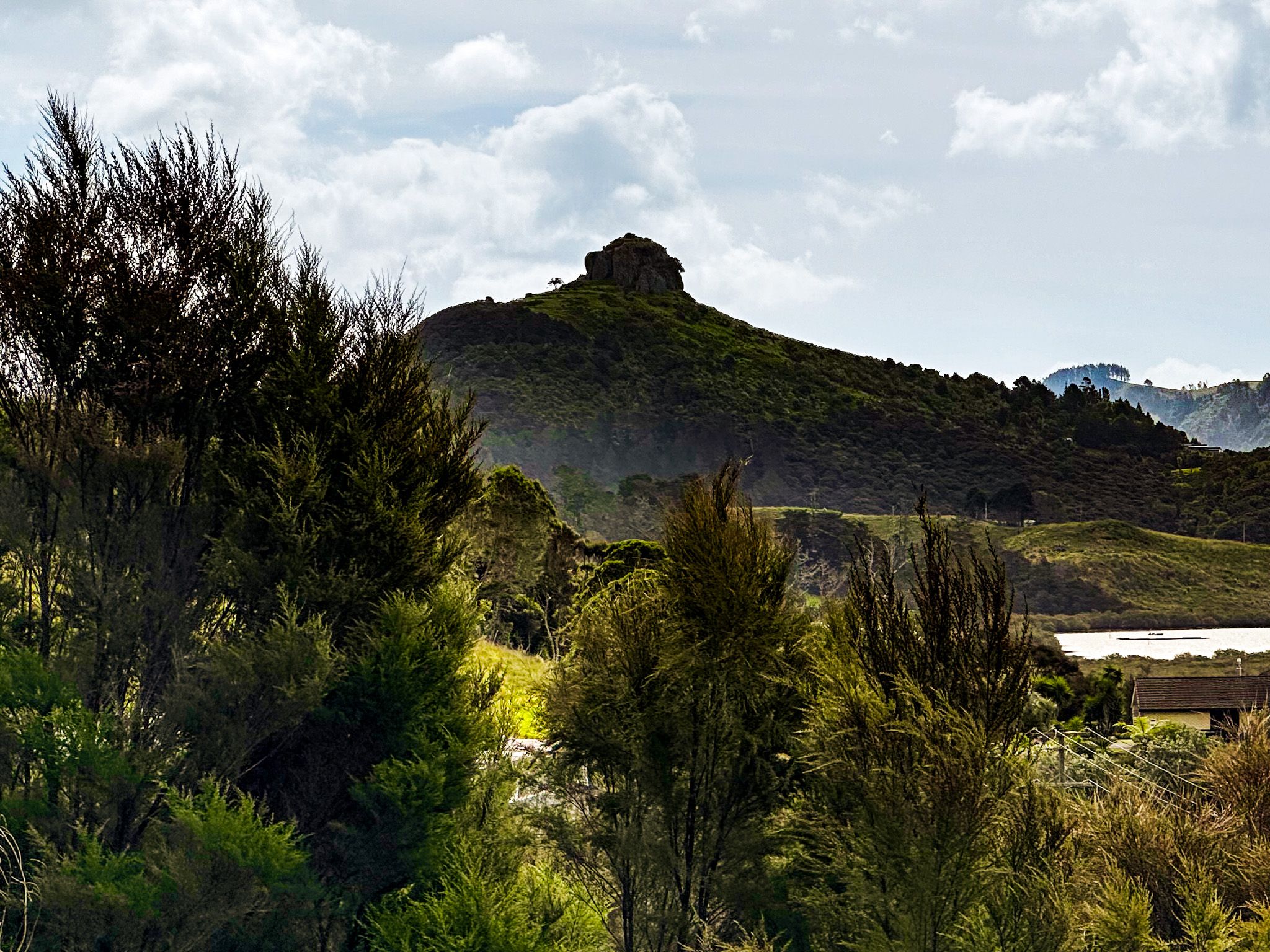
As you approach Whangaroa, you will see St Paul's Rock. You could end the day with a sunset climb up the rock!
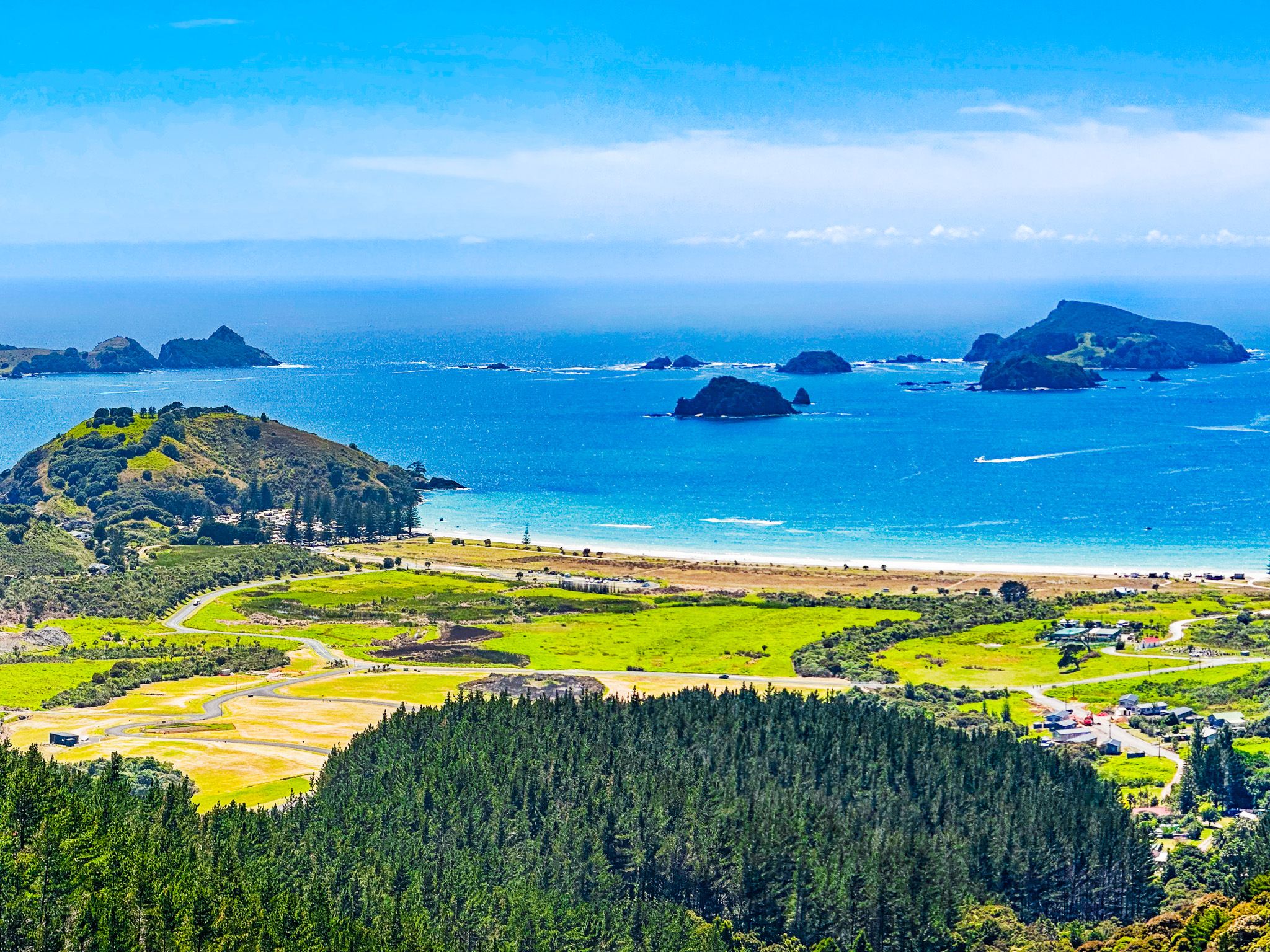
Matauri Bay
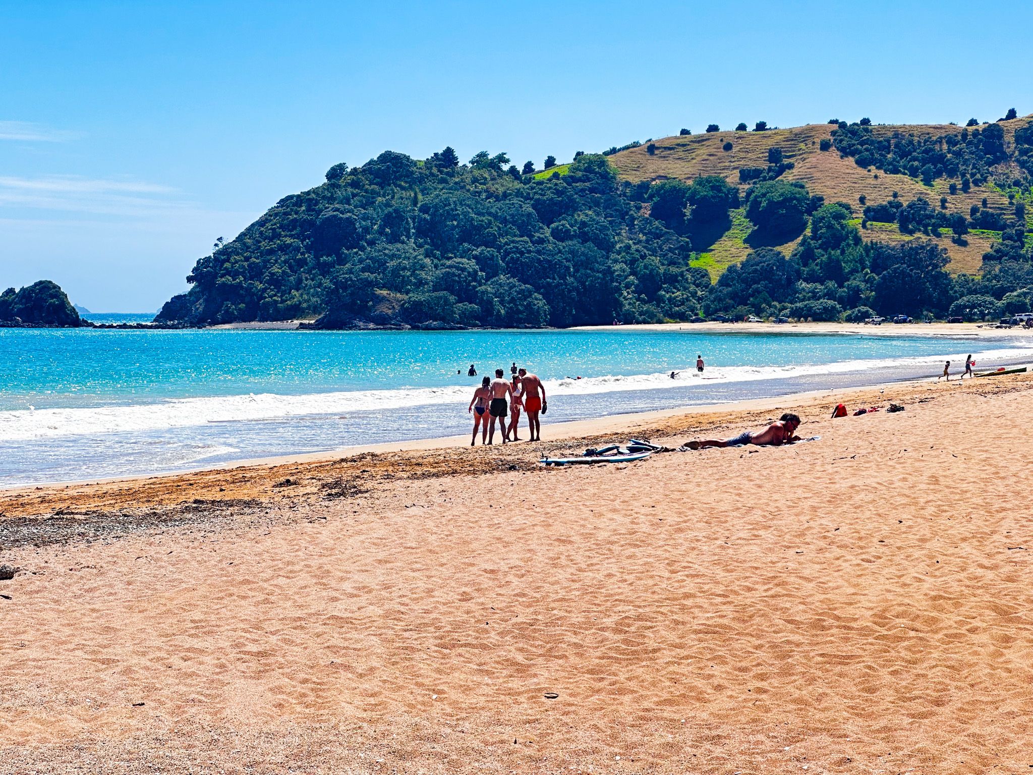
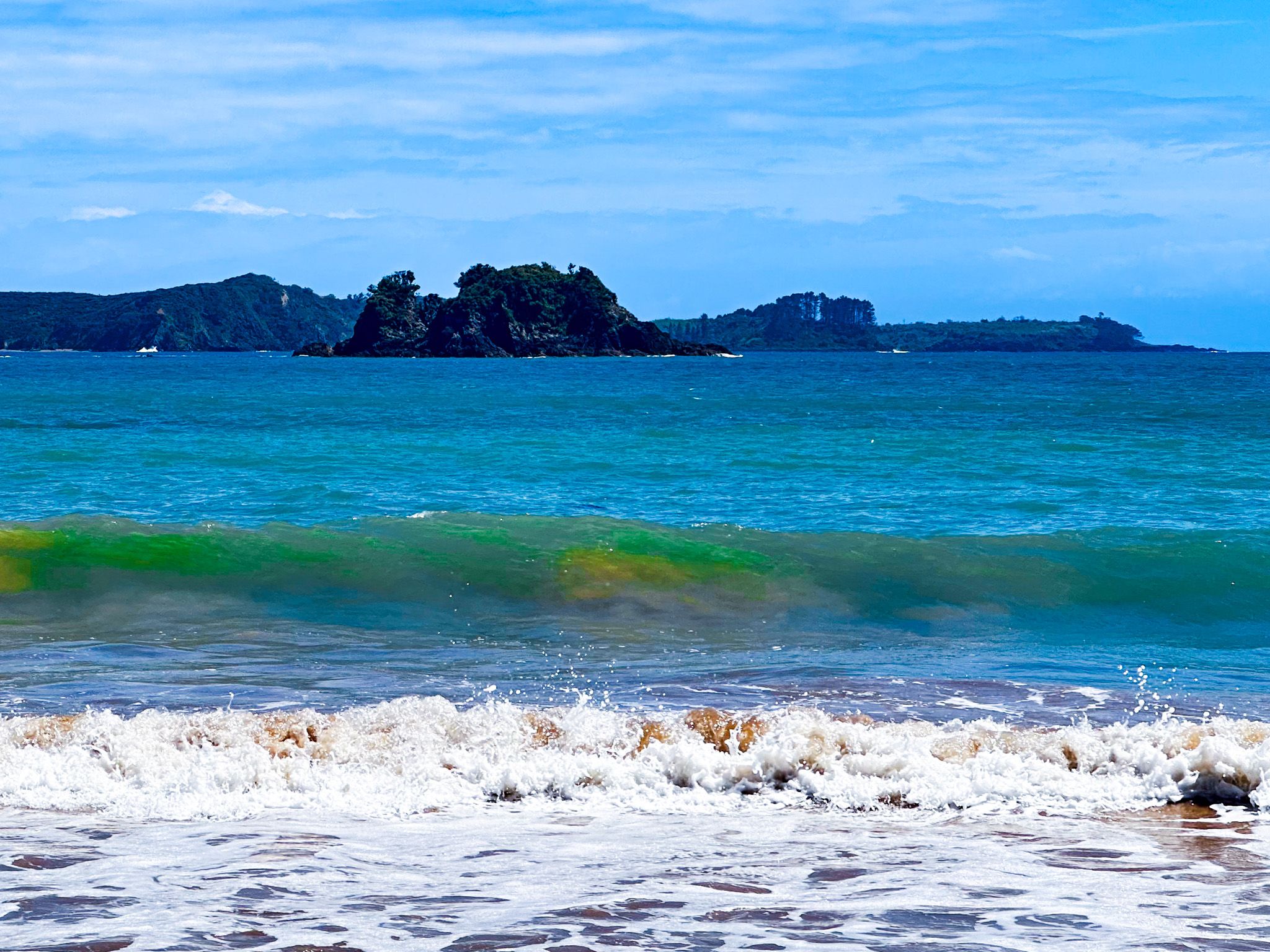
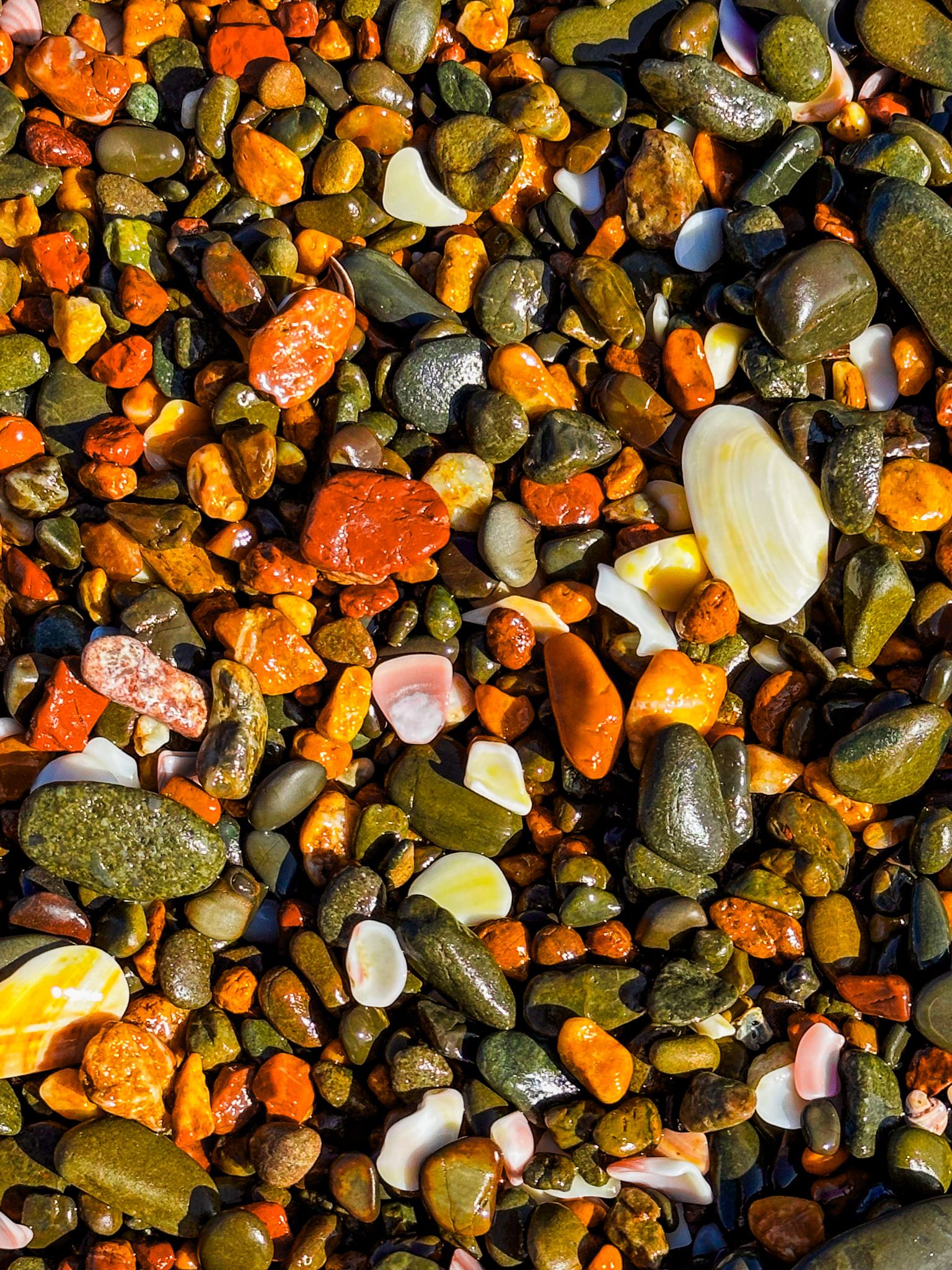
30 km north of Kerikeri in Whangaroa, Matauri Bay is one of the most beautiful bays in New Zealand. Its white sand beaches and crystal clear waters make it popular for camping, swimming, snorkelling, water sports, horse trails, or just hanging out on the beach. It is also a good location for learning to surf. There is easy boat access to the Cavalli Islands for diving, including the Rainbow Warrior wreck. You will find a monument to the Rainbow Warrior on the point at the bay's north end.
Matauri Bay is important in early NZ history. In December 1814, an English missionary, Samuel Marsden, the first to present the Christian gospel to Maori, made his first landfall in NZ there. The Ngapuhi rangitira, Hongi Hika, welcomed Marsden’s party, and Marsden established the first mission station in Rangihoua in the Bay of Islands. The small Anglican church, some 400 metres before the beach, is the Samuel Marsden Memorial Church.
Matauri Bay has maintained a strong Māori presence, with two marae supporting iwi and hapu interests. Local Māori are also the guardians of the Rainbow Warrior and its final resting place.
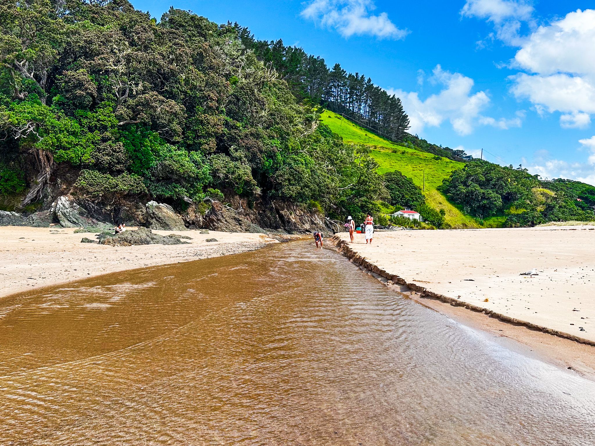
Te Ngaere
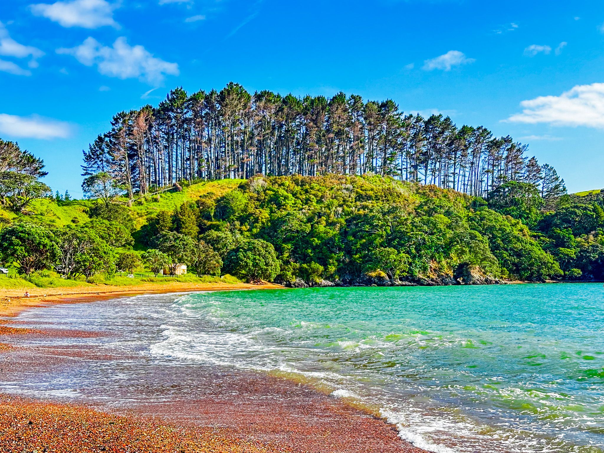
Te Ngaere is a 700-metre-long beach and holiday community on Taiaue Bay, Northland. Its beautiful white-to-golden sand beach is easily accessed from Wainui Road, which passes through the town. At the east end, a reserve separates the road from the beach. Houses overlook the beach to the west.
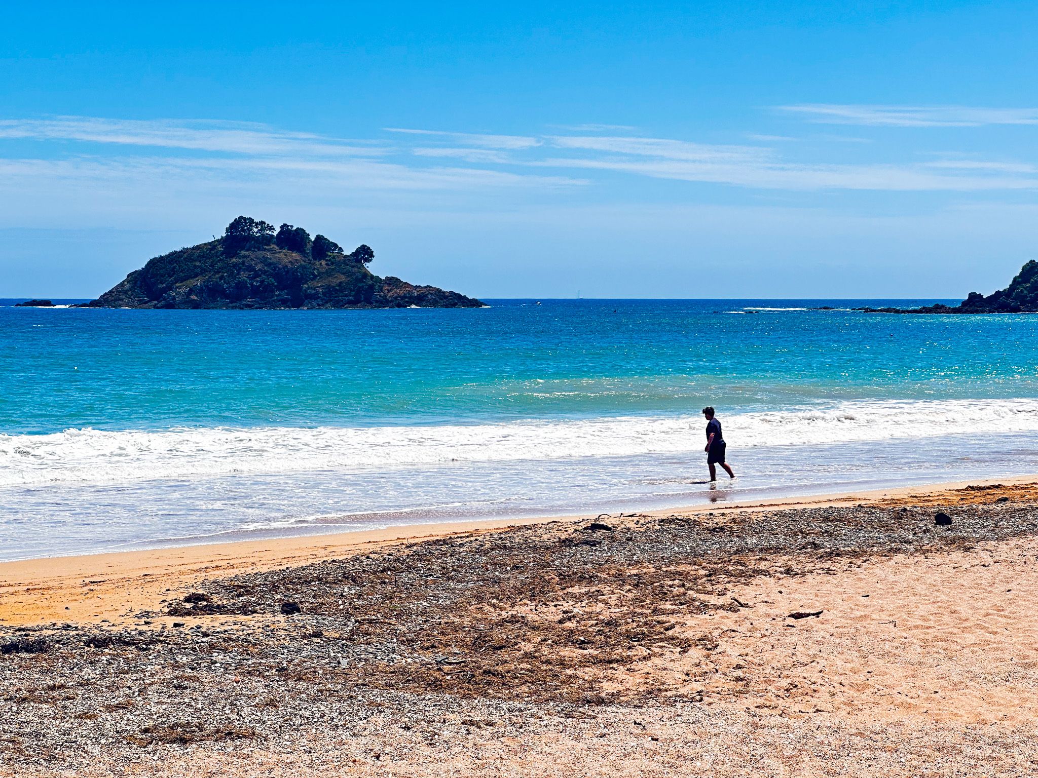
At the east end, you can walk across the rocky outcrop to a second, smaller beach bounded by Omorere Reef. Piapia Bay is another sandy beach northwest of the reef. A feature of the Te Ngaere is the nearby islands that shelter the bay from the Pacific Ocean - Motuwhakaururakau and Dome Rock. These are good objectives if you have a kayak.
Te Ngaere is on Wainui Road, about 4 km northwest of Matauri Bay and Whangaroa Harbour, or 19 km from State Highway 10 to the south.
Mahinepua Bay
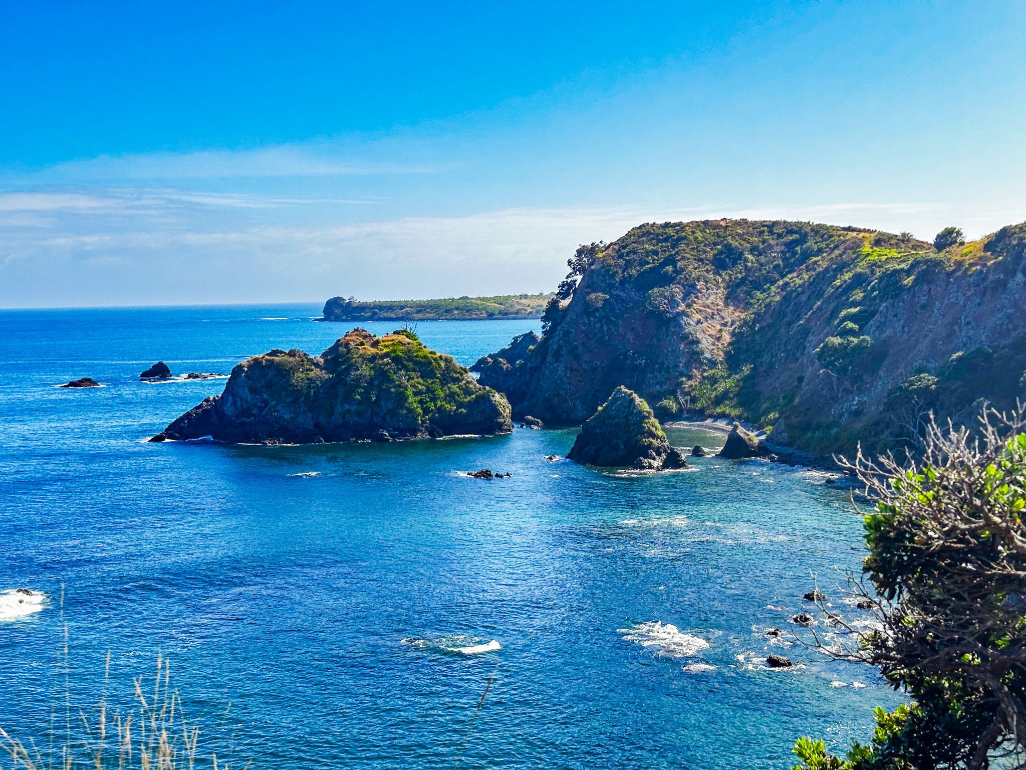
Pretty Mahinepua Bay is a short side trip from Wainui Road in Northland. The bay has a 600-metre-long crescent-shaped beach. A cemetery and reserve are at the south end, and several holiday homes are to the north. The beach is safe for swimming and small boats, well sheltered by the 4.5 km long Mahinepua Peninsula on the north side of the bay.
When Europeans arrived, the bay was in the borderlands between Ngapui and Ngati Kahu iwi. Several pā sites were on the peninsula's high ground, with gardens in the valley and hills behind the beach. Unfortunately for the locals, they were victims of various military campaigns during the Musket Wars and the area was left relatively depopulated. Europeans moved in, and by 1912, the area was being extensively farmed.
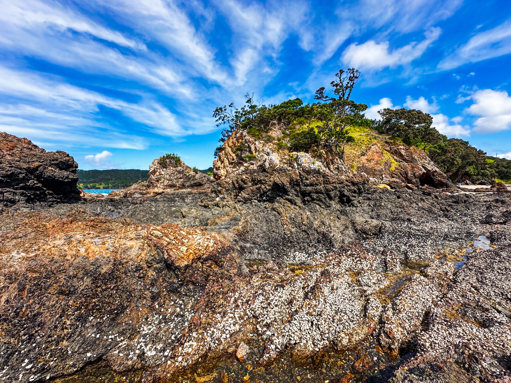
In 1978, the peninsula came under DOC management control. DOC developed a superb walking track surrounded by regenerating native bush and forest.
Mahinepua is about halfway between Matauri Bay and Whangaroa Harbour. Take Wainui Road, about 15 minutes from either end and then take a short side trip on Mahinepua Road to the beach.
Mahinepua Penisula Track
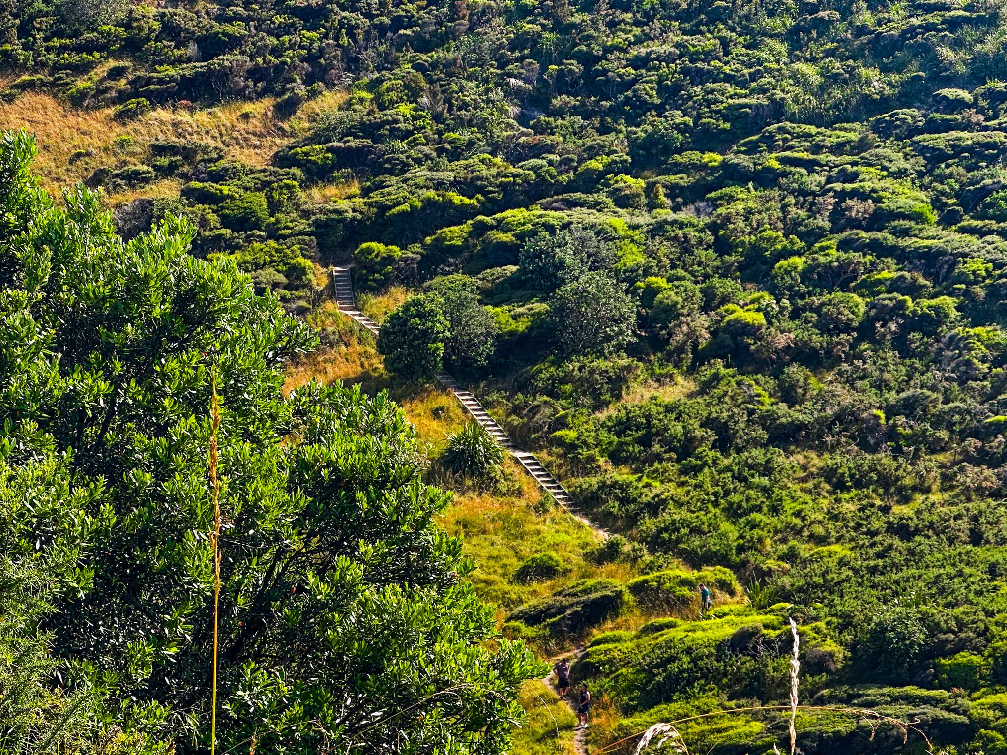
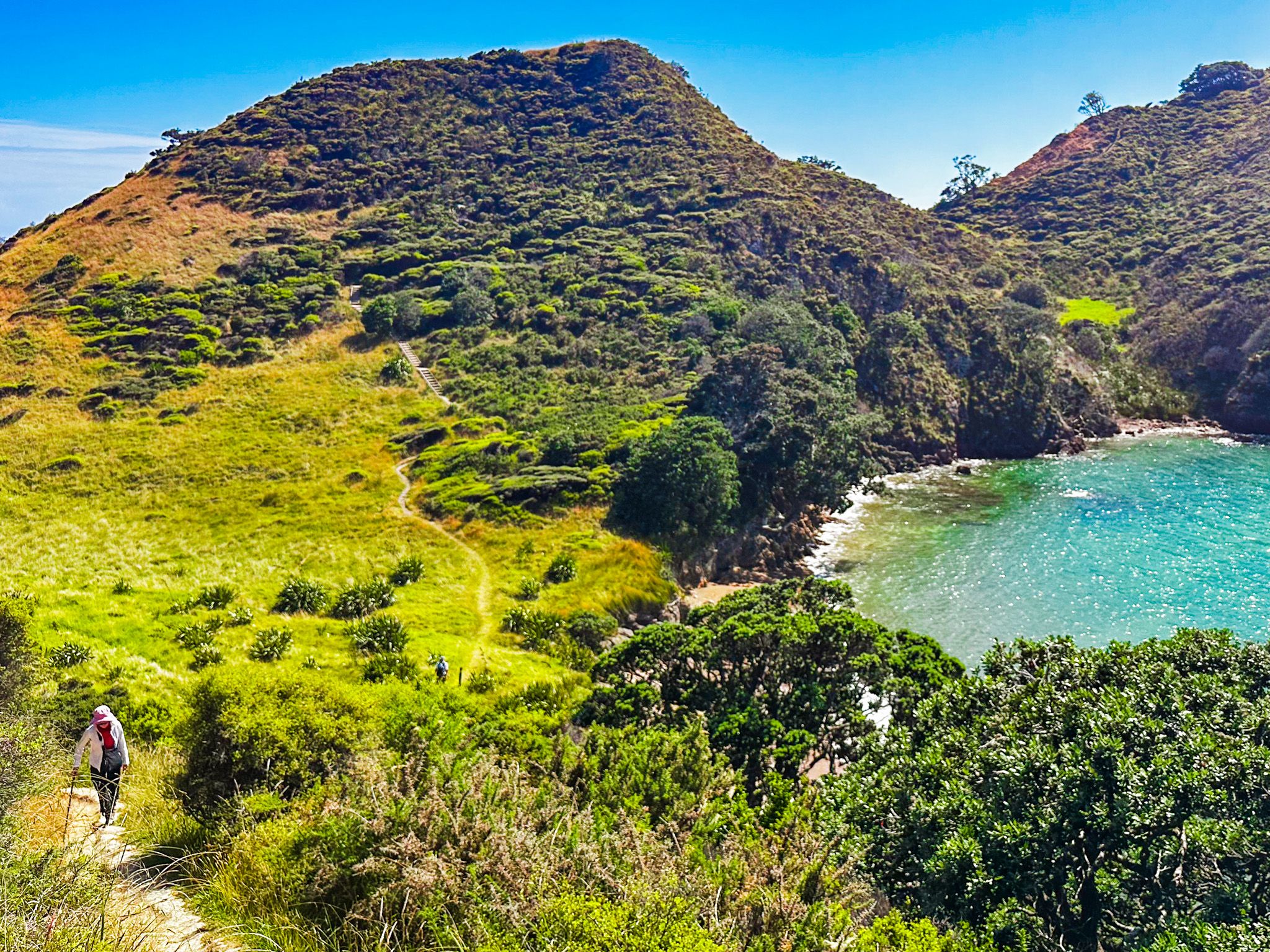
Mahinepua Penisula Track is a 3 km, 2-hour return walking track with spectacular views. The track starts at the end of Mahinepau Road in Mahinepua Bay, initially following a gated private road behind and above the beach to the start of the Mahinepua Peninsula. From there, the track enters the Mahinepua Scenic Reserve. The reserve was created when DOC took over the peninsula in 1978. At the time, it had been farmed. Today, regenerating coastal shrubs and trees, including rare native mistletoe, cover much of the peninsula. Look for the mistletoe flowers around January.
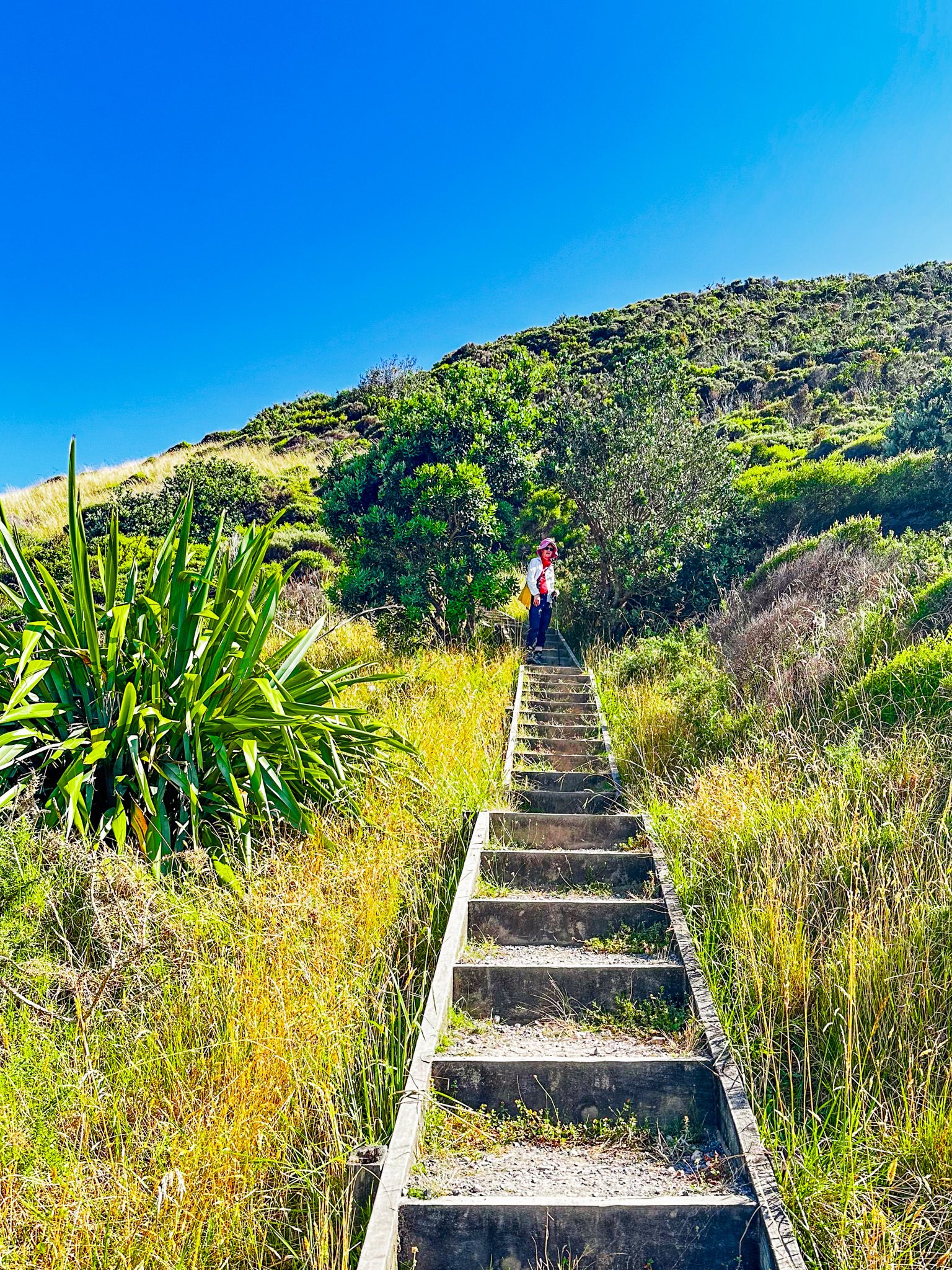
The track is a mix of gravel and clay with 200 formed steps to protect a significant pā site. There are a couple of steep sections over the 60 to 80-metre humps which are a feature of the peninsula. Steep drops in several places provide superb views but require care with small children. The clay sections may also be slippery if it’s wet.
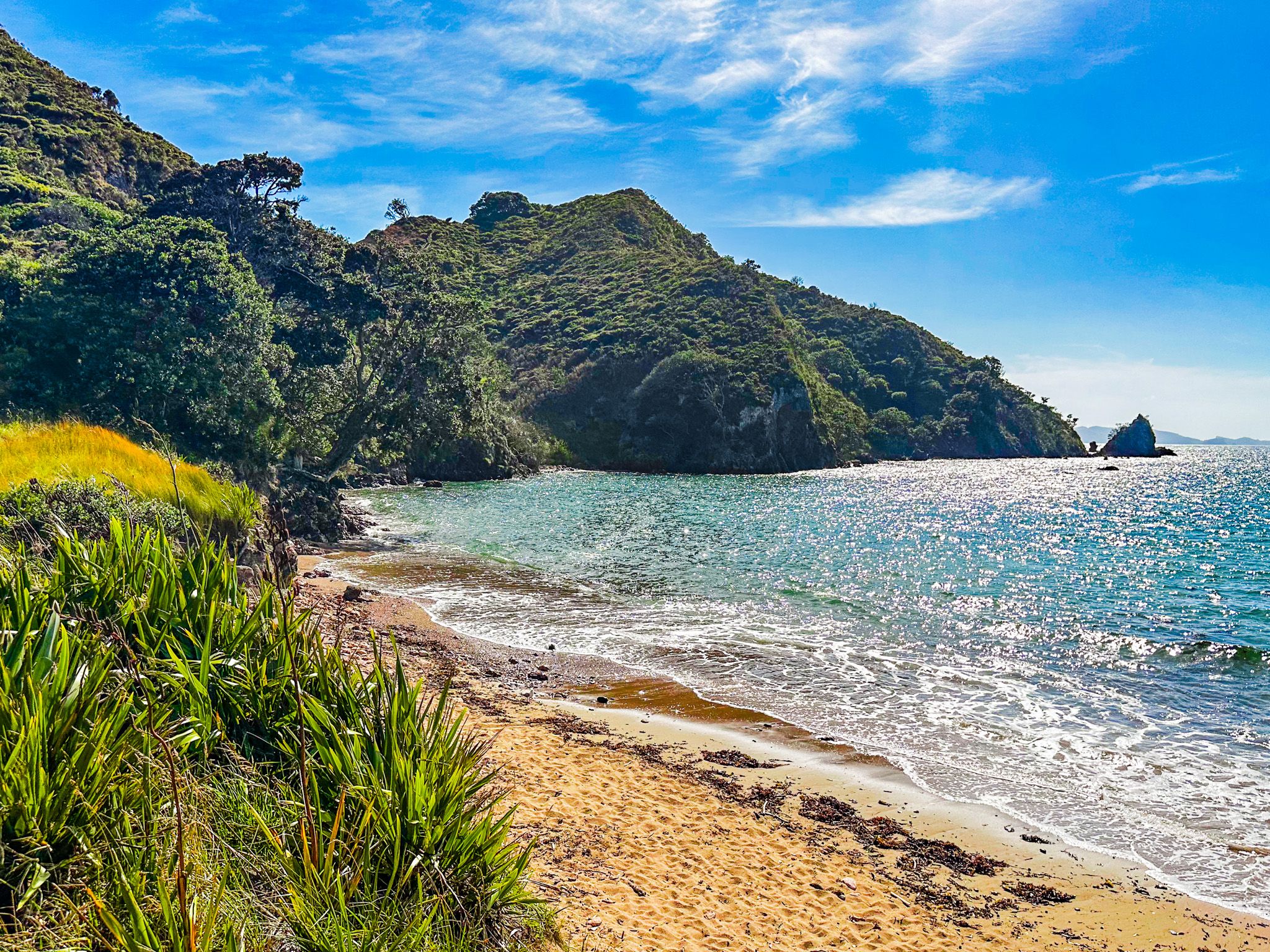
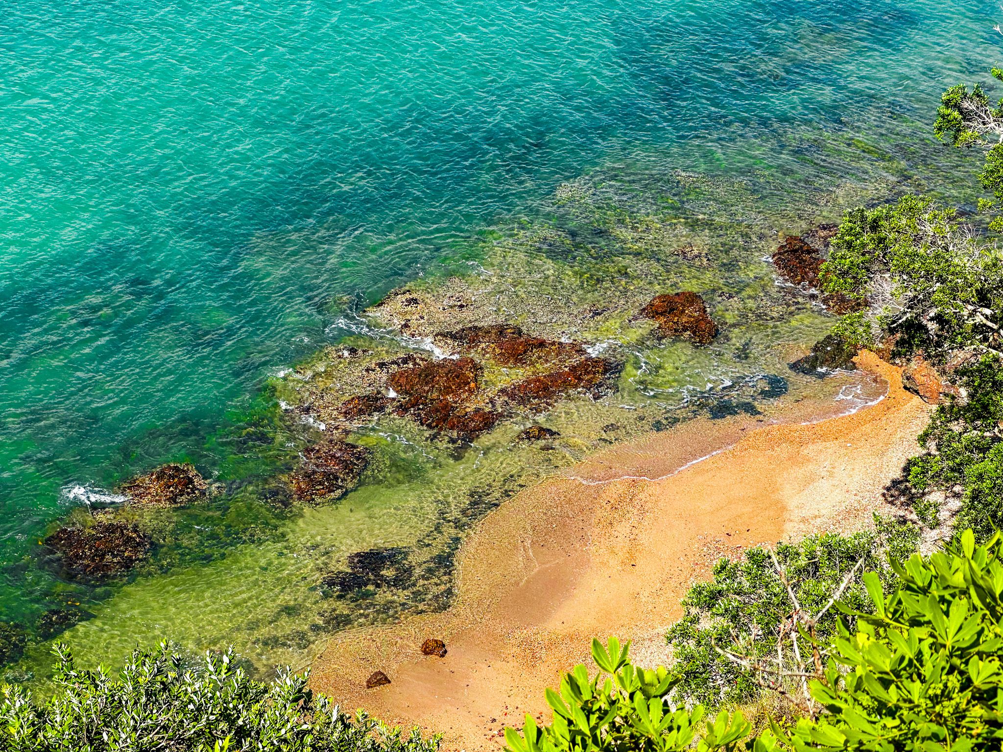
After the first hump, with fabulous views over the bay, there is a narrow, flat grassed section with small beaches on either side. The east side beach faces the bay and has golden sand, and the west side beach faces the ocean and is stony. The track then climbs a series of steps over a second hump at 78 metres to the pā sites. There is a large grassed area and more fantastic views.
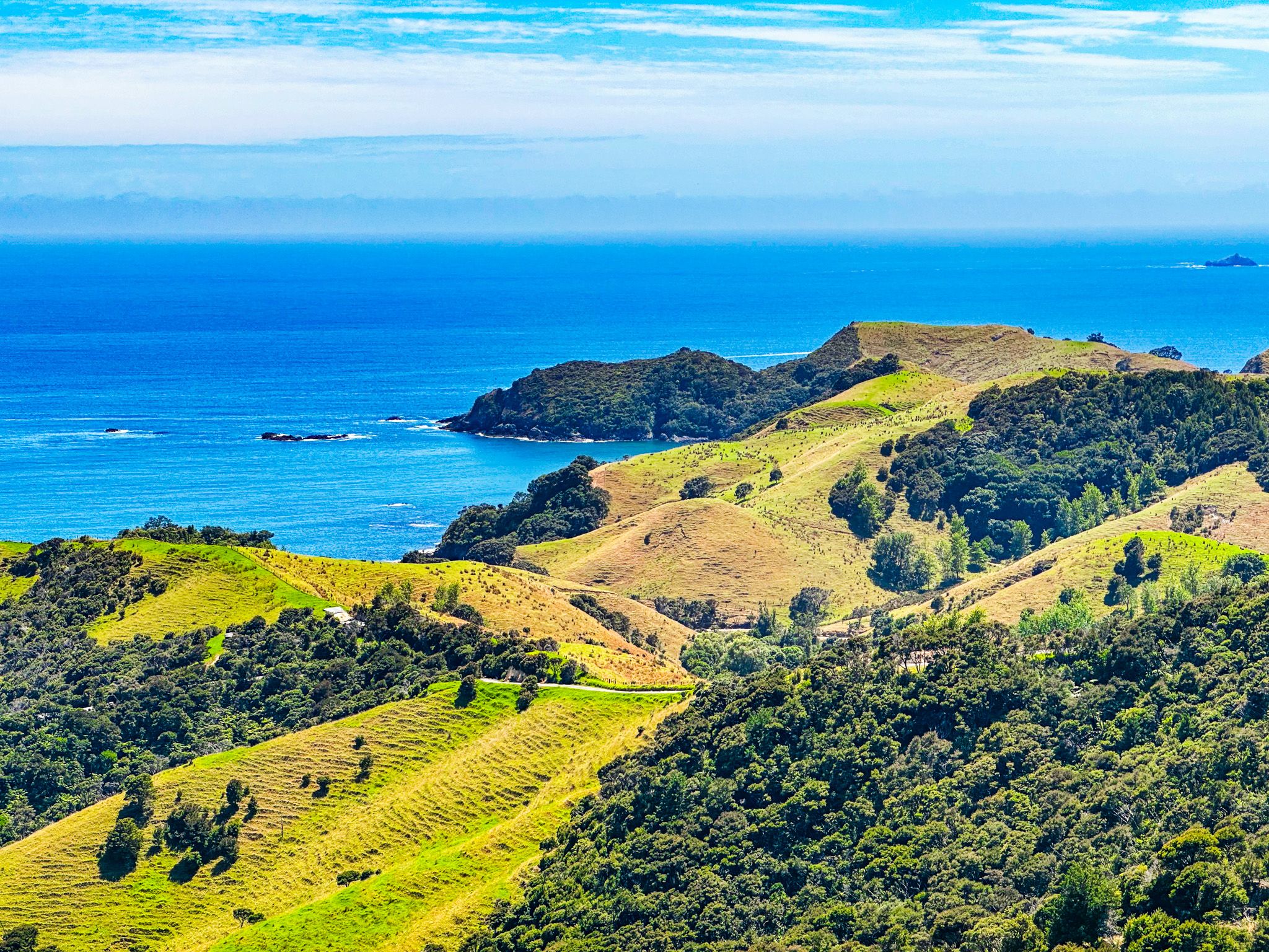
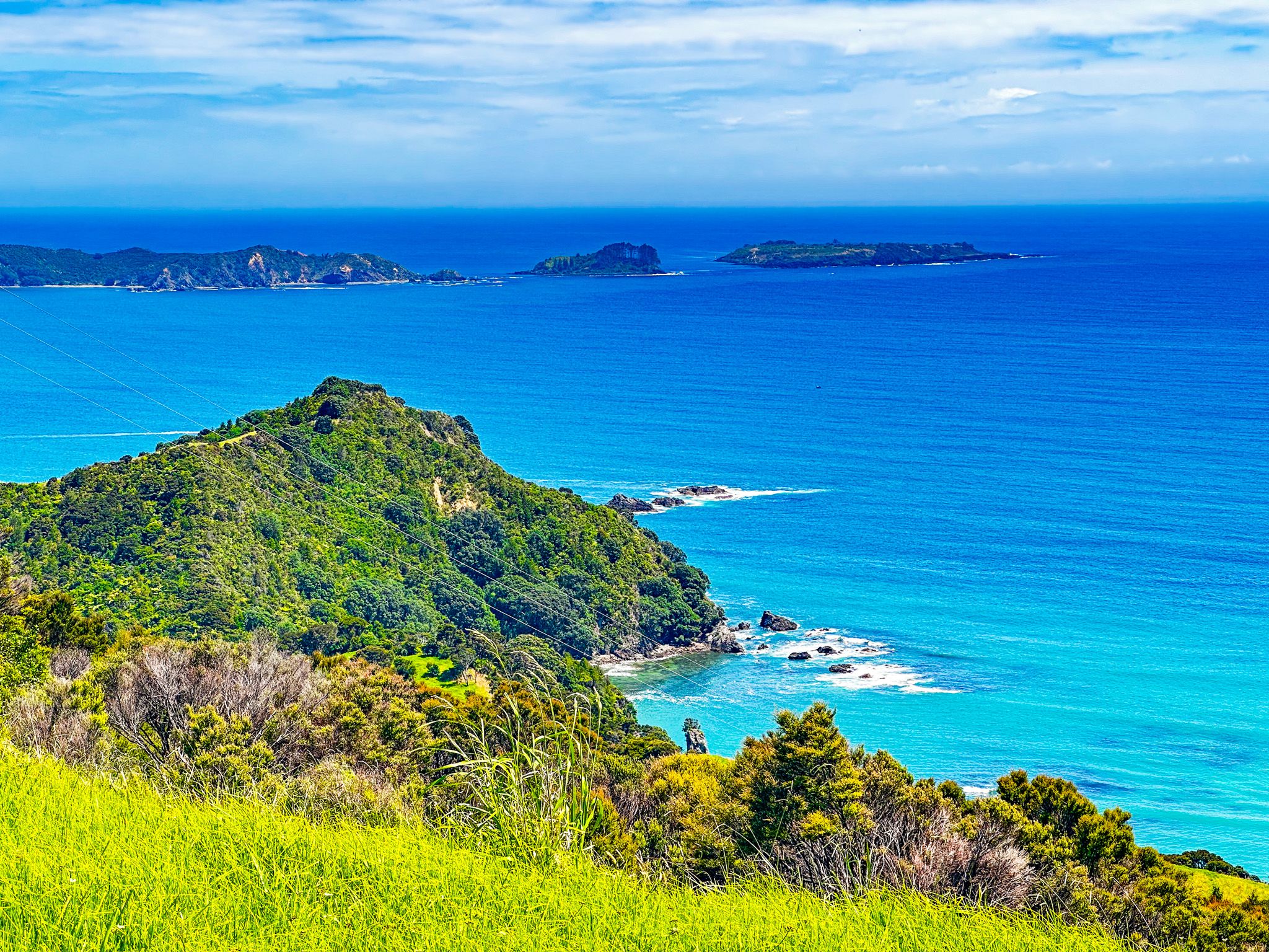
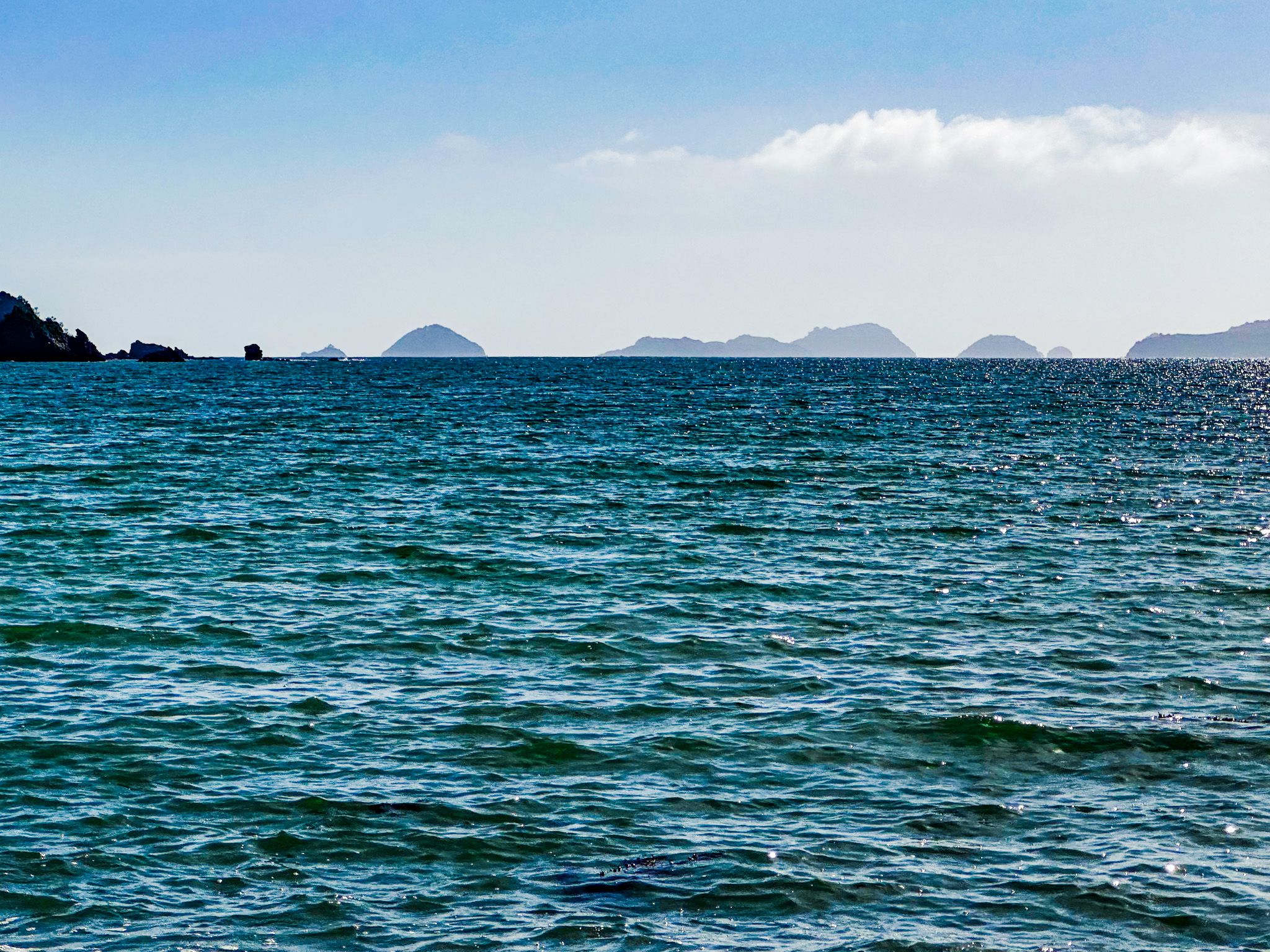
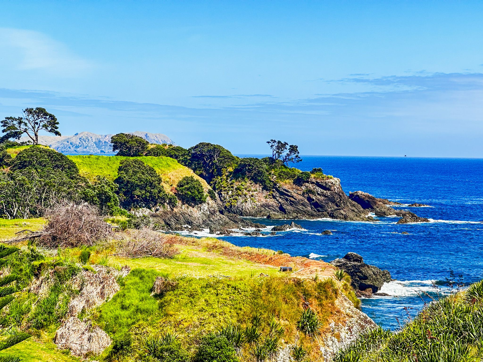
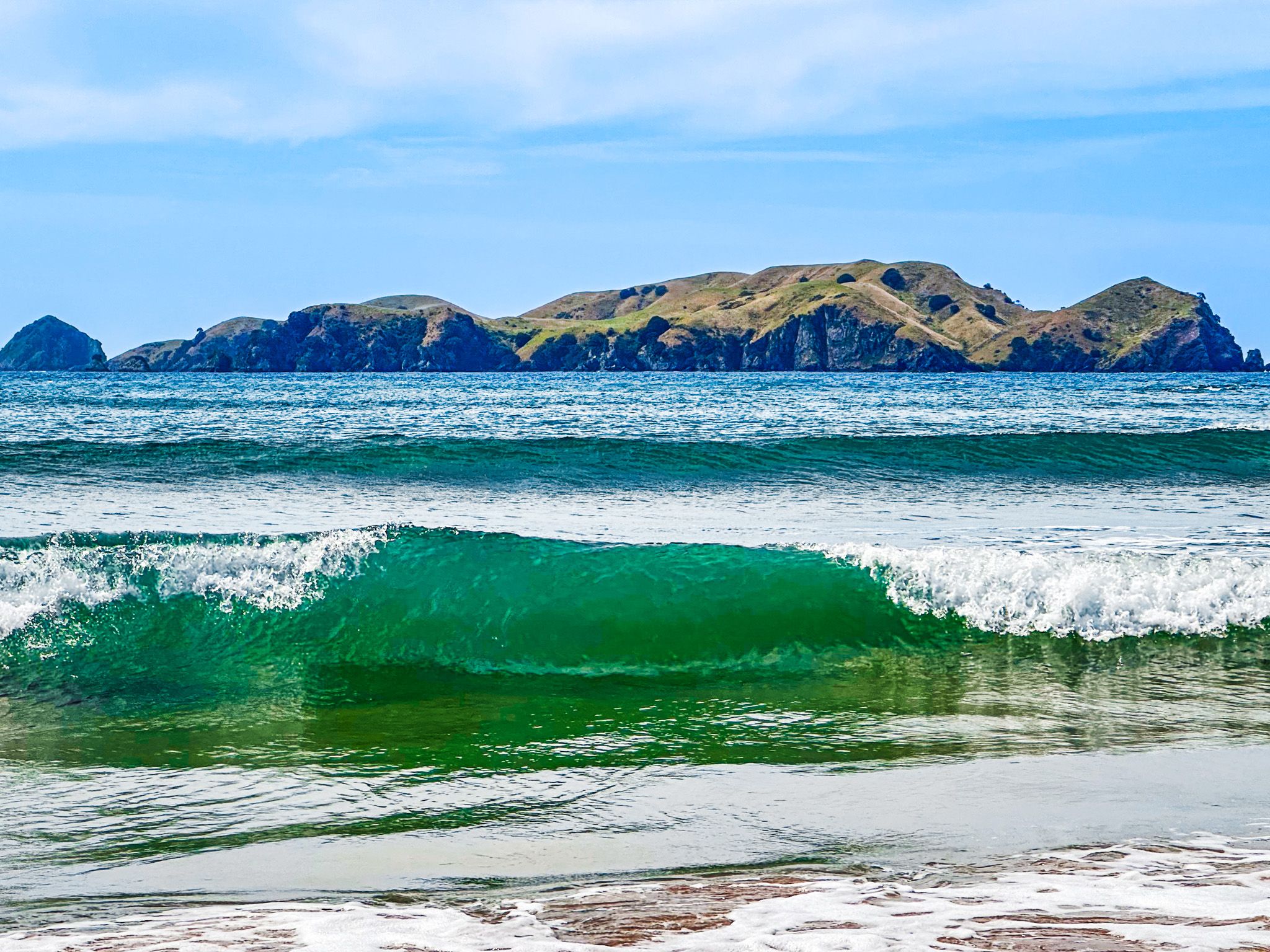
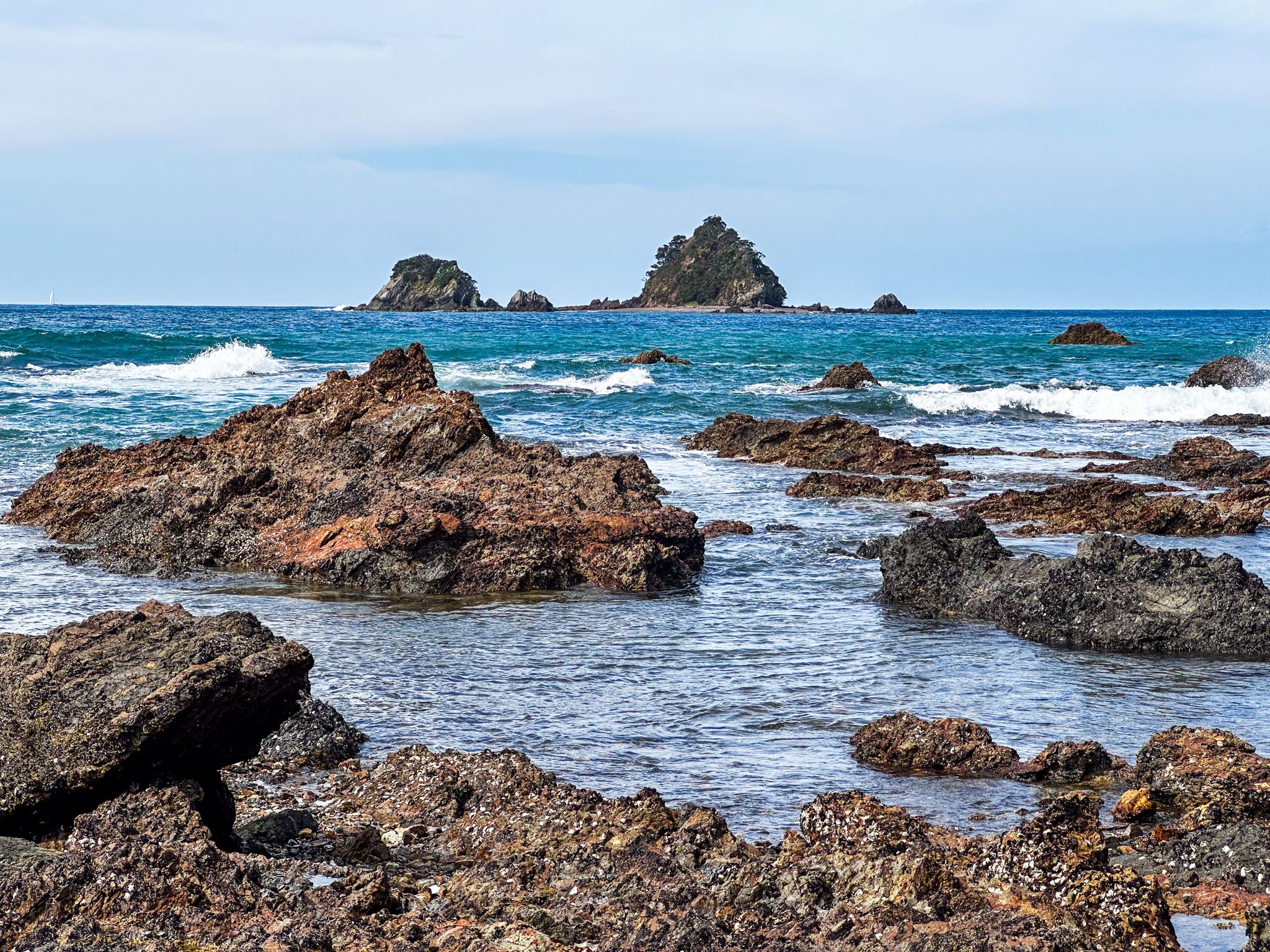
Shortly after the second hump, there is a loop around a third hump. This section takes you to more views and a trig point near the peninsula's tip. In addition to the coast, you will see the Cavalli Islands. On a clear day, you may pick out Cape Brett to the south and Karikari Peninsula to the north.

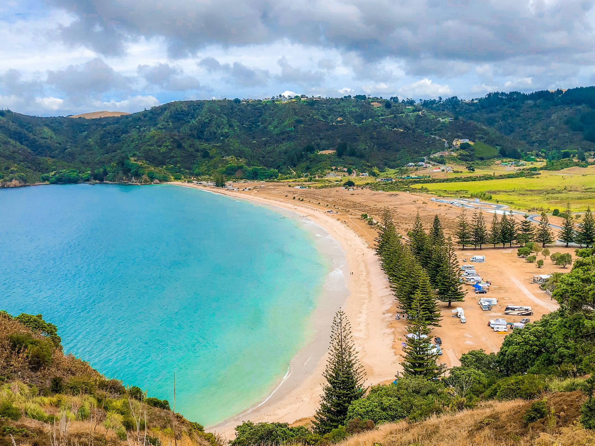
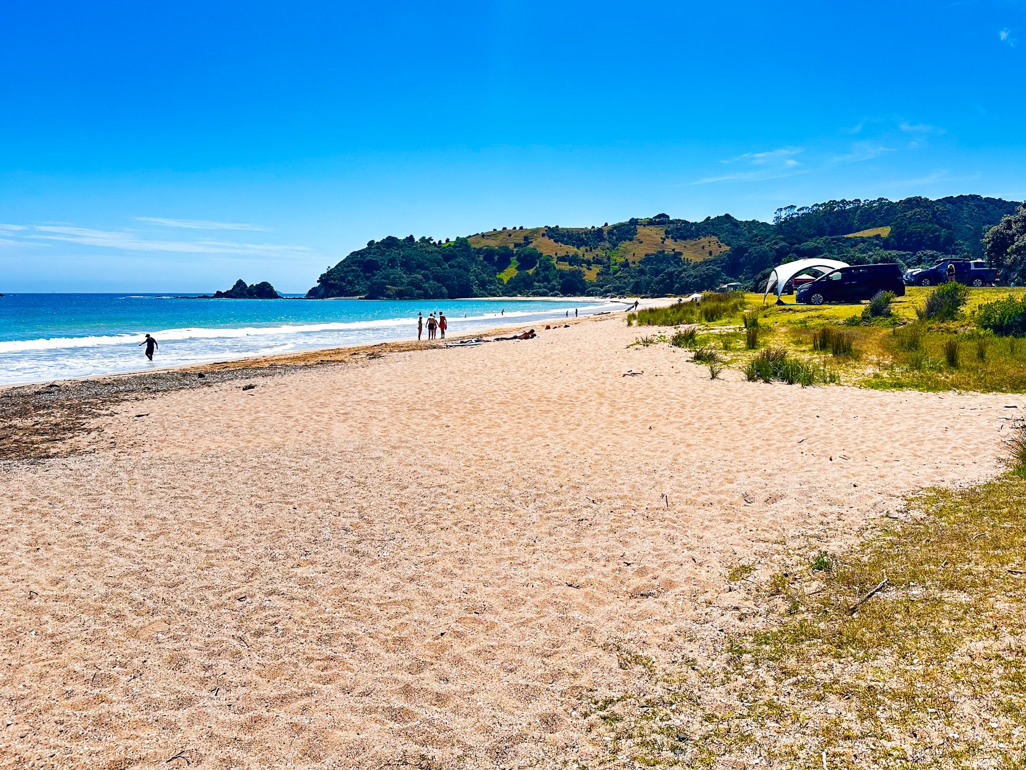
Tauranga Bay
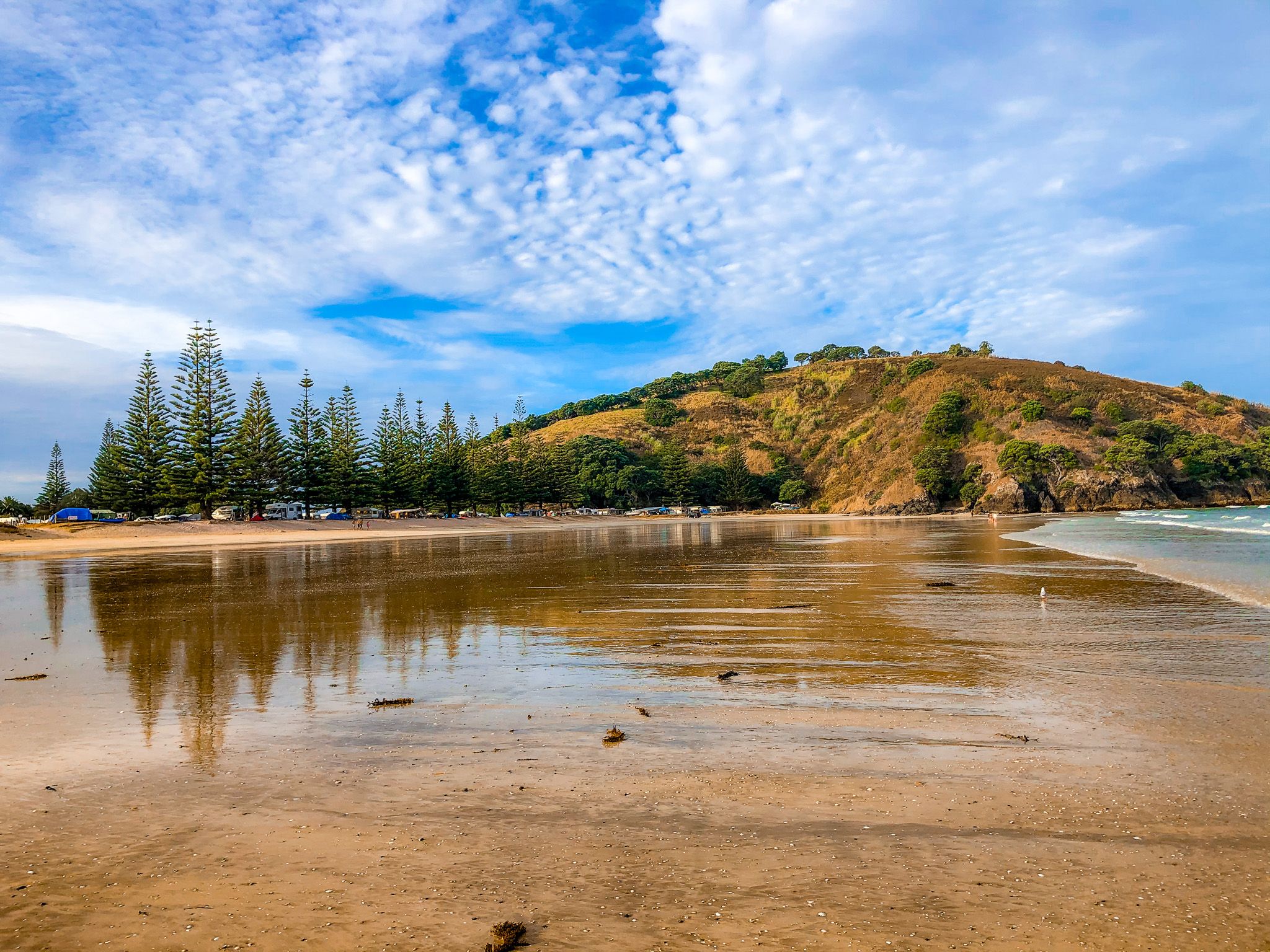
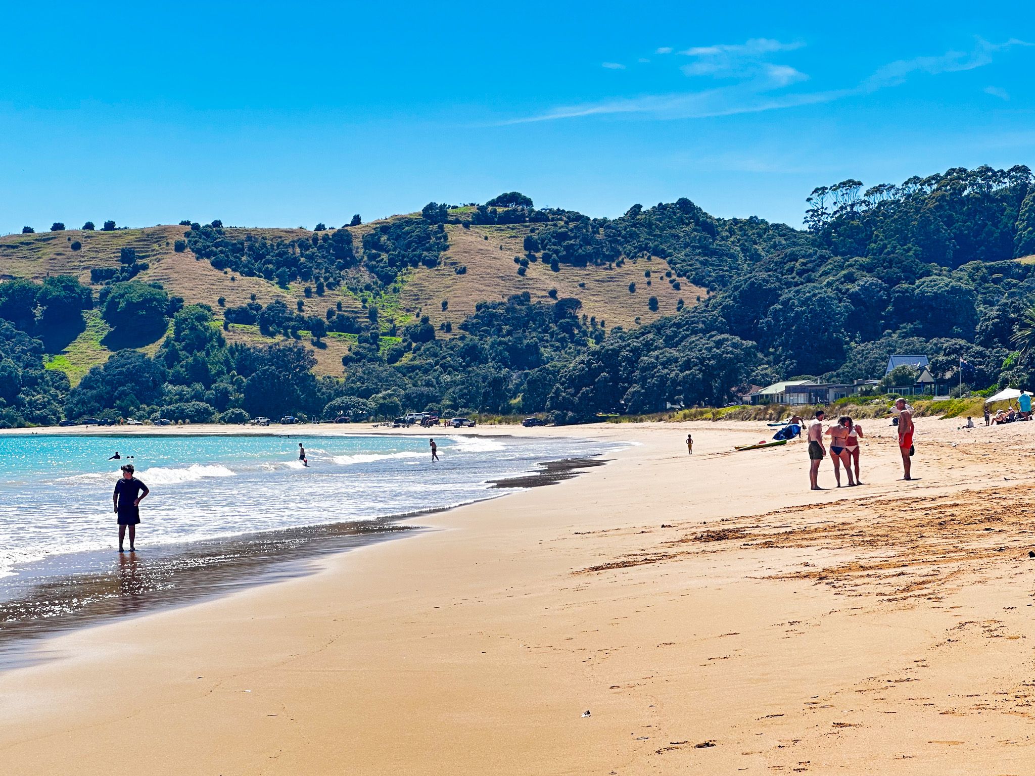
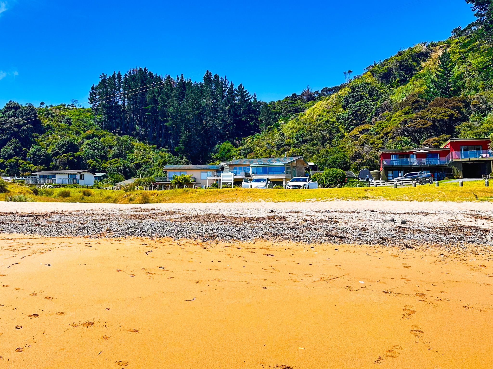
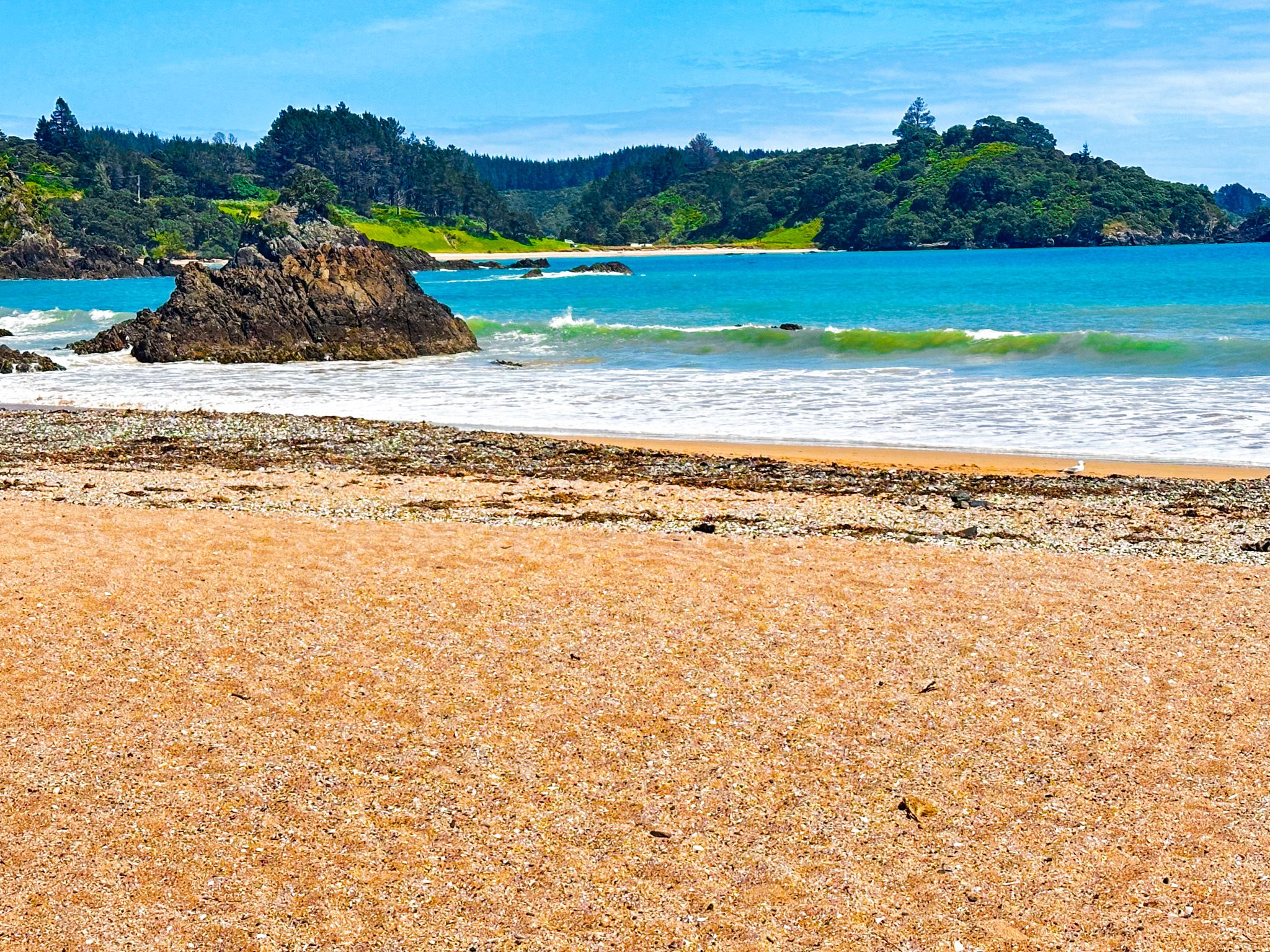
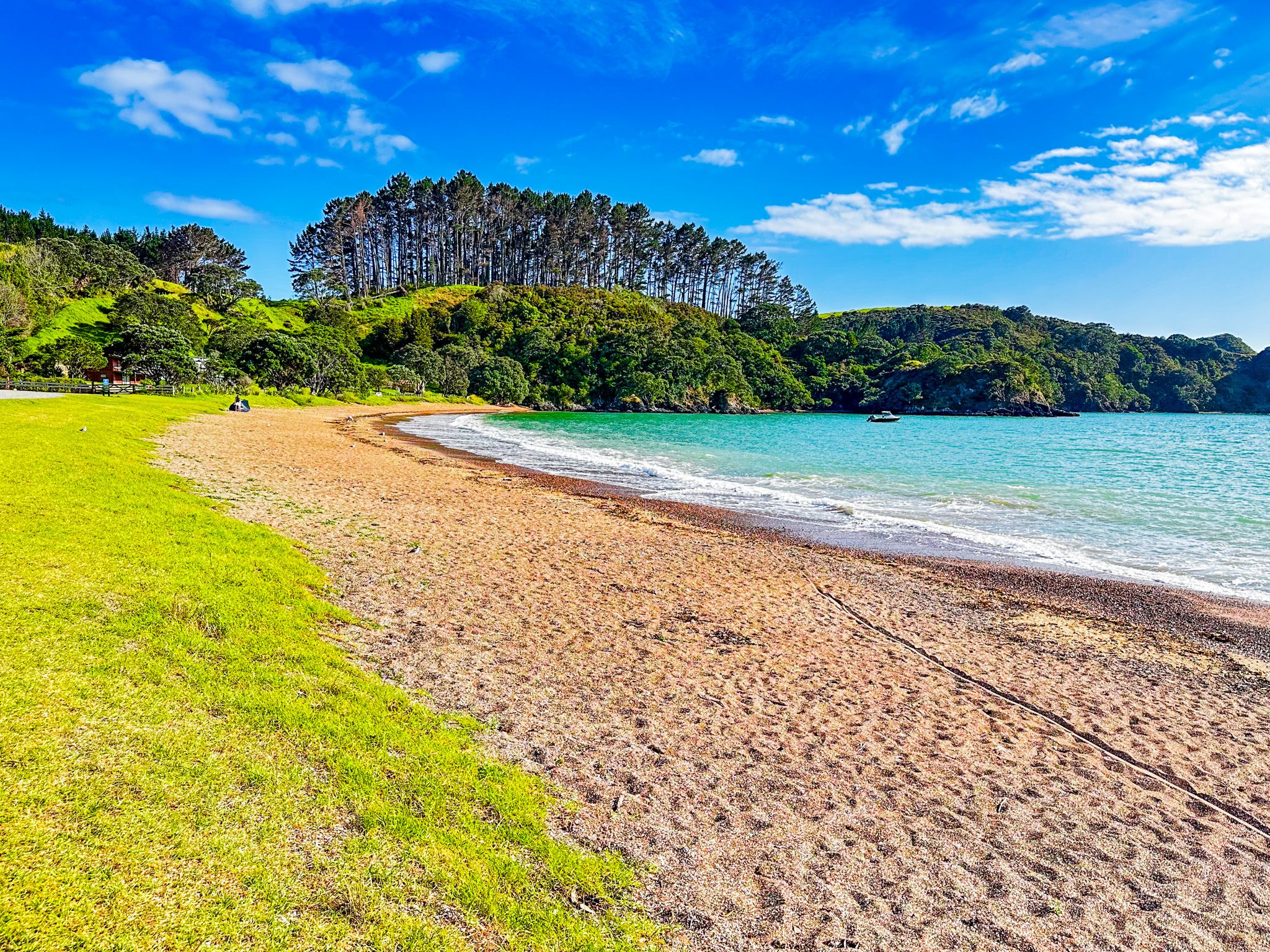
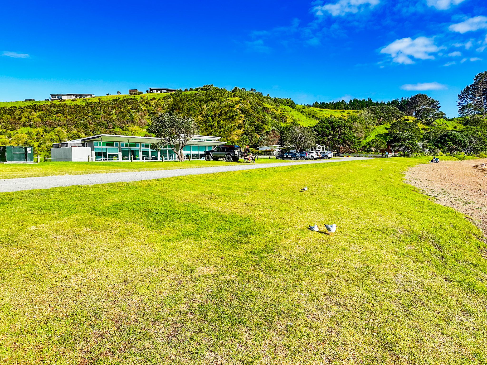
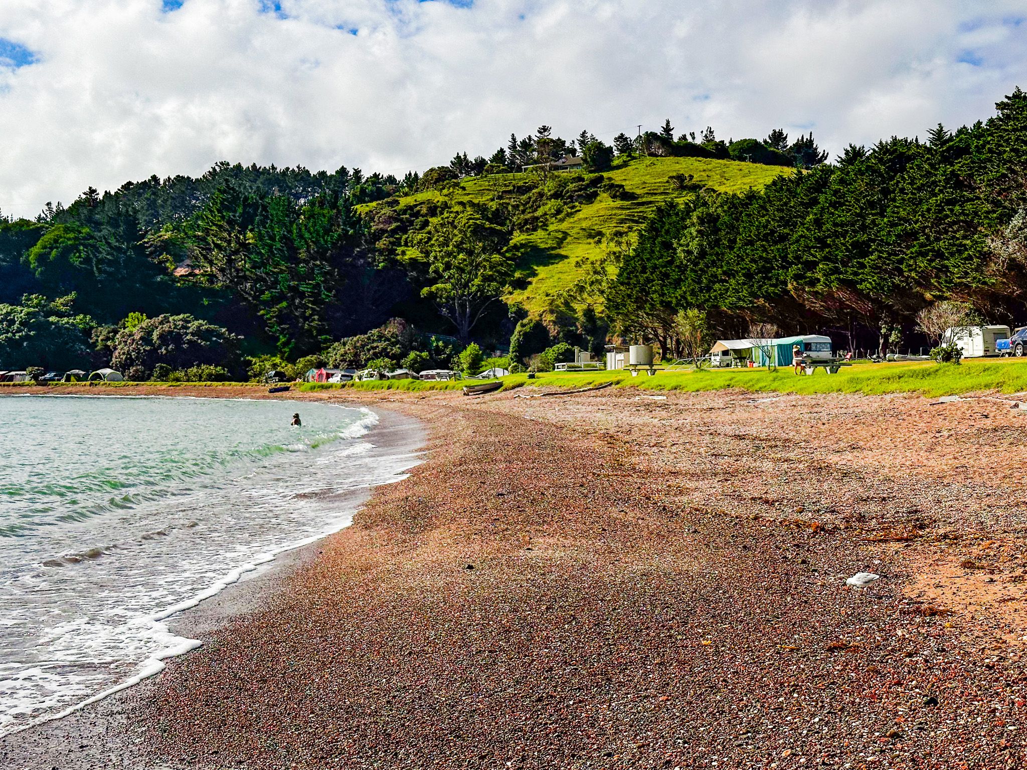
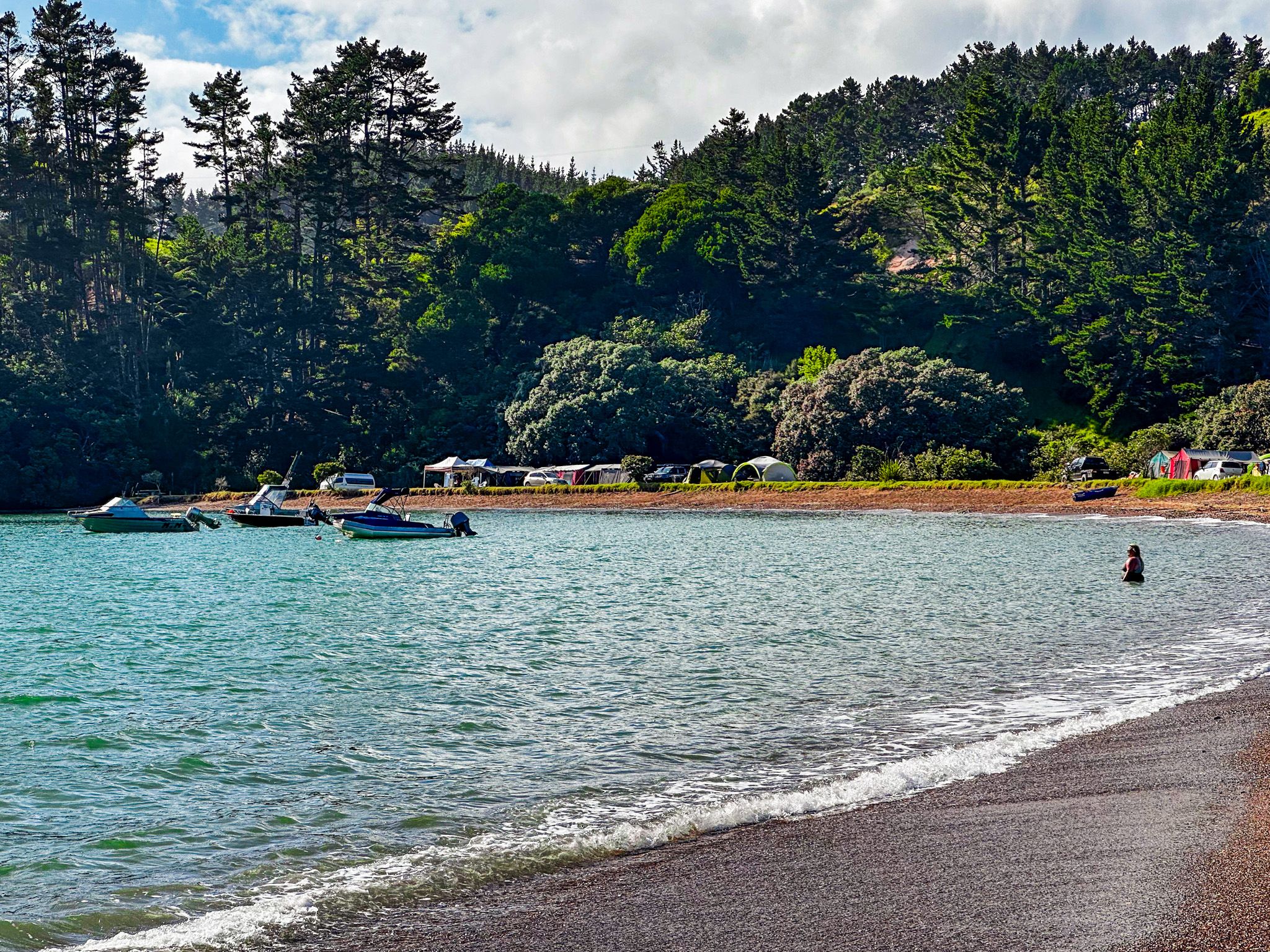
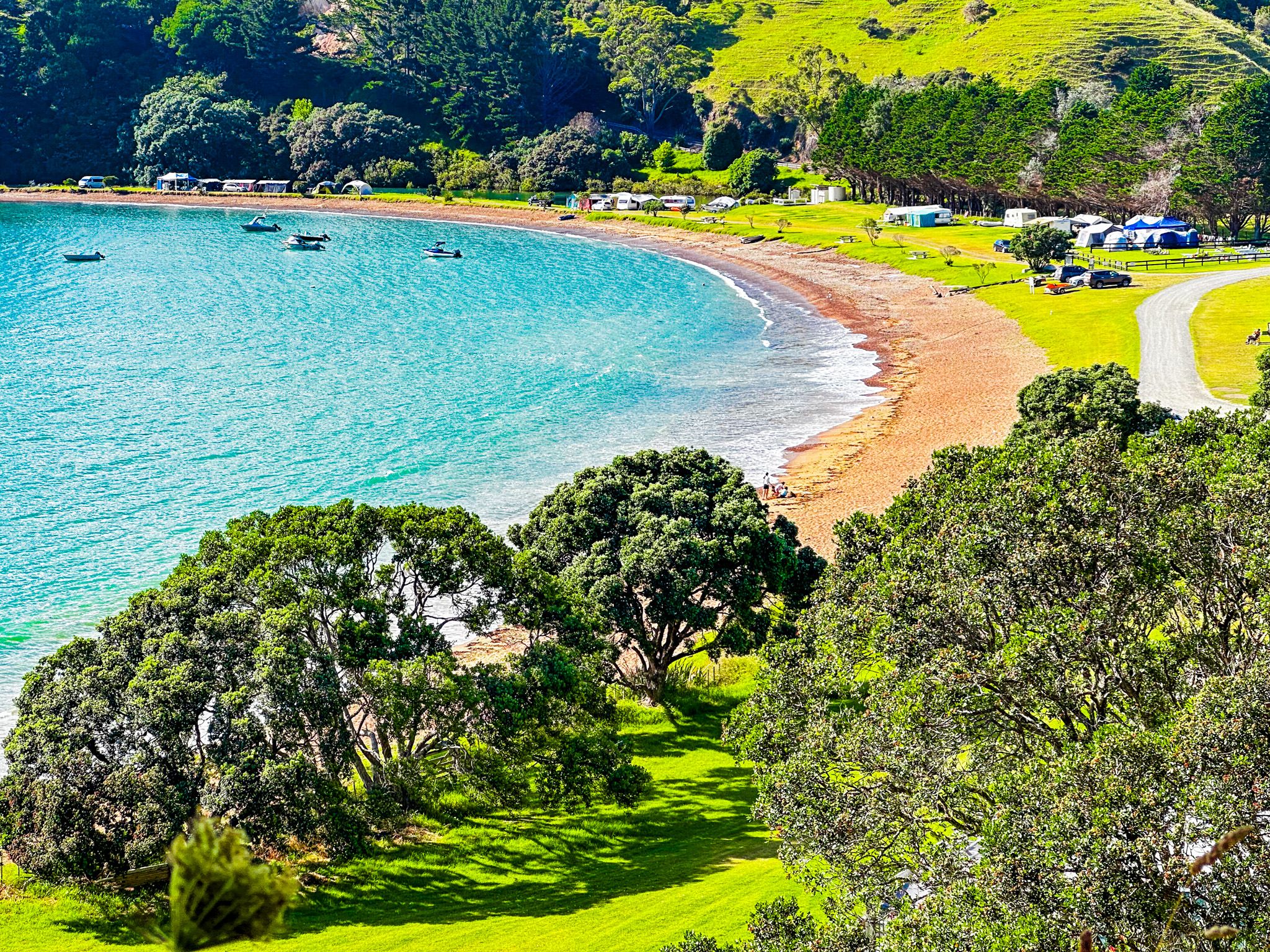
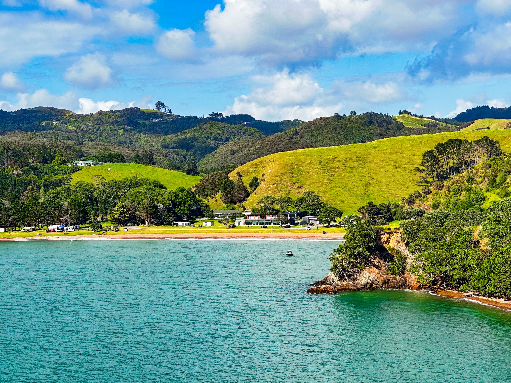
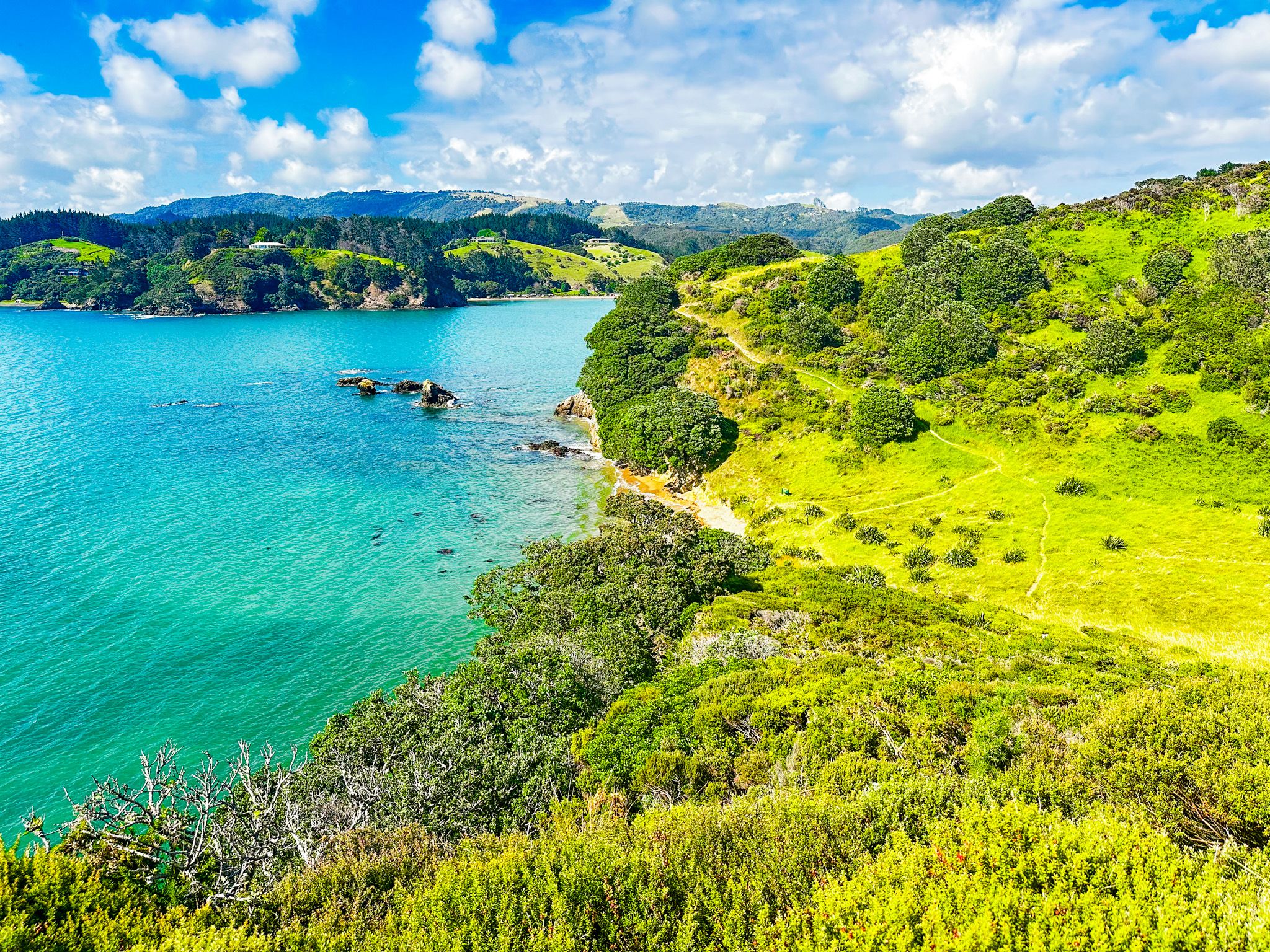
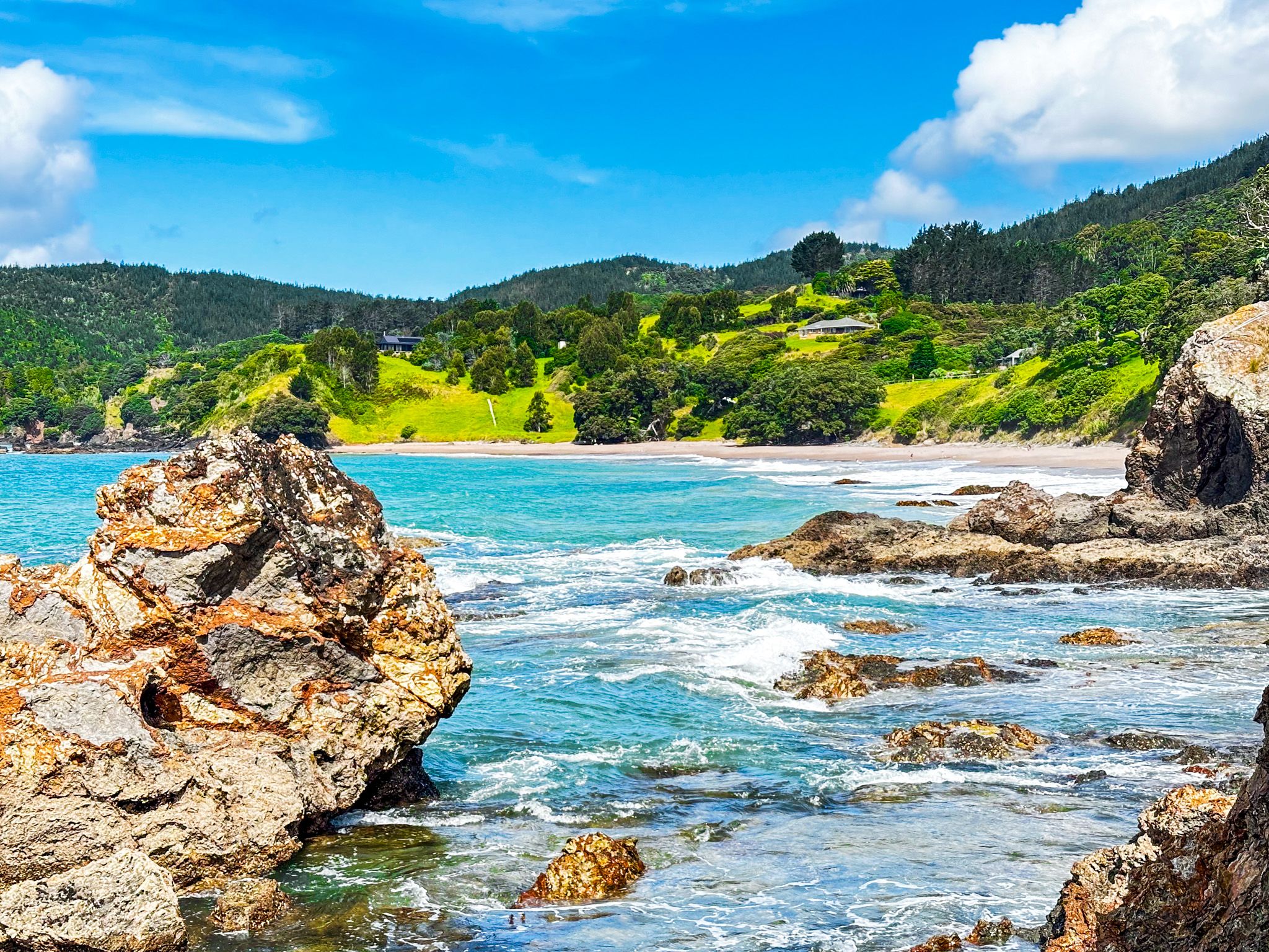
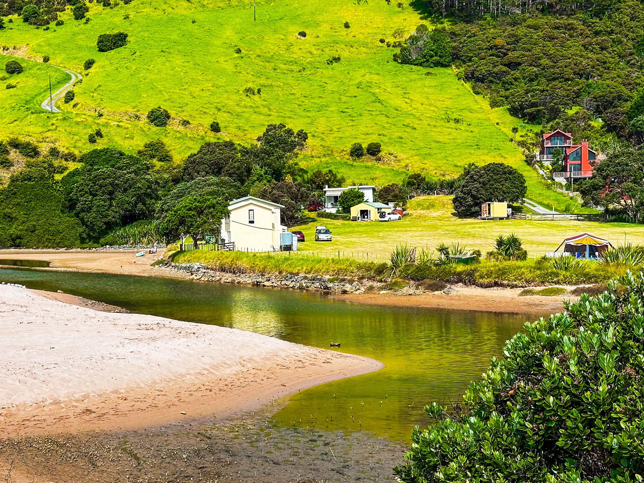
Tauranga Bay, Northland, is a beautiful white-to-gold sand beach within the much larger Wharangaroa Bay. At 1.2 km, it is the longest of the beaches accessible from Wainui Road, between Whangaroa and Matauri Bay. The beach faces almost directly north and has a campground at the west end. There is car parking and a reserve to the east, with holiday homes on the main road in and behind the reserve. The Tauranga Stream crosses the beach at its east end.
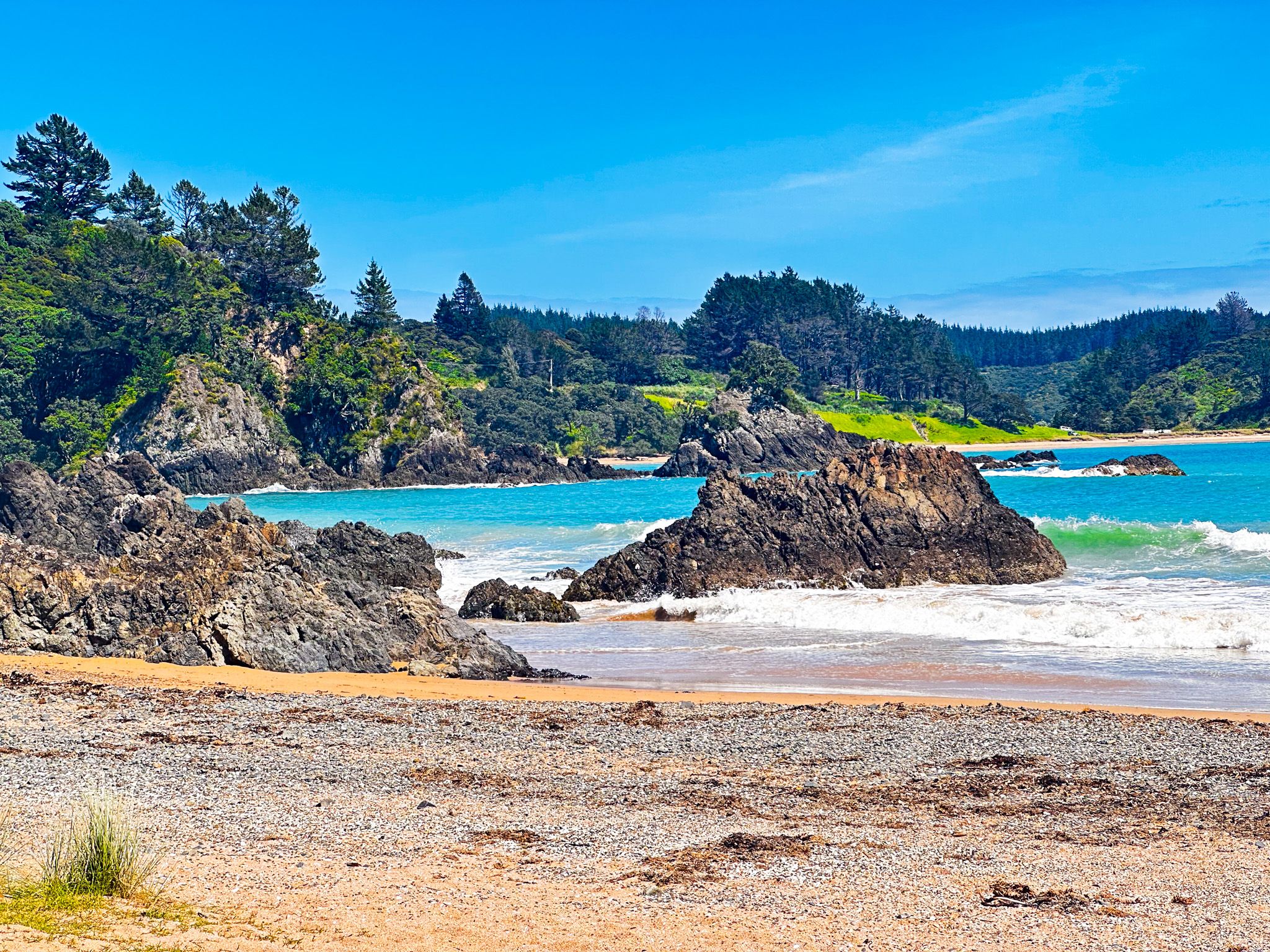
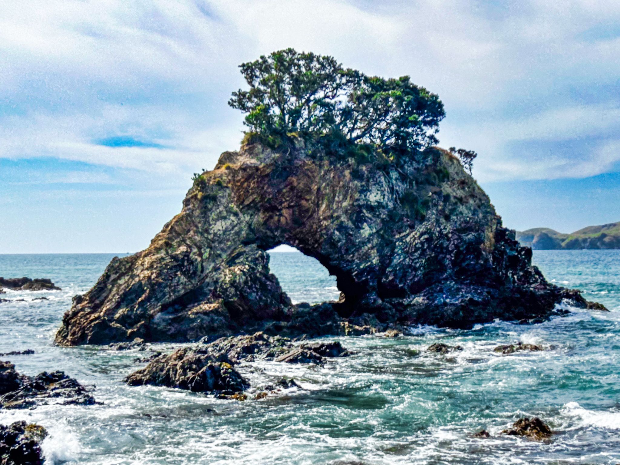
The bay is in a spectacular setting. It is at the end of the Tauranga Valley, with high hills and cliffs on either side. At low tide, you can cross the stream at the east end and wander around the cliffs and rock pools at Te Anina Point to Marble Bay. There is a small hole-in-a-rock island, and you can see the hole as you approach the point.
Also, towards the east end, outside the low tide line, there are a series of rocky islands, with prominent Mahinepua Island/Stephenson Island further to the north. These islands shelter the beach from the ocean and add points of interest if you can access a boat.
Tauranga Bay also had a brief role in the Musket Wars. Europeans began arriving in nearby Whangaroa in the 1820s, leading to the kauri timber trade and whaling. Hongi Hika, based in the south in the Bay of Islands, arrived with 400 warriors in 1826. He was seeking new commercial opportunities with the Europeans and seeking to settle grievances with local Māori concerning insults to his family. Hongi camped at Tauranga Bay before raiding the harbour in January 1827.
To access Tauranga Bay, take Tauranga Bay Road from Wainui Road near the start of the Tauranga Valley. It is a 12-minute, 11 km drive from Whangaroa or 21 km and 30 minutes from Matauri Bay.
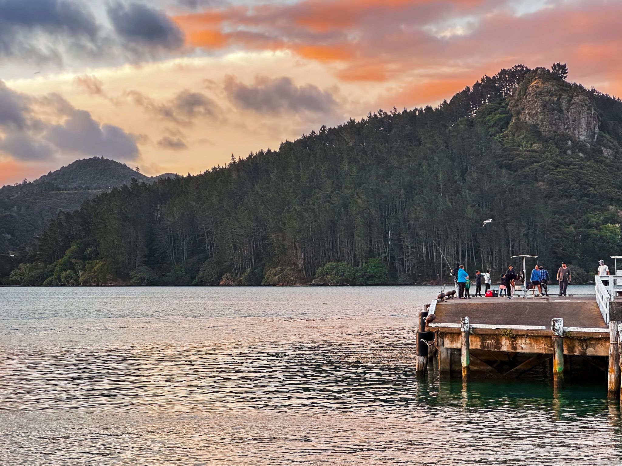
Whangaroa Harbour
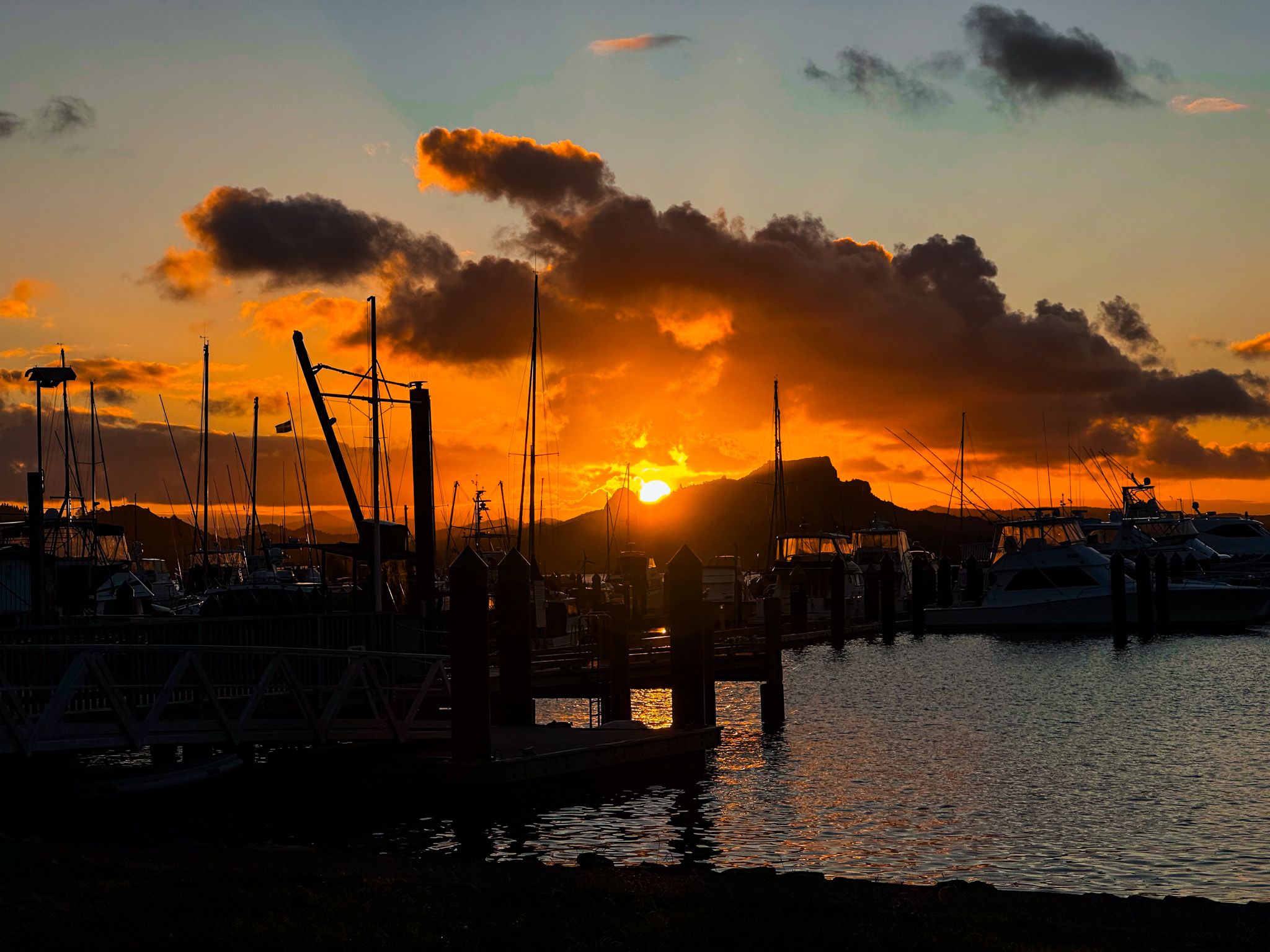
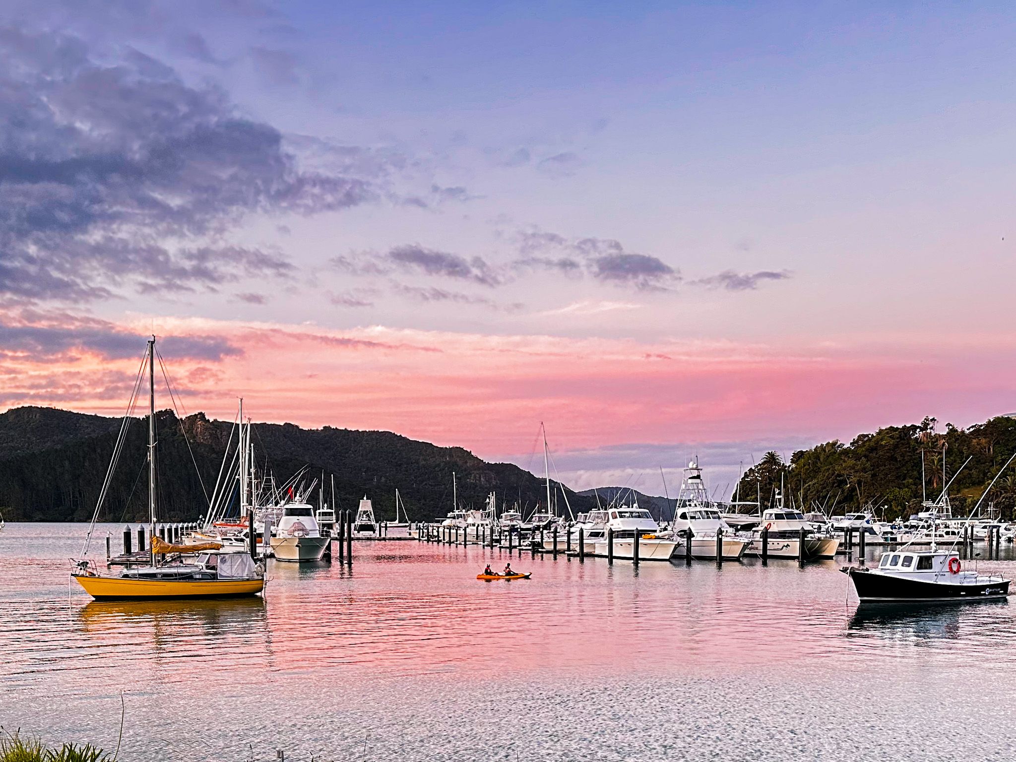
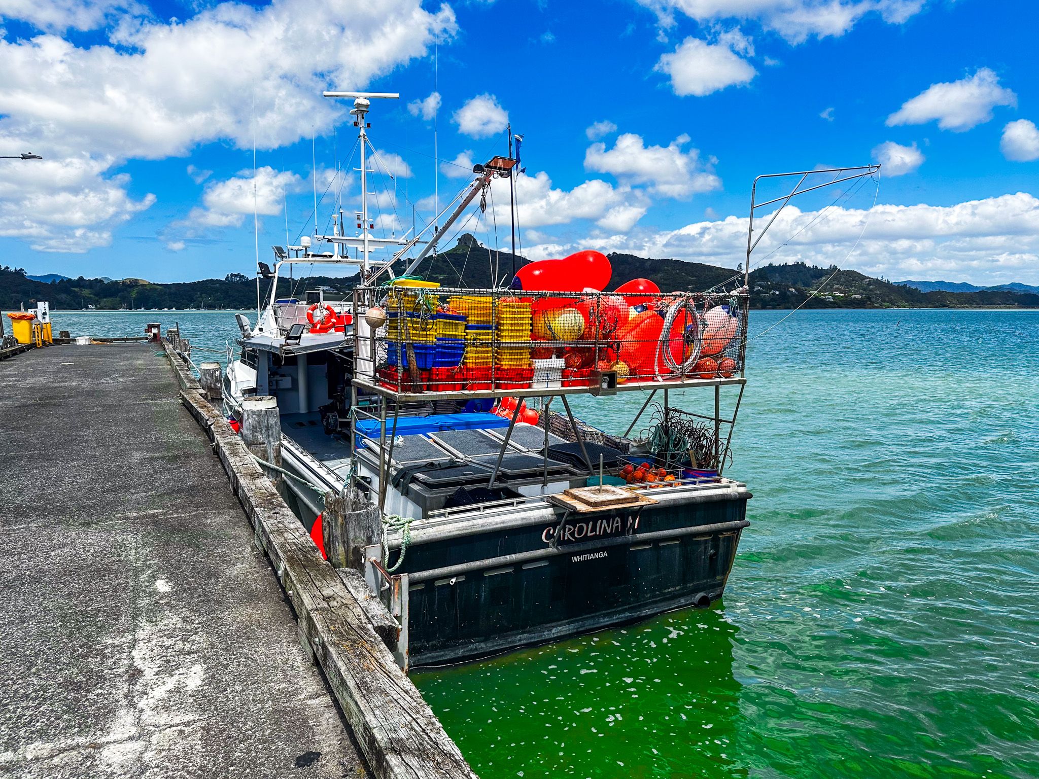
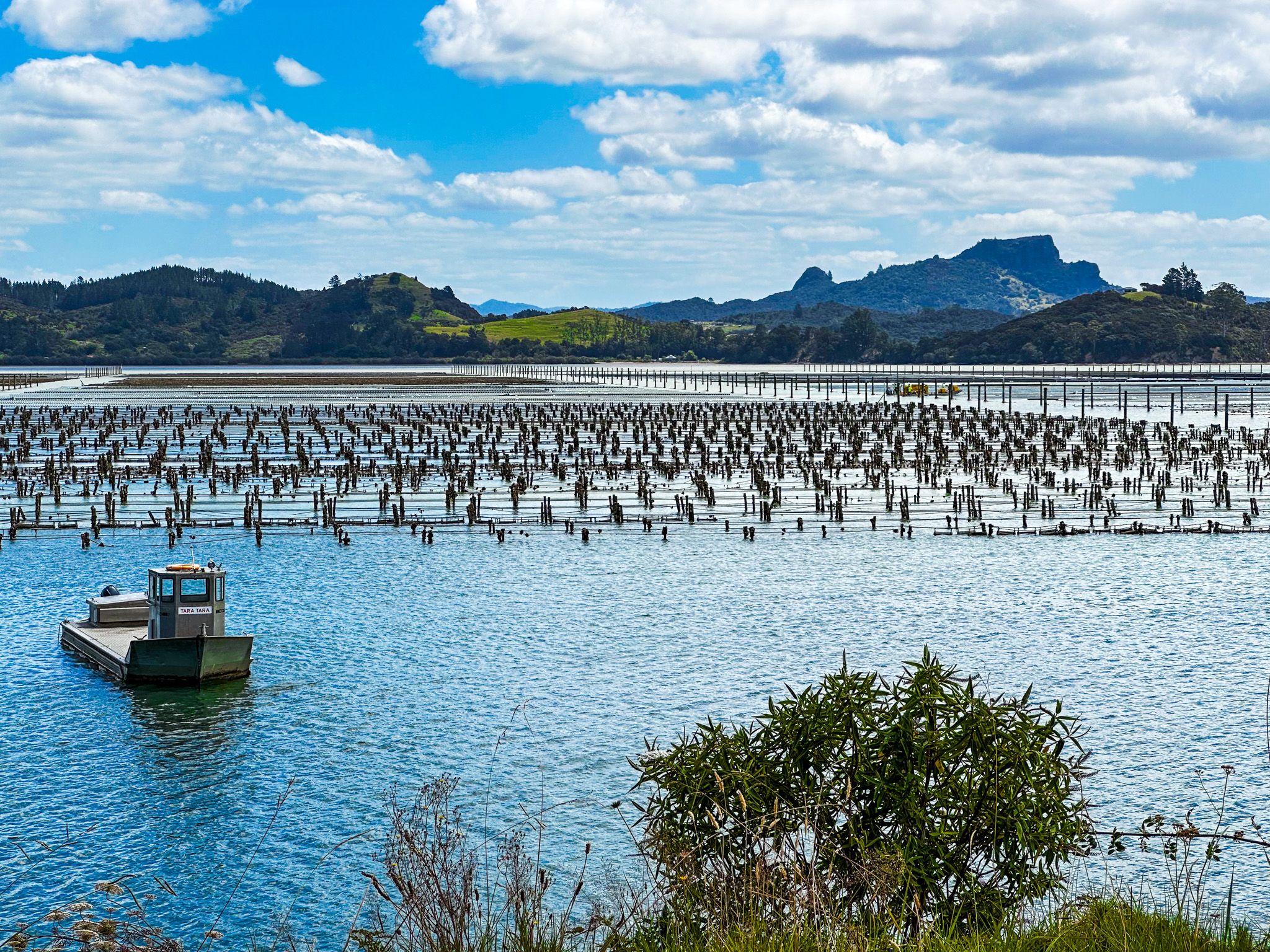
Whangaroa Harbour is a stunning location in Northland with extraordinary natural volcanic rock features, mostly clad in forest. There are two small towns: Whangaroa on the east side and Totora North on the west. There is a marina at Whangaroa and the only restaurant at the sailing club. Commercial wharves also support the Pacific oyster farming operations south of Whangaroa.
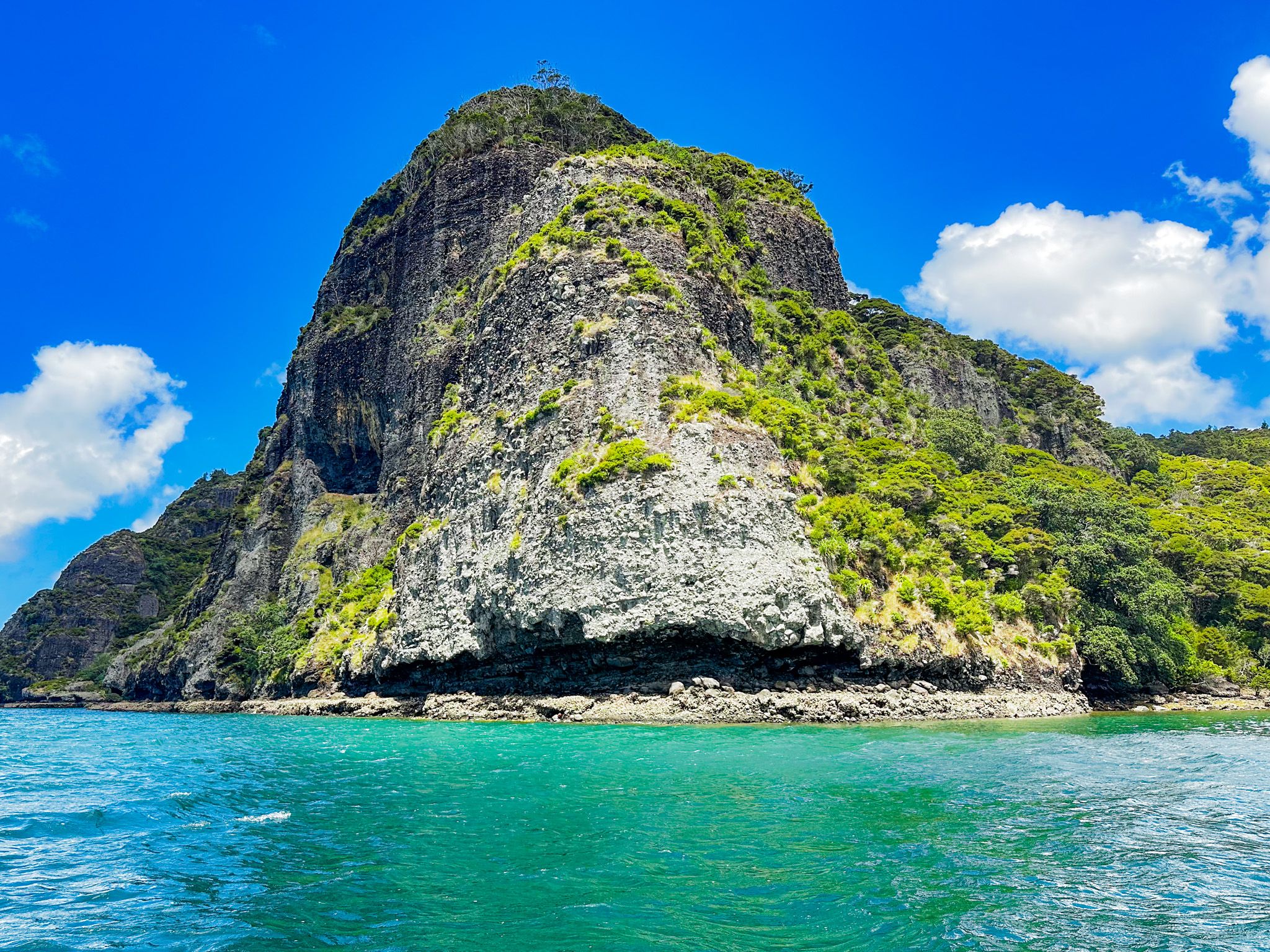
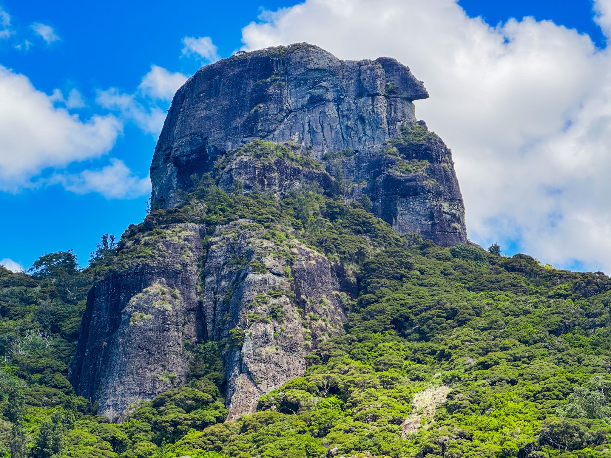
The harbour was once a series of river valleys created by volcanic eruptions 15 to 20 million years ago by the Whangaroa Stratovolcano and subsequent erosion. The attractive rocky knolls and bluffs around Whangaroa Harbour are the eroded remnants of the enormous lahar ring plain created by the volcano, then drowned by rising sea levels about 6,000 years ago. The result is the stunning natural rock formations around the harbour, most notably Ohakiri / Saint Pauls (213 metres) overlooking the town of Whangaroa and Kairara Rock / Dukes Nose (180 metres) overlooking Pekapeka Bay.
If you don't have a boat, organising a water taxi or boat tour to explore the harbour is easy. Heading north of Whangaroa, you pass Kaheka Point and St Peters / Hopekako. To the east are Peach (Ohauroro) Island and Milford (Wairaupo) Island. The harbour then narrows as it passes Takahi Point / The Haystack (because it looks like one) to the west. Pekapeka Bay is immediately after the point. Lanes Cove is in Pekapeka Bay and provides access to the short Ohakiri / Duke Nose Track, a DOC hut and the north end of the Wairakau Stream Track to Totora North. From there, the narrow harbour exit takes you into Whangaroa Bay, which faces the Pacific Ocean. Immediately to the east is Tauranga Bay, and the rugged Kōwhairoa Peninsula is to the west.
Whangaroa was significant in early Māori / European interactions. Whalers and traders were actively trading with Māori by the early 1800s. However, in 1809, all but 4 of the 70 crew and passengers on the brigantine, the Boyd, were killed and cannibalised by Ngāti Pou. The event was utu (revenge) for the mistreatment of a Māori boy, Te Ara, who was the son of a chief and had been on the crew of the ship. Subsequently, the ship was destroyed when ransacking warriors accidentally ignited the stock of gunpowder.
The murders were big news in the South Pacific and delayed Samuel Marsden’s visit to NZ until 1814. In between, the few survivors of the attack were rescued by Alexander Berry in the ship City of Edinburgh, who happened to be picking up kauri spars in the Bay of Islands at the time. Berry took two local chiefs prisoner and released them in return for the survivors and the Boyd’s ship papers.
There was a punitive raid by several whaling ships in 1810, who chose the wrong iwi, 60 km away, and murdered another 60 people. This, in turn, led to a battle between the falsely accused iwi and Ngāti Pou. The situation settled down, and a Wesleyan mission station was established near Kaeo in 1823. But in 1824, the crew and passengers of the schooner Endeavour had an altercation with Ngāti Pou, and there was again the risk of a major incident. The now Ngāti Uru chief, Te Ara of Boyd infamy, defused the situation!
In 1827, Hongi Hika had his issues with Whangaroa iwi. He staged his attack from Tauranga Bay, and contrary to his orders, some of his warriors sacked the Kaeo mission station. The missionaries were able to flee to Sydney, but Hongi Hika was shot during the fighting and subsequently died in Whangaroa in 1828.
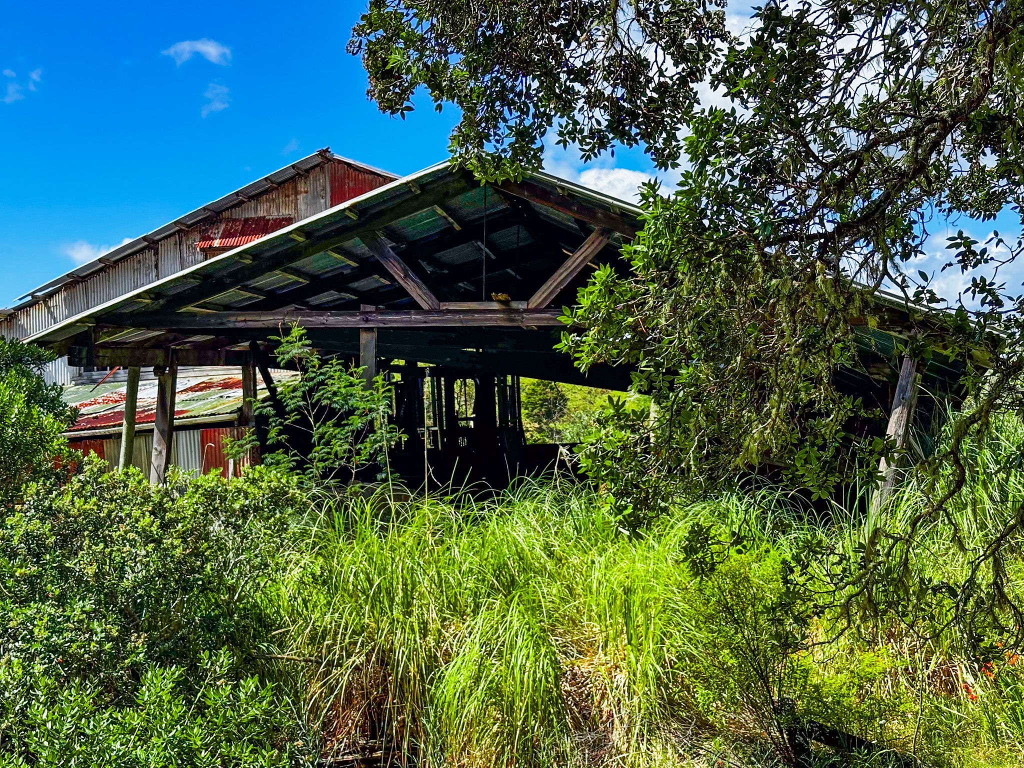
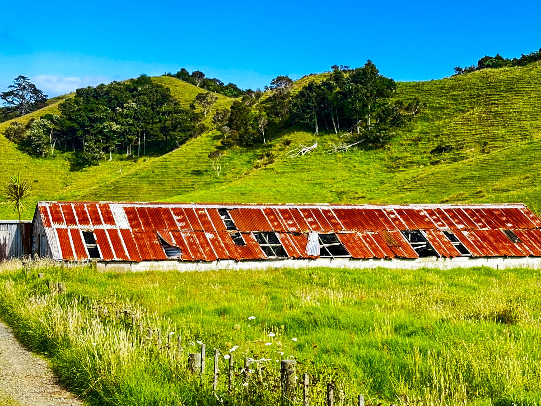
After the Treaty of Waitangi, the number of Europeans grew. For a while, there was kauri timber and shipbuilding. Some remnant old sheds and an interesting outdoor museum are near Totora North. But today, it is mostly about the beautiful harbour and spectacular rocks.
Whangroa is 6 km along Whangaroa Road from State Highway 10. It is also the western end of scenic Wainui Road, which connects several coastal communities and beaches. These include Tauranga Bay Mahinepua, Te Ngaere and Matauri Bay.