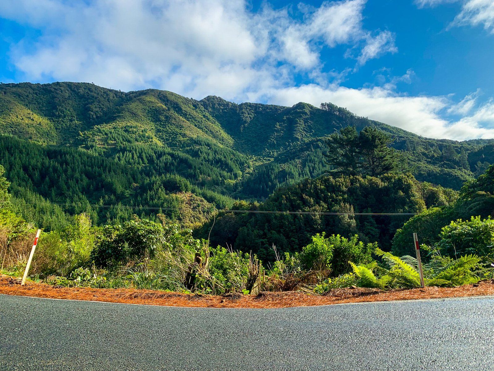
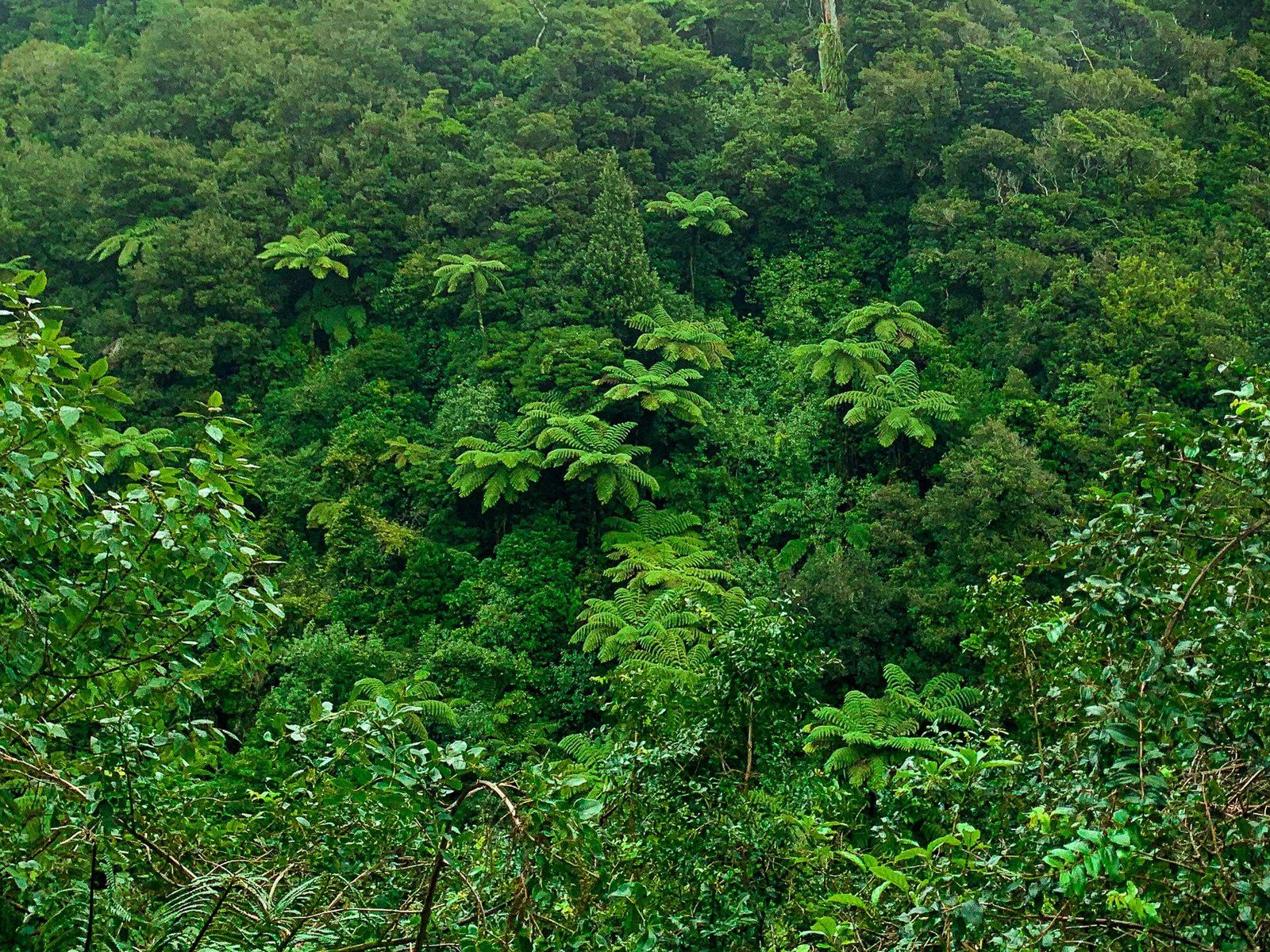
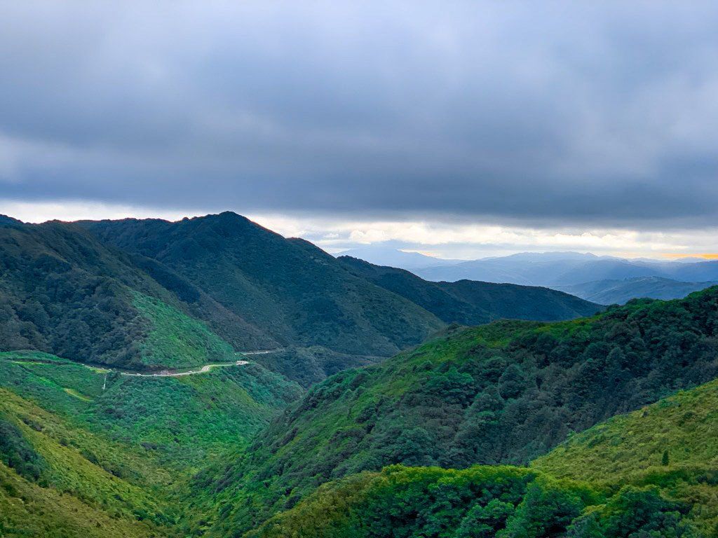
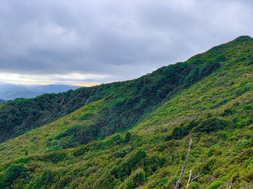
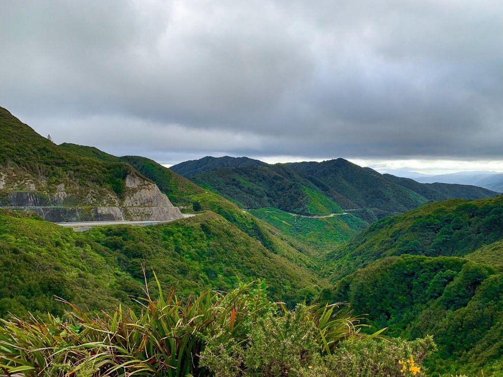
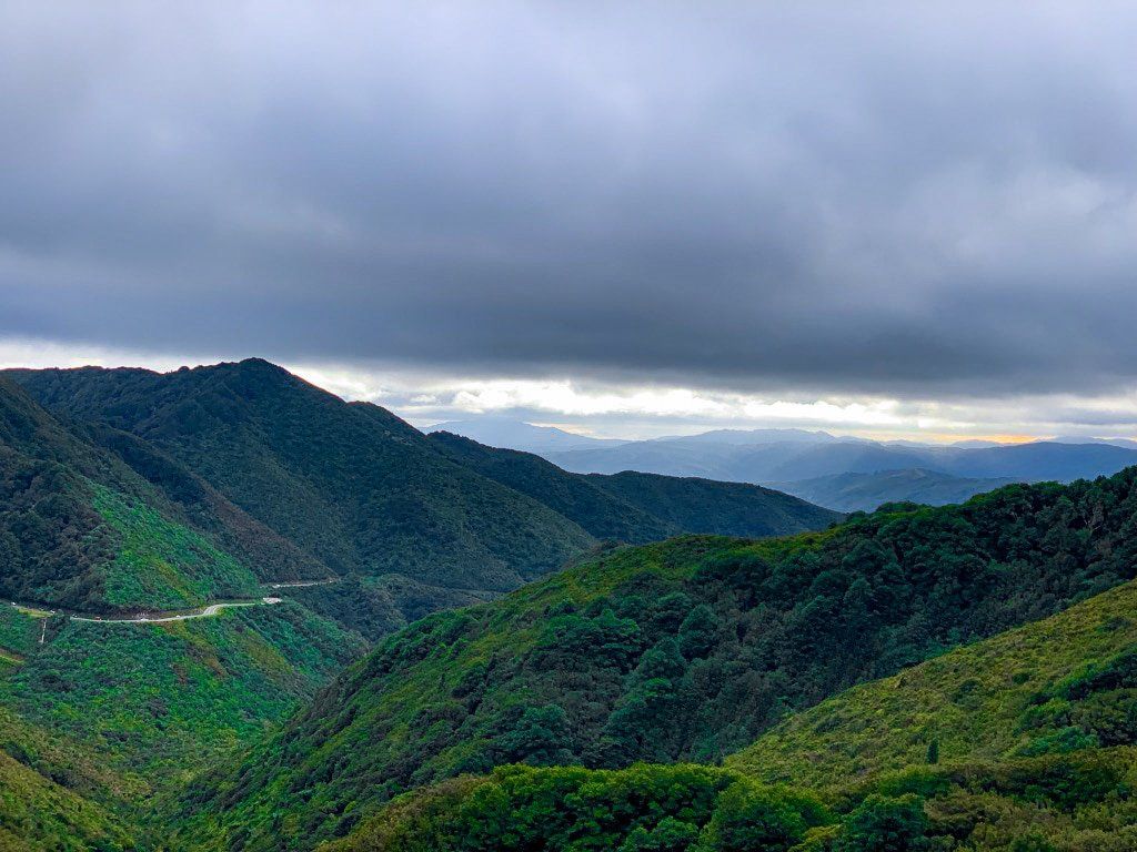
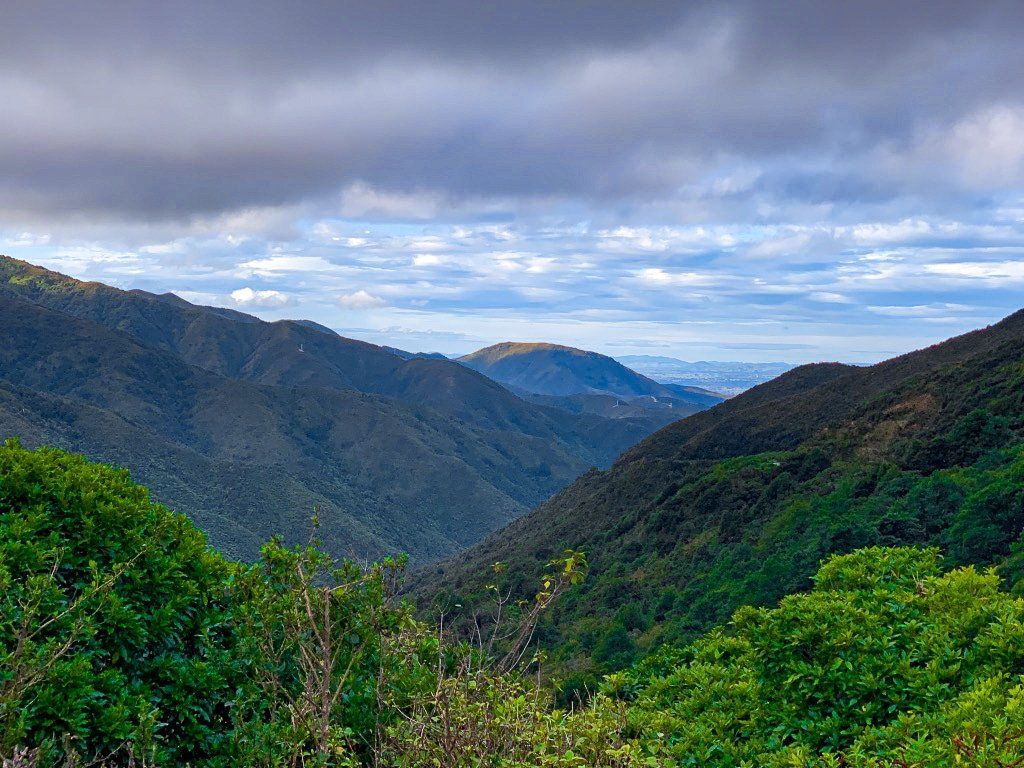
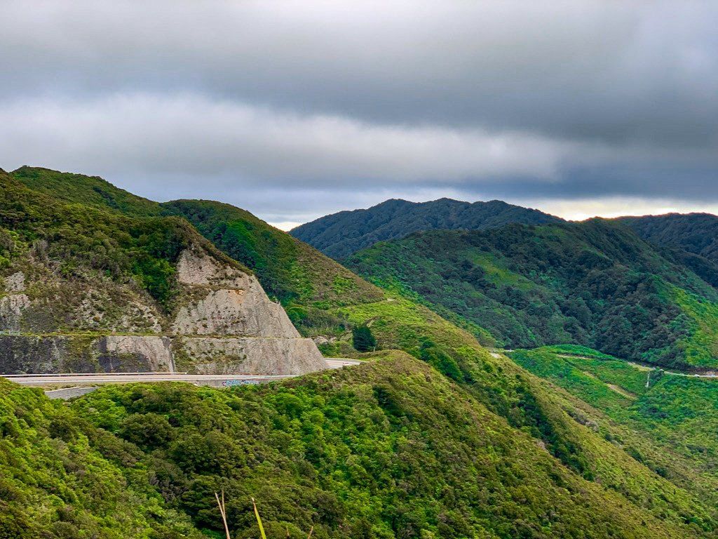
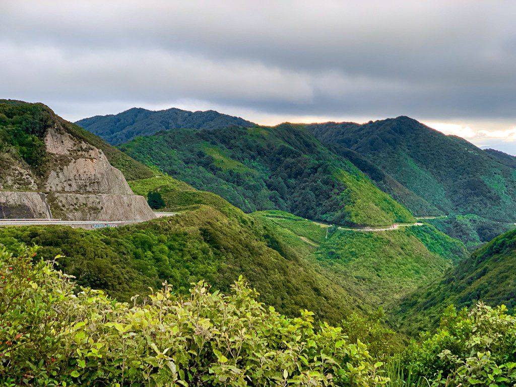
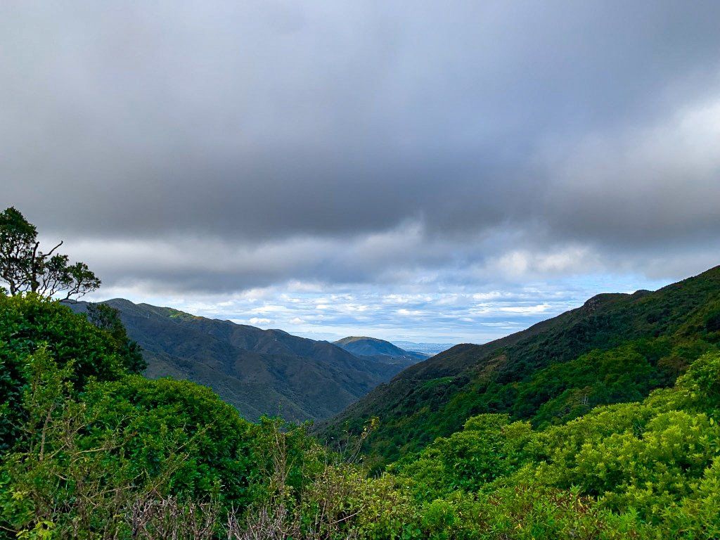
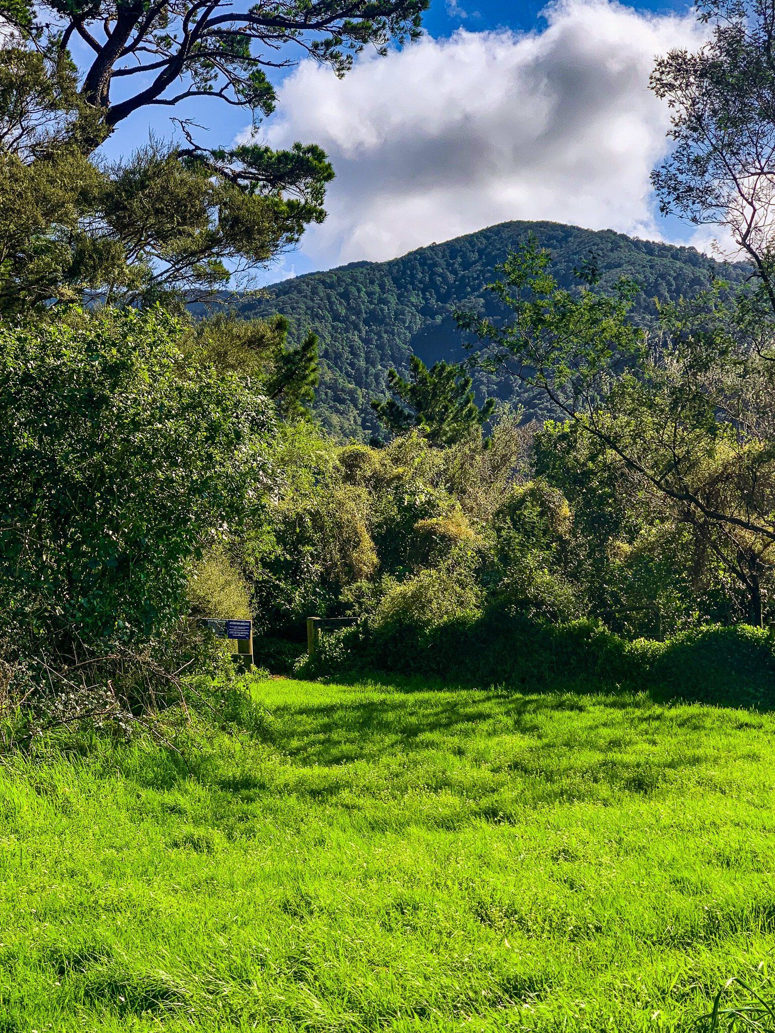
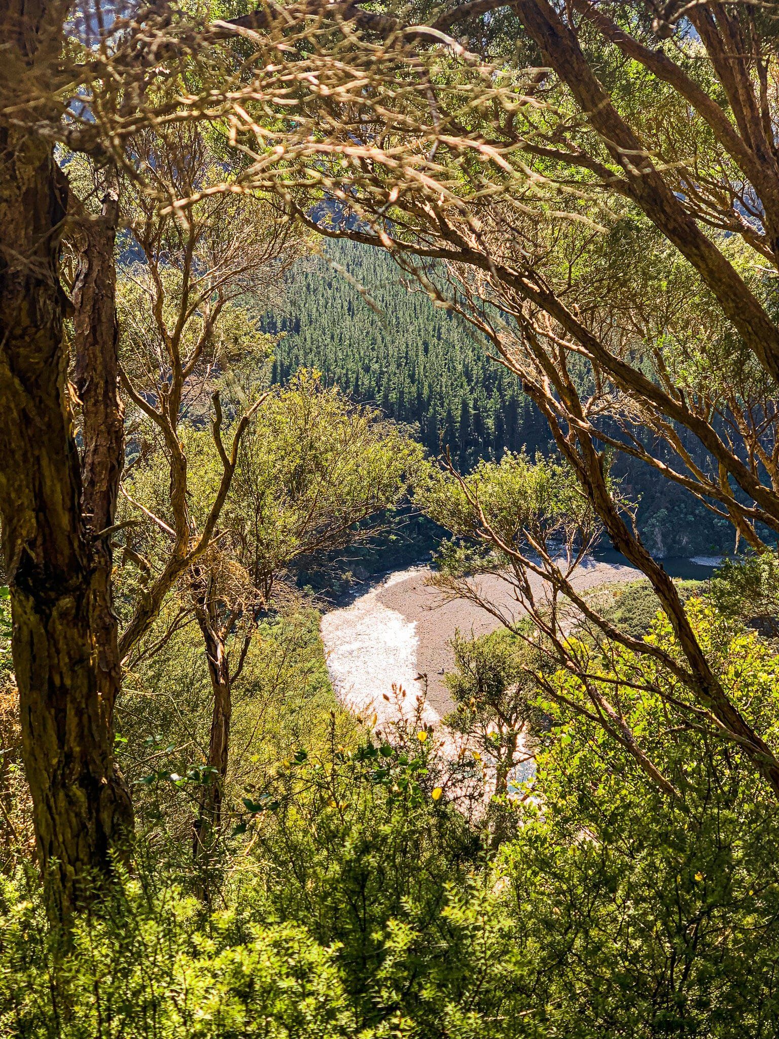
Between the Kāpiti Coast and the Wairarapa lies three mountain range forests; Tararua, Akatarawa, and Remutaka. There are a number of access points into these forests from both sides, offering everything from well-maintained tracks to serious multi-day hikes and gorgeous backroad drives.
Akatarawa Road
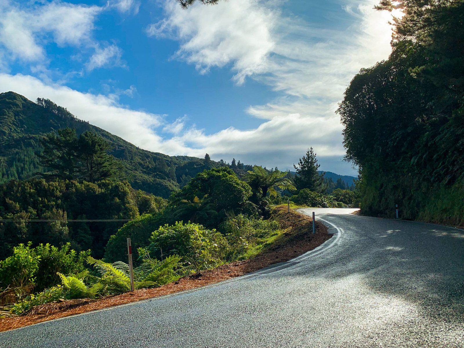
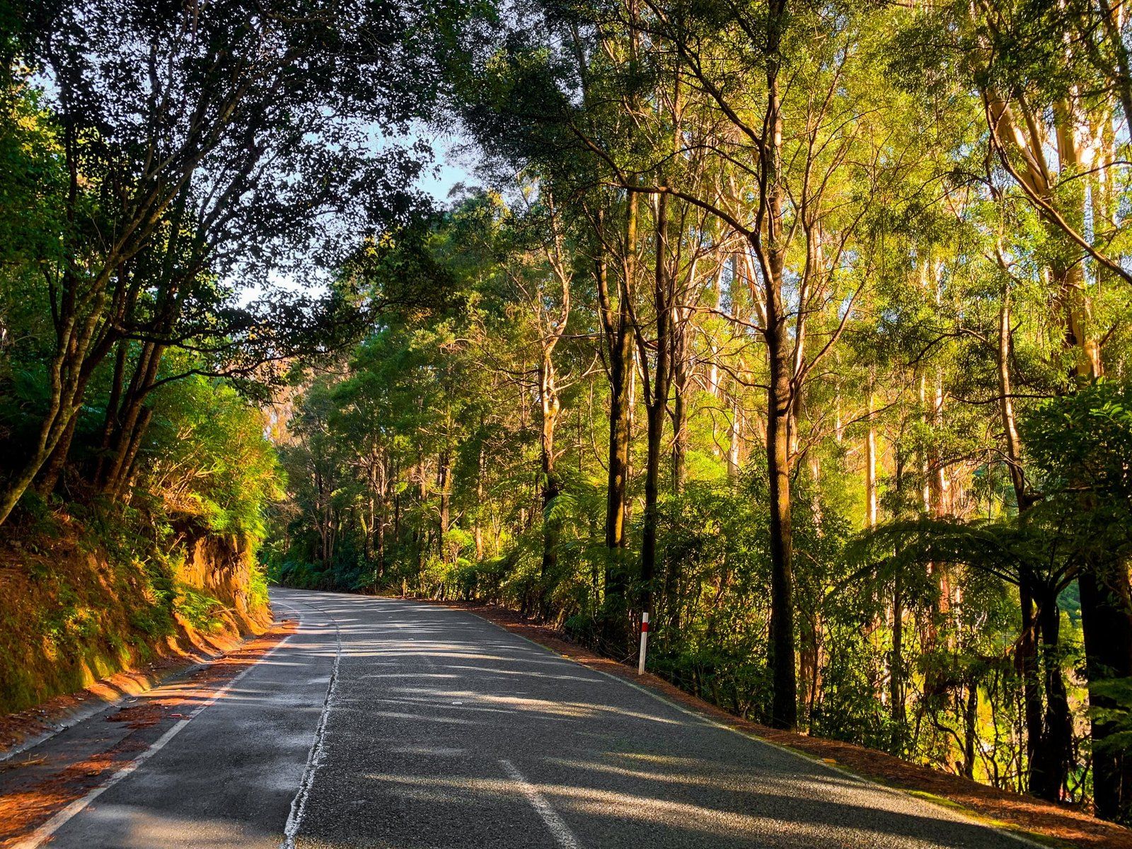
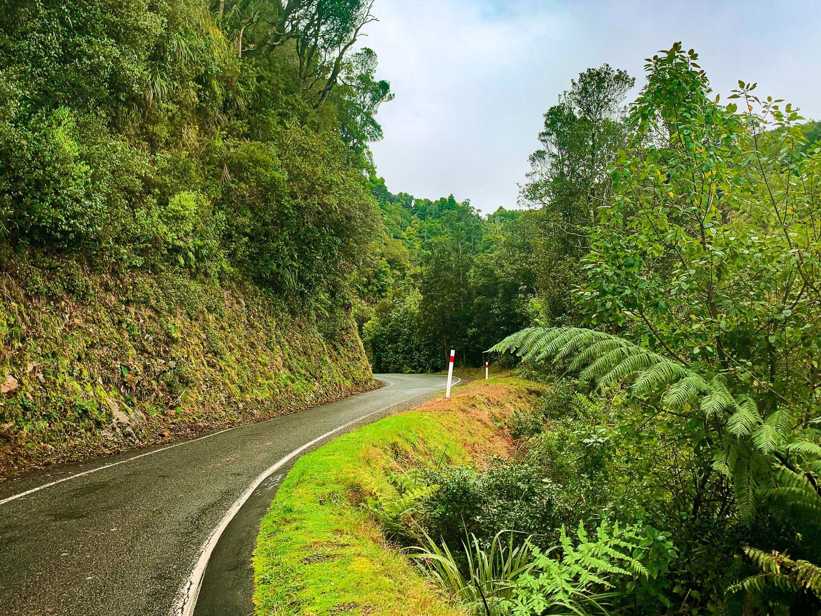
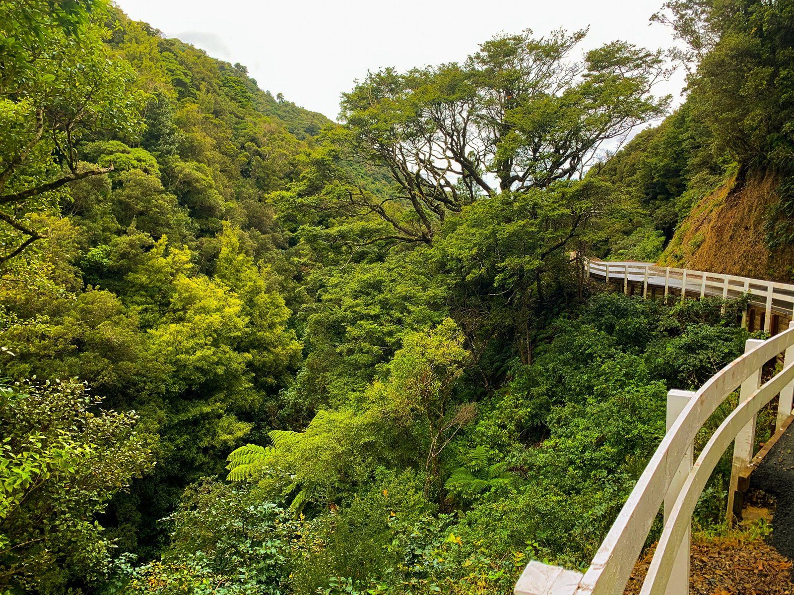
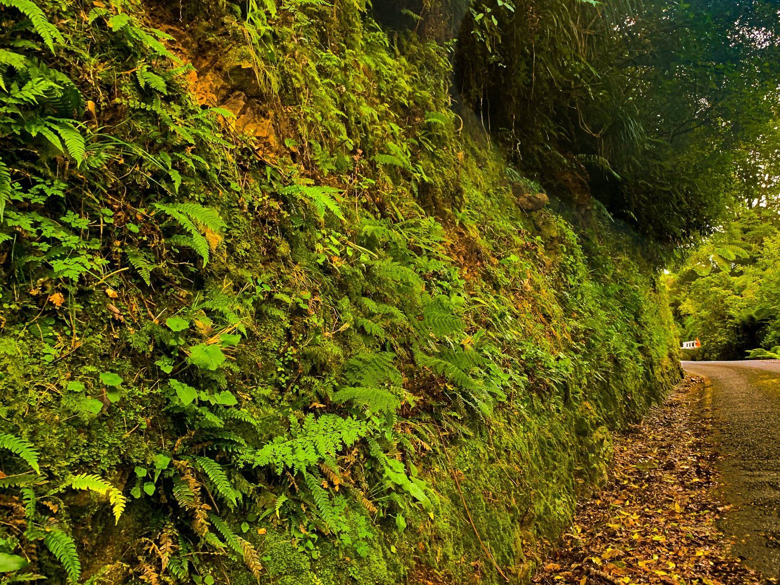
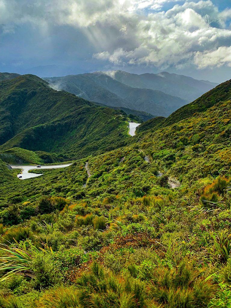
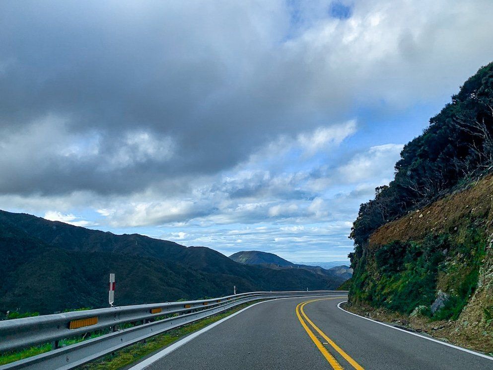
Akatarawa Road connects Waikanae to Upper Hutt, climbing over west coast mountain ranges and through native forest. Beware, the road is exceptionally narrow and windy, even for New Zealand, and long vehicles are prohibited. Due to the low speed required to take the road safely, it’s not really any quicker to take Akatarawa Road than the longer State Highways that connect to the south, but it is certainly a more scenic route!
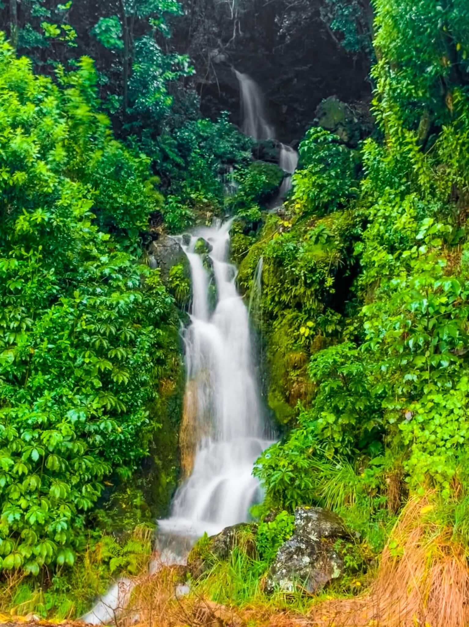
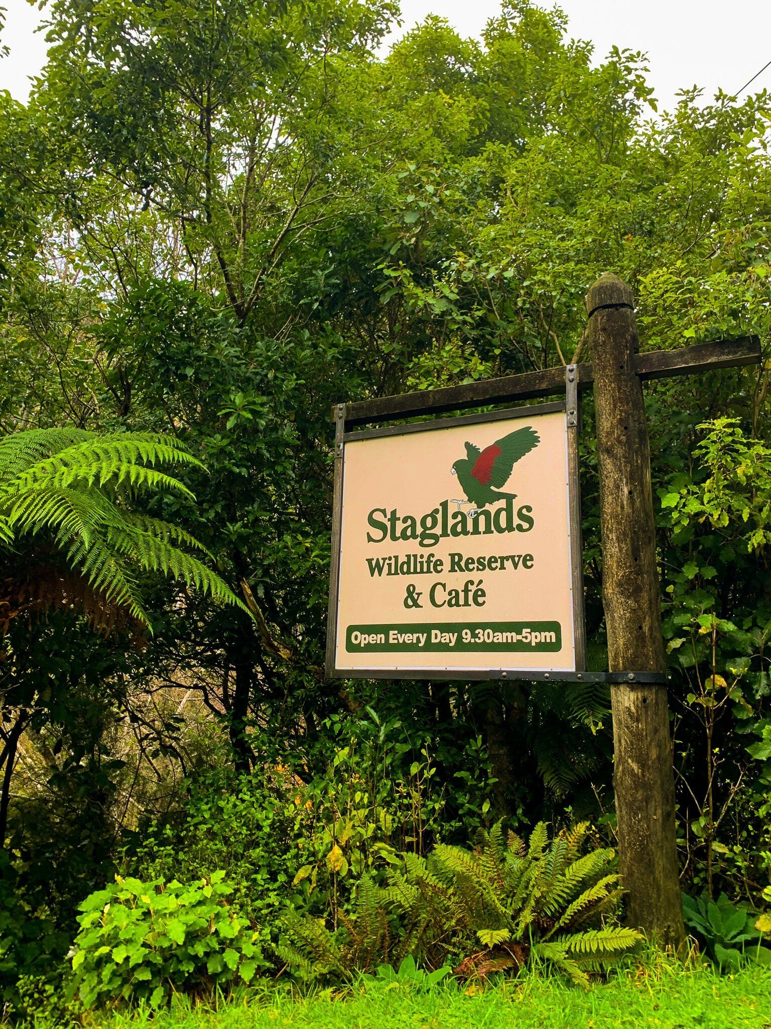
There are a few points of interest along the way, including Staglands, a wildlife reserve and cafe, the lovely Jock Atkins Waterfall, and a number of crossings of various waterways. At the Upper Hutt end, you can also access Karapoti Road and the popular mountain biking trail at its end, Karapoti Track, as well as blueberry farms open for picking during the summer season.
Marua Lookout
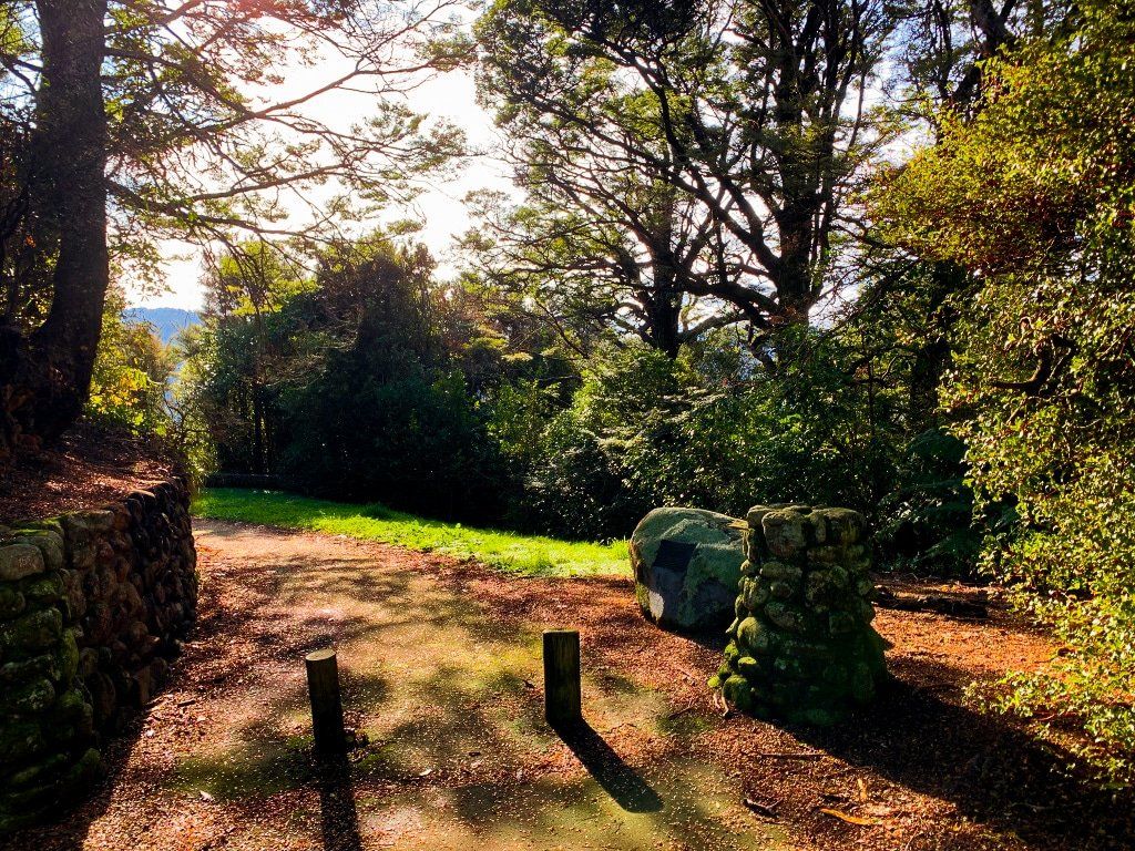
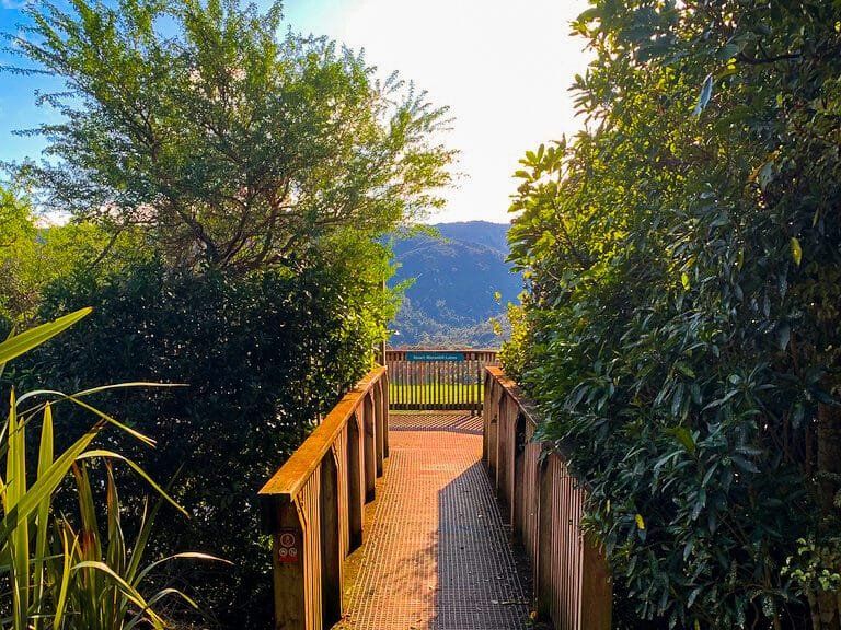
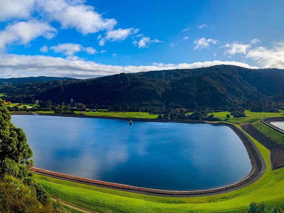
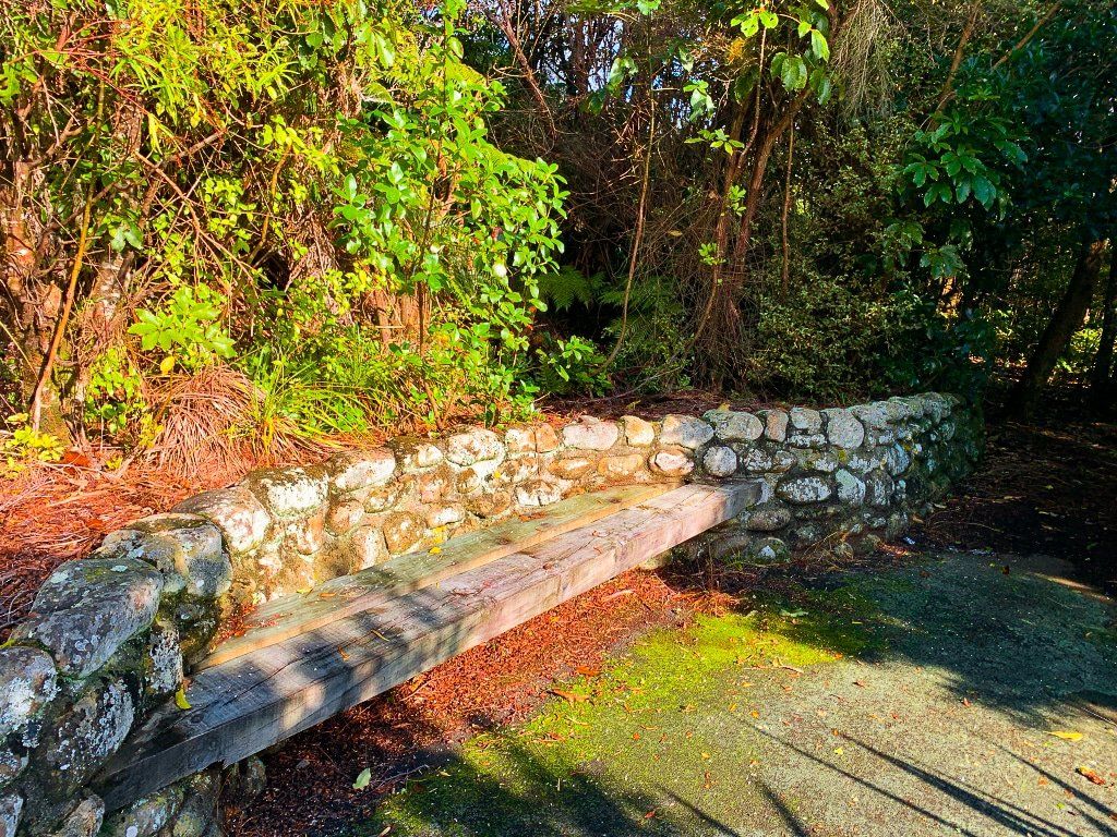
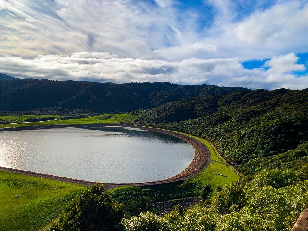
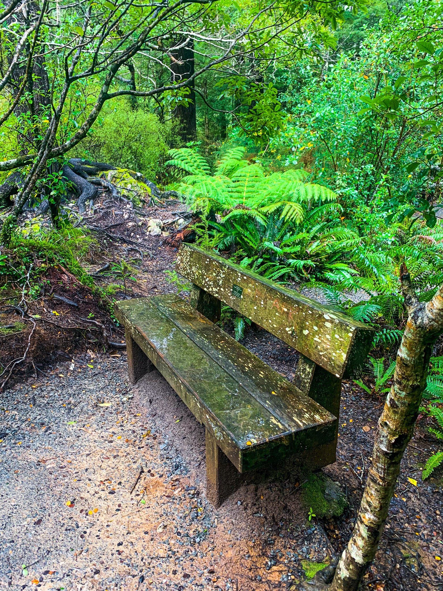
Marua Lookout is a well taken-care-of lookout and rest stop on SH2 south of the Remutaka crossing, and is worth the stop. It is a very short walk to the wooden platform with views over the man-made twin Macaskill Lakes below. There is also a bench and native bush surrounds. When I was there, it appeared to be a popular spot for locals to bring their dogs for a sniff around, so if you’re traveling with a canine friend, this could be a good option to stop safely off the highway.
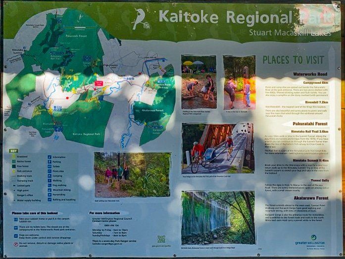
There is also a panel describing the Kaitoke Regional Park which can be accessed a little further north along SH2.
Te Ara Tirohanga
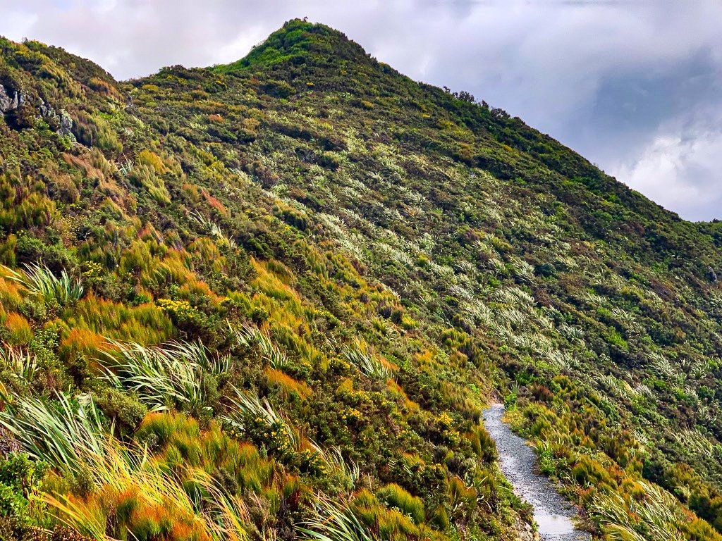
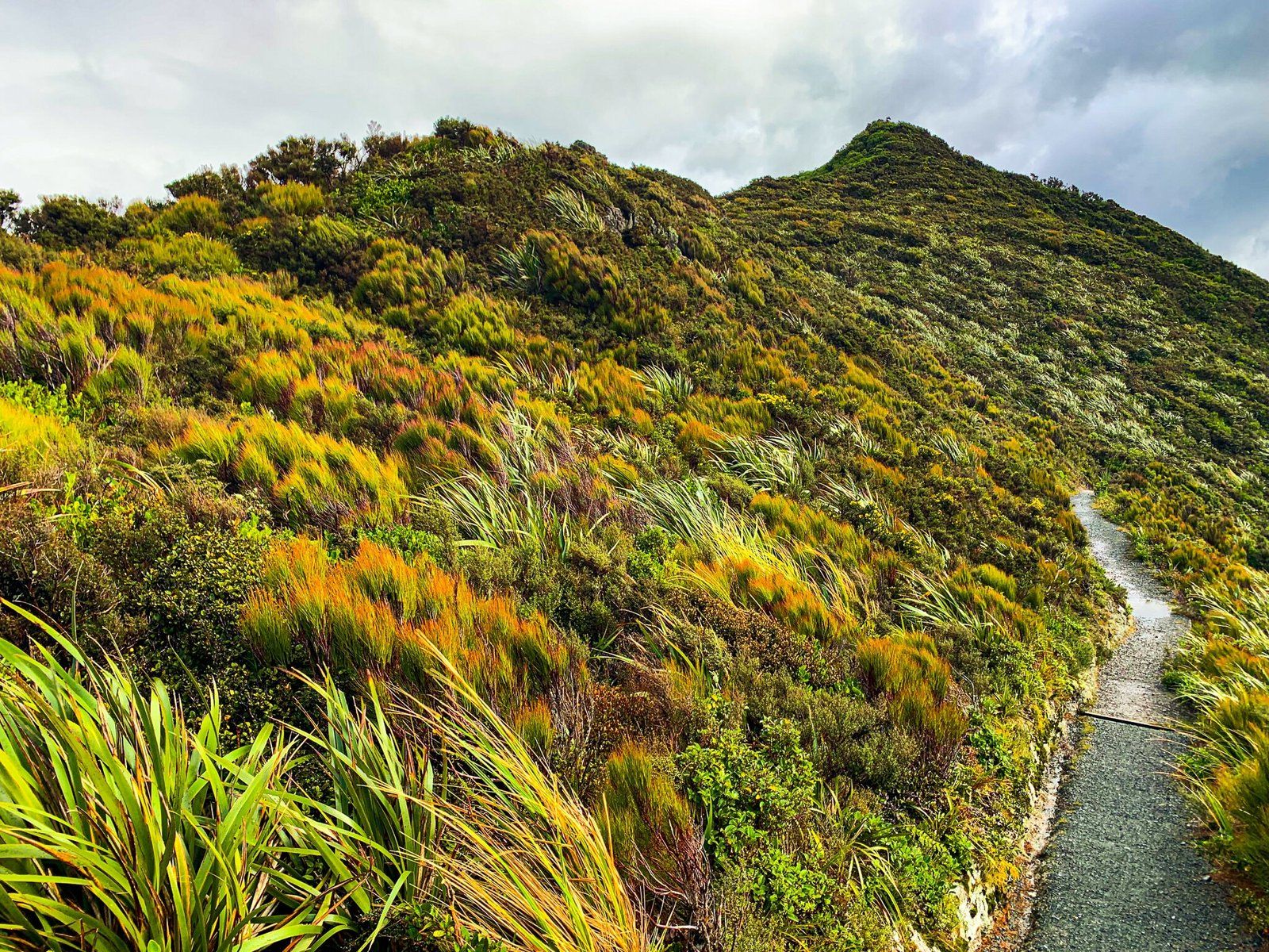
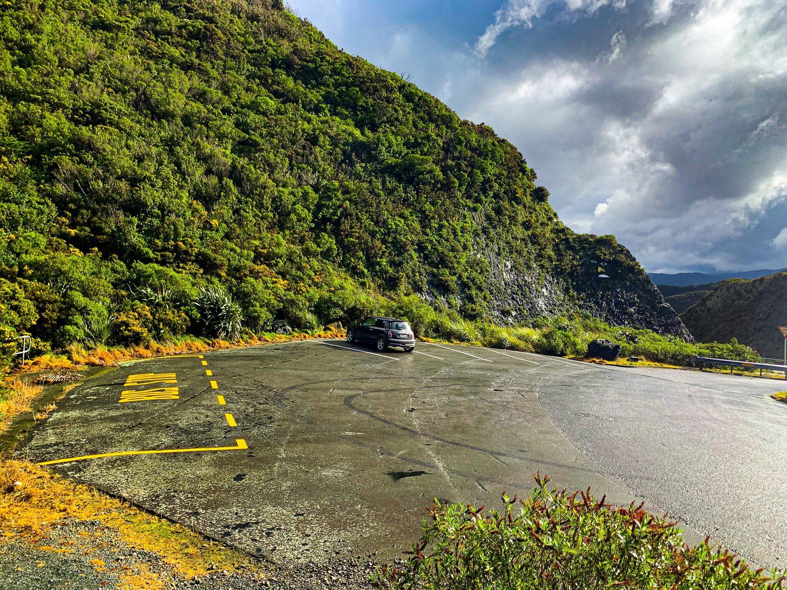
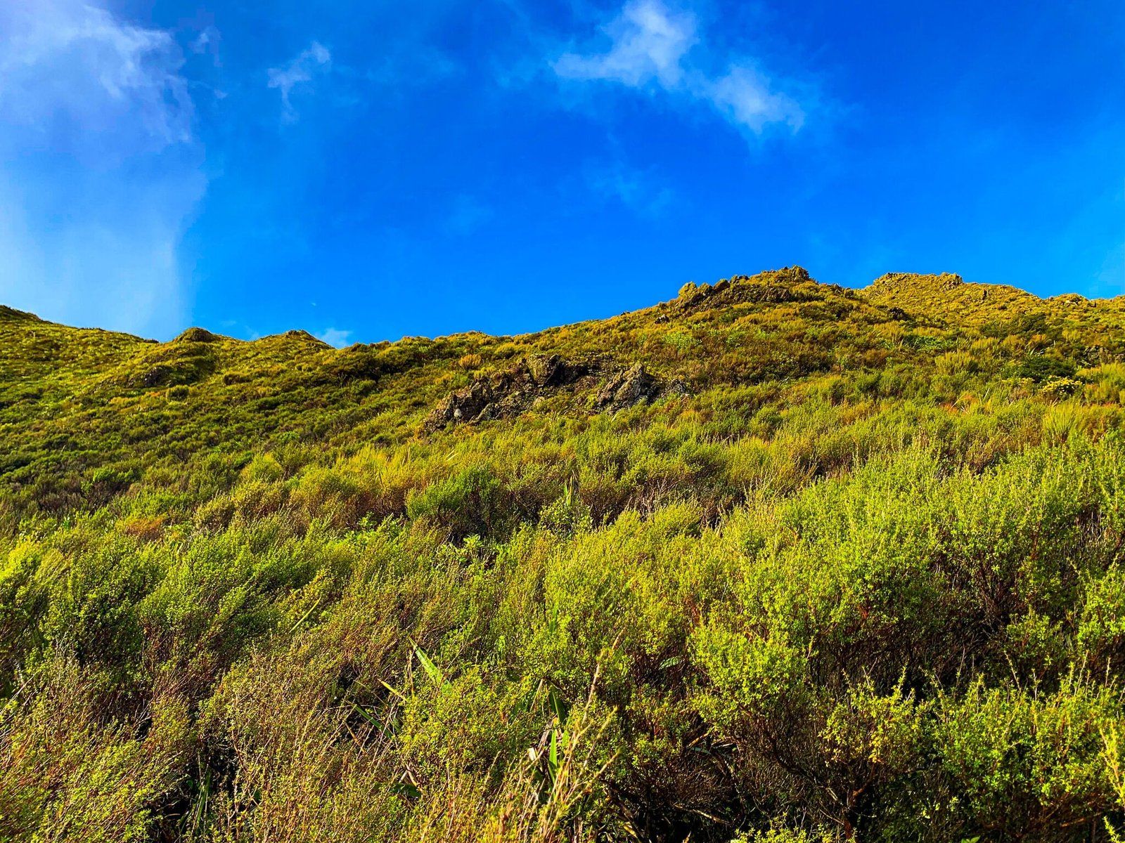
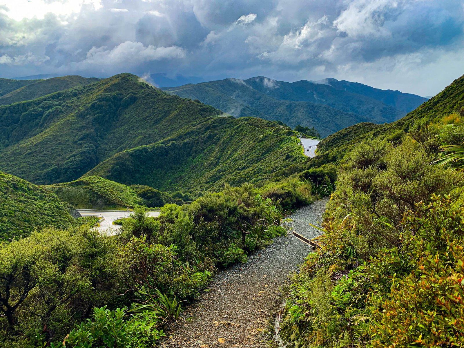
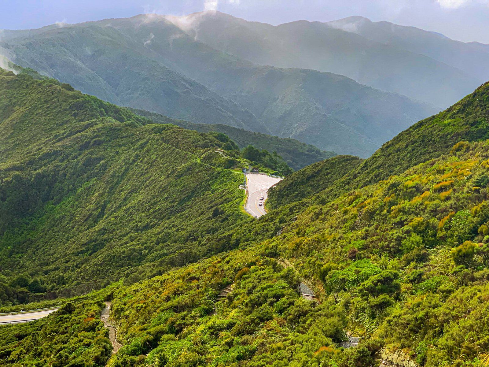
Te Ara Tirohanga is a steep hike up to Remutaka Trig from a parking bay off SH 2. A zigzag track leads up a face of the mountain, covered in regenerating native forest.
It is accessible very close to where the highway crosses the range, on your right if you are traveling east to the Wairarapa. It is not well signposted, but you should be able to see the large car park bay as you approach from either side.
The track is a half-hour to the top and is steep walking, so allow an hour in total. It is not advised to attempt the trail in bad weather as it is pretty exposed and only becomes windier the higher you get.
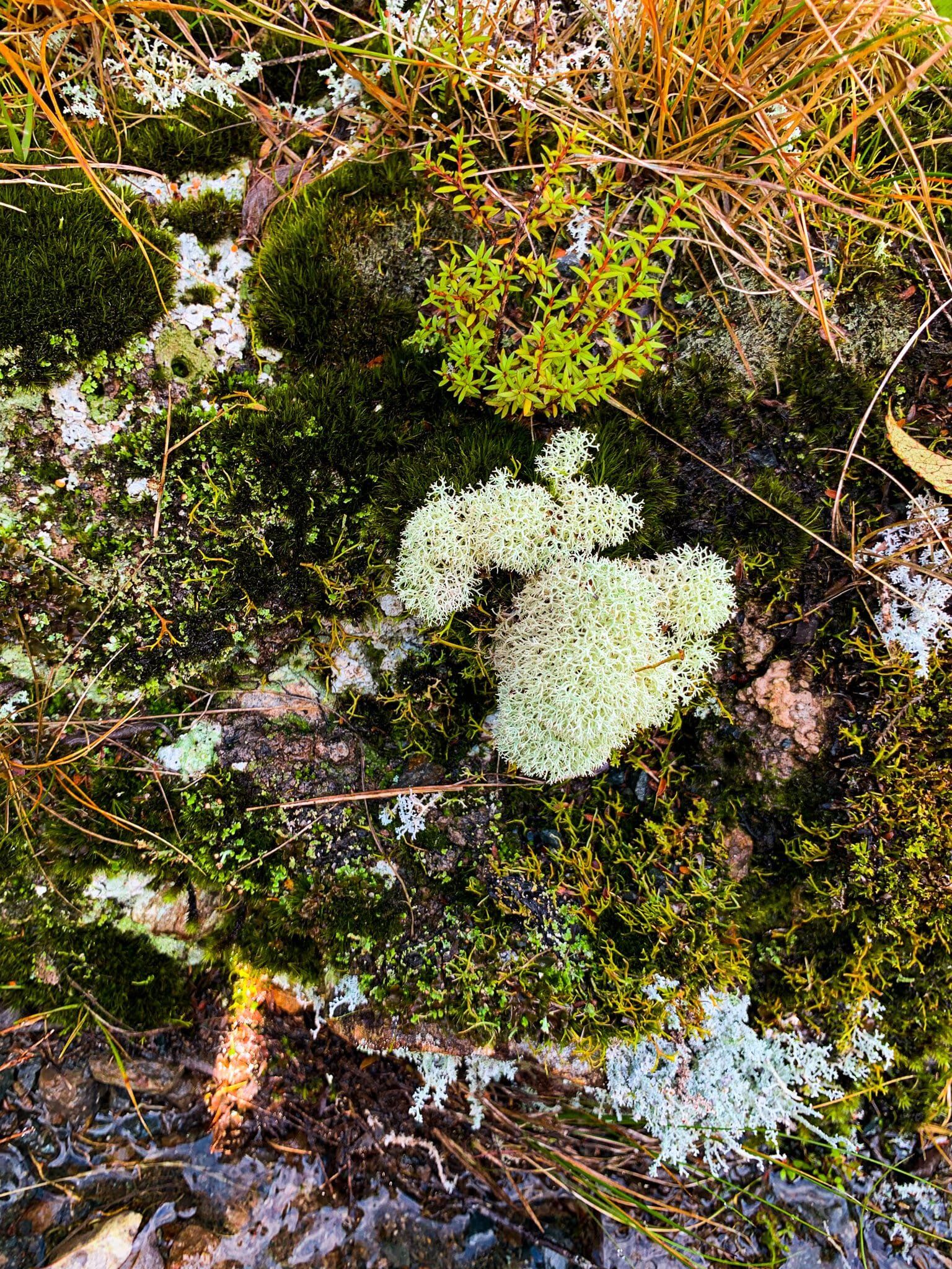
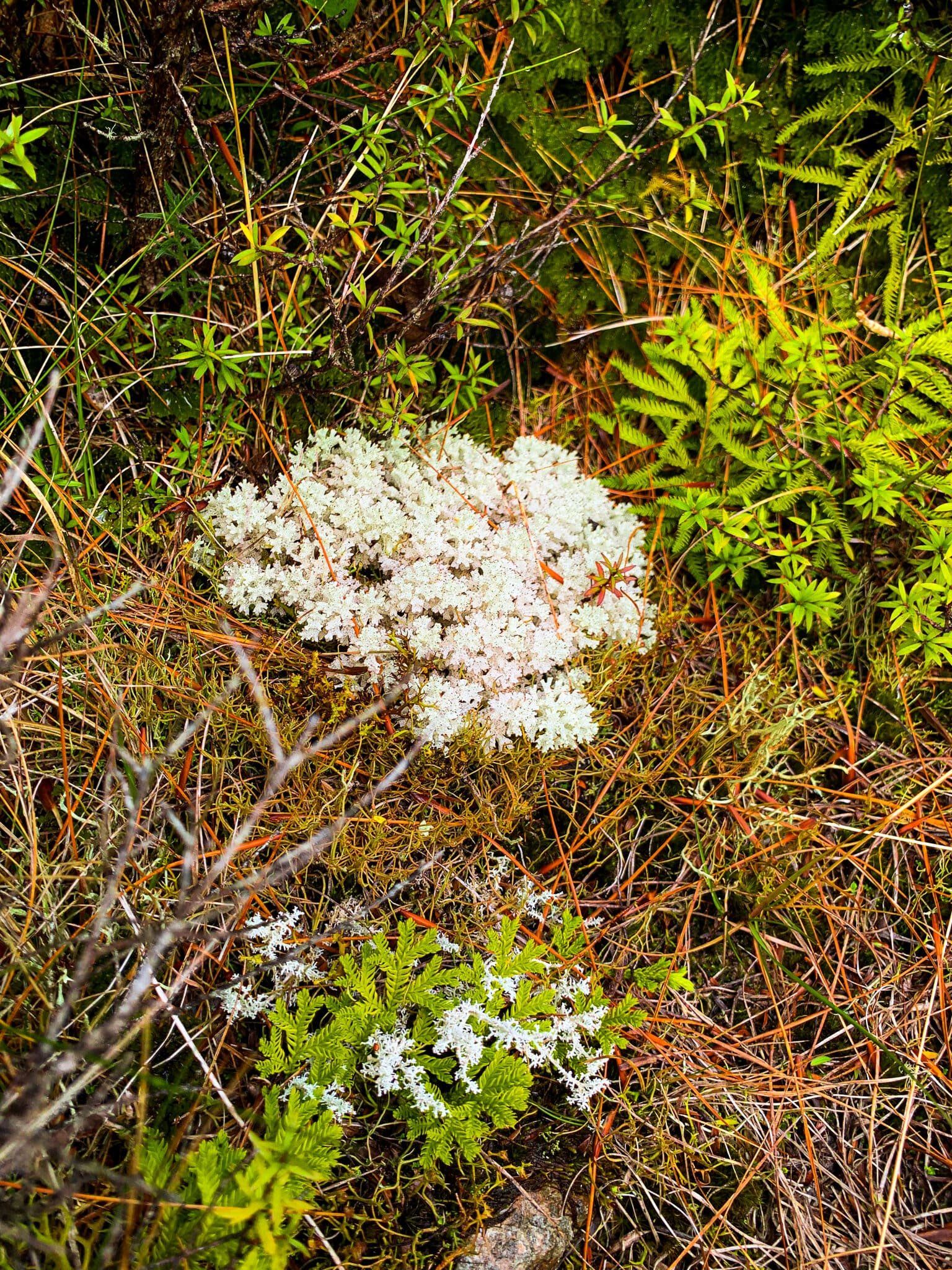
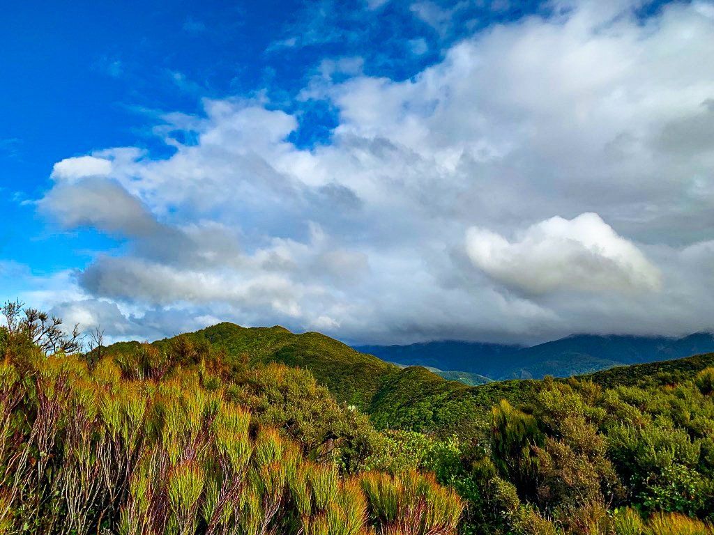
From the top in good weather there are wide views of the valleys below in all directions. But even in cloud it is an extraordinary place to explore, with myriad mosses and lichen, not to mention native birds.
Remutaka Lookout
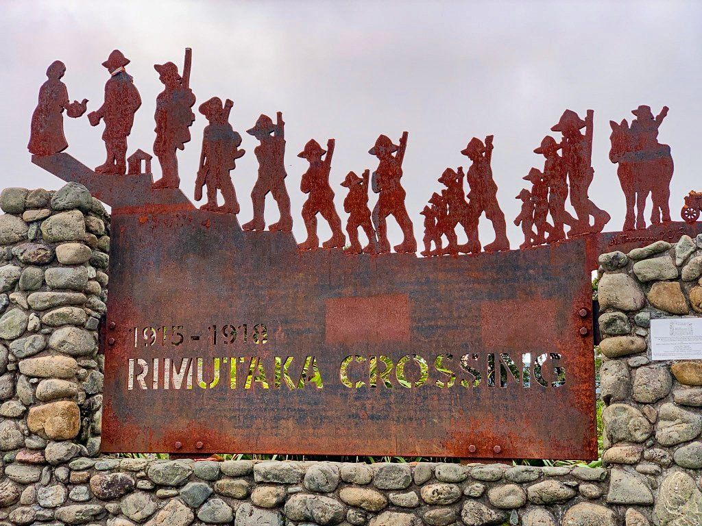
Very close to Te Ara Tirohanga, you can turn off SH 2 to the Remutaka Lookout. A very short and steep scrabble up the little track from the carpark and you are high above the road, with views back to the Hutt Valley on one side, and down towards Featherston on the other. There is also an information board at the carpark, detailing the construction of what was originally called the Rimutaka Road, its name having more recently changed to Remutaka to reflect the correct Māori spelling.
If the weather is too damp or windy for the hike at Te Ara Tirohanga, a stop at the Lookout will provide great views with a lot less hassle!
Kaitoke Regional Park
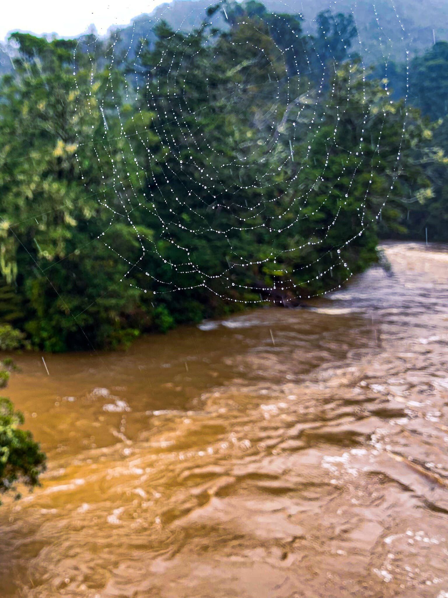
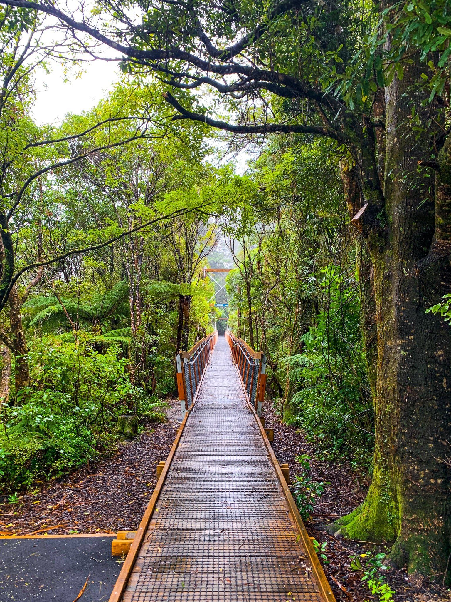
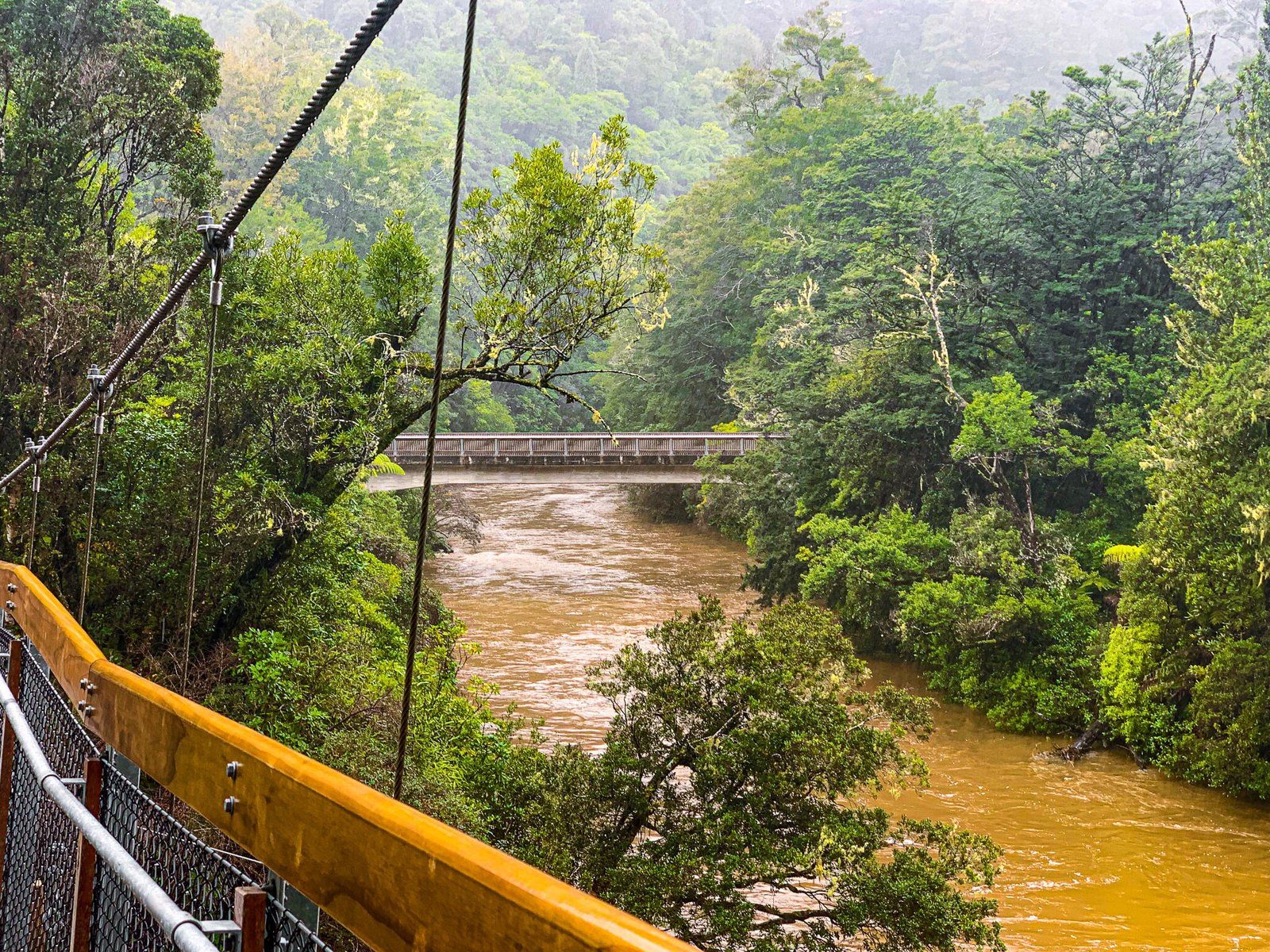
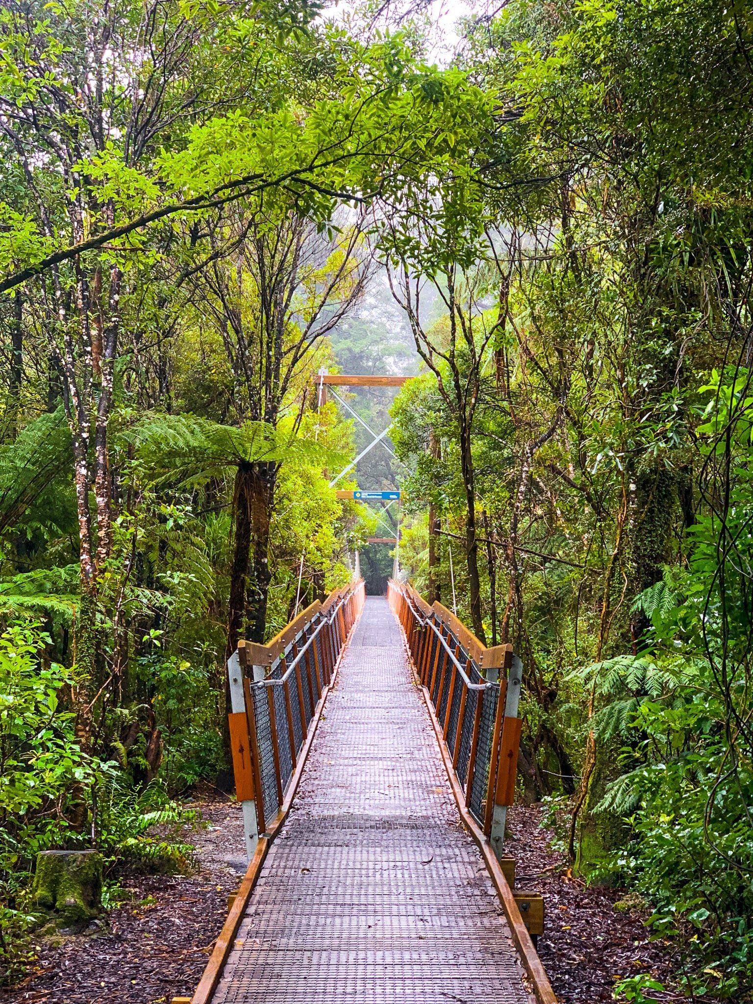
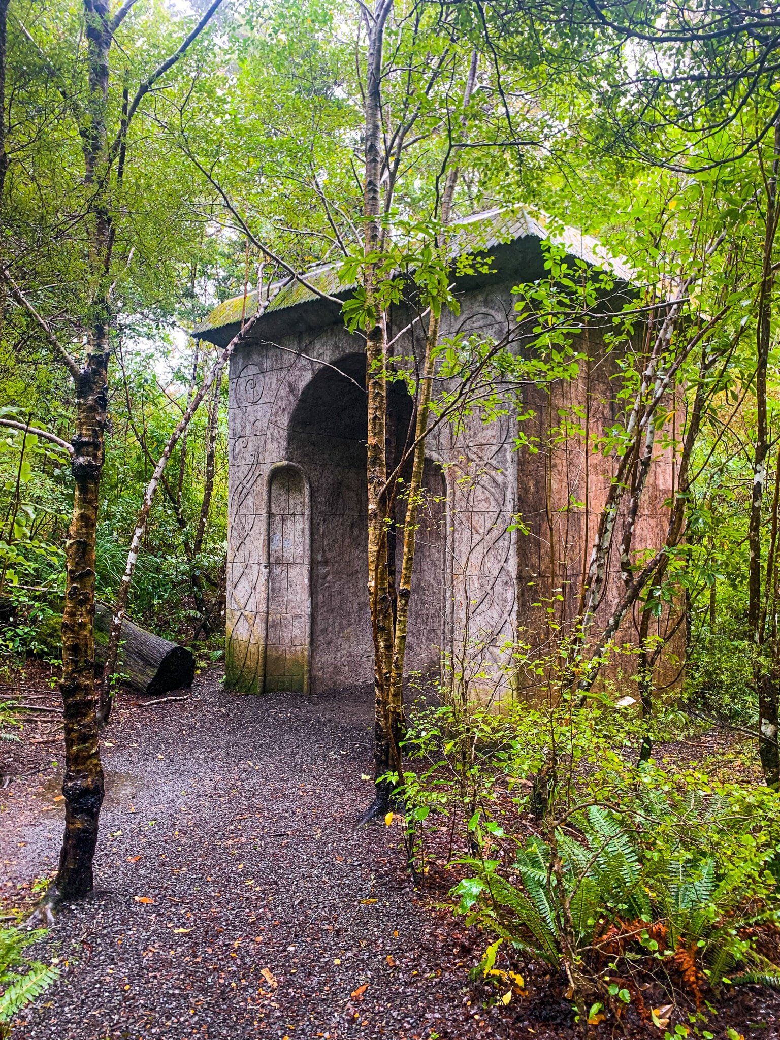
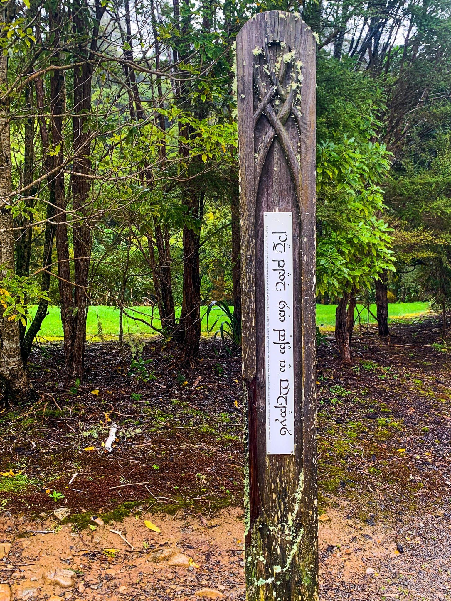
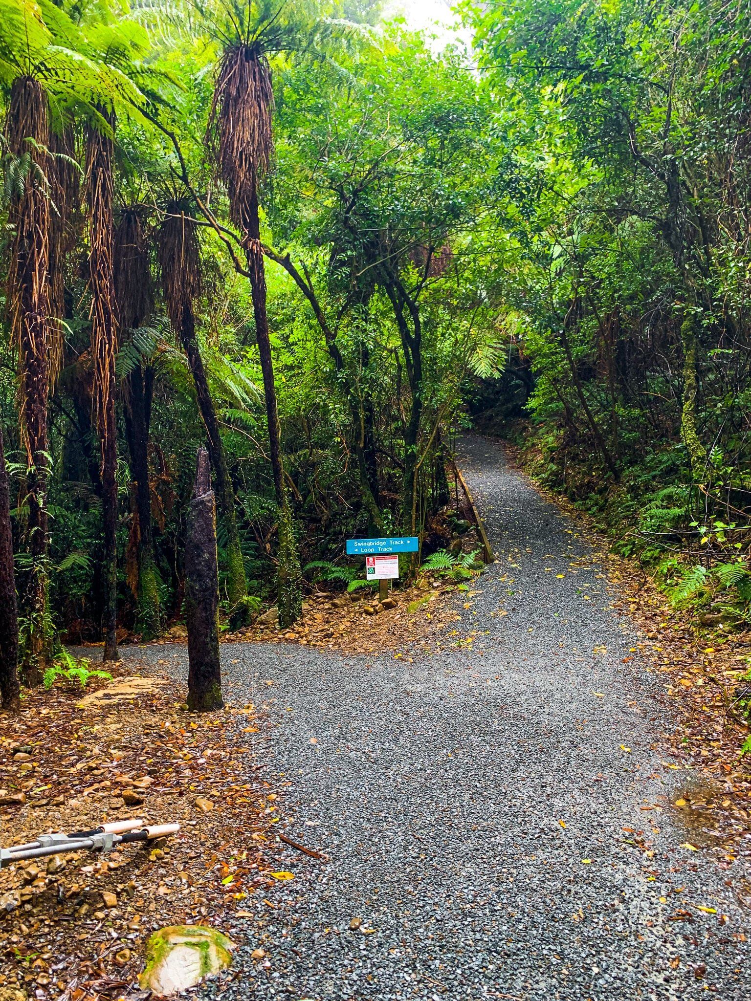
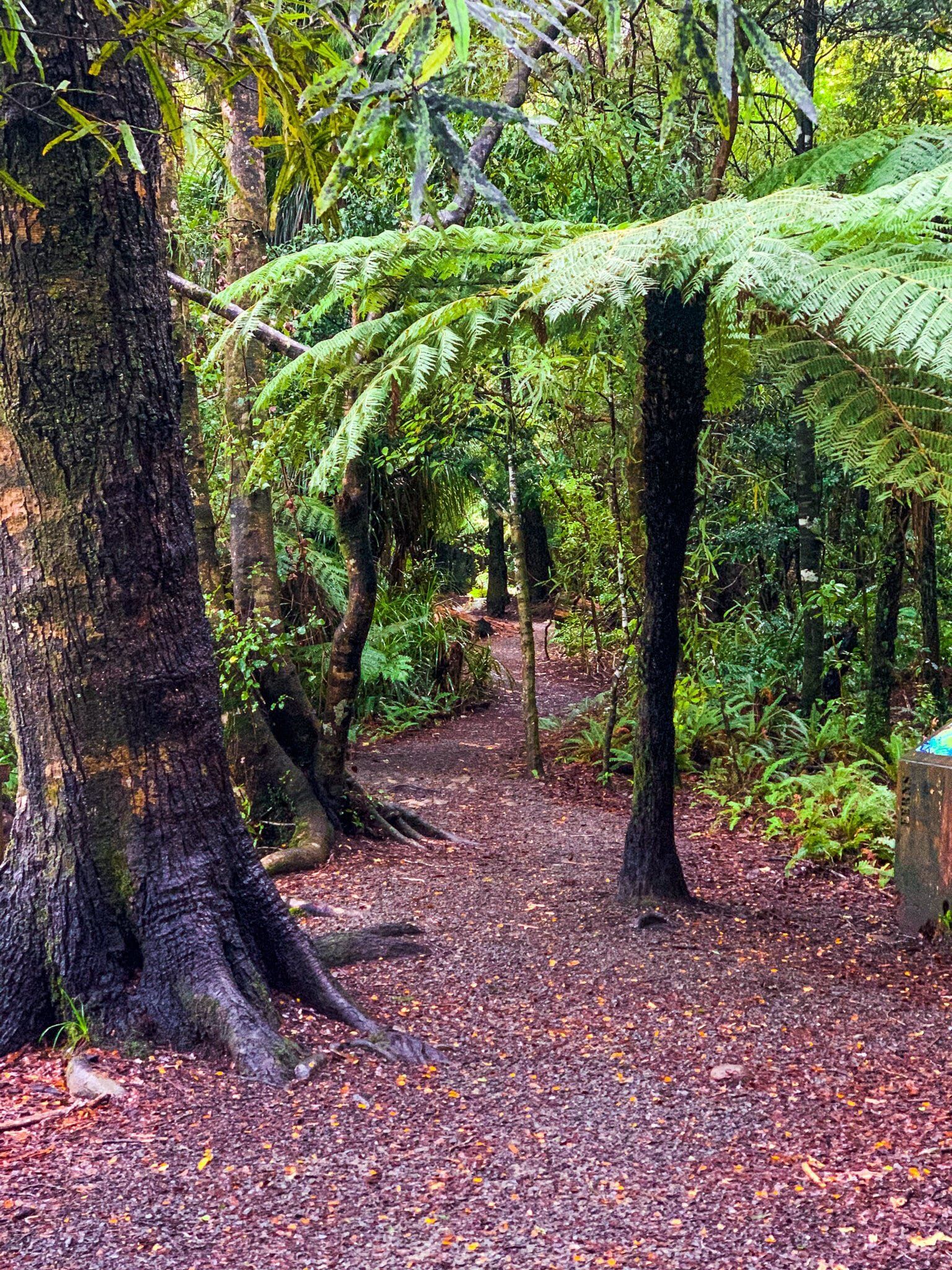
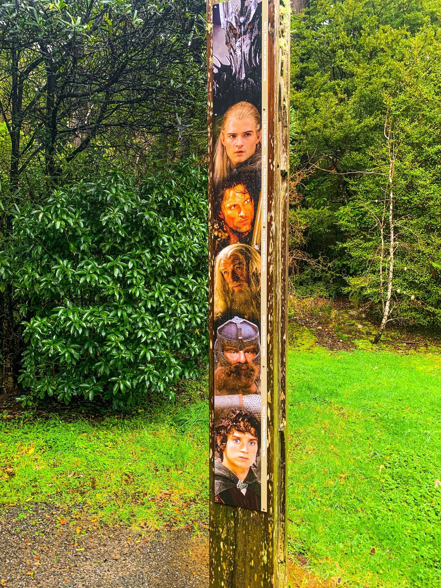
Famous as the filming location of LOTR’s Rivendell, Kaitoke Regional Park also offers camping, access to the powerful Pākuratahi River, and a number of forested hiking trails. Camping is available for both campervans and tents, with payment on arrival, and it is possible in dry weather to park up right against the river. For LOTR film buffs, there is an Elven archway in the forest, as well as many information boards describing the filming process. Walking tracks include the River Walk, which of course follows the path of the river, and bush walks accessed via a swing bridge which takes you to the far side of the river. As of winter 2022 some of the tracks were closed due for maintenance.
Tauherenikau River Track
A number of Tararua Forest hikes are accessible from just outside the small towns that sit at the base of the Remutaka Ranges. On this occasion, we decided to explore Tauherenikau River and Gorge via the rough track at the end of Bucks Road out of Featherston.
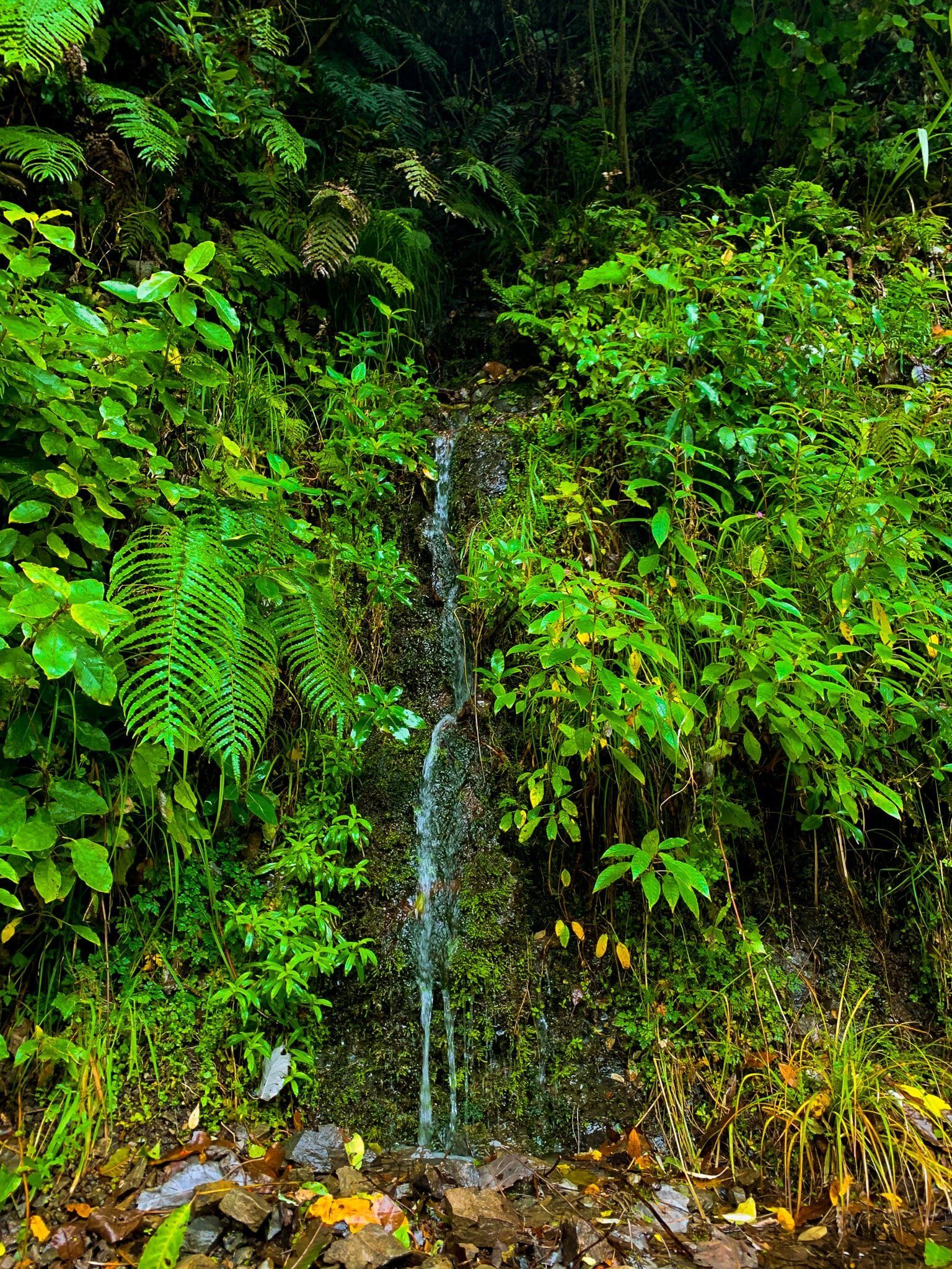
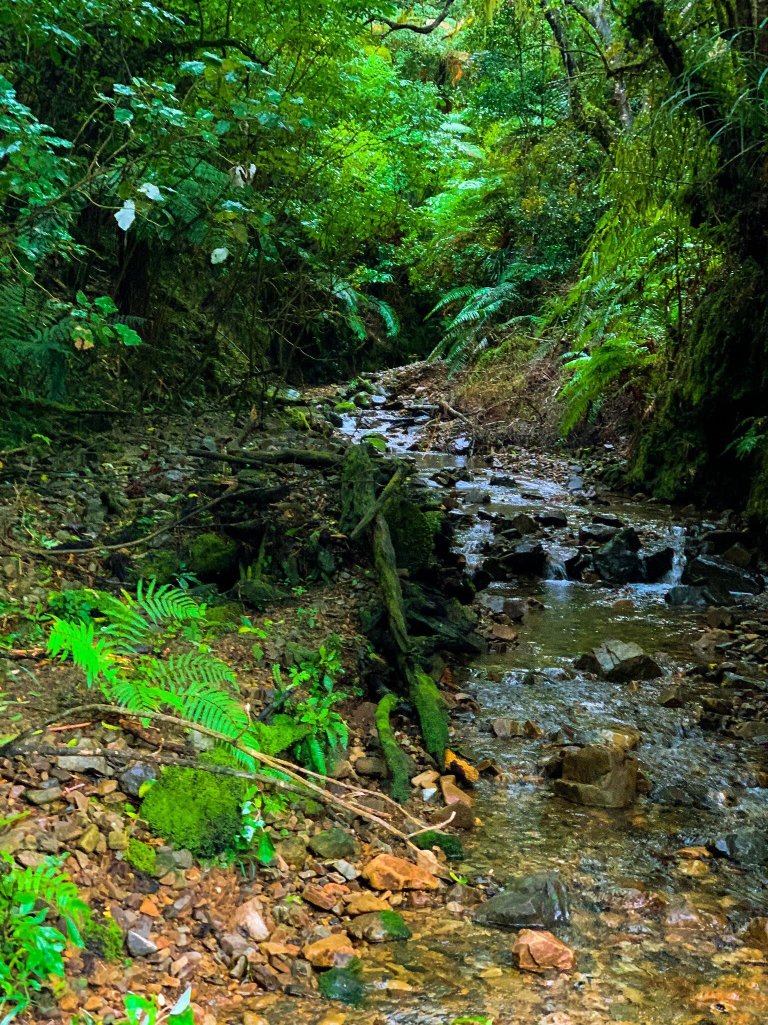
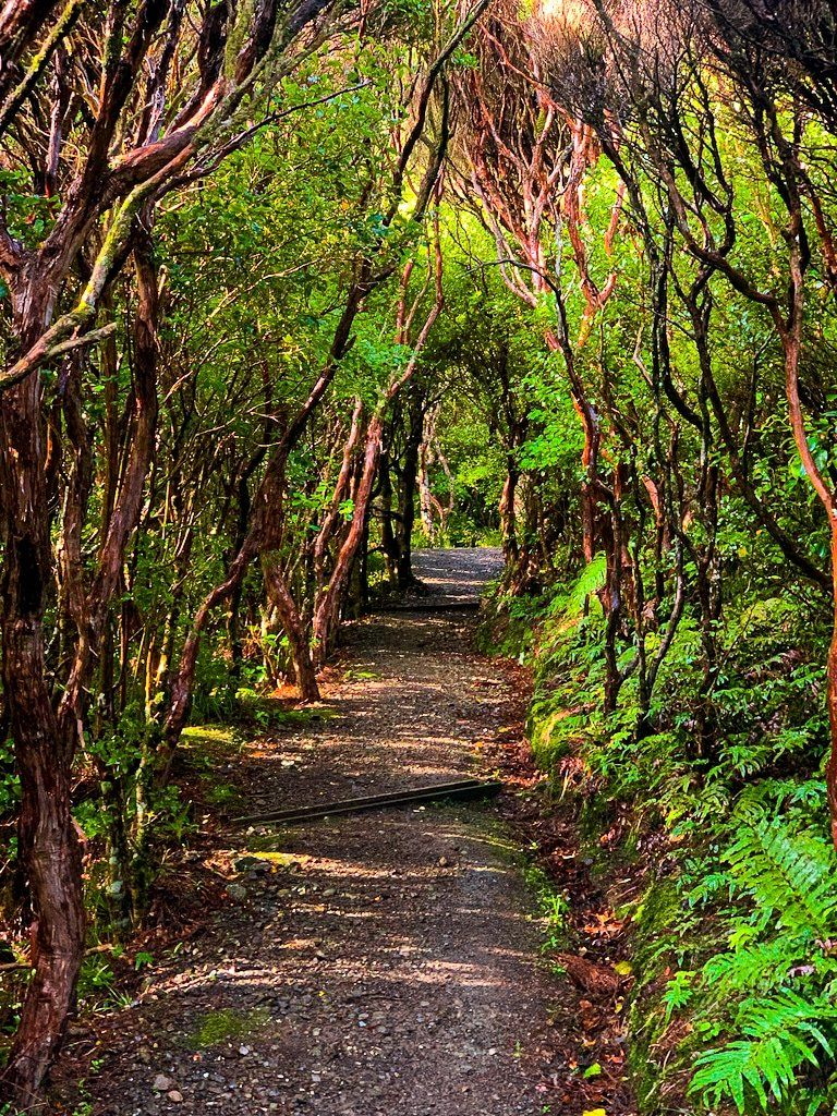
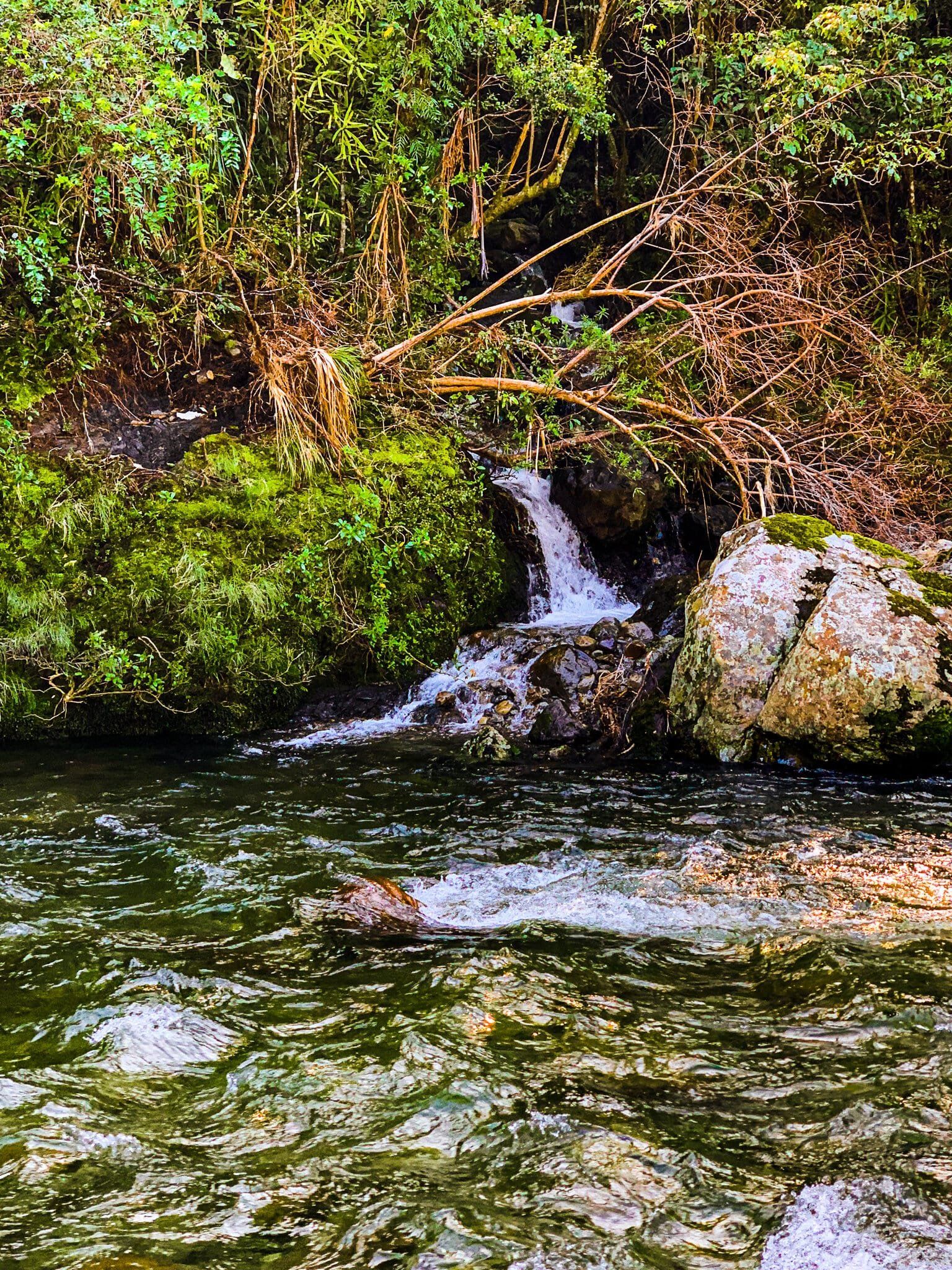
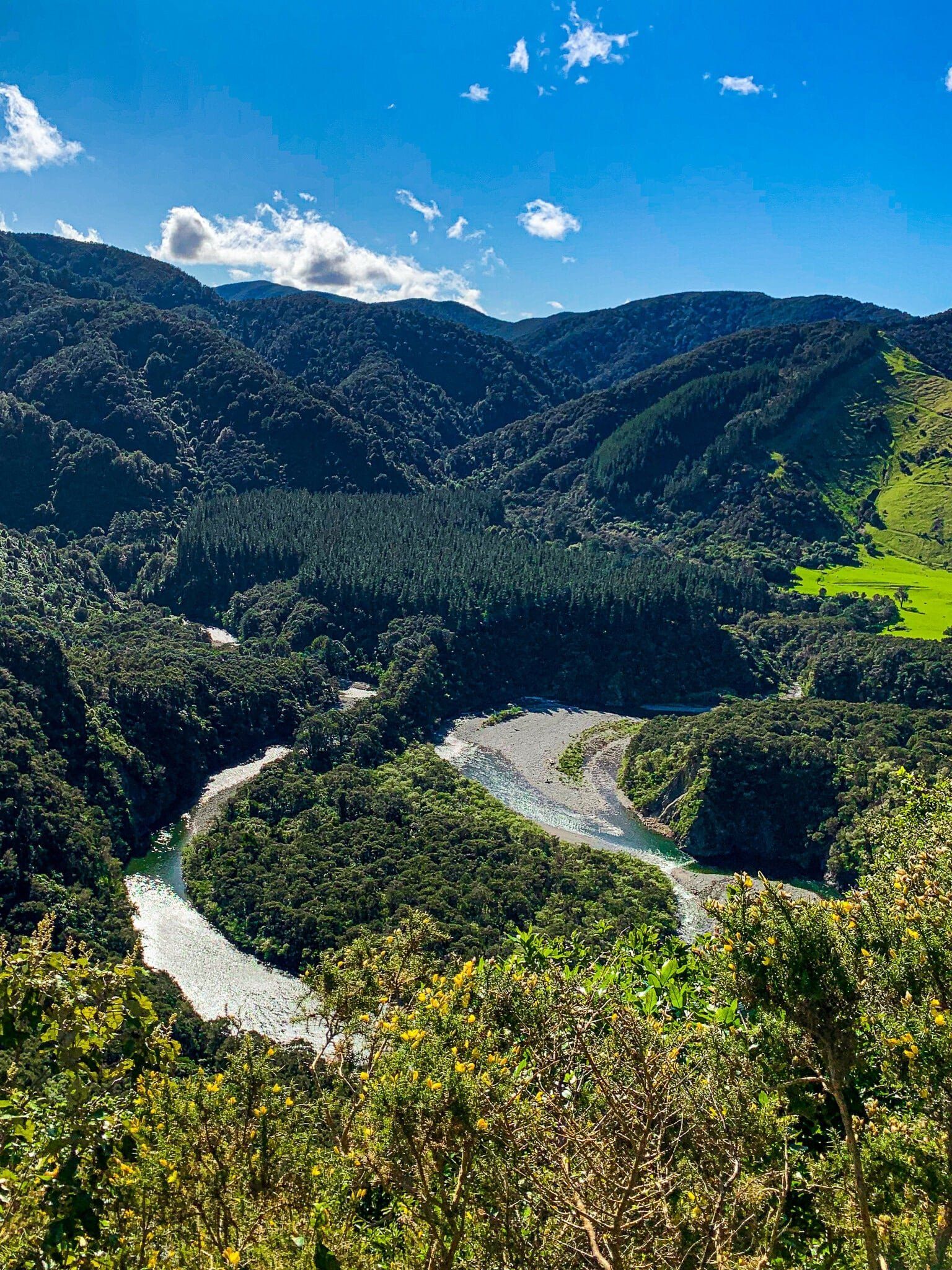
From the carpark, there are two track entrances; one simply says “River Access” and the other is nameless, but sports a sign on fishing regulations for the region. We took the River Access track, which immediately zig-zagged up the side of a hill to a high point at about 300m. From there, the path continues on back down the side of the gorge towards the river. Note that the path is very rough, crossing streams and waterfalls, and proper hiking boots will make this hike much more enjoyable for its three-hour-long return trip.
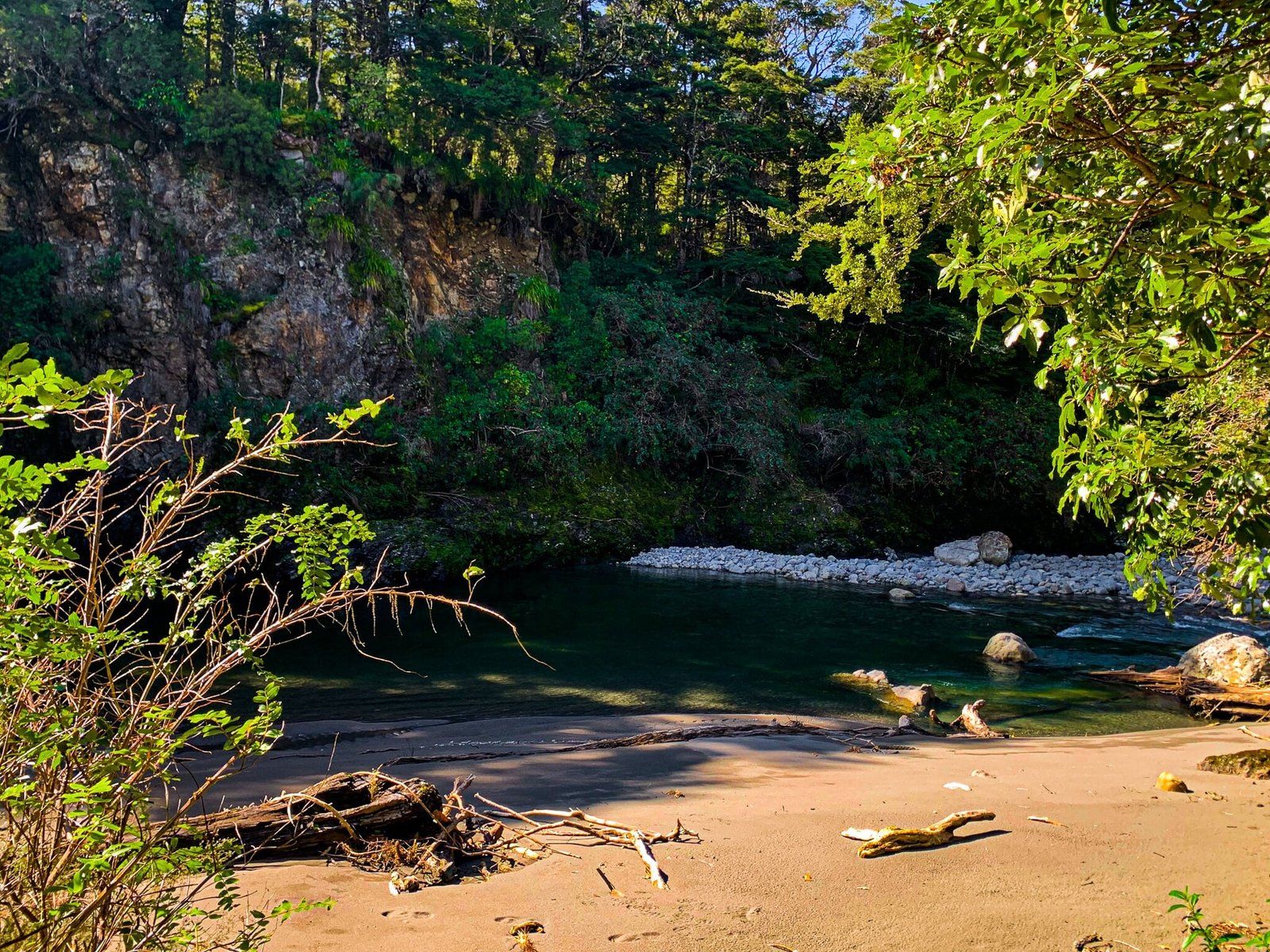
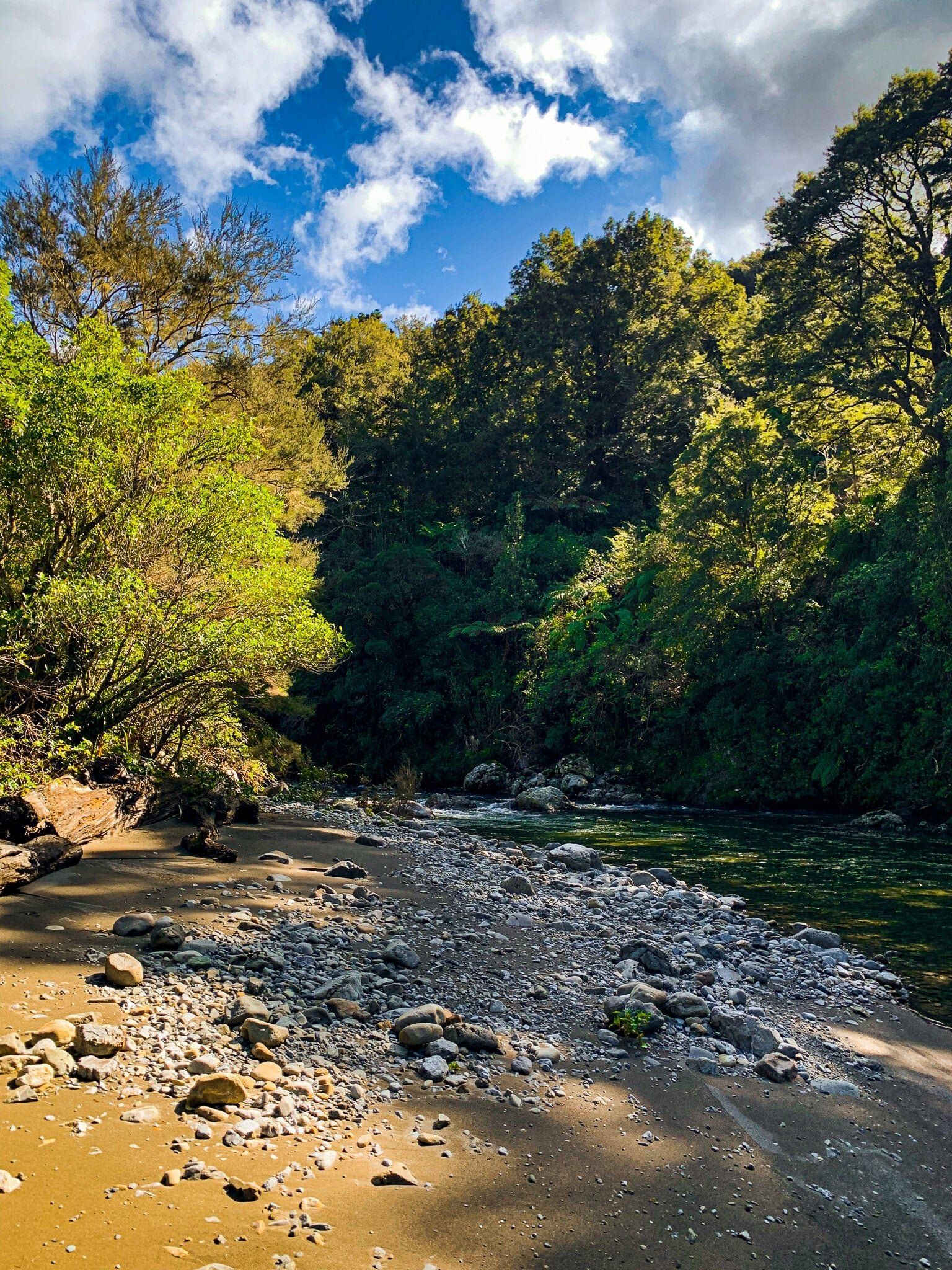
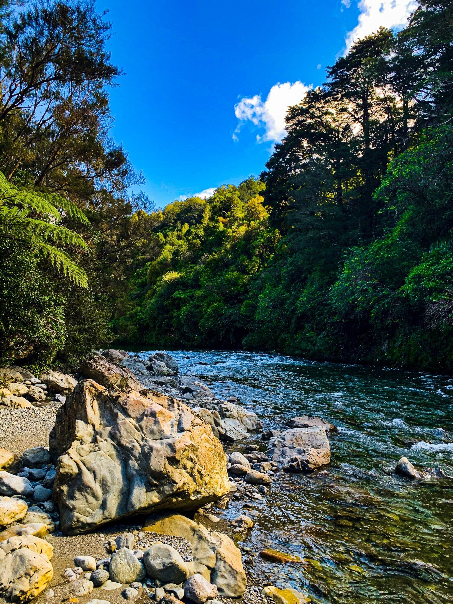
The wildlife was fantastic – kererū landed shockingly close to us, and we enjoyed tūī song and pīwakawaka following us much of the way. But the real treat is at the far end of the track – a pristine river beach, replete with mossy boulders and driftwood. We would recommend taking a picnic and spending some time in this spot before heading back up and over the hill to the carpark.
The only other human we saw on the track, a local with a gang of hunting dogs, mentioned that although there is no loop track back along the river, you can bring a blow-up floating device and cruise back to the car park along the river currents – apparently this takes a couple of hours and sounded perfect for a summer afternoon.
Want more trip ideas?
Check out our posts on Exploring the Wairarapa, the Kāpiti Coast, and Outdoor Adventures in Wellington.
