
The Rotorua region has long been a major tourist destination in the North Island. 227 kms and 2.5 hours away from downtown Auckland on State Highway 1, then SH 5 (the Thermal Highway), it is easy to do as a weekend break. However, given the wide range of excellent activities, like the glorious Tarawera Falls, we recommend travellers try an extended stay, but avoid the main holidays and peak tourist season.
The region is best known as the centre of thermal activity in the North Island. There are multiple options for visiting active thermal locations, albeit most have an entry fee. But there are also numerous walks and hikes, with superb waterfalls, lakes, rivers and some of the prettiest native forest in the North Island.
This blog covers several short walks and hikes around Lake Ōkataina and the east end of Rotoiti, all accessible from State Highway 30 on the north side of Rotorua. Then, follow very scenic SH30 west past Lake Rotoehu and Lake Rotomā, connecting with SH34 to Kawerau, a rather remote forestry town. From there, pay a small fee at the visitor centre to drive Tarawera Road through the enormous Kawerau commercial exotic forest to the Tarawera Falls Walk. Take your time as this is one of the top short walks in the North Island!
Lake Ōkataina
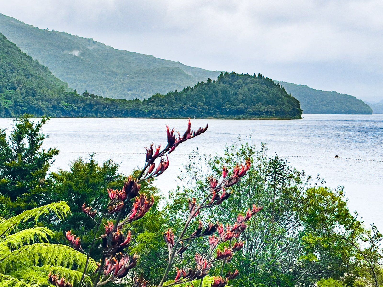
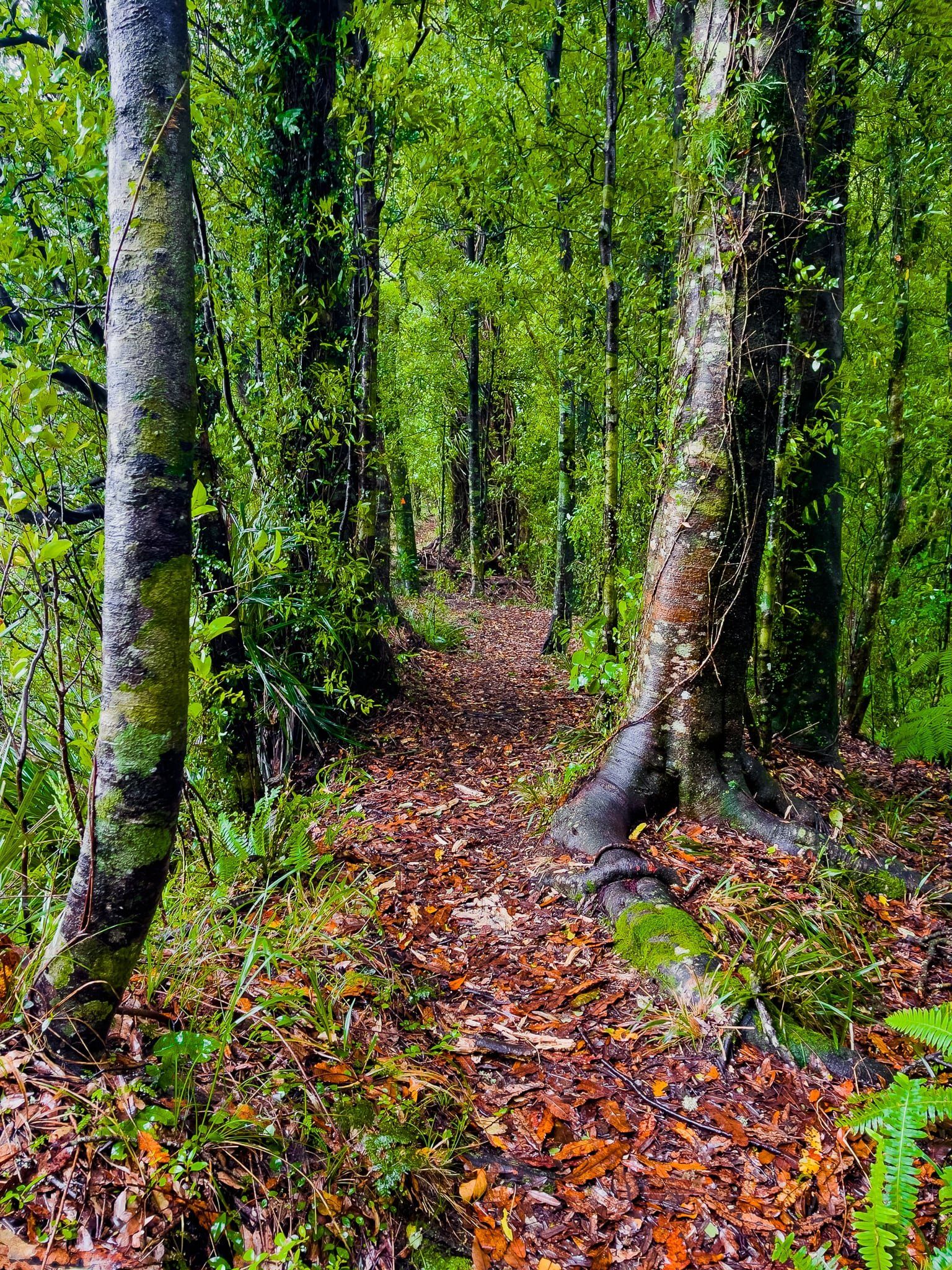
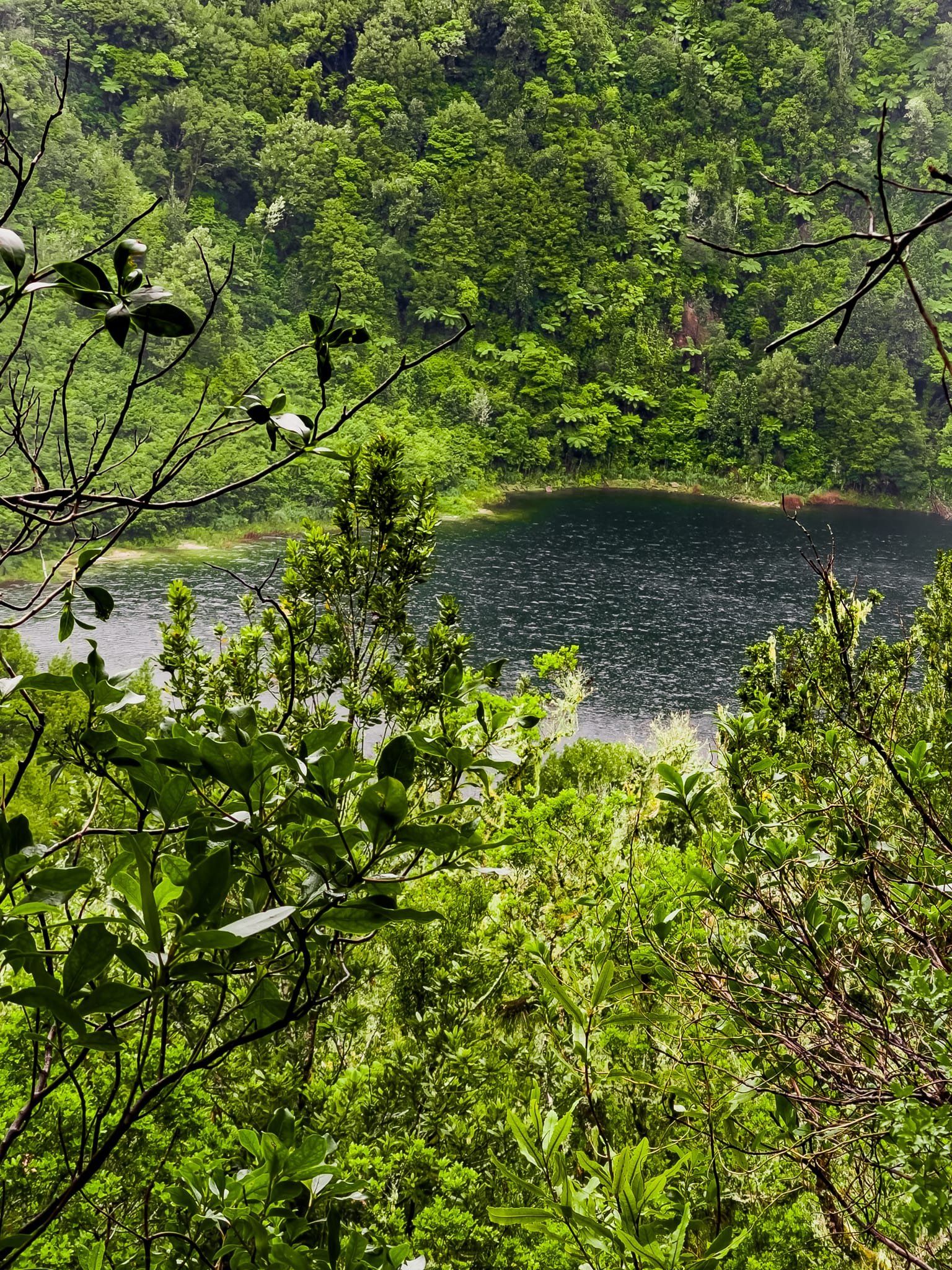
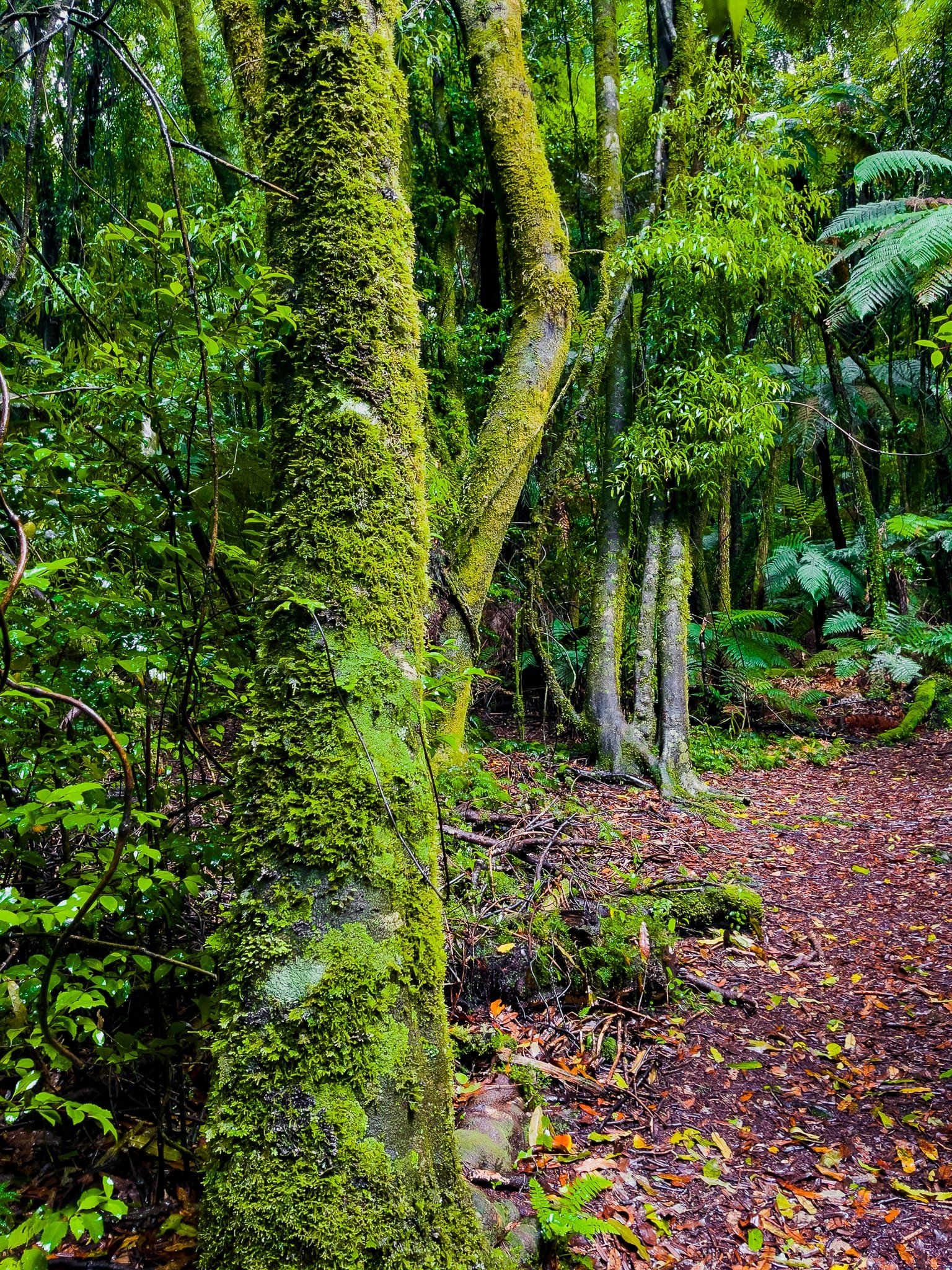
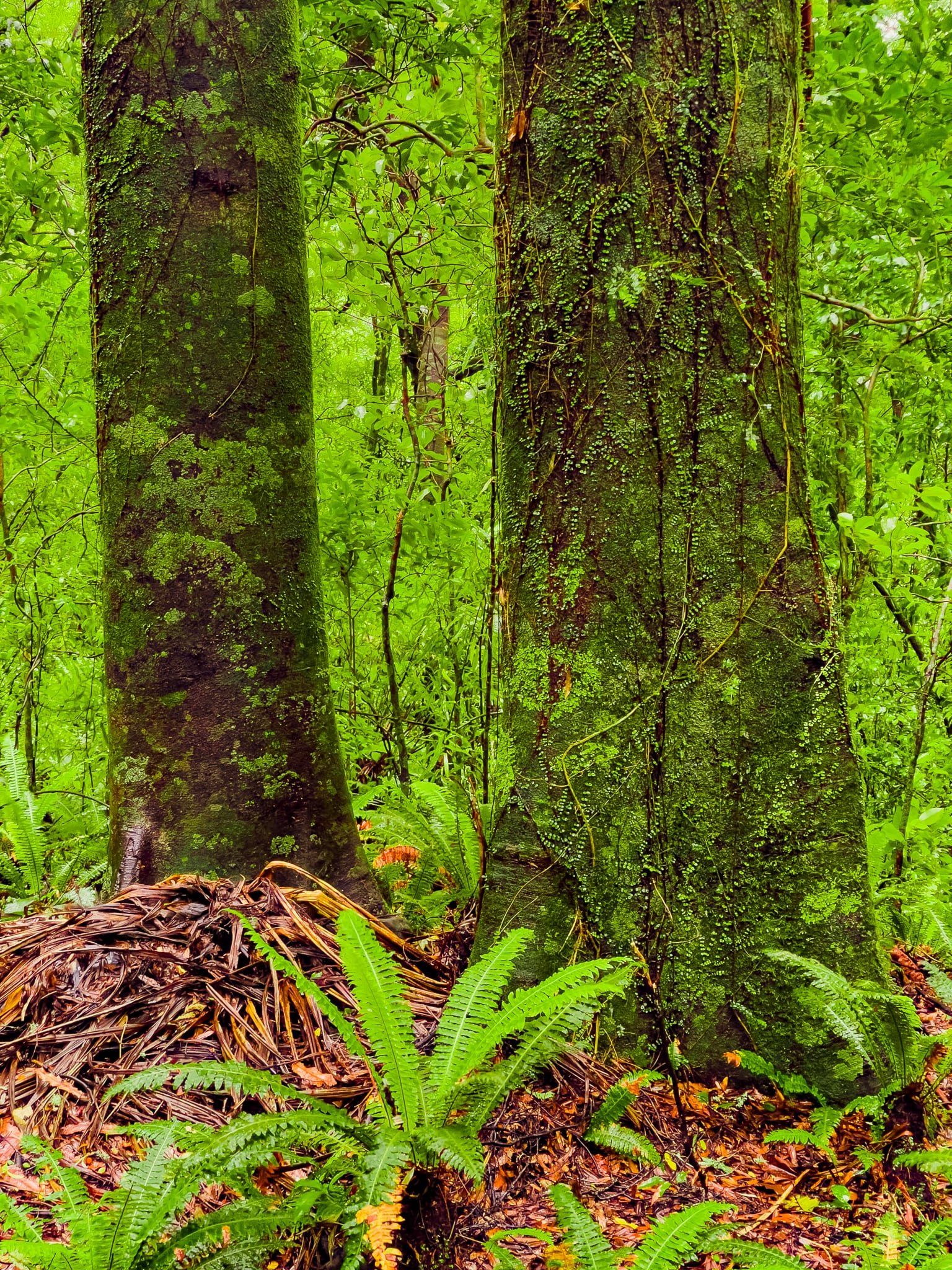
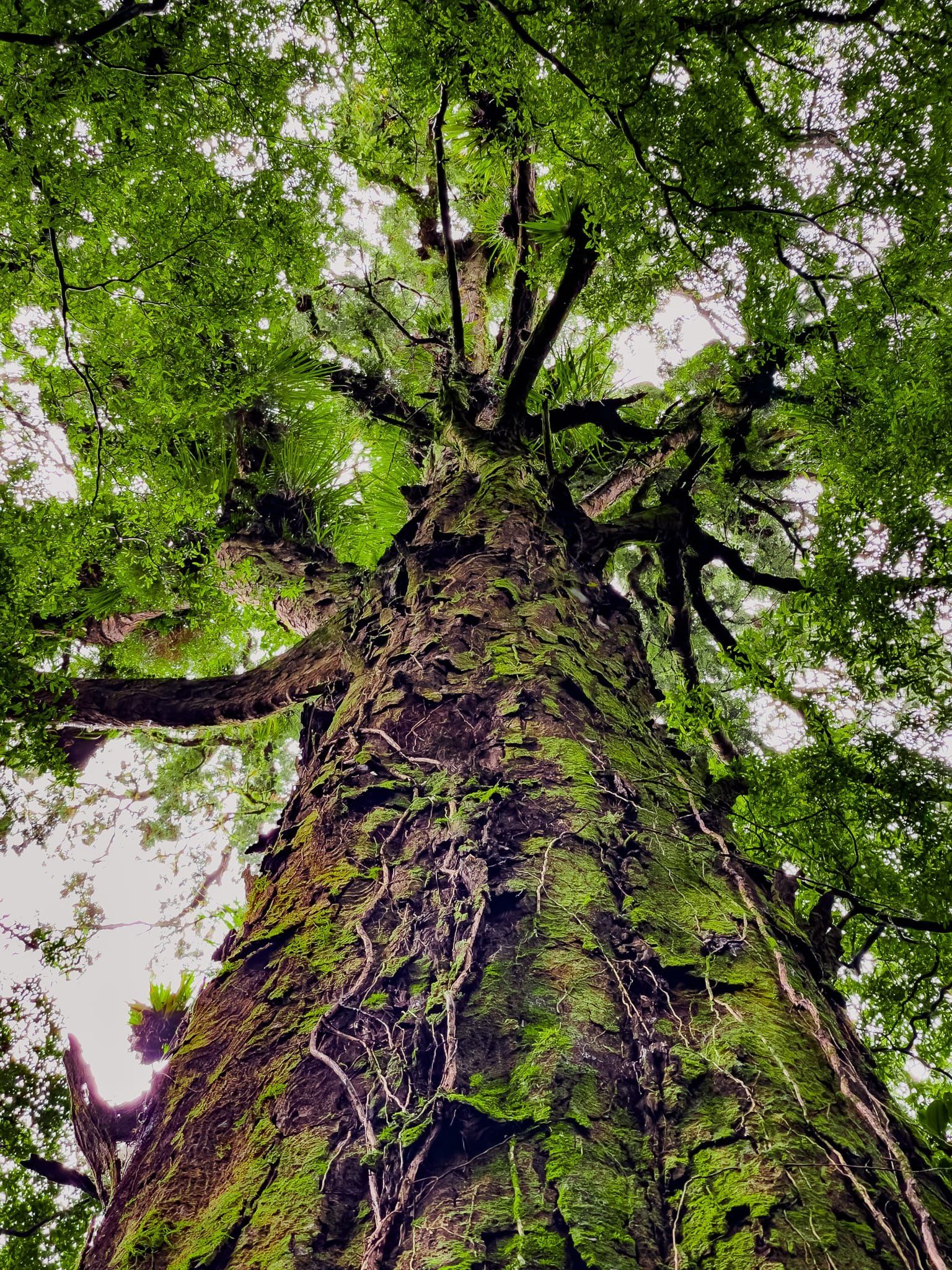
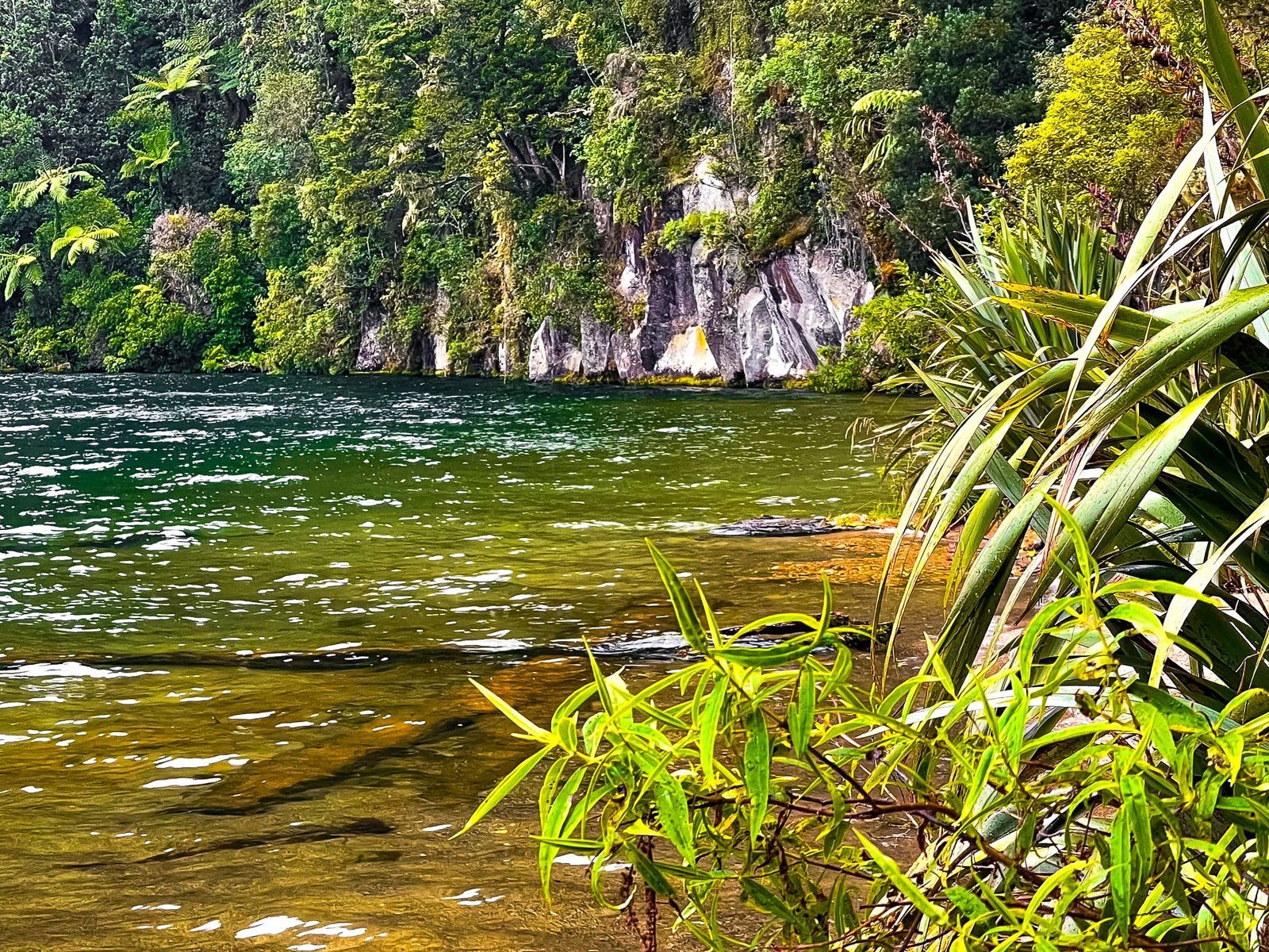
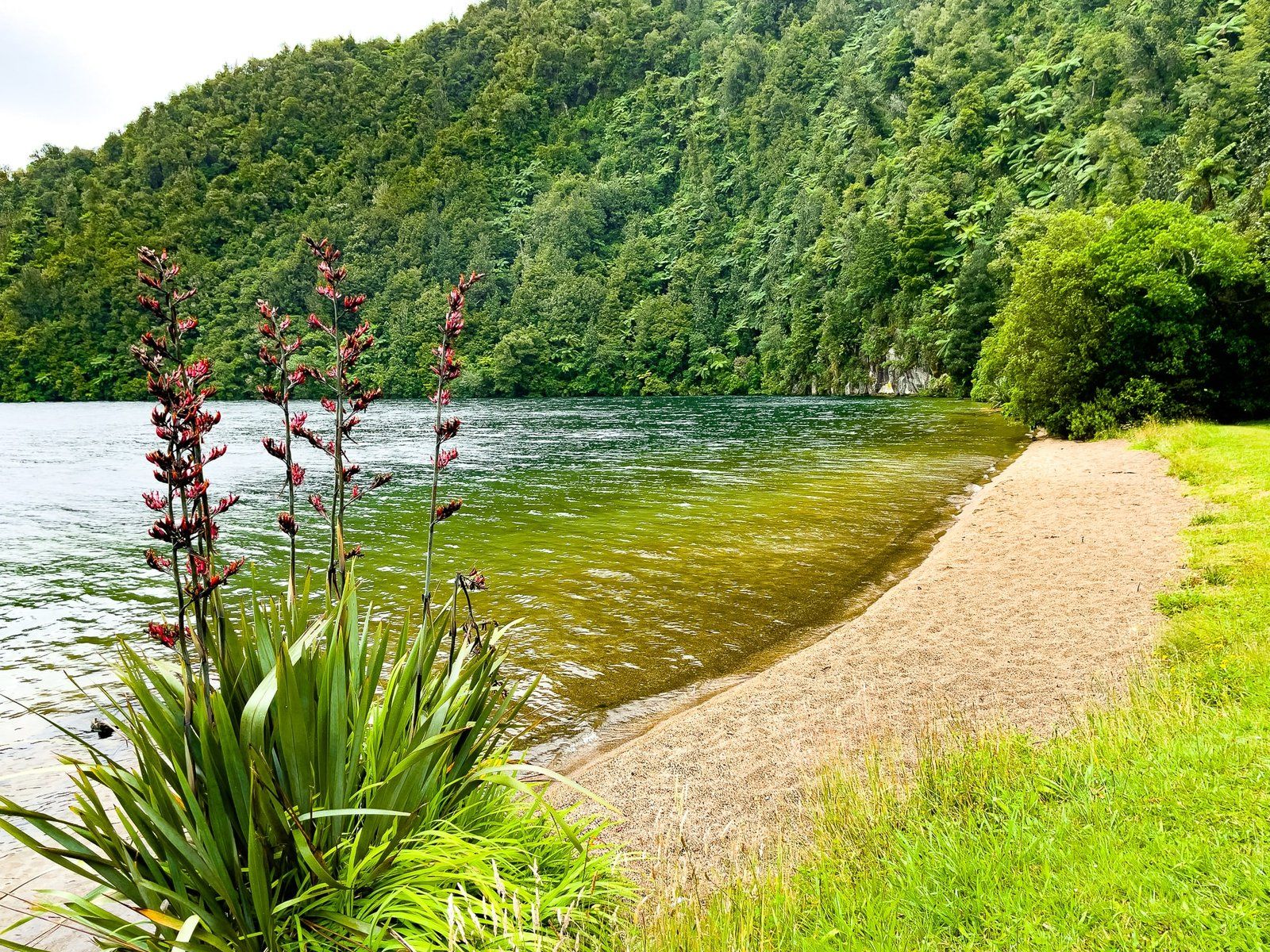
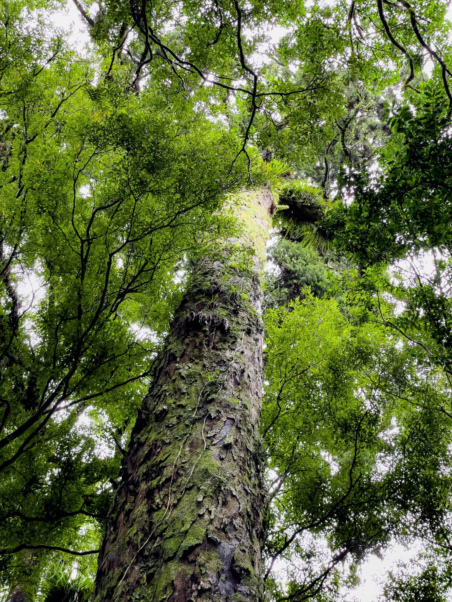
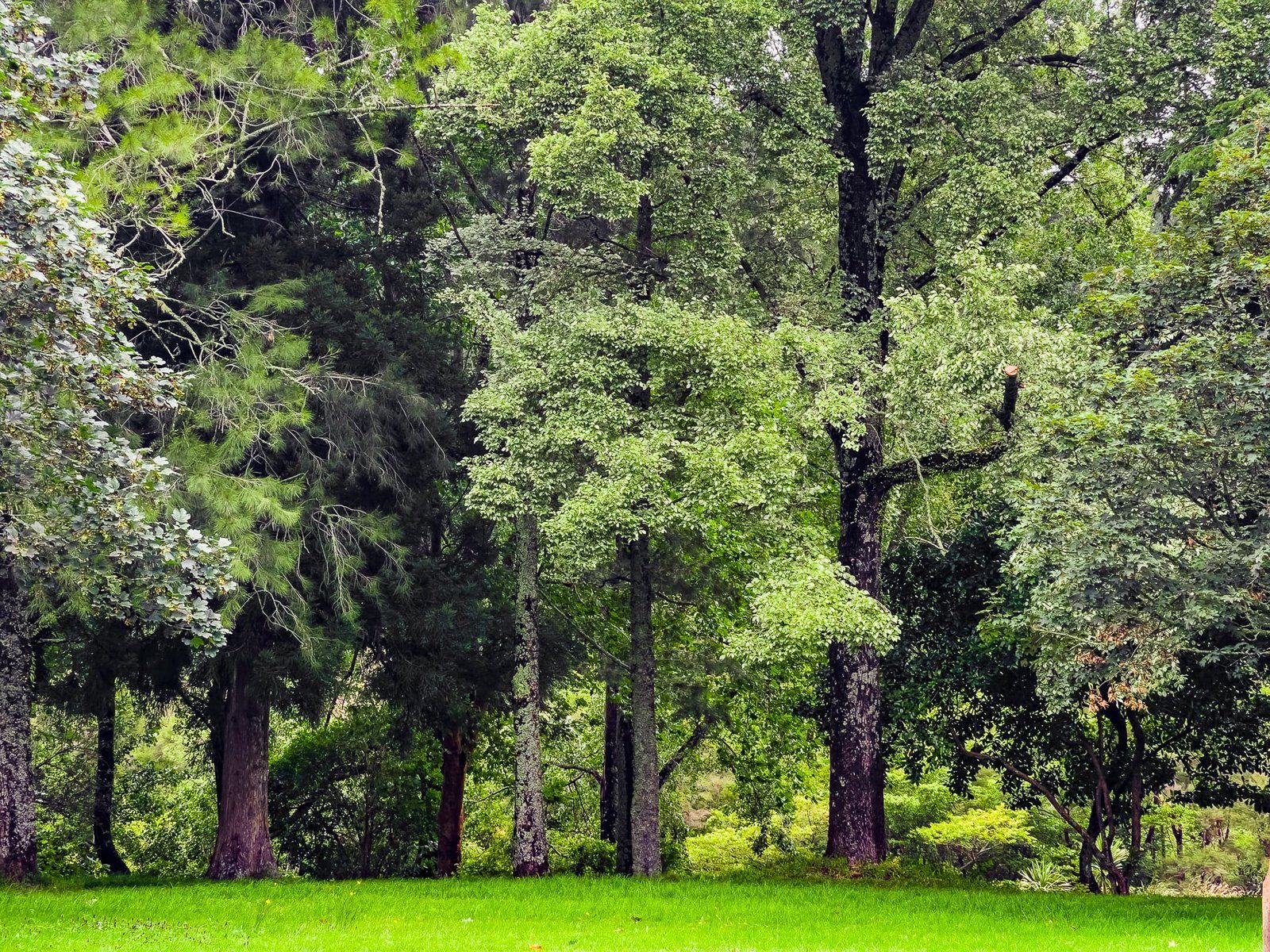
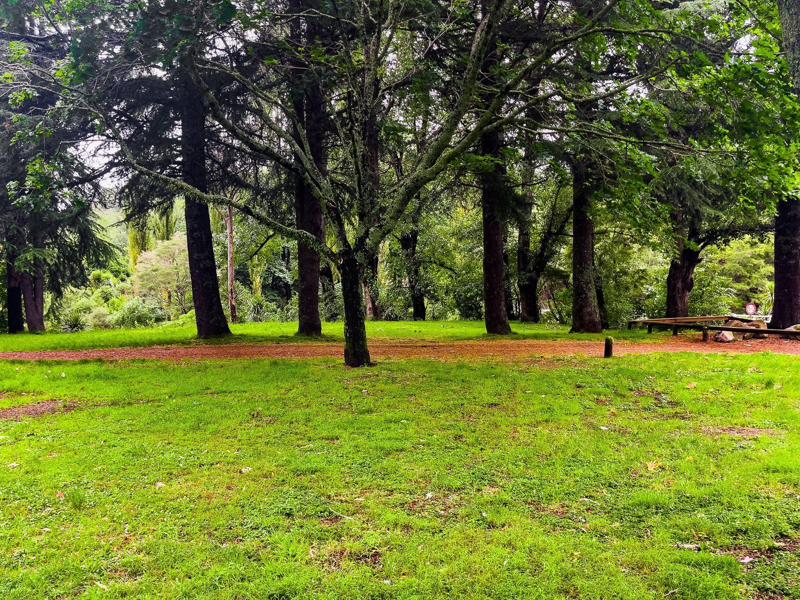
Lake Ōkataina is one of a number of lakes to the east and southeast of Rotorua. It sits within the Lake Ōkataina Scenic Reserve, a large area of native forest that survived earlier logging. Today the lake is surrounded by mature native forest down to the water’s edge, including rimu, tōtara, rātā and kahikatea. In addition to the lake, the reserve has a number of excellent walking tracks. At the time of writing, the Eastern Ōkataina Walkway to Lake Tarawera was closed due to a major slip.
The name Ōkataina means “the lake of laughter”, shortened from “Te Moana-i-kataina-a-Te Rangitakaroro” or “the ocean where Te Rangitakaroro laughed”. The story is a bit prosaic. While resting by the lake, one of Te Rangitakaroro’s warriors referred to it as an ocean. The rest of the group’s laughter echoed around the lake, hence the name.
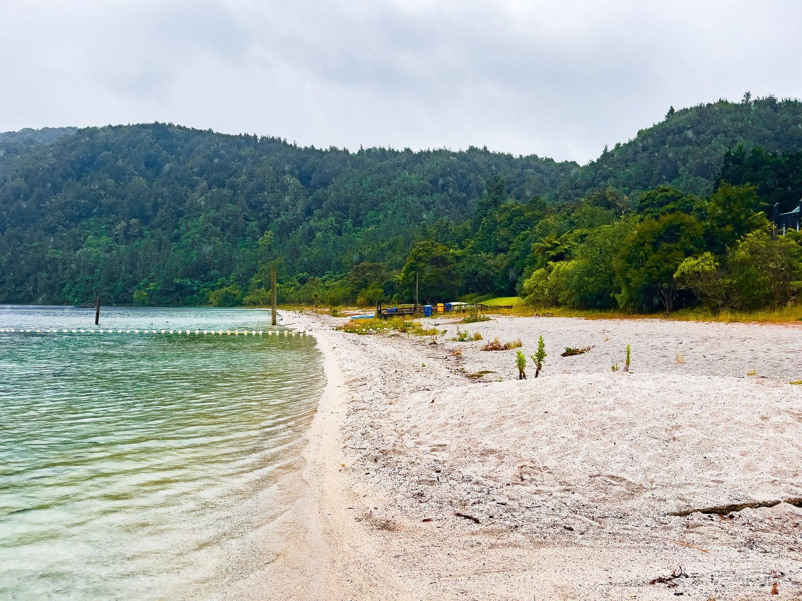
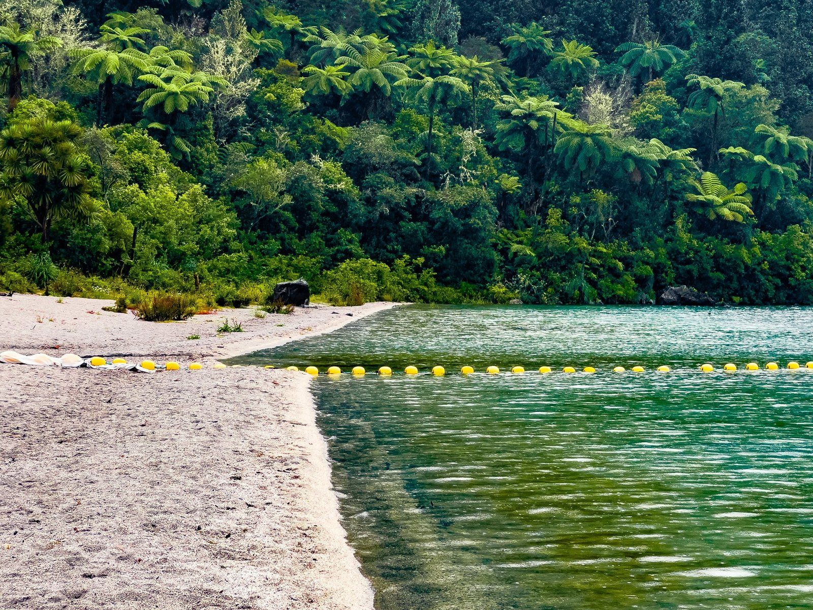
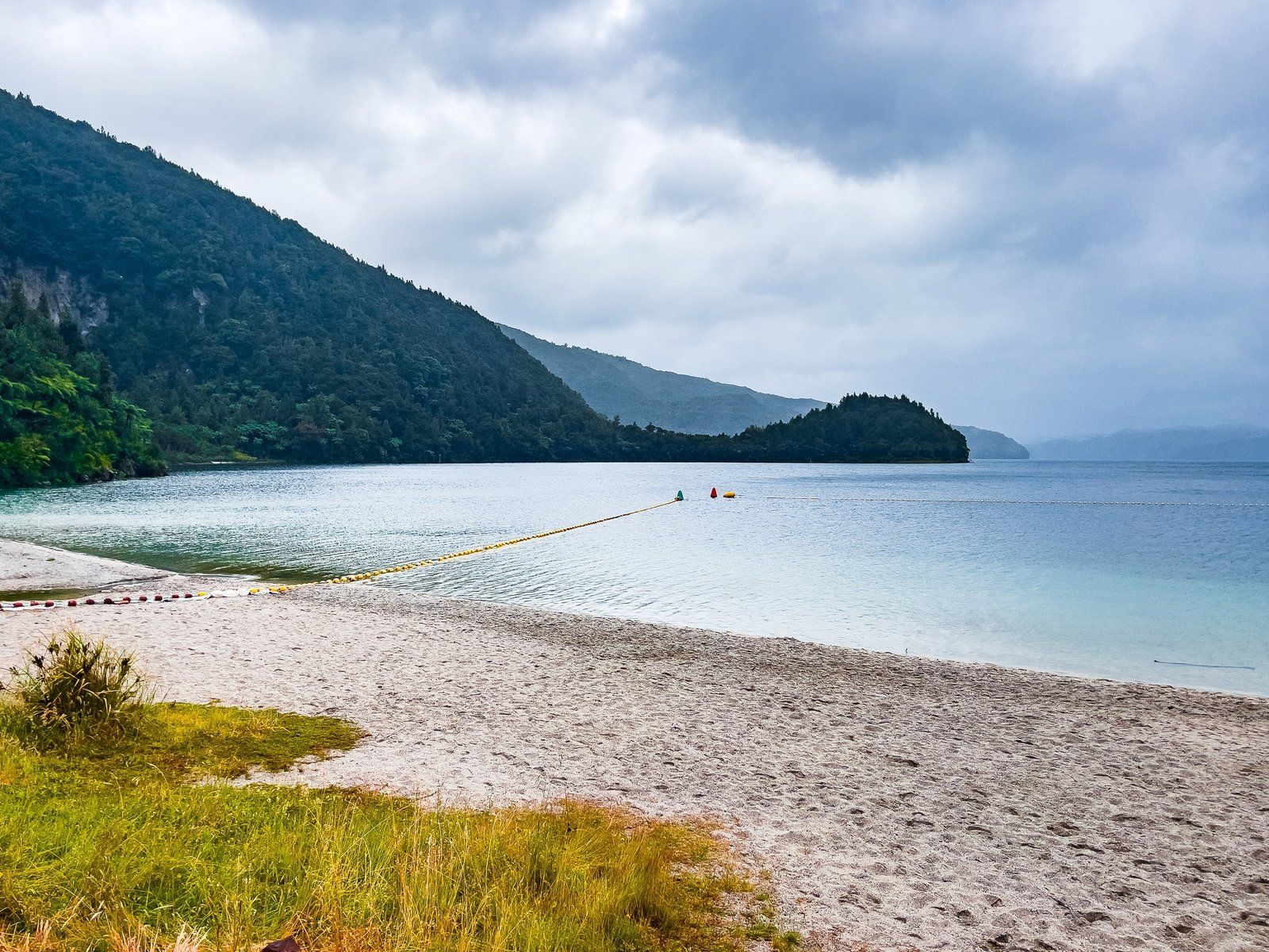
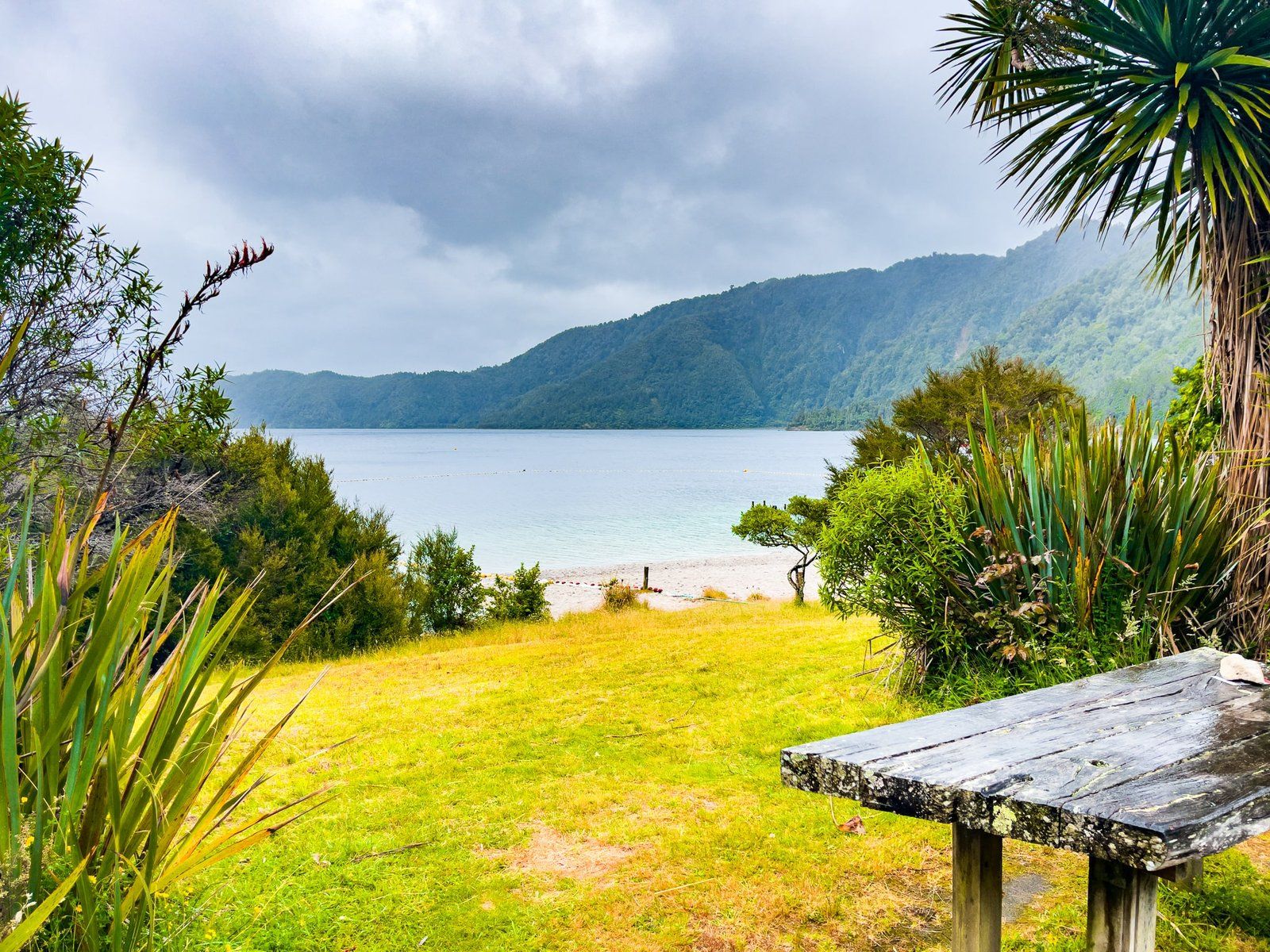
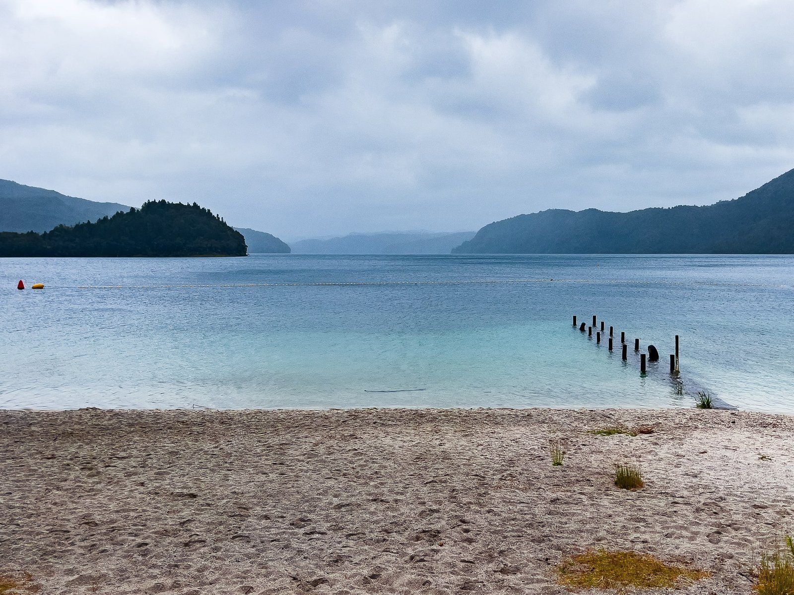
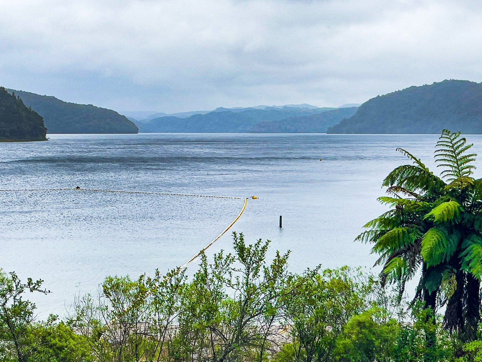
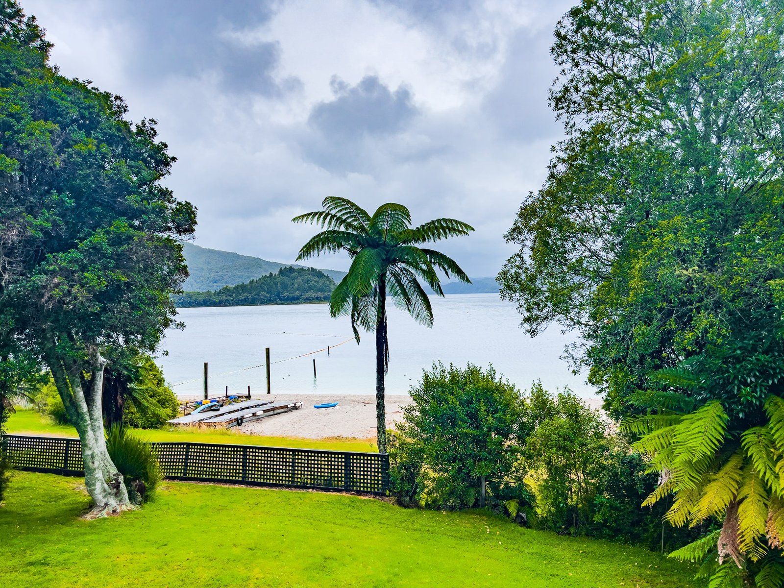
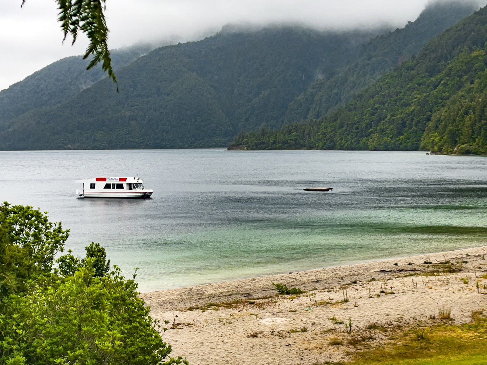
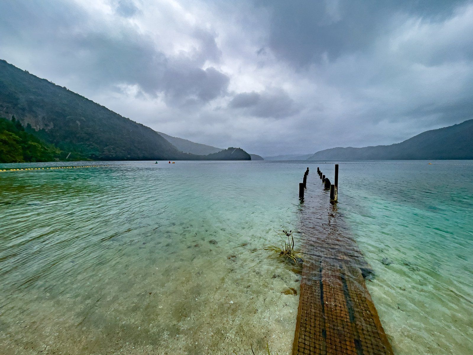
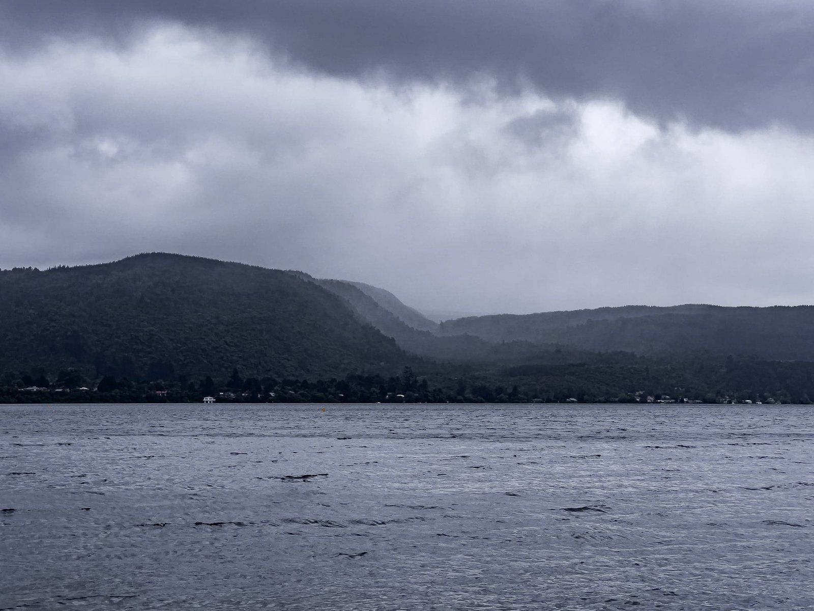
The most interesting feature of the lake is probably the lack of any significant inlets and outlets. In dry periods, it shrinks. But if it’s wet enough, the pier disappears into the water, as it had in these photos. It is also part of the 450 square km Ōkataina caldera which extends from Lake Rotoiti and Lake Rotoma to the north and northwest to Lake Tarawera and Lake Rotokakahi to the south and southeast. From Rotorua, take the Rotorua-Whakatane highway (SH30) for 24 km to Ruato Bay on Lake Rotoiti. Turn right onto Lake Ōkataina Road with parking by the lake near the sandy beach after 8 km. There is boat access and lodge accommodation at the end of the road, overlooking the lake. The Outdoor Education Centre is about half way along. All of the tracks are accessed from the road, around the Centre, or near the lodge.
Ngahopua Track
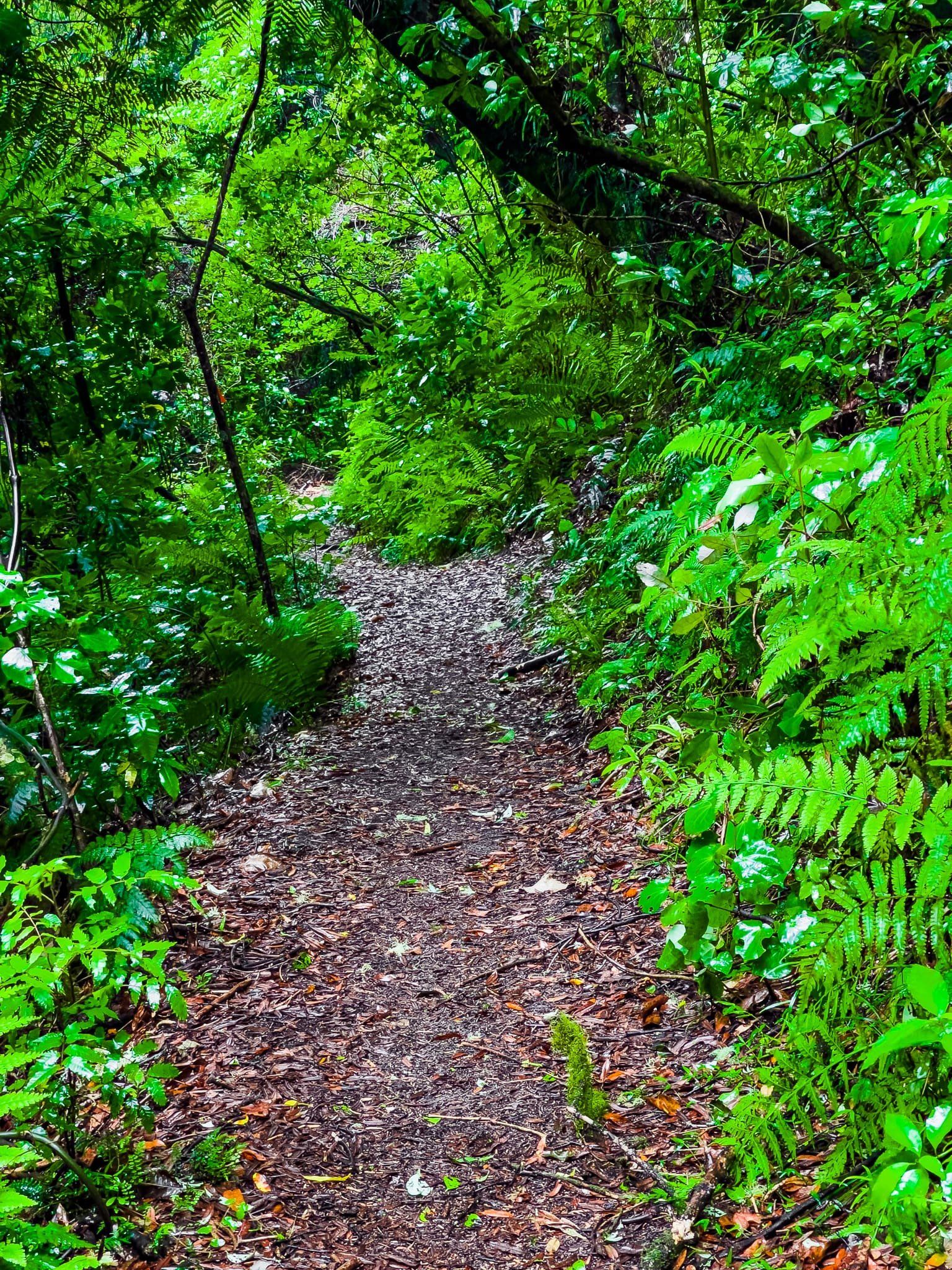
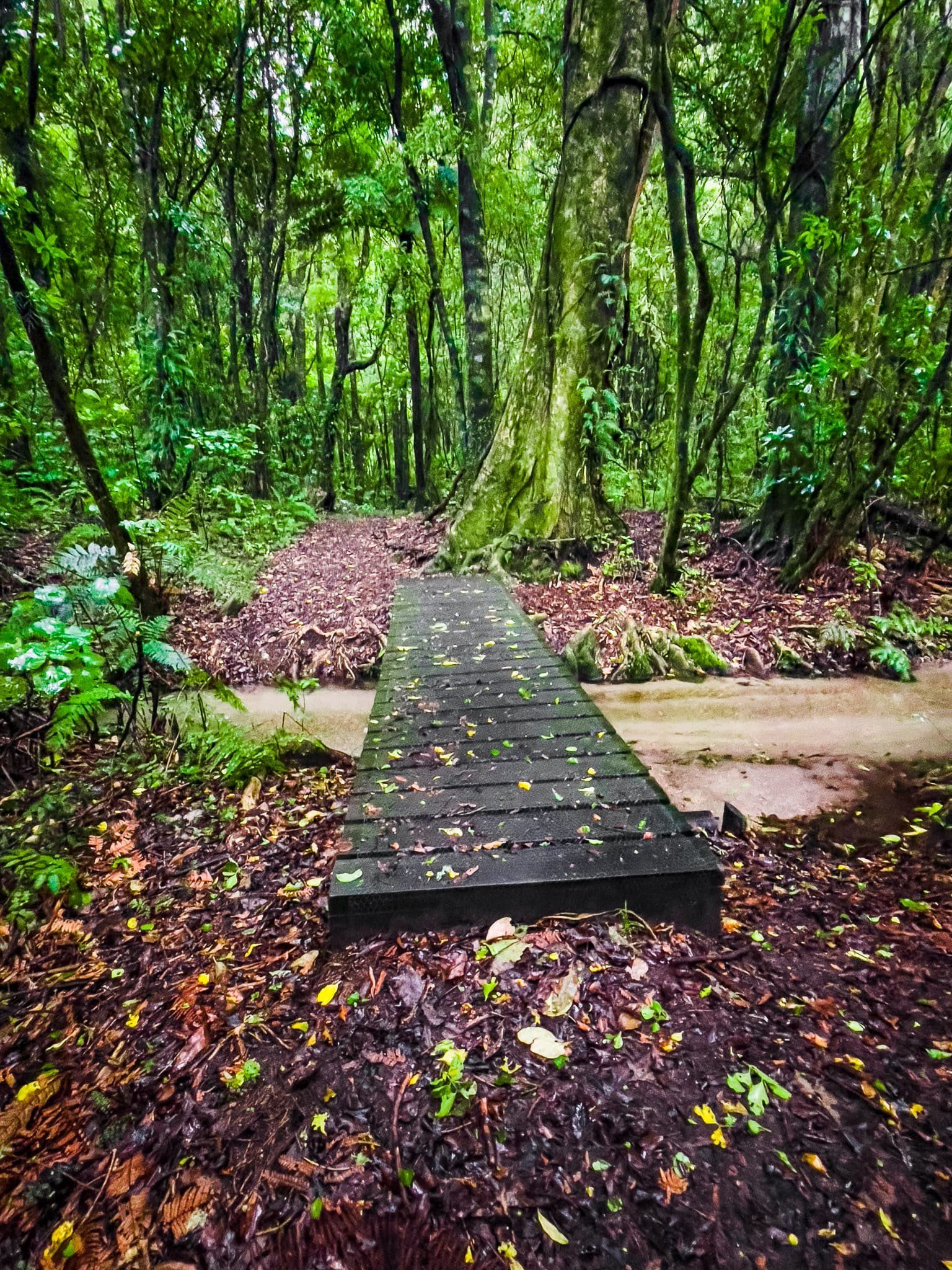
Ngahopua Track is one of several connected loop tracks accessed from Lake Ōkataina Road. The access is about halfway to Lake Ōkataina, opposite the turnoff to the Outdoor Education Centre.
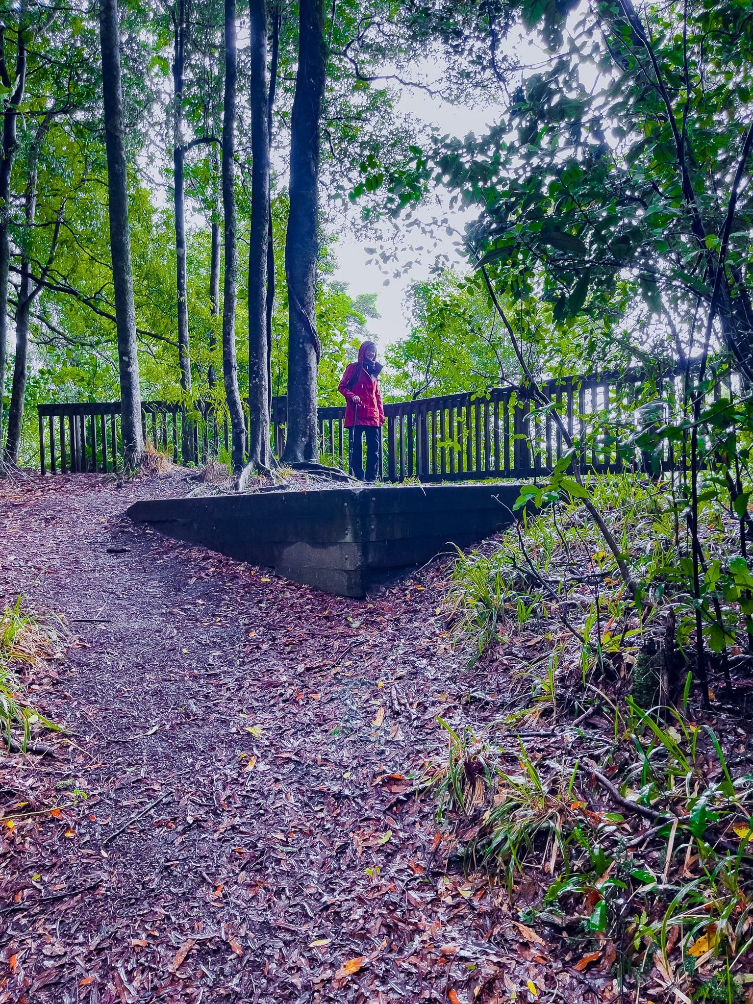
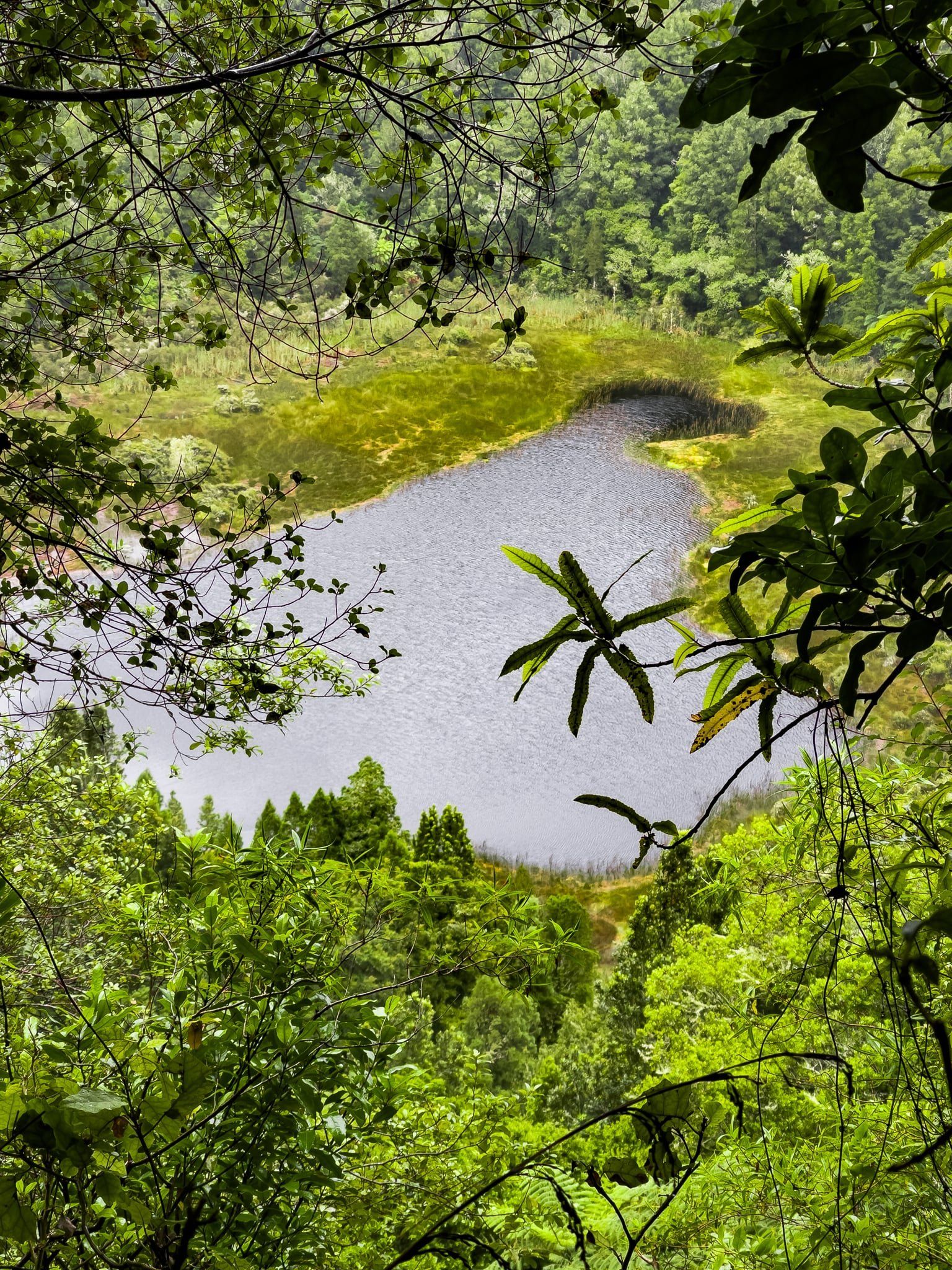
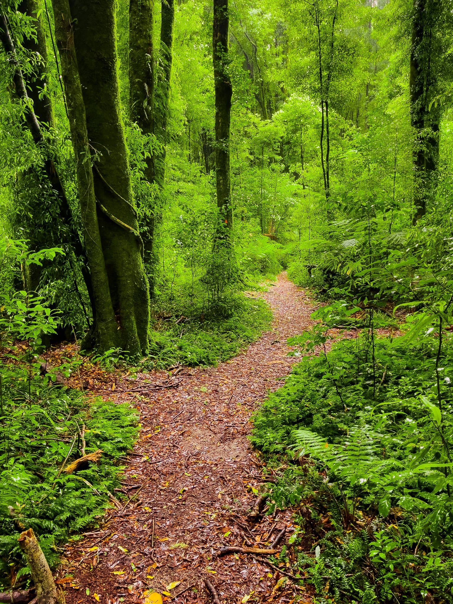
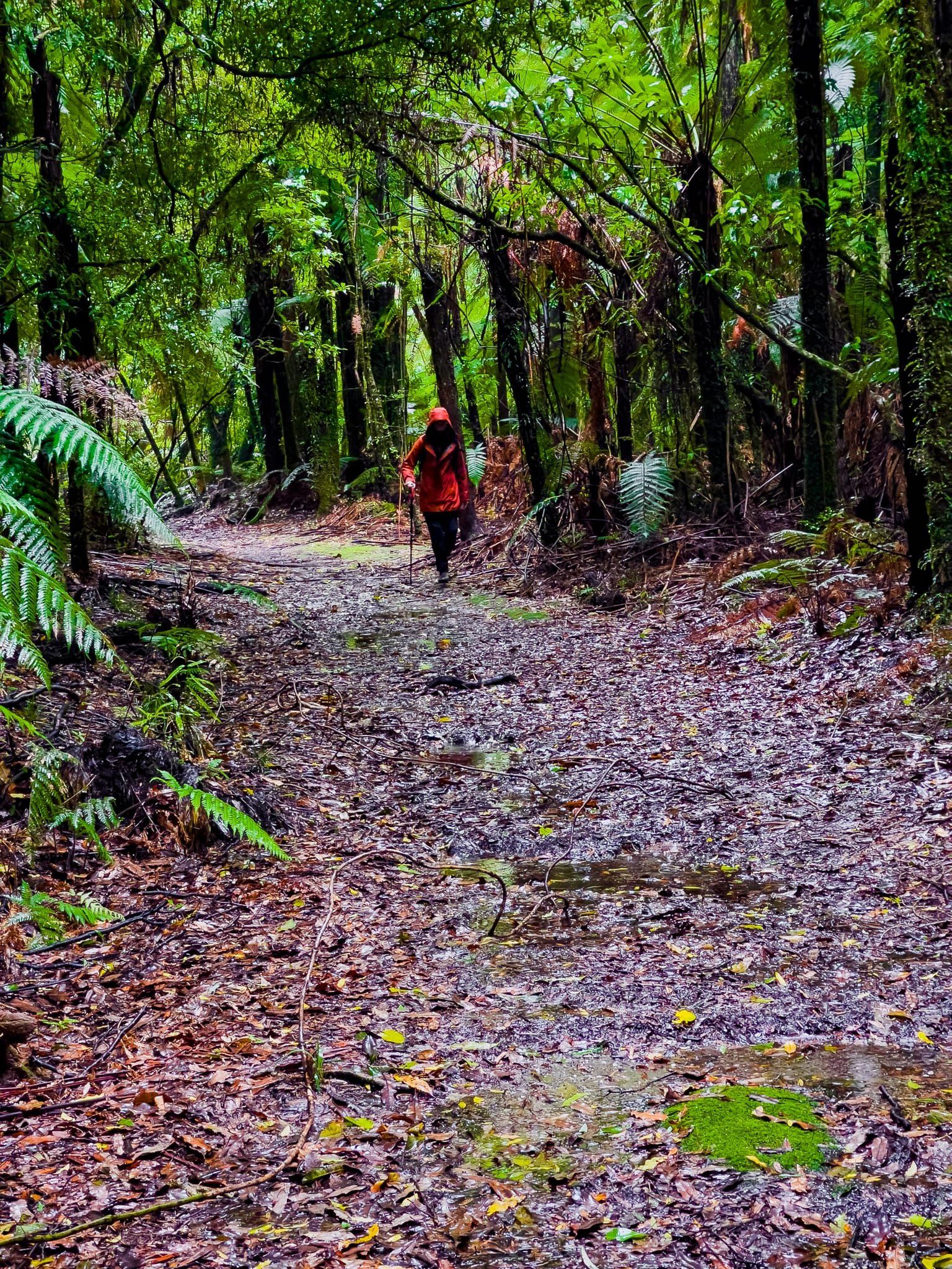
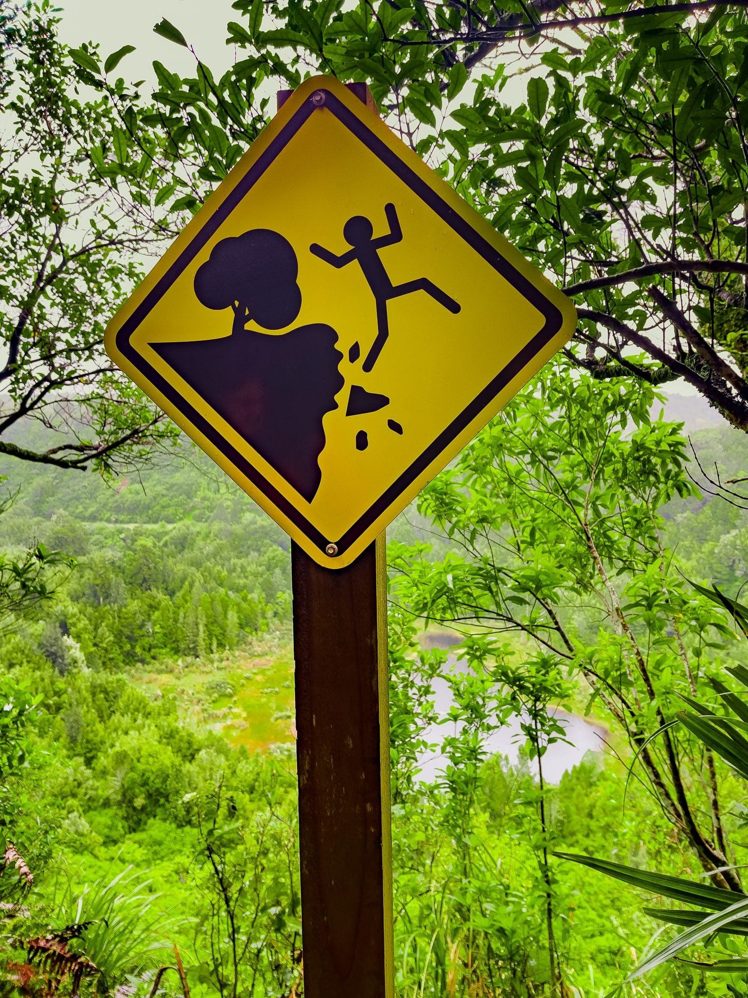
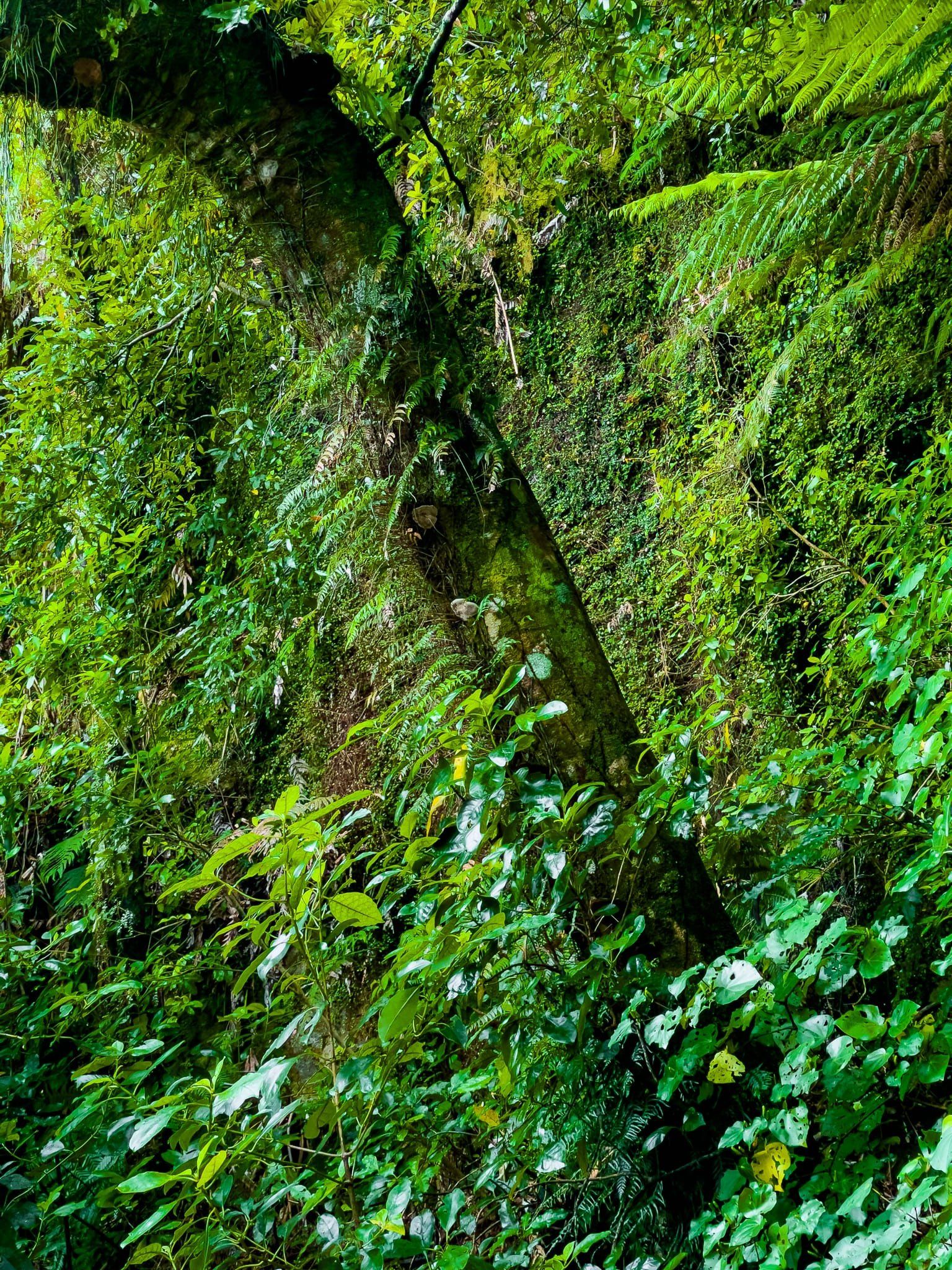
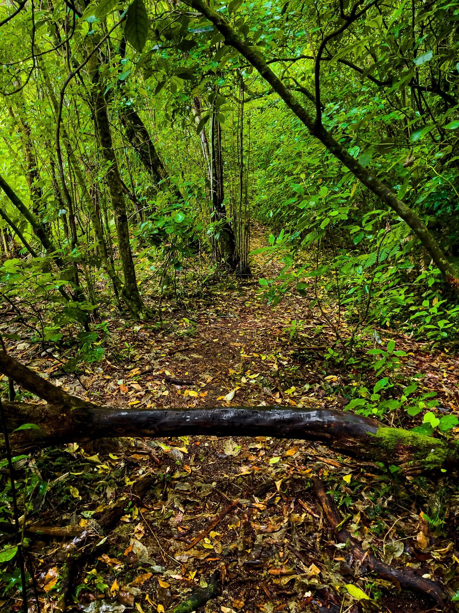
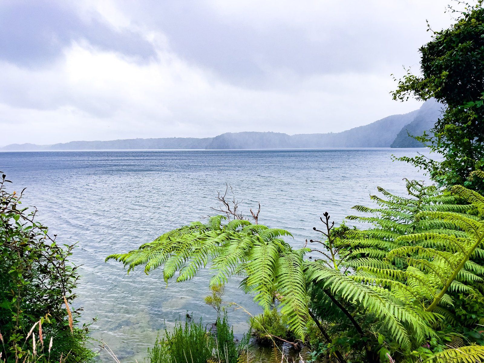
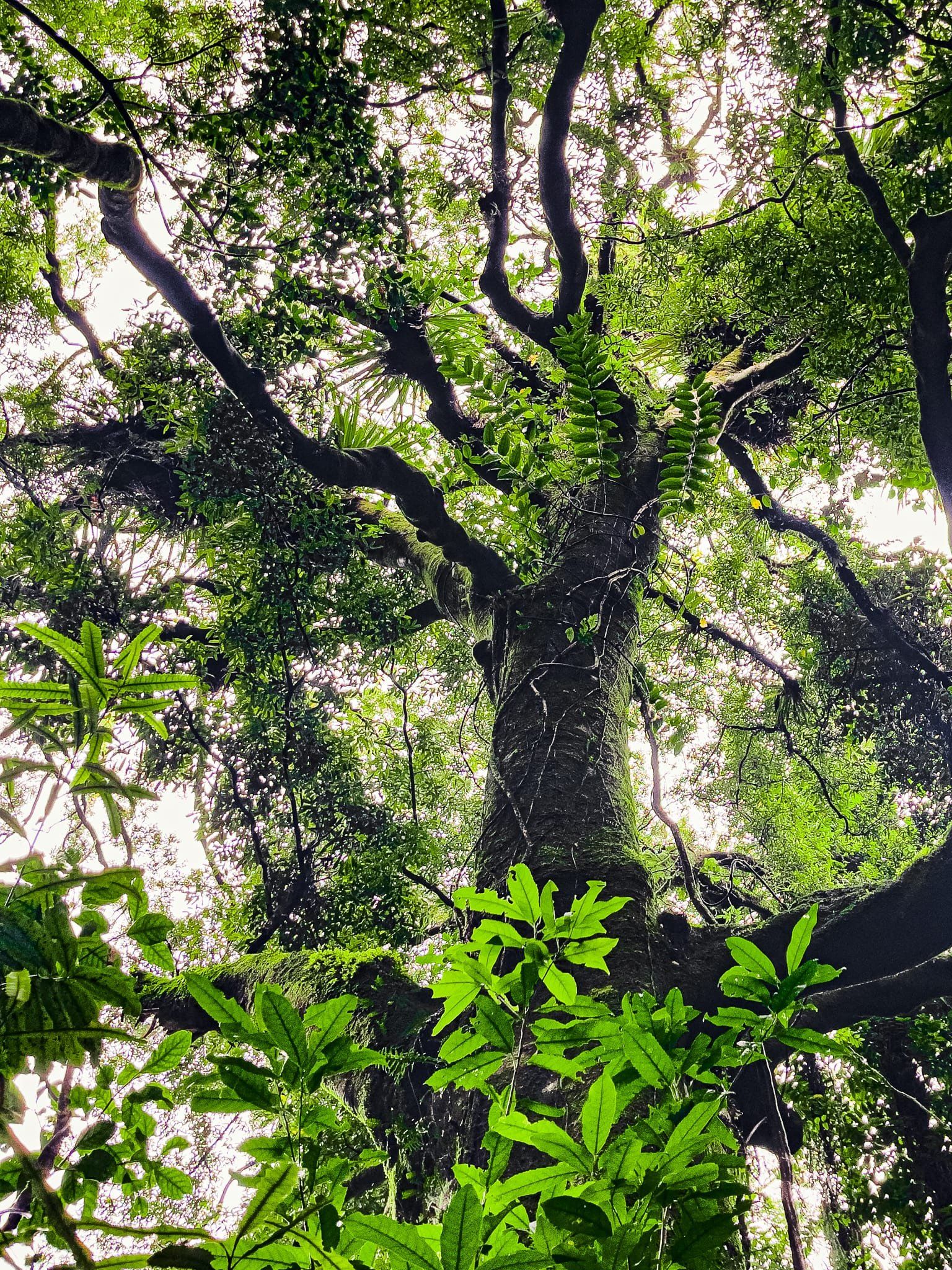
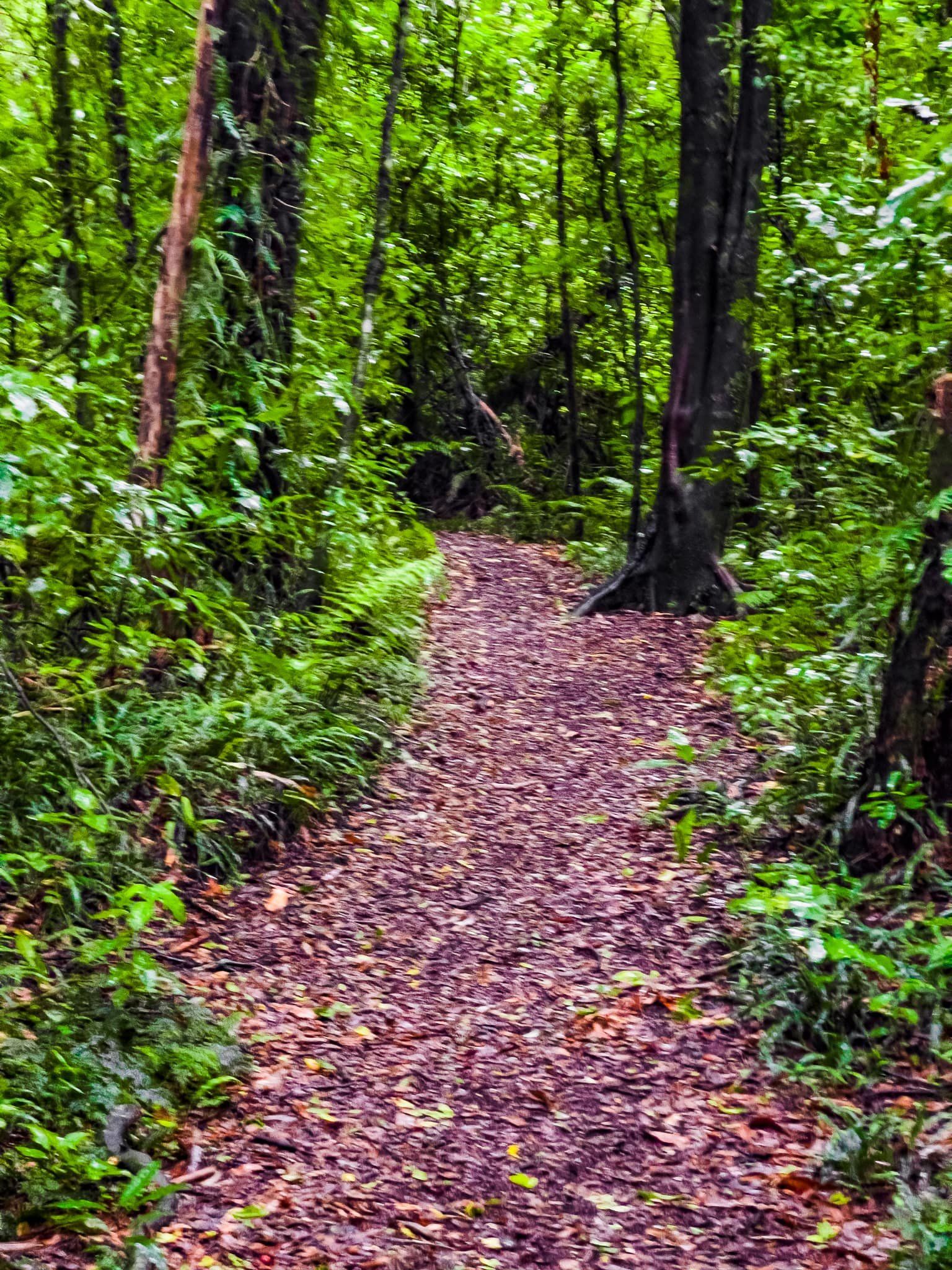
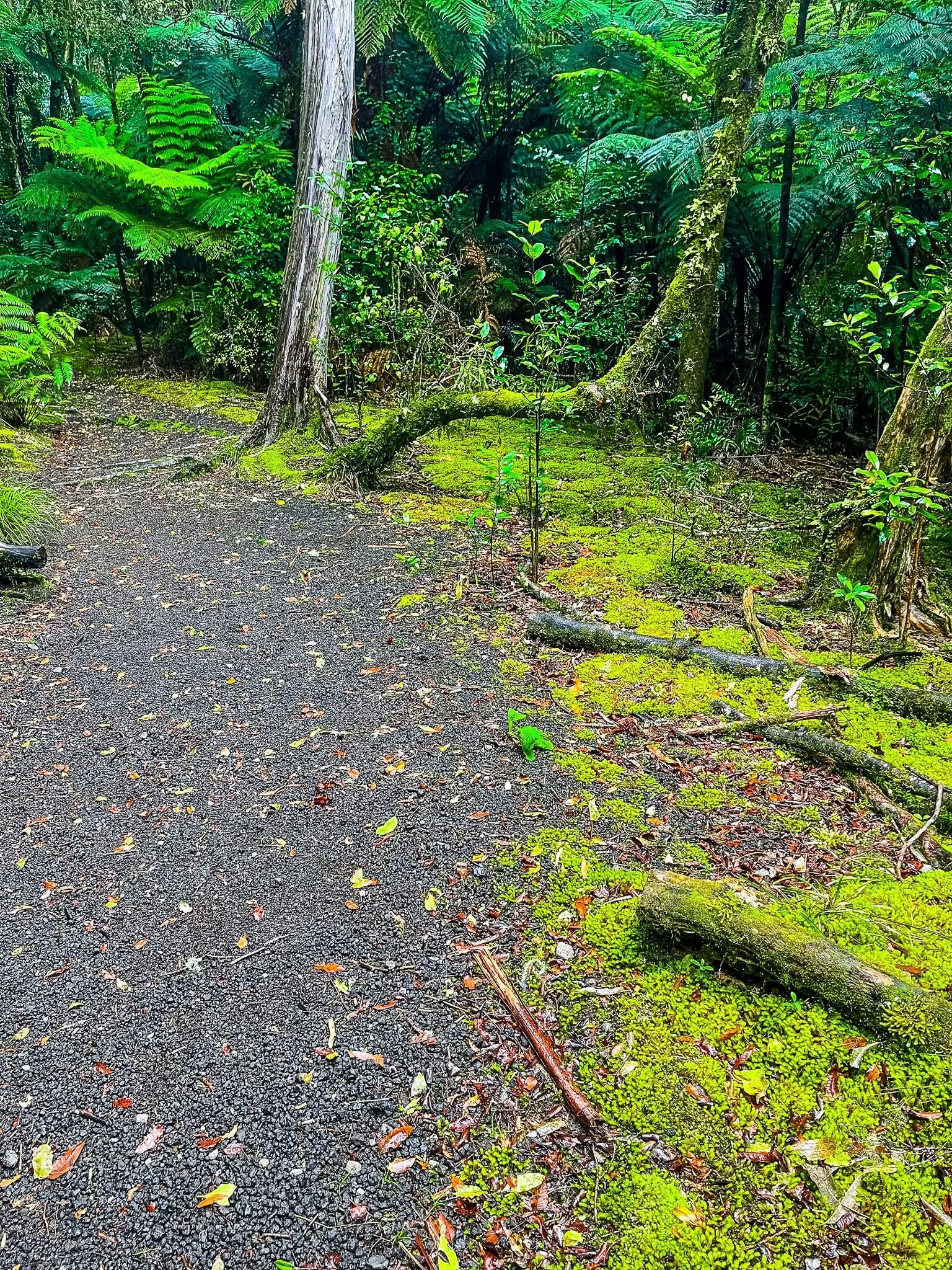
The track is a mostly easy 50 minute walk through beautiful mature native rainforest. But the real highlight is the view from 100 metres above the twin volcanic crater lakes of Rotongata and Rotoatua, which erupted about 3,500 years ago. The drop-offs to the lakes are very steep and not always guarded by barriers, so keep an eye out if you’re exploring with small children.
Ngahopua connects with the Anaha Track, which connects to the Kepa Track, all on the east side of the road. Continue on for a longer walk. There are also several tracks that start from near the Okataina Lodge and the Outdoor Education Centre. These include additional short walks as well as a longer hike on the Western Ōkataina Walkway. This climbs over the hills above Lake Ōkataina and takes several hours to get to Lake Okareka to the southwest.
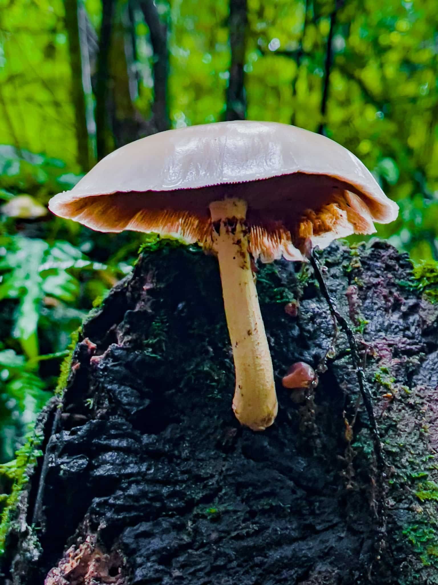
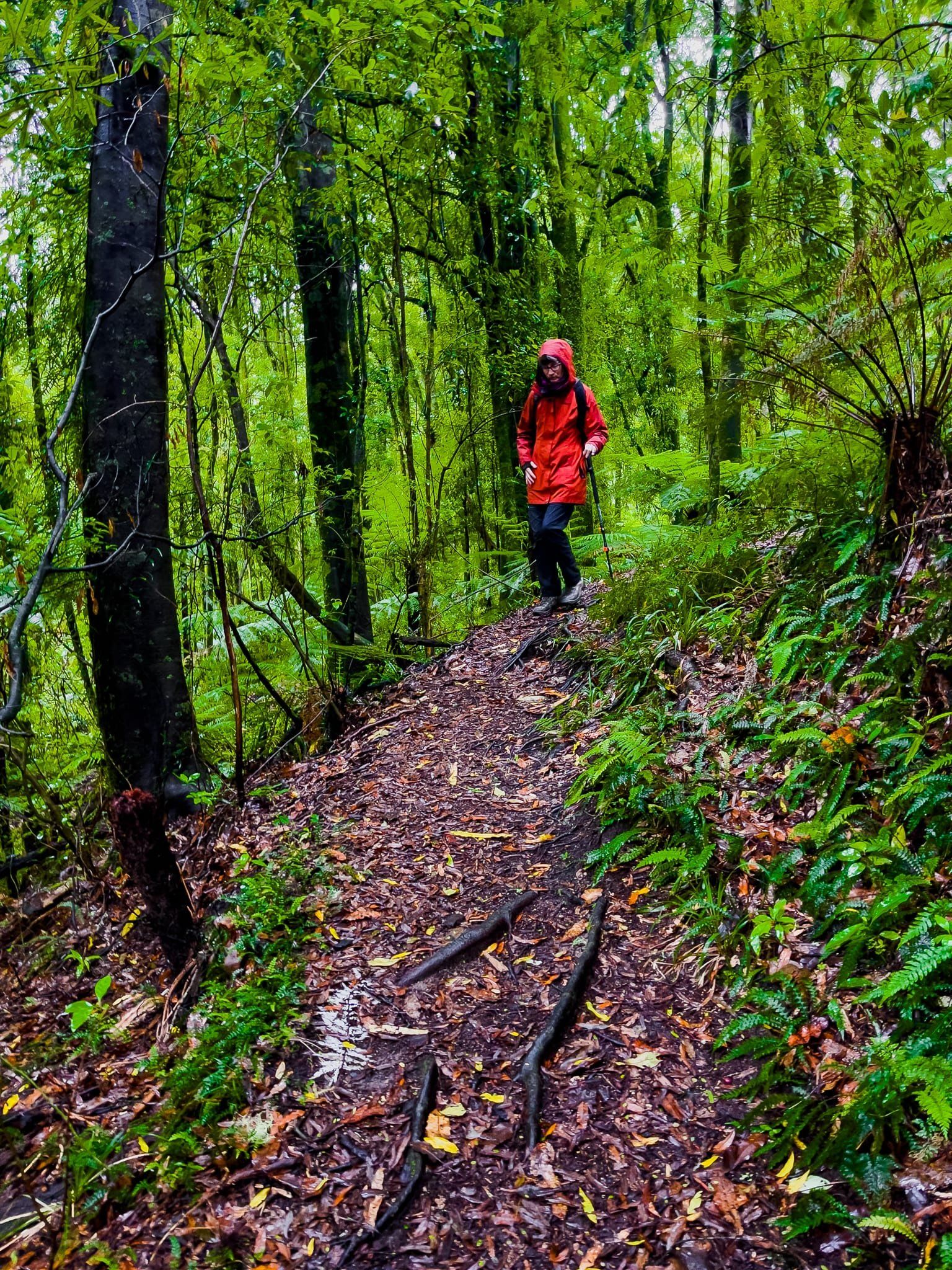
The photos here were taken in the rain, which provides for a particularly lush experience.
Korokitewao Bay, Lake Rotoiti
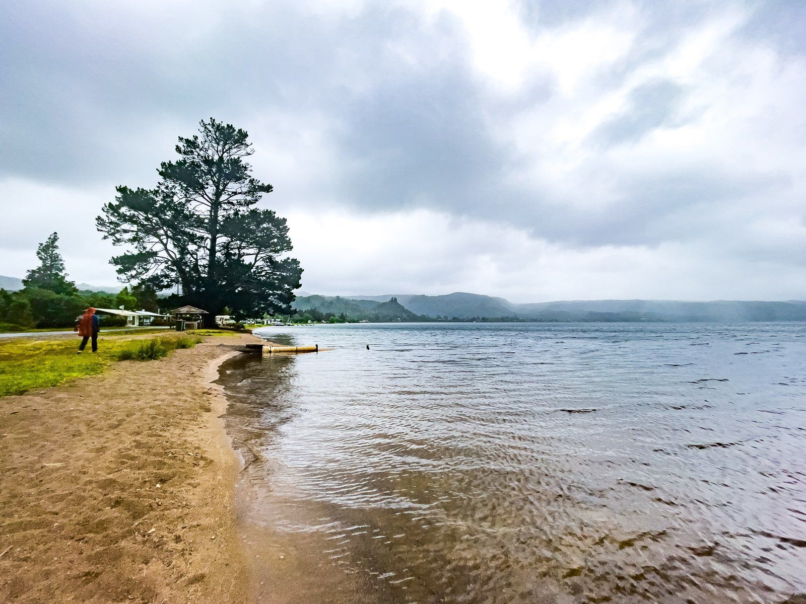
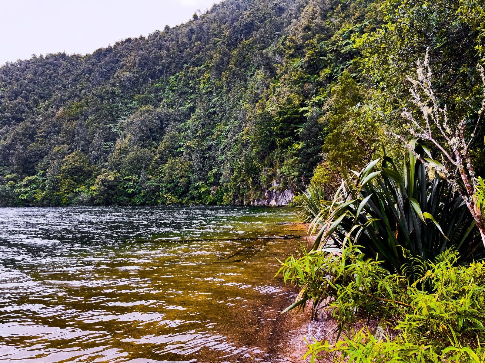
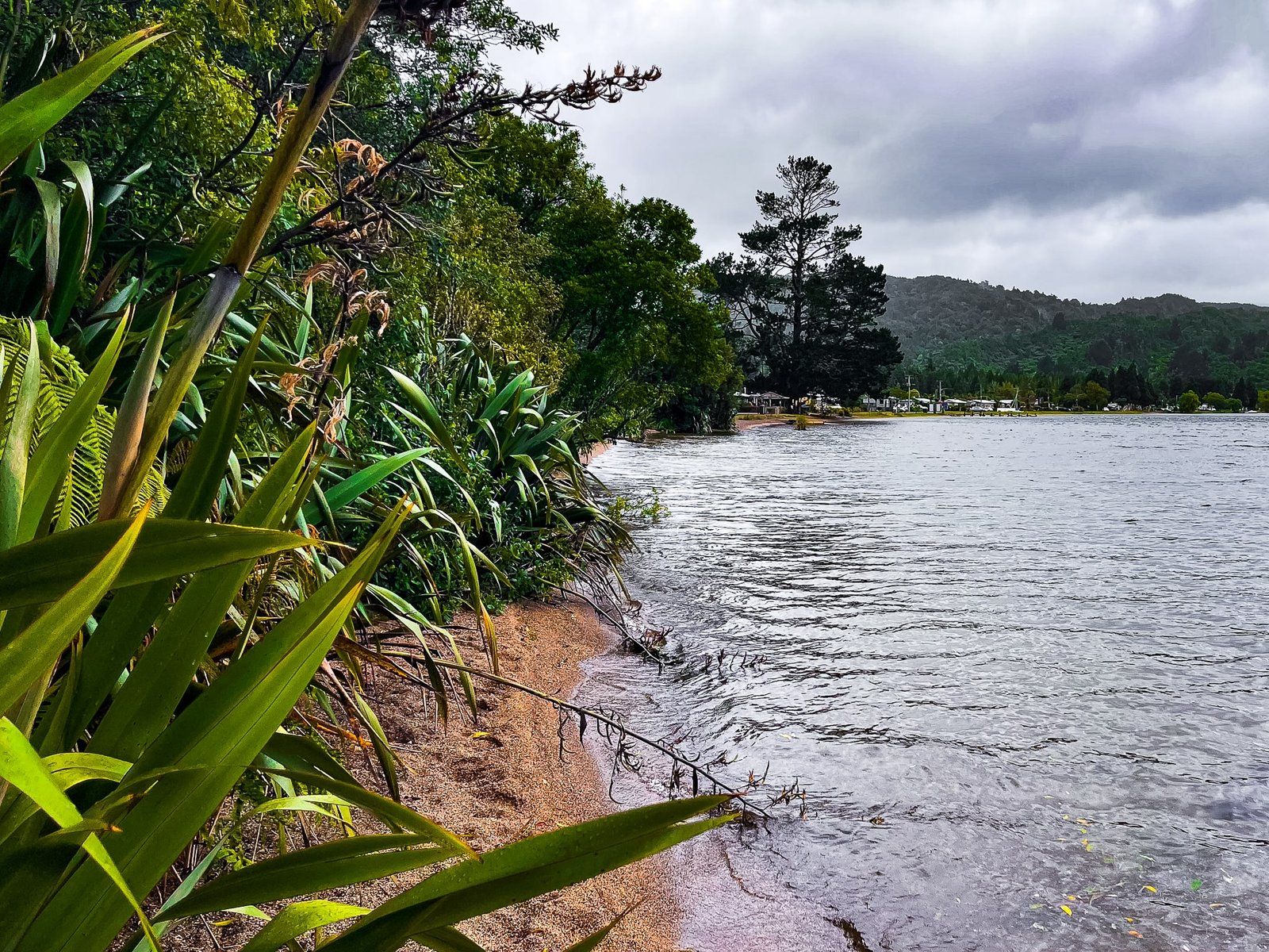
State Highway 30 hugs the edge of Lake Rotoiti for about 9 km, between Hauparu and Hinehopu, making for a scenic drive. There are several hamlets, mainly holiday homes, plus viewpoints along the way. At Hinehopu, leave the main road and continue around the lake into Korokitewao Bay. There is a pretty beach (depending on how high the lake is) with a playground. At the north end of the beach, there is a short bush walk towards striking Te Papatu Point.
On the day, the weather was abysmal, but this is a nice lakeside spot to swim, hang out or have a picnic when touring the region. You will also find the entrance to the historic Hinehopu/Hongi’s Track, a pretty native forest walk to Lake Rotoehu.

Hinehopu/Hongi’s Track
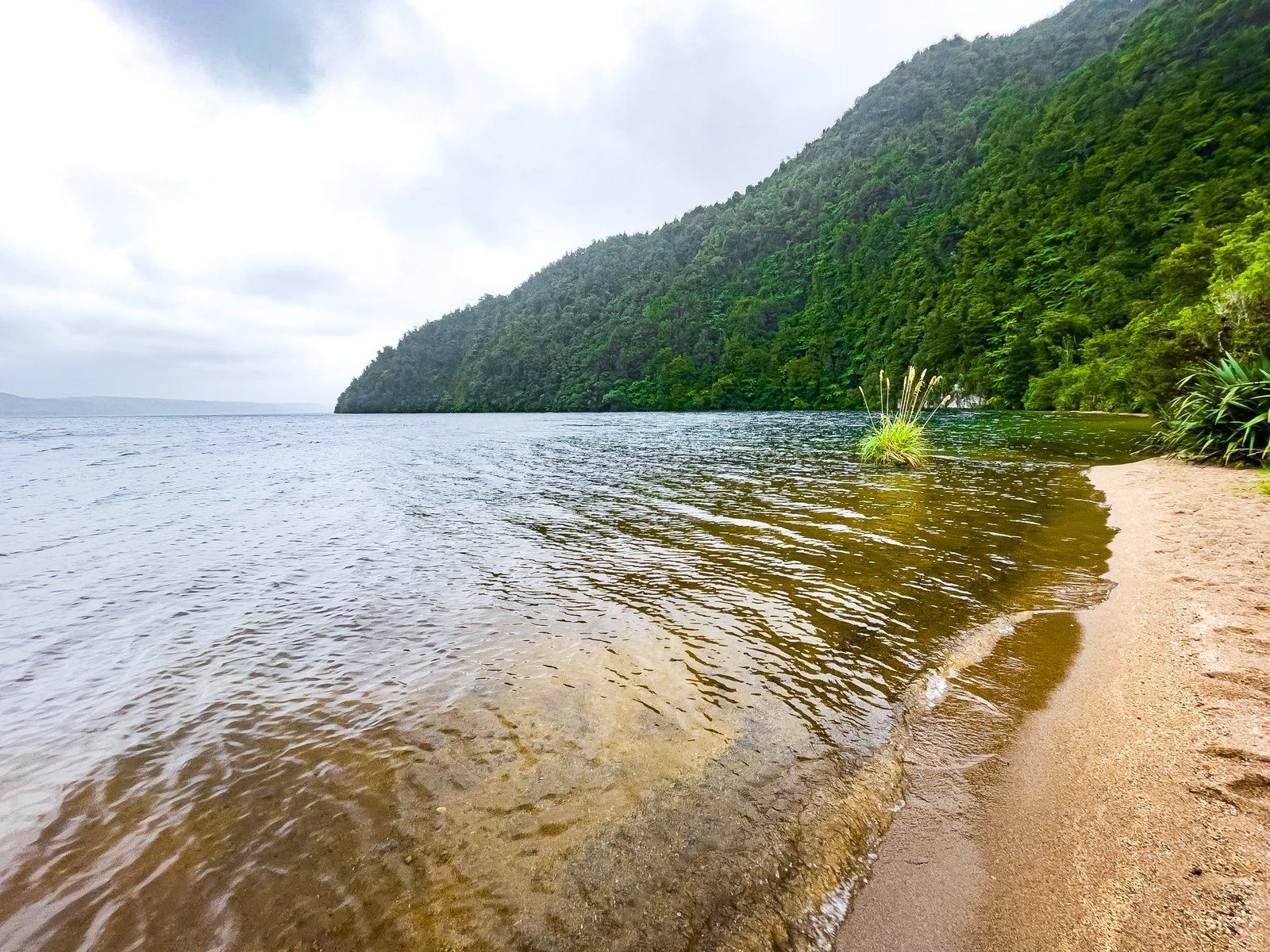
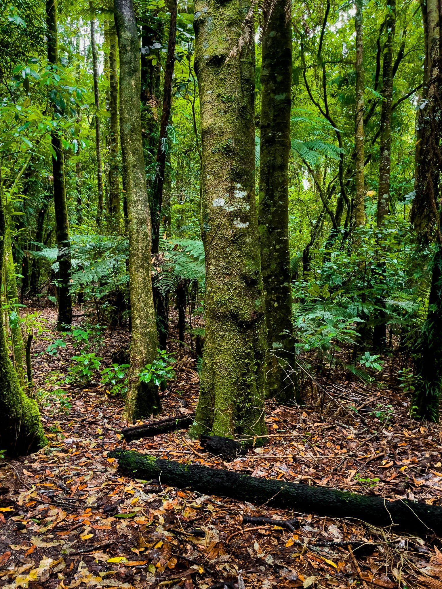
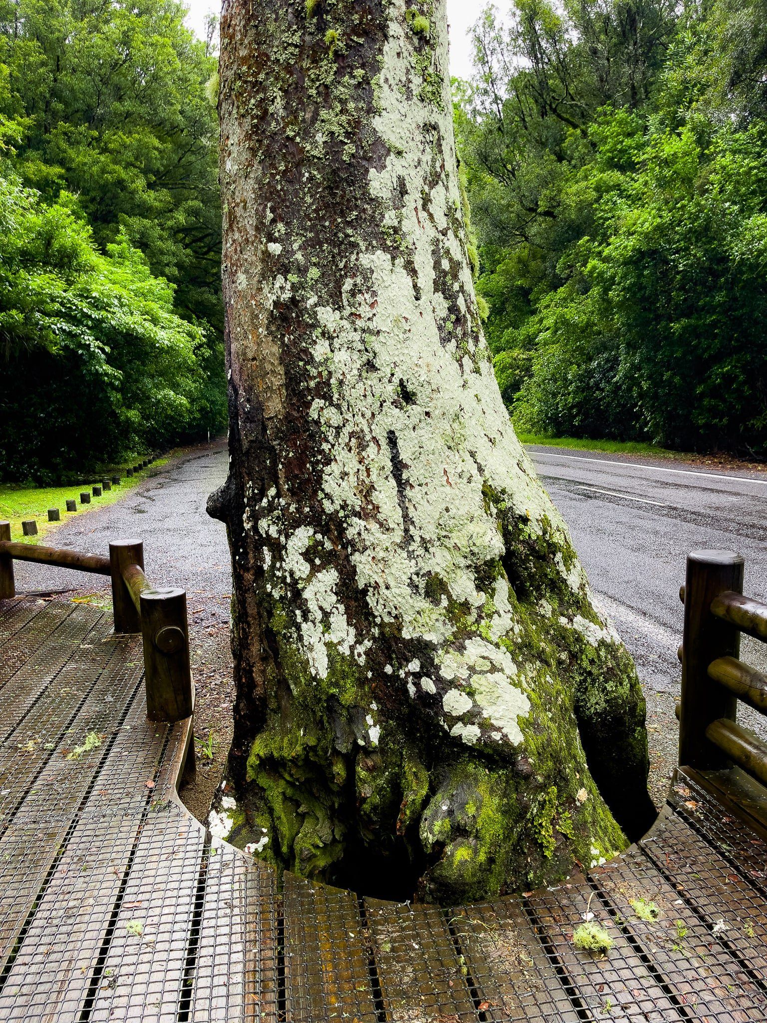
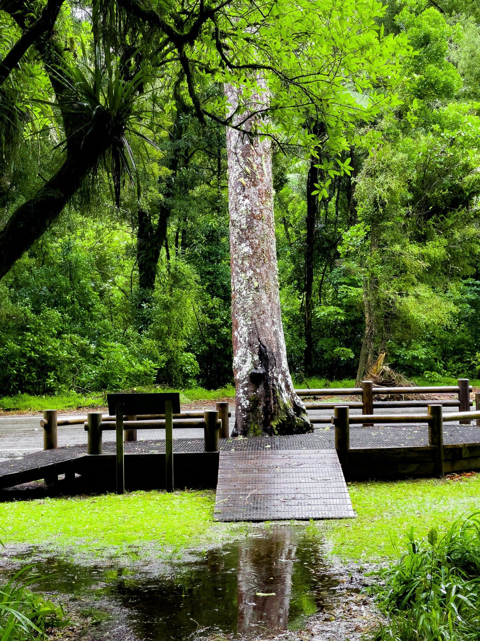
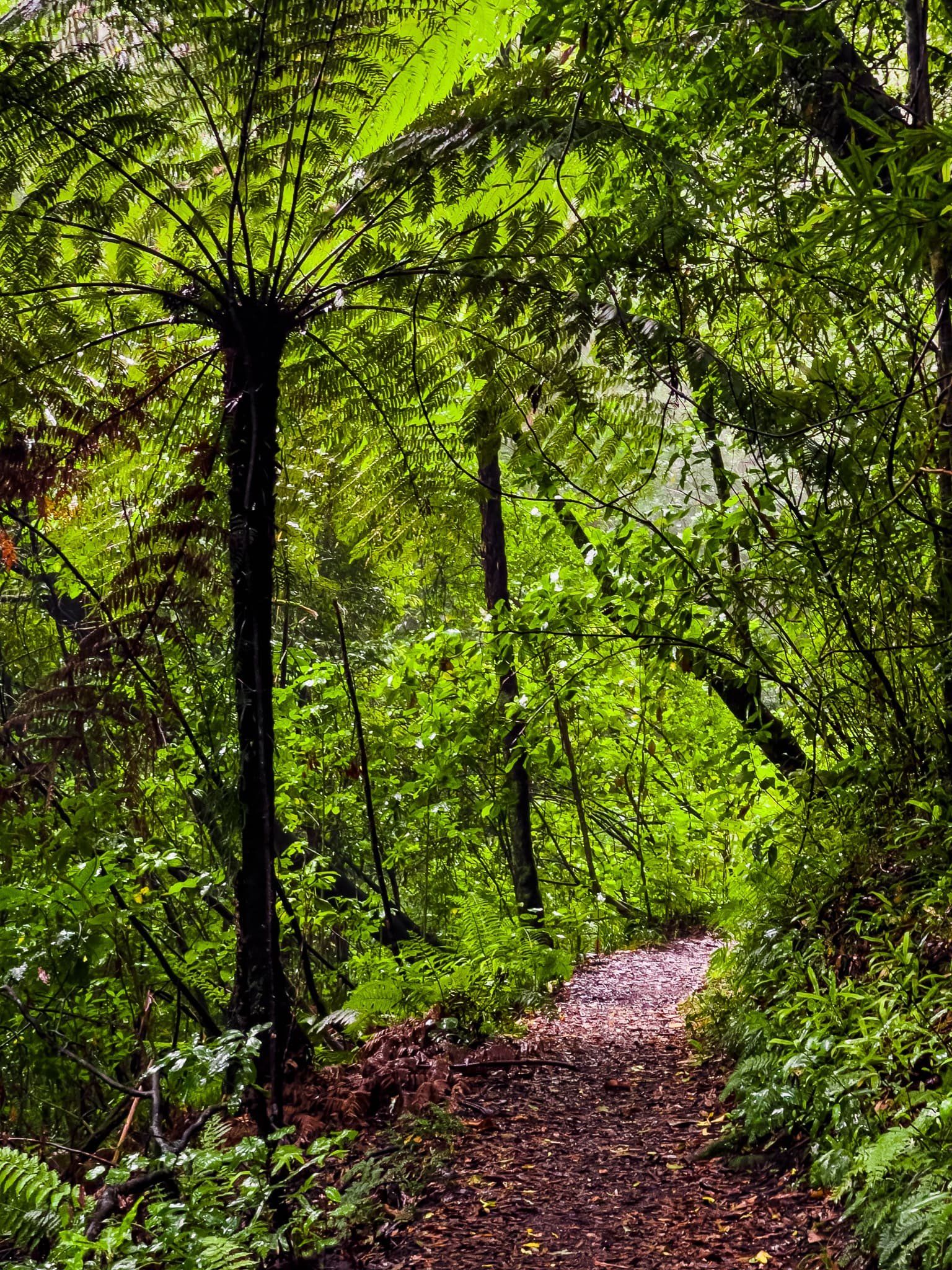
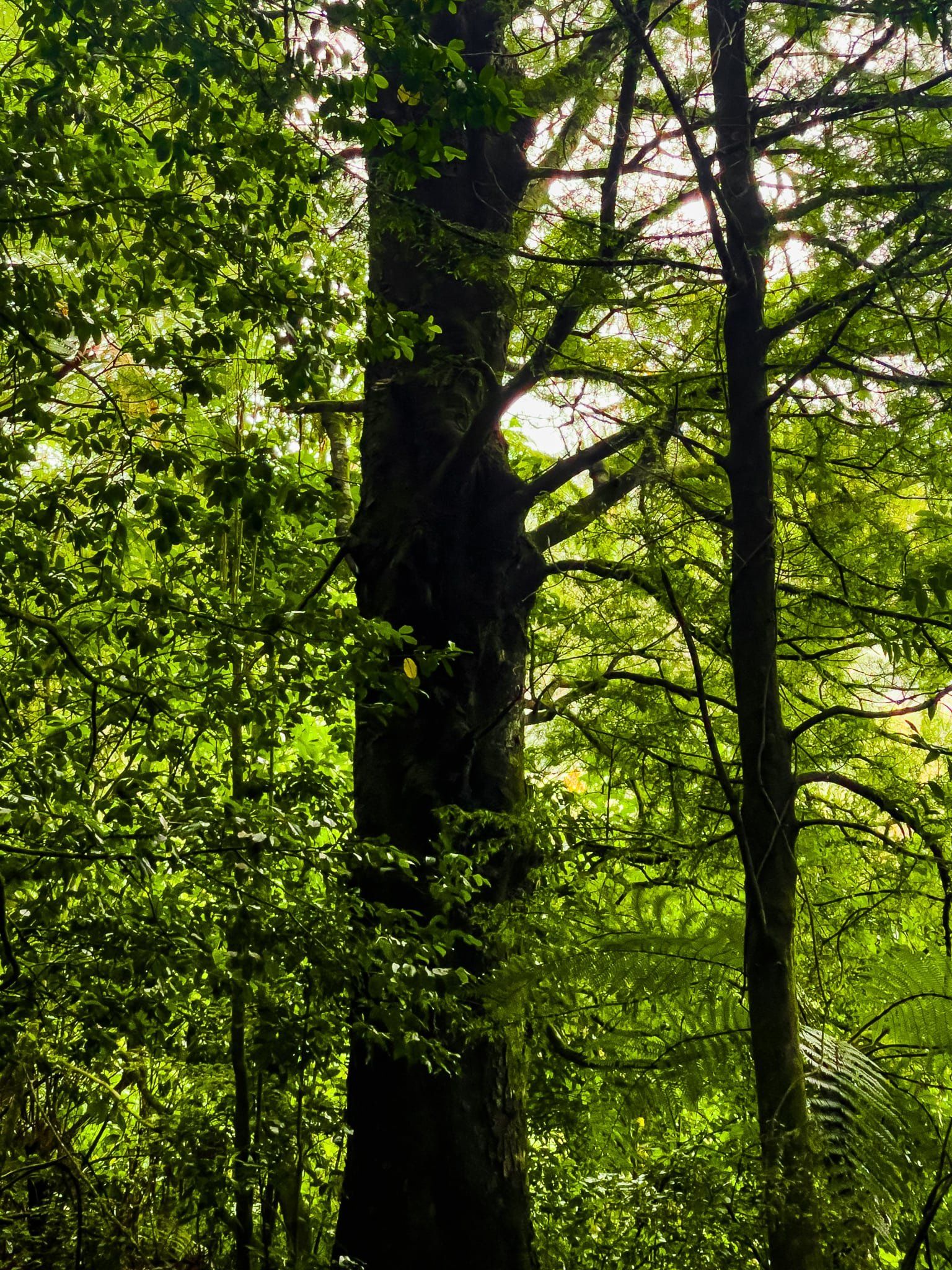
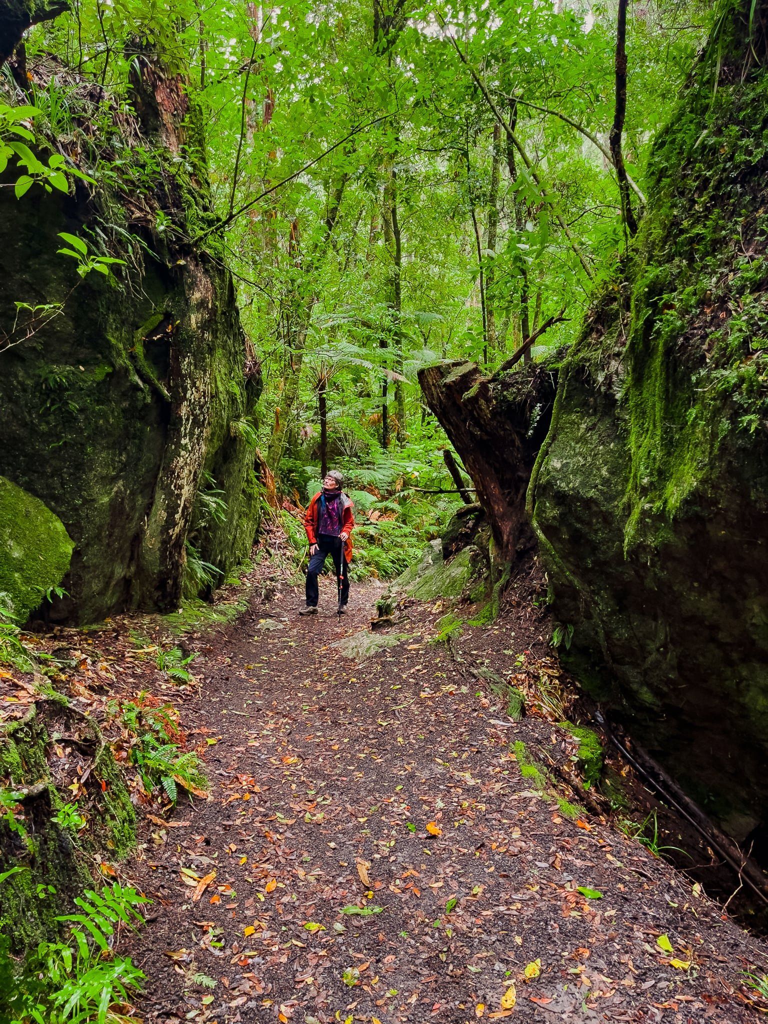
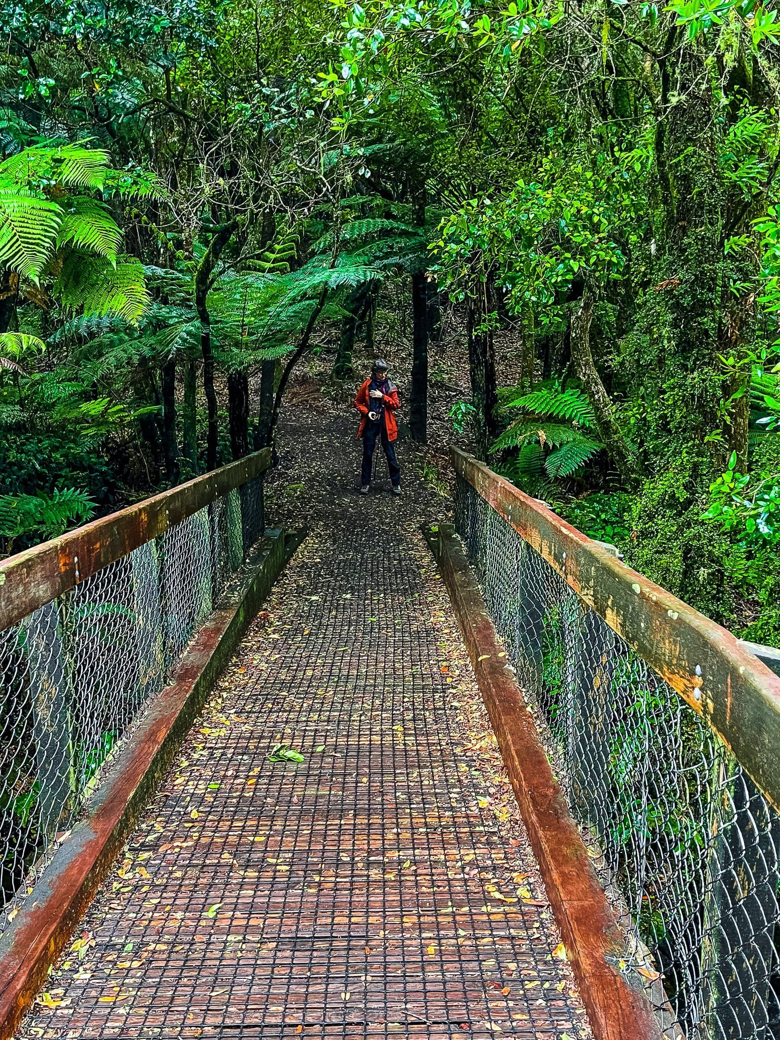
Hinehopu/Hongi’s Track runs for 2.2 km through the Hinehopu Scenic Reserve, from Korokitewao Bay on Lake Rotoiti to Te Pōhue Bay on Lake Rotoehu. The reserve was gifted to the people of Aotearoa NZ by the Ngāti Pikiao iwi in 1919 and has never been logged. It is a very pretty walk through ancient rimu, tawa, pukatea and rewarewa trees. About 1.7 km along the track, there is a short loop to State Highway 30 and Hinehopu’s sacred mataī tree.
Hinehopu lived in the area around 1620 and kept two homes, one at each of the lakes. Prior to this, as a baby, she was hidden under the mataī tree by her mother as protection from their enemies. It was also where she later met her future husband Pikiao, literally leading to the birth of the Ngāti Pikiao people. Hence the first part of the track’s double barreled name.
The name Hongi arose when the Ngāpuhi warrior chief, Hongi, and a war party carried their canoes from Lake Rotoehu to Lake Rotoiti in 1823. They then paddled across Rotoiti and down to Lake Rotorua for a surprise attack on the Arawa people on Mokoia Island.
We prefer the more romantic first story.
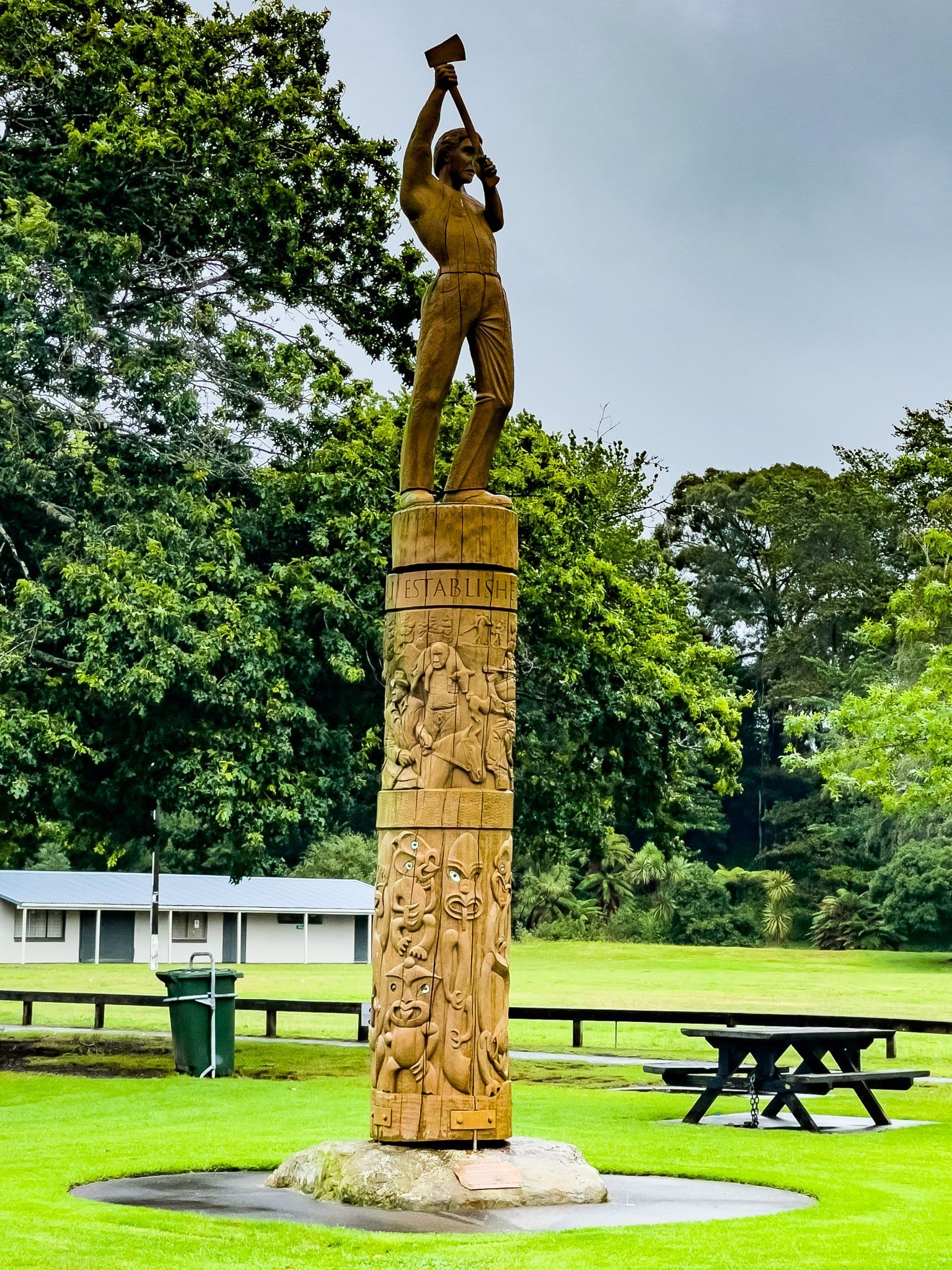
Kawerau
Kawerau was founded as recently as 1953, specifically to support the new Tasman pulp and paper mill. The mill was taking its wood from the huge surrounding Kaingaroa exotic pine forest which had been planted in the early 1900s following the destruction of old growth native forest. Unlike older towns in NZ, Kawerau was carefully planned before construction with an impressive number of facilities and town centre. Unfortunately, it turned out that 1950s architecture and design does not age well, while reliance on forestry and milling is a bit risky.
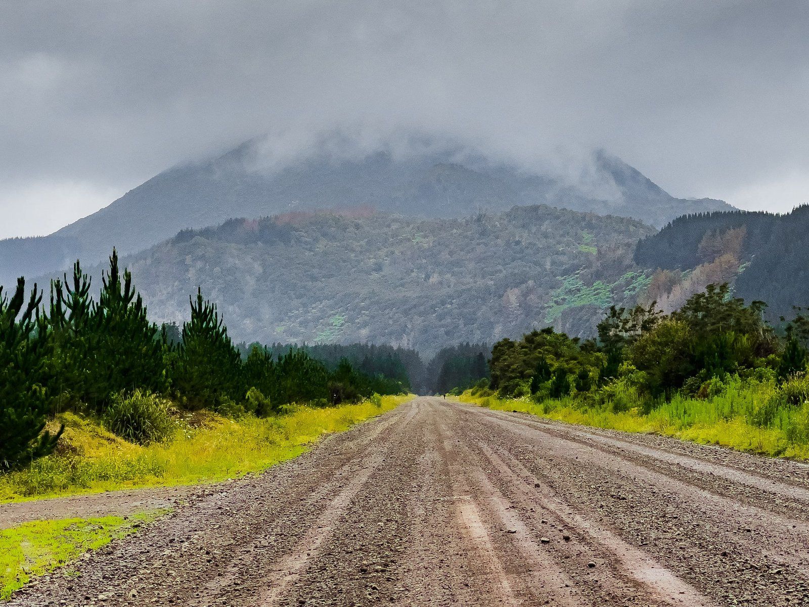
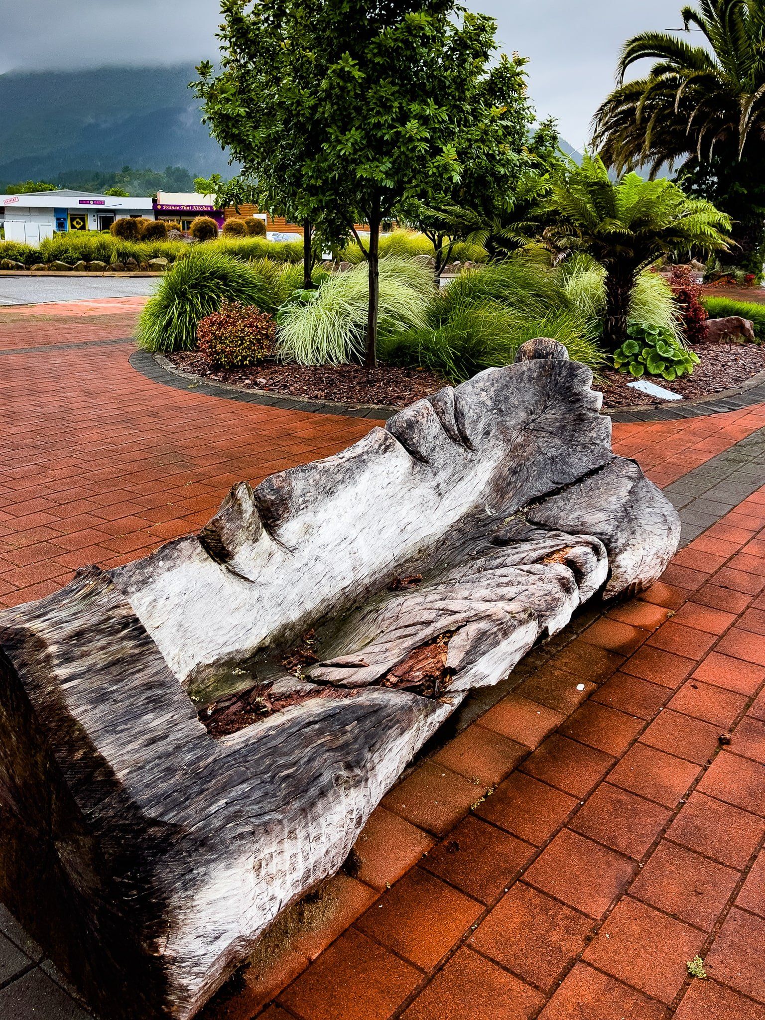
More recently, the town has developed more facilities and options for visitors and it is the only place in the area to do a proper shop or have a meal. There are a couple of nice parks, including walks around the Tarawera River which runs through the town. It is also the gateway to the Tarawera Falls, for which you have to go to the visitor centre to get a pass ($10 per vehicle). This provides access to Tarawera Falls Road, a private forestry road. The falls are possibly the most interesting waterfall in the North Island and the walk there is one of the best in NZ.
From Lake Rotoiti, SH30 skirts two further lakes, Rotoehu and Rotomā, both with modest hamlets. From Lake Rotomā, it climbs up into the Rotomā Forest (mostly native) then continues on to Whakatane on the Bay of Plenty coast. As you exit the Rotomā Forest, take the turn off to Kawerau on SH34.


Tarawera Falls Walk
Tarawera Falls Walk is a short walk along the Tarawera River in old growth native forest. From the Falls, you can continue on all the way to the river outlet on Lake Tarawera.
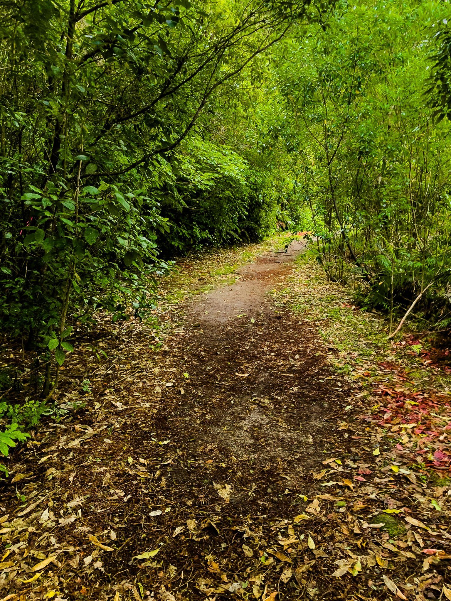
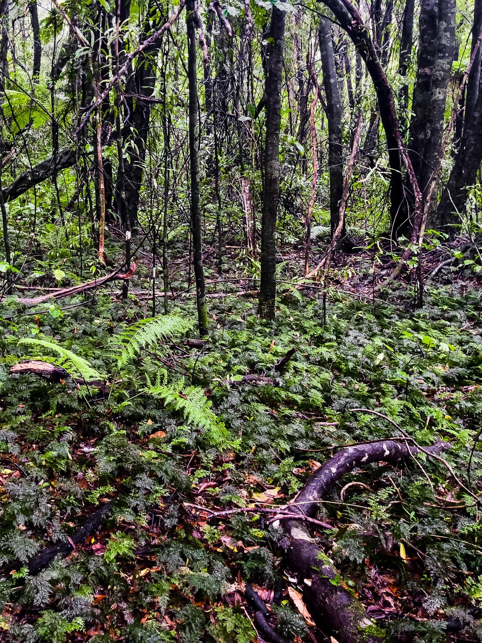
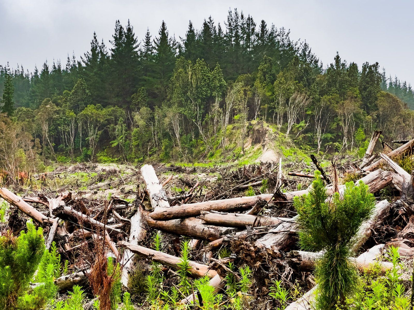
To get there, first visit the Kawerau iSite visitor centre off Plunket St to purchase a $10 road pass. This gives directions to and access for Tarawera Falls Road, a private forestry road. It is then a 28 km, 34 minute mostly-metal road along the Tarawera River valley. There are likely to be forestry trucks, especially on weekdays, so keep your speed down. The forest along the road has been heavily harvested relatively recently, providing an insight into the industry, but not the most pleasant view. You reach the edge of the old growth native forest shortly before the car park.
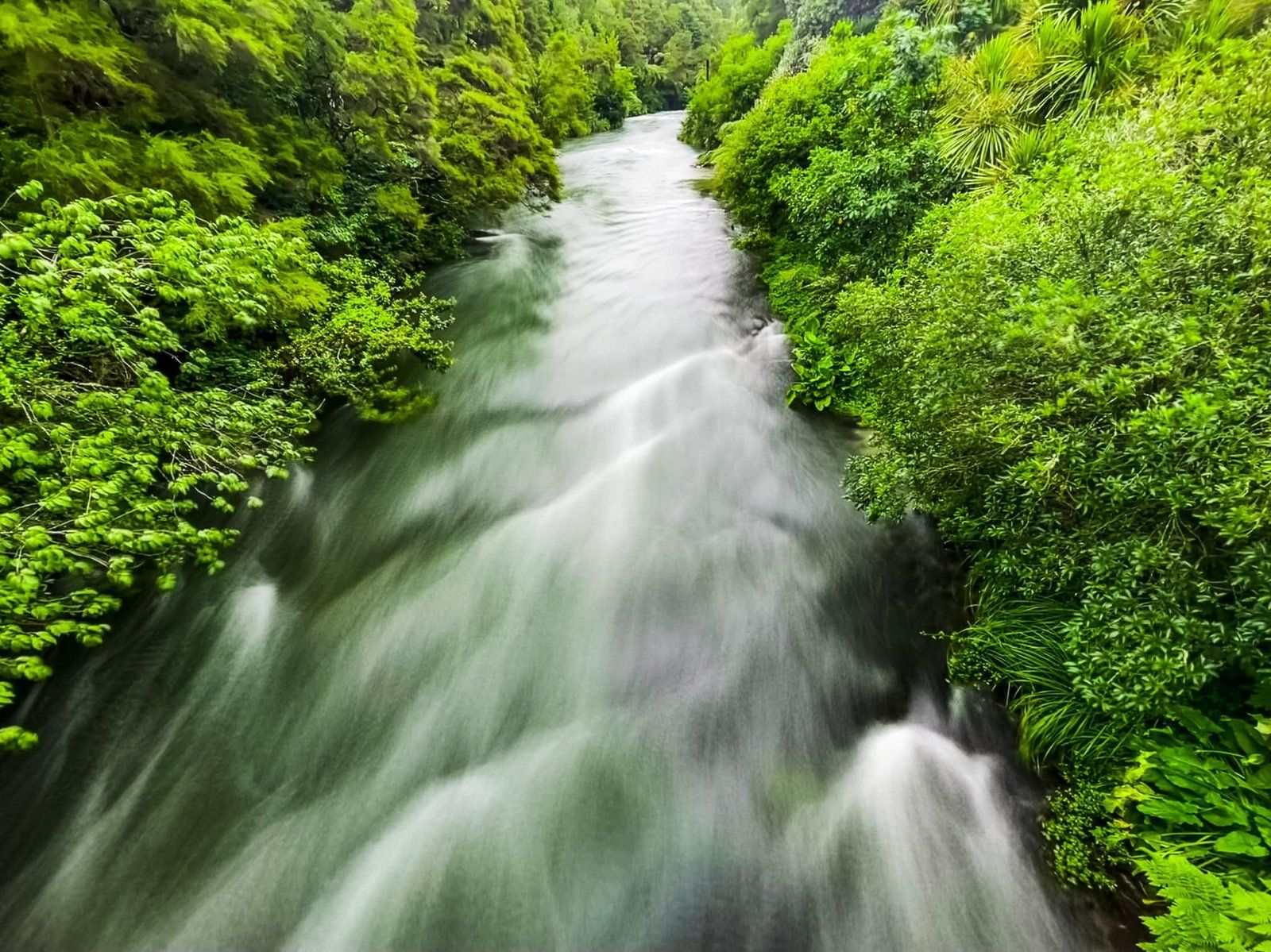
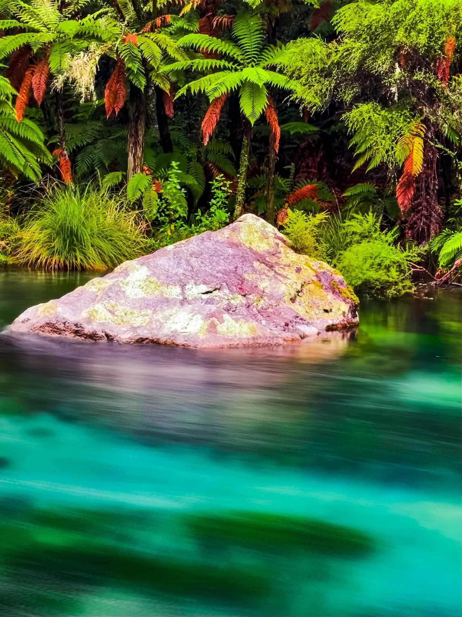
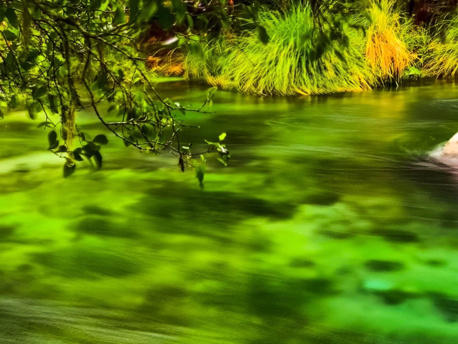
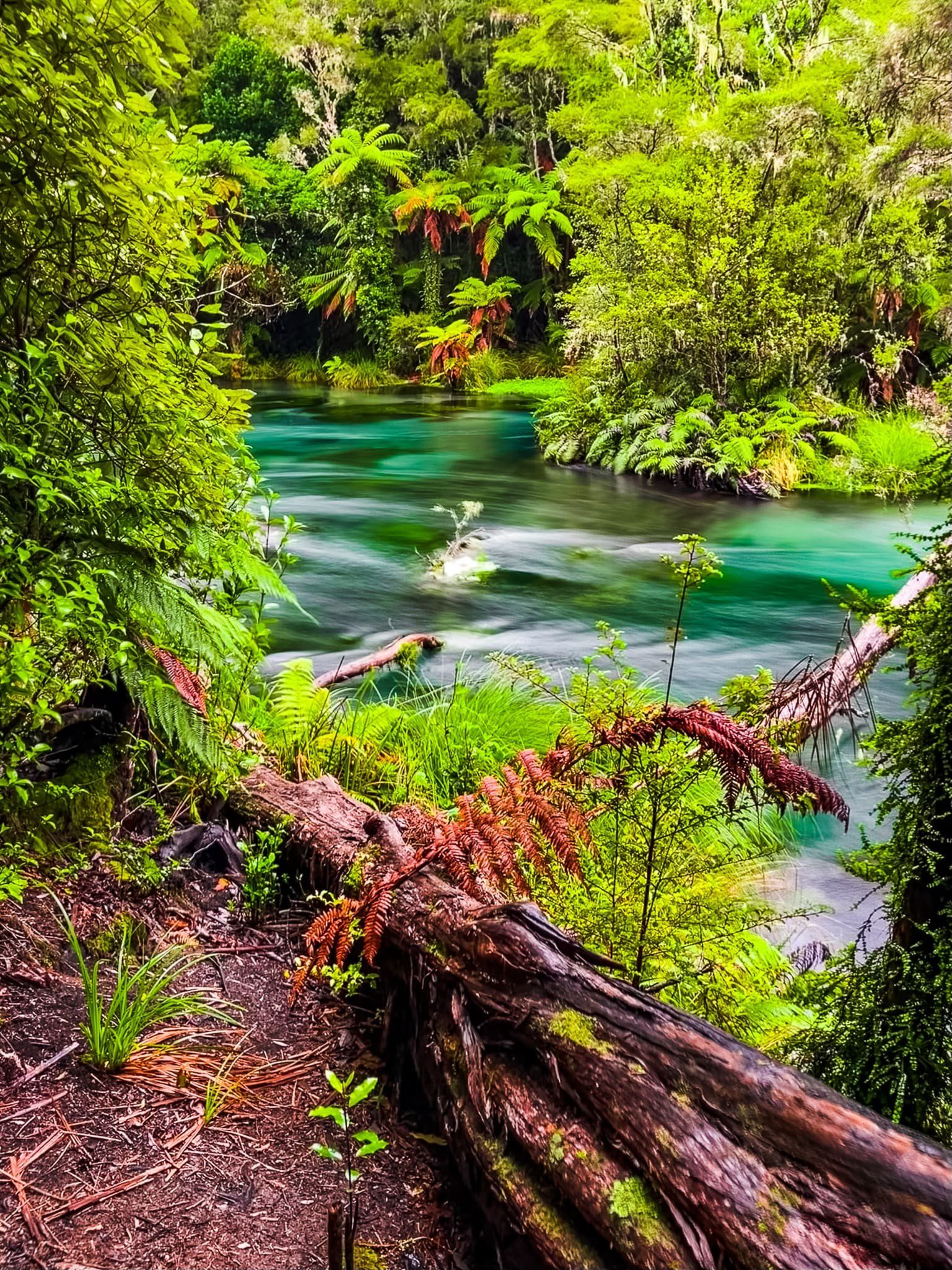
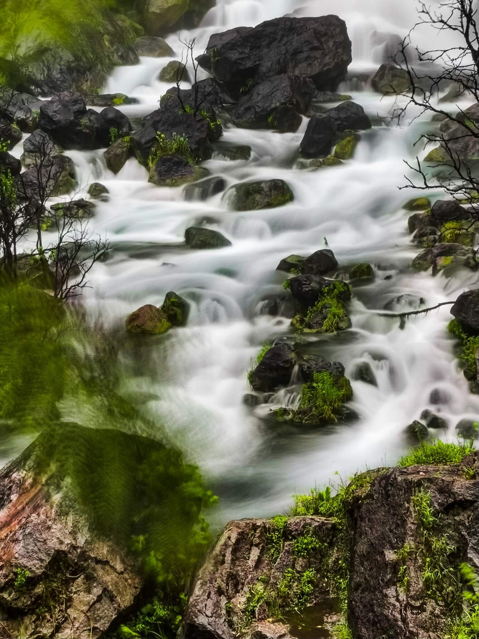
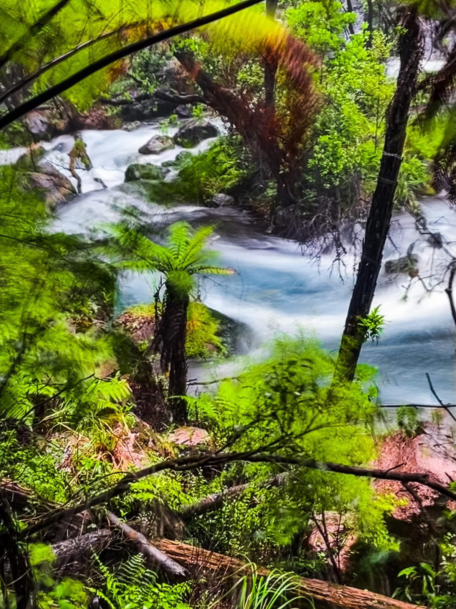
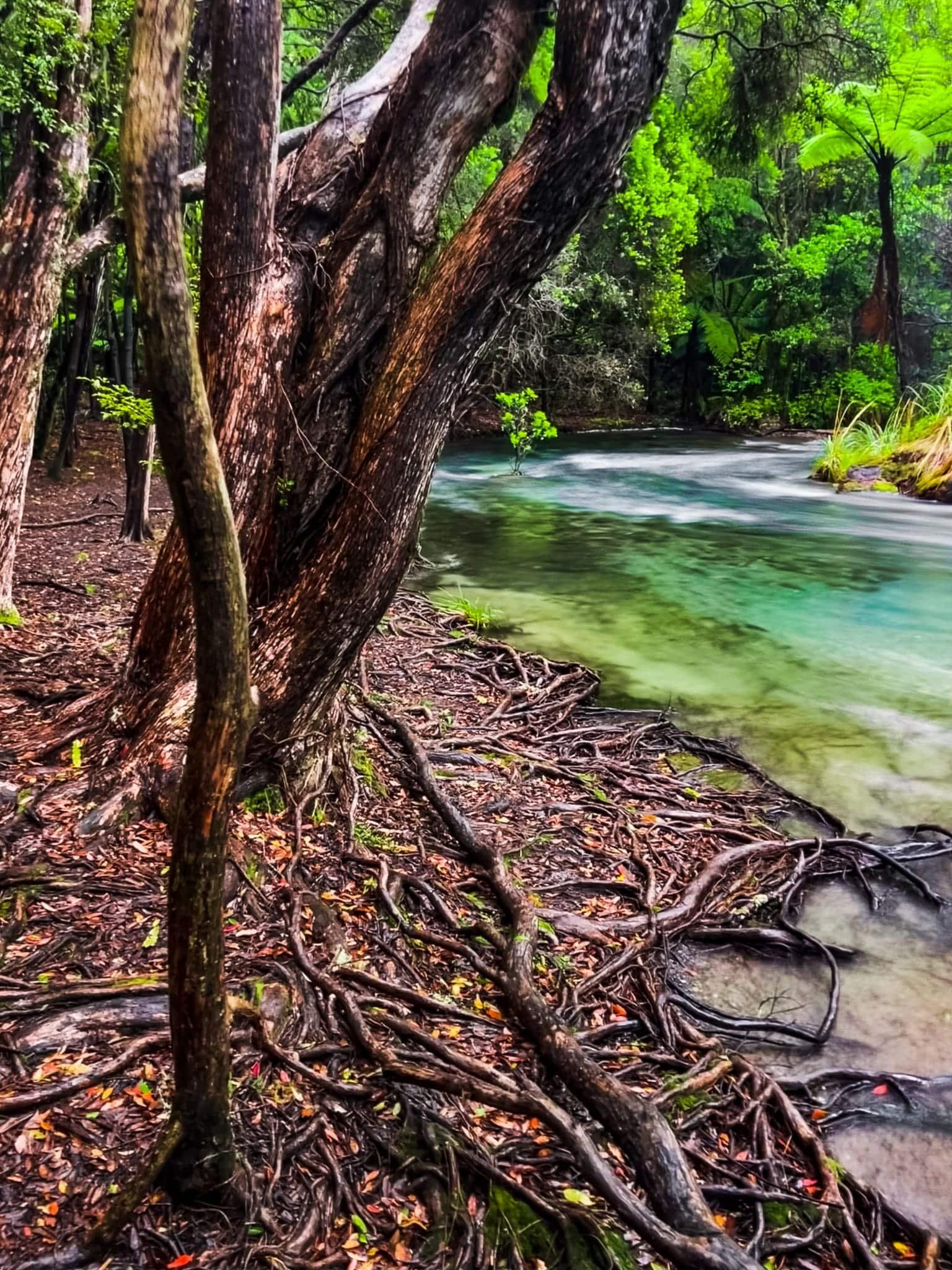
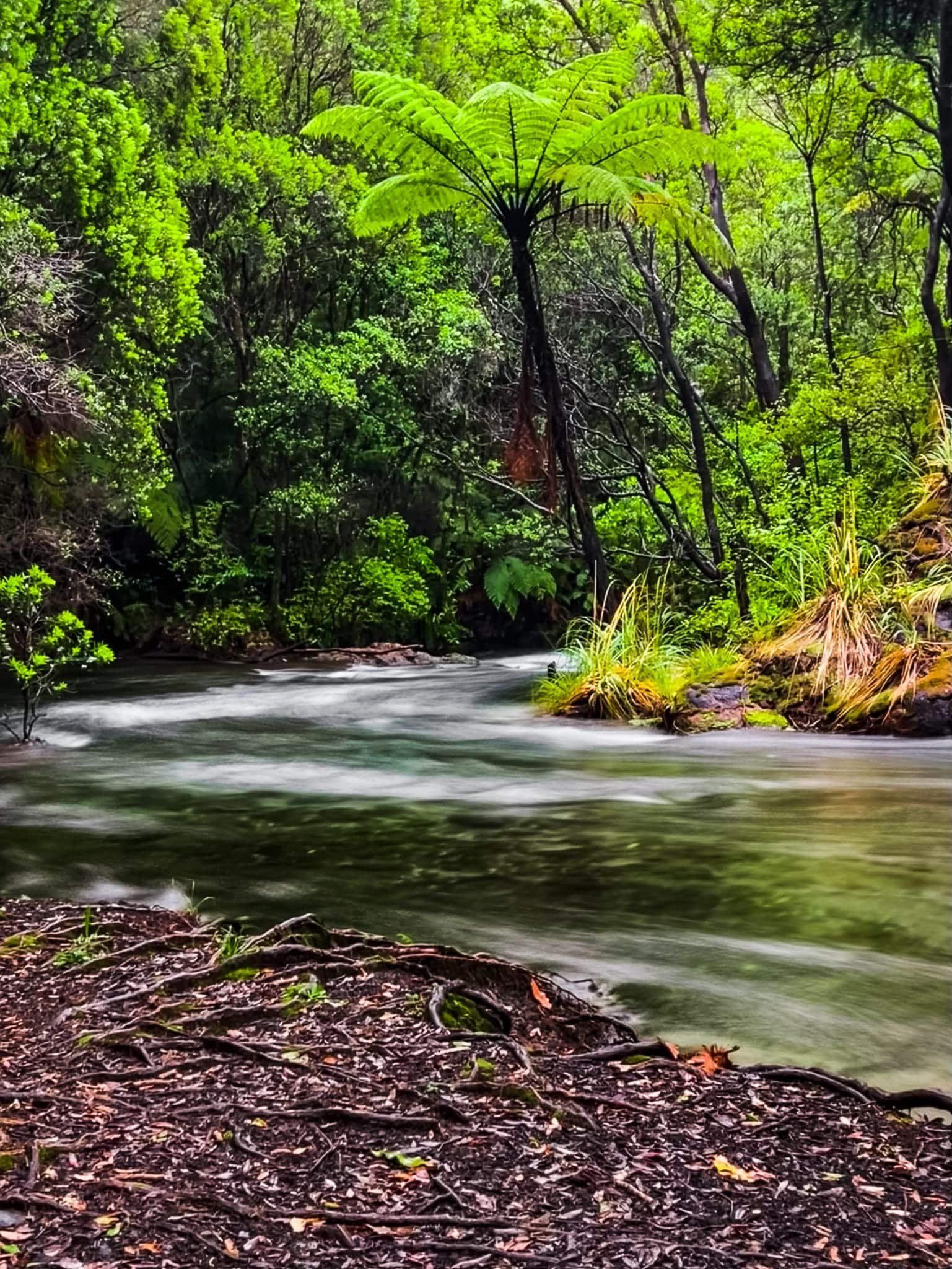
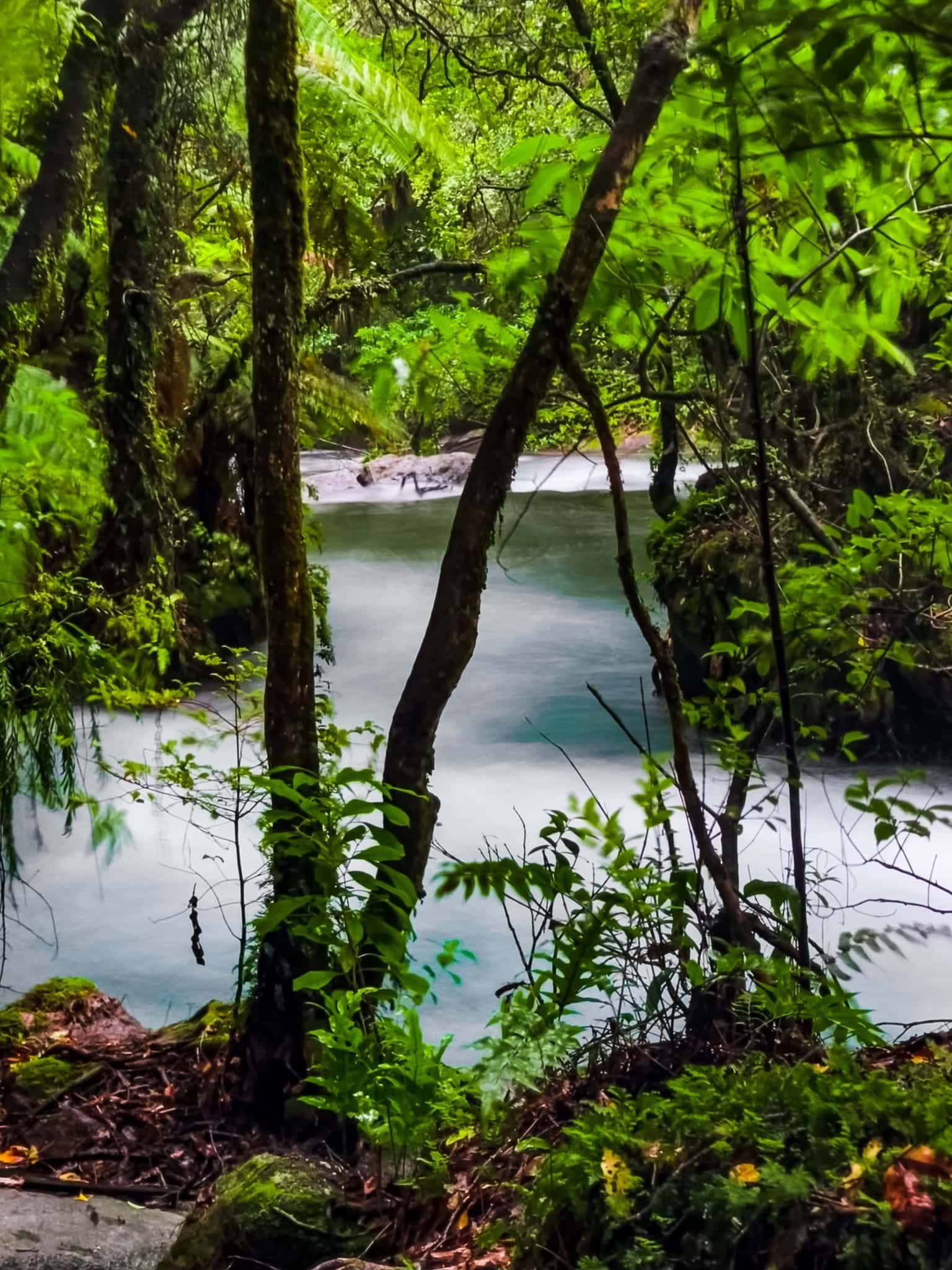
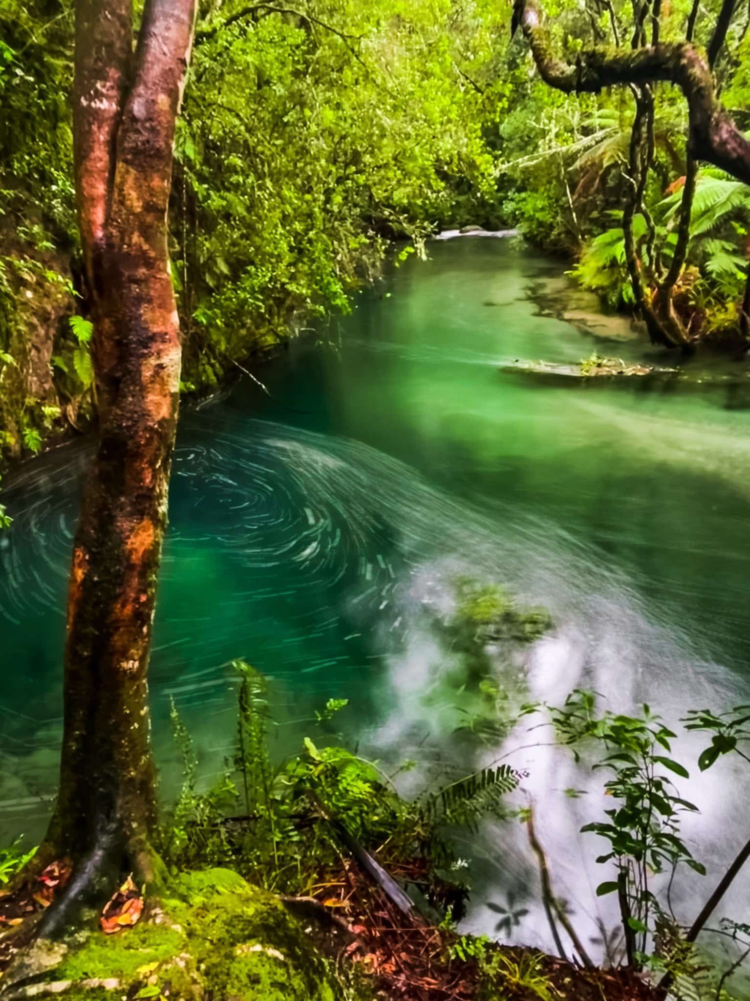
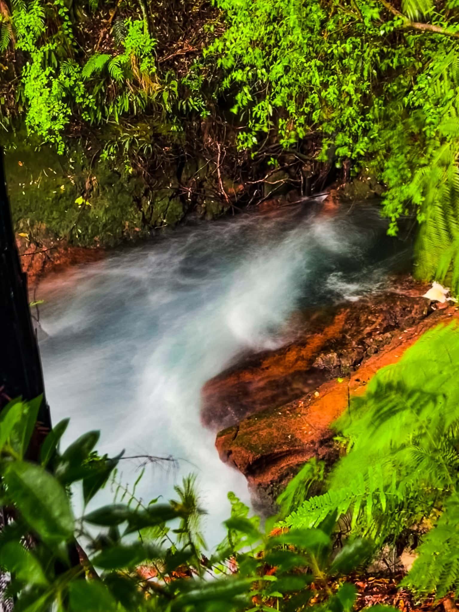
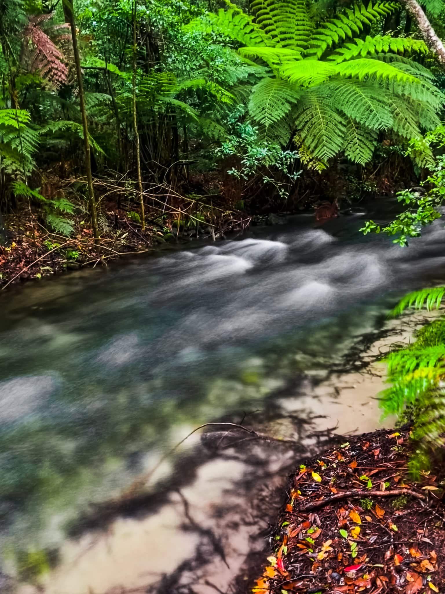
From the car park at the road end, follow the track along the Tarawera River. It is only about 600 metres to the falls, including a bridge over the river, but it may take a while. The river is incredibly pretty, with an amazing array of colours reminiscent of the Blue Springs near Putāruru in the Waikato. Once you cross the river, the walk takes you between some amazing boulders then to the falls viewpoint.


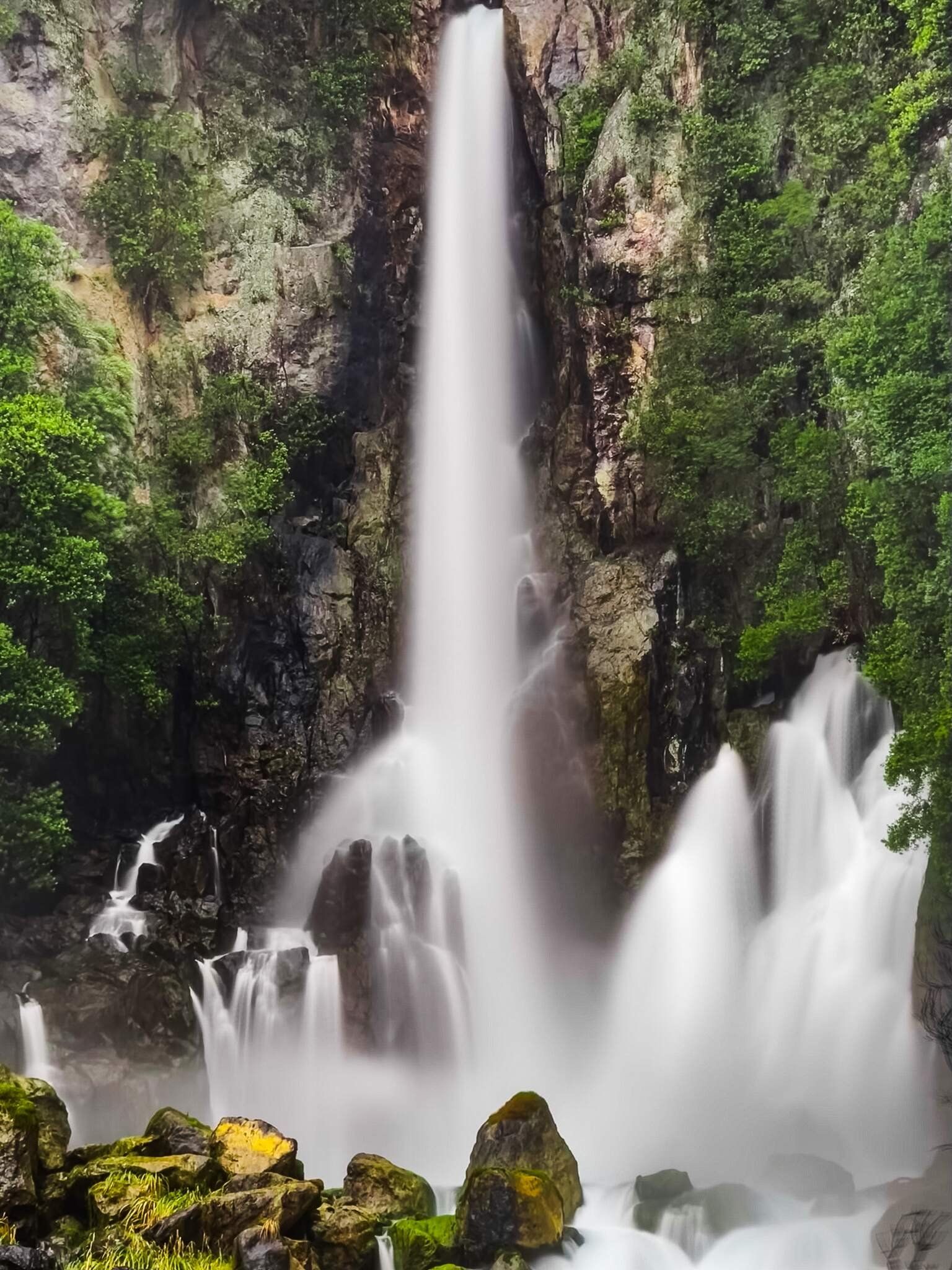
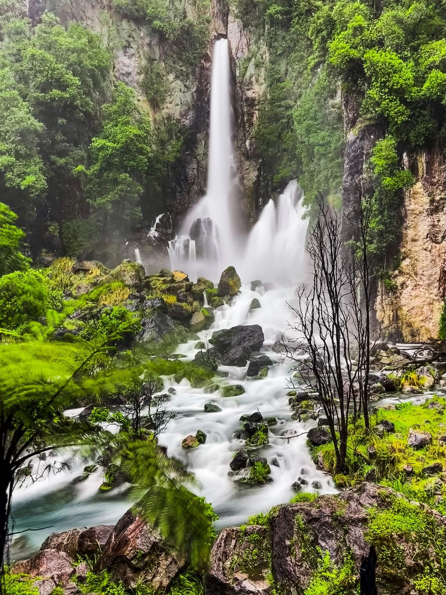
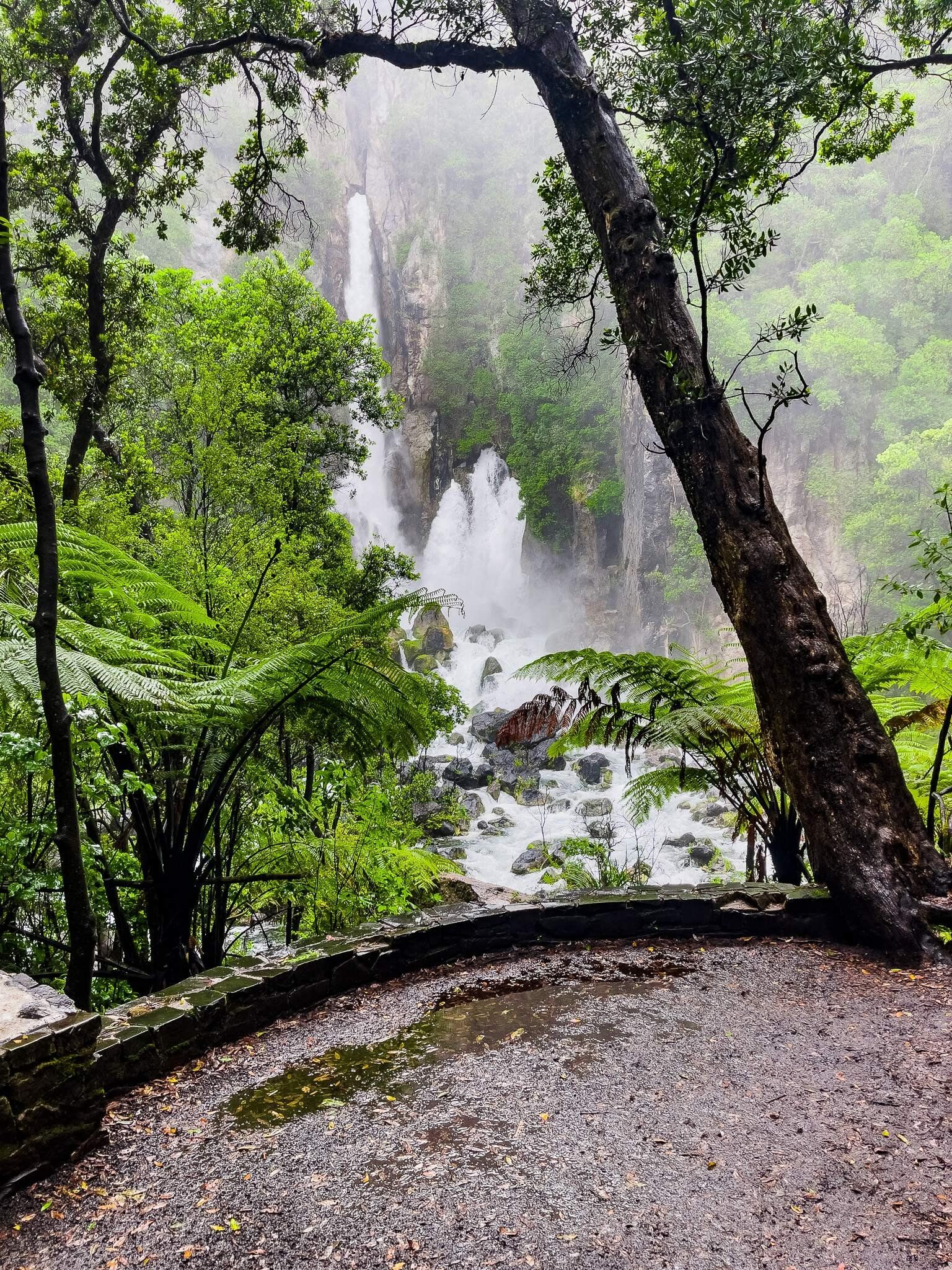
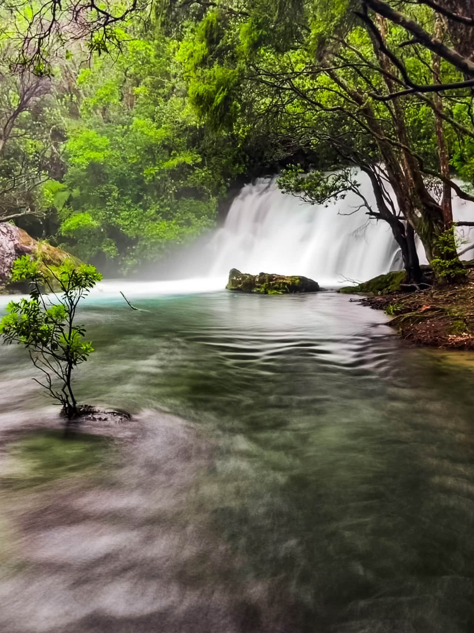
Tarawera Falls
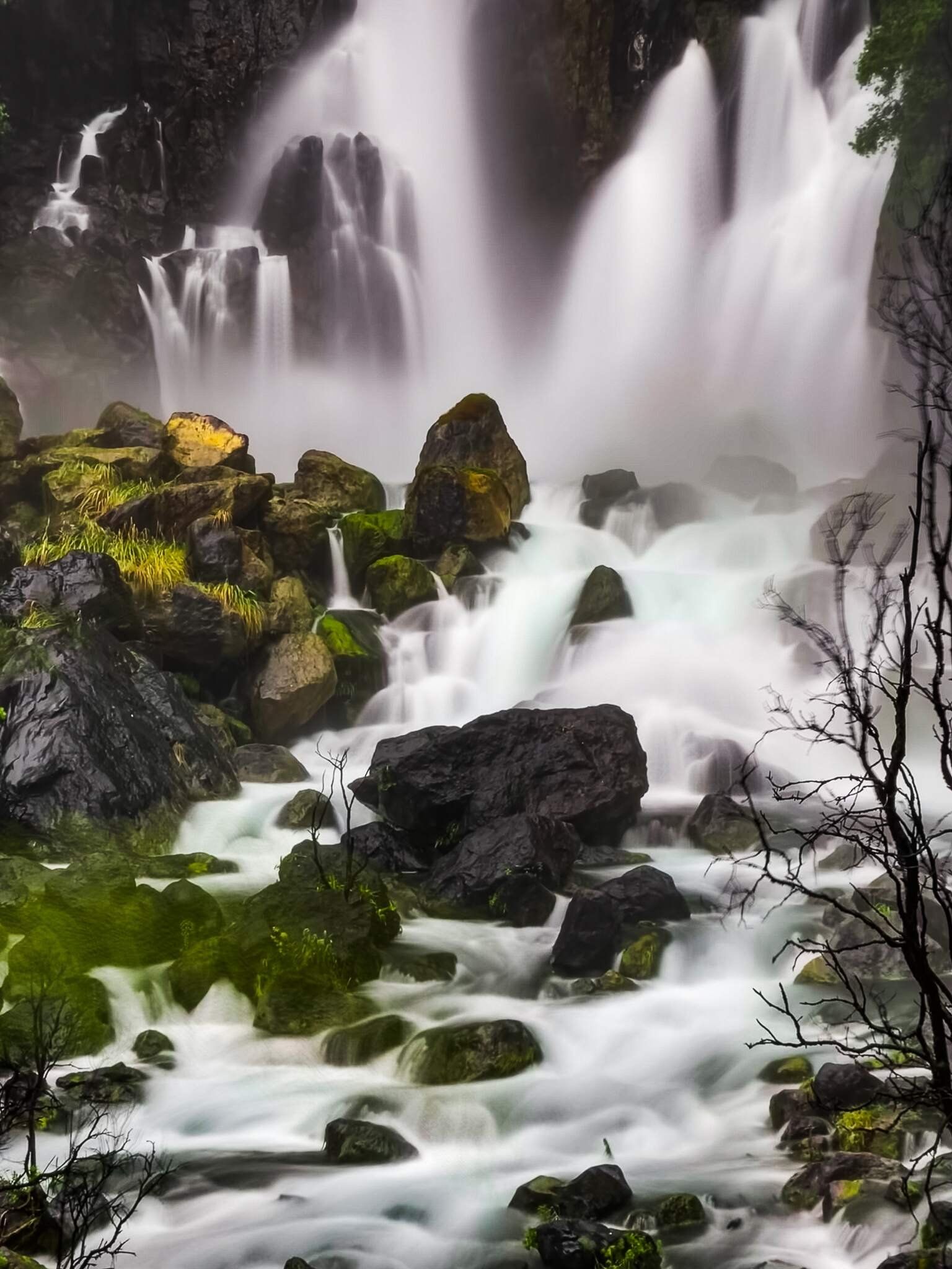
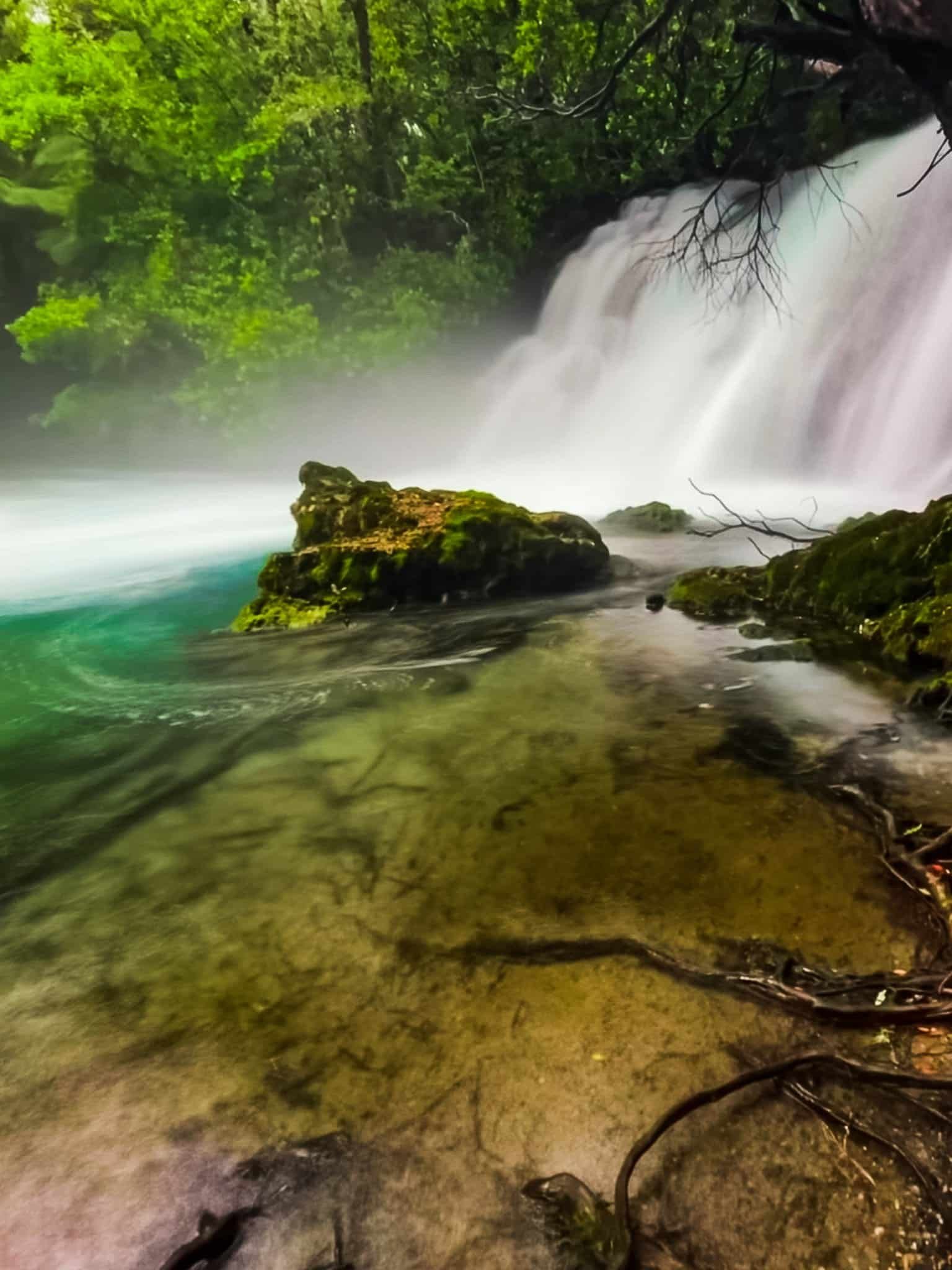
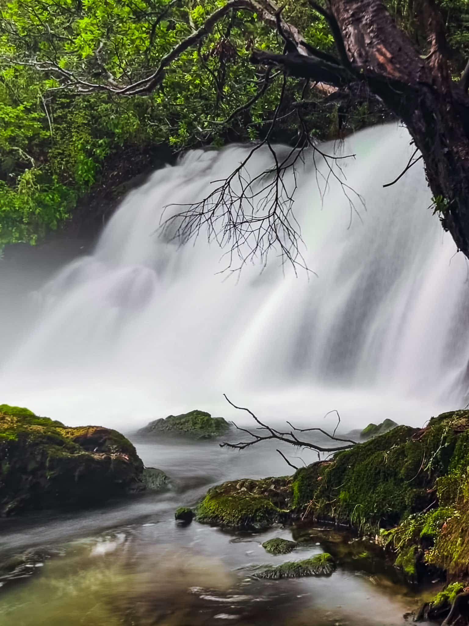
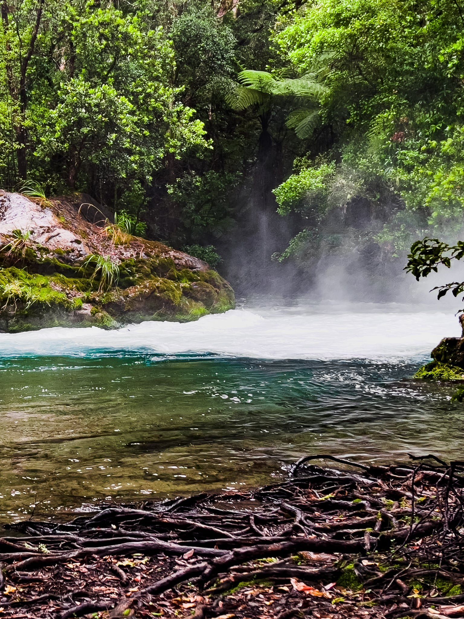
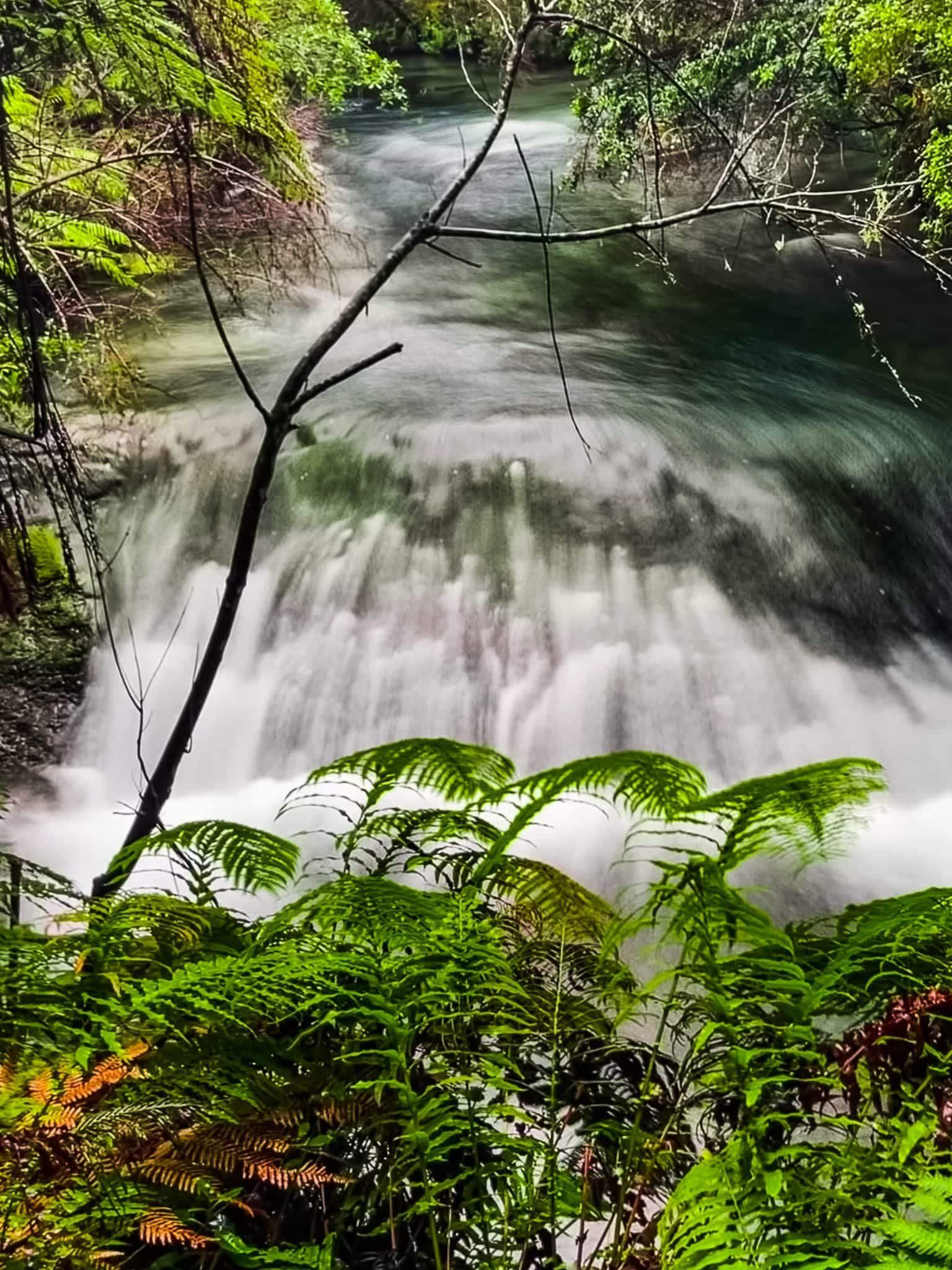
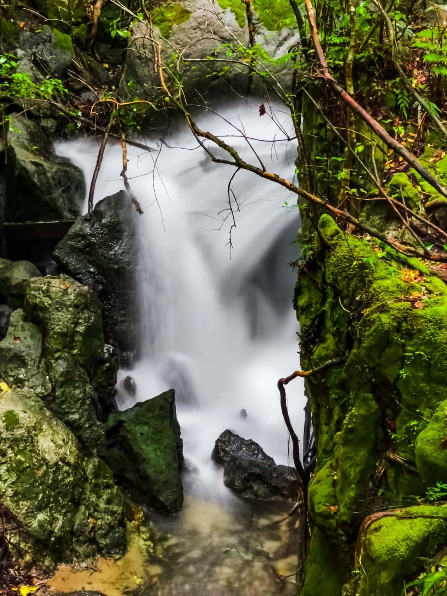
The Tarawera Falls are stunning, especially with recent rain and running hard. Instead of flowing over the top of the cliff, the river disappears underground about 30 metres back from the cliff edge and re-emerges through narrow fissures and fractures in the rhyolite lava cliff face. The top of the cliff is 65 metres, but the highest fissure is a bit lower, with several additional fissures and streams of water further down the face. The cliff was formed by a lava flow during an eruption from Lake Tarawera about 11,000 years ago.
To top it off, the forest surrounding the viewing area is beautiful and perfectly frames the falls. You can scramble down to the rocks below the falls for a closer look. Keep in mind that the local guardians Ngāti Rangitihi consider the falls to be sacred.
The falls are about 600 metres from the Tarawera Falls Road car park and it’s an easy walk along the Tarawera Falls Track.
Cascade Loop Track
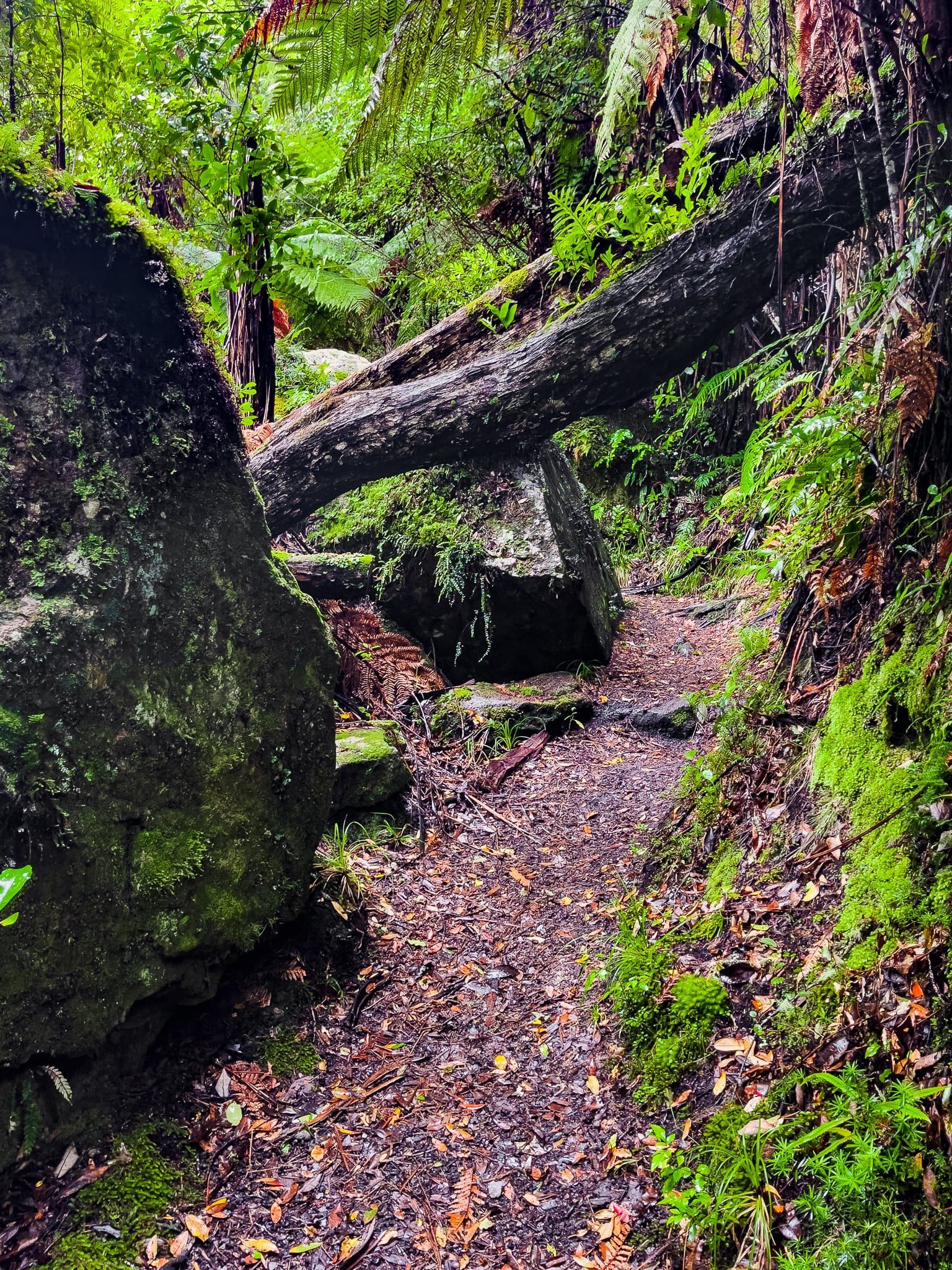
From the Tarawera Falls viewpoint, you can continue to follow the Tarawera Falls Track as it sidles and zig zags through native forest to the top of the cliff. At the top of the cliff, there is a place where you can look out over the falls from between the rocks and trees, although you can’t see that much. From here, you can follow the short but spectacular Cascade Loop Track, which takes about 30 minutes.
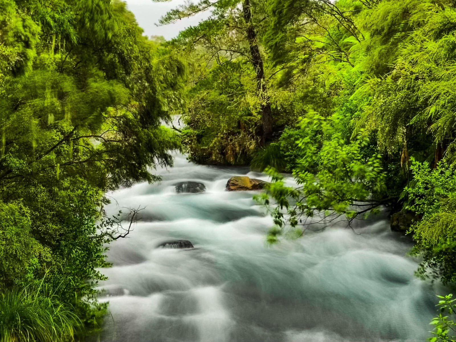
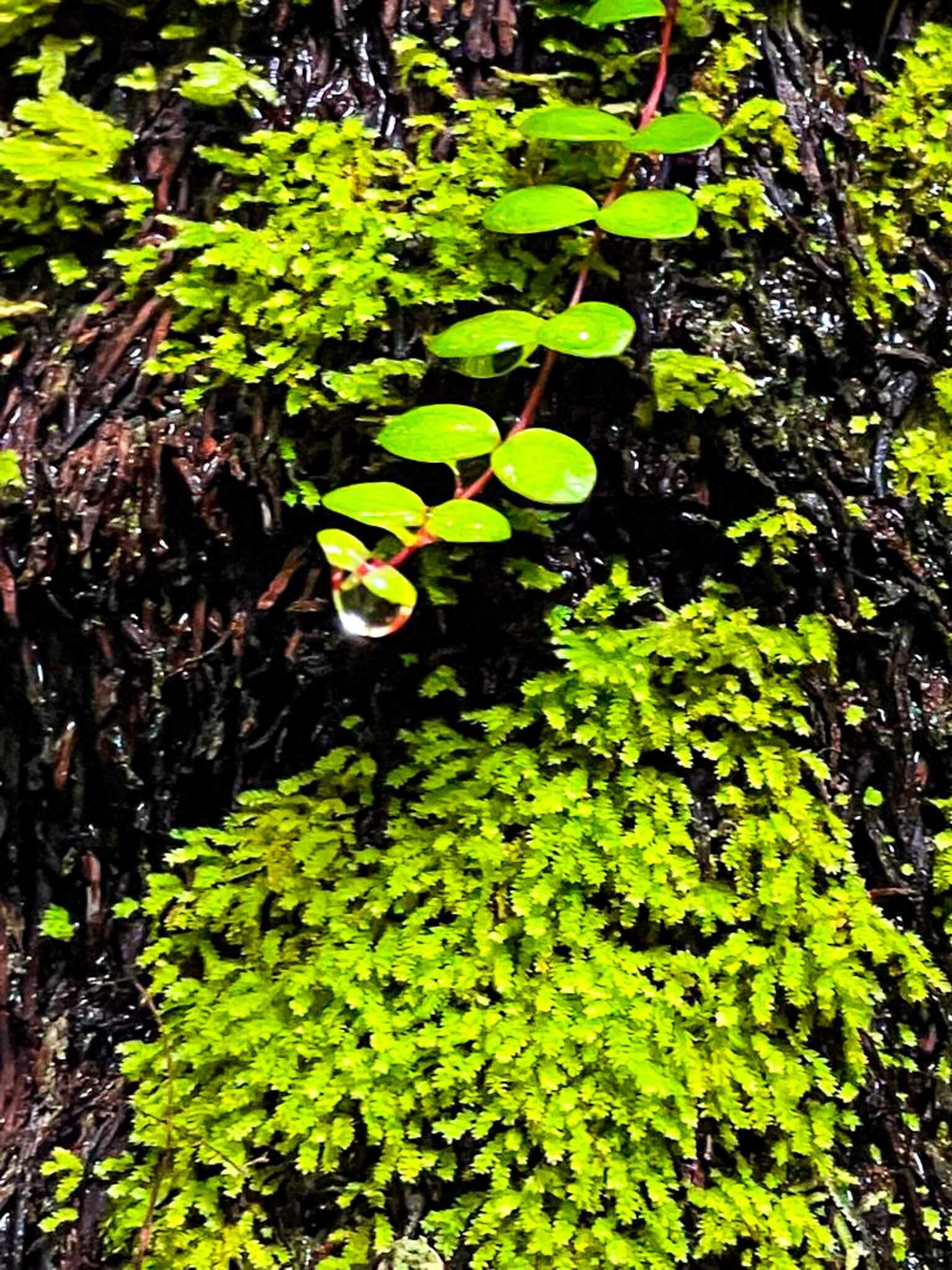
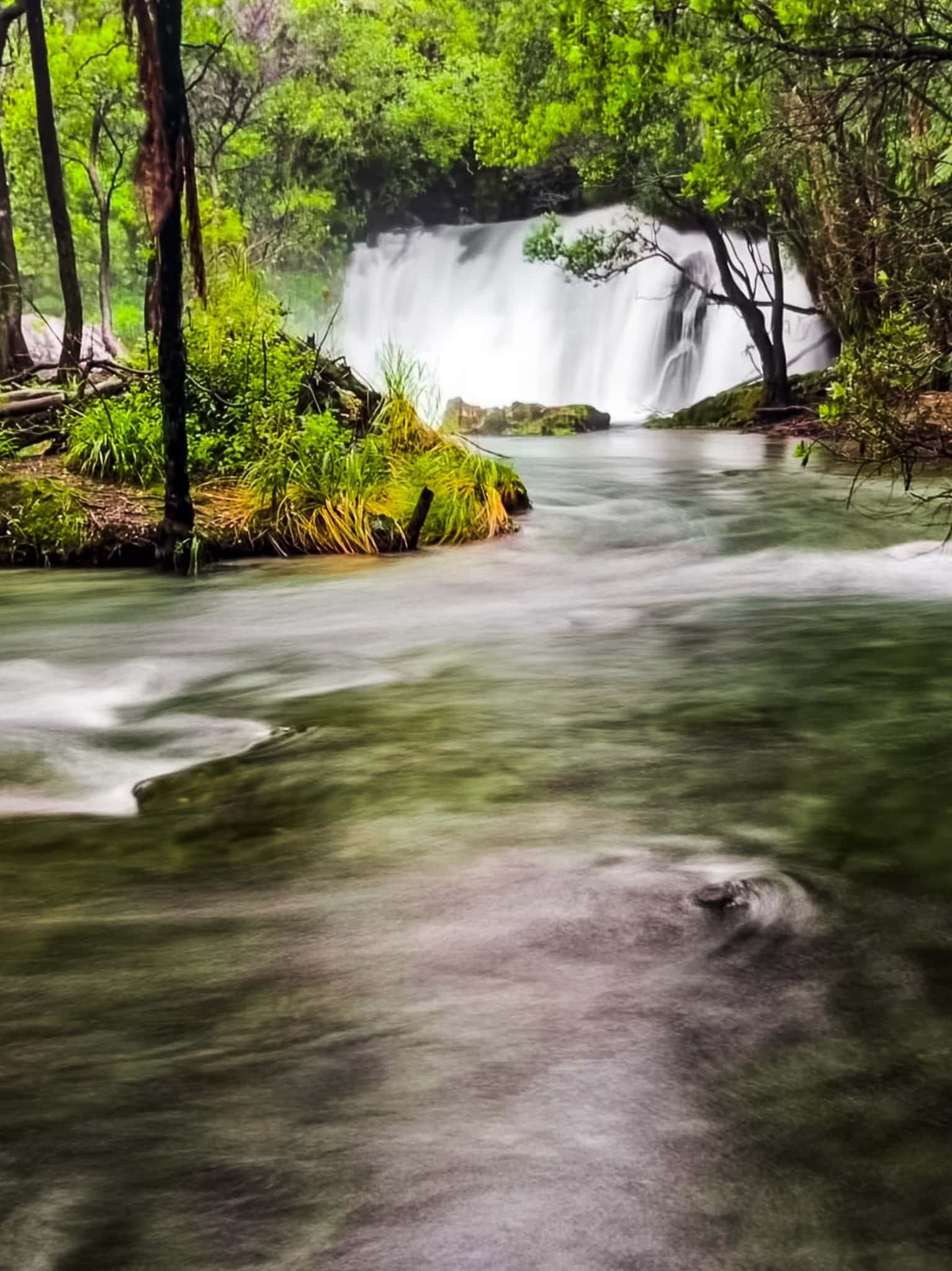
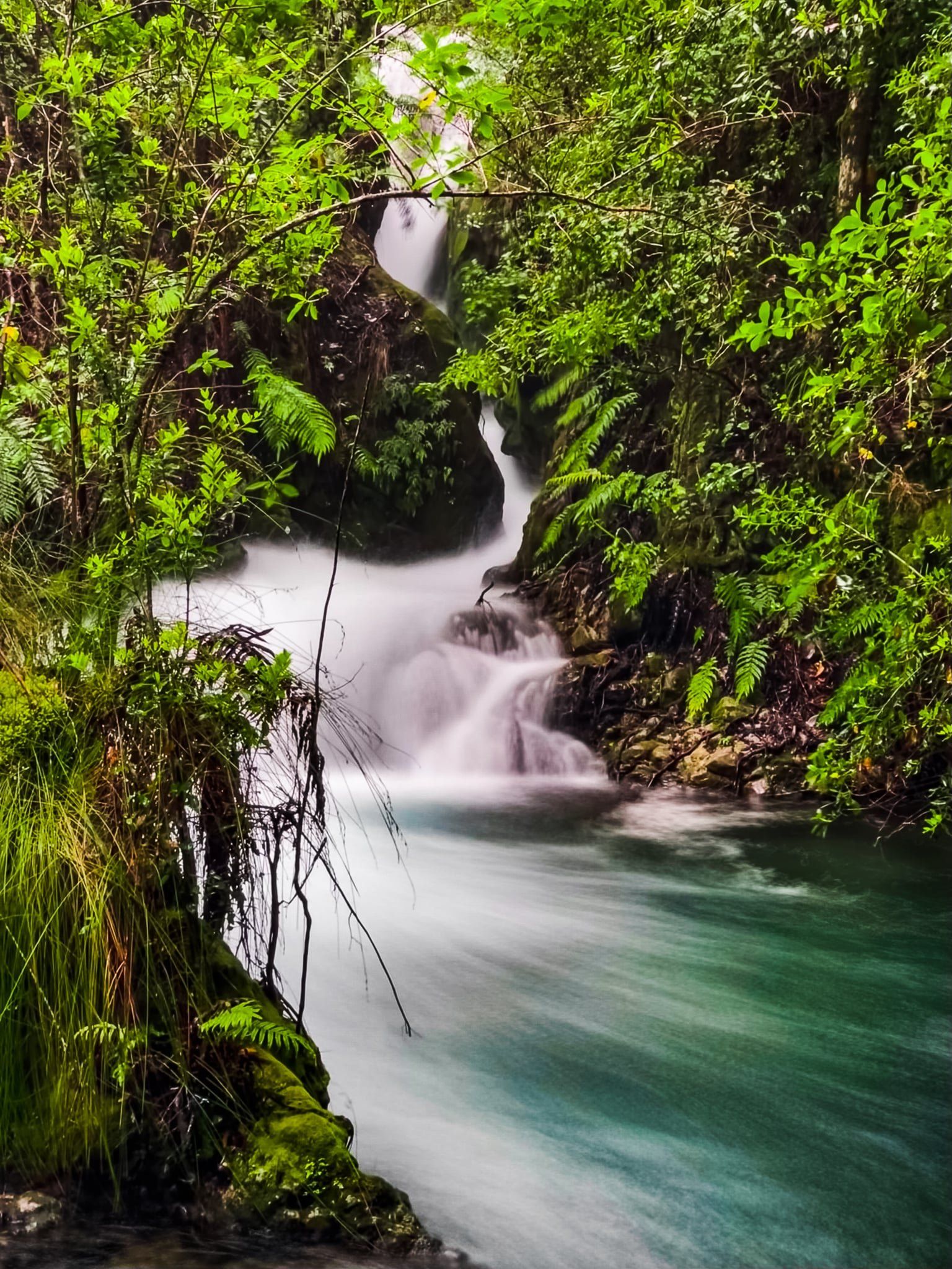
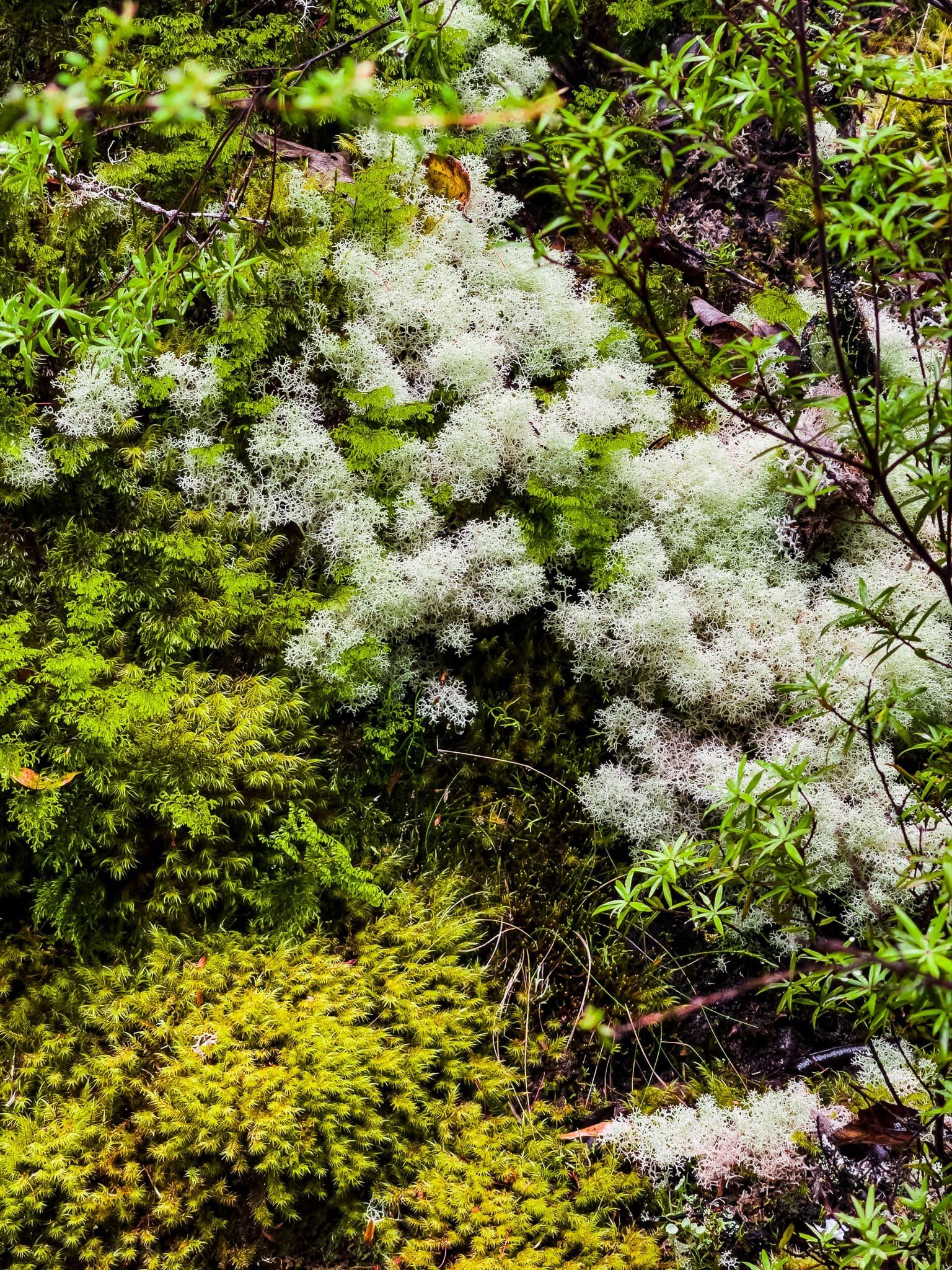
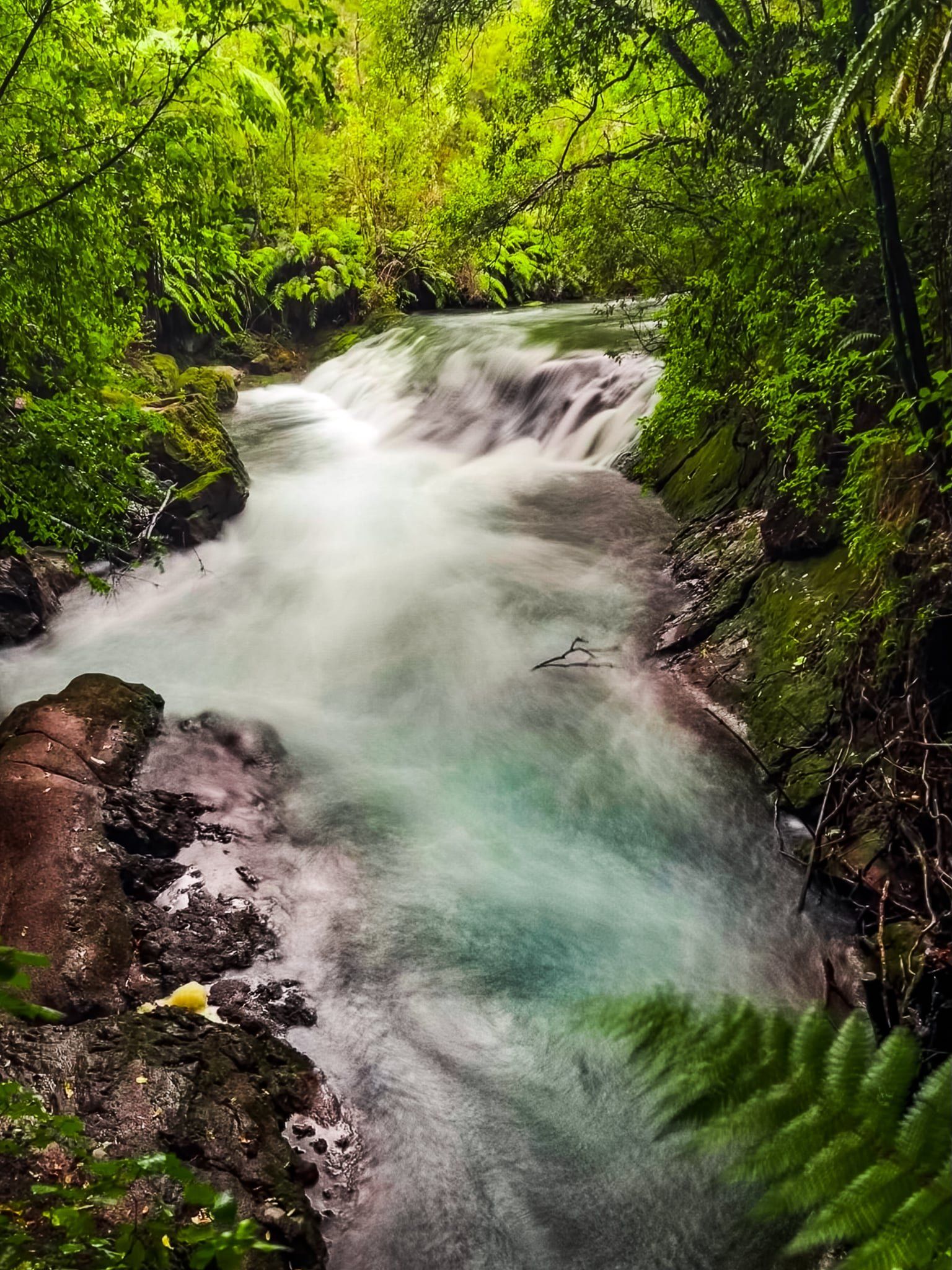
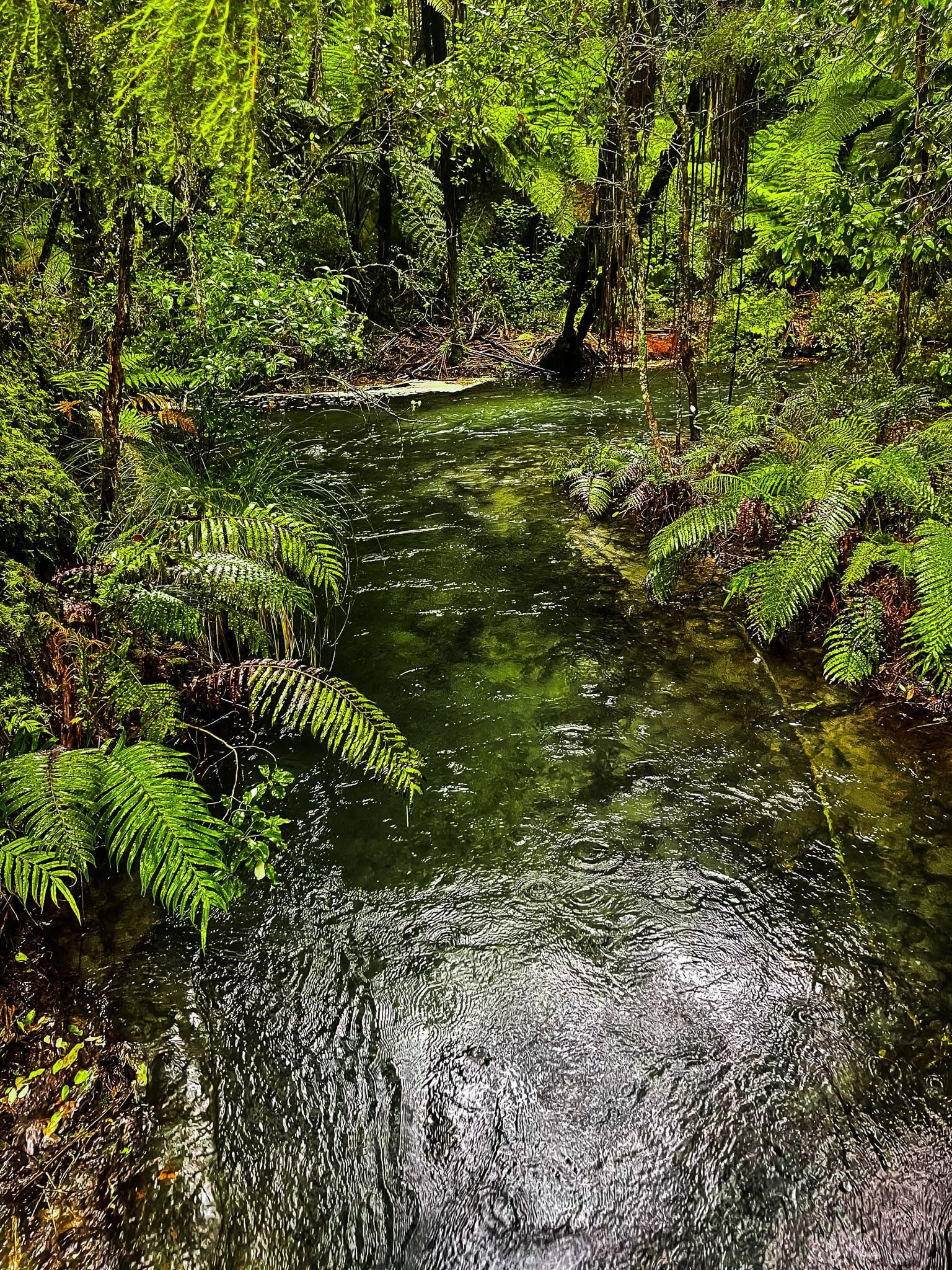
Staying to the right where the track divides, walk through a pretty section of forest until you drop down into a natural amphitheatre. There is a second unnamed waterfall where the Tarawera River drops over the top of the 4 to 5 metre cliff. It then flows through the amphitheatre before disappearing into a ravine. It is a magical place, surrounded by interesting and somewhat stunted trees, ferns, lichen and moss. You may be tempted to swim, but take the warning seriously. The water here is fast flowing and it’s not far from the underground entrance to the falls!
For swimming, continue to follow the main track where it continues towards Lake Tarawera. This takes you to the top of the amphitheatre and you will find a much better and safer spot a bit further along the river. You can also walk all the way to the river outlet at Lake Tarawera, about 90 minutes each way from the start of the Cascade Loop.

Cascade Loop Part 2
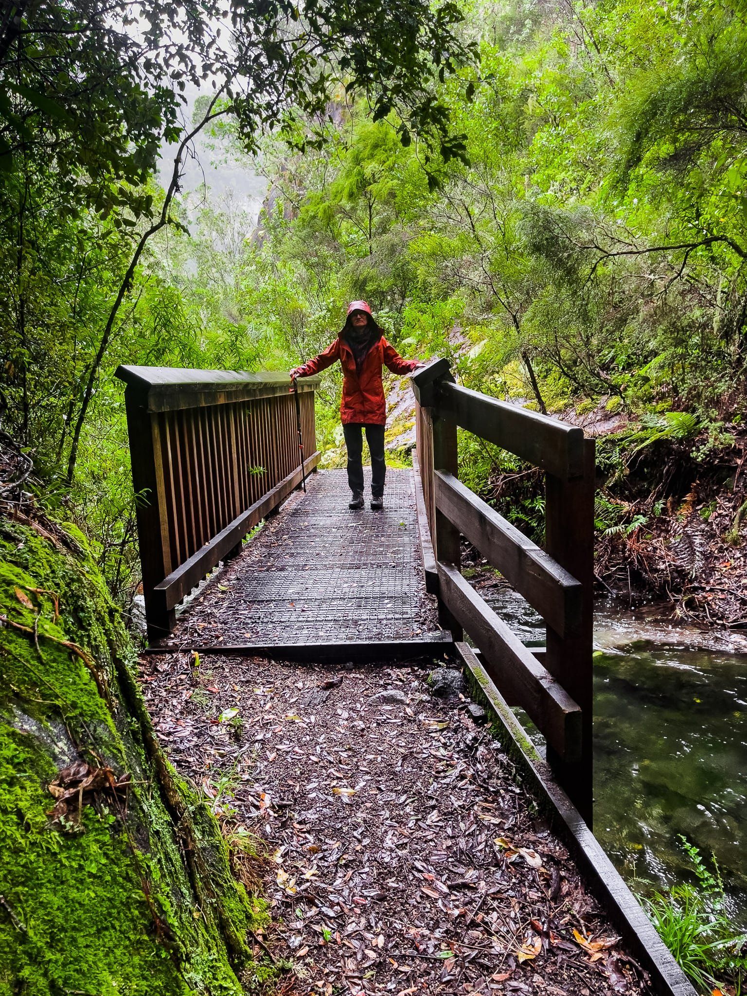
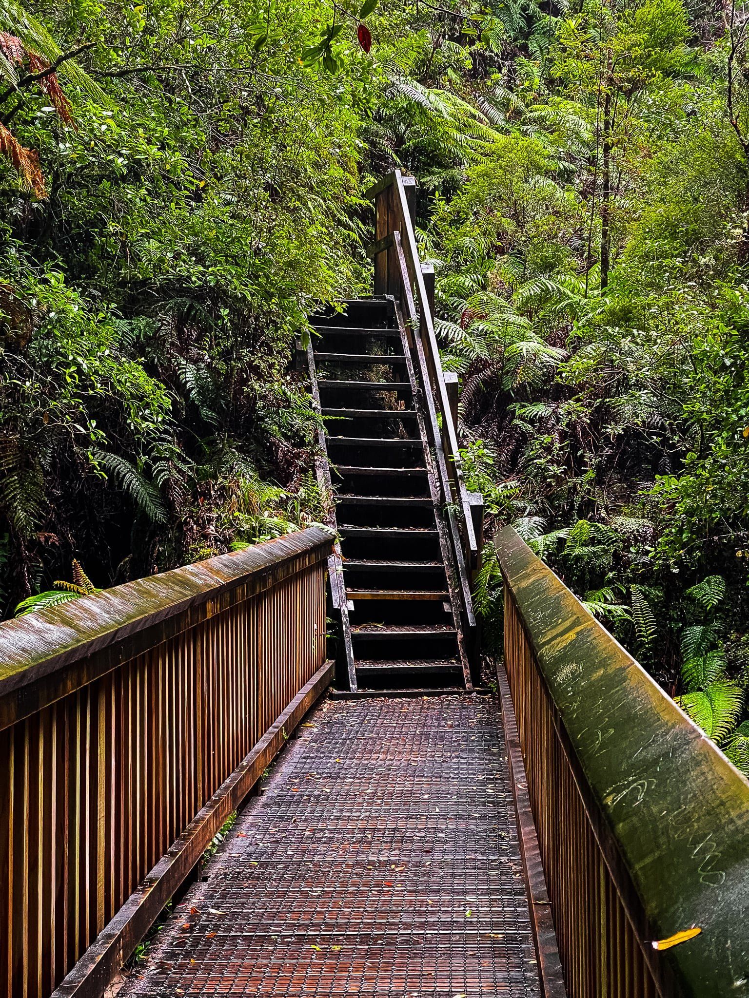
From the unnamed falls, look for the start of the return part of the Cascade Loop. This part of the track follows the river more closely as it tumbles and drops to the underground entrance before the cliff. The track includes a series of steep steps and short bridges around and above the ravine, surrounded by moss- and lichen-covered rocks and native forest.
It is only a short walk, but it took us a while and is a fantastic way to complete a visit to Tarawera Falls.
Want more Central North Island Trip Ideas?
Check out our blogs on a roadtrip from National Park to Kuratau, Exploring the Natural Wonders of Tongariro National Park, and the Napier to Taupō Loop.