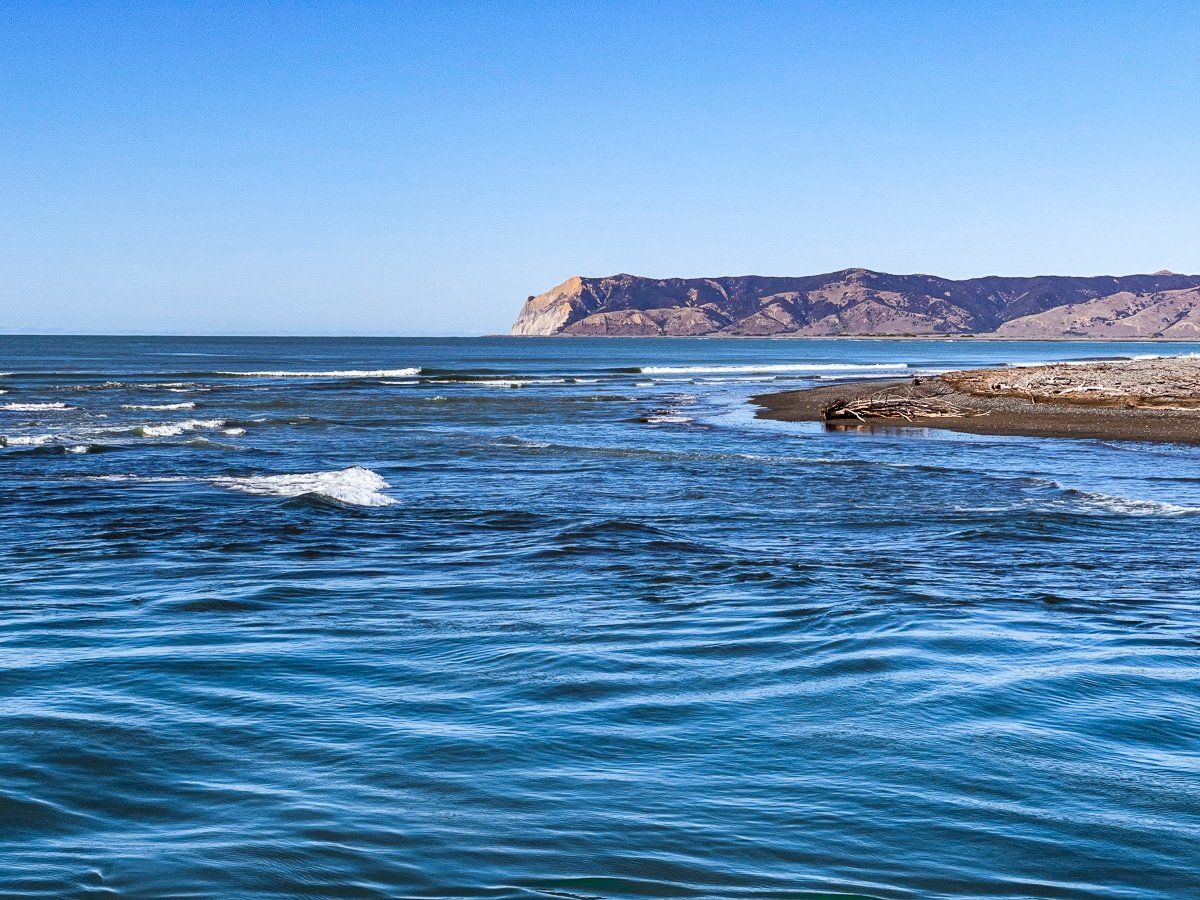
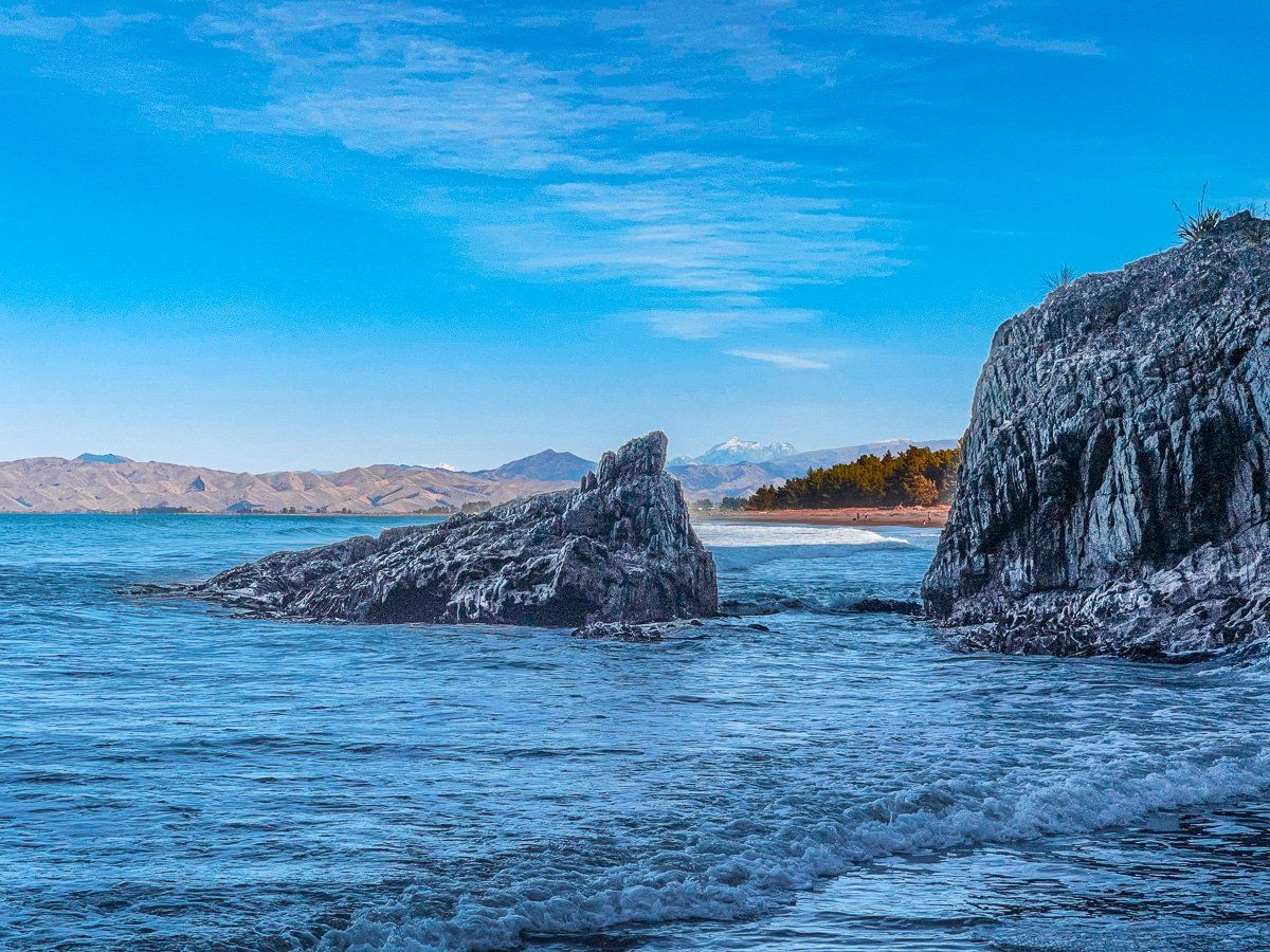
Cloudy Bay Te Kopo O Kupe is a large bay at the top of the South Island, which sits between Clifford Bay to the southeast and the Marlborough Sounds to the northwest.
Behind Cloudy Bay is the wide river valley around Blenheim, the largest grape growing and wine making region in New Zealand. Most travellers focus on the surrounding wineries – and this is definitely the place to go if you love wine – but there are several other things to do near Blenheim. Many of these are around Wairau – the valley, lagoons, river and bar, as well as Te Ana-o-Rongomaipapa Bay and Cloudy Bay Te Kopo O Kupe itself.
Wairau Valley and River Plain
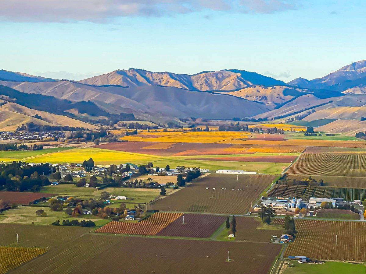
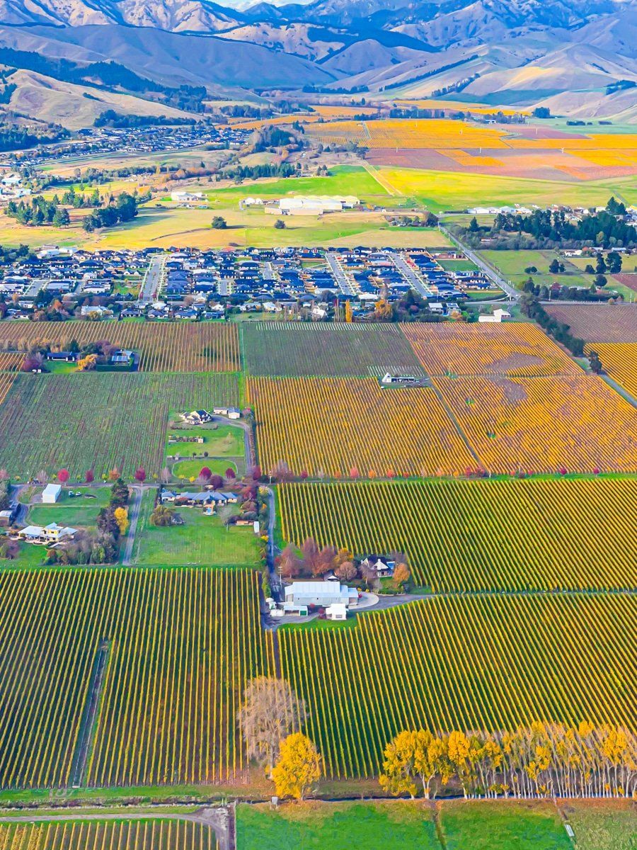
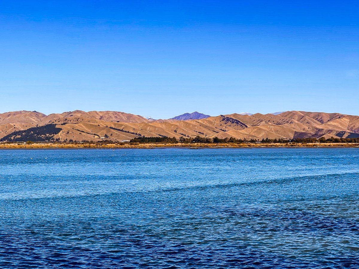
The Wairau River Valley extends from Cloudy Bay Te Kopo O Kupe to near St Arnauds in Nelson Lakes. The main city in the region is Blenheim, which sits on the south side of the plain. It has a number of good cafes and restaurants, as you would expect from a wine region.
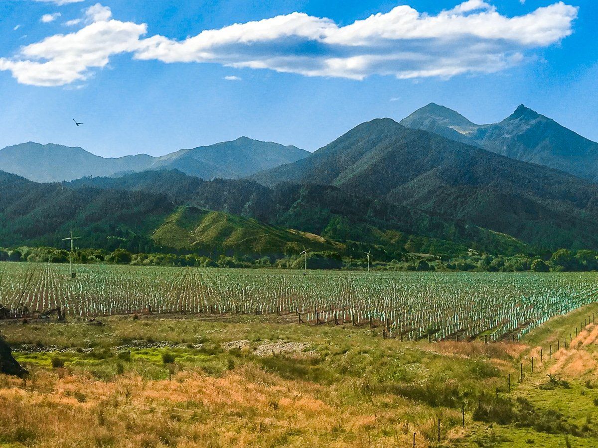
If you’d like to drive the length of Wairau, head southwest from Blenheim down State Highway 63 for about an hour. The Richmond Range on the north side of the valley provides a dramatic backdrop.
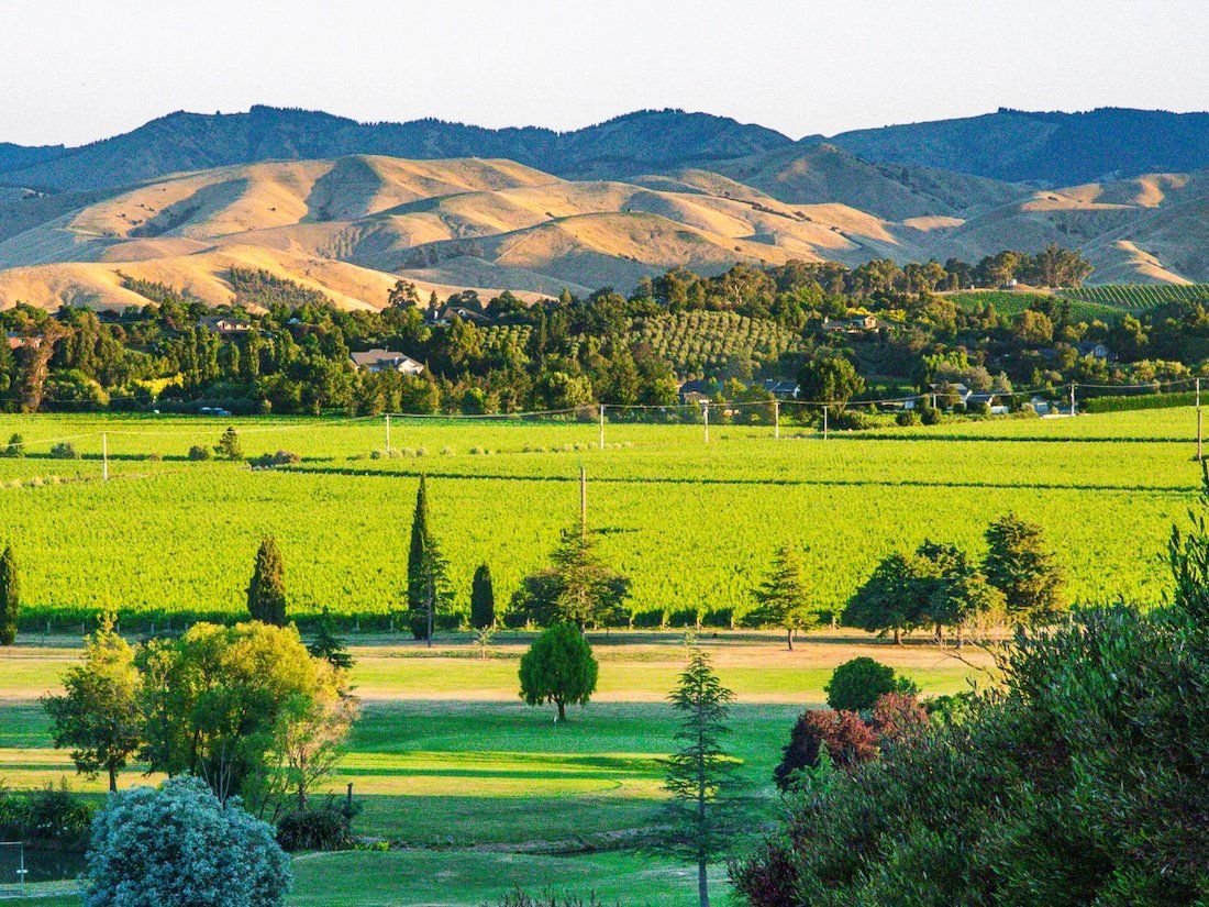
Vineyards, many with attached wineries, dominate the land along much of the valley floor – although there are still a few paddocks with livestock. It’s easy to spend a day or two visiting different wineries by car or on a bike, and autumn with golden vines is especially pretty.
Wairau Lagoons
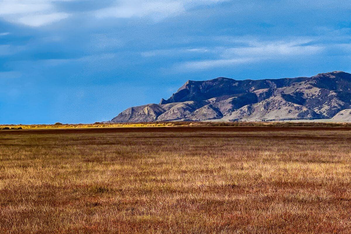
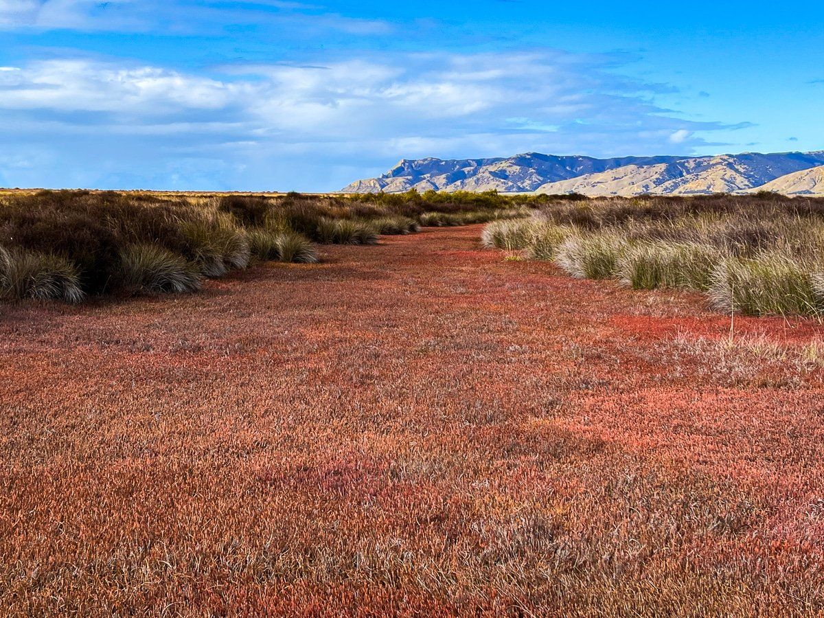
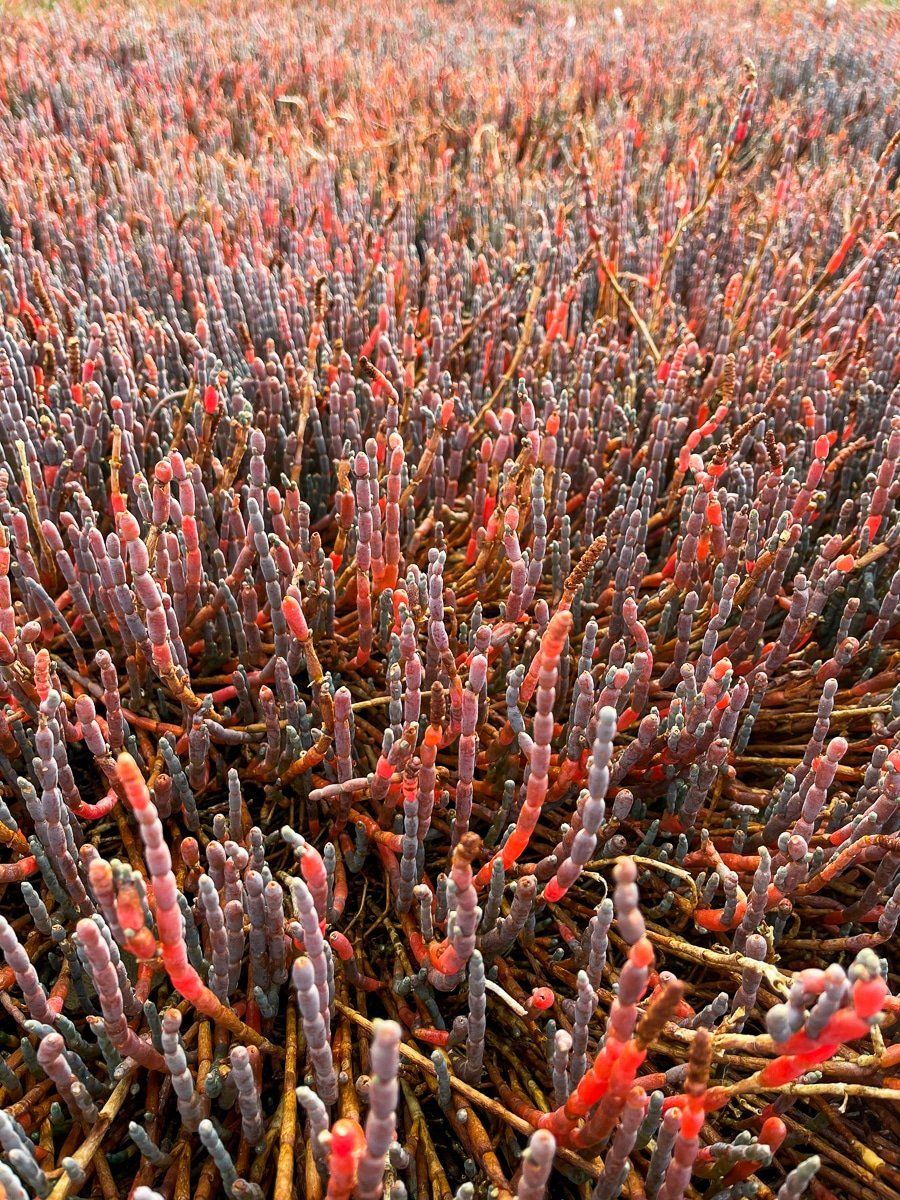
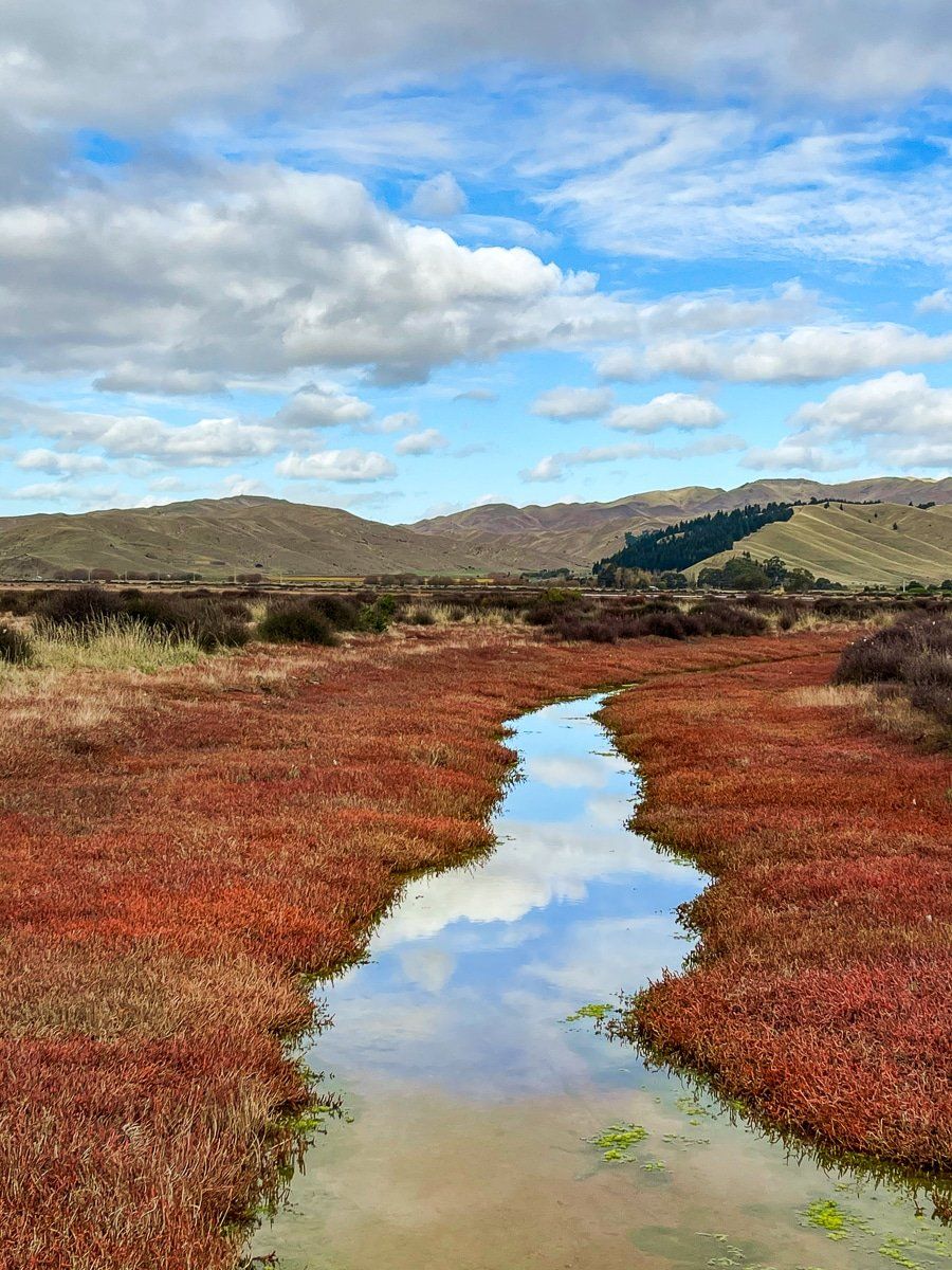
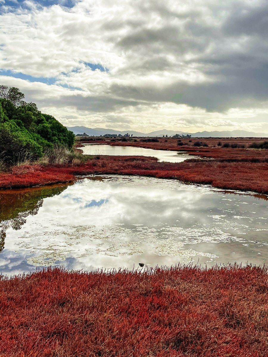
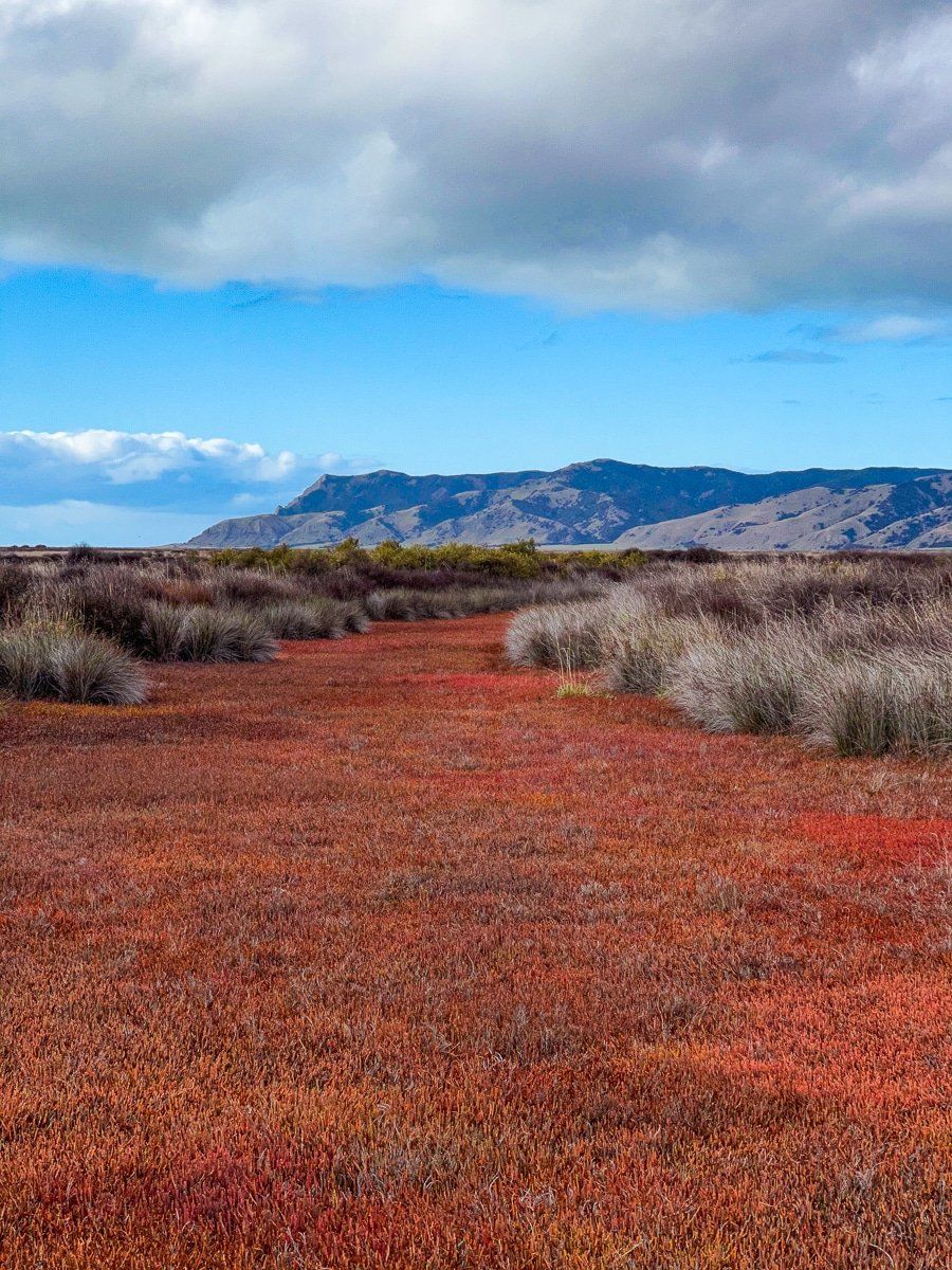
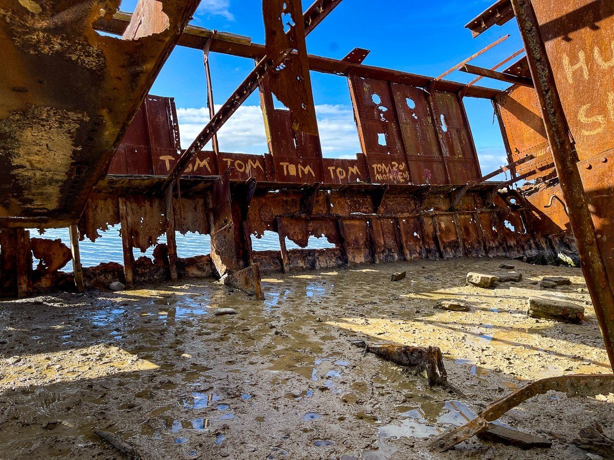
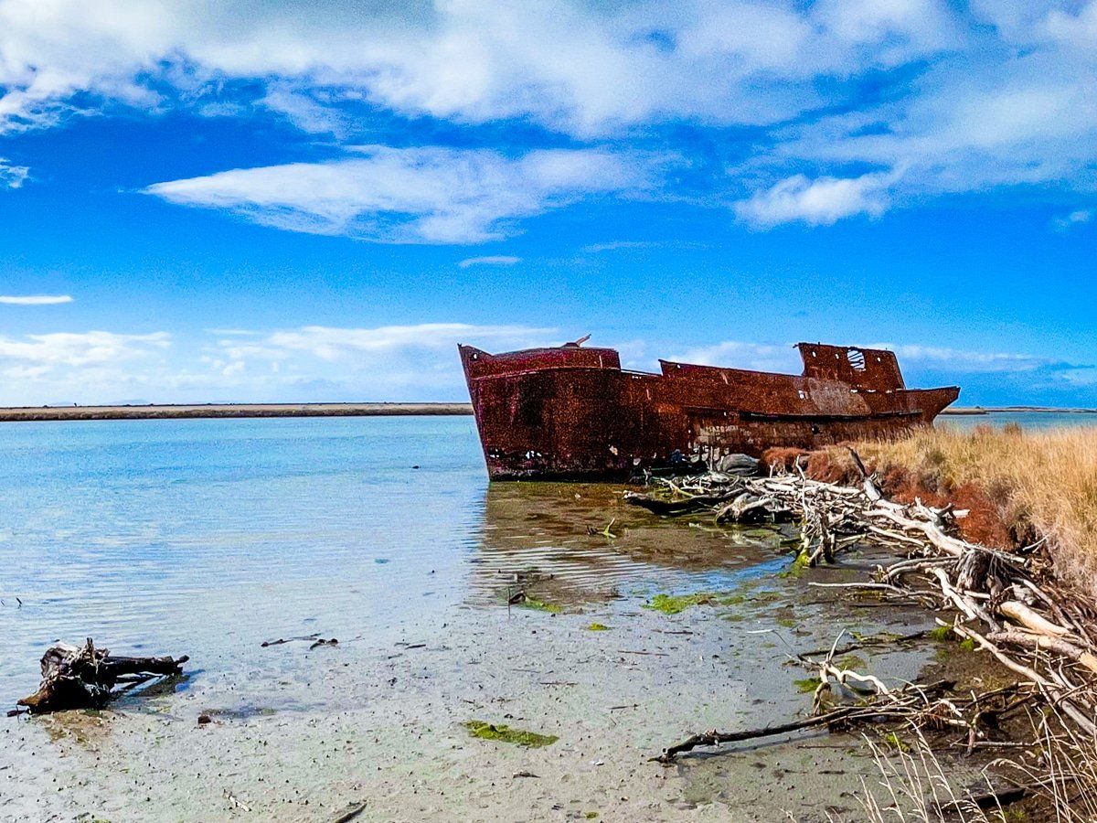
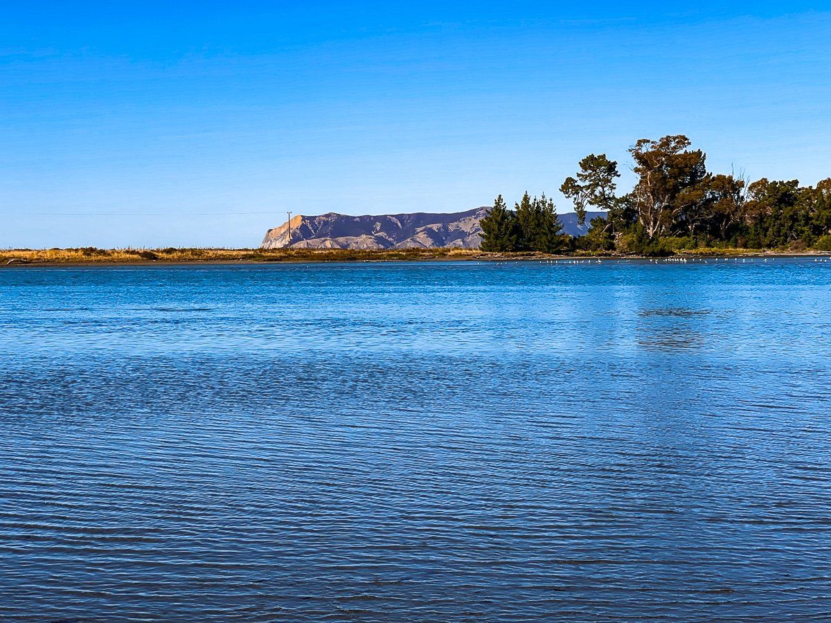
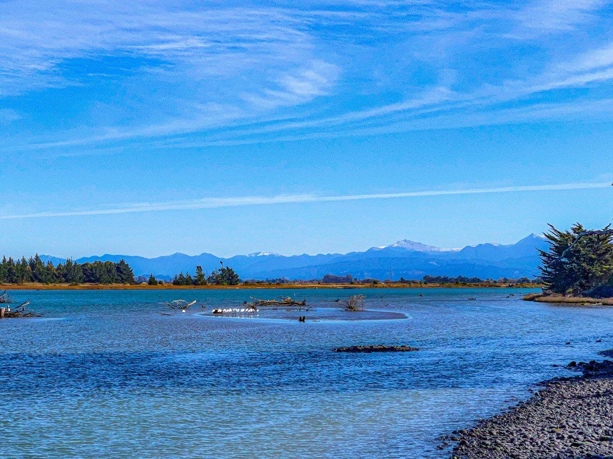
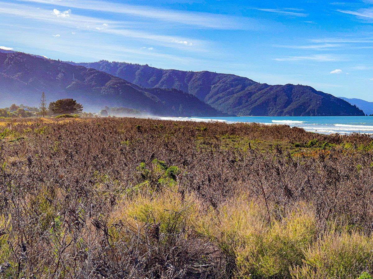
The Wairau Lagoons sit immediately behind the southwest side of Cloudy Bay, behind the Boulder Banks. Getting there is quite a different hiking experience for New Zealand, as the track goes through a wide expanse of mostly red and orange grasses and grasswort (a low growing succulent), and leads to the Waverley shipwreck on the lagoon inlet from Cloudy Bay.
You can do the walk there and back, or as a loop around the edge of the main lagoon. Allow about two hours for the full loop, and note that parts of the track would be very slippery in wet weather.
To get there, take State Highway 1 heading towards Kaikoura. A few minutes outside Blenheim, take Hardings Road and park at the road end.
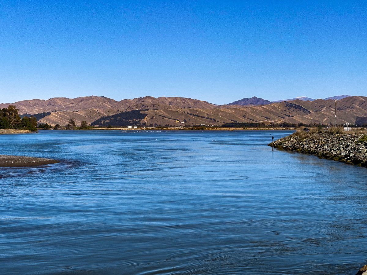
Wairau River
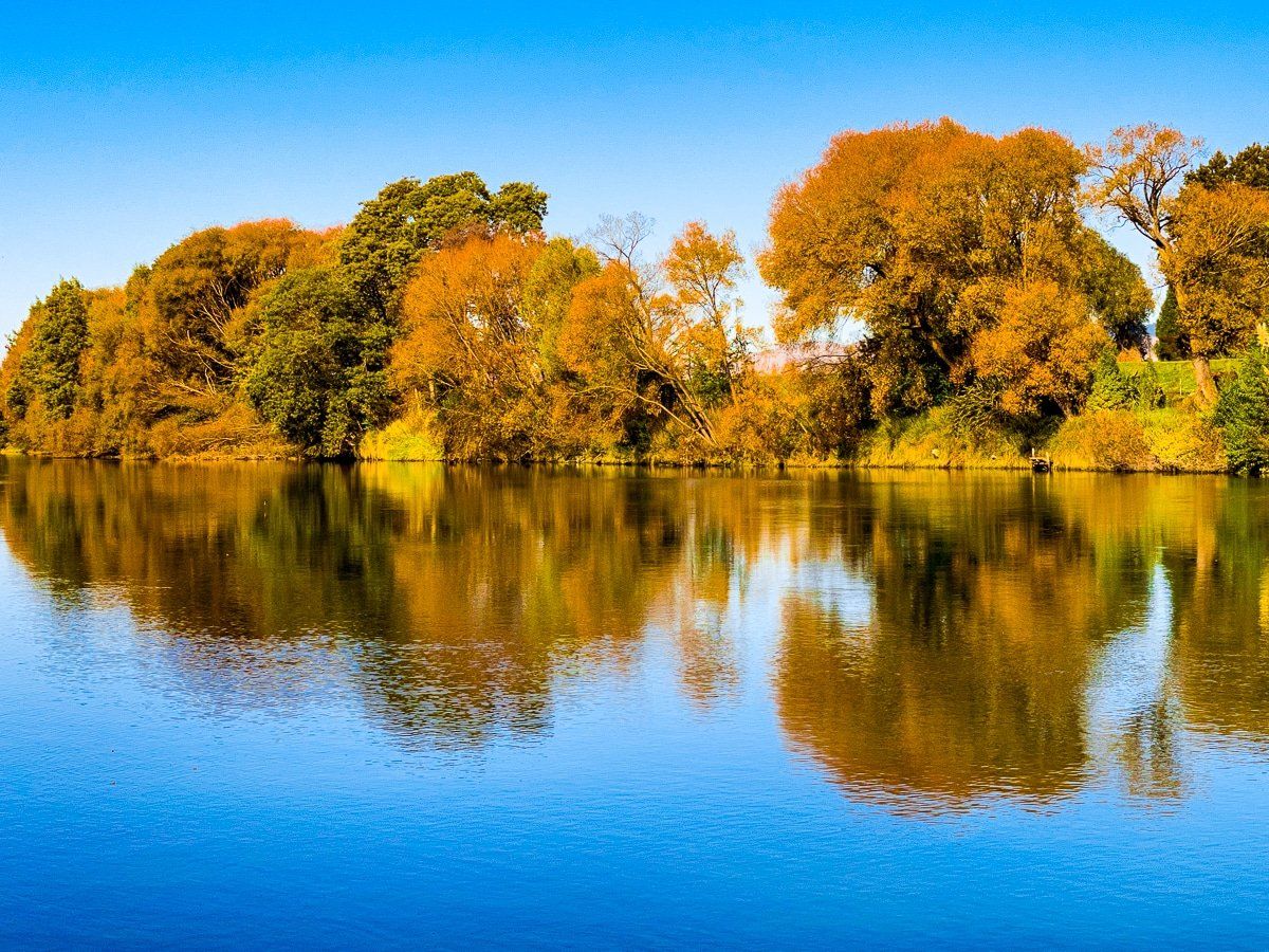
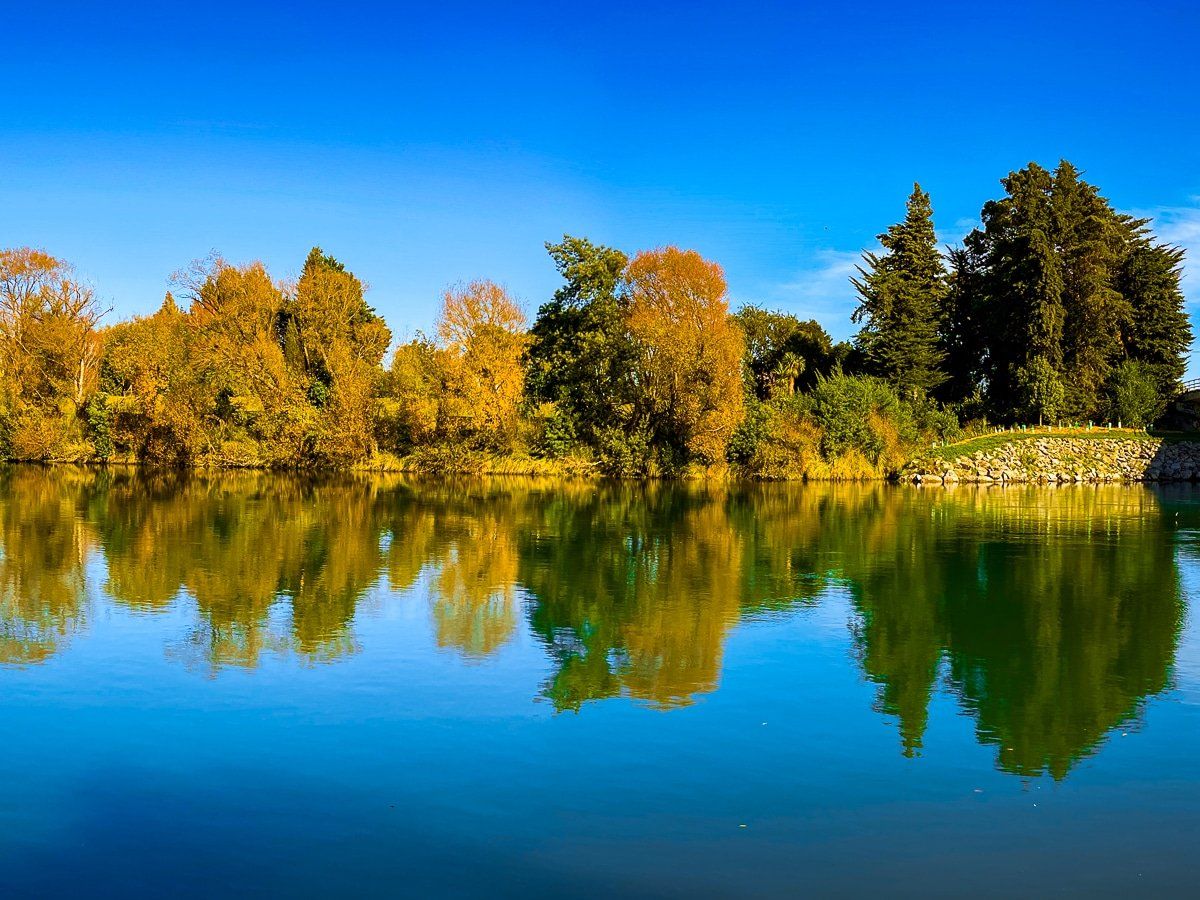
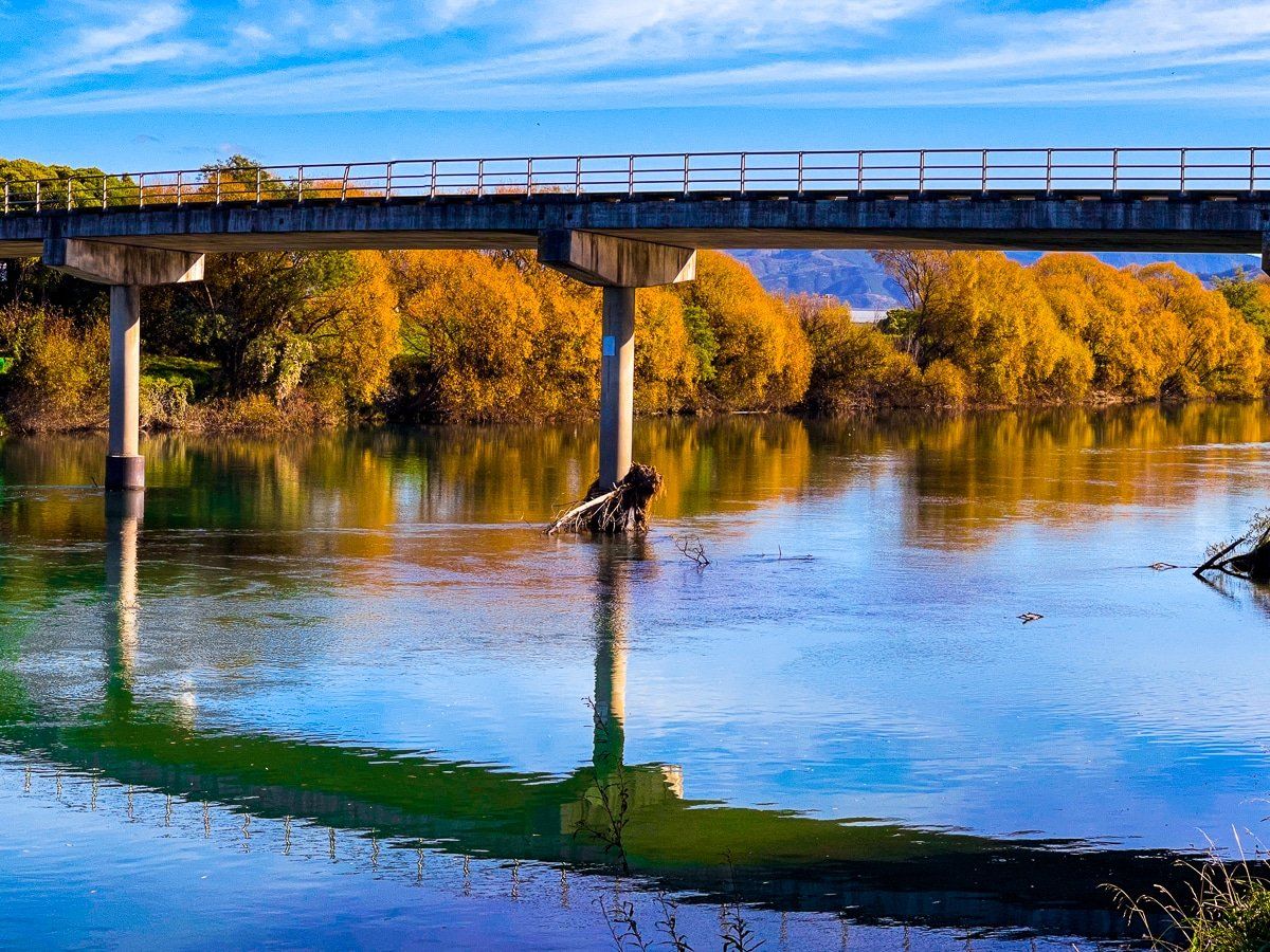
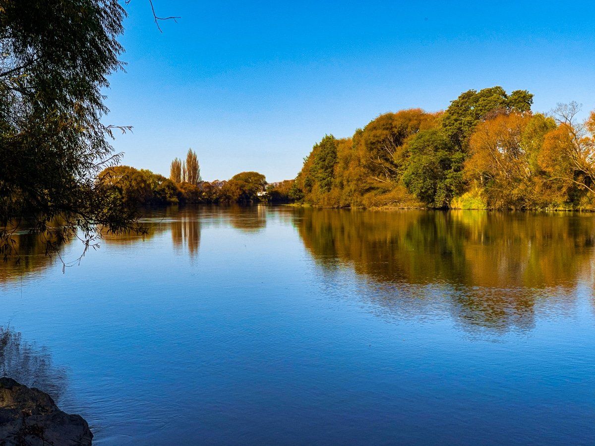
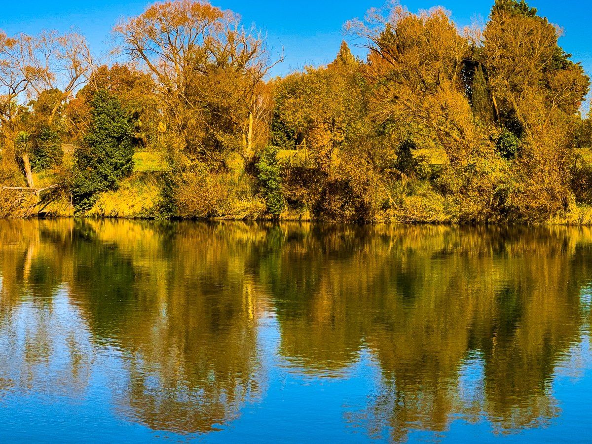
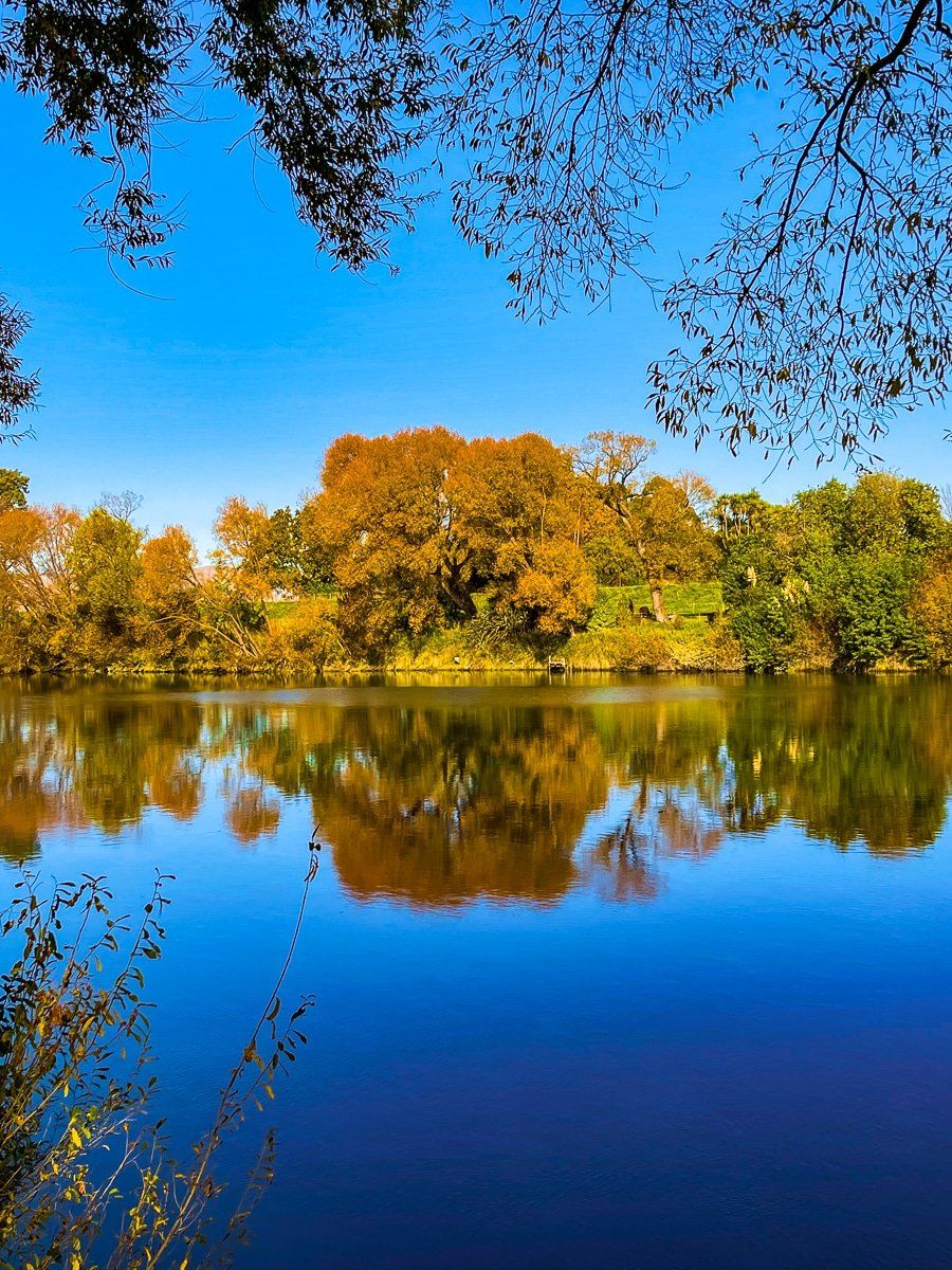
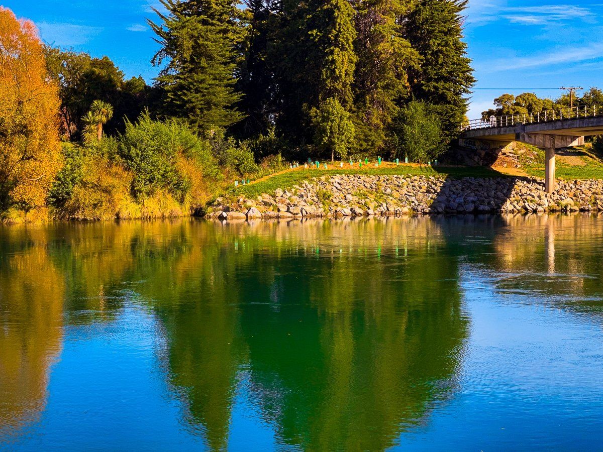
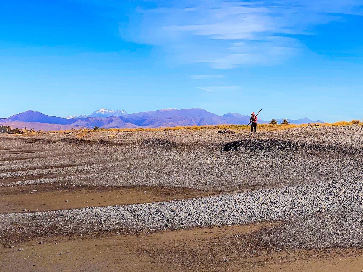
The Wairau River runs along the north side of the wide river plain behind the bay, then heads southeast to exit about halfway along Cloudy Bay Te Koko O Kupe. The river mouth is also the connecting point for the Wairau Lagoons. You can get to the river from many places in the valley, but these photos were taken over the bridge behind Spring Creek, a hamlet just to the north of Blenheim.
Wairau Bar and SS Kennedy Wreck
Continuing with the shipwreck theme… To visit the SS Kennedy Wreck, cross the Wairau River behind Spring Creek, off State Highway 1 and north of Blenheim. Turn hard right onto Wairau Bar Road and continue to Wairau Bar – you’ll see a campground at the end of the sealed road. Continue for a short distance towards the river mouth to find the SS Kennedy wreck on the edge of the bar before the river mouth.
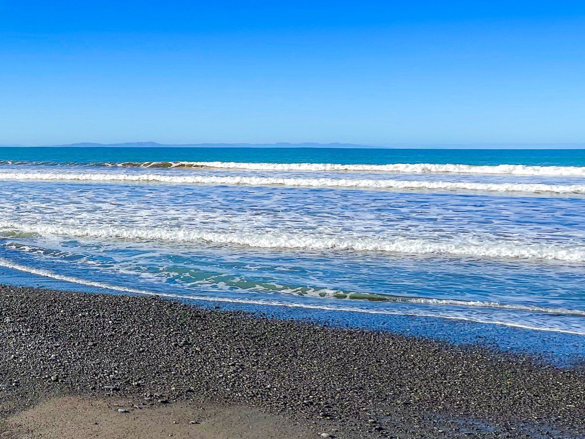
This is a very remote, wild place. You can access the beach from the bar but it’s stony and definitely not the spot for a swim!
Cloudy Bay Te Koko O Kupe
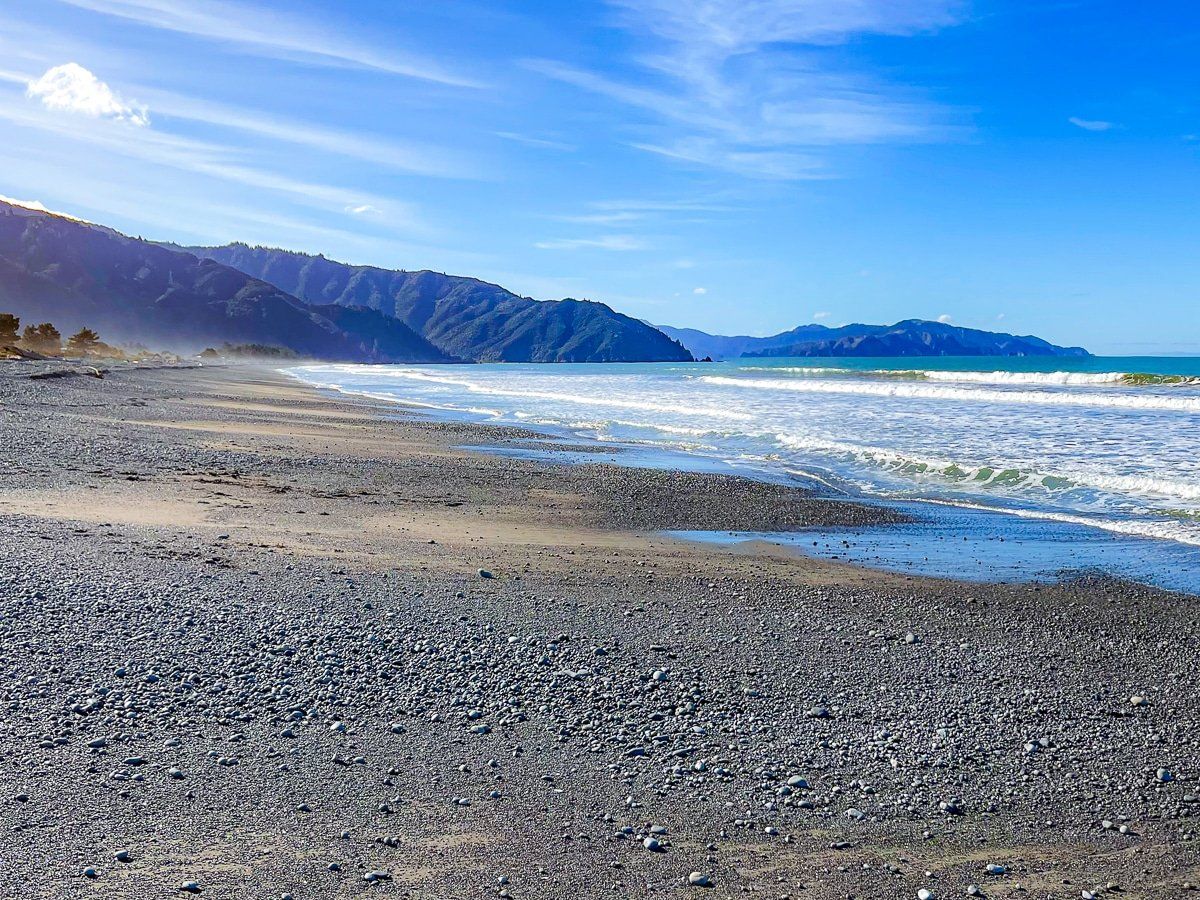
To better explore Cloudy Bay’s beaches, take State Highway 1, turning towards the bay at Tuamarina. Take Hunters, then Pembers Road towards Rarangi. As you approach the bay, you’ll see a sign for Blue Gum Corner – there’s direct access to the beach here.
You can also continue north along Rarangi Road to the campground beside Rarangi beach, or go to the car park at the far end of the beach and bay. From here, you can continue on to the Marlborough Sounds via Port Underwood Road.
Te Ana-o-Rongomaipapa Bay
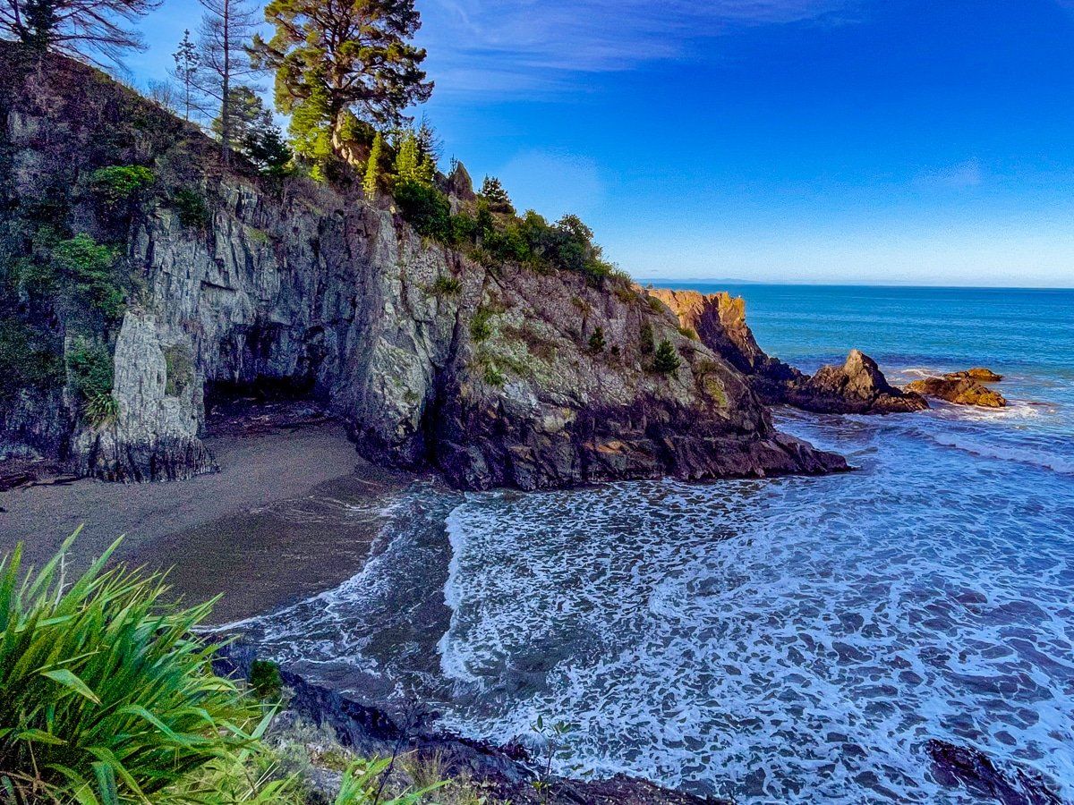
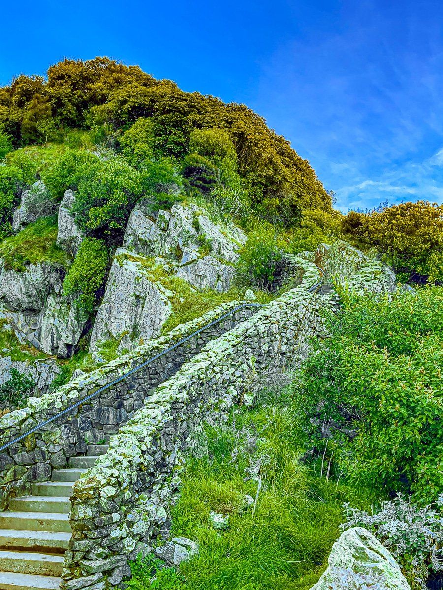
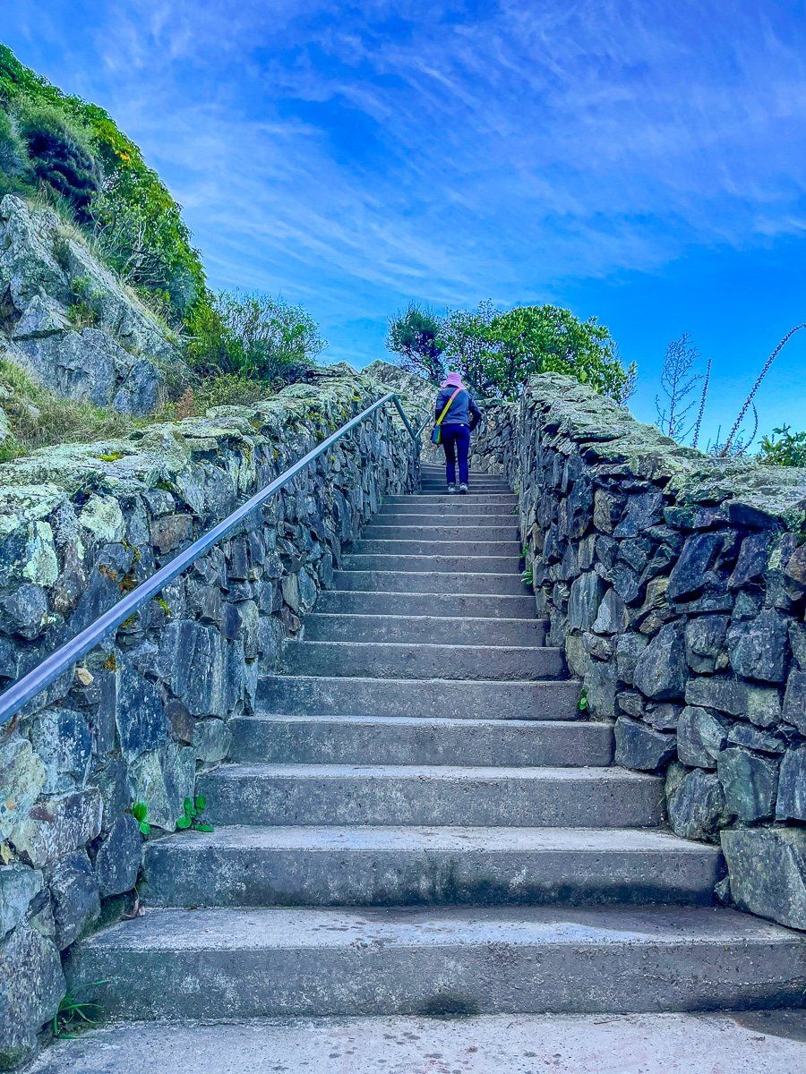
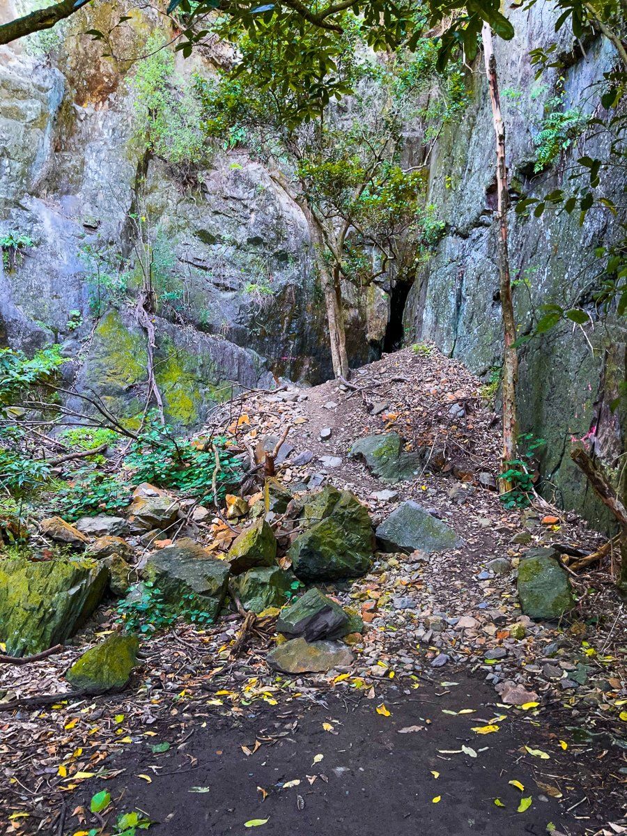
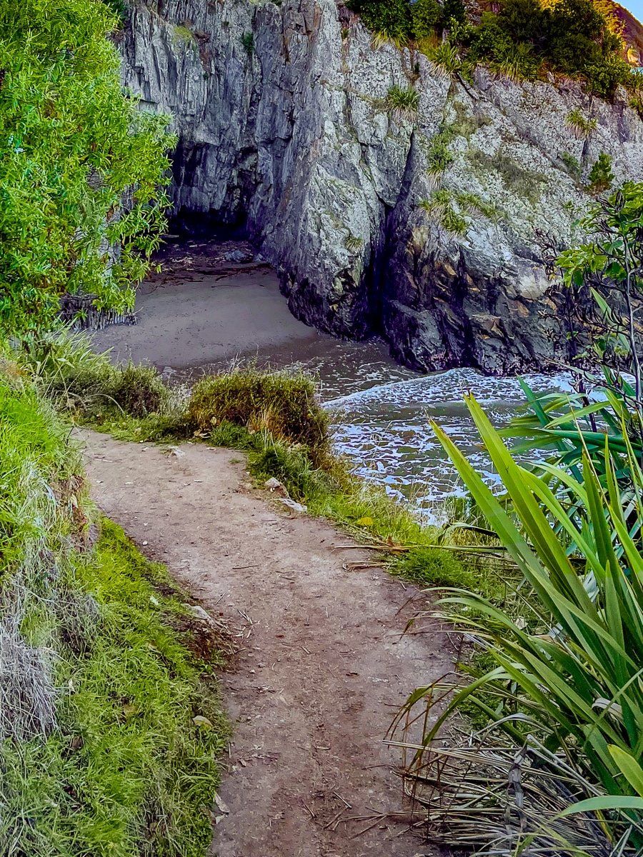
Unless you drive to the north end of Cloudy Bay Te Koko O Kupe, you would never notice this short walkway to Te Ana-o-Rongomaipapa Bay – or the amazing view across the bay from the top of the staircase. The walk down to the small bay from the viewpoint does have a steep drop, so take care.
At the bottom of the decline, there’s a narrow tunnel that you may be able to get through safely at low tide. The bay itself is not really a place to hang out, but there’s a short track to another cave entrance just behind the car park. A while back from the car park is another track that gives access to Pukatea Whites Bay, the next bay round the coast.
Want more Marlborough trip ideas?
Check out our recent post about Clifford Bay, which runs from the Awatere River mouth to Cape Campbell and incorporates Lake Grassmere, Marfells Beach, Mussel Point and the Cape.
