The normal route from Dunedin to Central Otago takes you down State Highway 1, then along State Highway 8 to Alexandra. But, so long as there is no rush, there are other options with deviations. On this trip, we left SH1 and headed to Waipori Falls, with a side trip to the gorgeous Sinclar Wetland, then a winding remote metal road above the Waipori River. We then drove on to Lake Mahinerangi, pretty much in the middle of nowhere, then to Gabriels Gully, sight of the first gold diggings in NZ, followed by Lawrence to connect with SH8. Further on, we stopped at Roxborough Dam to round out the trip.
On the way back we intended to visit the Lower Manorburn outside Alexandra, but a typo by the navigator took us to the Upper Manorburn instead! But it took a while which means we will have to go back to pick up some others on the hit list!
Sinclair Wetlands
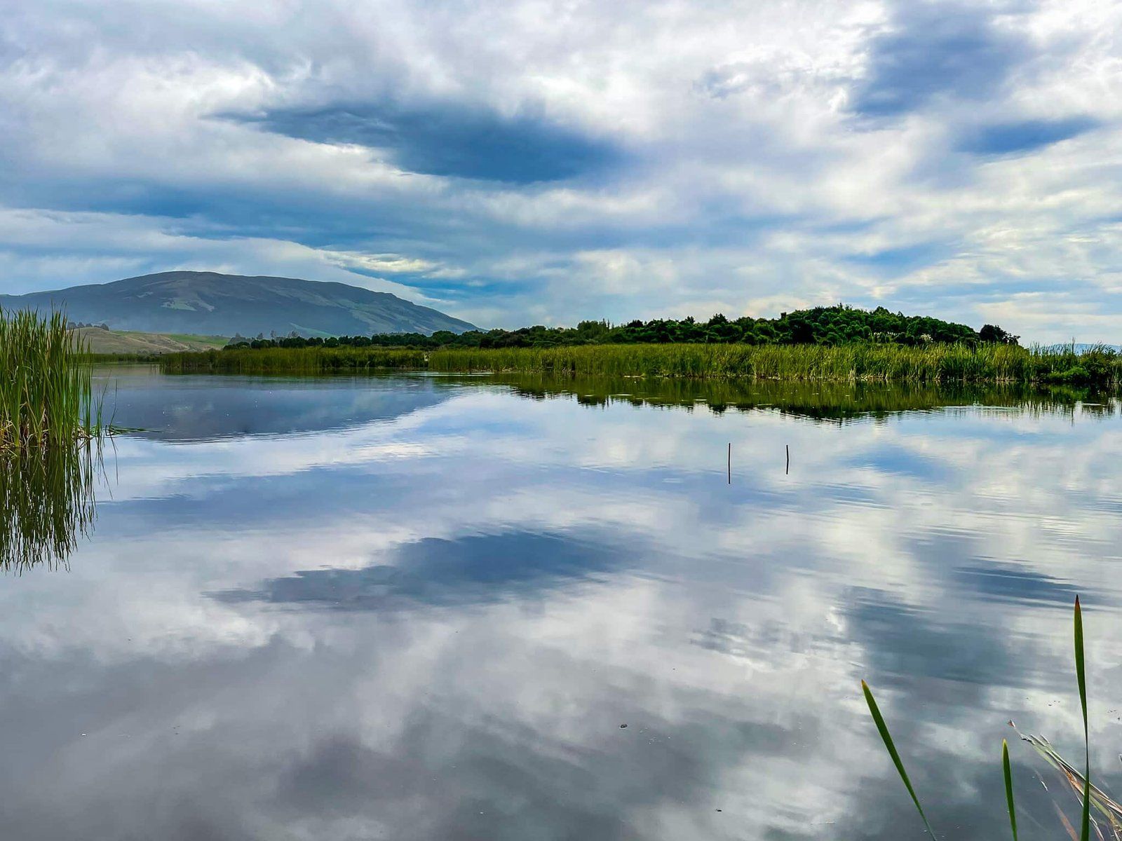
Sinclair Wetlands Te Nohoaka o Tukiauau are a short deviation as you head towards Waipori Falls Road from SH1 along Henley Berwick Road. Turn left onto Berwick Road at Berwick to head around the west side of Lake Waihola and Lake Waipori wetland complex. Keep going till you see the signposted driveway access for the wetland facilities and camping sites.
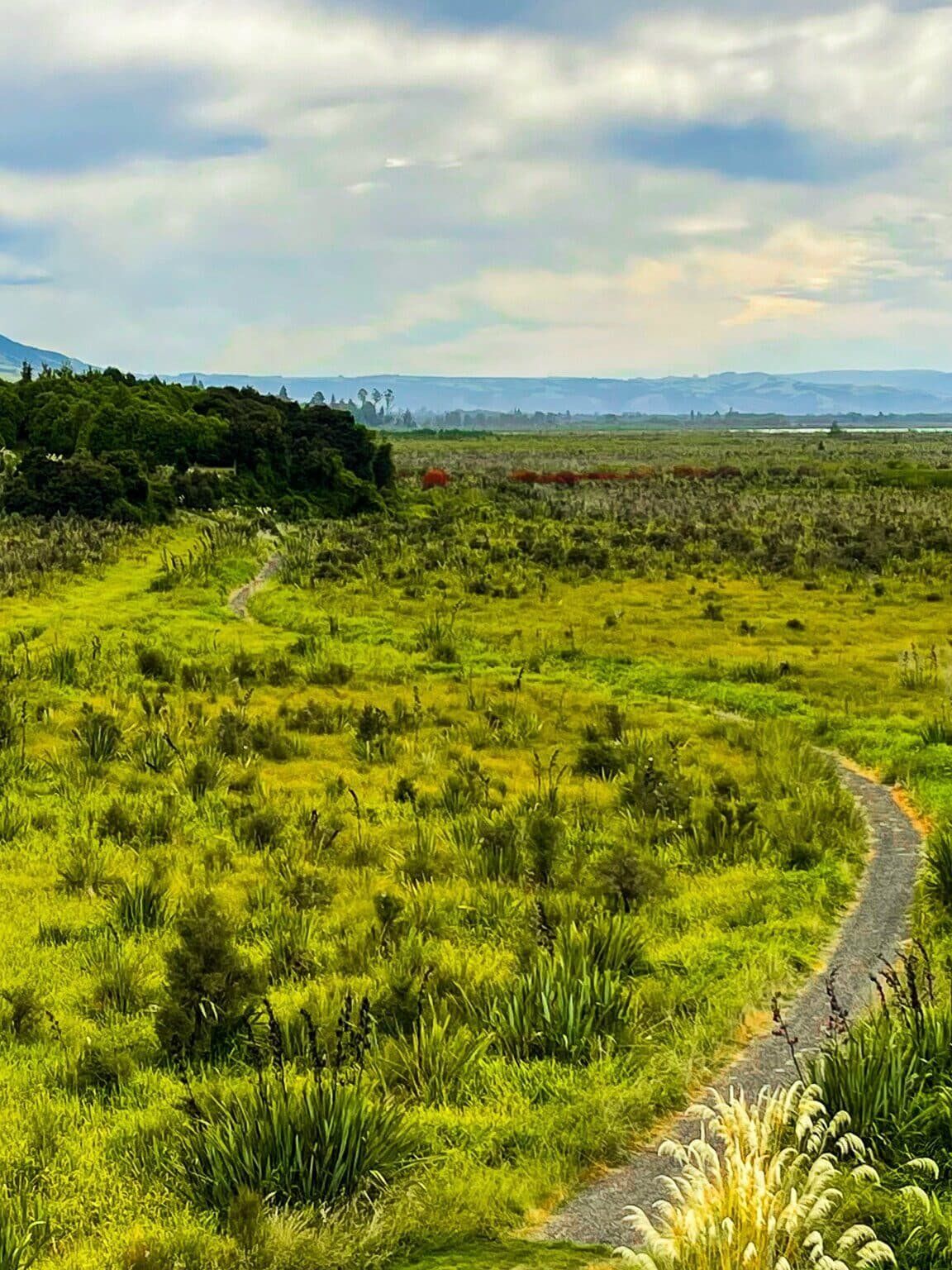
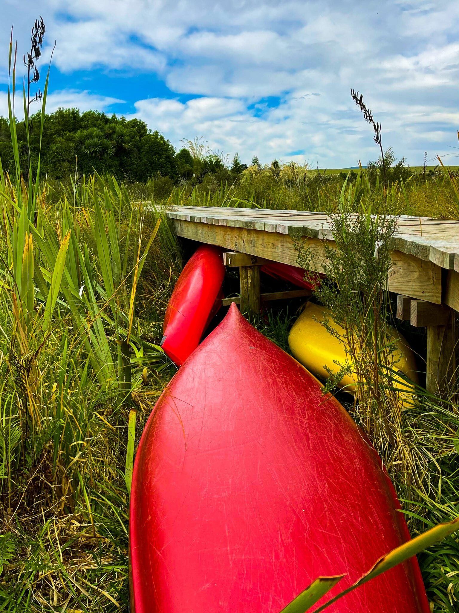
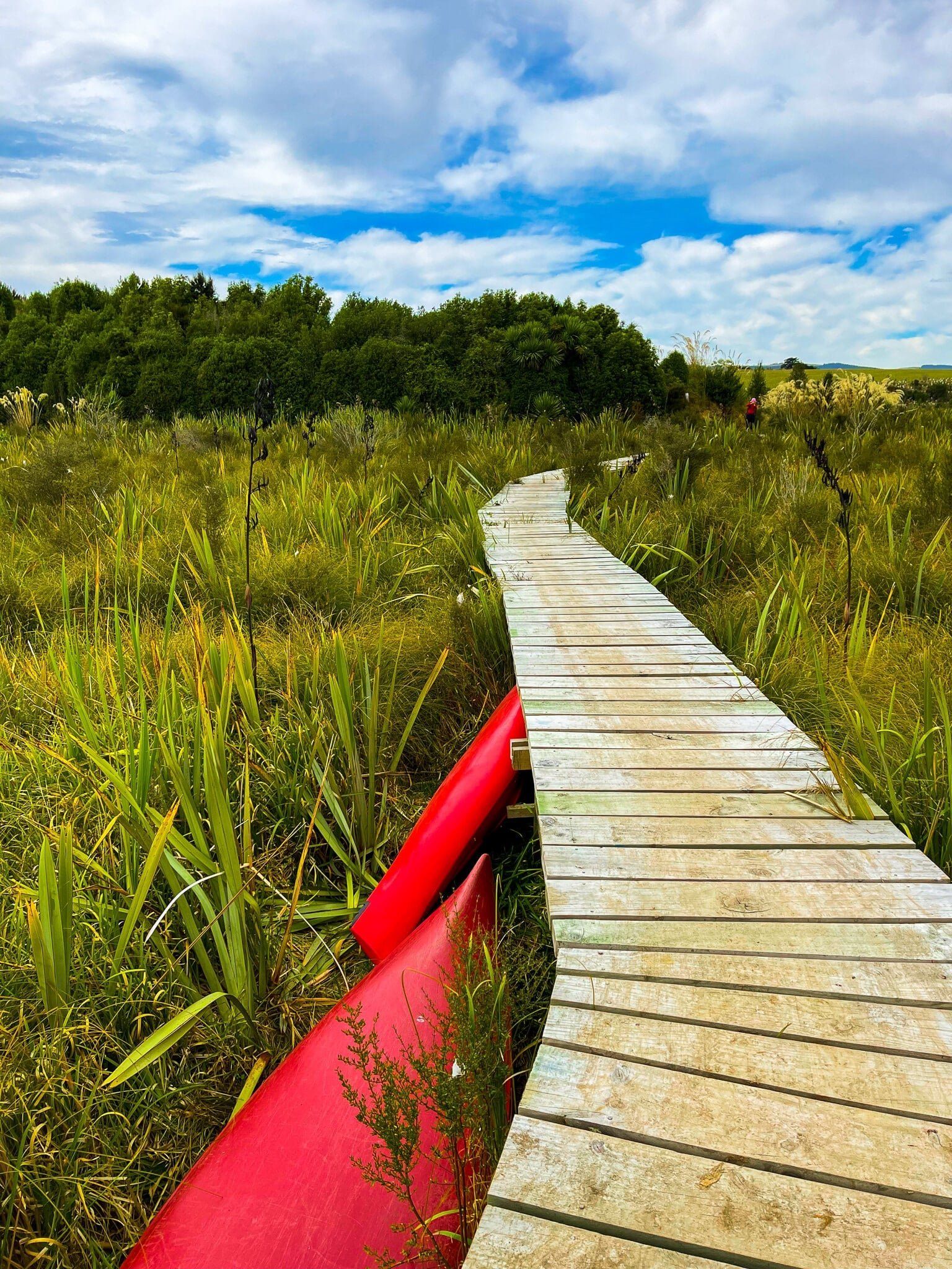
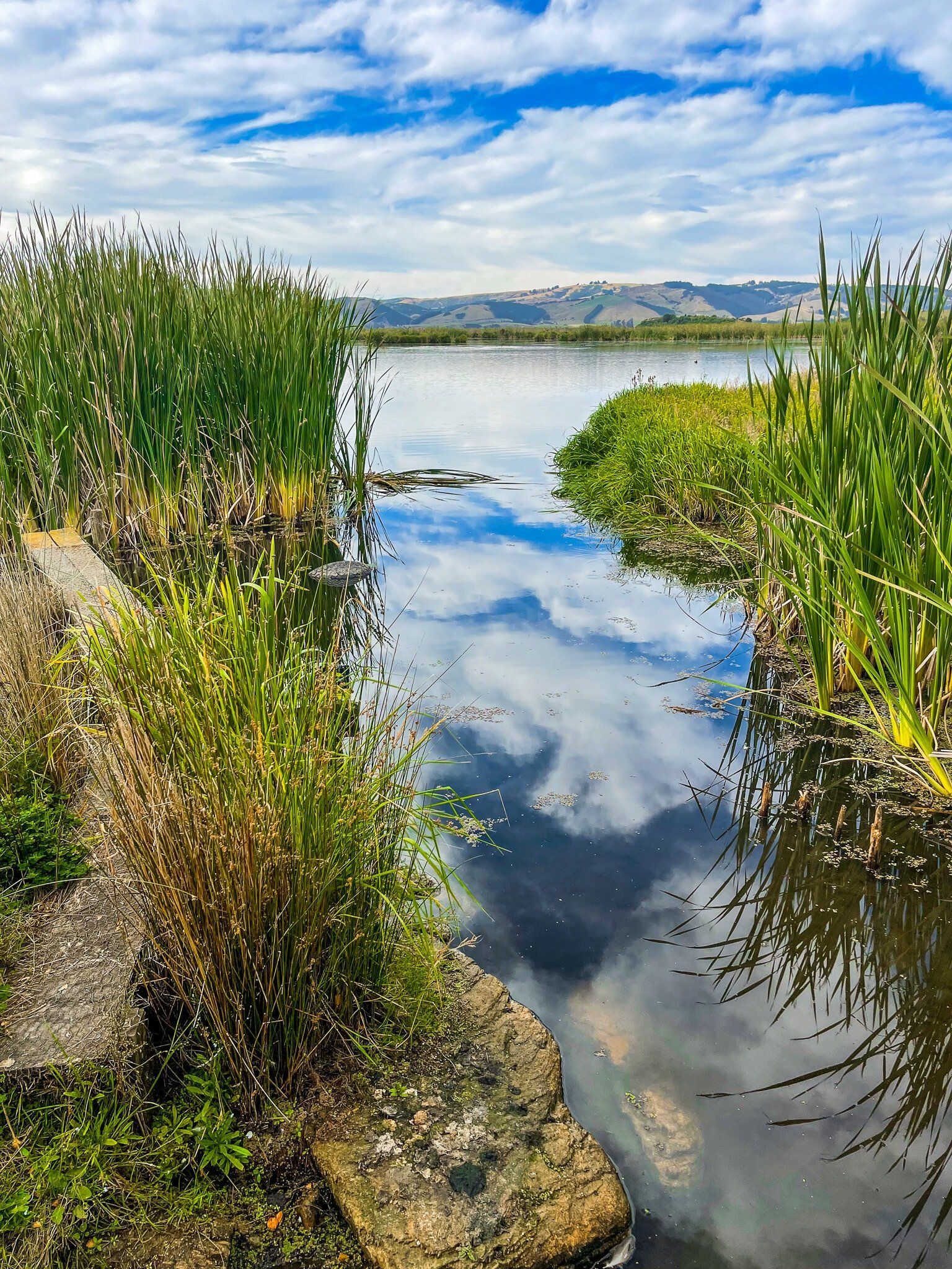
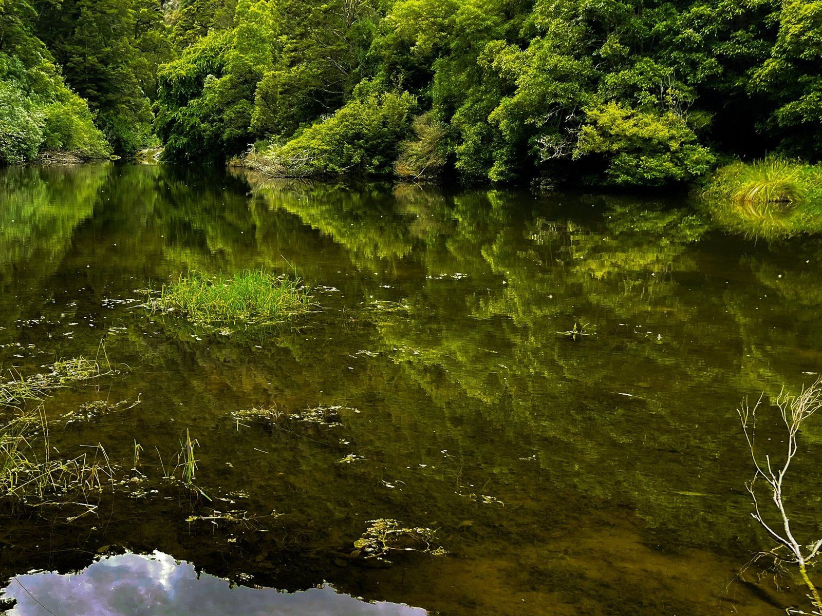
Once there, follow the tracks, boardwalks and explanatory signs around the wetlands, including over to a couple of obvious islands (Whakaraupuka/Ram and Lonely) which provide expansive views. This is a very pretty place, with plentiful birds and native regrowth. You may even get to see a rare native fernbird (mātātā).
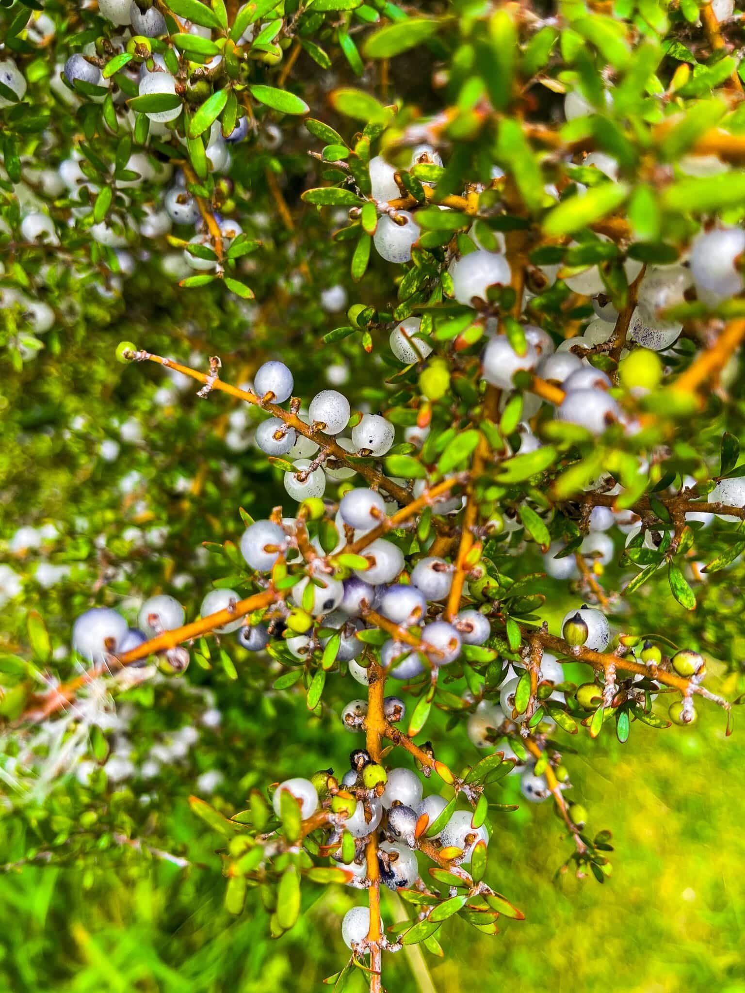
The wetlands are substantial at 315 hectares and internationally renowned, with an interesting conservation history. Taieri Plain to the northeast was mostly drained and converted to farmland in the 1800s. Two lakes survived at the south end of the plain – Waihola and Waipori – along with some connected swampland. In 1960 Horrie Sinclair stopped draining water from around the swamps, allowing them to start recovering. In the 1980s the wetland was formally protected and in 1998 Ngāi Tahu took possession as part of the Ngāi Tahu Claim Settlement Act. Since then, there has been continuing efforts to restore the wetland, including large scale replanting of native shrubs and trees.
The Māori name for the wetland arises from the early 18th century. Tukiauau and his Ngāti Mamoe iwi, pursued by Ngāi Tahu, took refuge on Whakaraupuka, where they stayed for a time.
Waipori Falls Road
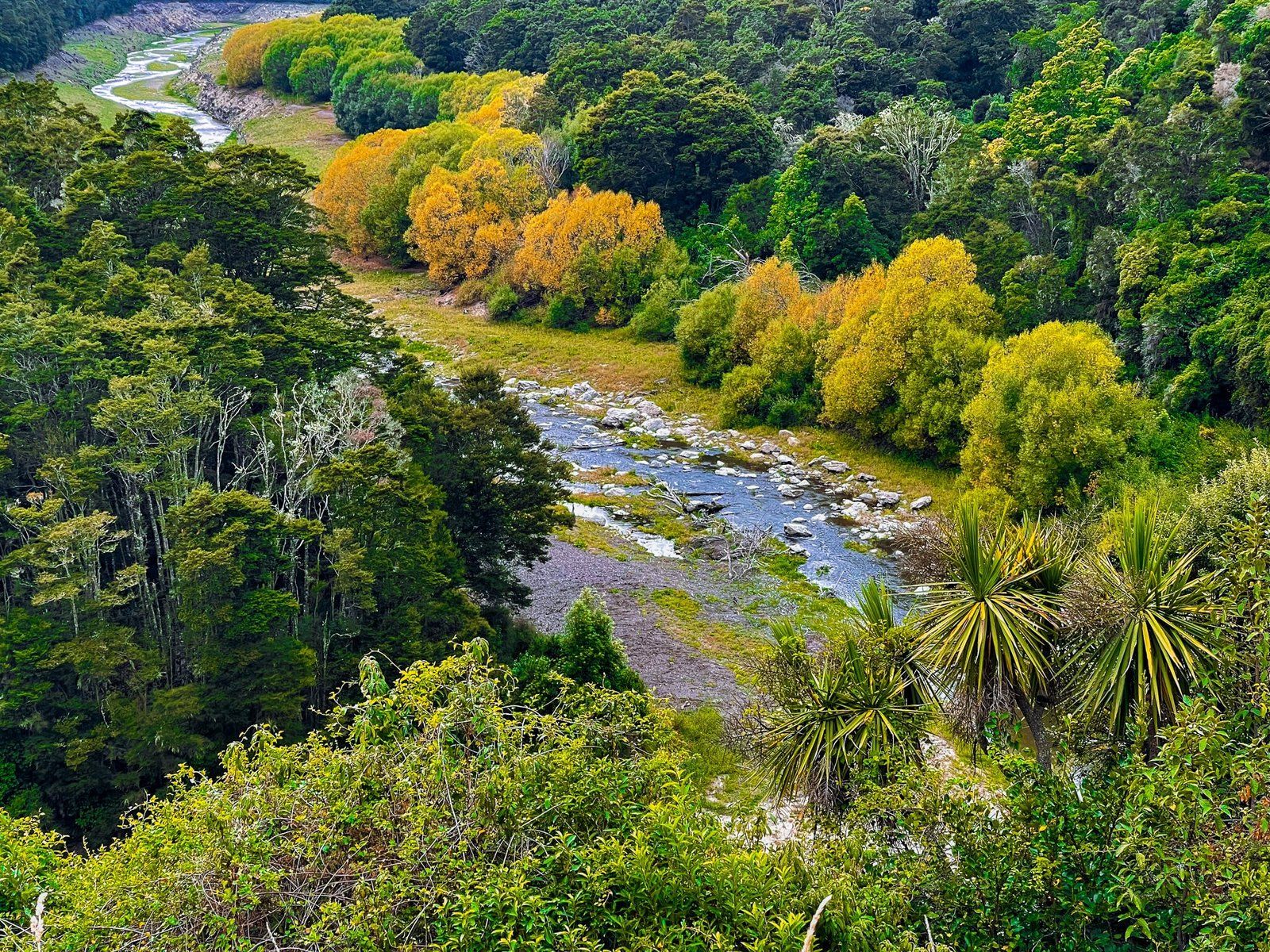
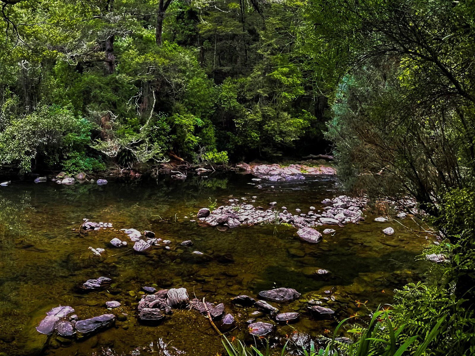
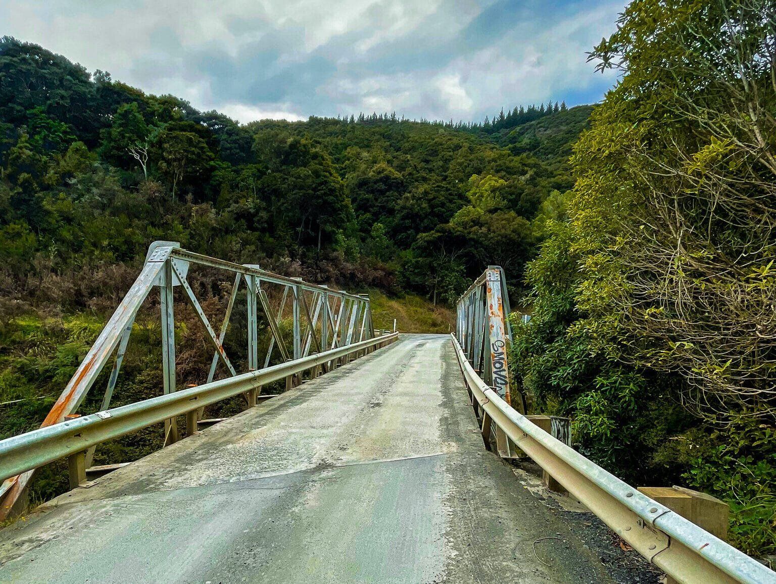
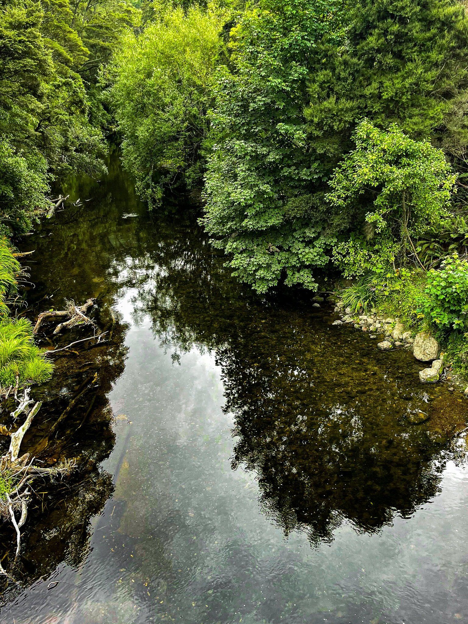
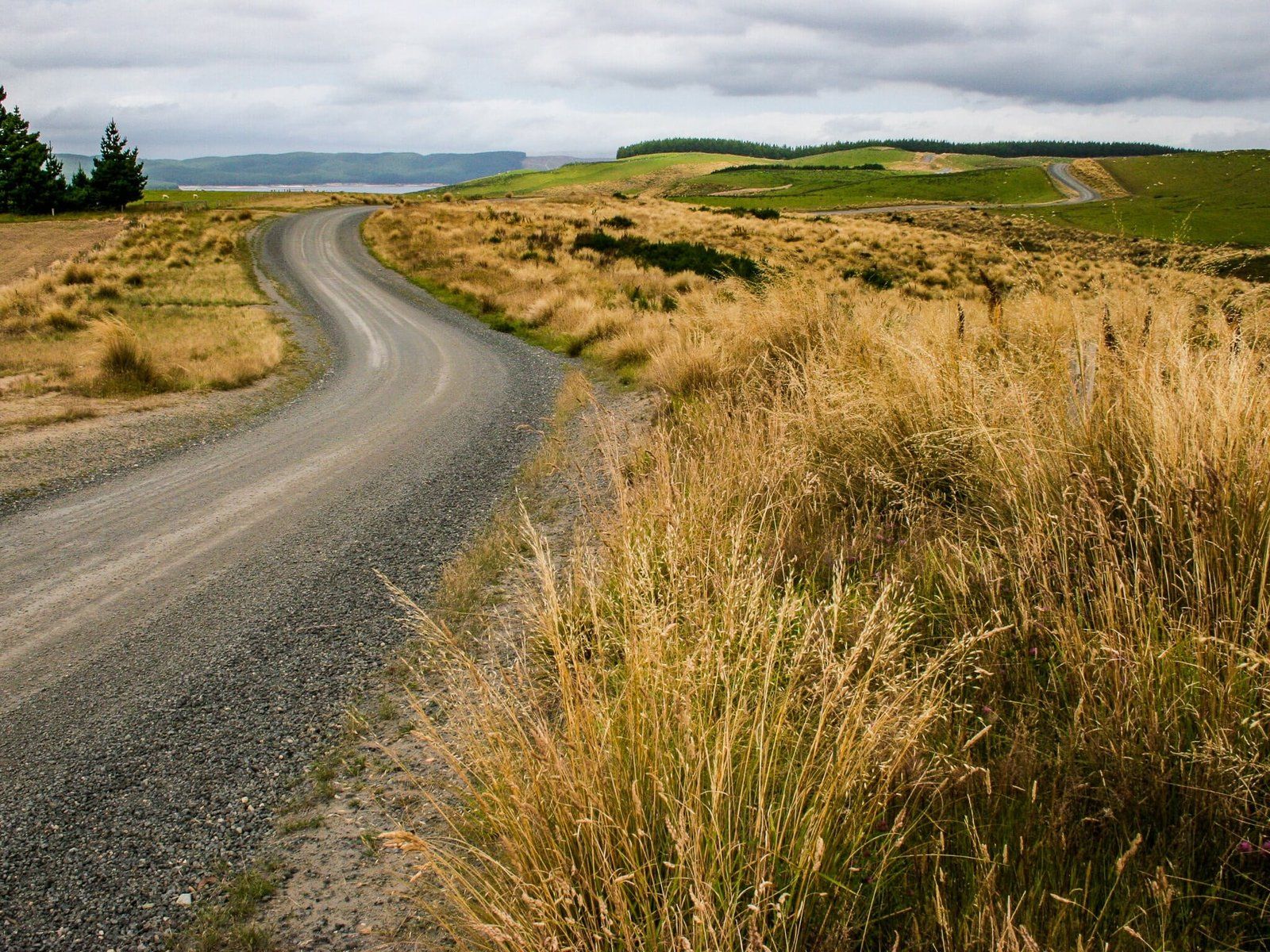
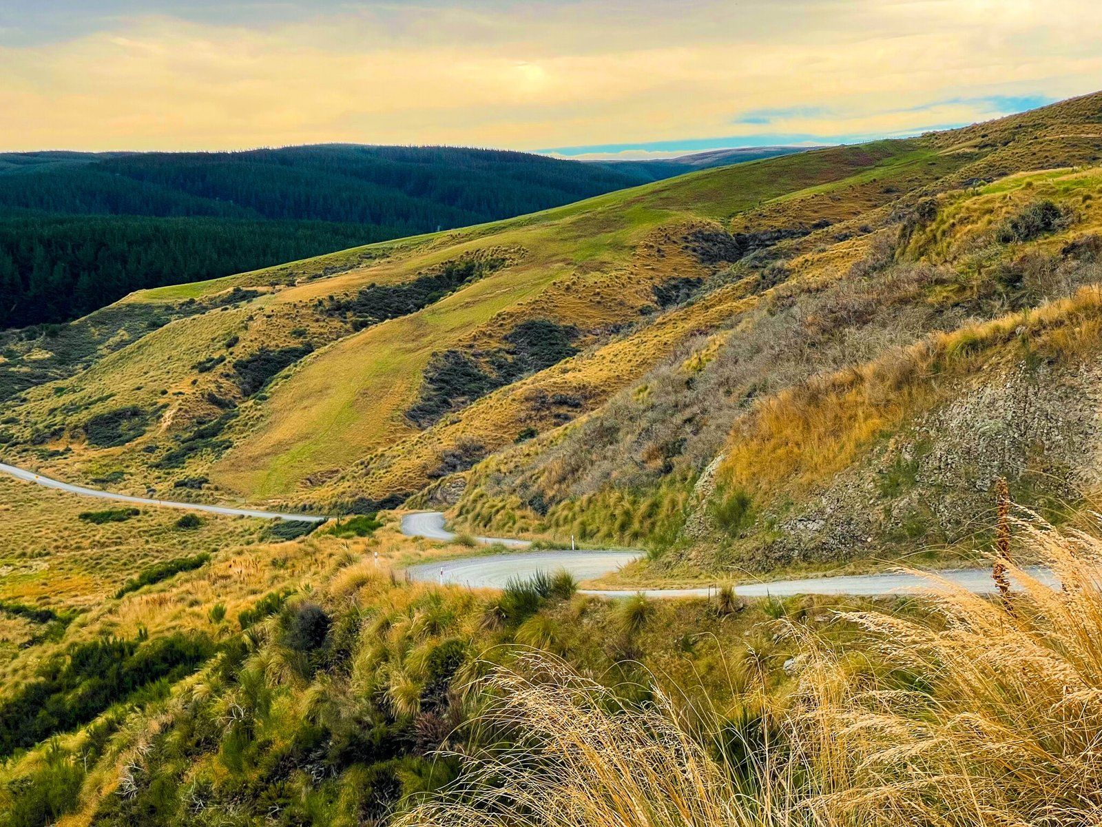
If you have driven along the Taieri Plain on SH1, you may have noticed the high hills to the west. The high point, Maungatua, (at 895 metres) is roughly in the middle. Behind this ridgeline lies the largely empty and mostly dry highlands of Central Otago. You can drive into the region at the south end of the ridge line from Berwick along Waipori Falls Road. This is a scenic but windy and often narrow metal road that follows the Waipori River to the hamlet of Waipori Falls. It is also a relatively undisturbed section of native beech forest, which is not so common in this part of NZ.
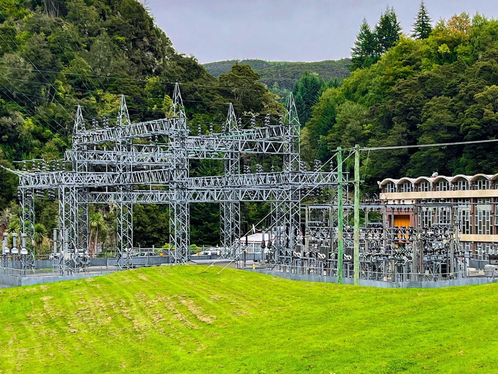
There are several unmarked stopping points with access to the river, so keep an eye out. At times, the road rises high above the river gorge and there are a couple of good viewpoints. You may also notice the river supports a power generation scheme, with access points to power stations down in the valley.
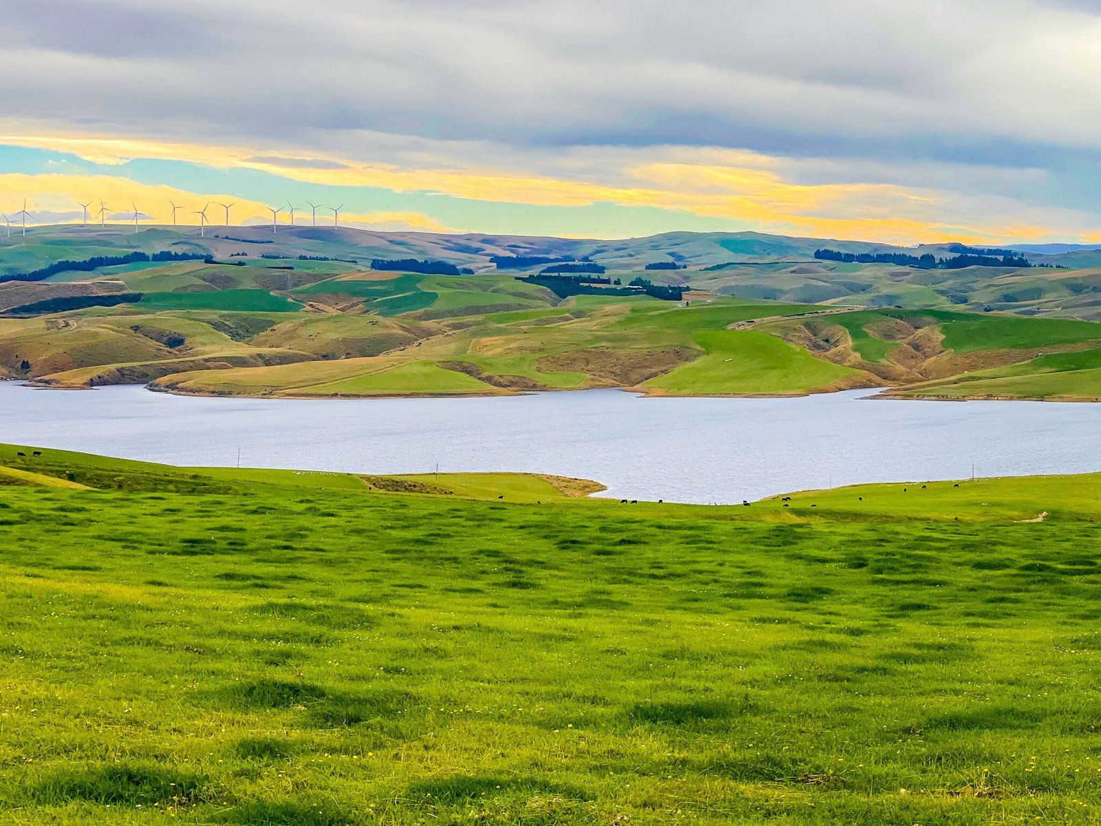
Beyond Waipori Falls, the road continues on to Lake Mahinerangi, the hydro lake created in the early 1900s to support the Waipori River power scheme. This section of the road is less interesting as it passes through a large area of commercial plantation forest until it opens out into high rolling hills above the lake.
Waipori Falls
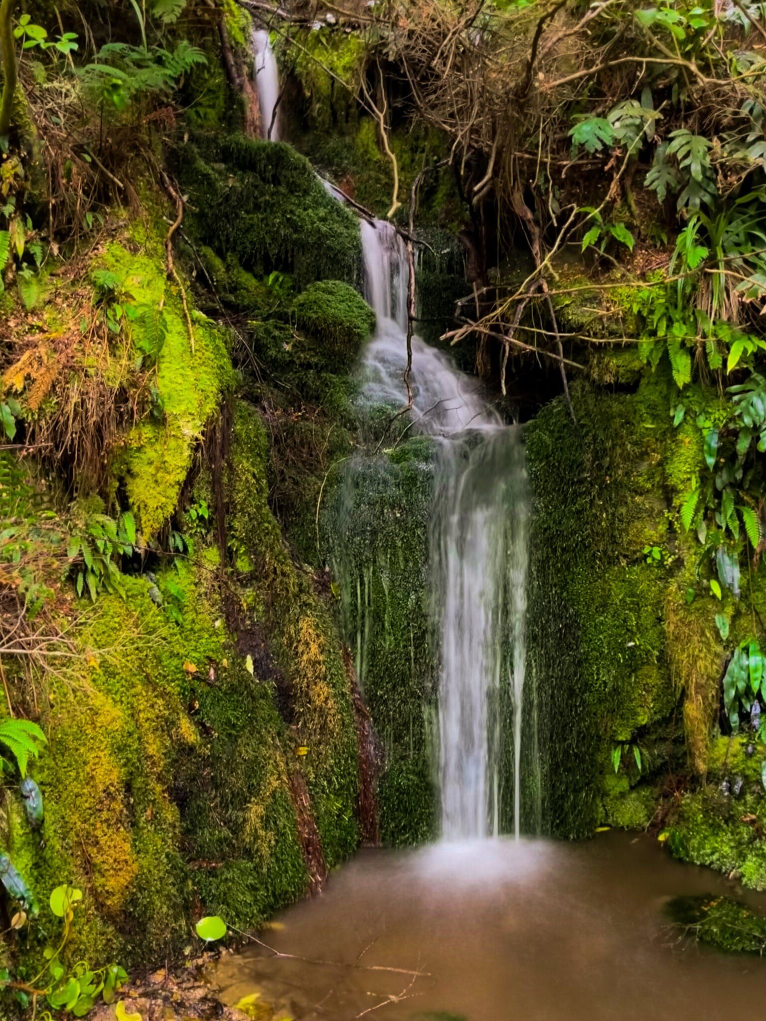
Waipori Falls is a modest hamlet that was created to support the power scheme on the river. To get to the waterfall, take the side road down to the signposted power station carpark beside a large grassed area, surrounded by native forest. There is an obvious sign for the track to “Crystal Falls” that follows the Waipori River gorge. There is also a modest waterfall at the start of the track, but this is not the main event.
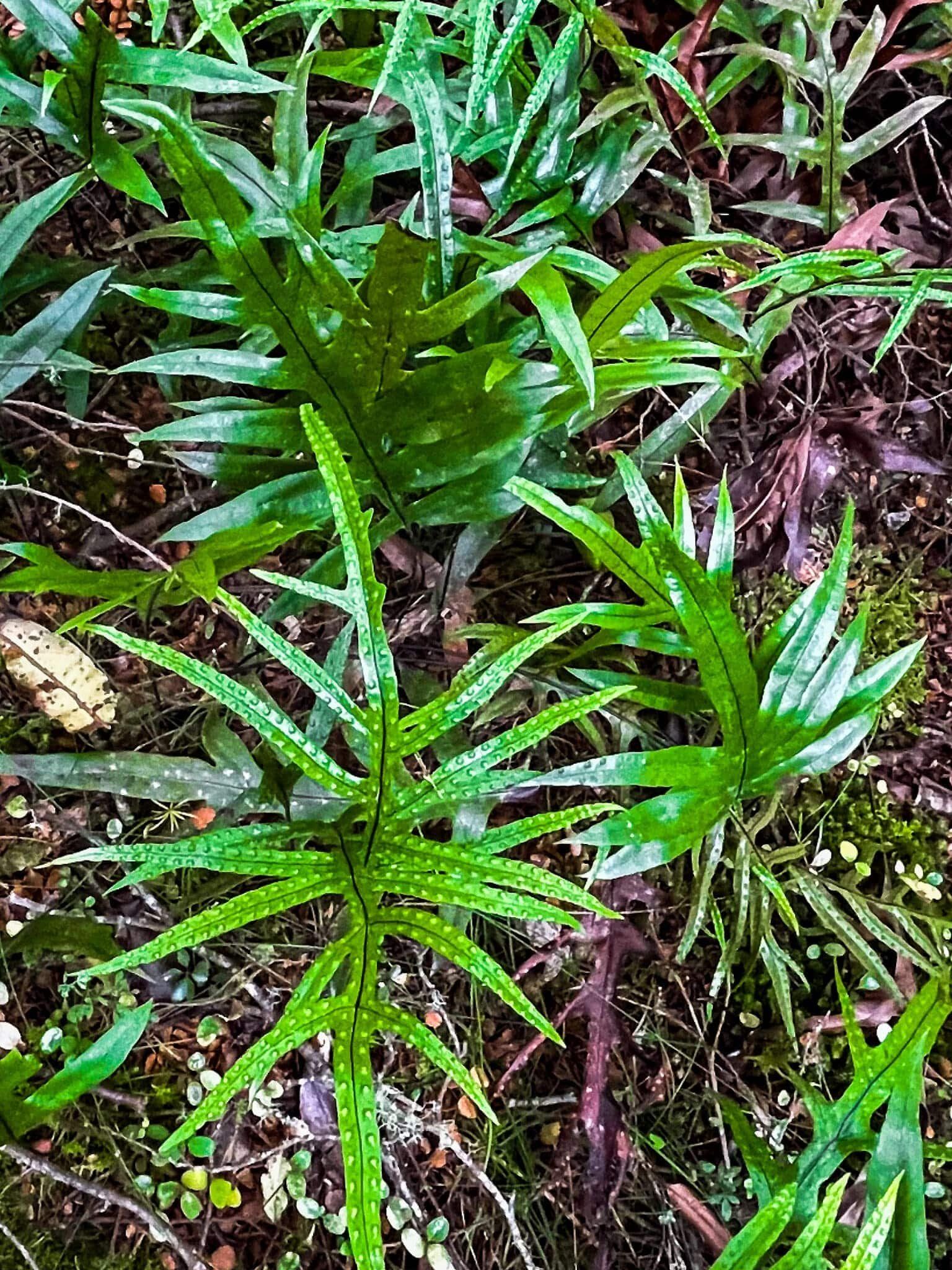
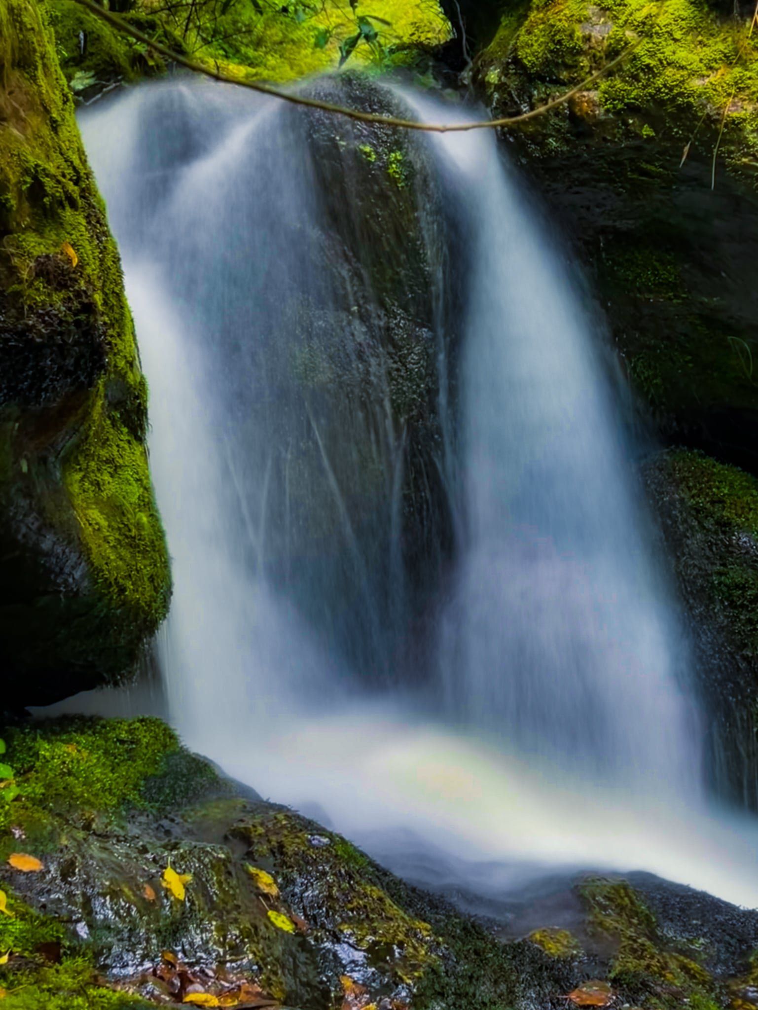
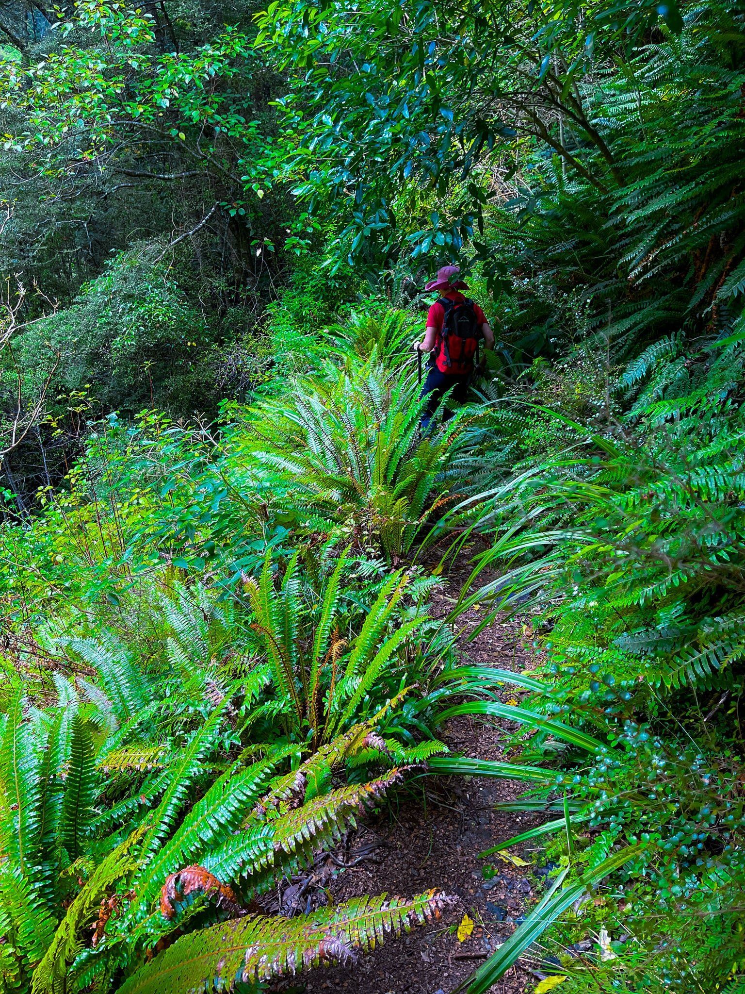
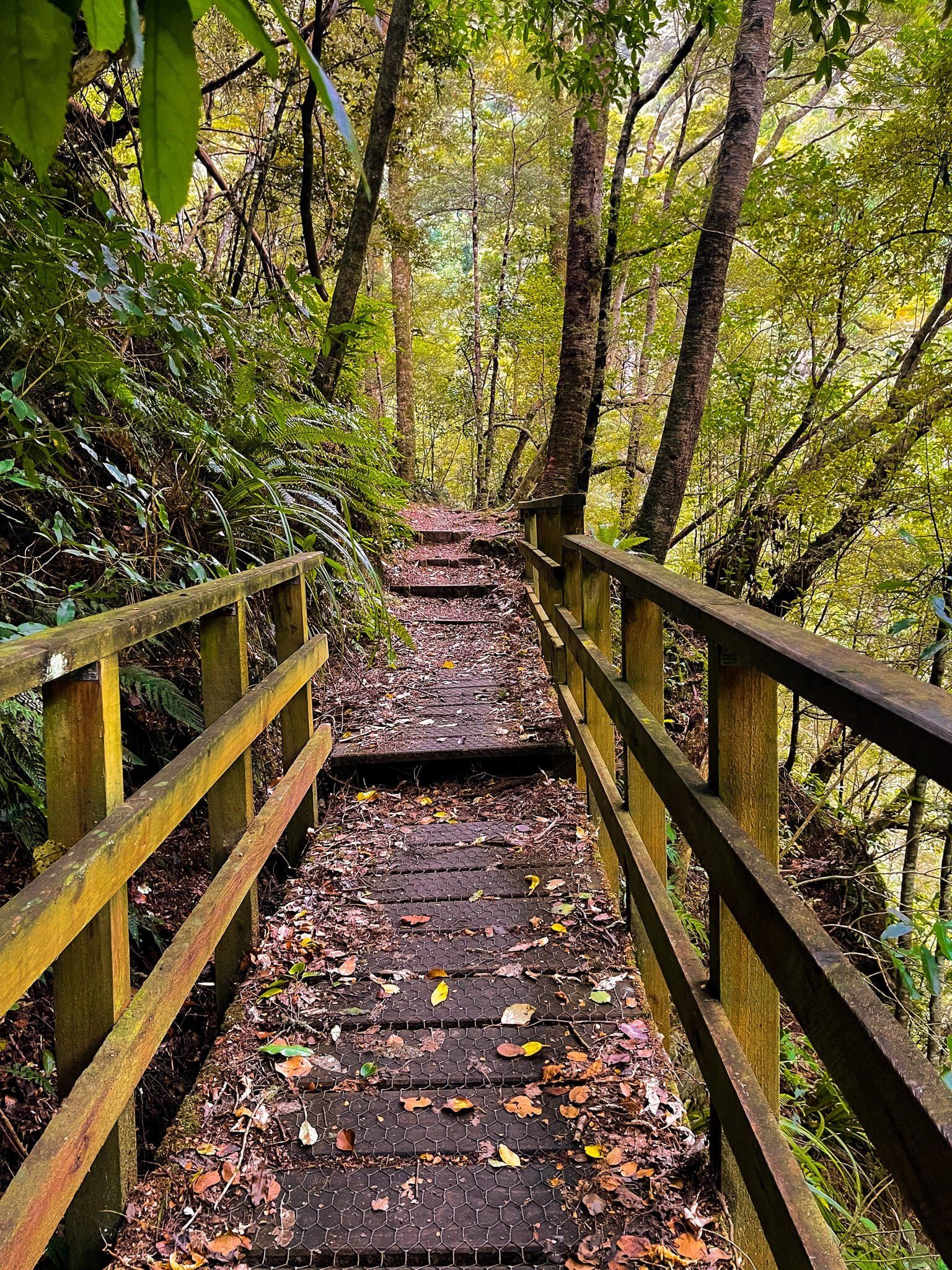
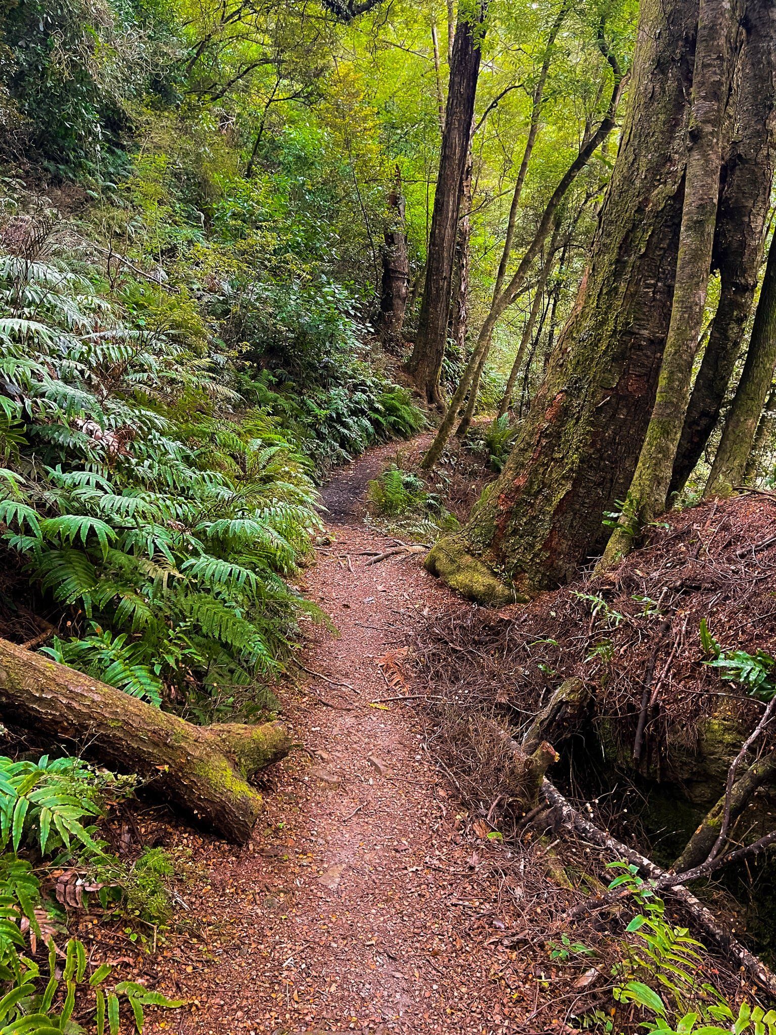
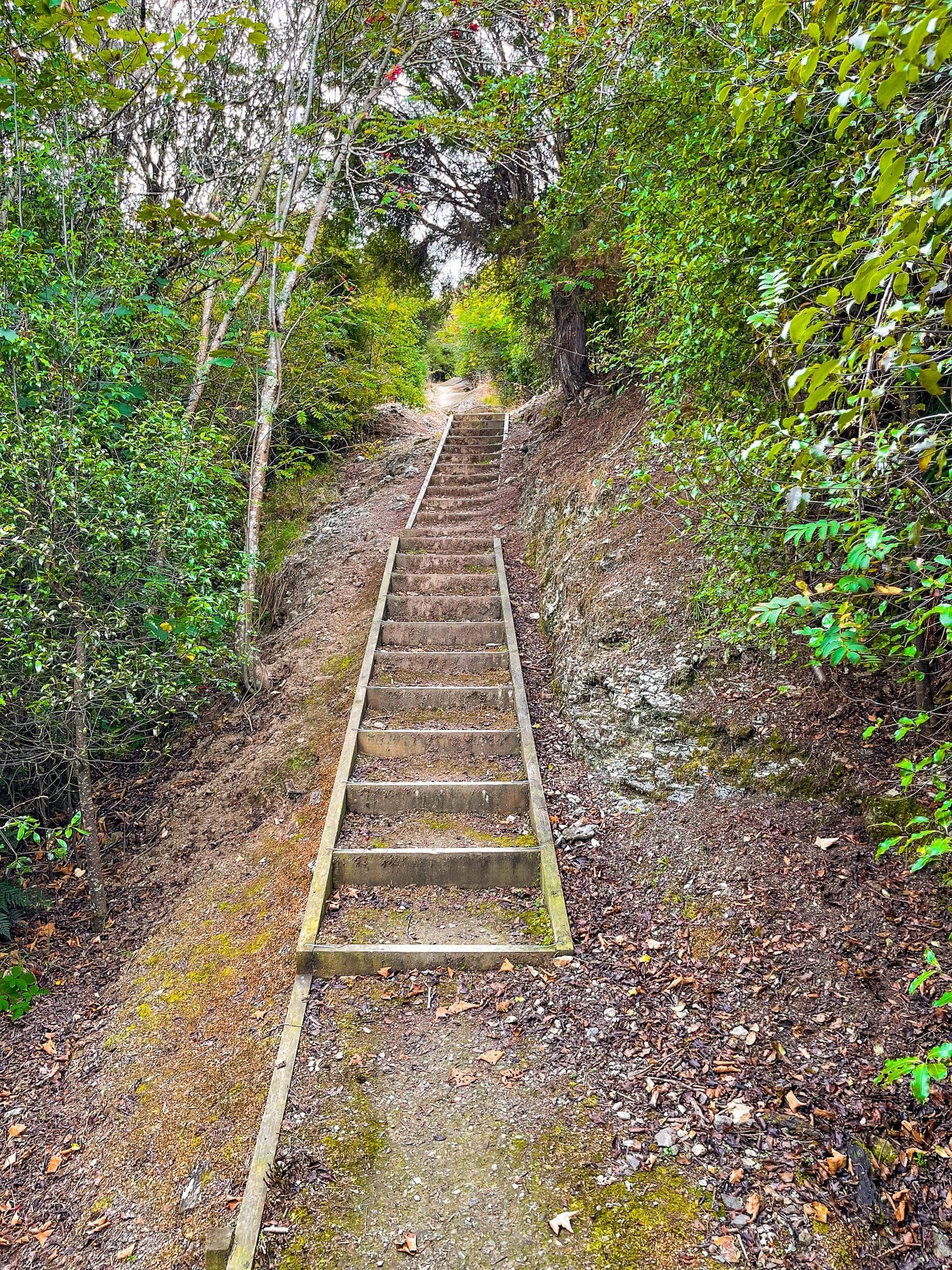
The track is exceptionally pretty with a large number of gorgeous crown ferns being a feature. But it is narrow, probably wet and a bit overgrown, with a steep drop in places, so take care. It only takes about 10 minutes to walk to the end of the track to a viewpoint above the falls, but unfortunately you can’t see anything! So you will need to either choose a spot to clamber down the steep slope to get below the falls (it is doable), or scramble down to the top of the falls (easier) from the viewpoint. There is no obvious path in either case.
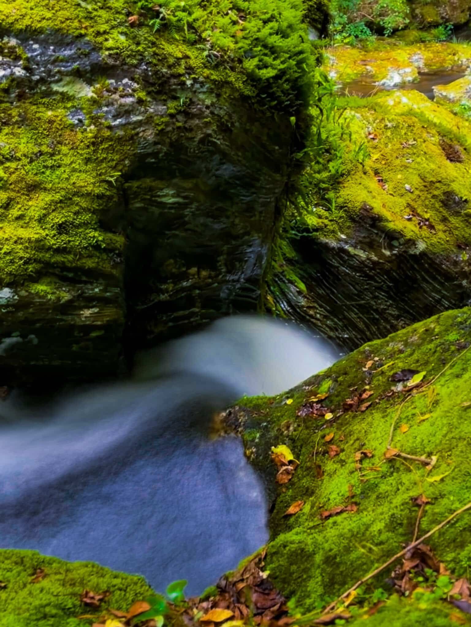
If you do scramble down, the payoff is a pretty series of short drops interspersed with intense green moss covered rocks.
Lake Mahinerangi
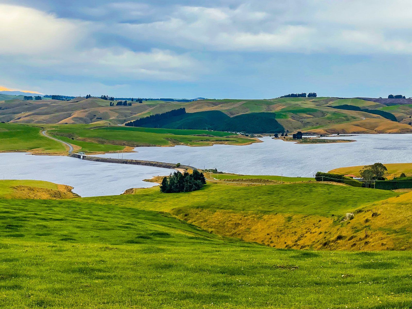
Lake Mahinerangi is a moderately sized hydro lake, first developed in the early 1900s to support the Waipori River hydro scheme. It is also known for its fishing (trout and perch) and there are a modest number of holiday homes on the north side of the lake on Mahinerangi Road.
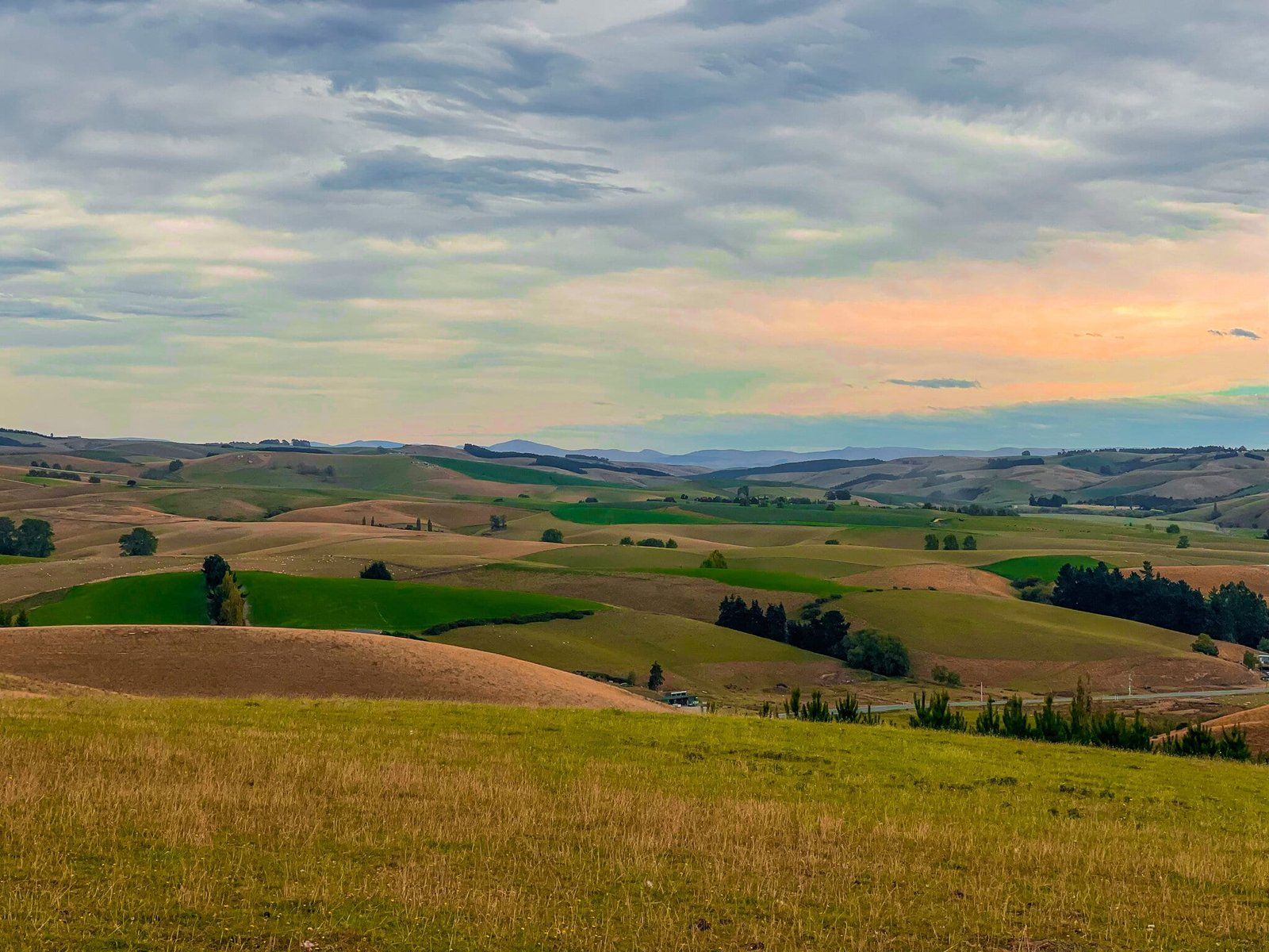
The view from the unsealed Waipori Falls Road on the south side of the lake is superb. The road is around 500 metres up at this point, with a hundred metre drop to the lake. From there, you can turn off and drive down Mahinerangi Road to cross the lake on the Edger Stark Bridge, then drive all the way out to State Highway 87, or continue west on Waipori Road to Lawrence and State Highway 8. Both options provide superb routes through farmland and sometimes tussock country.
Lawrence
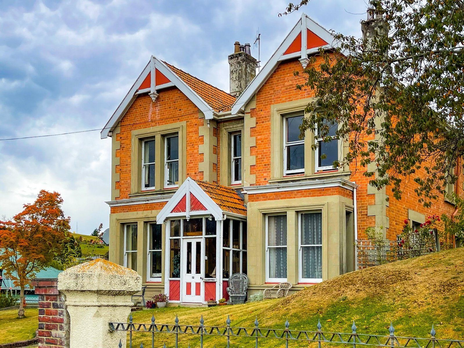
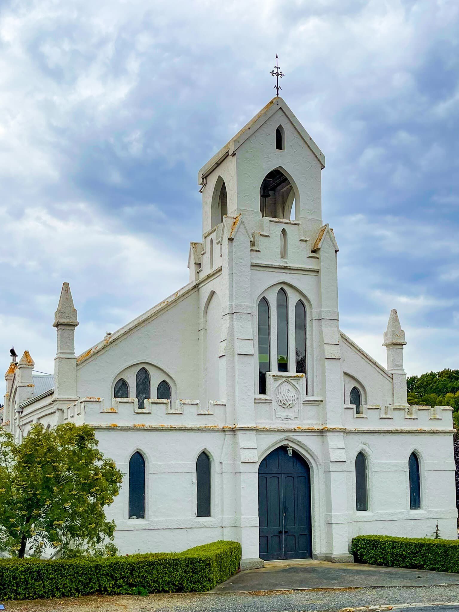
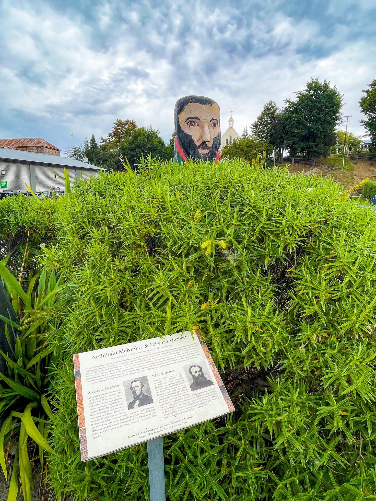
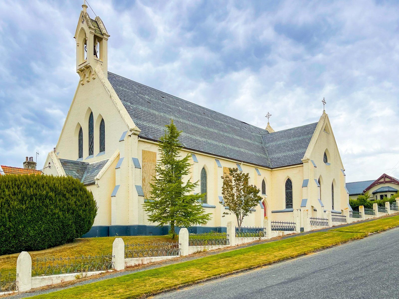
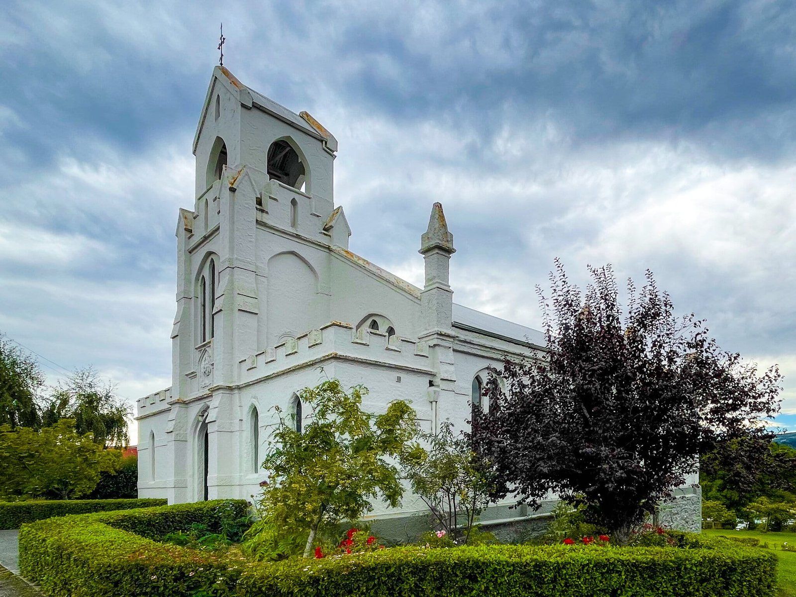
Lawrence is an historic town on State Highway 8, between Dunedin and Alexandra. It was Otago’s, and indeed NZ’s, first gold-rush town following the discovery of gold at nearby Gabriel’s Gully in 1861. Its population peaked at 11,500, double that of Dunedin at the time, making it one of the largest communities in the country. Gold effectively bankrolled the development of the region and paid for much of the heritage building you see around Dunedin. Lawrence was a key point on the routes to the Central Otago goldfields, as well as Gabriels Gully.
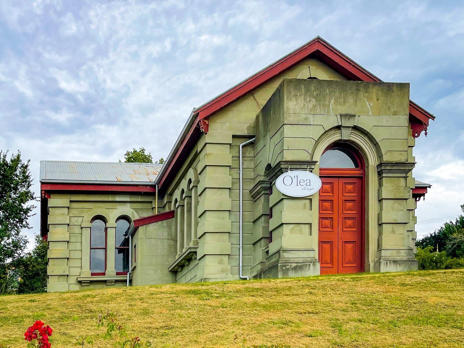
As you go through Lawrence on SH8 you get a sense of the colonial heritage but the best idea is to head up to Colonsay St on the ridge above the main street. The combination of large heritage buildings for what is now a town of just 450 people is quite unique. It includes churches, community buildings, and an old courthouse.
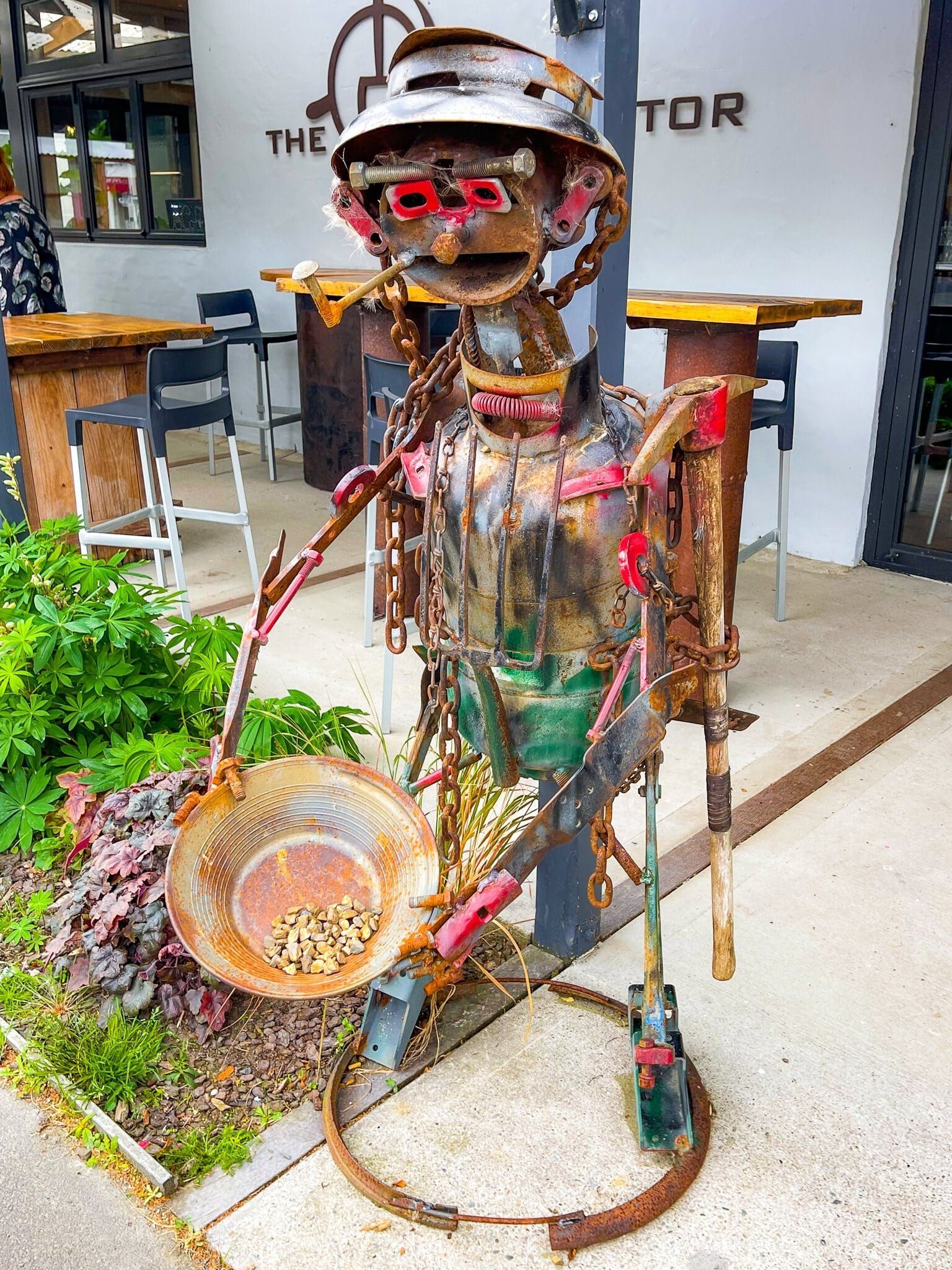
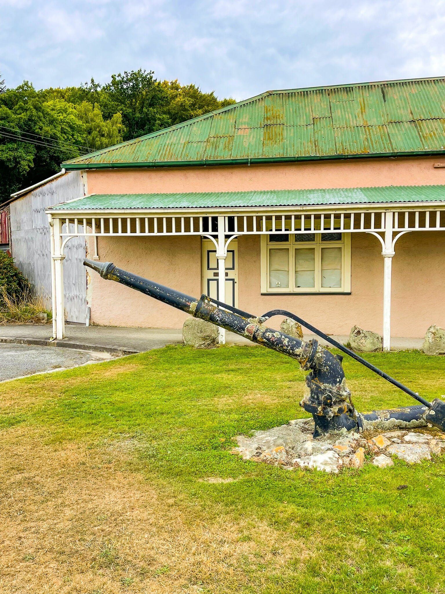
There is also a nice collection of cafes and shops on the main street, plus various references to local history, making it a good place for a break. Near the entrance to Gabriels Gully Road, there is also a good number of mining artefacts and the pretty Bellview Wetlands Reserve.
For cyclists, Lawrence is the eastern end of the Clutha Gold Cycle track, which starts in Alexandra, then runs down the Clutha River valley.
Gabriels Gully
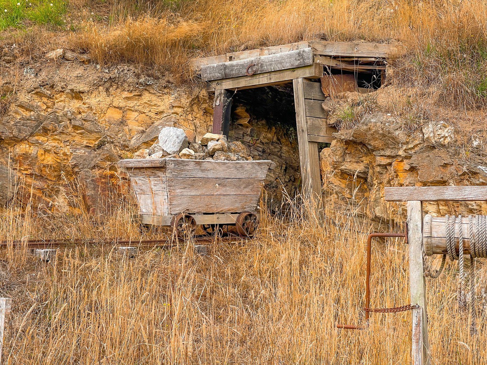
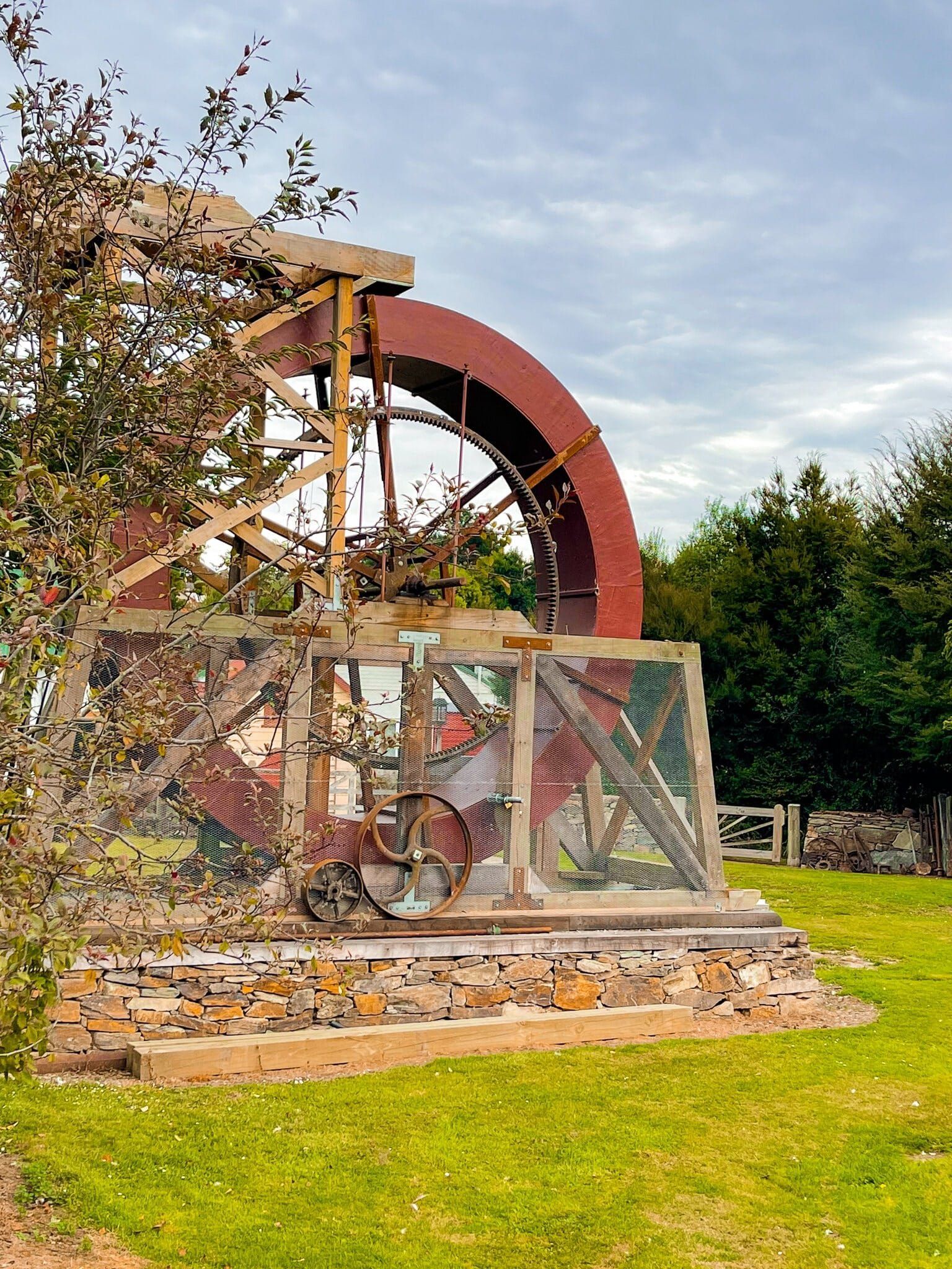
Gabriels Gully was named for Gabriel Read who reportedly saw easily recoverable alluvial “gold shining like the stars in Orion on a dark frosty night” in what was a gully. The flat area below the surrounding hills is now 50 metres higher than it was, with the gully filled in as the area was turned over. In 1861, this was the first major gold discovery in NZ, the others being in Westland and the Coromandel. It is often forgotten how dramatic these discoveries were – it took 20 years for the post-Treaty of Waitangi European population to get to 60,000 but by 1880, it was 470,000.
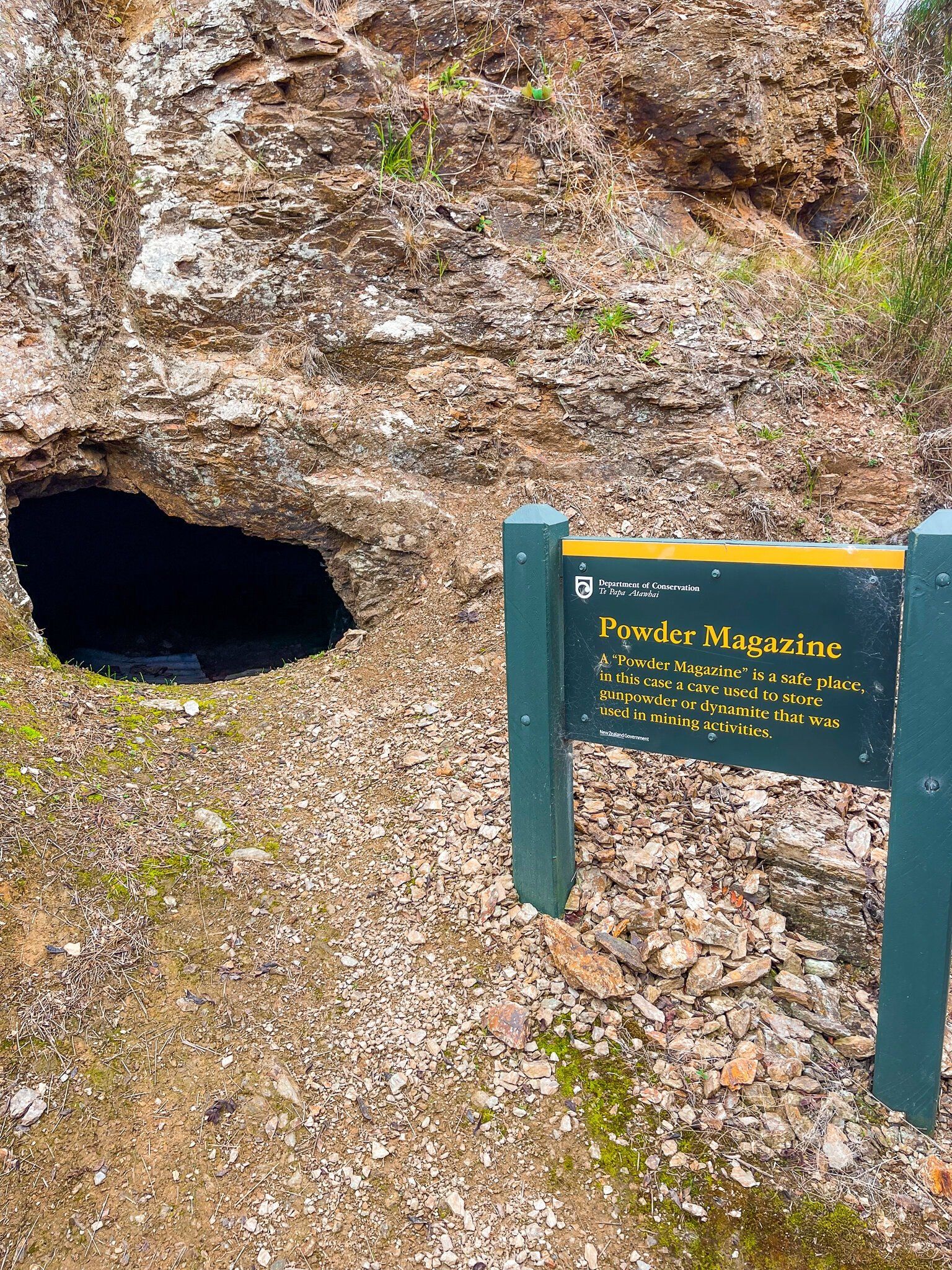
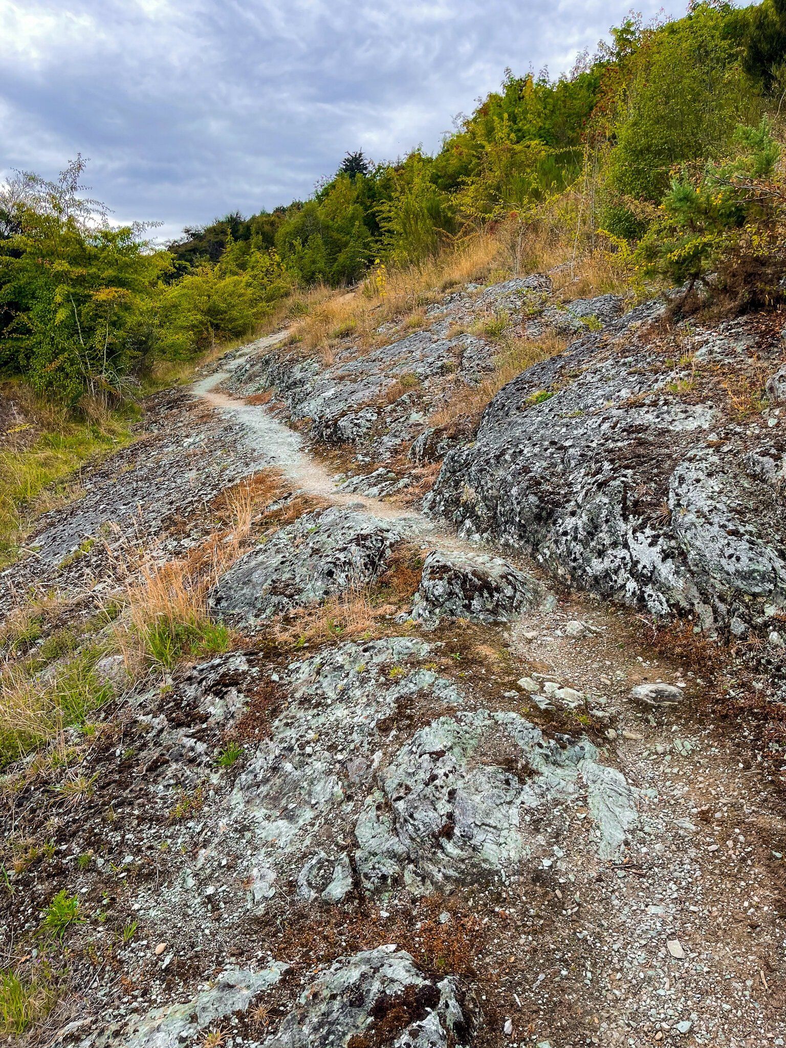
The area around Gabriels Gully is now a reserve. There is a loop track above the edge of the diggings, as well as a couple of other nearby tracks that explore the water races and dams that supported the mining activity.
To get to the reserve, take the short drive on Gabriels Gully Road from Lawrence. On the return trip, continue on and then loop back on Blue Spur Road. This rises above the valley and passes through Blue Spur. Once a small town, this is historically interesting with excellent views.
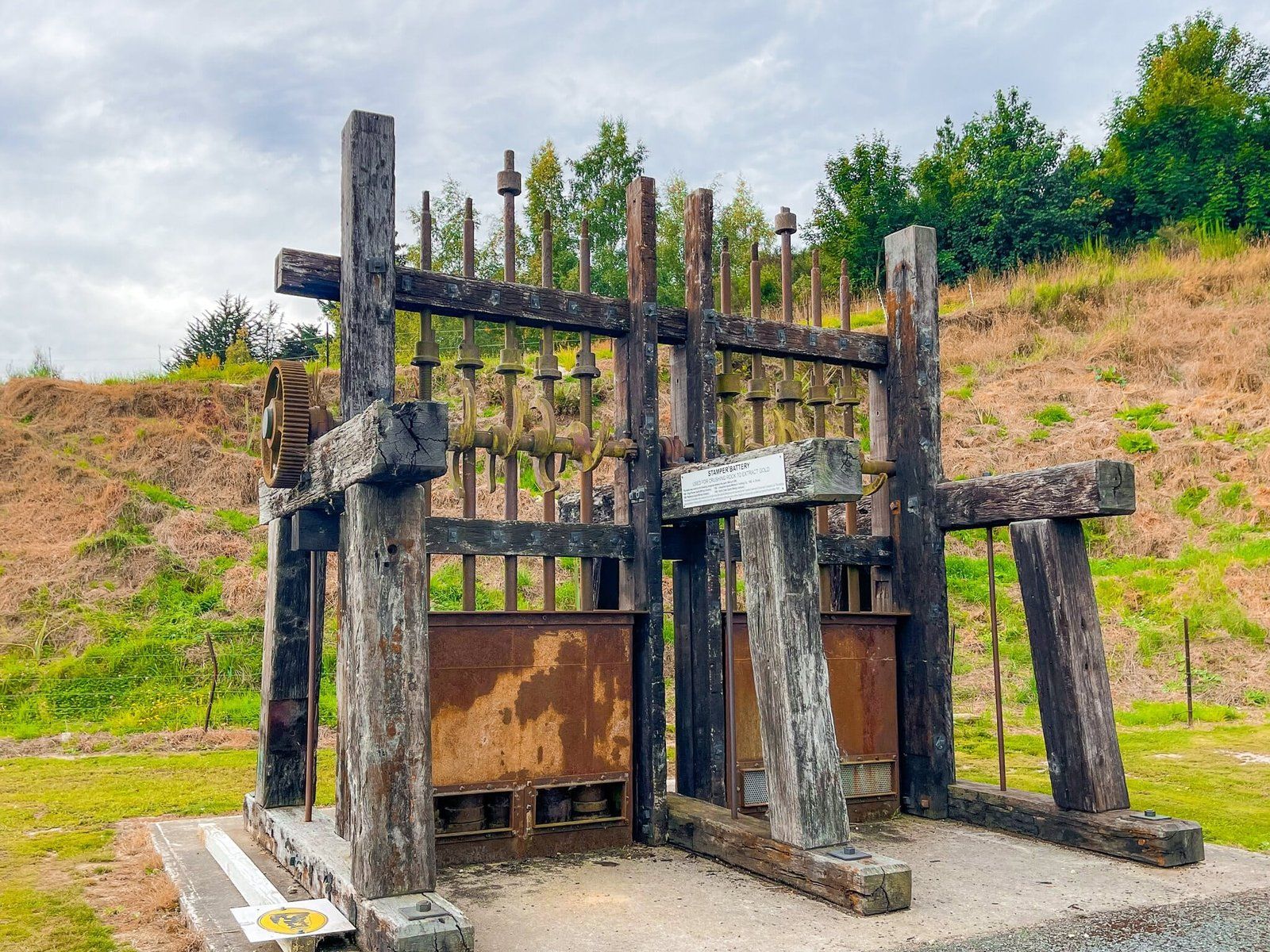
Also keep an eye out for the collection of mining artefacts at the start of Gabriels Gully Road and the Gabriel Read Memorial. One man’s discovery really did have an outsized impact on NZ, but if it wasn’t him, it would have been someone else!
Roxburgh Dam
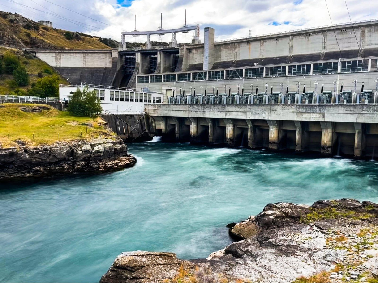
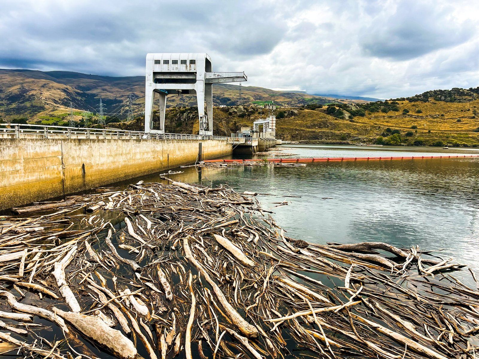
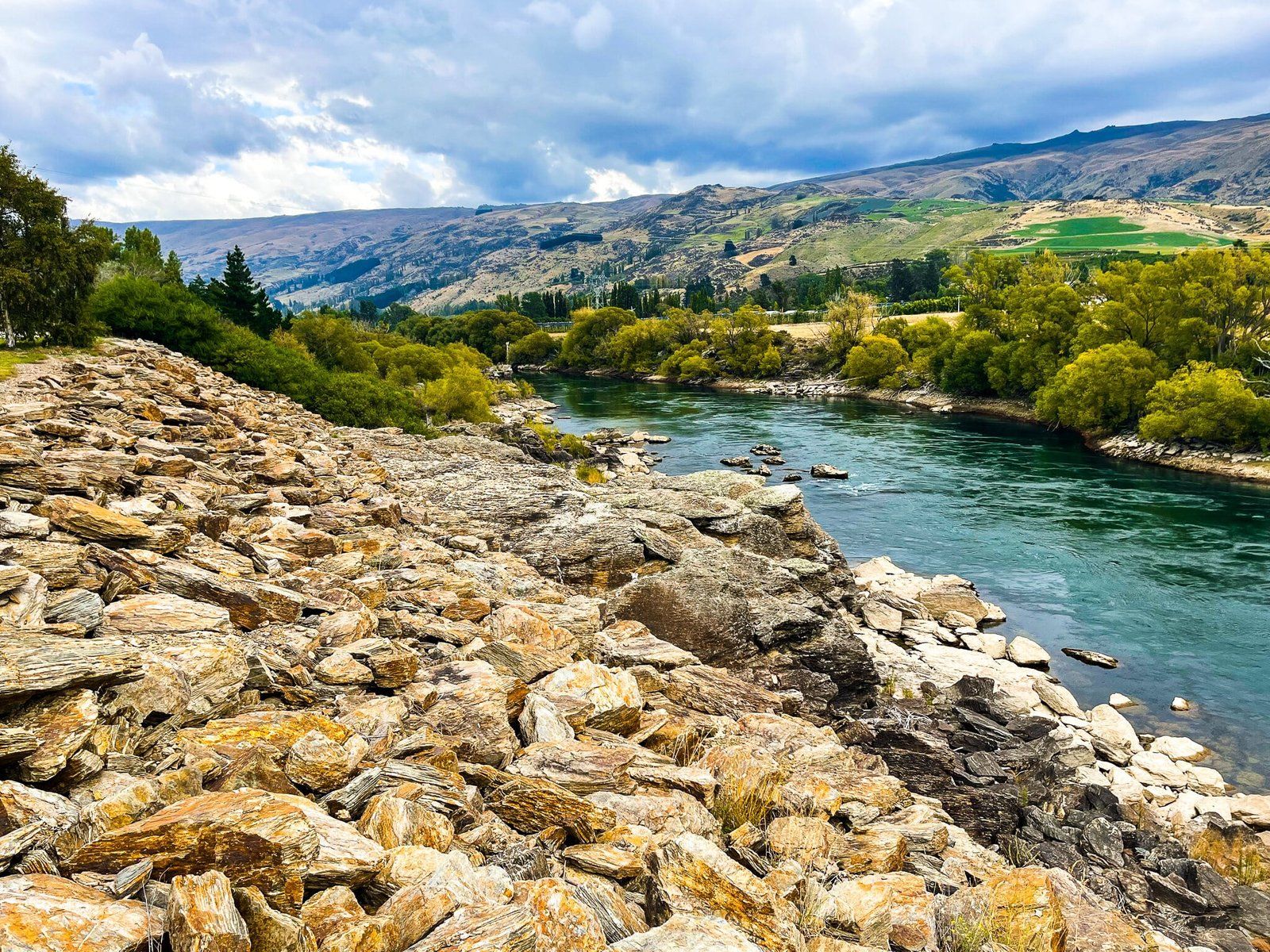
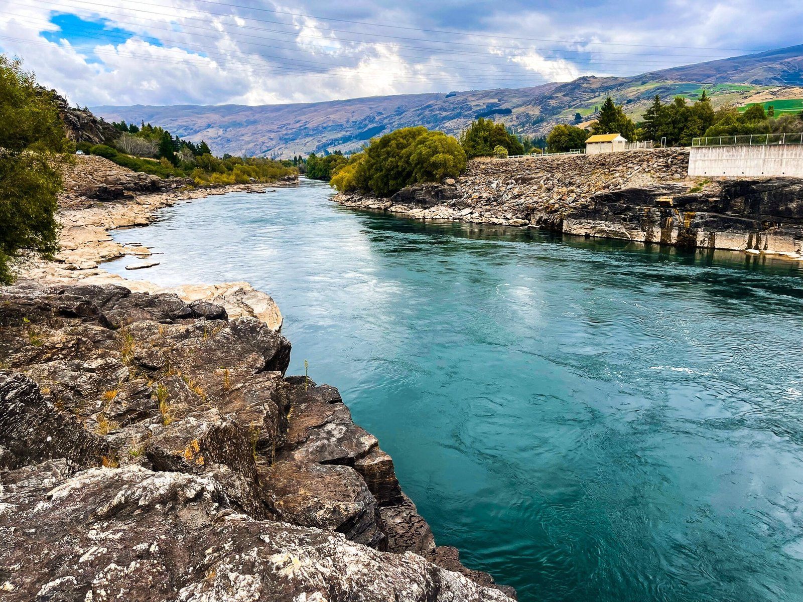
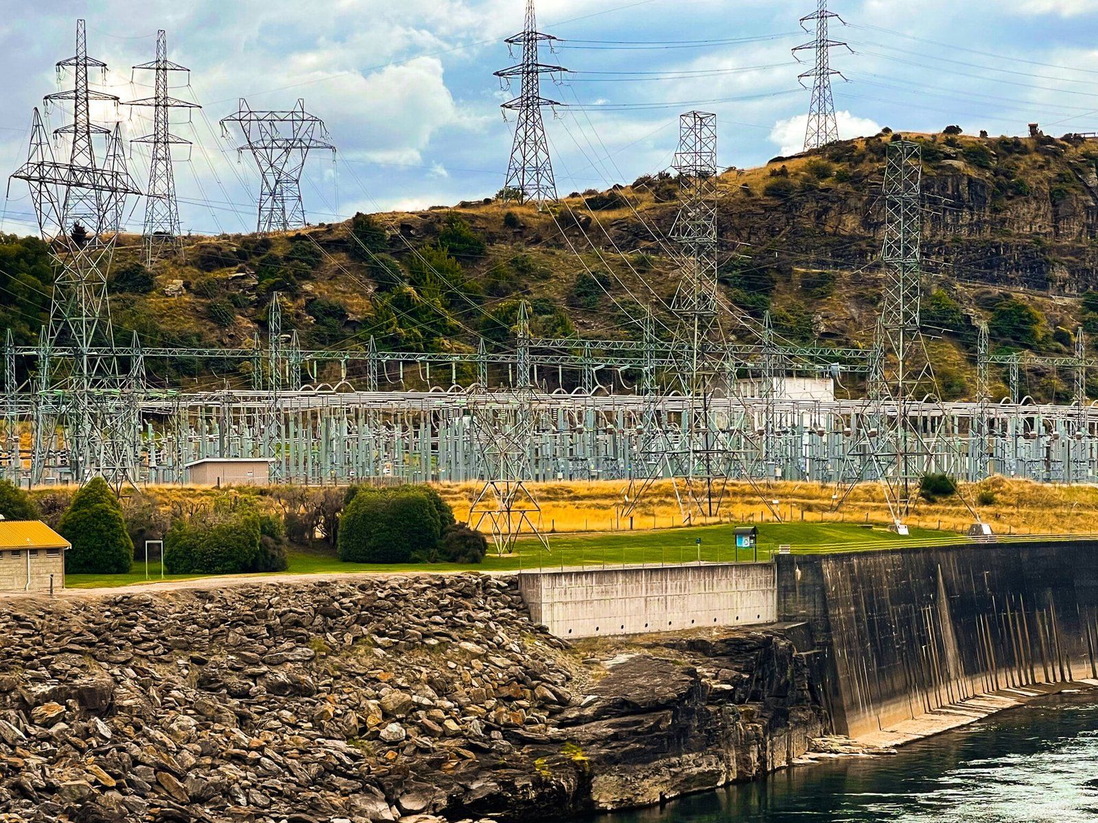
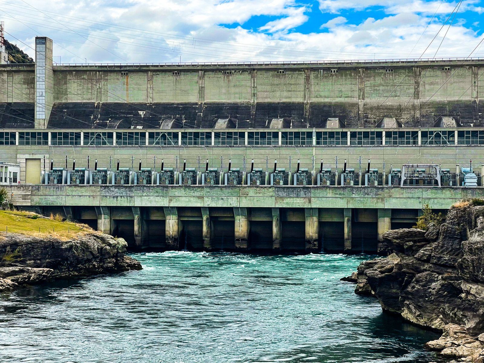
The town of Roxburgh is the largest town in the Teviot valley, carved out over time by the Clutha River on its path east from Alexandra. Roxburgh is well known for its production of stone fruit with several orchard fruit shops around the town. The other nearby feature is the Roxburgh Dam, the oldest on the Clutha River and dating back to the mid 1950s. Initially, the construction of the dam was a bit of a farce, combining political interference with operational incompetence. But power cuts in the South Island, which the dam planners were aiming to avoid, focussed minds and the issues were resolved.
From State Highway 8, follow the signs to the dam. There is a viewing point above it but you can also drive across and park in the reserve below the dam. From there, you can carry on along the north side of the Clutha River back to Roxburgh.
Ophir
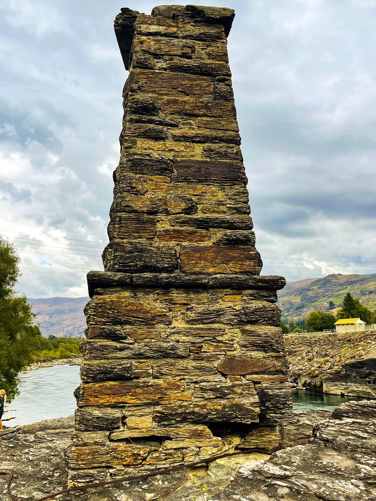
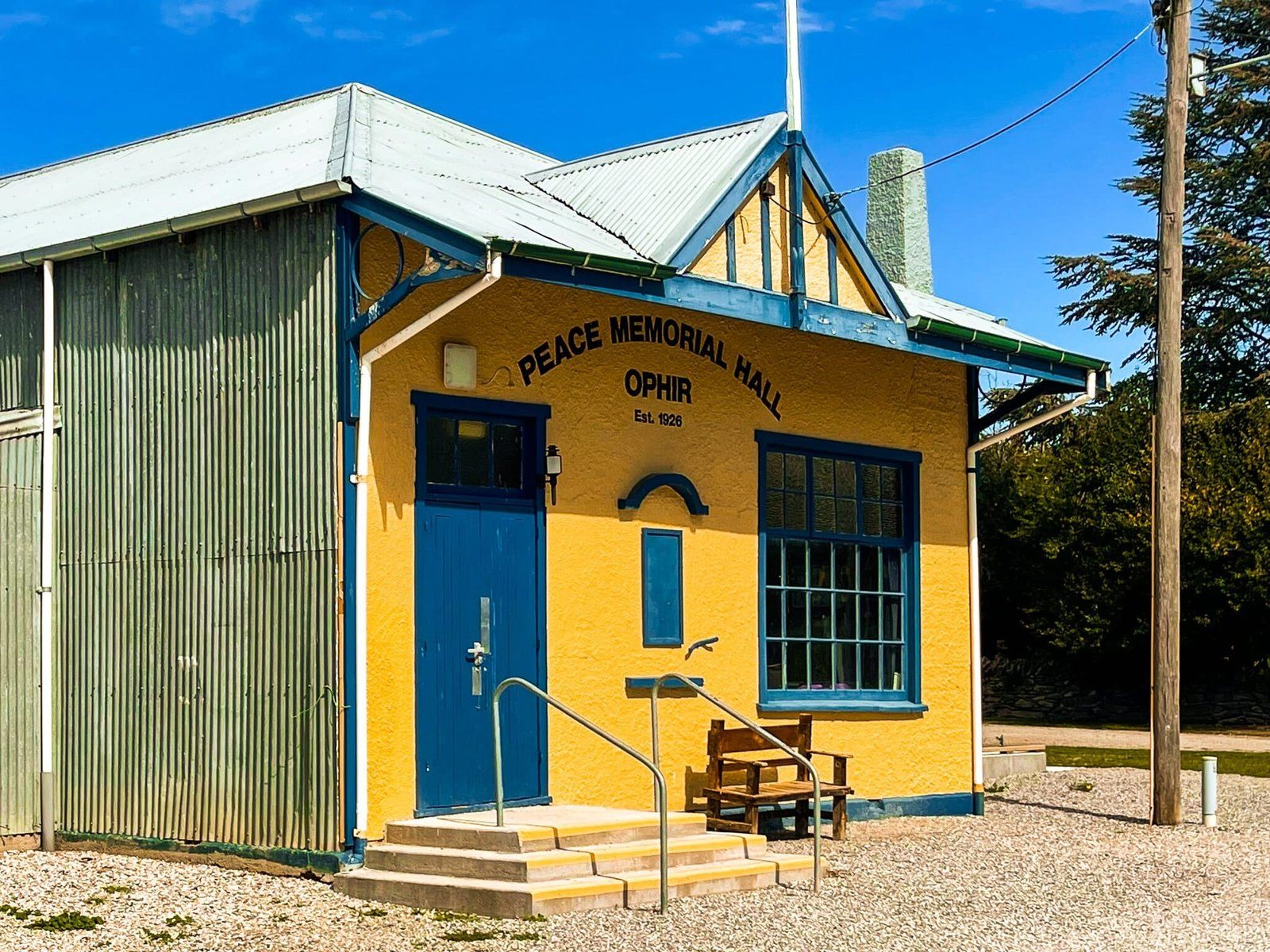
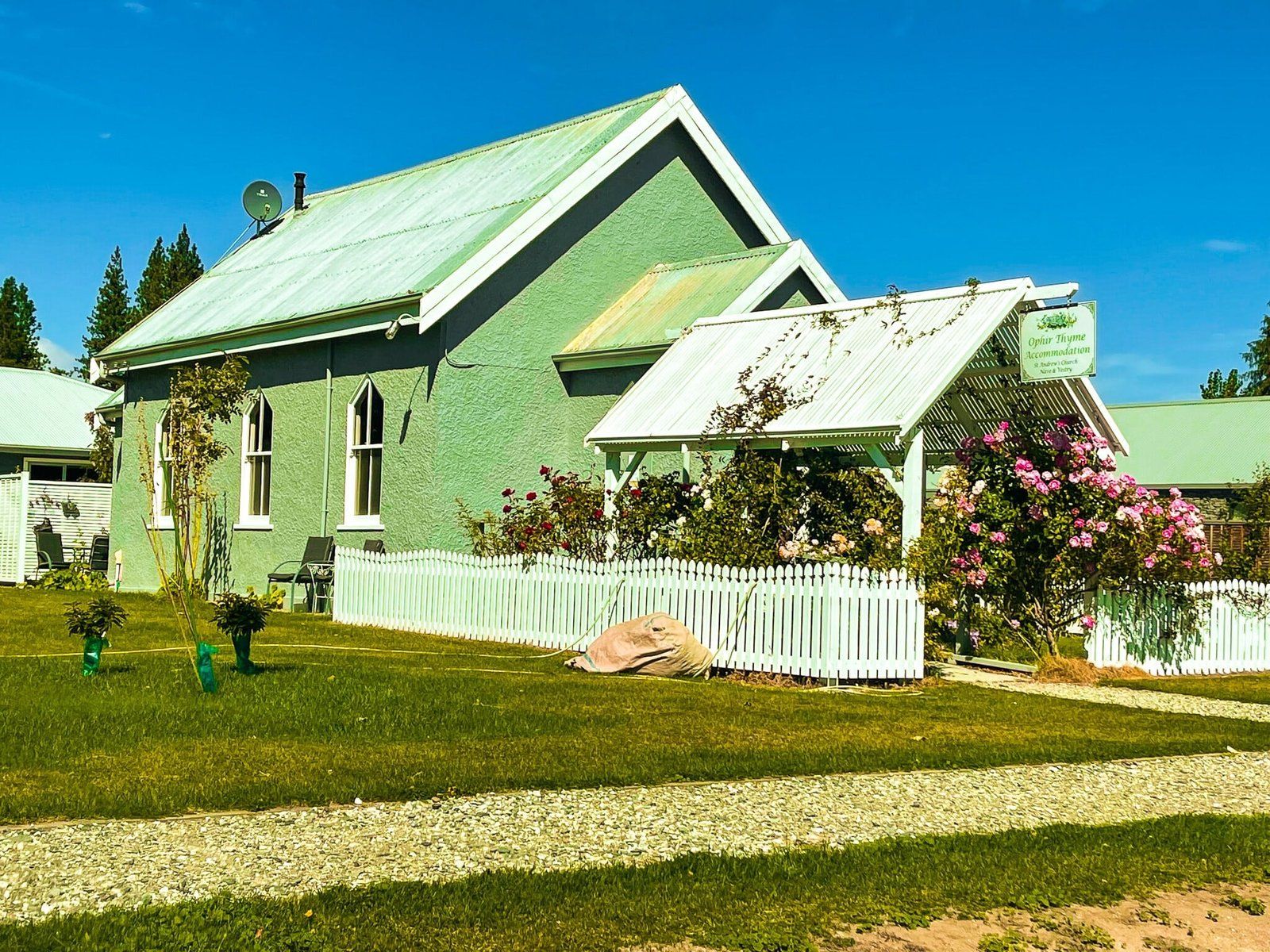
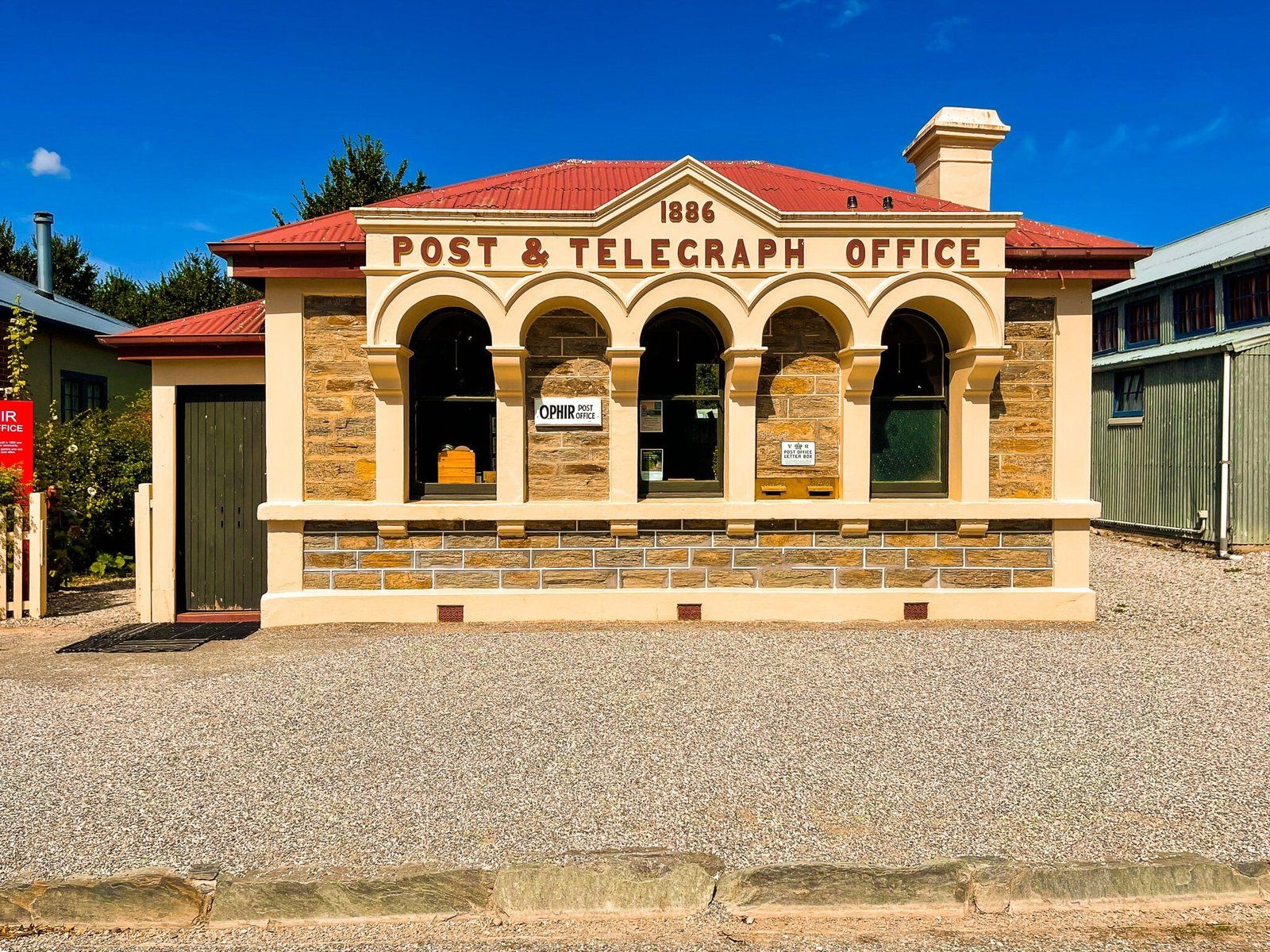
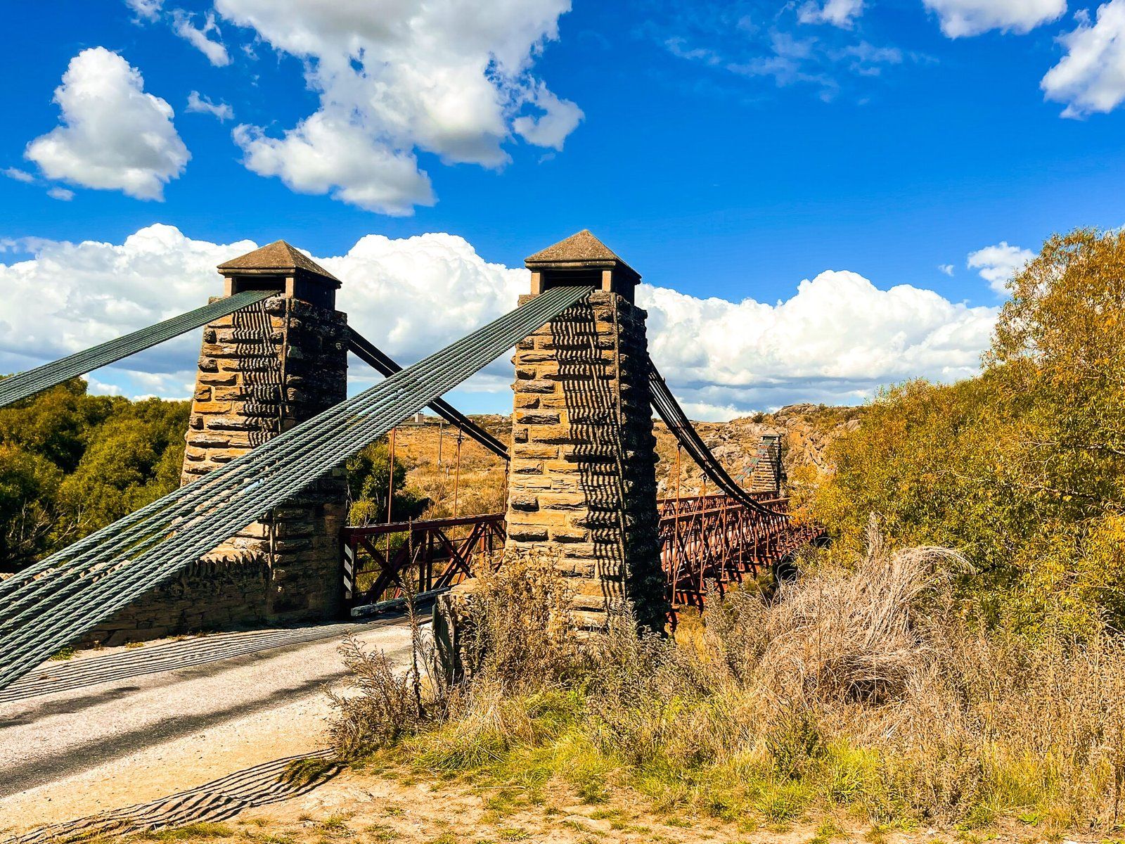
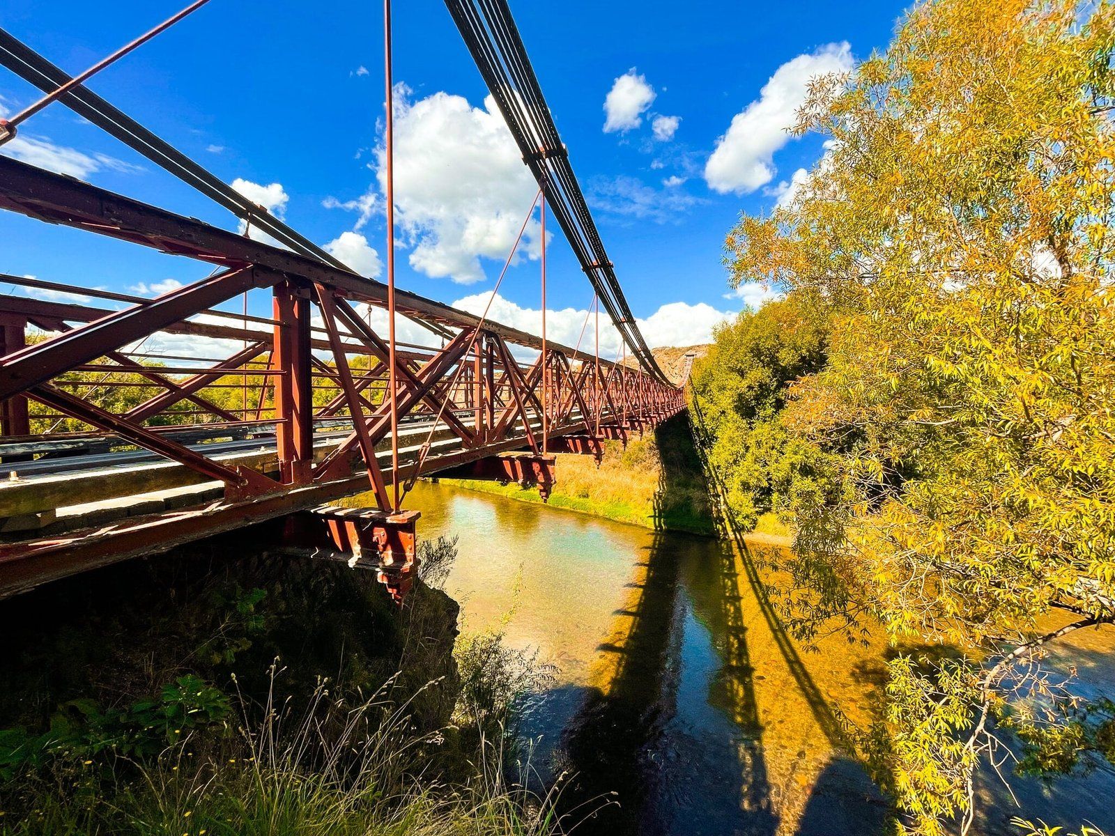
Ophir is about 30 kms north of Alexandra, at the south end of the Manuherikia Valley, just off State Highway 85. Once on the gold route, with over 1,000 people in the 1860s, it is now barely a hamlet of 50 people. But it also proves that all you need to renew a small town is a few nicely maintained old buildings, a historic one lane swing bridge, a nearby cycle trail (the Central Otago Rail Trail), local commitment and a cool story.
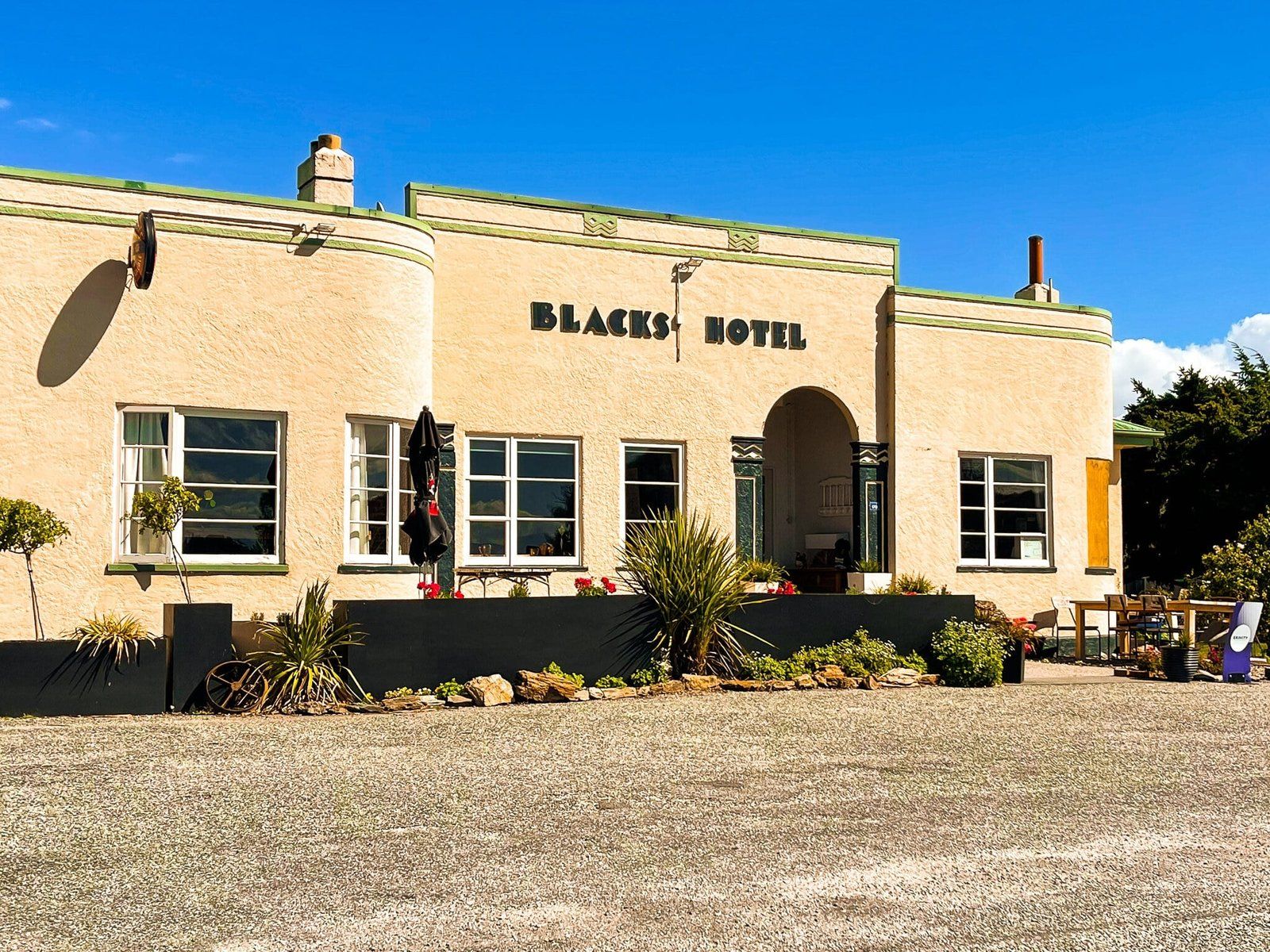
In Ophir’s case, it has two cool stories. Ophir was originally named Blacks but with gold being discovered it was renamed Ophir. This was the place name of the legendary King Solomon’s gold mines. Secondly, NZ’s second-lowest official temperature of -21.6 °C was recorded at Ophir on 3 July 1995. The summers by contrast are dry and often hot, so the temperature range is probably one of the widest in NZ as well.
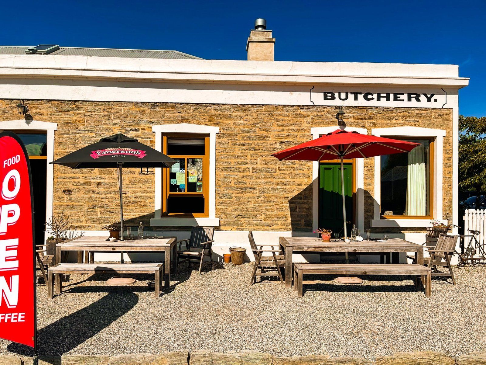
Take the detour from SH85 and check out the local cafe or pub as well.
Upper Manorburn
There are several reservoirs in the series of high rolling ranges and hills that dominate Central Otago between the Rock and Pillar Range and the Clutha River. They are all accessible by car, to some degree, at least outside winter. They also give you a point of interest for backroad exploring.
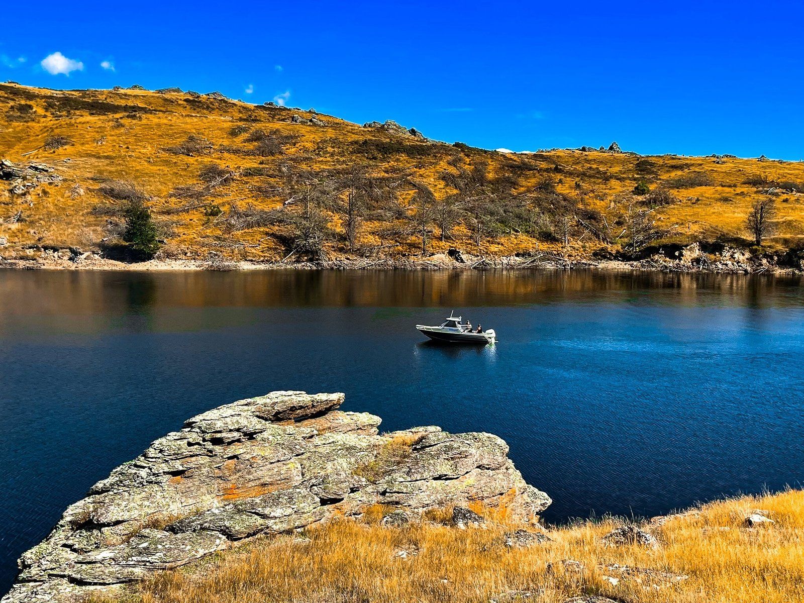
On this trip, we intended to go to one of the most accessible of the reservoirs – the Lower Manorburn between Ophir and Alexandra, but the navigator just typed in Manorburn. As we were on the way up the Ida Valley before we realised we were on our way to the more remote Upper Manorburn, we just kept going.
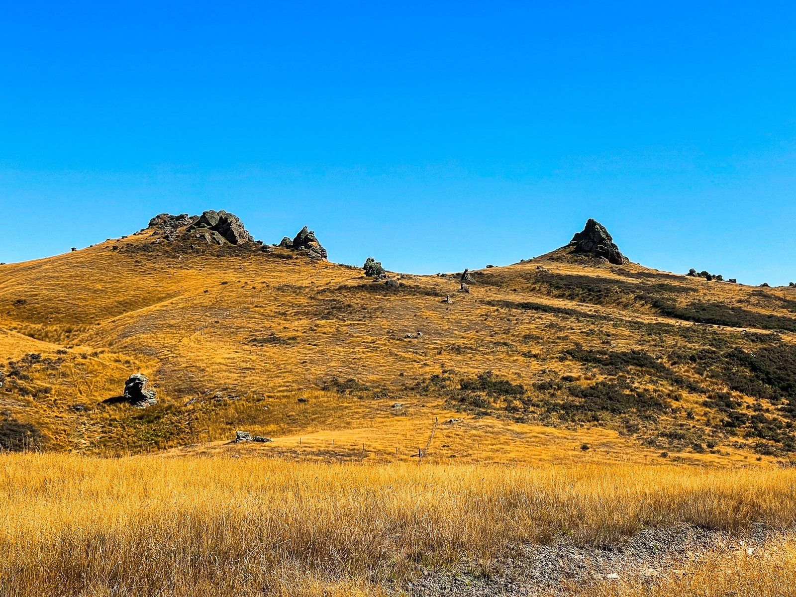
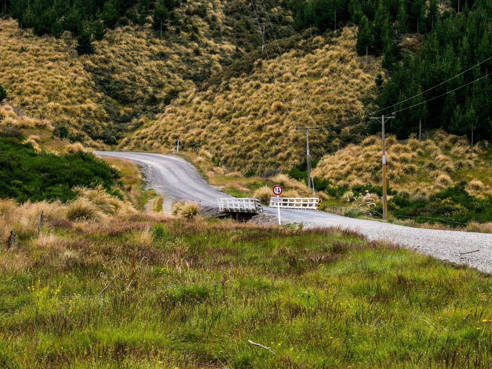
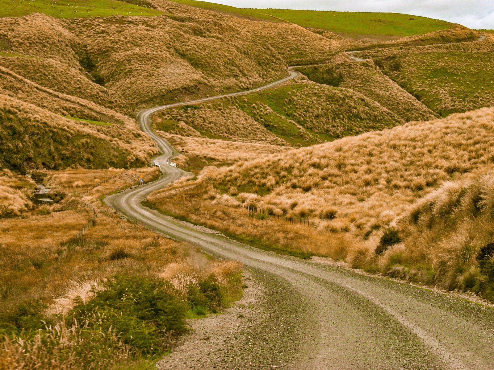
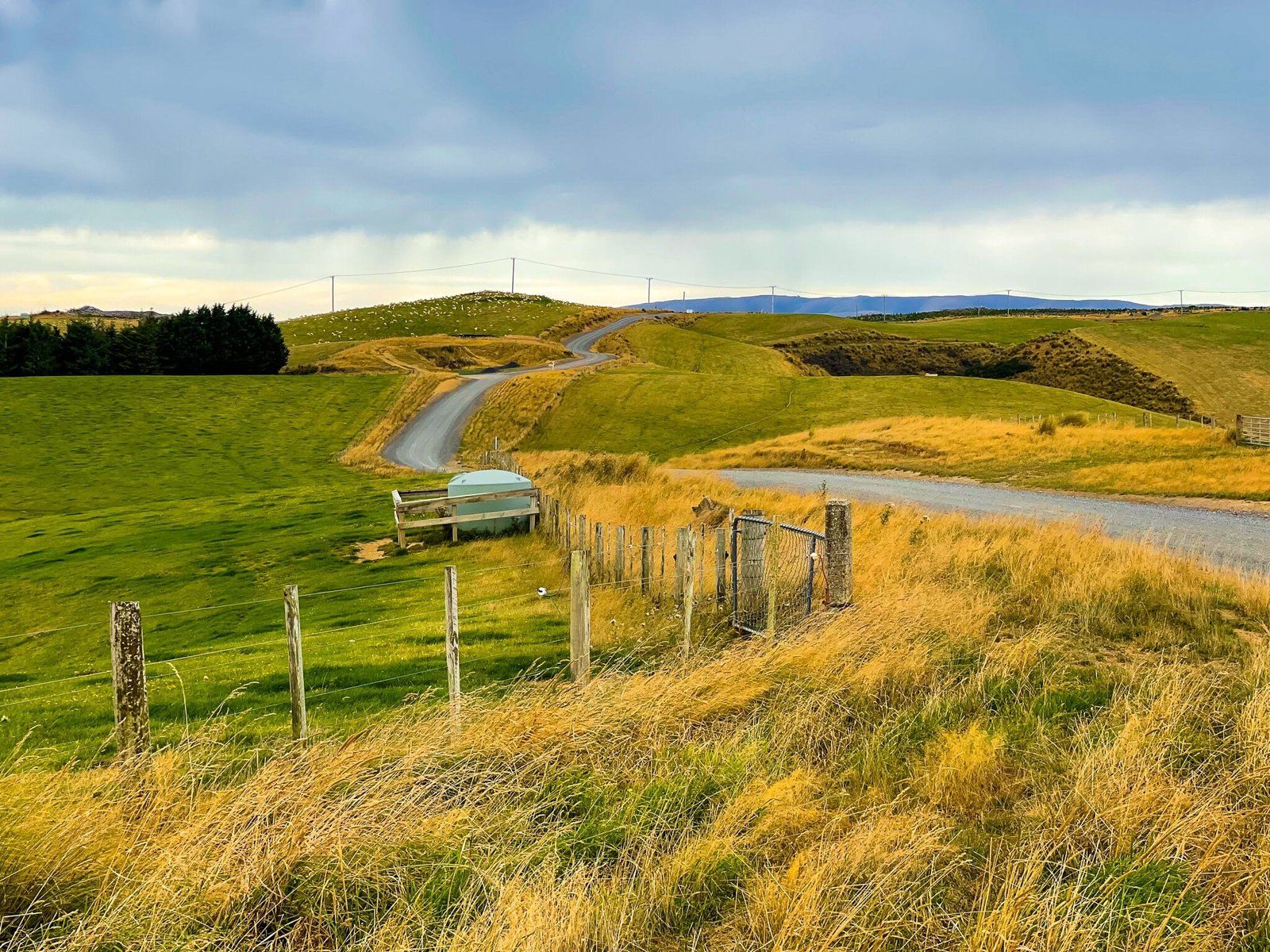
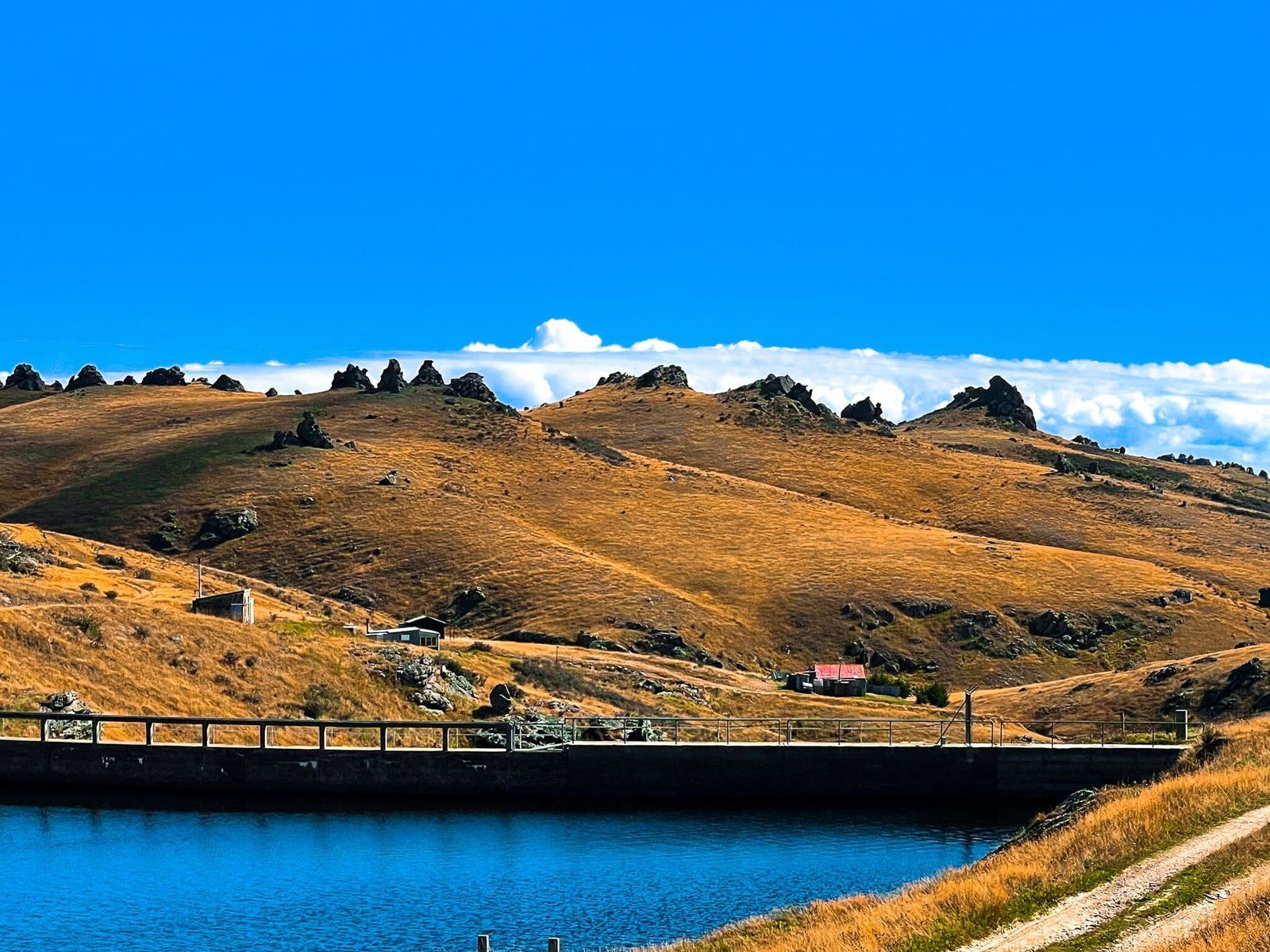
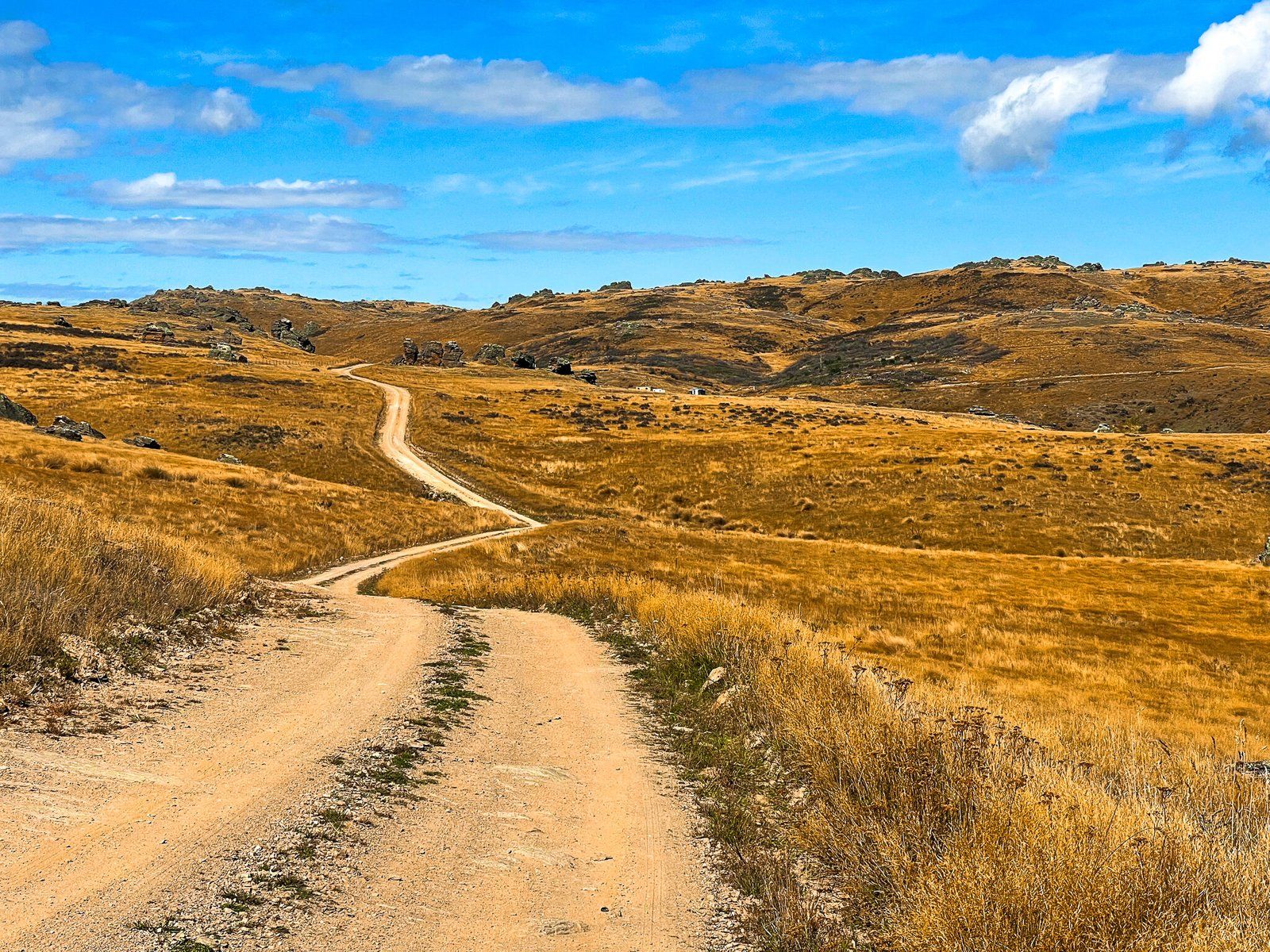
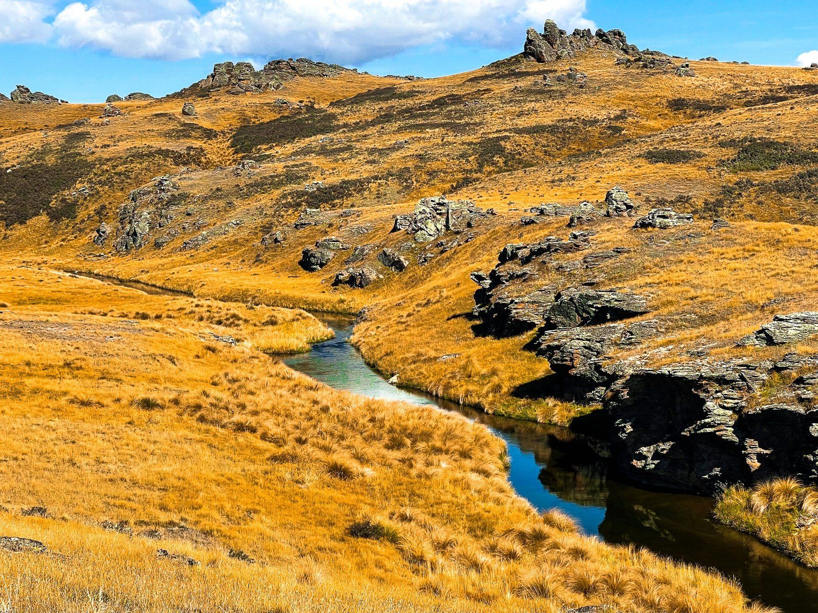
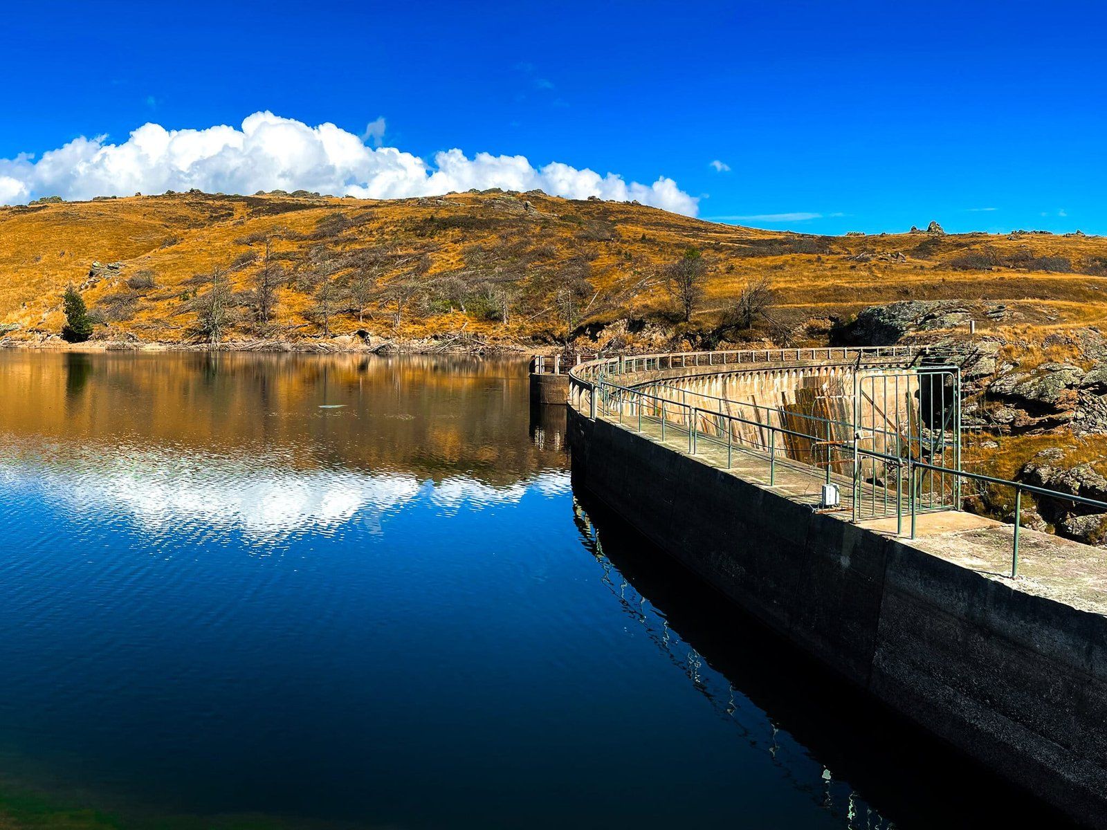
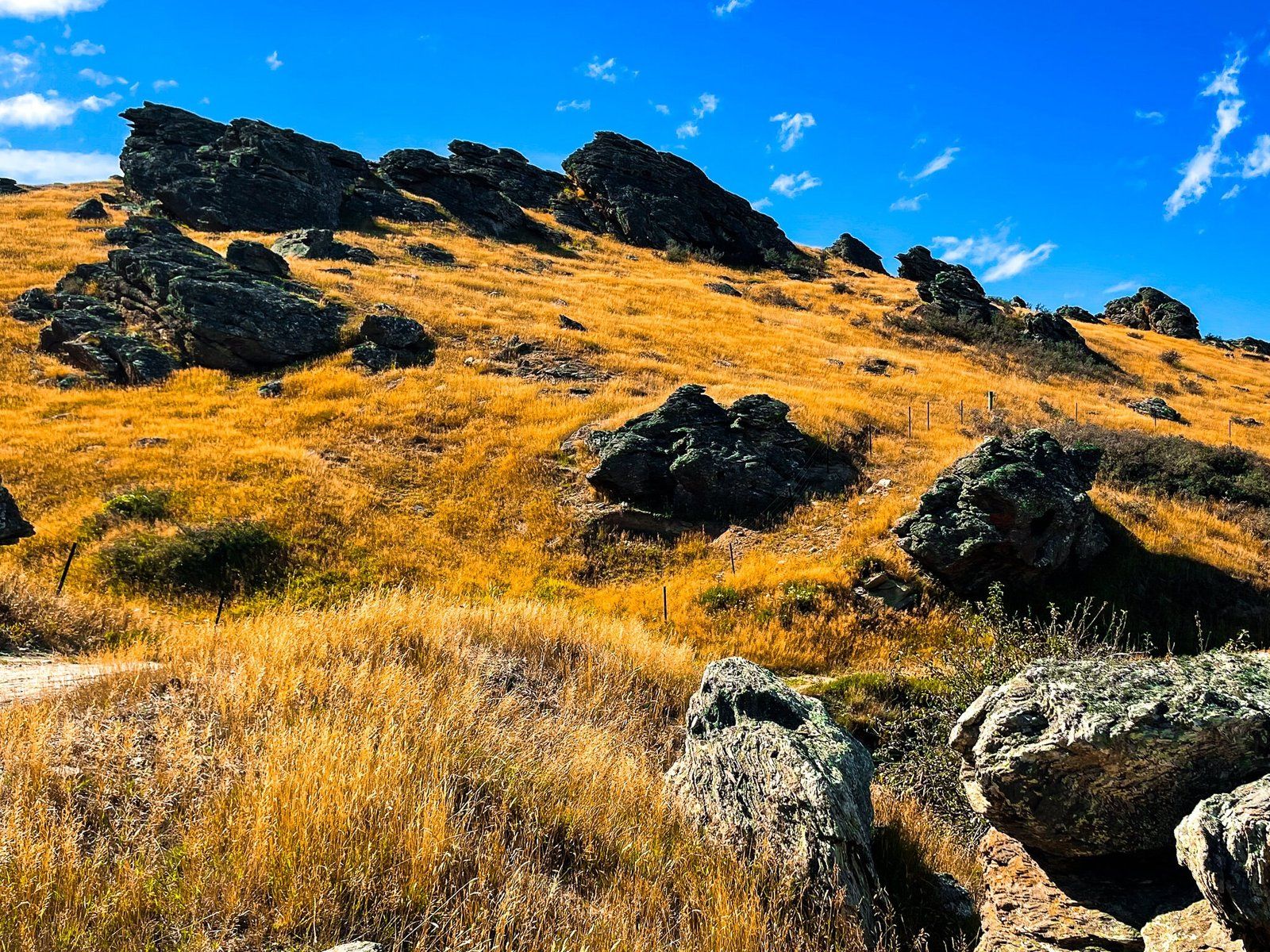
From the south end of the Ida Valley, take Upper Manorburn Road to the end. The road rises to over 700 metres towards the reservoir through high country farmland and golden tussock grass. The last stretch is particularly scenic with the large rock formations typical of the region. The road is metal, rough, and mostly one lane, but it’s unlikely you will see anyone else. It actually only takes about 30 minutes or so from the end of the Ida, so be patient.
Once there you can wander around the dam and reservoir; a good place for a picnic. Another option which is accessible from the Ida Valley is the better-known Poolburn Reservoir.
Want more Trip Ideas?
Check out our blogs on all seasons in Otago – Central Otago in Autumn, Winter Road Trip, and the Hikes of Wanaka and Matukituki Valley.
