Discovering Cape Reinga
Cape Reinga is situated at the northernmost tip of New Zealand's North Island. This remarkable location is not only a place of breathtaking natural beauty but also holds deep significance for Māori.
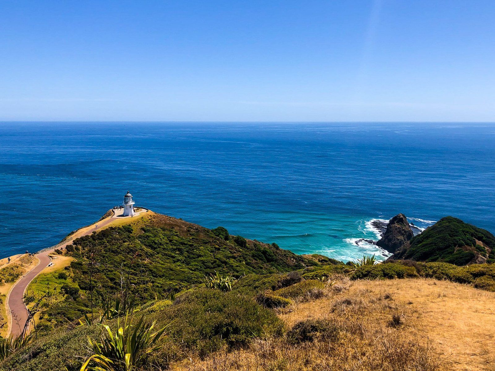
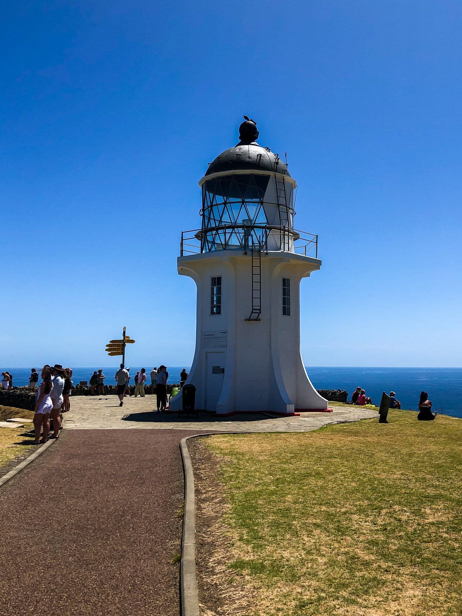
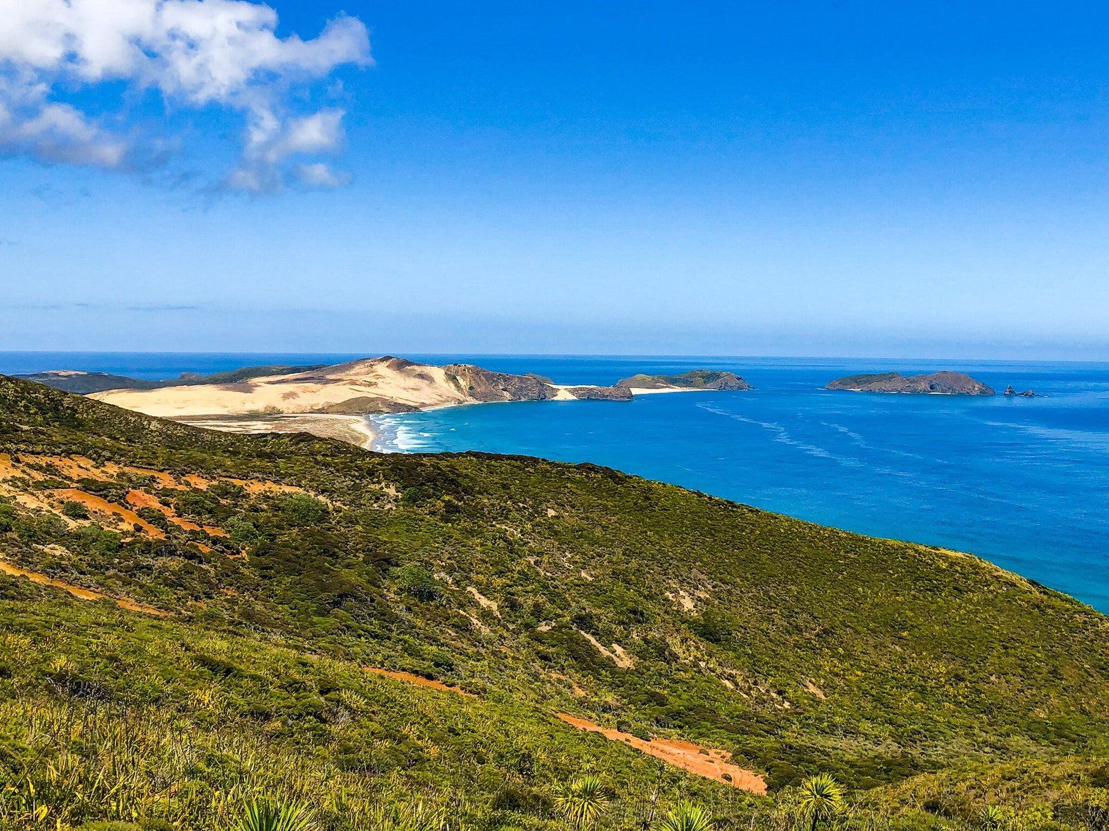
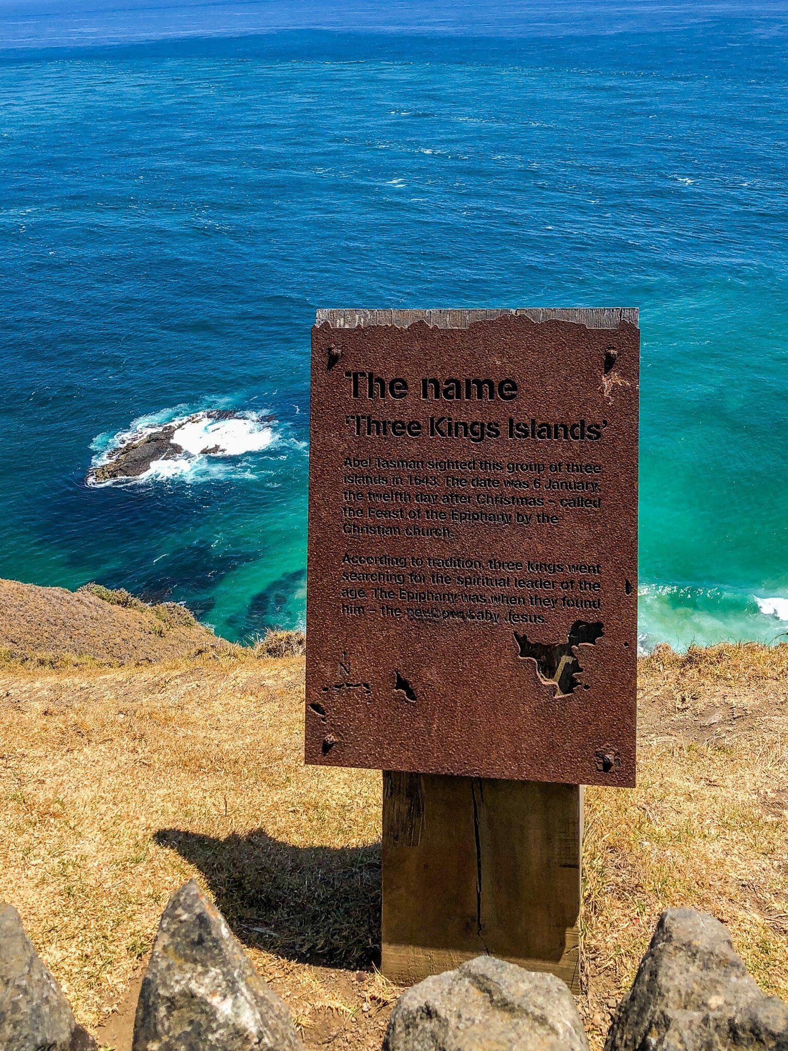
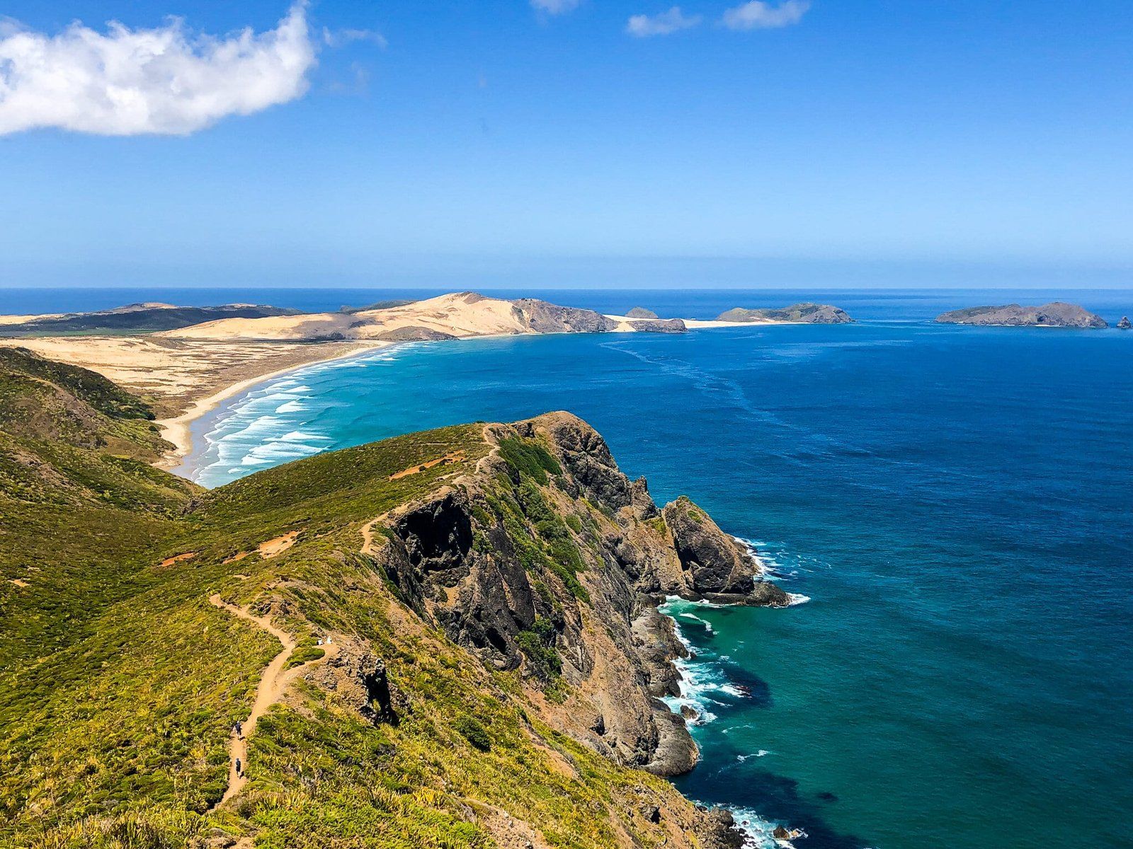
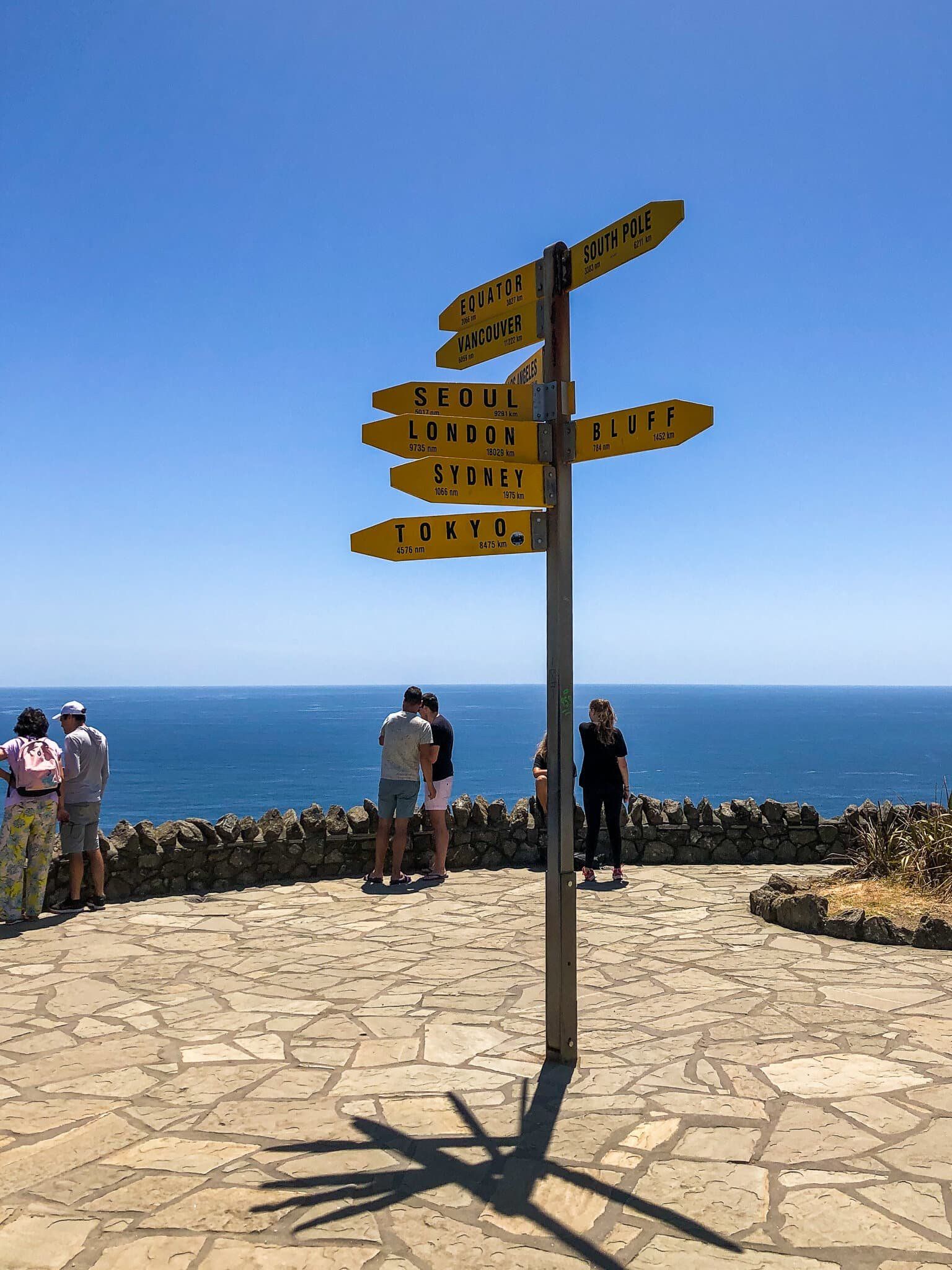
The Cape is at the end of State Highway 1, with the iconic lighthouse and panoramic views. From this vantage point, you can see Cape Maria Van Dieman and Motuopao Island to the west, and Piwhane Spirits Bay and Hikurua de Serville Cliffs to the east, marking the northernmost point of the North Island. On clear days, the distant Three Kings Islands, approximately 60 km to the northwest, can also be seen.
The Meeting of Oceans and Myths
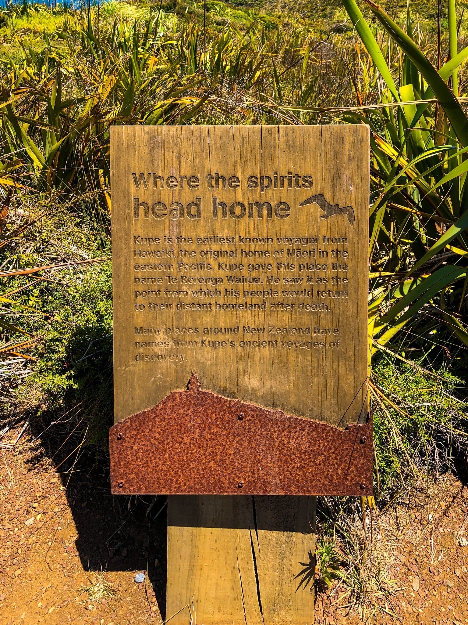
At Cape Reinga, the Tasman Sea and the Pacific Ocean dramatically meet over the Columbia Bank, creating a unique natural spectacle. A significant cultural landmark here is an ancient 800-year-old pōhutukawa tree. According to Māori mythology, spirits leap from the roots of this tree into the ocean to begin their journey back to their ancestral homeland of Hawaiki. It's called Te Rerenga Wairua, meaning the "leaping-off place of spirits".
Scenic Coastal Walks and Trails
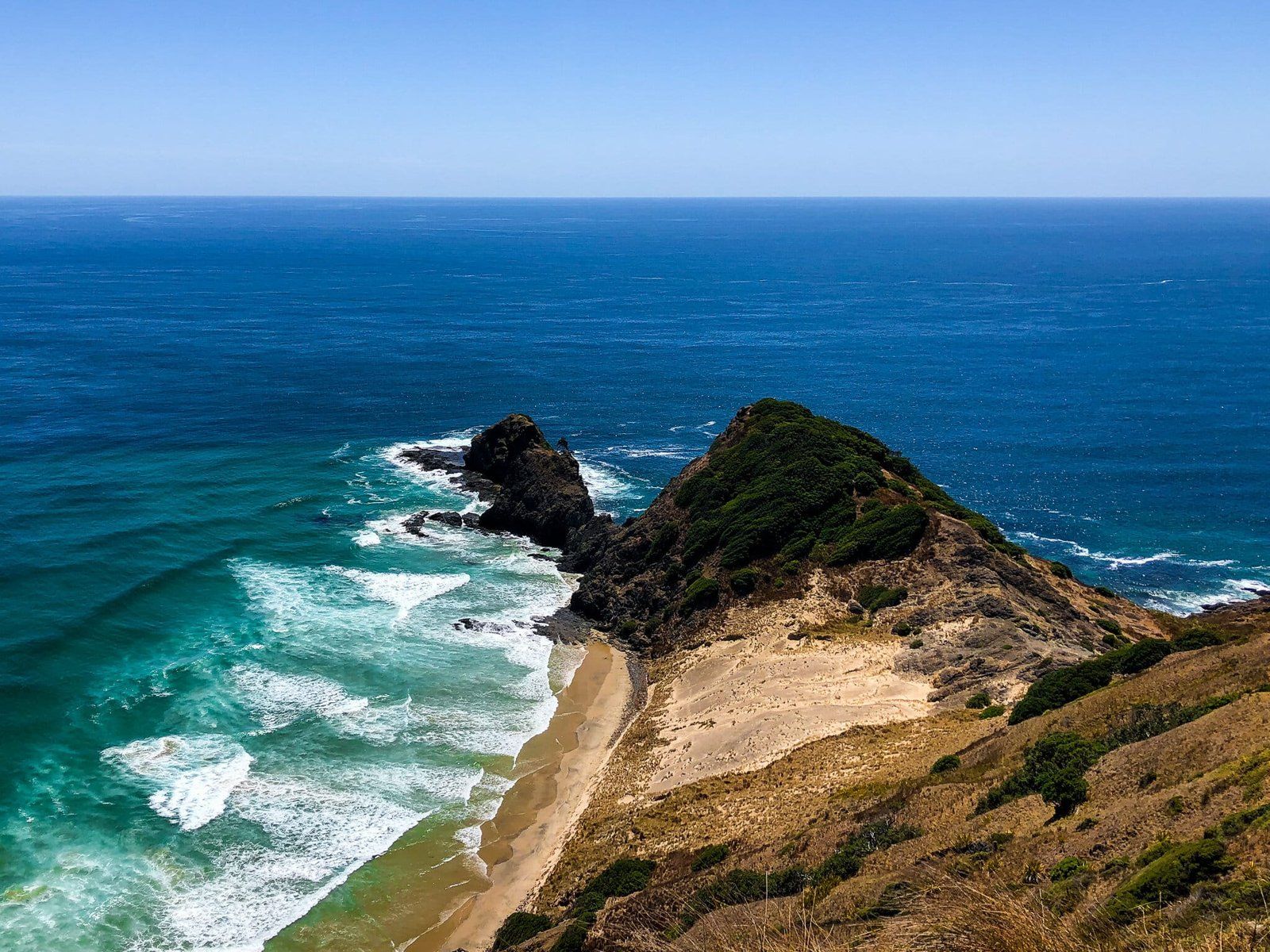
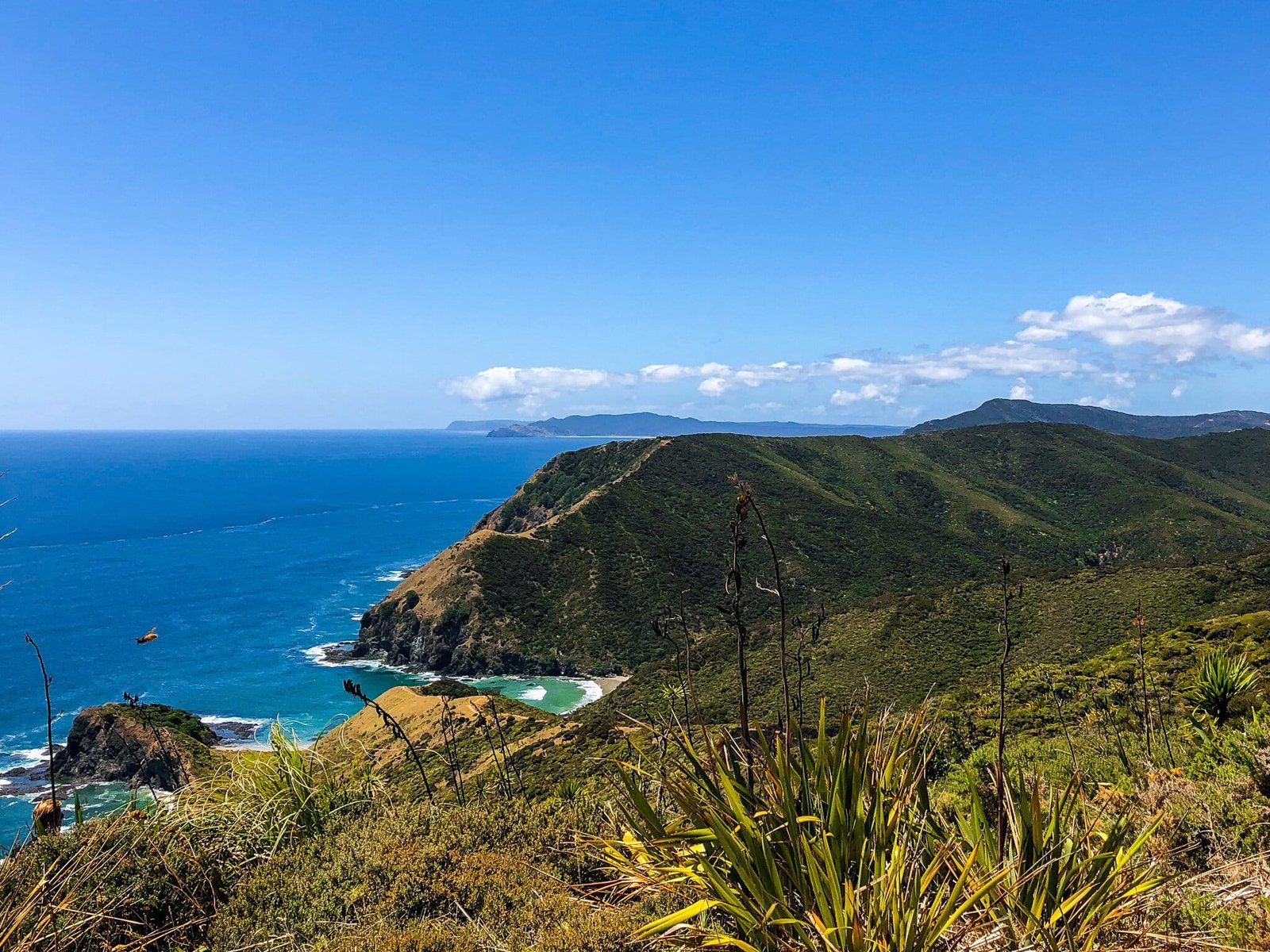
Cape Reinga is a gateway to excellent coastal walks, ranging from short walks to multi-day hikes along the Te Paki Coastal Track, which runs from the east end of Spirits Bay around the tip of the North Island coast to Ninety Mile Beach. It is also the starting point for Te Araroa. This trail heads south on the Te Paki Track and connects with Ninety Mile Beach.
Getting to Cape Reinga
To visit Cape Reinga, travel north on State Highway 1 until it ends at the Cape's car park. From there, a short walk will take you to the lighthouse, where you can enjoy the spectacular views and explore the surrounding area.
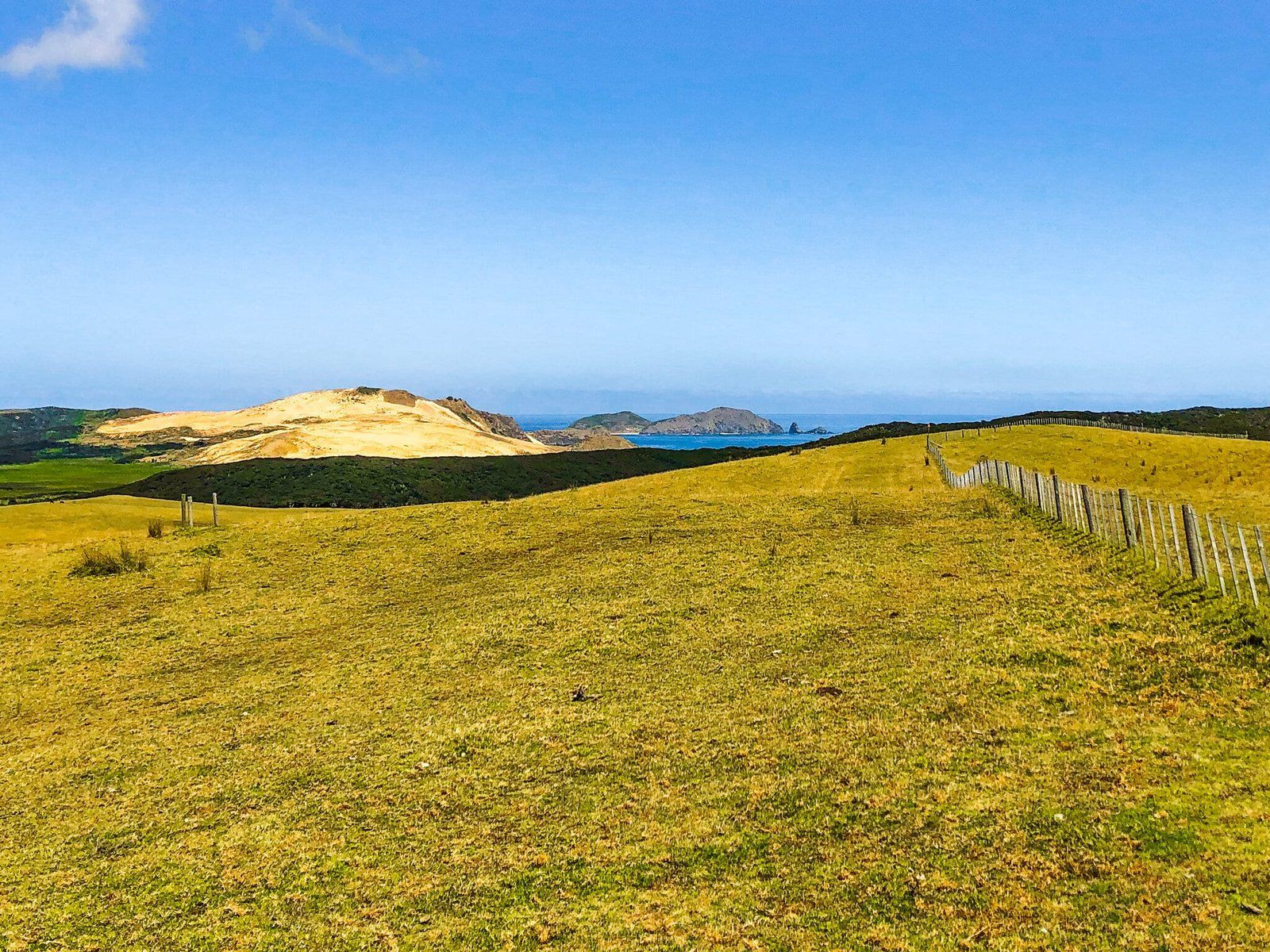
Nearby, you can also explore the picturesque beaches along the Te Paki Coastal Track. These include Te Werahi Beach and Sandy Bay, which can be reached with short walks from Cape Reinga on Te Paki Track, and with road access to Piwhane Spirits Bay and Te Paki Dunes.