The Engineering Feats of Arthur's Pass
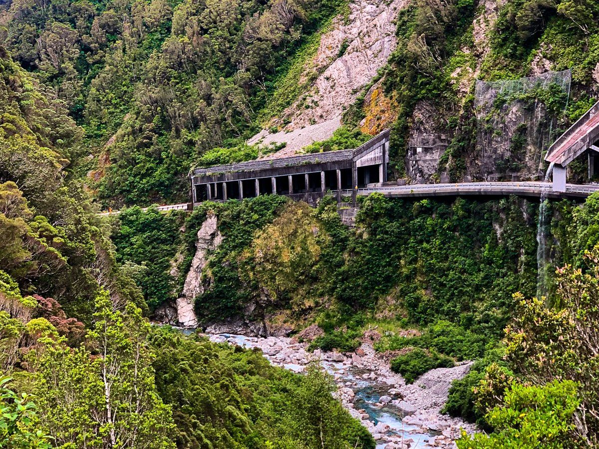
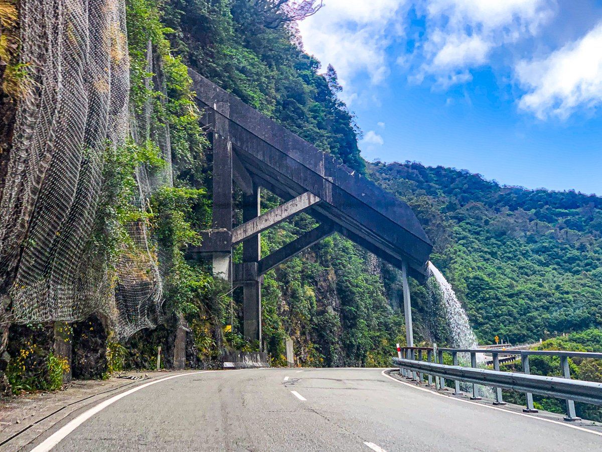
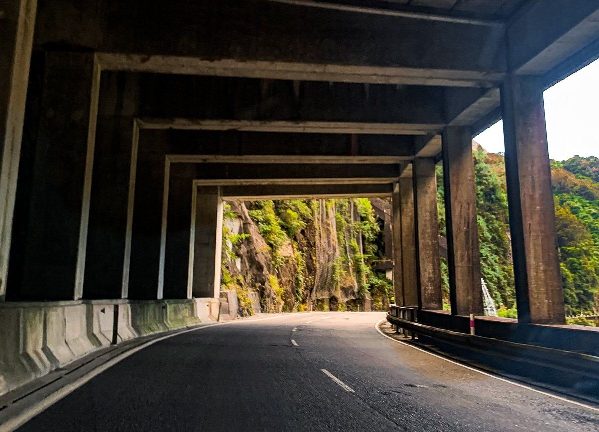
Arthur's Pass, located in the Southern Alps of New Zealand, is a remarkable destination for those interested in engineering marvels and stunning landscapes. As you approach the summit from Otira, you'll encounter some of the most challenging sections of road construction in New Zealand through rugged, eroding mountain terrain. This includes the Otira Viaduct and the rockfall shelter and flume over State Highway 73 that diverts Reid Falls.
Scenic Stops and Wildlife Encounters
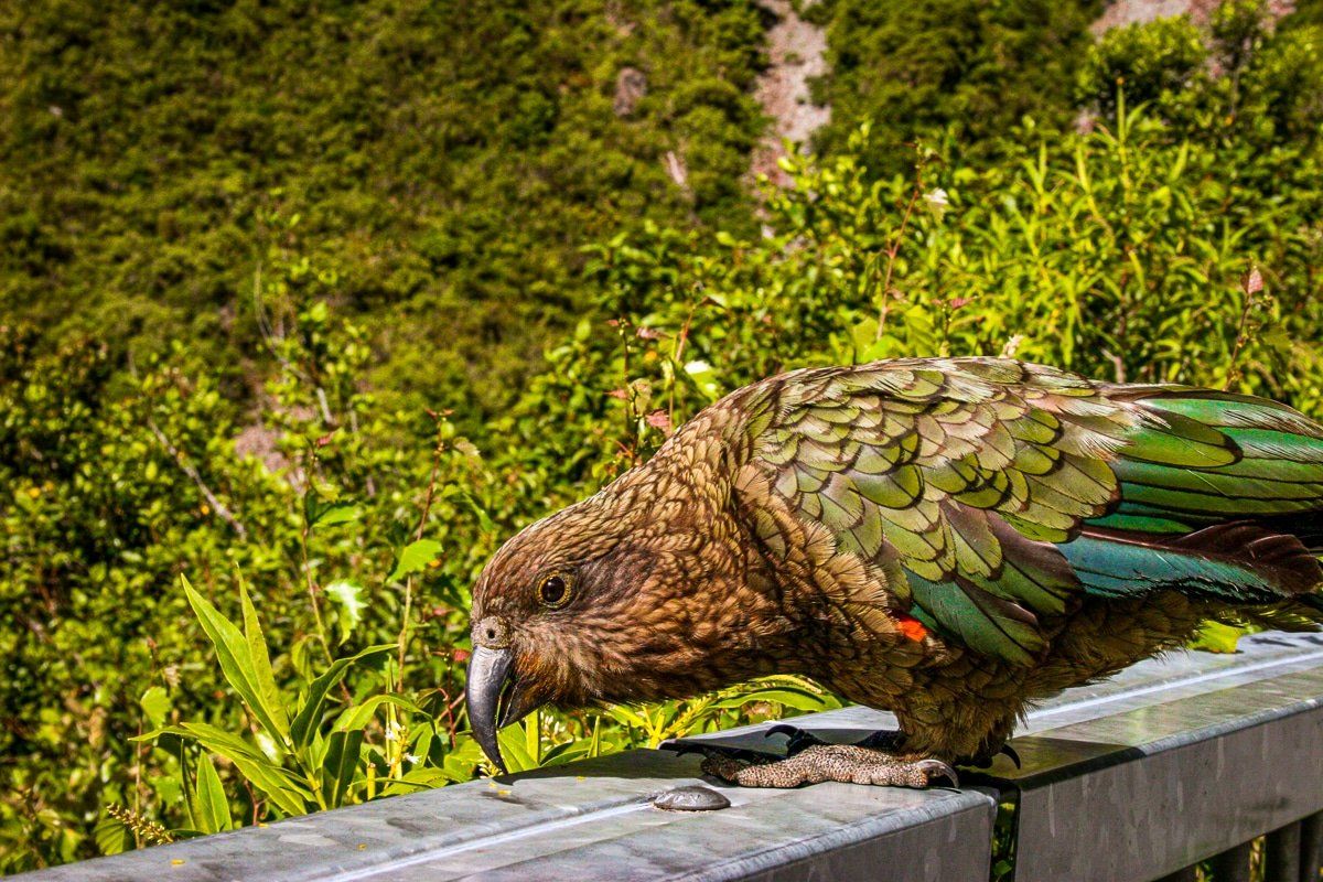
One of the highlights along this route is Candys Bend. Here, you can capture photographs of the dramatic gorge, the protective shelter, and the flume. Keep an eye out for kea, the curious alpine parrots that frequent this area.
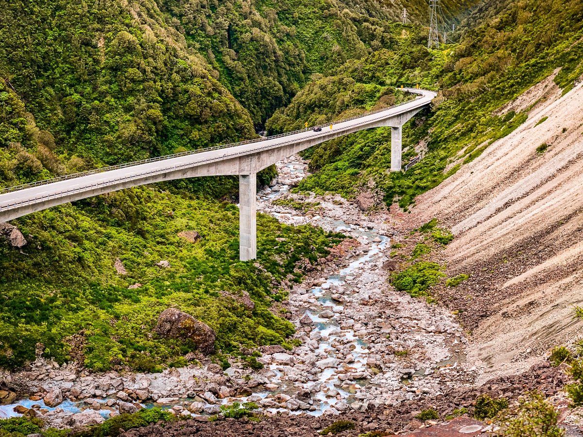
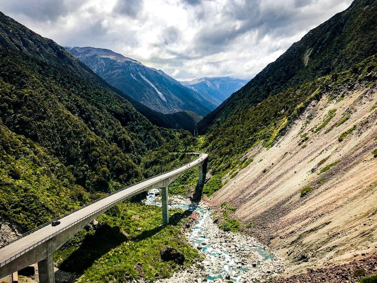
Continuing your journey east, you'll cross the impressive Otira Viaduct. On the south side, at Deaths Corner, another viewpoint provides a chance to appreciate the surrounding landscape and to meet kea.
A Glimpse into the Past
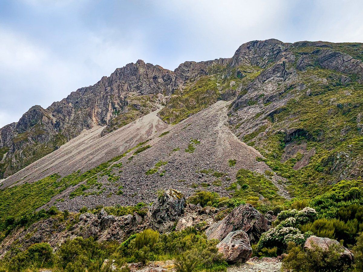
The construction of the viaduct has significantly eased travel through Arthur's Pass, but the challenges of the past are still evident. From Deaths Corner, observe the mountain slip to the right of the viaduct. The road once traversed the top of this slip, posing significant difficulties due to melting snow and unstable terrain. This road may have been more spectacular to drive, but it was certainly scarier!
The original road was built in 1865. It was narrow with tight hairpin corners and subject to frequent closures due to slips, avalanches, and rockfalls. One particularly notorious stretch, known as “the zig-zag,” was especially challenging. Construction of the Otira Viaduct began in 1998 and was completed in 1999. Spanning approximately 440 metres, the viaduct was an engineering feat, designed to integrate into the landscape to reduce its visual and ecological impact.
Tragically, true to the name, Deaths Corner, a worker died on the project, and a memorial plaque is at the base of the westernmost pier.
How to Get There
To reach Arthur's Pass from Christchurch, drive west on State Highway 73 for approximately two hours. If you're coming from the West Coast, head east on State Highway 73 from Kumara, between Greymouth and Hokitika, which takes about one and a half hours.
Along the way, other nearby attractions include the Otira Valley Track, the Devils Punchbowl Waterfall and the Arthur's Pass National Park Visitor Centre, where you can discover other walks around Arthur's Pass.