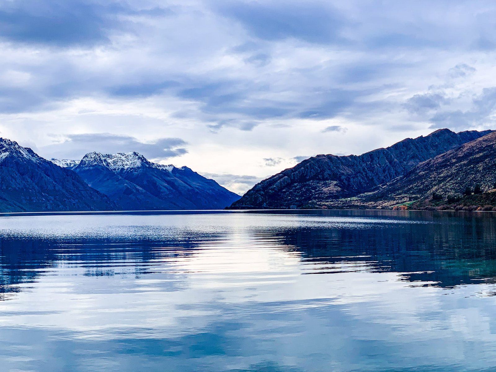
Once you’ve explored Queenstown and the sights around Lake Wakatipu, it’s time for a few of our favourite winter day trips – scenic drives, great hikes, interesting historic buildings, and incredible views all included. Today we’re covering visits to Shotover River, Arrowtown, the Crown Range, Kawarau Gorge and Bannockburn, Jacks Point to Drift Bay, Wye Creek Track, and Kingston.
Shotover River
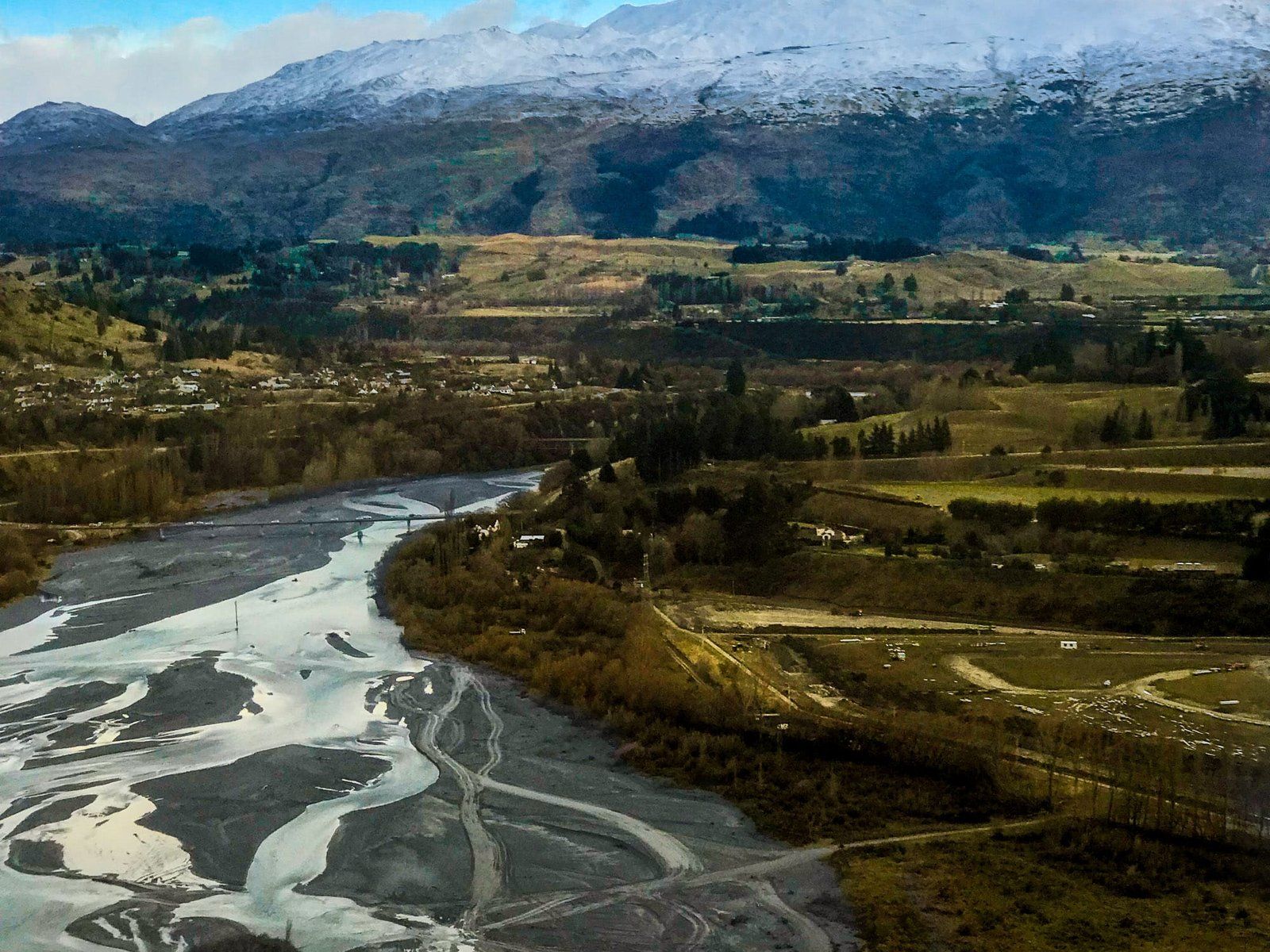
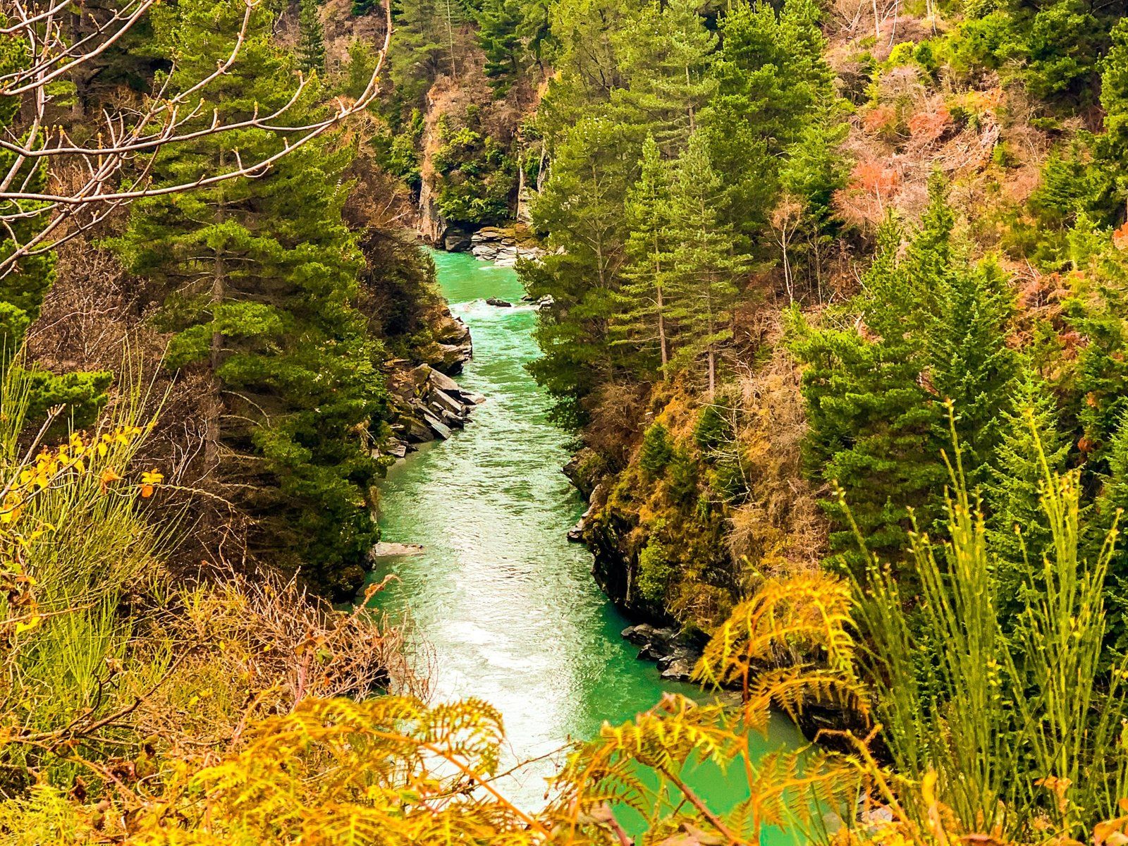
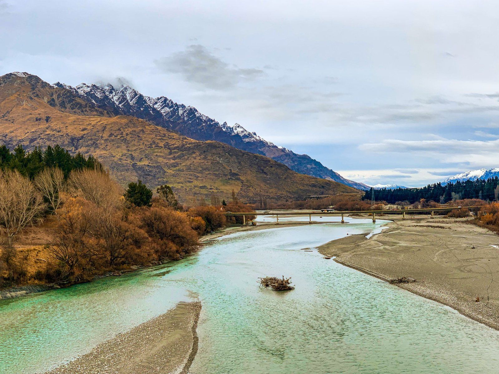
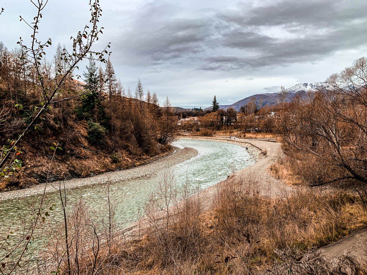
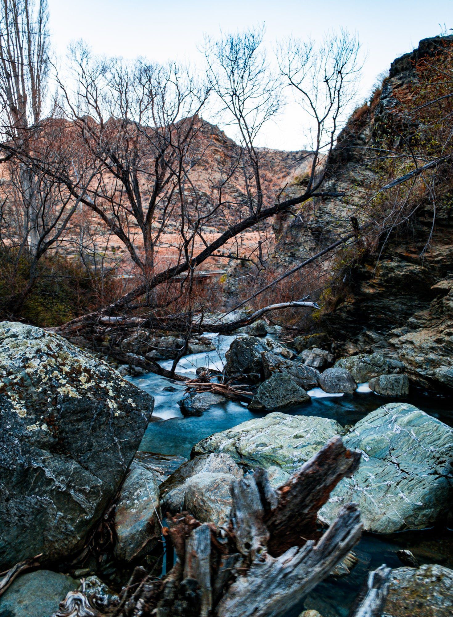
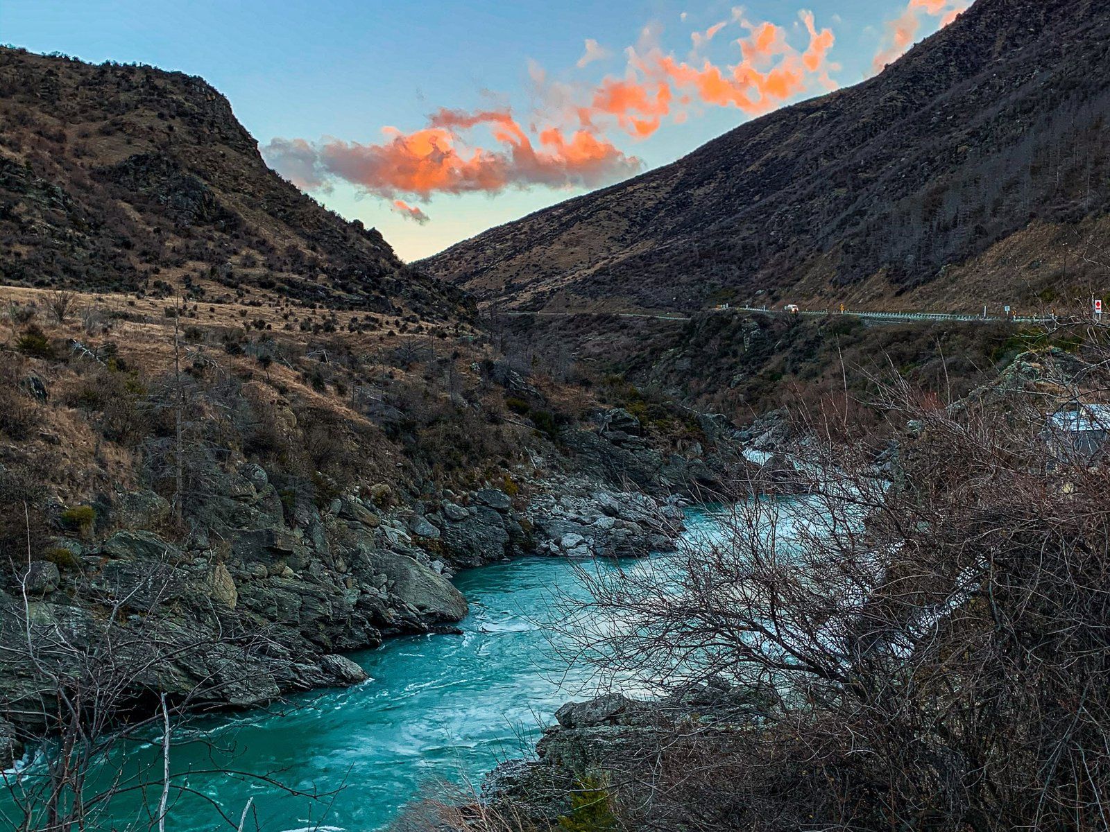
The Shotover River lies between the Harris and Richardson mountain ranges, and in the 1860s was the richest source of alluvial gold in the world. It empties into the Kawarau River, just to the east of Lake Wakatipu.
One interest point along the Shotover River is Skippers, a ghost town that was the largest gold mining settlement on the river. However, it’s a rough and narrow road to Skippers, high above the gorge – rental vehicles aren’t permitted, and there’s nowhere to pull over or turn around in some sections.
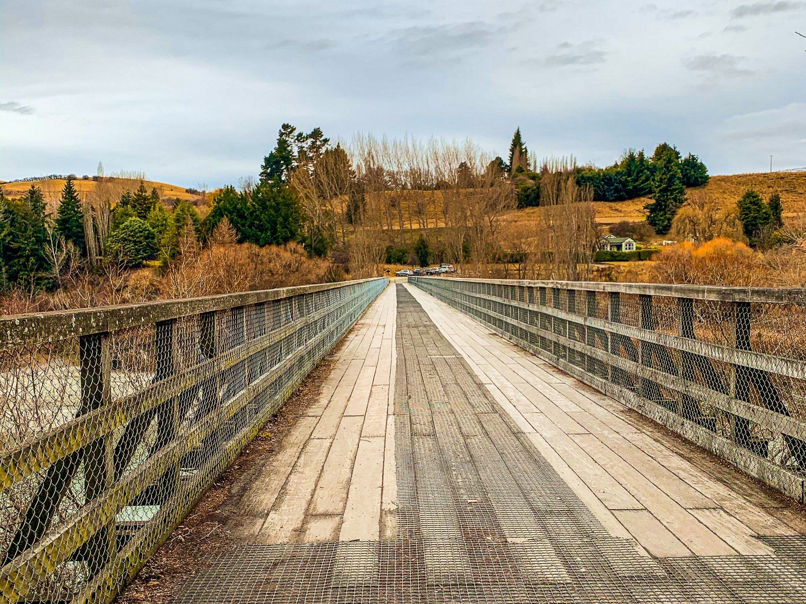
Other options are the Historic Bridge, which can be accessed by following Tucker Beach Rd off the main highway from Lake Hayes to Queenstown, or take Gorge Rd to Arthurs Point. You can also take a walk from Oxenbridge Tunnel Rd to a view of the rapids and a historic tunnel.
Arrowtown
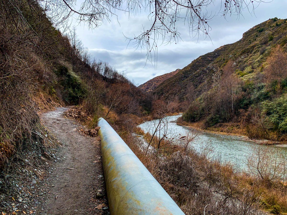
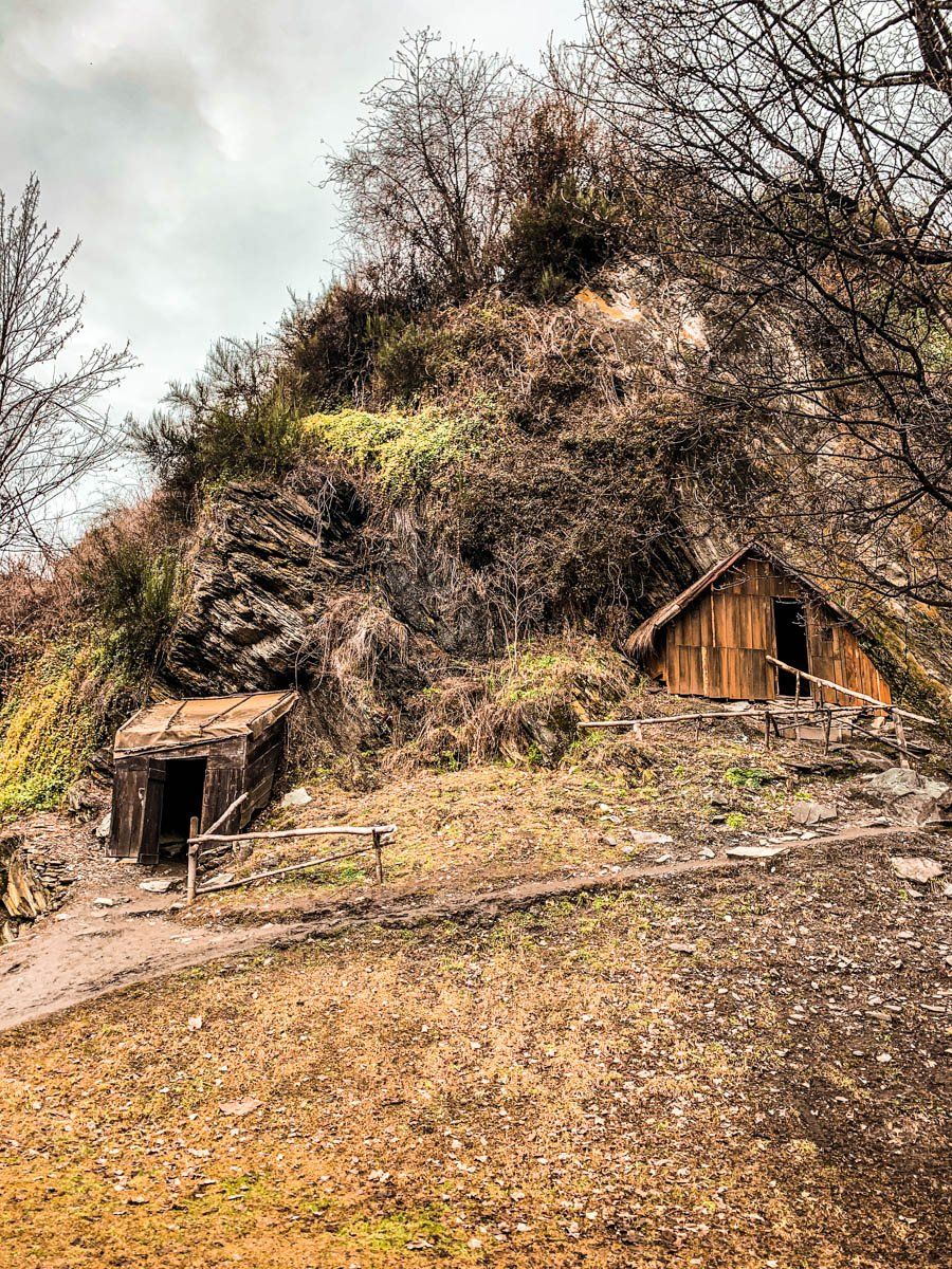
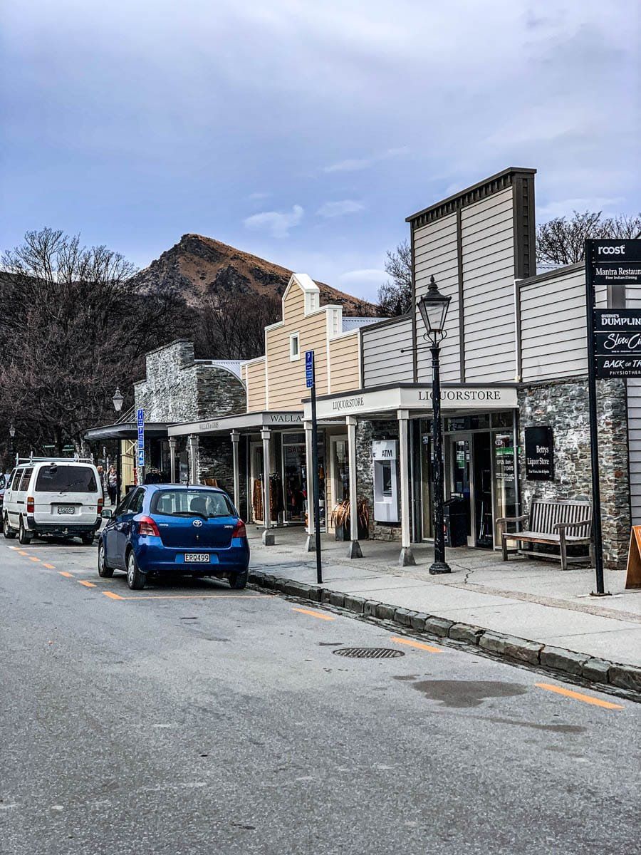
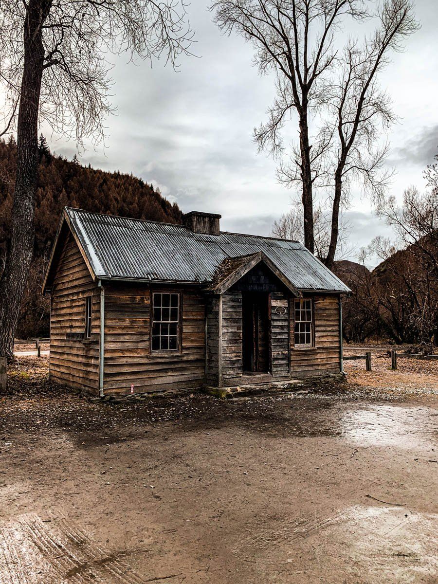
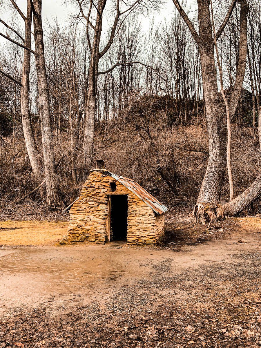
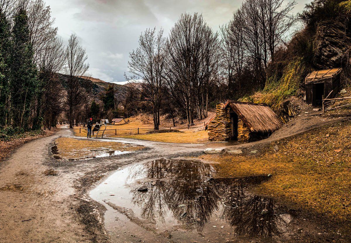
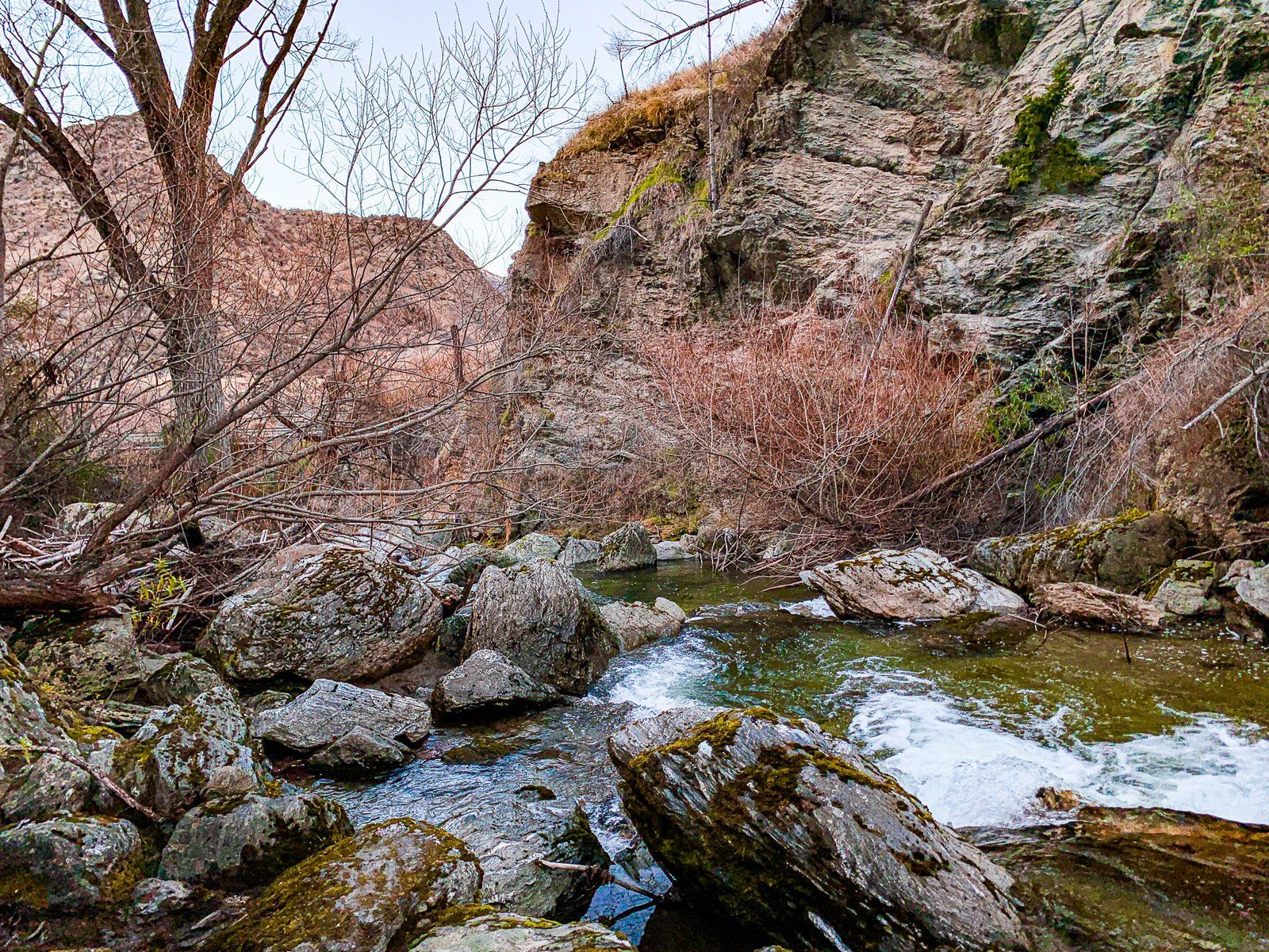
Arrowtown is a well established tourist town, and was once one of the most significant gold towns in New Zealand. It has various attractions, including historic buildings that survived from the gold era, walks around the Arrow River which bypass the Historic Chinese Settlement, and the dramatic Sawpit Gully Walk, which is a two- to three-hour loop track.
You can also reach Macetown either by hiking along the Big Hill Walkway or driving up the Arrow River (if you have a 4WD – there are a number of river fords to cross). Macetown is another a historic gold mining settlement that has become a ghost town – if you’re hiking, it’s best as an overnight camping trip.
The Crown Range
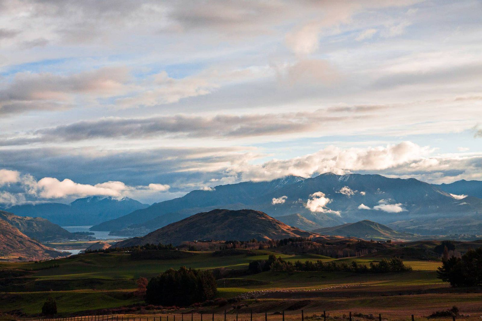
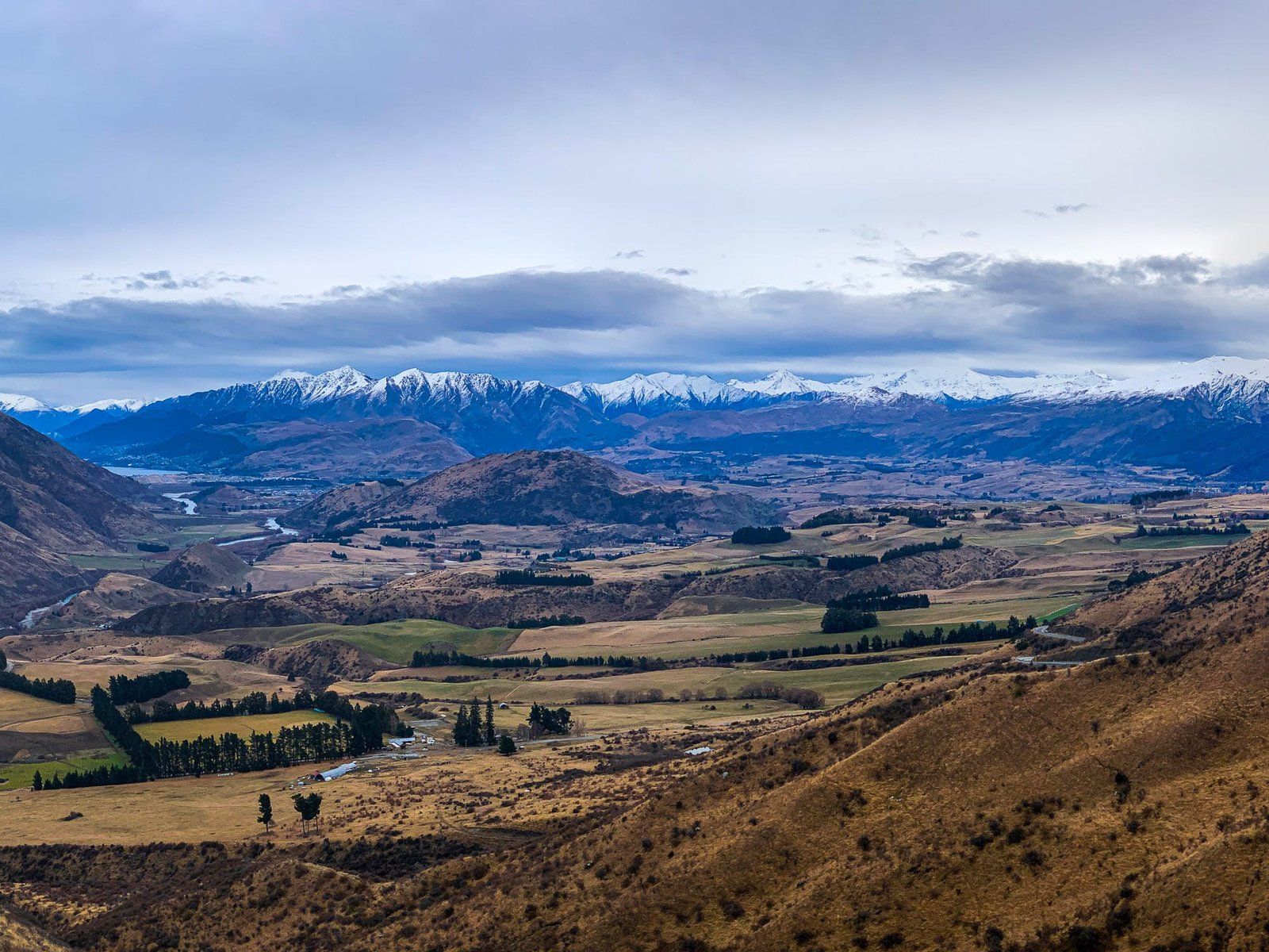
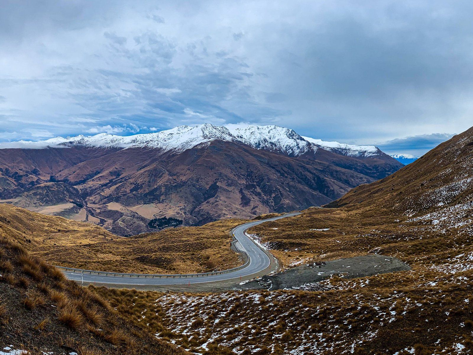
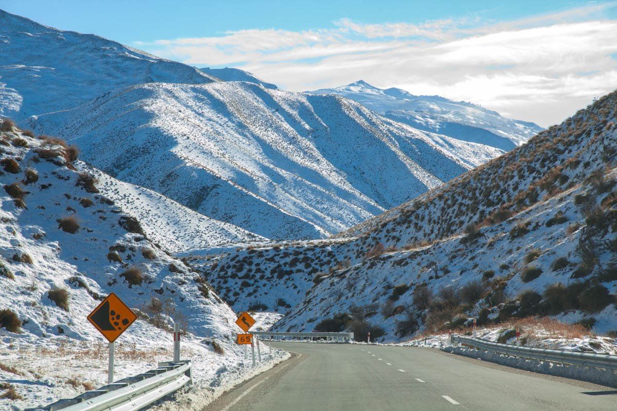
After Arrowtown, head past Lake Hayes to the Crown Range Rd. This is the main road from Queenstown to Cardrona and Wanaka, but the drive to the pass is worthwhile in its own right. The Crown Range is the highest main road mountain pass in New Zealand, with spectacular views back towards Queenstown. In winter there is often snow at the top of the pass, so check in advance whether you need to bring chains.
Kawarau Gorge
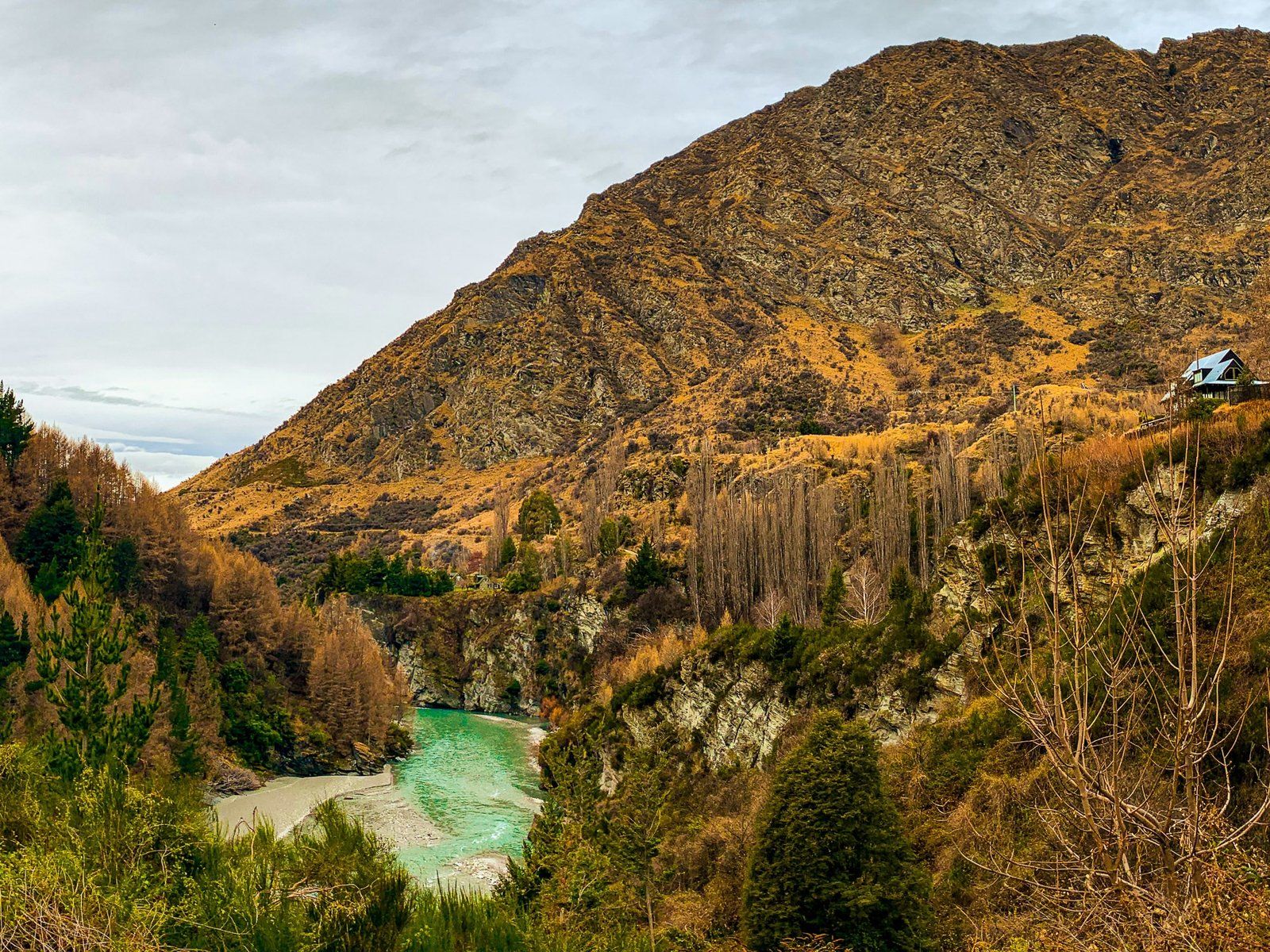
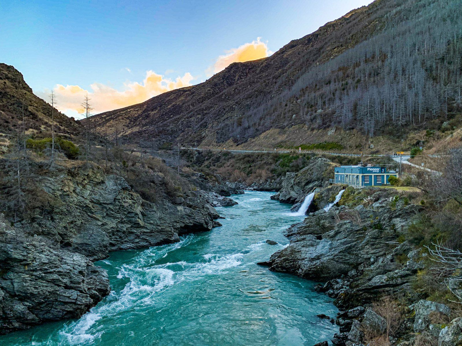
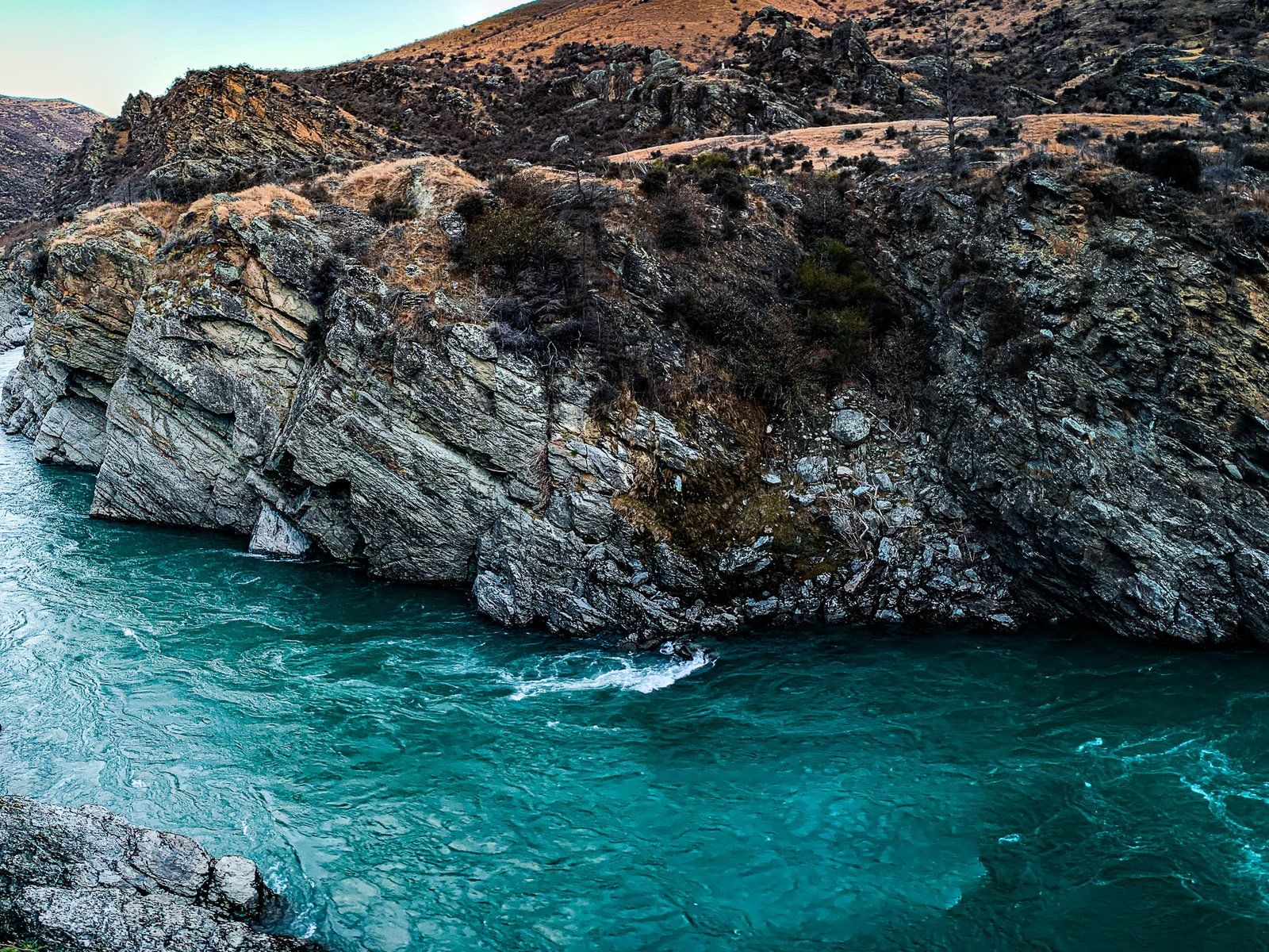
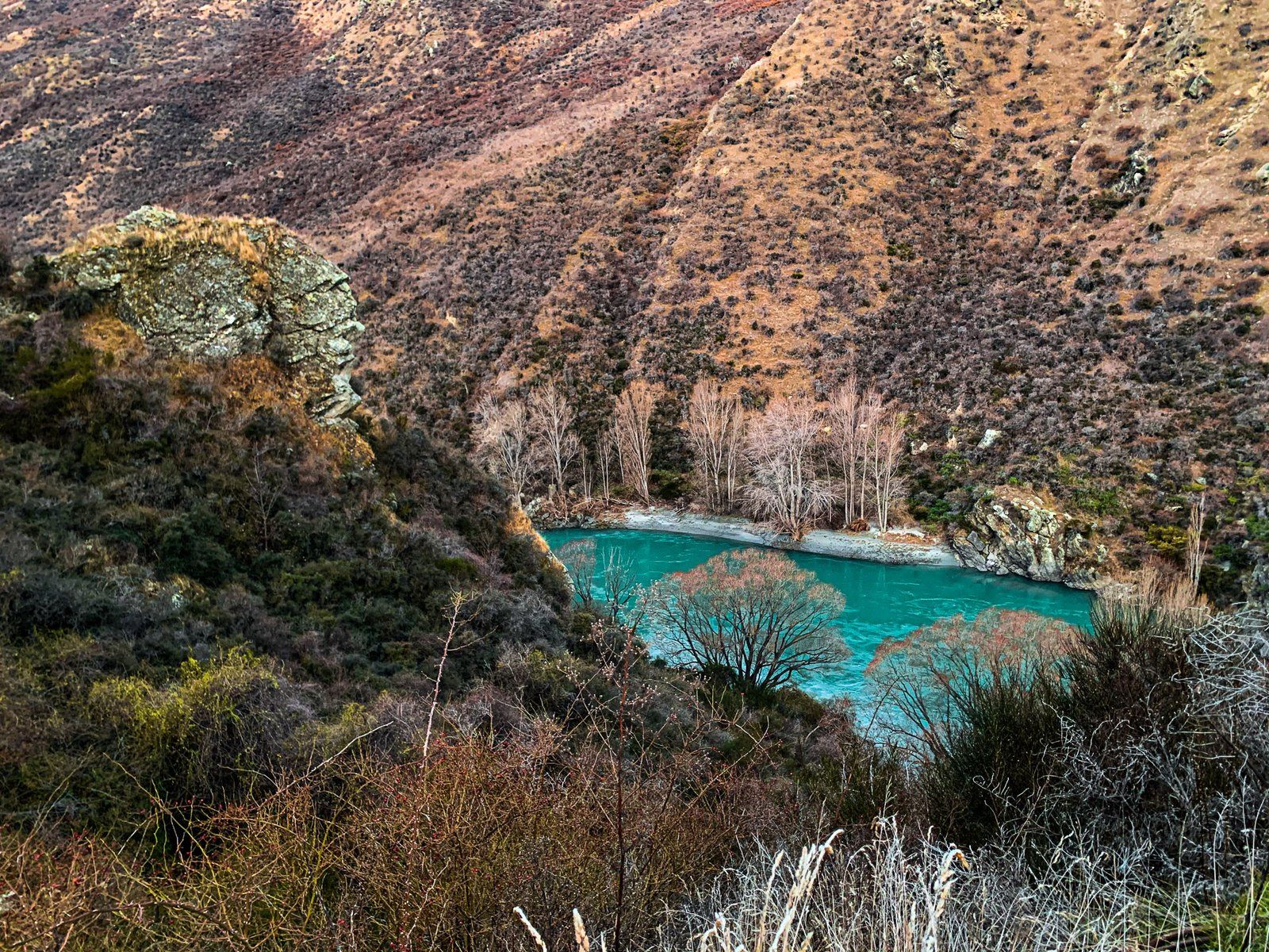
From the bottom of the Crown Range Rd, follow Kawarau Gorge Road. This is the main route between Queenstown and Cromwell, as well as the original home of bungy jumping. There are several places where you can safely stop to view the gorge, plus wineries at Chard Farm (with a spectacular entrance opposite the bungy jump) in the Gibbston Valley. Further on is the small Roaring Meg power station, viewpoint, and historic reserve.
As you approach Cromwell, you’re getting into more gold history, with diggings above the gorge obvious from the road around Goldfields.
Bannockburn
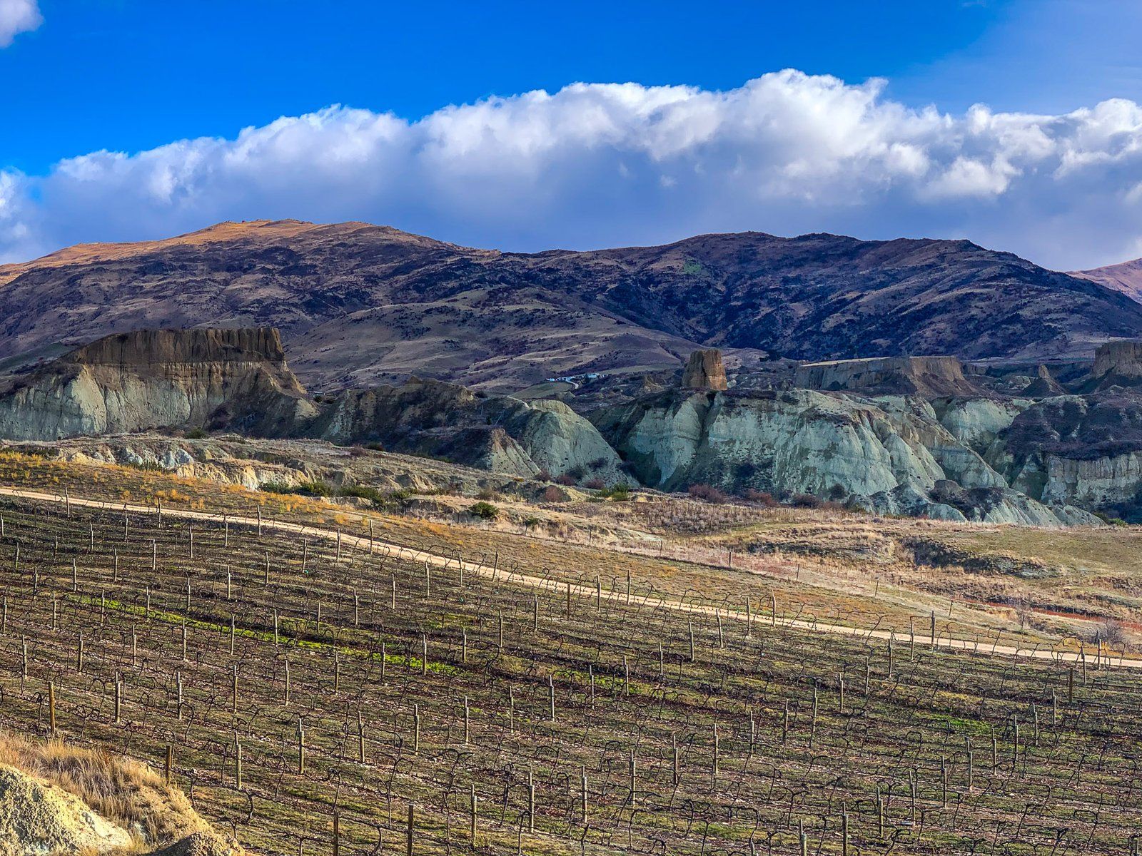
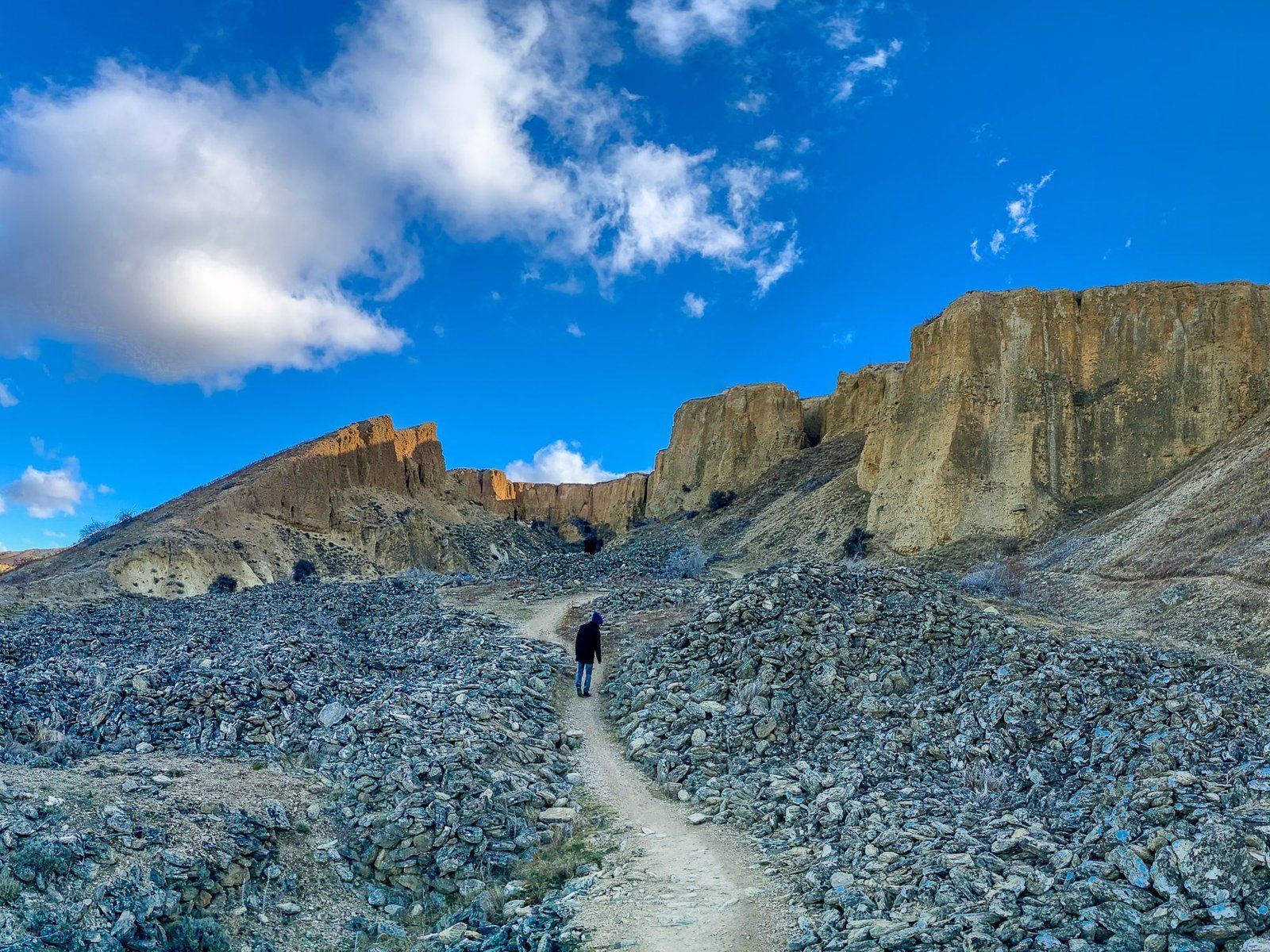
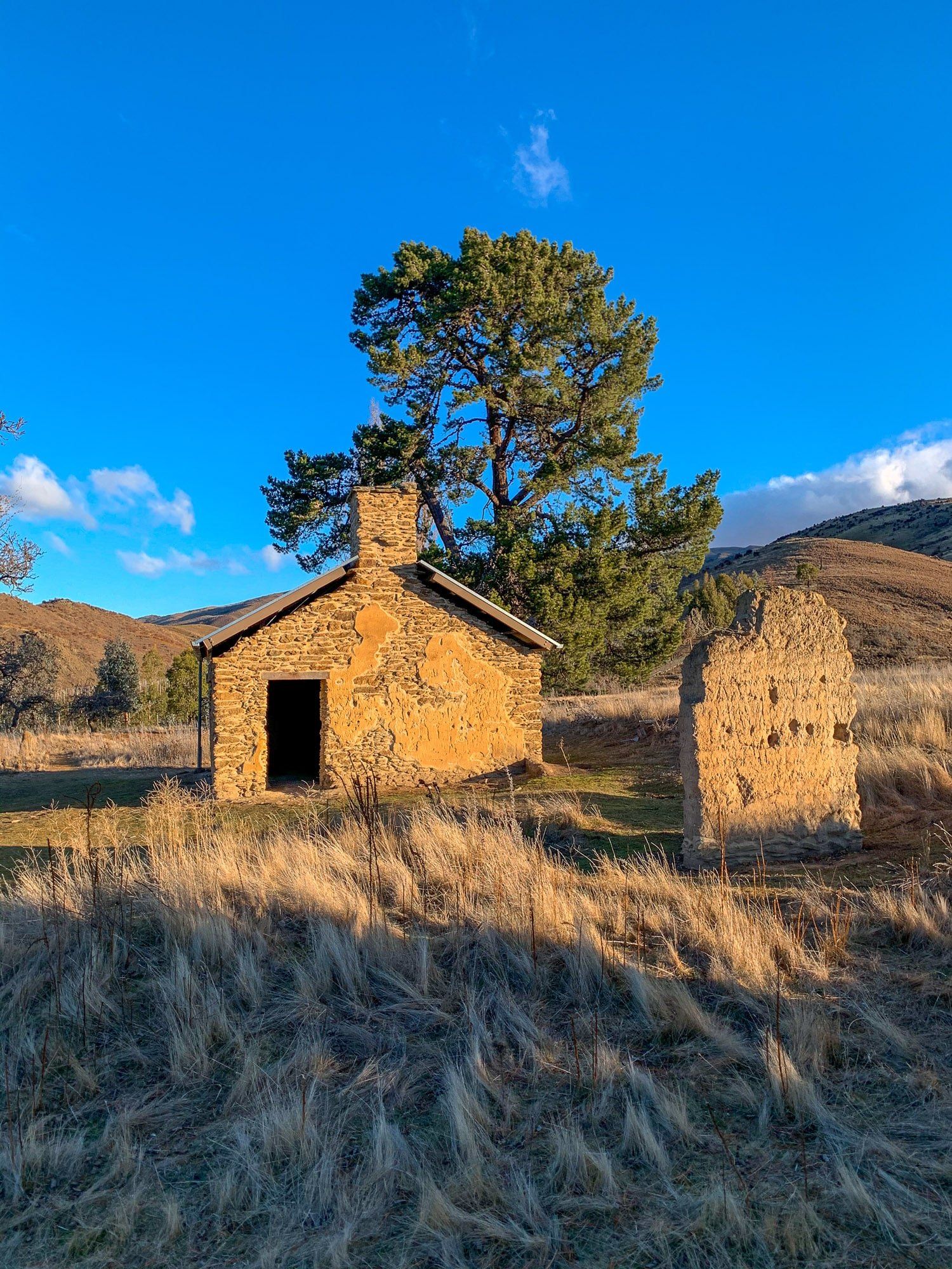
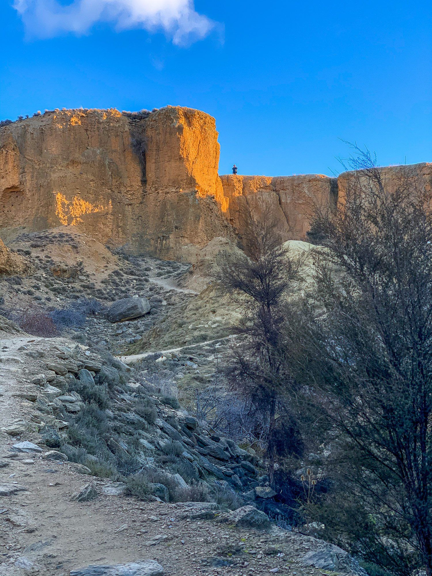
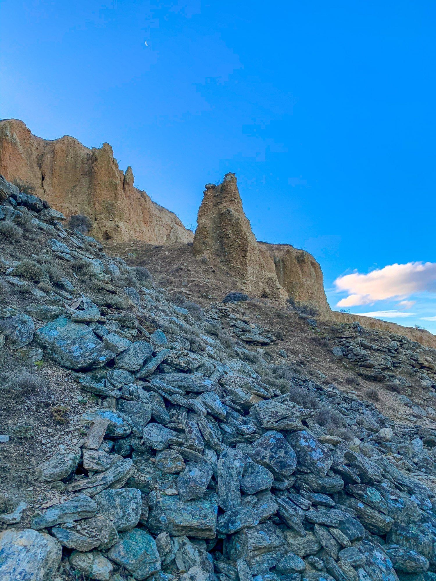
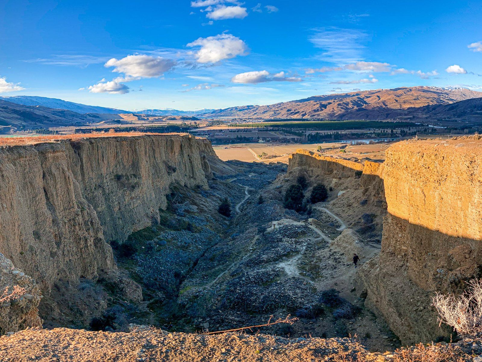
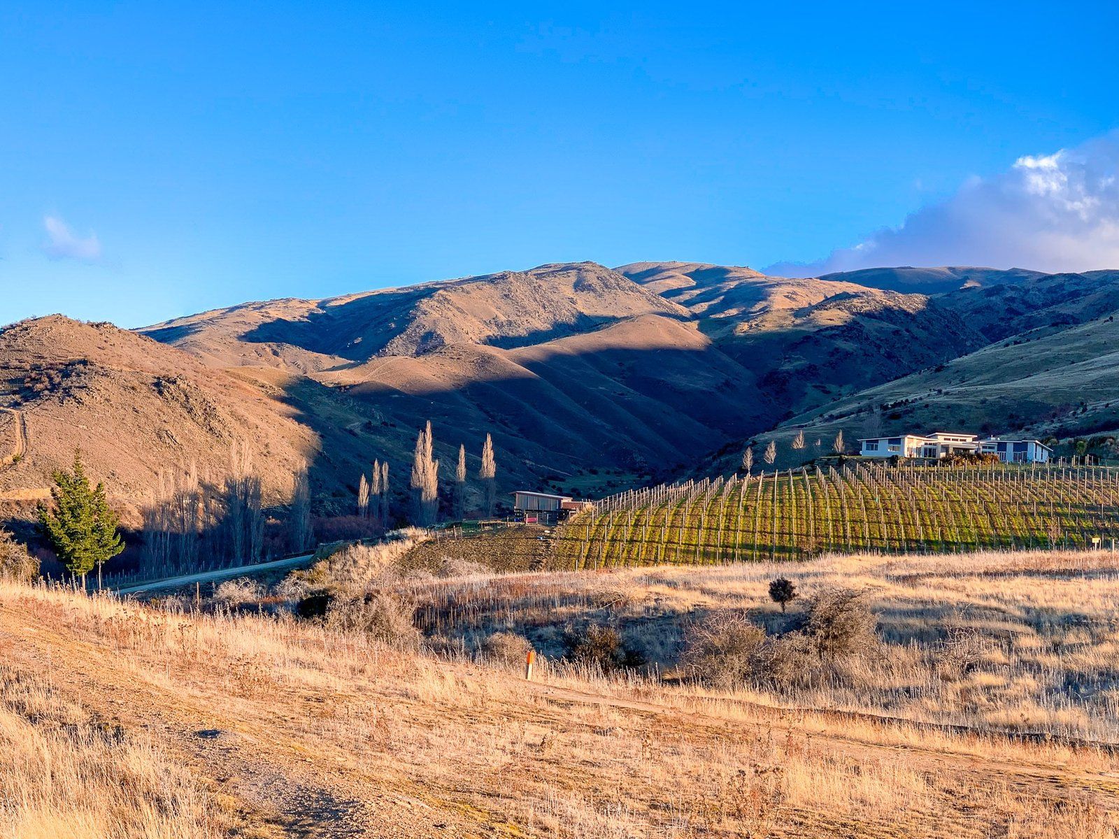
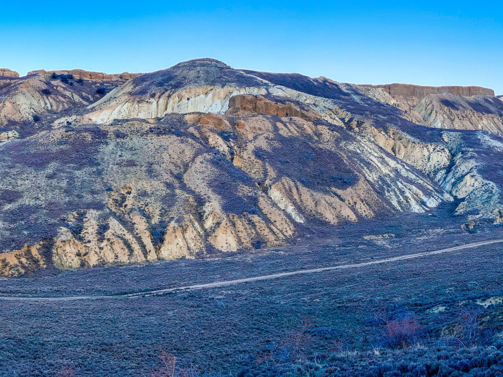
Right after exiting the Kawarau Gorge, take Pearson Rd to Bannockburn. Bannockburn was once a major source of gold and is now dominated by wineries. The most interesting historic feature is the Bannockburn Sluicings Historic Reserve, right next to Mt Difficulty Wines. This is a large area that was dug out by water hose and then sluiced for gold.
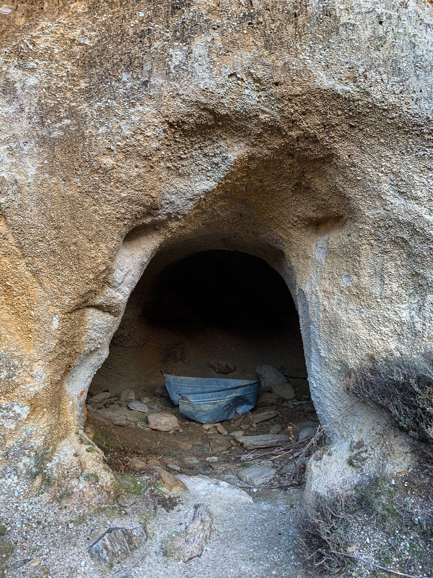
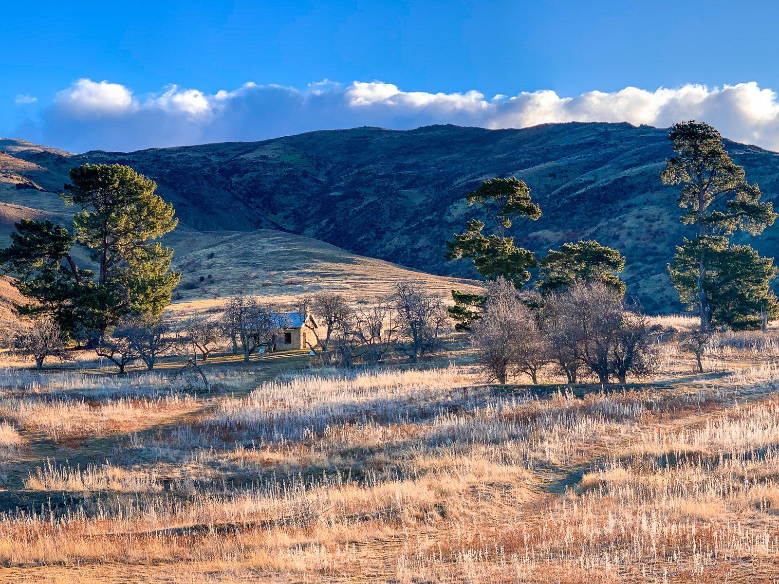
There’s a two hour loop track which follows the diggings, water races, man made caves and the remains of a dam at Stewart Town, a small ghost town. Make sure you wander into the wild thyme fields that dominate the gully created by the miners – the smell is fabulous.
Jacks Point to Drift Bay
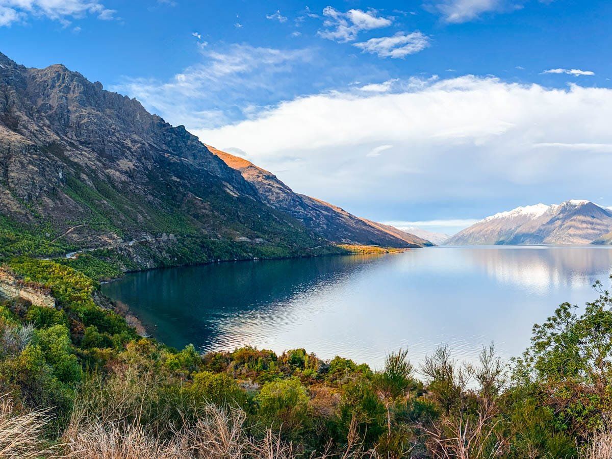
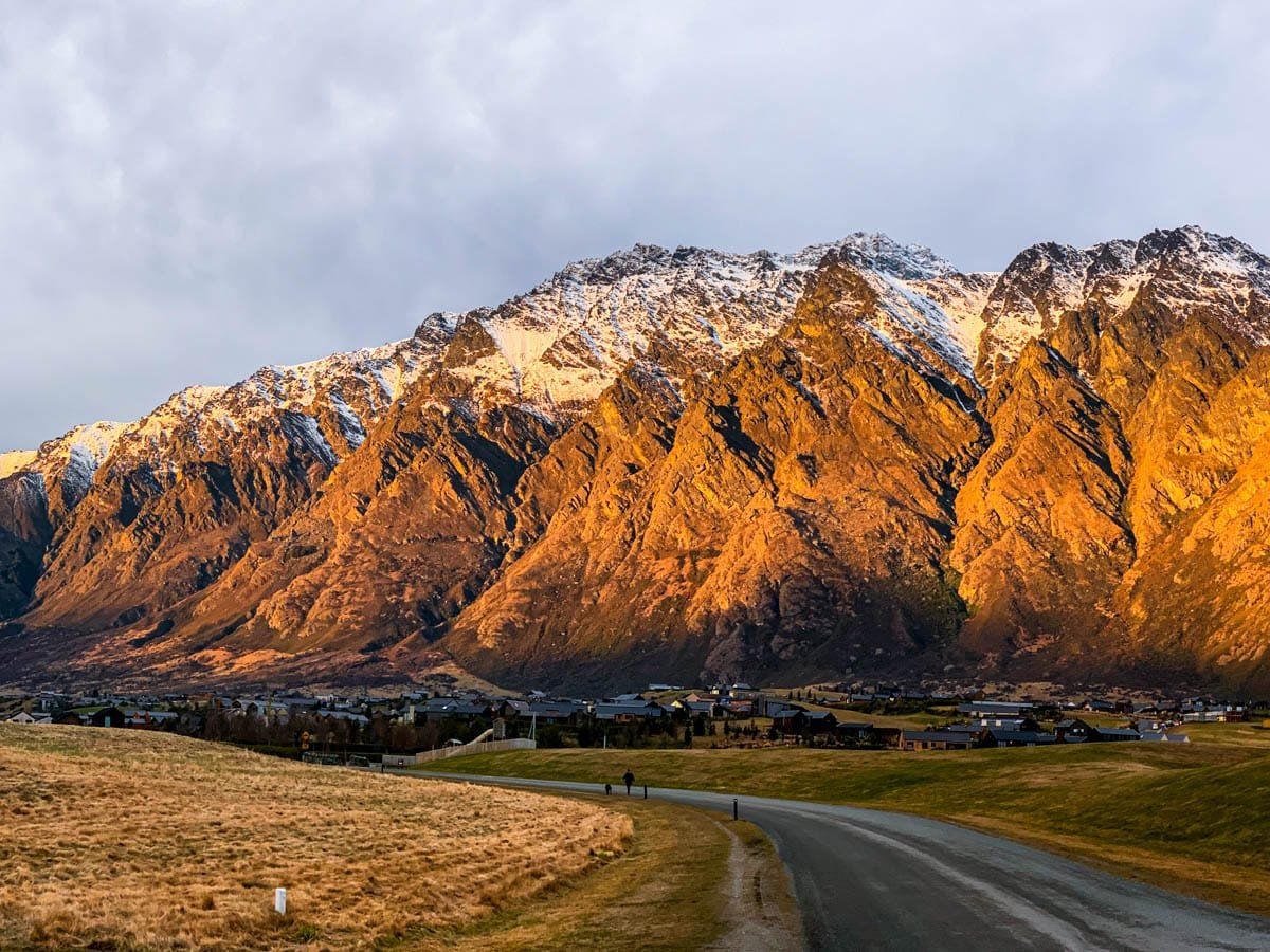
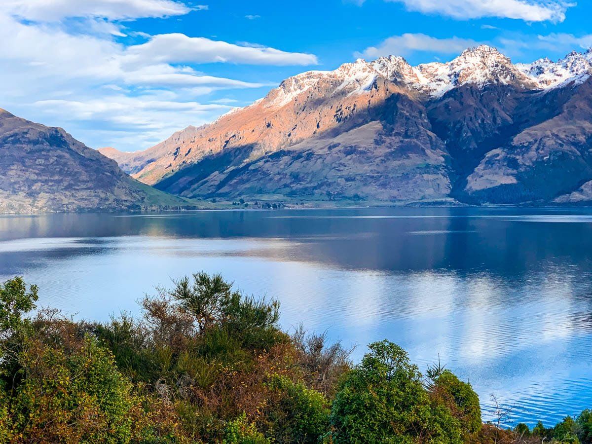
Jacks Point is one of the newer burgeoning suburbs of Queenstown, a few kilometres beyond the entrance to the Remarkables ski field on the highway to Kingston. A little further along the road is Drift Bay.
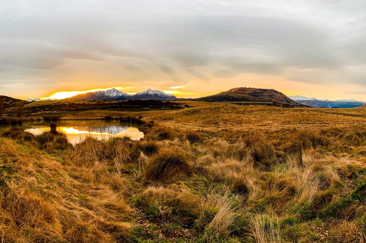
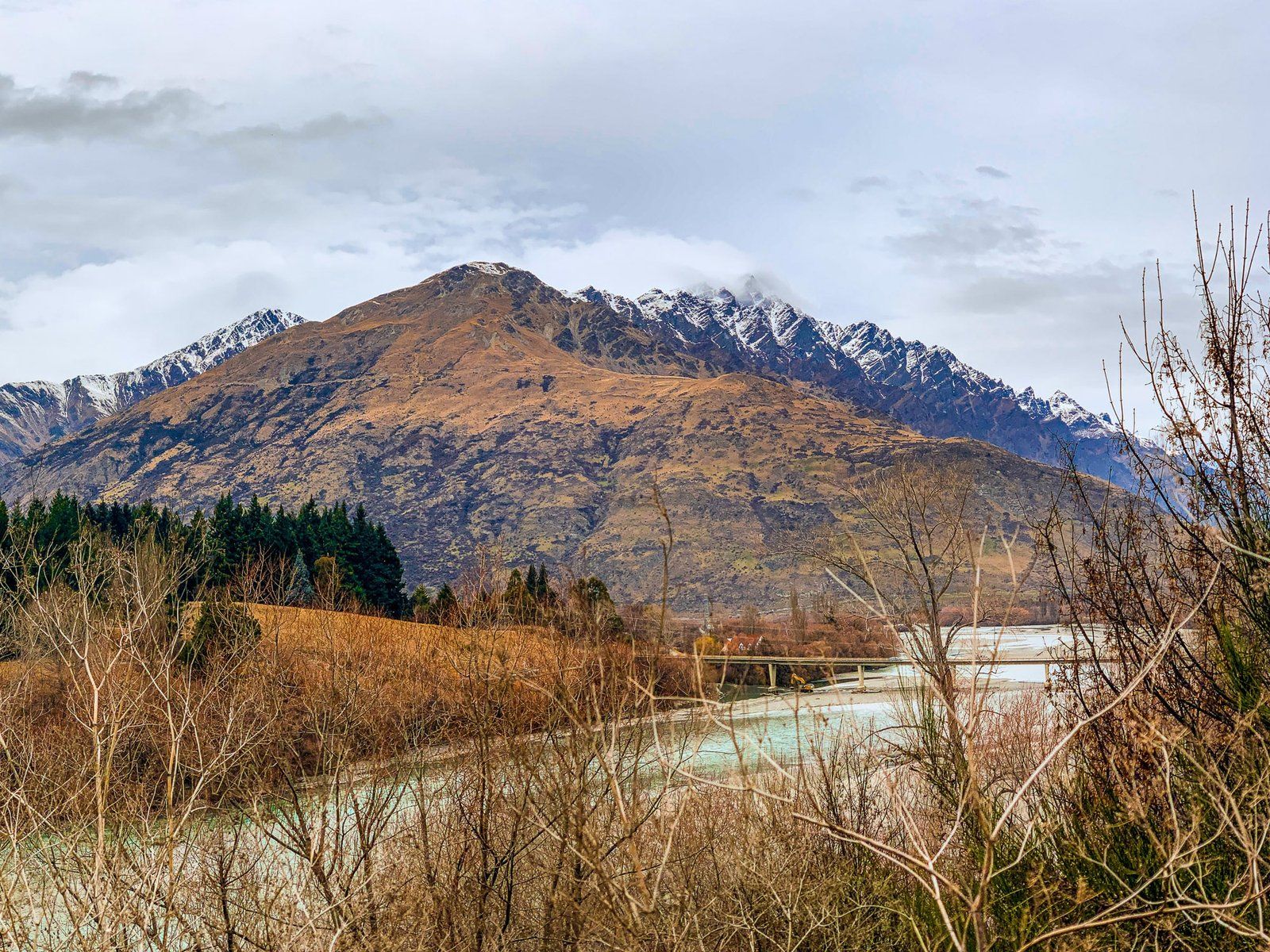
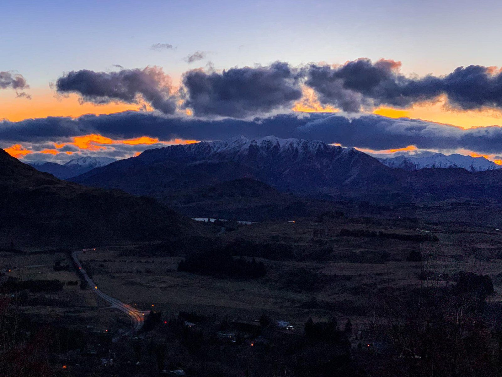
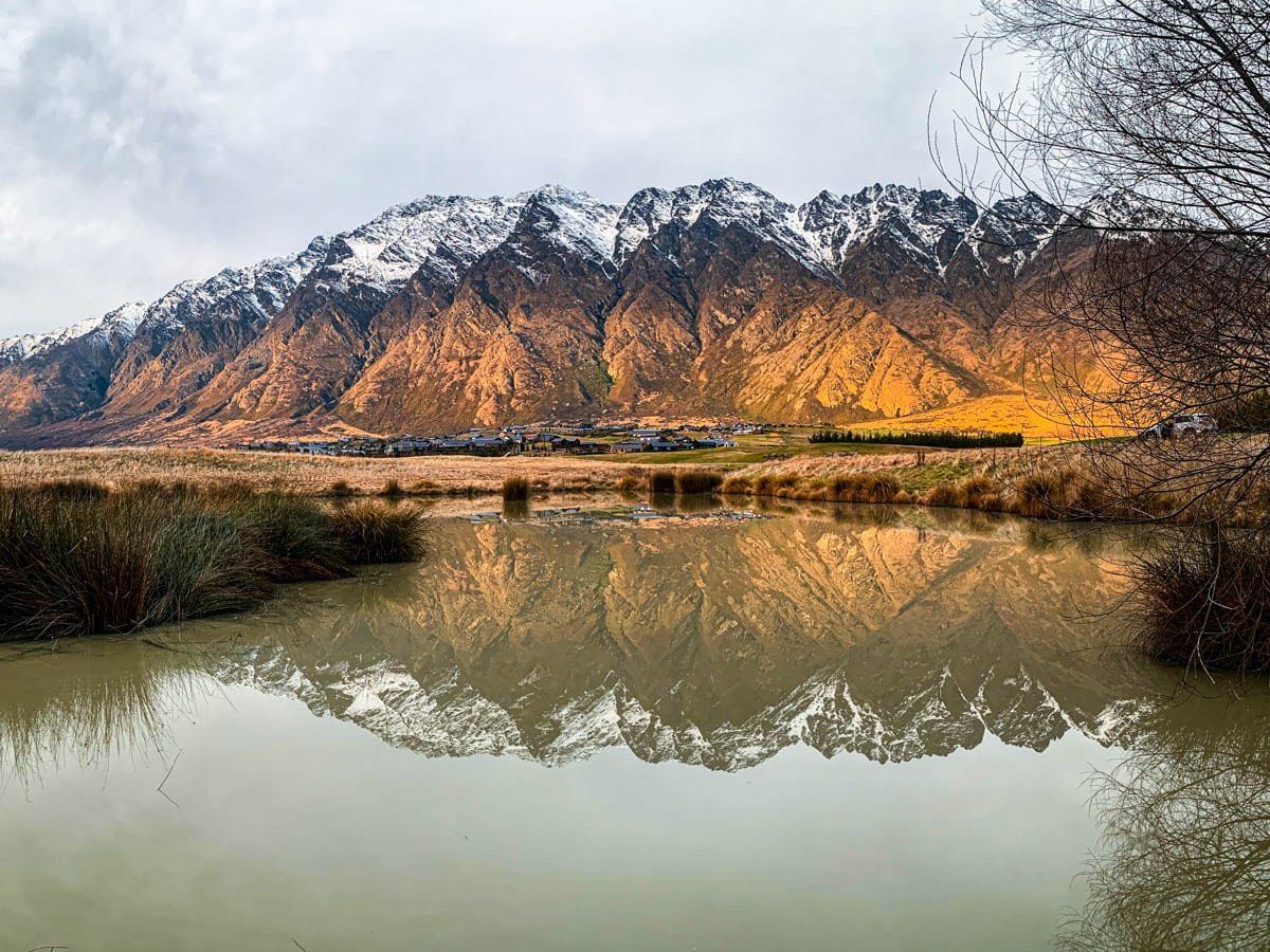
It’s around this area that you probably get the best shots of the Remarkables’ spectacular steep peaks. There are also unique reflections in one of the Jacks Point golf course ponds.
Wye Creek Track
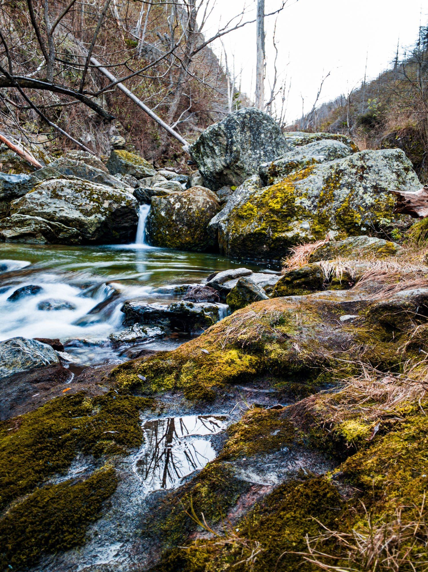
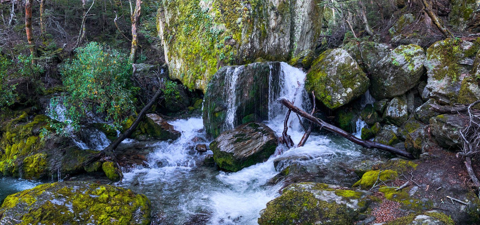
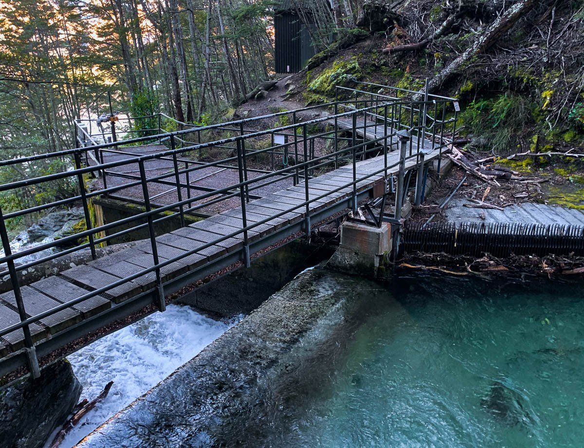
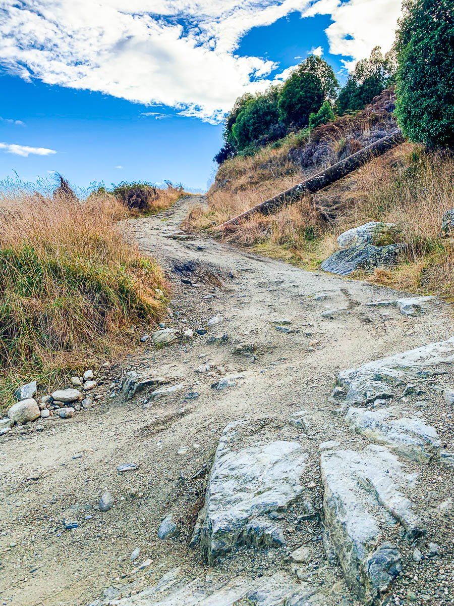
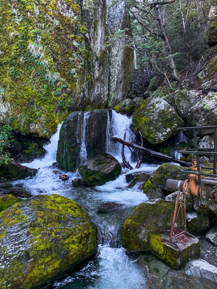
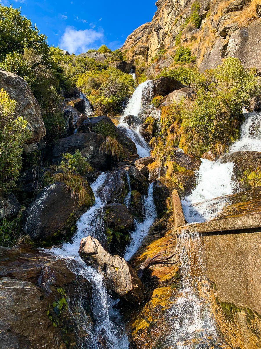
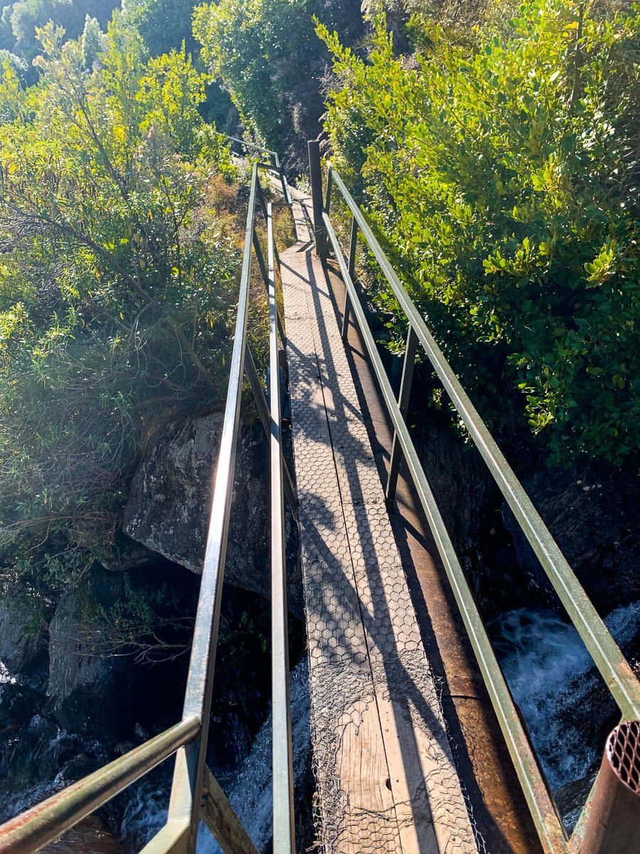
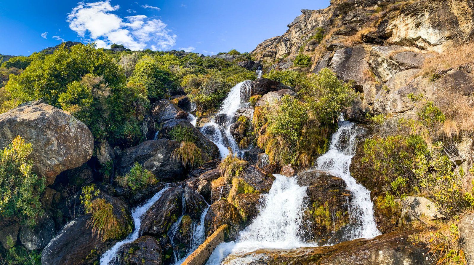
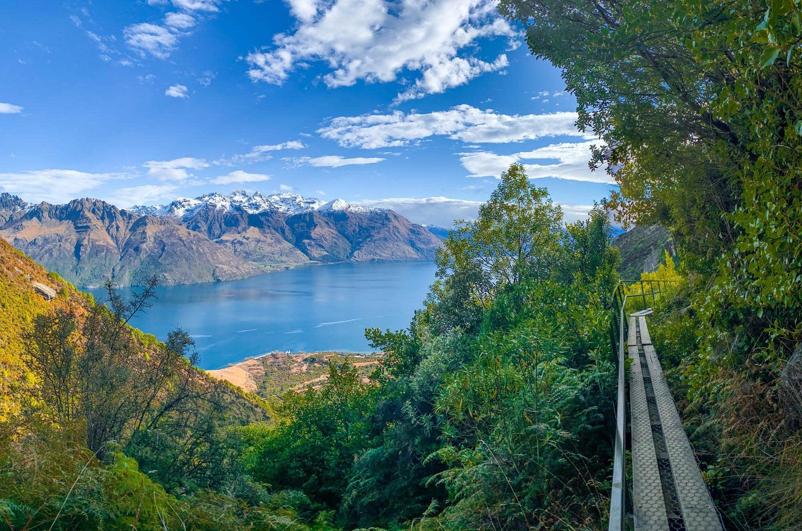
We hiked the short version of the Wye Creek Track in winter. The track begins in a car park at the end of a rough (4WD only) road, which you access from the Queenstown to Kingston road. It only takes about 30 minutes or so to get to the main viewpoint from the trailhead, but there is a trick: cross the small weir that appears after about 20 minutes. The trail continues over the dam, and then follows a narrow boardwalk that sits on top of a water pipe to the south. Don’t follow the Wye Creek route sign – the boardwalk is quite secure despite its appearance. The payoffs include the views back to the lake, and the amazing series of tumbling waterfalls at the end of the boardwalk.
There is a long version of Wye Creek Track which starts at the Remarkables ski field, taking you from Lake Alta all the way to the valley below, but you need to allow a full day and arrange a drop off and pick up.
Kingston
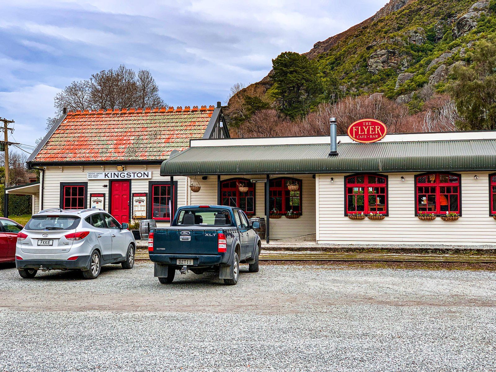
Kingston was once the end of the railway tracks. From there, goods were shipped up the south east arm of the lake to Frankton and Queenstown. The road eventually brought an end to this, although there is talk of reviving the Kingston Flyer, a steam engine train excursion service to Lumsden.
Now Kingston is one of the ends for the Around the Mountains Cycle Trail, with its other end at Walters Peak, immediately across the lake from Queenstown. There’s also a short walking track above the railway station and cafe that gets you to a nice viewpoint above Kingston.
Want more Queenstown Lakes trip ideas?
Check out our recent posts about Queenstown, Wanaka in winter, and Wanaka again.
