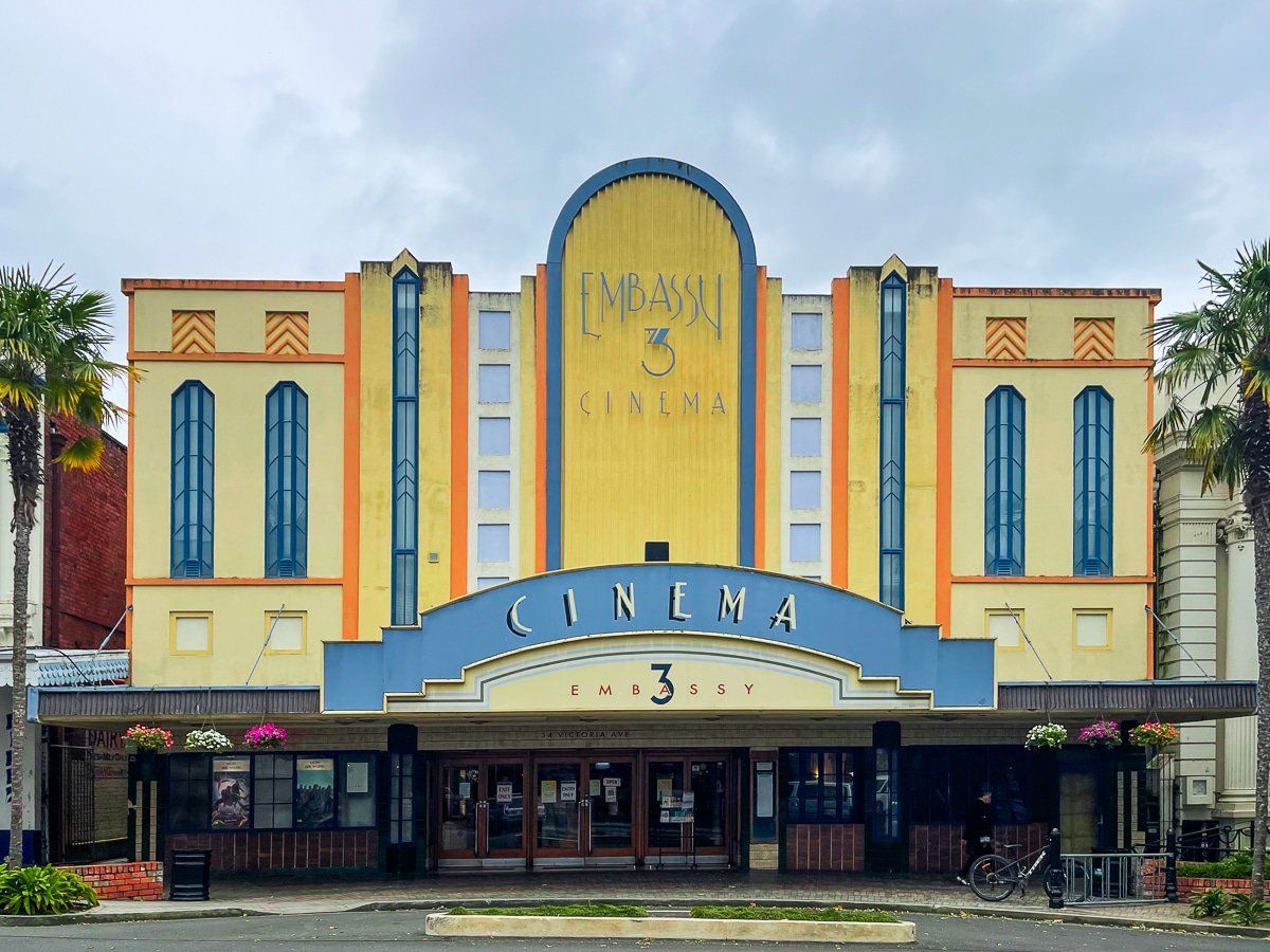
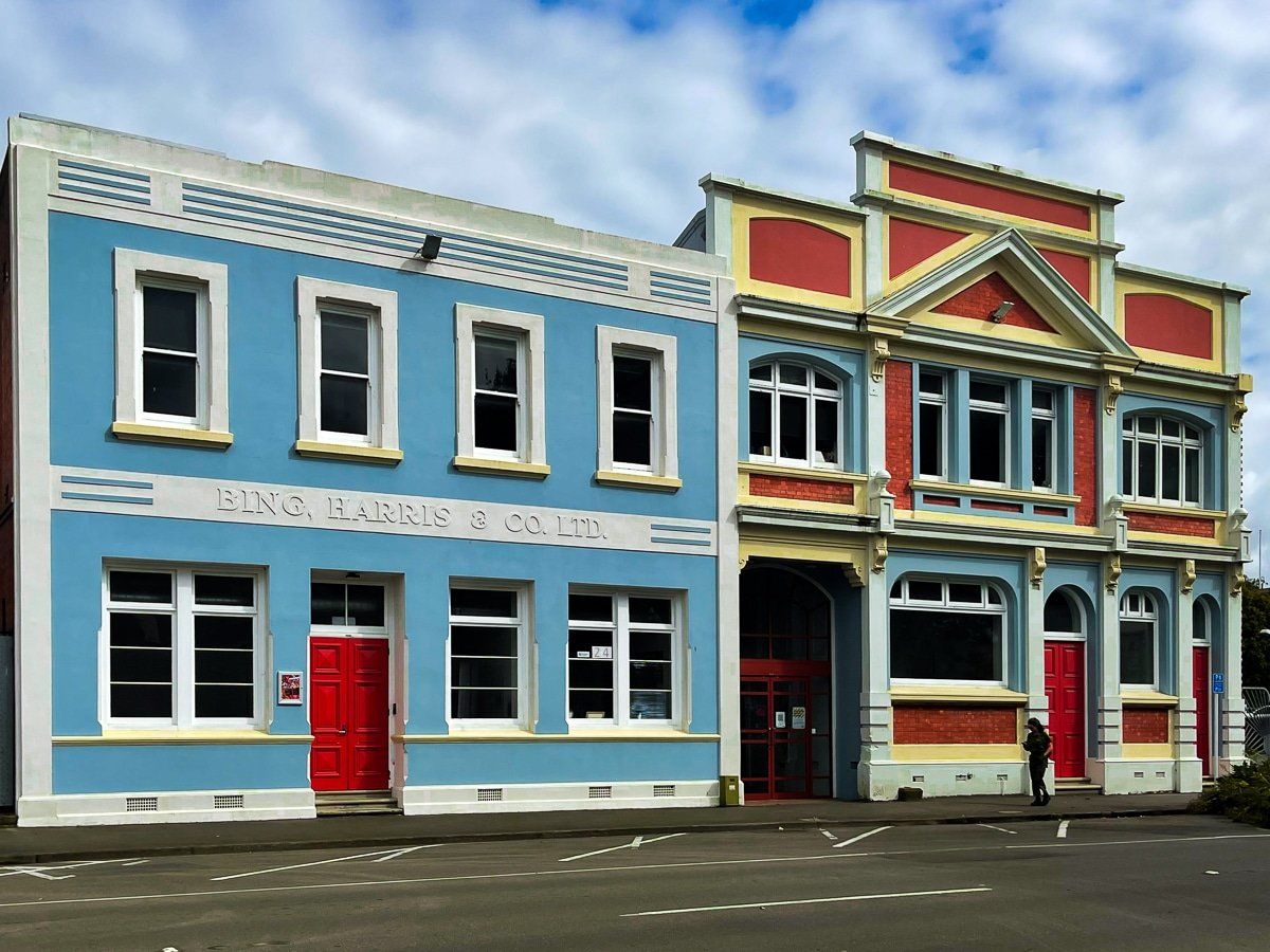
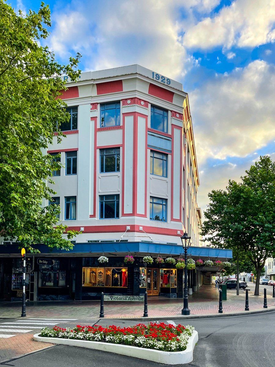
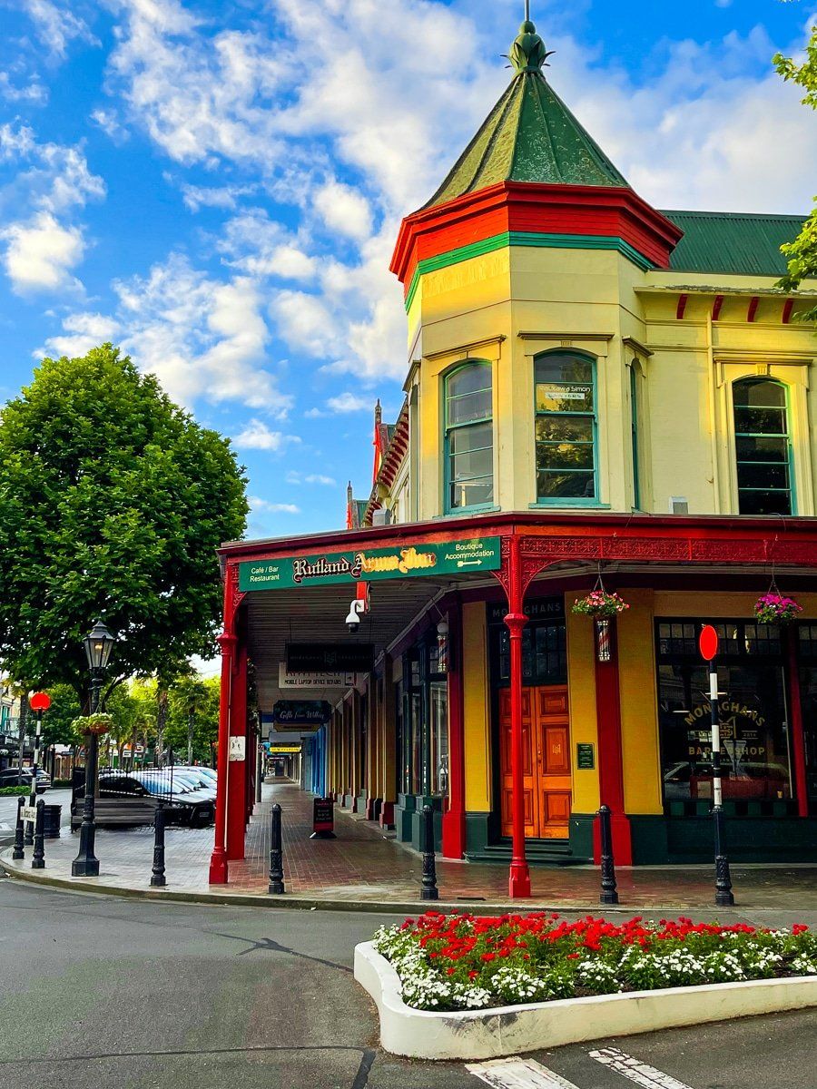
Visiting Whanganui is a unique experience in New Zealand. It is one of the few cities in the country that has been able to retain almost all of its earlier historical Victorian and Edwardian downtown buildings, mainly because until recently its population was about the same as it was in the 1800s. One of the few building splurges it had was in the 1930s, when a good number of art deco buildings were built.
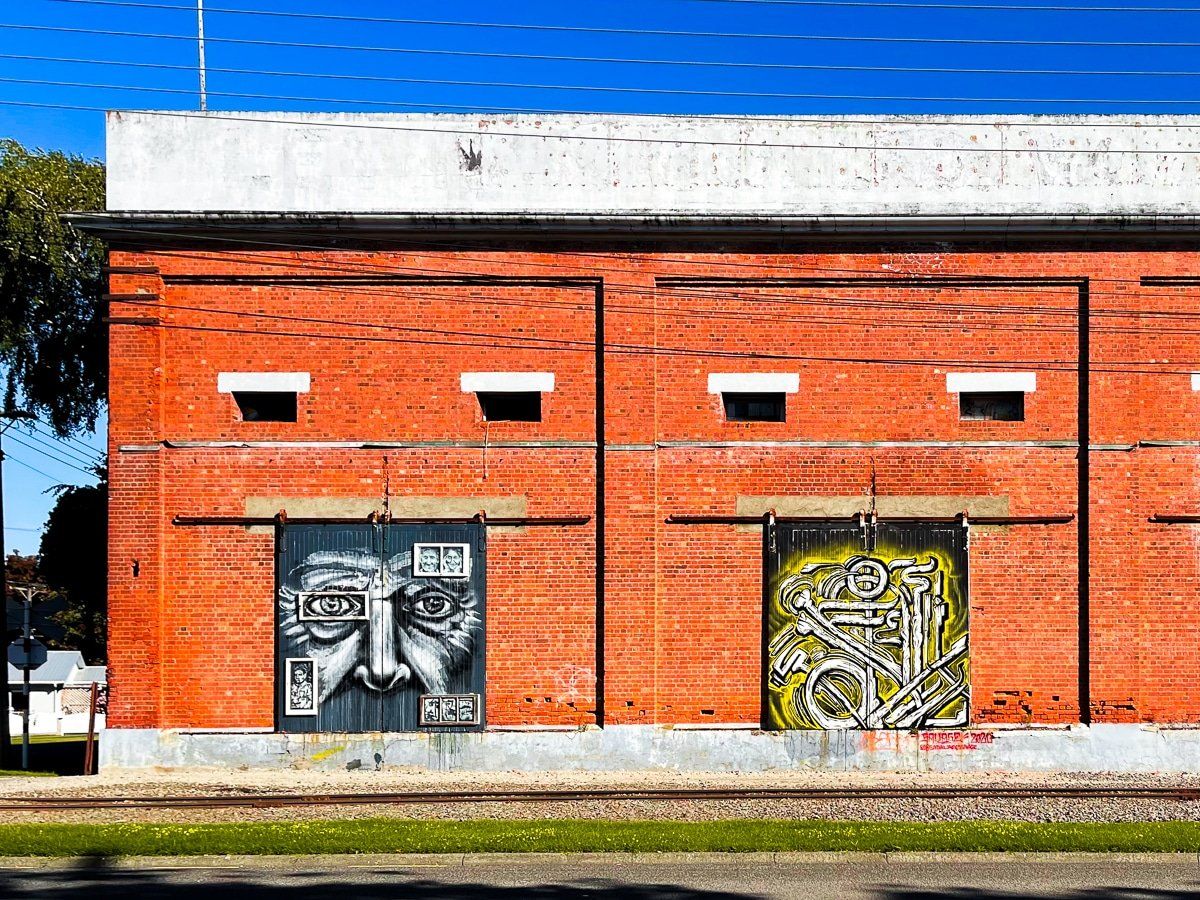
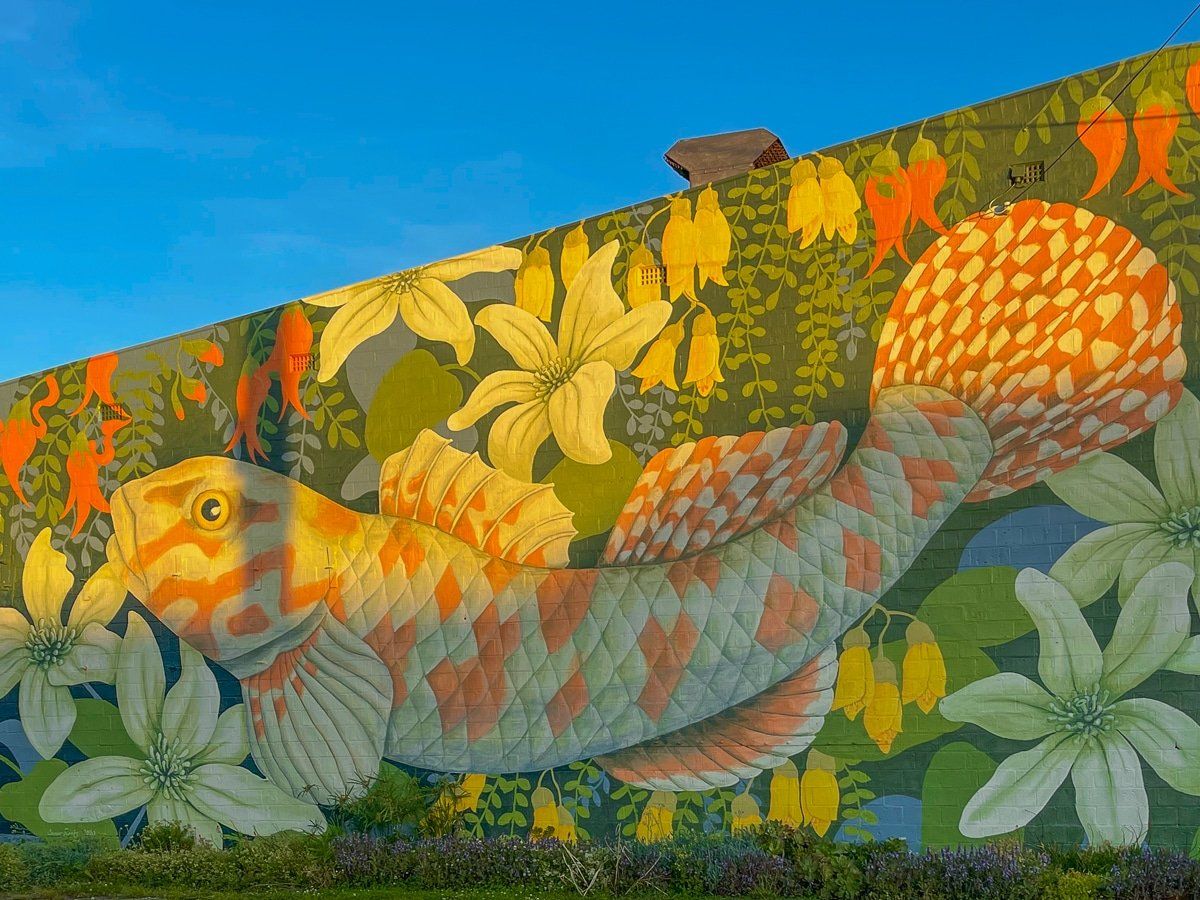
In addition, being a low cost place to live has attracted artists and the city has a thriving art scene. This is underpinned by galleries of national repute and the reasonably extensive outdoor murals and sculptures.
Throw in some nice parks and gardens, excellent cafes and restaurants, the benefit of the Whanganui River and wild Castlecliff Beach and there is more than enough to justify the trip. In addition, it is mostly flat, not too busy and easy to get around, so biking is a realistic option.
Architecture
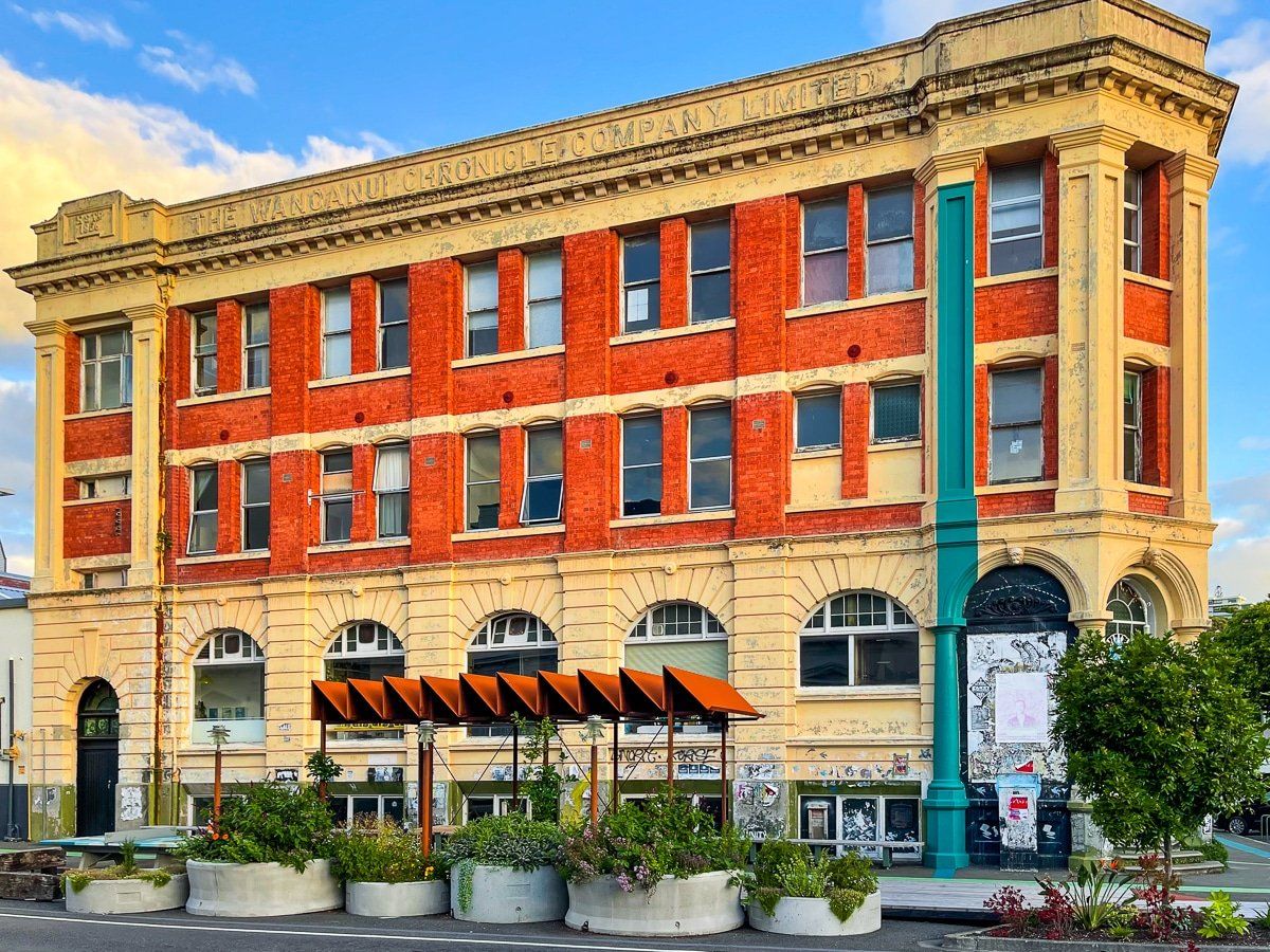
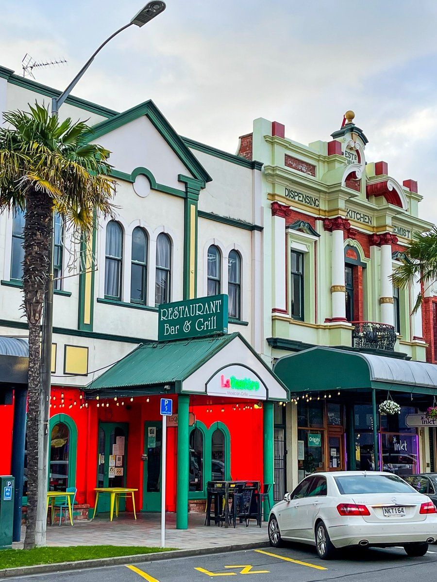
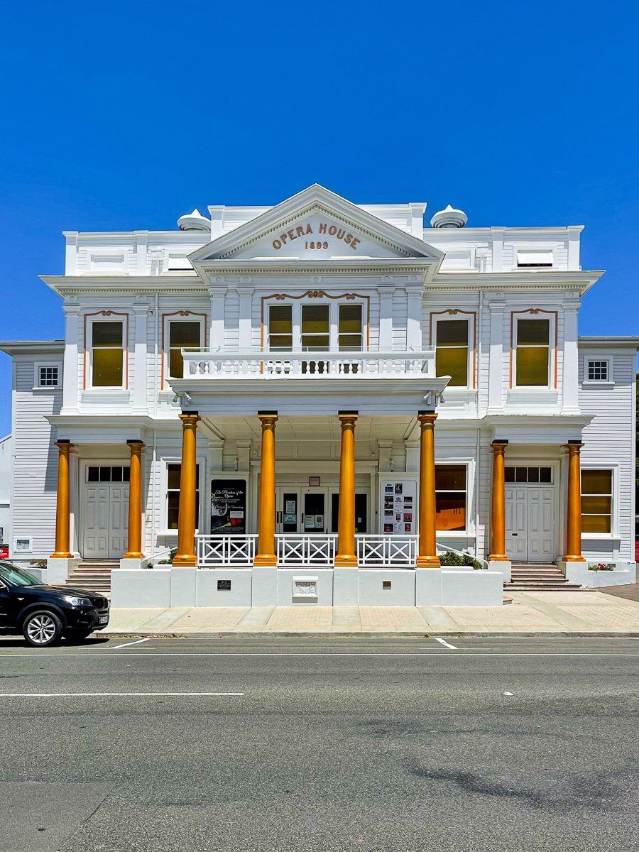
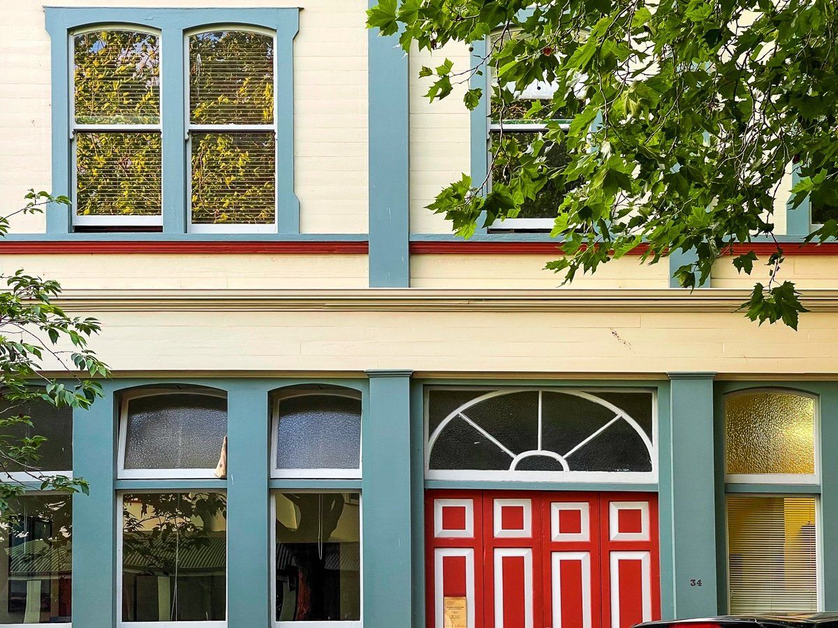
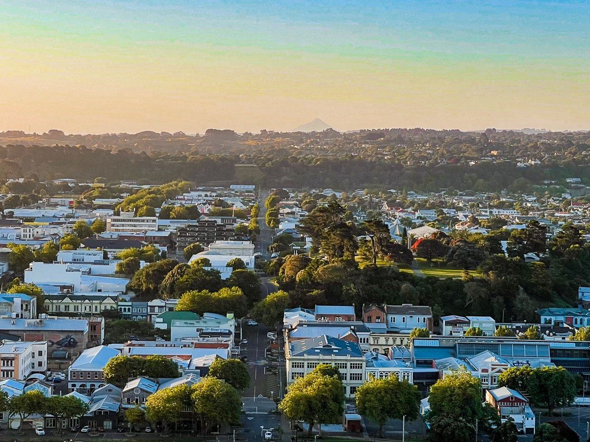
A unique feature of Whanganui is its combination of Victorian, Edwardian and Art Deco architecture. This heritage had remained largely undisturbed and is now viewed as an opportunity. Buildings are being strengthened and refurbished for the next 100 years and most have a ready use.
The best place to see this is along Victoria Avenue (the main street), parallel Hill St and the several blocks bounded by Taupo Quay, Victoria Ave, Moutoa Gardens and Pukenamu Queens Park. It’s an easy walk around this area, allowing about an hour.
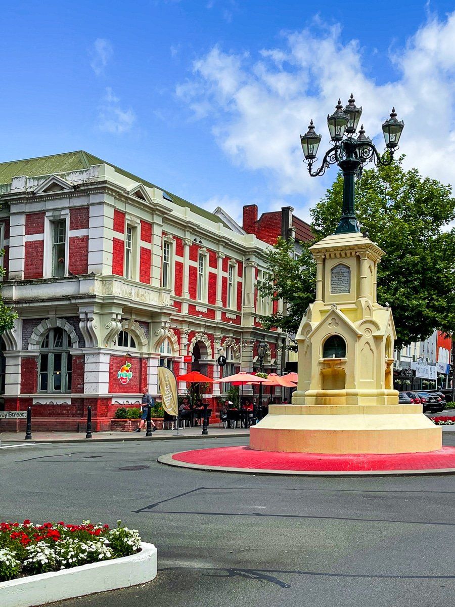
Highlights include the working Opera House, from 1899 on Hill St, the Art Deco movie theatre on Victoria St and the views around the fountain on Victoria Avenue and Ridgeway St. The number of Art Deco buildings was a particular delight and the city would be second only to Napier for its collection.
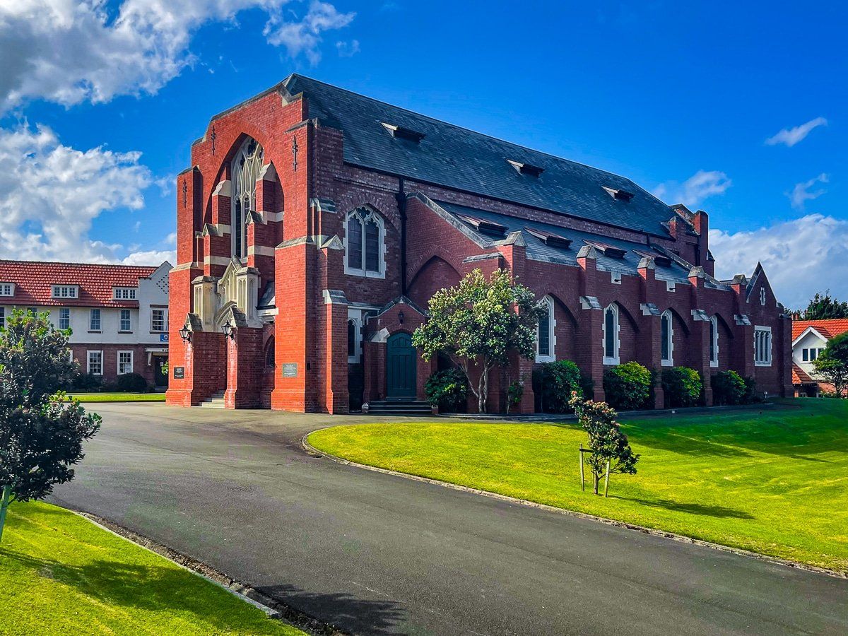
Going a bit further afield, head over to Whanganui Collegiate School on Liverpool Street. This is one of the oldest schools in NZ, with architecture to match its history.
Art and Murals
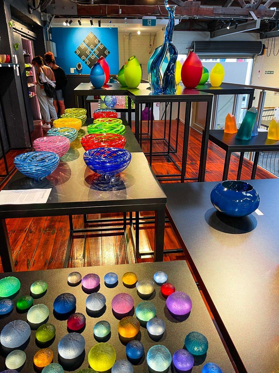
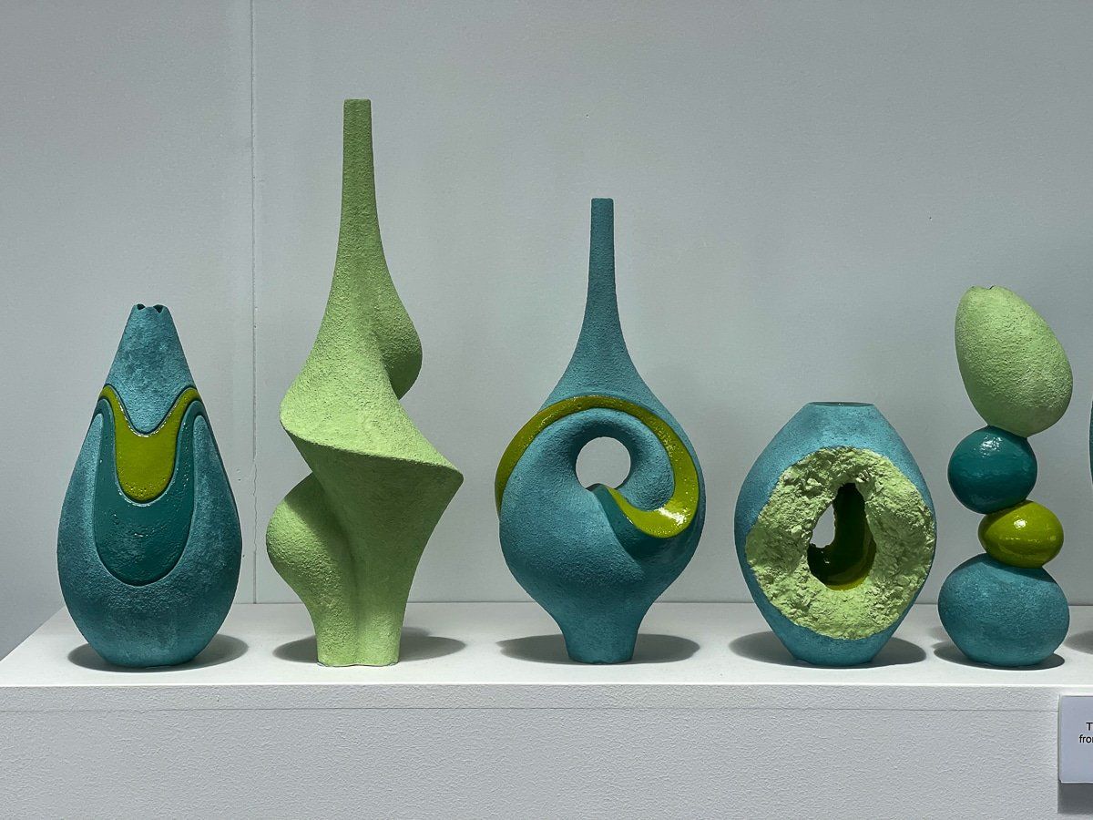
Low growth in Whanganui, up until recently, has led to a thriving arts community. The city did start with the advantage of the long standing local opera and the Sarjeant Gallery (temporary facilities on Taupo Quay), which has one of the best historical collections of NZ art in the country. Add in the New Zealand Glassworks on Rutland St, where you can see glass blowing in action, Rick Rudd’s Quartz Museum of Studio Ceramics beside Moutoa Gardens, and several other nearby galleries for an arts blow out.
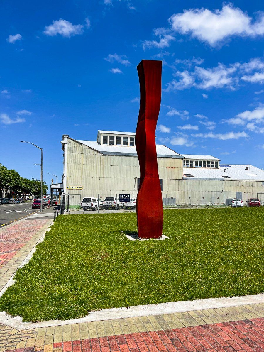
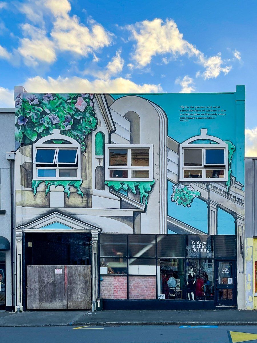
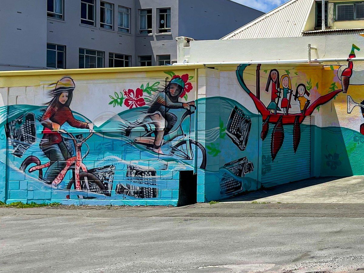
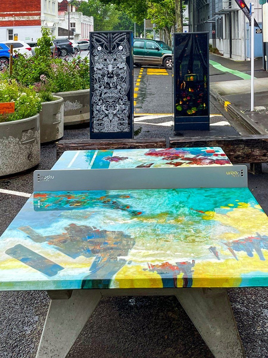
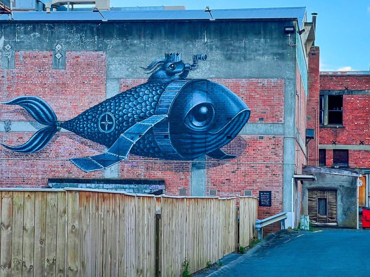
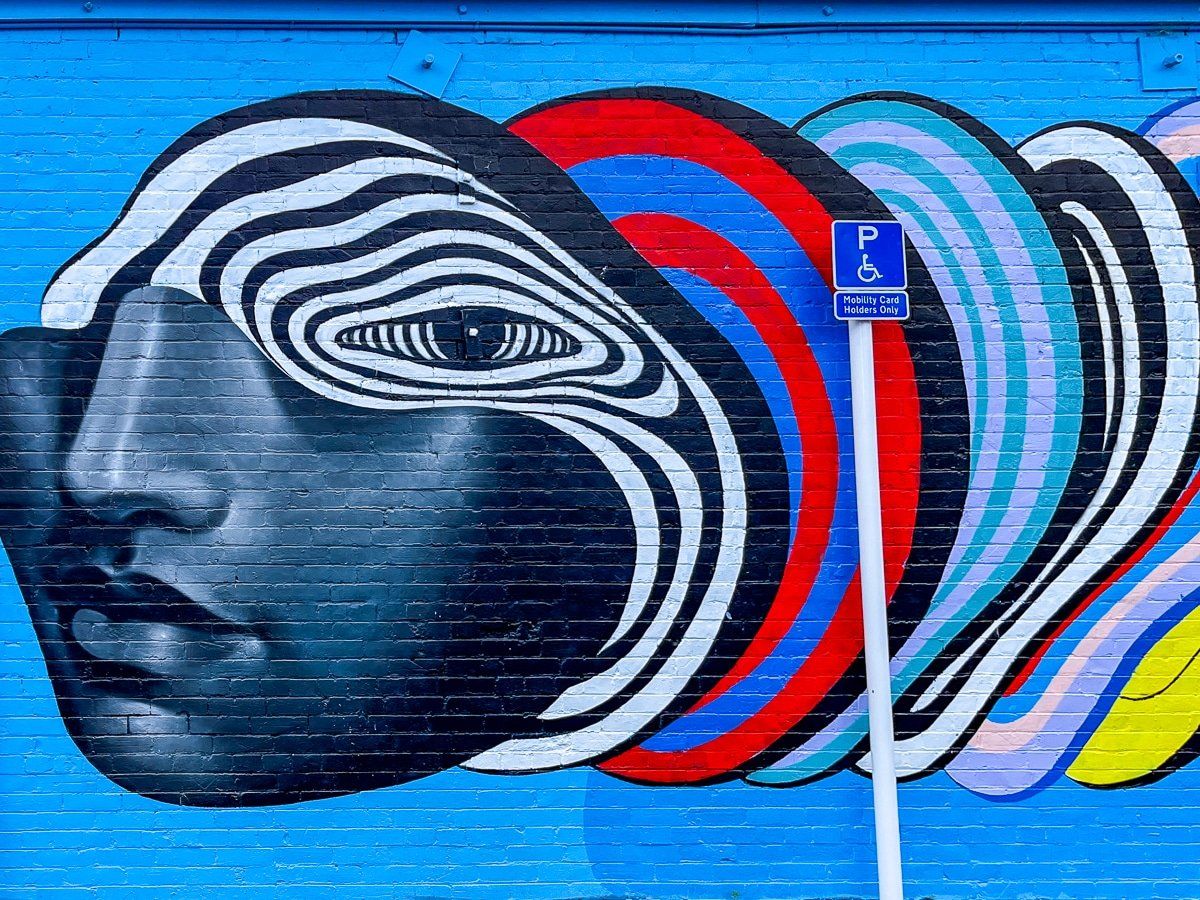
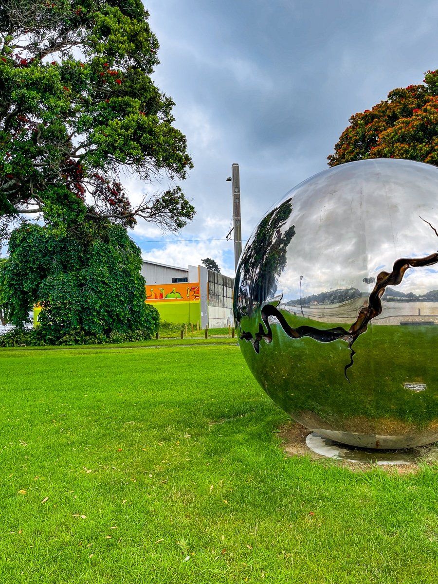
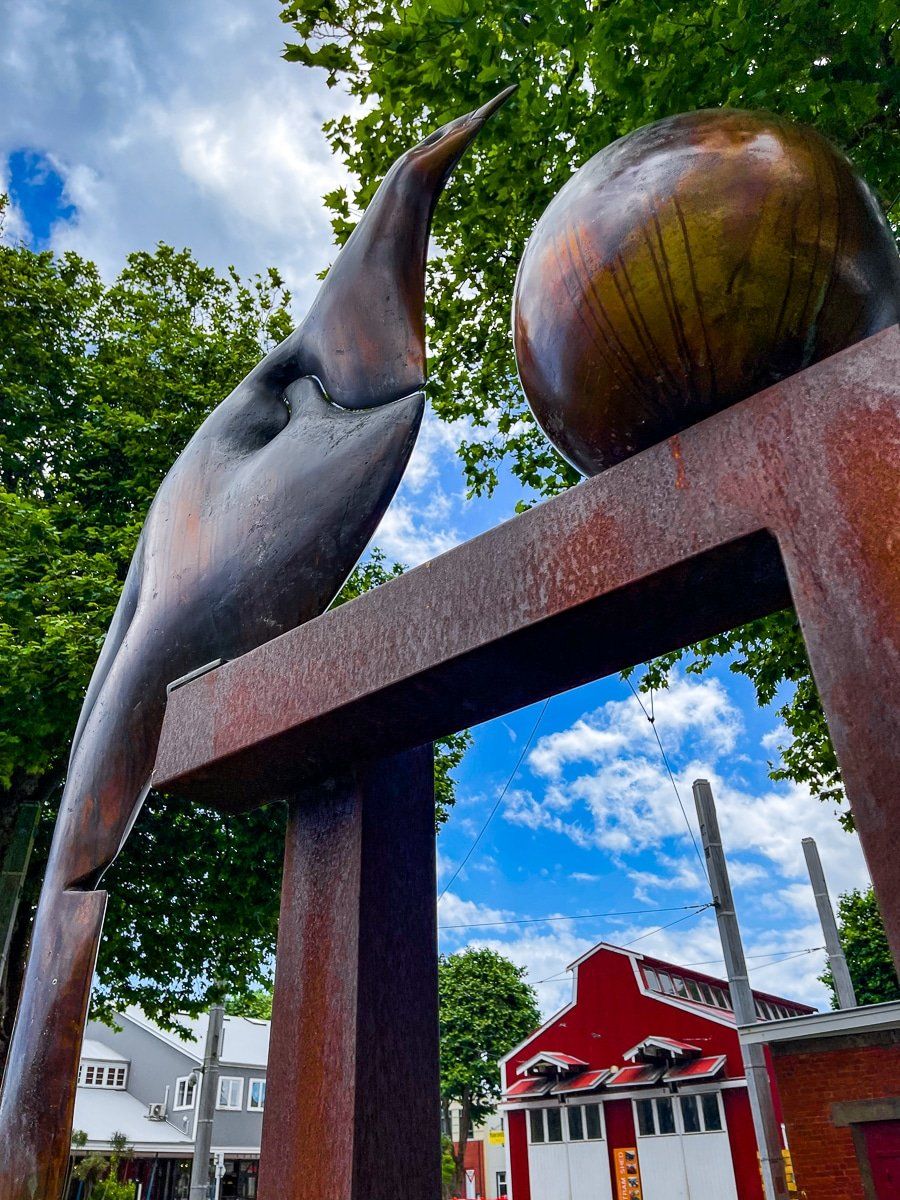
As you wander around the town, you will also come across a number of outdoor installation pieces and public murals. The locations of the murals and pieces are published on a local guide map, but most are obvious as you do a walking tour around the downtown.
Pukenamu Queens Park
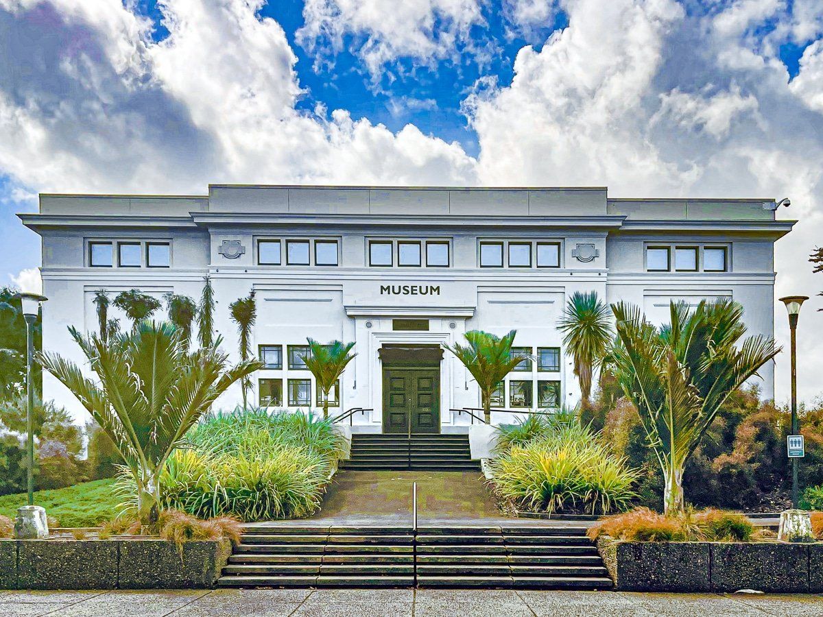
Pukenamu Queens Park is a large hill on the northeast side of Victoria Avenue. Best access is through Maria Place up to the astonishing (for NZ) large plaza and stairs that sit at the base of the Sarjeant Gallery. Immediately on the left side of the plaza is the refurbished regional museum and to the north west is the Alexander Heritage and Research Library (more Art Deco). To the right is the modernist War Memorial Centre.
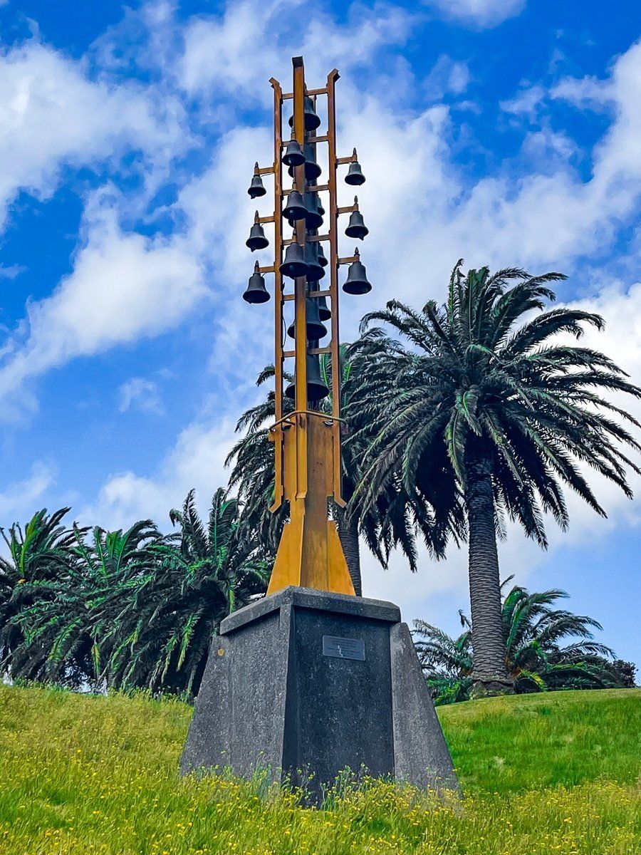
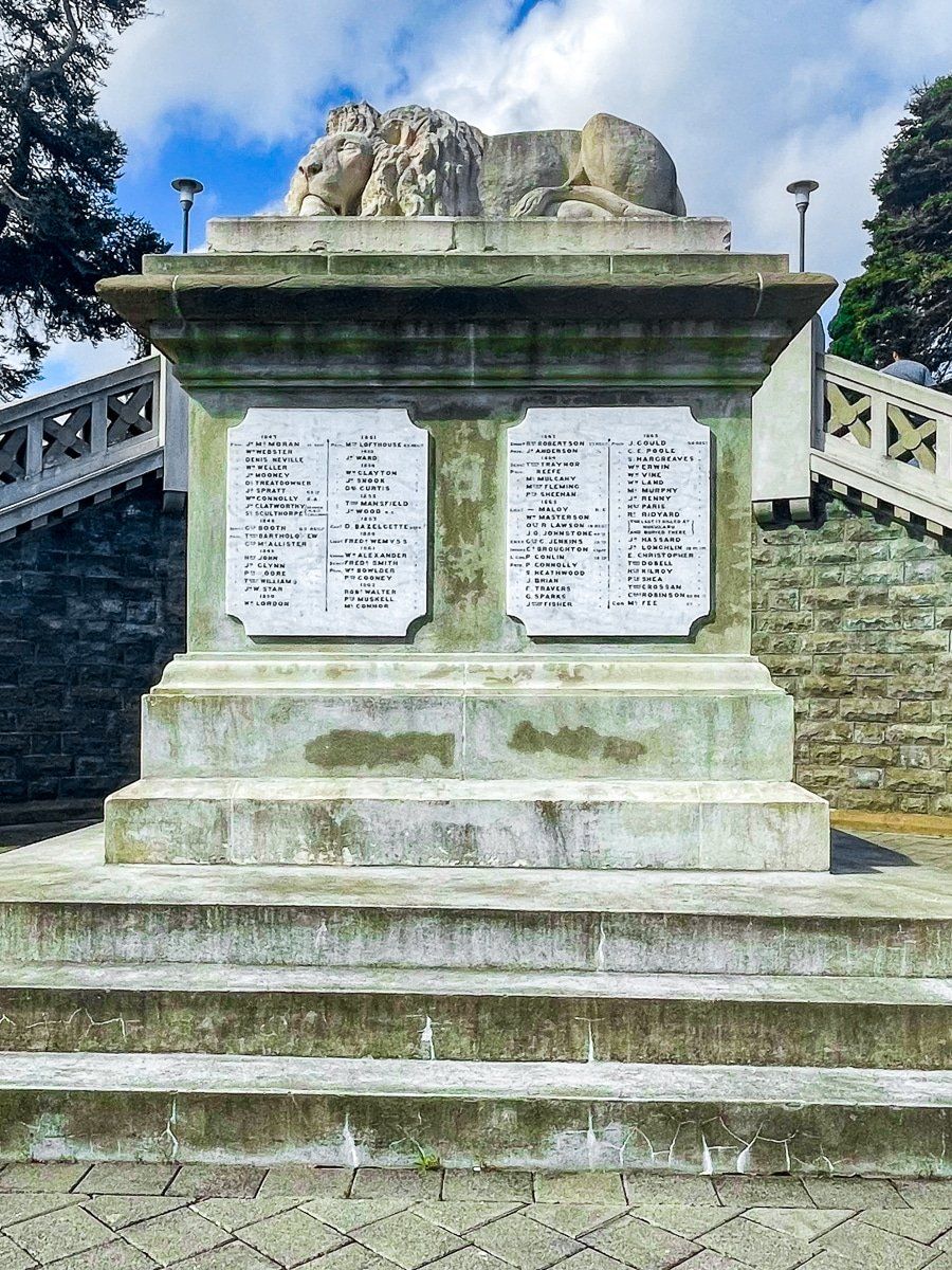
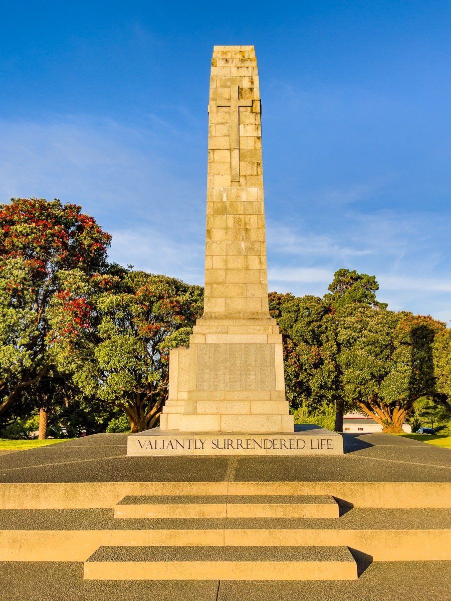
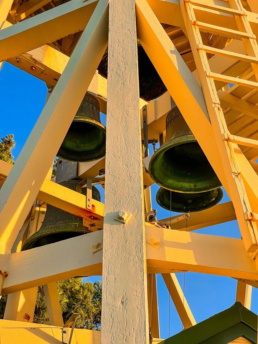
The park is partly a unique collection of public buildings and part war memorial, with a fantastic view. The main staircase is commemorative of the World Wars, topped by a lion, with carillon bells to the right. There is a cenotaph war memorial on the high point to the east of the gallery and below this is the Whanganui Peace Sculpture with its hundreds of handprints.
If you stand on the northeast side of the hill, you should be able to see Ruapehu on a clear day.
Moutoa Gardens
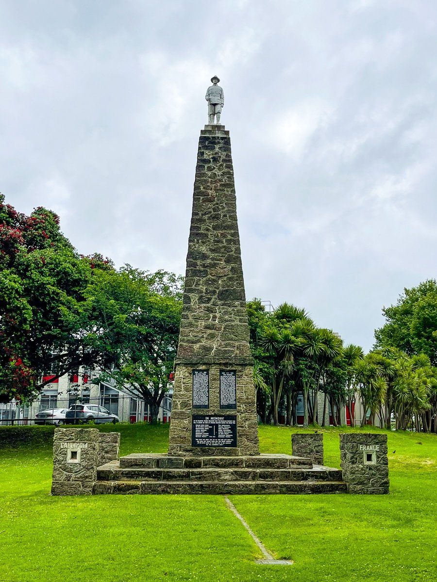
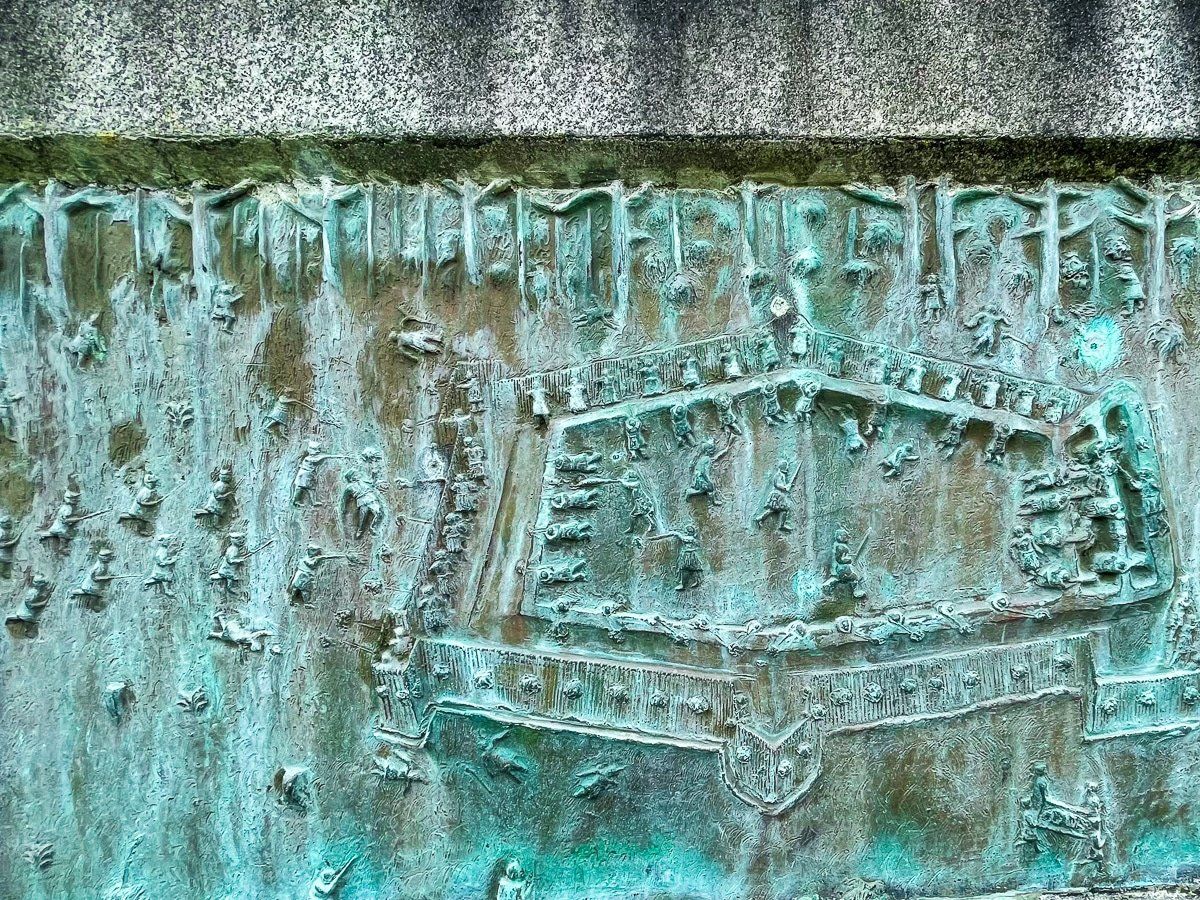
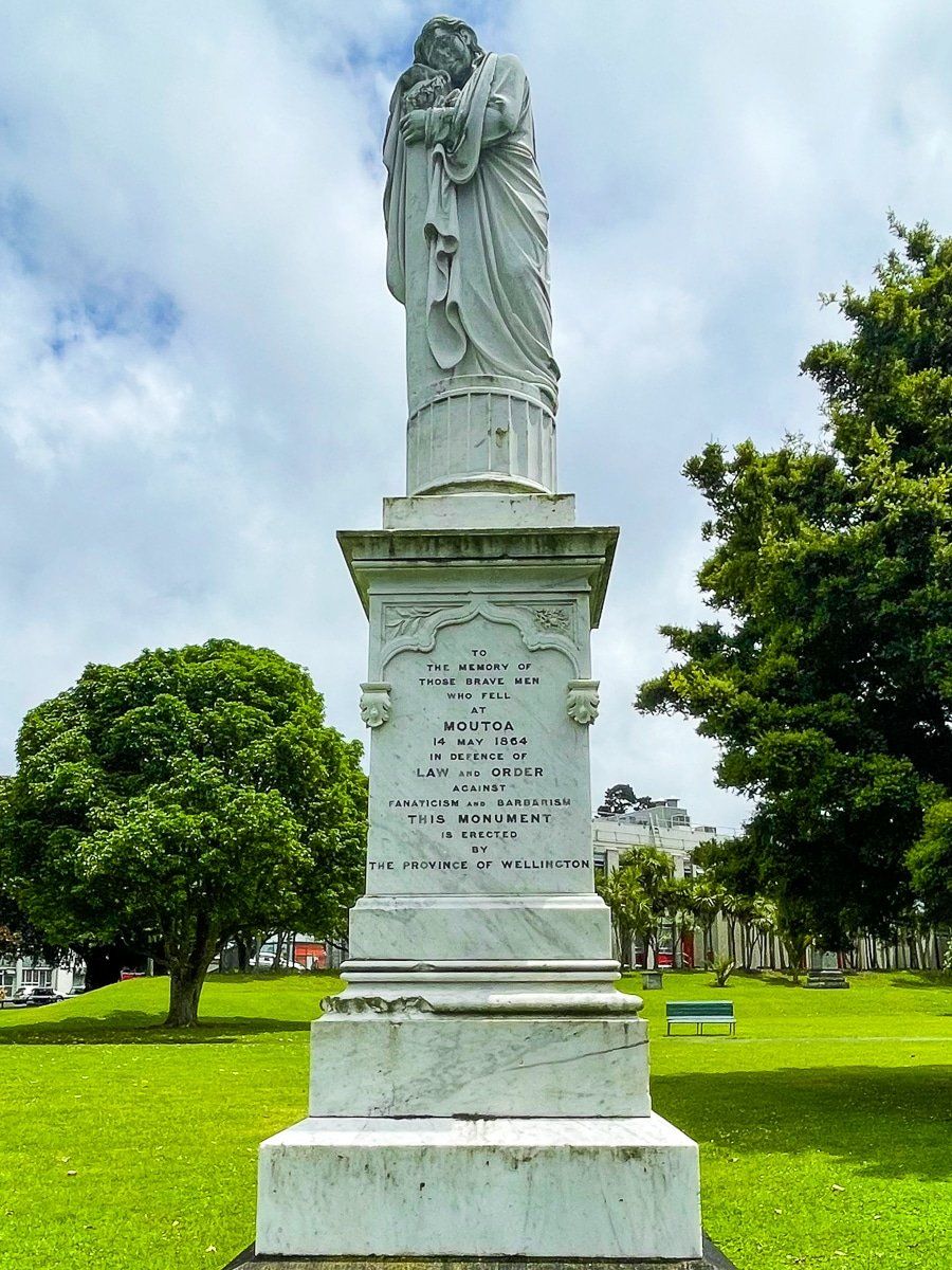
Moutoa Gardens is a relatively modest public reserve on Taupo Quay by the river, immediately to the east of Pukenamu Queens Park. Somewhat unusual in NZ, it has prominent monuments which celebrate victories by colonial Europeans and Māori allies over various rebel groups around the wider region. The larger bronze cast monument commemorating Pūtiki chief Te Keepa Te Rangihiwinui (‘Major Kemp’) comes complete with detailed battle descriptions for 4 of his battles. The smaller monument commemorates allied Māori who died in the battle of Moutoa Island on the Whanganui River in 1864, which purportedly saved the colonial town from a rebel attack.
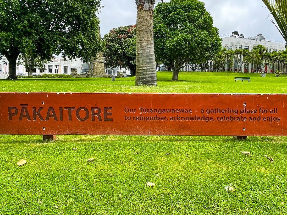
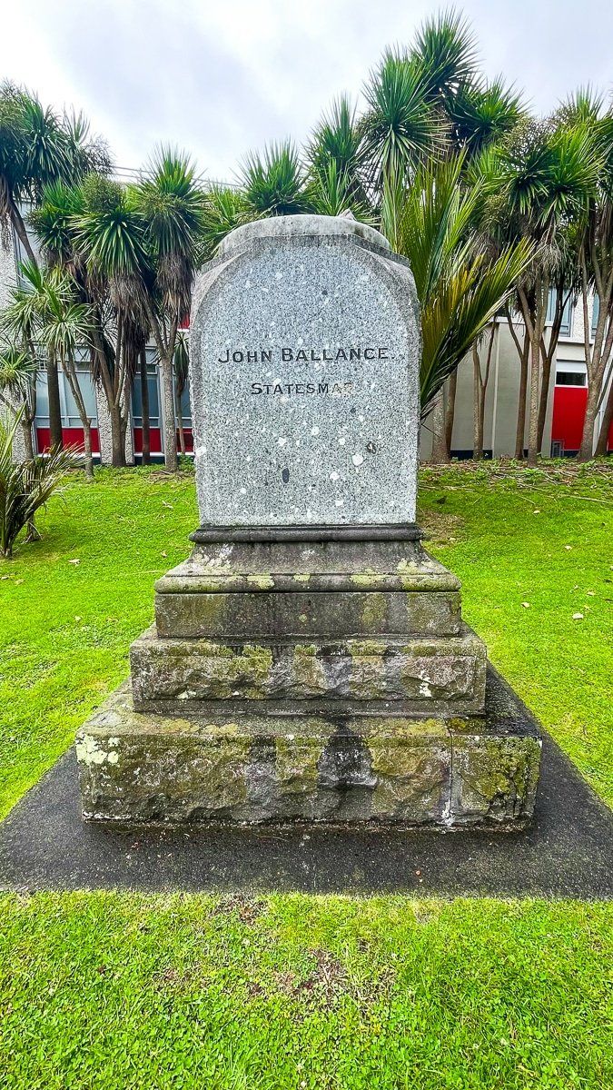
The gardens were the centre of a major Māori land rights protest in the mid 1990s, during which another statue, of a colonial prime minister John Balance, was beheaded. Now just the base survives. One of the outcomes of the protest was the renaming of Wanganui to Whanganui (both are still accepted). In addition, the pre-colonial heritage of the site as Pākaitore Pā has now been recognised.
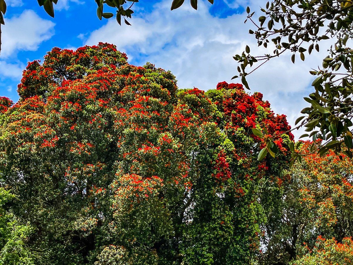
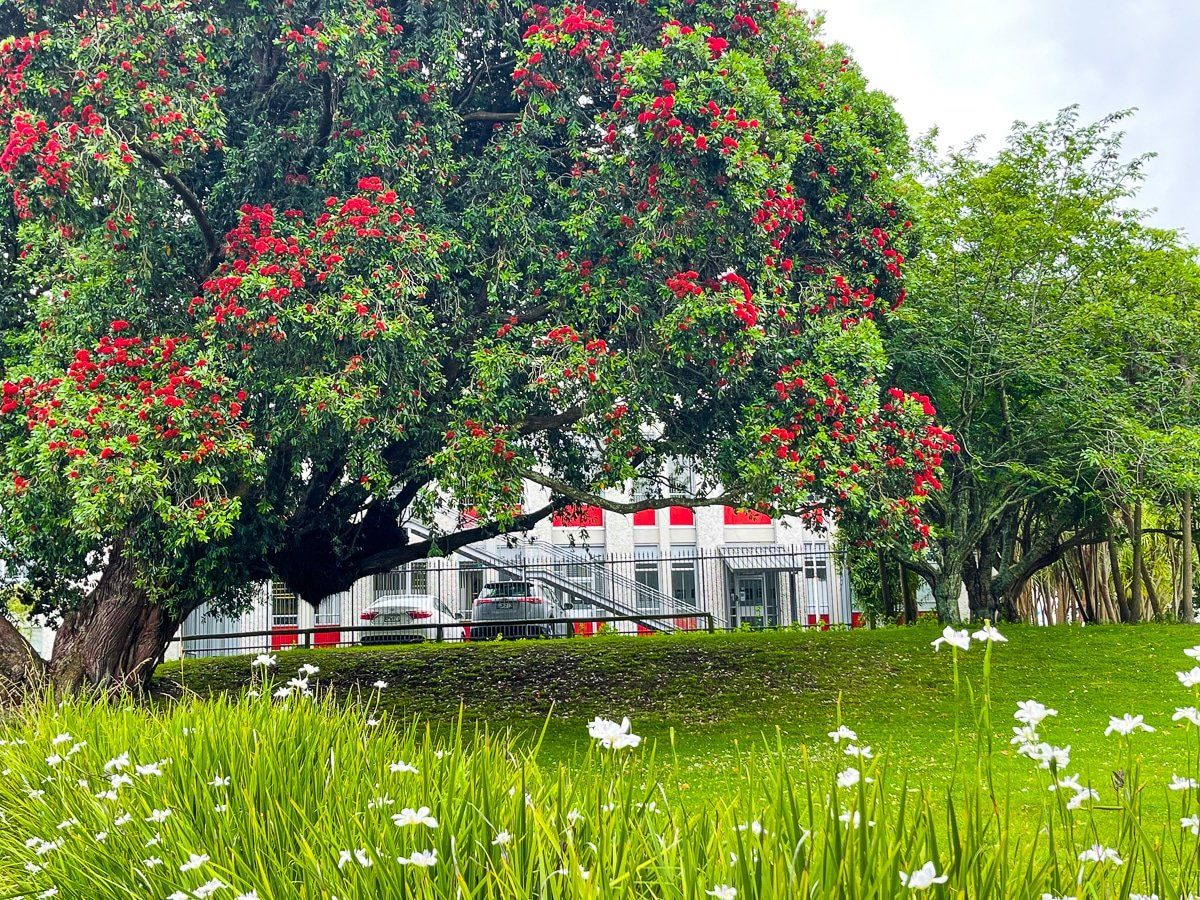
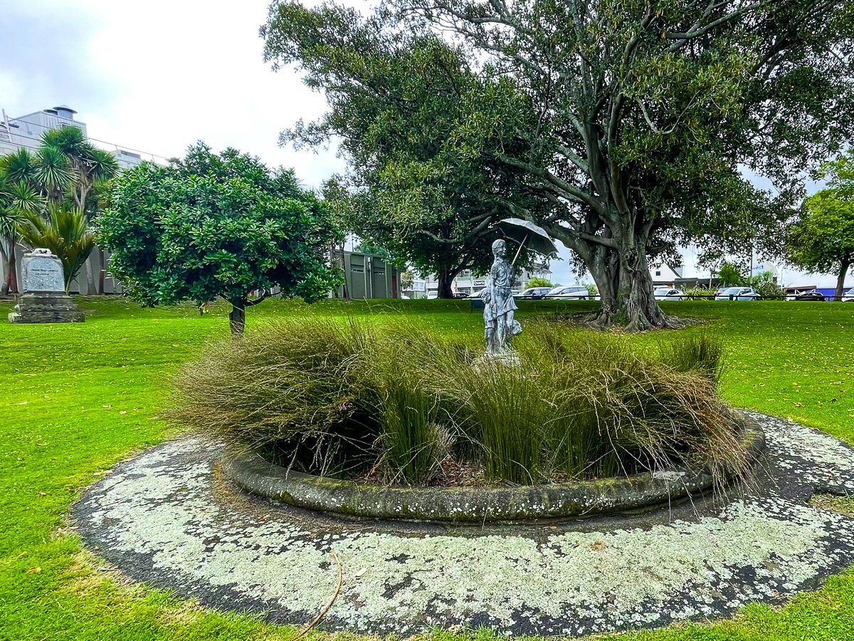
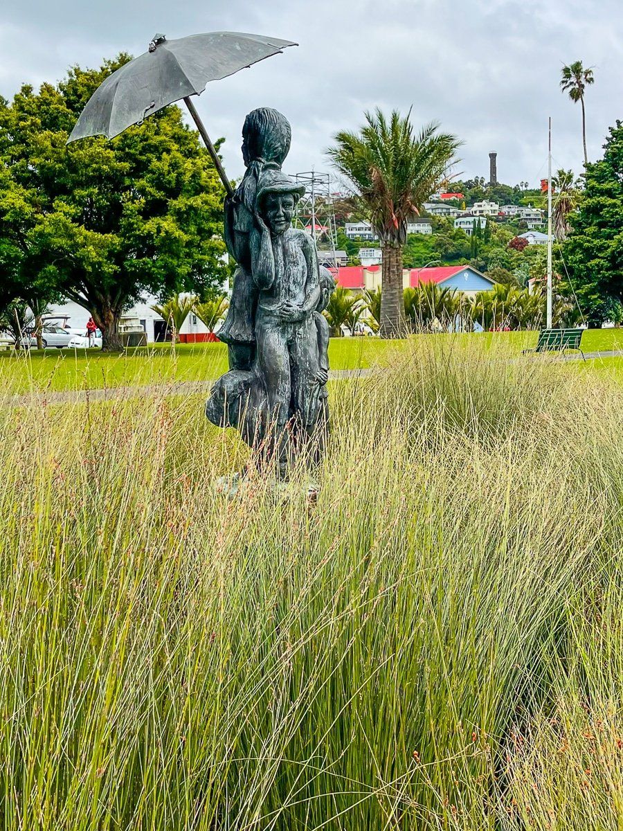
On a lighter note, there are several beautiful mature pōhutukawa trees around the park and a lovely statue of a girl and her younger brother.
Cooks Gardens
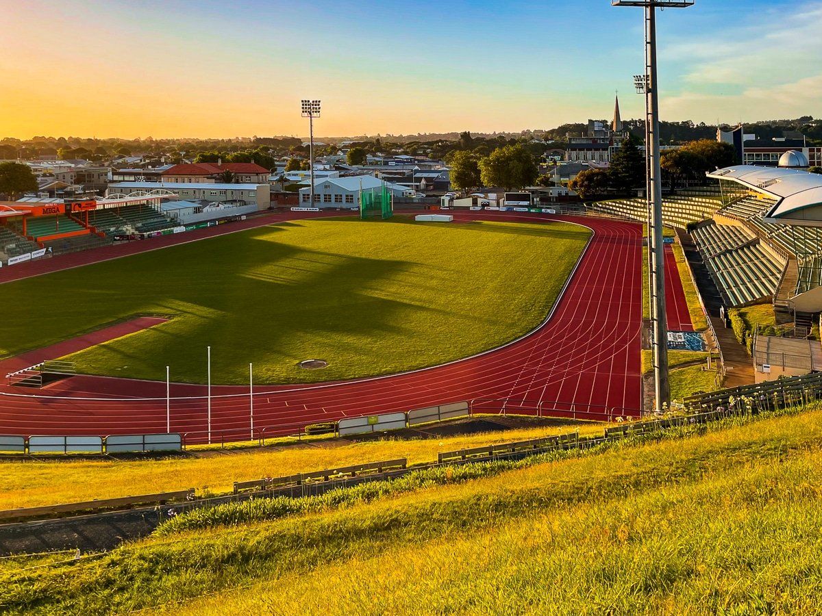
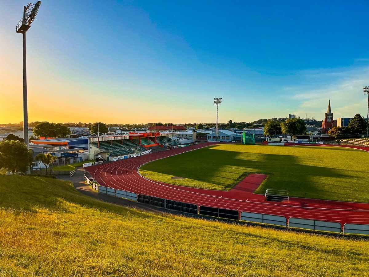
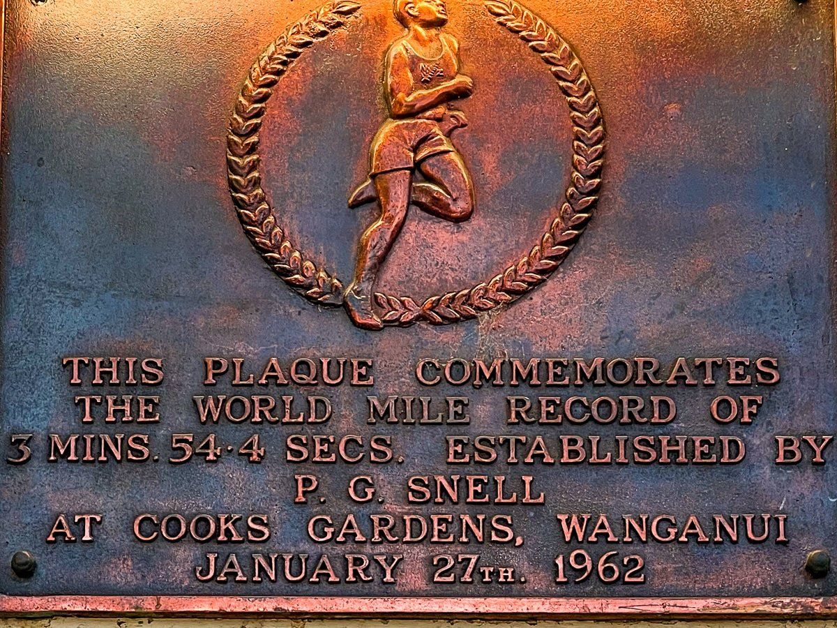
Cooks Gardens is a well known athletics and cycling venue on the southwest side of Whanganui downtown. It is famous as the location at which Peter Snell set the world record for the fastest mile run in the 1960s.
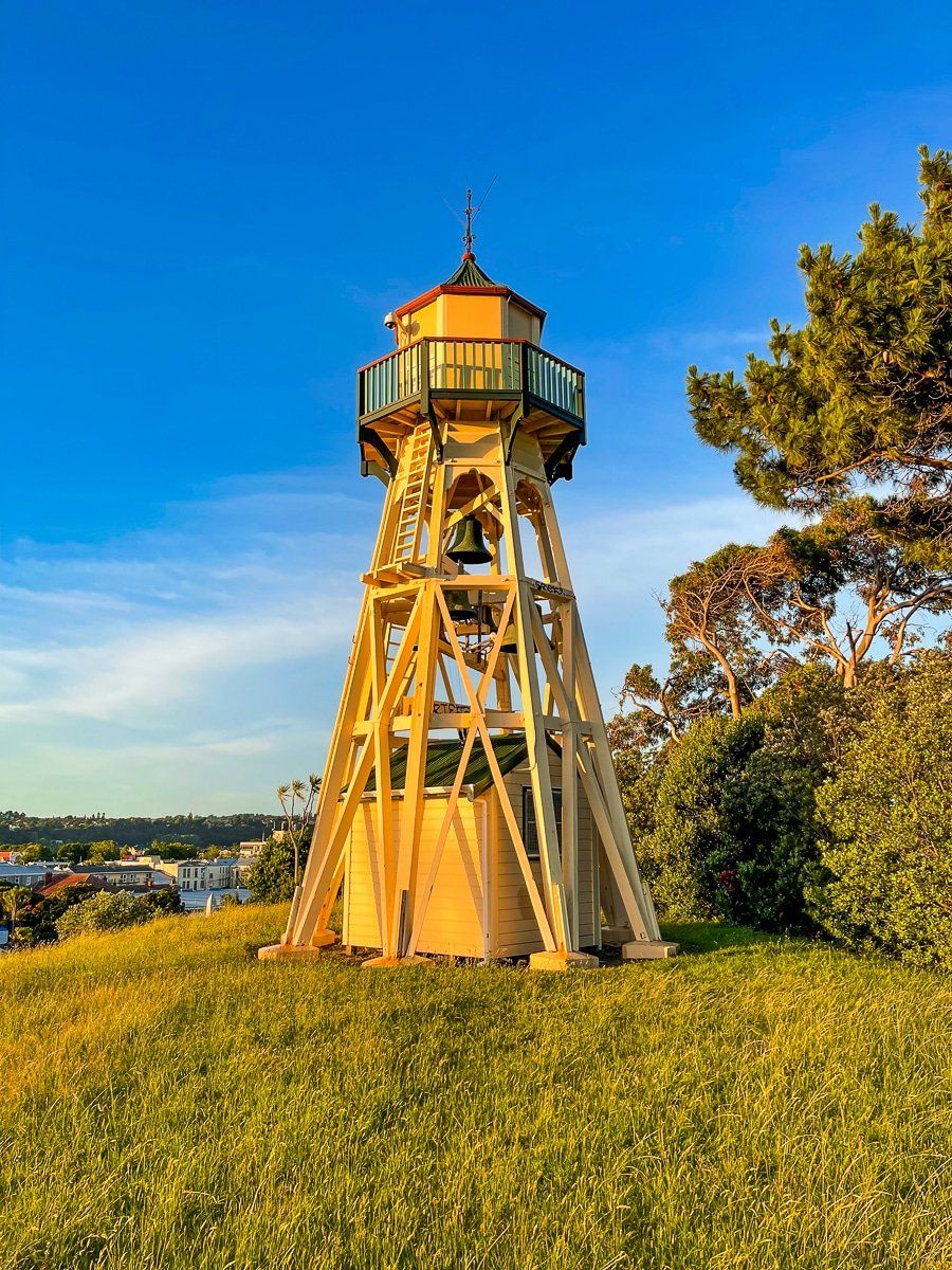
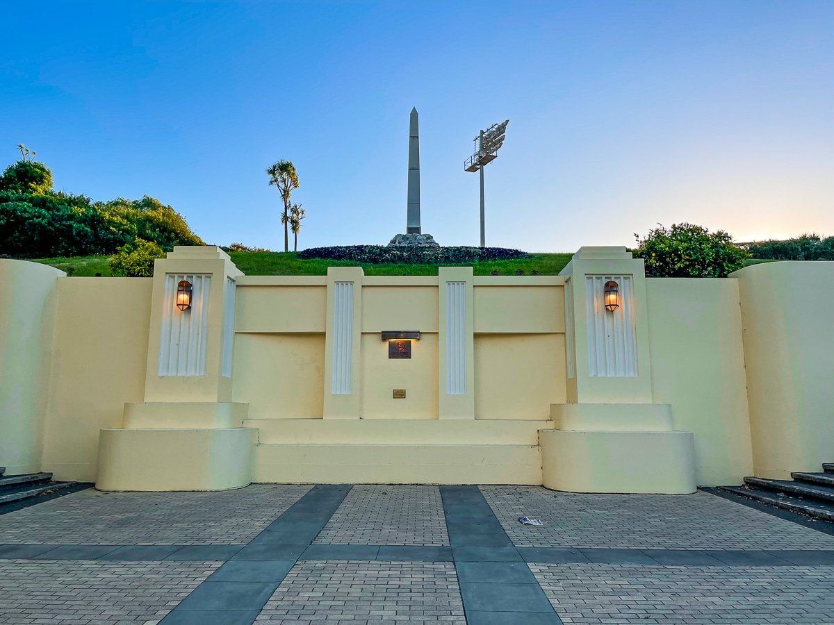
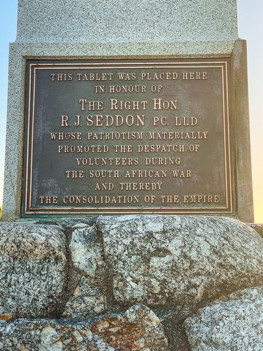
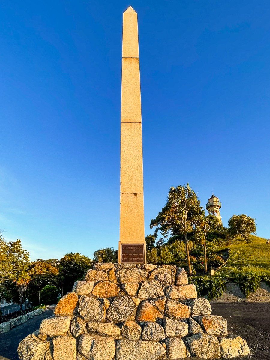
In addition to the stadiums, there is a park flowing up the steep hill from the city side which effectively separates the two stadiums. Walk up the steps through the substantial commemorative entrance on Hill St and look out for the small plaque noting Peter Snell’s success. Further up the path is another war monument, this time to NZ’s involvement in the Boer War of the early 1900s. There is a good view alongside the bell tower at the top of the hill.
The Whanganui River
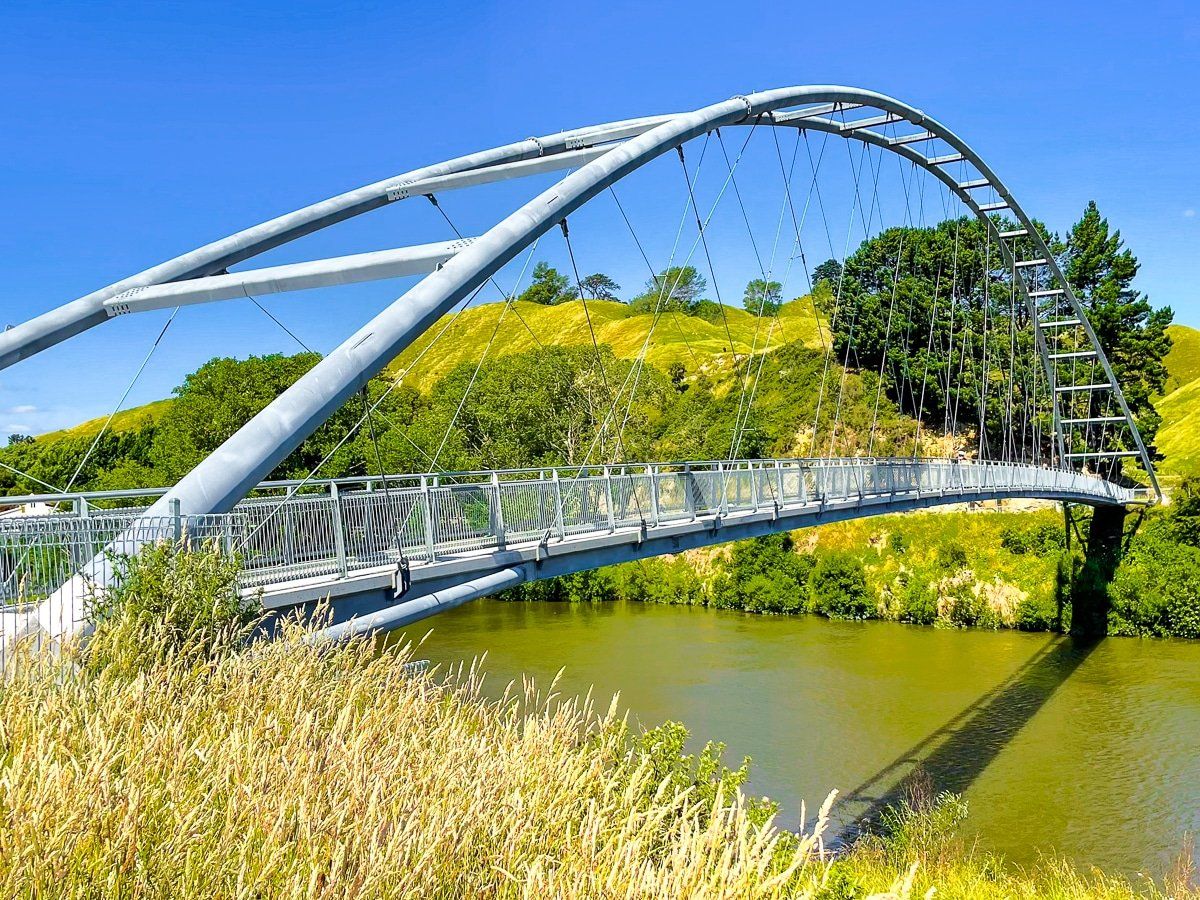
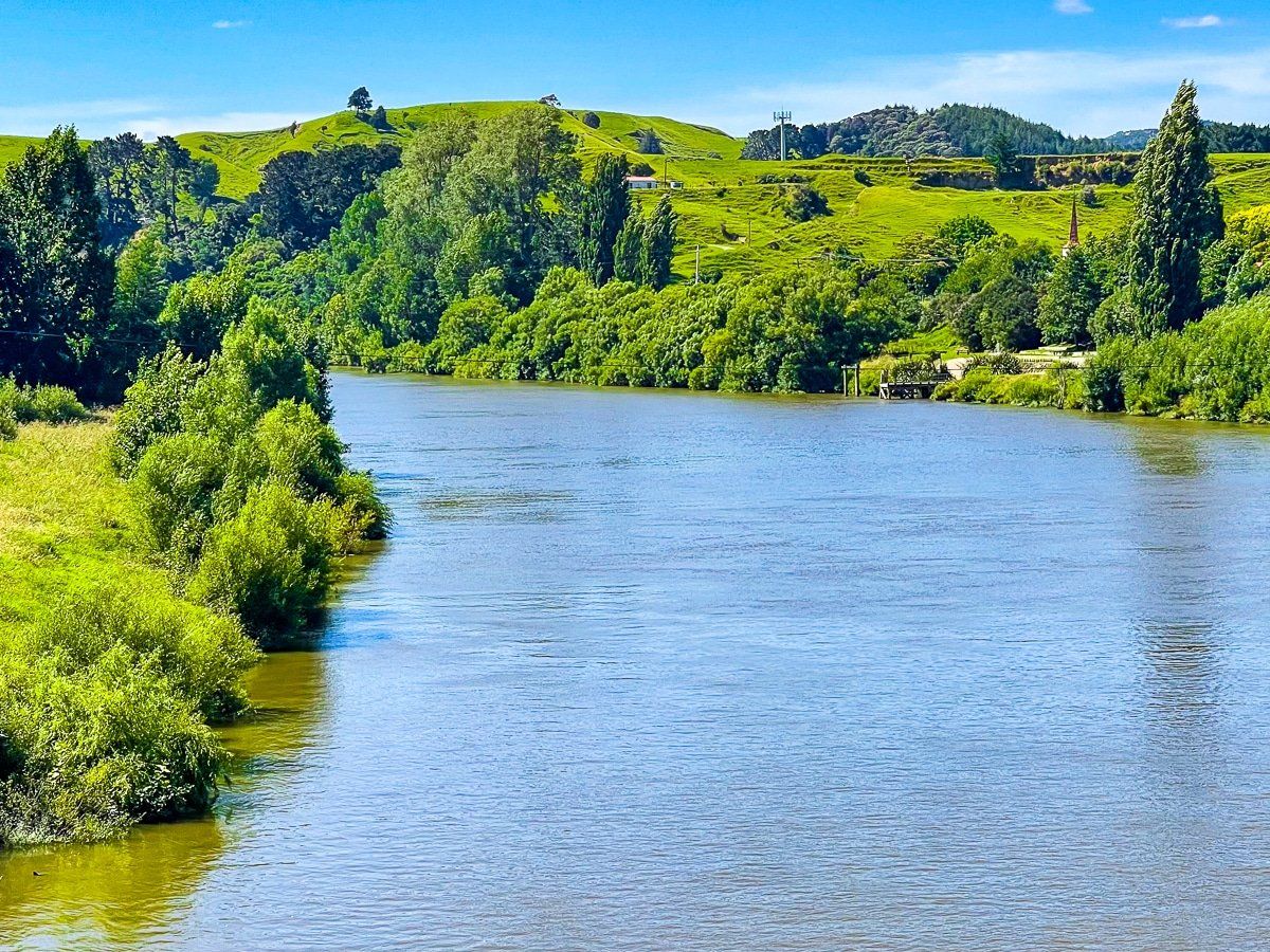
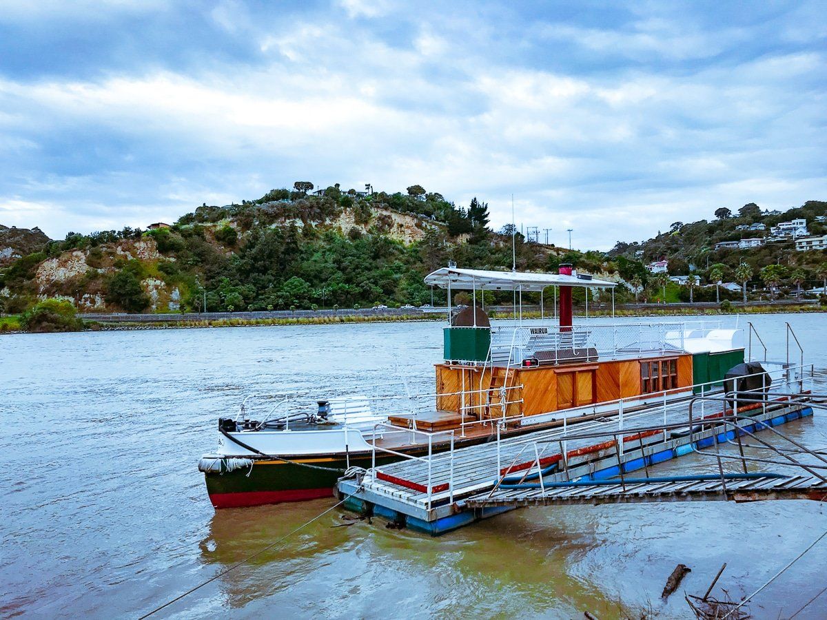
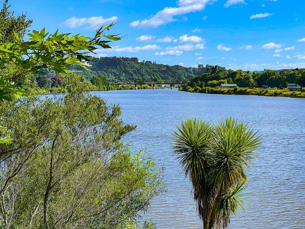
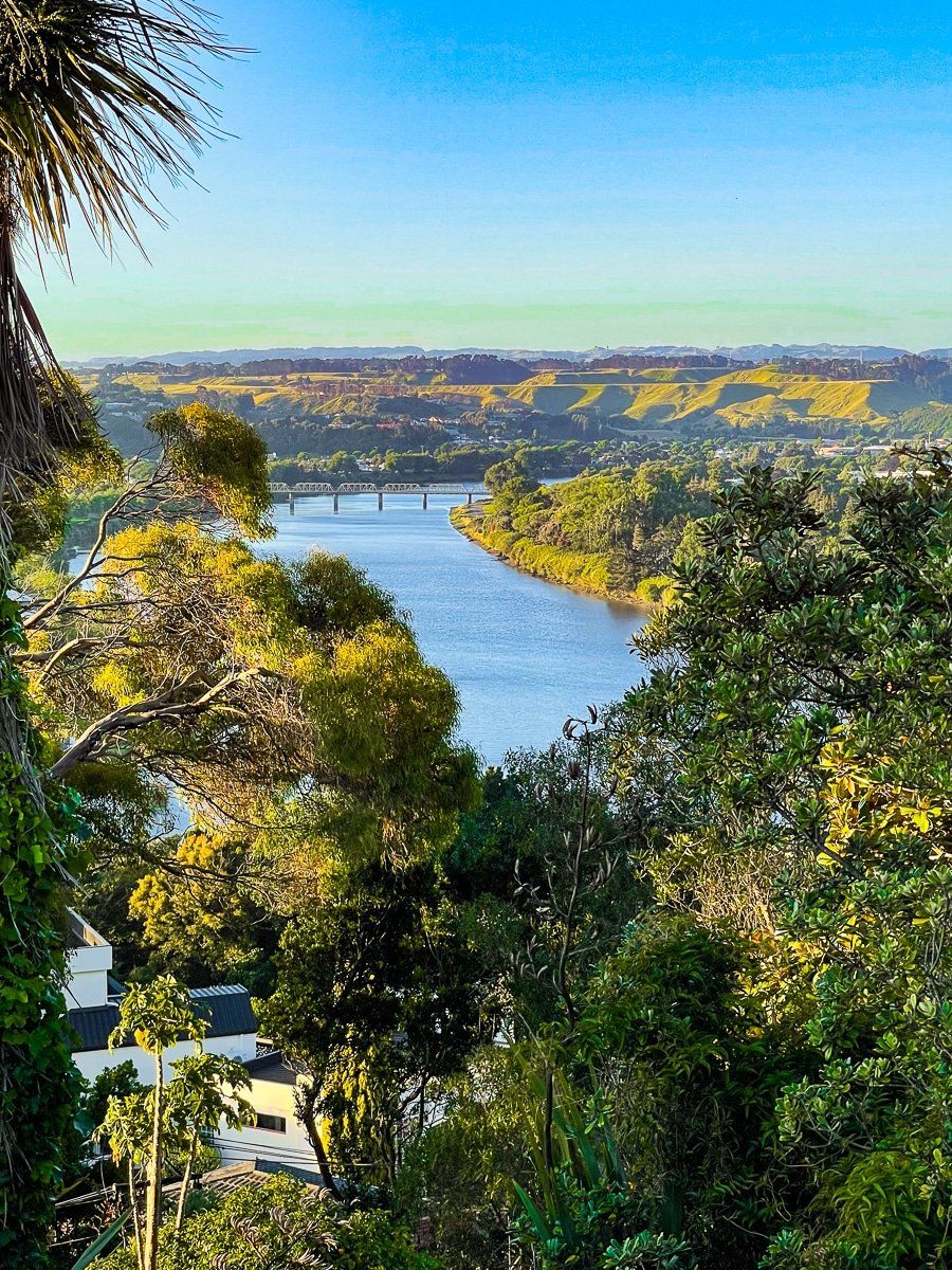
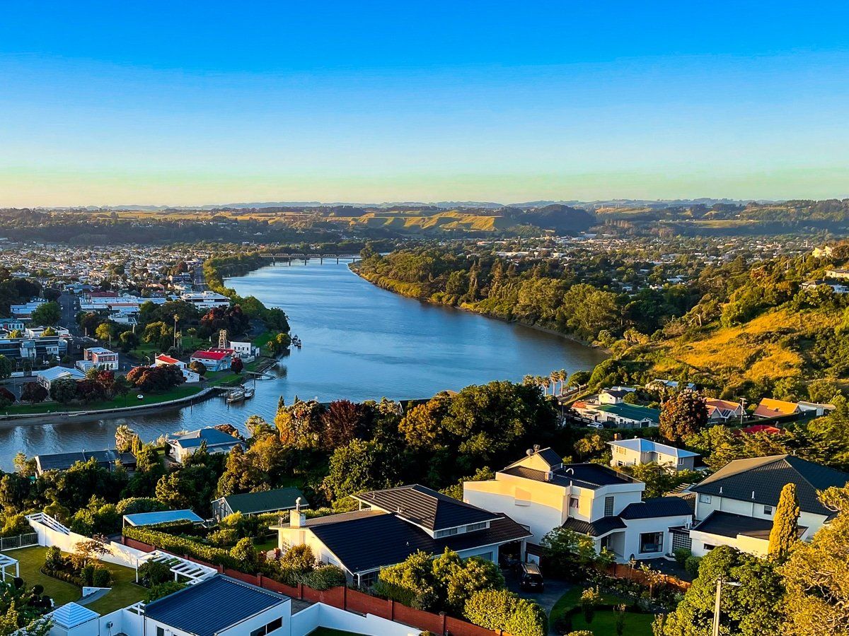
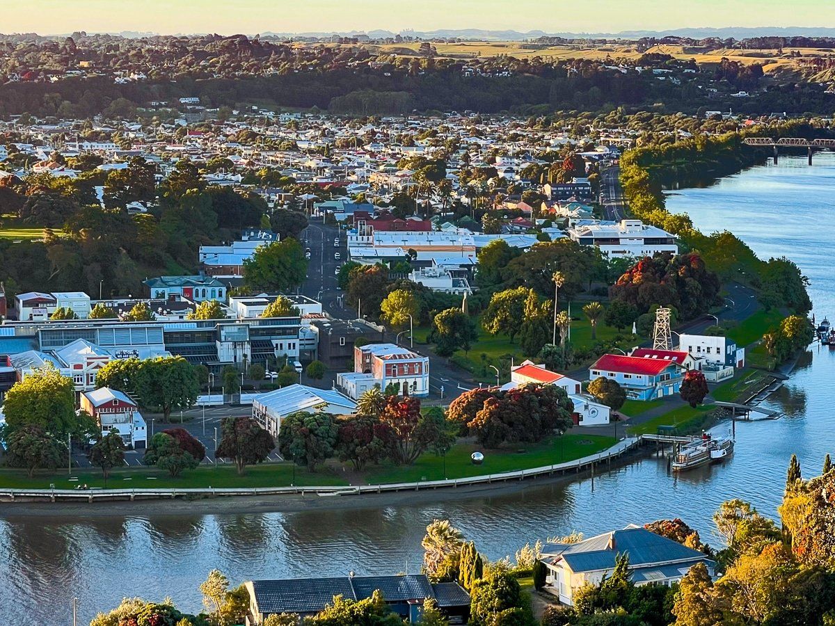
The Whanganui River is the main feature of the city. You can easily walk and cycle alongside the northwest side of the river from the Upokongaro Cycle Bridge (pretty much the northern edge of the town) to North Mole. This is on a combination of shared trail, road and footpath.
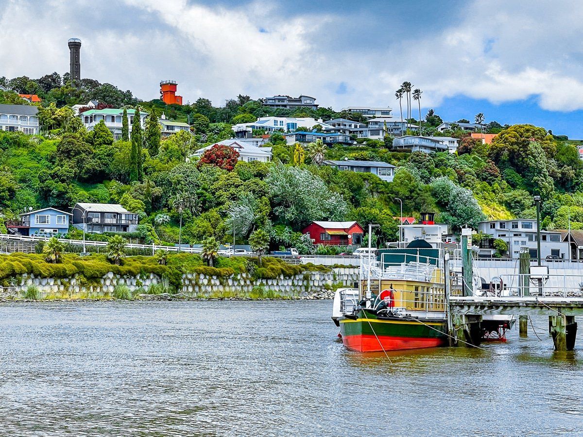
The section of the river that passes downtown also has several businesses on the river edge along Taupo Quay, including the visitor centre and cafes.
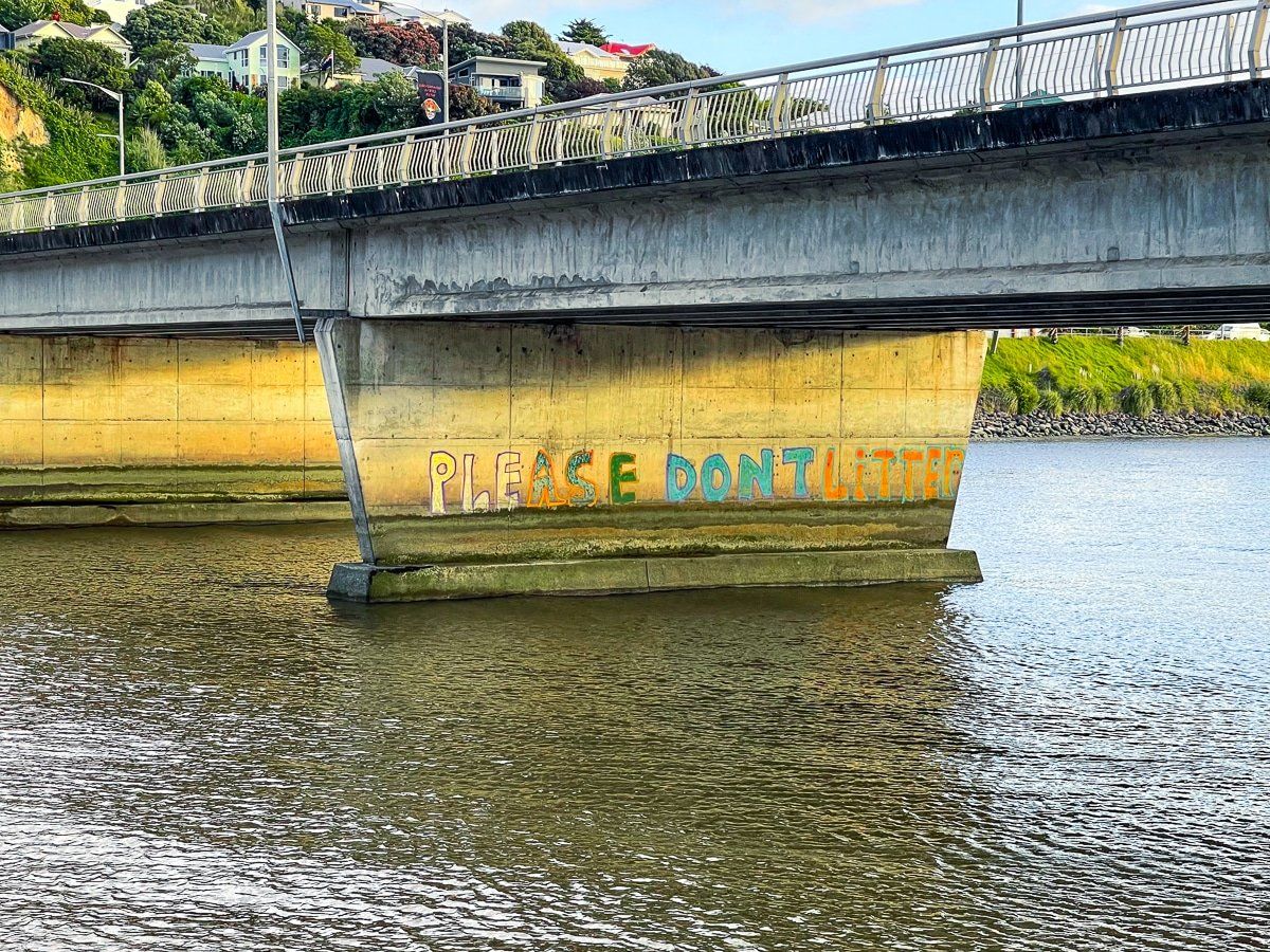
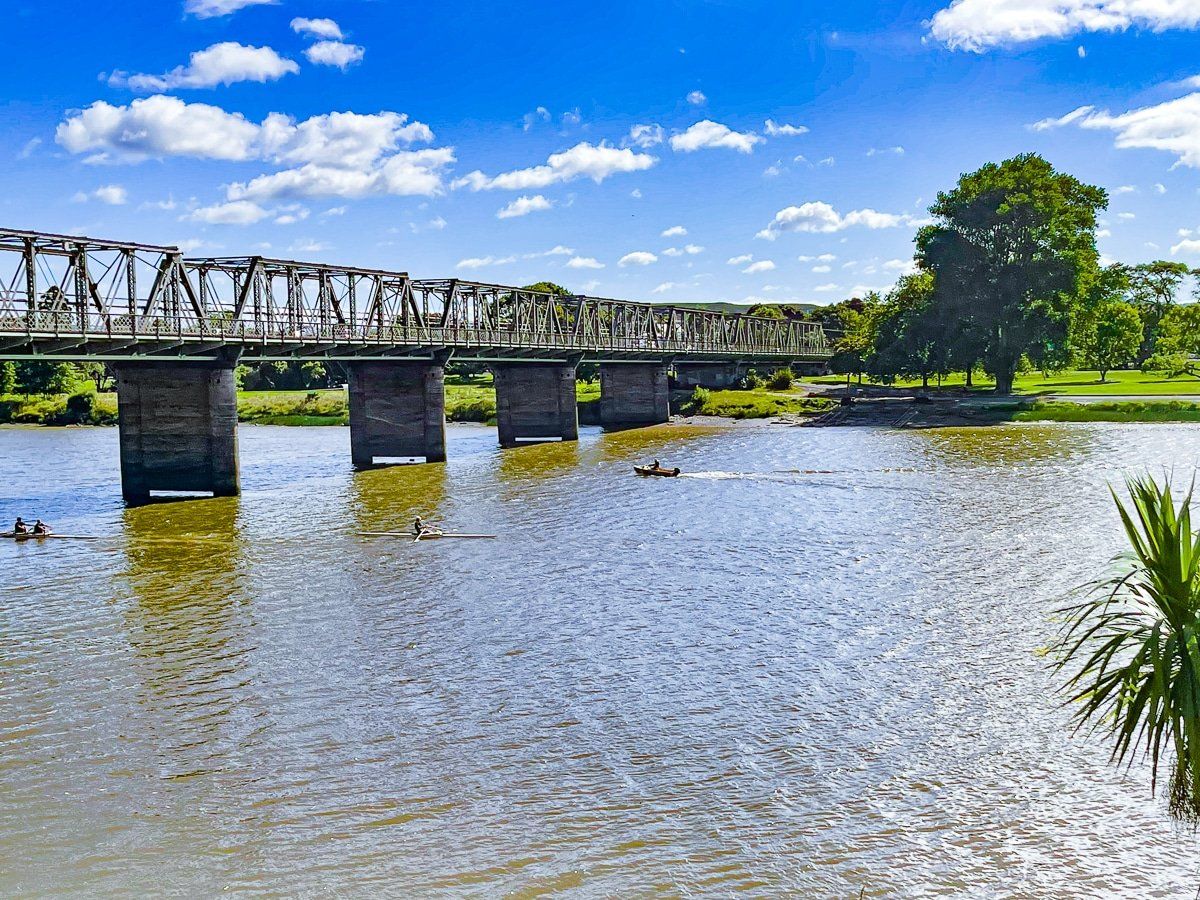
Much of the southeastern side is also accessible, especially around Kowhai Park. There are three road bridges with pedestrian access that cross the river. The Dublin St bridge, several blocks up the river from downtown, takes you directly to Kowhai Park, and the Wanganui City Bridge, at the end of Victoria Ave, takes you directly to the Durie Hill elevator.
The river often has a rather muddy look as it flows over soft mudstones rather than hard rock, but it looks blue enough earlier and later in the day. These are generally the best times for a river walk.
Kowhai Park
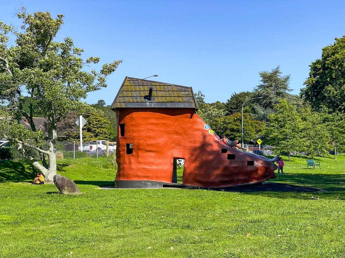
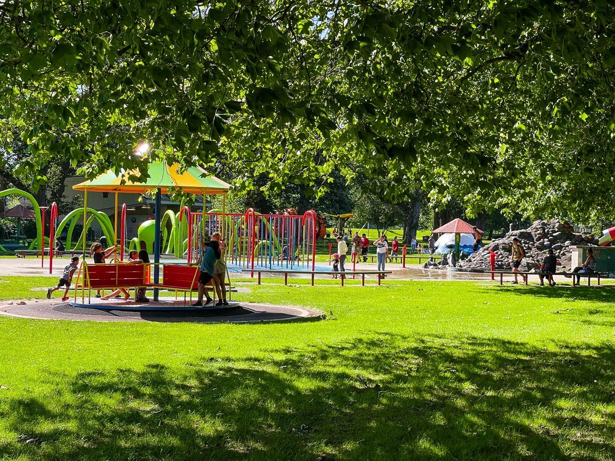
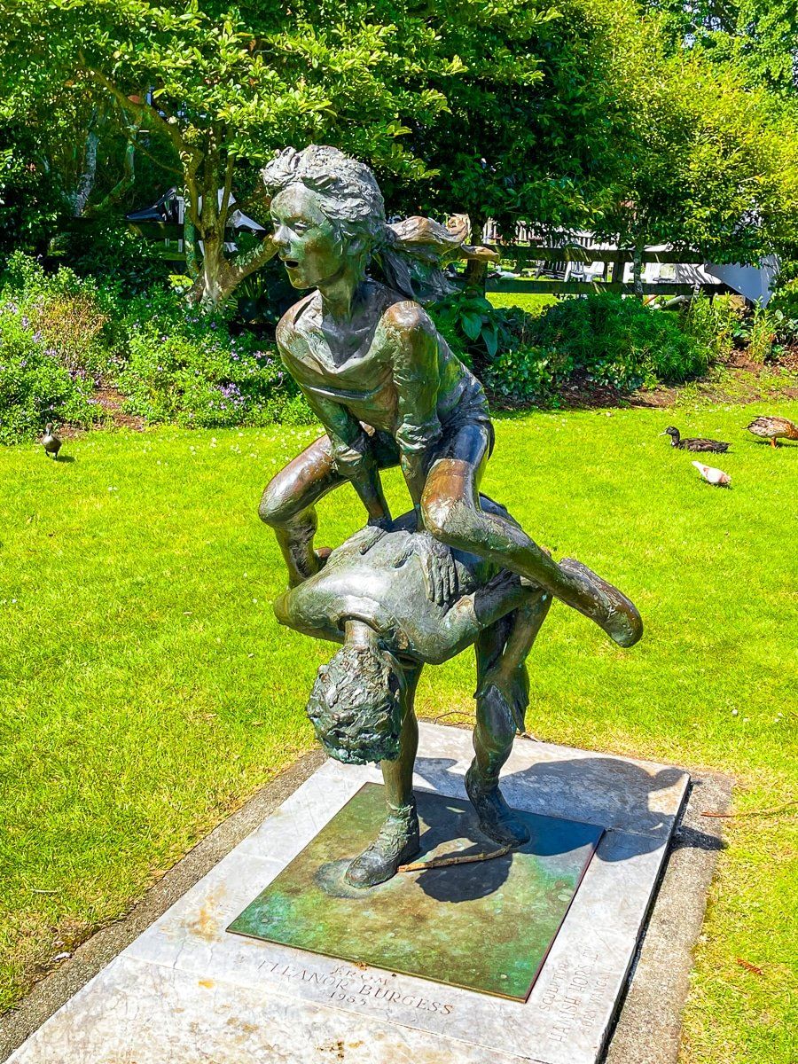
Kowhai Park is a children’s park and part of a long reserve area on the southeastern side of the Whanganui River. Access is from the Dublin St Bridge and there is an extensive children’s playground with a wide range of play apparatus with a nod to popular nursery rhymes.
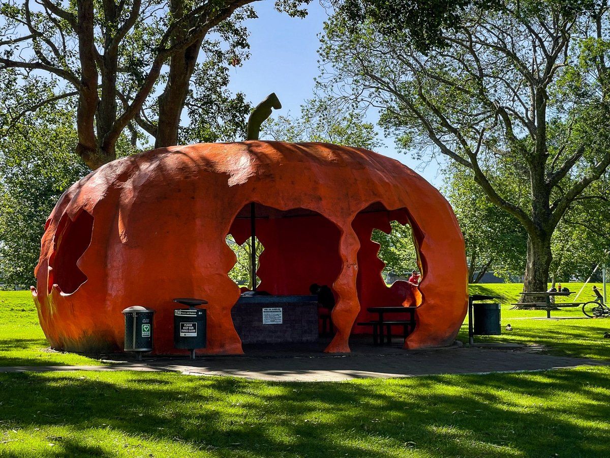
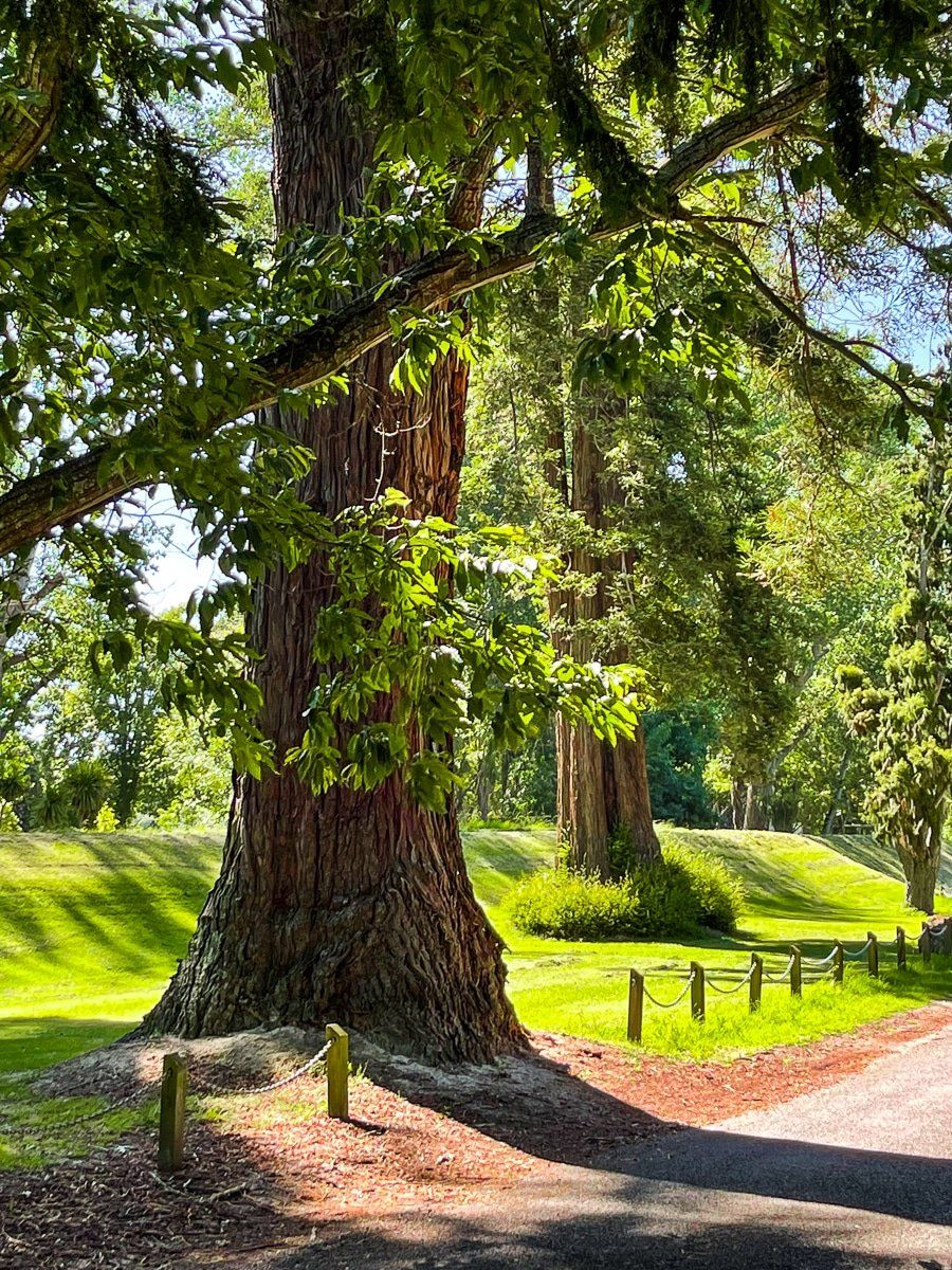
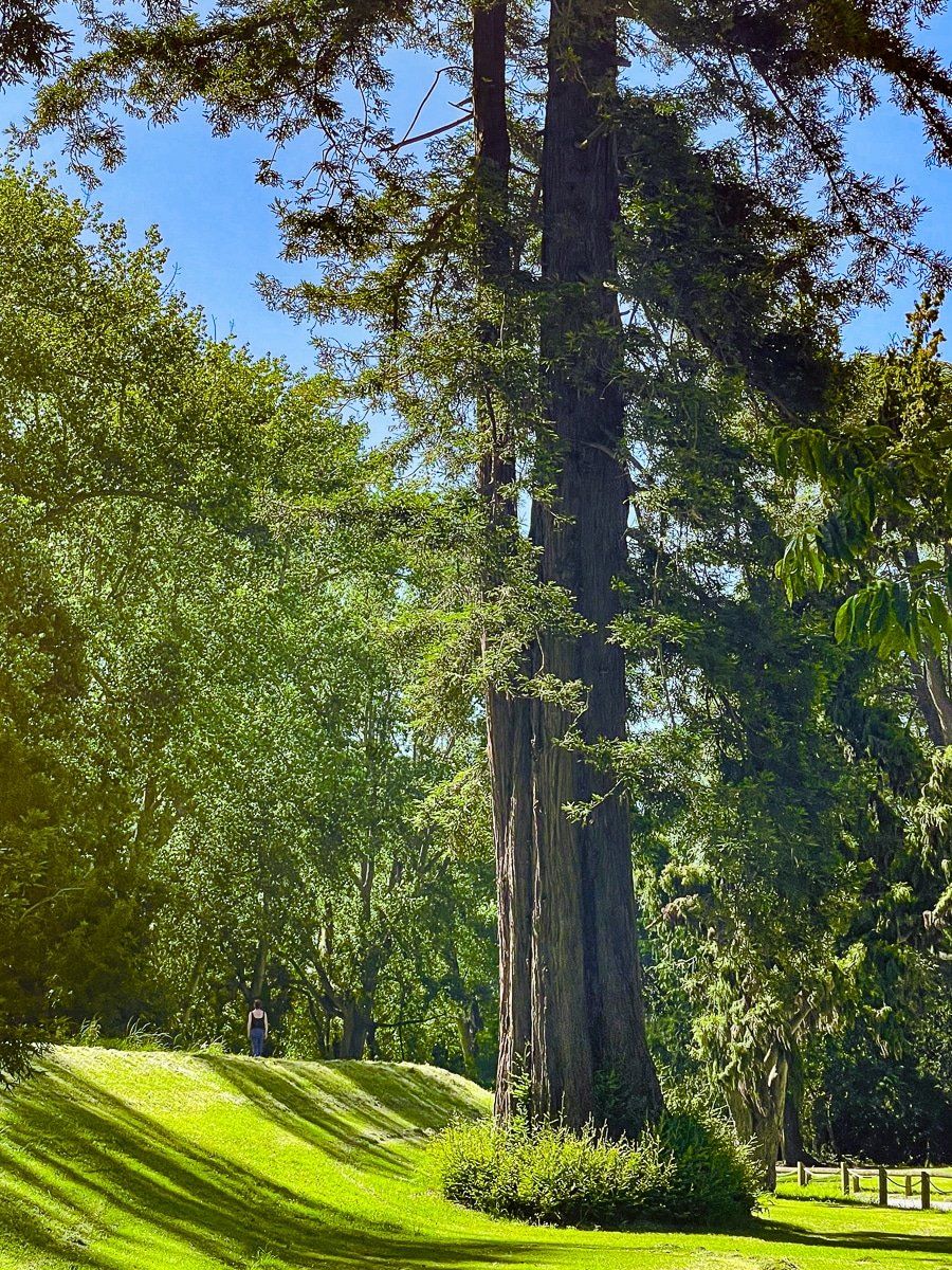
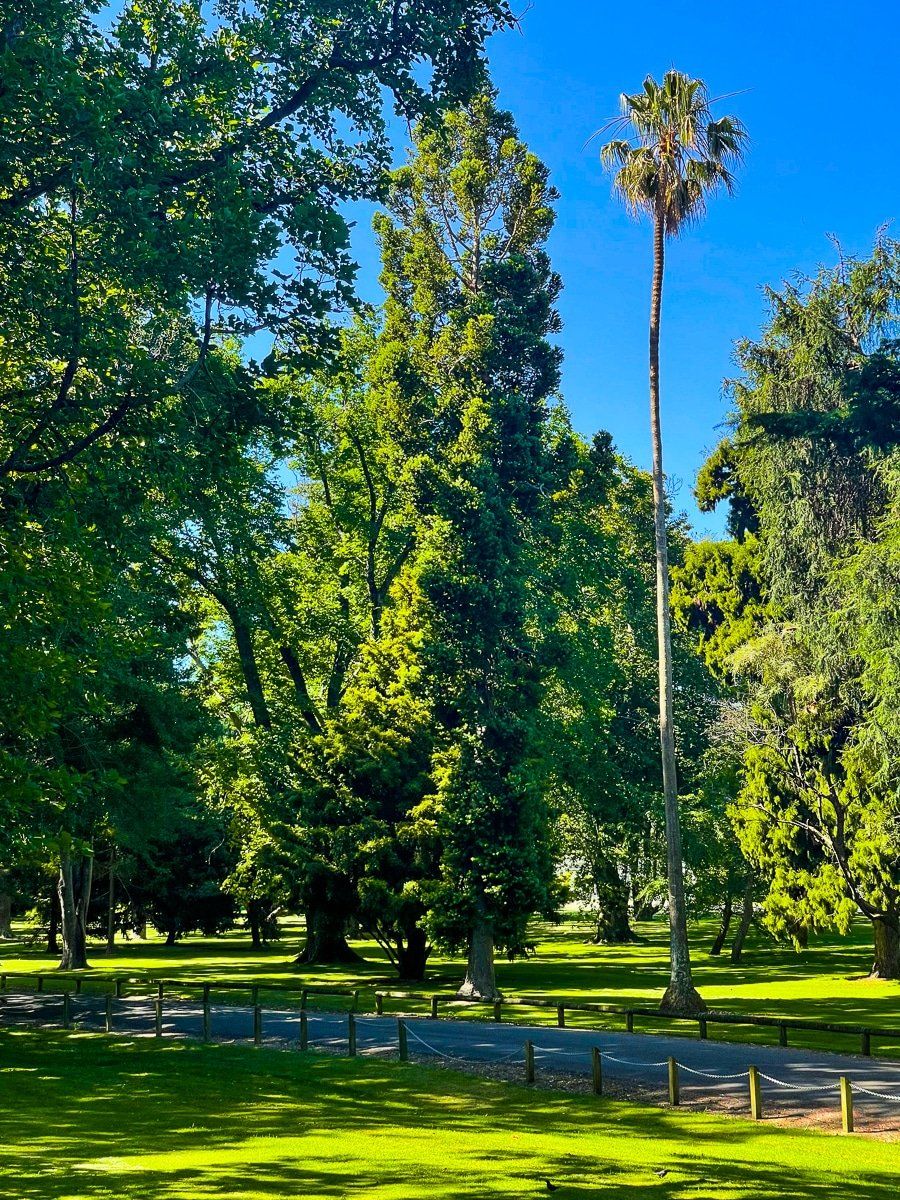
There is a road and walking/cycling tracks in the reserve to the south which takes you through connecting James McGregor Memorial Park. This section is essentially an arboretum, with a large number of mature and mostly exotic trees, separated by grass. You can settle down pretty much anywhere for a picnic, including beside the river in some places.
Durie Hill
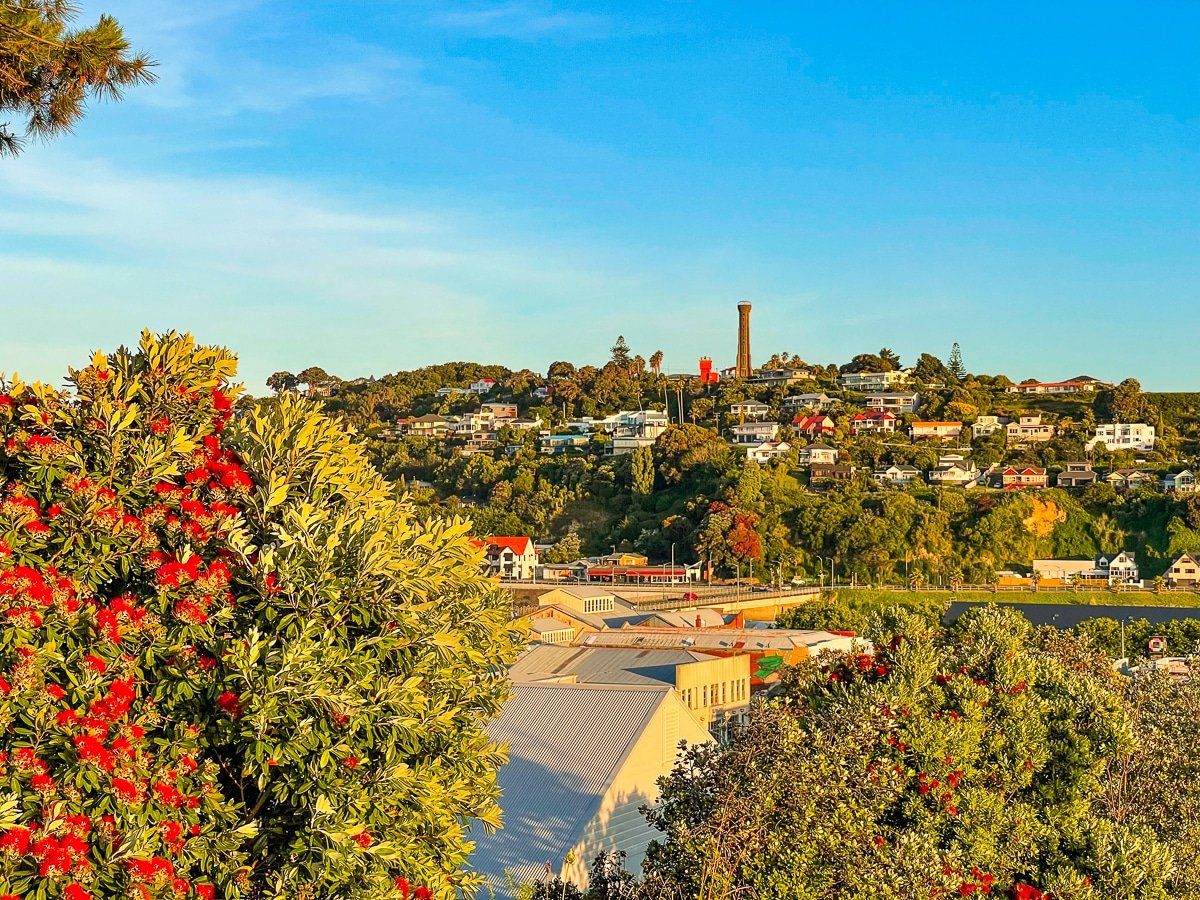
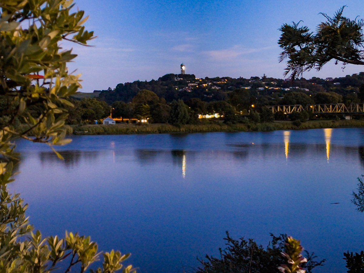
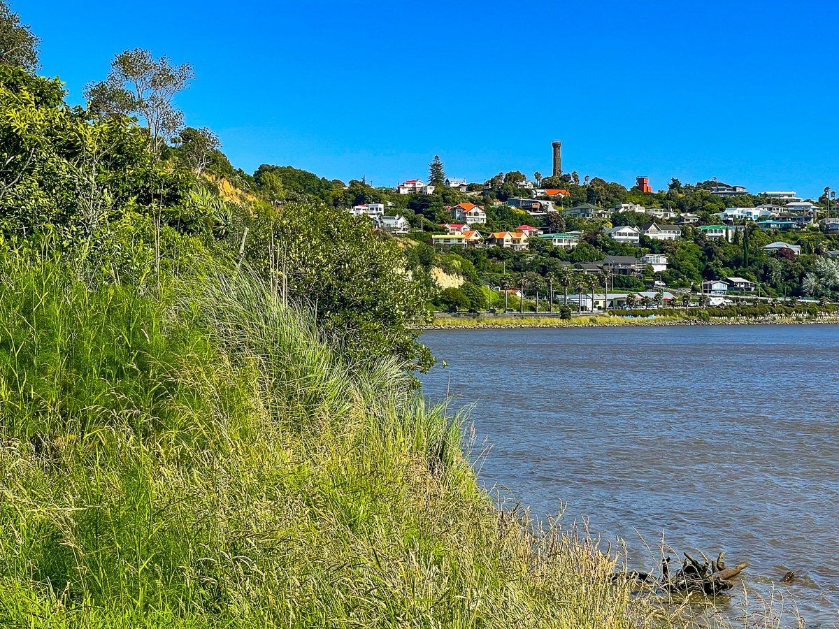
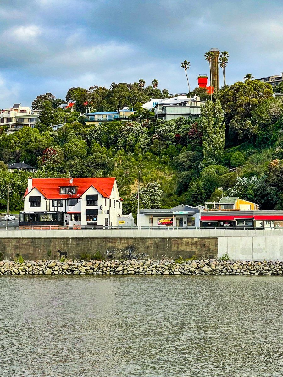
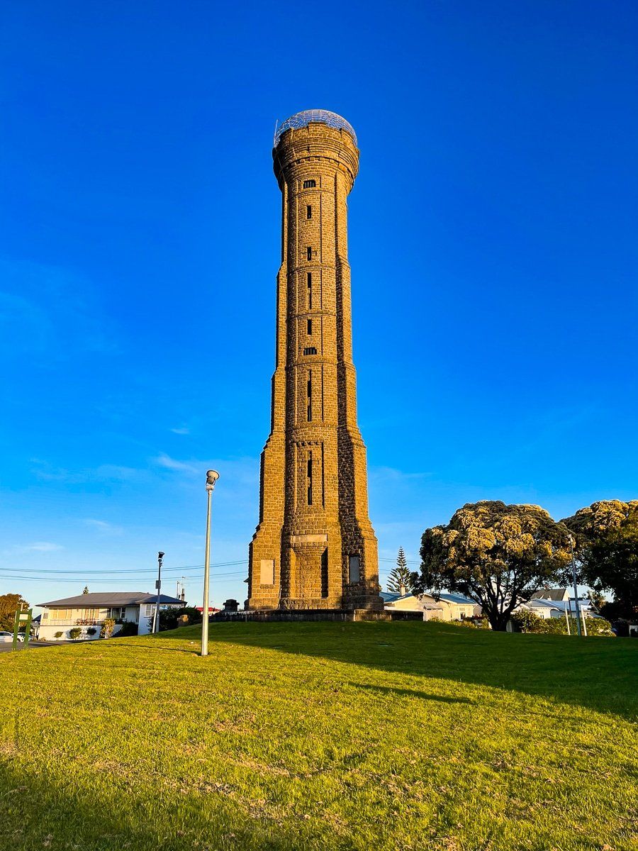
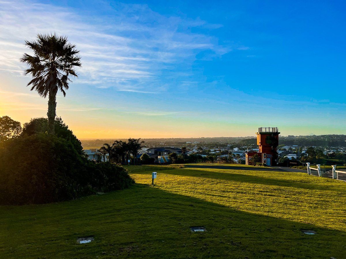
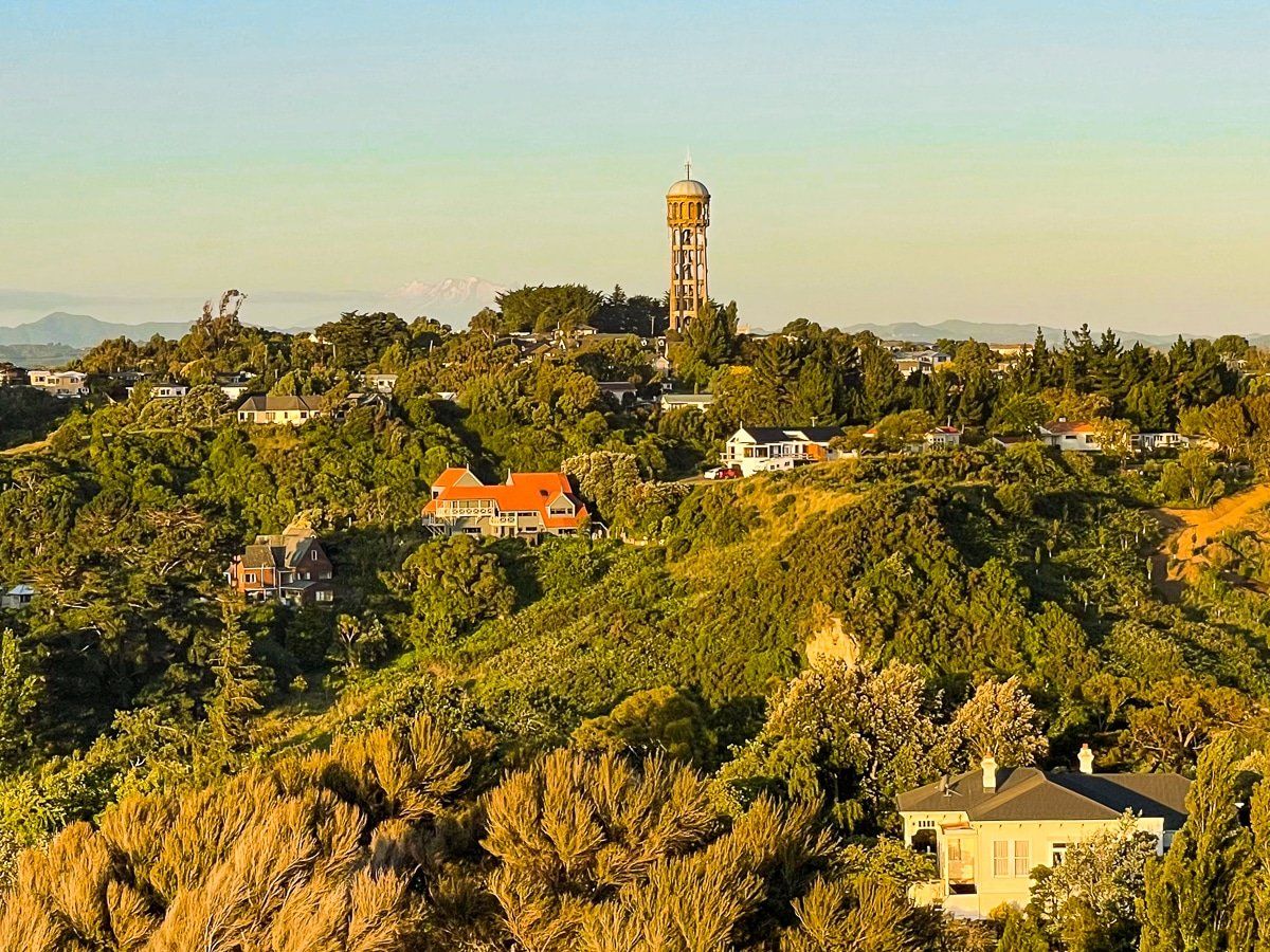
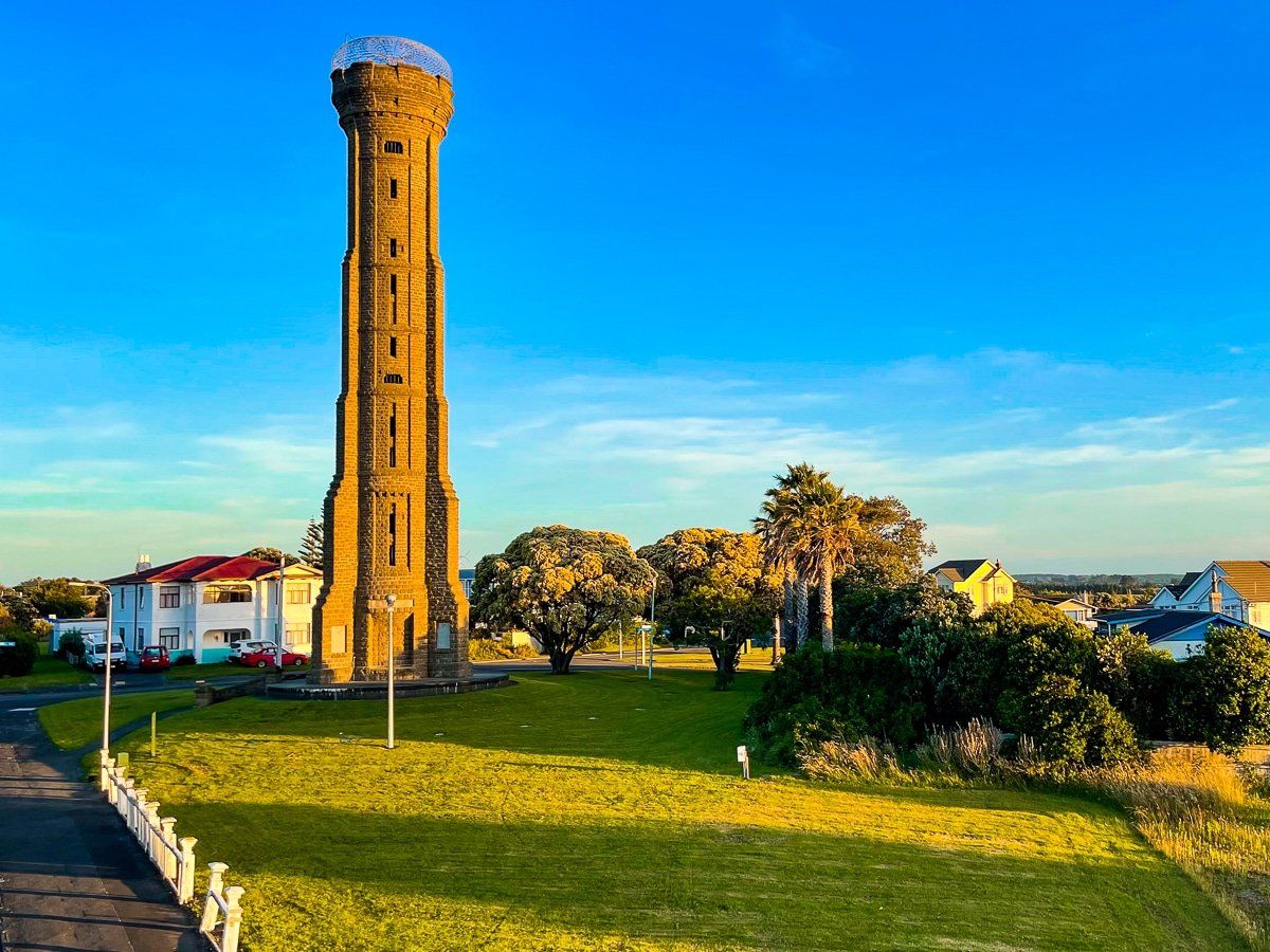
Durie Hill on the southeast side of the river is the top viewpoint in Whanganui. The large Memorial Tower on the hilltop is also the most noticeable city landmark.
If you are walking from downtown, cross the river on the Whanganui City Bridge from the end of Victoria Ave. On the other side of the river, you will see the Durie Hill Tunnel and Elevator. You can take this to the top of the hill or hike up the walkway (350 or so steps). You can also drive to the top of the hill.
There is a small reserve at the top dominated by the 33 metre, 100 year old Memorial Tower, commemorating WWI. There is an internal staircase that you can walk up to the viewpoint if it’s open – it is tagged as an earthquake risk.
You can get almost as good a view from the smaller orange building at the top of the elevator. Climb up the rather narrow winding steps to the viewpoint on the top. On a clear day, as a bonus you can see Mt Taranaki and Ruapehu.
Rotokawau Virginia Lake
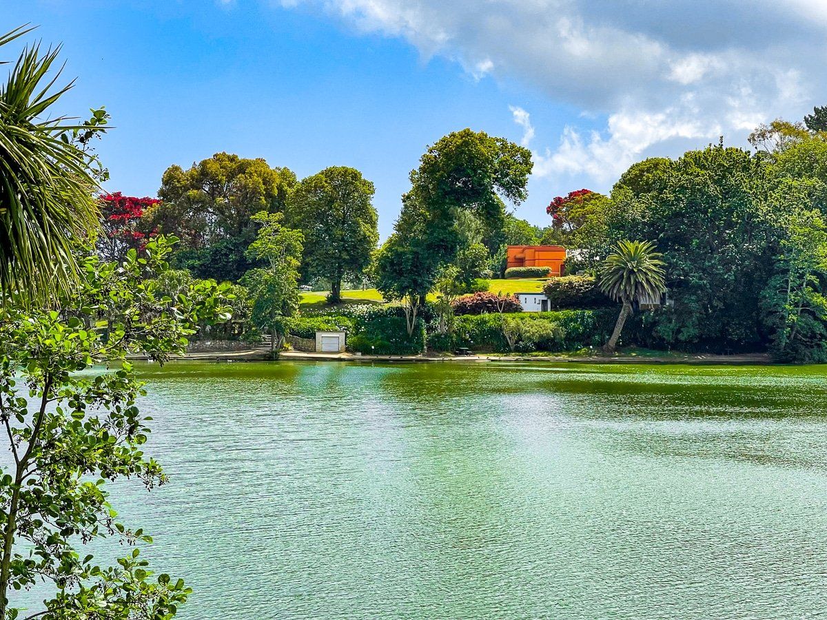
There are several small lakes around Whanganui, but Rotokawau Virginia Lake is the best known. It takes about an hour to meander around the lake through the adjacent reserve.
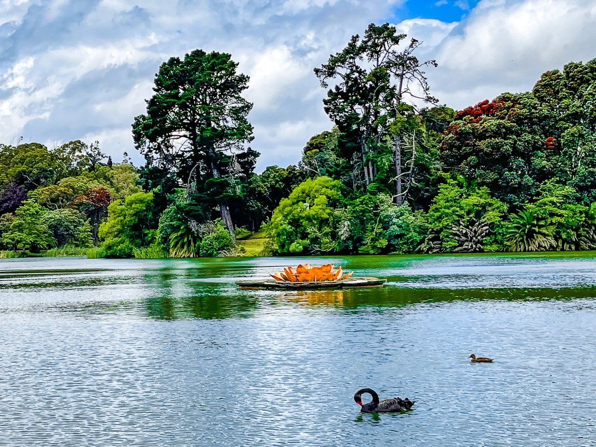
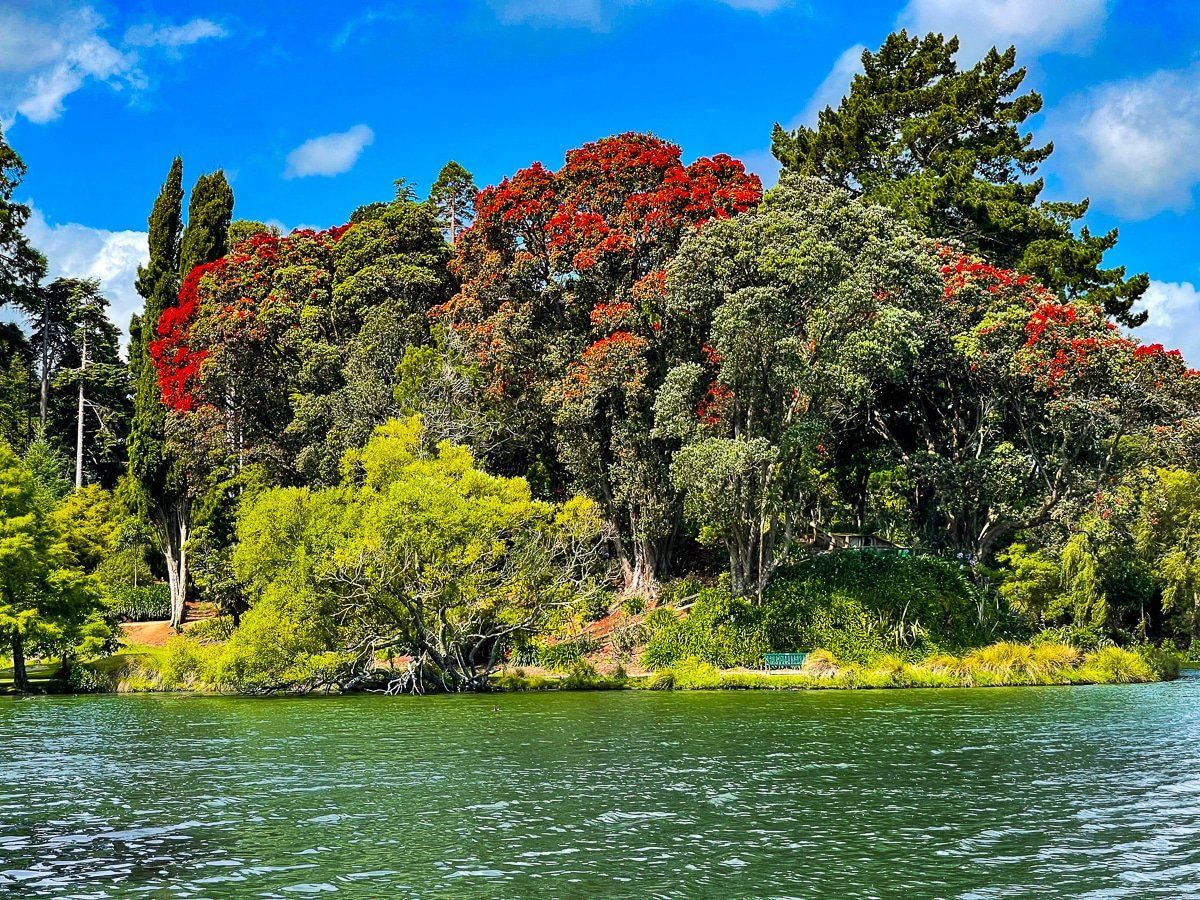
The reserve is mostly planted in mature exotic trees but there are a number of big pohutukawa and gardens near the cafe and main car park. At the far end of the lake is a pretty area of water lilies.There is also a wide array of water birds, including several varieties of ducks, swans and native pukeko.
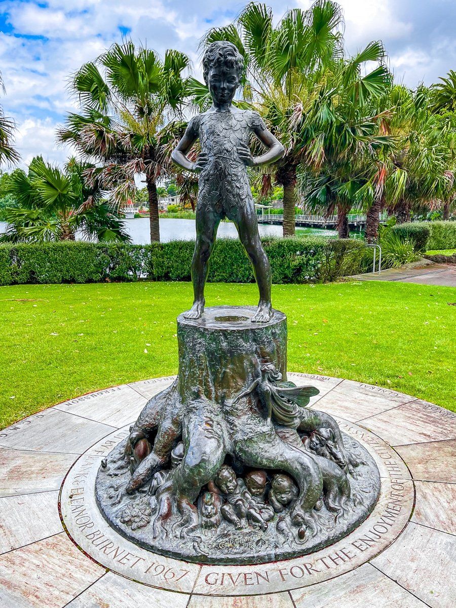
Also look out for the sculptures around the reserve, the most notable being the Higgenbottom Fountain which shines golden when the sun is out.
Castlecliff Beach
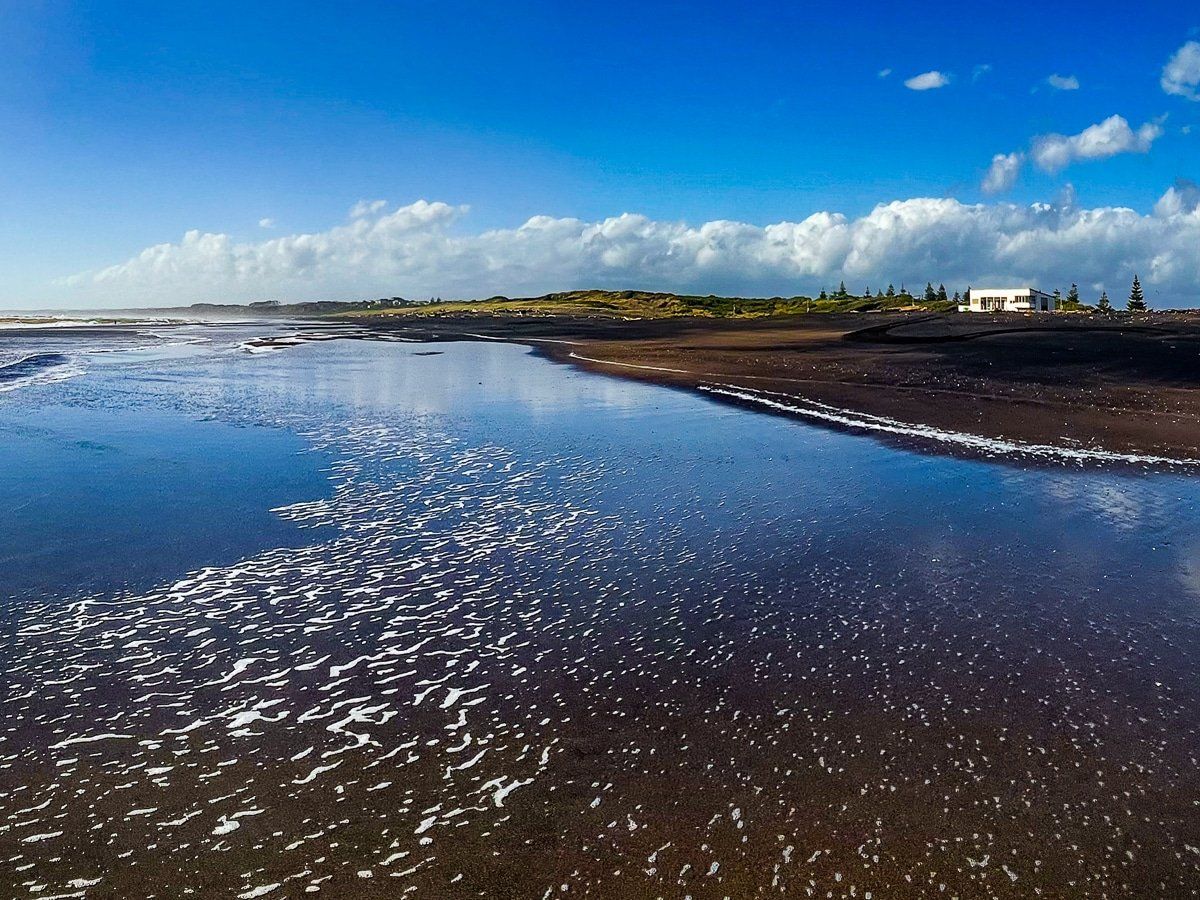
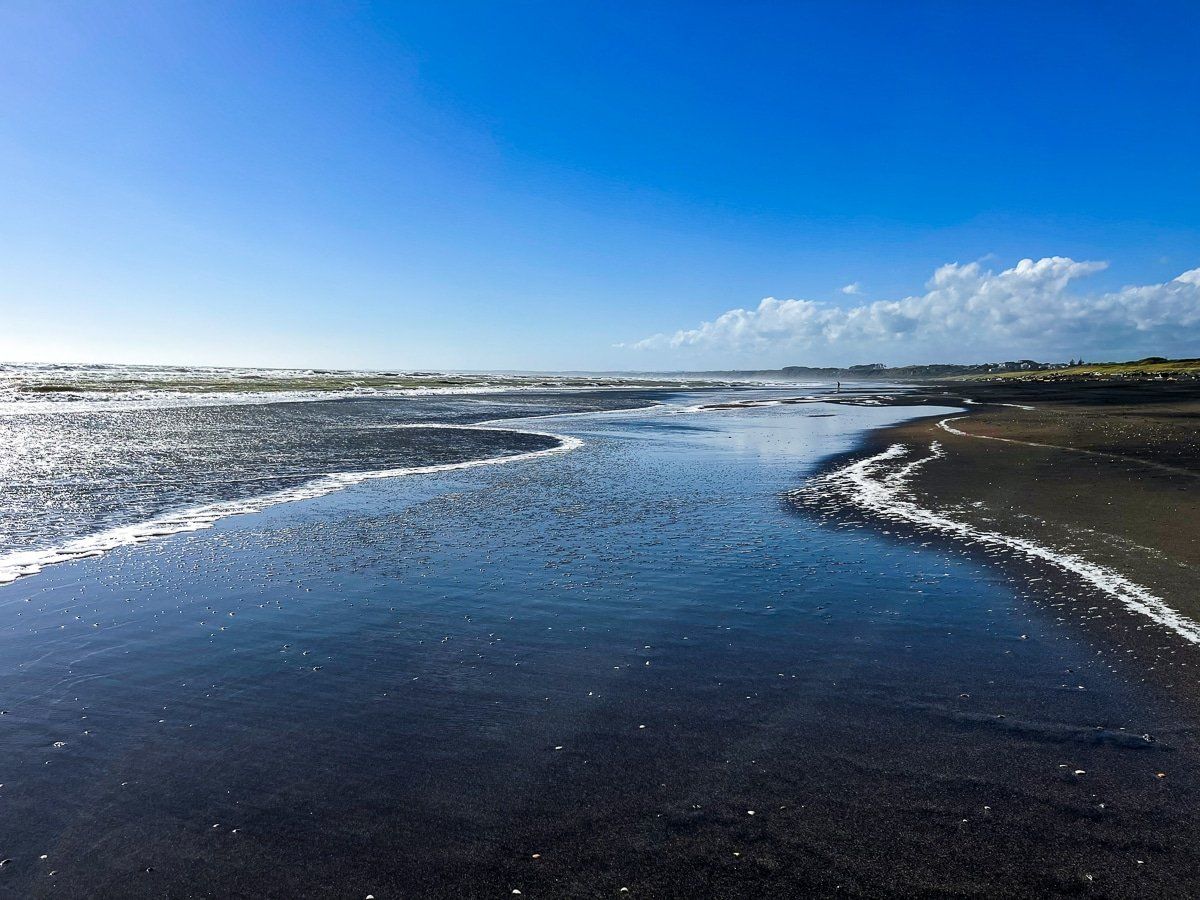
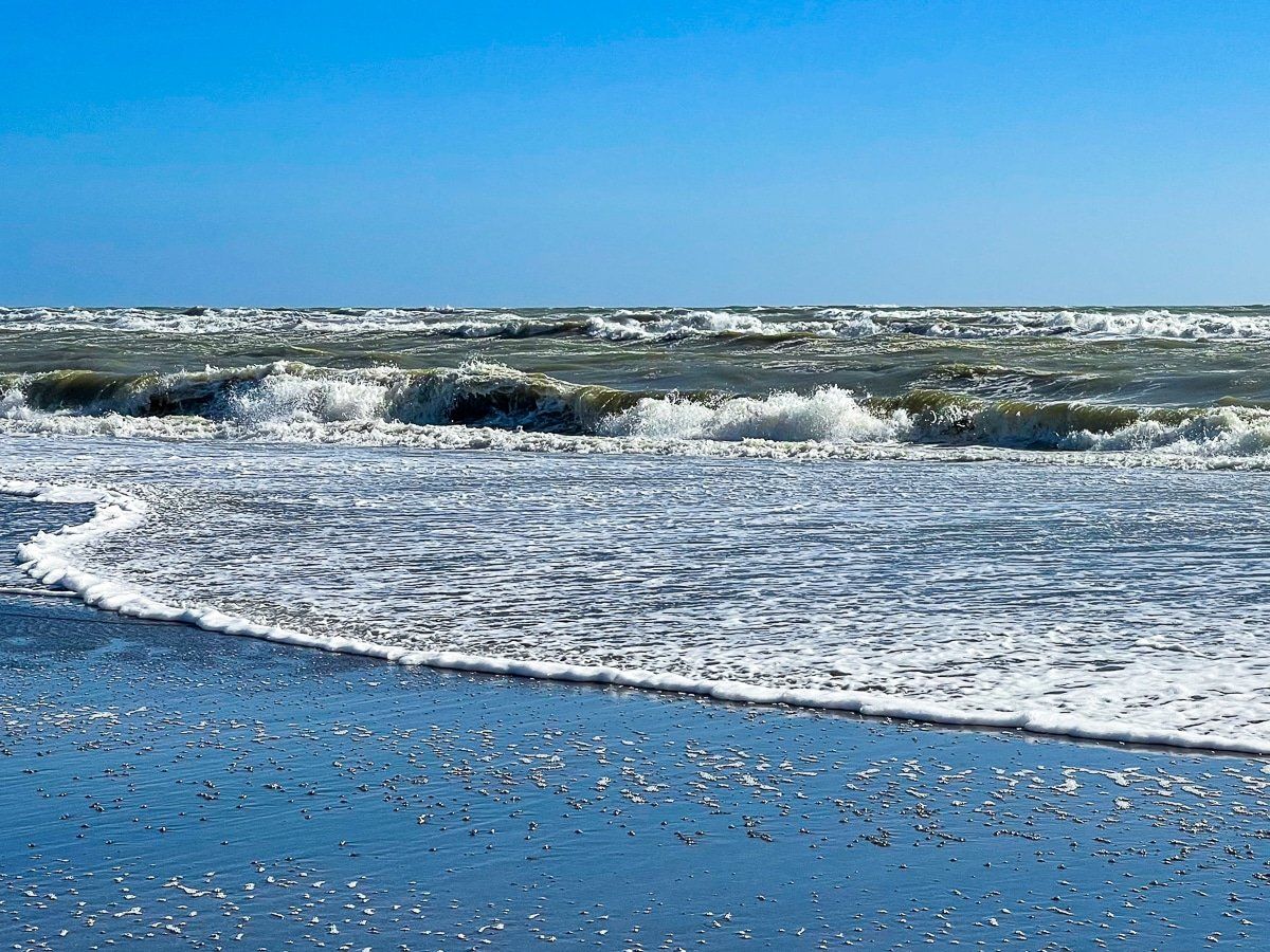
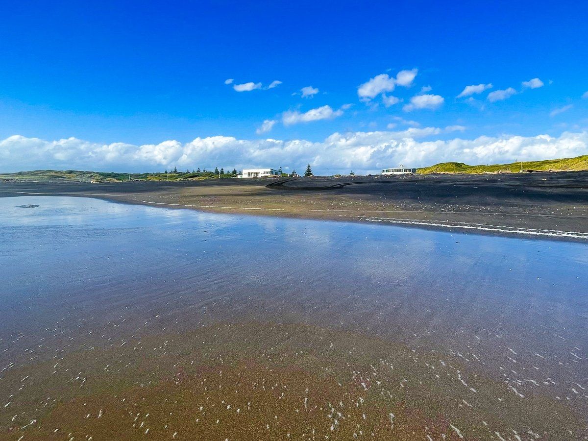
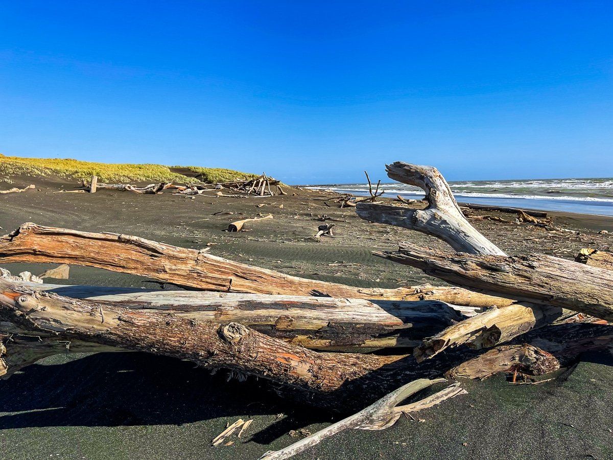
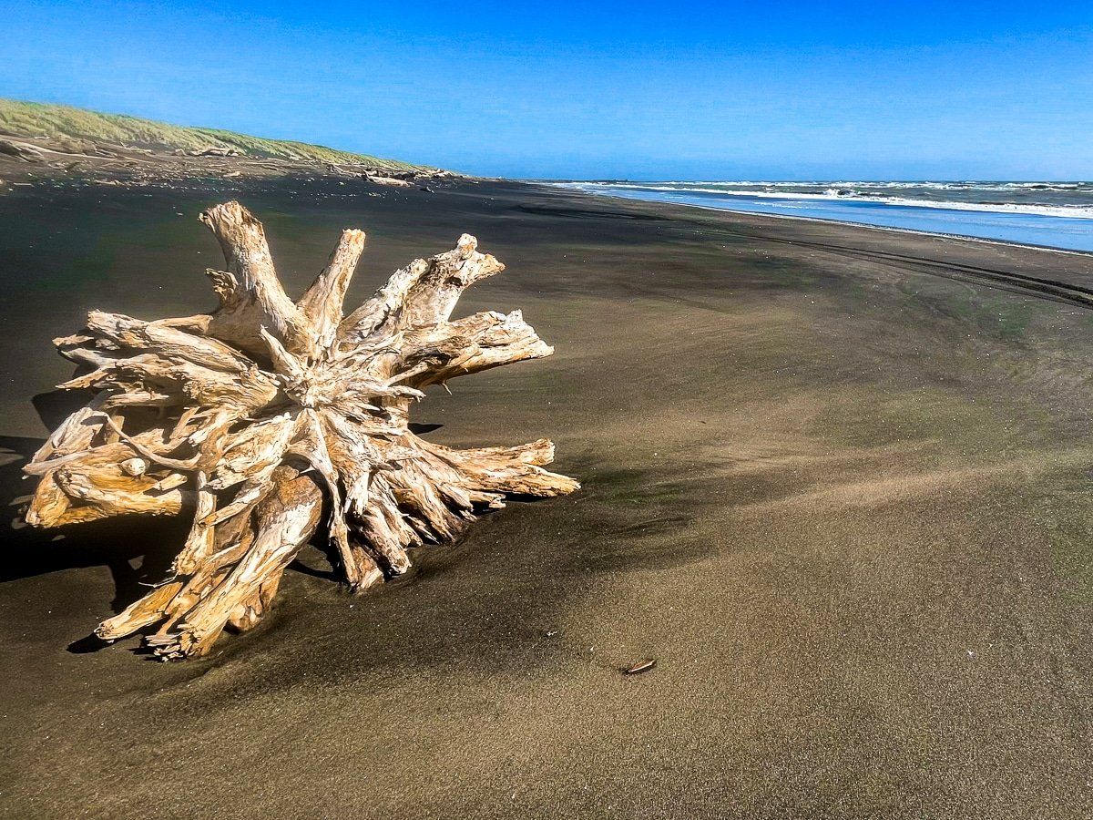
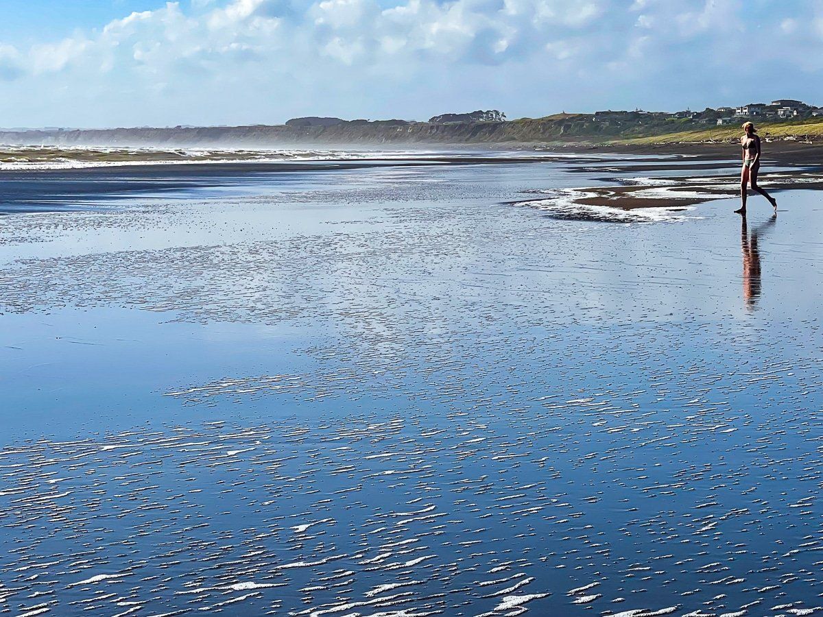
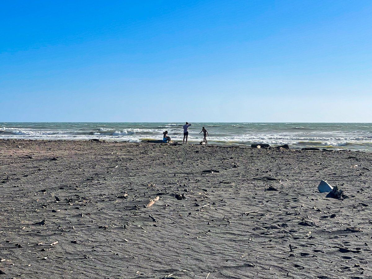
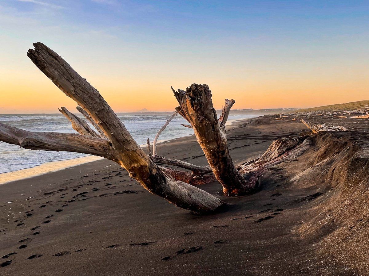
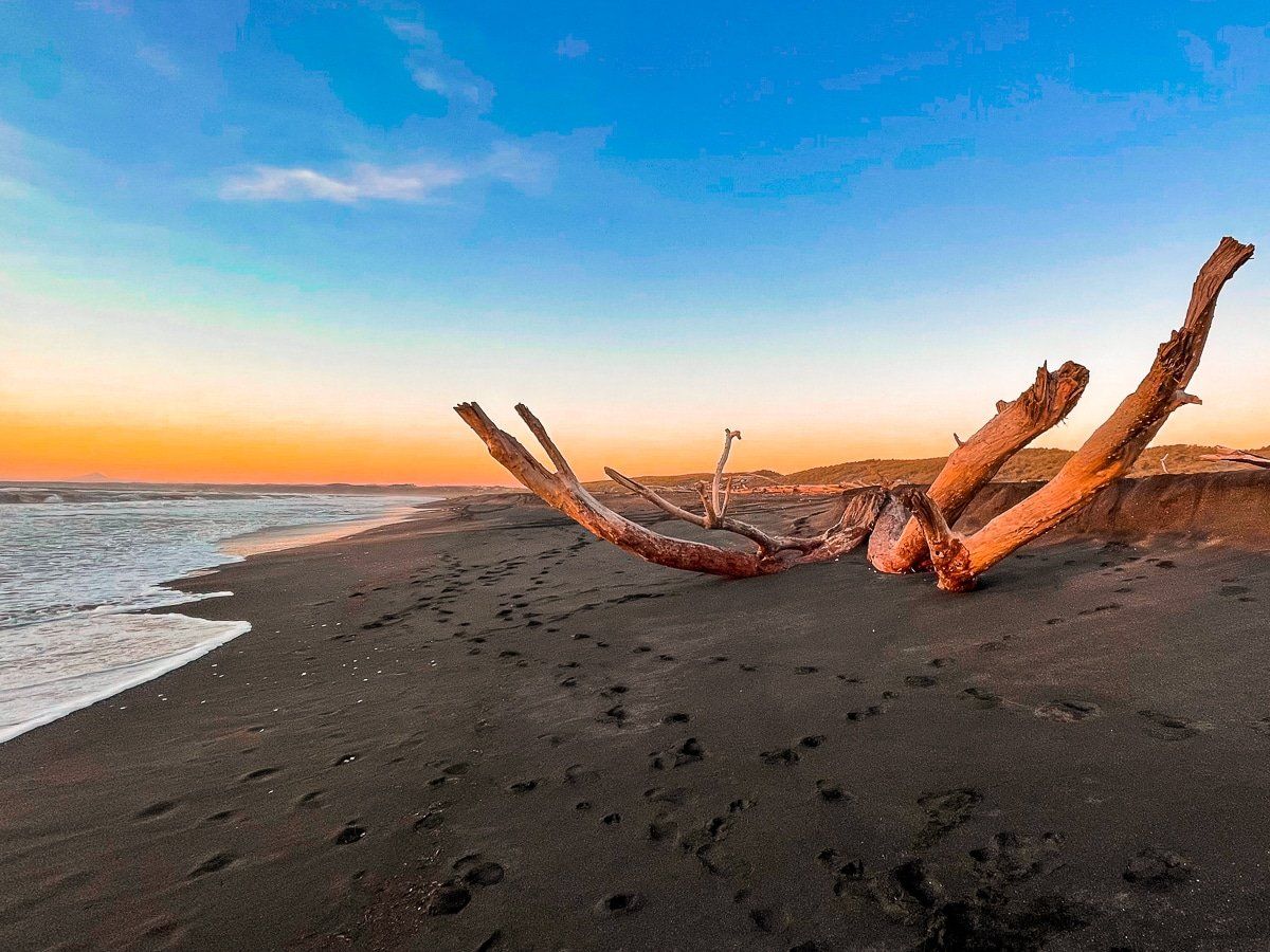
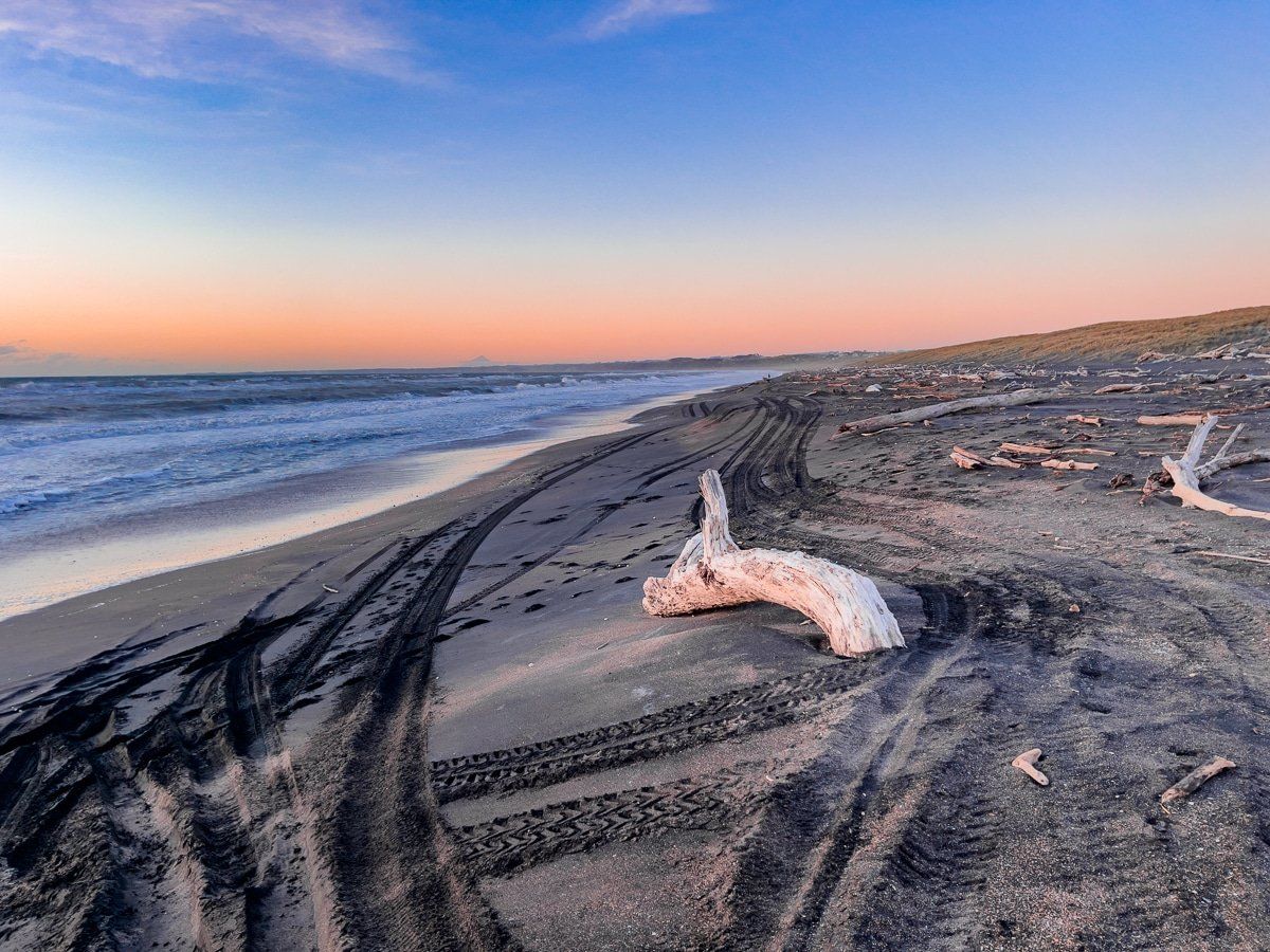
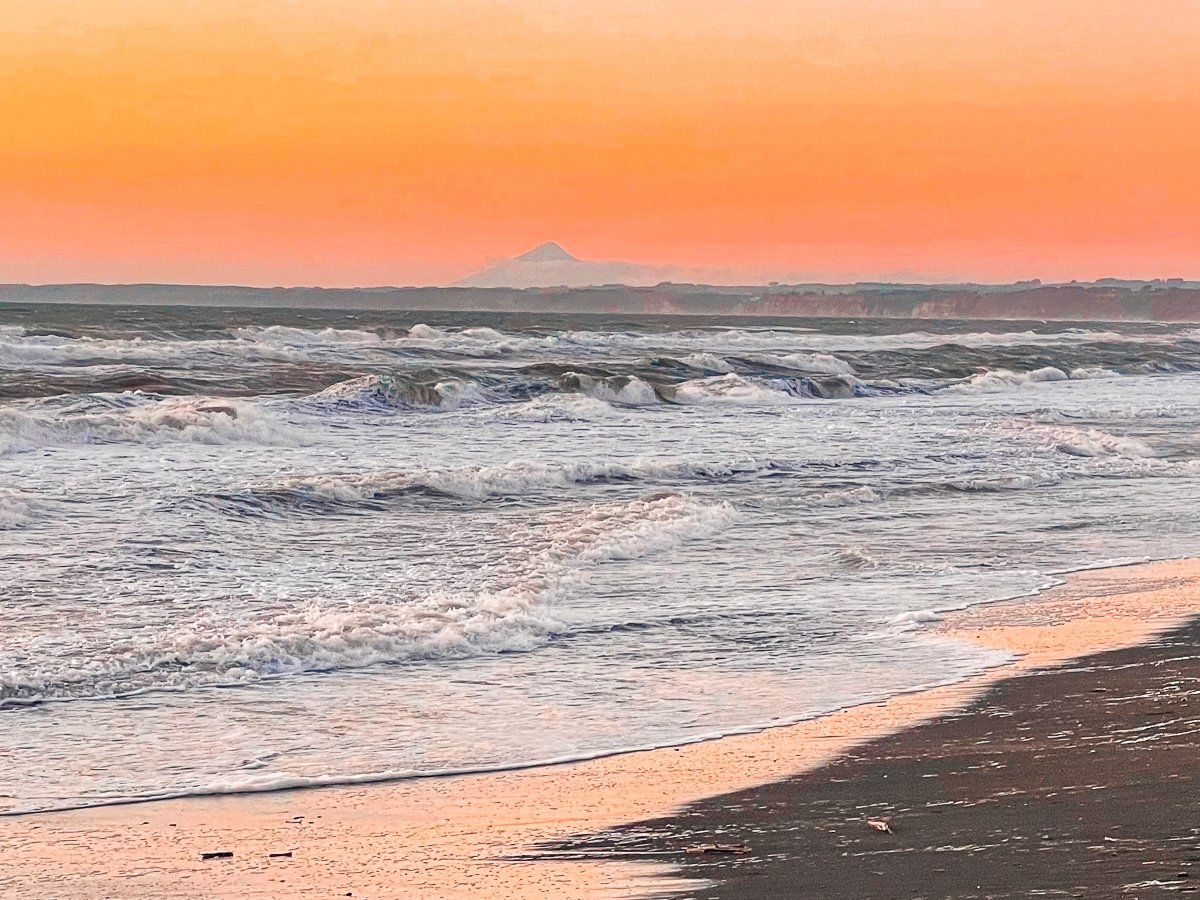
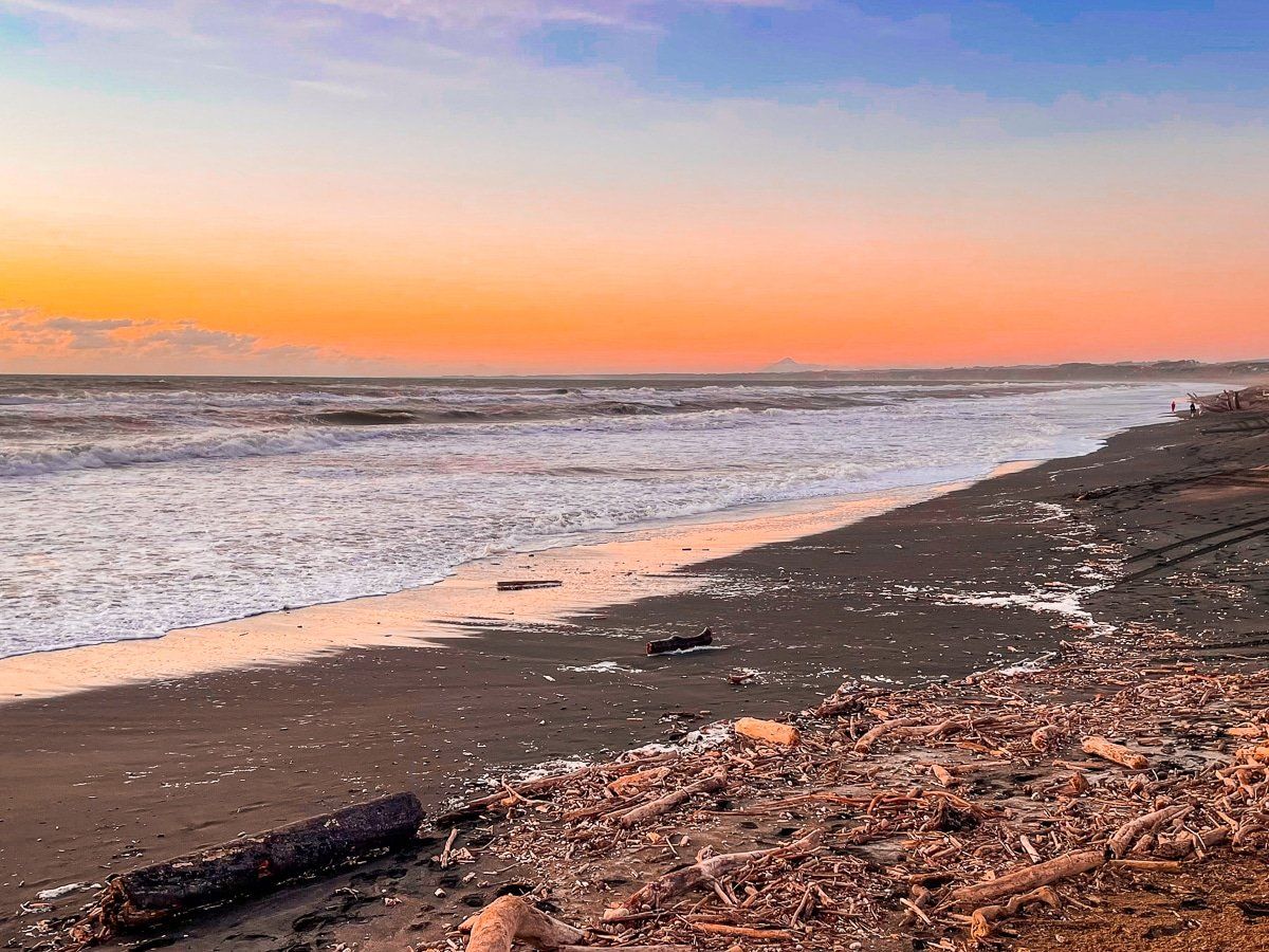
Castlecliff is the main Whanganui beach. It is a rugged, black sand west coast surf beach, backed by dunes for most of its 2 km length. The main access is from Rangiora Rd to a large parking area in the middle of the beach. There are also public changing facilities and toilets and a swim patrol operates in summer around this part of the beach.
Alternatively, turn into Seafront Rd and look out for one of several tracks through the scrub covered dunes.
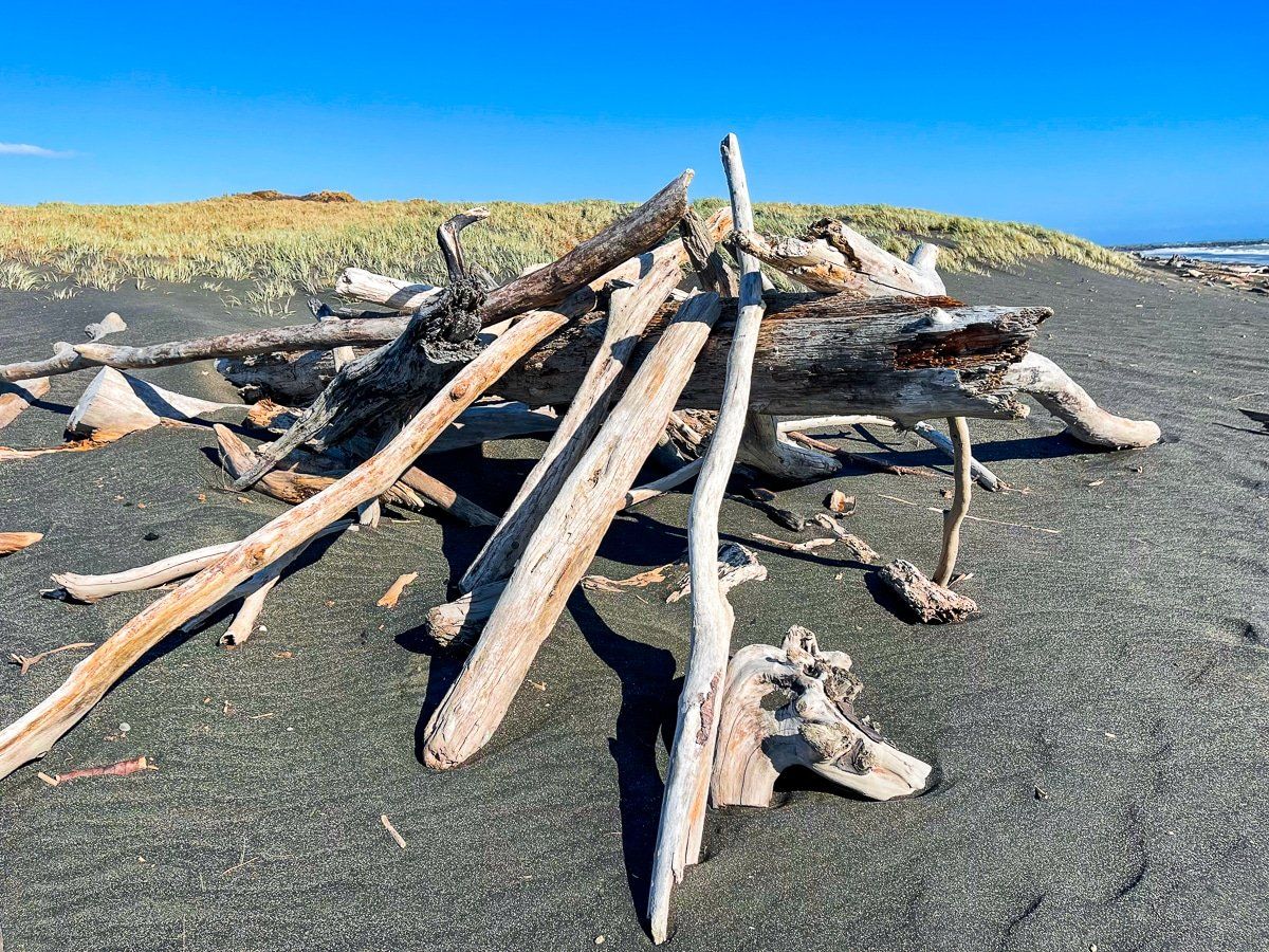
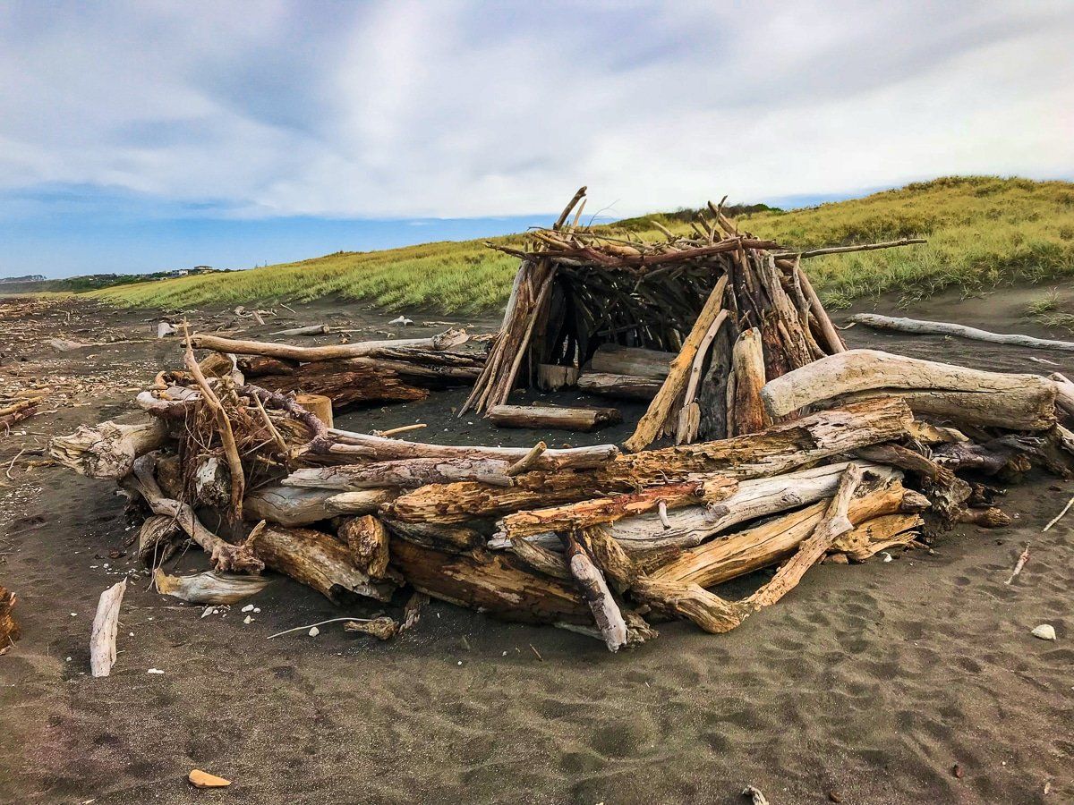
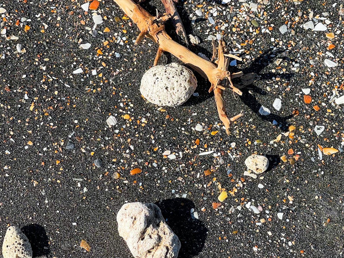
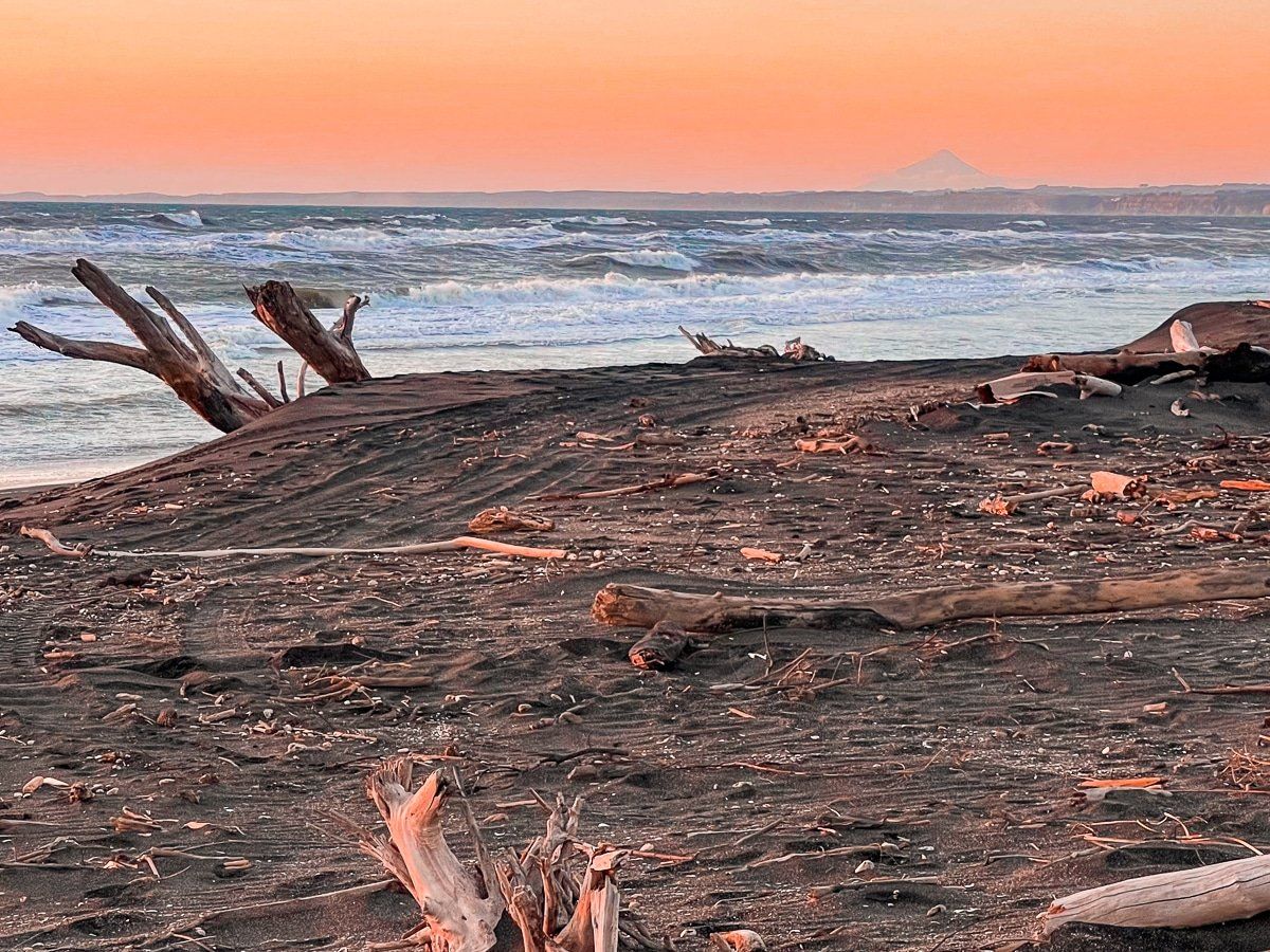
In common with other beaches on the Whanganui and Taranaki coasts, there is a lot of driftwood and plenty of pumice. Plus examples of creative temporary constructions as you wander along the beach.
North Mole
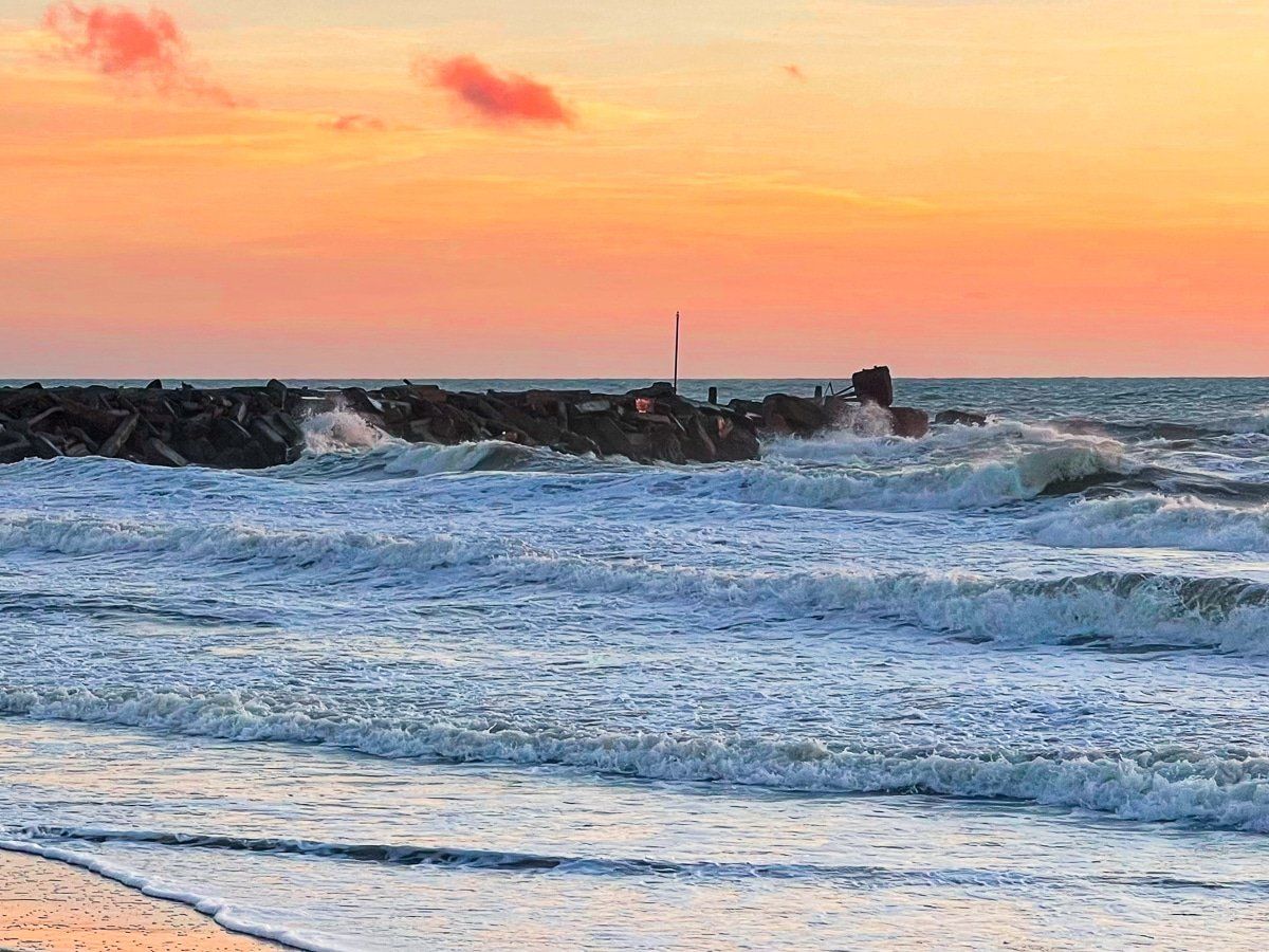
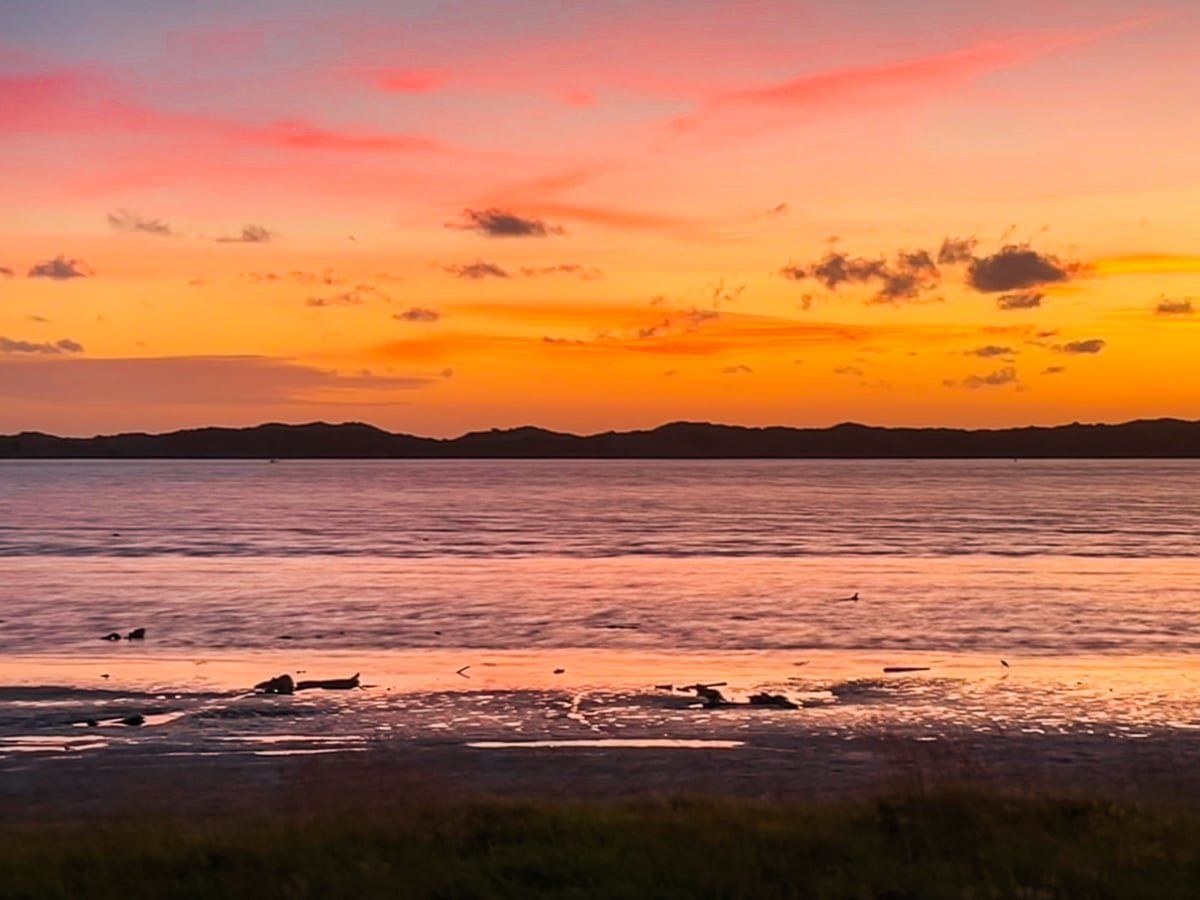
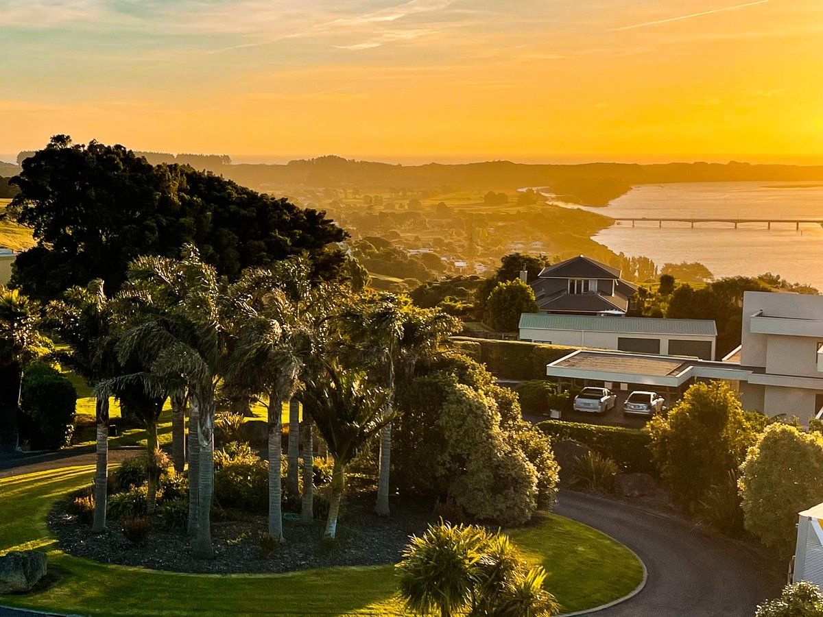
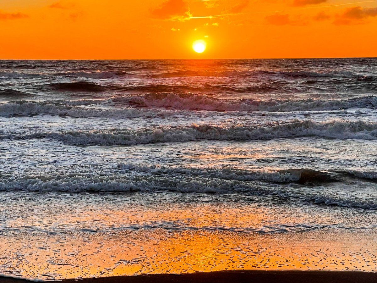
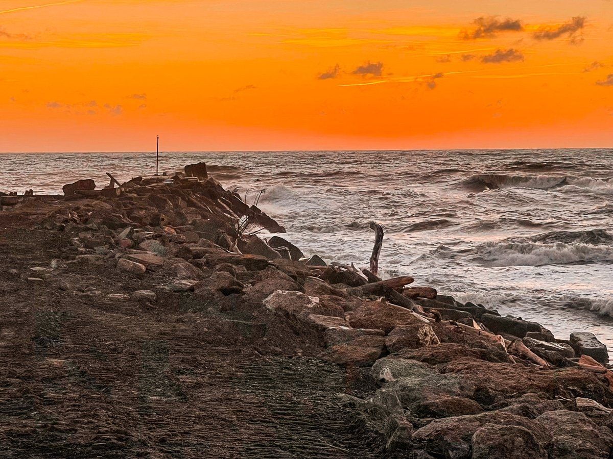
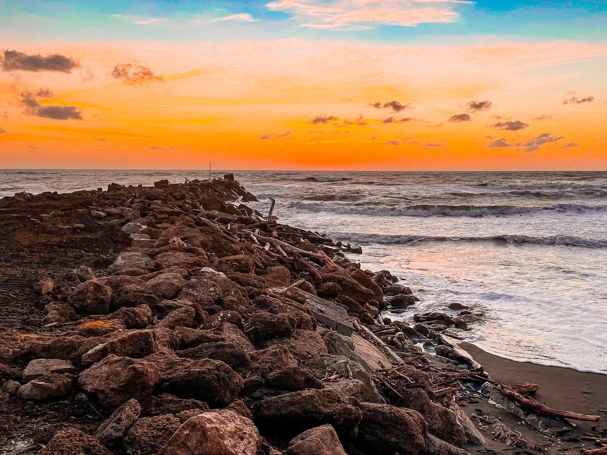
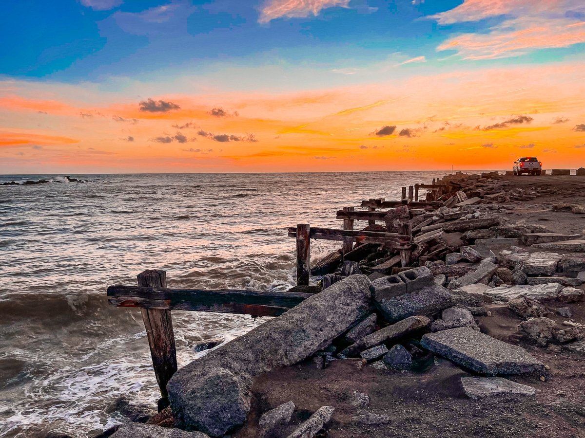
North Mole is probably the best place for sunsets in Whanganui, being on the north side of the river mouth. It is a short drive from downtown and the termination point for the Mountains to Sea Cycle Trail. Access to parking is directly down Morgan St.
Although down at sea level, there is a clear view of Mt Taranaki to the northwest. The nearby section of beach (south end of Castlecliff) is spectacular with its piles of driftwood and the waves can get quite exciting if the wind is up!
Want more trip ideas?
Check out more North Island adventures from Napier to Taupo, Taranaki, and King Country.
