
This is our fourth blog about walks around Auckland’s Waitakere Ranges. This group includes a walk to one of the reservoir dams, a couple around Piha beach which tend to get overlooked for one reason or another and several forest walks that range from about 20 minutes to over 2 hours. These latter tracks have been reopened over the last 2 to 3 years as they have been upgraded to better protect against kauri dieback.
There are also a couple of viewpoints; one overlooking Huia and the Manukau Harbour and one a short walk from the Anawhata Road that looks over the Piha Valley. They are very easy walks which allow almost anyone to get a sense of the rugged terrain of the region.
Beveridge Track
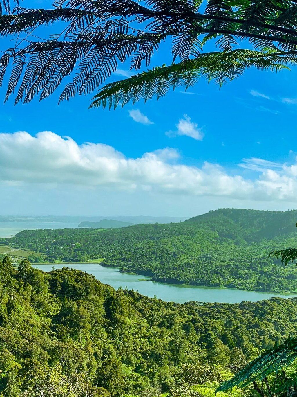
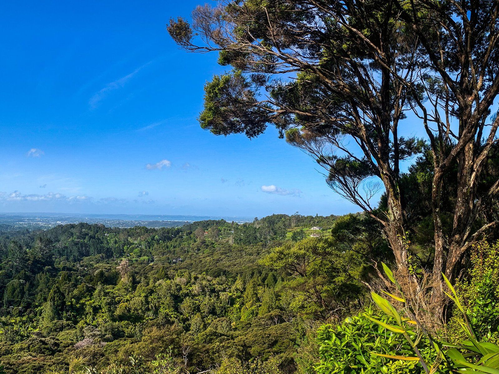
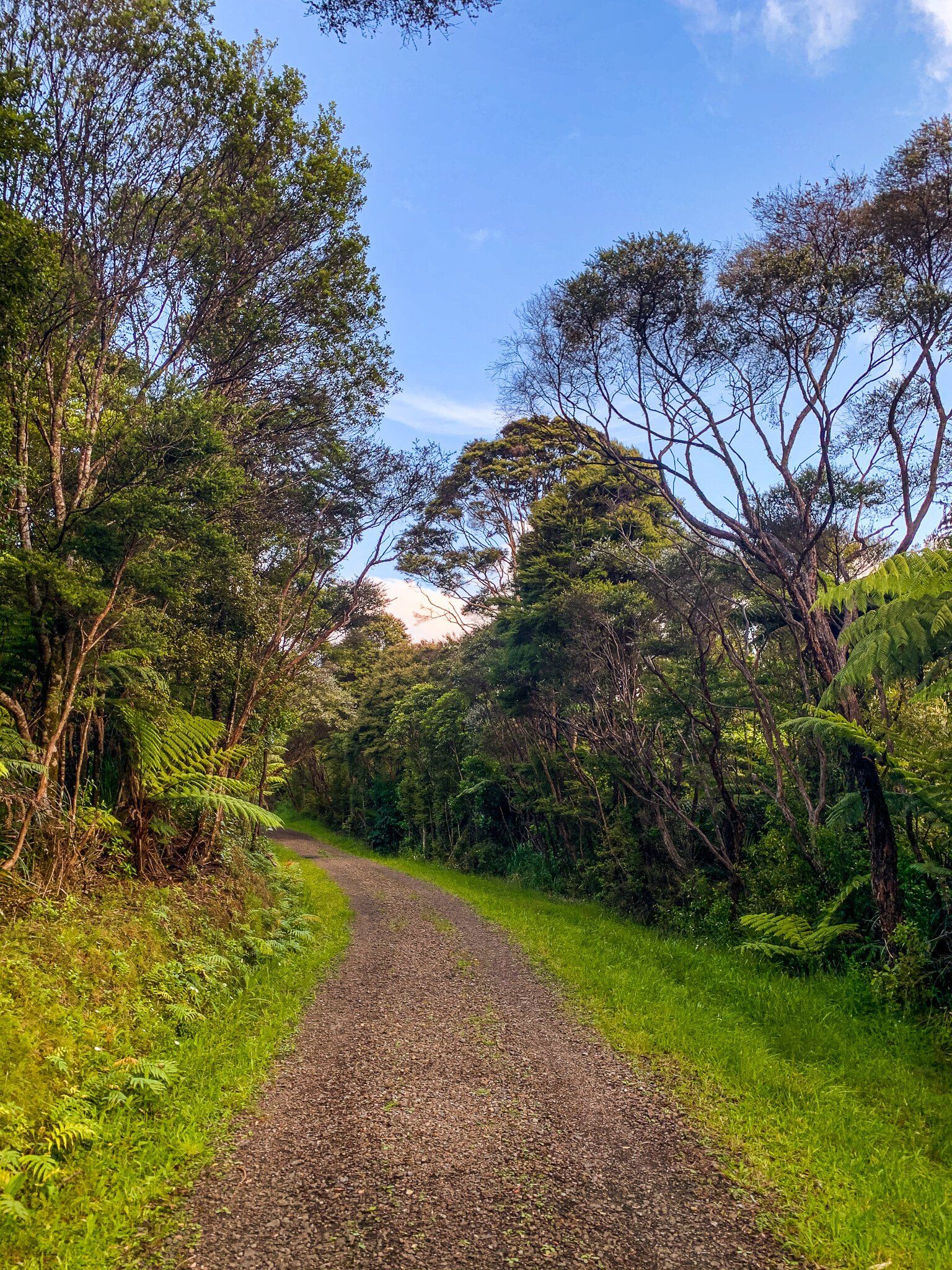
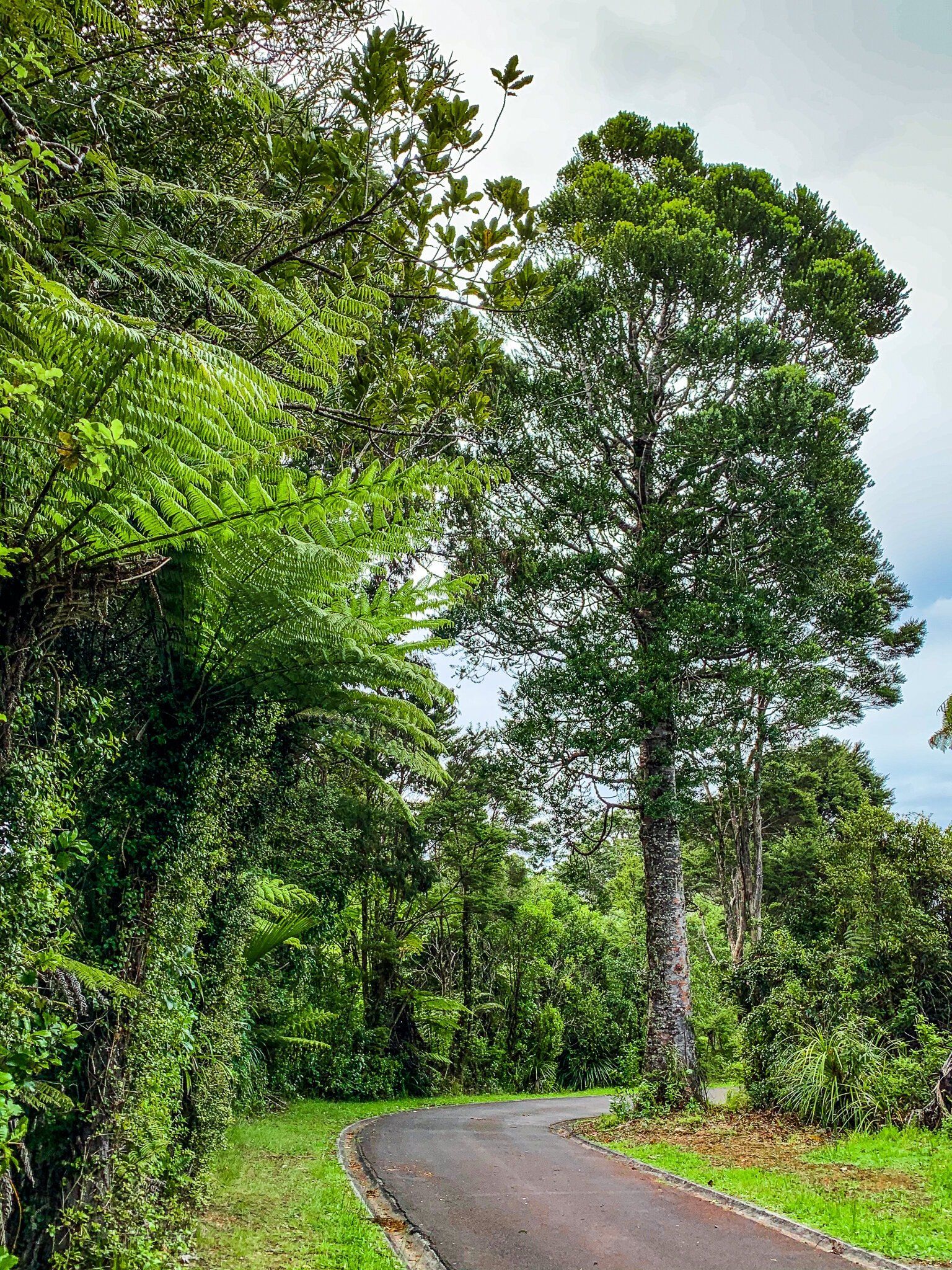
The Beveridge Track can be found in the Waitakere Ranges Regional Park. It starts from the Arataki Visitor Centre on Scenic Drive and initially runs east along the ridge below the road before heading south to connect with Exhibition Drive near its southern gate. You can come back the same way or continue down Exhibition, then take Pipeline Road to loop back to Arataki via Slip Track.
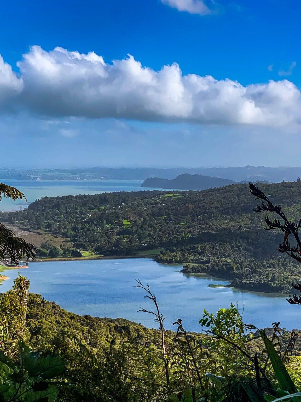
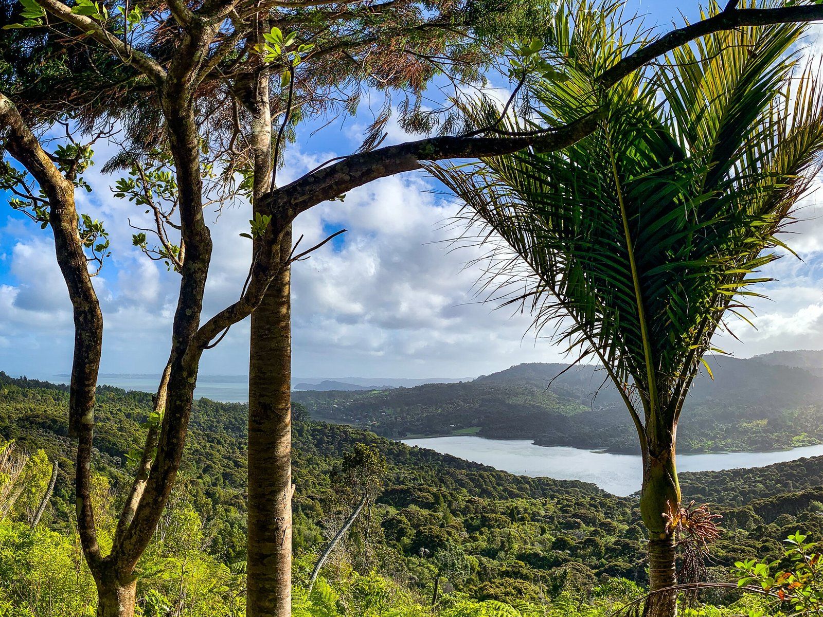
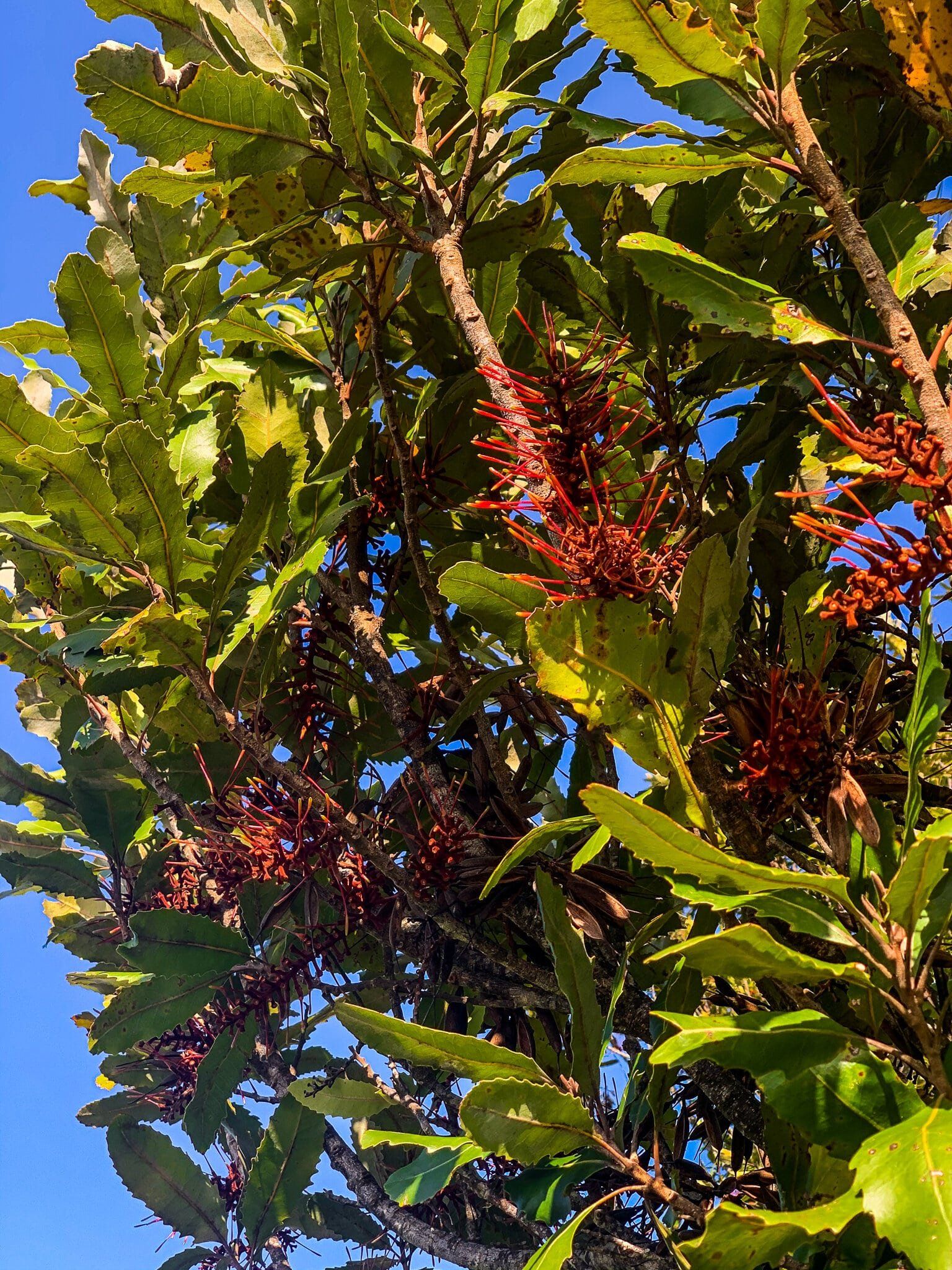
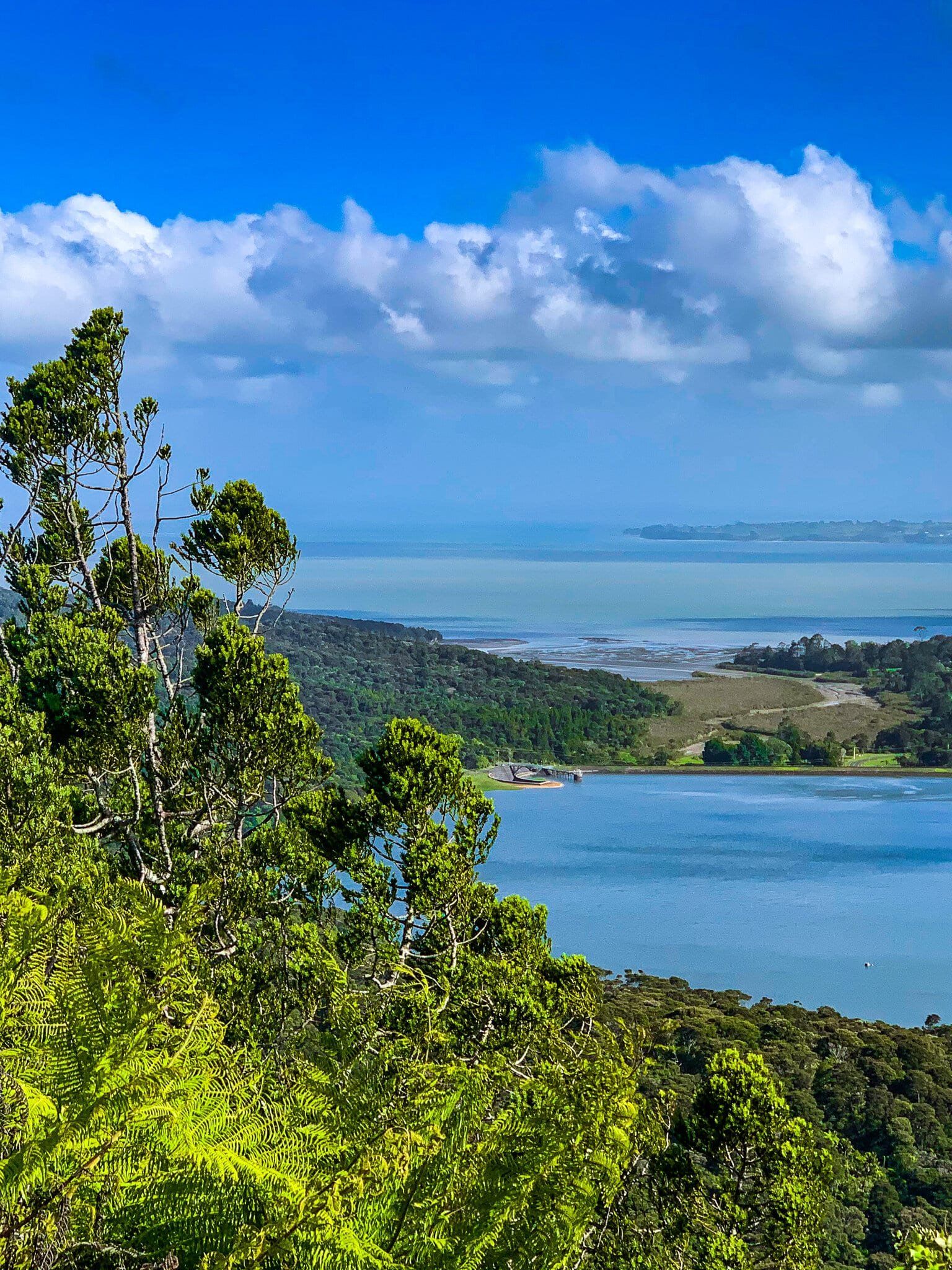
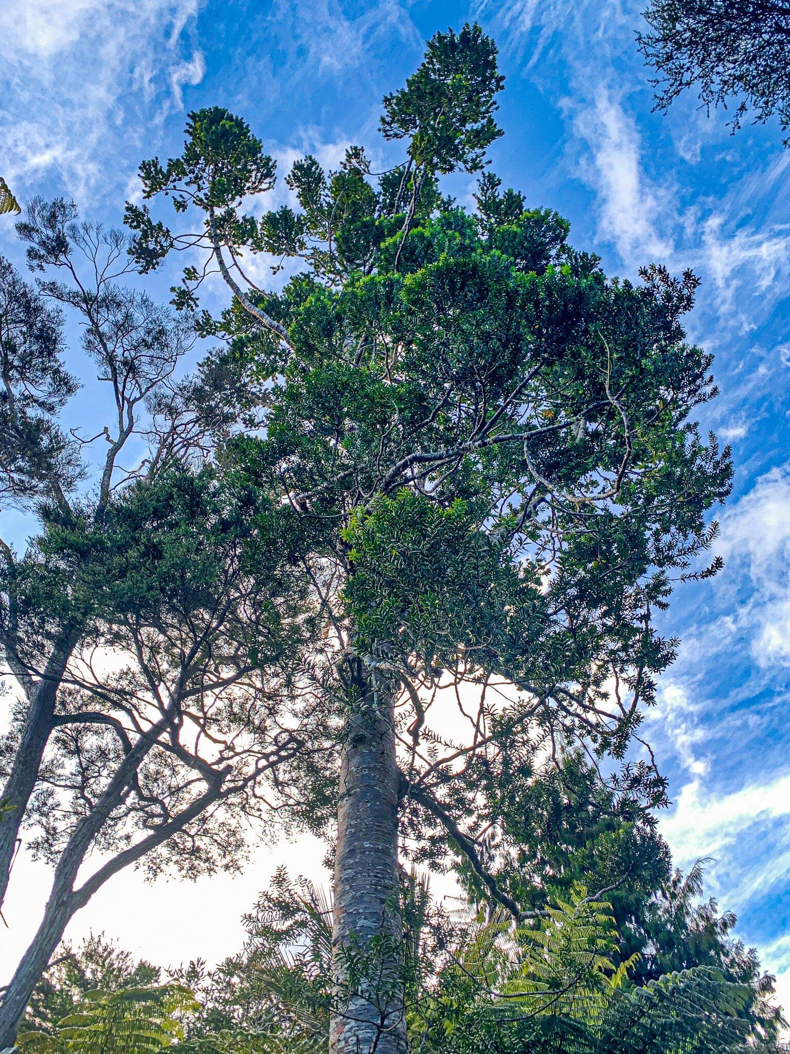
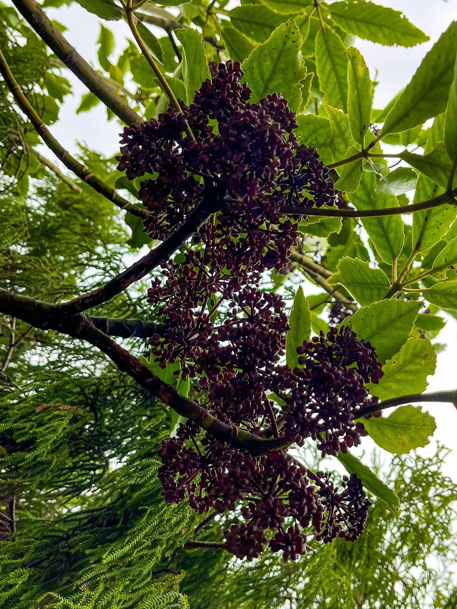
The track is mostly an easy walk through regenerating native forest, including some kauri. Spring with its flowering rewarewa is especially attractive. A feature of the walk is the excellent views over the Lower Nihotupu Reservoir with the Manukau Harbour beyond. You could do this as a quick in-and-out just for the view.
Allow about 90 minutes at a dawdle to do the track return and about 2.5 hours to the loop with Pipeline Road and the Slip Track.

Pipeline Road and Slip Track
Pipeline Road runs from the south end of Exhibition Drive to Lower Nihotupu Dam Road. It is part of Watercare’s private road network which supports the network of water reservoirs and dams through the Waitakere Ranges. There is a gate at the entrance but you can walk along it to connect with the Slip Track (the only one of several tracks off the road which is presently open). Slip Track then rises quite steeply up to Arataki.
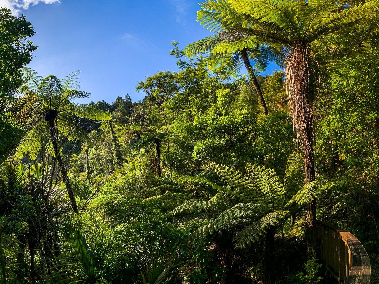
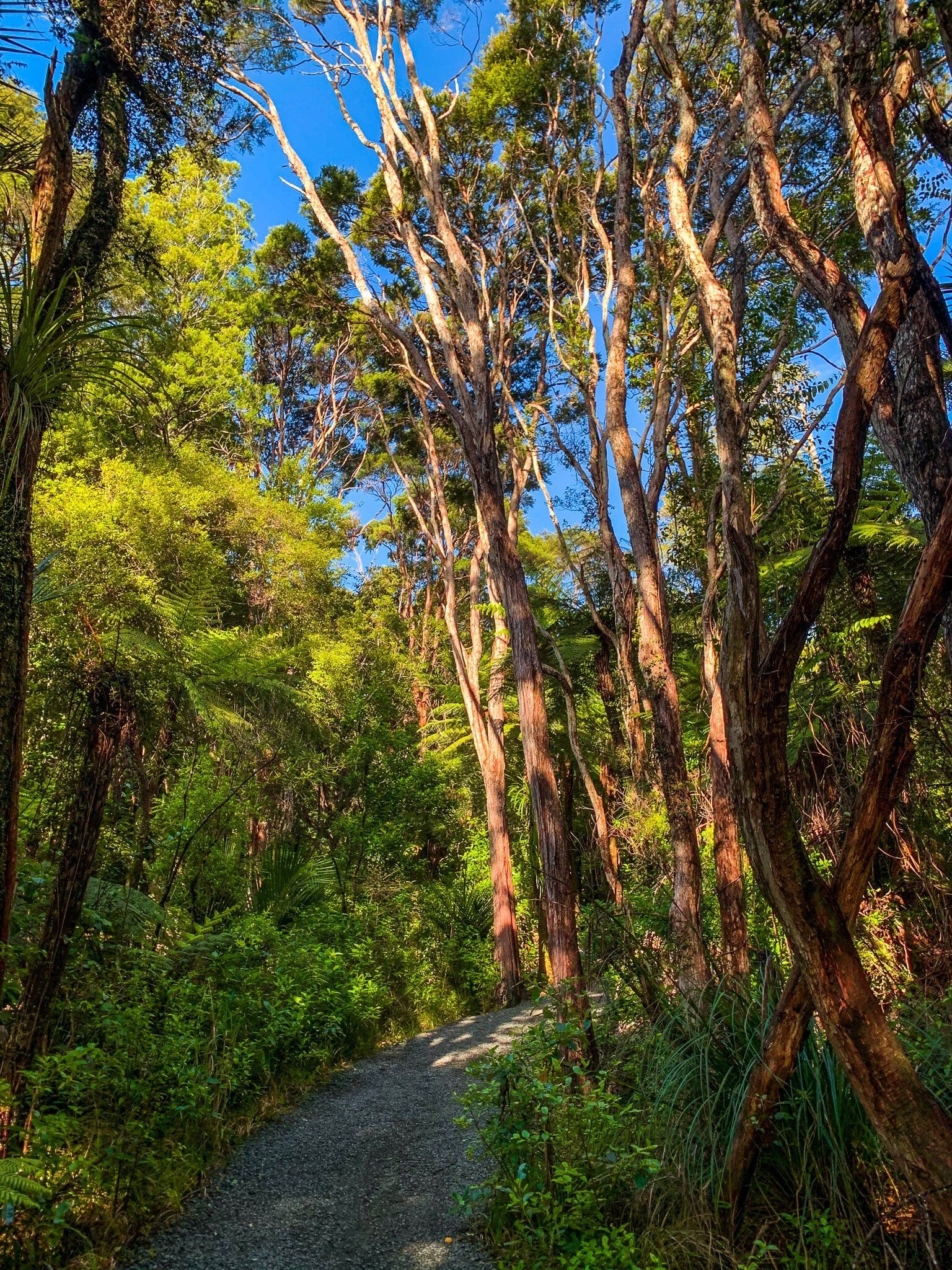
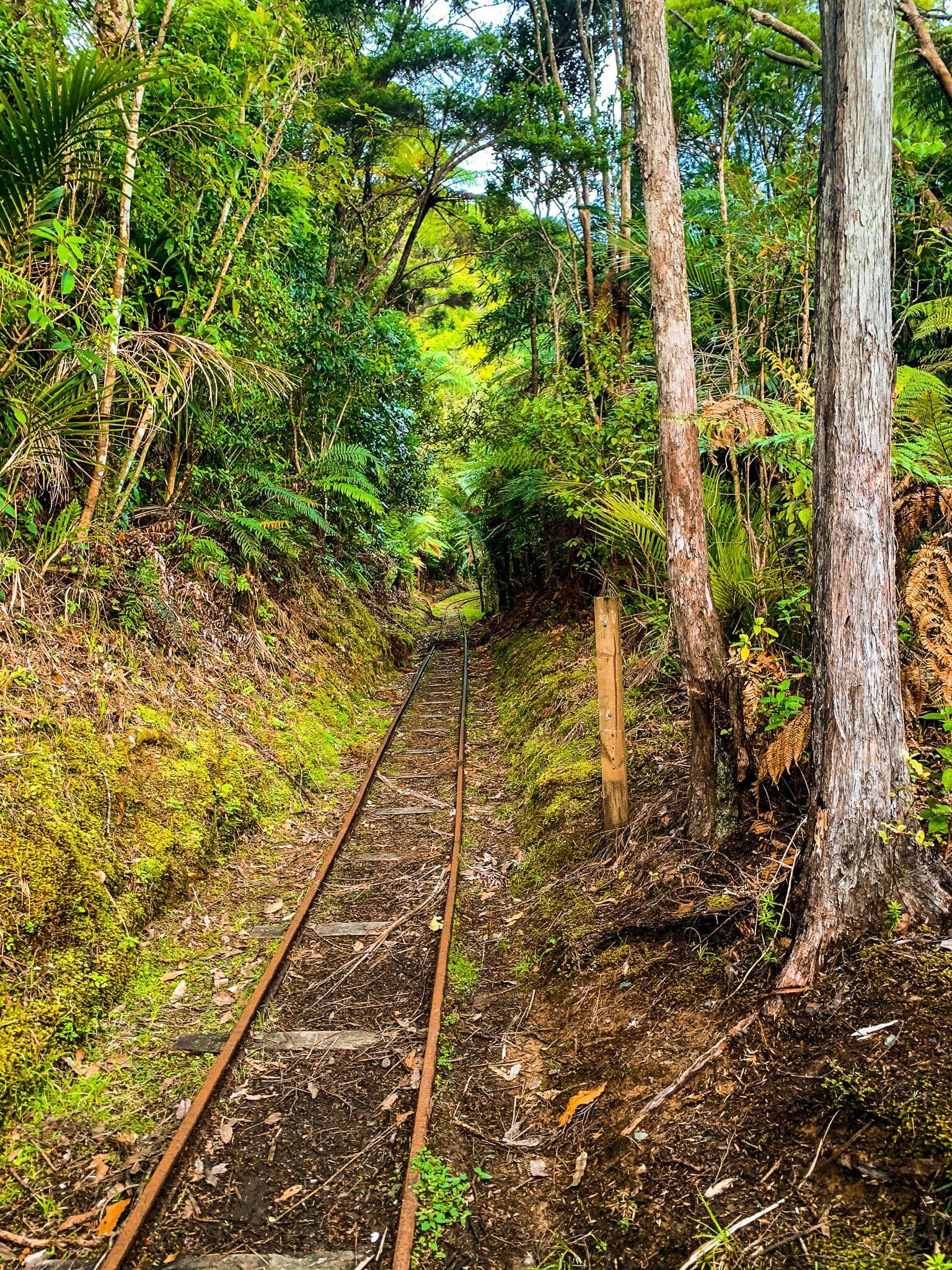
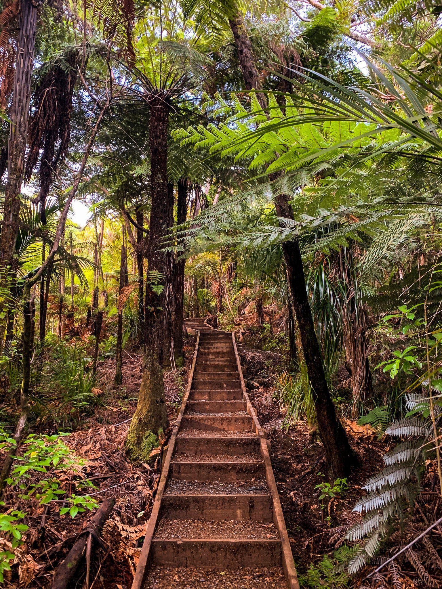
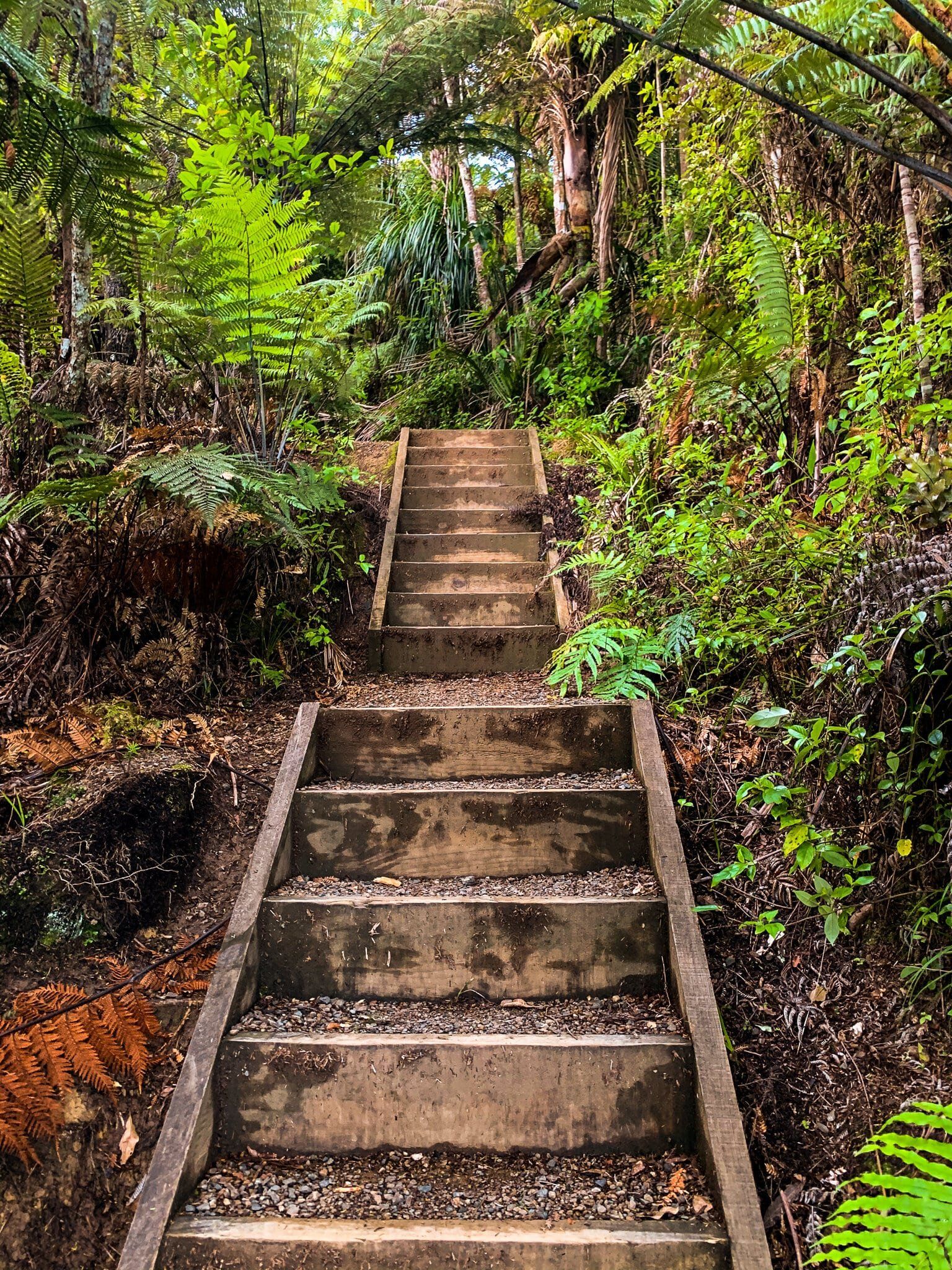
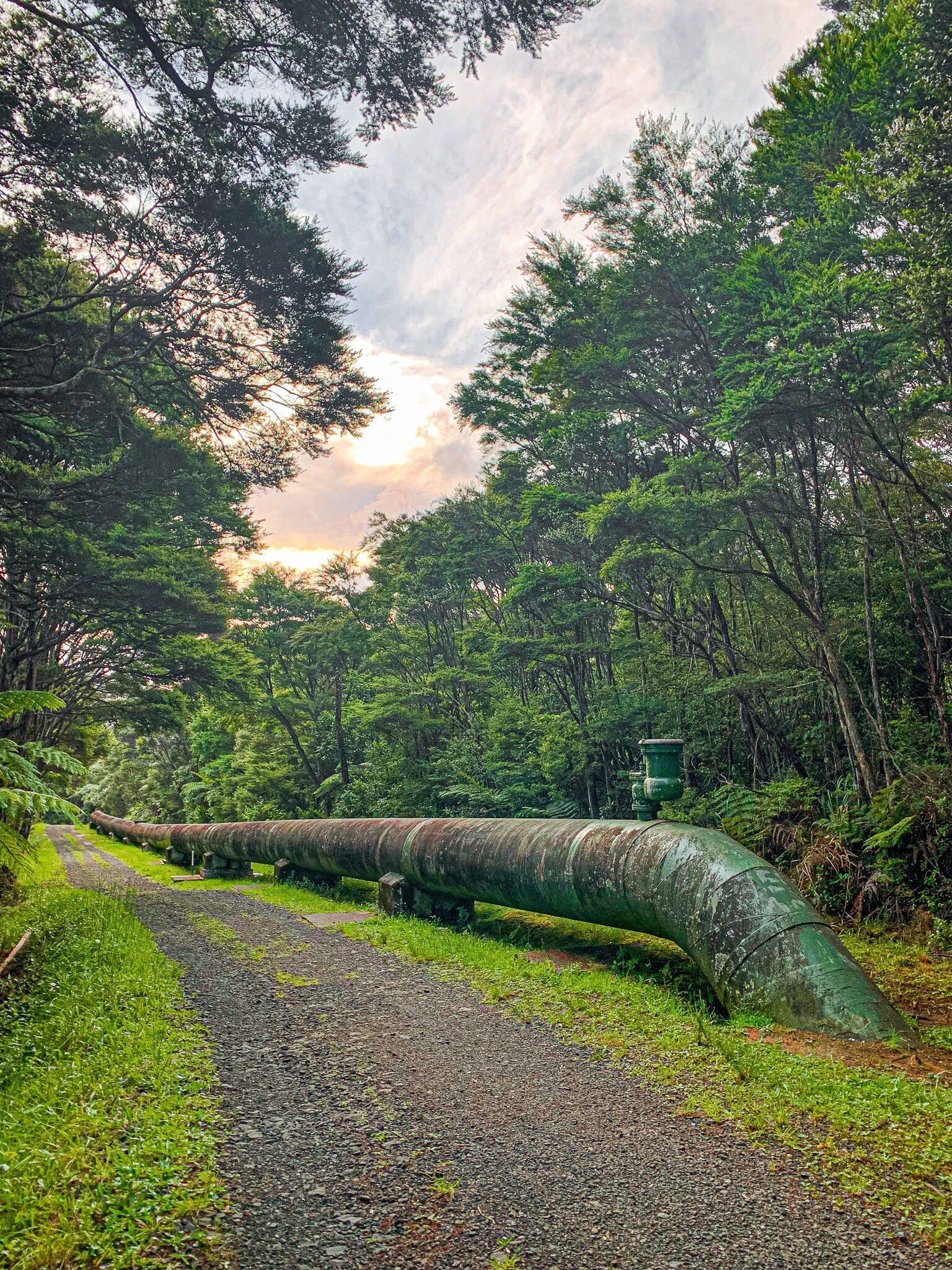
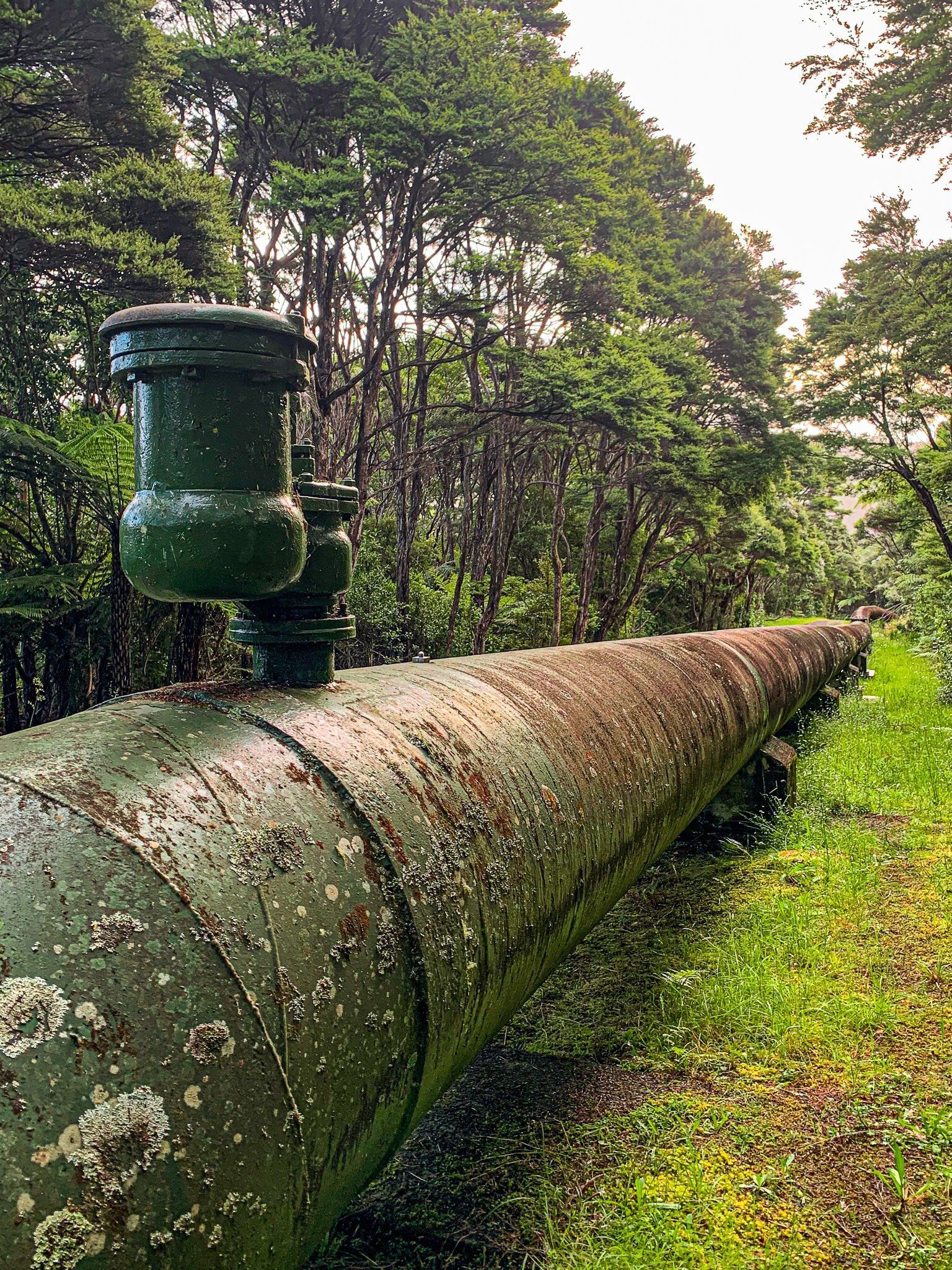
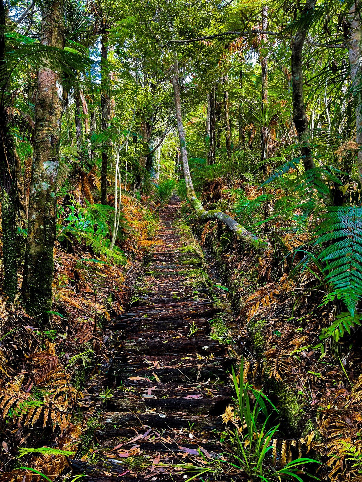
From Exhibition Drive, the first part of the walk is a bit dull until you reach the large pipeline which is part of the water transport network. Once you hit Slip Track, the forest regeneration is more dense and typical of the Waitakere Ranges. There are quite a few steps and you cross over one of the old tramways that was used to haul kauri logs 100 years ago as an extra point of interest.
You can do this track as an extension of Exhibition Drive (closed to cars) but it is best done as a loop with Beveridge track, starting and finishing at Arataki on Scenic Drive.
Ian Wells Track
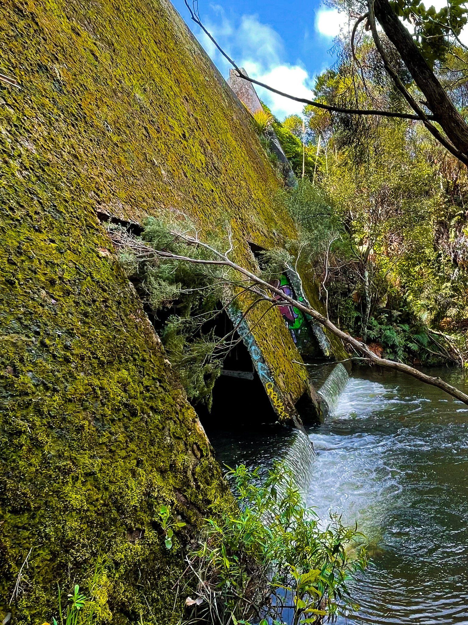
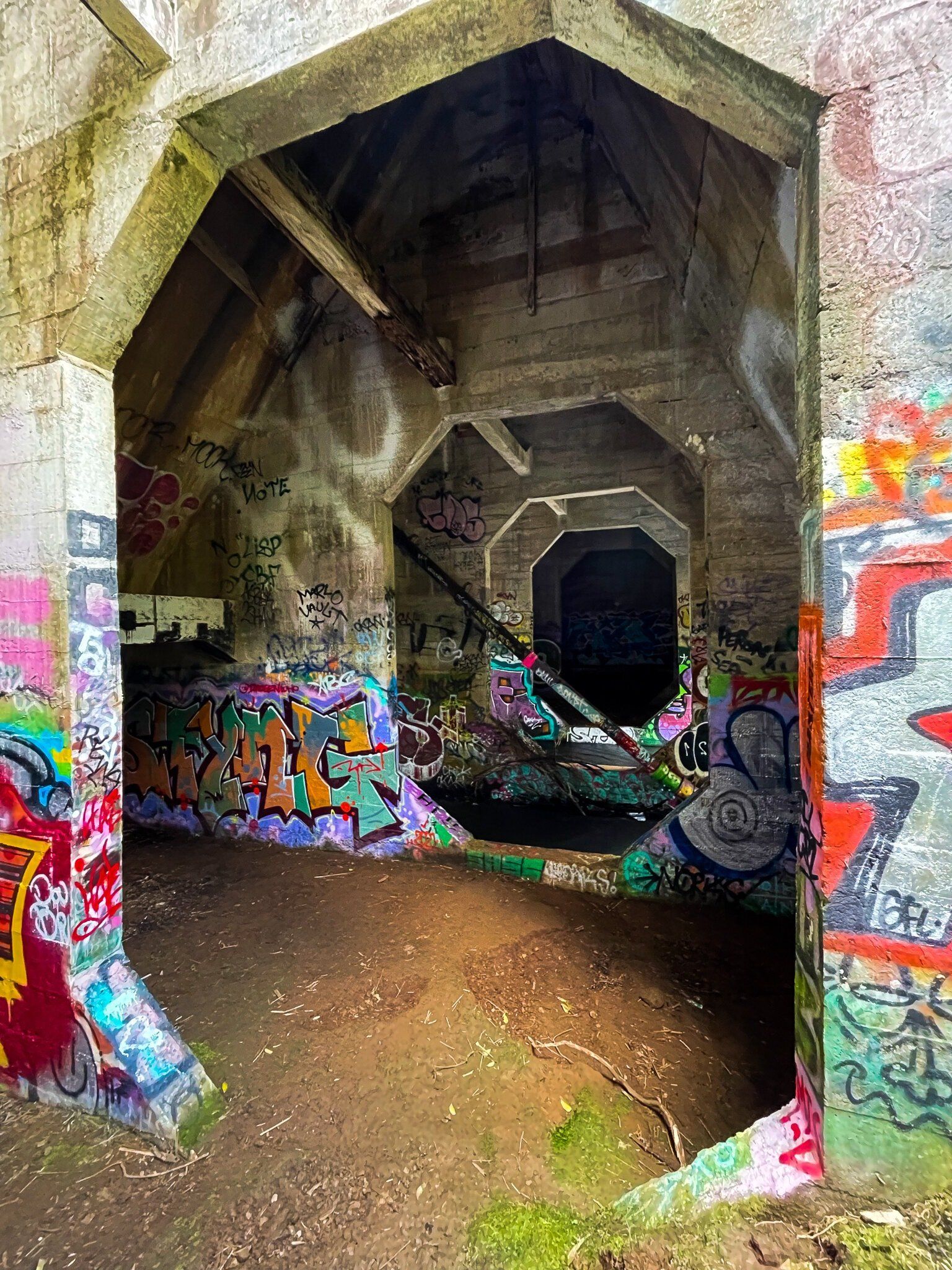
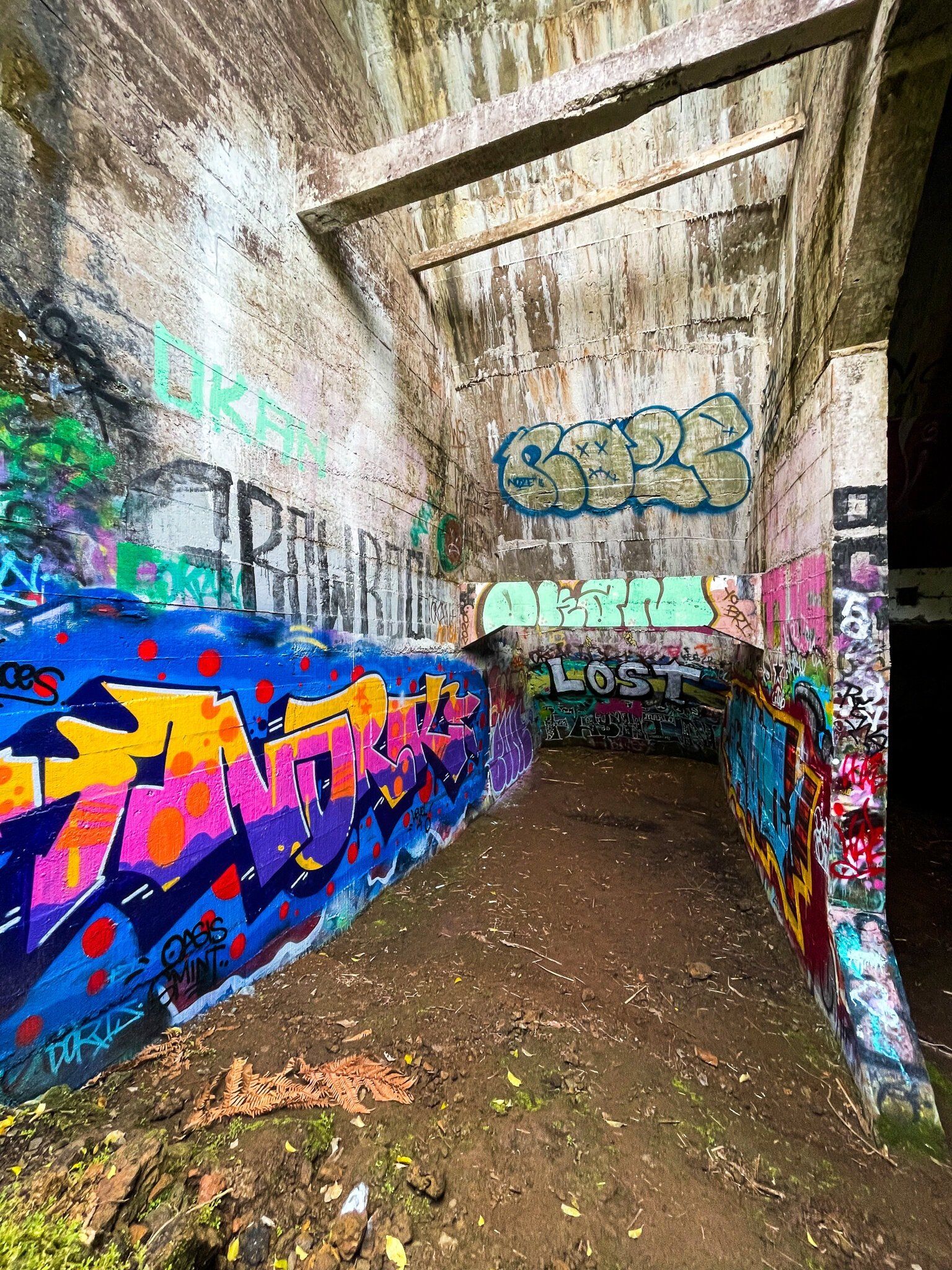
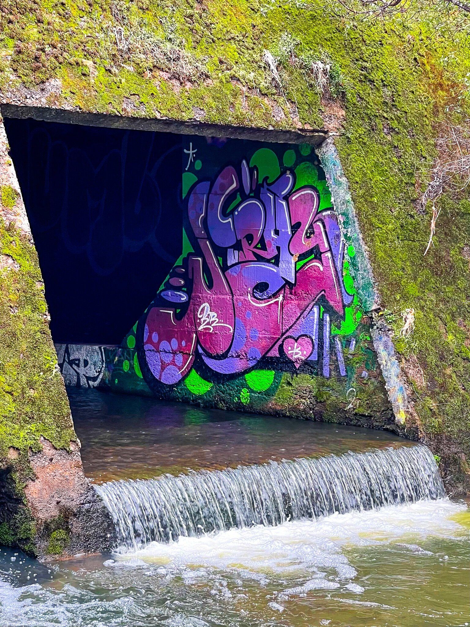
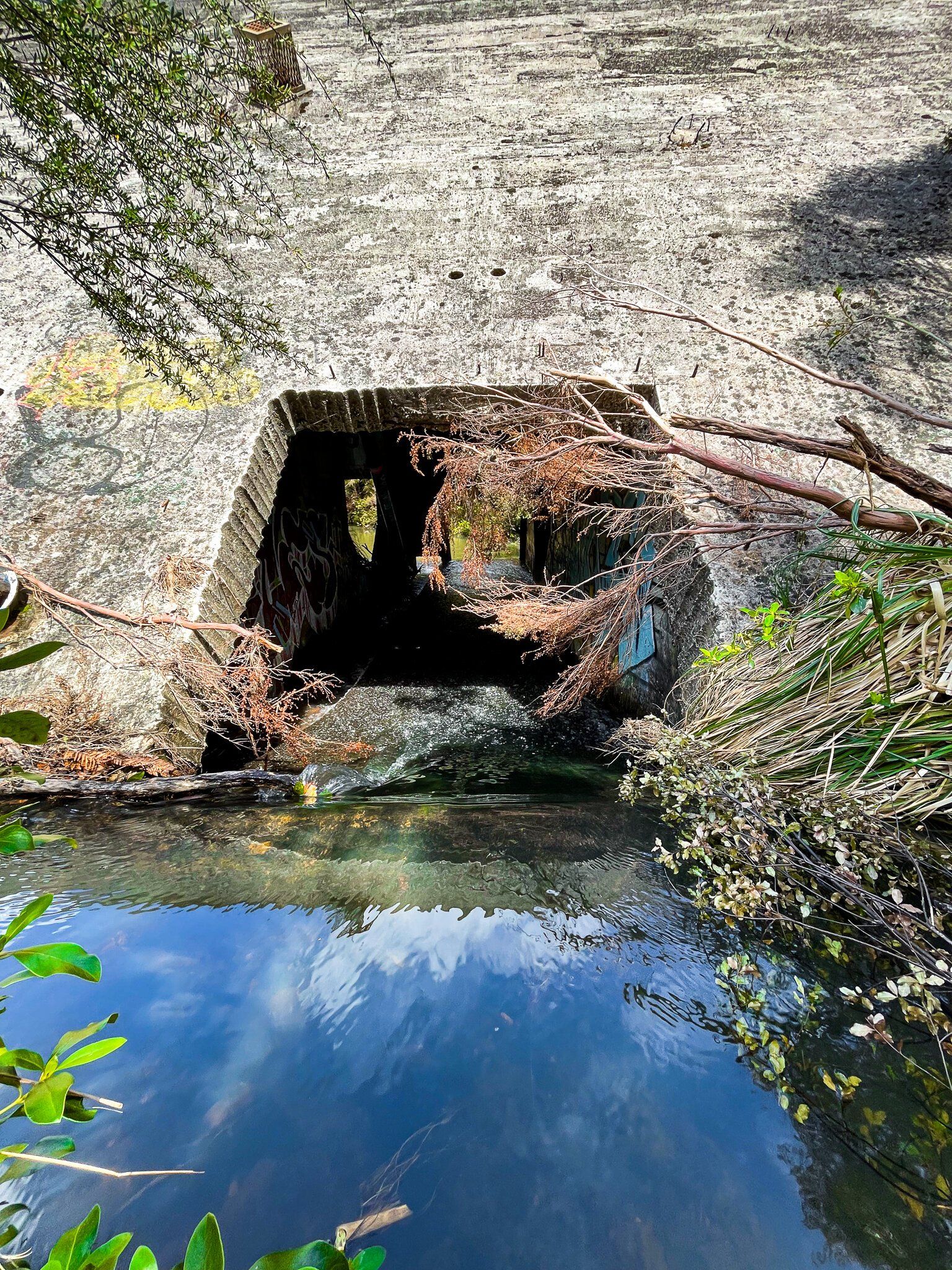
There are not a lot of examples of “ruins” around NZ, so it’s alway a bit interesting to see one for the first time. The Ian Wells Track is a short walk from the Piha Road to a disused dam that was once part of the Auckland water supply. Not only is it odd to see a dam without a lake in the forest, but it also has particularly colourful graffiti.
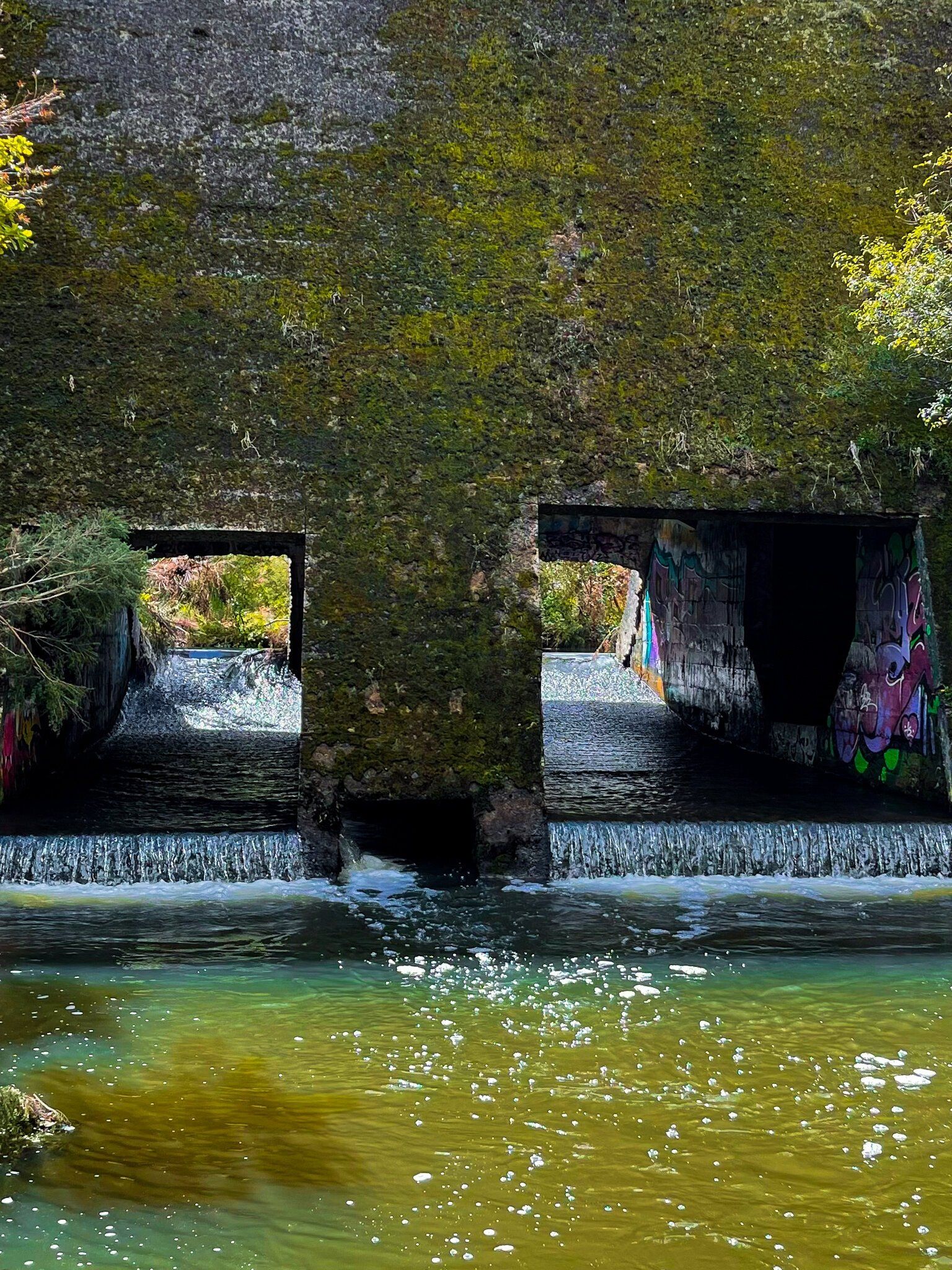
The track follows an old access road to the dam, with forest regrowth to either side. It then drops down to the northwest side of the concrete dam, where there is a large grassed area that would have once been the reservoir. The stream runs through what would have been gates on the dam; look closely for a glimpse of the graffiti. As you walk back past the dam on the track, you should be able to spot an informal path to the left that will drop you down to the southeast side. There is a reasonably sized lagoon (rather murky looking) and you can get into the back of the dam, where the graffiti is much more extensive. Amazing to think someone bothered to bring so many spray cans into the middle of nowhere!
This is about a 30 minute walk plus time for exploring.
Cutty Grass Track
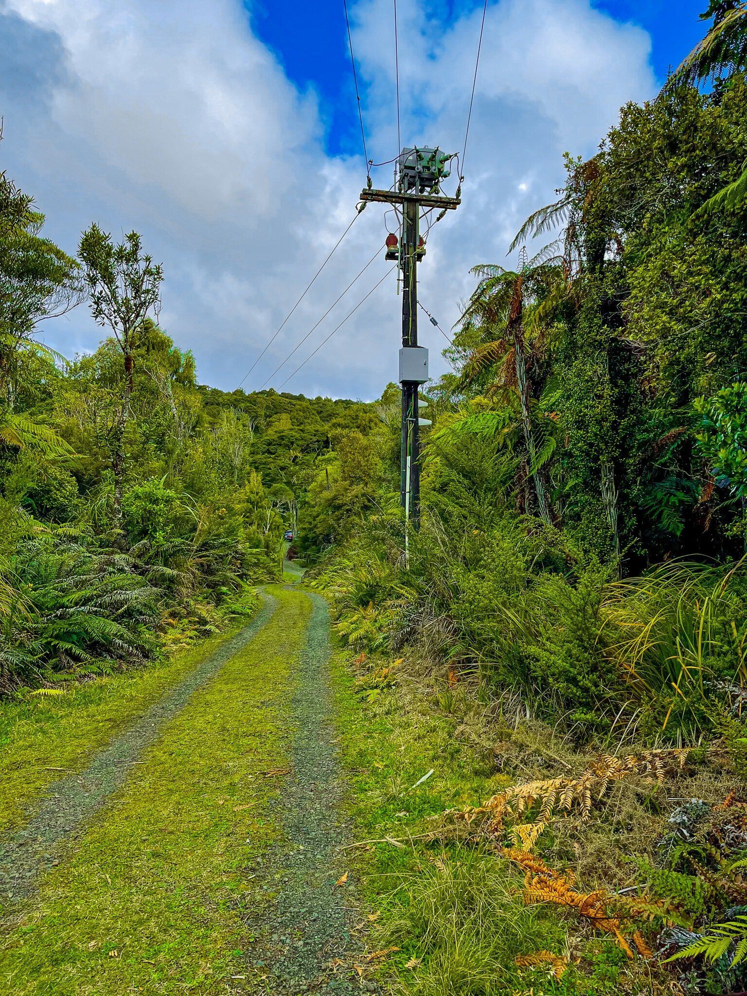
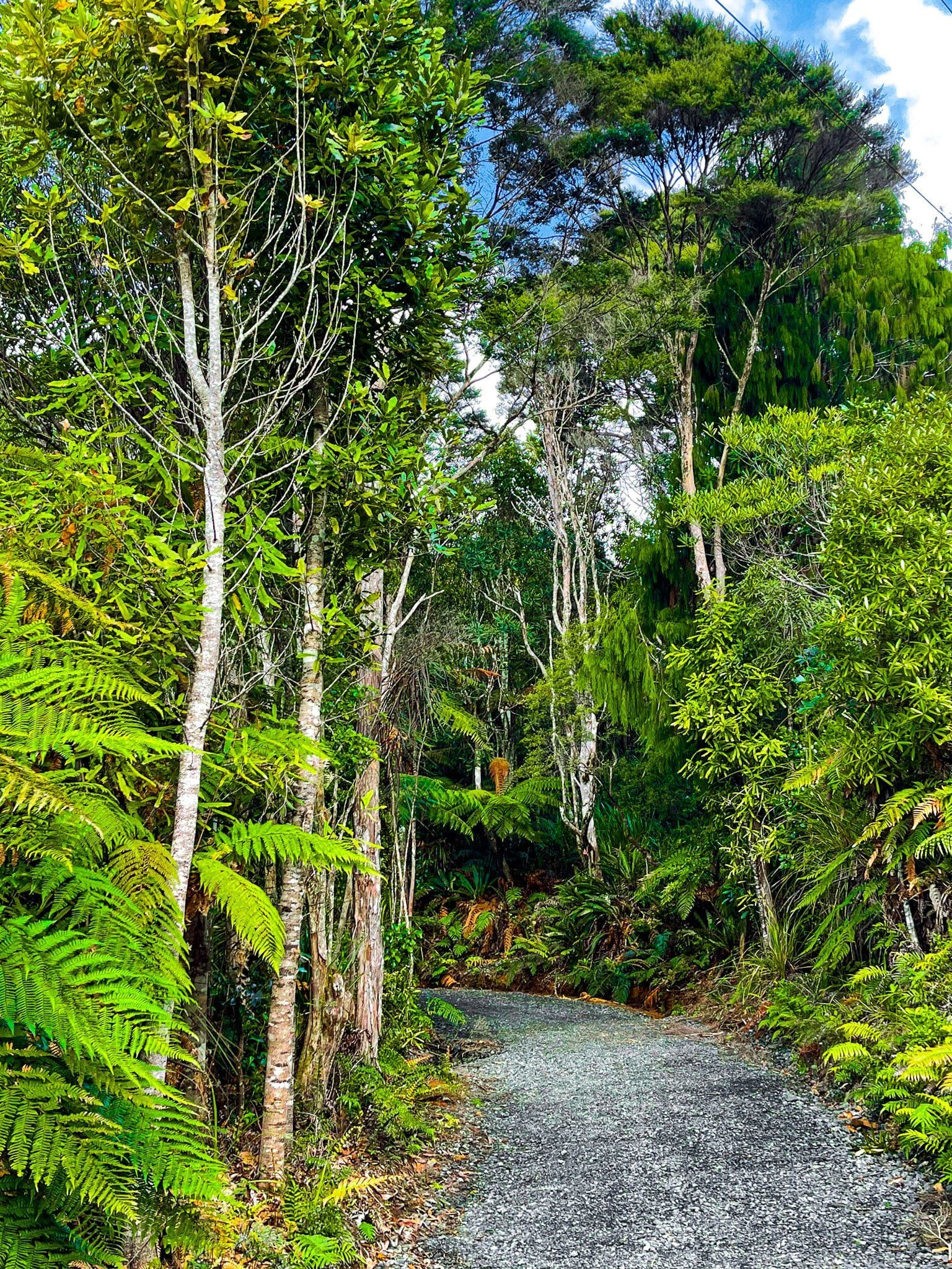
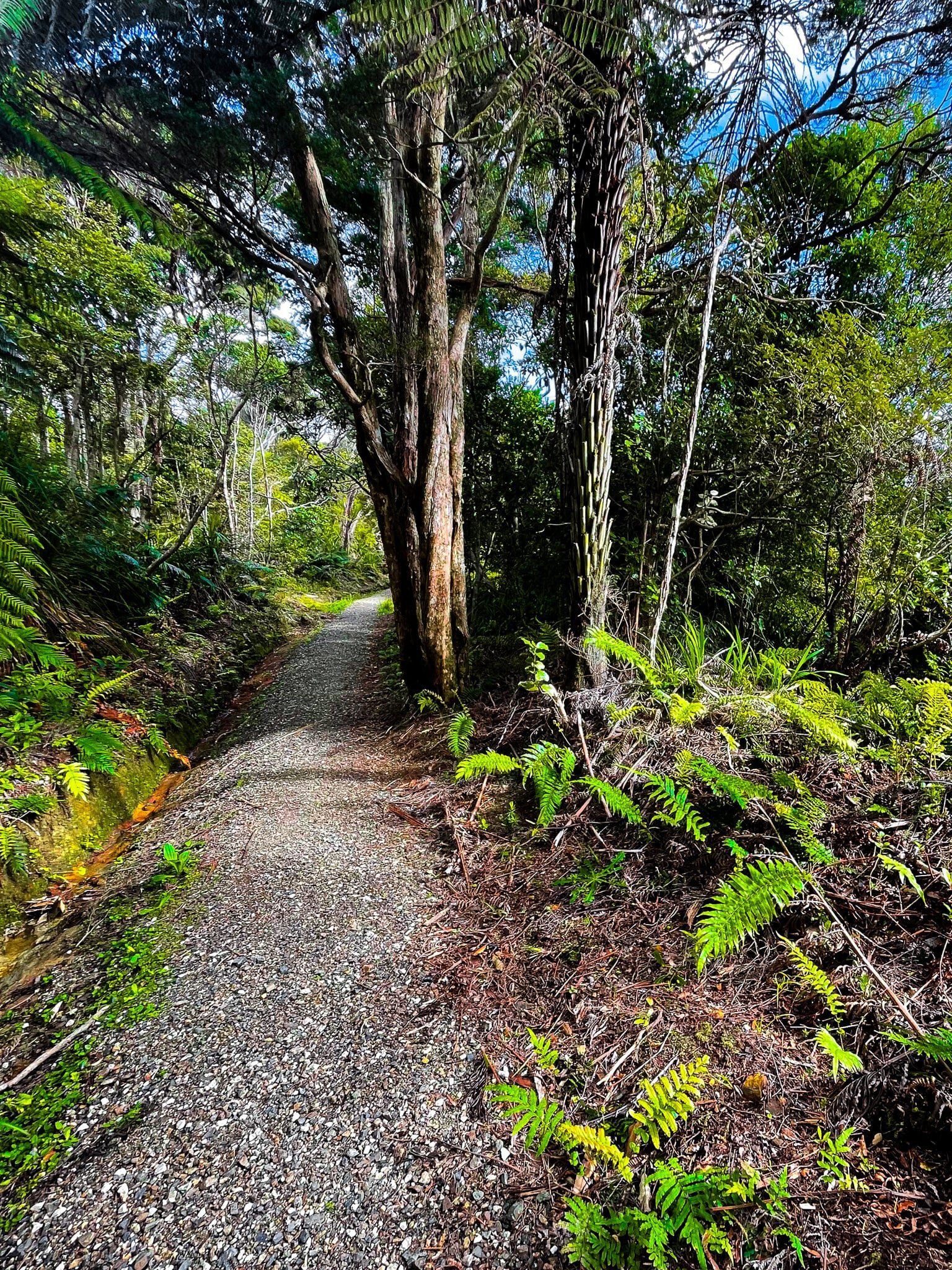
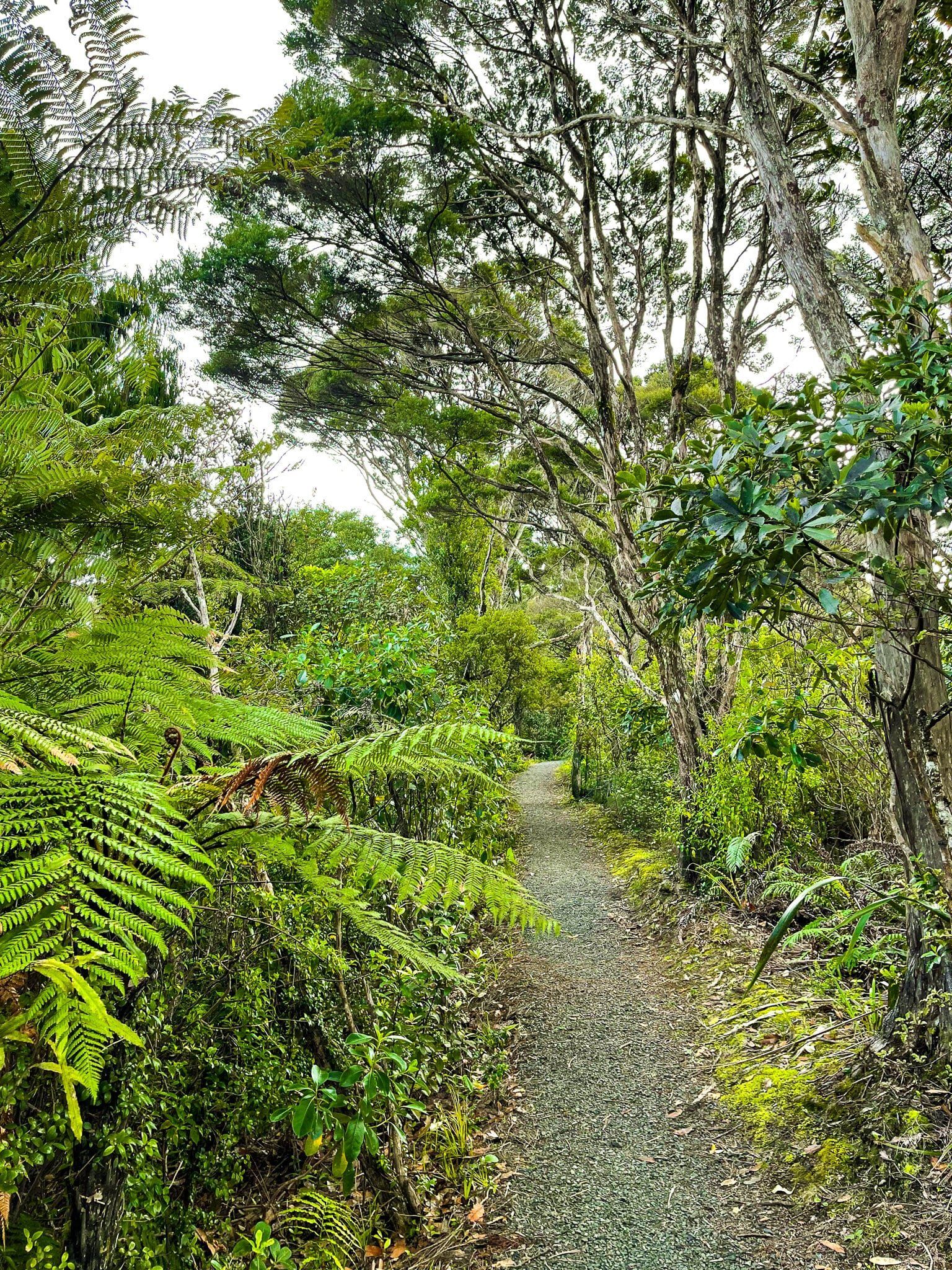
Cutty Grass Track links Scenic Drive, west of the Piha Road turnoff, to Anawhata Road. Part of it provides access to power lines, so it was relatively easy to upgrade and reopen it following the initial track widespread closures due to kauri dieback disease.
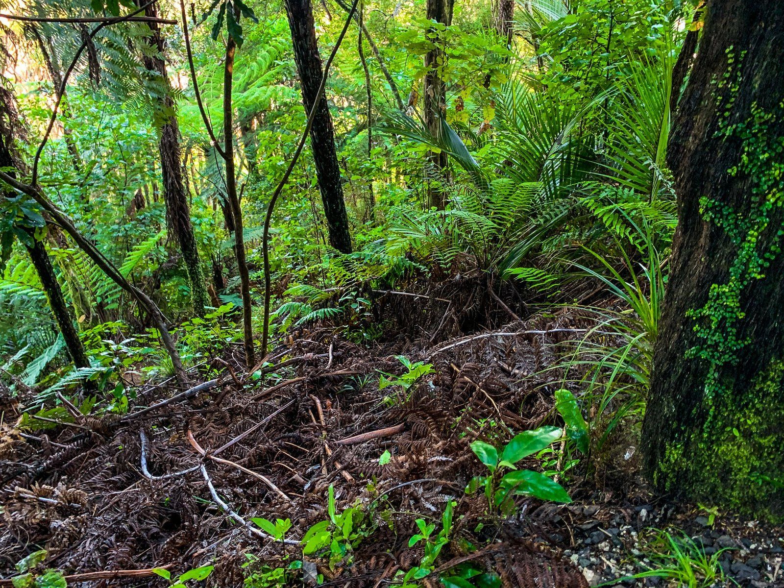
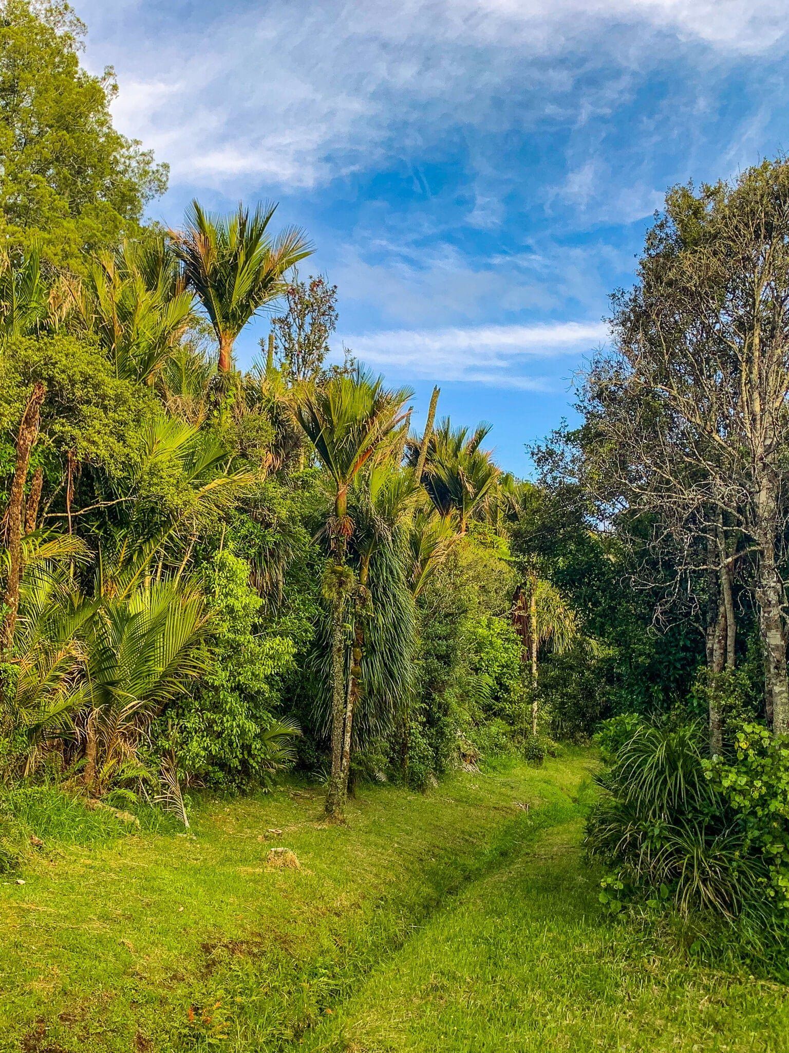
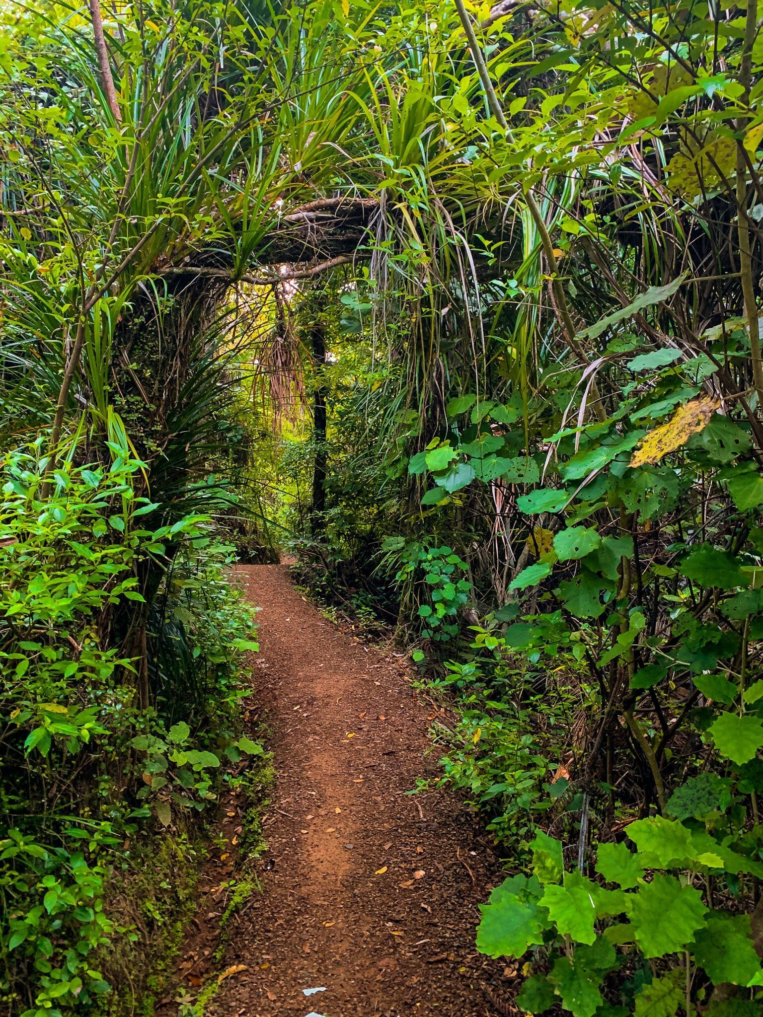
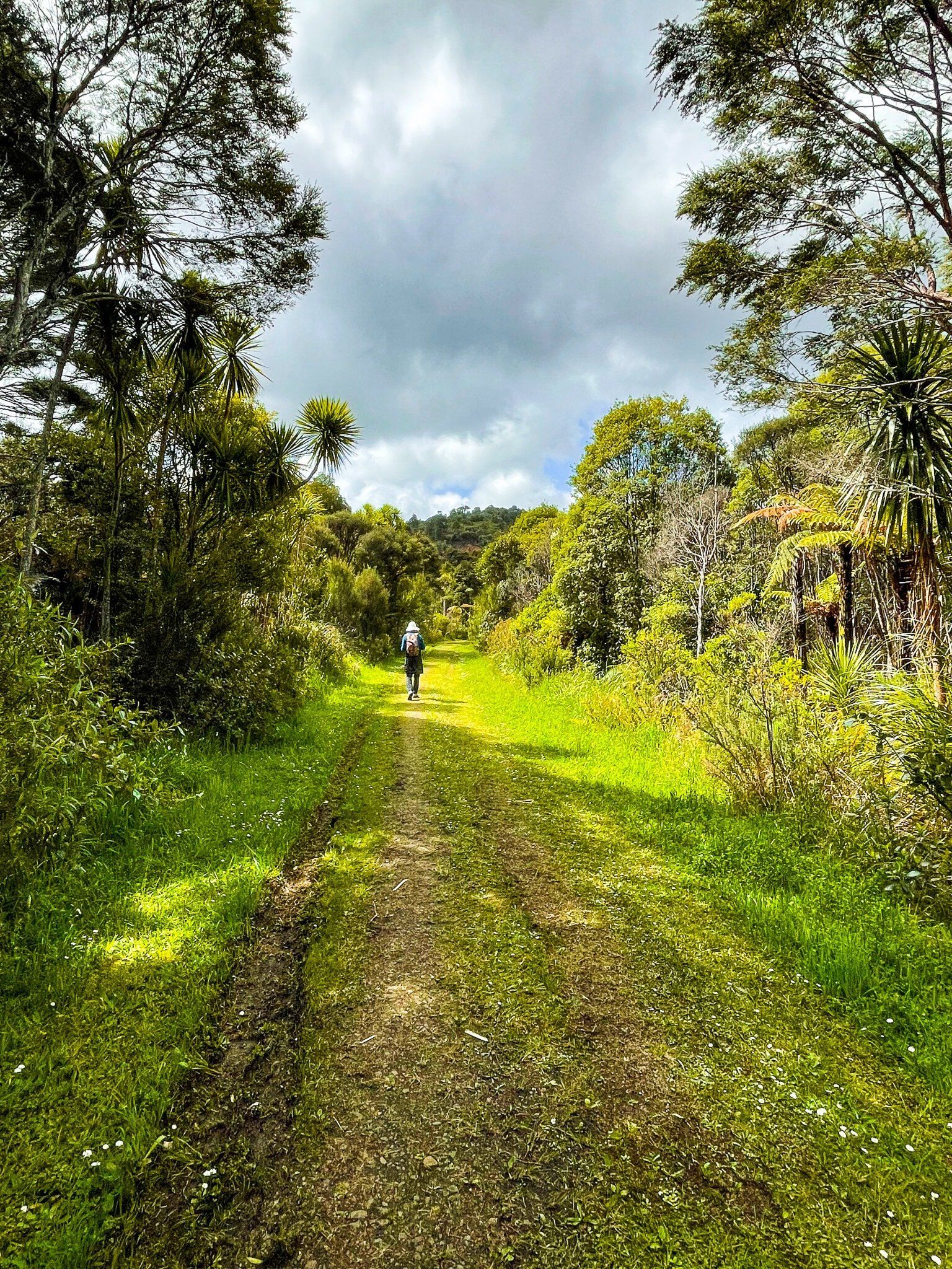
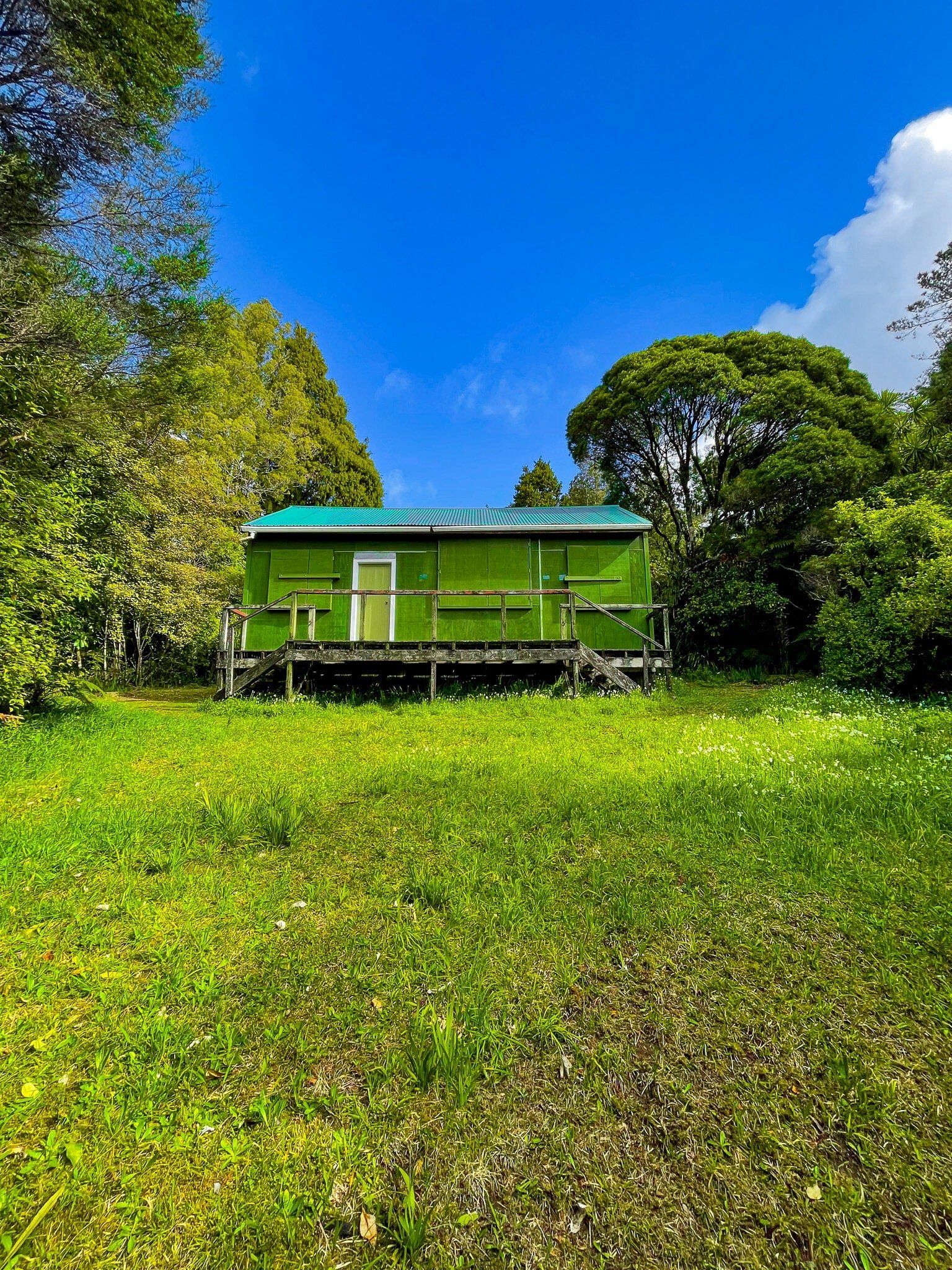
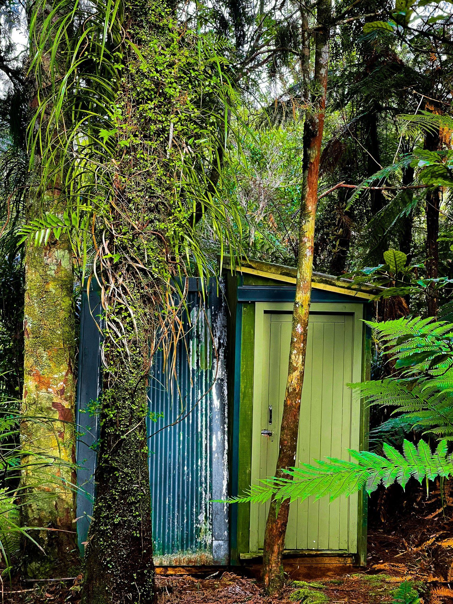
This track is an easy 3.4 kms walk each way with some undulations but no serious hill climbs. The bush is a mix of native regrowth with a good scattering of taller more mature trees. There is also a short, more jungle-like detour to the Saunders Gully Hut (private) which sits in a pretty grassed area surrounded by the forest.
You can start at either end, although parking on Anawhata Road may be easier. The entrance to the short McElwain Lookout track is on the other side of Anawhata Road and is easy to add to this walk.
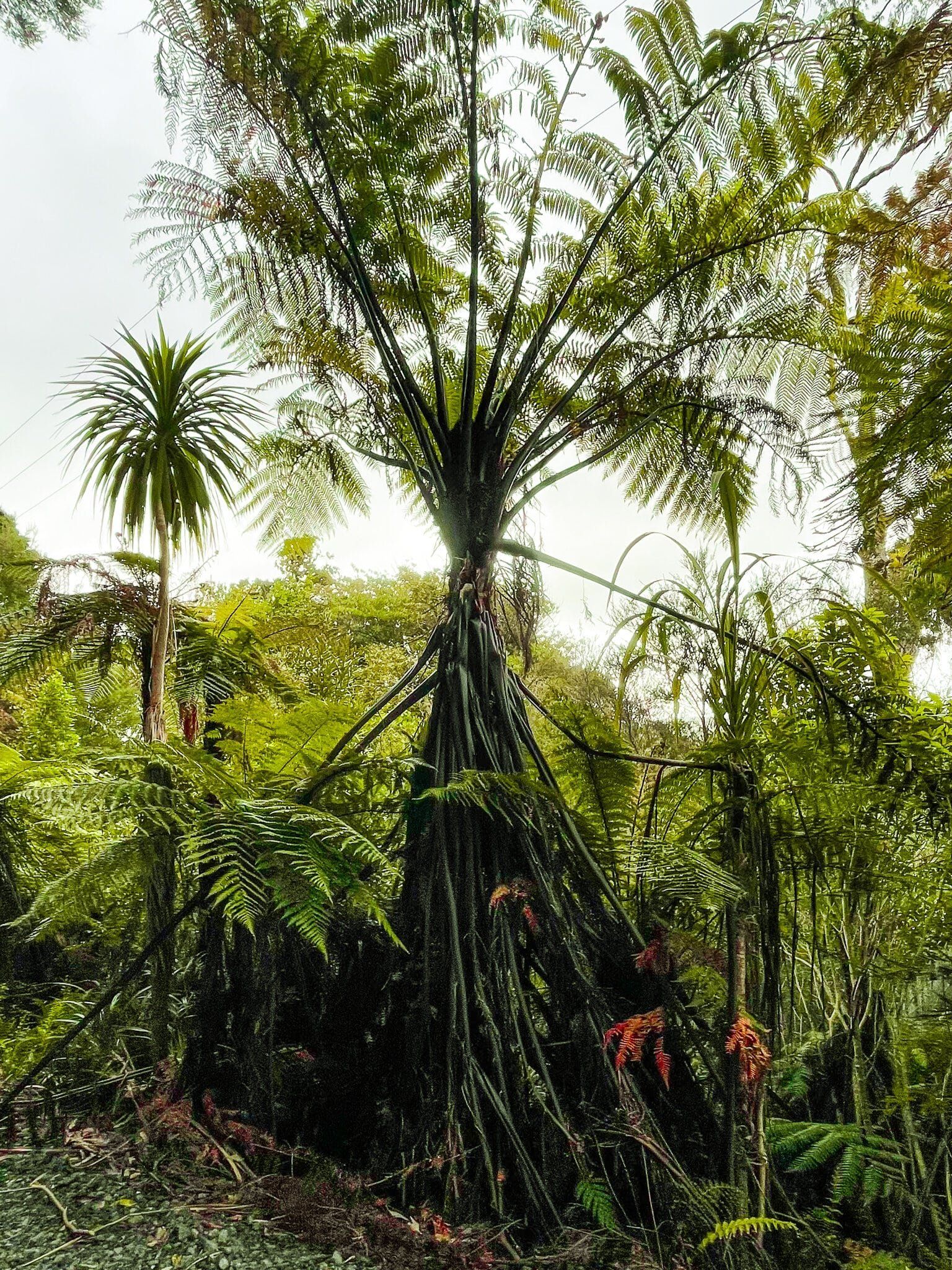
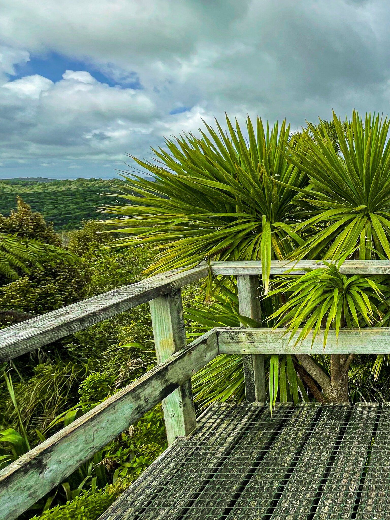
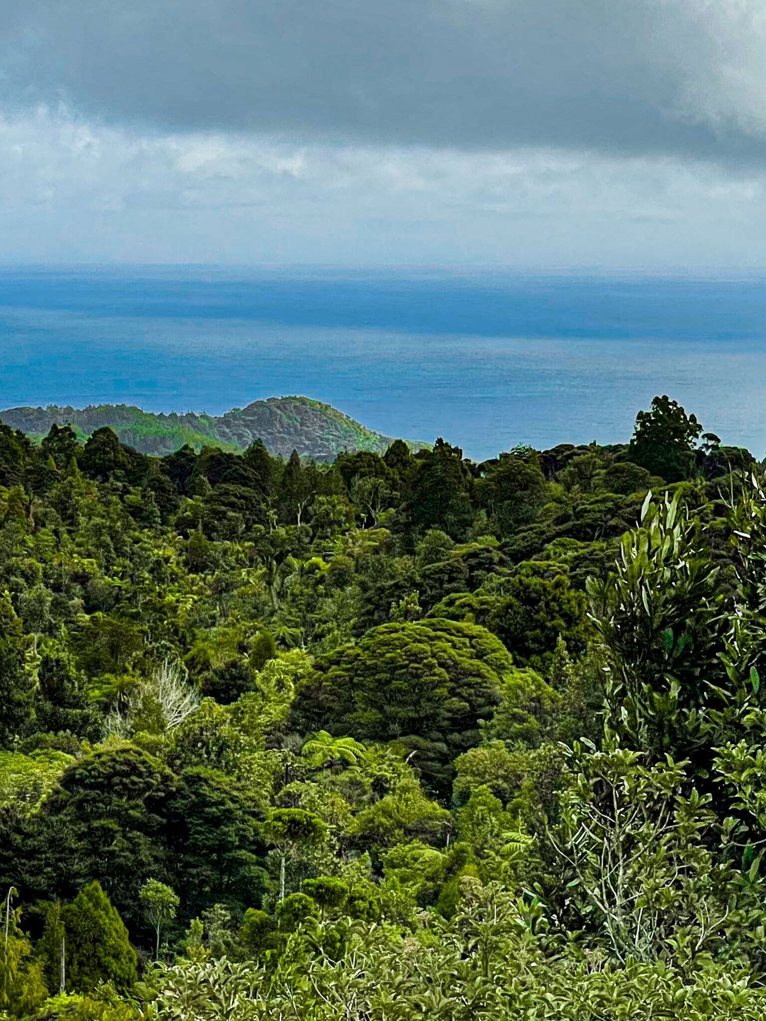
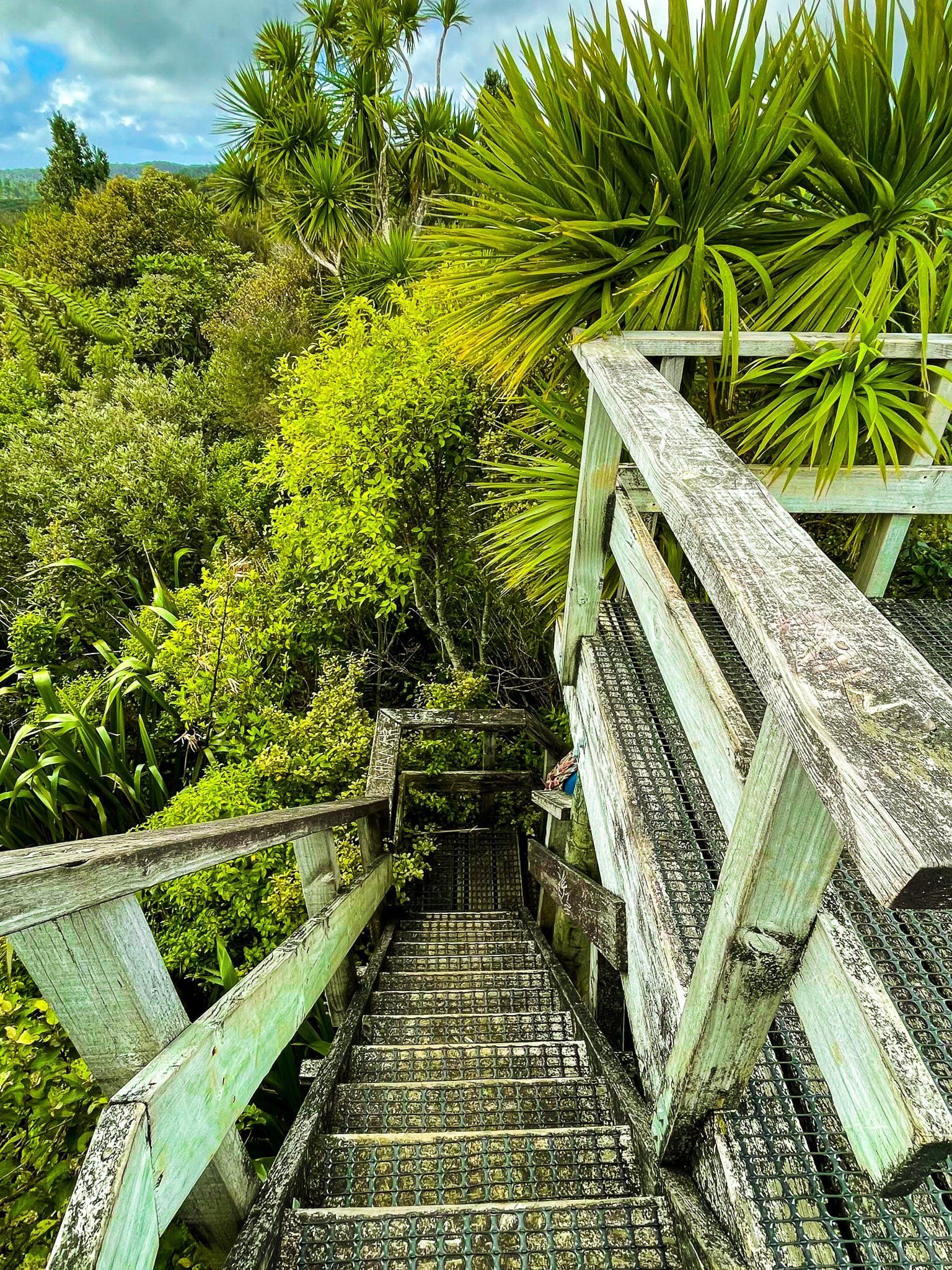
McElwain Lookout
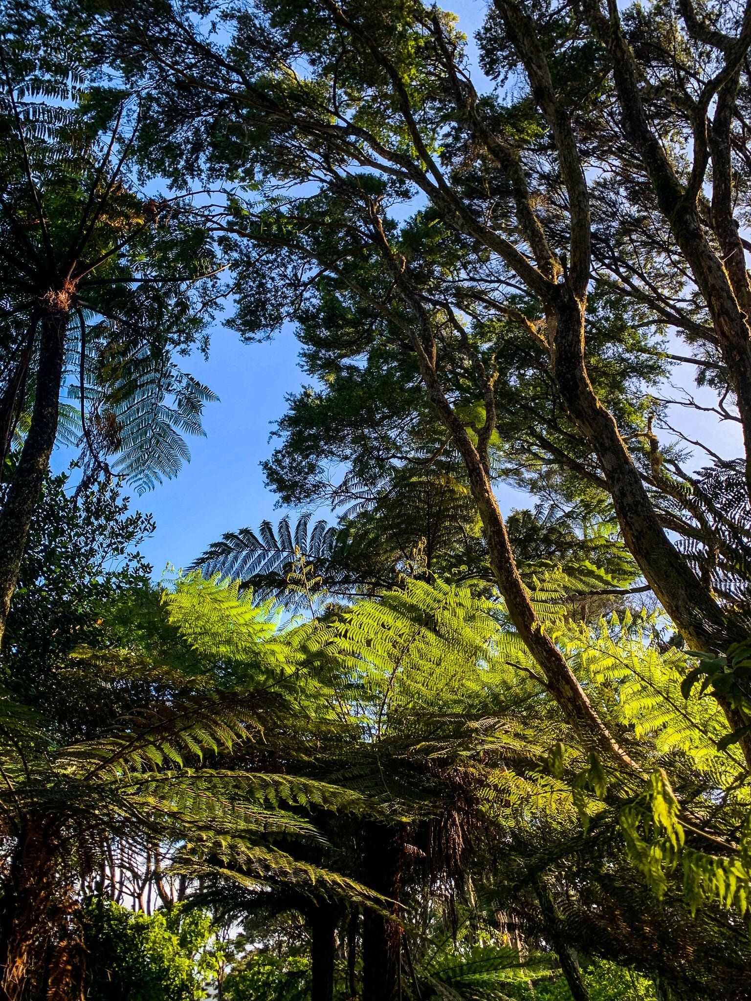
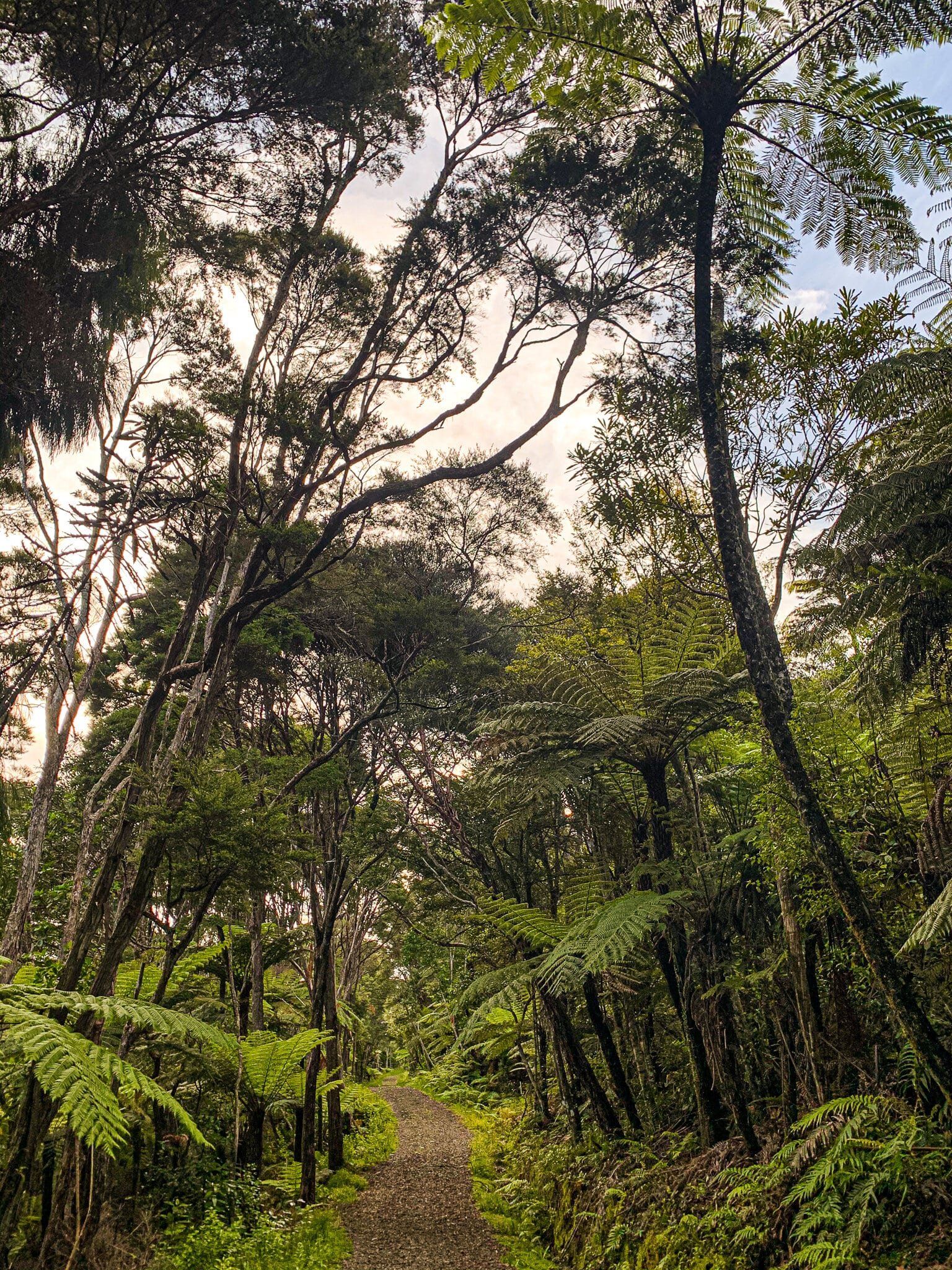
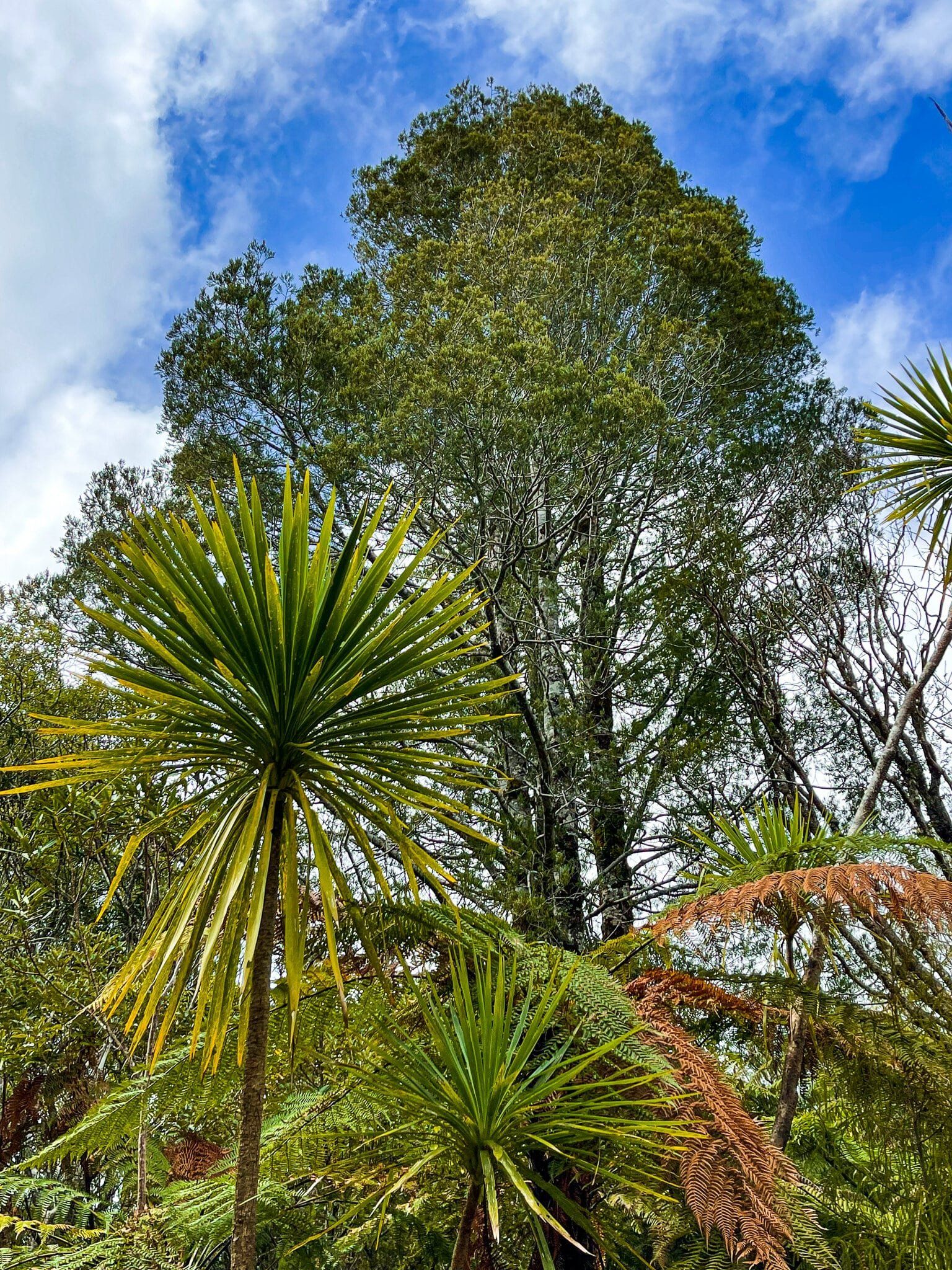
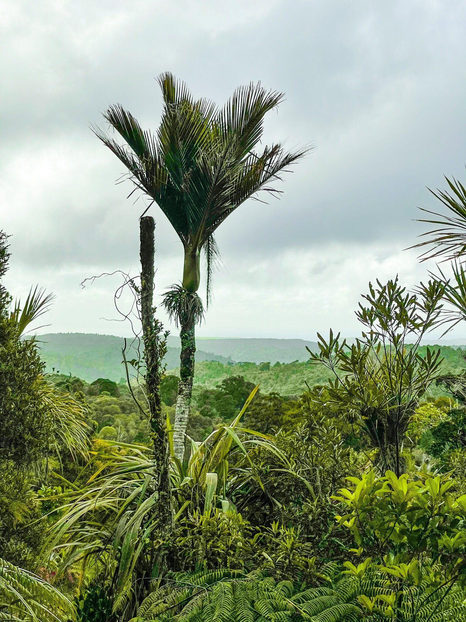
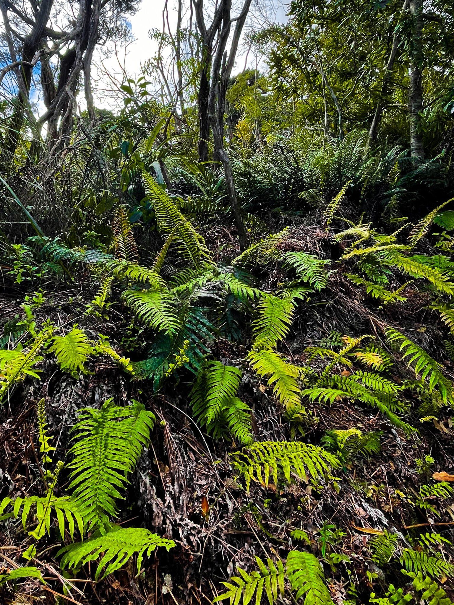
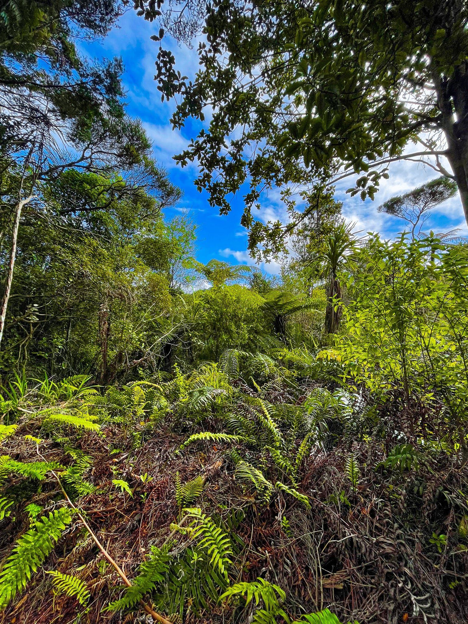
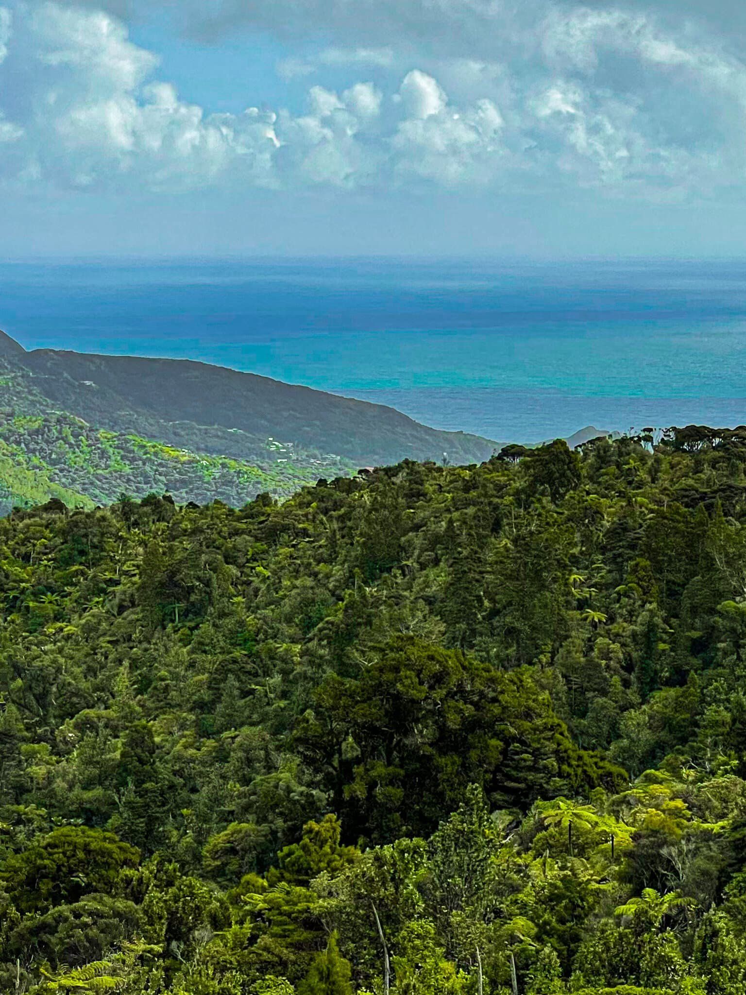
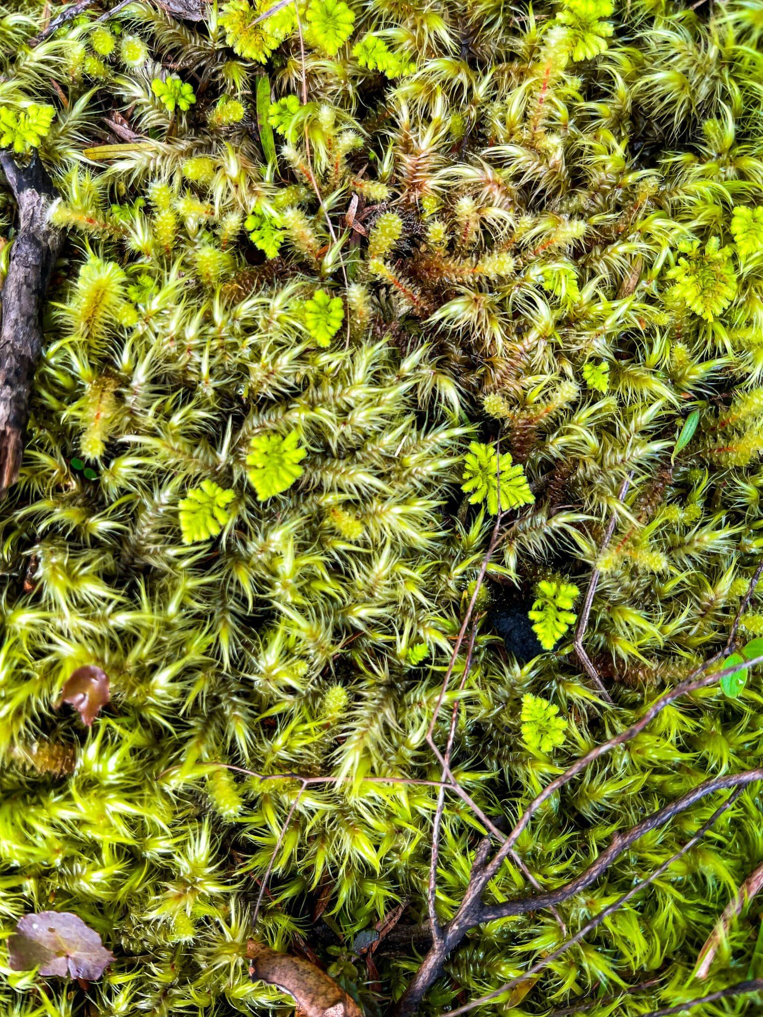
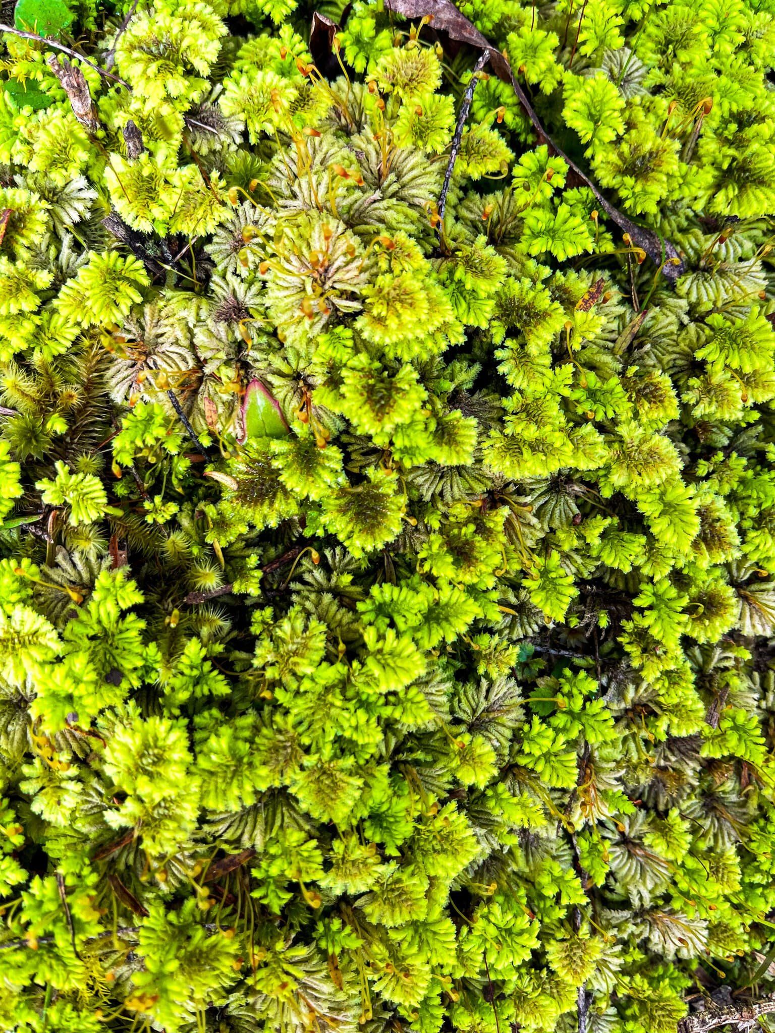
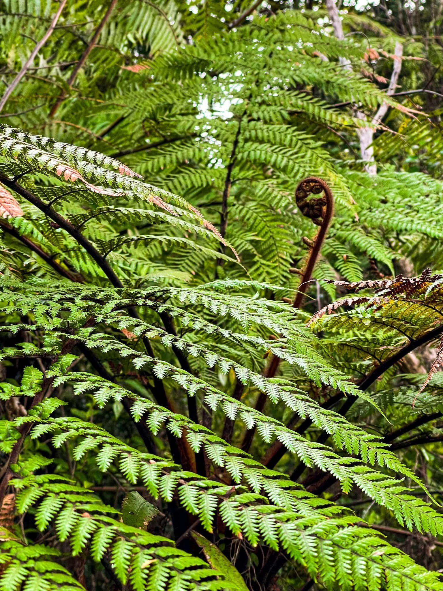
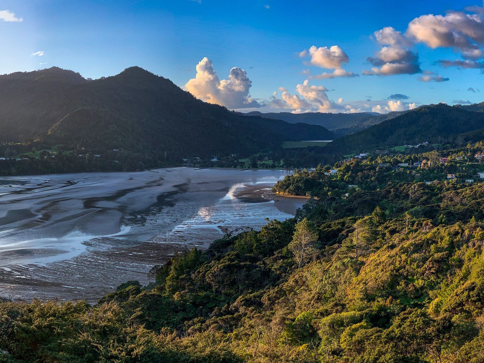
The short, flat McElwain Track is accessible on the opposite side of Anawhata Road to the Cutty Grass Track entrance. It only takes a few minutes or so to reach the lookout, which is a viewing platform above the regenerating treeline. From there you get views across the regional park, all the way to Piha. The walk is rich with different kinds of ferns and lichens, as well as the odd more mature tree.
It’s a nice highlight to add onto the Cutty Grass Track, or an easy stop on your way to Anawhata from Piha Road.

Waitakere Reservoir and Dam
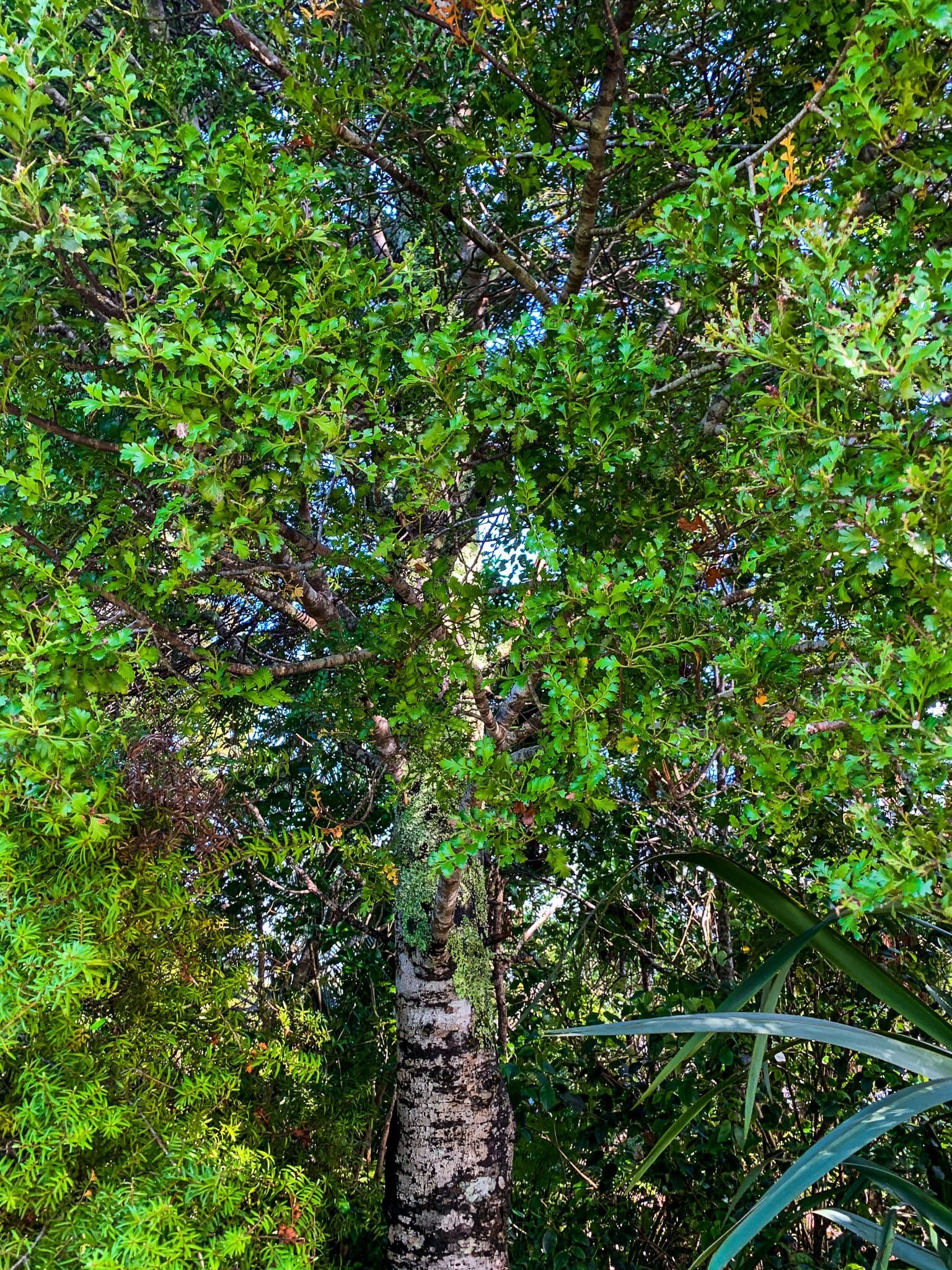
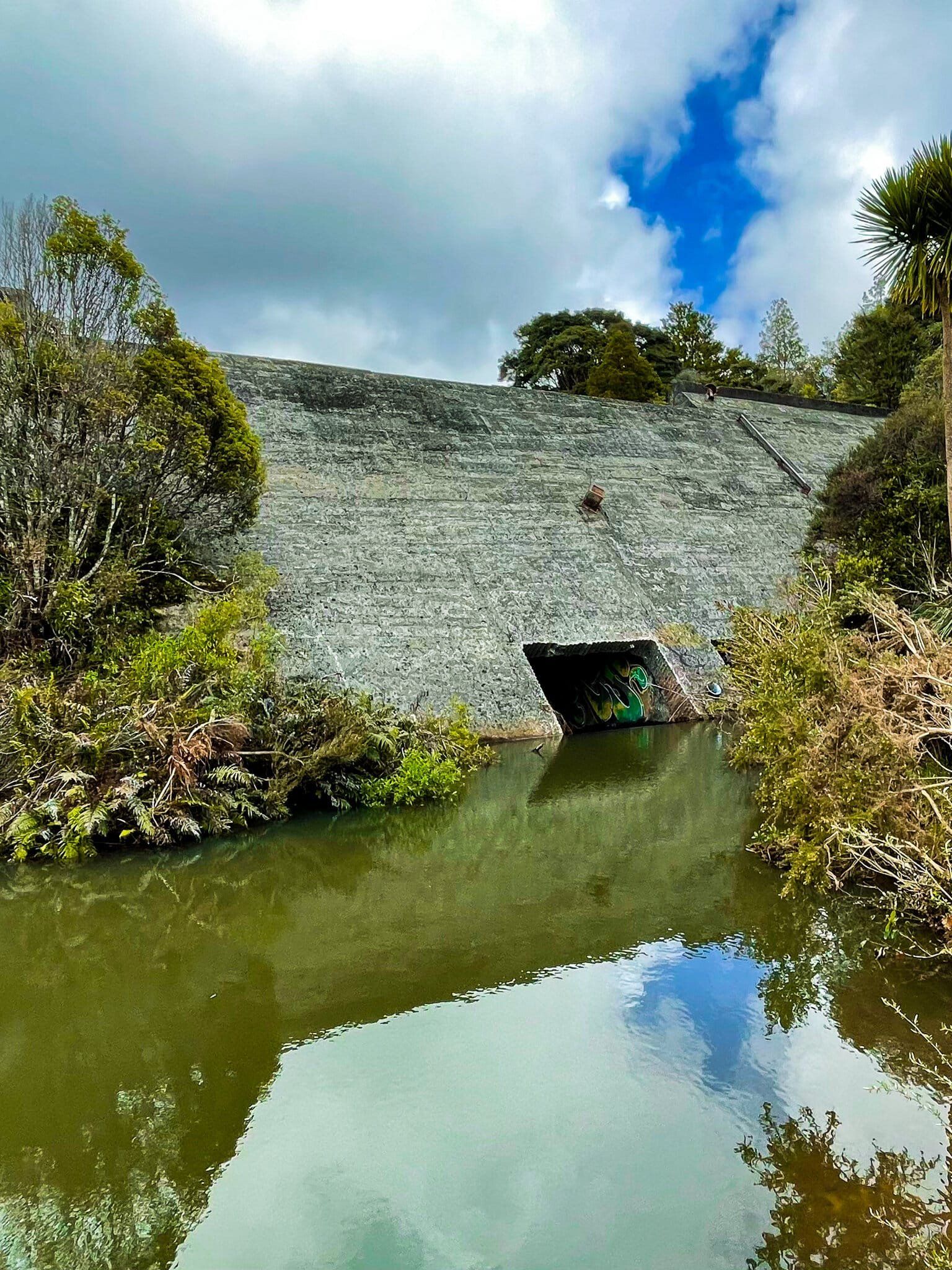
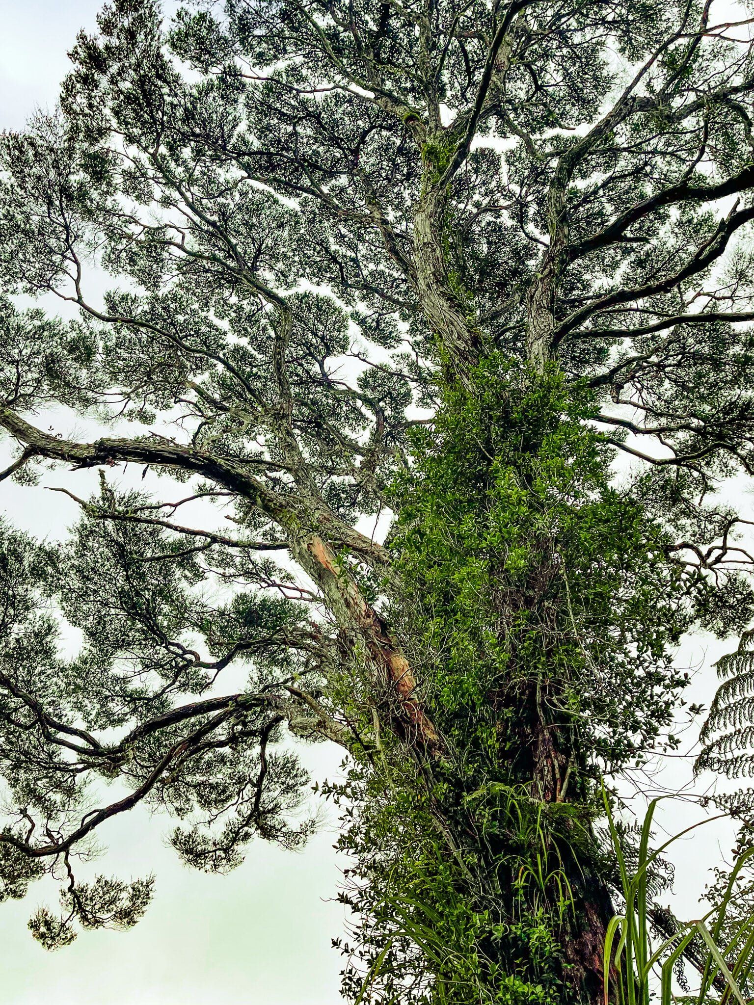
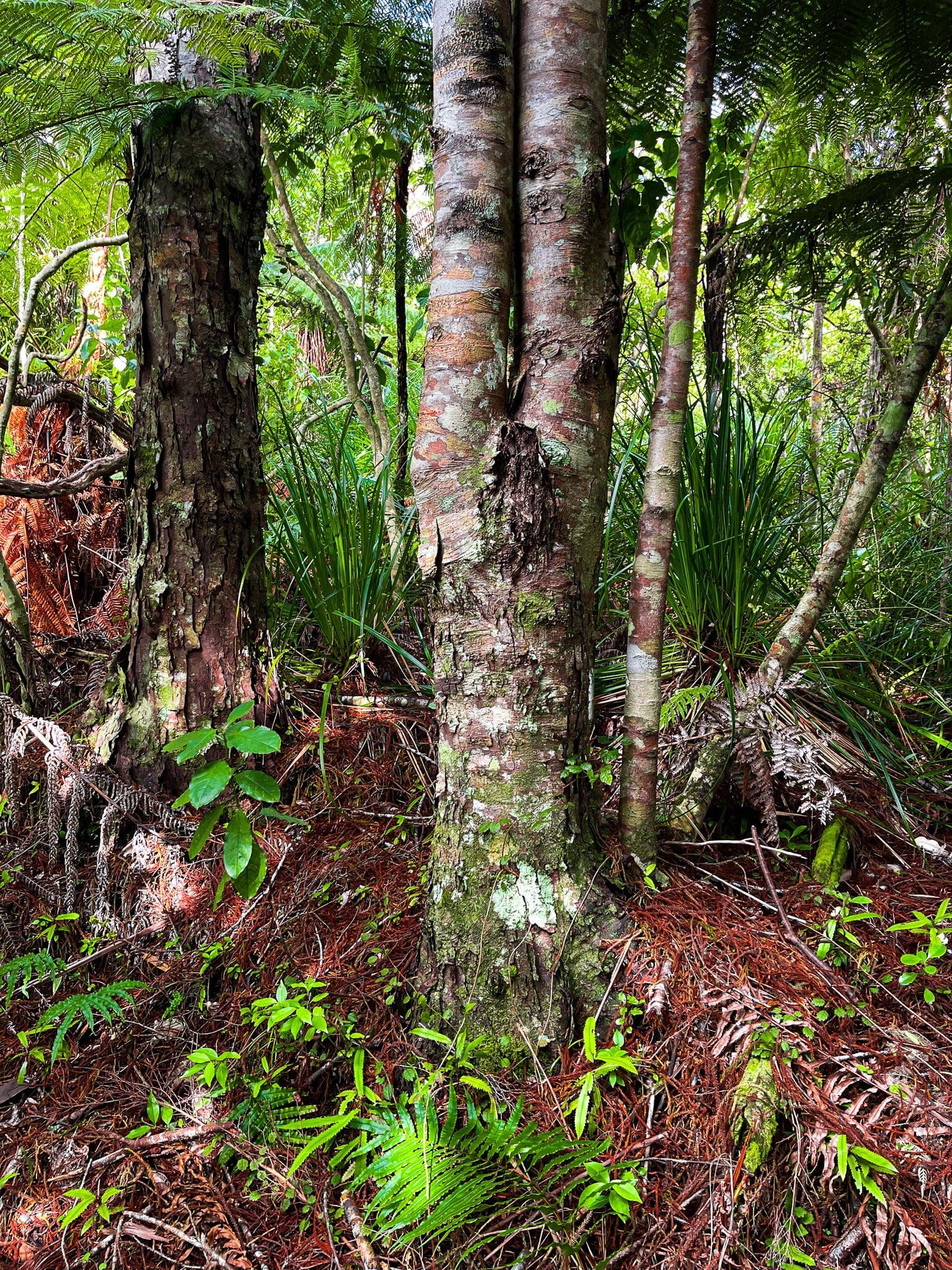
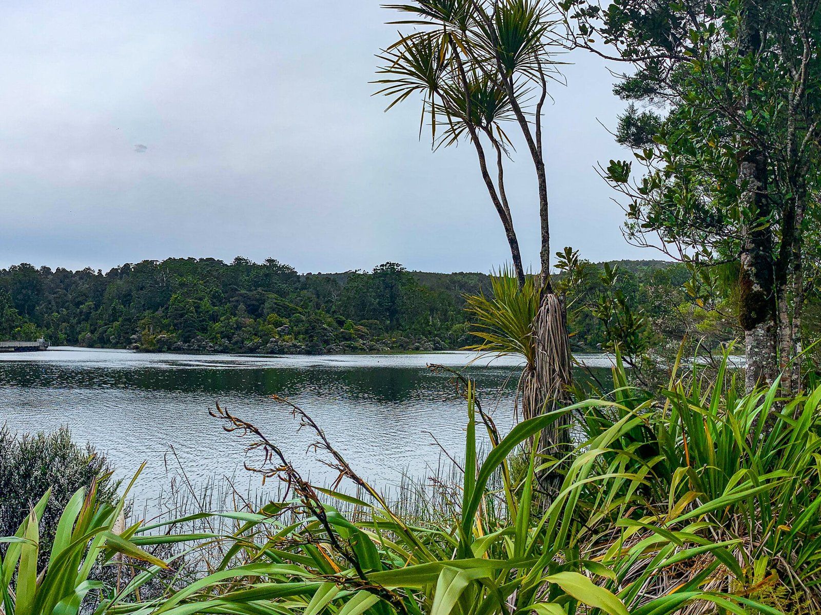
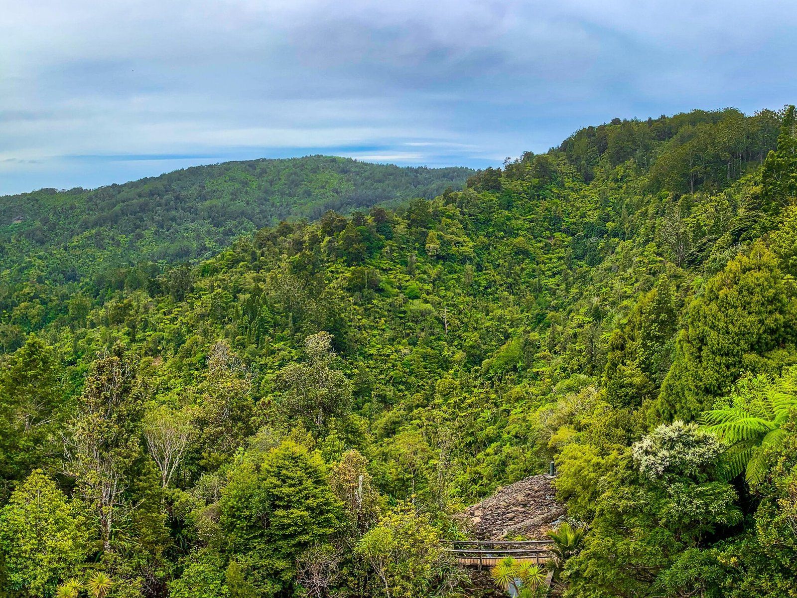
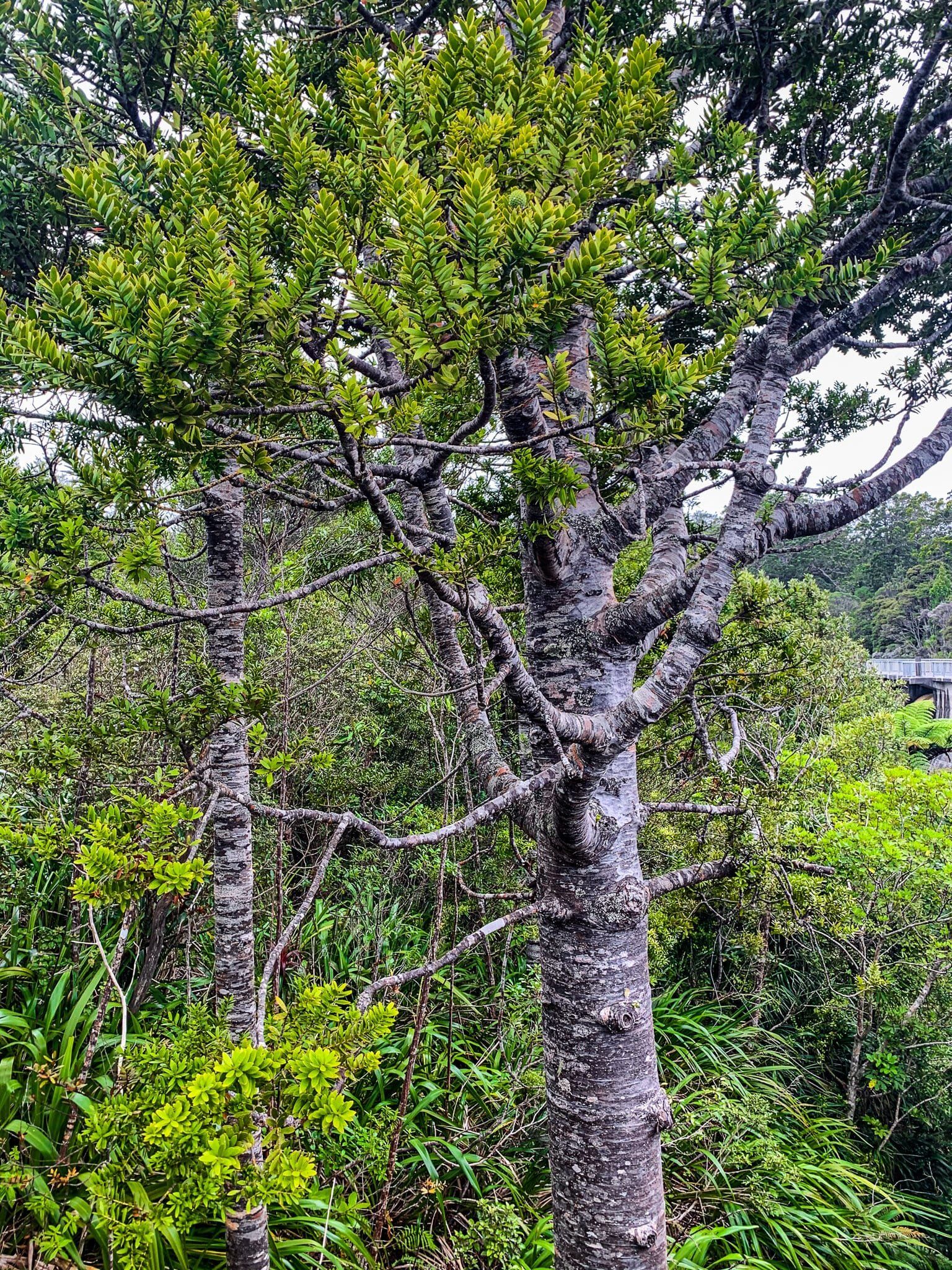
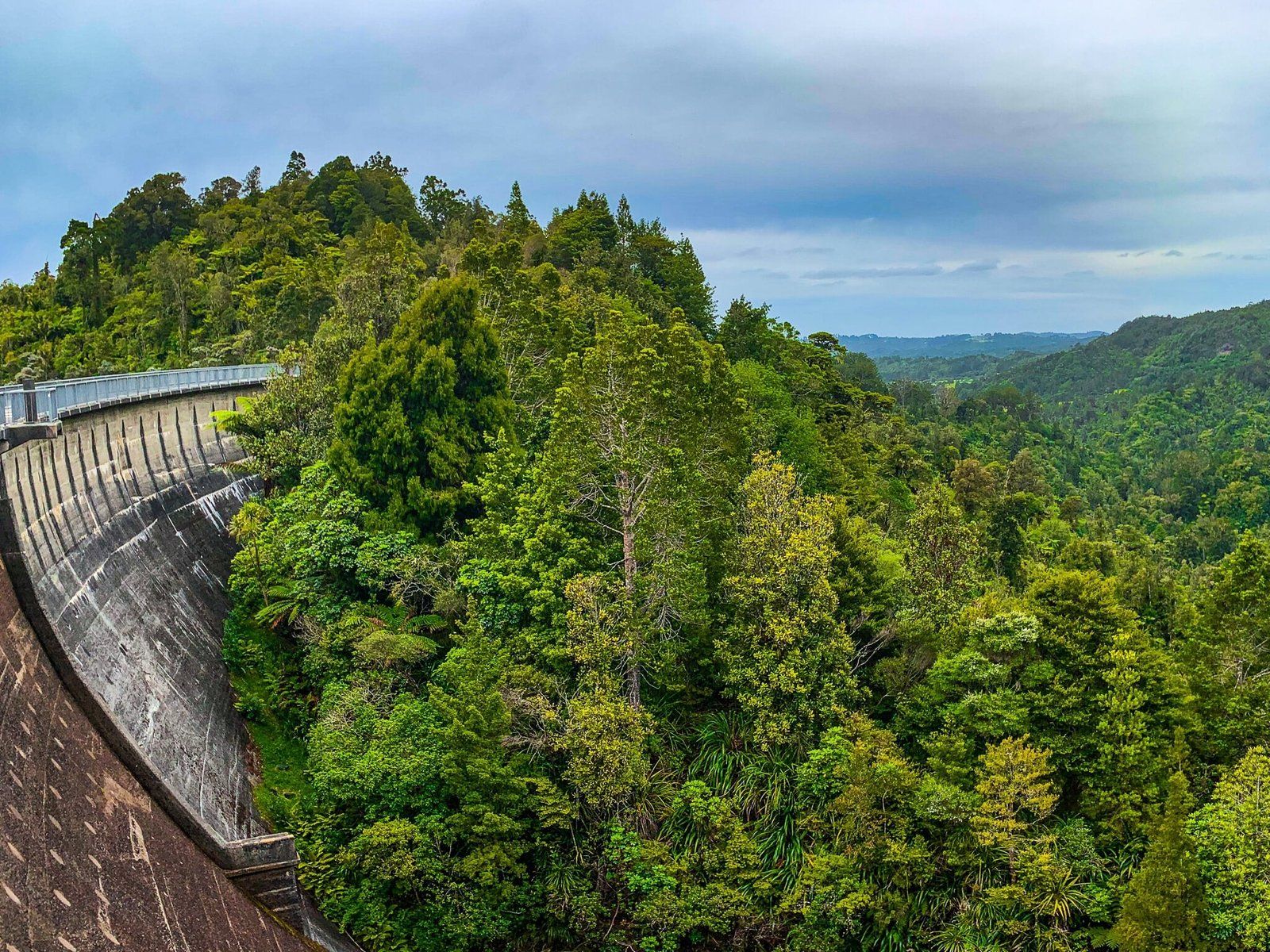
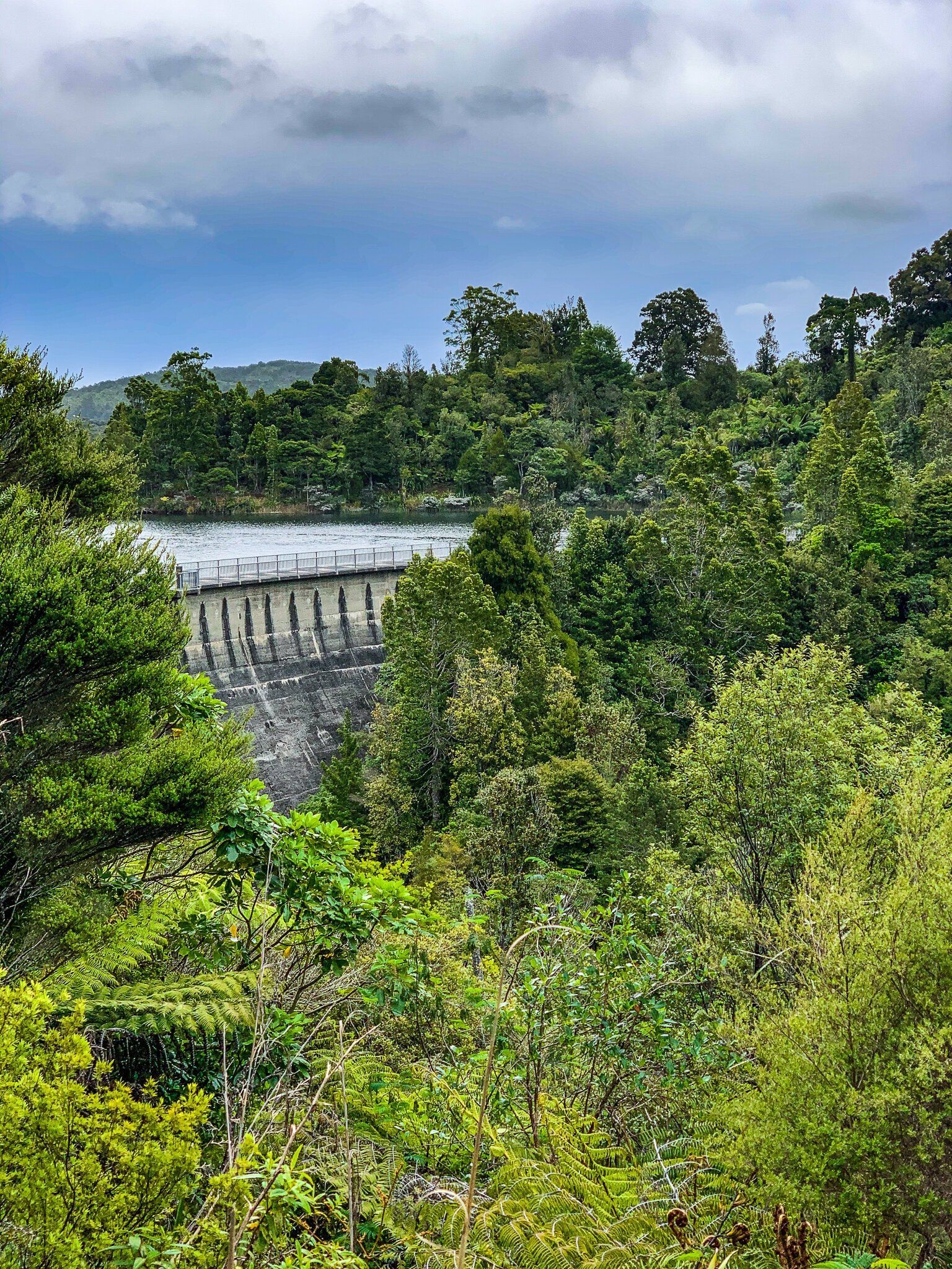
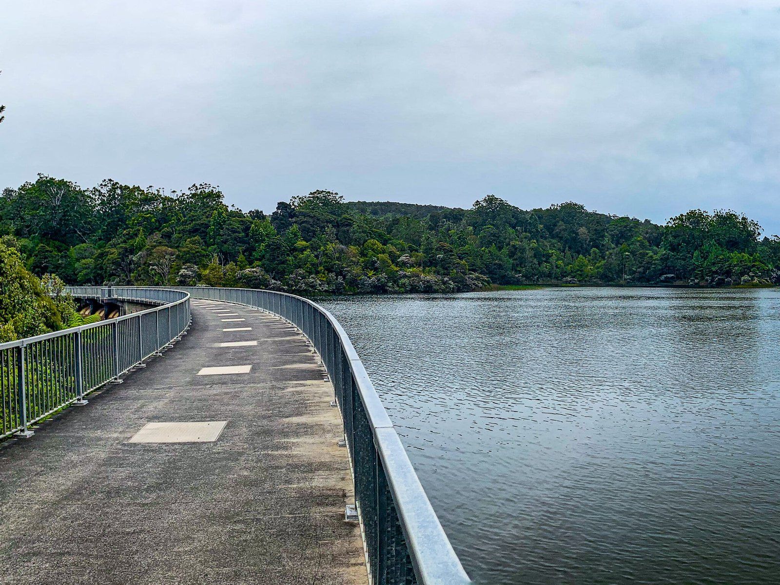
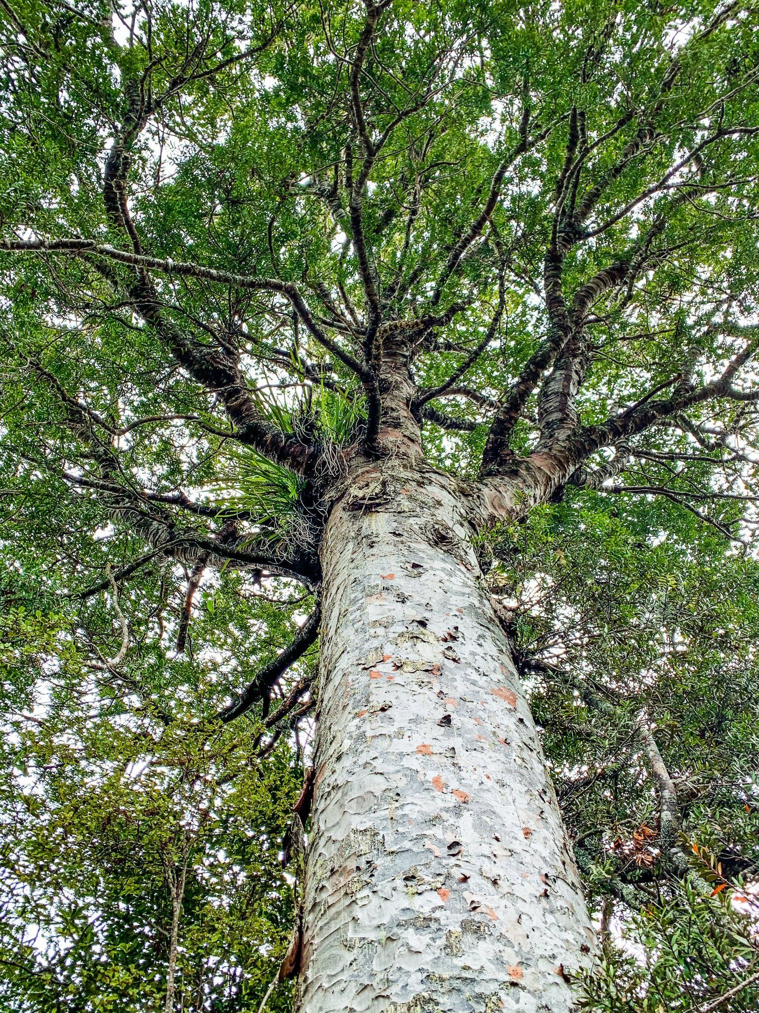
Access to Waitakere Reservoir is towards the northwestern end of Scenic Drive in the Waitakere Ranges. You can park at the obvious parking area on the side of the road, then walk around the Watercare gate and down the access road for about 20 minutes to get to the dam. The main feature of the walk to the dam is the good number of visible kauri trees that have reached the point of crowning. Then the dam is in a spectacular spot, with trees in the gully below reaching the height of the dam, including kauri crowns.
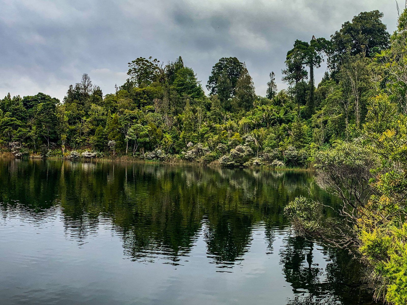
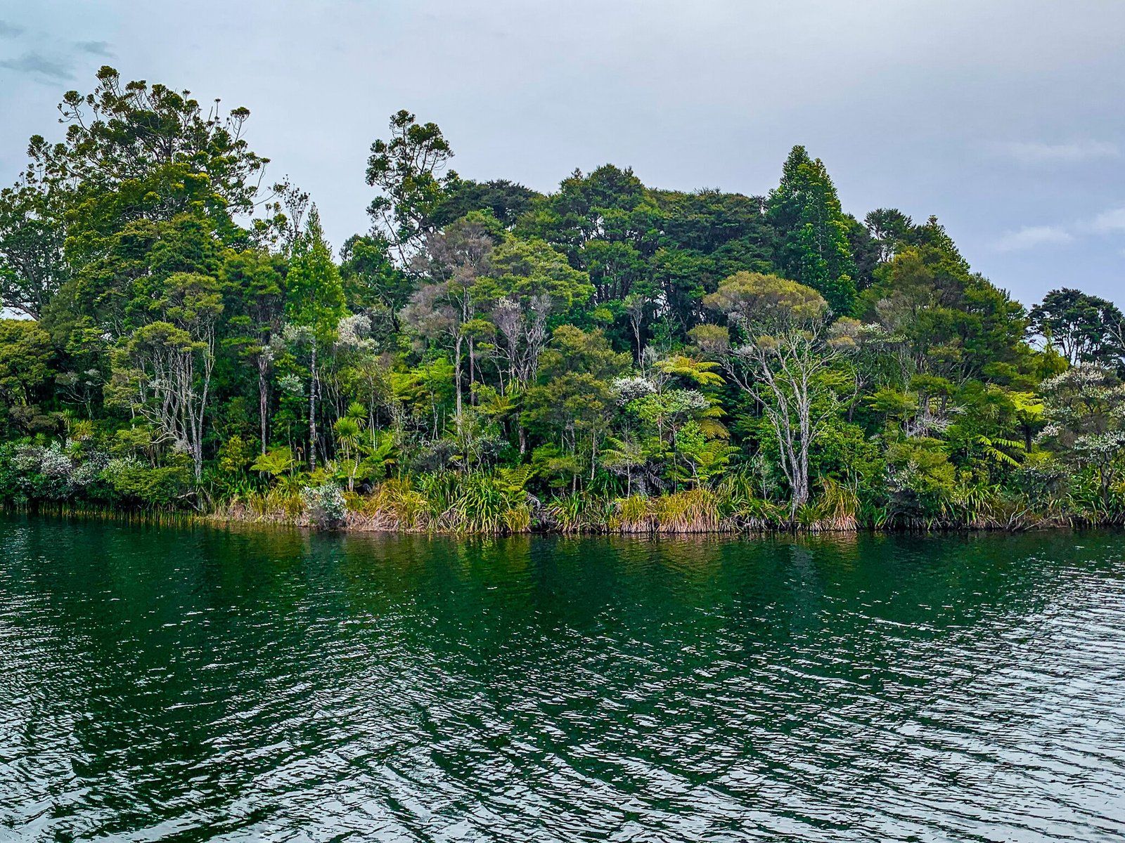
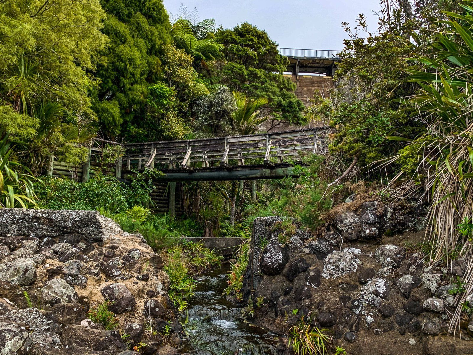
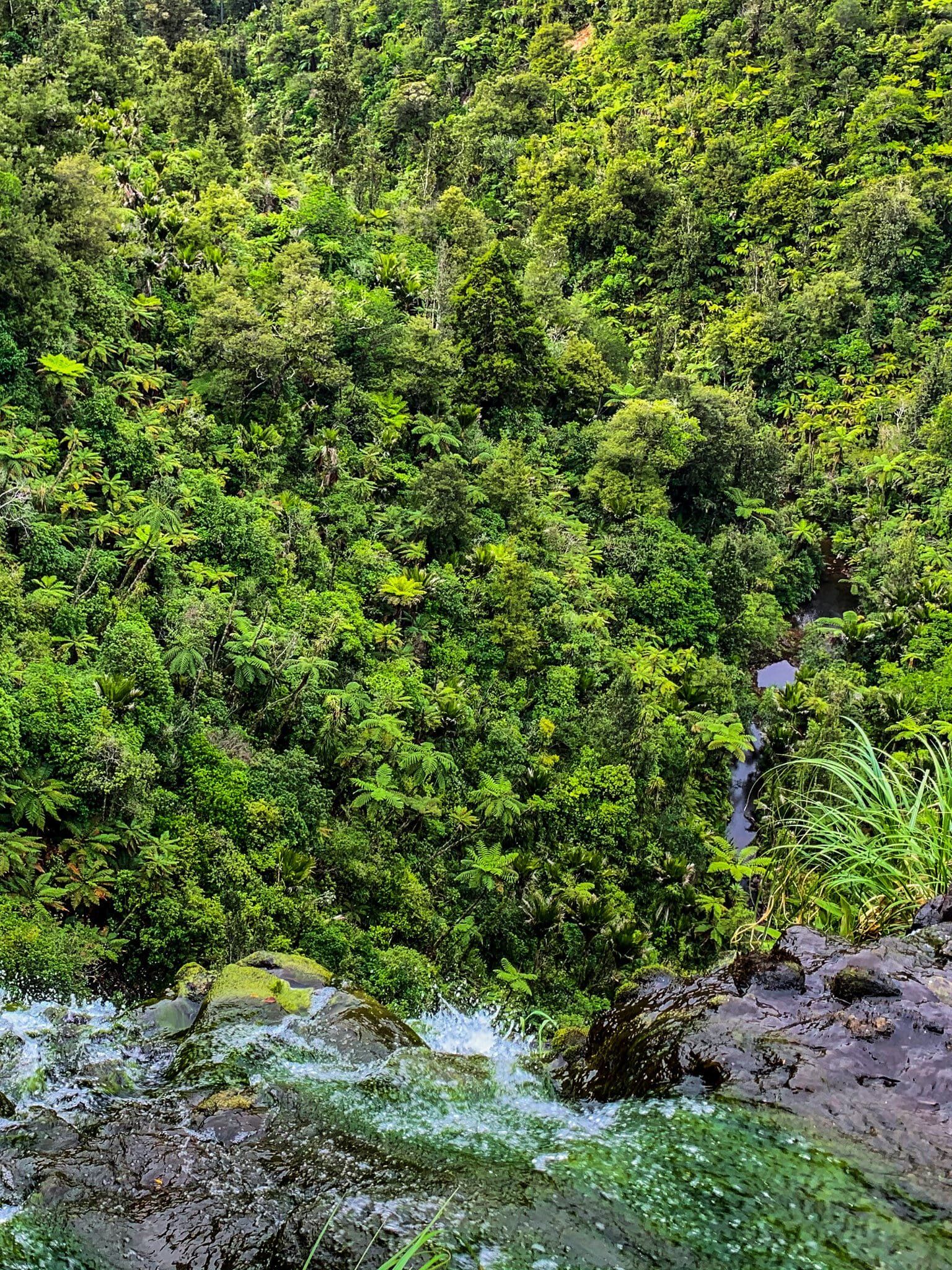
You can cross the dam and walk a short distance around the reservoir where there is a grassed area surrounded by recovering forest, including a large area of kauri rickers (saplings); or walk down the side of the dam to above the Waitakere Falls, the highest waterfall in the Waitakere Ranges at 95 metres. There is a fence along the top of the falls, and the water flow is constrained, but you can still get a sense of the height of the cliff.
Unfortunately, other tracks that connect to the walk are still closed due to kauri dieback disease, including the WaitakereTramline which provides a better view of the falls. Hopefully it will be reopened at some stage.
Kaitarakihi Point
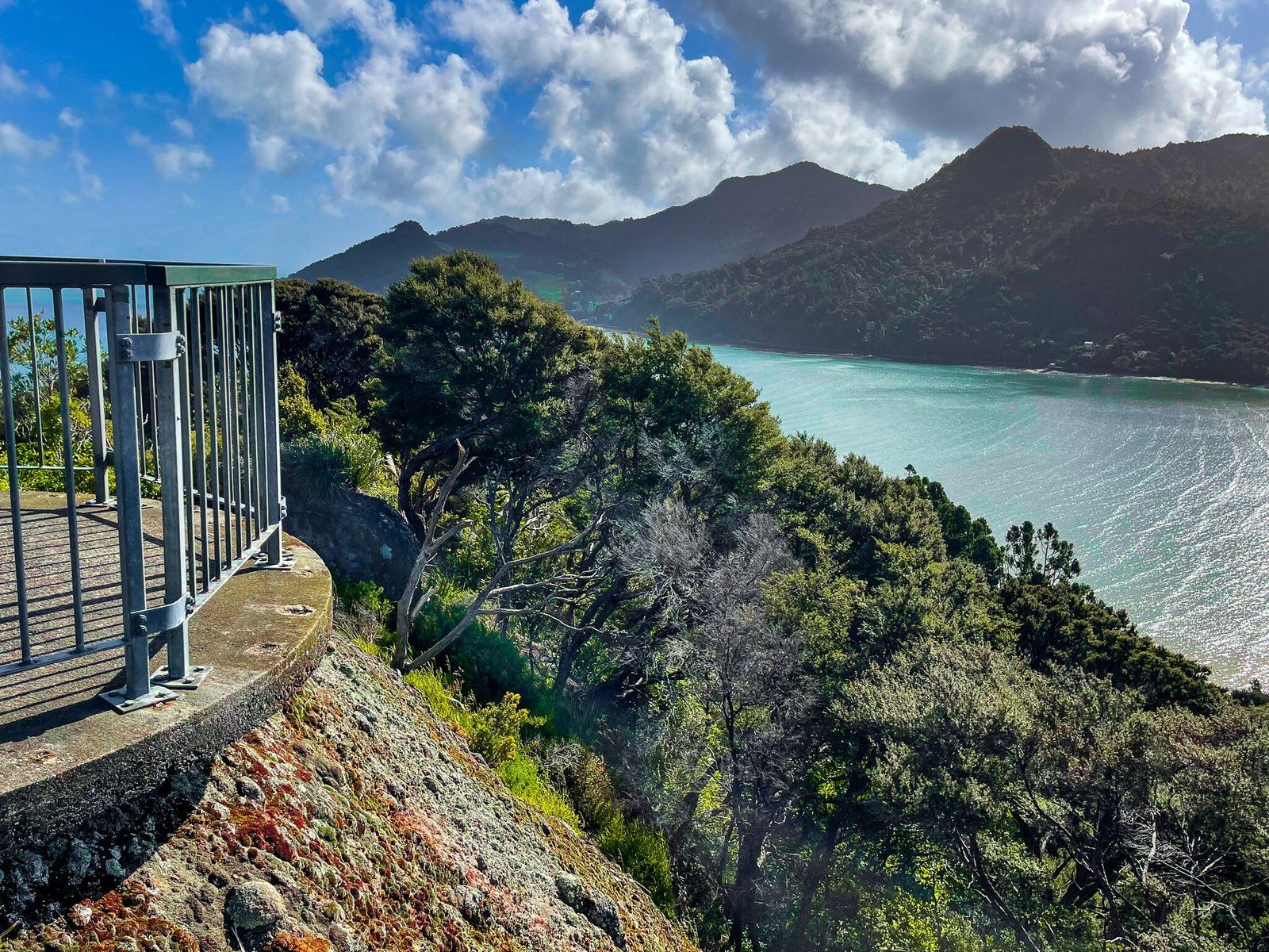
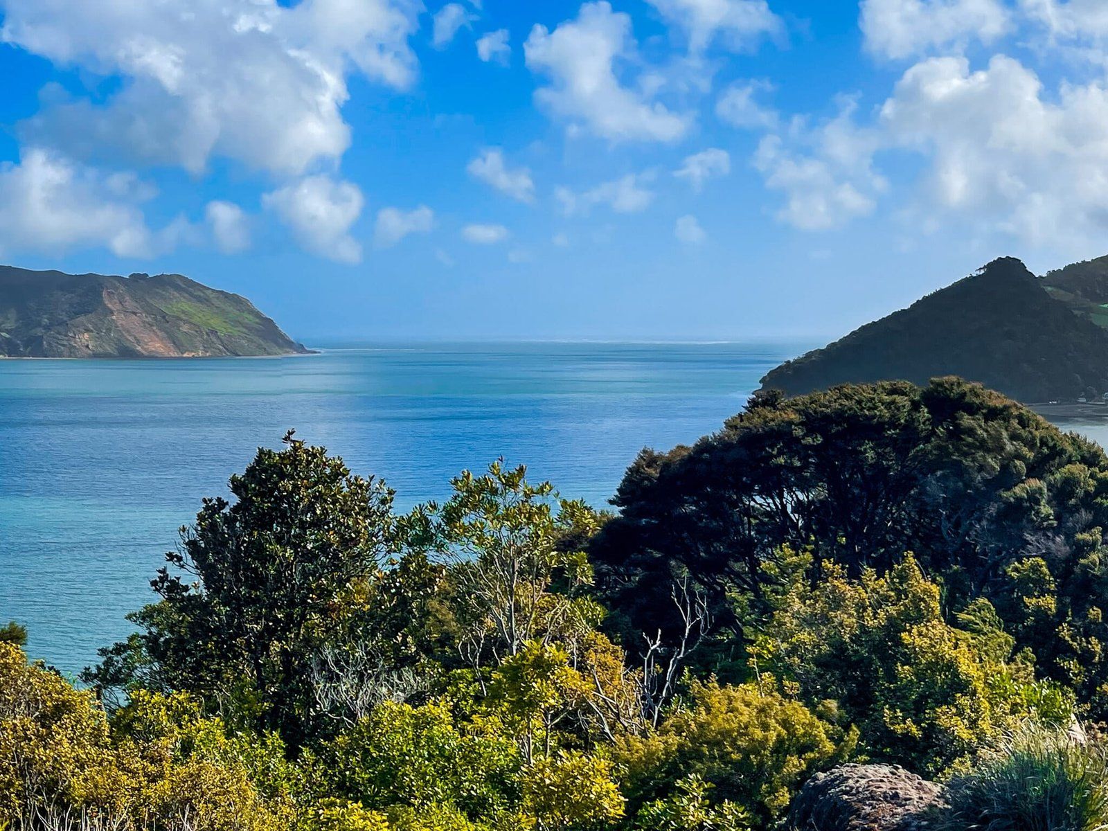
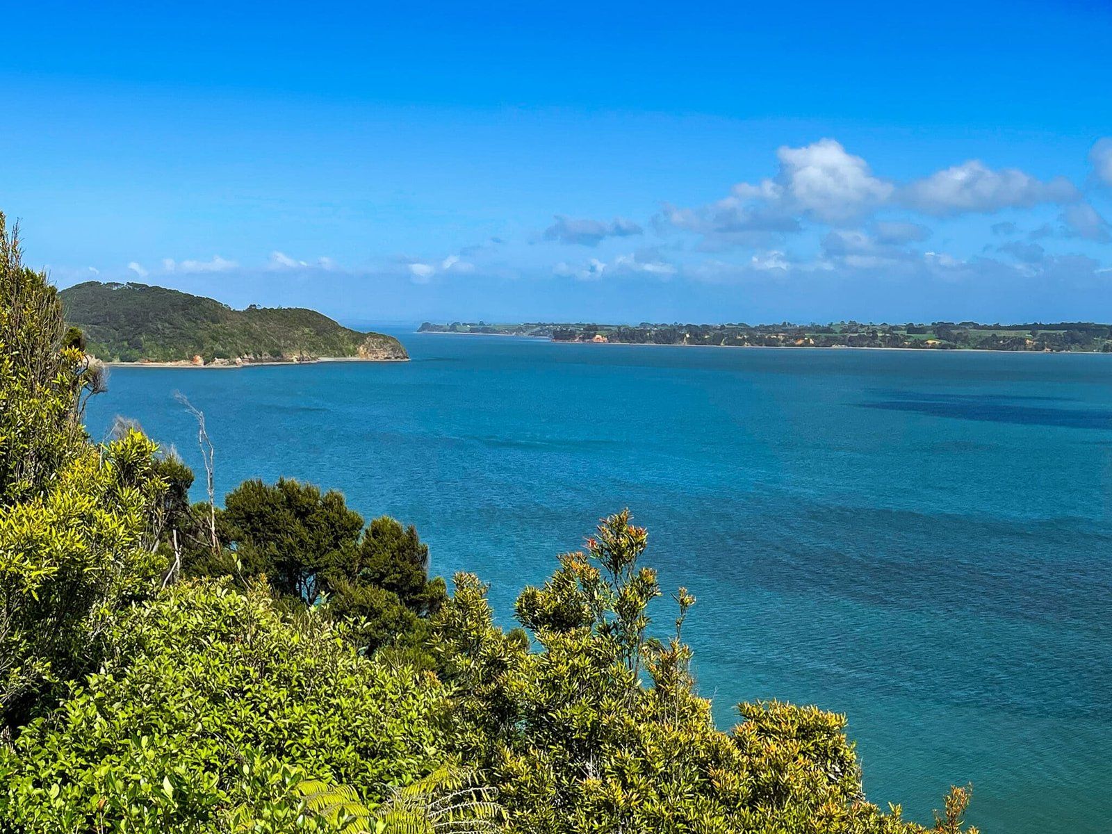
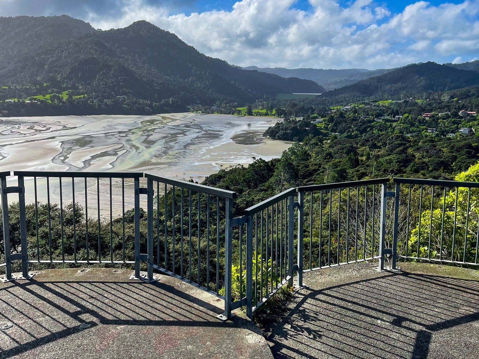
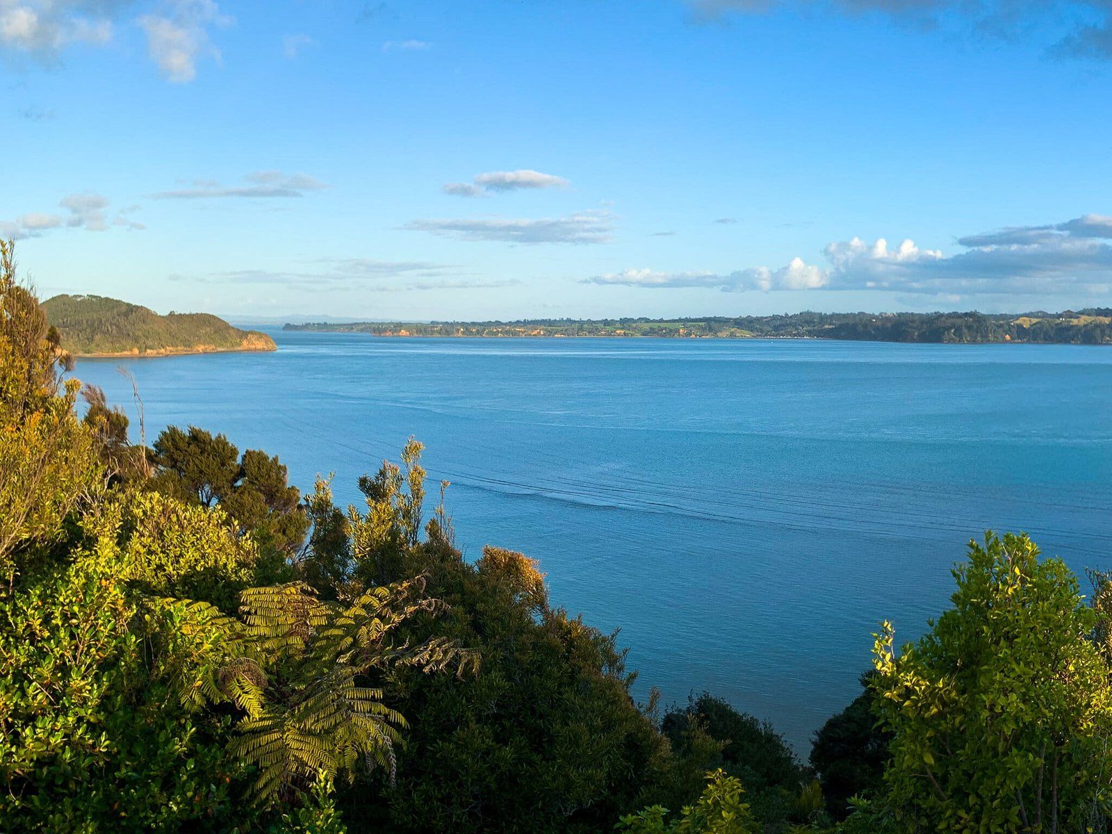
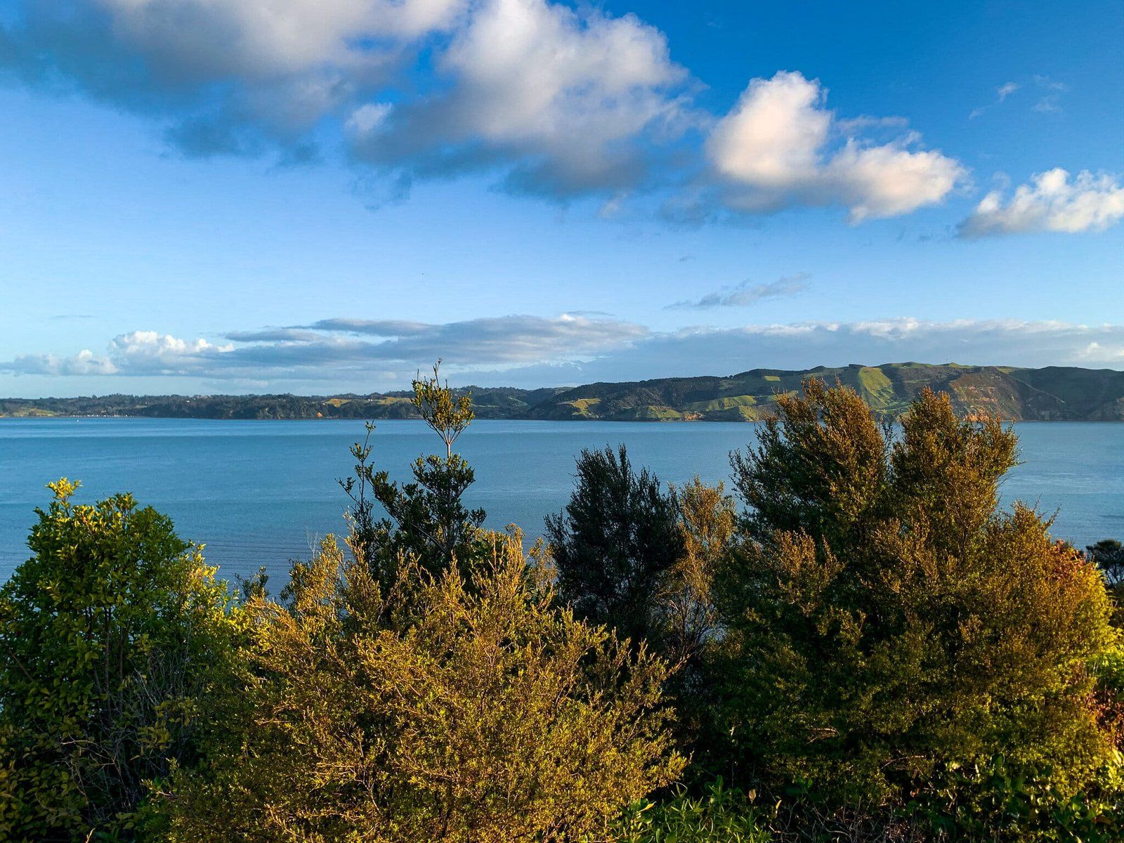
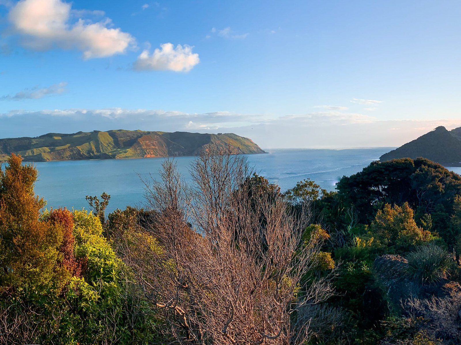
As you approach Huia from the northeast, you will see a sign for the viewpoint at Kaitarakihi Point. This is one of the few options in the Waitakere Ranges with a highpoint that you can simply drive up to.
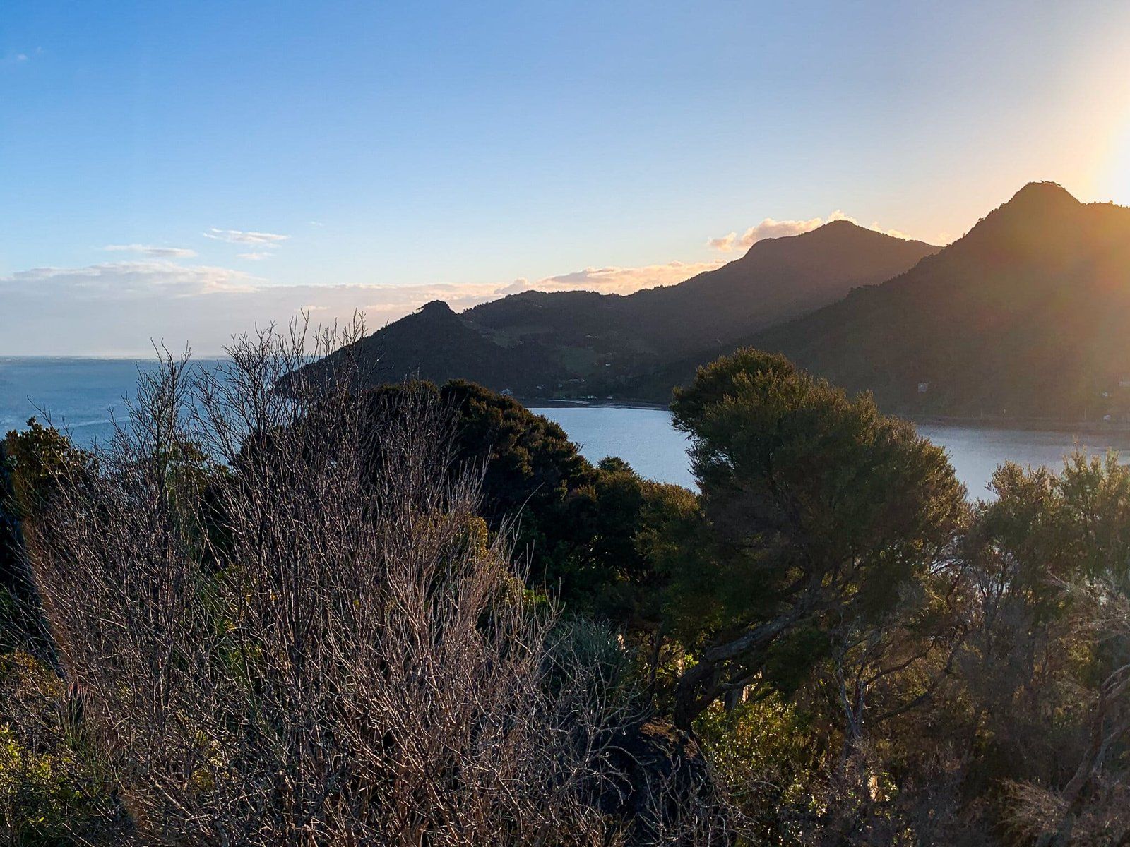
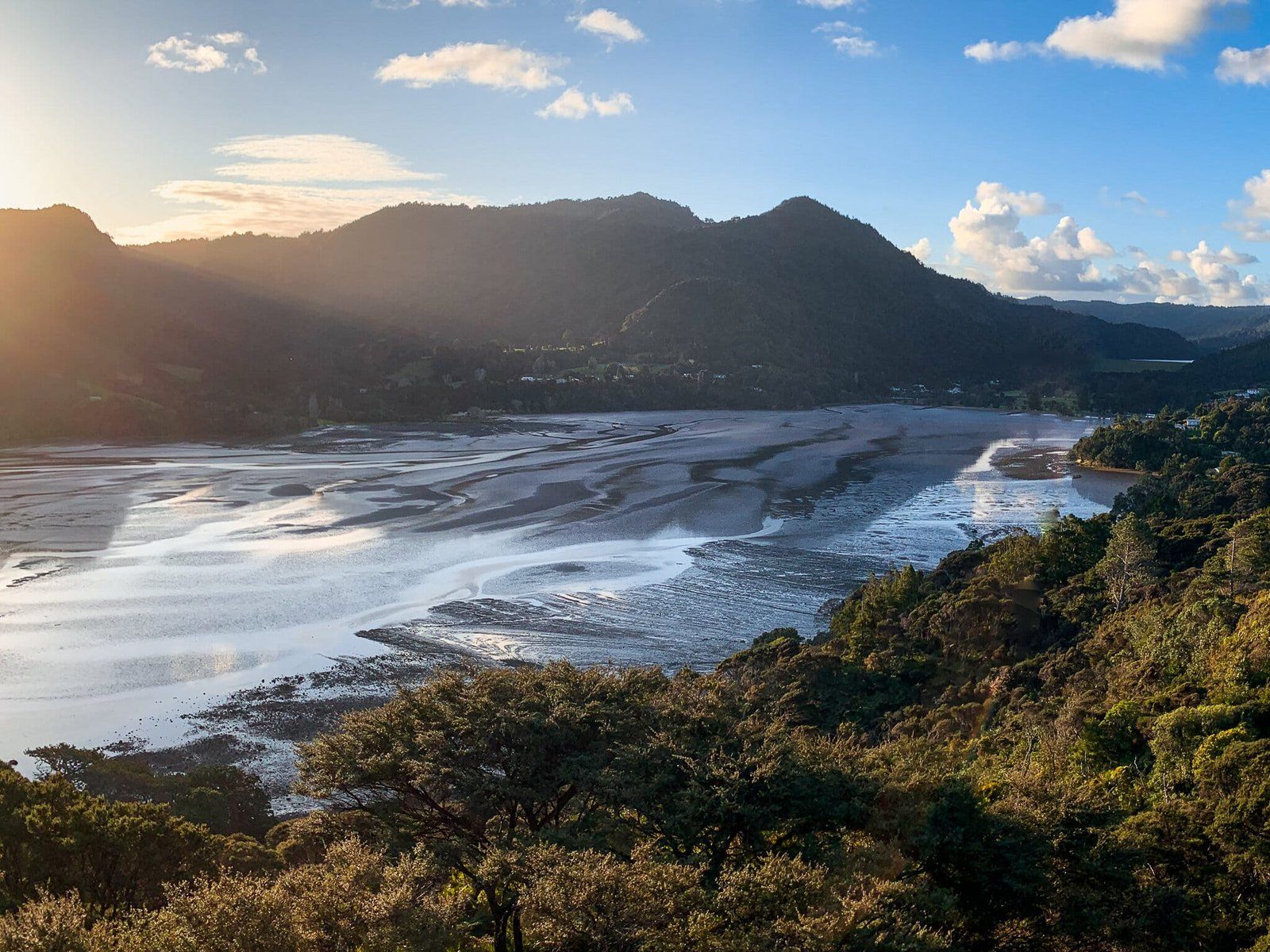
The viewpoint overlooks Huia, Little Huia, and the surrounding peaks. A little further to the southwest is the Manukau Harbour entrance. It is a nice spot to stop in the evening after a day hiking around Whatipu.
Want more Trip Ideas?
Check out our blogs on the walking tracks of the Waitakere Ranges Part 1, Part 2, and Beaches of the Waitakere Ranges.