
The Wairarapa region, east of Wellington and south-west of Hawkes Bay, has a great combination of farmland, wineries, small towns and hugely varied coastline. It’s an area that you can explore over a couple of days, so makes for a perfect long weekend adventure.
If you’re starting in Wellington, head through the Hutt Valley and over the Remutaka Range to the northeast of the city. You can drive or take the train – like the Kāpiti Coast, there’s a good railway connection between Wellington and the main towns, including Martinborough and Greytown.
Today’s route takes you south from Martinborough to Palliser Bay, following the road to Cape Palliser and then northeast via Masterton to Castlepoint.
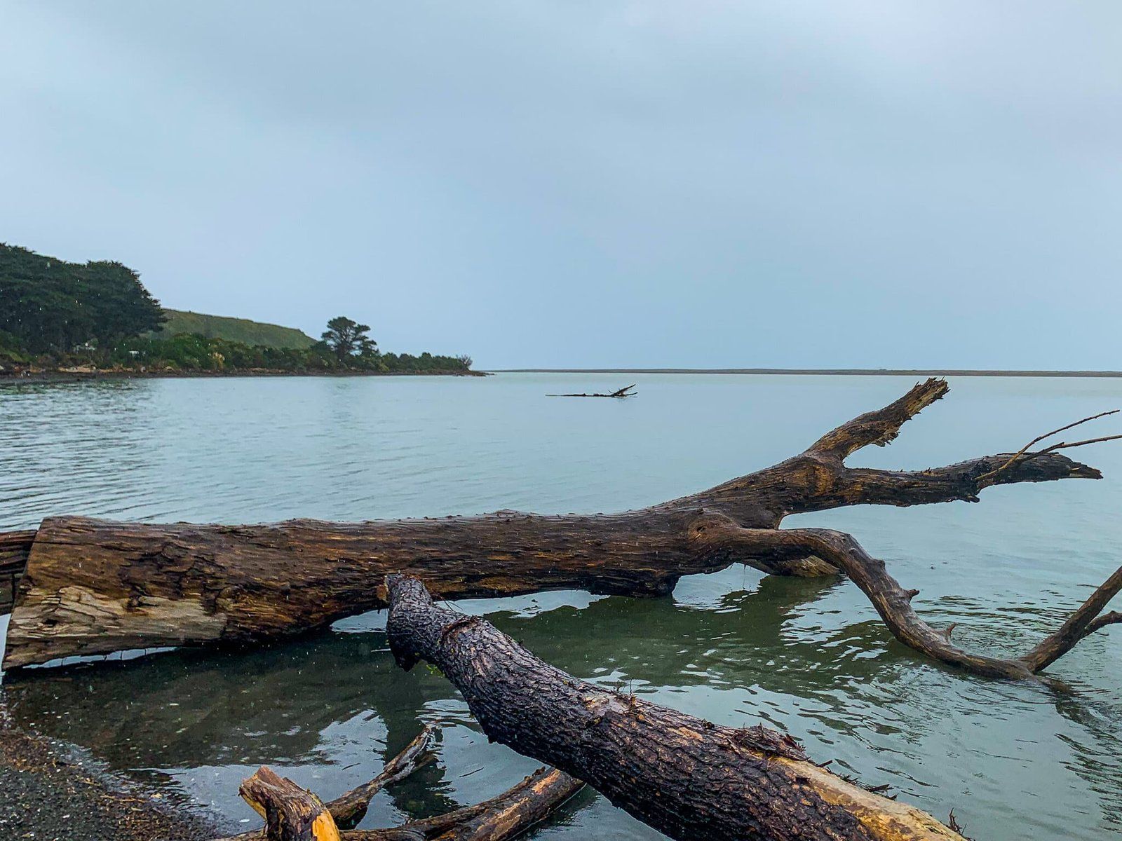
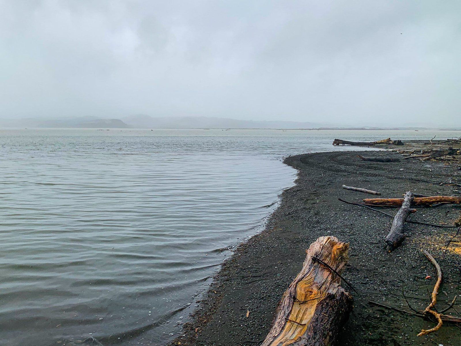
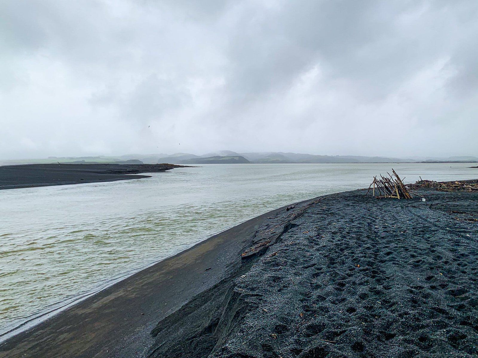
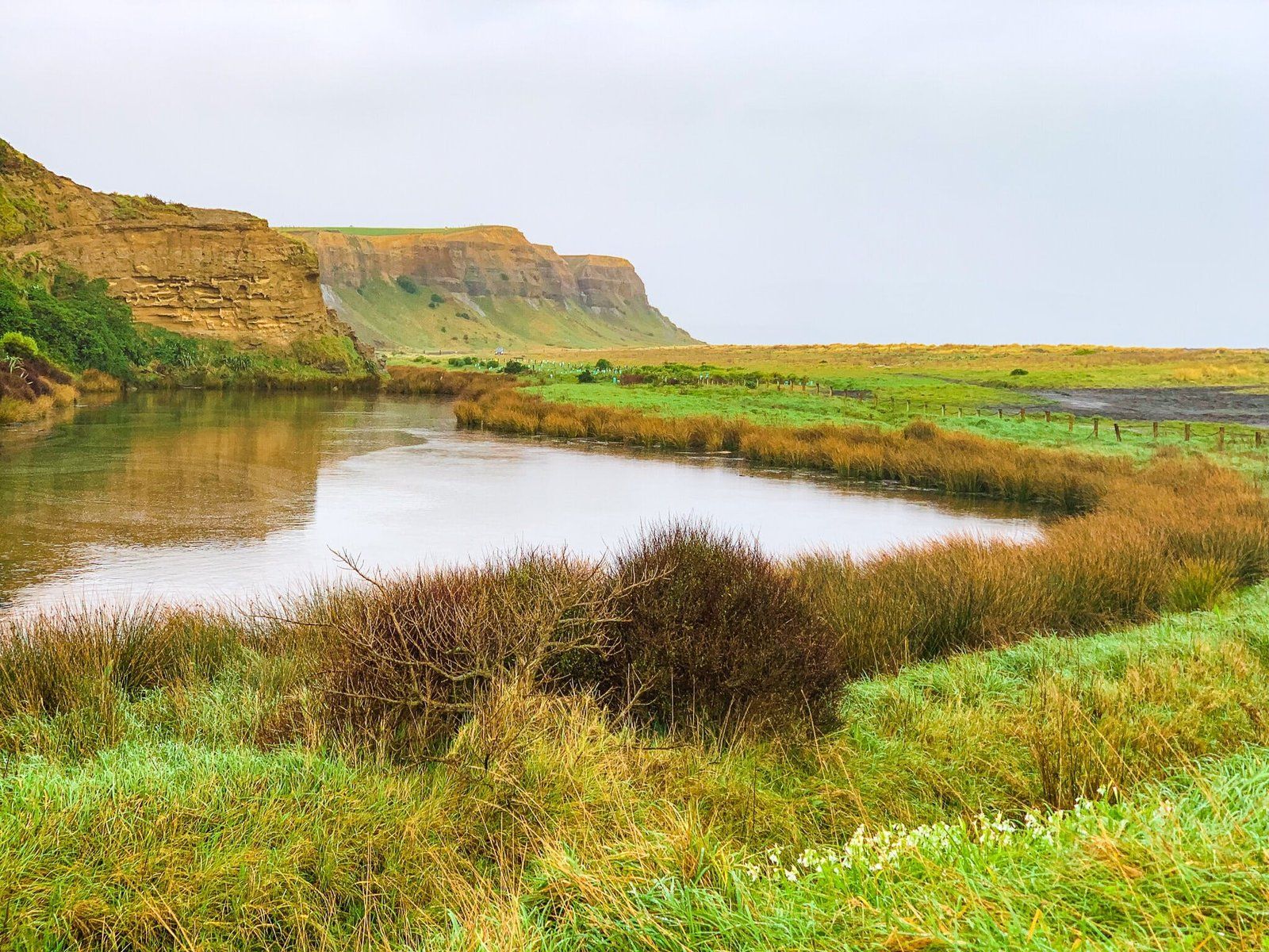
Lake Ferry/Onoke
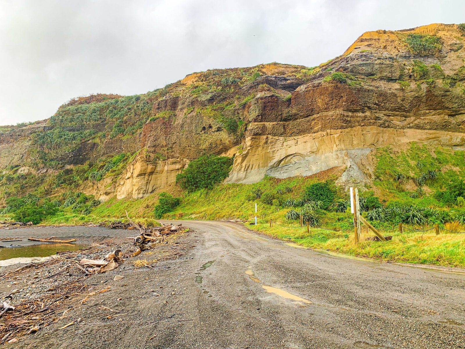
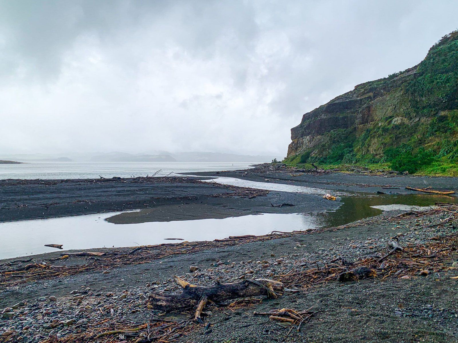
Lake Ferry Onoke is an unusually dramatic lake, with its seaside location and almost-black sand. It is only half an hour from Martinborough in a car, and a good stop on the way to the Putangirua Pinnacles or Cape Palliser.
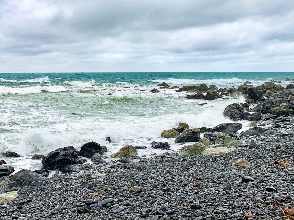
Fishing is a common past time at Lake Ferry, with whitebait catching especially popular in the spring. Note that warning signs indicate a dangerous environment for swimming where the lake empties into the seas, and the Wairarapa website also warns against swimming in the lake.
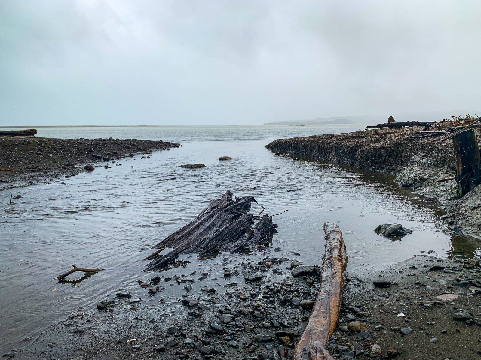
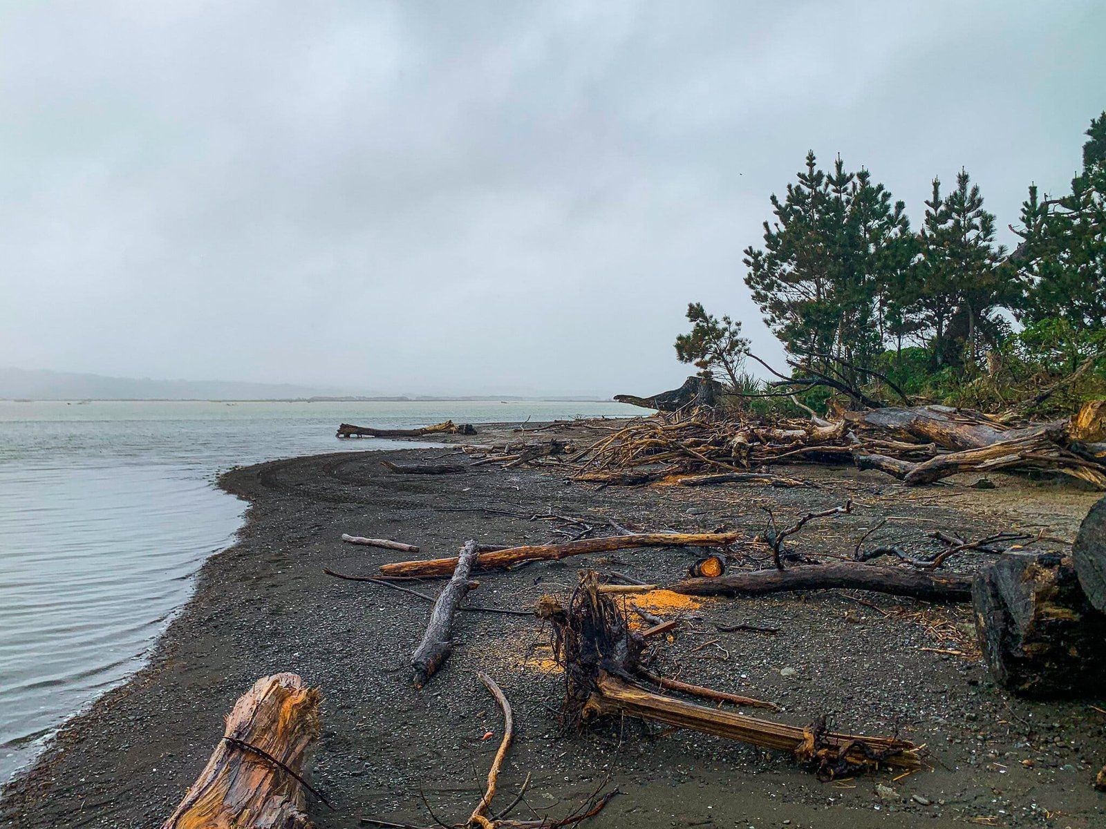
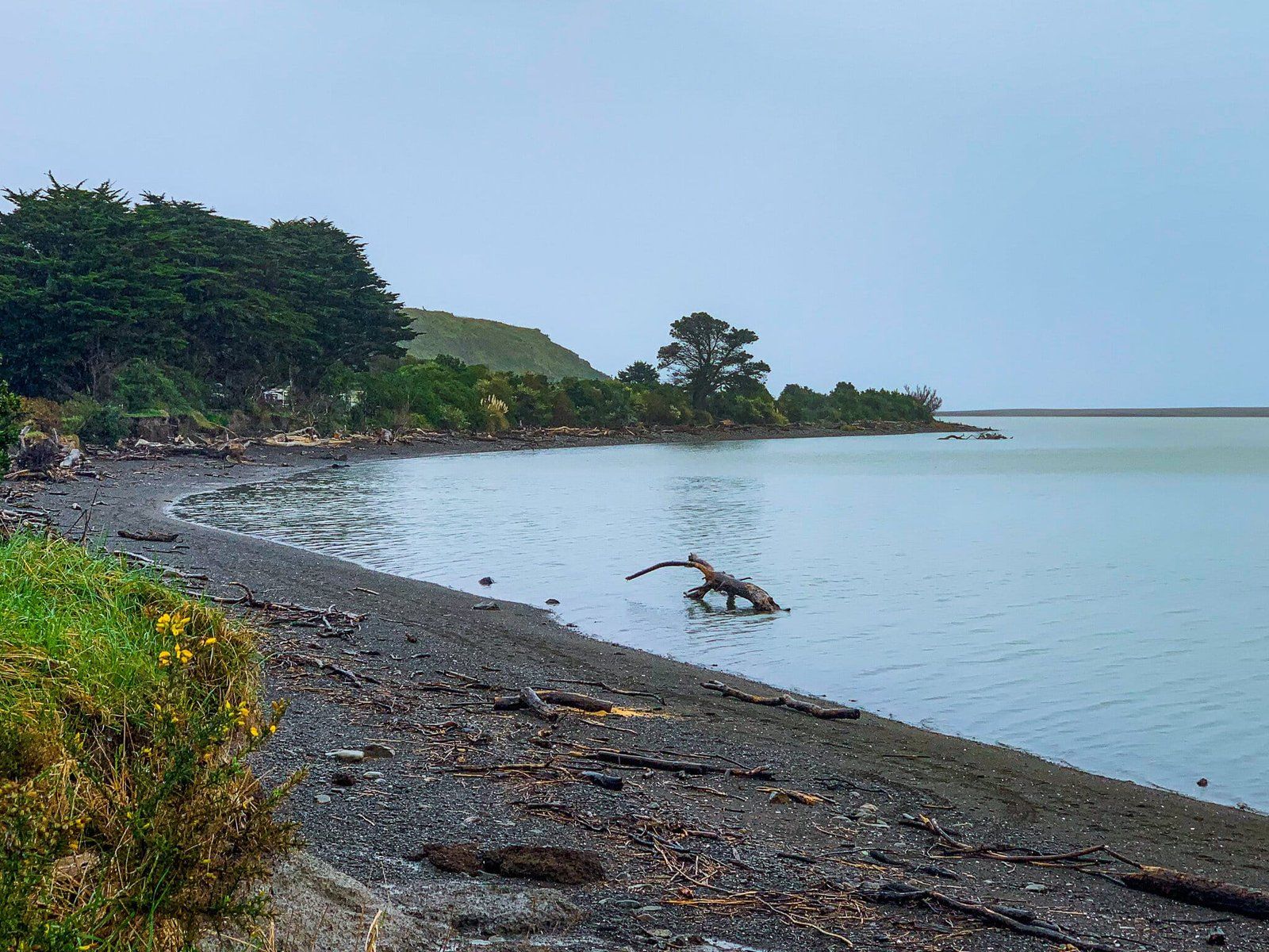
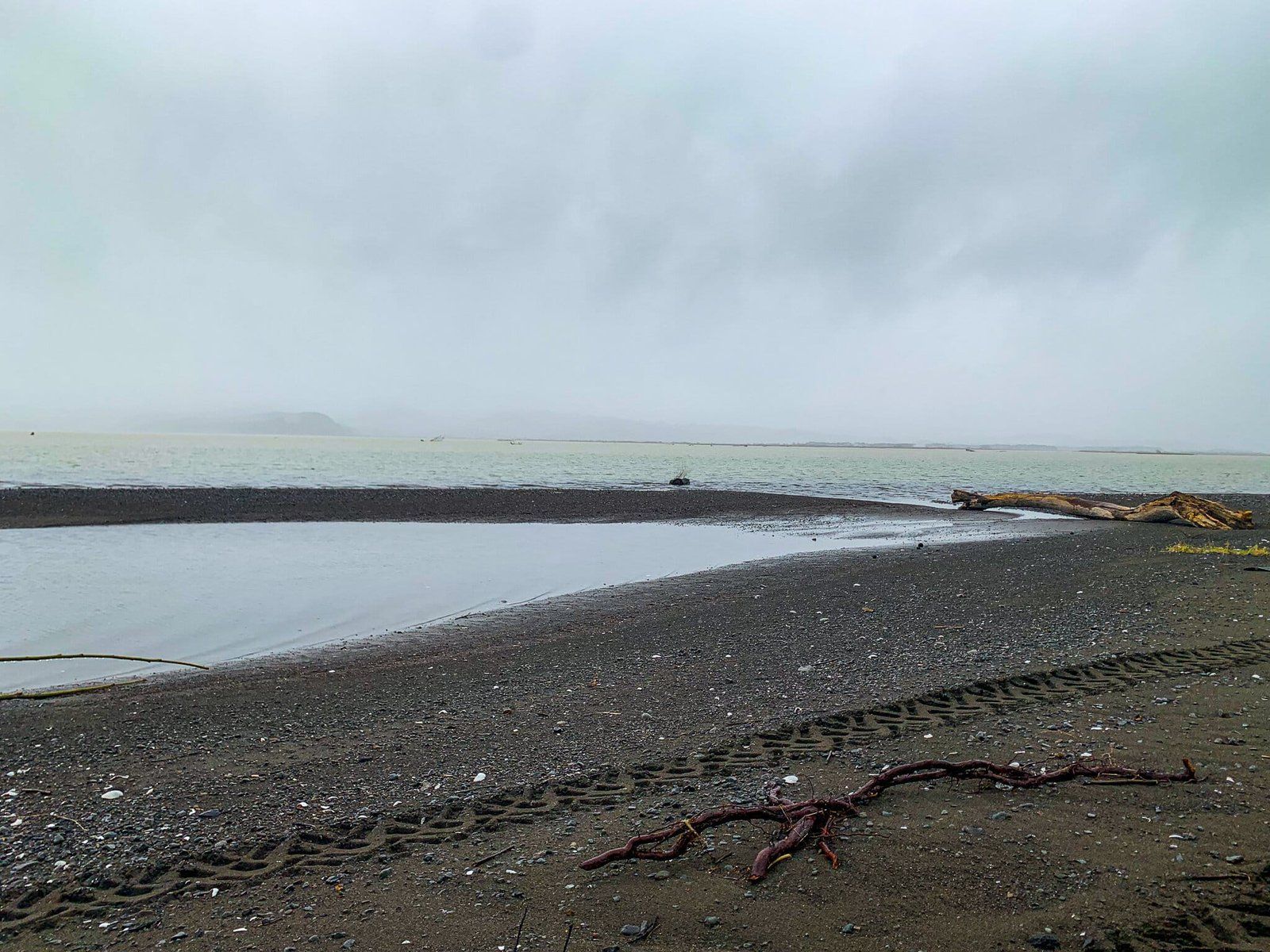
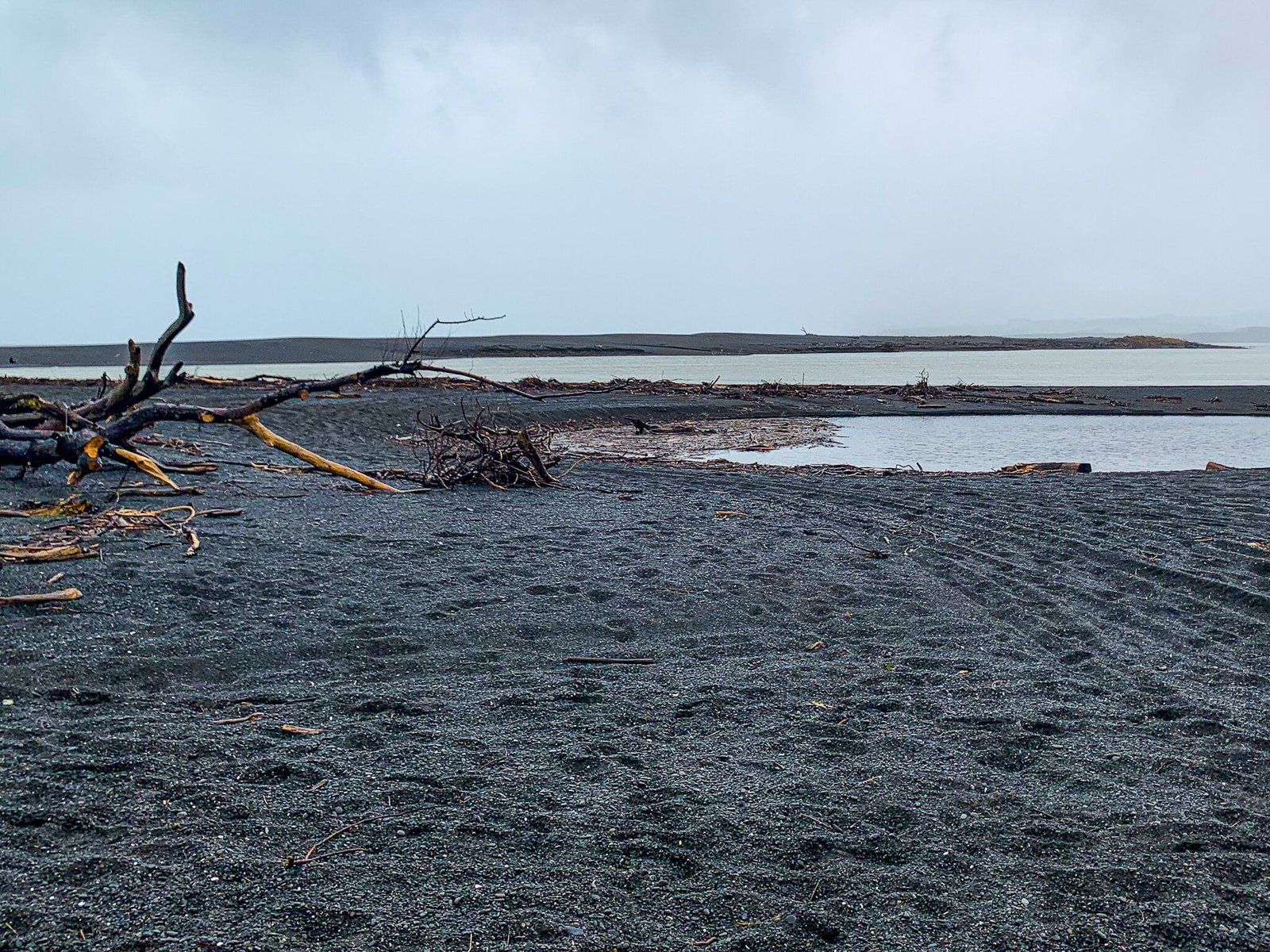
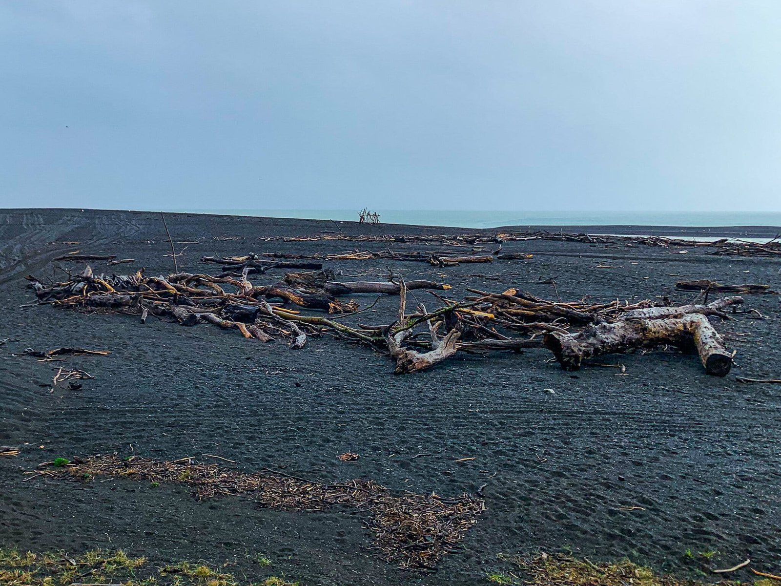
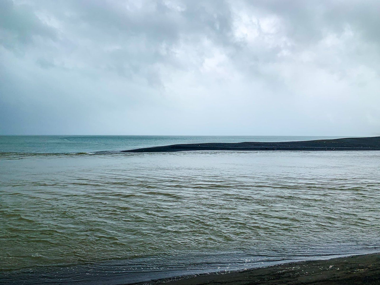
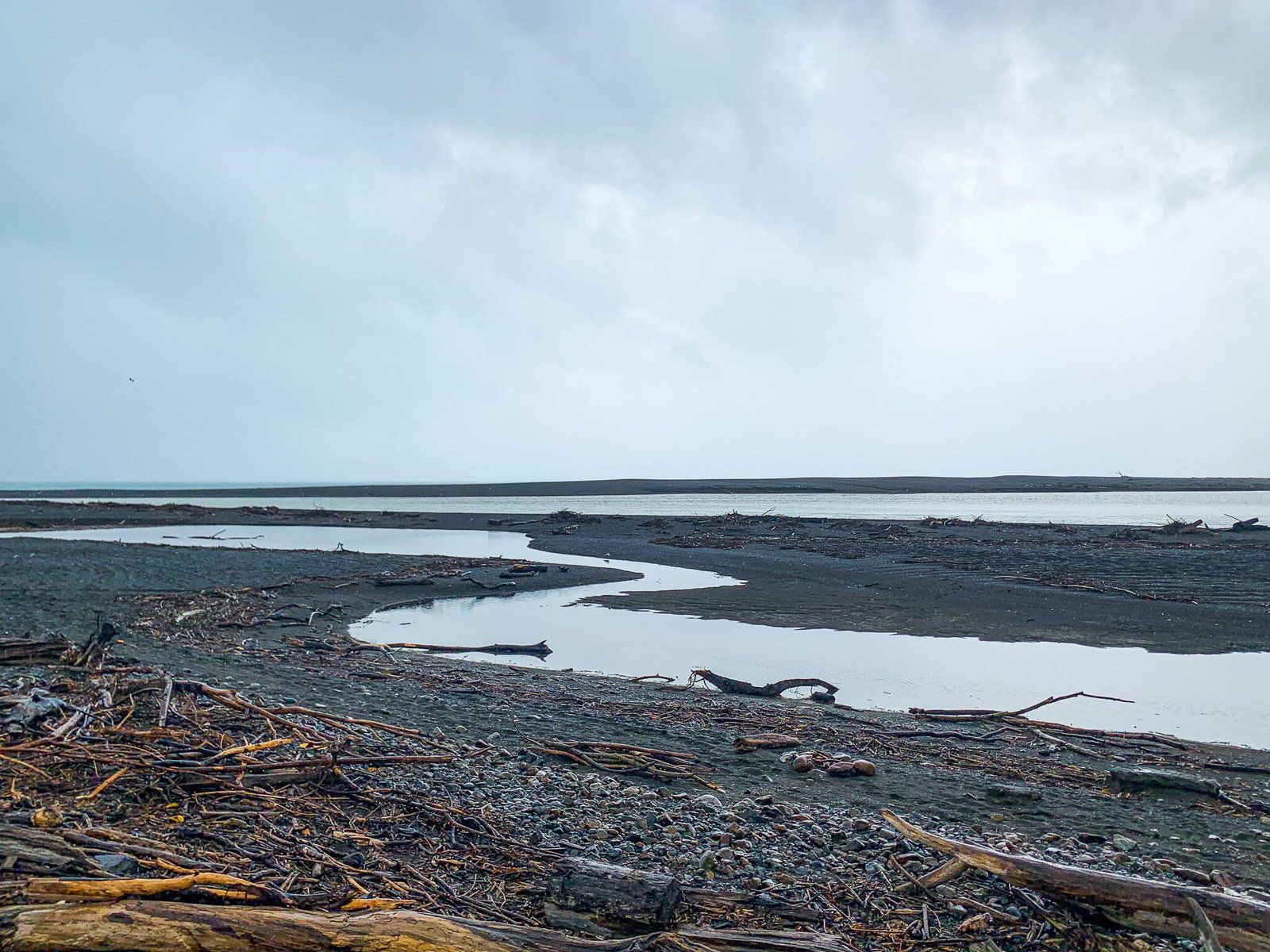
Whangaimoana Beach/Lake Ferry Sand Spit
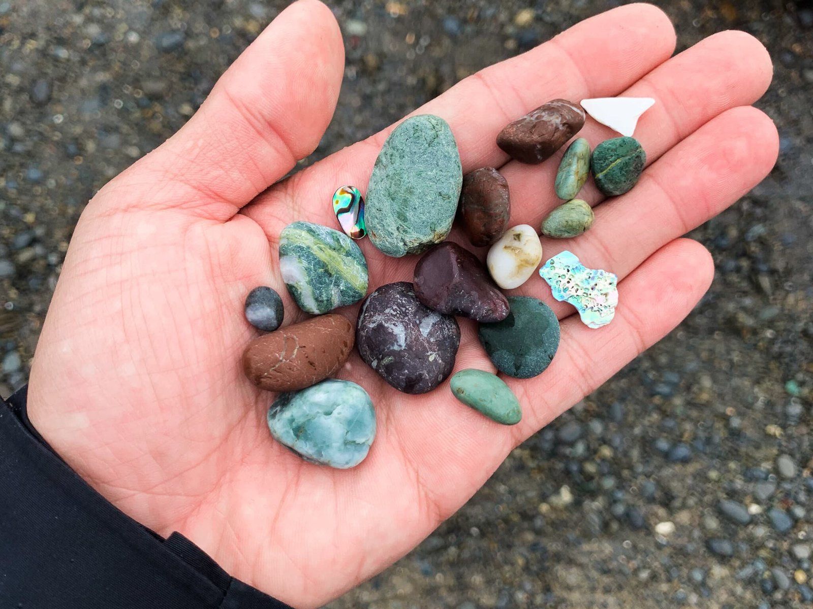
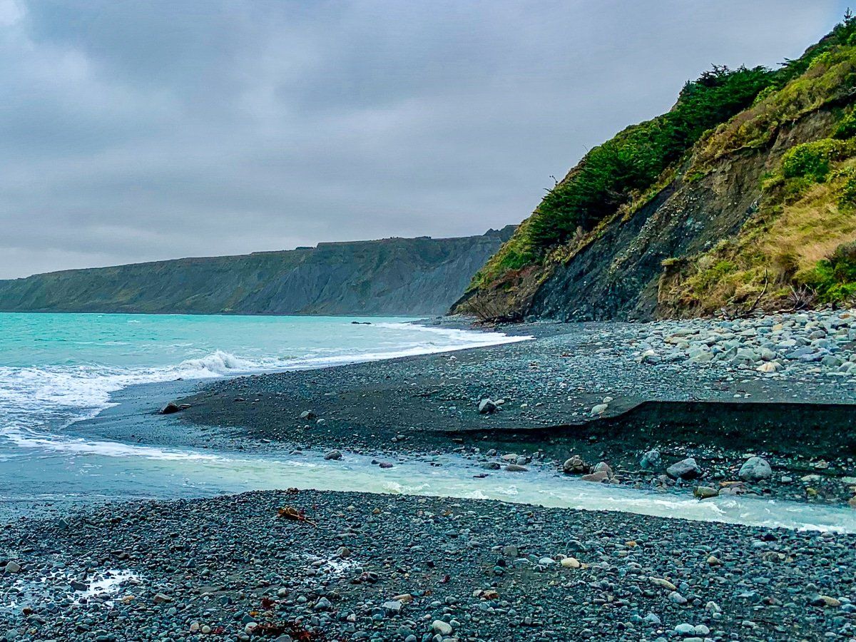
Following the road to its end, you will find yourself at the sand spit where Lake Ferry meets the ocean. Its black sand was particularly dramatic on the cloudy day we visited, contrasting against the white skies and reflections in the water. Due to the strong currents, swimming is not advised in this area, but it is a beautiful spot to stop and picnic.
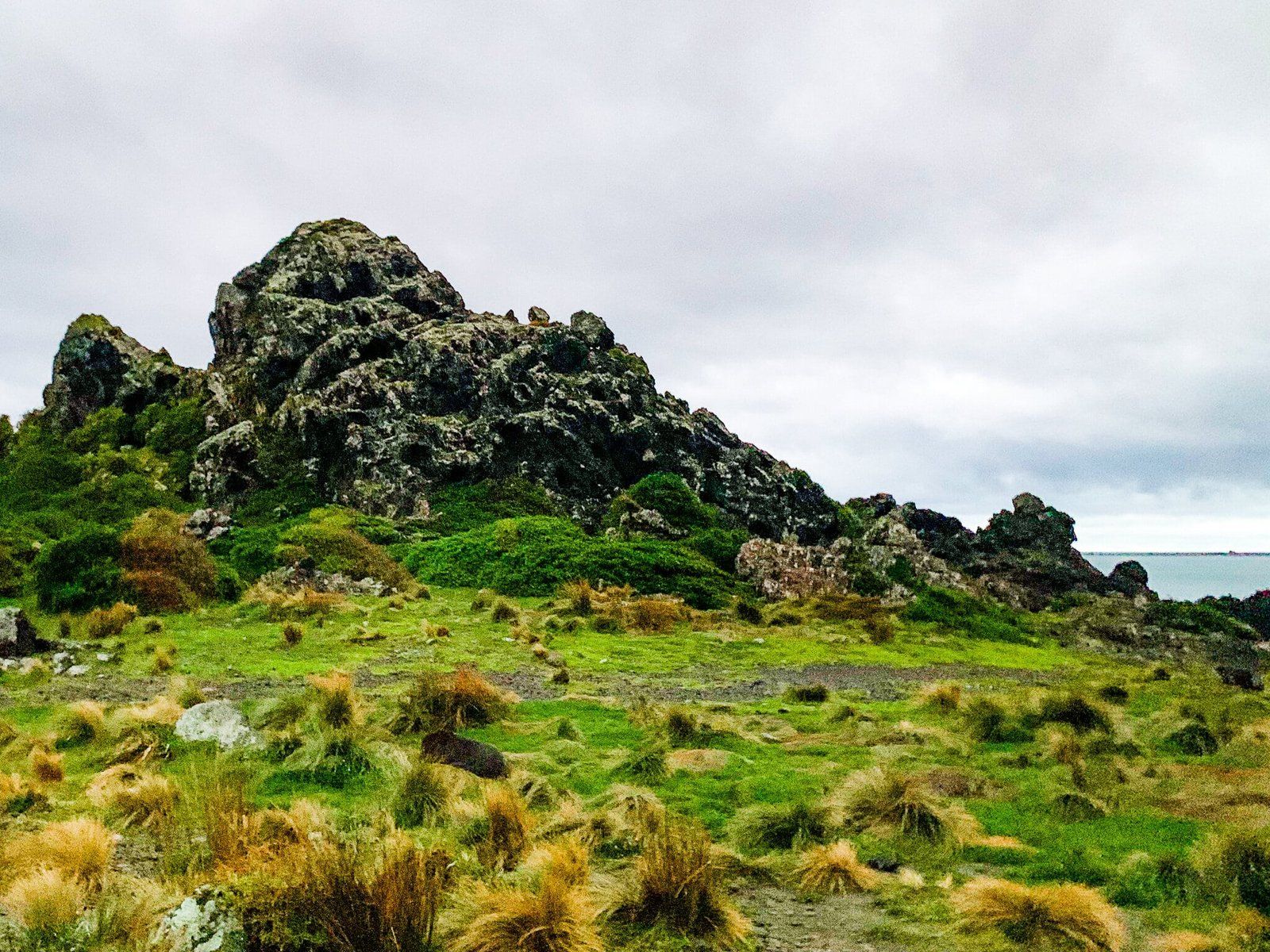
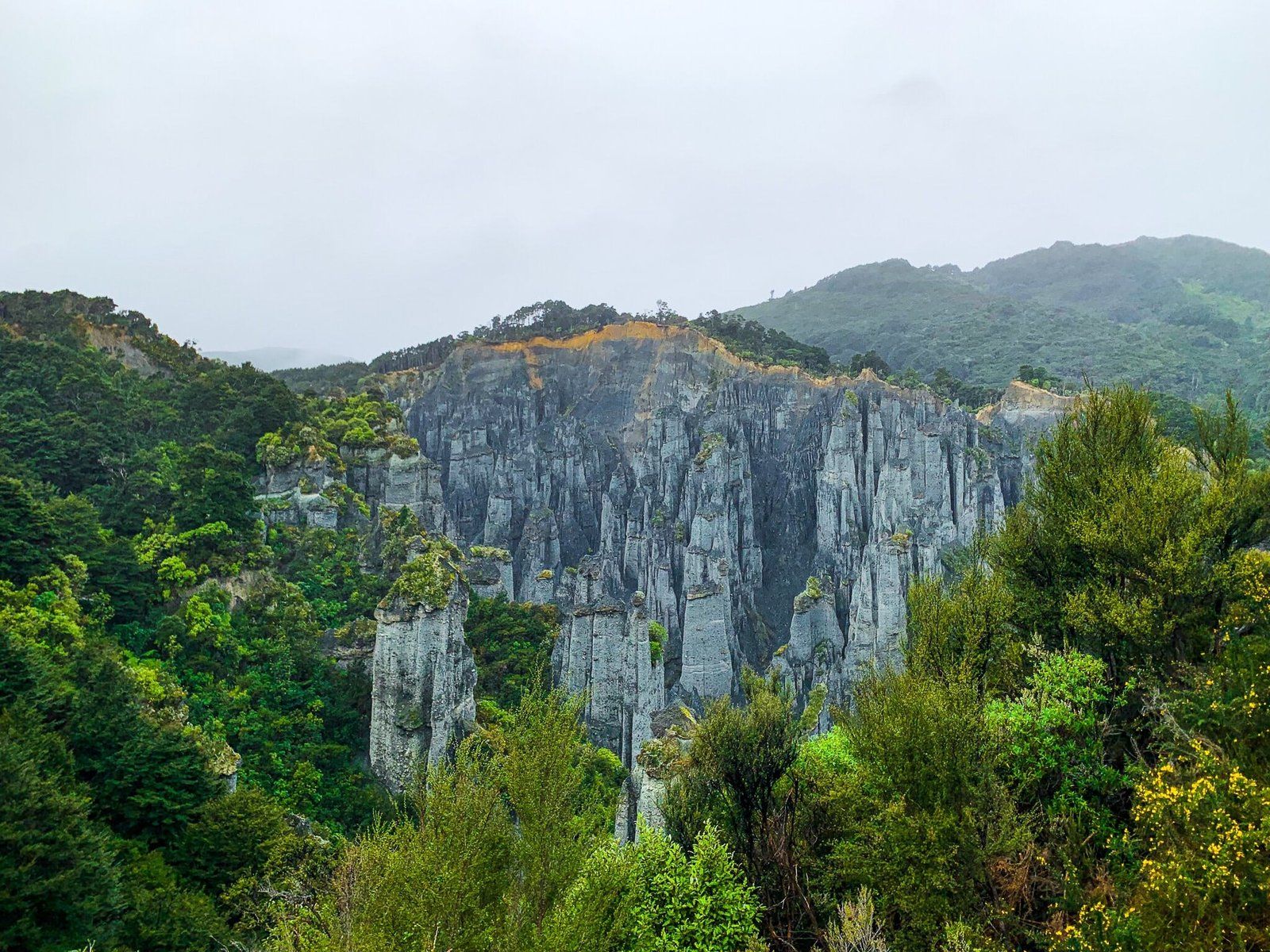
Putangiura Pinnacles – Ridge Track
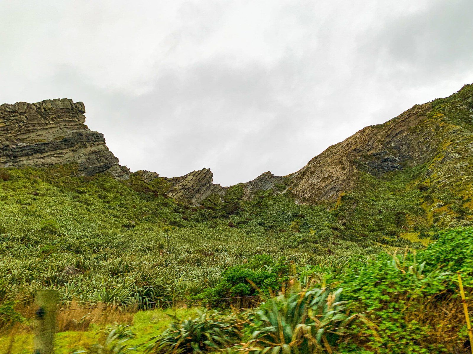
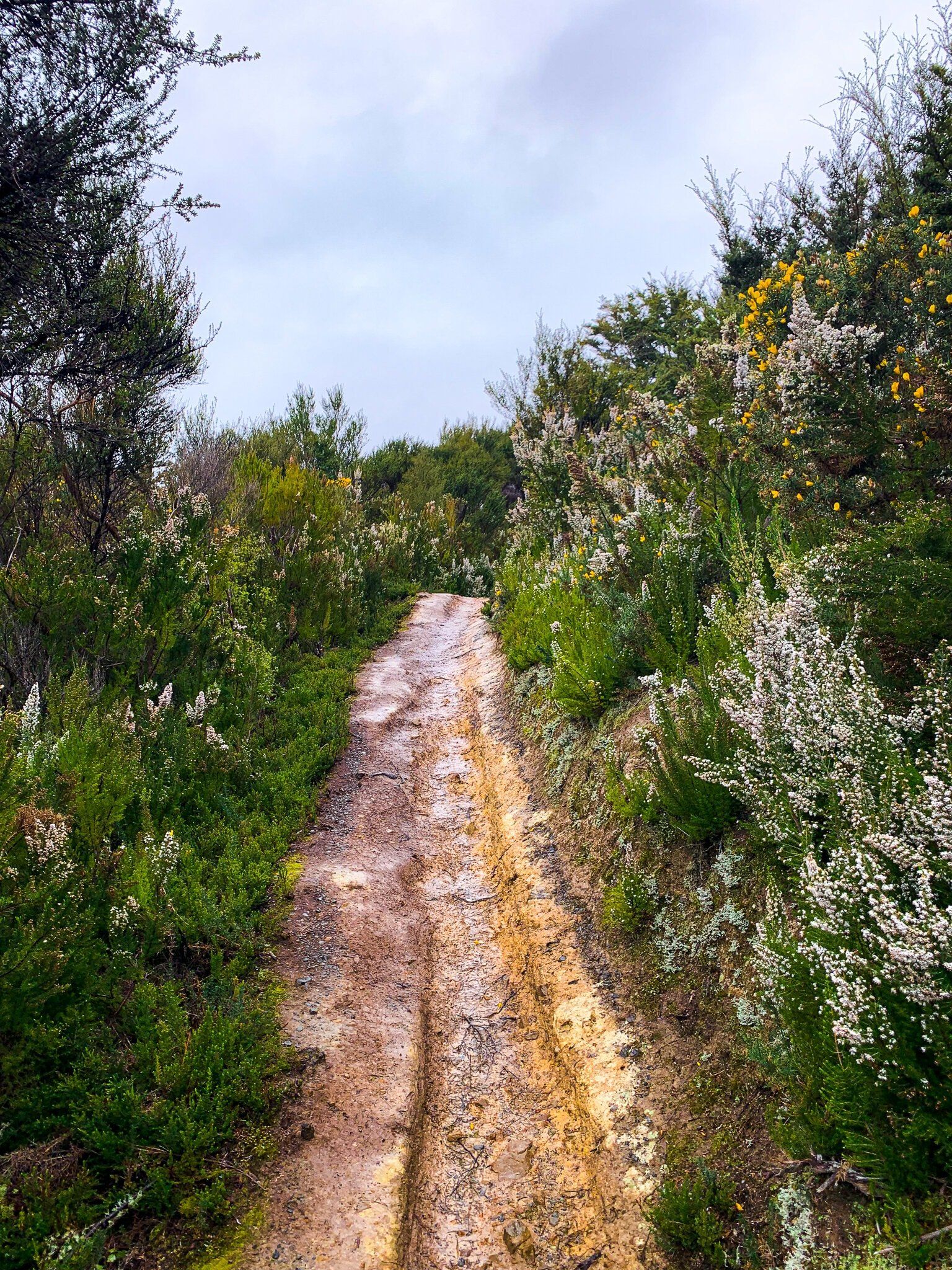
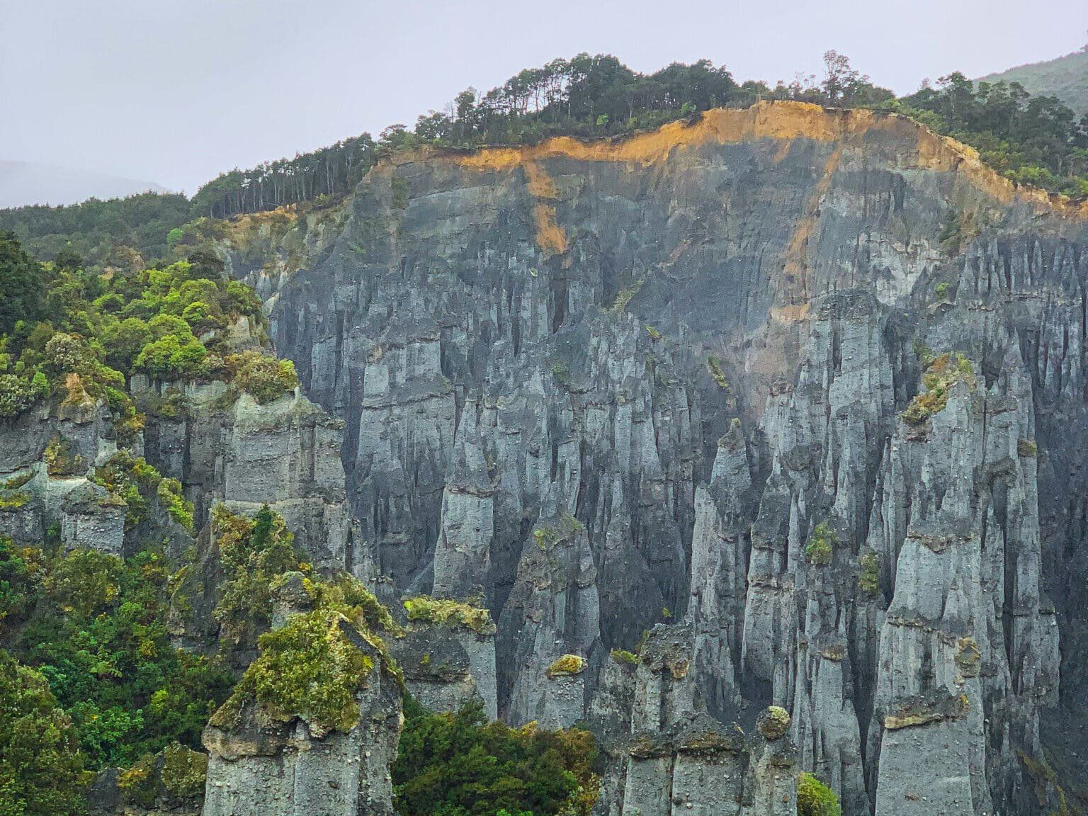
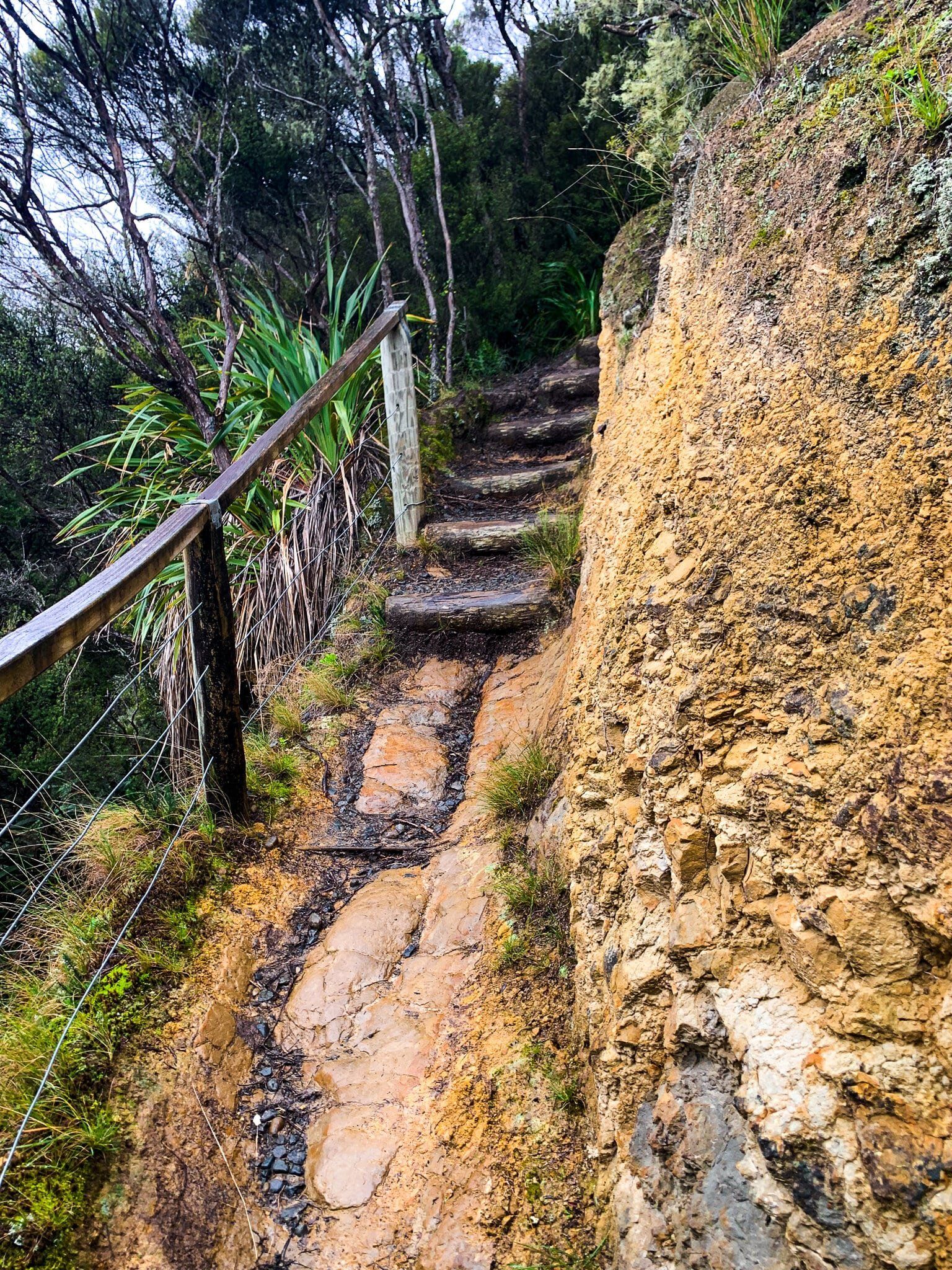
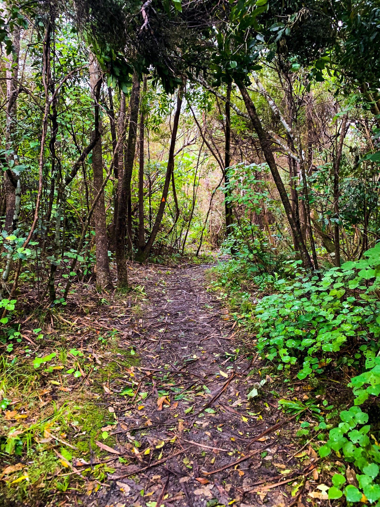
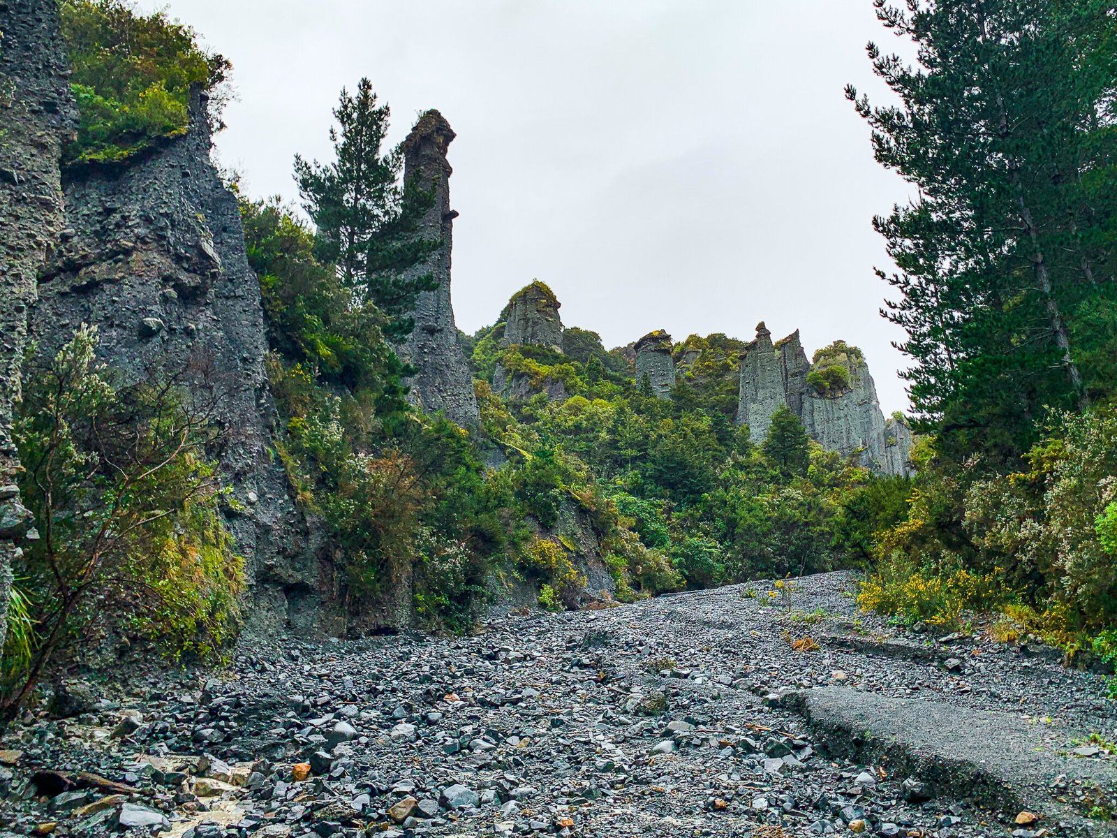
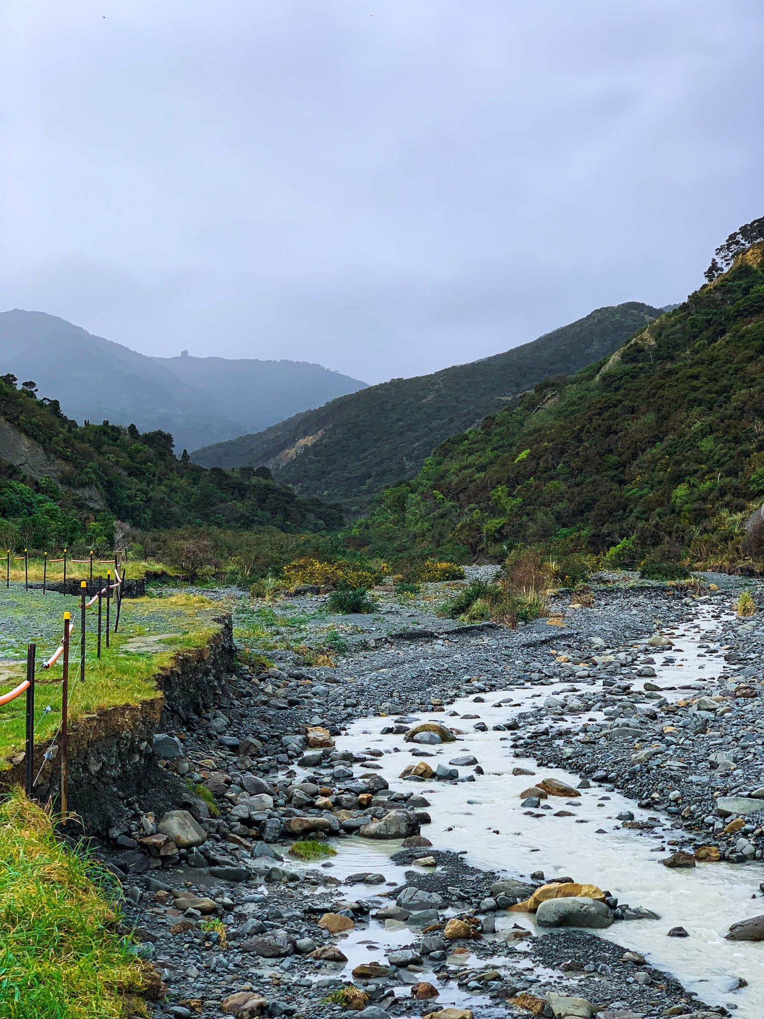
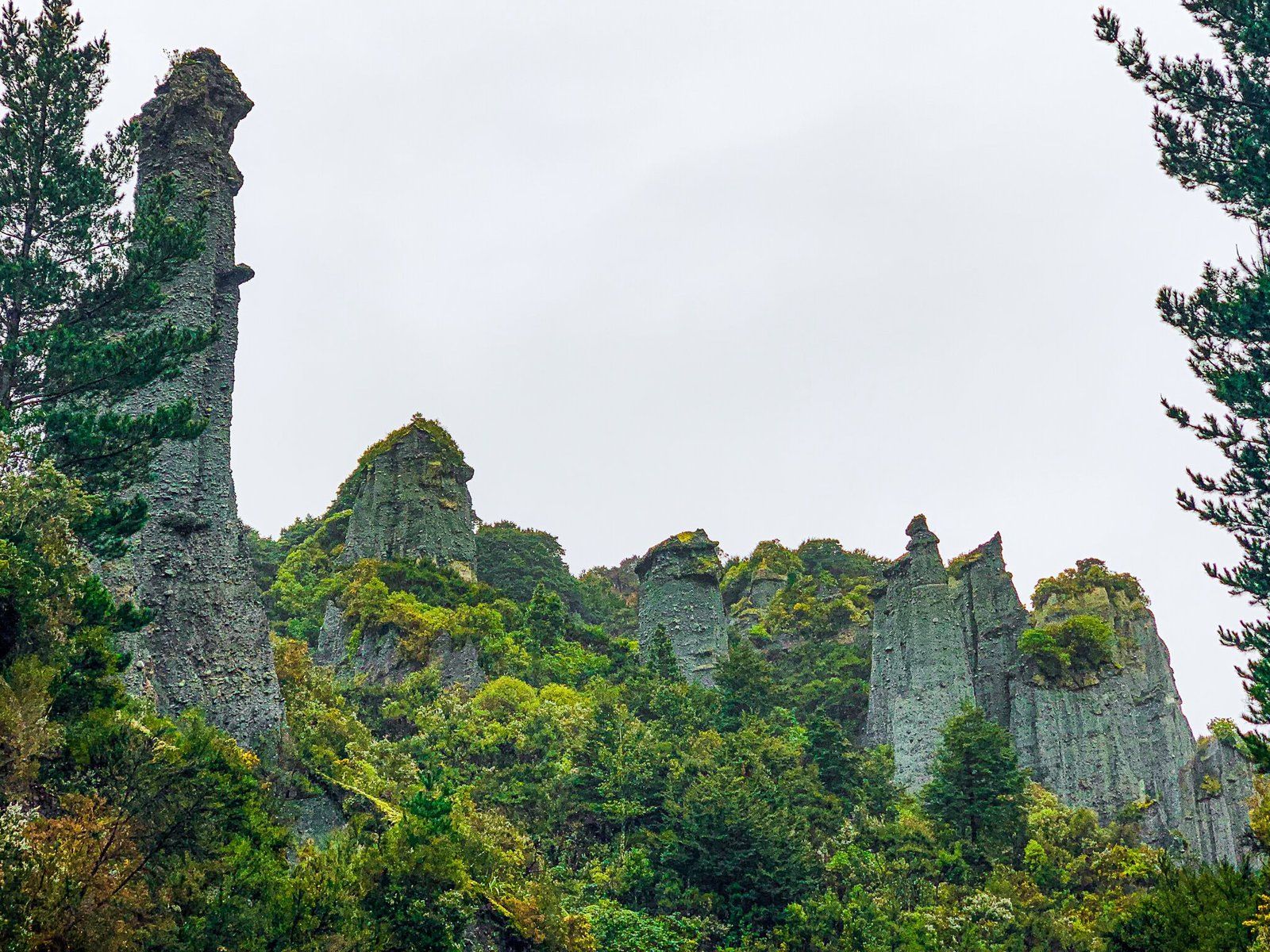
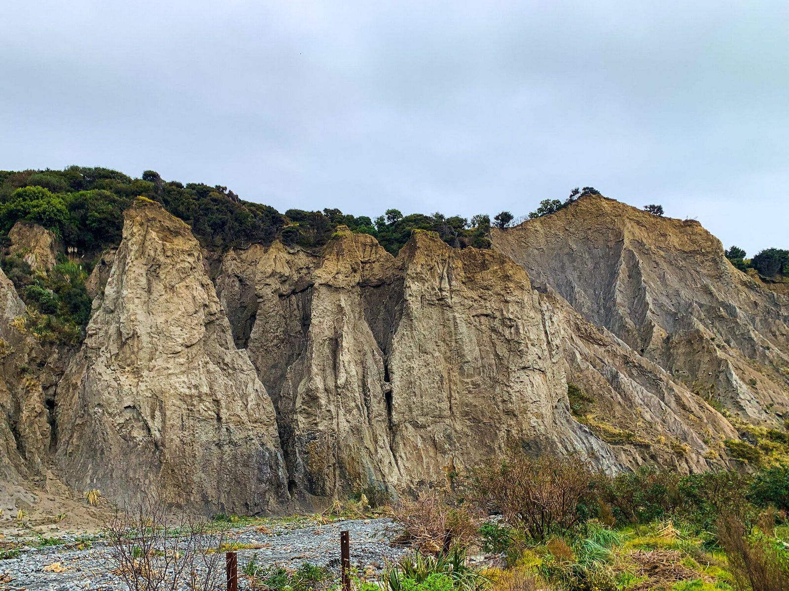
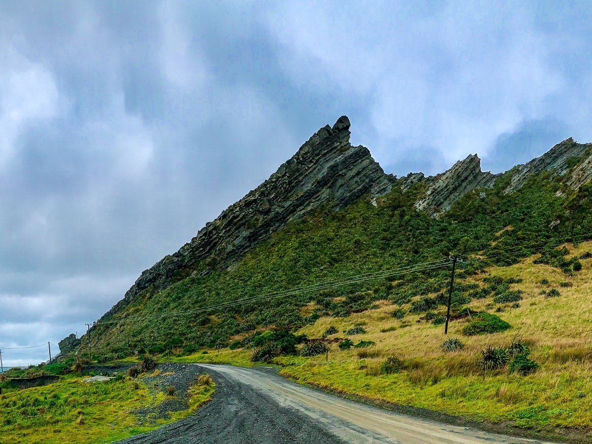
If you have a trip out to Cape Palliser planned, the Putangirua Pinnacles are an excellent stopping point and hike along the way. They must be one of the most spectacular rock formations in the country, and the whole area is fascinating for a geology hobbyist. Drive past the first grassy pullout and continue on to park in the gravel area. There are some interesting rock formations visible from the car park, but if you want the truly spectacular views you’ll have to hike to earn them.
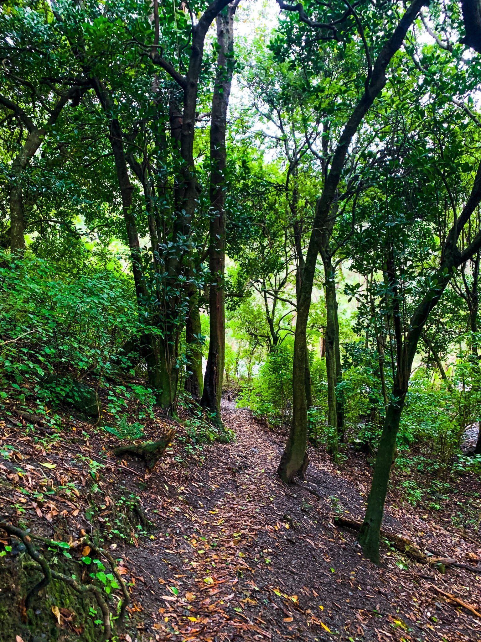
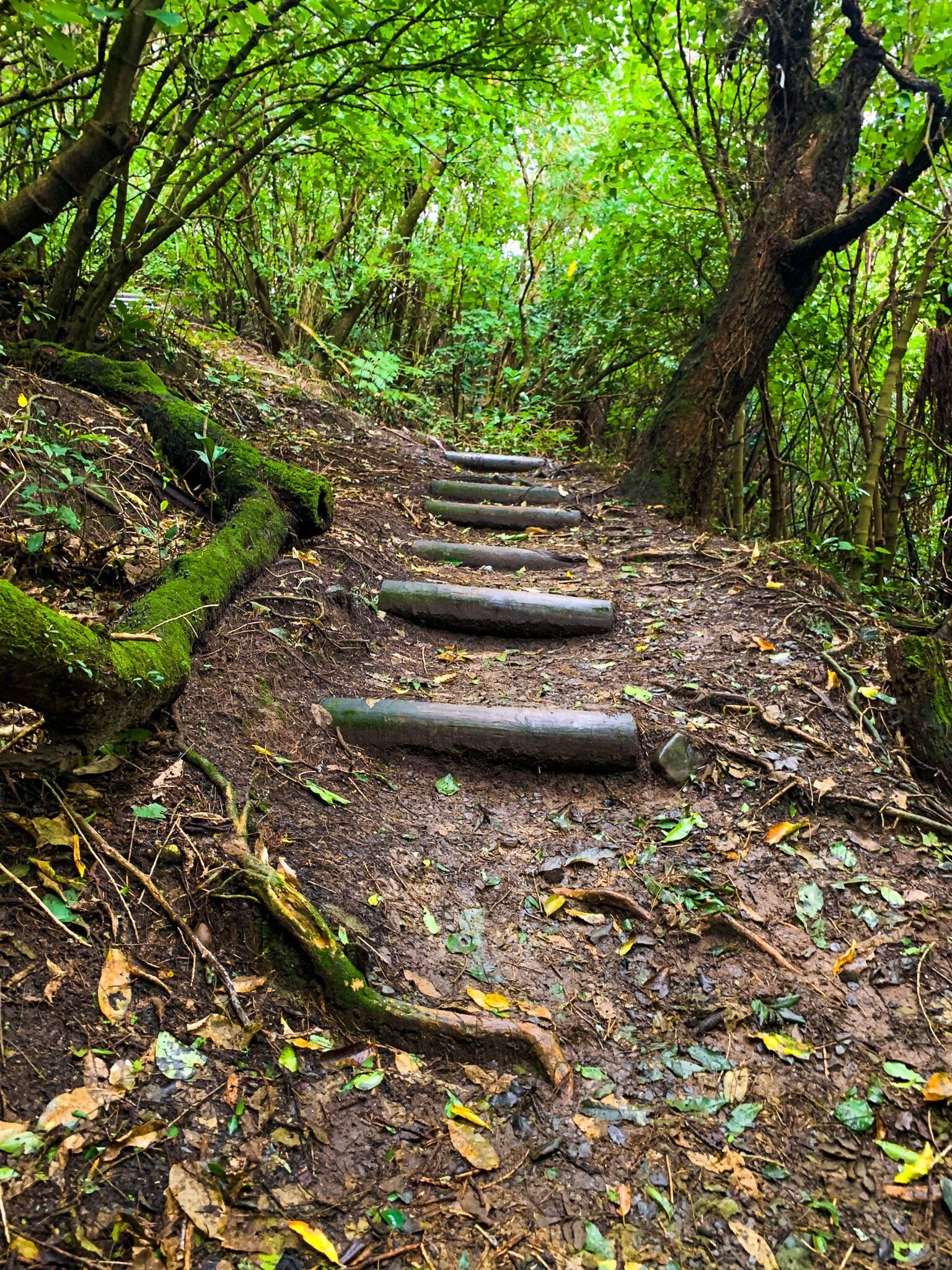
To find the trail head, walk to the end of the car park, where a sign indicates the beginning of the walk. From there you will follow the river bed (include finding spots to cross without getting too muddy) for about fifteen minutes before having the option of turning off to the ridge track to the elevated lookout, or continuing along the river trail to the lookout. The third option is to bypass the lookout completely and walk directly up the river trail to the base of the pinnacles, probably the best bet if you’re short on time.
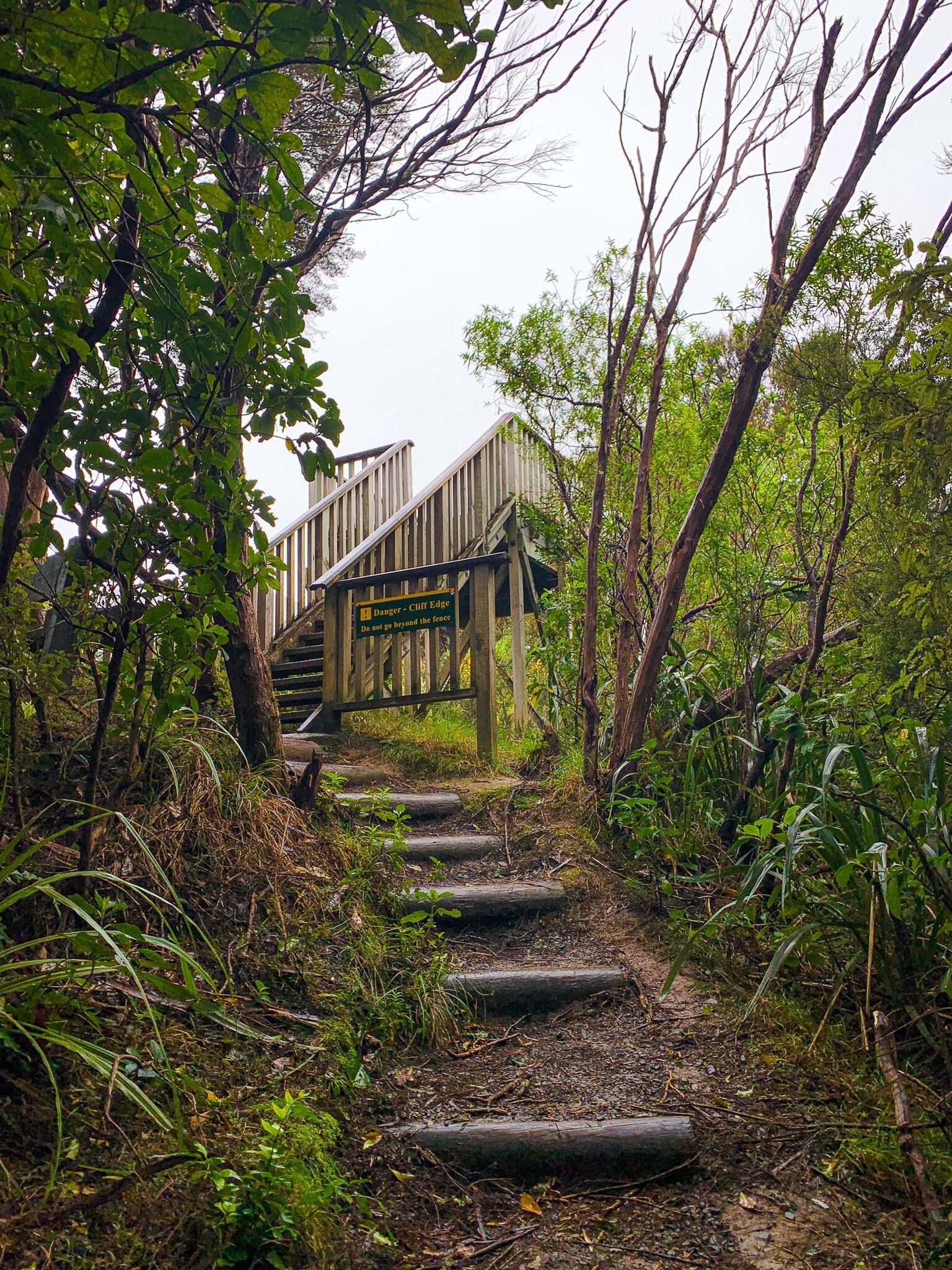
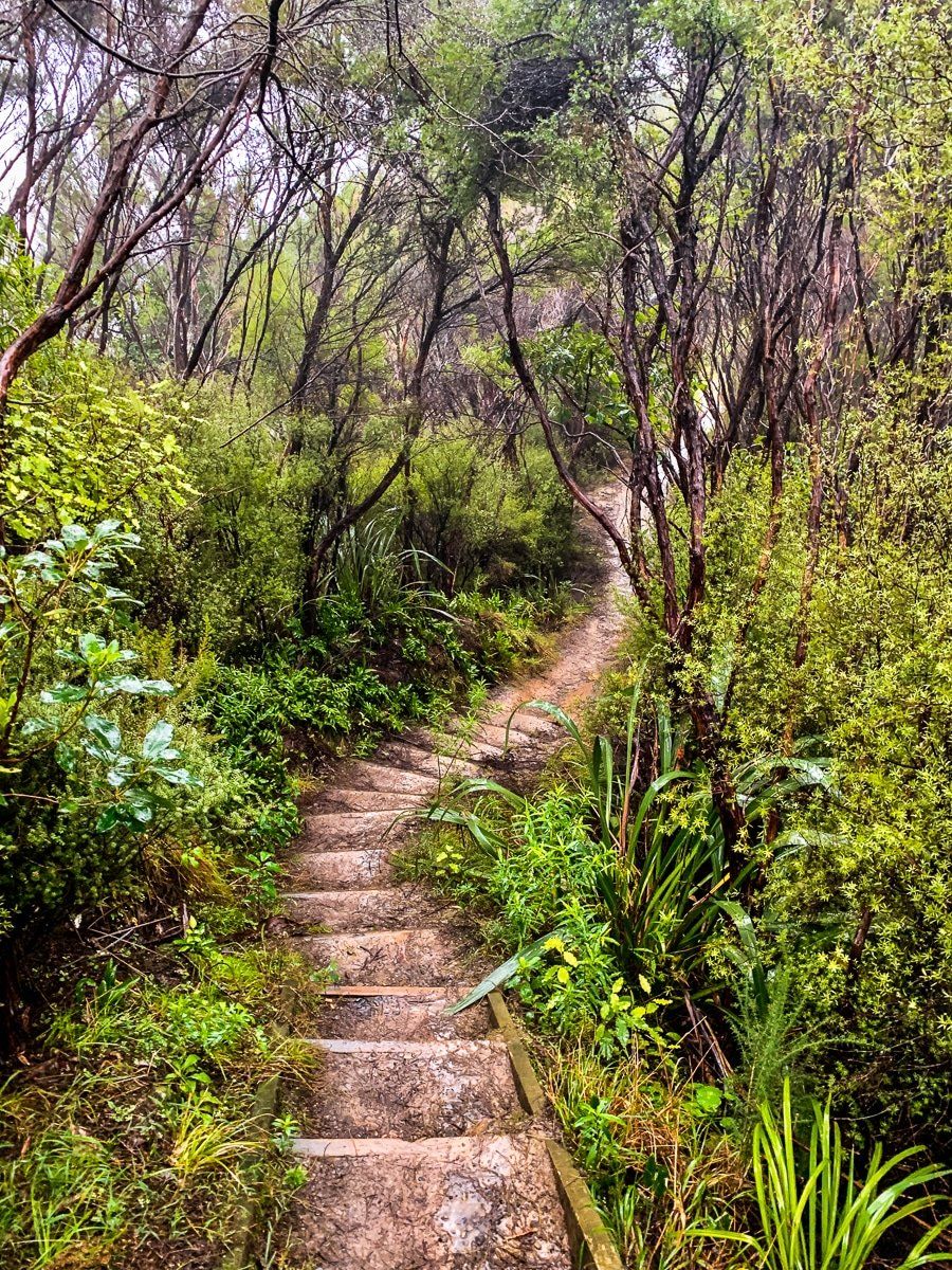
We took the ridge track up to the lookout, following a pretty traditional NZ bush hiking trail through native forest and up along the ridge line. If you’re not a fan of heights, we would recommend taking the river trail instead as there are a few points along the ridge with deep drop offs below the path. Eventually you will reach the lookout point, very obvious with a wooden platform erected, and you can see directly across the valley to the pinnacles.
Putangirua Pinnacles – River Track
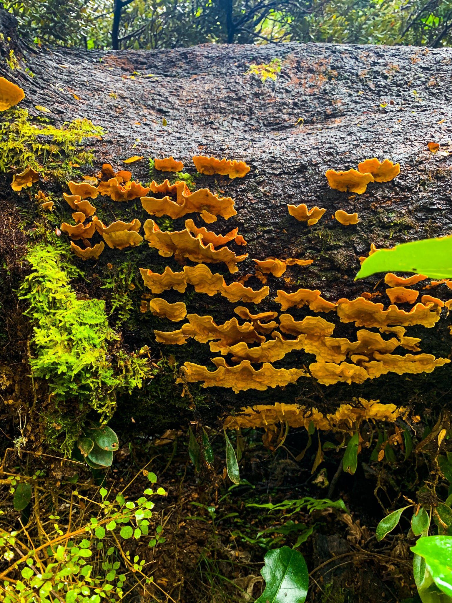
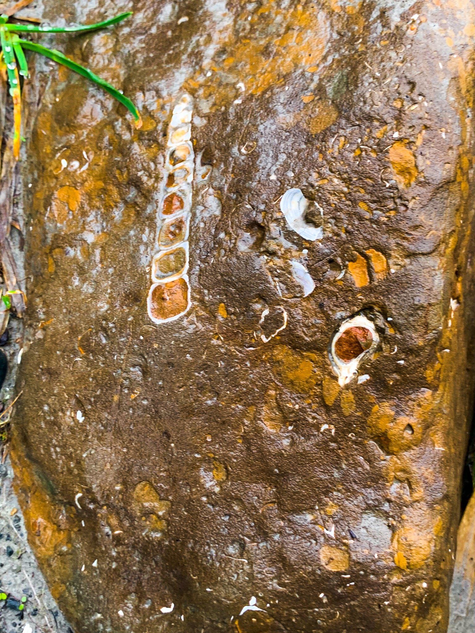
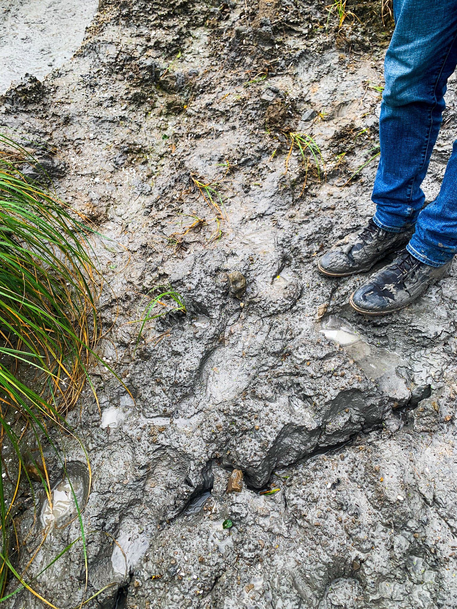
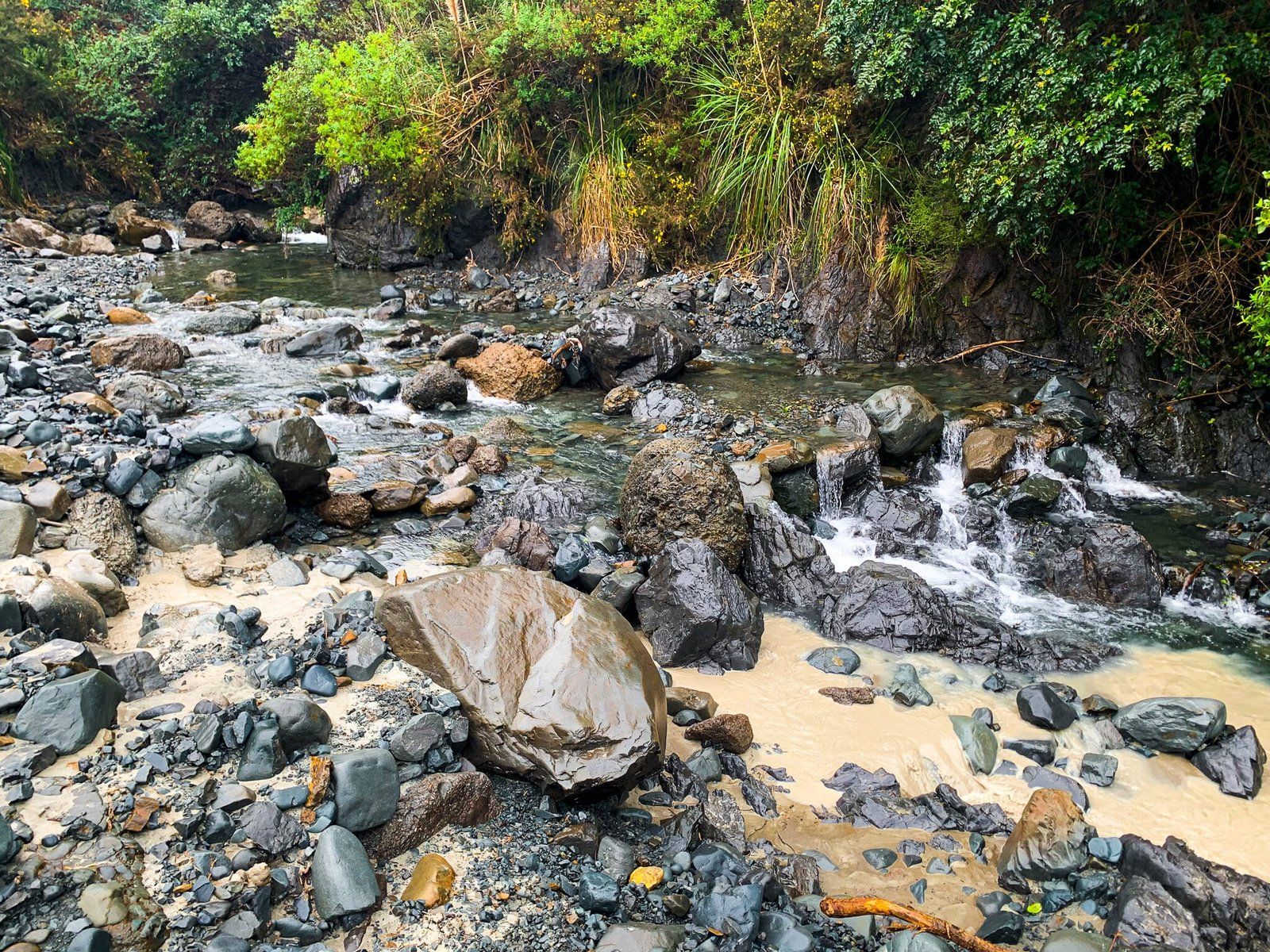
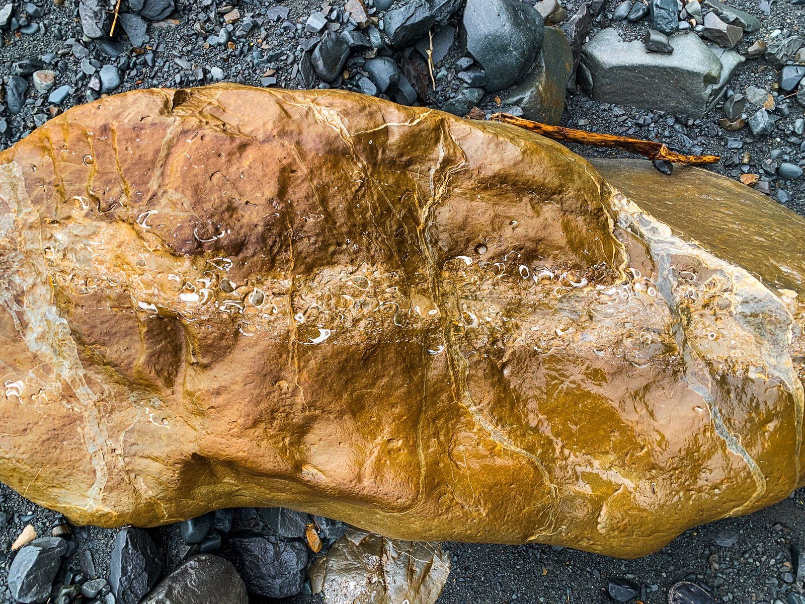
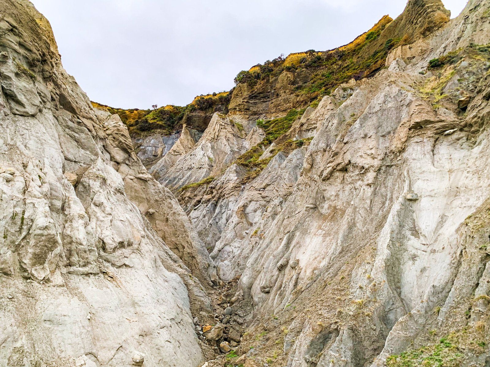
To do the full loop, continue on down from the lookout and follow the zig zag path which leads back to the river. You can then head up the river to see the pinnacles from below (fifteen minutes there), or walk back down the river to the car park, another hour and a bit. Along the way, keep an eye out for the many fossilised shells embedded in the river rocks. Also keep an eye out for the blueish grey clay, which varies is consistency from firm enough to walk on to soft enough to swallow a shoe whole, with no visible difference. We had to learn that one the hard way! The river track requires multiple crossings, so hiking boots and poles are recommended, but we were able to avoid getting too wet without them.
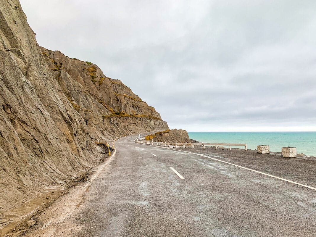
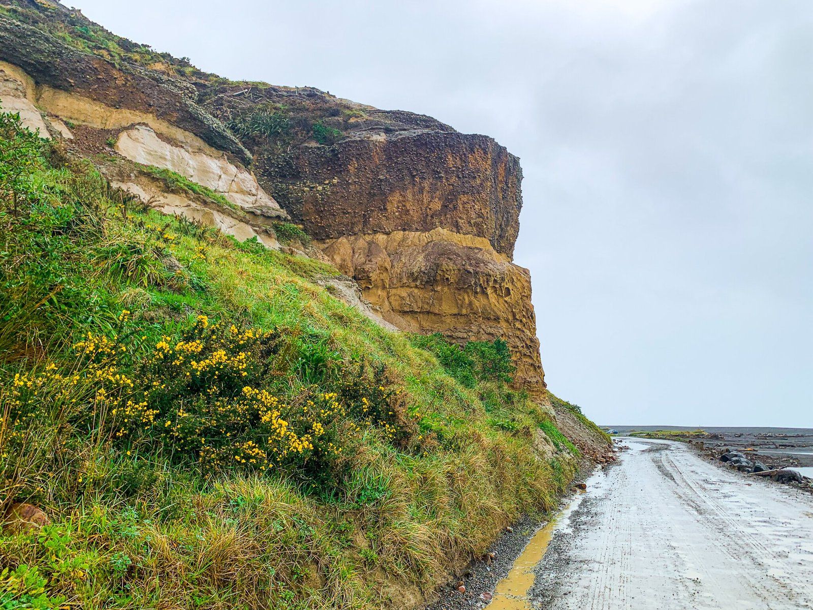
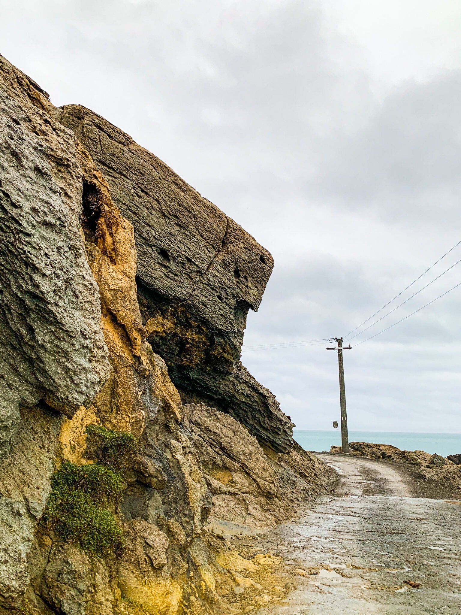
Cape Palliser Road
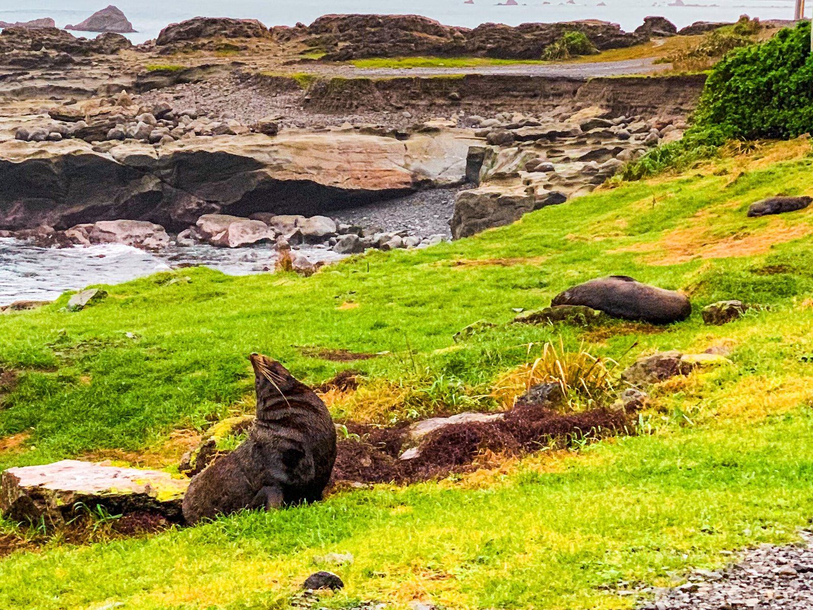
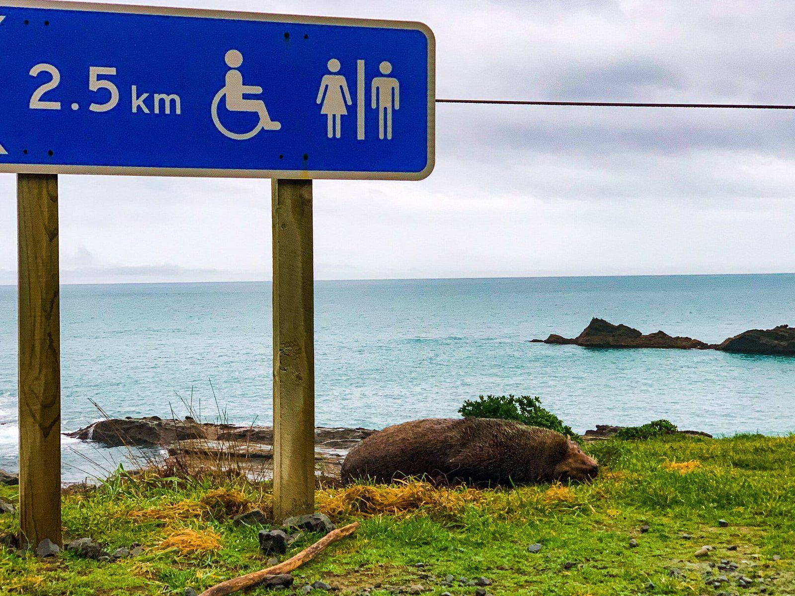
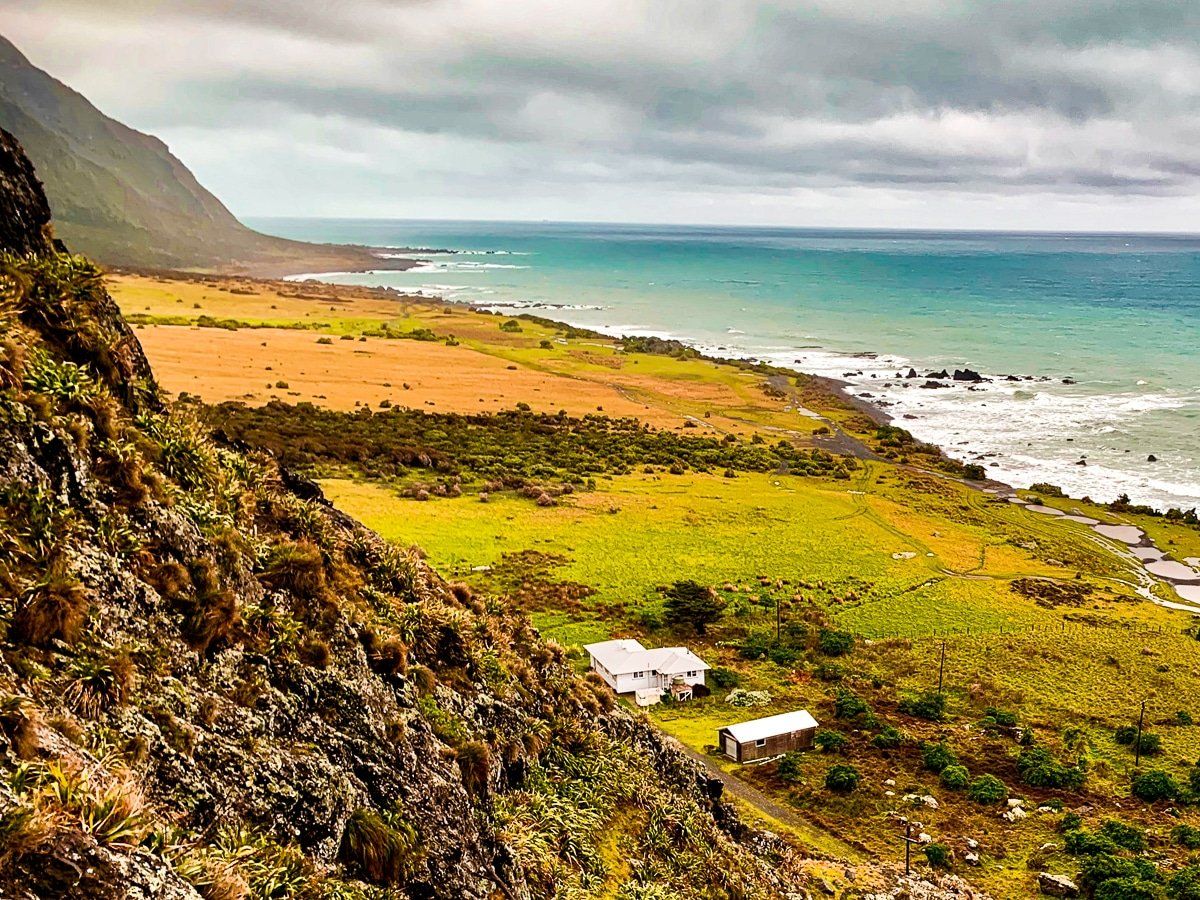
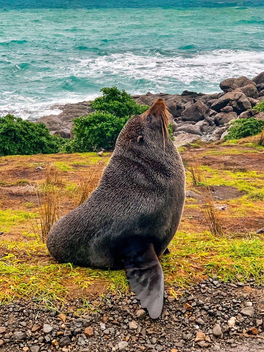
Continuing along the coastal road from Putangirua, you will pass the fishing hamlet of Ngaiwi with gorgeous views out to the ocean. The geological features continue and magma basalt canyons are visible from the road, without requiring any additional hiking. As you near the Cape, drive slowly and keep an eye out for sea lions, which can be seen lolling about by the side of the road, as well as crossing it. There is significant damage to the road in places, with the coastal lane having completely dropped off in two locations and fords and slippery mud coursing over it. It also goes from being a sealed road to pot-holed gravel.
There’s also an amazing rock formation called Kupe’s Sail – a reference to a Māori discoverer of New Zealand.
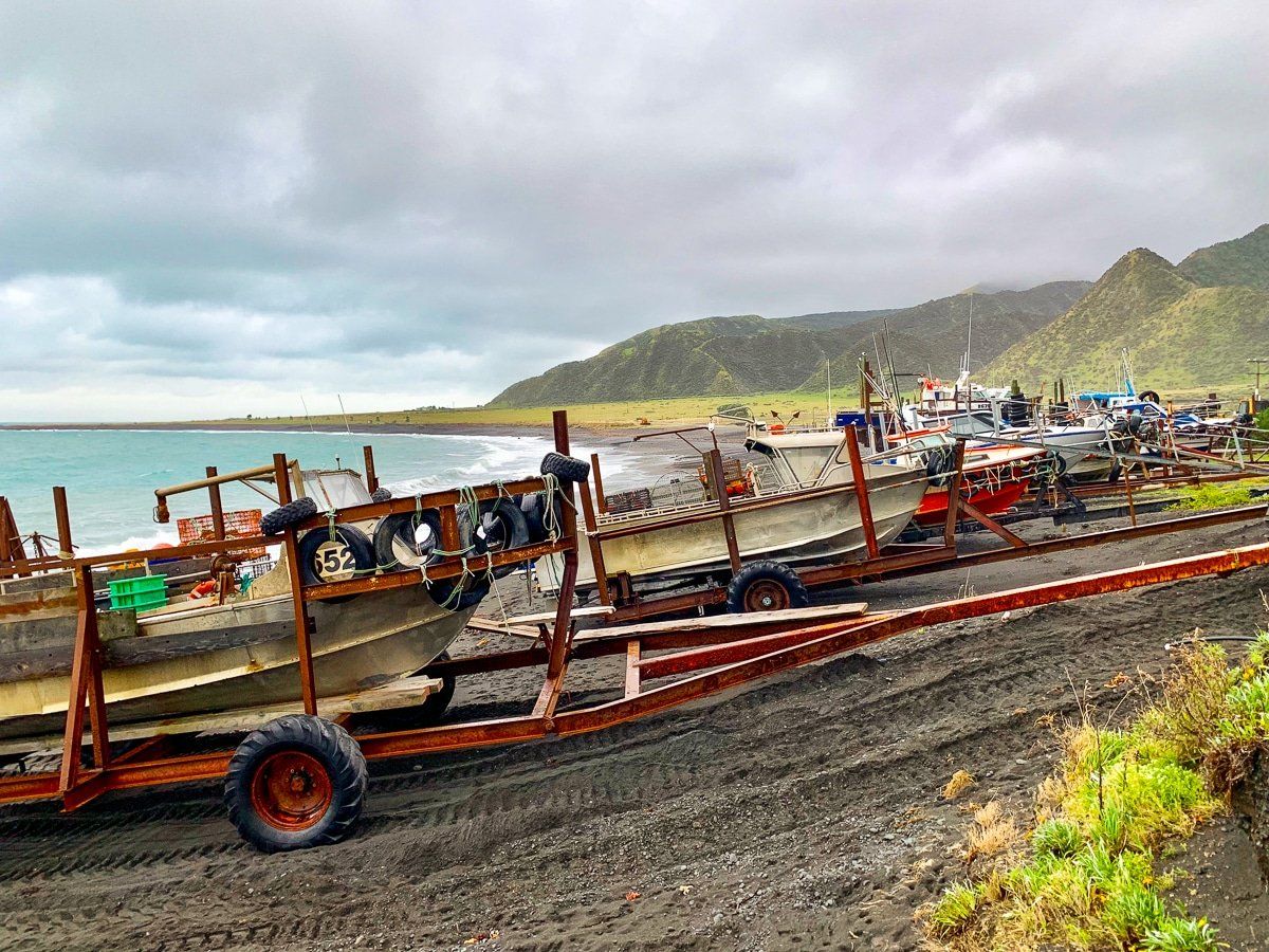
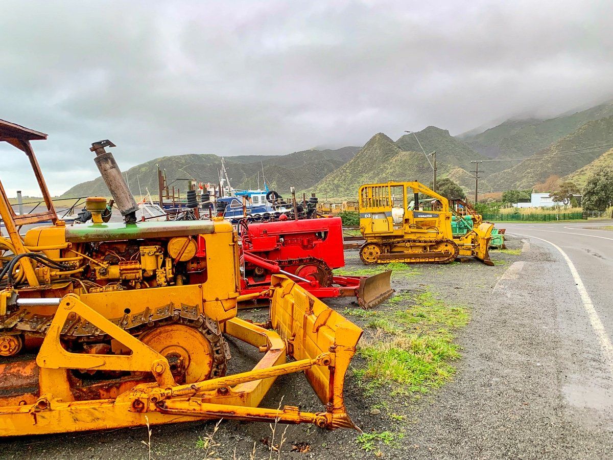
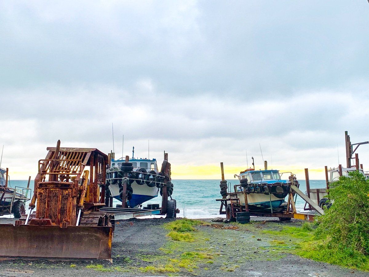
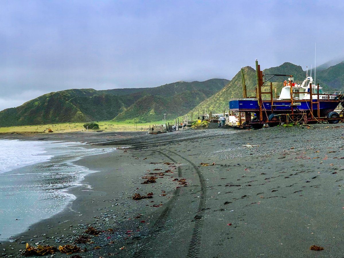
Ngaiwi
There aren’t that many pure fishing villages left in New Zealand, so visiting Ngaiwi is a very unusual and special experience. There are boats lined up on trailers on the beach, waiting to be pushed into the sea – as well as a caravan selling coffee and fish and chips, perfect for warming up on a rainy day.

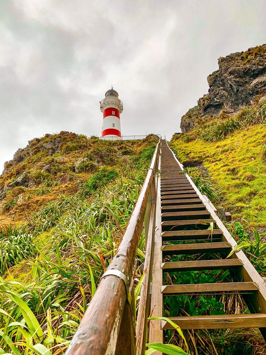
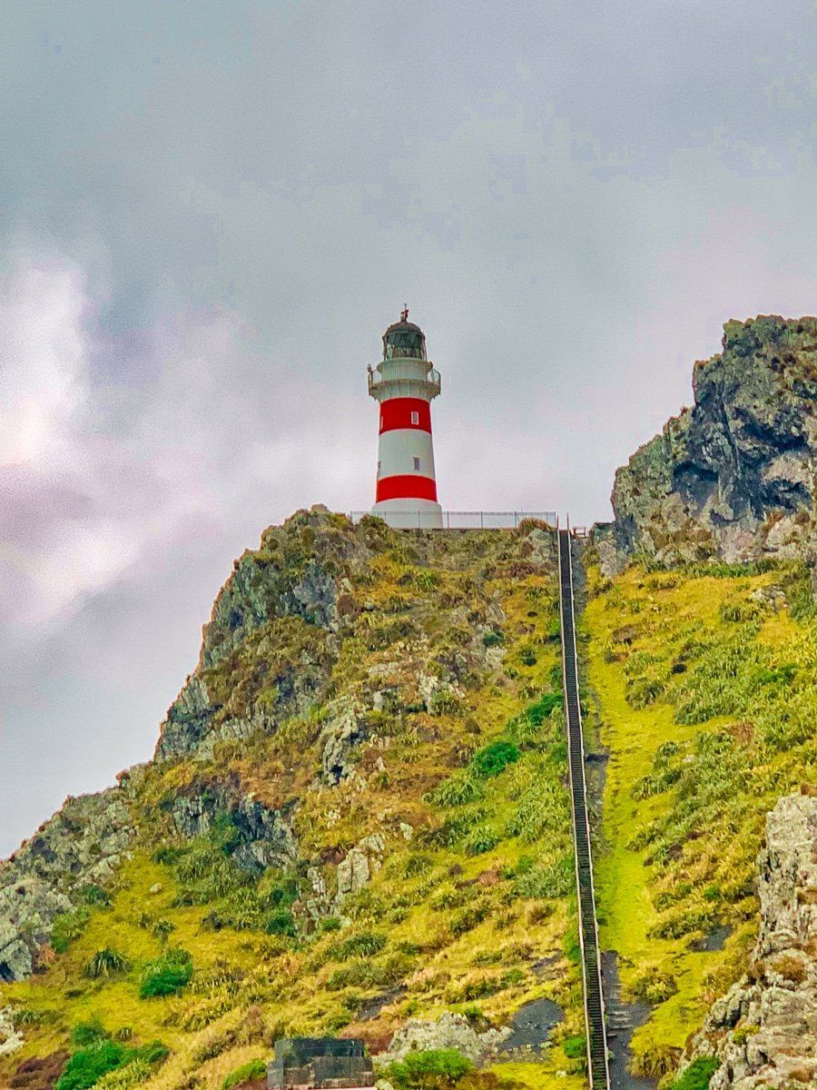
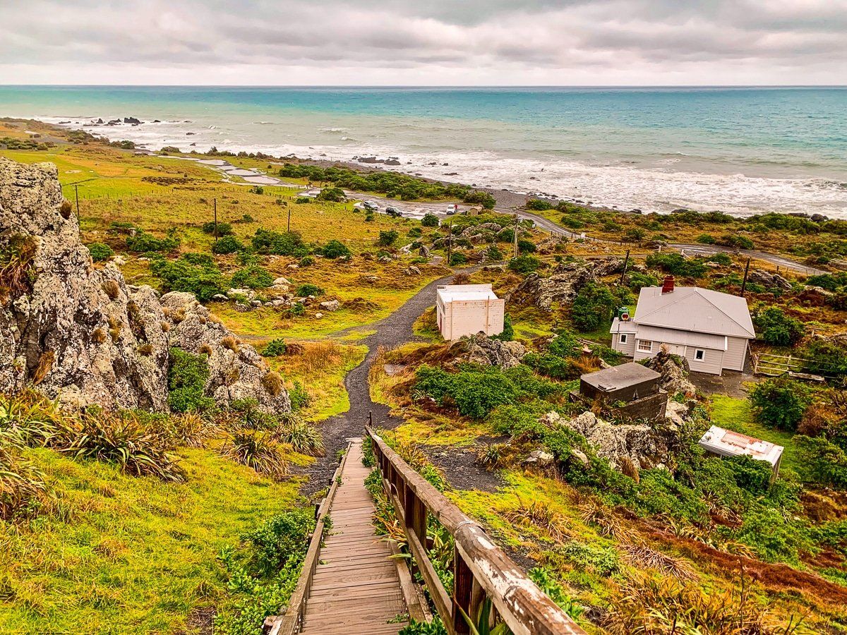
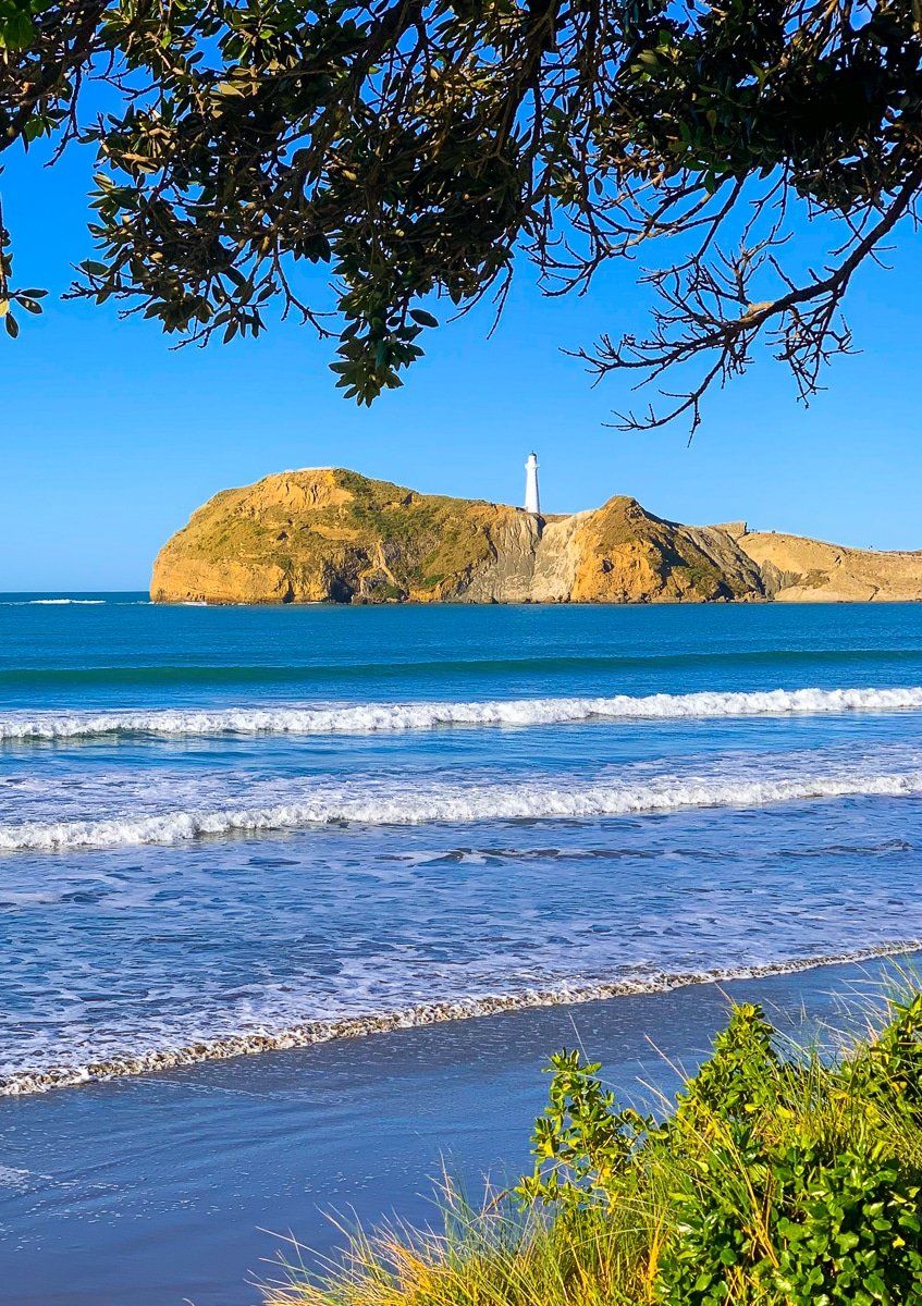
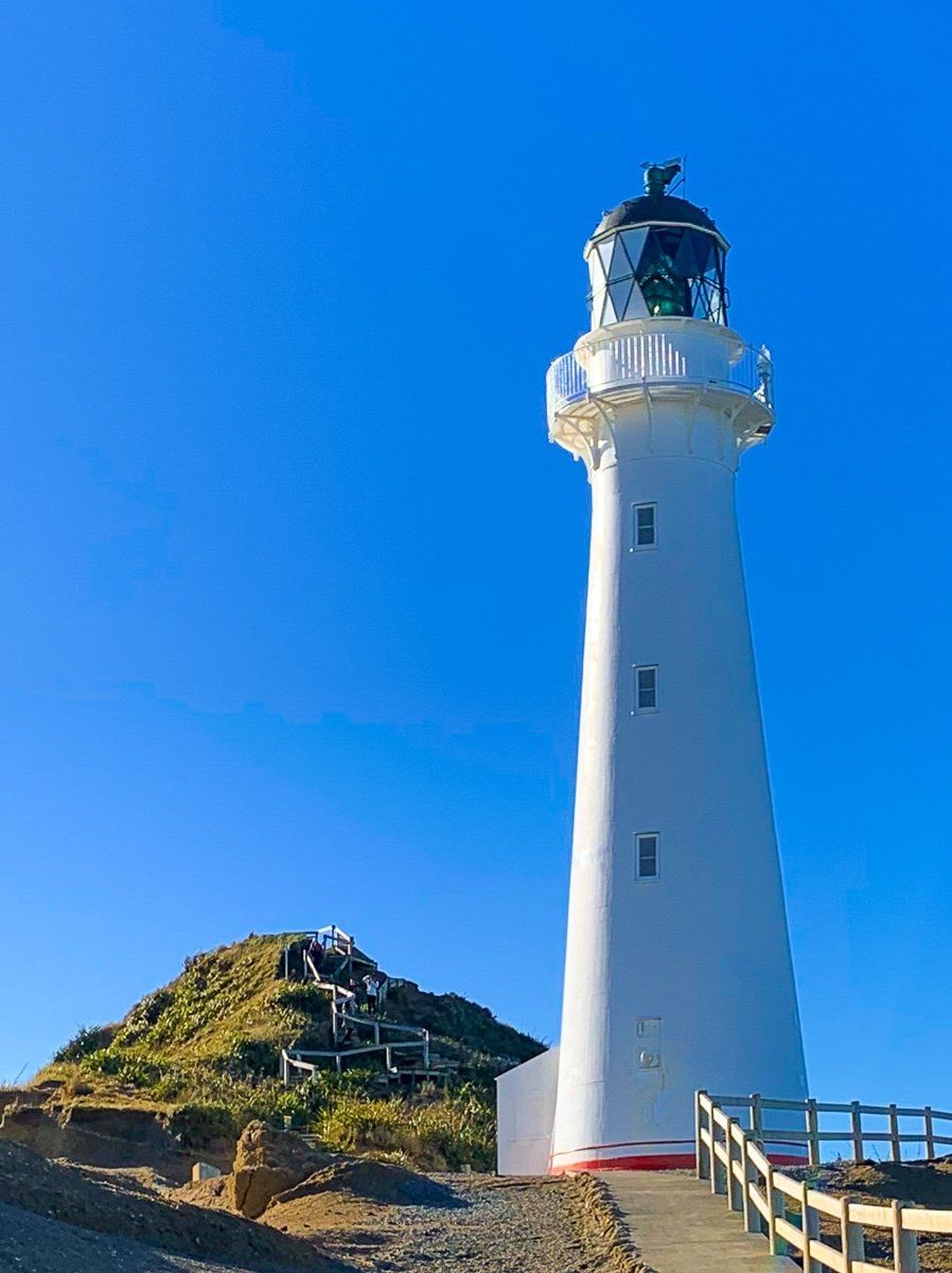
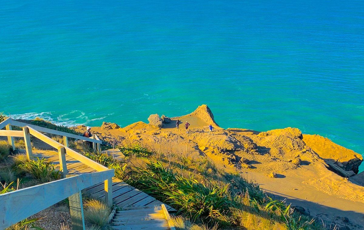
Cape Palliser
Cape Palliser, found at the end of Cape Palliser Road, is the unmissable stop on this Wairarapa adventure. You can walk up the steep stairs to the lighthouse, with magnificent views across the region. Plus, there’s a sea lion colony – when we visited there were plenty of sea lions just a metre from the road.
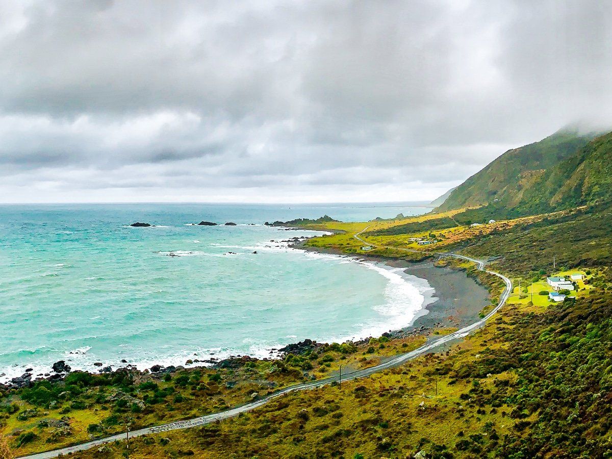
Masterton Castlepoint Road
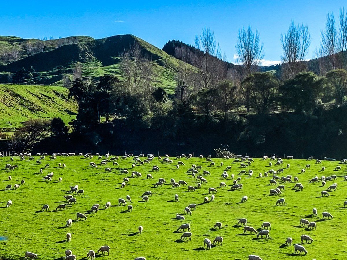
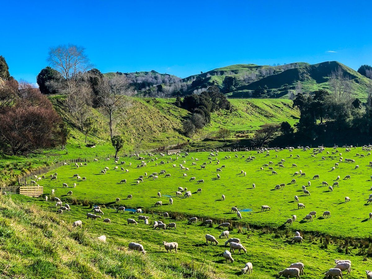
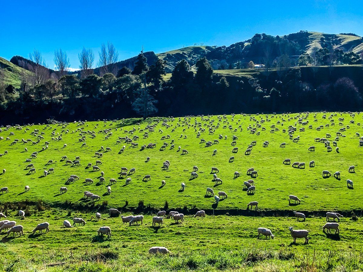
Masterton Castlepoint Road connects Masterton, which lies at the northern end of the Wairarapa, and Castlepoint. It’s a very pretty rural drive – even by New Zealand standards.
The main problem is finding somewhere safe enough to stop when you see an idyllic pastoral scene, complete with sheep. The road is also somewhat undulating and windy for much of the drive from Masterton, so take your time.
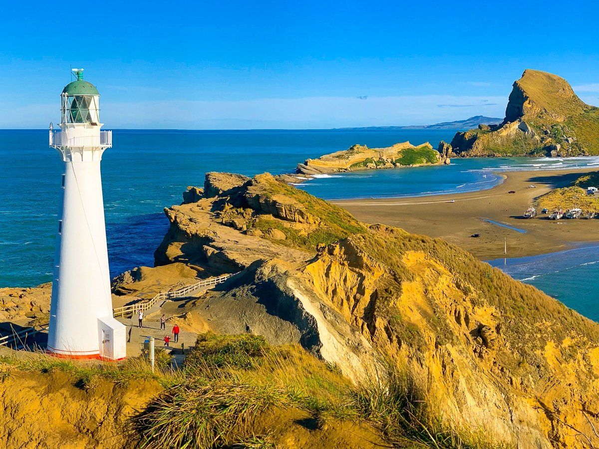
Castlepoint
Visiting Castlepoint is a must-do on any trip to the Wairarapa region. There’s plenty to see and do: the lighthouse, a moderate walk from the lighthouse around Deliverance Cove, and then the hike up Matira (Castle Rock) for the gorgeous views. There’s also a beautiful beach, the cove lagoon, camping options, the nearby small town, and the million year old uplifted fossil reef that lies across the front of the cove.
Be careful of the tide and weather if you climb up onto the reef. We can confirm – the warning sign is there for a reason!
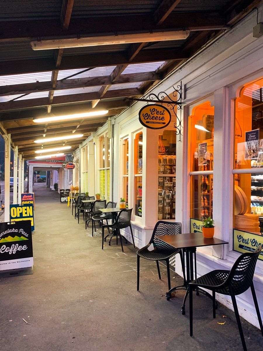
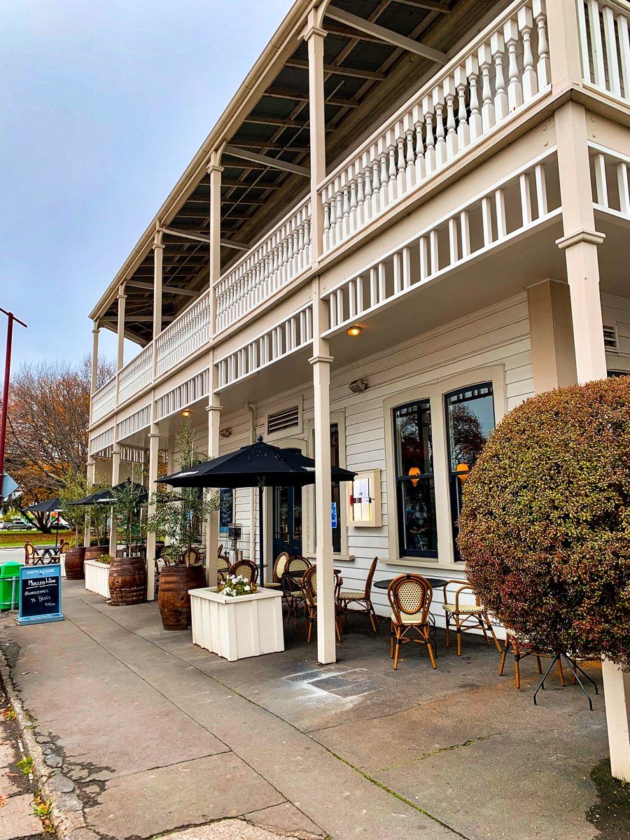
Towns of the Wairarapa
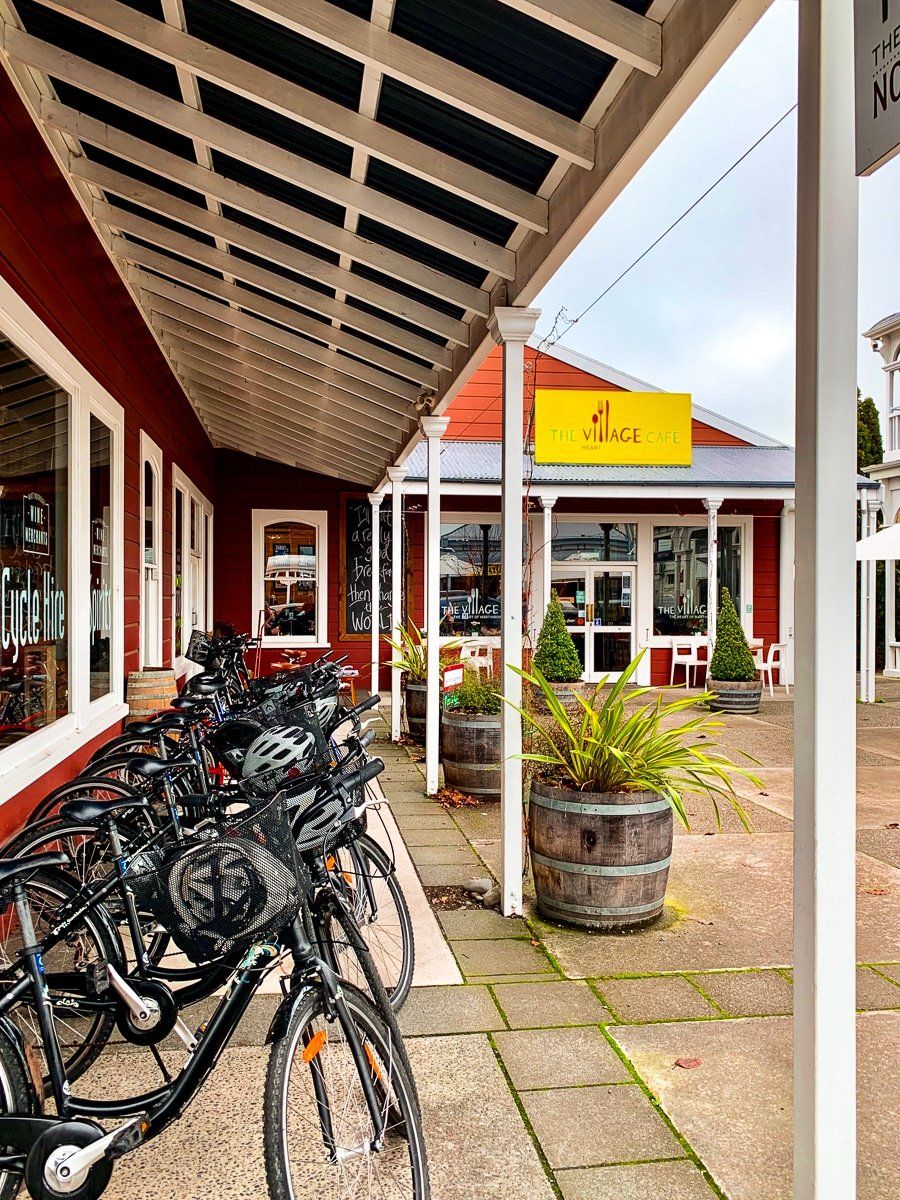
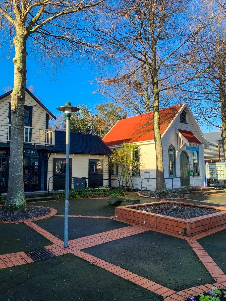
The towns of the Wairarapa are also worth a visit, especially if you’re interested in trying the local food and wines. You can’t miss Featherston (and its cheese shop) as it’s at the bottom of the Rimutaka Range, and make sure to visit Martinborough, the centre of the modestly sized but high quality local wine industry, best known for its pinot noir. Greytown is a recent winner of a ‘best small town in New Zealand’ award, and is very cute with several good cafes.
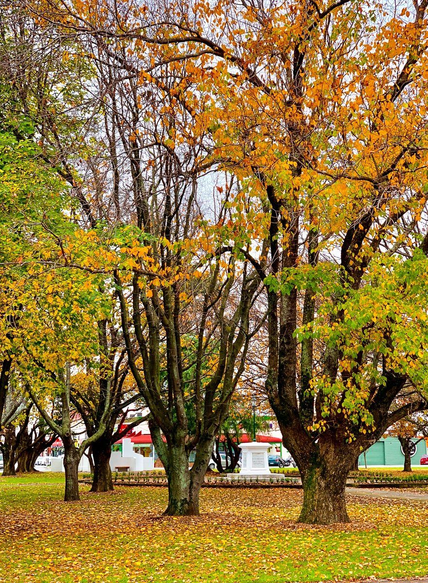
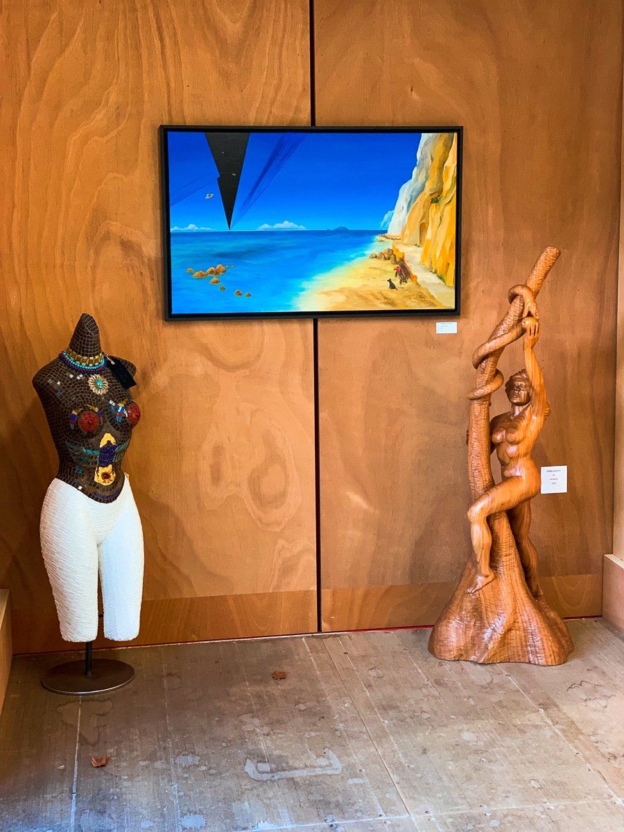
Masterton is bigger and not as cute, but has a nice park and a collection of small art galleries on Queen Street near the park.
Want more North Island travel ideas?
Check out our recent posts on the Kapiti Coast and wider and central Wellington.