This week, we are writing again about the area of the Coromandel Peninsula between Pauanui and Whitianga. This time we are mainly covering several less obvious activities and places to visit as well as the sublime Cooks Beach.
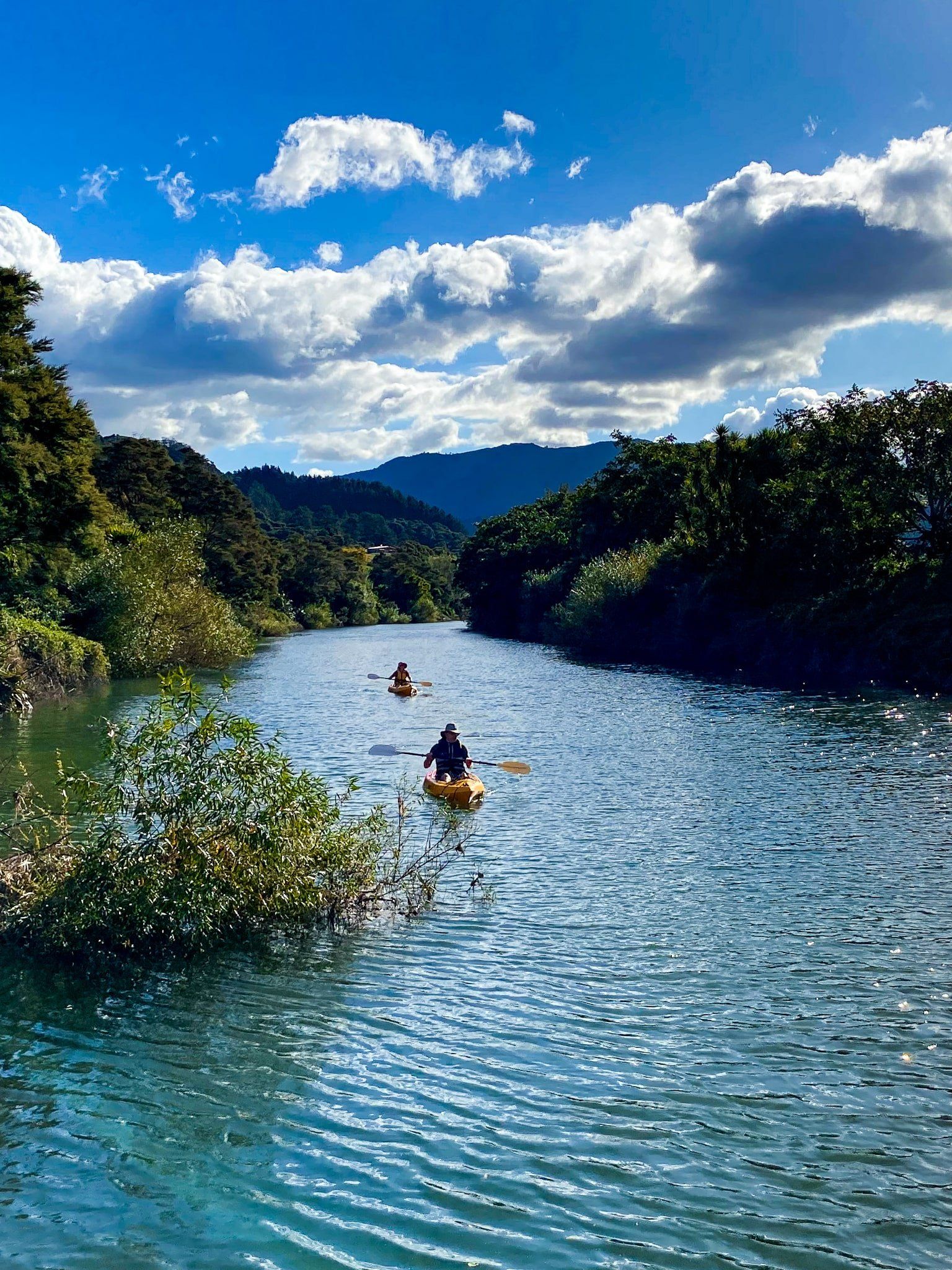
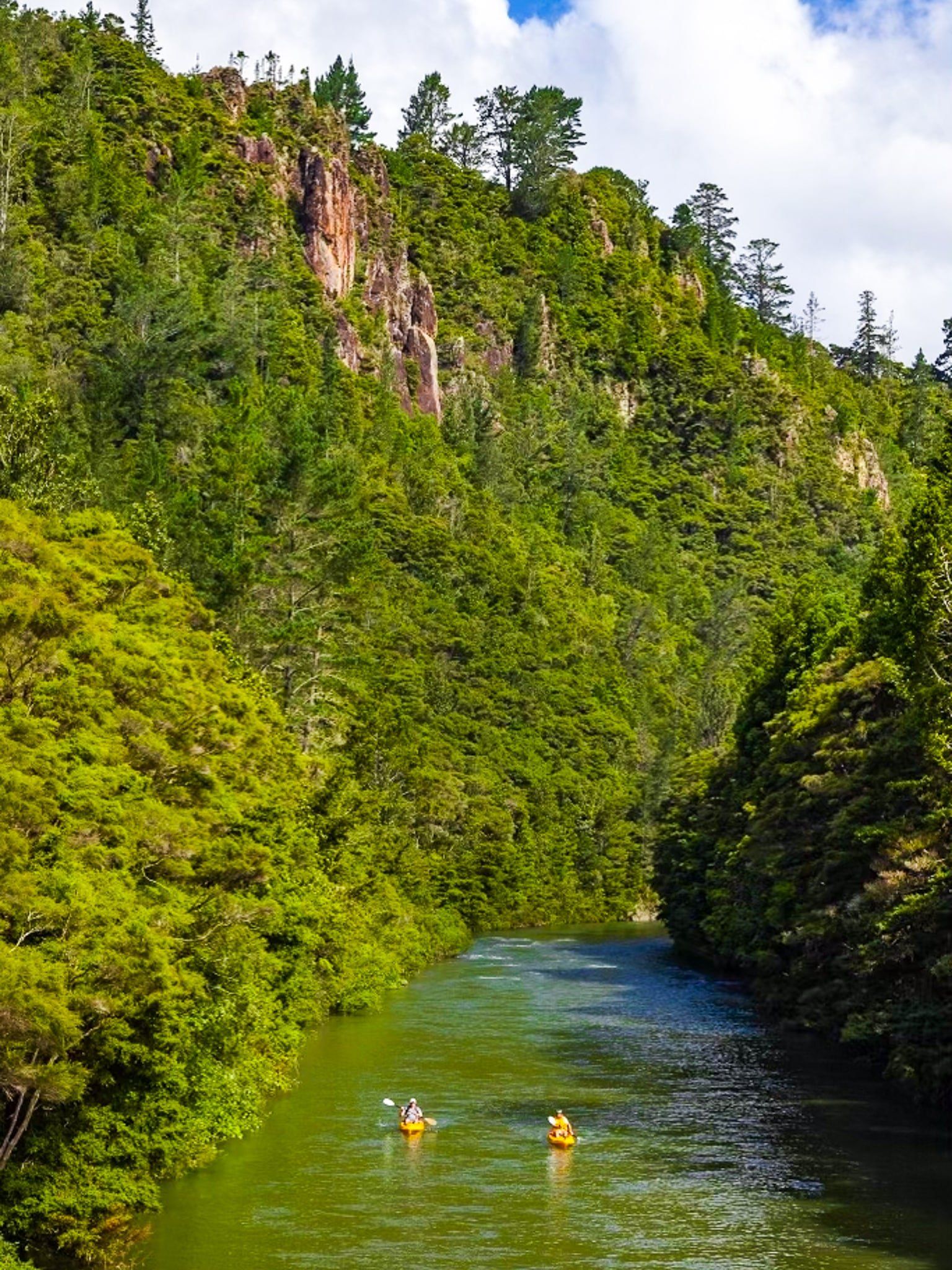
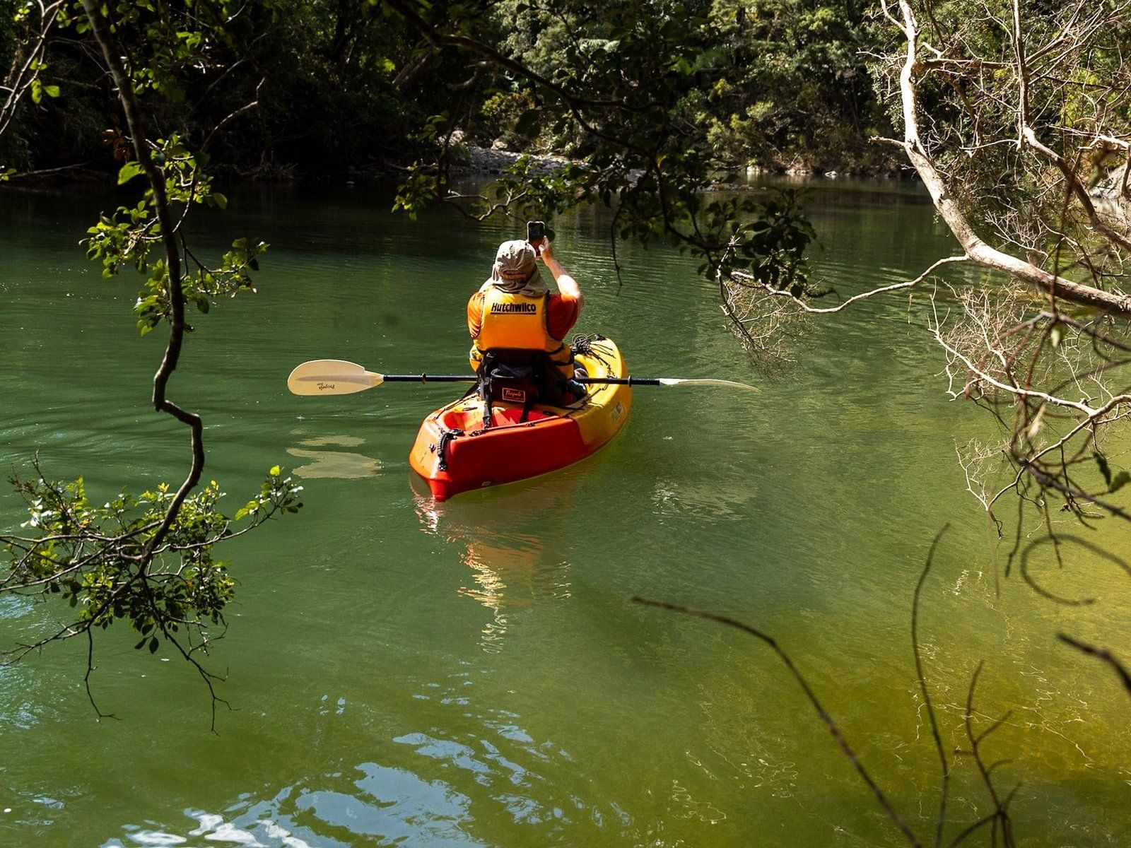
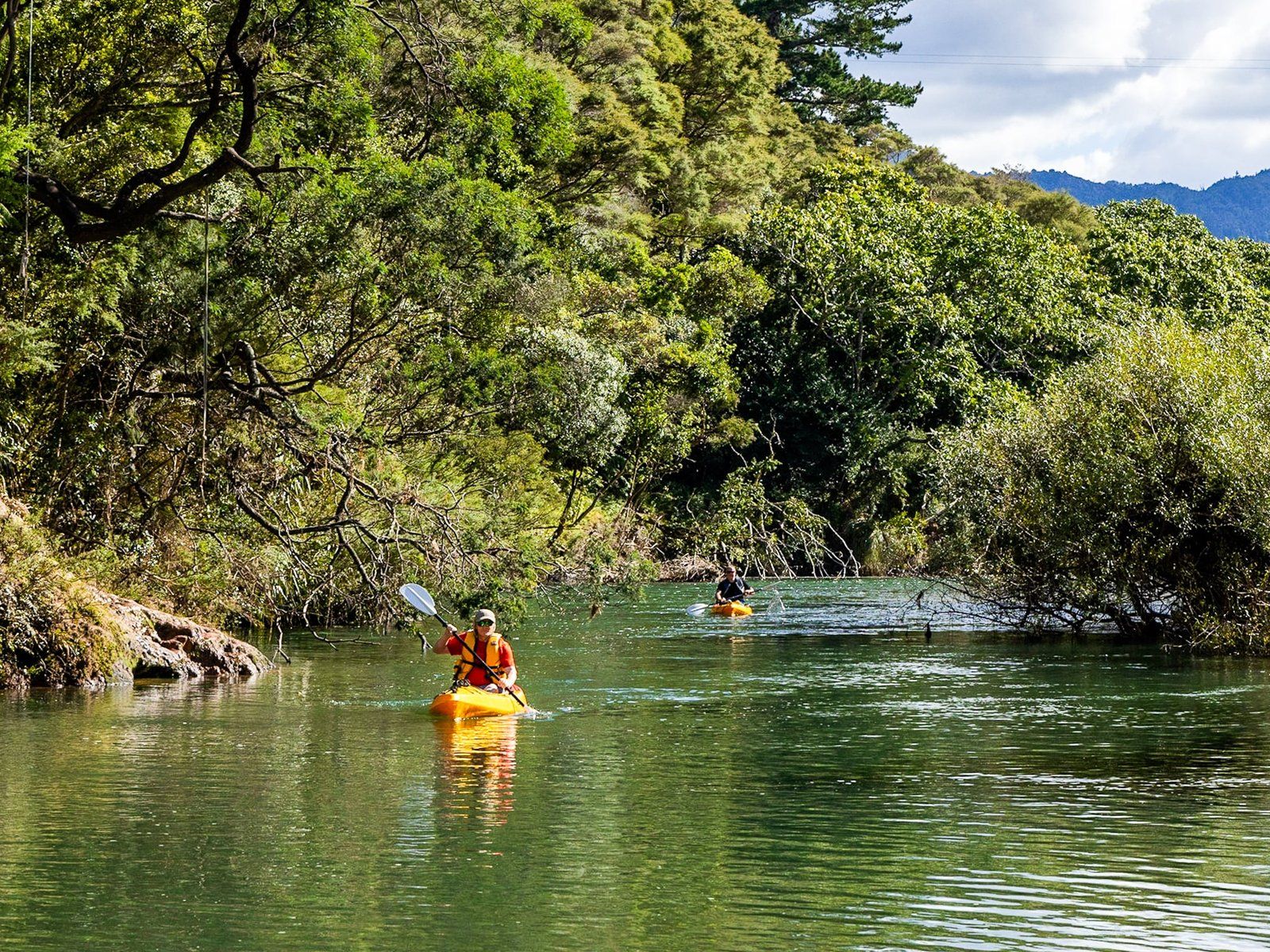
We started the trip with another visit to Pauanui, but with the specific intention of hiking the steep Pauanui Trig Track loop from the south end of the beach and back. We followed this up with a kayak ride on the Tairua River, starting from the Broken Hills campsite and ending just after the Hikuai Bridge.
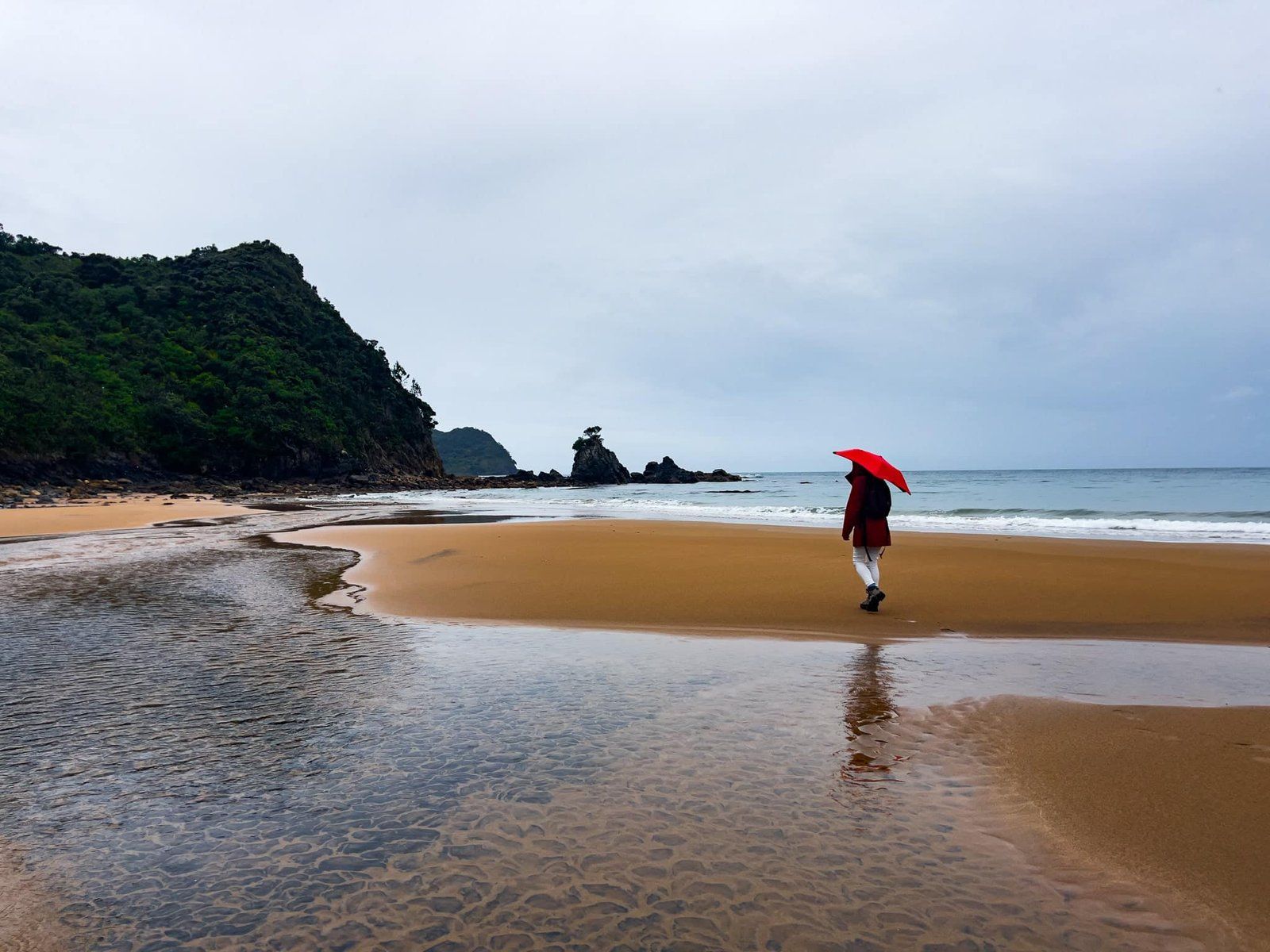
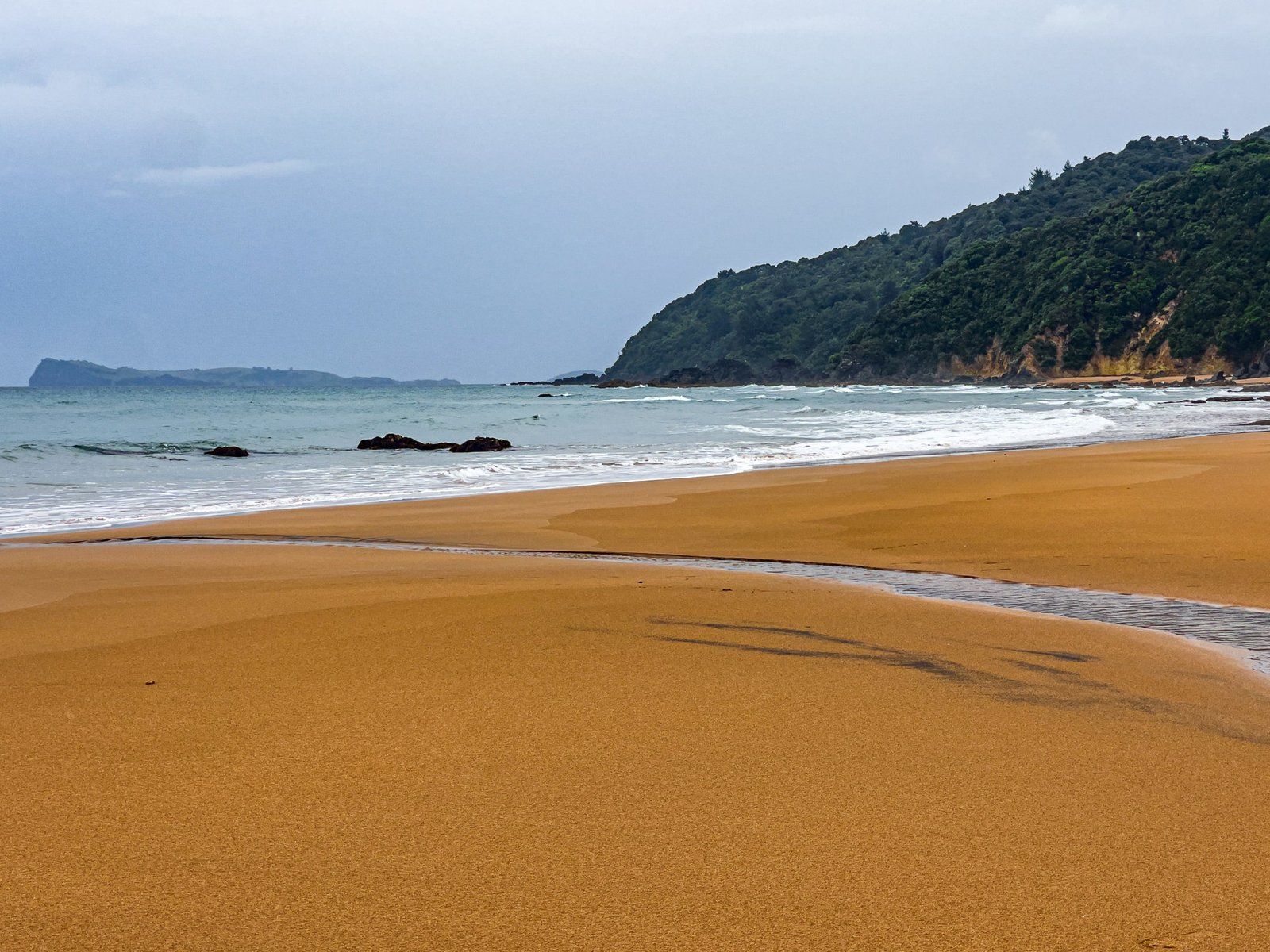
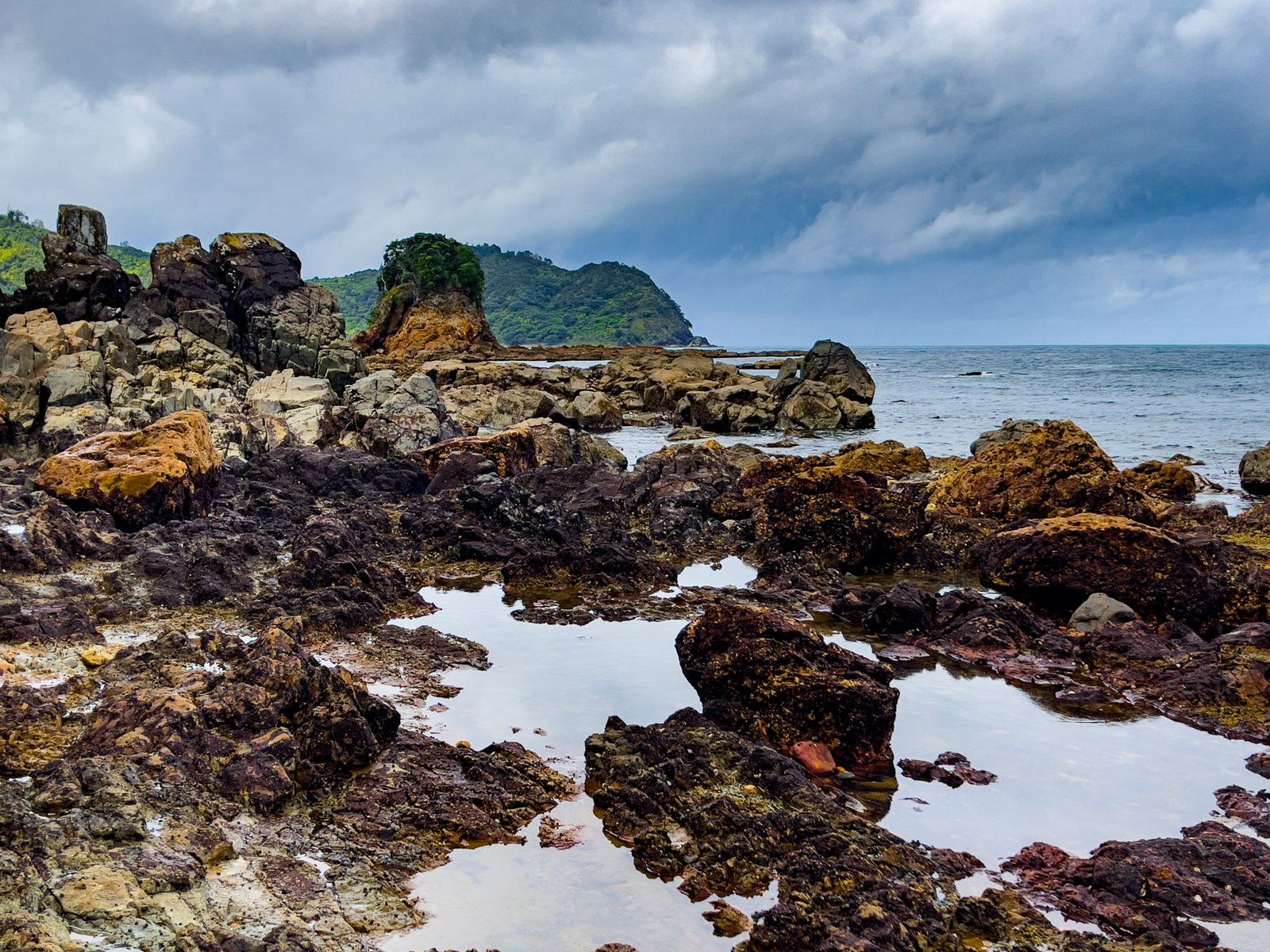
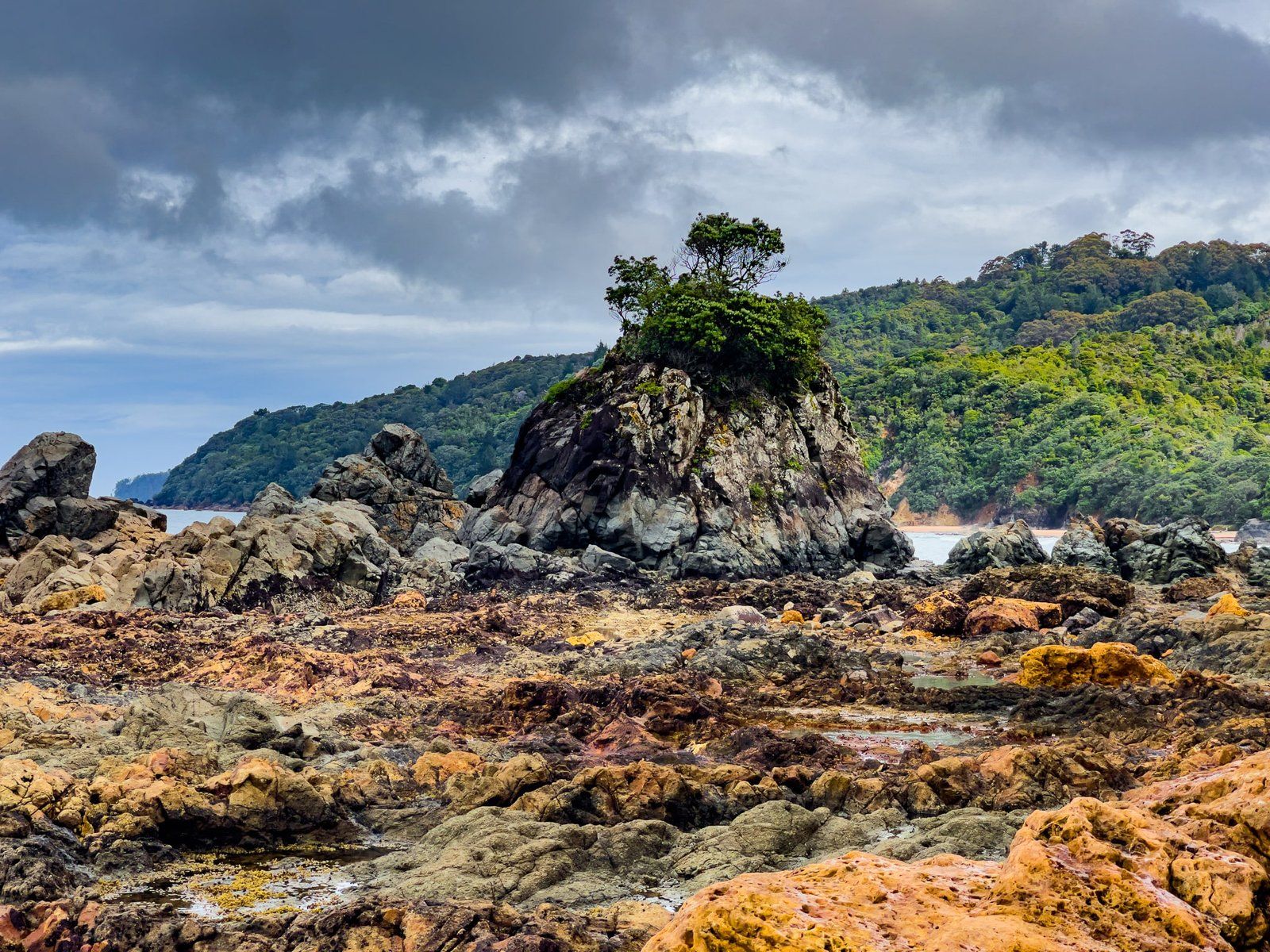
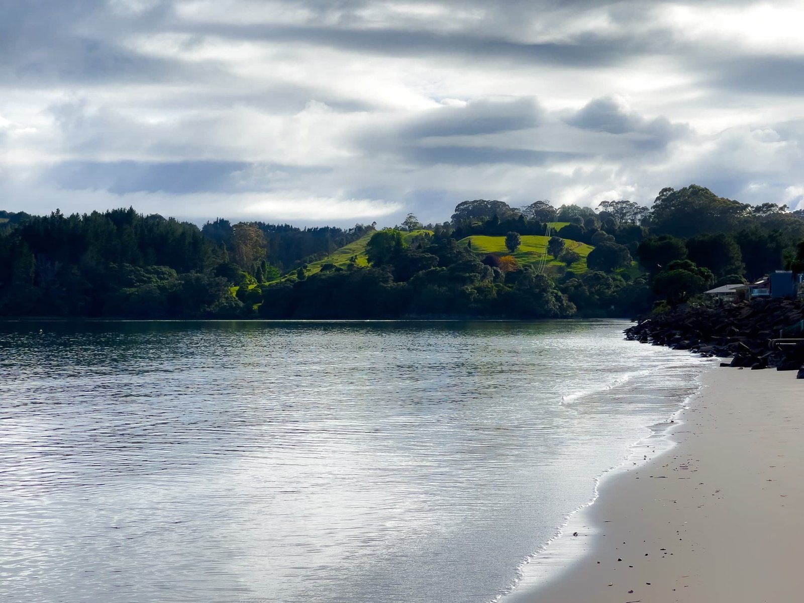
Then we headed off to two of the least known, but still stunning, beaches on the east coast of Coromandel – Sailors Grave (Te Karo Bay) and Otara Bay. This visit included a walk along the Otara track that links the two bays. Although the weather was stormy on this part of the trip, it did make for some moody pics.
Finally we visited Cooks Beach. This is a nice beach town with a typically beautiful east coast beach. But it has a much more sedate and local feel than the nearby tourist hotspots at Hahei, while still offering access to Cathedral Cove and Hot Water Beach. It is also historic, being a key stopping point for the explorers Kupe over 1000 years ago and Captain James Cook in 1769.
Pauanui Trig Track East Side
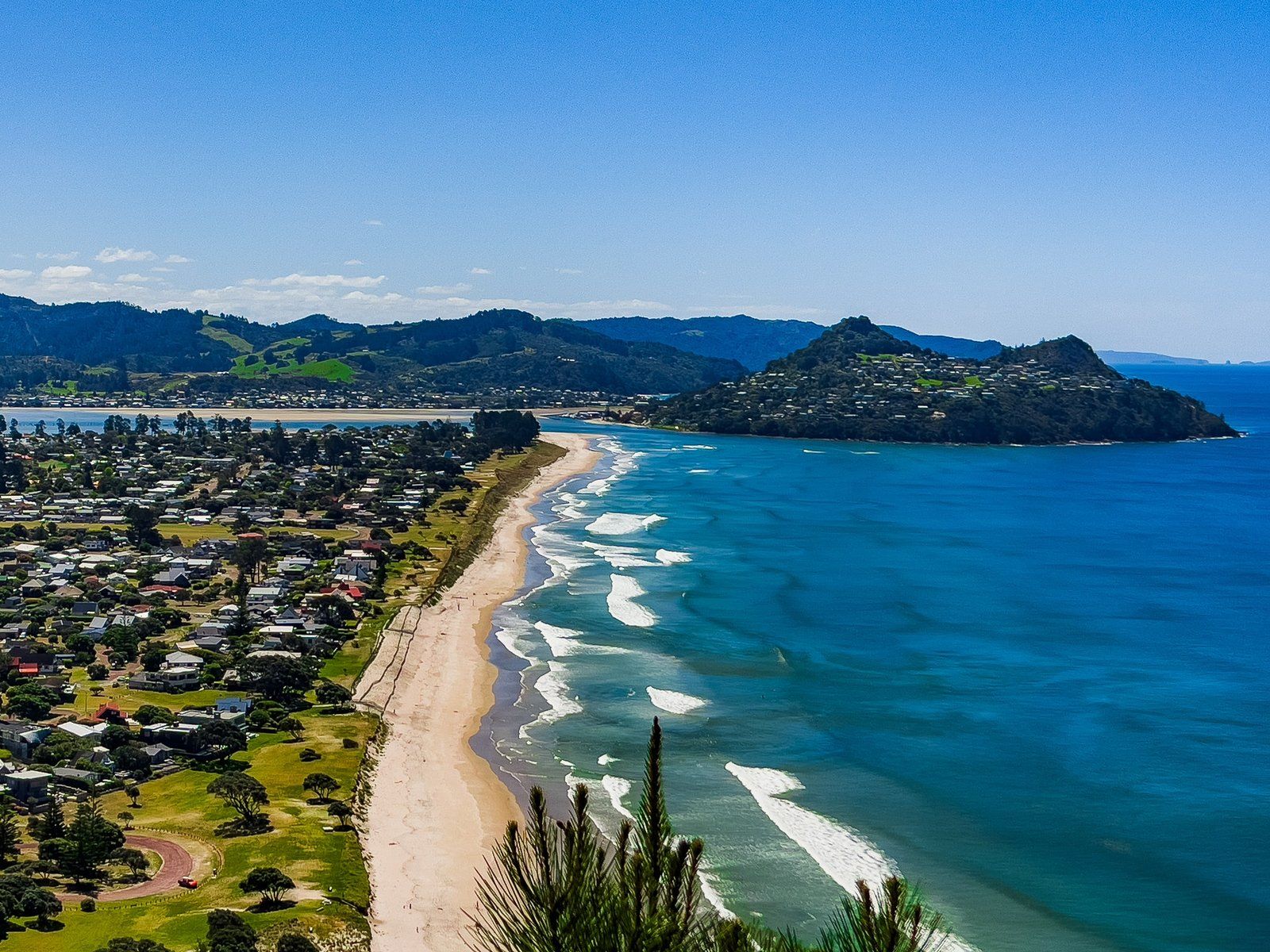
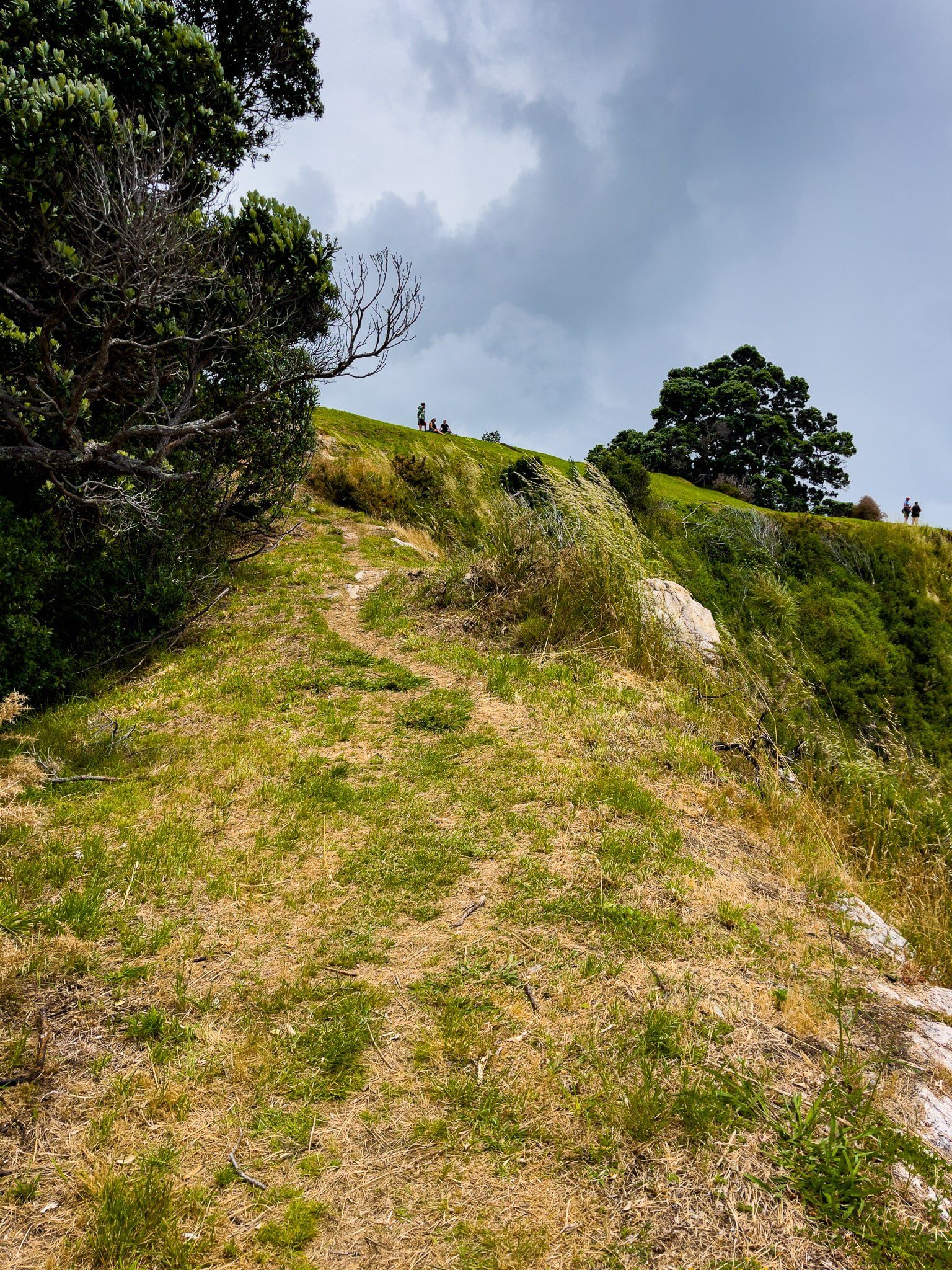
At the south end of Pauanui Beach is 397 metre Pauanui Hill. The Pauanui Trig Track goes to the rocky volcanic pinnacle, with superb views. You can walk up and back on the north side (2 hours) or as a loop (2.5 hours). We recommend the loop, with a coastal walk and an easier climb up on the east side of the hill.
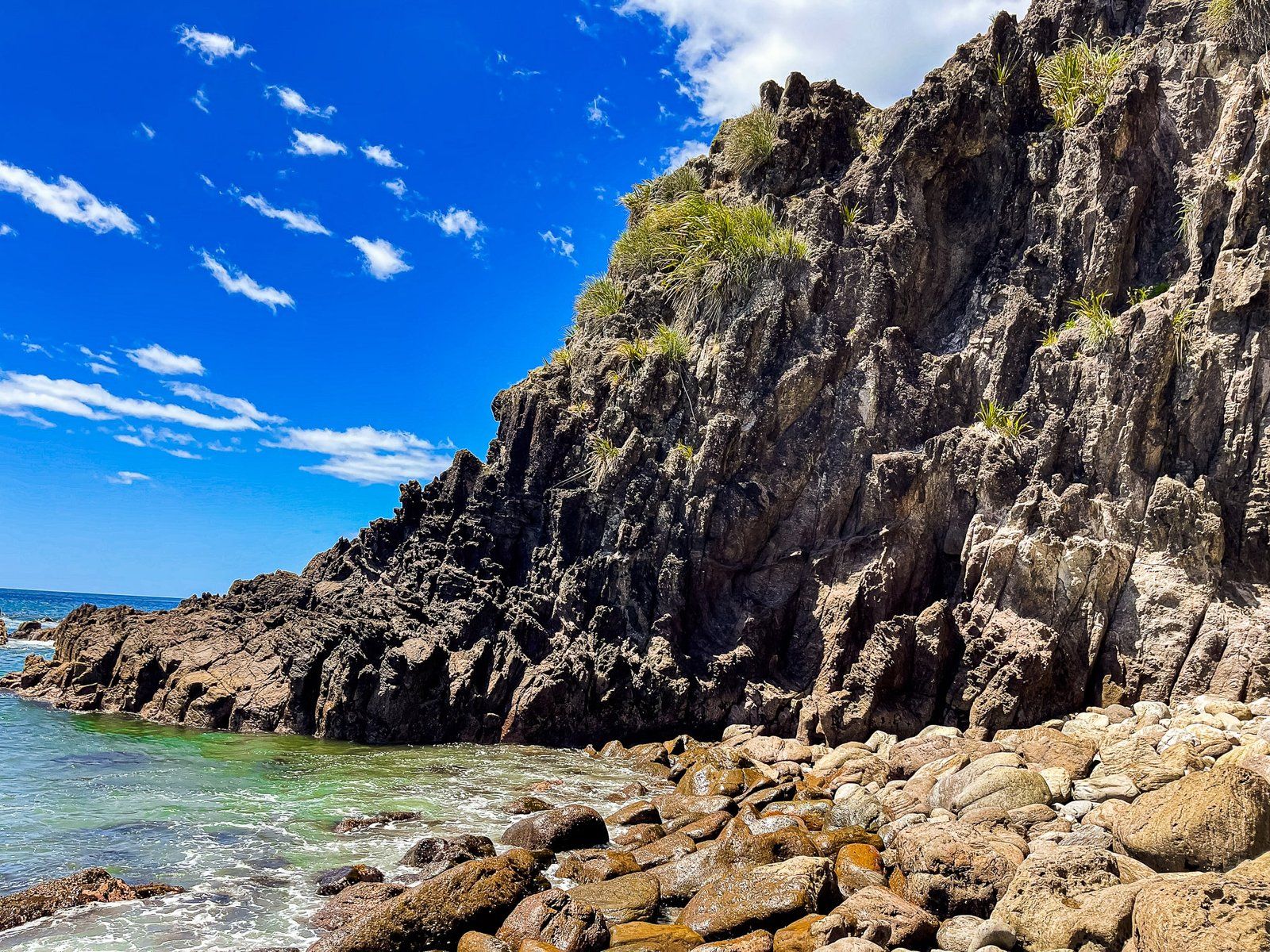
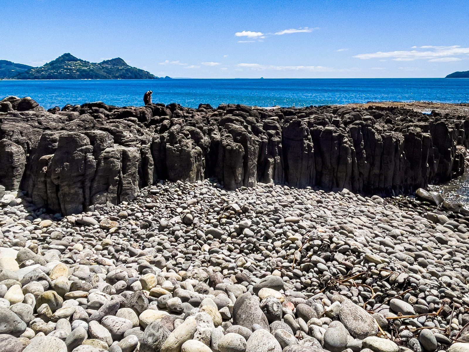
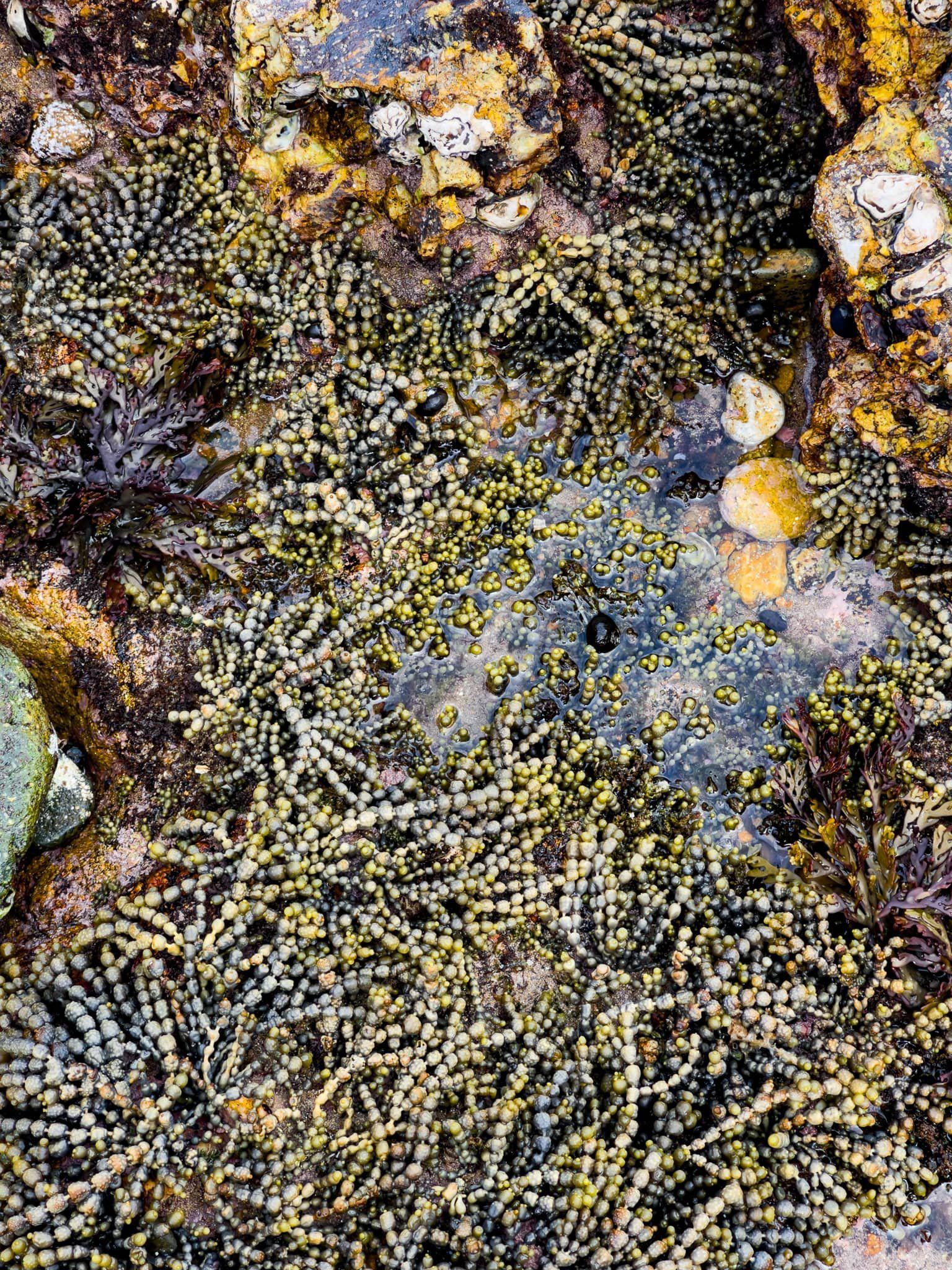
From the grass reserve at the end of the beach, follow the track for Cave Bay around the stony coast on the northeast side of Pauanui Hill. Along the way, there is a rocky platform with easy to access rock pools. From there, walk along the very stony beach until you see the start of the Pauanui Trig Track.
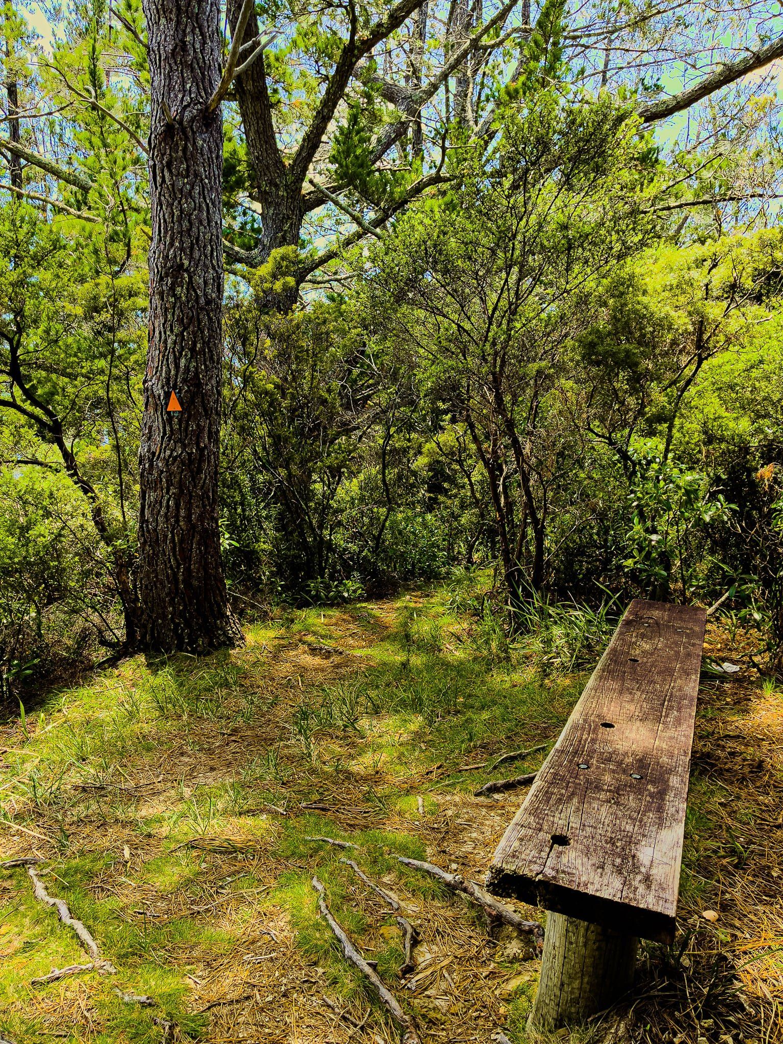
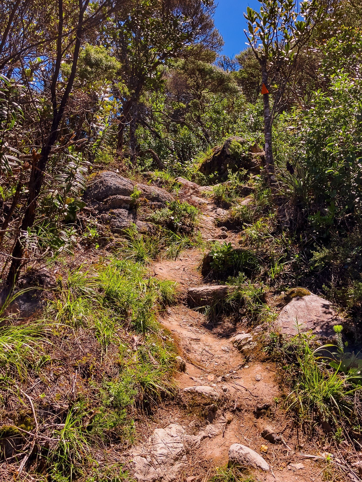
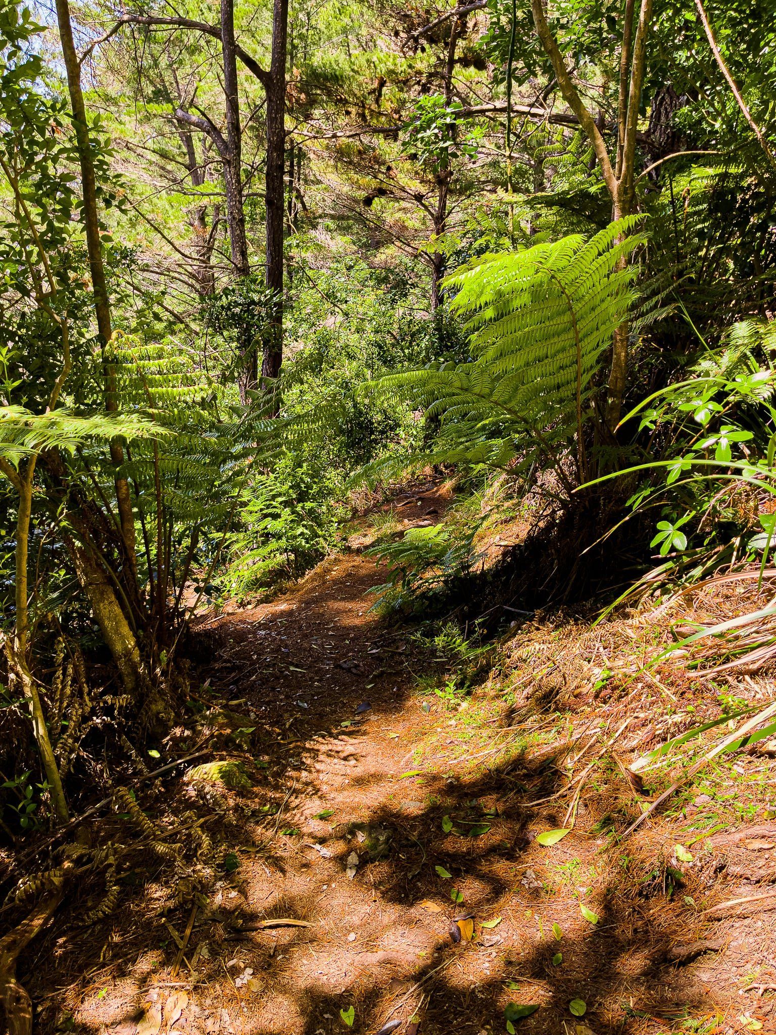
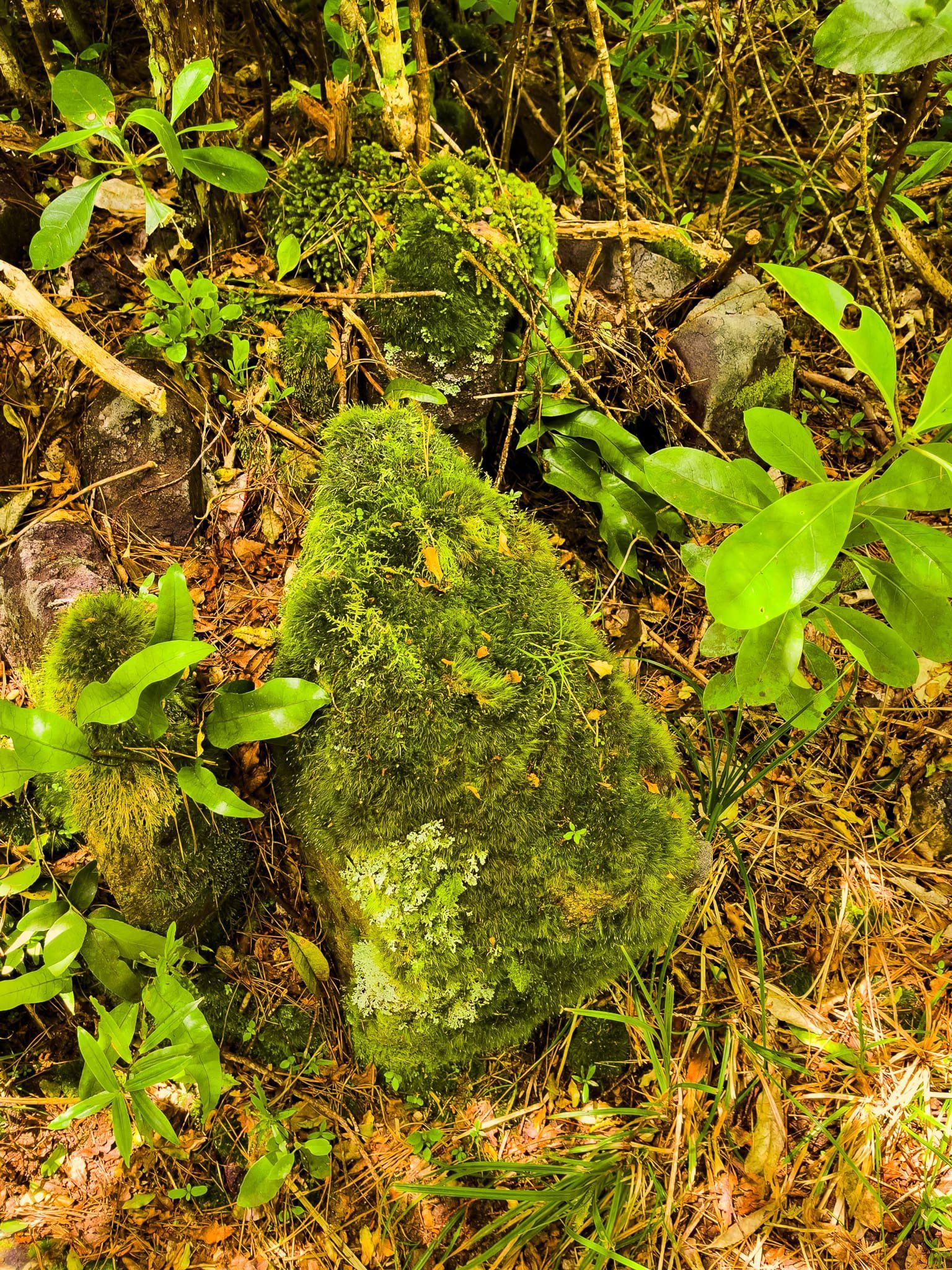
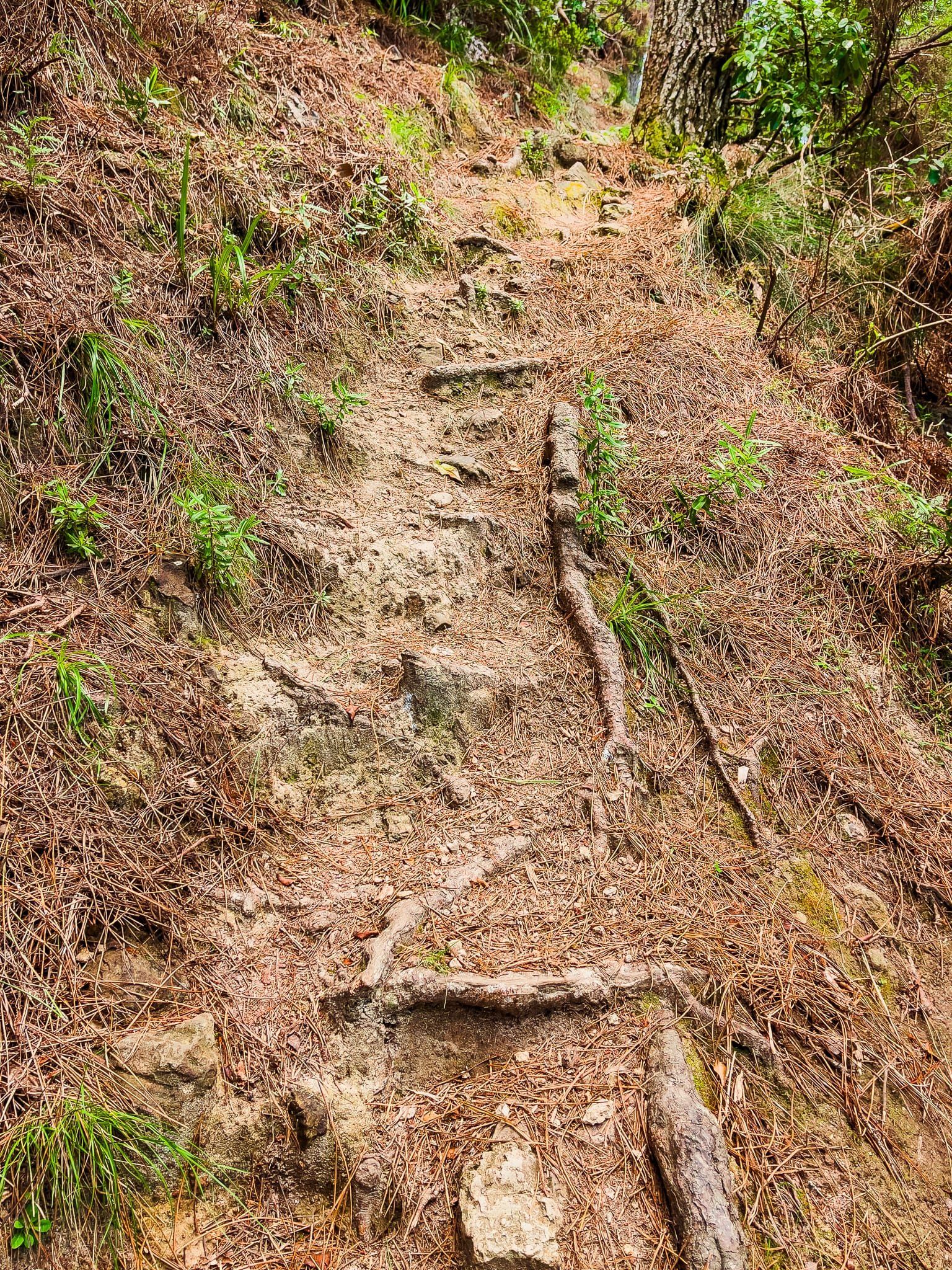
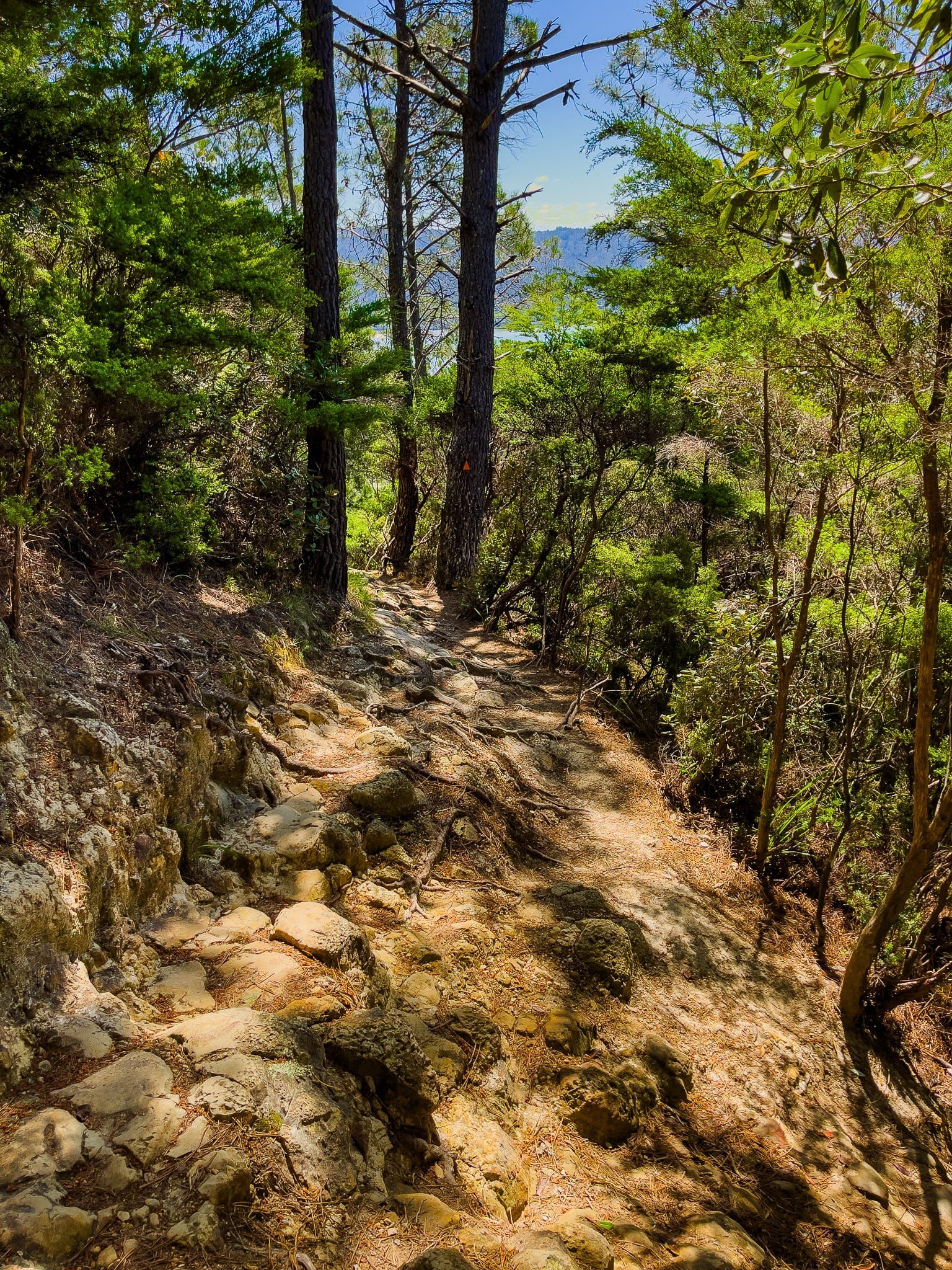
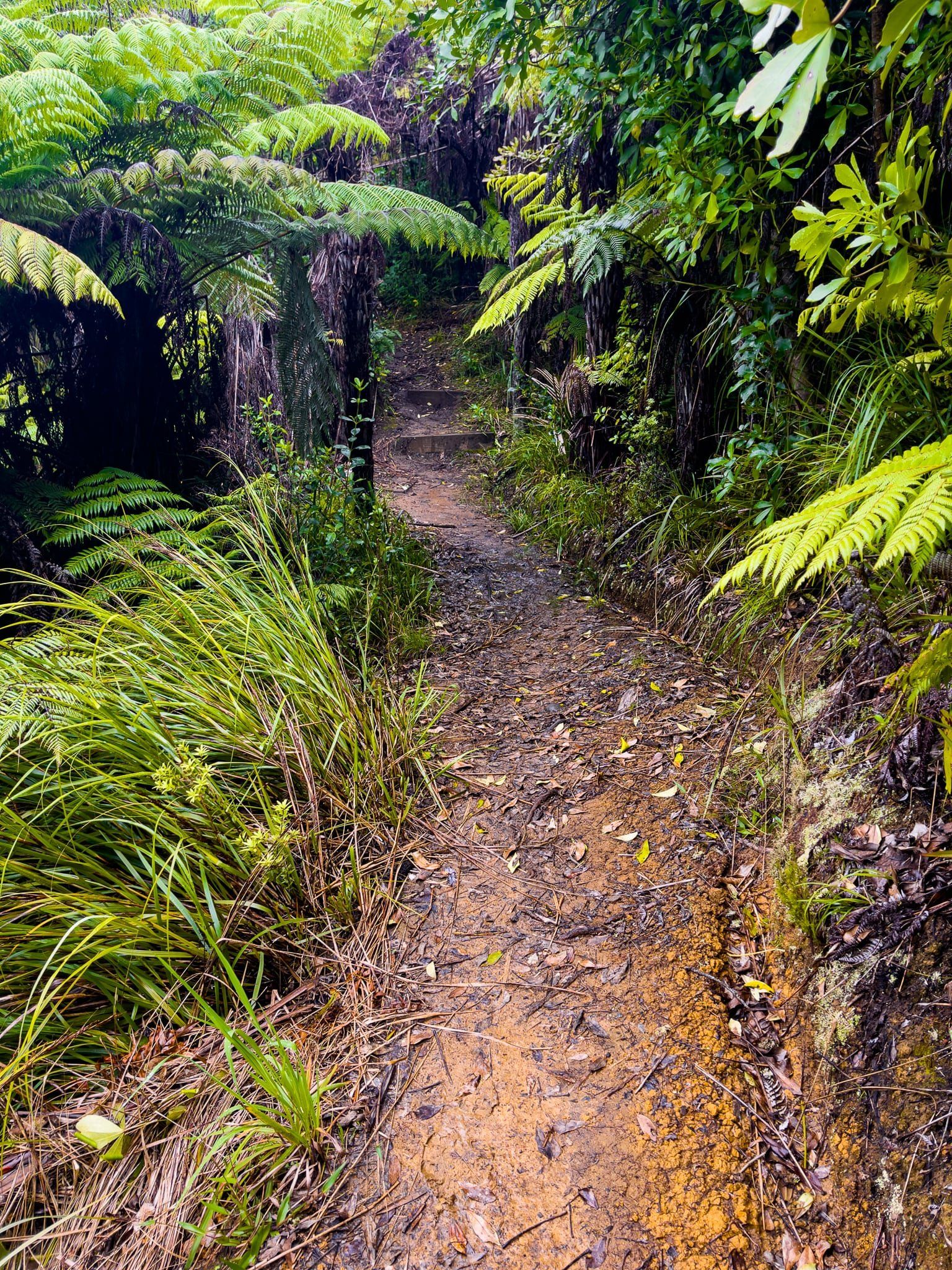
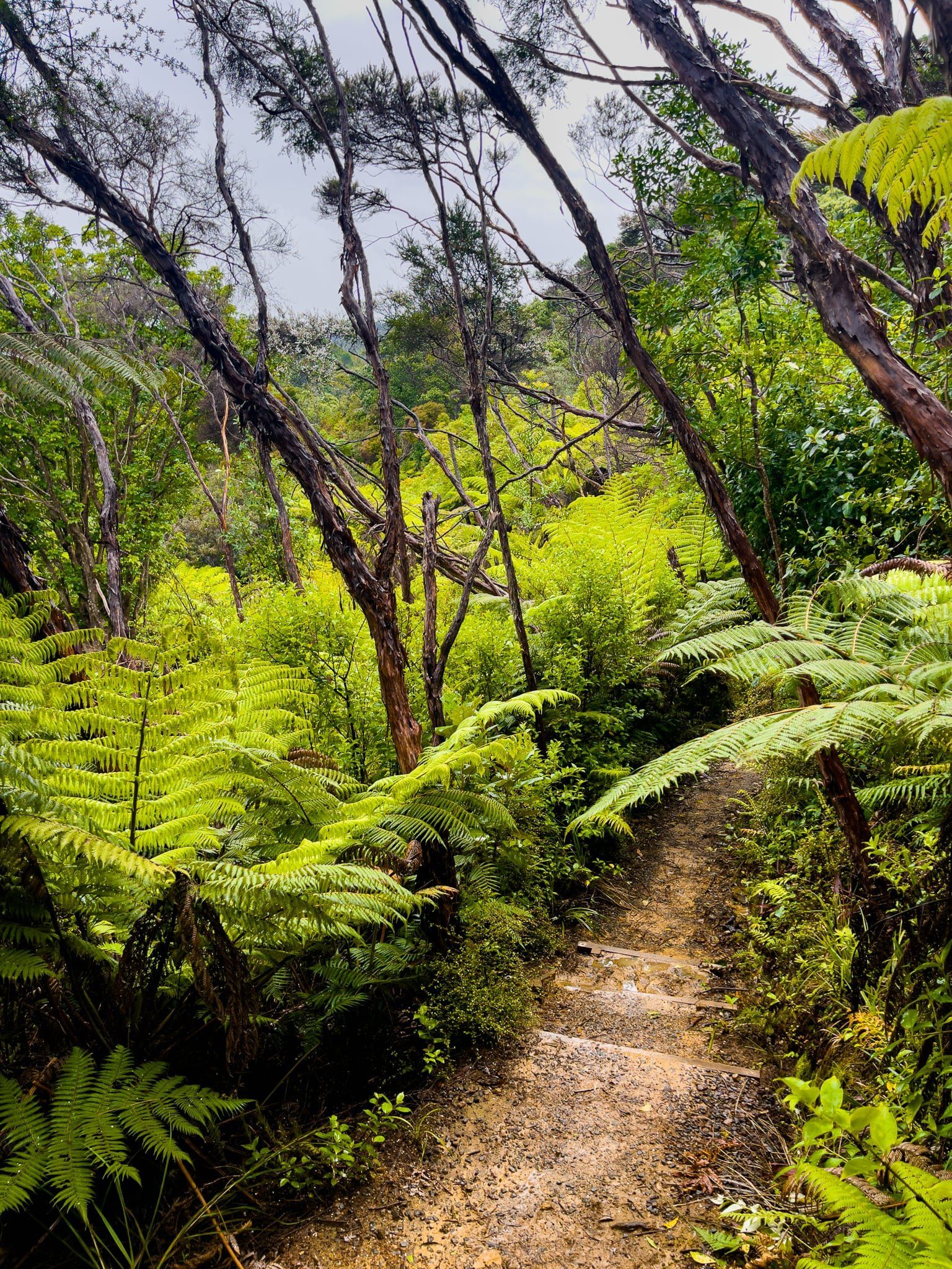
The first section of the east side track is a rough and steep 120 metre climb to a ridge, with the occasional view. Then it is mostly easier hiking but with a steeper rocky section towards the top. The track is mostly through a mix of wilding exotic pine trees and native regrowth, with rewarewa trees particularly prominent. Along the way, there is a track deviation, but ignore it. It does not appear on any maps and it may be damaged by slips.
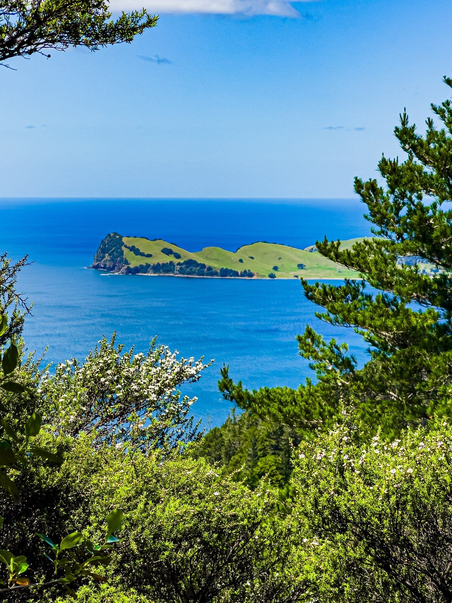
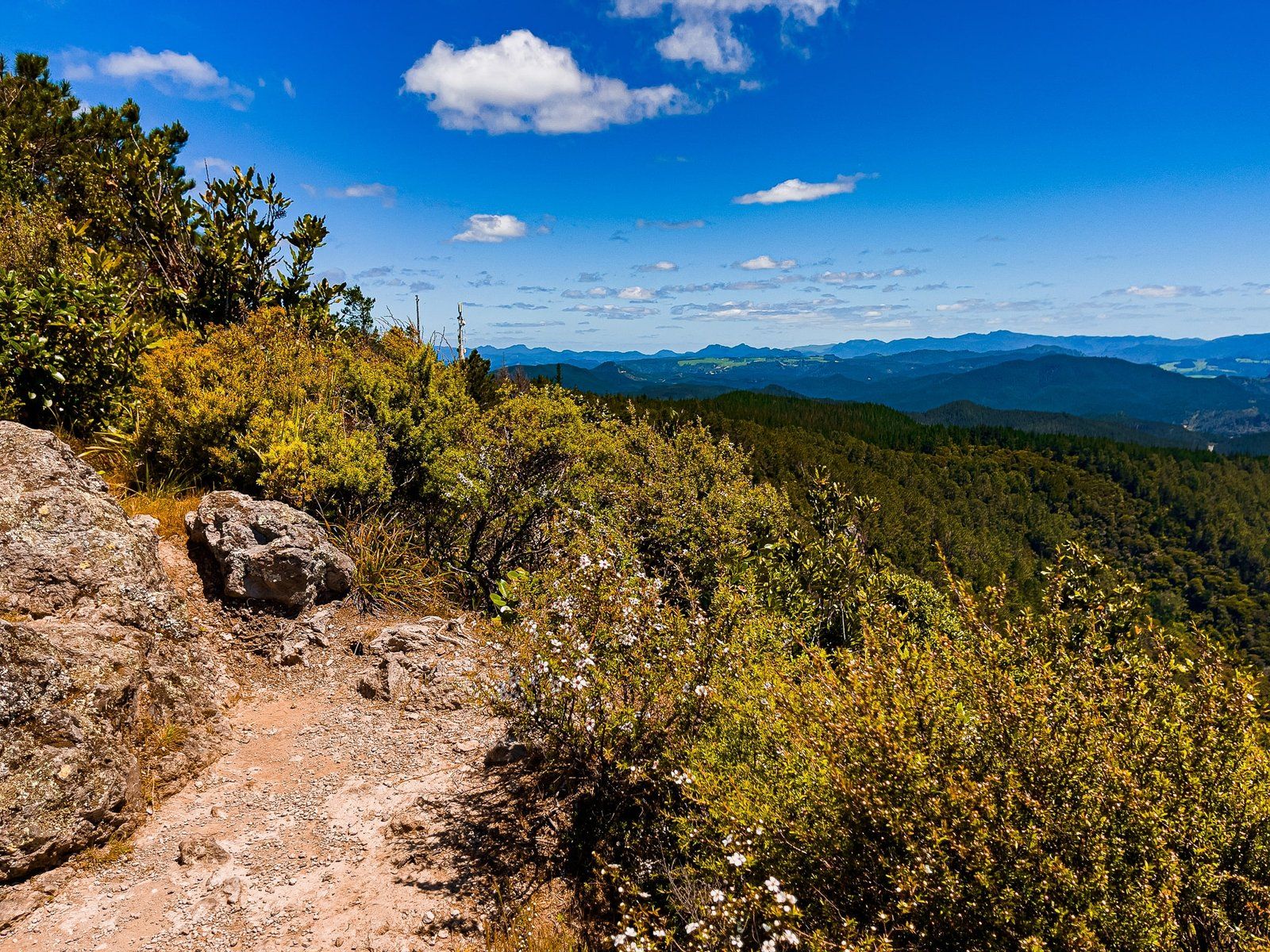
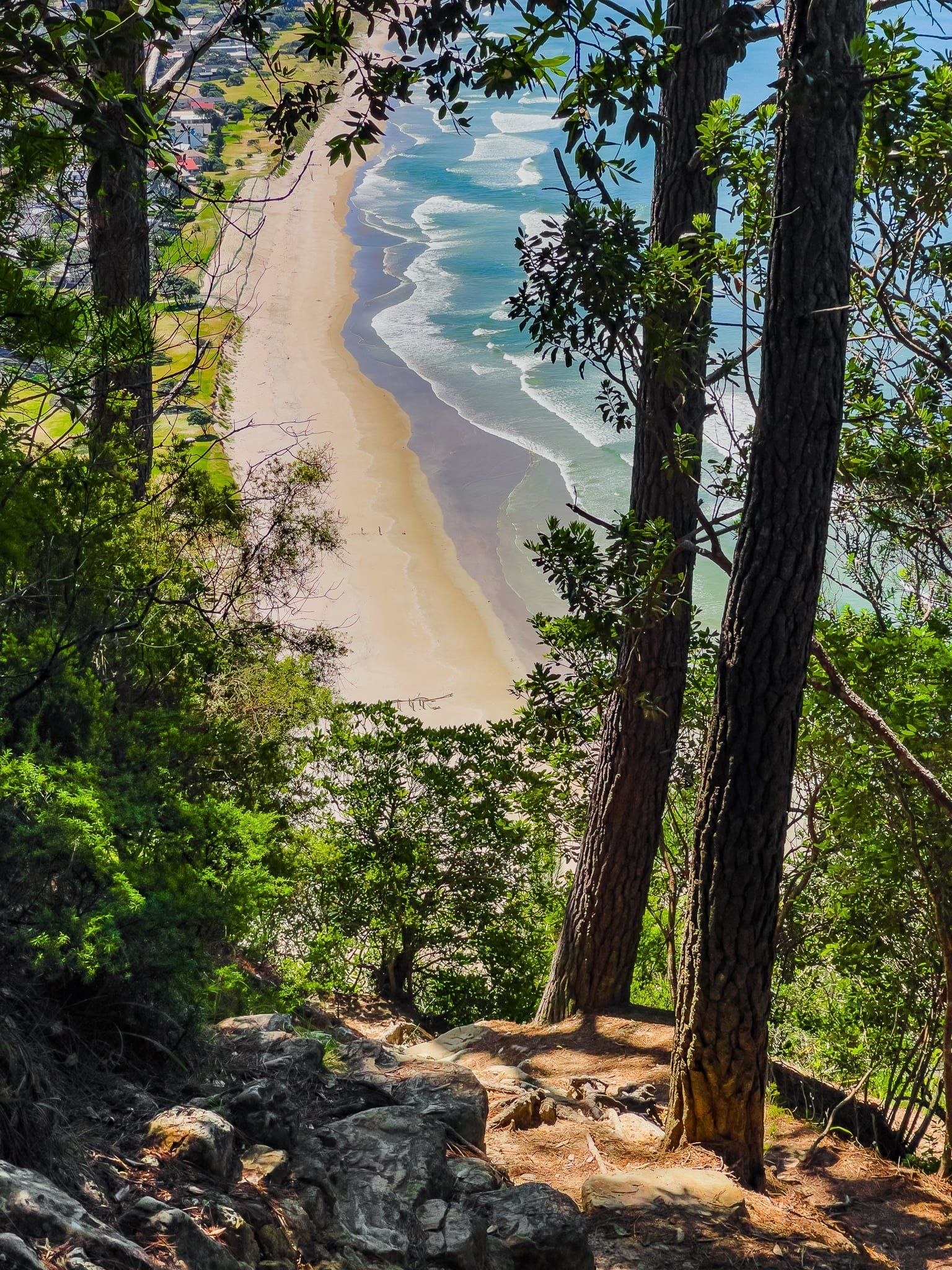
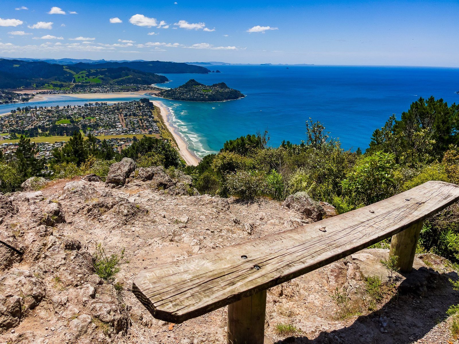
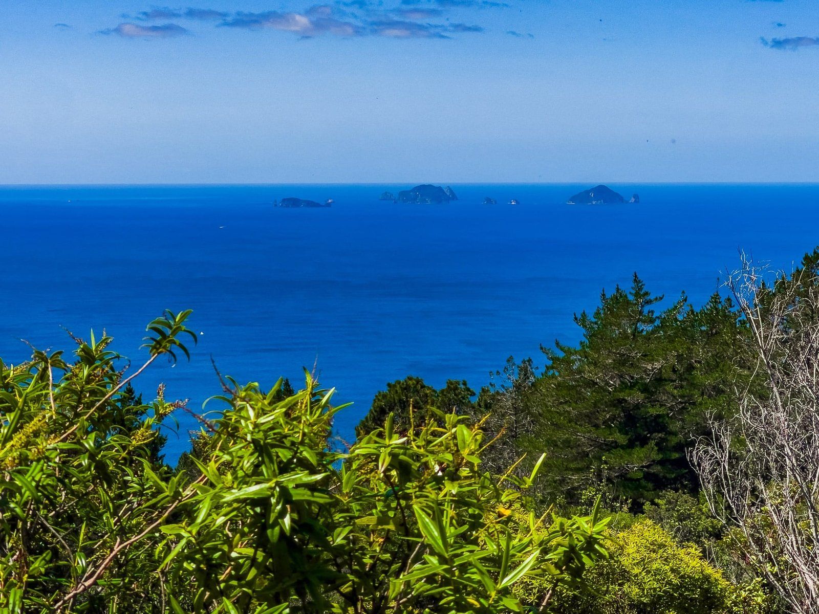
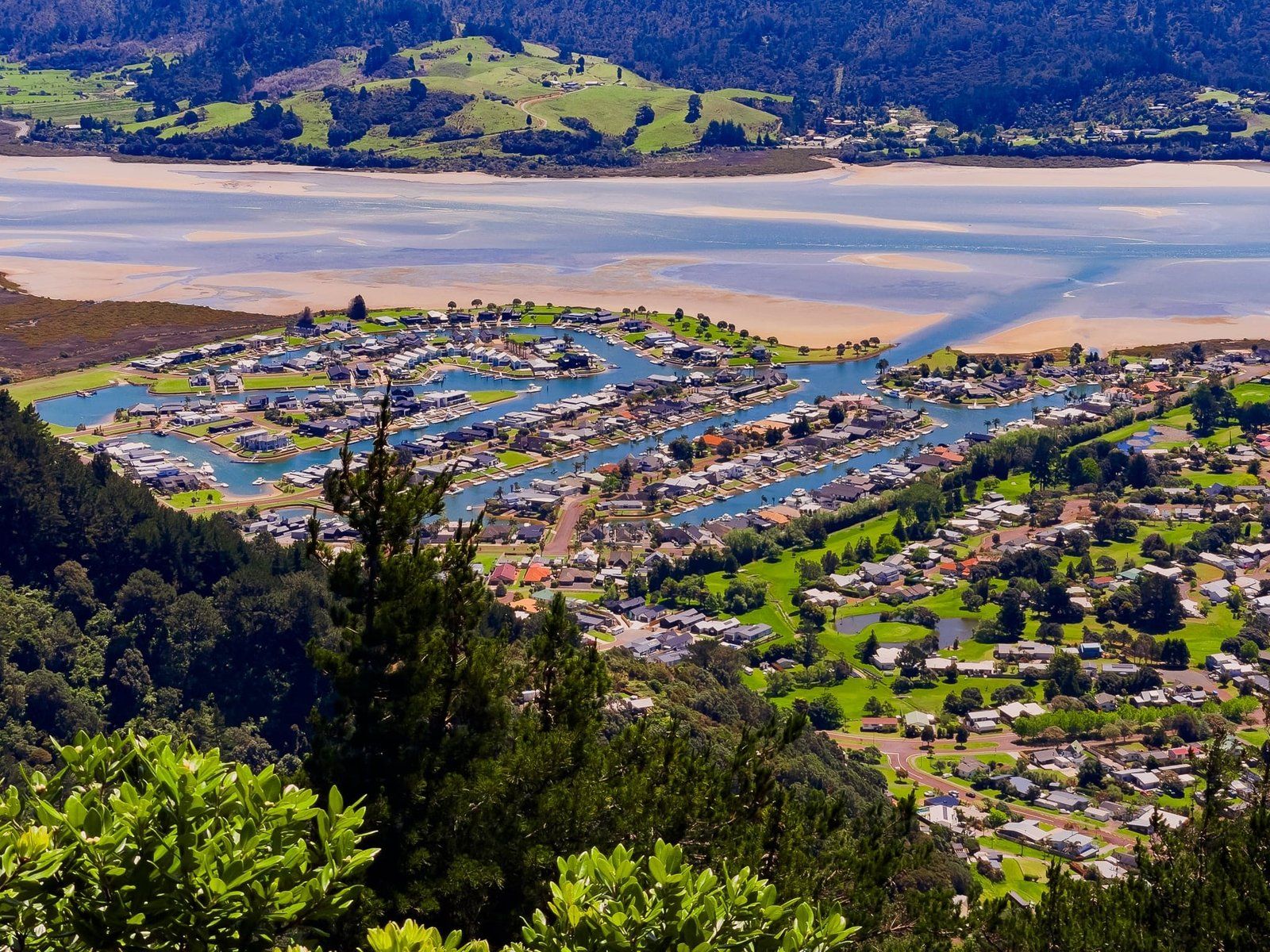
From the top the 270 degree views over Pauanui to Tairau and the Coromandel Range are spectacular. Follow the sign for “Carpark” to walk down the steep, often rugged northside track.
Pauanui Trig Track North Side
At the south end of Pauanui Beach is 397 metre Pauanui Hill. The Pauanui Trig Track goes to the rocky volcanic pinnacle, with superb views. It can be done up and back on the north side (2 hours) or as a loop (2.5 hours).
The north side of the Pauanui Trig Track is one of the tougher short hikes in the Coromandel east coast region. The climb up is steep and the track is sometimes tramping grade, heavily worn and rutted in several places. The first 280 metres are especially tough, then it eases up a bit for the final section to the peak. Along the way, there are some excellent viewpoints through the mix of exotic pines and native regrowth. Try to put the desire to get it over with aside and watch out for these!
The payoff is the outstanding 270 degree views from the rocky volcanic pinnacle. Take in Pauanui, Tairua and the Coromandel Range, including the Pinnacles. There is the bonus of a bench for a breather and it’s a great place to settle for a picnic if the weather is reasonable. You can also take a short walk in the scrub to the actual highpoint trig, although the view is more constrained.
From there, head back the same way or take the track marked Cave Bay down the east side of the Pauanui Hill. As a rule, we would recommend doing the loop starting from the east side as it is an easier climb.
Tairua River
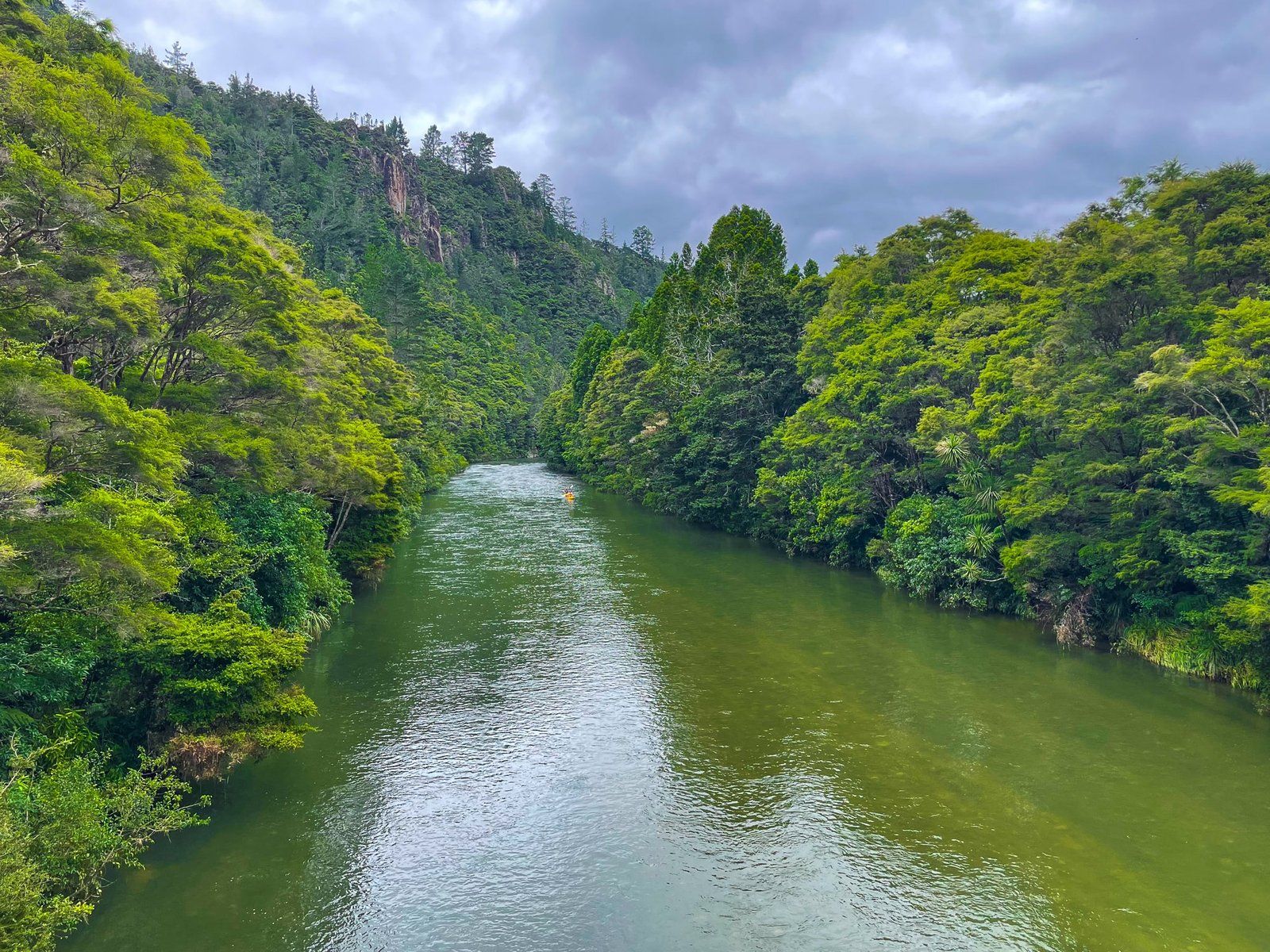
Tairua River starts deep within the south end of the Coromandel Range, runs through the historic gold mining area of Broken Hills, then through Hikuai out to Tairua Harbour. From State Highway 25, Puketui Valley Road more or less follows the line of the river to the walking tracks and DOC campsite at Broken Hills.
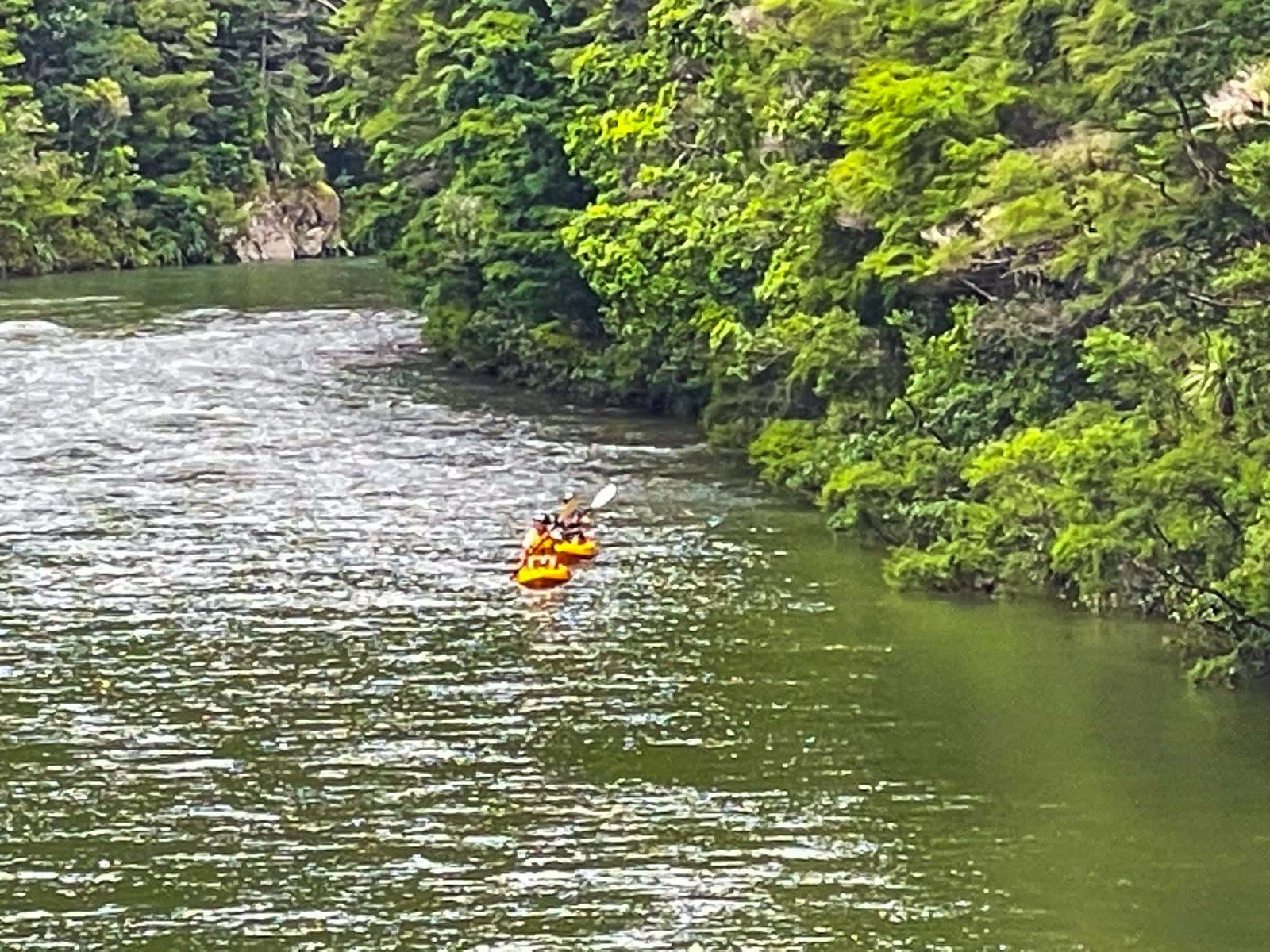
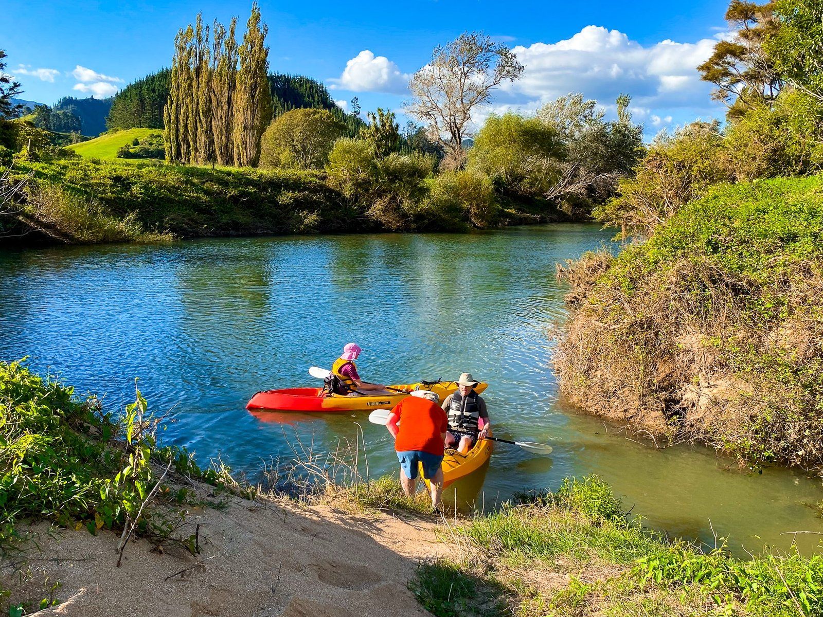
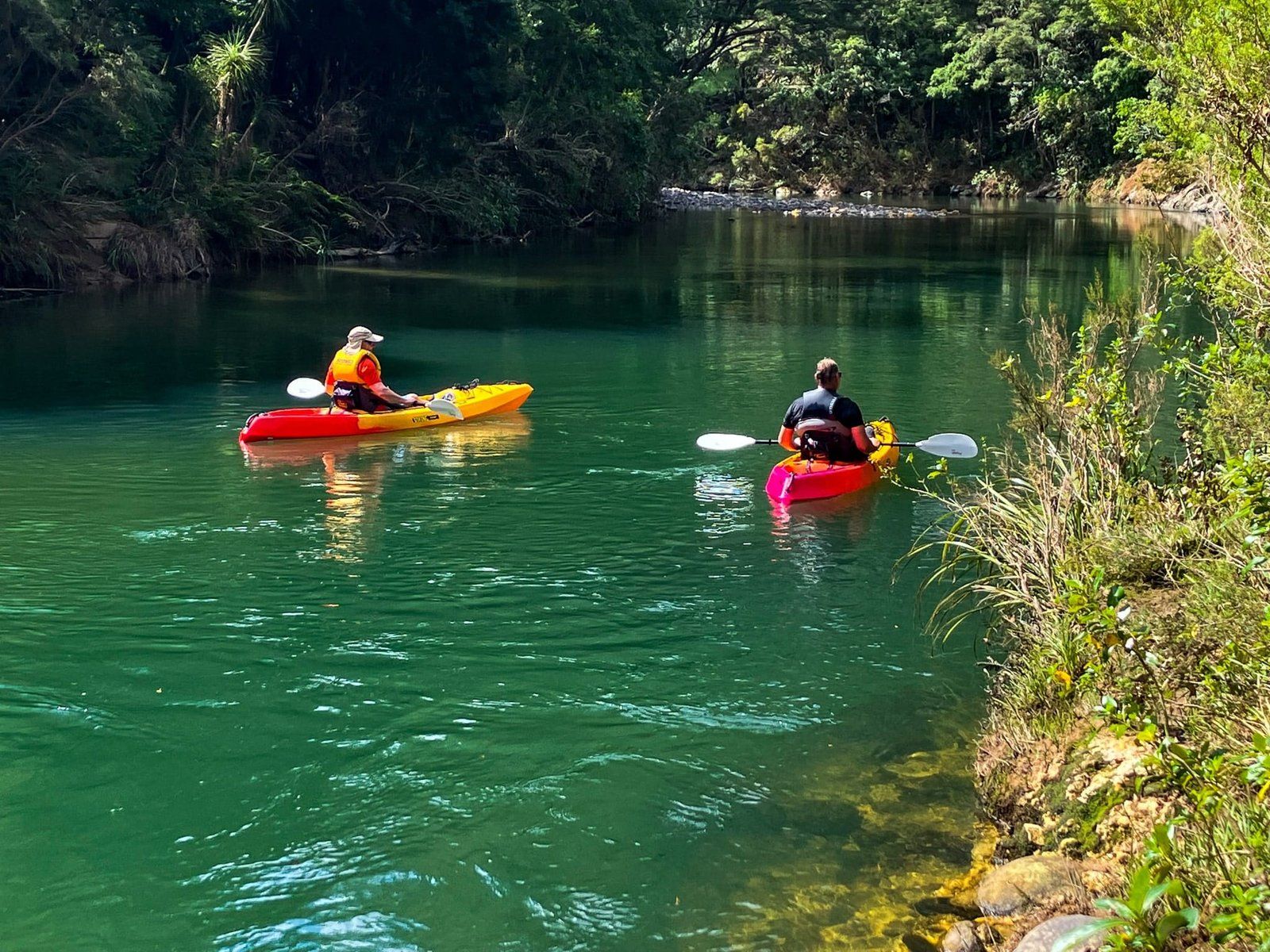
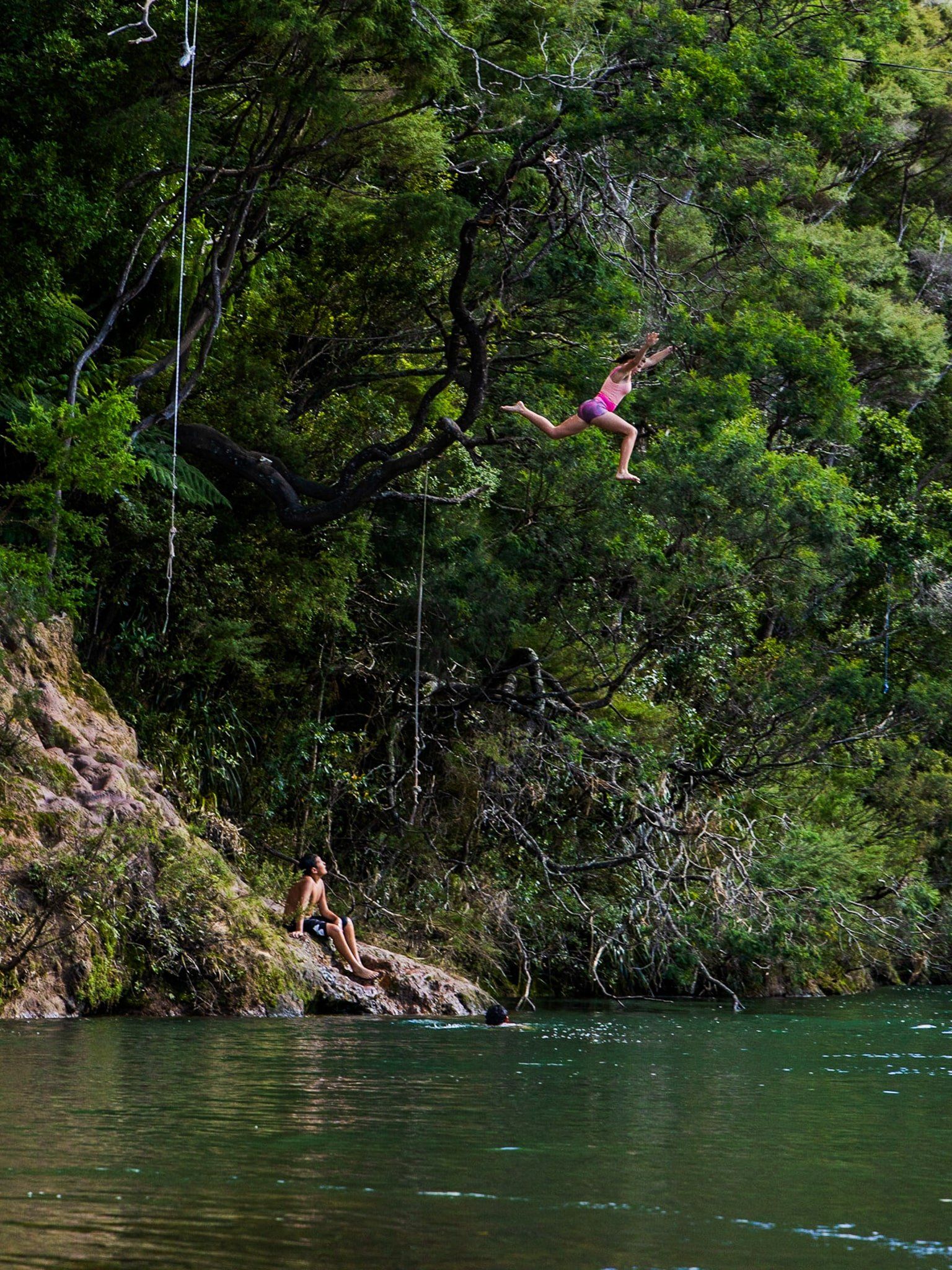
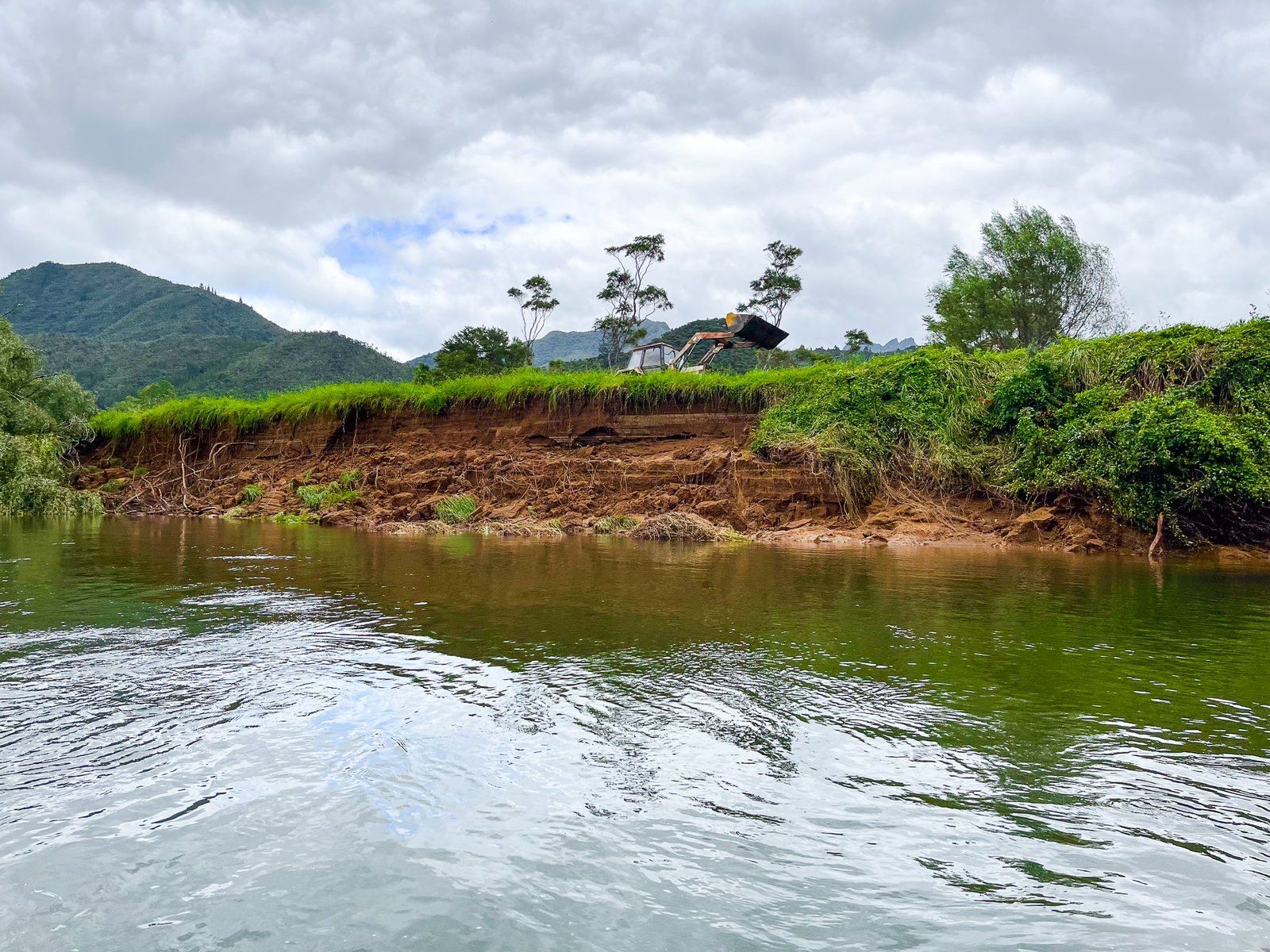
There are several places to access swimming holes along the river before Broken Hills. They are unmarked so it may take a bit of trial and error, or local advice. Another option is to put a kayak into the river at the campsite, then float and paddle down to Hikuai through a mix of native forest and farmland. Take a stop or two at the swimming holes. At Hikuai, go under the State Highway 25 bridge and look for a small but steep sandy/grassy egress area on the right.
It is mostly sedate with some shallow, gentle low grade rapids. In fact, trying to avoid getting stuck on the stoney bottom in the rapids is more of a challenge than getting through them! It may even be too shallow after a dry spell.
The trip takes a couple of hours and is not the most adventurous kayak trip, but is safe and suitable for beginners.
Sailors Grave Te Karo Bay
Sailors Grave, also Te Karo Bay, is the only road-accessible beach on the east coast of the Coromandel between Tairua and Hot Water Beach. It is easy to overlook as the road sign for Sailors Grave Road on State Highway 25 is barely noticeable – you may even have to find somewhere to turn around and come back if you do miss it. Drive down Sailors Grave Road and park by the pōhutukawa- and harakeke-shrouded reserve above the beach.
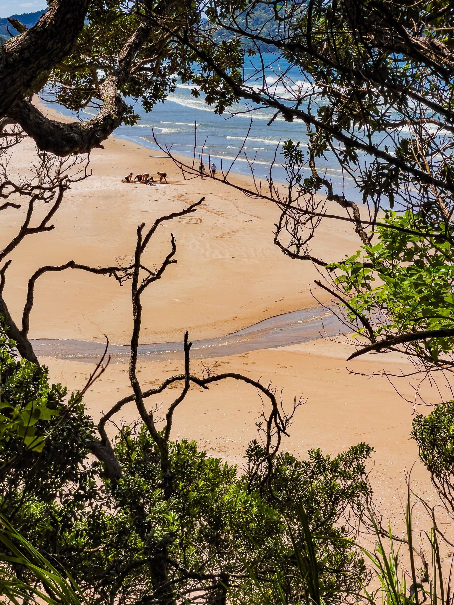
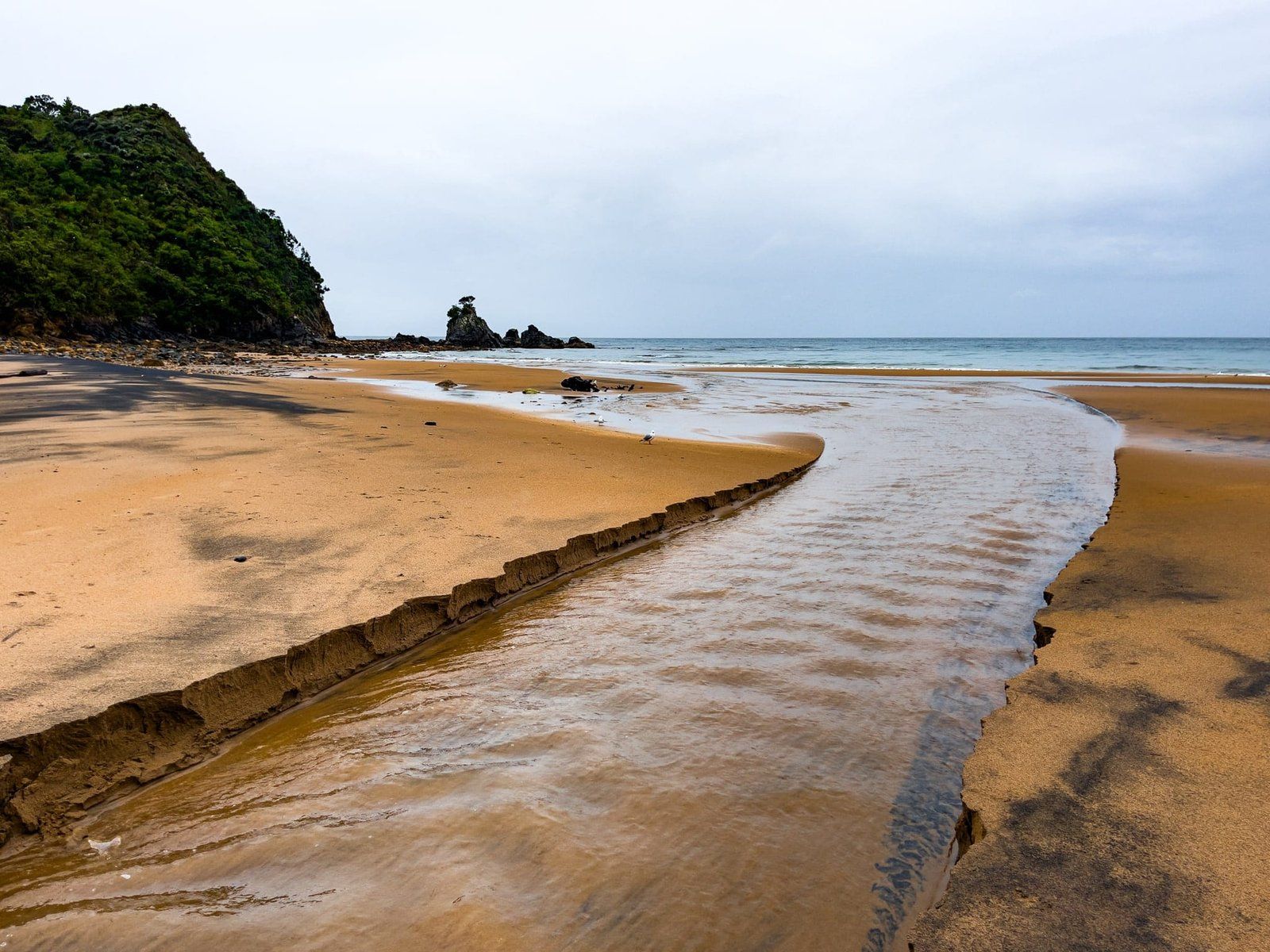
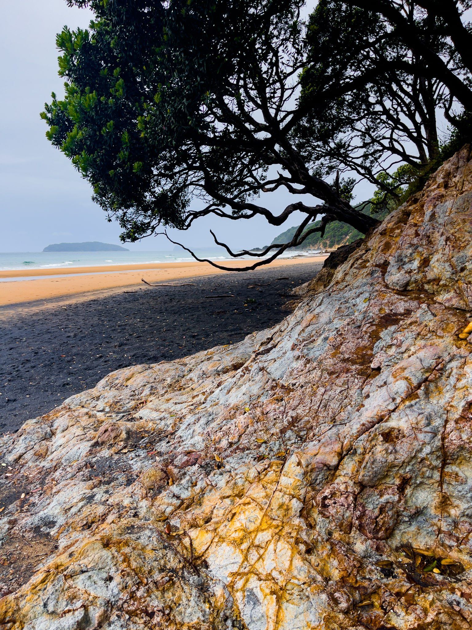
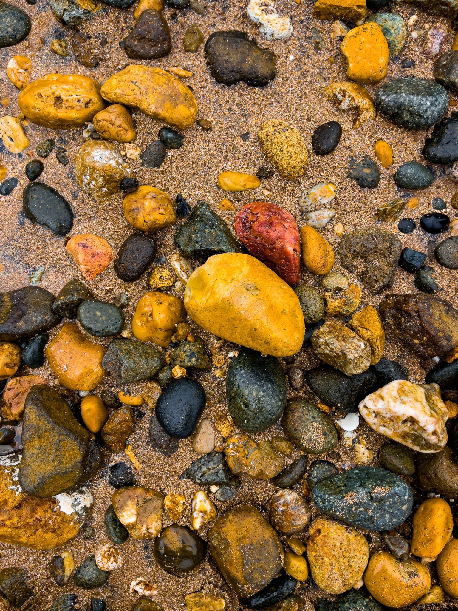
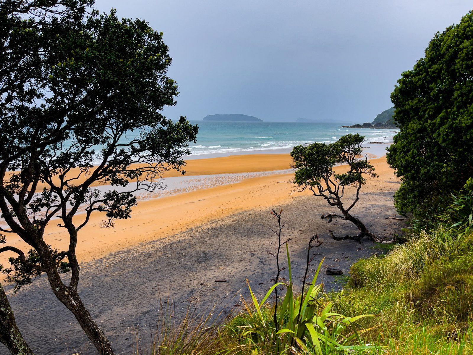
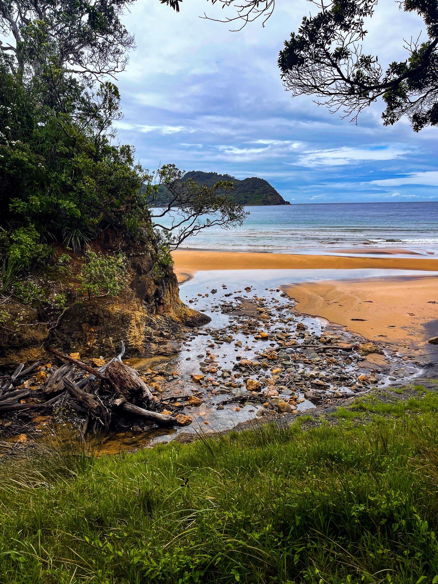
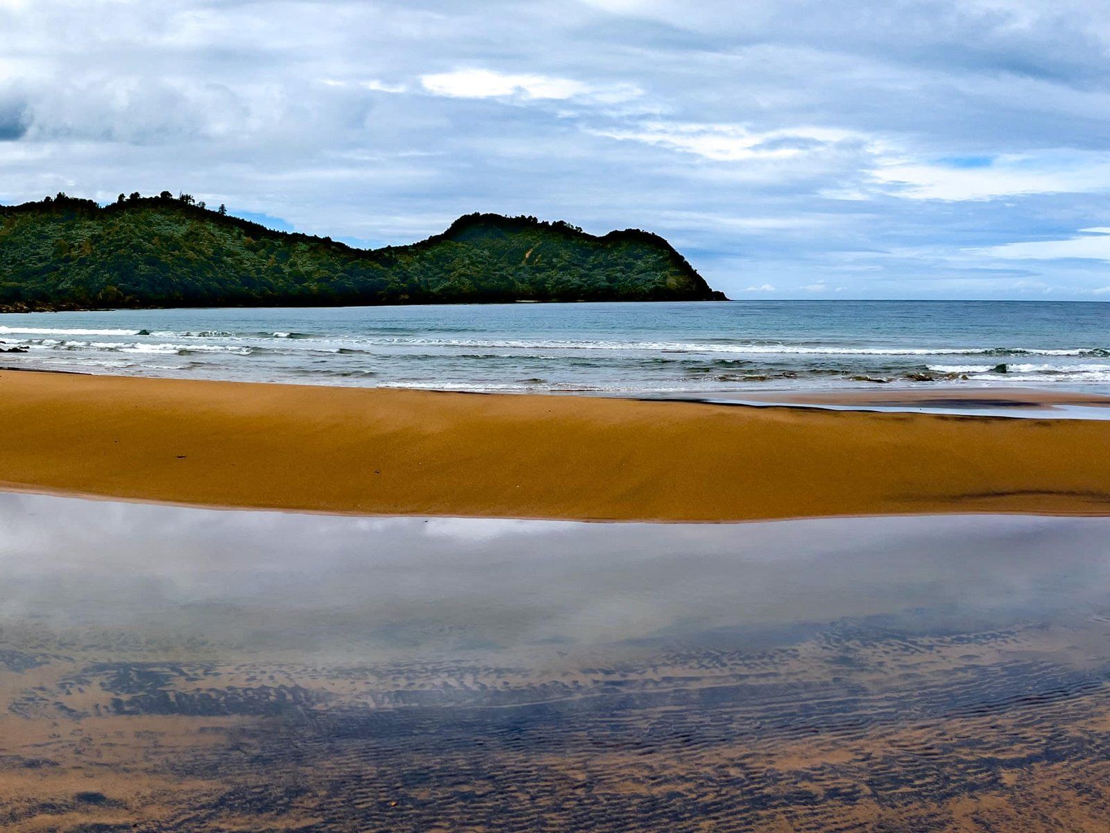
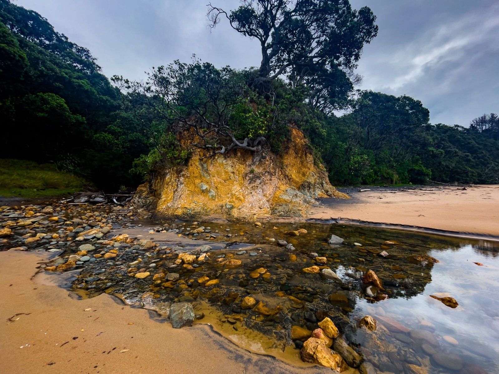
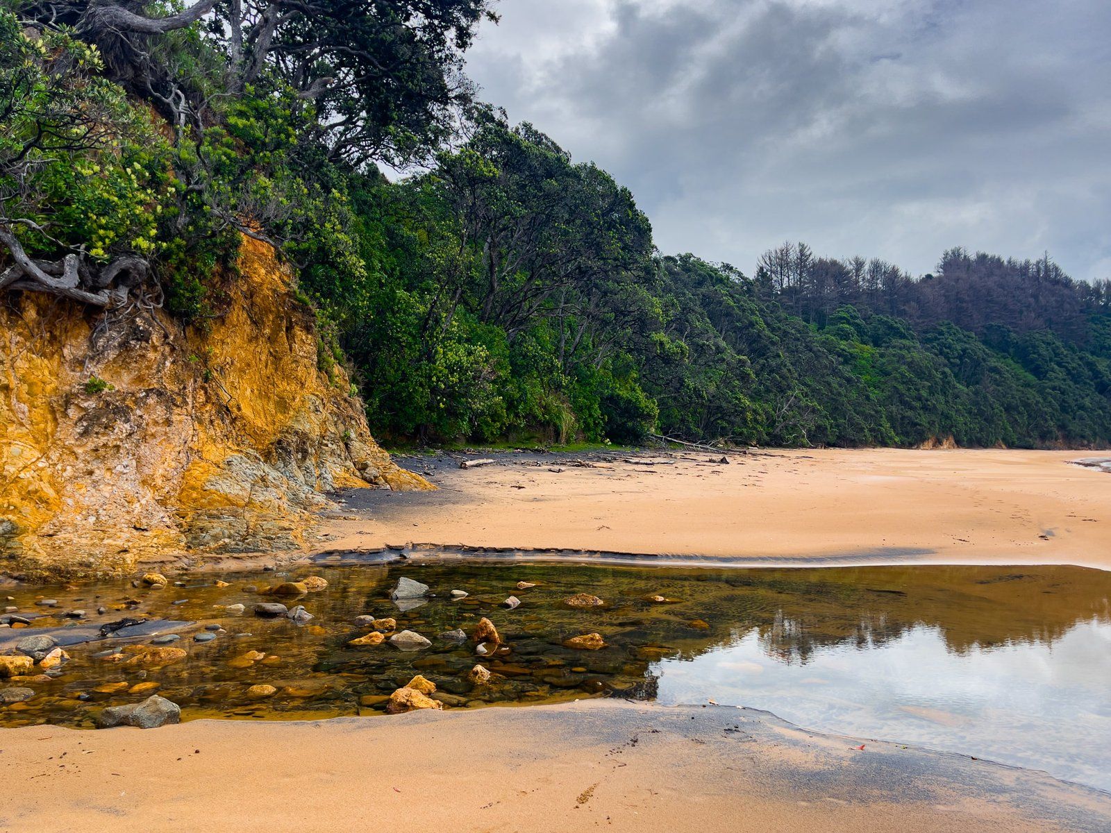
The stunning surf beach has no surrounding community, so it feels more remote than most Coromandel beaches. It has incredible golden-orange coloured sand and rocks and some interesting history, including reputedly the first sailor’s grave in NZ. It is also a reasonably safe place to swim.
The gravesite is a short walk to the north, across colourful Te Karo Stream, to the forest edge. It is surrounded by a white picket fence and maintained by the N.Z. Navy. In 1842, when 22-year-old William Simpson of HMS Tortoise was killed in the surf after a kauri logging boat overturned, burying crew ‘at sea’ was common. The land-based gravesite therefore commemorates not just William, but the many early seagoing Europeans who established the first industries such as logging, sealing and whaling, and died in the process.
The short Otara Track to Otara Bay starts just to the north of the gravesite.
Otara Track
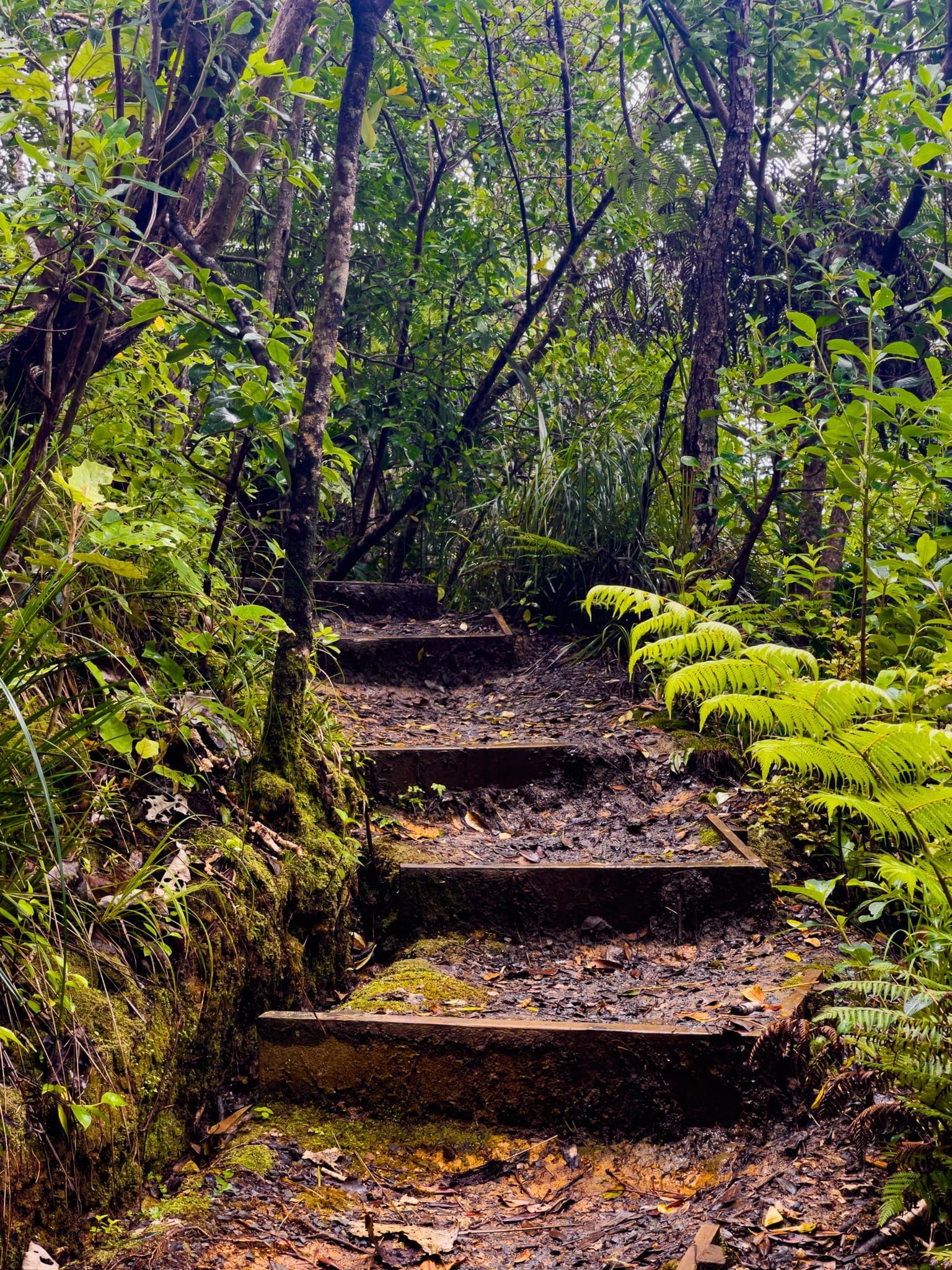
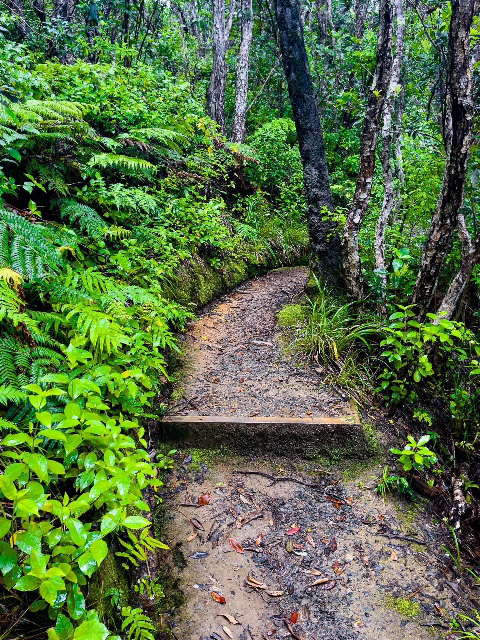
Otara Track is a short (20 minute) hike over the point between Sailors Grave and remote Otara Bay. It is reasonably easy with a modest climb of 60 metres, helped by a number of short series of steps. There are good views of both bays crossing over the high point.
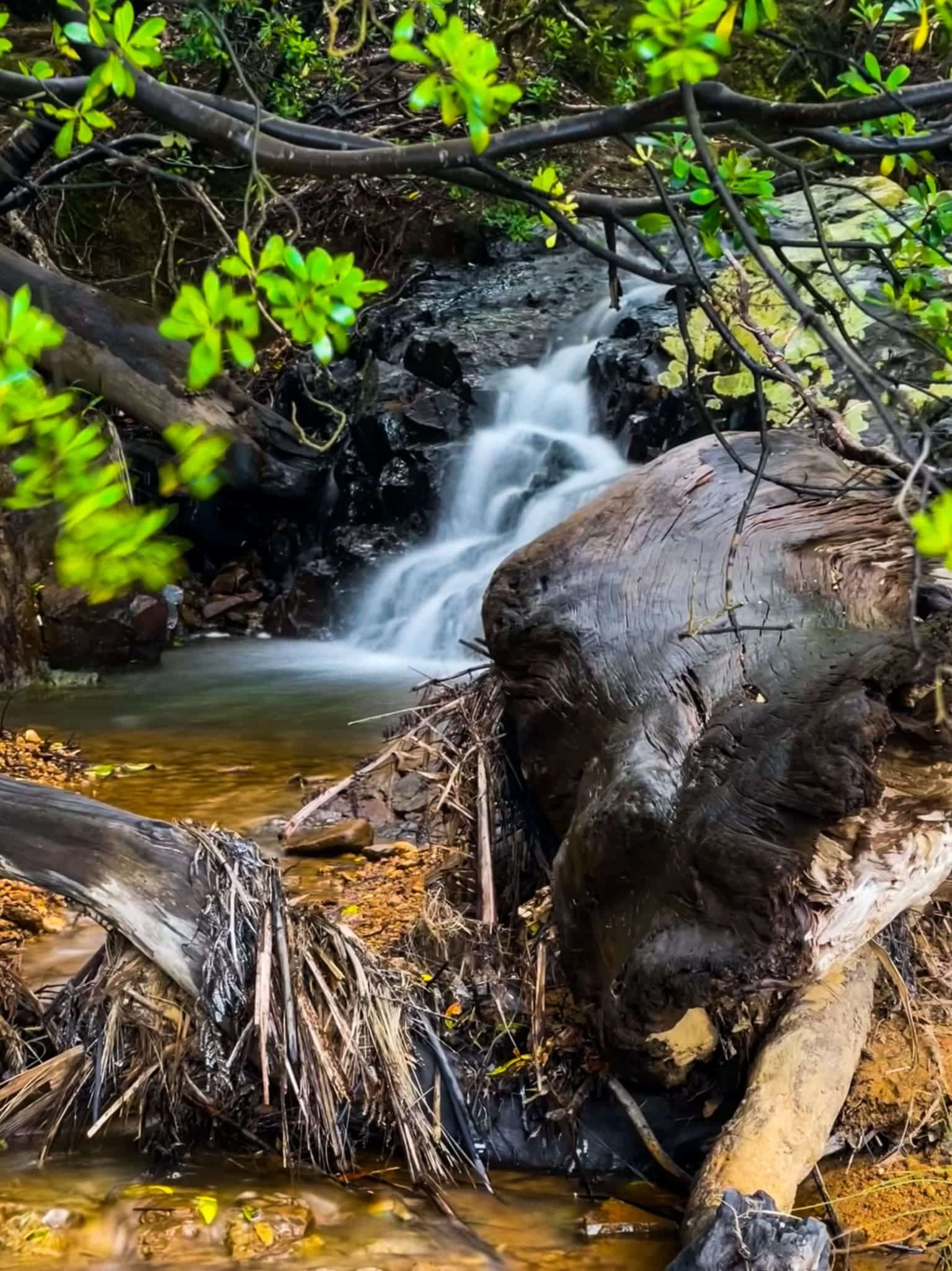
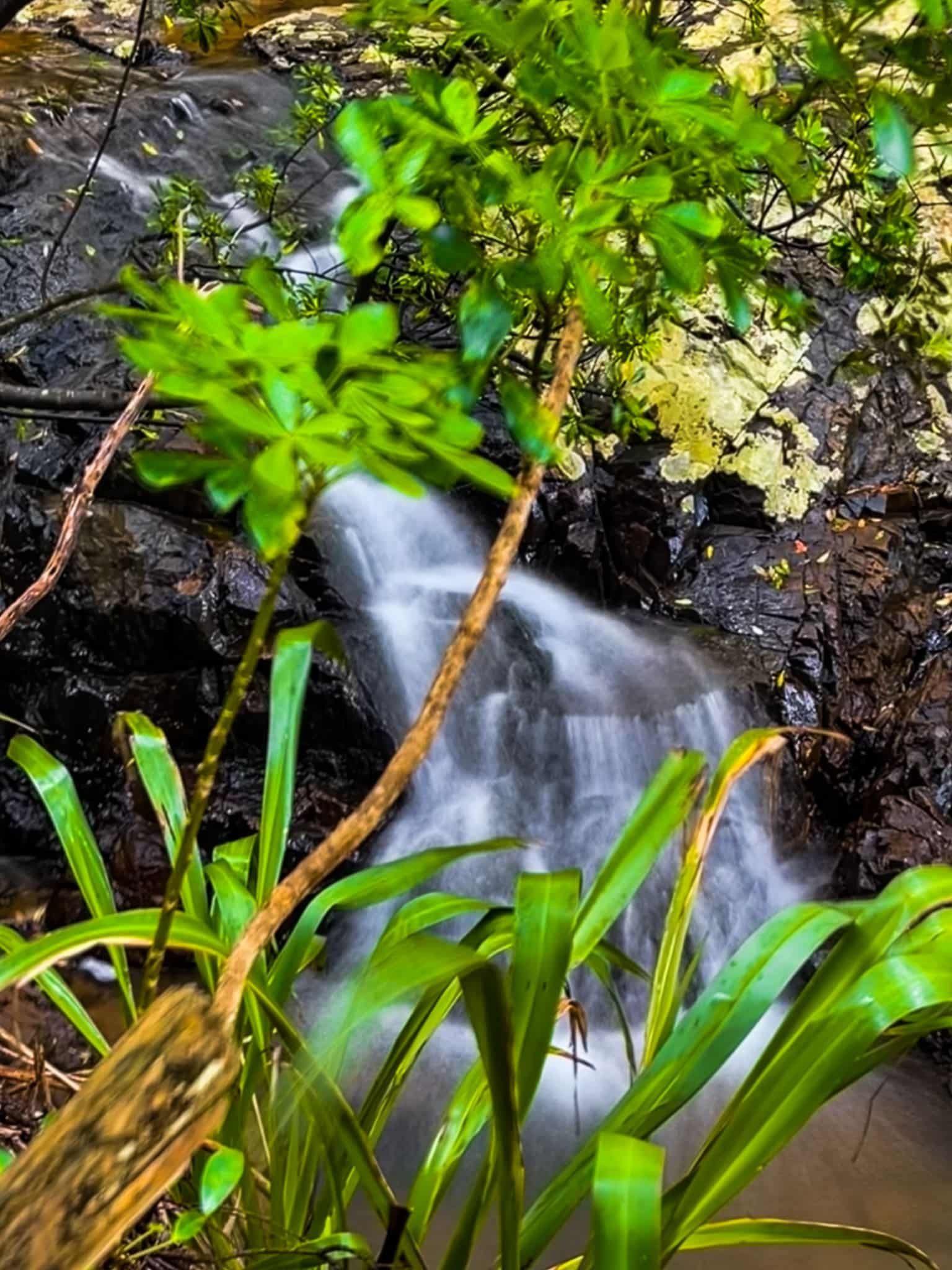
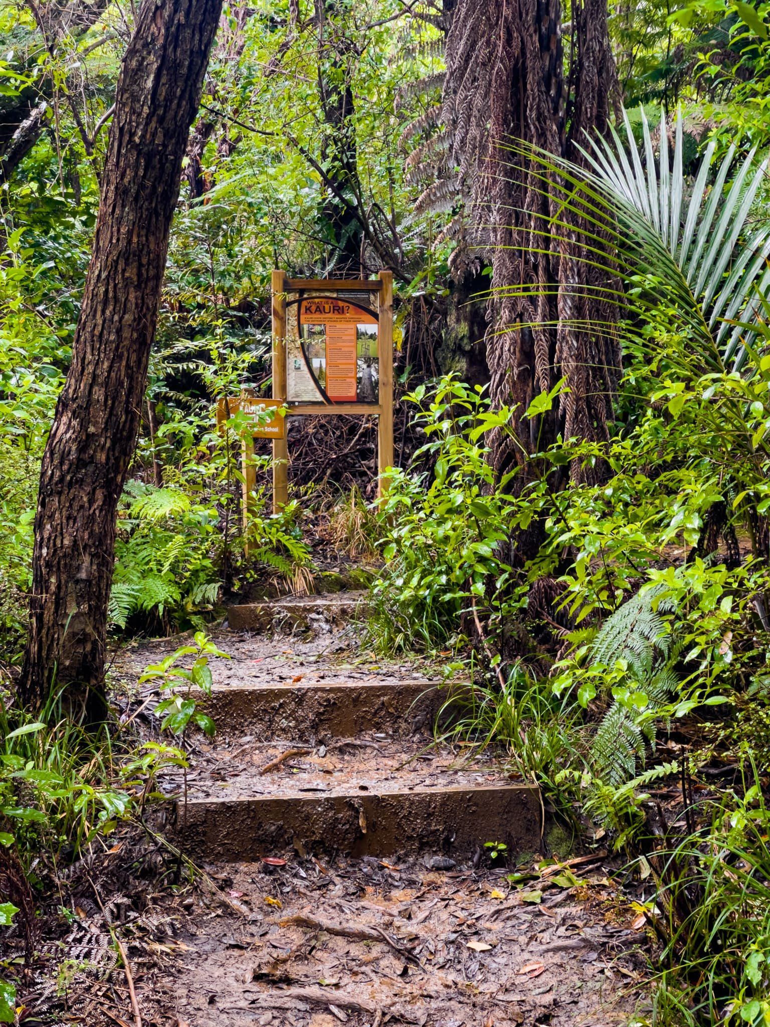
The track winds through recovering native forest. Although it is not obvious on the path, this includes kauri, with a boot-cleaning station at the start of the track. If there has been enough recent rain, there is a small waterfall next to the track on the final approach to Otara Bay.
Otara Bay
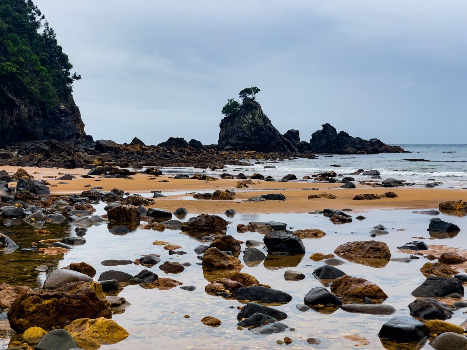
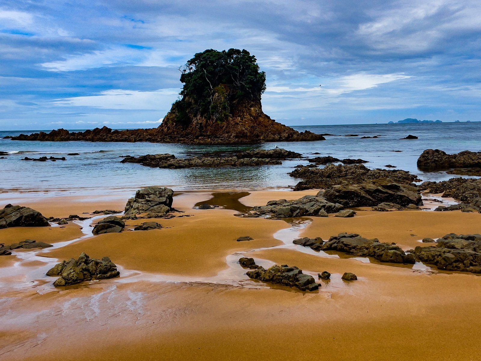
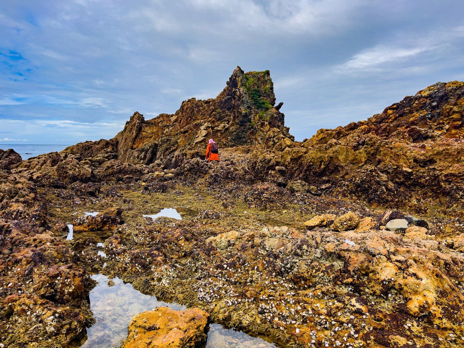
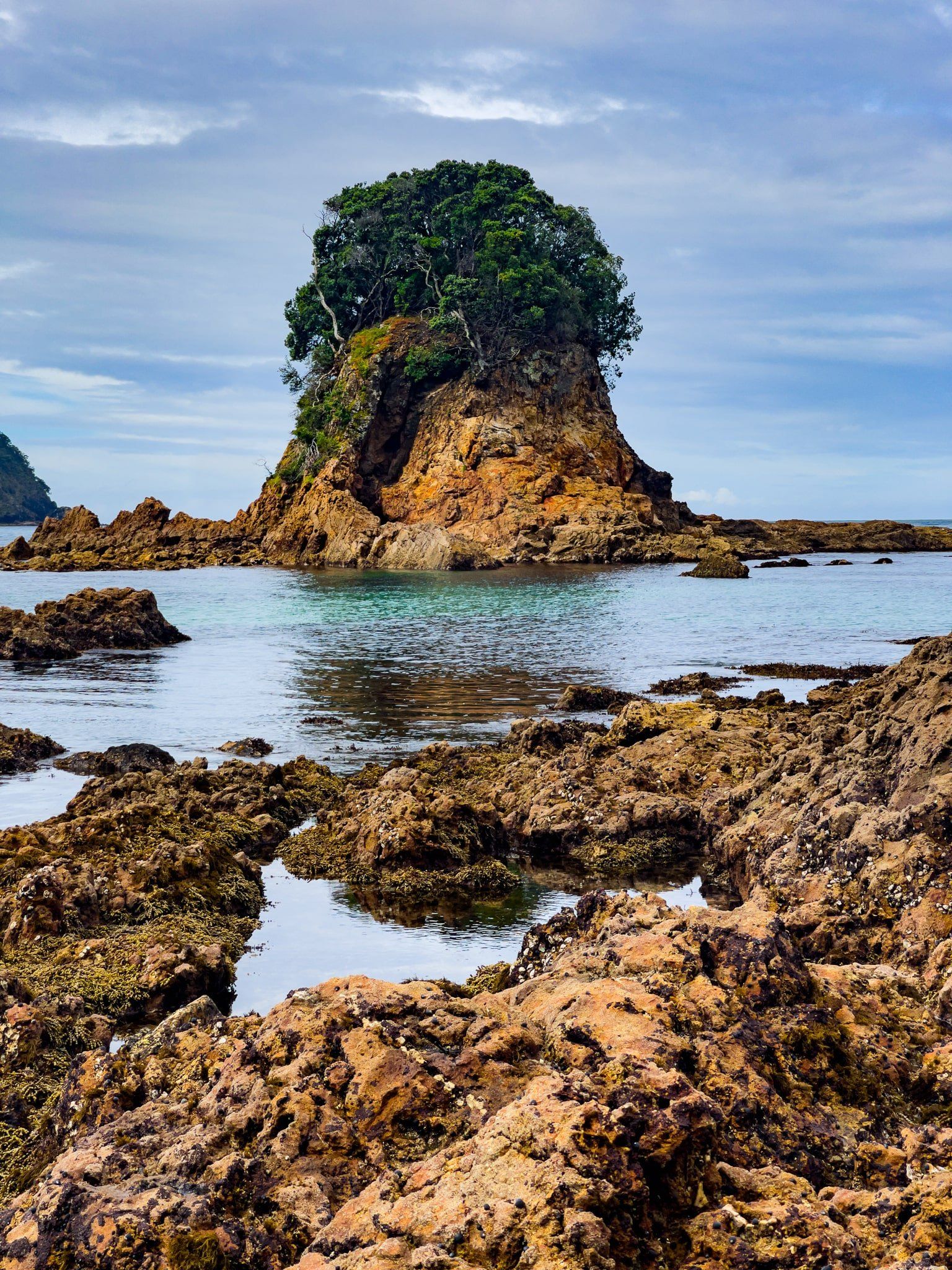
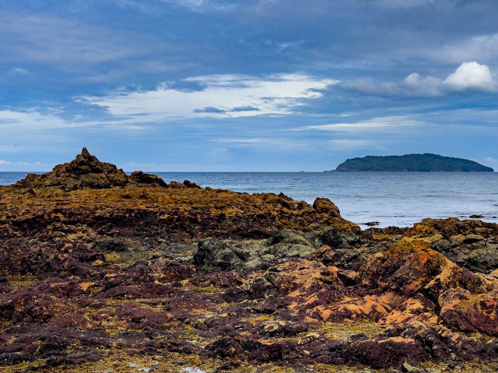
Otara Bay, north of Sailors Grave, is one of the prettiest but least-known beaches on the Coromandel’s east coast. To get there, either take the Otara Track over the point from Sailors Grave or walk/clamber around the rocks at the base of the point between the two beaches. The pictures here include the rock hopping option, which is quite a lot slower than walking the track.
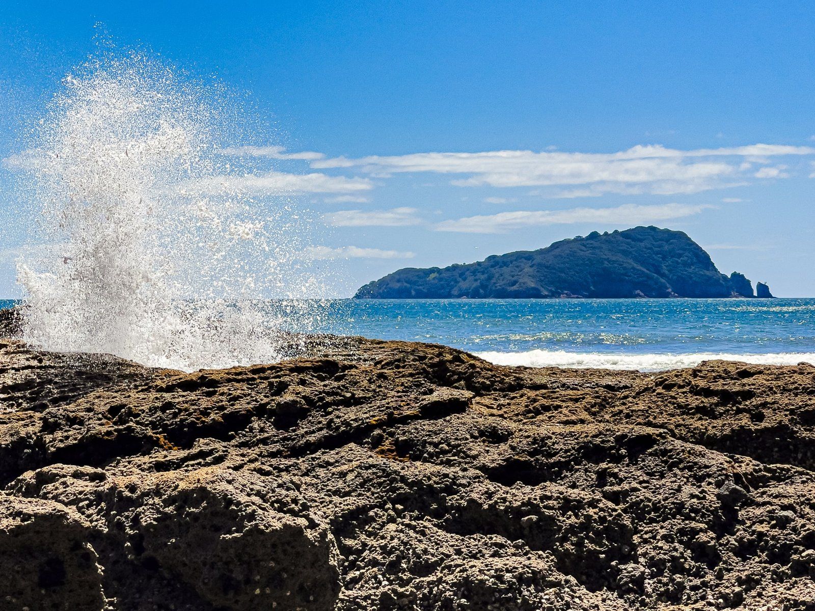
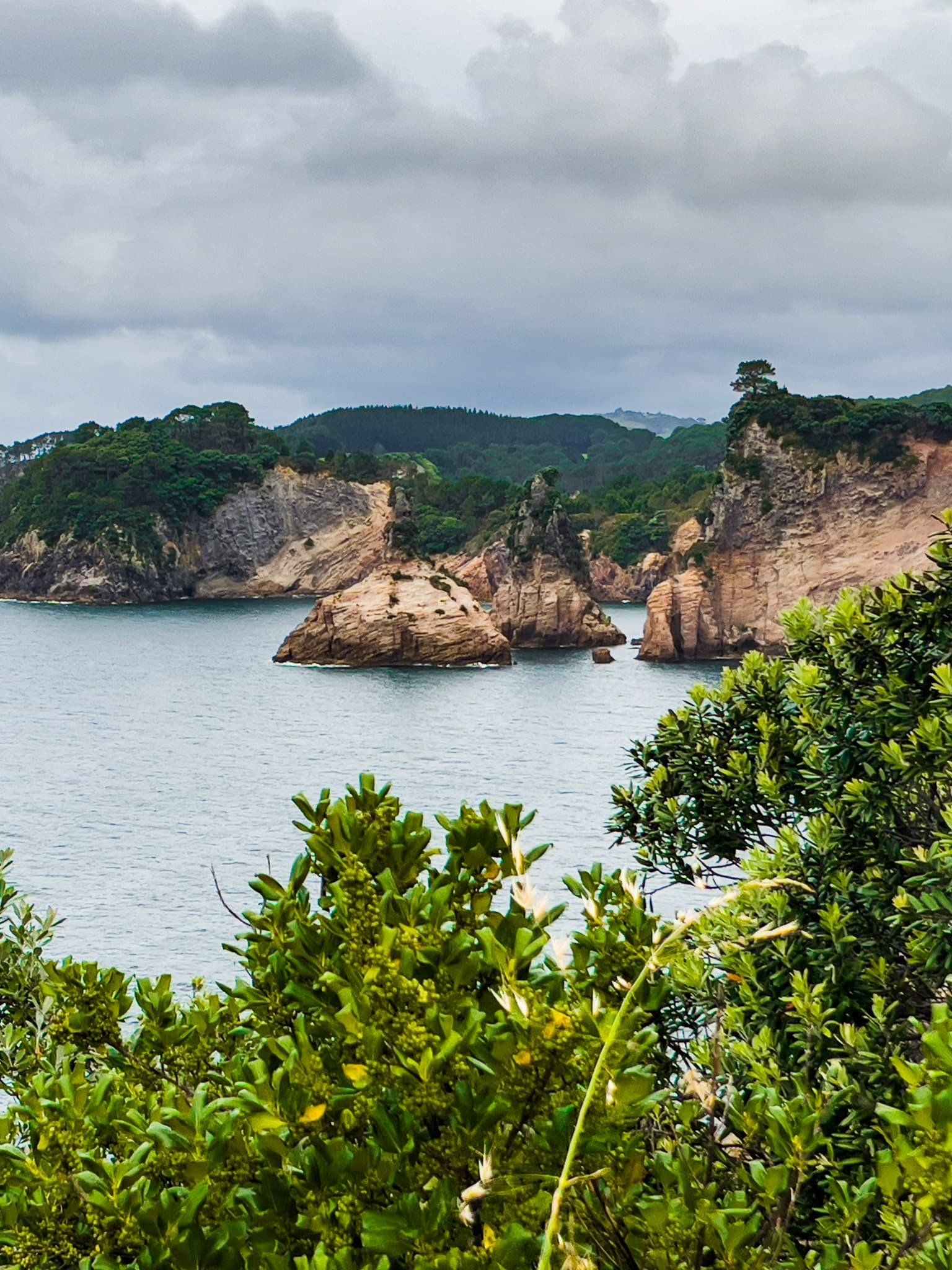
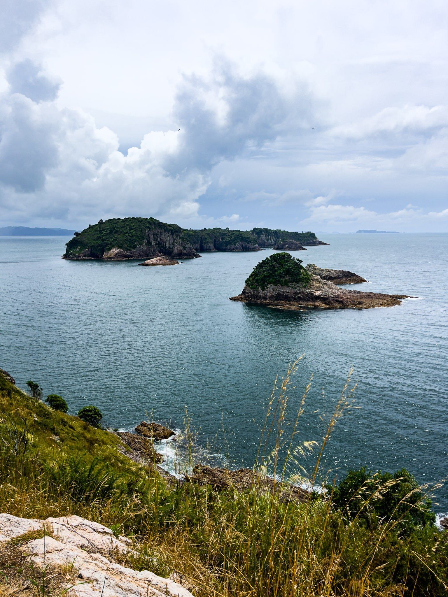
As with Sailors Grave, the colour of the sand and surrounding rocks is a feature of the beach. There is also a photogenic small island and collection of rock formations on the point. However, in our experience it is not as good a place to swim as Sailors Grave. It looks nice but there are quite a few hard-to-see rocks in the sand around the surf break.
The beach is backed by rejuvenating native forest including kauri. There was also a track that went for about 3 km from the beach to State Highway 25, with two ancient kauri trees about halfway along, but this has been closed due to kauri dieback risks.
Return to Hereheretaura Point
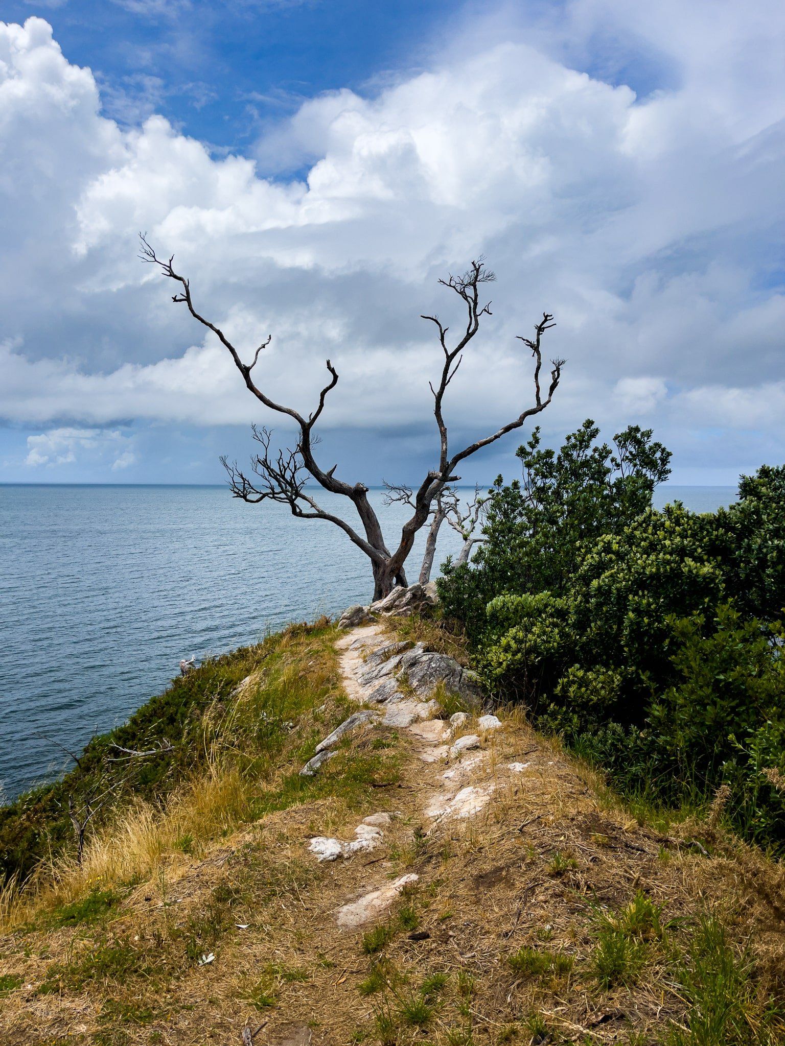
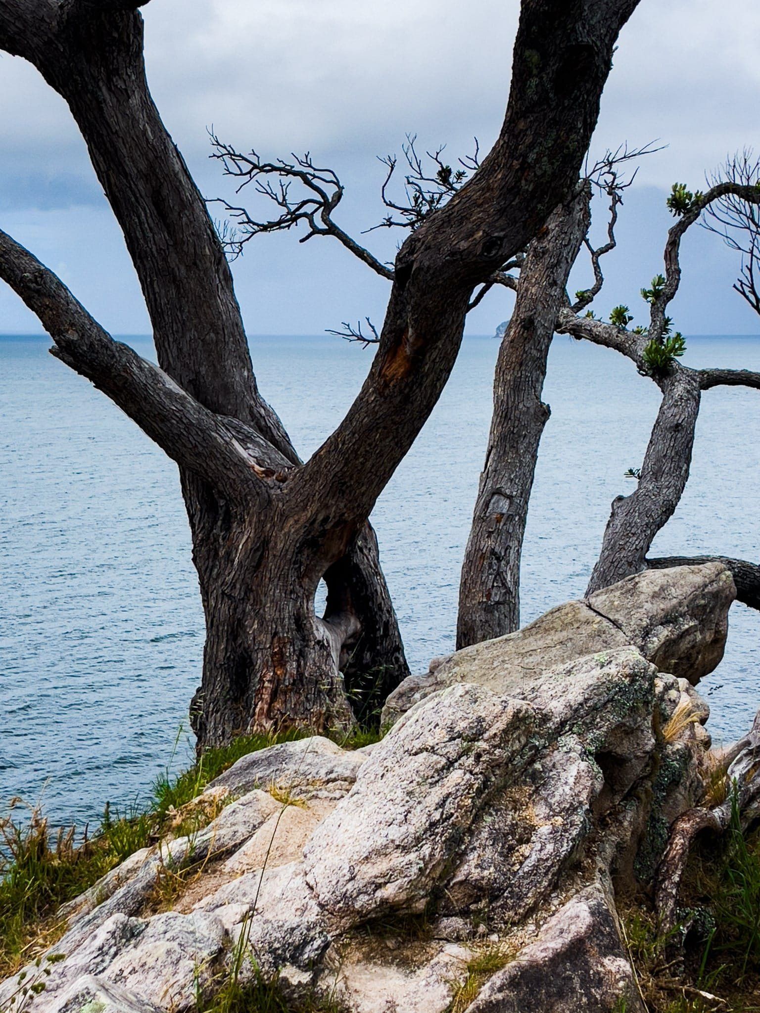
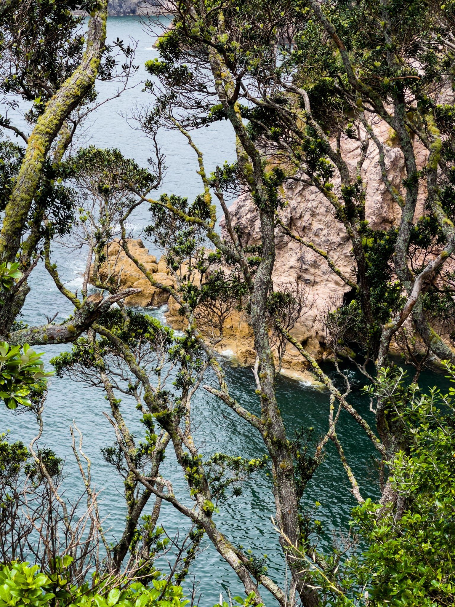
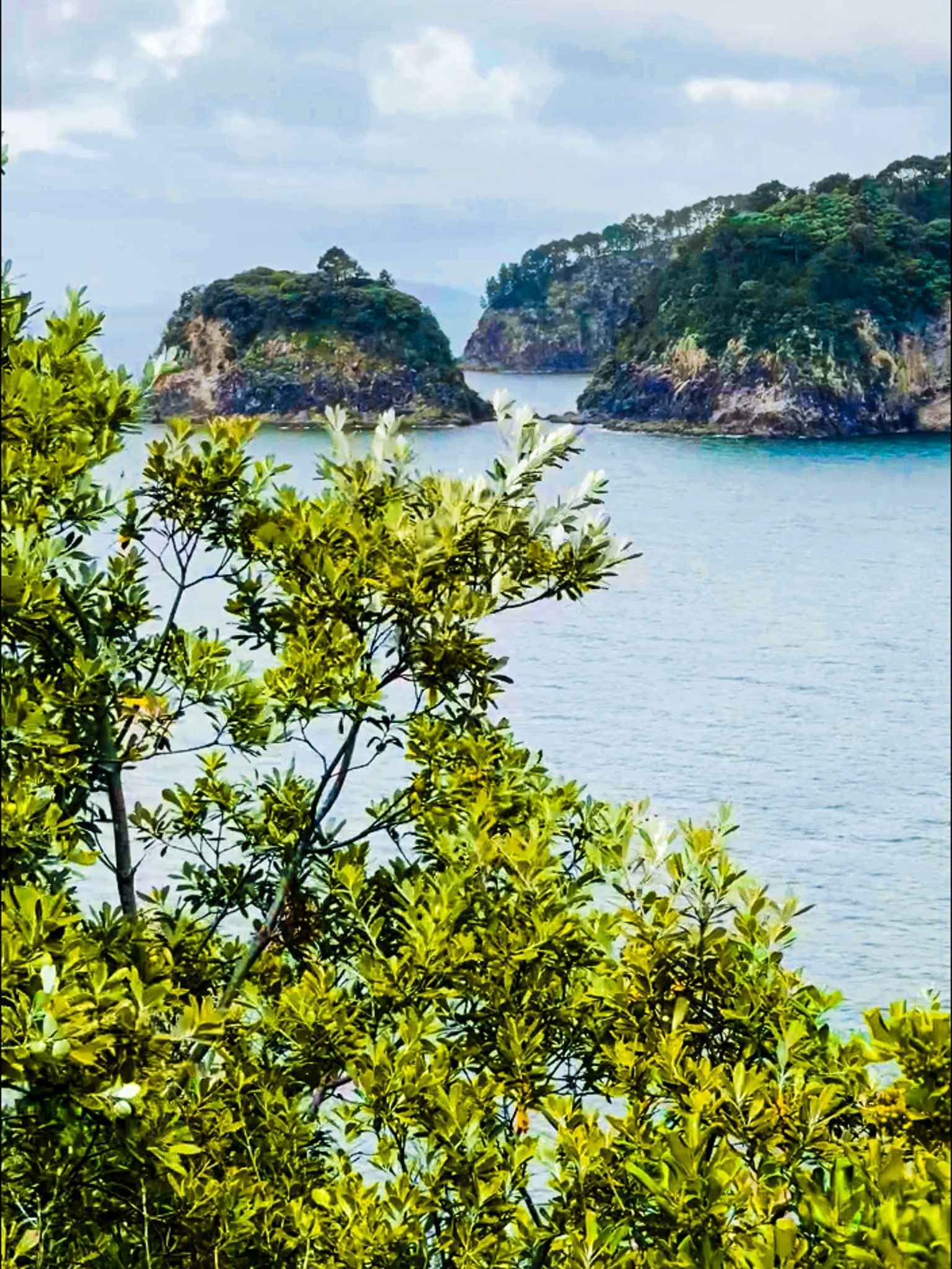
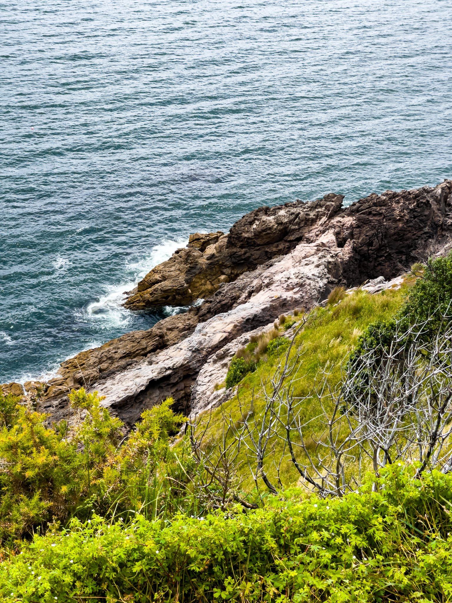
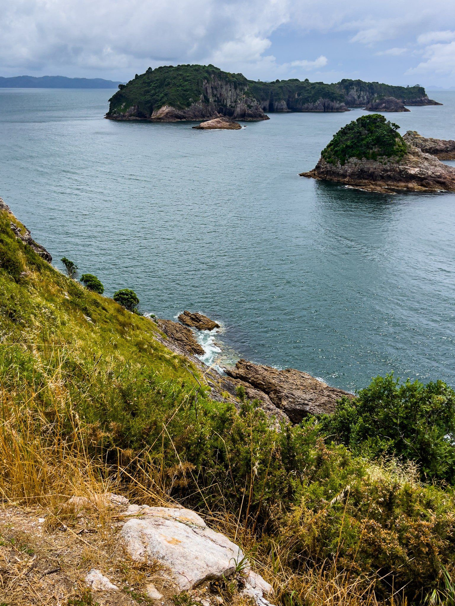
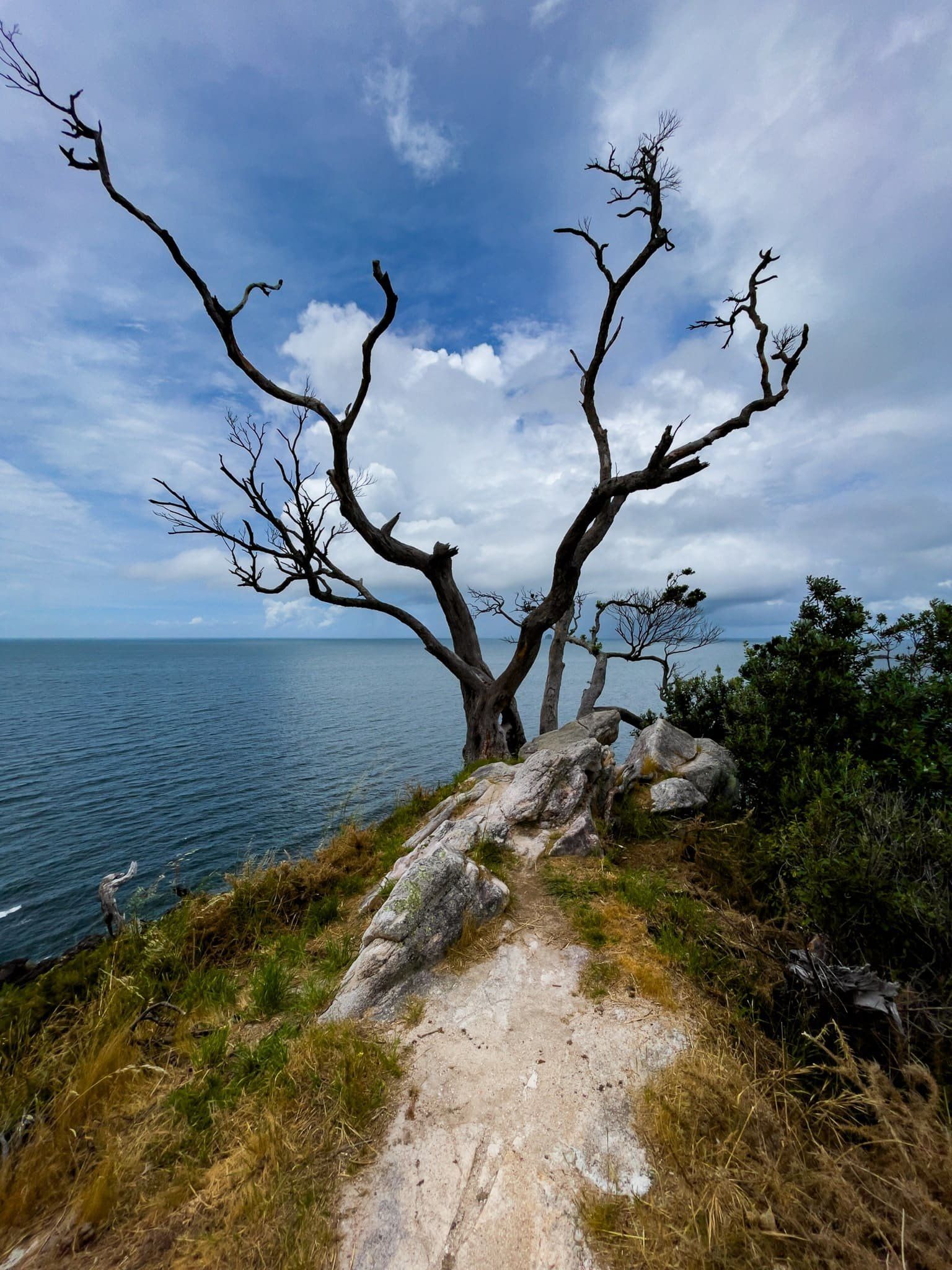
We covered the wonderful Hereheretaura Point in an earlier blog. However, on returning there, we noticed a short path along a stocky spine to the southeast tip of the point. There is an interesting dead tree there which marks the spot and it provides views back along the cliff lined coast to the south, as well as a cliff edge thrill!
Cooks Beach Pukaki
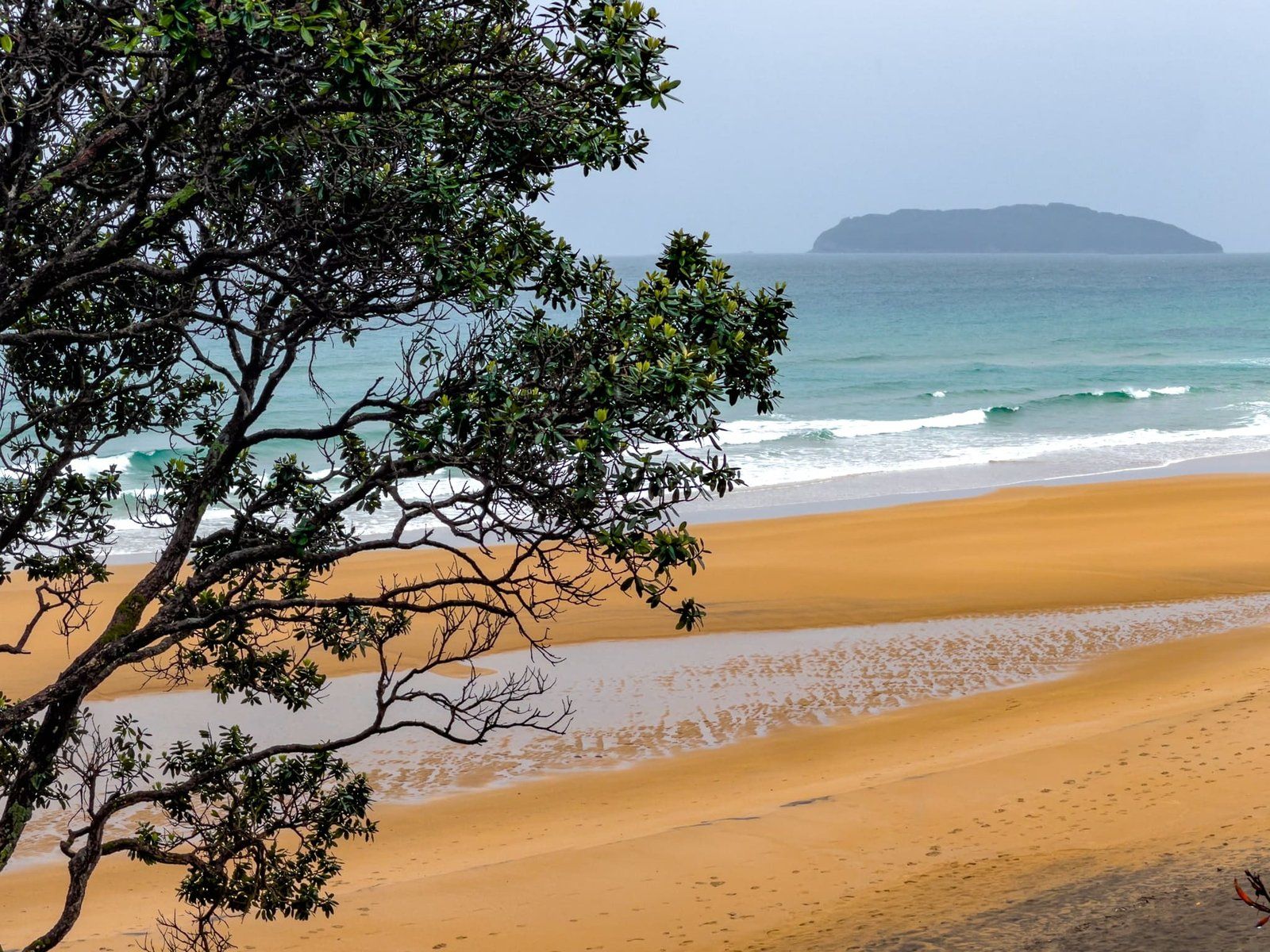
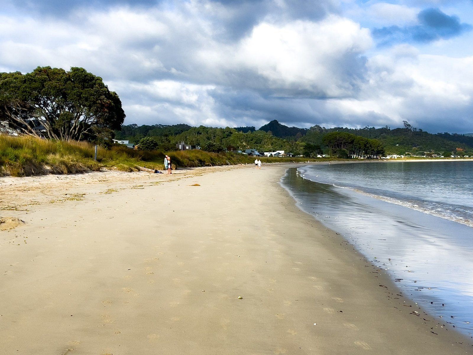
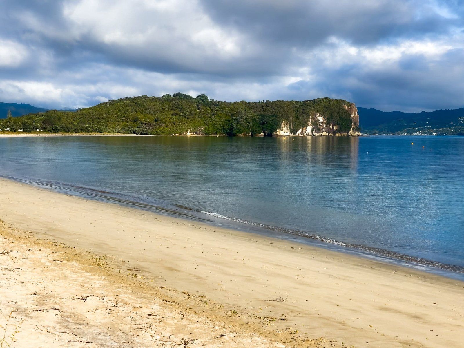
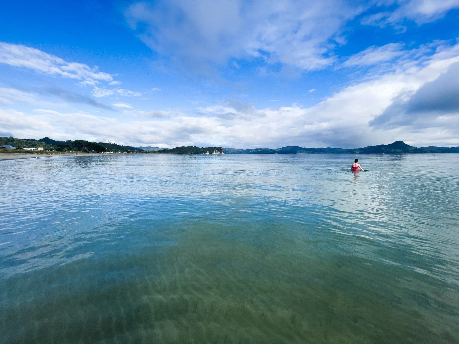
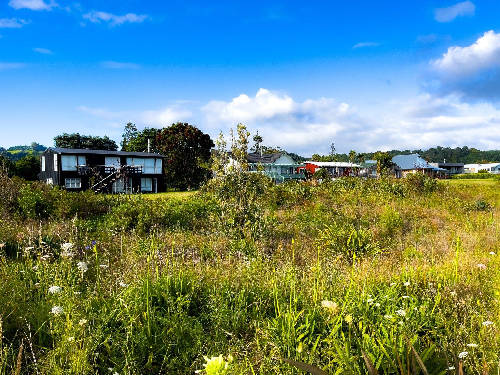
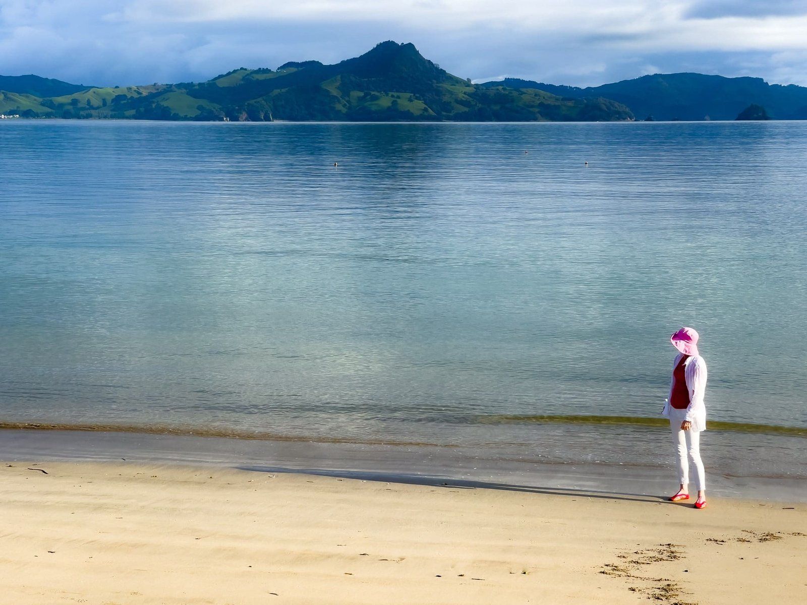
Cooks Beach Pukaki is at the south end of Mercury Bay Te-Whanganui-a-Hei. At 3 km long it is the most substantial of the beaches between Whitianga and Pauanui. The adjacent town of Cooks Beach is a popular holiday destination with restaurants, cafes and a nearby winery.
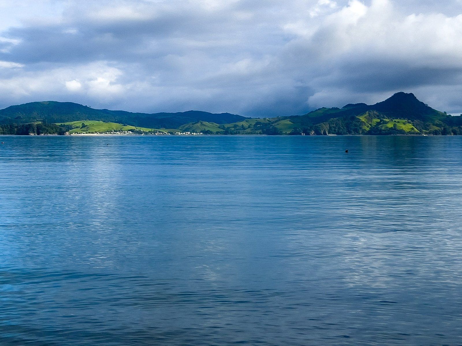
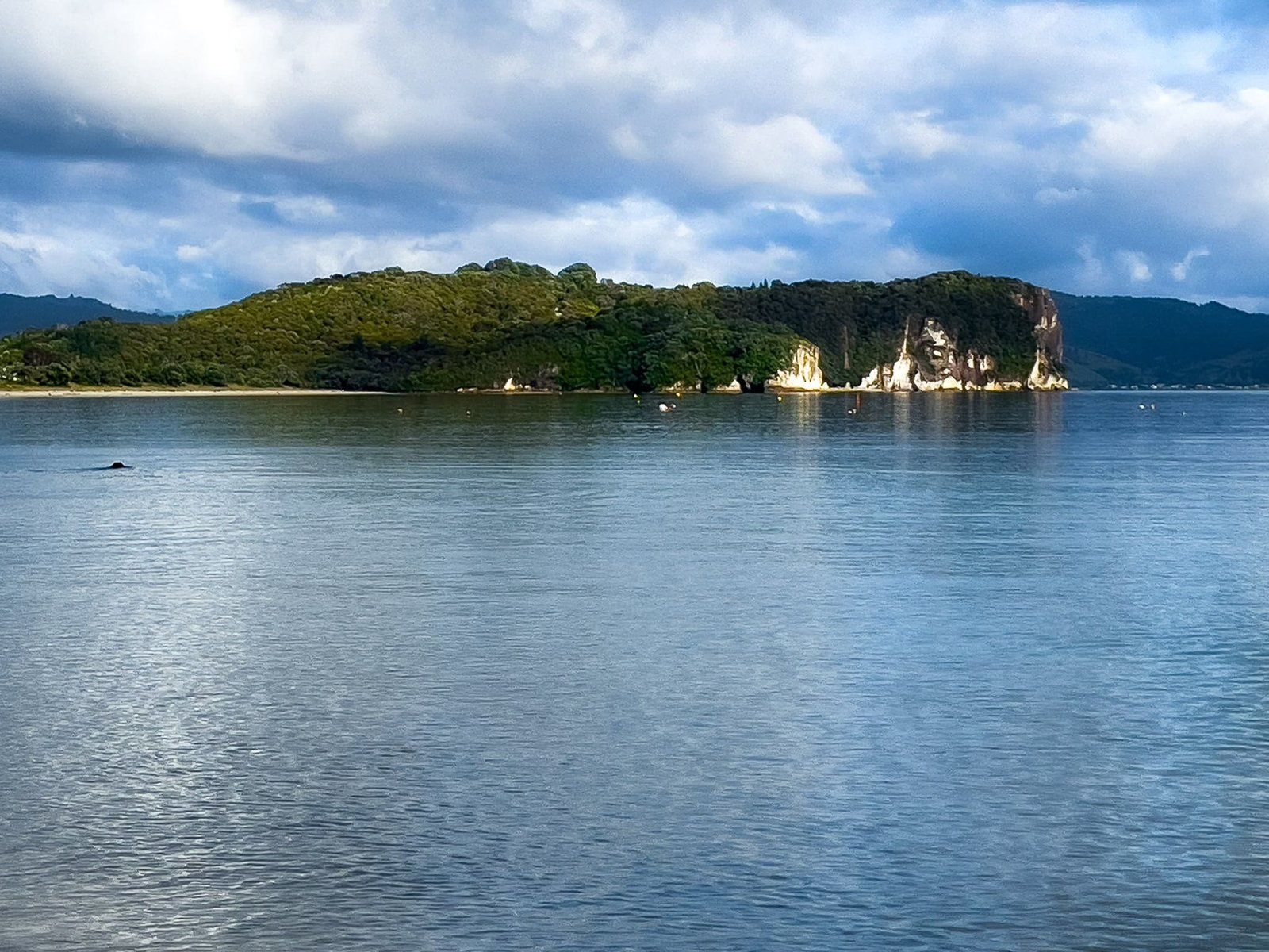
The beach is physically well-protected in Mercury Bay, so generally safe for swimming. In addition to a wander on the beach, there is the option of a walk to stunning Lonely Bay and Shakespeare Cliff at the west end of the beach. Picturesque Purangi Estuary is at the east end.
The beach and wider bay are significant in Māori and European history. Kupe, the Polynesian explorer who reputedly first discovered Aotearoa New Zealand, first landed at Cooks Beach. Timing is uncertain, but it is generally believed to have been between 950 and 1300 AD.
On his first visit to NZ in 1769, Captain James Cook’s HMS Endeavour sailed into the bay and anchored off the beach. While there he measured the transit of Mercury, having earlier in his voyage measured the transit of Venus across the sun in Tahiti. Astronomically, these measurements were important as they enabled better estimates of the size of the Solar System.
Cook’s visit led to the European names of the bay and the beach. There are monuments to the visit on the top of Shakespeare Cliff and at the east end of the beach near the Purangi Estuary.
Want more Trip Ideas?
Check out our blogs on the Coromandel Peninsula: Cooks Beach to Whitianga, New Chums, Opito Bay, Otama, and Whangapoua, Cathedral Cove, Hot Water Beach, and Hahei.
