
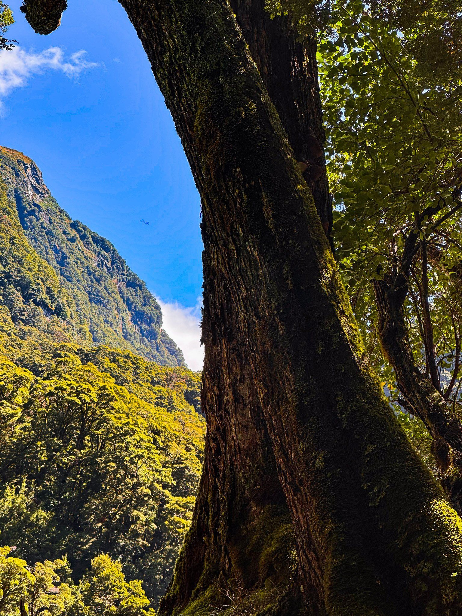
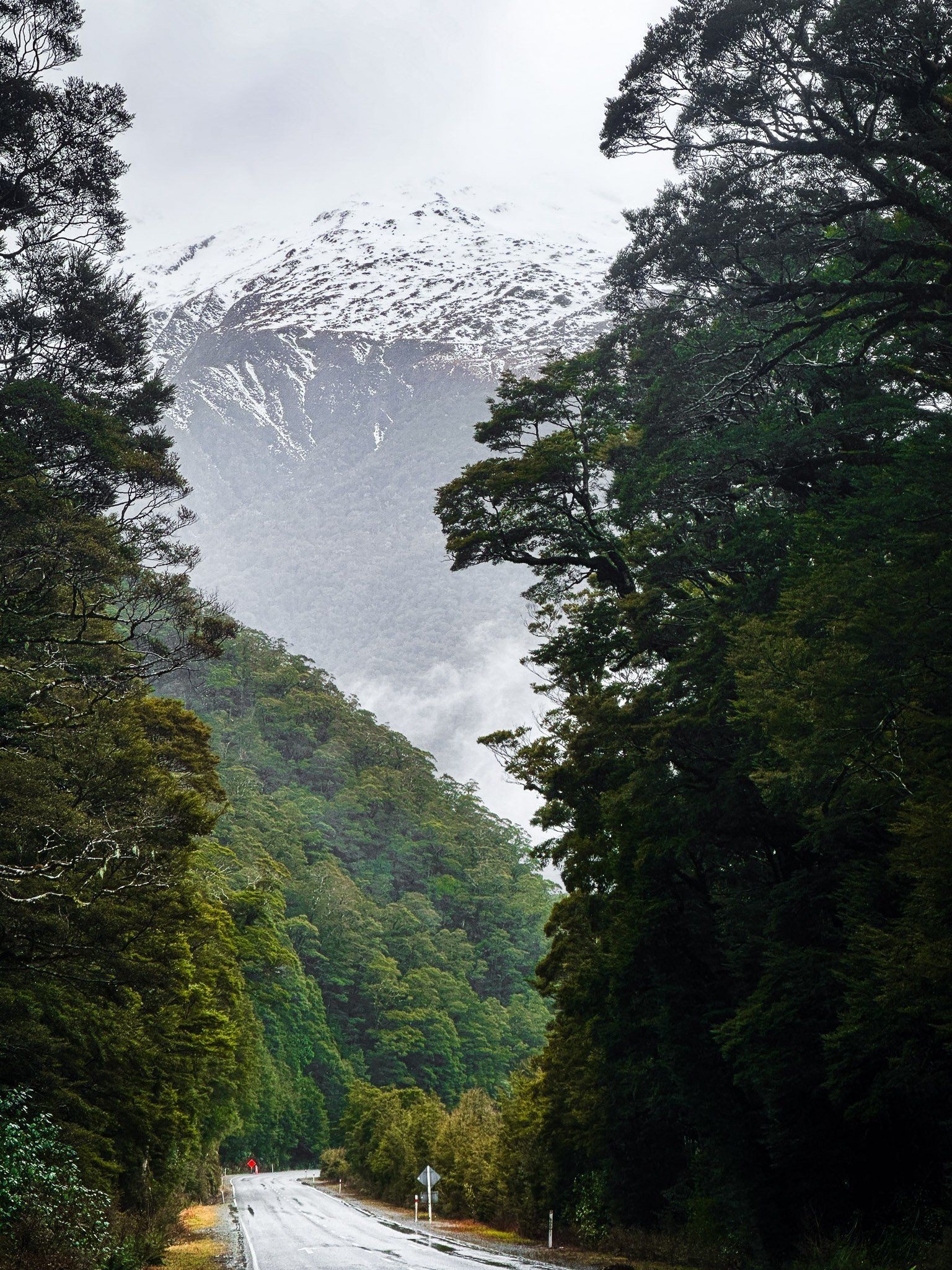
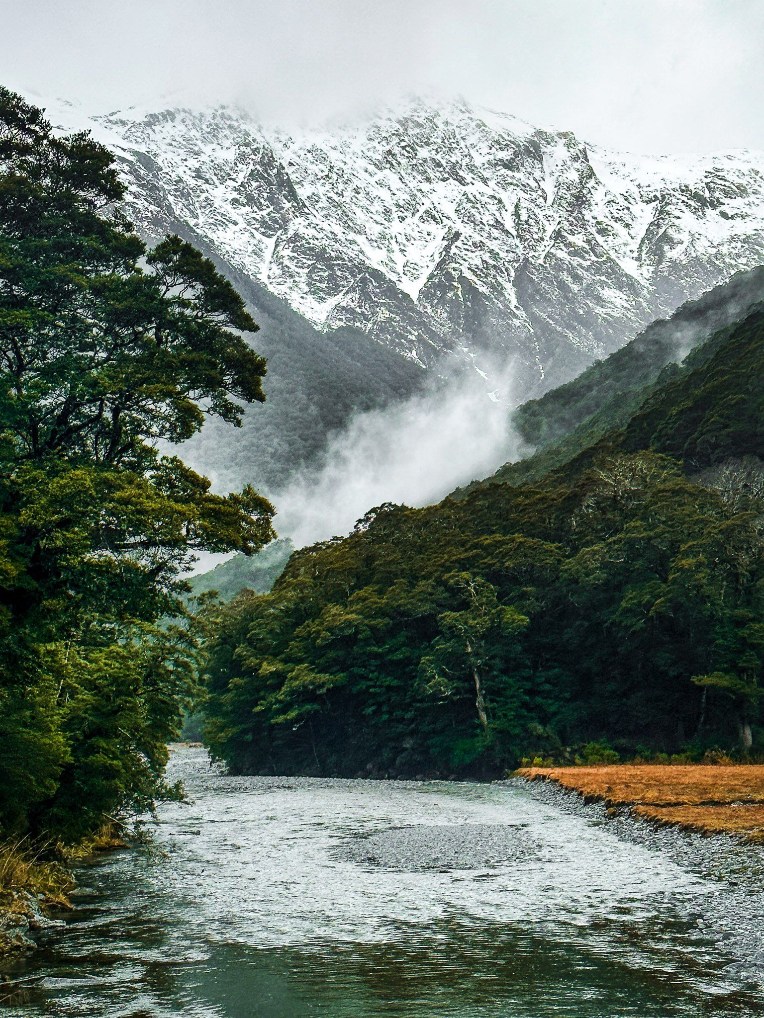
At 562 metres, Haast Pass / Tioripatea is the lowest and most southerly of the three mountain passes over the Divide in NZ’s Southern Alps. The Pass is crossed by State Highway 6 (Haast Highway), one of the most scenic roads in Aotearoa. From south to north, the road runs alongside Lake Hāwea, then the northeast side of Lake Wānaka before entering the mostly farmed Makarora River valley. After the hamlet of Makarora, the road enters Mount Aspiring National Park.
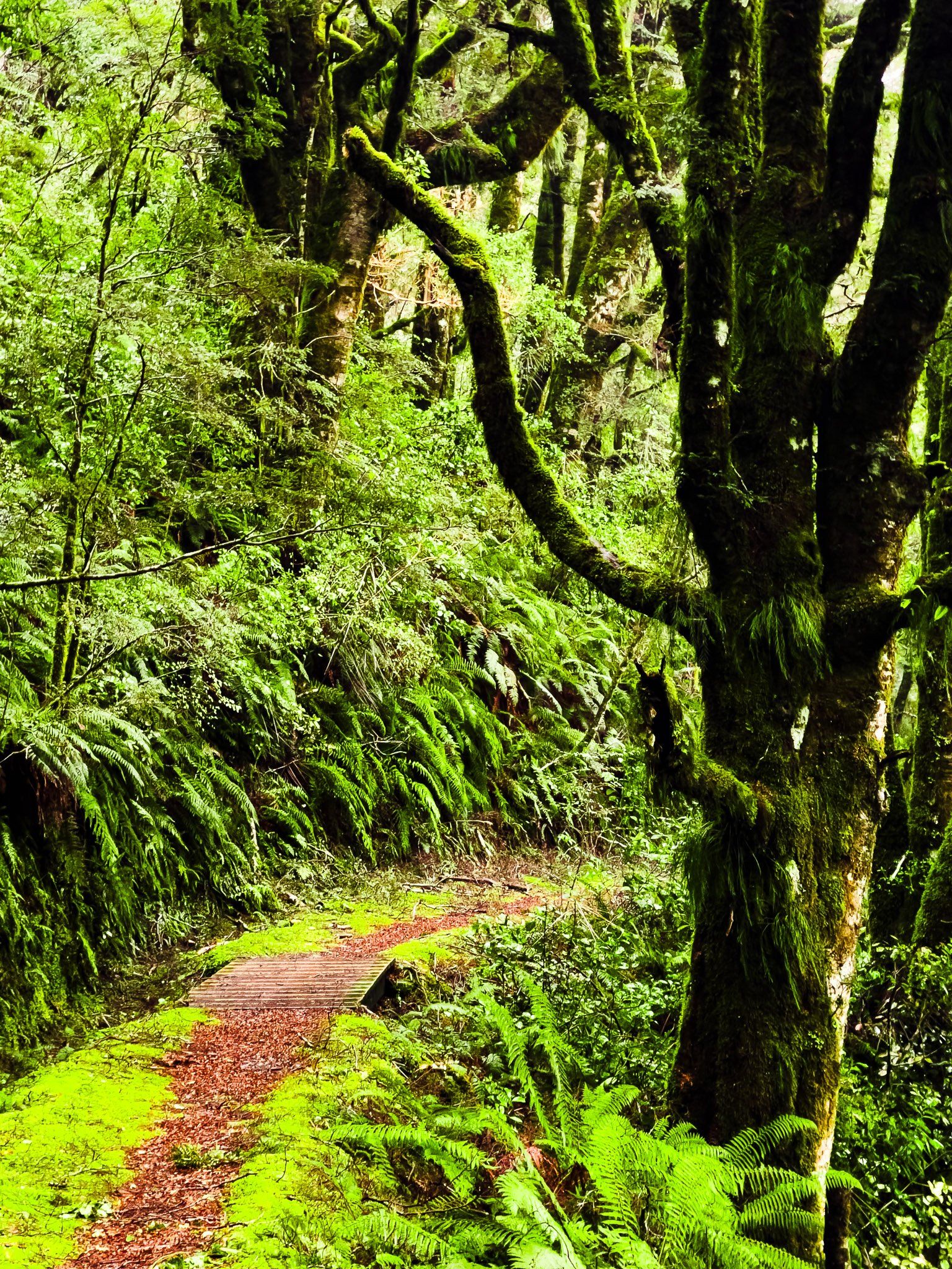
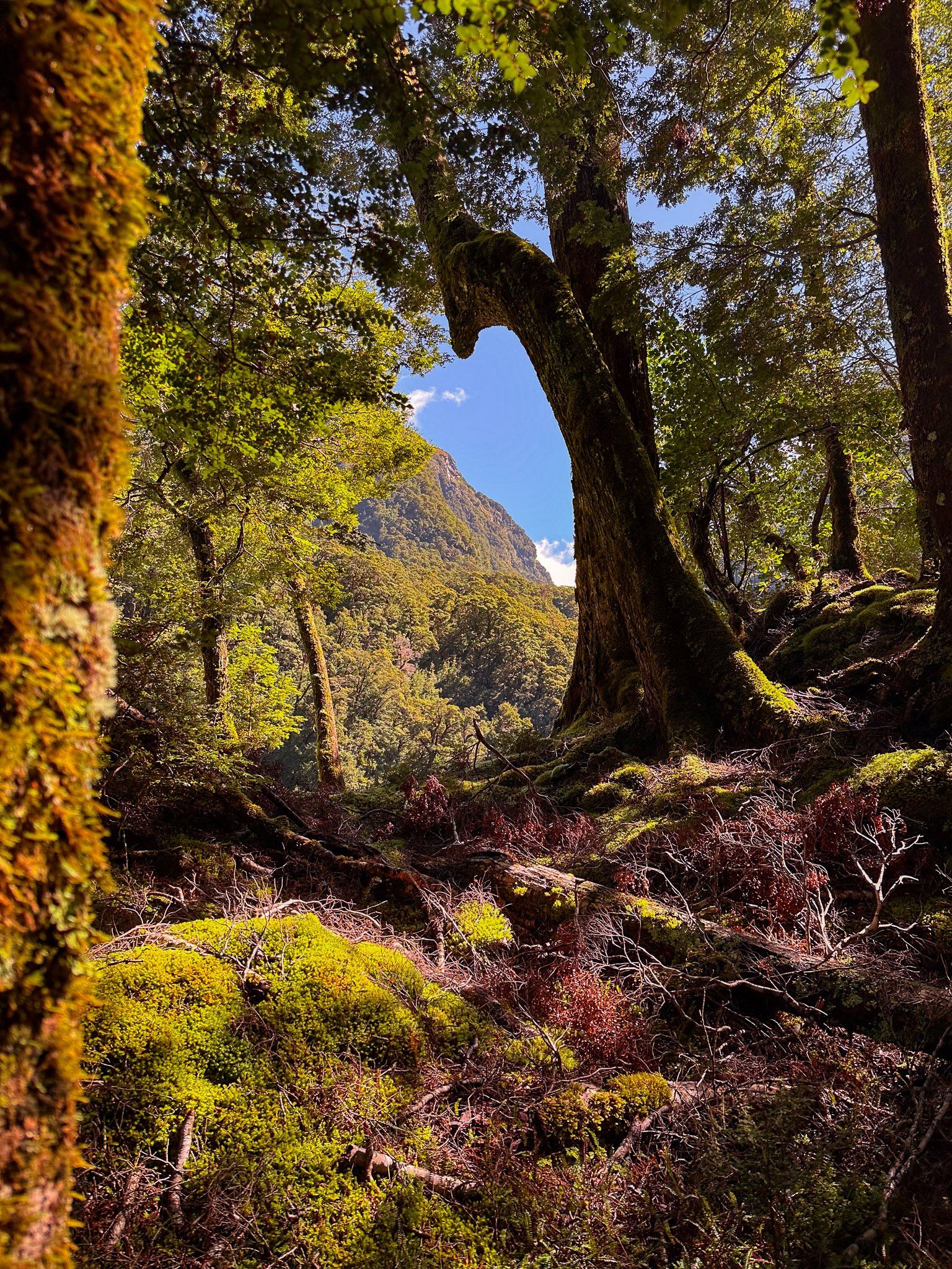
Through the national park, you will find beech forests, mountains, tracks, waterfalls and two rivers. Makarora River flows south from the Divide to Lake Wānaka, and Haast River flows northwest to the coast. Some sections of the road are along river valley flats, but others run along cliff sides above gorges.
Popular stops include the Blue Pools on the Makarora River, Haast Lookout, the Gates of Haast, Fantail, Thunder and Roaring Billy Falls, and the Bridle Track, a remnant of packhorse days gone by. More adventurous options include the Brewster Track and a jet boat ride on the Makarora River to access tracks on the Young River and Wilkin River tributaries. Obscure but easy options include the stunning canyon on Wilson Creek and Topsy Falls. Expect to get your feet wet!
Haast Pass was long established and used by Māori to transit between the West Coast and Wānaka / Hāwea to access and trade pounamu and food resources. The European name is for Julius von Haast, a prominent explorer of the South Island in the 1800s and the first European to cross the pass. The traditional Māori name of Tioripatea (“the way is clear”) was restored following the Ngāi Tahu Treaty of Waitangi settlement in 1998.
The Pass was initially notorious to Europeans for a crossing by a 100-person war party led by Te Pūoho in 1835/36. They attacked a Ngāi Tahu encampment on the Isthmus between Lake Wānaka and Lake Hāwea, took prisoners, and cannibalised two children. They then marched over the Crown Range to Lake Wakatipu and Southland. There, Ngāi Tahu wiped out the war party and killed Te Pūoho.
By 1880, a packhorse track across Haast Pass was established and in 1929, the first stage of road development began. But this dragged on for decades until the road over the pass to Haast was finally completed in 1961. The final stage of State Highway 6 between Haast and Paringa was completed in November 1965. A fully sealed surface on the entire route was completed in 1995.
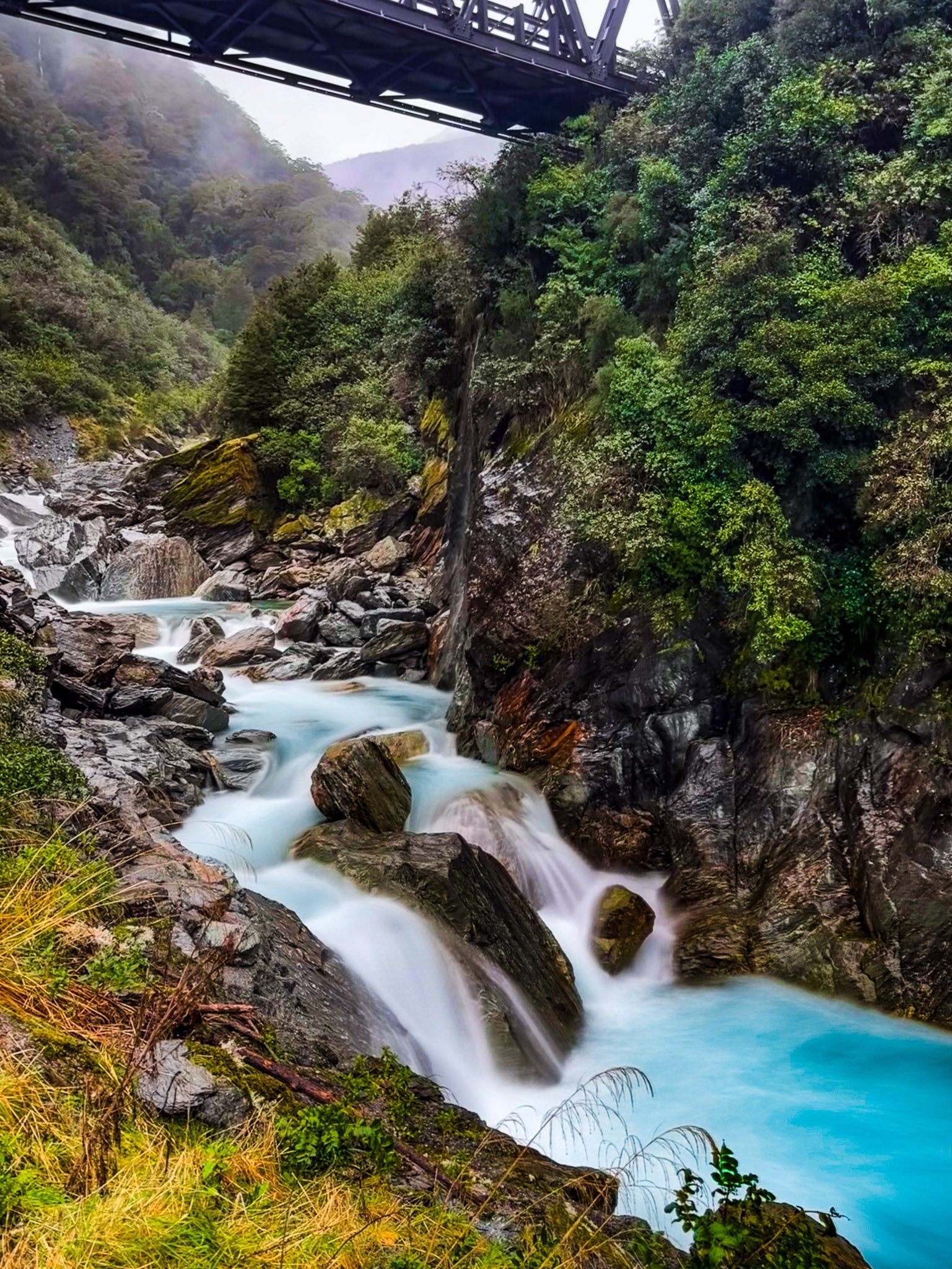
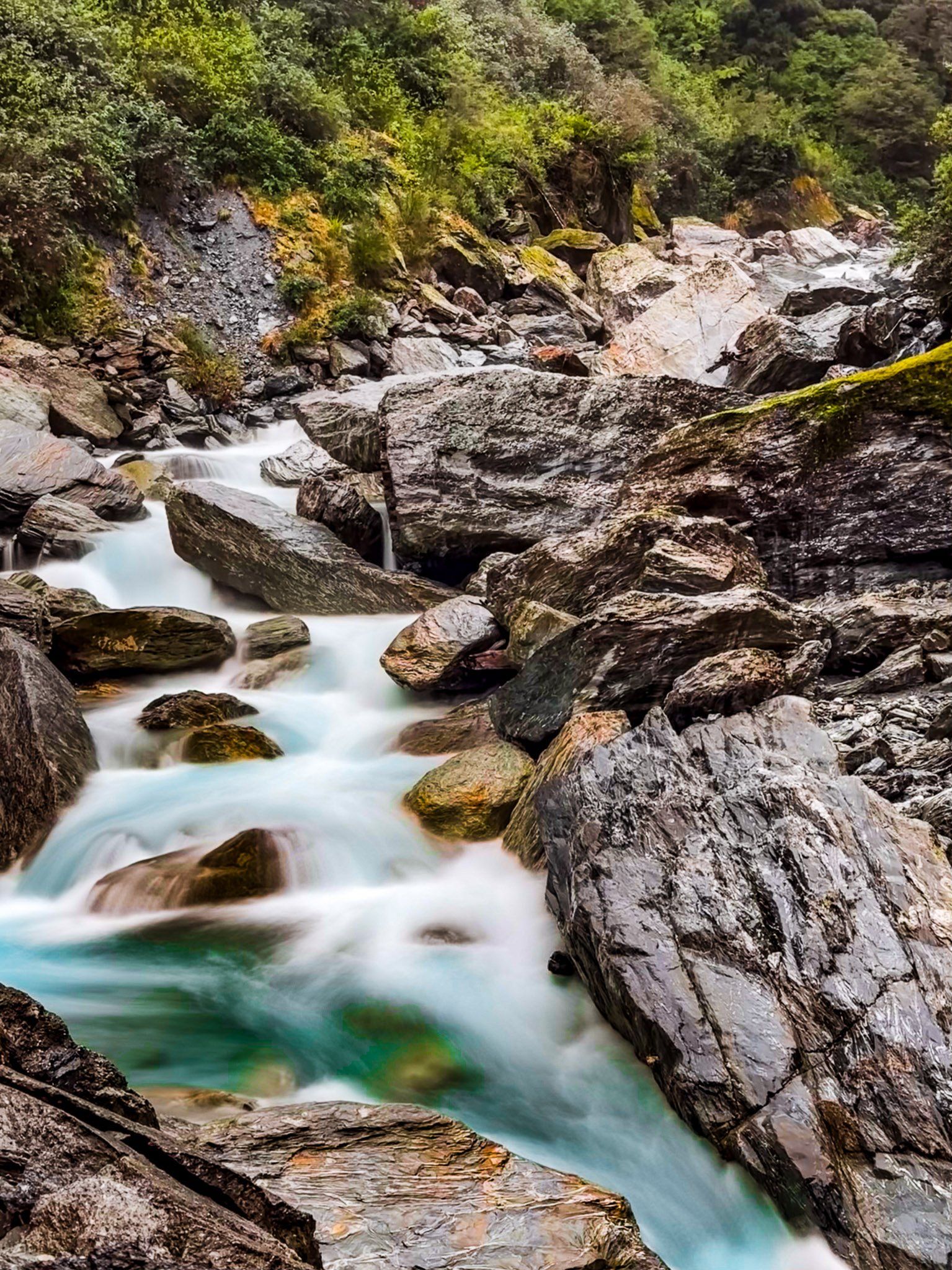
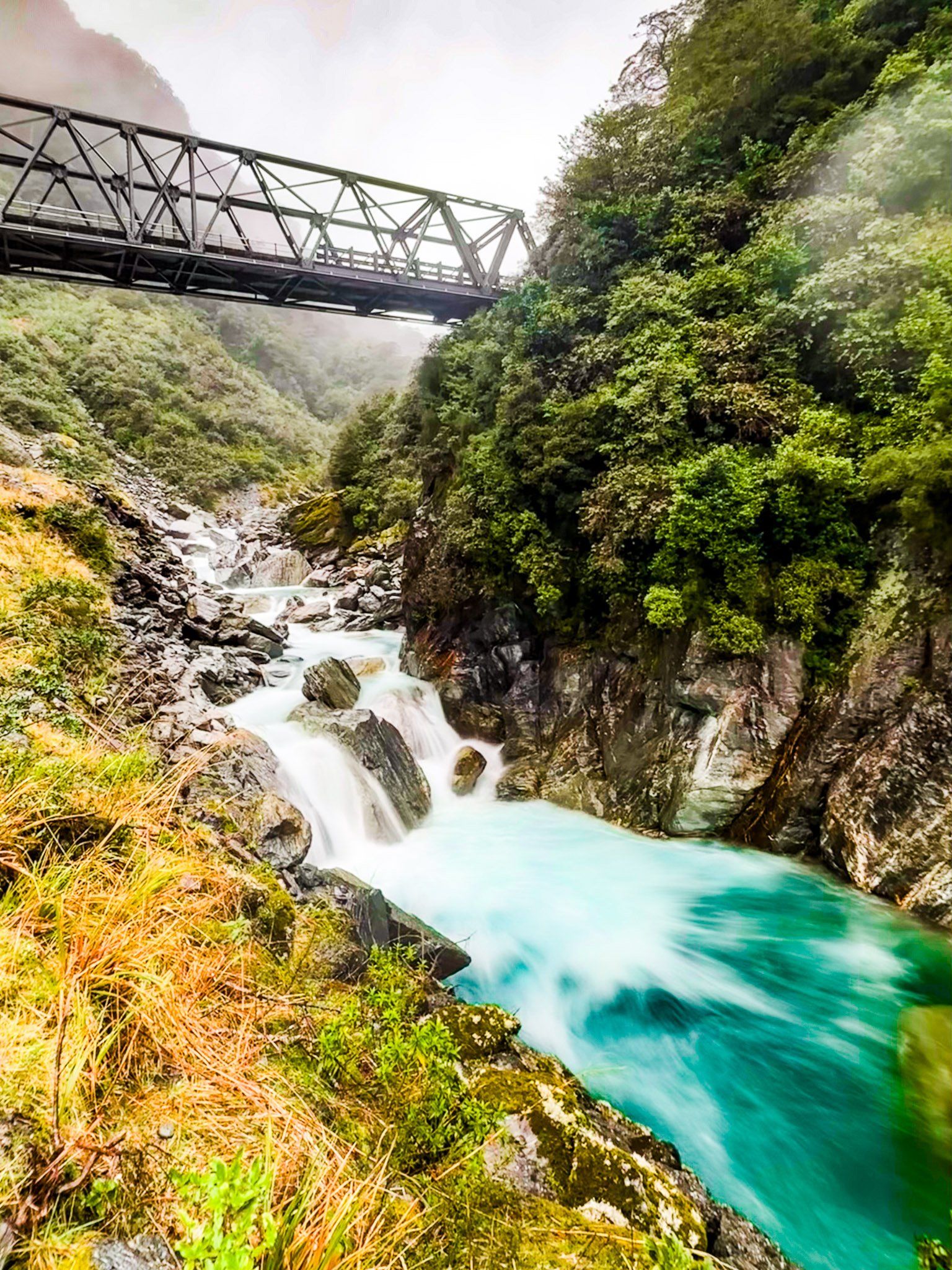
Gates of Haast
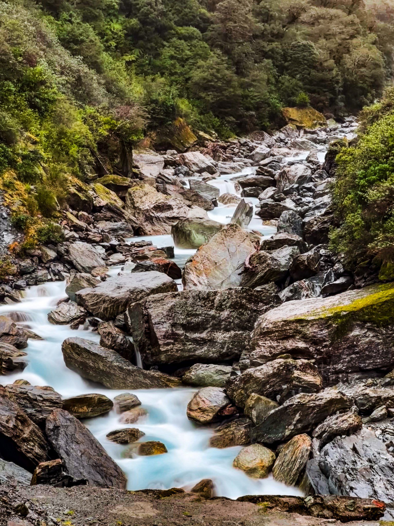
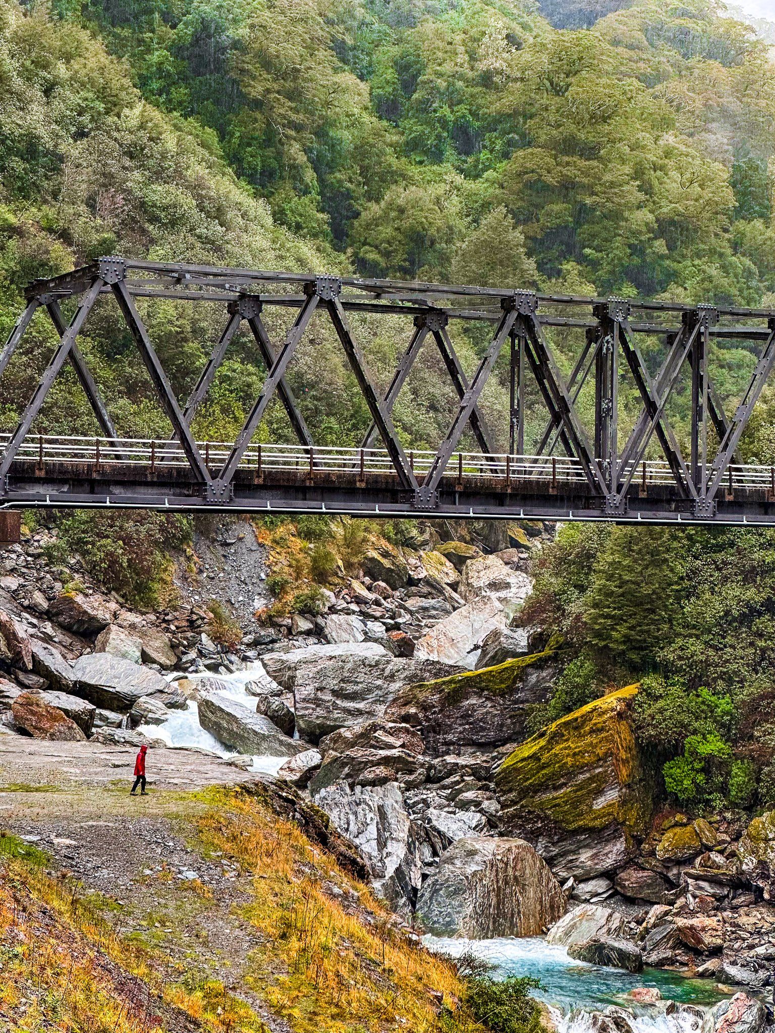
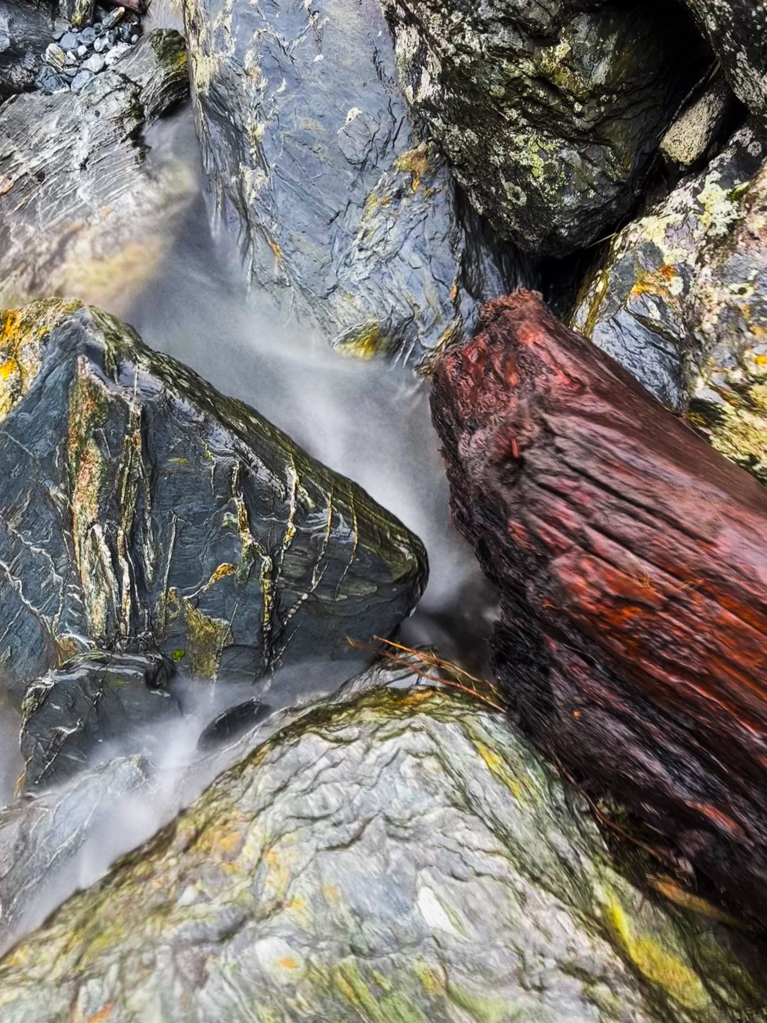
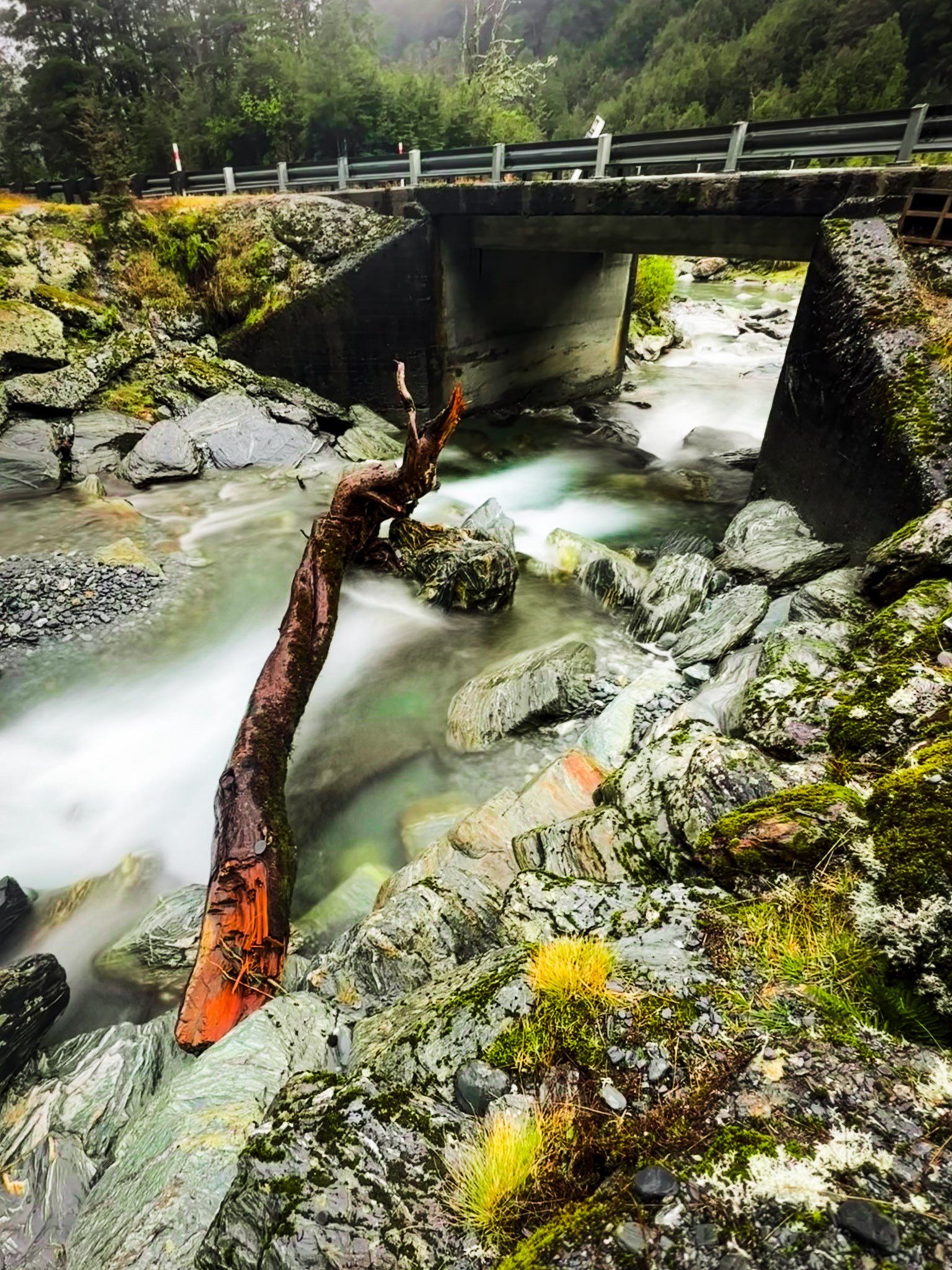
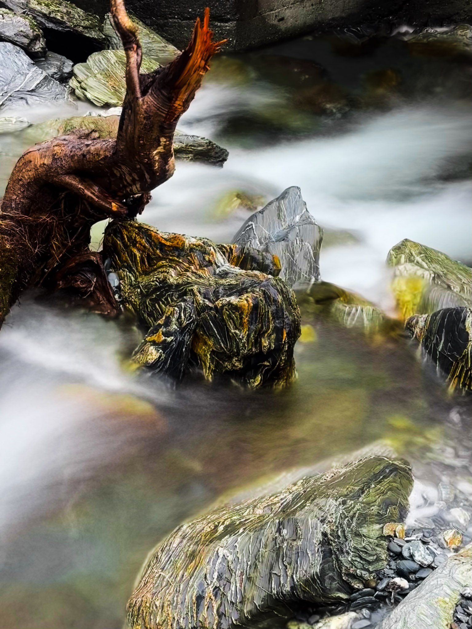
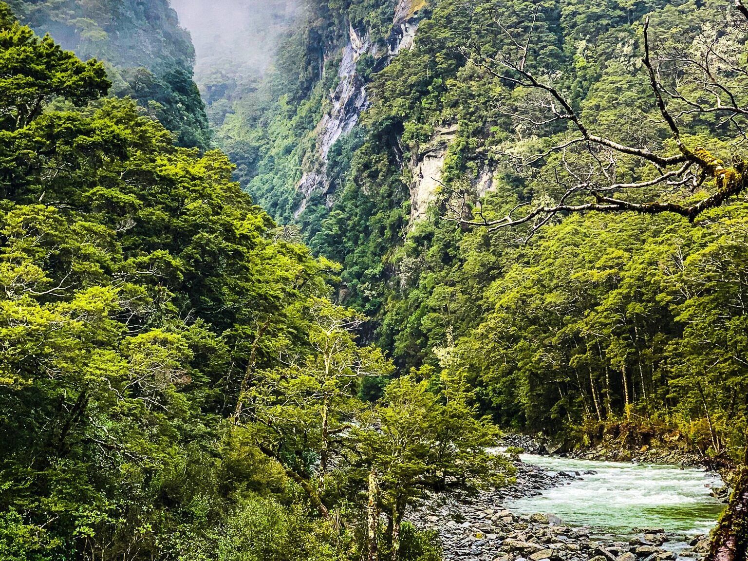
Gates of Haast is the most rugged section of the Haast Highway on the north side of Haast Pass. From the top of the Pass, the road heads downhill, hugging the side of the cliff with a steep dropoff to the Haast River gorge. Diana Falls is one of the few safe places to stop until you reach the Gates. Here, the river tumbles 60 metres amongst large boulders with several waterfalls. The road crosses over the middle of this drop on a high, narrow one-lane bridge.
On the north side, there is safe parking just beyond the bridge for several cars. There is no standing room on the bridge, but you can walk down below it for a closer view of the ravine and falls. It may be tempting to clamber closer to the water, but be aware that this is an inherently dangerous place, especially in bad weather when water levels can change without warning.
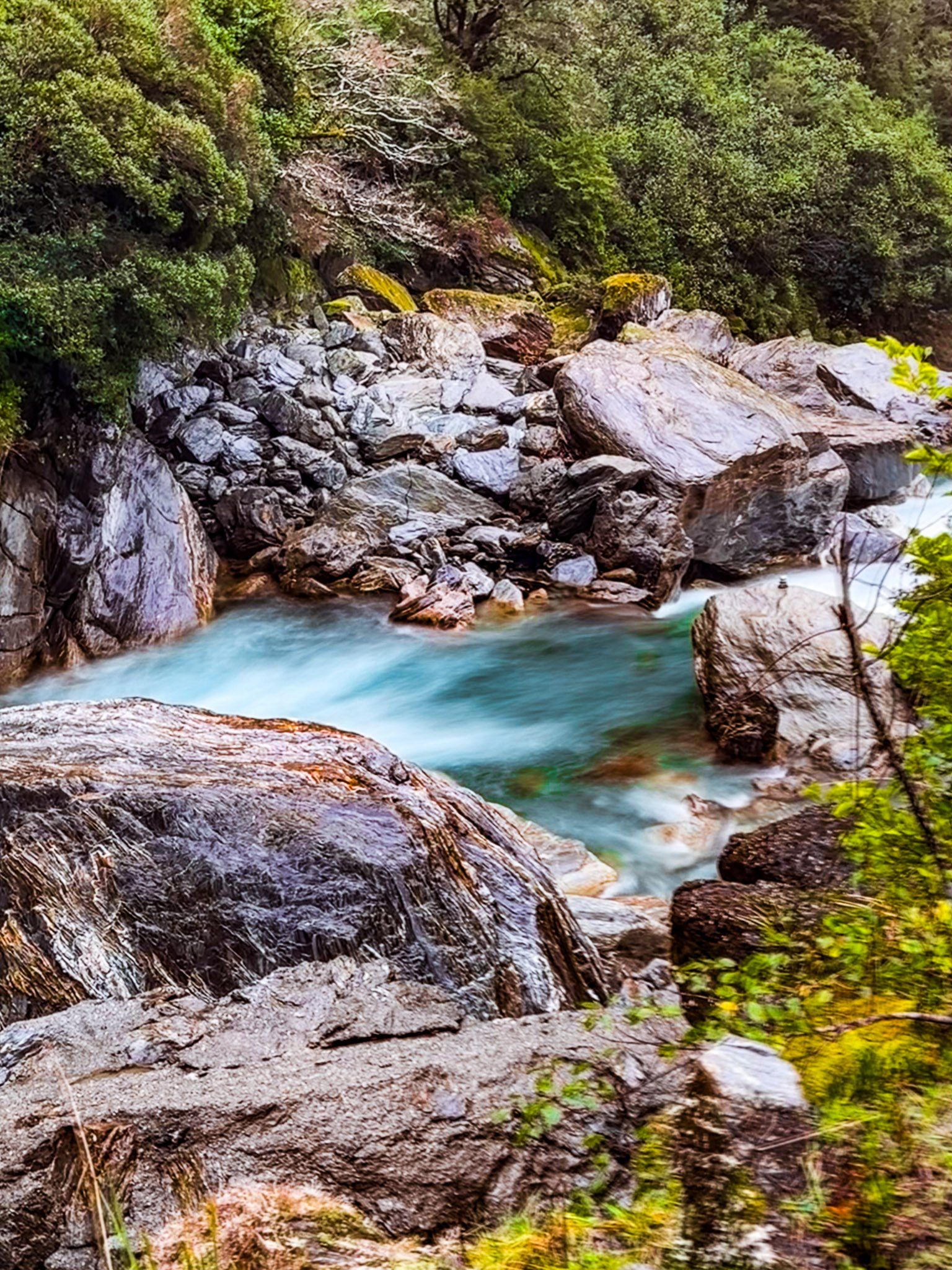


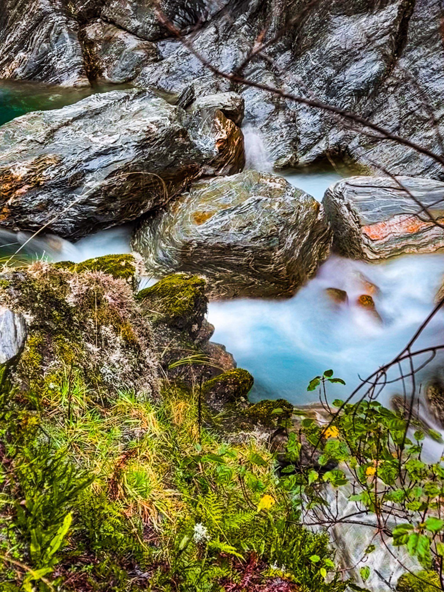
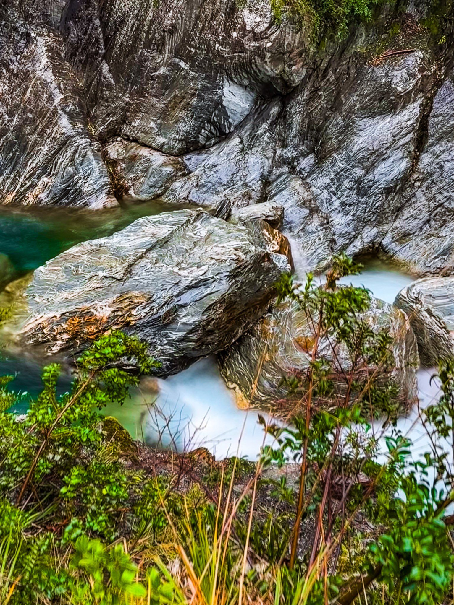
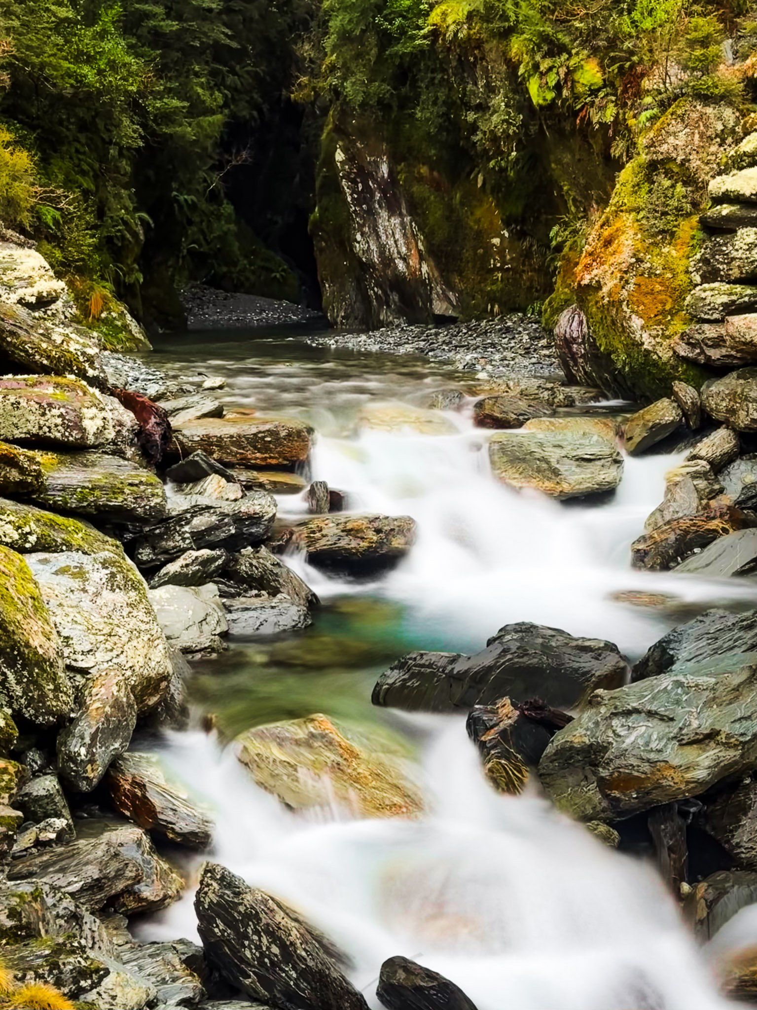
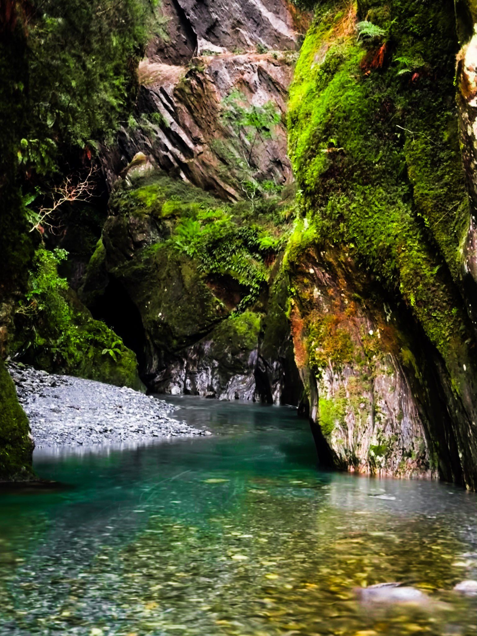
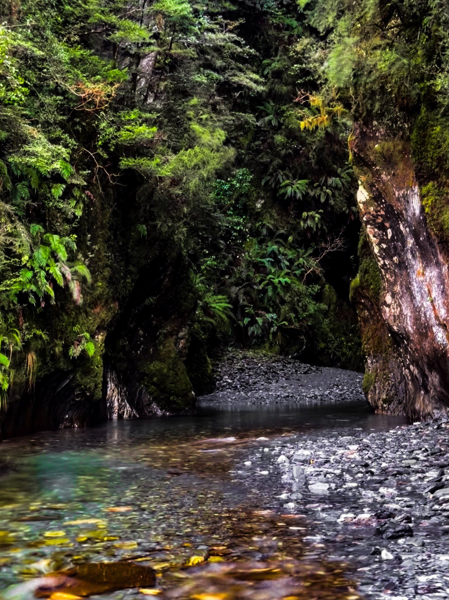
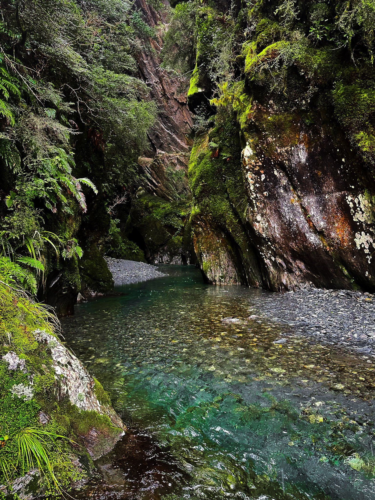
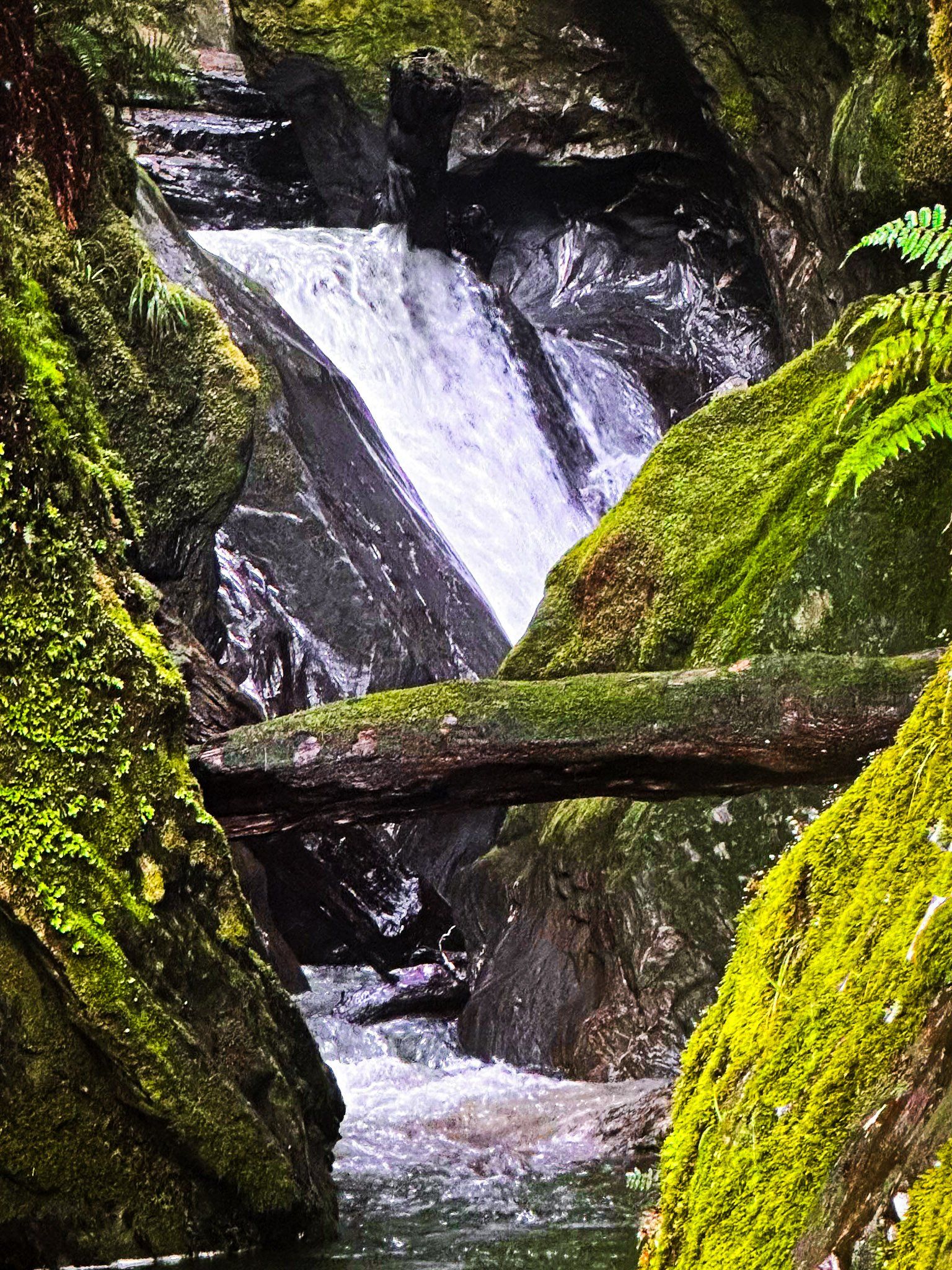
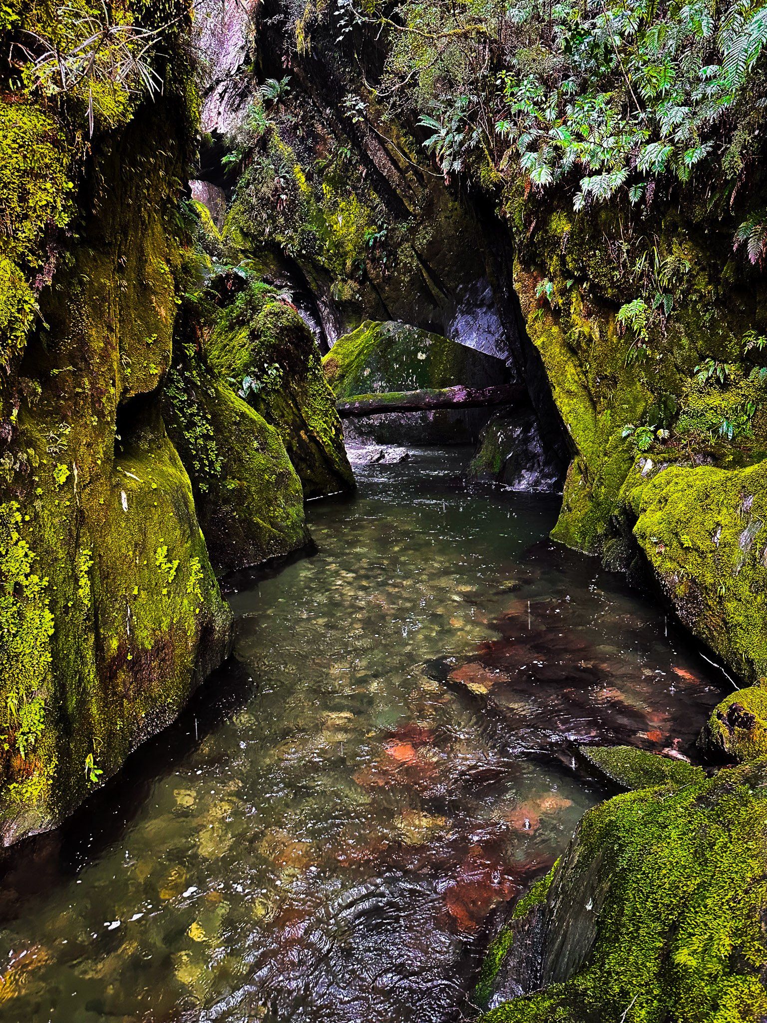
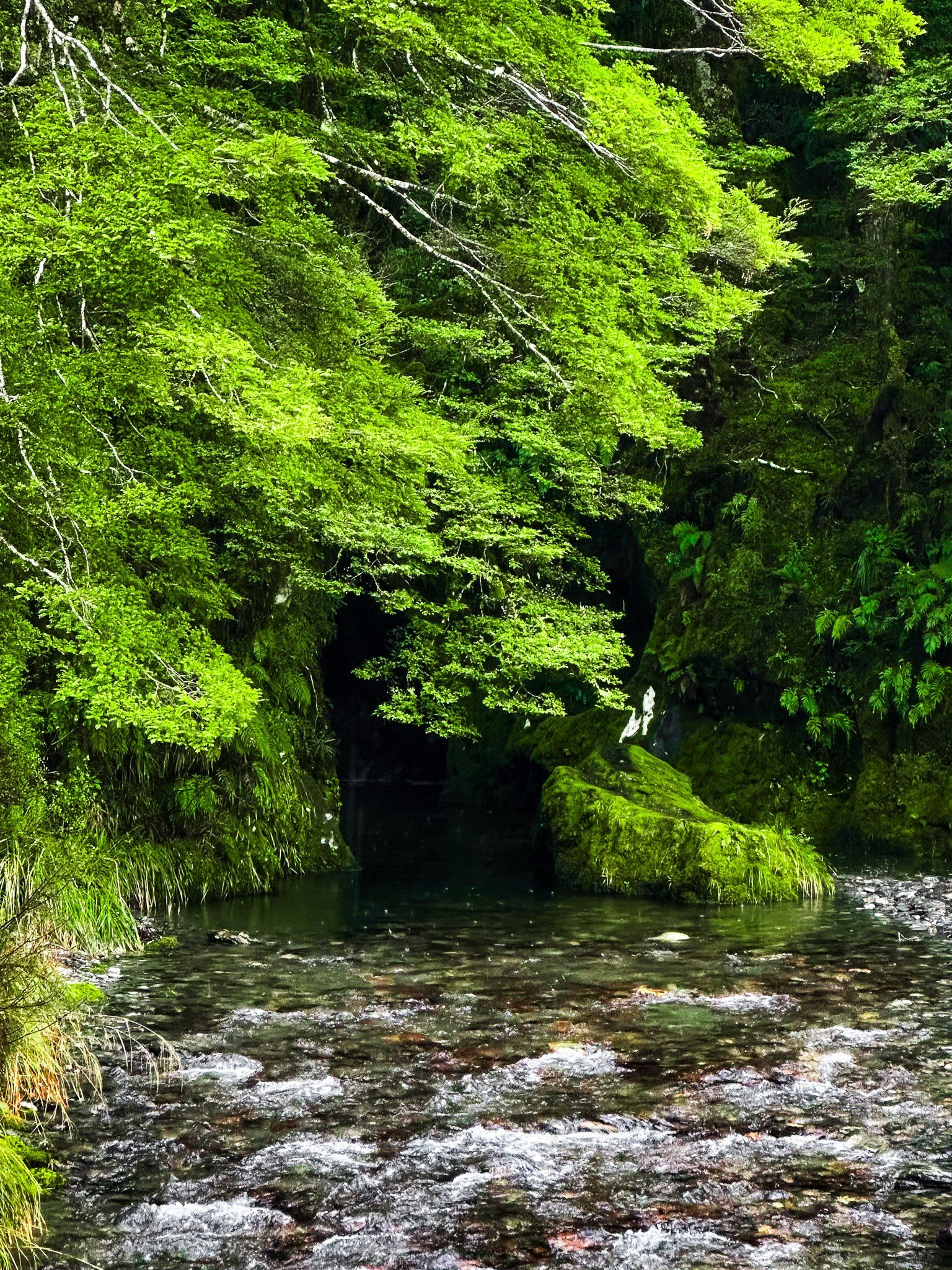
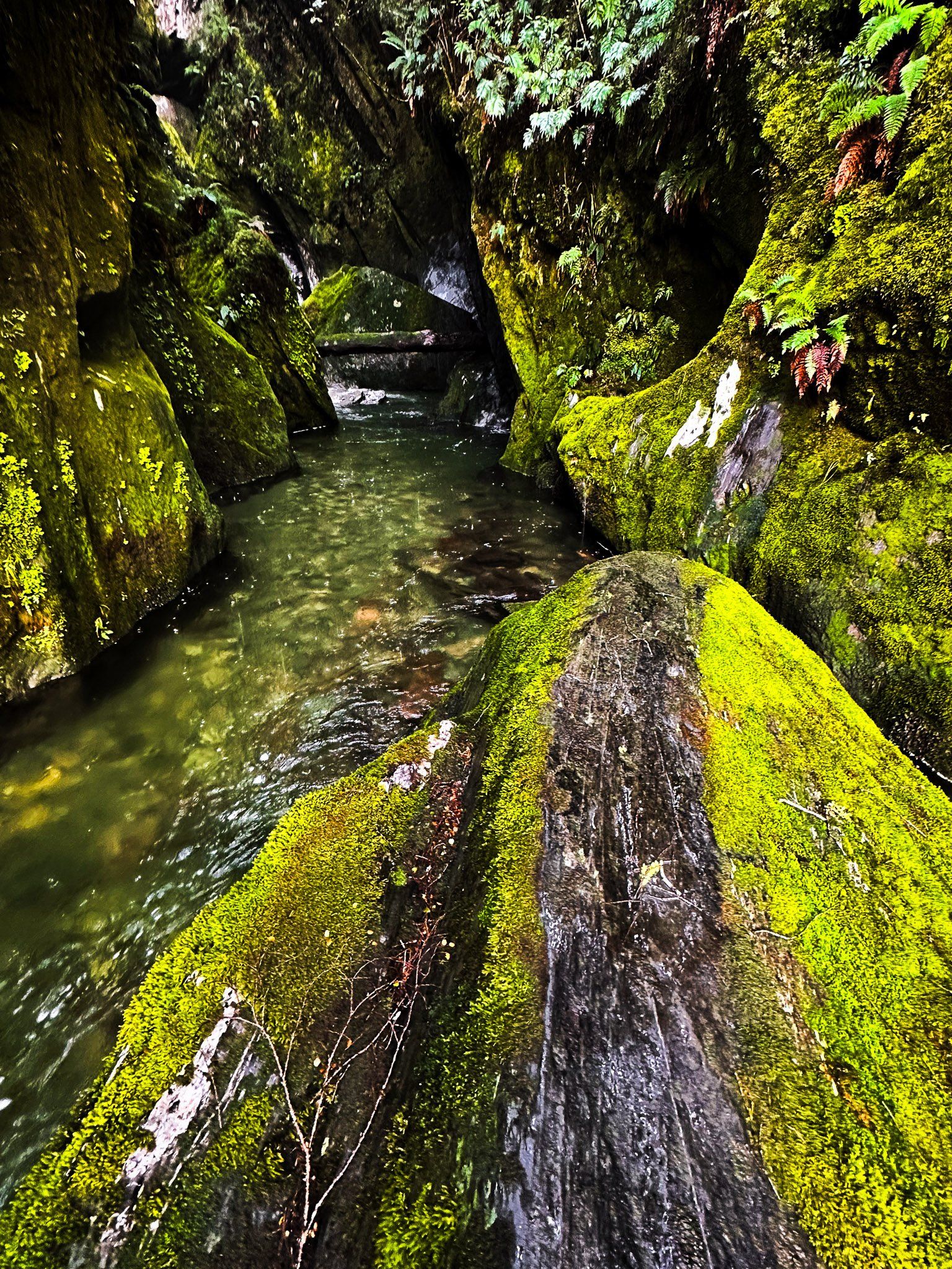
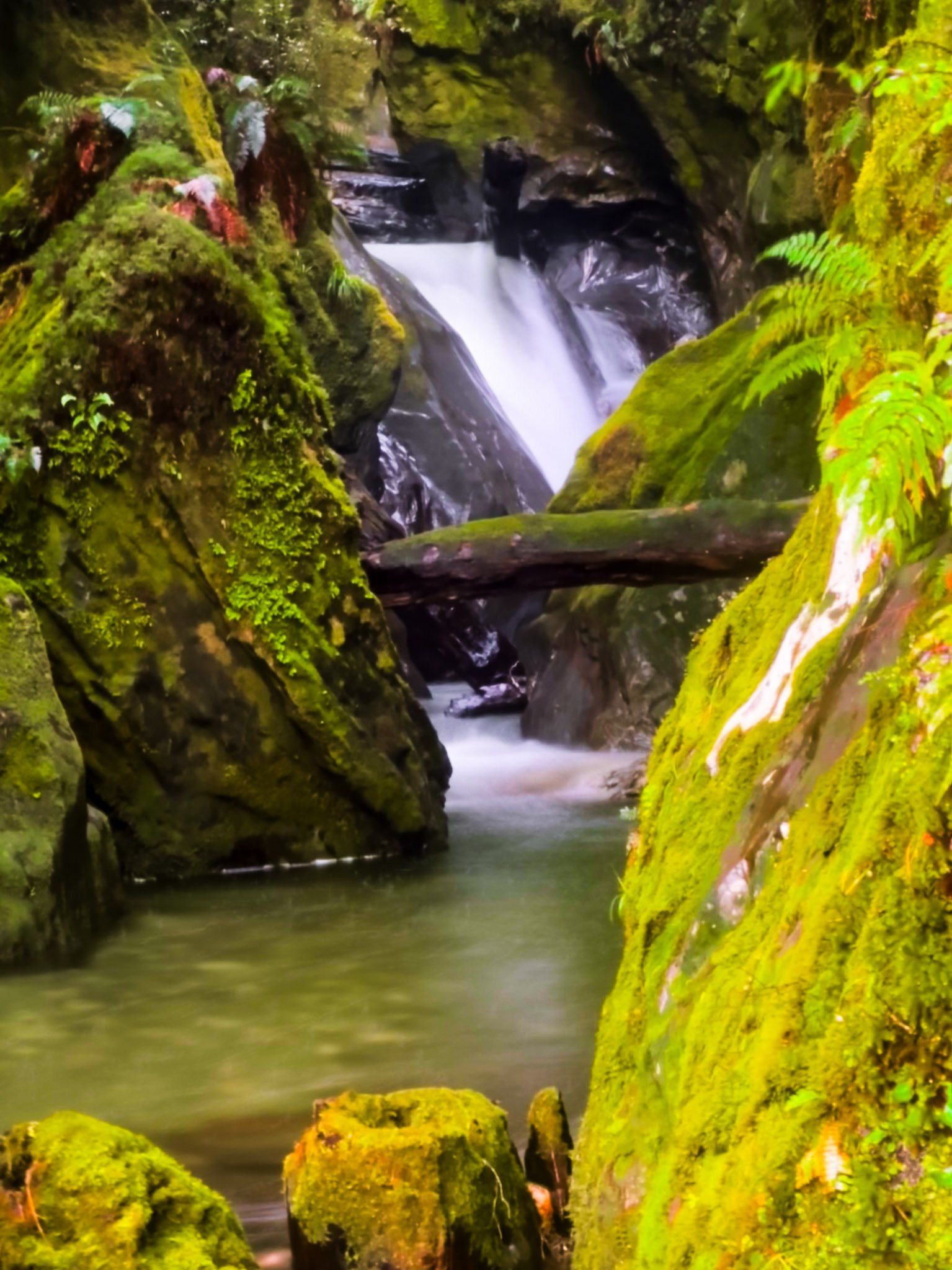
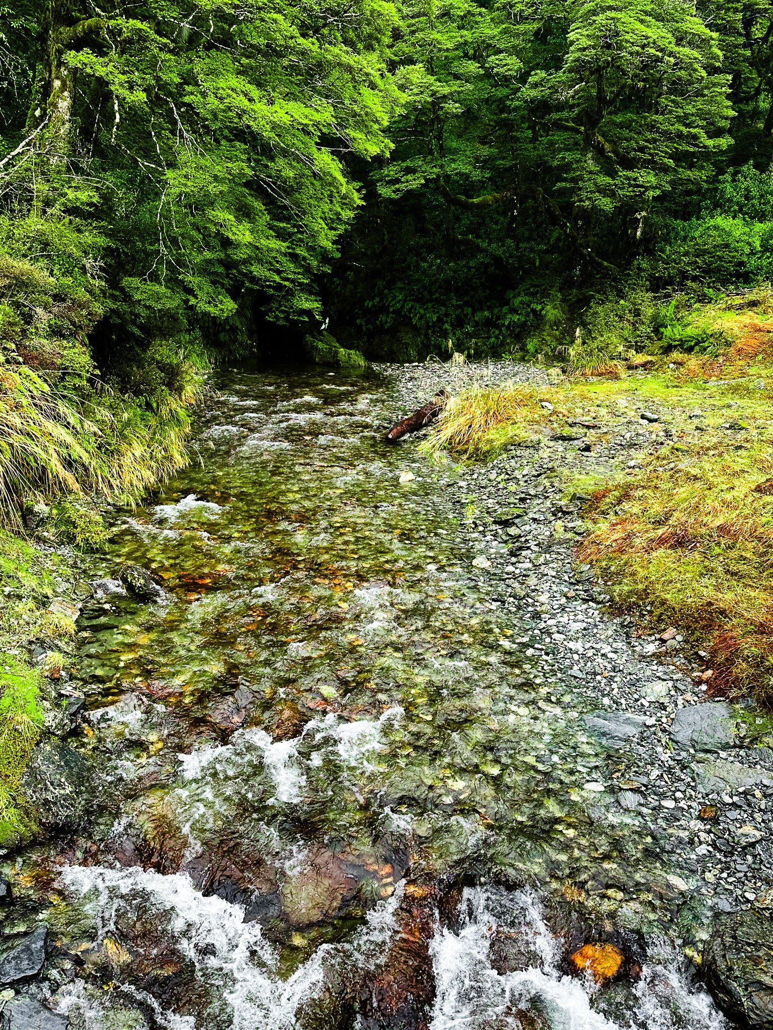
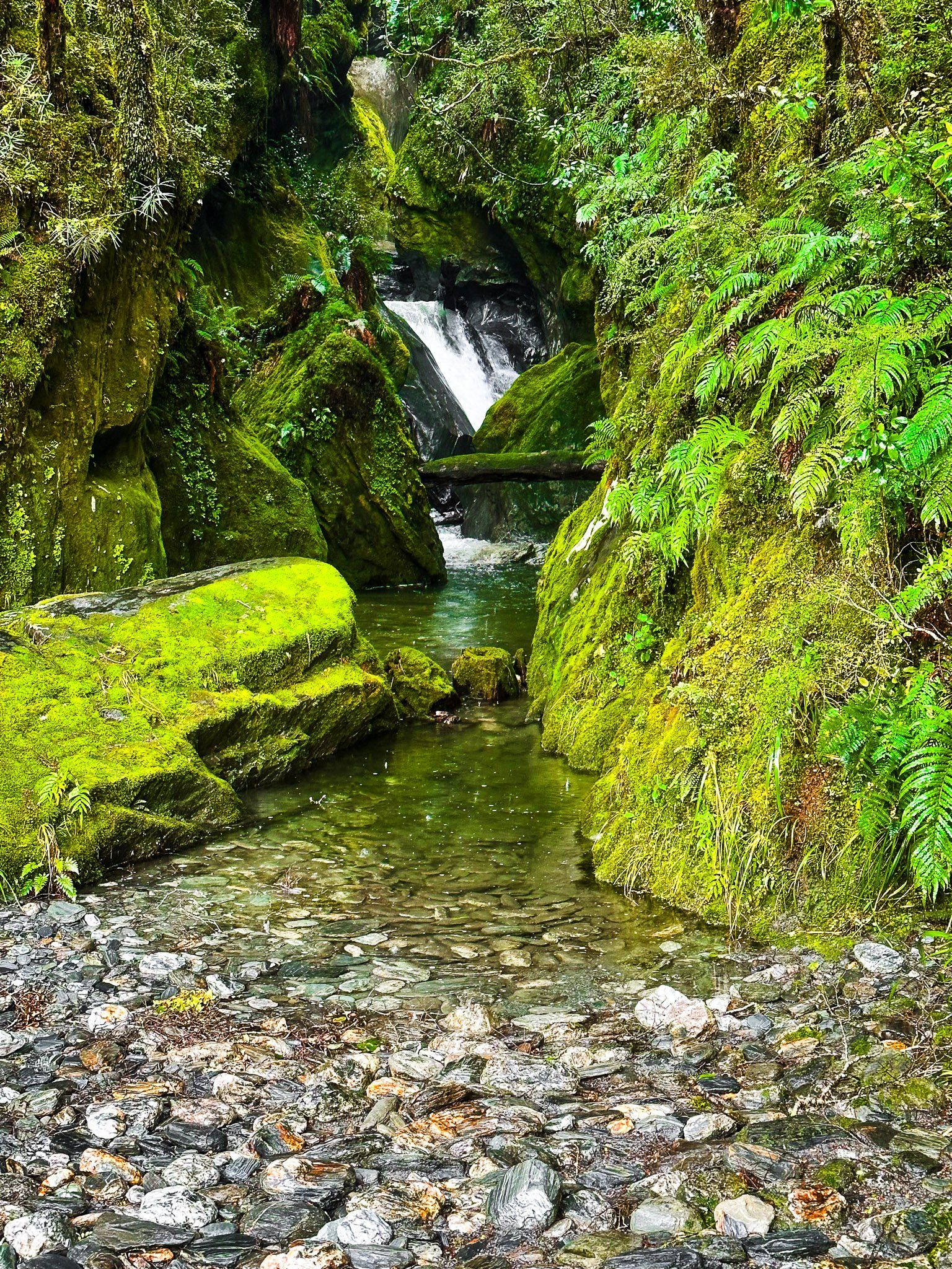
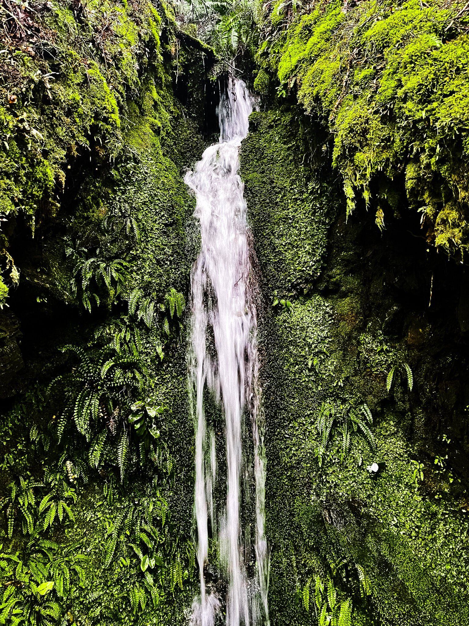
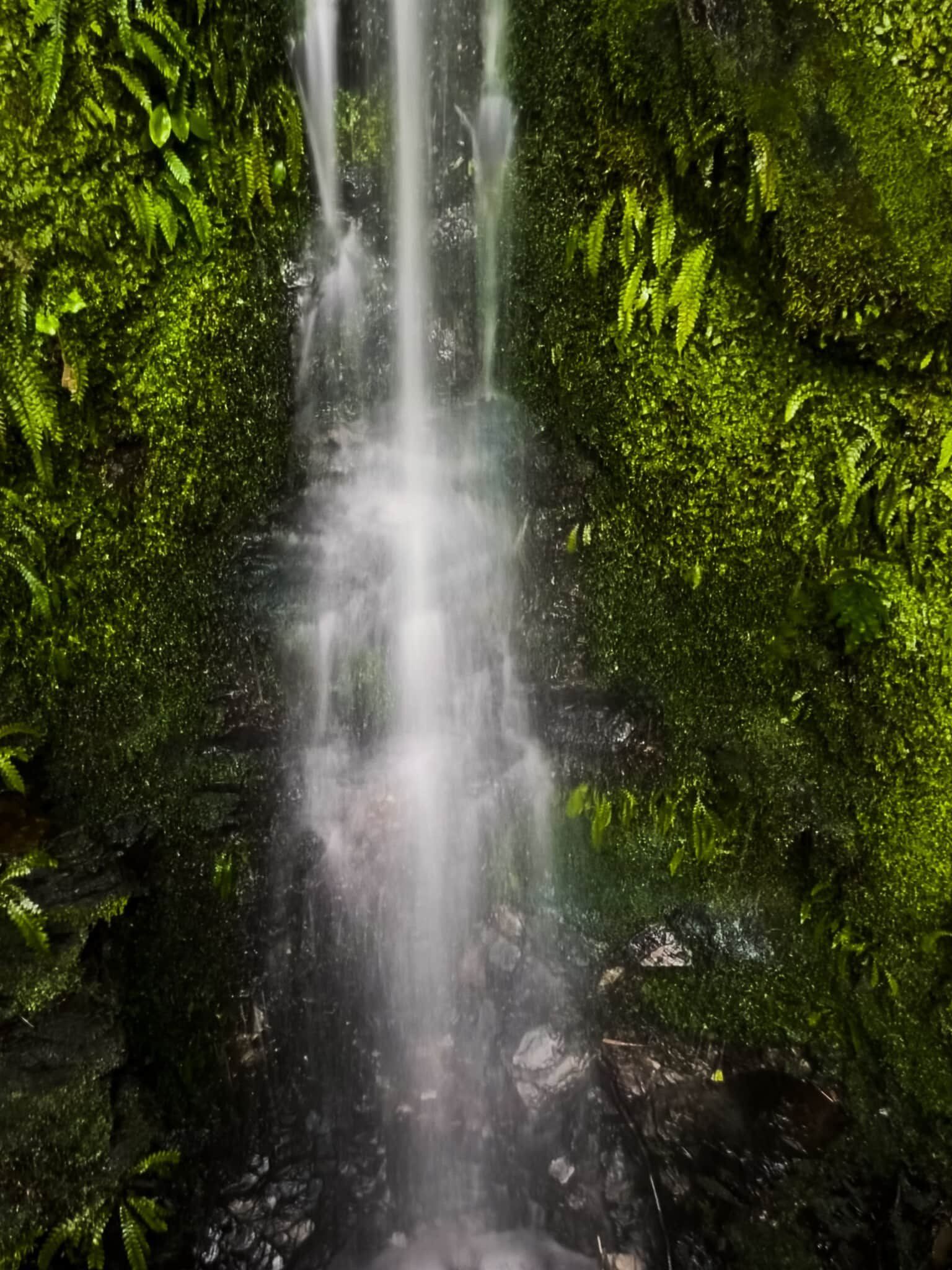
Wilson Creek
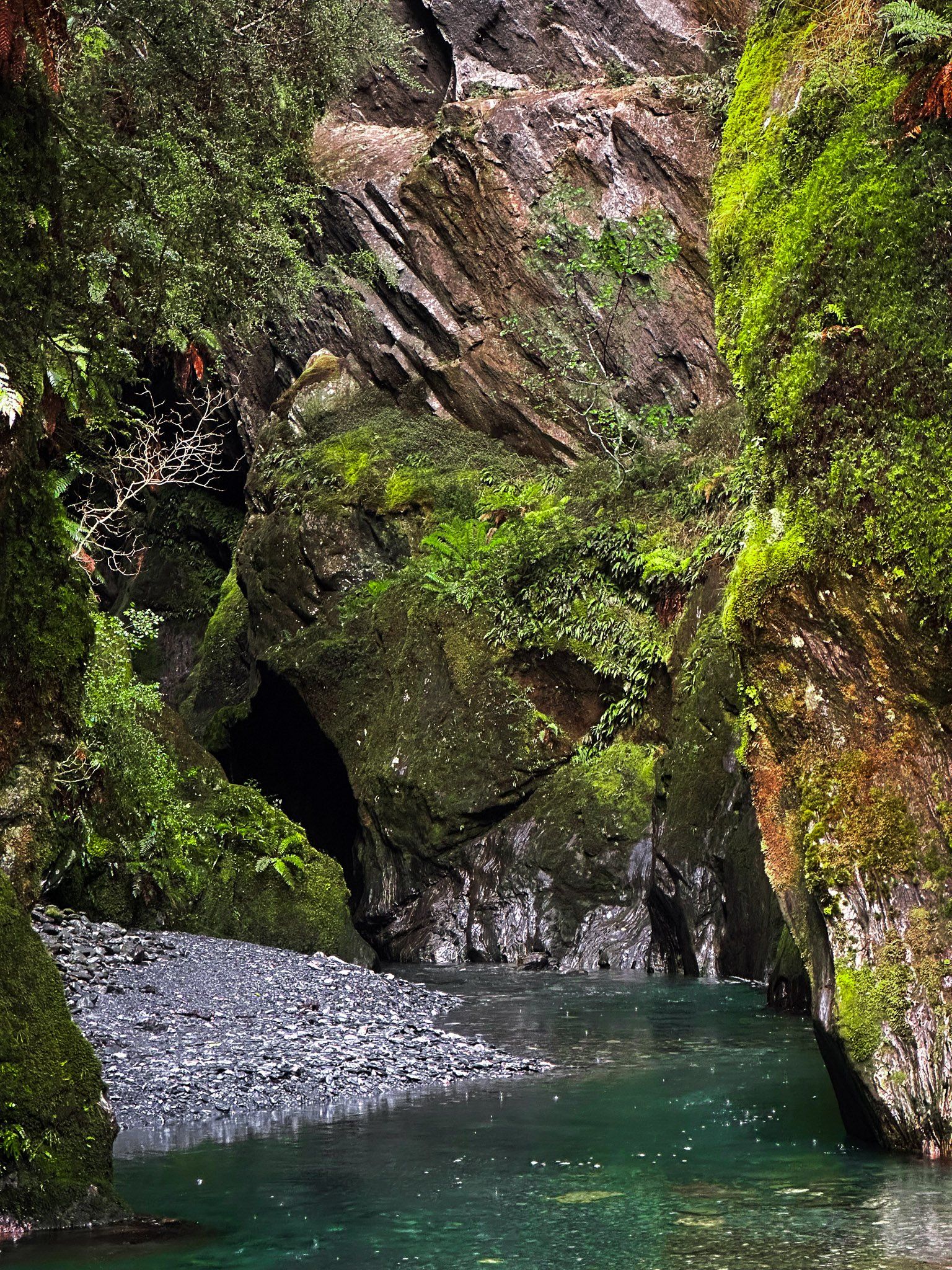
Wilson Creek is one of many obscure streams running from the mountains that line State Highway 6. The attraction is a stunning, largely unknown narrow gorge, which cannot be seen from the road but is quite easy to access. To access the gorge, you must first get to the stream bed.
The easiest way in is on the southwest side of the road bridge over the stream. There is a rough and narrow but short track to some rocks on the stream’s edge. It is an easy clamber over the rocks to the stream bed. Walk up the stream (it may be up to knee-deep depending on the weather) into the gorge a short distance to experience a truly magical place! Be warned, you will probably get wet.
Wilson Creek can be identified on Topo Maps NZ and lies about 3 km north of Haast Pass, between Blue Duck Flats and Topsy Falls. The bridge and obvious room to park on the roadside help to identify the location, as there are few parking options on this stretch of the road.
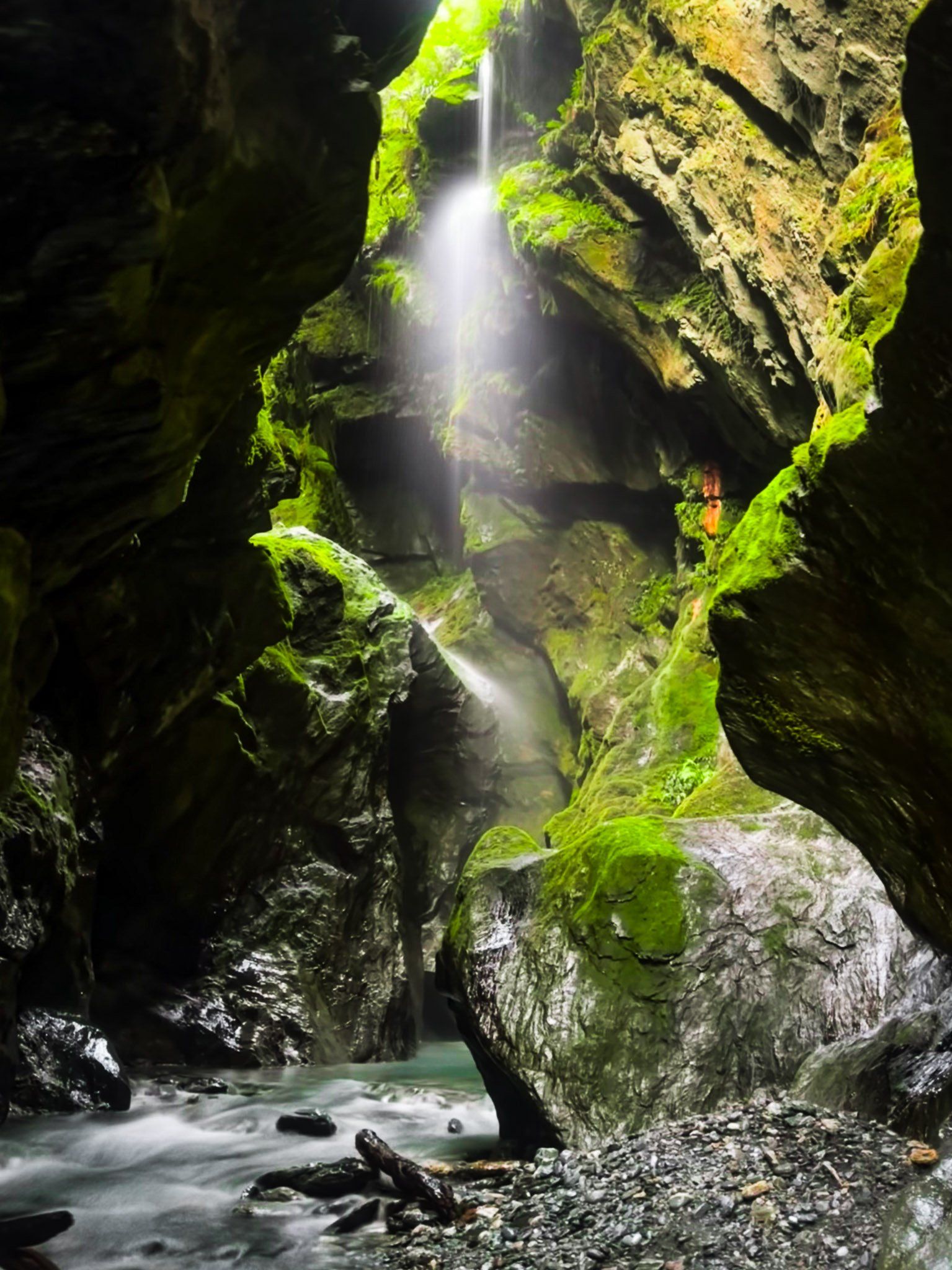
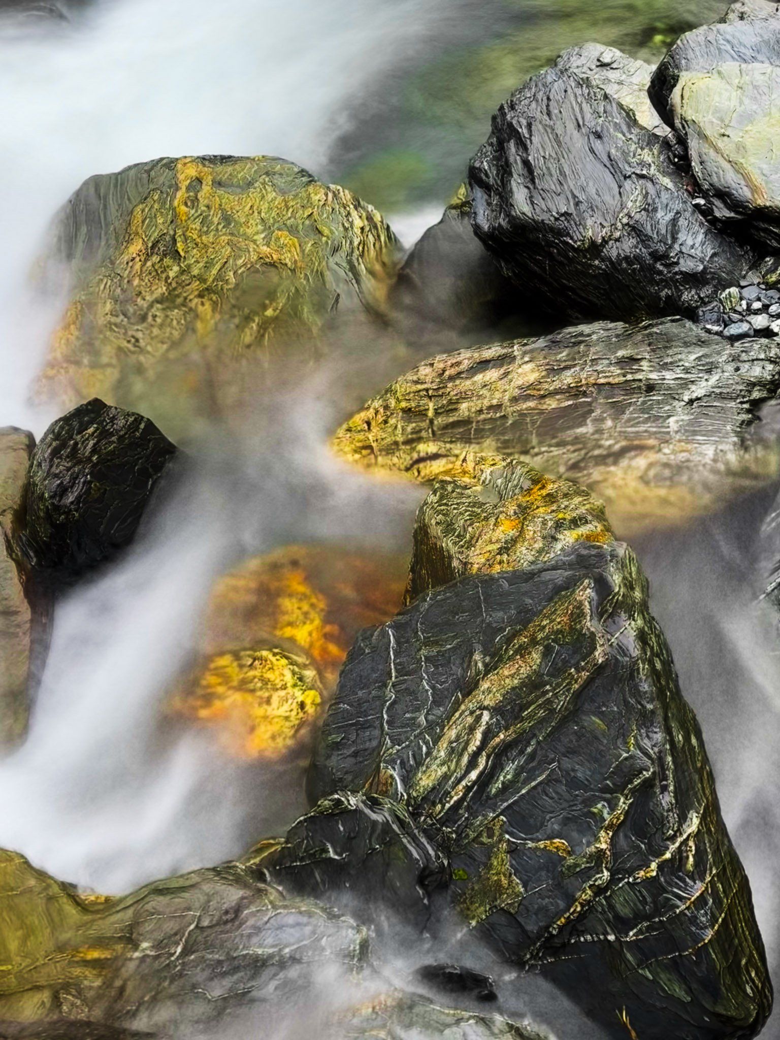
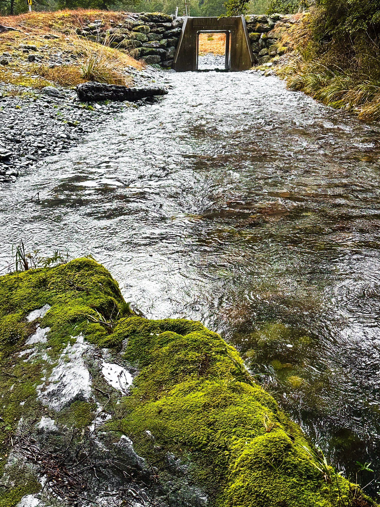
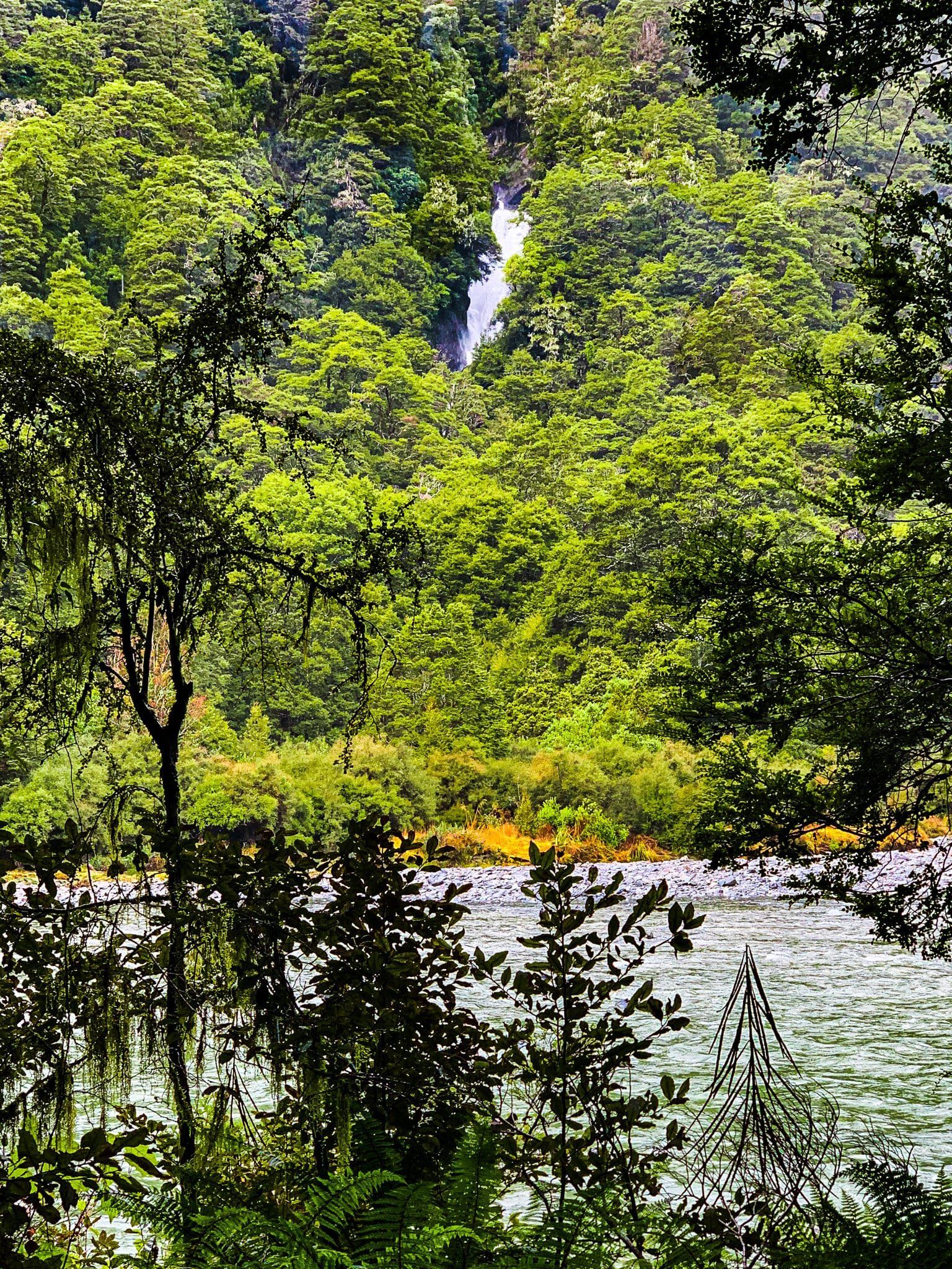
Topsy Falls
Topsy Falls is marked on Topo Maps NZ as a 37-metre waterfall near State Highway 6. It can’t be seen from the road, although the existence of a hidden gorge is reasonably obvious as you drive by. Access is very easy, with roadside space for parking near the bridge over Robinson Creek, which runs over the Falls and through the gorge. Walk alongside the stream into the start of the gorge, and you will see a lower section of the waterfall without getting wet. From here, there is a bit of a waterhole, and you may need to wade if you want to get a better view.
Robinson Creek and Topsy Falls are about 3.5 km north of Haast Pass along State Highway, 6.5 km north of Wilson Creek and about 1.5 km south of the better-known Fantail Falls.
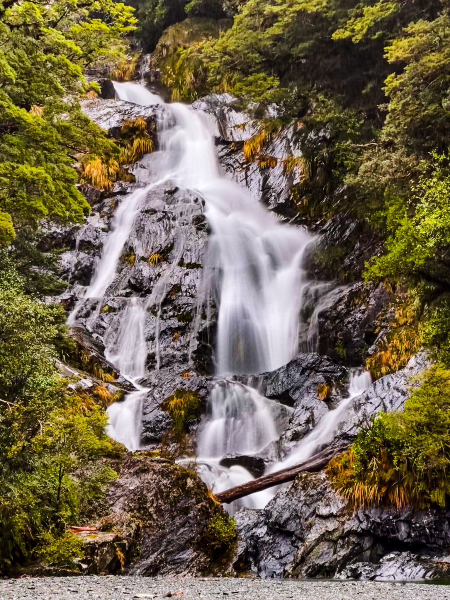
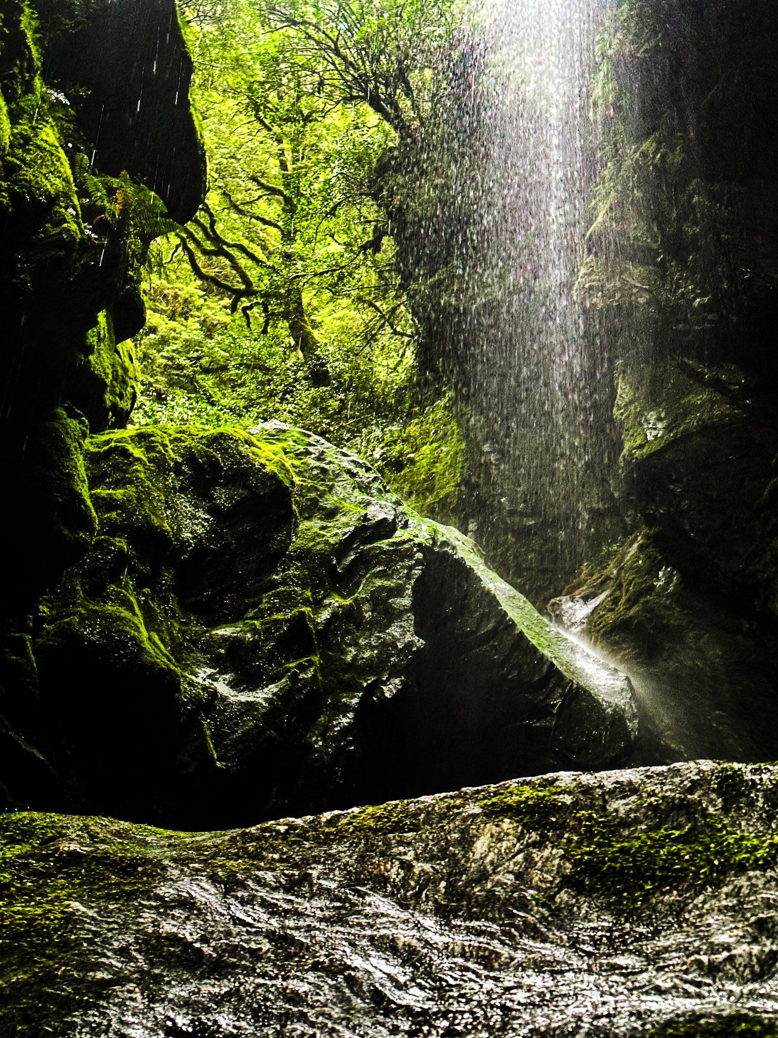
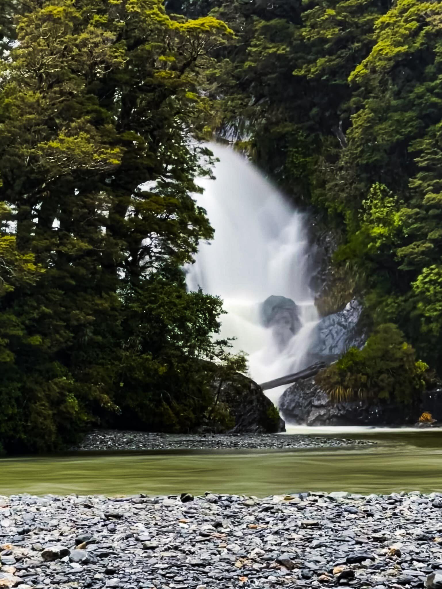
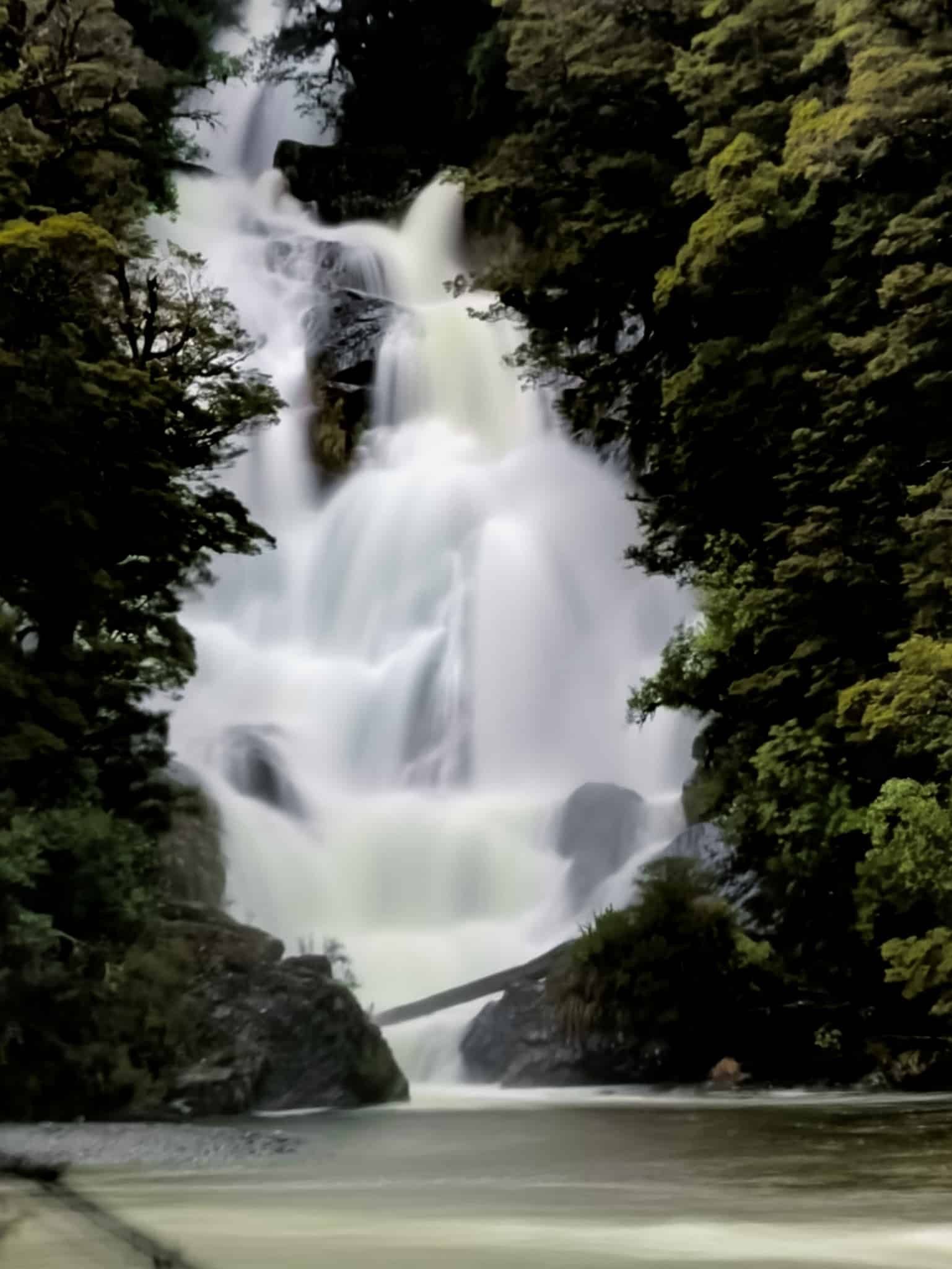
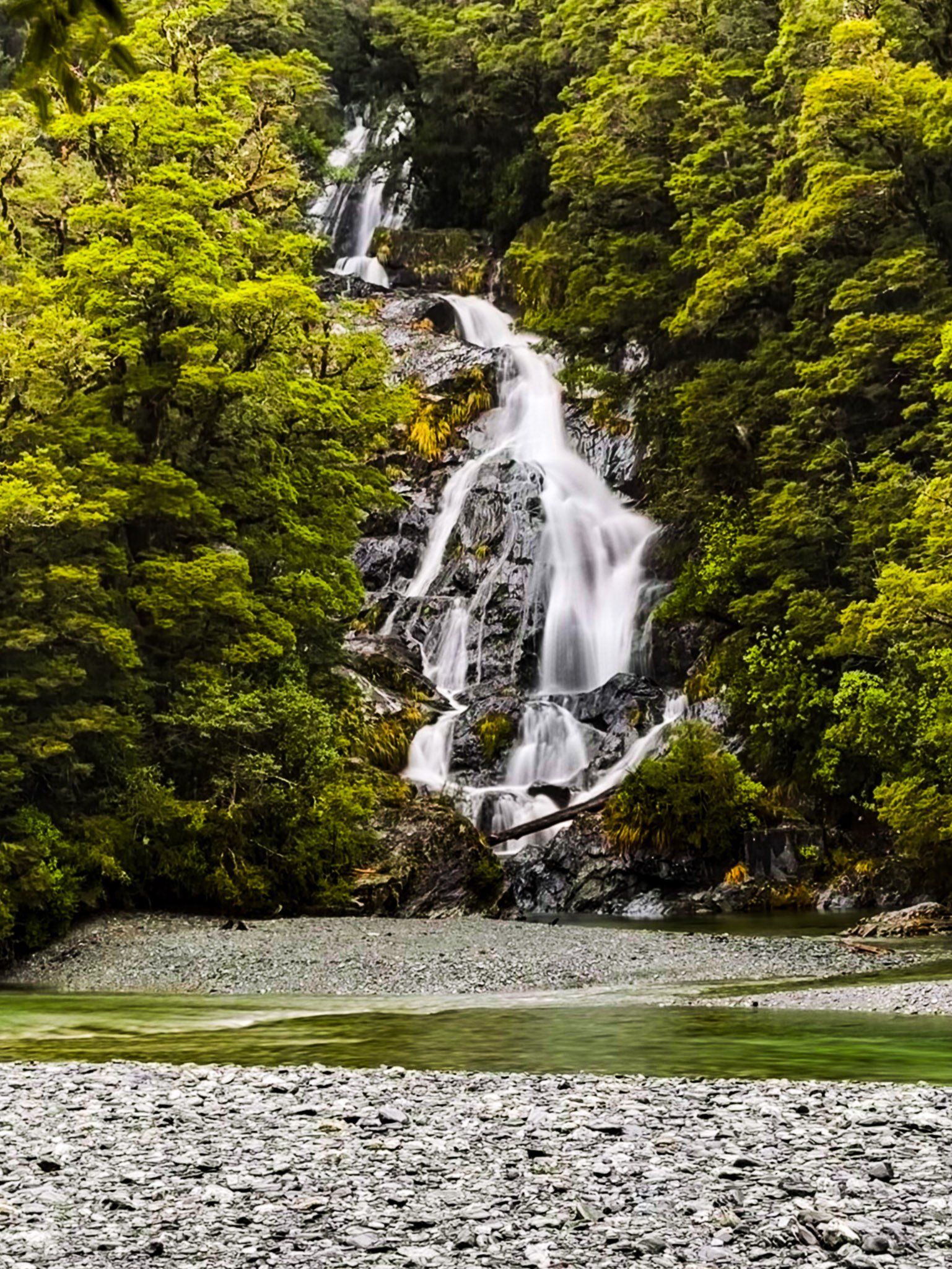
Fantail Falls
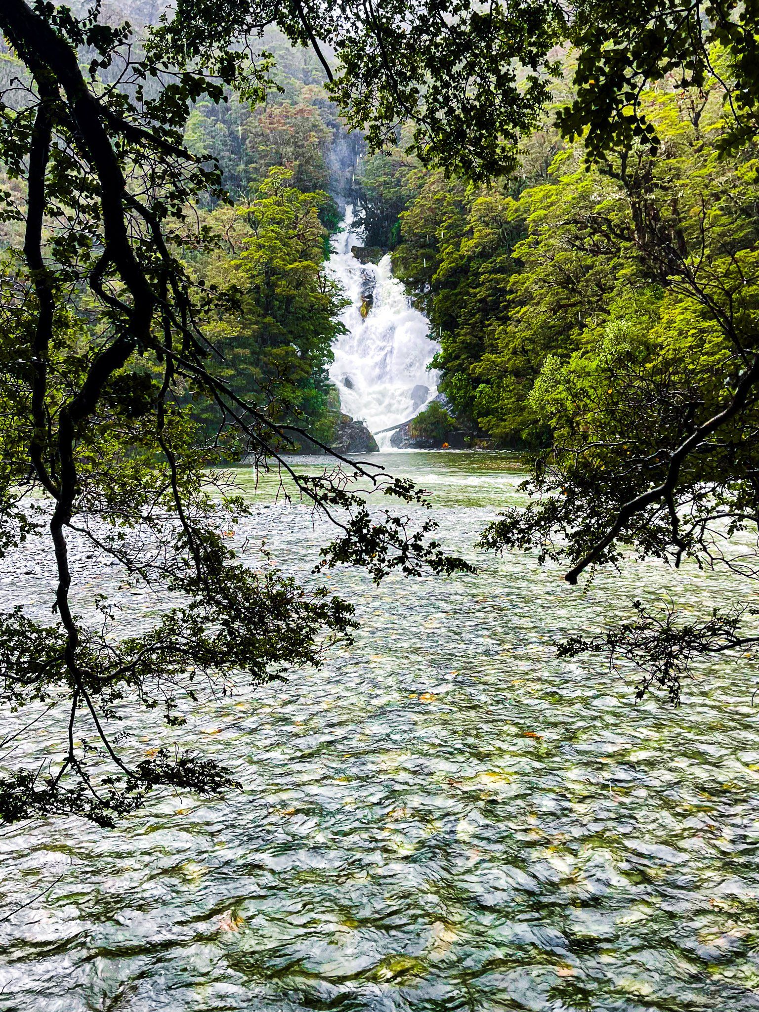
Fantail Falls is on the northern side of the Haast Pass / Tioripatea high point and has long been a very popular stop on State Highway 6. It is well signposted with a large car park just off the side of the road. Then it is just a two minute walk to the edge of the gravel beds of the Haast River, directly opposite the falls.
When it rains heavily, getting over to the falls is definitely a wet exercise, but you can walk most of the way across staying dry once the river drops. In these pics, it is hard to see the fantail, because of the torrent of water, but it is much more obvious on a nice summer day.
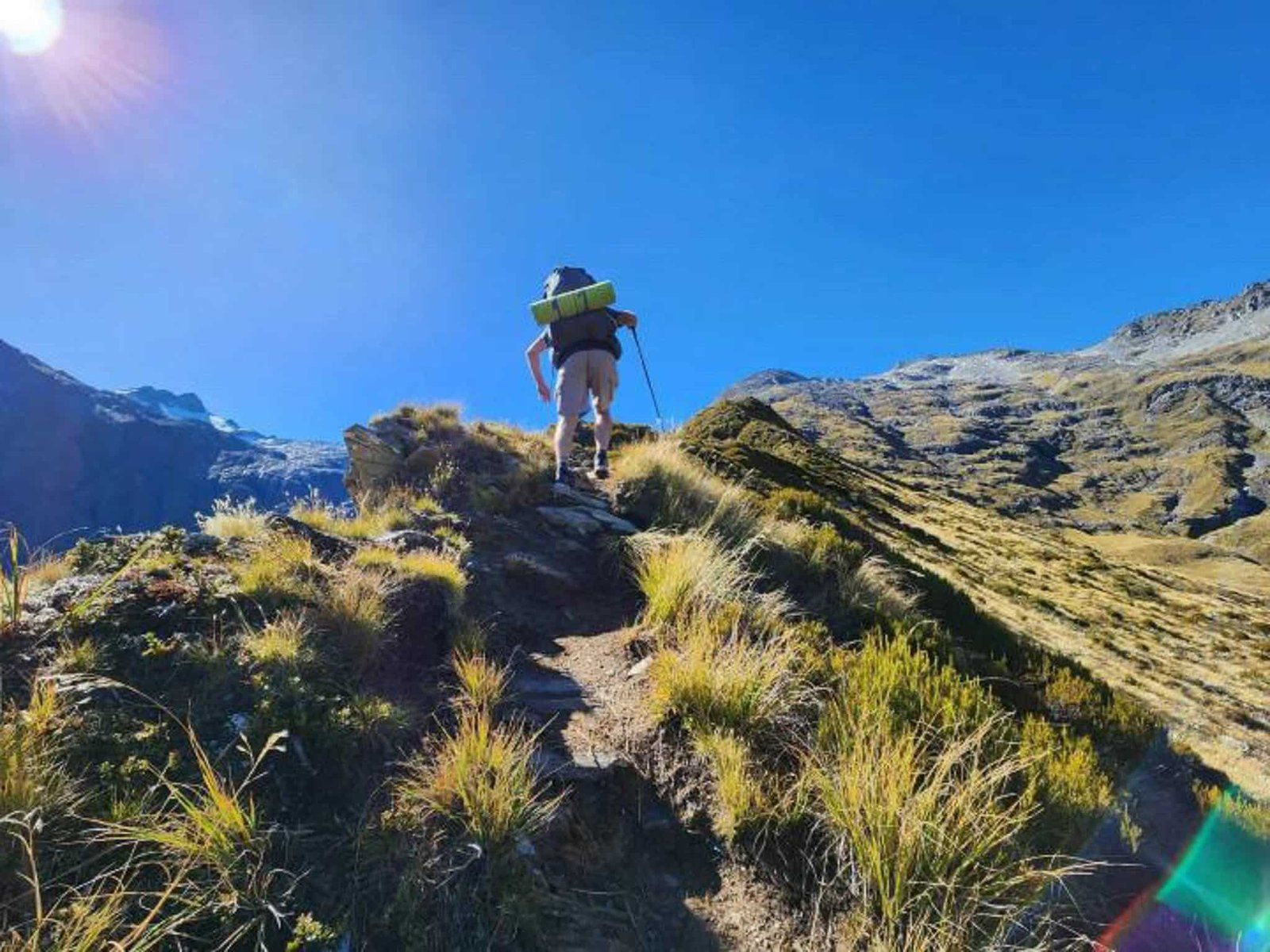
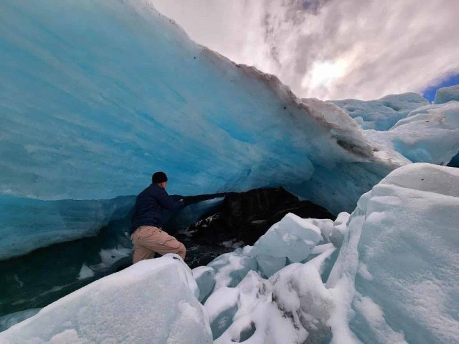
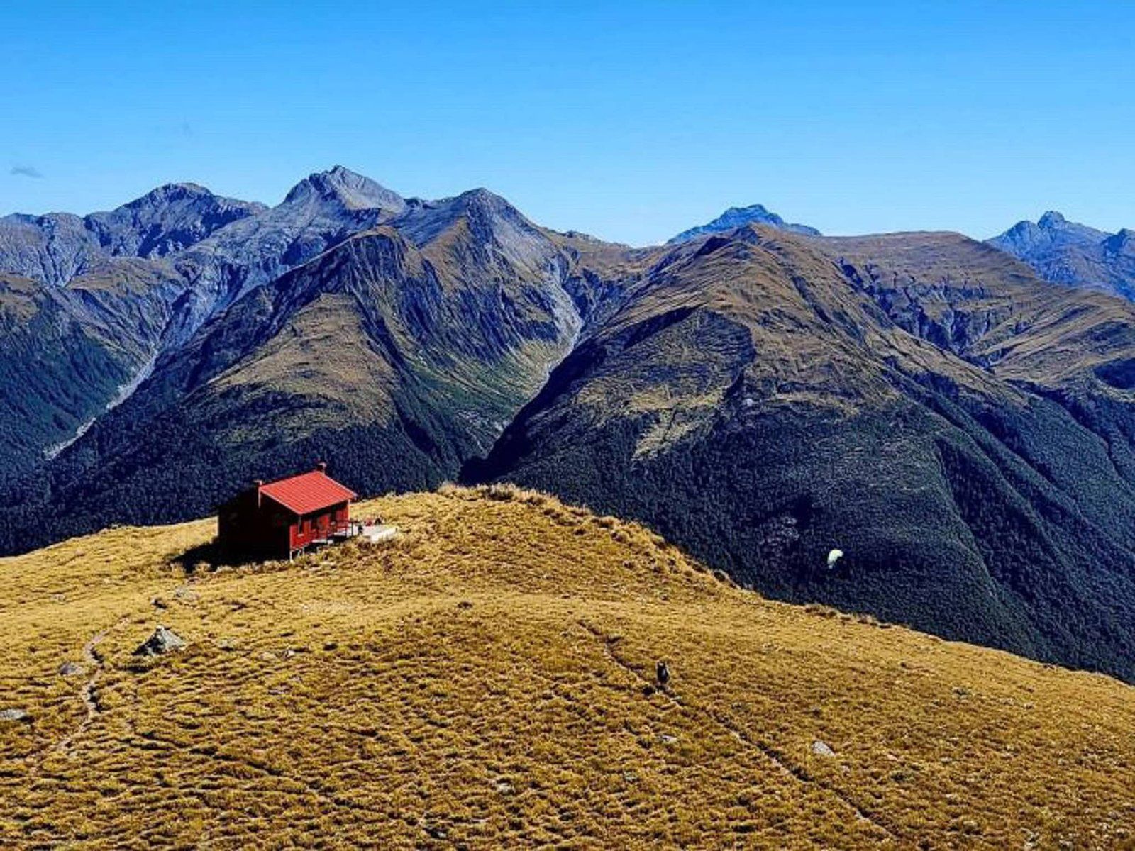
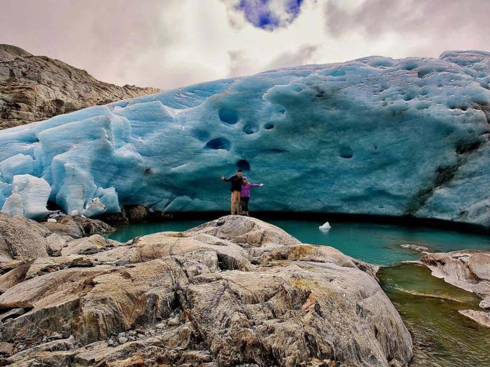
The Brewster Track also starts from the car park. Note that this is a reasonably tough two to three hour and 1,000 metre climb (one way) on a mostly rough forest tramping track up the side of Mt Armstrong to the Brewster Hut. You start with feet wet as well as the entrance is on the other side of the river. It is worth it if you want more of an adventure and have plenty of time. From the hut, you can also get access to the Brewster Glacier to the northeast.
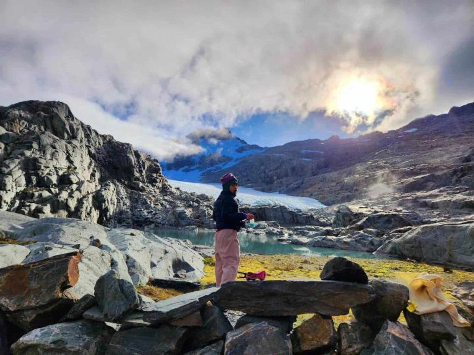
Brewster Track
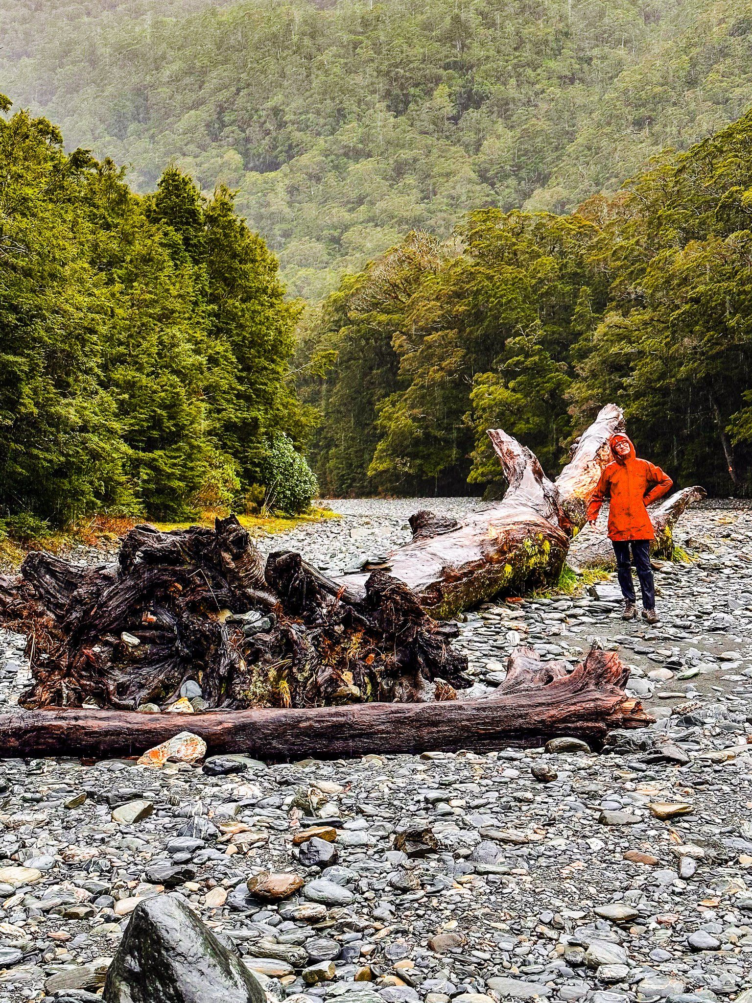
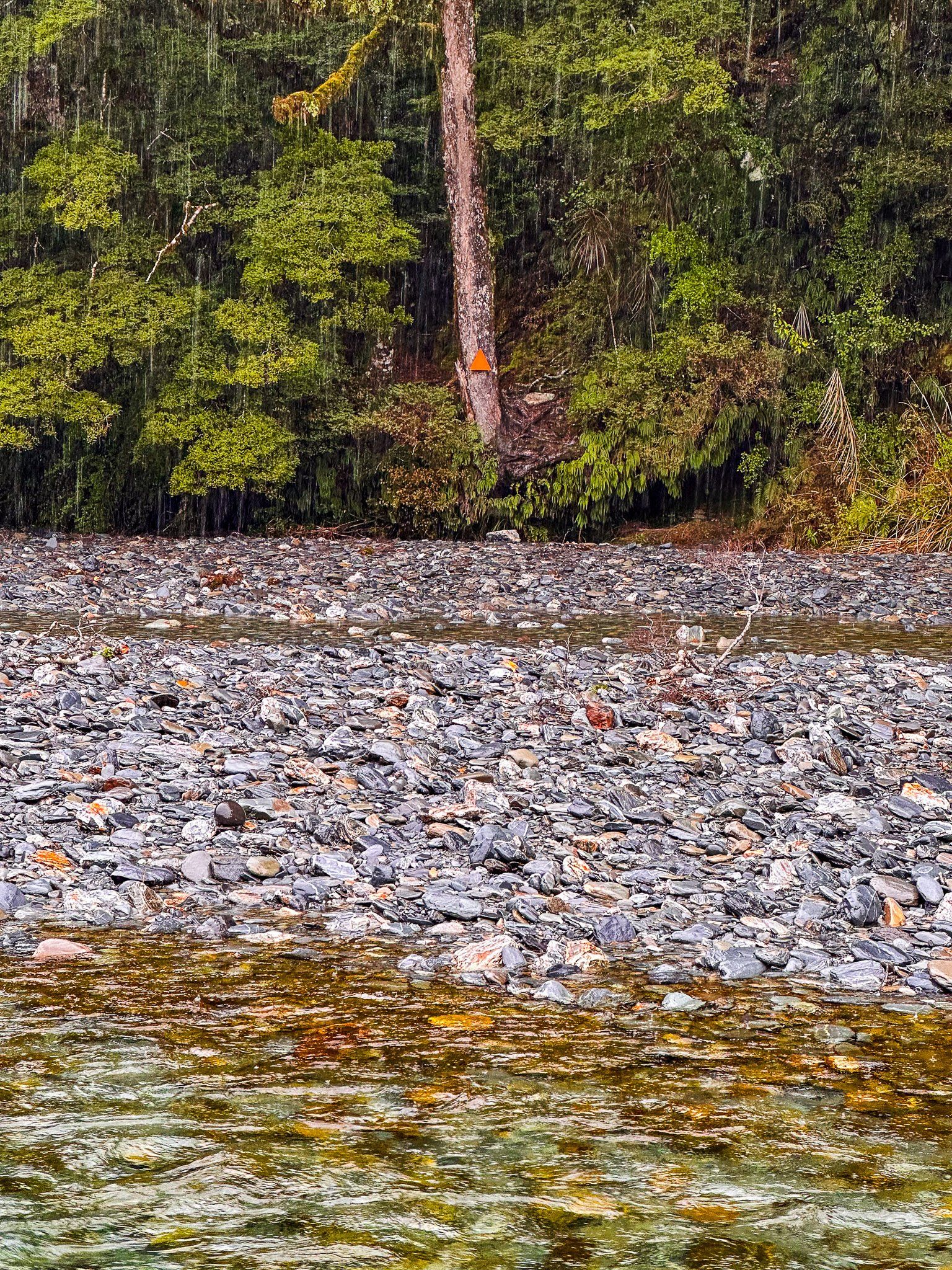
Brewster Track to the Brewster Hut (DOC) is one of the tougher single-day tramping options in the South Island. Like several serious hikes in the region, it starts with getting your feet wet crossing the unbridged Haast River.
Access is from the Fantail Falls car park, off the Haast Pass section of State Highway 6. Walk a short distance from the car park downstream of the Falls and you will see a large orange trailhead marker on the other side of the Haast River. Crossing the river is normally easy but it may change quickly in wet weather.
From there, it is a slog – much tougher than the hike up Roy’s Peak or the Isthmus with their similar vertical climbs. The rough track is almost continuously steep, with some clambering. It follows the ridge line between Fantail Stream and Pyke Creek towards Mt Armstrong (2,174 metres high). From the start, it is about a 1,000 metre climb to the hut at 1,650 metres, over just two and a half km of distance!
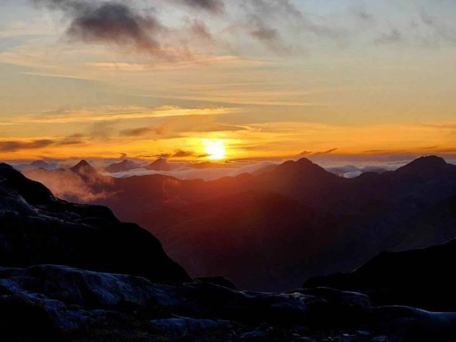
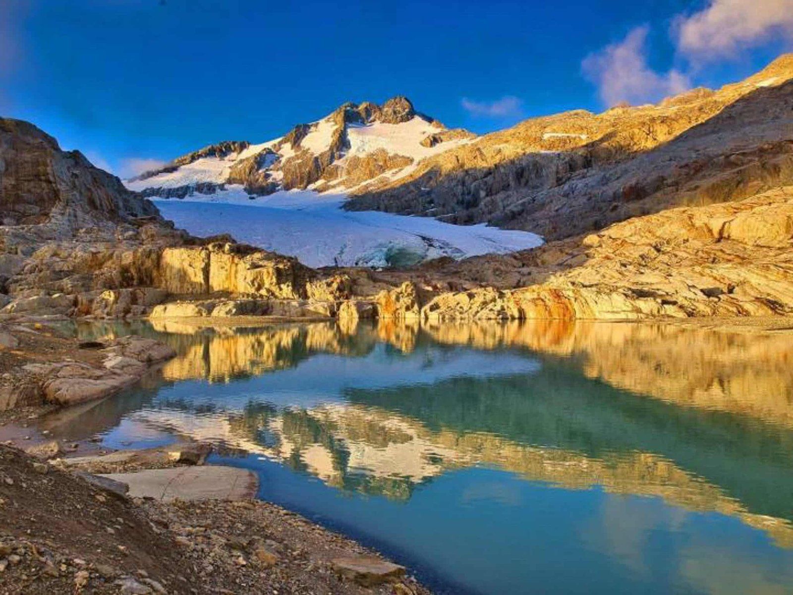
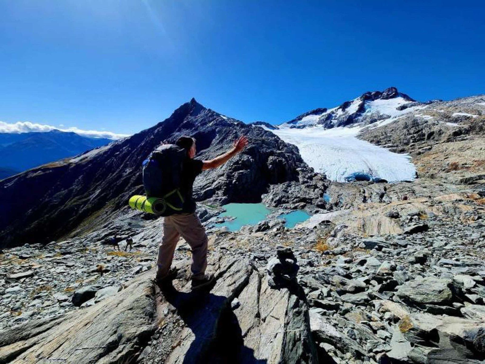
The good news is that about two thirds of the hike to the hut is in a beautiful beech forest, so you’re not too exposed to the weather. From the forest’s edge, it is mountain tussock up to the hut. The views from around the hut are superlative, but you can also hike another two km across the face of Mt Armstrong to the edge of the Brewster Glacier for bragging rights and some extra special pics.
Allow about 4 to 5 hours to the hut return and a full day for the glacier. If you have an extra day, try booking the hut for an overnight stop. Make sure to check the weather carefully before you set out and have appropriate clothes and gear to handle a dramatic change in conditions.
Thanks to @yageemeister and @cochranewilly who kindly provided the photos from their trip.
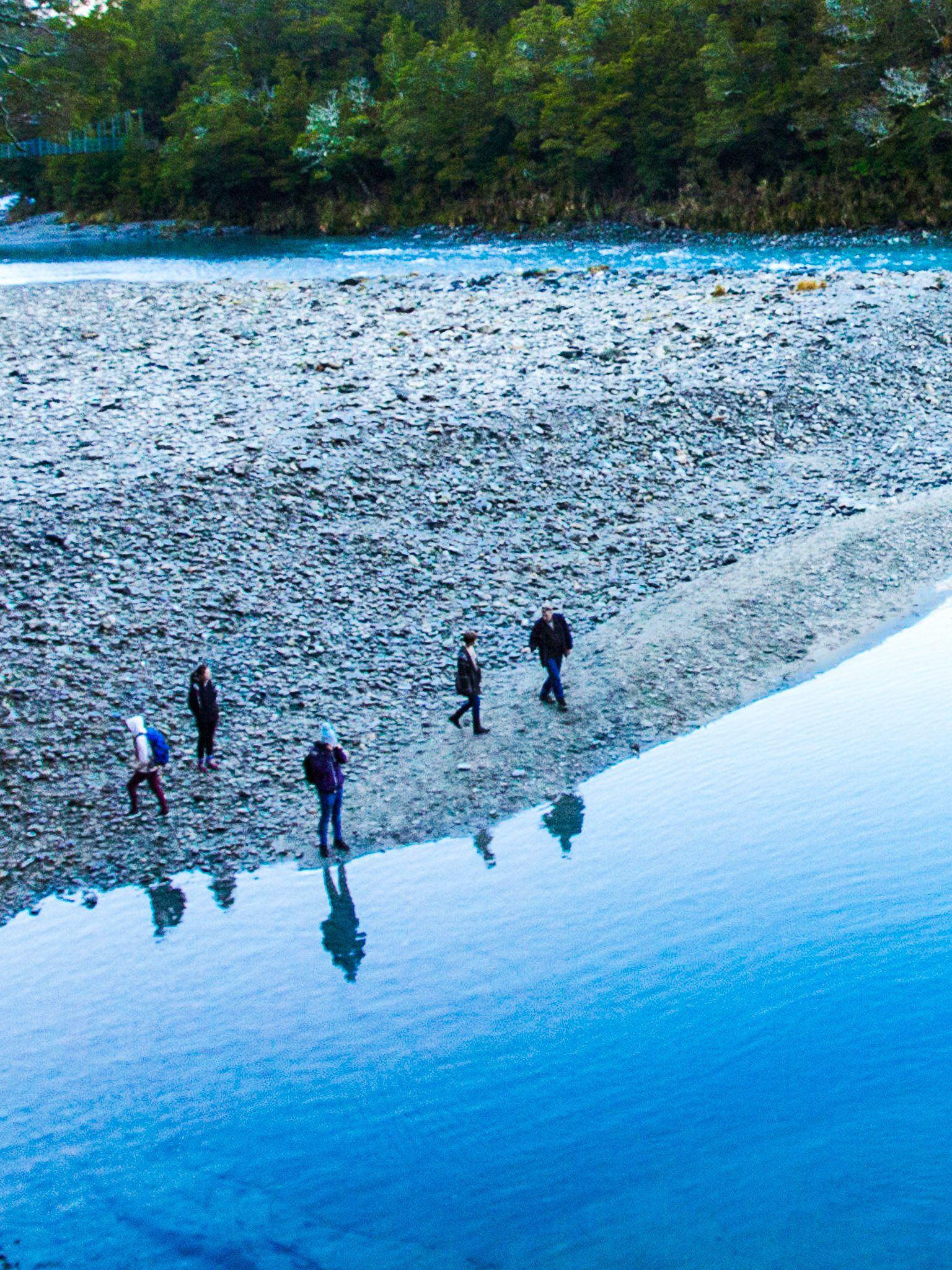
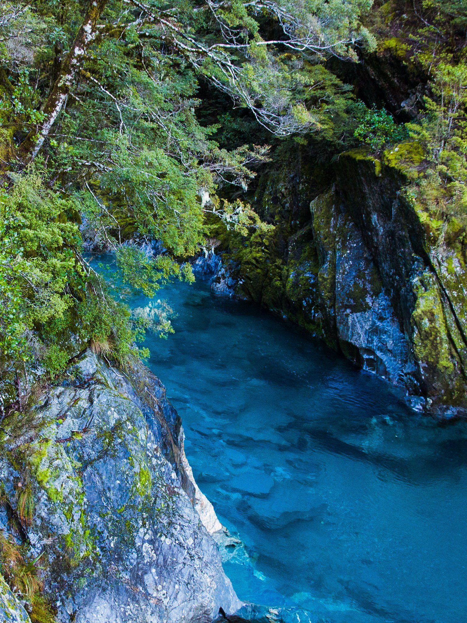
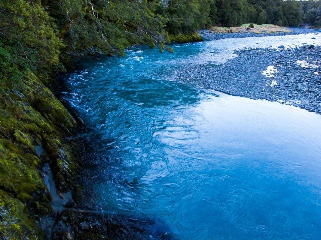
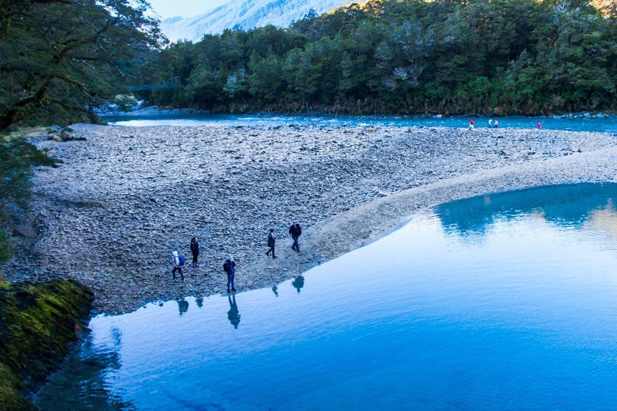
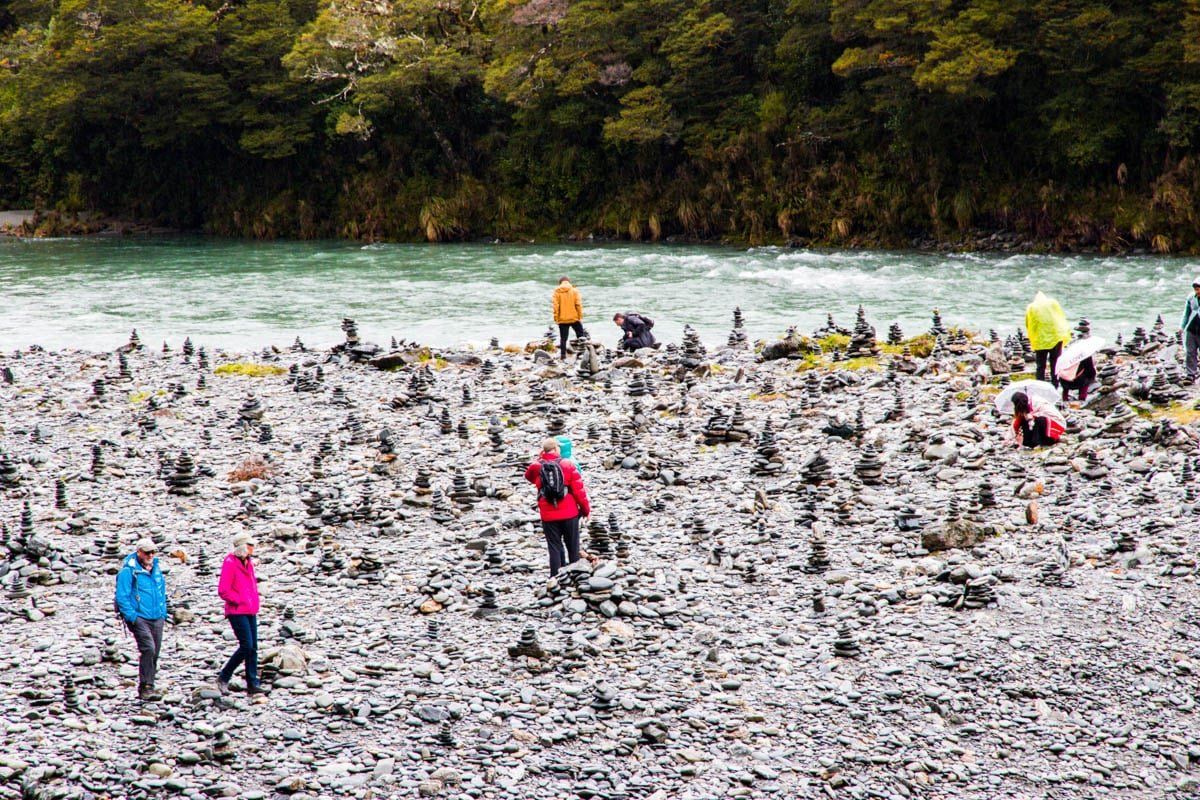
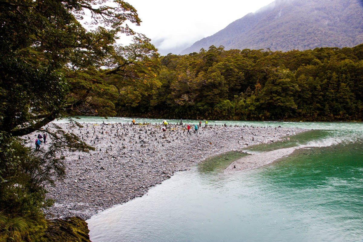
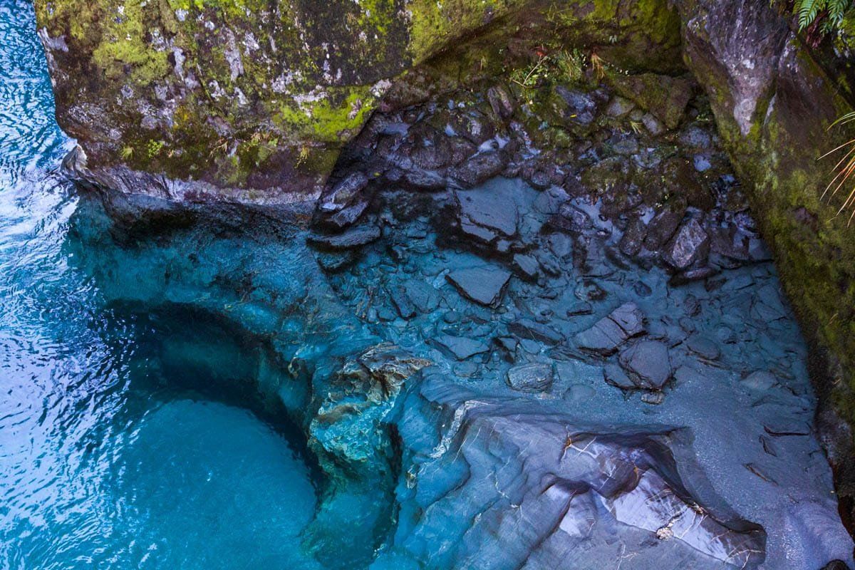
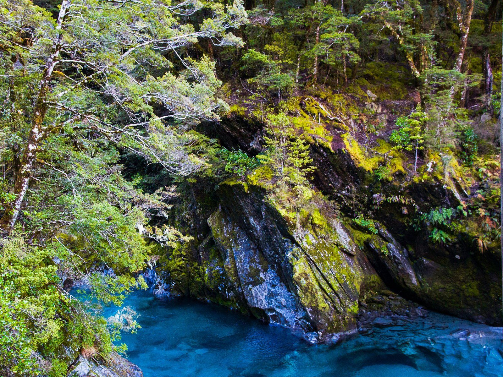
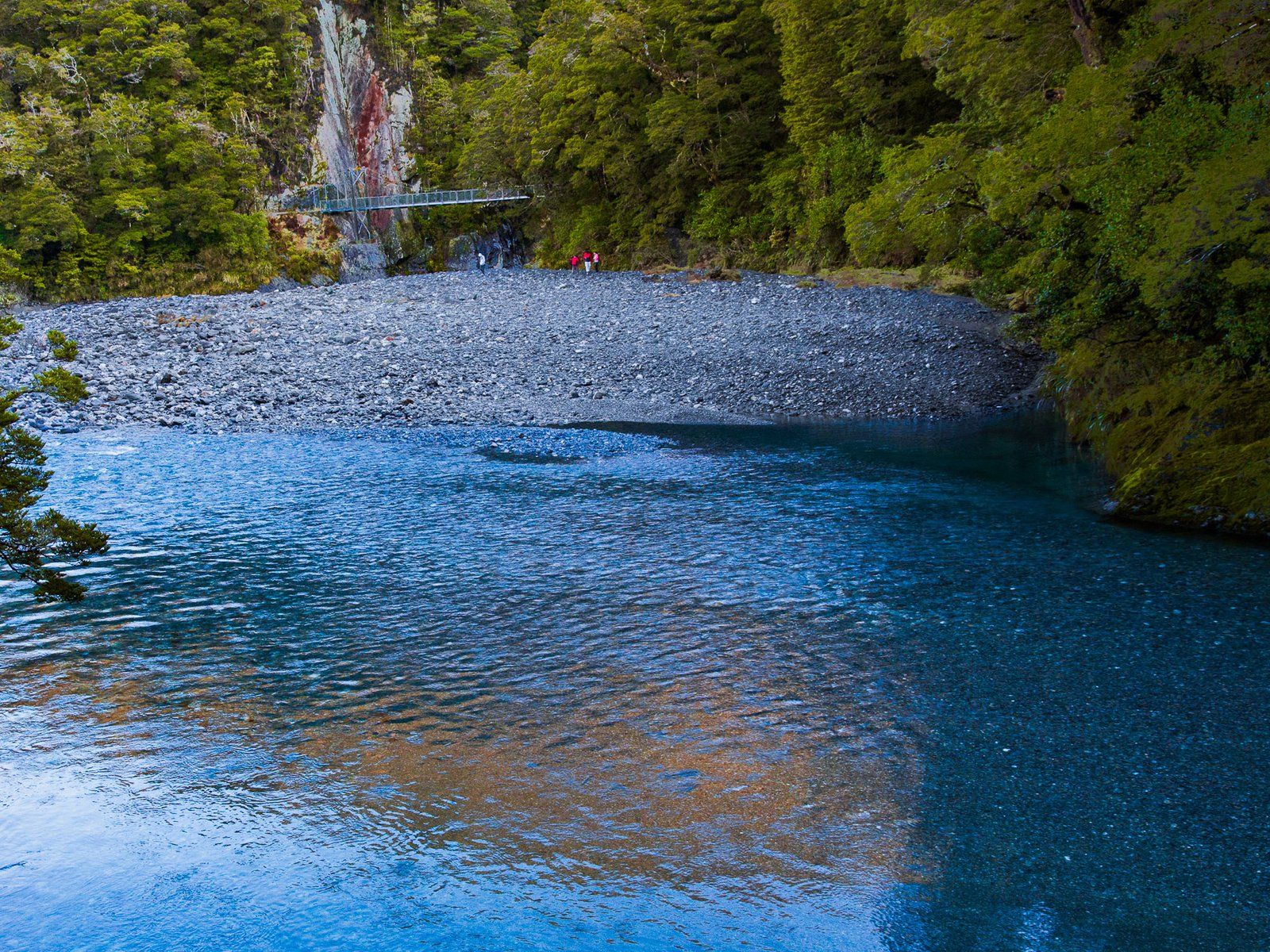
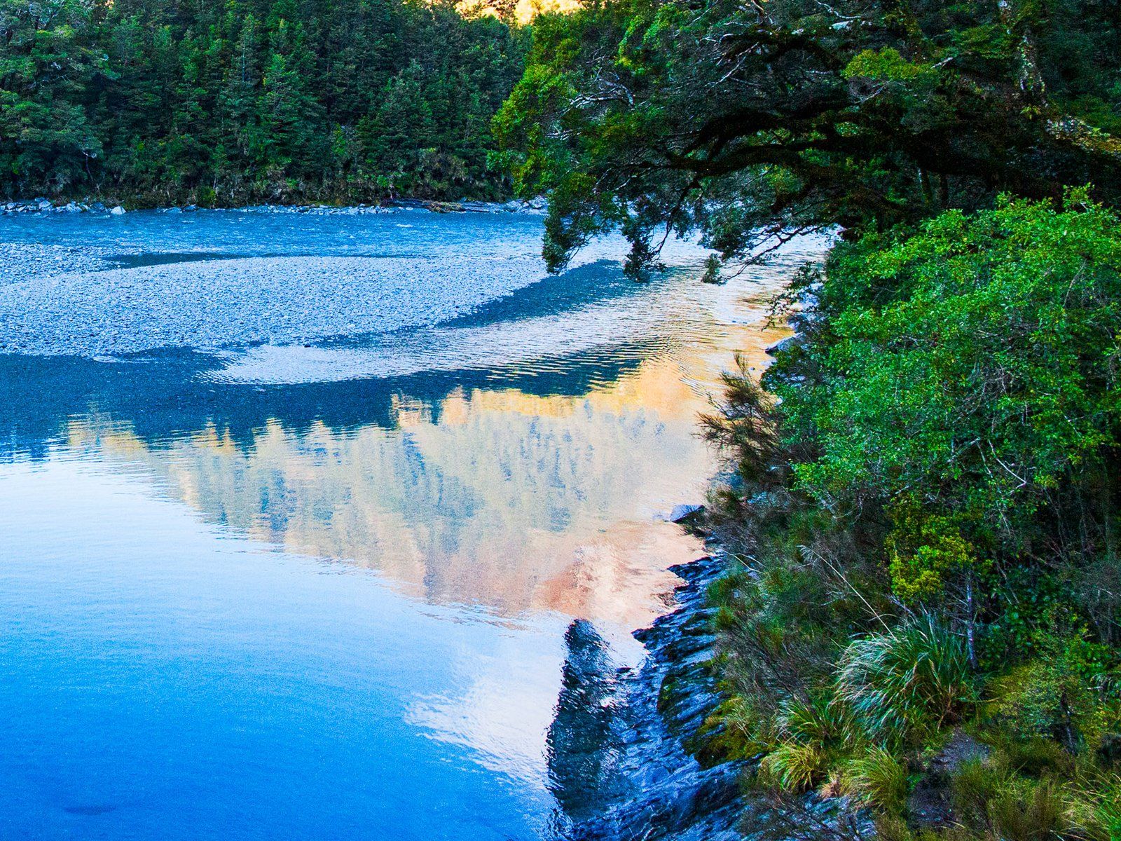
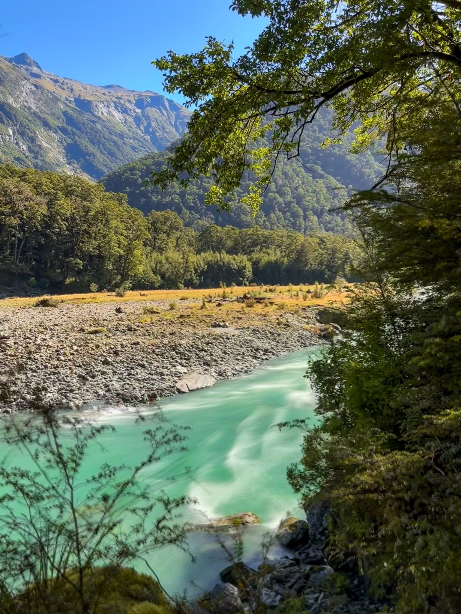
Blue Pools
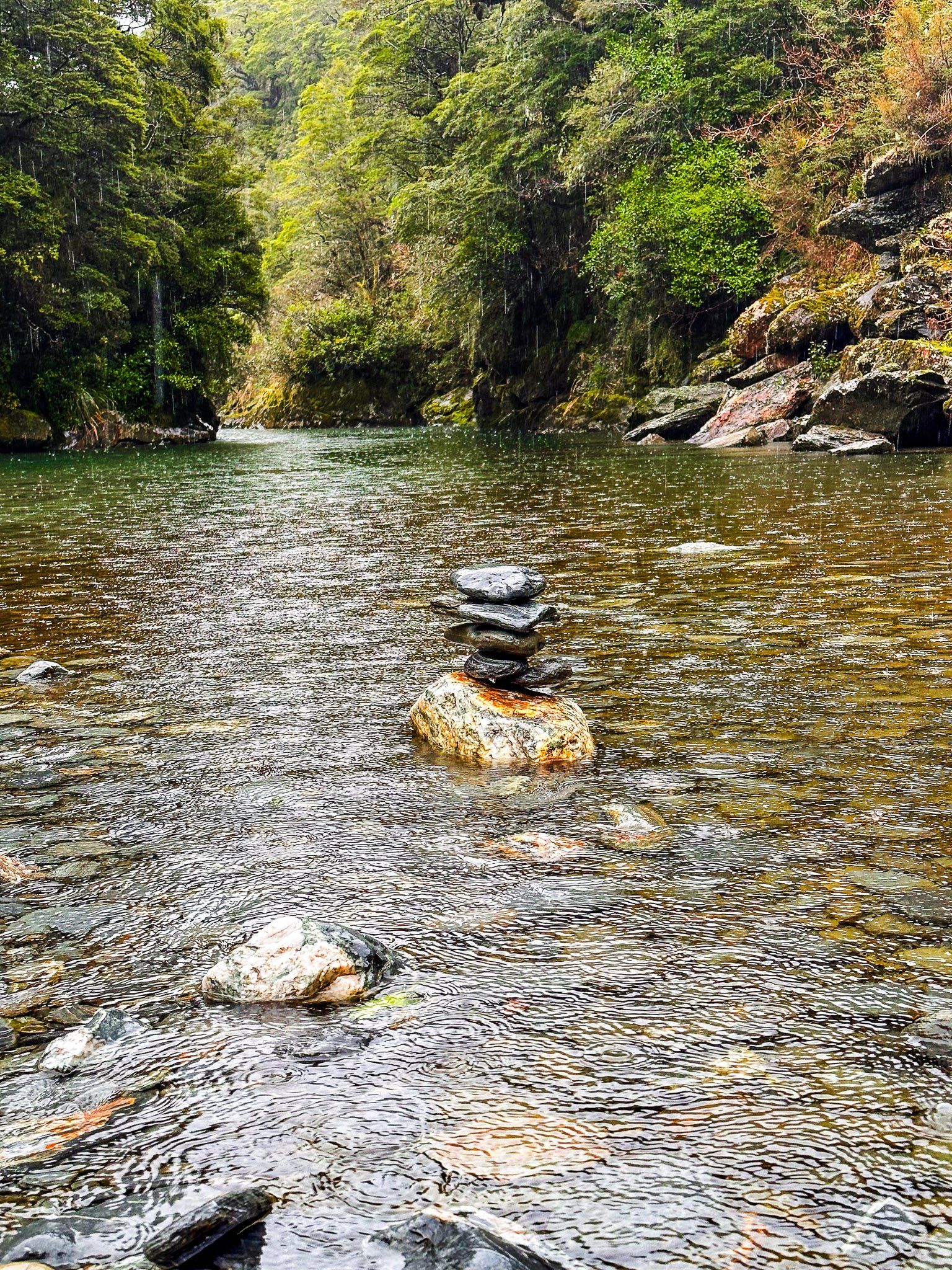
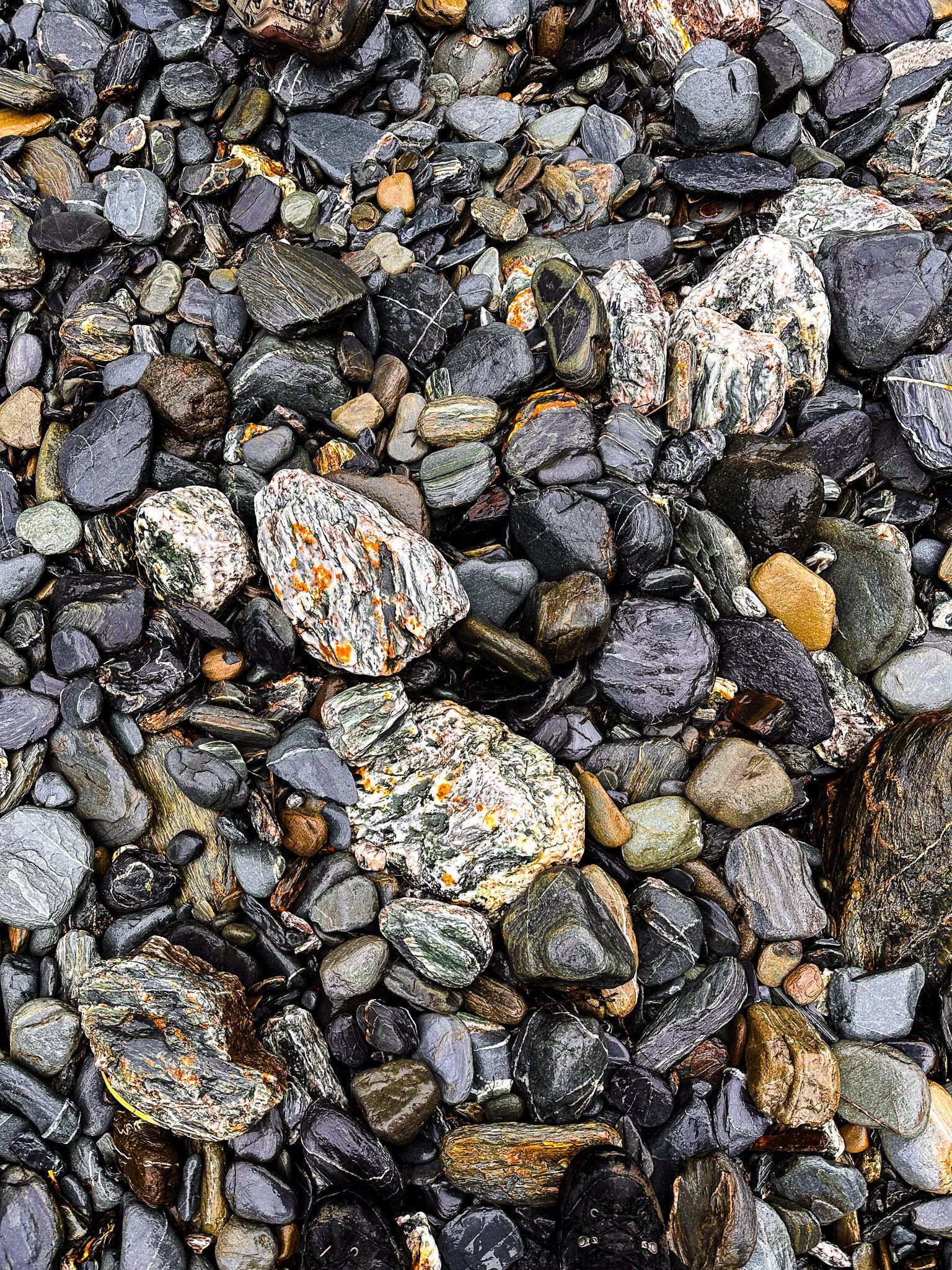
The Blue Pools Track is a very popular short walk through beech forest to the Blue Pools on the Makarora River. It does tend to get a bit busy in the high season, so winter is not such a bad time to visit. The good news: the pools really are very blue! Plus there are plenty of river stones to add to the very large collection of mini cairns alongside the river.
You can continue further on the Blue Young Link Track or the Blue Valley Track for a while if you want to. But the pools are in fact the highlight. Note that sandflies can be a nuisance if you stand around for too long.
If you happen to be driving by on a rainy day, it’s still worth stopping at the carpark for the views down the valley.
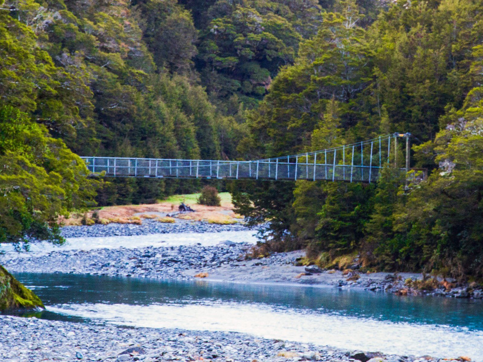
Bridle Track
The Bridle Track in Mount Aspiring National Park follows the Makarora River, linking Davis Flat (about 5 km beyond the Blue Pools carpark) with the high point over Haast Pass / Tioripatea. The track is a remnant of the old pre-road trail that linked Haast on the West Coast to Hāwea and Wānaka. It takes about 90 minutes each way, so if it is especially wet and you only have one car, you may only want to walk part of the way, then turn back.
Starting at the Davis Flat southern entrance, the track sidles alongside Makarora River, mostly in native forest including some stunning kōtukutuku – native fuchsia – overhanging the river. Look across the river early in the walk and you should be able to get a glimpse of the Stewart Falls, which are actually 90 metres high.
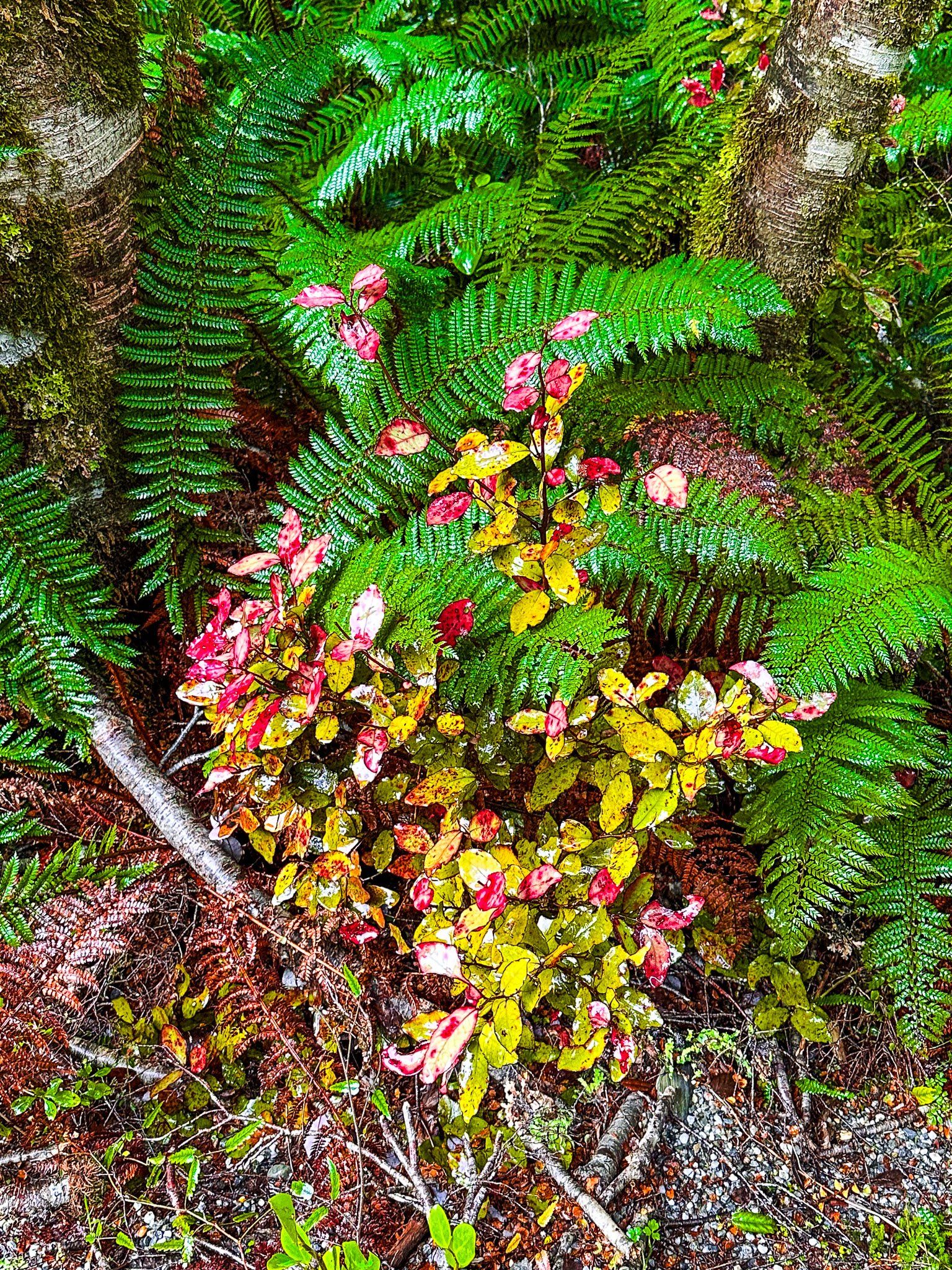
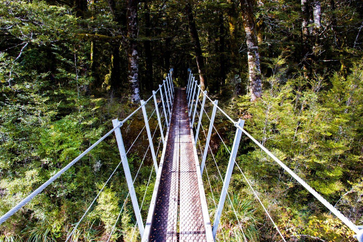
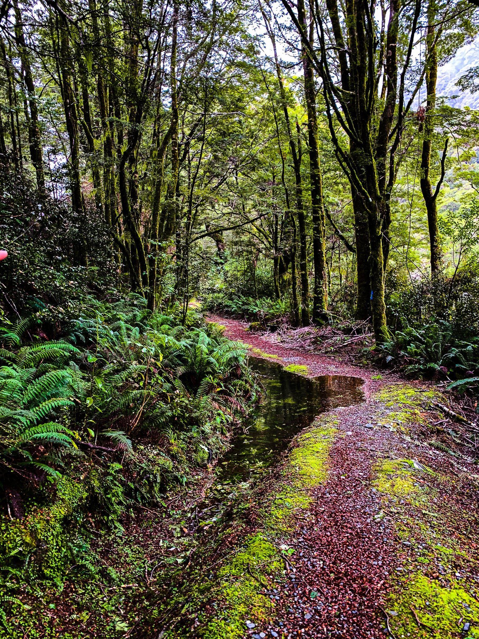
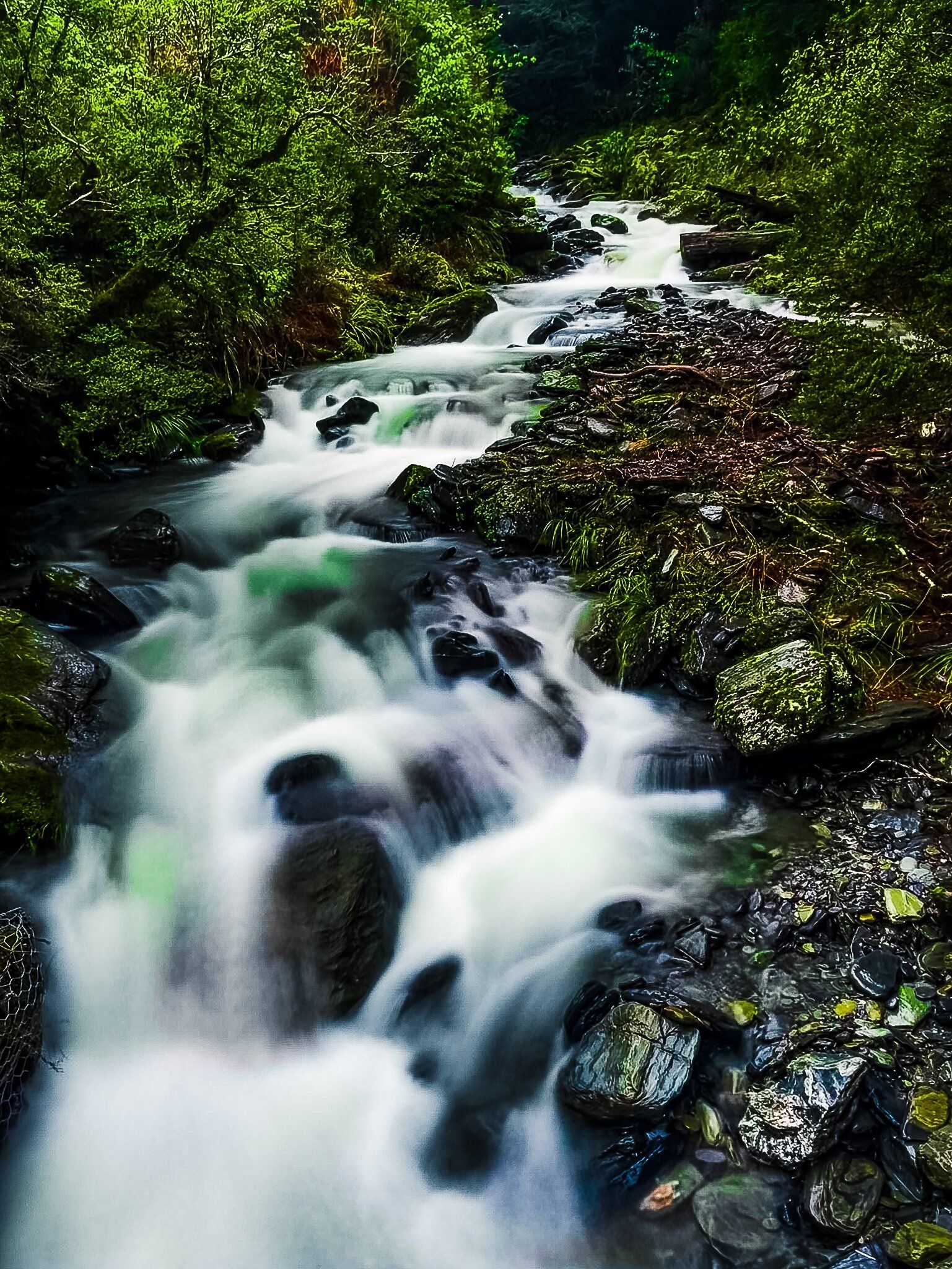
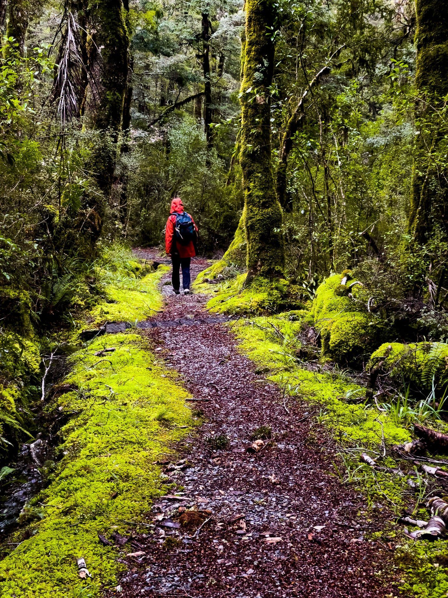
The track is rather worn out and reasonably high above the river in some places, but should be straight forward. About a quarter of the way along, there is a swing bridge. This is just past where the Makarora River turns sharply east into the Makarora Gorge, and the bridge crosses a large feeder stream. Once across, you will find yourself in an established native beech rainforest with a well maintained track. From there it is a 130 metre climb, mostly gentle, to the road at the top of the pass.
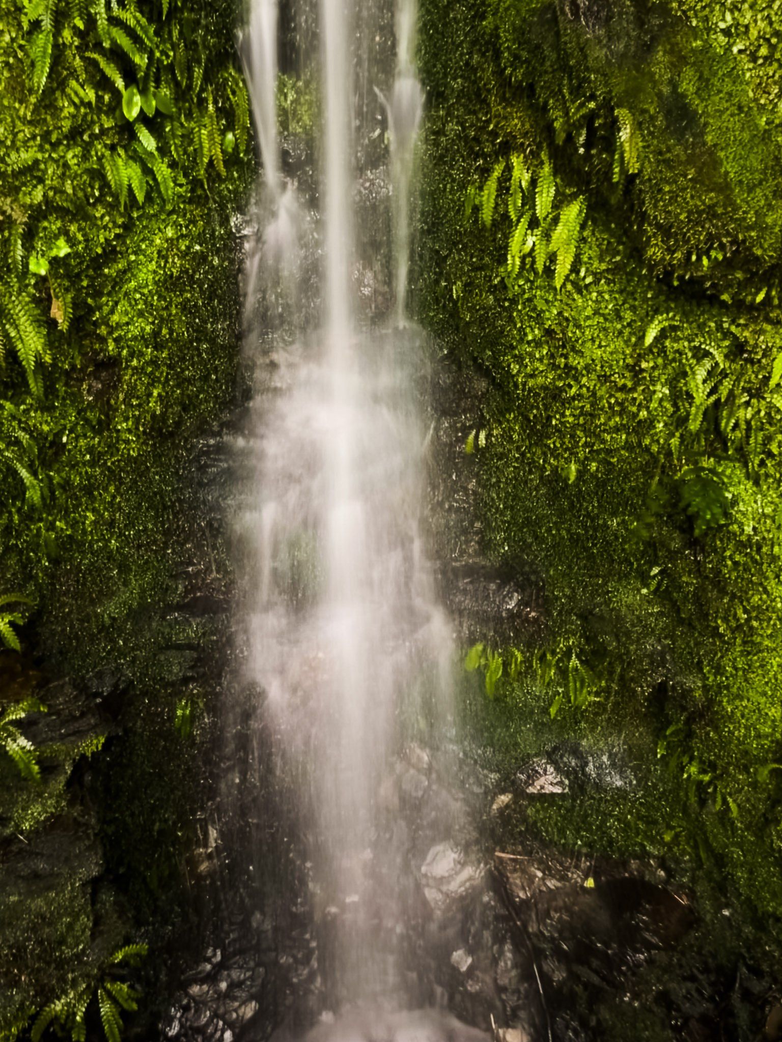
The northern end of the Bridle Track starts at the Haast Pass / Tioripatea high point, with the track entrance opposite a short steep track to a high viewpoint (you won’t see much if it’s raining). The well maintained track goes downhill on a gentle incline through native beech rain forest with a series of short bridges, including two significant stream crossings.
These streams become quite dramatic in the wet, both with a series of tumbling falls. As you approach the second stream, you will be quite high above the first, with some nice views down through the forest. There is a better viewpoint if you continue on after the second significant stream crossing.
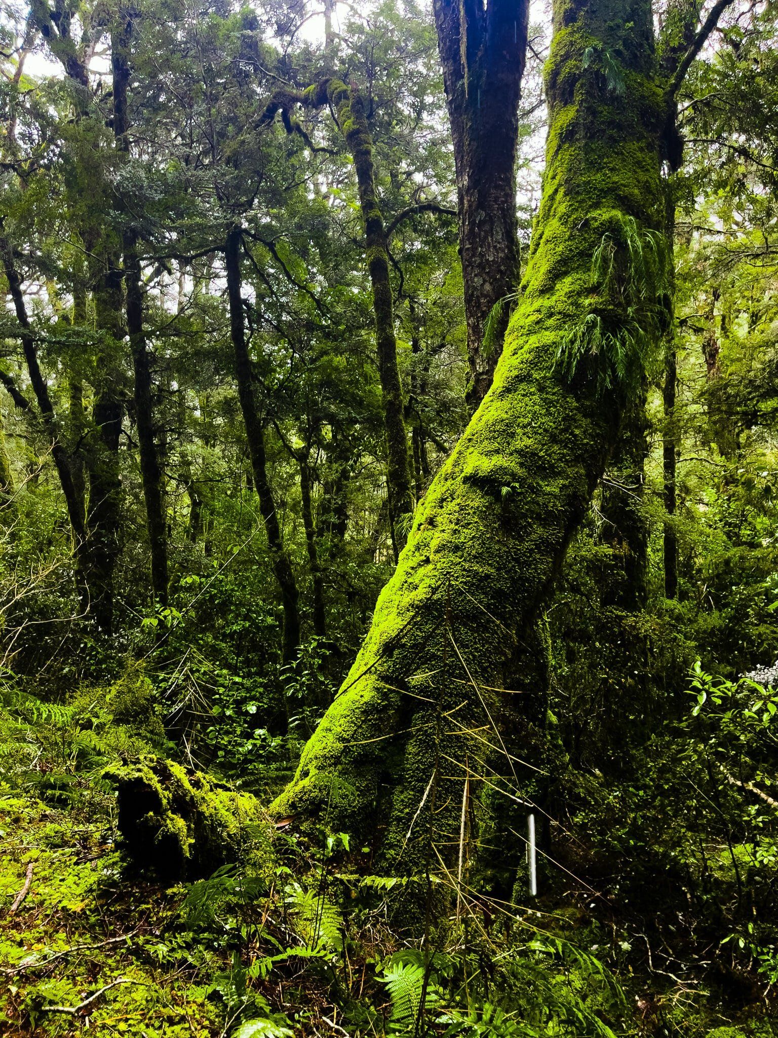
In the wet, this section of the walk takes on a stunning emerald green lustre due to the moss and lichen on the trees and around the path.
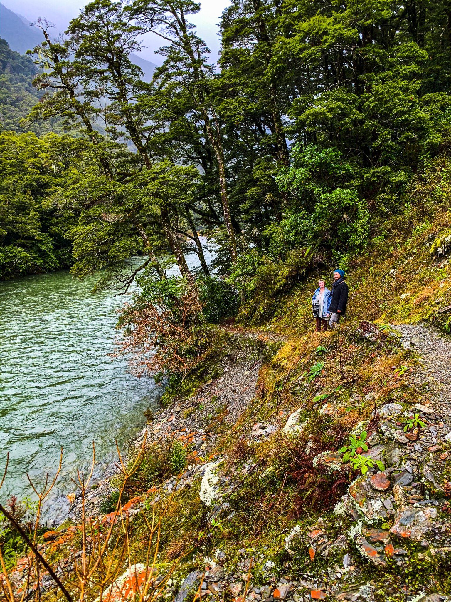
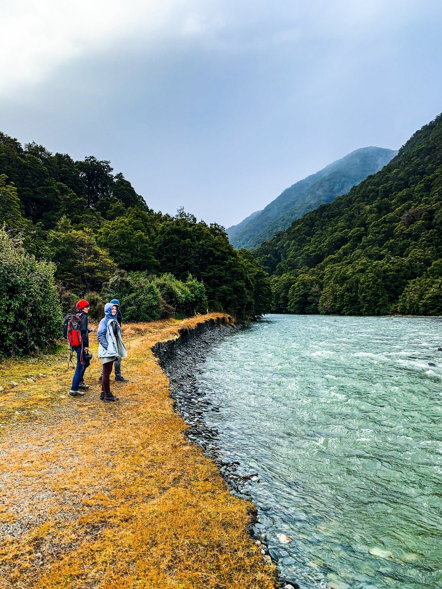
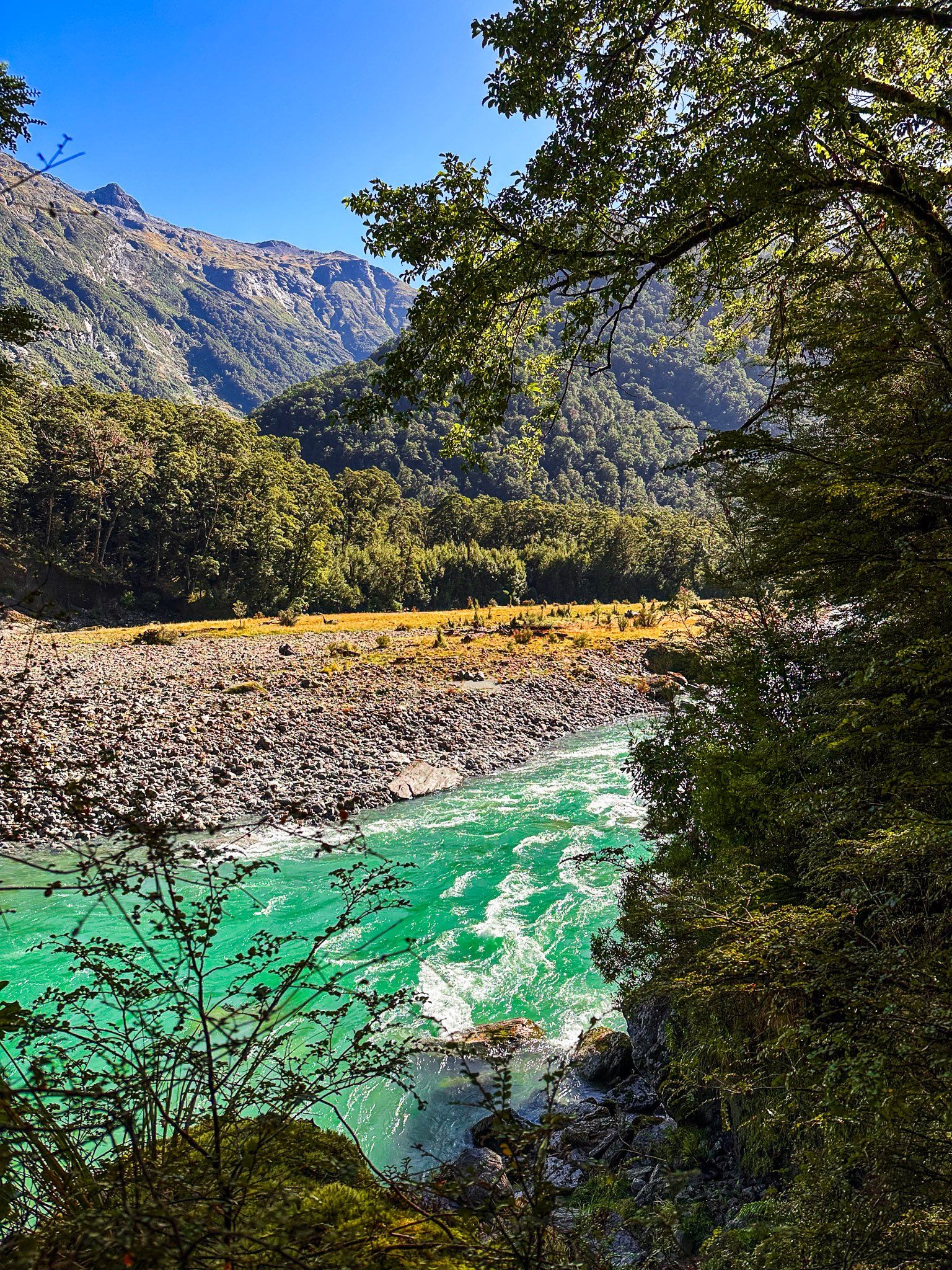
Kerrin Forks, Wilkin Valley
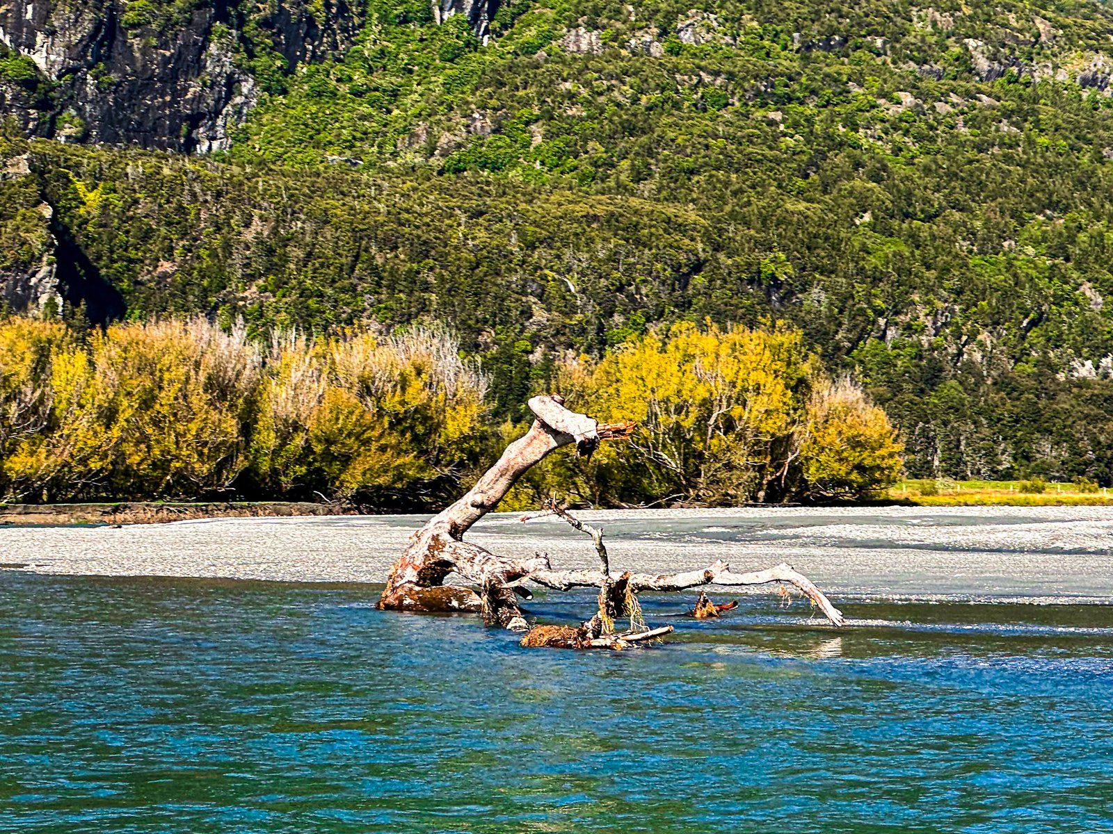
There are a number of multi-day hiking and tramping options on either side of Haast Pass. The best known are the walks around the Young and Wilkin valleys. The Young can be accessed from the Blue Pools on the Young River Link Track. The Wilkin requires a crossing of the Makarora River near Makarora, which is only for experienced trampers. Similarly, the multi-day options over Gillespie Pass and Rabbits Pass are rated as advanced to difficult and should only be done with a guide by those who aren’t already very experienced.
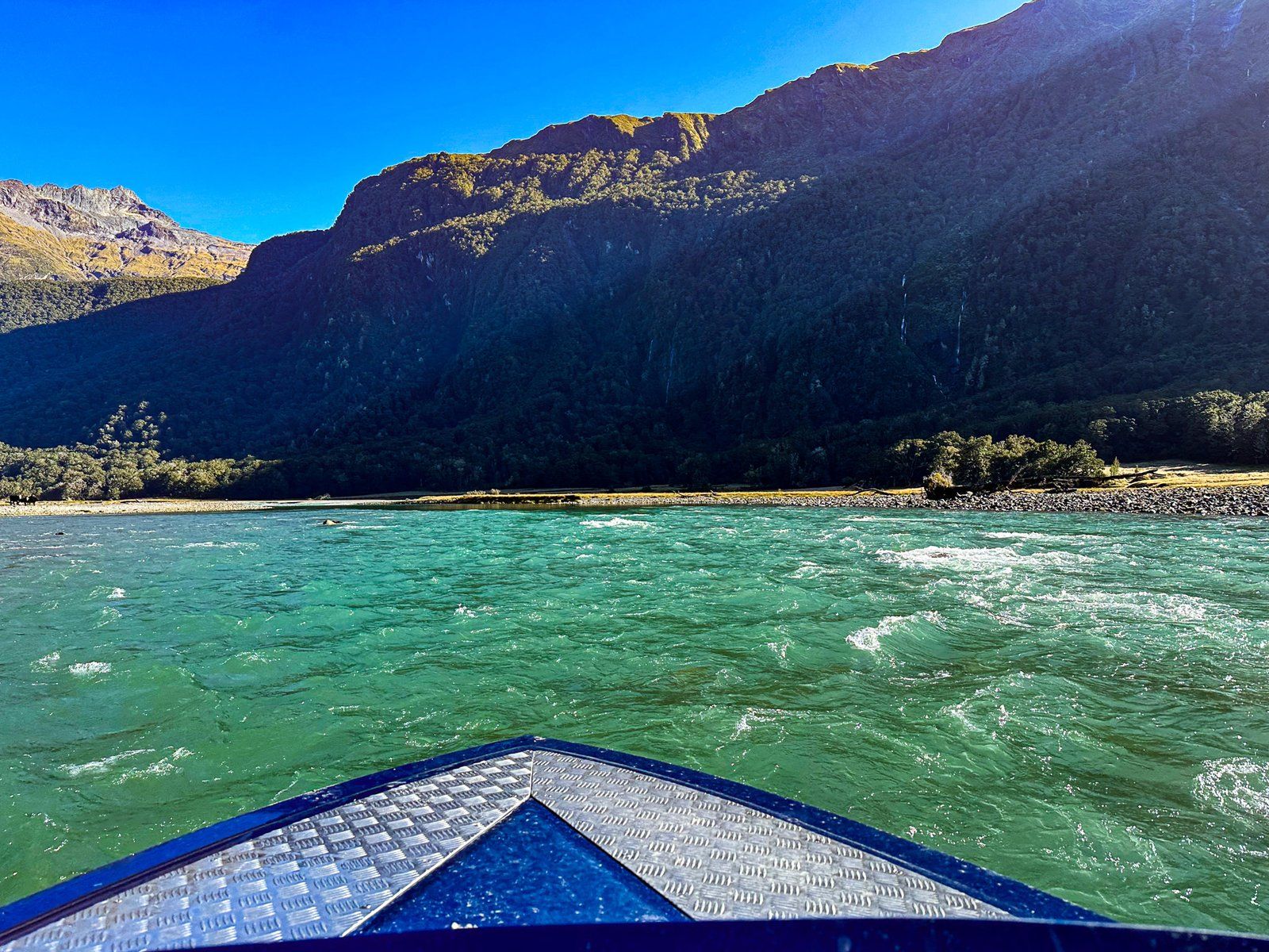
However, a cheat’s option is to get a jetboat ride up the Wilkin River from Makarora to Kerrin Forks, with a drop-off on either side of the Wilkin River. The ride up the River takes about 30 minutes. It has the usual jetboat thrills, including several modest rapids.
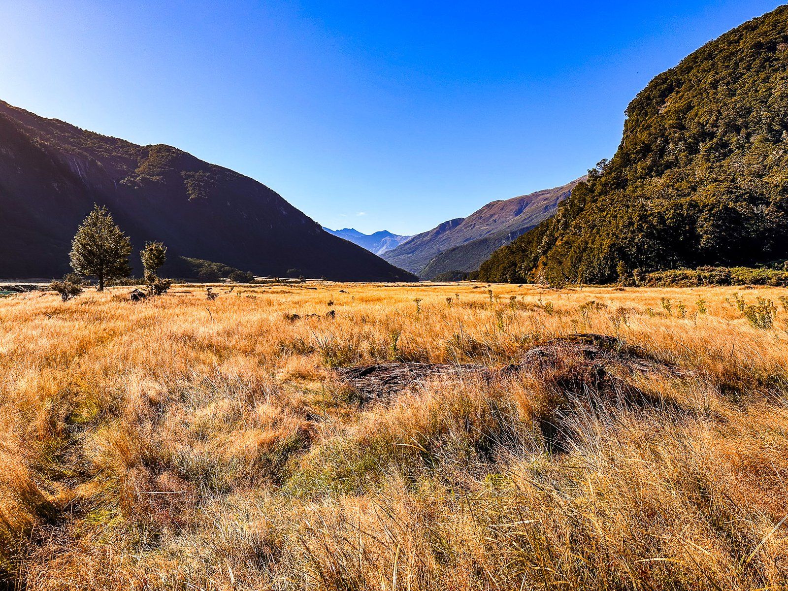
The south side of the Wilkin River is bounded by the Turret Peaks (1,700 metres to 1,900 metres) and the north side is dominated by Mount Broome (1954 metres) and Mount Turner (2,150 metres). High country farming is evident on the south side slopes, with beech forest on the north side slopes. There are also several waterfalls. Looking west, straight ahead along the River, the glaciated peak of Mount Pollux at 2,536 metres is visible.
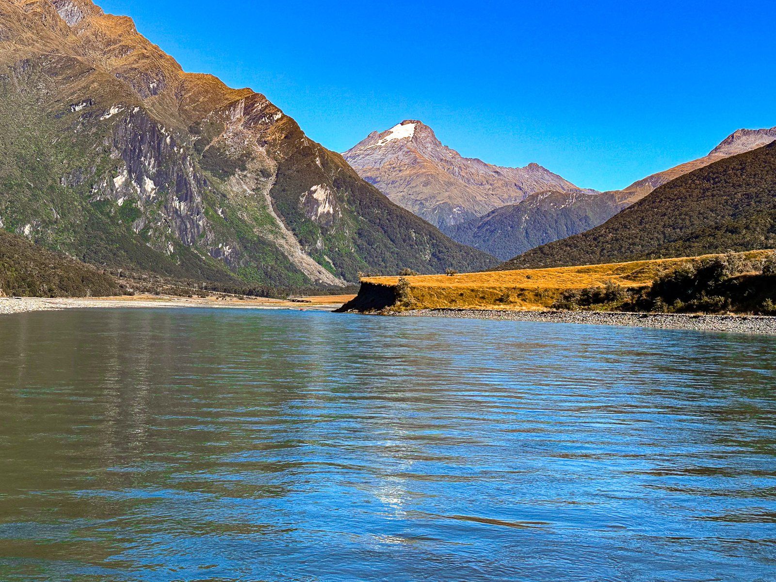
From a south side drop off, it is a few hundred metres walk through tussock and native bracken (rauaruhe) to Kerrin Forks Hut. The hut is a perfect remote location for a picnic on a nice day or an overnight stay.
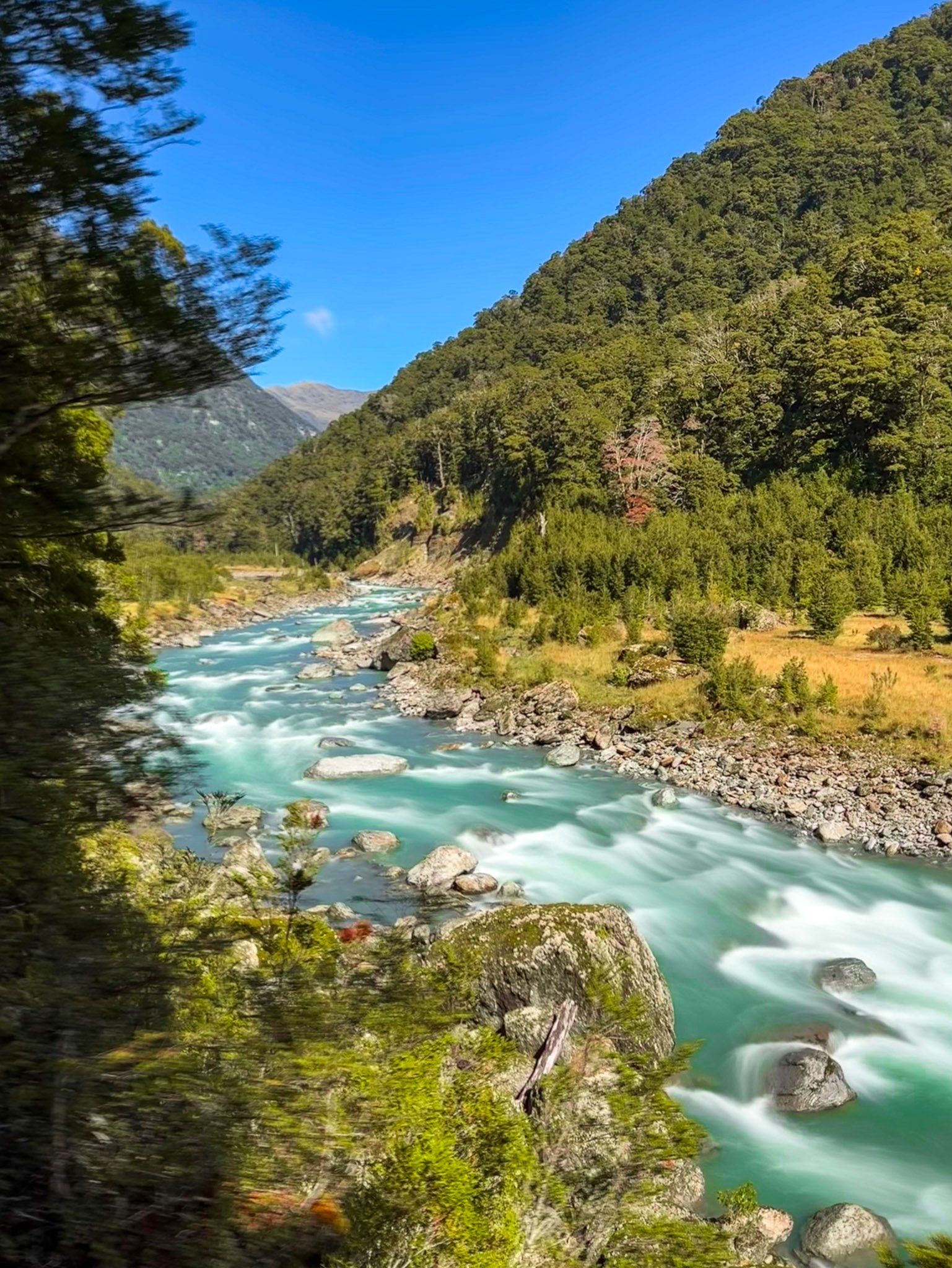
From there, you can walk from the hut along the Wilkin Valley Track as it takes a right angle south through beech forest along the edge of the Wilkin River. It is a long day to reach Top Forks Hut (seven to ten hours). However, walking along the track for one to two hours each way is enough to enjoy the beautiful untouched beech forest, mountains, and Wilkin River views in this part of Mount Aspiring National Park.
Want more Haast Trip Ideas?
Check out our blogs on Haast Highway: Isthmus to Haast Pass and Makarora to Haast.