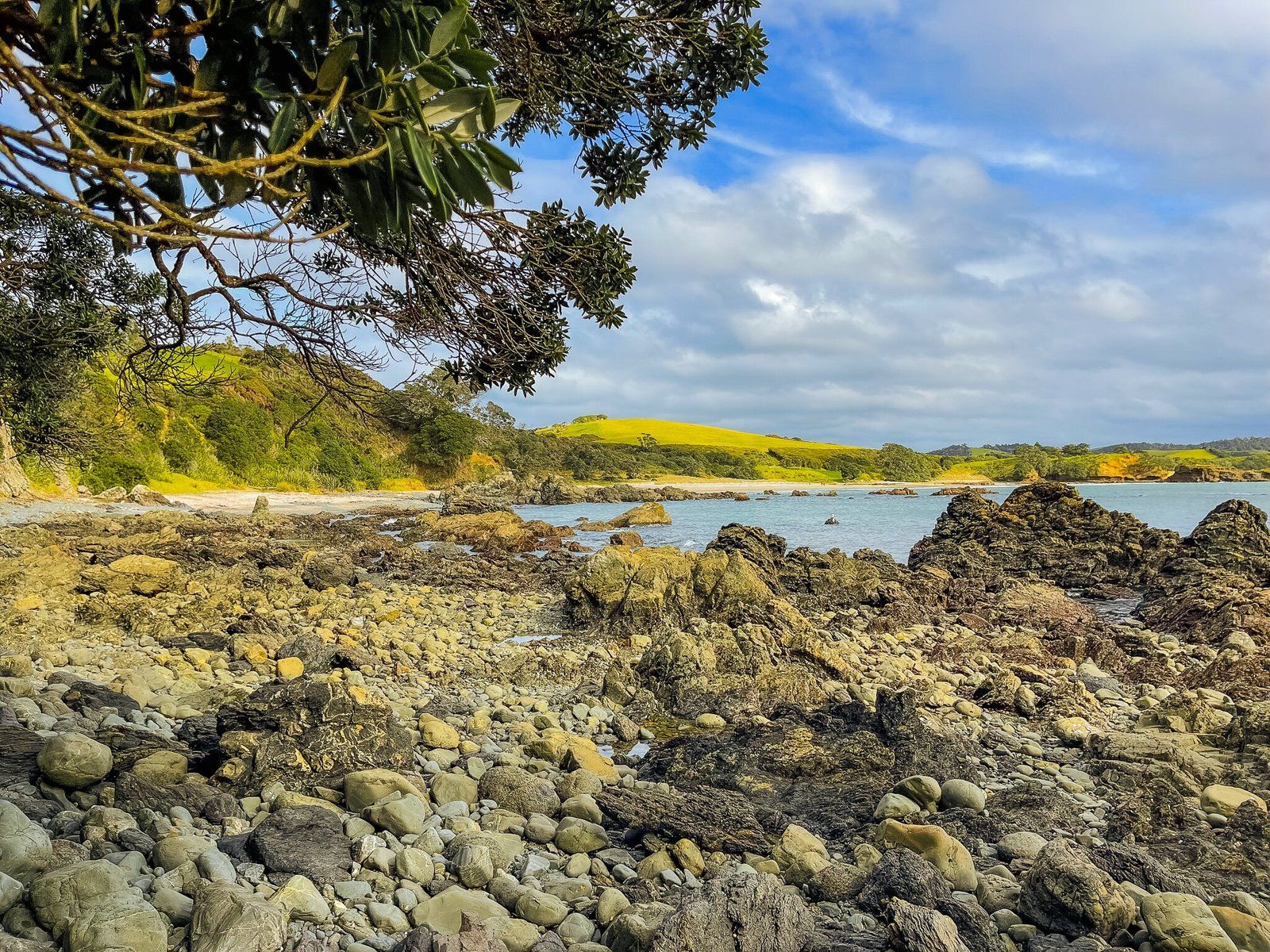
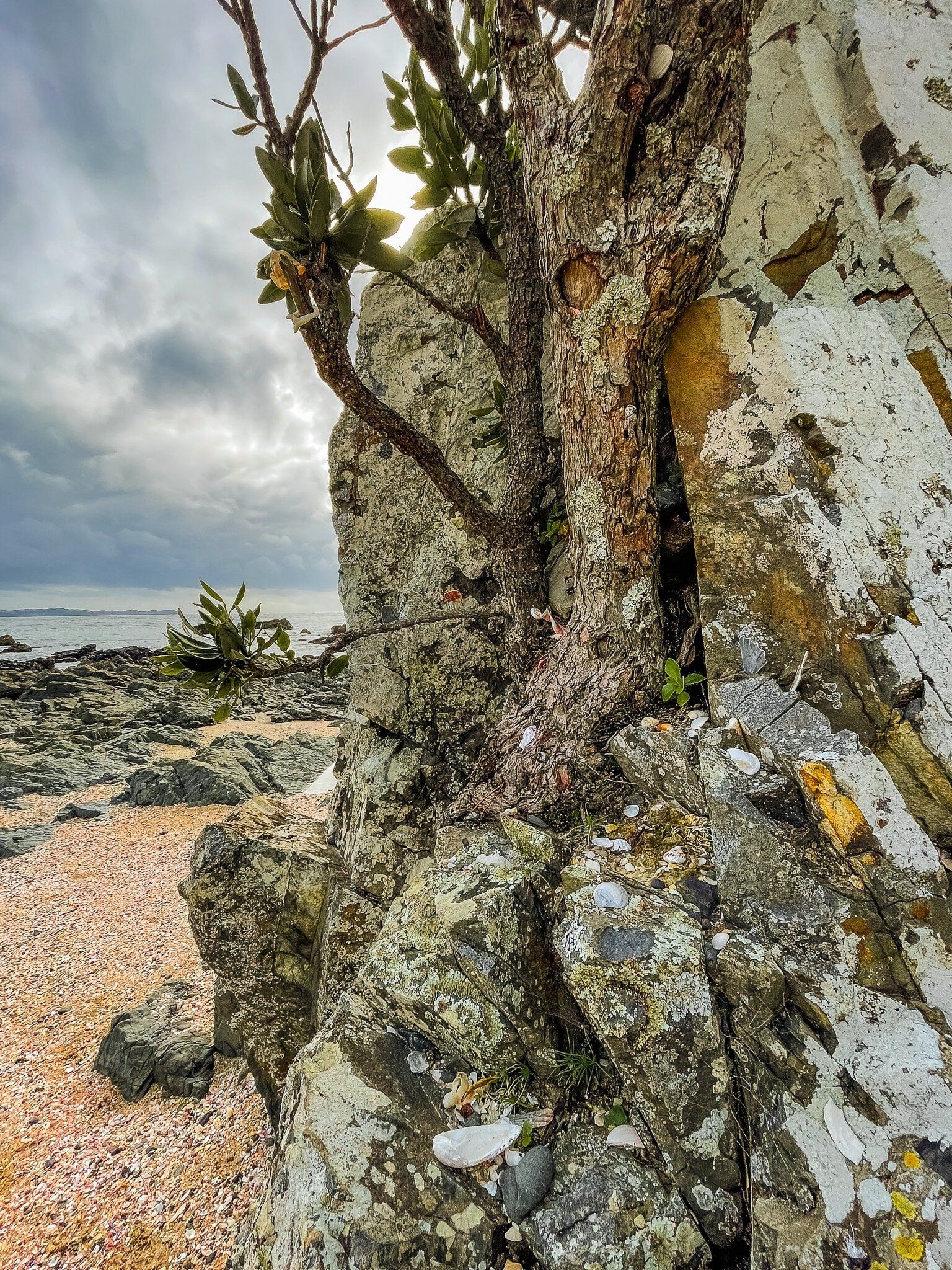
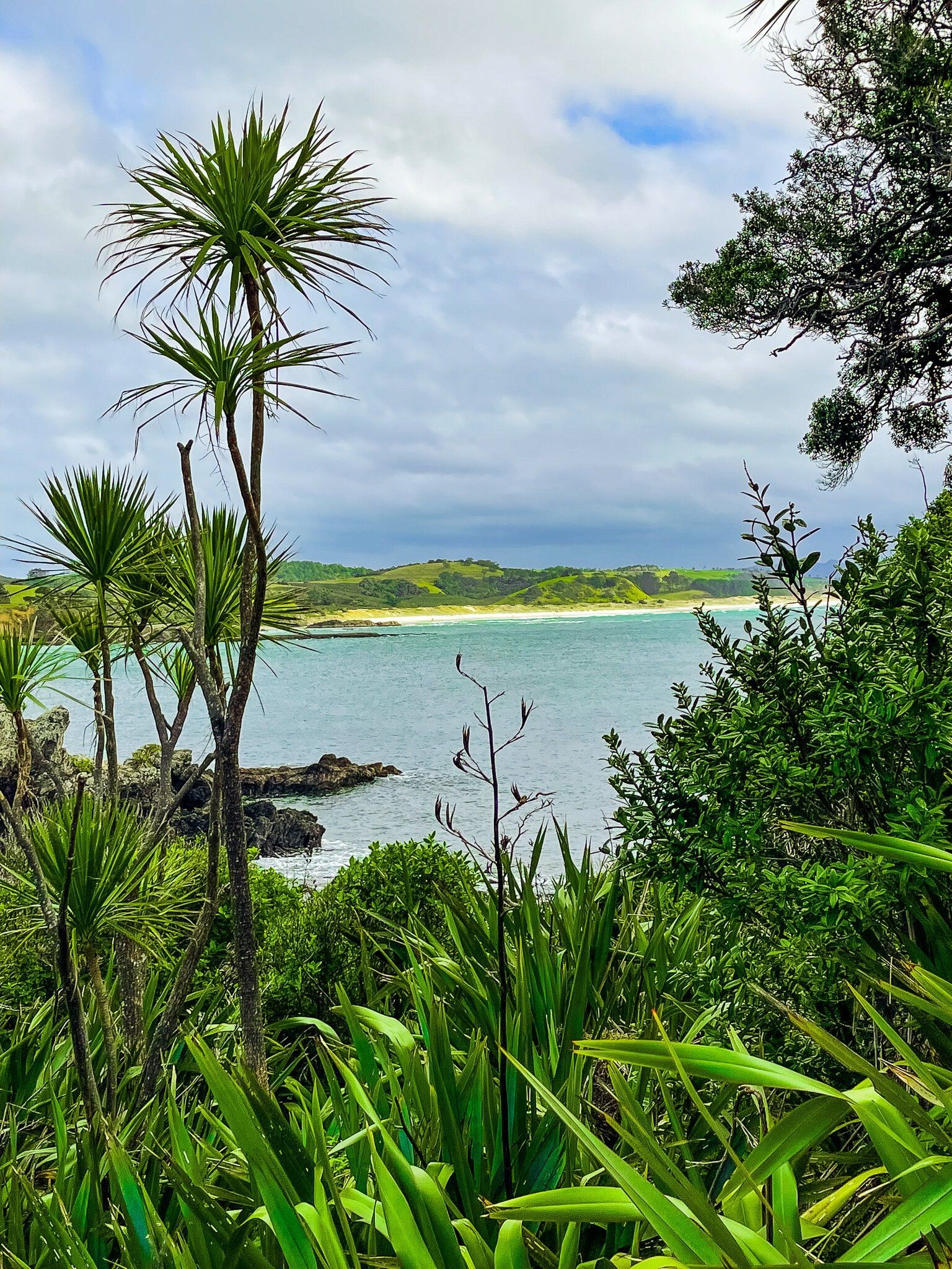
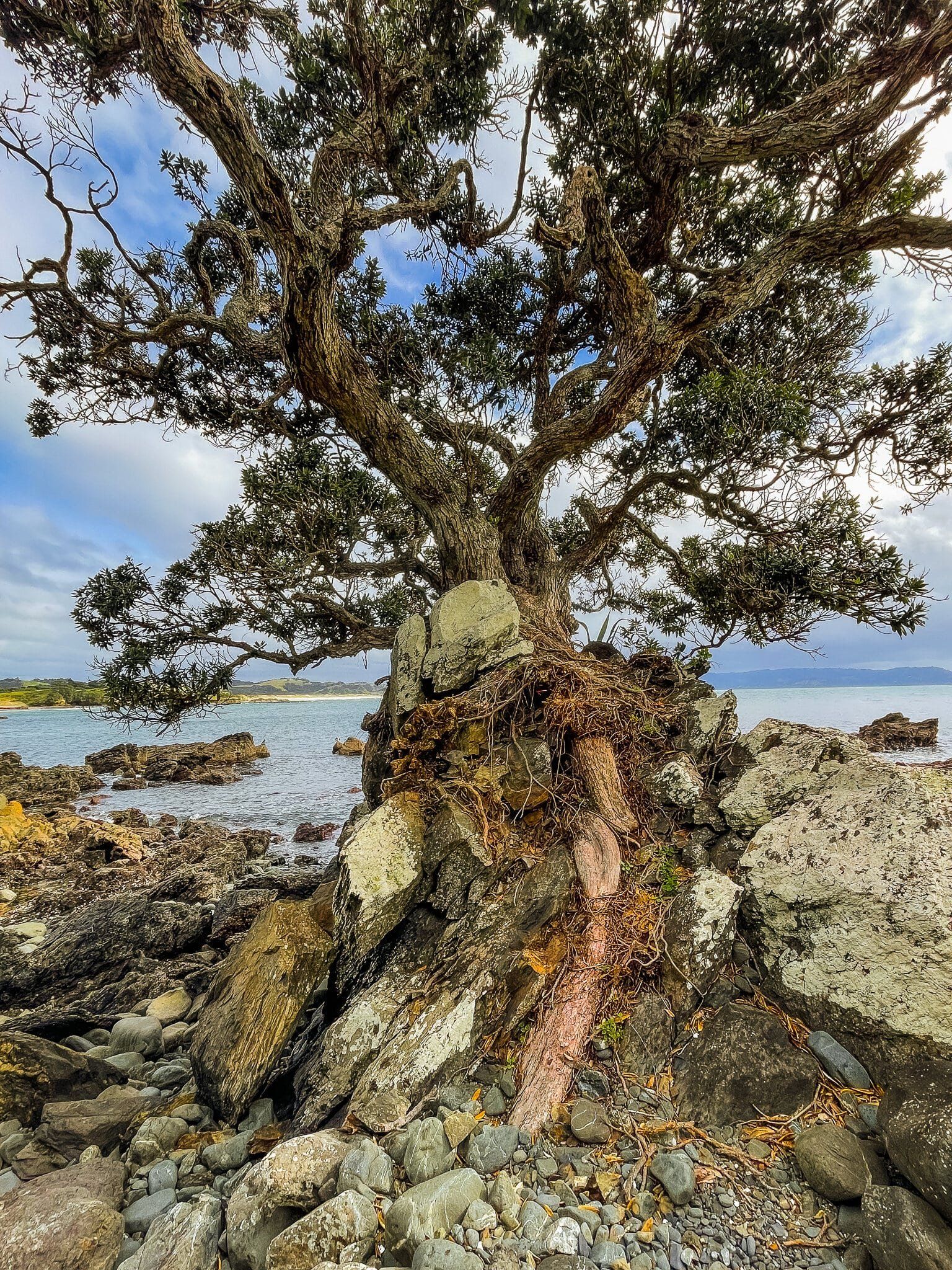
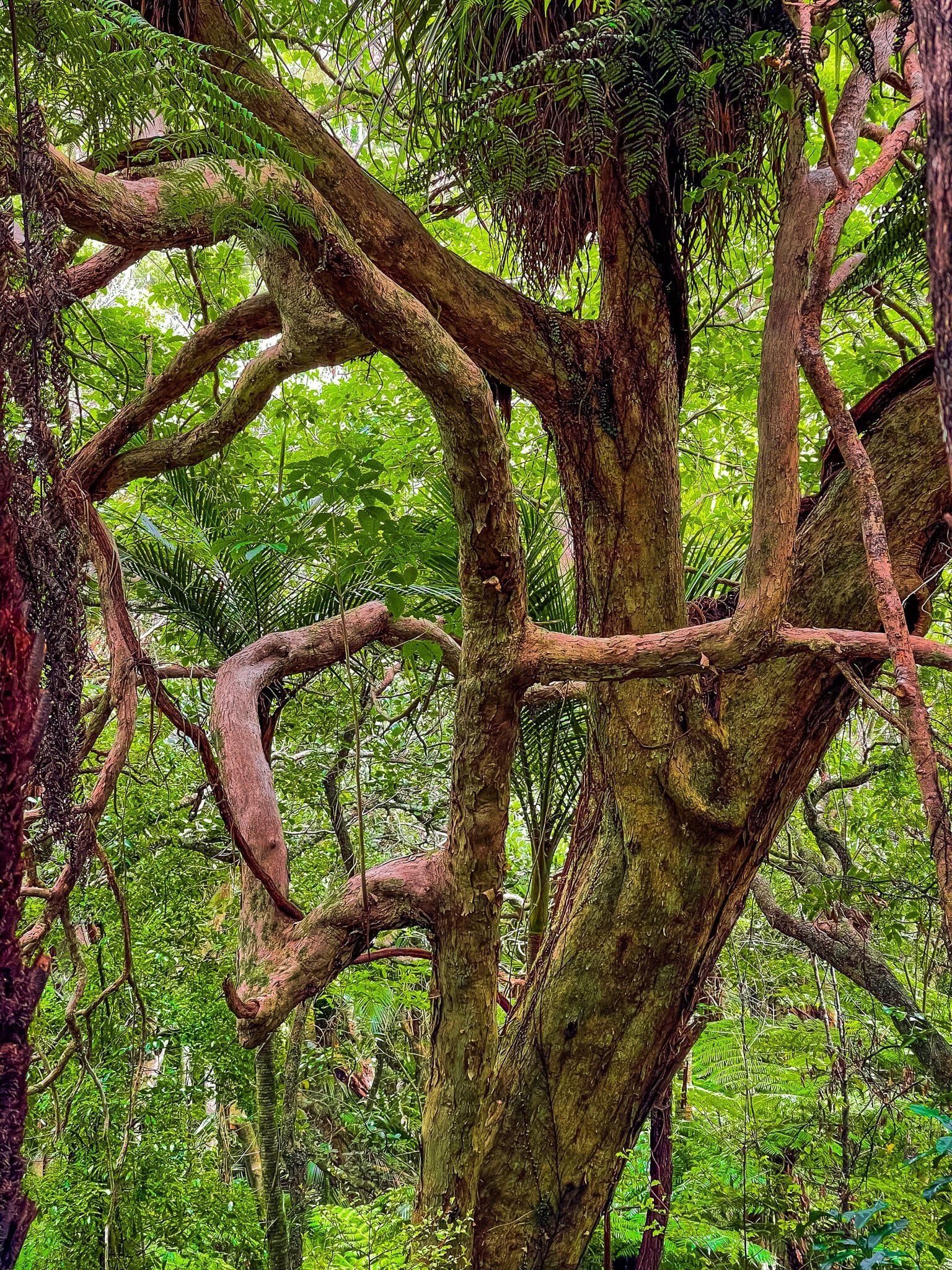
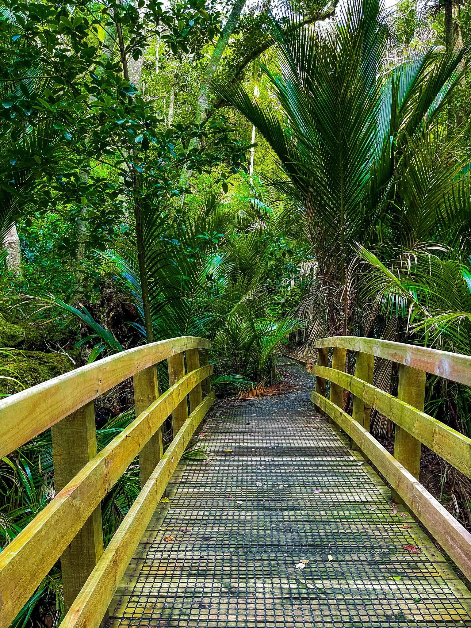
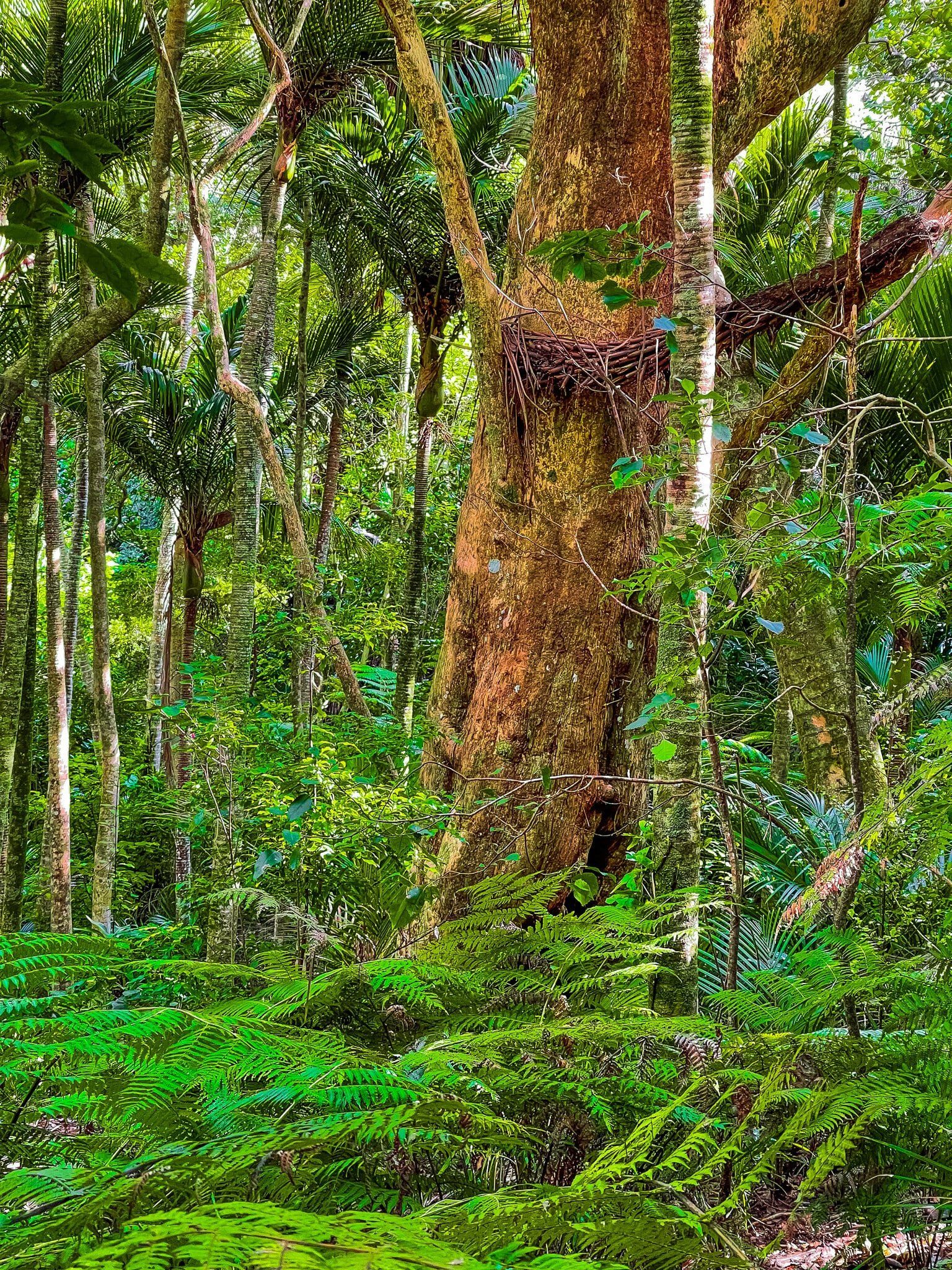
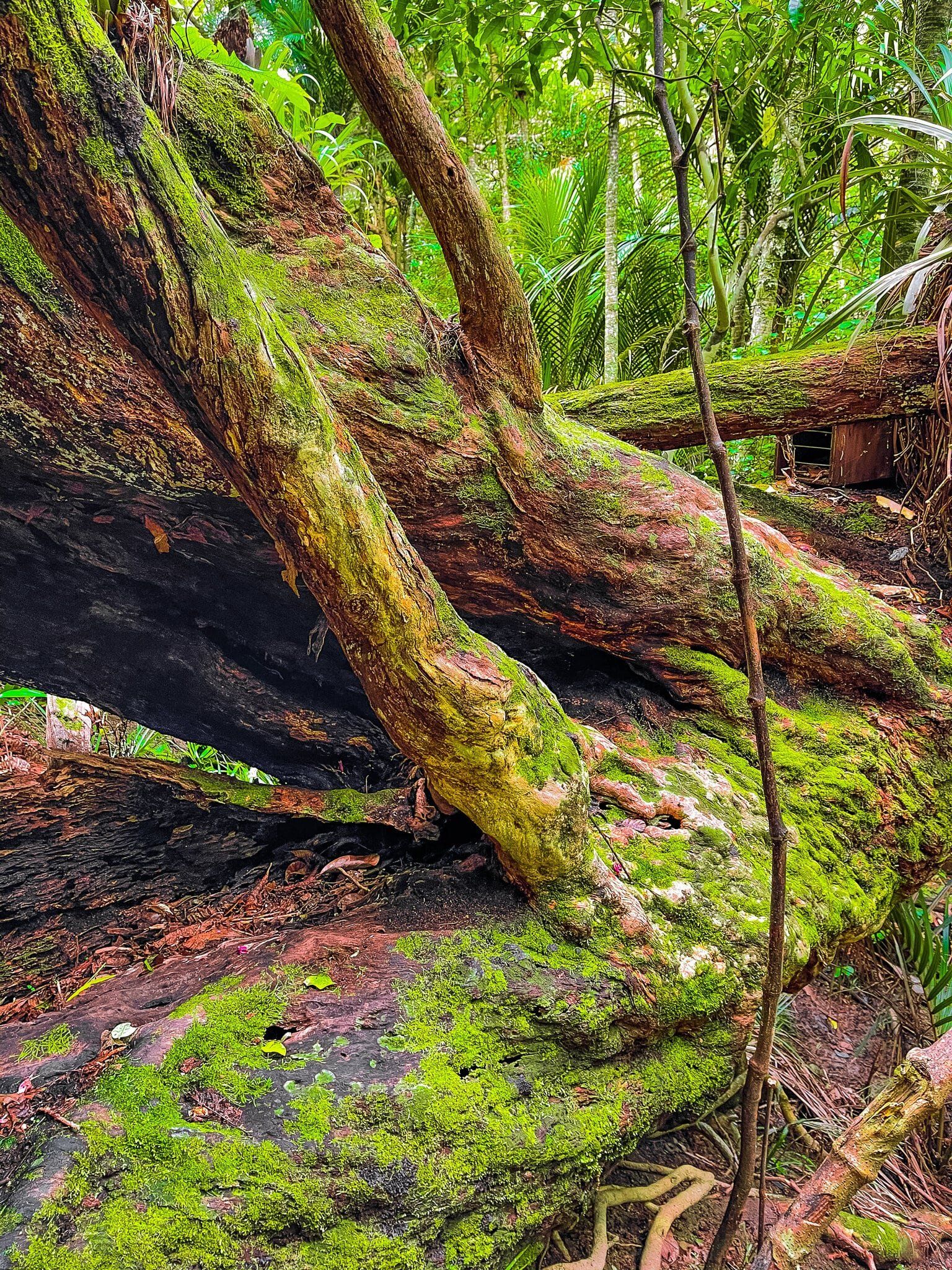
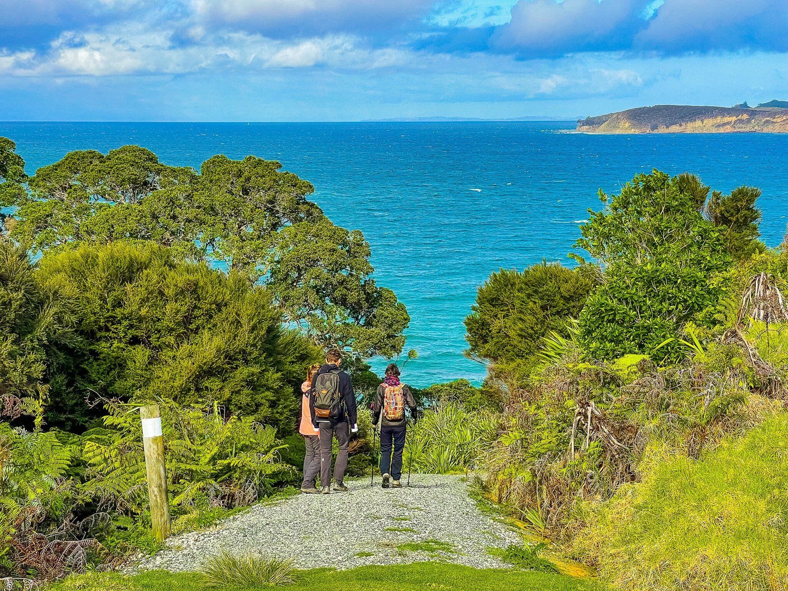
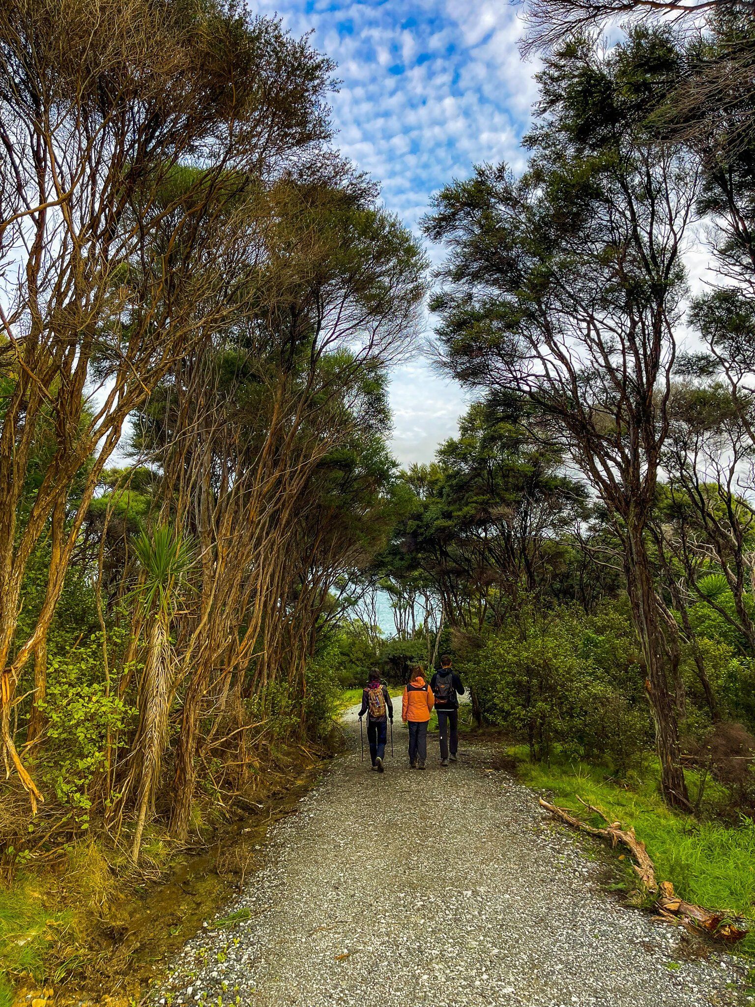
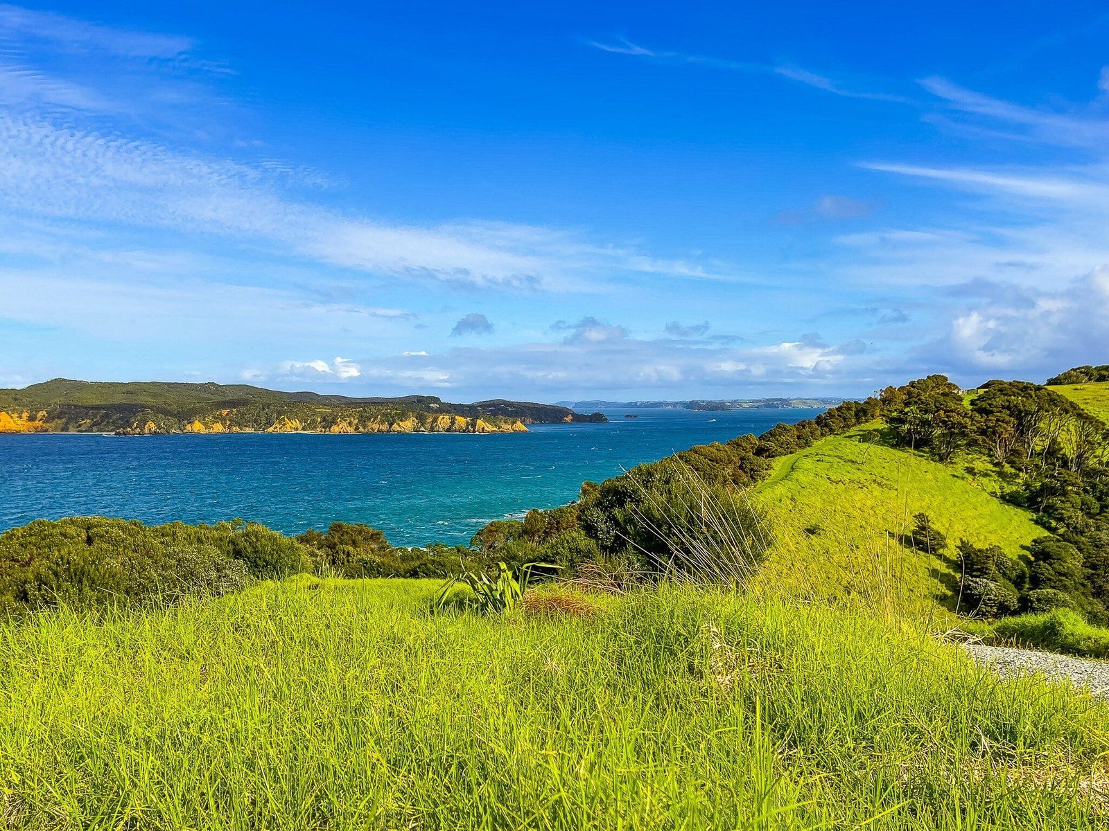
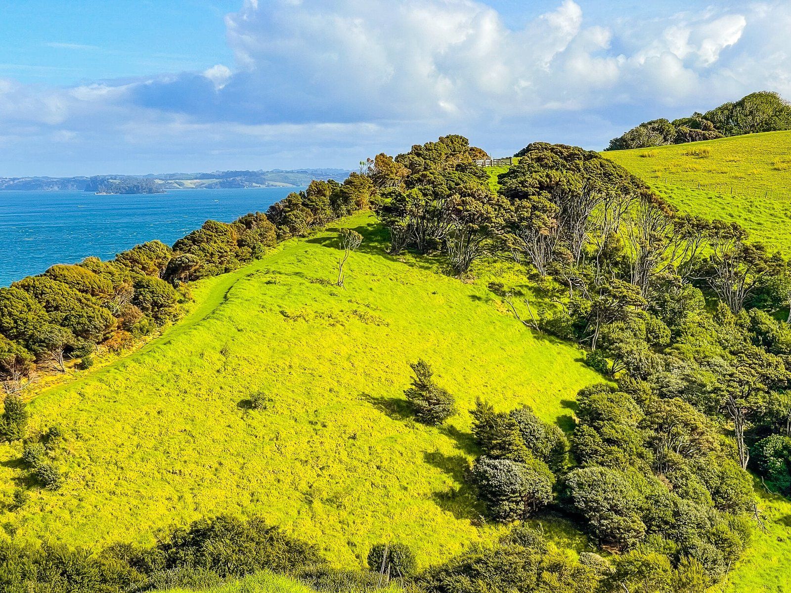
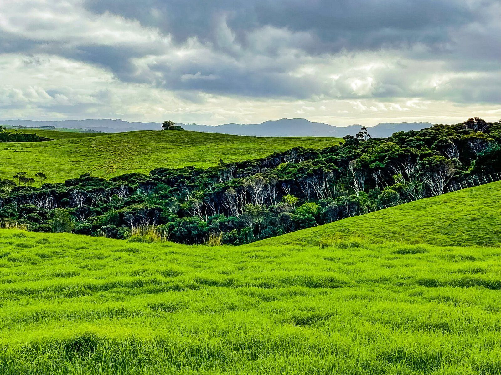
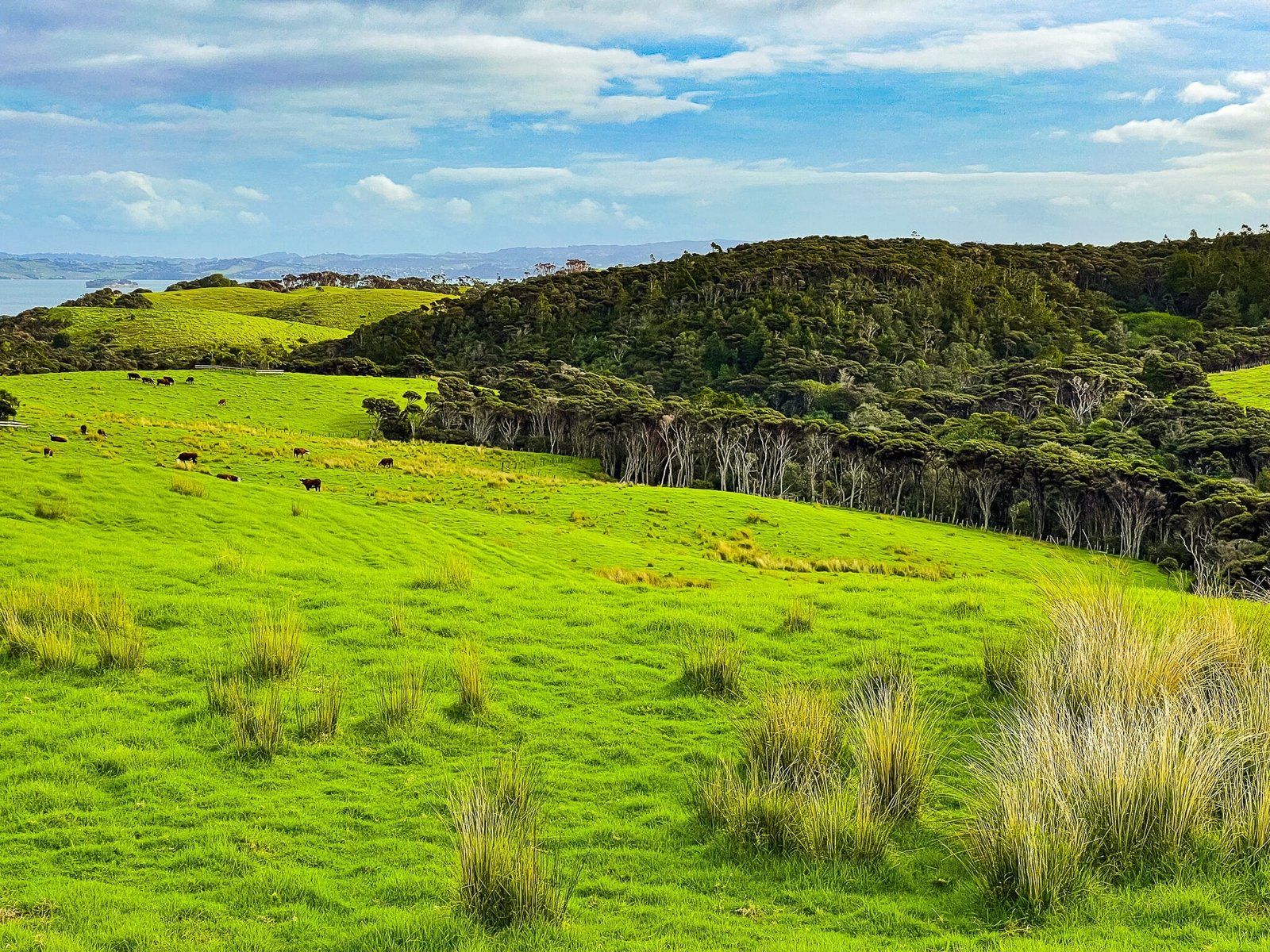
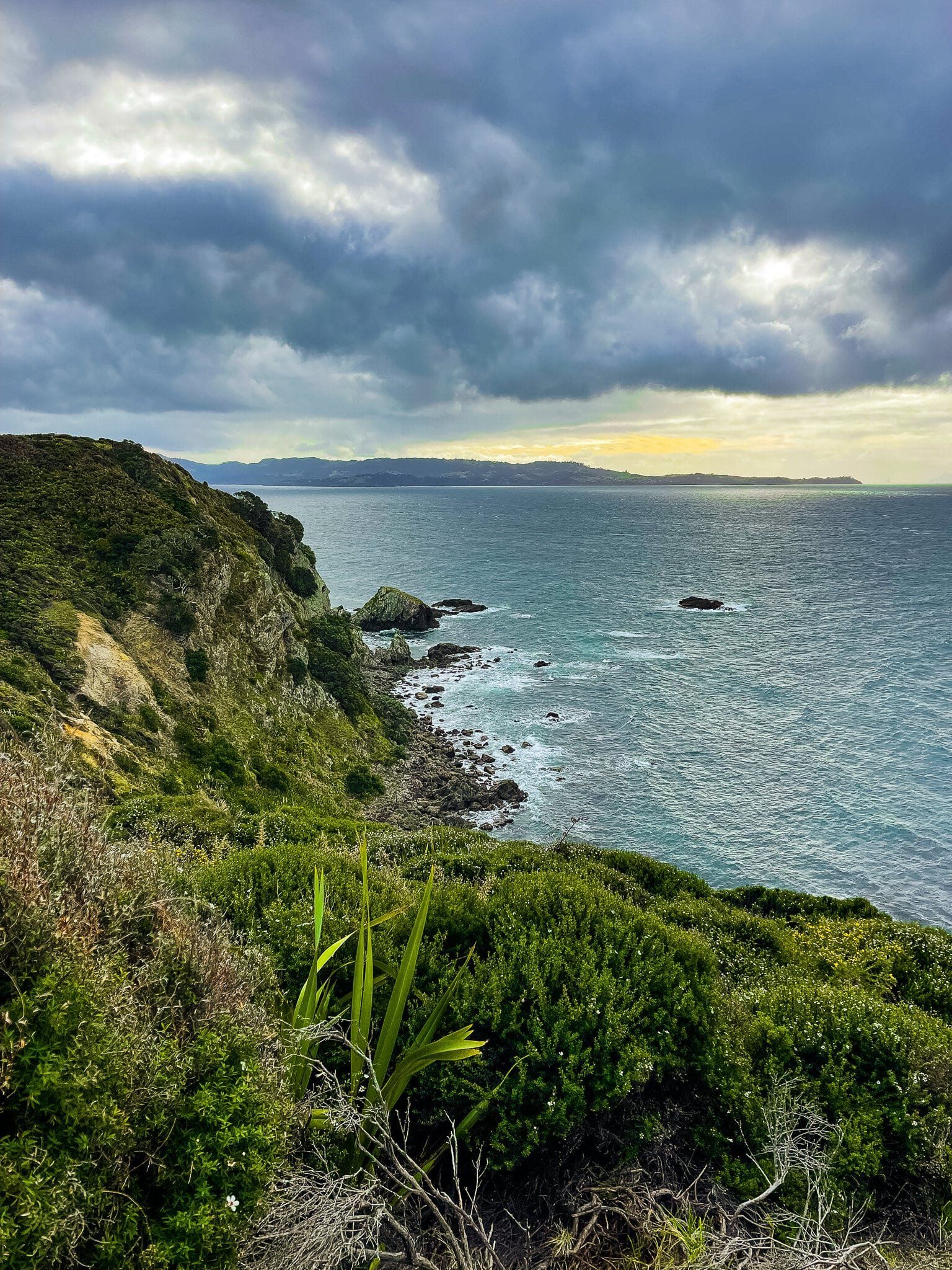
At 600 hectares, Tāwharanui Regional Park is the largest of Auckland City’s 28 Regional Parks. It occupies most of the Tāwharanui Peninsula on the Matakana Coast, between Matakana and Omaha, with fabulous Anchor Bay and nearby camping on the north side of the peninsula. There are a number of trails that can typically be done as loops, including the superb Ecology Trail that only takes about an hour. These start near the entrance and further along the peninsula from Anchor Bay.
Like a number of other parks, it was previously a farm and was initially purchased from private ownership by the city and established in the early 1970s as a farm park. The 1980s saw substantial planting of natives, especially around what is now the forested section of the Ecology Trail. In the 1990s, the idea of turning the park into an “open sanctuary” for native birds, while retaining public access and a working farm, was investigated and implemented. This resulted in a predator-proof fence across the peninsula (you drive through the automatic gate to enter the park), followed by more planting and the elimination of mammal pests.
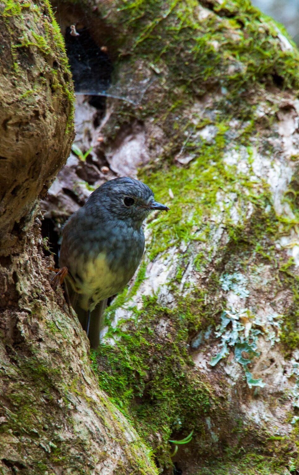
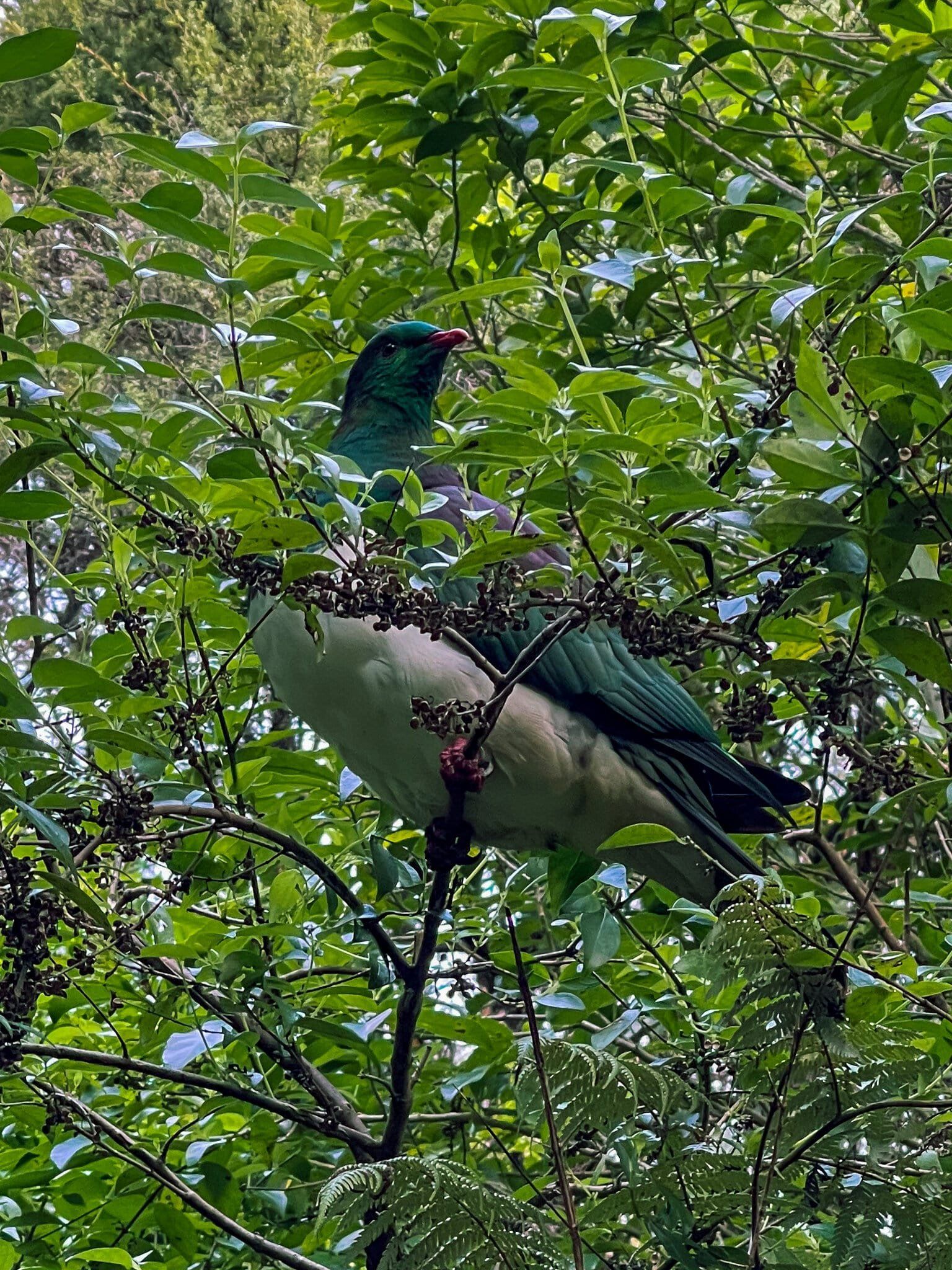
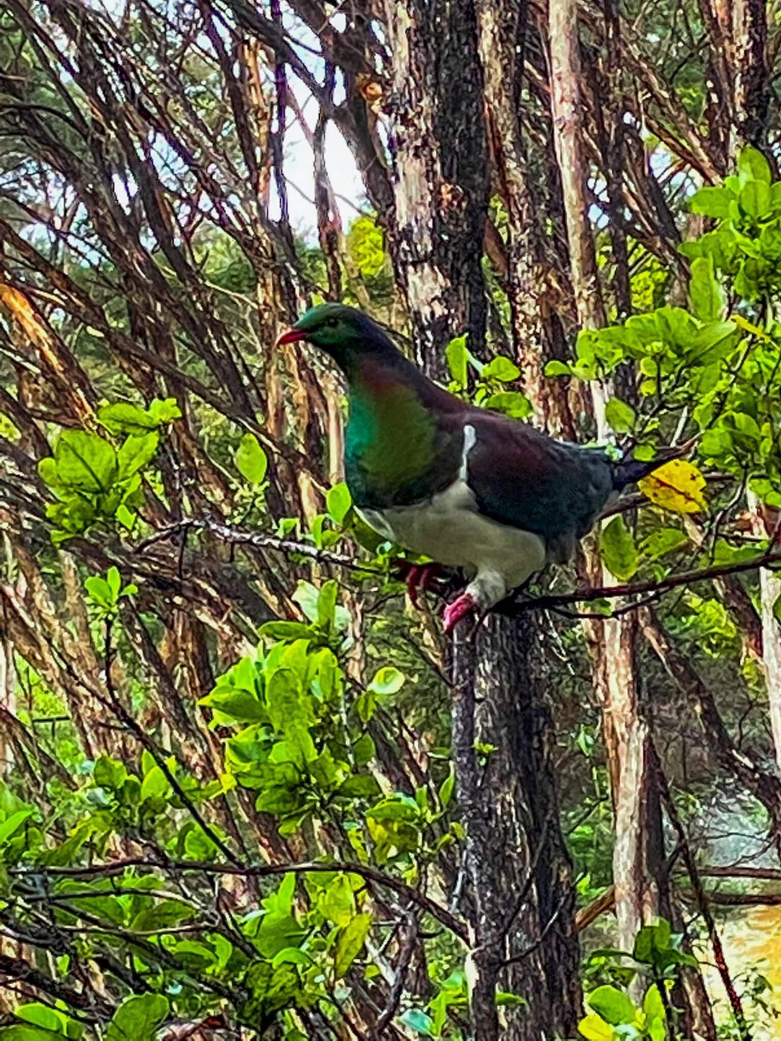
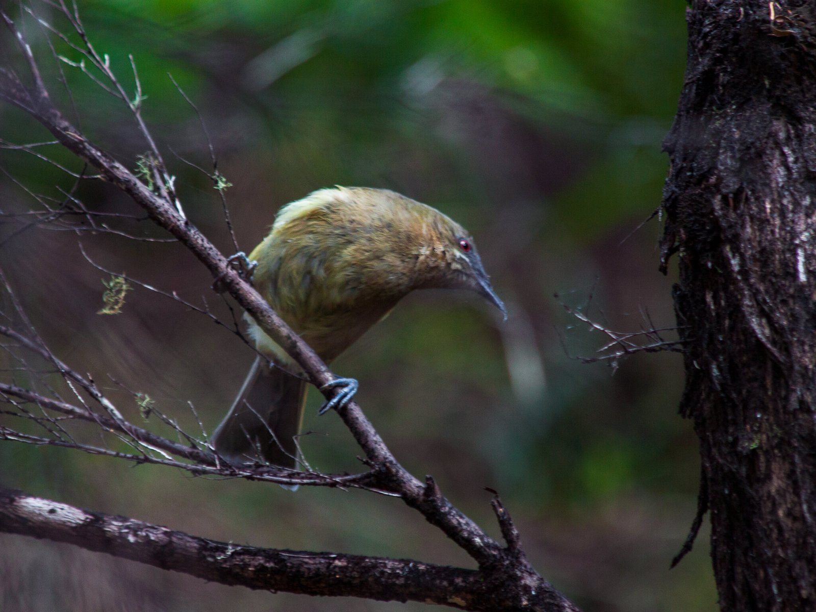
The sanctuary programme has been incredibly successful and today, along the forest section of the Ecology Trail, it has a large population of korimako (bellbirds, which had been extinct around the Auckland mainland for decades), plus tīeke, takahe(!), numerous and easy to spot kereru, native robins, dotterels and several other rare species. There is even a place recommended for seeing kiwi in the evening! After Tiritiri Matangi, it is easily the best place in Auckland to see rare native birds in the wild and is easier to get to, if you have a car.
Anchor Bay
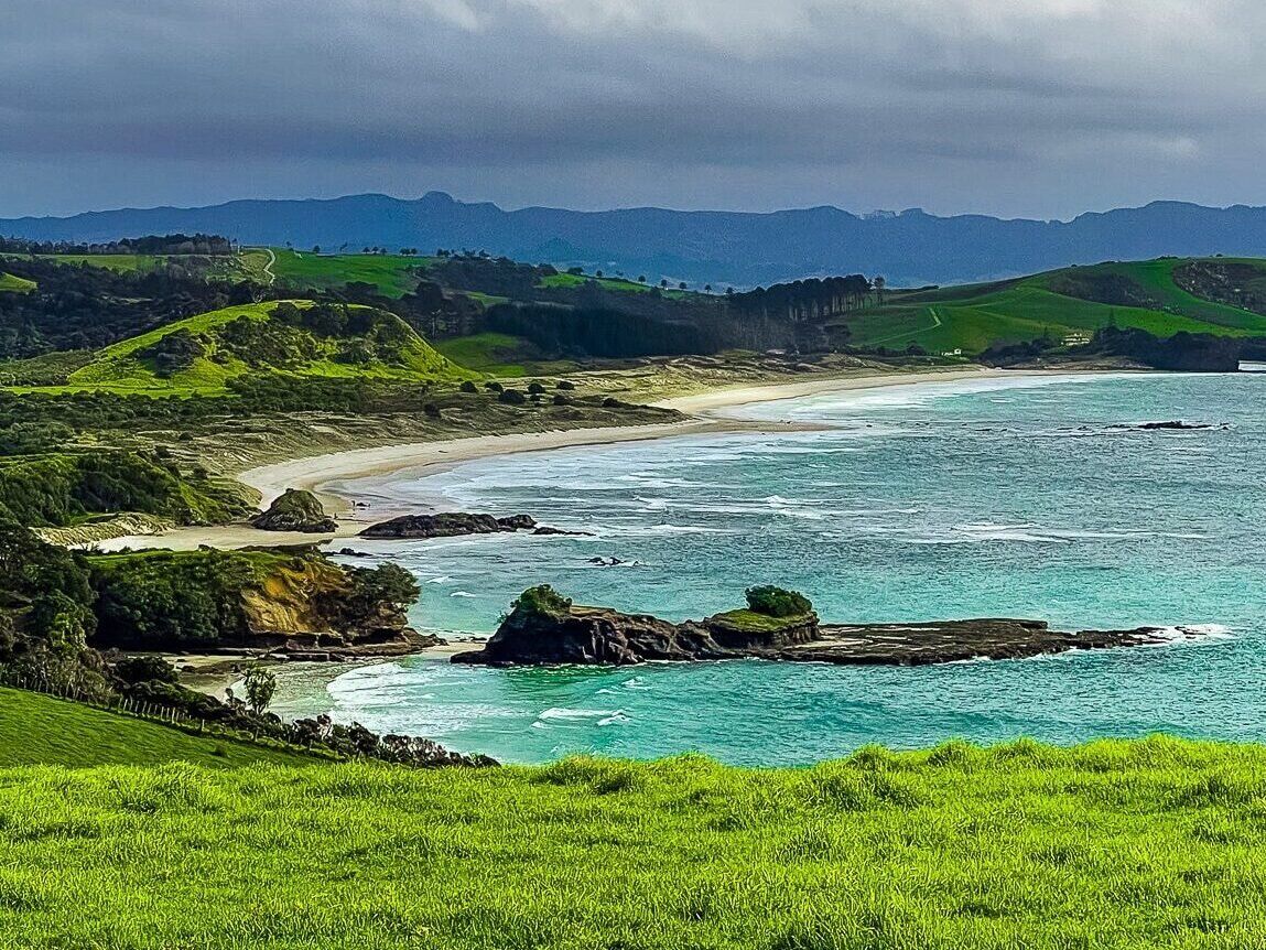
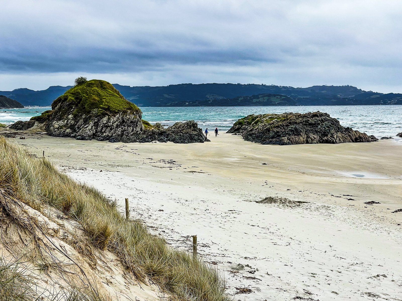
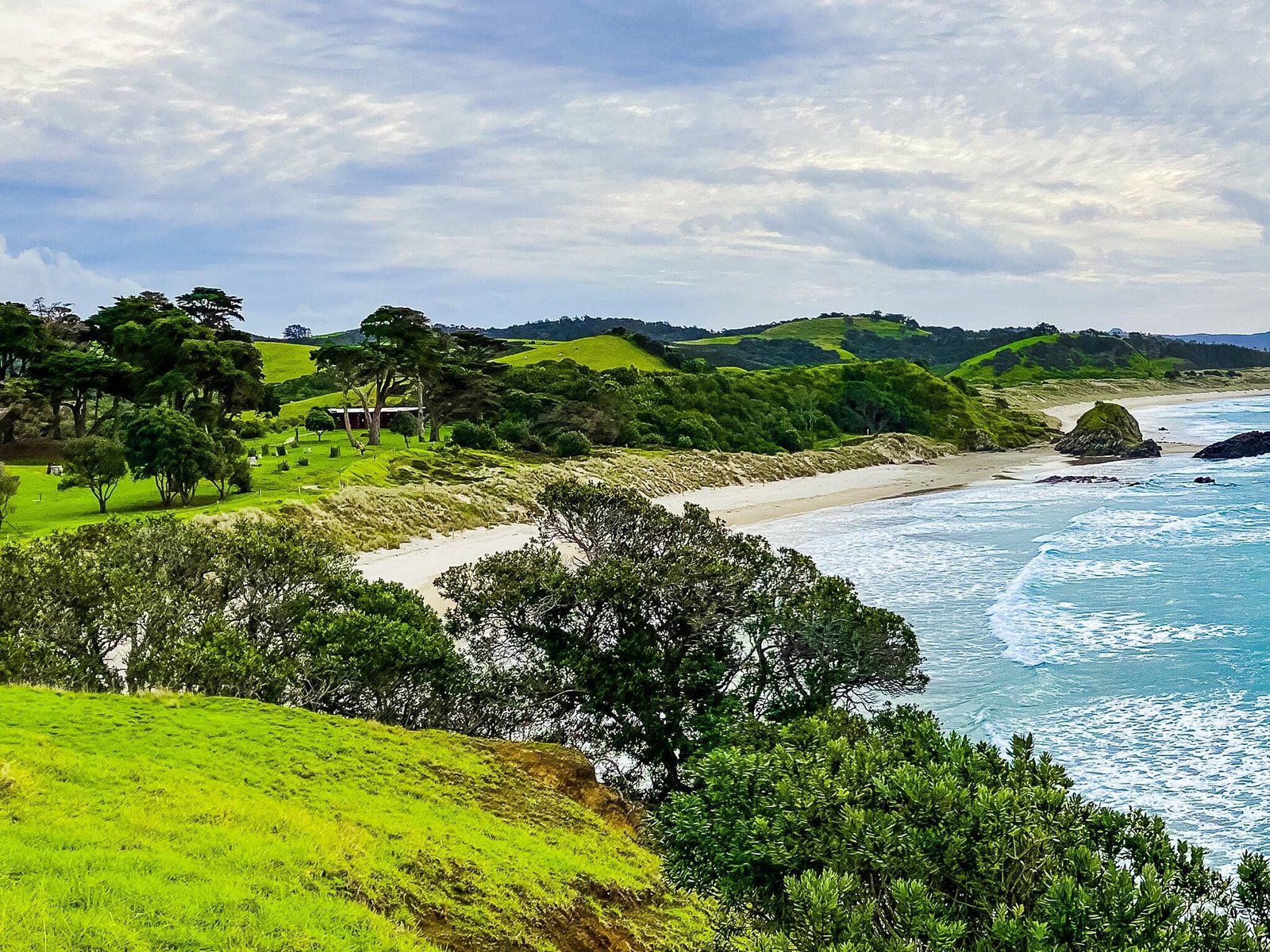
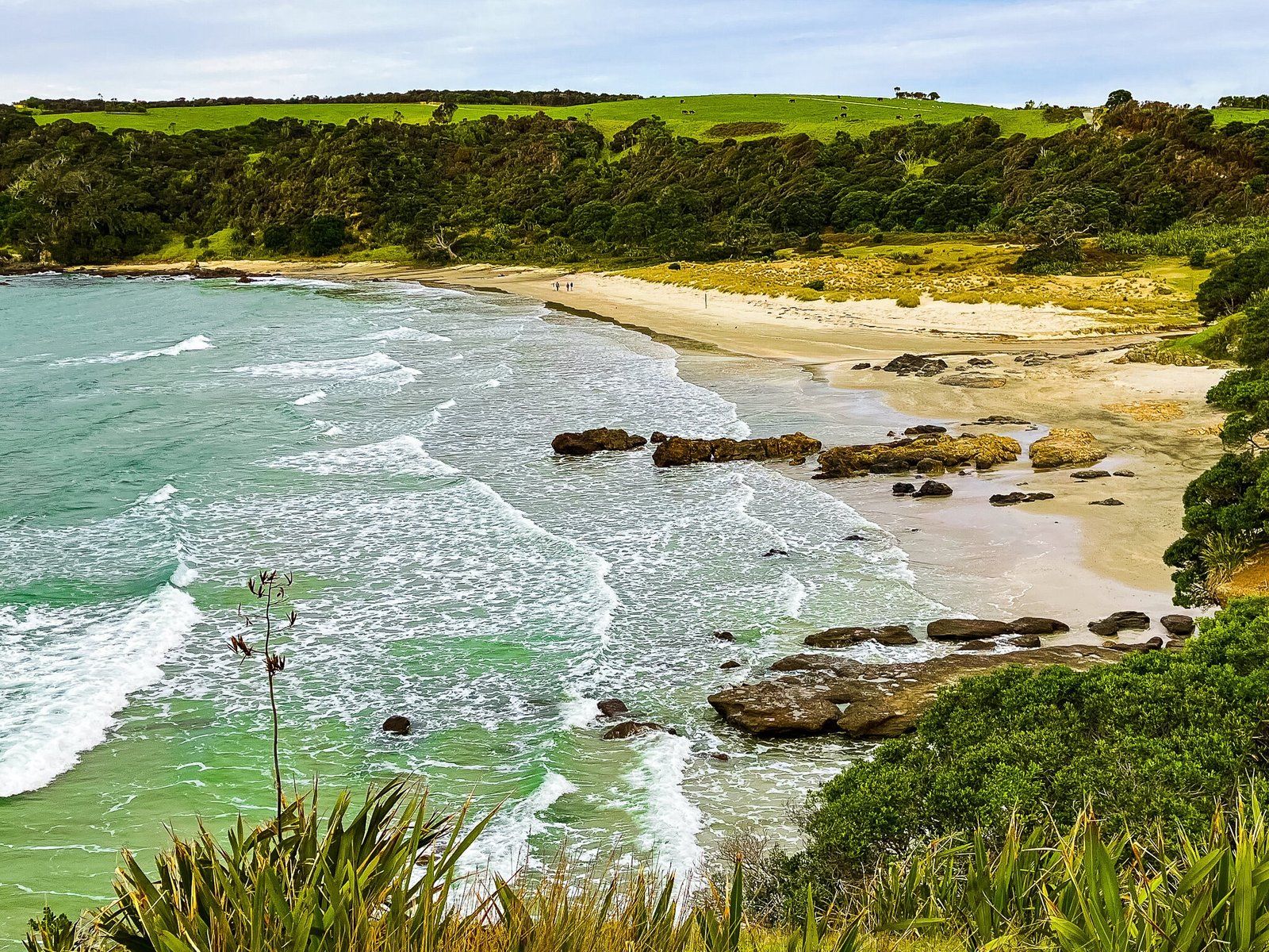
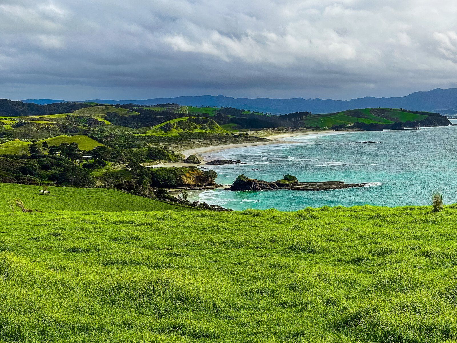
Anchor Bay, on the north side of Tāwharanui Peninsula, is the main beach in Tāwharanui Regional Park. The entrance road car park terminates below the beach, then it’s only a few minutes walk to the beach though a grassed reserve with public facilities. Stick to the short marked paths to the beach as the dunes are protected. Similarly, there are dotterels and their nesting sites will be fenced off in spring.
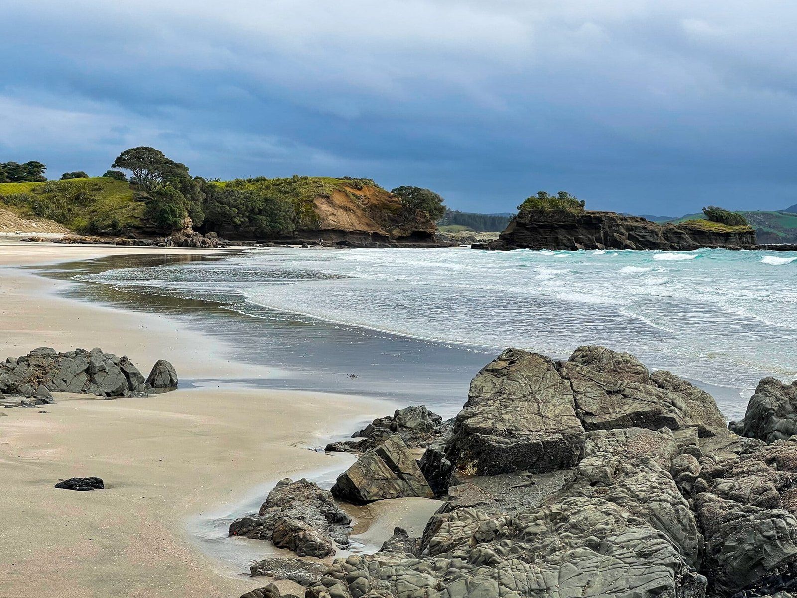
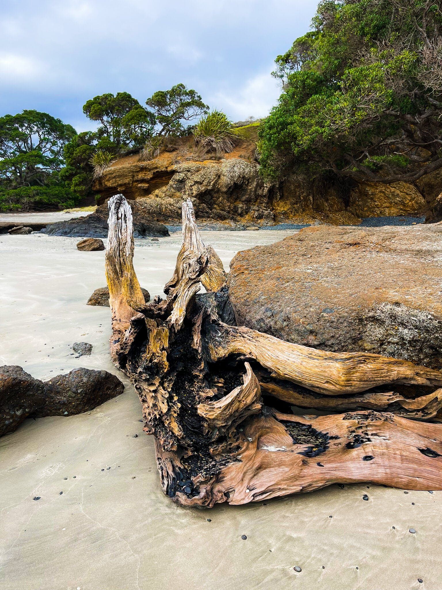
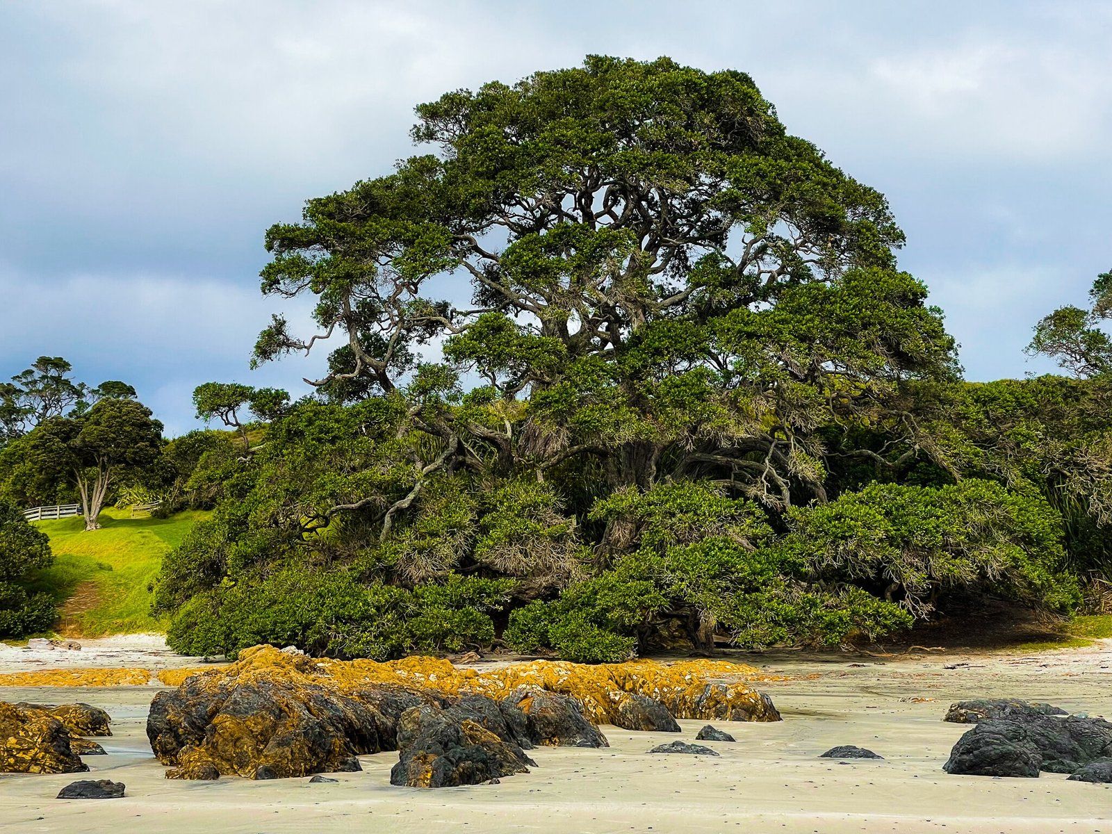
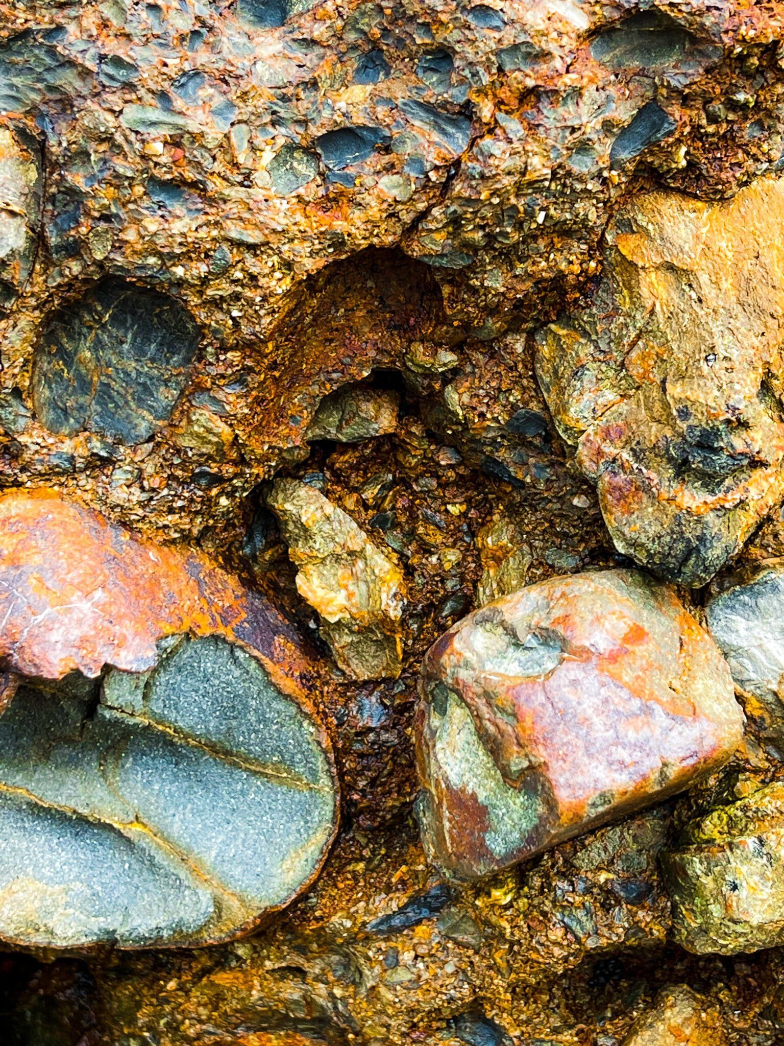
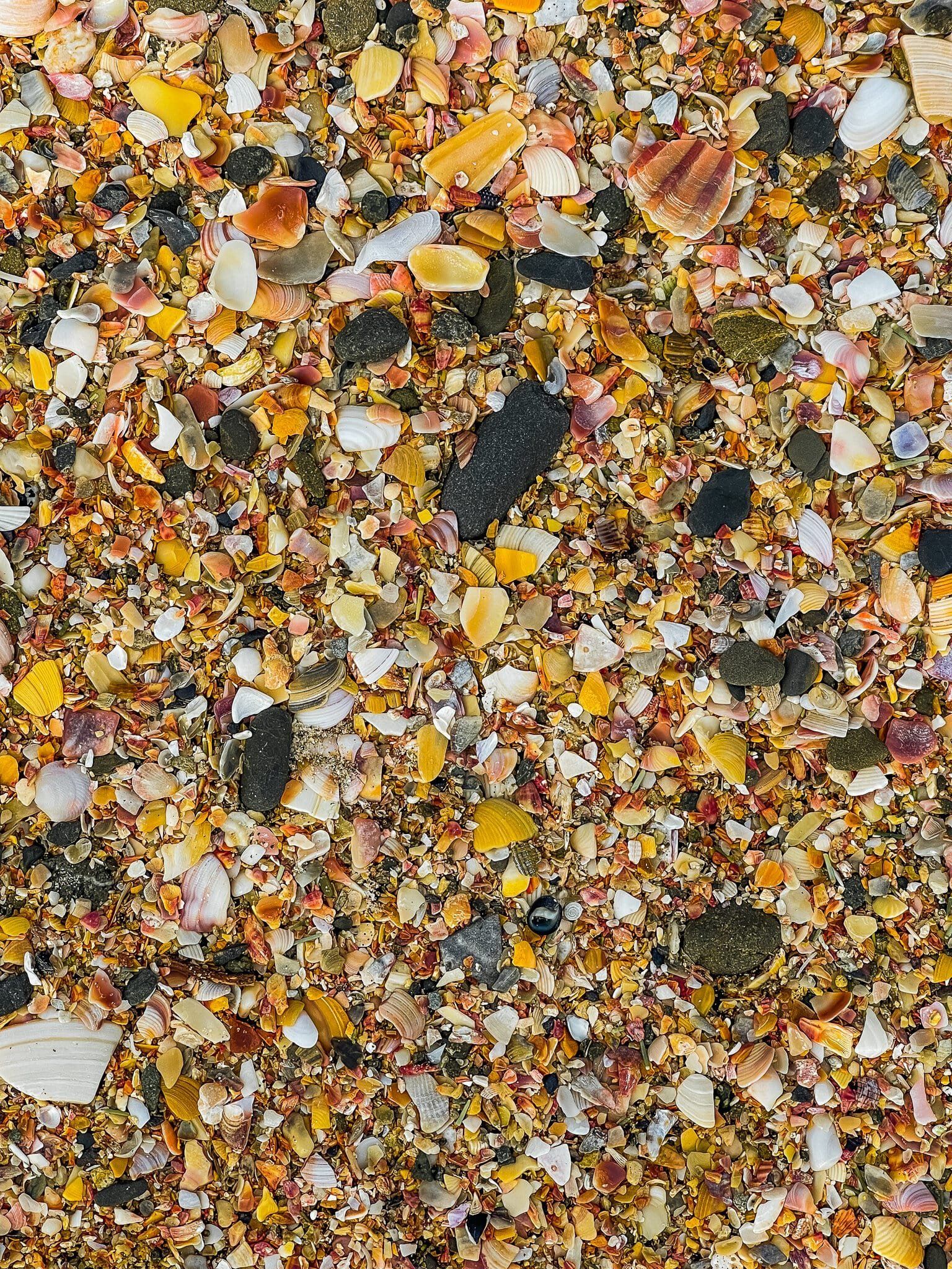
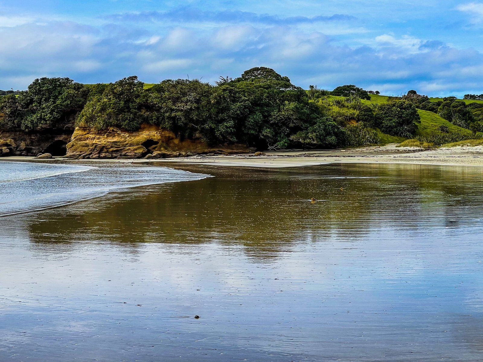
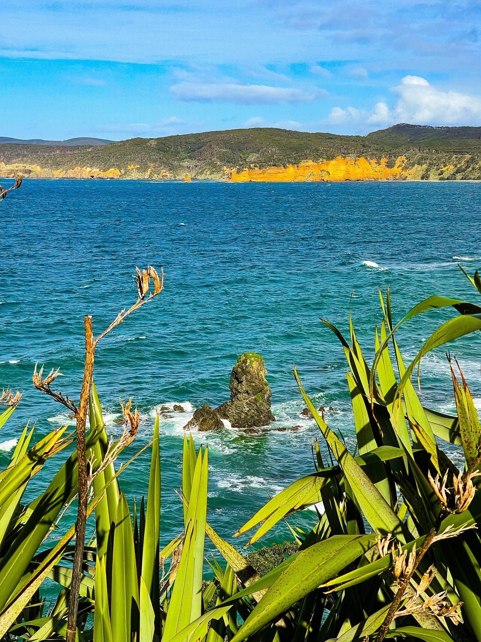
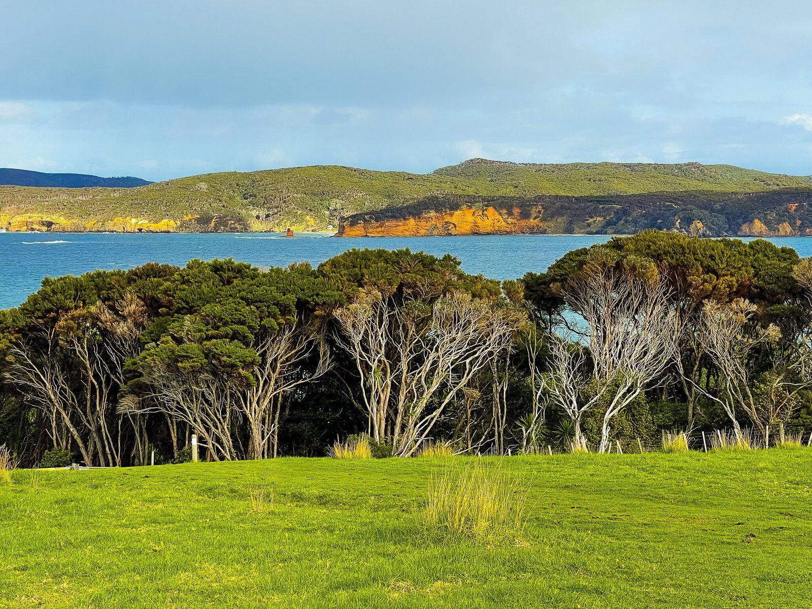
The beach in front of the carpark is crescent-shaped with white sand and tinges of gold. The west end is interrupted by Moana Lookout, then continues on past the campground. If you walk west along the beach, you will notice the orange cliffs, which local Māori used to derive red pigments.
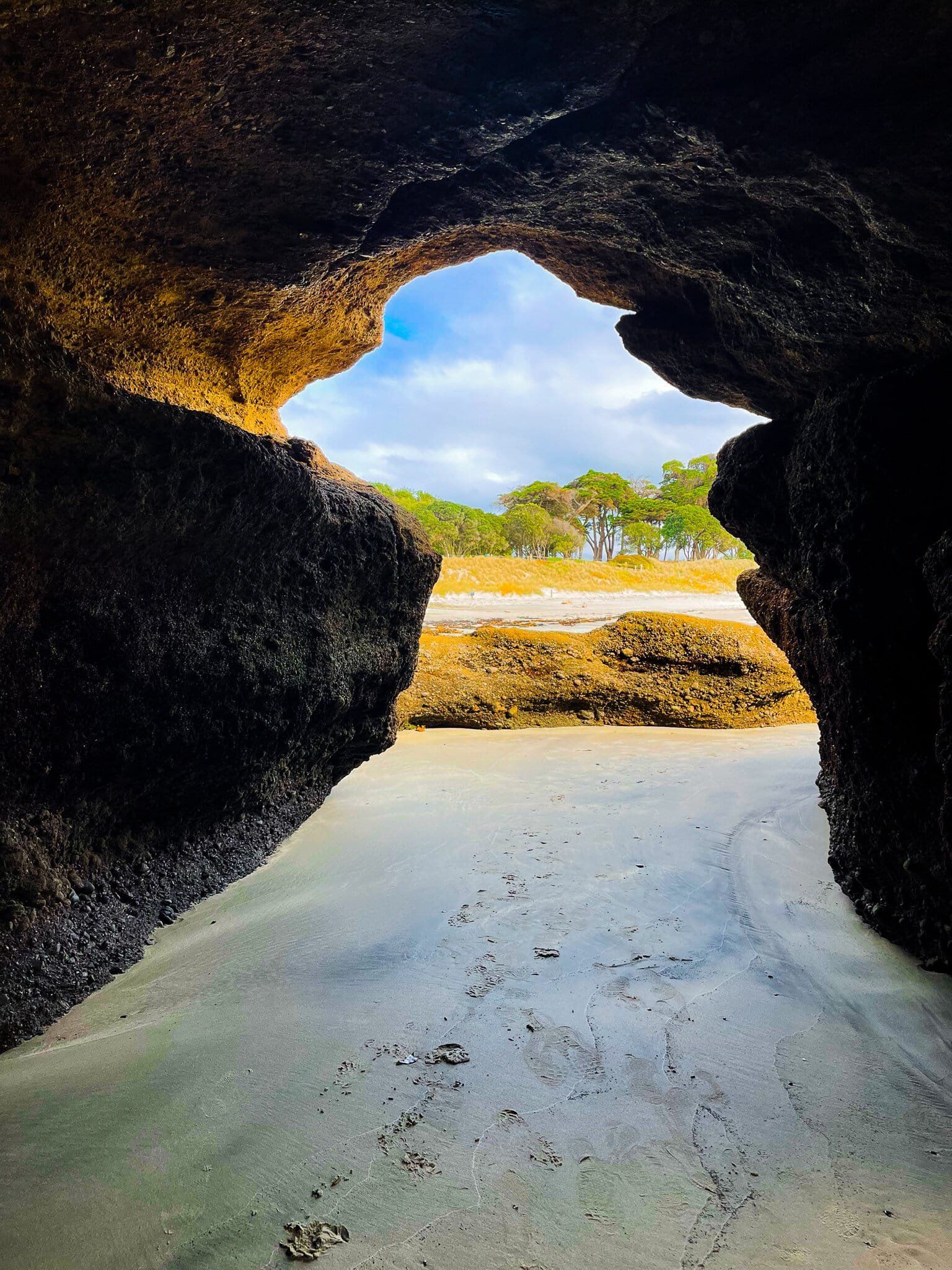
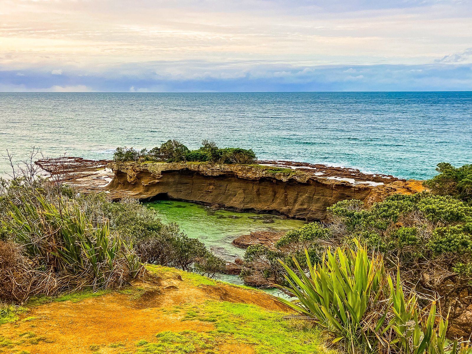
The east end is interrupted by Flat Rock, a significant mostly gold- and orange-coloured rocky point that you can walk around at low tide. There are also a couple of walk-through caves on the west side of the point, accessible as the tide retreats. Beyond Flat Rock, the beach continues and then curves around to a much rockier foreshore.
The beach is safe for swimming with generally modest surf. The water in front of the beach is also a marine sanctuary, so you may want to bring a snorkel. It is popular, so the car park fills up on warm weekends and holidays. Try to be there early (or late) or avoid crowds.
Flat Rock
Flat Rock is the large point on the west side of the main beach at Anchor Bay. You can walk between the two sections of the point at low tide, but it is also an easy walk from the carpark onto the grassed top of the larger section. There are excellent views along the beach in both directions, and out to Te Hauturu O Toi (Little Barrier Island).
Ecology Trail – Coast
The Ecology Trail is the best place to spot rare native birds on the Auckland mainland. Tiritiri Matangi is the number one spot, but you need to take a ferry (an hour from downtown each way) and commit to most of the day. By contrast, the Ecology Trail is a loop walk that takes you along the coast to the east of Anchor Bay, over a farmed section of the park, then loops through the main native forest back to the beach.
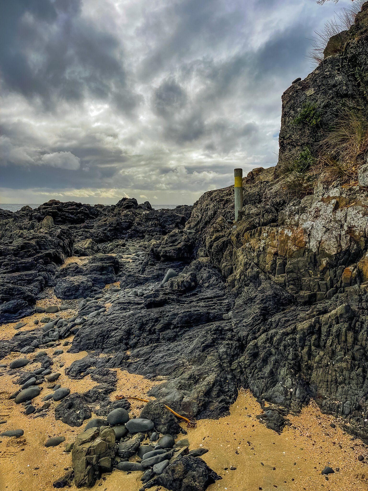
Taking the coastal route first, the loop starts at the Anchor Bay car park, goes past the short track onto Flat Rock then down to the beach, marked by yellow topped posts. Continue along the beach to the rock section at the end.
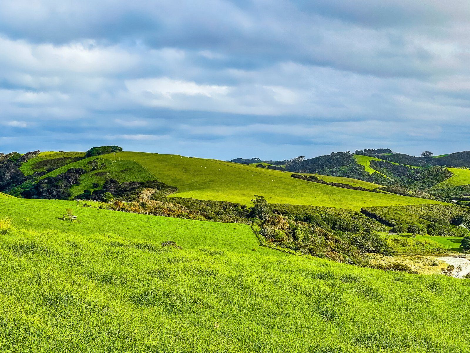
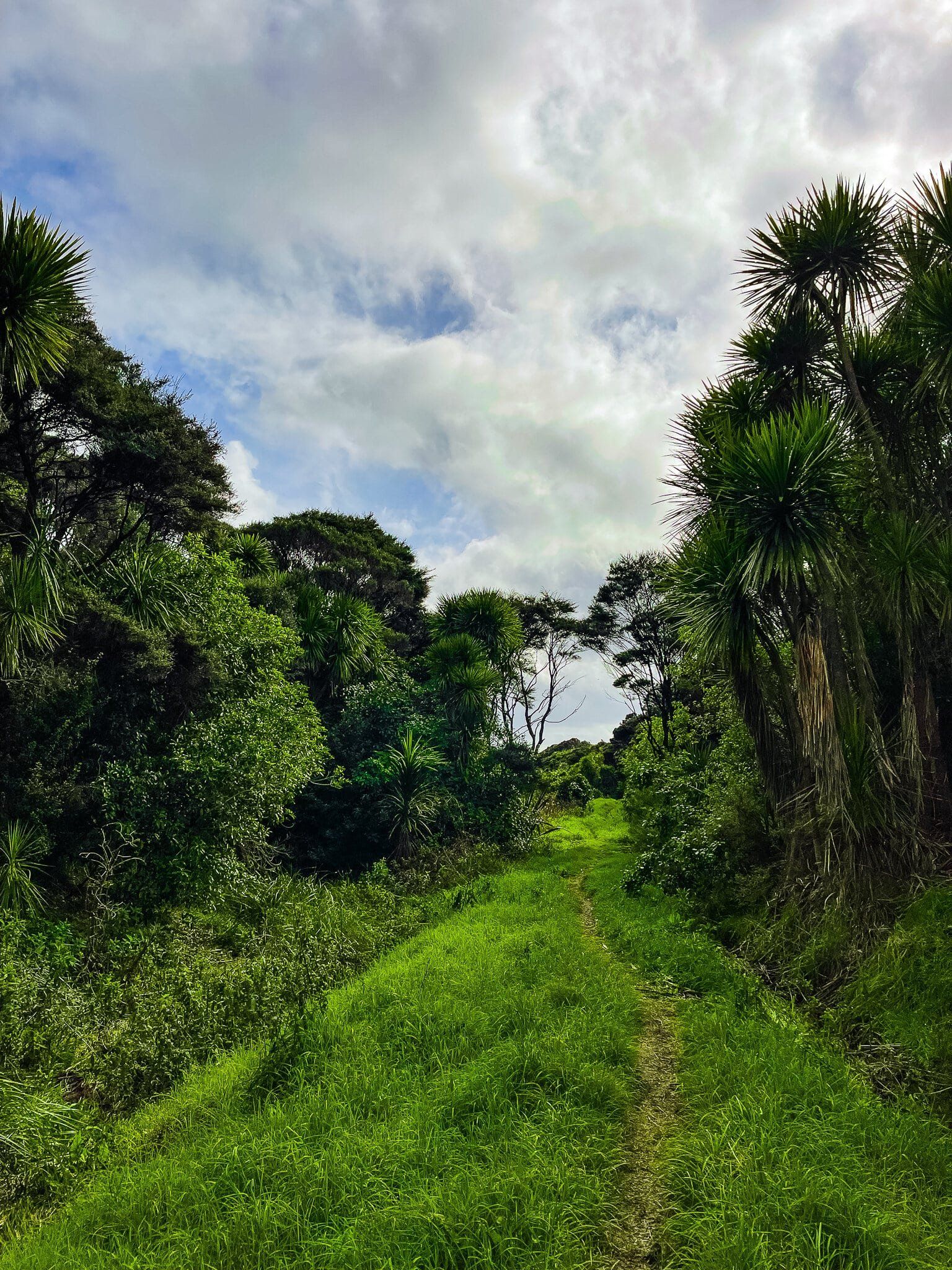
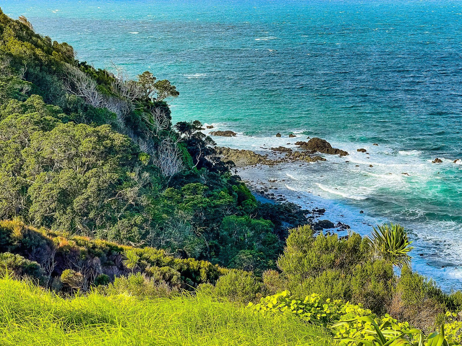
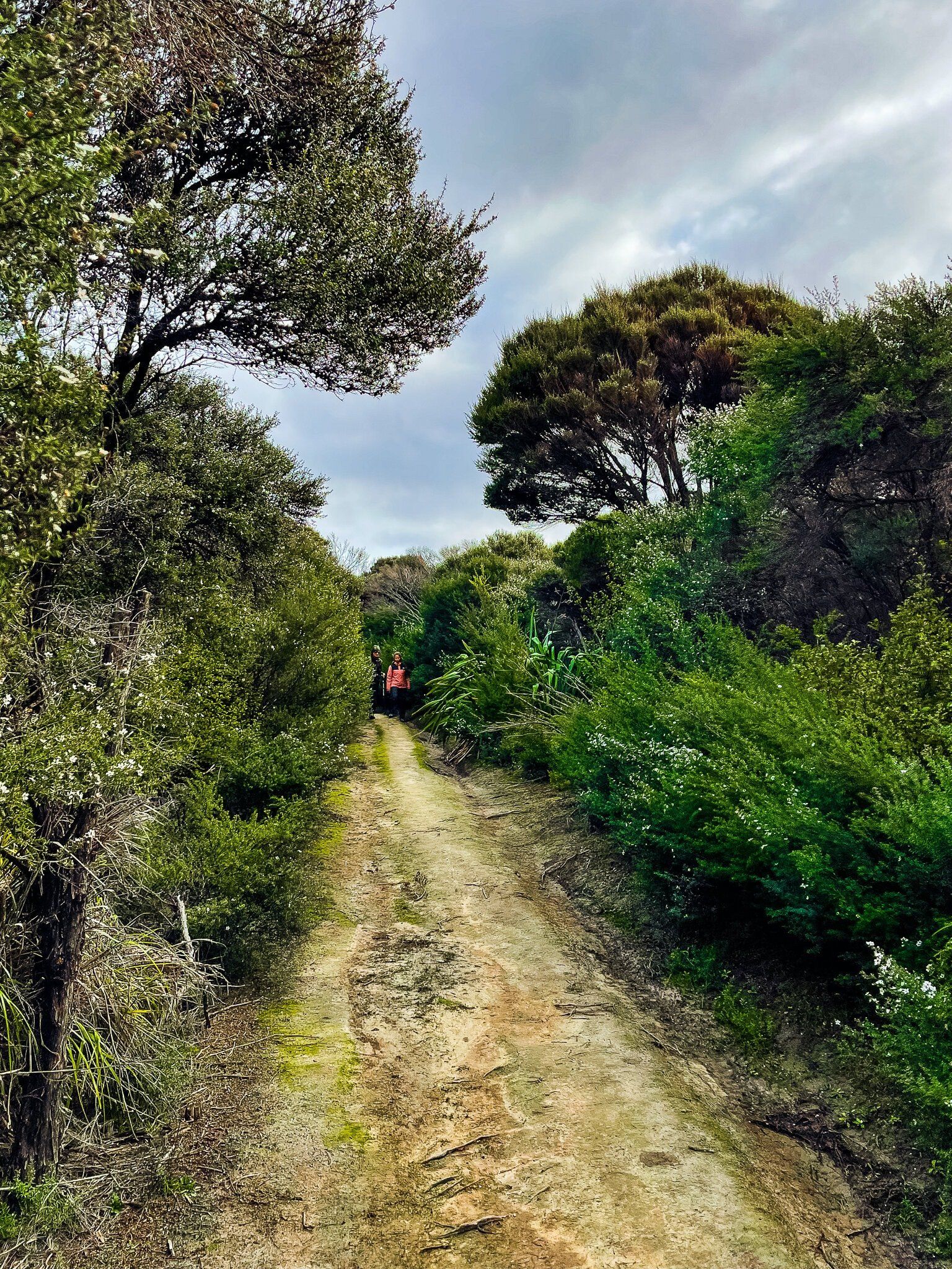
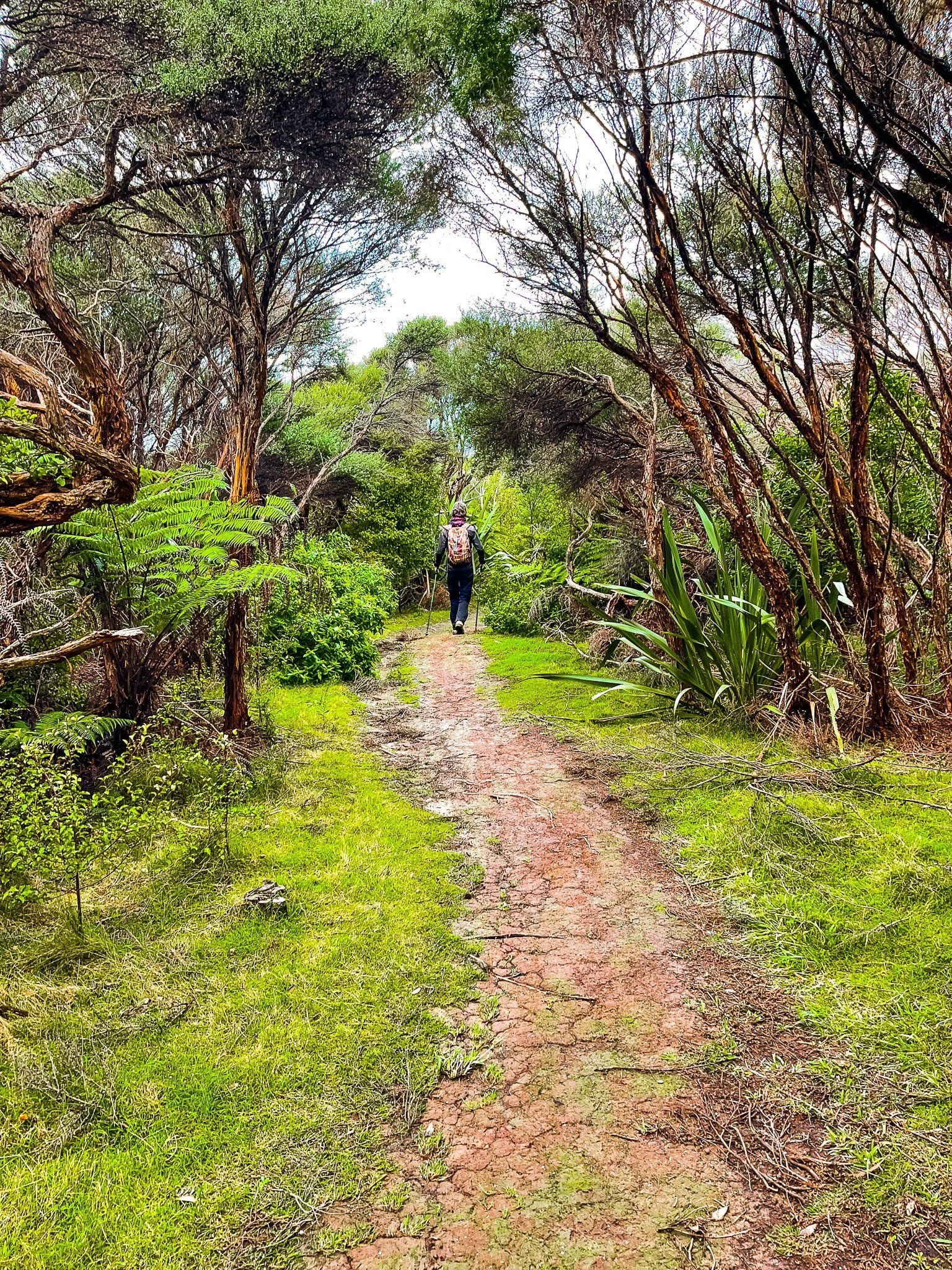
The track then goes around the rocky point before a short steep climb up the side of the hill to a grassed track, shaded by forest regrowth (mostly manuka and kanuka). Then it’s another short climb up to farm paddocks. The views from here are uninterrupted across the bay and the west end of the park.
From there, cross the paddock to the North Coast track (the farm road) and follow this west alongside the forest to the obvious entrance. Apparently, this is the best spot to wait and watch for kiwis in the evening as they like rooting around in the grass on the forest margin!
Ecology Trail – Forest
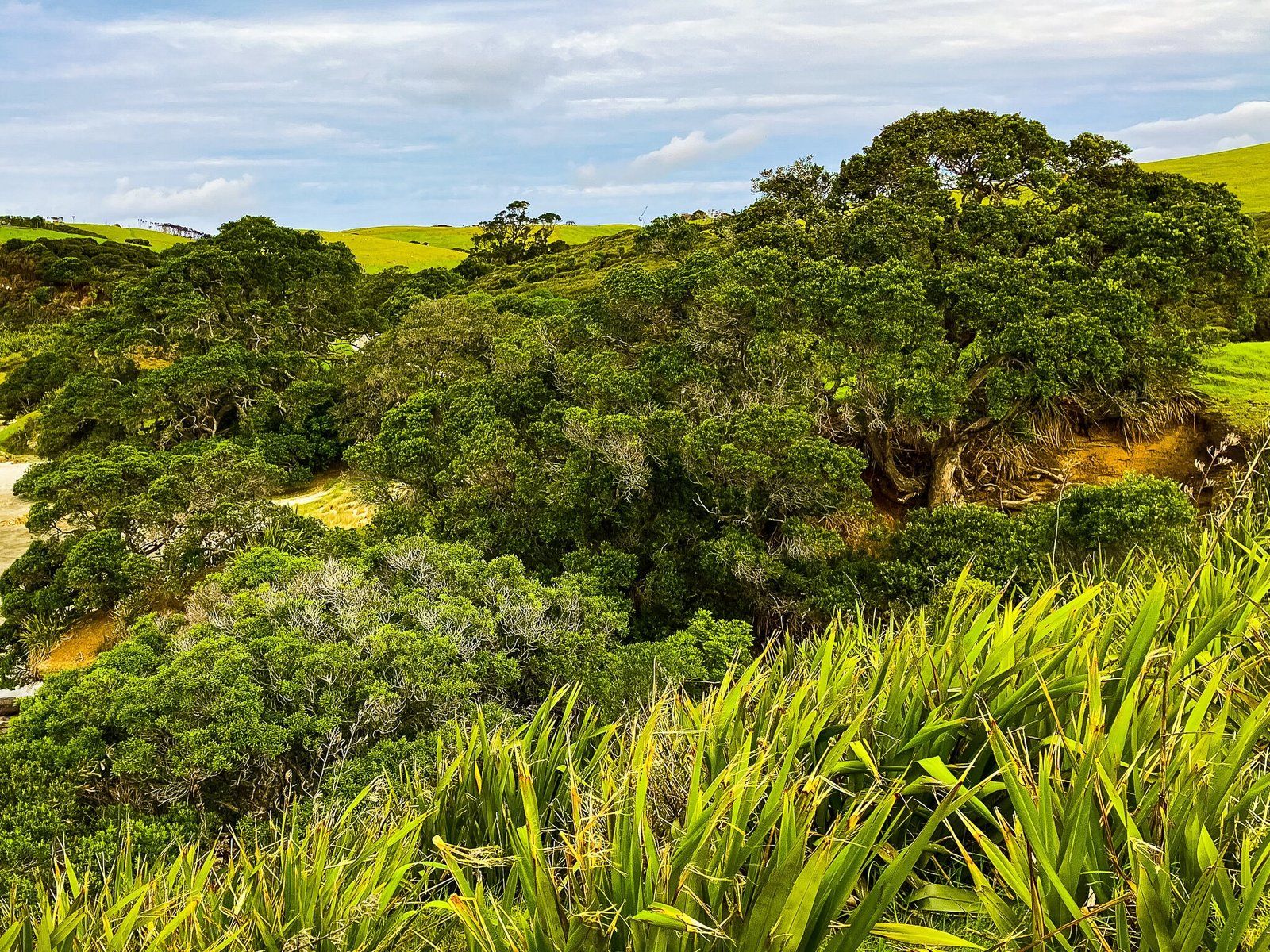
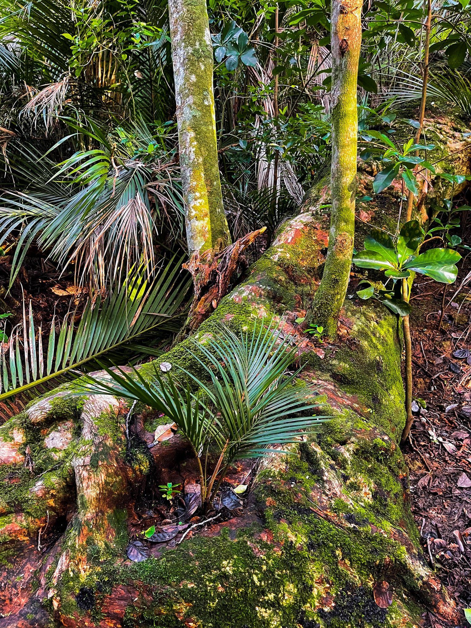
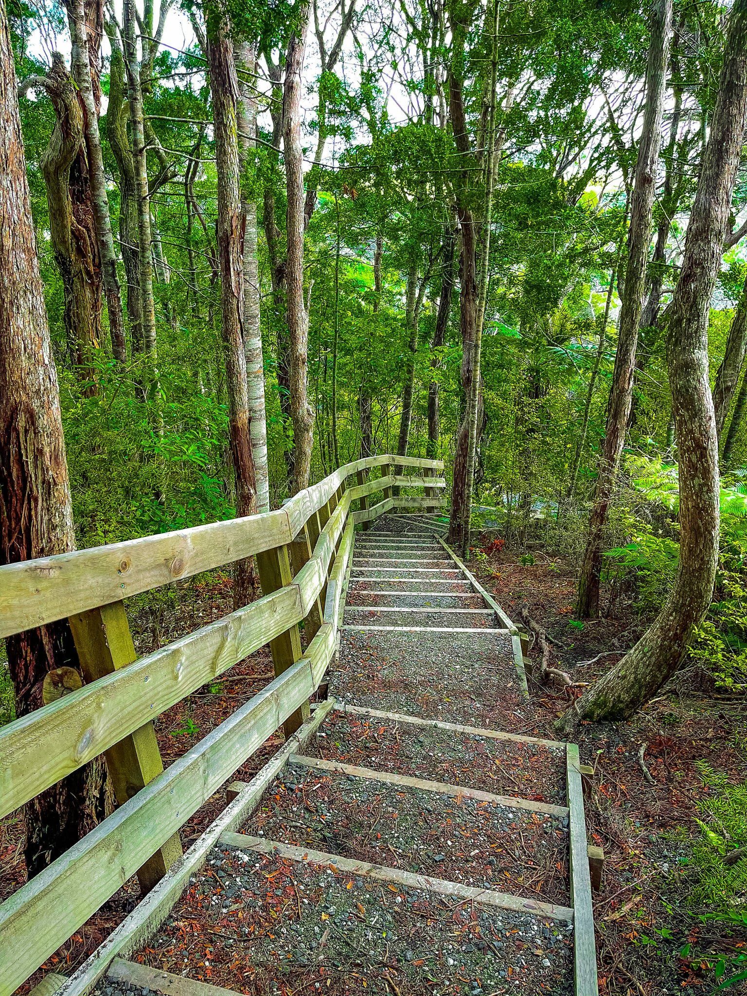
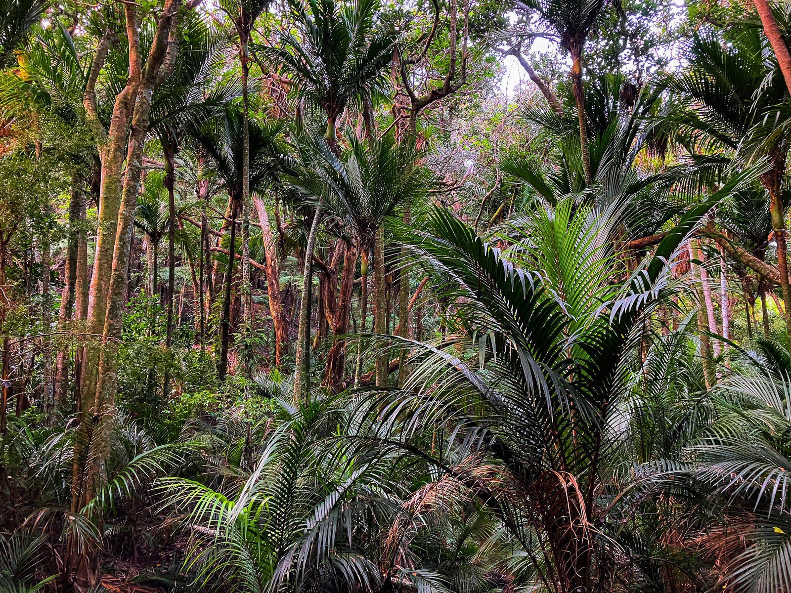
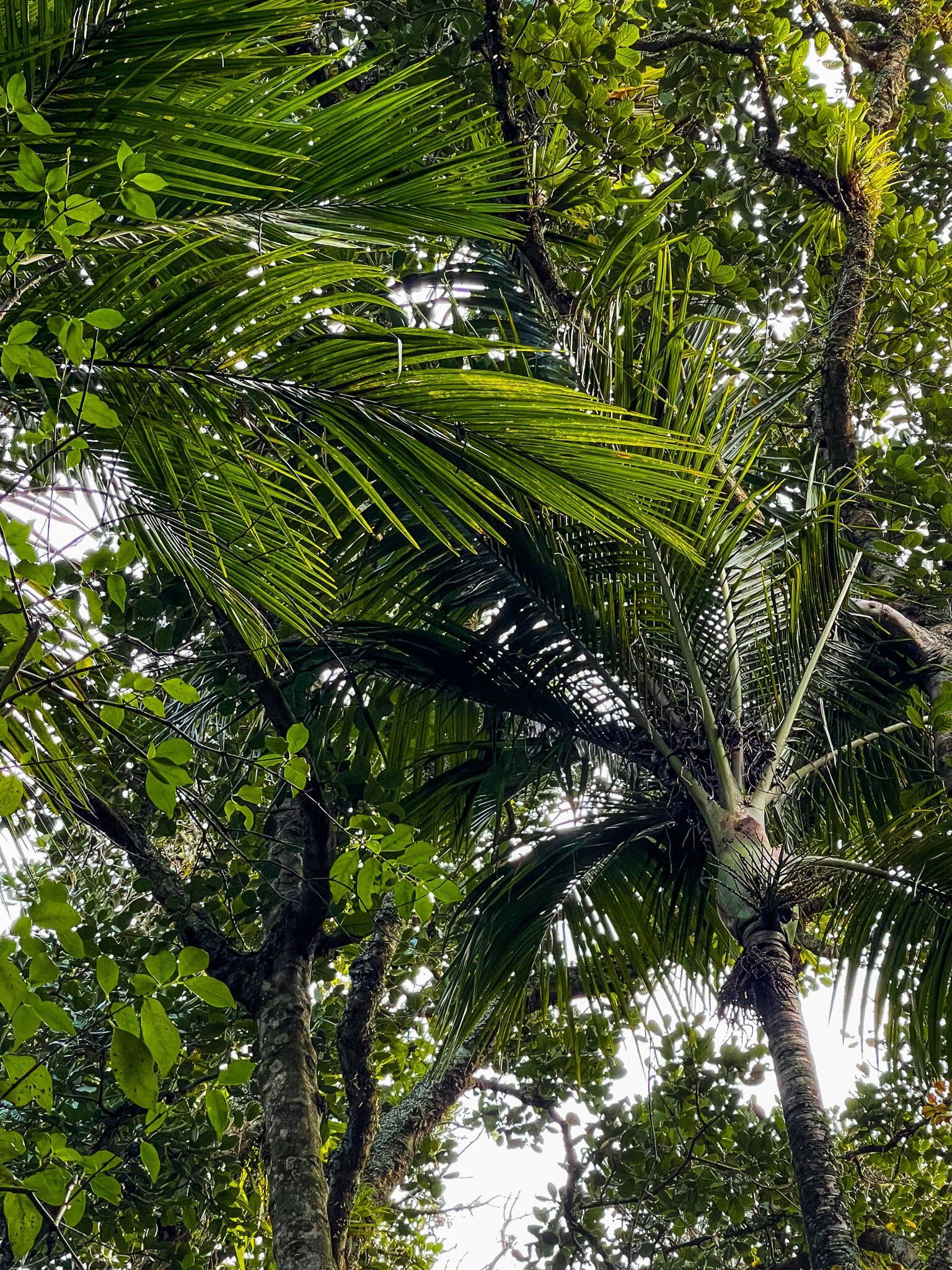
The Ecology Trail, from the forest entrance off the North Coast Track, starts off in an area of forest regrowth, including a good number of kauri trees. It winds its way downhill to a gully, with a modest stream. At this stage the forest is notably more mature, old puriri trees being particularly conspicuous. From the track junction at the stream, you can head east on Fishermans Track or west through the main section of the forest along the Ecology Trail, then through wetlands before exiting near the beach.
The forest is attractive but the bird life is the main reason for this walk. In about half an hour, including stopping and taking photos, you are likely to see numerous rare native birds, alongside the common tūī and piwakawaka (fantails). Kereru and korimako are numerous (extinct in mainland Auckland for many decades), while it is quite easy to see exceedingly rare takahe and very rare tīeke (saddlebacks). Plus there are native robins, bitterns, as well as various species of native ducks and other water birds. Try to walk carefully and quietly as these birds will often be just a couple of metres away.
It takes over an hour and a half to do the full loop. A quick alternative is to walk into the forest as far as the junction, then return the same way, about 40 minutes.
Fishermans Track
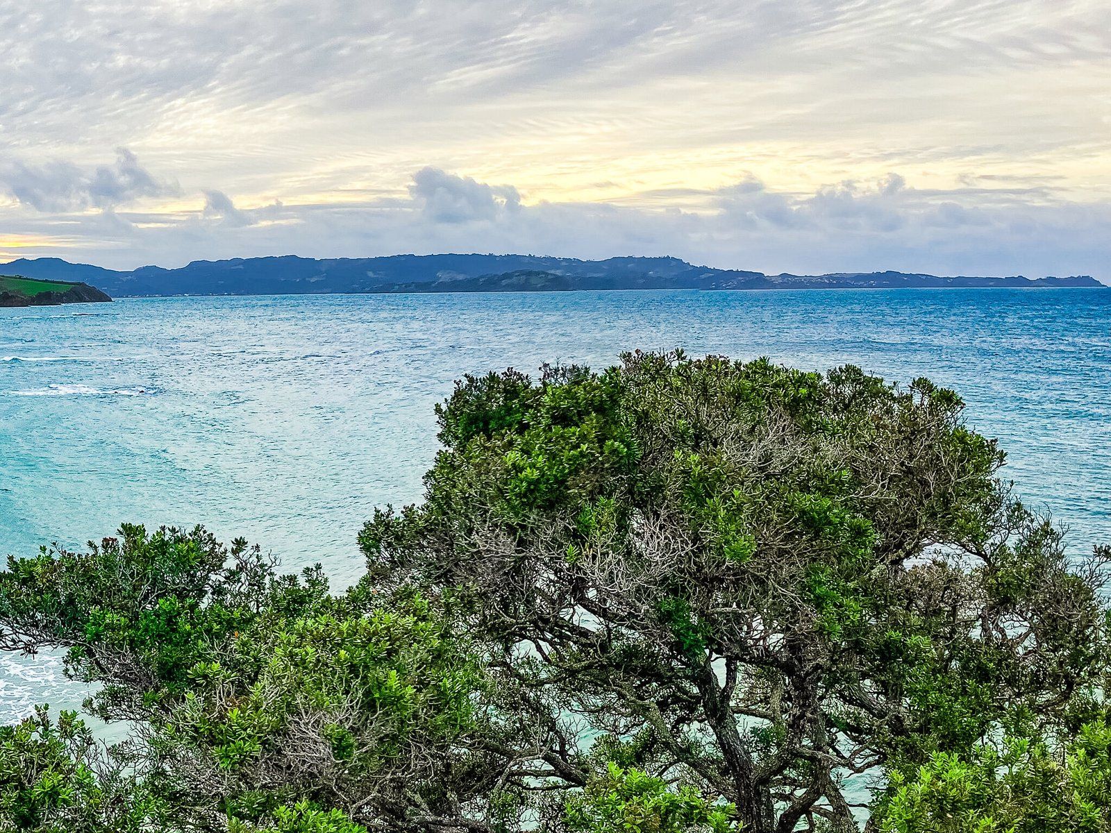
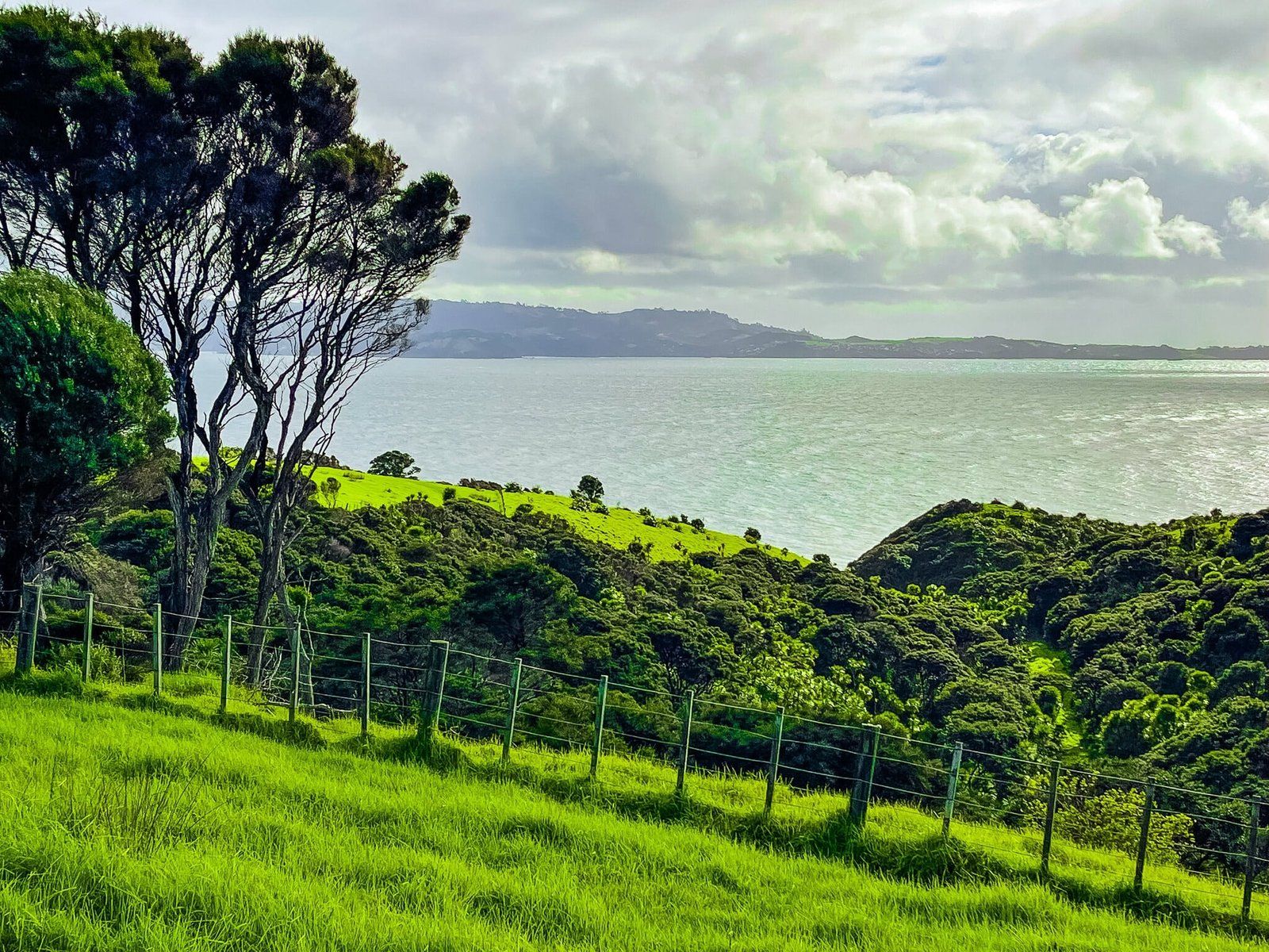
Fishermans Track continues on from the Ecology Track from the track junction in the forest. It continues alongside the stream and bottom of the gully until the forest thins out and the track connects with the South Coast Track. Near the cliff edge and track intersection there are several nice picnic spots, plus a great view of Kawau Island to the south. Note Kawau’s amazing orange cliff immediately opposite.
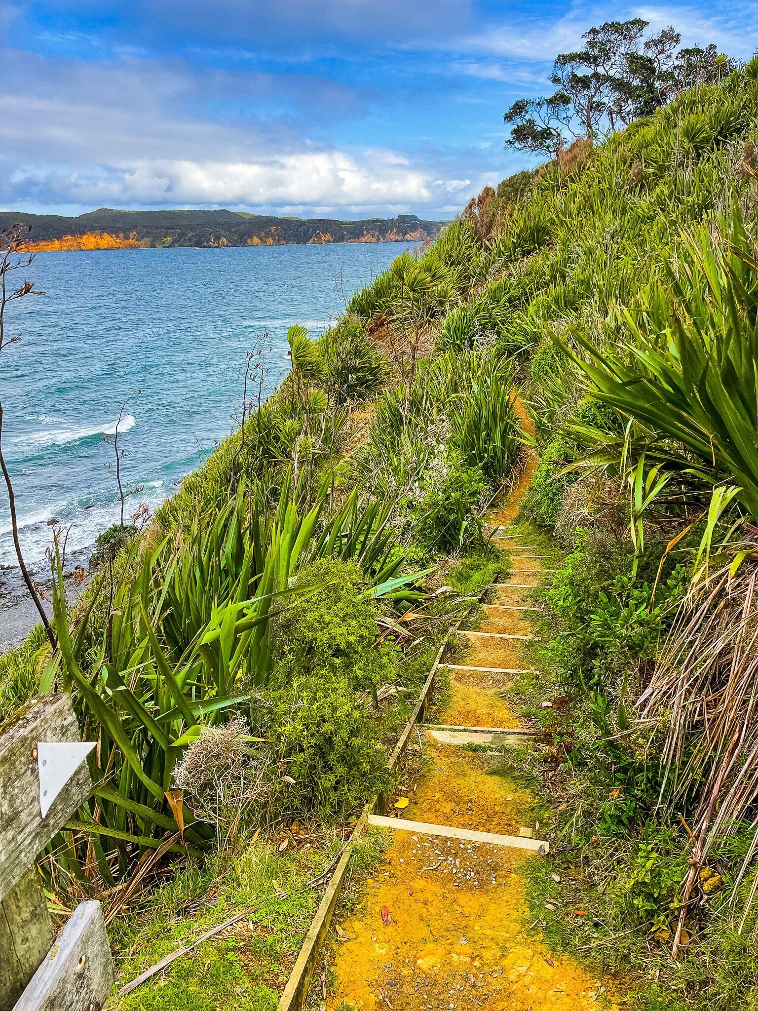
There are a couple of options for getting down the side of the cliff to the rocky platforms on the south side of the peninsula. One of the paths down looks a bit hairy, especially if it is muddy, but the second, a little further east after the track intersection, has steps down the side of the cliff to a stony beach. Don’t forget to take your fishing rod!
South Coast and North Coast Tracks
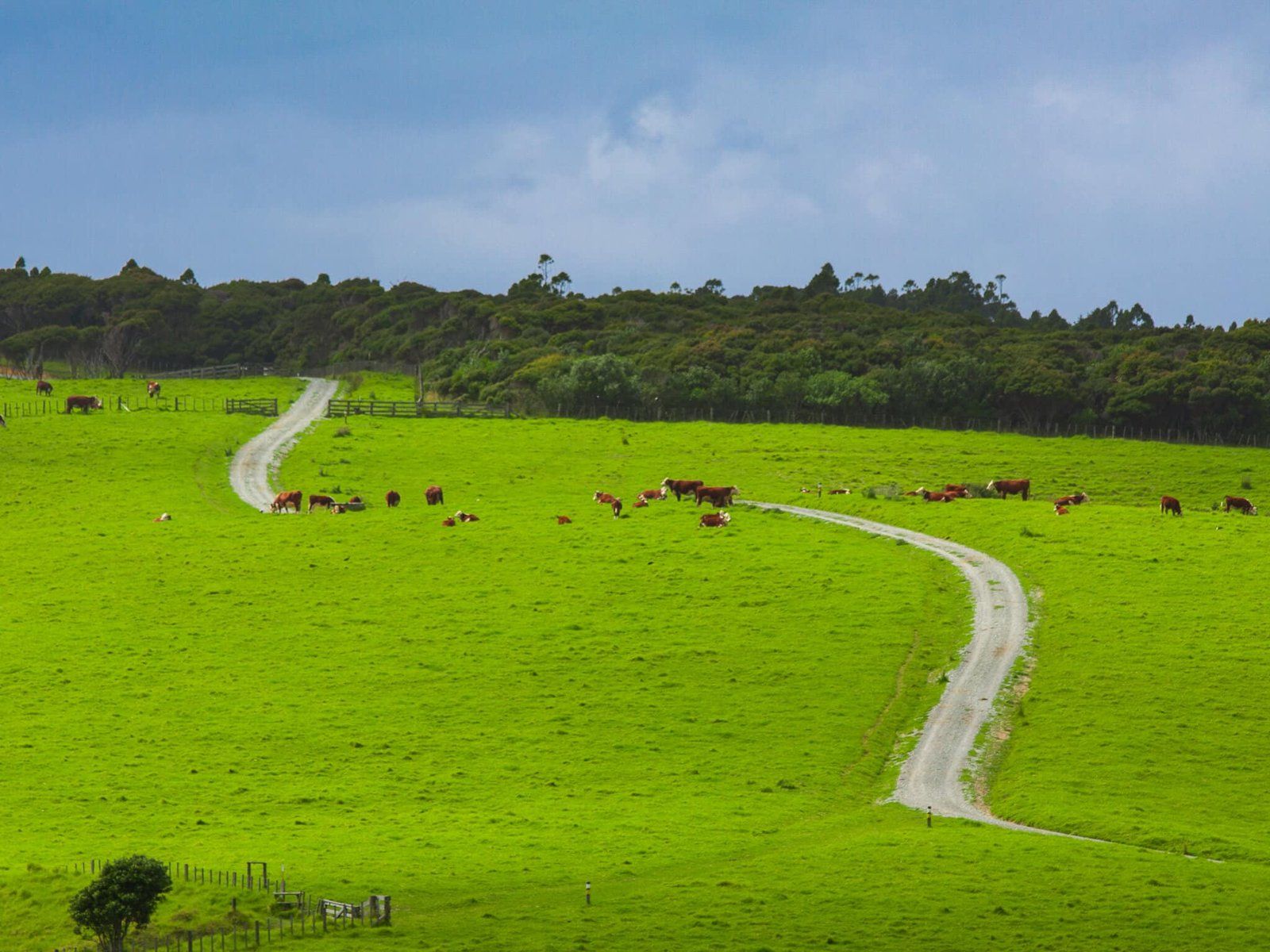
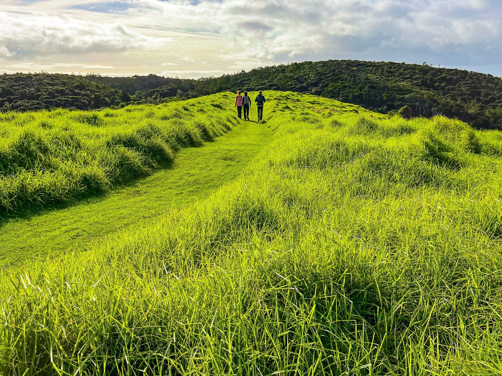
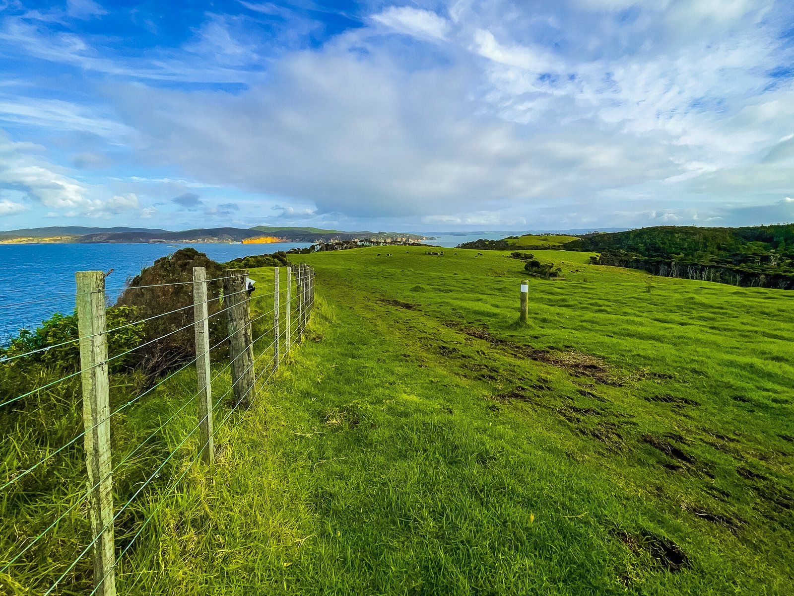
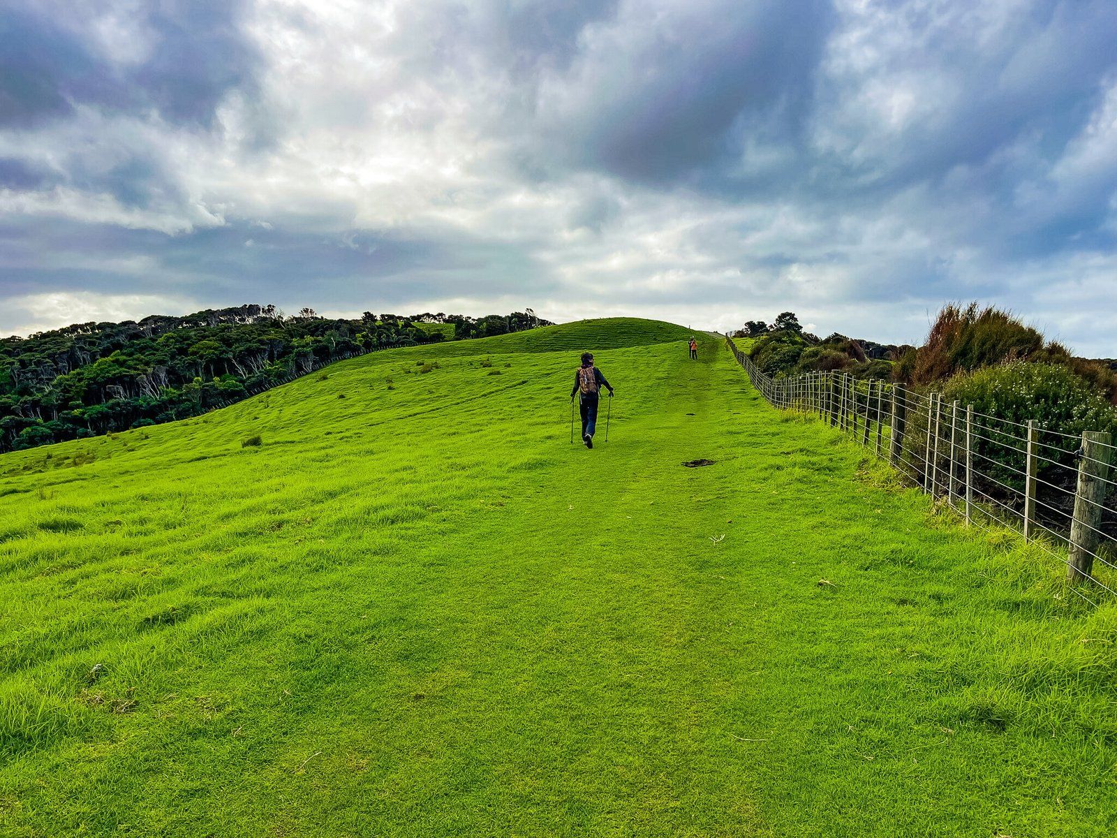
The South Coast and North Coast Tracks are shared cycle and walking tracks that effectively form a long loop around the edges of the park. They traverse the more open farm section, offering interrupted views across the park and surrounding water. You can start either at the park entrance, after the automatic predator proof gate, or from Anchor Bay.
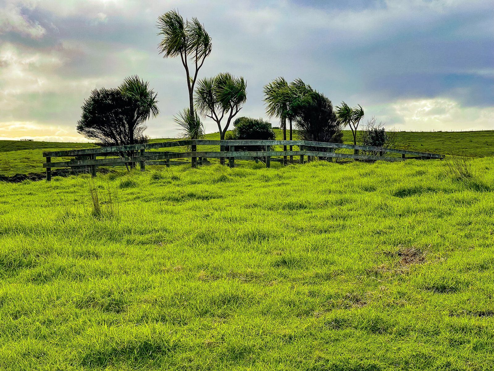
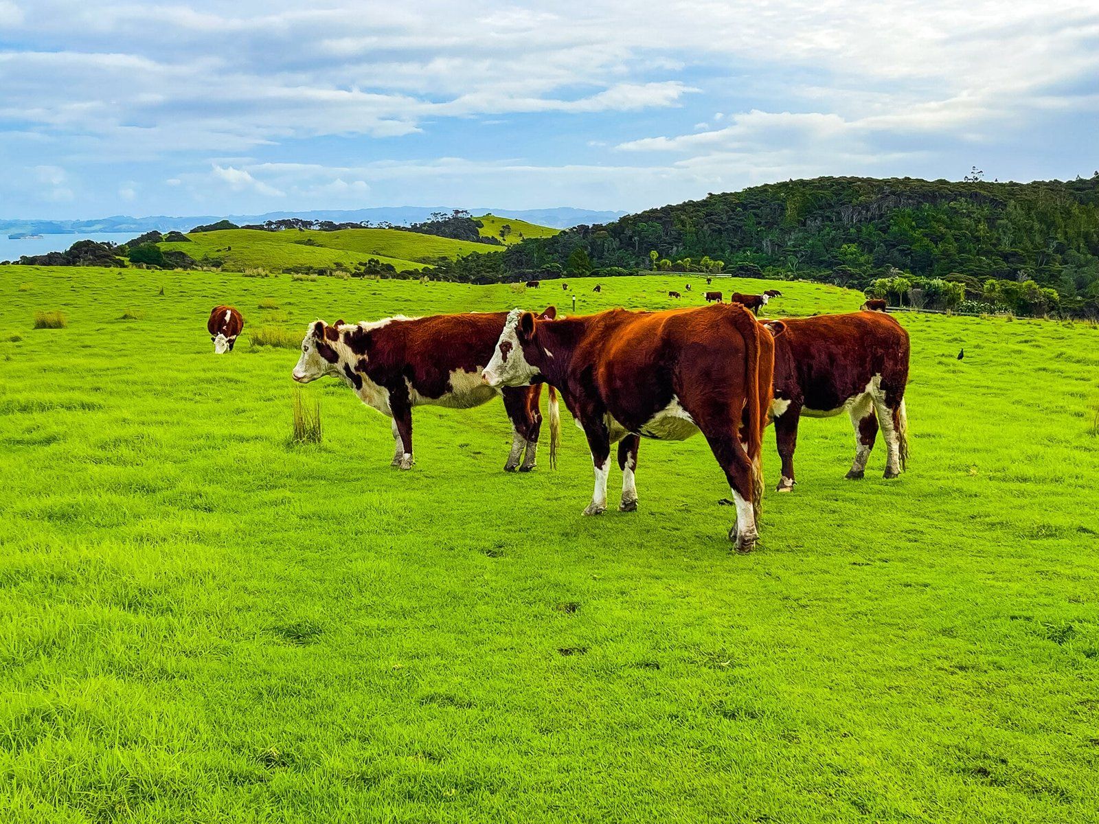
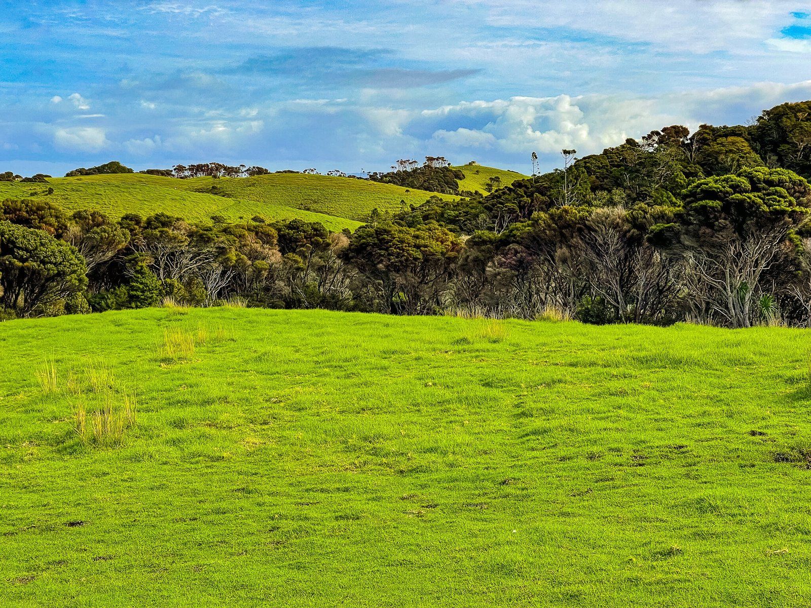
Along the way, there are many clifftop views, plus the odd section where you could be walking around cattle and sheep (and their dung), interspersed with a large number of pukeko and the odd pair of paradise ducks. If you like to imagine NZ as a green paradise, this walk is for you.
To do an entire loop by foot, allow a few hours.
Tokatū Loop Part 1
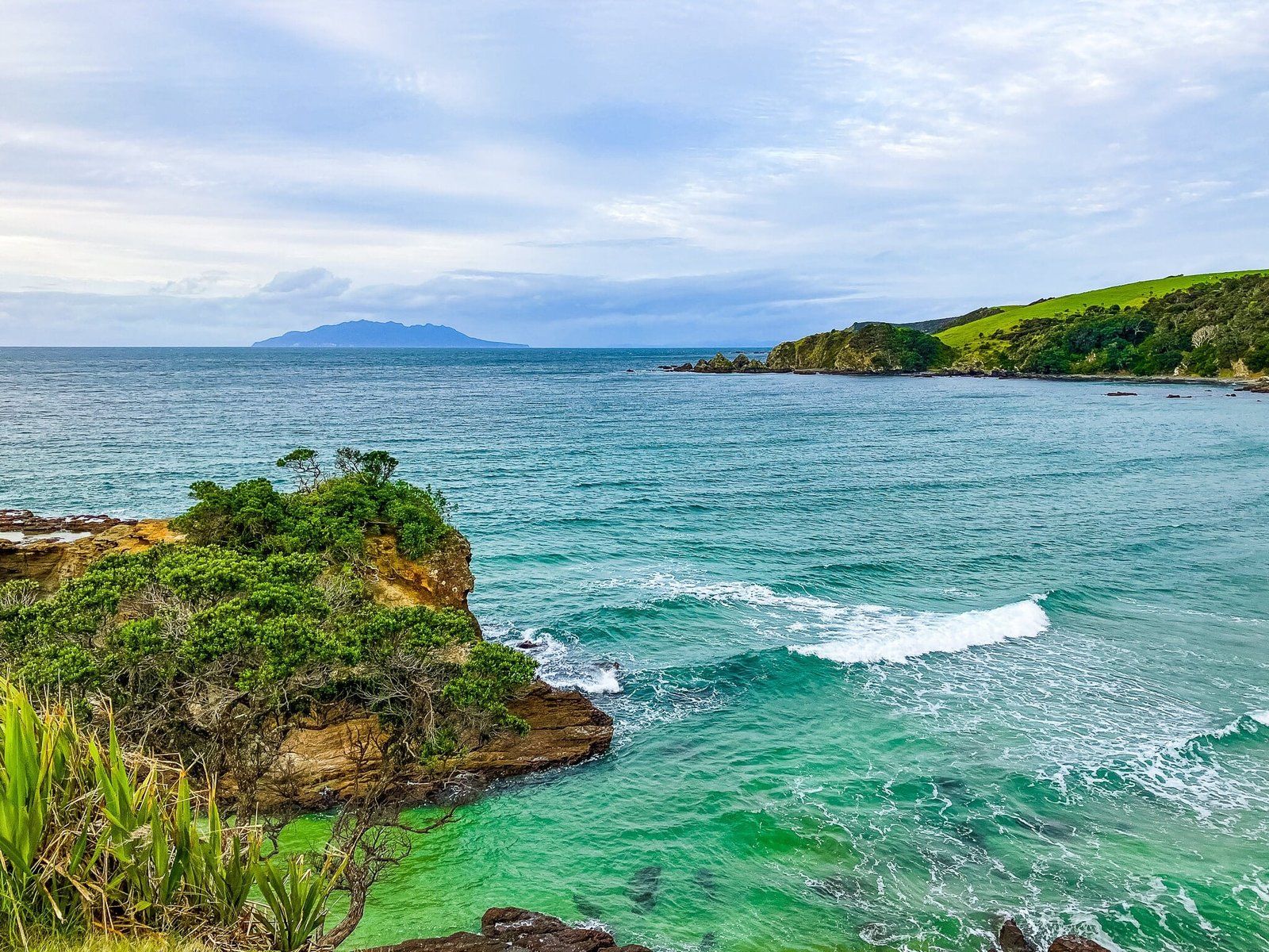
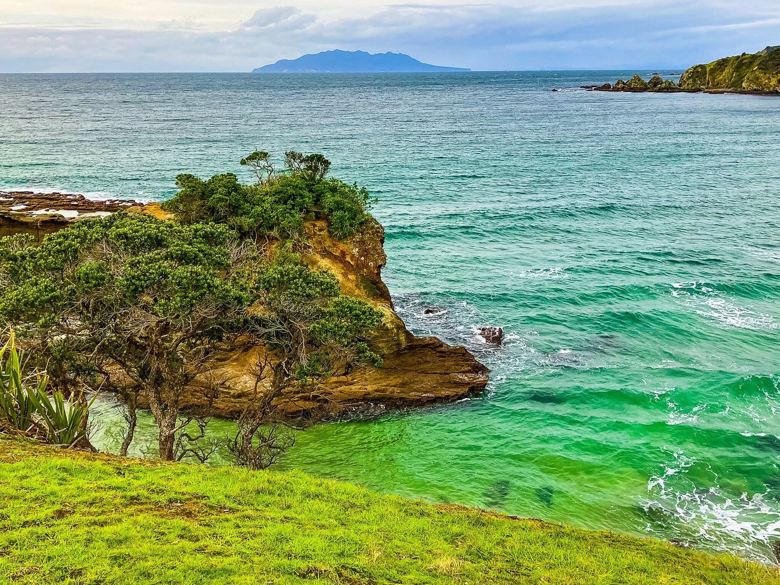
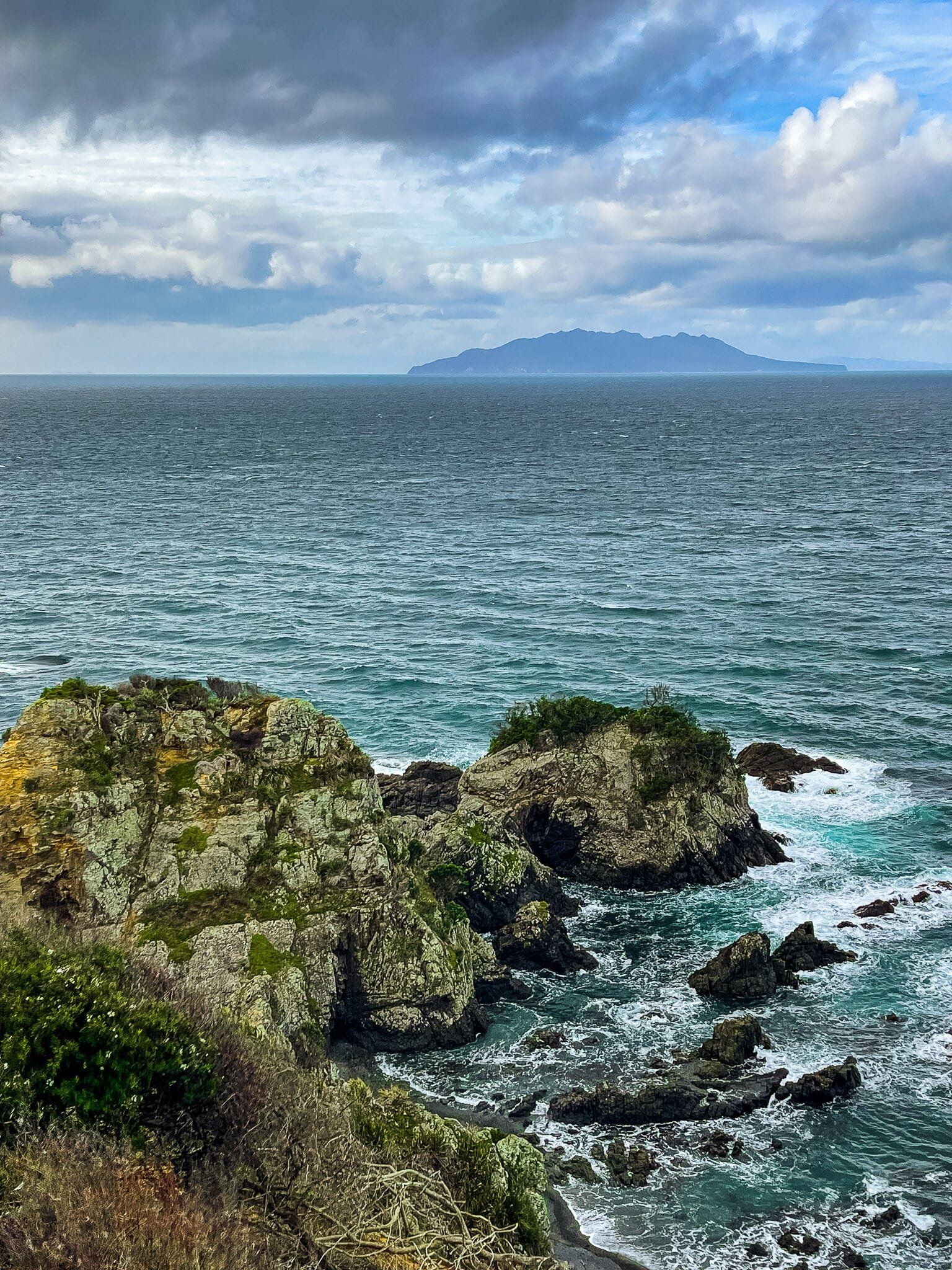
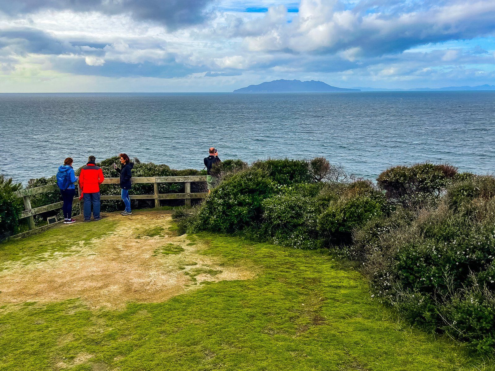
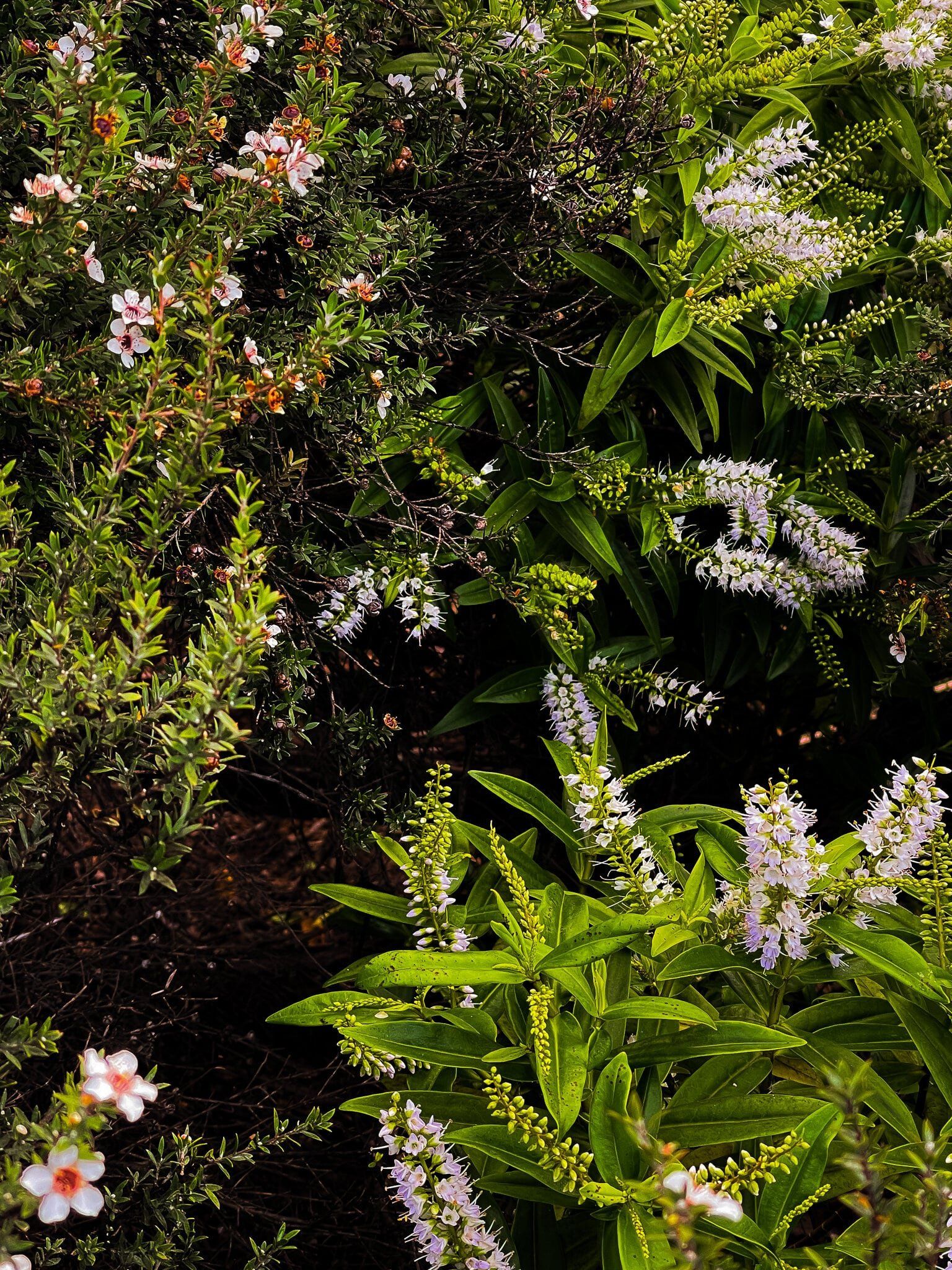
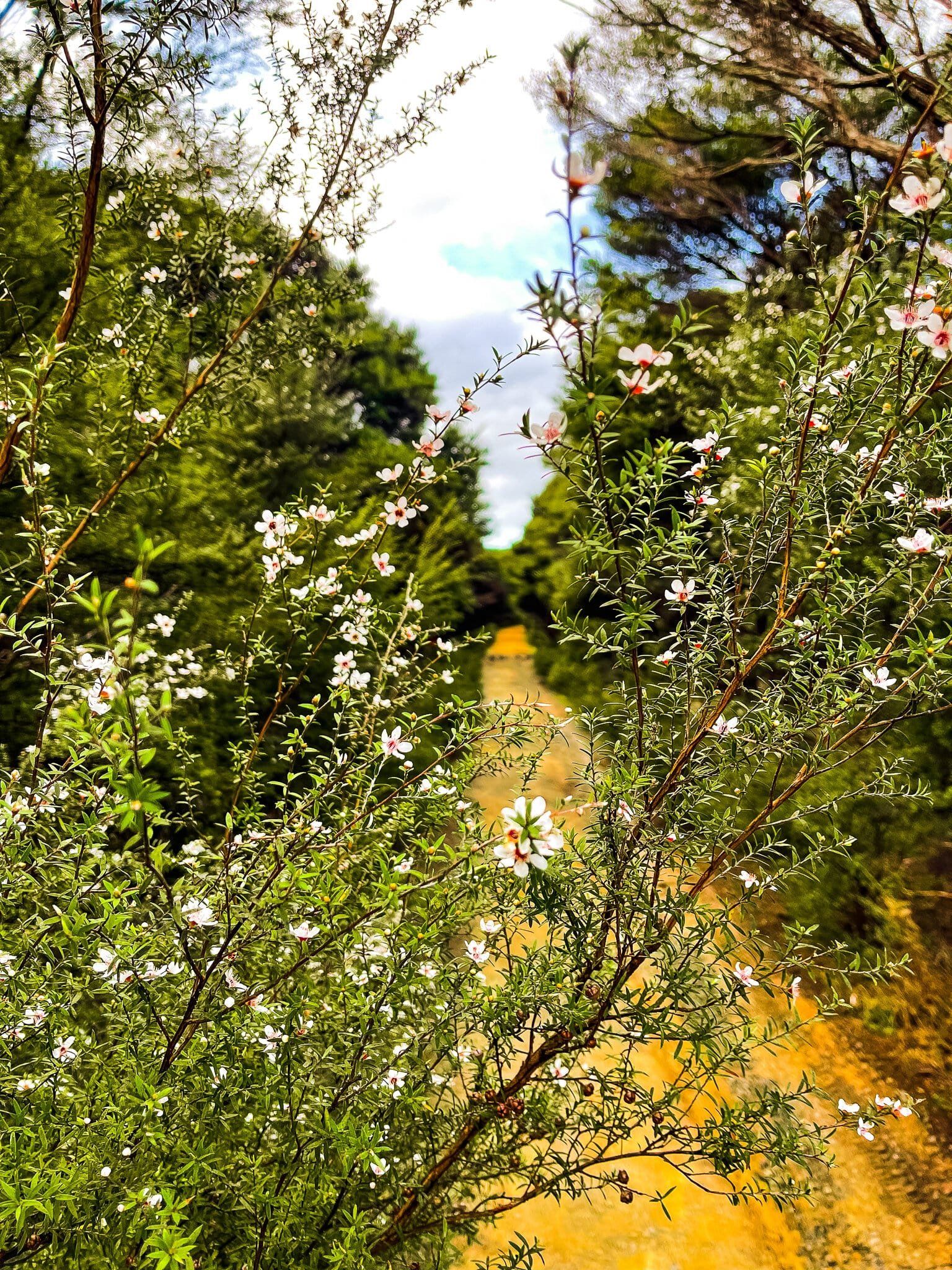
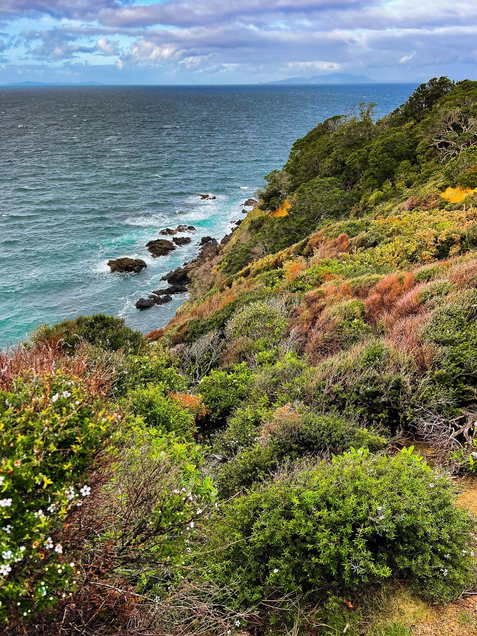
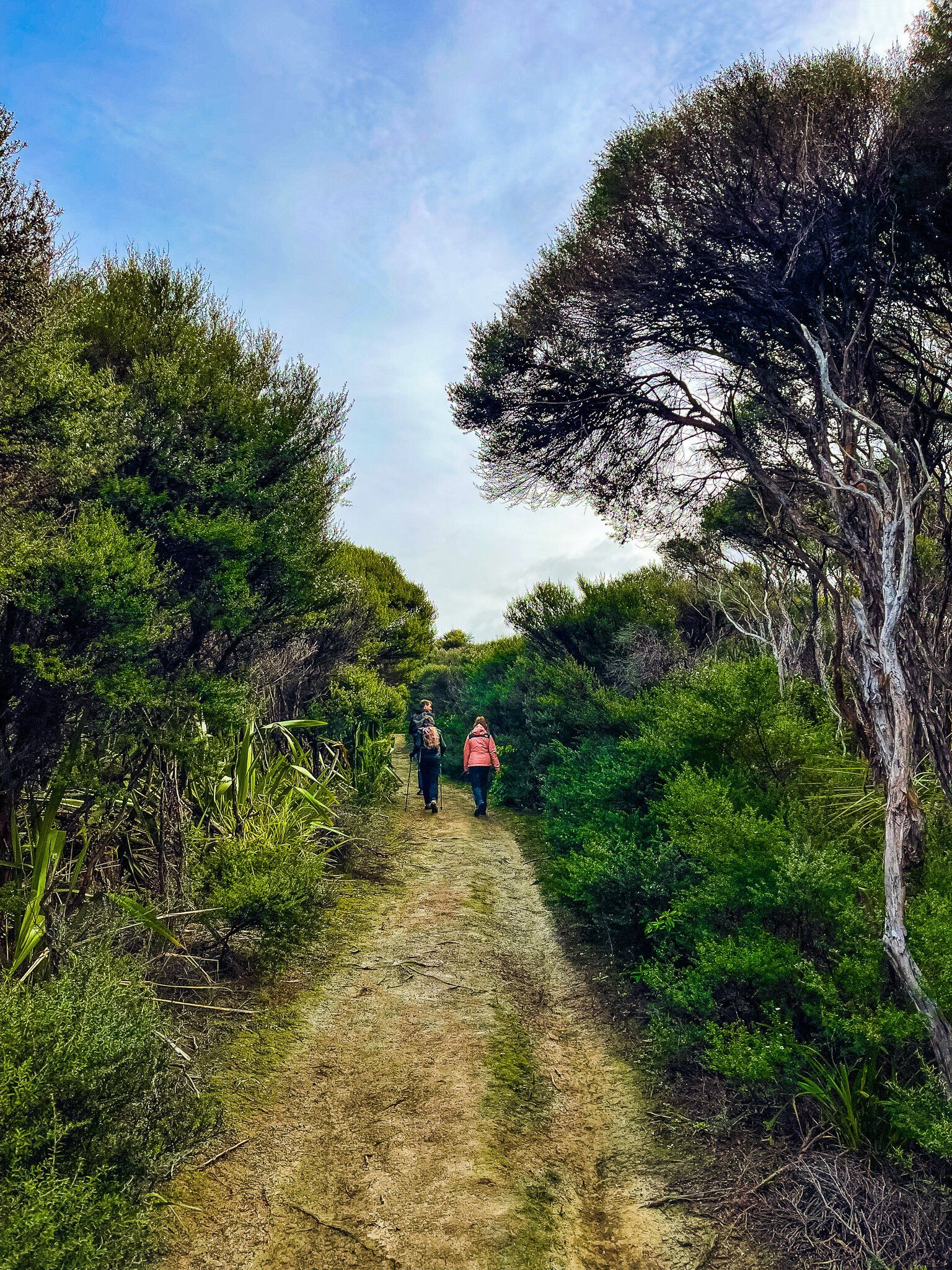
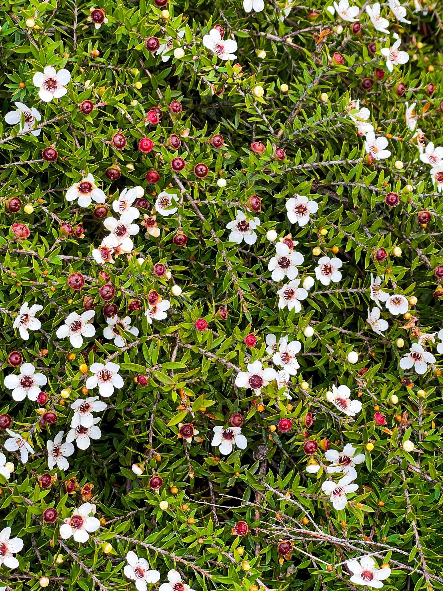
At the east end of the North Coast and South Coast tracks is the entrance to the Tokatū Loop Track that takes you to Tokatū Point. The track takes you through a section of mostly mānuka and kānuka regrowth forest and is best walked when the mānuka is flowering. The left hand fork takes you to a fenced viewpoint on the tip of the point, with views to Te Hauturu O Toi (Little Barrier Island), then back round to Cape Rodney.
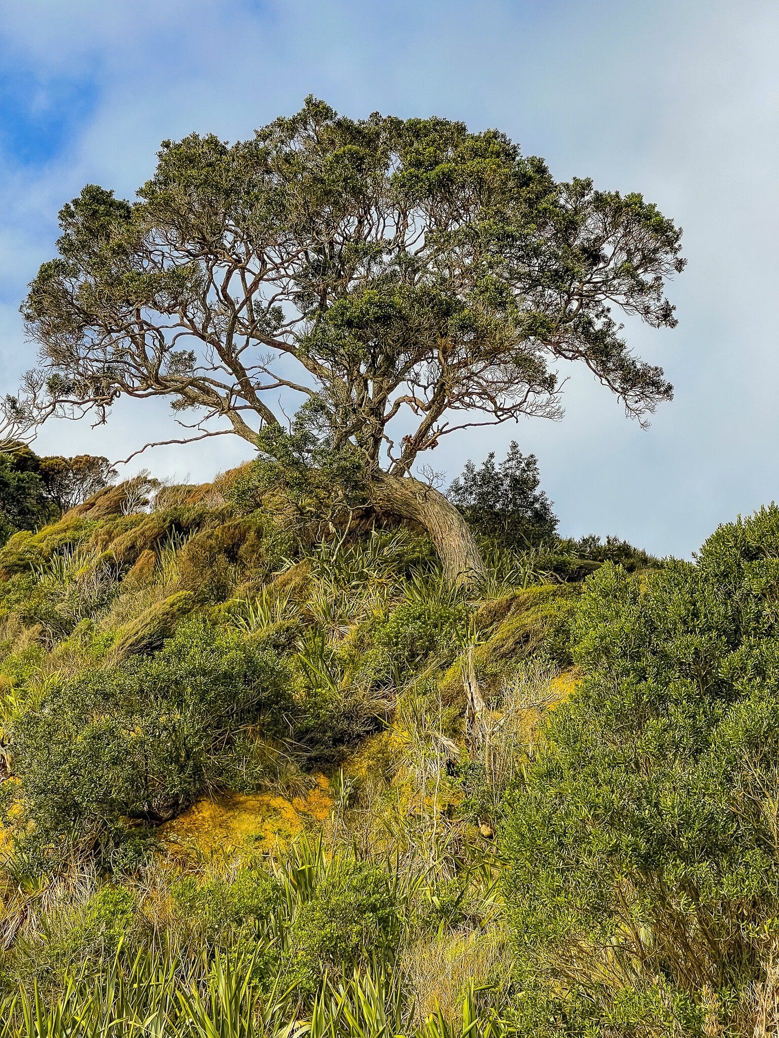
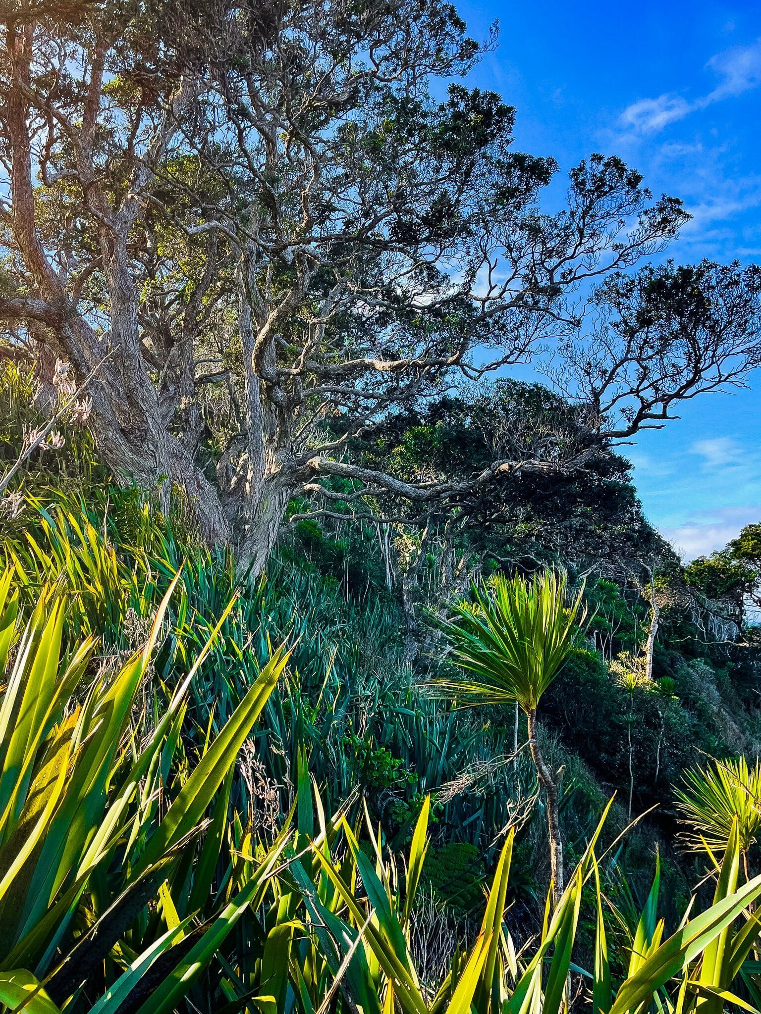
From the viewpoint, continue to follow the loop track around the edge of the point, protected by pōhutukawa trees.
Tokatū Loop Part 2
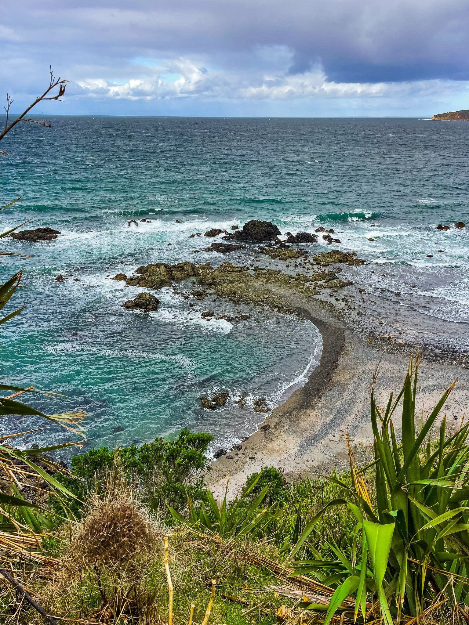
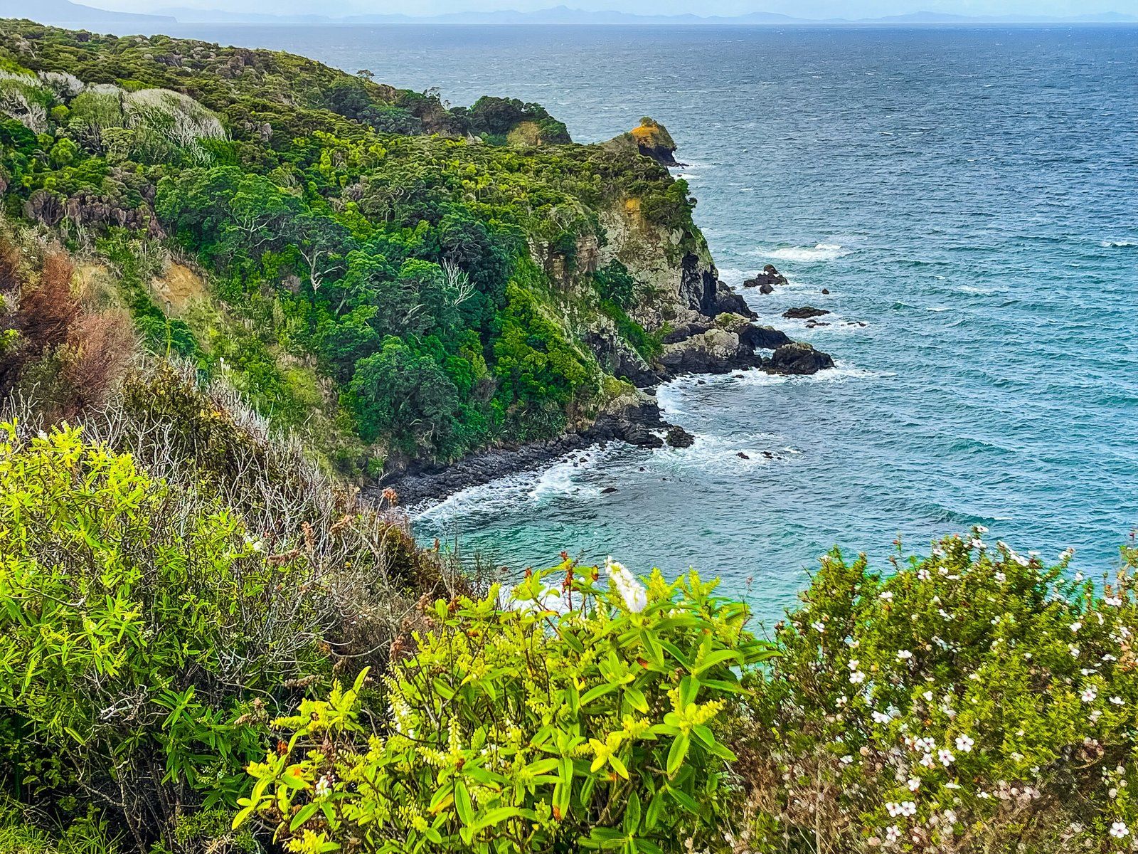
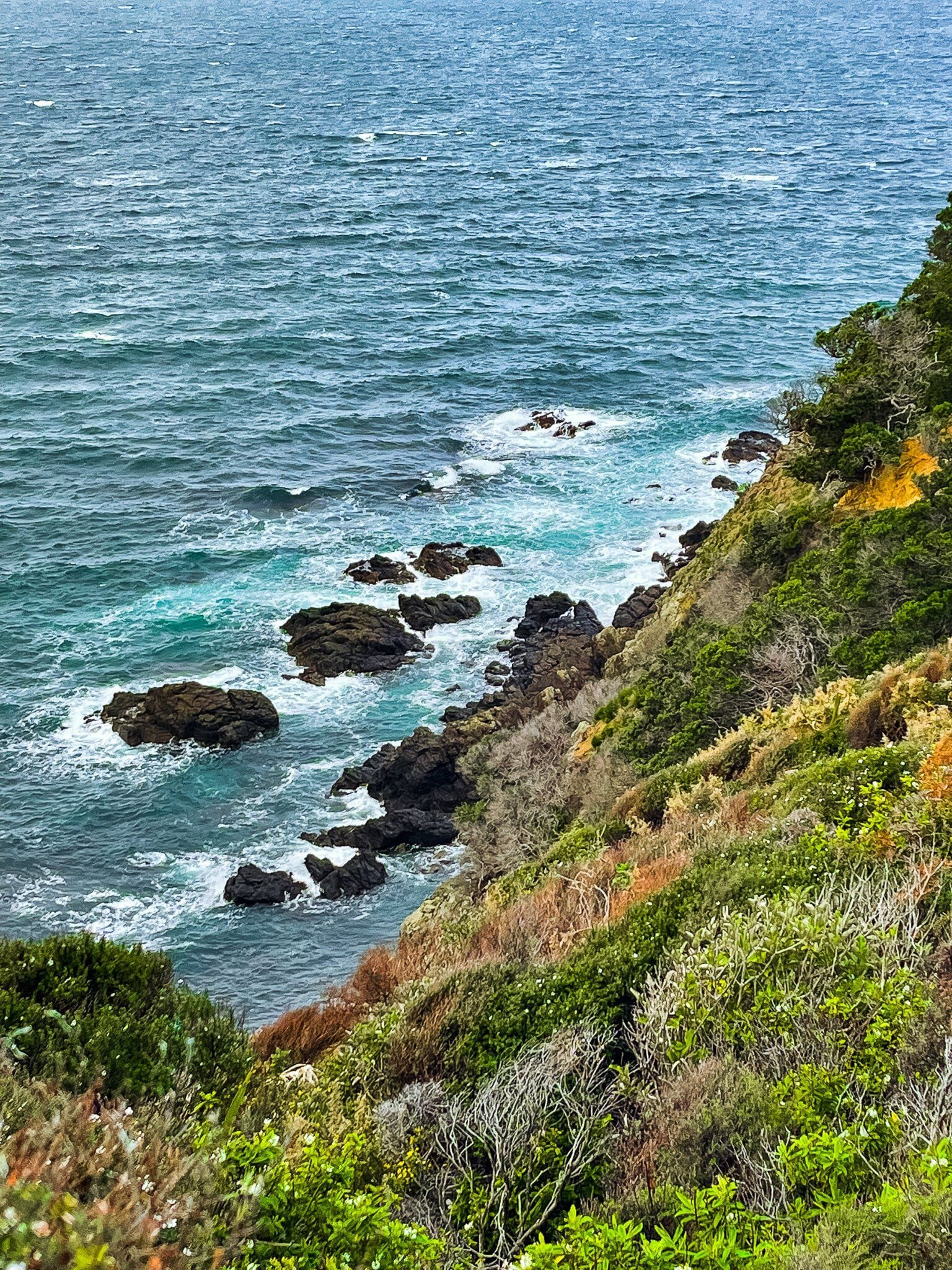
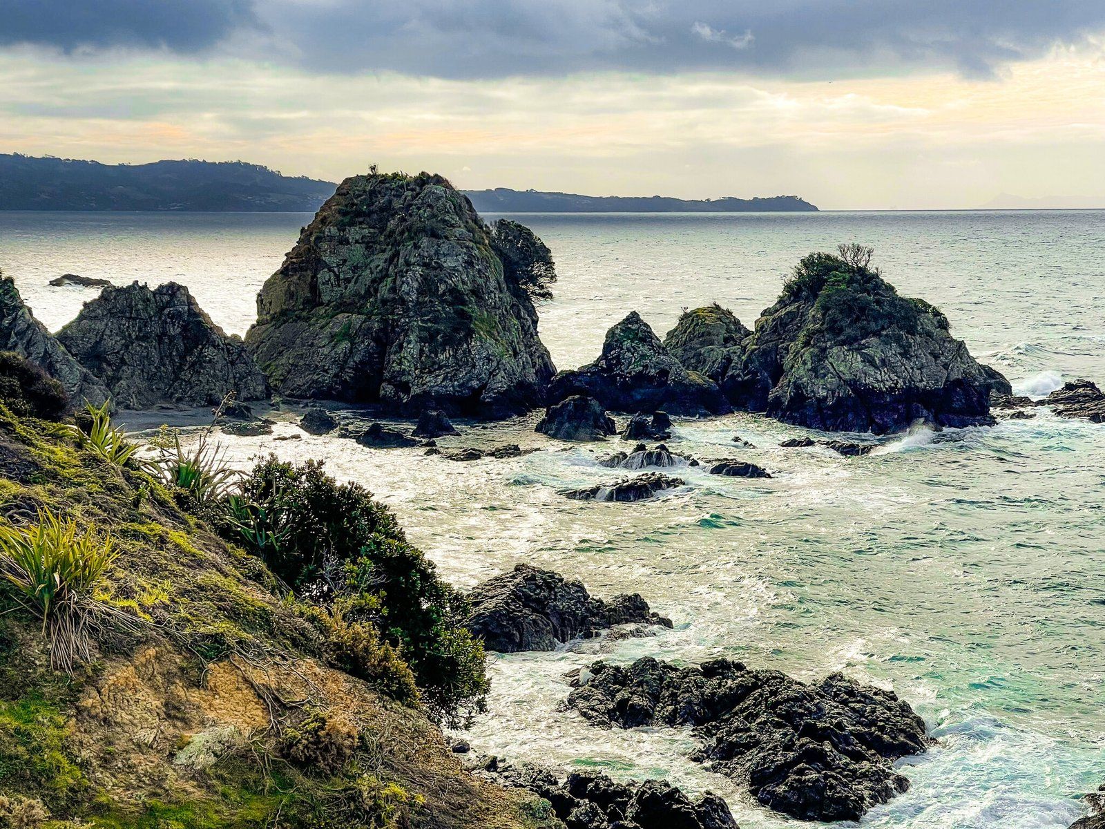
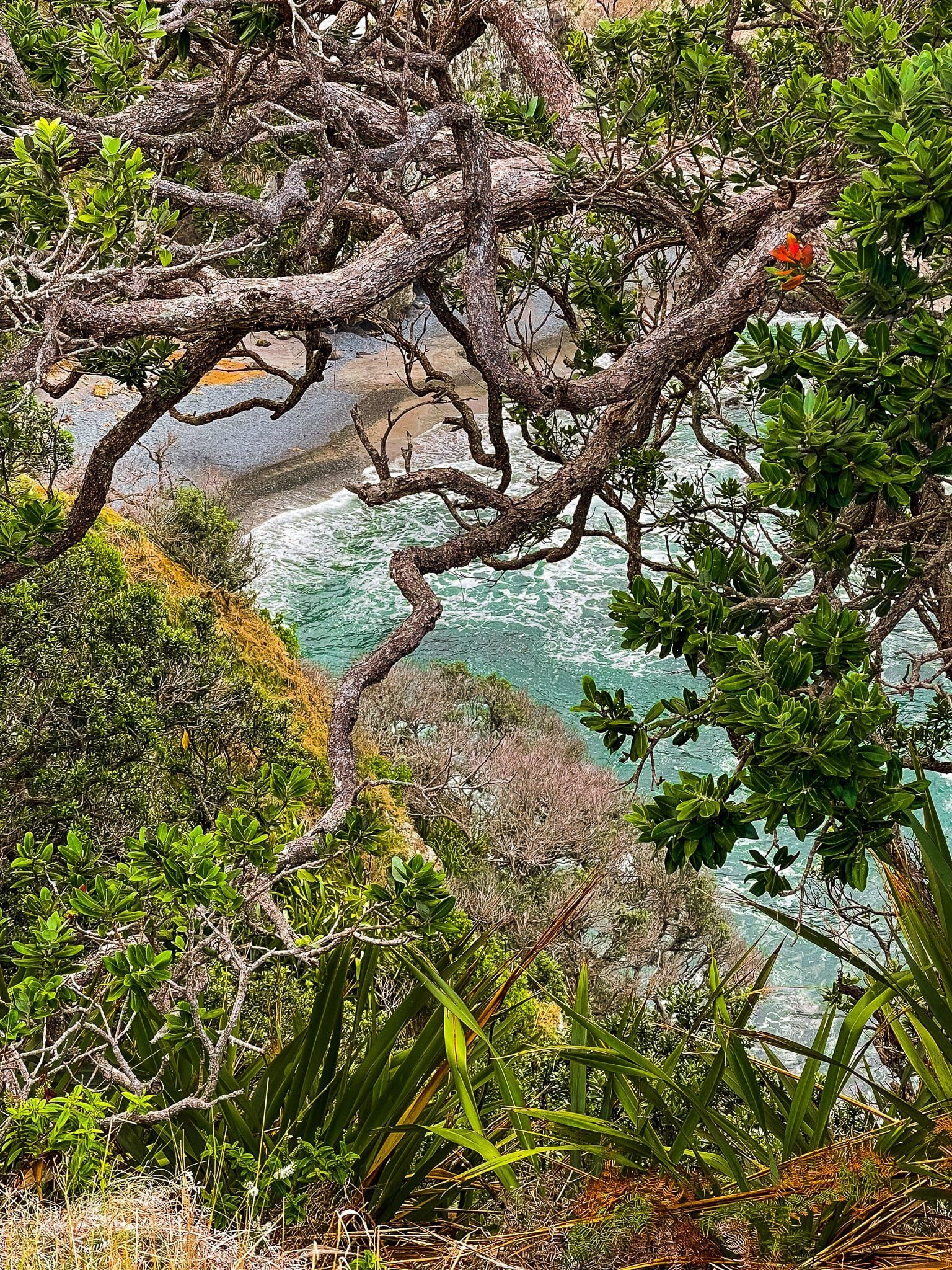
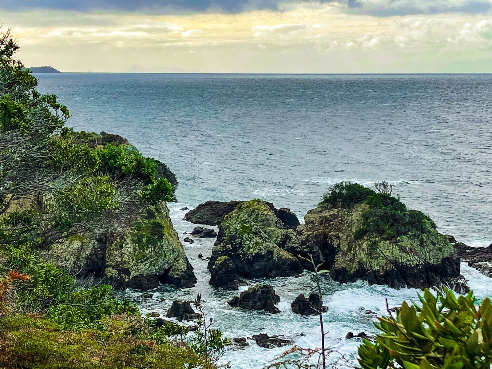
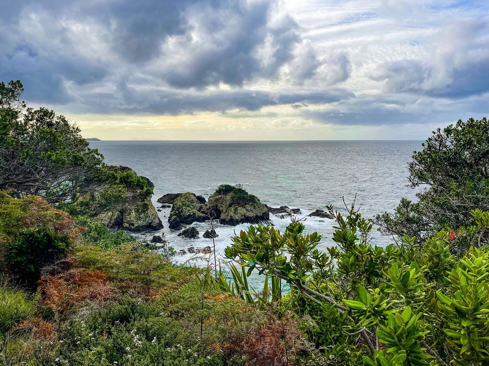
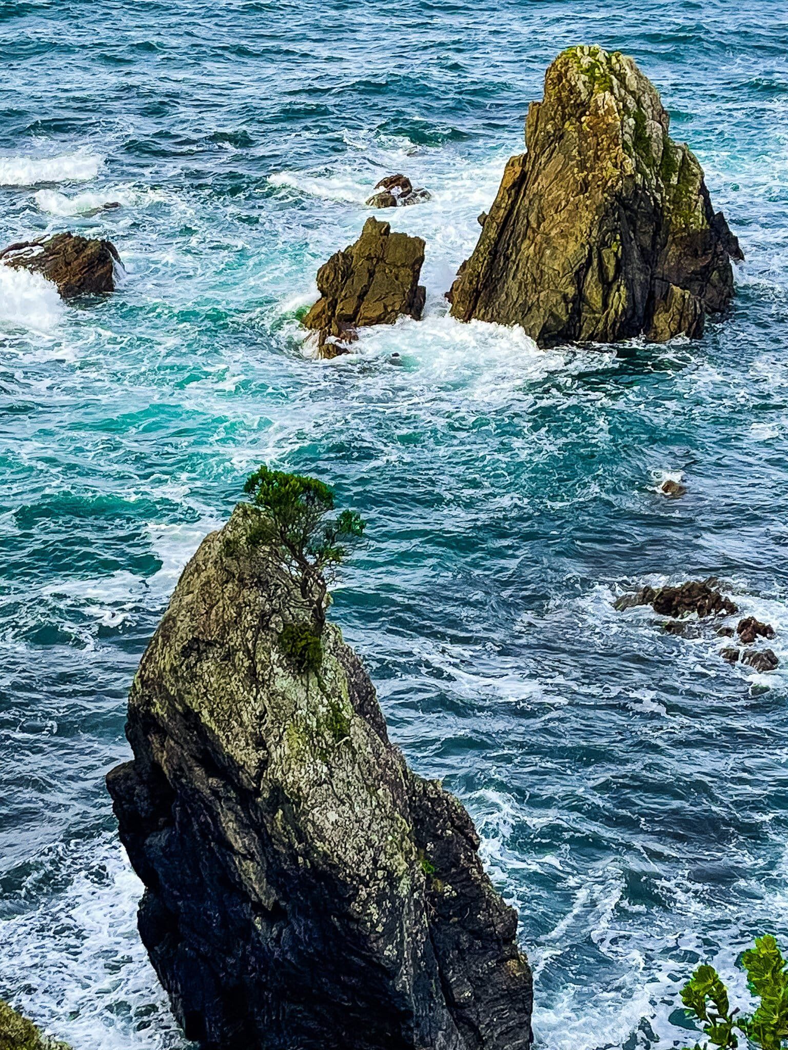
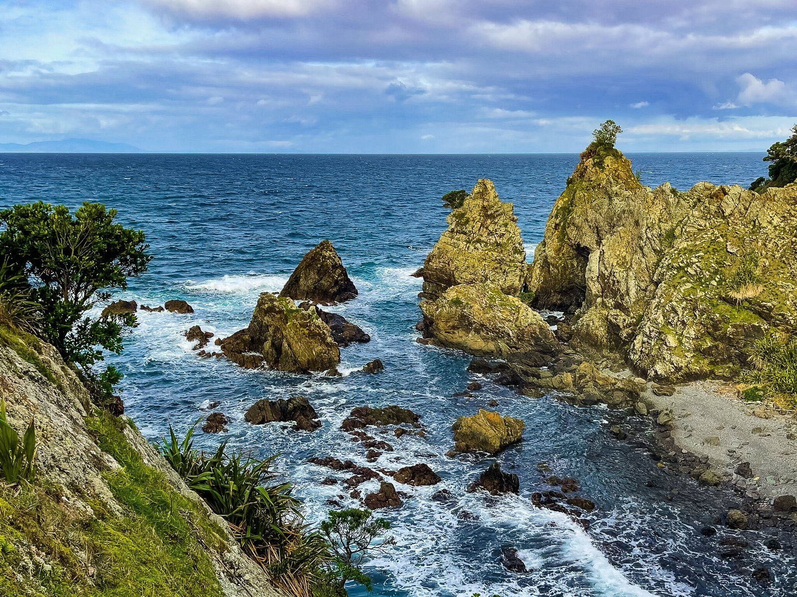
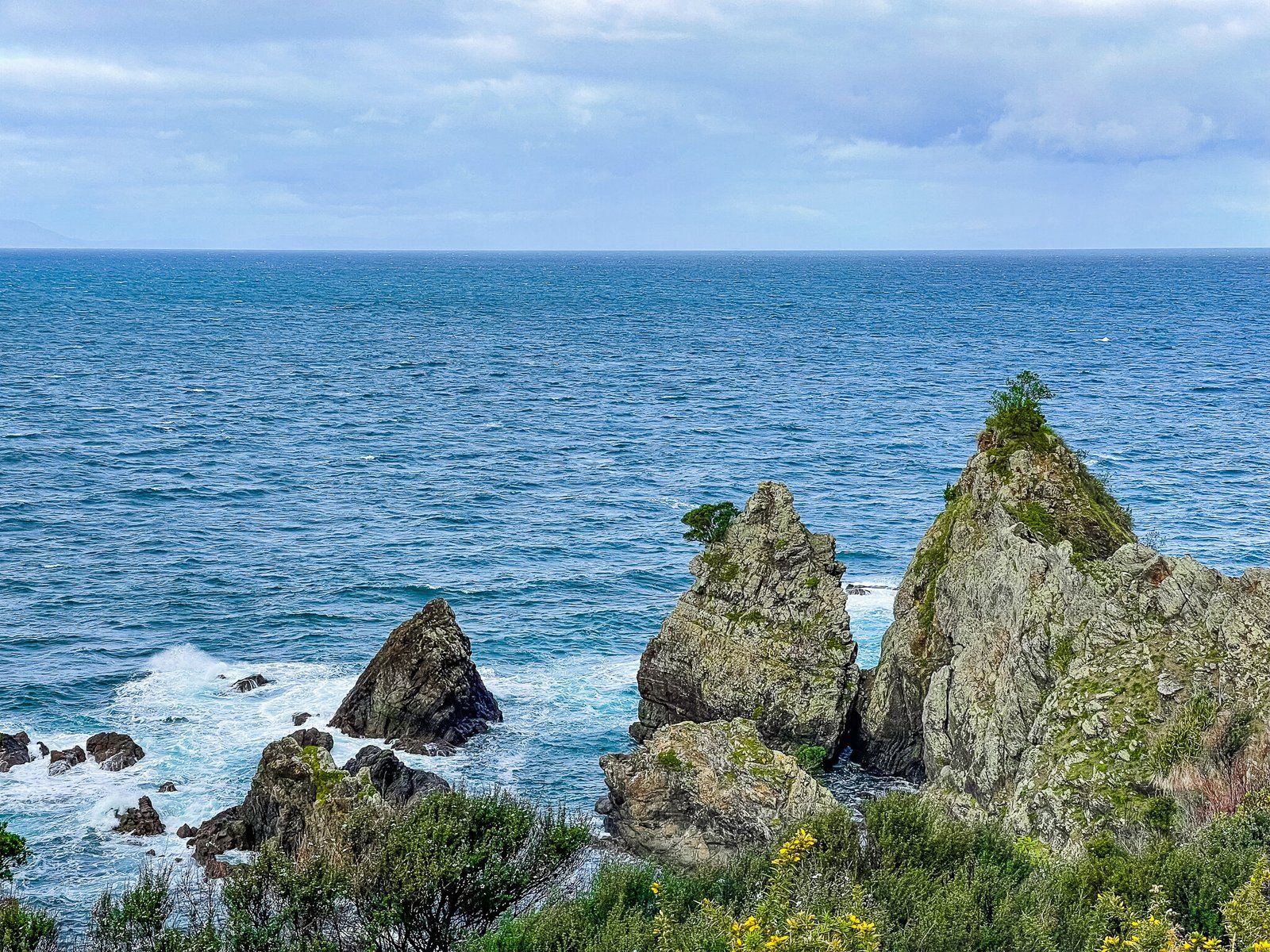
The second (informal) viewpoint on the Tokatū Loop Track is dramatic and obvious. There is a short steep drop down to a small point that overlooks a tiny bay with a number of dramatic rocks sticking out of the surf. You can walk onto the top of the point for that perfect view and pic.
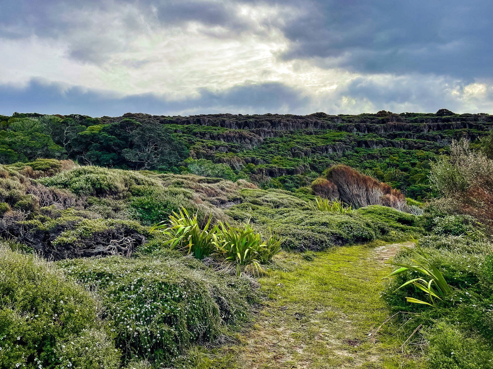
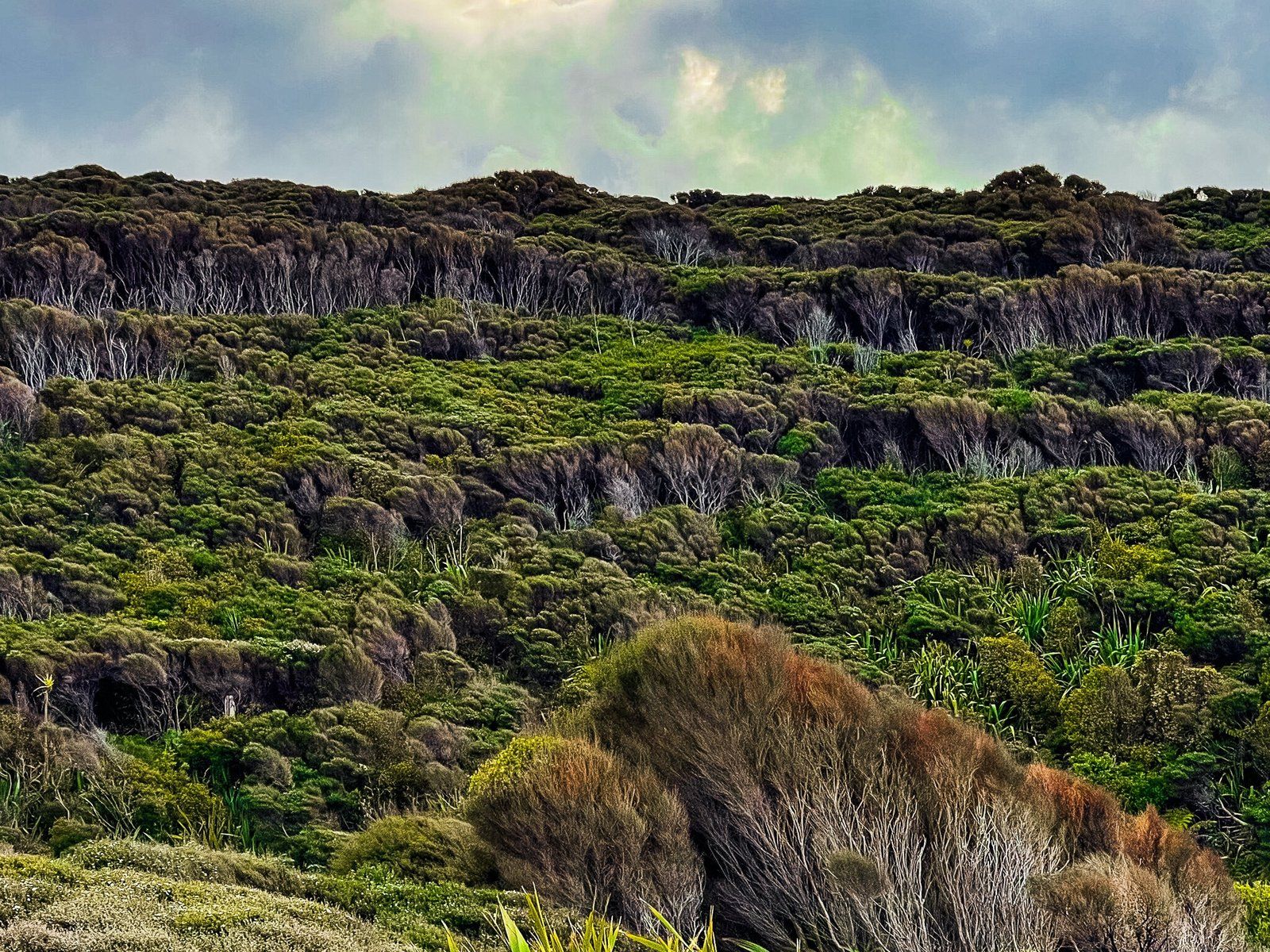
You will also notice the unusual prostrated manuka which is particularly prominent around this section of Tokatū Point. This is rare and this is one of the few places in NZ you can see this ground hugging form of the bush. It’s especially pretty when flowering. As you walk back up along the return track, the layering of the mānuka across the gully is also an interesting visual effect.
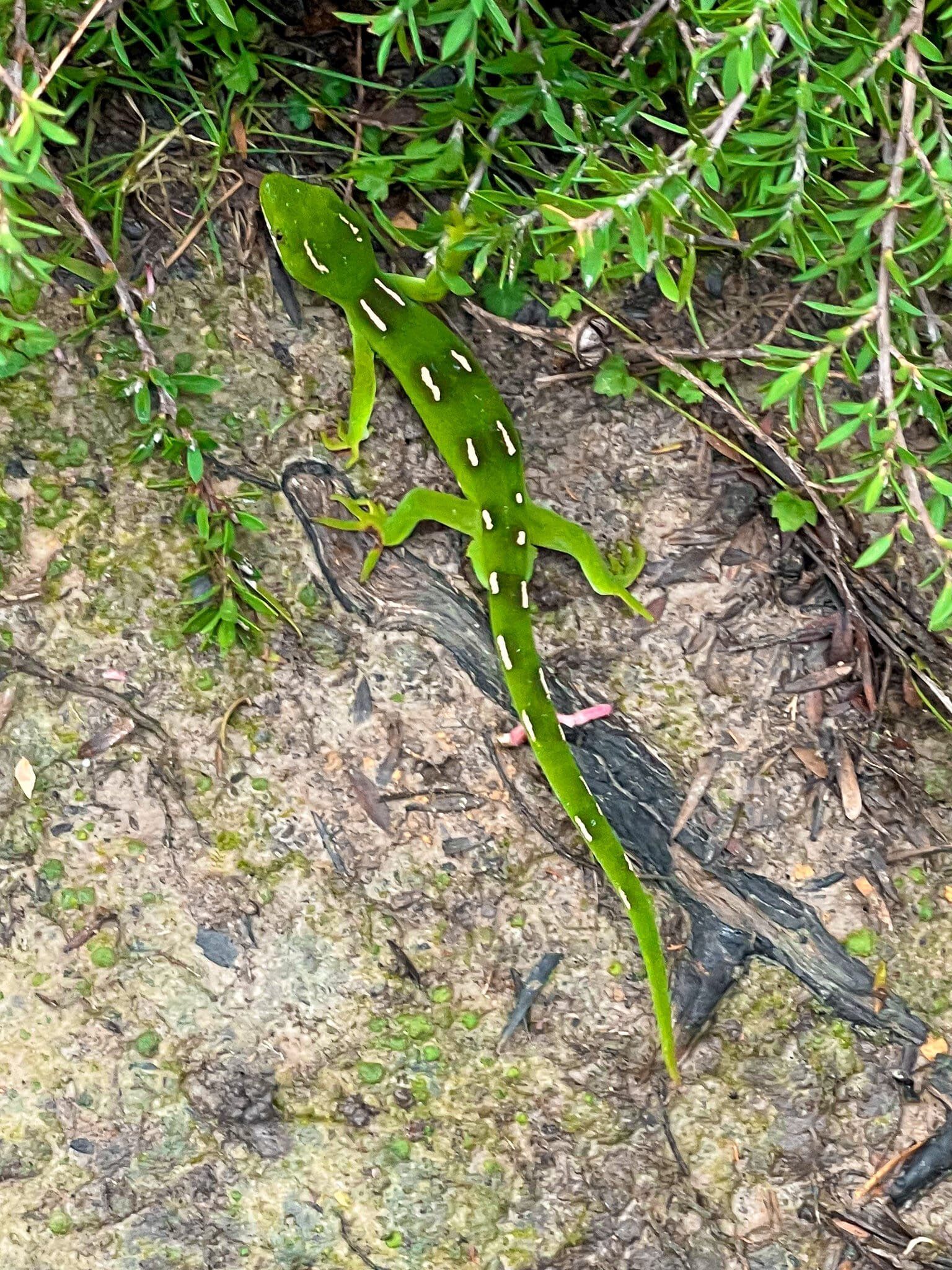
In addition to rare birds and forms of mānuka, Tāwharanui Regional Park is also home to rare skinks and geckos. For the first time, we actually managed to spot a green and white spotted native outside a zoo! They like to hang out in mānuka and kānuka scrubland, so you never know your luck.
Want more Trip Ideas?
Check out other Auckland region blogs on Northeast Auckland, the Waitākere Ranges, and South Auckland.
