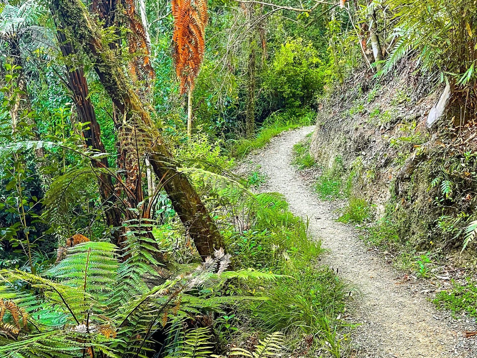
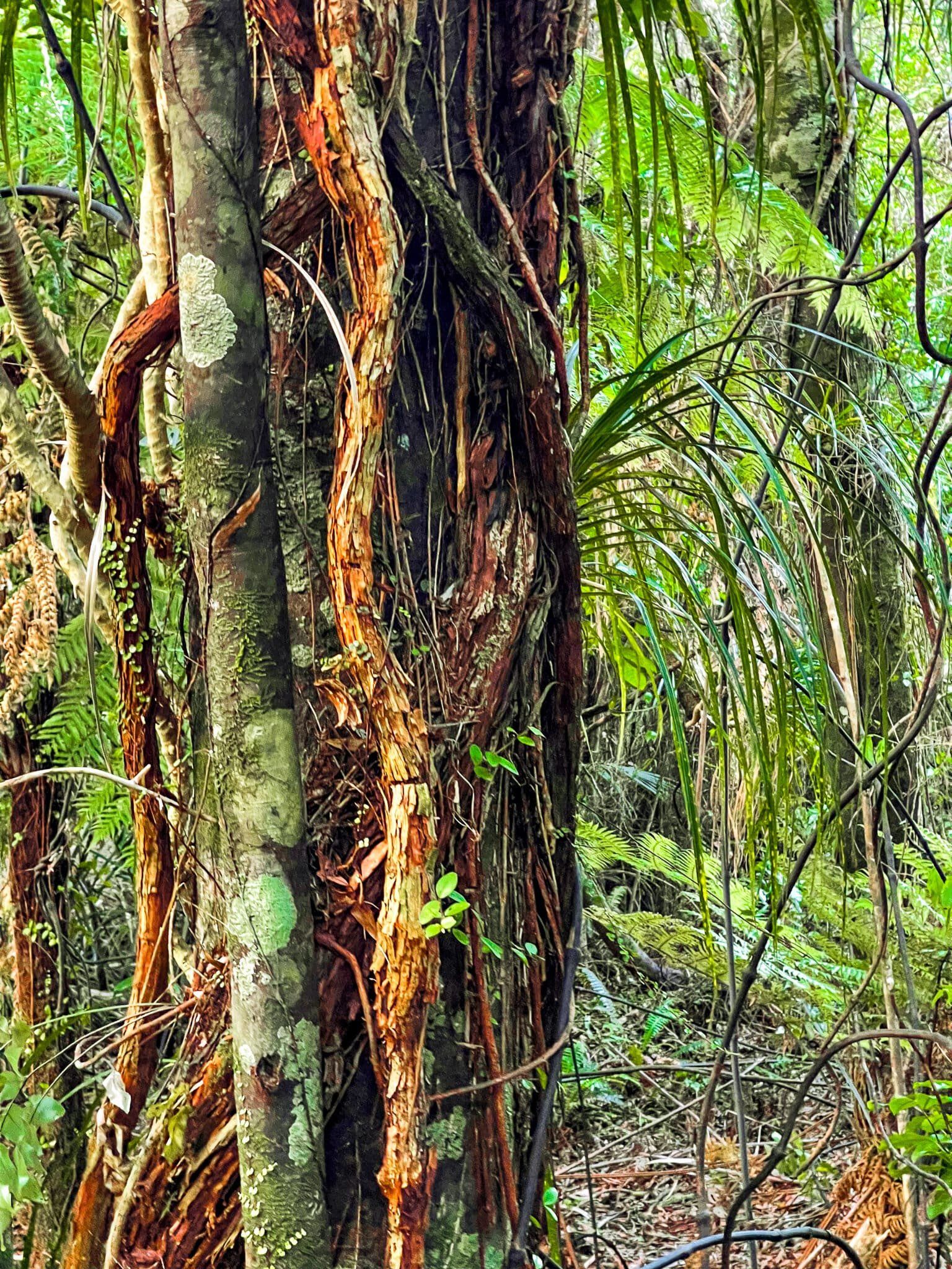
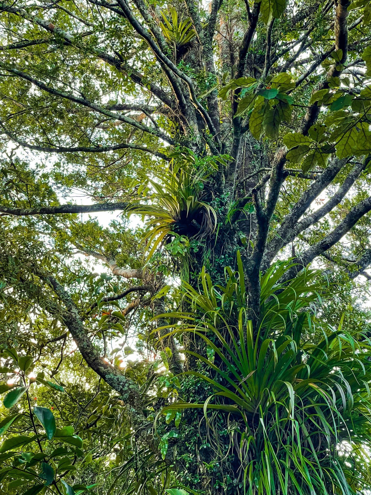
There are a number of excellent parks around South Auckland. These offer hiking trails, waterfalls, forests, reservoirs and beaches. This week we cover several trails and places of interest that can be found in the Hunua Regional Park and nearby Clevedon Scenic Reserve.
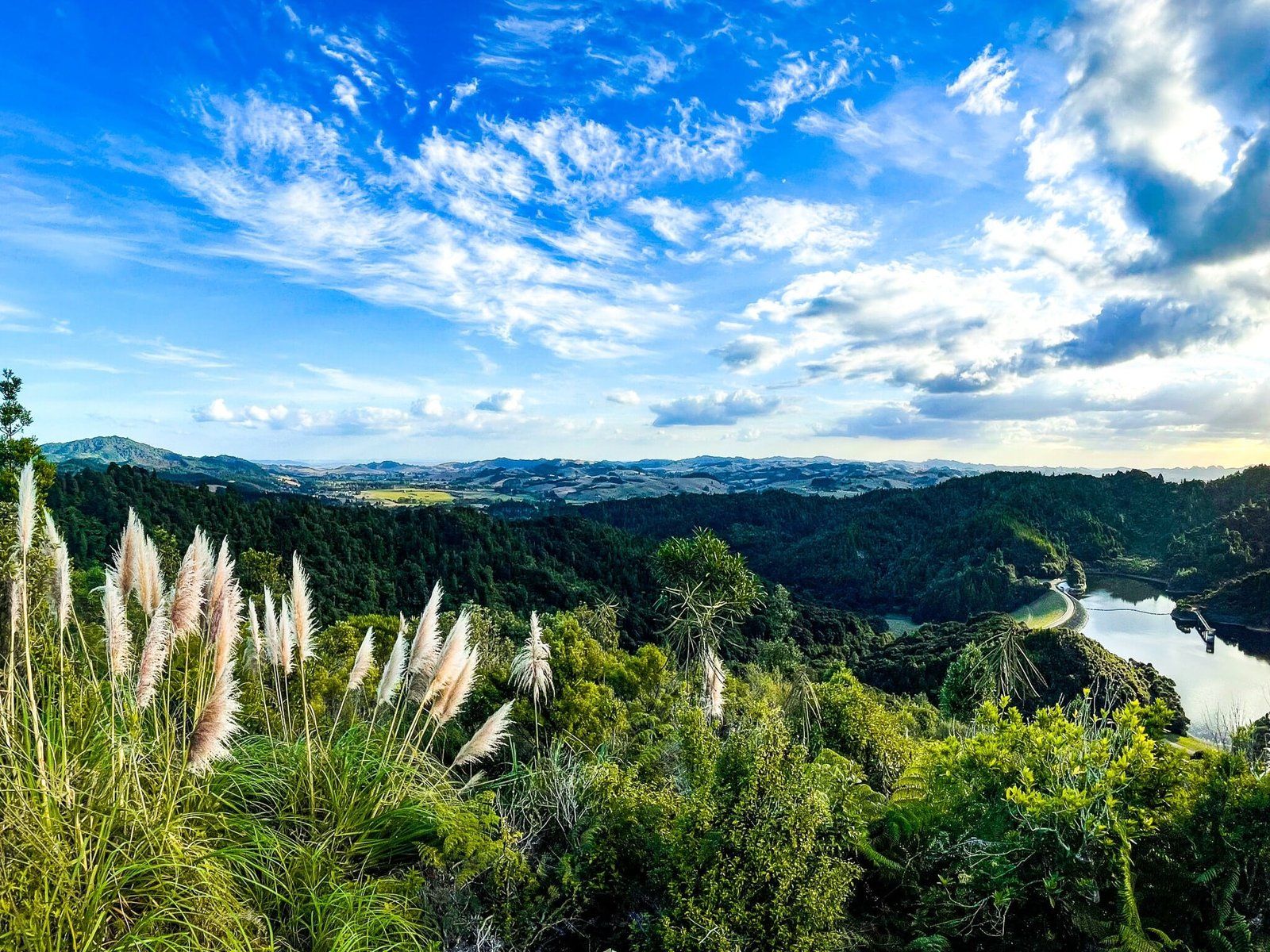
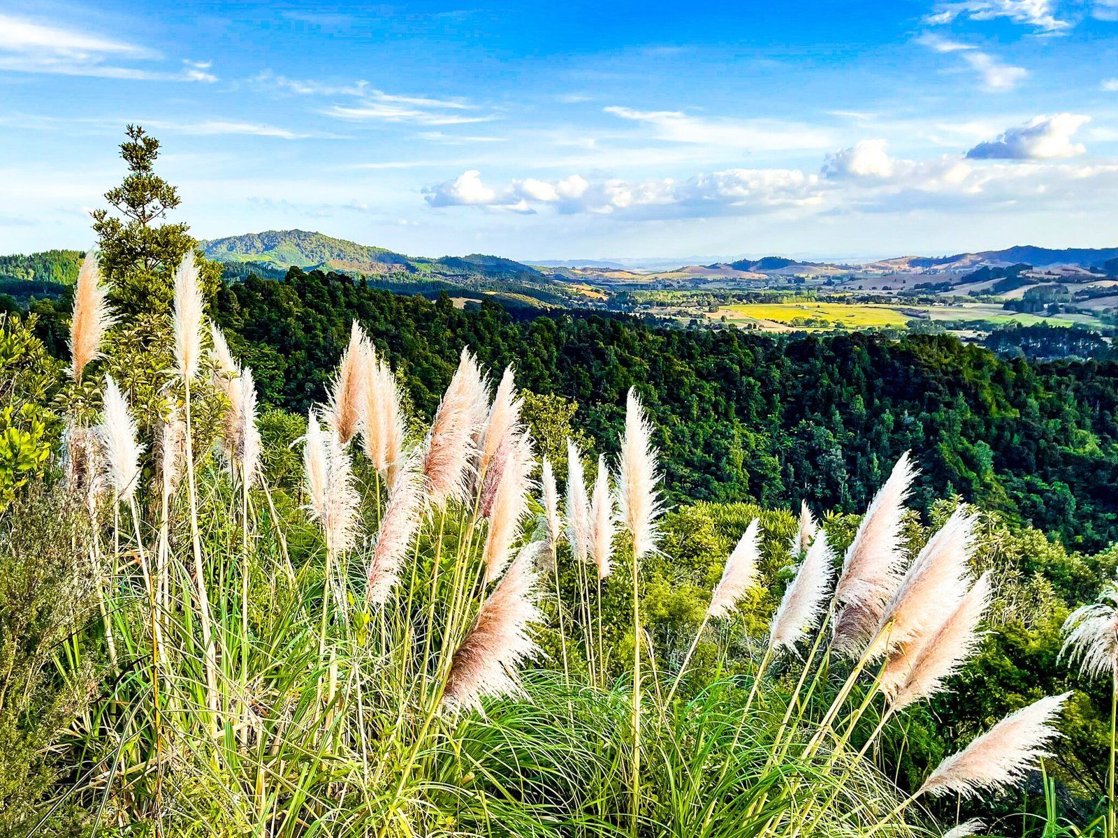
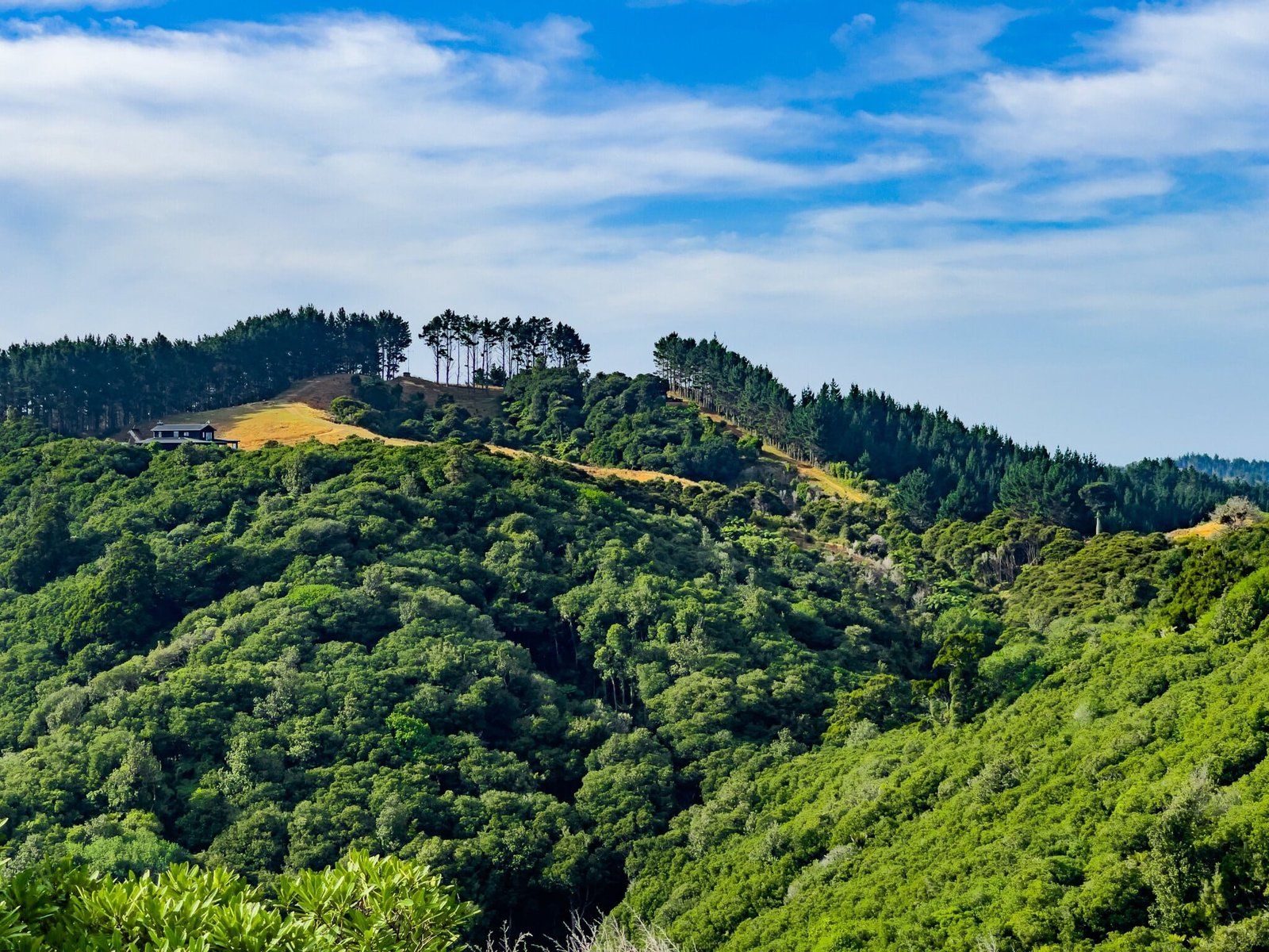
The Hunua Regional Park covers much of the Hunua Range which marks the separation of Auckland from the Waikato on the north side of the border. The range is a series of sometimes steep hills with high points over 600 metres. The area is mostly covered in forest regrowth, with some older sections, and is the largest water catchment for Auckland City, with several large reservoirs around the Range. The hiking trails do include multi day options, but access has been limited due to kauri dieback disease. However, several easily accessible trails are open, including the wonderful Cossey Massey Loop, which you can start and end at Hunua Falls. Head further southeast on Hunua Rd then find Otau Road, off Moumoukai Road, which provides access to the loop walks near the Wairoa Reservoir. Both areas require some uphill hiking and provide an excellent introduction to the park.
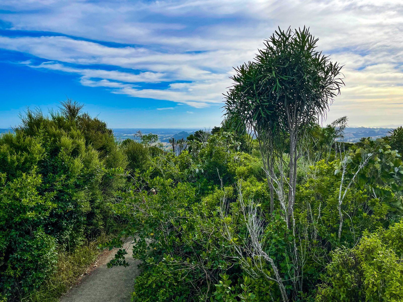
The Clevedon Scenic Reserve is also an Auckland City regional park. It mainly encompasses a large forested hill on the northside of Clevedon’s little town. There is a superb forest loop trail that takes about 90 minutes to complete, including a viewpoint at the top of the hill. At the base of the hill there is a nice grassed area for picnics or lying about. Because it is a bit out of the way, it is easy to overlook, but this loop would in our view be in the top 3 or 4 forest walks around the Auckland region.
Suspension Bridge Track
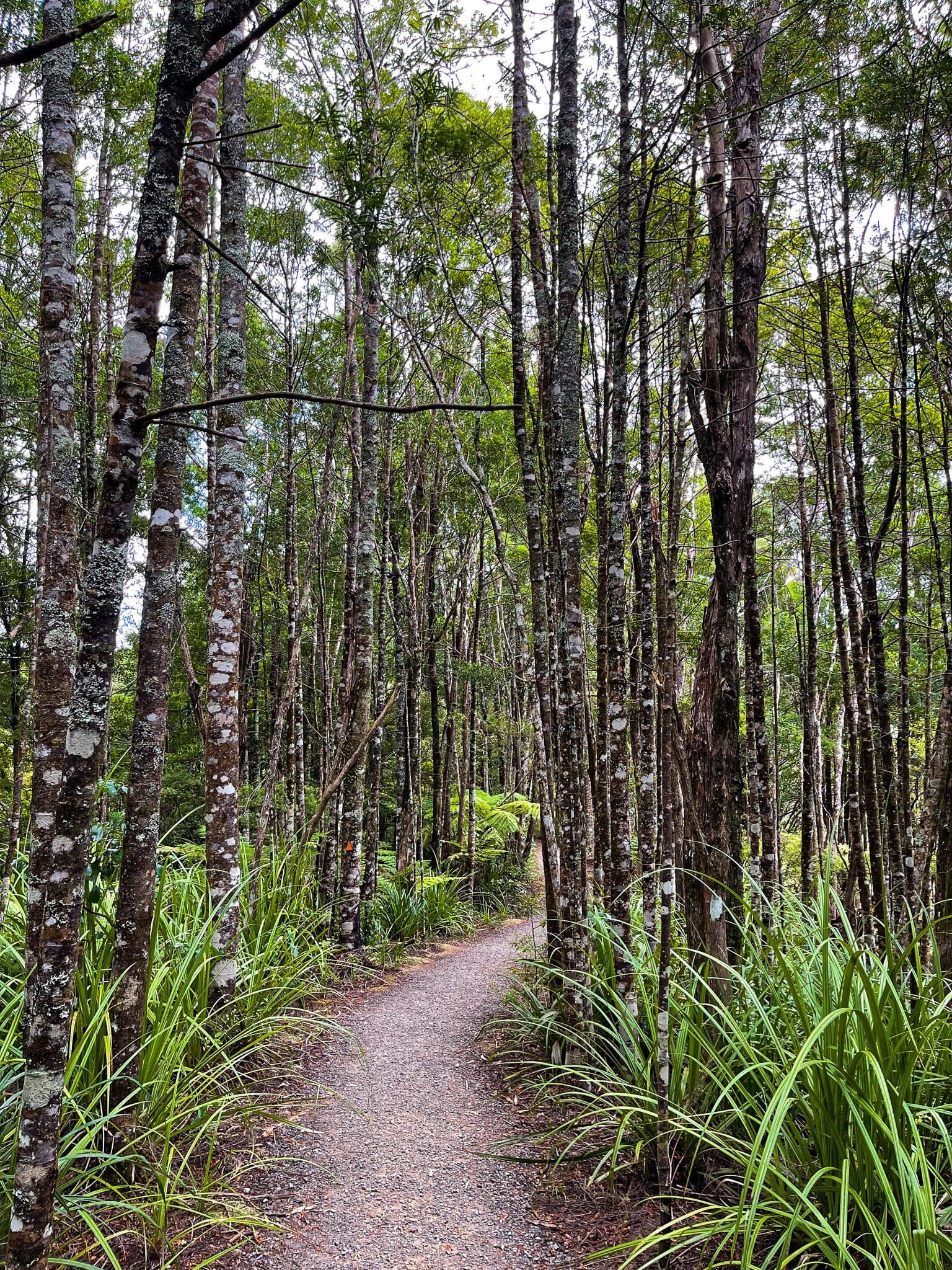
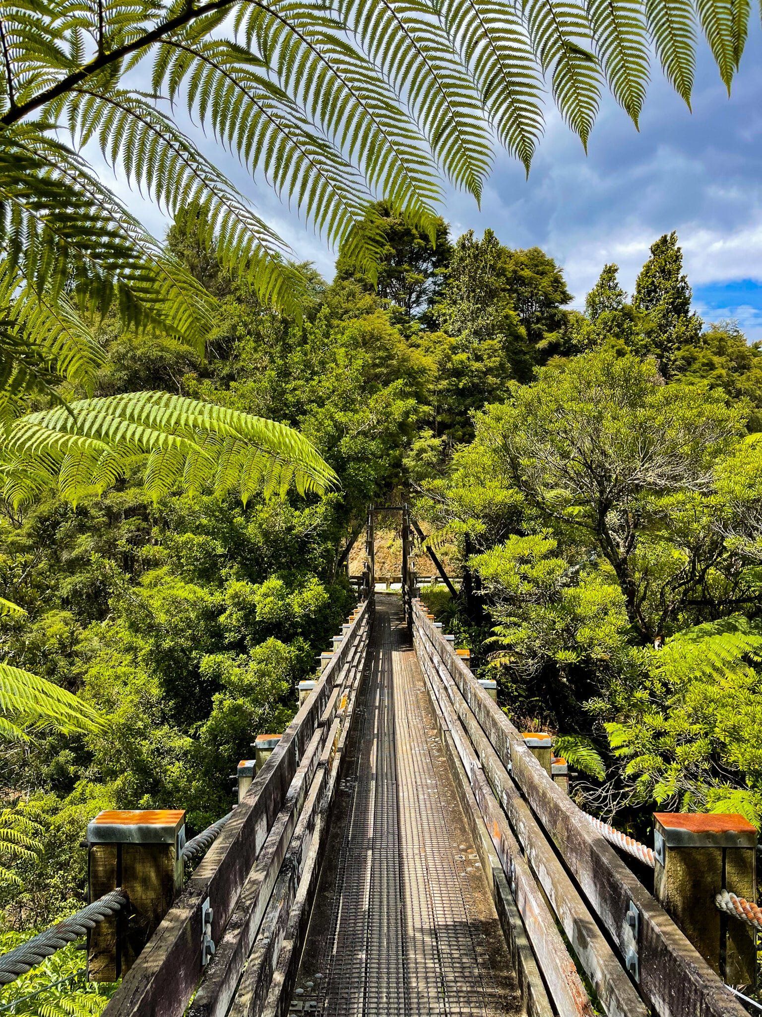
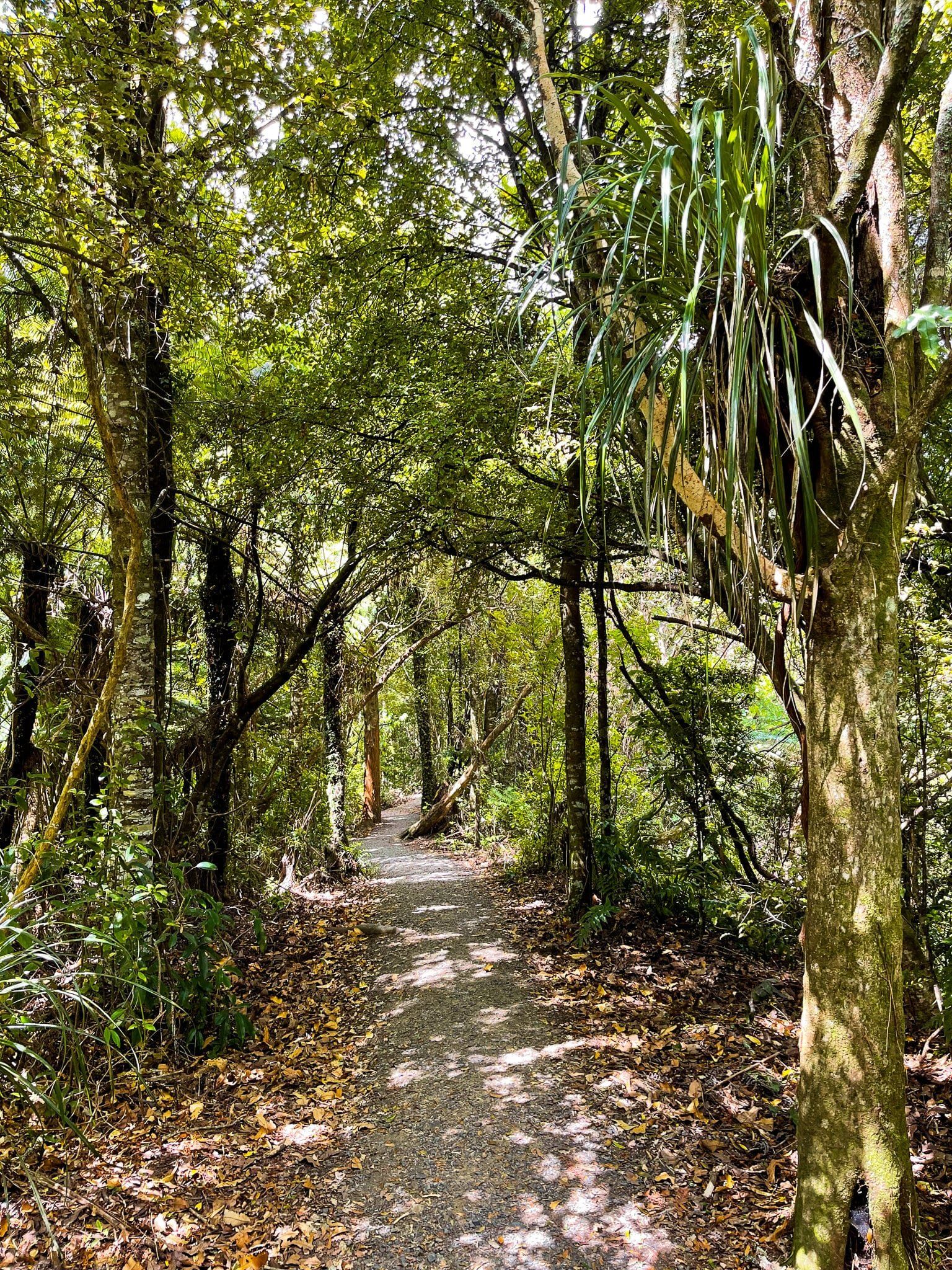
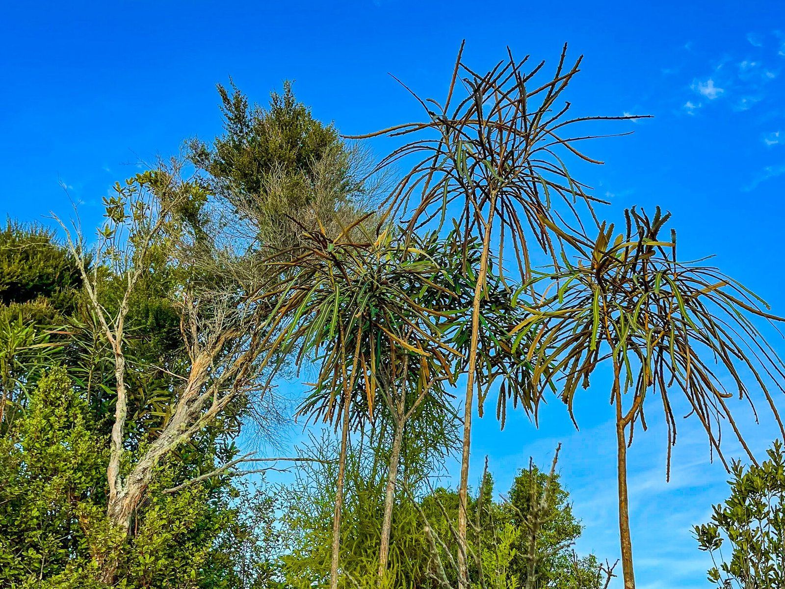
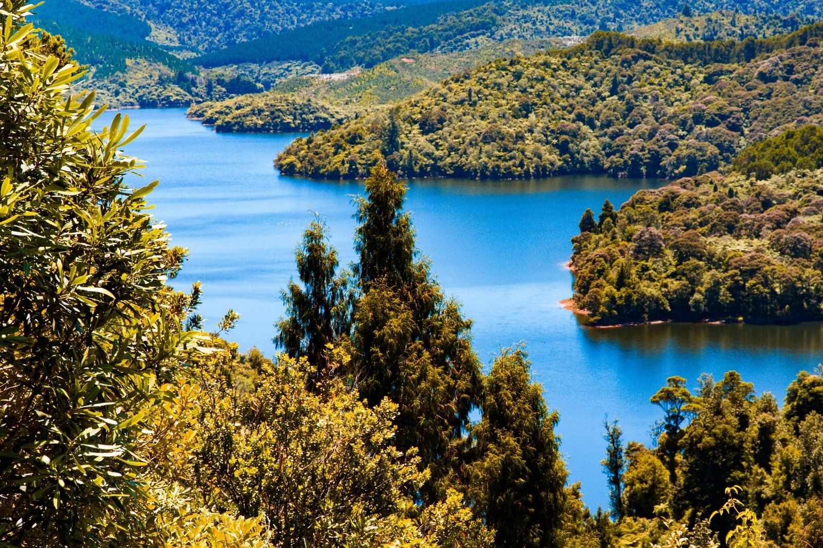
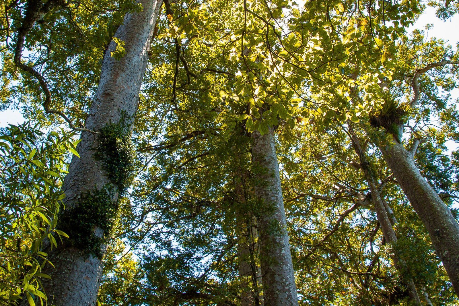
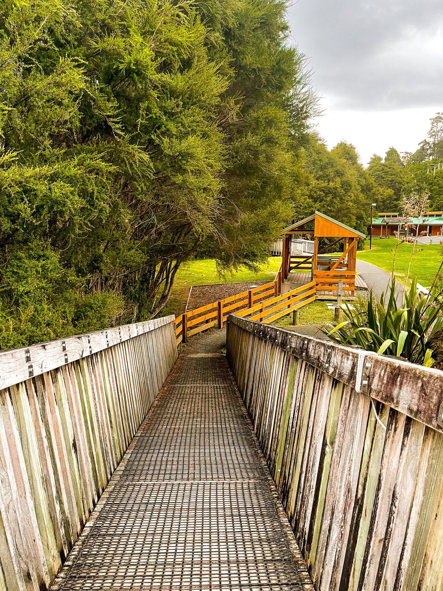
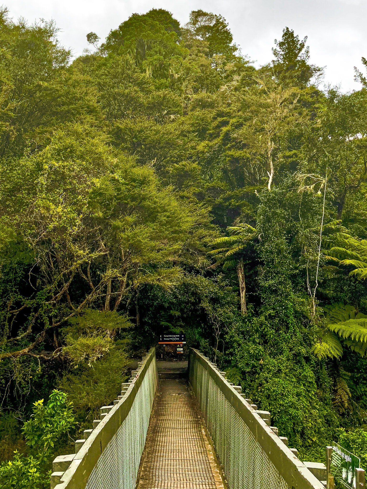
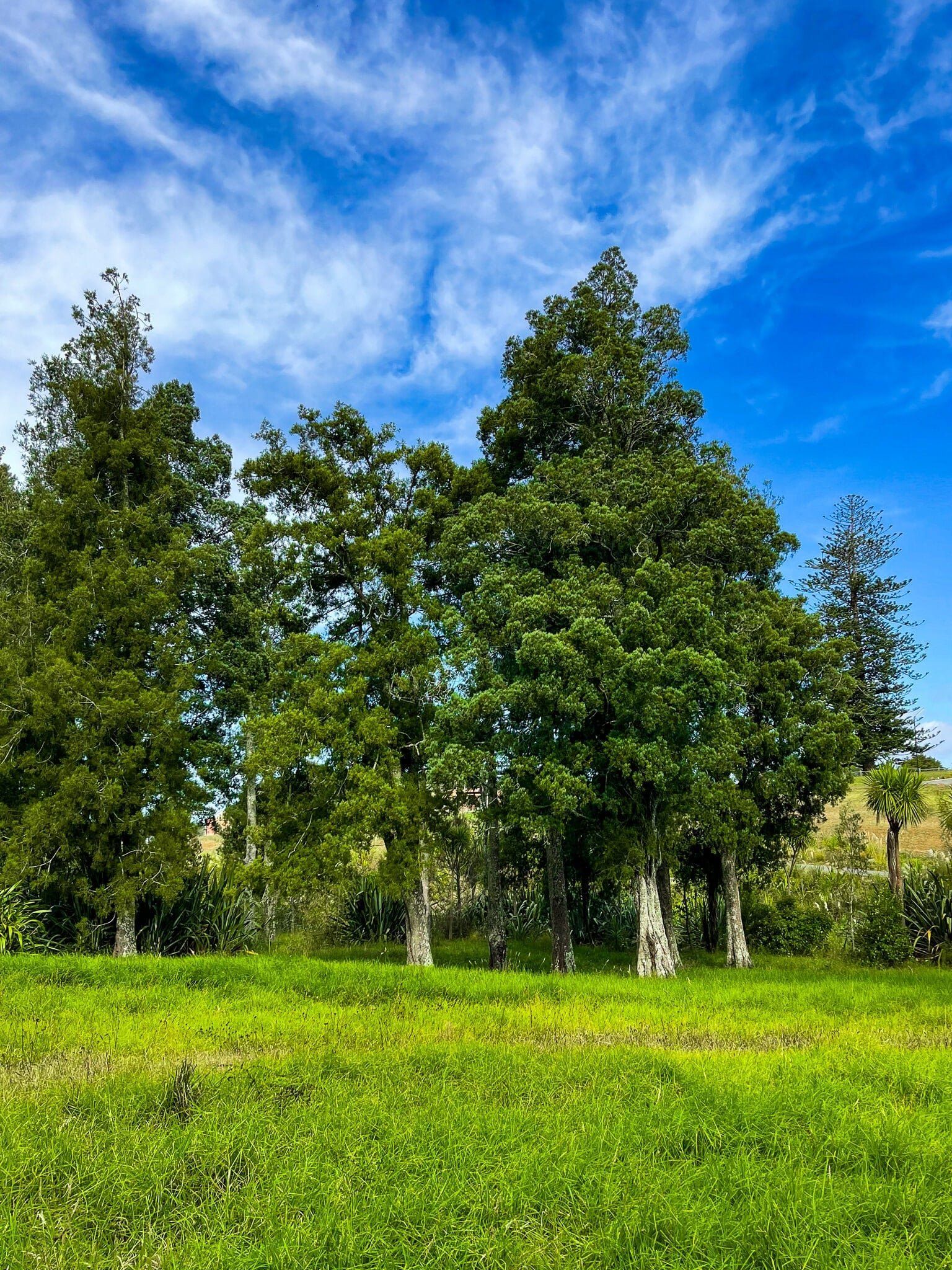
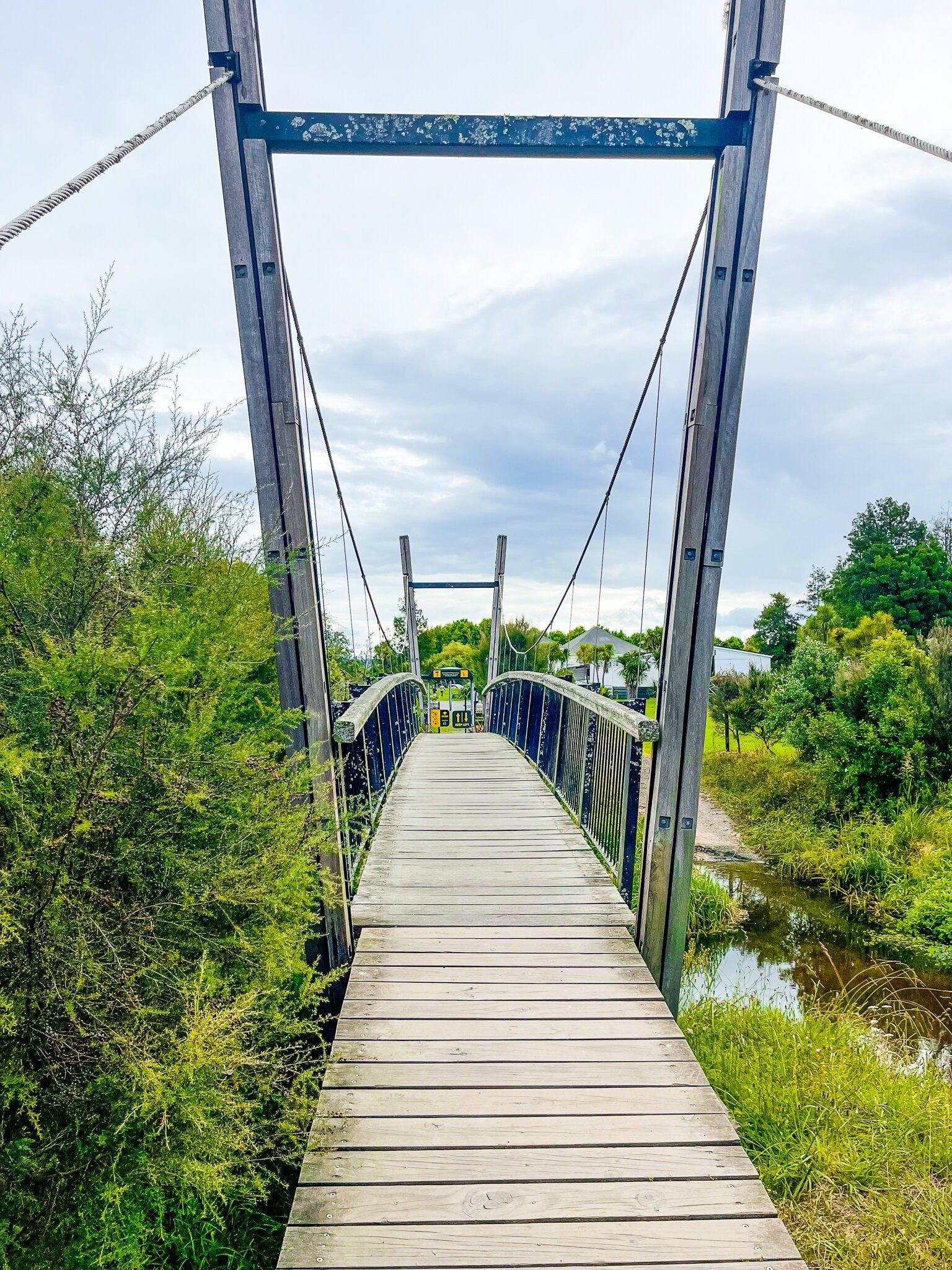
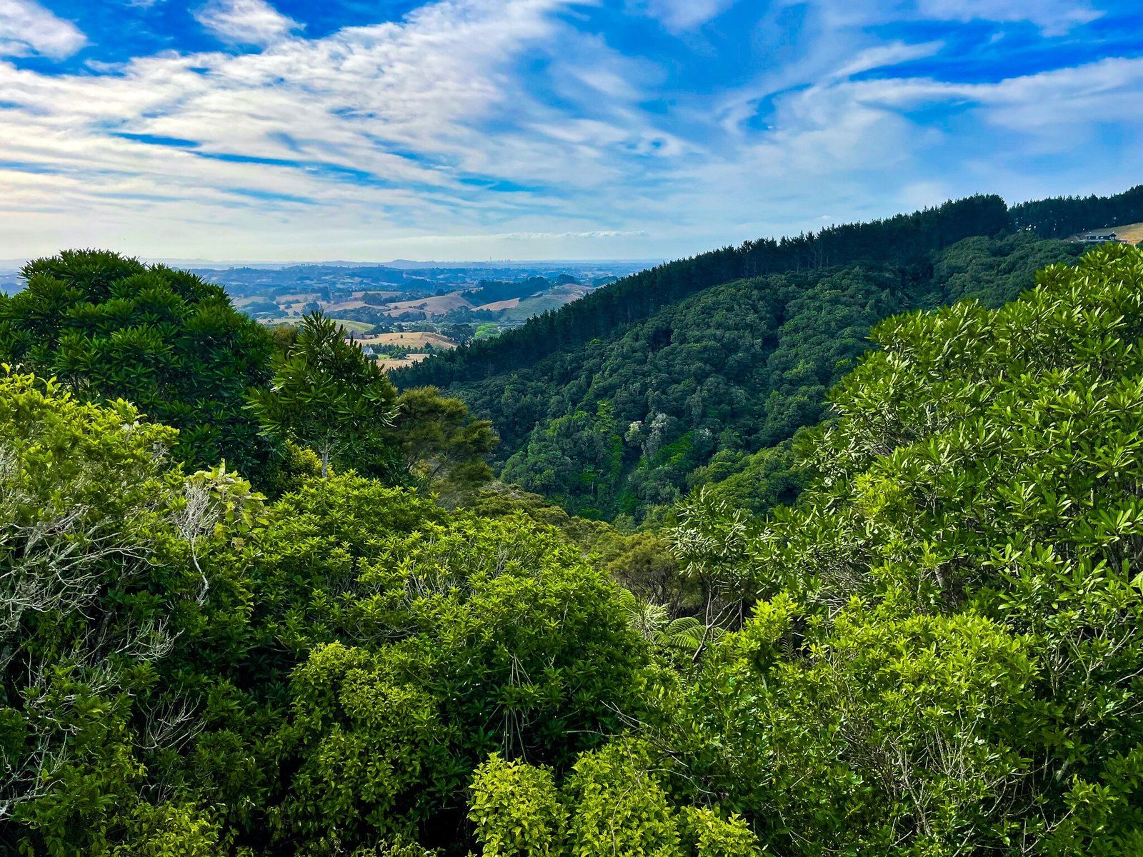
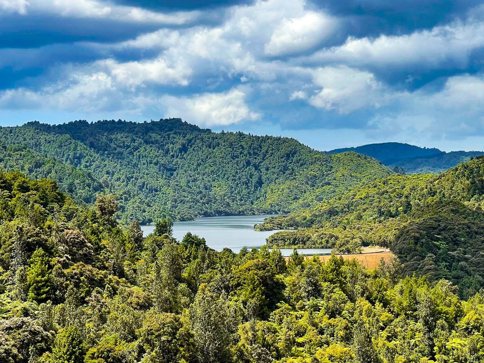
Suspension Bridge Track in Hunua Regional Park can be done as a loop from the carpark at the start of Otau Rd, the main access road to Wairoa Dam and reservoir. The swing bridge can be found at the start of the track just below the car park. It is quite spectacular, being at treetop level and high above a ravine. After crossing the bridge, the track mostly follows along a ridge through regenerating bush for about 40 minutes. There are a couple of good viewpoints but the best part of the track is a large group of tanekaha (NZ native “celery” trees) as you approach the main reservoir viewpoint. The trees are reasonably common but it is unusual to see such a large collection together.
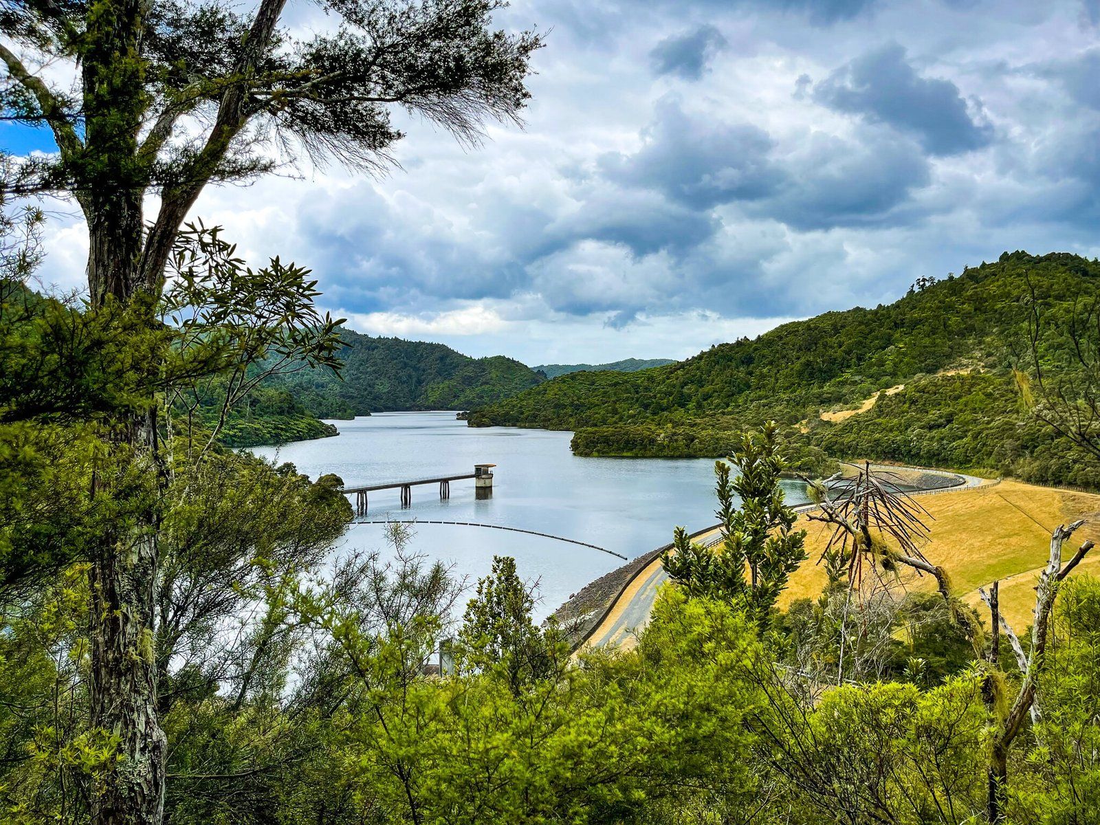
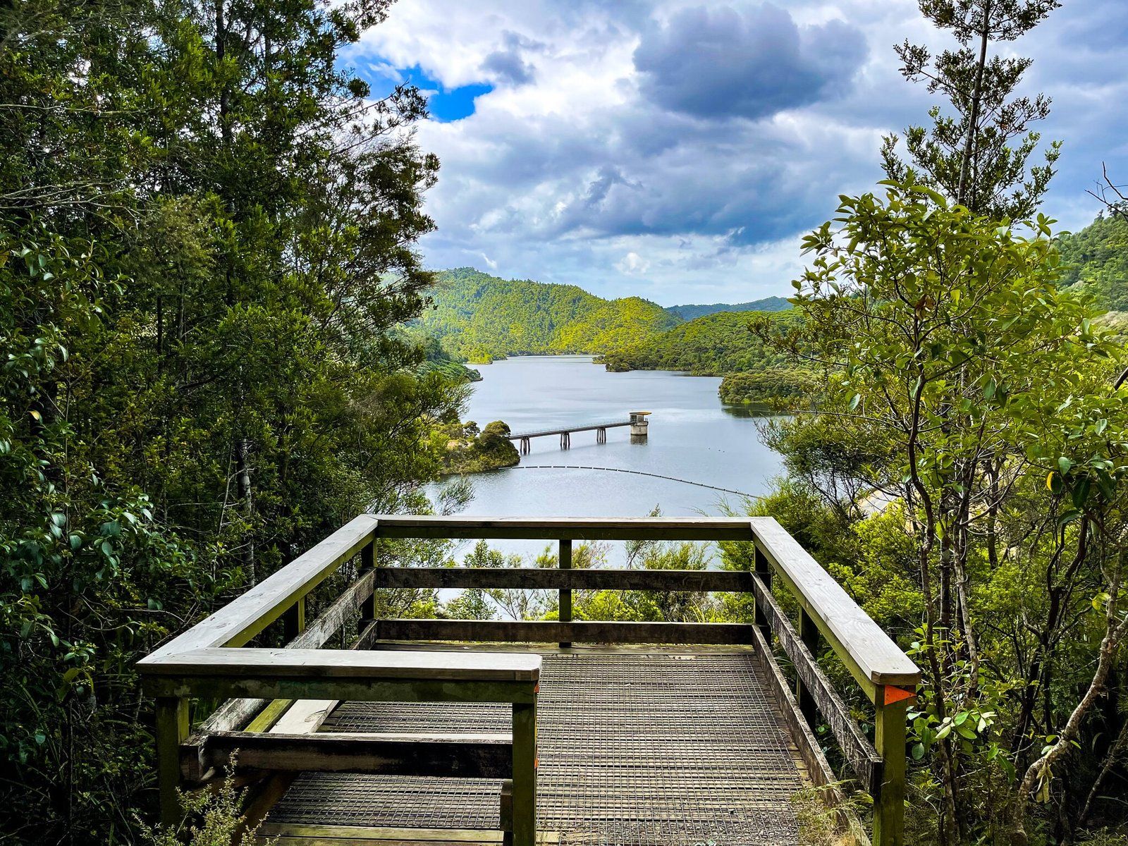
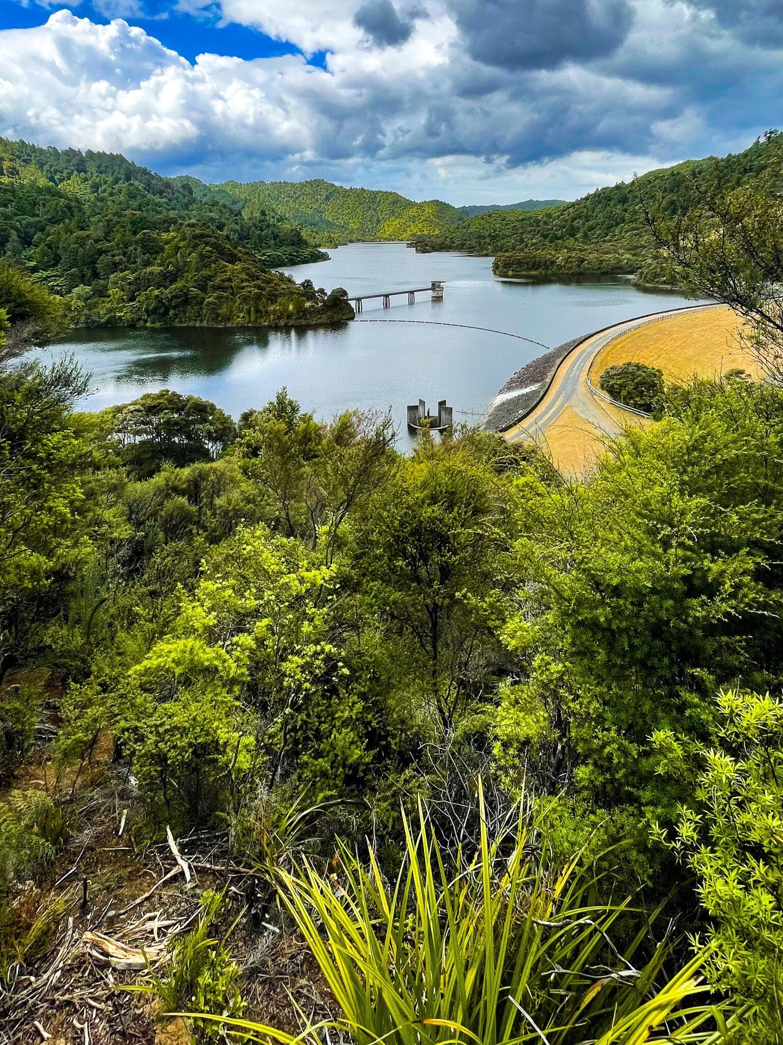
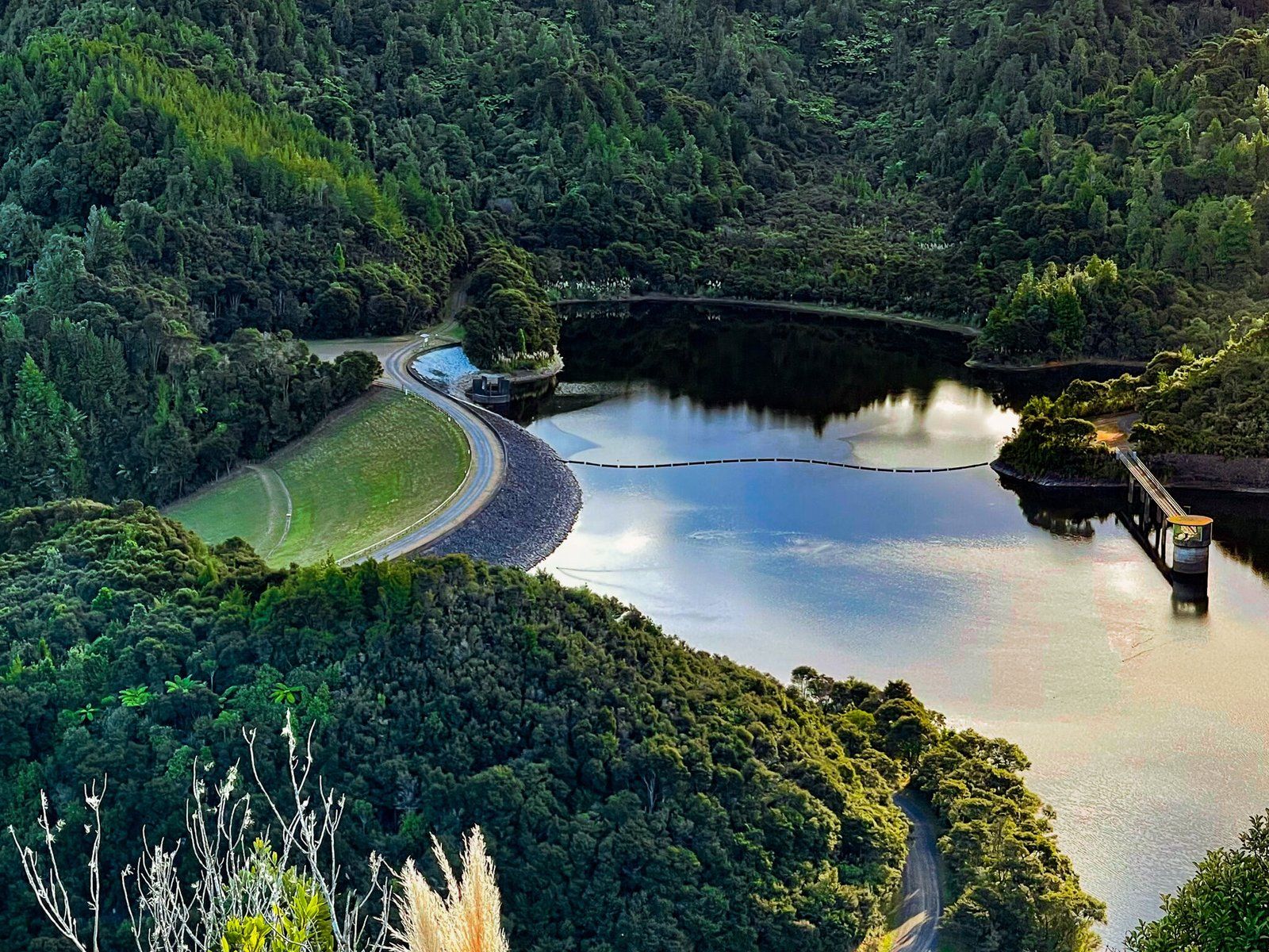
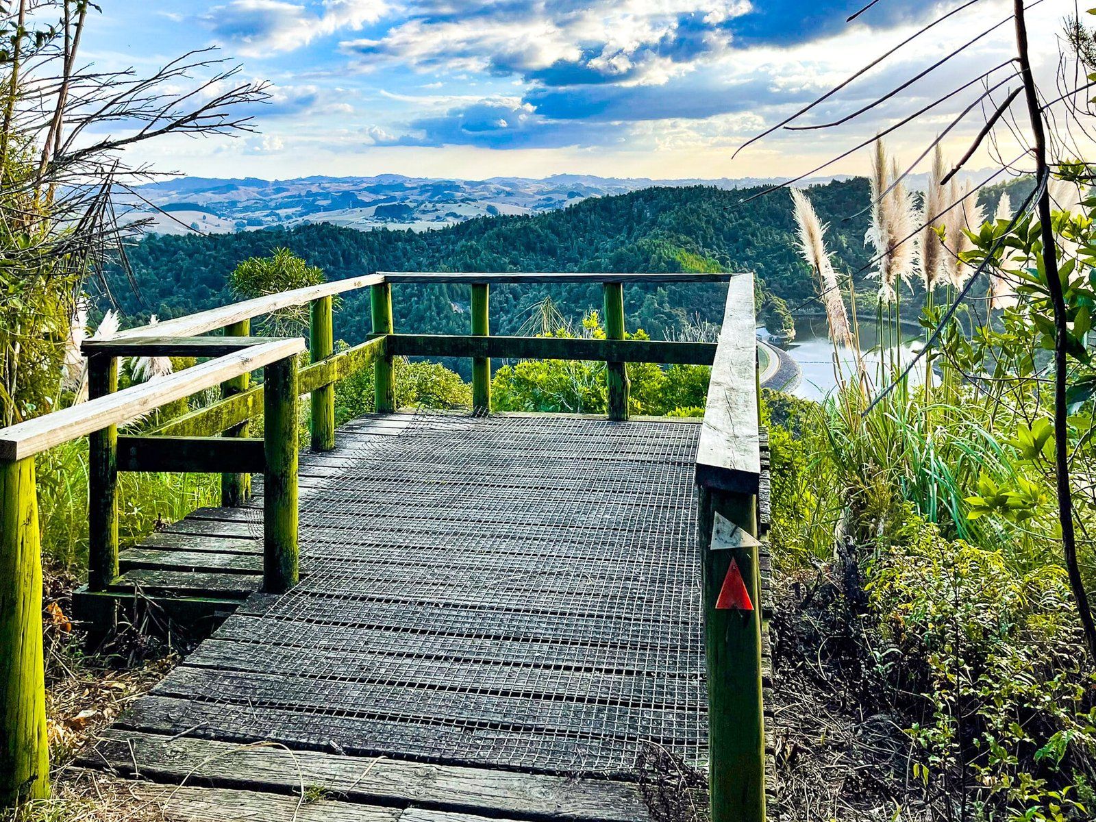
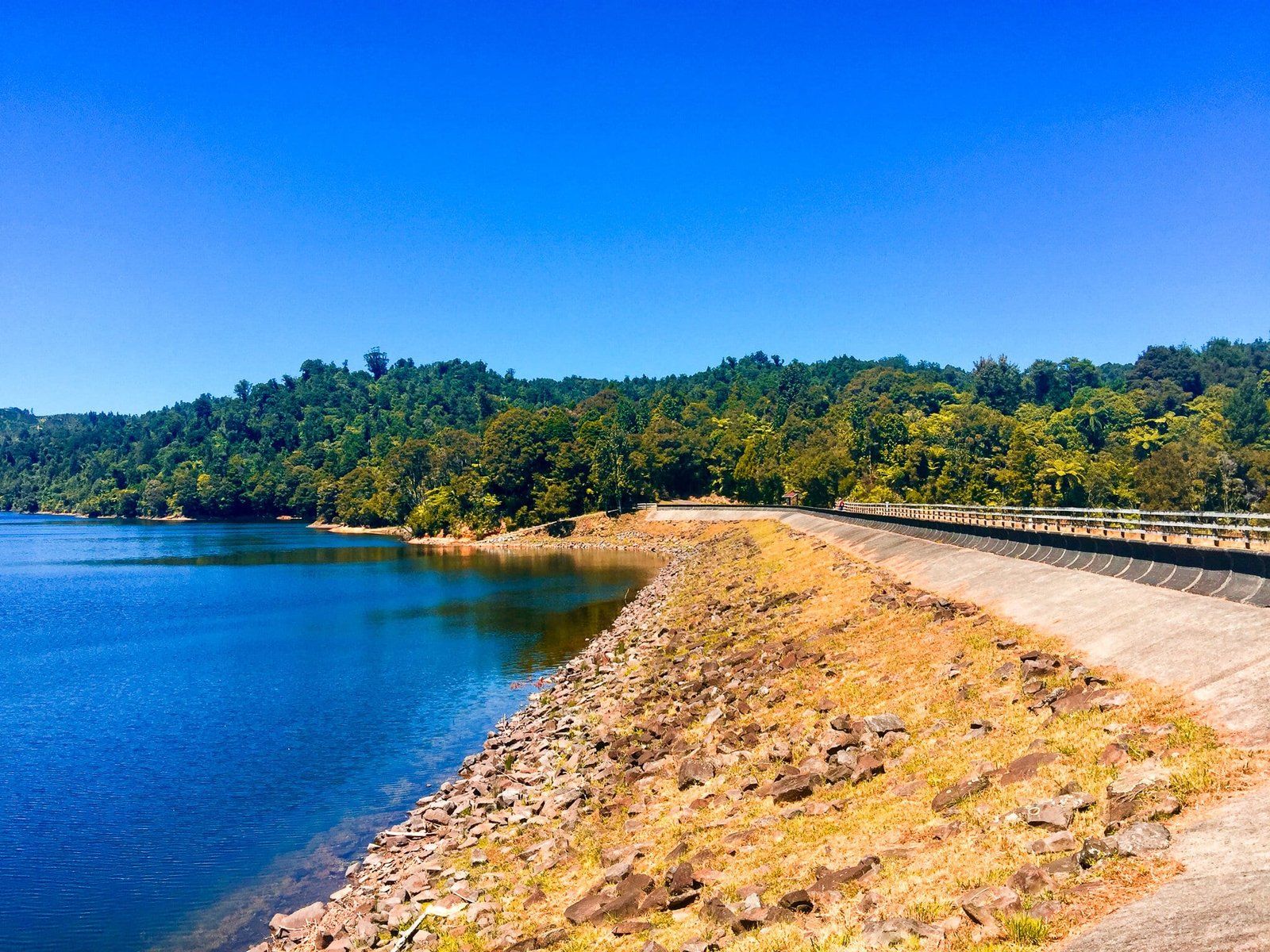
From the main viewpoint over the reservoir and dam, you can walk down to, then along, the dam. Then take the road back to the carpark or walk back along the track. There is also a large grassed area below the dam suitable for picnics. Allow about 90 minutes walk time for the entire loop.
Wairoa Loop Track
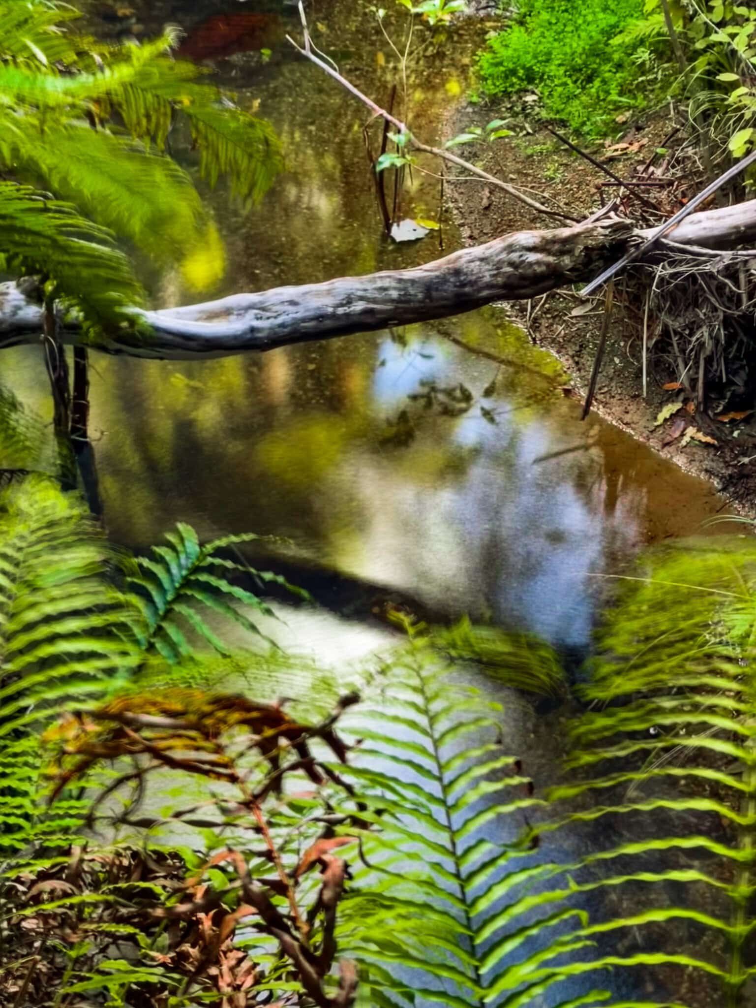
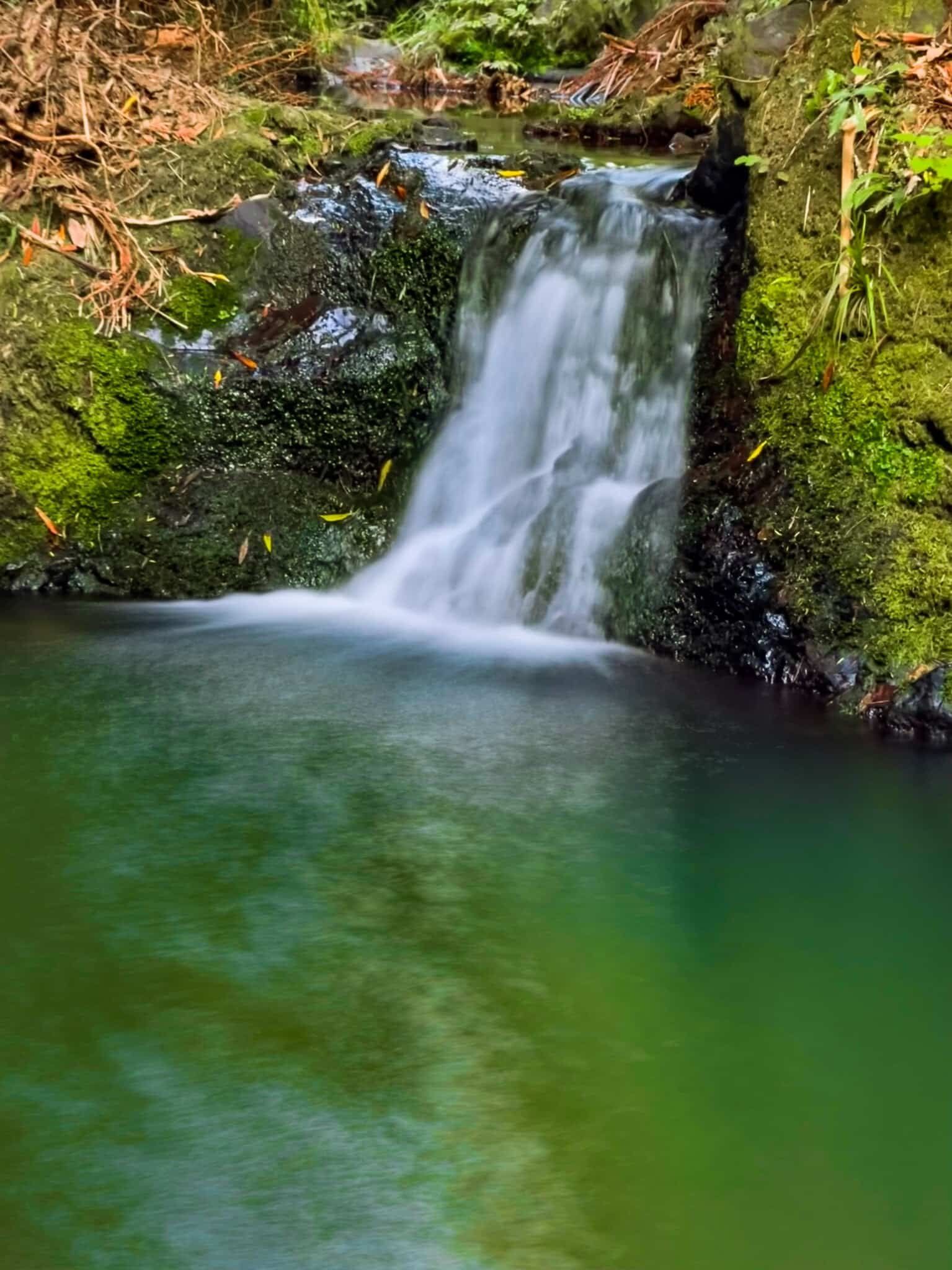
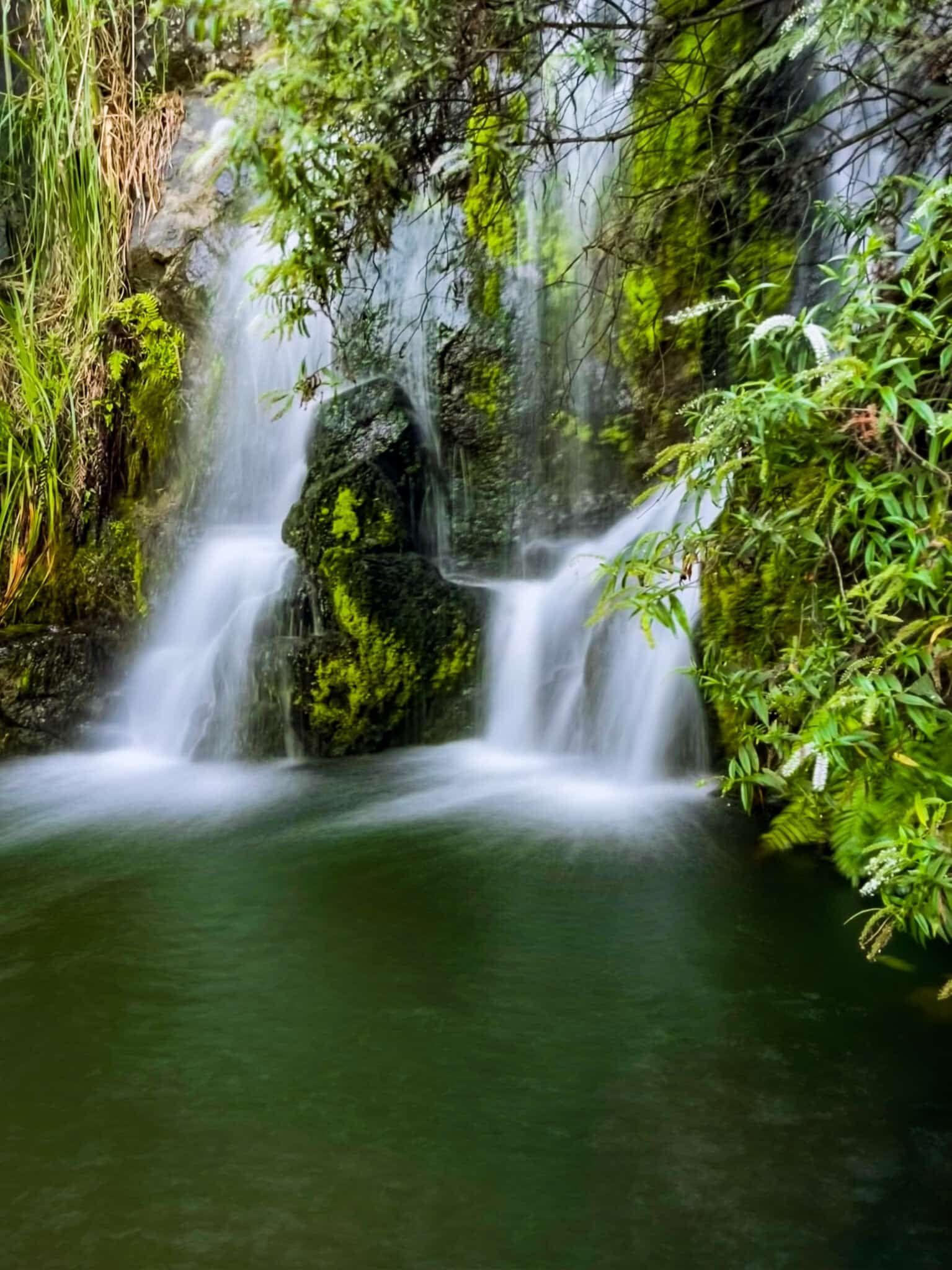
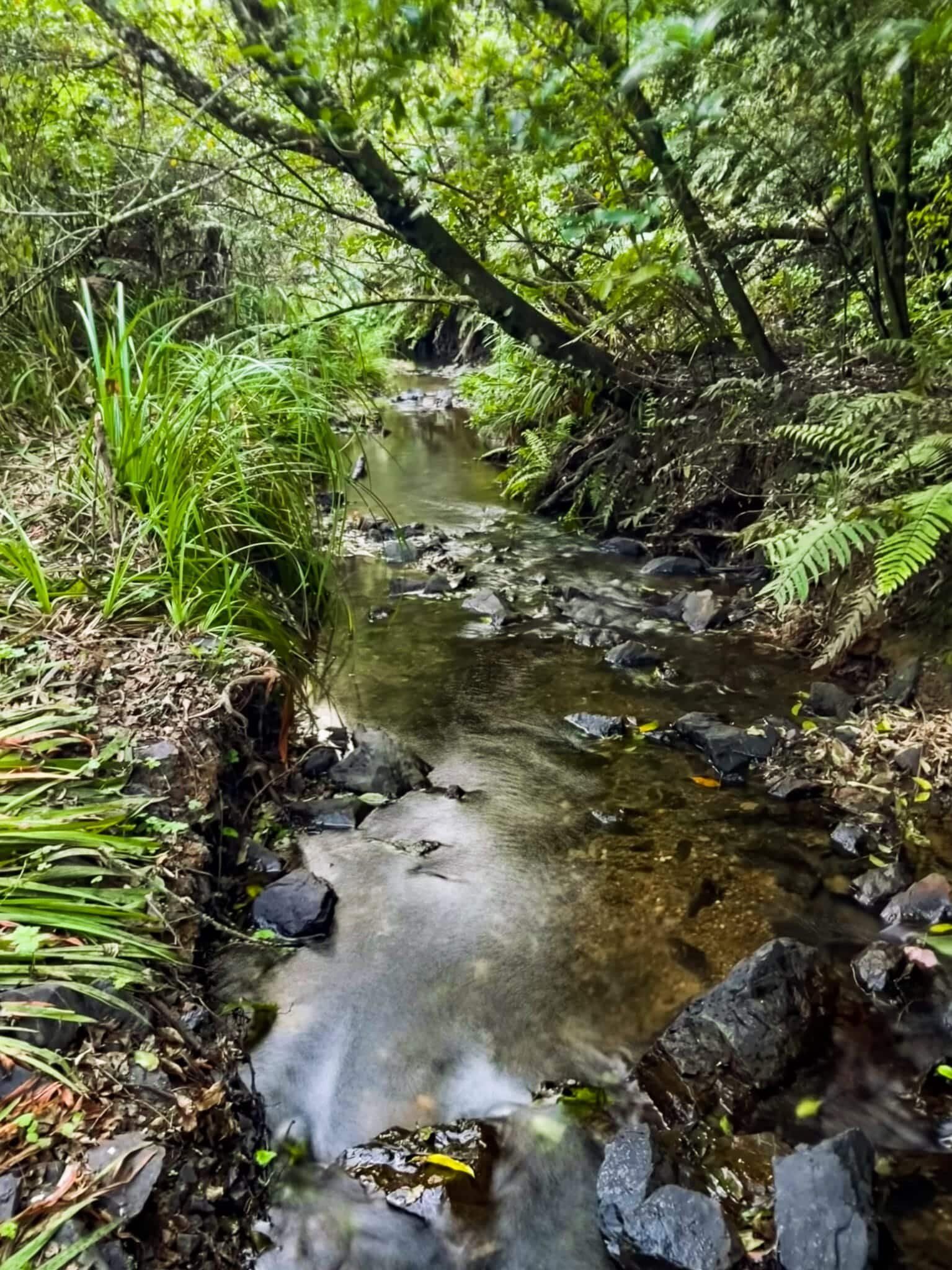
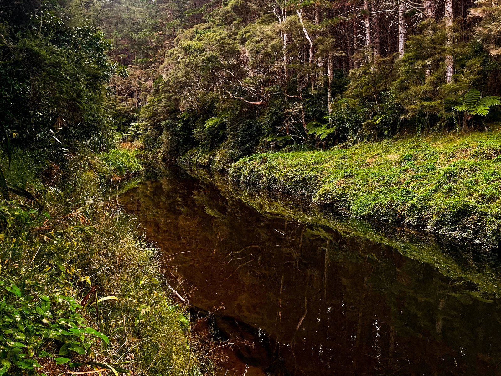
The Wairoa Loop Track starts directly opposite the carpark at the top of Otau Road, just inside Hunua Regional Park. The track begins by following the line of a stream, mostly several meters above it but with a few places where access is feasible. This includes one within a short gorge with a small waterfall and reasonable sized soaking pool. Continuing on takes you up and along a ridge to connect with Repeater Road, an access road for a telco repeater. It’s pretty enough, but there is only one excellent viewpoint from the road, so don’t miss it!
Right next to the repeater is a modest camping area – you have to carry everything in and out – then the trail heads downhill towards the Wairoa Dam. There is a sidetrack (a few minutes each way) to another viewpoint over the dam about a fifth of the way down. The track then connects with the bottom end of Otau Road. Go right for a few minutes to the reservoir and dam and left to walk back up the road to the carpark.
From the dam, you can also take Suspension Bridge Track back to the carpark. Allow about 2 to 2.5 hours for the walk. Add 40 minutes or so for Suspension Bridge Track.
Wairoa Viewpoint
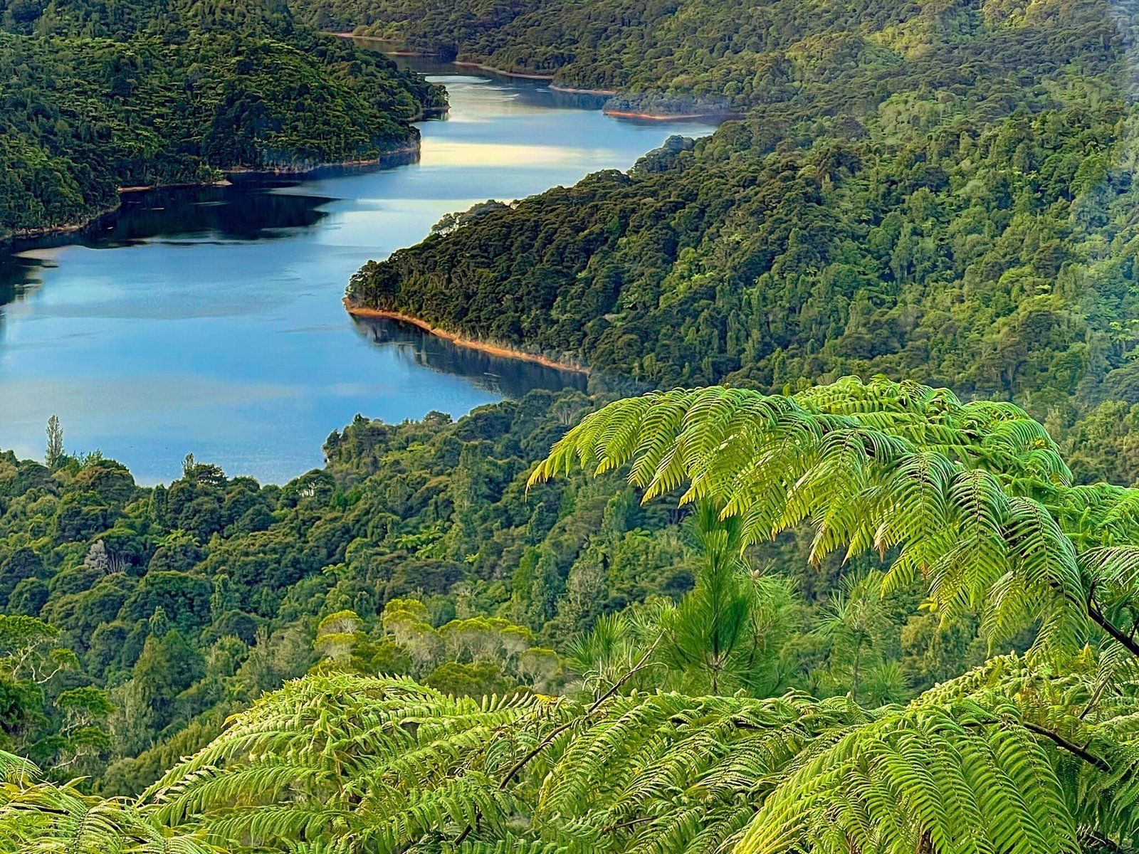
The Wairoa Viewpoint looks directly over the dam and southern end of the Wairoa Reservoir. The quickest way there is to drive down Otau Road and park near the closed gate. Then continue to walk along the road to the clearly marked Wairoa Loop Track entrance on the right. Follow the track up until you reach the junction with Wairoa Viewpoint. It takes a few minutes to walk to the viewpoint.
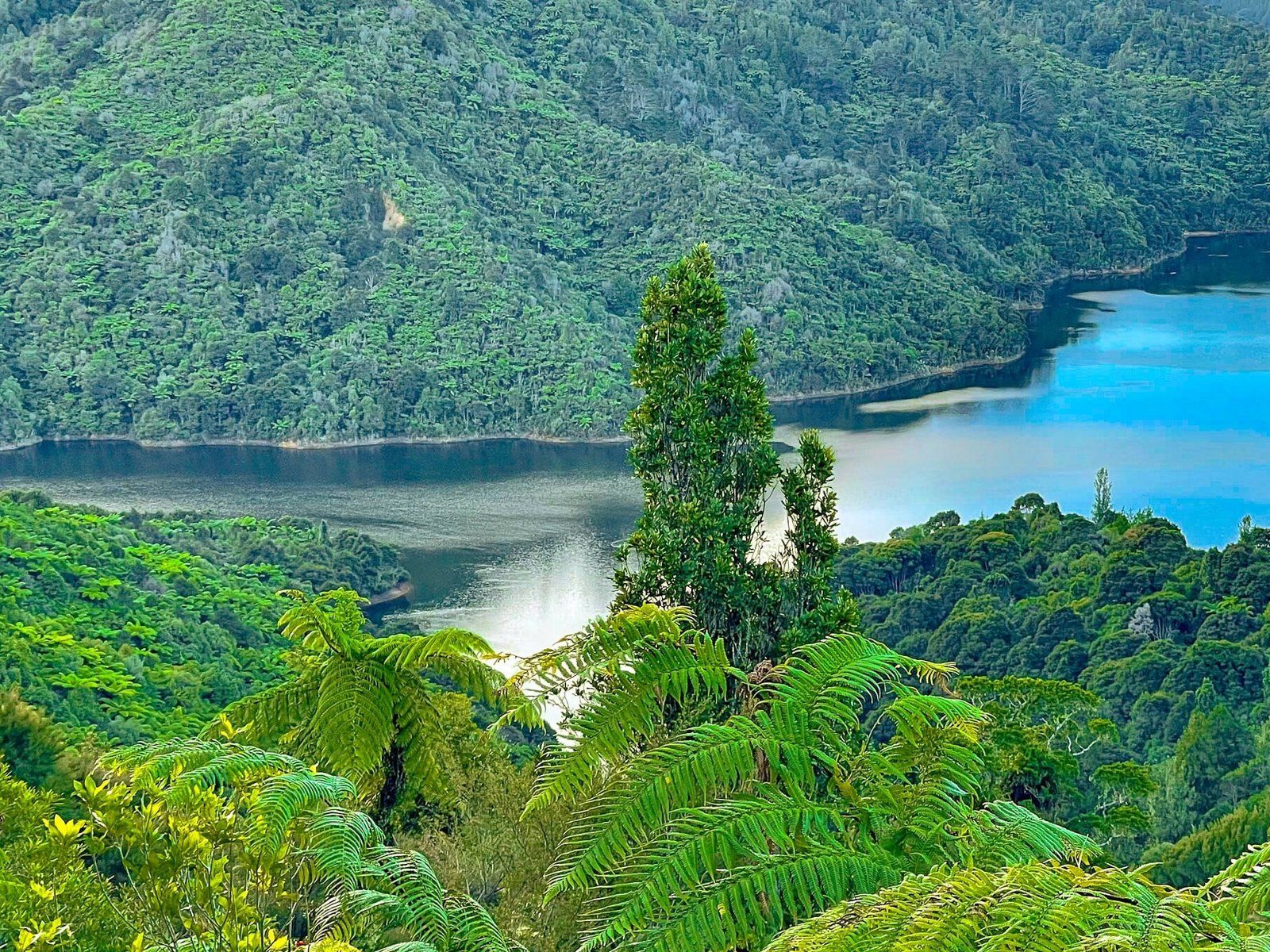
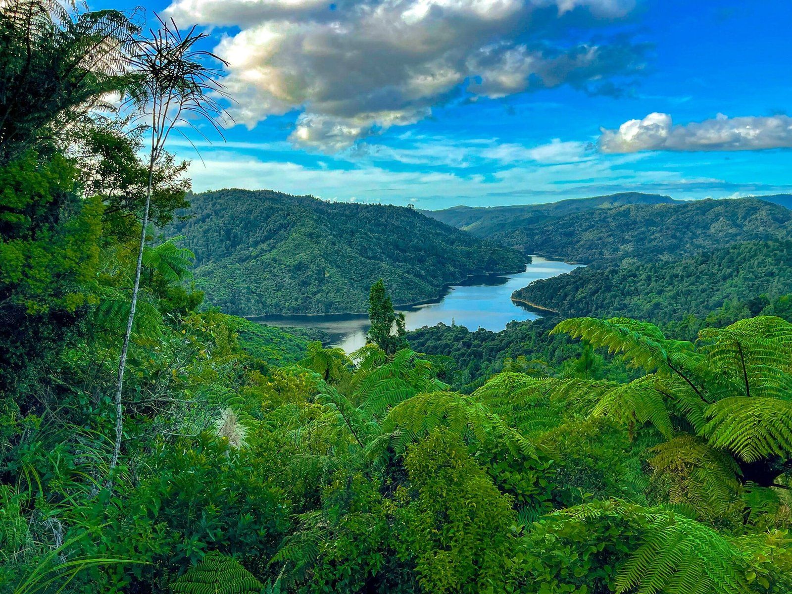
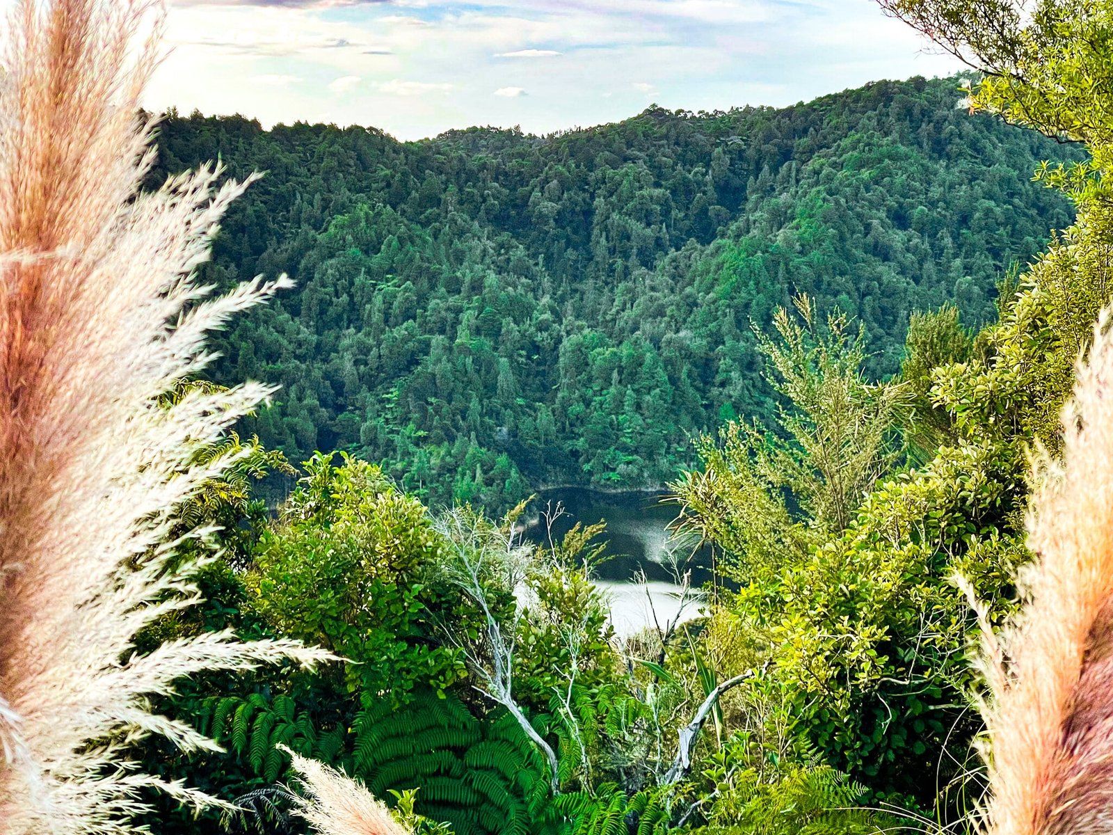
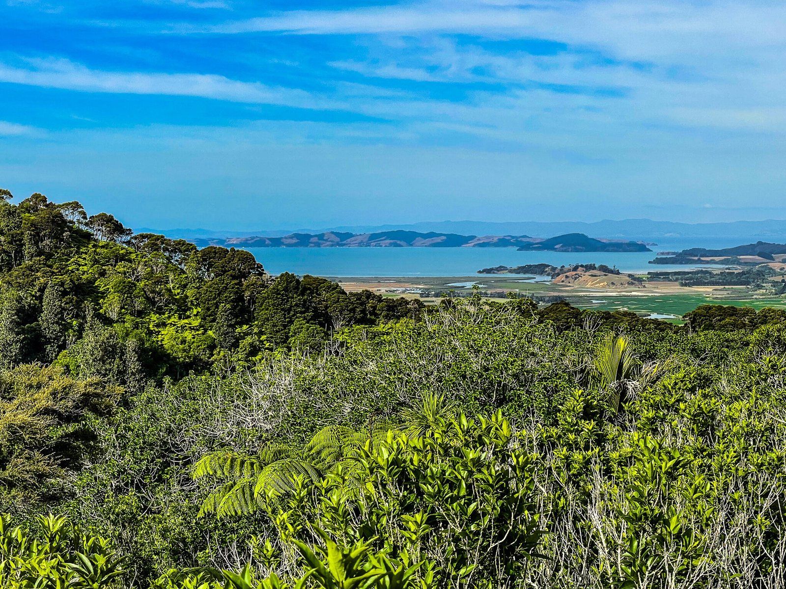
If you continue on the Wairoa Loop past the repeater station, you will see a second viewpoint over the reservoir, looking north.
Overall, allow about 90 minutes return for the first viewpoint.
Wairoa Falls
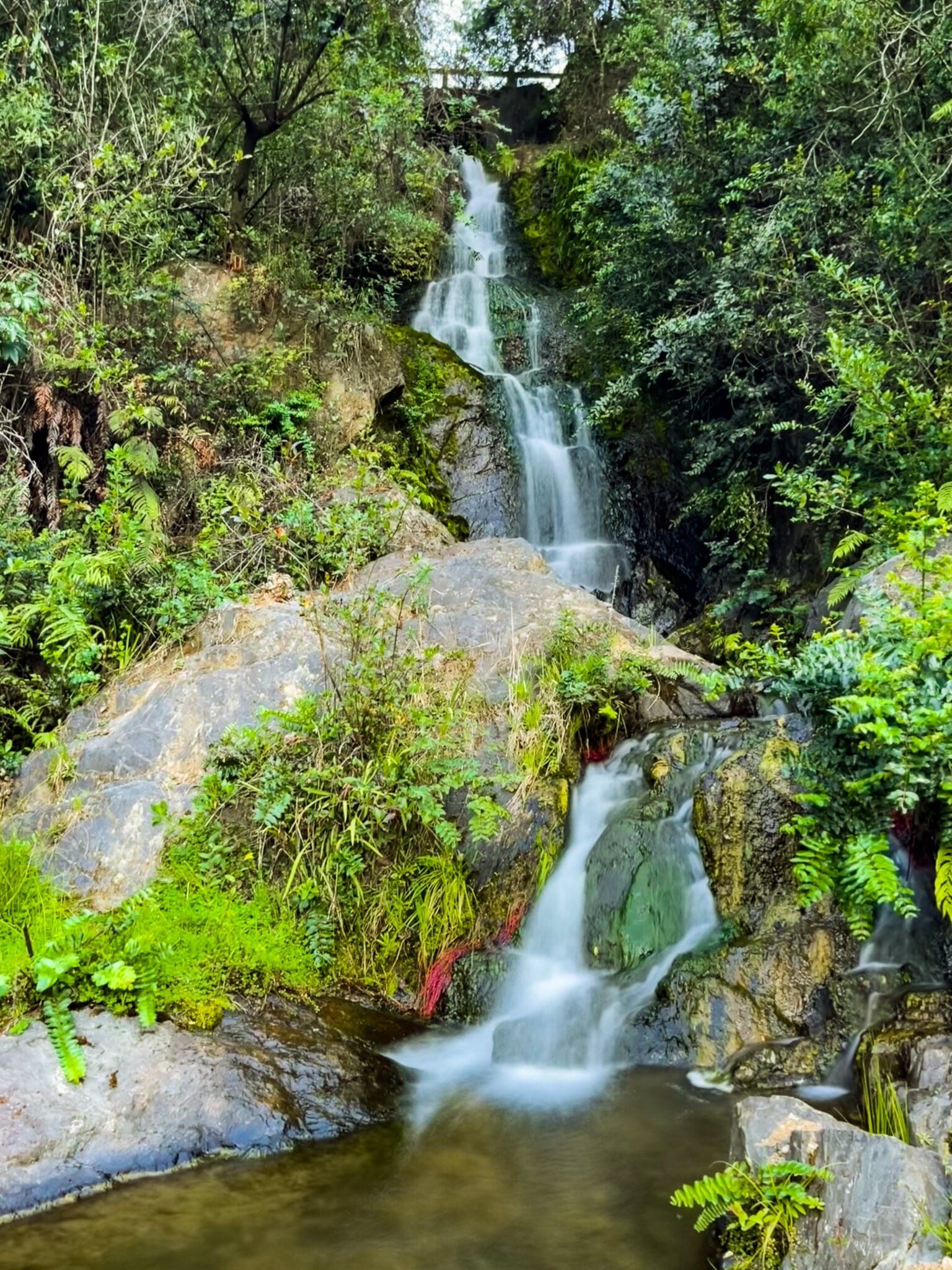
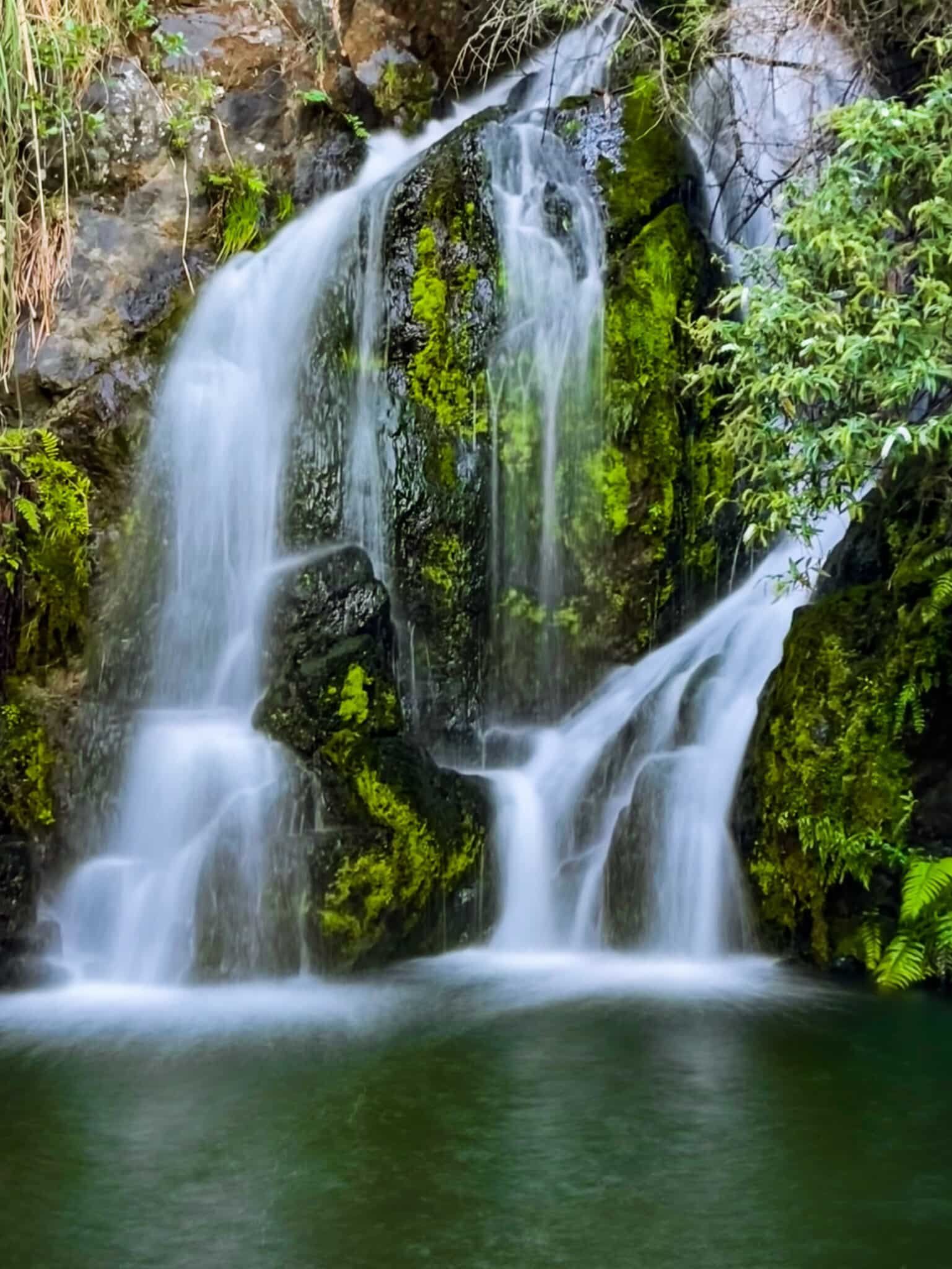
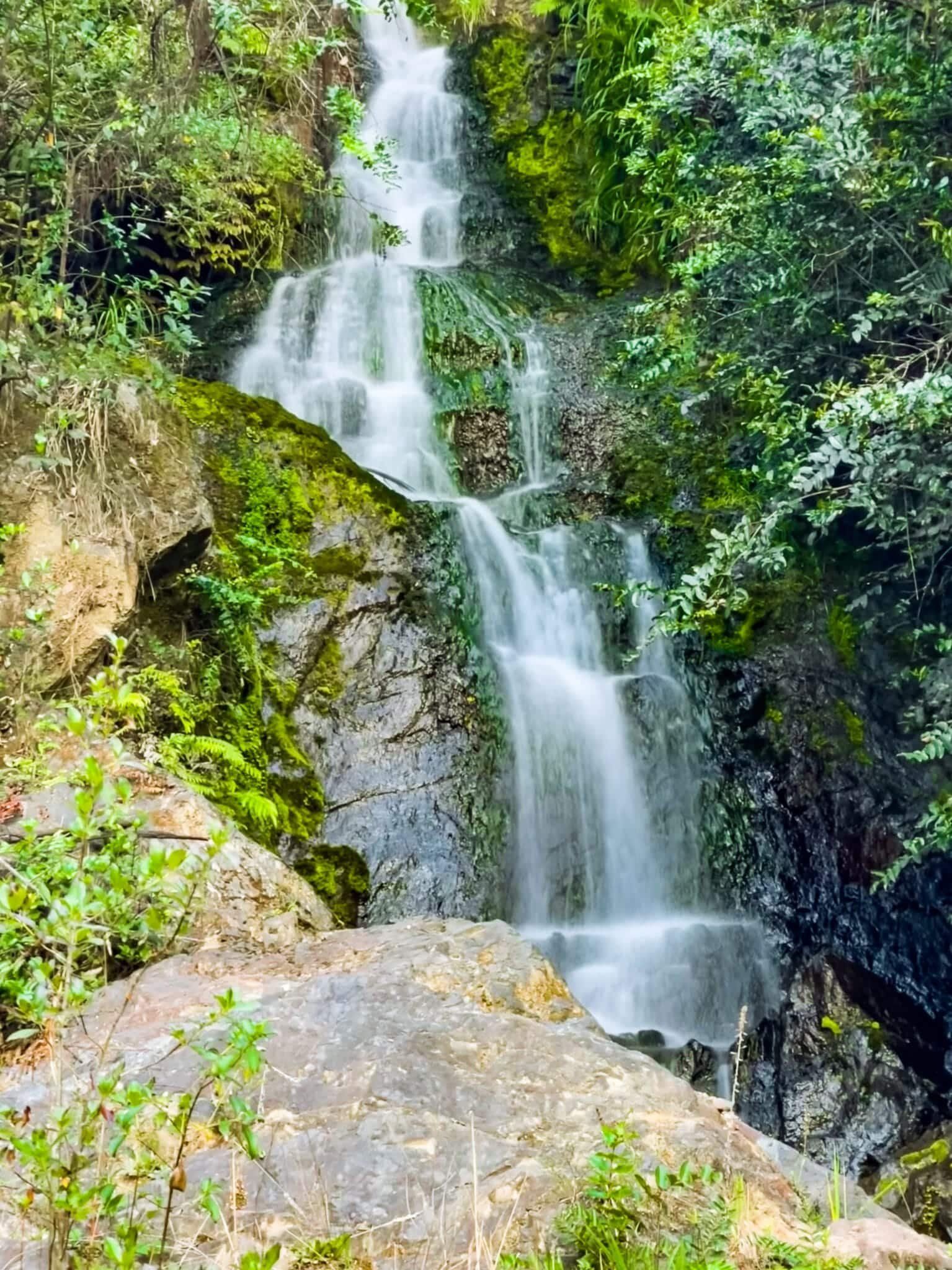
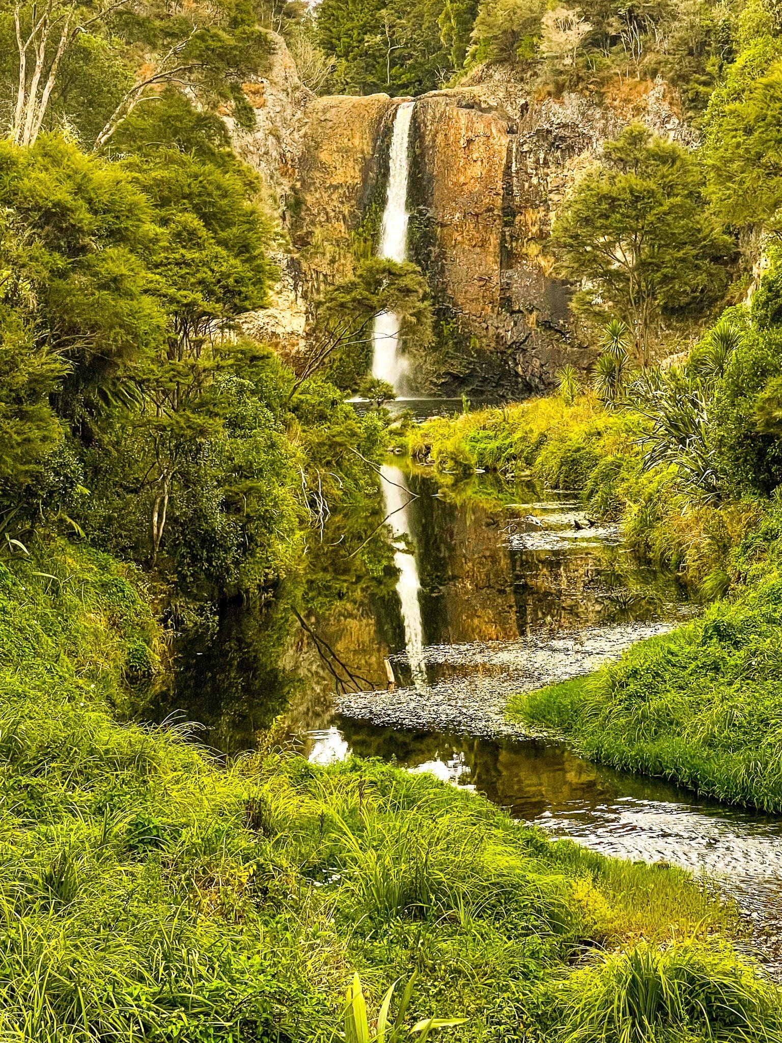
The Wairoa Falls is the unofficial name for a decent sized waterfall immediately below the Ohau Road car park. As you go into the carpark, you will see on the right some rocks around the edge. Walk behind these to see the top of the falls, but don’t try and find a way down from here!
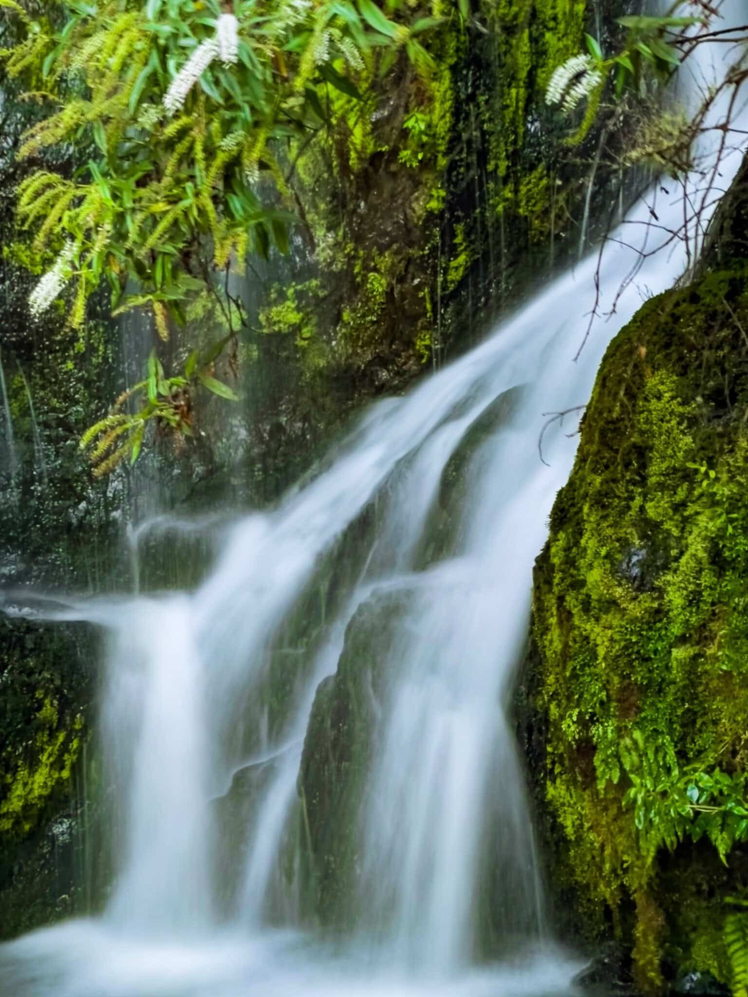
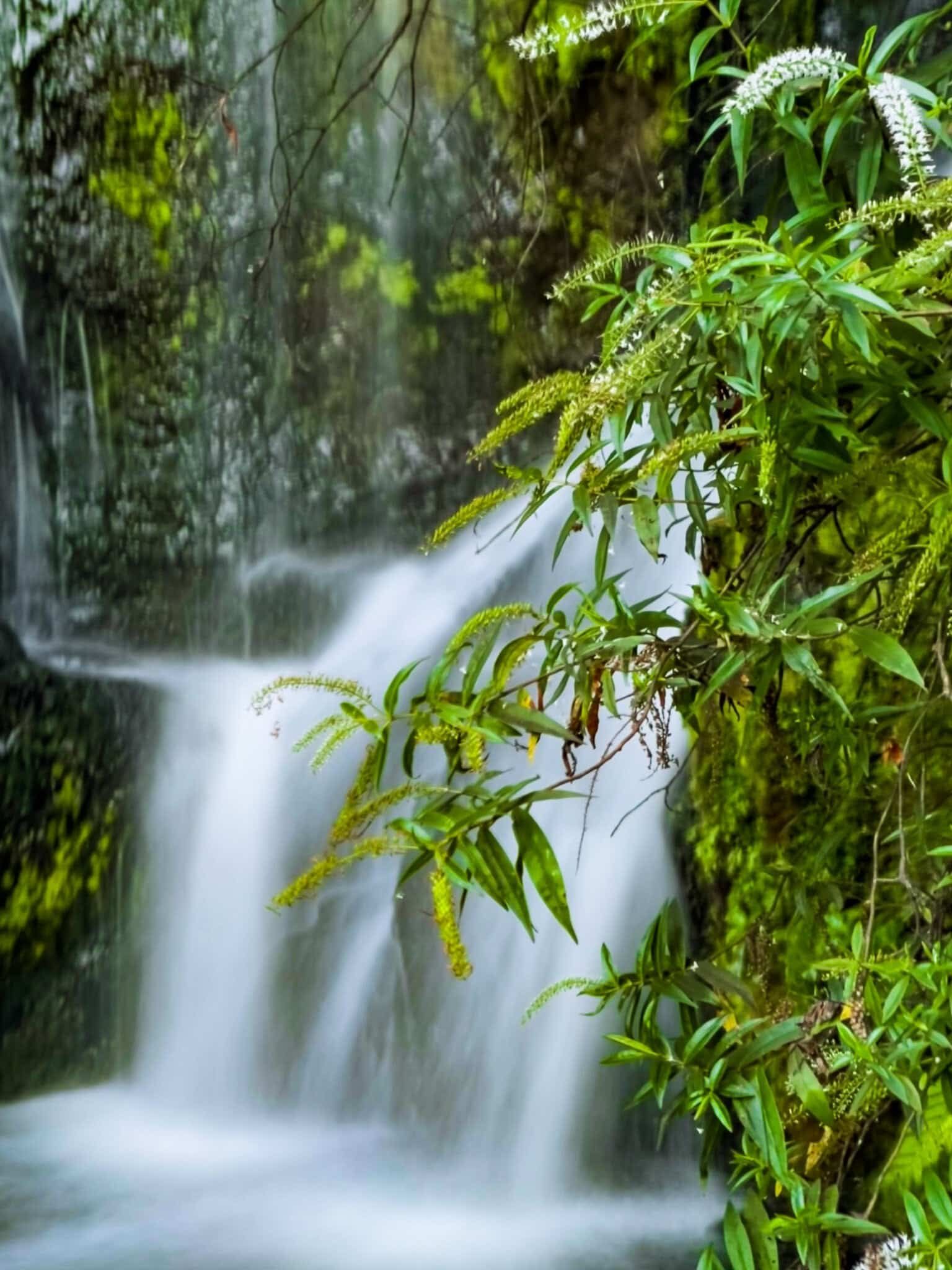
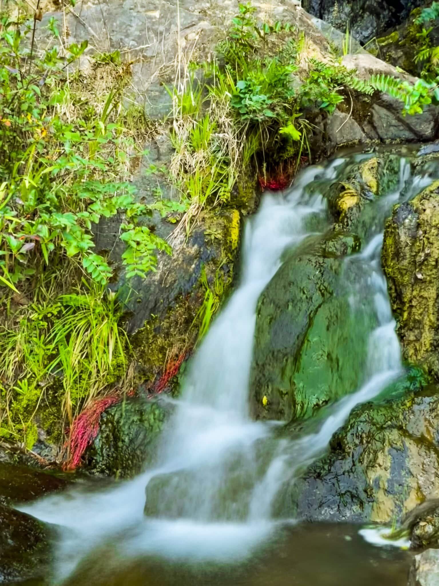
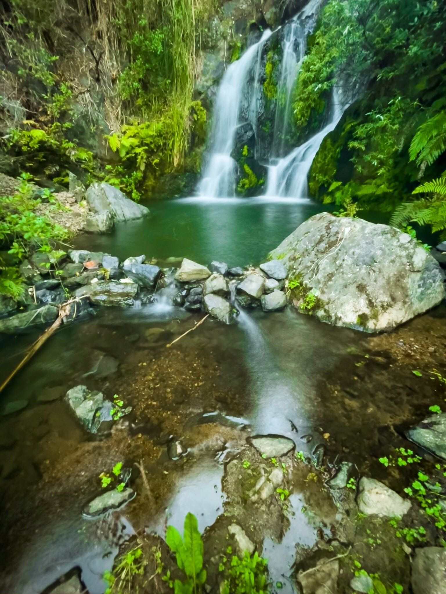
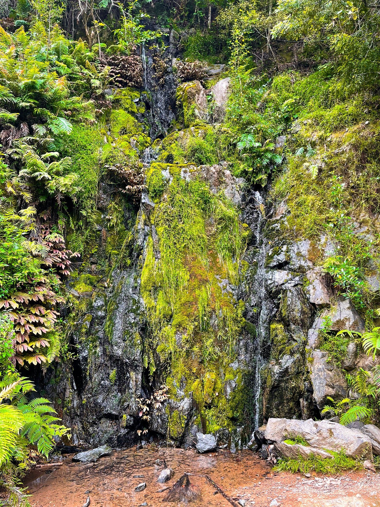
If you go to the far end of the car park there is a reasonably obvious gap in the bush with an informal easy track down to a rocky area at the base of the falls. You can then clamber down the rocks and follow the steam for about 50 metres. This takes you to the base of another very pretty waterfall, fed by a different stream. Someone has even gone to the trouble of building enough of a stone wall to create a soaking pool below the falls.
Expect to get your feet wet to some degree for the second waterfall, depending on how overgrown the adjacent scrub is.
Cossey Massey Loop
The Cossey Massey Loop at the northwest end of the Hunua Regional Park and range is a superb half day hike, arguably one of the best in the Auckland region. This is due to the variety of experiences you get within a single hike.
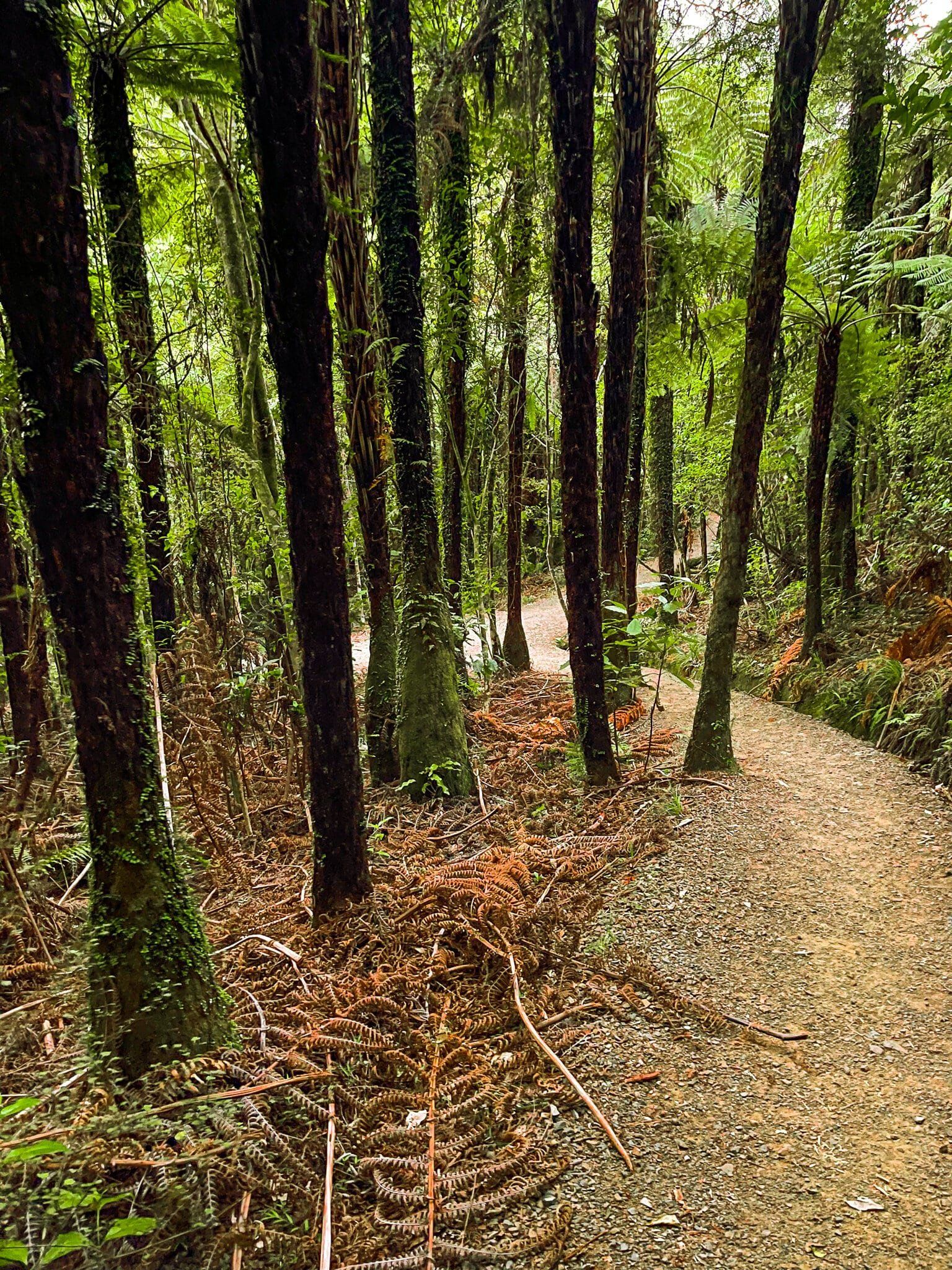
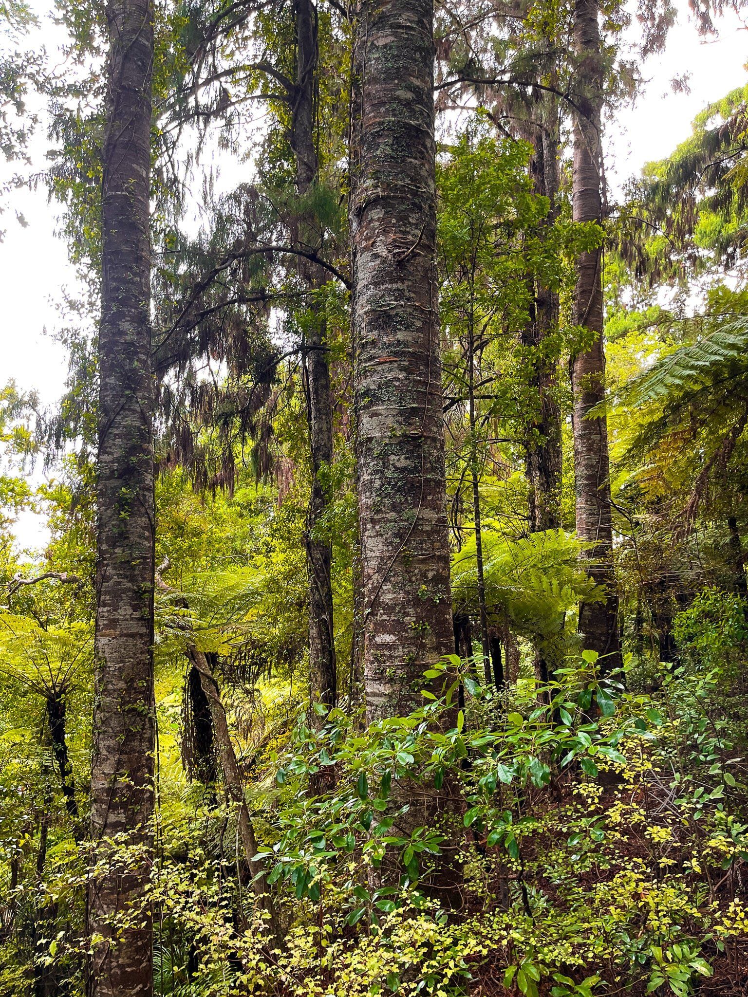
It takes about 3 hours to do the loop, including a visit to Hunua Falls. The walk rises up through the Cossey Gorge, then crosses the Cossey Reservoir dam, provides viewpoints of the reservoir from the ridge above the dam, and takes you through beautiful native forest. This includes a stop near the highest point in a group of reasonably mature kauri trees, perfect for a break. Overall, it’s about a 200 metre climb.
You can start from Hunua Falls carpark; head across the footbridge and follow the signs, or you can park up near the Cossey Reservoir Dam. Be mindful Hunua Falls are very accessible and particularly popular with locals on nice weekends and public holidays.
Hunua Falls
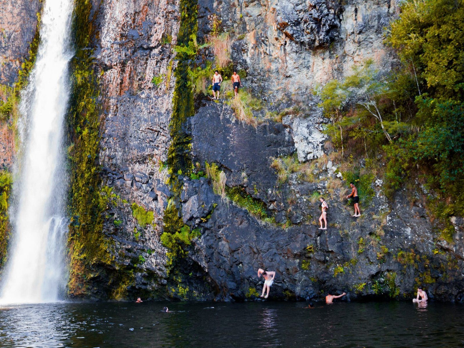
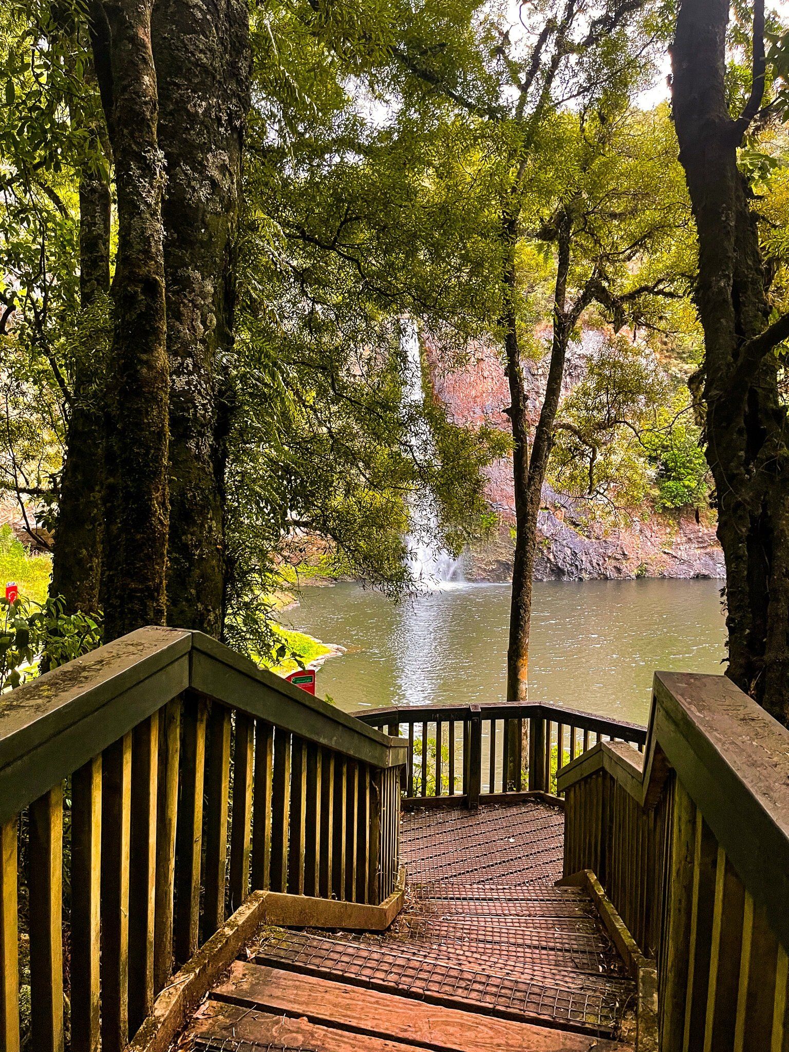
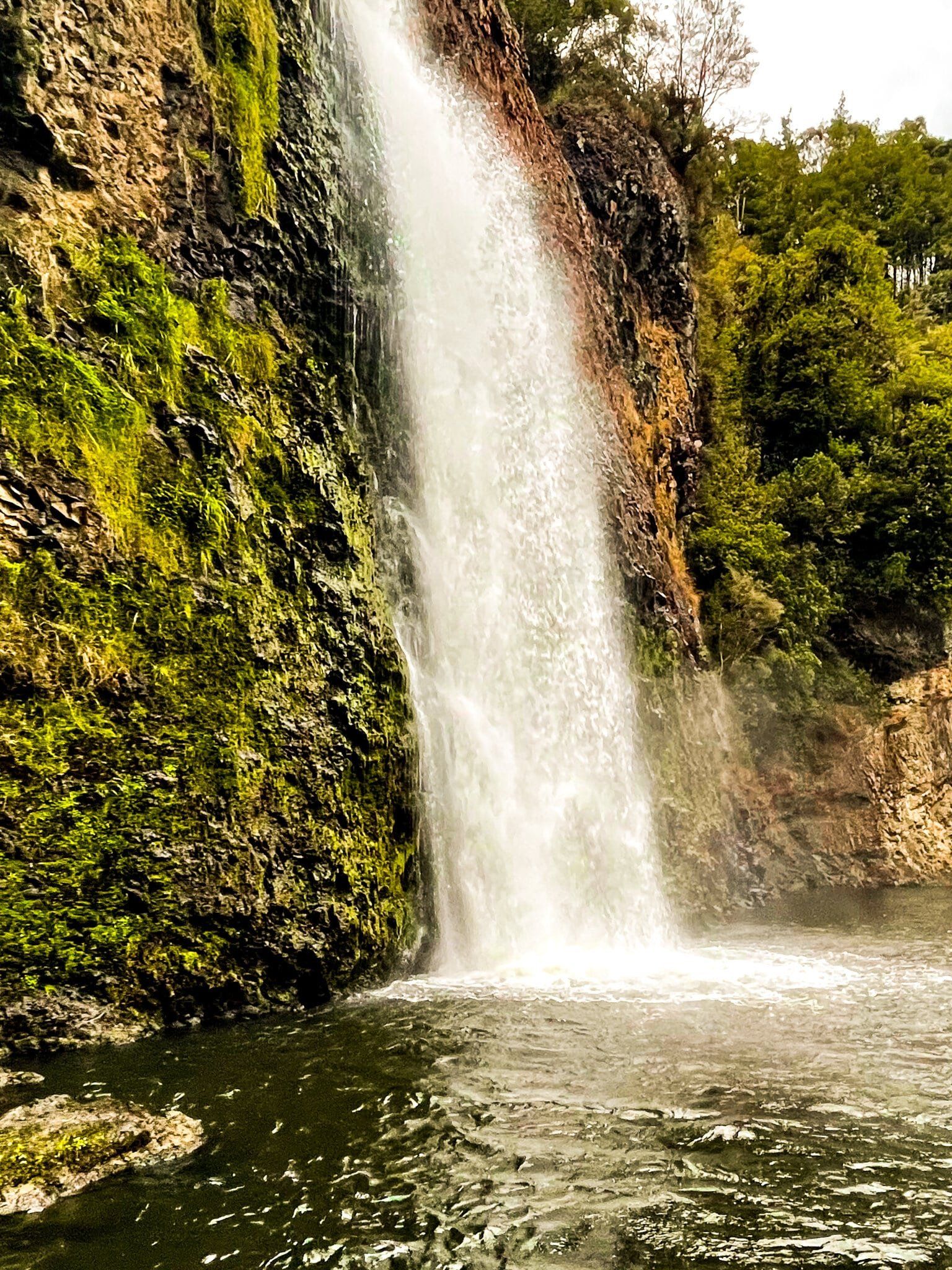
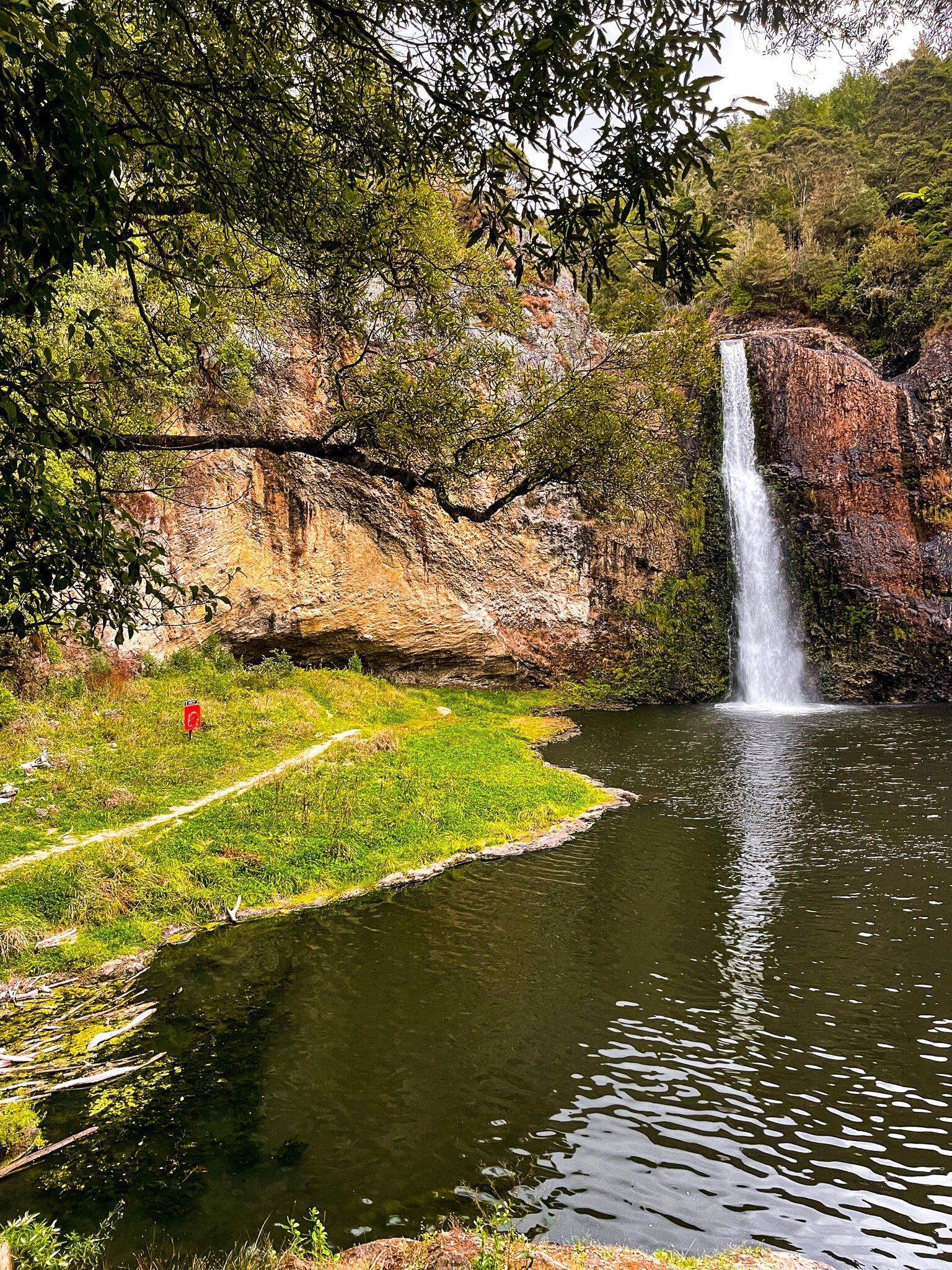
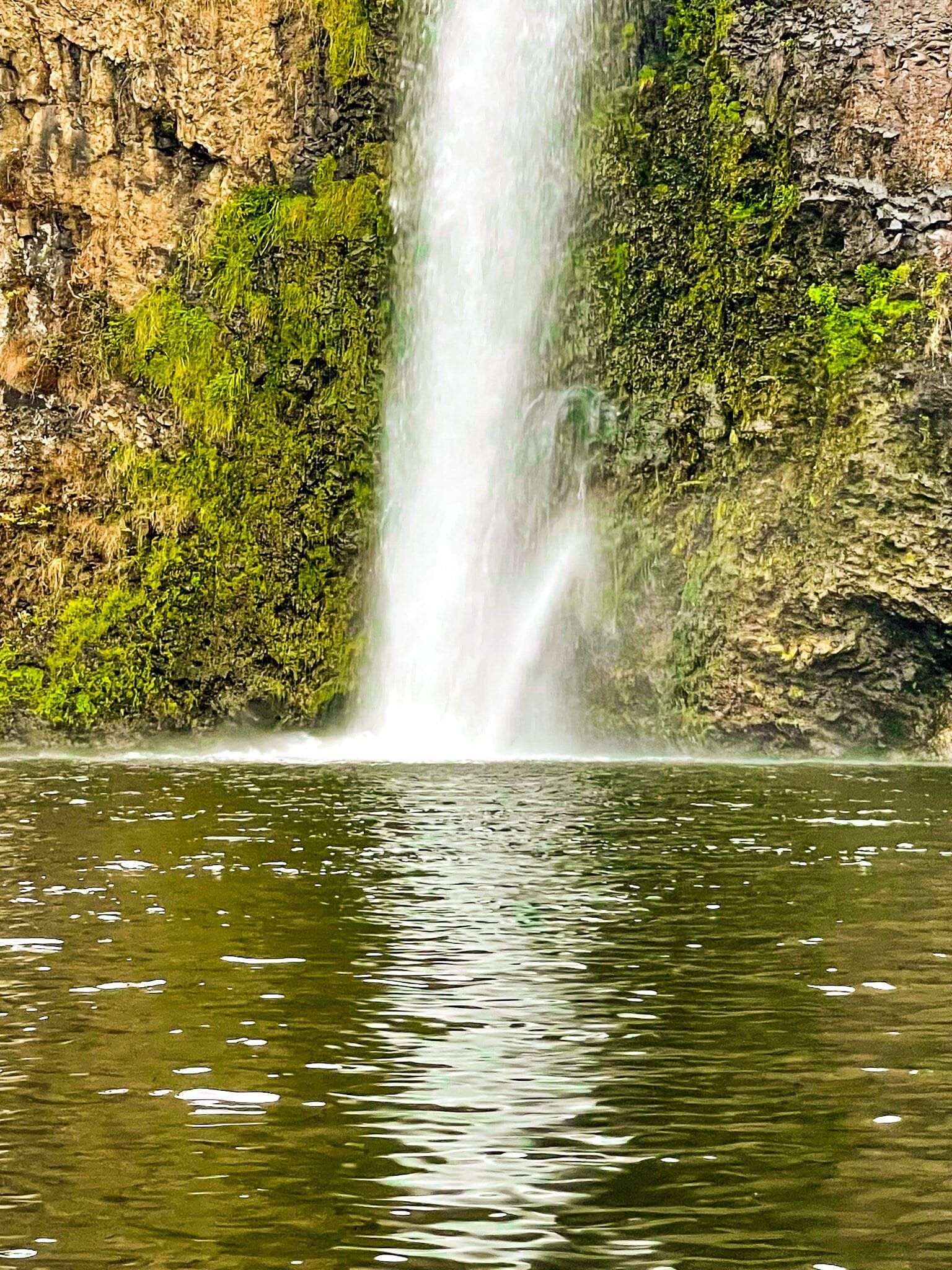
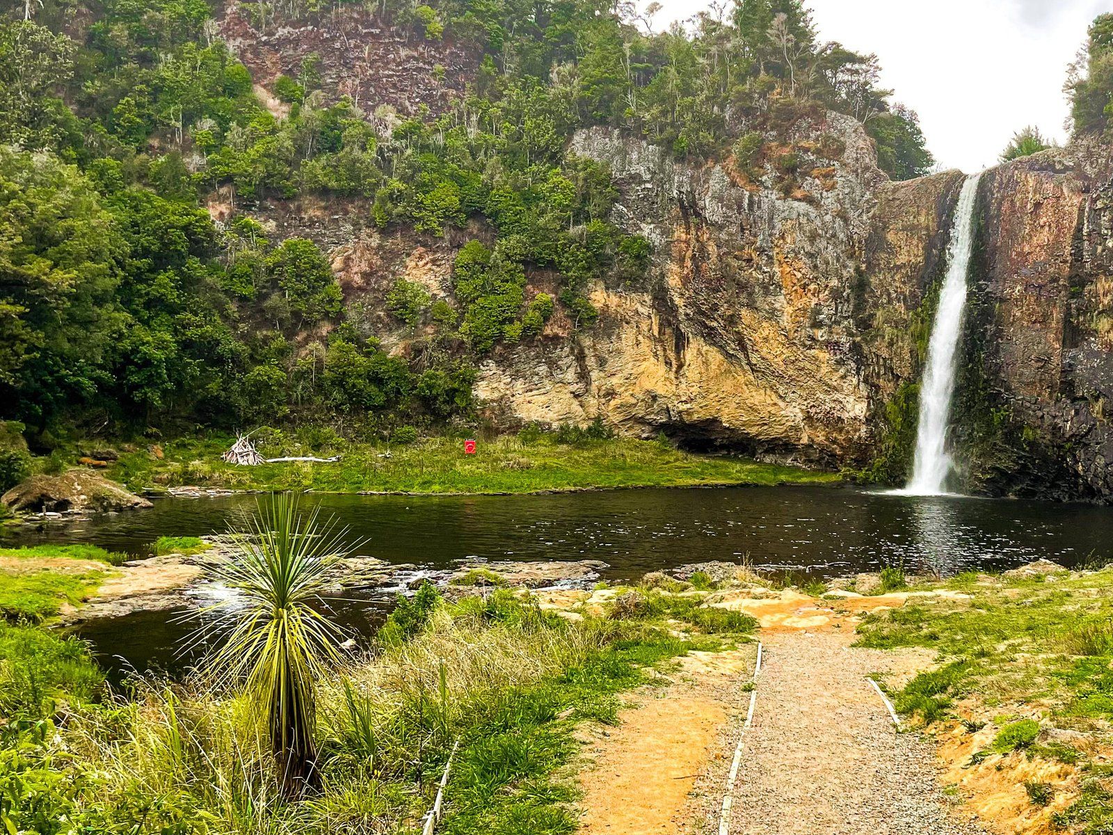
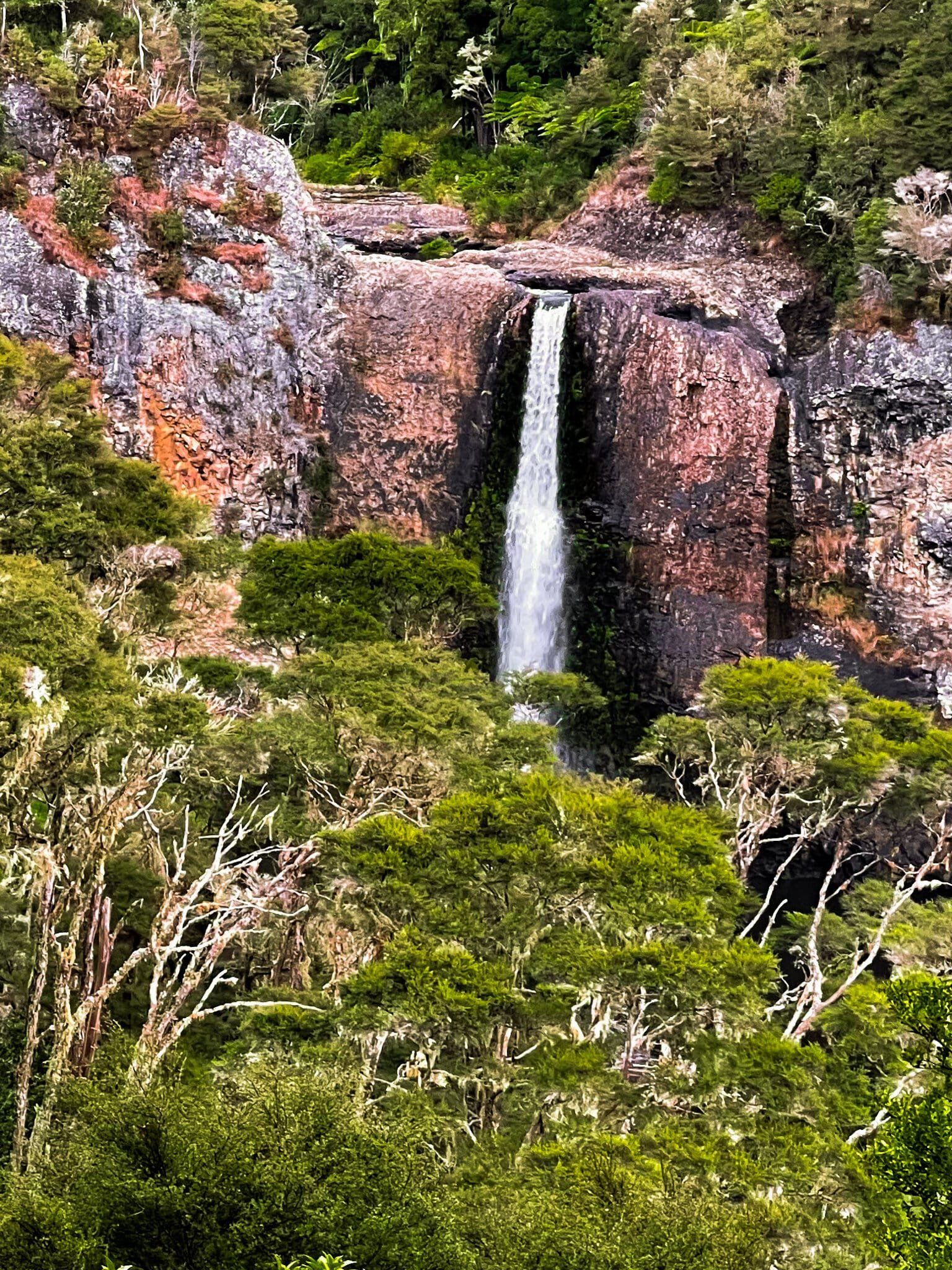
Hunua Falls is one of the top waterfall attractions in the Auckland region. It’s a decent height at 30 metres, with a near sheer drop on the Wairoa River over a volcanic outcrop. There is a large pool at the base for swimming in and, near the falls, the pool is deep enough to jump into from the side of the cliff. Don’t be overly surprised to see a queue of kids edging up a narrow ledge on the cliff to take their turn! There is also enough grassed space to settle in for a while.
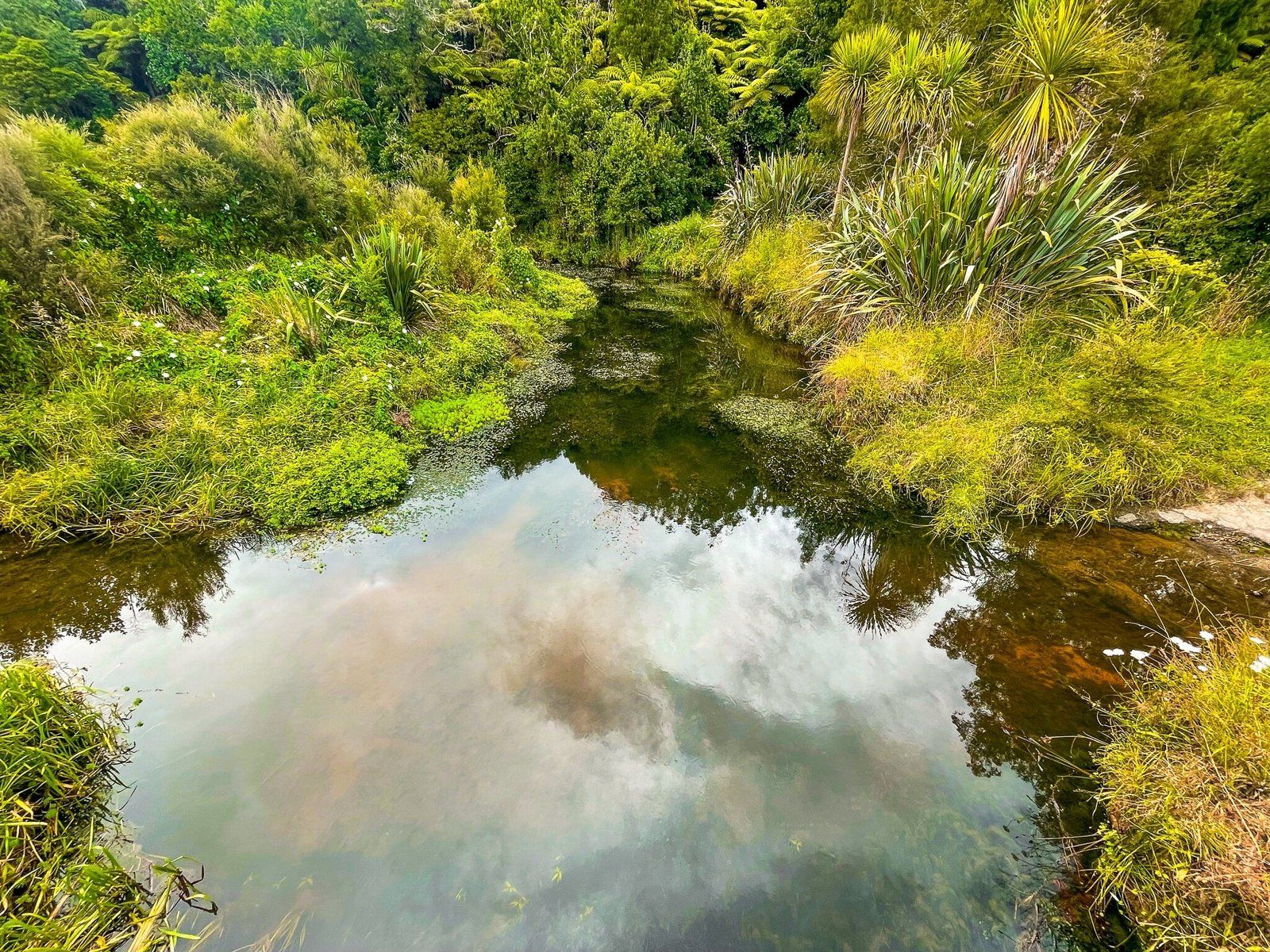
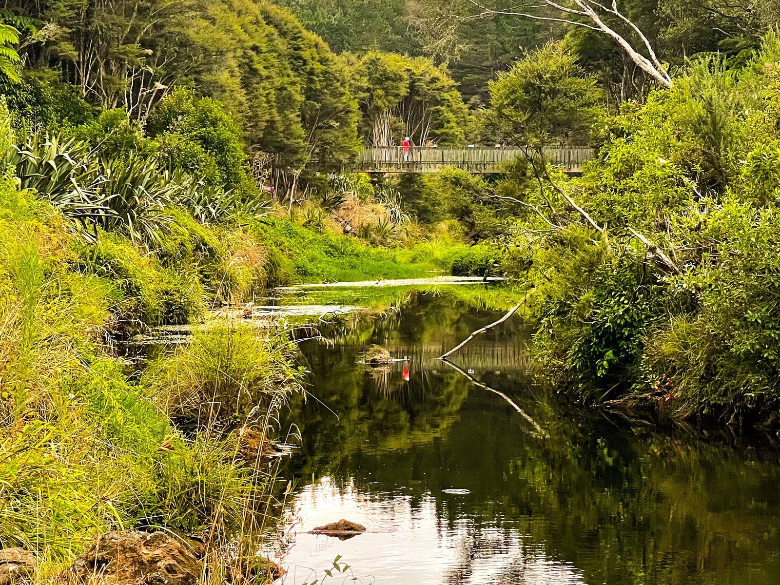
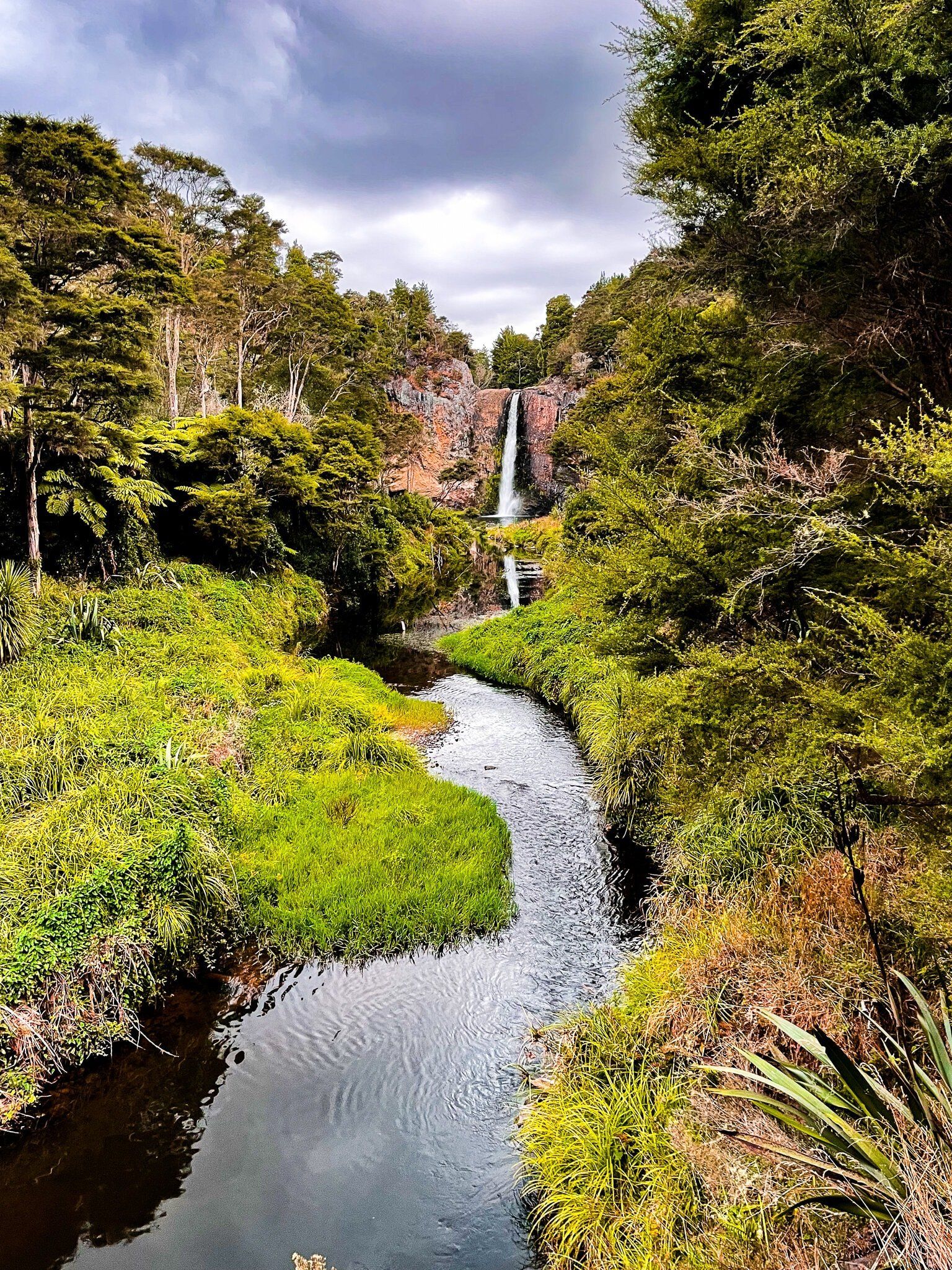
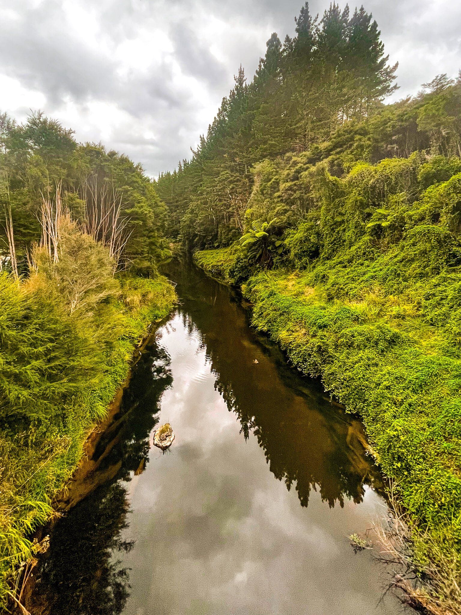
A popular photo is from the bridge over the river. Look towards the falls about a third of the way over for the reflection of the falls. Continue on over the bridge to take the short tracks to the lower and upper lookouts. Just beyond the lower lookout is as close as you can get without getting your feet wet.
If you feel like a longer hike, continue on from the bridge on the Cossey Massey Loop, about 3 hours in total.
The falls are also exceptionally popular, in part because they are so easy to get to. There is a large car park only a couple of minutes walk from the falls. Drive from Hunua for a few kms along White Rd then to the end of Falls Rd. Try and avoid sunny weekends and holidays if you don’t want to queue for your turn to jump!
Hunua Falls Loop Track
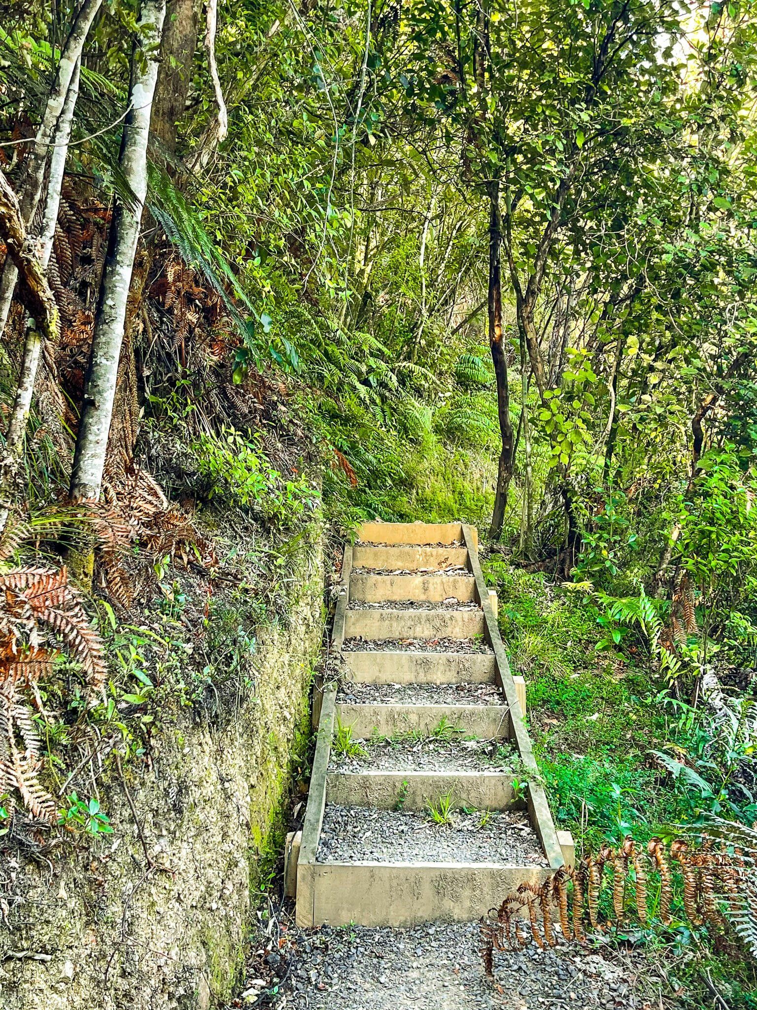
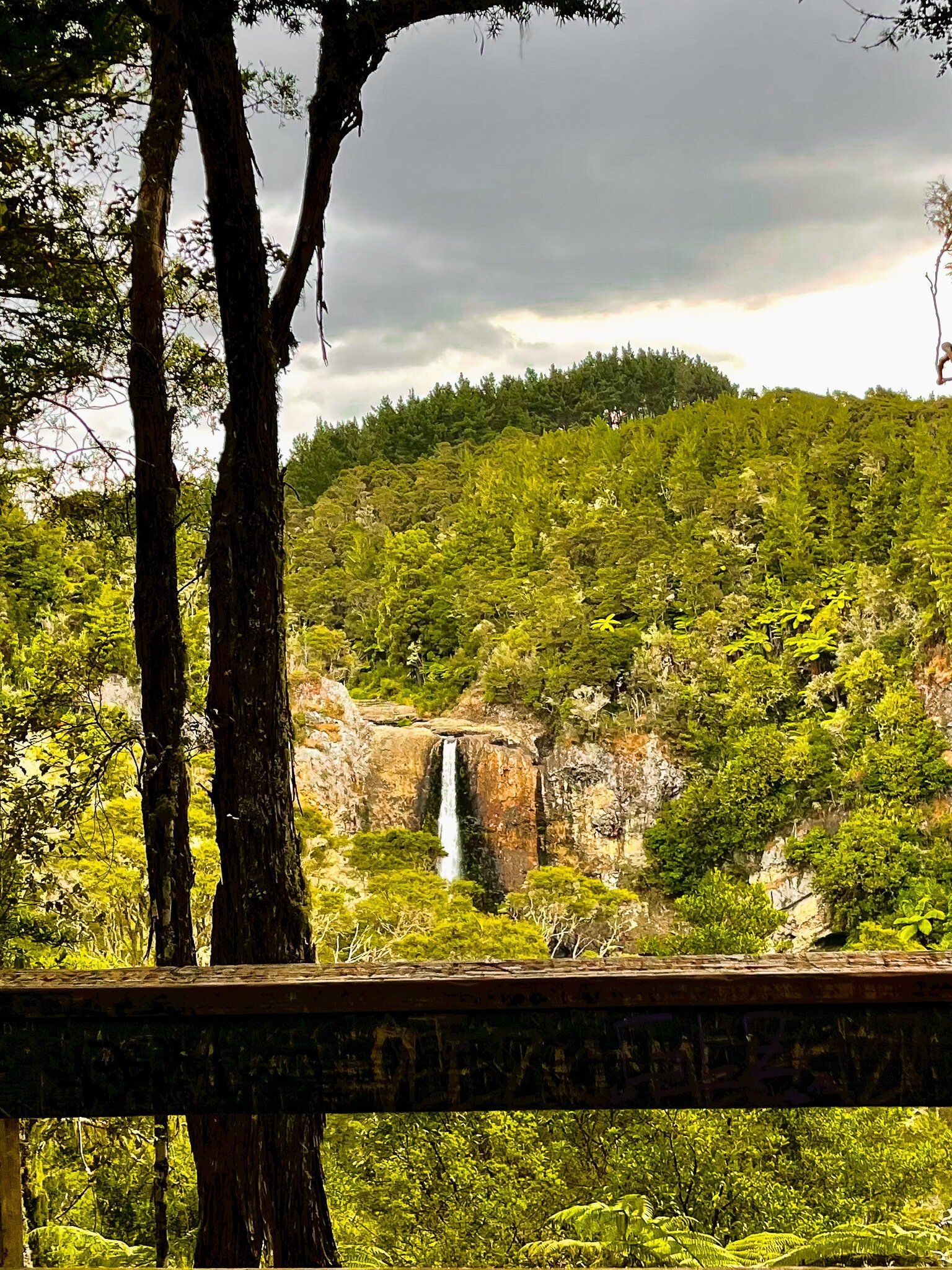
Hunua Falls Loop Track is a short 15 minute walk one way from the Hunua Falls carpark to a high viewpoint of the falls. From the carpark, go through the kauri protection gates, then over the bridge. Pause halfway to get the reflection of the falls in the river. On the other side, follow the signs. There is a short sharp climb with steps to the ridge, through pretty regenerating native forest, then a deviation to the viewpoint. Continue on the loop to return to the bridge.
From the start of the loop, it is also only a couple of minutes to a lower viewpoint and the left hand side of the falls.
Clevedon Scenic Reserve
The Clevedon Scenic Reserve is one of the 30 or so Auckland City regional parks. It consists of a flat mostly grassed area around the base of a 225 metre high hill, swathed in a mix of, mostly regrowth, native forest. It is right on the north edge of the village of Clevedon (mostly surrounded by farmland), to the northwest of the Hunua Ranges. The Wairoa River runs beside the access to the park. For most people, it’s a bit out of the way but it can be busy on weekends with plenty of local support.
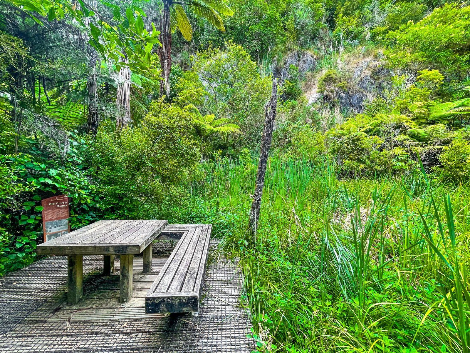
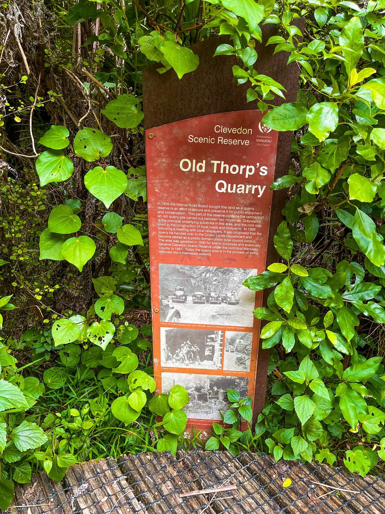
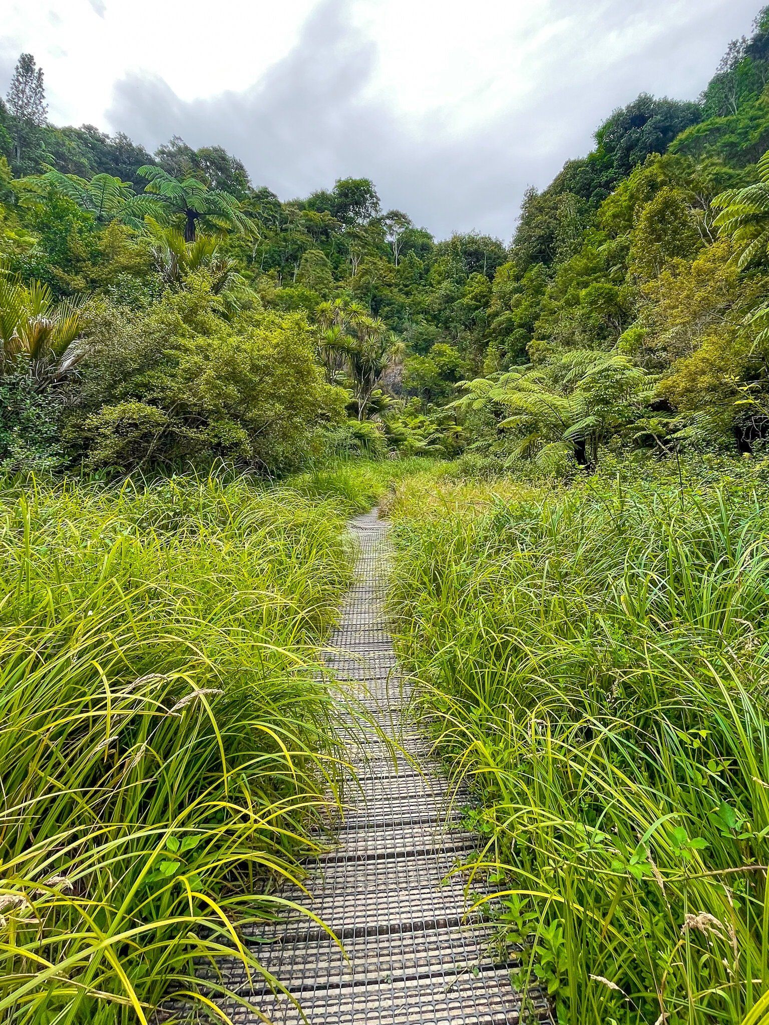
There are several features, the main ones being the viewpoint at the top of the hill, an exceedingly pretty climb through a mix of native trees on the Puriri Track and a section of kauri on the Totara Track (they form a loop to the viewpoint and back). There is also a modest waterfall at the end of the very short Thorps Quarry walk. Te Araroa connects with the loop near the viewpoint.
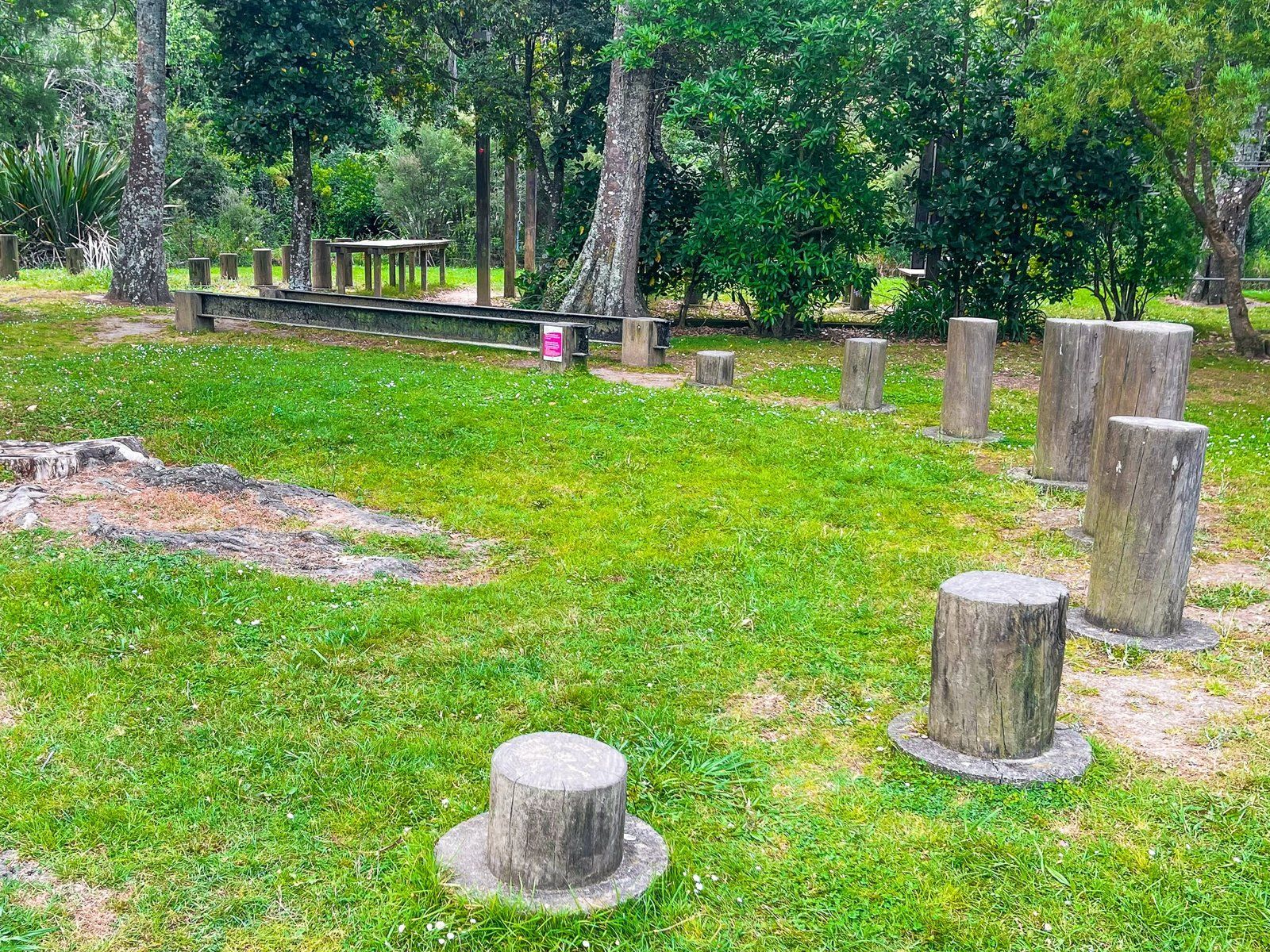
The area around the base has space for picnics and, oddly, a kind of obstacle course. Kids will probably enjoy it!
Puriri Track
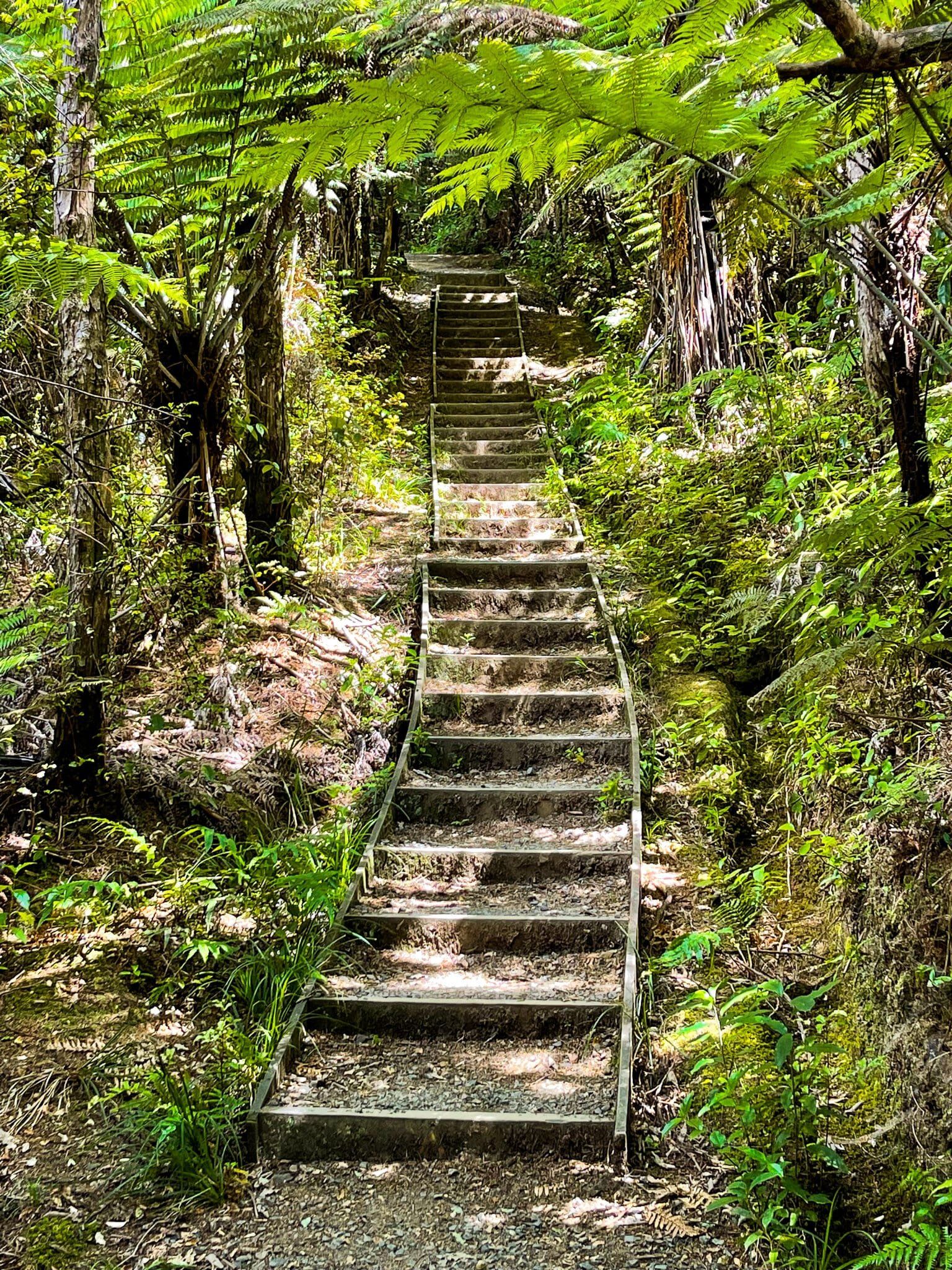
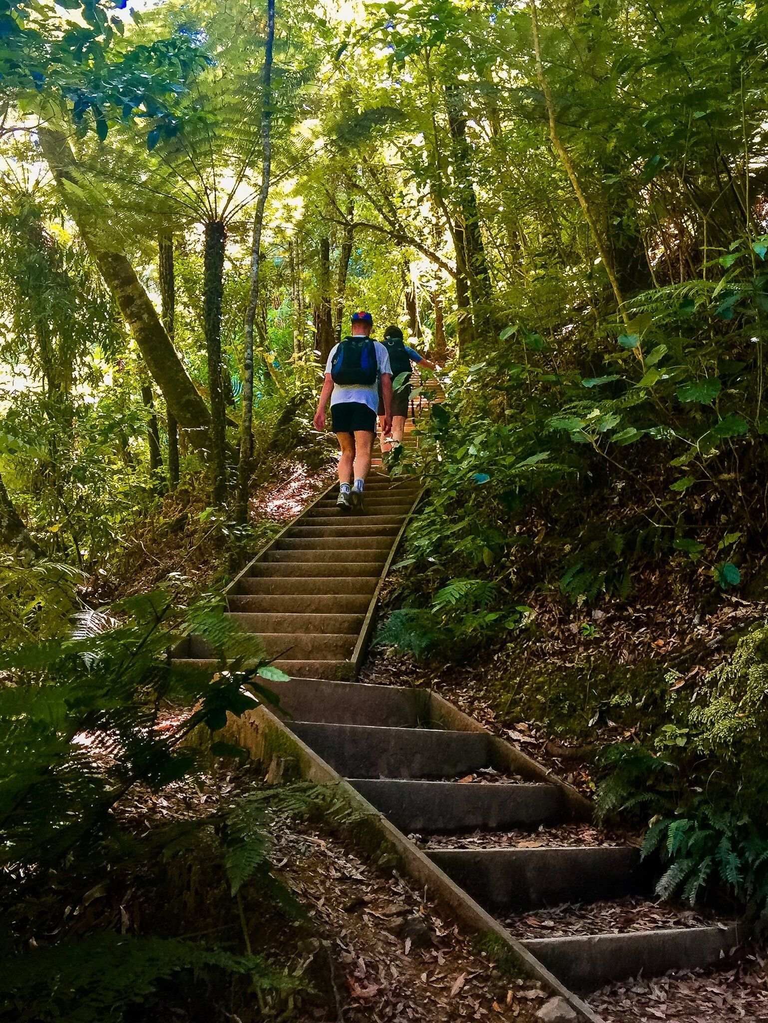
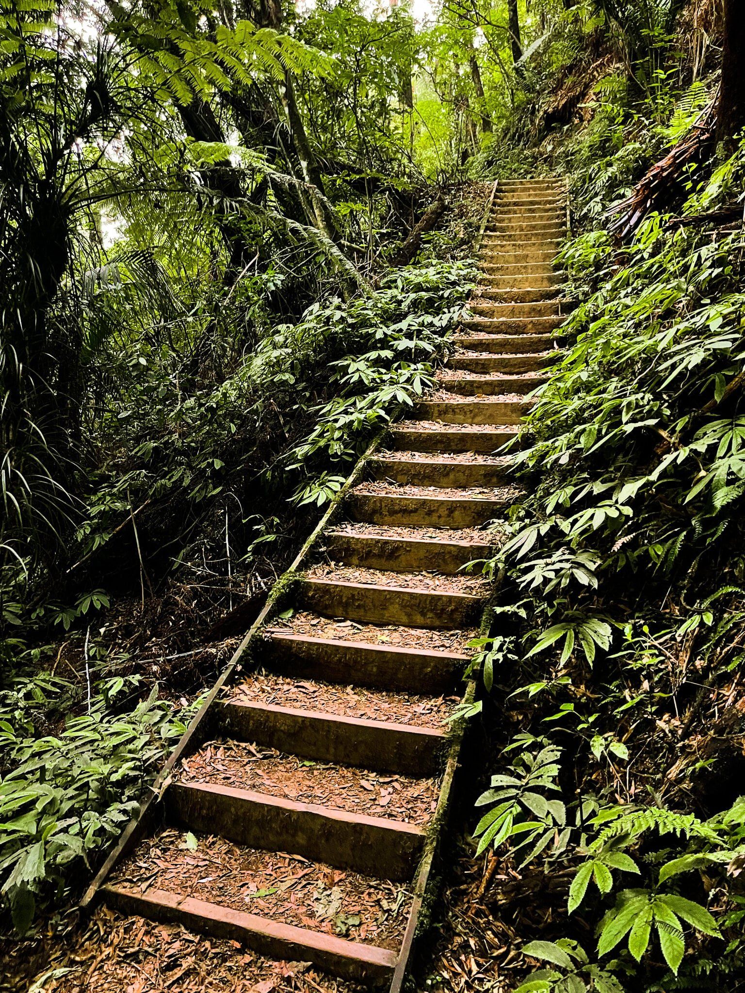
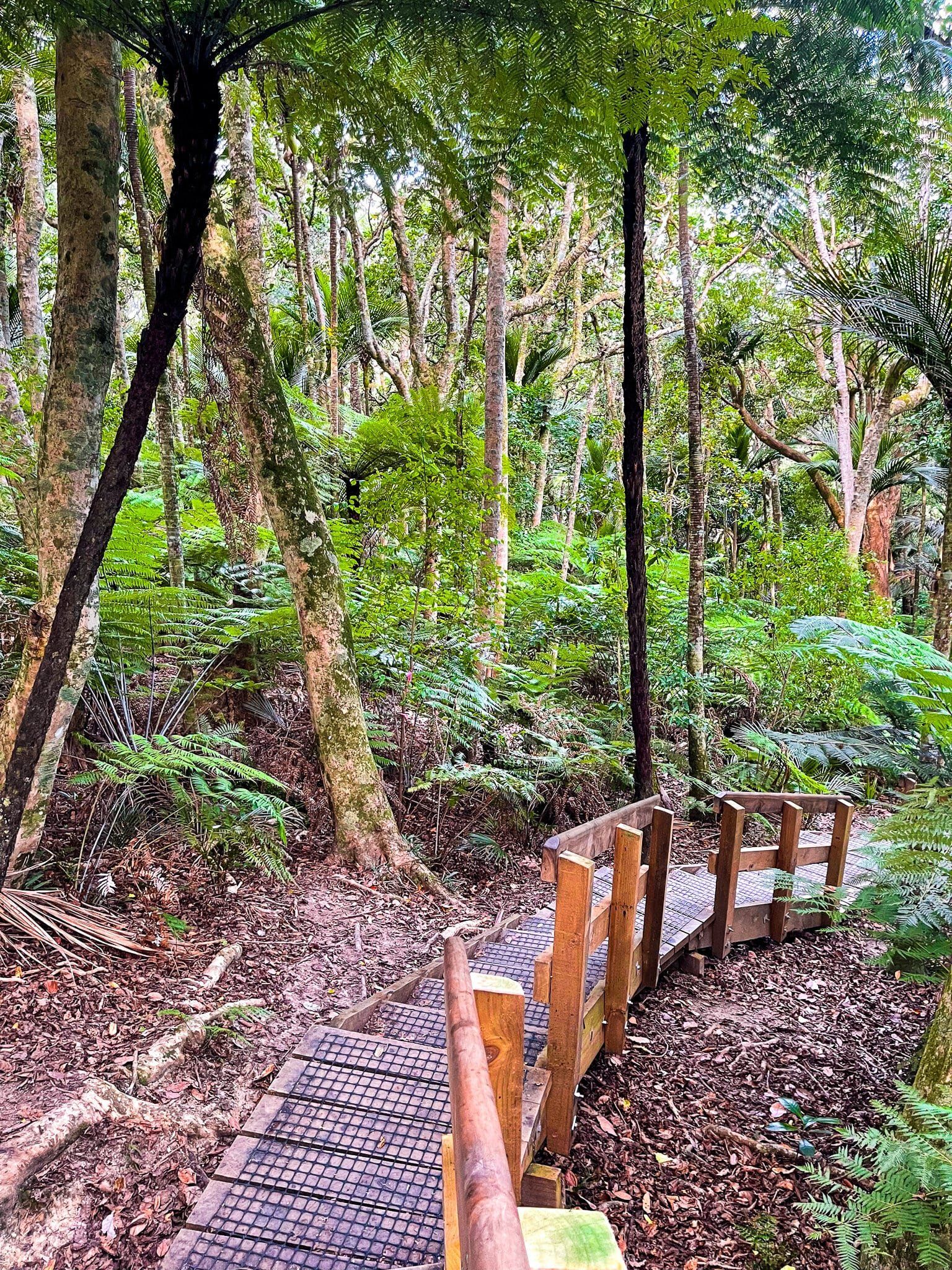
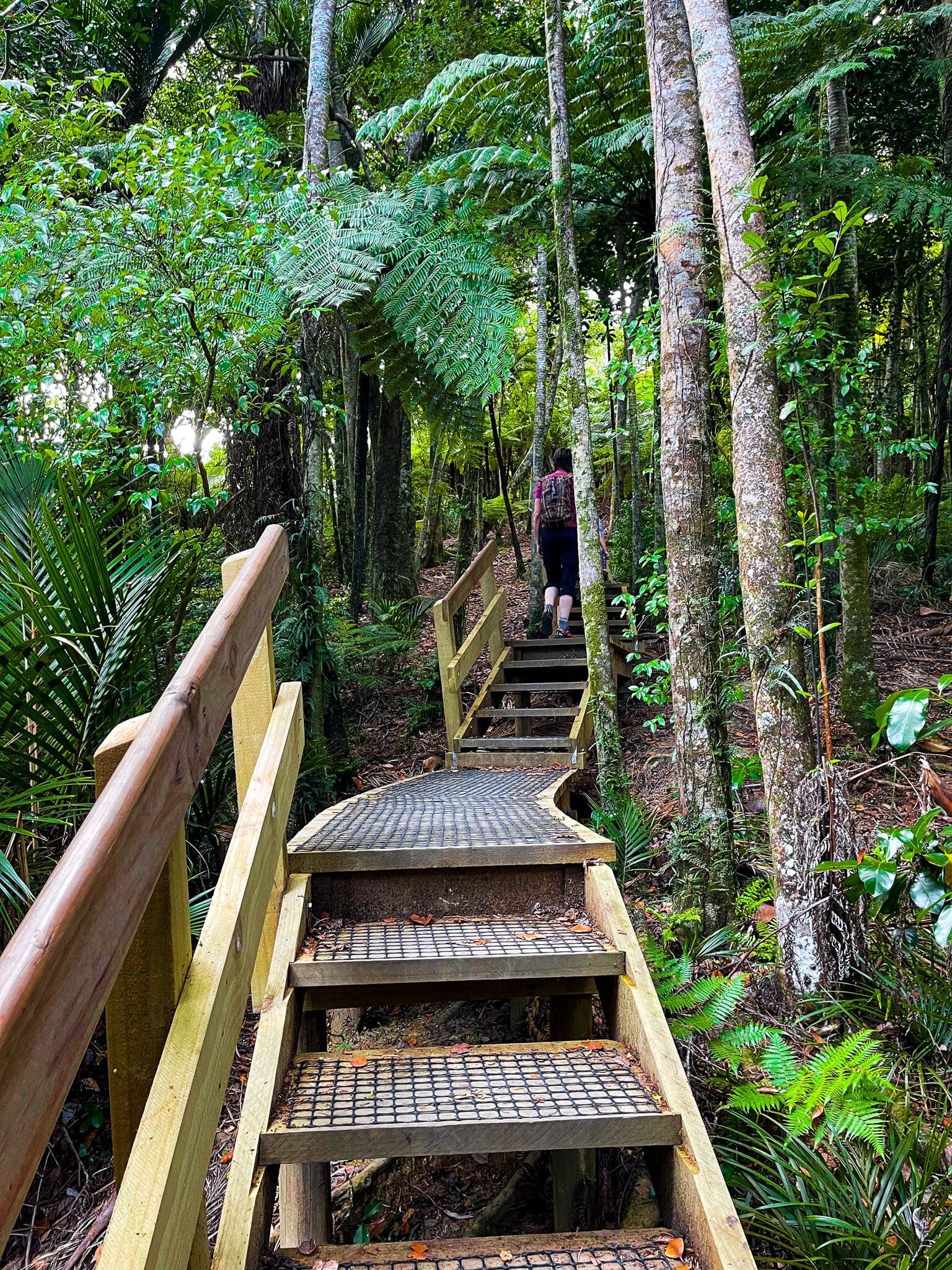
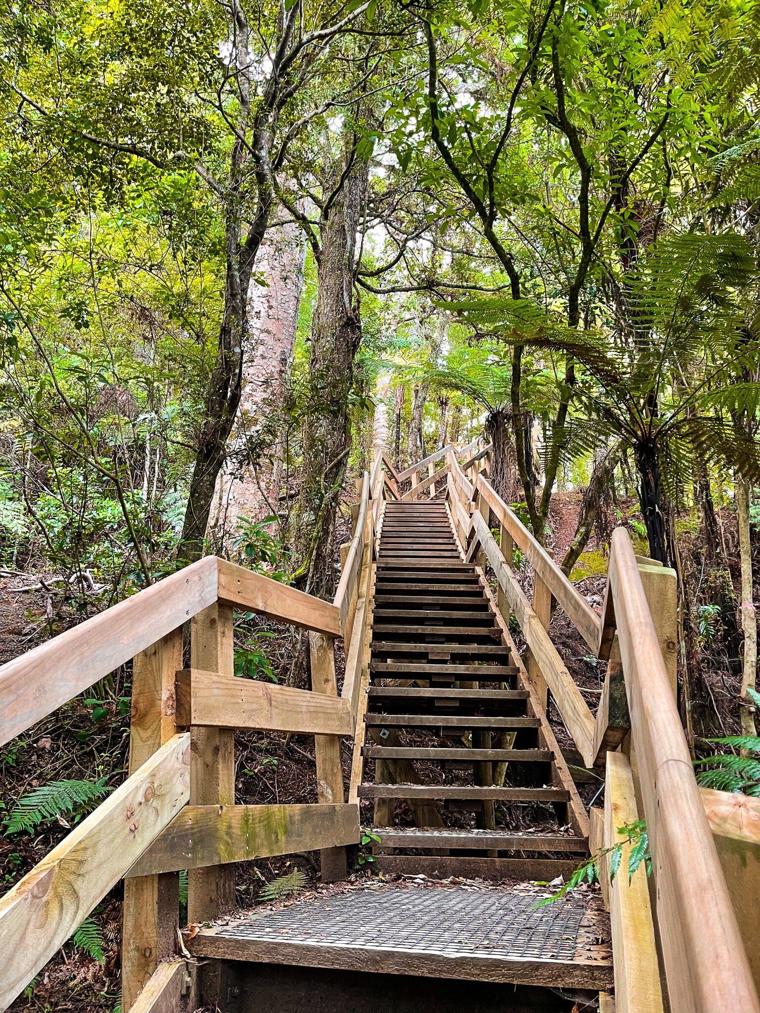
Walk from the carpark at Clevedon Scenic Reserve, past the buildings and over the swingbridge to the track entrances. The Puriri Track is to the right and it takes about 30 minutes to walk up to the viewpoint at 225 metres. There are a lot of steps although it is not overly steep. From the viewpoint, you can come back via the Totara Track to complete a loop.
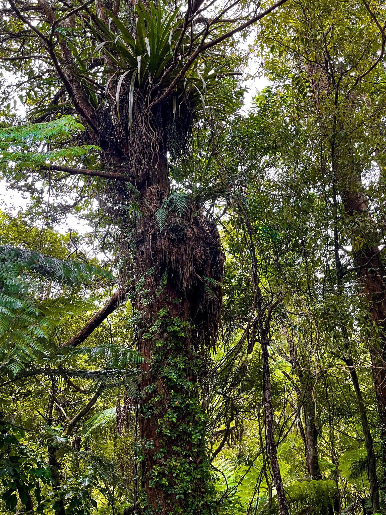
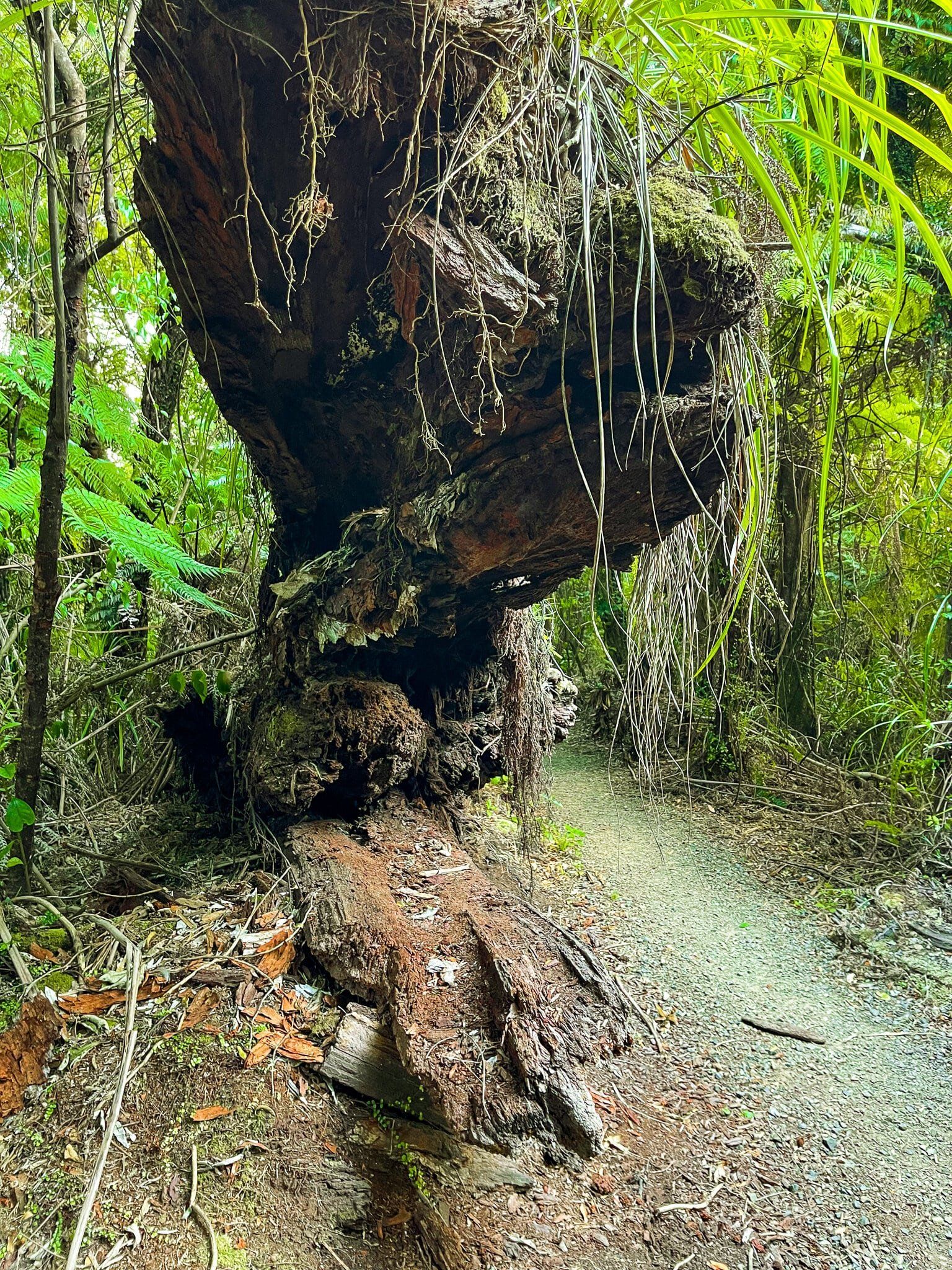
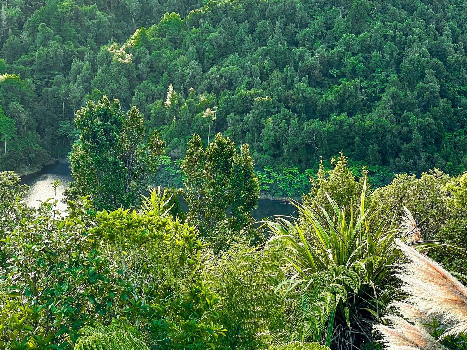
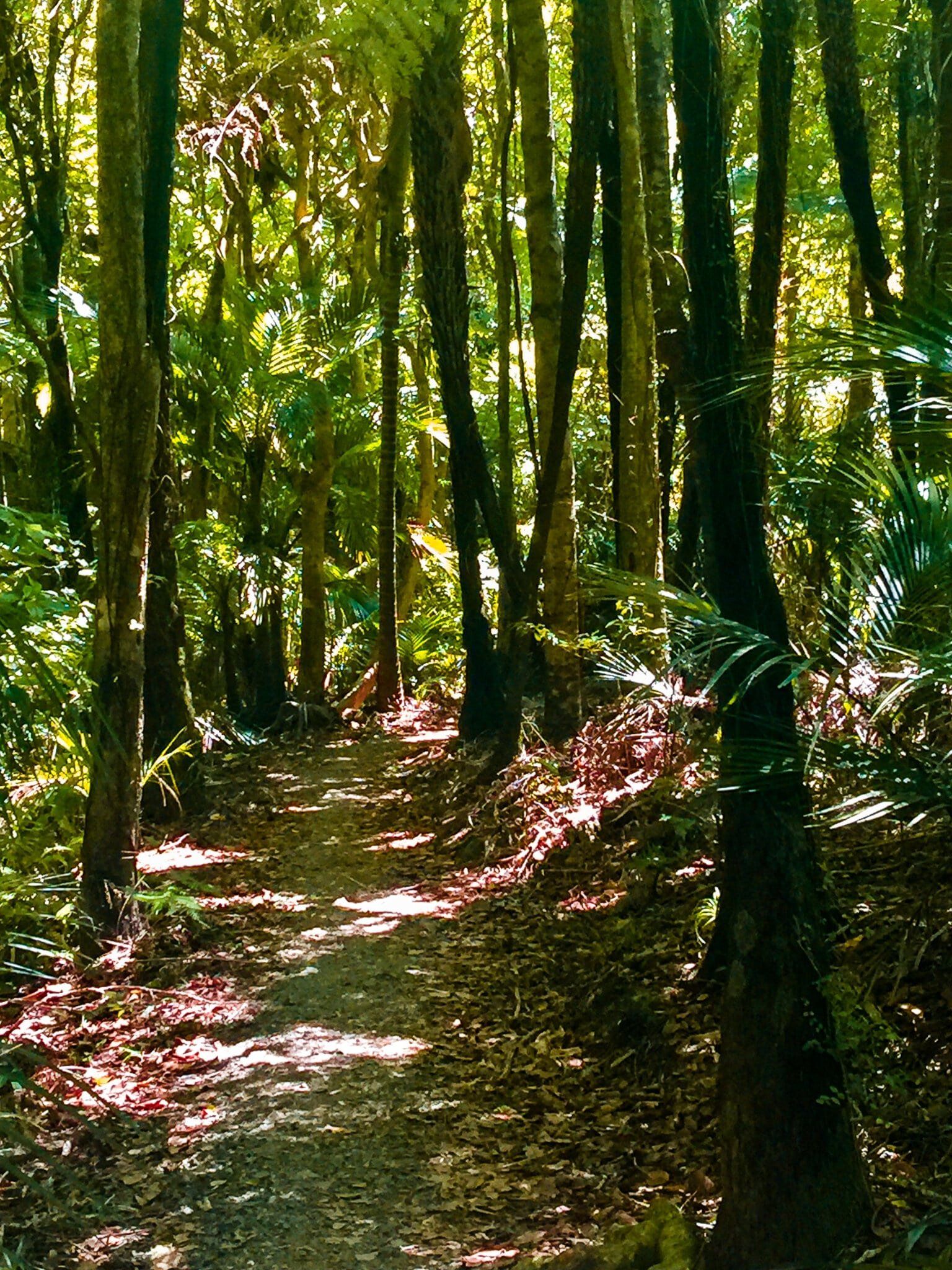
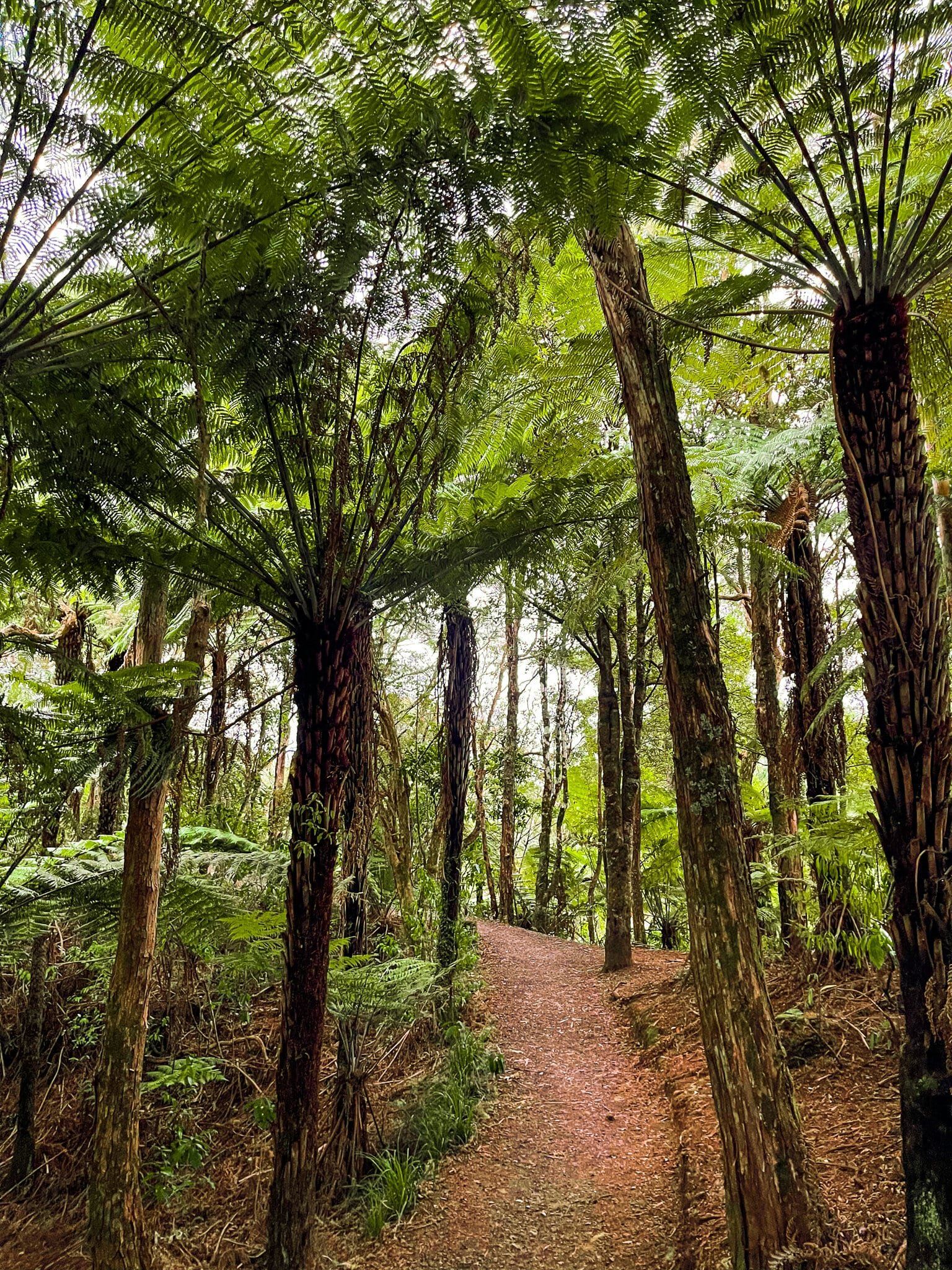
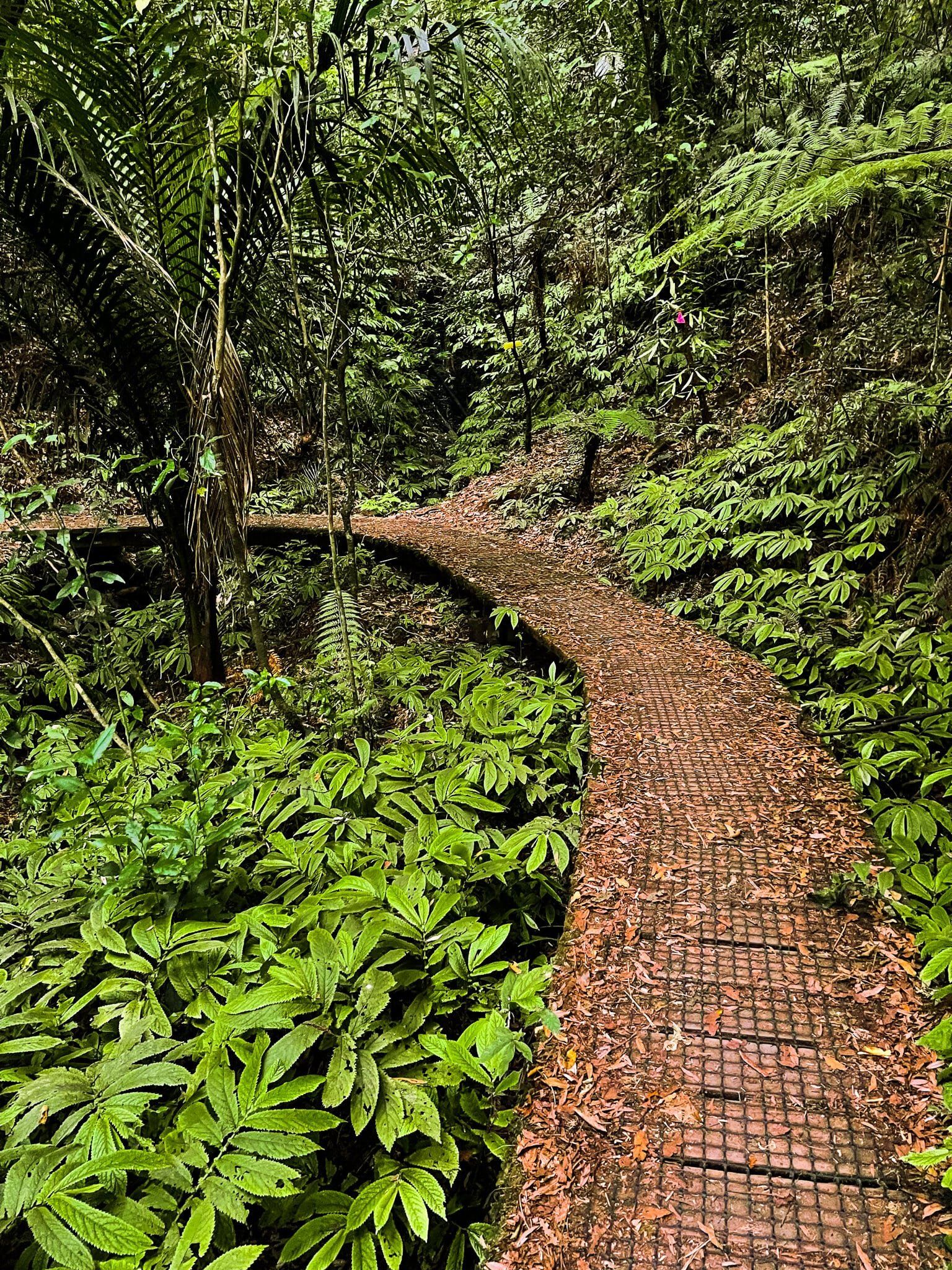
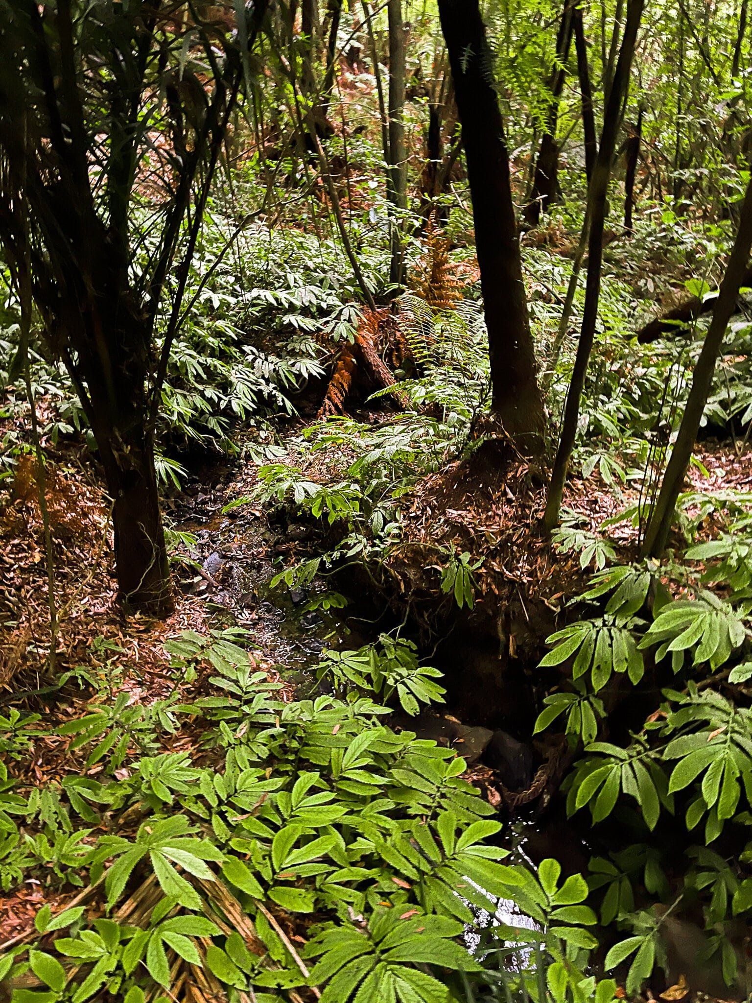
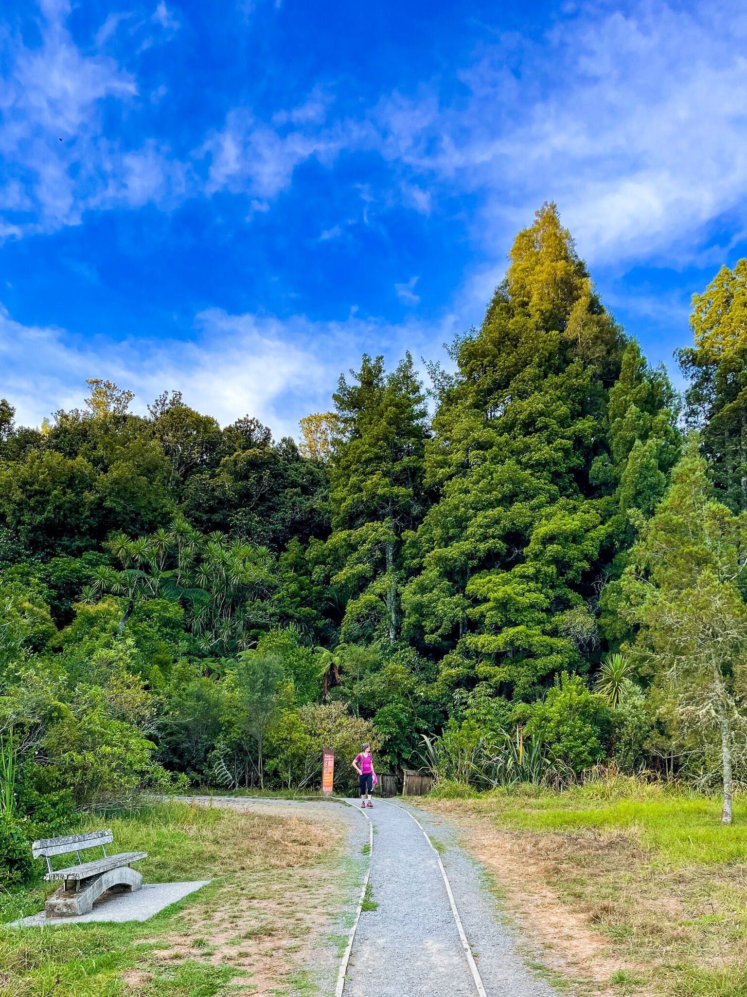
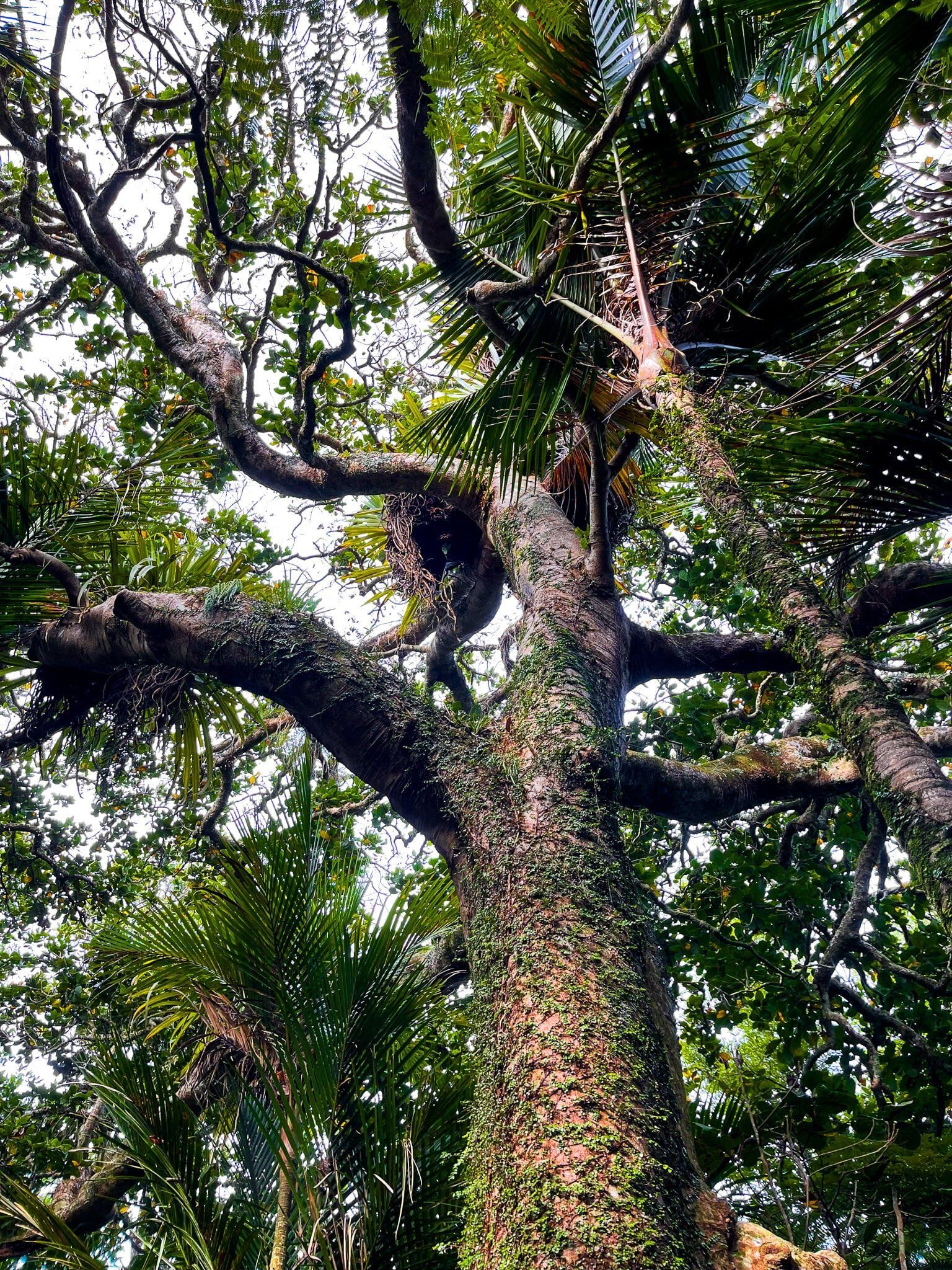
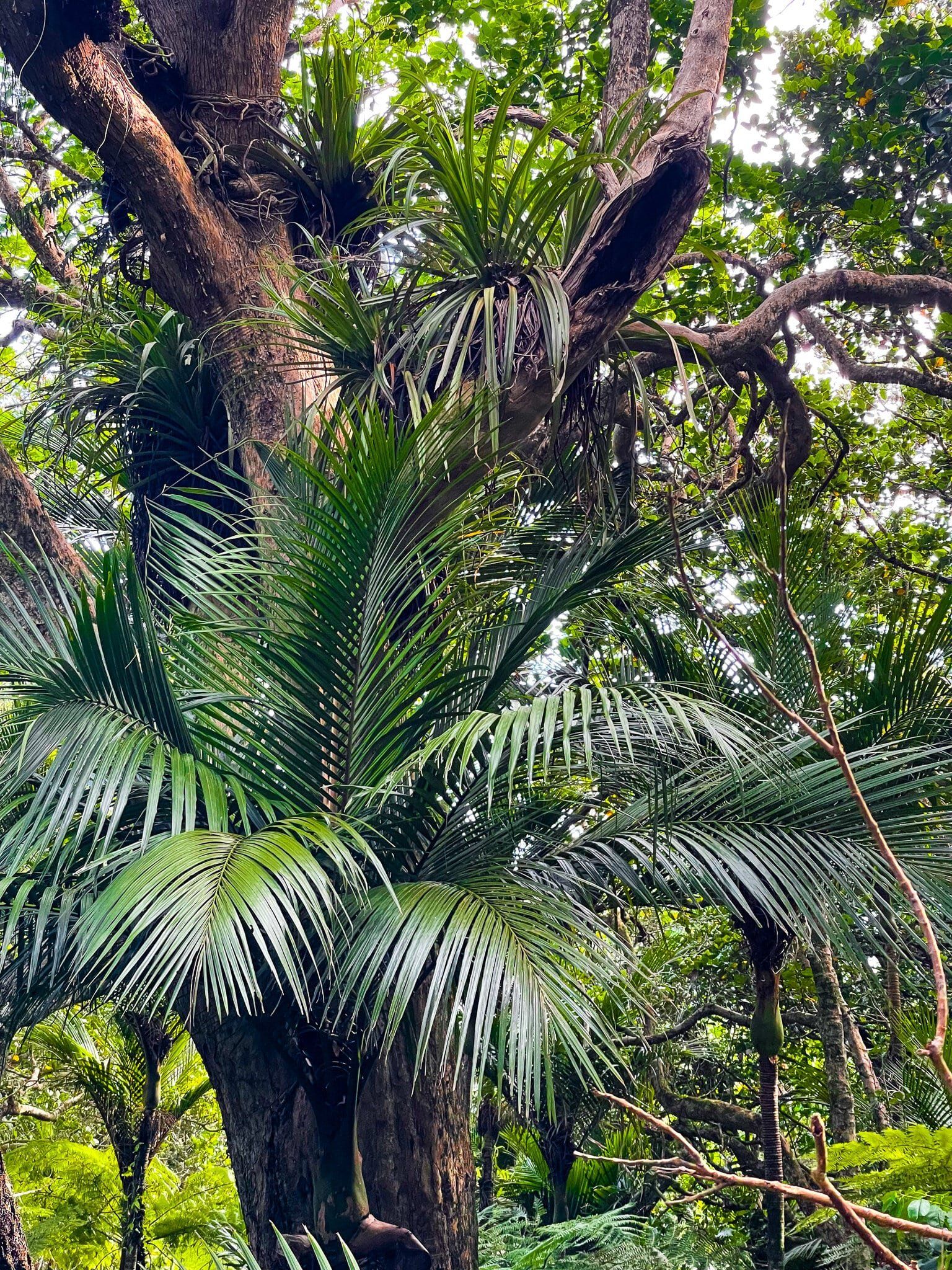
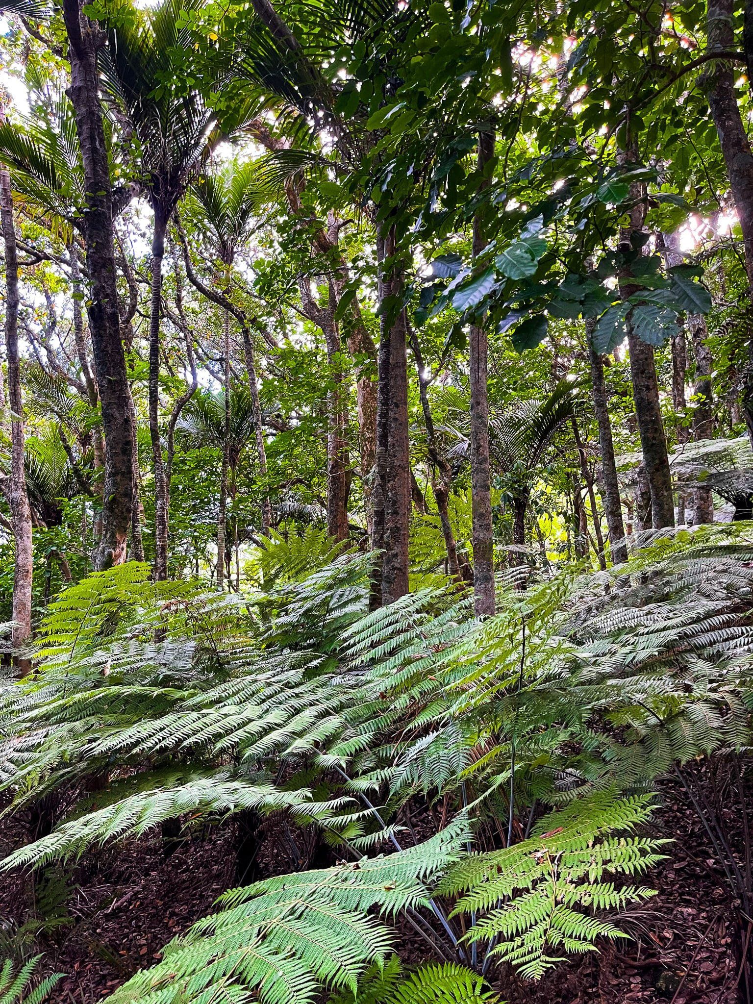
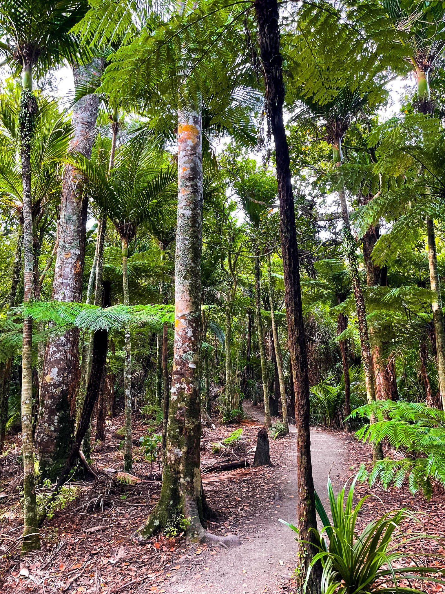
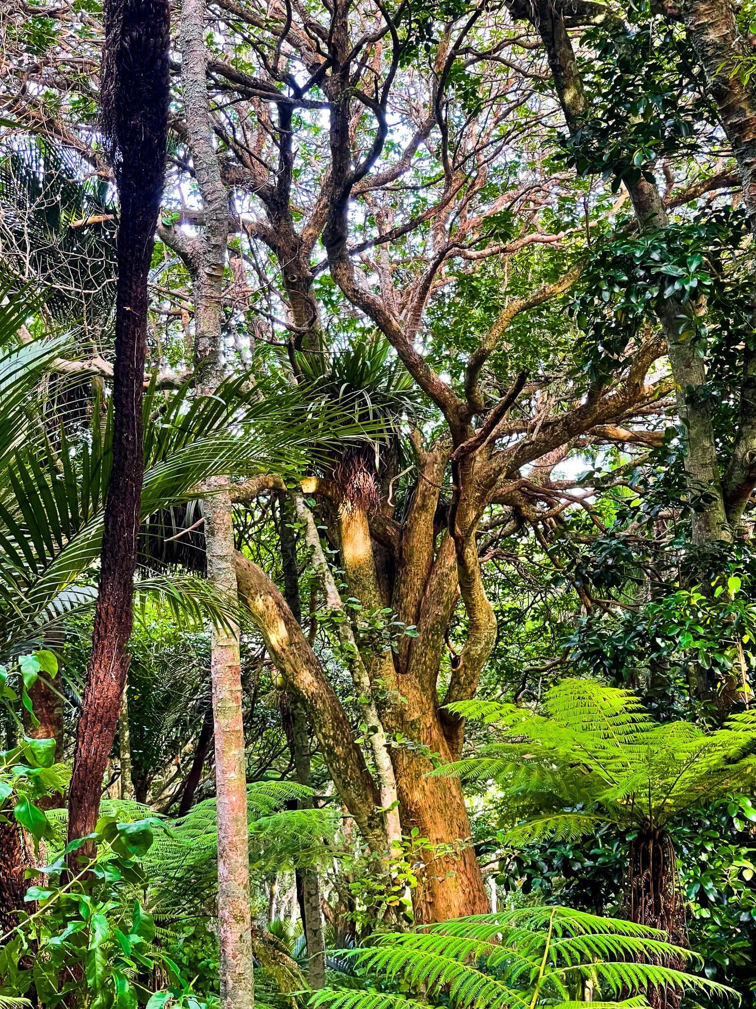
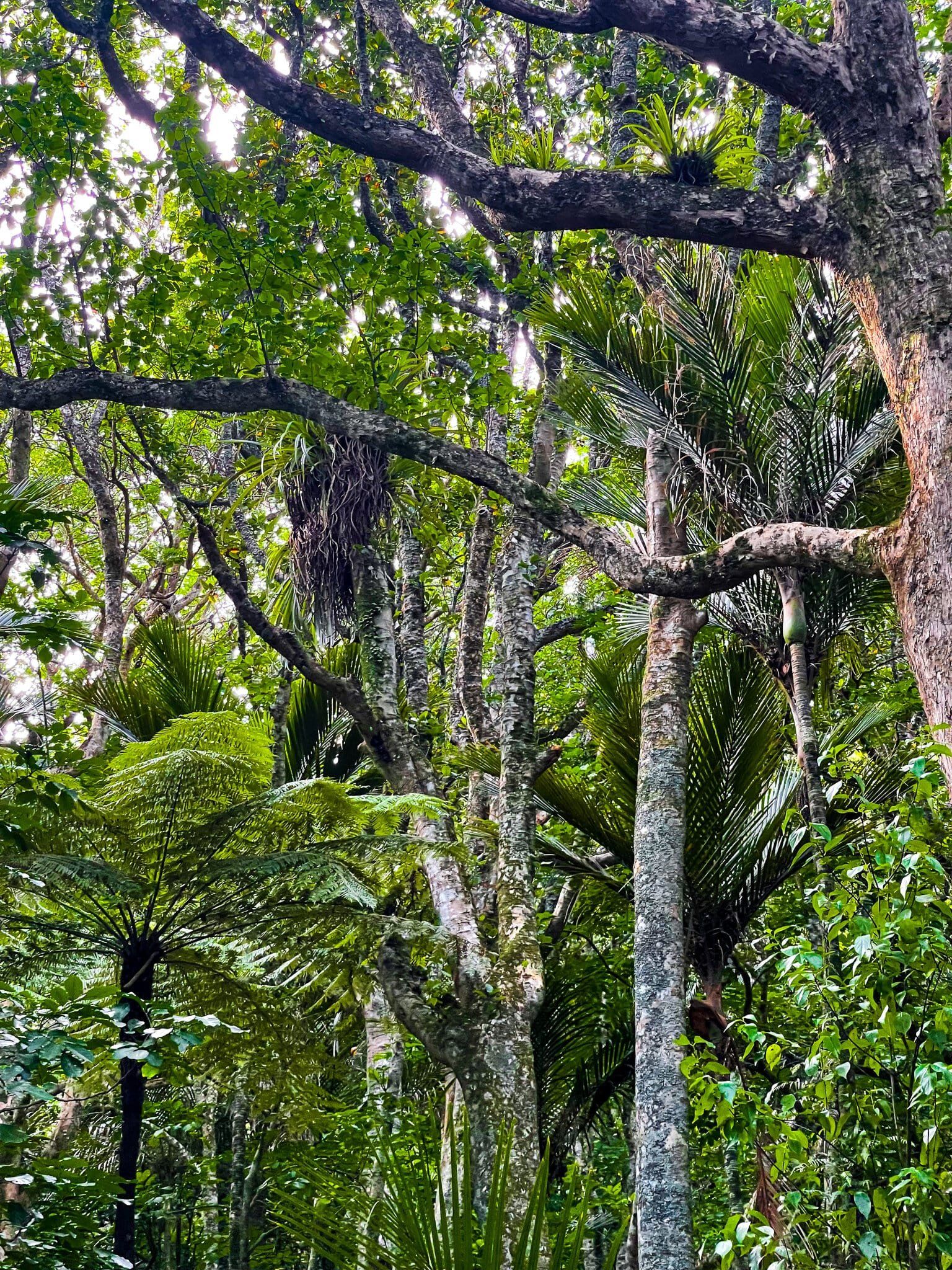
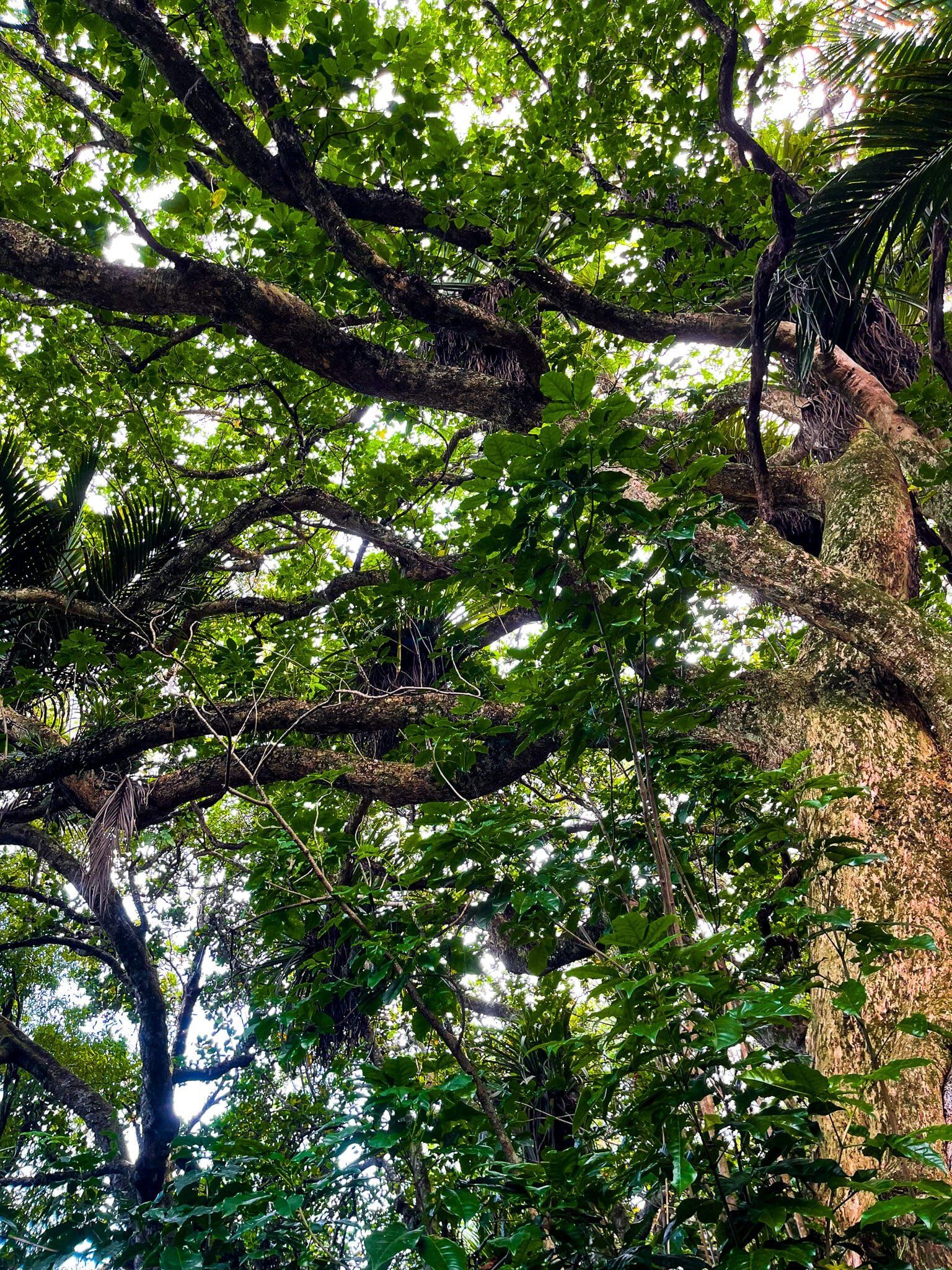
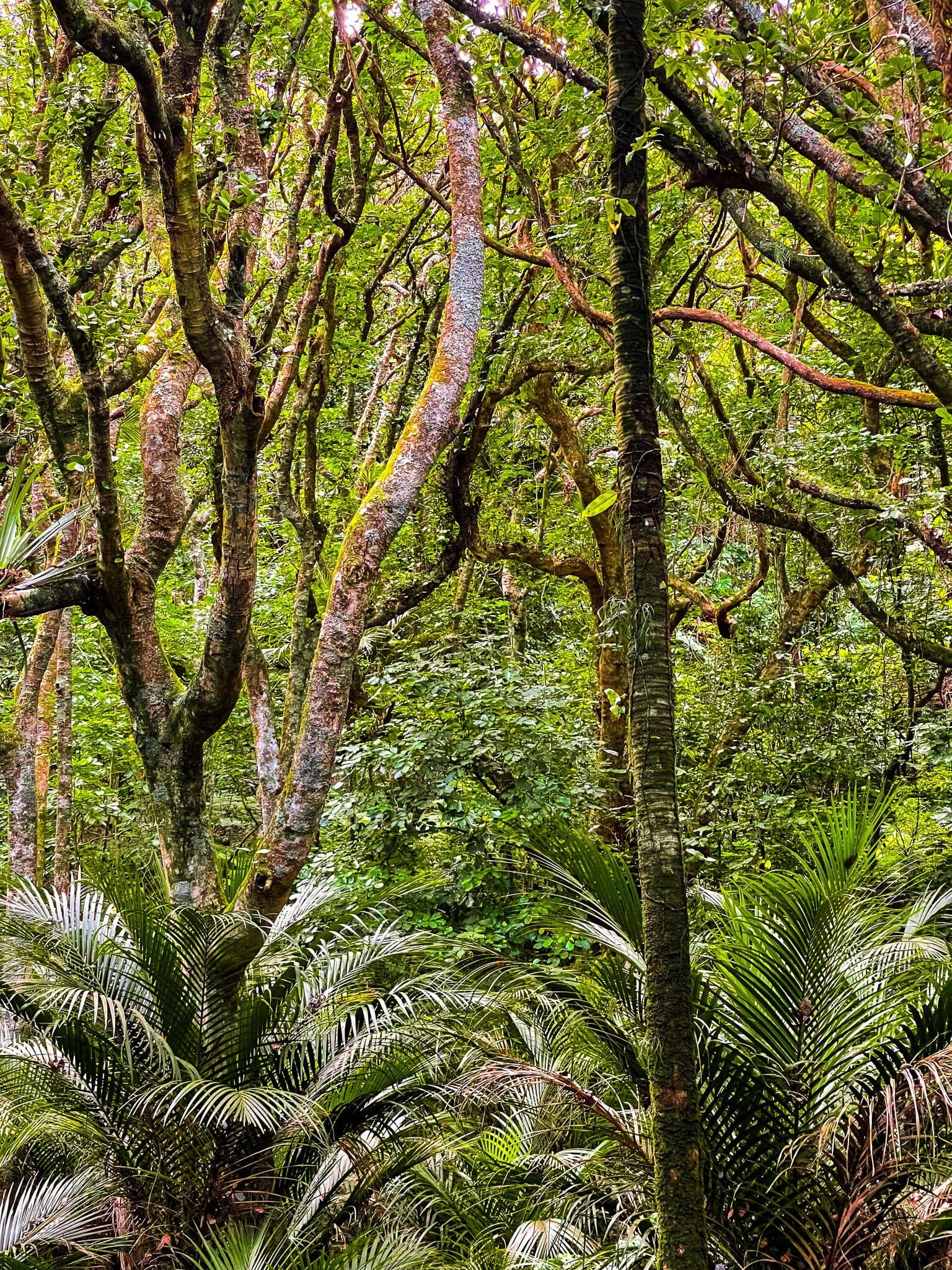
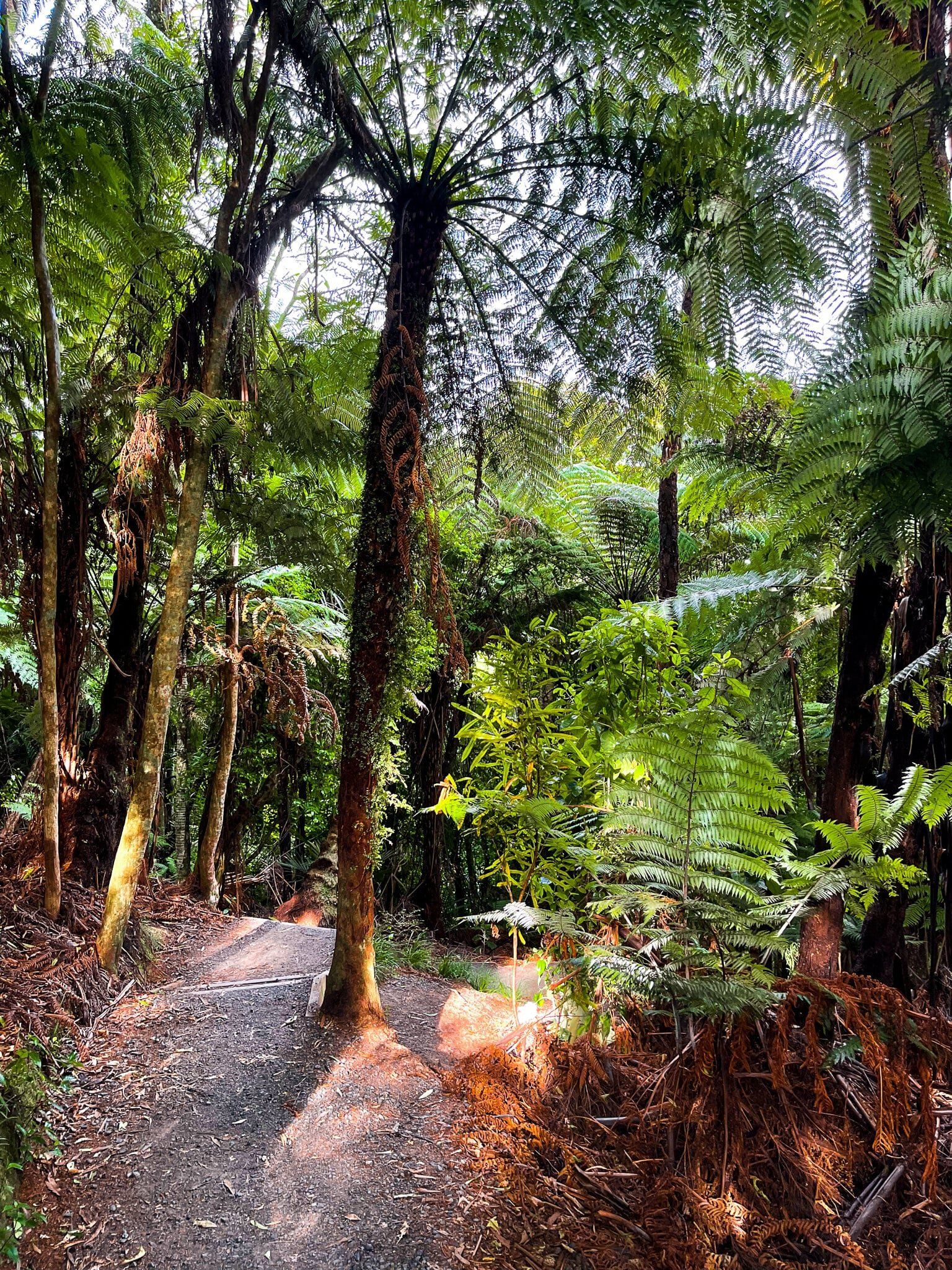
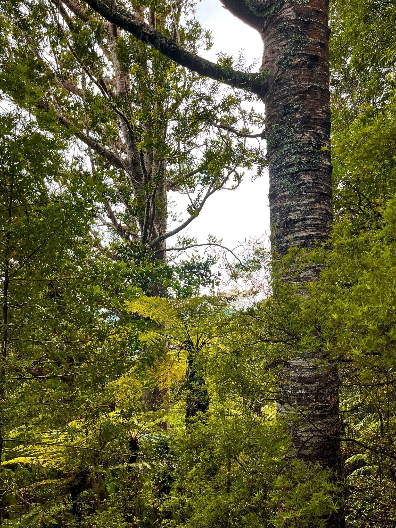
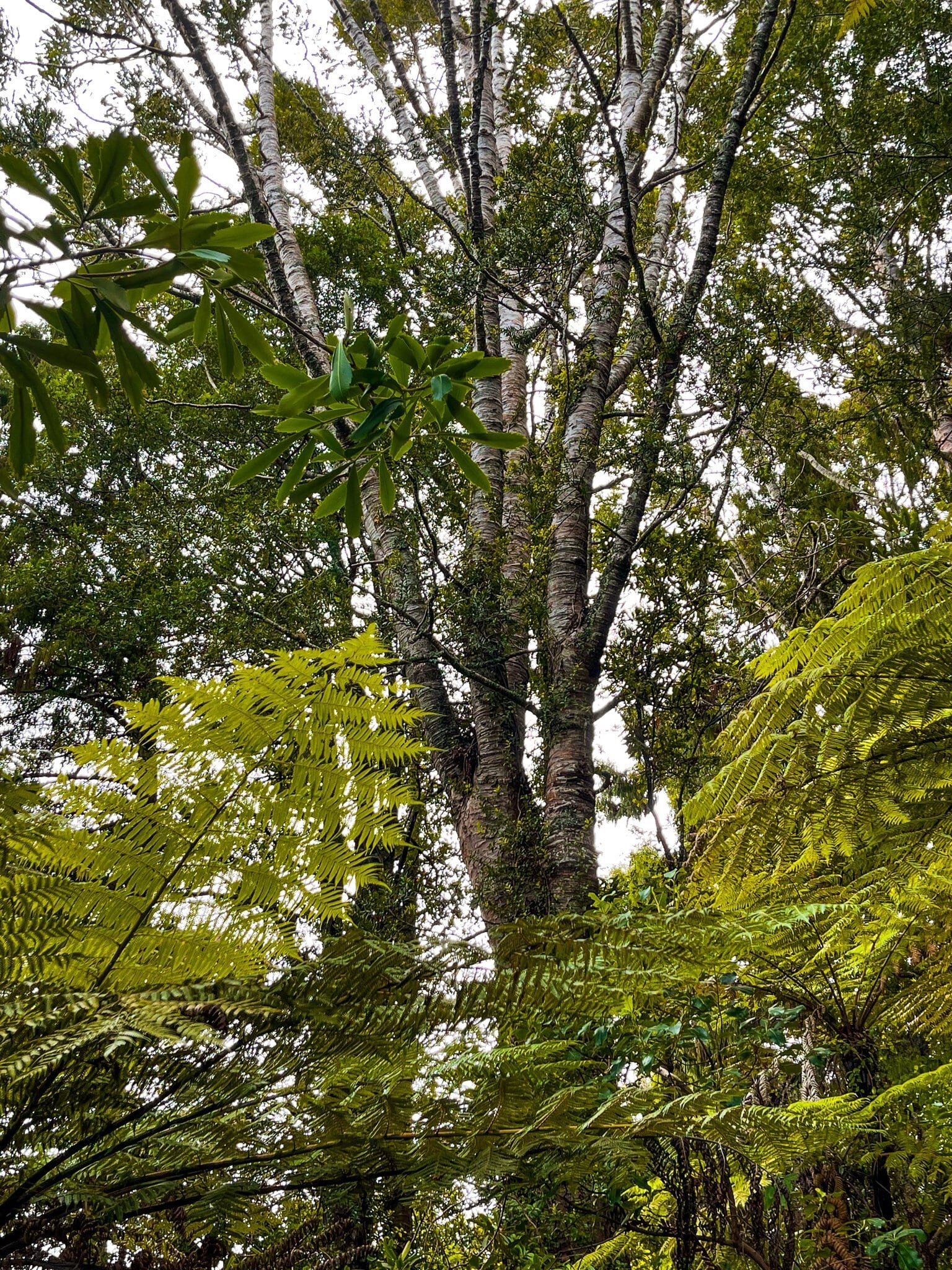
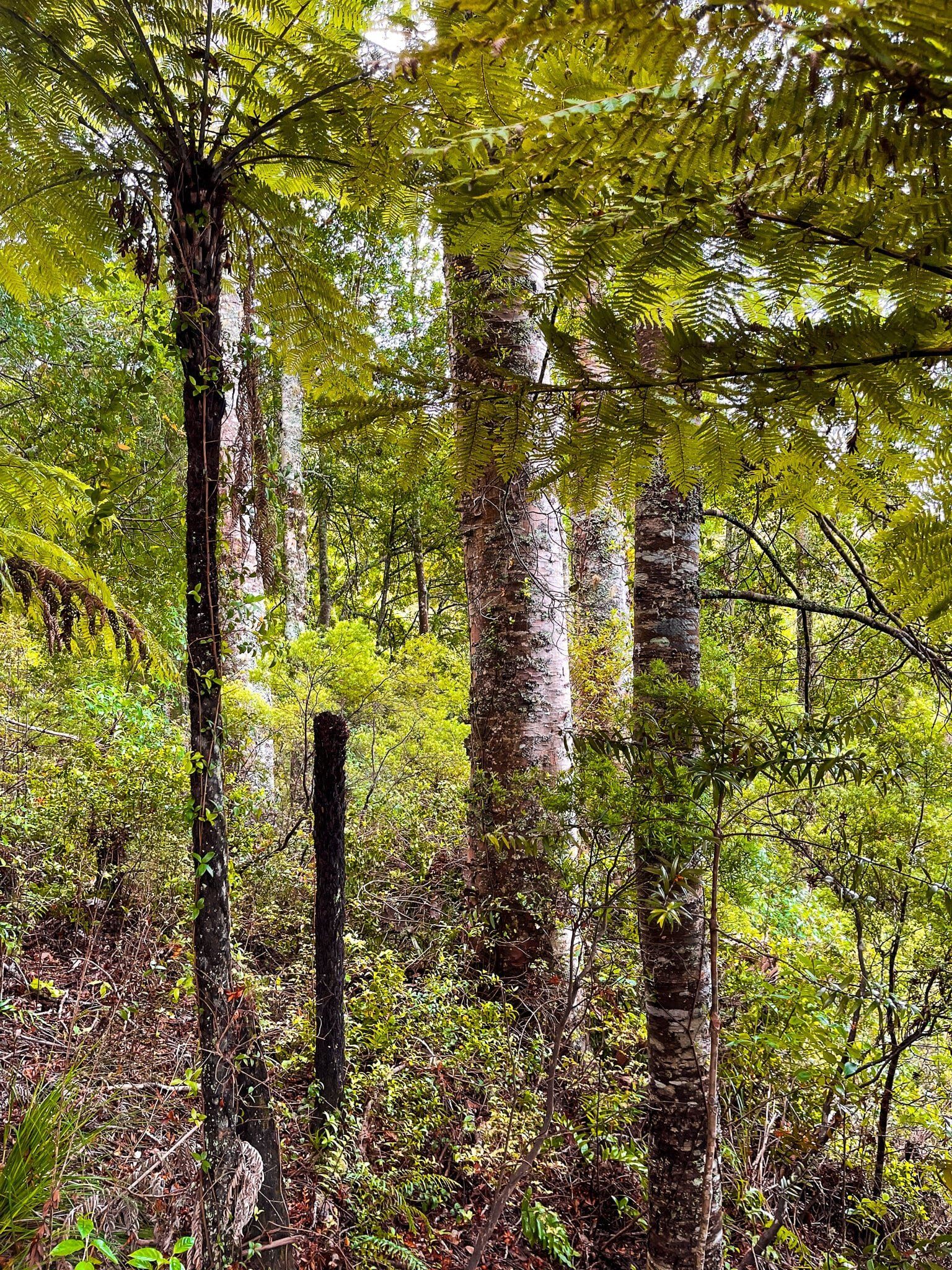
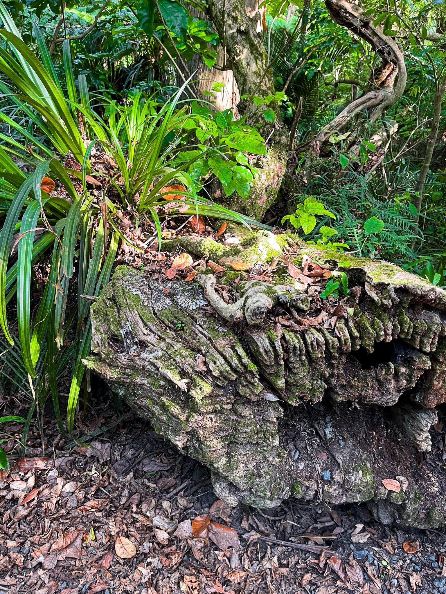
This walk is one of the most visually stimulating sections of native forest in the Auckland region. The forest is a mix of puriri, kahikatea, taraire, lancewood, nikau and ponga (fern trees). The taire and puriri are particularly gnarled and there is a bit of a goblin forest look. There is also a medium height carpet of fern trees below the main canopy, which is quite unusual. Normally, regrowth trees such as ponga get pushed out as the forest grows, but there is obviously enough light getting through to support them.
Clevedon Scenic Reserve Viewpoint
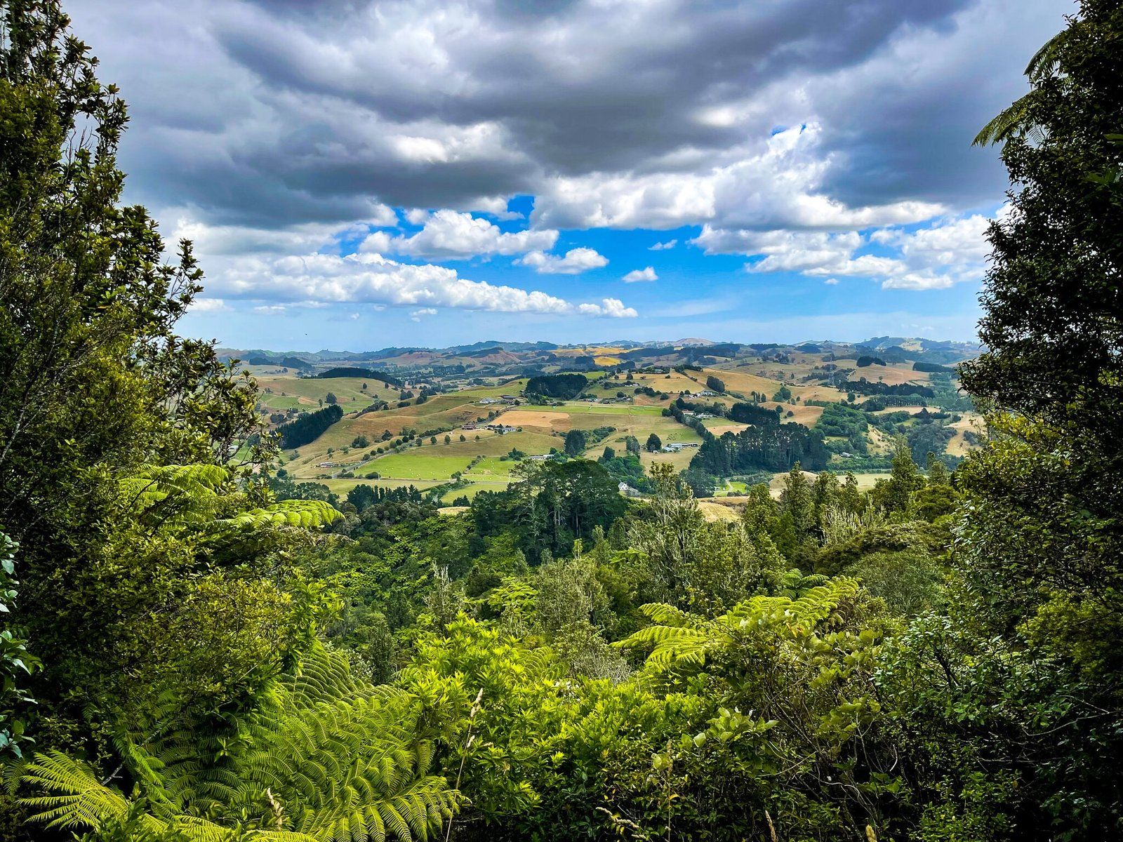
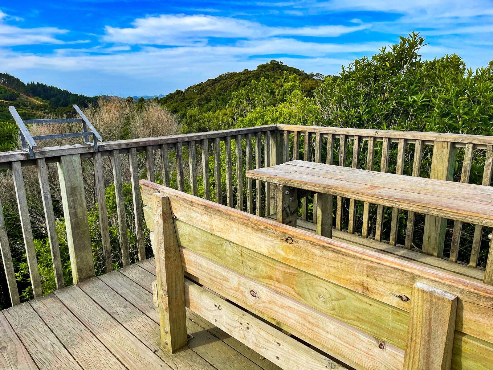
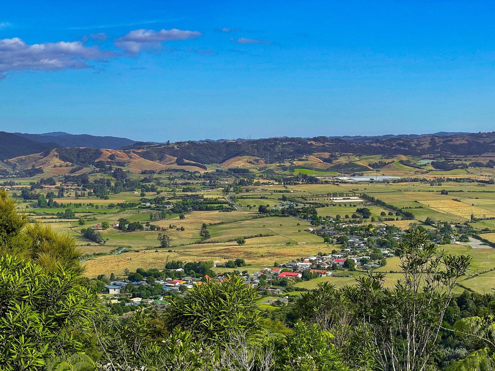
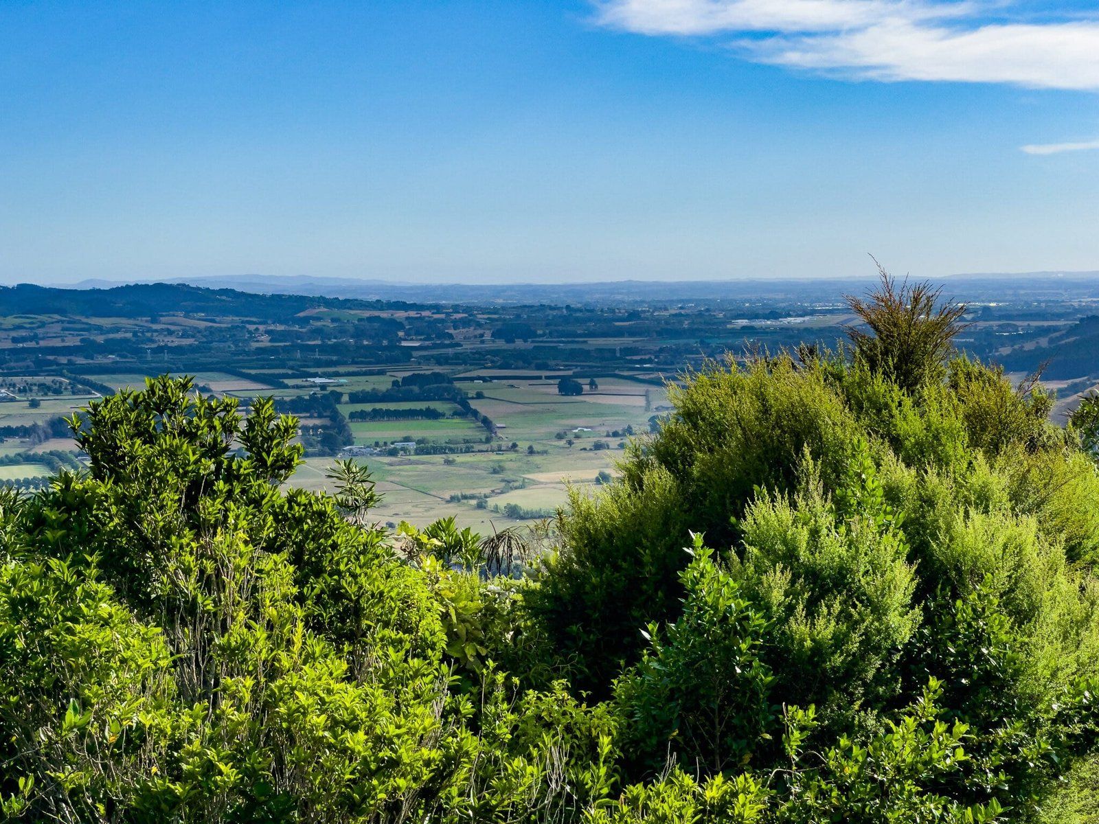
The viewpoint at the top of the hill in the Clevedon Scenic Reserve has near 360 degree views of the region. You reach it by taking either the Puriri Track or Totara Track, which are best done as a loop.
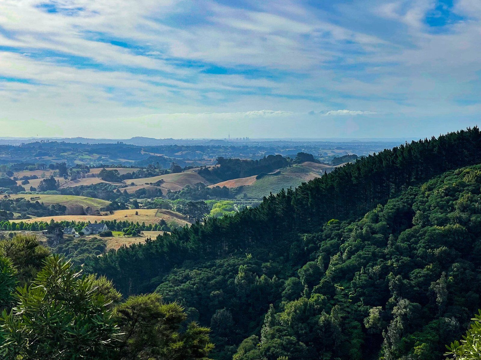
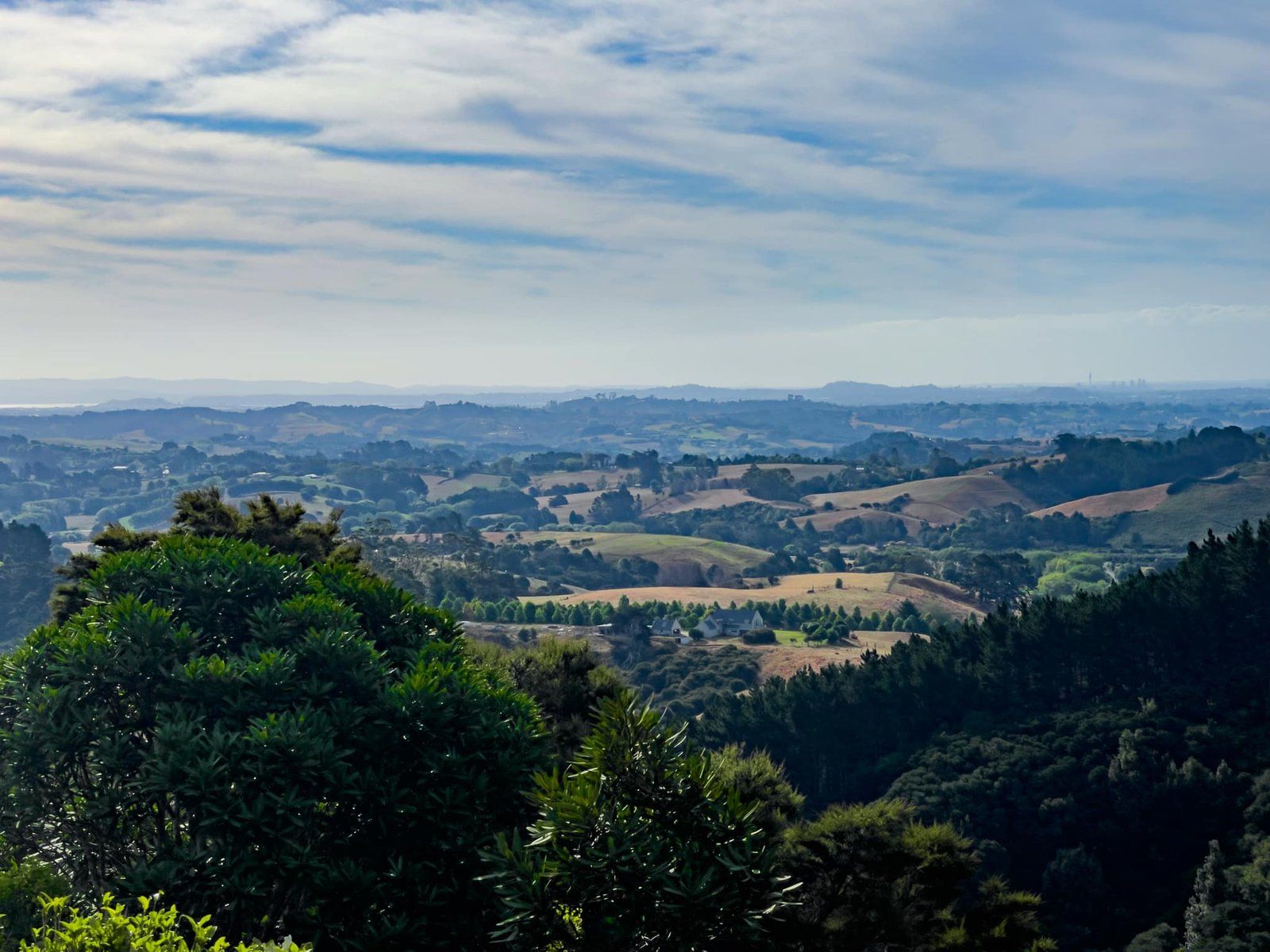
You can see from Waitawa Regional Park on the coast, across Clevedon and the Wairoa River valley to the Hunua Ranges and all the way back to downtown Auckland. On a clear day you should be able to pick out the Sky Tower.
From the viewpoint you can also access a short section of Te Araroa which follows a ridge and crosses another highpoint before connecting with Klimptons Rd.
Totara Track
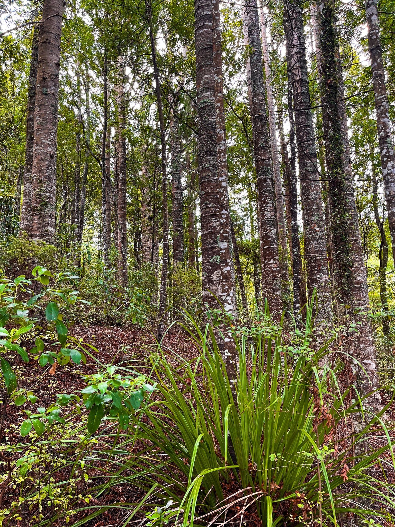
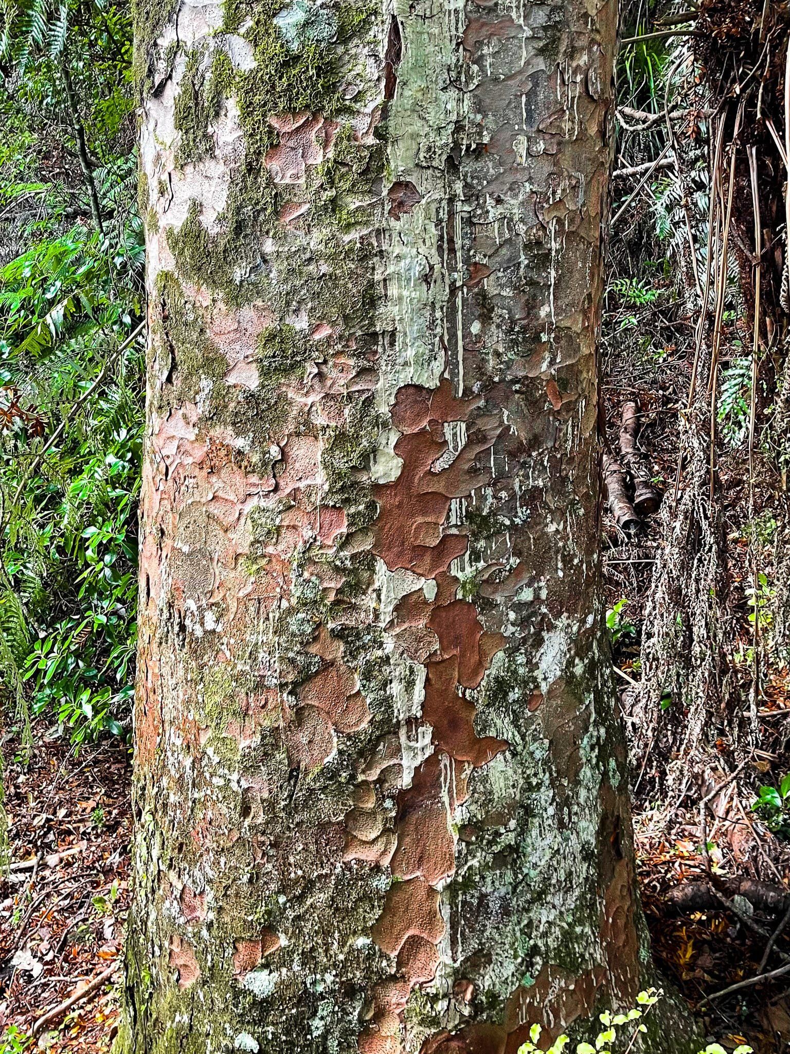
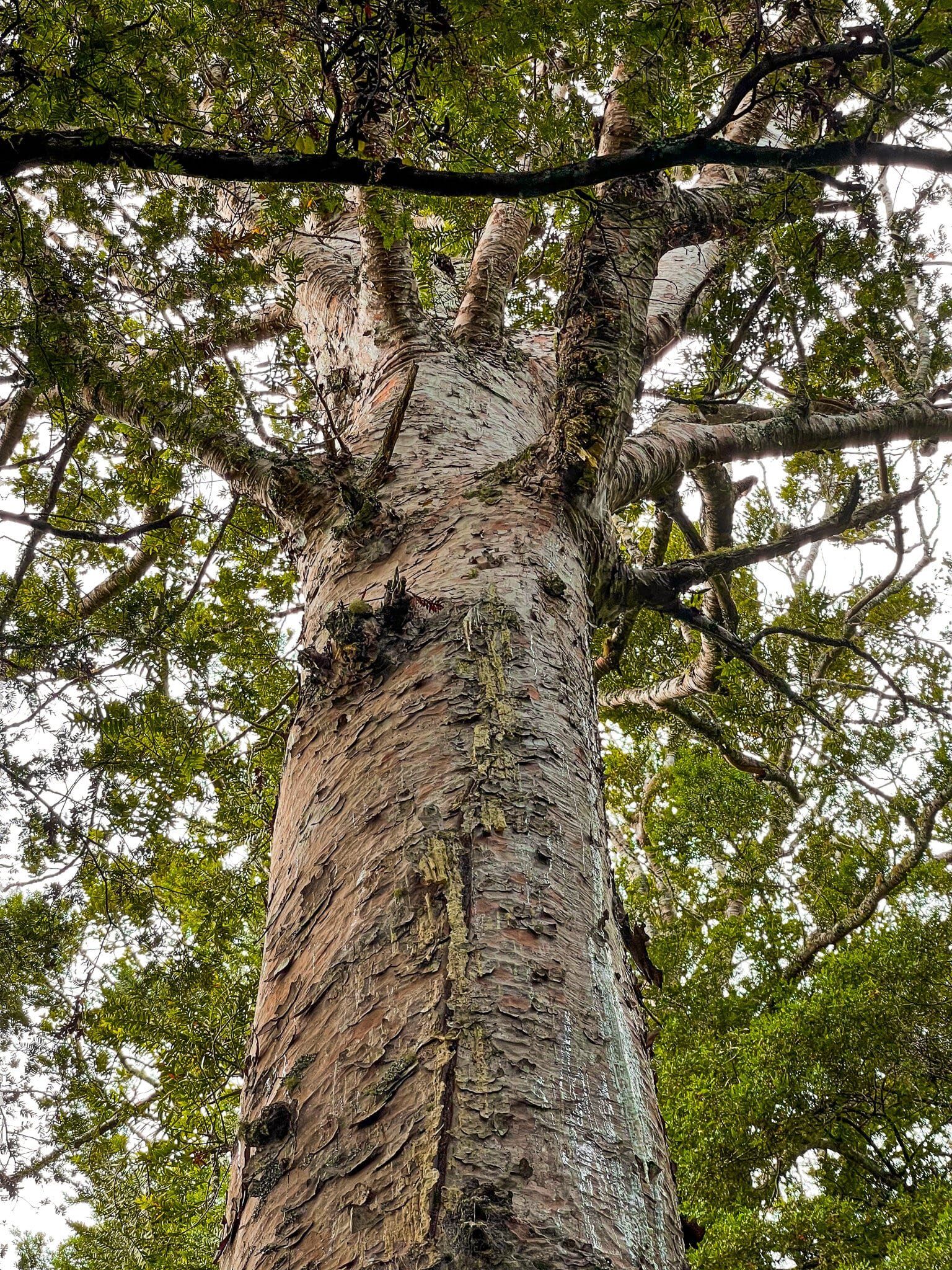
Walk from the carpark at Clevedon Scenic Reserve, past the buildings and over the swingbridge to the track entrances. The Totara Track is to the left. As a walk, it is not as attractive as the Puriri Track, but it does have access to one of the better accessible sections of kauri forest in Auckland. The largest trees look to be well over 150 years old, with several in the early stages of crowning, and they are surrounded by many youngsters. Overall it is one of the larger groups of accessible kauri in the region.
This section of the track only takes a few minutes from the start and is therefore easy to do as a quick there and back to see kauri trees. Allow about 30 minutes to continue on to the viewpoint, then return via the Puriri Track.
Want more Trip Ideas?
Check out our blog on the Waterfalls of South Auckland, or explore more of Auckland’s native forests in Waitakere Ranges Part 1, and Part 4.
