
Apart from Port Waikato, the northwest side of the Waikato is not really a destination – it’s mostly farmland with a series of small rural towns before Hamilton. However, there are a number of interesting short walks which are a nice deviation on a trip through the region.
The walks include a couple of waterfalls at the north end of the Waikato River, a regenerating wetlands on Taupiri Pass, a couple of lake walks in Huntly and short walk options with native forests, fantastic views, and an ancient kauri tree on Hakarimata. You can also choose a section of Te Araroa, which mostly runs alongside the Waikato River from Hamilton to Mercer.
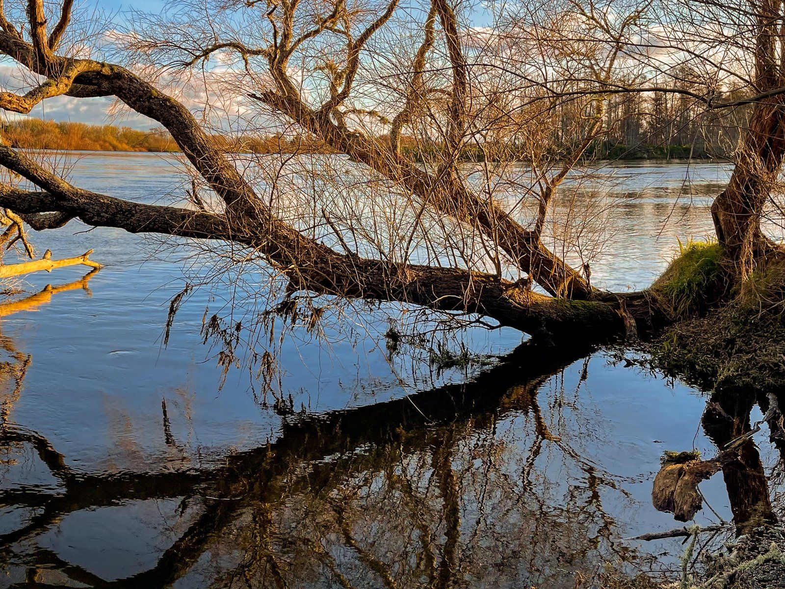
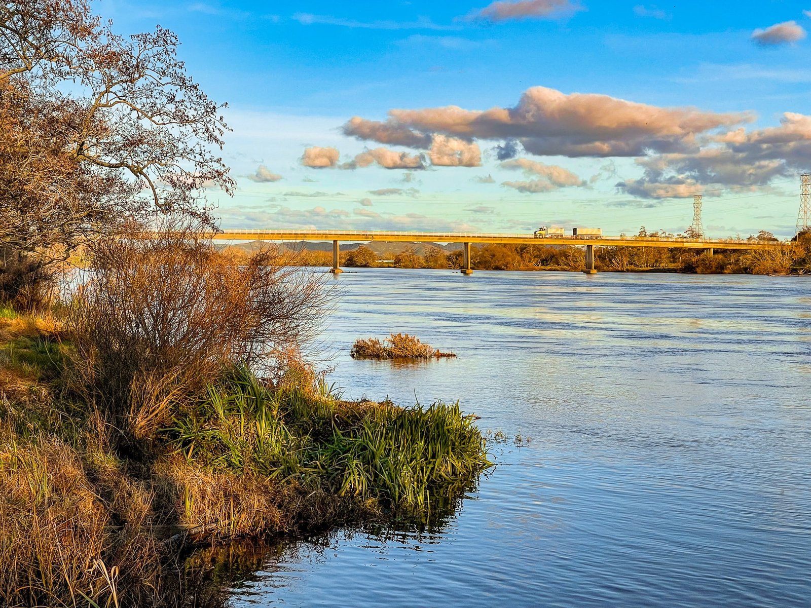
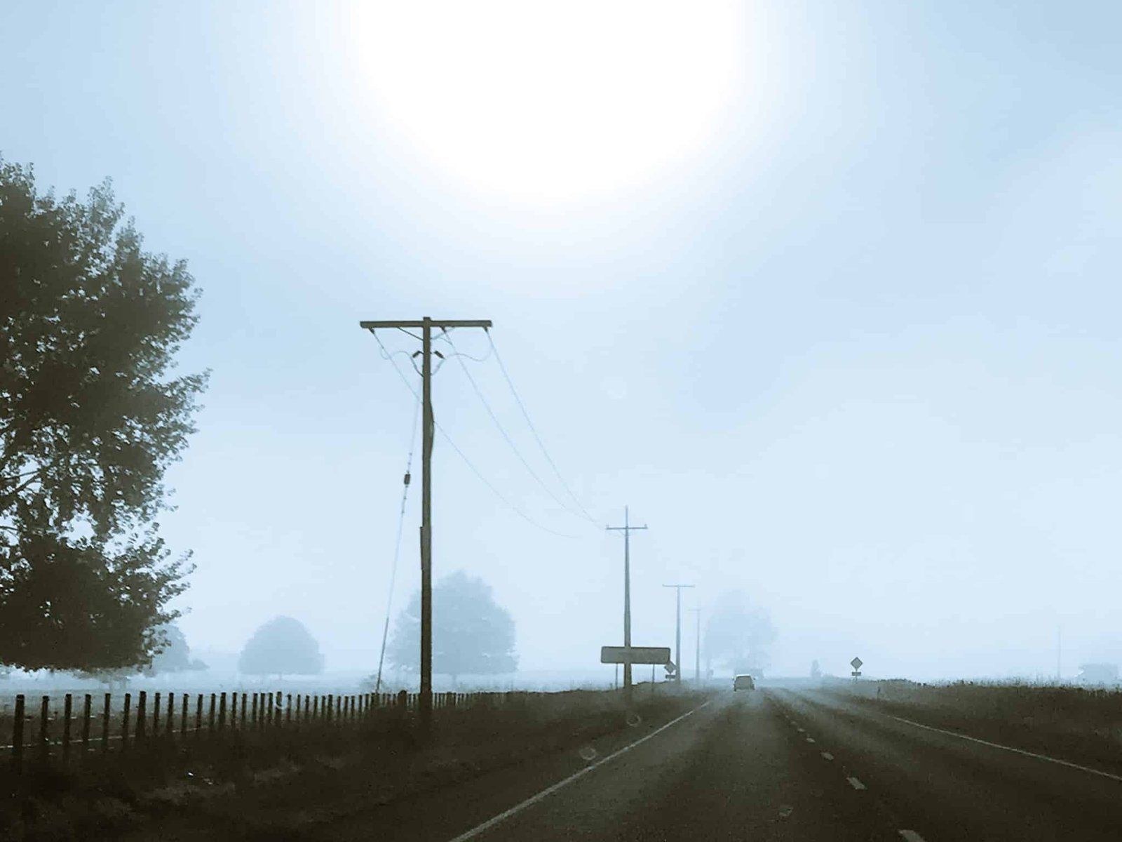
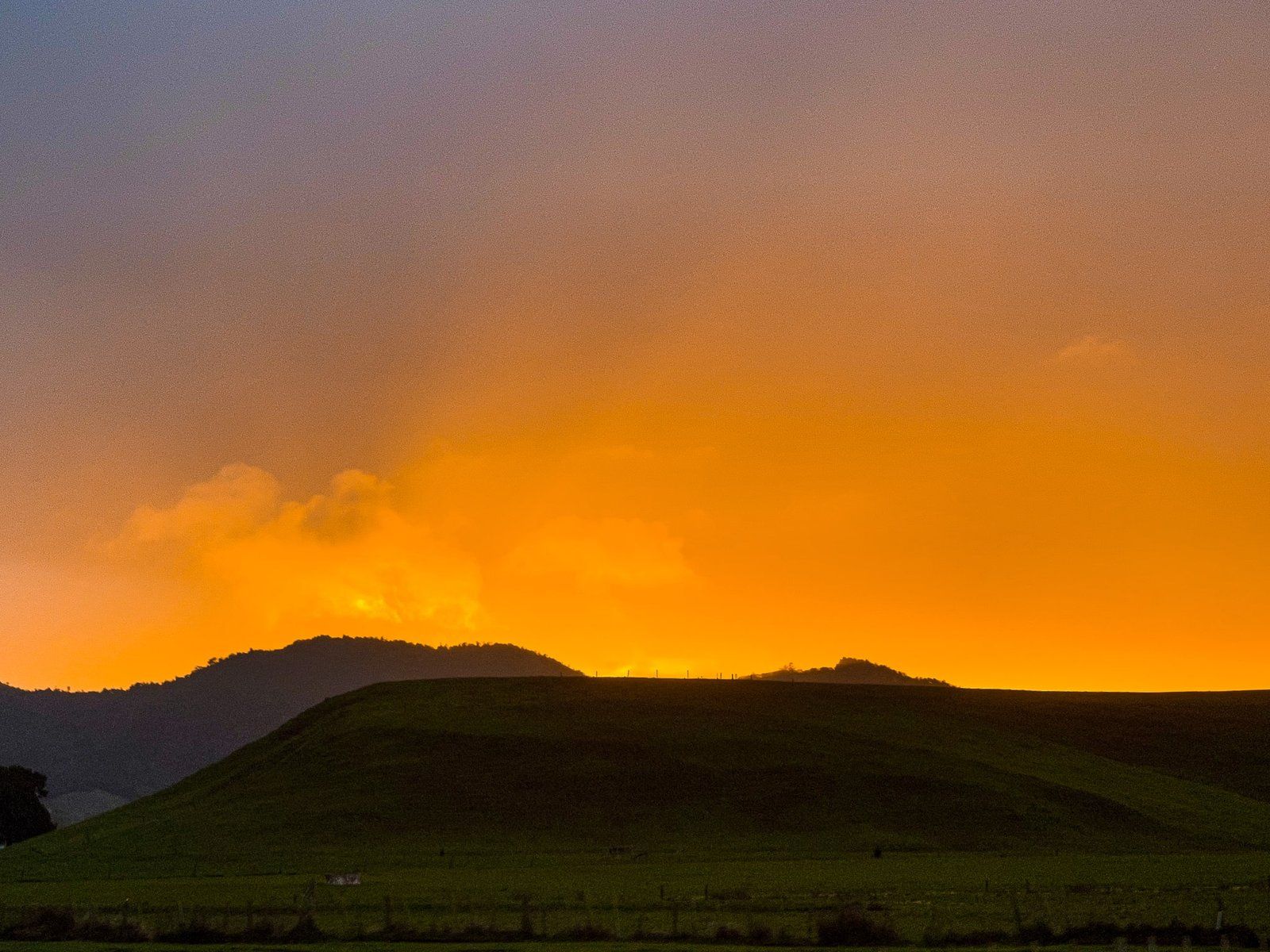
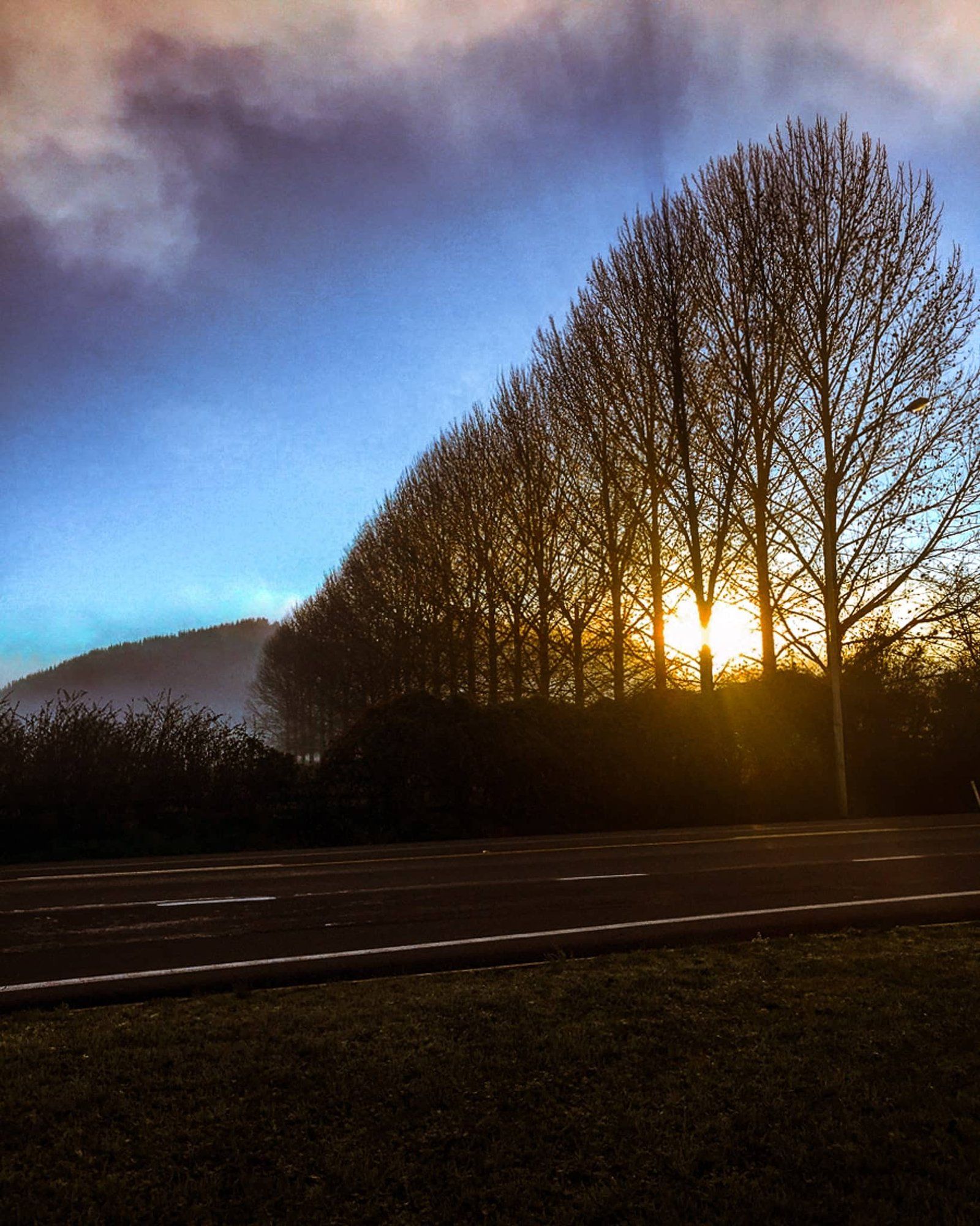
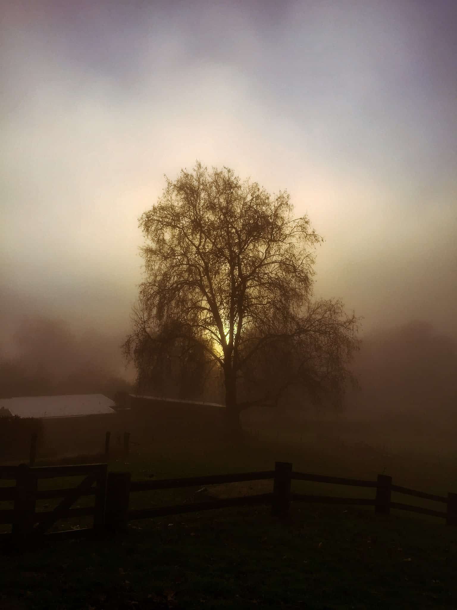
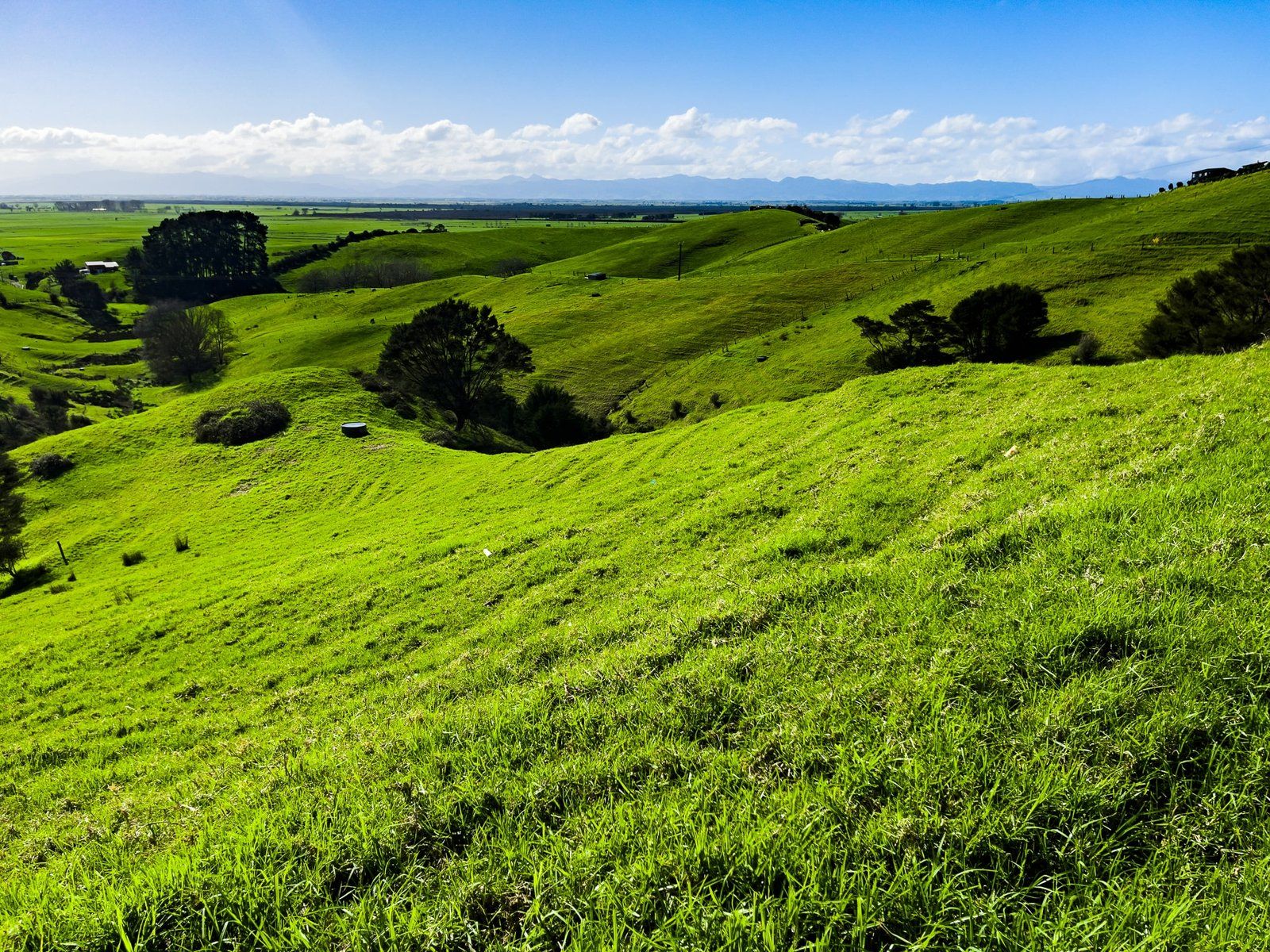
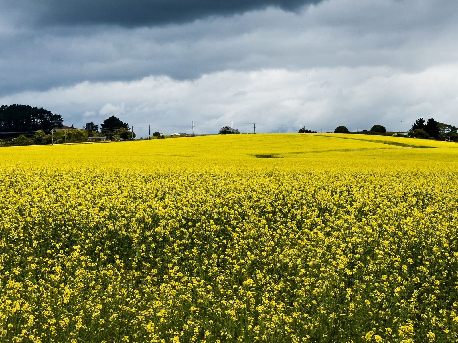
Leaving the expressway to explore some of these options also takes you into an often picturesque rural landscape, with seemingly endless green rolling hills, foggy winters and brilliant big sky sunsets.
Harker Reserve
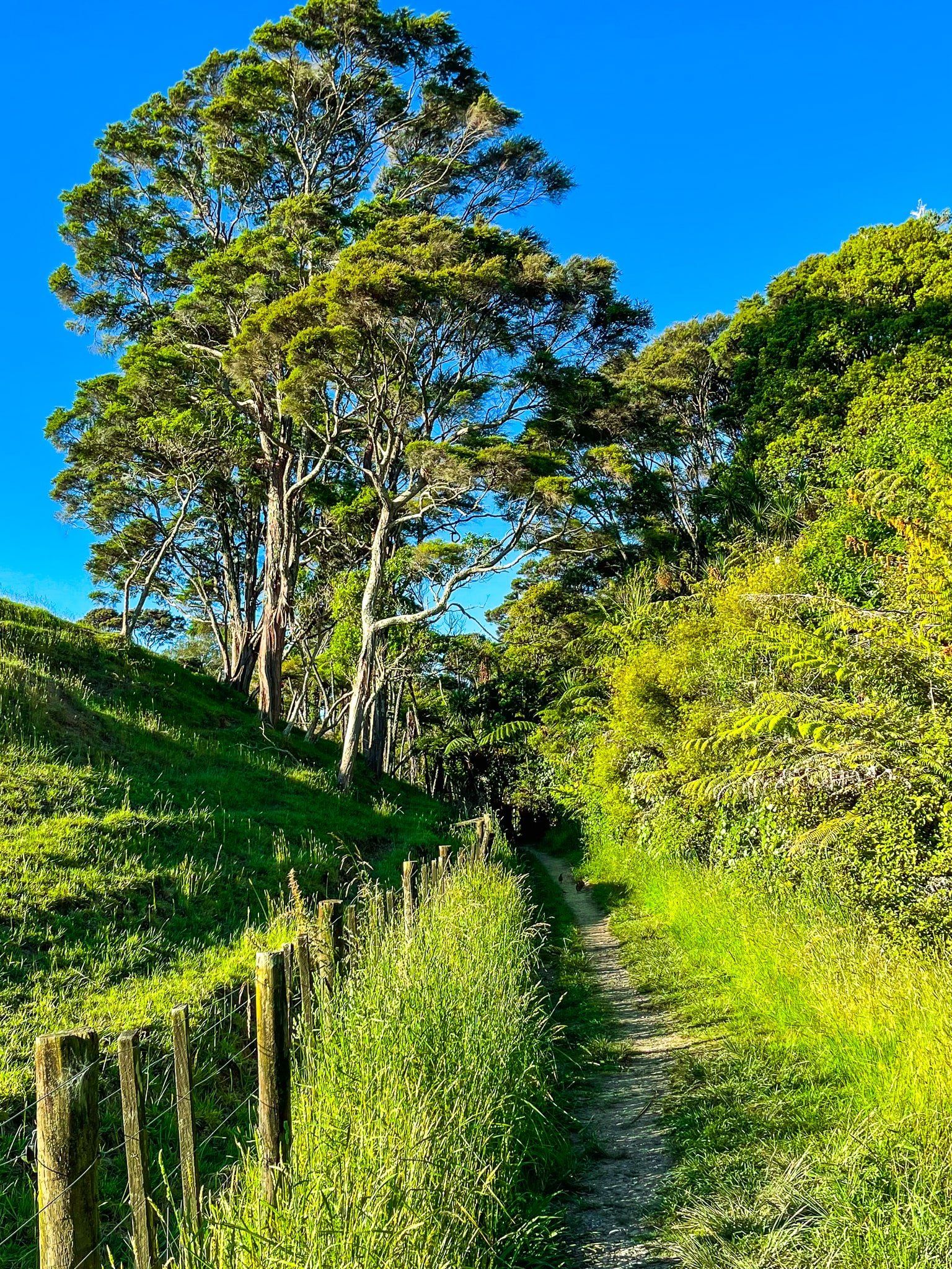
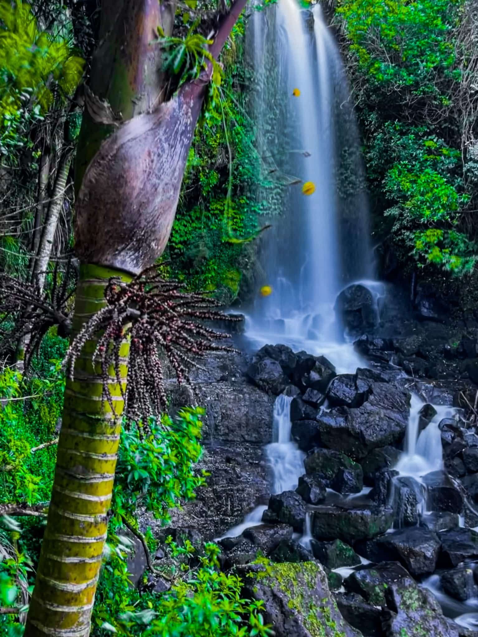
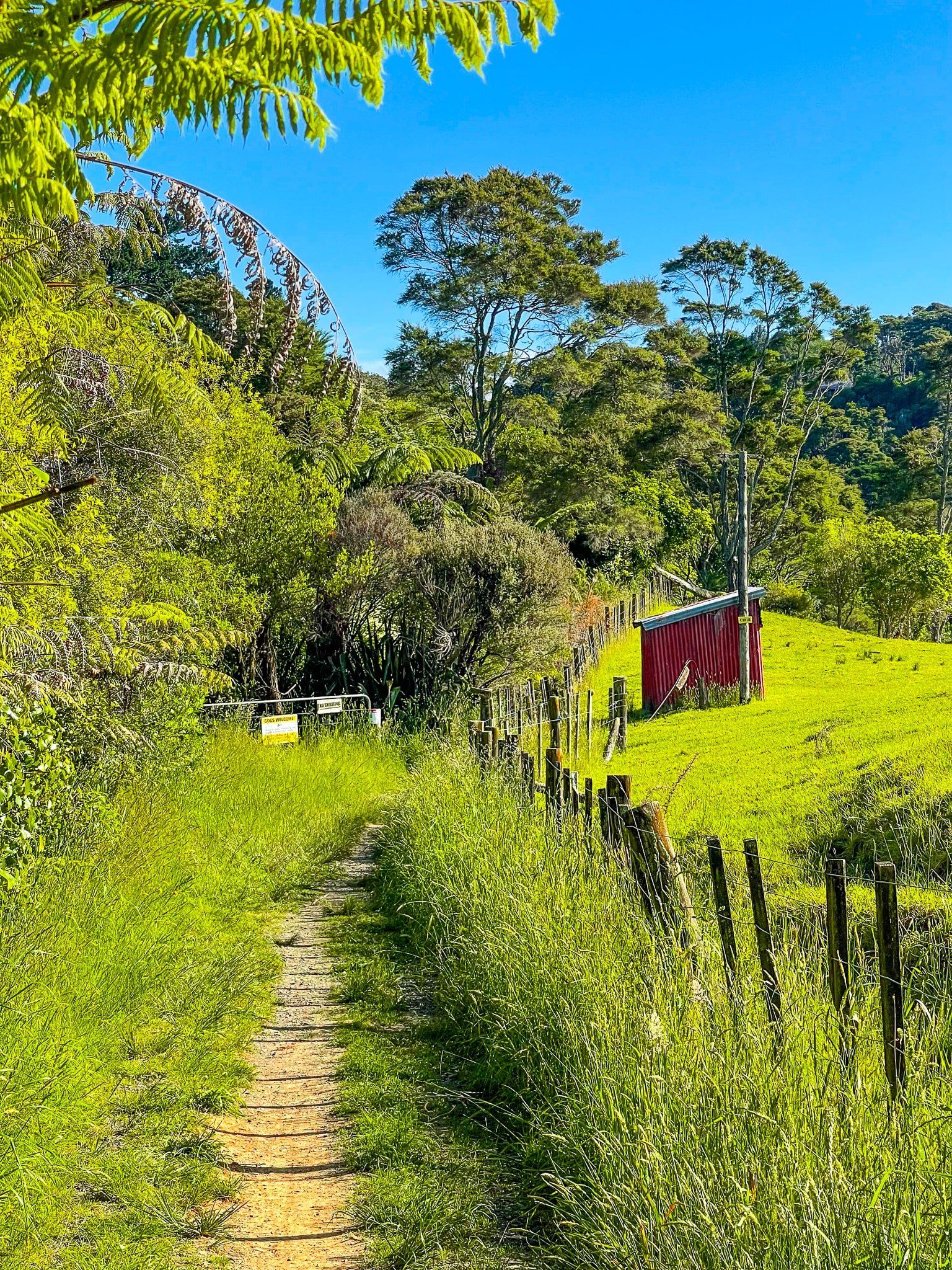
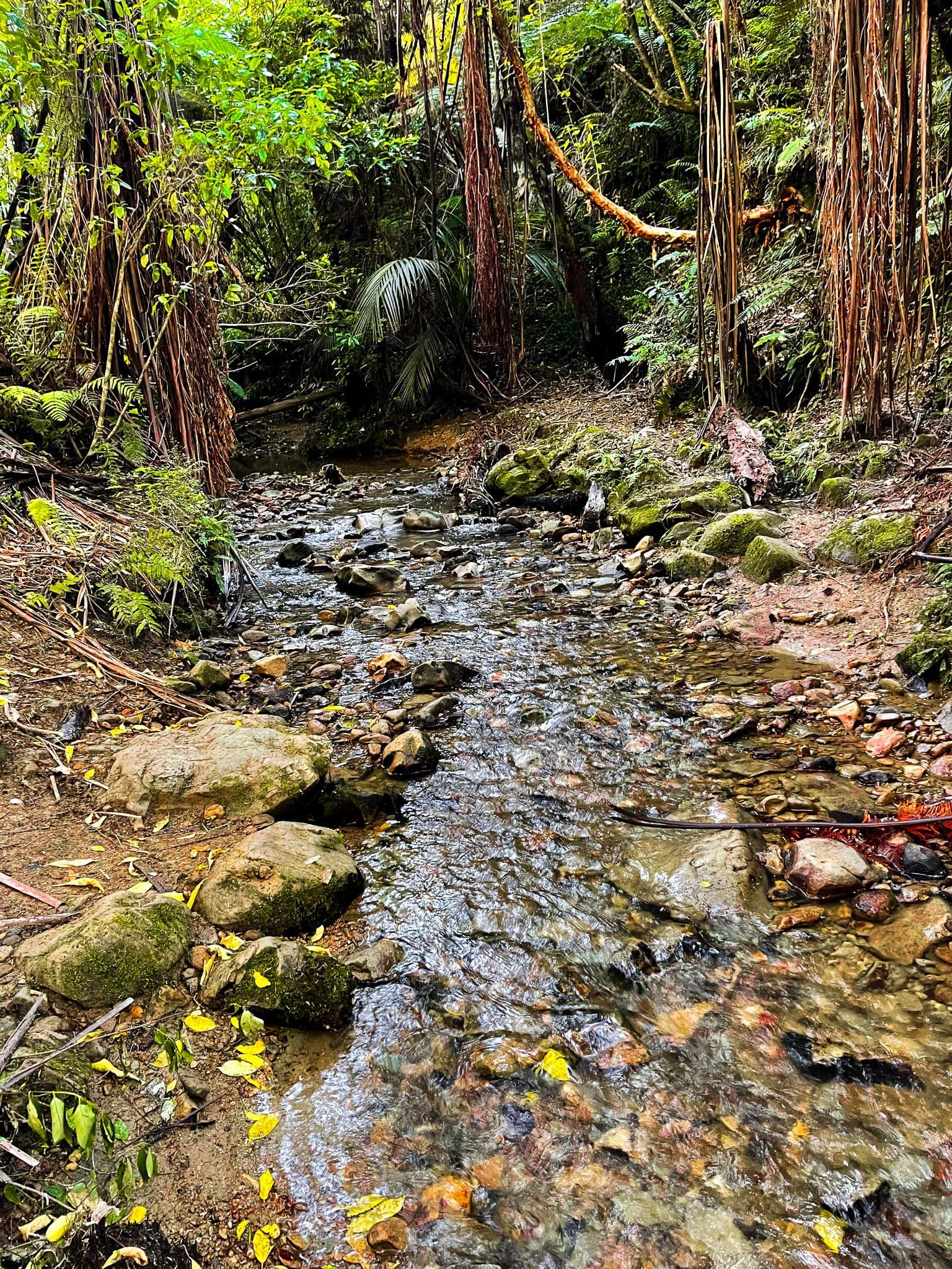
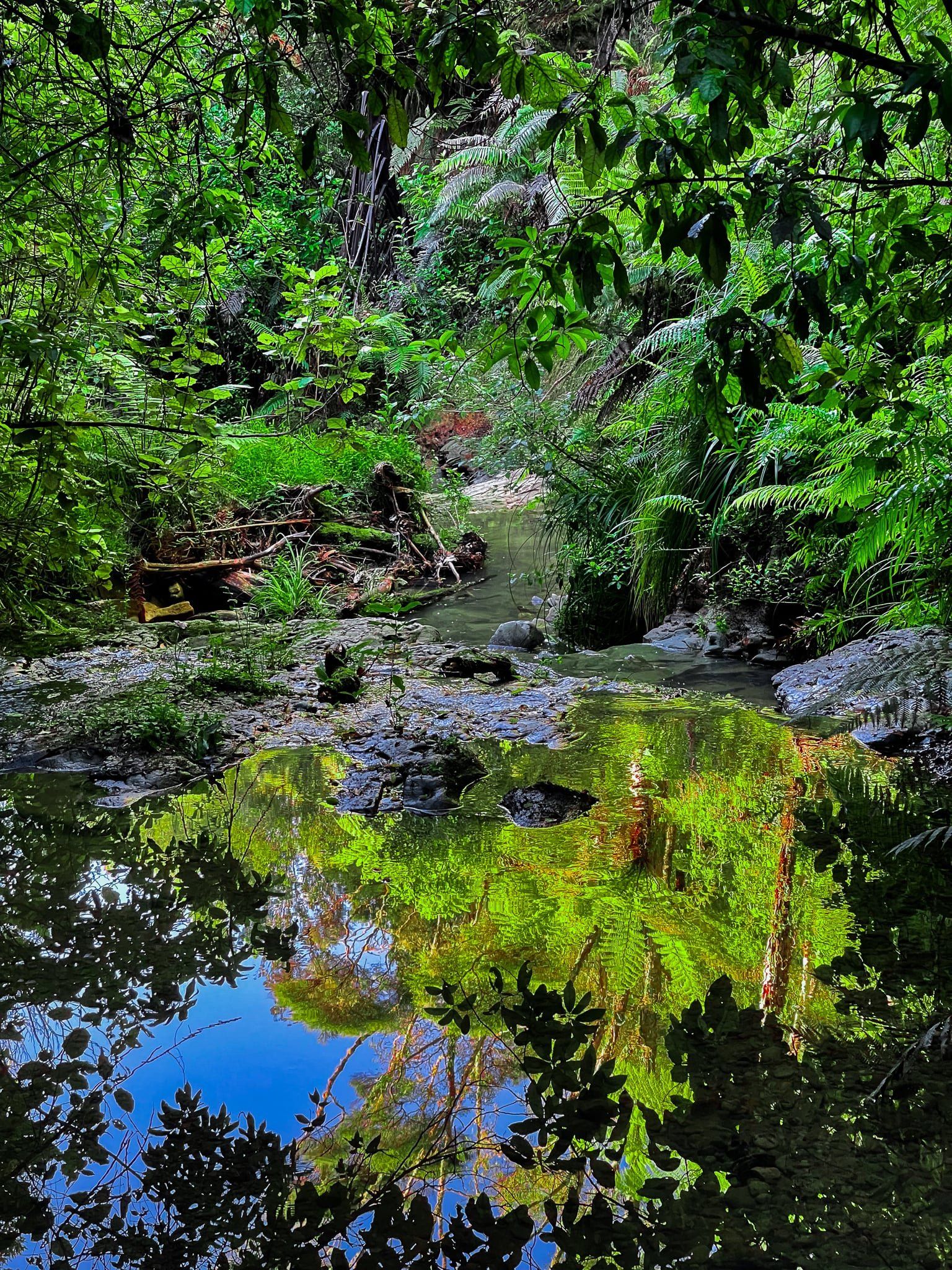
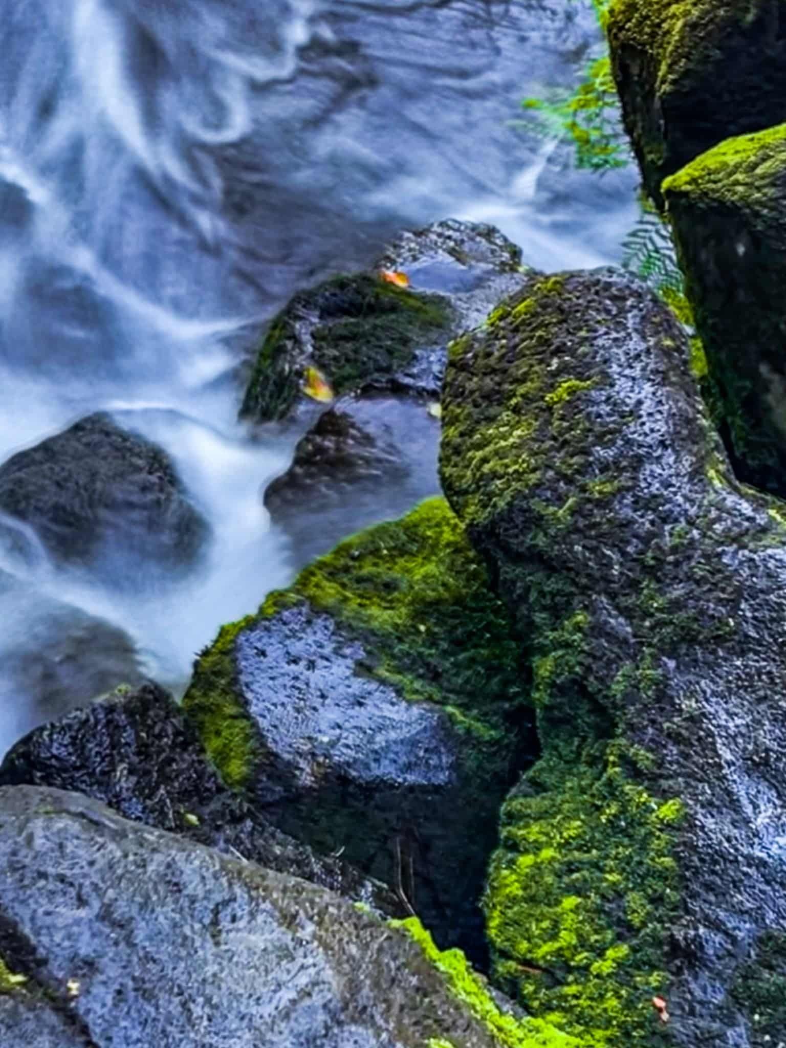
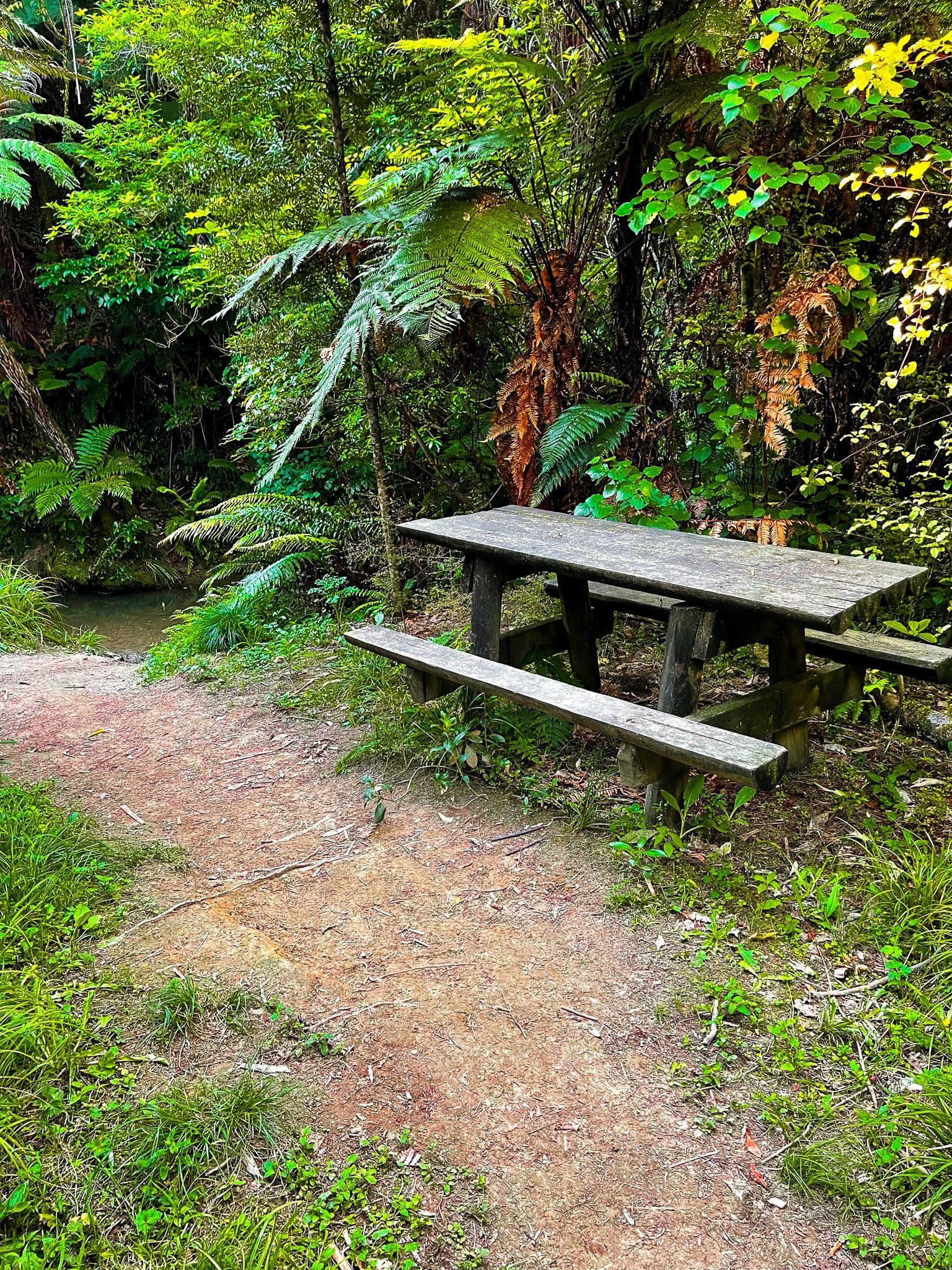
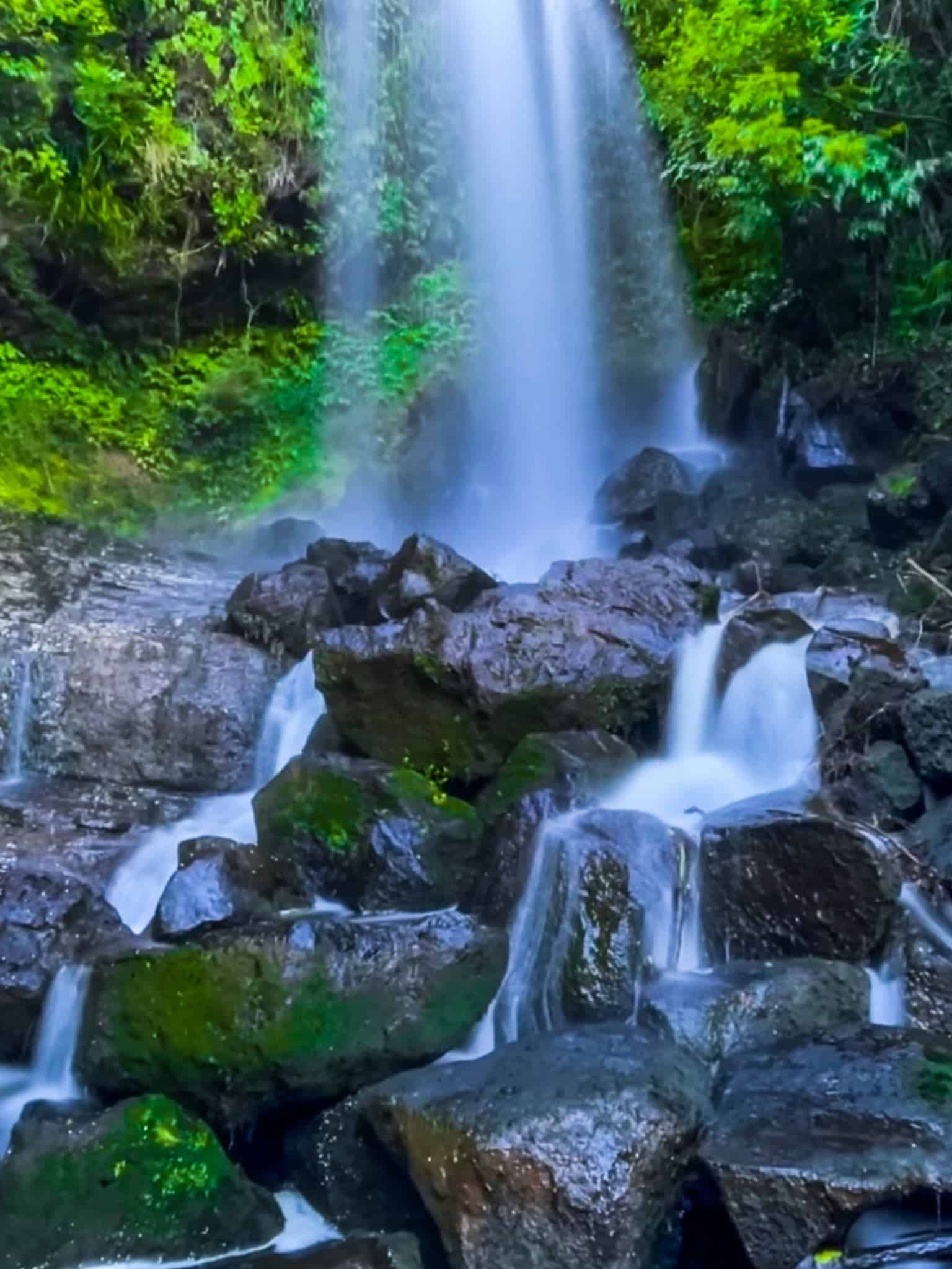
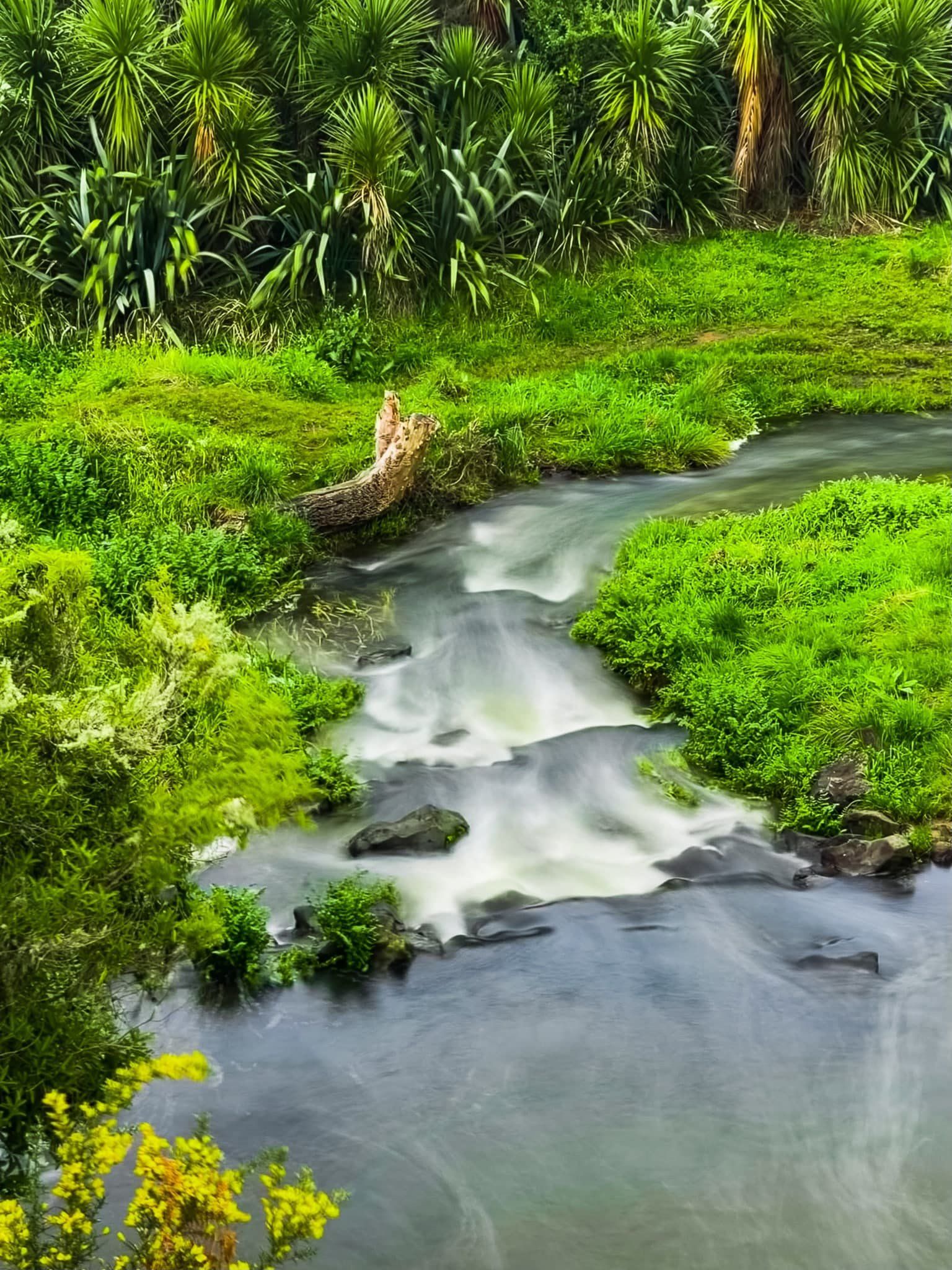
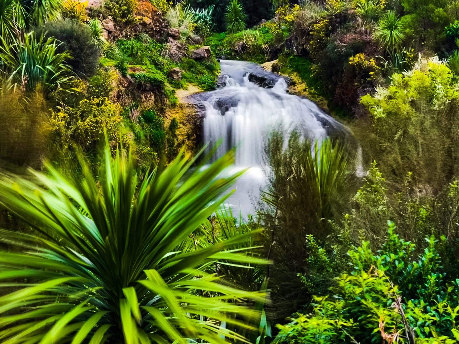
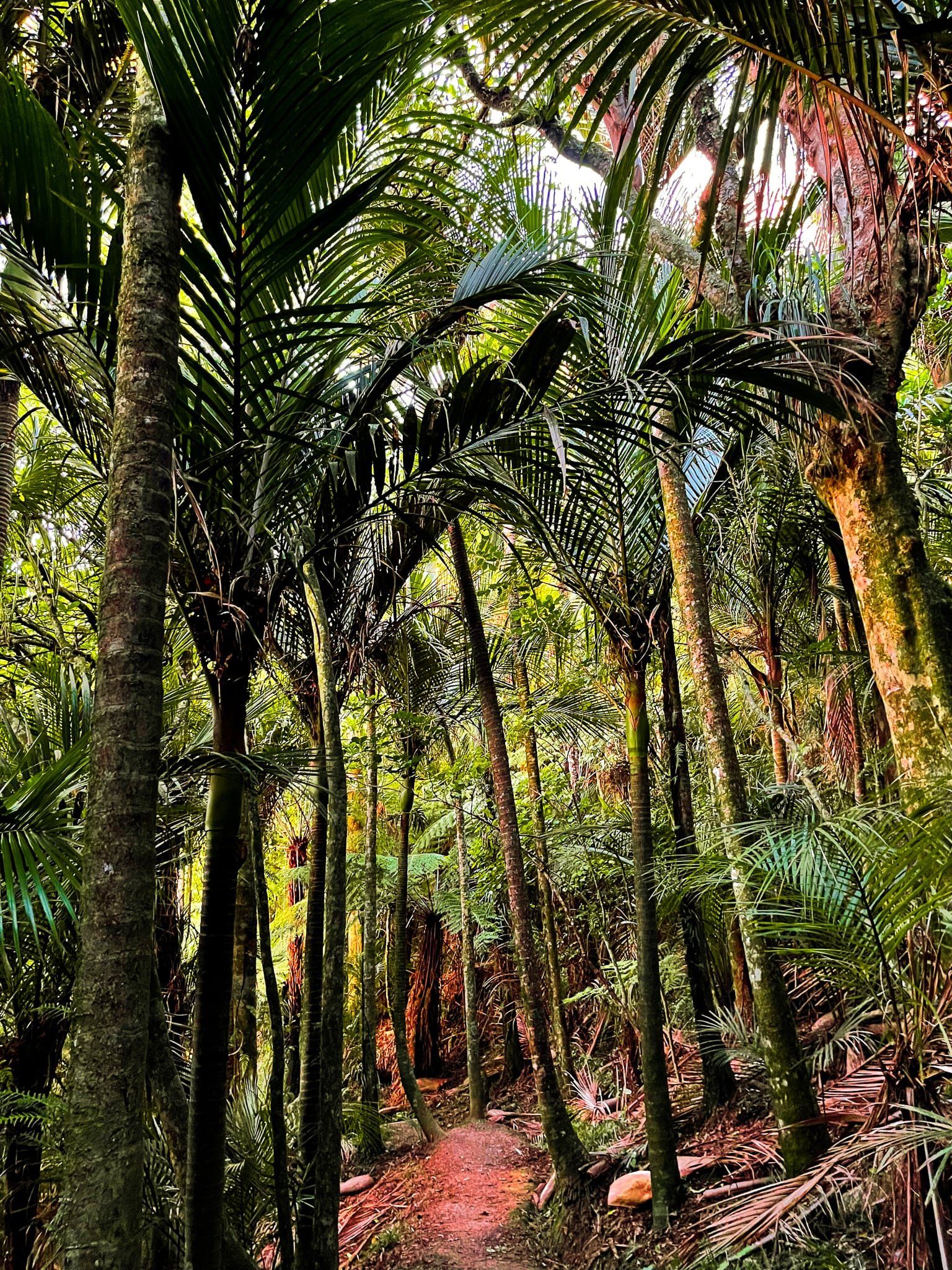
Harker Reserve is only a couple of minutes drive from Tuakau Bridge on Tuakau Bridge Road (southwest side of the bridge). The 3 km track, which links Tuakau Bridge Road to Miller Road, was originally the access road to Onewhero but now takes you through native forest and farmland ending near the Vivian Falls / Te Wai Heke a Maoa. The track is well graded for easy walking but there is a short side loop which is more of a tramping track and likely to be muddy after rain. This loop takes you down to the stream that runs along the gully below the main track.
Unusually, the Harker Reserve is private land. The family protected 25 hectares of forest under a Queen Elizabeth II covenant in 1982 and the Vivian Falls / Te Wai Heke a Maoa were subsequently added.
Allow about an hour each way to do the tracks, but you will probably want to spend some time by the very attractive waterfall. There is also a panel that explains an interesting piece of Māori history and hence its Māori name. If you prefer to just visit the waterfall, it is only a couple of minutes from the Miller Road car park.
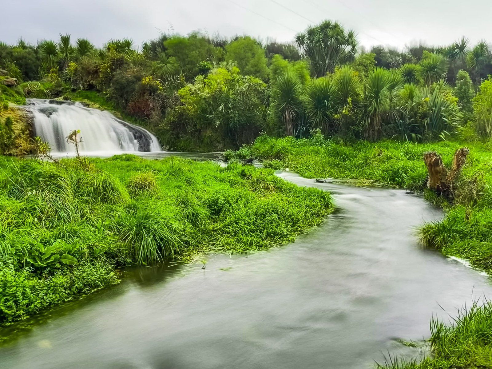
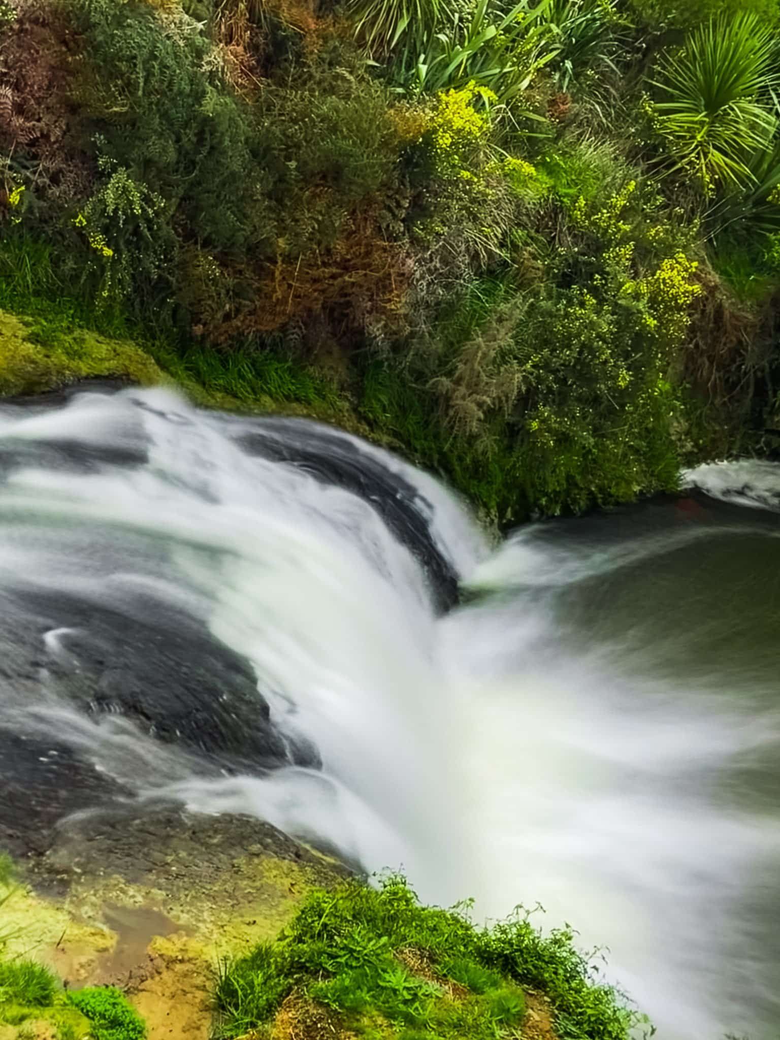
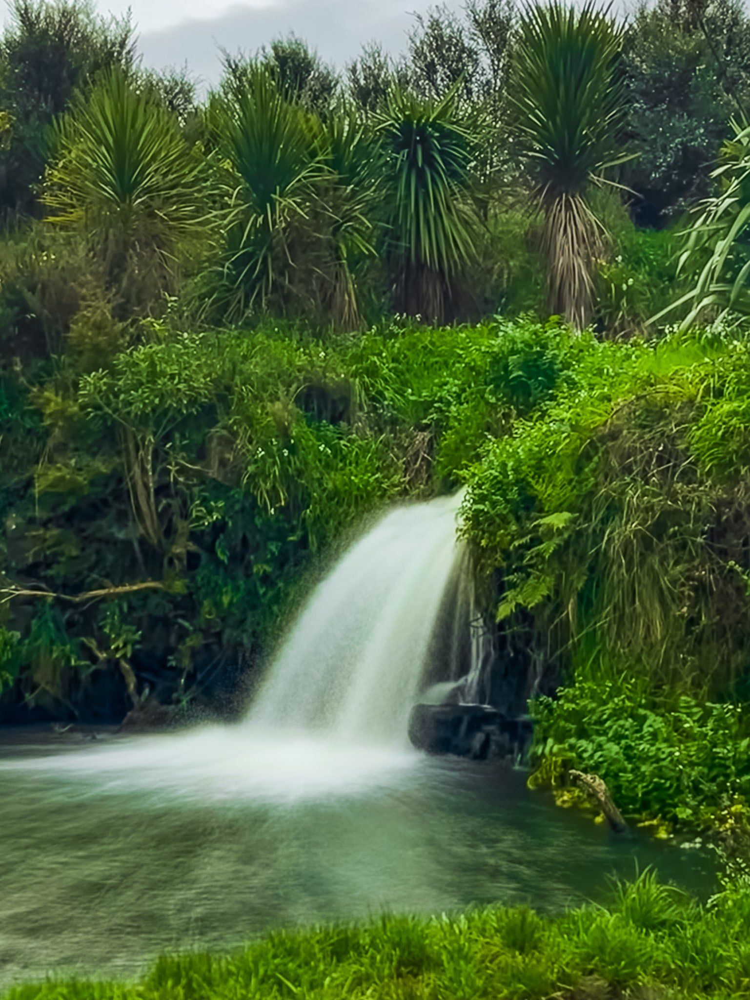
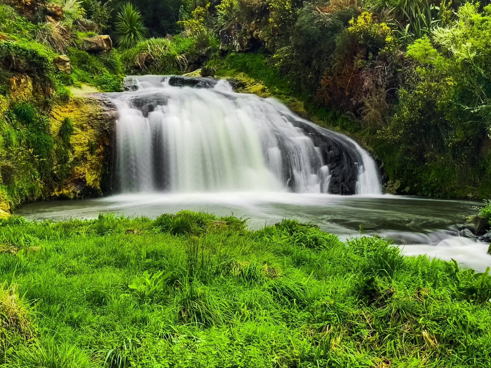
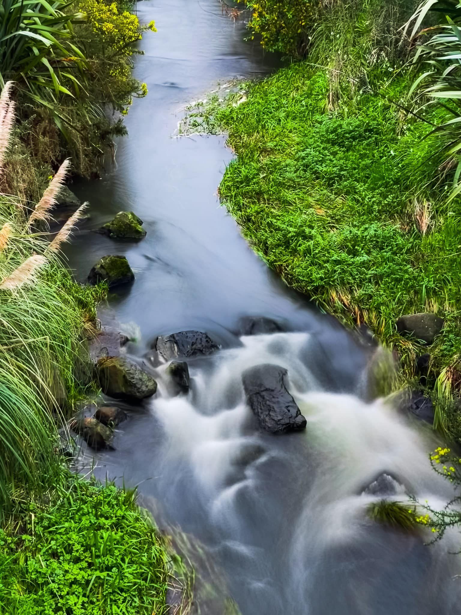
Pōkeno Falls
Pōkeno Falls are an attractive 6 metre waterfall a few minutes drive from the Pōkeno northend offramp of the Waikato Expressway. Heading south from the offramp, turn left at the roundabout onto Dean Road then right onto Fraser Road, which becomes McIntosh Drive, then left onto Te Ara Aukati Terrace. You will see the waterfall reserve on your left. Follow the 5 minute track to the bottom of the falls, or cross the bridge to walk to the top of the falls.
The reserve is surrounded by a mix of farmland and urban development, but it has been replanted in native shrubs and trees and it will improve as these grow out. In addition to the main falls, there is a connecting stream with a smaller waterfall to the east.
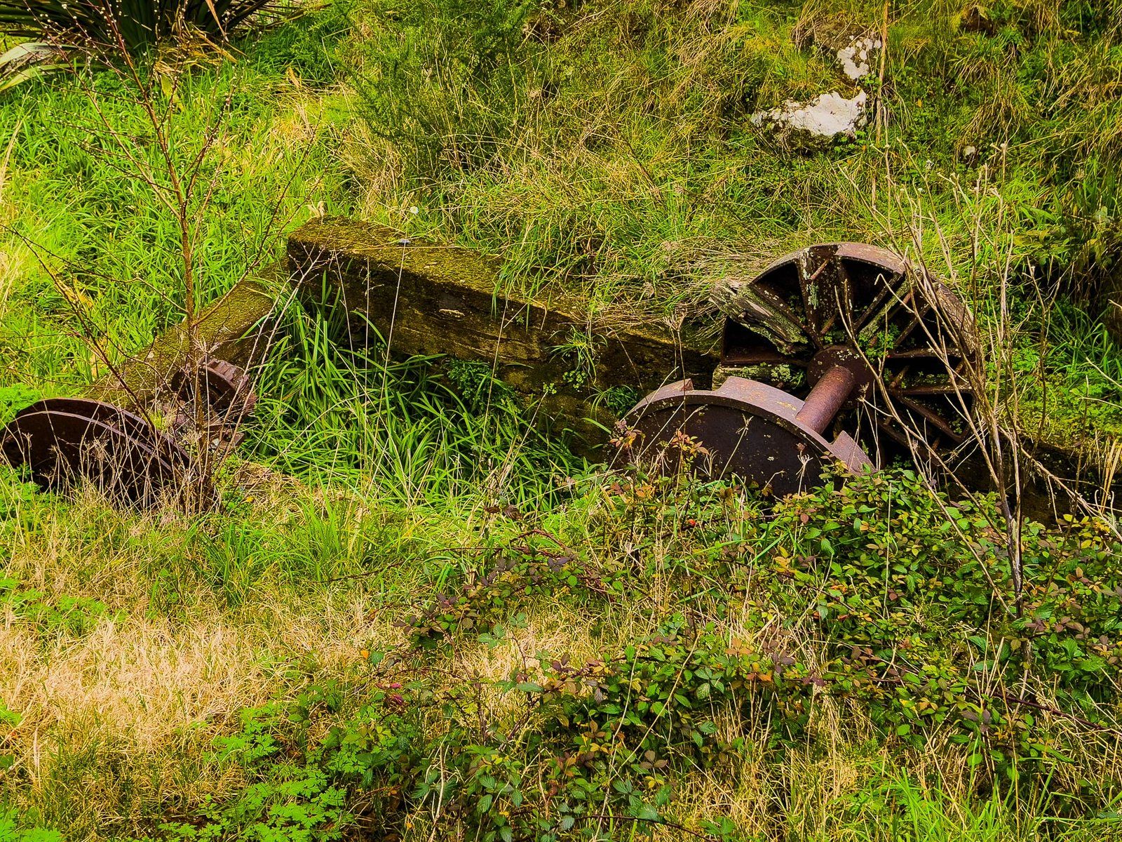
As you walk down the main track, you will also see the remains of an early flour mill with an interesting explanatory panel. The mill was owned by Te Wheoro, a government supporter in the invasion of the Waikato, one of many that predated the invasion in 1863. The disruption of war and land confiscations brought an end to many such Māori-owned businesses in the region.
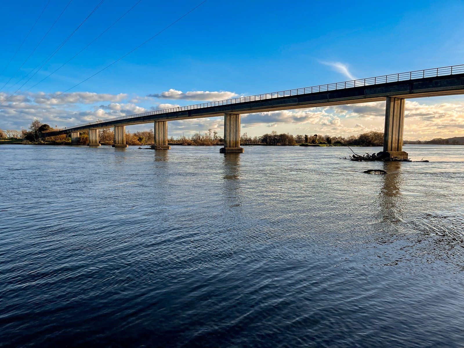
Rangiriri to Mercer on Te Araroa
Te Araroa runs mostly along the Waikato River from central Hamilton to Mercer, with a short deviation along the top of the Hakarimata Range between Ngāruawāhia and Taupiri. You can choose various access and exit points. This time, we opted to walk the section from Rangiriri Bridge to Mercer, well removed from the bustle of the Waikato Expressway.
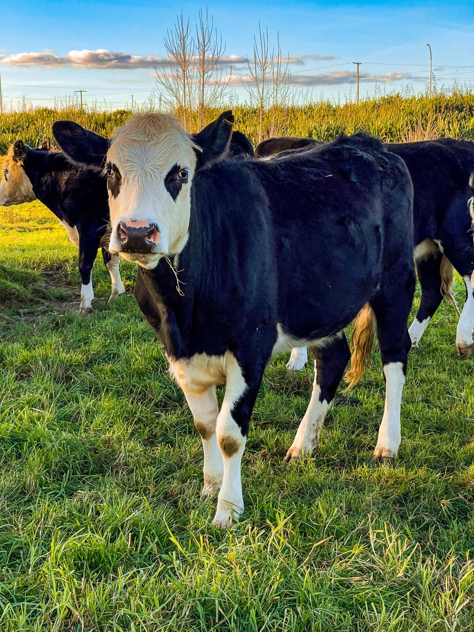
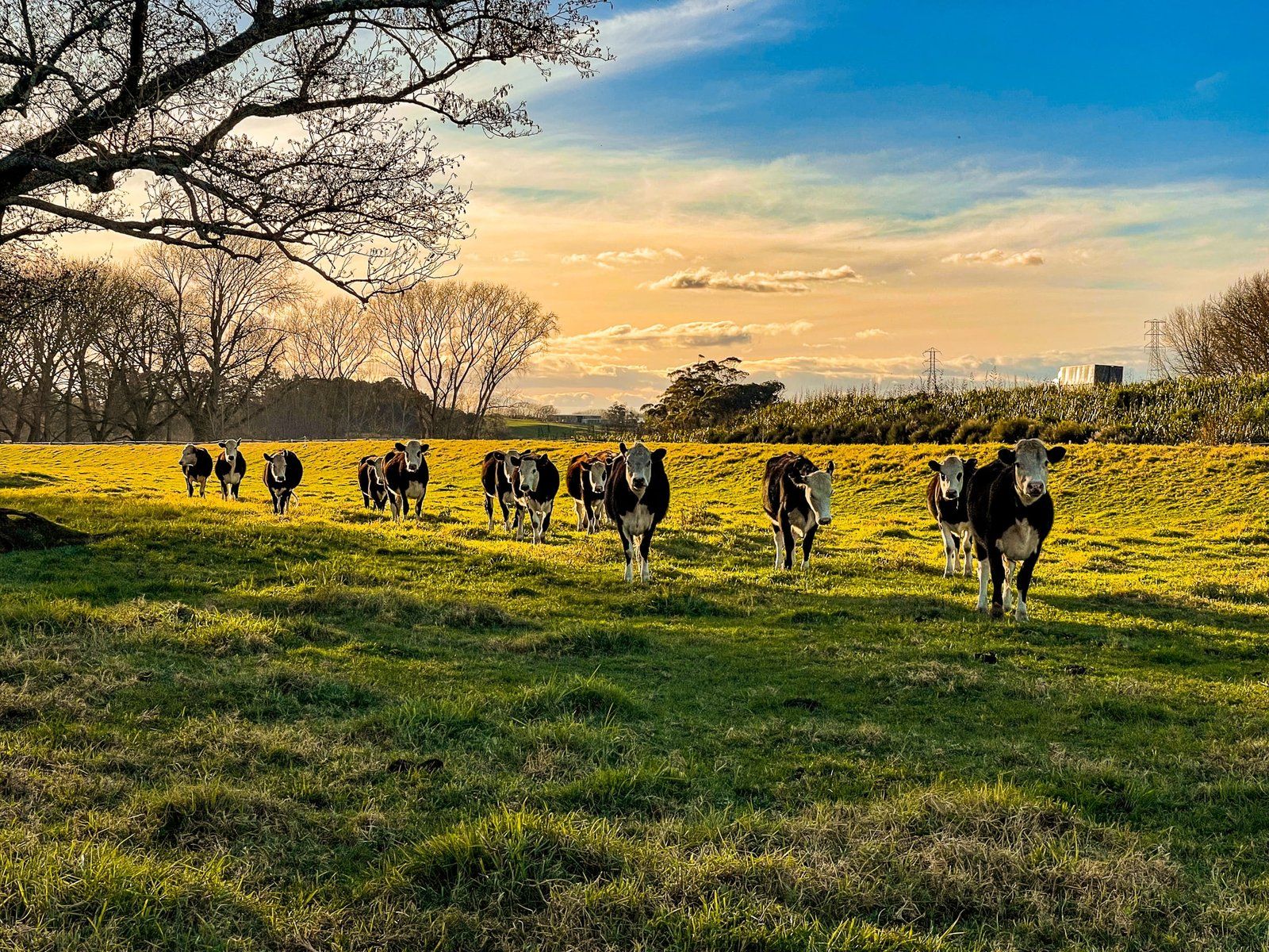
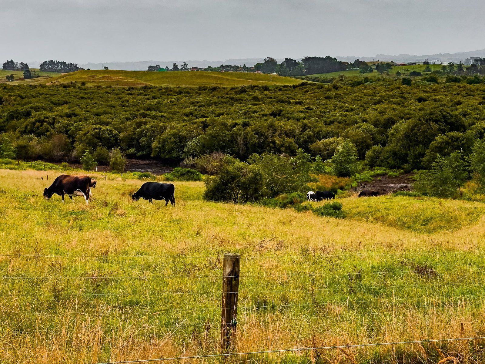
On the west side of the Rangiriri Bridge, there is a car park and boat access ramp. From there, walk a short distance along Churchill East Road until you see access through the adjacent farm to the trail. There may be a few curious and very friendly cows to negotiate.
It is an easy walk alongside the River but still a very solid day to get to Mercer. You can arrange to be picked up anywhere along the first 12 kms as Churchill East Road runs nearby until you reach a water pumping station. After that there is no easy road access until Hampton Downs (6 kms), then another 6 kms to Meremere Dragway.

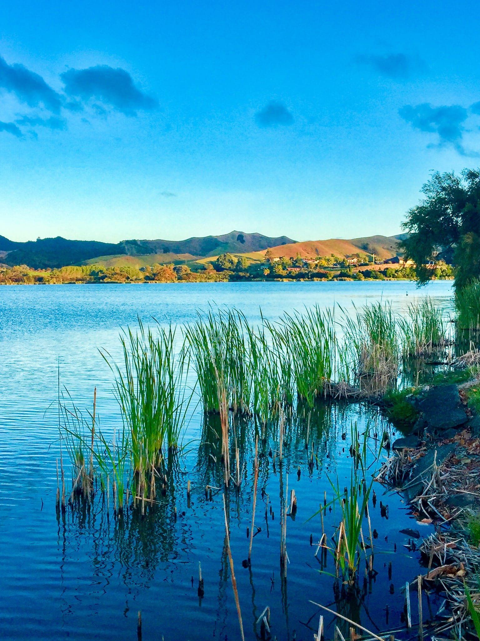
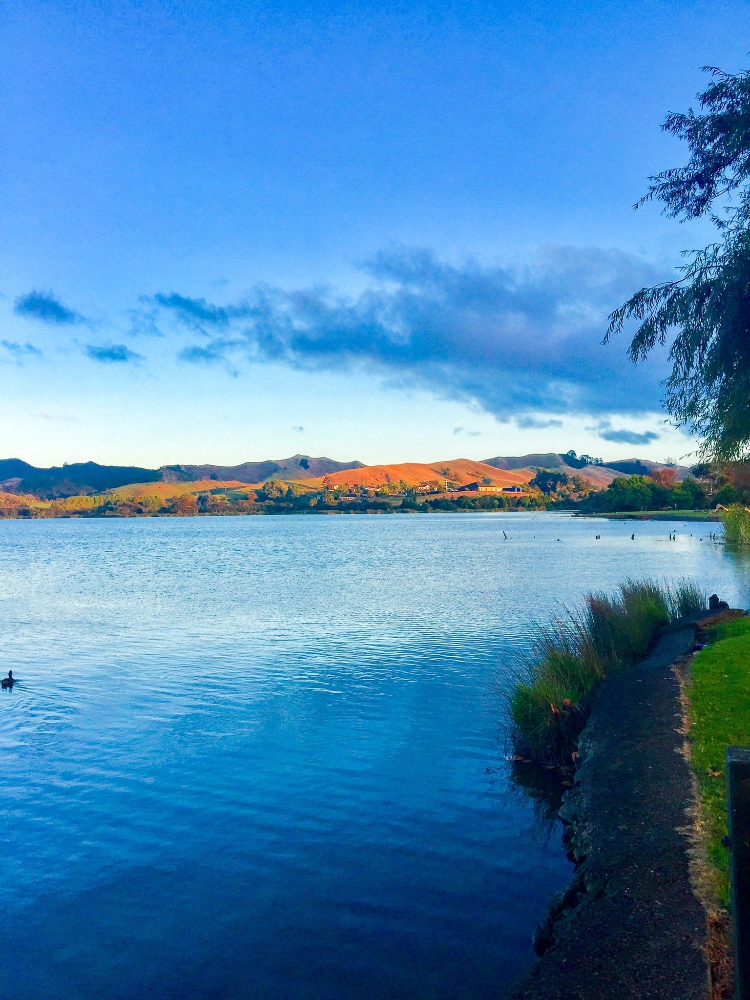
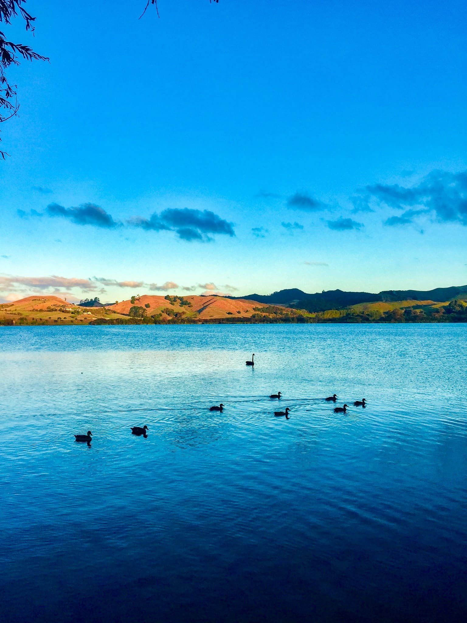
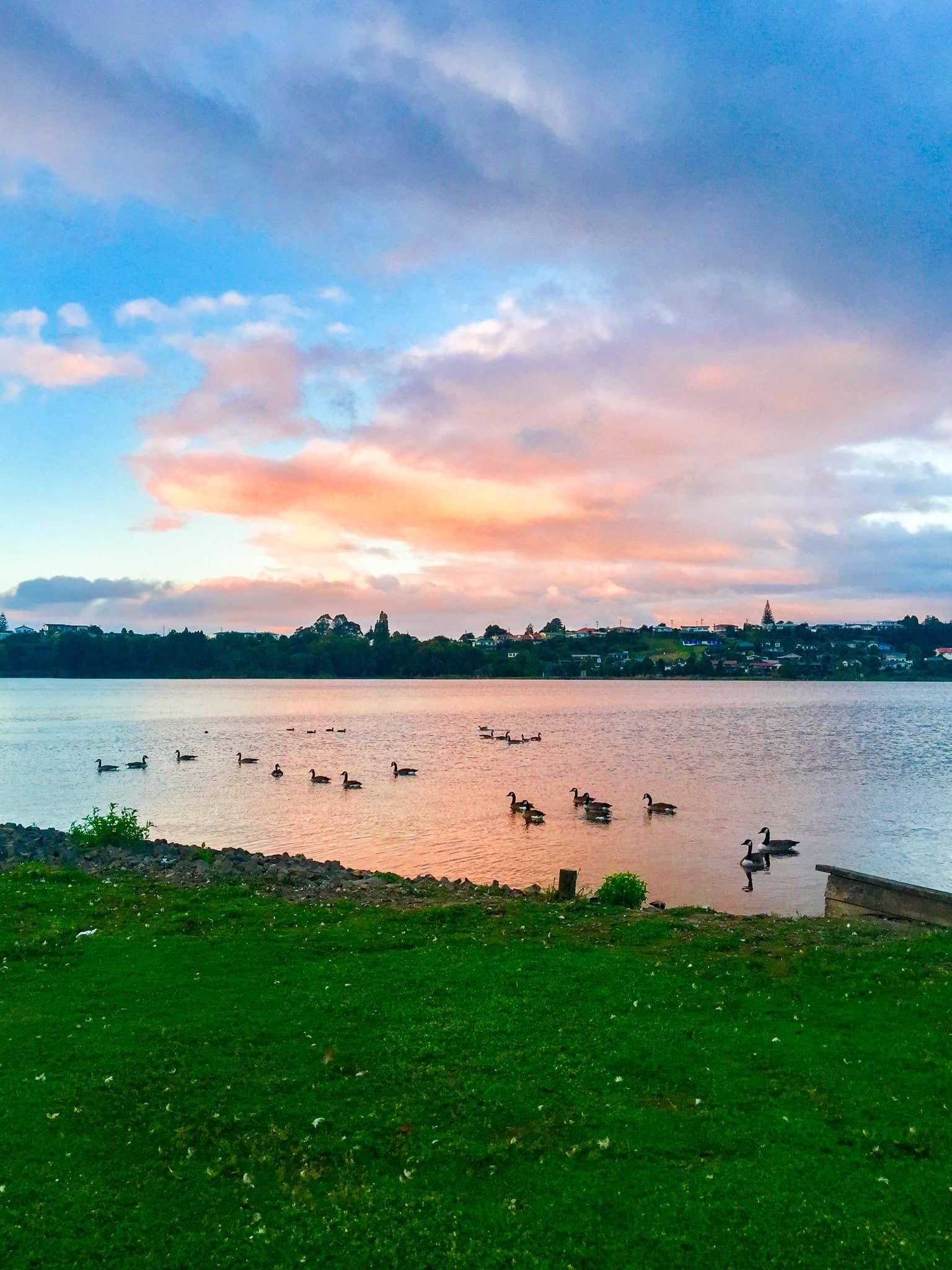
Huntly Lakes
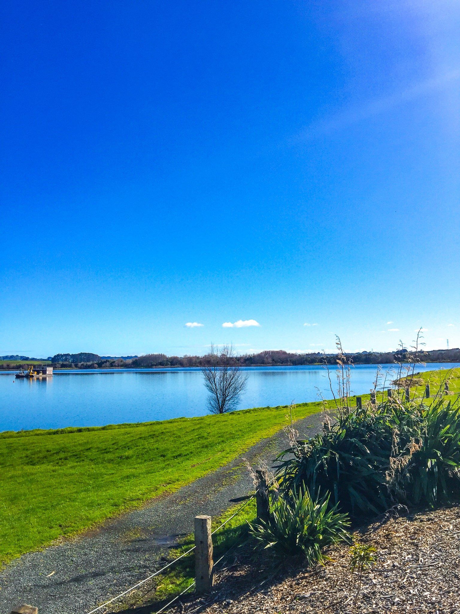
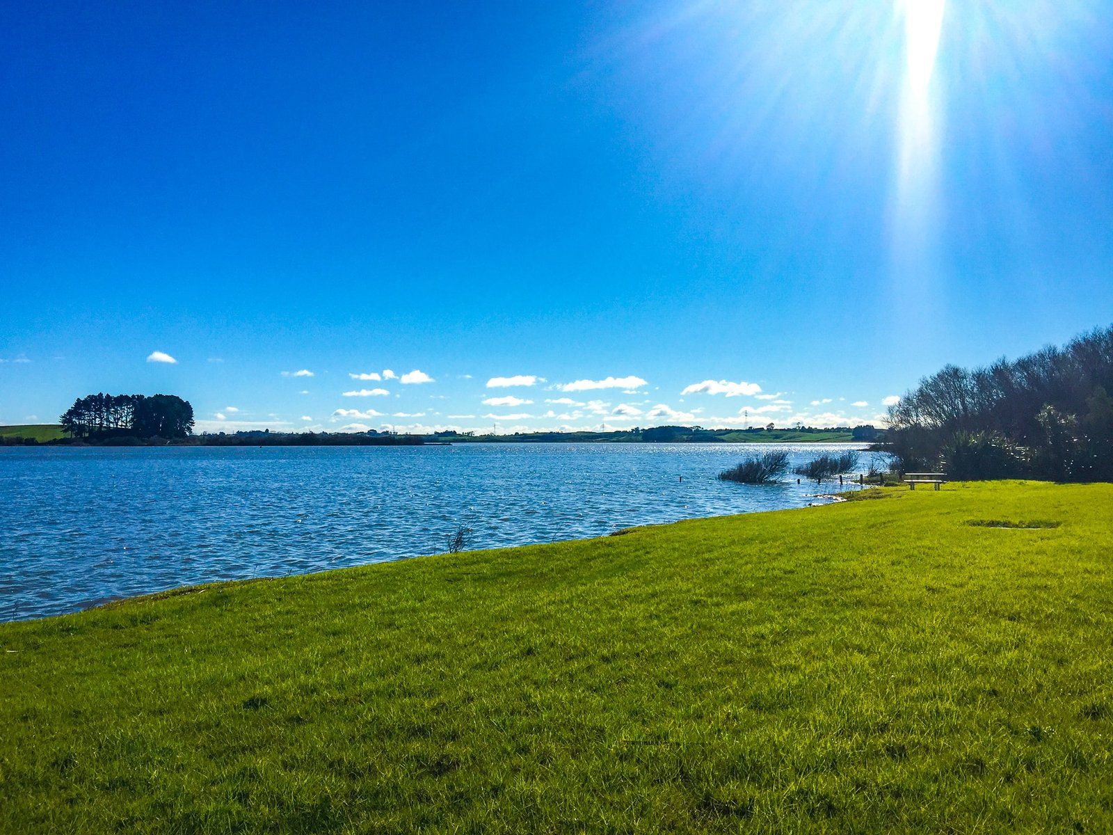
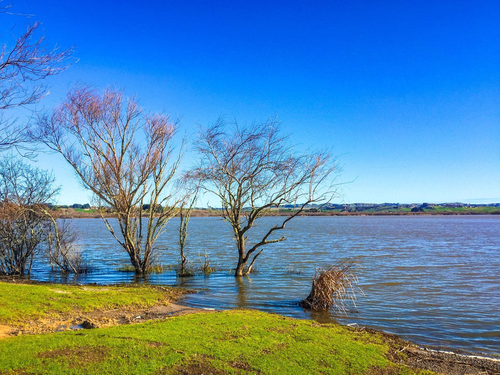
There are a large number of lakes scattered across the northern part of the Waikato. These are mainly vestiges of the substantial wetlands throughout the region that were drained for farmland once Europeans arrived. Most of them are not that attractive as they are shallow and have suffered from adjacent farming activity. Practices are improving but there is no quick fix. Other lakes are surrounded by private land and effectively inaccessible.
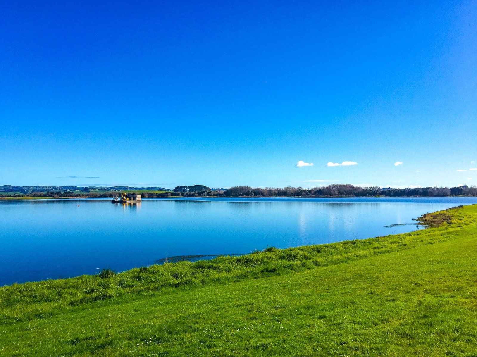
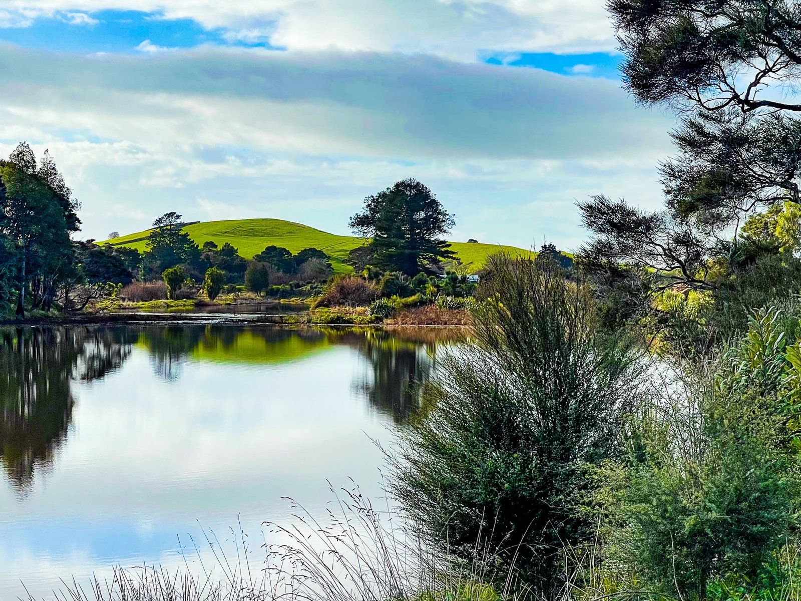
However, you can easily access two of these shallow lakes in Huntly – Hakanoa and Waahi, plus a third, Puketirini, which is an old open cast coal mine and much deeper. There are walks and cycle trails around each of the lakes, but Hakanoa is probably the best option, offering replanted native bush and trees, Japanese, Global, Wildlife, Palm Beach, and Contemporary Māori gardens, a Green Cathedral and wetlands.
Lake Hakanoa is a short drive from the main road on the east side of the river, with best access from Taihua Road. Waahi and Puketirini are next to each other on the west side of the river with best access from Weavers Crossing Road. It takes about a leisurely hour to walk around Hakanoa and Puketirini but Waahi is much bigger and would need several hours.
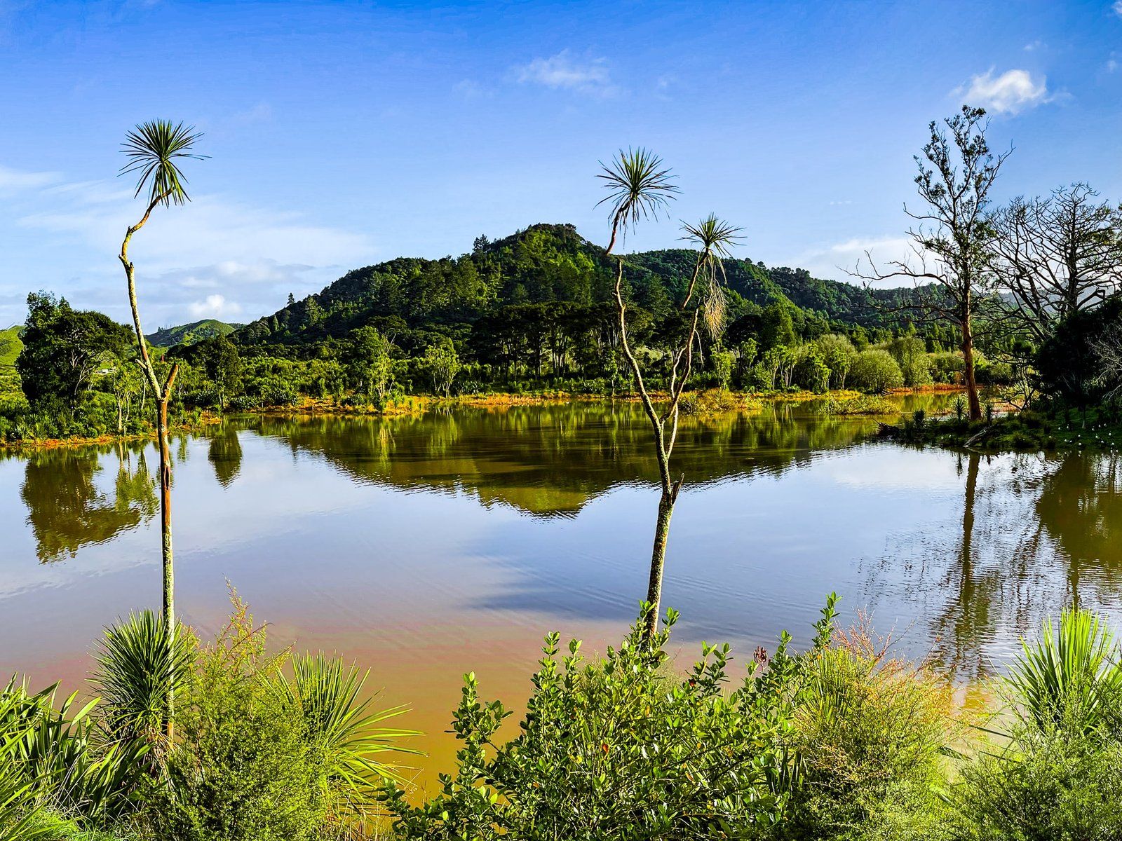
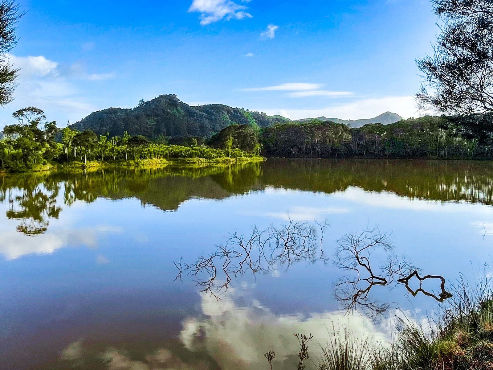
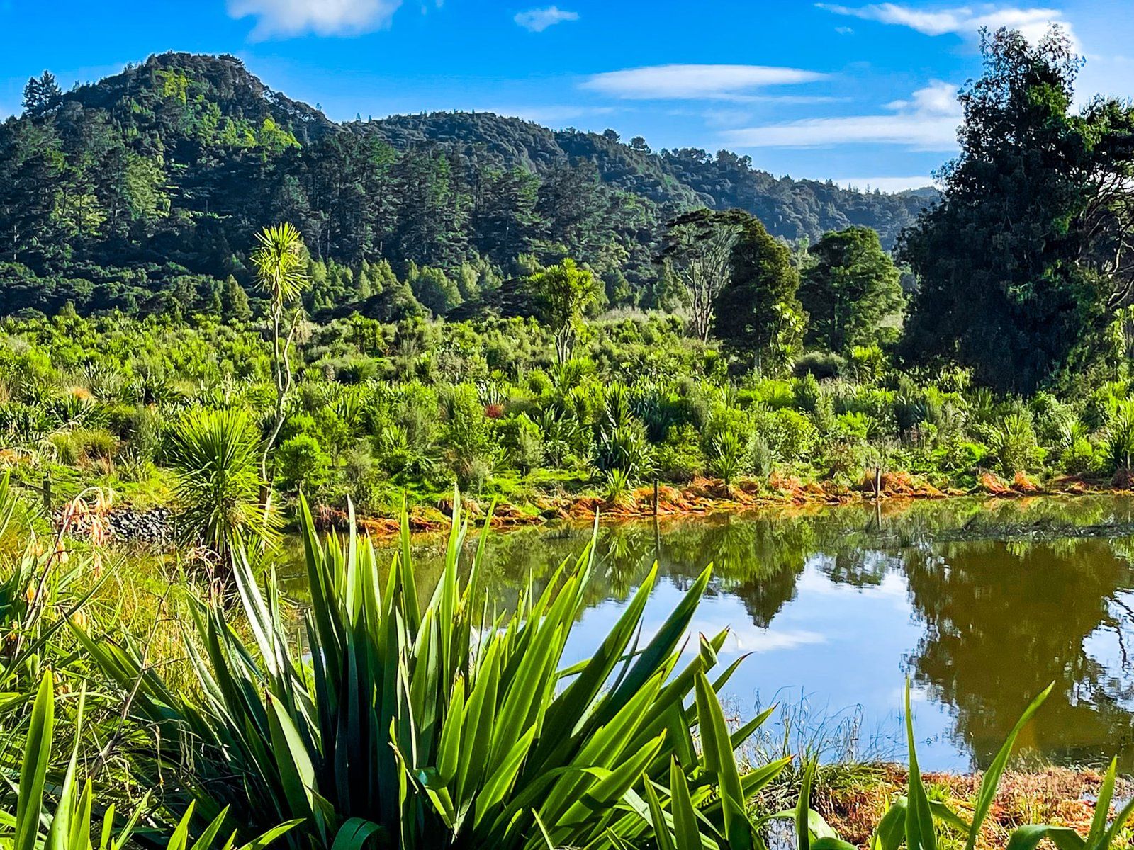
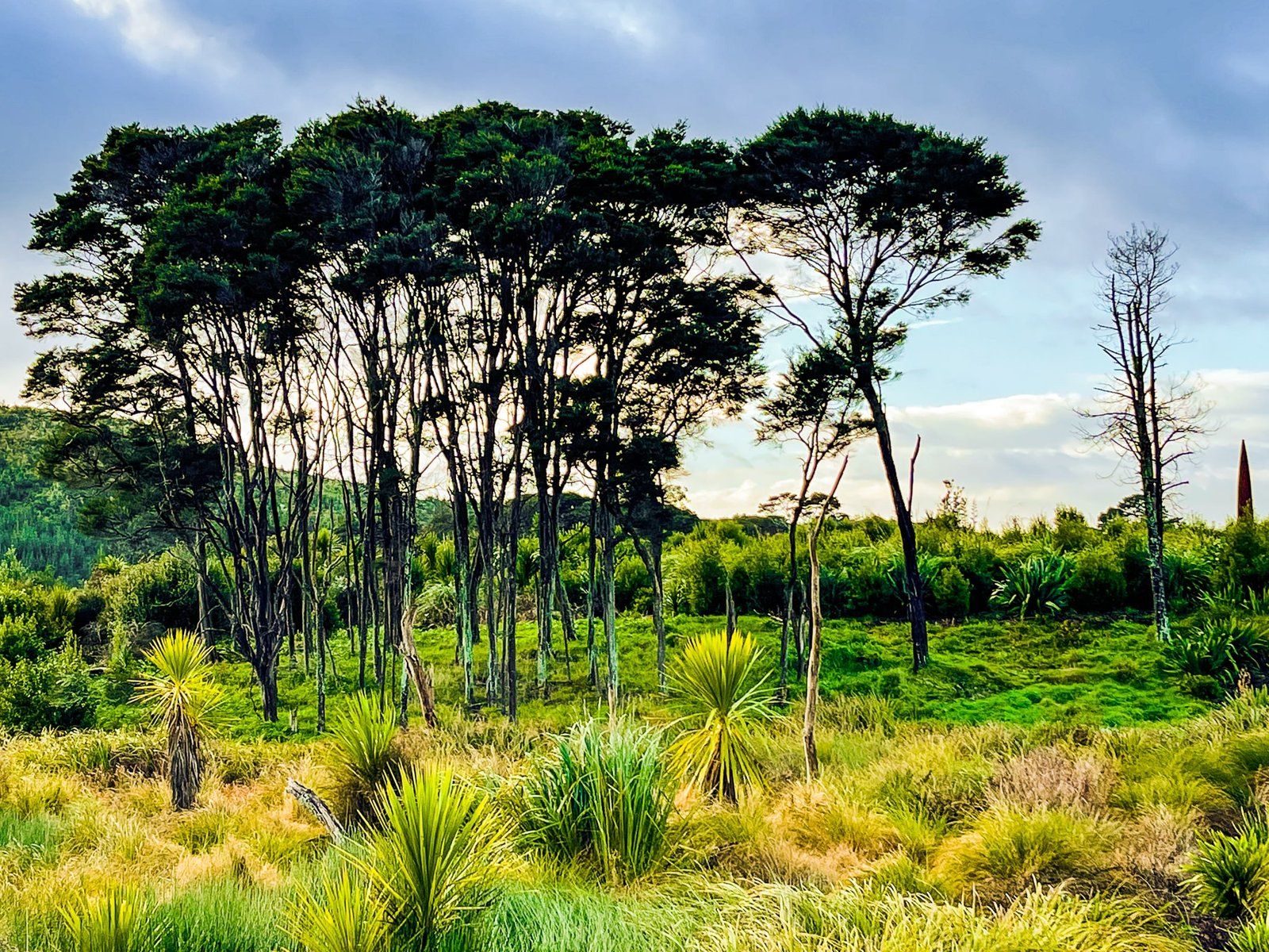
Taupiri Pass Scientific Reserve
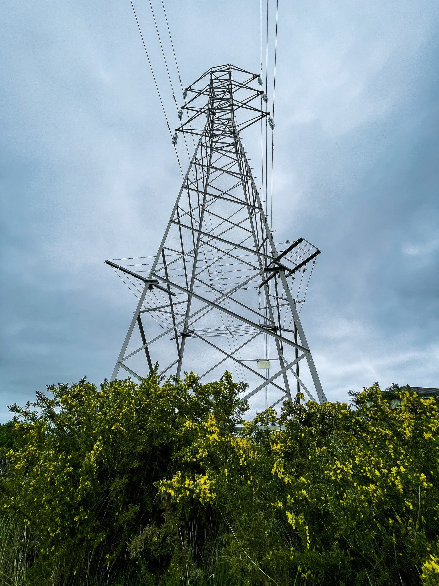
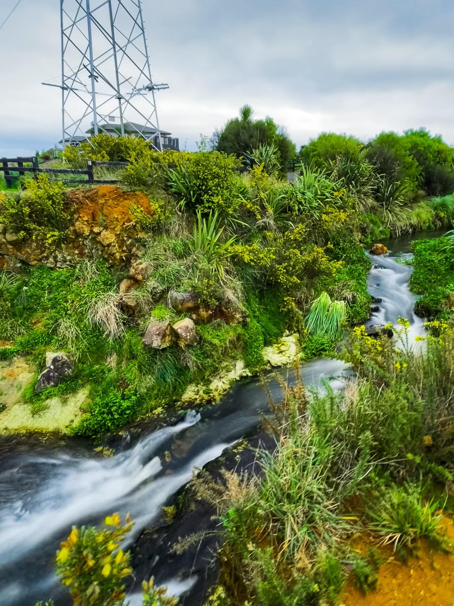
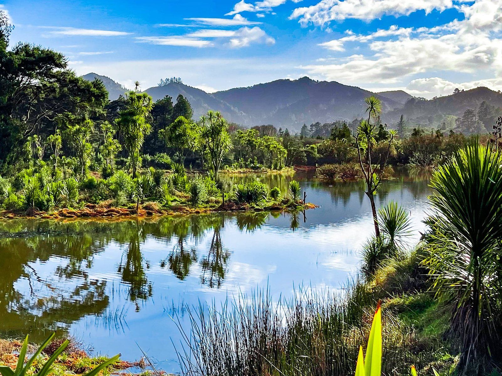
The extension of the Waikato Expressway to the east of Huntly over Taupiri Pass affected a couple of existing wetland reserves, including the nearby Taupiri Scientific Reserve. This reserve protects an area where several streams meet, forming Te Iringa, a lagoon supporting a range of native species.
The good news is that a significant investment was made in providing public access to the reserve and there is an easy track that takes you from the carpark around the wetlands, with substantial replanting.
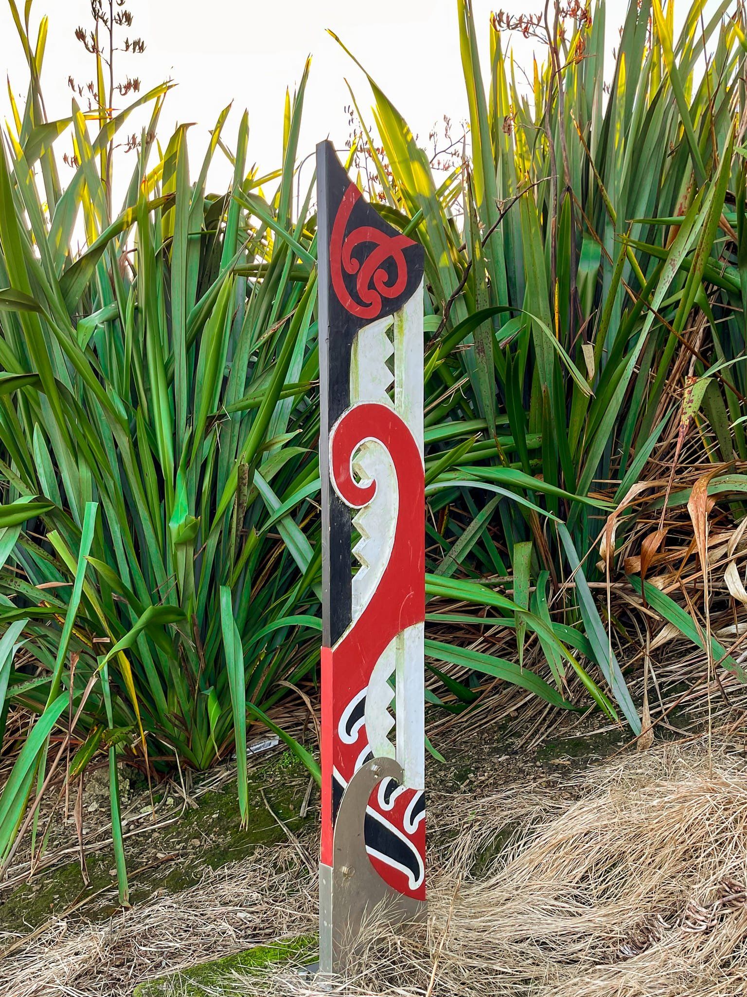
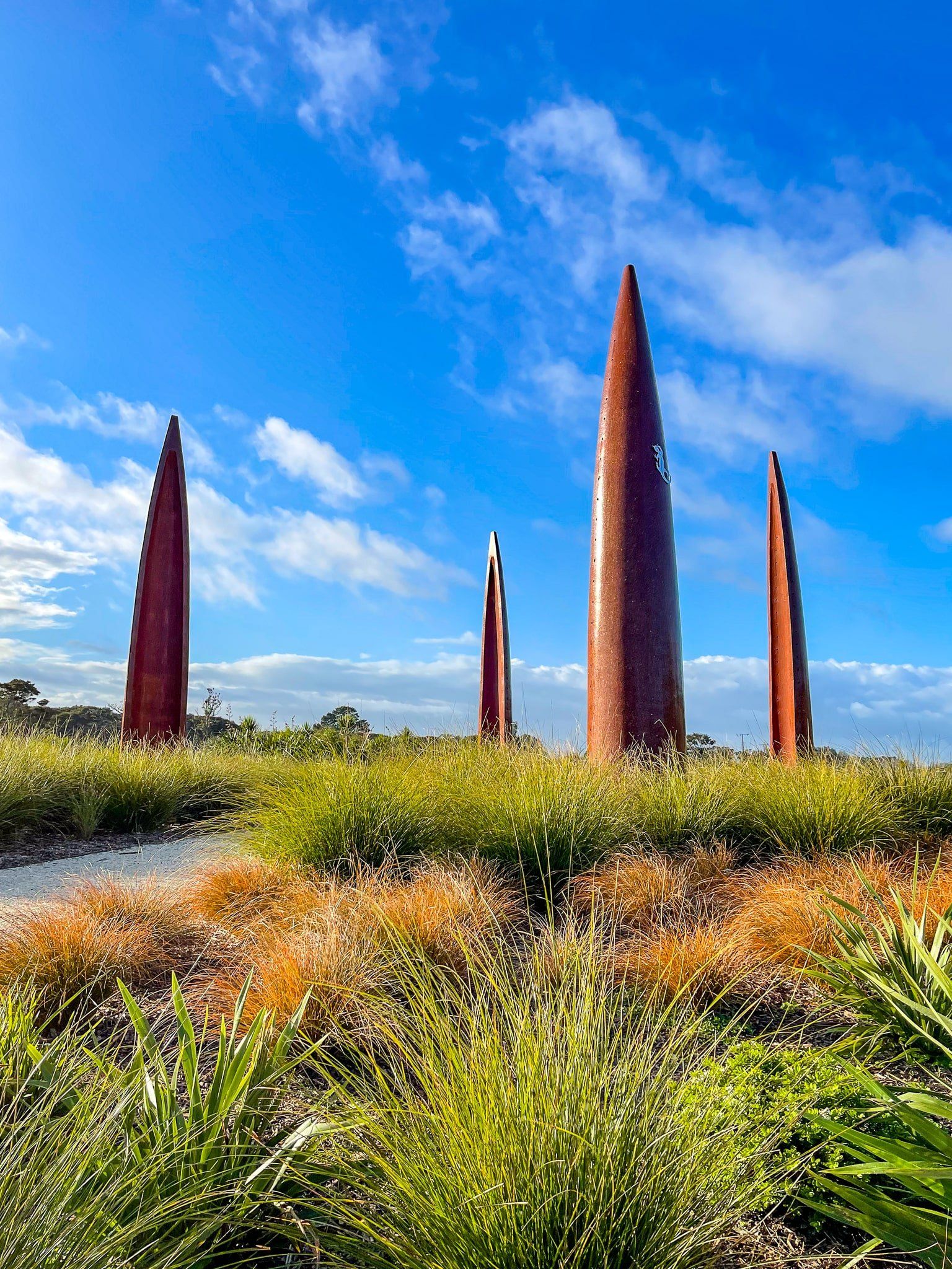
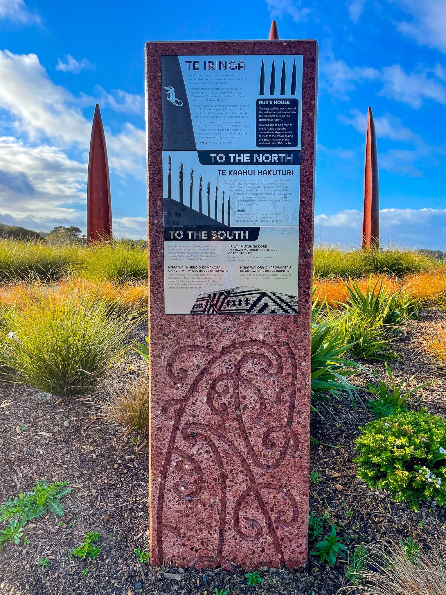
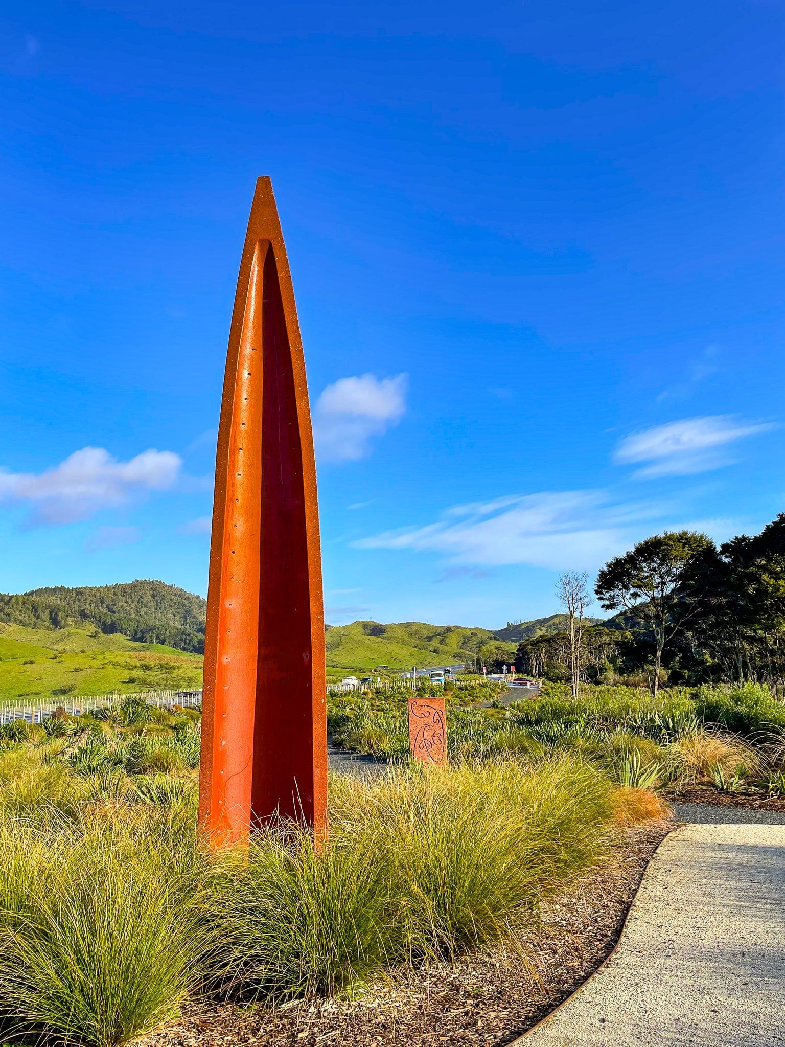
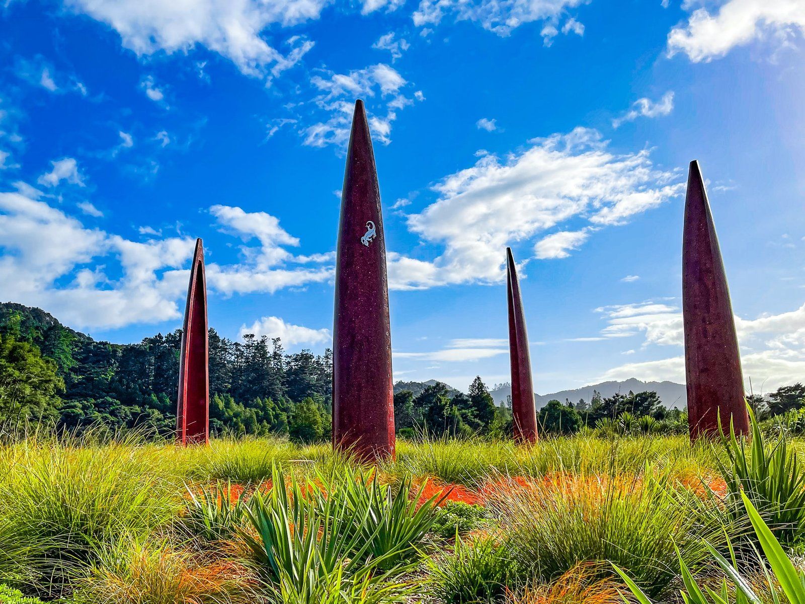
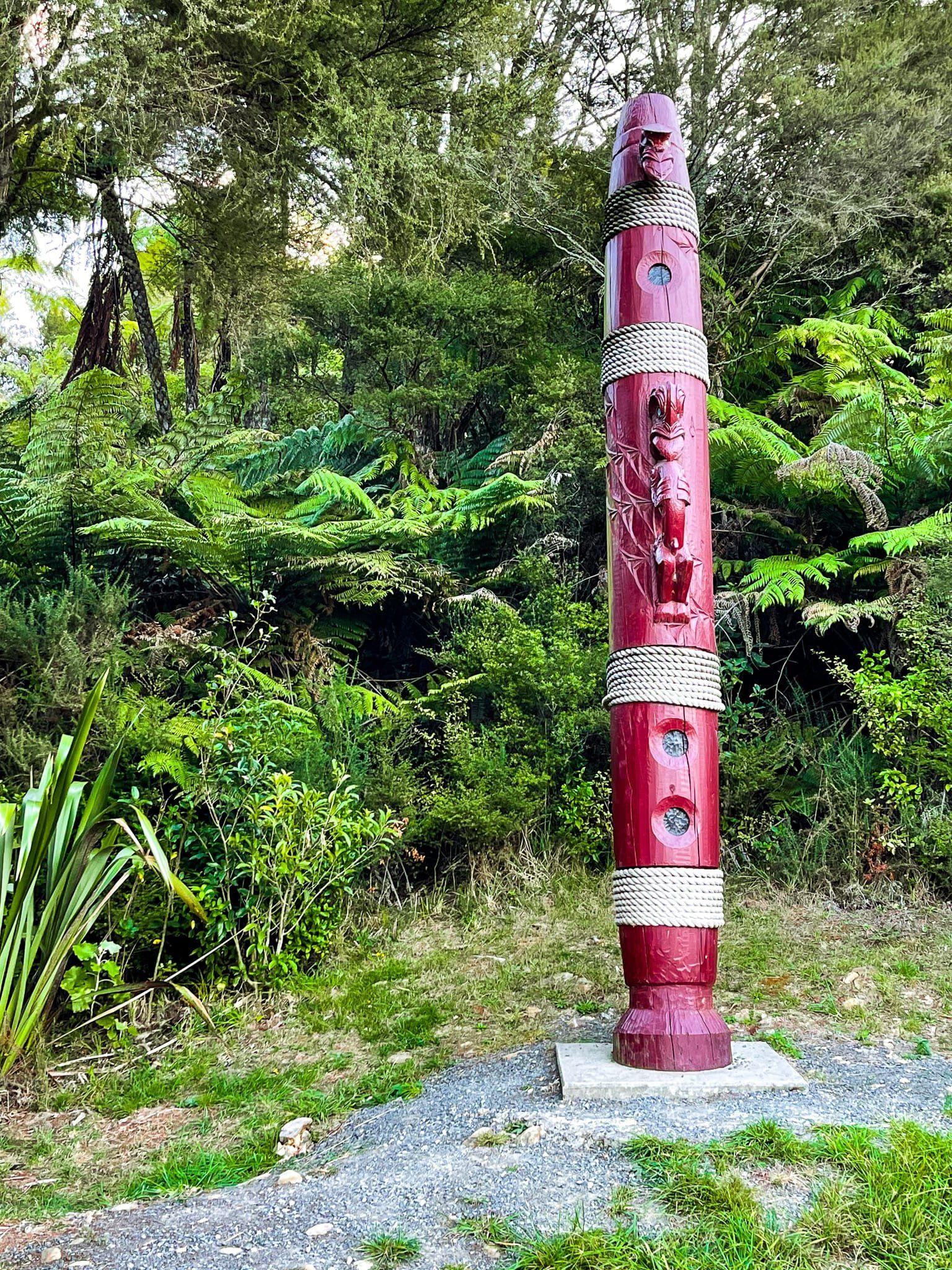
In addition, a significant record of Māori experience in the wider region has been added. Hence, the waka maumahara (canoe cenotaph) representing four full size canoes driven halfway into the ground next to the reserve carpark. Such waka maumahara were widespread throughout the Waikato at the time Europeans arrived. The nearby panel also explains some of the other recent Māori artworks you see along the expressway, including the eight pou on the eastern side of the Expressway at the Taupiri Pass highpoint.
If you do the complete loop beyond the lagoon, you will also find the site of Rua’s Hut on the northern bank of the Mangawara Stream. A somewhat obscure event in the invasion of the Waikato, Rua was a government ally and is purported to have been granted the land as a reward.
Hakarimata North
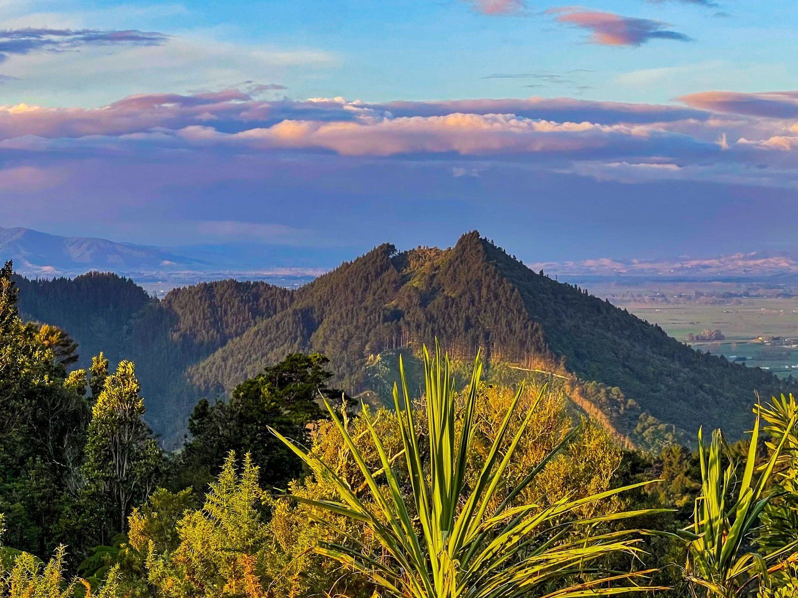
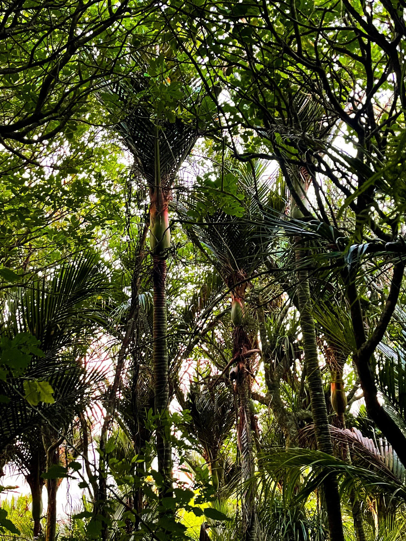
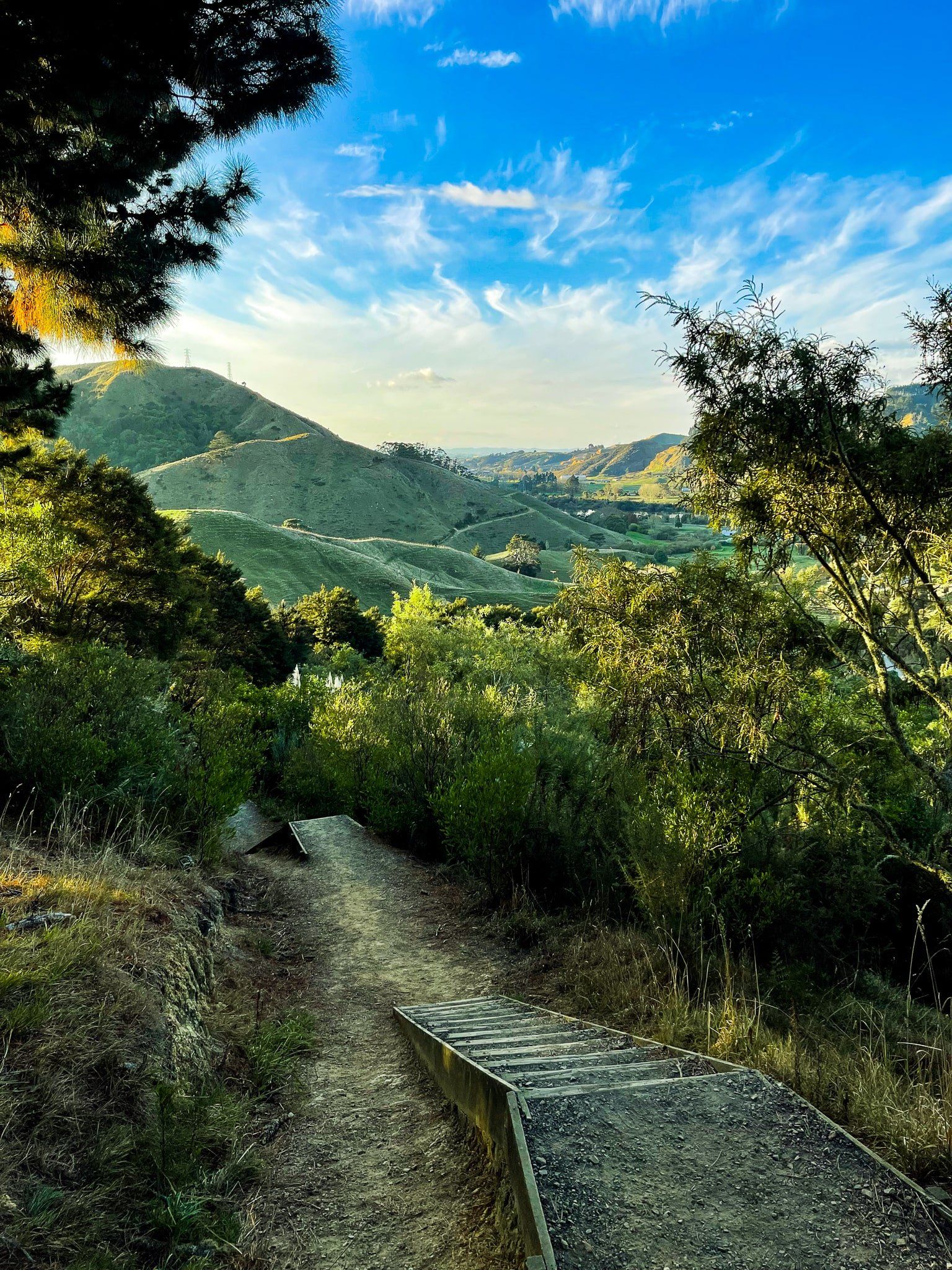
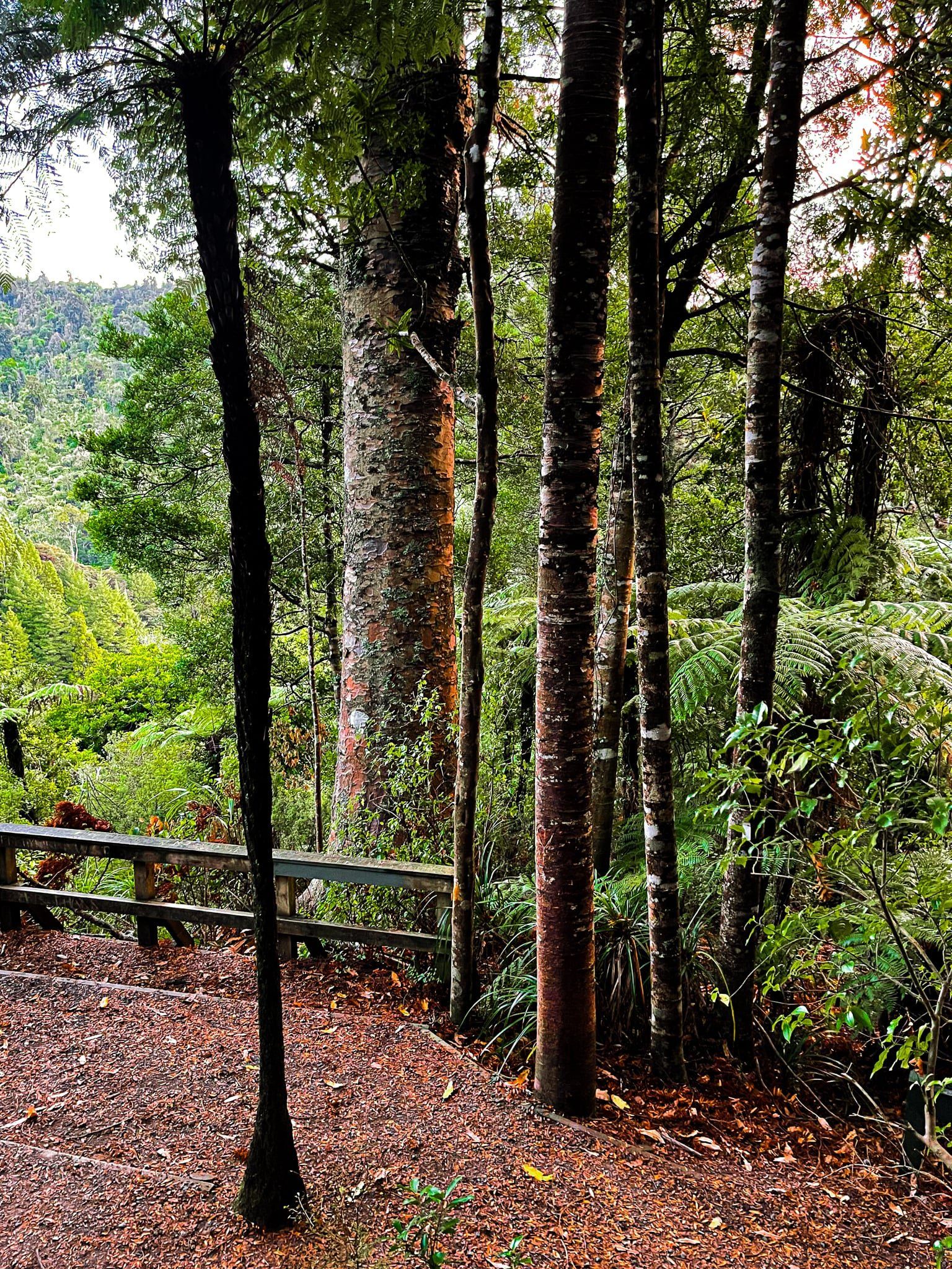
The Hakarimata Range sits just to the west of Ngāruawāhia and Taupiri and overlooks the conjunction of the Waikato and Waipa rivers. The Hakarimata Walkway runs along the ridgeline of the Range, which is also a section of Te Aararoa. It can be accessed from several points, including from the Kauri Loop Walk at the north end of the range. Access to this track is from Riverview Road then along Parker Road. Riverview runs along the west side of the Waikato River between Huntly and Ngāruawāhia.
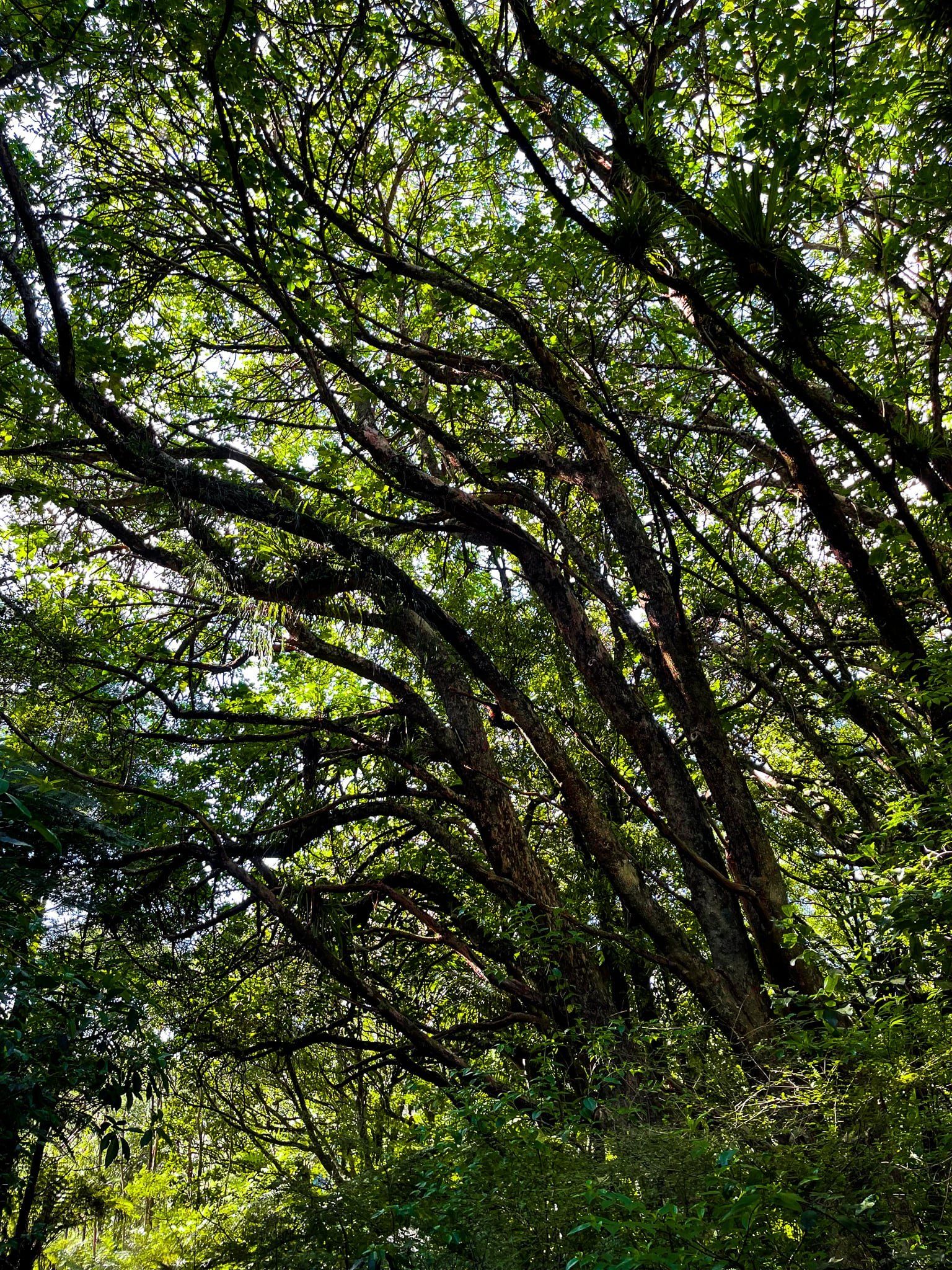
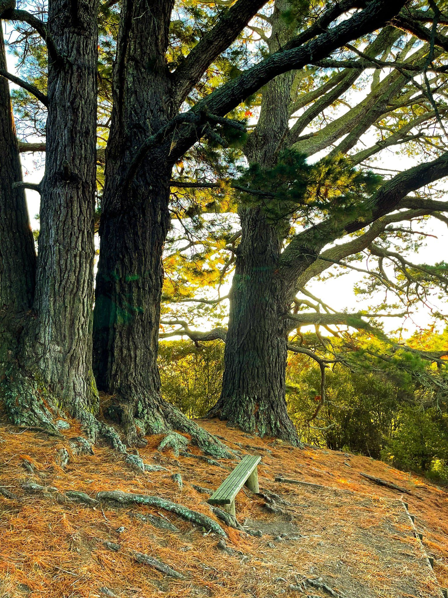
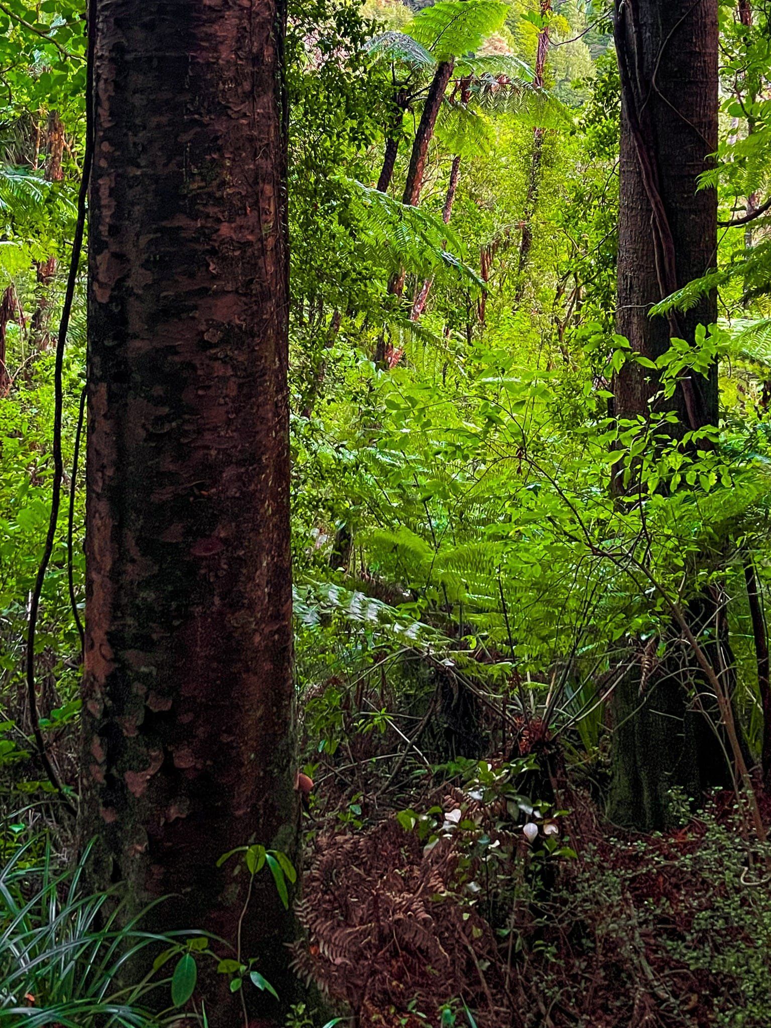
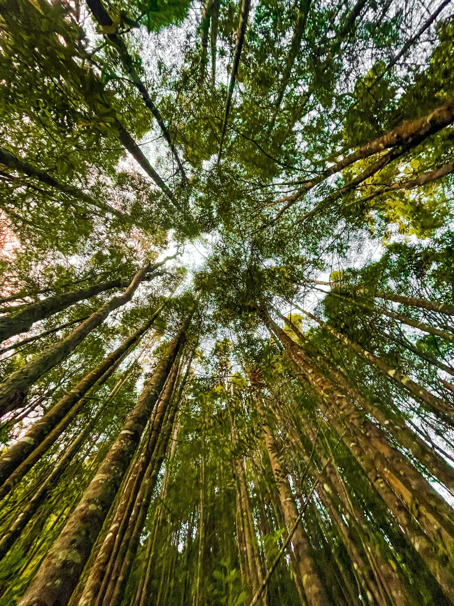
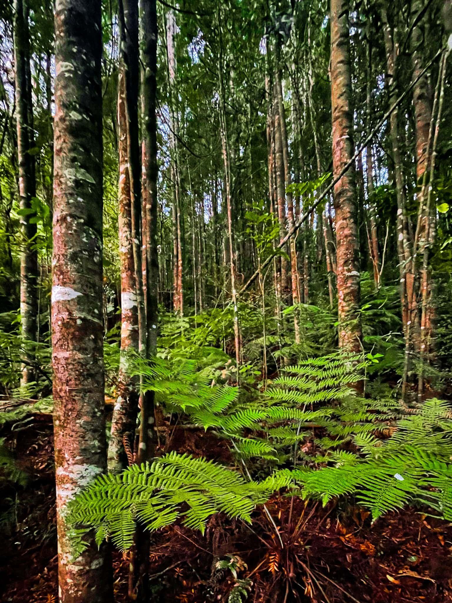
From the carpark, head straight up the track without taking the turns to the Kauri Loop Track. It’s a steep 240 metre vertical climb with a lot of stairs for about 1.4 kms so allow about 30 minutes or so. It runs through a mix of regenerating and established native forest to a viewpoint at 260 metres up. From there, you are high above the Waikato River and wider region to the east. You can then continue on along the Hakarimata Walkway, including the Upper Lookout about 500 metres along the walkway, or take the Kauri Loop which adds about 20 minutes of walking to the return trip.
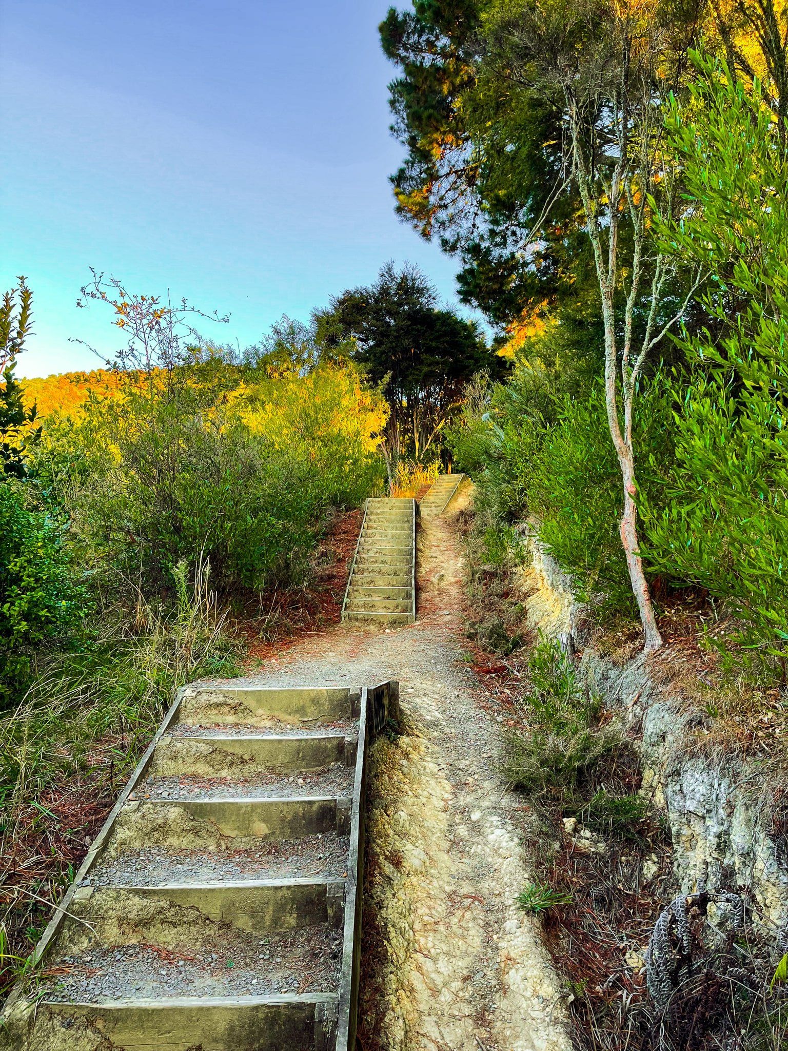
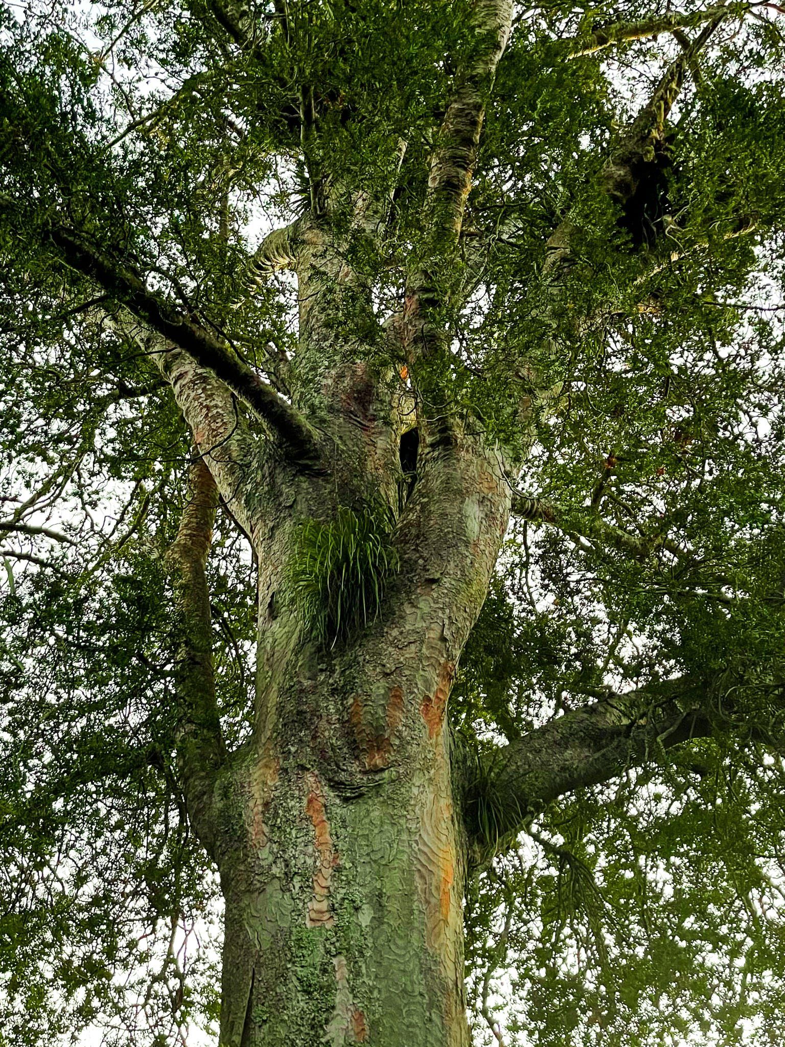
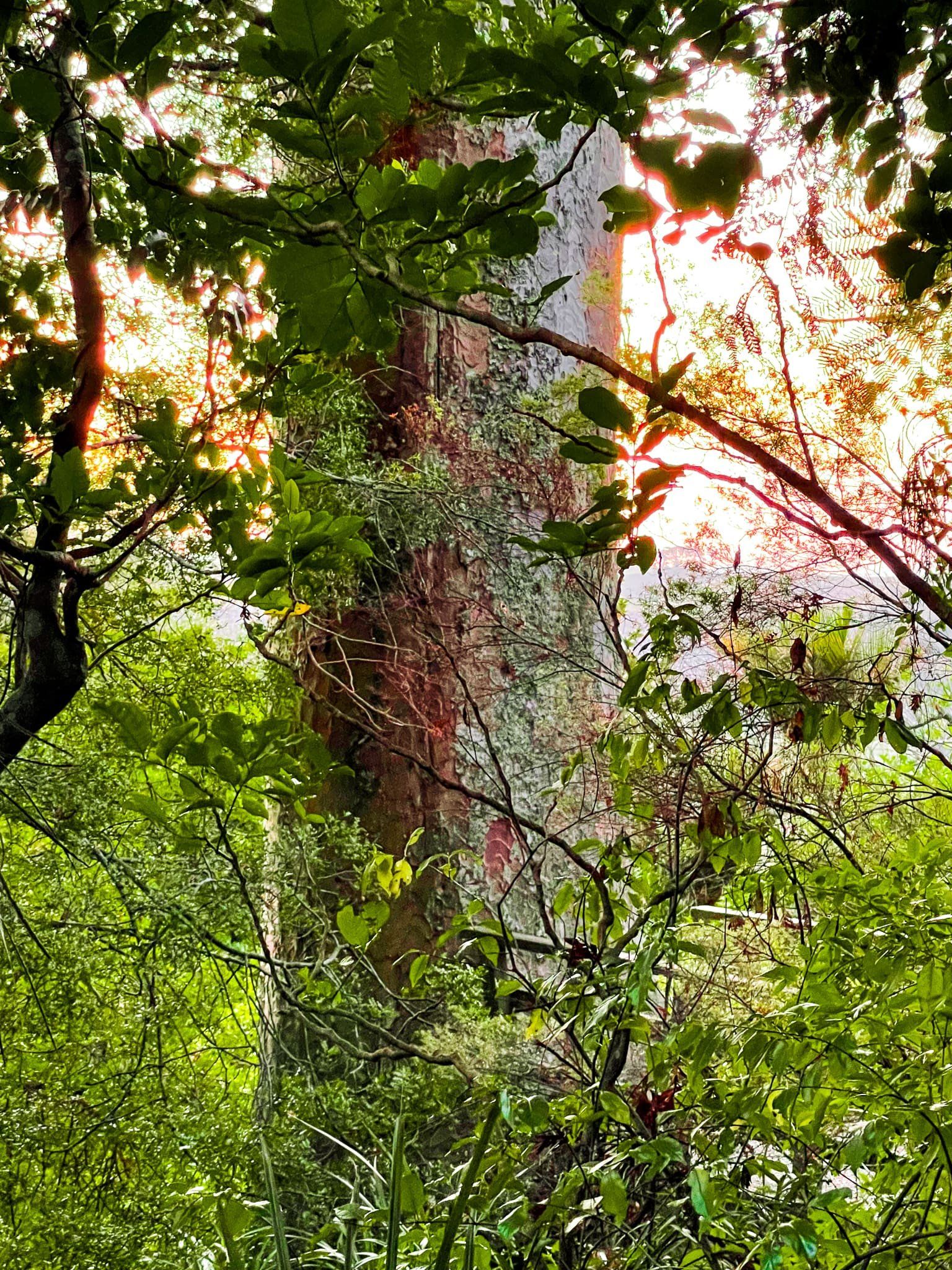
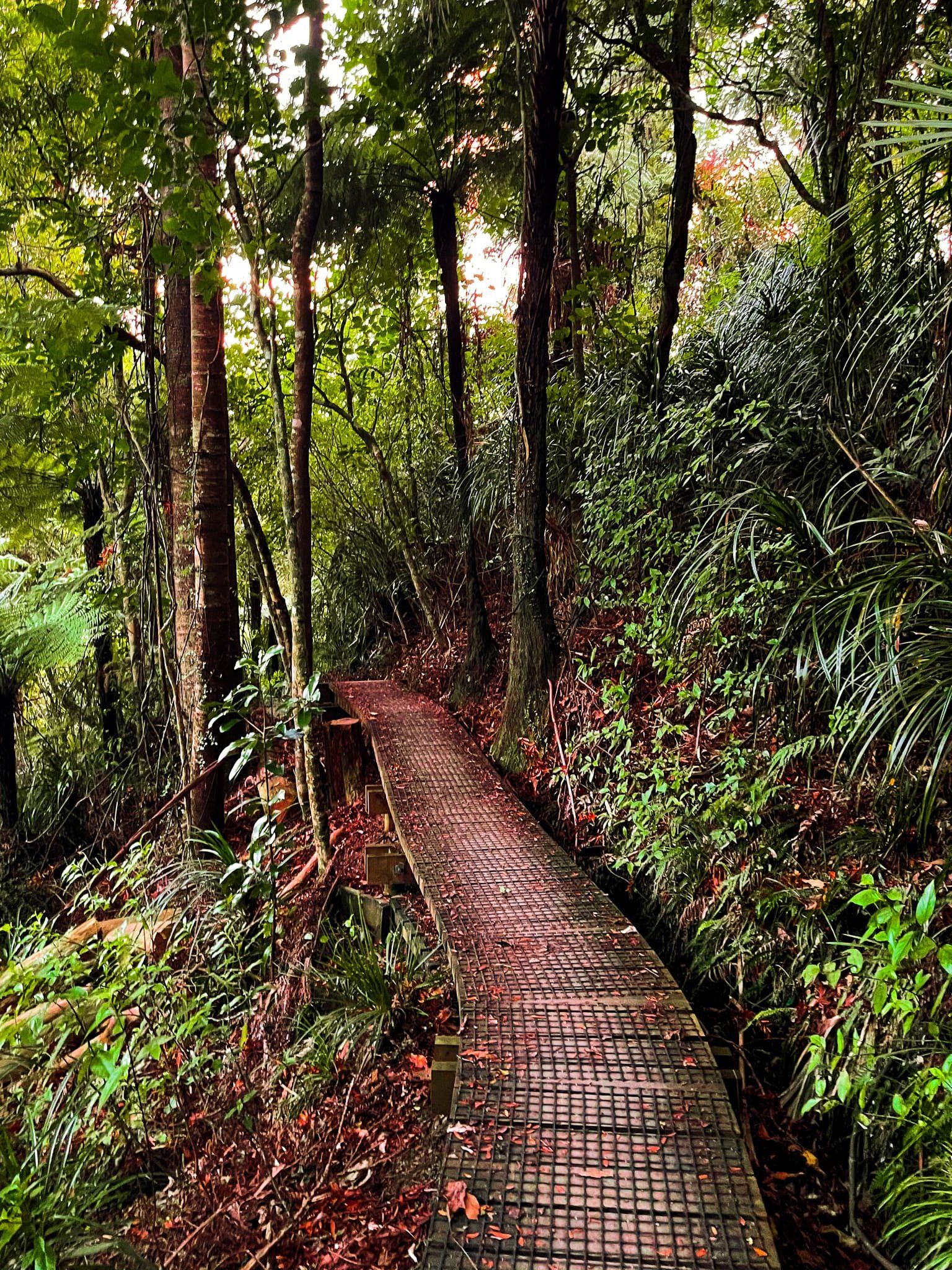
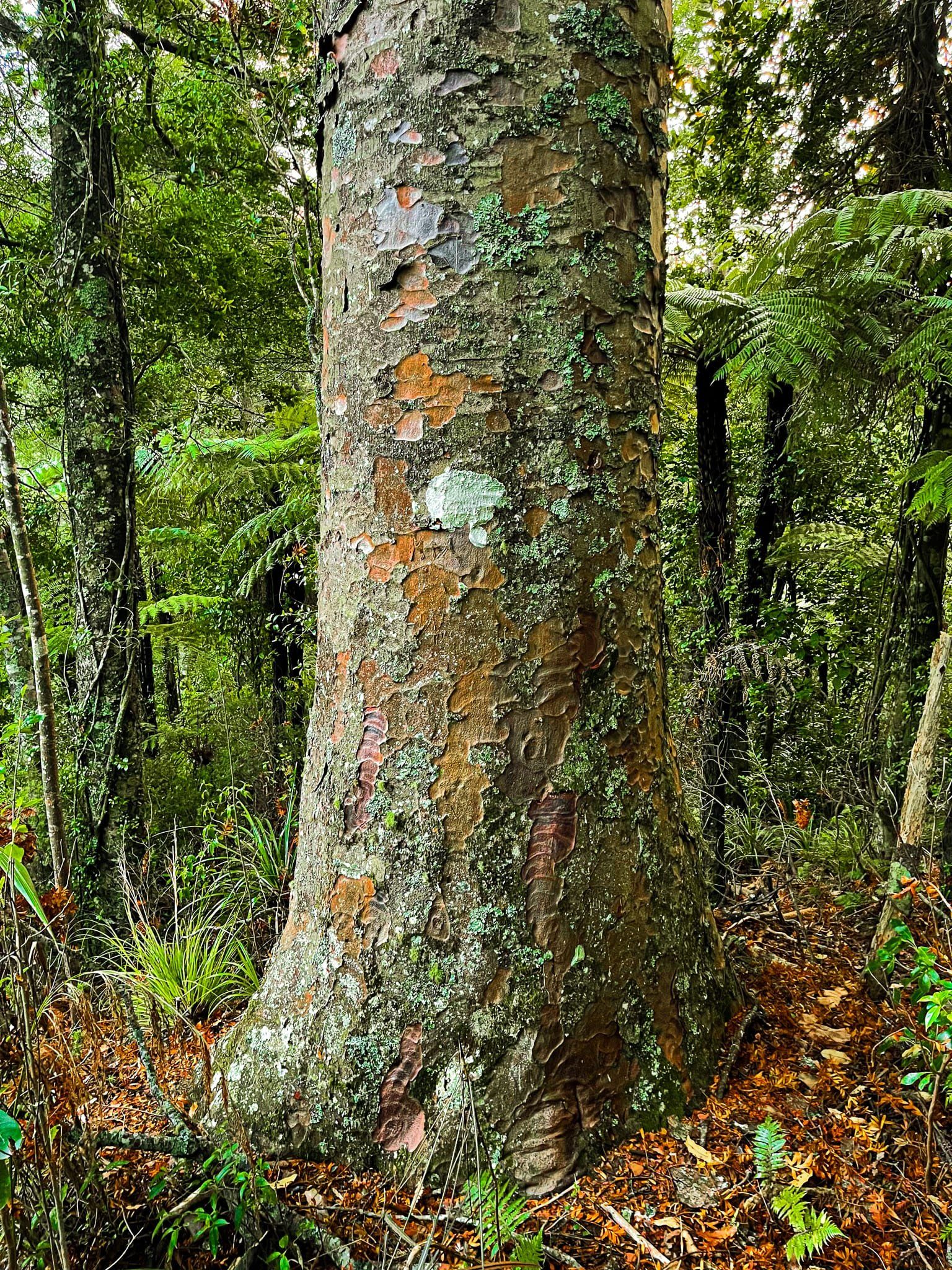
Hakarimata Kauri Loop
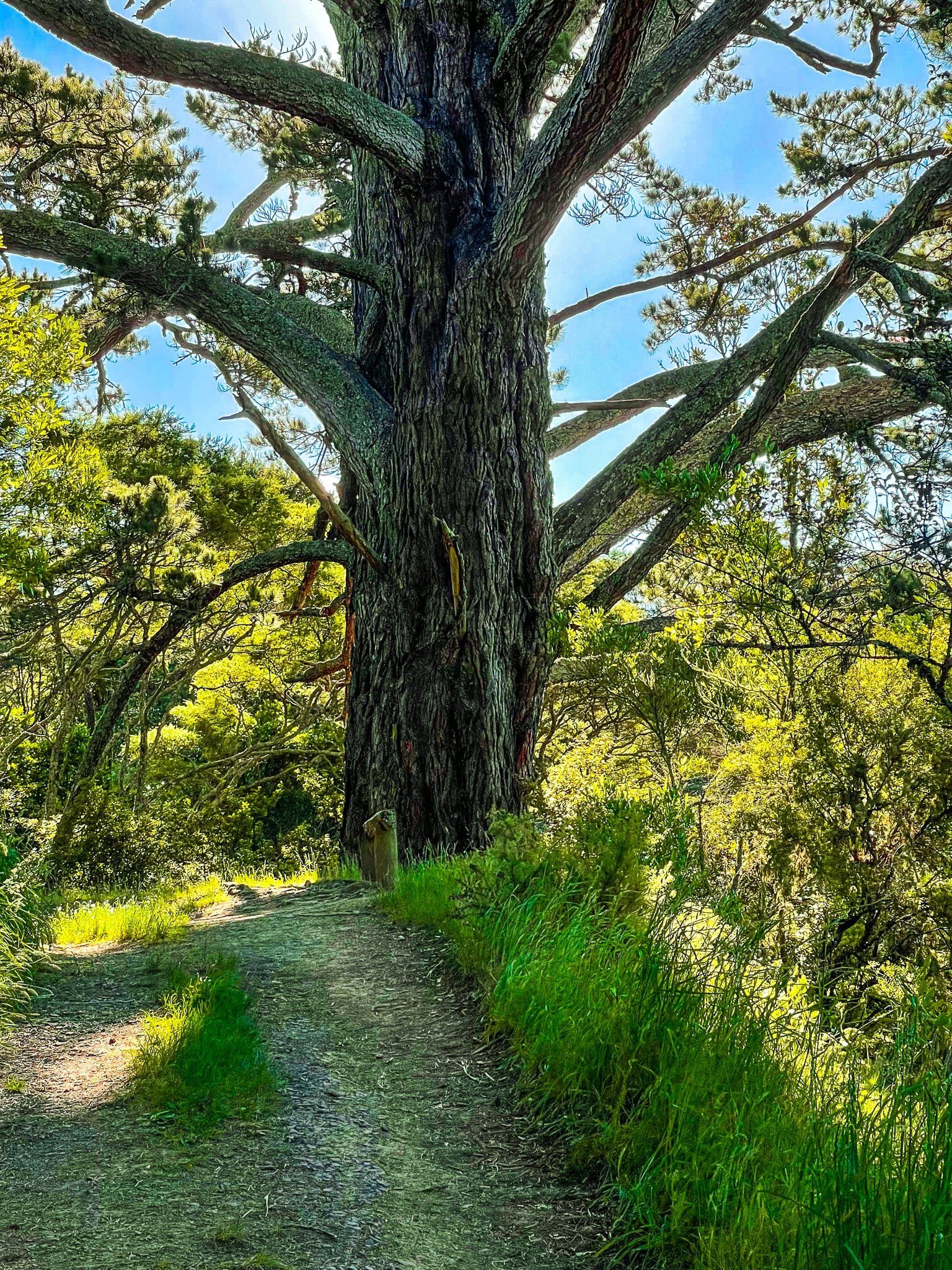
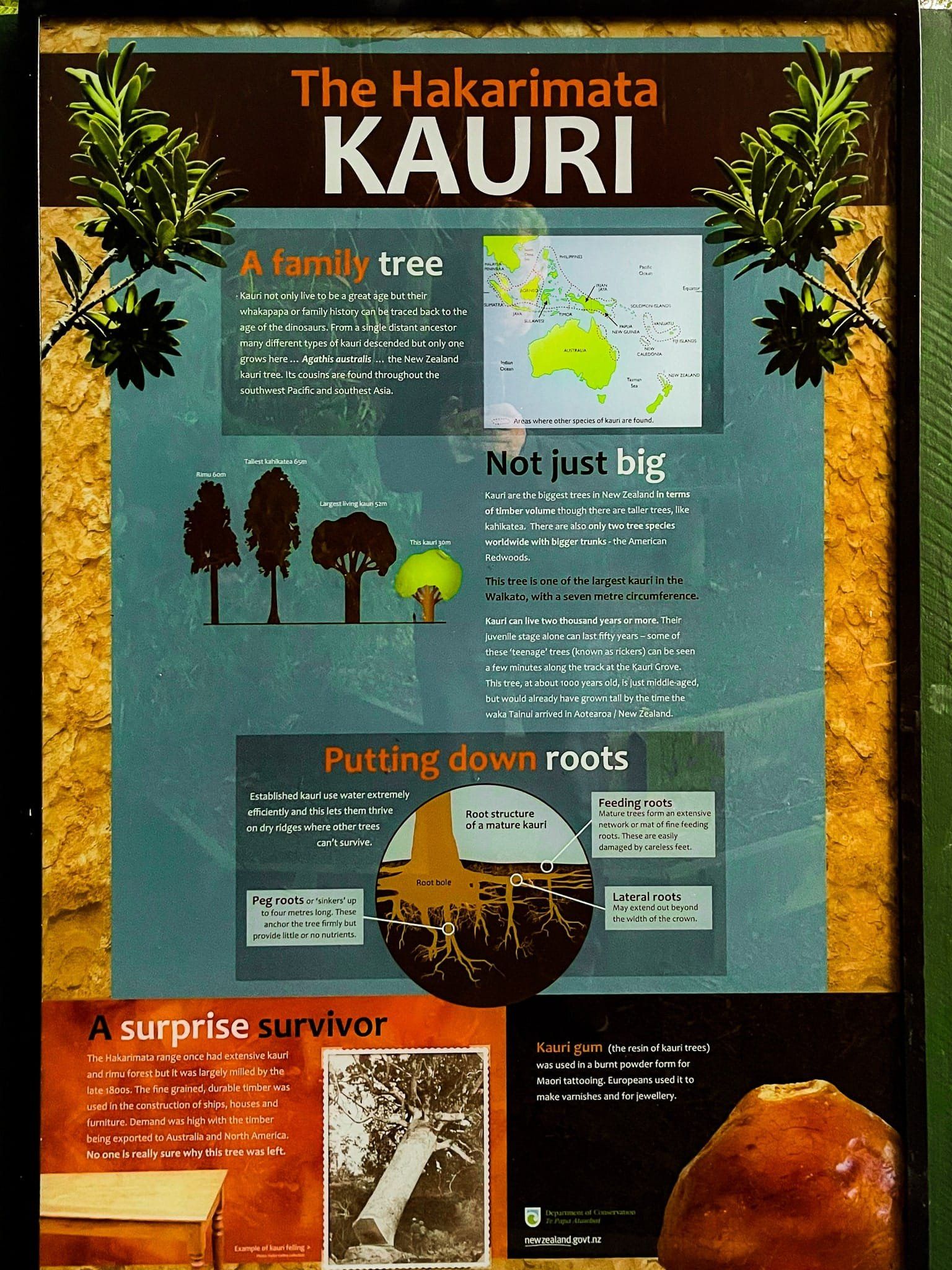
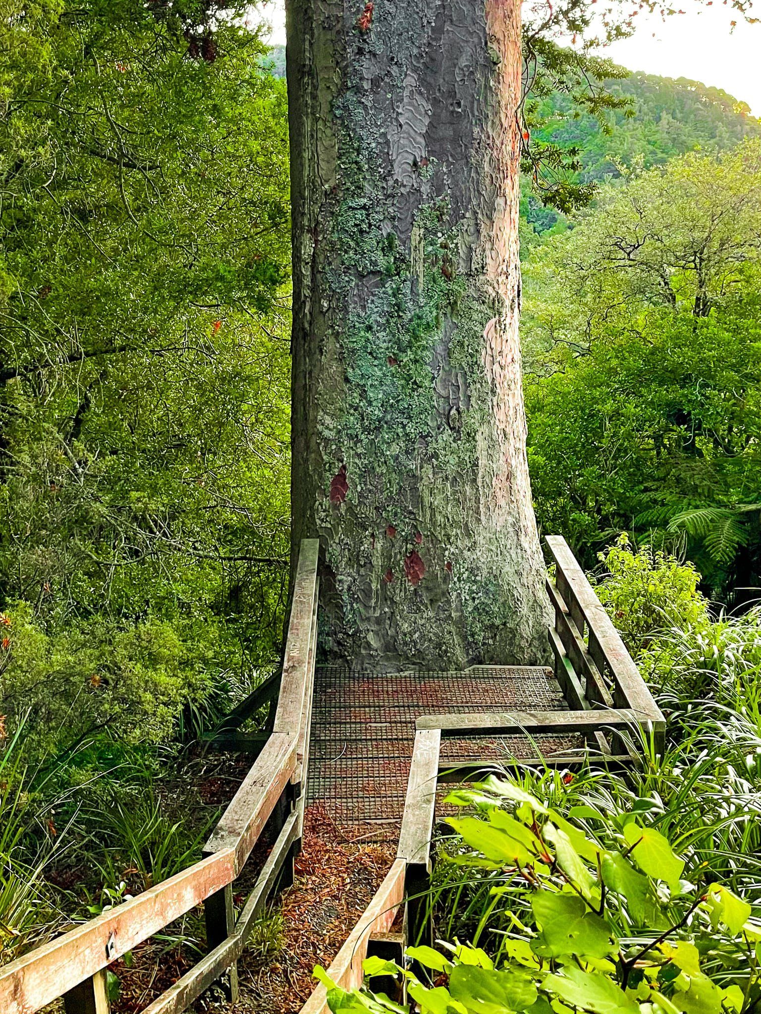
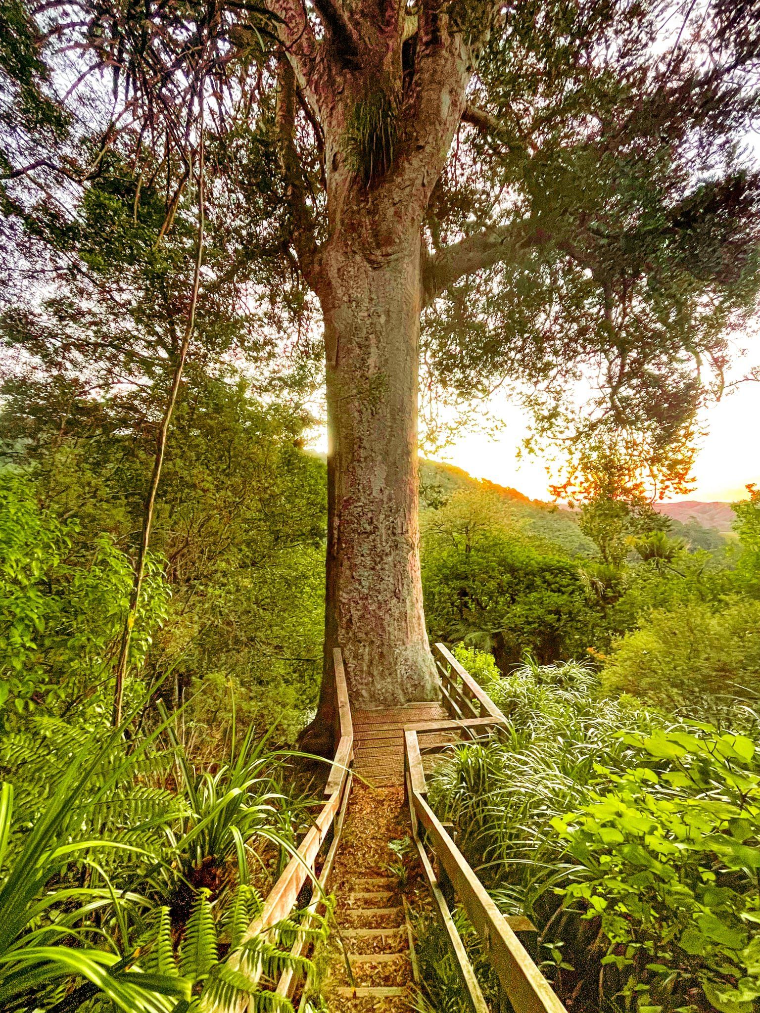
From the northern access on to the Hakarimata Walkway, off Parker Road from Riverview Road, walk up 1.4 kms to the second access point for the Kauri Loop Track. This takes you initially through a recovering section of native forest on a winding downhill leg before arriving at a grove that includes some quite big kauri trees, well over 100 years old. From there, continue along the track through regenerating kauri forest with many rickers (baby trees) before arriving at an ancient tree, one of the oldest and largest in the Waikato at 1,000 years old.
Hakarimata was originally covered with rimu and kauri trees but these were largely cut down well over 100 years ago. The big kauri is the only ancient survivor and, according to the panel, no one knows why it was left untouched. From there continue on to reconnect with the main track.
If you just want to see the giant kauri, it is only a 20 to 30 minute walk each way from the car park.
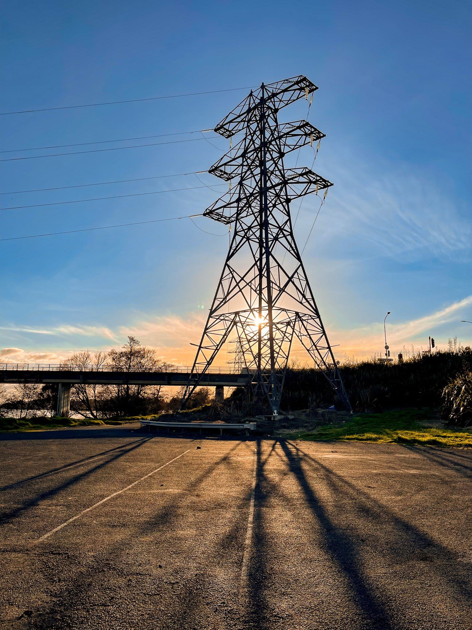
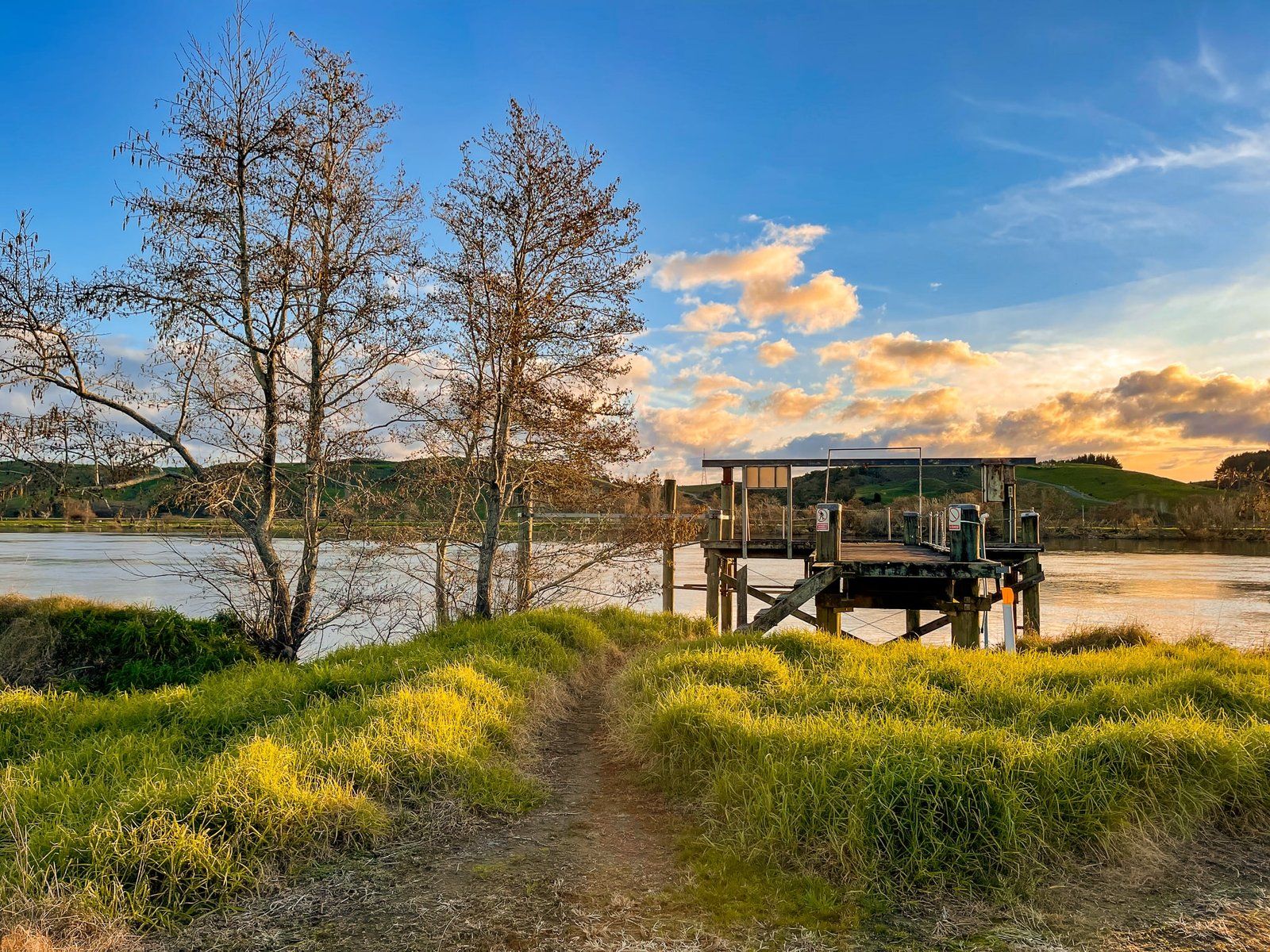
Landscapes
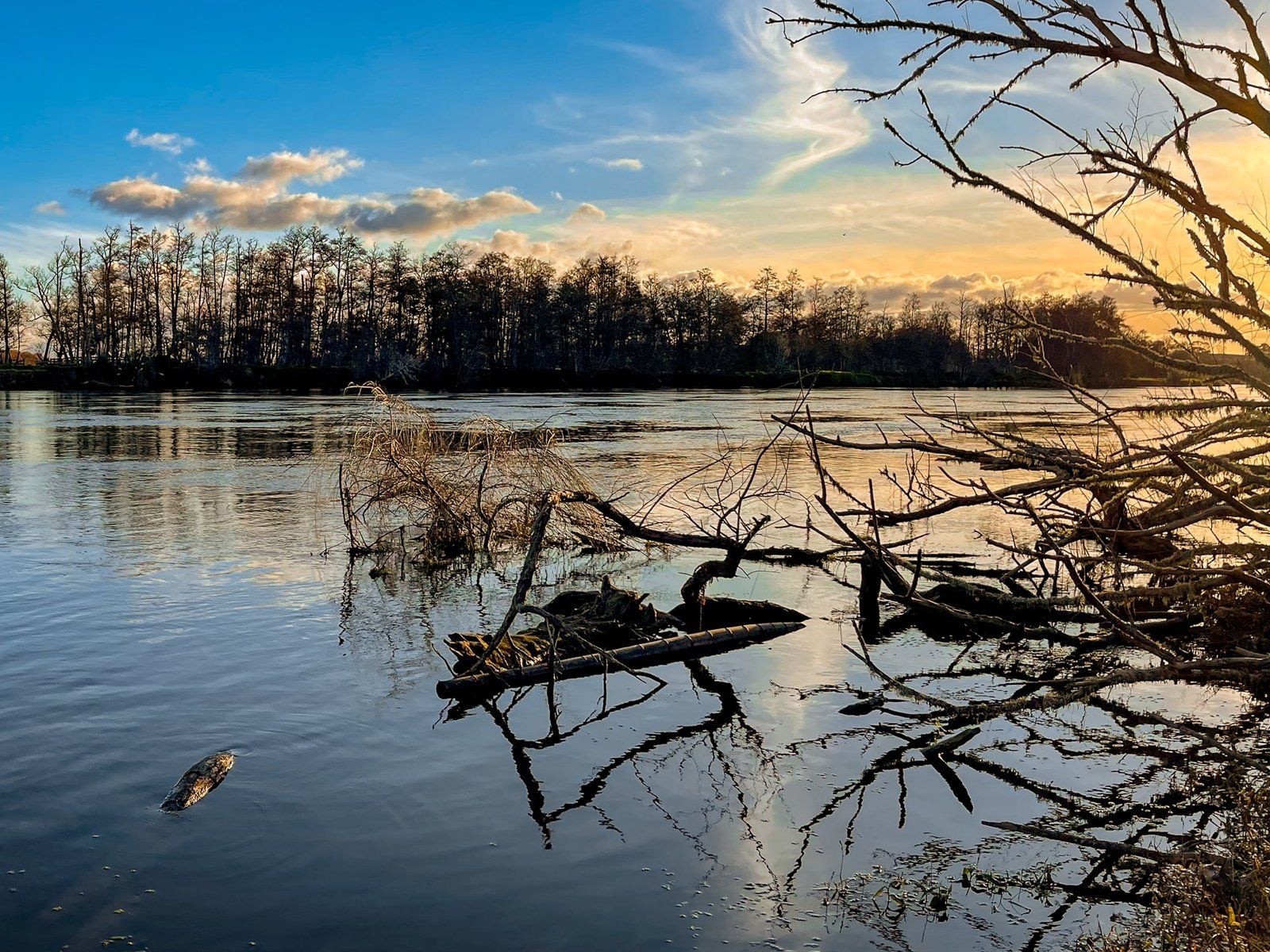
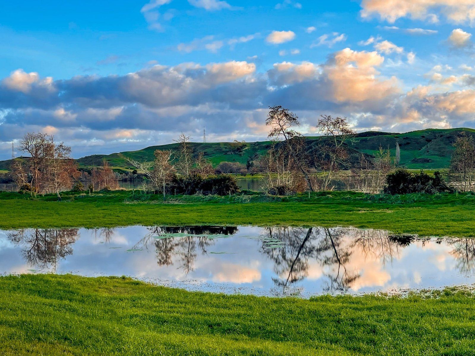
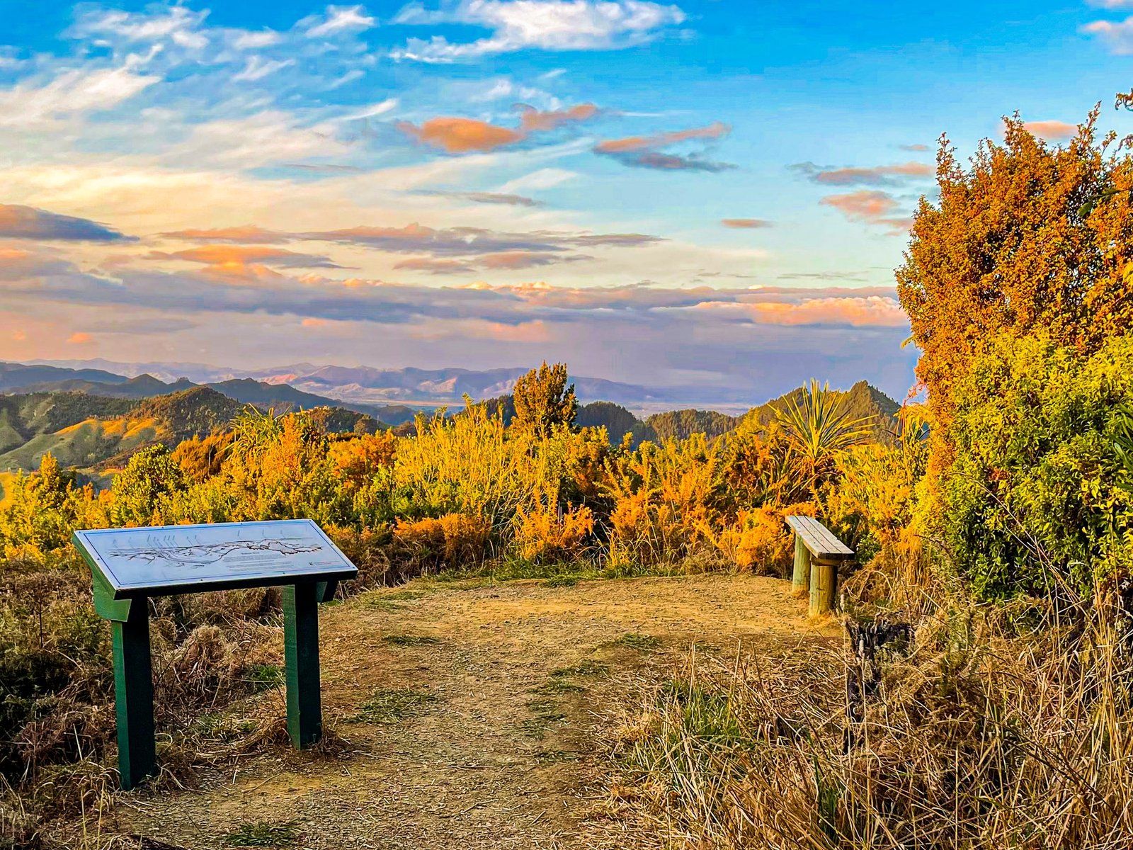
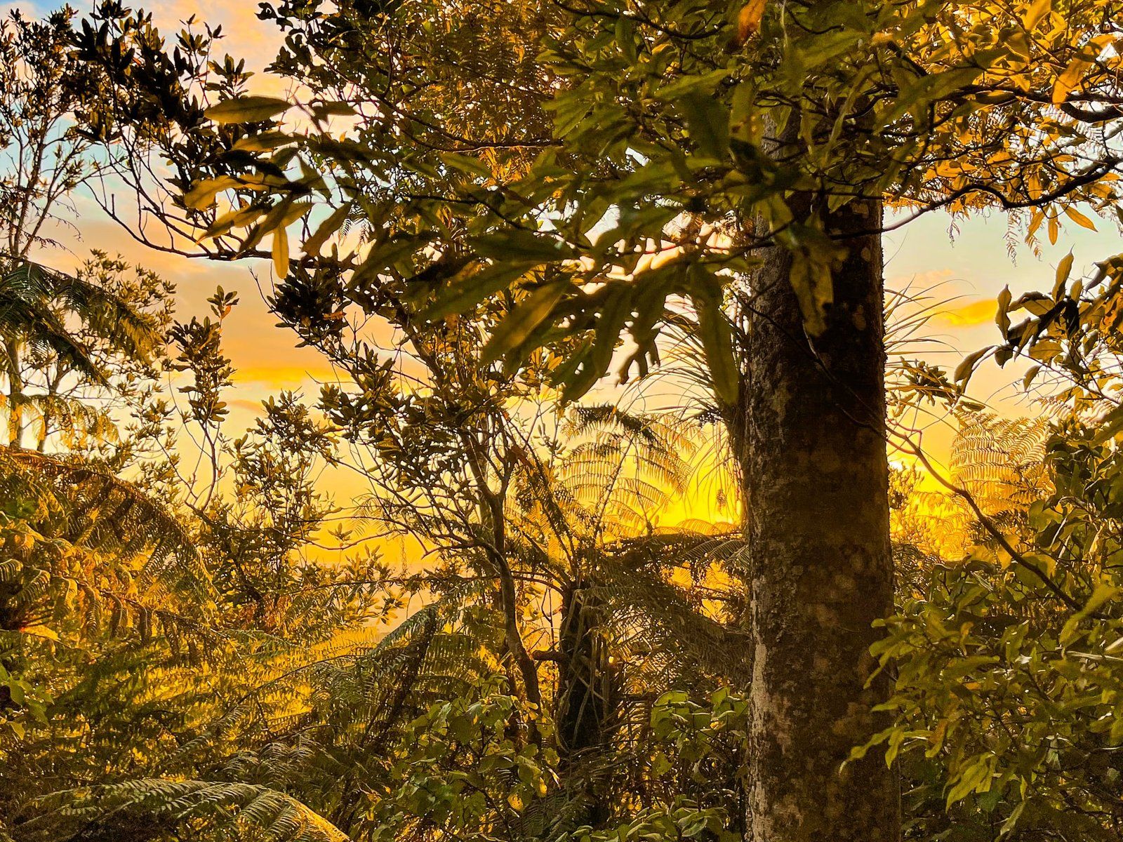
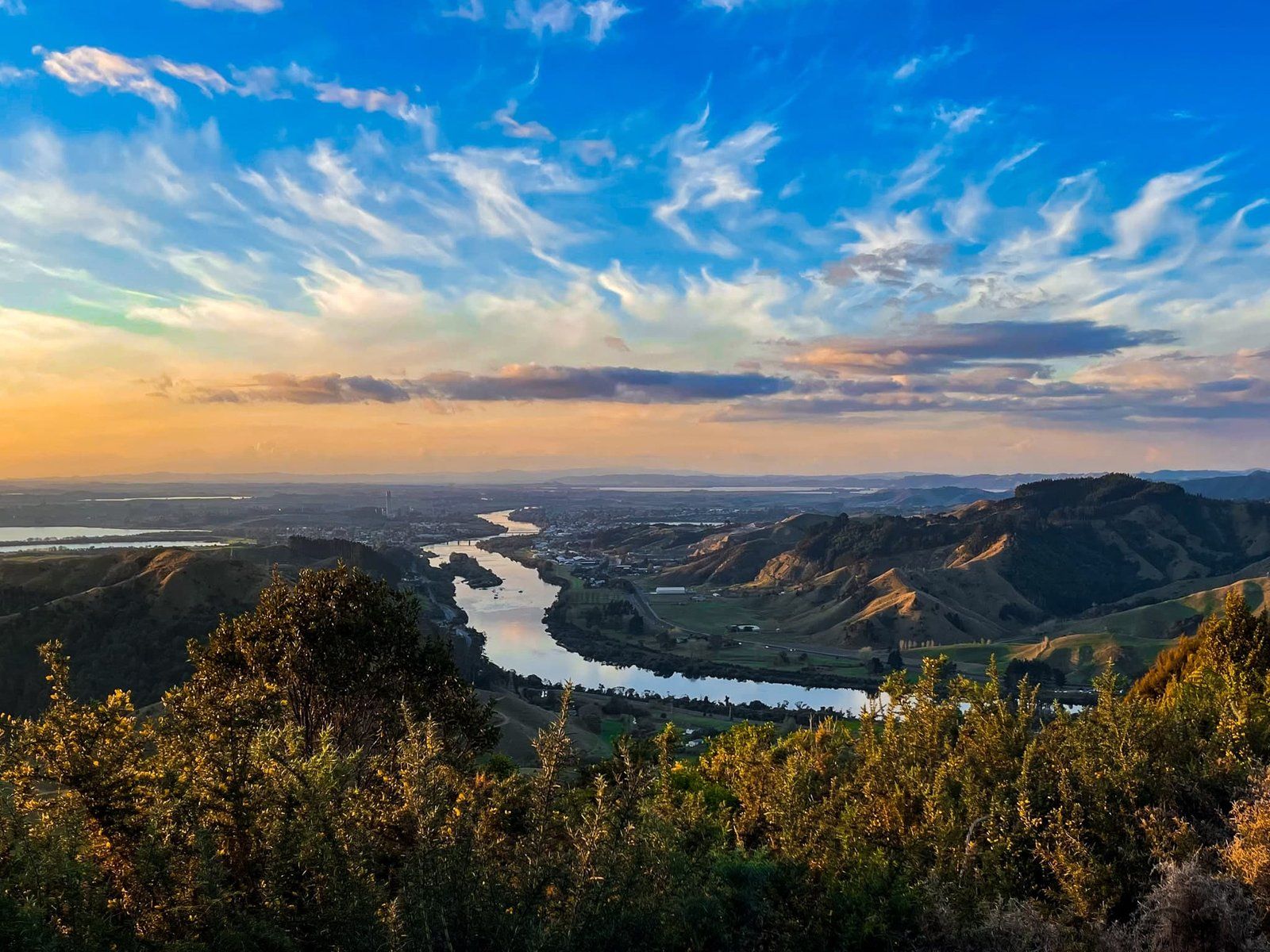
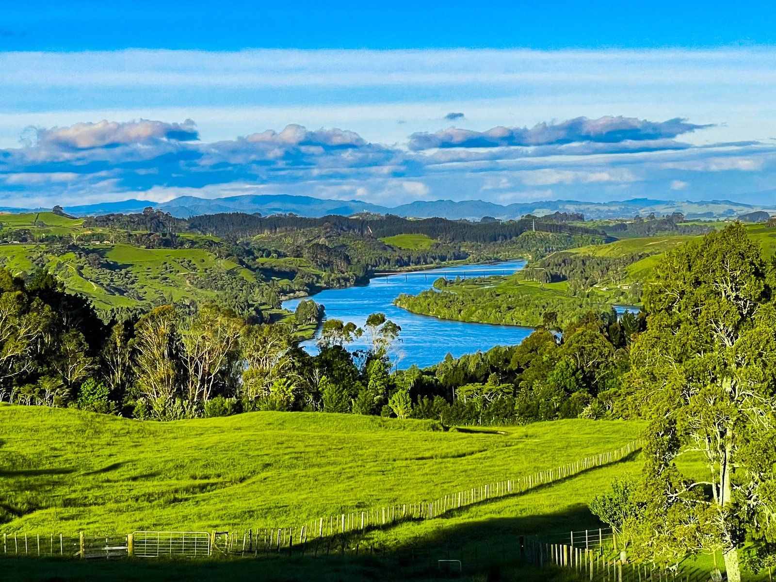
The northern Waikato may lack top destinations but it is an interesting rural landscape to drive through. There is obviously the River, often surrounded by wide valleys carved out over millennia. Then there are the hills around which the river has manoeuvred itself, many of which are accessible on side roads. Although most of the original lowland wetlands are long gone, you can drive through the significant Whangamarino swamp between Meremere and Te Kauwhata. Lake Waikare, the largest of the shallow wetlands lakes, southeast of Te Kauwhata, is also accessible by car.
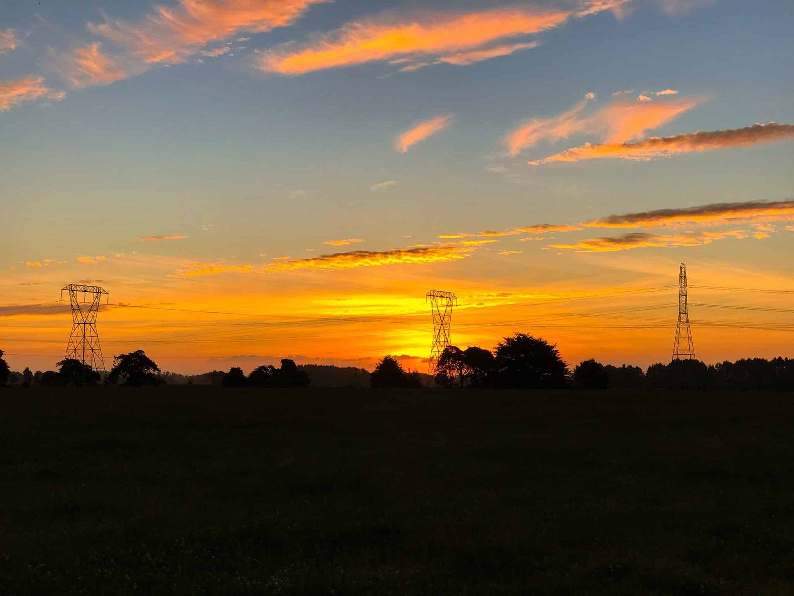
With so much flat land, the north Waikato can also provide some big sky moments resulting in superb sunsets. In winter, watch out for the fog which provides opportunities for moody early morning shots!
Want more Waikato Trip Ideas?
Check out our series on the Mighty Waikato: Fascinating Historic Sites of Northern Waikato and Port Waikato.