
On State Highway 6, between Ship Creek Tauparikākā and Painga, you enter a section of largely untouched ancient rainforest. This area was protected from widespread logging due to the rugged landscape surrounding the Moeraki and Paringa Rivers. Consequently, the roads through to Haast from Central Otago and Hokitika were not connected until the 1960s. An obelisk and viewpoint at Knights Point between Ship Creek and Lake Moeraki commemorates the completion of SH6, but prior to this, the only way south was on the Haast to Paringa Cattle Track, now a walking track.
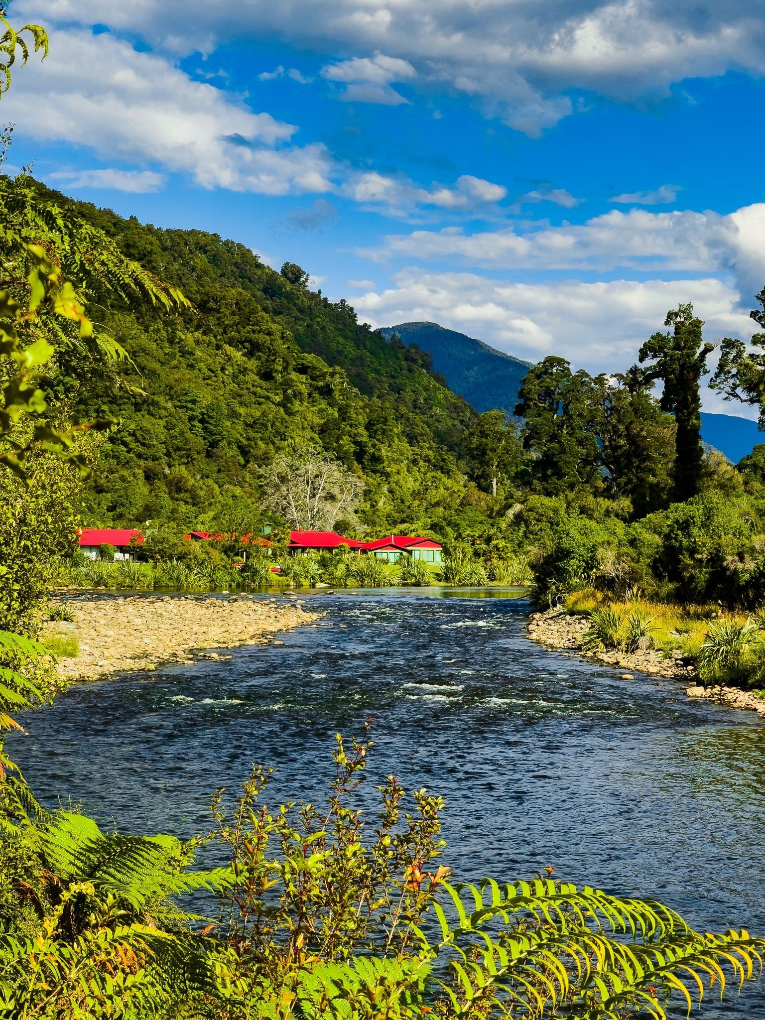
By the time the road was completed, conservationists had sufficient momentum to prevent significant logging of the area. As such, it is mostly conservation land within the larger Te Wāhipounamu World Heritage Area. Anne and Gerry, a couple who were heavily involved in this process, took over what had been the roadbuilders’ camp near Lake Moeraki, and in 1989 they established one of NZ’s first premium nature tourism businesses, Wilderness Lodge Lake Moeraki.
Access into the ancient forest is provided on the Monro Beach and Lower Moeraki River walks and on the Haast to Paringa Cattle Track. Further along, you can camp at Lake Paringa.
Once past Lake Paringa, you can see the contrast. All the river valleys were cleared of forest and replaced with pasture, mainly for dairy farms. A little further on is Bruce Bay, one of the few places all the way to Hokitika where you can easily access the coast.
Lake Moeraki
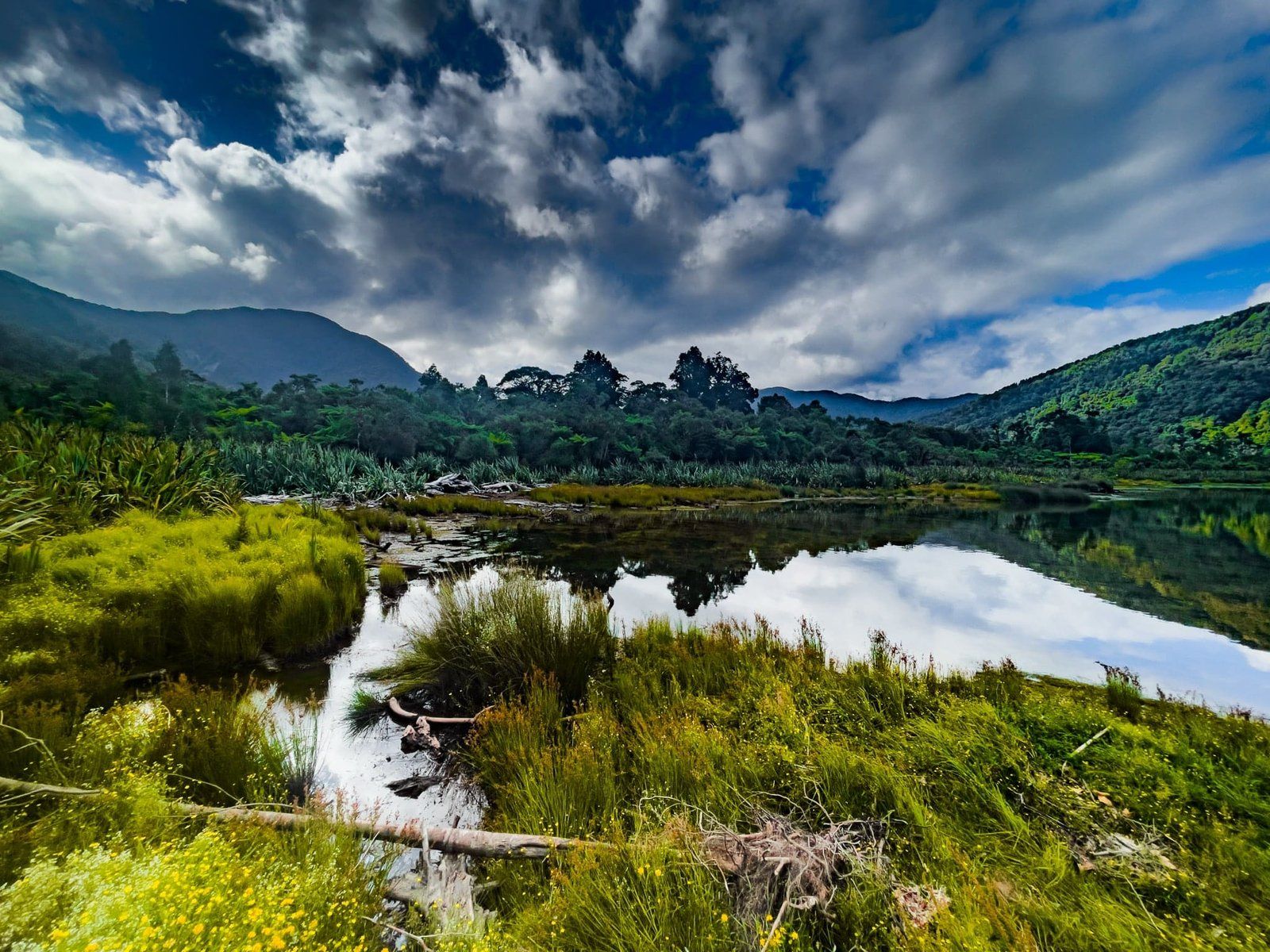
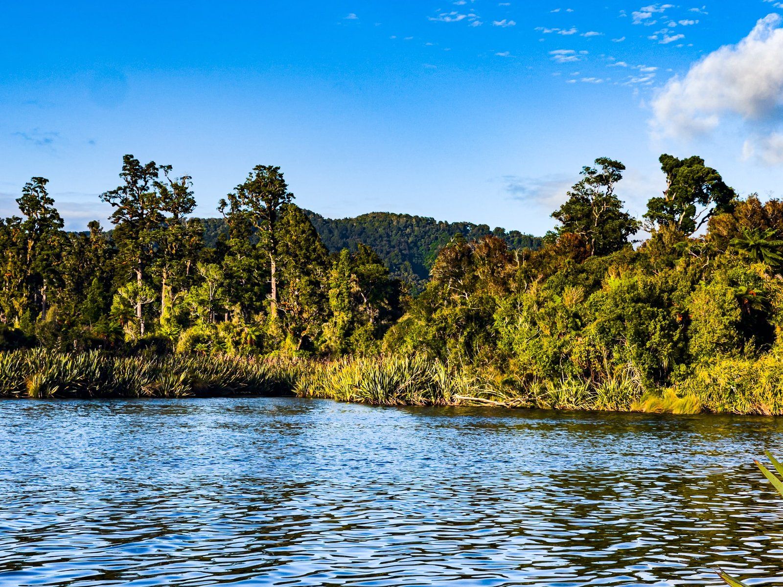
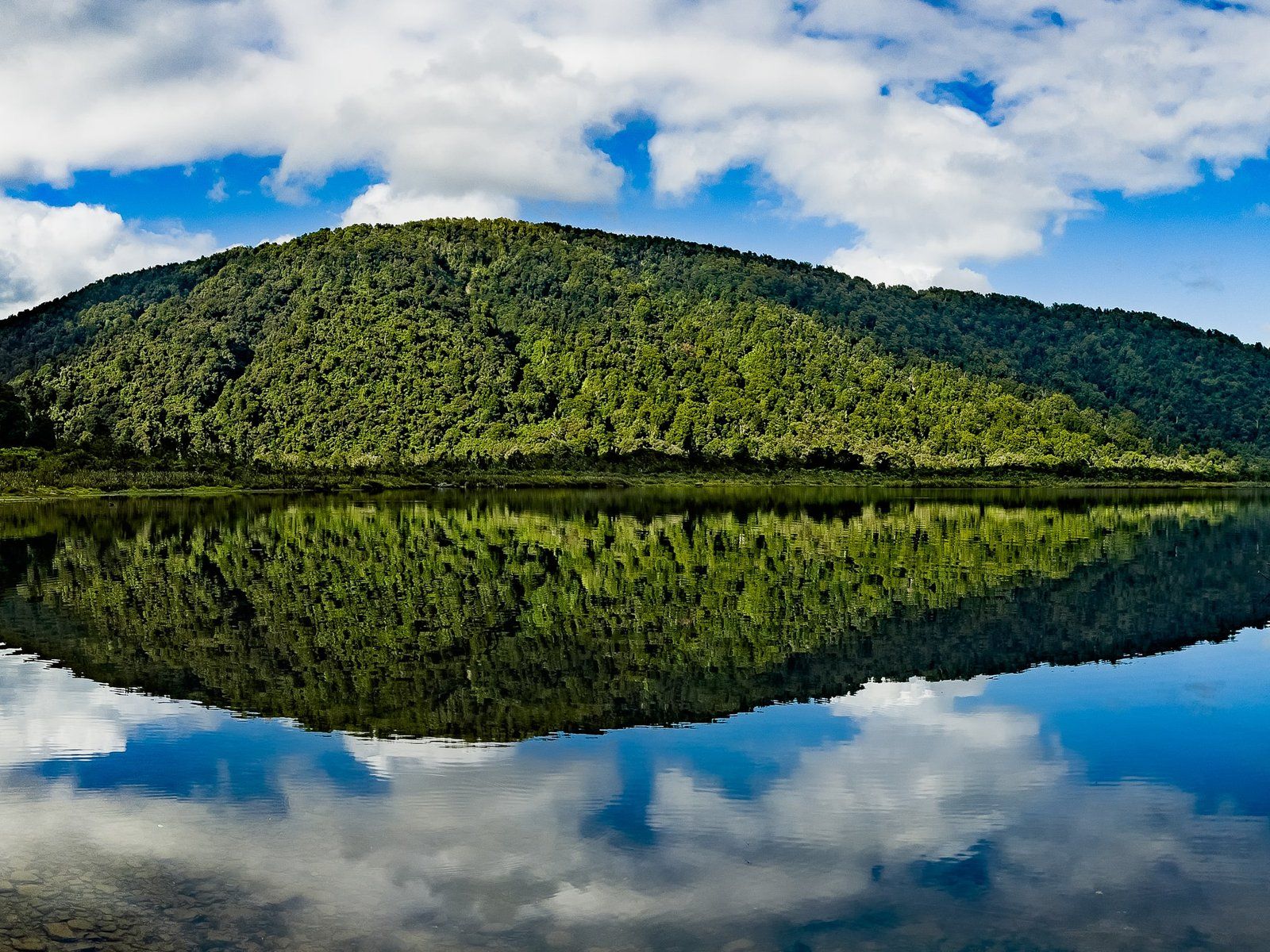
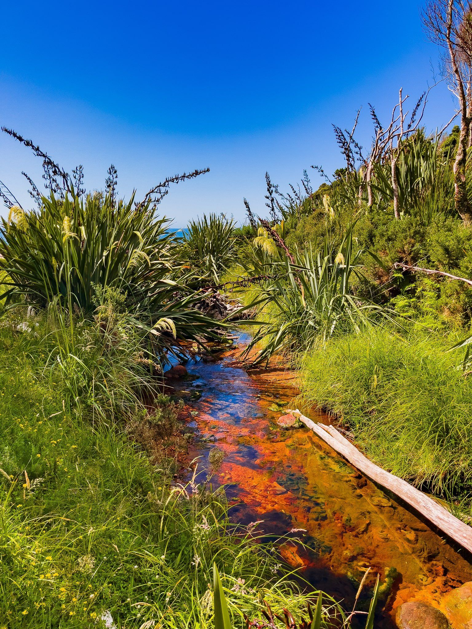
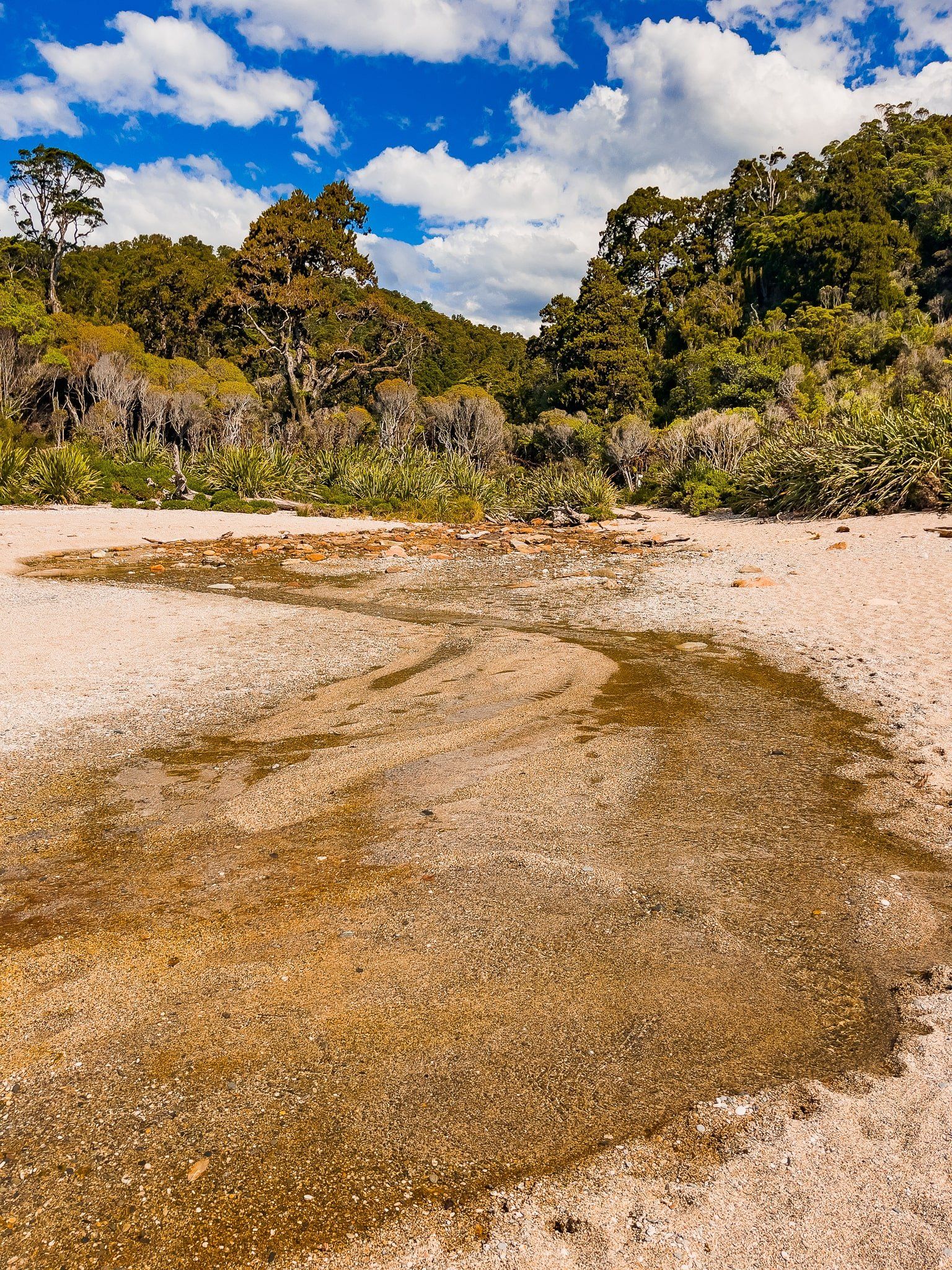
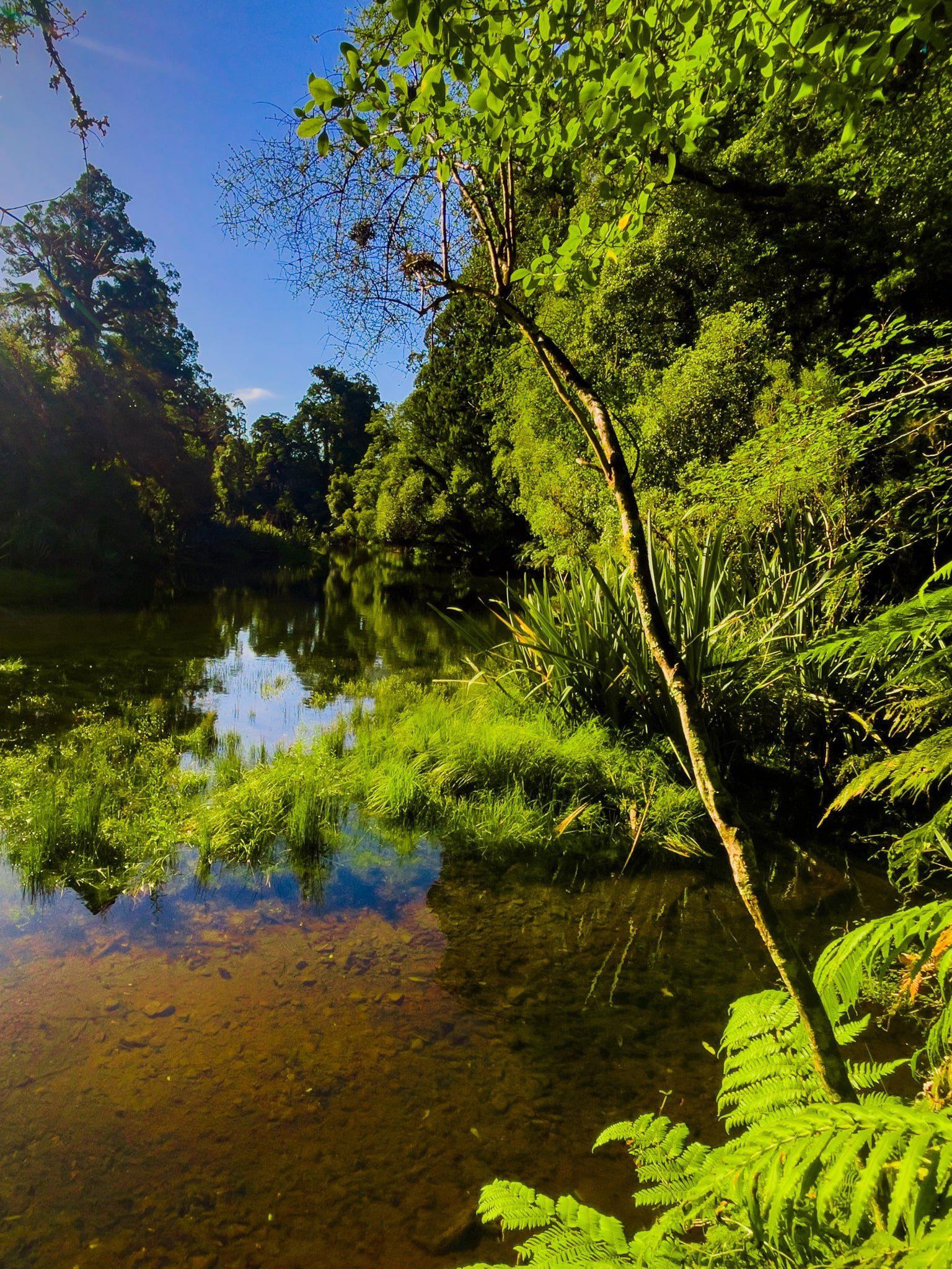
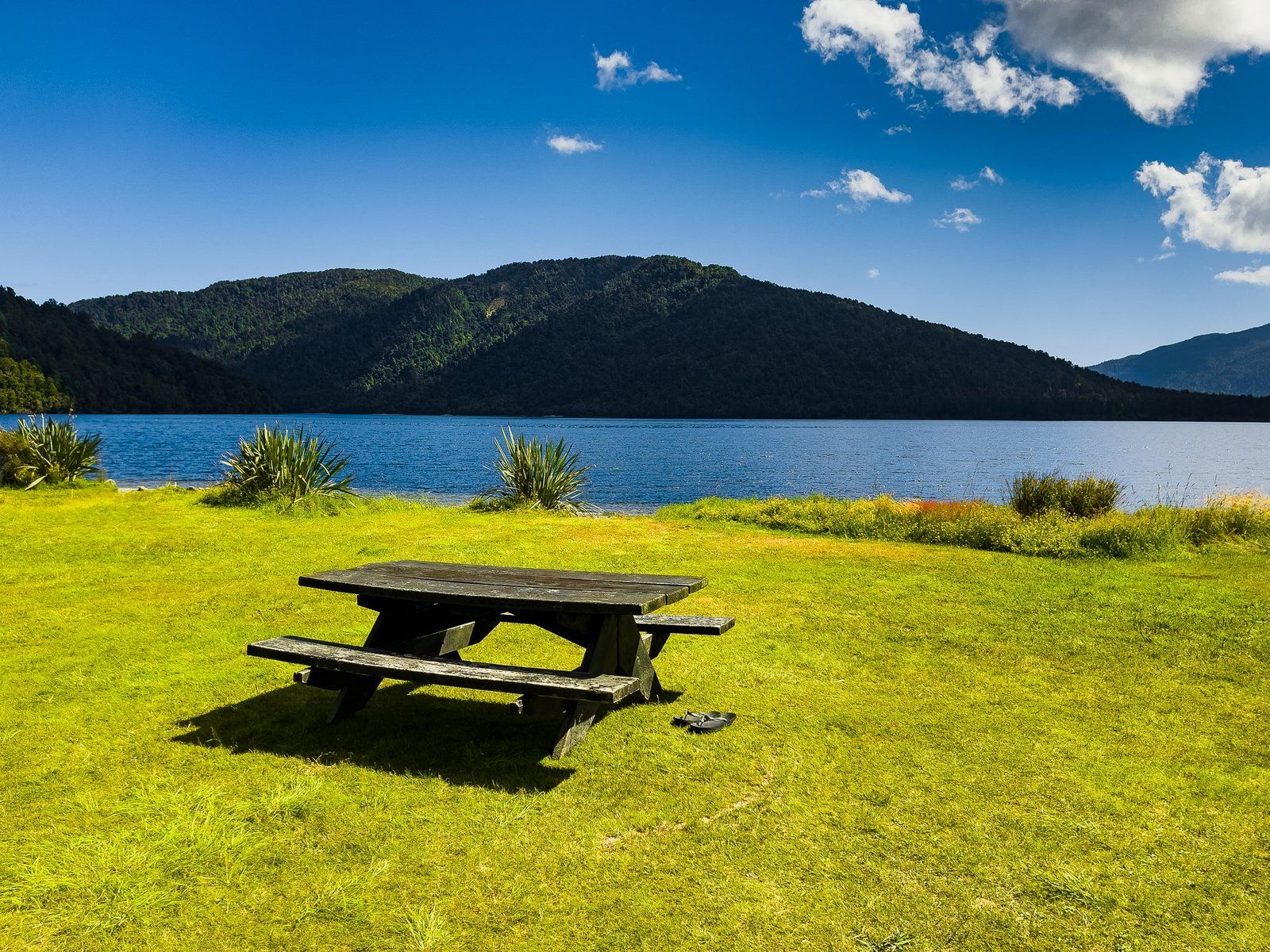
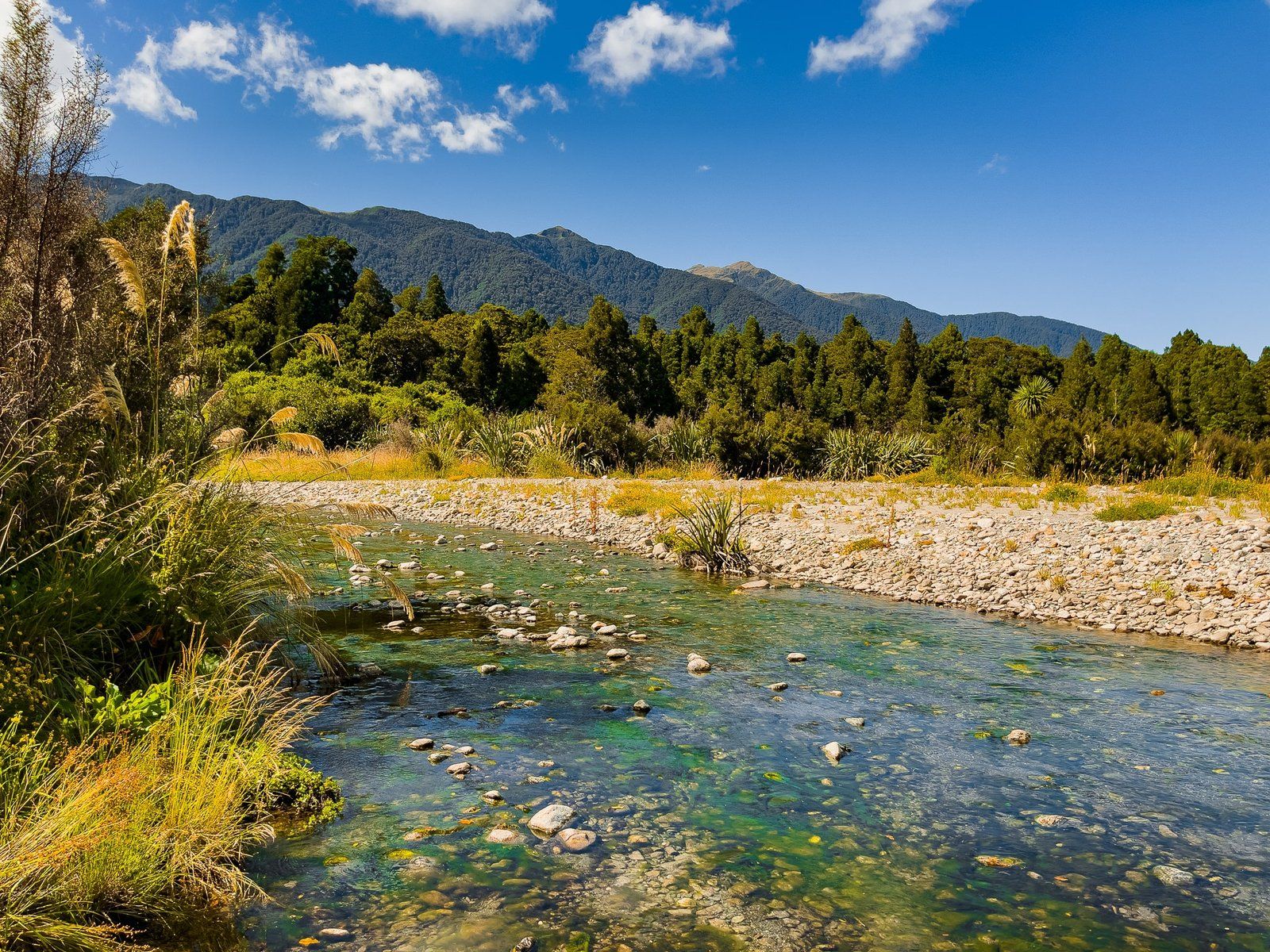
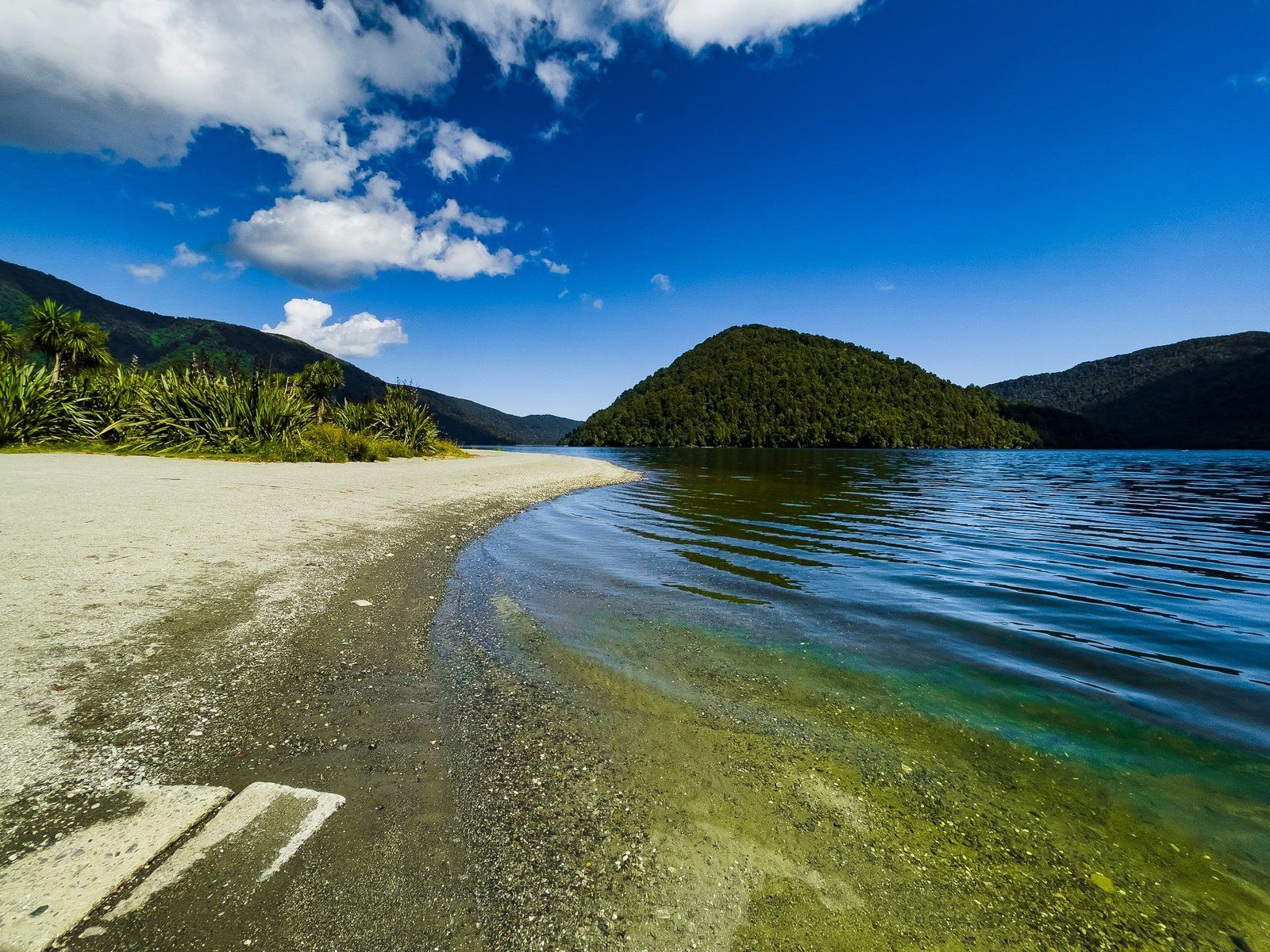
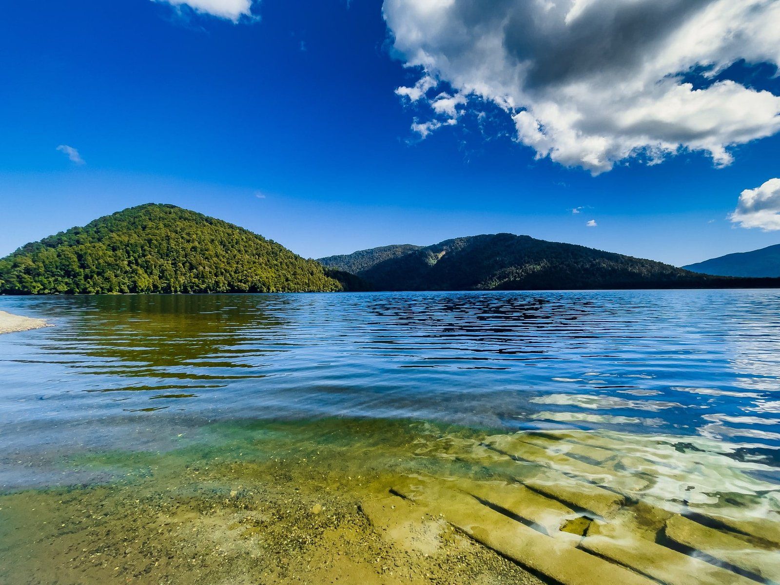
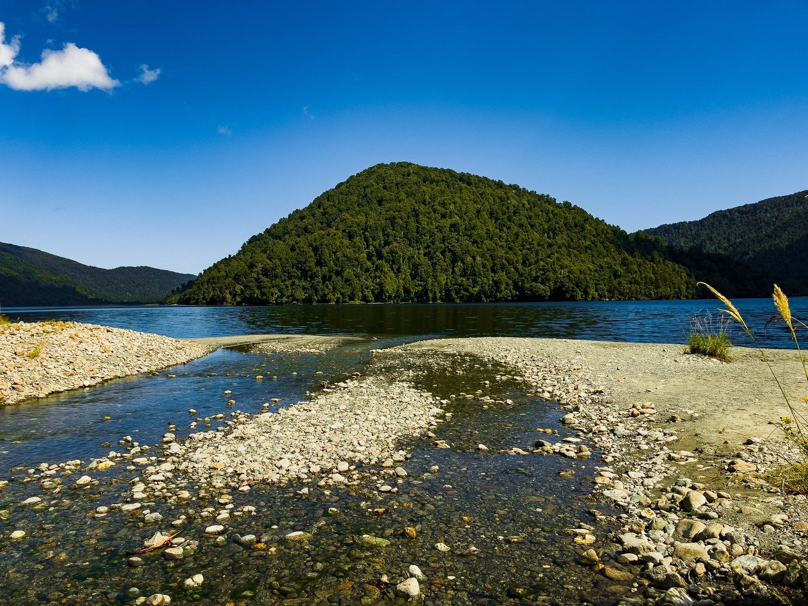
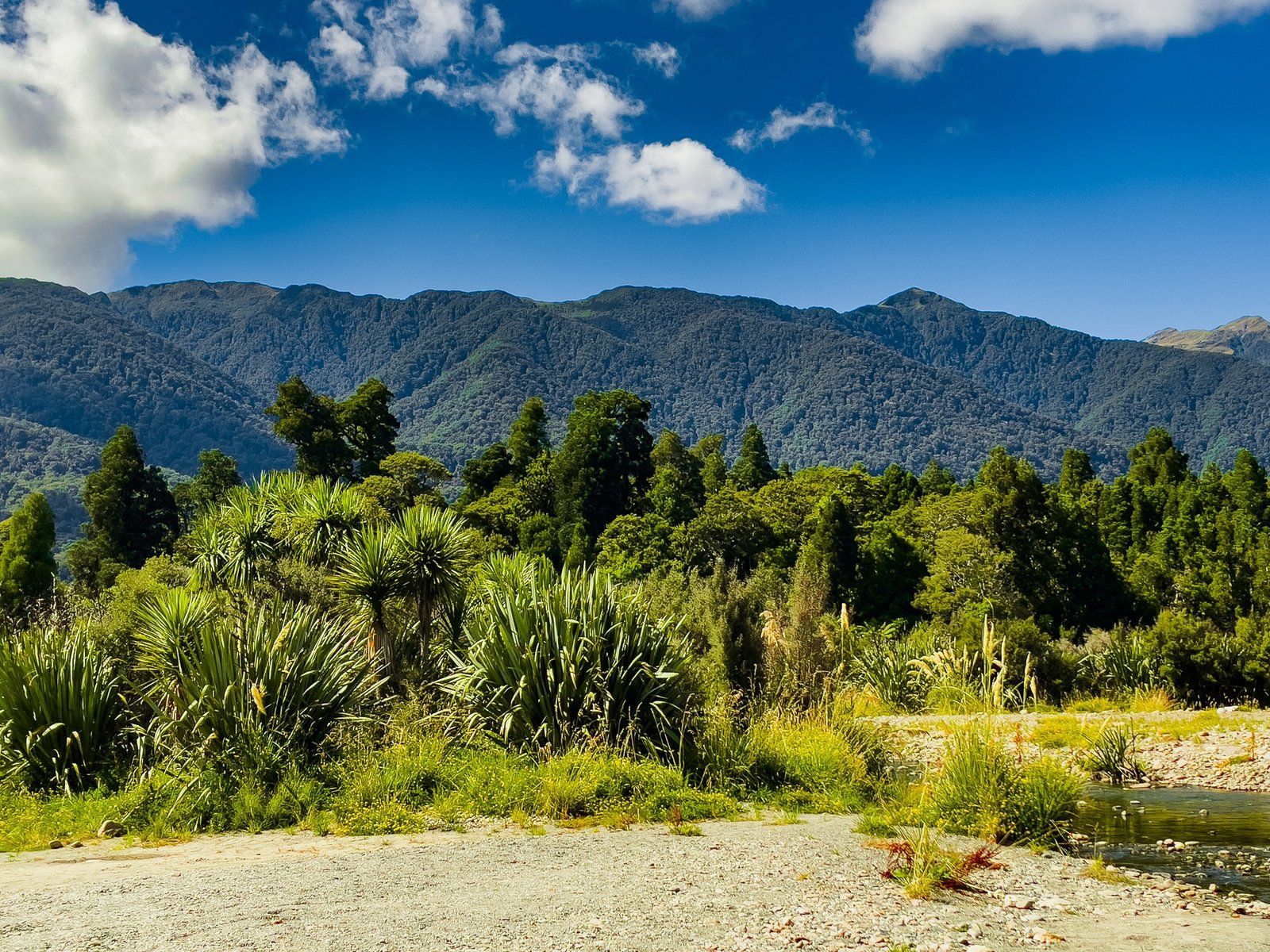
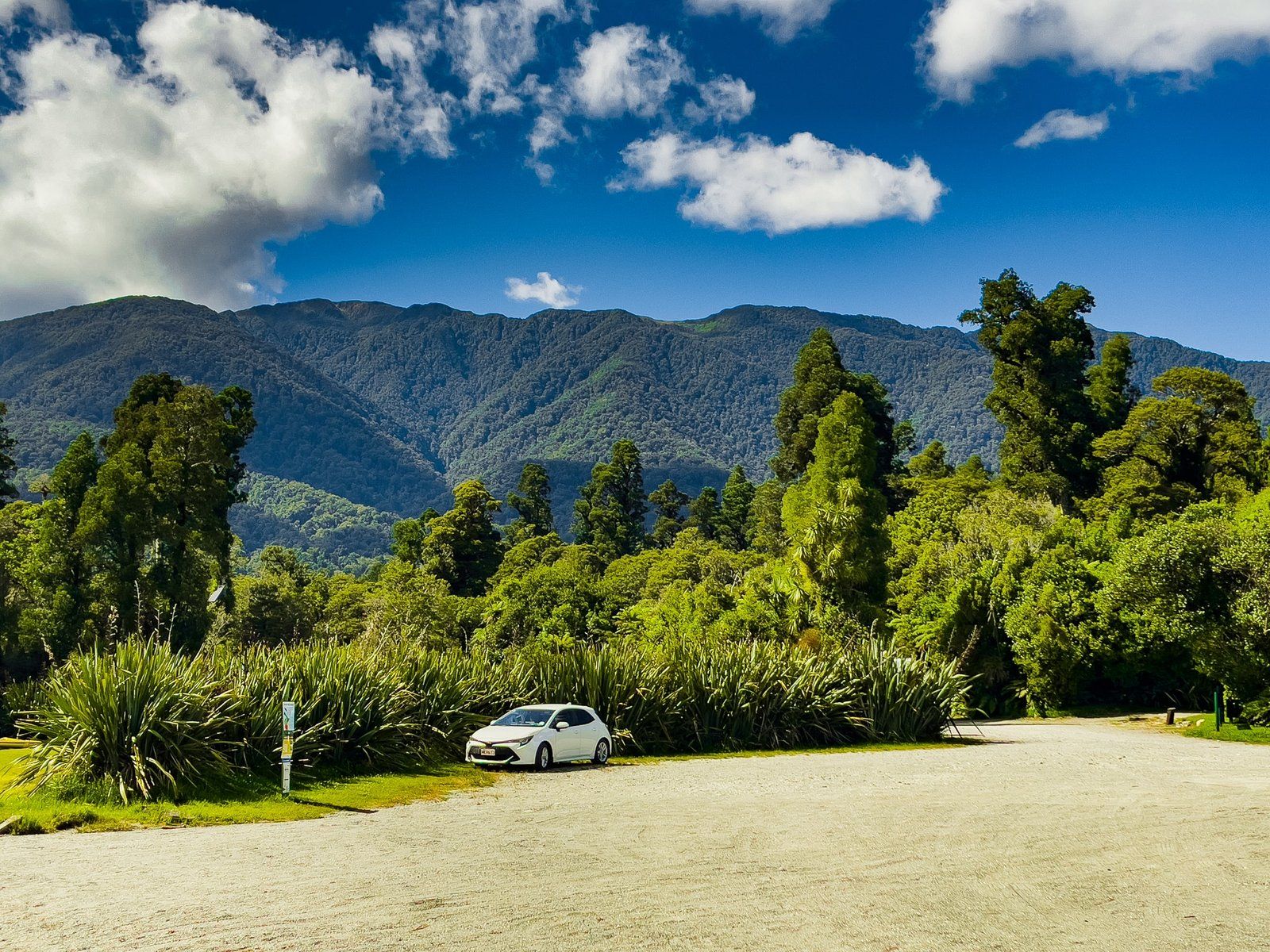
Lake Moeraki is the first of several small, easily accessible lakes heading north from Haast to Hokitika on State Highway 6. It is fed by the Moeraki River from the southeast and exits towards the Tasman Sea to the northwest. State Highway 6 runs along its northern edge, with several signposted “access” points, although oddly you can only get to the lake from the points signposted at the northwest and southeast ends. Park at the top and walk down the short access tracks (rough and only suitable for 4WD). The entrances for the Wilderness Lodge Lake Moeraki and the Monro Beach Walk are also near the northwest lake access.
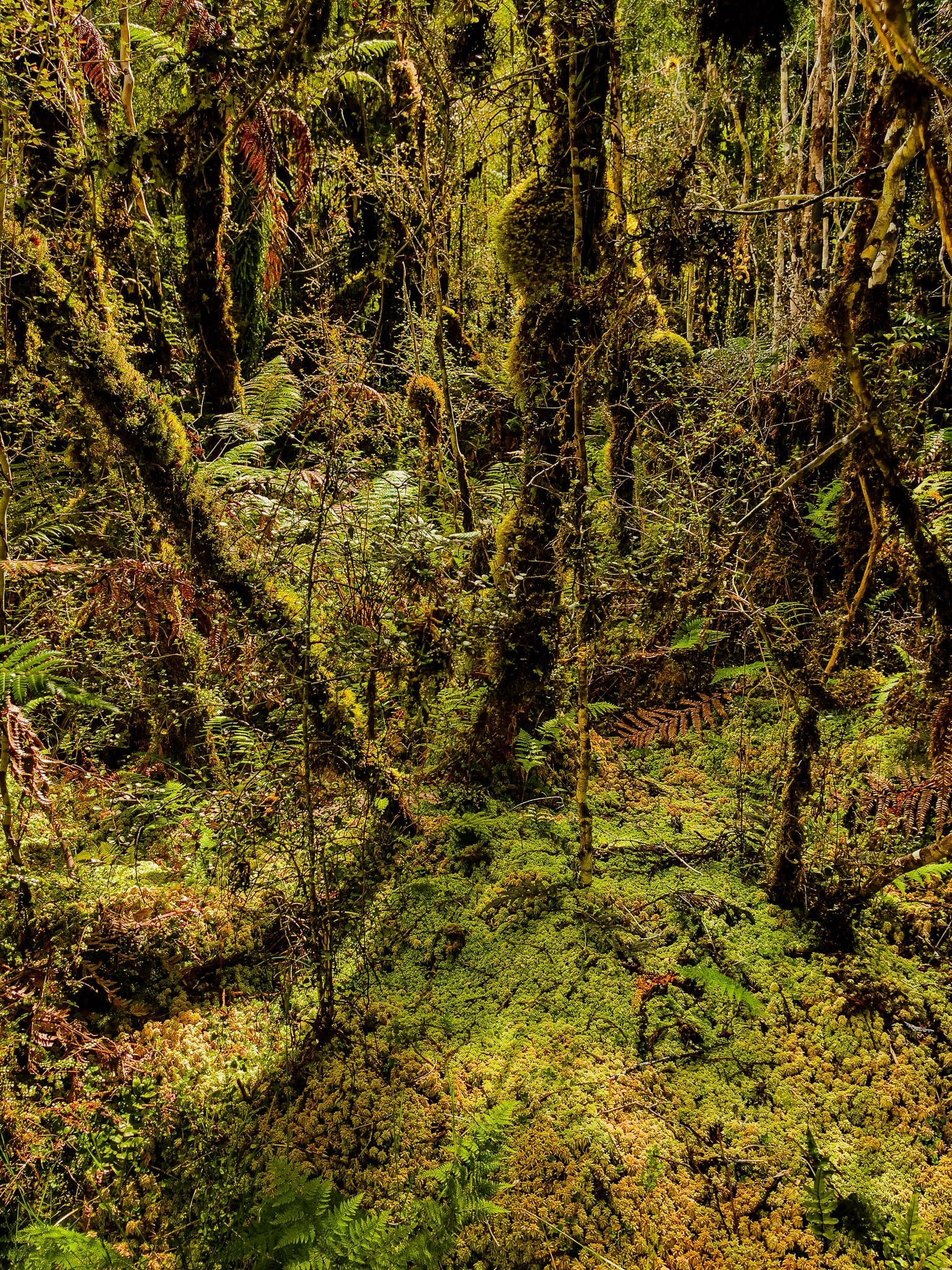
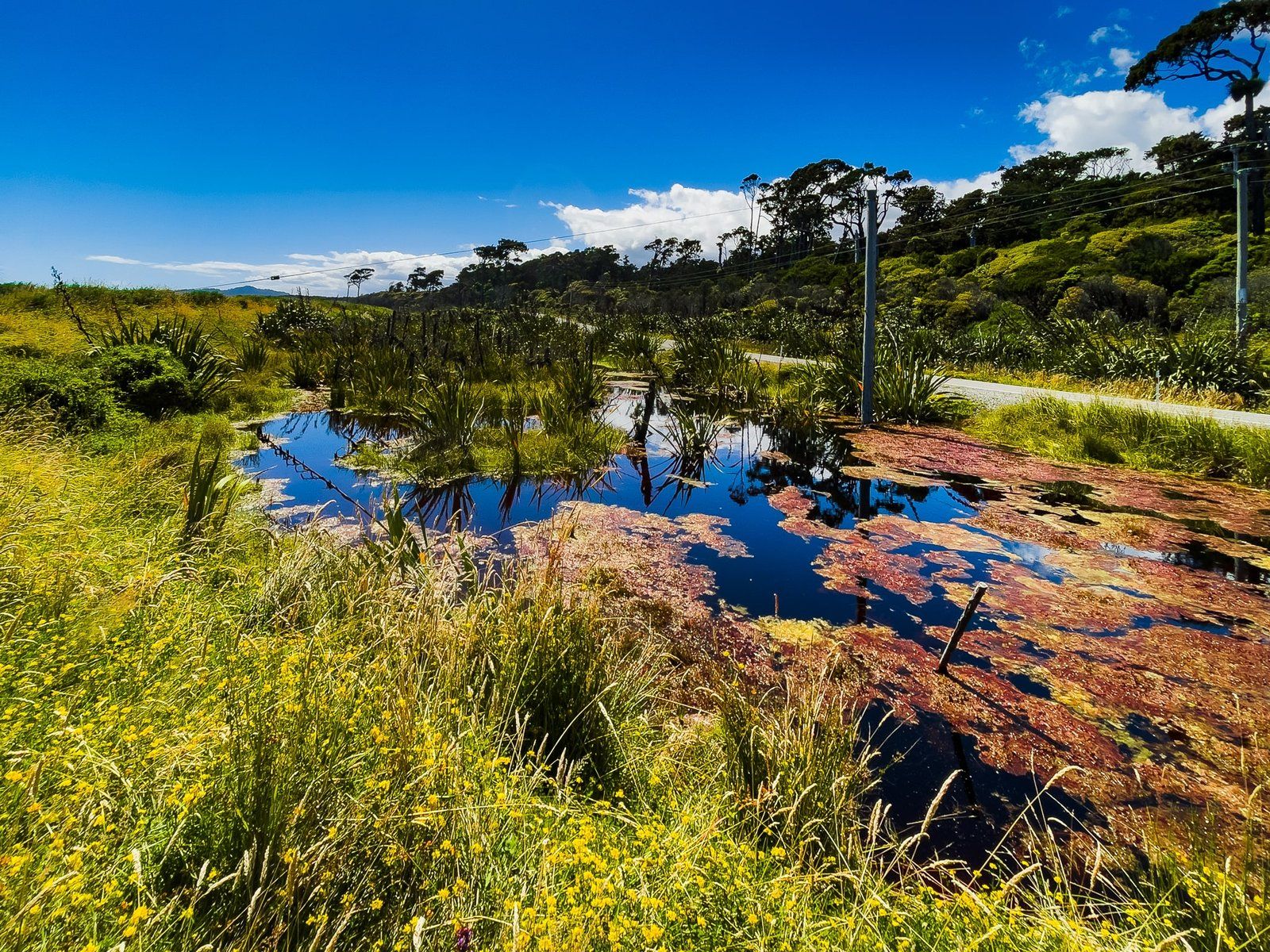
The lake is surrounded by native forest and lies within Te Wāhipounamu World Heritage area, right in the middle of a section of ancient forest that has never been logged. You can take a boat onto the lake – a kayak would be best. There is also enough room for a picnic at the southeast access.
There were a few sandflies when we visited, but it wasn’t too bad.
Monro Beach Walk
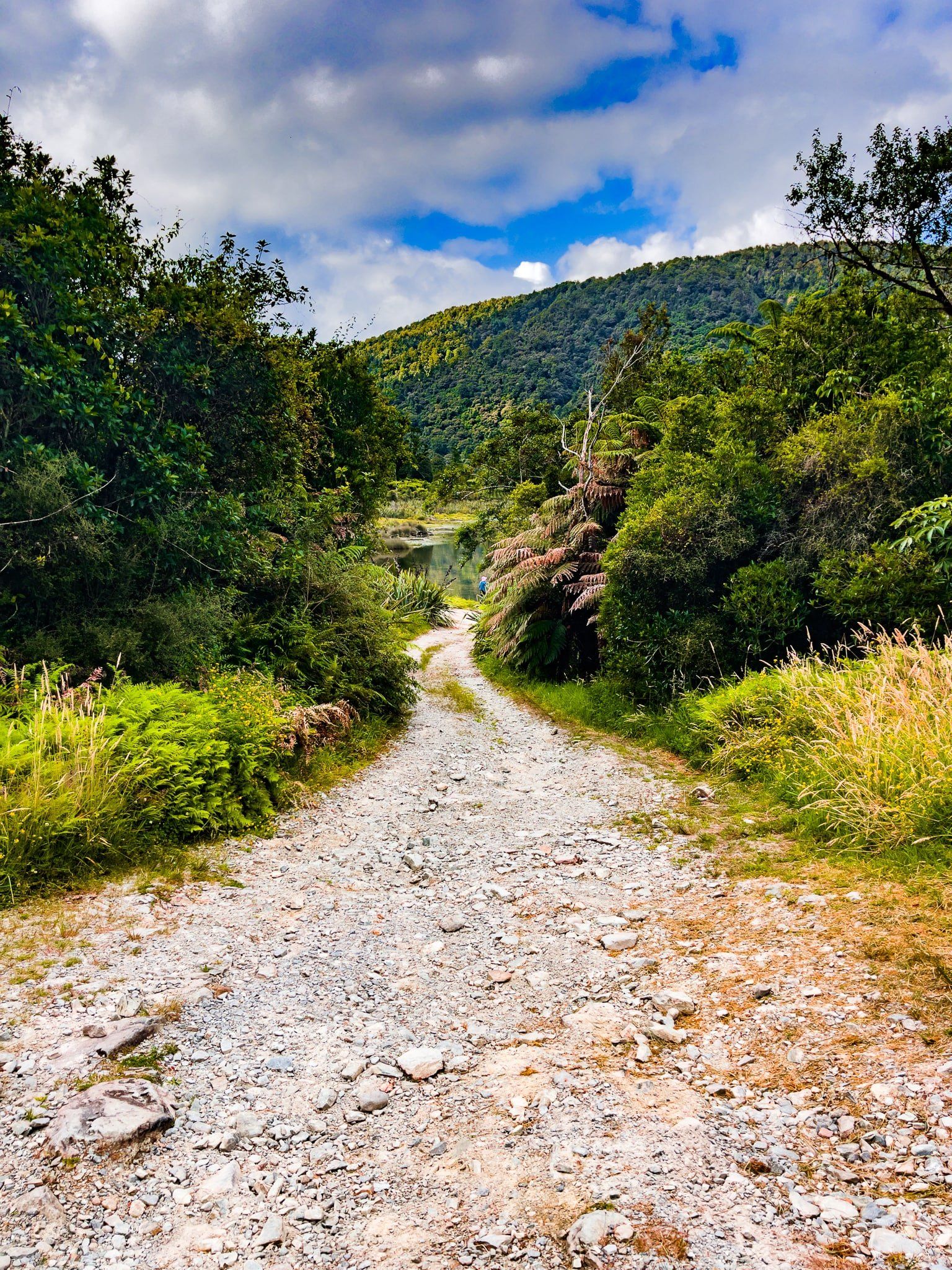
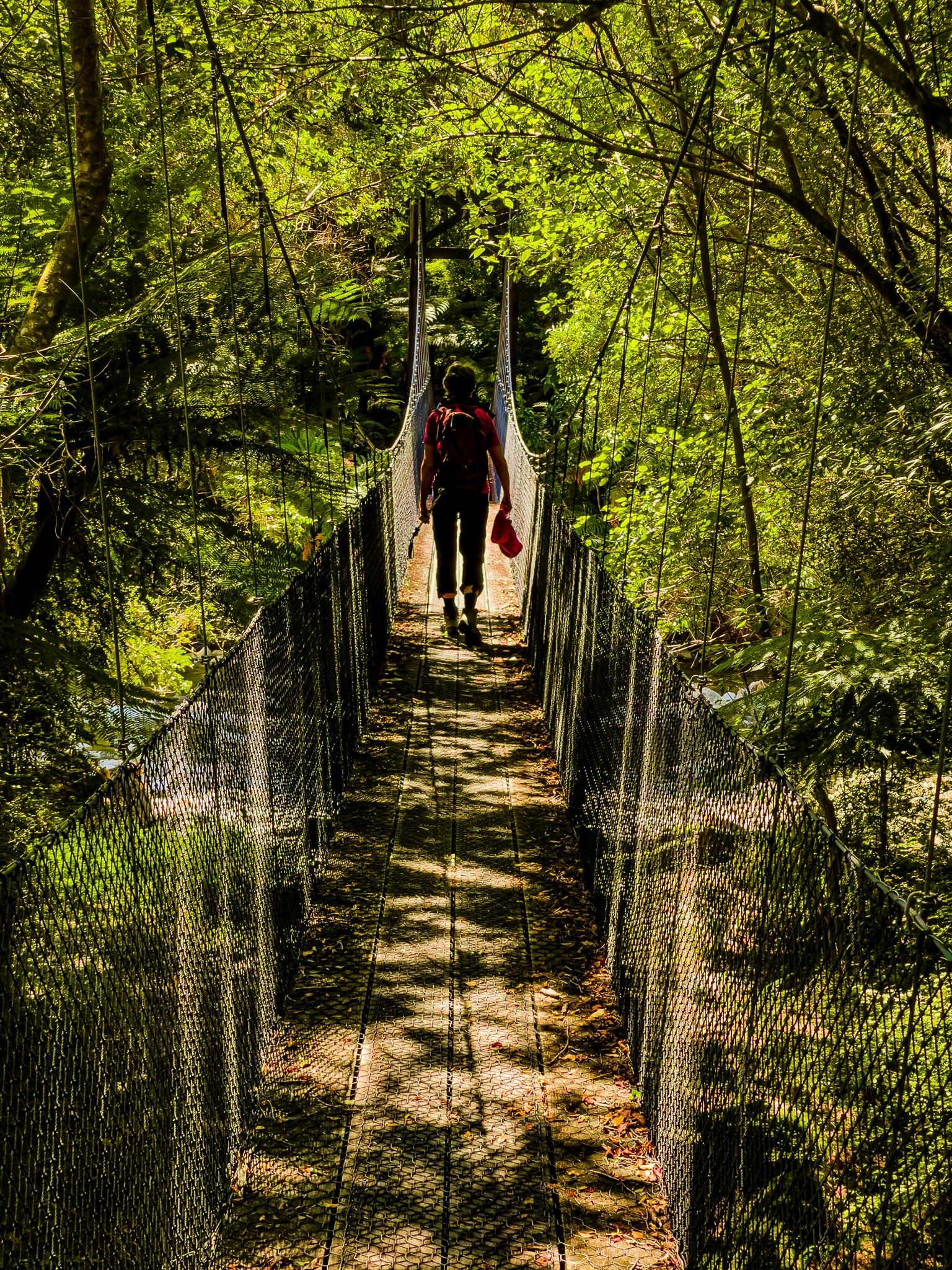
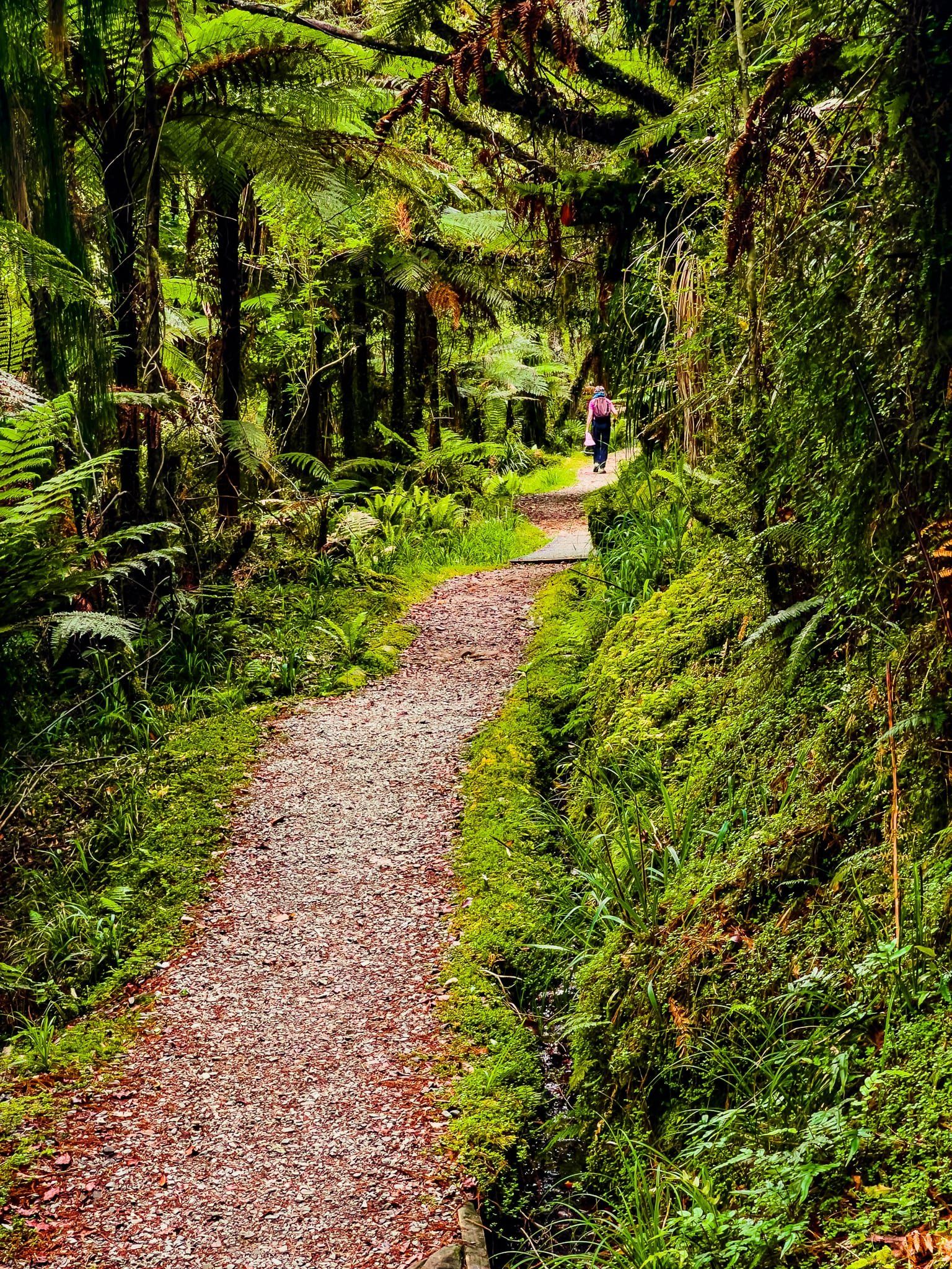
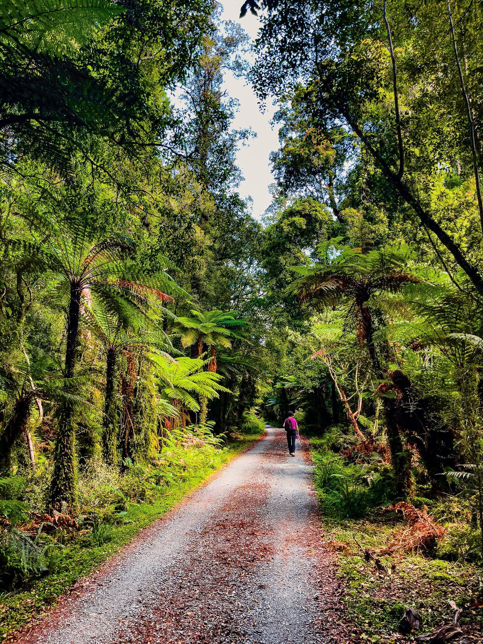
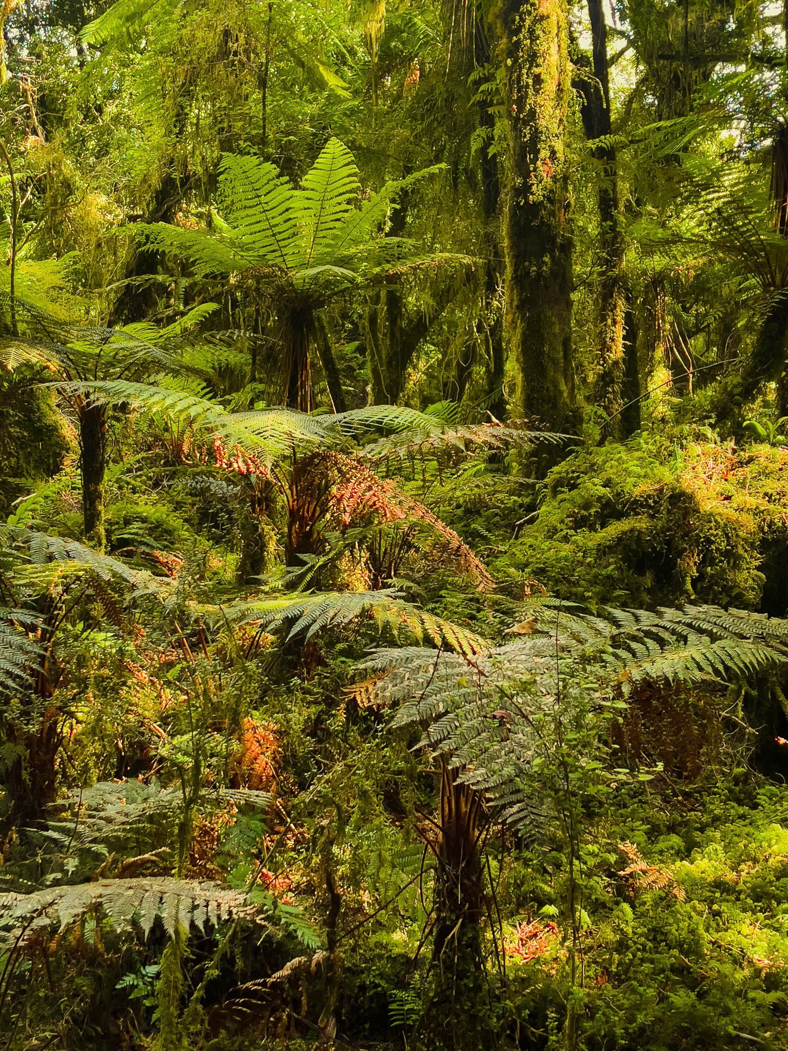
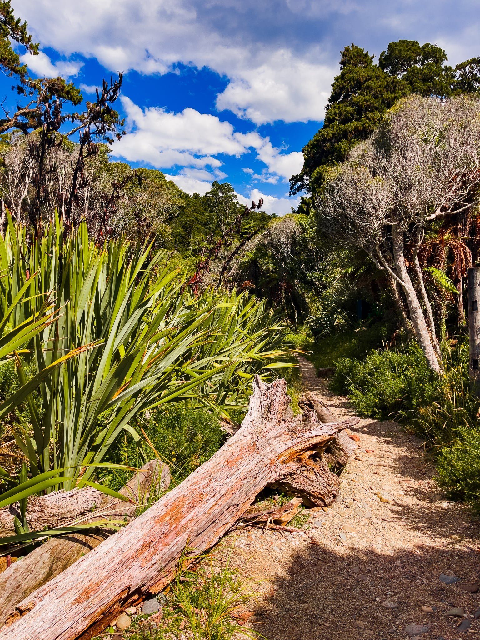
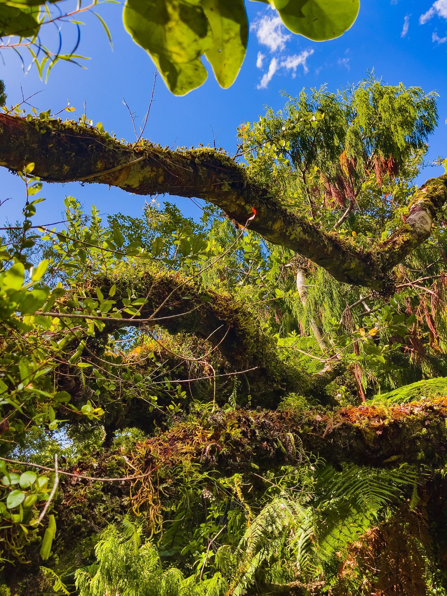
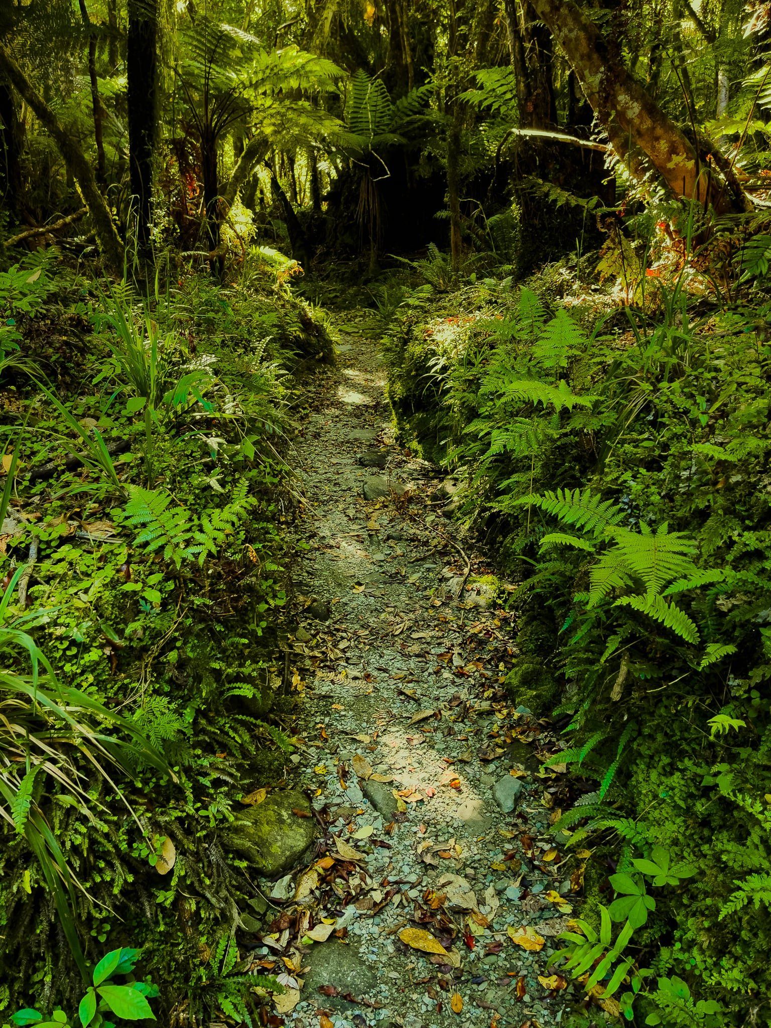
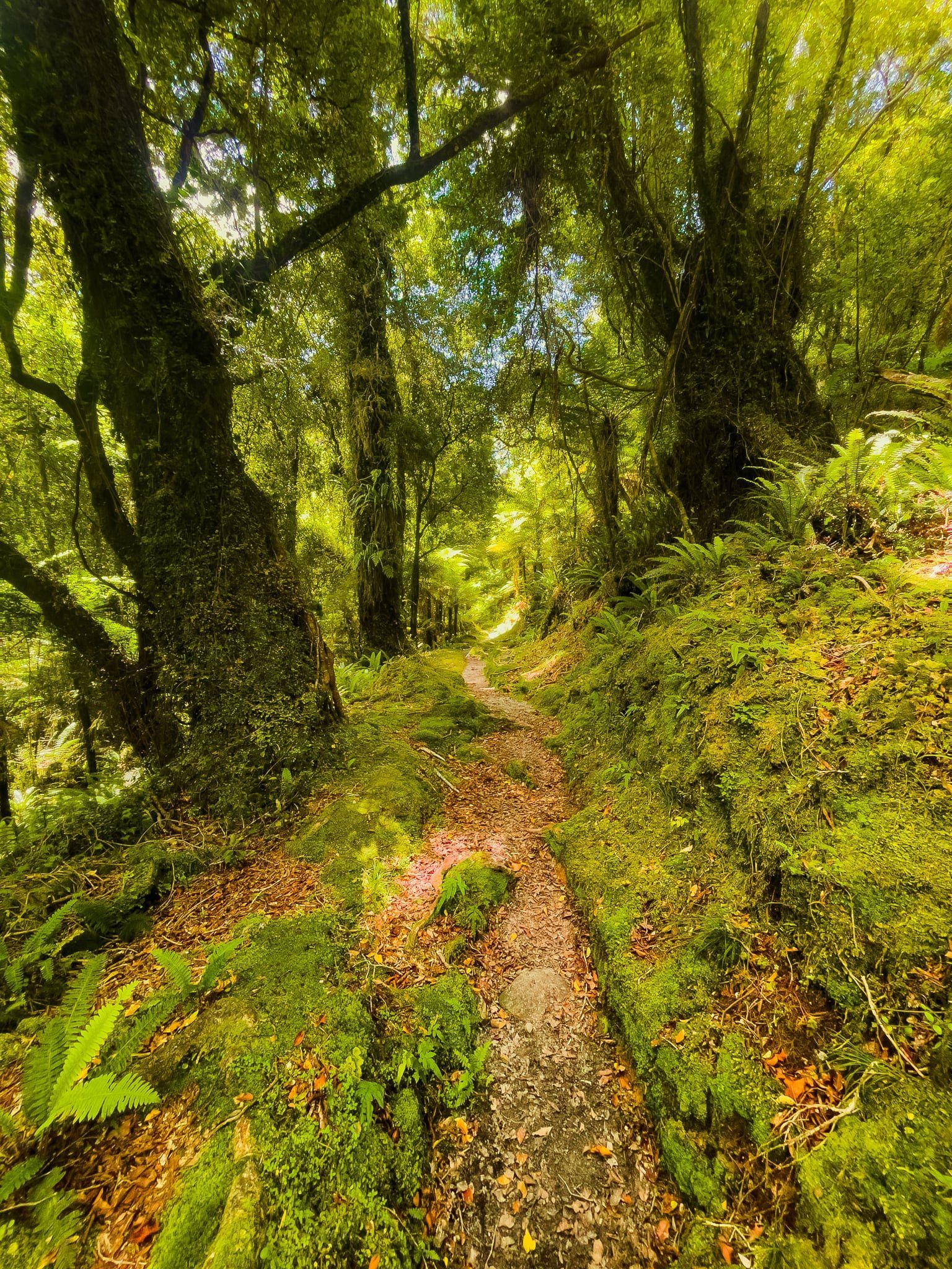
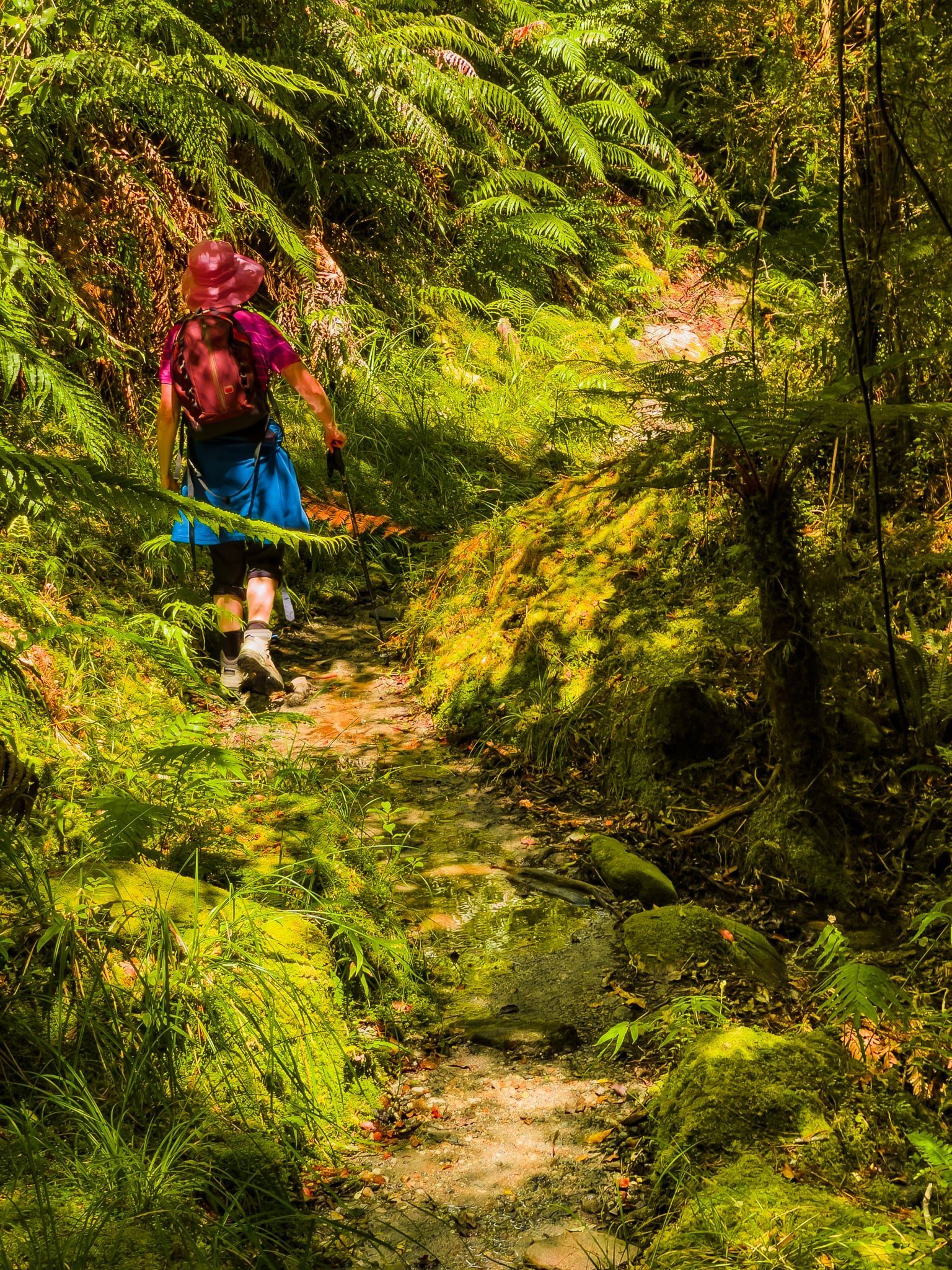
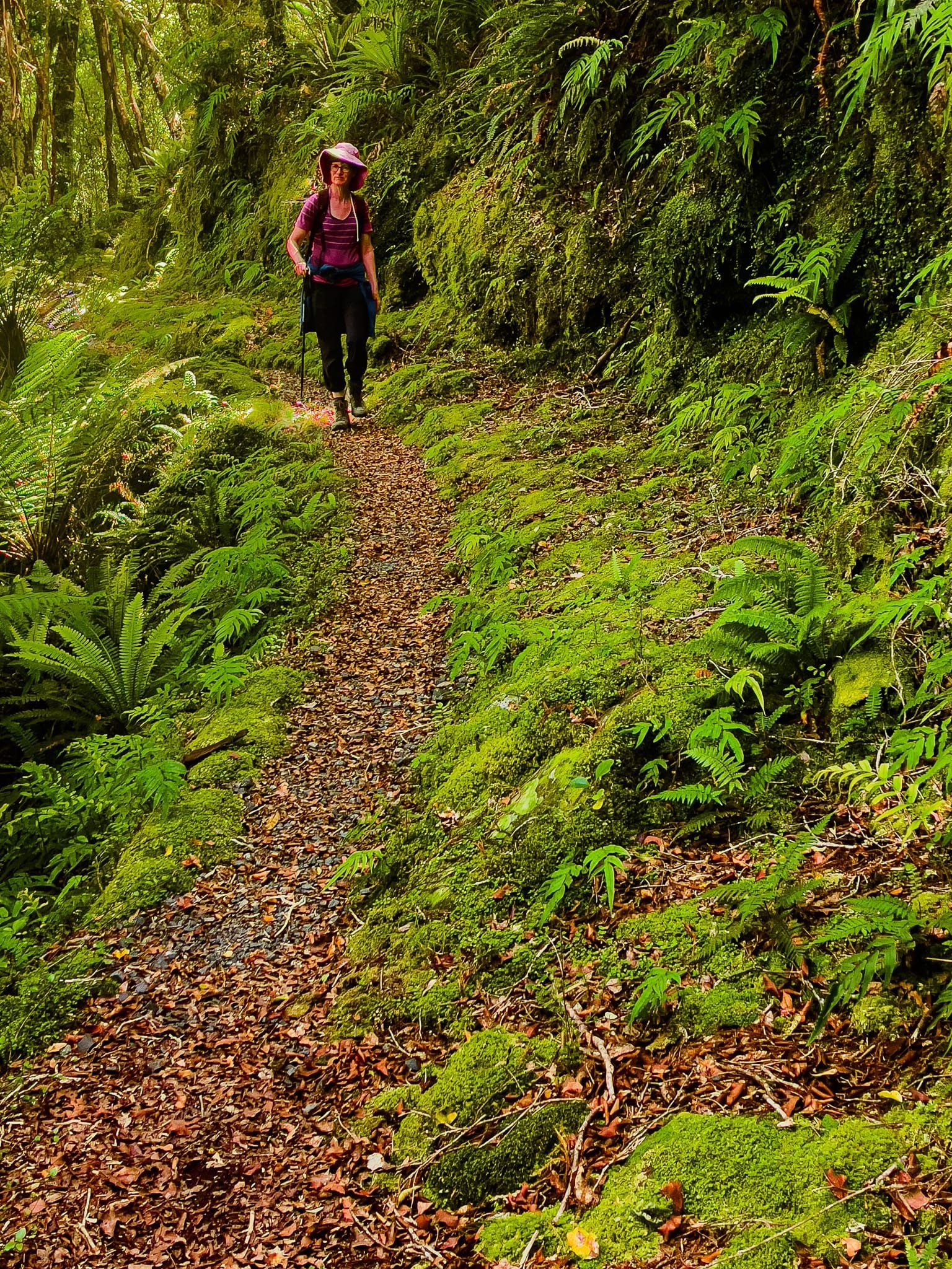
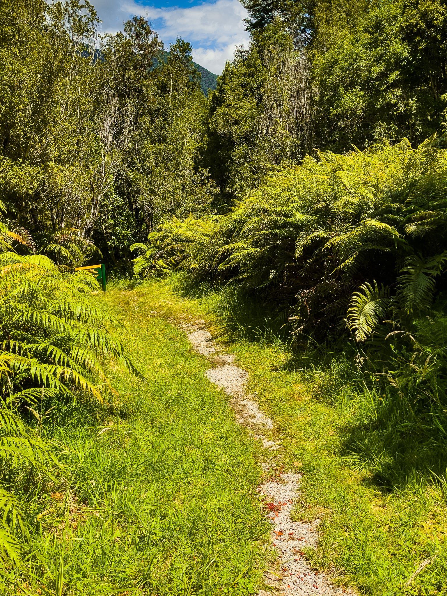
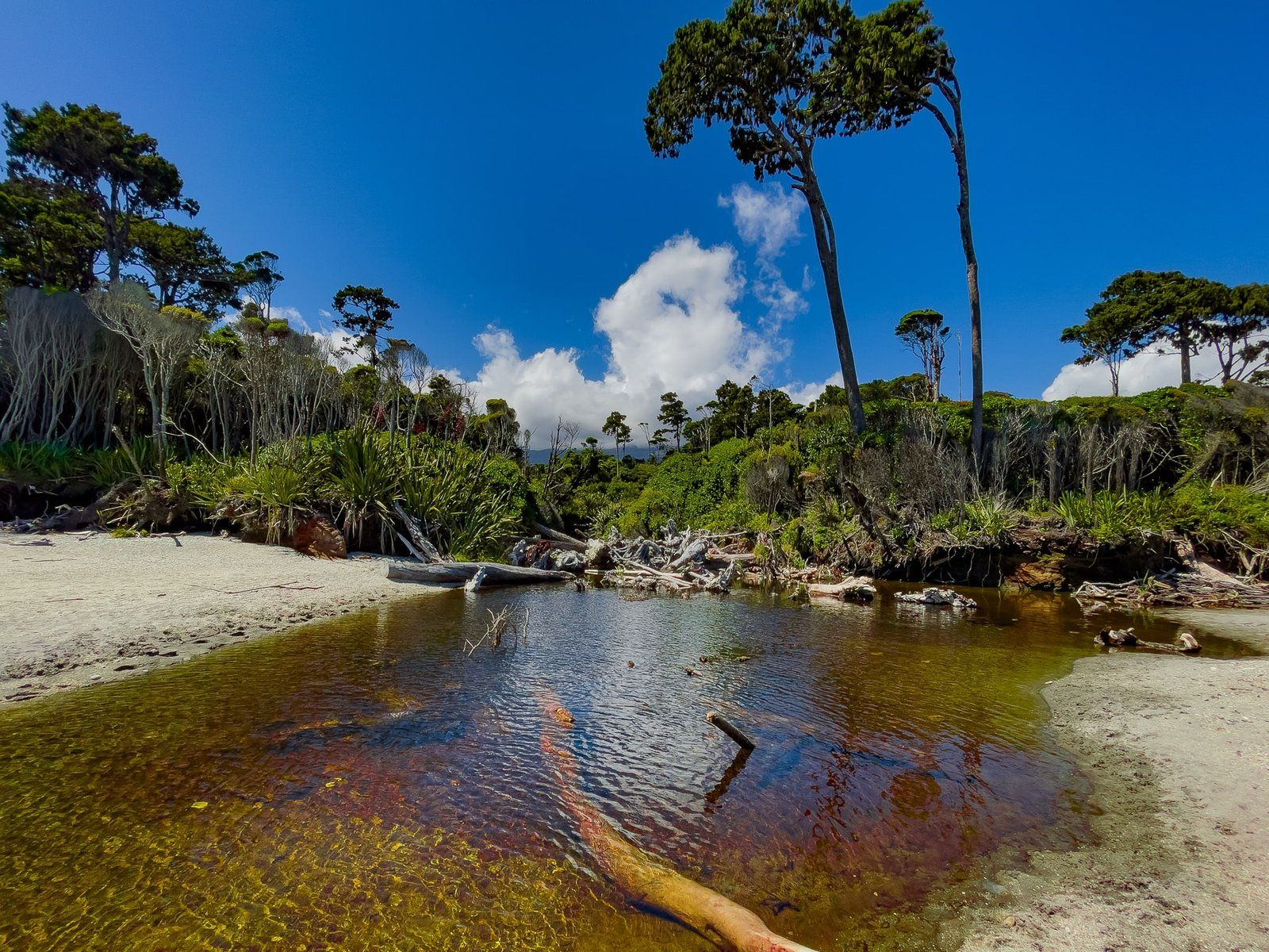
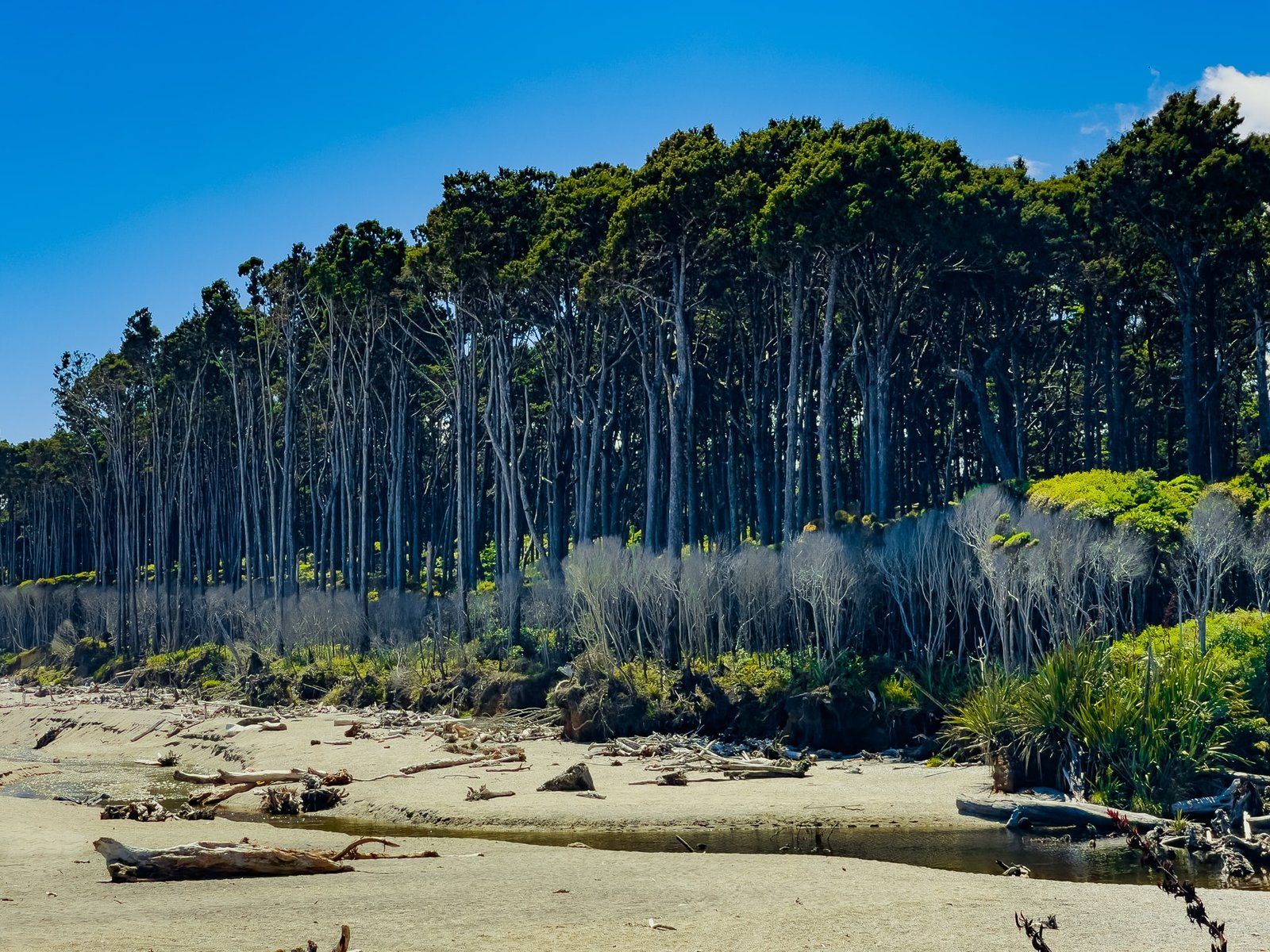
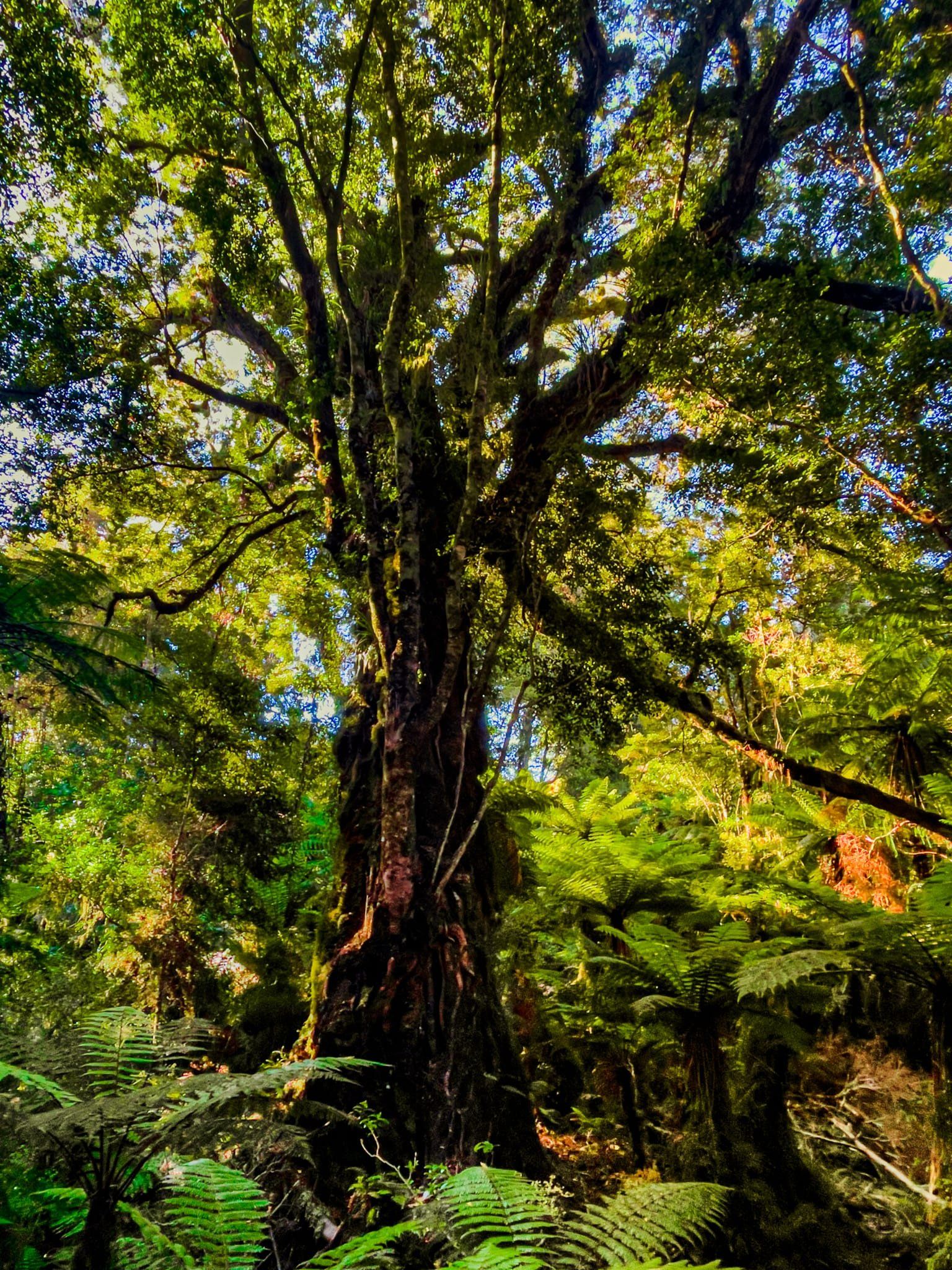
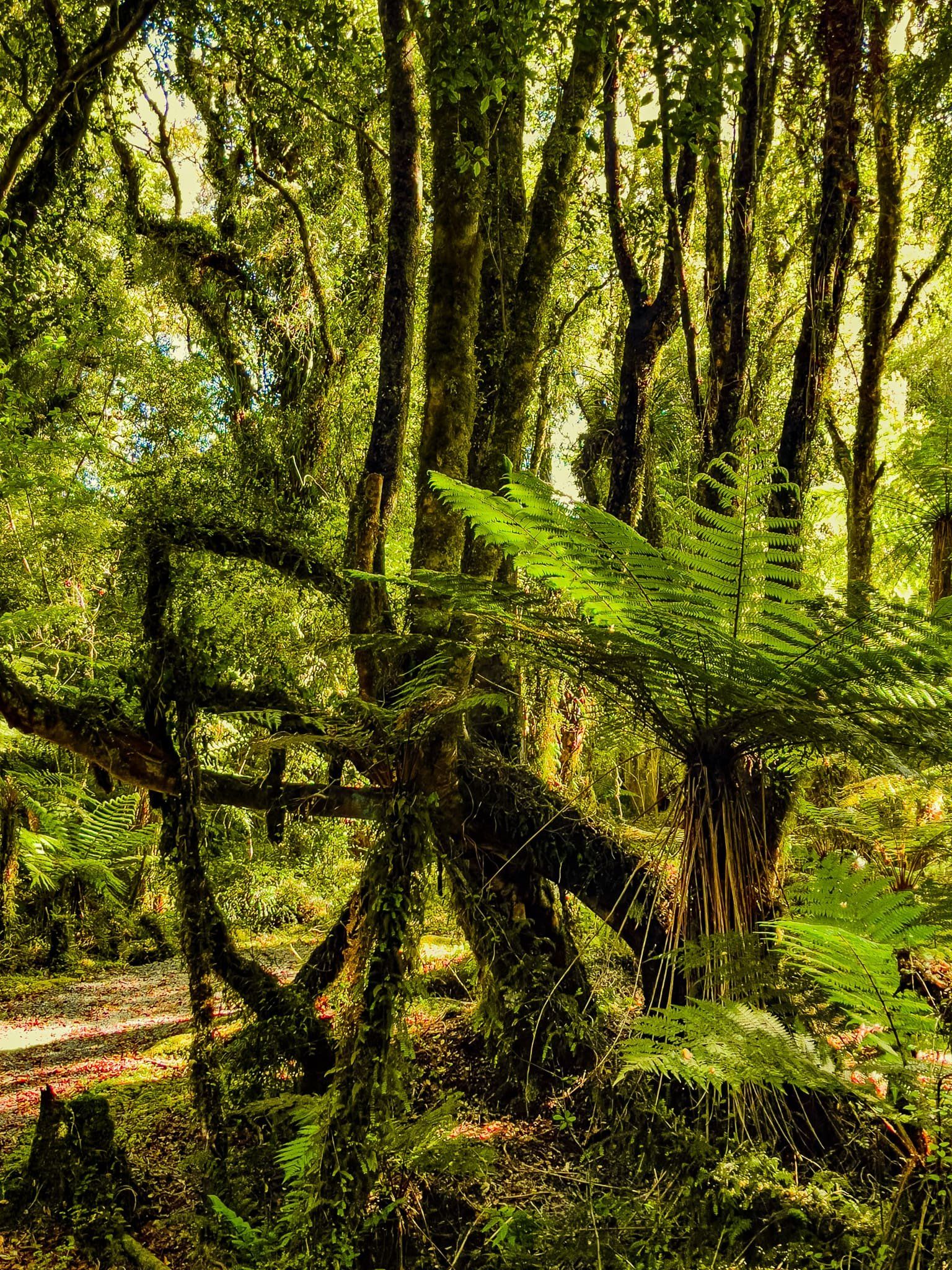
The Monro Beach Walk is a 40 minute flat walk through mostly ancient forest to Monro Beach. Just after the start, you cross a short swing bridge over the Monro Creek and then join up with a whitebaiters’ access road through the forest. Follow this for a few hundred metres, before turning off on the main track to the beach.
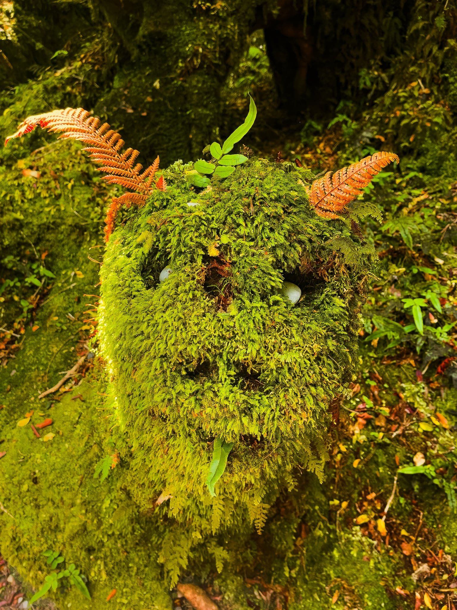
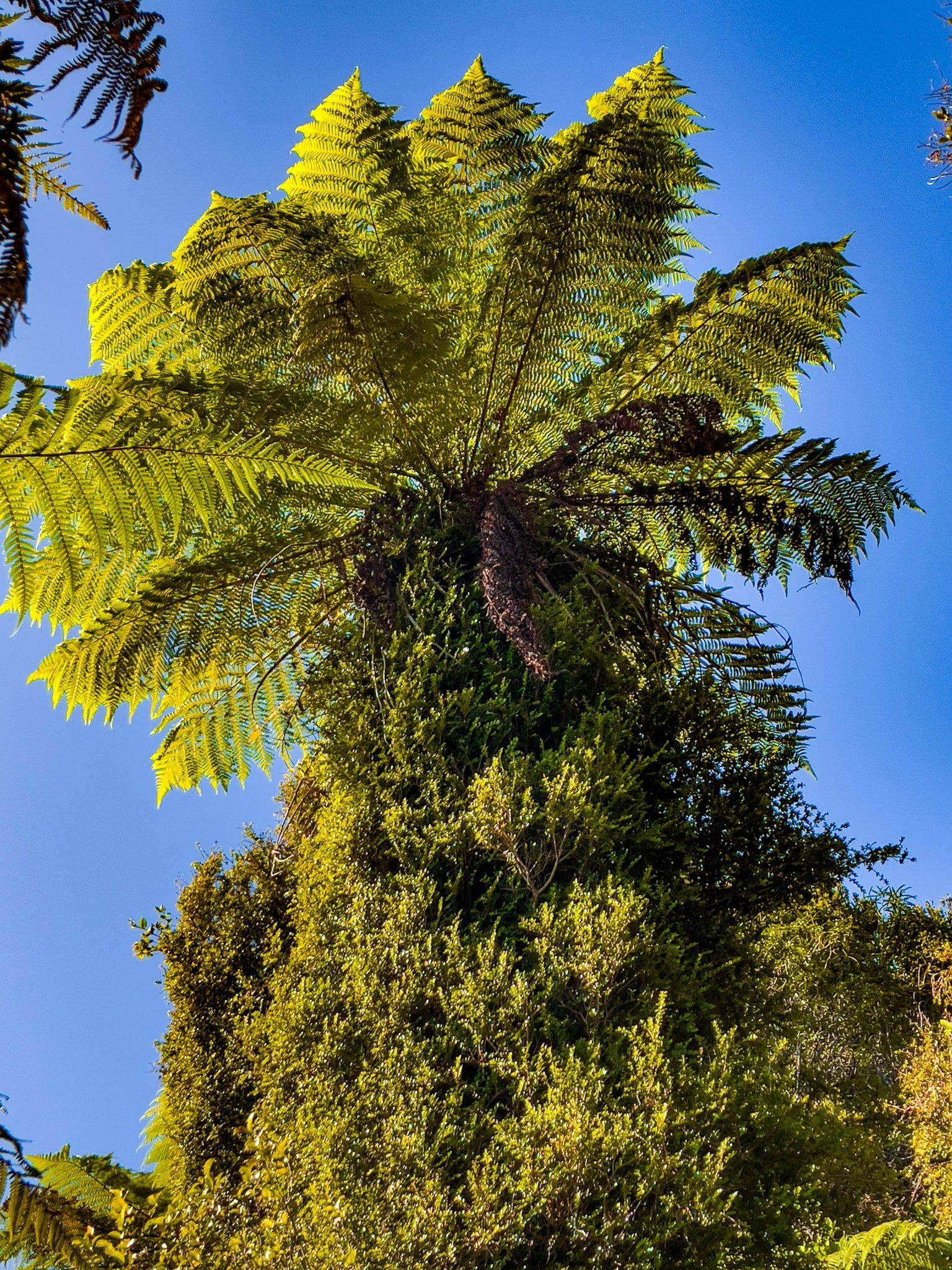
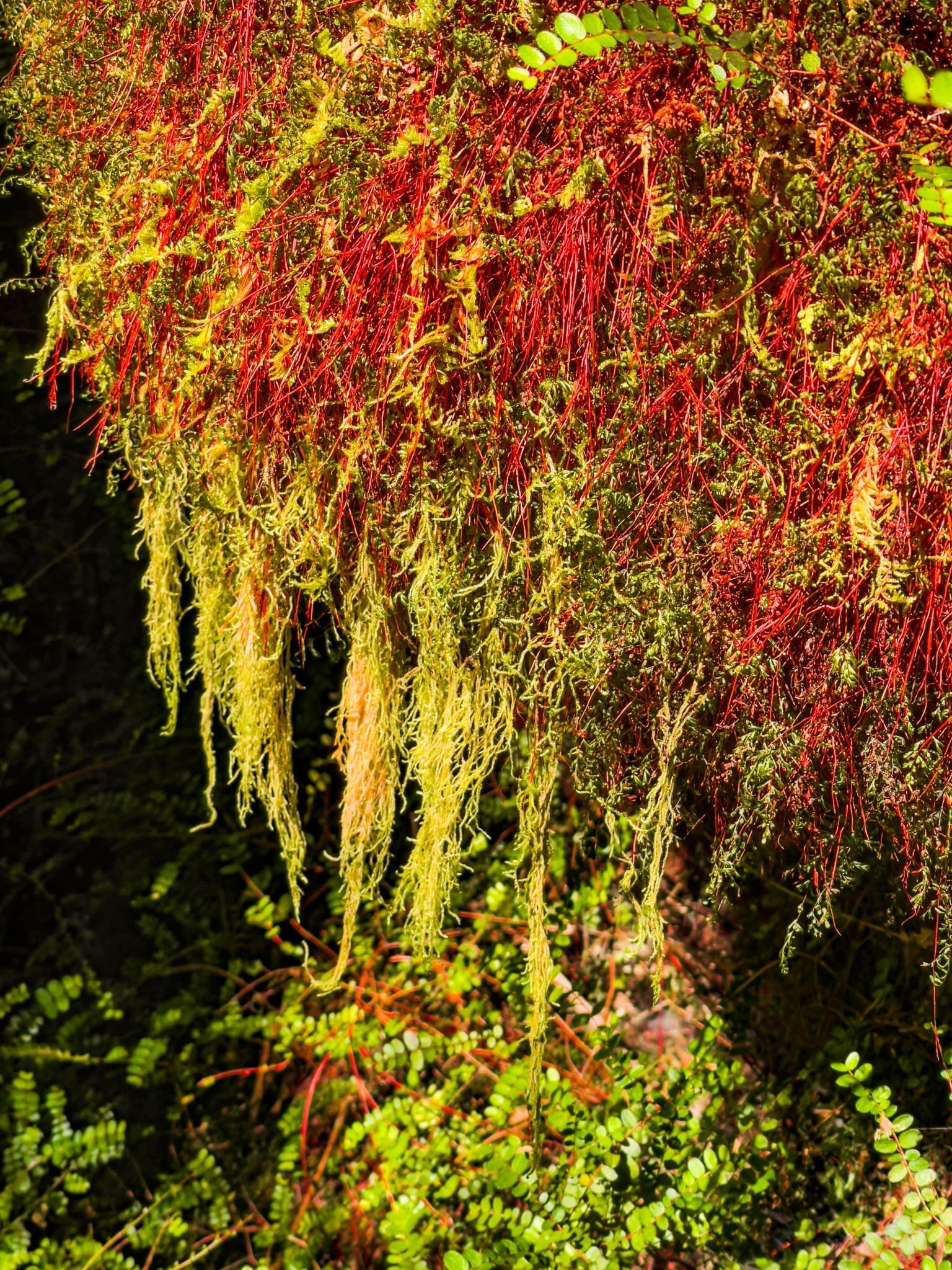
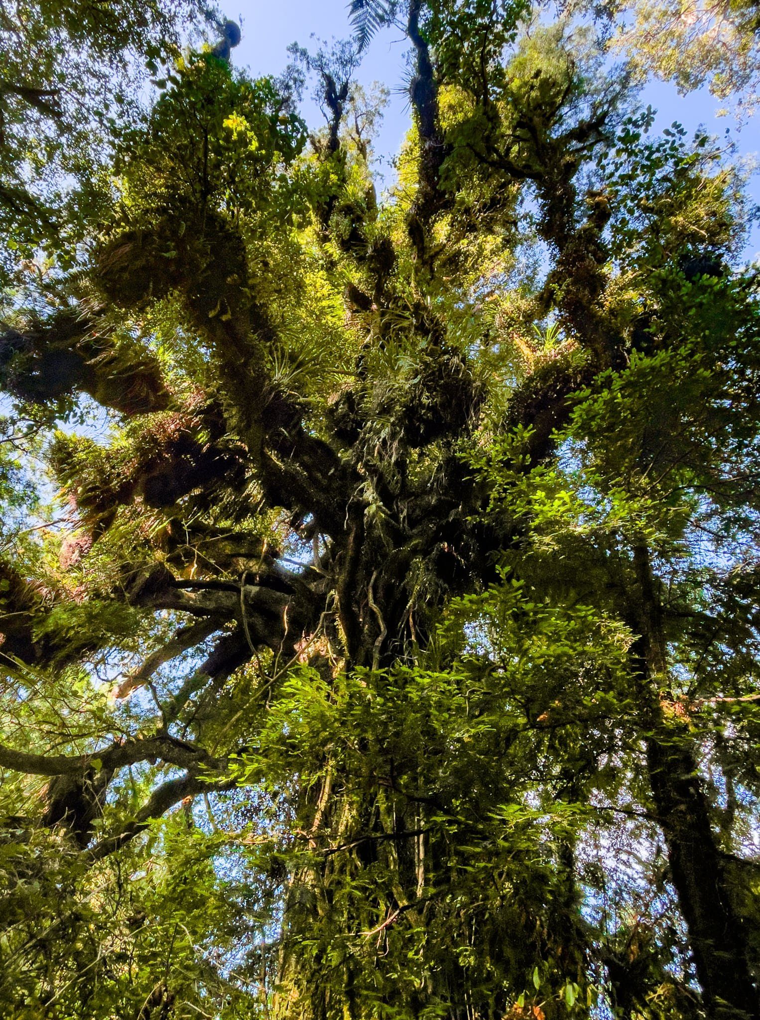
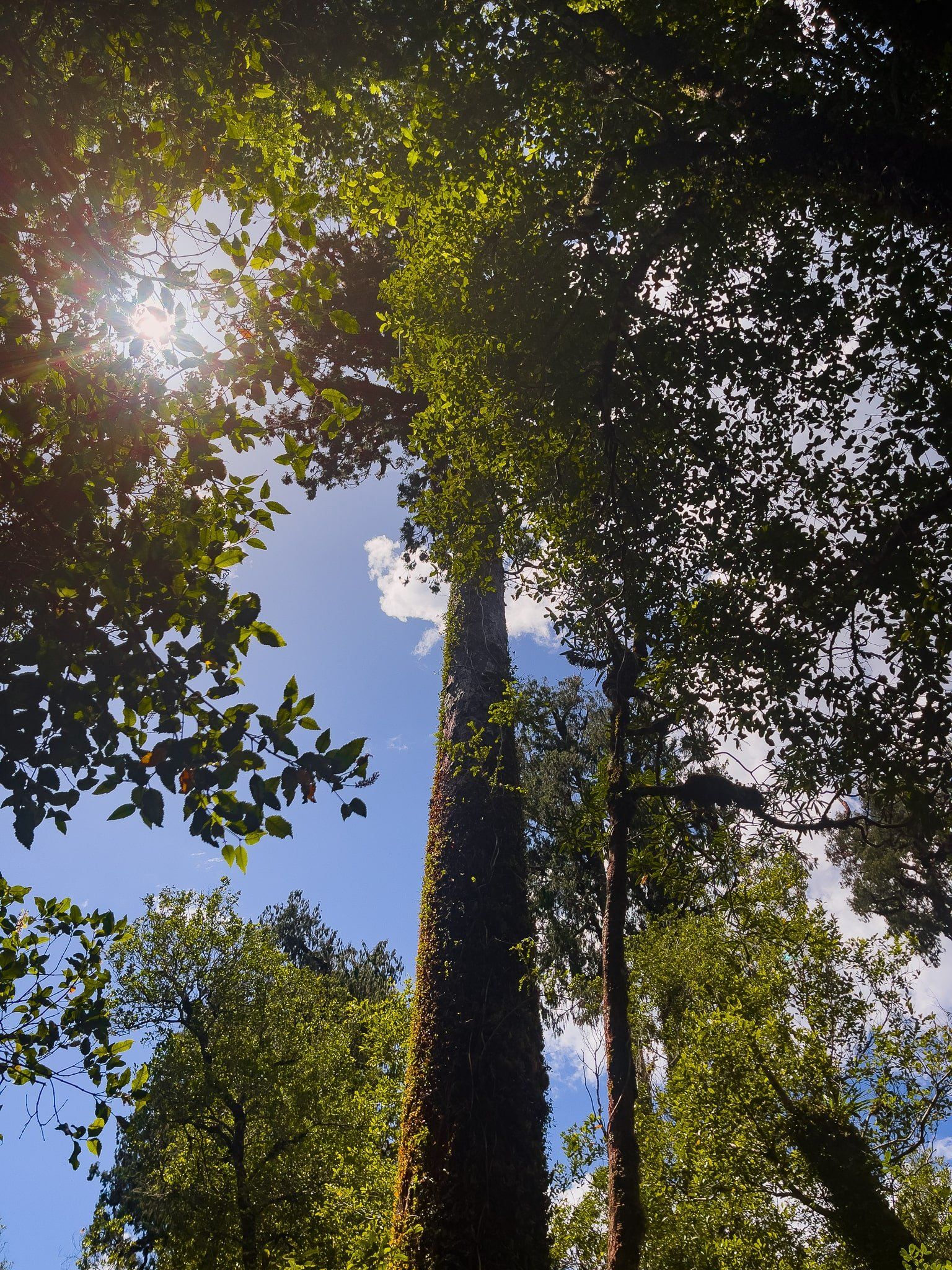
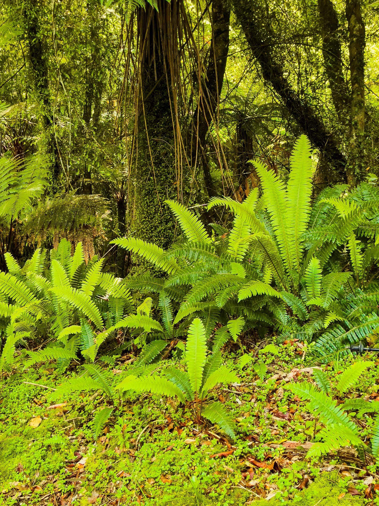
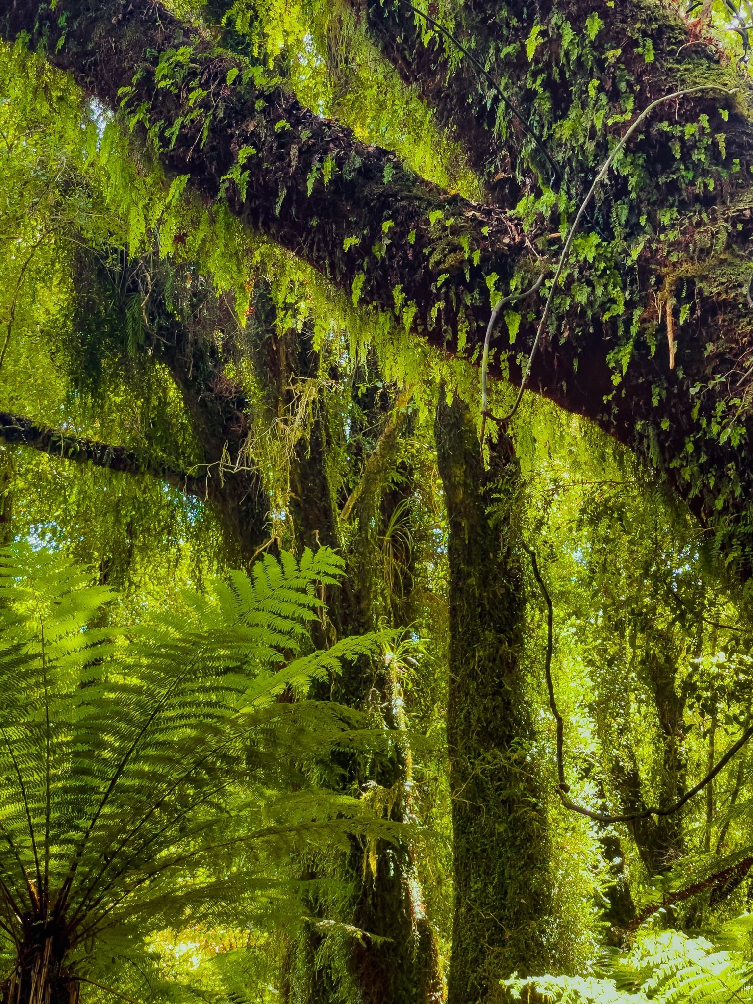
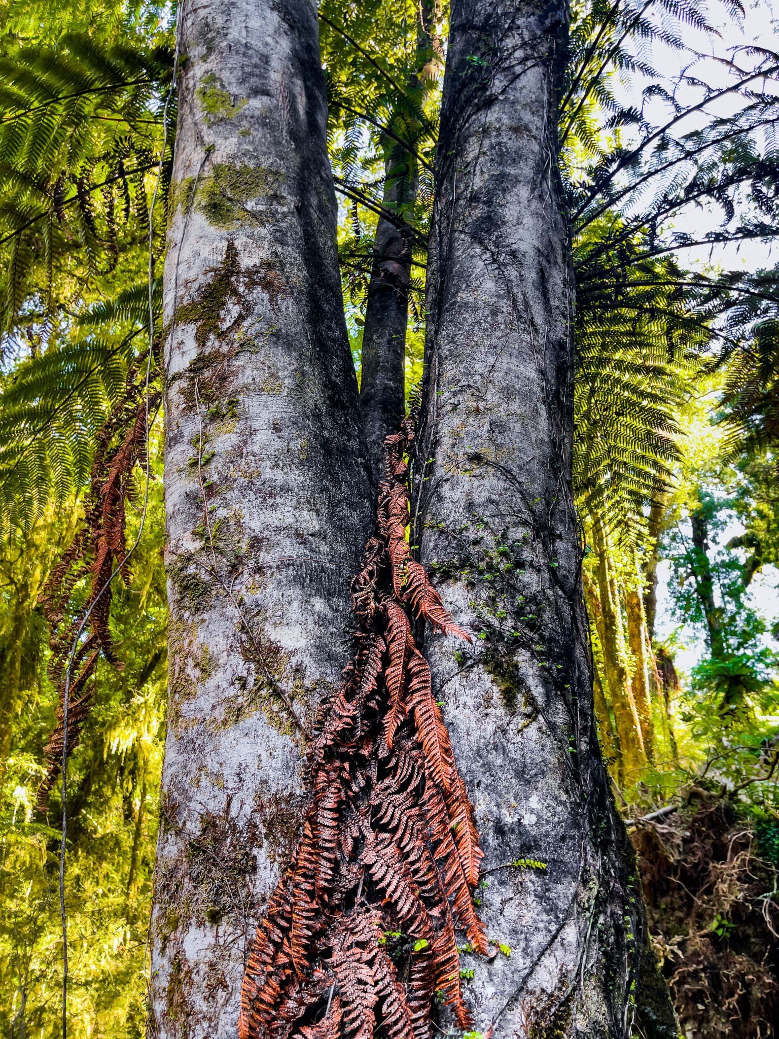
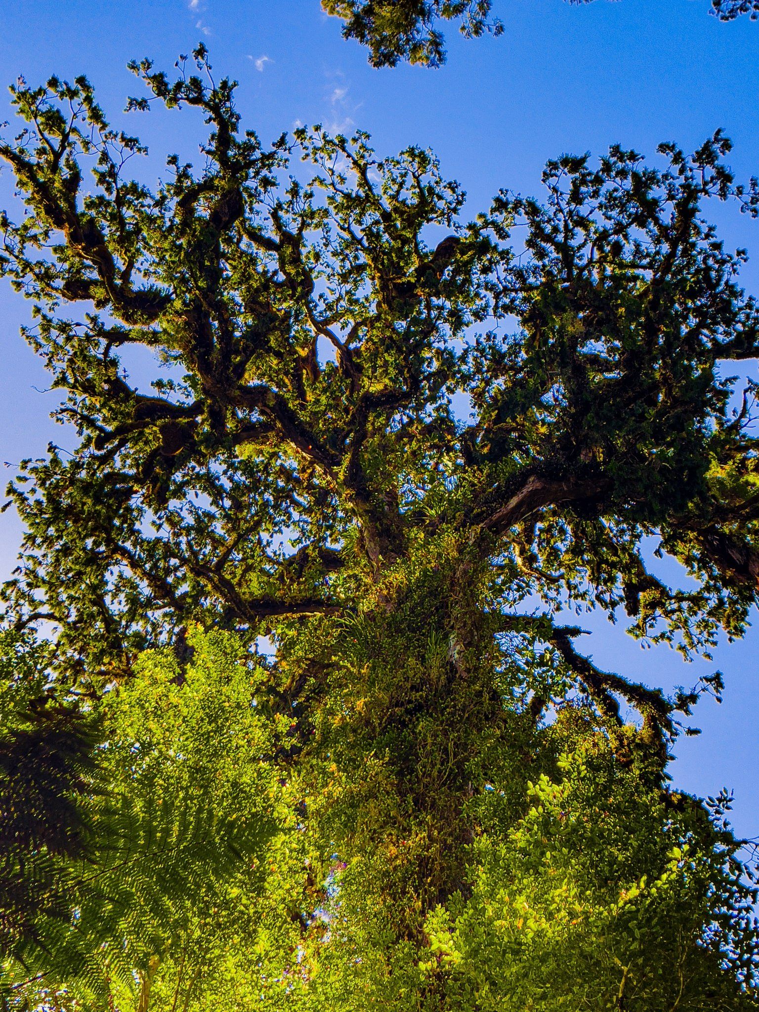
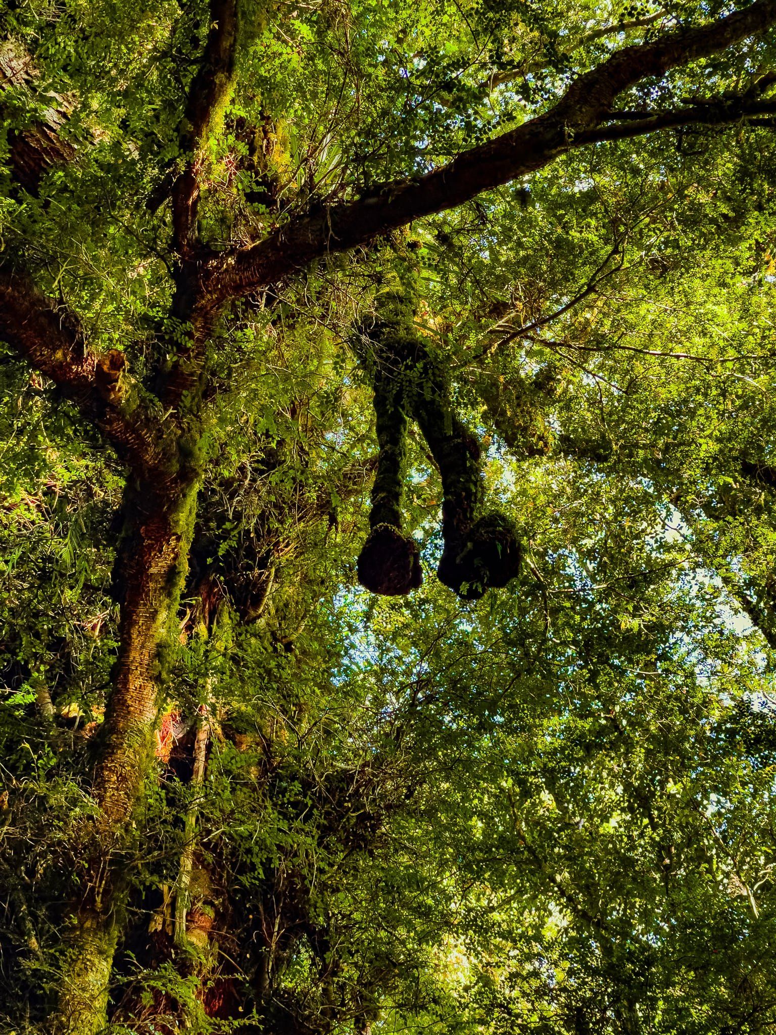
The towering rimu and kahikatea trees are a feature, as are the big native fuschia trees (kōtukutuku) along the path. These are easily recognised with their nearly orange trunks. Gnarled rainforest trees, covered in ferns, lichens and moss are ever-present and you may get to see a goblin in front of its den, or even some ‘legs’ hanging down from a tree.
The car park entrance is just past the gate for the Wilderness Lodge Lake Moeraki and there is a toilet there. There are no sandflies on the track.
Monro Beach
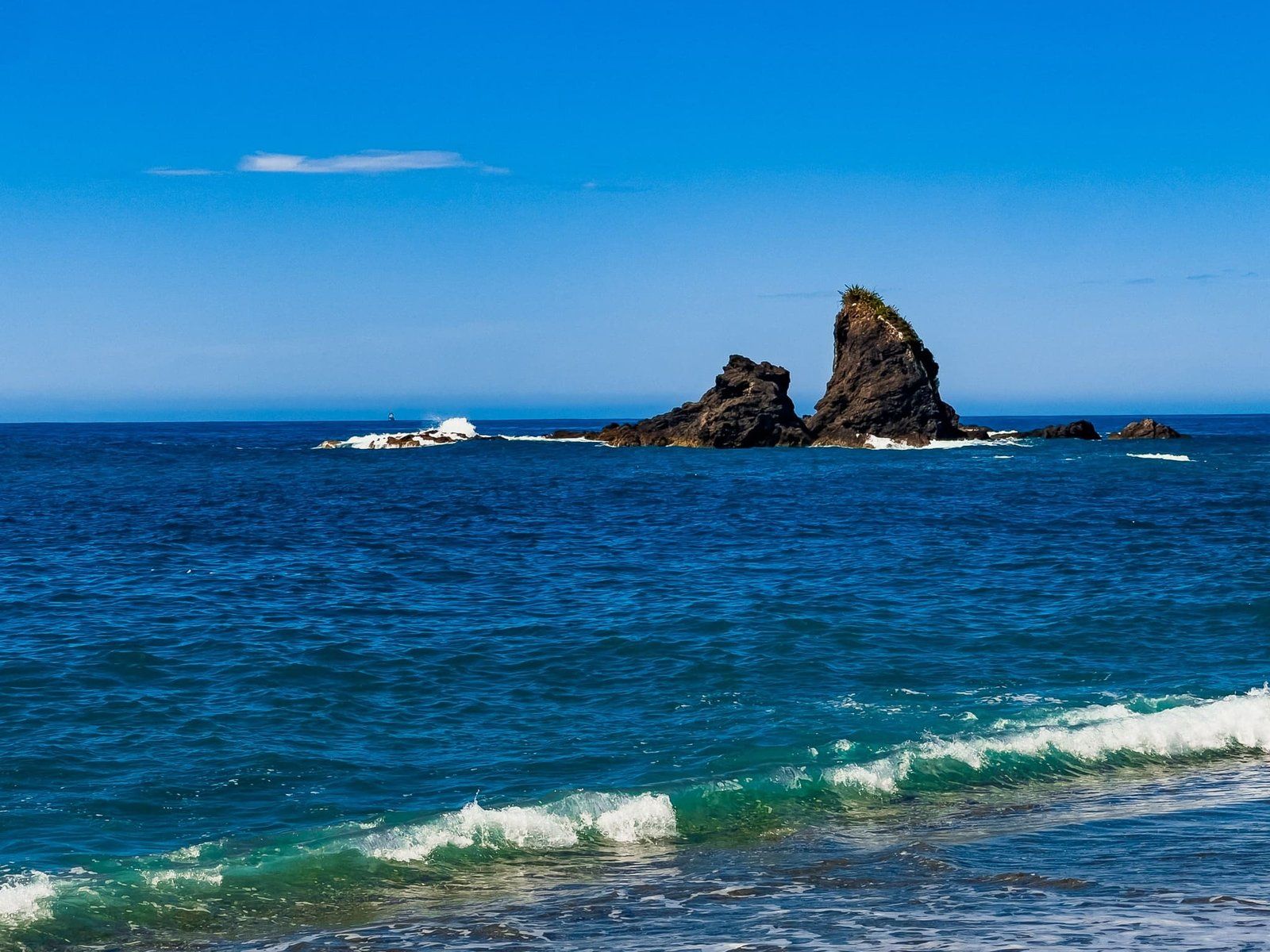
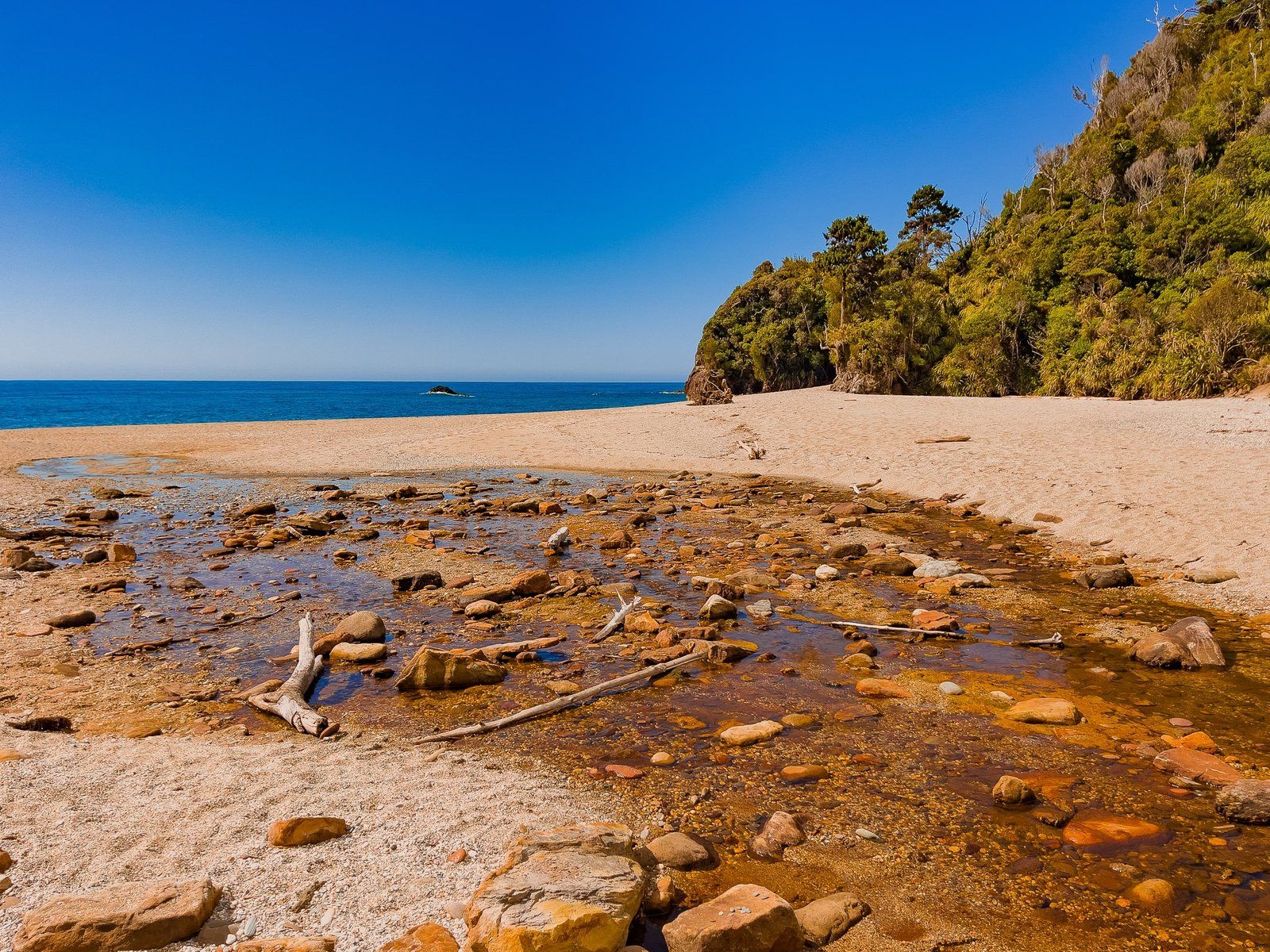
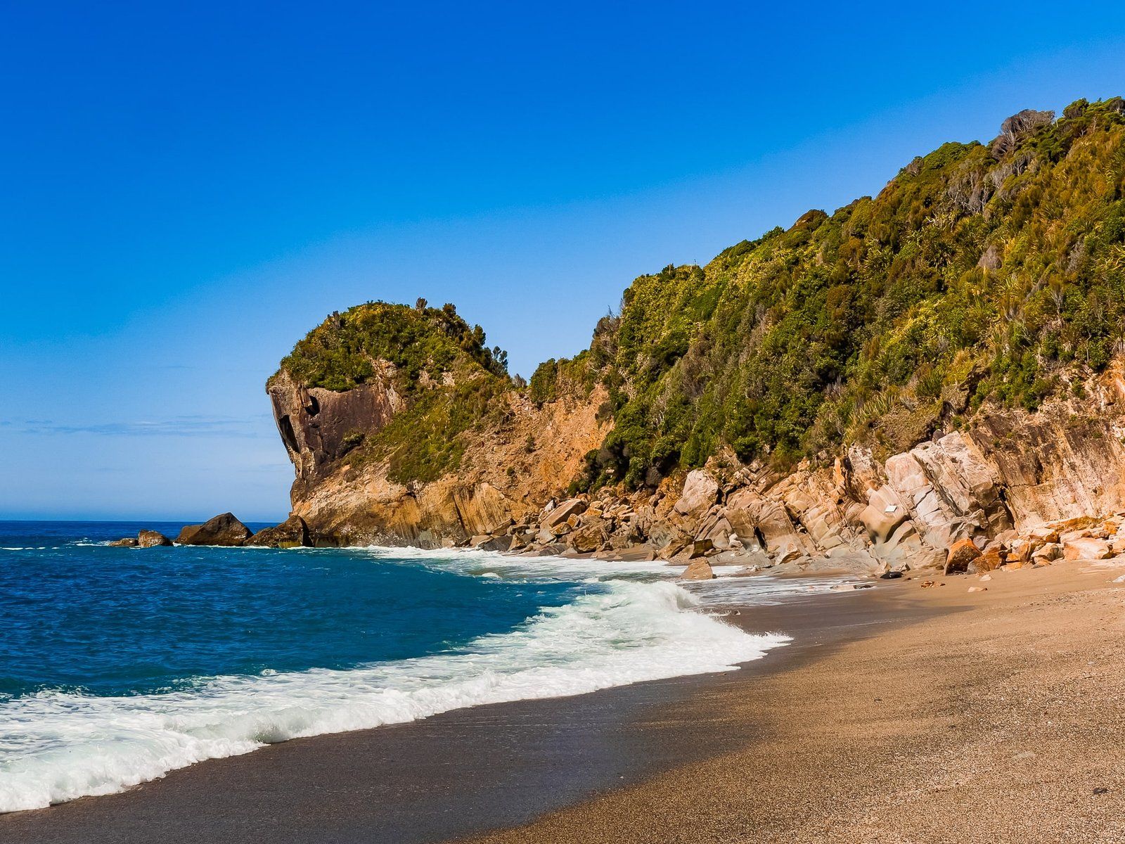
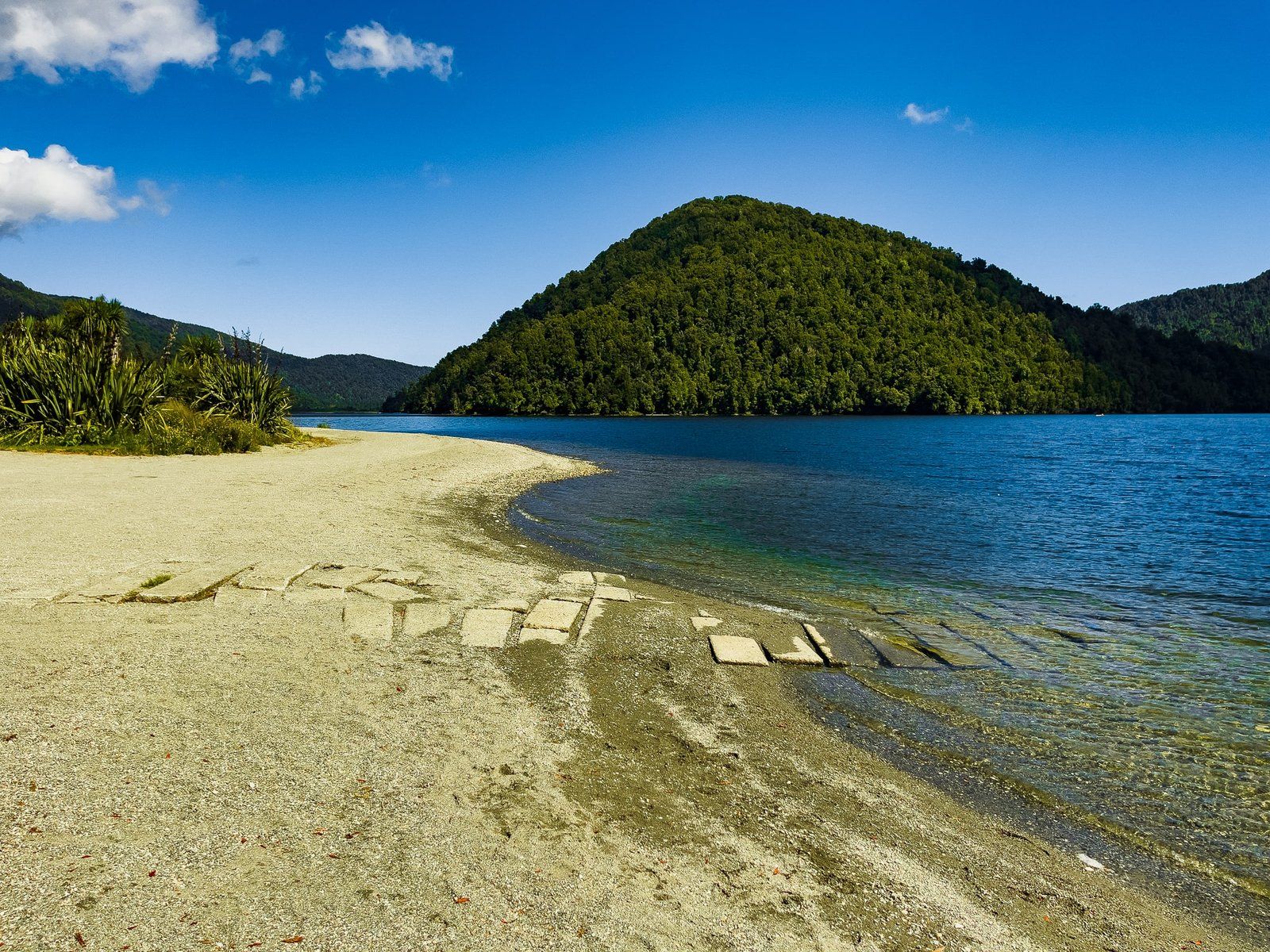
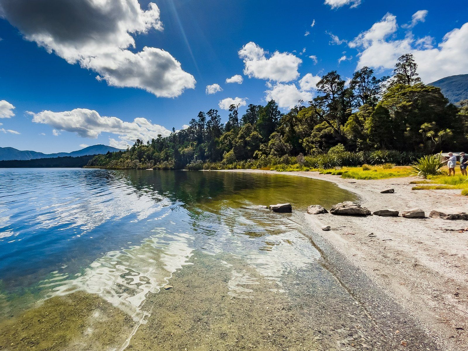
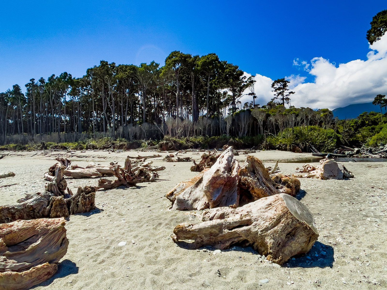
Monro Beach is an attractive, short sandy beach between two rocky points, accessed from the Monro Beach Walk. In spring, it is a good place to sight the rare Fiordland crested penguin (tawaki), with some patience. Hector dolphin, sea lion, and seal sightings are also possible.
It’s exactly the place you would want to hang around for a while, but on the day the sandflies were too much. Instead, we grabbed a few snaps then got back to the safety of the sandfly-free forest. Other options include trying insect repellent, picking a sunny day with a bit of a breeze, or opting for winter!
Lower Moeraki River Walk
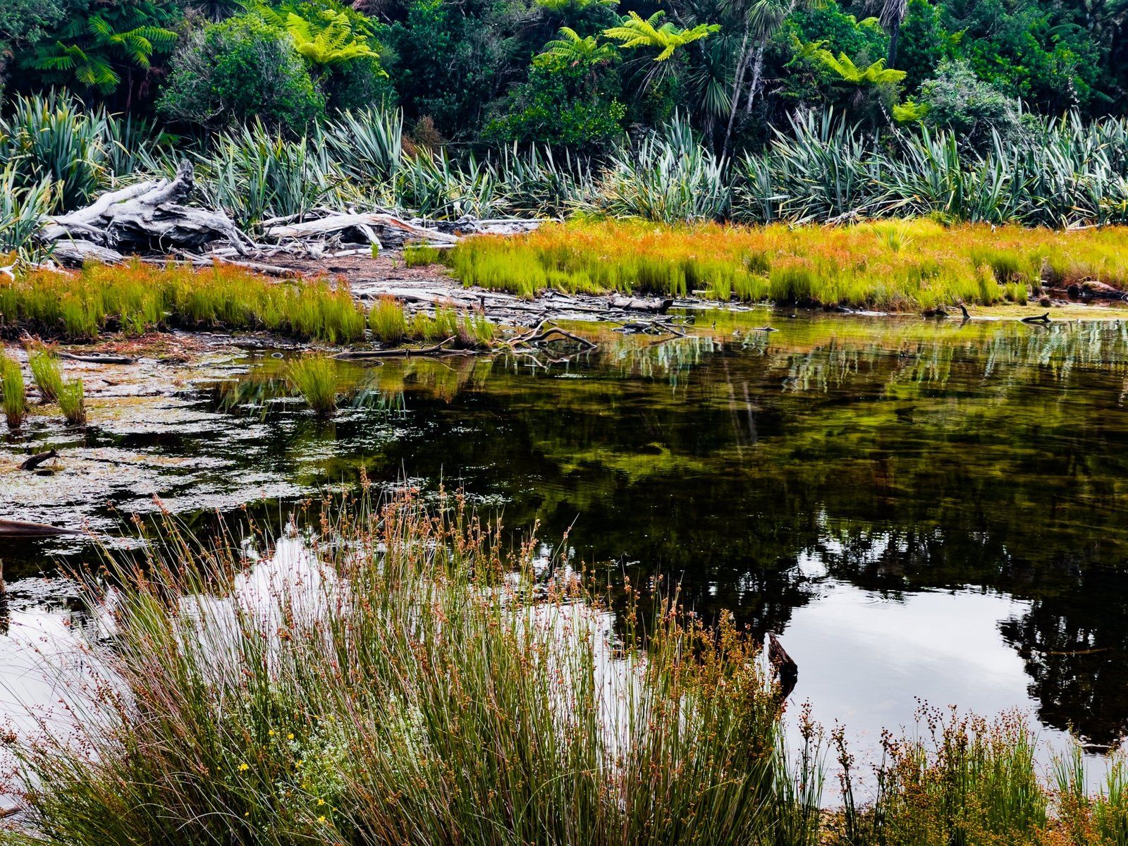
The Lower Moeraki River Walk is clearly marked on NZ Topo Map as a public loop accessed from the whitebaiters’ access road. In practice, the northern end is easy to follow but the southern end is somewhat obscure and may even be hidden in places.
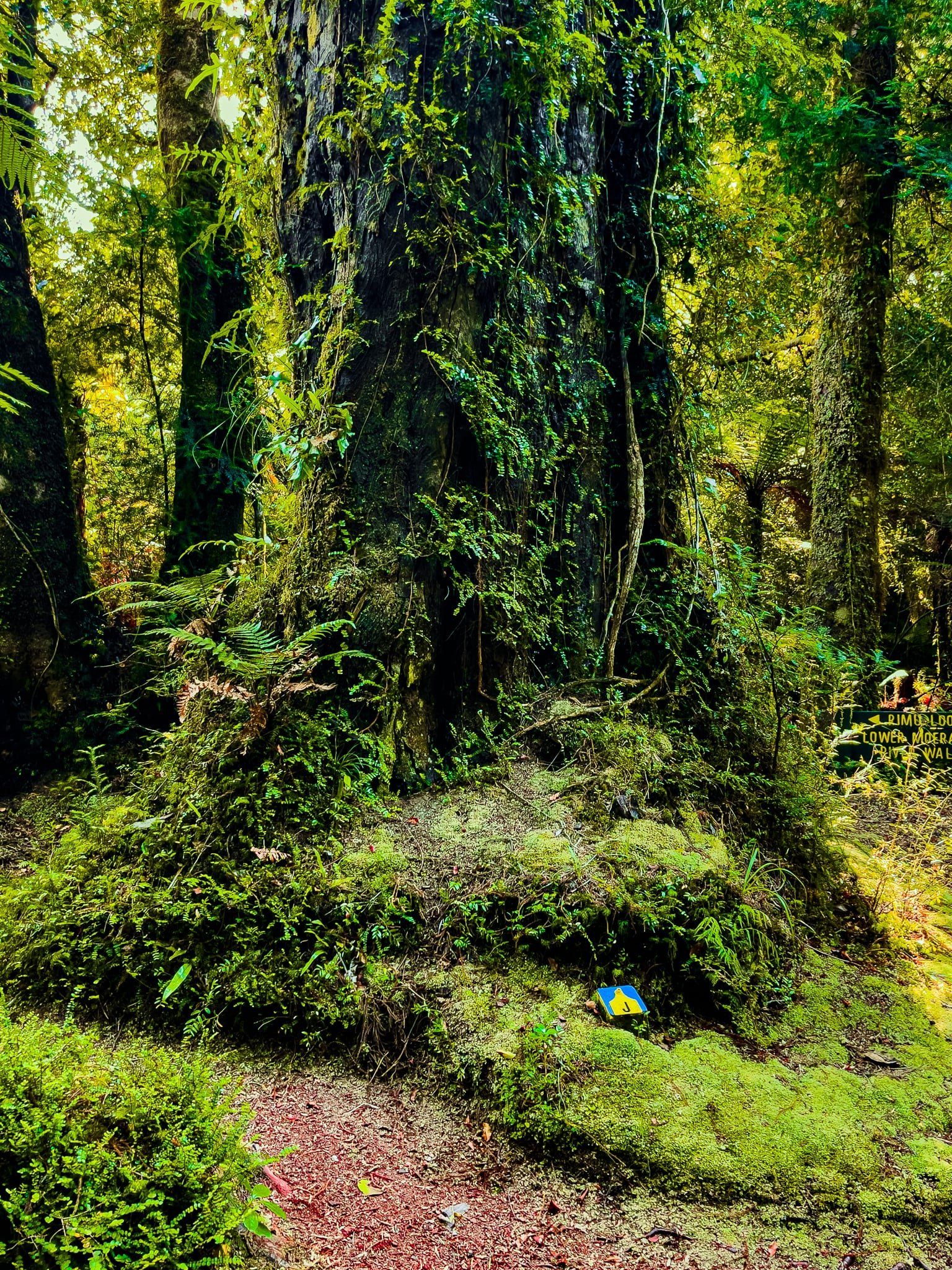
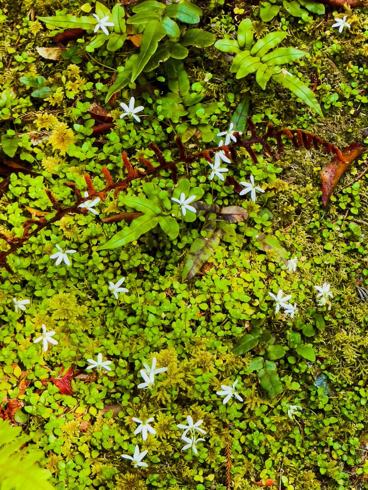
Having said that, it is worth the trouble with several points of interest. You will also notice a number of blue letter markers as you wander along the track. These are maintained by Wilderness Lodge Lake Moeraki to designate interesting flora – you need to be a guest there to get the matching guide notes.
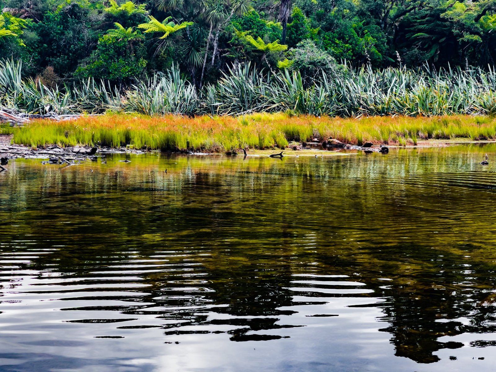
Start on the Monro Beach Walk, but keep going on the access road to the parking area and access to a lagoon (connected by a stream to the Moeraki River). The track is to the left and follows the stream before heading southwest to a private whitebait facility, complete with a rather noisy power generator. Along this section watch out for the letter “U”; the big tree in front of you when you see it is recorded as having over 100 kinds of other flora species growing on it, apparently a record.
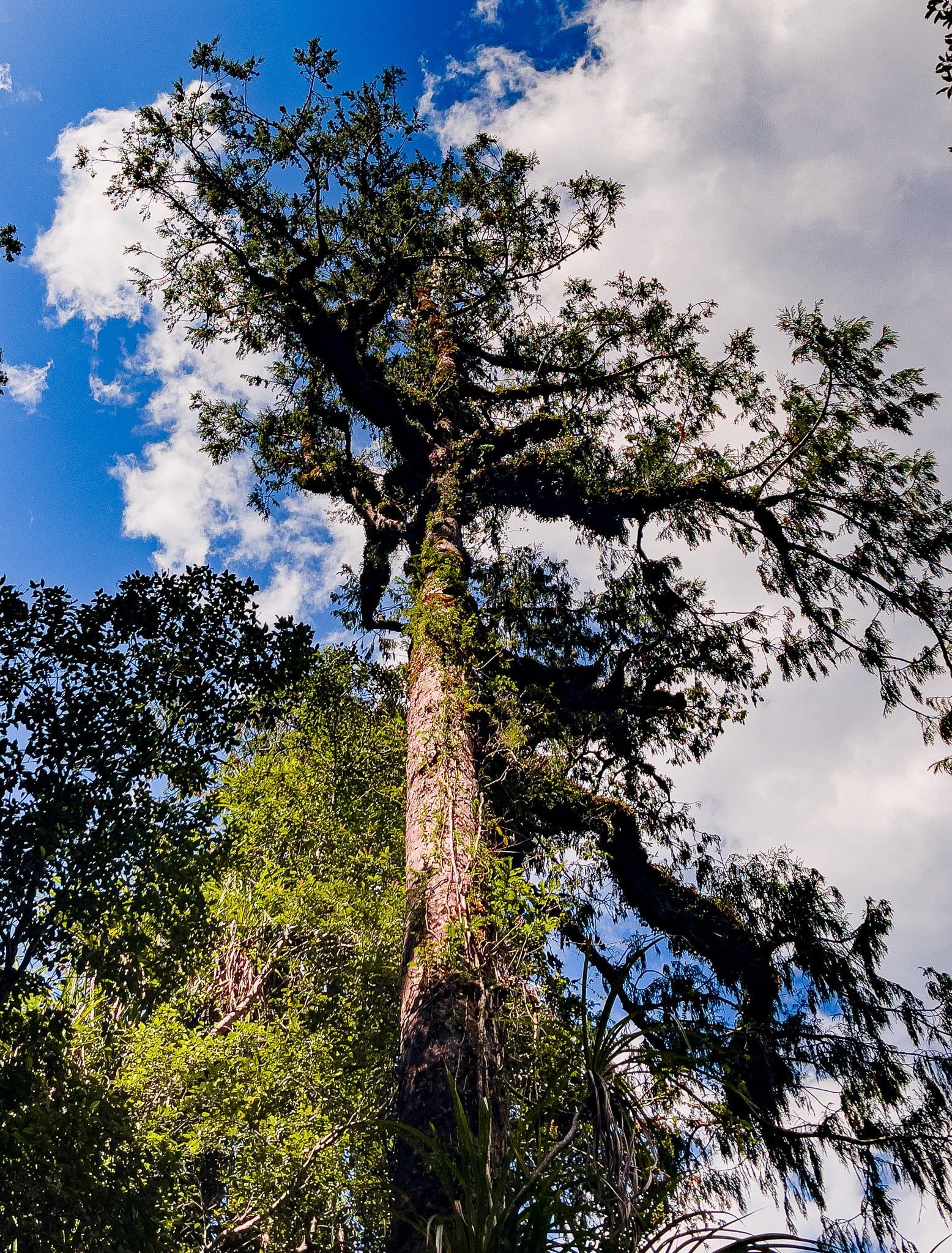
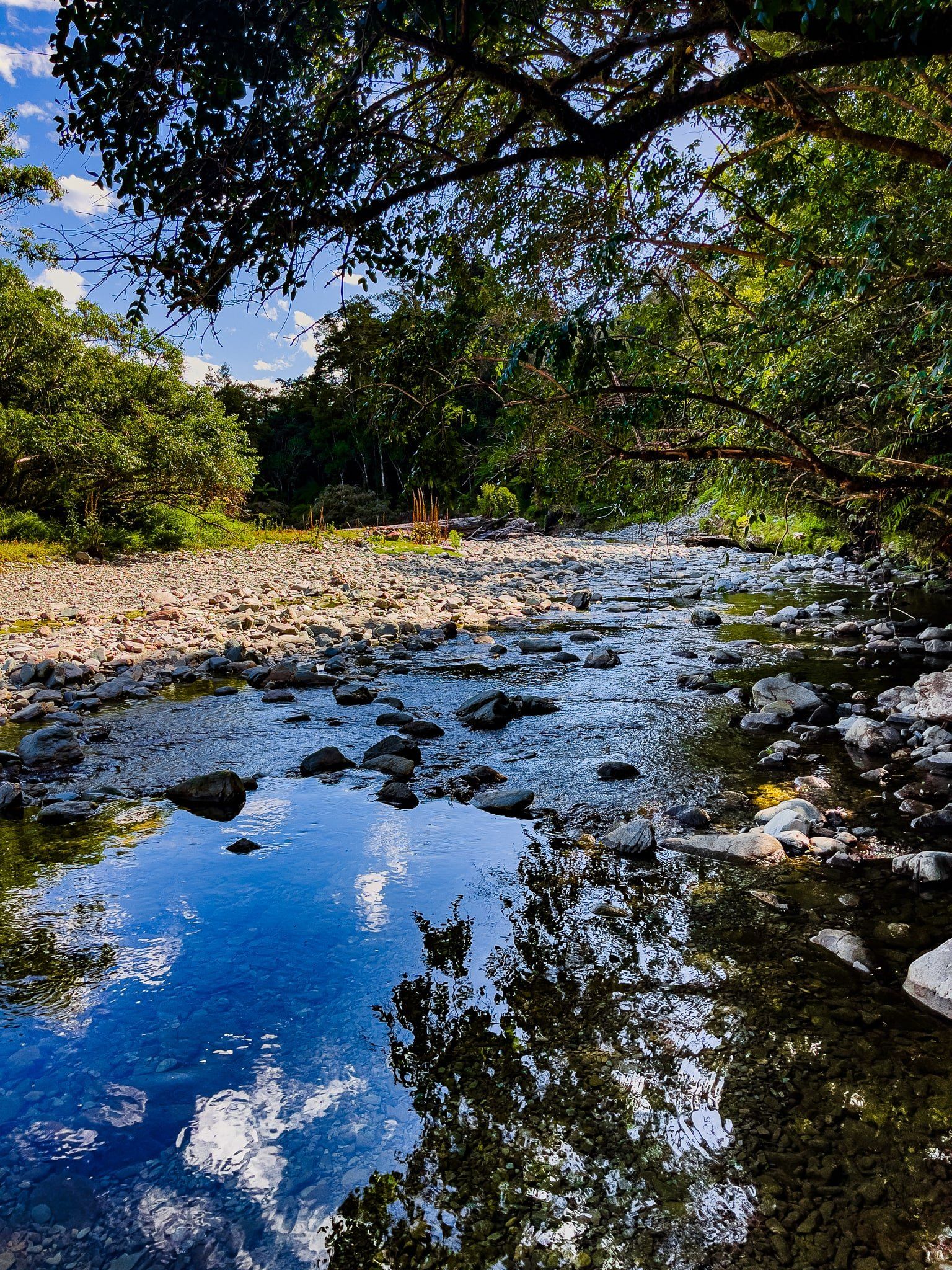
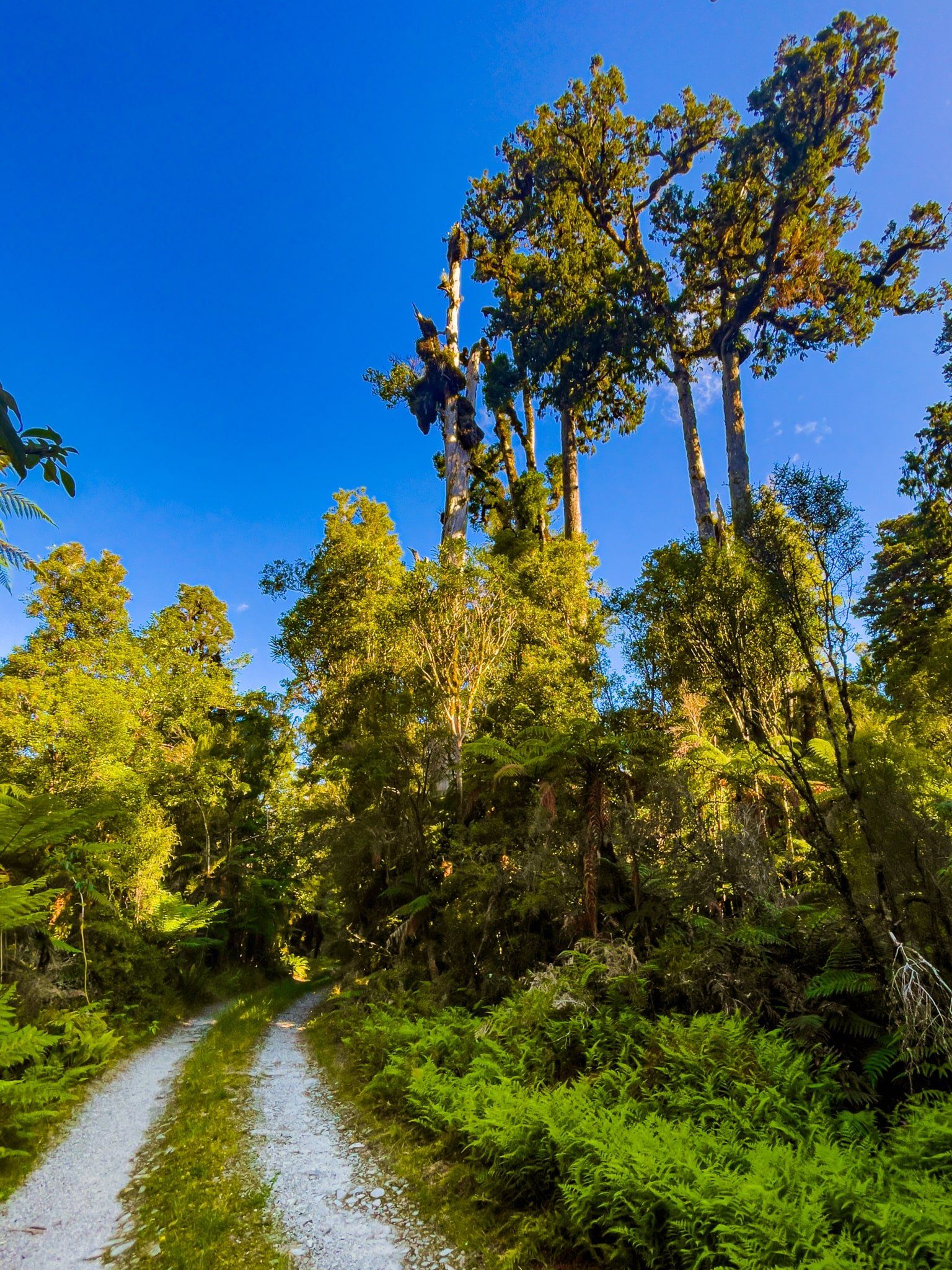
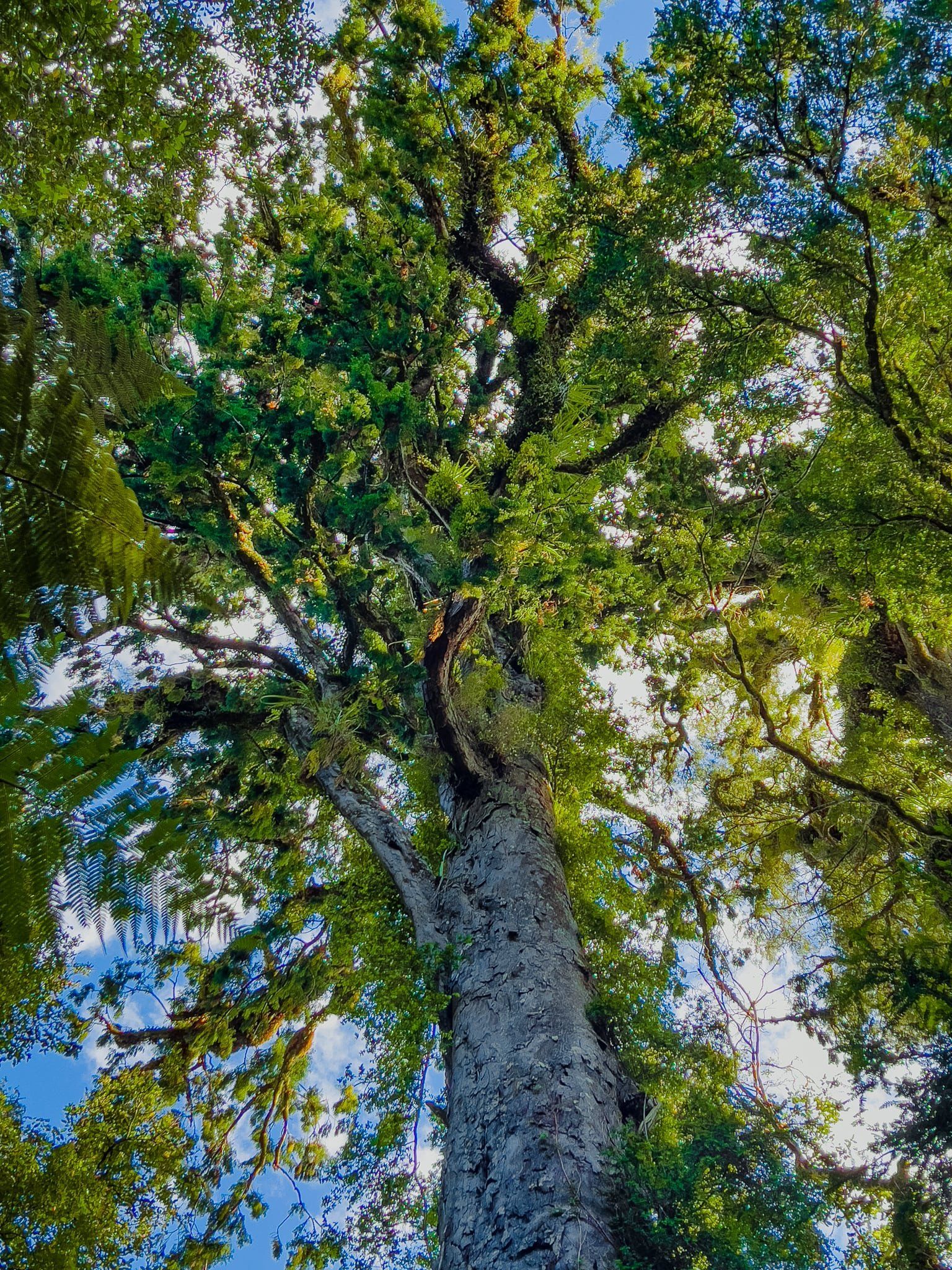
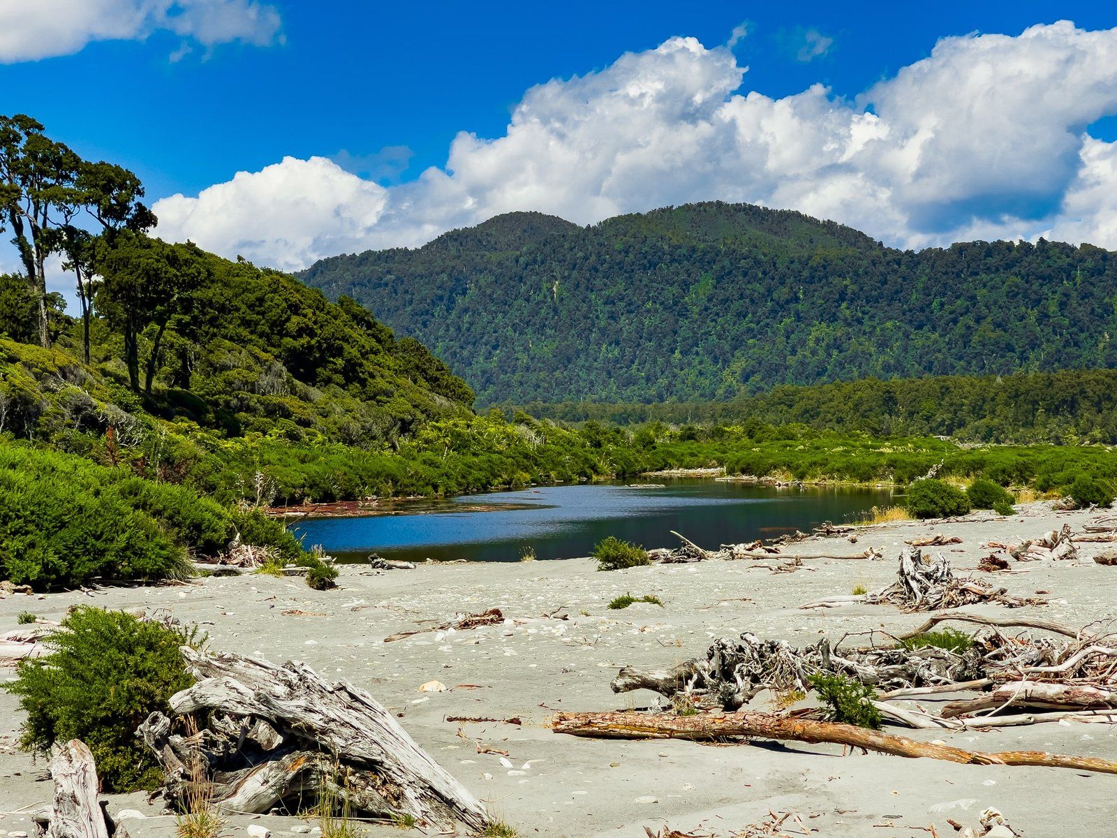
Further along, the track runs close to the Moeraki River, which you can access in places, then there are another couple of well kept whitebaiters’ huts. After this, the track becomes less distinct, but continues on near the river to the signposted Rimu View Lookout. Right there are two ancient giants of the forest – a rimu tree and a kahikatea. It’s a few steps to a view down the river towards Wilderness Lodge Lake Moeraki.
Continue along the track for a few minutes to just before it exits to the Monro Stream – you should be able to see an unmarked turn off. Follow this until you get back to the access road. Go left on the road and you will see the Monro Beach Walk return over the swingbridge. Worst case, walk onto the gravel above Monro Stream, turn left, and follow this back to where the road fords the stream. There may be some storm debris and you might get your feet wet with this option.
Haast to Paringa Cattle Track
The Haast to Paringa Cattle Track was the only overland route connecting the road ends at Paringa and Haast until State Highway 6 was completed in the 1960s. The track was constructed in 1875 so farmers in the Landsborough and Cascade Valley areas could sell their cattle. It was an annual two-week journey to the sale yards in Whataroa, about 120 kms north of the Paringa end of the Cattle Track.
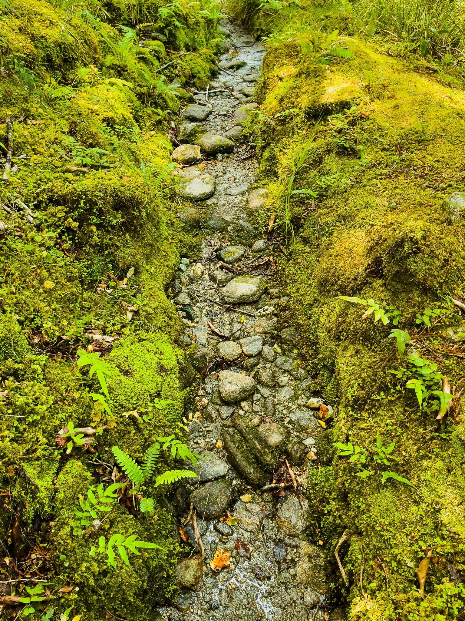
Today it is a hiking track, with various short and multi-day options. The best place to start is the Paringa end, signposted off SH6 halfway between Lake Moeraki and Lake Paringa. From there, a short option is the one hour walk to the Blue River (Blowfly) Hut. This is a relatively flat walk through beautiful rain forest, with glimpses of the Moeraki River valley. It is wetter than other walks in the region, so expect a bit of mud and water on the ground in places.
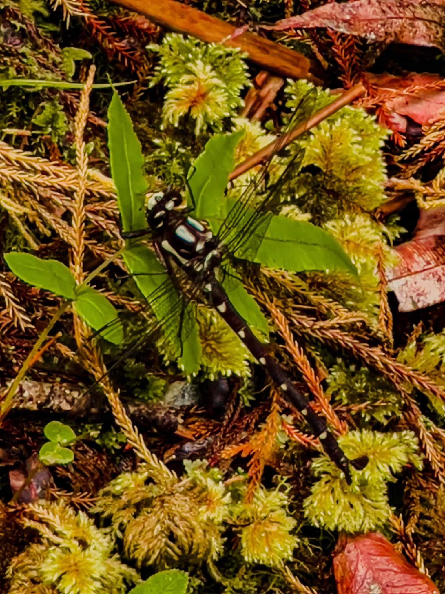
A particular feature of the walk is the astonishing number of giant forest dragonflies, or kapokapowai. They are territorial and one even deliberately flew at me! Ngāti Rongomai iwi of the Rotorua region actually describe a battle in which kapokapowai came to the aid of a leader, Rakeiao, flying into the faces, eyes and noses of his opponents. They are also long lived – the nymph stage alone is about 5 years – and catch smaller insect prey on the wing.
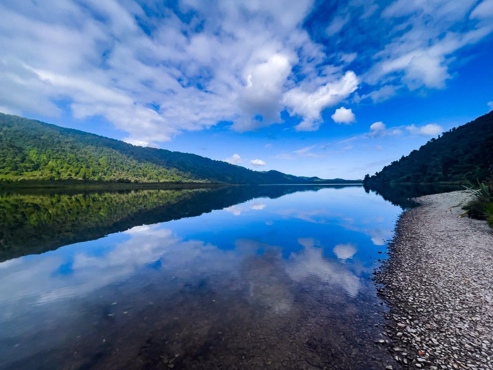
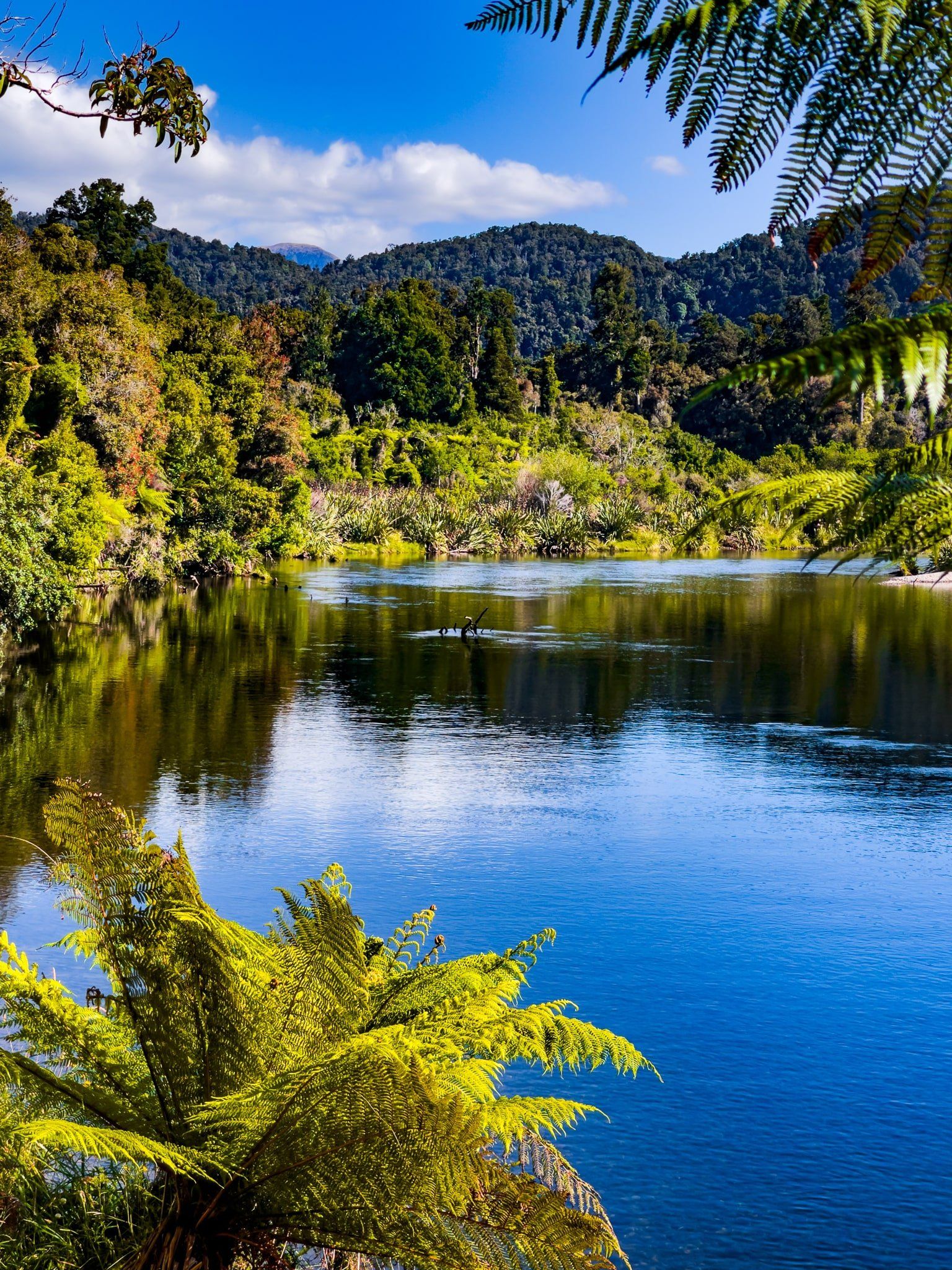
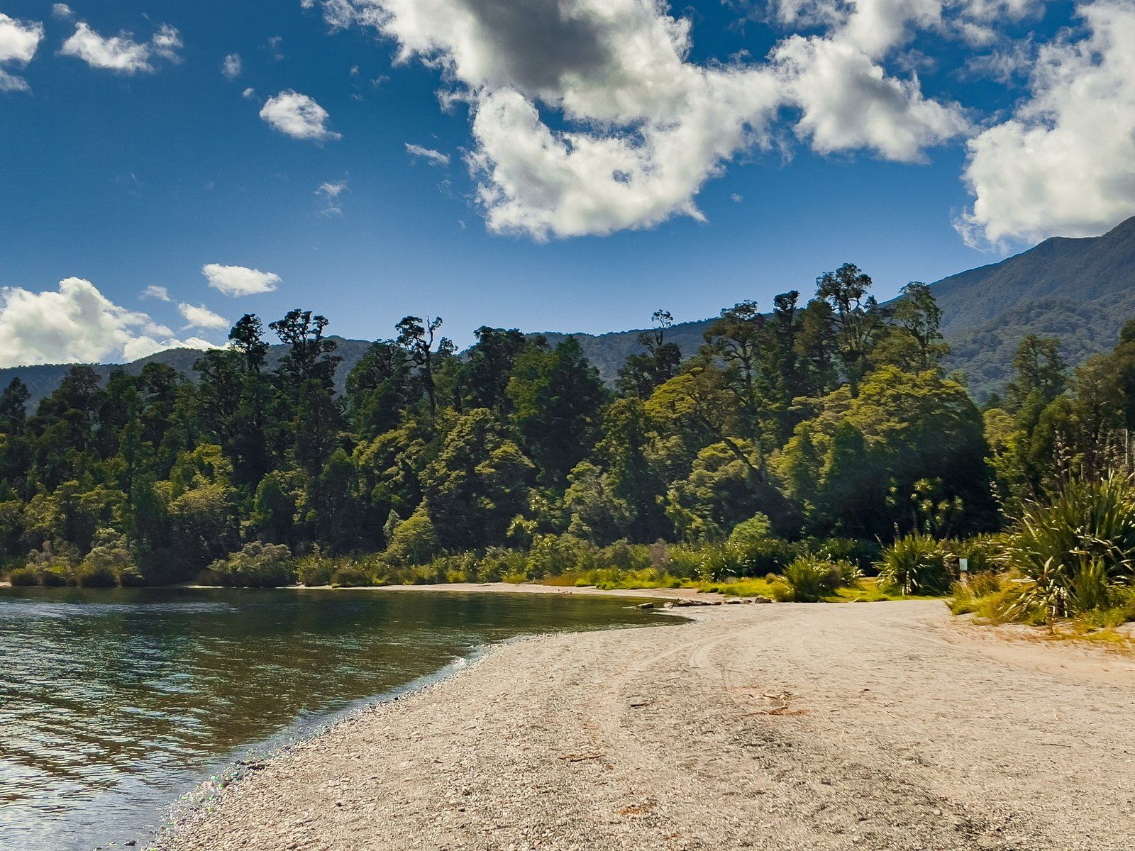
Lake Paringa
Lake Paringa is the second of the modest picturesque lakes along State Highway 6 heading north to Hokitika. It is surrounded by pristine native forest with a DOC camping area immediately off the highway. This might be the best place to camp when driving through the Haast to Lake Paringa region, although there will probably be a few sandflies.
You can easily access the lake with a boat right from the campground, but there are no walking tracks around the lake.
Bruce Bay Mahitahi
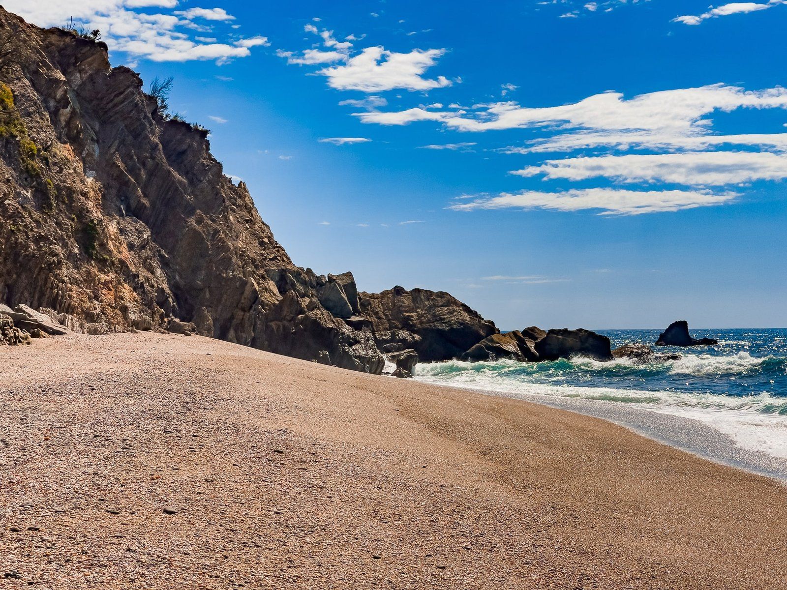
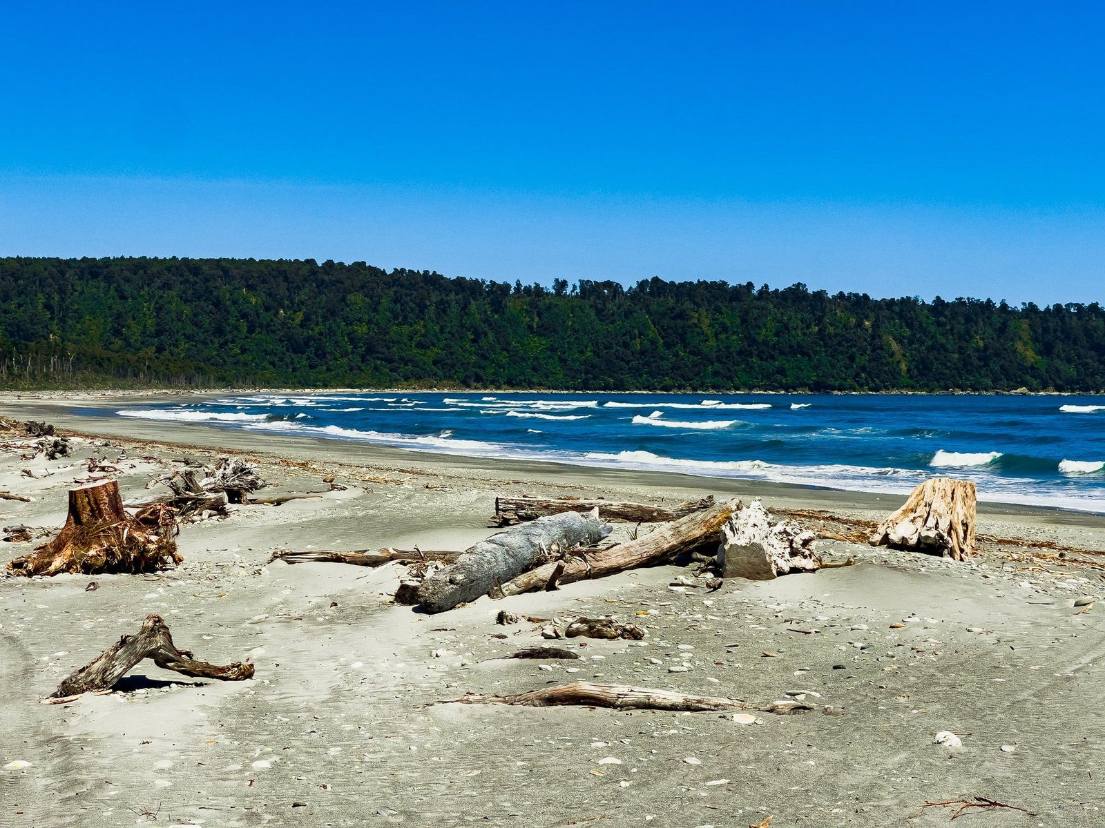
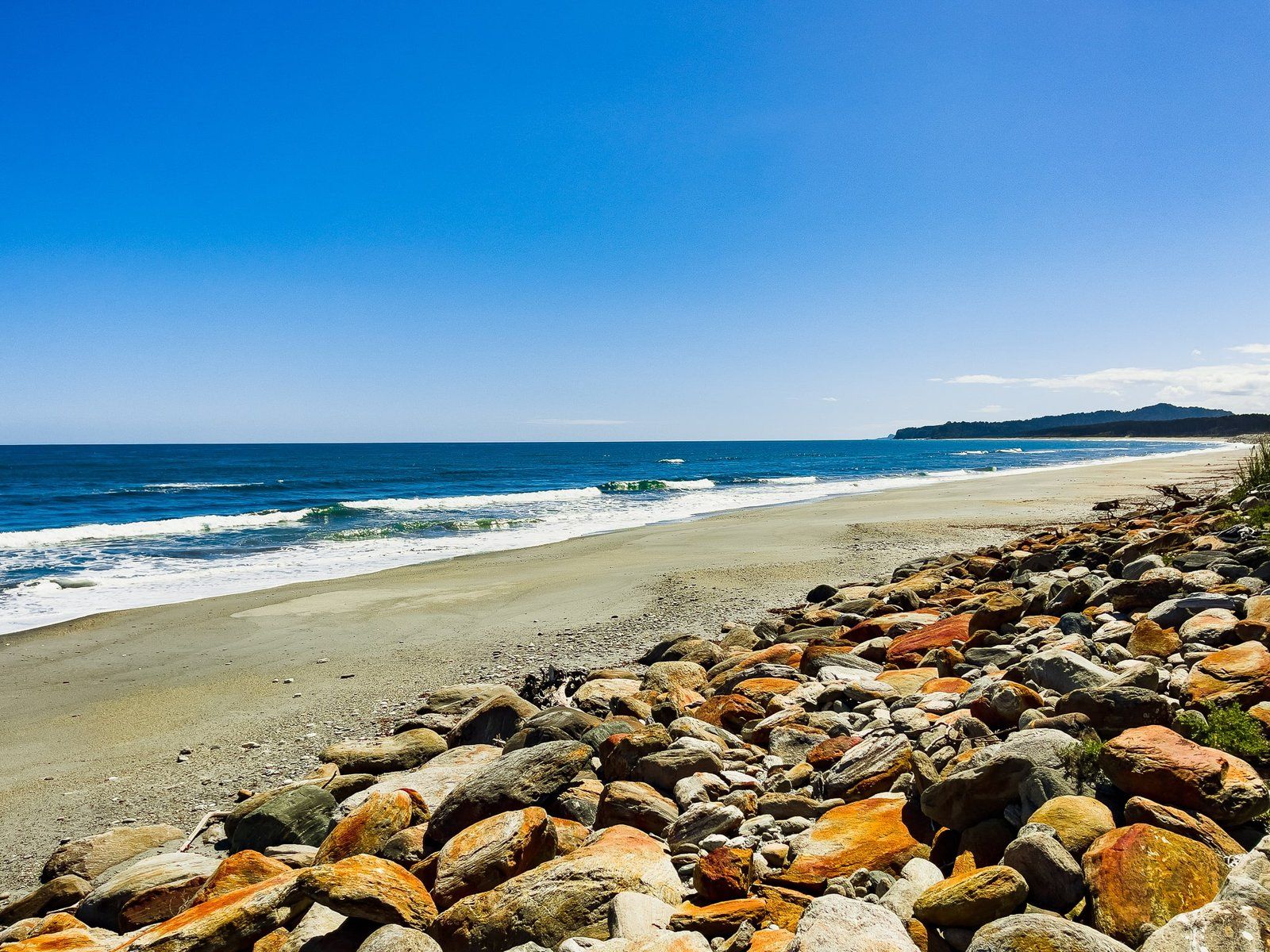
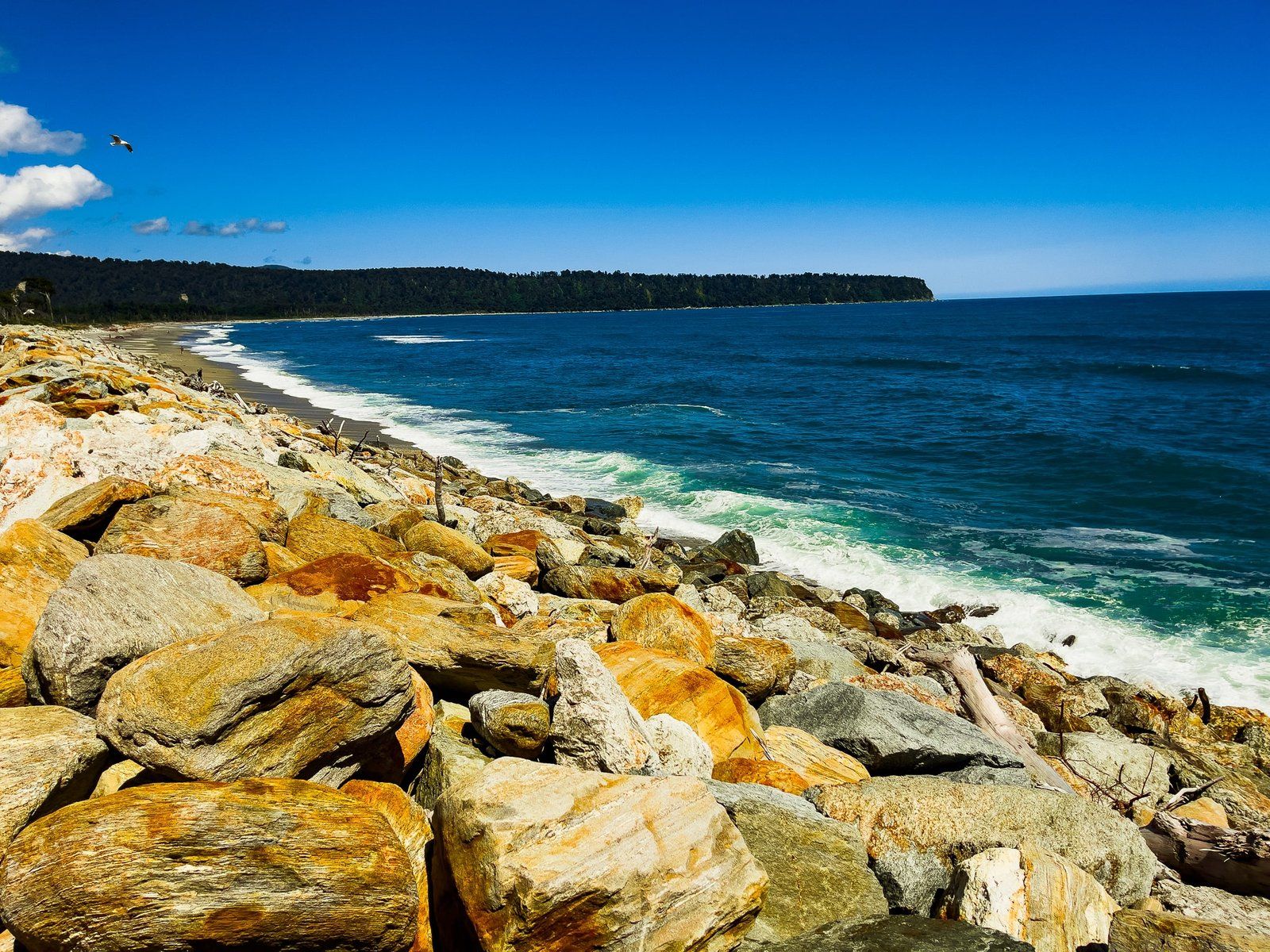
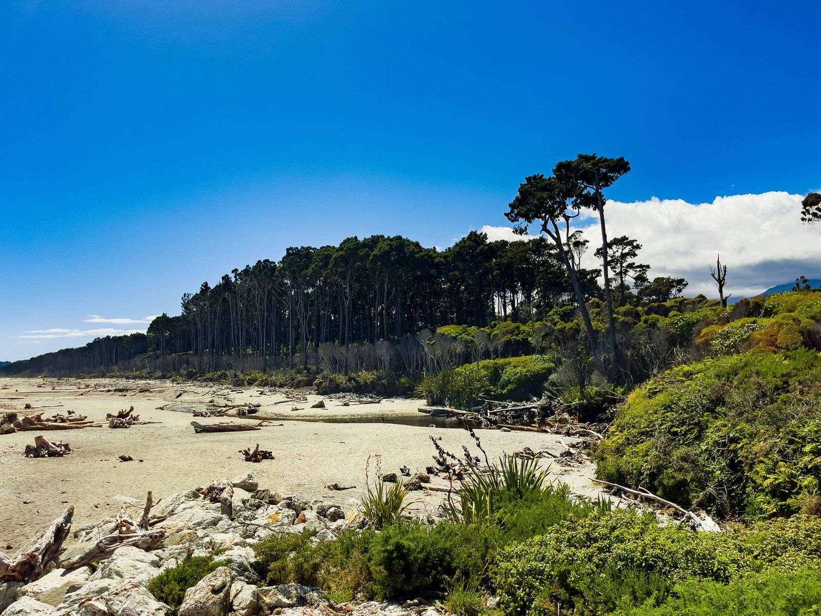
Past Lake Paringa, heading north, you leave the surviving lowland forest and enter farmland in the river valleys, with forest confined to the mountains and steeper hills. After about 20 kms, you get to Bruce Bay Mahitahi, one of the few places on the drive to Hokitika where you directly access the coast.
This wild and remote bay is about 10 kms long and flanked by ancient rimu forests on the hills at either end, which is very photogenic. There is a high seawall protecting the road for much of its length, which you can park next to and scramble down to the beach. Note that the south and north ends are best at high tide.
Bruce Bay Mahitahi is also significant to Makaawhio, the local iwi of Te Tauraka Waka a Maui marae opposite the beach. This translates as the landing place of the waka of Māui, the mythical hero who dragged Aotearoa’s North Island, Te Ika a Māui (Māui’s fish) out of the ocean.
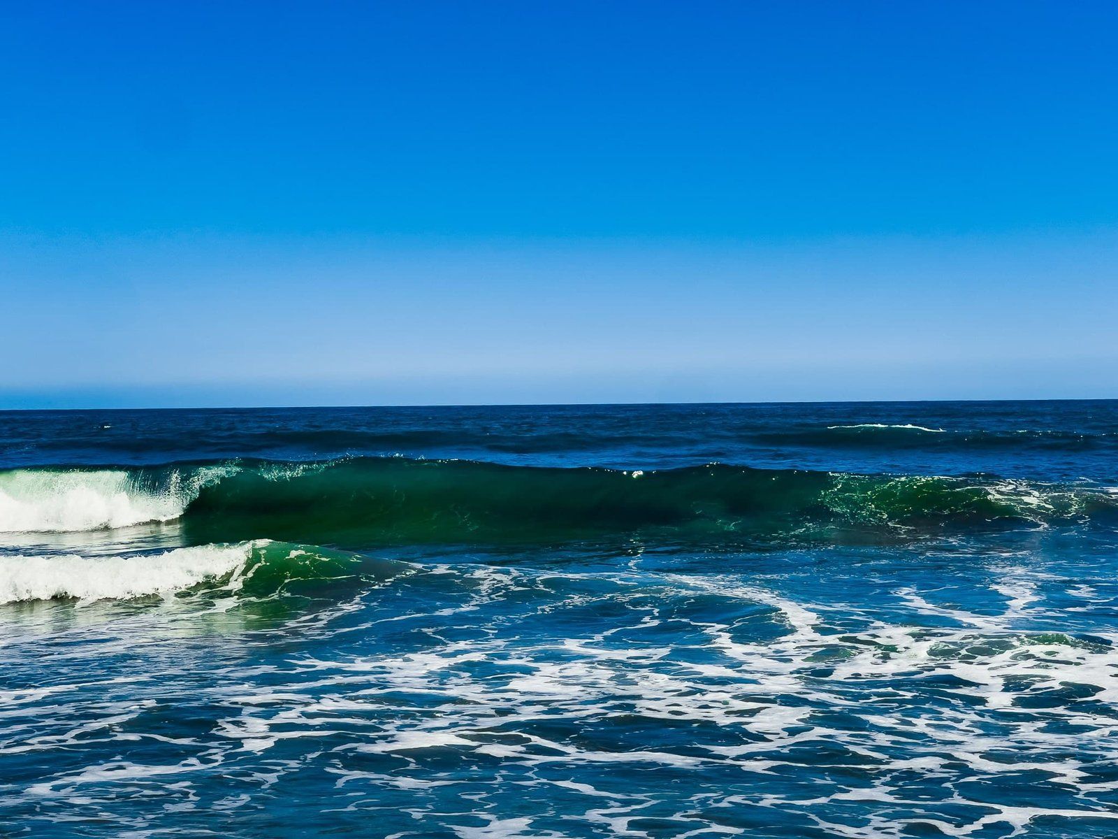
There were no sandflies, so it may be a more pleasant option if you want to hang around for a while. As with all the Westland surf beaches, swimming is not recommended.
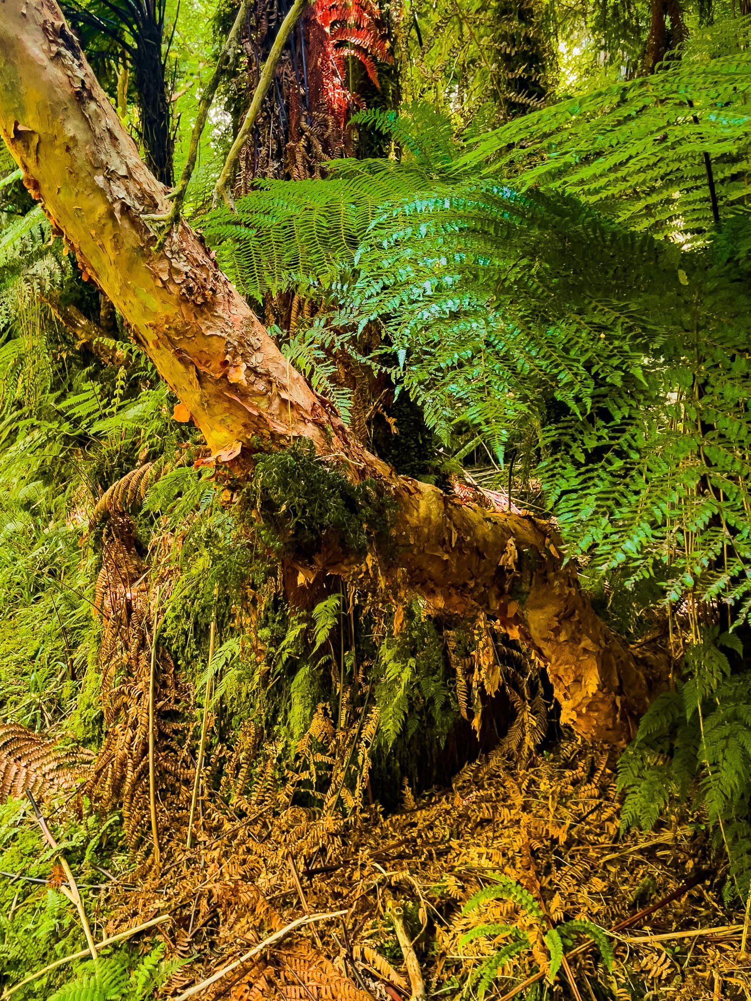
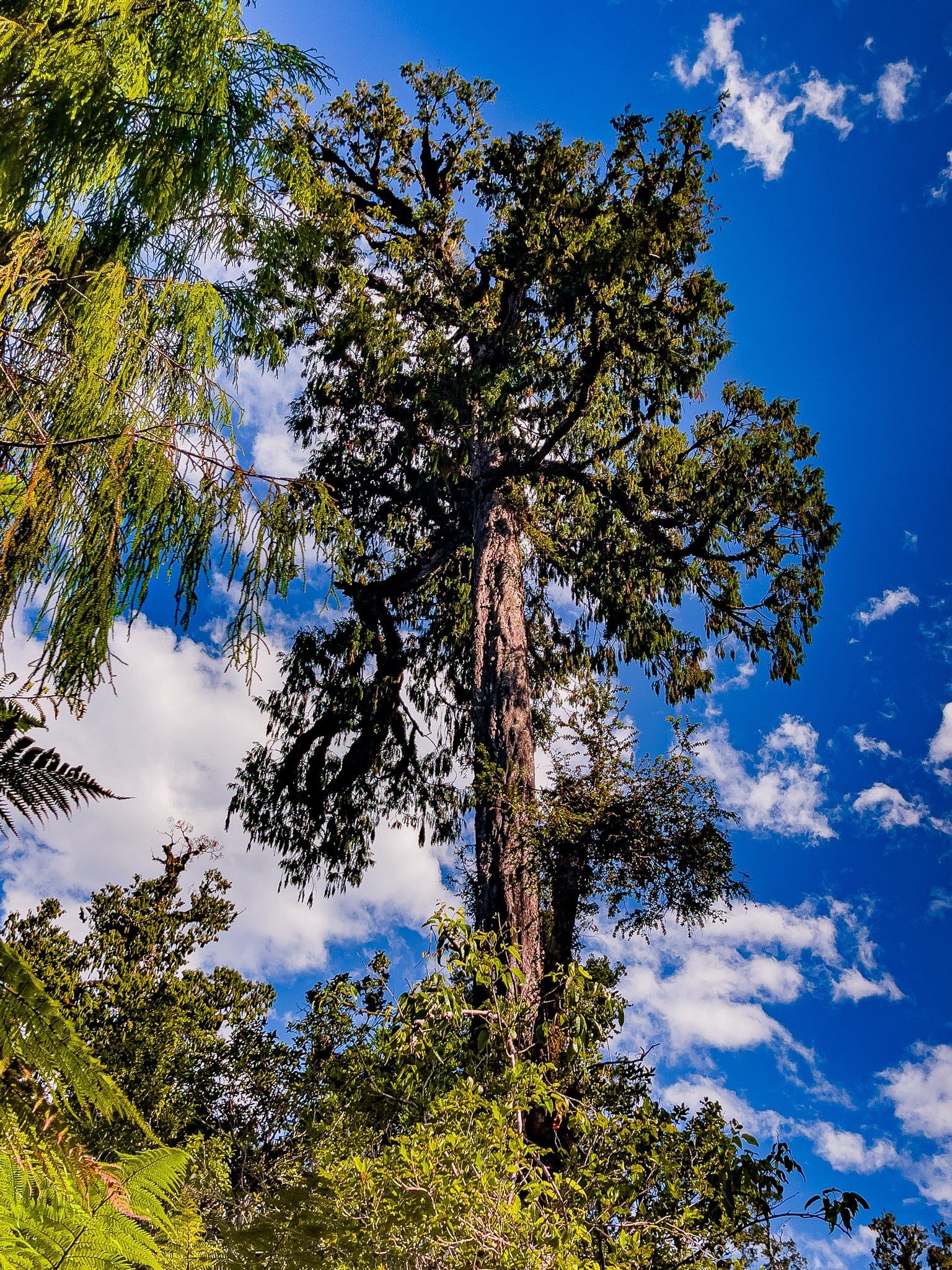
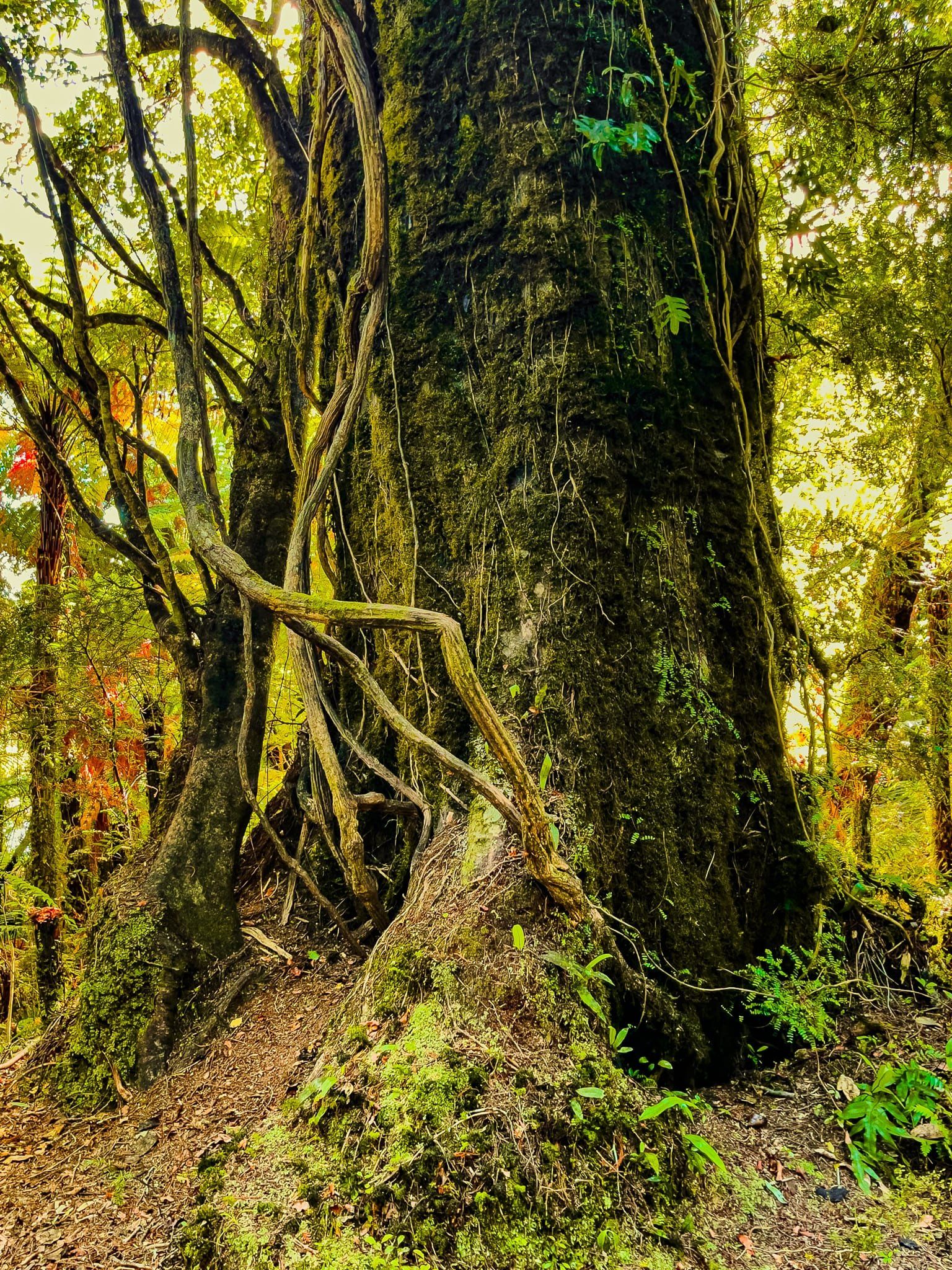
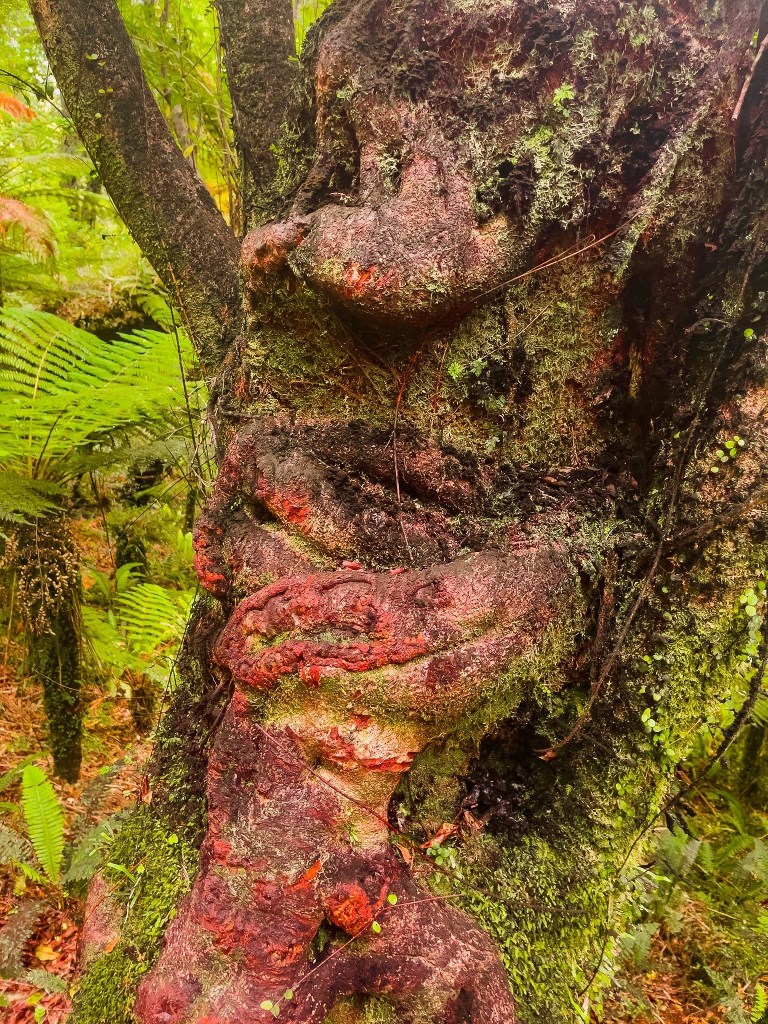
Kāmahi of Lake Moeraki
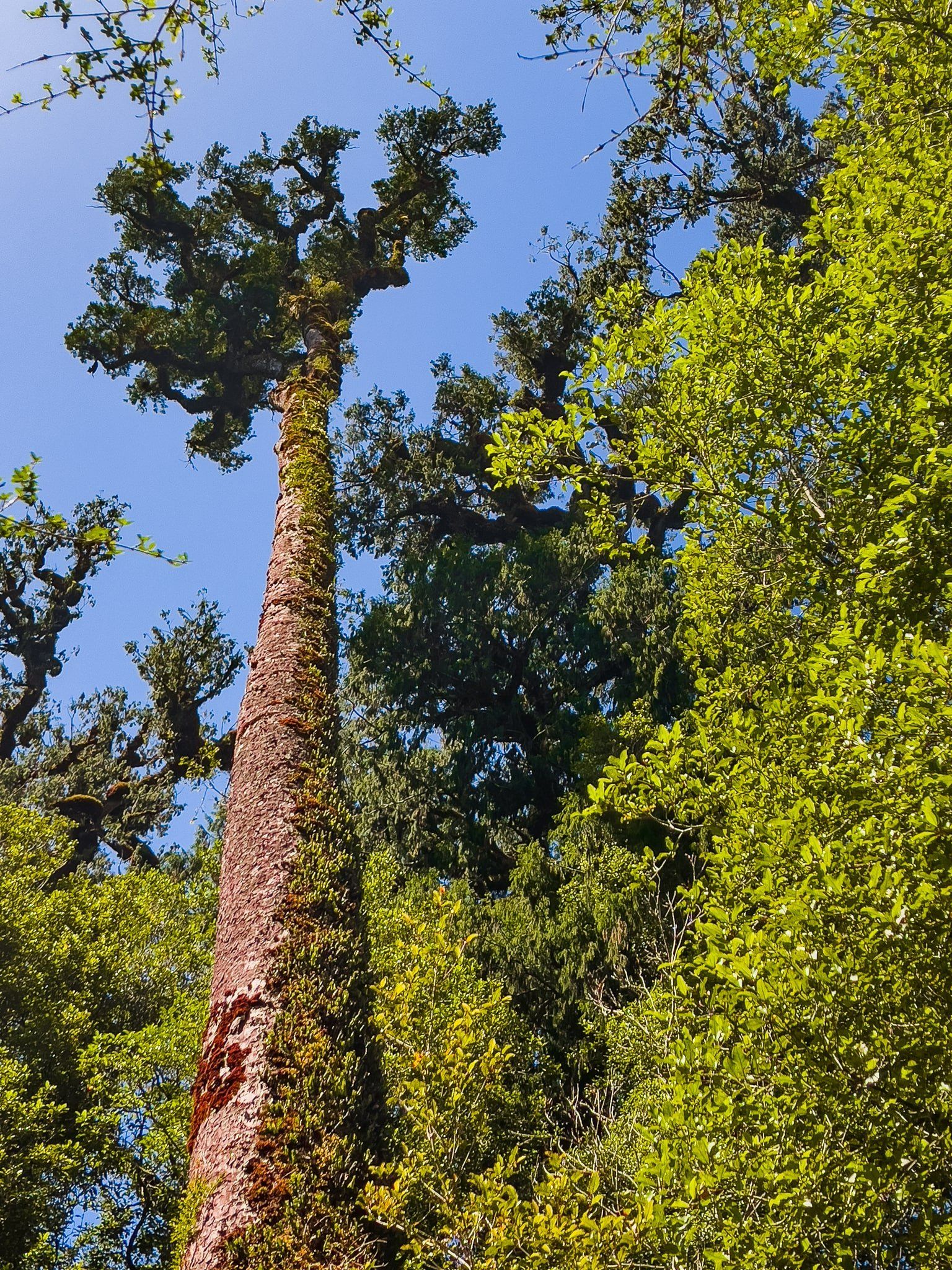
We stayed at the Wilderness Lodge Lake Moeraki while we explored the region, which we will cover in a future blog. Our hosts there described the kāmahi tree of the surrounding ancient forest as the “forever tree”. These trees can grow to 20 metres or so, are present throughout these Westland forests, and have a beautiful white flower in spring, similar to koromiko, followed by profuse red berries.
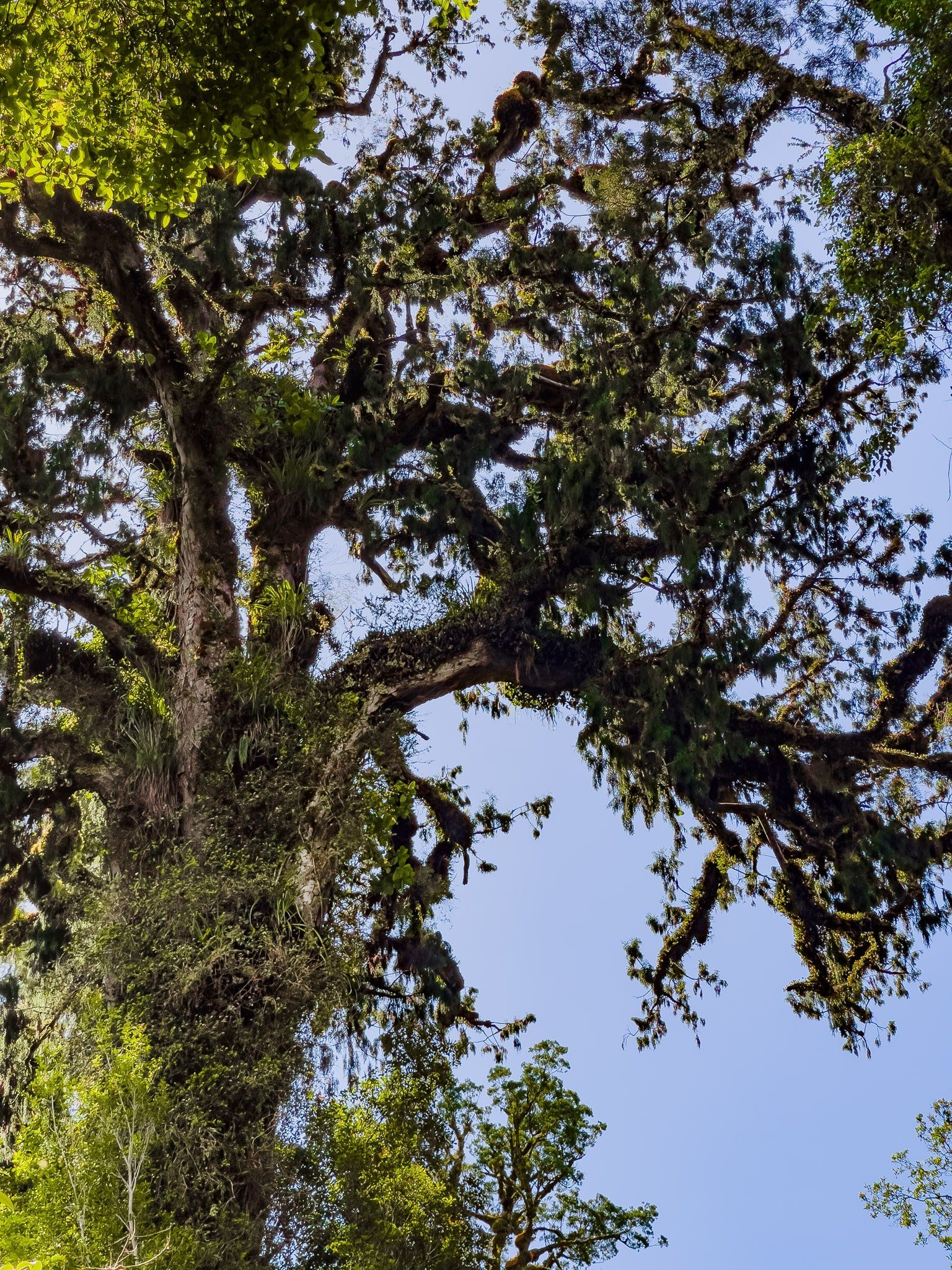
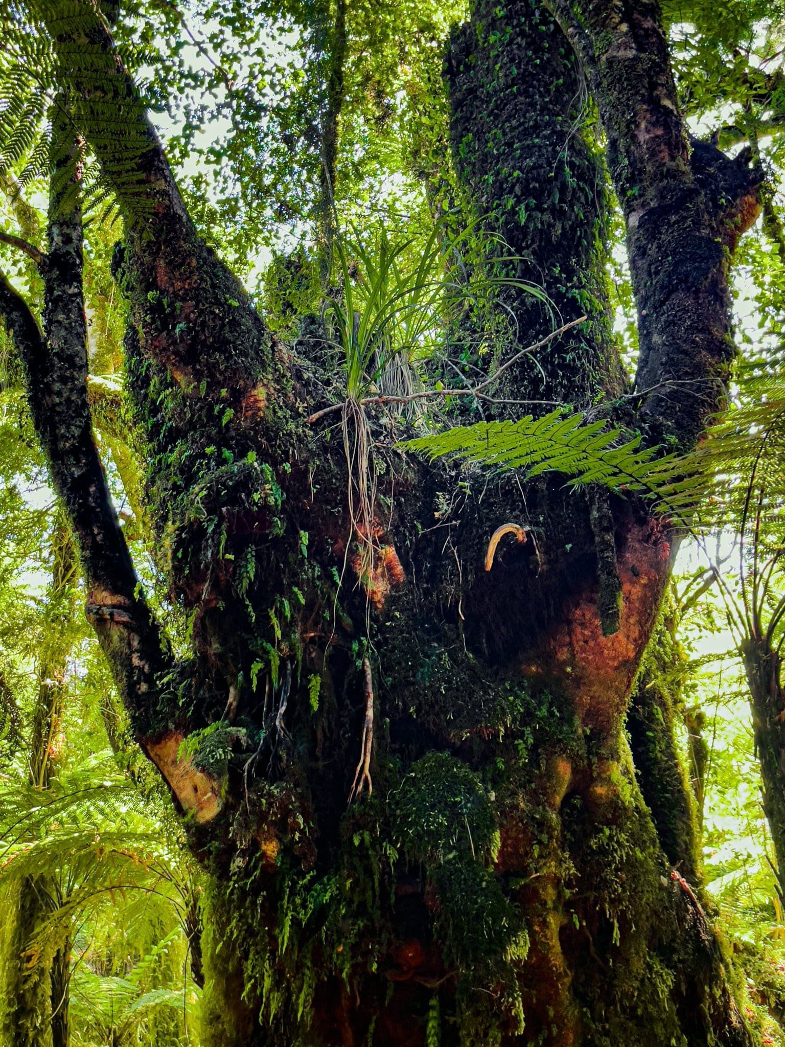
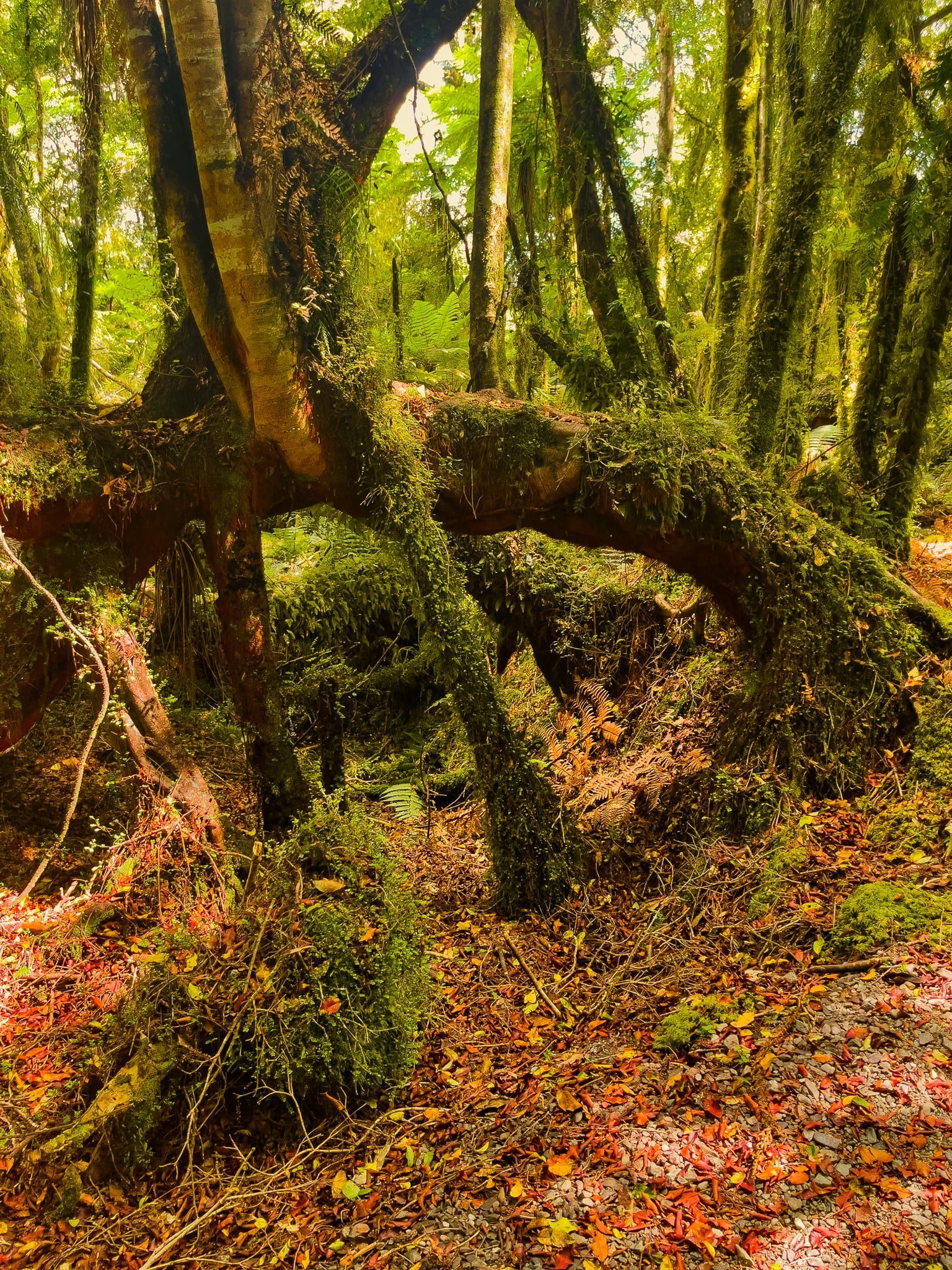
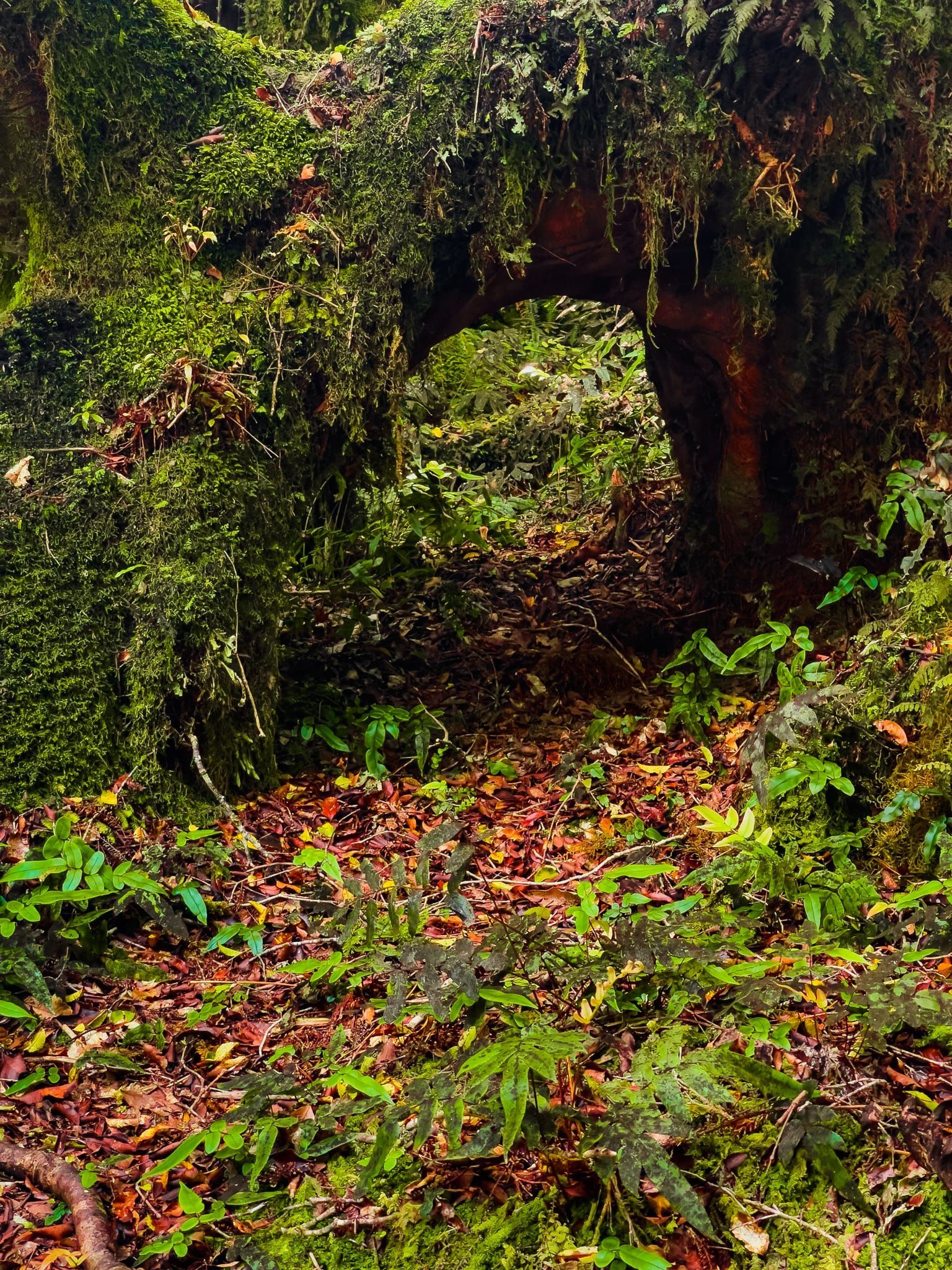
Generally, they don’t seem to attract the same degree of attention as the giant rimu and kahikatea, which admittedly are much taller. However, they are often the ones that give you the weirdest shapes in the rainforest.
Even when they fall down, they don’t necessarily die and will even sprout multiple trunks and create arches as they grow in increasingly complex patterns. In an ancient forest, they have had plenty of time to evolve ever weirder shapes and combinations.
Want more West Coast Trip Ideas?
Check out the other blogs in our Return to the West Coast series: Unique Ship Creek and South Westland.