
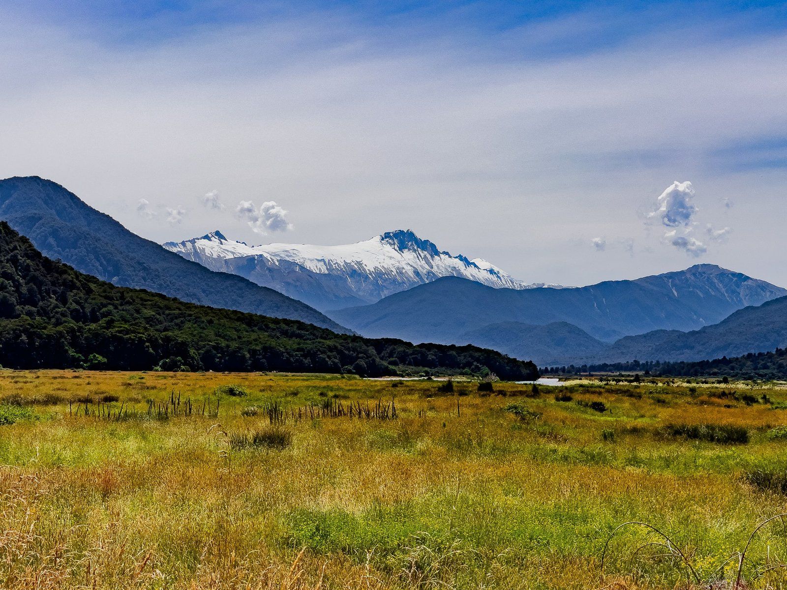
Te Wāhipounamu, the South West New Zealand World Heritage Area, is enormous, running from Westland Tai Poutini National Park, taking in Aoraki and Mt Aspiring National Park, down to Fiordland. We recently explored one of the least well-known areas of this region, South Westland, from just west of the Gates of Haast to Lake Ellery and then north up the coast to the glaciers.
This, the first of a series of south Westland blogs, starts with a stop at Roaring Billy Falls on SH6, between the Gates of Haast and the hamlet of Haast. We then headed down to the hamlet of Jackson Bay at the south end of Jackson Bay Okahu, by far the best place to have lunch in south Westland. From there we explored two short walks, including the exceptional Lake Ellery. Heading north, there are several places where you can access the coast, plus two classic one-lane Westland bridges over the Arawhata and Haast rivers.
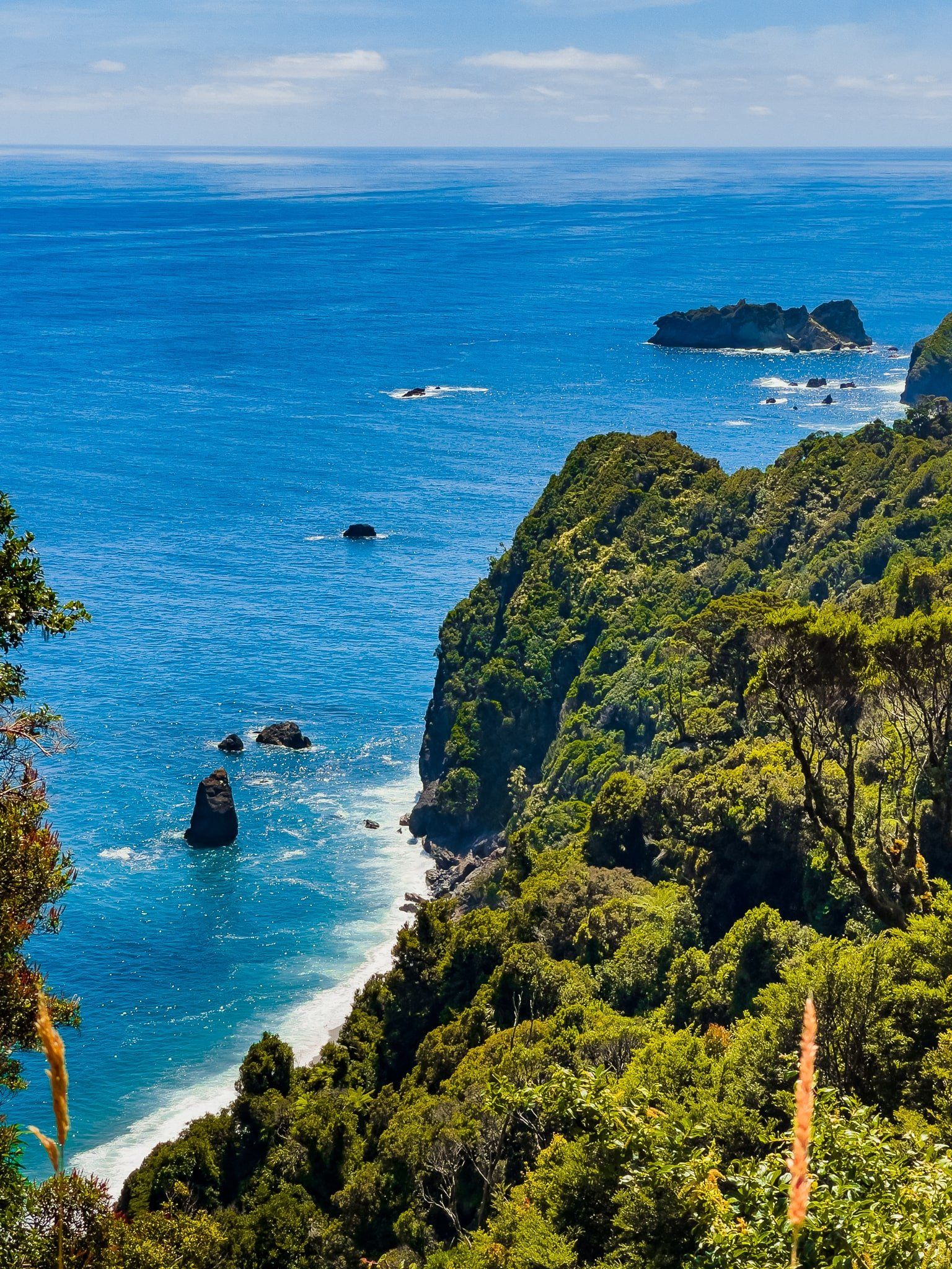
After the Haast River you enter a true wilderness area. The section of SH6 from the river to Paringa was only built in the 1960s and due to lack of access, and most of the 40 kms in between was never logged or farmed. Stopping at Ship Creek is a must-do, and there are a couple of high coastal viewpoints before you get to Lake Moeraki.
Luckily for us, we barely noticed any sandflies at the stops on this trip, including the rivers and beaches where they tend to be more present.
Haast Highway SH 6
The Haast Highway, SH 6, crosses Haast Pass into Westland before heading north from the hamlet of Haast on the west coast. There are several places to stop to admire the scenery before the coast, including the Hooker Glacier from Pleasant Flat and the Roaring Billy Falls.
Shortly after Haast, head left to Haast Beach and Jackson Bay. This is a 50 km sealed road through a mix of farmland, mature native trees, wetlands and swamp that runs the length of Jackson Bay Okahu to the hamlet of Jackson Bay at the road end. There is easy beach access at the small settlements of Okuru, Hannah’s Clearing and Neil’s Beach. You can access the wetlands at the signposted Hapuka Estuary Walk.
Just after the one-lane Arawhata River bridge, the road takes a sharp right to Jackson Bay. There, you will also see a turnoff for Jackson River Road. This is a dead end metal road that follows the line of the Jackson River for 20 kms. It is as far south as you can go by road, except for the Milford Sound access road. After 3 kms, you will see the entrance to the fabulous short walk to Lake Ellery.
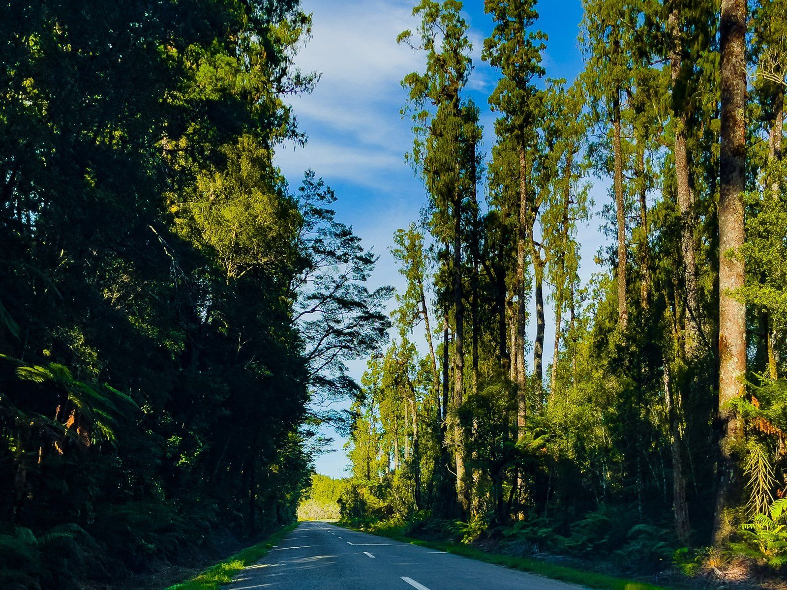
Heading north beyond Haast on SH 6, you cross the Haast River plain and then the 737 metre one-lane bridge. Most of these river plains were cleared of forest and farmed, with the main exception being from south of the Haast River to Lake Paringa. This area was particularly rugged so SH 6 was not pushed through until the 1960s. By then, conservationists had enough momentum to prevent further clearing. The surviving ancient forest is a gem in the wider Te Wāhipounamu region.
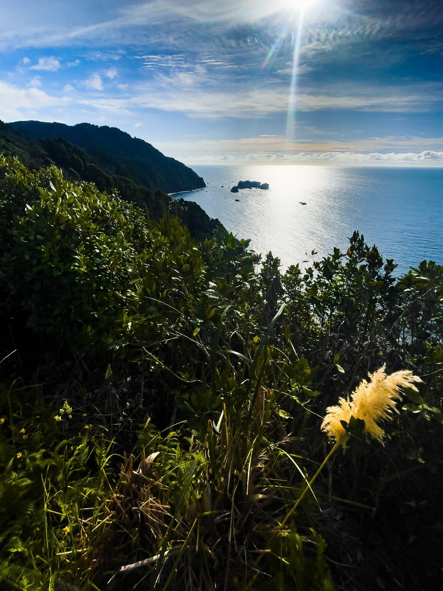
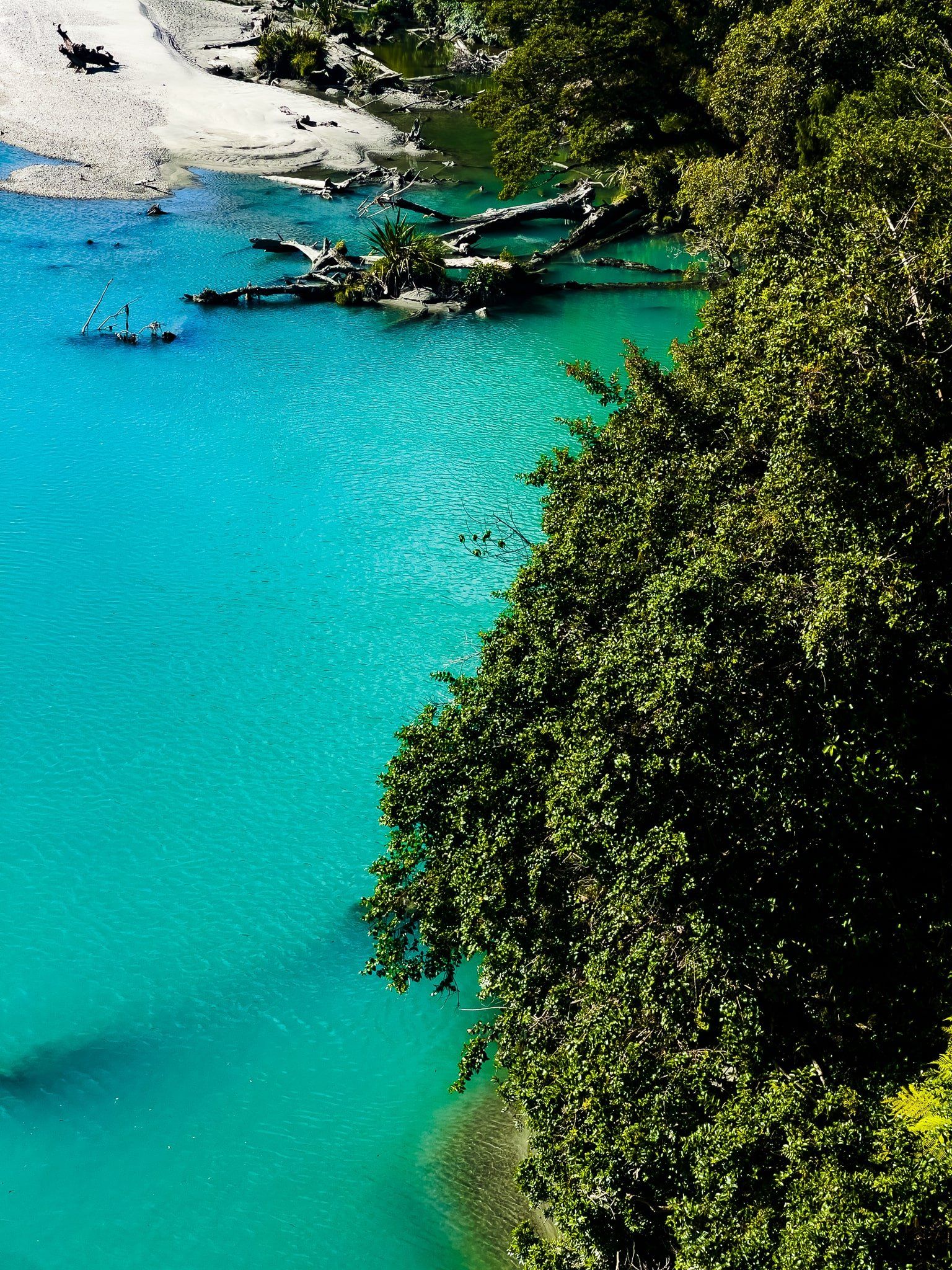
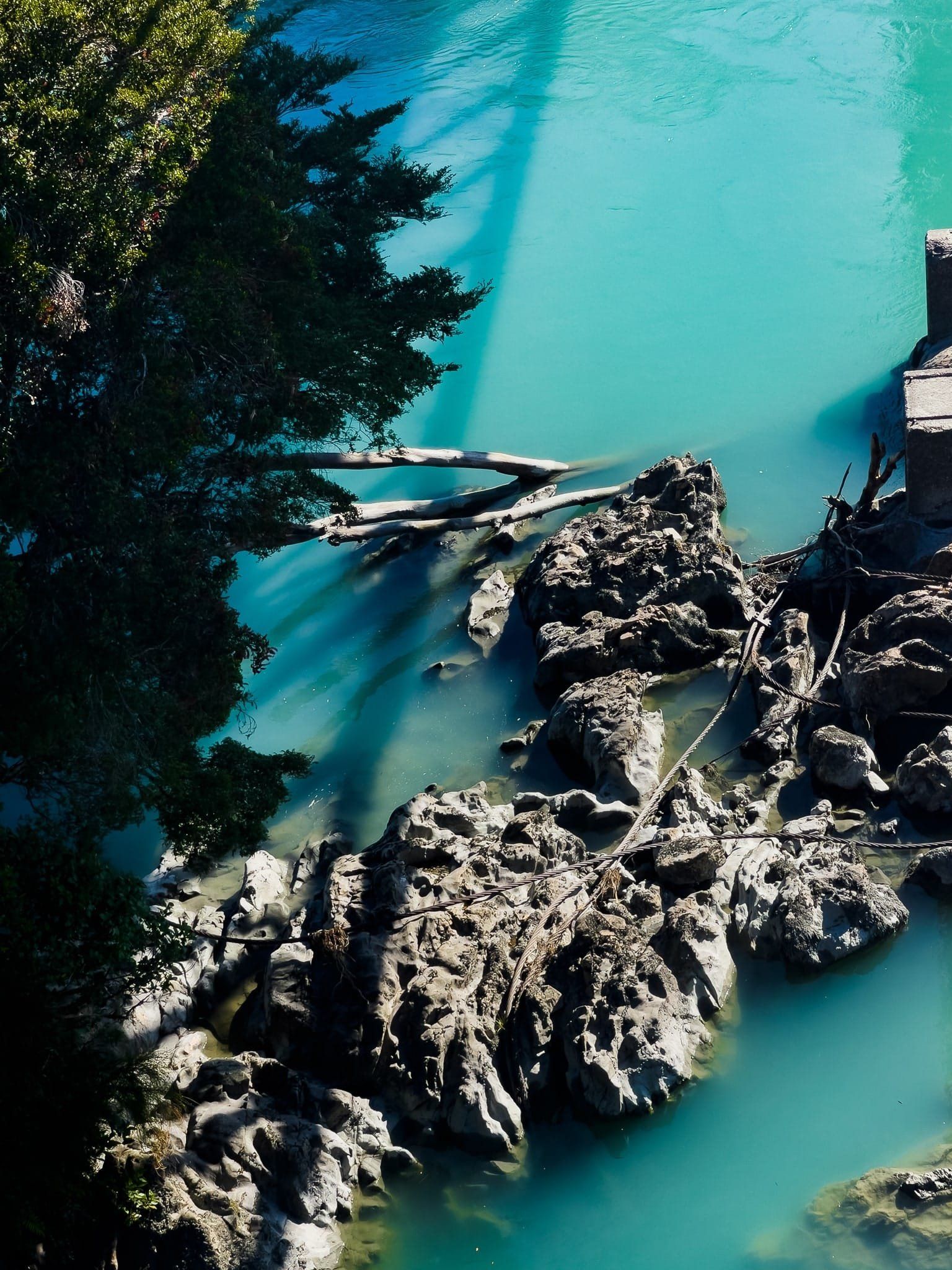
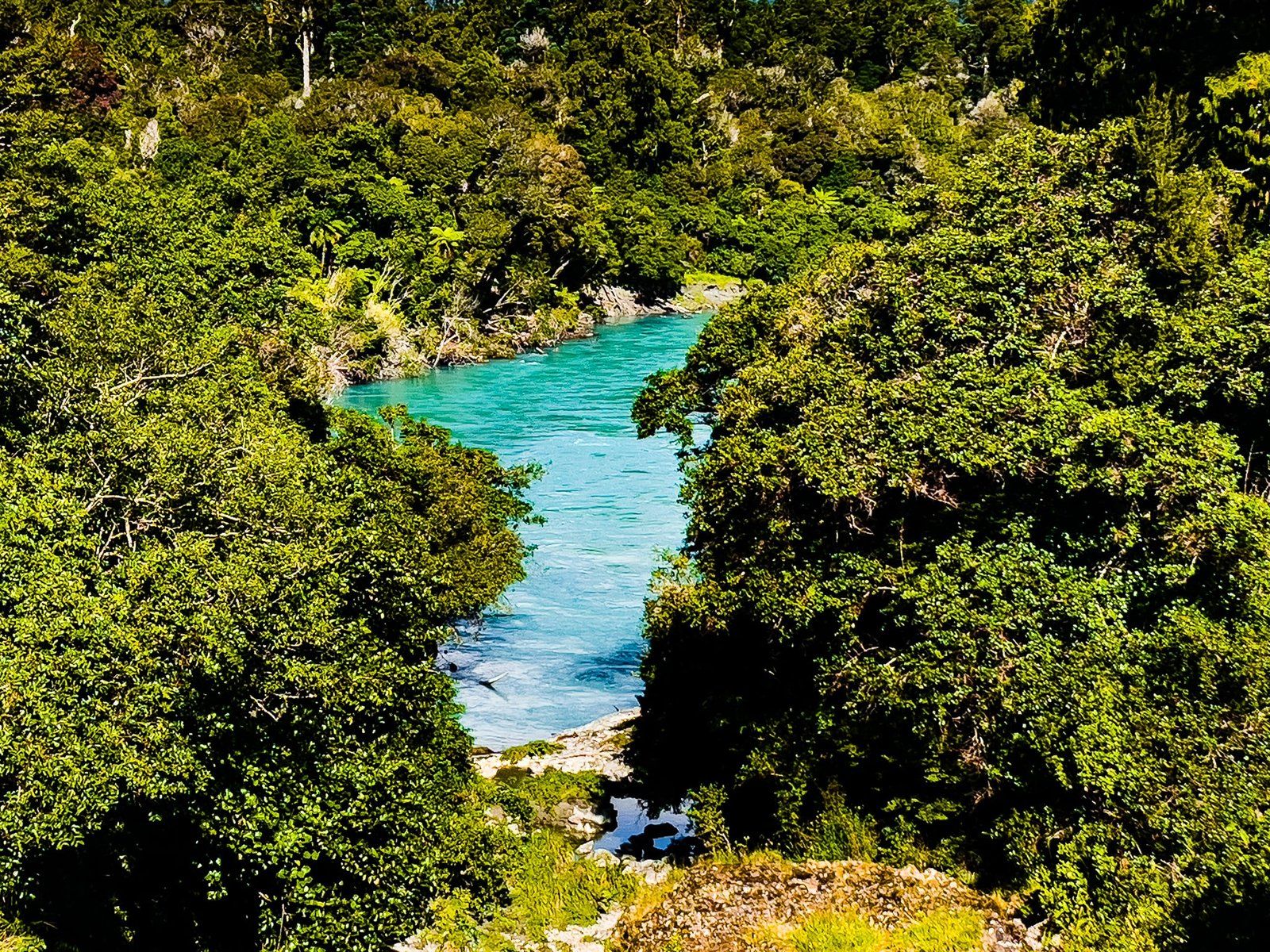
Roaring Billy Falls
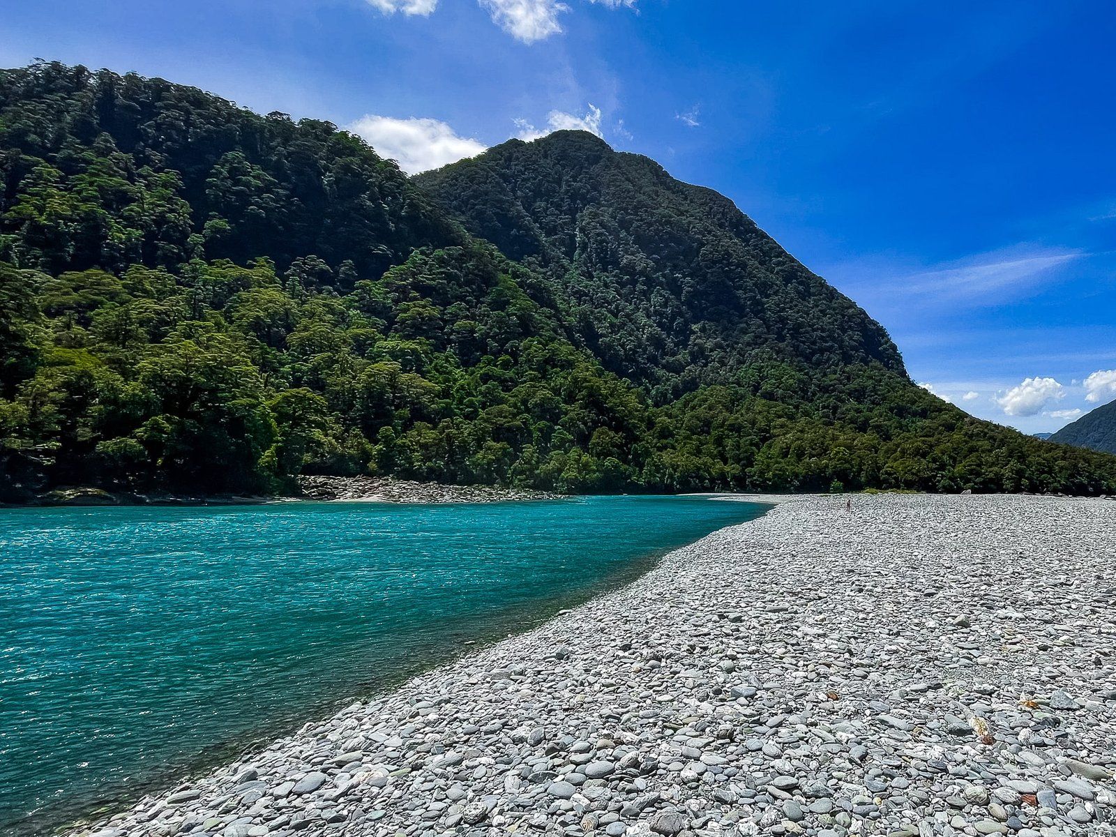
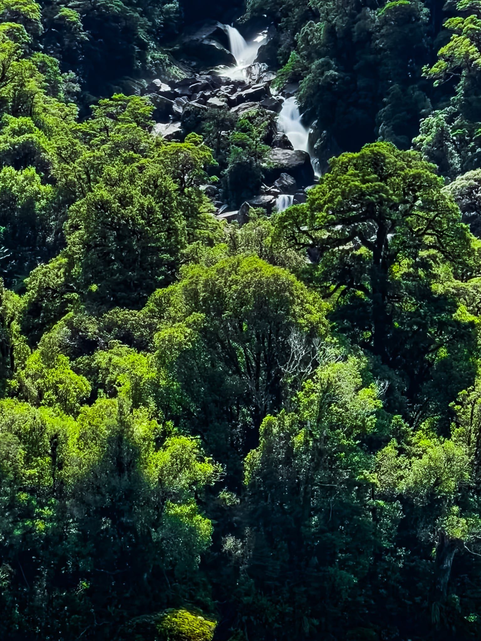
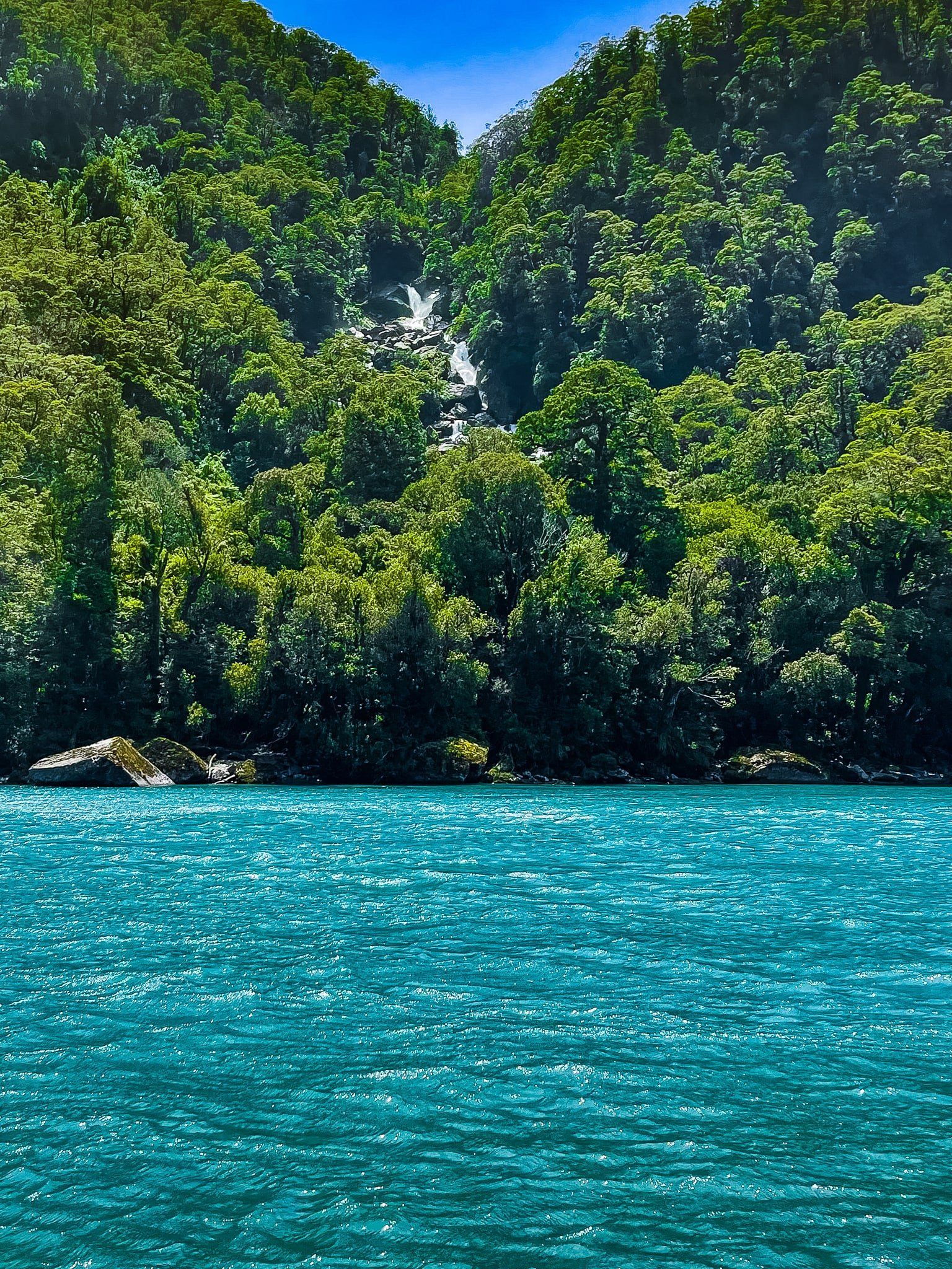
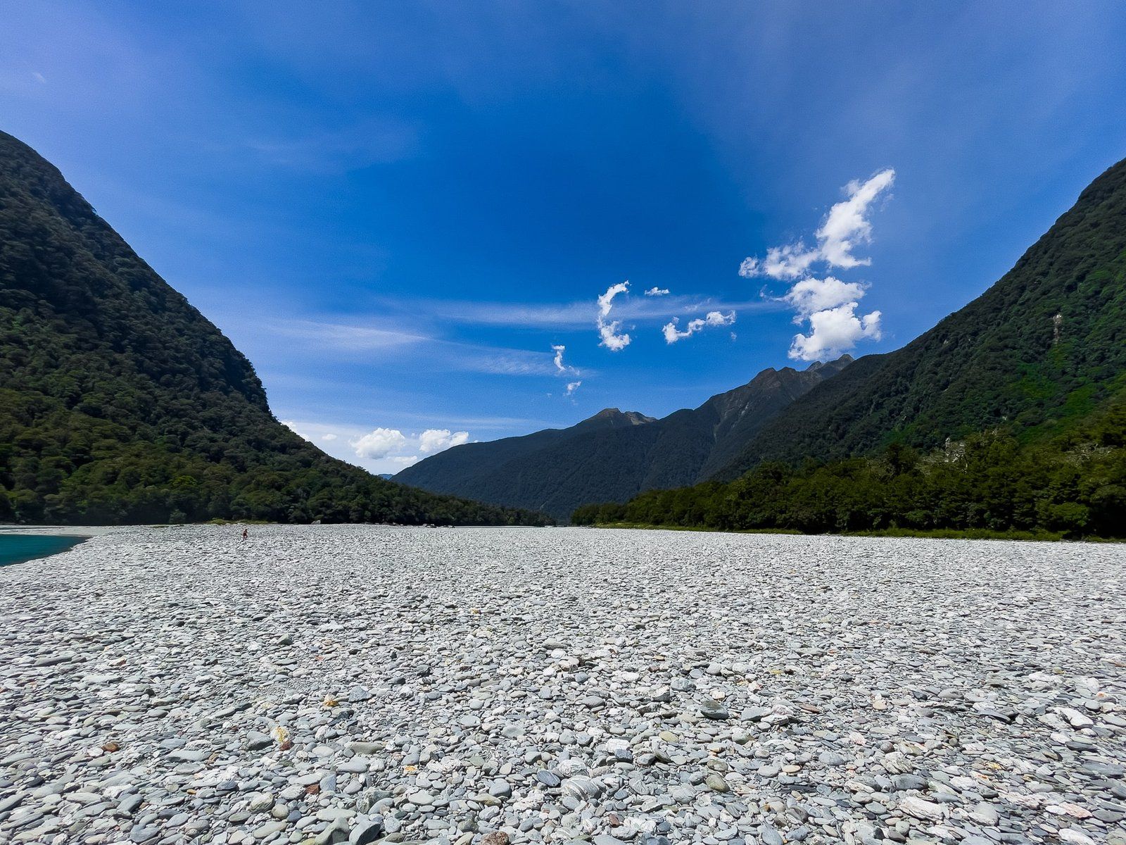
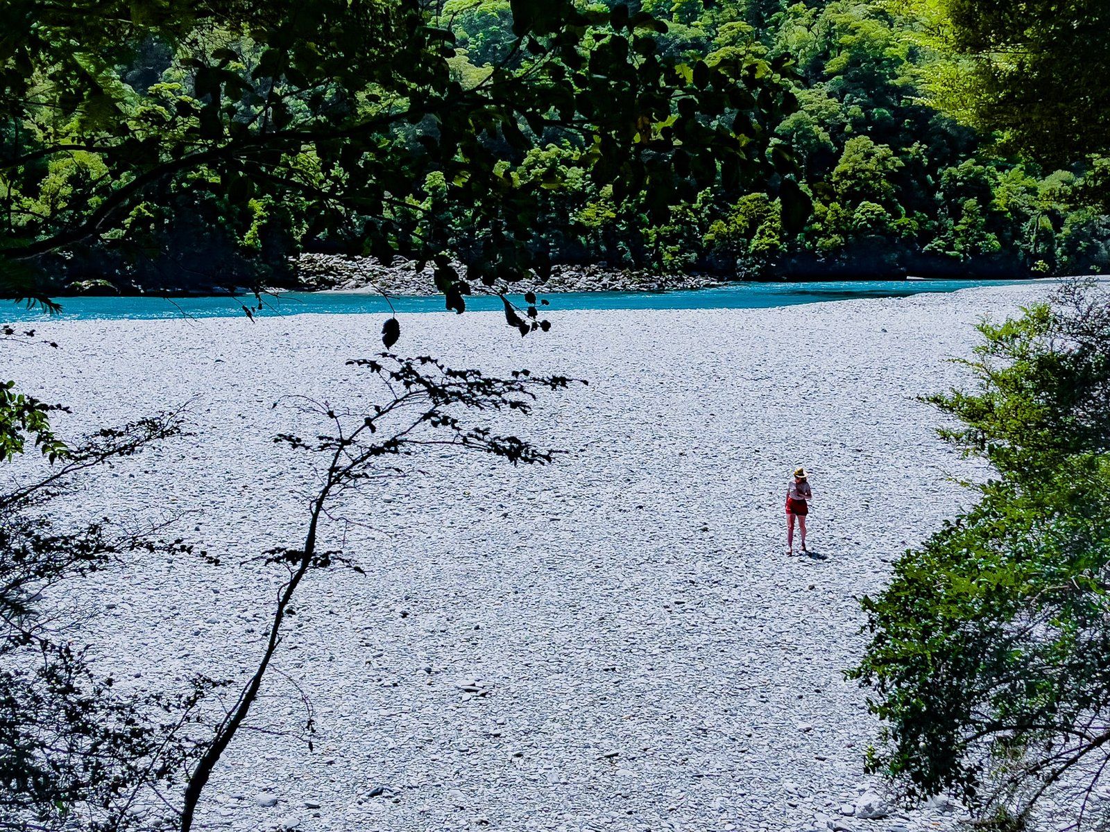
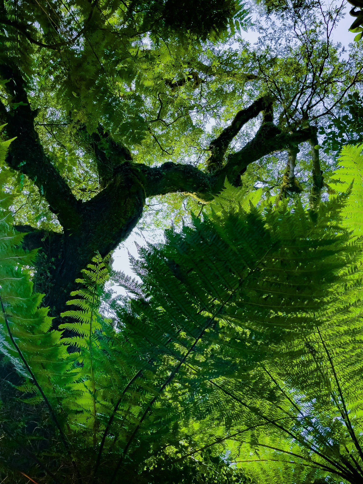
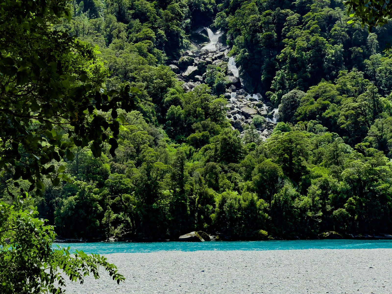
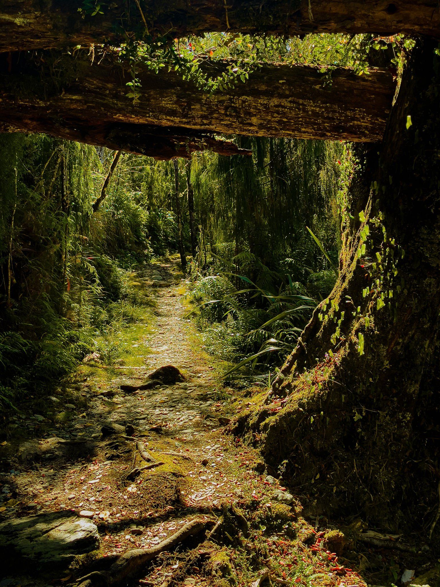
The Roaring Billy Falls are signposted, with a large parking area, about halfway between Haast Pass and Haast. This section of the road follows the Haast River and the easy waterfall track provides direct access to the river, plus a view of the falls on the opposite side. It only takes about 15 minutes to walk through a beautiful section of native forest and get to the river bed.
The falls come into view from a platform at the end of the track overlooking a wide expanse of river gravel, then the stunning aqua blue of the river channel below the forest and waterfall.
The view of the falls is somewhat distant but they are spectacular, at a 30 metre drop. You can walk across the river gravel right up to the river but it is wide, deep and quite fast, so this is as close as you will get to the falls without a boat.
Jackson Bay Okahu
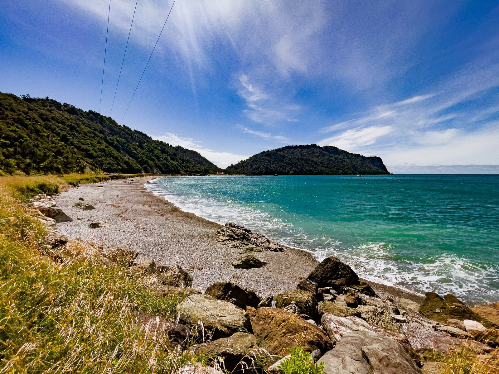
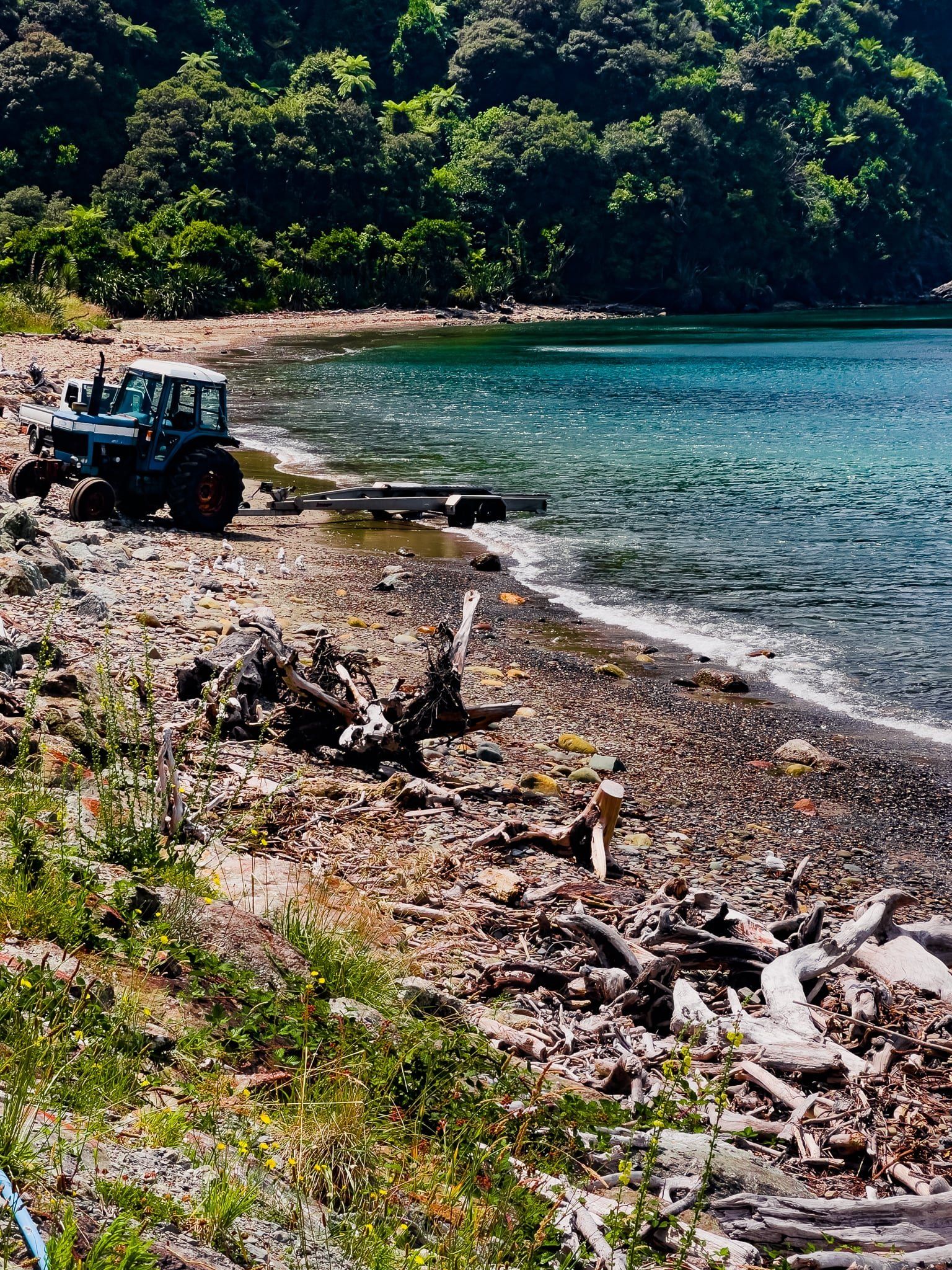
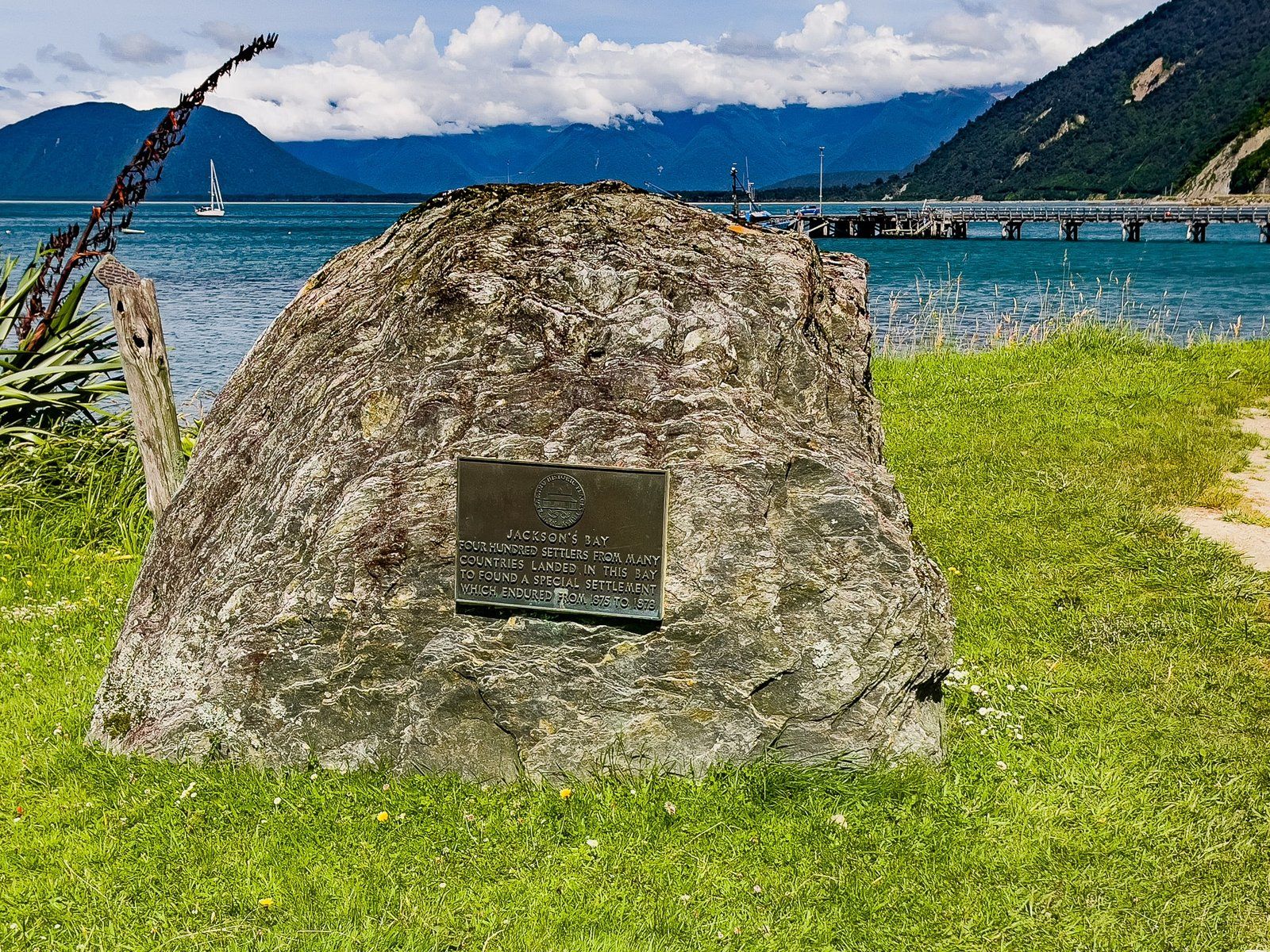
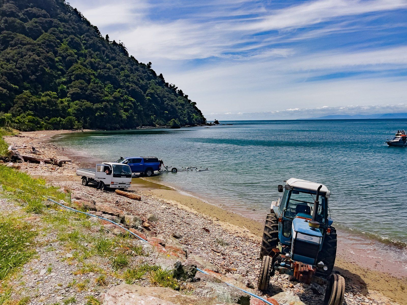
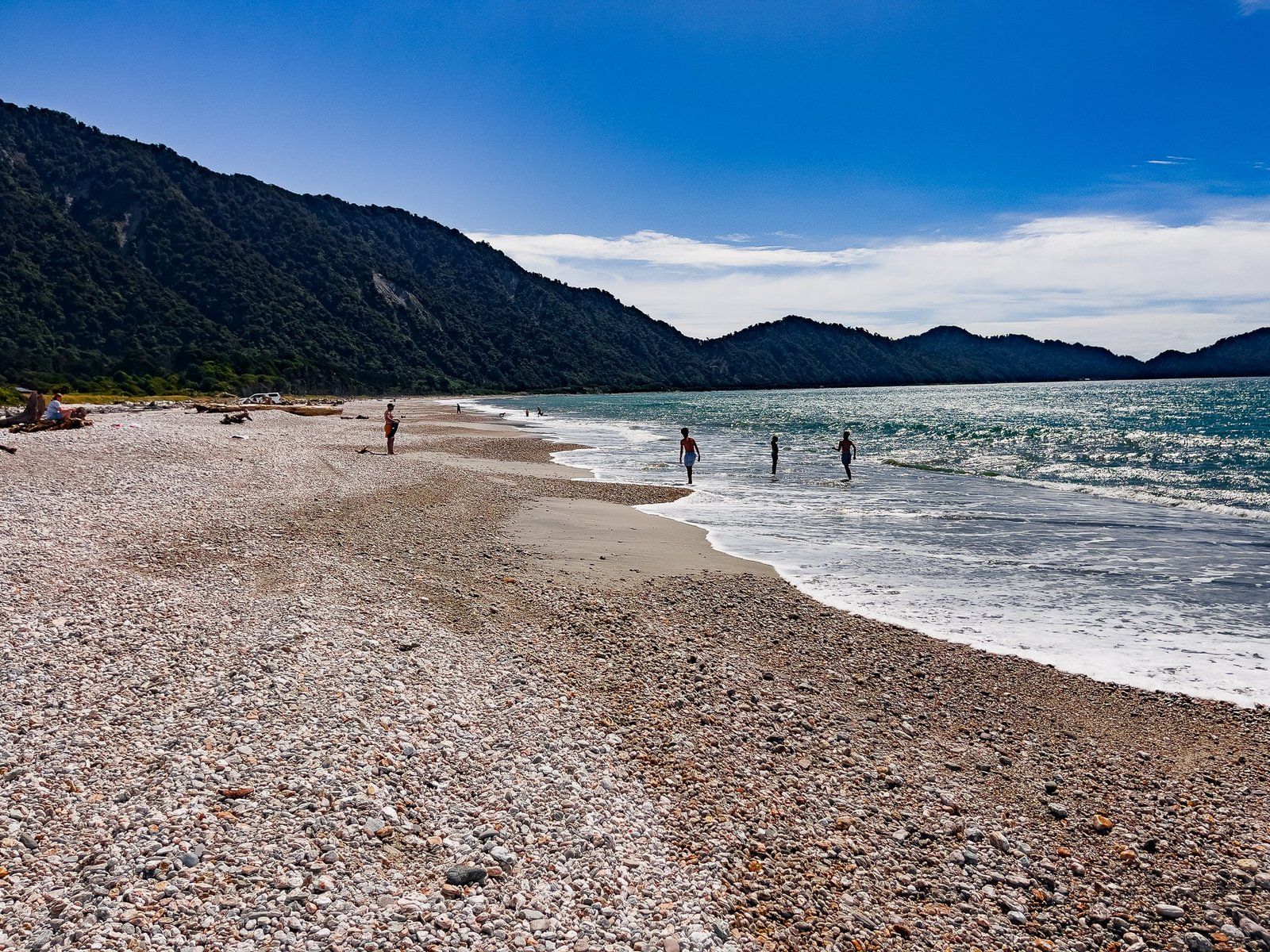
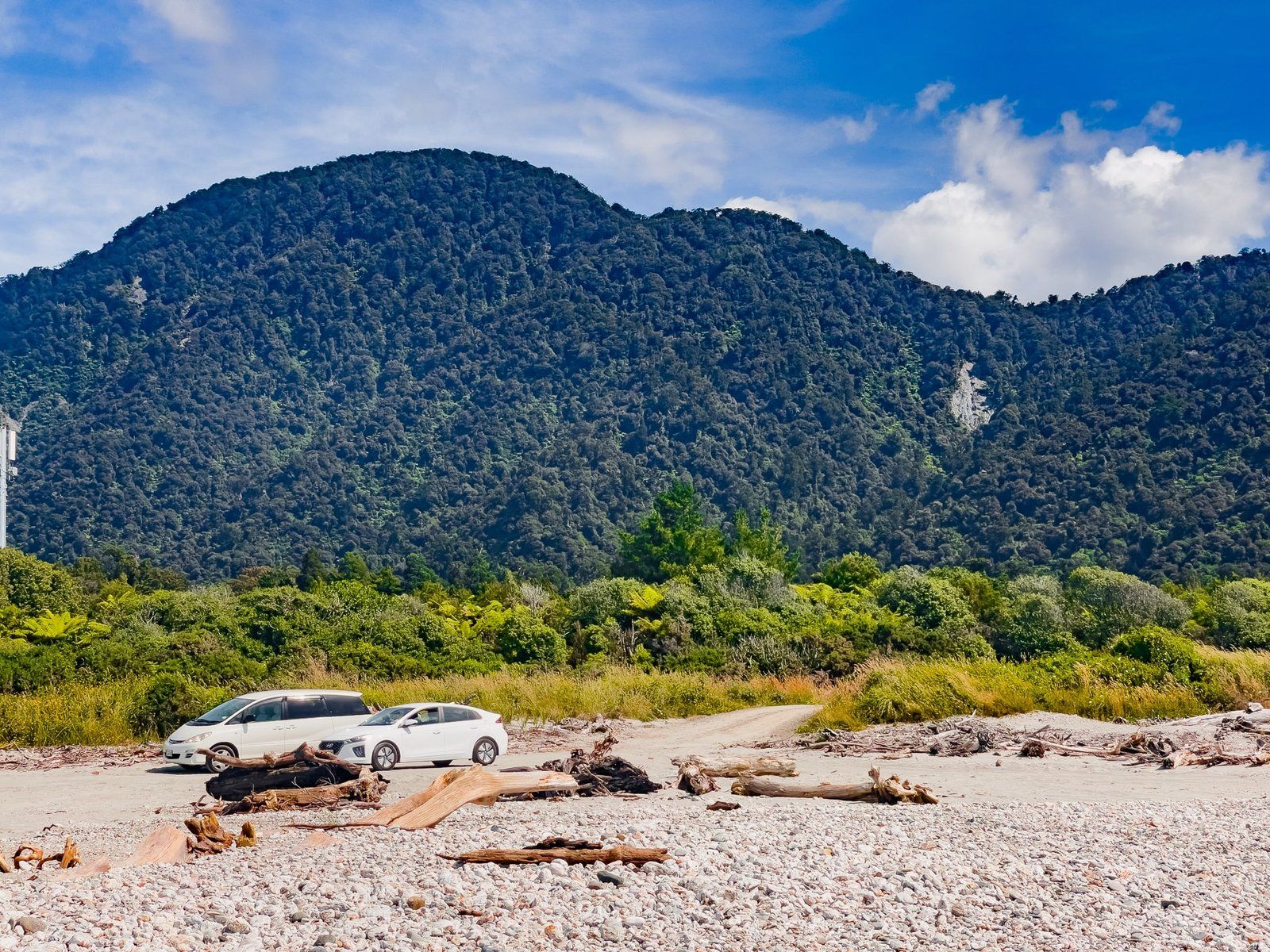
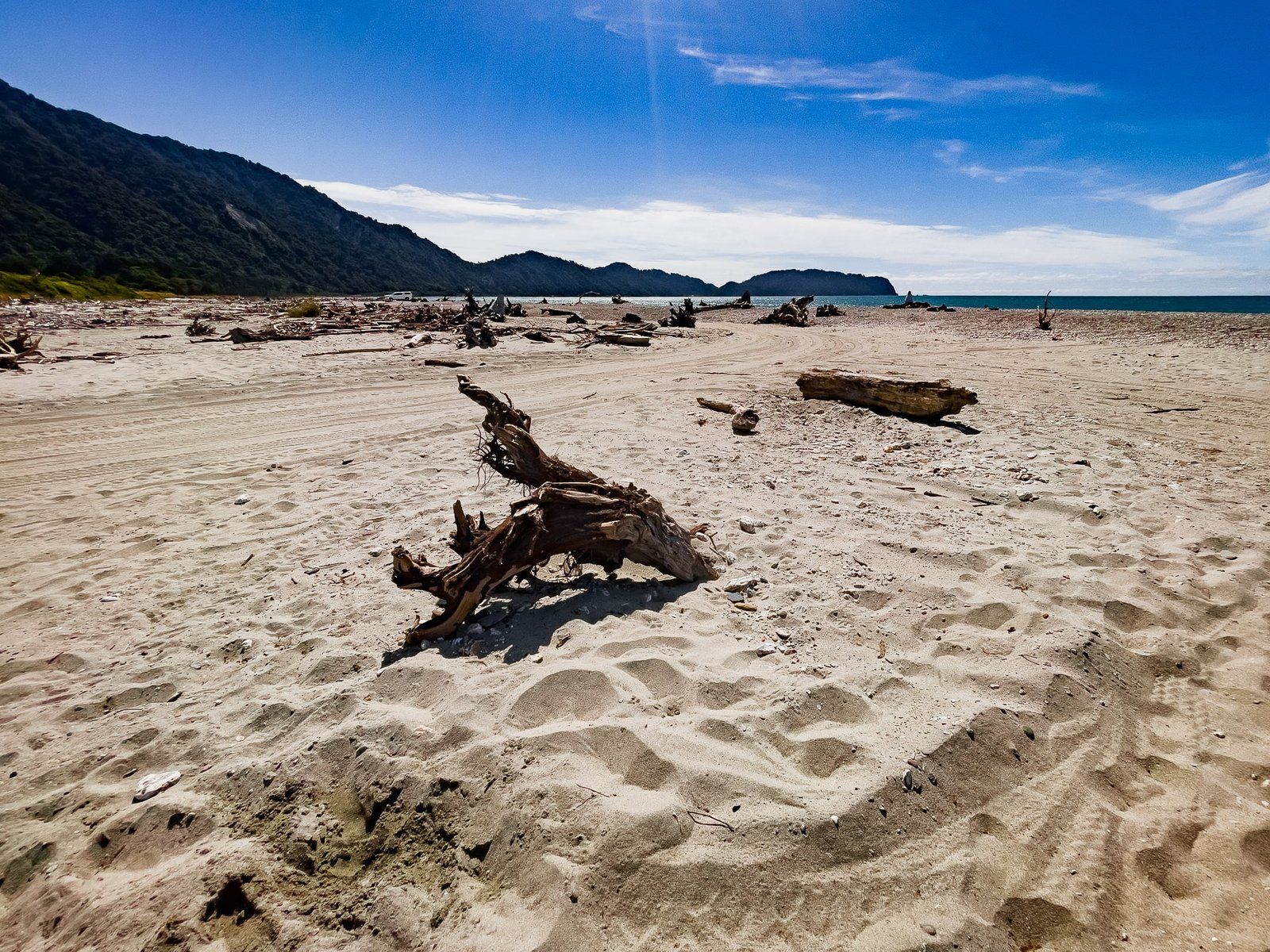
Jackson Bay Okahu is the long crescent-shaped bay that runs between the Okuru River and the fishing hamlet of the same name at the south end of the bay. The drive to Jackson Bay is about 50 km from Haast and once there, you are as far south as you can go on the West Coast of the South Island, with the exception of the Milford Sound access road.
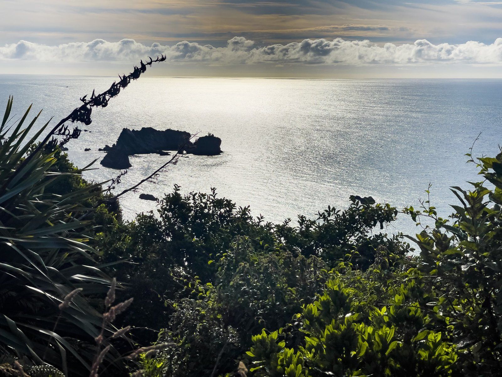
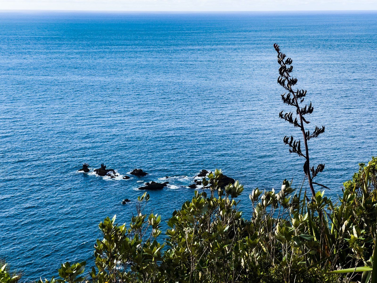
There are several places you can stop on the coast as you approach Jackson Bay, despite warnings of slips from the cliffs above the road. These give you an excellent view of the bay. Once at Jackson Bay, park beside the typically rugged West Coast beach.
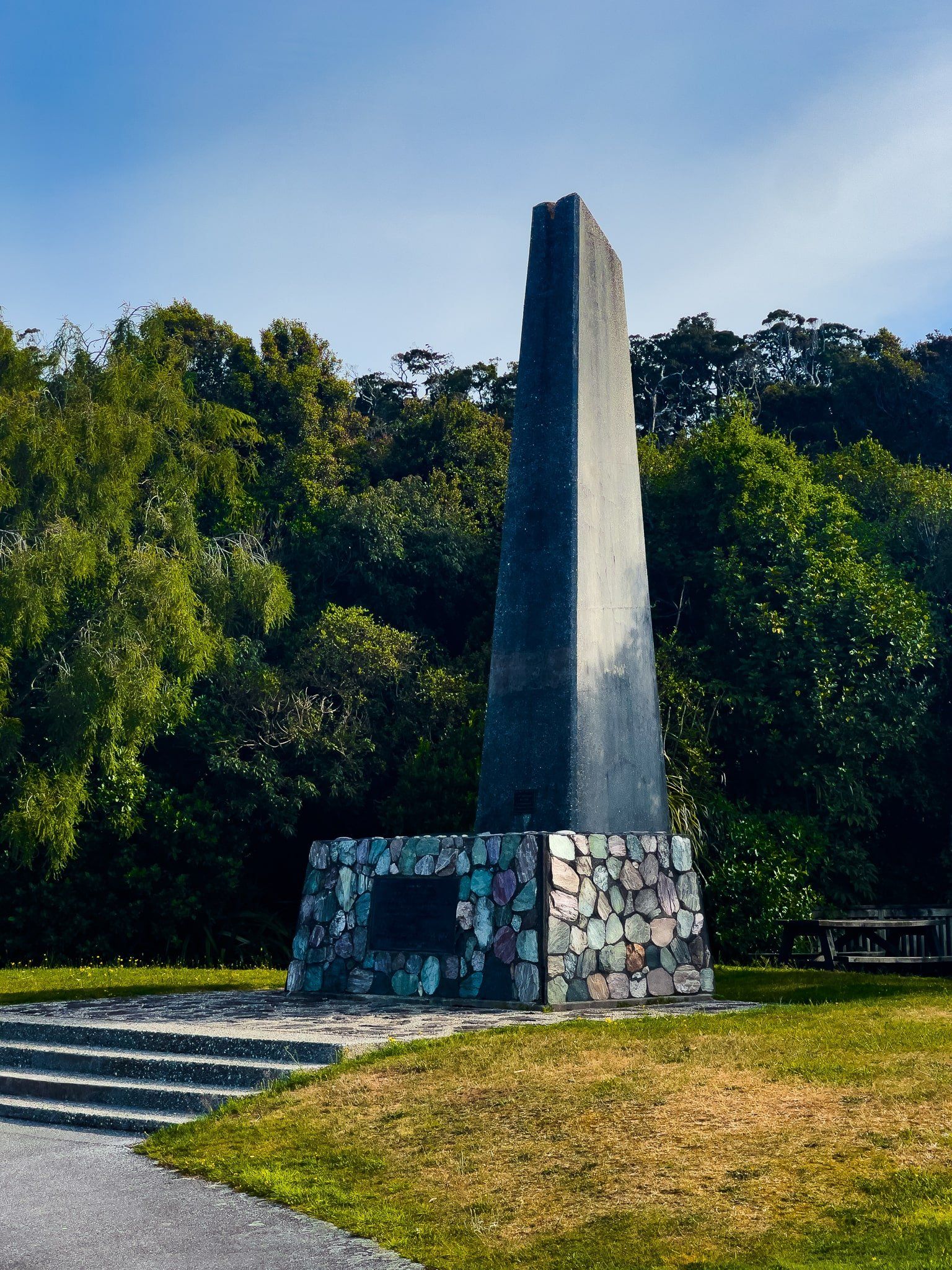
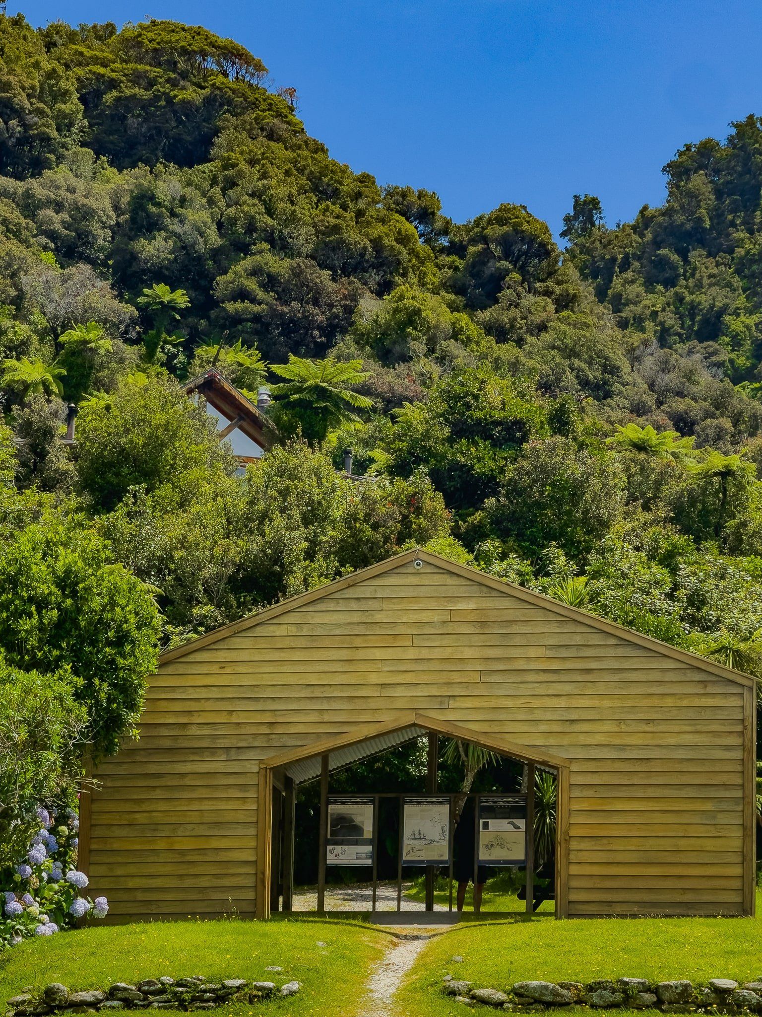
The nearby tourist information panels provide an excellent history of the area, in particular the attempt to settle the area with over 400 German migrants in 1875. This was a miserable failure due to the tough and remote conditions and the lack of appropriate pioneering experience of the migrants. Some died and most of the rest left.
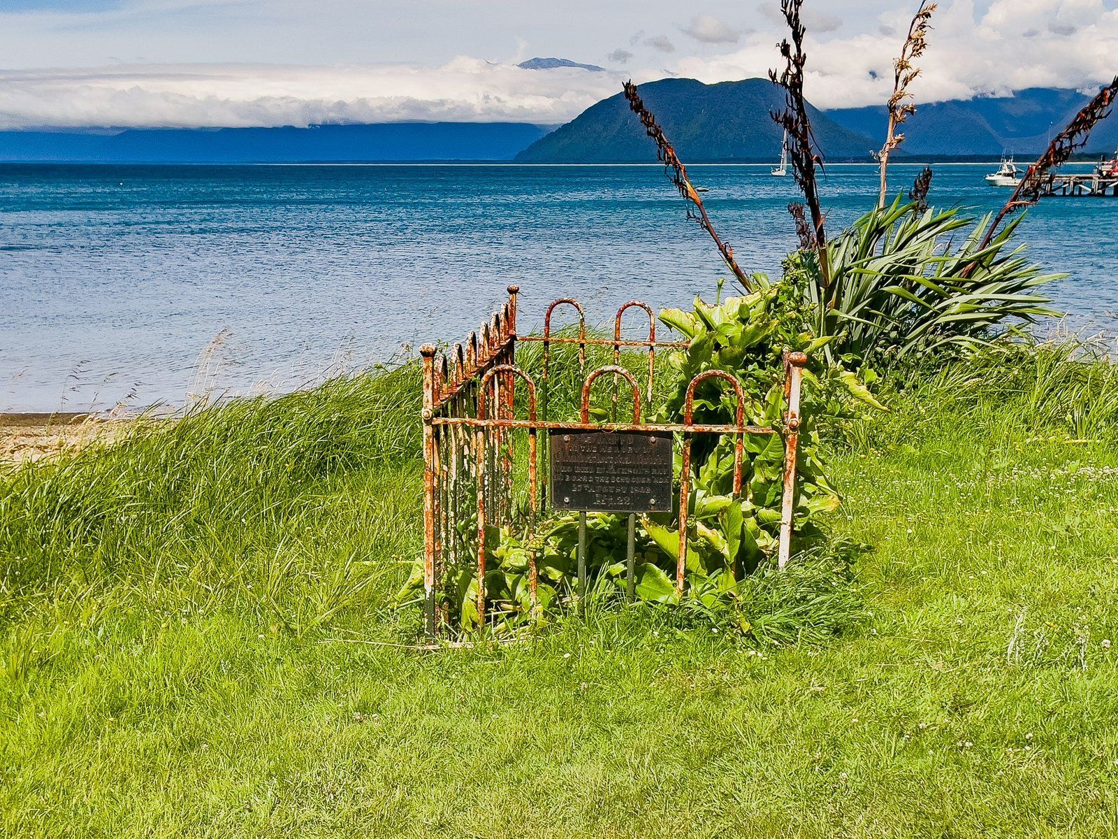
Claude Ollivier’s grave can be found on the foreshore of Jackson Bay, immediately in front of the beach near the car park entrance. It dates from 1862 and is the earliest recorded European grave on the West Coast.
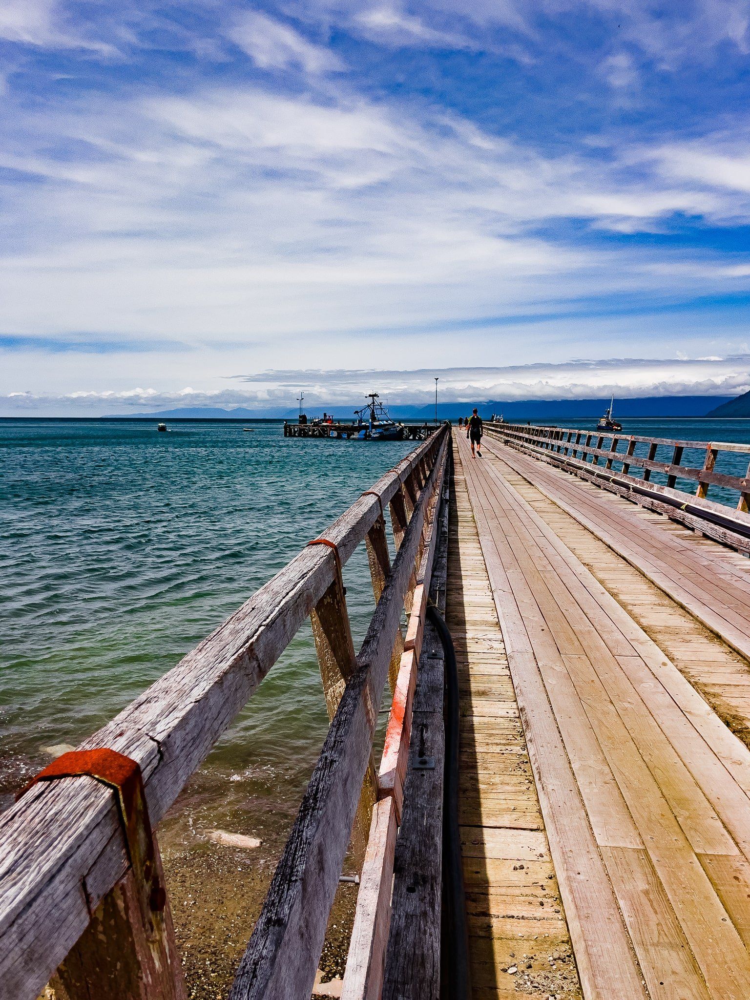
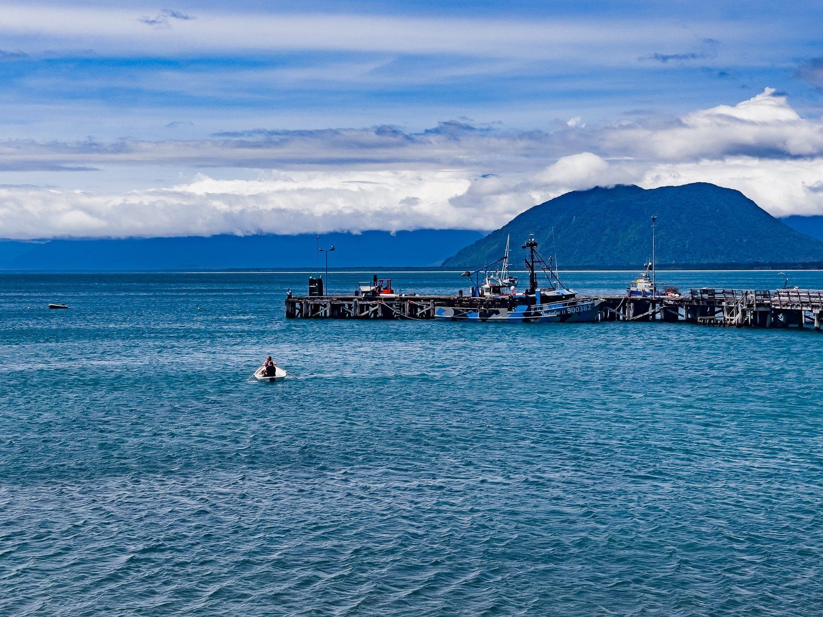
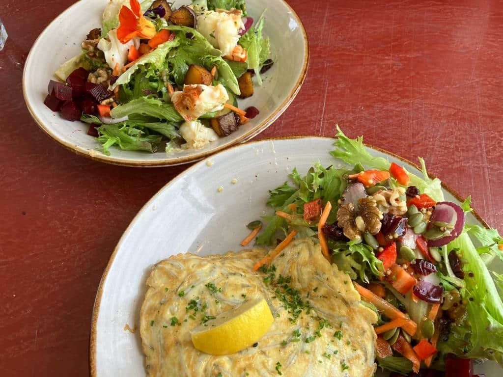
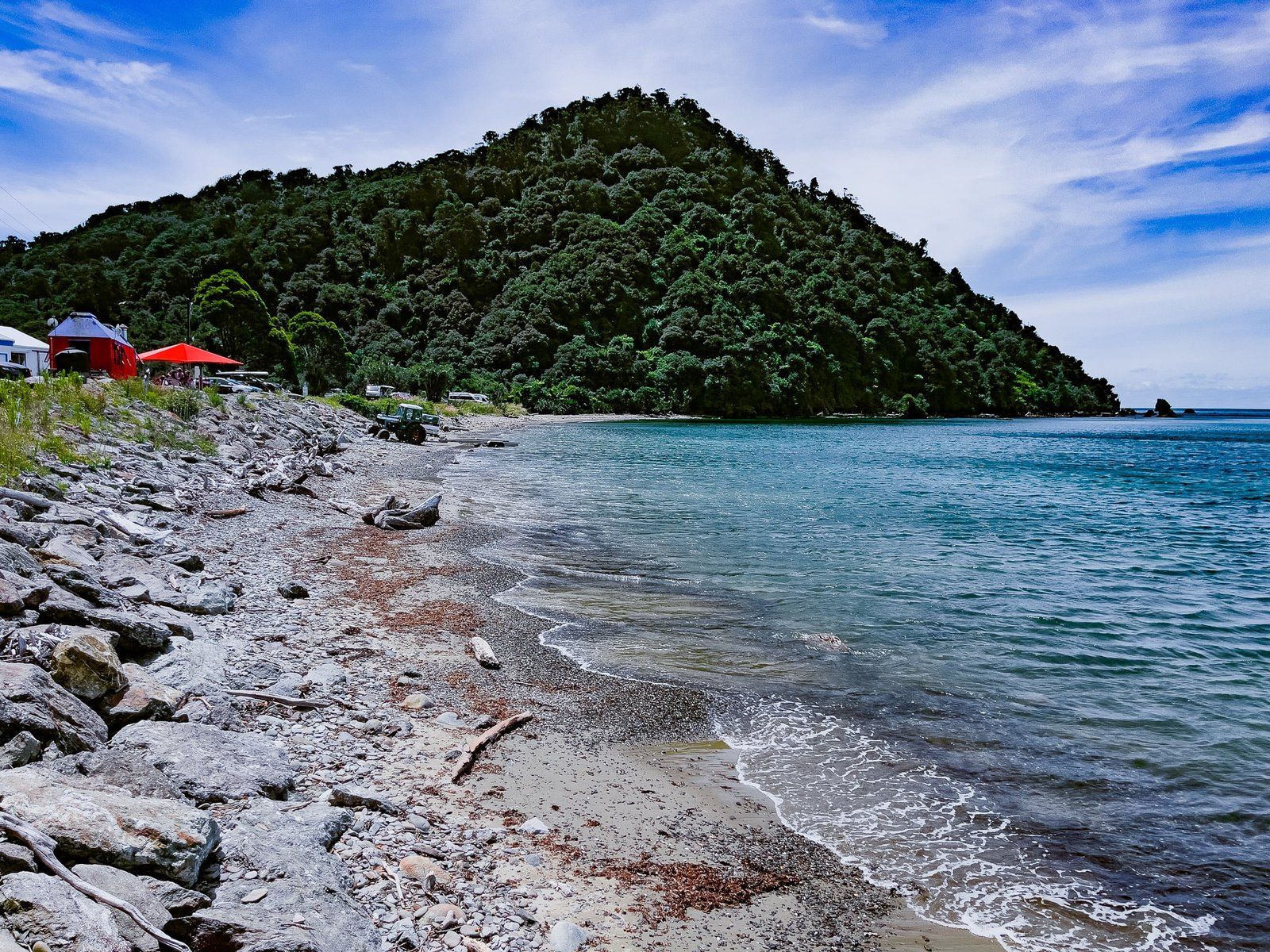
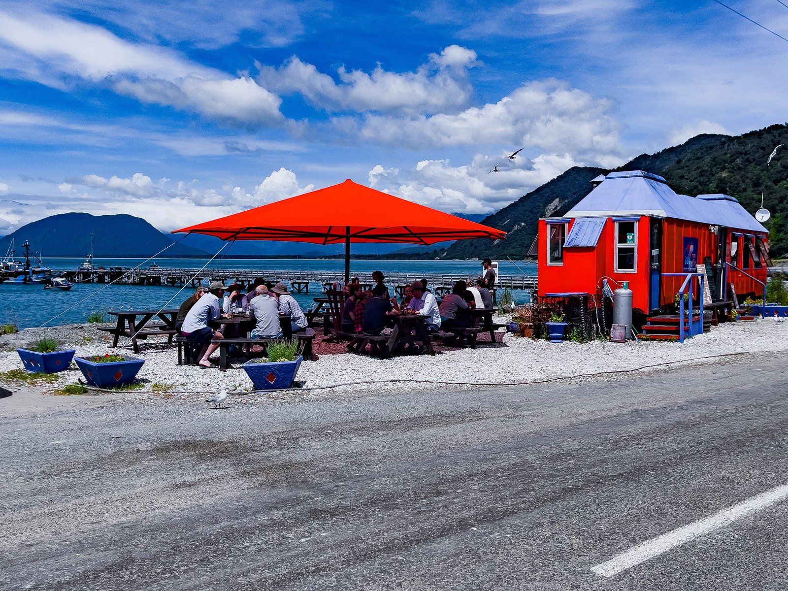
Nowadays, there is a wharf supporting a handful of fishing boats, a campground, and the fabulous diner-style Craypot restaurant. This is a unique eating experience in Aotearoa, offering a range of local seafood including blue cod, whitebait and crayfish meals for breakfast through lunch.
After the Craypot, head over to the Wharekai Te Kou Walk, signposted near the main parking area.
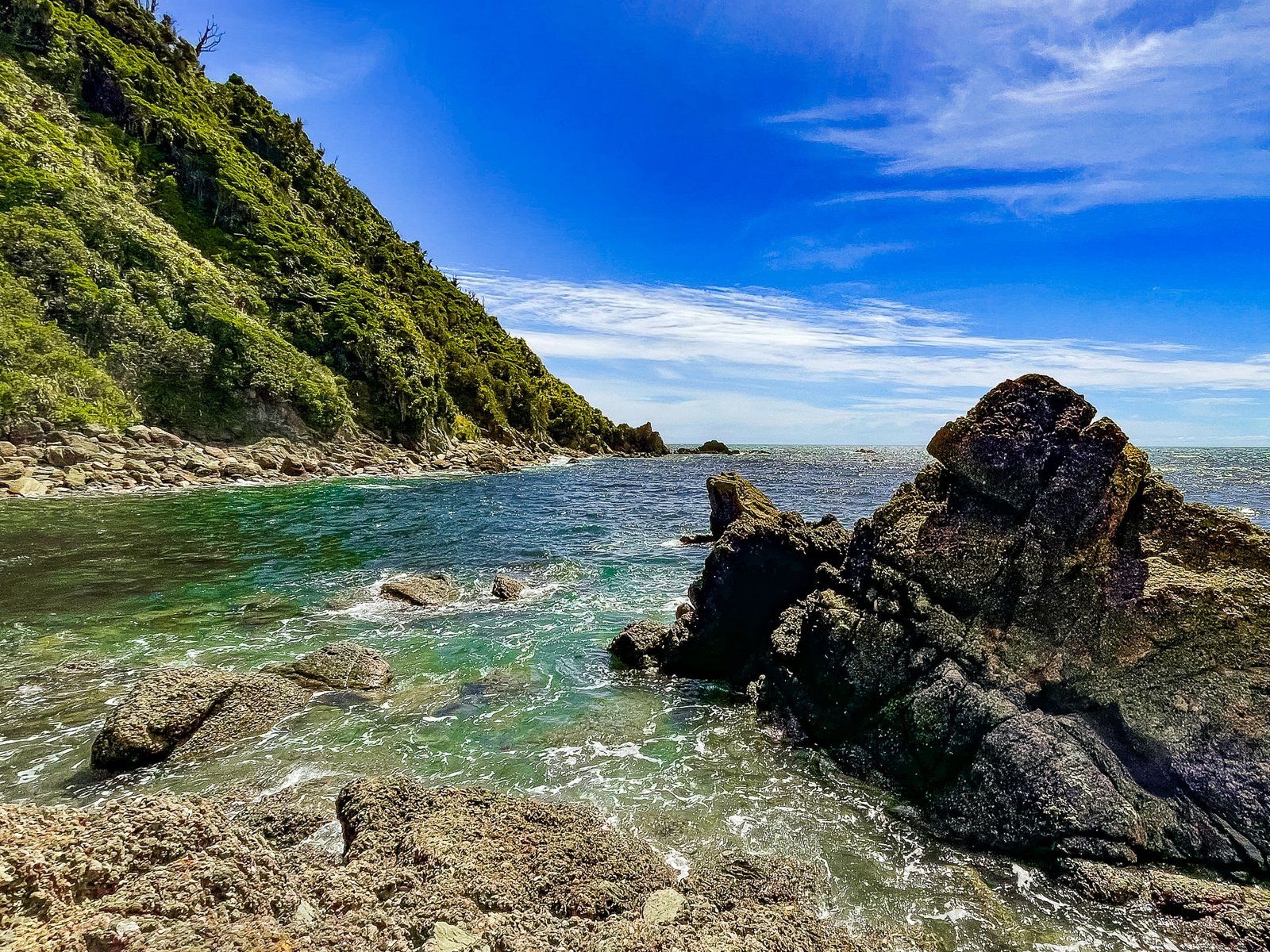
Wharekai Te Kou
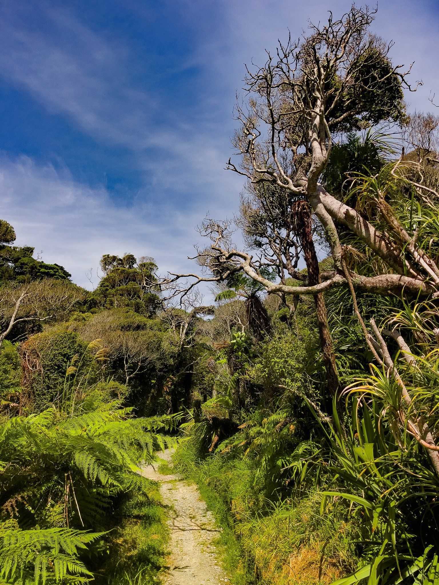
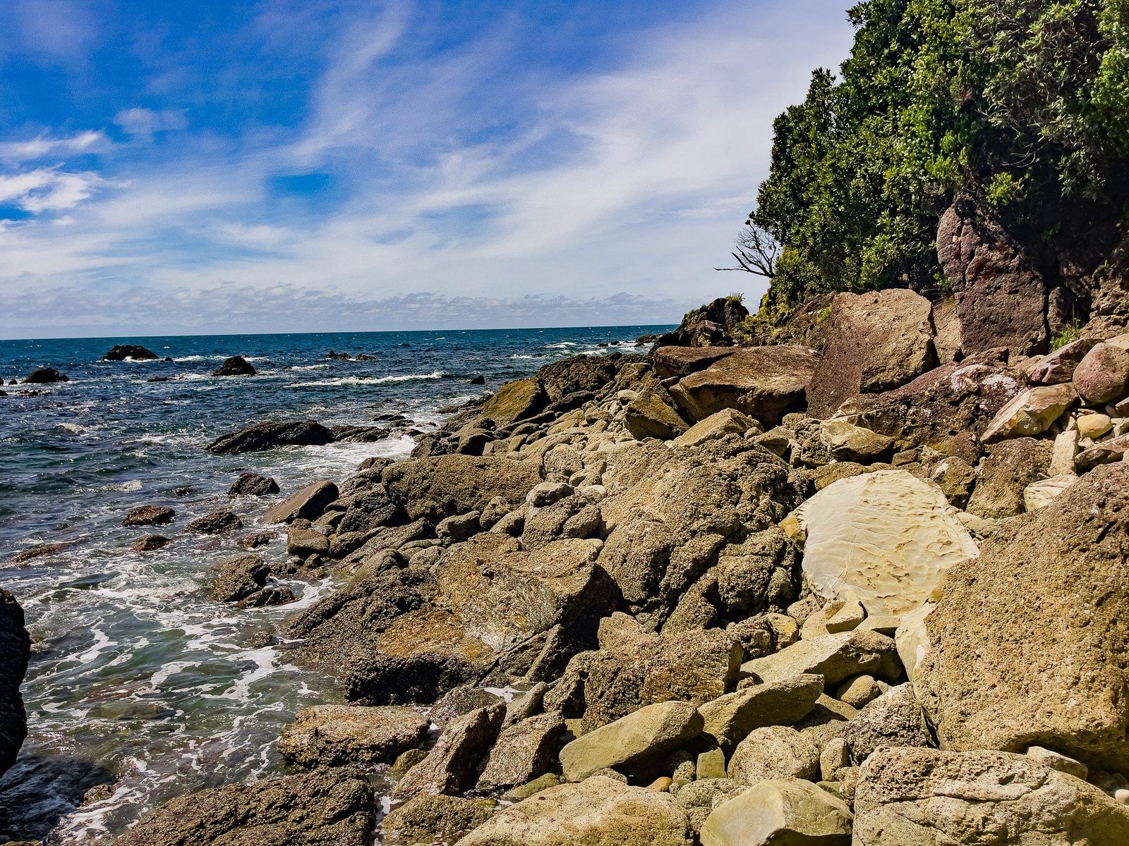
The Wharekai Te Kou Walk is a short and easy walk through a pretty section of recovering native forest to a small but scenic rocky cove on the coast. It only takes about 40 minutes return and is a great chance to work off lunch.
There is also a two hour return walking opportunity to Smoothwater Bay. The track entrance can be found about one km back along the road from Jackson Bay and partly follows an old road, built as part of the attempt to develop and farm the Smoothwarer river valley. For serious trampers, this also provides access to the two-day Stafford Bay Route.
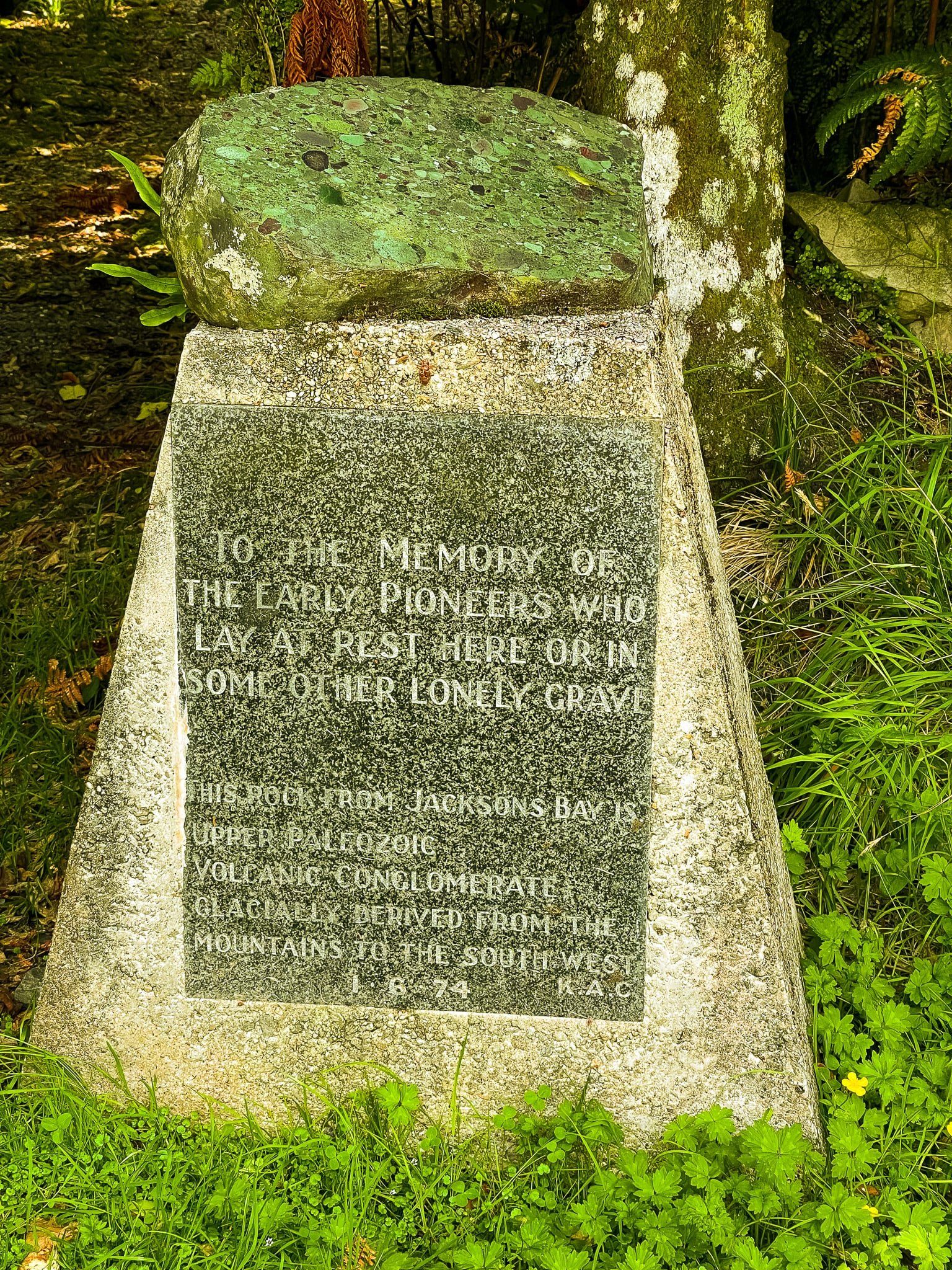
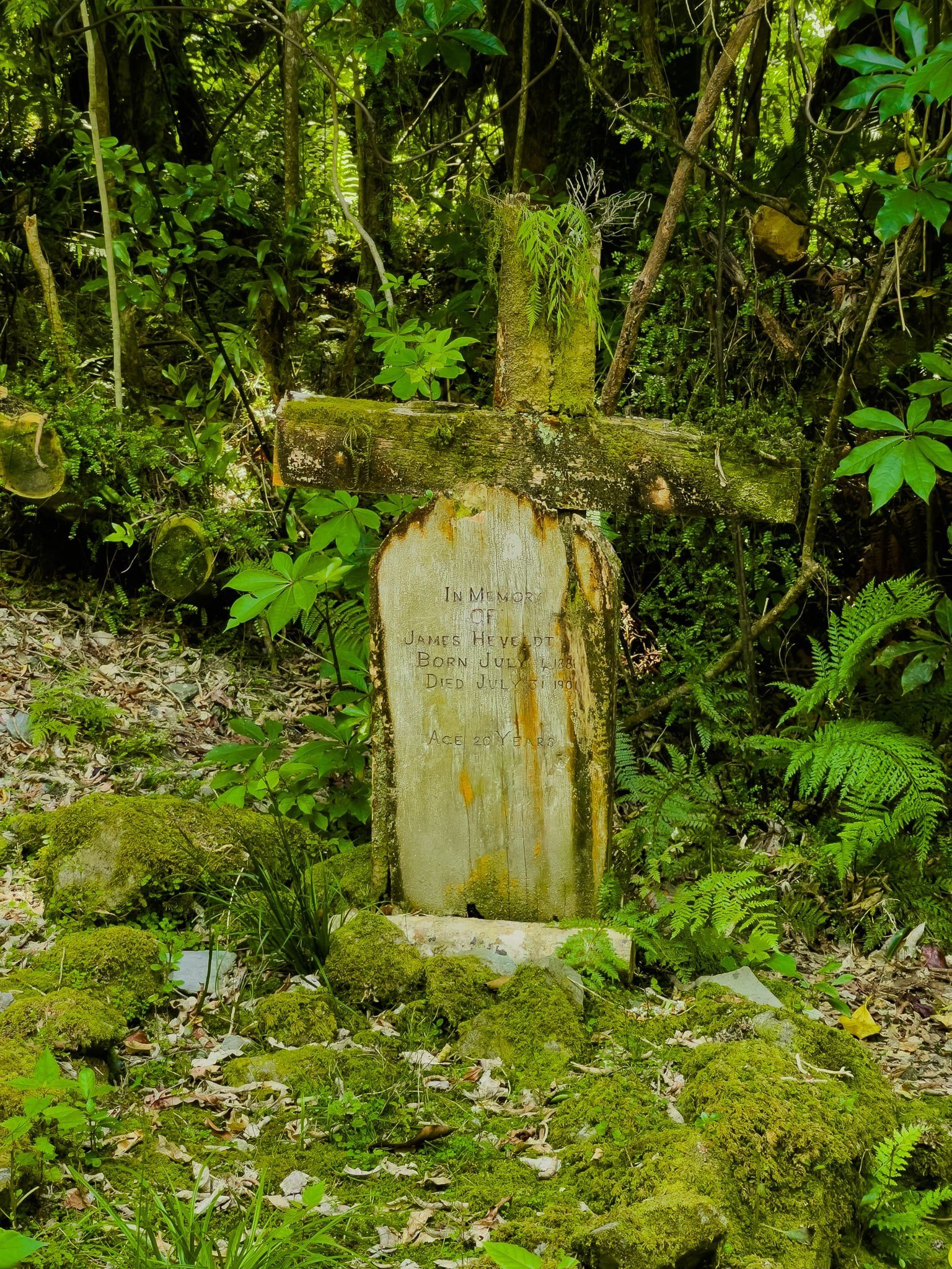
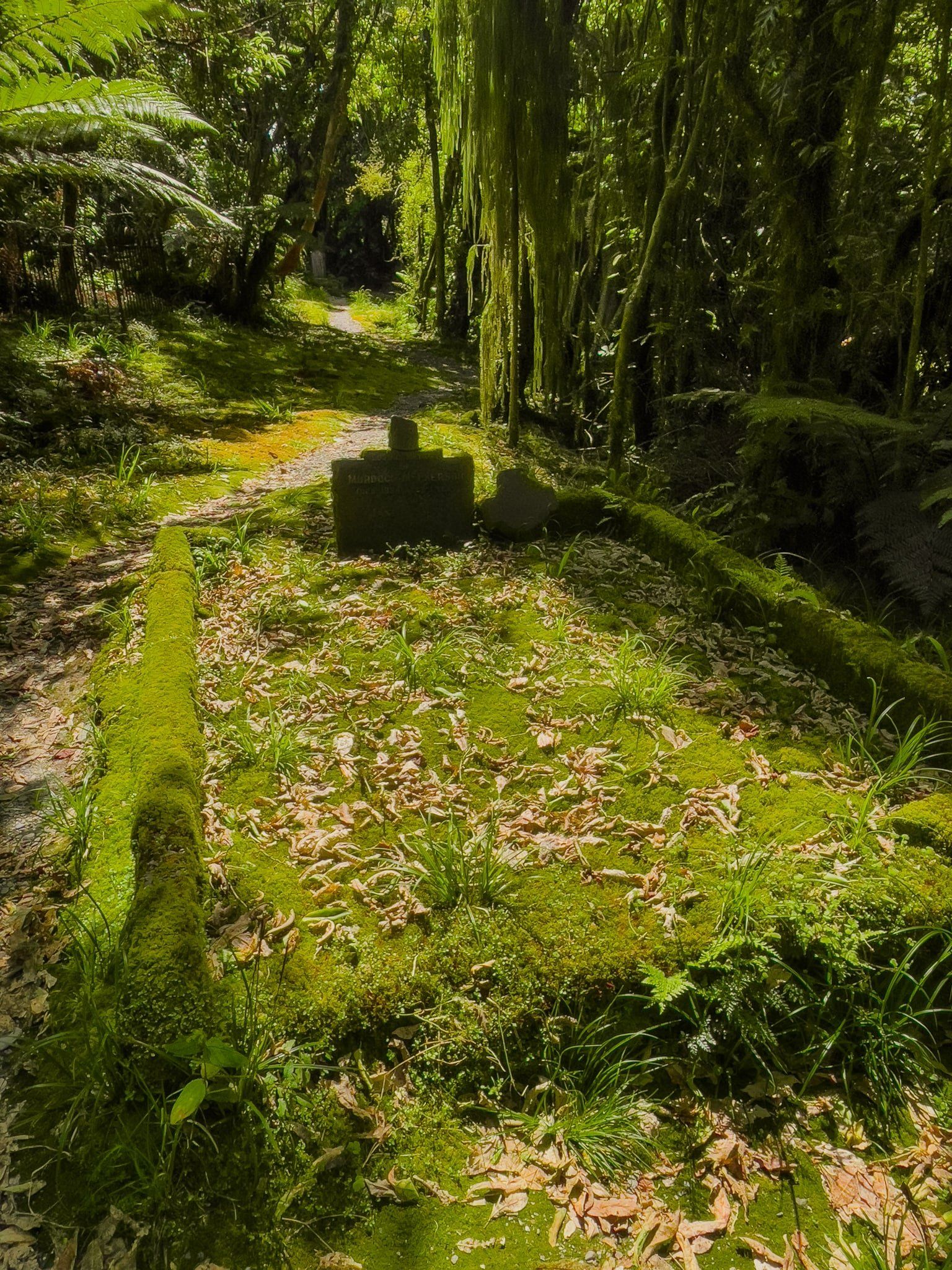
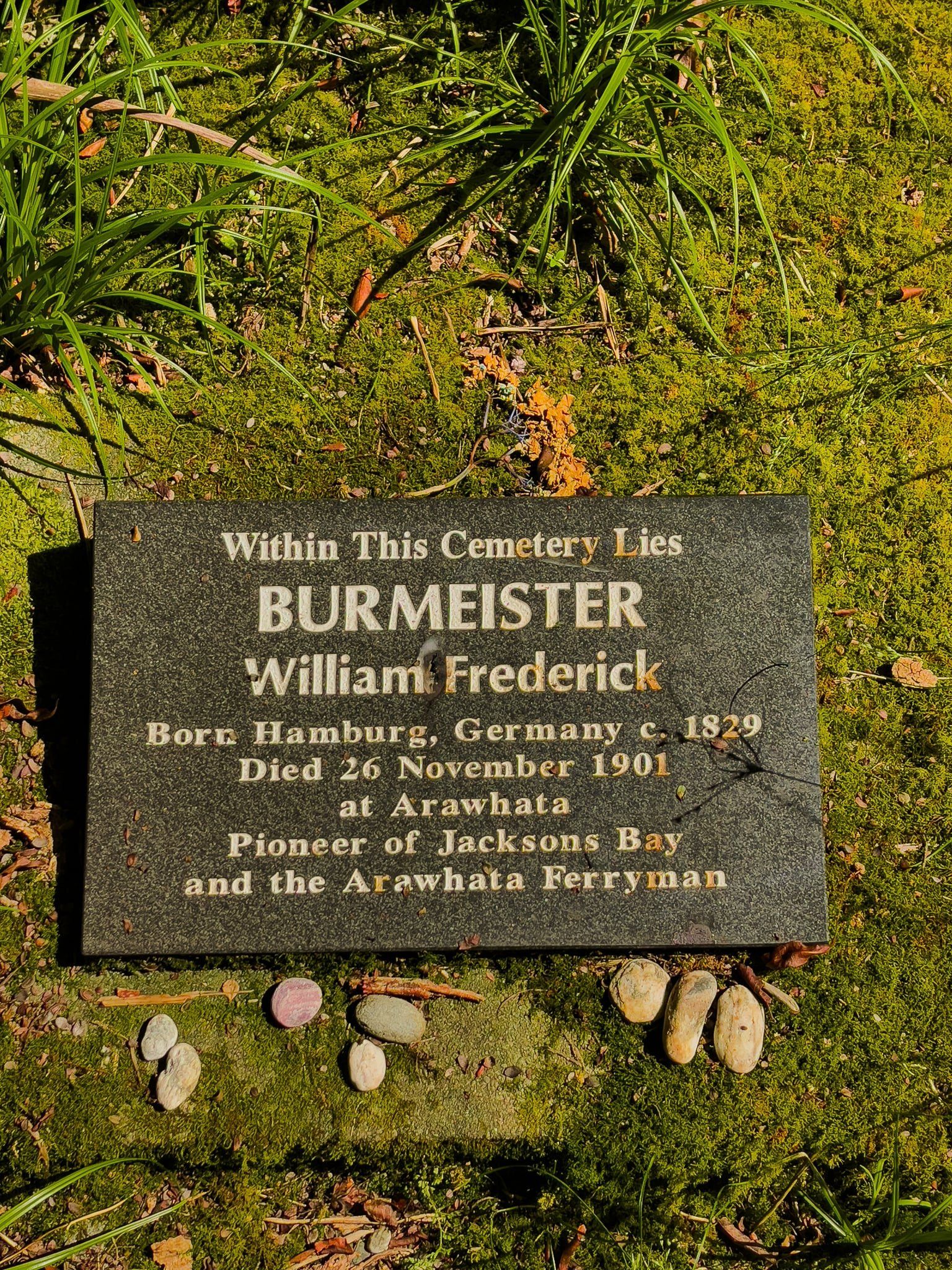
Arawhata Pioneer Cemetery
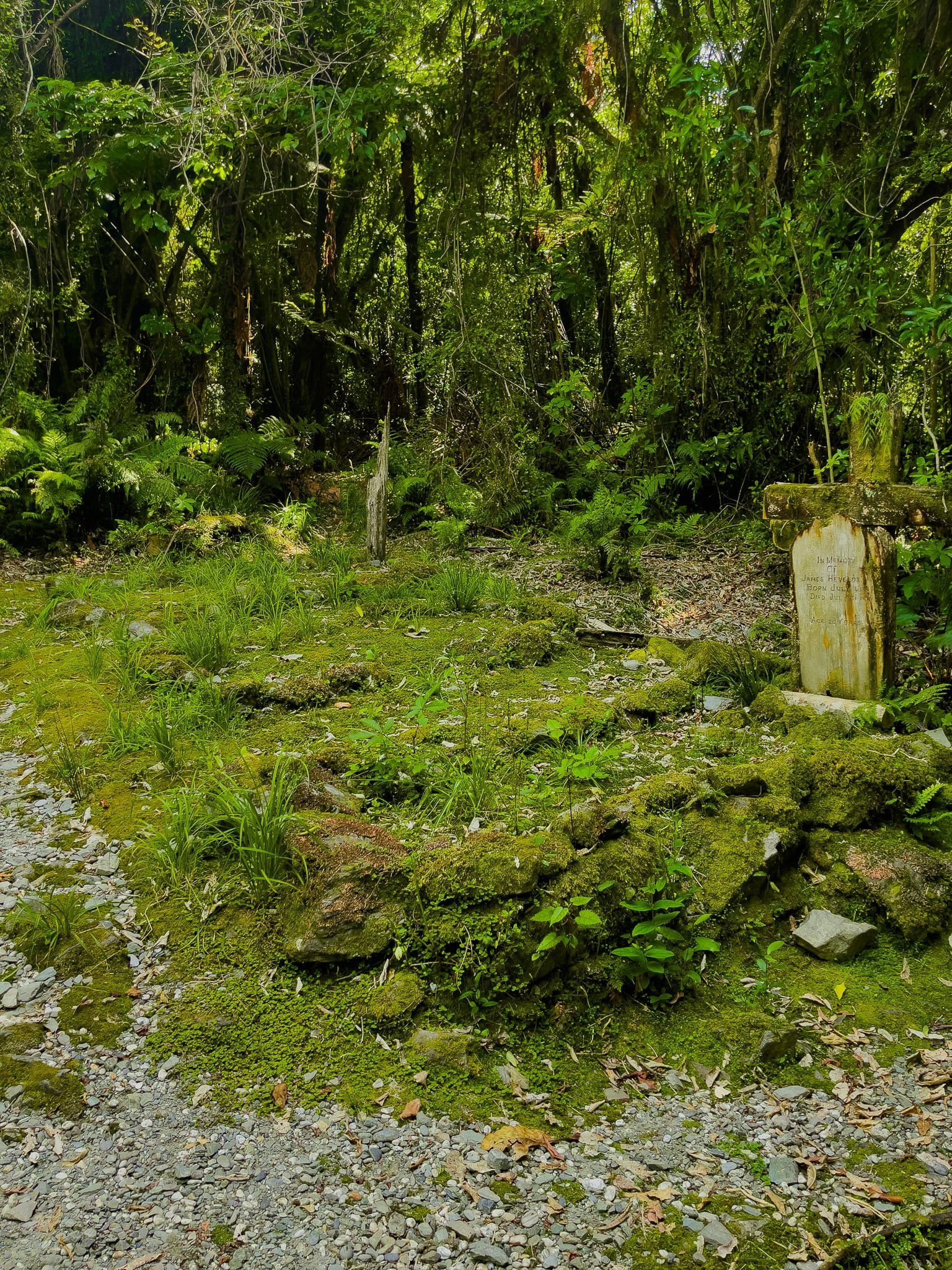
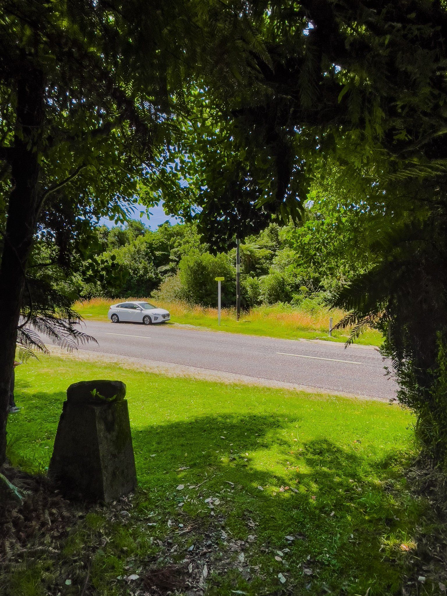
The Arawhata Pioneer Cemetery can be found just after Neils Beach on the Haast Jackson Bay Road, heading towards Jackson Bay. The cemetery was created for those who came to Jackson Bay as part of the unsuccessful attempt to build a substantial settlement in the 1870s.
However, the cemetery has faced the same challenges as the early migrants, and the forest has reclaimed most of the graves, with only a few sites still obvious. A bittersweet reminder that while visually stunning, settling and living in Te Wāhipounamu has always been a serious challenge.
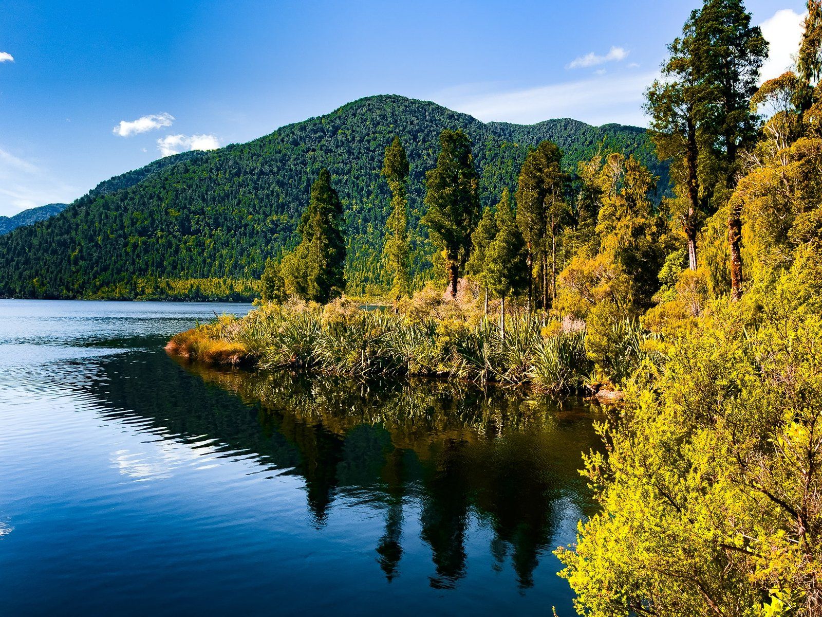
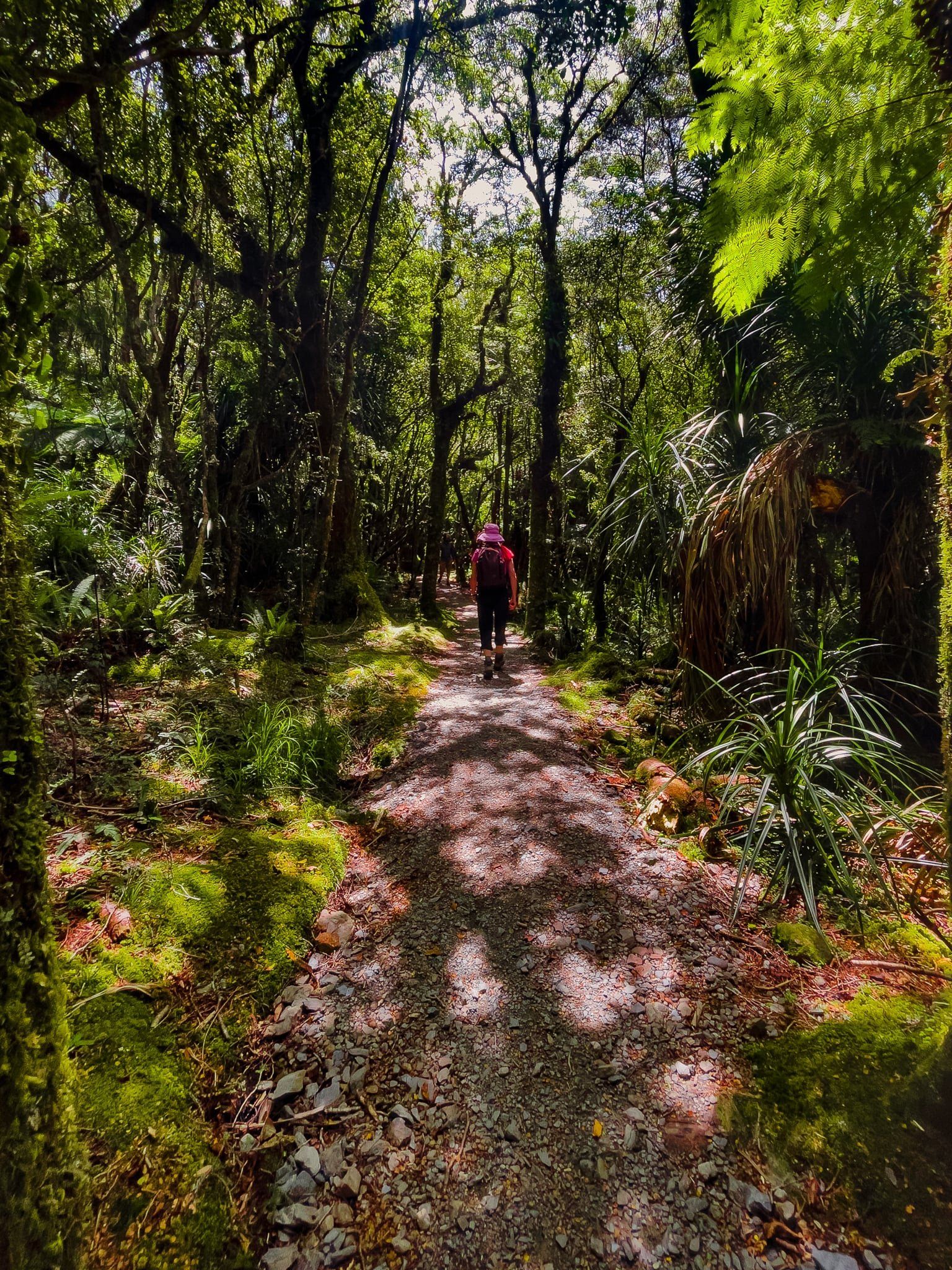
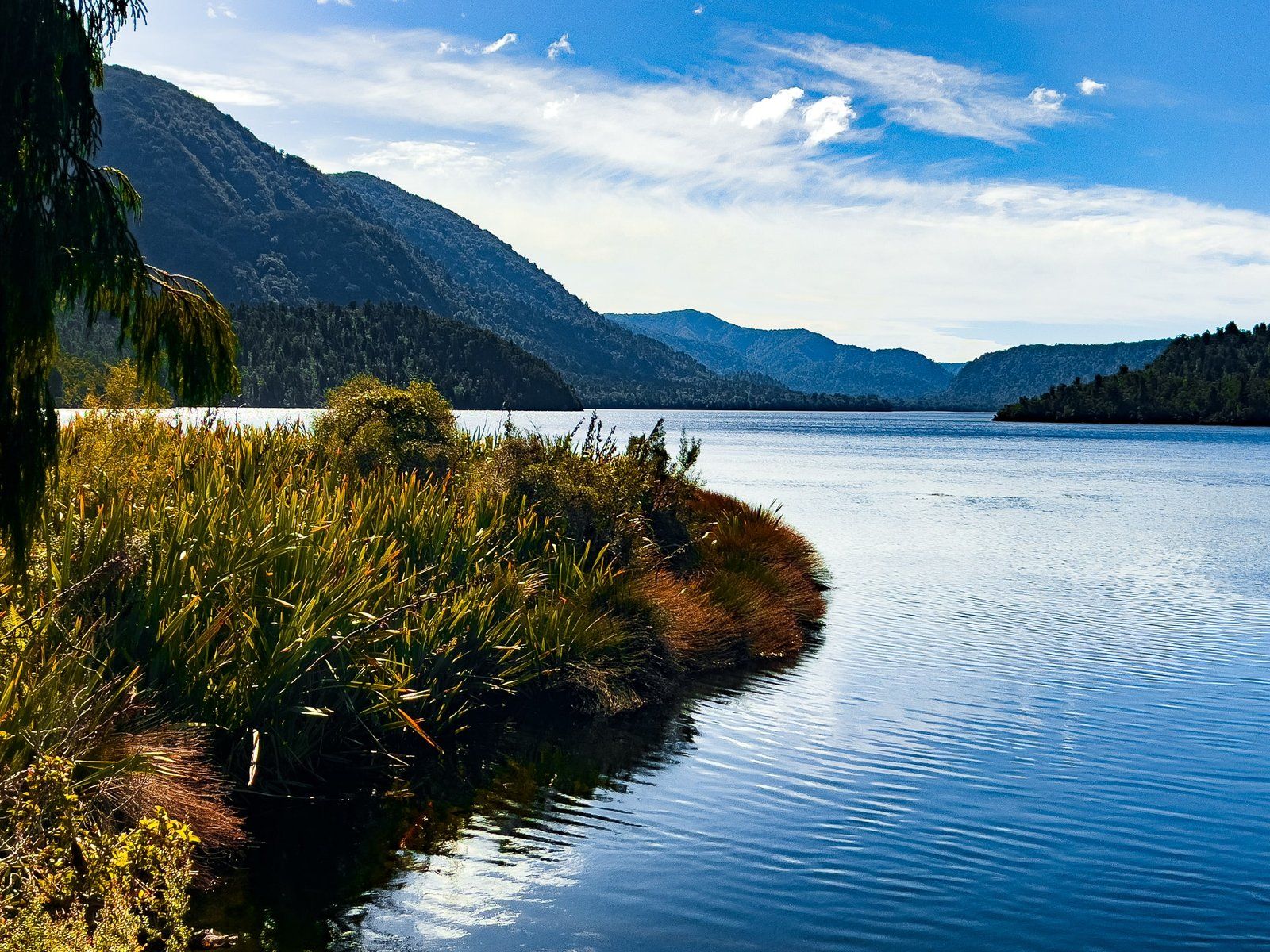
Lake Ellery
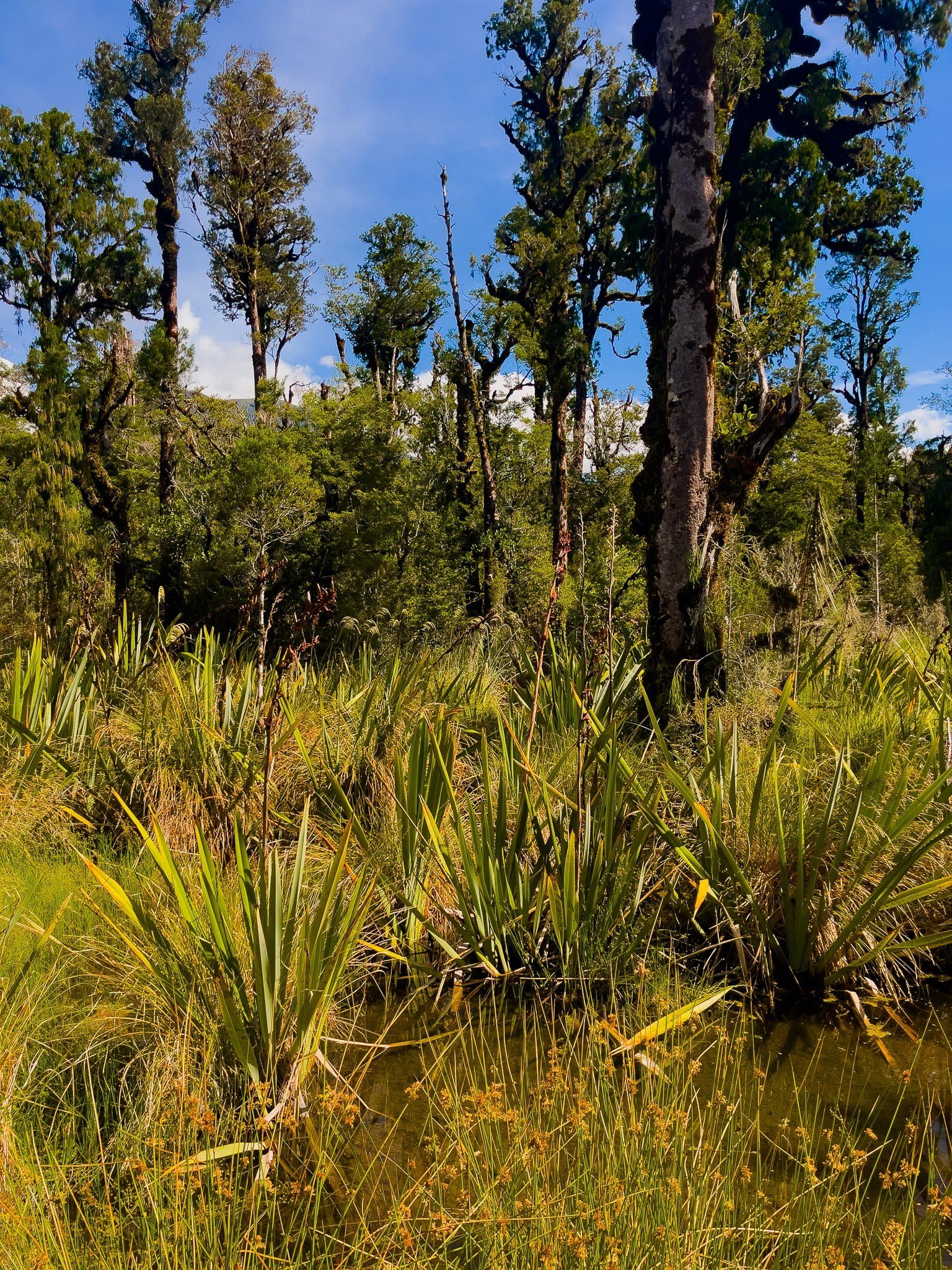
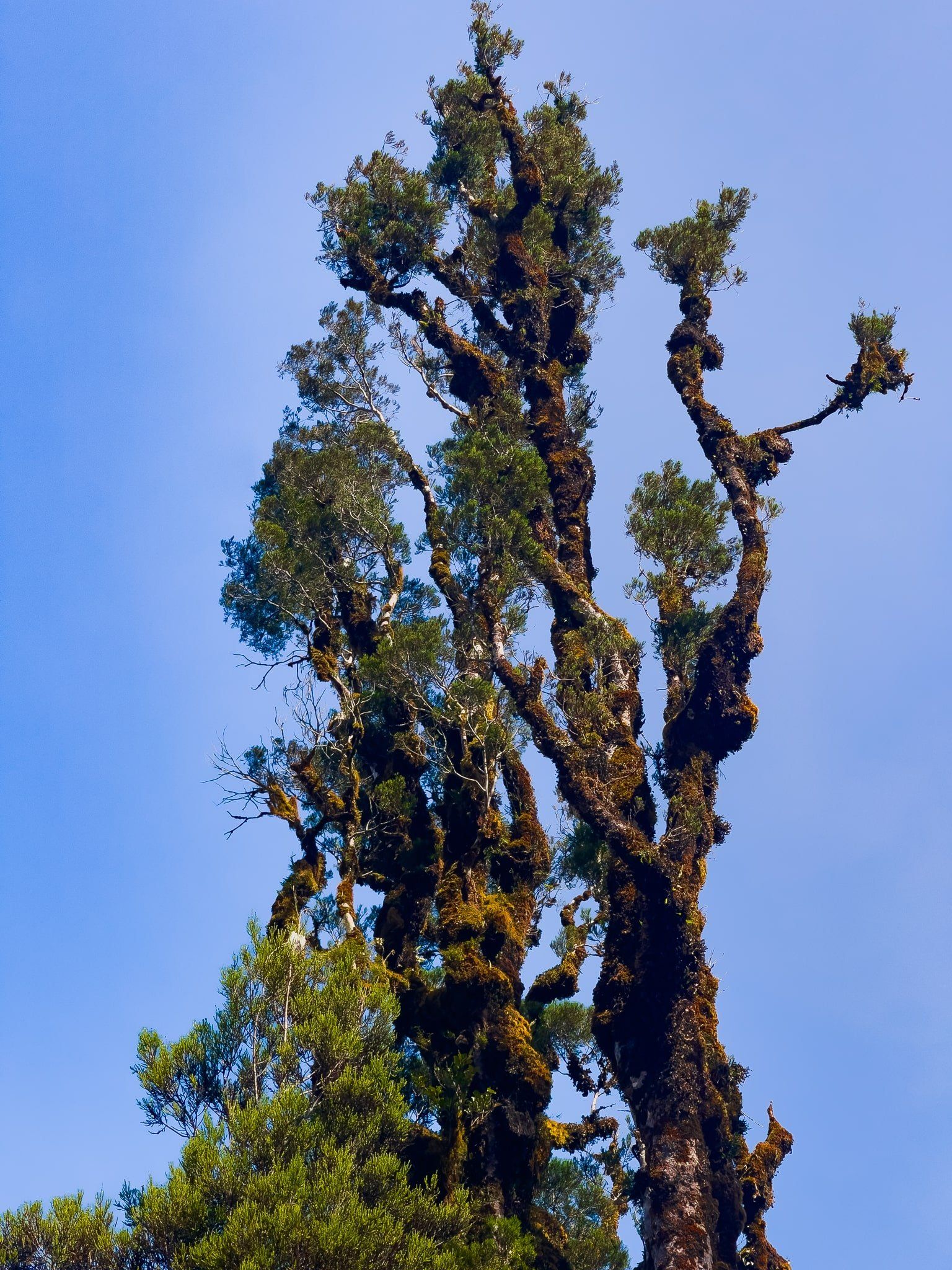
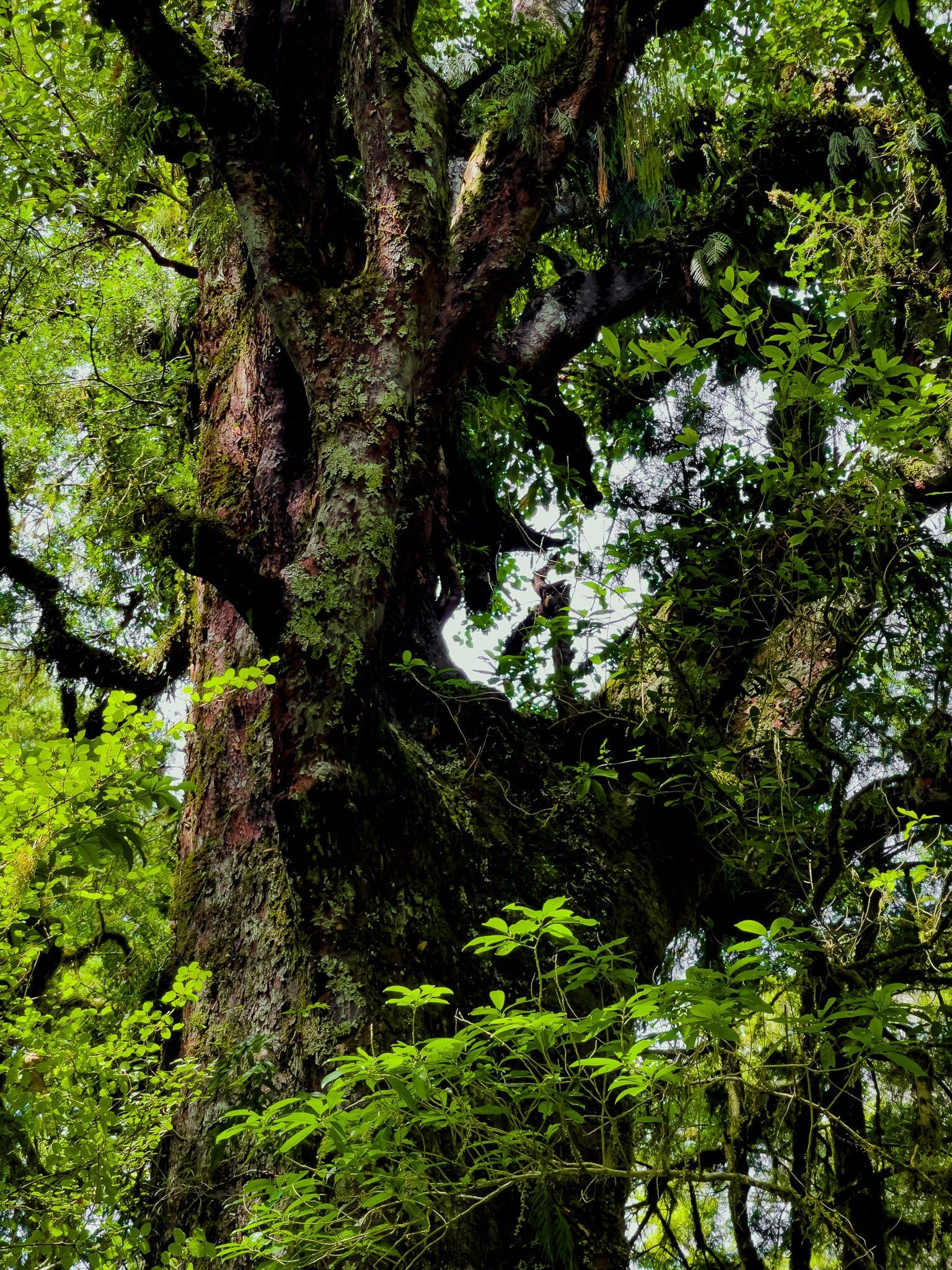
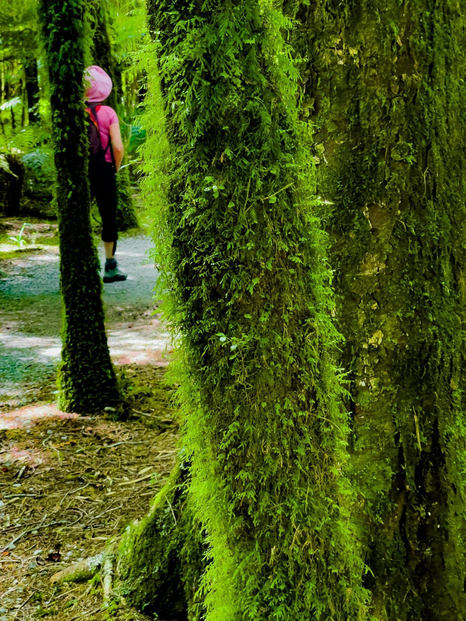
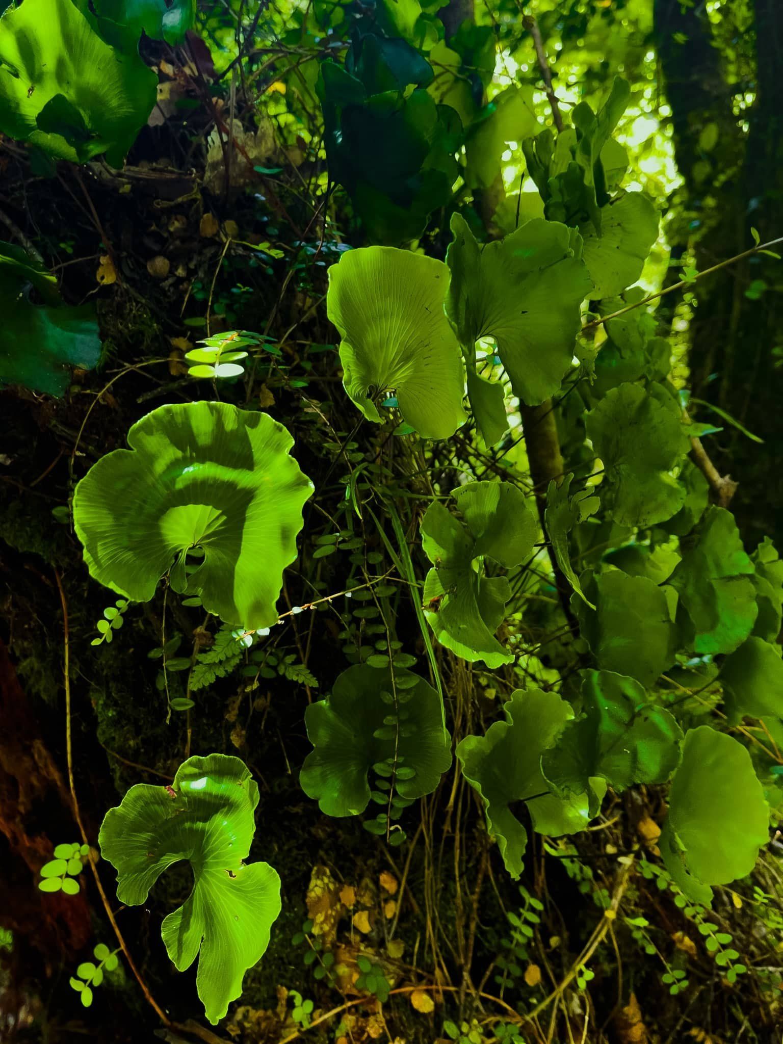
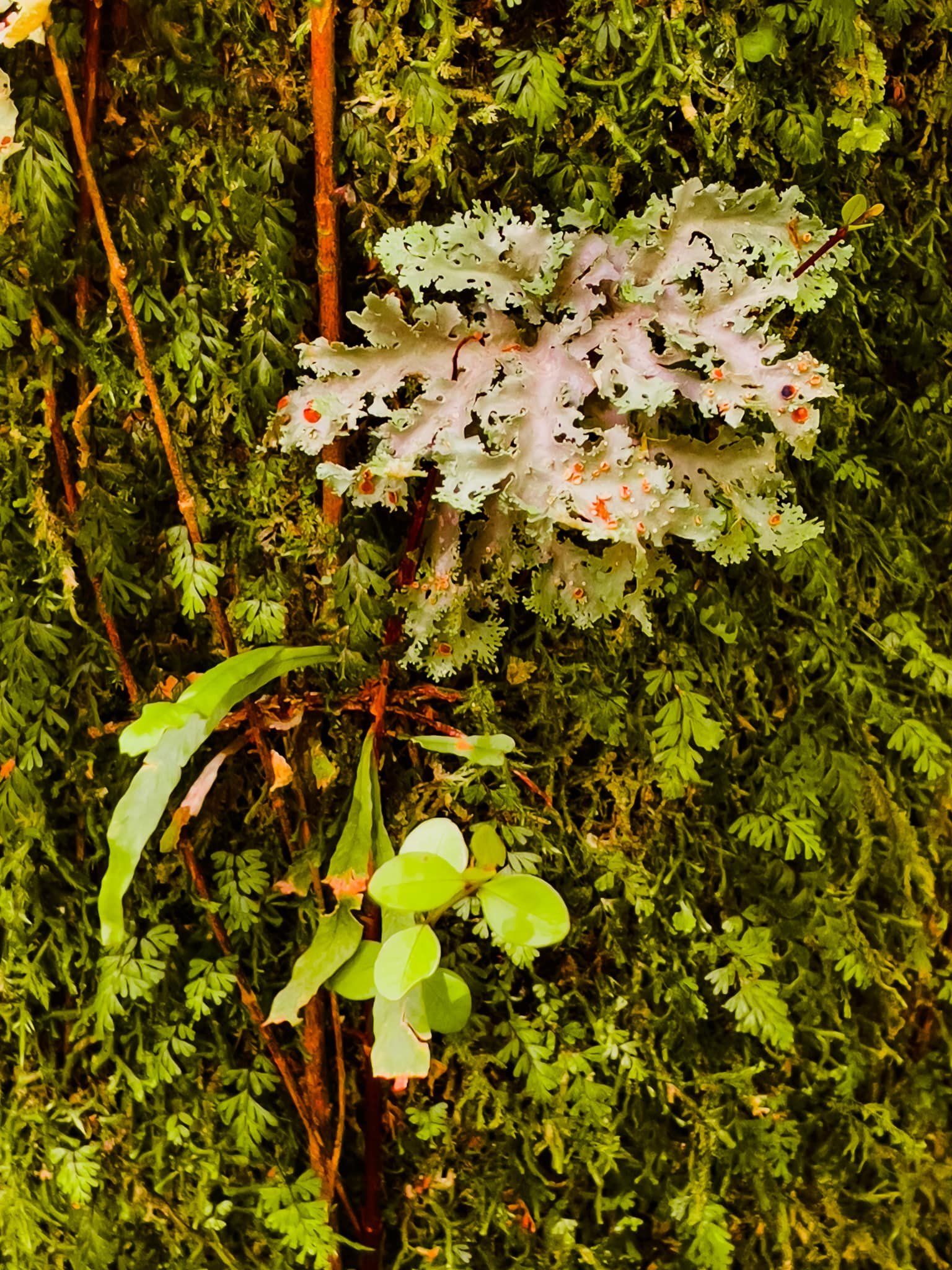
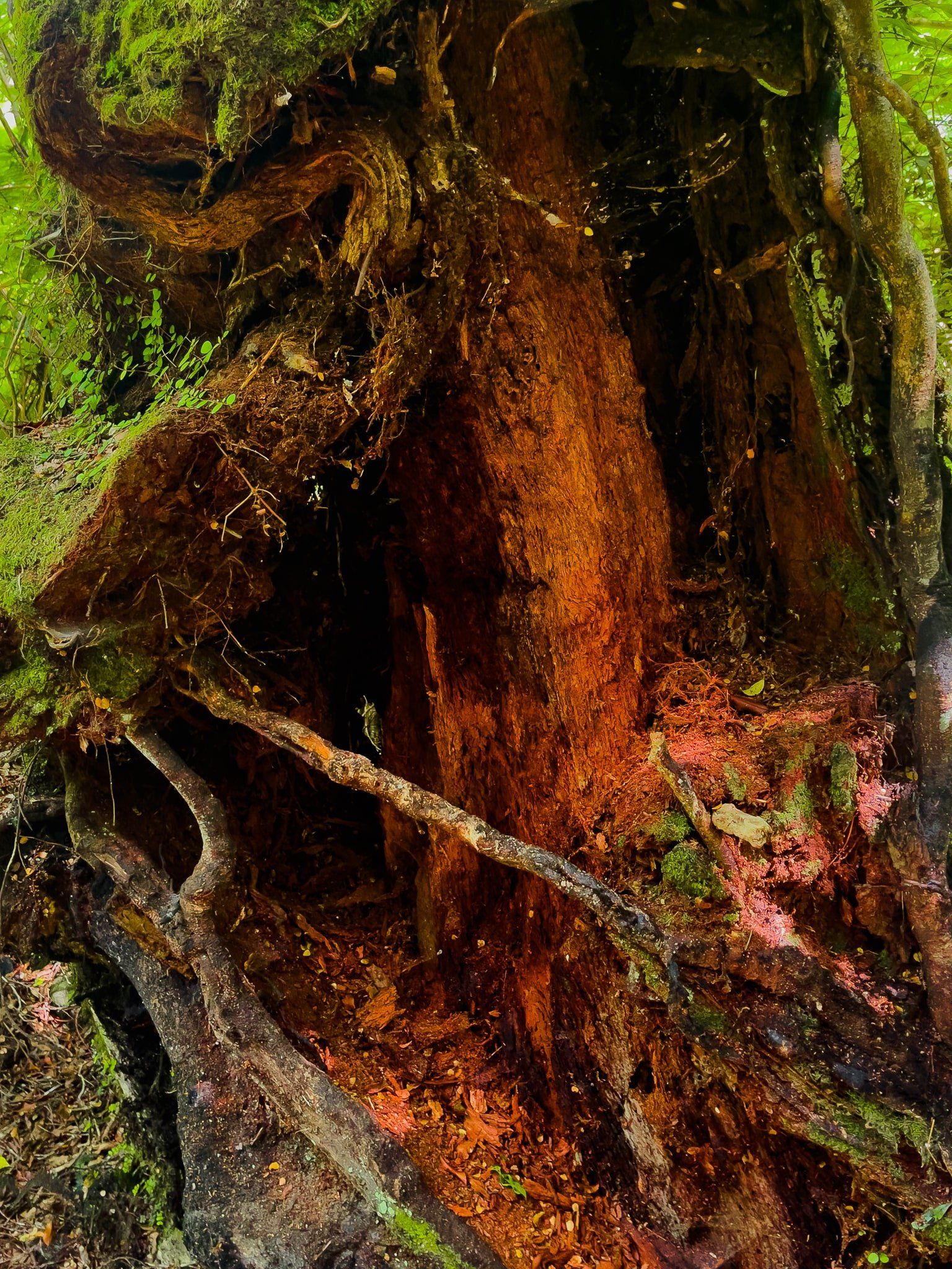
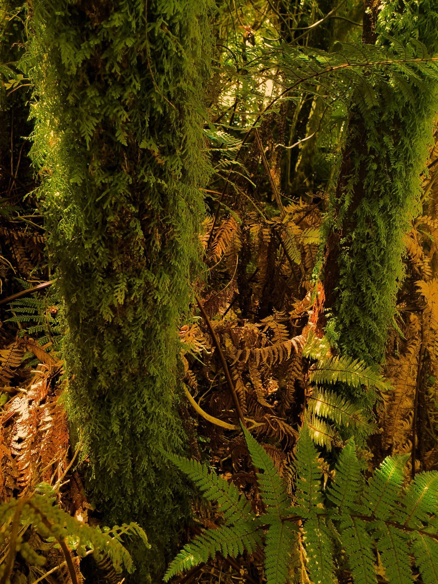
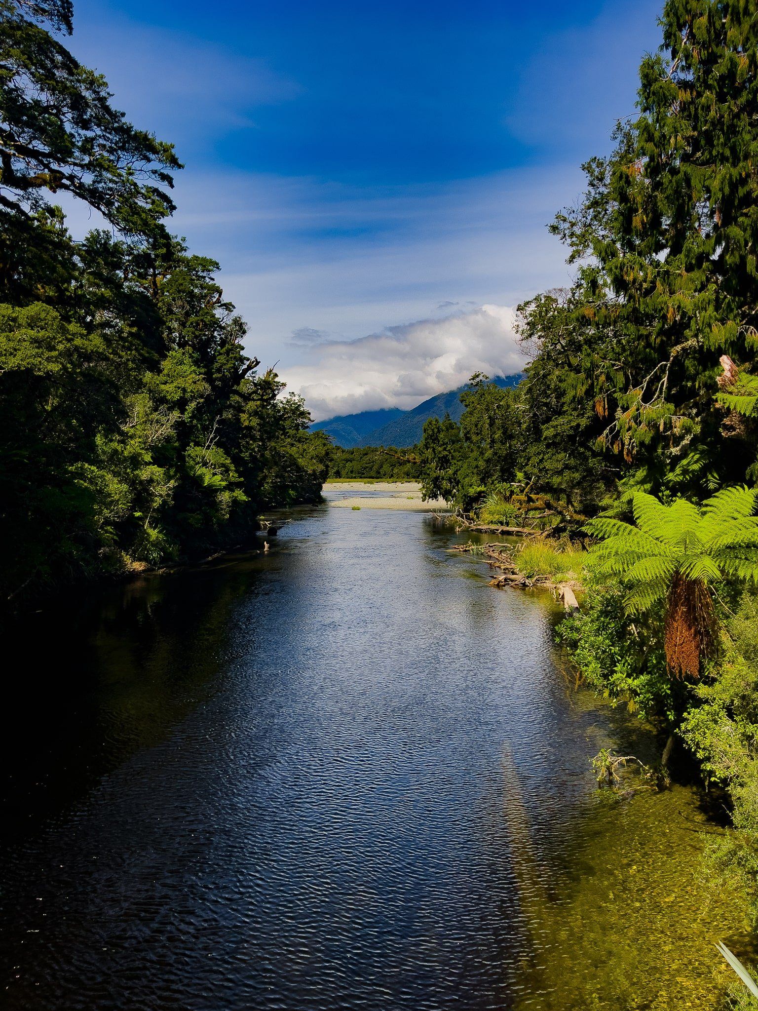
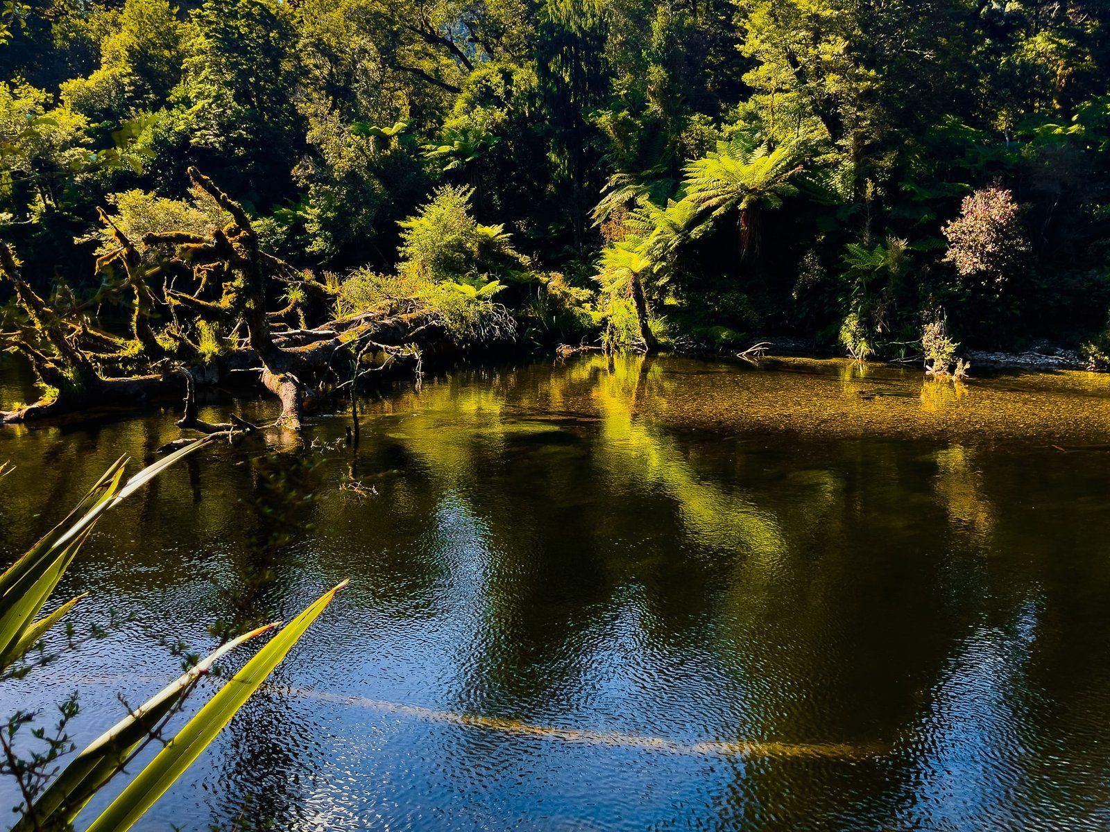
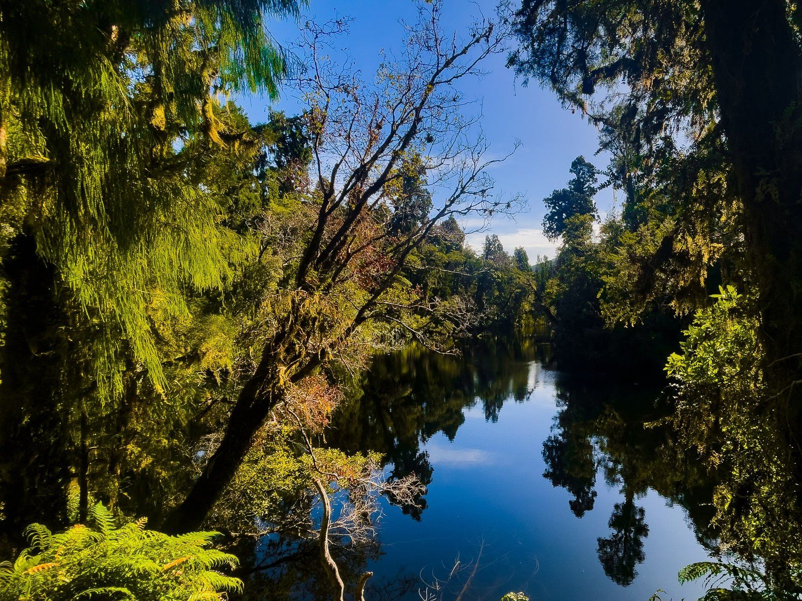
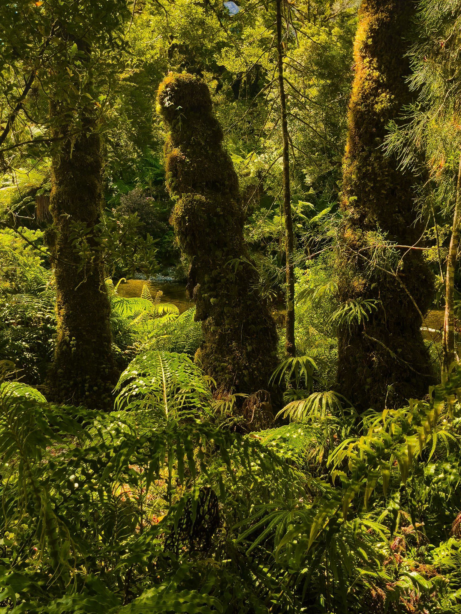
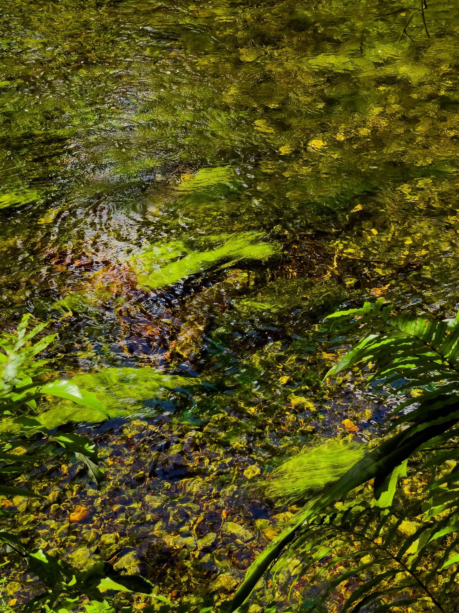
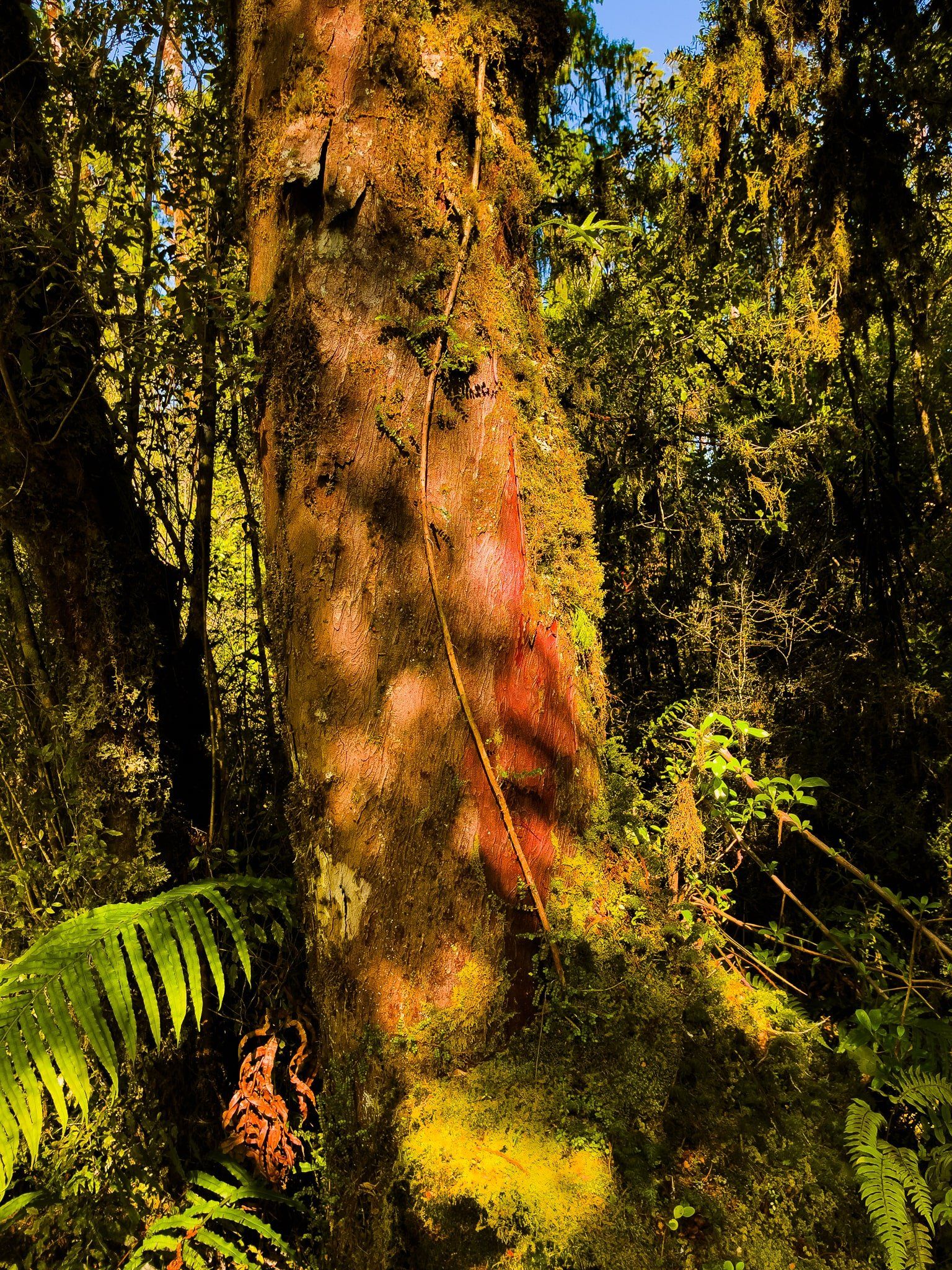
The Lake Ellery Track is a superb, short and easy walking track that takes you to the south end of the lake along the edge of the river outlet which flows into the Jackson River. It is surrounded by mature native rainforest, mostly old rimu and kahikatea trees, full of lichen and moss. In several locations, there are access points to the river, which is also exceptionally scenic, full of colour from reflections, river plants and natural tree tannins.
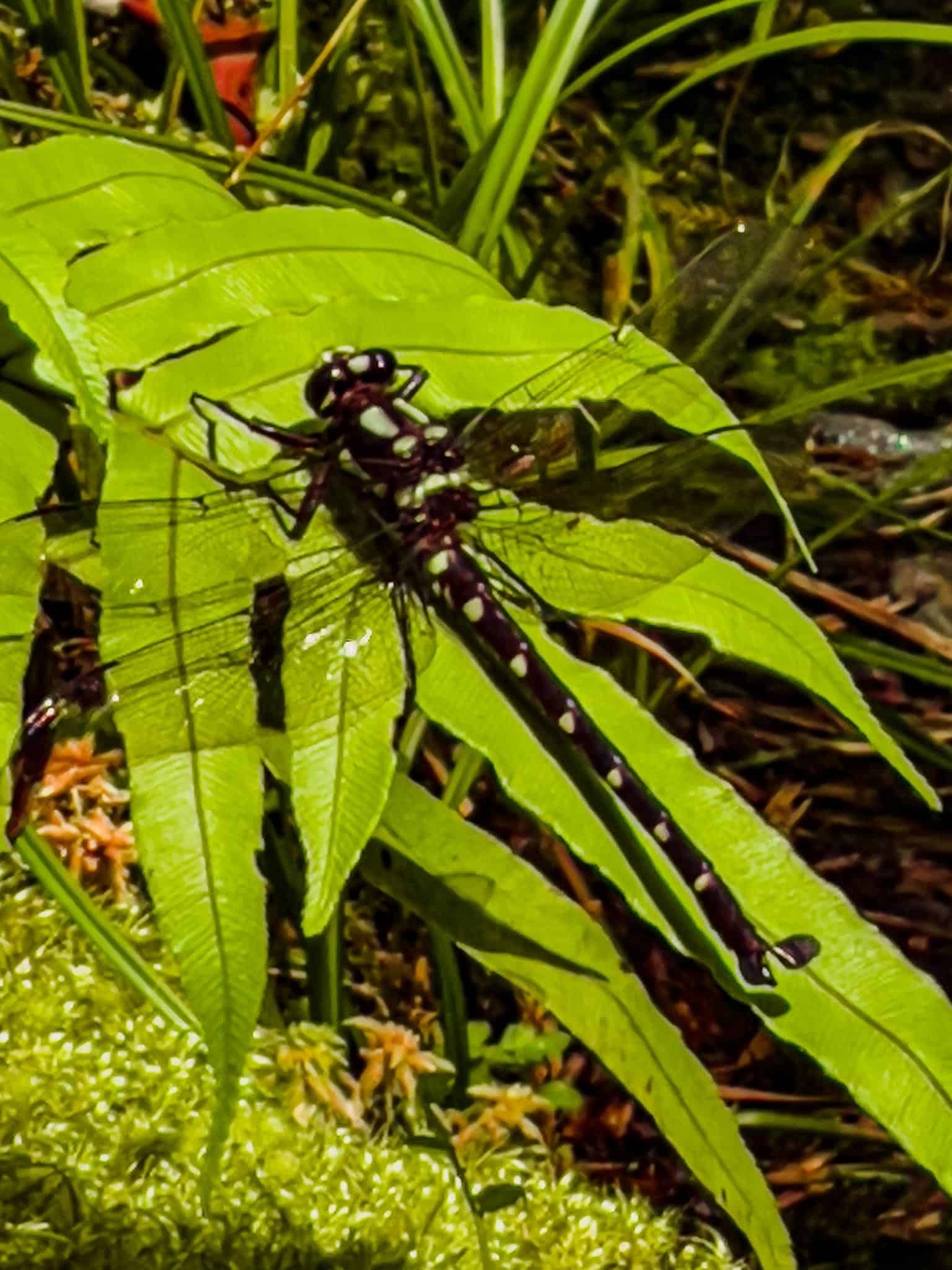
Along the way you are likely to run into several giant forest dragonflies, or kapokapowai which means “water snatcher” which alludes to the long extendable jaw of the nymphs that shoots out to snatch prey. Like in “Alien” but much cuter. When you see one, stand patiently to see if it will land close by – they are quite territorial.
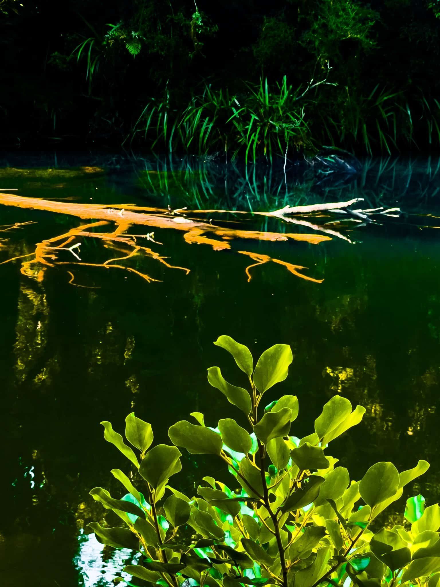
You arrive at the lake at the edge of a rocky outcrop with a moderate drop to the water. It is quite deep, so you may be able to dive in, but it would be safer to push through the harakeke (flax) to your right to access the water’s edge.
The walk takes about an hour return. Access to the track can be found about three kms along metal Jackson River Road, accessed from Haast Jackson Bay Road immediately after crossing the Arawhata River bridge. You can also access the Jackson River on this road.
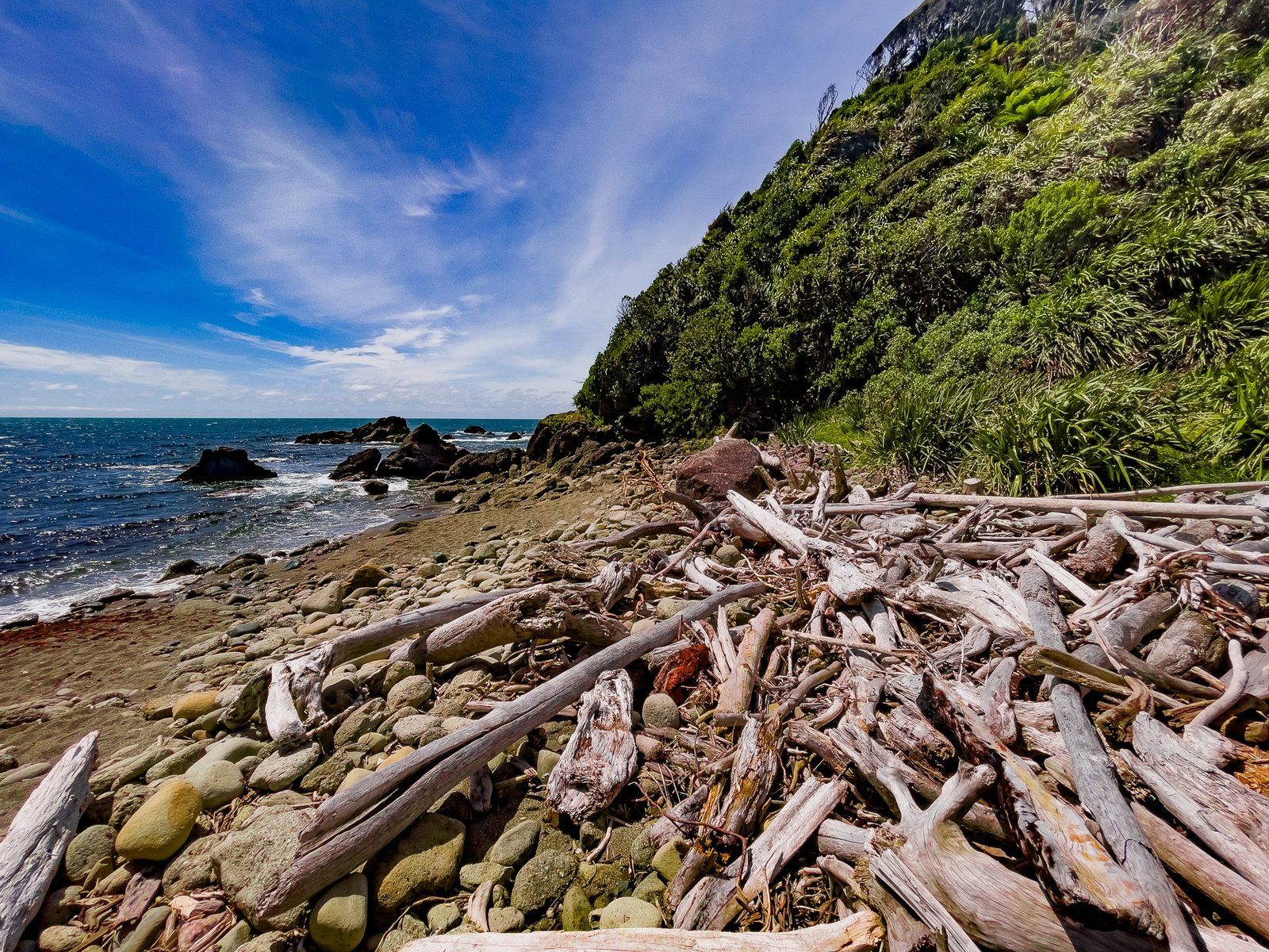
Neils Beach
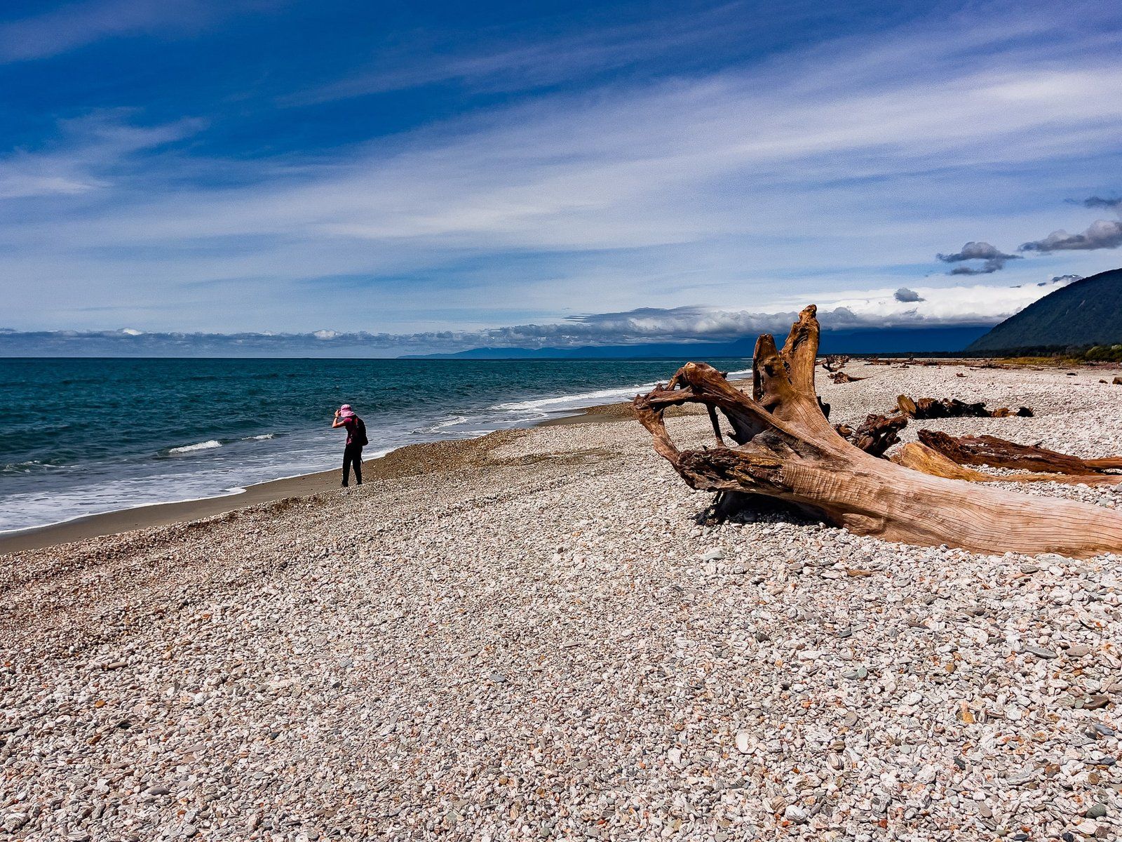
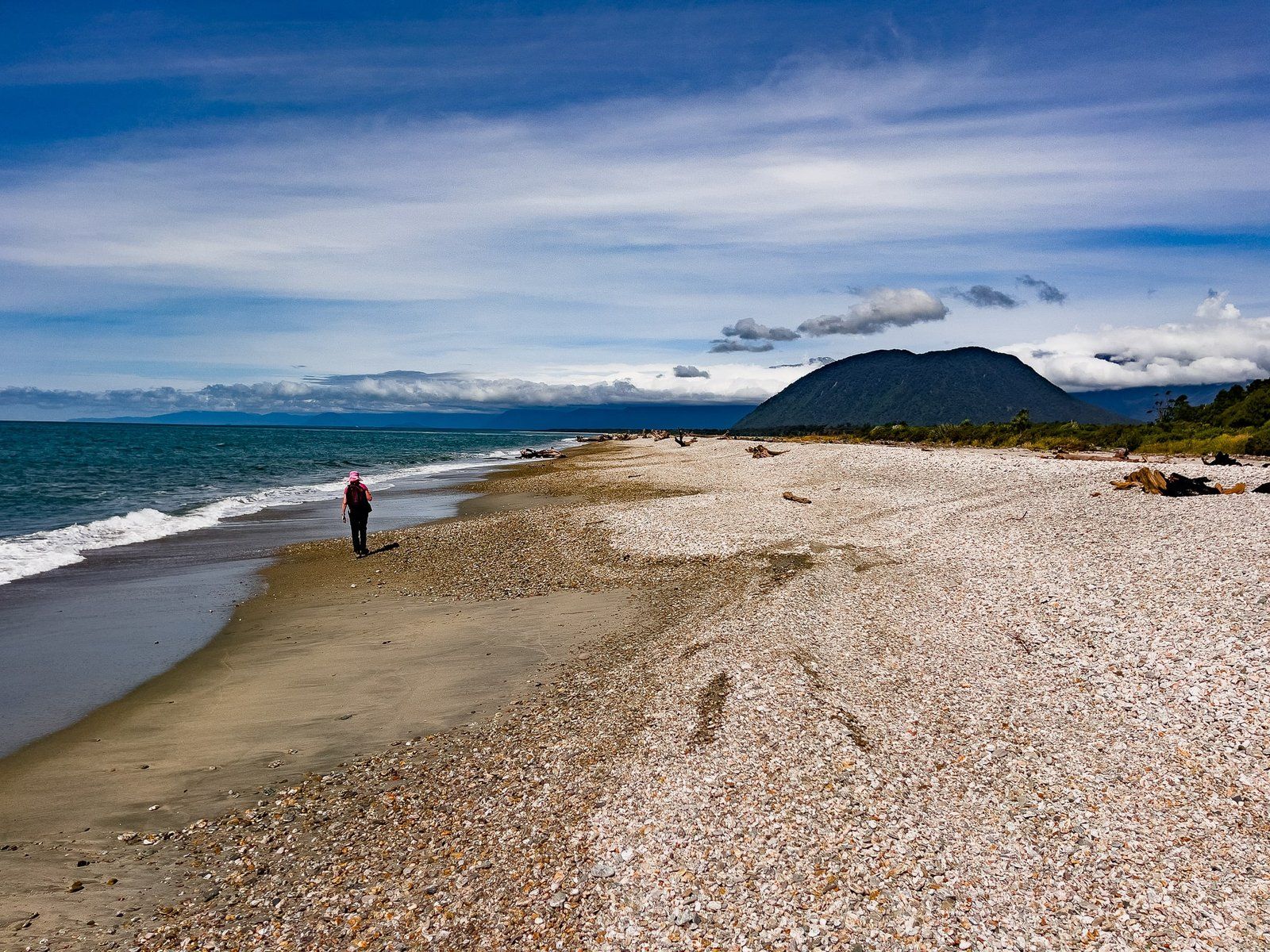
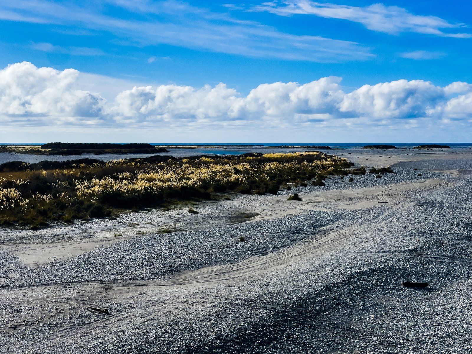
Neils Beach is one of several options for accessing the long stretch of coast that runs around Jackson Bay Okahu and as far as Haast River. It lies just to the west of the Arawhata River mouth and there are a number of houses and cribs, plus a backpacker lodge.
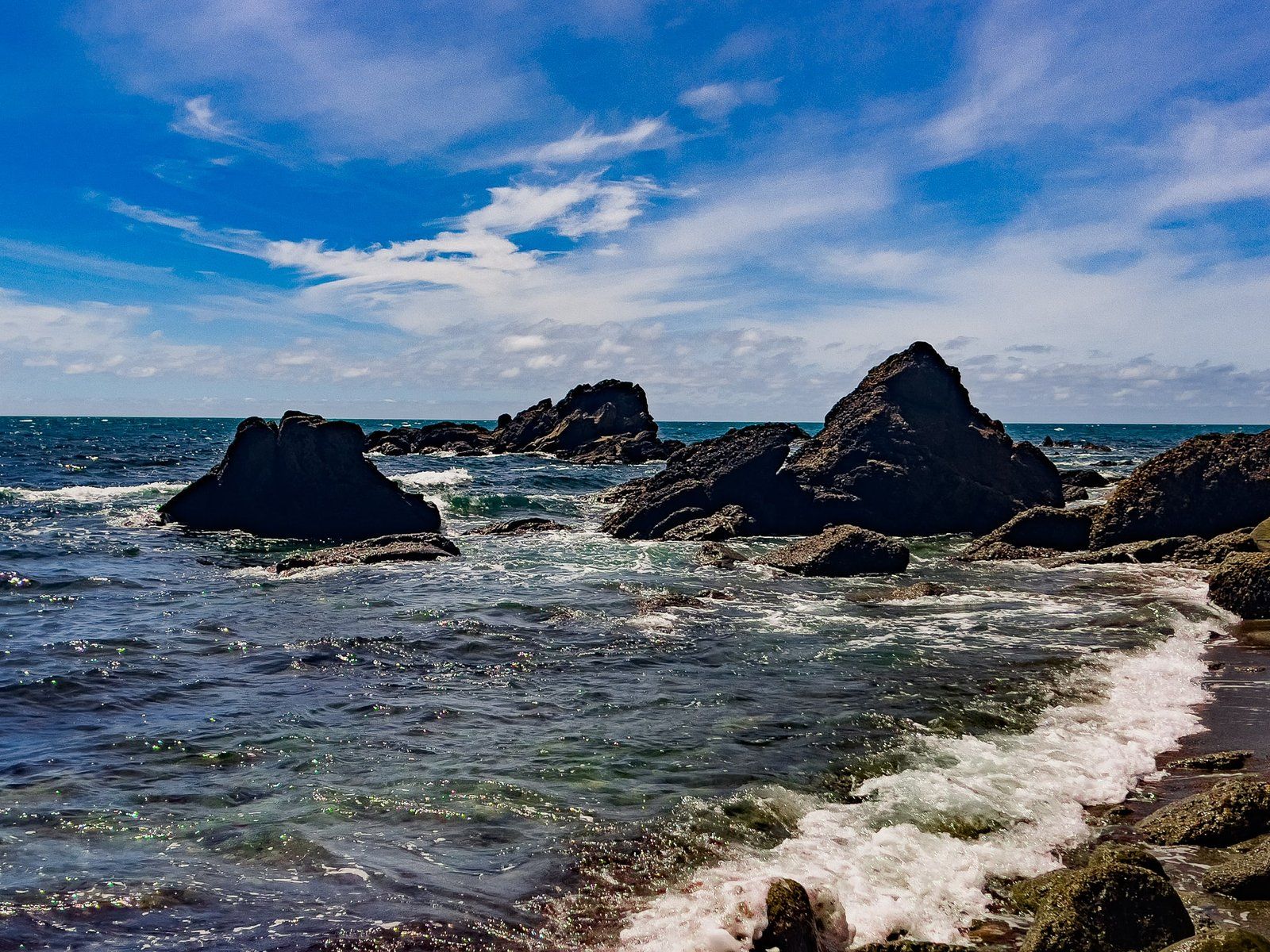
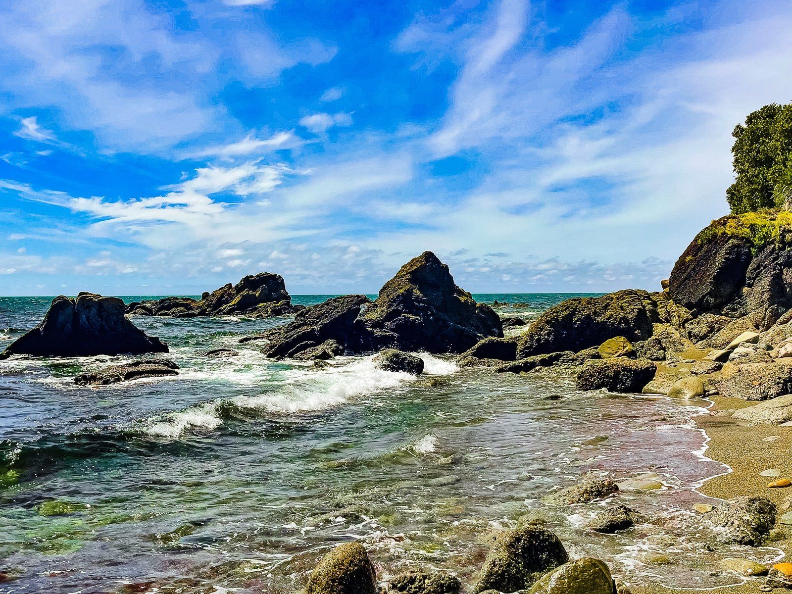
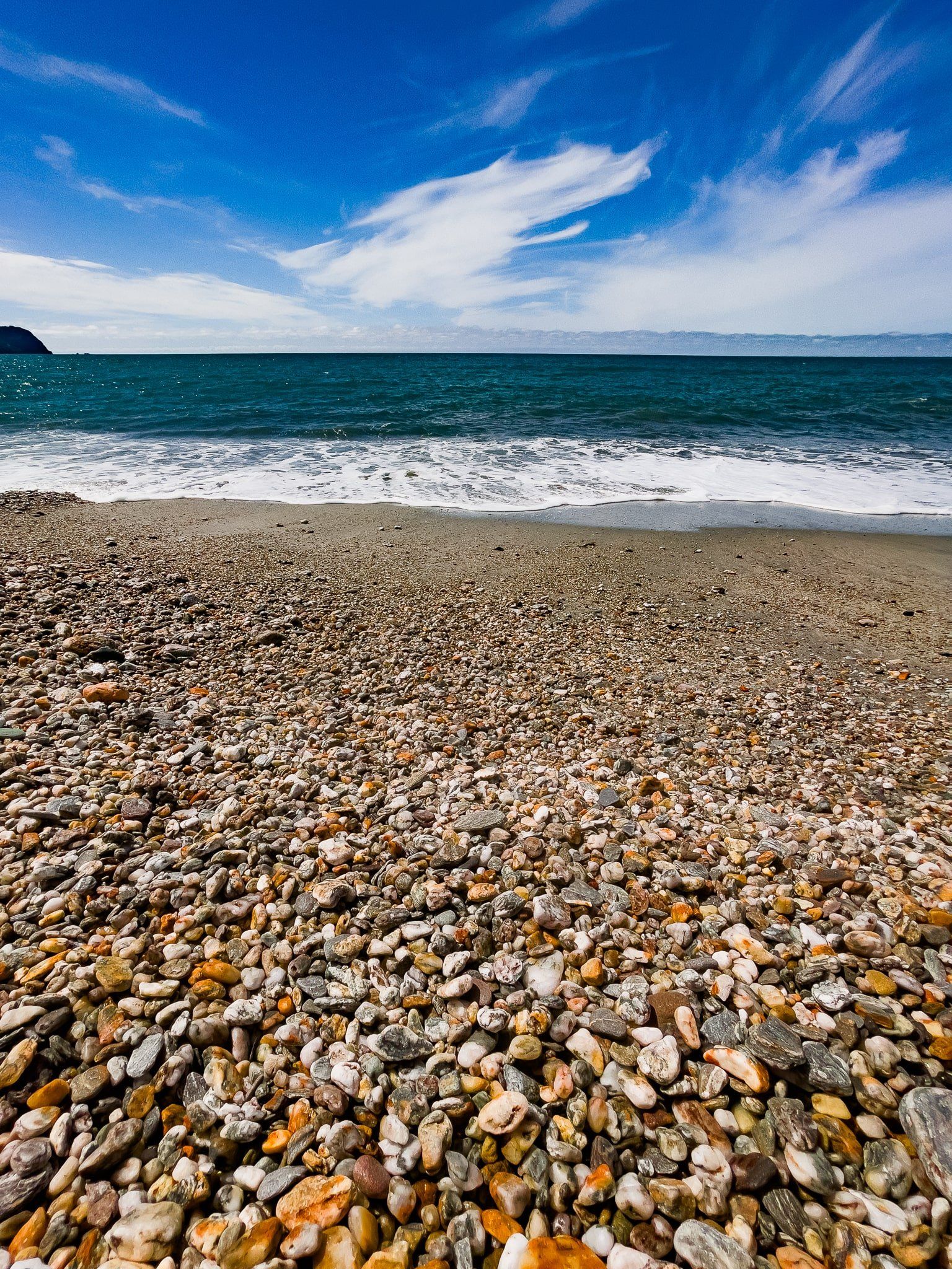
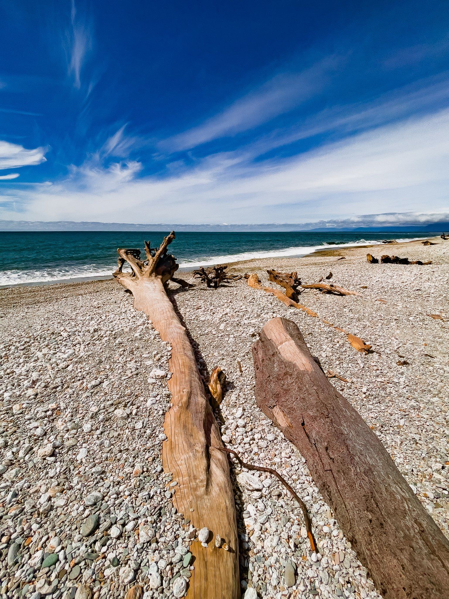
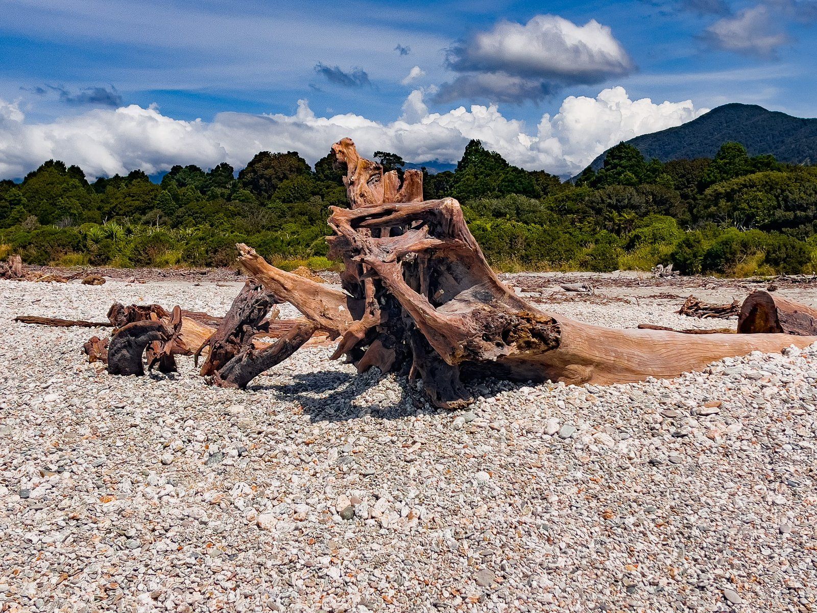
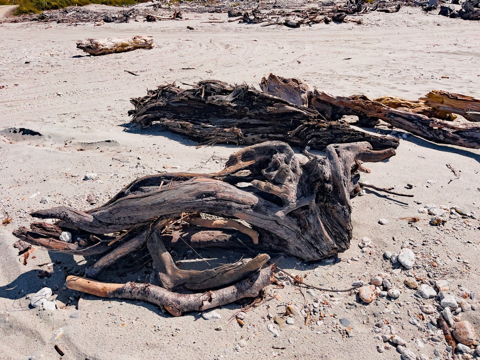
The beach is typical of the region, with a mix of sand, stone, and driftwood. As with all the Westland surf beaches it is wild. As it is not patrolled and there are few people around, take extra care if you decide to swim.
To get there, take the signposted side road from Haast Jackson Bay Road. Keep going along to the rough beach access road and park on the beach. You can drive further along the beach but it is not recommended without a 4WD.
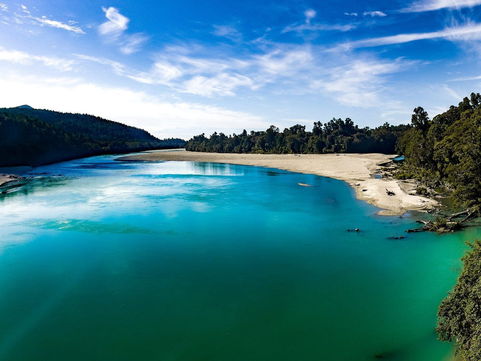
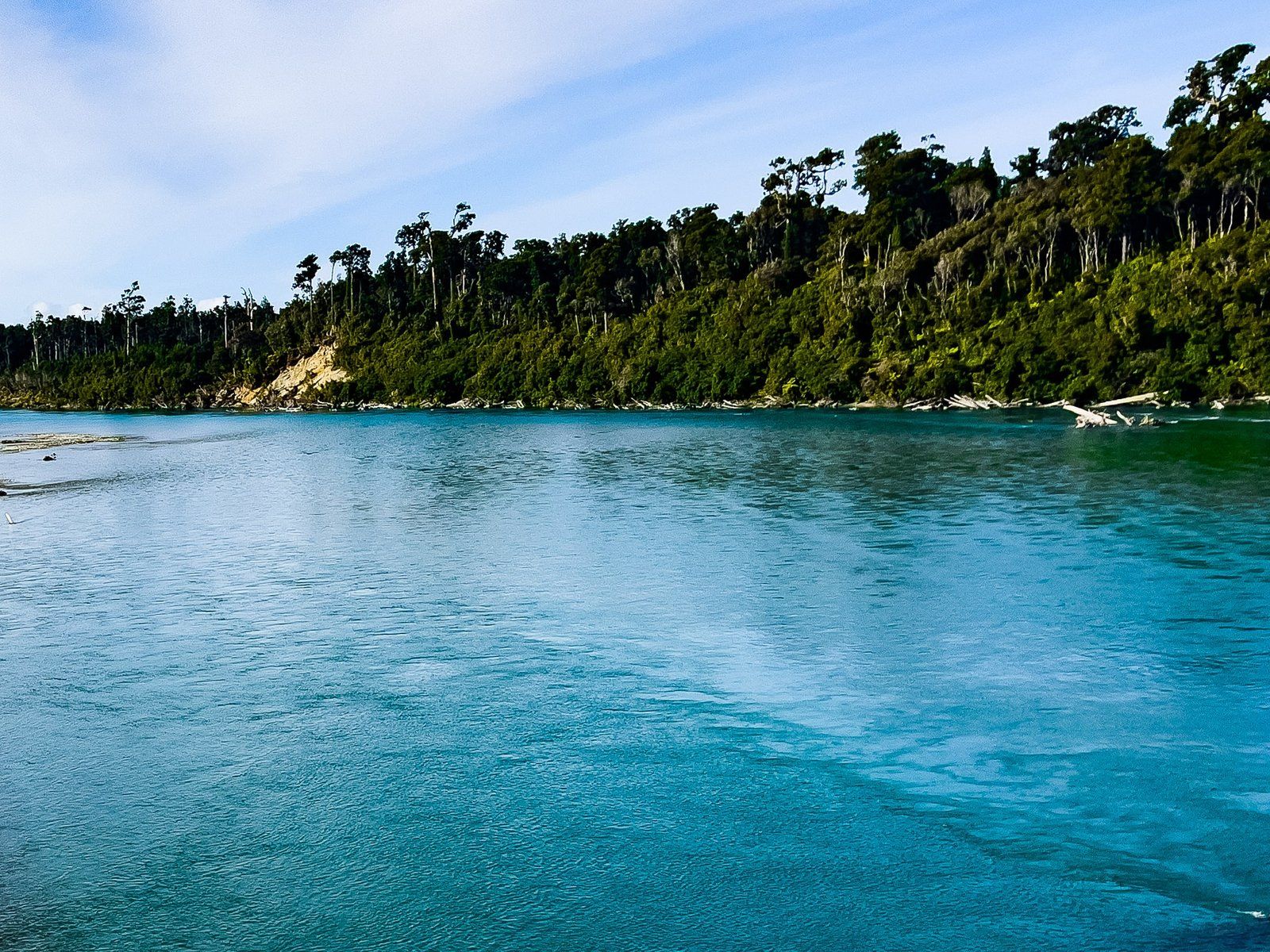
Arawhata River
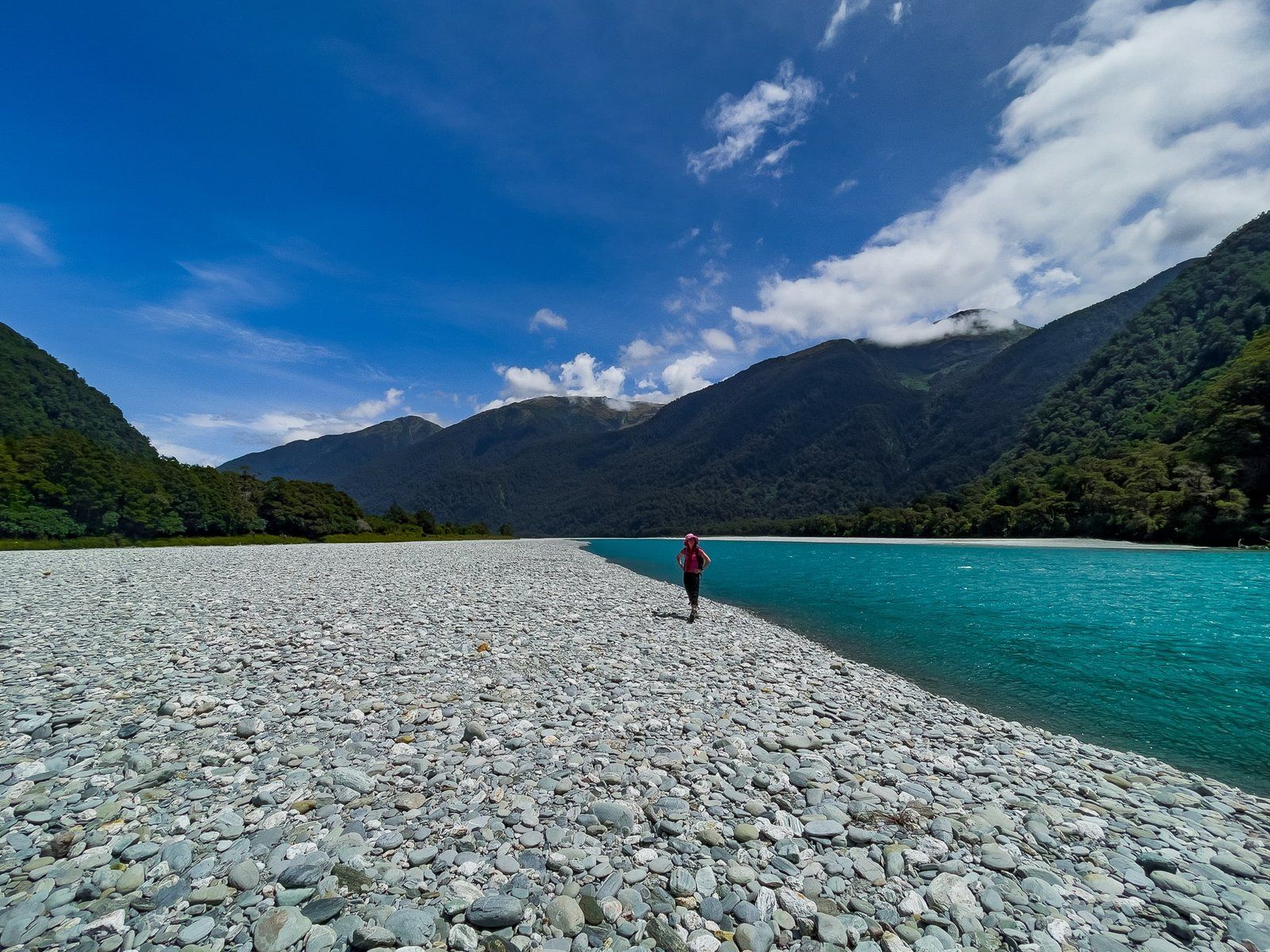
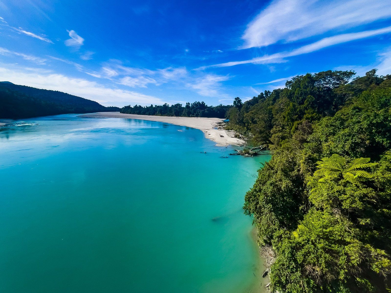
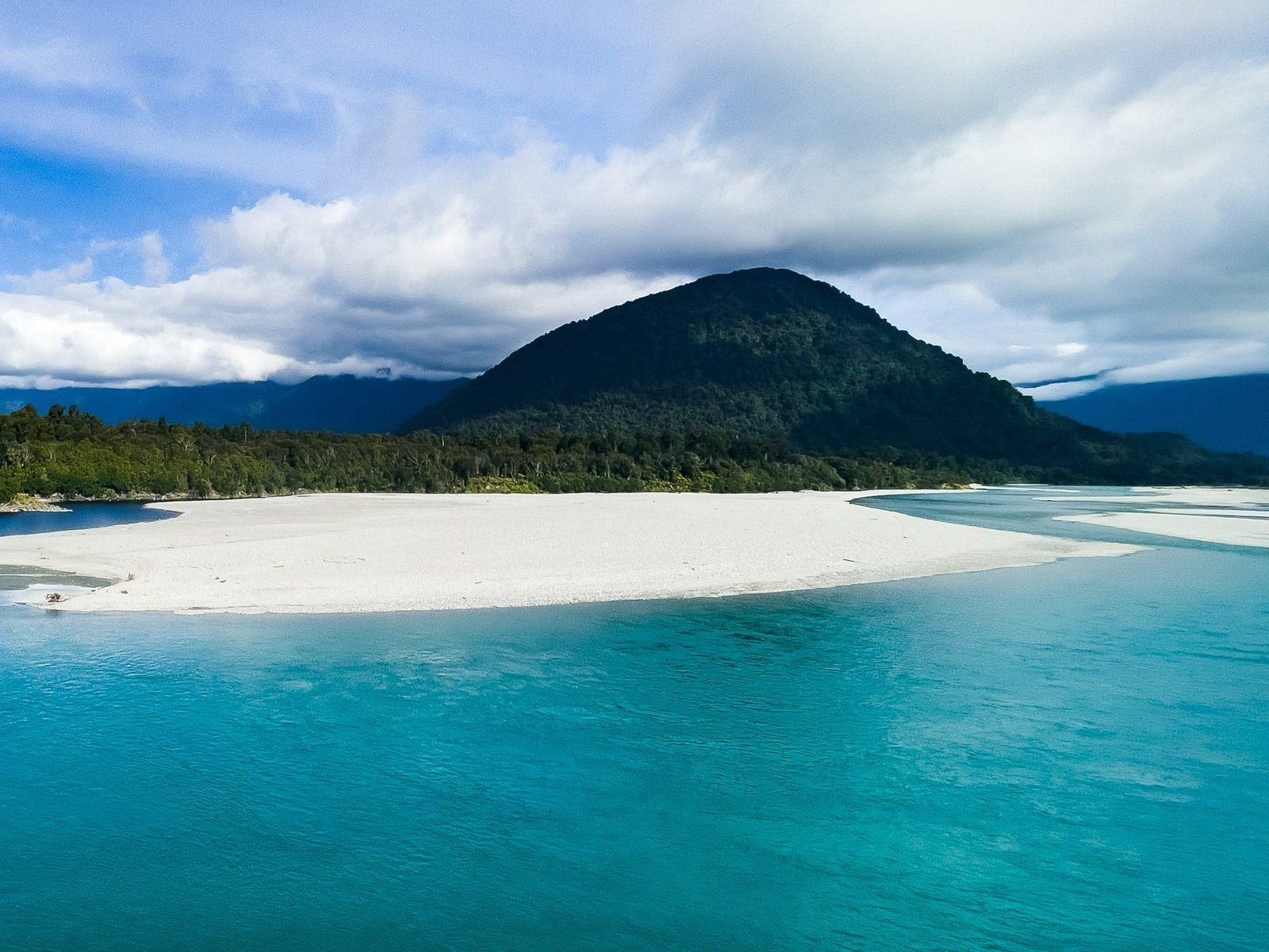
The rivers are definitely a feature of south Westland. The Arawhata is not especially long, emanating from the relatively nearby Mt Aspiring National Park and the Olivine Range and Ice Plateau. It is joined by the Jackson River and, by the time you cross it on Haast Jackson Highway, is very wide as it flows to the coast near Neils Beach.
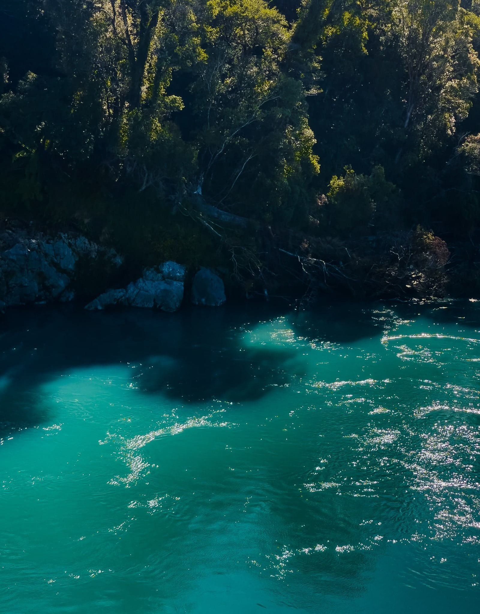
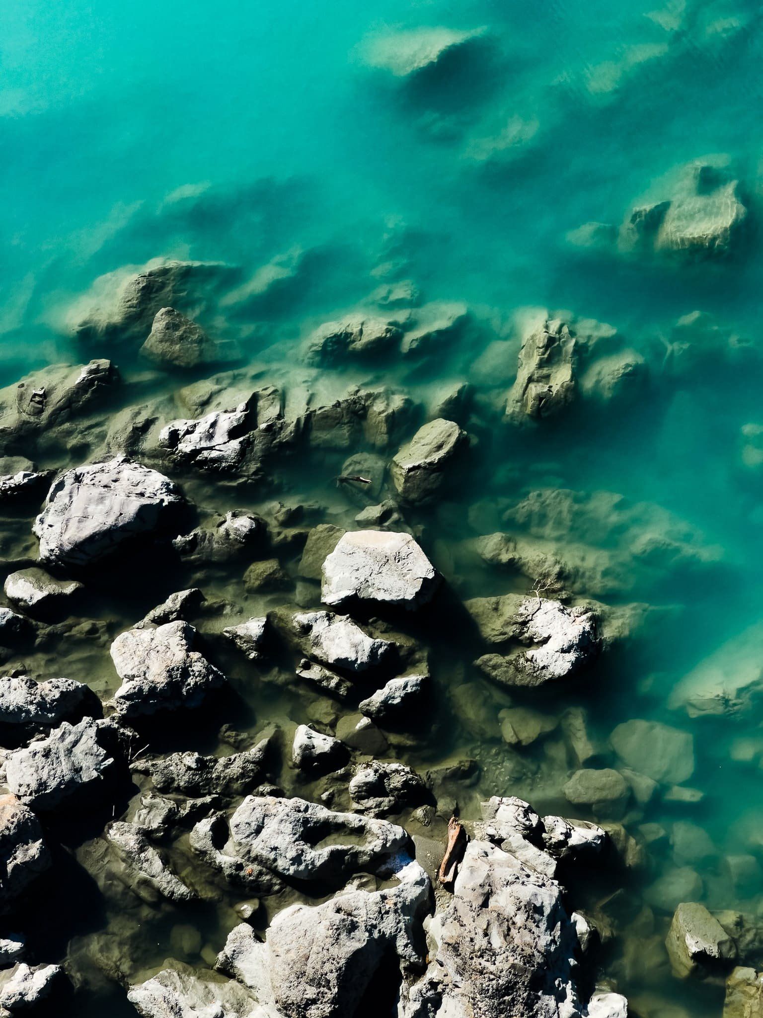
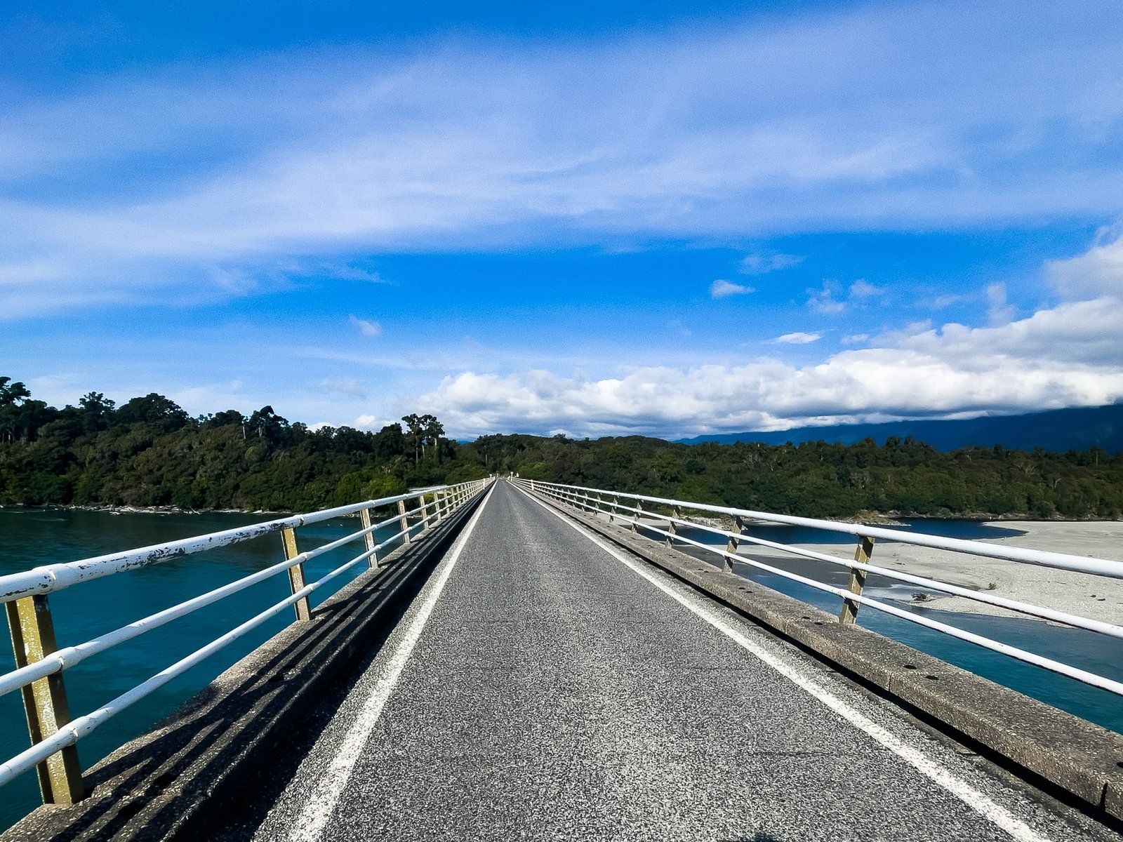
The bridge over the river is probably the most spectacular of the big one-way bridges in Westland – quite high and long. If you park on the north side of the bridge you can safely walk back to admire the view and get some photos. From above, the river has a fabulous bright pale blue quality. Like the Hokitika Gorge, the hue is a result of large amounts of fine particles ground out by glacial action and suspended in the water.
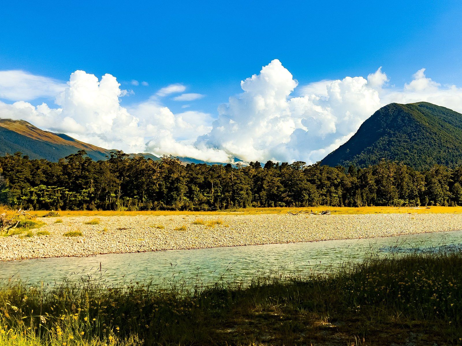
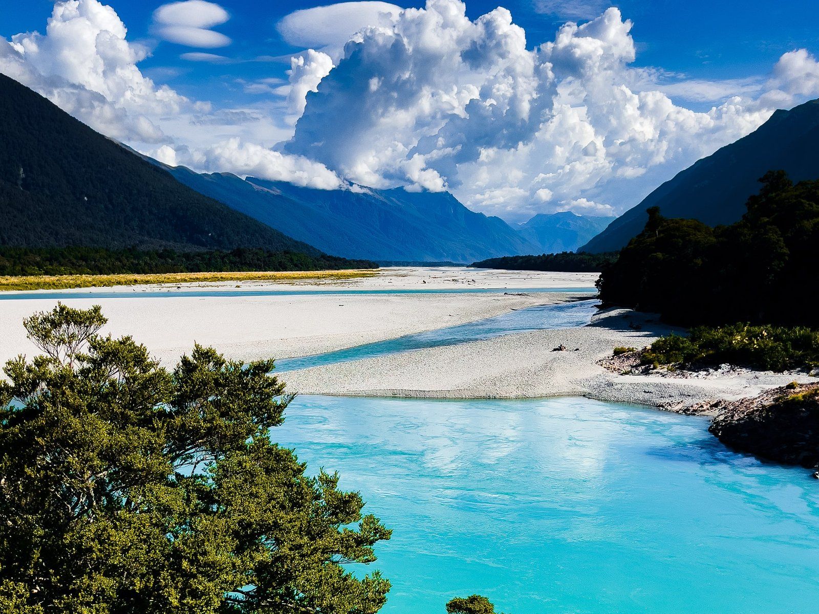
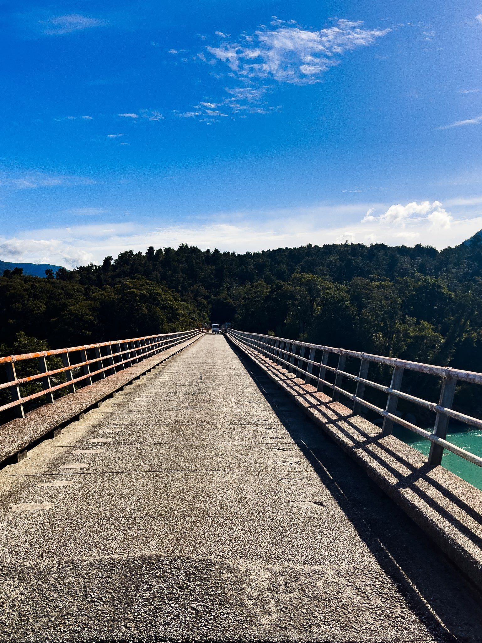
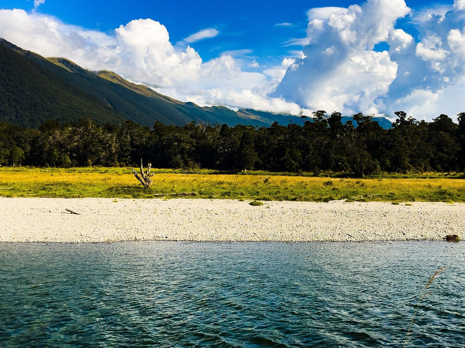
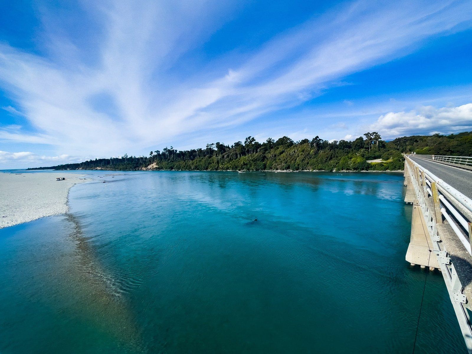
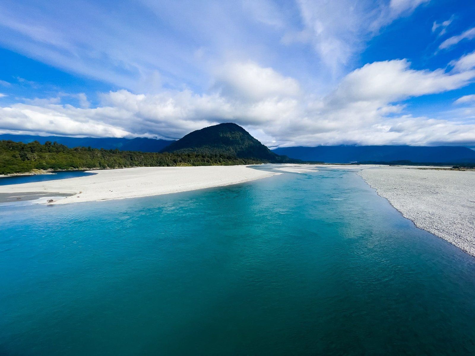
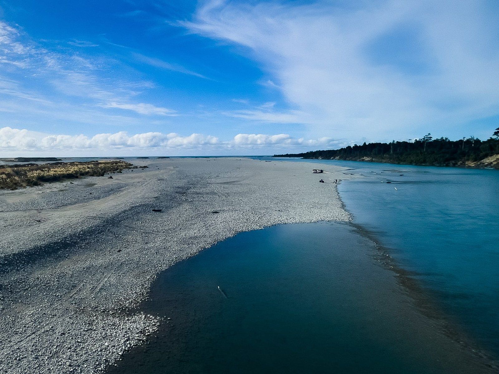
Haast River
The one-way Haast River bridge on SH 6 is the longest in Westland at 737 metres. As you cross it, the scale of the meanderings of the Haast River is immediately apparent, with most of the area below made up of gravel flats and the main channel on the north side.
There are stopping points on the bridge to permit oncoming cars to pass. These also double as ideal viewpoints for photos, so long as traffic is light. Like the Arawhata river to the south, the colour of the Haast River is an attractive blue. However, the view from above the river is not as high, so not quite as spectacular.
You can also get down to the gravel bed from a side road beside the Heartland Hotel, just before the intersection of the Haast Jackson Bay Road and the Haast Highway SH 6.
Want more West Coast Trip Ideas?
Check out our blog A Week on the West Coast: Hokitika to Punakaiki and our series on the Haast Highway; Isthmus to Haast Pass and Makarora to Haast.